EstuaryWatch Data Portal
Overview
| Estuary name | Anglesea River Estuary |
|---|---|
| CMA | Corangamite CMA |
| Description |
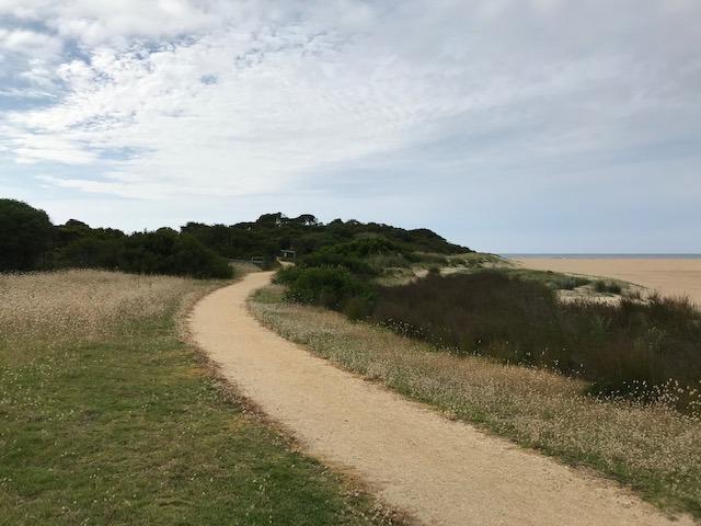
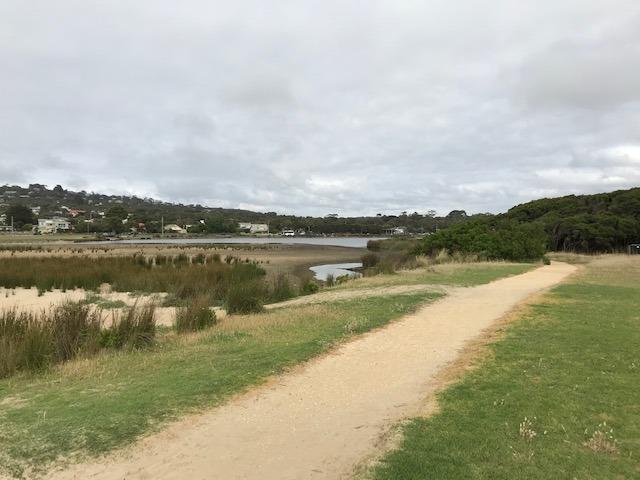
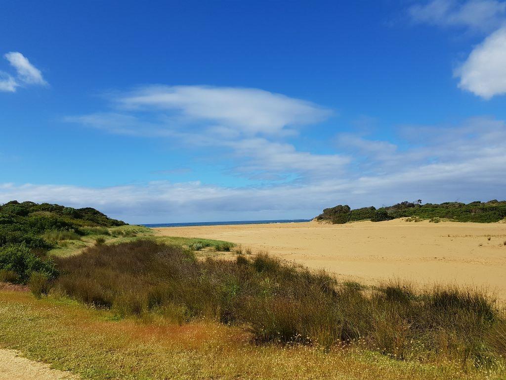
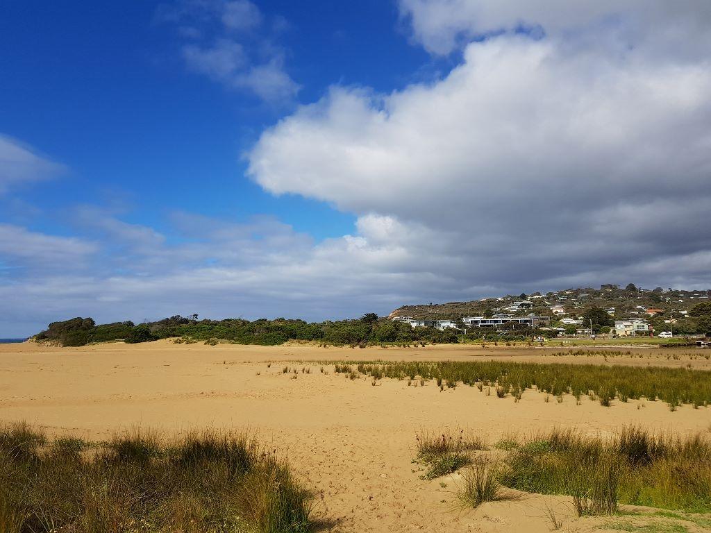
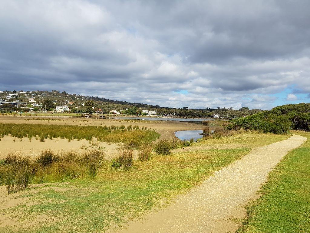
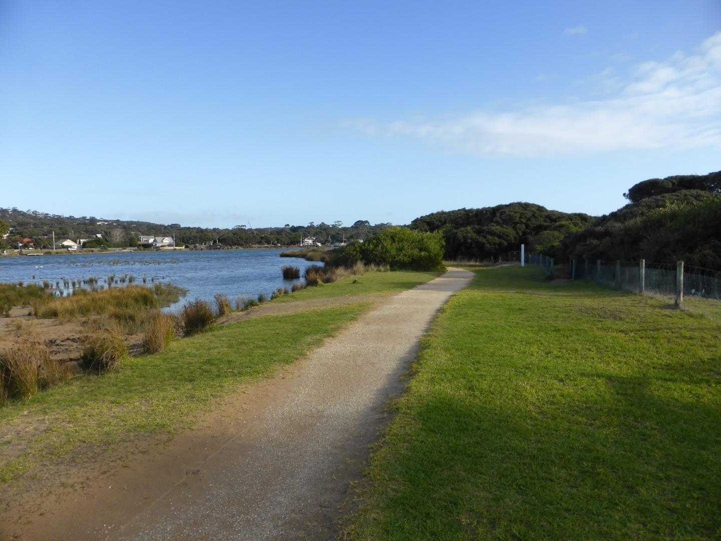
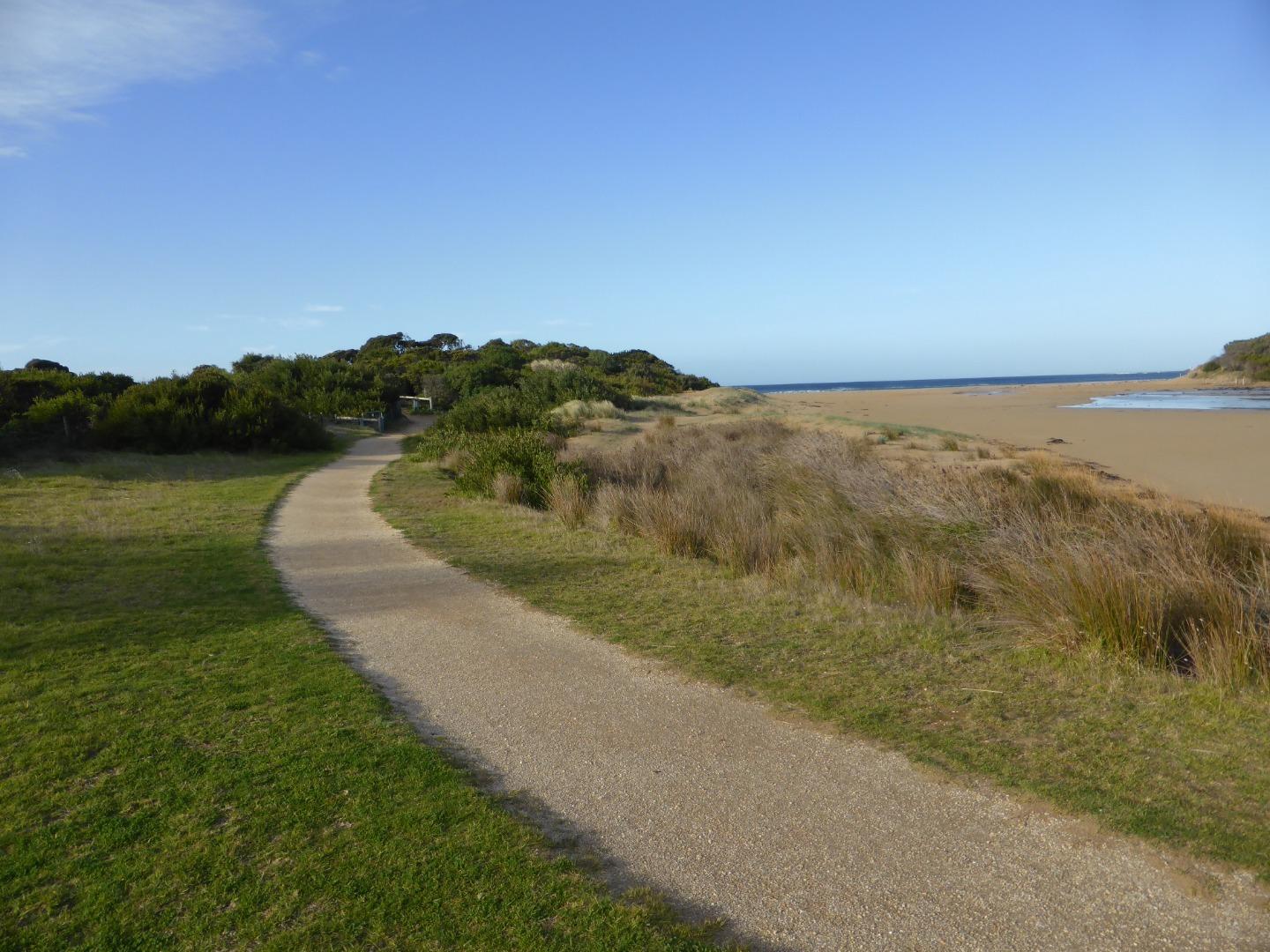
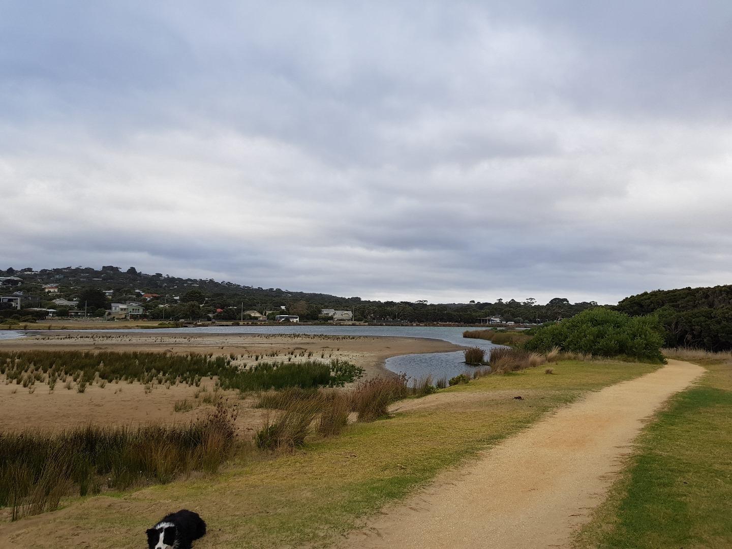
The Anglesea River Estuary is approximately 2.618km in length with a catchment area of 885.1 Ha. There are extensive boardwalks, bridges and trails around the estuary which provide many opportunities to get up close to the estuary. |
| Estuary Values |
|
| Estuary Threats |
|
| Data | Site observations |
| Status | Active |
| Monitor group | Anglesea River EstuaryWatchers |
| Document | 10987_ANGLESEA_RIVER_ESTUARY_MANAGMENT_PLAN.pdf |
| Document | Anglesea River Estuary Fact Sheet |
Sites
| Site details | Options |
|---|---|
A1 Jetty opposite Angahook Corner StoreActive Physico-Chemical 29-04-2007 - 20-03-2024Sampling from Jetty opposite Minifie Avenue/ Angahook Cafe, adjacent to the information centre. |
Observations 184 |
A2 Fishing platform upstream of Great Ocean Rd BridgeActive Physico-Chemical 29-04-2007 - 20-03-2024Fishing Platform upstream of the Great Ocean Road bridge and boat houses located on the western bank. |
Observations 182 |
A3 Footbridge near Bingley ParadeActive Physico-Chemical 29-04-2007 - 20-03-2024Footbridge that crosses estuary. |
Observations 198 |
A4 Footbridge adjacent to Coogarah ParkActive Physico-Chemical 29-04-2007 - 20-03-2024Footbridge located adjacent to Coogarah Park. |
Observations 174 |
A5 Culvert on Coalmine RoadActive Physico-Chemical 29-04-2007 - 20-03-2024Culvert on Coalmine Road. |
Observations 168 |
AGB Anglesea Water Level Gauge BoardActive Gauge BoardThe gauge board is located under the GOR bridge. Measurements are taken from the inland side of the bridge, off the western bank. |
|
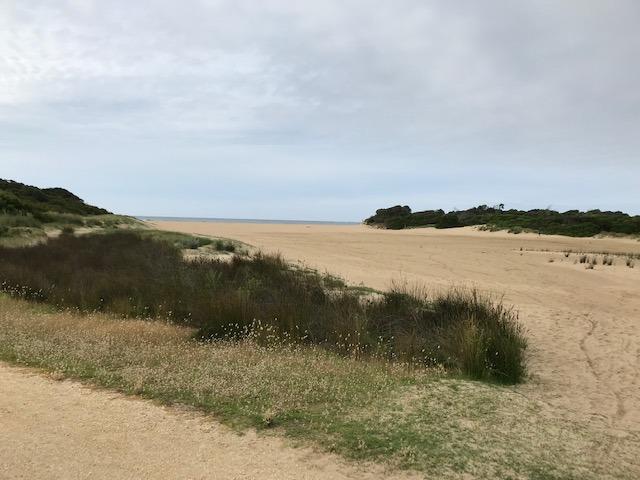
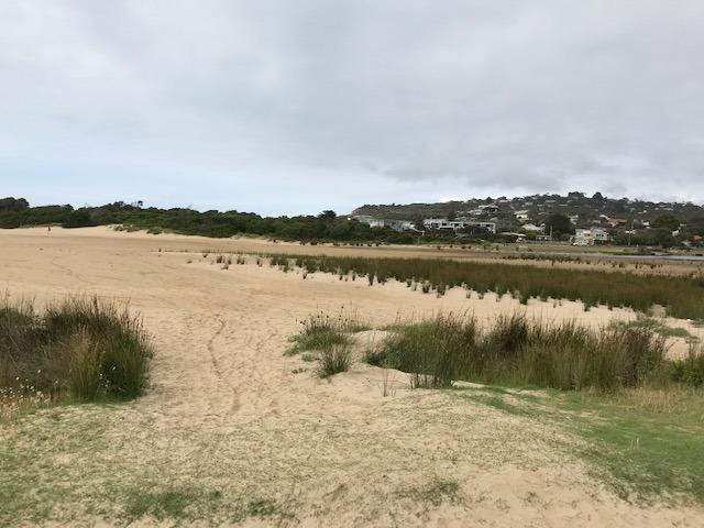
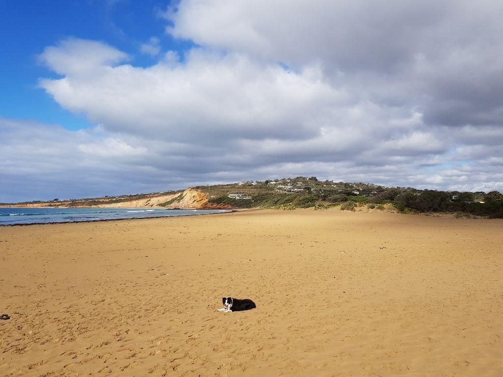
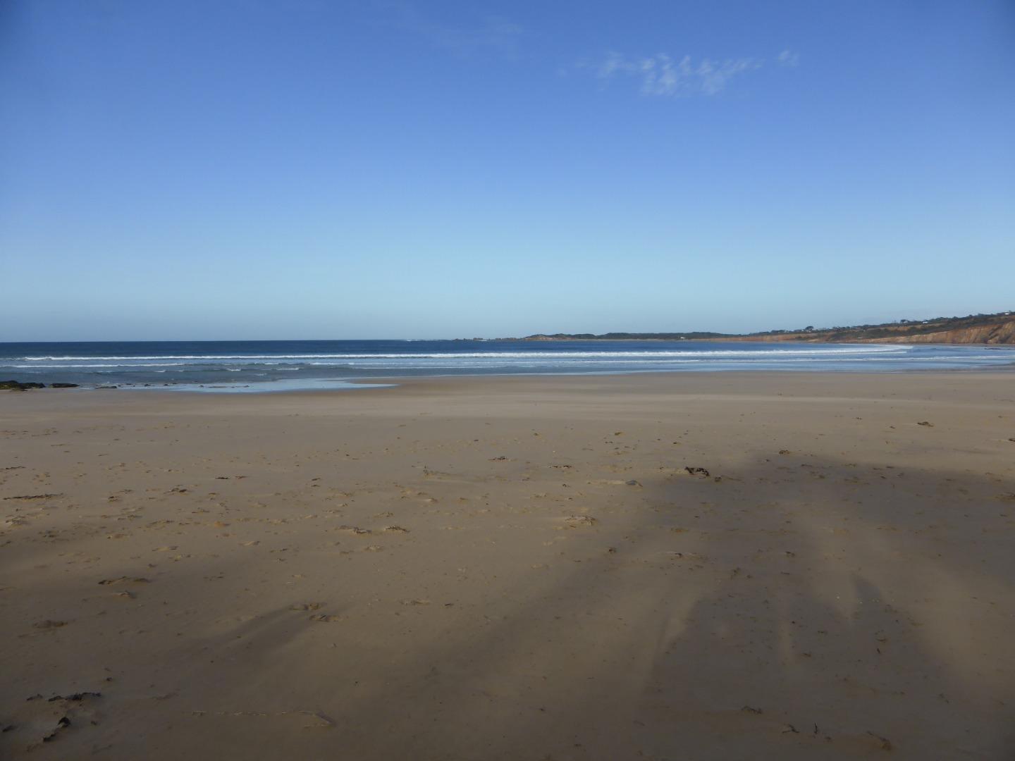
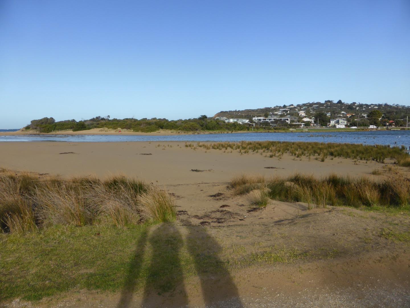
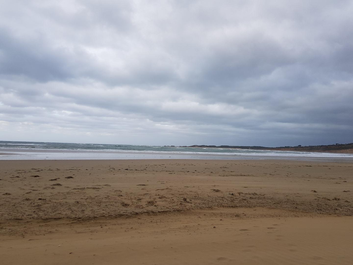
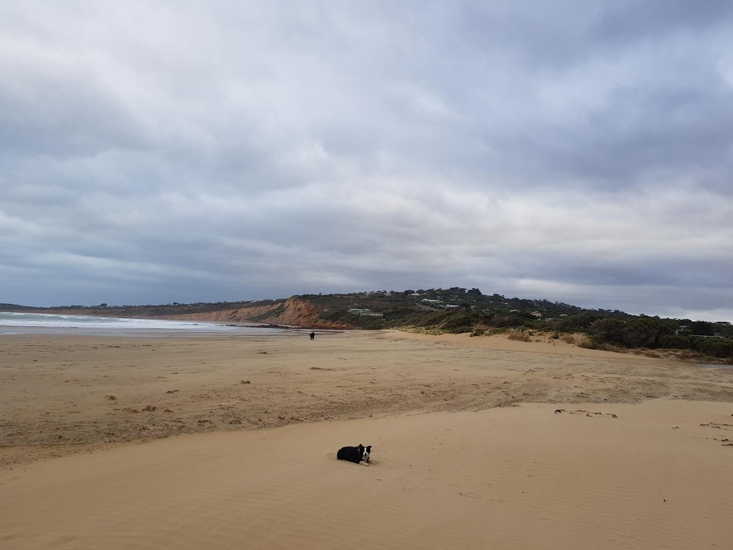
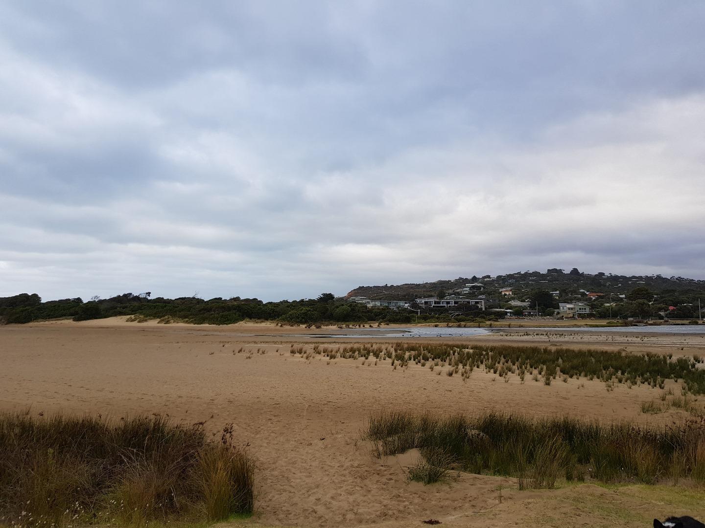
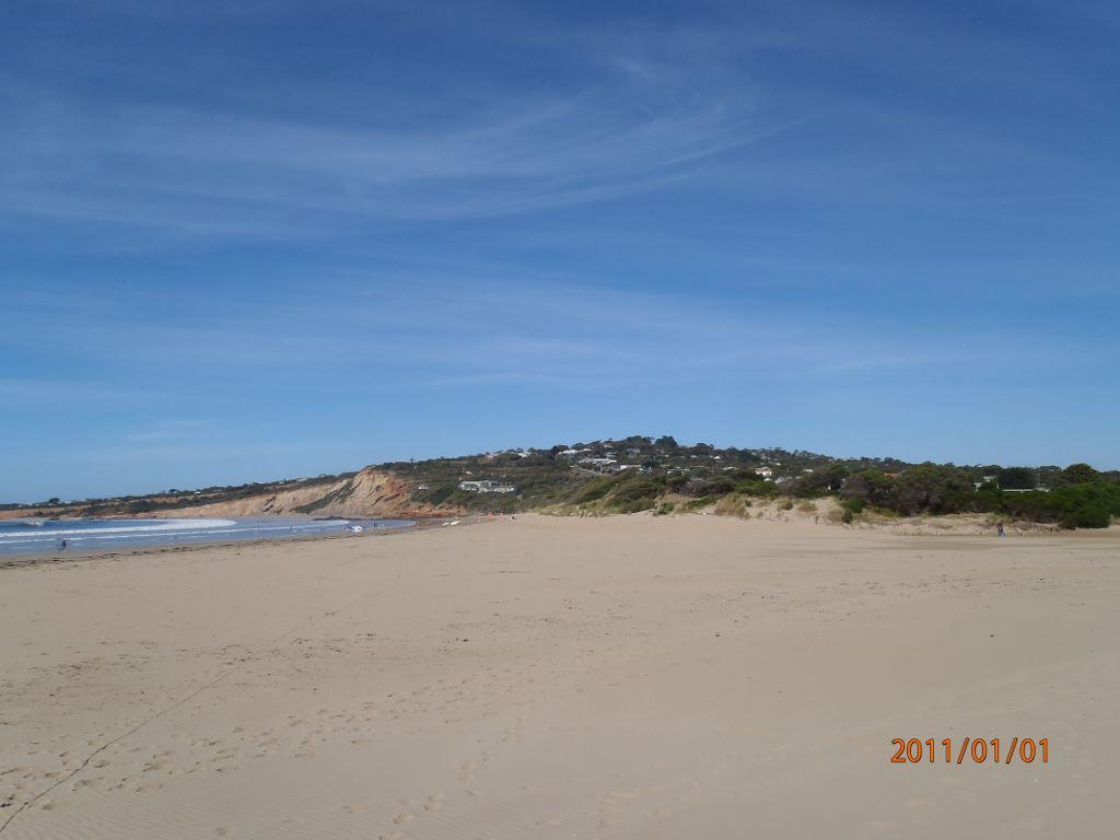
AMC Anglesea River Estuary Mouth Observation SiteActive Mouth Condition 17-04-2007 - 20-03-2024Small sand dune hillock on eastern side of estuary mouth |
Observations 240 |
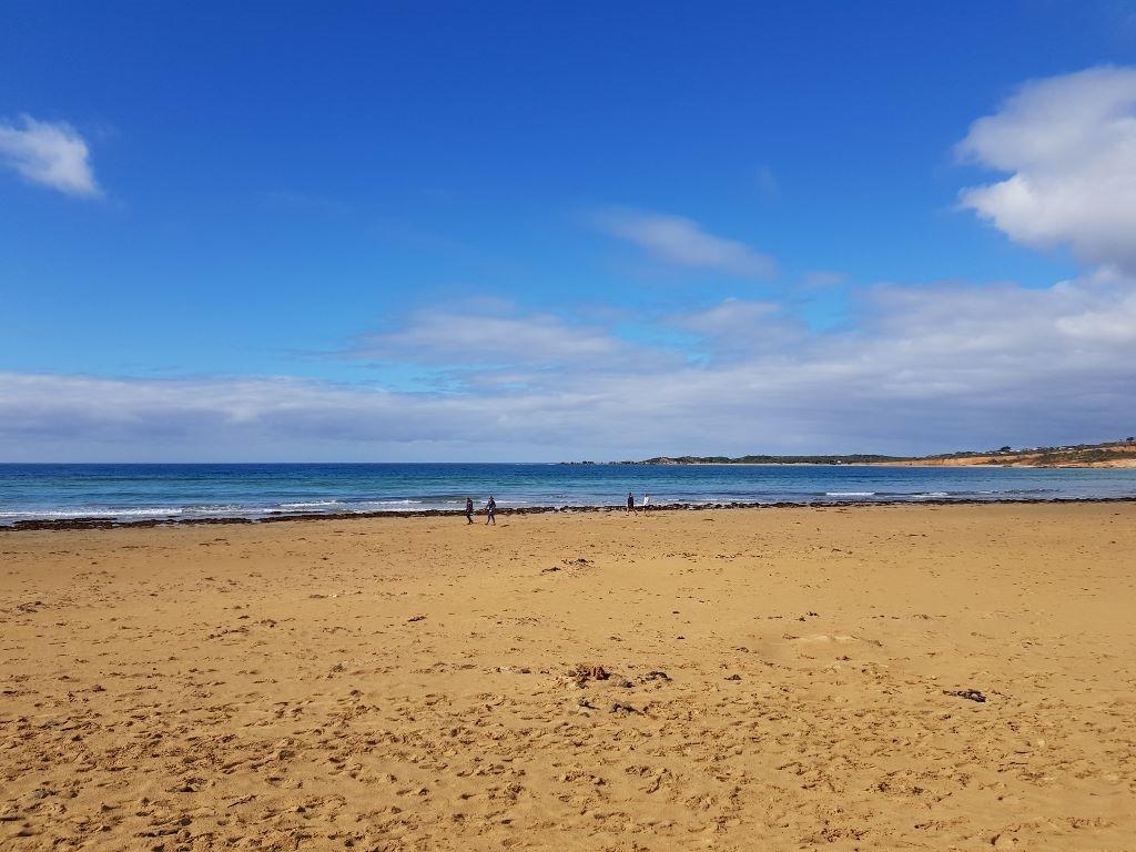
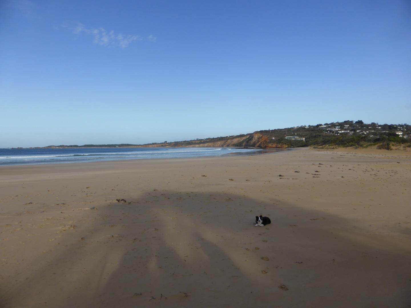
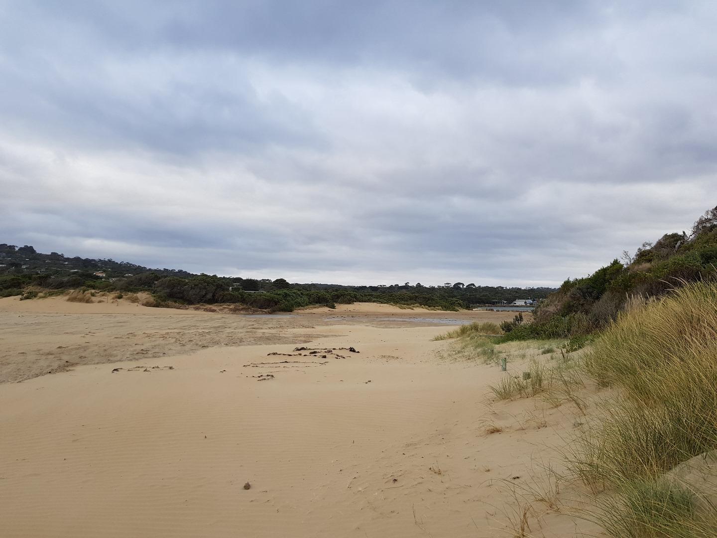
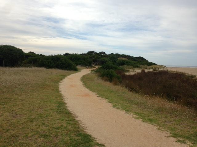
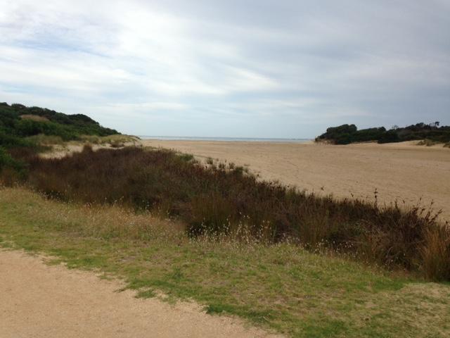
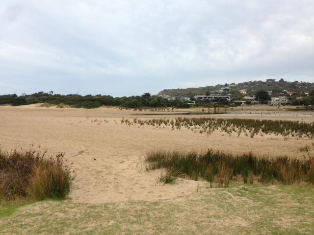
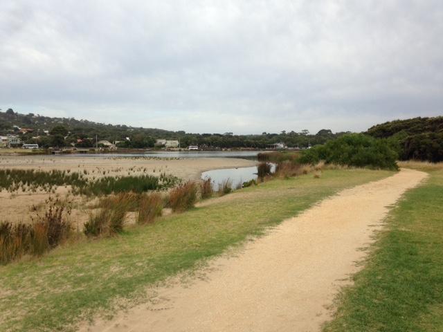
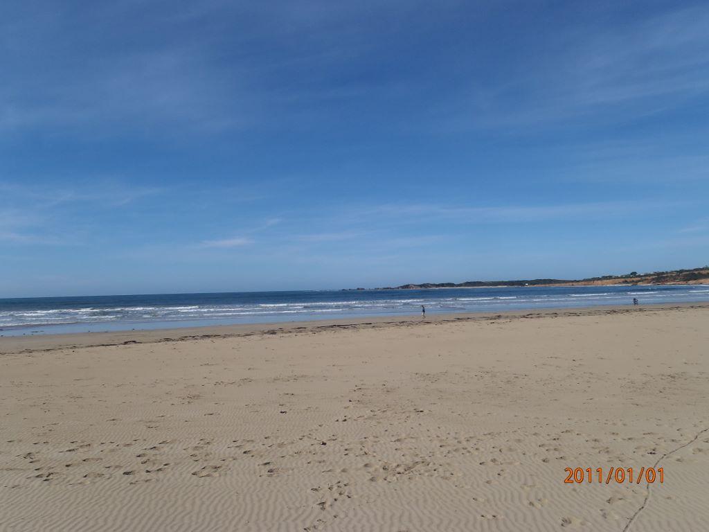
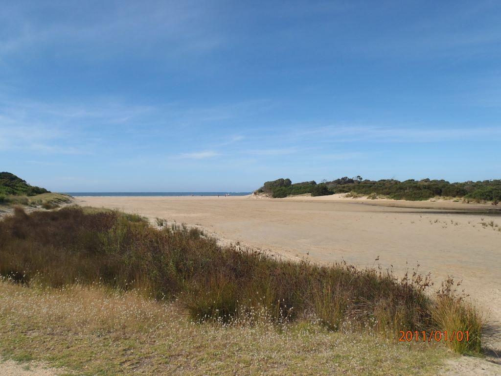
Ap1 Anglesea River Estuary Mouth PhotopointActive Photopoint 10-05-2008 - 26-03-2024Adjacent to eastern bank of river mouth, southern most point. |
Photos 516 |
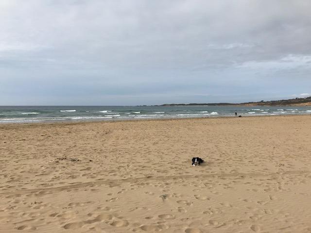
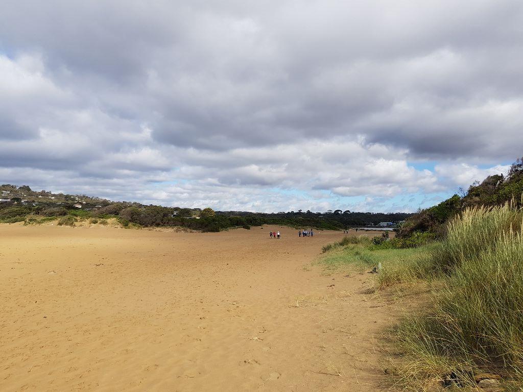
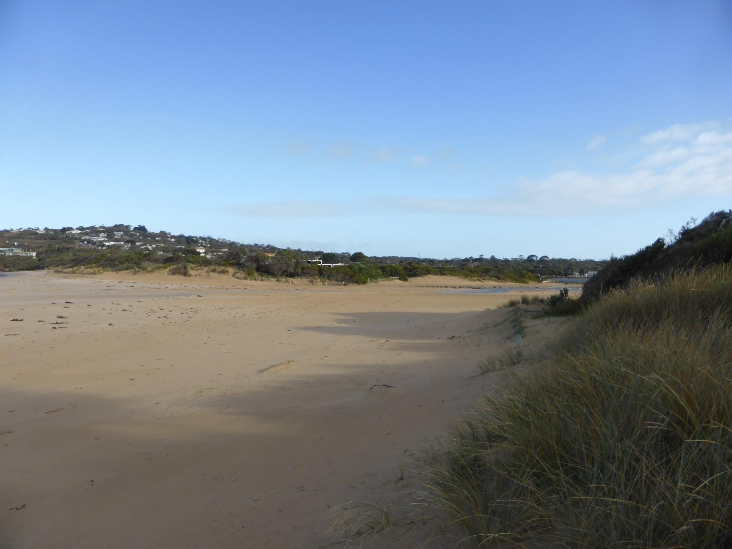
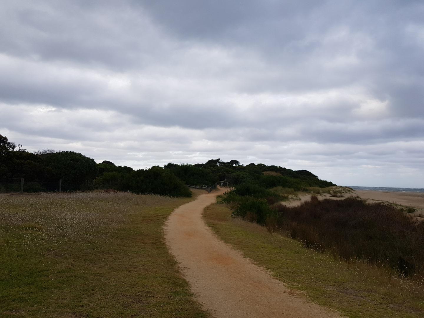
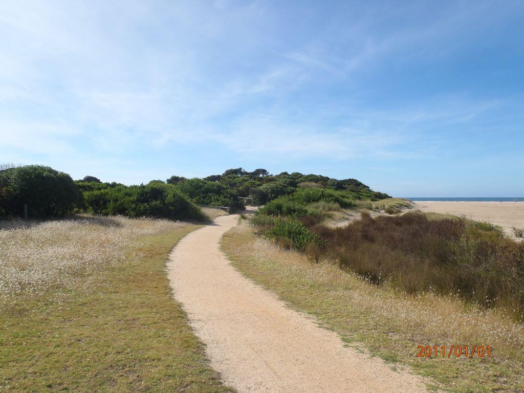
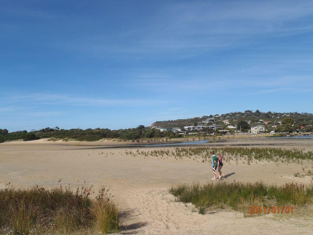
Ap2 Anglesea River Estuary Mouth Photopoint 2Retired Photopoint 31-08-2008 - 13-09-2021Exit point of walking track onto estuary/beach. SW corner of Anglesea Family Holiday Park. |
Photos 324 |
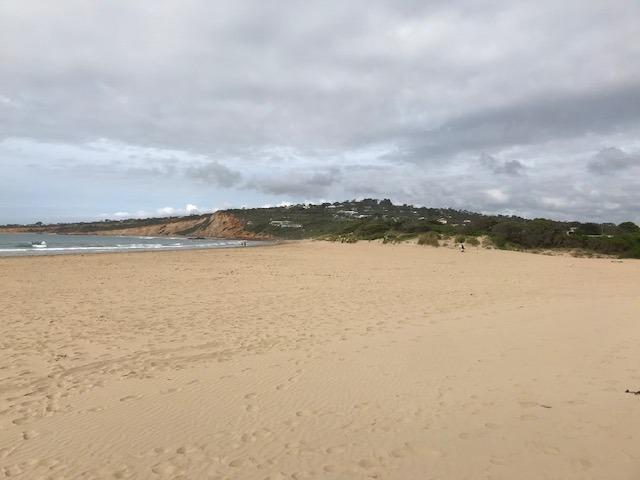
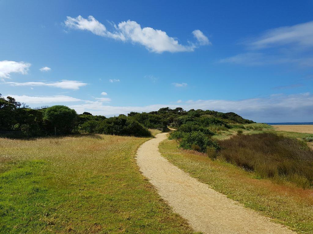
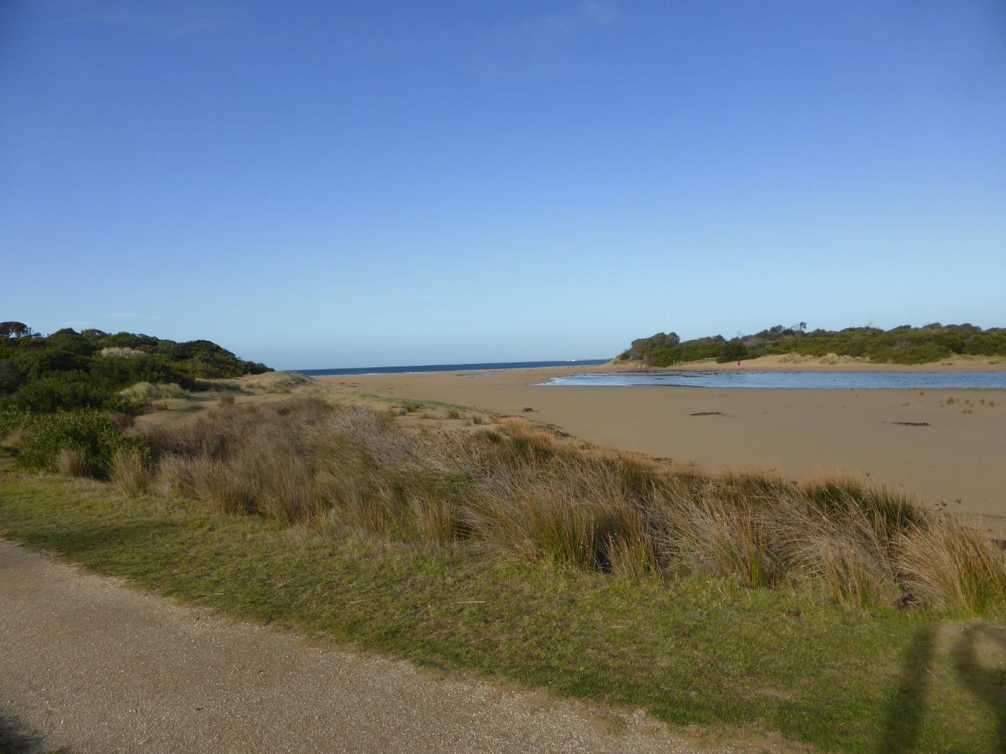
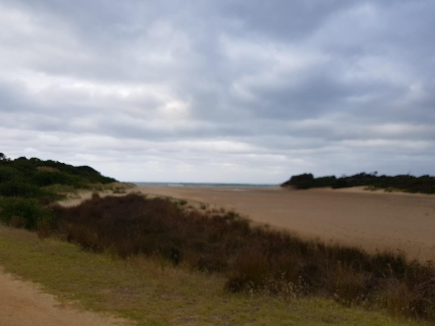
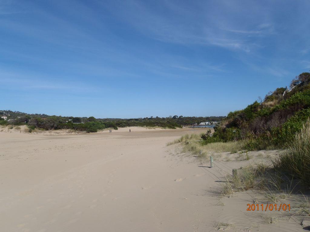
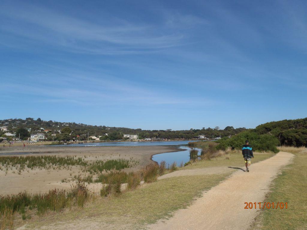
Ap3 Anglesea River Estuary Mouth Photopoint 3Active Photopoint 25-11-2016 - 26-03-2024Photo is taken from the Anglesea Rivermouth (East) signage W89 that sits next to the walking track that follows the river. |
Photos 268 |
Recent Events
| Event Details |
|---|
| 21-05-2018 Unusual/Extraordinary occurrence! At high tide today (1.76m @16:27 pm) waves were overtopping berm introducing seawater to estuary. This is the last of a series of high tides which have probably done the same thing. The river level is exactly 1.5m AHD. Photo taken at 16:39hrs. 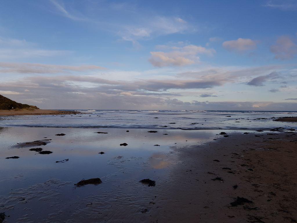
|
| 01-05-2018 Water level Pumping start: Approx. 1/05/18, ~10:00 Pumping rate 24 L/s Pumping stop: 2/5/2018 1/05/2018 Begin transfers to Anglesea River. Estuary level: 1.355m 2/05/2018 Ceased pumping. Estuary level 1.357m |
| 28-04-2018 Water level Pumping start: Approx. 28/03/18 pH Basin: Estuary: Pumping rate 24 L/s Pumping stop: 29/3/2018
|
| 09-04-2018 Water level Transfer commenced: 9/4/2018 10am (1.357m) Basin level at commencement of transfer: 36Ml. Ceased transfer: 12/4/2018(1.375m) |
| 04-04-2018 Water level Transfer commenced: 4/4/2018 (1.362m) Ceased transfer: 6/4/2018(1.373m) |
| 22-03-2018 Water level Pumping start: Approx. ? 22/03/18 pH Basin: 4.2, Estuary: 4.3 Basin level at start of transfer: 45Ml. Pumping rate 24 L/s Pumping stop: 23/3/2018
|
| 26-02-2018 Water level Pumping start: Approx. 15:00 26/02/18 pH Basin: 4.2, Estuary: 4.3 Pumping rate 24 L/s Pumping start: Approx. 15:00 26/02/18 Pumping stop: 16/3/2018 (not constant during this time)
|
| 15-02-2018 Water level Transfer of 8Ml (@ 2Ml/day) commenced from the Alcoa storage basin. |
Estuary Snapshots
The EstuaryWatch snapshots provide a summary of estuary condition on a particular day. For all EstuaryWatch Snapshots, photopoint photos and a longitudinal water quality profile from the estuary mouth to the inland extent is displayed. Read more
Summer 2018
Spring 2018
Winter 2018
Autumn 2018
Summer 2018

All content, files, data and images provided by the EstuaryWatch Data Portal and Gallery are subject to a Creative Commons Attribution License
Content is made available to be used in any way, and should always attribute EstuaryWatch and www.estuarywatch.org.au