EstuaryWatch Data Portal
Overview
| Estuary name | Painkalac Creek Estuary |
|---|---|
| CMA | Corangamite CMA |
| Description |
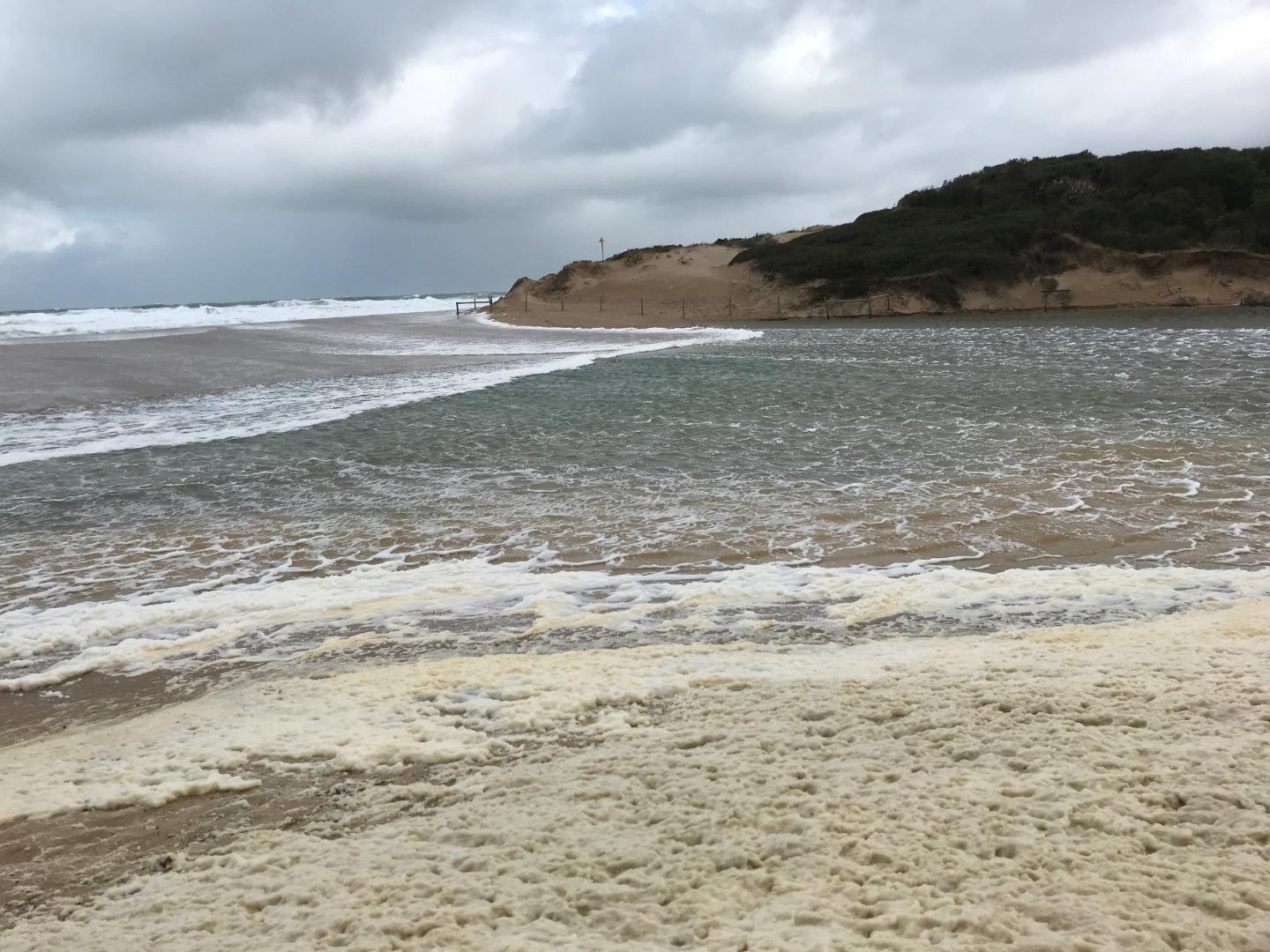
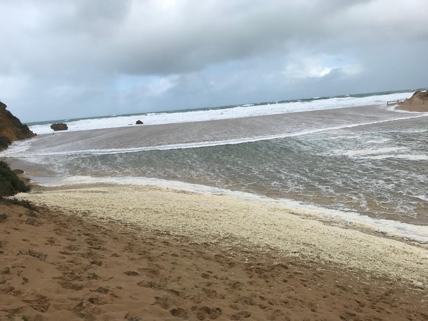
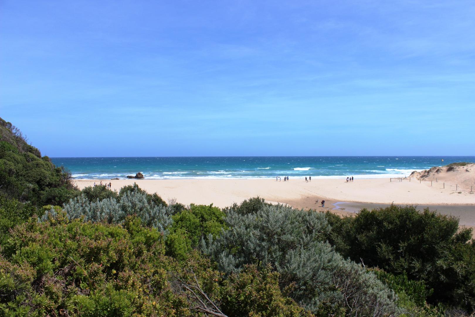
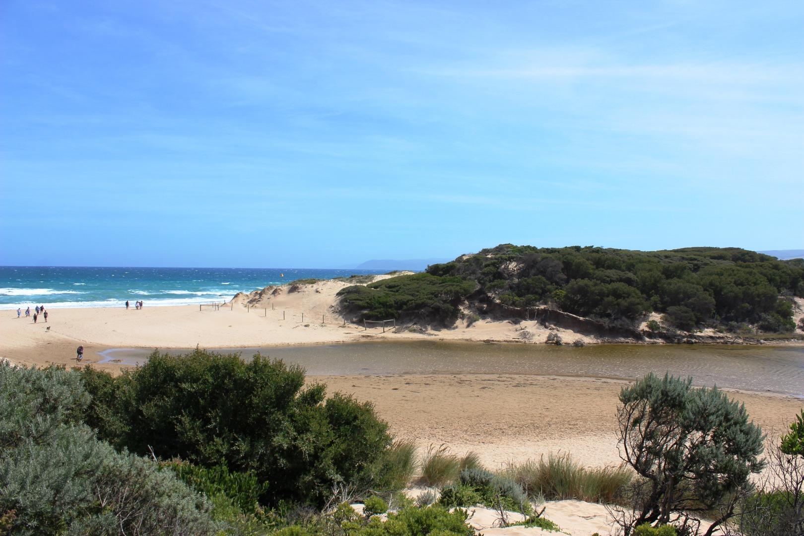
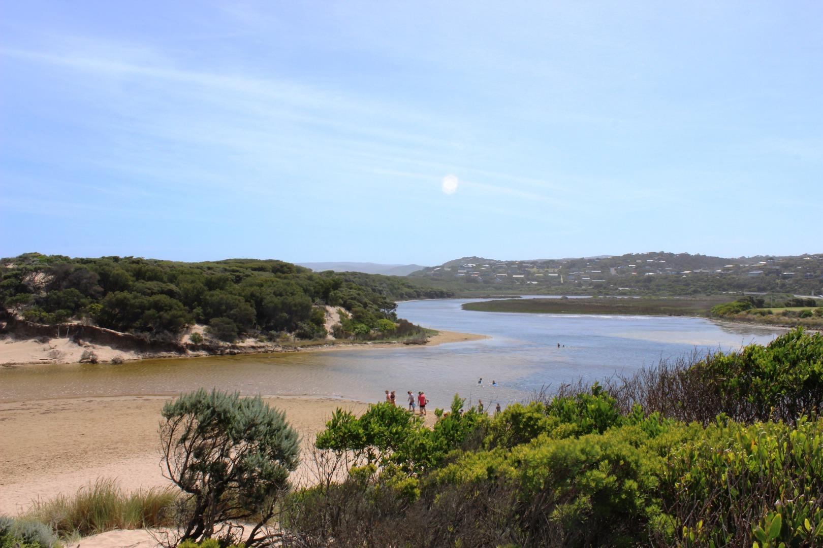
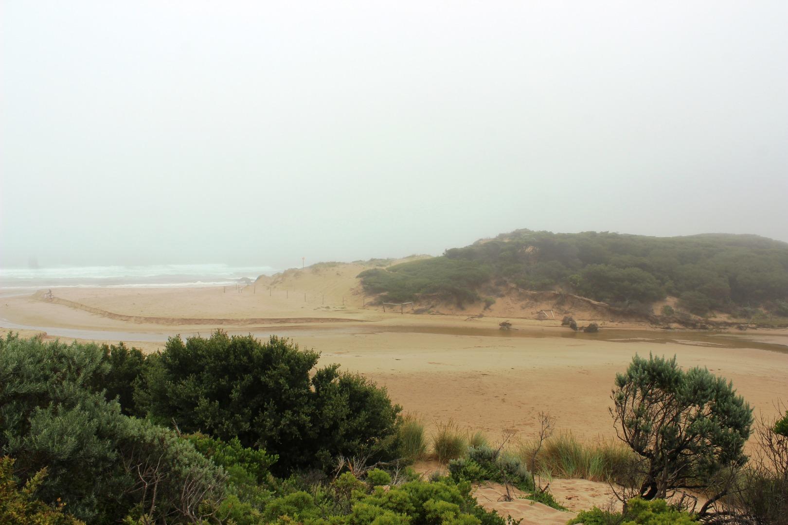
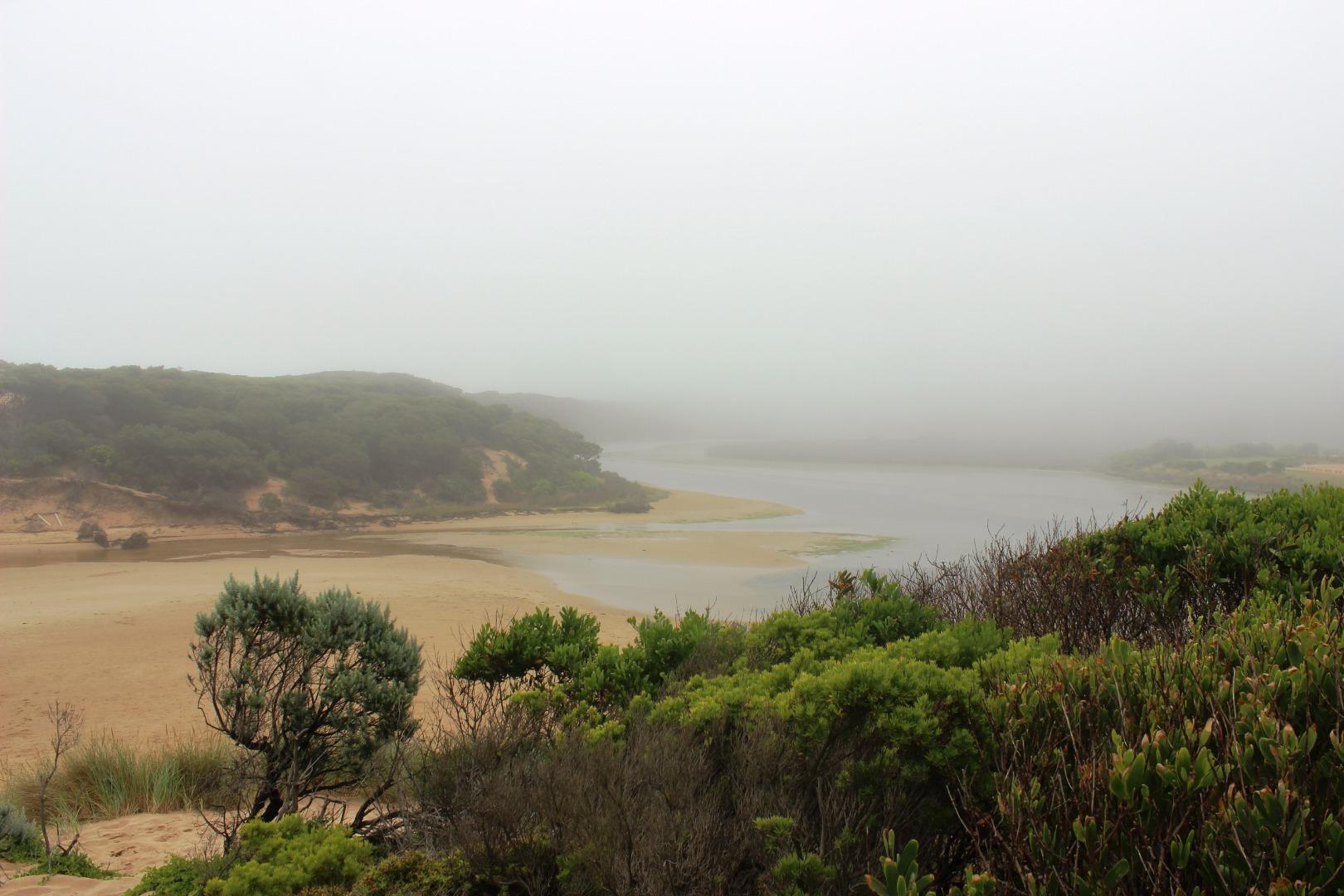
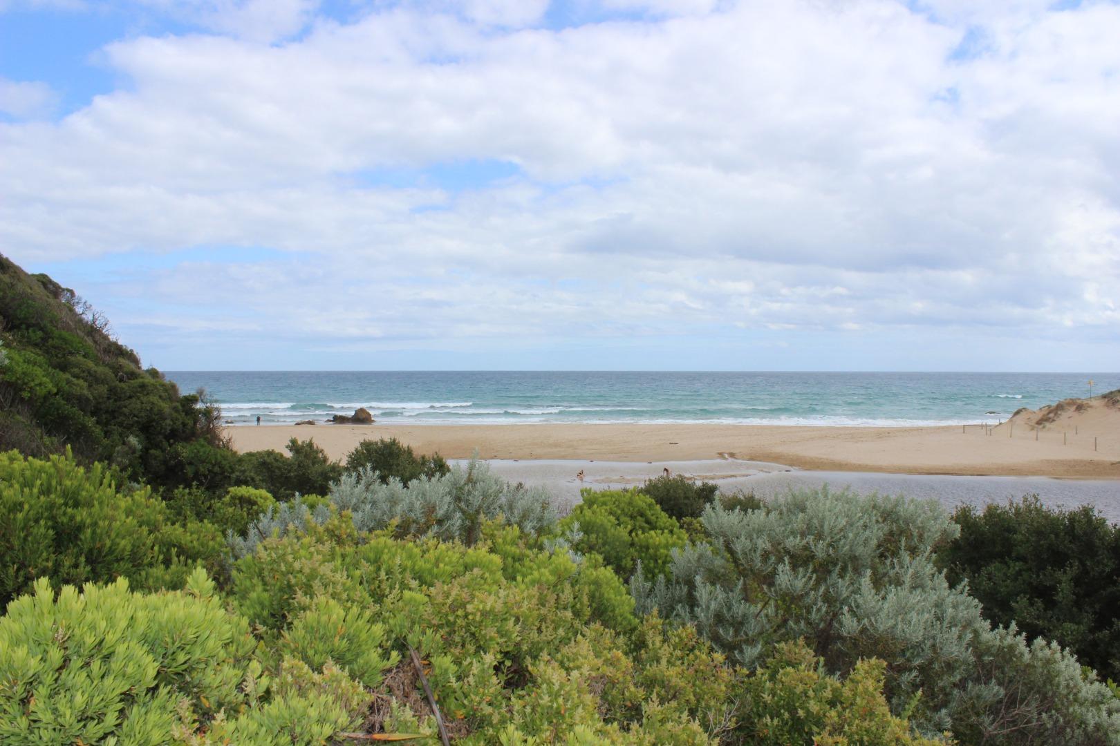
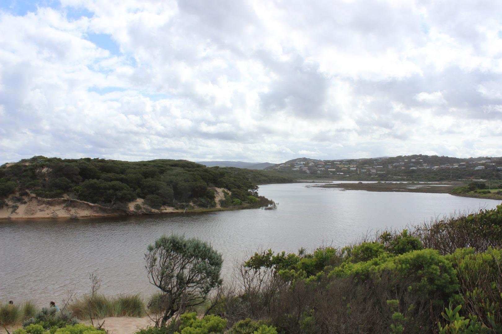
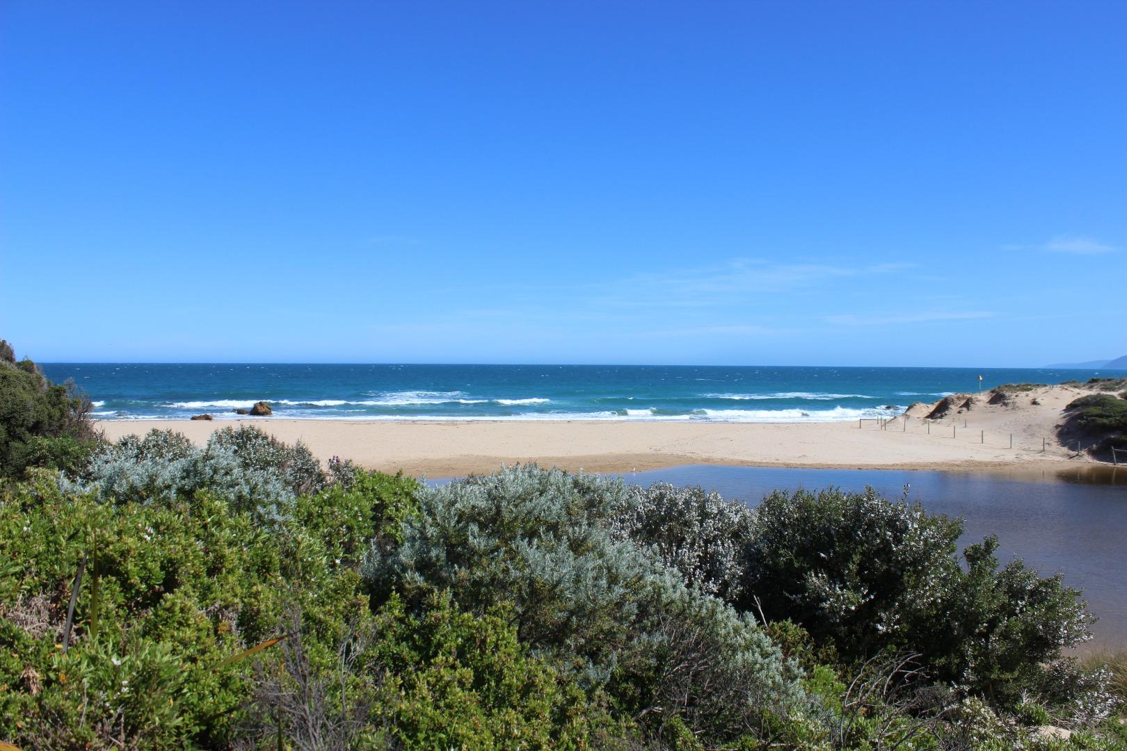
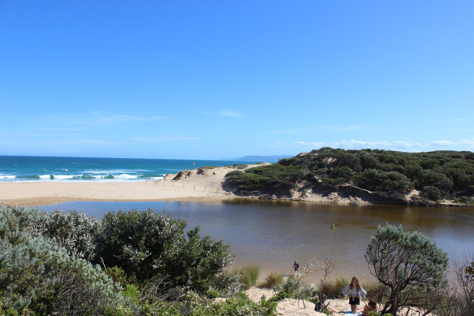
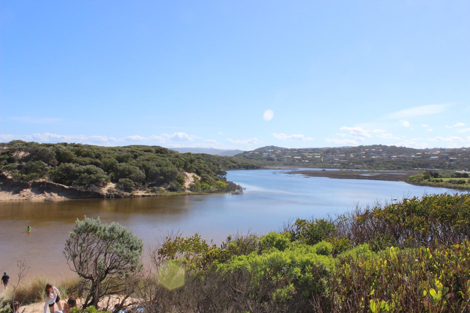
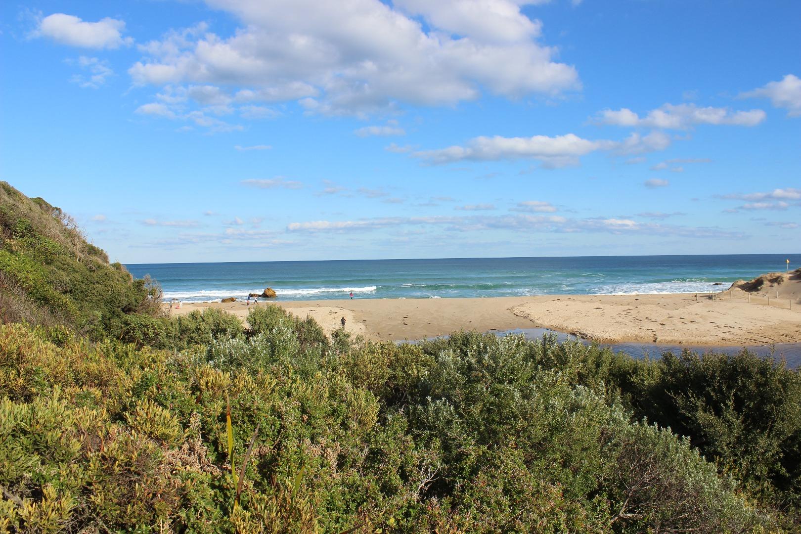
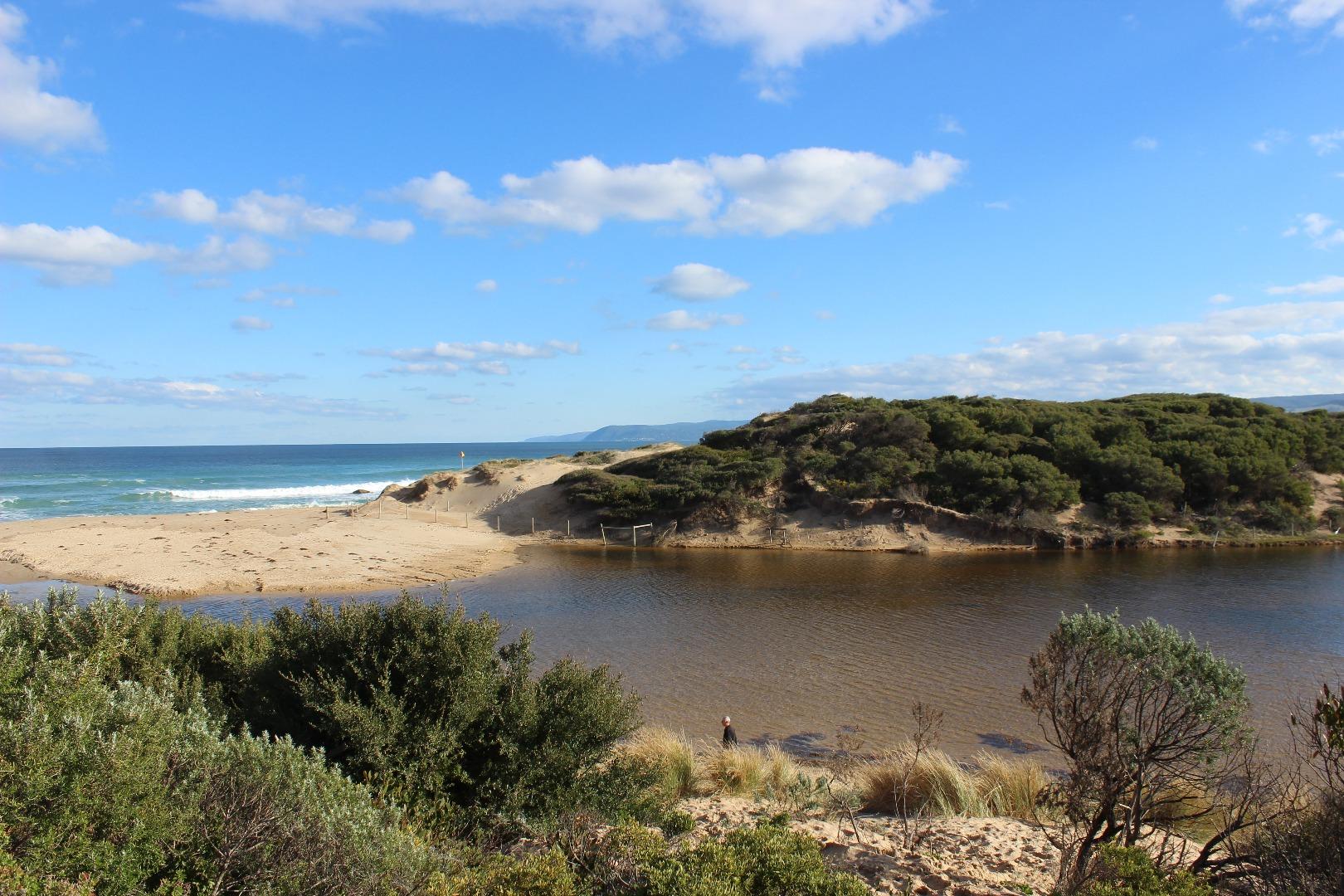
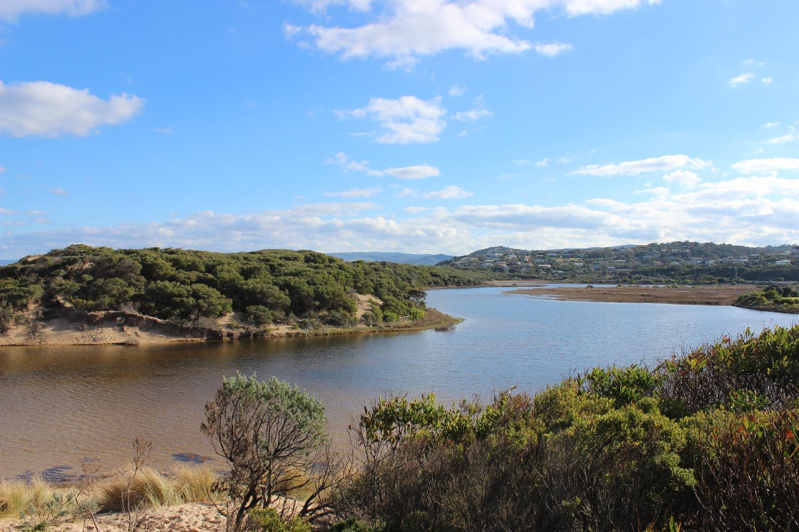
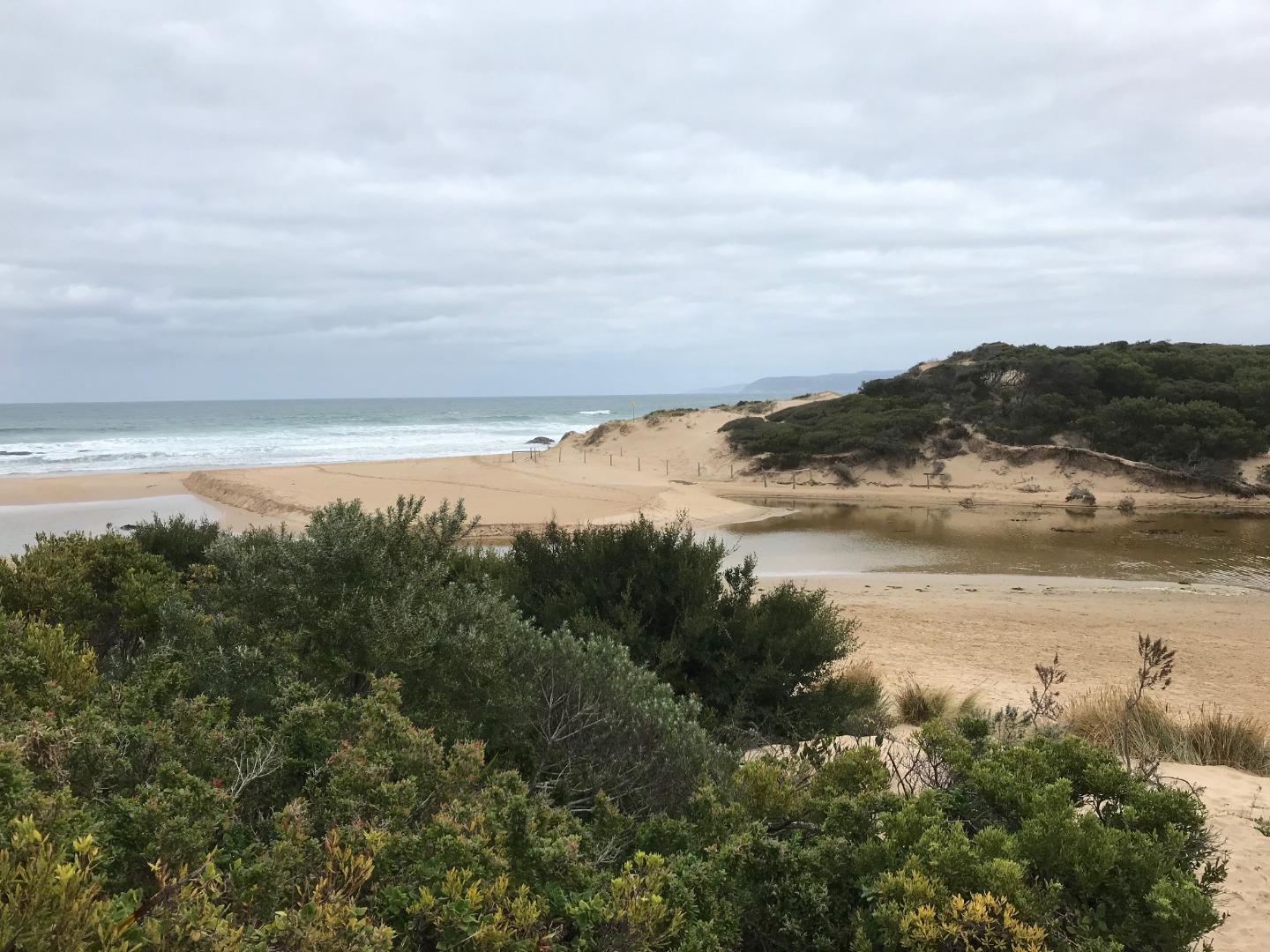
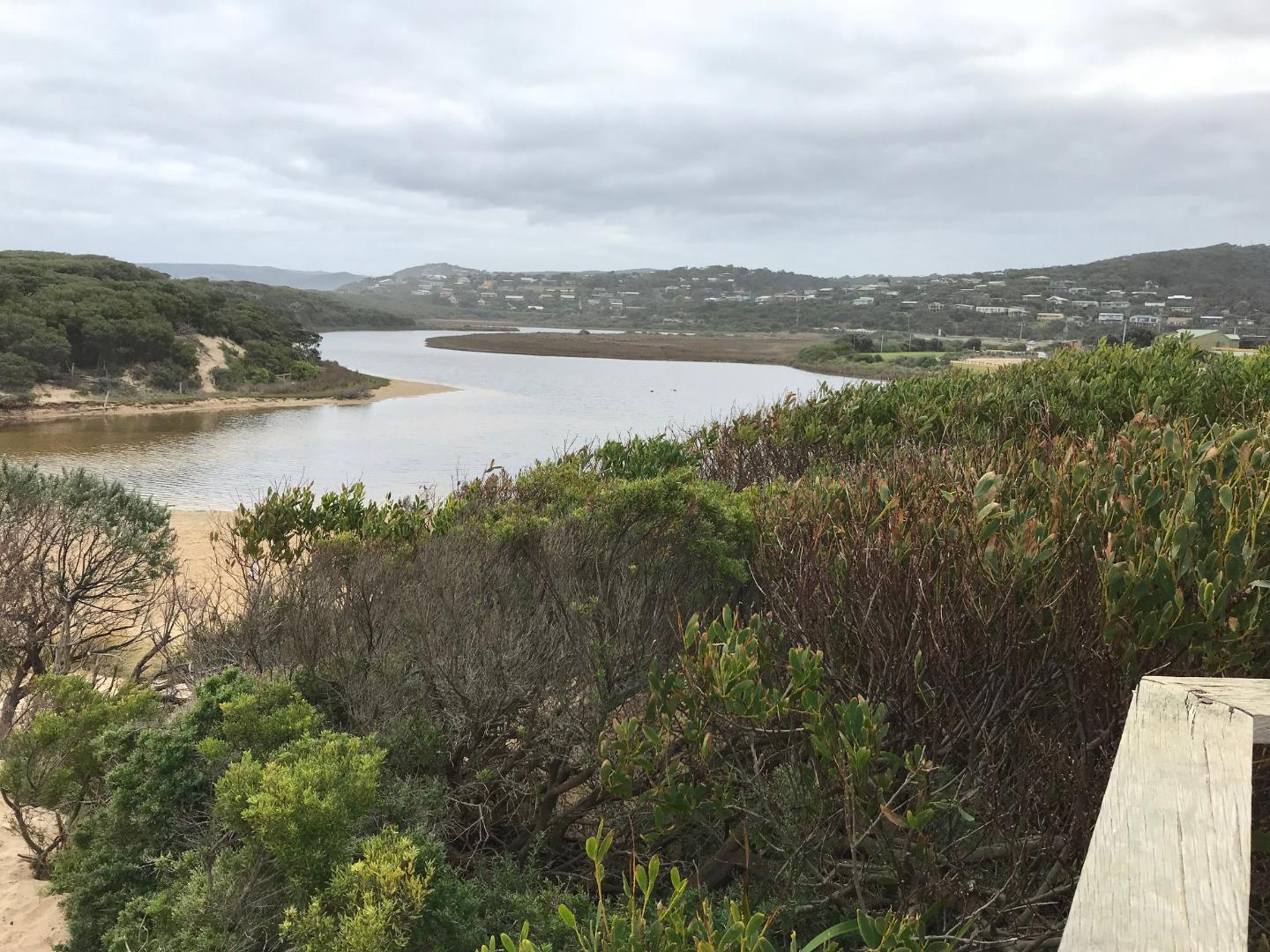
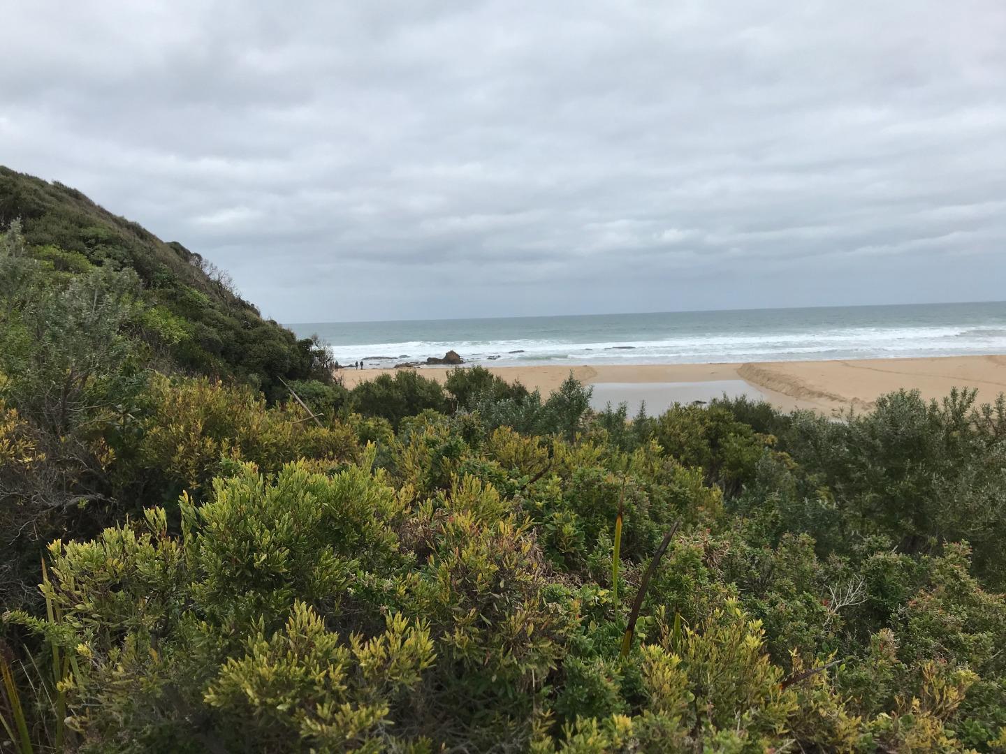
Painkalac Creek Estuary is approximately 3.5km in length and has a catchment area of 318.1Ha. It is a beautiful coastal lagoon system which attracts the spotted green frog and the eastern banjo frog (Pobblebonk). |
| Estuary Values |
|
| Estuary Threats |
|
| Data | Site observations |
| Status | Active |
| Monitor group | Painkalac Creek EstuaryWatchers |
| Document | Painkalac_Estuary_Management_Plan.pdf |
| Document | Science_behind_estuary_openings_Painkalac_Creek_Factsheet_2022_FINAL.pdf |
| Document | Painkalac Creek Estuary Fact Sheet |
Sites
| Site details | Options |
|---|---|
P1 Estuary mouth area approximately 20m behind sand dune at estuary mouthRetired Physico-Chemical 23-05-2007 - 23-05-2007Estuary mouth area approximately 20m behind sand dune at estuary mouth |
Observations 1 |
P2 Great Ocean Road Bridge at Aireys InletActive Physico-Chemical 11-05-2007 - 14-04-2024Great Ocean Road Bridge at Aireys Inlet - centre post |
Observations 218 |
P3 Coastal Court Fishing PlatformActive Physico-Chemical 14-07-2007 - 14-04-2024Fishing platform adjacent to Coastal Court |
Observations 154 |
P4 The BendActive Physico-Chemical 19-10-2007 - 14-04-2024Fishing platform at The Bend in the estuary |
Observations 177 |
P5 Woods Property FairhavenActive Physico-Chemical 23-05-2007 - 14-04-2024Fishing jetty at private property. Property owner consent required for access. |
Observations 172 |
PGB Painkalac Creek Water Level Gauge BoardActive Gauge BoardThe water level gauge board, used in the mouth condition monitoring process, is located under the Great Ocean bridge. It can be read from the western bank on the inland side of the bridge. |
|
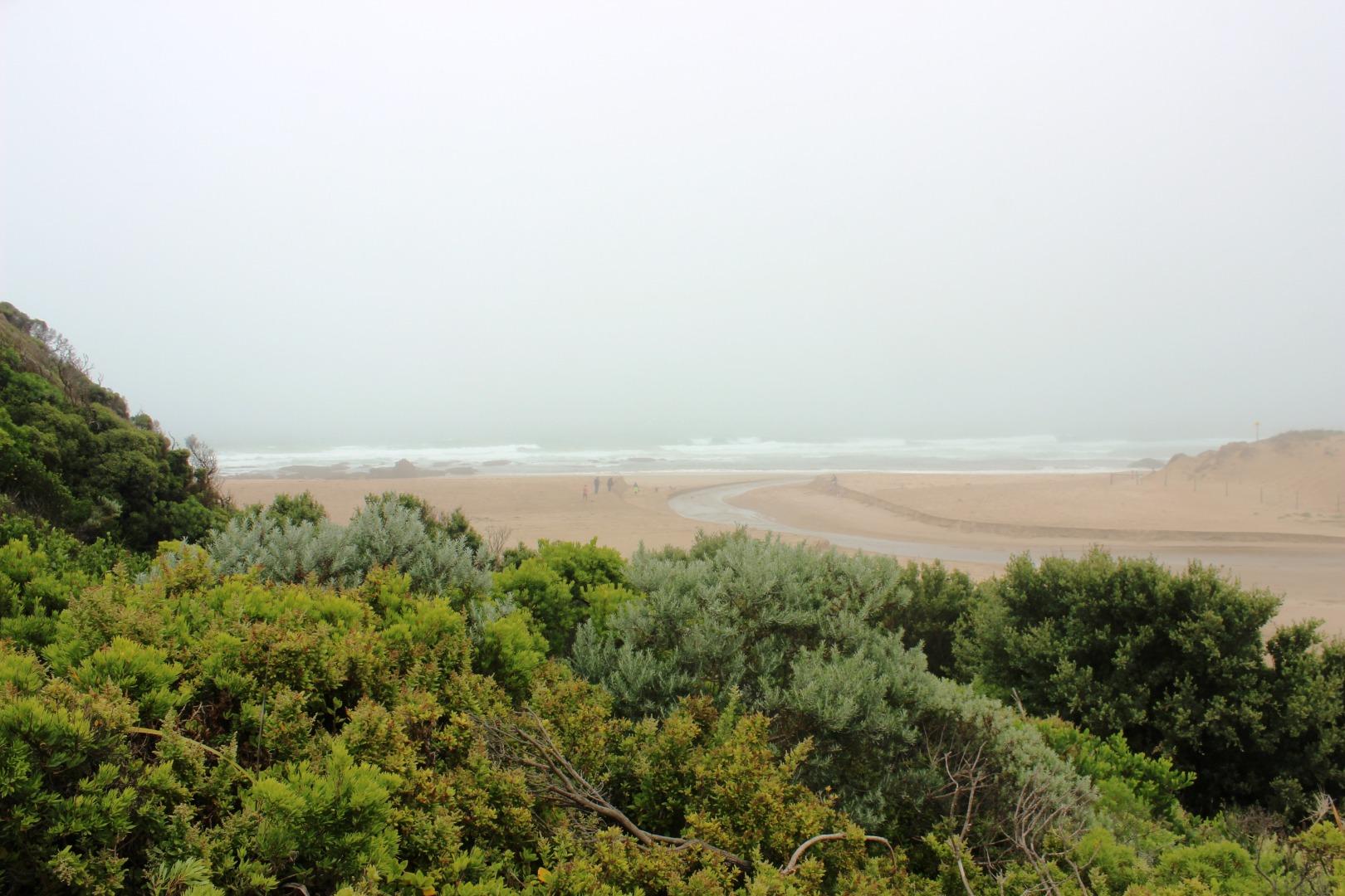
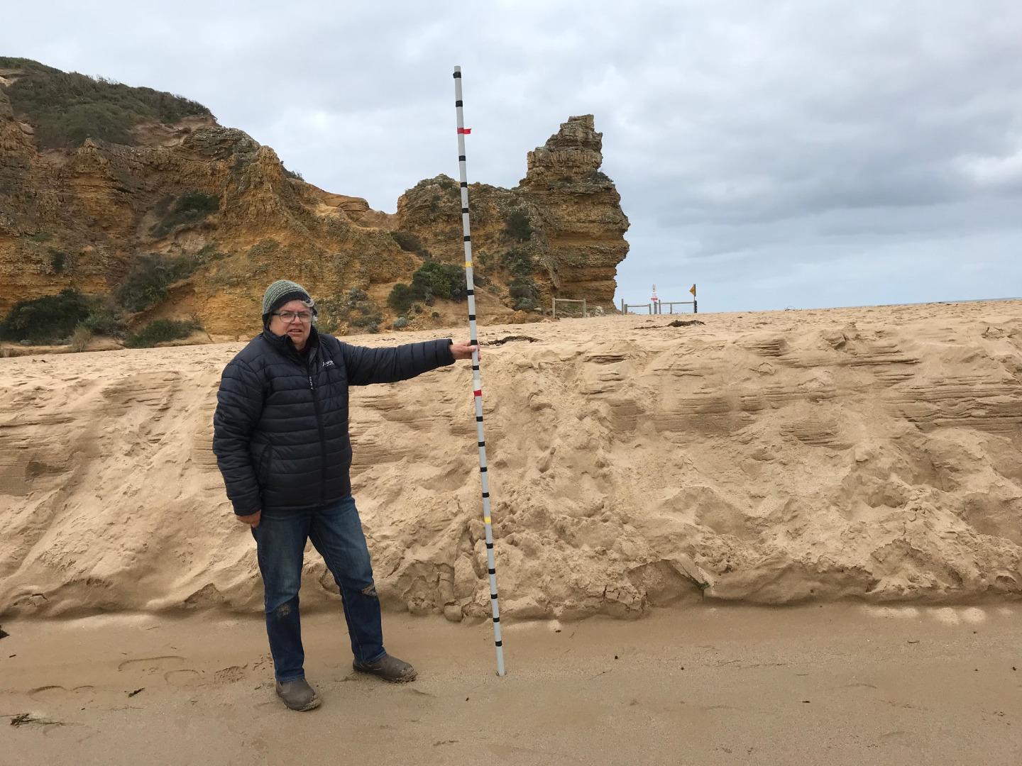
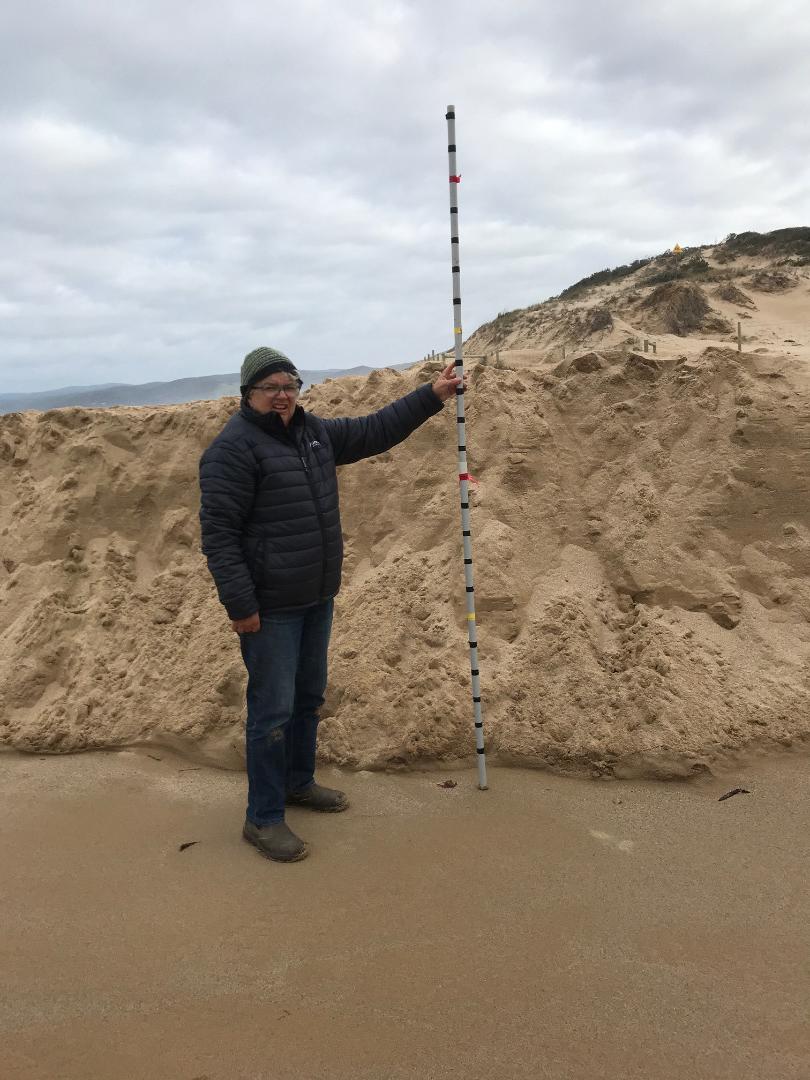
PMC Painkalac Creek Observation SiteActive Mouth Condition 23-05-2007 - 11-03-2024Lookout platform on eastern side of estuary |
Observations 272 |
Pp1 Painkalac Creek PhotopointActive Photopoint 13-08-2010 - 26-03-2024Lookout platform on eastern side of estuary |
Photos 703 |
Recent Events
| Event Details |
|---|
| 20-06-2018 Estuary Entrance Opening Surf Coast Shire has artificially opened the estuary around 20th June. Water level (m AHD) at the bridge is still high at just on 2m AHD and Coastal Court and Butlers Bend monitoring sites are still underwater. |
| 17-06-2018 Unusual/Extraordinary occurrence! High tides 1.8m on Saturday and Sunday saw the sea go over the berm on both days. Photos are from Sunday 17th June at 2.40pm. Very windy day and a big sea following high rainfall. 1.9m AHD at the Bridge 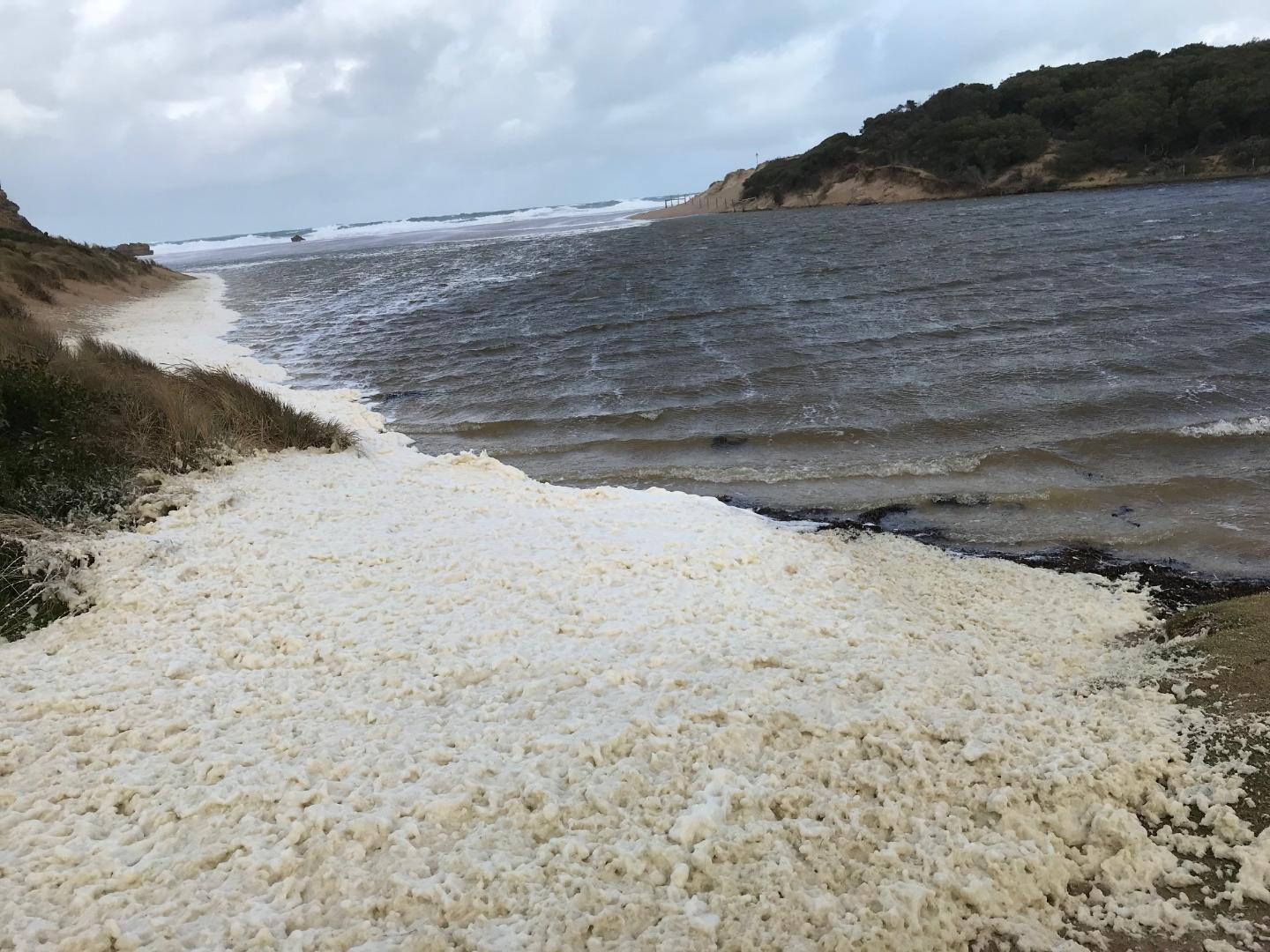
|
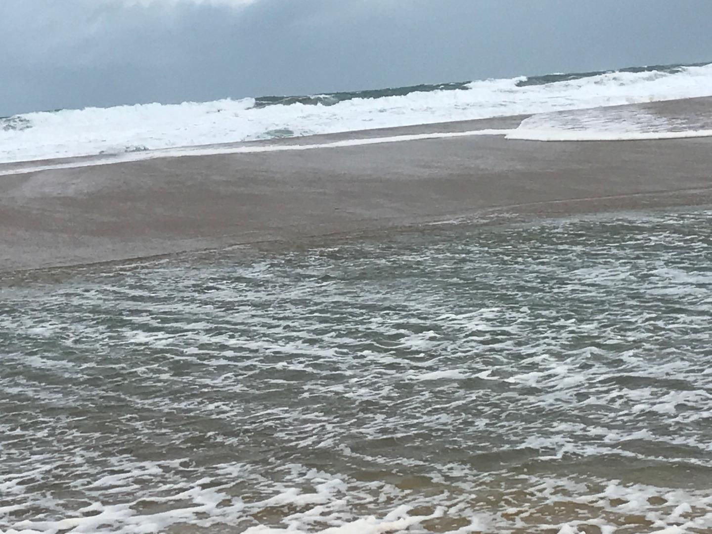
Estuary Snapshots
The EstuaryWatch snapshots provide a summary of estuary condition on a particular day. For all EstuaryWatch Snapshots, photopoint photos and a longitudinal water quality profile from the estuary mouth to the inland extent is displayed. Read more
Winter 2019
Autumn 2019
Summer 2019
Spring 2018

Winter 2018

All content, files, data and images provided by the EstuaryWatch Data Portal and Gallery are subject to a Creative Commons Attribution License
Content is made available to be used in any way, and should always attribute EstuaryWatch and www.estuarywatch.org.au