EstuaryWatch Data Portal
Overview
| Estuary name | Wreck Creek |
|---|---|
| CMA | West Gippsland CMA |
| Description |
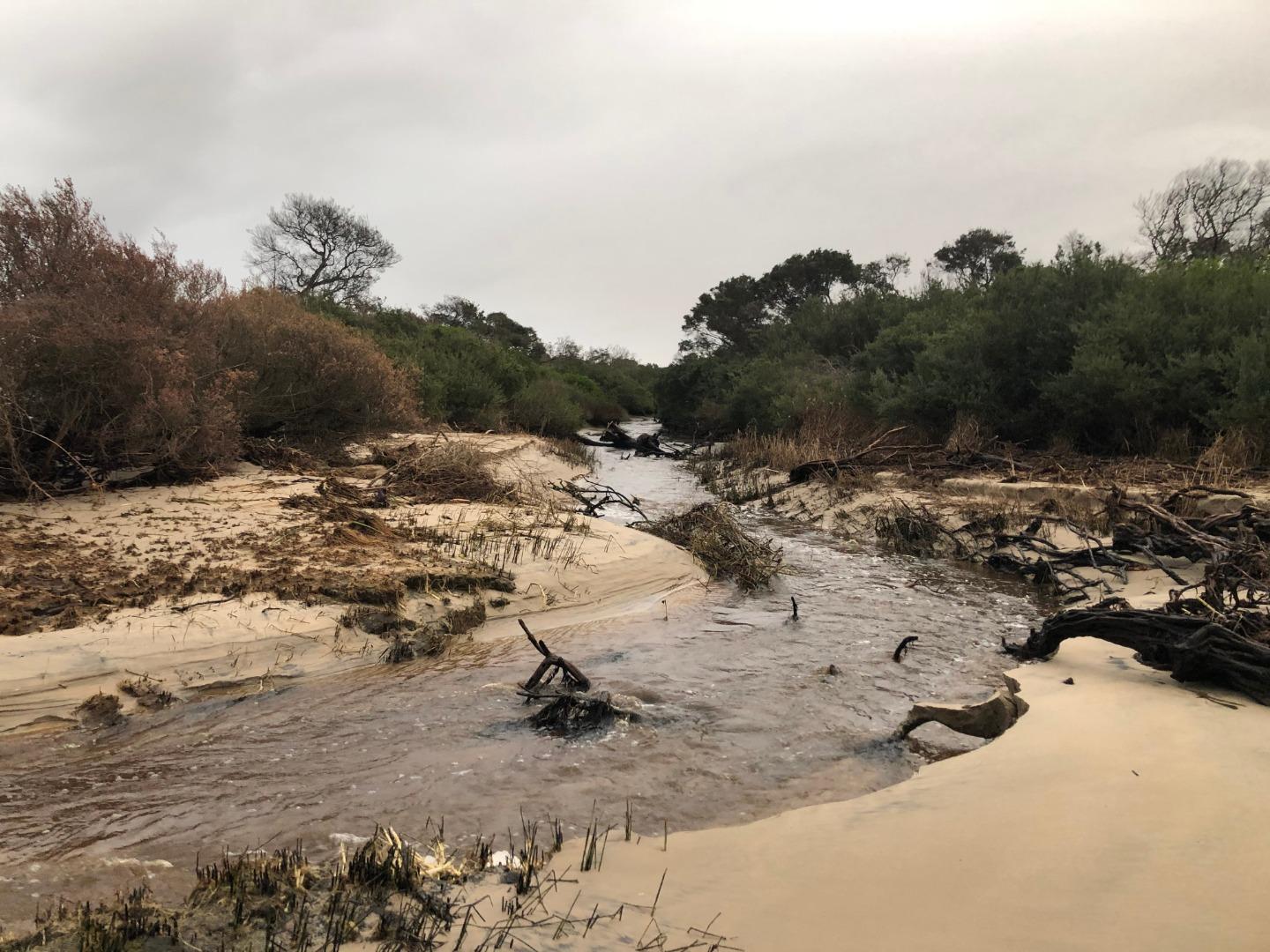
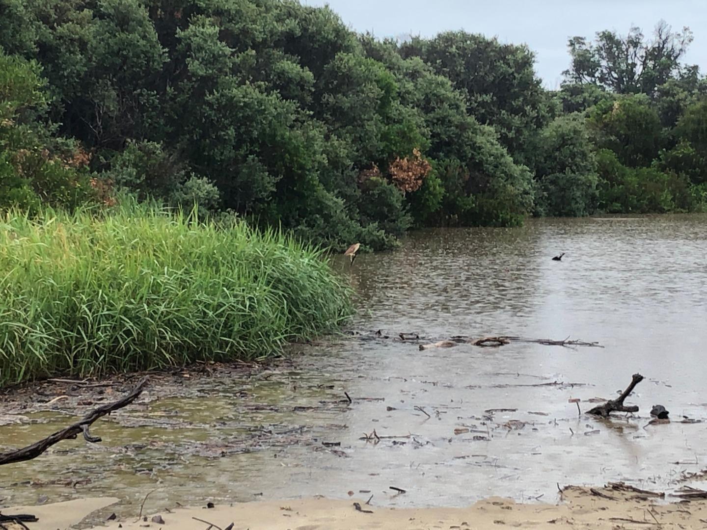
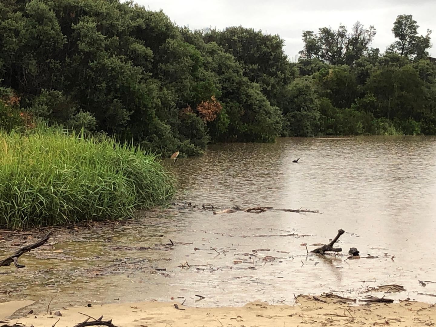
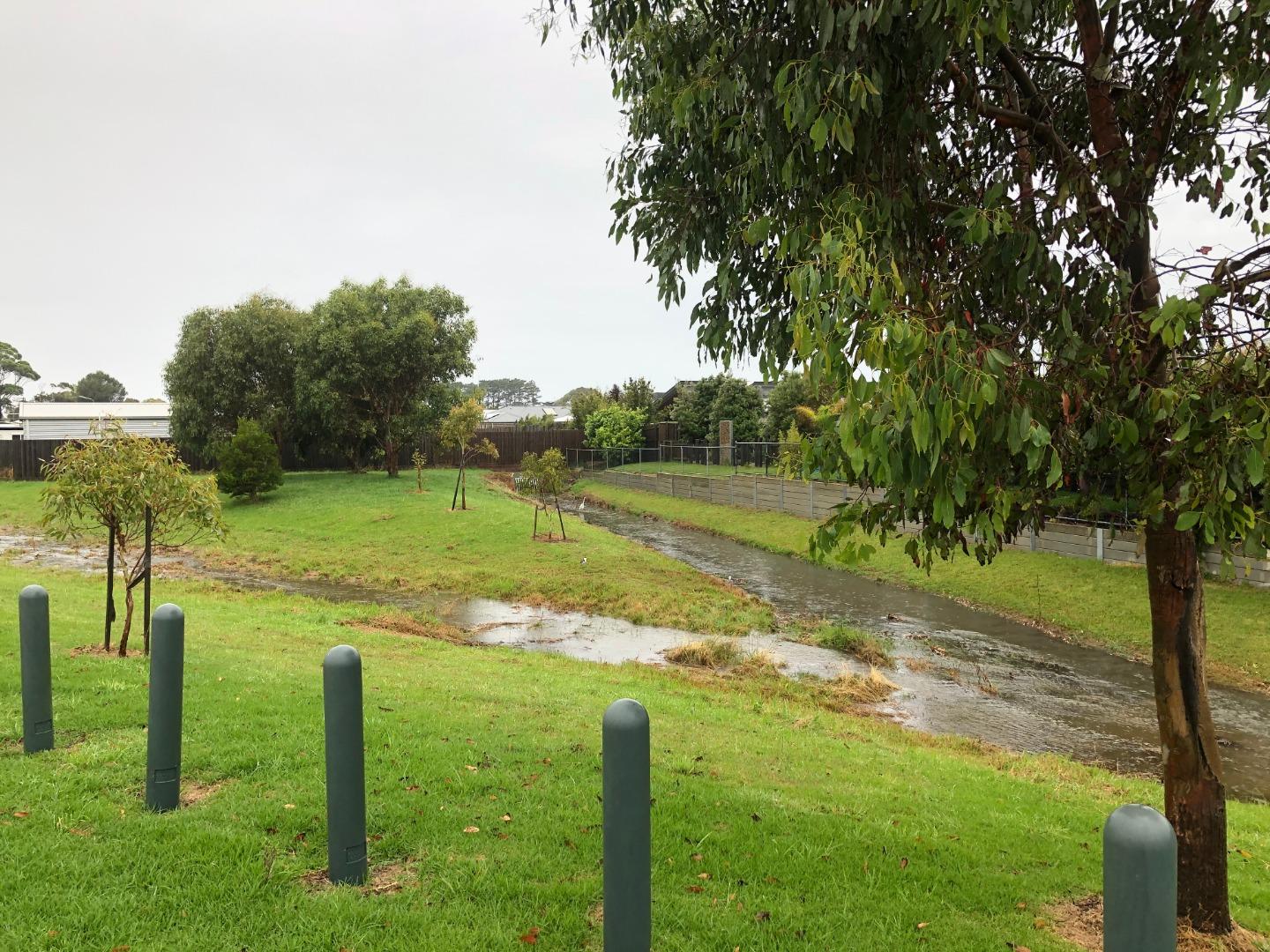
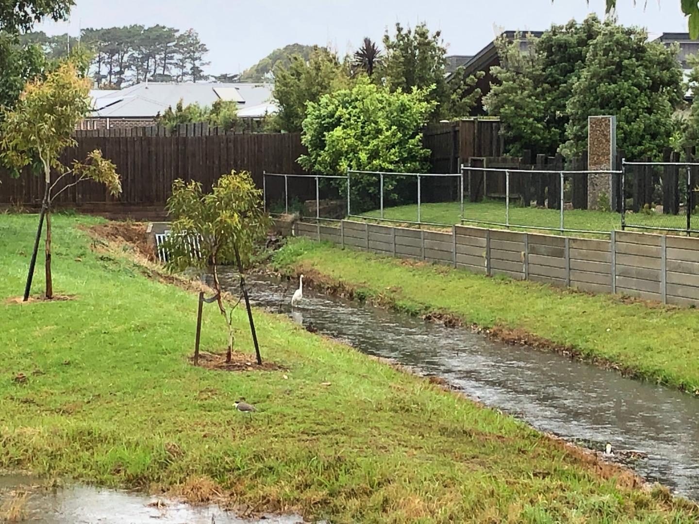
Wreck Creek is a small intermittently closing and opening estuarine lagoon located on the western edge of Inverloch. From the coast the estuary follows Cape Paterson - Inverloch Road towards the Inverloch RACV resort, for approximately 800 metres, before the creek becomes fresh. The creek has two main branches, one that begins well above the RACV resort (including the resorts wetlands) and the other flows out of farmland through the residential area to the north. For the majority of the year two branches of the creek are mostly dry (apart from a few ponds and billabongs that have been sighted on private property upstream). These creeks begin to flow during wet times (winter / spring), and for the majority of the time the main habitat available to biota is the estuarine lagoon itself. |
| Estuary Values |
Plant communities / species (Ecological Vegetation Classes (EVCs) and Bioregional Conservation Significance in Victoria);
Fish identified during sampling in January 2017
Significant bird species (Conservation Status Victoria);
|
| Estuary Threats |
Threats to estuary health include;
|
| Data | Site observations |
| Status | Active |
| Monitor group | WGCMA Estuary Management Group |
| Document | Values_and_threats_content_for_EstuaryWatch_Website.pdf |
Sites
| Site details | Options |
|---|---|
Wr1 Surf Parade Bridge InverlochActive Physico-Chemical 26-05-2016 - 27-03-2024Centre culvert on the downstream (ocean) side of Surf Parade Bridge |
Observations 90 |
WrGB Wreck Creek Gauge Board SiteActive Gauge BoardThe Gauge board is located on the eastern downstream side of the Surf Parade Bridge, right alongside the bridge itself. |
|
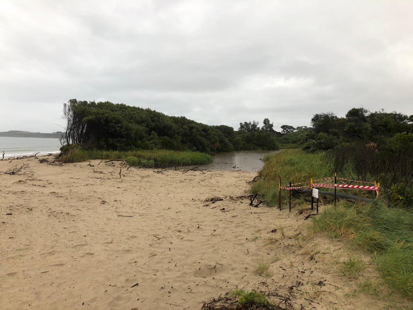
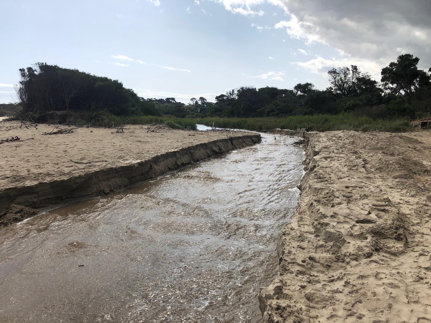
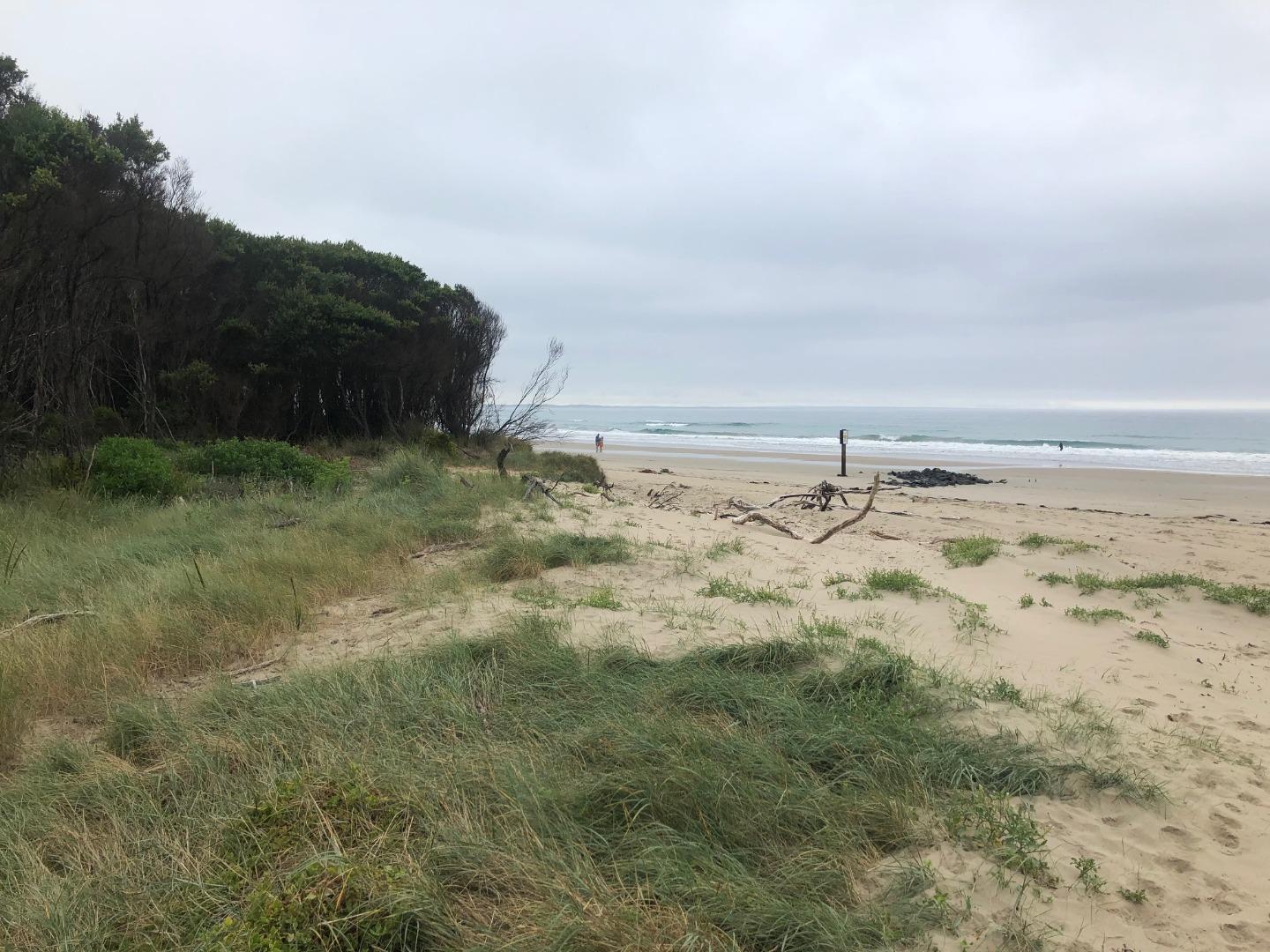
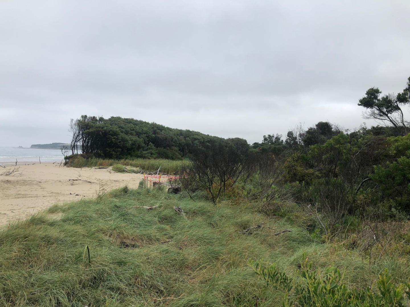
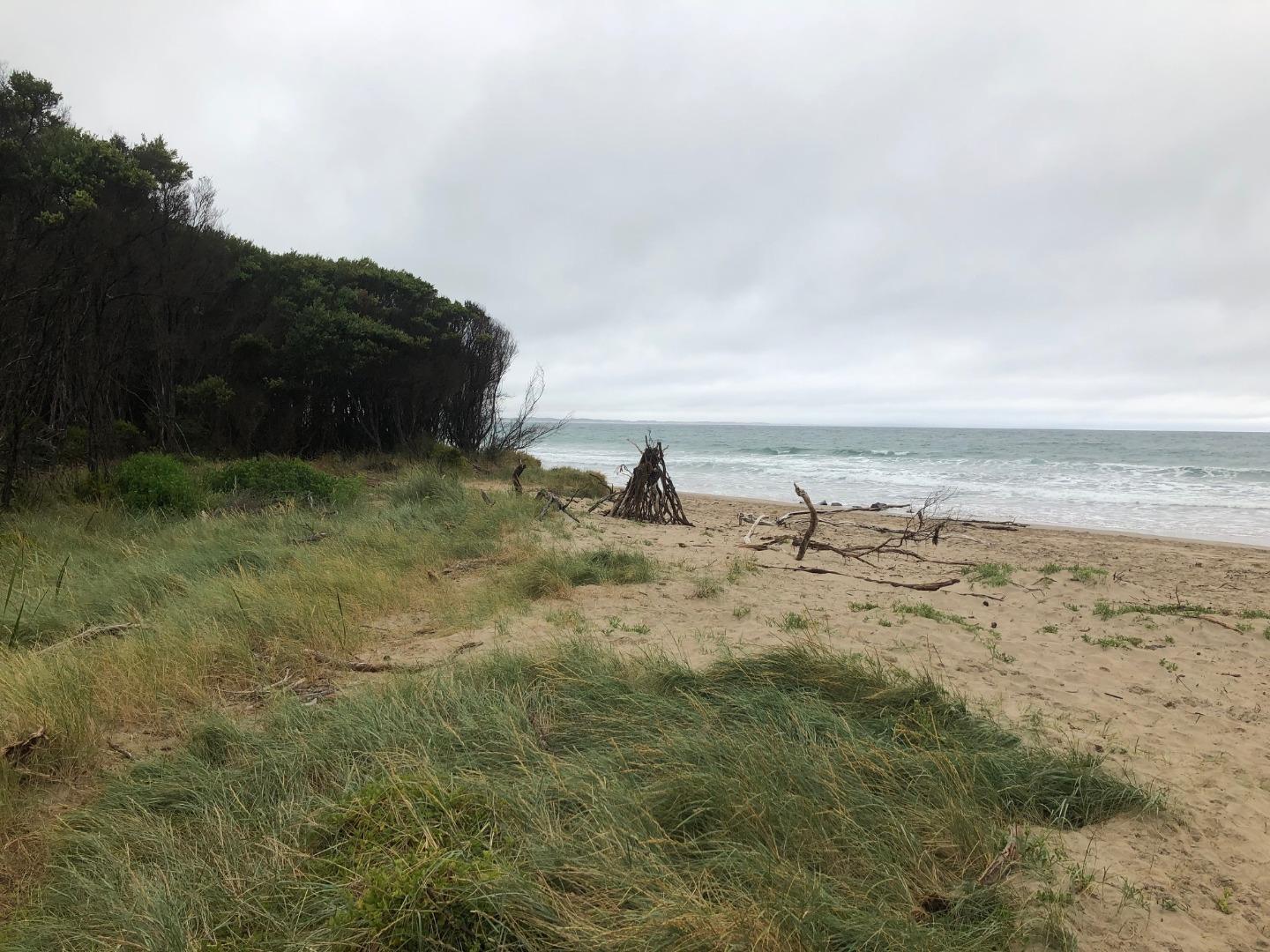
WrMC Wreck Creek Mouth Condition SiteActive Mouth Condition 06-04-2017 - 15-04-2021Wreck Creek Mouth Condition Monitoring Site, located at the end of the Wreck Creek access path opposite 178 Surf Parade Inverloch. |
Observations 69 |
WrMC2 Wreck Creek Mouth Opening Number Two (western end)Active Mouth Condition 14-07-2020 - 12-04-2024In April 2020, following a large storm surge event, a new opening was formed at Wreck Creek. There are now two locations where the creek can flow out to sea. This site will be monitored in conjunction with the mouth condition monitoring site established several years ago (further east). |
Observations 57 |
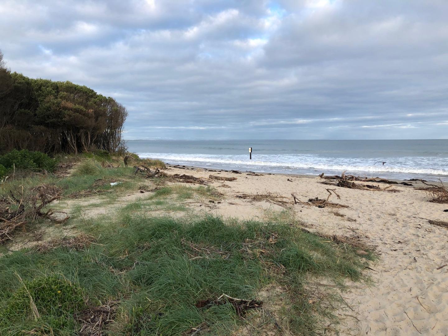
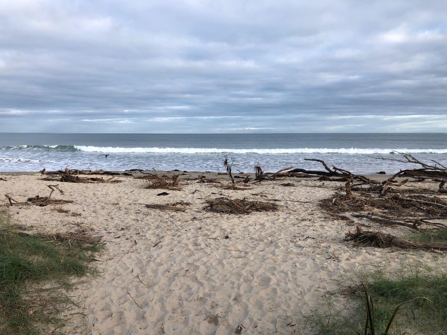
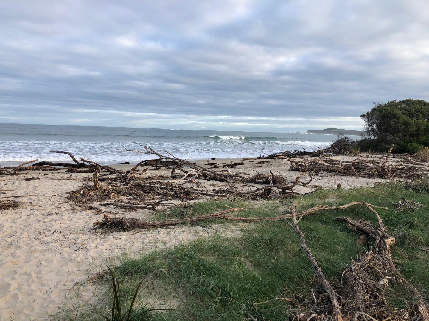
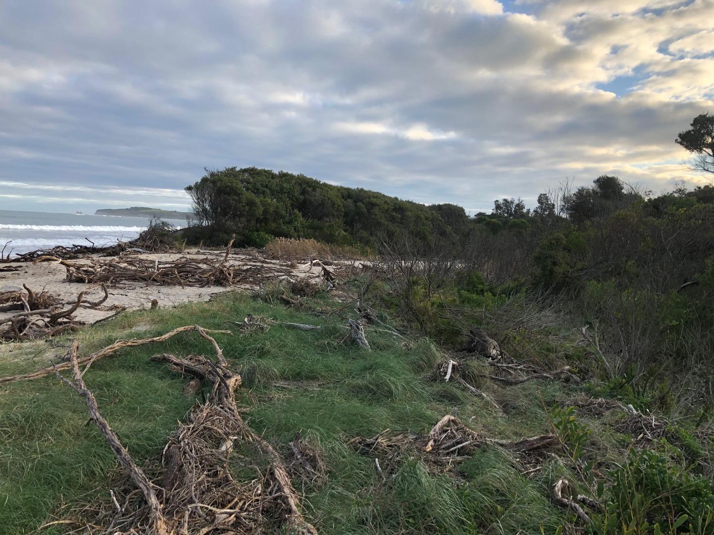
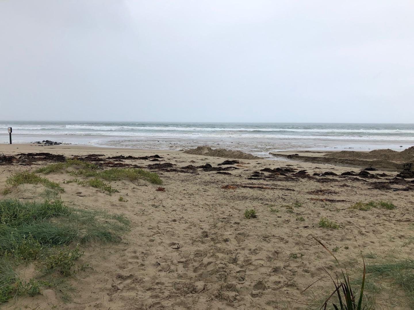
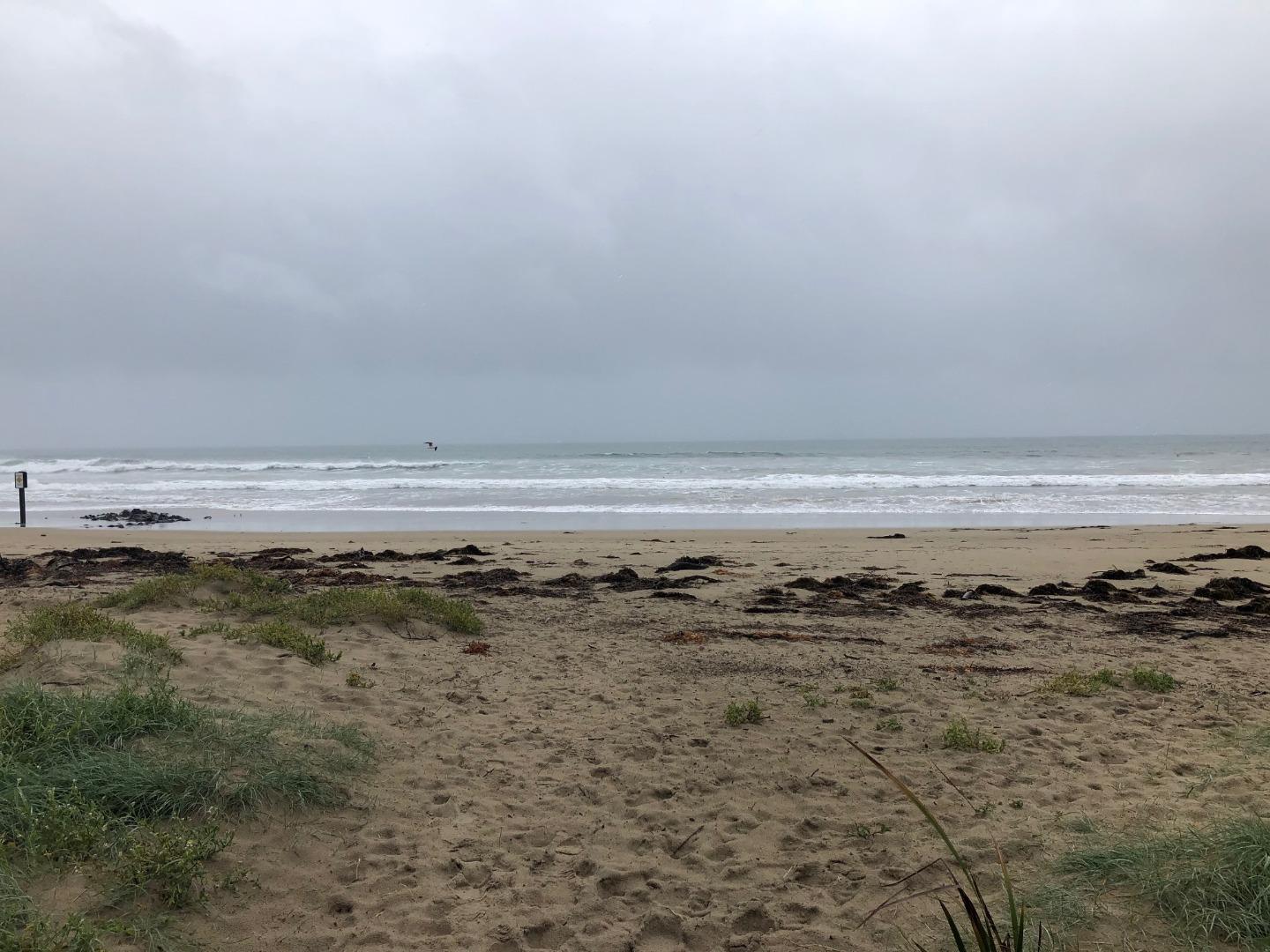
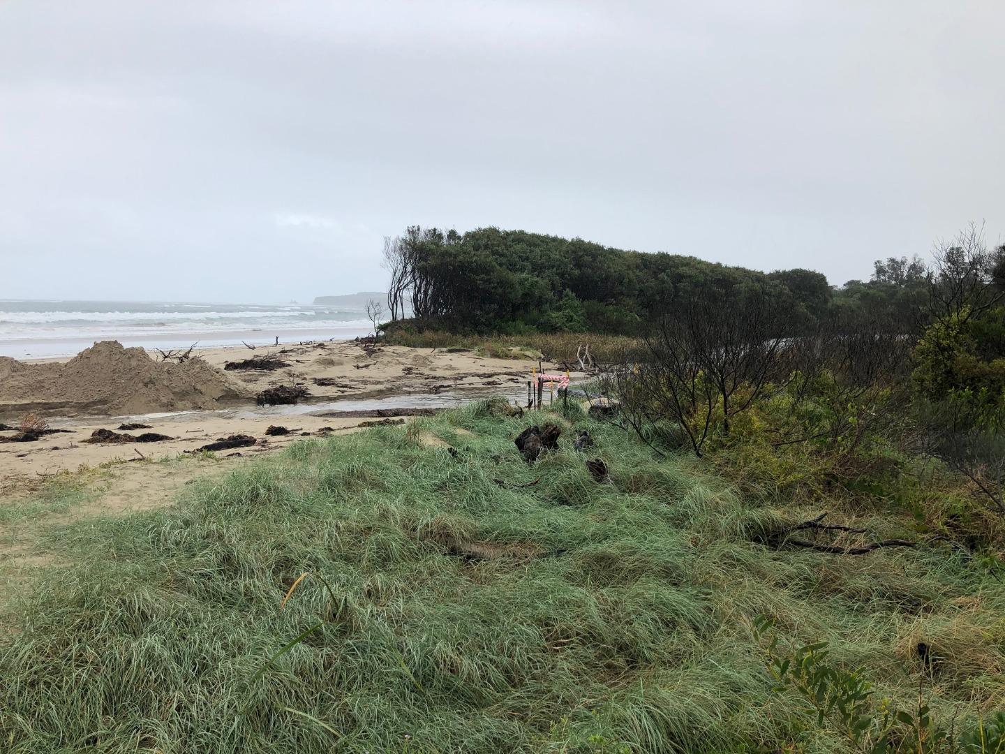
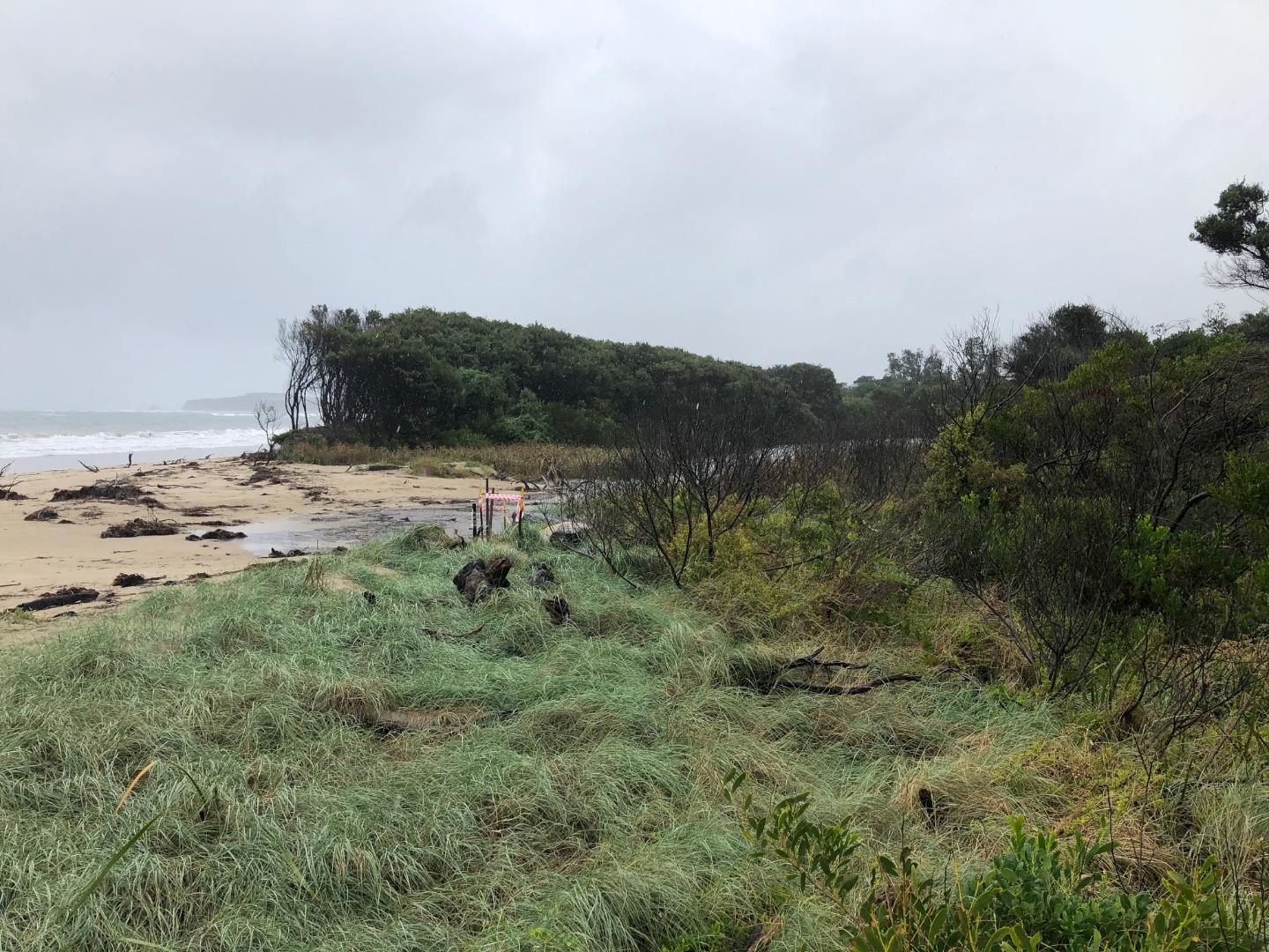
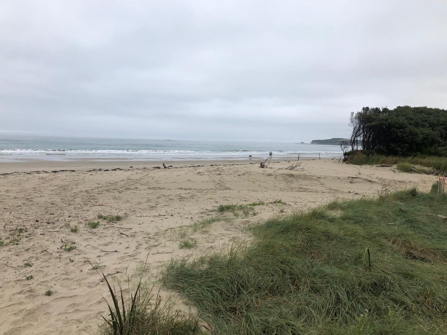
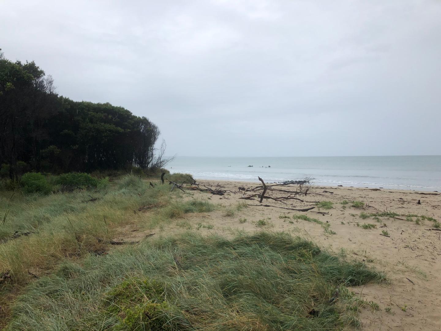
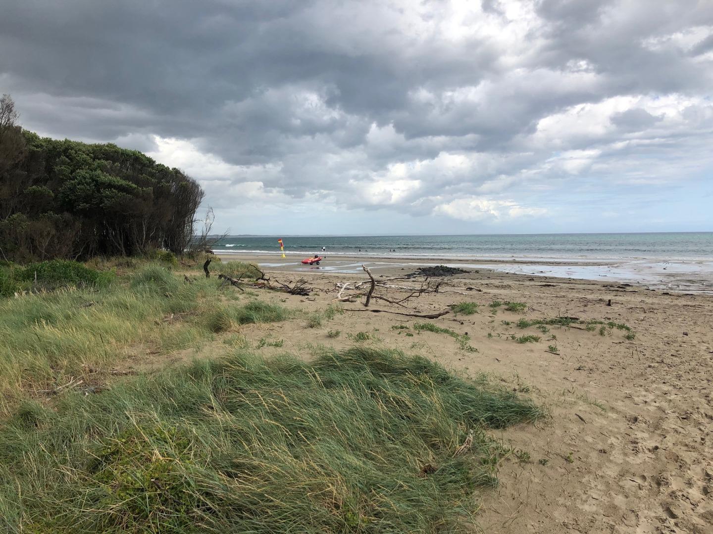
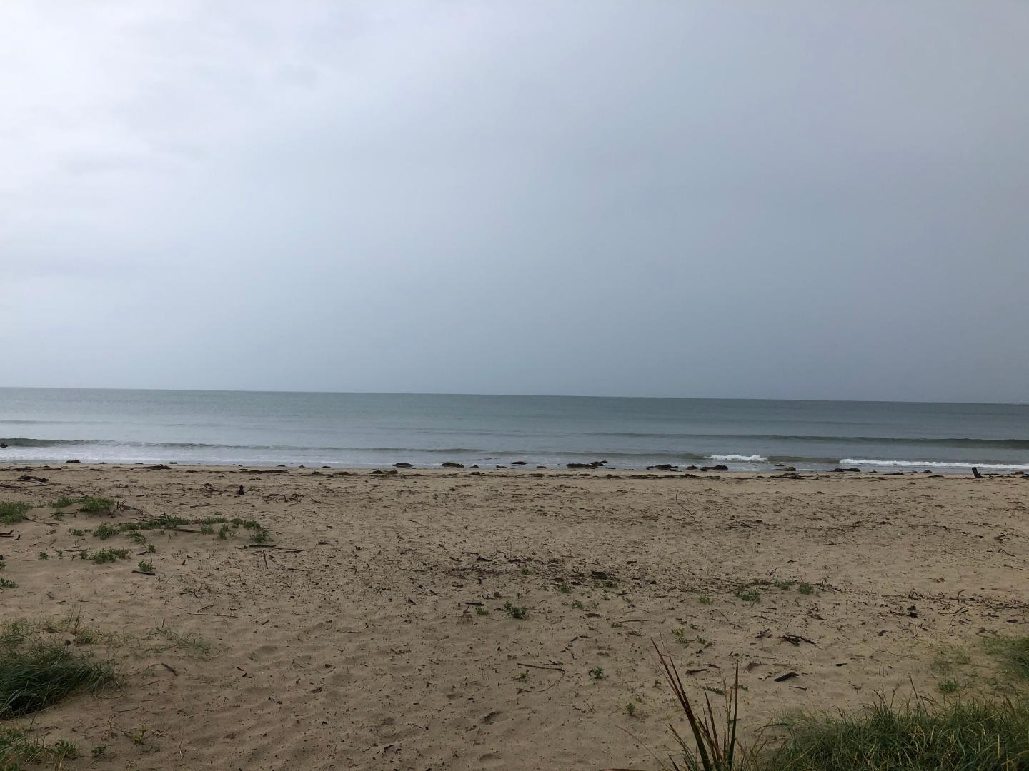
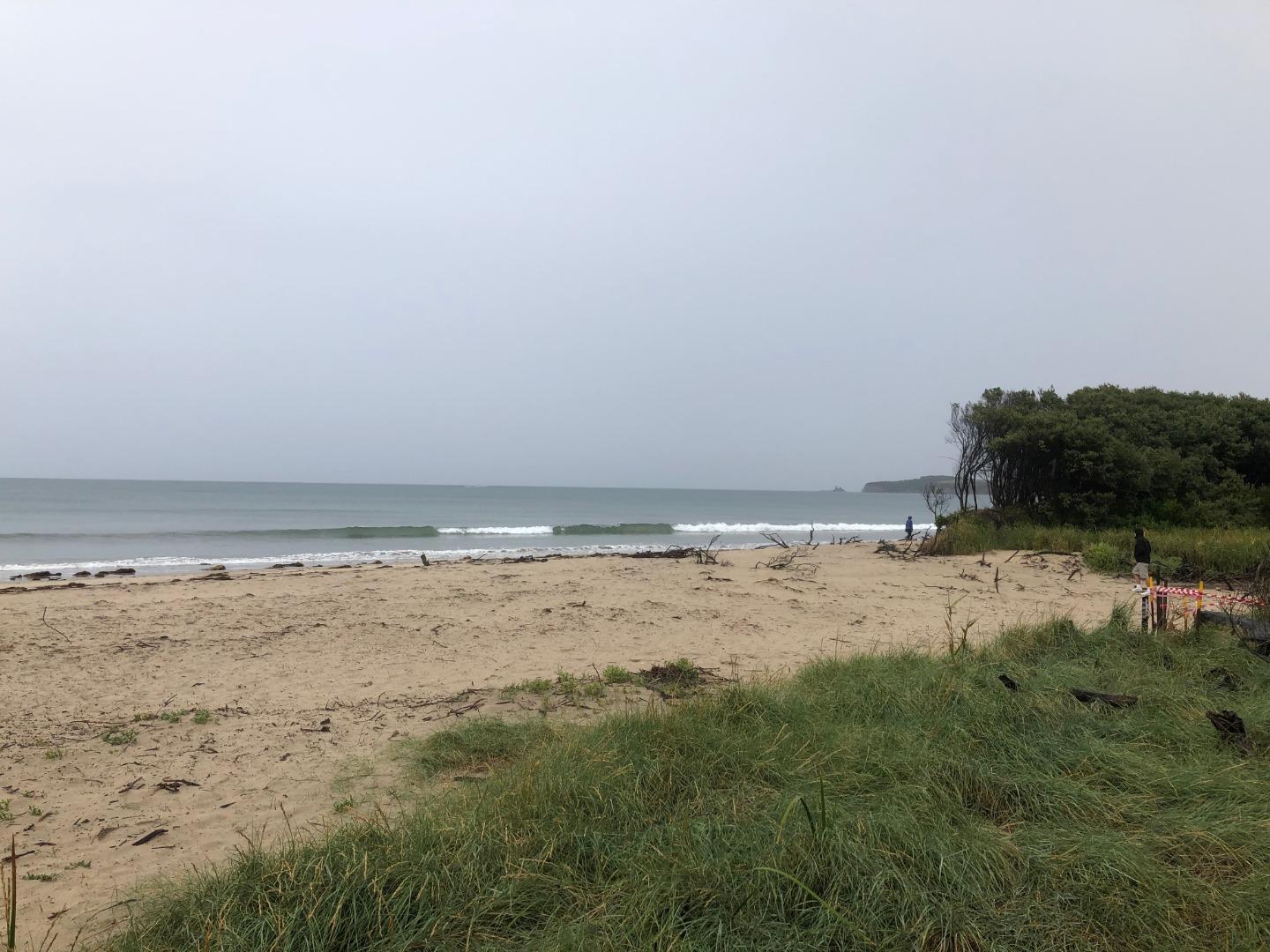
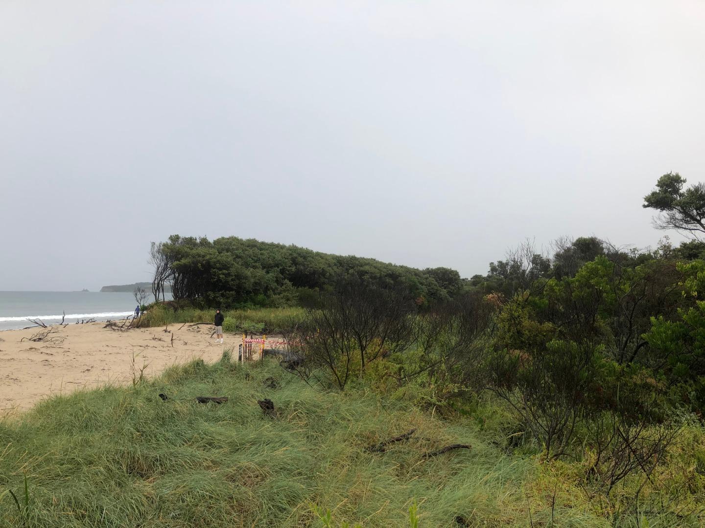
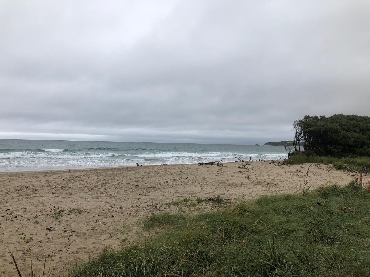
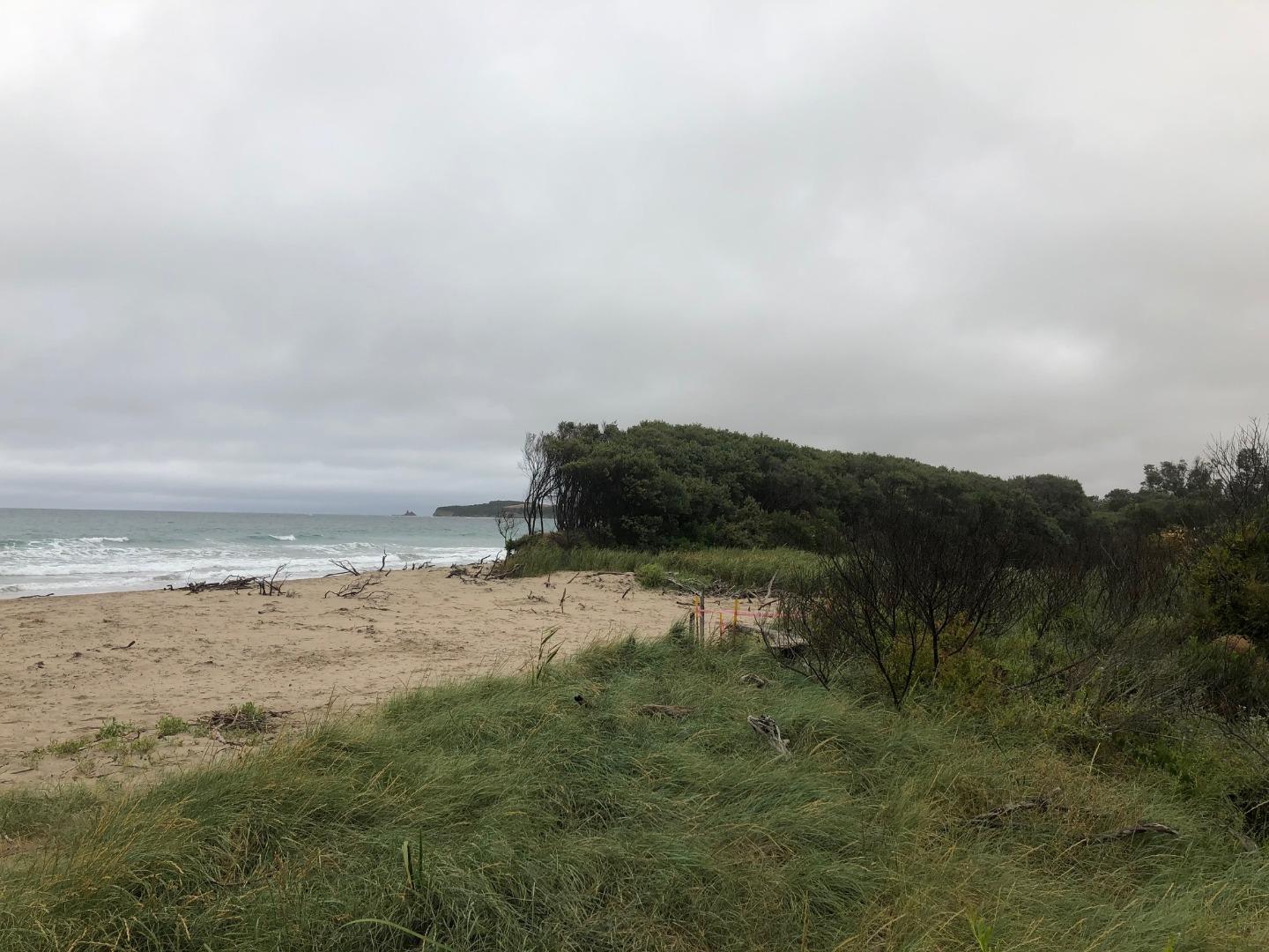
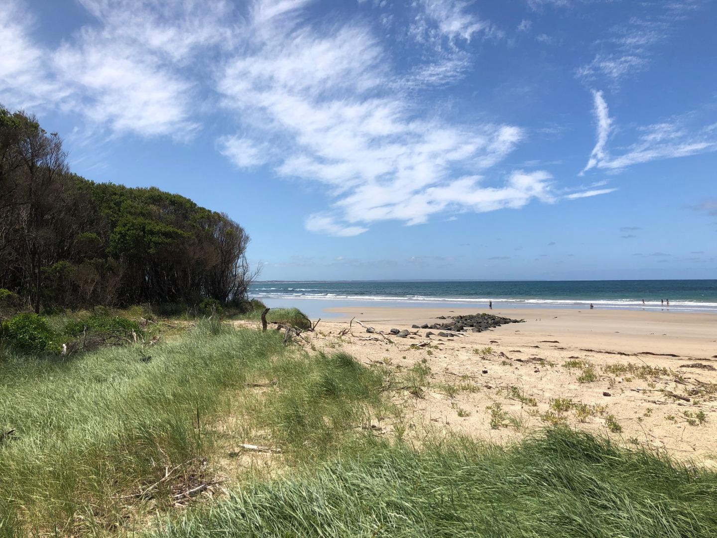
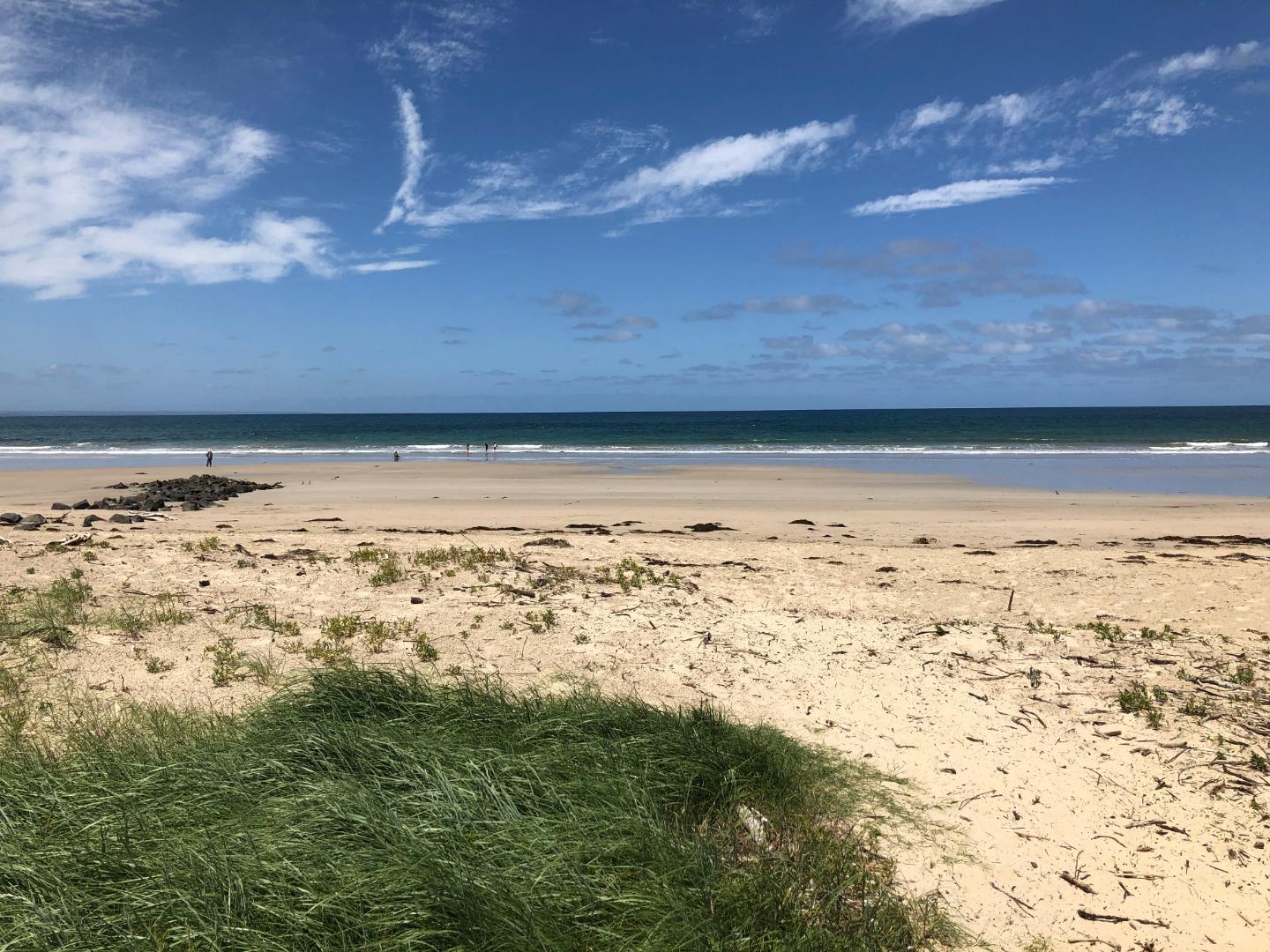
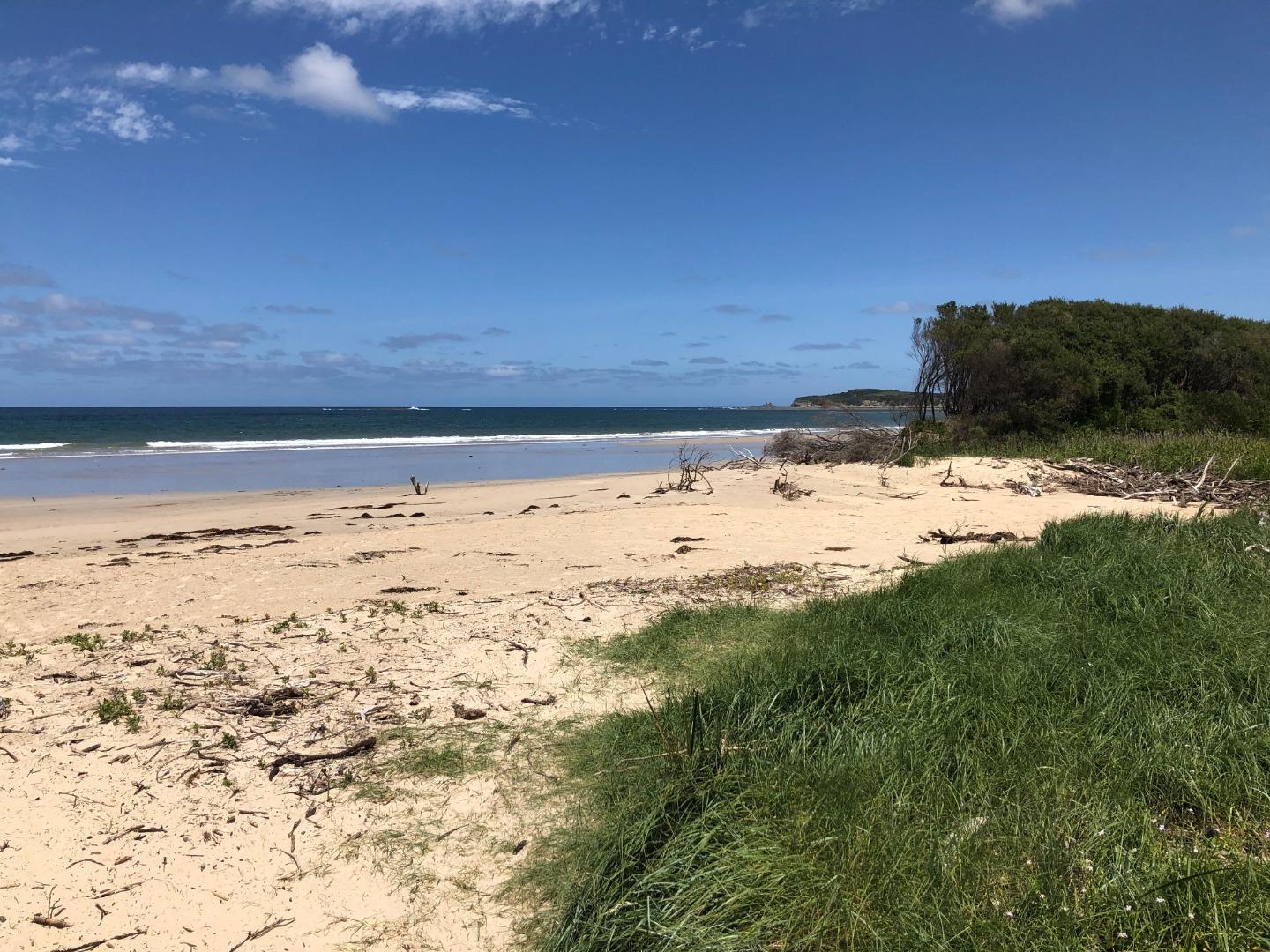
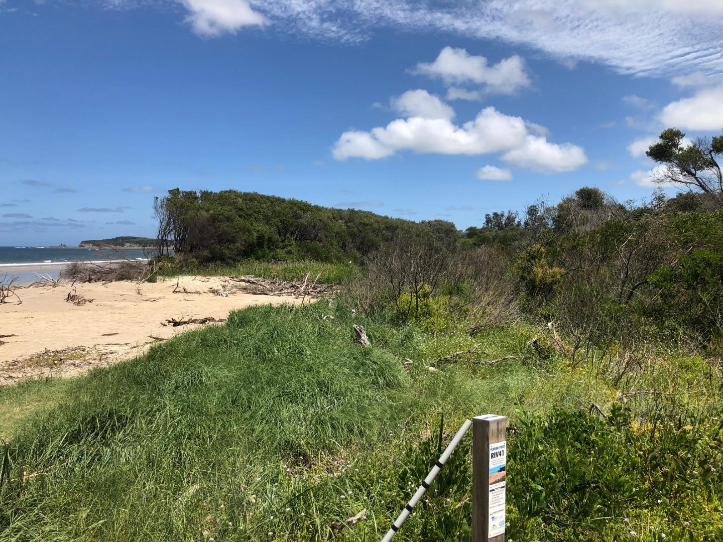
Wrp1 Wreck Creek Photopoint SiteActive Photopoint 07-04-2017 - 14-06-2022Site located at end of beach access path opposite 178 Surf Parade Inverloch. Site located on grassy mound (site of proposed Fluker Post). |
Photos 222 |
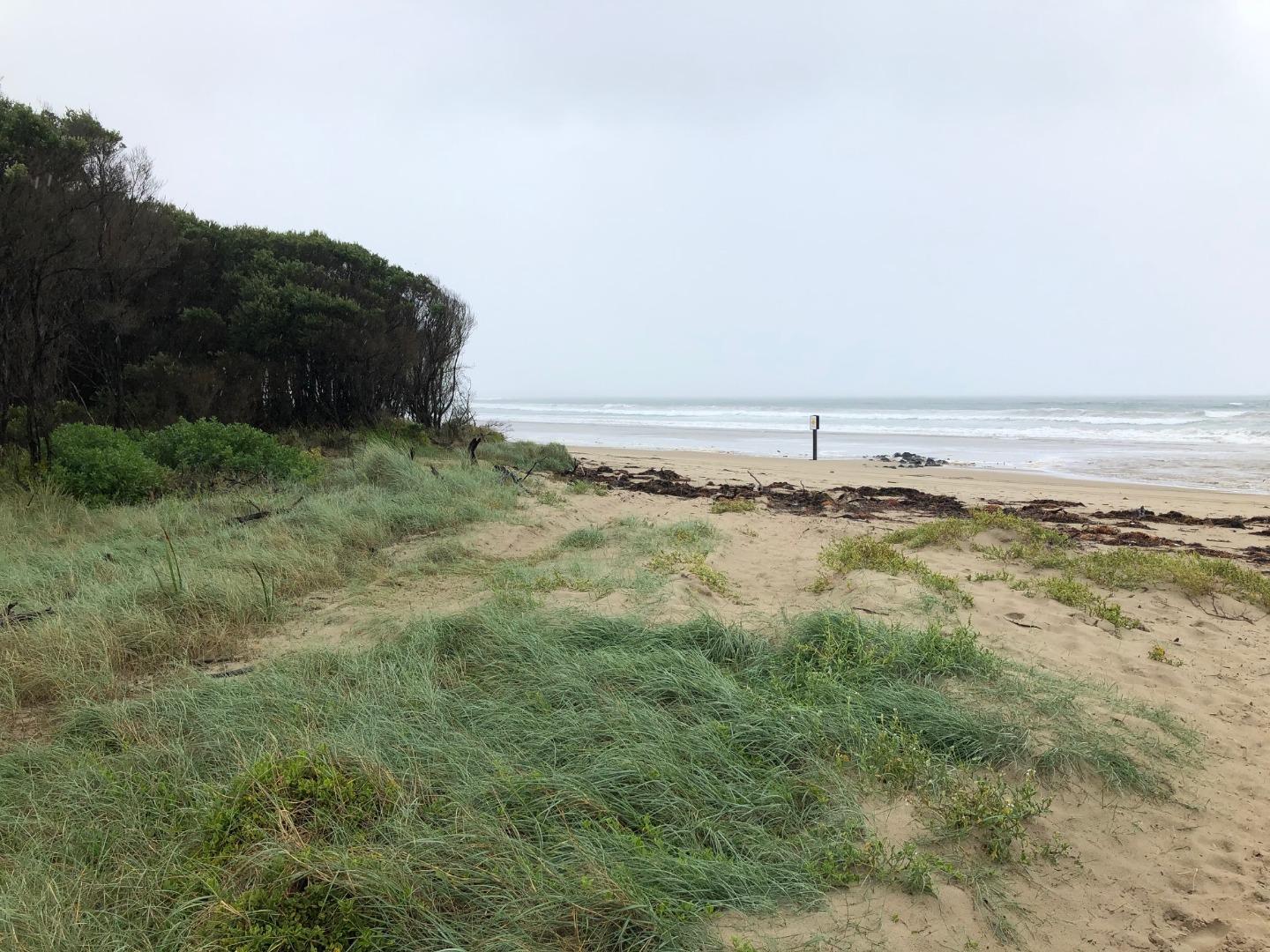
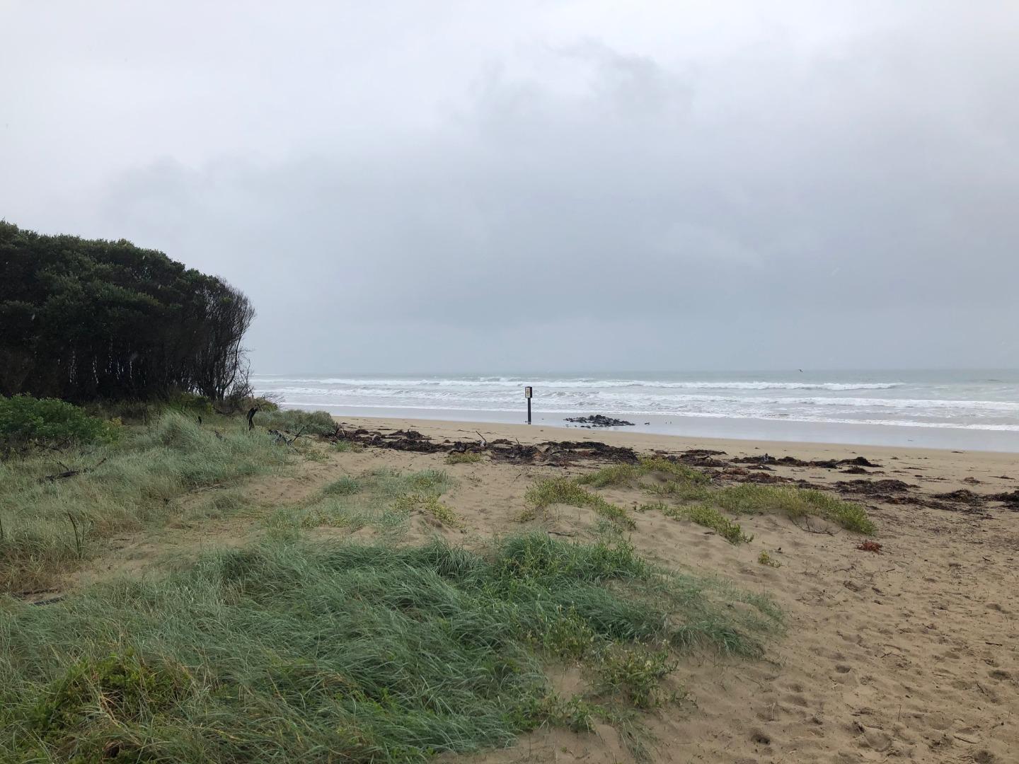
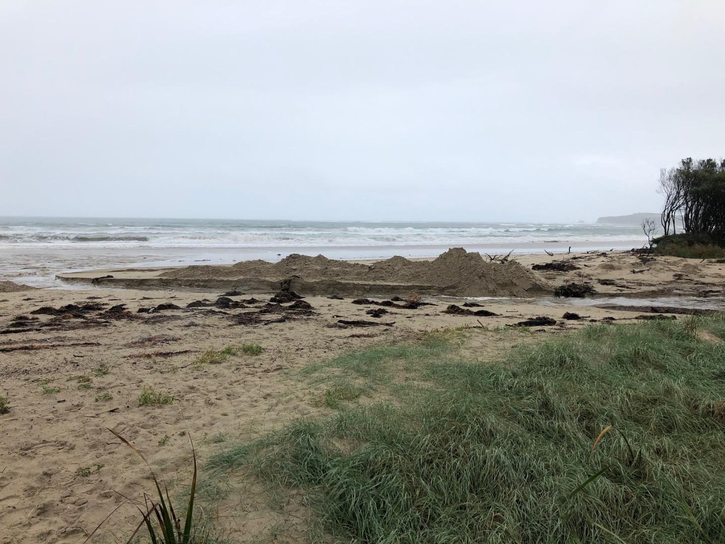
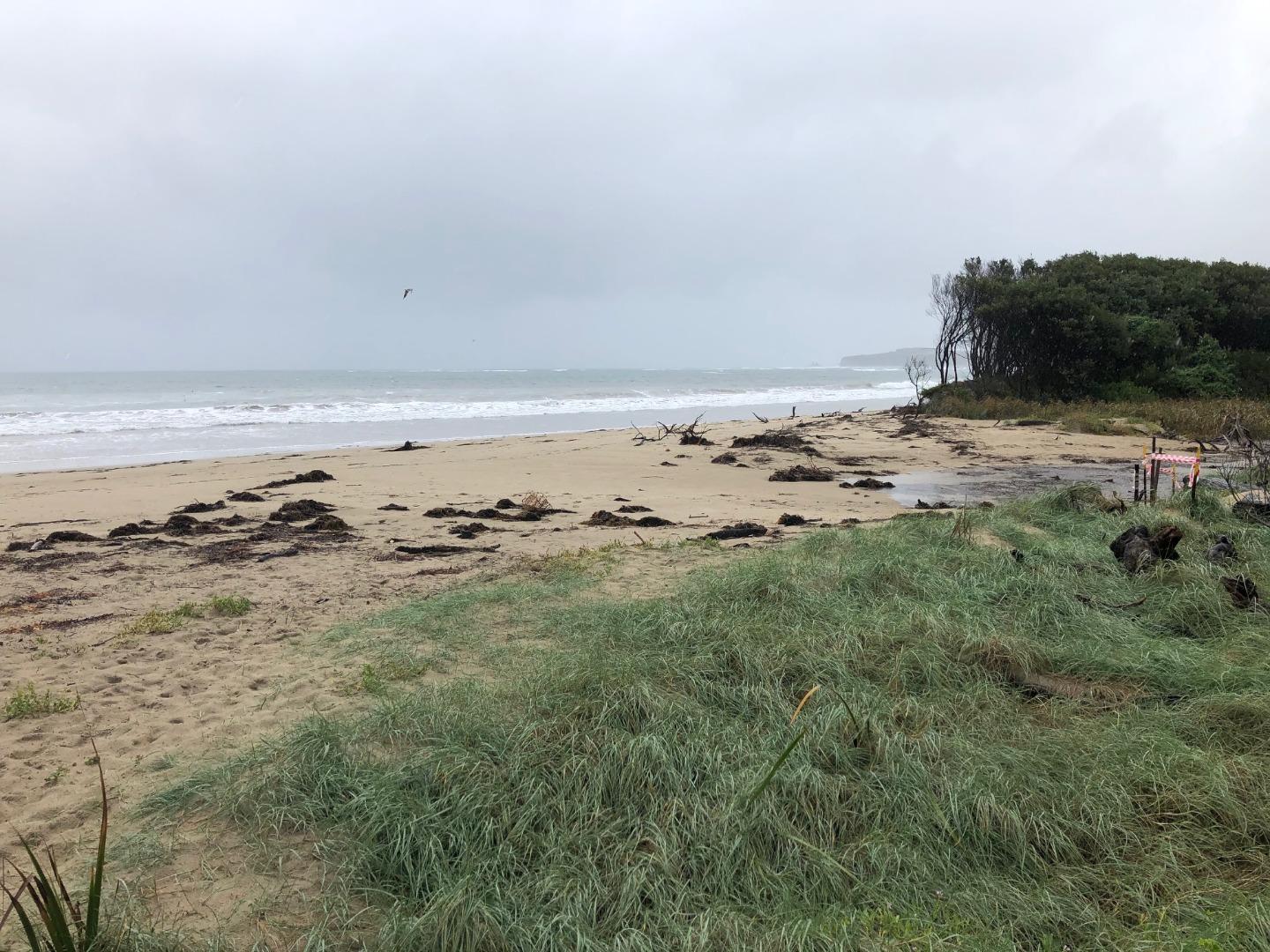
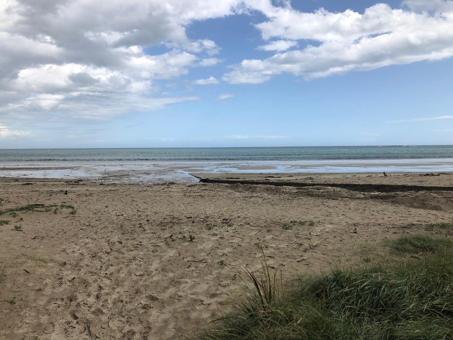
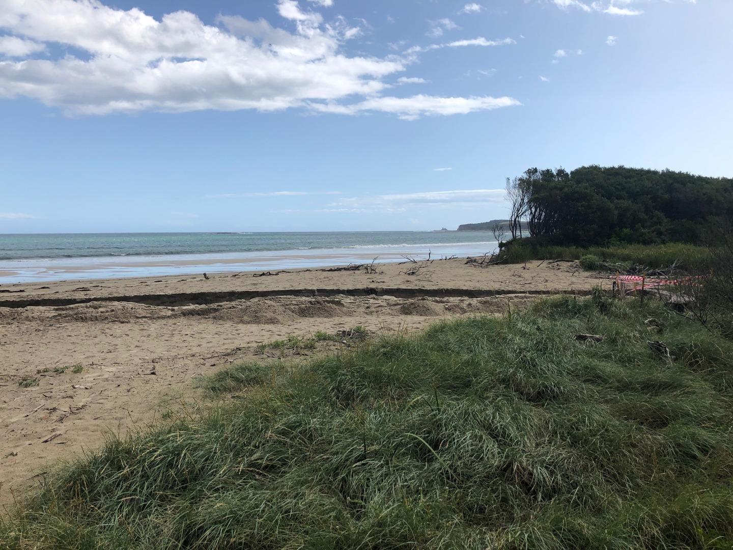
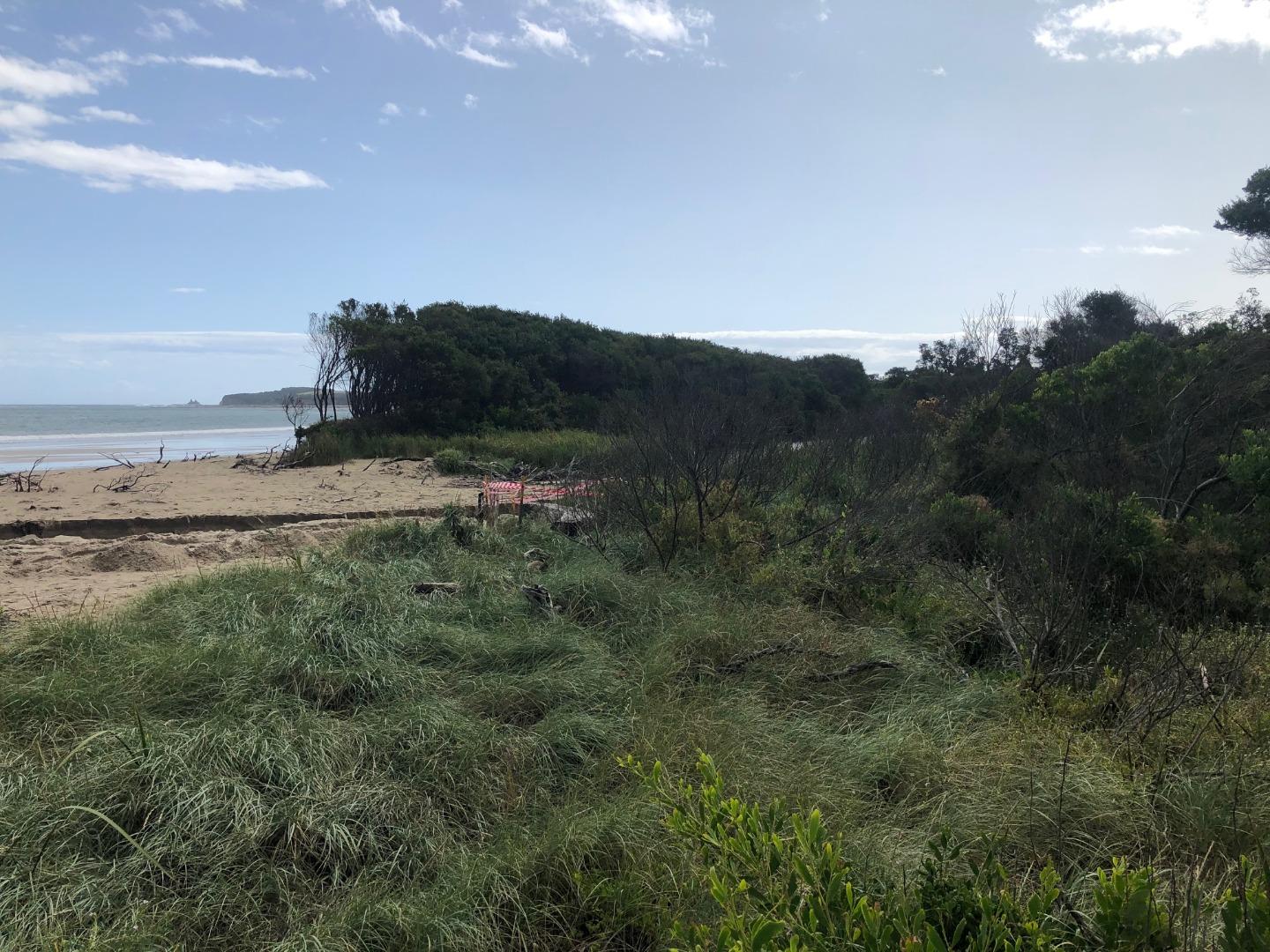
Wrp2 Wreck Creek Photopoint Site TwoActive Photopoint 01-06-2020 - 18-04-2024Wreck Creek West end Opening |
Photos 186 |
Recent Events
| Event Details |
|---|
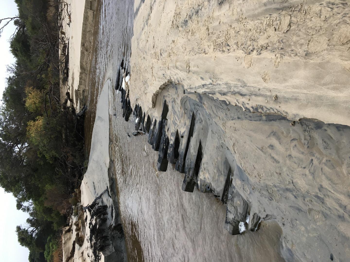
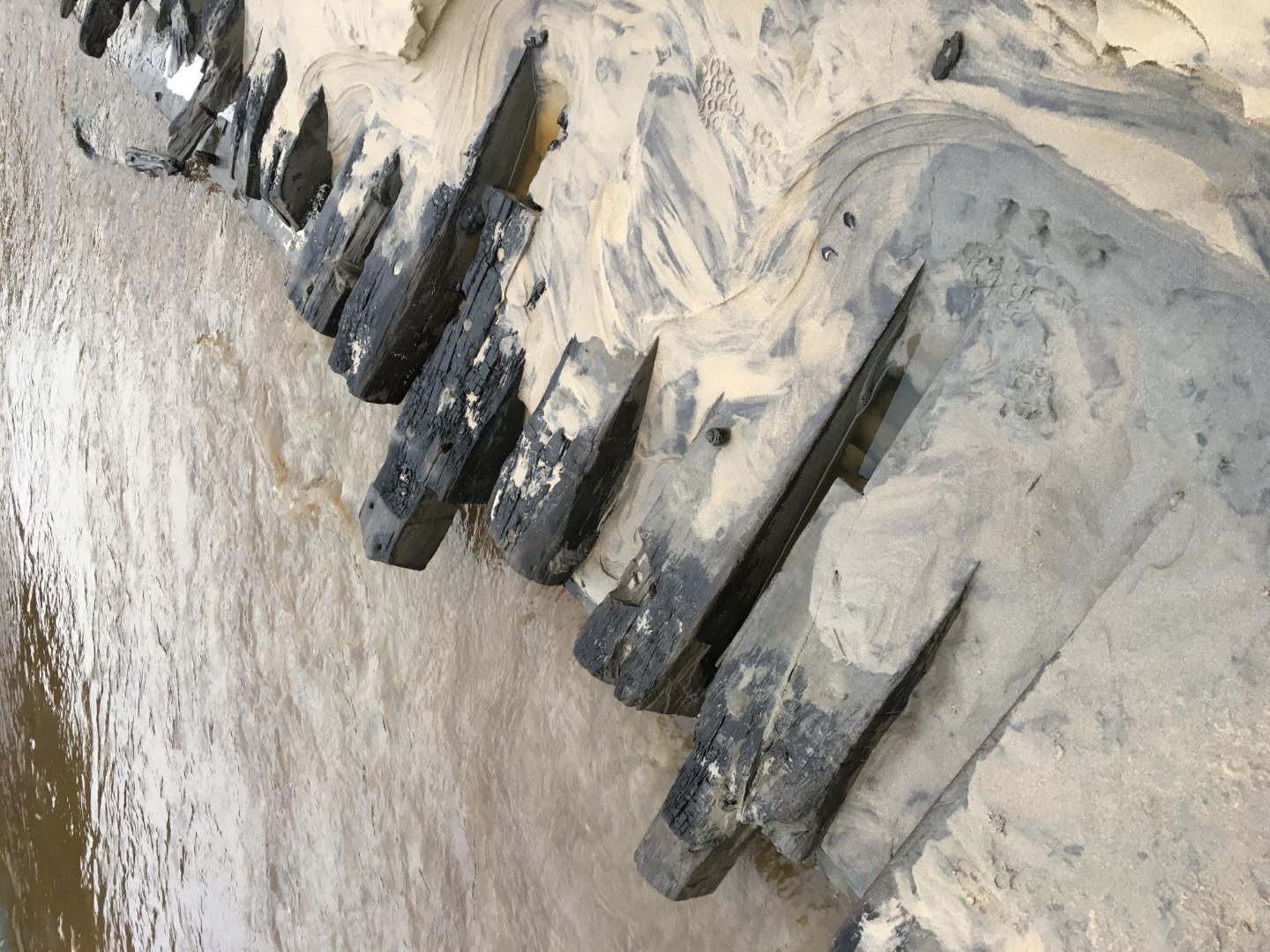
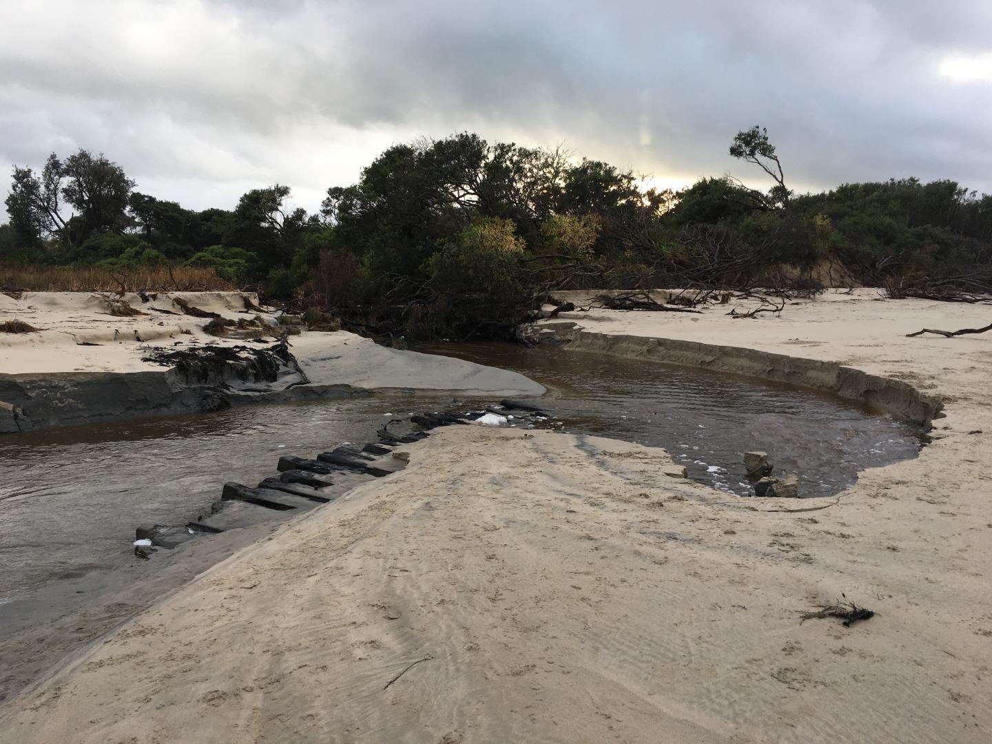
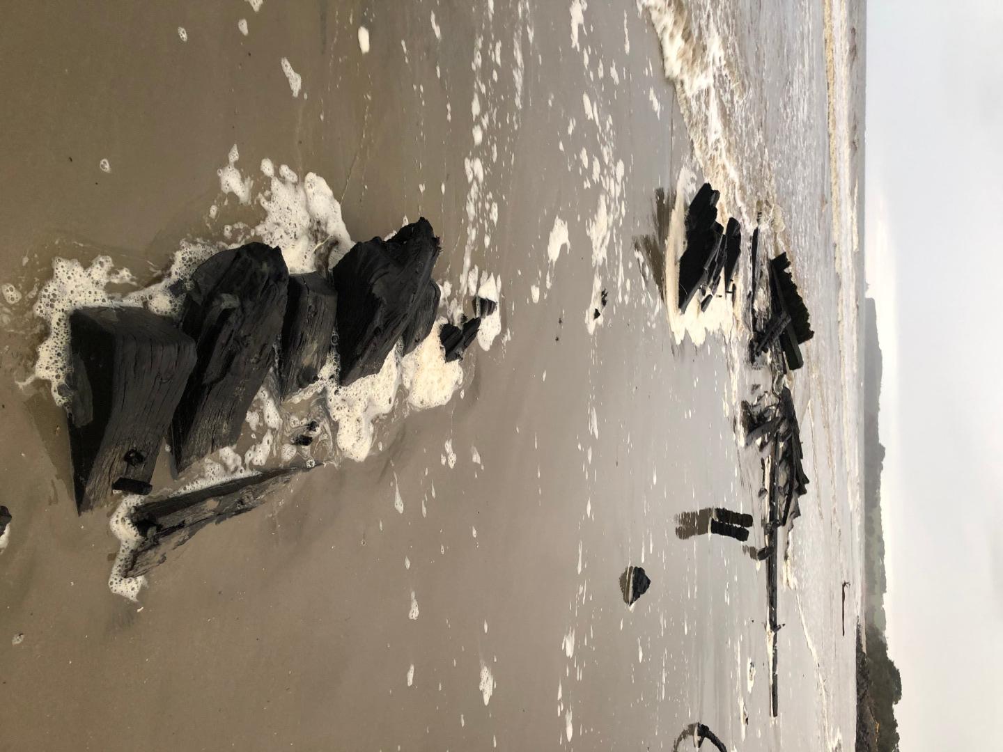
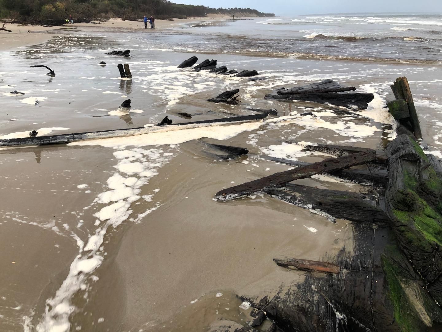
| 23-06-2020 Estuary Entrance Opening A natural estuary opening at the 'new' wreck creek opening (i.e. further west of the original opening) exposed a large Amazon Ship Wreck, before ocean swells covered it over again with sand later in the afternoon. 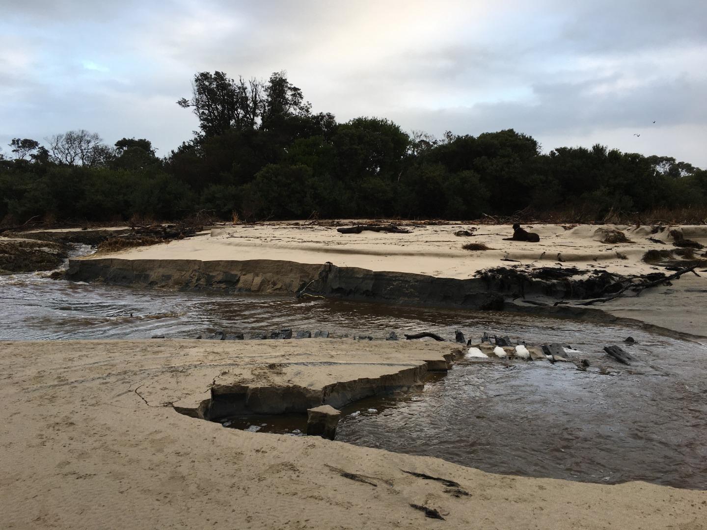

|
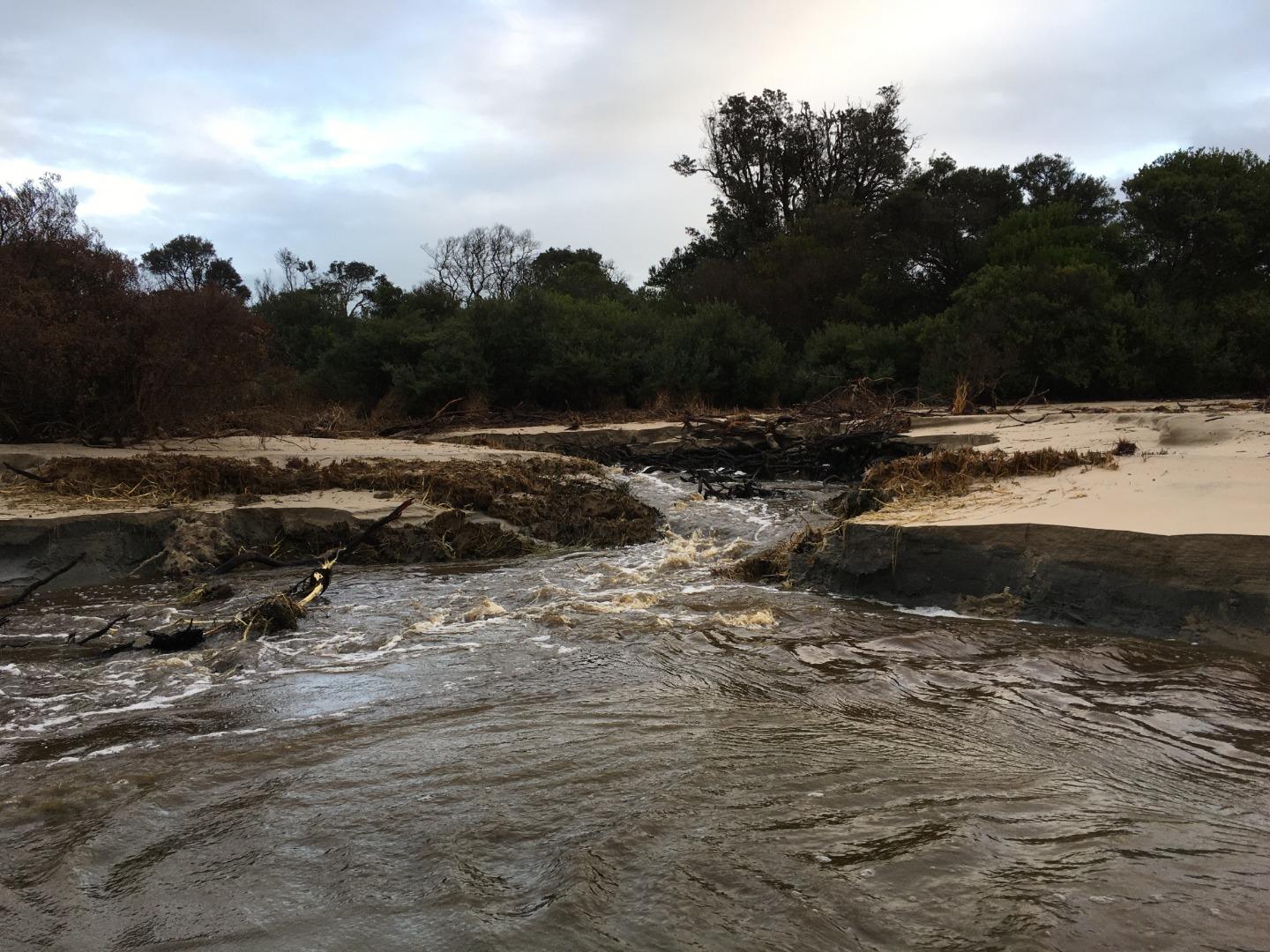
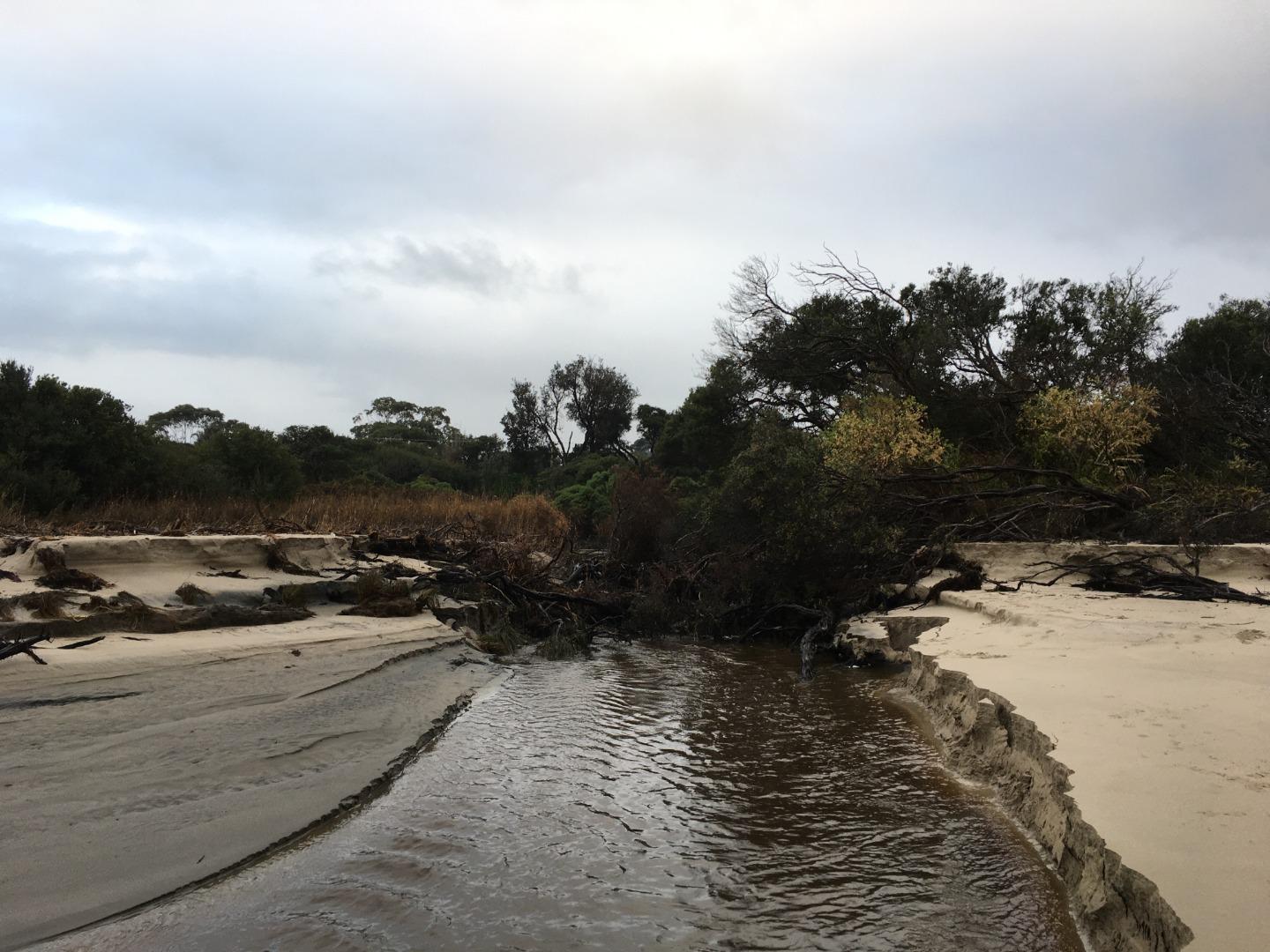
| 24-04-2020 Estuary Entrance Opening In April 2020, a new mouth was established at Wreck Creek. Traditionally when flows in the creek increased over late winter / spring, water would flow out of the sand berm into the ocean at the most easterly extent of the creek. In April large ocean swells removed a large section of coastal vegetation and separated the creek into two (i.e. an east and west tributary). Recent high creek flows have been flowing out to the ocean through this section of the creek ever since this event. |
| 05-04-2020 Estuary Entrance Opening Following a significant down poor (around 40mm) the mouth of Wreck Creek was artificially opened to alleviate the risk of inundating surrounding houses. 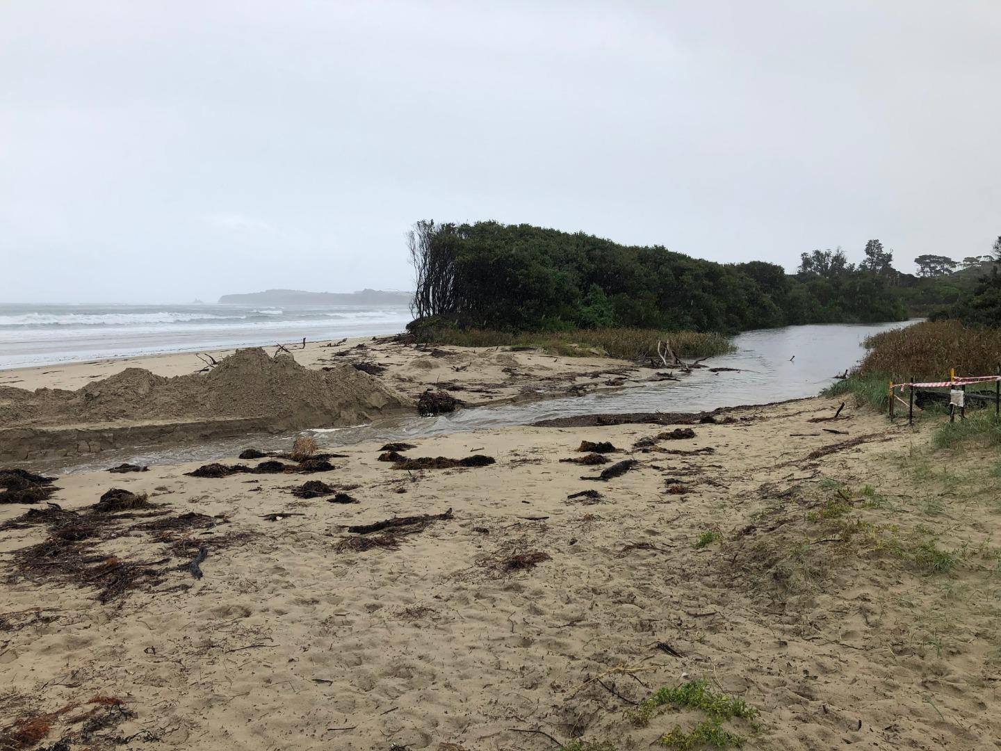
|
| 11-02-2020 Estuary Entrance Closure Wreck Creek Estuary is now closed again following the artificial opening that was required on the 23rd of January 2020. It is uncertain exactly how long the mouth has been closed for again. 
|
| 23-01-2020 Estuary Entrance Opening After 40 mm of rainfall overnight, the estuary water levels increased rapidly from 1.4m AHD on the 22 nd of January, to 2.0m AHD on the morning of the 23 rd of January 2020. With steady inflows, consistent rainfall and a sand berm height of approximately 2.4m AHD, an opening was required to prevent the inundation of adjoining houses. The estuary was completely fresh and the oxygen levels were good. 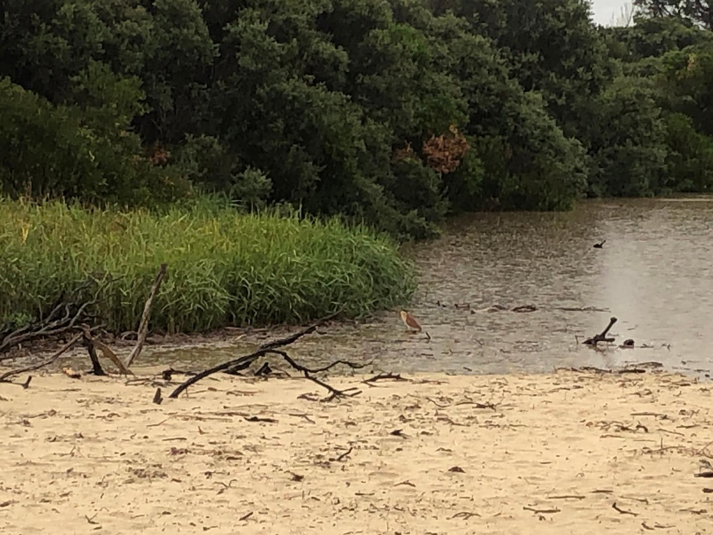
|
| 08-11-2019 Estuary Entrance Opening After 30mm of rain the mouth of Wreck Creek opened naturally to the ocean. The sand berm was at 2.15m AHD on the afternoon of the 7th of November, and the water level was at 1.85m AHD on the same afternoon. The water levels must have risen more than 30mm overnight to break through the sand berm. 
|
Estuary Snapshots
The EstuaryWatch snapshots provide a summary of estuary condition on a particular day. For all EstuaryWatch Snapshots, photopoint photos and a longitudinal water quality profile from the estuary mouth to the inland extent is displayed. Read more
Winter 2020
Autumn 2020
Summer 2020
Spring 2019

All content, files, data and images provided by the EstuaryWatch Data Portal and Gallery are subject to a Creative Commons Attribution License
Content is made available to be used in any way, and should always attribute EstuaryWatch and www.estuarywatch.org.au