EstuaryWatch Data Portal
Overview
| Estuary name | Tidal River |
|---|---|
| CMA | West Gippsland CMA |
| Description |
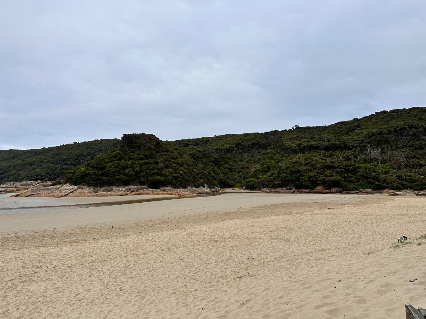
The Tidal River Estuary is approximately 2.5km in length and is located at the base of the tidal river catchment which is approximately 27km2. There are a number of roads, a bridge, boardwalk and several fishing platforms that provide access to the estuary. The Tidal River Estuary has a diverse array of intact habitat for terrestrial and aquatic wildlife, within and surrounding the estuary, including; muddy and sandy substrate, the water column, rocks and the vegetation communities surrounding these areas. |
| Estuary Values |
The vegetation communities are broken up into Ecological Vegetation Classes (EVC’s) based on the species composition of each community. Species composition is heavily influenced by frequency in which they are inundated, and the type of water in which they are inundated by (i.e. salty, fresh or brackish). Some EVCs include:
Fish Species
Significant Bird Species
|
| Estuary Threats |
Threats
|
| Data | Site observations |
| Status | Active |
| Monitor group | Parks Victoria Tidal River Education Team |
Sites
| Site details | Options |
|---|---|
TR1 Tidal River FootbridgeActive Physico-Chemical 26-10-2017 - 26-03-2024This site is located on the Tidal River Footbridge, between the 13th and 14th upright post on the upstream side of the bridge (look for the broken bridge board). |
Observations 20 |
TR2 Fishing Platform 4 (Upstream)Active Physico-Chemical 05-11-2017 - 26-03-2024Fishing Platform 4 (Most upstream platform on the Loo Errn Boardwalk). |
Observations 20 |
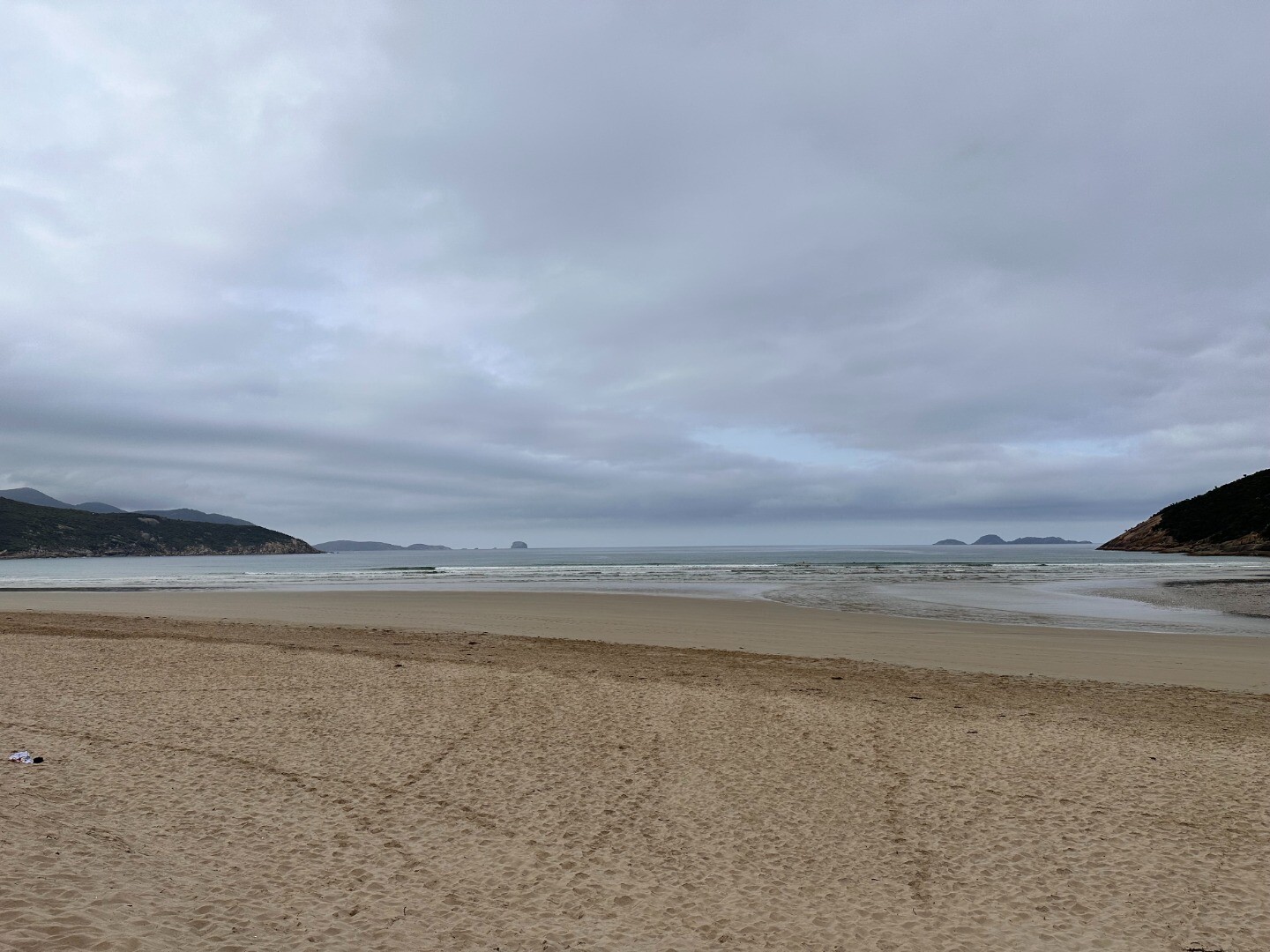
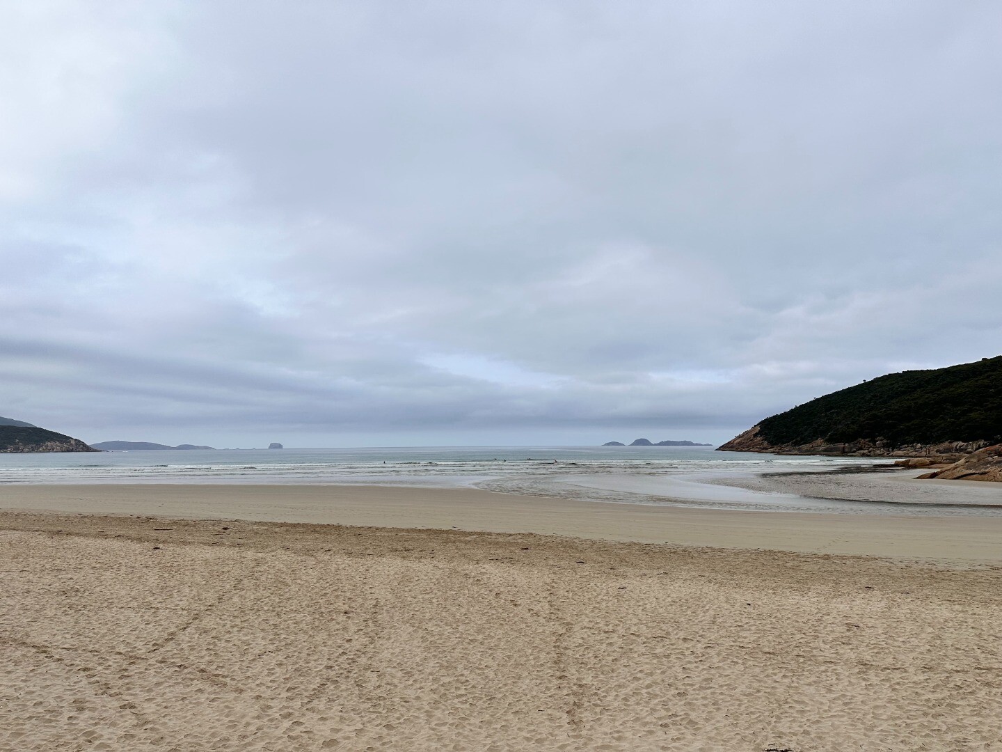
TRMC Tidal River Mouth Condition Monitoring SiteActive Mouth Condition 26-10-2017 - 17-12-2023Tidal River Estuary Mouth Condition Monitoring is carried out at the estuary mouth at the base of second ramp. |
Observations 19 |
Trp1 Tidal River Photopoint Monitoring SiteActive Photopoint 08-11-2017 - 21-11-2023This site is located at the end of second ramp at Norman Beach. The photopoint photos (x4) are to be captured whilst standing beside the last upright fence post found at the beach end / river side of the second ramp track. |
Photos 73 |
Estuary Snapshots
The EstuaryWatch snapshots provide a summary of estuary condition on a particular day. For all EstuaryWatch Snapshots, photopoint photos and a longitudinal water quality profile from the estuary mouth to the inland extent is displayed. Read more
Autumn 2024
Summer 2023
Spring 2023

All content, files, data and images provided by the EstuaryWatch Data Portal and Gallery are subject to a Creative Commons Attribution License
Content is made available to be used in any way, and should always attribute EstuaryWatch and www.estuarywatch.org.au