EstuaryWatch Data Portal
Overview
| Estuary name | Powlett River Estuary |
|---|---|
| CMA | West Gippsland CMA |
| Description |
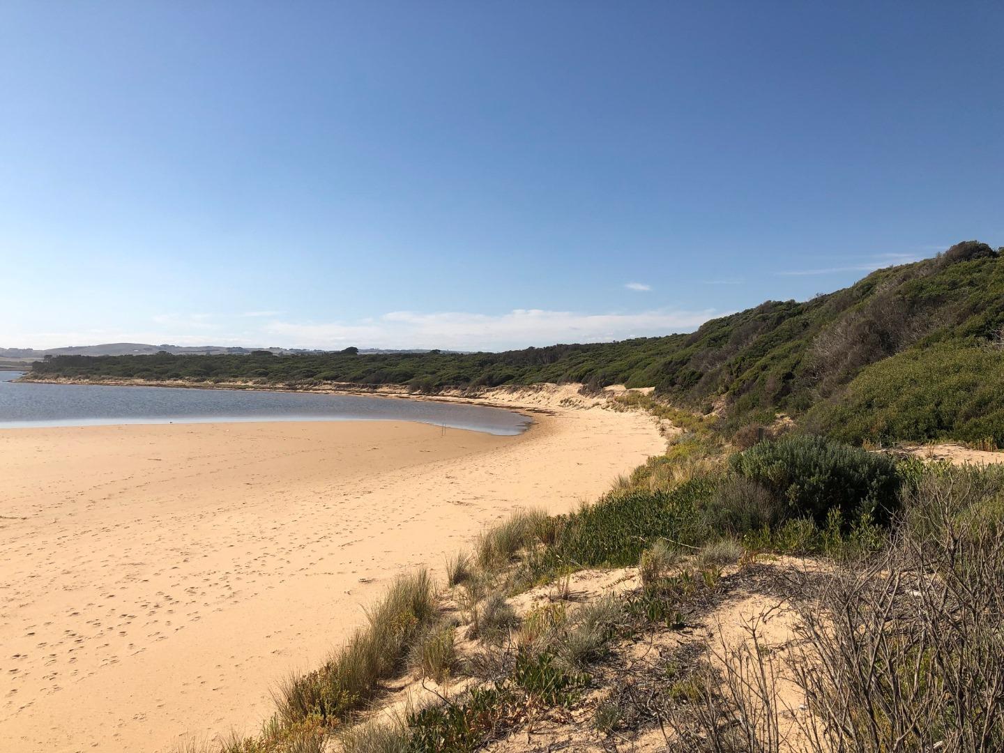
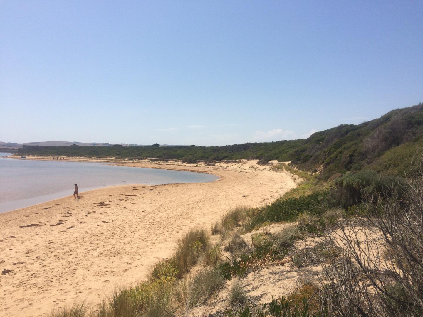
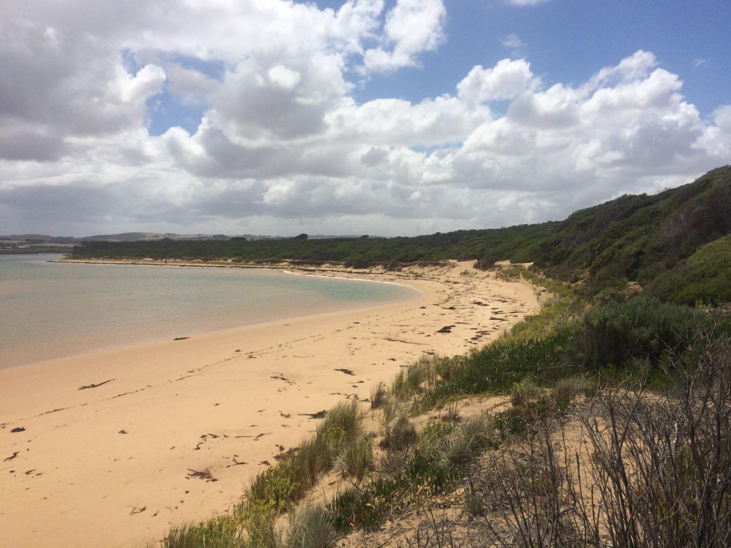
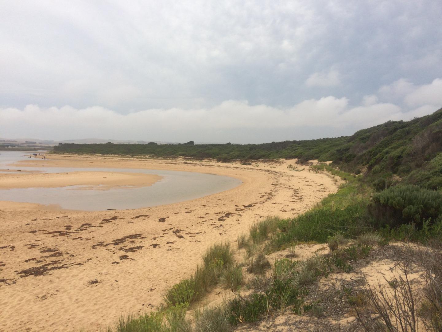
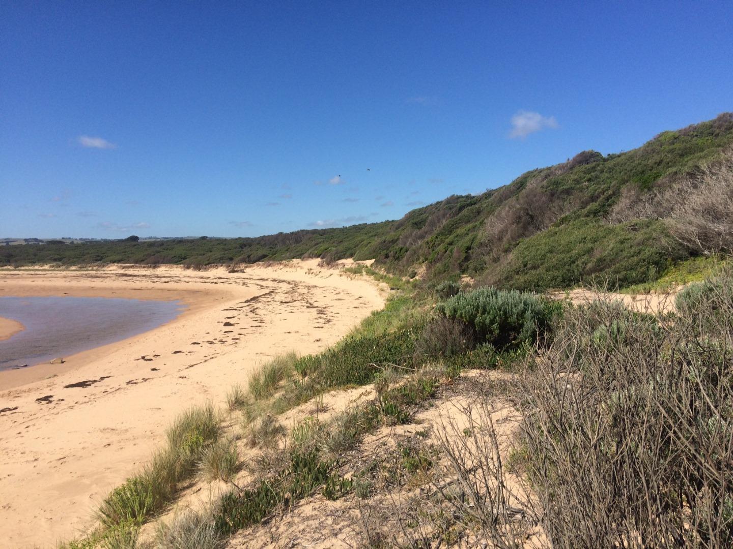
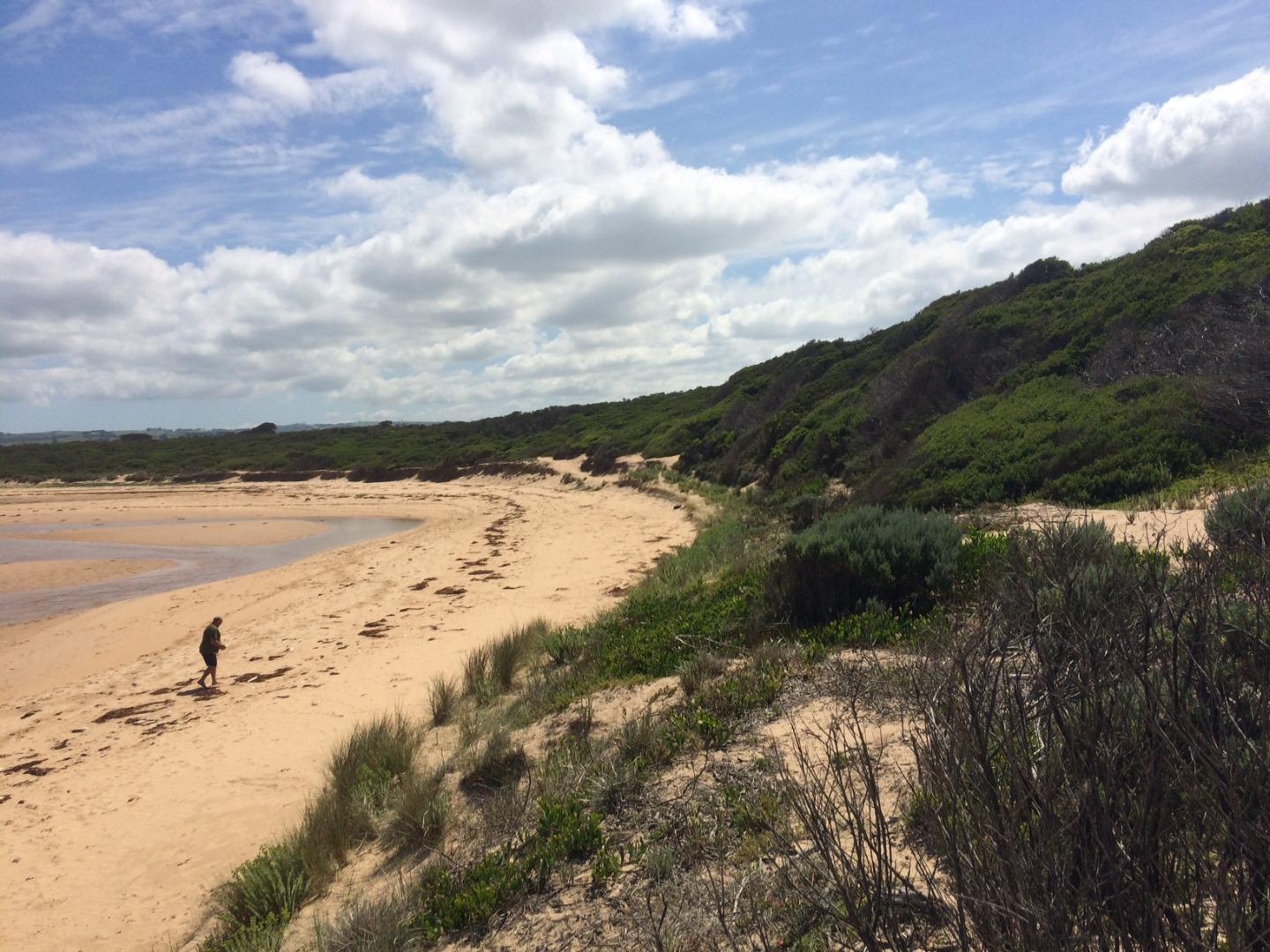
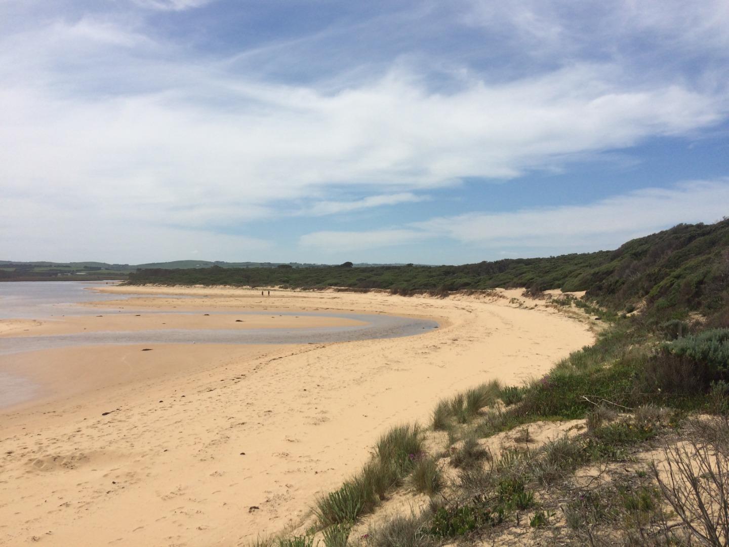
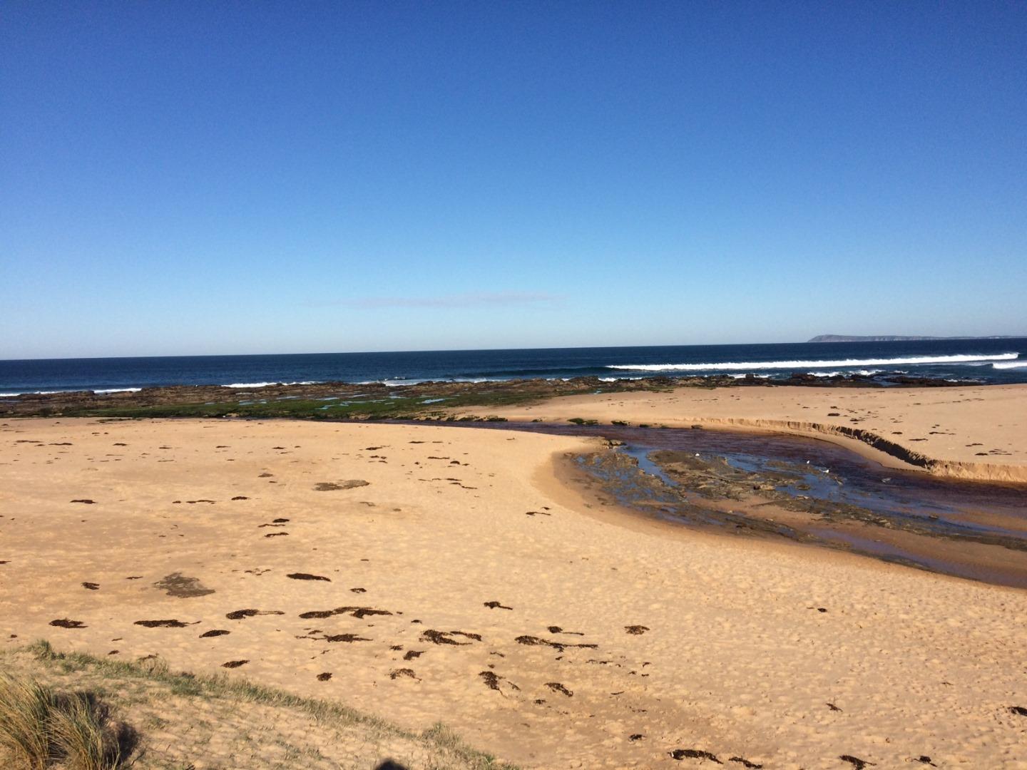
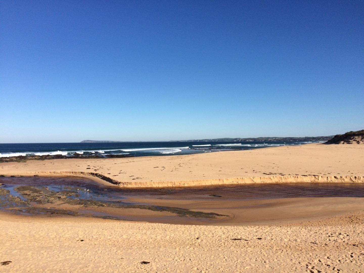
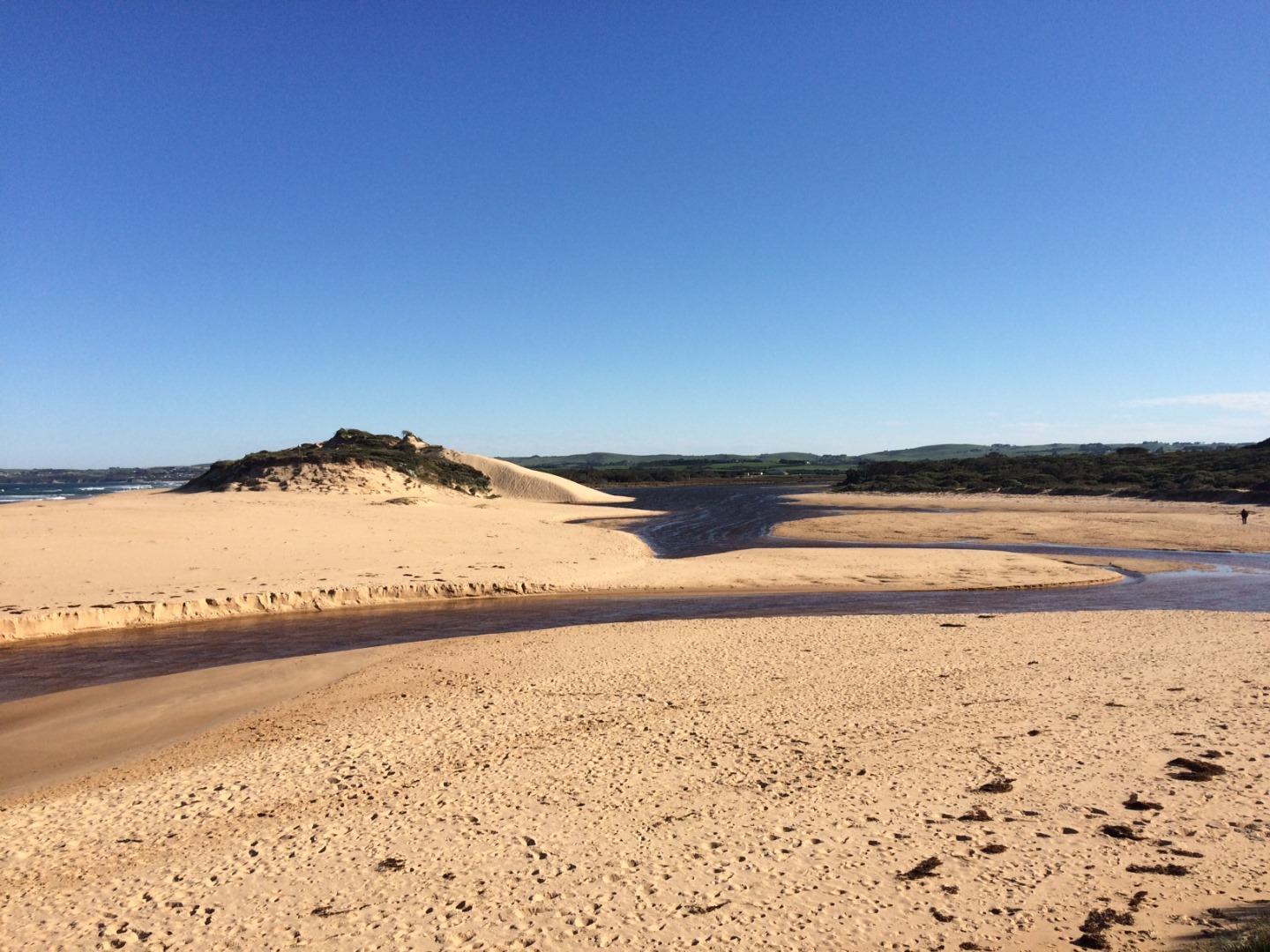
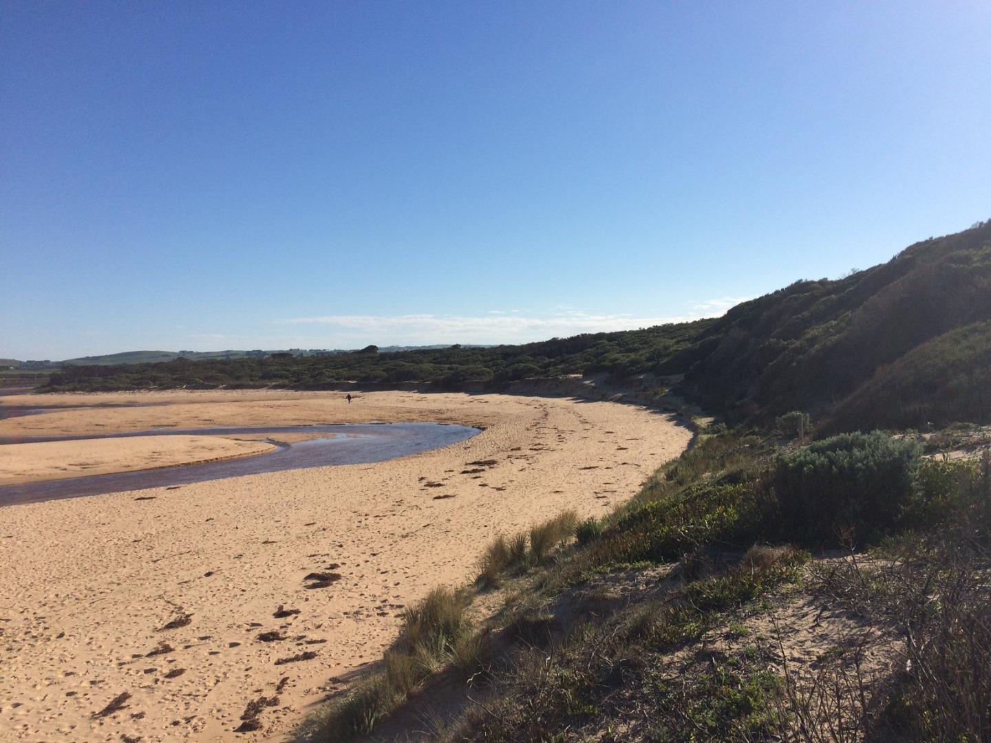
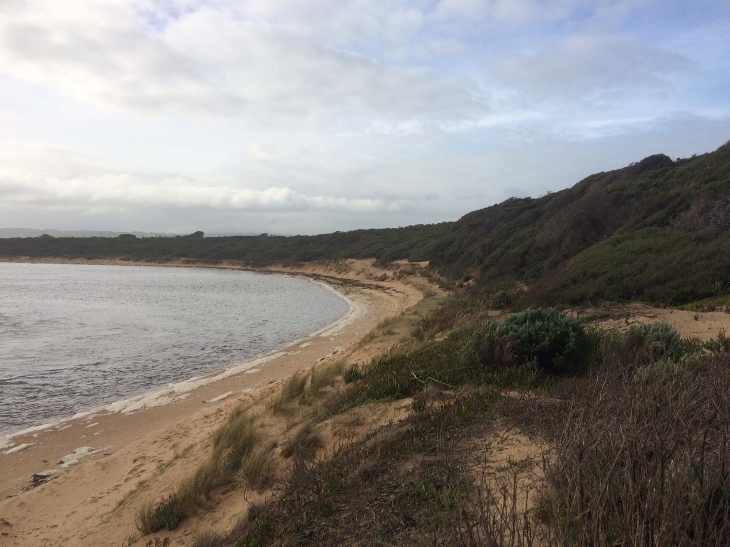
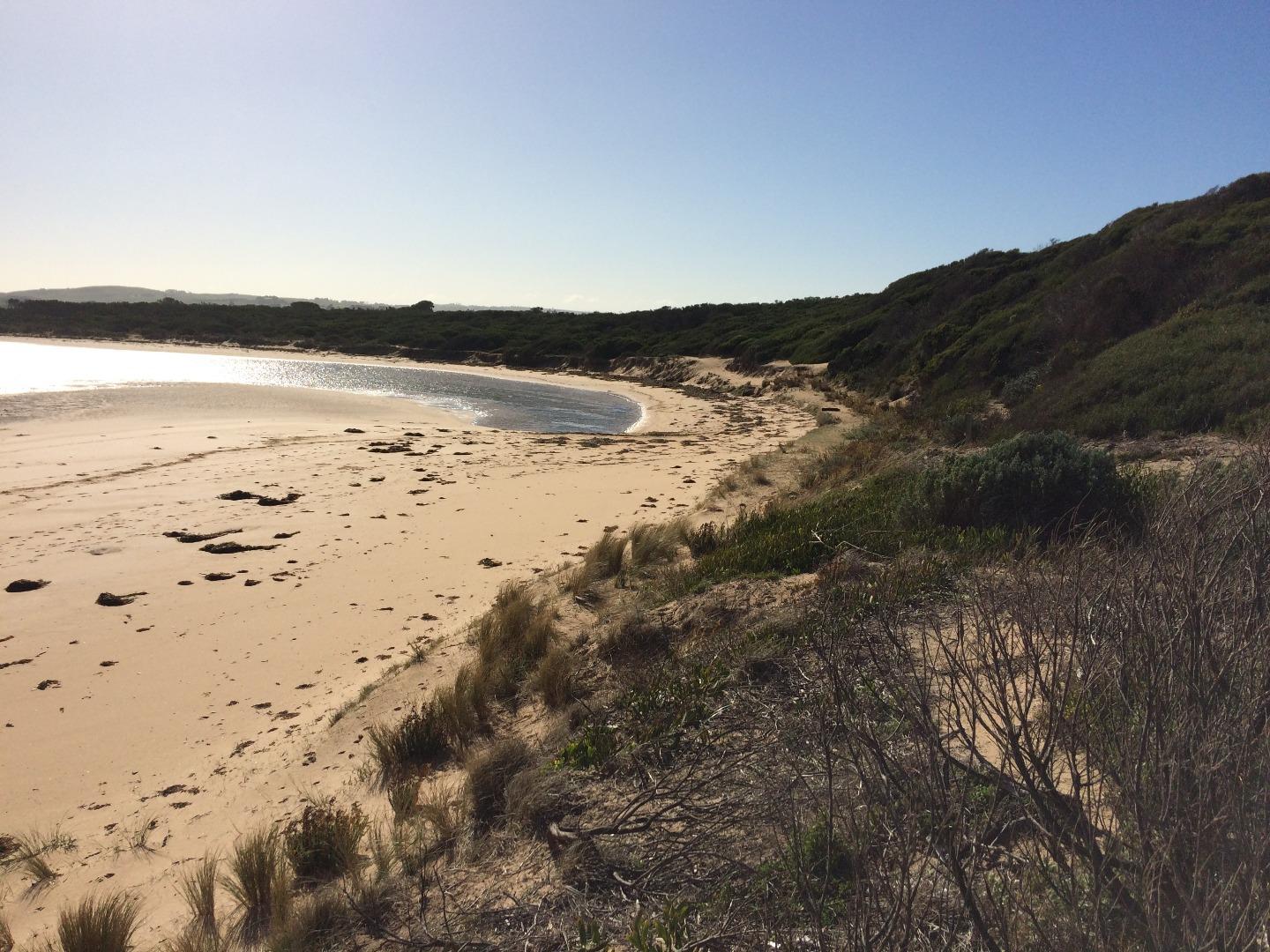
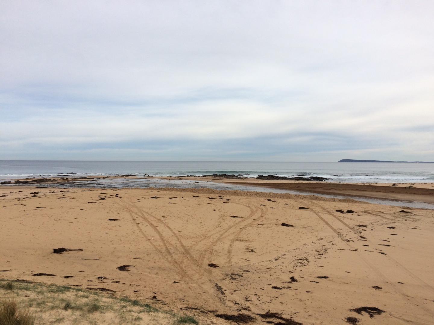
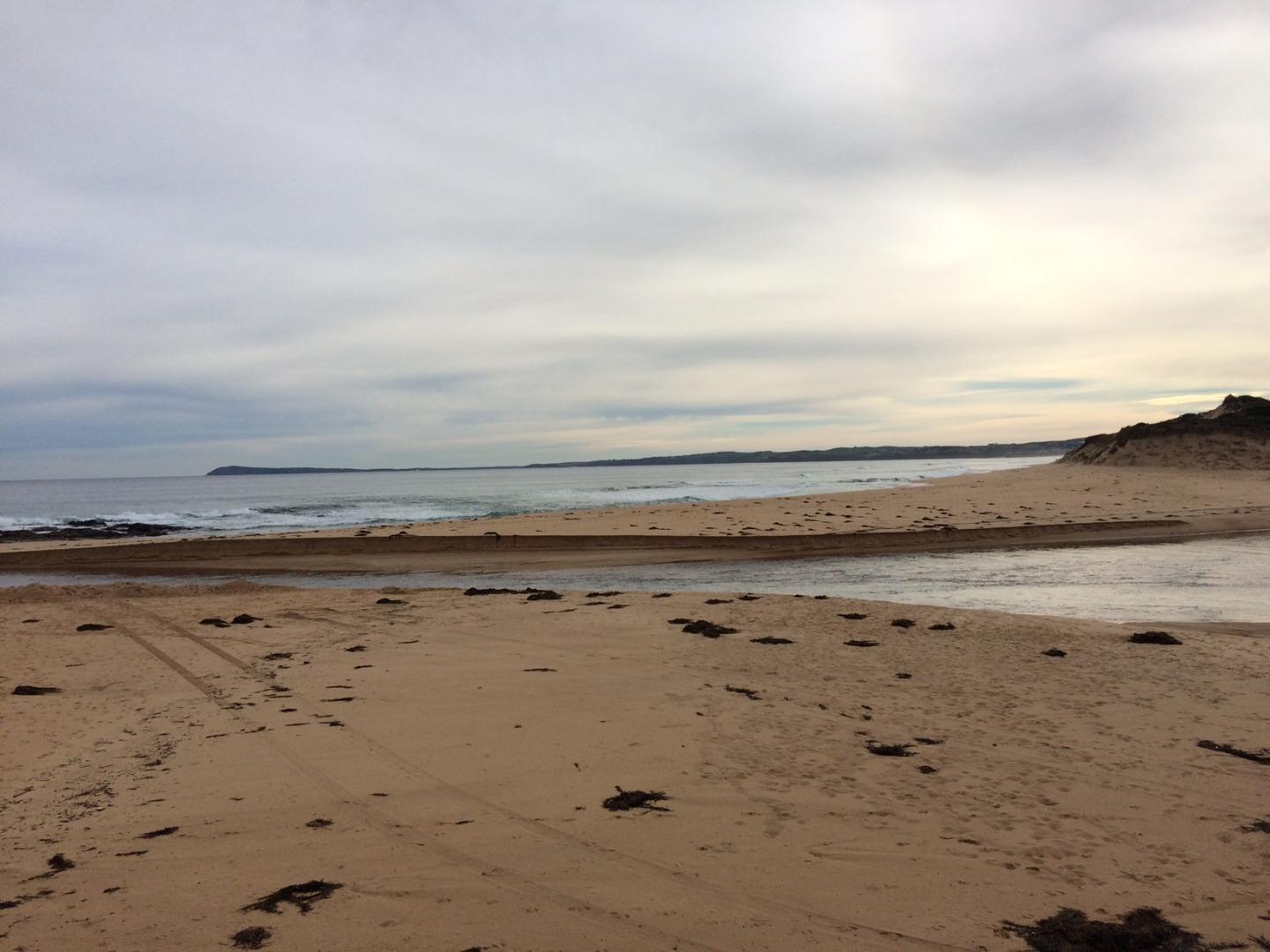
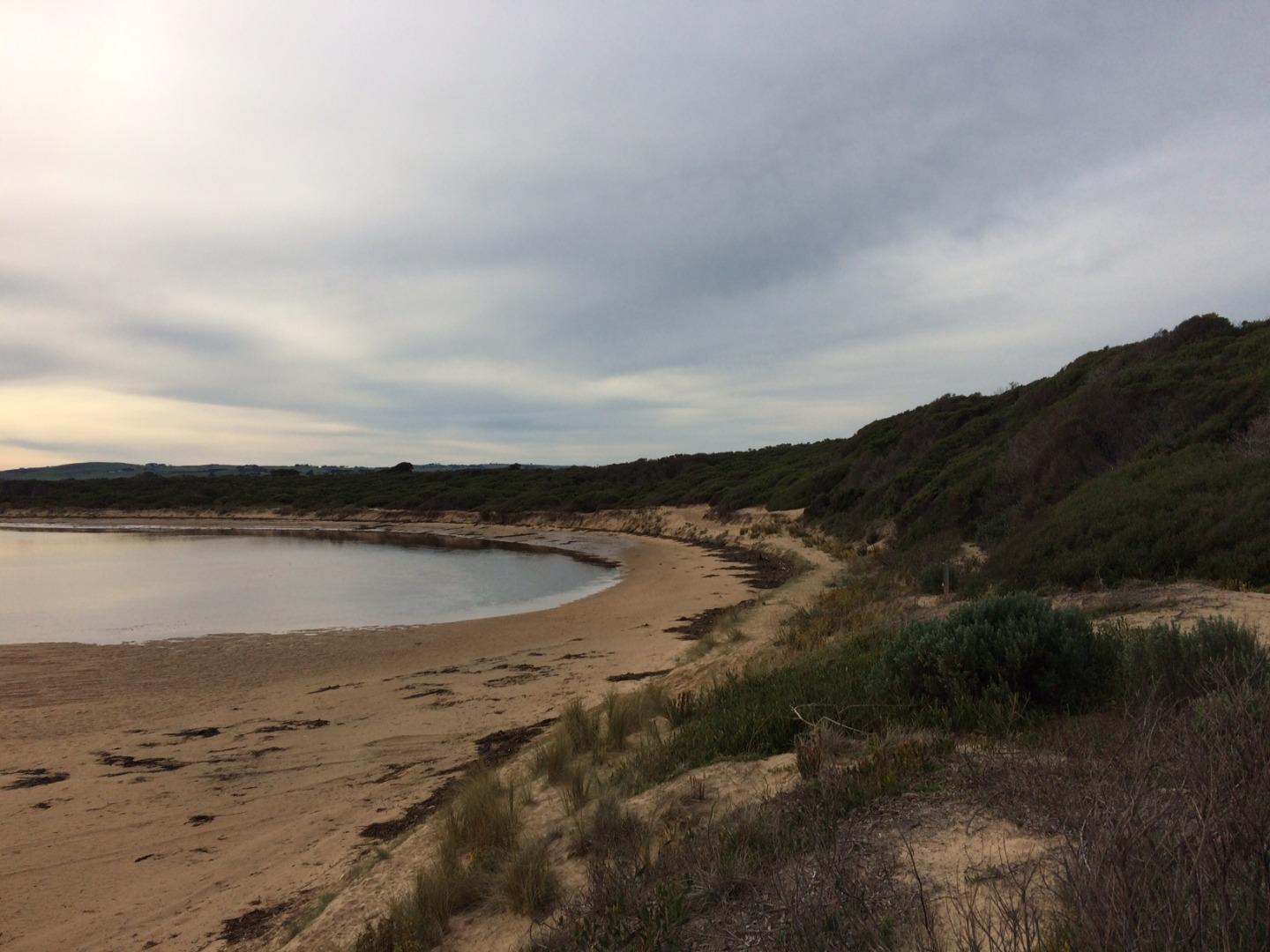
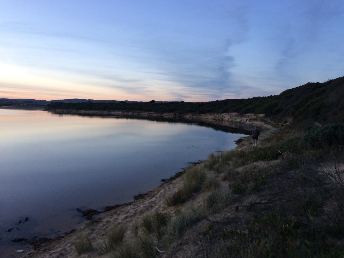
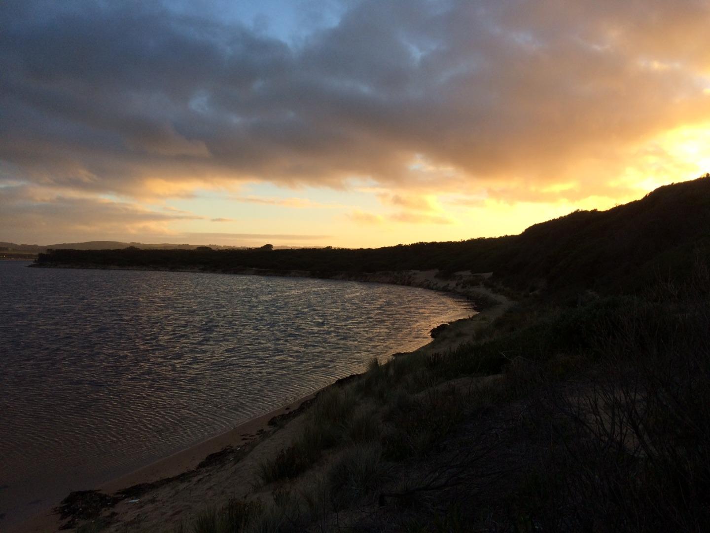
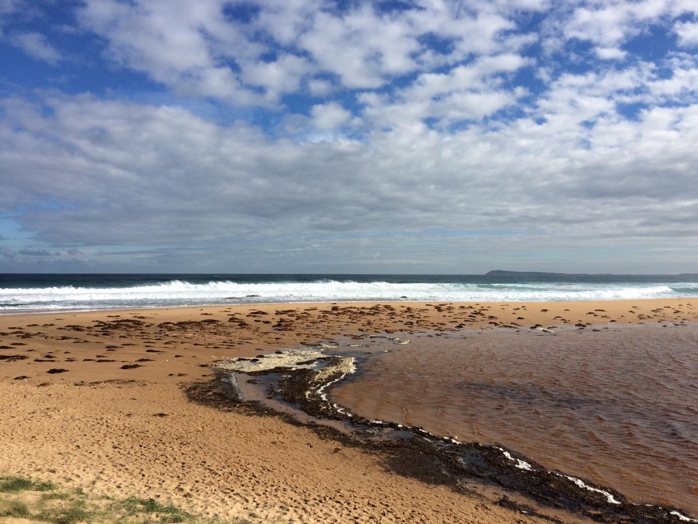
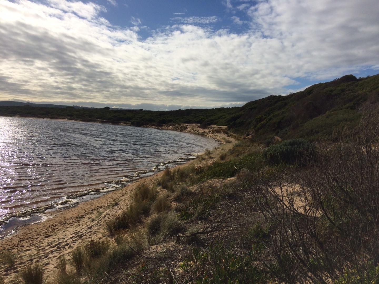
The Powlett River Estuary is approximately 8km in length with a catchment area of 67.77km2. There are a number of bridges, roads and carparks in the area, that provide access to the estuary. |
| Estuary Values |
|
| Estuary Threats |
|
| Data | Site observations |
| Status | Active |
| Monitor group | |
| Document | Powlett_River_EMP_section1.pdf |
| Document | Powlett_River_EMP_section2.pdf |
| Document | WGCMA_PowlettRiver_EMP_summary.pdf |
| Document | WGCMA_PowlettRiver_Threats.pdf |
| Document | WGCMA_PowlettRiver_Values.pdf |
Sites
| Site details | Options |
|---|---|
Po1 Site one (Estuary Mouth)Inactive Physico-Chemical 31-03-2010 - 09-06-2013Middle of the estuary directly opposite the Powlett River Caravan Park and Mouth of the Powlett Carpark (site accessed in kayak). |
Observations 5 |
Po2 Site two (Mouth of Powlett Road Bridge)Active Physico-Chemical 13-03-2010 - 27-03-2024Ocean side of Mouth of Powlett Road Bridge, in between the 6th and 7th reflector when coming from the Kilcunda side of bridge (approx halfway). |
Observations 225 |
Po3 Site three (Bridge Creek)Inactive Physico-Chemical 31-03-2010 - 14-04-2012Monitoring is conducted from a kayak at the point where Bridge Creek (tributary) meets the Powlett River. |
Observations 13 |
Po4 Site four (Old Town Drain)Inactive Physico-Chemical 29-11-2010 - 14-04-2012Site located in the middle of the river, directly opposite the old fence found on the upstream side of the old town drain. |
Observations 8 |
Po5 Site five (Daly Bridge)Active Physico-Chemical 01-04-2010 - 27-03-2024Pedestrian bridge located at the end of Daly Street. This bridge crosses the Powlett River, and is part of the Kilcunda Rail Trail. |
Observations 172 |
Po6 Site six (Fishing Hole)Inactive Physico-Chemical 05-04-2010 - 01-07-2014Second bend in river inland of Bass Hwy Bridge. |
Observations 32 |
PoGB Powlett River Water Level Gauge BoardActive Gauge BoardThis sites water level monitoring gauge board is located on the western river bank beside the Mouth of Powlett Road Bridge (downstream side). |
|
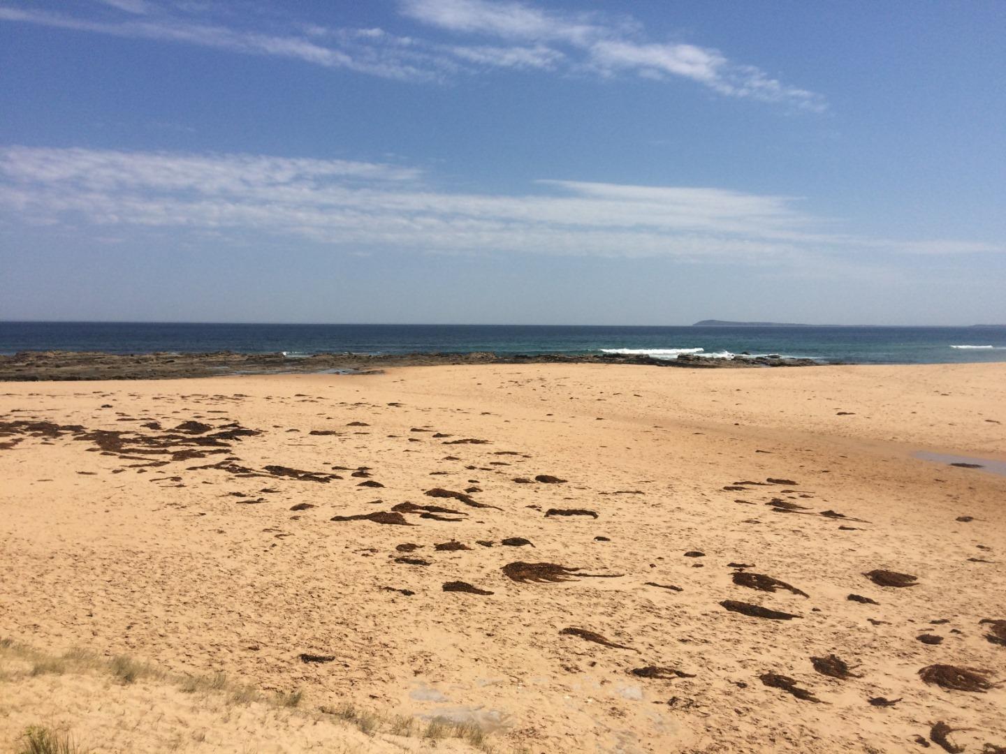
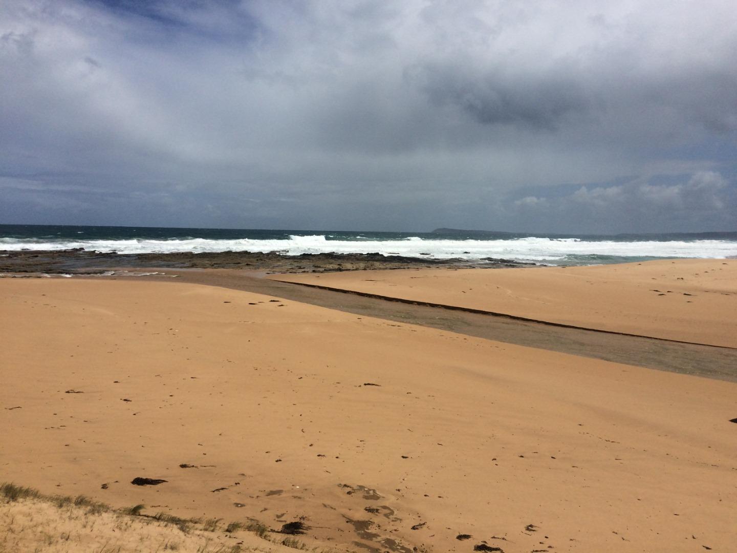
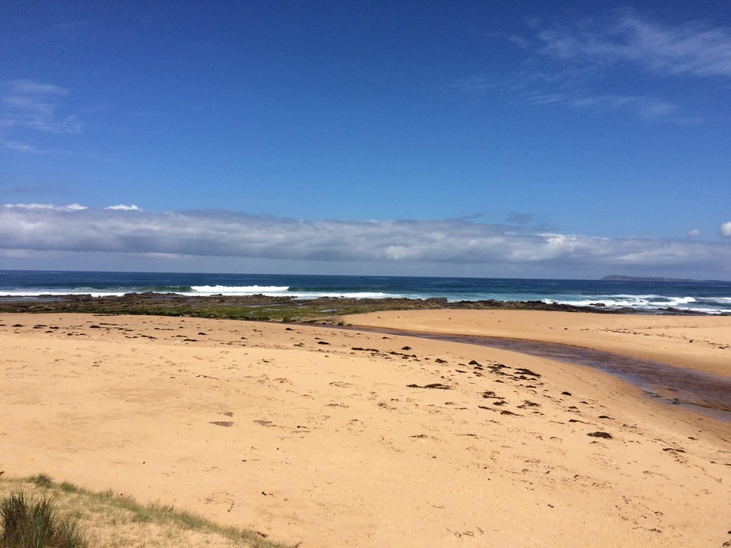
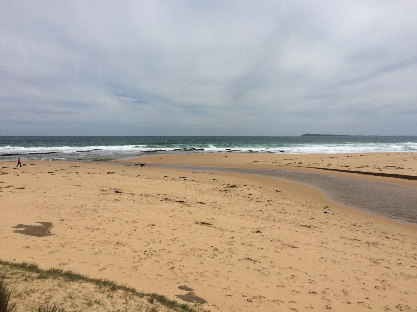
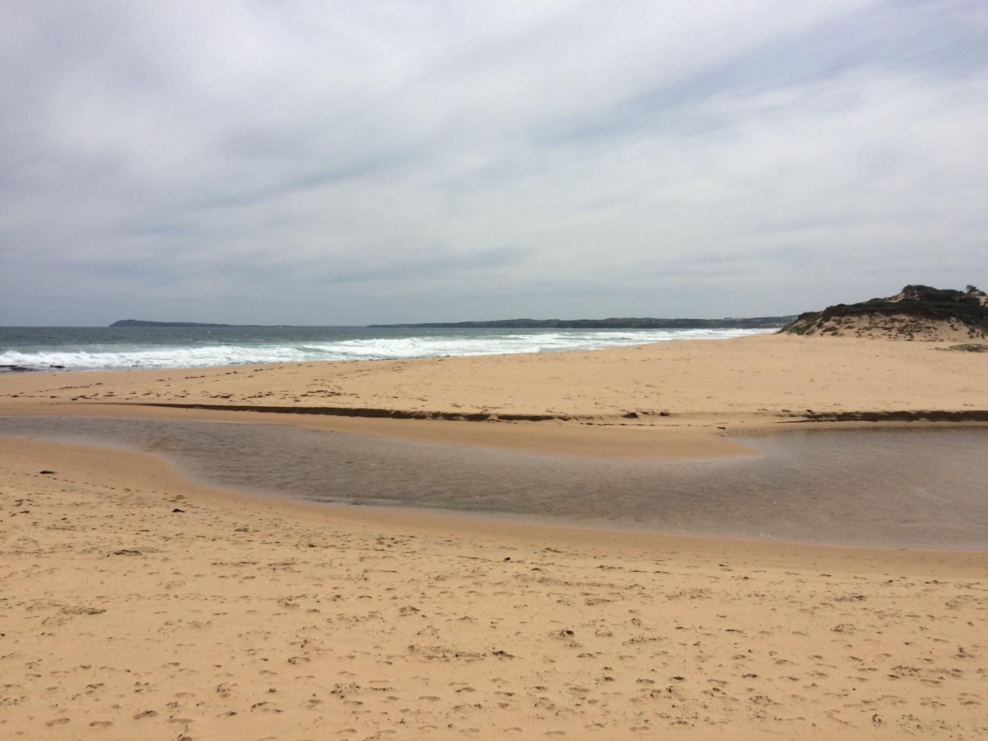
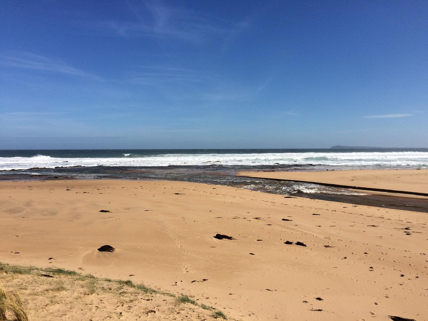
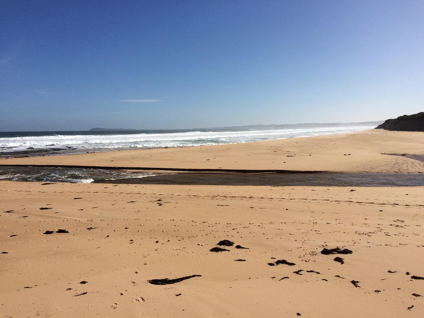
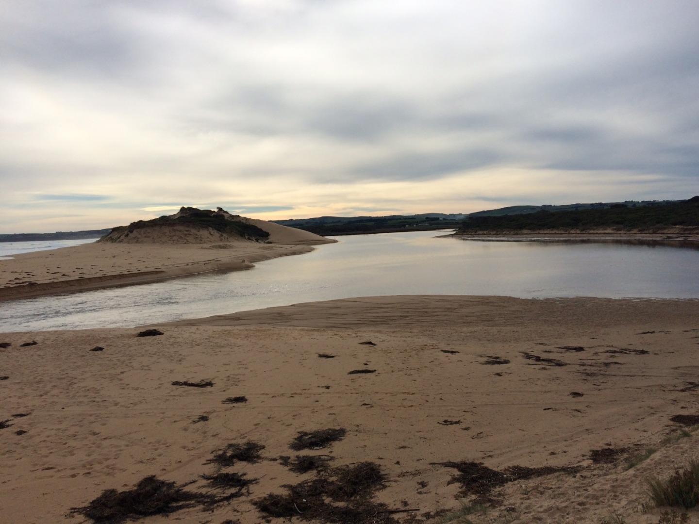
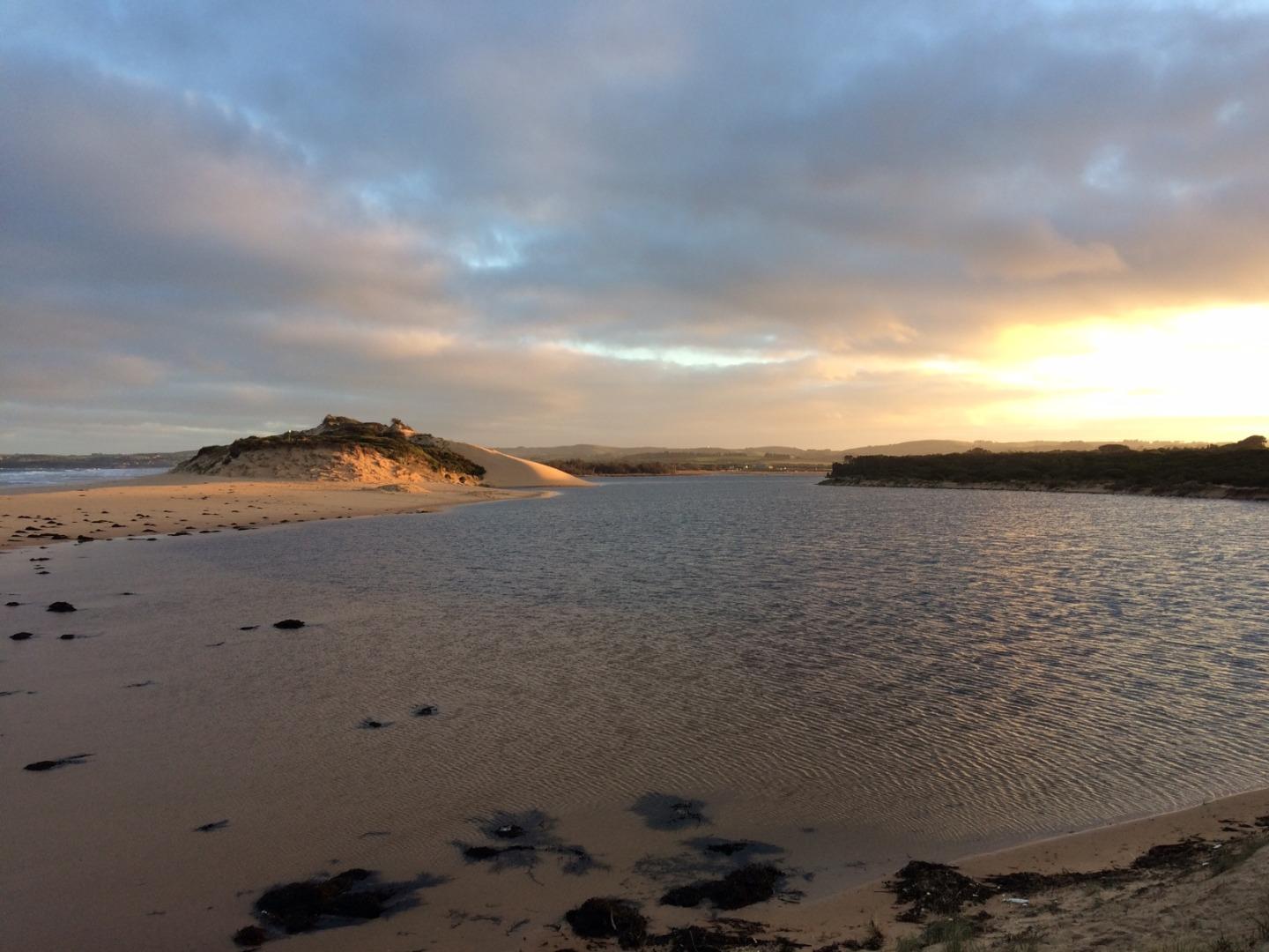
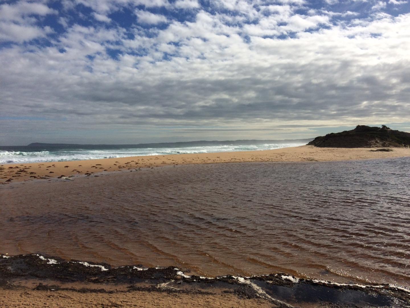
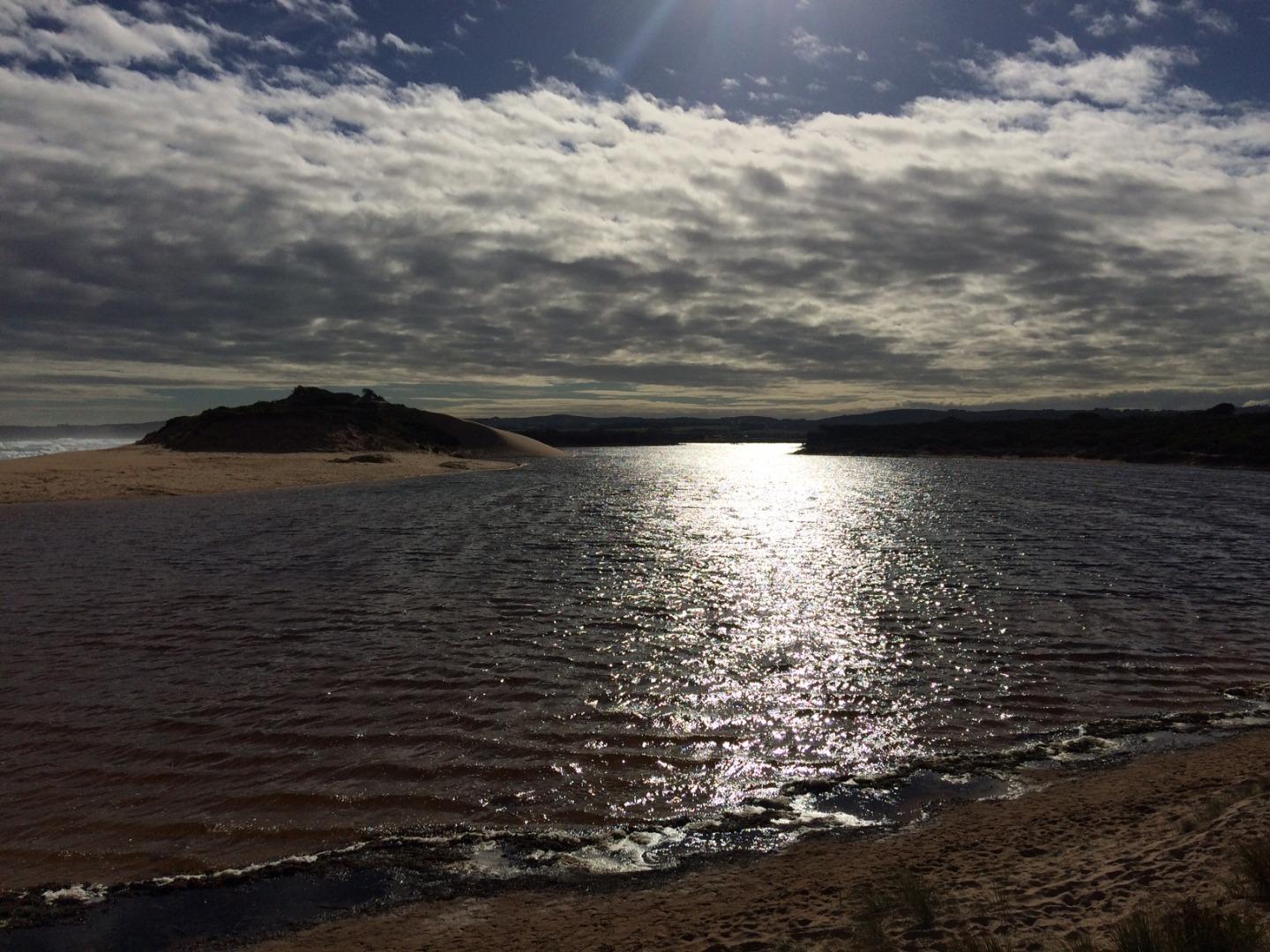
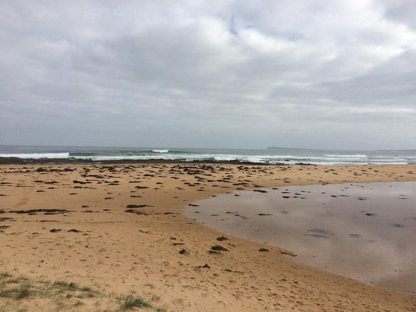
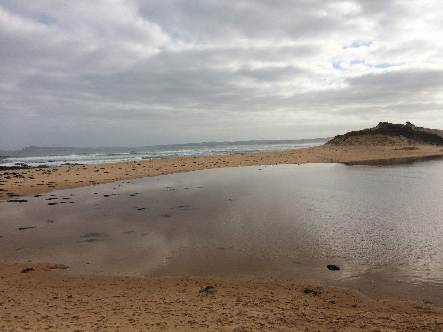
PoMC Powlett River Mouth Condition Observation SiteActive Mouth Condition 13-03-2010 - 12-04-2024Rocky platform located on eastern side of the river mouth. |
Observations 255 |
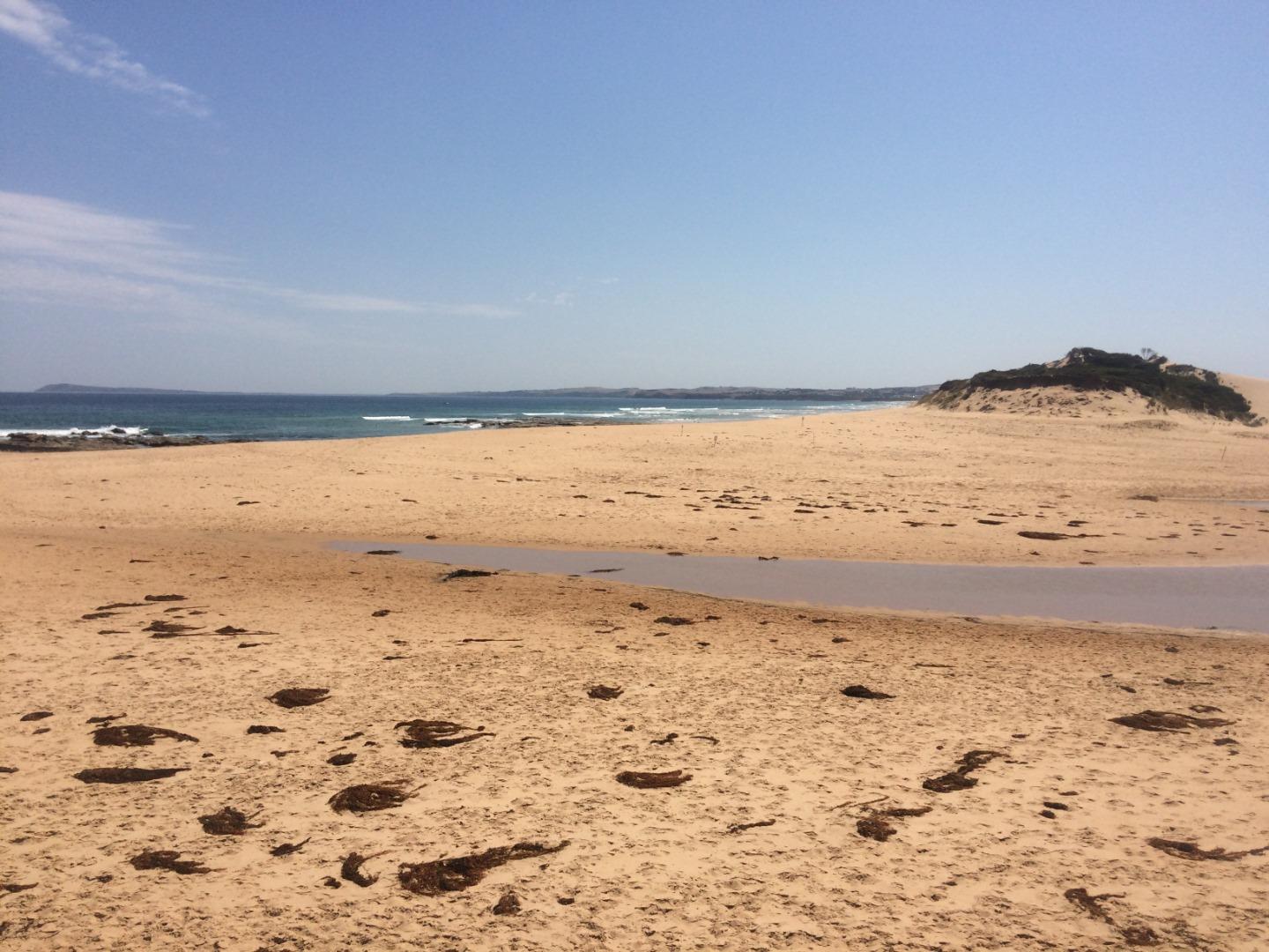
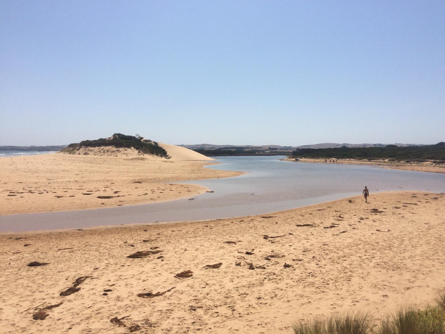
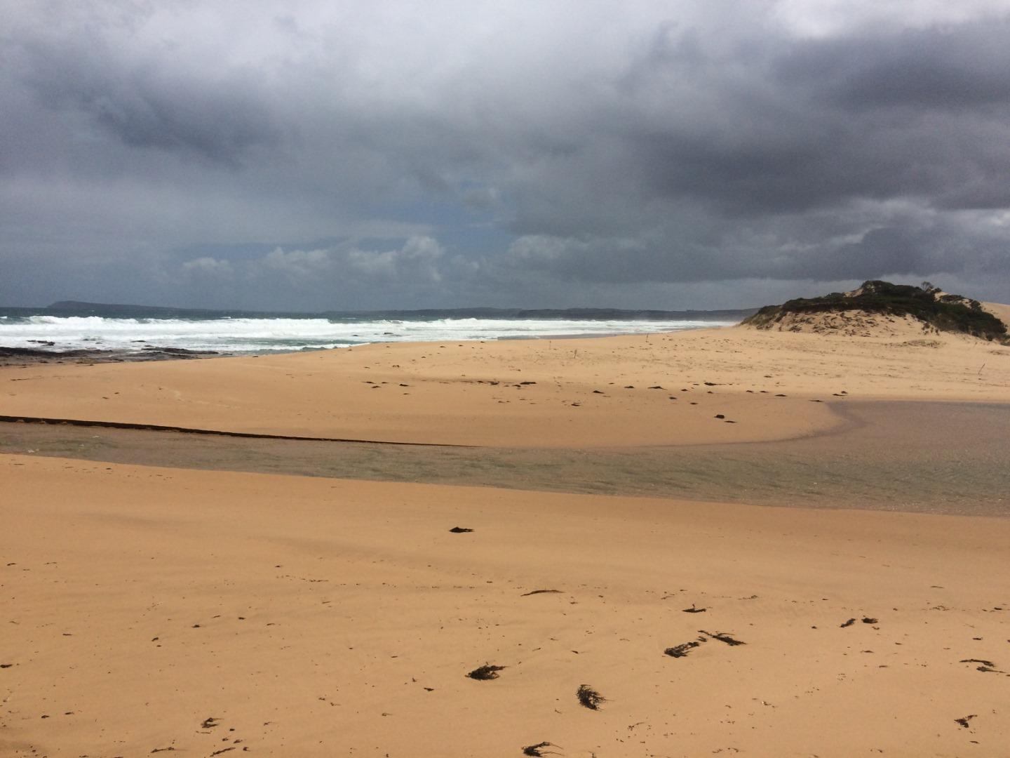
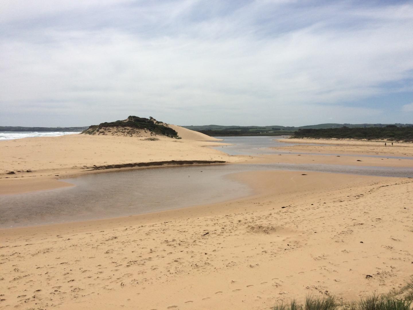
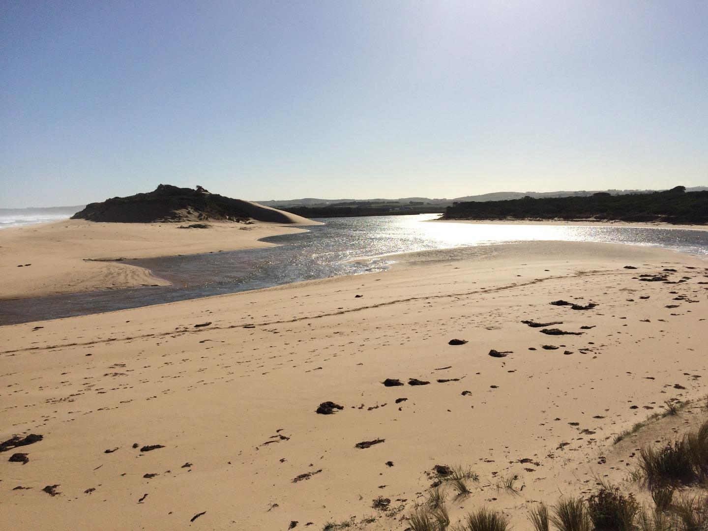
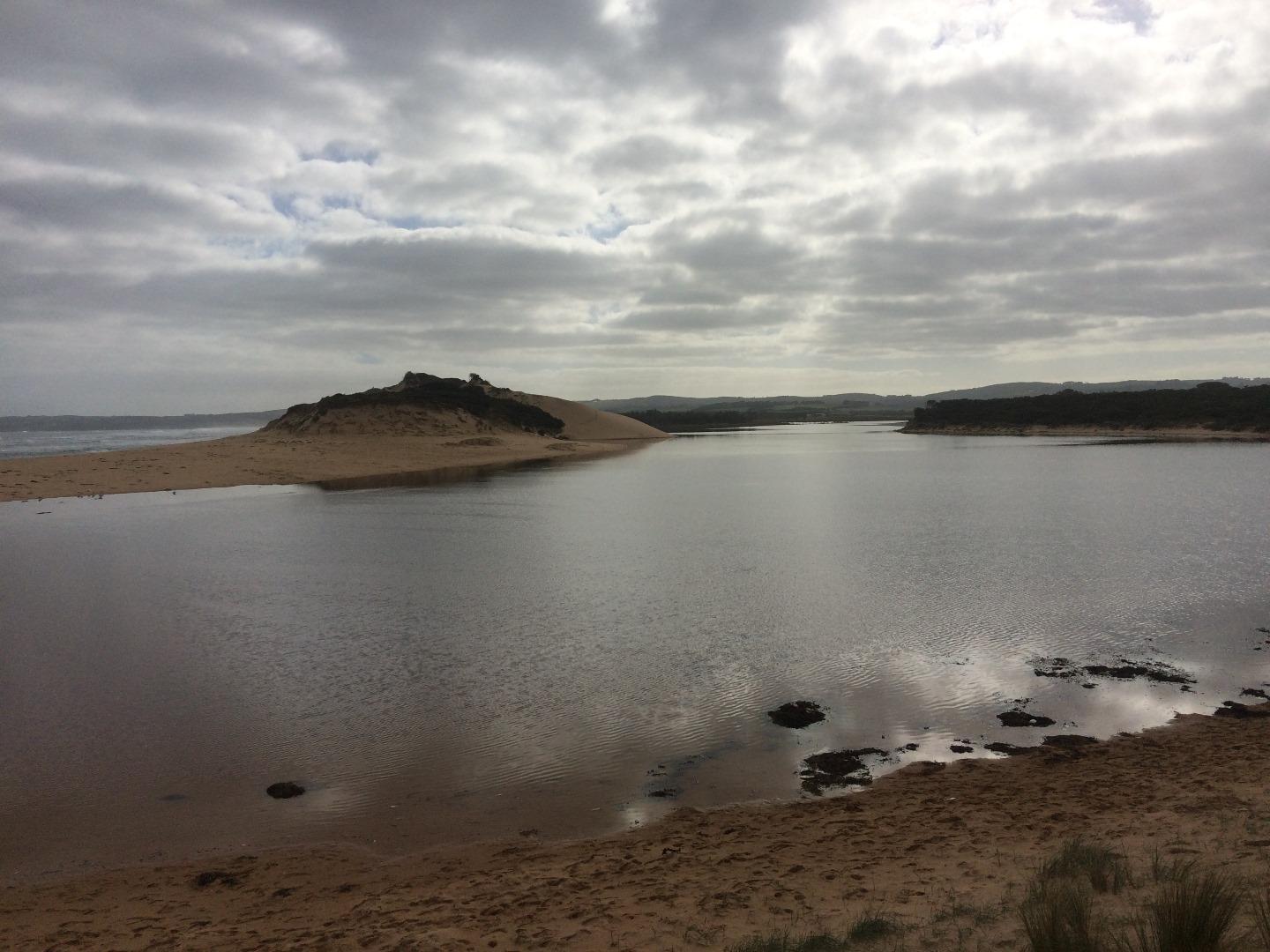
Pop1 Powlett River Photopoint Site OneActive Photopoint 16-12-2012 - 18-04-2024Sand dune located on the eastern side of the river, approx 70 metres from ocean waters edge. |
Photos 745 |
Recent Events
| Event Details |
|---|
| 28-02-2019 Estuary Entrance Closure The estuary mouth closed following a very long period of low river flows. 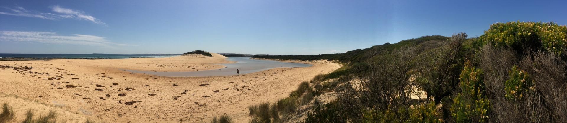
|
| 22-07-2018 Estuary Entrance Opening A water level increase following recent rainfall / freshwater flow promoted a natural estuary opening, following a very short closure (2 days). |
| 20-07-2018 Estuary Entrance Closure The Powlett closed its connection to the ocean following large swells and tides in the days previous. |
| 11-07-2018 Estuary Entrance Opening On the 9th of July the sand berm was at approximately 2.21m AHD and the water levels were at 2.11m AHD (i.e. 10cm below height of sand berm). At 2.11m AHD the estuary was mostly made up of seawater from the weekends swells and tides. On the 10th of July, Freshwater Inflows further increased the water level height by to 2.21m AHD, which was enough to promote a natural opening early this morning (2am ish). Flows peaked at 455 ml / day on Sunday night / Monday morning and are currently at 125 ml / day. Surface waters were still quite salty during opening (i.e. 10,000 us/cm EC) resulting from the huge inputs of saltwater into the estuary over the weekend. |
| 09-07-2018 Estuary Entrance Closure The estuary mouth closed its connection to the ocean on Sunday night (8 July 2018) / Monday morning (9 July 2018) as a result of large ocean swells and tides over the weekend (7 and 8 July 2018). 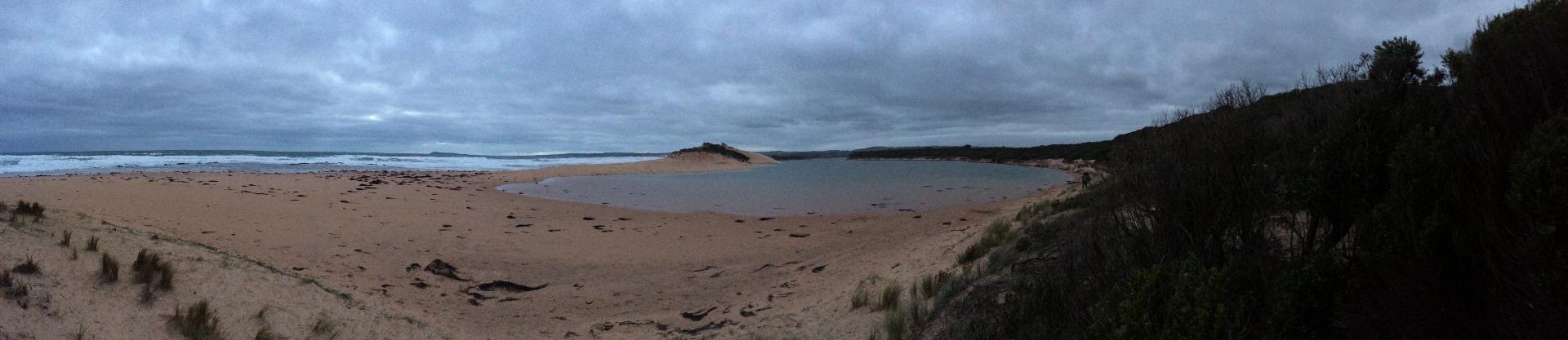
|
| 20-06-2018 Estuary Entrance Opening Following the artificial estuary mouth opening on the 19th of June 2018 (i.e. yesterday), many waterbirds were present collecting fish stranded in isolated pools on the surrounding floodplain and those being flushed back into the main river channel from historic and current floodplain drains. 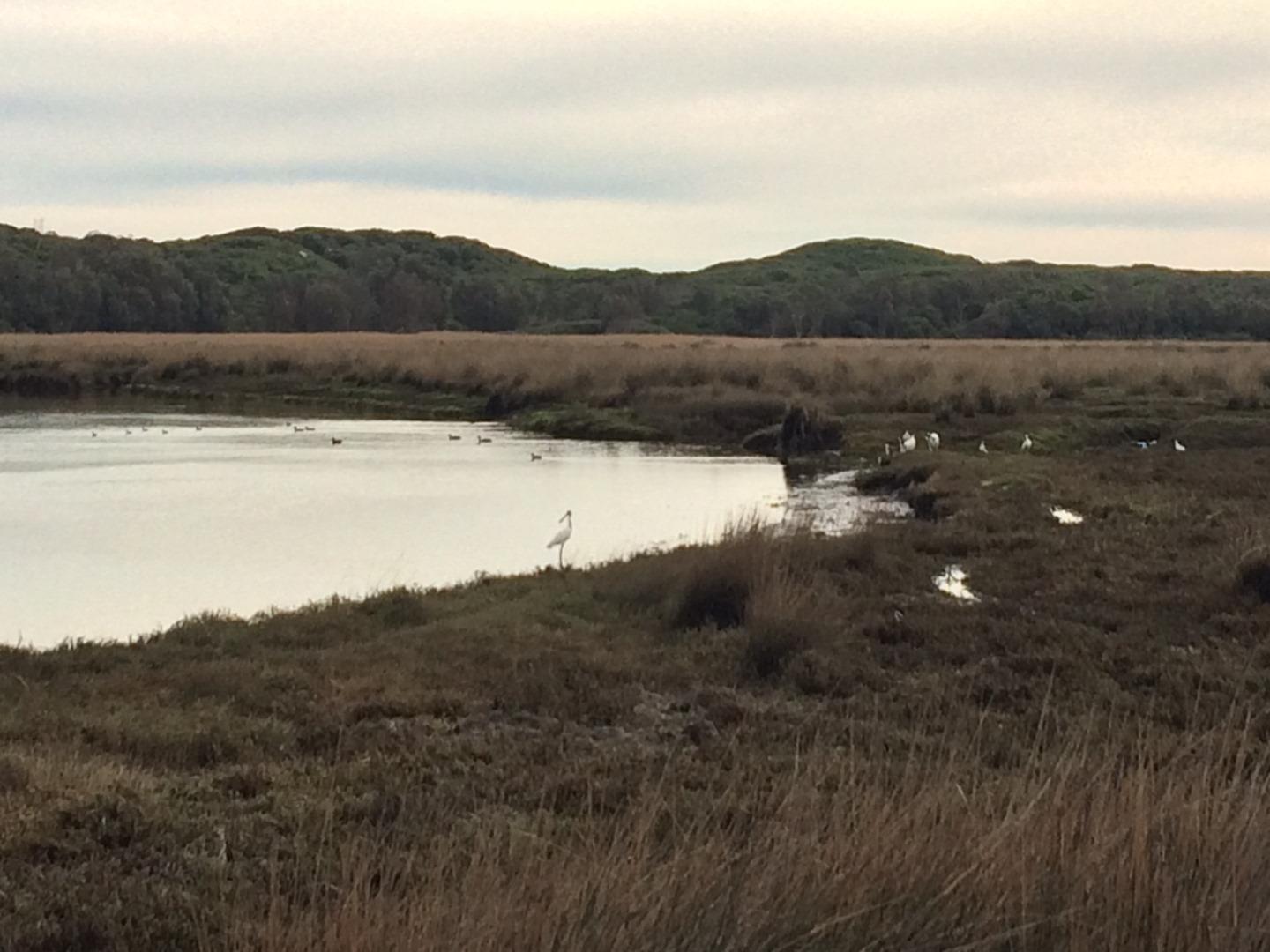
|
| 19-06-2018 Estuary Entrance Opening An artificial opening was conducted @ 2.41m AHD with a flow of 379 mega litres per day (i.e. two days prior at wattlebank). Ocean swells were small and water quality conditions were suitable. 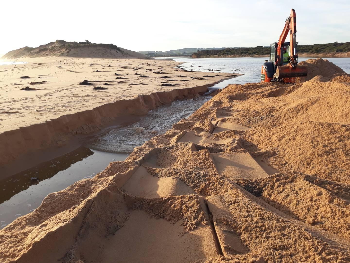
|
| 19-06-2018 Water level Over the previous few years the Bass Coast Shire Council has incrementally increased the height of the Mouth of the Powlett Road. During this years closure approximately 1/3 of the road was inundated at 2.375m AHD (see image attached). Even at 2.41m AHD later in the day prior to the artificial estuary opening the road was still useable, with water covering a fraction more than 1/3 of the road. 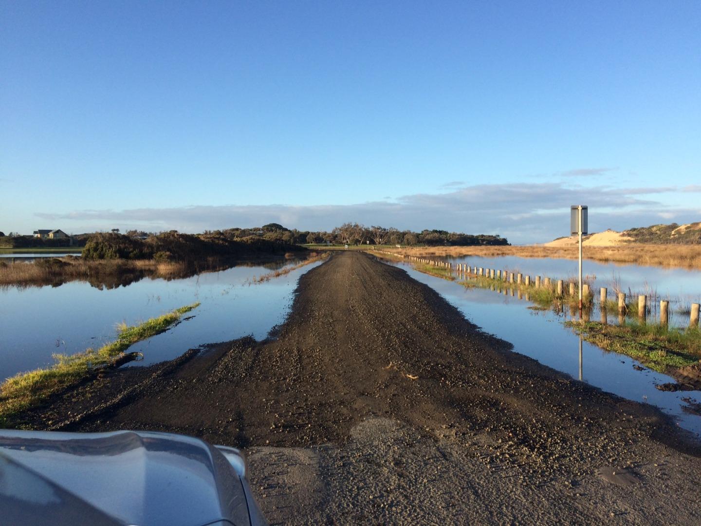
|
Estuary Snapshots
The EstuaryWatch snapshots provide a summary of estuary condition on a particular day. For all EstuaryWatch Snapshots, photopoint photos and a longitudinal water quality profile from the estuary mouth to the inland extent is displayed. Read more
Autumn 2019
Summer 2019
Spring 2018
Winter 2018
Autumn 2018

All content, files, data and images provided by the EstuaryWatch Data Portal and Gallery are subject to a Creative Commons Attribution License
Content is made available to be used in any way, and should always attribute EstuaryWatch and www.estuarywatch.org.au