EstuaryWatch Data Portal
Estuary event details
| Estuary | Powlett River Estuary |
|---|---|
| Region | West Gippsland CMA |
| Event type | Estuary Entrance Closure |
| Date and time | 2 June 2016 15:30pm |
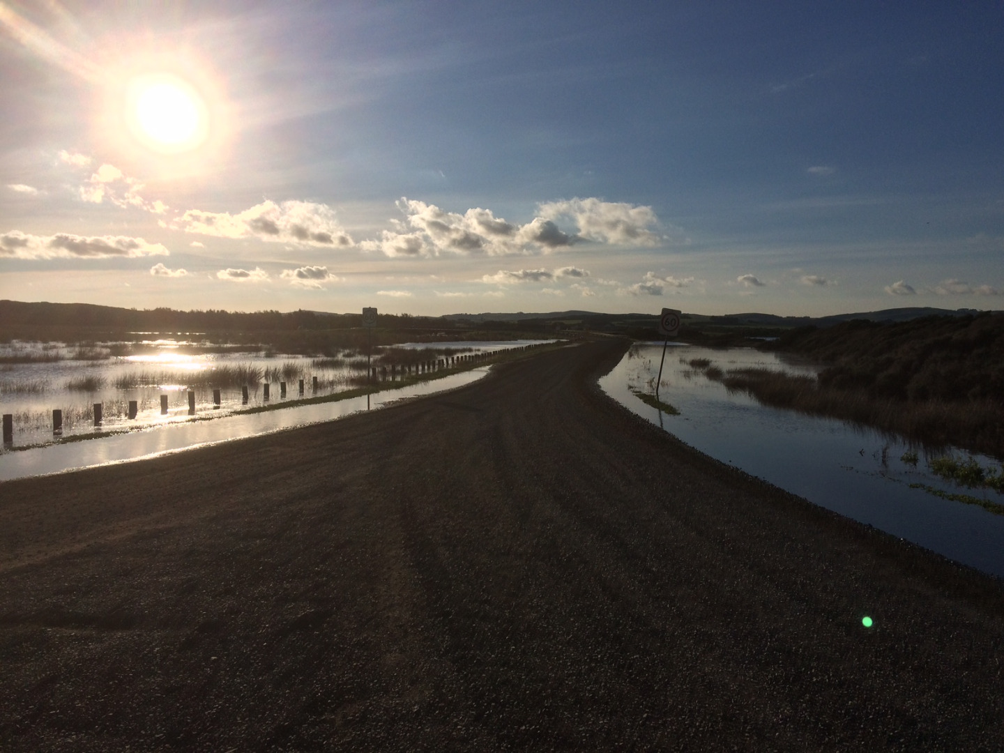
| Description |
The Powlett is still closed, with the water level sitting at 2.34m AHD. At this height the gravel section of the Mouth of Powlett Road is only mildly inundated (see image attached). This is different to previous years, where at this height this section of road would have been completely inundated. This is thanks to the Bass Coast Shire Council who lifted this section of road following the 2015 estuary closure event. |

All content, files, data and images provided by the EstuaryWatch Data Portal and Gallery are subject to a Creative Commons Attribution License
Content is made available to be used in any way, and should always attribute EstuaryWatch and www.estuarywatch.org.au