EstuaryWatch Data Portal
Estuary events Hopkins River Estuary
| Date | Details | |
|---|---|---|
| 14-10-2022 |
Water level high water level @ Site 2 - River Boat Cruise pontoon, unable to do observations, due to water inflow up stream and high tides @ estuary mouth Ashley Zanker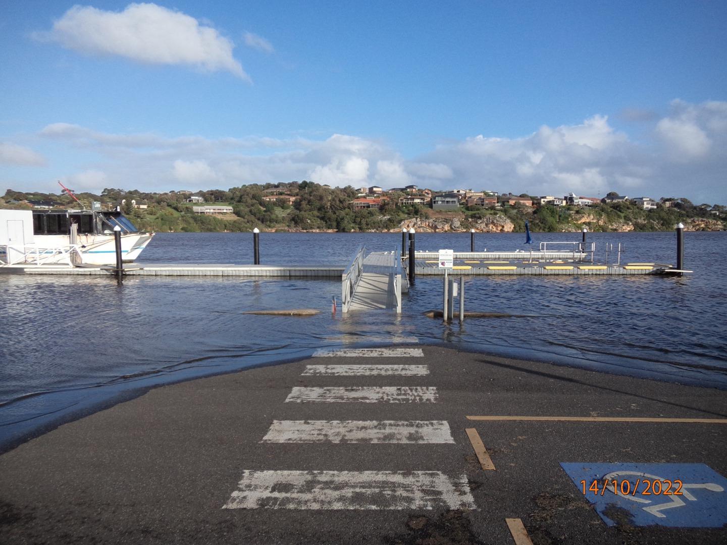 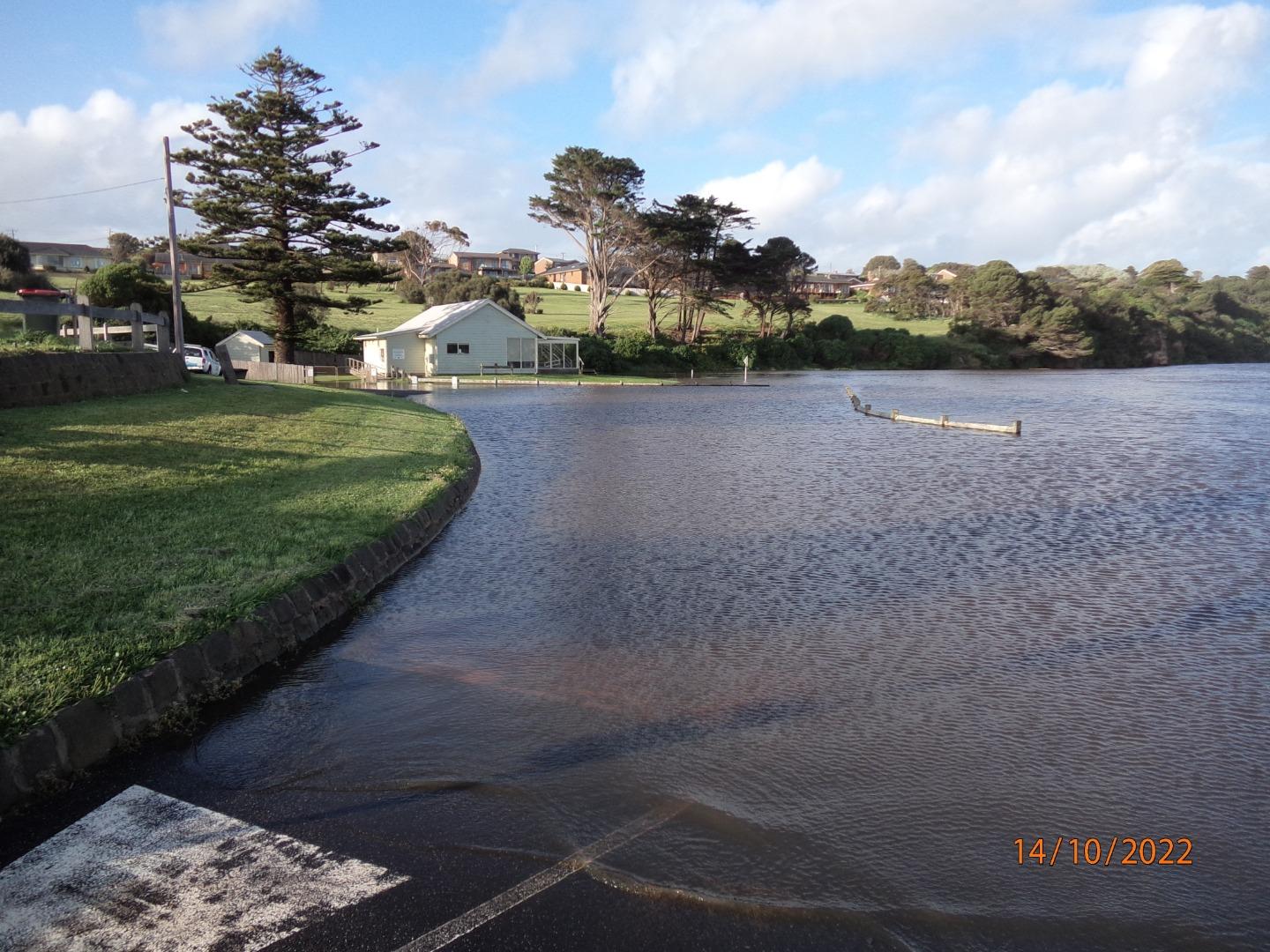 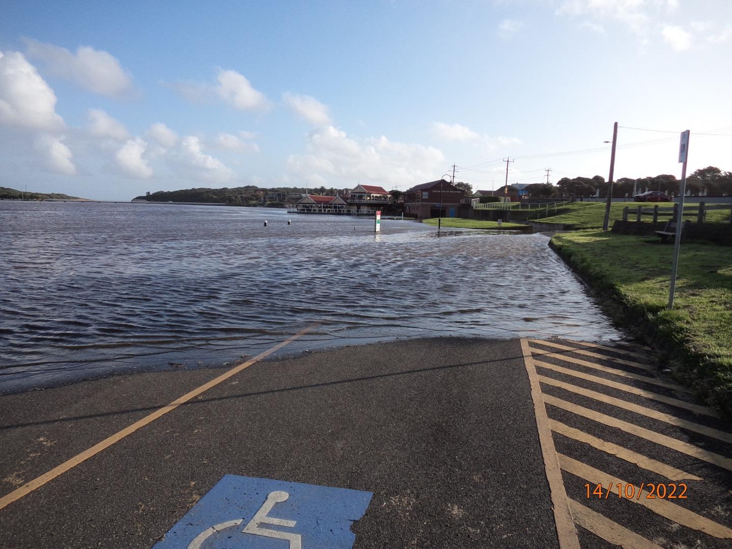 |
|
| 18-07-2020 |
Wave breaking over berm and flowing into river Photos taken from mouth platform, wave surge breaking over berm and flowing into river Ashley Zanker 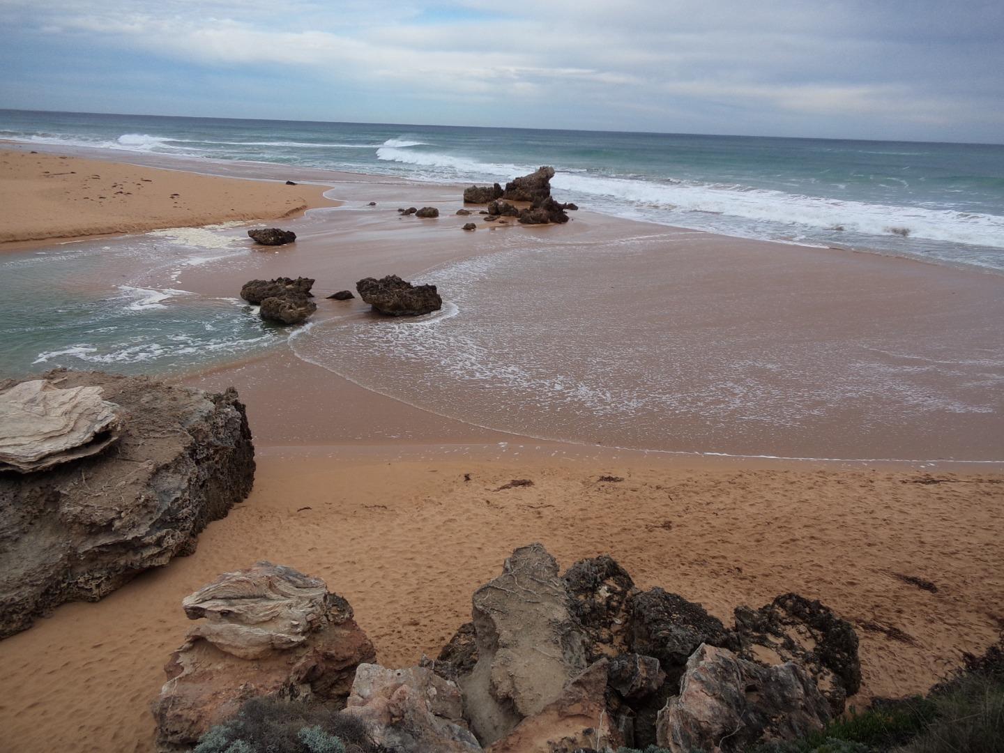  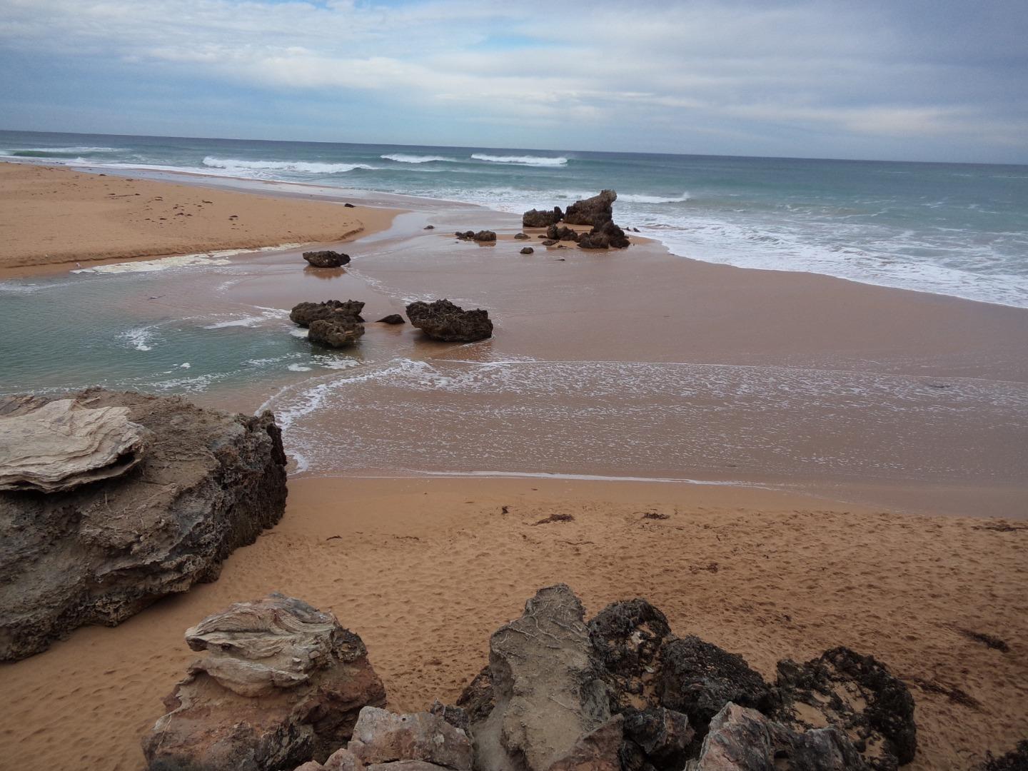 |
|
| 19-05-2018 |
Water level Hi water level at Ski club & boat ramp near rowing club Ashley Zanker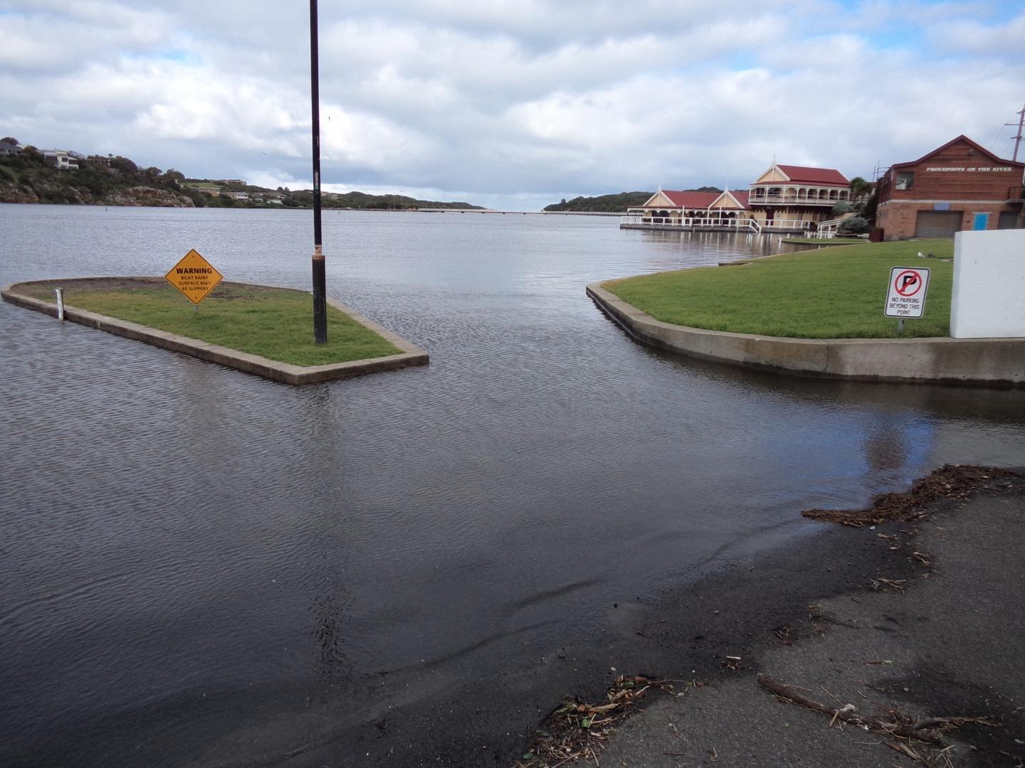 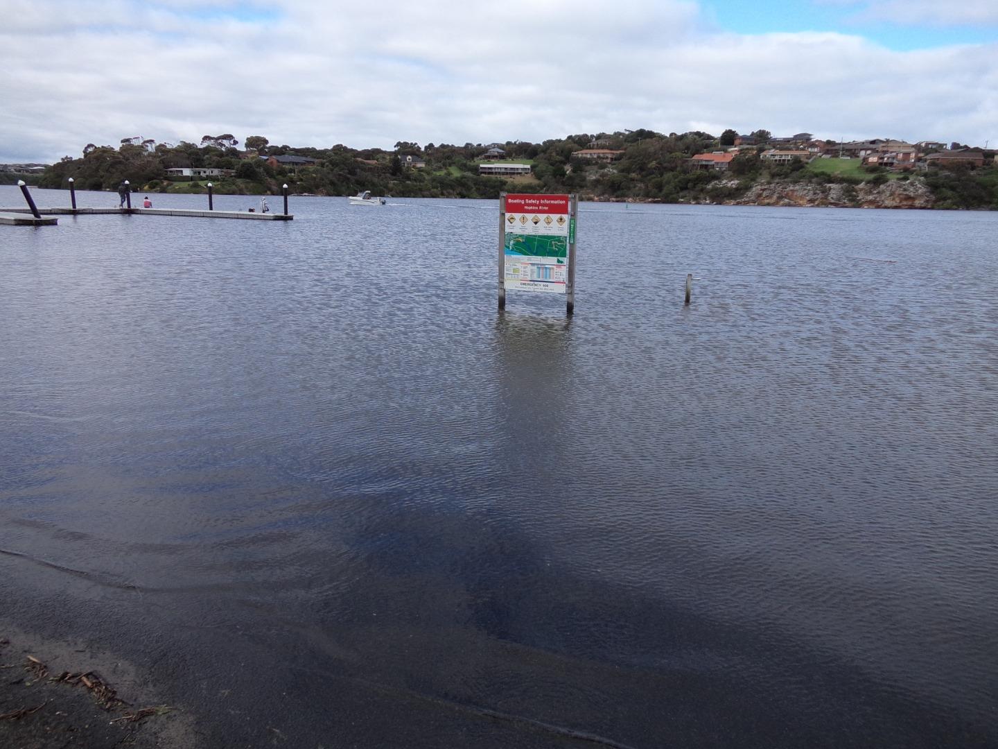 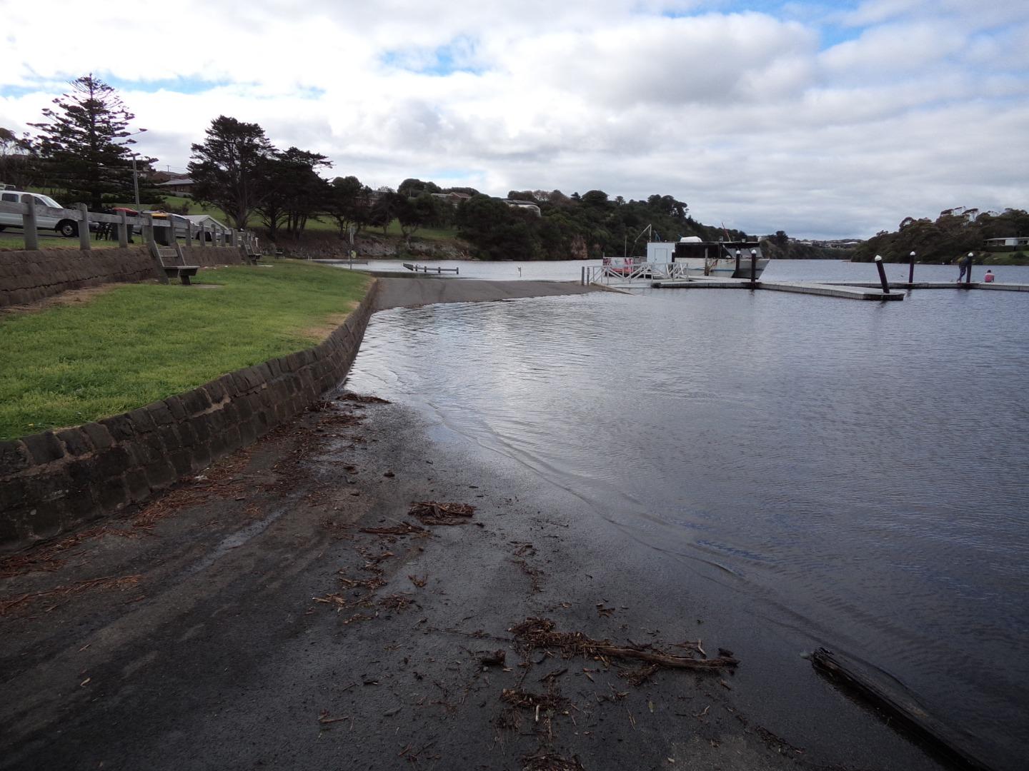 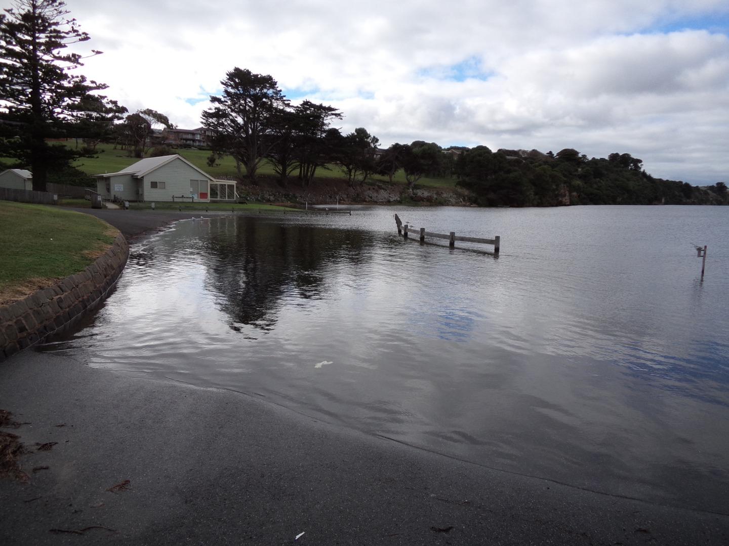 |
|
| 26-06-2016 |
Estuary Entrance Opening Natural river mouth opening. Water level 1.9m AHD. Rose Herben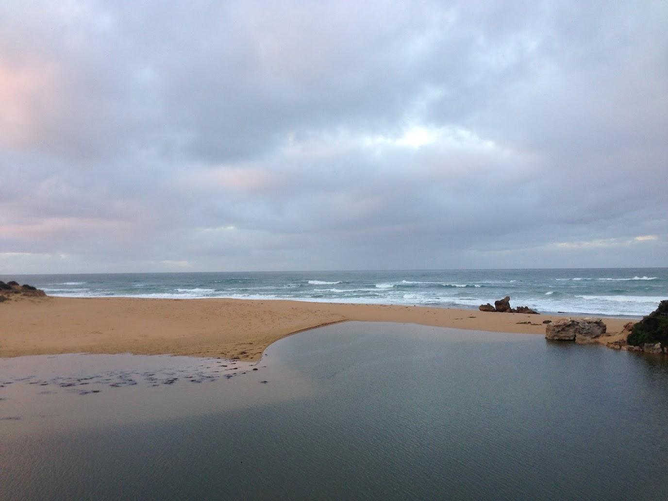 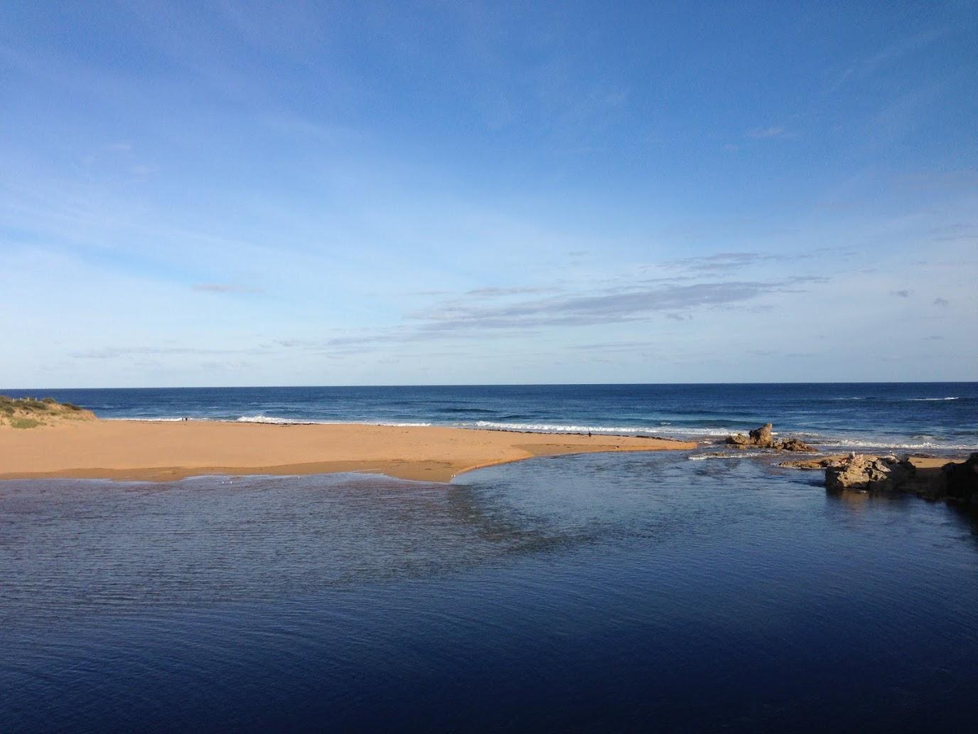 |
|
| 17-06-2016 |
Estuary Entrance Closure Estuary closed. Water level 0.6m AHD. Rose Herben |
|
| 13-06-2016 |
Estuary Entrance Opening Natural river mouth opening. Water level 1.5m AHD. Rose Herben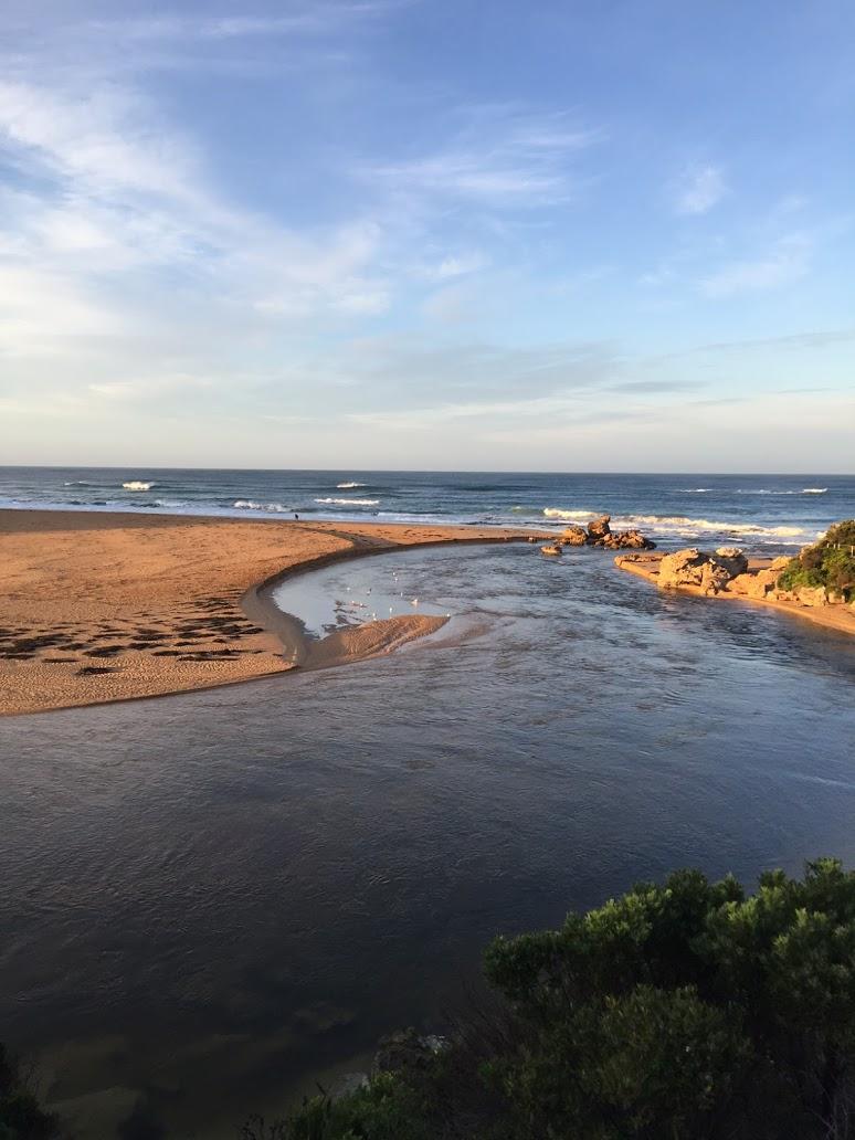 |
|
| 20-05-2016 |
Estuary Entrance Opening Permitted Artificial River Mouth Opening. Water level 1.65m AHD. azanker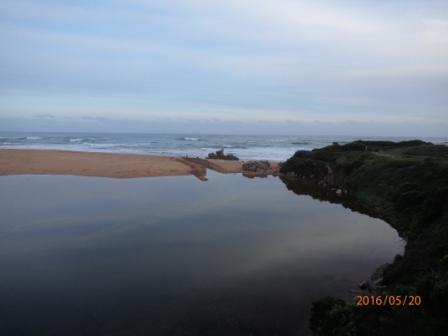 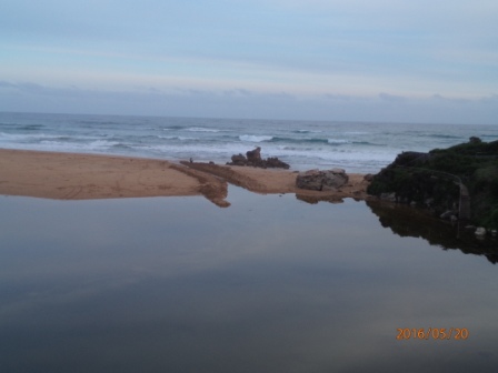 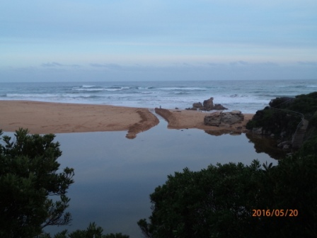 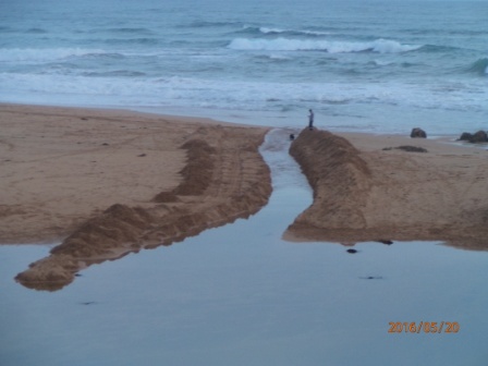 |
|
| 19-04-2016 |
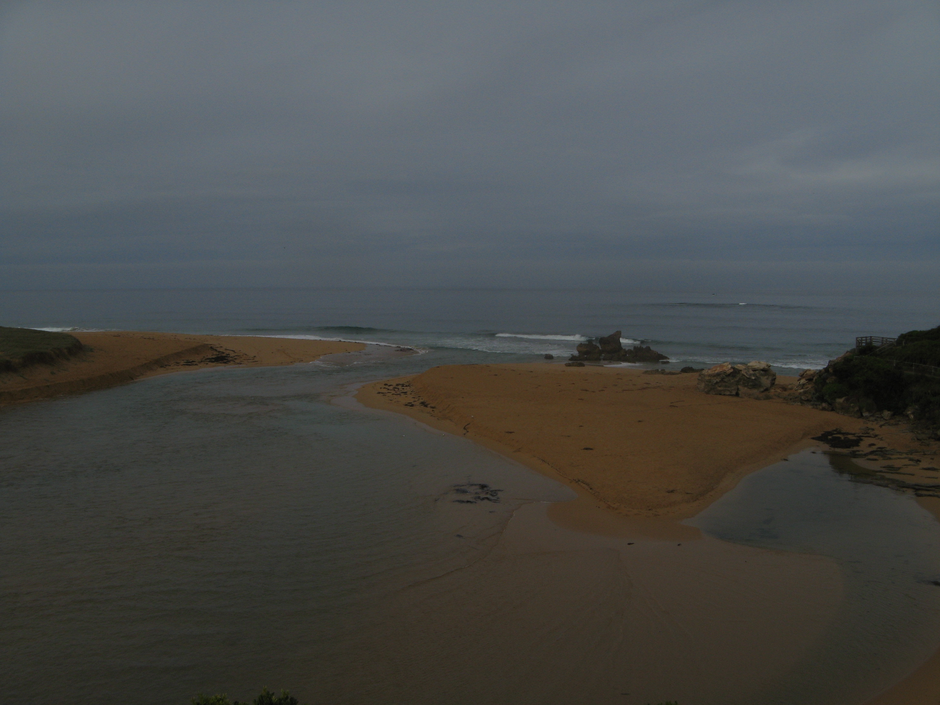
Estuary Entrance Closure Estuary mouth closed on this date due to a combination o flow stream-flows and ocean swell. Water level 0.6m AHD. Rose Herben |
|
| 11-04-2016 |
Estuary Entrance Opening Permitted Artificial River Mouth Opening. Water level 1.55m AHD. Rose Herben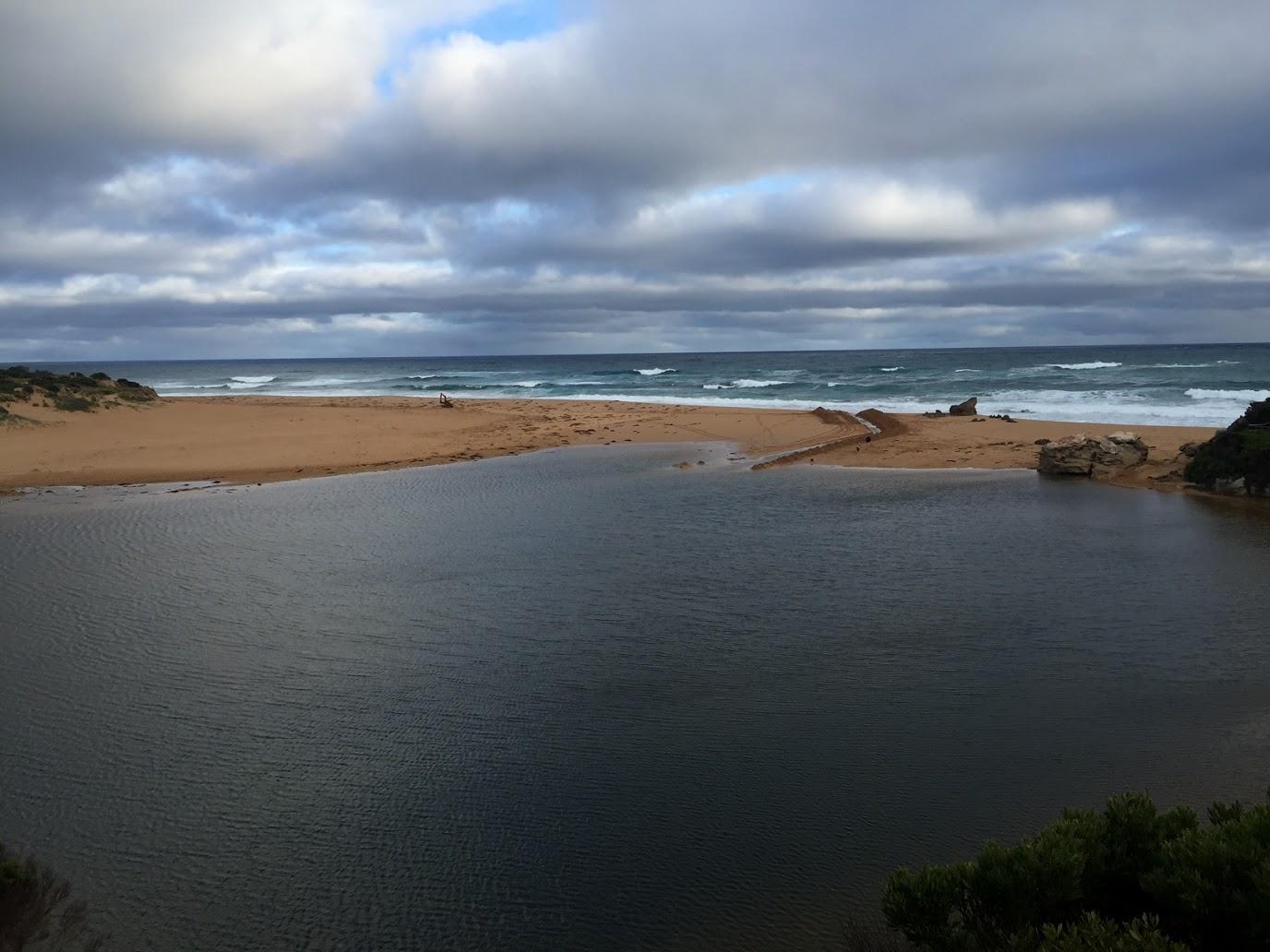 |
|
| 24-09-2015 |
EstuaryWatch Monitoring Group notices & meetings QA/QC at La Bella Pavilion Hayley Pickering |
|
| 11-07-2015 |
EstuaryWatch Monitoring Group notices & meetings EstuaryWatch QA/QC La Bella Room, Foreshore Pavilion Hayley Pickering |
|
| 12-06-2015 |
Estuary Entrance Opening Artificial Opening Hayley Pickering |
|
| 26-03-2015 |
Community Event EstuaryWatch coordinator training. Hayley Pickering |
|
| 12-03-2015 |
Estuary Entrance Opening Artificial opening Hayley Pickering |
|
| 13-06-2014 |
Estuary Entrance Opening An authorised ARMO (artificial river mouth opening) occurred, EWL was 1.60m. The mouth opening was successful and localised flooding was alleviated, however ocean surge and insufficient freshwater inflows resulted in the mouth naturally closing Monday afternoon. Hannah Cooke |
|
| 22-01-2011 |
Weather Event Readings taken from alternative site, 50 m. upstream from usual testing site at Jubilee Park because of flood damage to pontoon. Dina Selman |
|
| 29-05-2010 |
EstuaryWatch Event Hopkins River photopoint photo captured during monitoring group setup Ashley Zanker |
|

All content, files, data and images provided by the EstuaryWatch Data Portal and Gallery are subject to a Creative Commons Attribution License
Content is made available to be used in any way, and should always attribute EstuaryWatch and www.estuarywatch.org.au