EstuaryWatch Data Portal
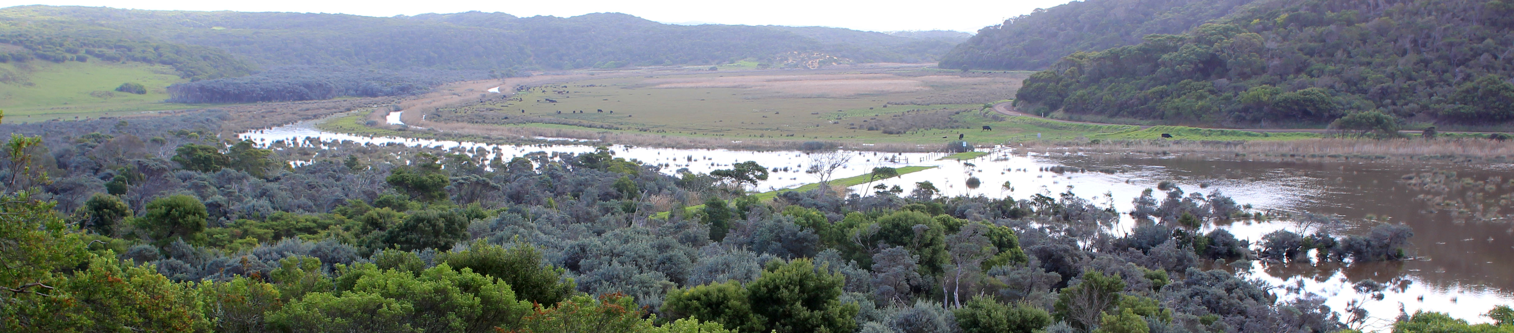
Estuary events Gellibrand River Estuary
| Date | Details | |
|---|---|---|
| 06-11-2018 |
Estuary Entrance Closure Berm formed a few days after high seas & westerly gale force winds Judy Spafford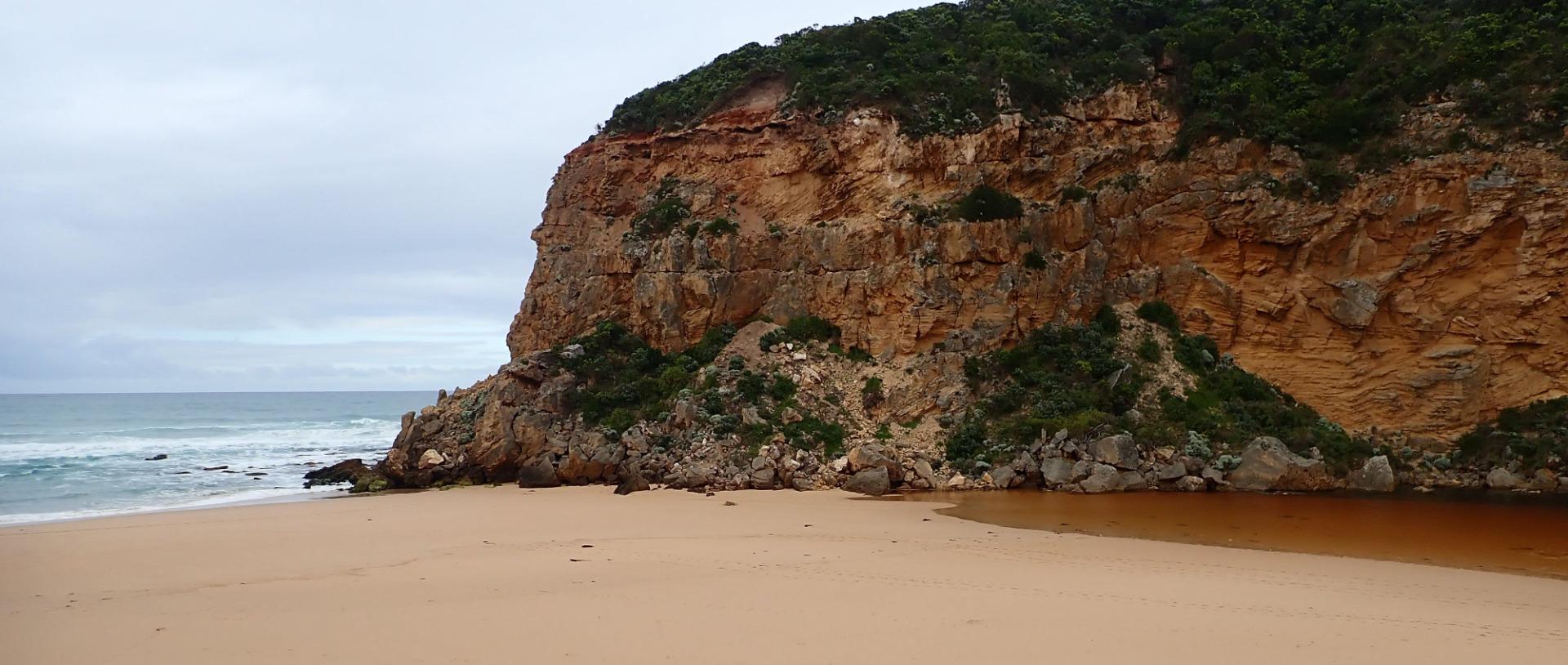 |
|
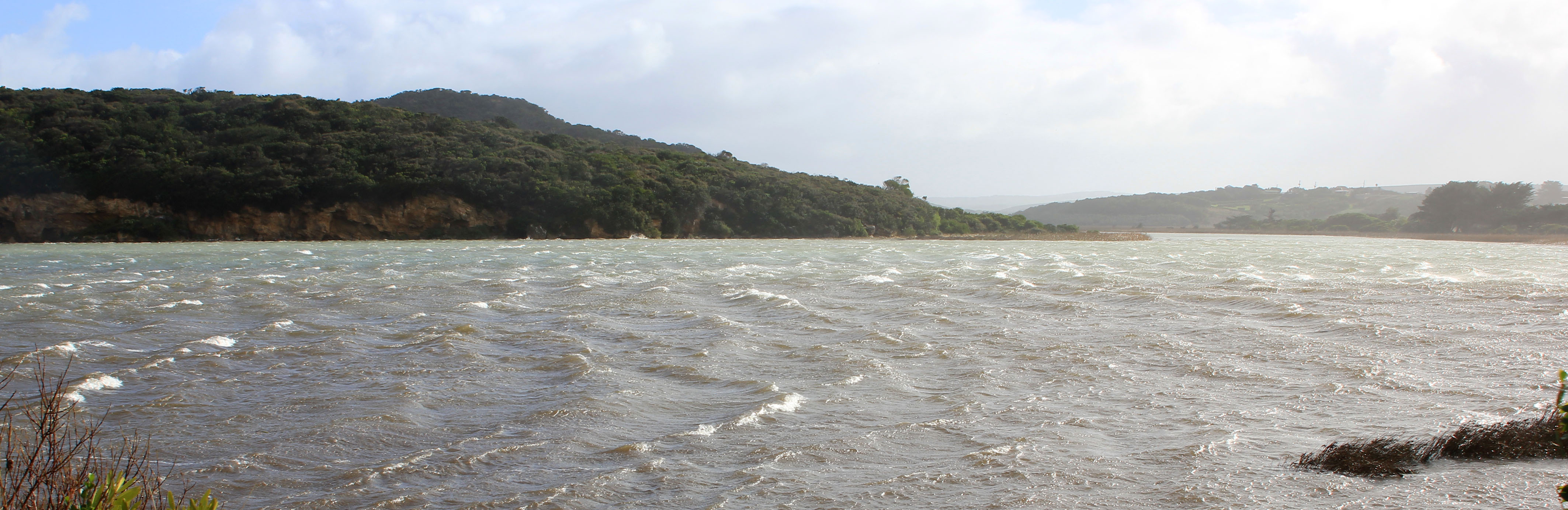
| 05-08-2018 |
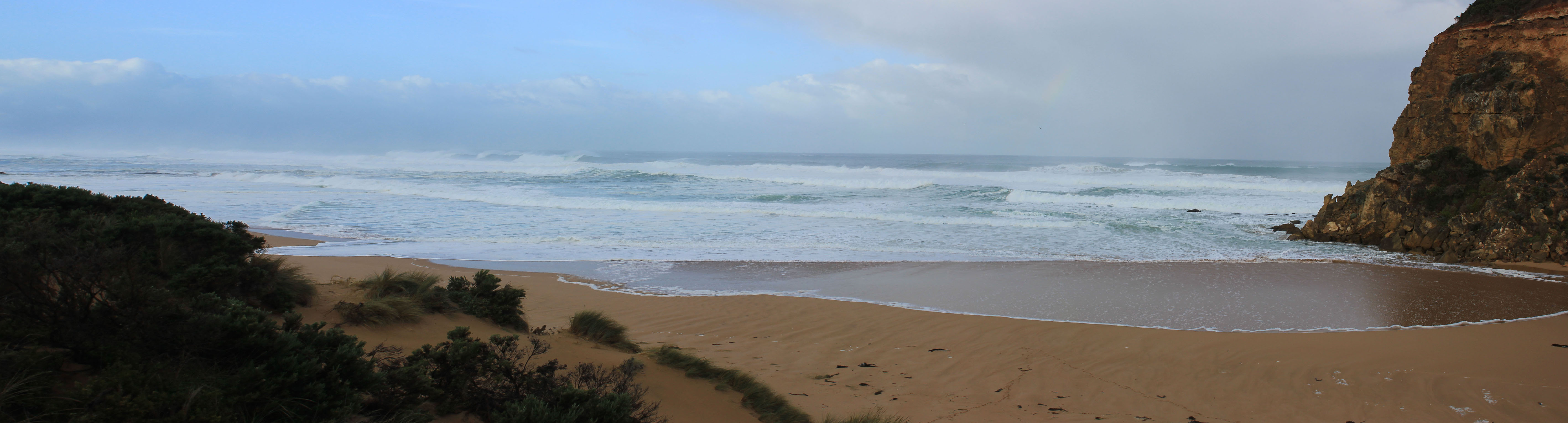
Weather Event Waves entering wide across entrance from very rough sea Judy Spafford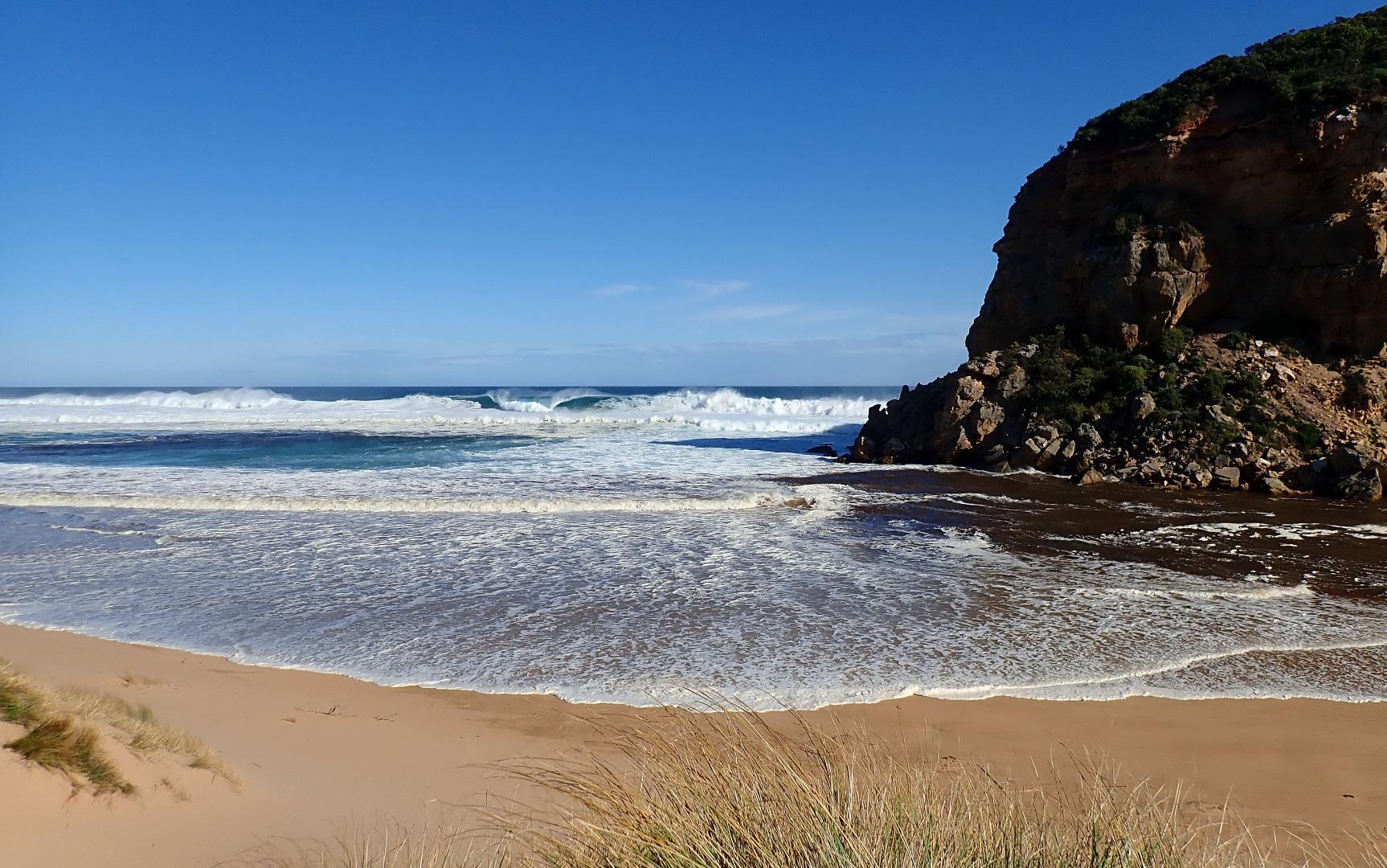 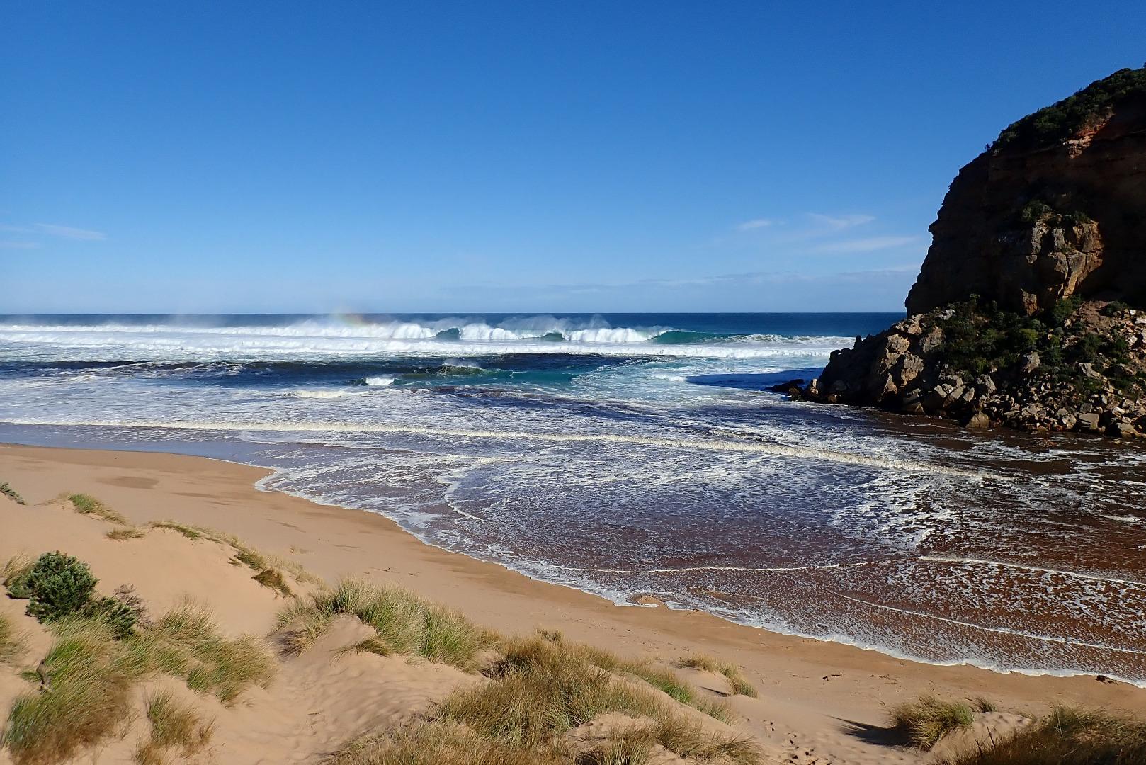 |
|
| 18-07-2018 |
Weather Event Storm surge at entrance -salt water starting to enter. Strong north wind was lifting sand in channel & driving it into sea Judy Spafford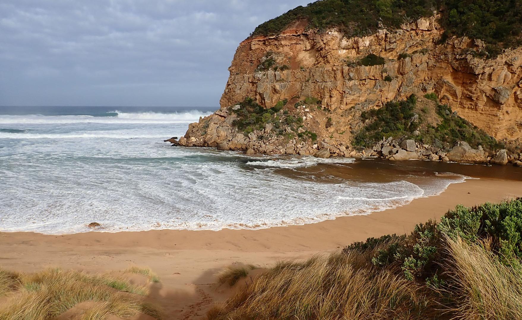 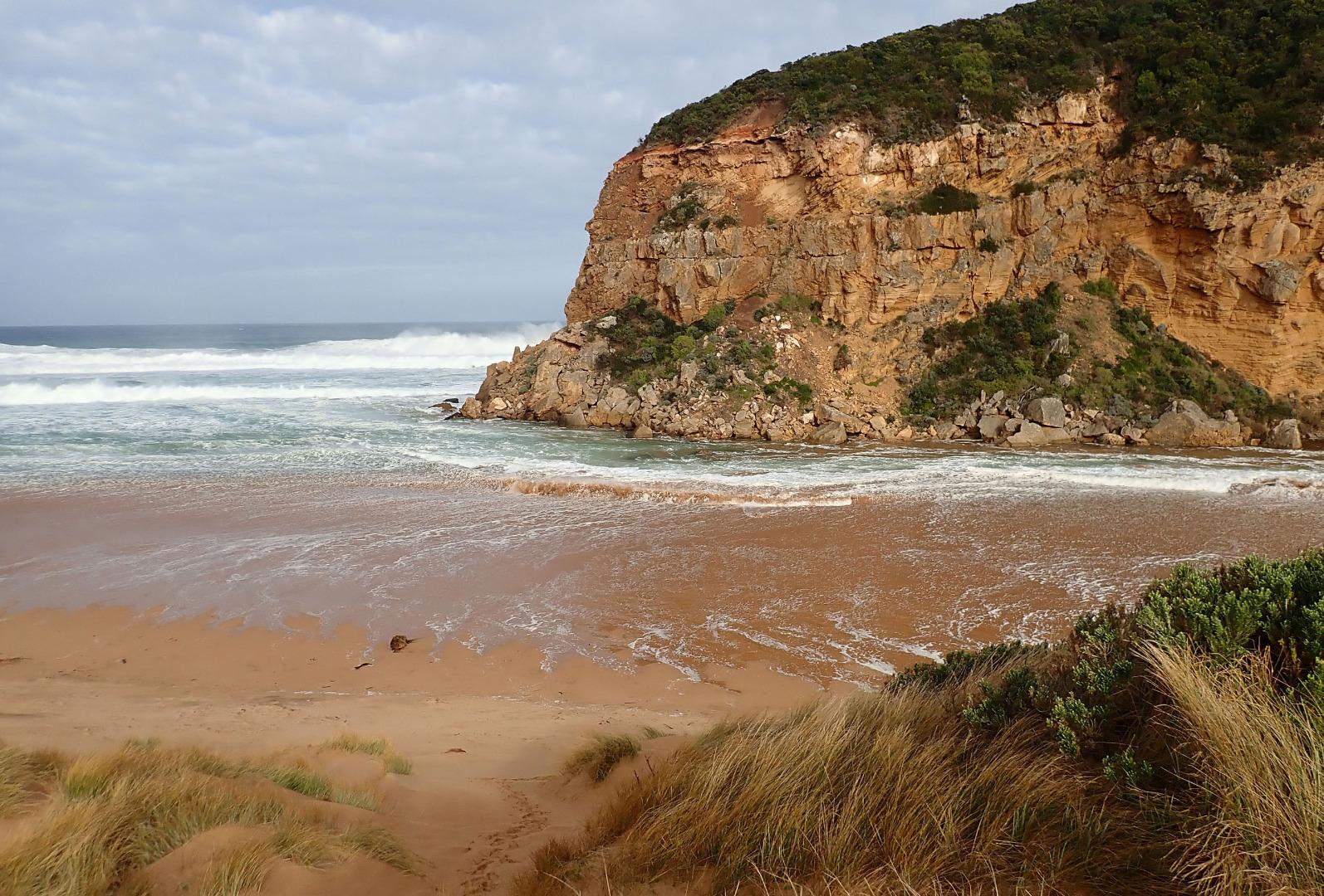 |
|
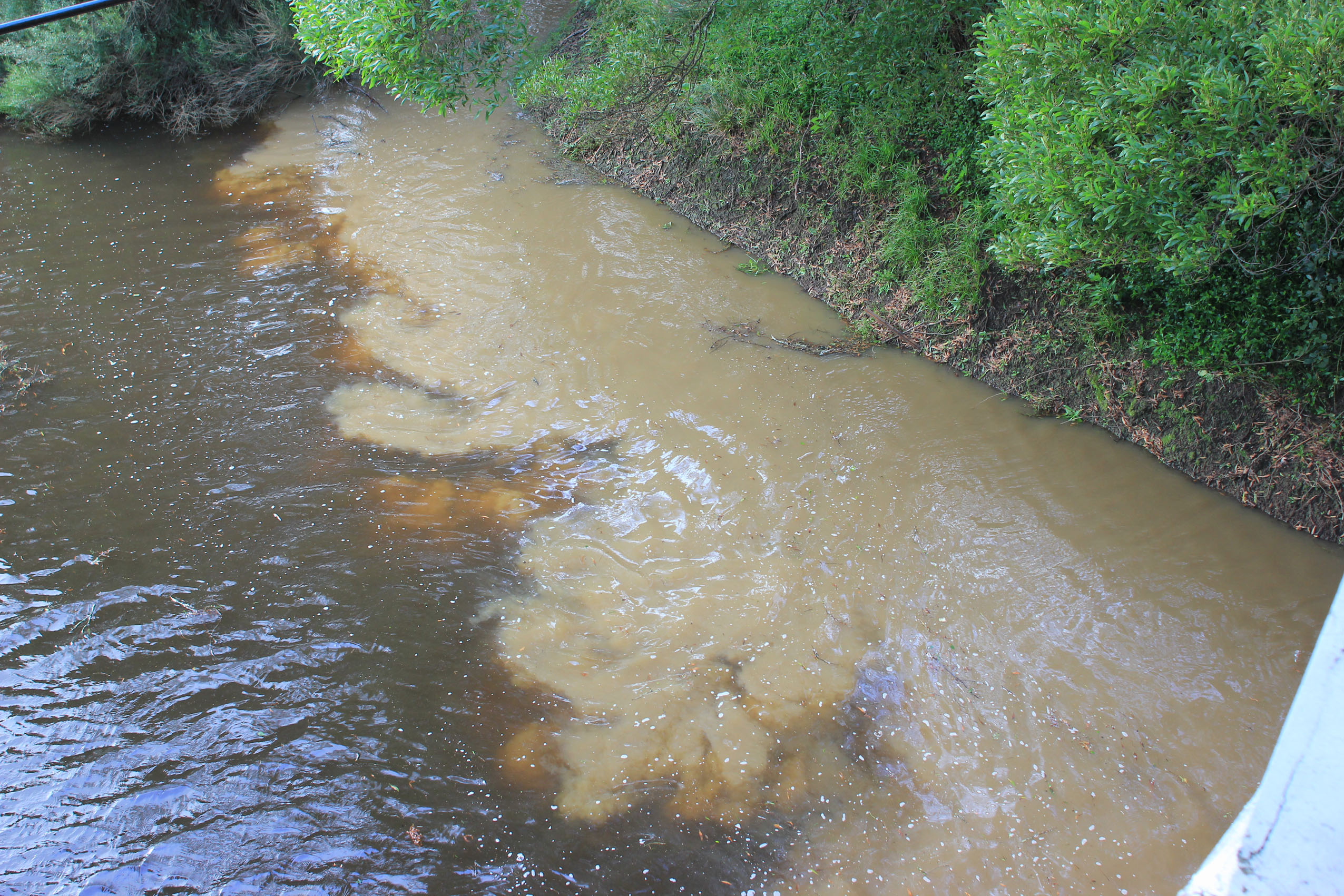
| 07-07-2018 |
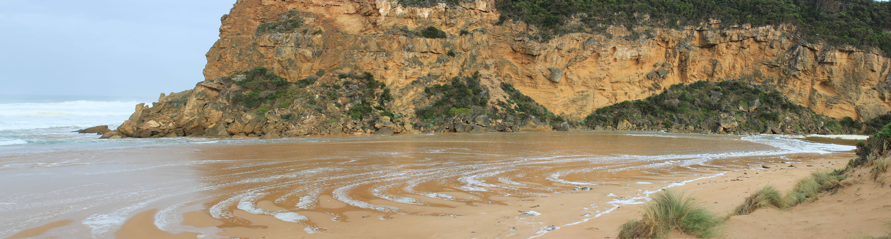
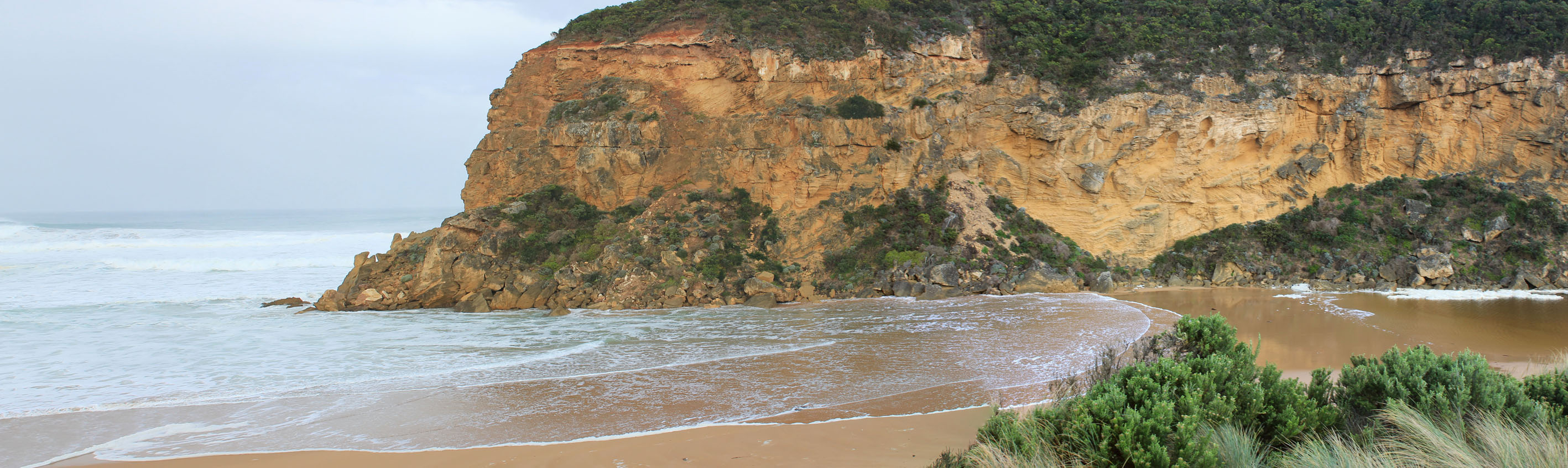
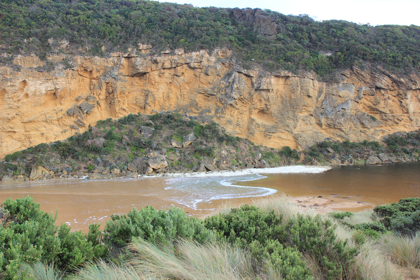
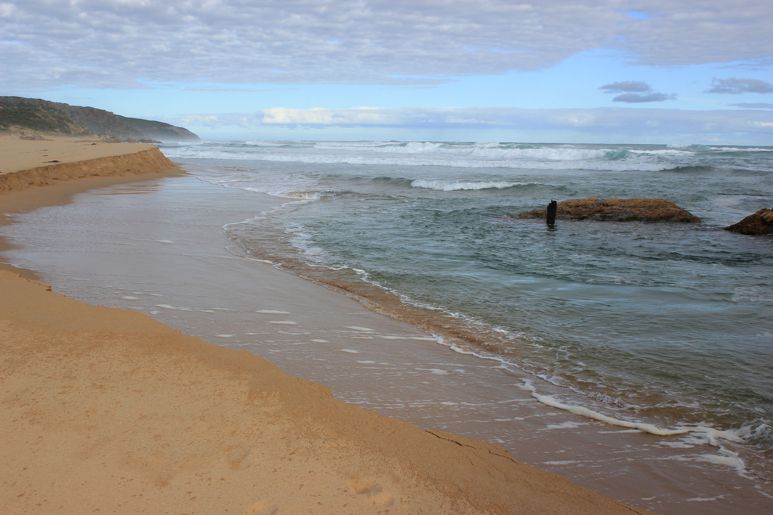
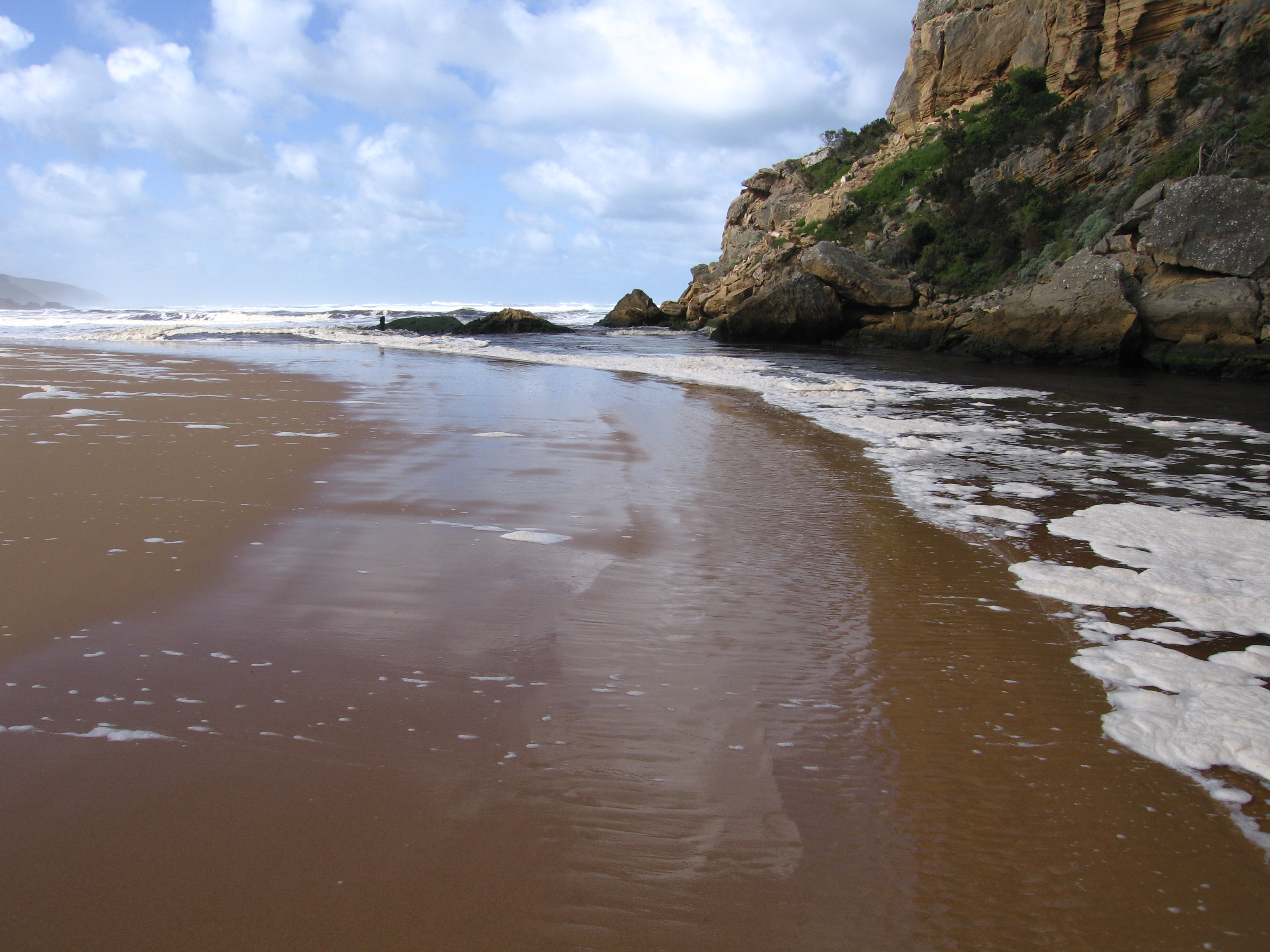
Weather Event Storm surge from 7m. high seas & strong gale force winds. Large amount of sand being carried by wind gusts into channel & estuary. Waves entering across a wide area & becoming shallow as they cross over high sand build up then turning east along south side of estuary Judy Spafford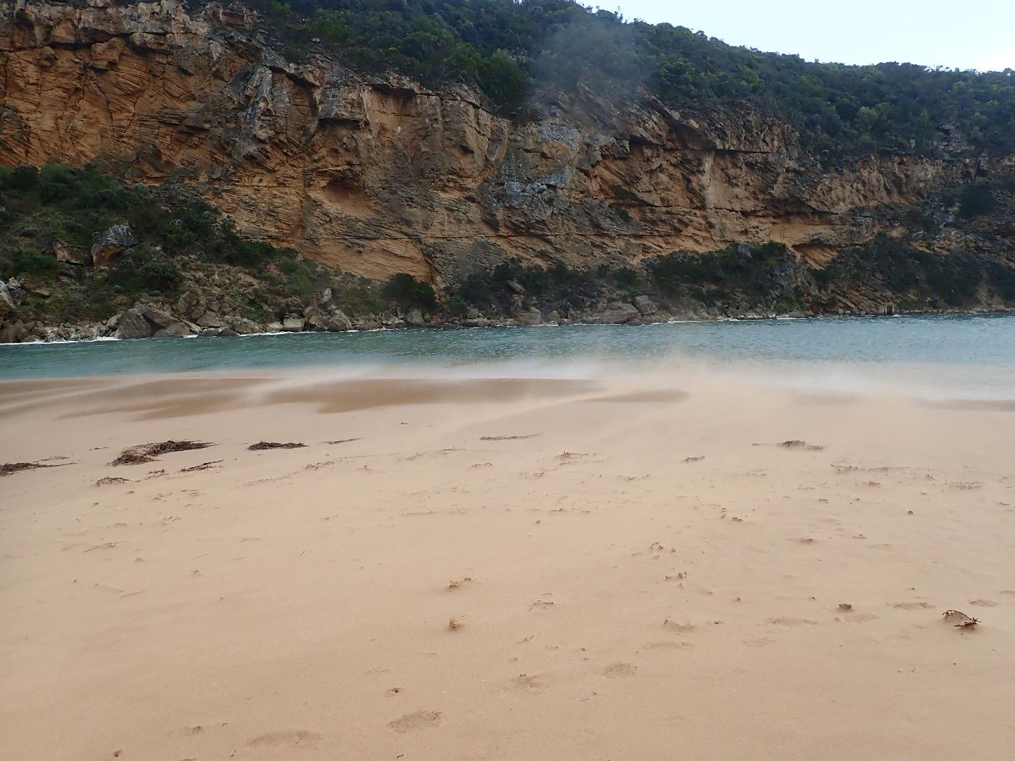 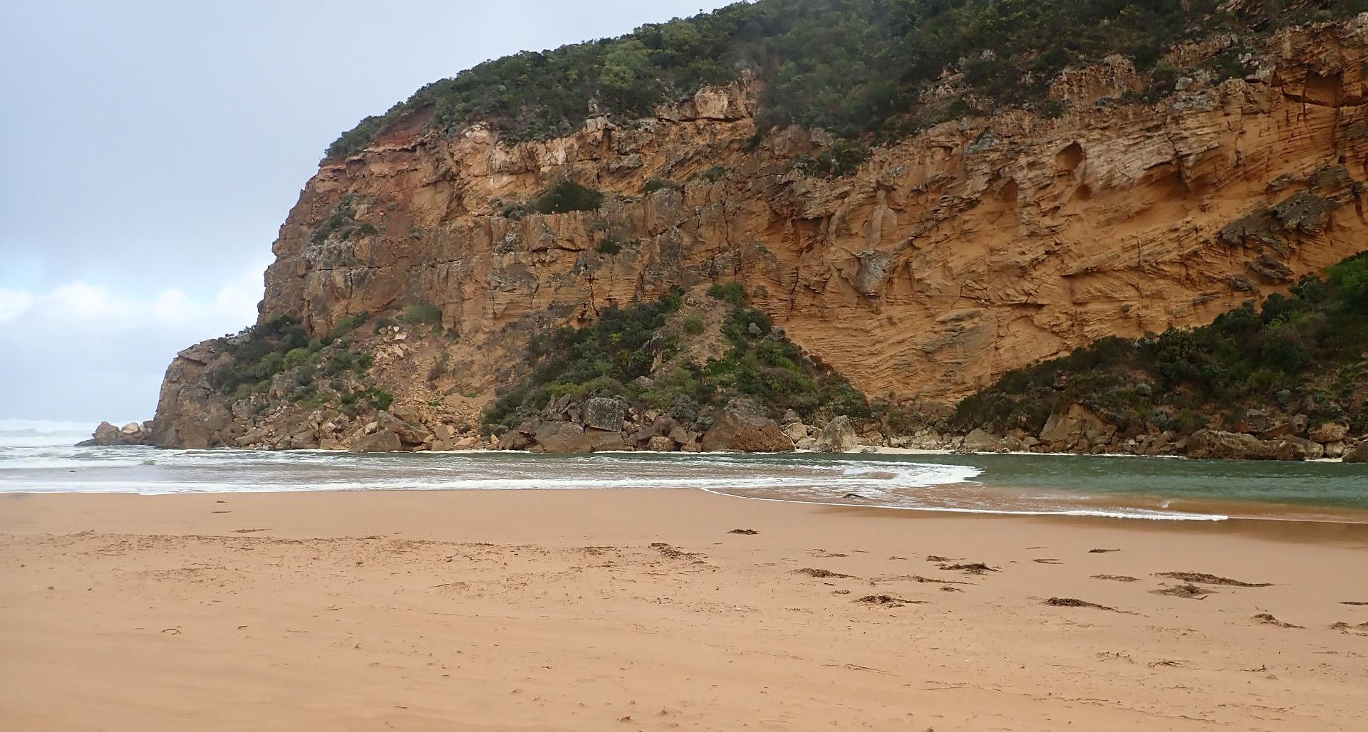 |
|
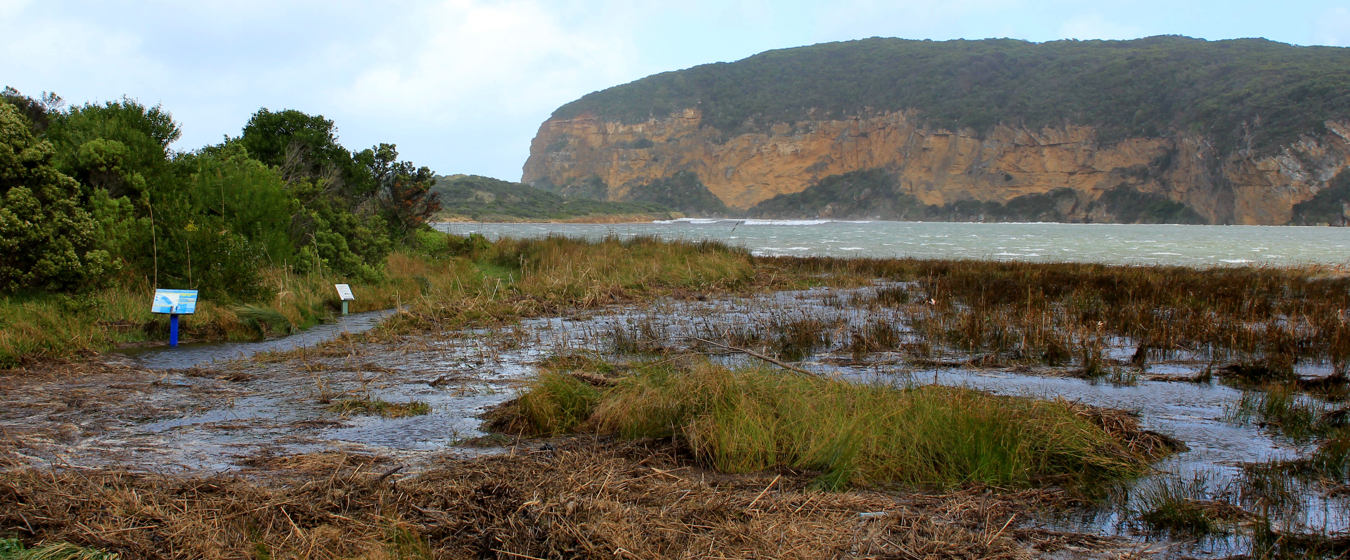
| 12-05-2018 |
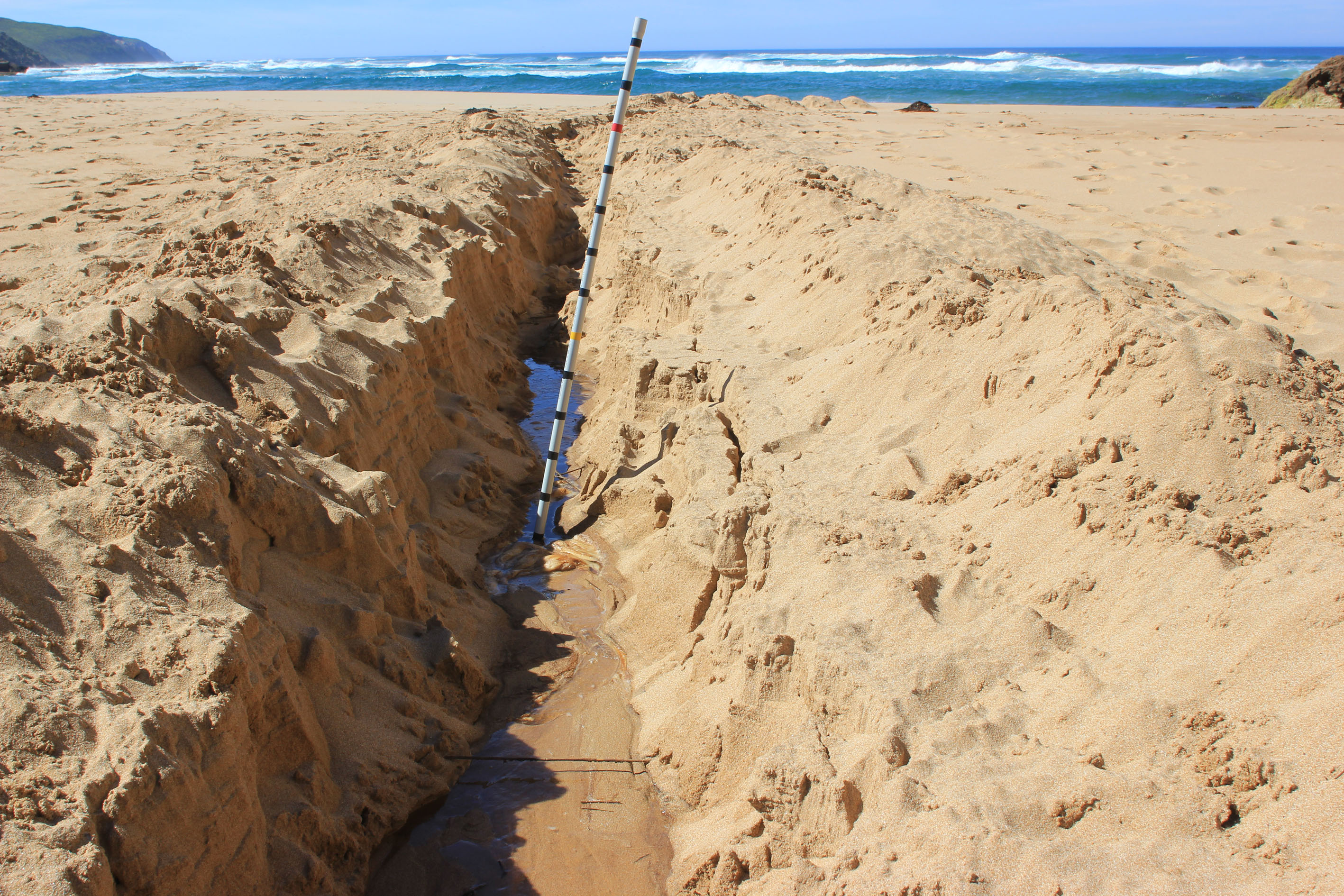
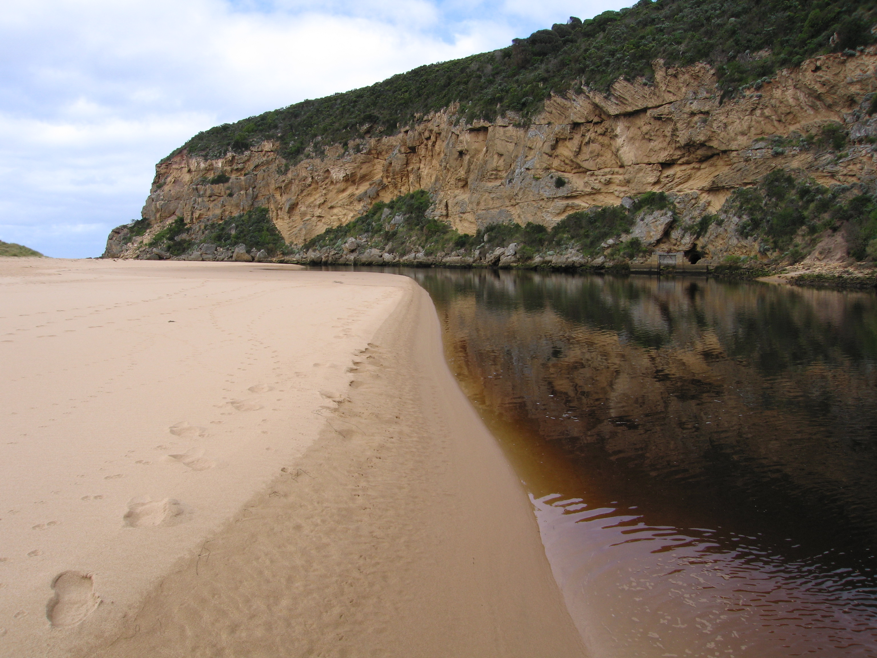
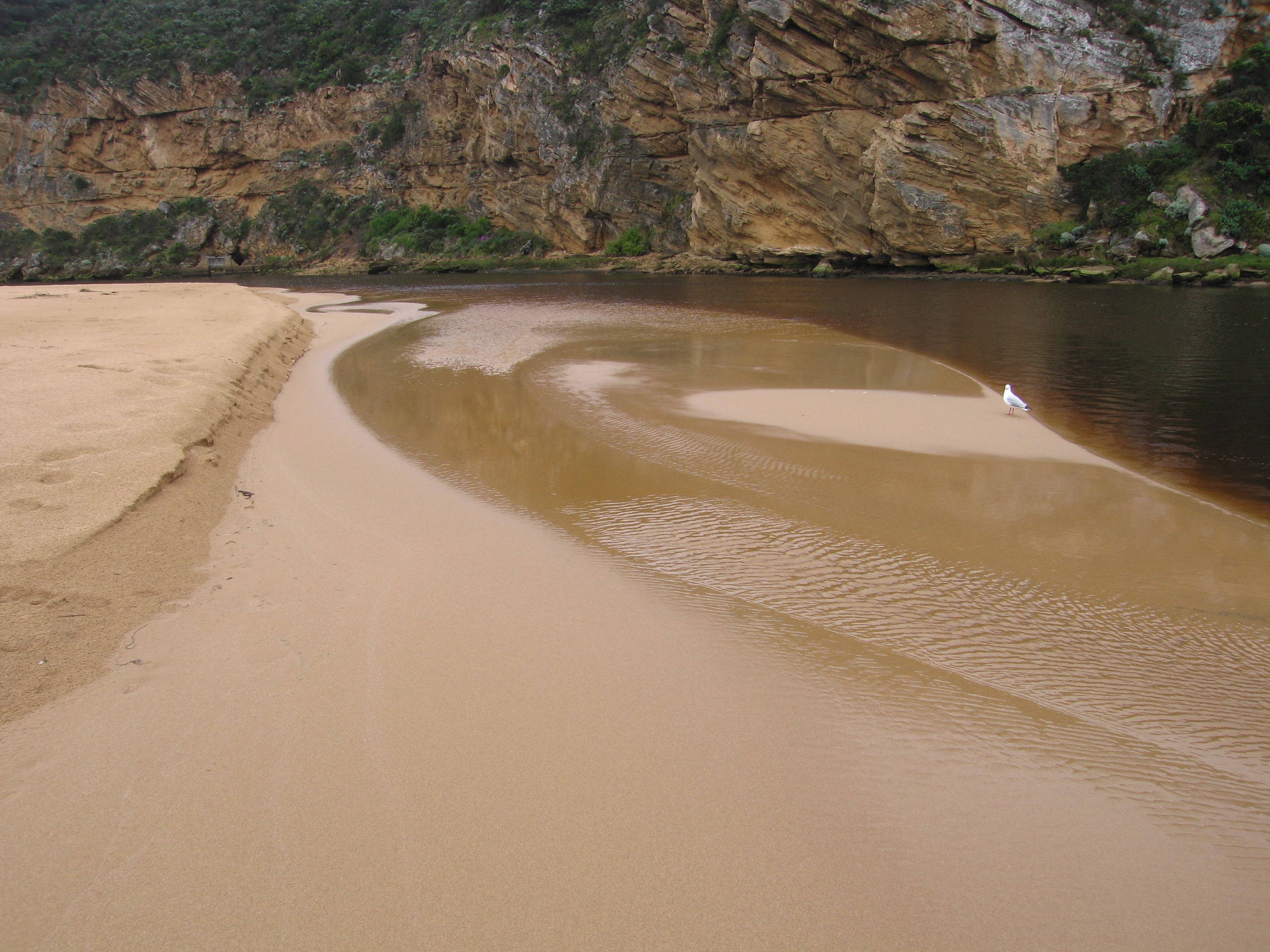
Weather Event Gellibrand river barred after storm event Berm very low at entrance rising mid channel & continuing under shallow water north well into estuary Judy Spafford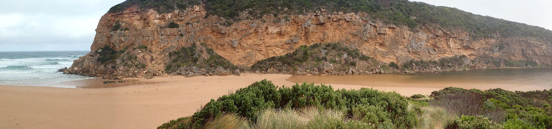 |
|
| 11-05-2018 |
Weather Event The Gellibrand Estuary was almost closed despite 7m high seas & a gale force south wind. Very large amount of sand was being blown off the dunes & beach into the estuary at start of channel. Judy Spafford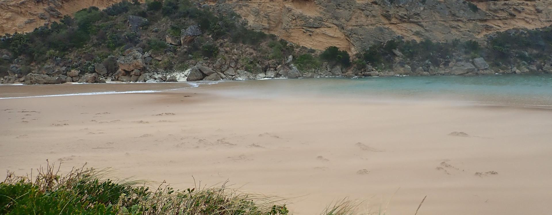 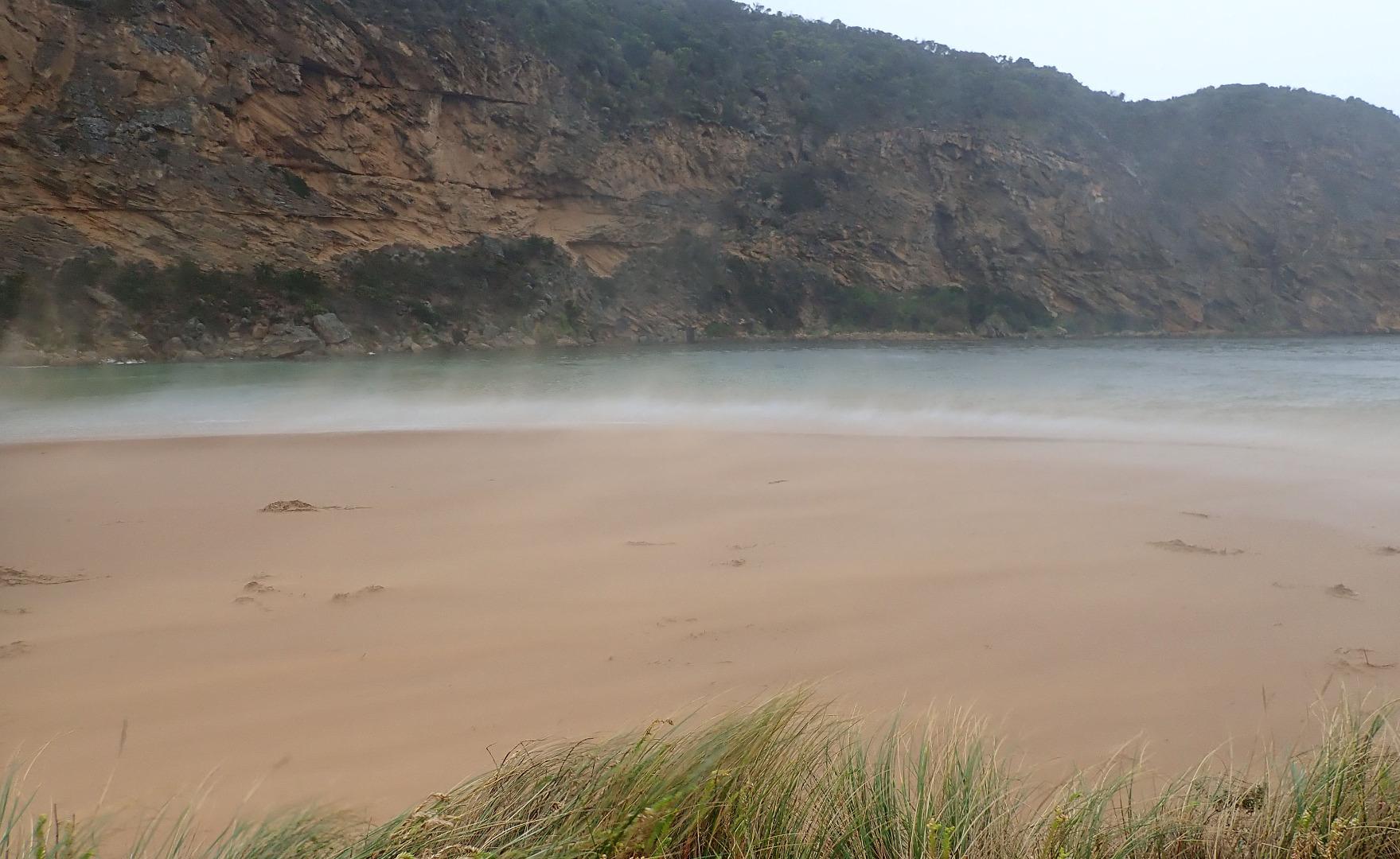 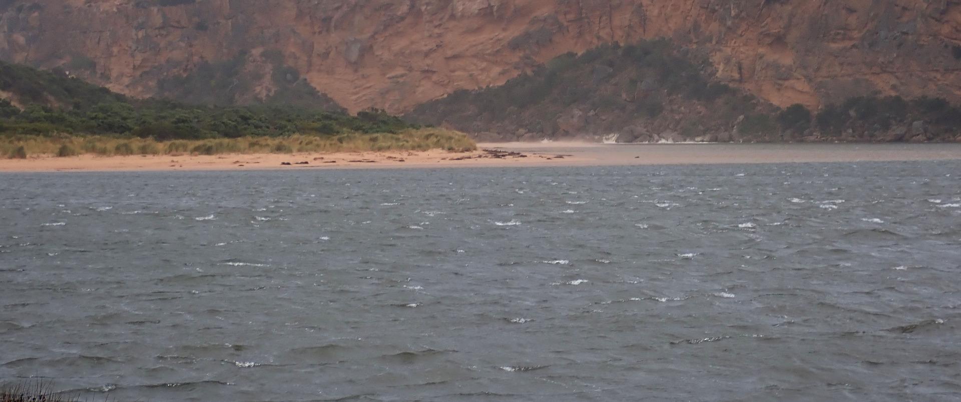 |
|
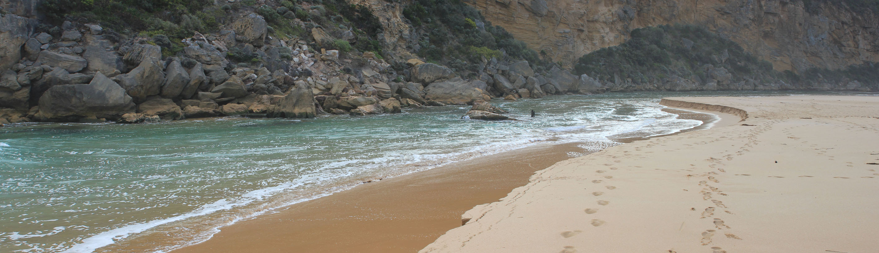
| 24-04-2018 |
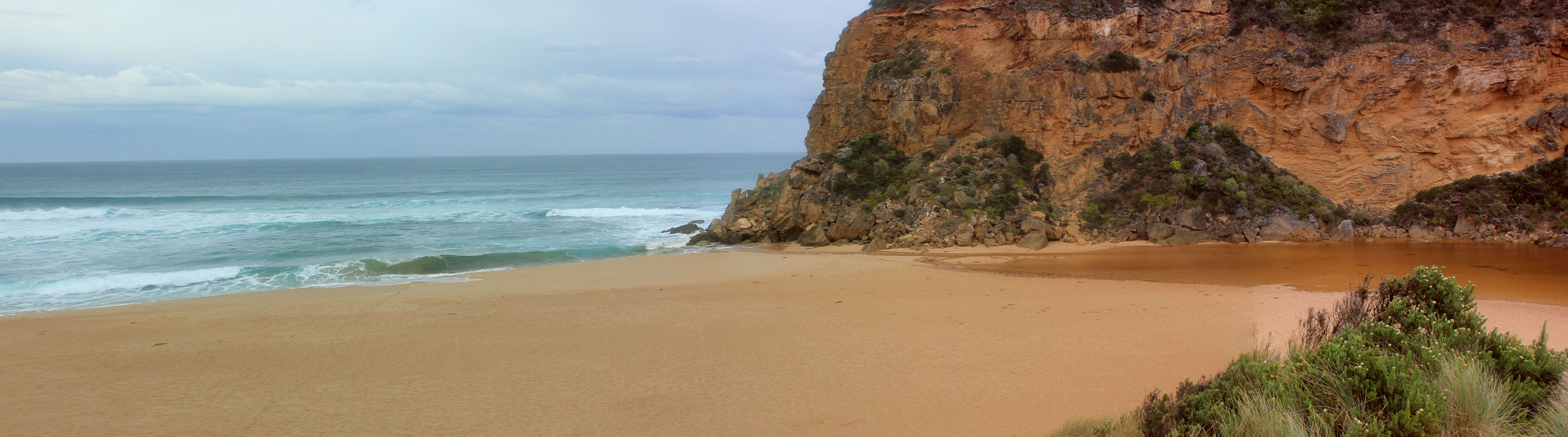
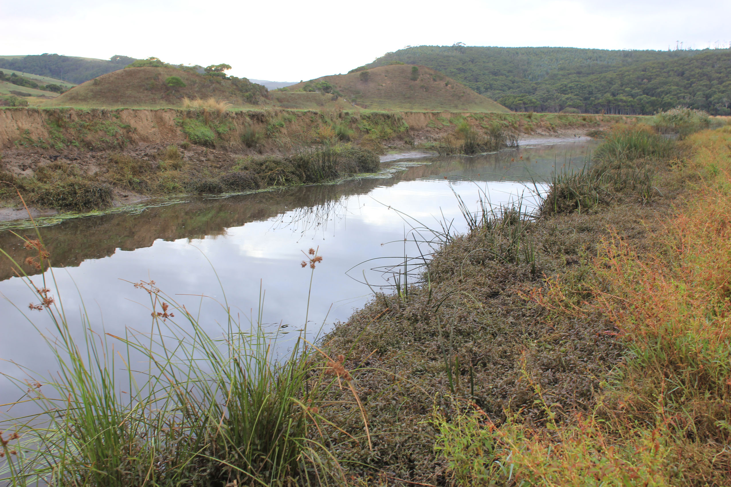
Unusual/Extraordinary occurrence! Extremely low tide with very little flow from upstream - very large amount of sand exposed in estuary Judy Spafford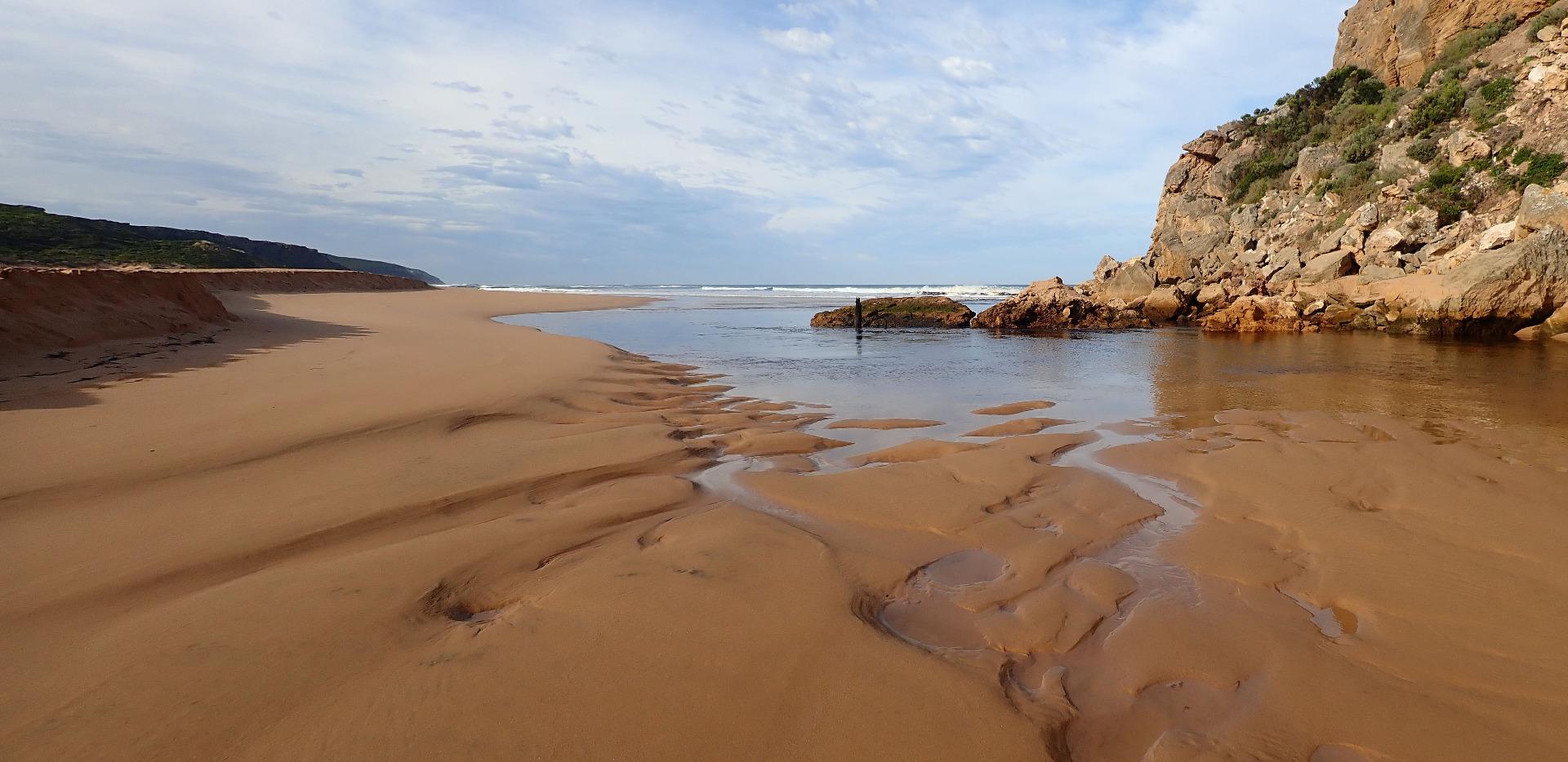 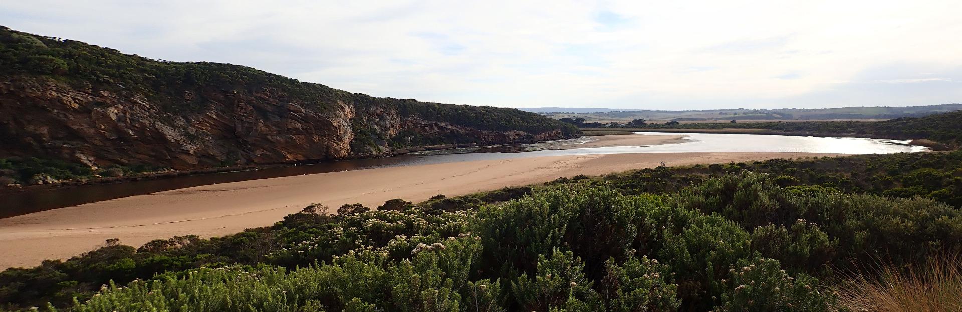 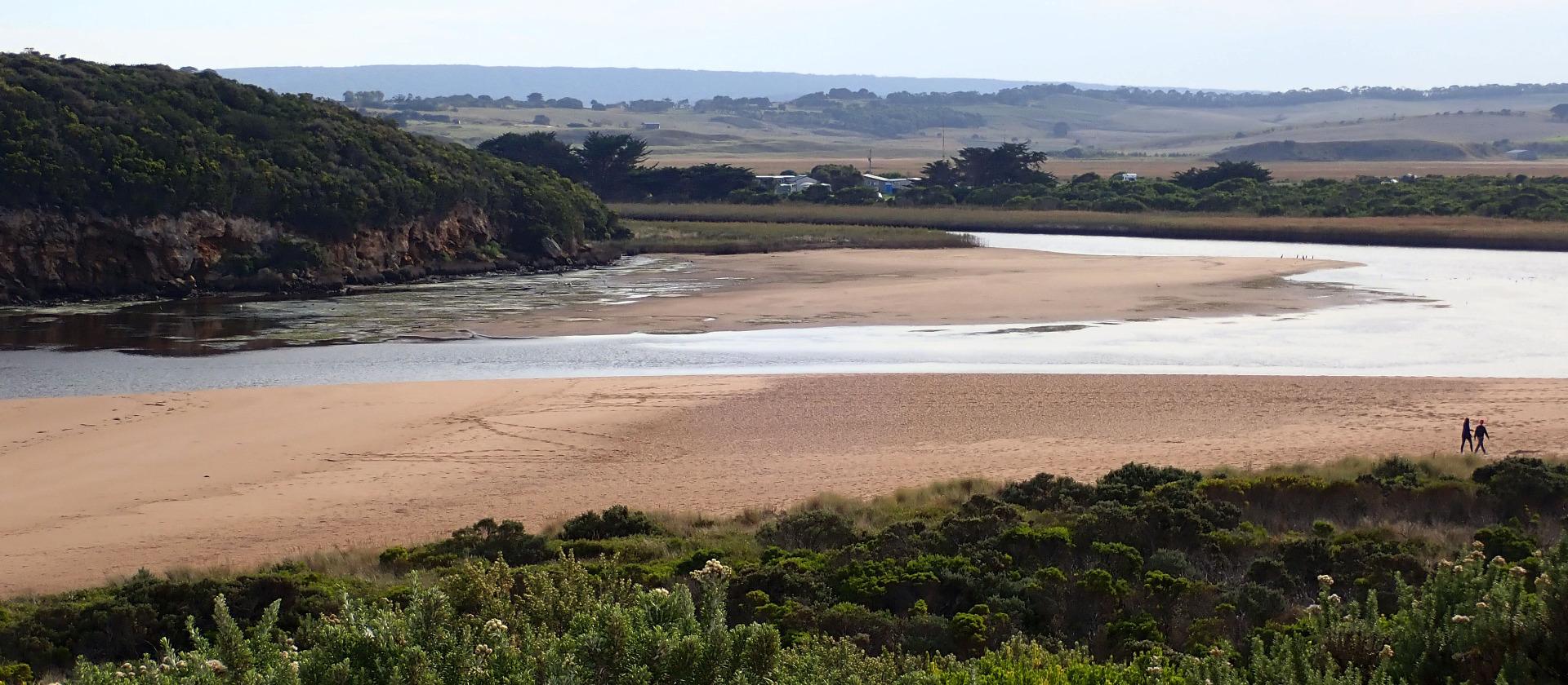 |
|
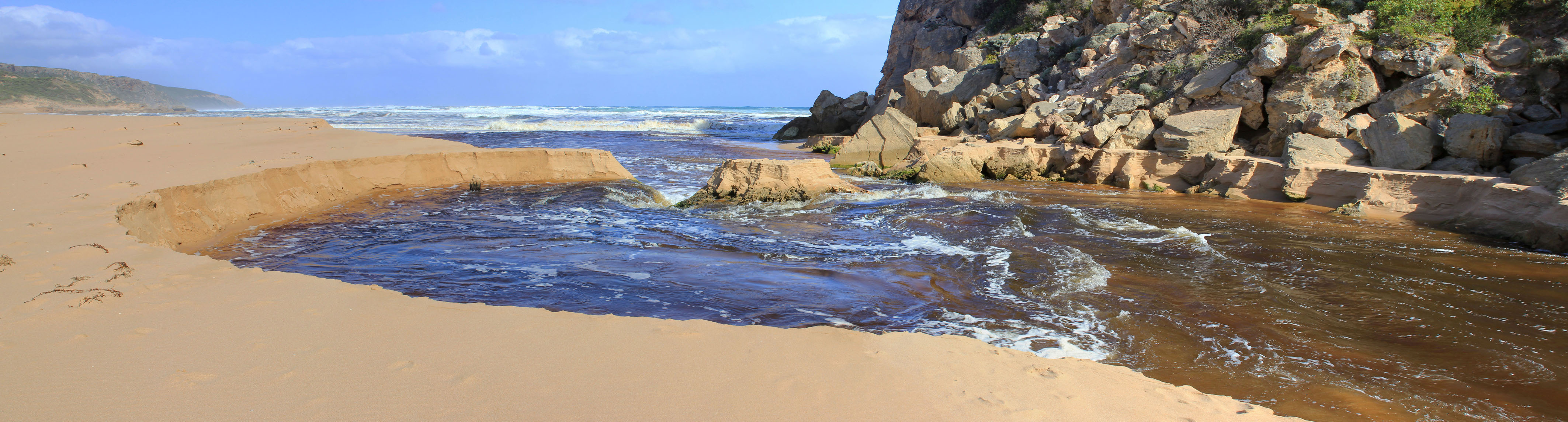
| 21-04-2018 |
Estuary Entrance Opening High channel entrance after artificial opening Judy Spafford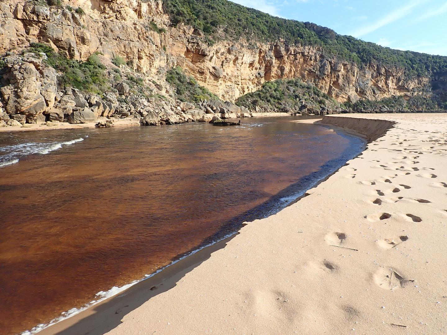 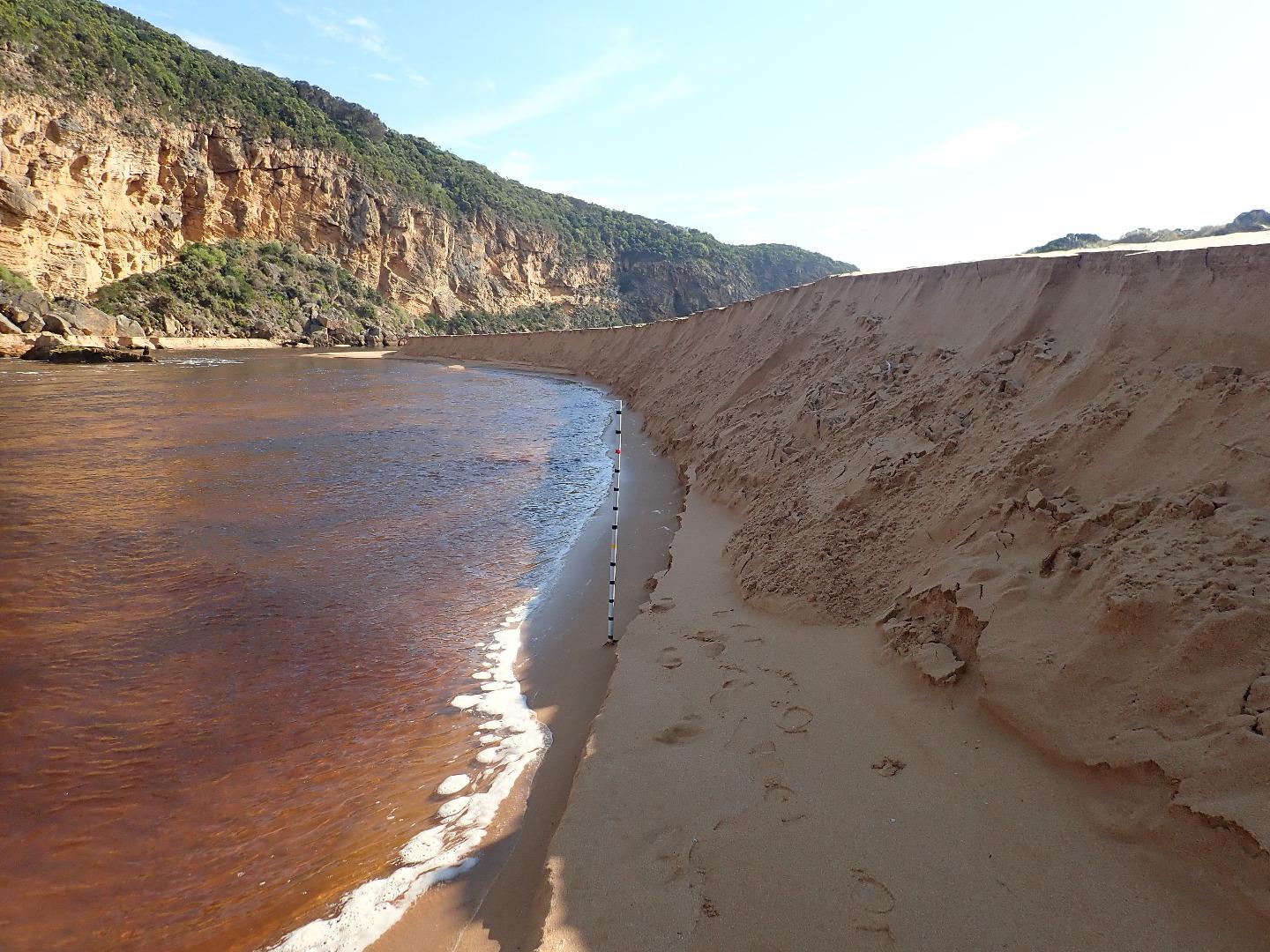 |
|
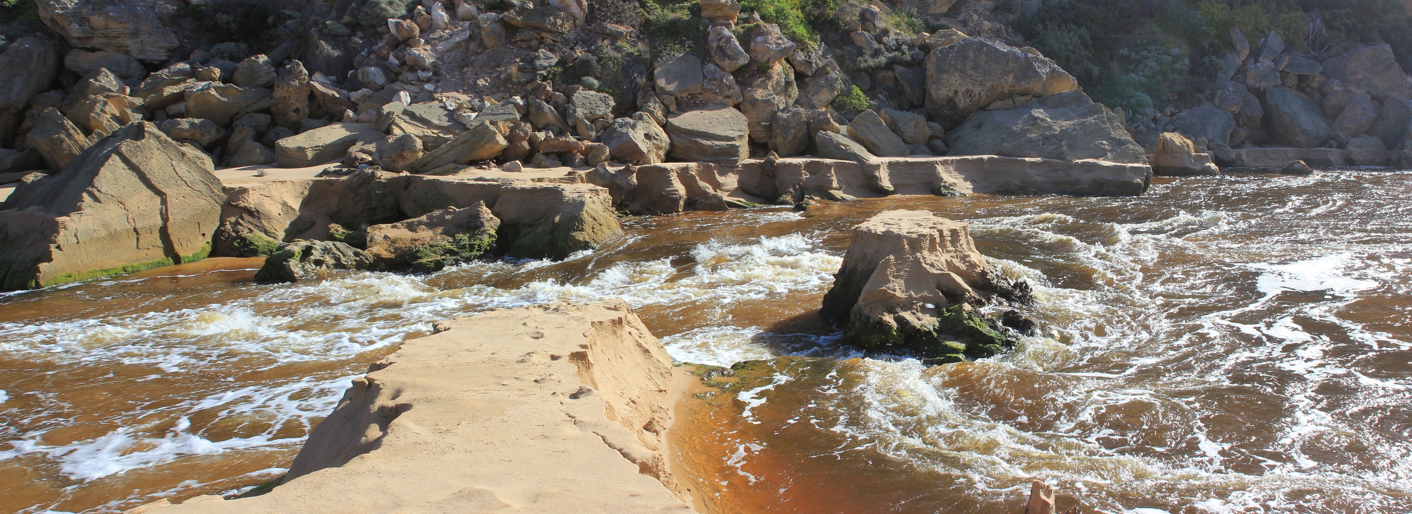
| 20-04-2018 |
Estuary Entrance Opening Start of strong outflow after artificial opening Judy Spafford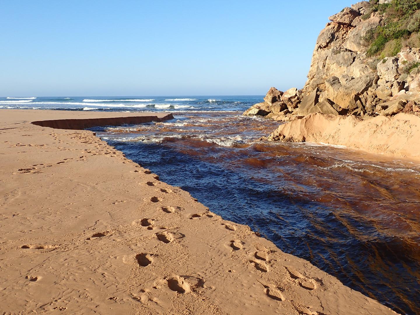 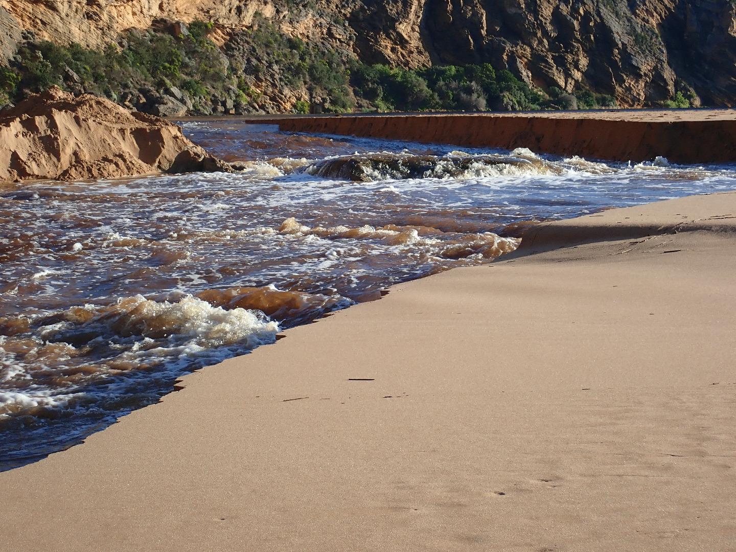 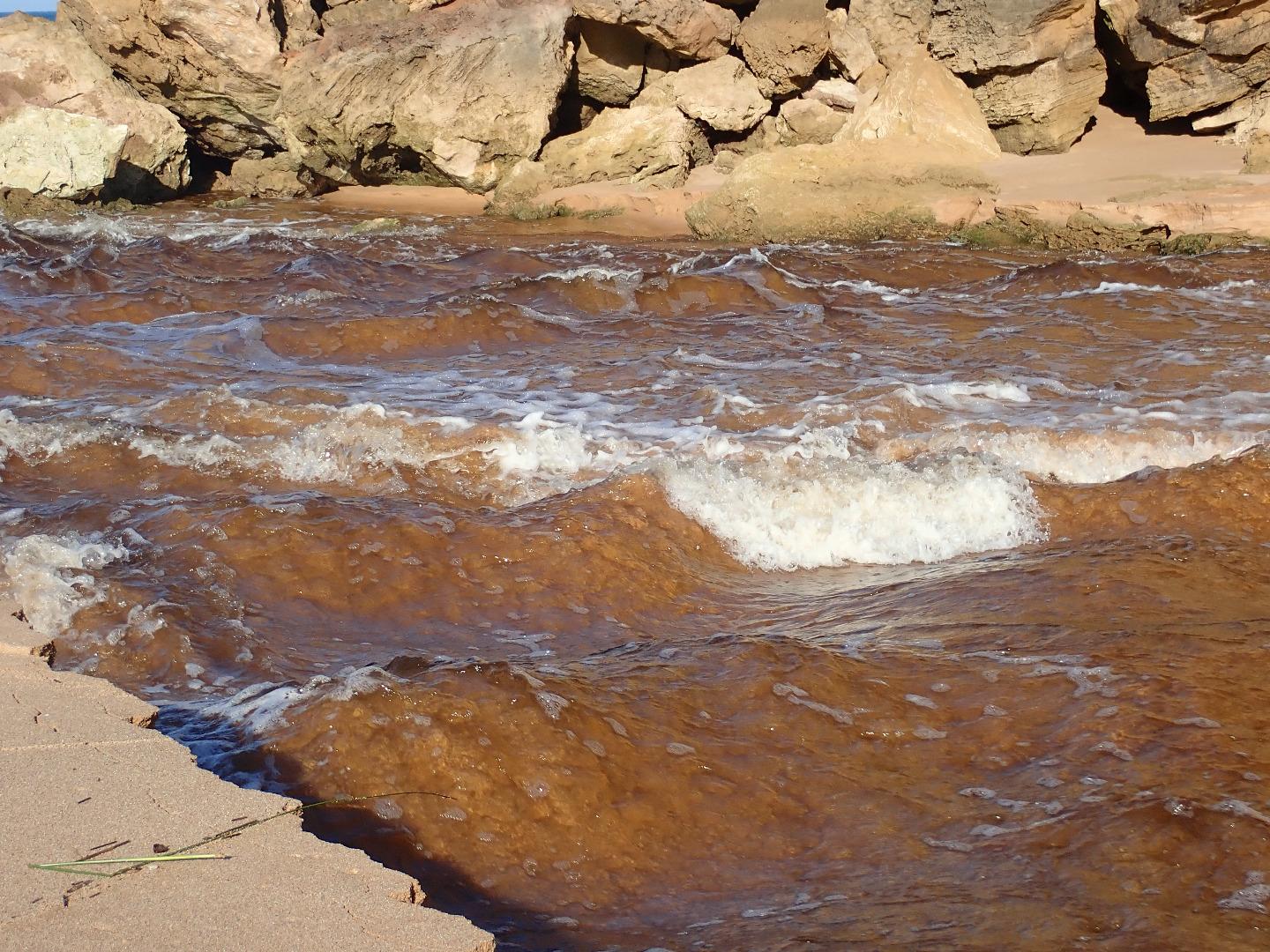 |
|
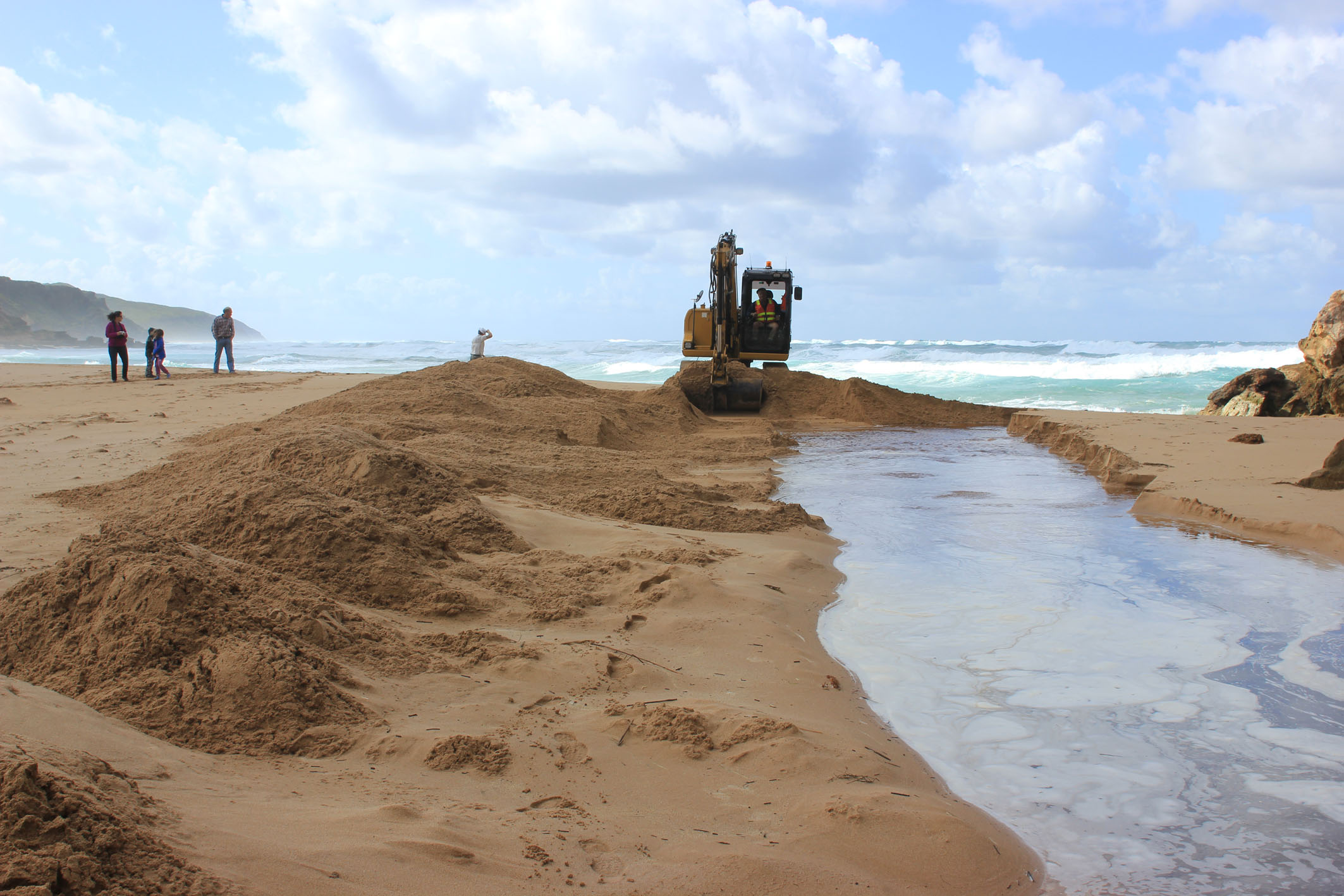
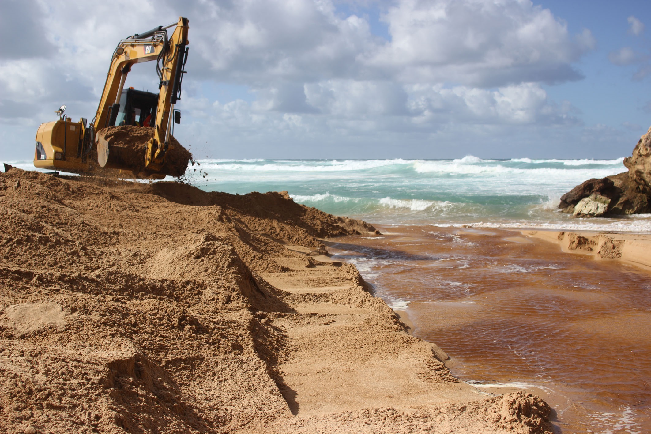
| 19-04-2018 |
Estuary Entrance Opening Artificial opening Judy Spafford 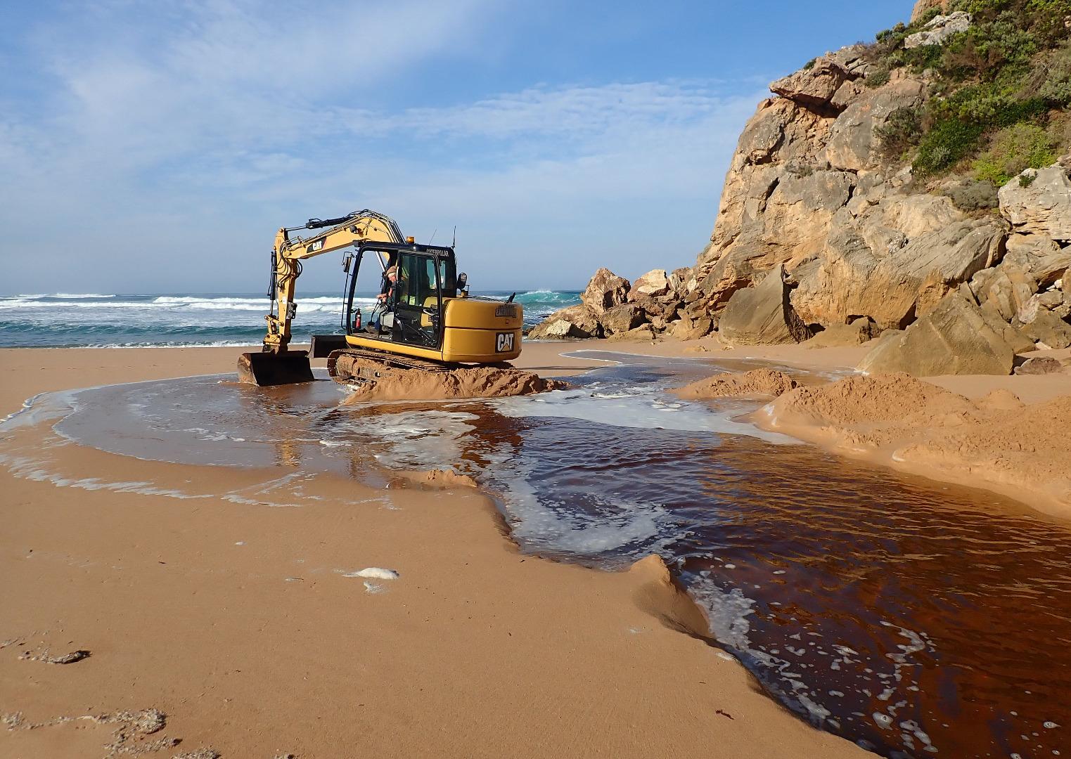 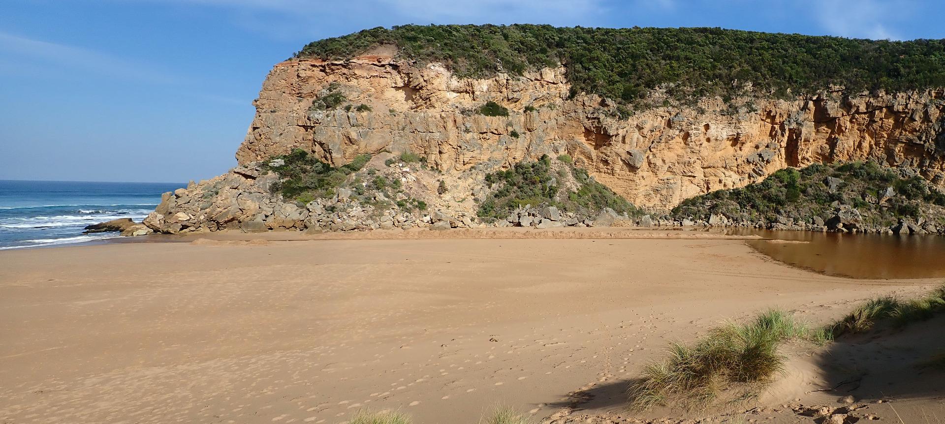 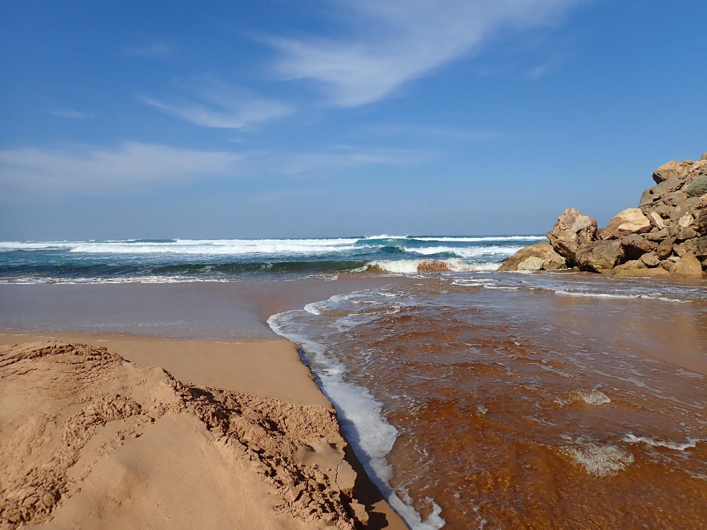 |
|
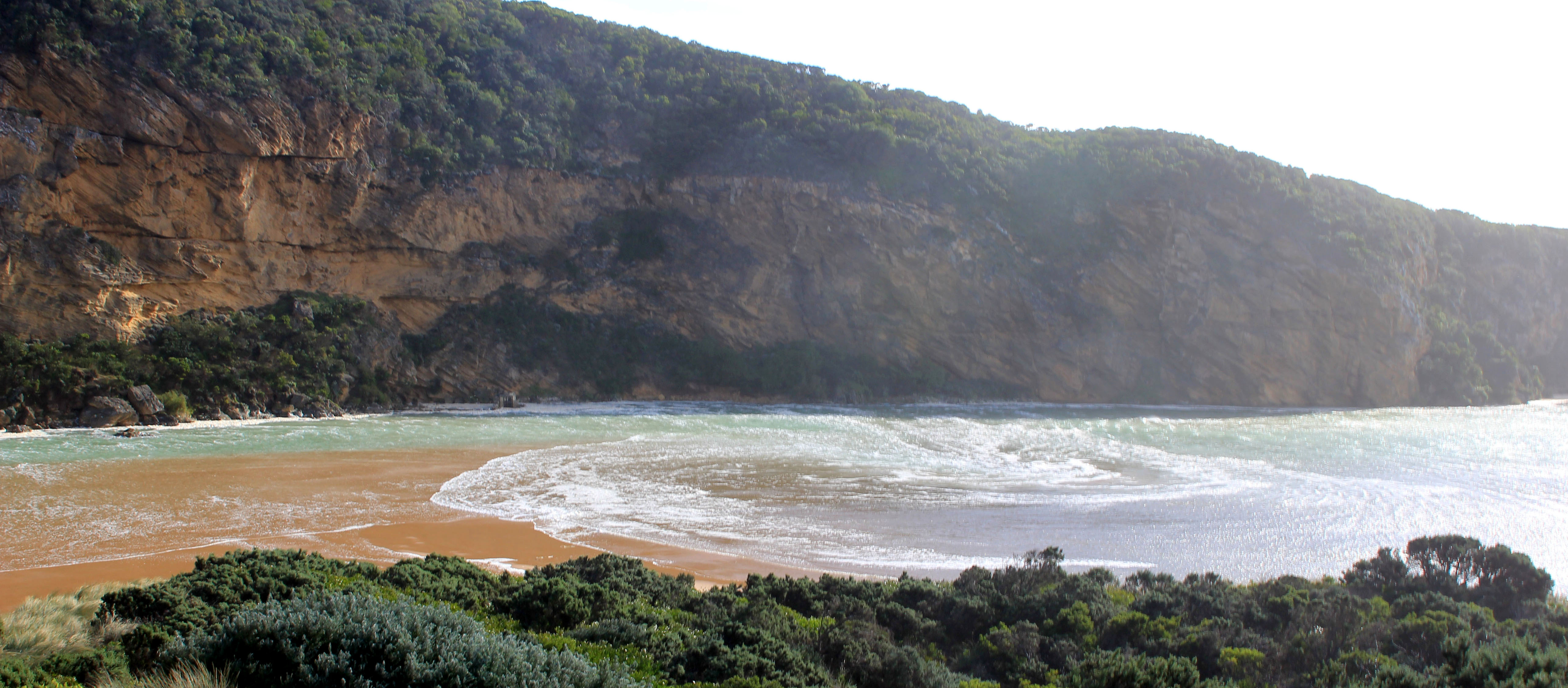
| 15-04-2018 |
Weather Event Gail force winds & high sea. Waves going far up on beach & wide over berm Judy Spafford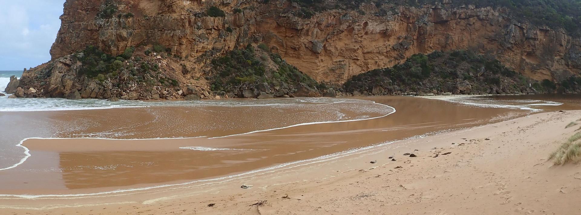 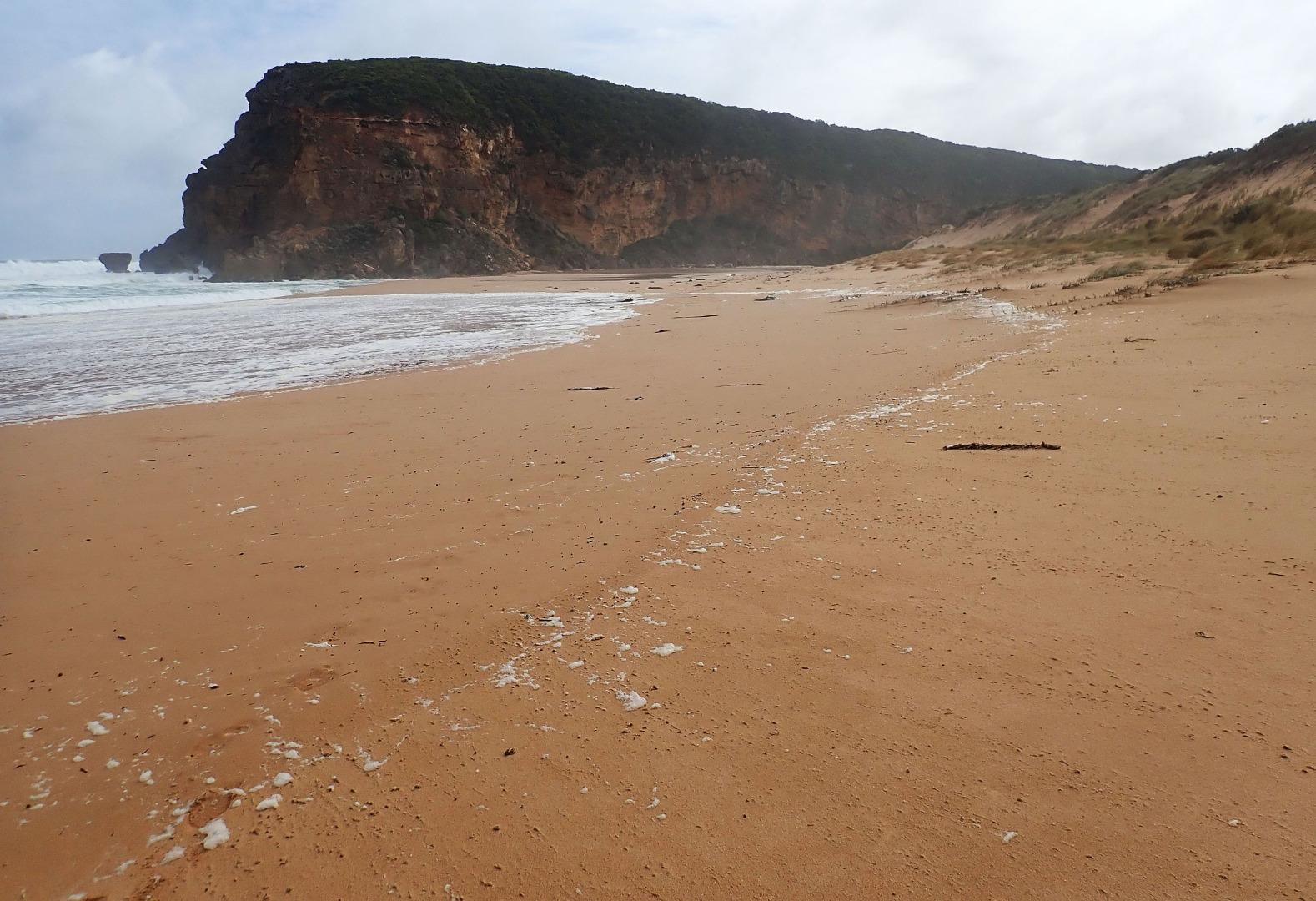 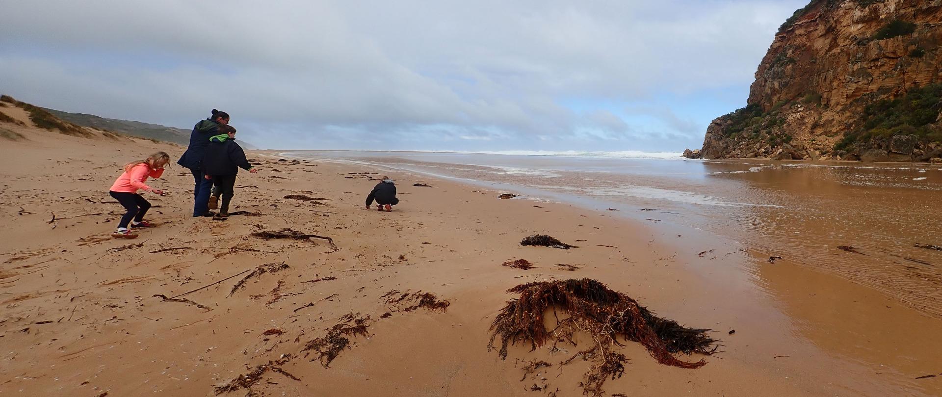 |
|
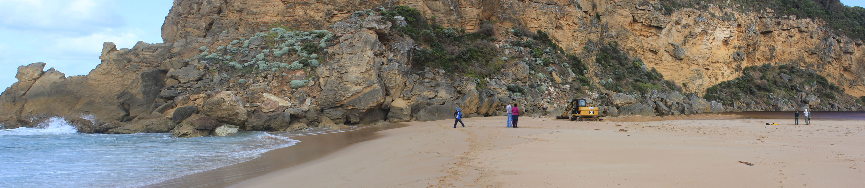
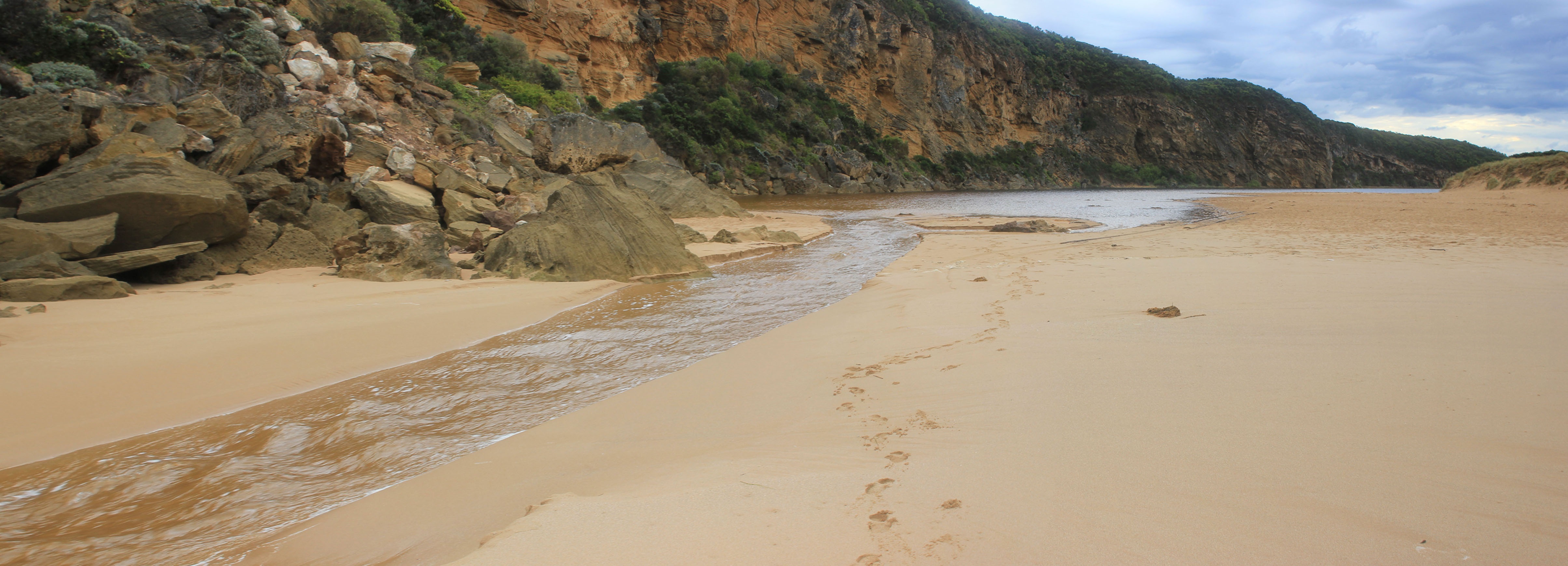
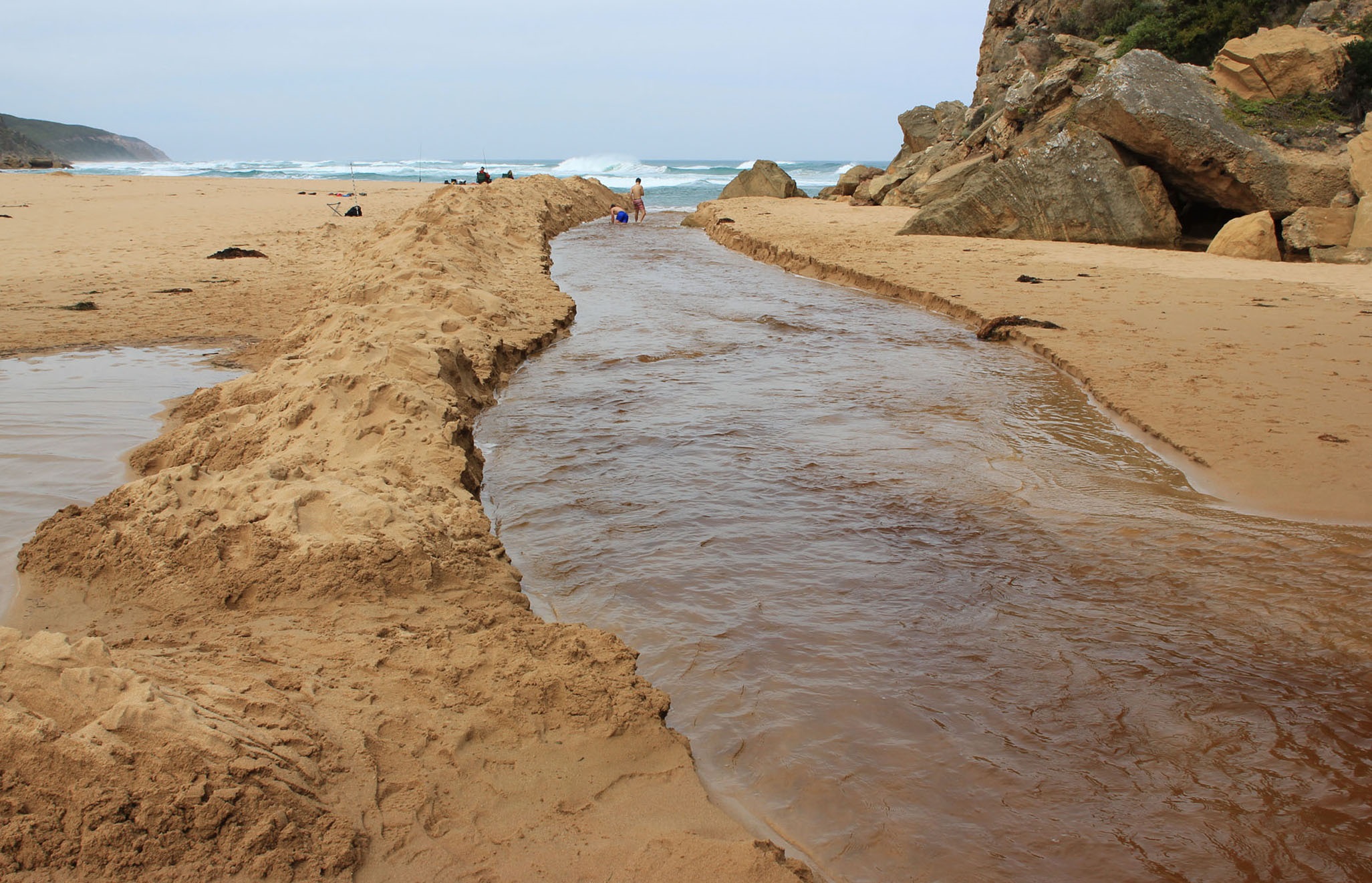
| 11-03-2018 |
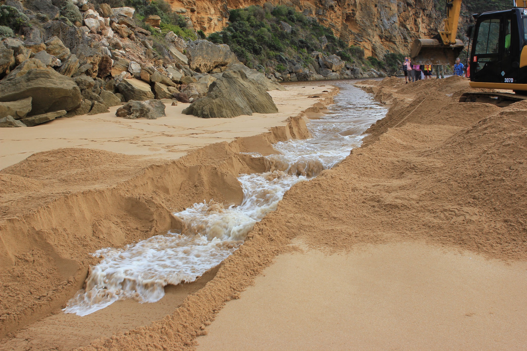
Estuary Entrance Opening Gellibrand River 18 hrs after opening Judy Spafford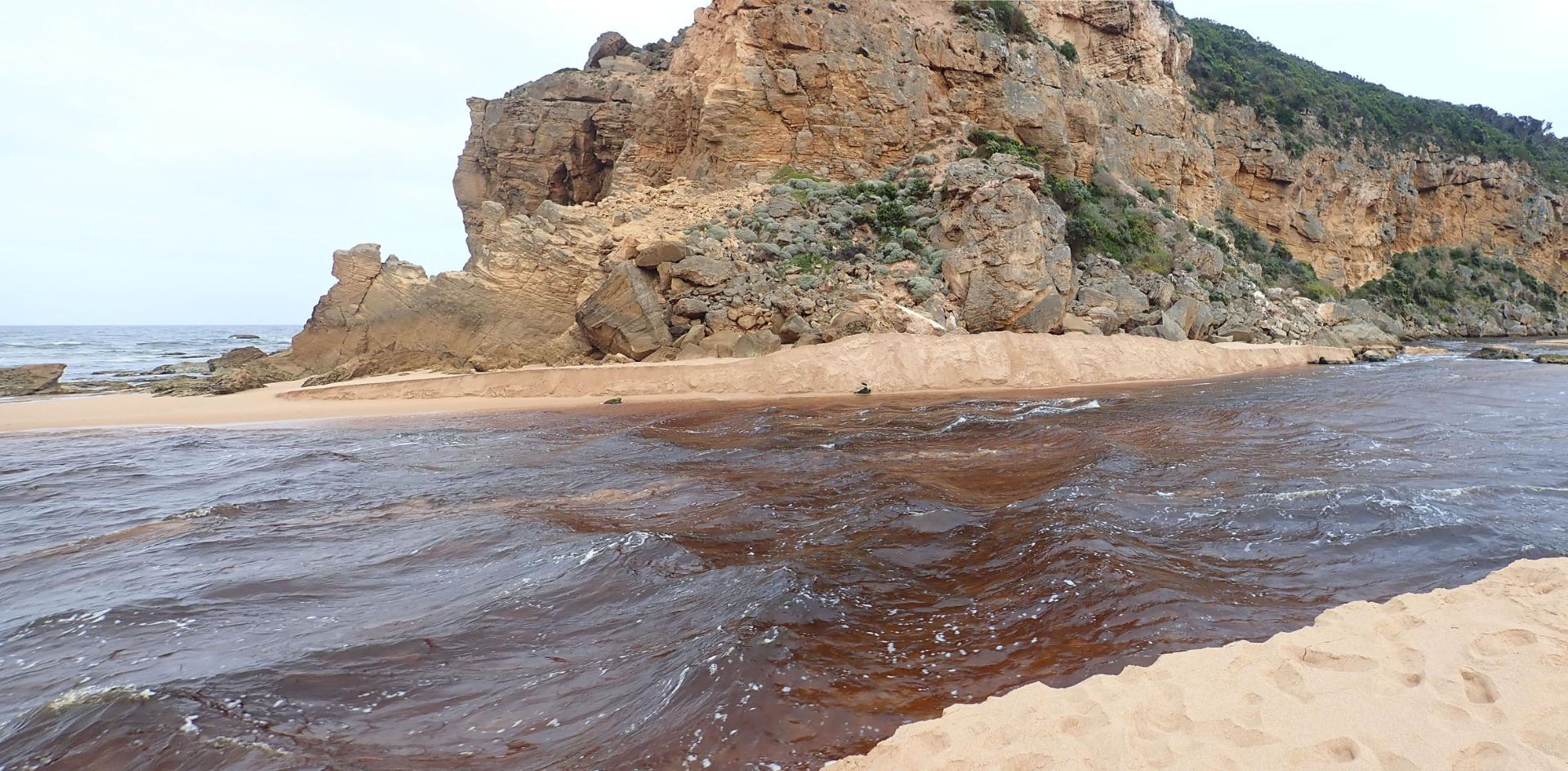 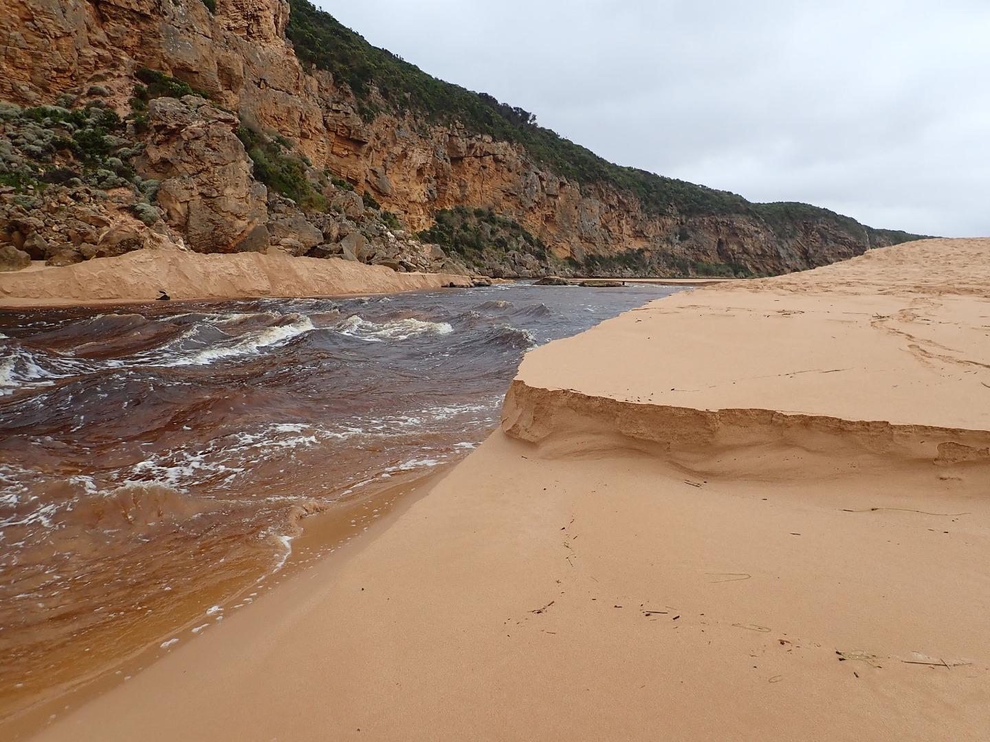 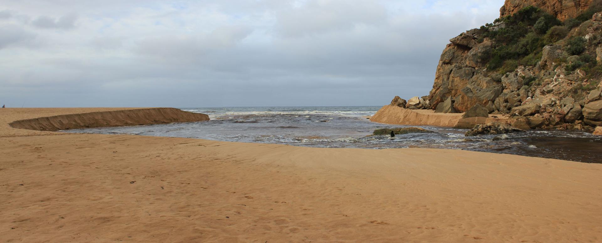 |
|
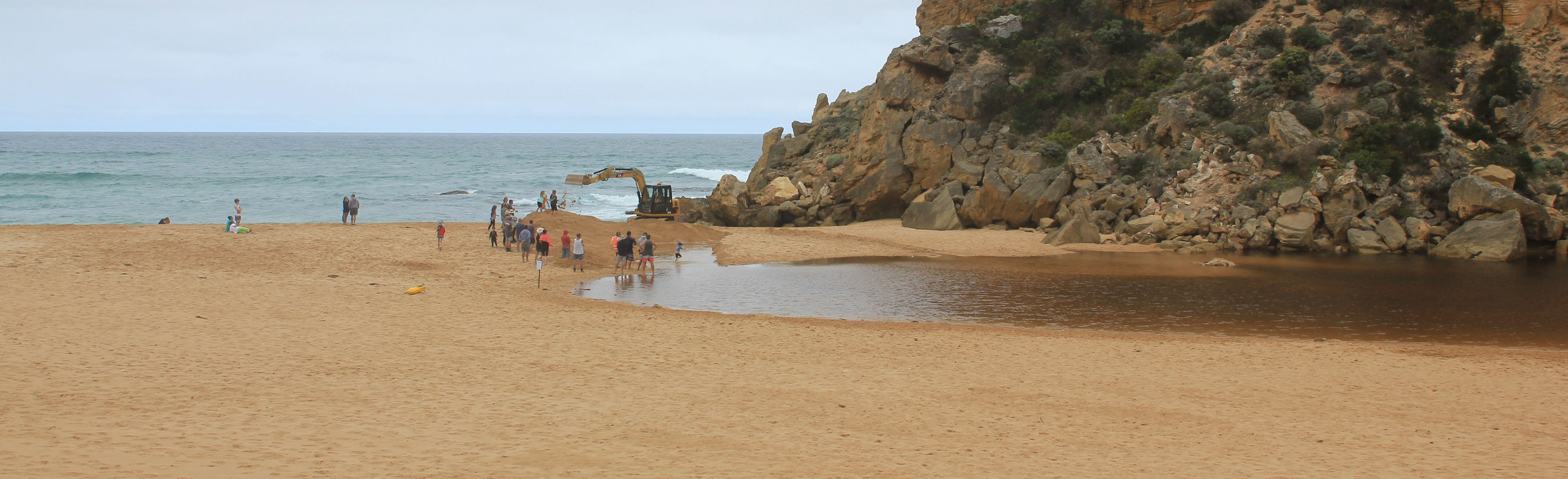
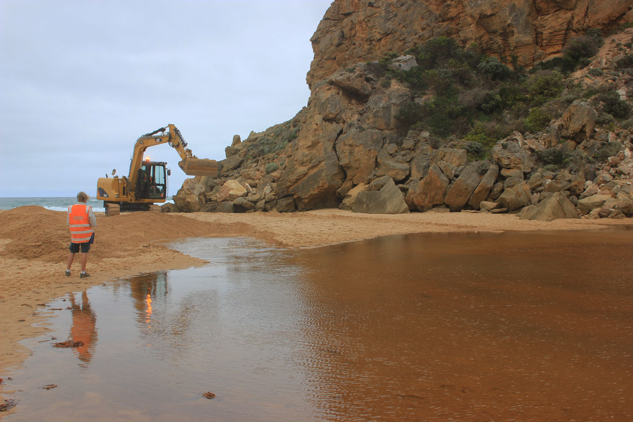
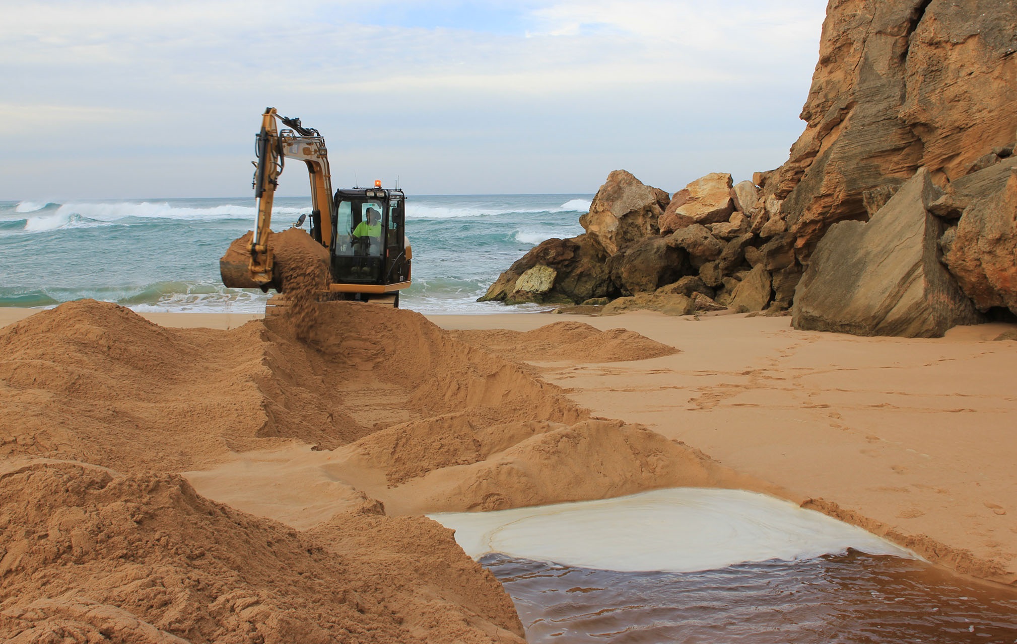
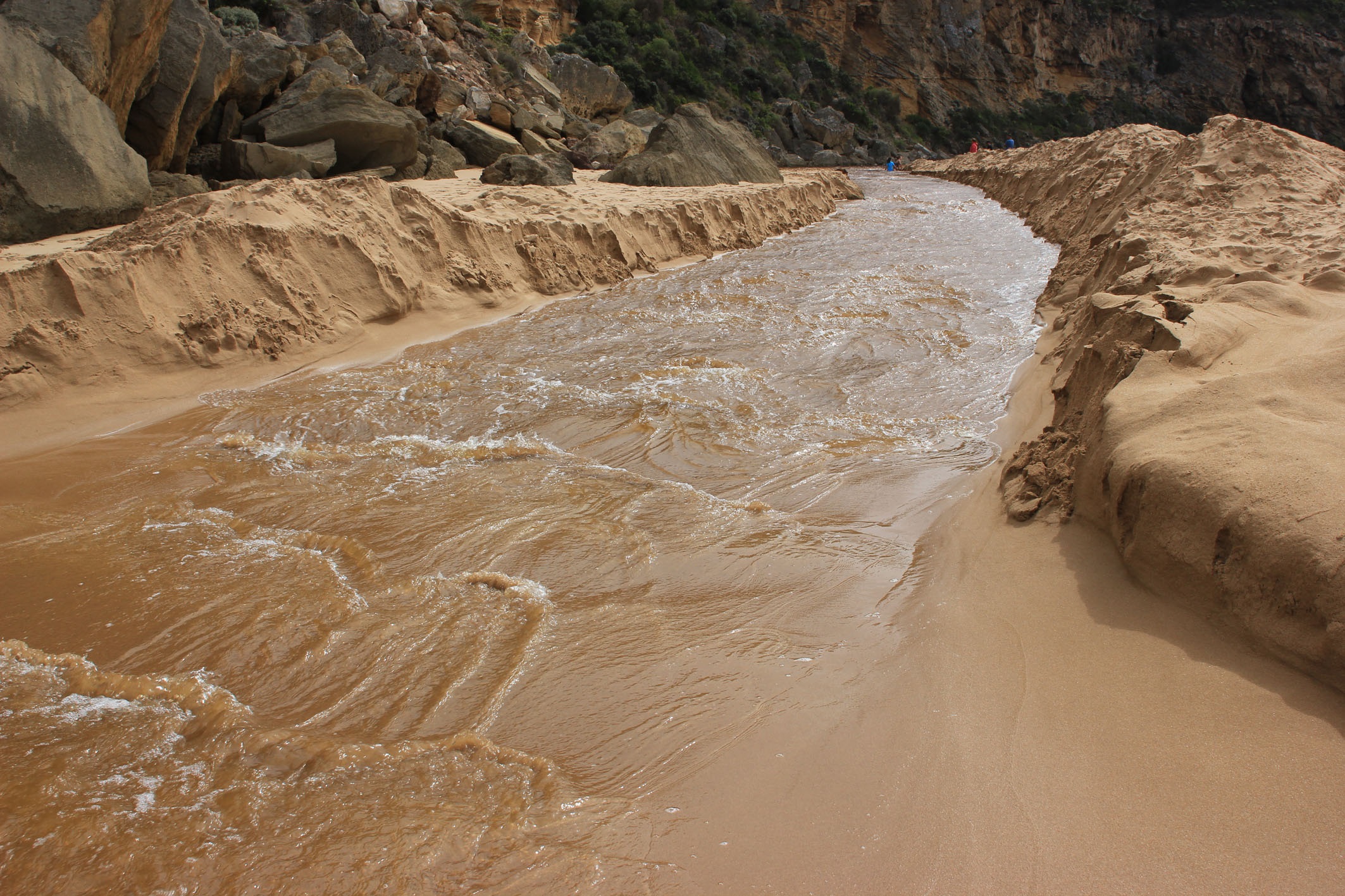
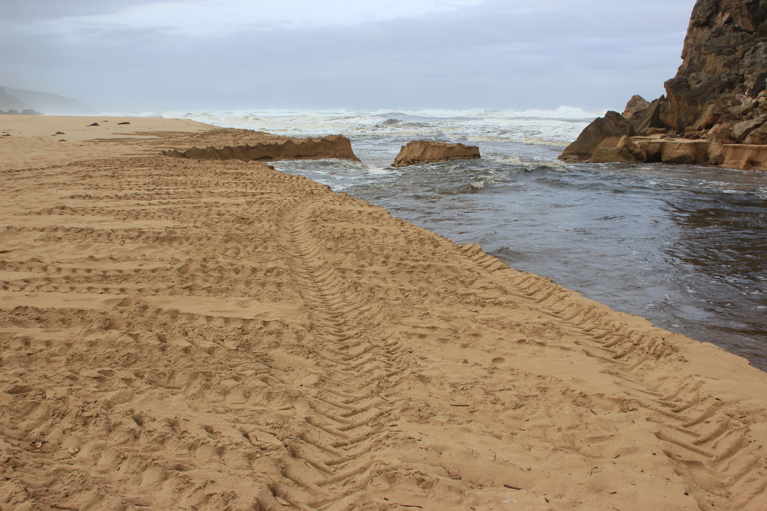
| 10-03-2018 |
Estuary Entrance Opening Artificial Opening Gellibrand River 10-03-18 Started 13:00 complete 15:20 Judy Spafford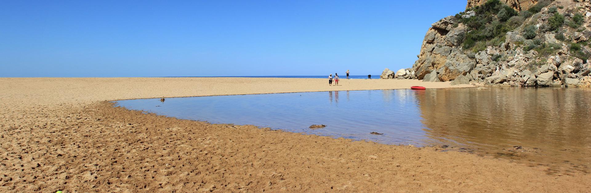 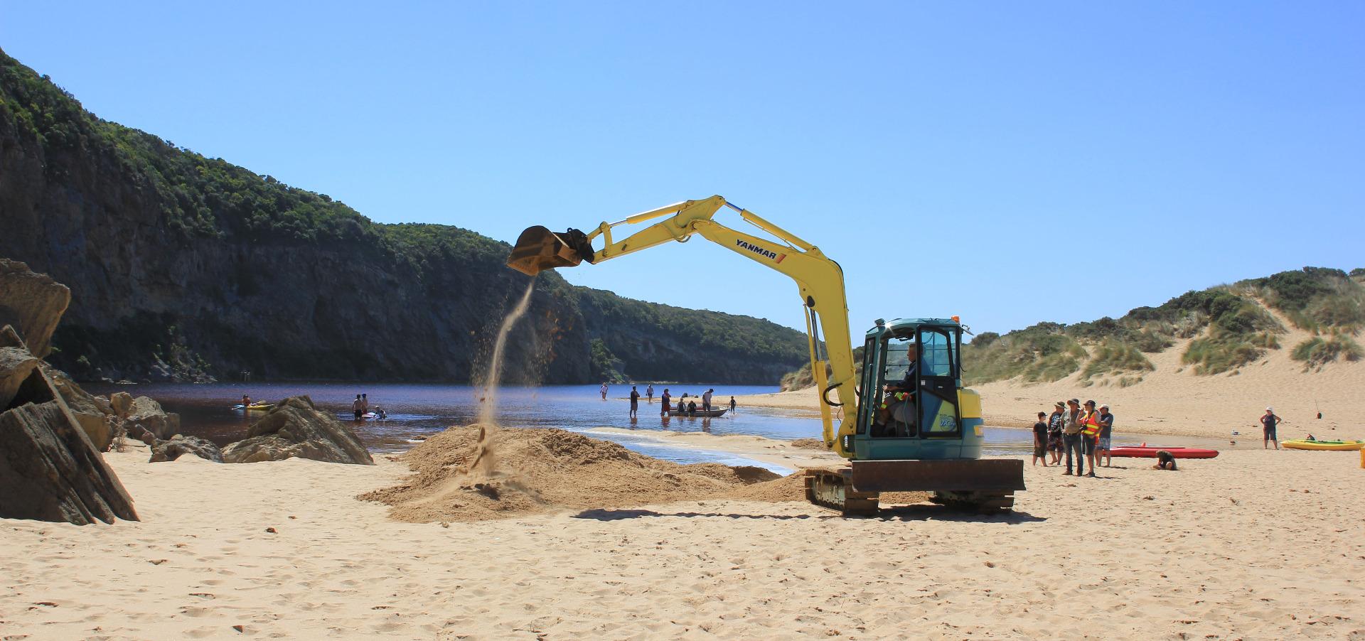 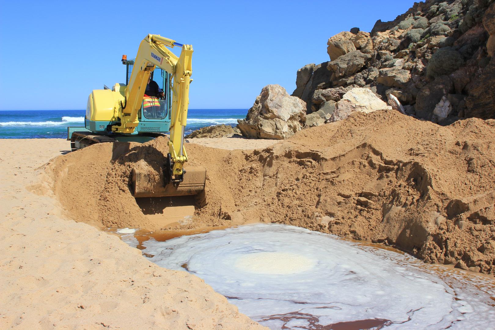 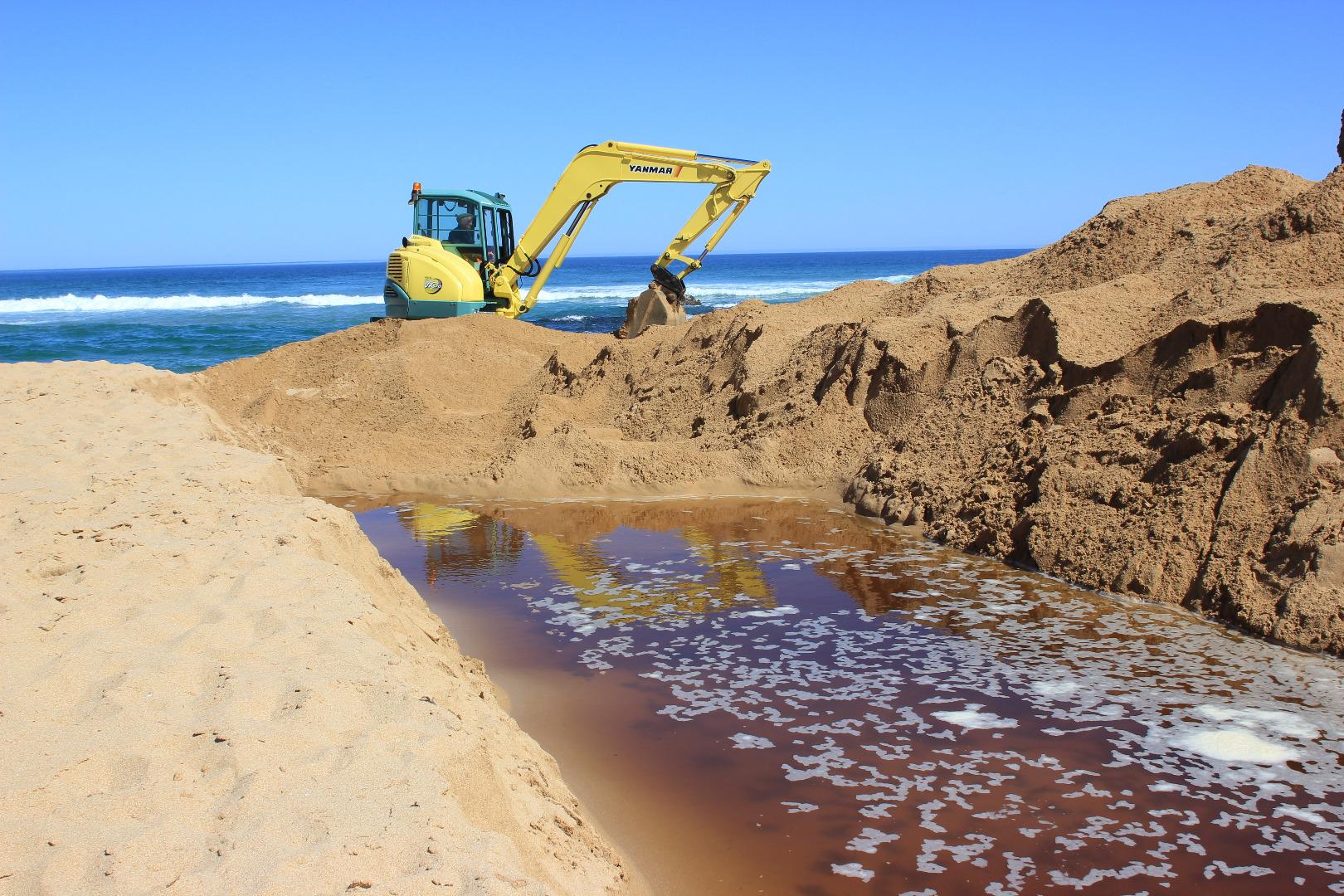 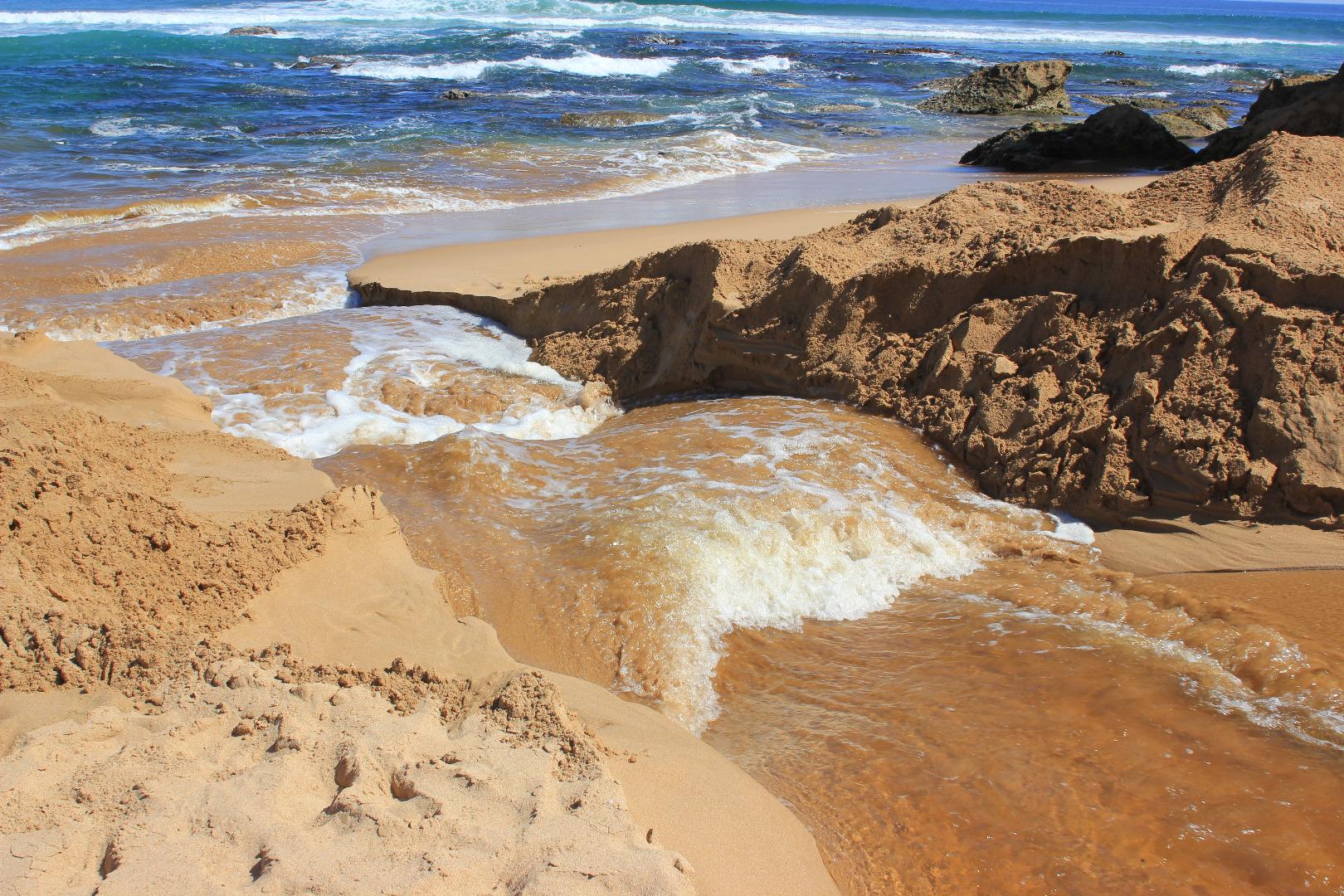 |
|
| 27-02-2018 |
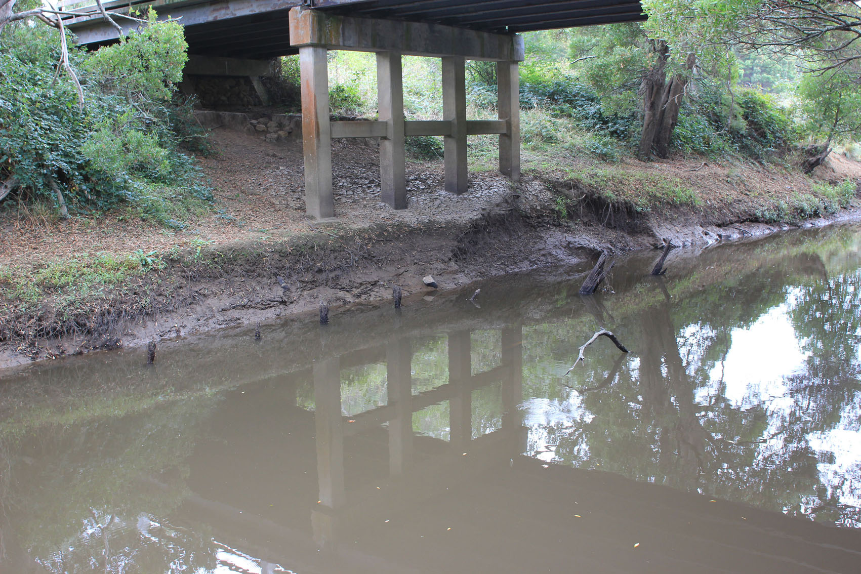
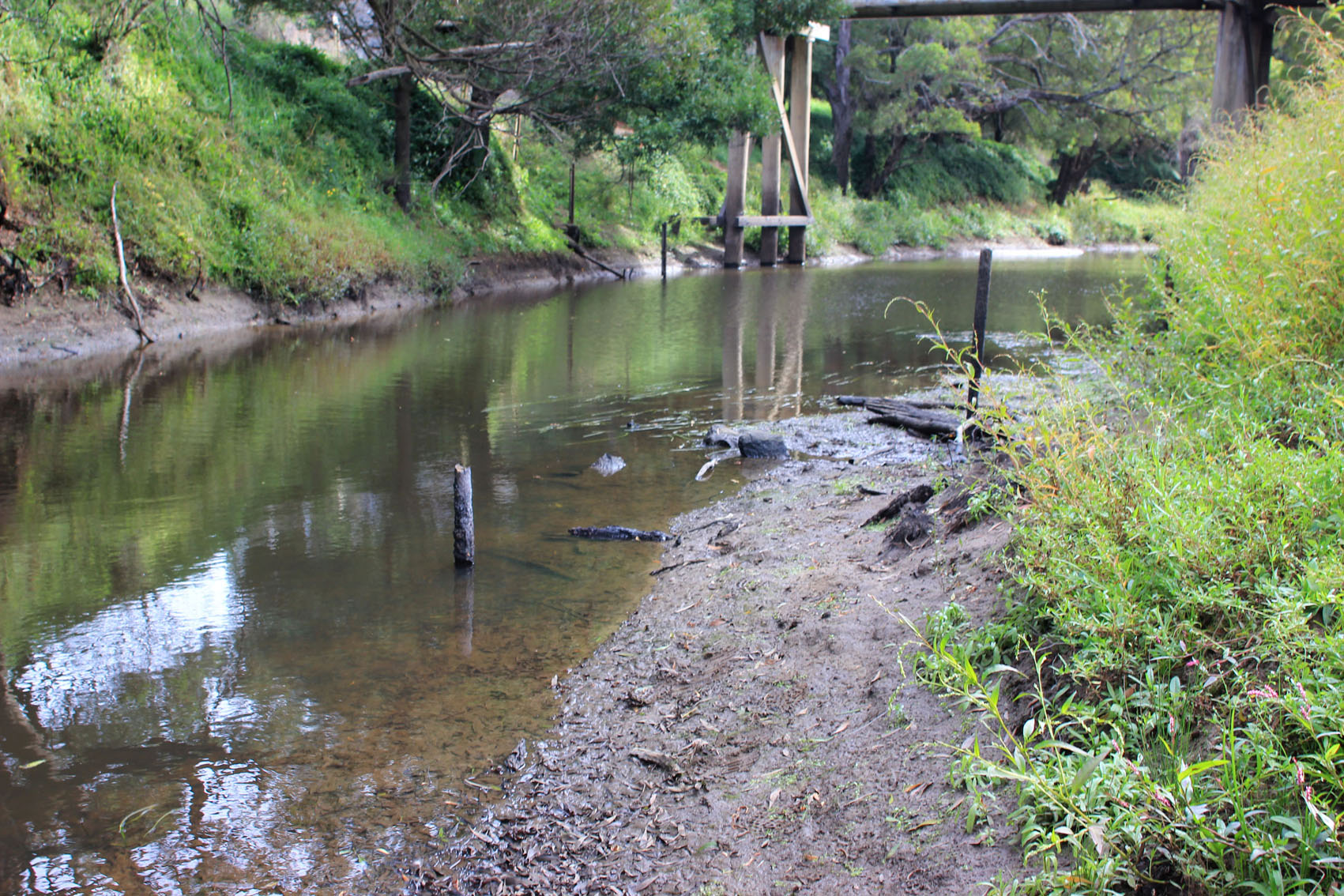
Unusual/Extraordinary occurrence! Drilling to obtain core samples in preparation for construction of a new much larger bridge across the Gellibrand river (At G2 site - on the Old Coach Road, between the camping ground and Great Ocean Road) Judy Spafford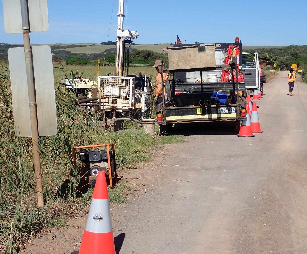 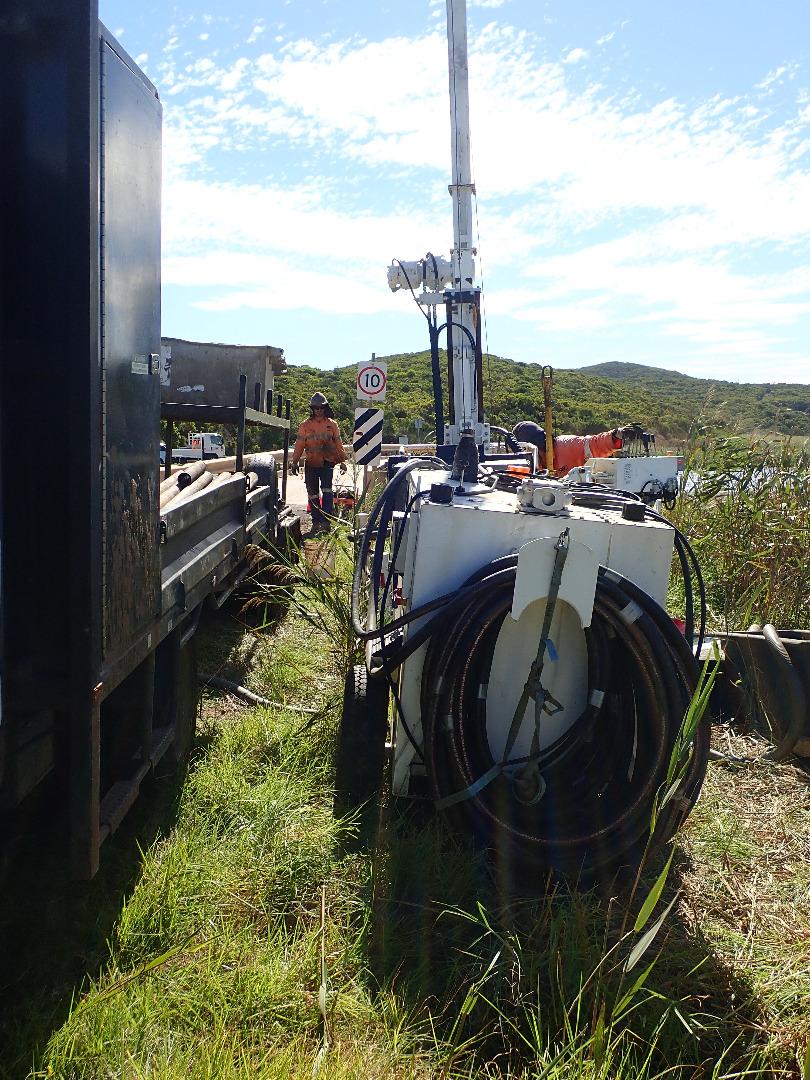 |
|
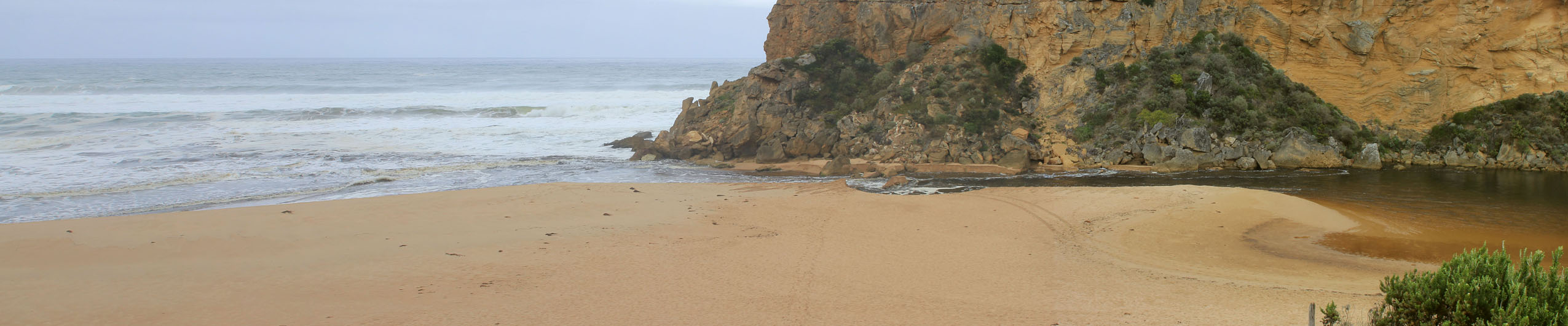
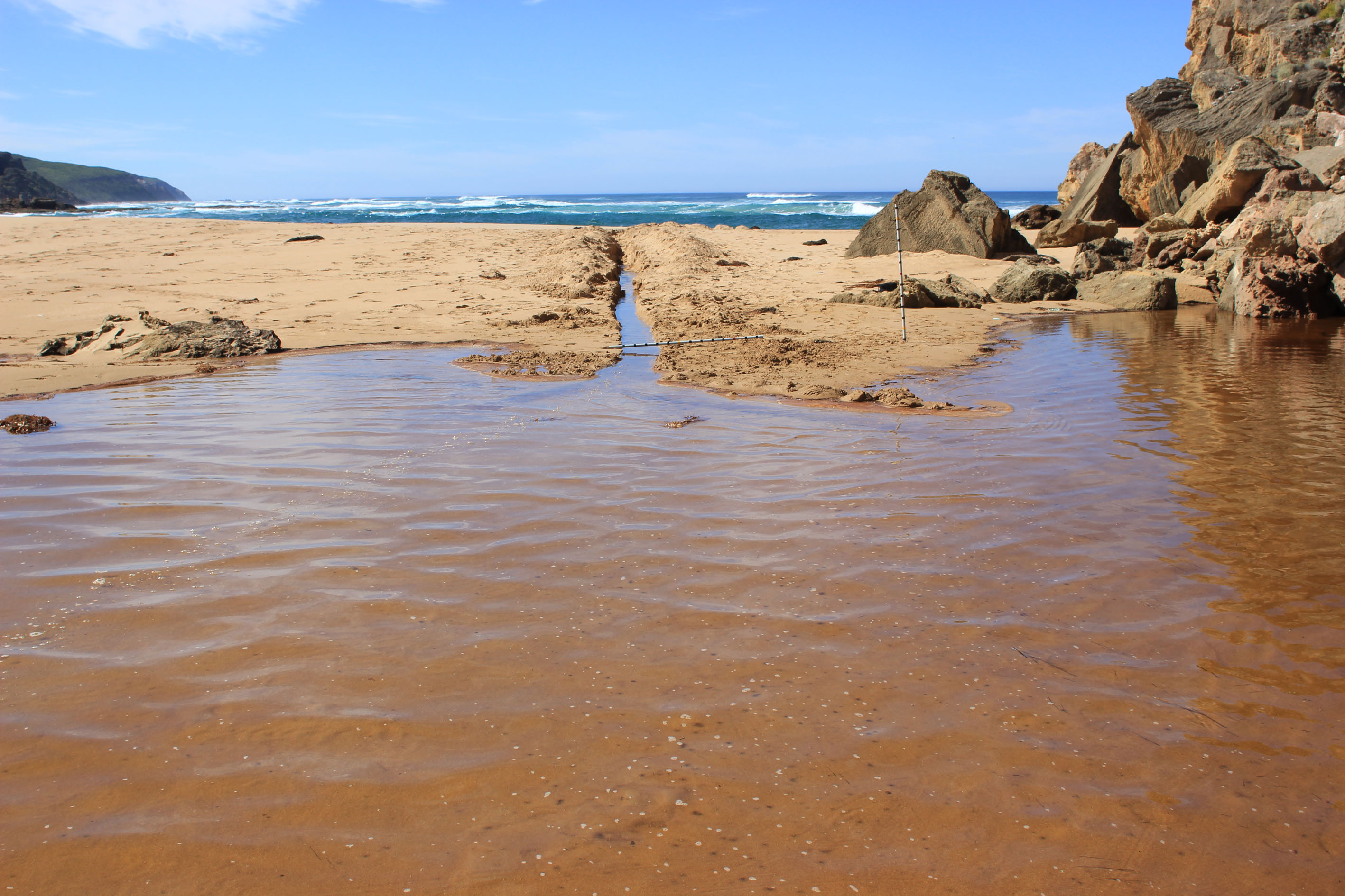
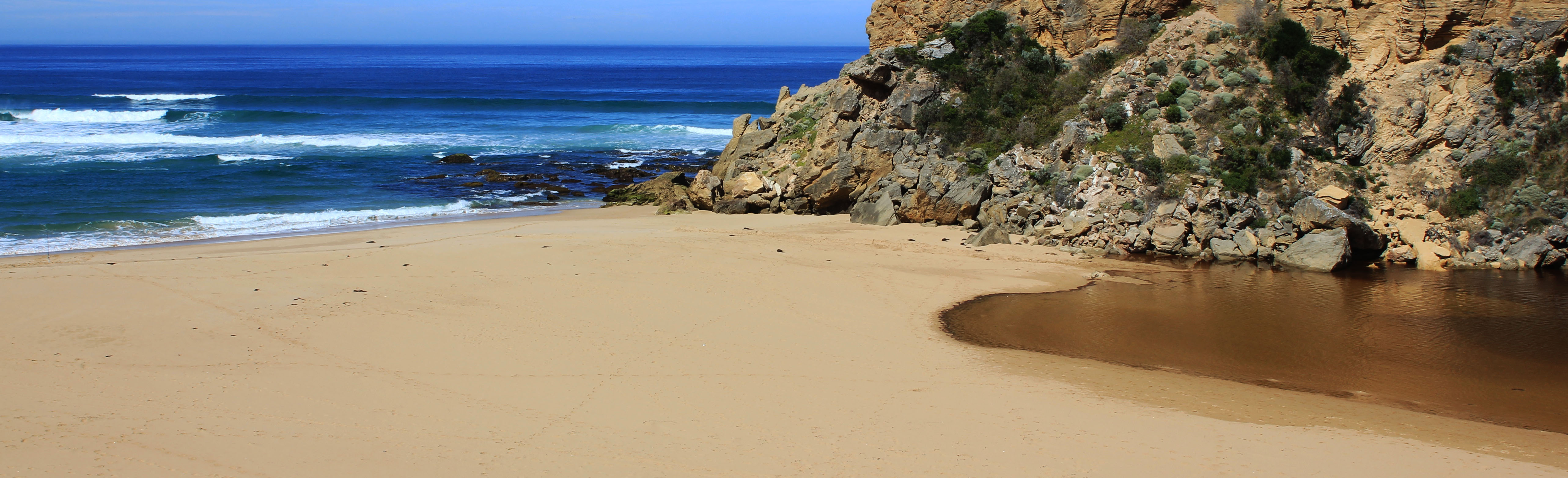
| 07-02-2018 |
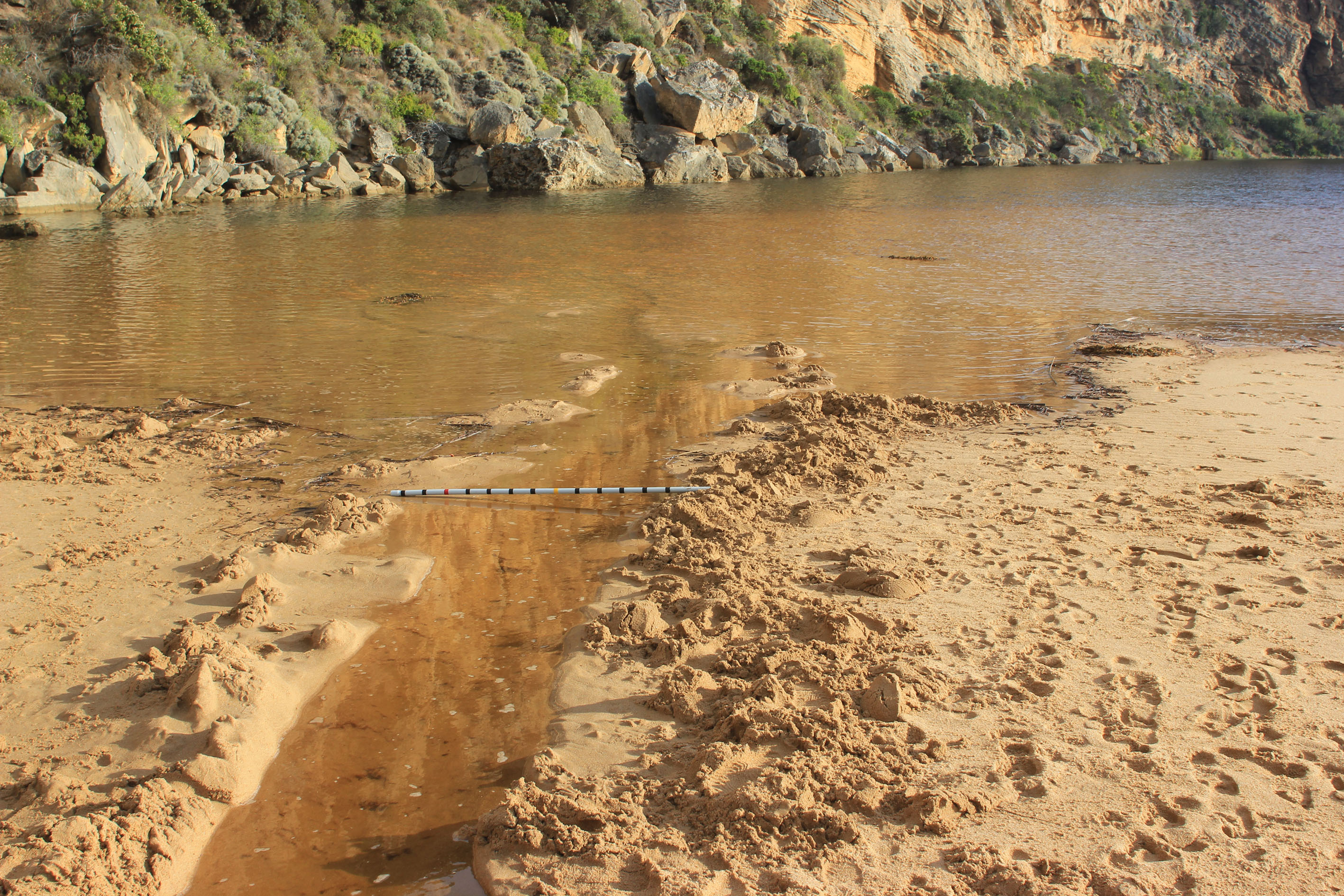
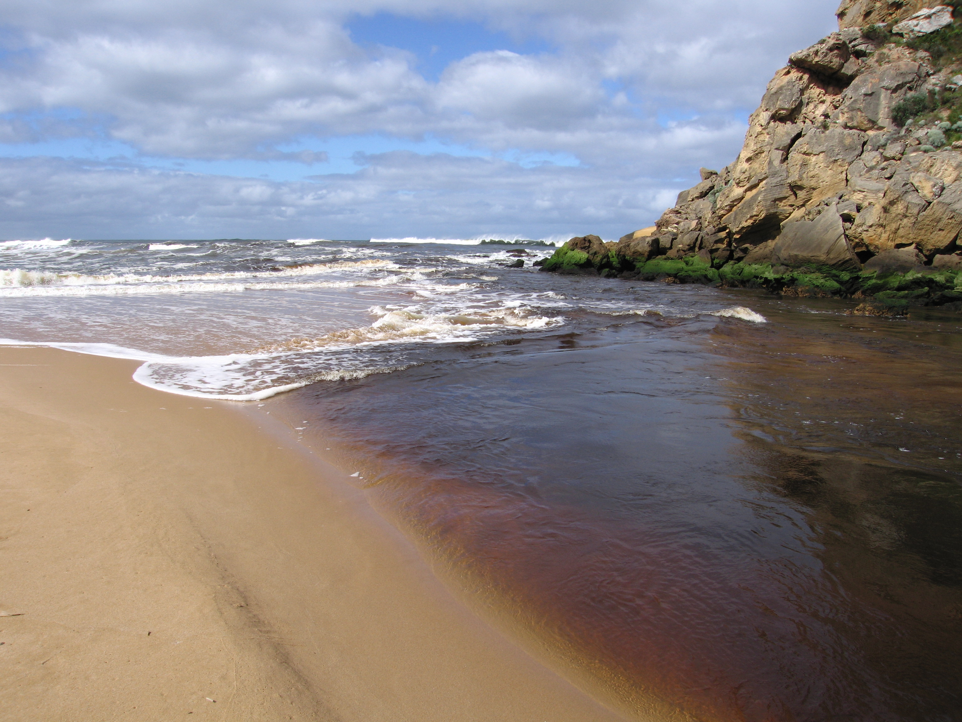
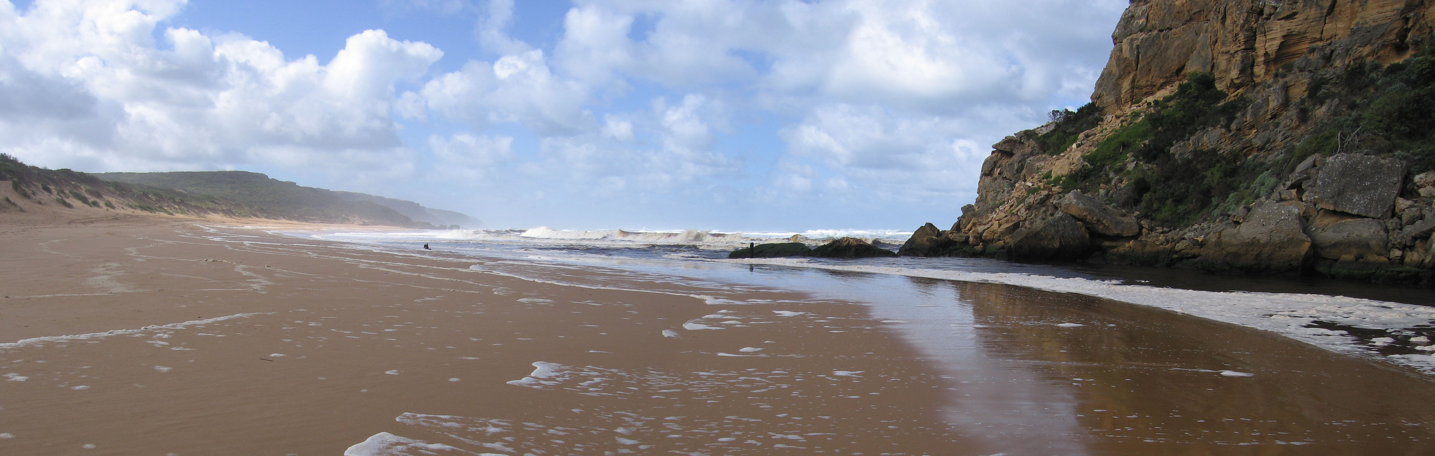
Estuary Entrance Closure Berm - Gellibrand estuary at low tide 09--22018 Judy Spafford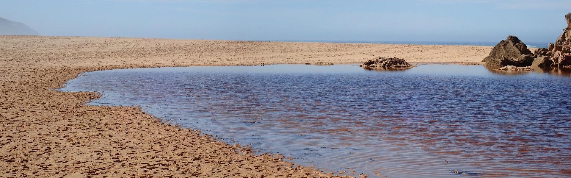 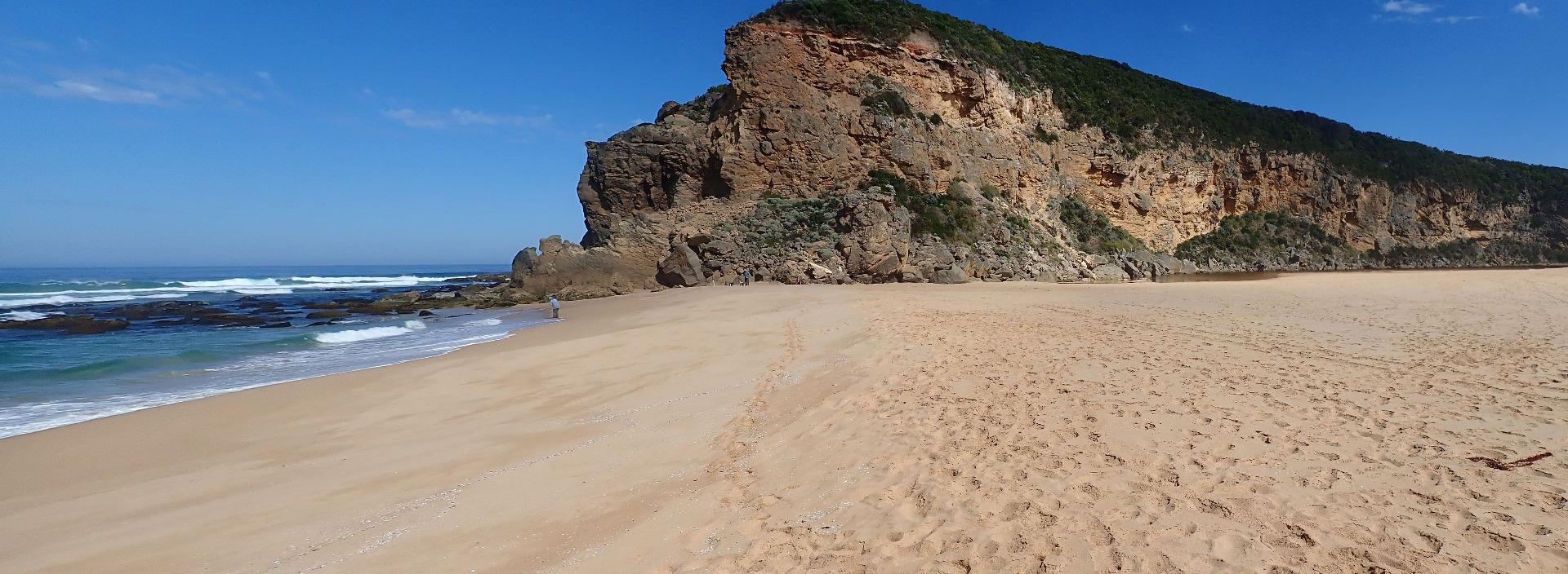 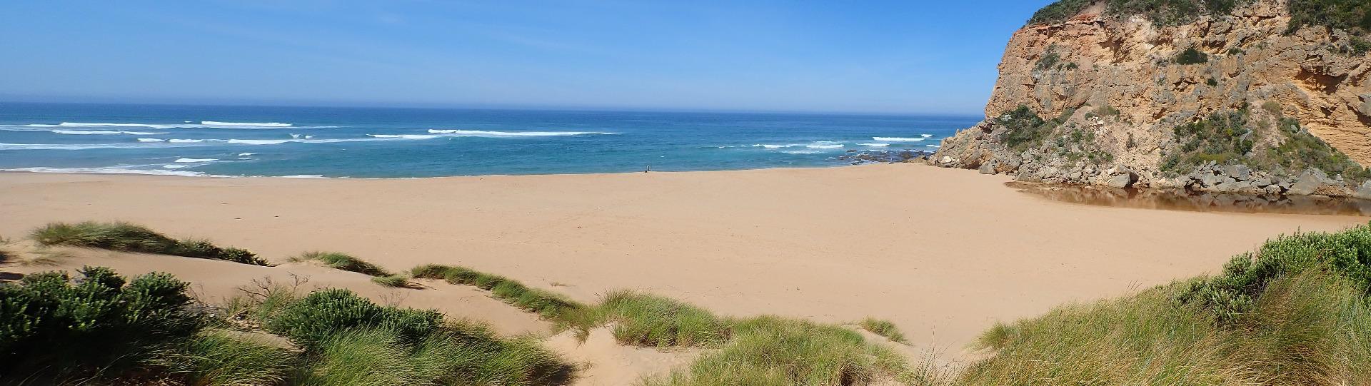 |
|
| 06-11-2017 |
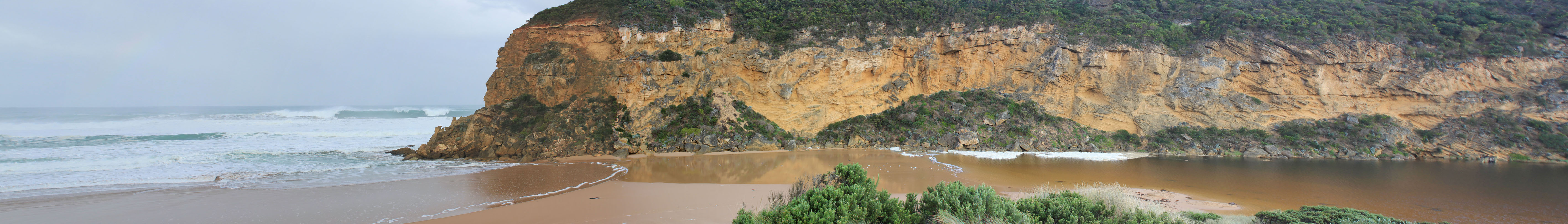
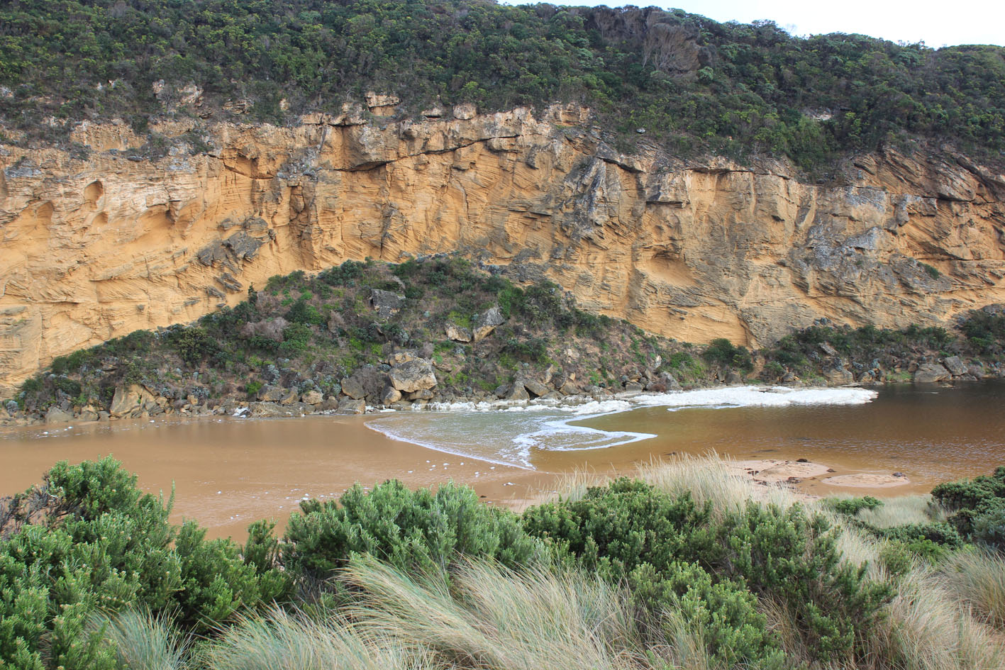
Unusual/Extraordinary occurrence! Rockfall from high up on western cliff face (also more down from south side of Pt. Ronald) Very large rock has fallen into the channel in line between existing rocks and cliff face Heavy rainfall, strong wind & very rough seas will have contributed to this event Judy Spafford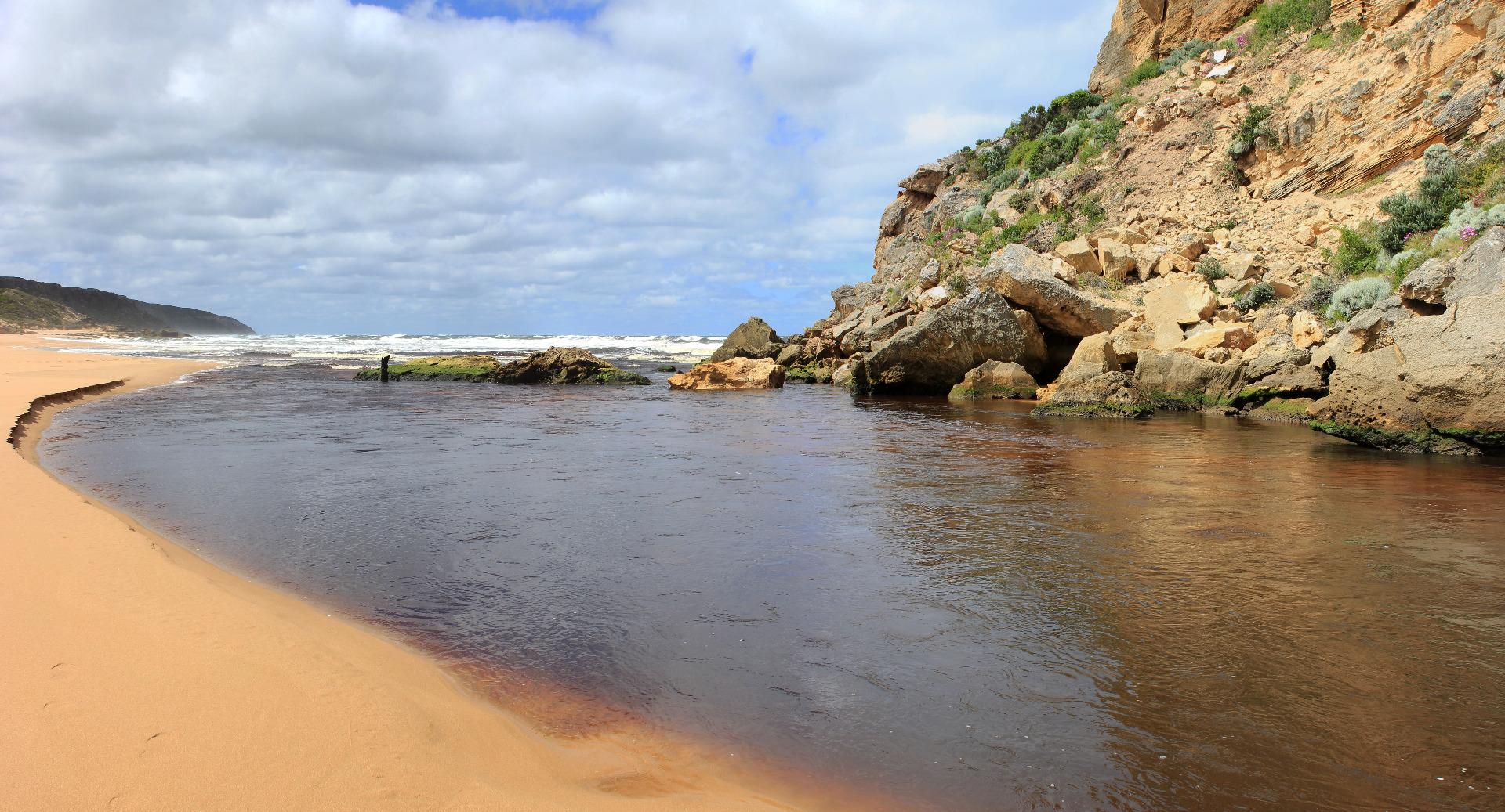 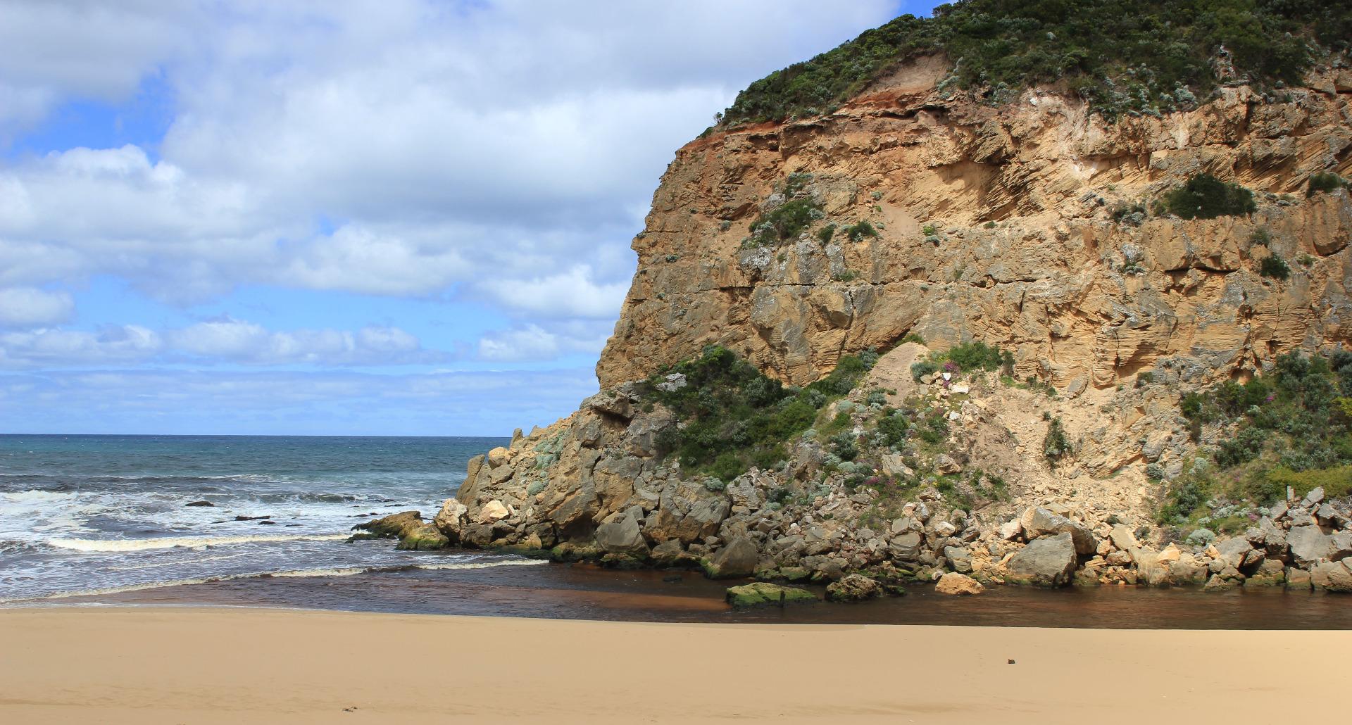 |
|
| 24-06-2017 |
Unusual/Extraordinary occurrence! Whirlpool formed at meeting of channel & estuary- wave surge resulting from high tide & rough sea Judy Spafford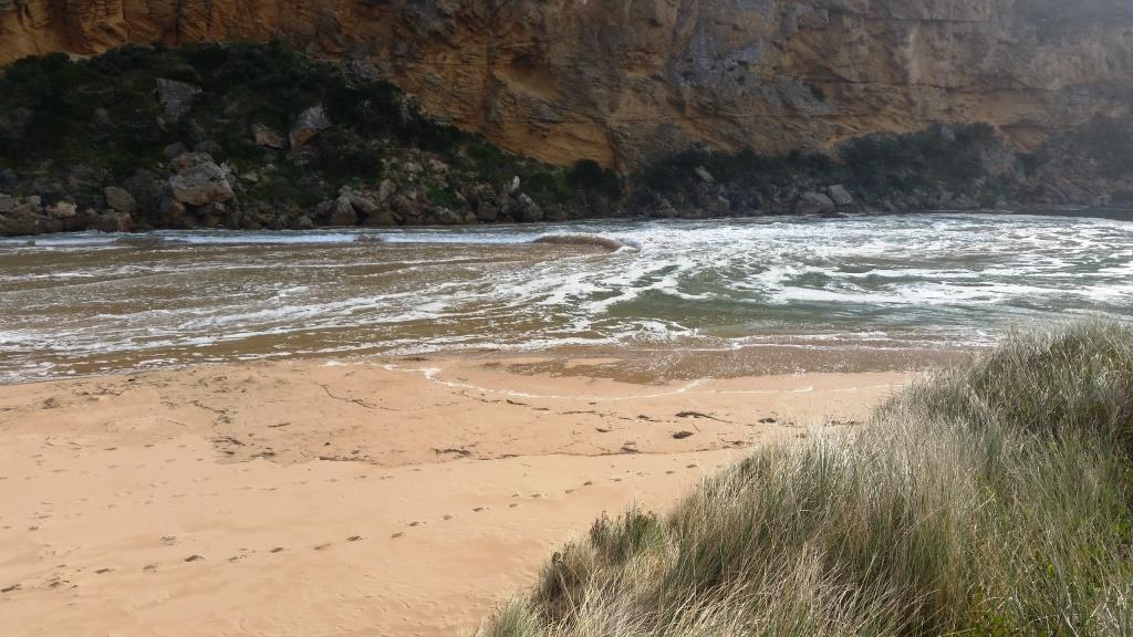 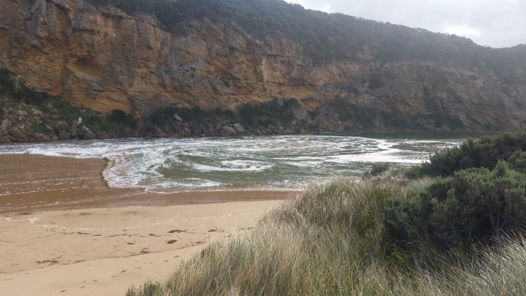 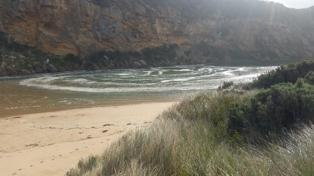 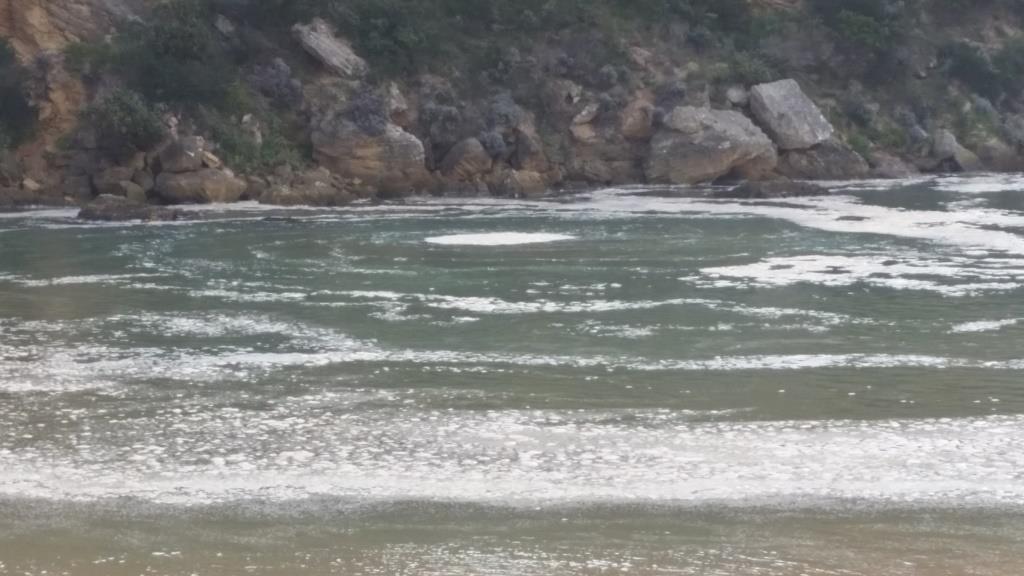 |
|
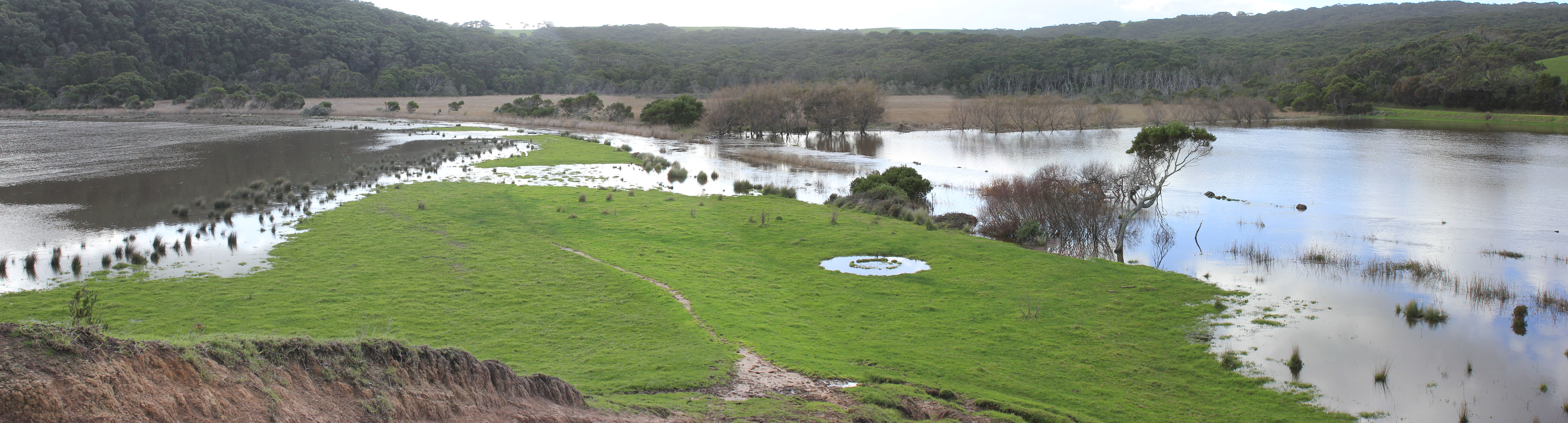
| 31-05-2017 |
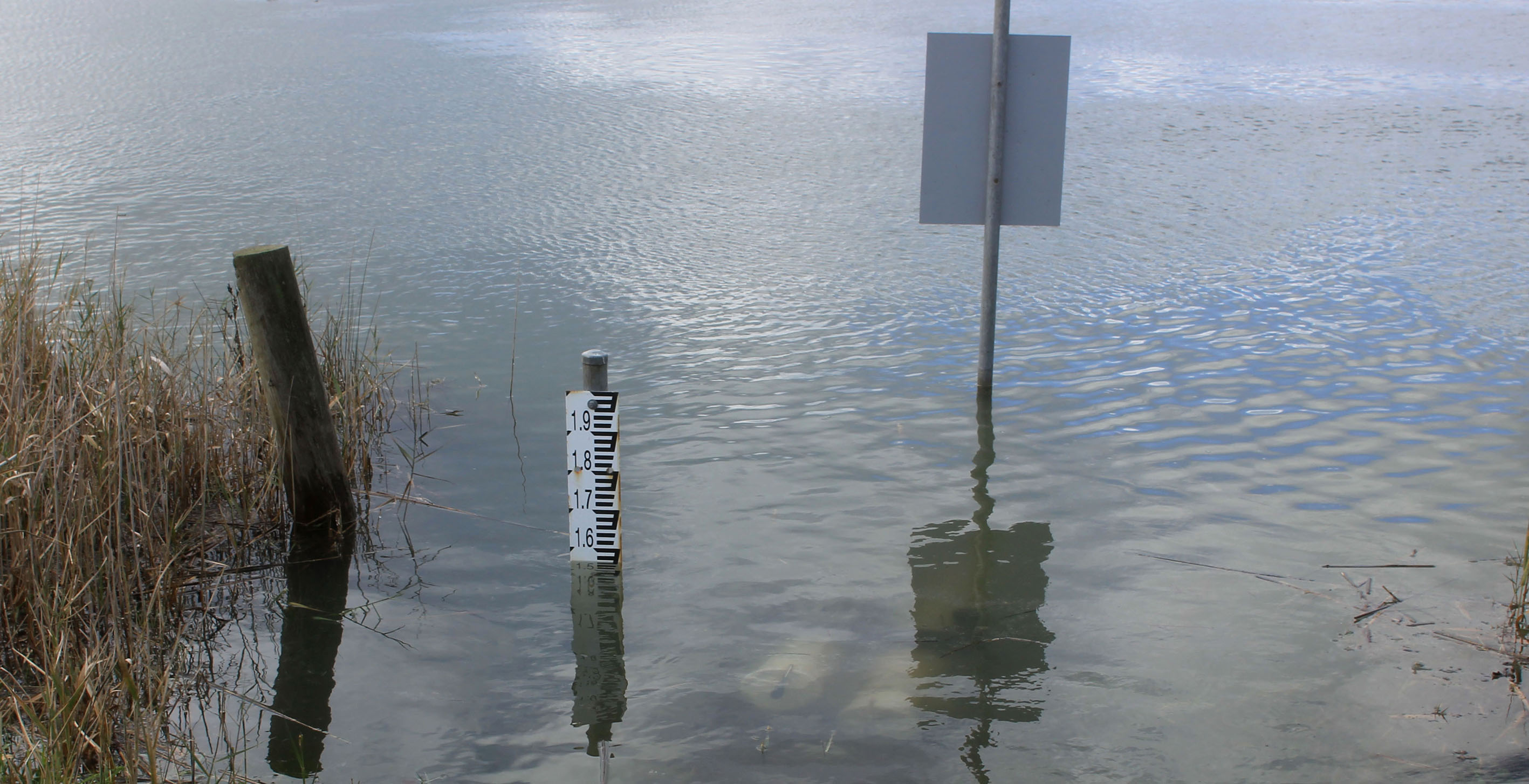
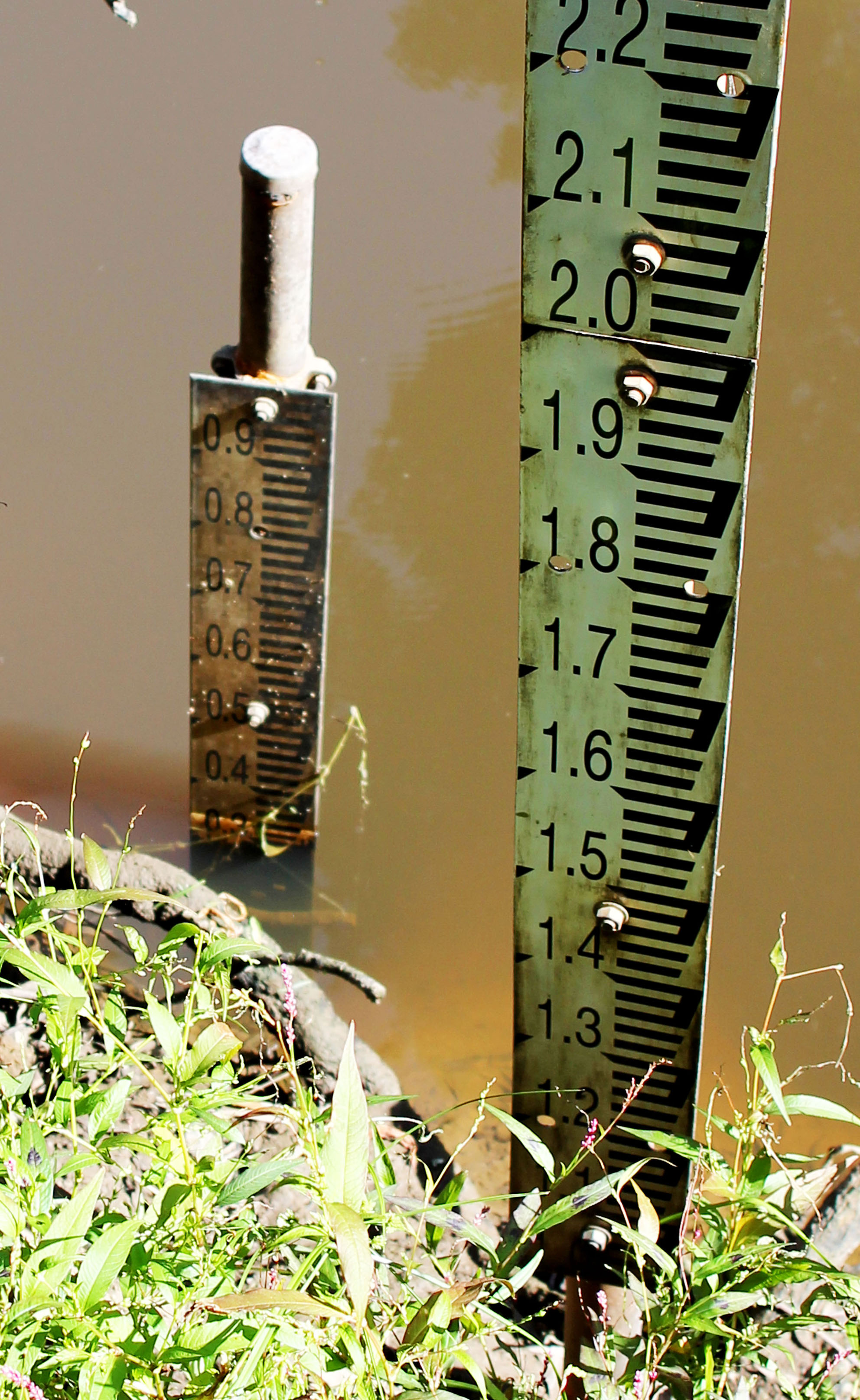
Estuary Entrance Opening Gellibrand River estuary natural opening overnight. Water level peaked at 1.786m AHD. Rose Herben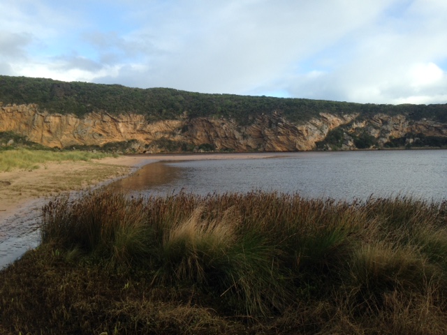 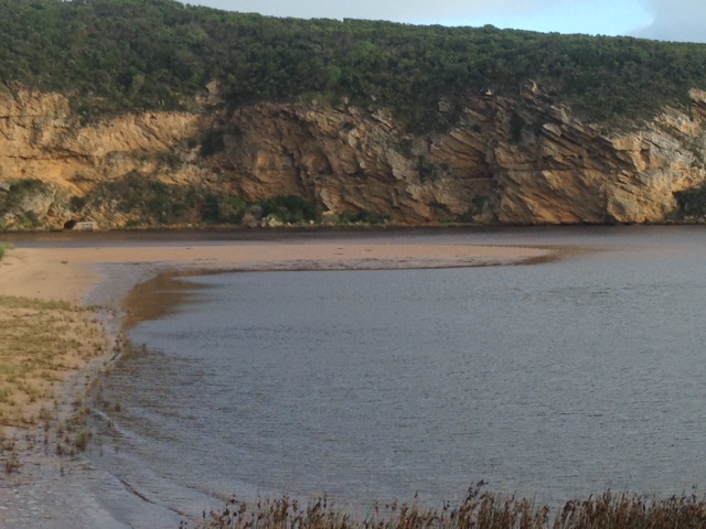 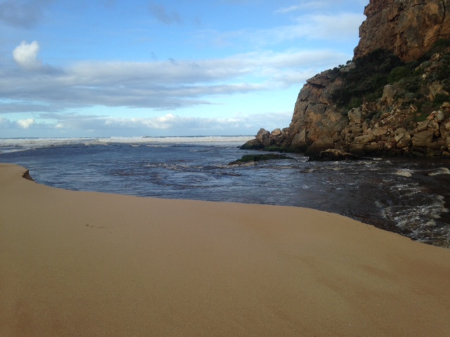 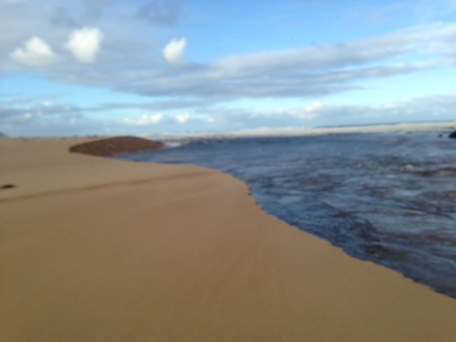    |
|
| 23-02-2017 |
Estuary Entrance Closure Large berm formed jspafford 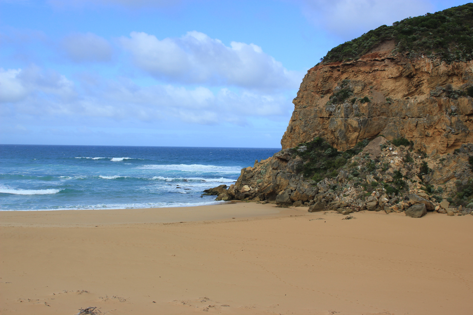  |
|
| 12-05-2016 |
Estuary Entrance Opening Permitted artificial estuary opening 1.84m AHD. Rose Herben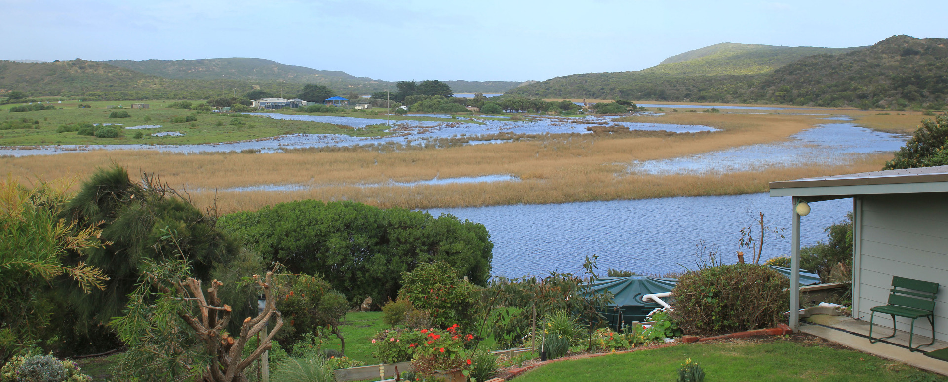 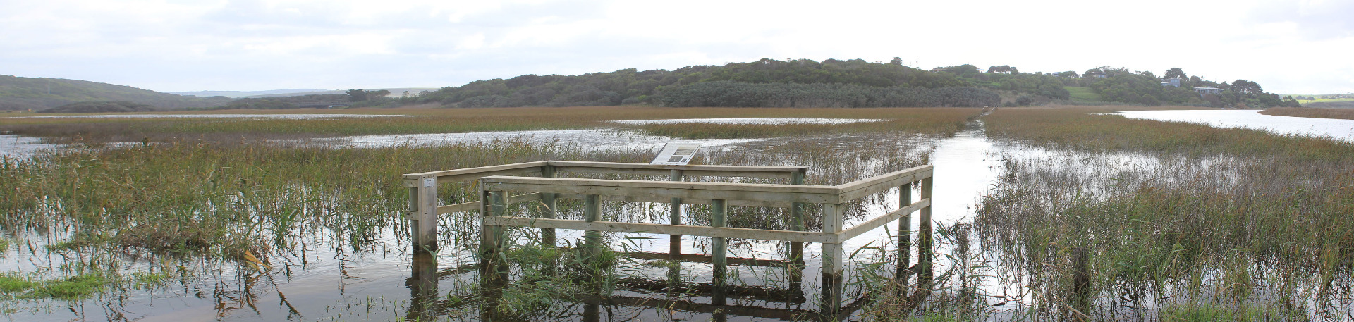 |
|
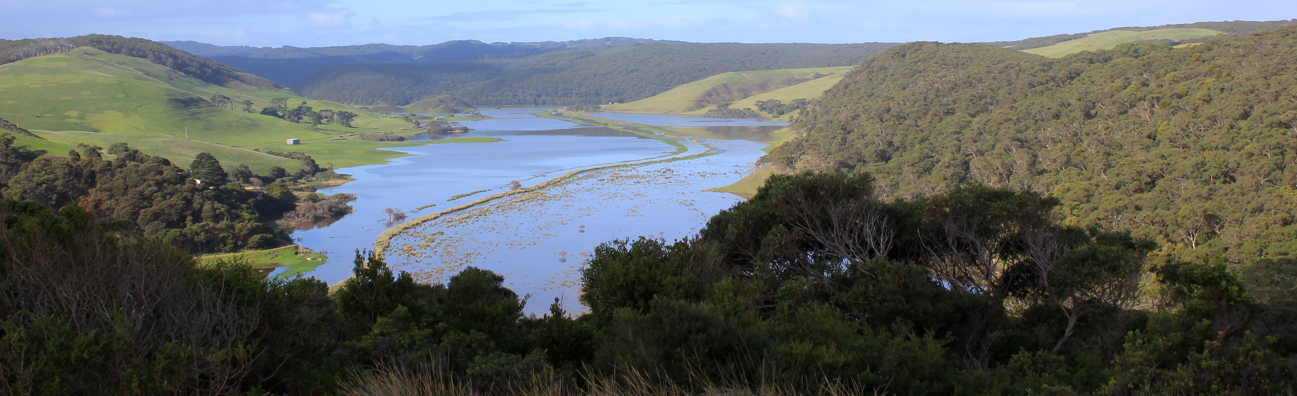
| 11-05-2016 |
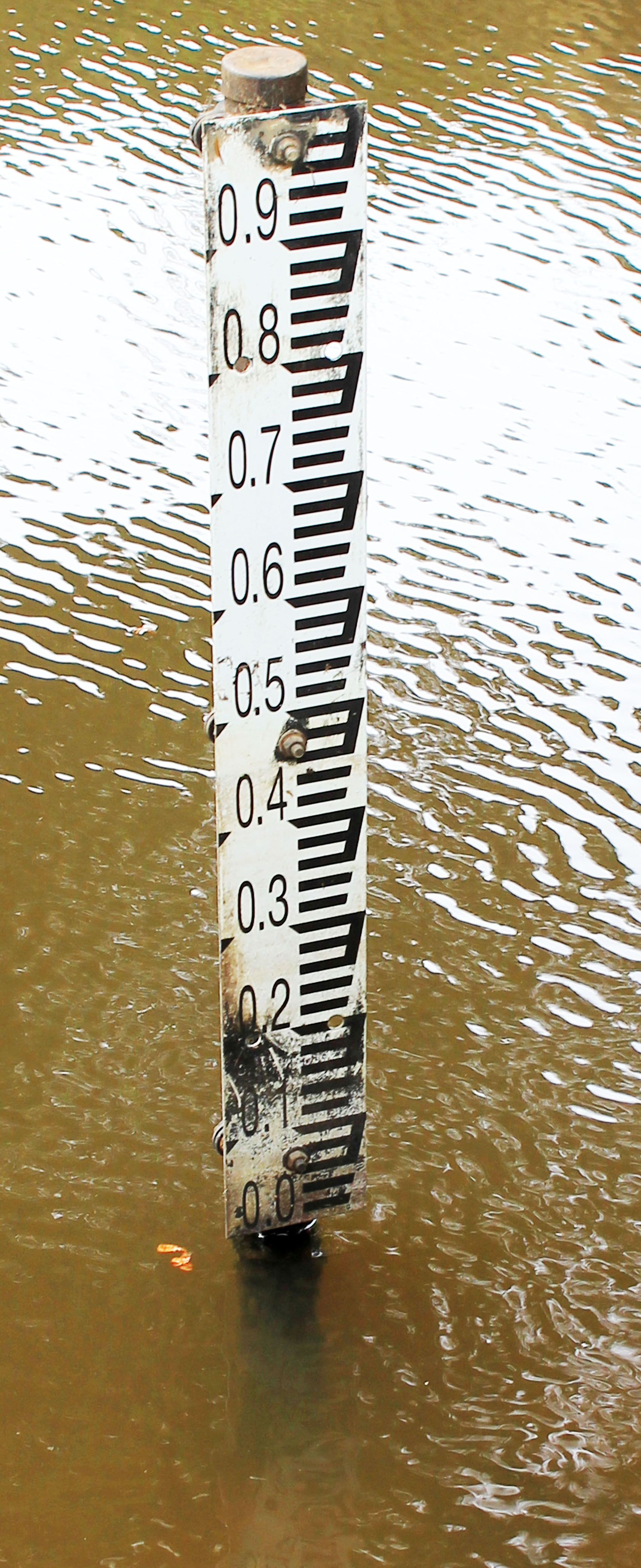
Water level Water level recorded as 1.84m AHD at the Old Coach Road bridge. Extensive flooding observed. Rose Herben |
|
| 10-05-2016 |
Estuary Entrance Closure Estuary mouth closure. Water level 1.81m AHD. Rose Herben |
|
| 09-05-2016 |
Estuary Entrance Opening Permitted artificial estuary opening 1.79m AHD. Rose Herben |
|
| 04-05-2016 |
Weather Event Large swell predicted for the south west coast of Victoria on Tuesday May 3 and Wednesday May 4. Sea was recorded overtopping the berm. Rose Herben |
|
| 05-04-2016 |
Estuary Entrance Closure Estuary entrance closure. 1.02m AHD. Rose Herben |
|
| 12-03-2016 |
Estuary Entrance Opening Permitted artificial estuary opening. Water level prior to opening was 1.44m AHD. Rose Herben |
|
| 12-03-2016 |
Estuary Entrance Opening The river mouth was artificially opened at about 3pm, to coincide with a high tide. The AHD level at G2 prior was 1.46. Initially the release was slow and controlled but gained momentum overnight and was fairly ripping out when Judy and I inspected at 9am-ish the next morning. No evidence yet of any fish kill, though a lot of small fry have been stranded. The AHD level at 11.30-ish was down to 0.54 - after monitoring G2 and L1. Rose Herben |
|
| 18-01-2016 |
Estuary Entrance Closure Estuary closed to the sea 0.44 m AHD Rose Herben |
|
| 26-12-2015 |
Estuary Entrance Opening Artificial estuary opening. Water level at G2 was 1.43m AHD prior to the opening. Rose Herben |
|
| 01-05-2015 |
Estuary Entrance Opening Natural opening of the Gellibrand River estuary. 1.46 AHD. Rose Herben |
|
| 25-04-2015 |
Weather Event AHD at G2 yesterday (Friday 24th) at 2pm was 1.08 (with a beautiful Nankeen Night Heron beside the gauge - just looking at me!) AHD at G2 today (Sat 25th) at 4pm was 1.23-4 (due to surface waves). Seas rough to v rough so I hope to get down to the mouth tomorrow, weather permitting. Chris Rose Herben |
|
| 01-04-2015 |
Estuary Entrance Opening Gellibrand River Estuary artificially opened. Water level at G2 1.60 m AHD. Rose Herben |
|
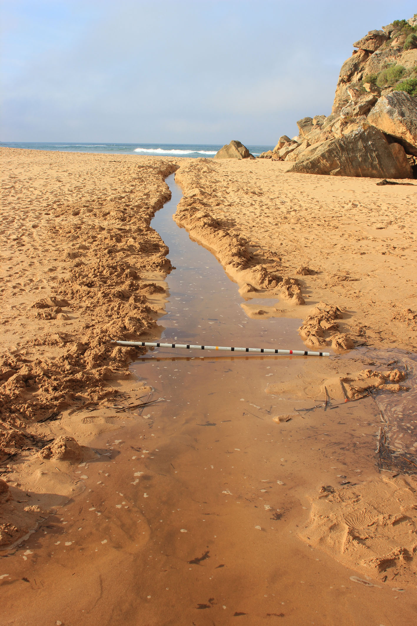
| 04-02-2015 |
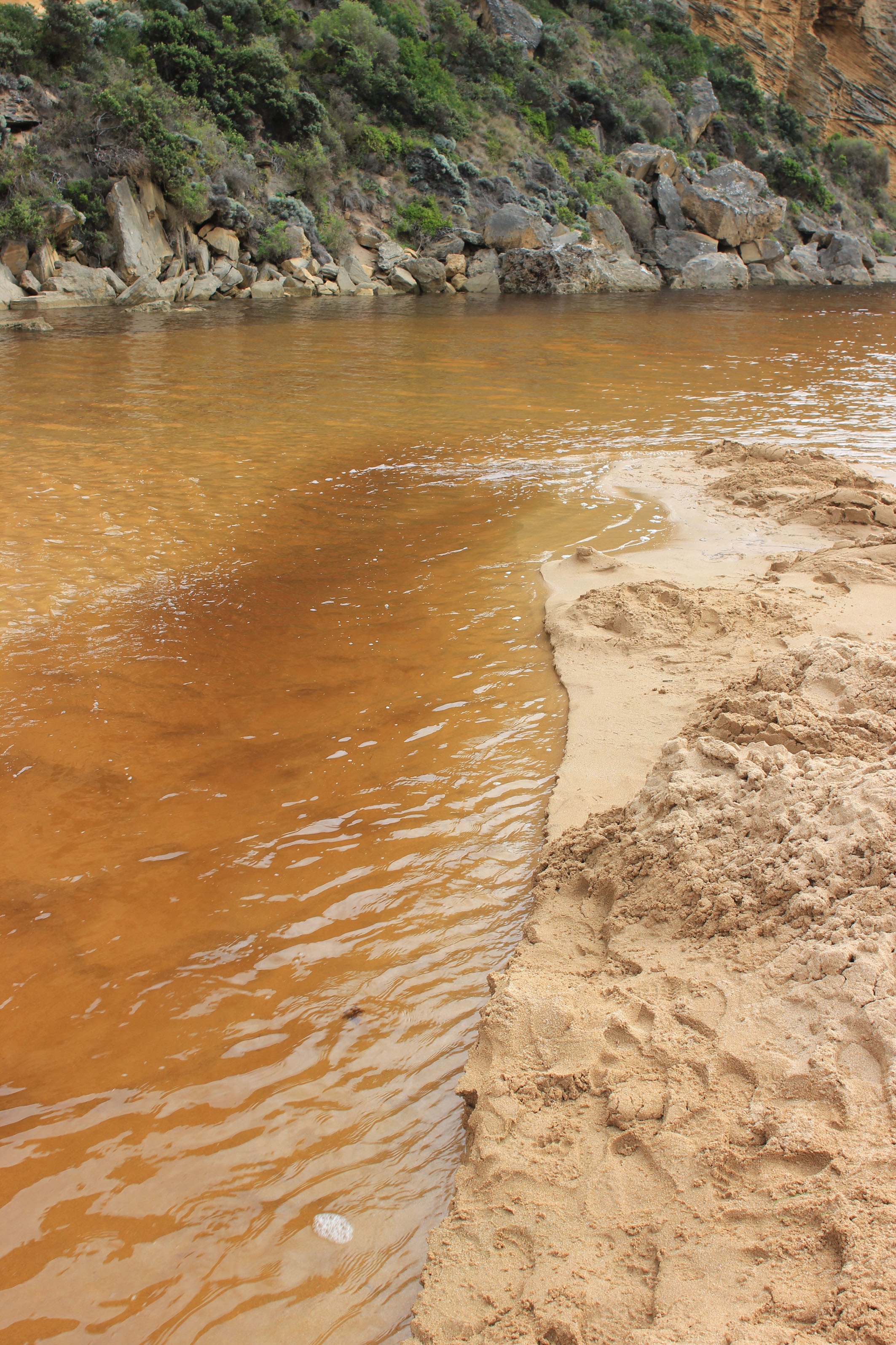
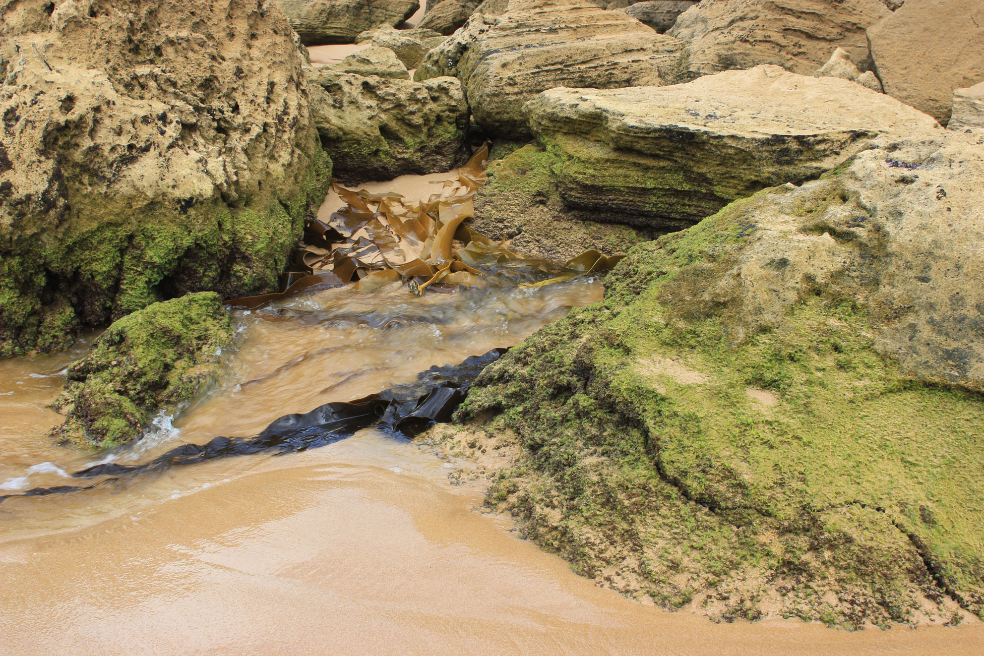
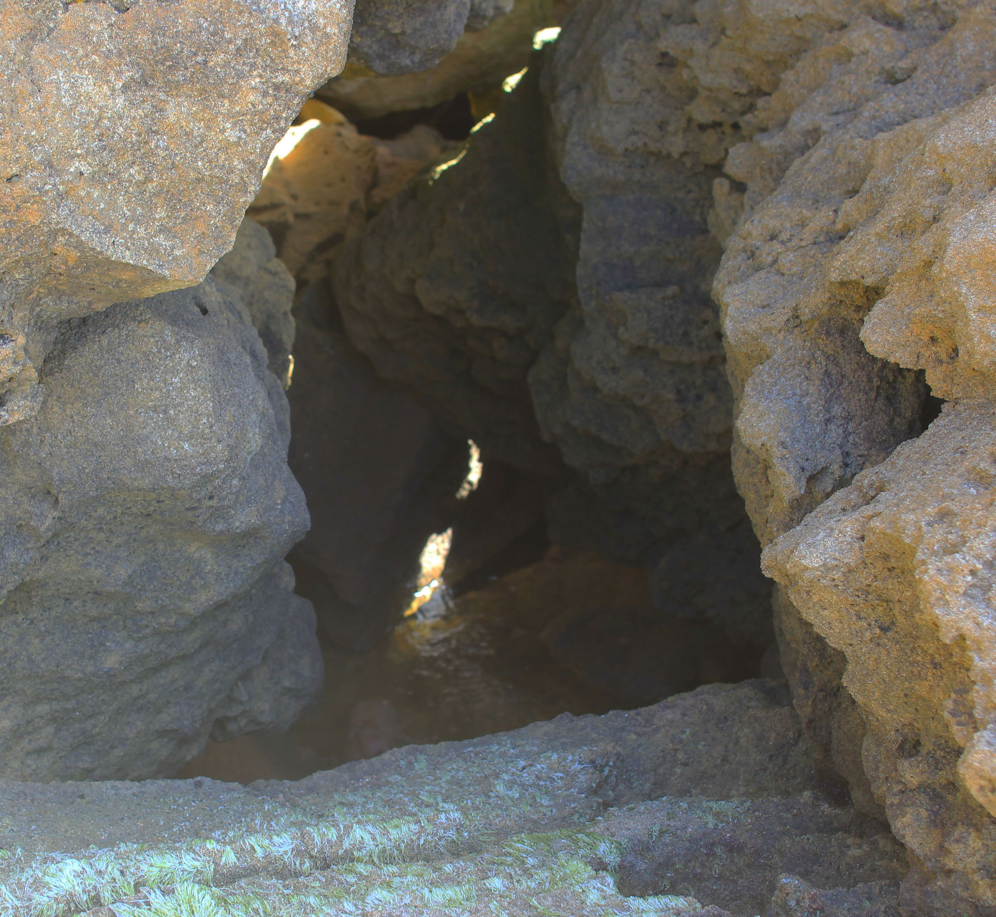
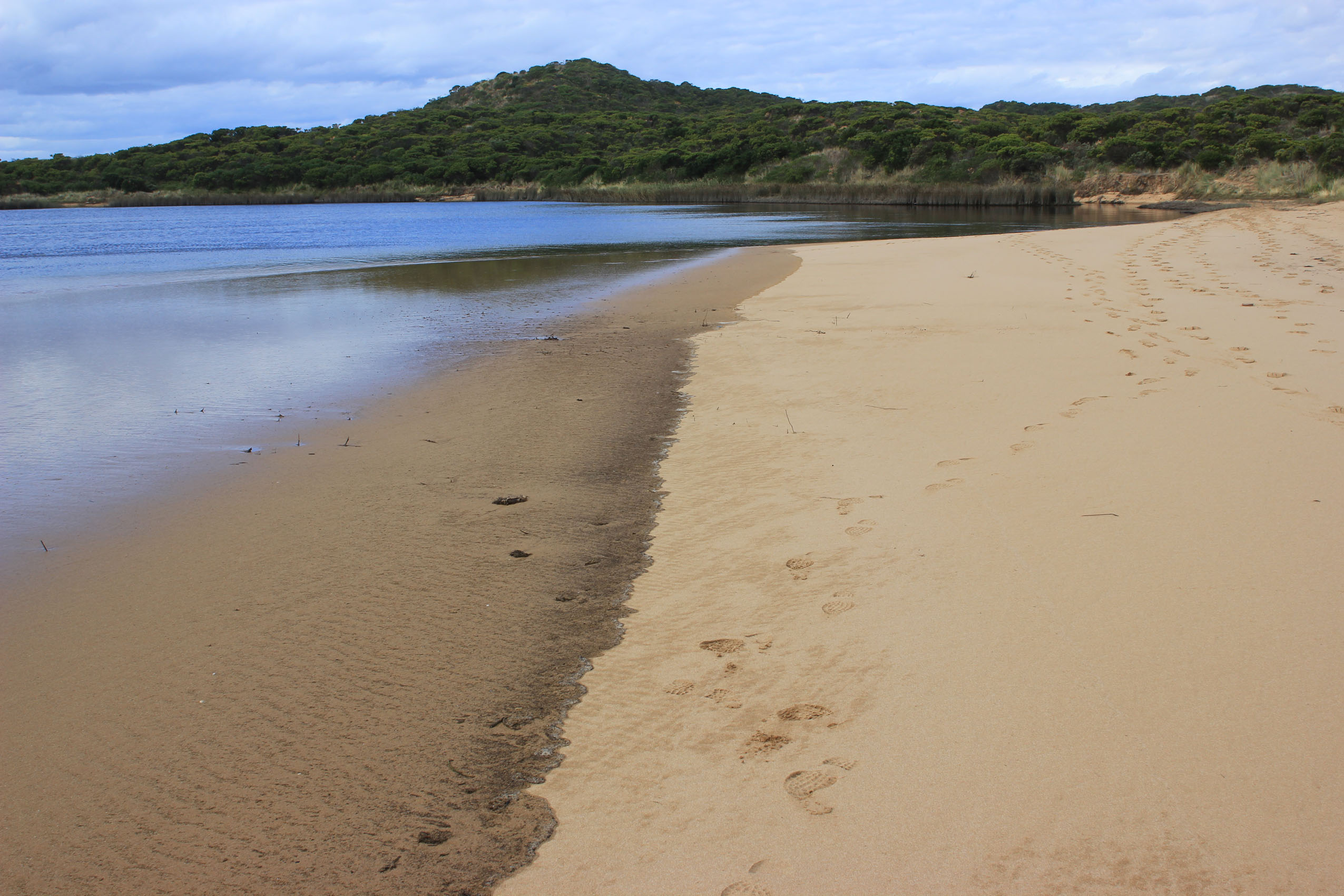
Estuary Entrance Opening Hi Rose, Interesting day AHD G6 1.22 @ 09:00 G2 1.23 @ 09:30 8481 Very big change from 29/01/15 The berm is now only 14m. wide at the narrowest/lowest part -height from river to top of berm 0.35m and height from sea to the top of the berm is 0.5m. However the river is actually running out into the sea in a small channel through & under the rocks against the cliff. While the river may have moved forward toward the sea the channel is extremely shallow 8493 shows entry to channel through rocks 8495 water flowing under rocks 8457 entering ocean. At this point there is currently some exchange with waves but higher up none. However at hi tide ( 1.06 @ 02:11) it is likely that the waves were over this area & also the berm More coming Judy Rose Herben |
|
| 24-01-2015 |
Estuary Entrance Closure Estuary closed. Rose Herben |
|
| 12-01-2015 |
Estuary Entrance Opening Permitted artificial estuary opening. 1.38m AHD. Rose Herben |
|
| 24-06-2014 |
Weather Event Am just back from a quick walk to the OCR bridge - the AHD was 1.48, surging to 1.49 (almost 1.5) It's so strange seeing the river so 'green', flooding still very evident. Rose Herben |
|
| 24-06-2014 |
Weather Event I'm just in from clearing away the major mess outside, and excited to report that our normally tannin brown river is totally sea-green- as far up river as I can see from our deck (Princtown). There is absolutely no sign of any 'river water' flowing down. The flats opposite flooded to high levels within 90-120 minutes, all jetties are well under water, and looking to the estuary from here, it seemed almost like it was on fire - the spray and spume was clearly visible billowing furiously inland way past the rec reserve boundaries Chris Rose Herben |
|
| 24-06-2014 |
Weather Event
|
|
| 11-04-2014 |
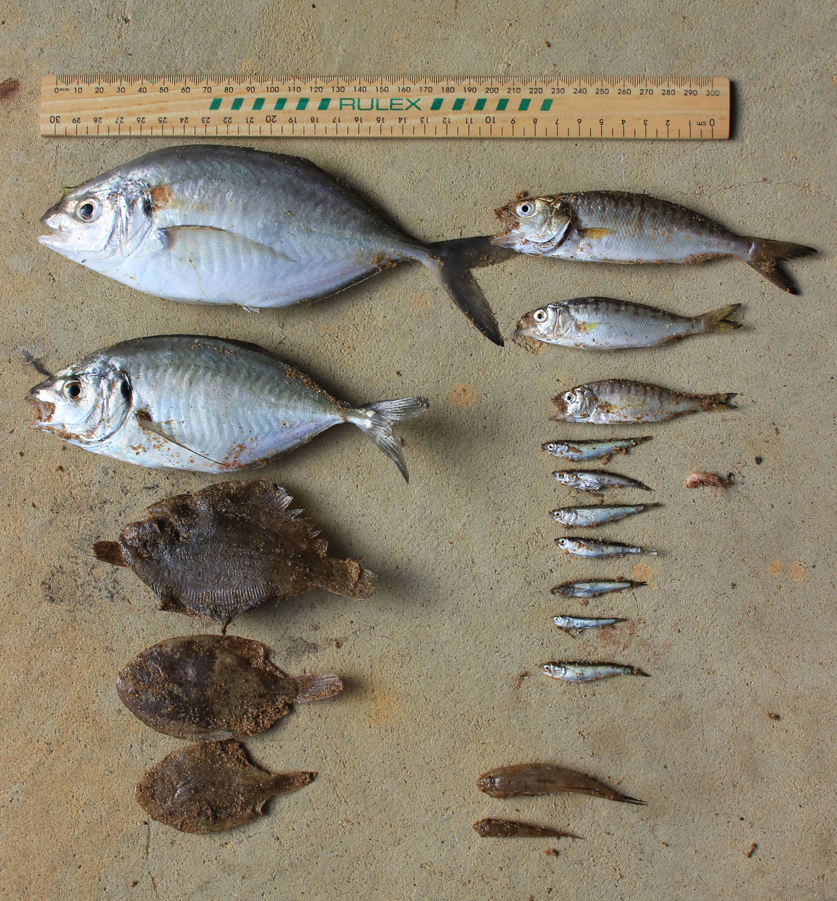
Estuary Entrance Opening Gellibrand River artificially opened 1.44 AHD. Small fish death event. Rose Herben |
|
| 18-11-2013 |
Unusual/Extraordinary occurrence! My wife and I paddle up the Gellibrand river (3-6) times a week at this time of year and have noticed that general downstream flow is more rapid (outside rainfall events) than in previous years. We paddle with an GPS enabled smartphone that records our boat speed and distance travelled. In previous years the difference between upstream and downstream sections has been neglible. This year our upstream runs are on average 1- 2kmh slower and our downstream runs are on average 1 -2kmh faster than in previous years. The section of the river most travelled is between Princetown township and Kangaroobie. When paddling we occasionally scare up Australasian Bittern often more than one in view at any given time (potentially indicating presence of pairs). Judy has expressed that we email her sightings/observations as they occur so they can be dated and recorded on the database. Also of note was a sighting of a seal Monday 18th November this week near Princetown township by a neighbour and sightings (3 in total) of a platypus in the section of river about 1.2 km upstream of Princetown townships (where concrete culverts lie above a river beach in Ted Ware's paddock) Rose Herben |
|
| 15-05-2013 |
Weather Event 43ml rain yesterday Total since 12/05/12 = 92.5ml (for month 92.4 +7 = 99.5ml.) My neighbour who is closer to the sea (Moonlight Head) has had 120ml since 12/05/13 This is close to what we had 04/03/08 (in one day)when Princetown flooded Chris H. has got 94 for the month so this is close to my total It is still raining heavily at this time Judy Rose Herben |
|
| 02-05-2013 |
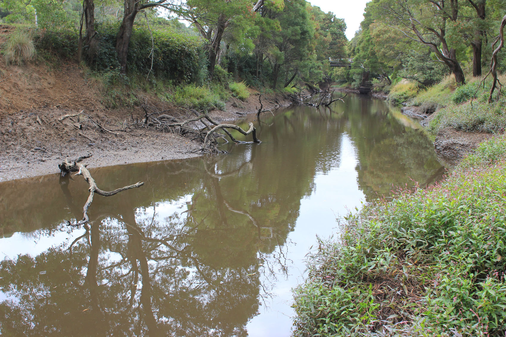
Estuary Entrance Opening Seems that we had a natural opening possibly sometime last night, there were no signs that I could see to indicate that it could have been otherwise The fresh drag patterns in the sand along the south of the estuary were unmarked except for fox prints which indicates recent Flow is along base of cliffs to rocks where it curves then turns to s/w Discharge to south, west & to a lesser degree along shoreline to east ( longshore drift is working) The channel is fairly wide but not deep, flow moderate, sand build up is visible directly in front of rocks No sign of any fish ¿dead or alive & birds have left the estuary Flats upstream have water only in very low areas & are waterlogged. G6 AHD has dropped to 0.81 despite the rain so the out flow may not be sustained Judy Rose Herben |
|
| 21-04-2013 |
Unusual/Extraordinary occurrence! The river has dropped dramatically- height may even be below that during the 2005-06 drought I intend to get out the photos that I have to compare ¿later!!! These photos 21/04/13 show AHD at G6 & Burrupa ¿ the one of Burrupa is between 4 -6cm above the water level The one from G6 is hard to read ¿ but is 0.32 @13:20 Burrupa is about 15 mins later. More coming Judy Rose Herben |
|
| 18-04-2013 |
Unusual/Extraordinary occurrence!
|
|
| 13-04-2013 |
Estuary Entrance Opening Mouth illegally opened 13/04/13 by tractor (entered top track beside locked gate)Late afternoon 13/04/13 Mouth opened about 20-30m wide. Side of steep cliff on east about 3m. high Very strong dark & smelly flow meeting rough s.w sea. Strong longshore drift (1 dead fish near mouth Trout?) Water only on side of OOR & OCR, more extensive flooding in camp ground Increase of water on Coe¿s mid flats & greatly increased flood water visible on Pacer¿s (G50) 8ml rain G6 - 13/04/13 Eel fisherman just managed to rescue net & catch ( had been catching & releasing interesting fish previously - Blue throated wrasse, ling also large healthy brim noted) Up until now there have been a large no. of very interesting birds on the wetlands Judy Rose Herben |
|
| 12-04-2013 |
Unusual/Extraordinary occurrence! Just checked a sample of water on the flats at G5 (Pacers) Ph. 6.8 D.O. % 79.2 mg/l 7.15 there have been complaints about the `bad stinking water¿ but while this is a bit yellow in colour & full of nutriments from Ferrari¿s cattle the D.O. is ok but there has been rain over past days so probably run off is a large percentage total rainfall 11/12th April 5ml So far both Kim & I haven¿t managed to find any really bad water on the flats despite some smell However there has been rain ¿ We want to be ready for next year so we can really establish some facts about `Black¿ /¿ Bad smelly water¿ Also forgot to mention that there were over 6 Magpie geese in wetlands north of Princetown on Monday ¿also a Bittern Judy Rose Herben |
|
| 07-04-2013 |
Estuary Entrance Opening Another attempt at an illegal opening 07/04/13 Found at 07:55 A very determined attempt but probably not the same people as before, however the person /or persons knew what they were doing (previous experience?) as they ran a side channel into the actual estuary to get flow (will be shown in photos later) Beach is changing shape a bit like last time ¿undulating with sand cliffs starting to form at east end Did some D.O. testing in wetlands with interesting results Water only on side of OCR between camp ground & GOR ¿ none over OOR 0.28 on flood marker More water on flats ¿ water on Coe¿s west flats despite recent excavation !!!!!????? More water entering east of windmill & upstream ` hills¿ ¿ no water on Barlow¿s Note low ph. at G2 Rose Herben |
|
| 06-02-2013 |
Estuary Entrance Opening Illegal opening probably between10:30 05/02/13 & 06:00 06/02/13 There had been flow from estuary to sea as quite deep channel had formed (about 60cm deep x 30to 40 wide) Waves had filled the channel with sand from swash line to about mid berm Water still flowing halfway into channel but nothing beyond Berm above sea at low tide 80-90 cm Estuary 50cm Estuary to top of berm 22m. Sea ¿ ¿ 22m No water over OCR except in very deep area opp. Camp. ground ¿no water in camp ground Water to deck of fishing platform Water in small patches on top track (2cm. deep) Water only on edge of OOR 0.2 on flood marker No increase in flood level upstream Springs running along roadsides AHD G6 1.40 G2 1.43 1 dead Rockie & 1 small 20cm Trevally near mouth (Poss. Fishing reject) D.O levels at G2 are very strange ¿high D.O. to 2.00m below then 4.62 - 0.31 Data sheets/ photos to follow Bridge construction is underway with large crane. Judy Rose Herben |
|
| 26-06-2012 |
Unusual/Extraordinary occurrence! Walked up into Rivernook (with permission!!!) and took the following photos This is after the water had gone over the top of the bearer at G4 More coming of what was upstream. Judy Rose Herben |
|
| 03-10-2009 |
Weather Event rain event EW Administrator |
|


All content, files, data and images provided by the EstuaryWatch Data Portal and Gallery are subject to a Creative Commons Attribution License
Content is made available to be used in any way, and should always attribute EstuaryWatch and www.estuarywatch.org.au