EstuaryWatch Data Portal
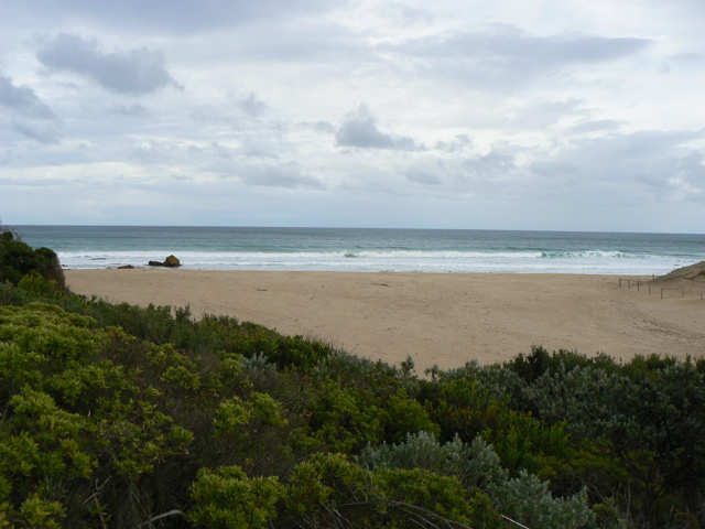
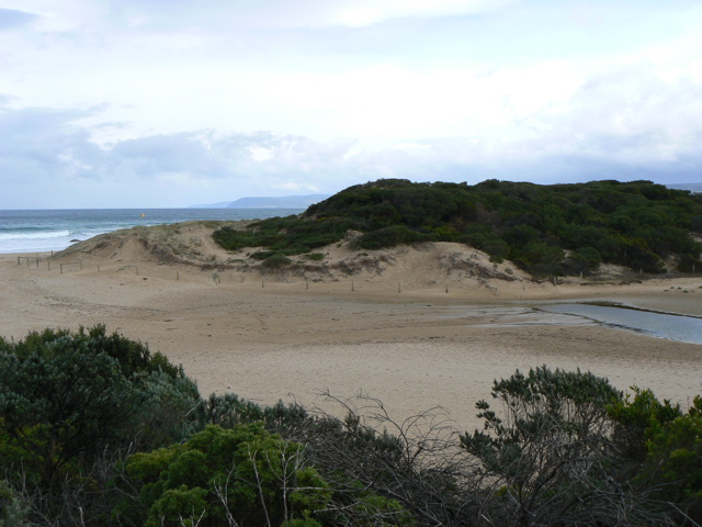
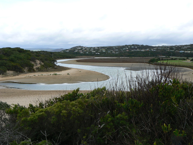
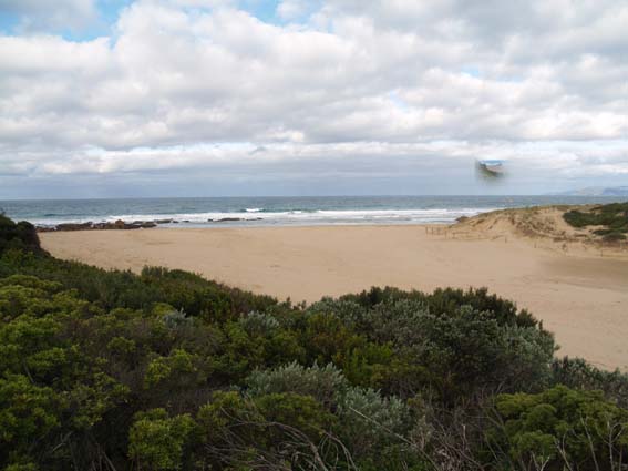
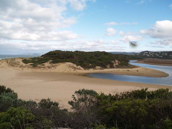
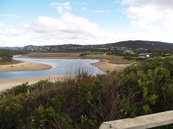
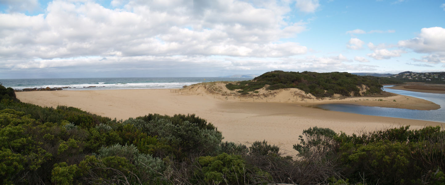
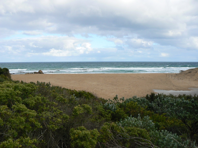
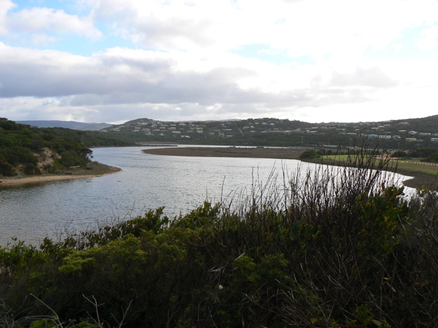
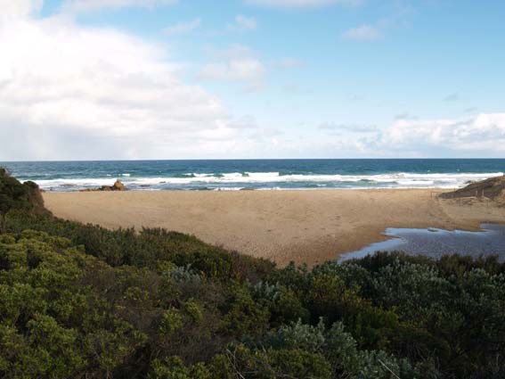
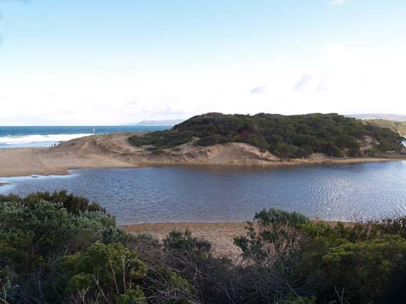
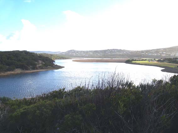
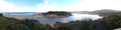
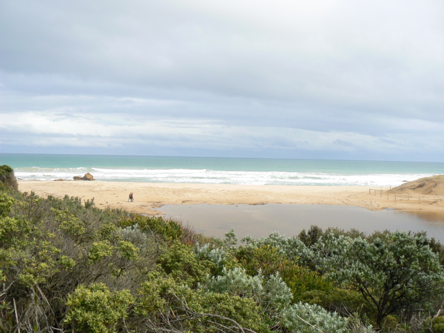
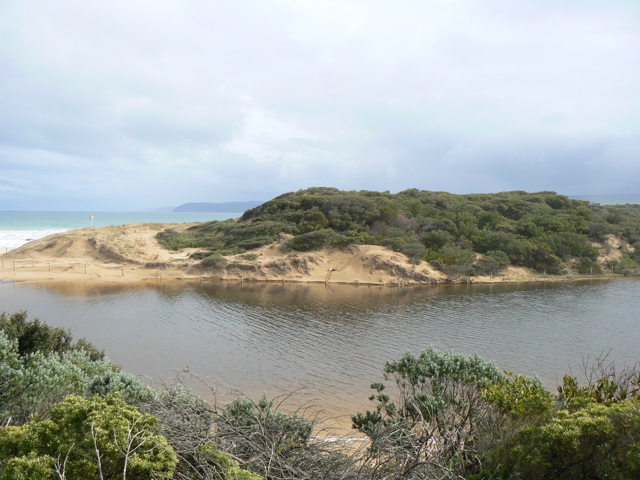
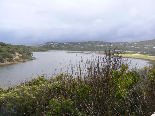
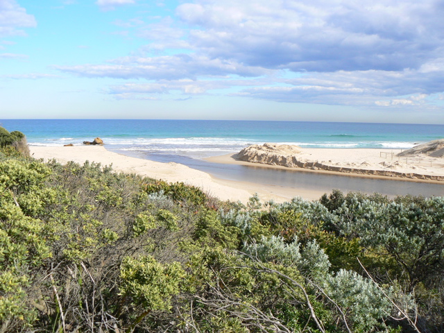
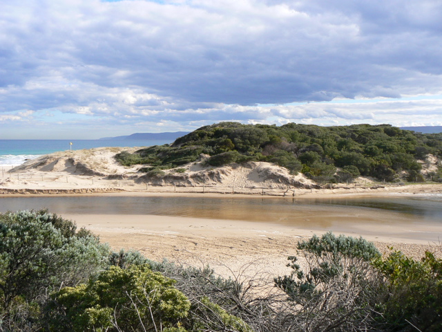
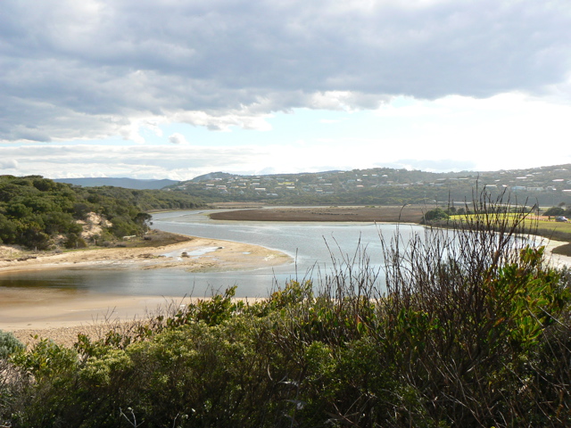
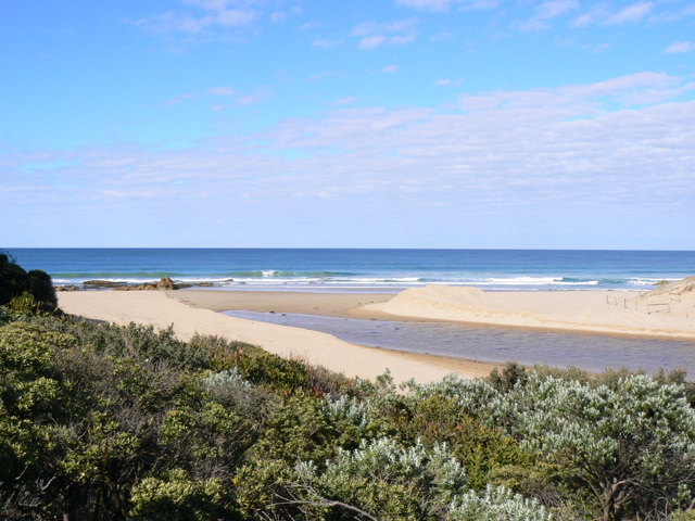
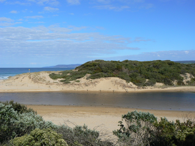
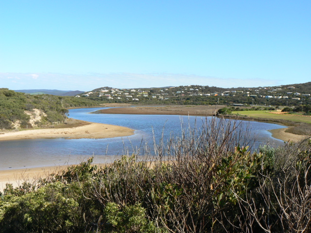
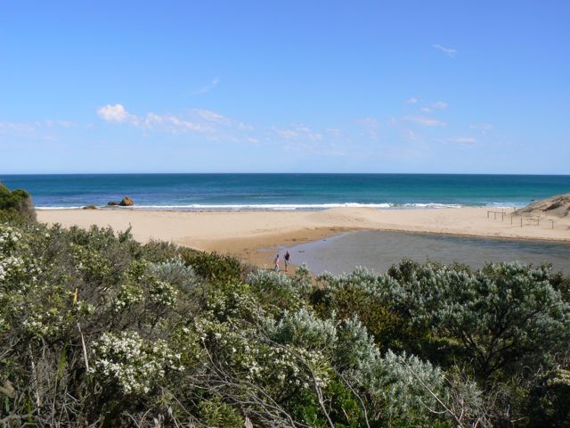
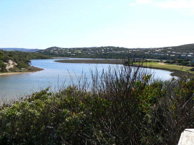
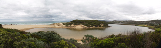
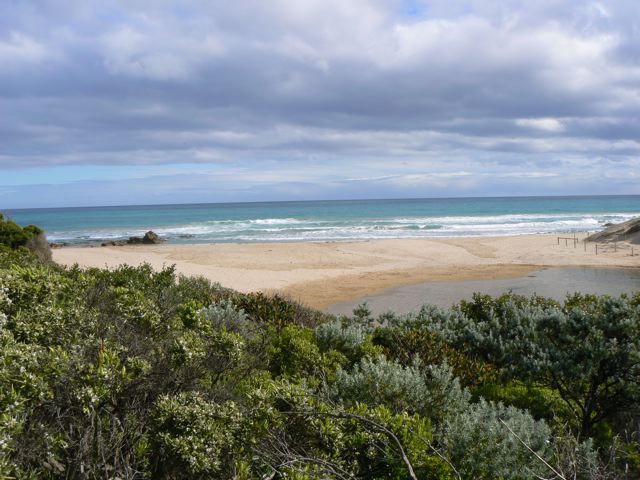
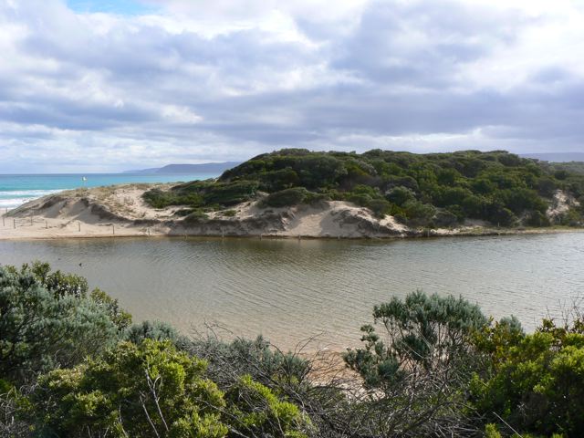
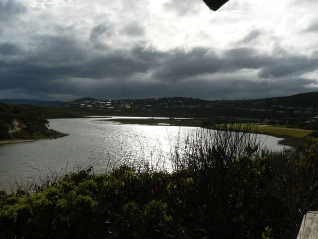
PMC Painkalac Creek Observation Site
Active Mouth Condition 23-05-2007 - 11-03-2024Painkalac Creek Estuary
272 results found (Displaying 1 - 10)
| ID | Date | Status | Details | |
|---|---|---|---|---|
| #5 | 23 May 2007 | Approved | Notes: Water level still below gauge | |
| #7 | 8 Jun 2007 | Approved | Notes: Note that recent physical conditions are median values rather than averages. Water levels not recorded as gauge board is above water level and a new ruler extension has been ordered. 15 mins subtracted from tide times at Port Phillip Heads (Point Lonsdale). | |
| #6 | 13 Jul 2007 | Approved | Notes: Note that recent physical conditions are median values rather than averages. 15 mins subtracted from tide times at Port Phillip Heads (Point Lonsdale). Water levels at gauge board at bridge. | |
| #8 | 14 Jul 2007 | Approved | Notes: 15 mins subtracted from tide times at Port Phillip Heads (Point Lonsdale). Water level taken at bridge gauge board. | |
| #9 | 11 Aug 2007 | Approved | Notes: Note that recent physical conditions are median values rather than averages. 15 mins subtracted from tide times at Port Phillip Heads (Point Lonsdale). Water level taken at bridge gauge board. | |
| #10 | 15 Aug 2007 | Approved | Notes: Note that recent physical conditions are median values rather than averages. 15 mins subtracted from tide times at Port Phillip Heads (Point Lonsdale). Water level height below gauge board at bridge. The berm was artificially broken through approx. 24 hrs prior to these obs (to avoid flooding of infrastructure) | |
| #11 | 23 Aug 2007 | Approved | Notes: Note that recent physical conditions are median values rather than averages. 15 mins subtracted from tide times at Port Phillip Heads (Point Lonsdale). Water level height below gauge board at bridge. | |
| #2 | 13 Sep 2007 | Approved | Notes: Note that recent physical conditions are median values rather than averages. 15 mins subtracted from tide times at Port Phillip Heads (Point Lonsdale) | |
| #1 | 11 Oct 2007 | Approved | ||
| #3 | 13 Oct 2007 | Approved | Notes: Note that recent physical conditions are median values rather than averages. 15 mins subtracted from tide times at Port Phillip Heads (Point Lonsdale). Water levels at gaugeboard at GOR bridge. Until recently there has been some sea water entering the estuary at high tide when the sea has been rough. | |


All content, files, data and images provided by the EstuaryWatch Data Portal and Gallery are subject to a Creative Commons Attribution License
Content is made available to be used in any way, and should always attribute EstuaryWatch and www.estuarywatch.org.au