EstuaryWatch Data Portal
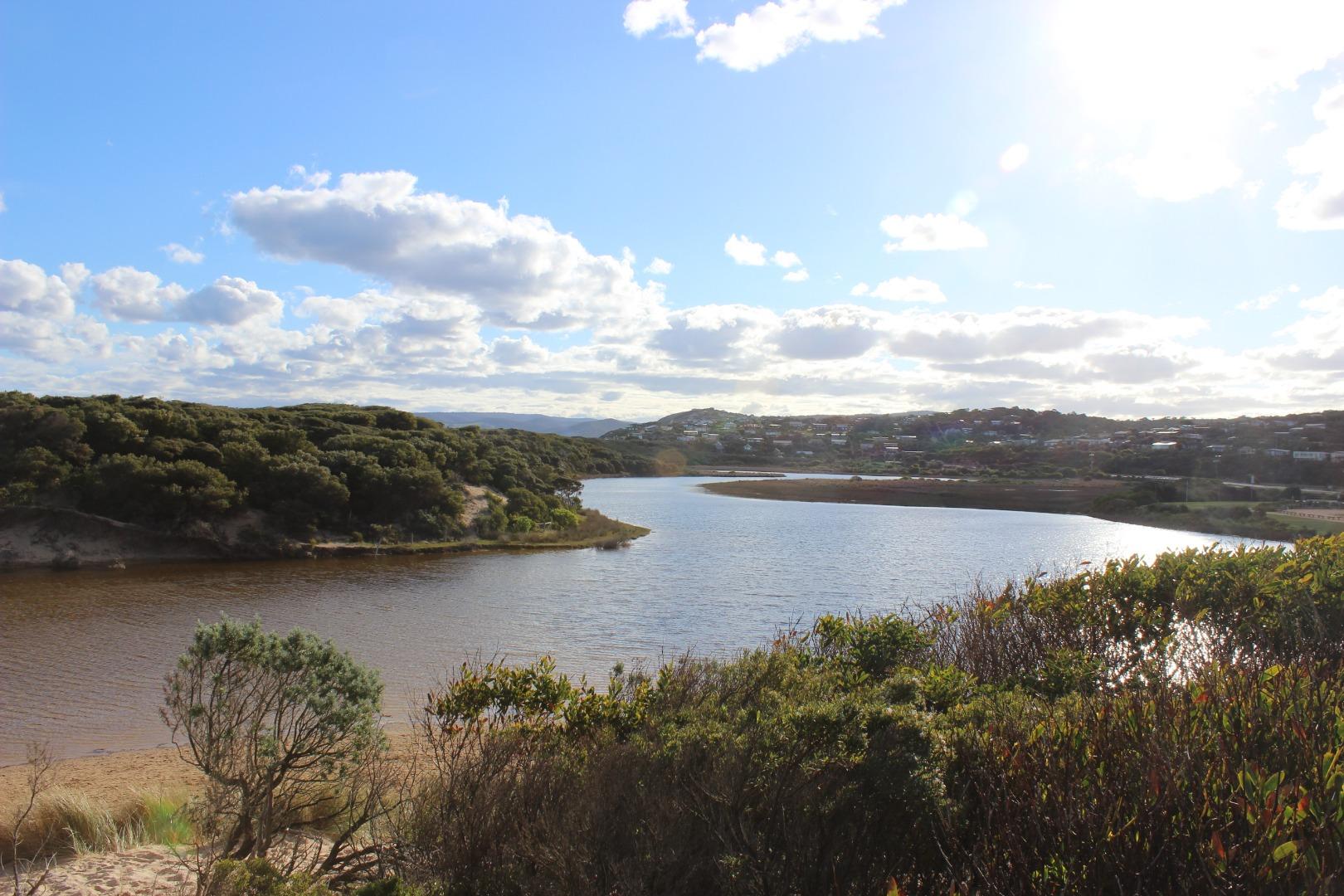
PMC Painkalac Creek Observation Site
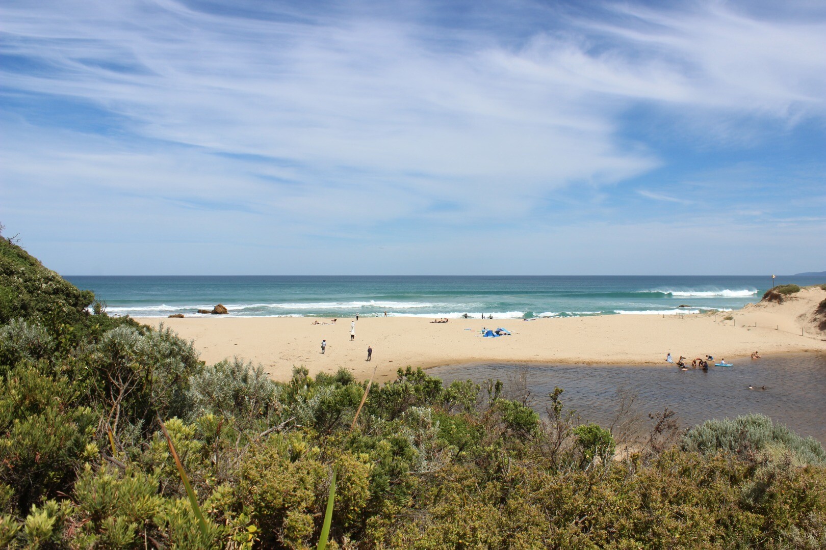
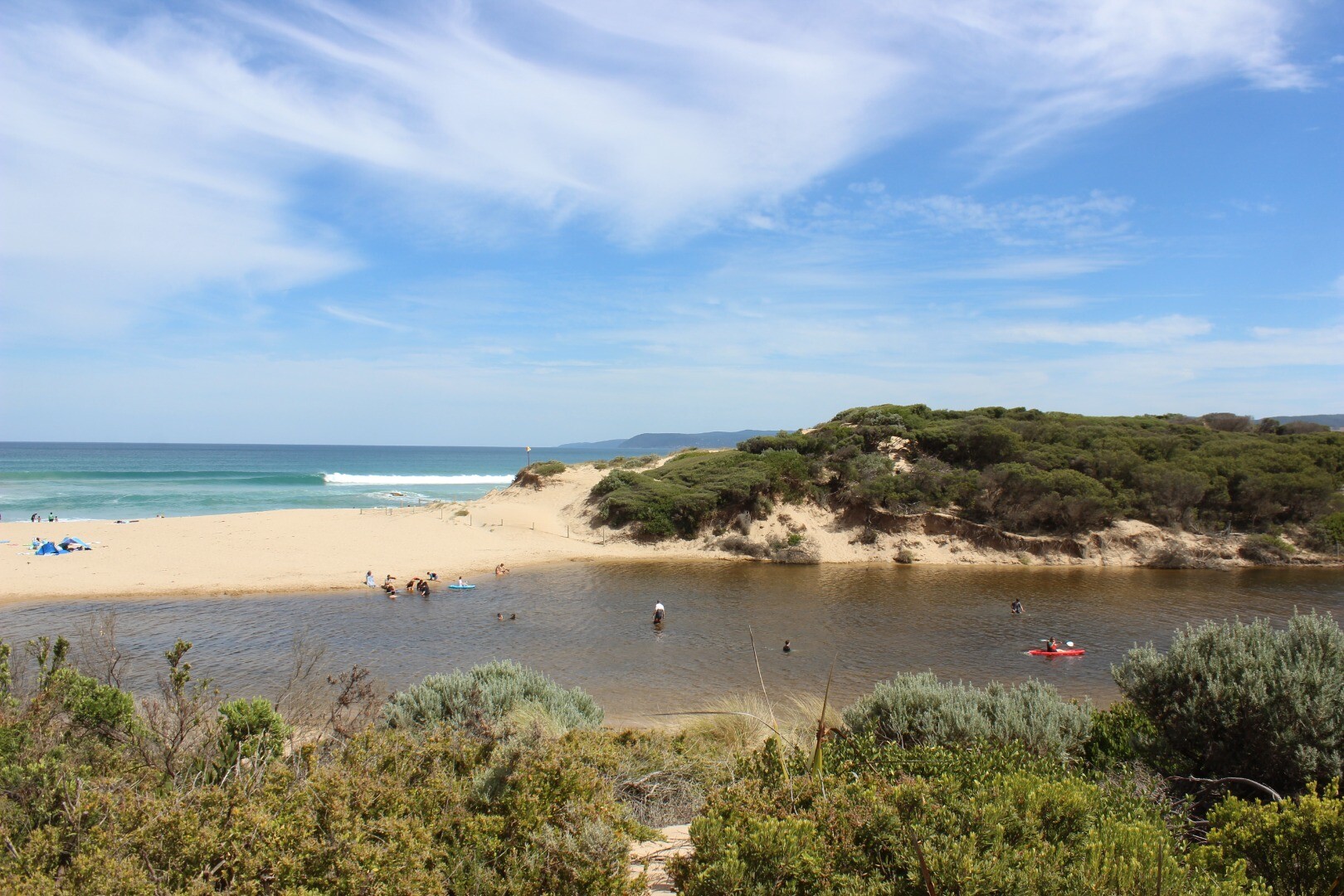
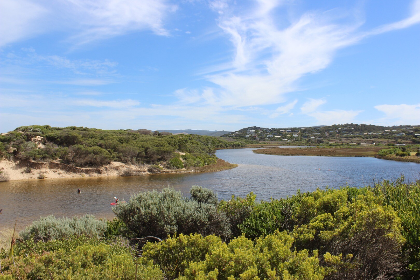
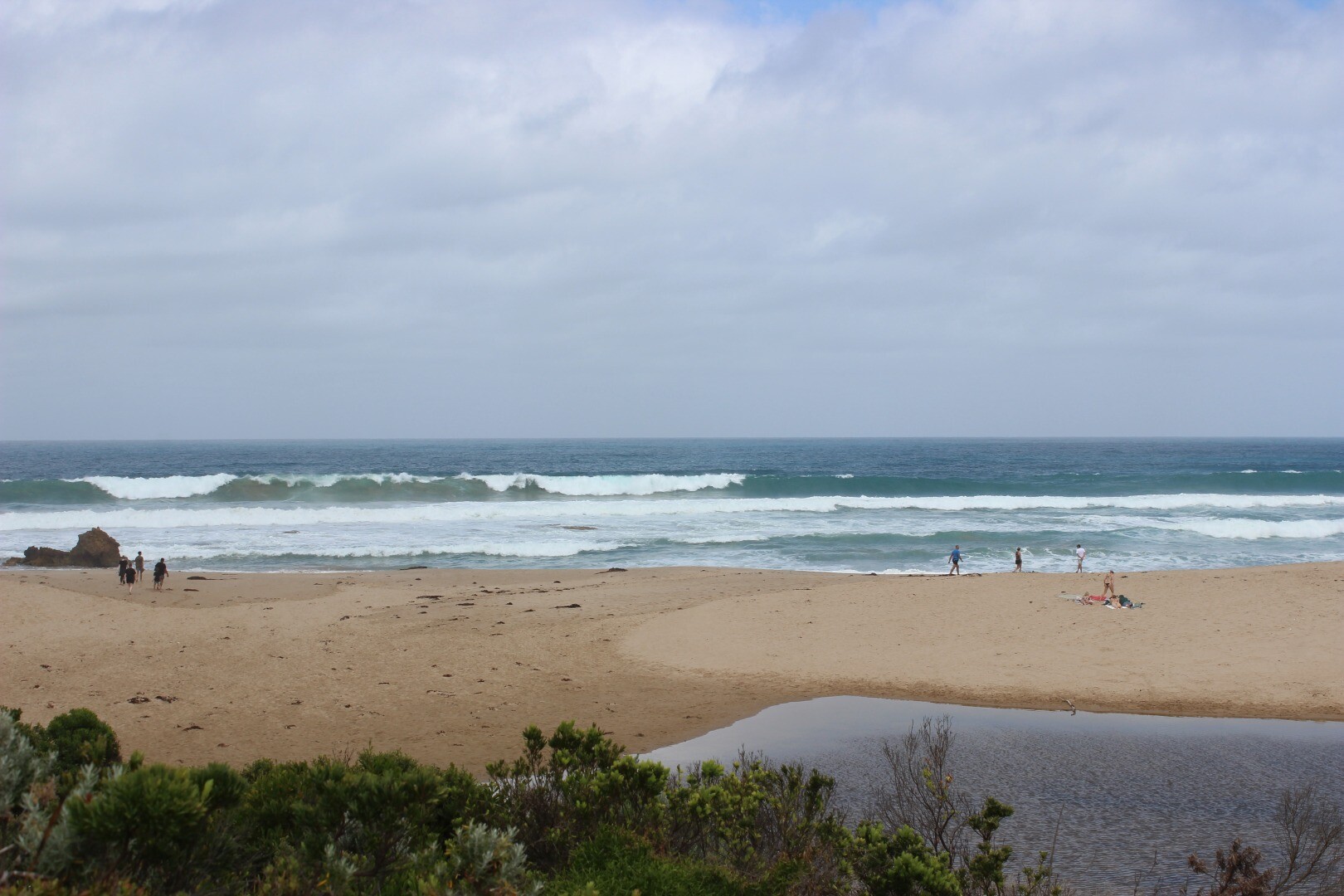
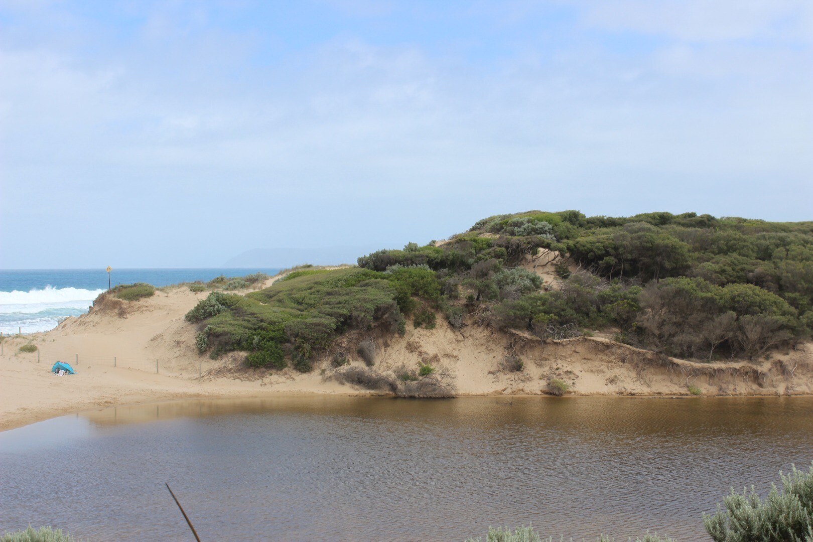
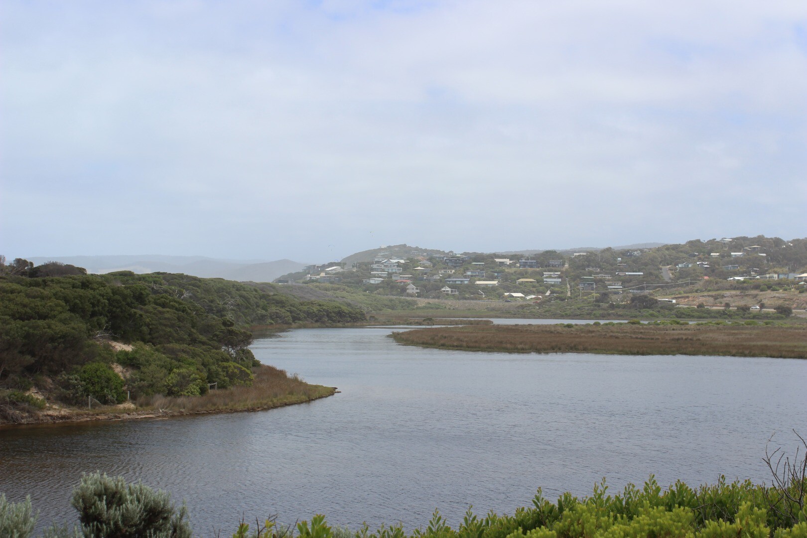
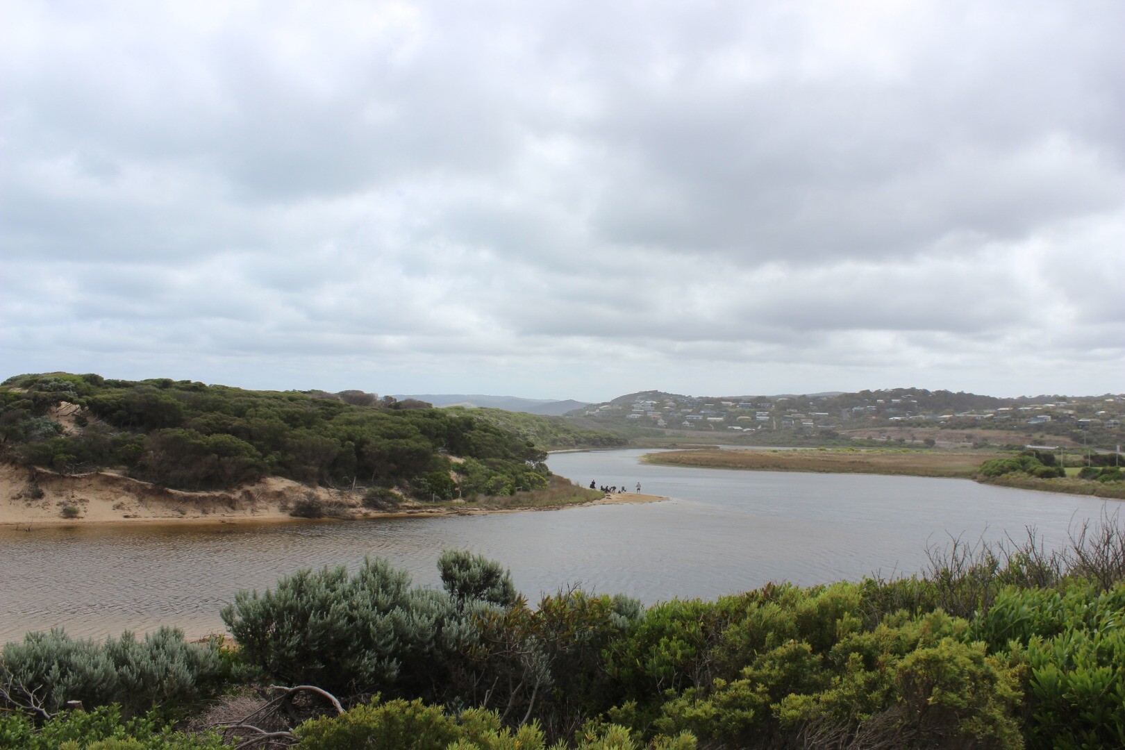
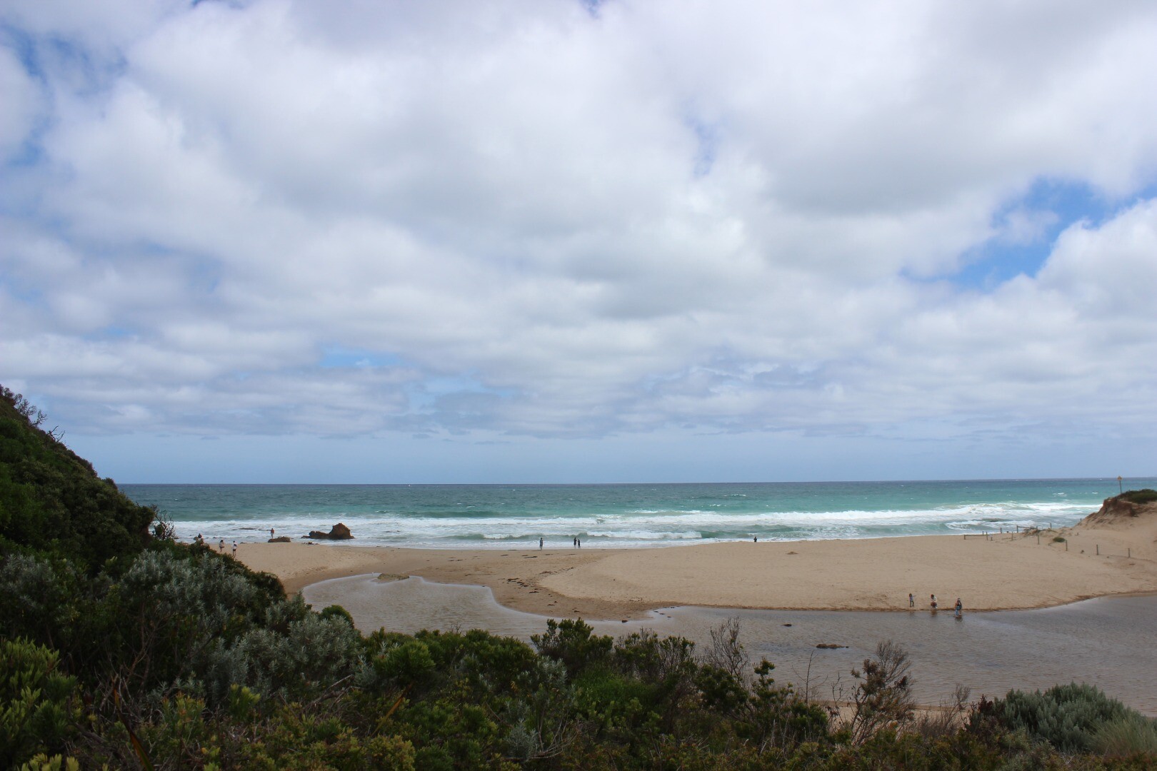
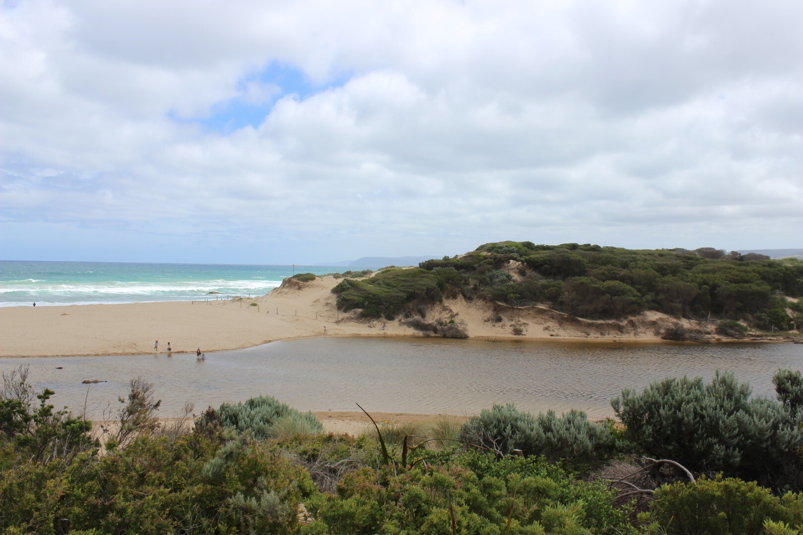
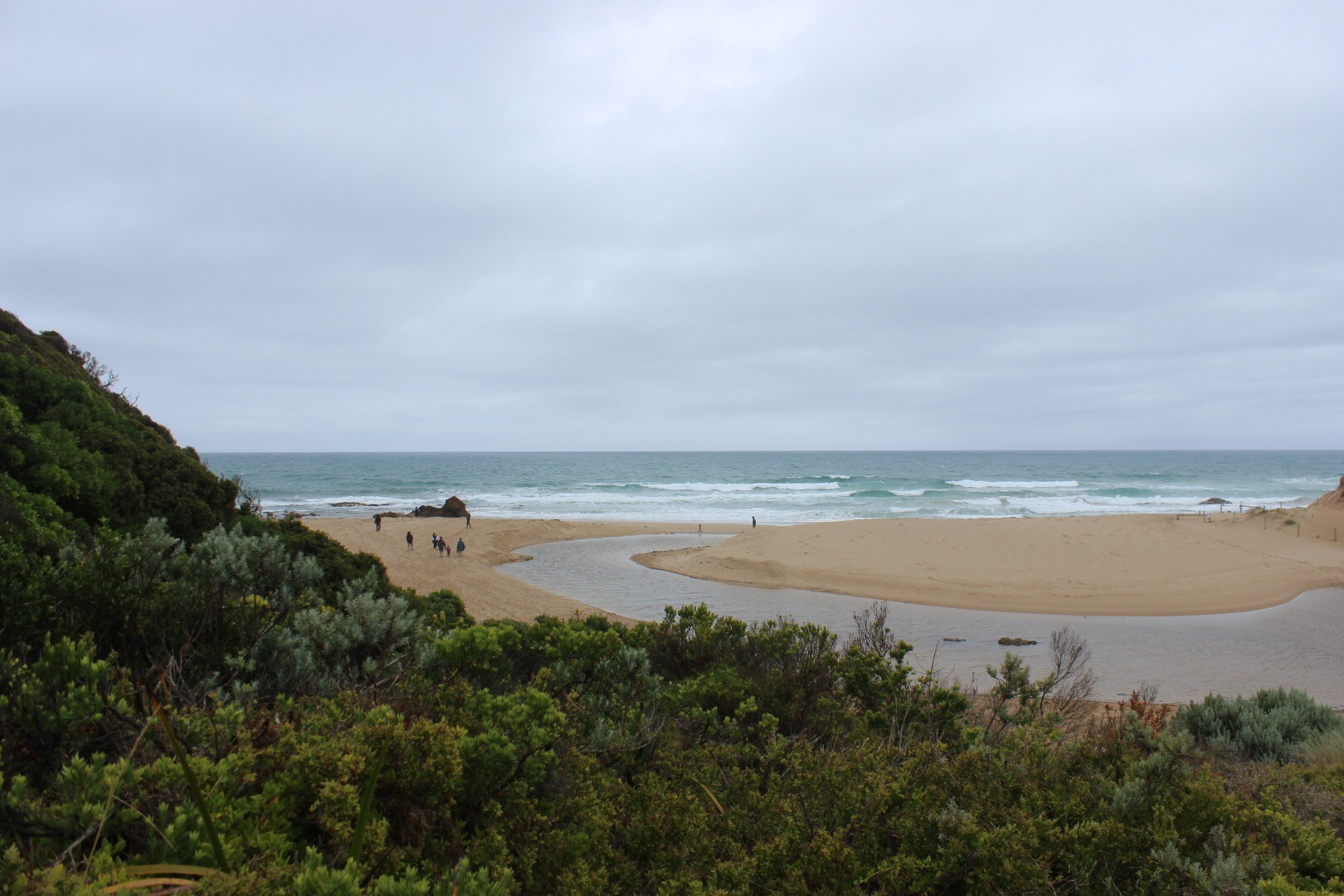
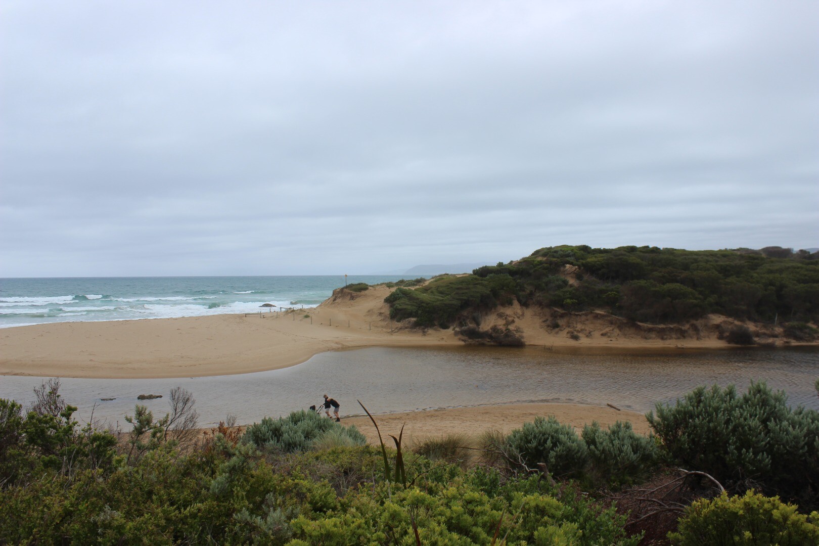
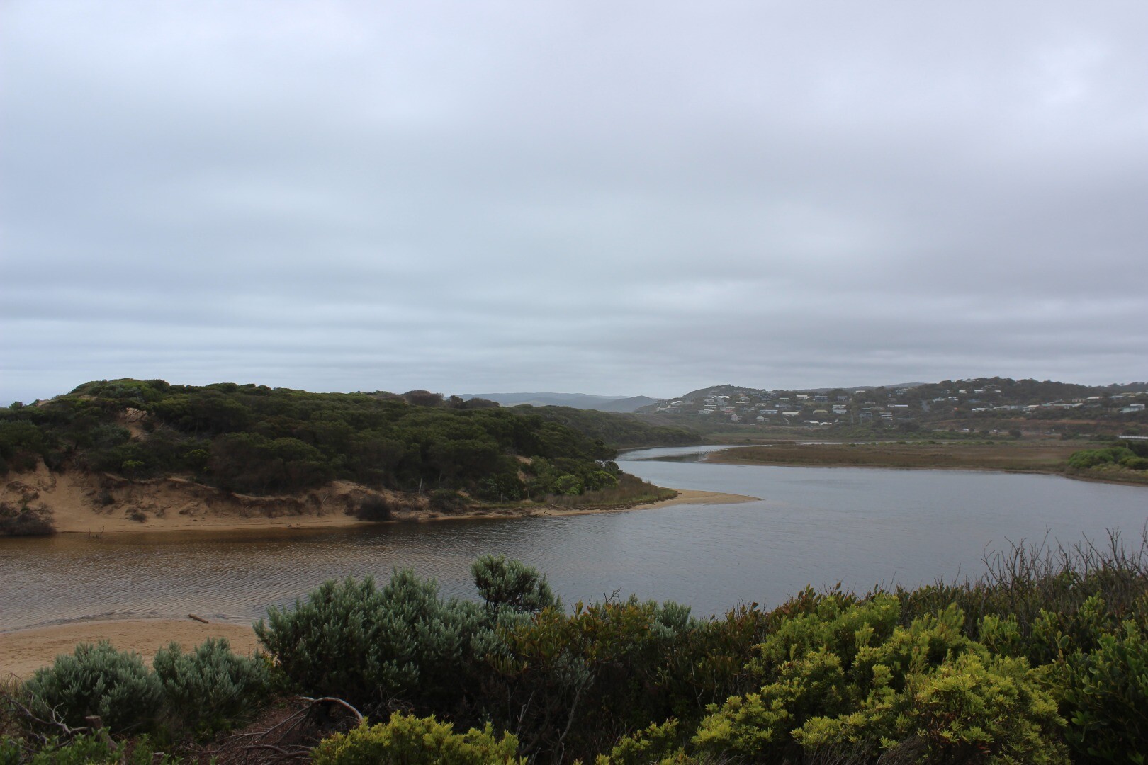
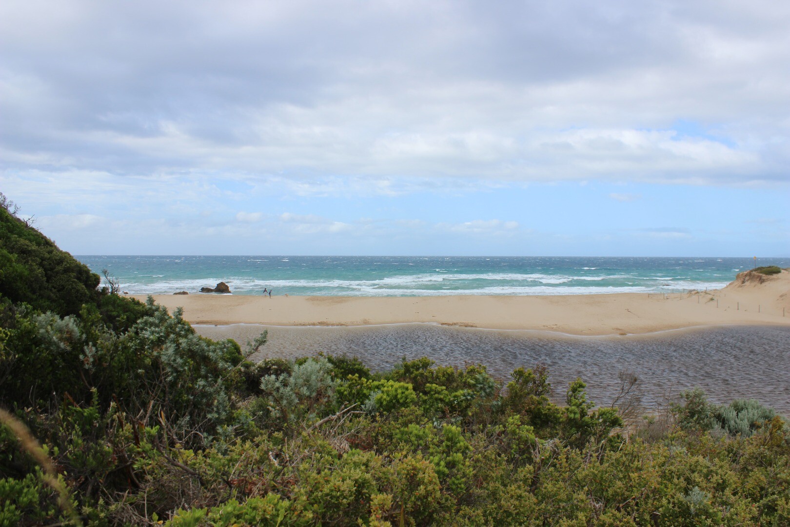
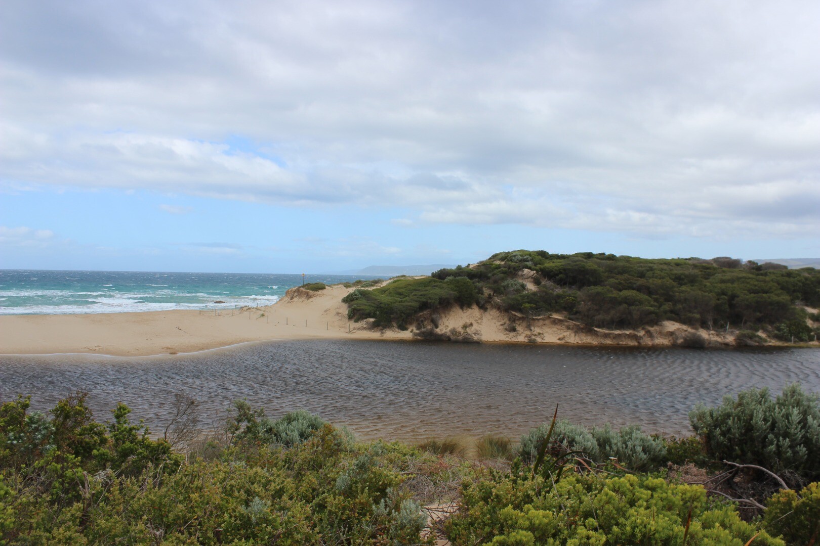
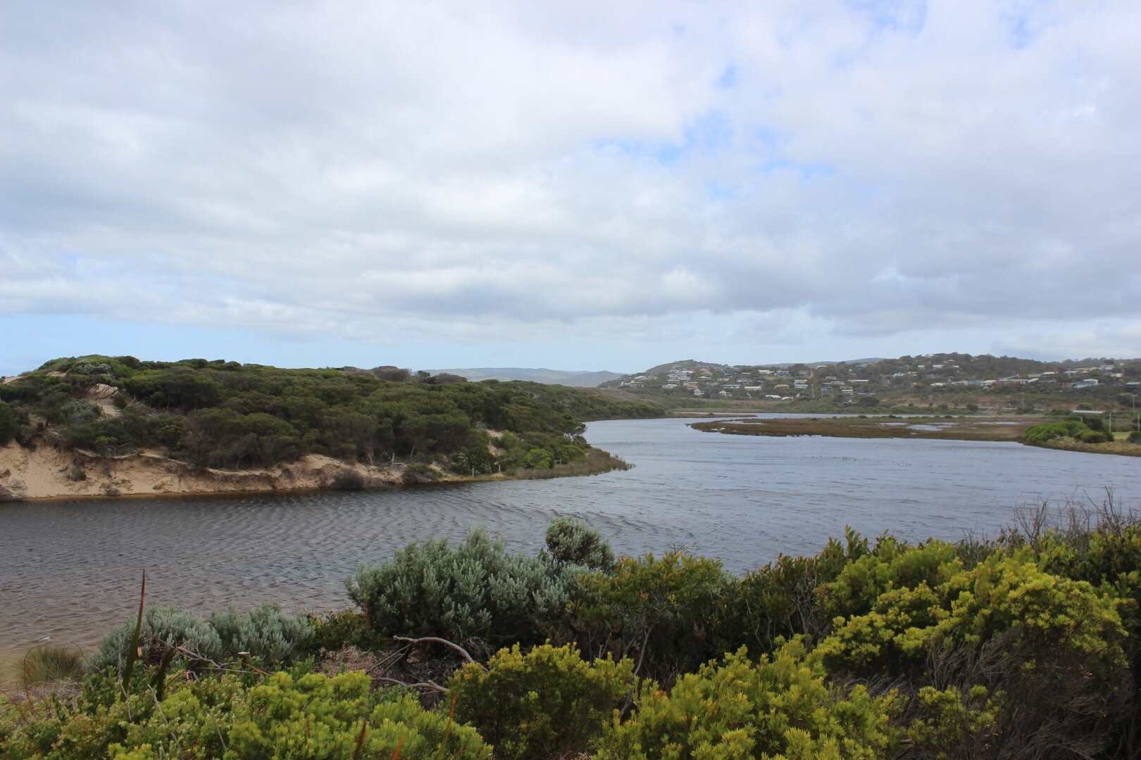
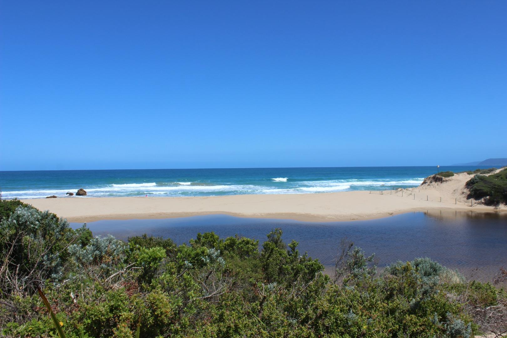
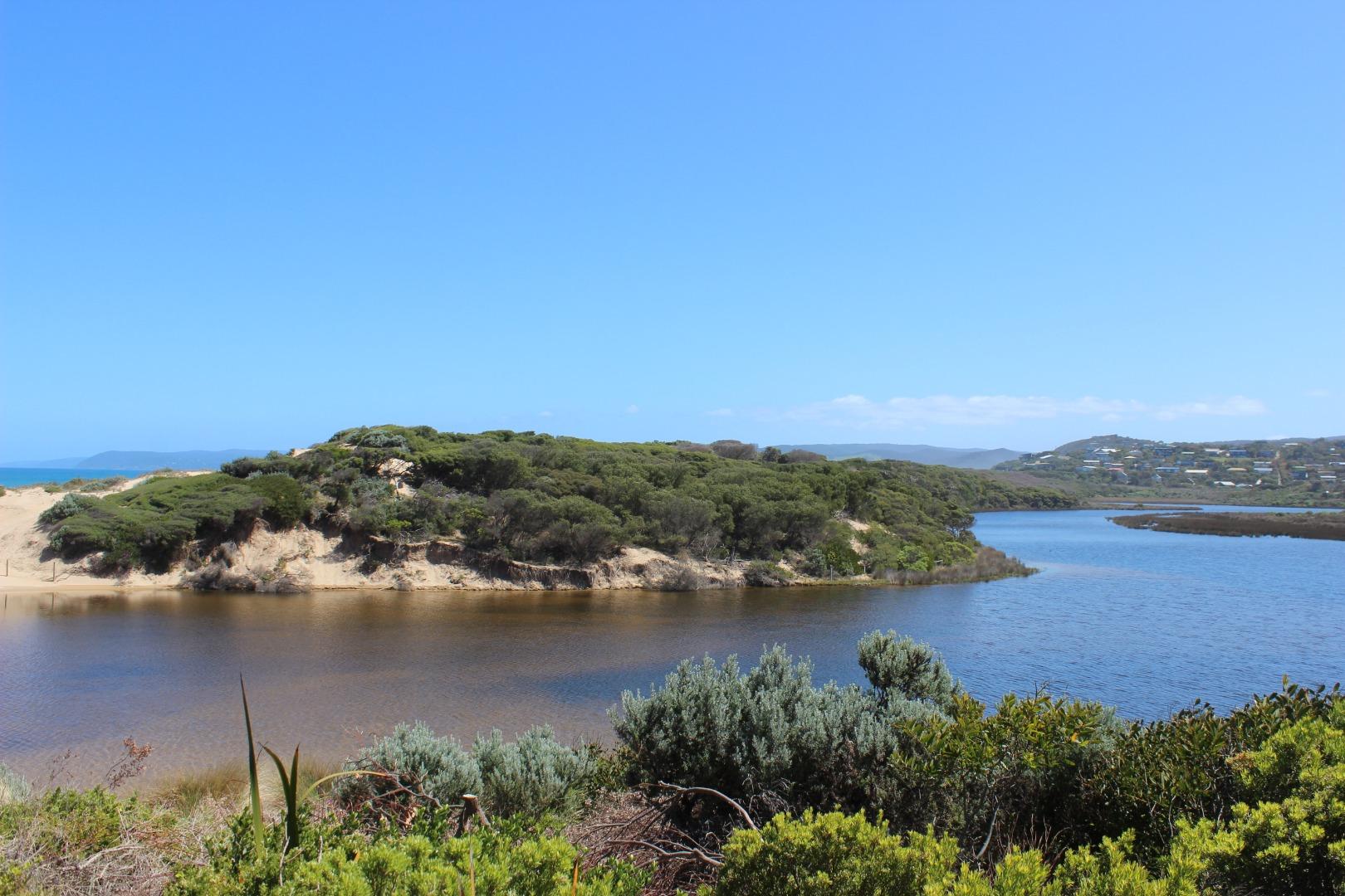
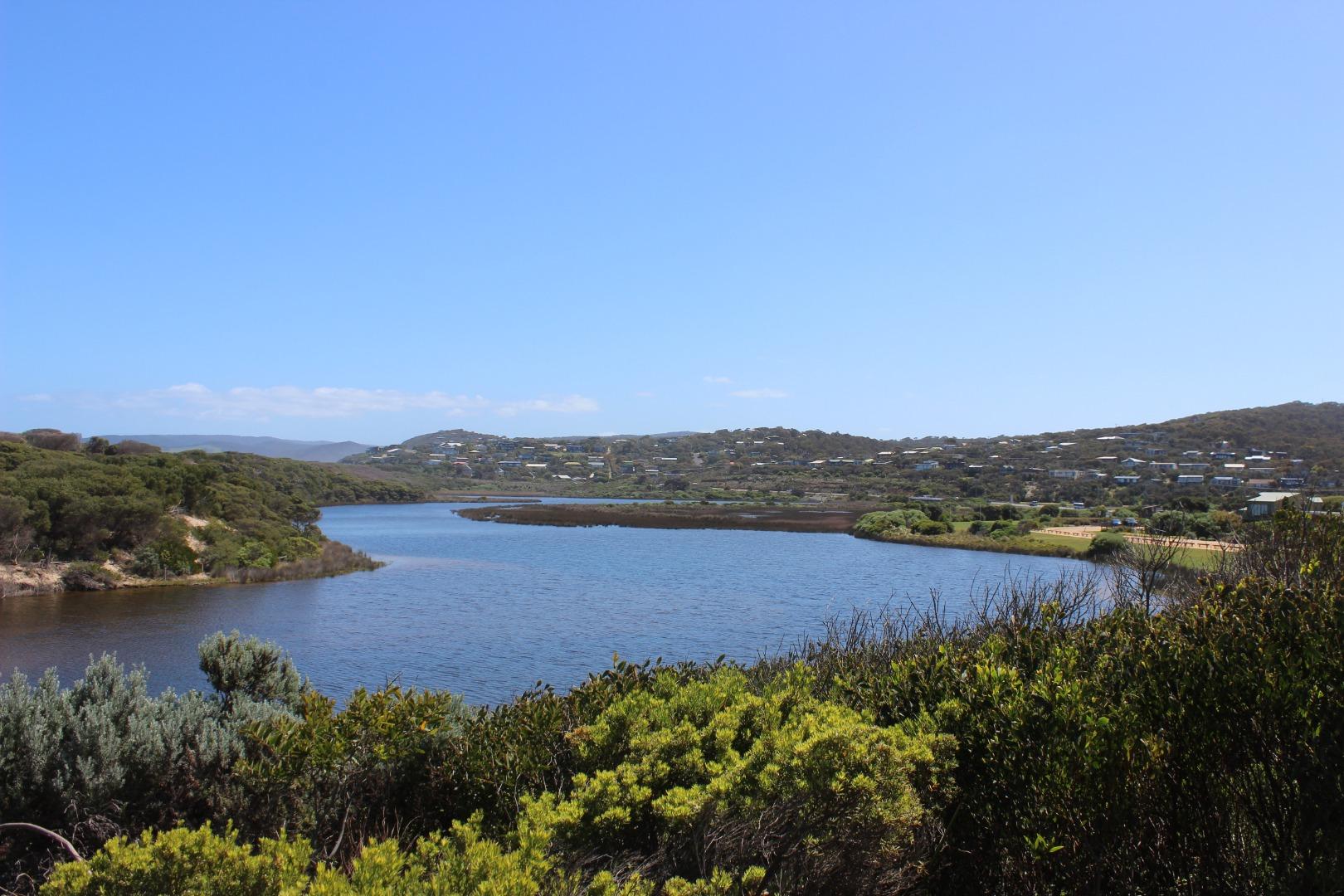
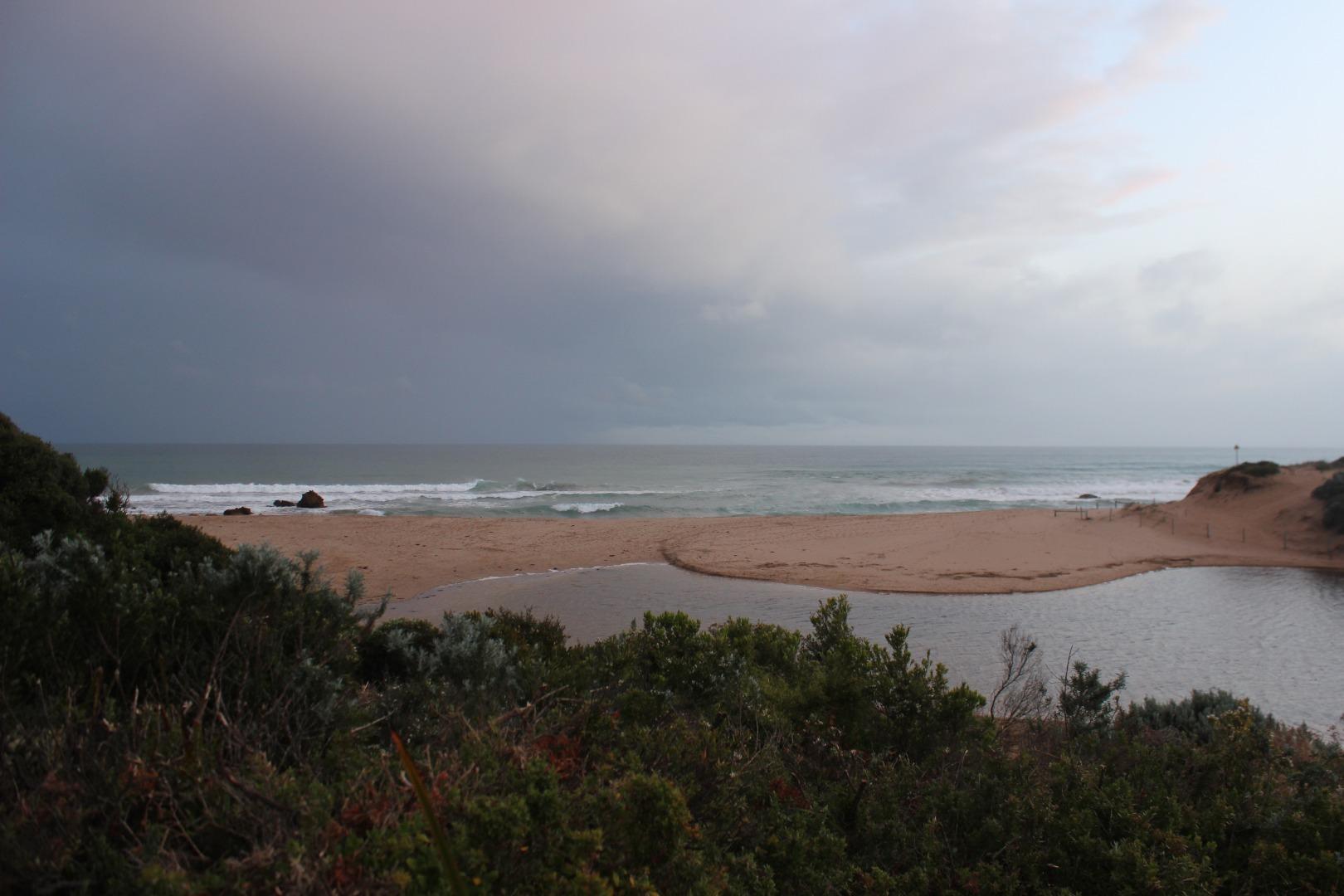
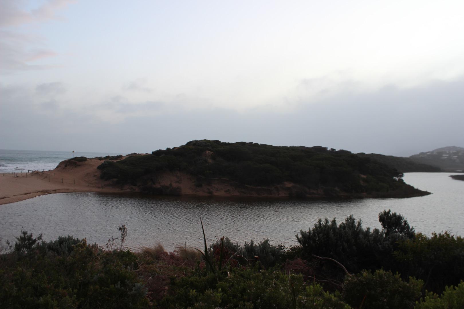
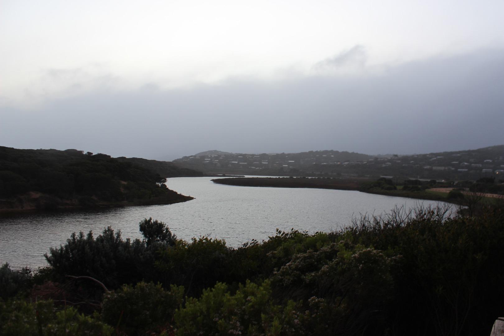
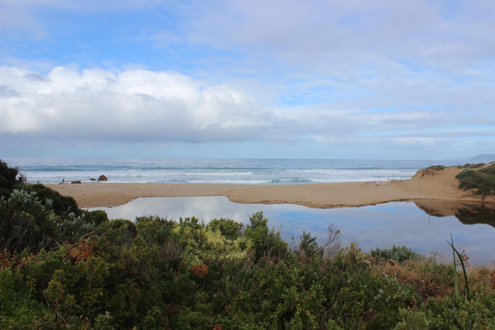
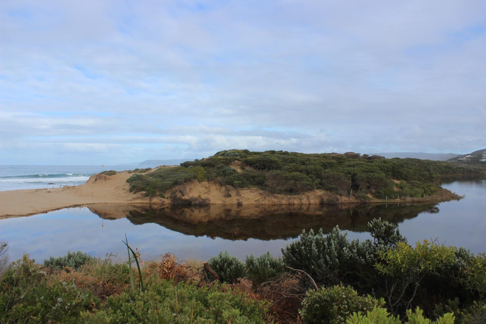
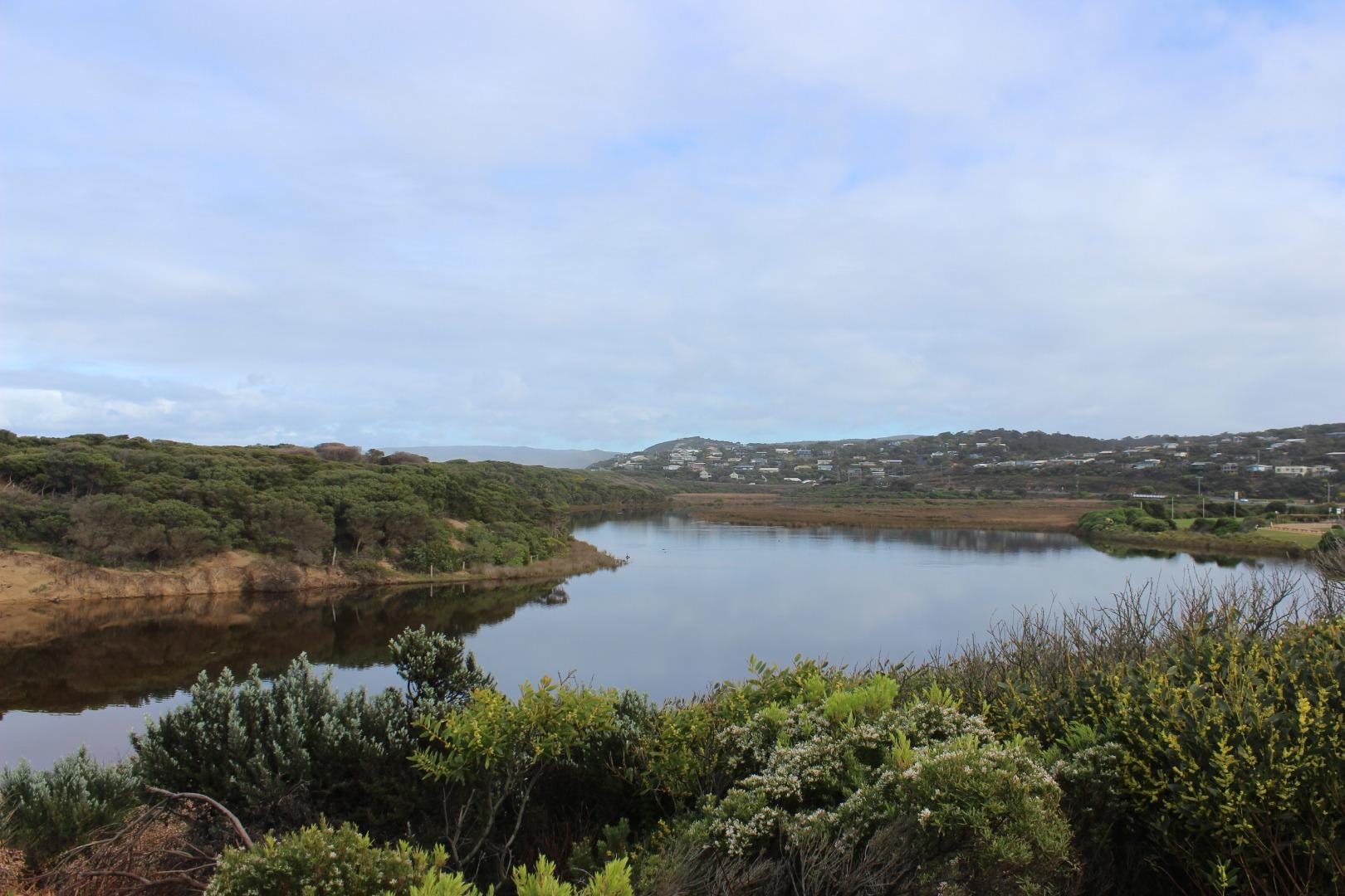
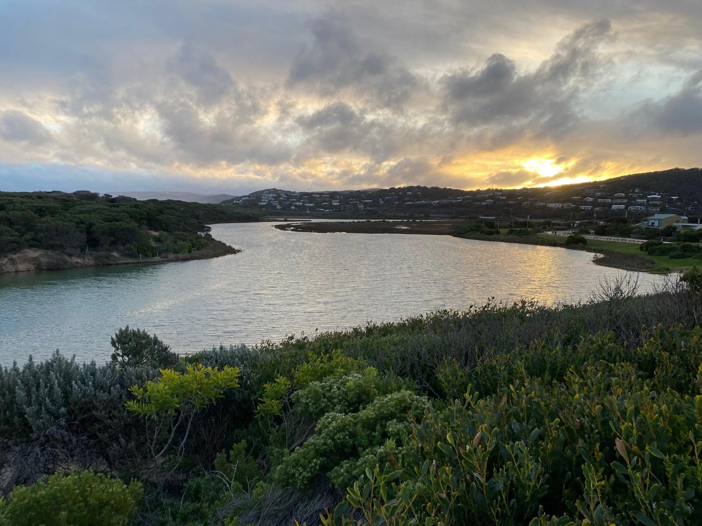
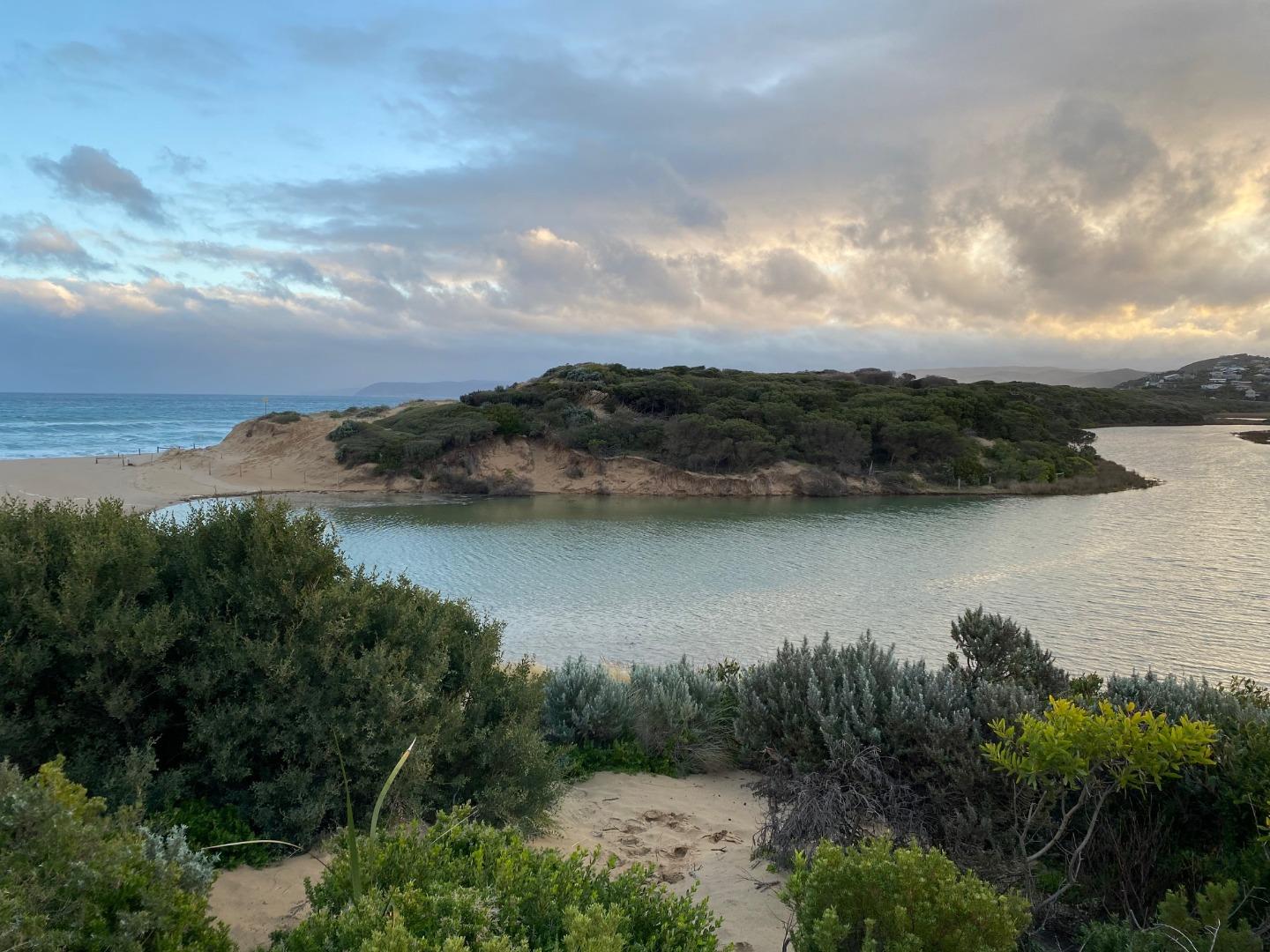
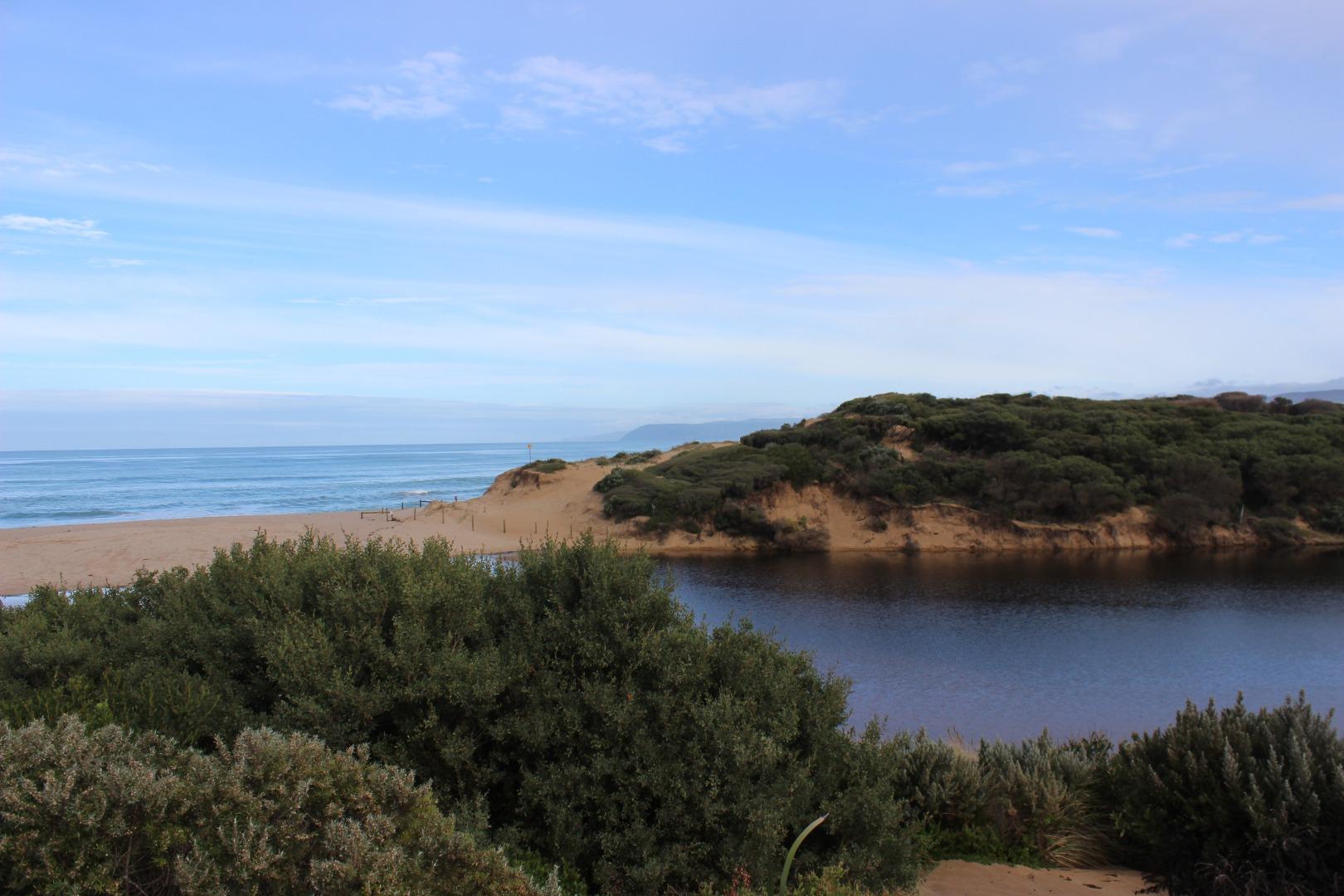
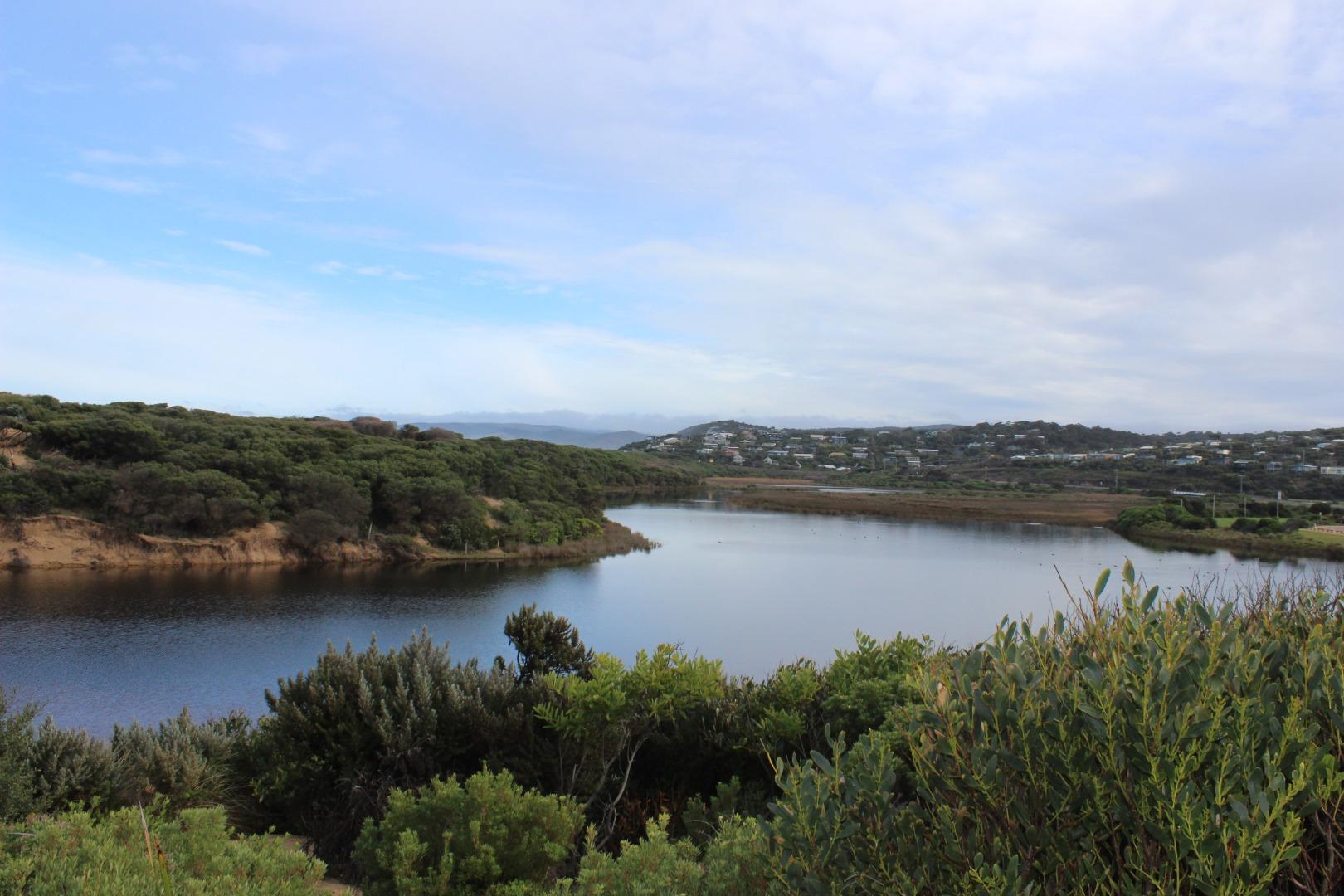
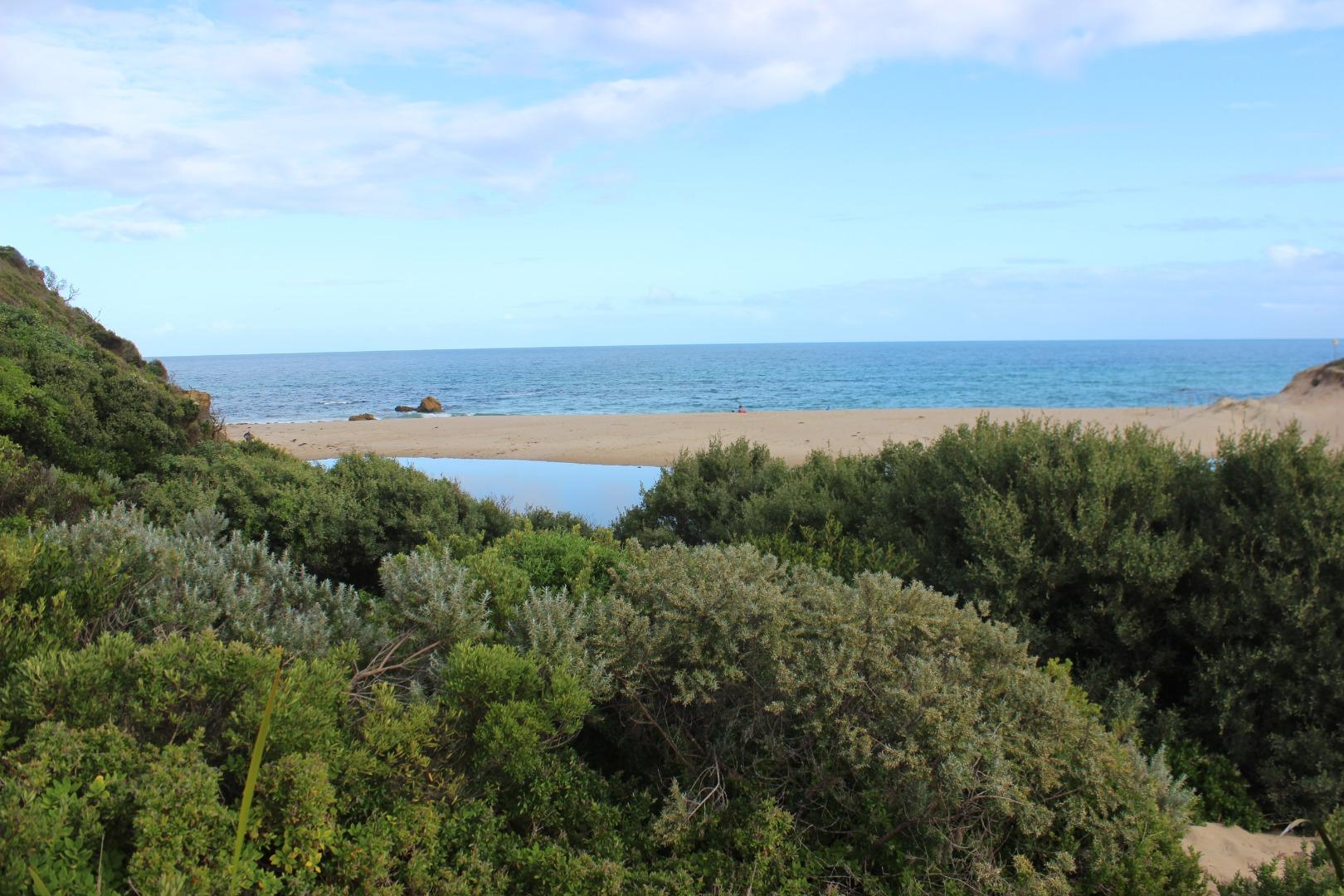
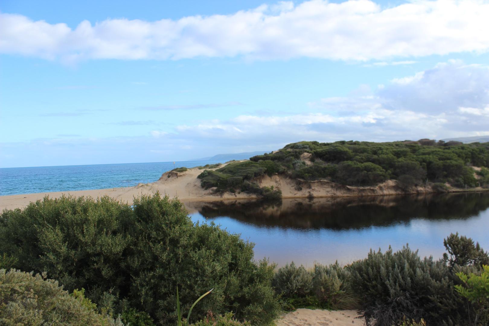
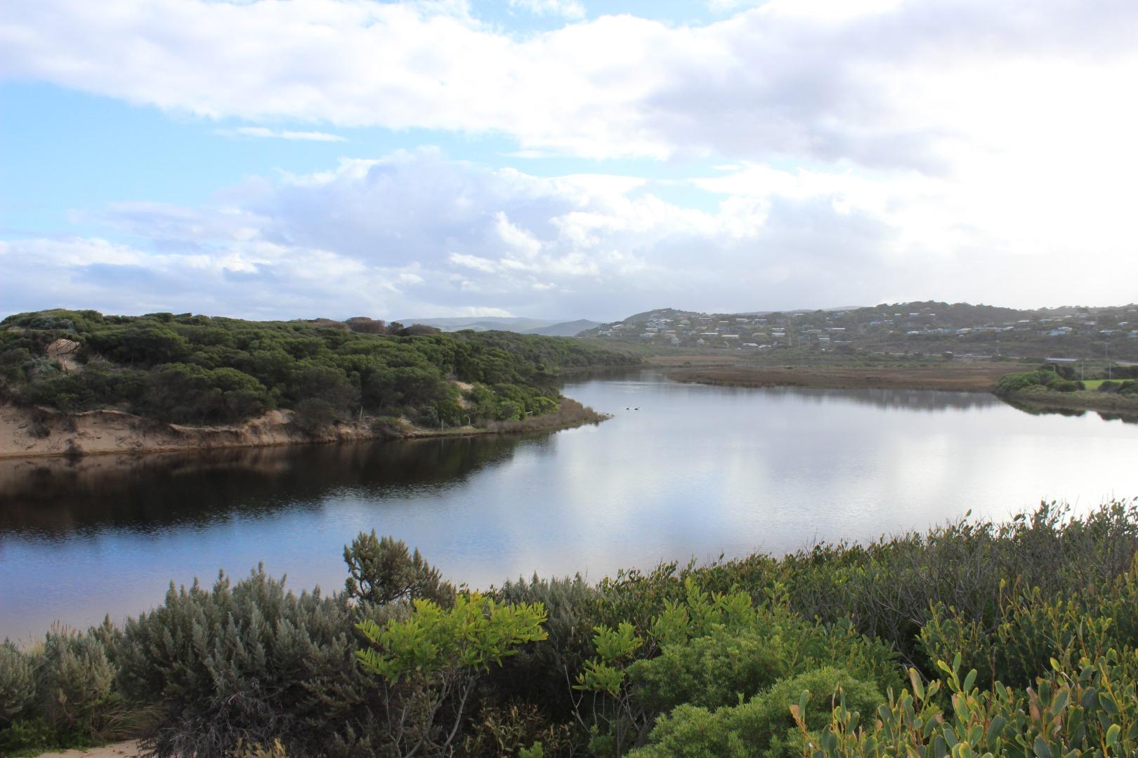
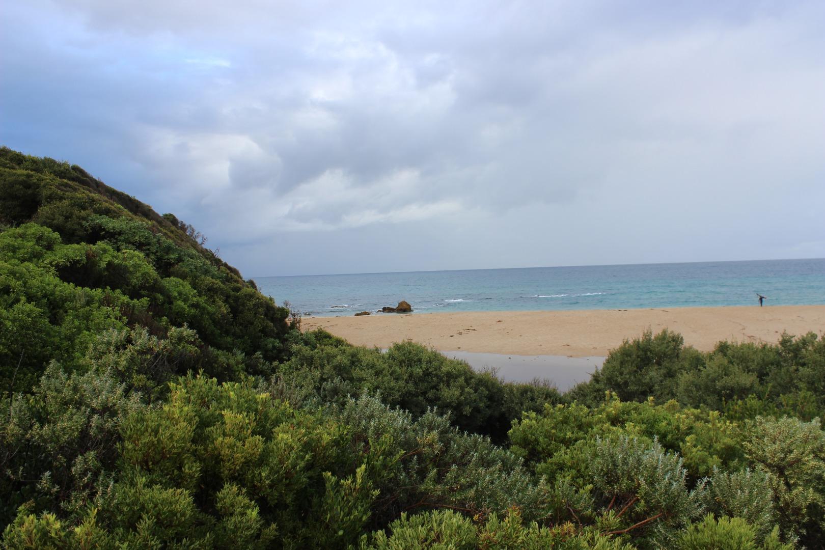
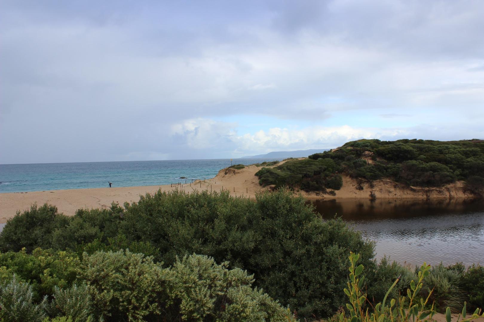
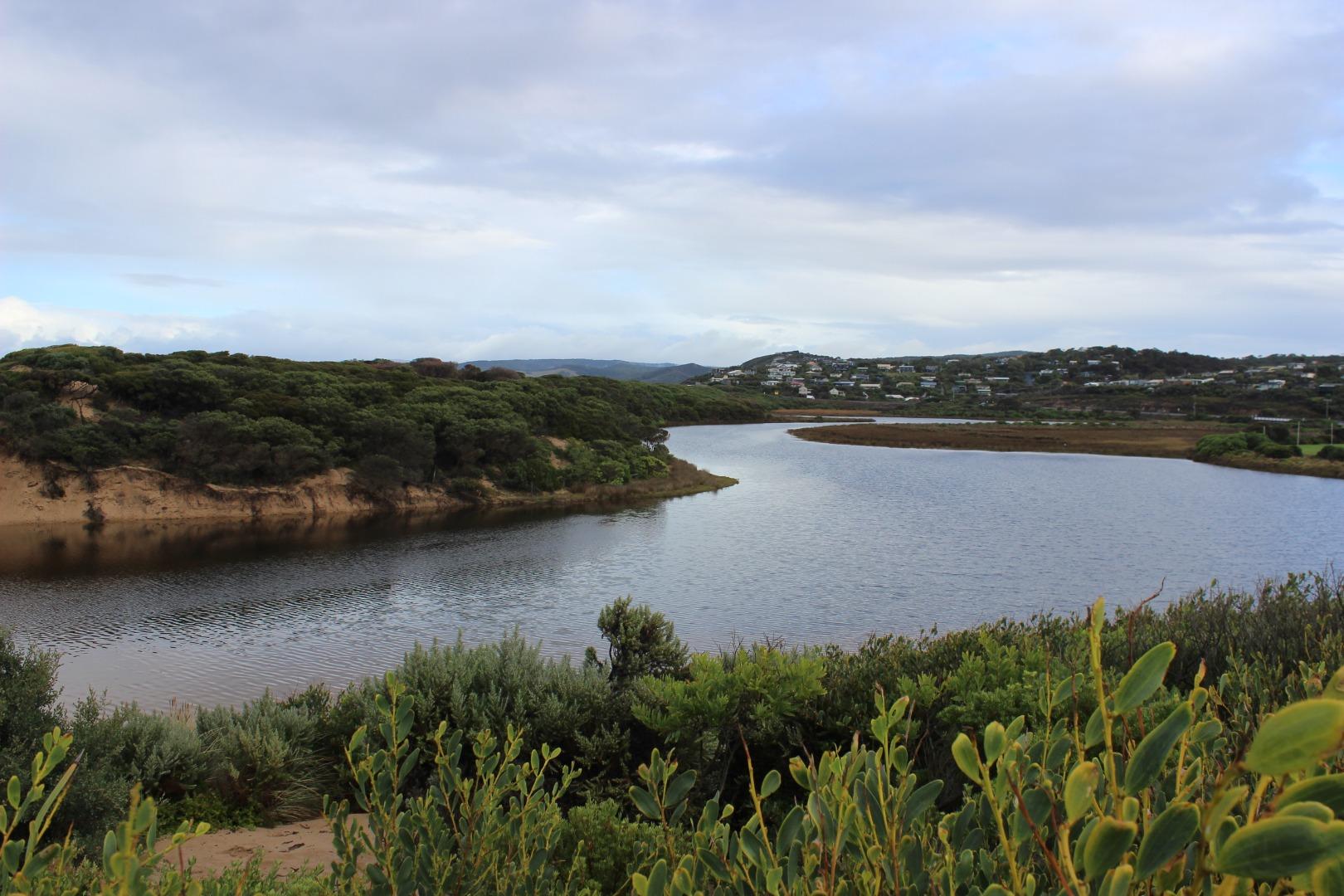
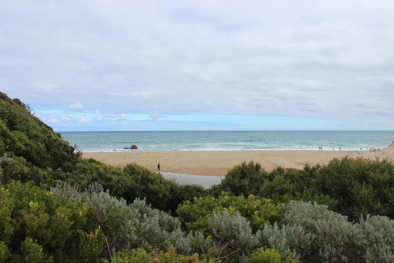
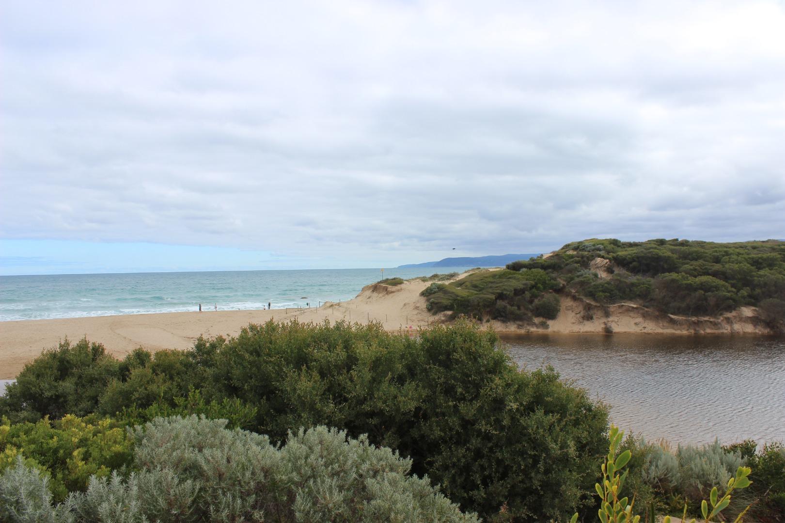
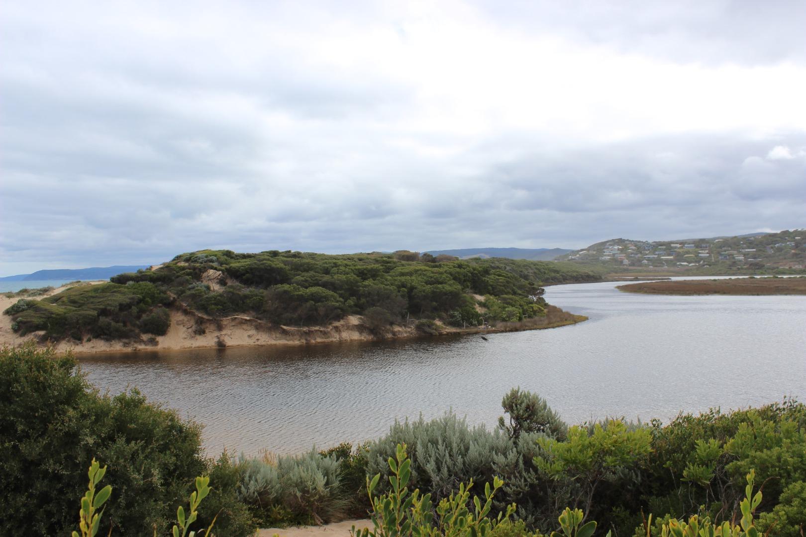
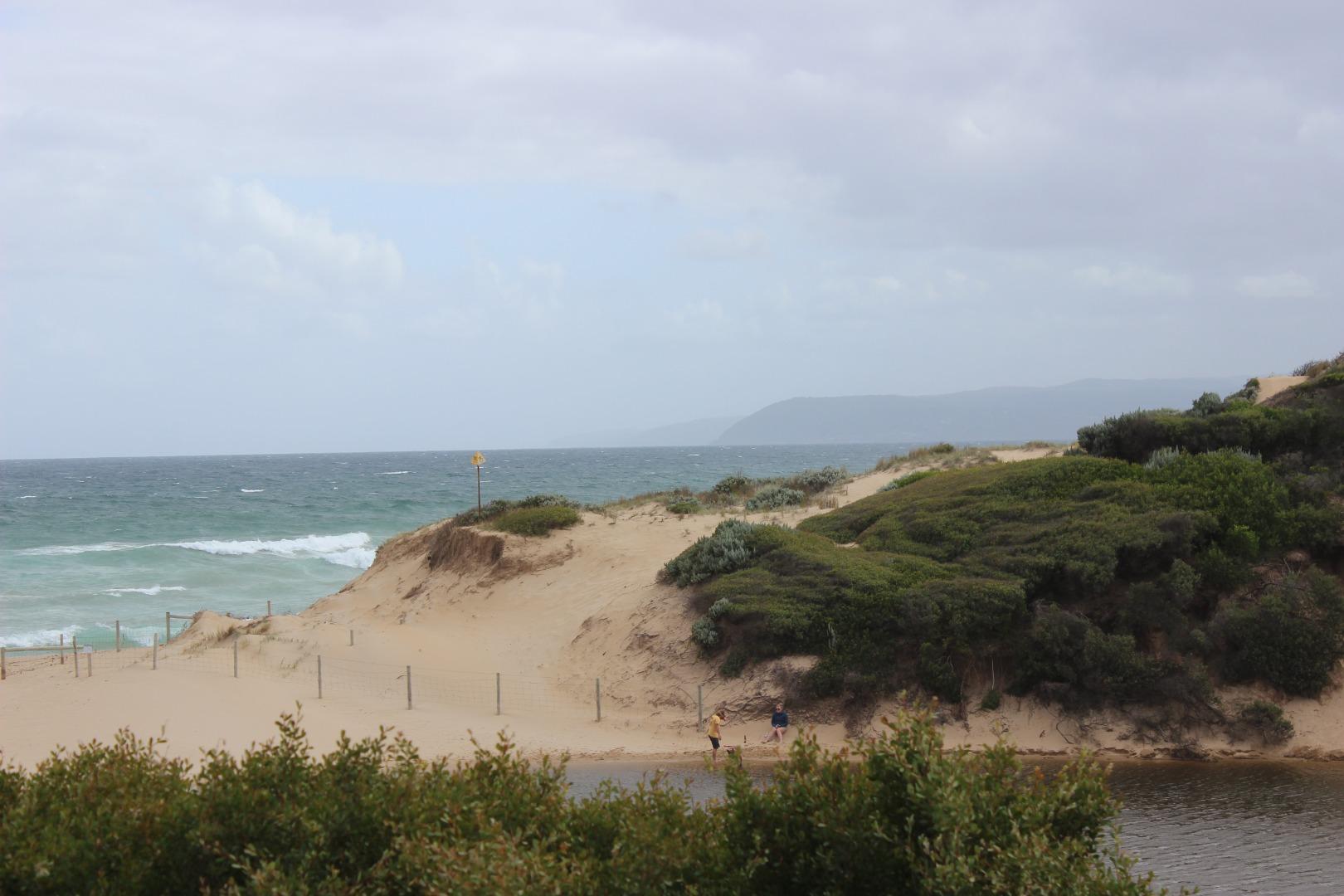
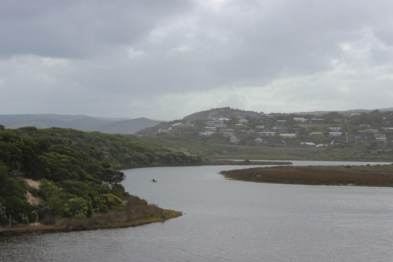
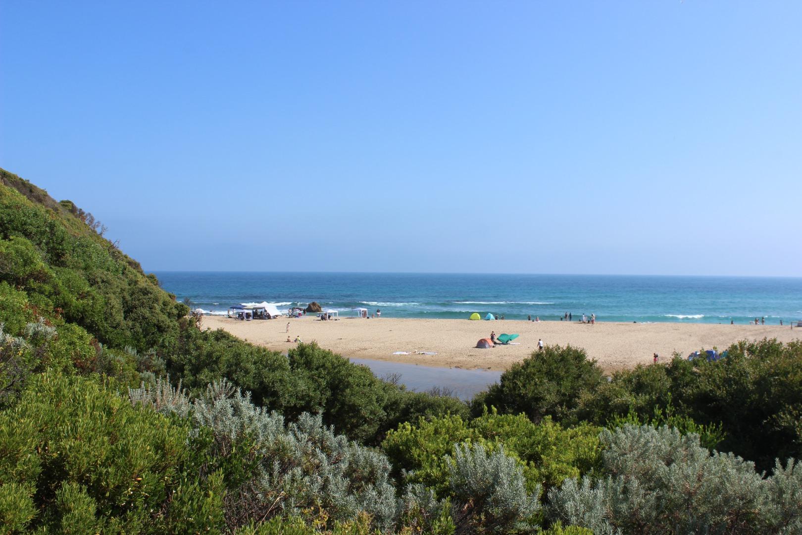
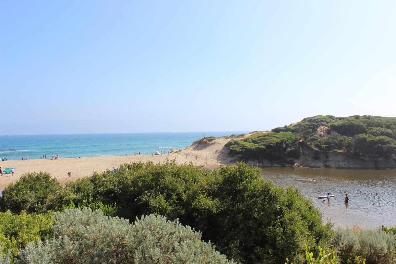
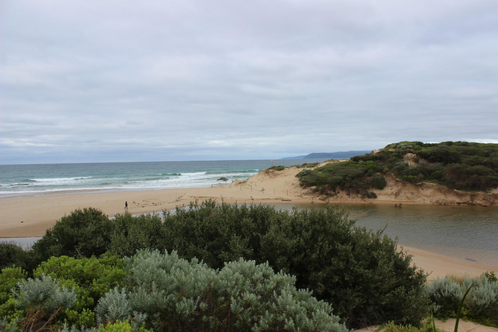
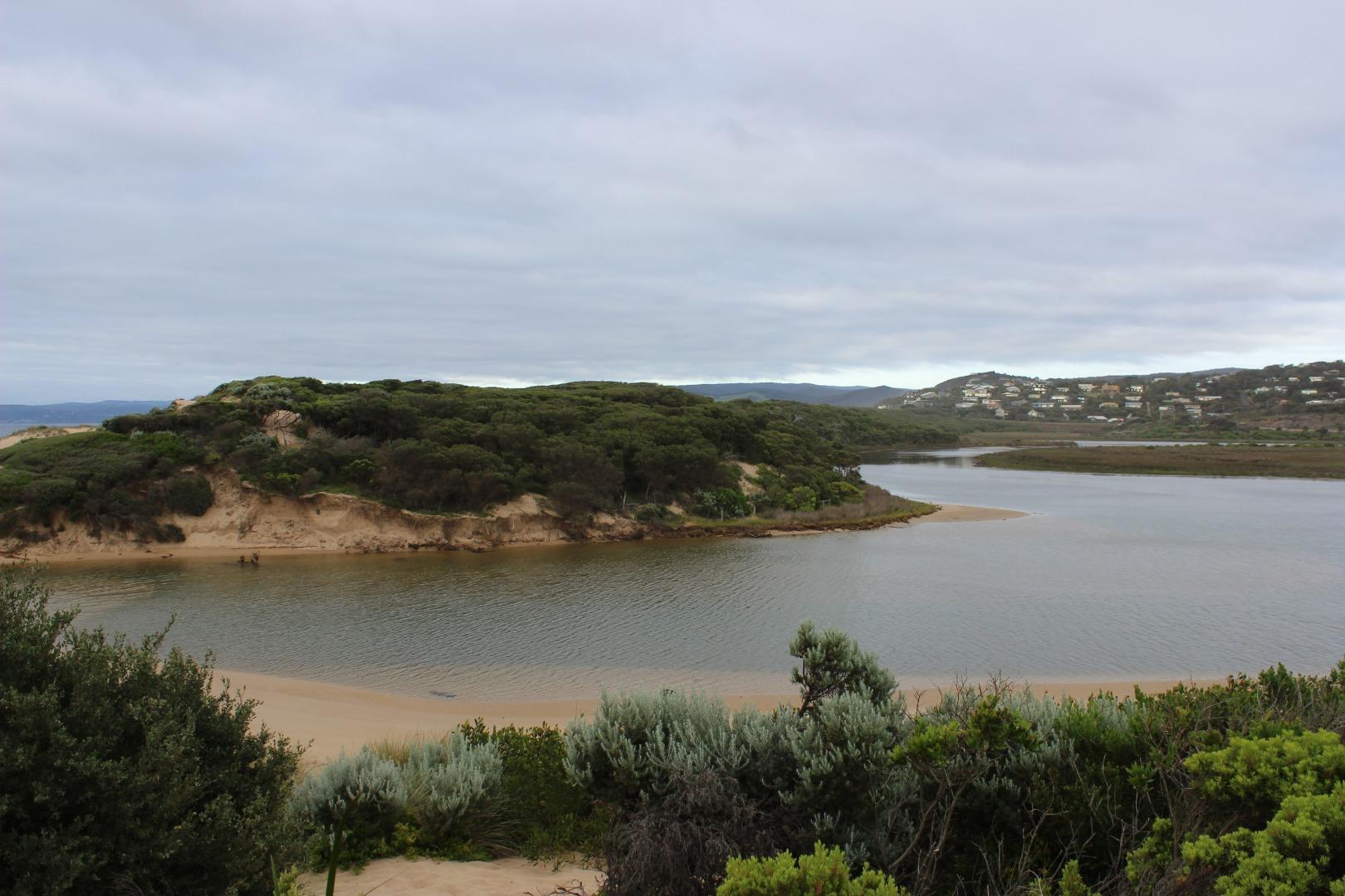
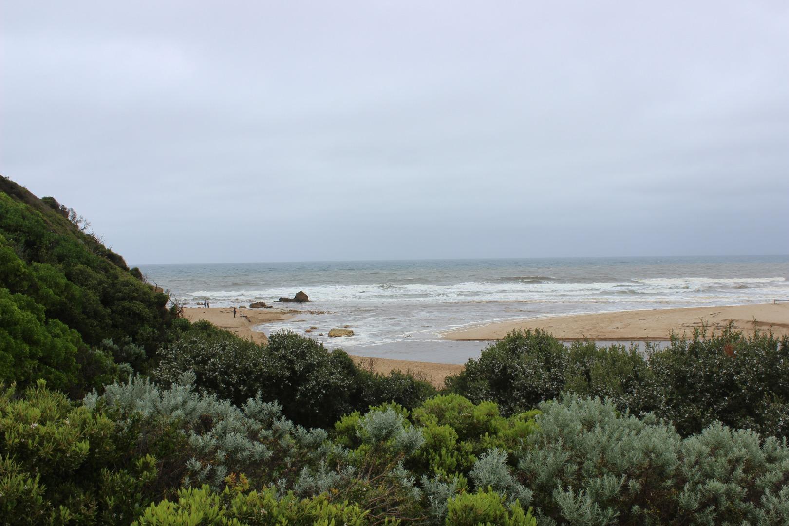
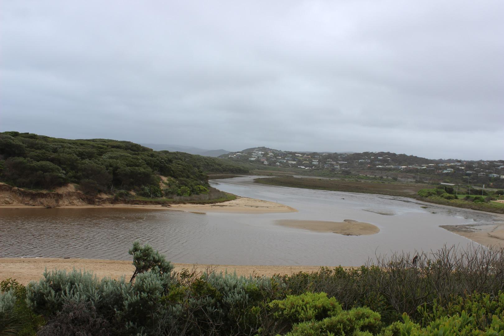
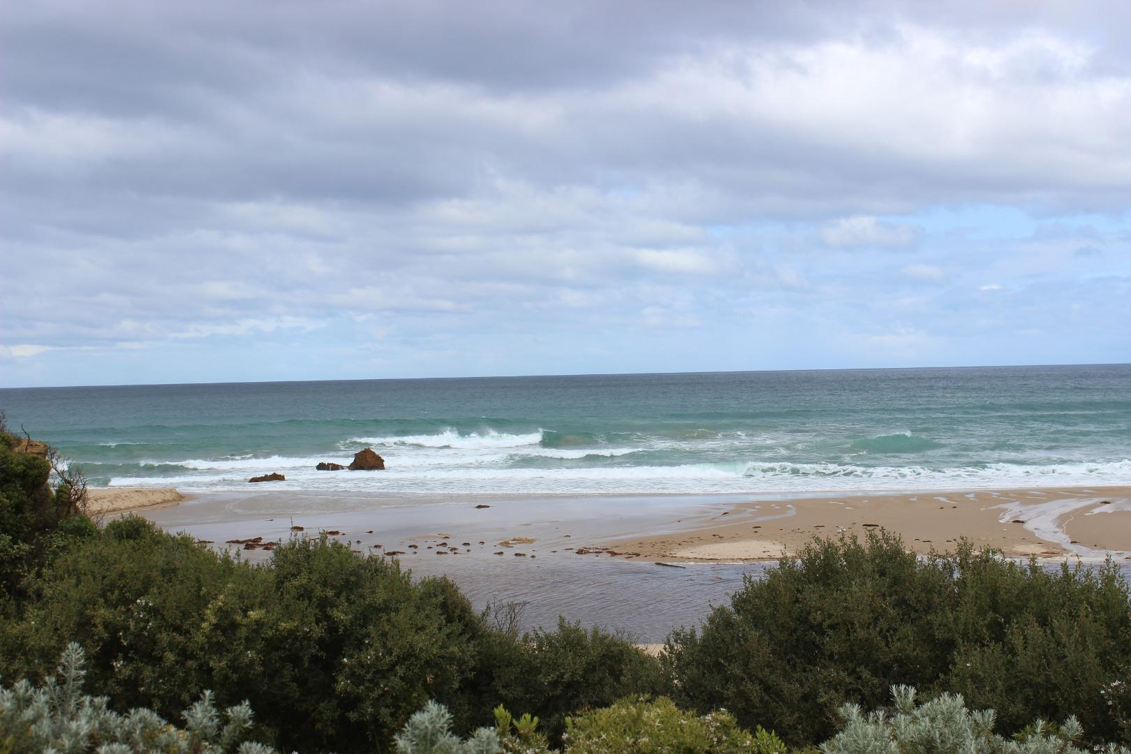
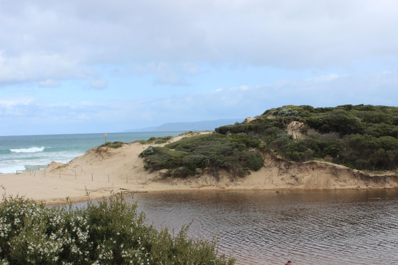
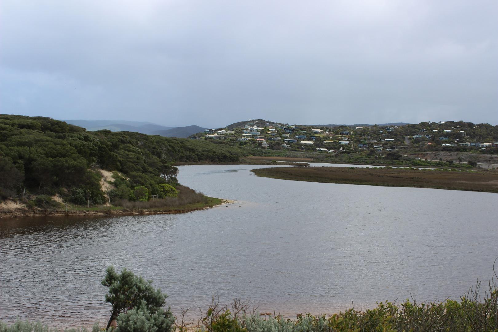
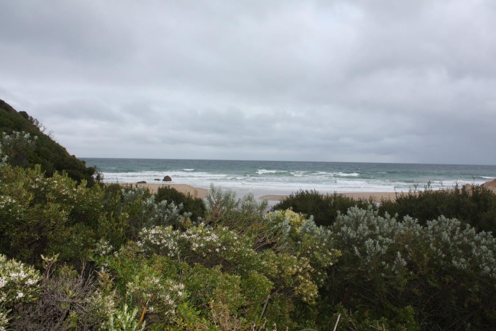
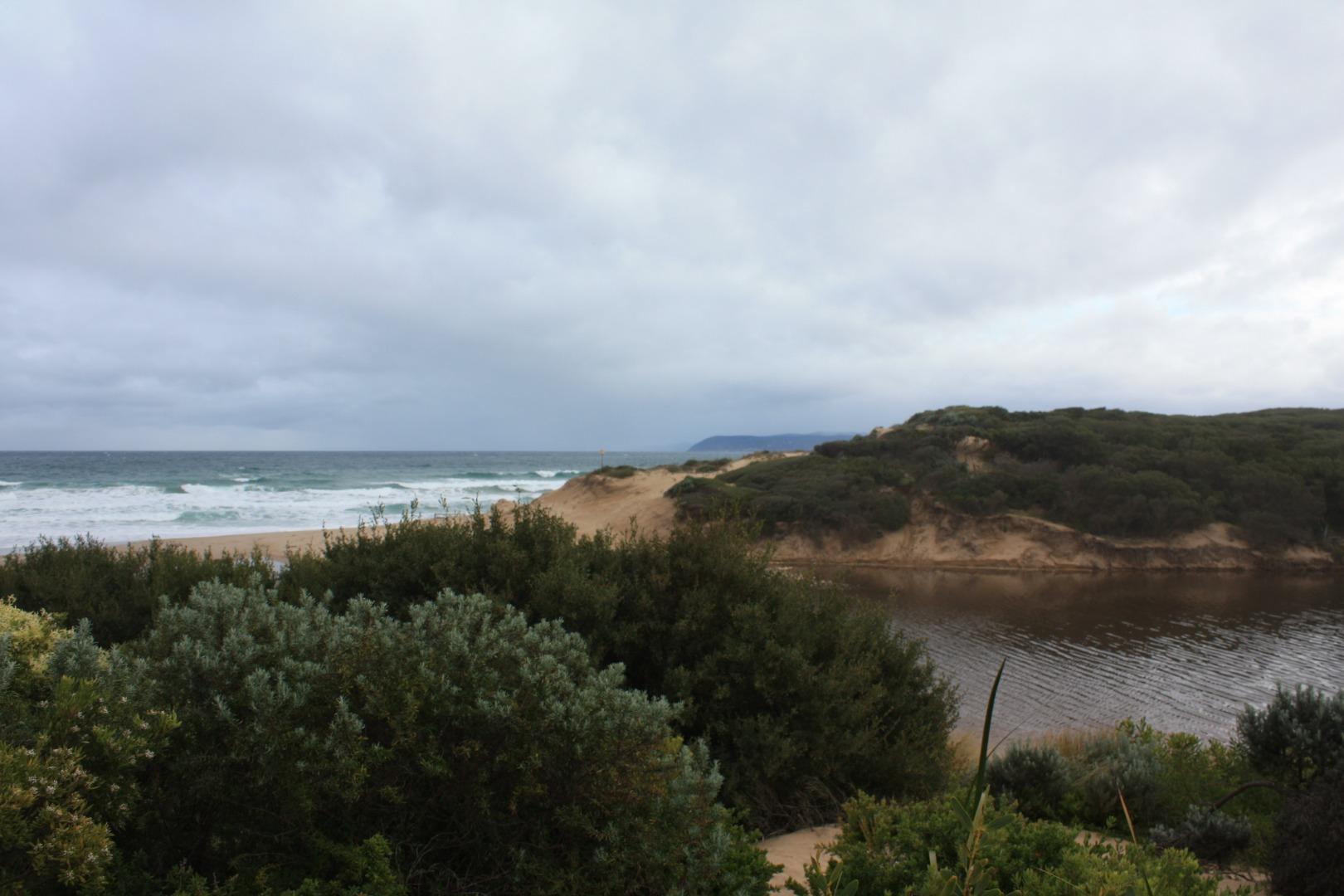
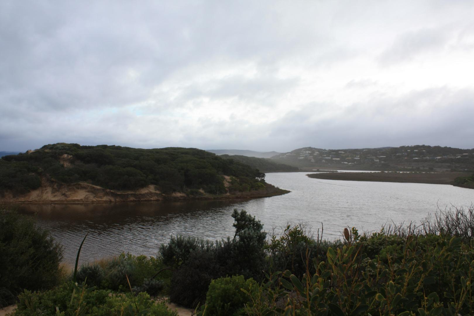
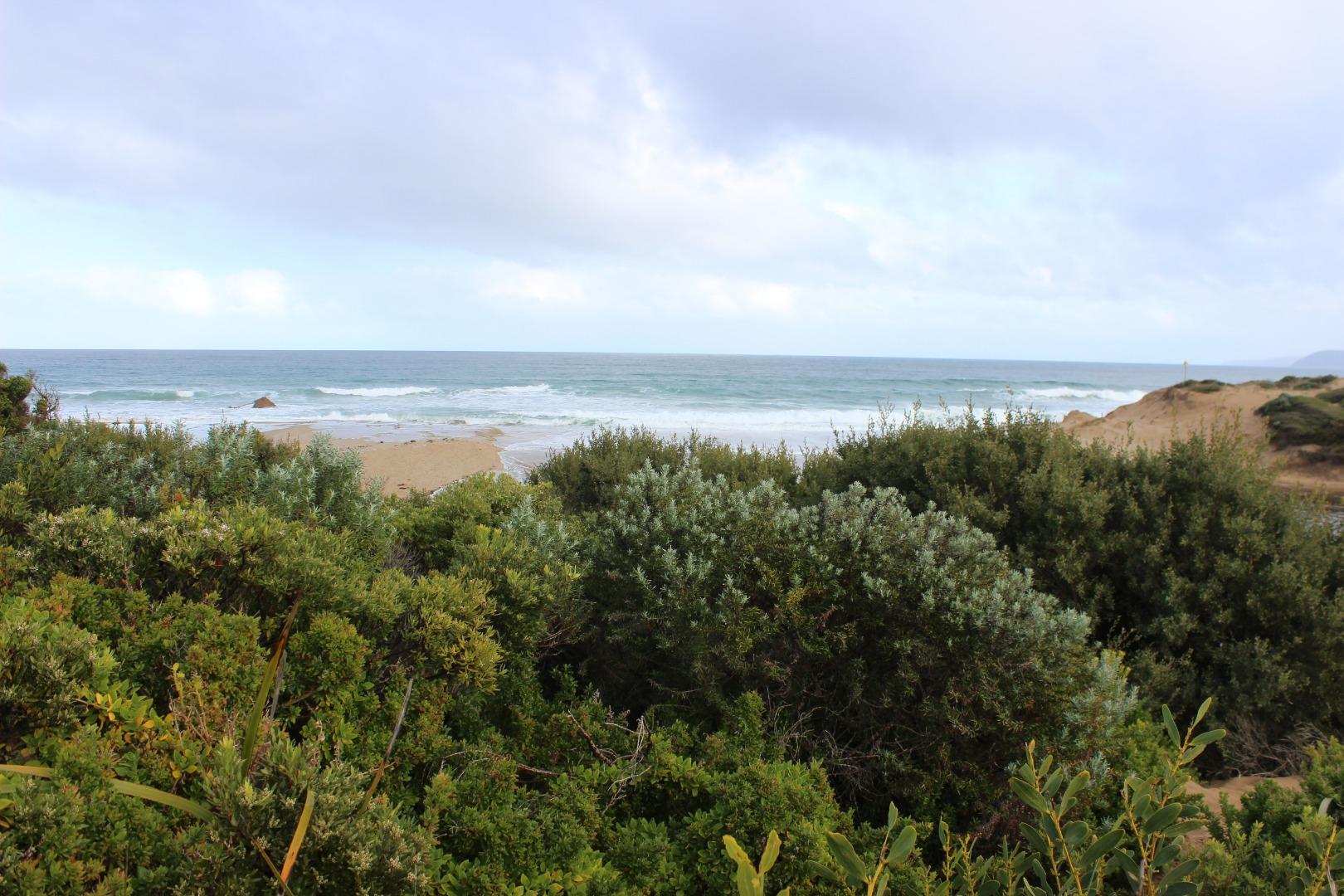
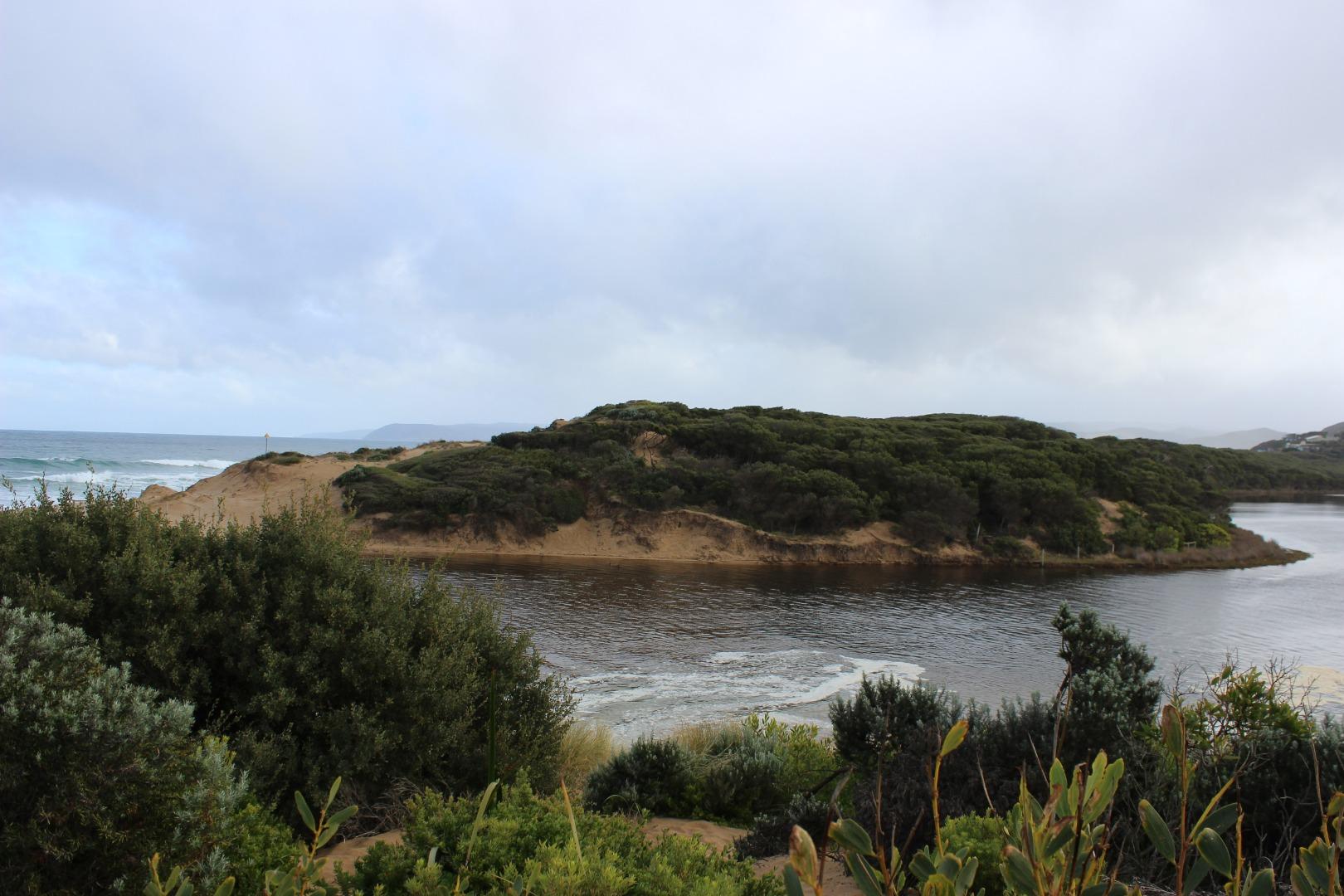
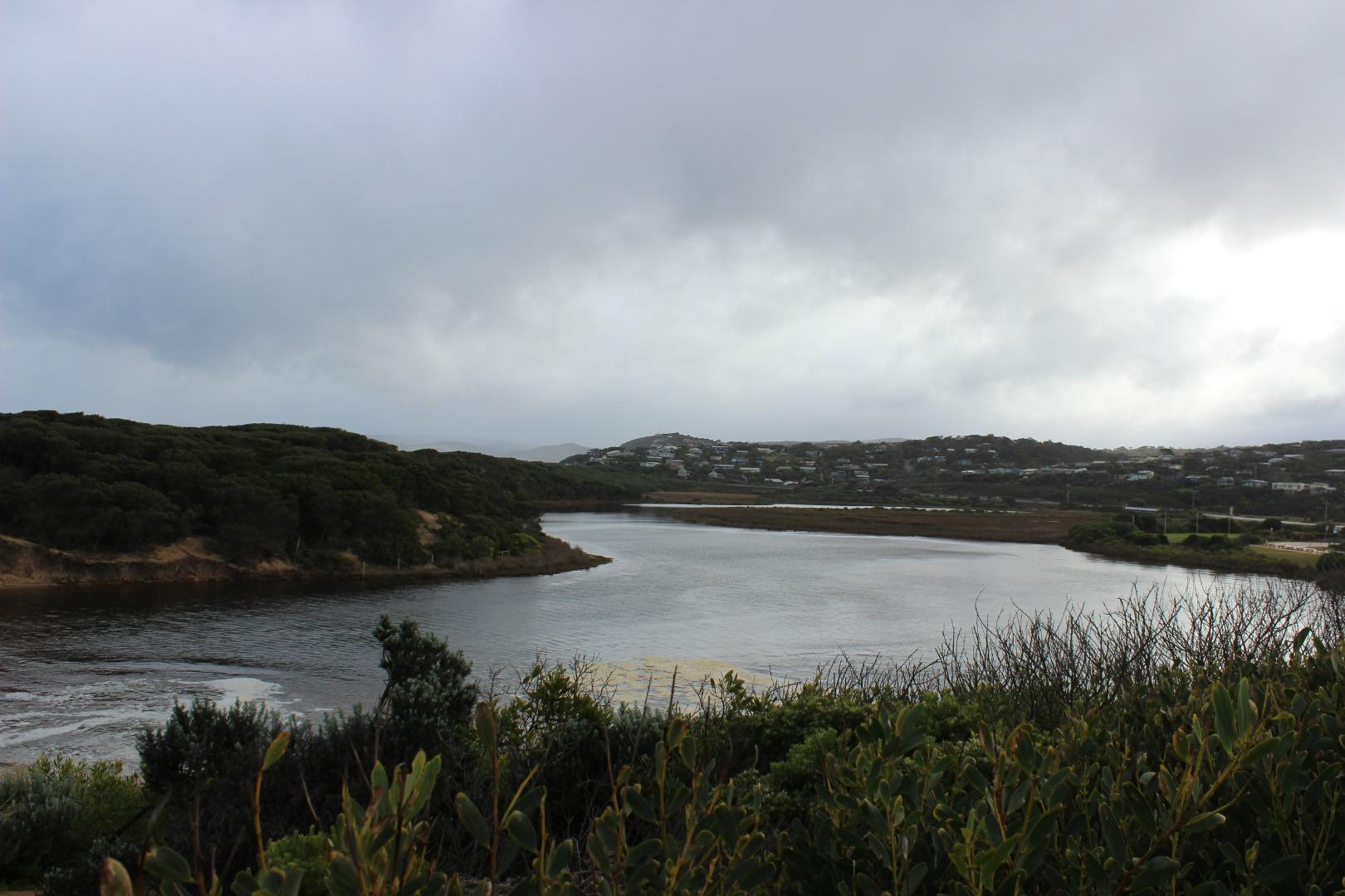
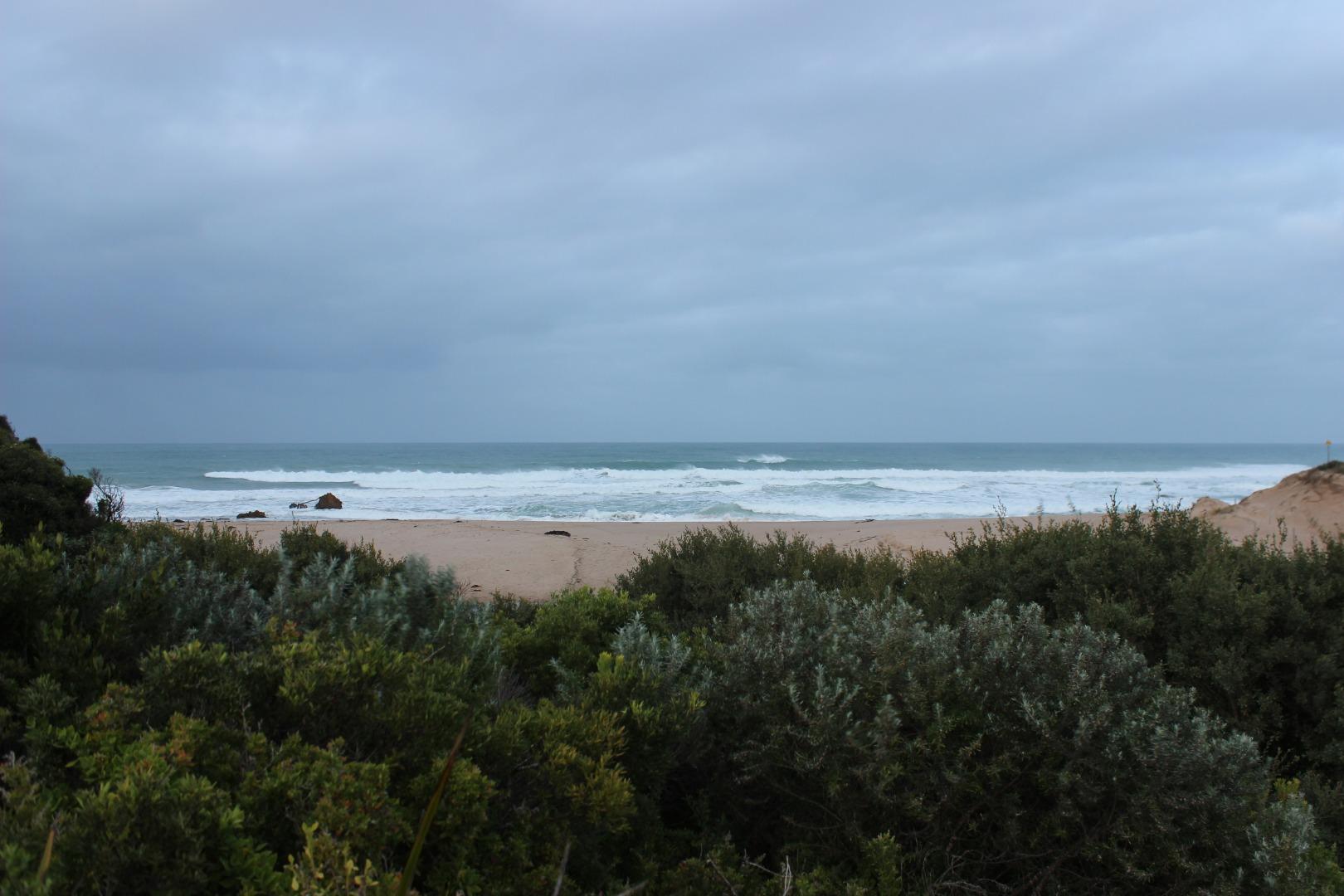
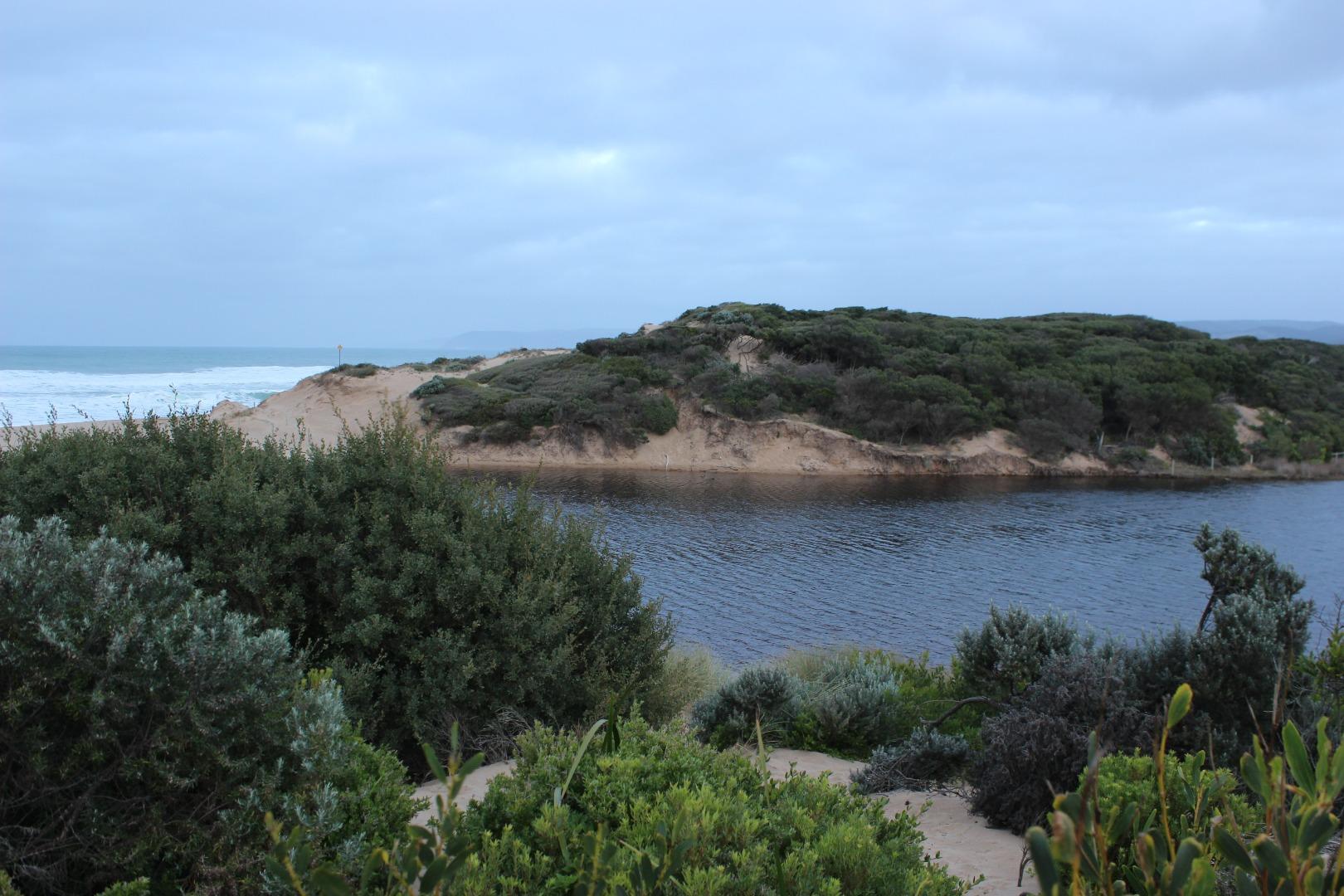
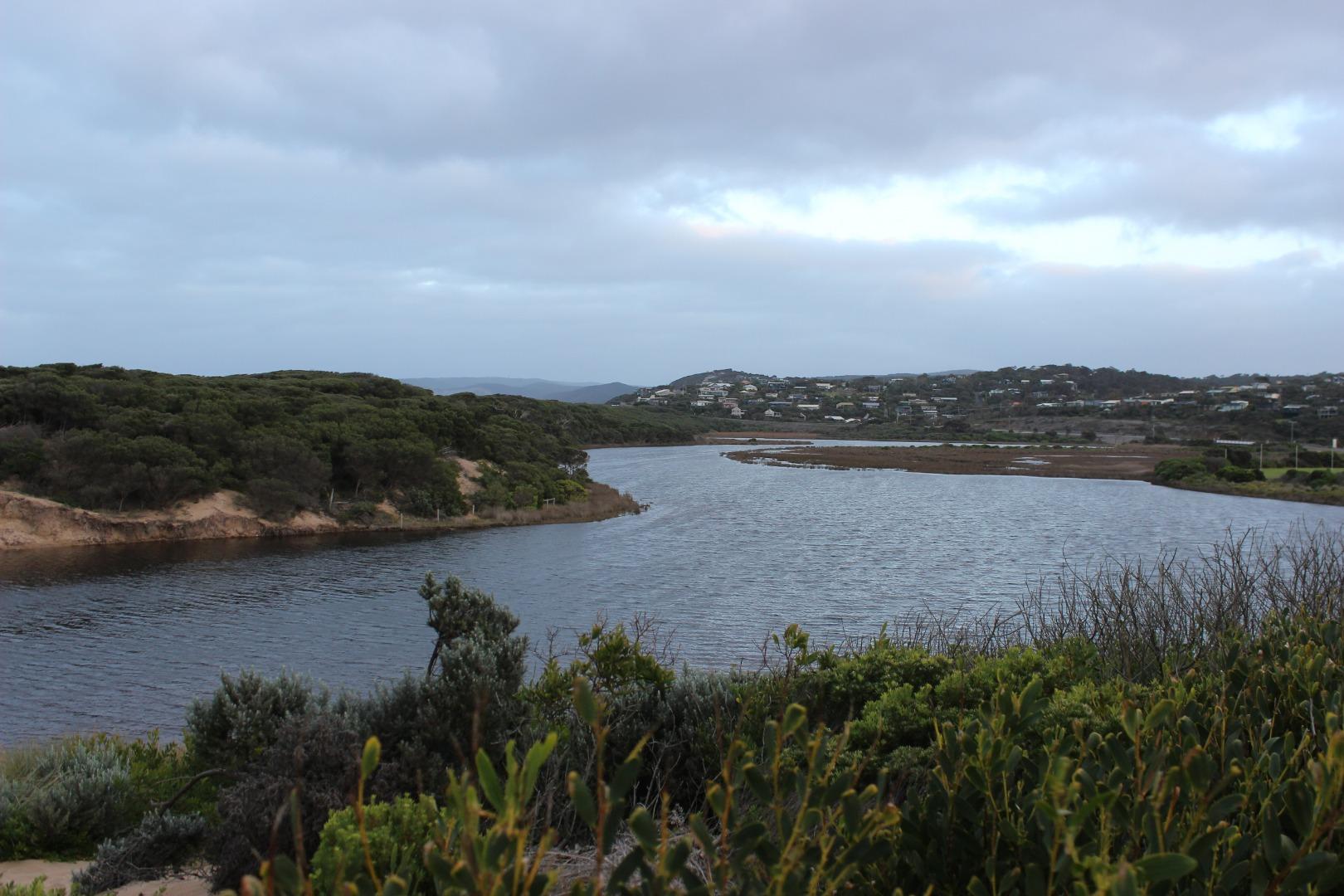
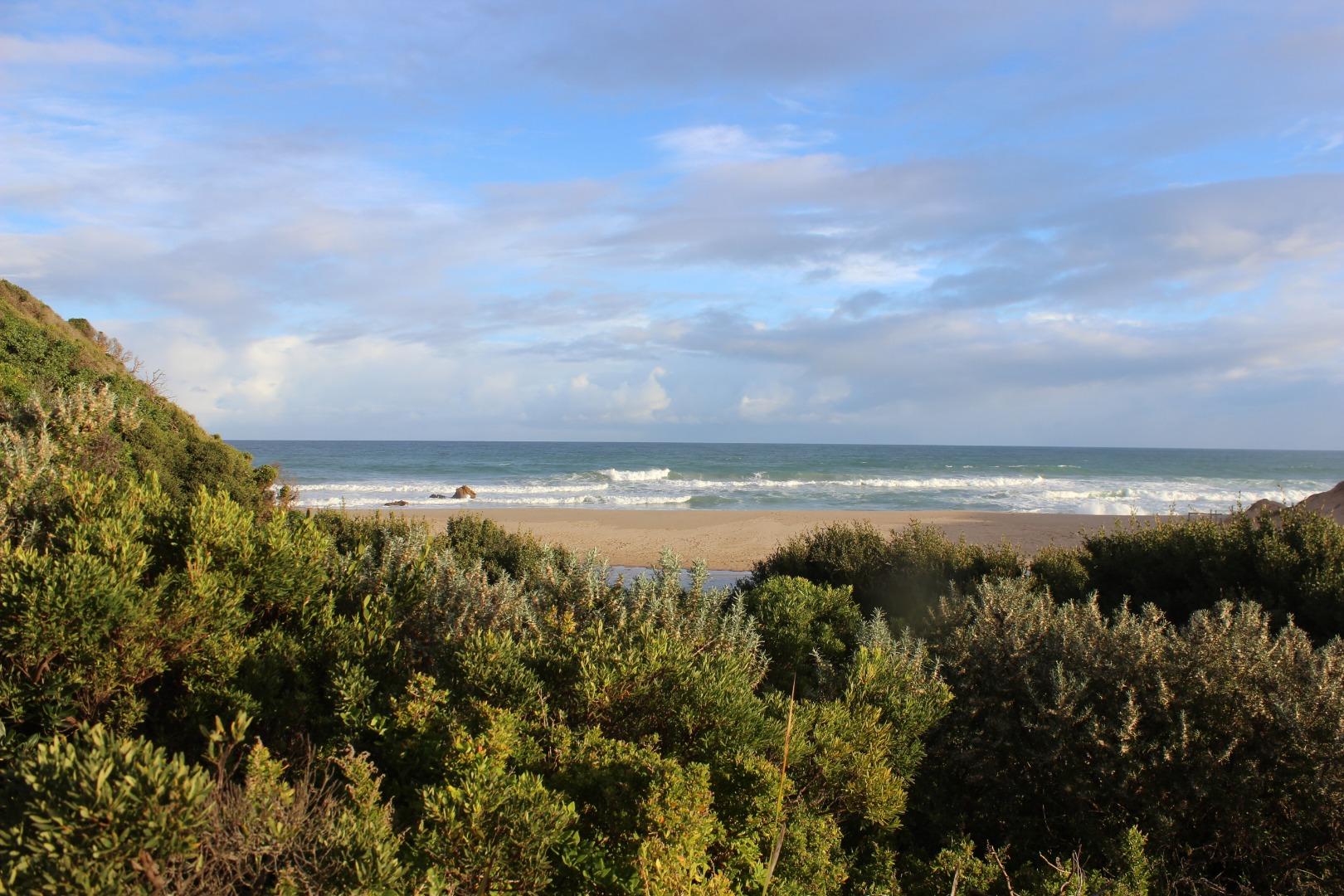
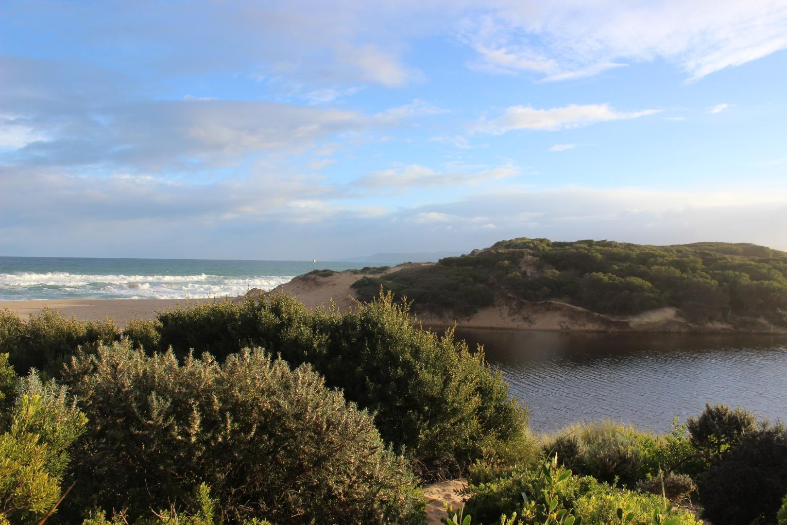
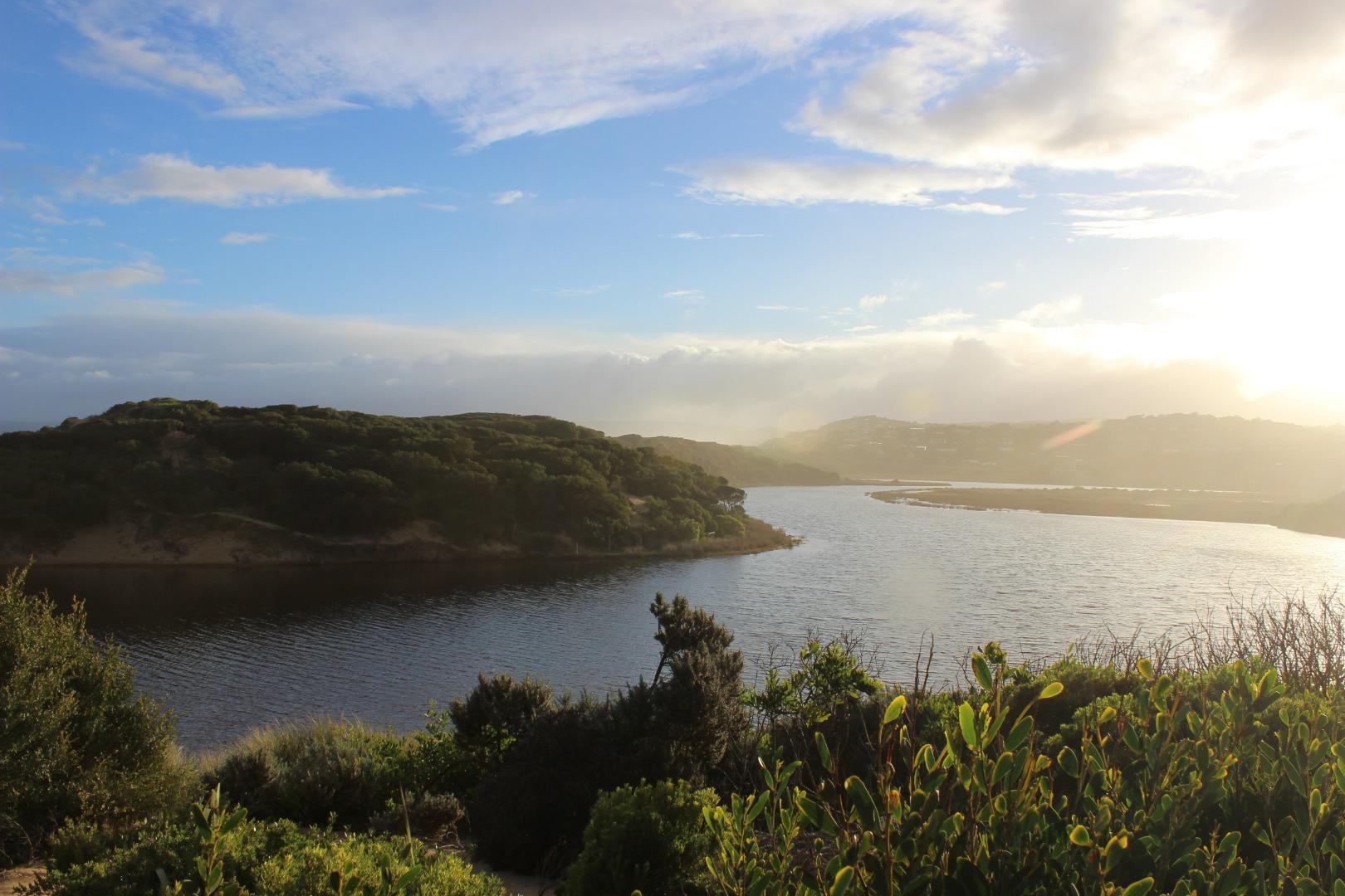
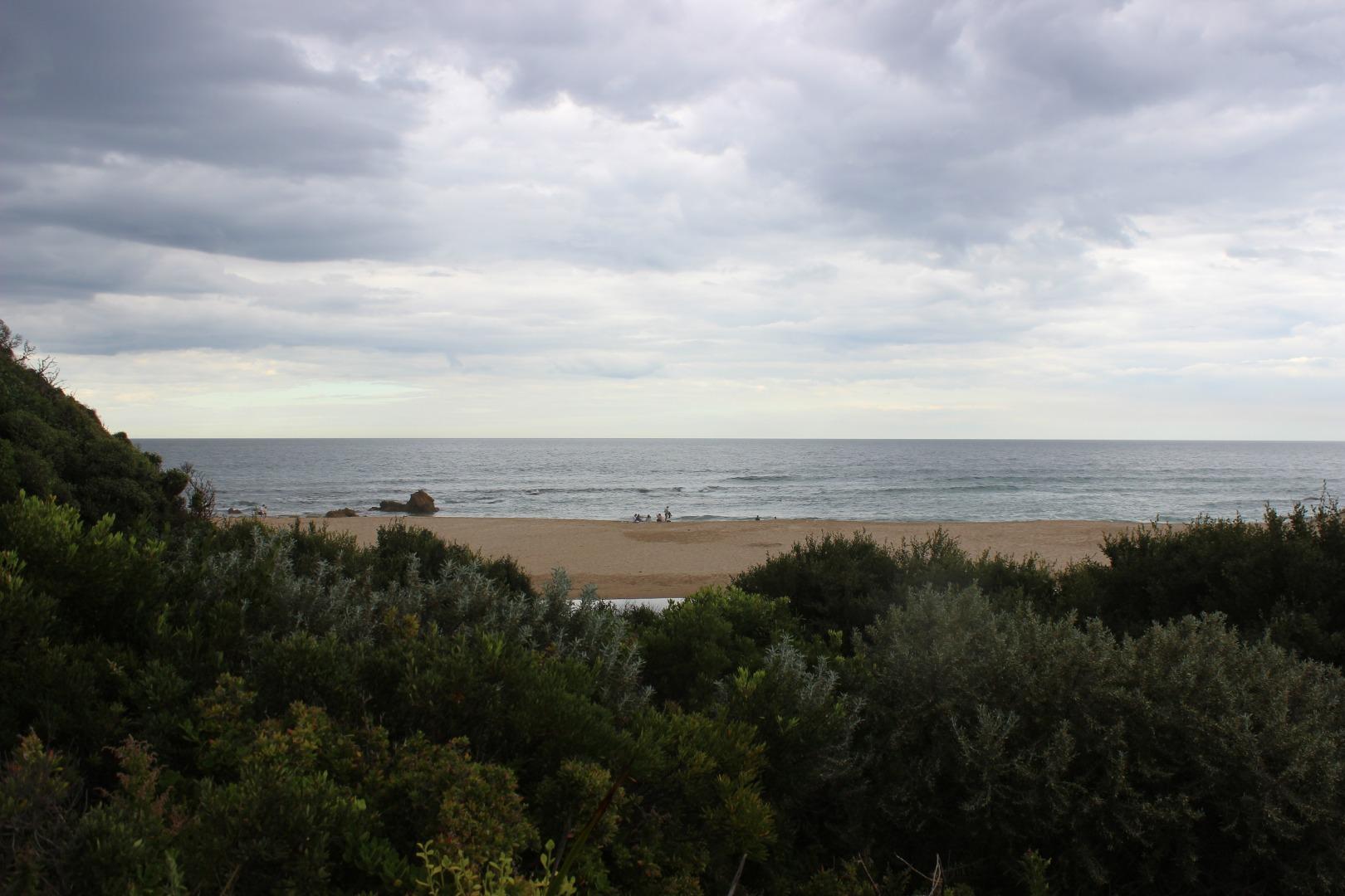
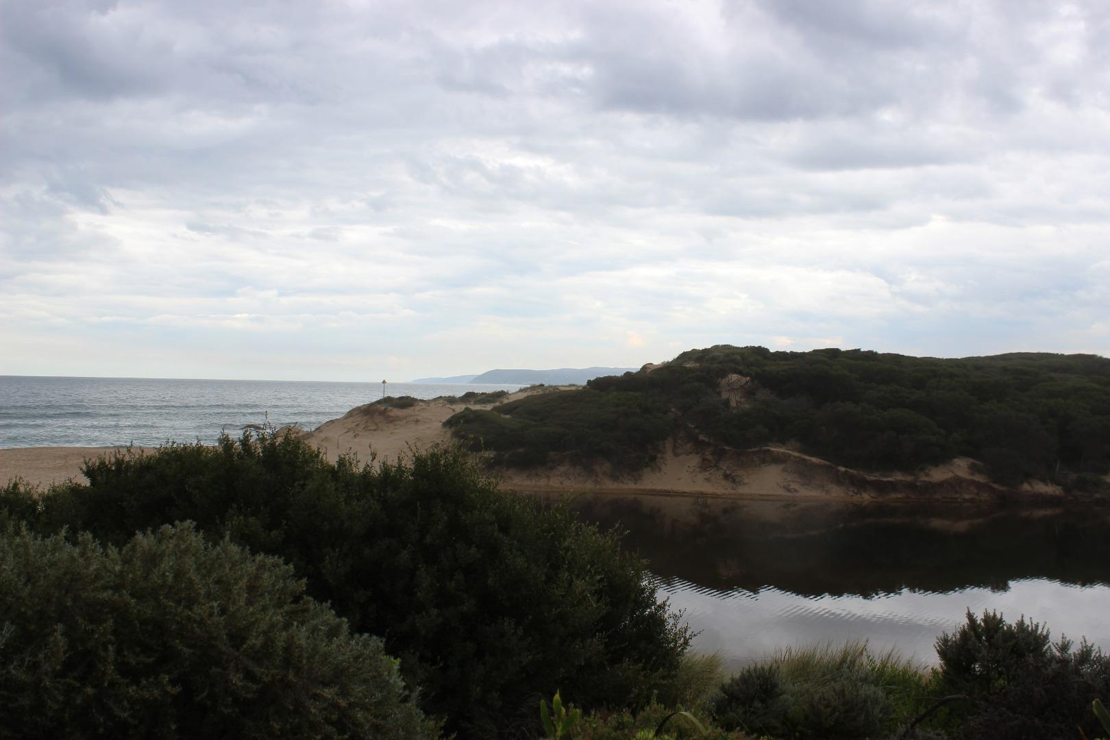
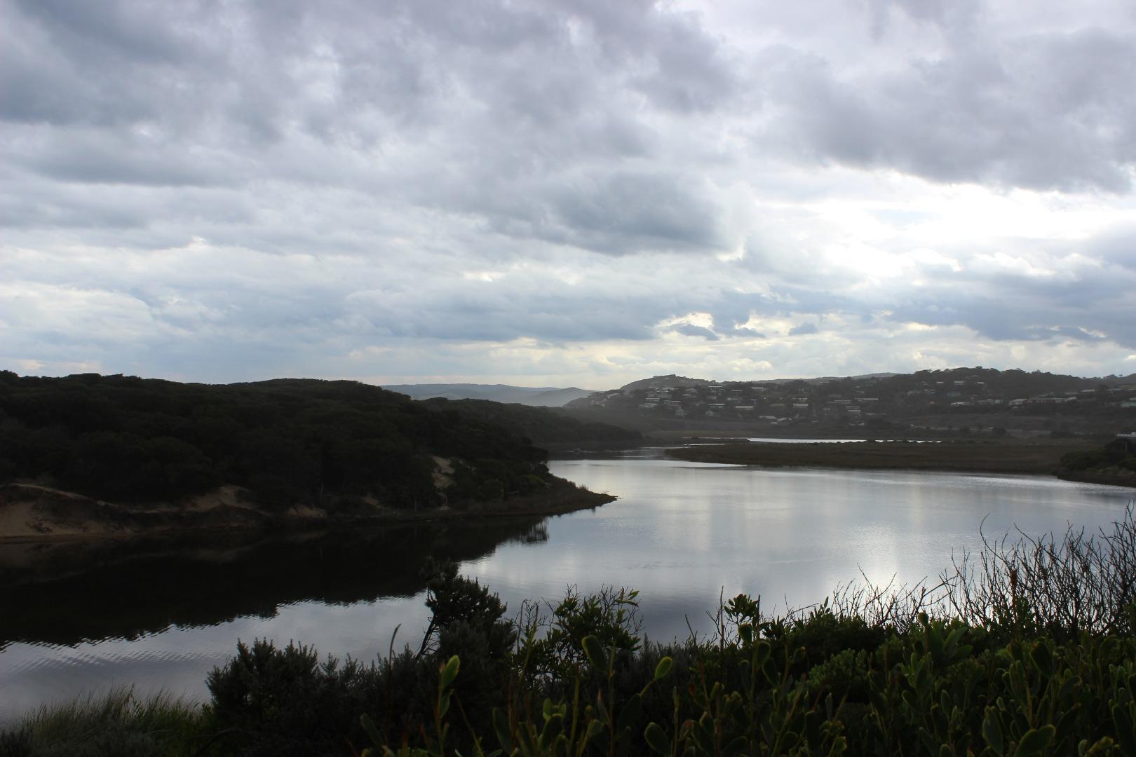
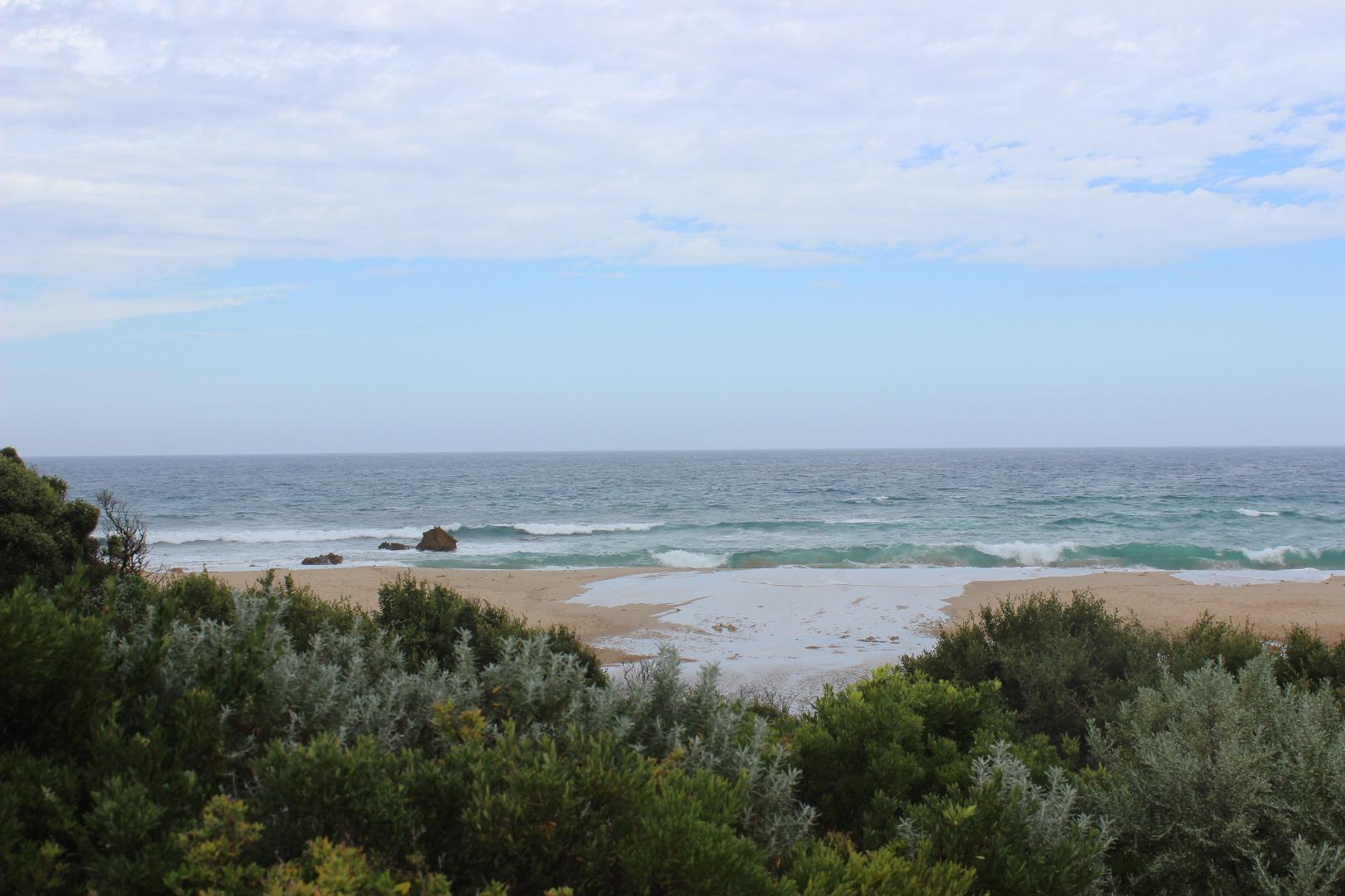
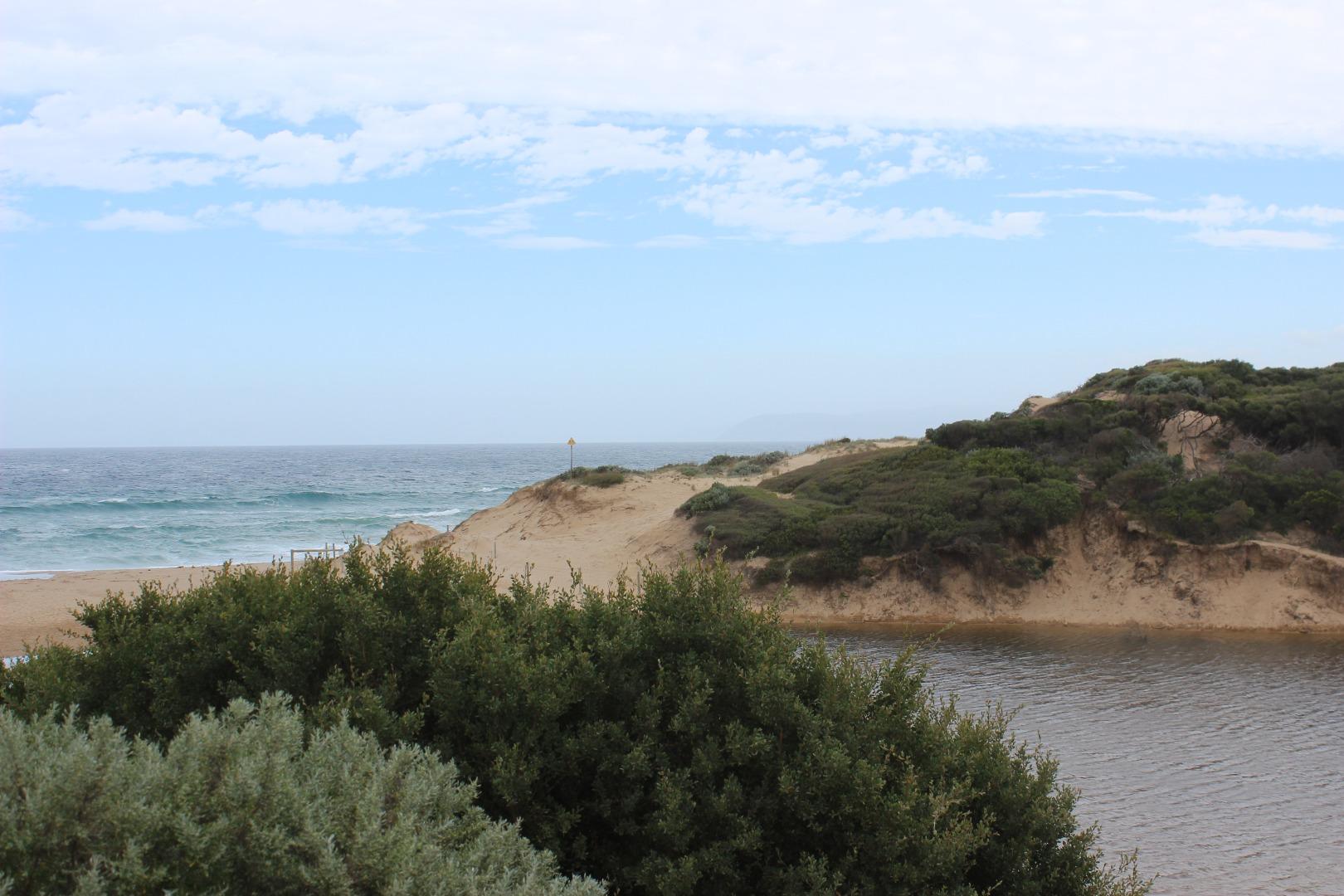
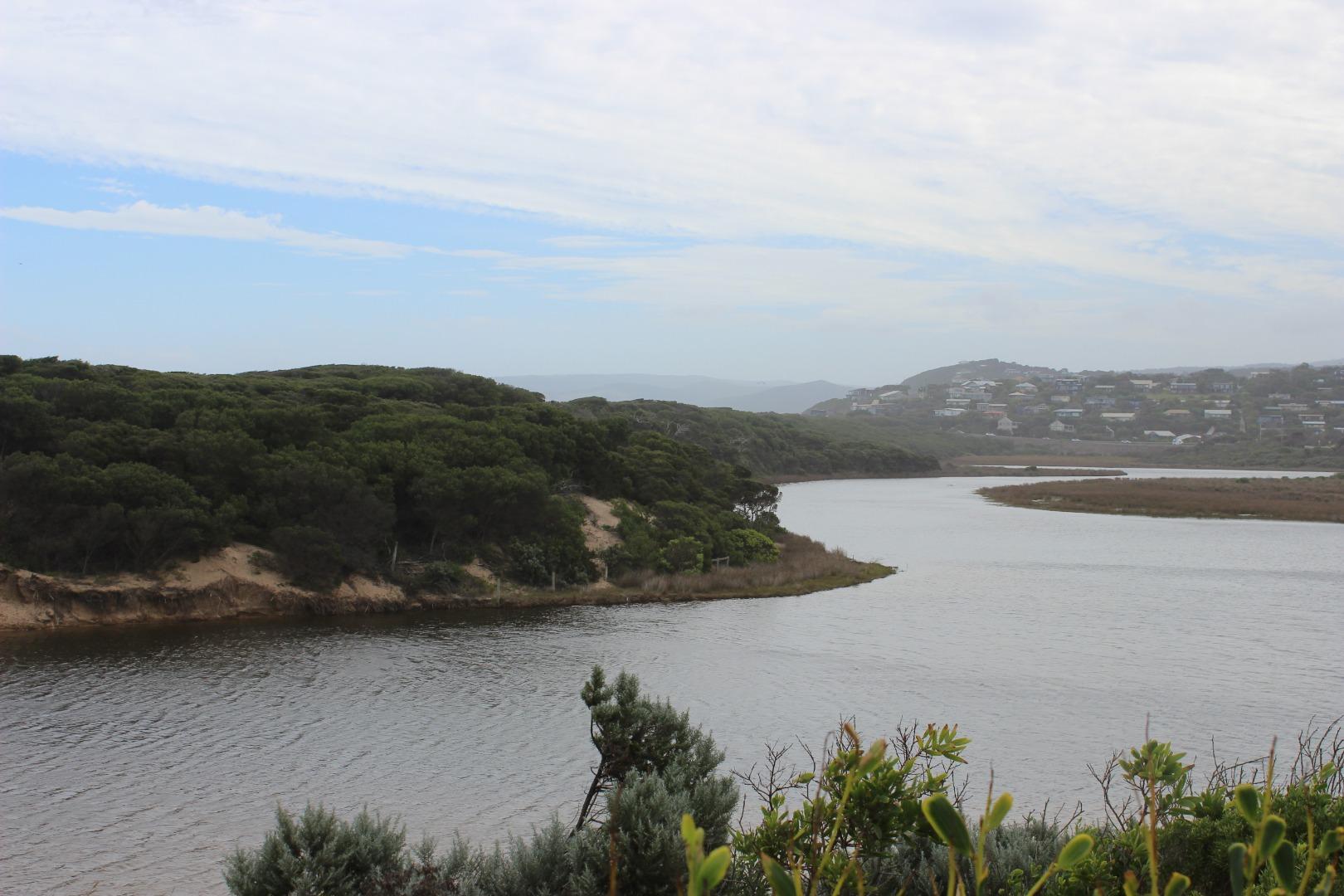
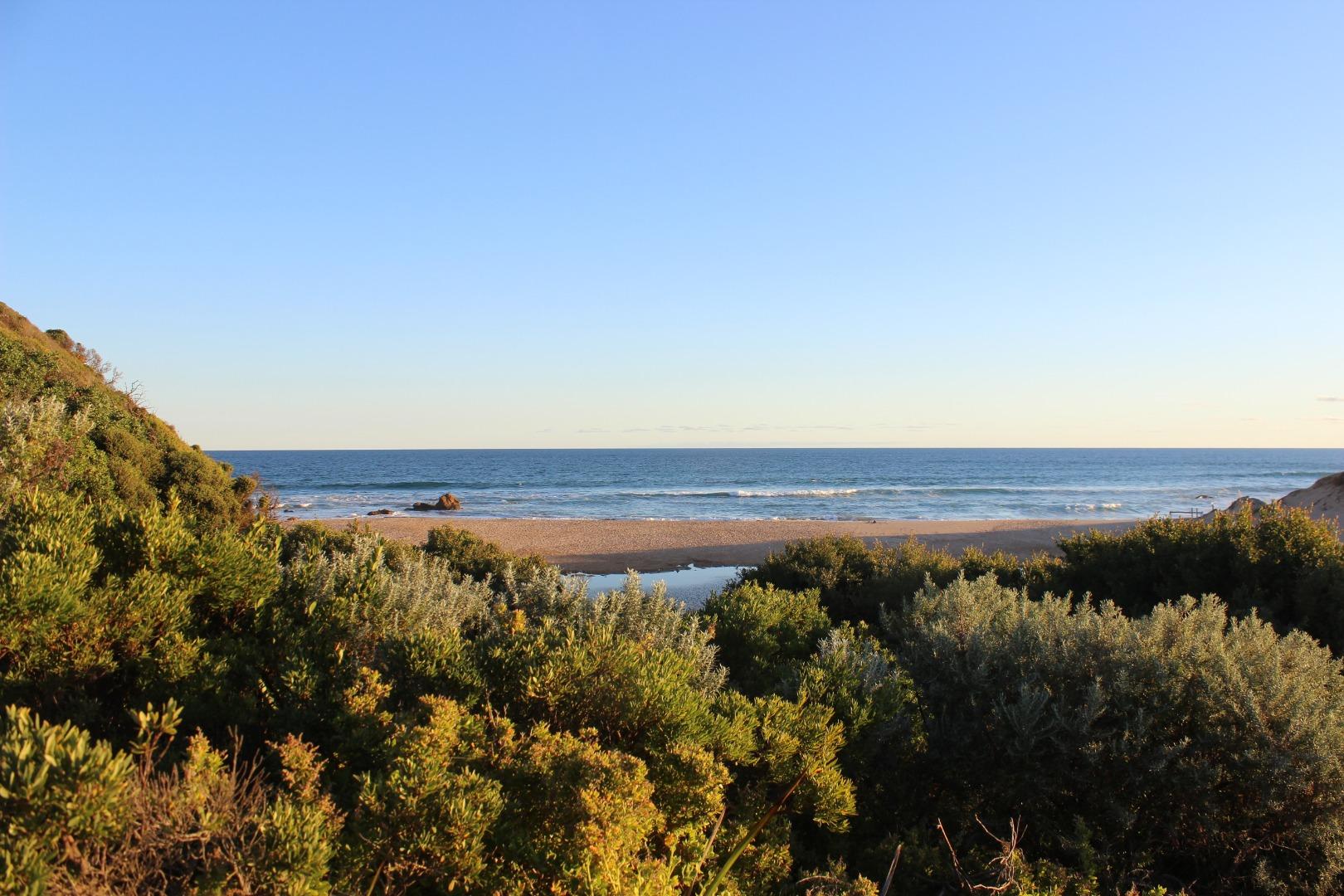
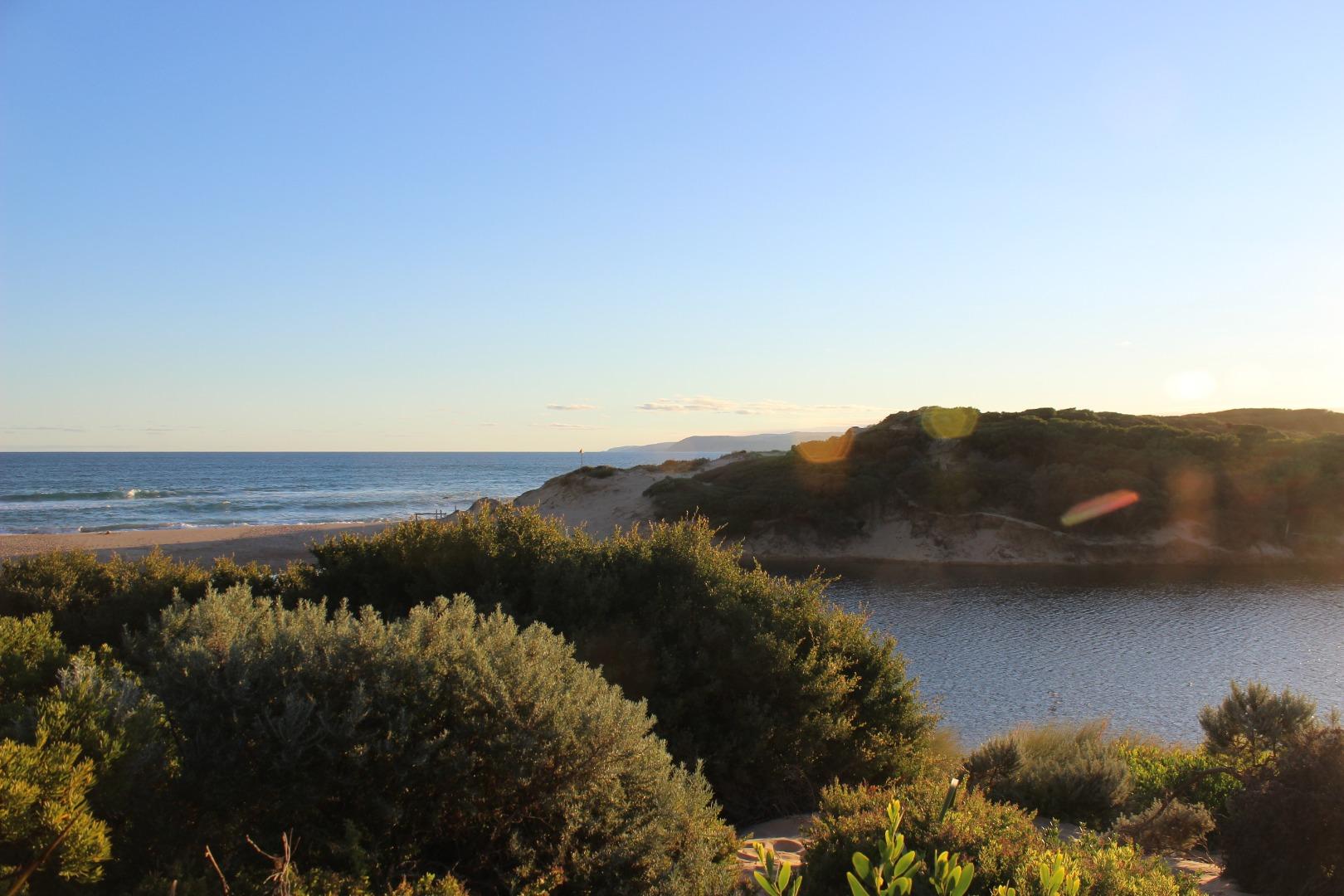
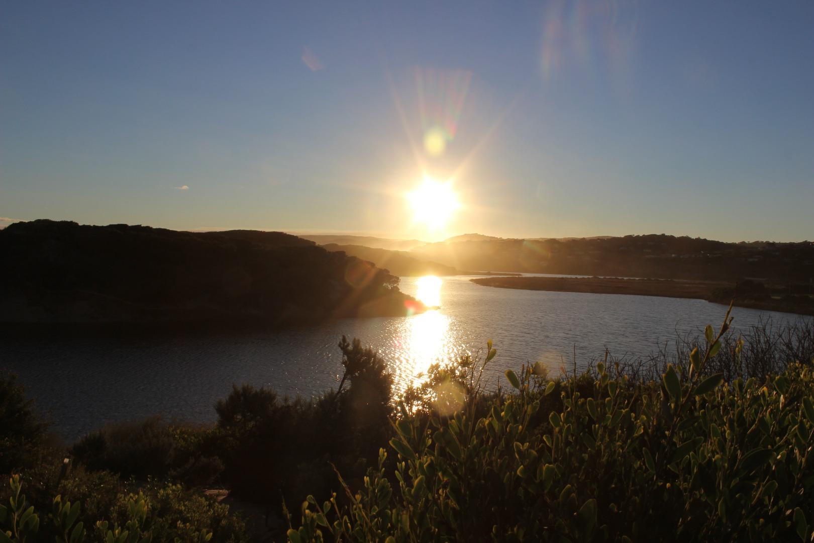
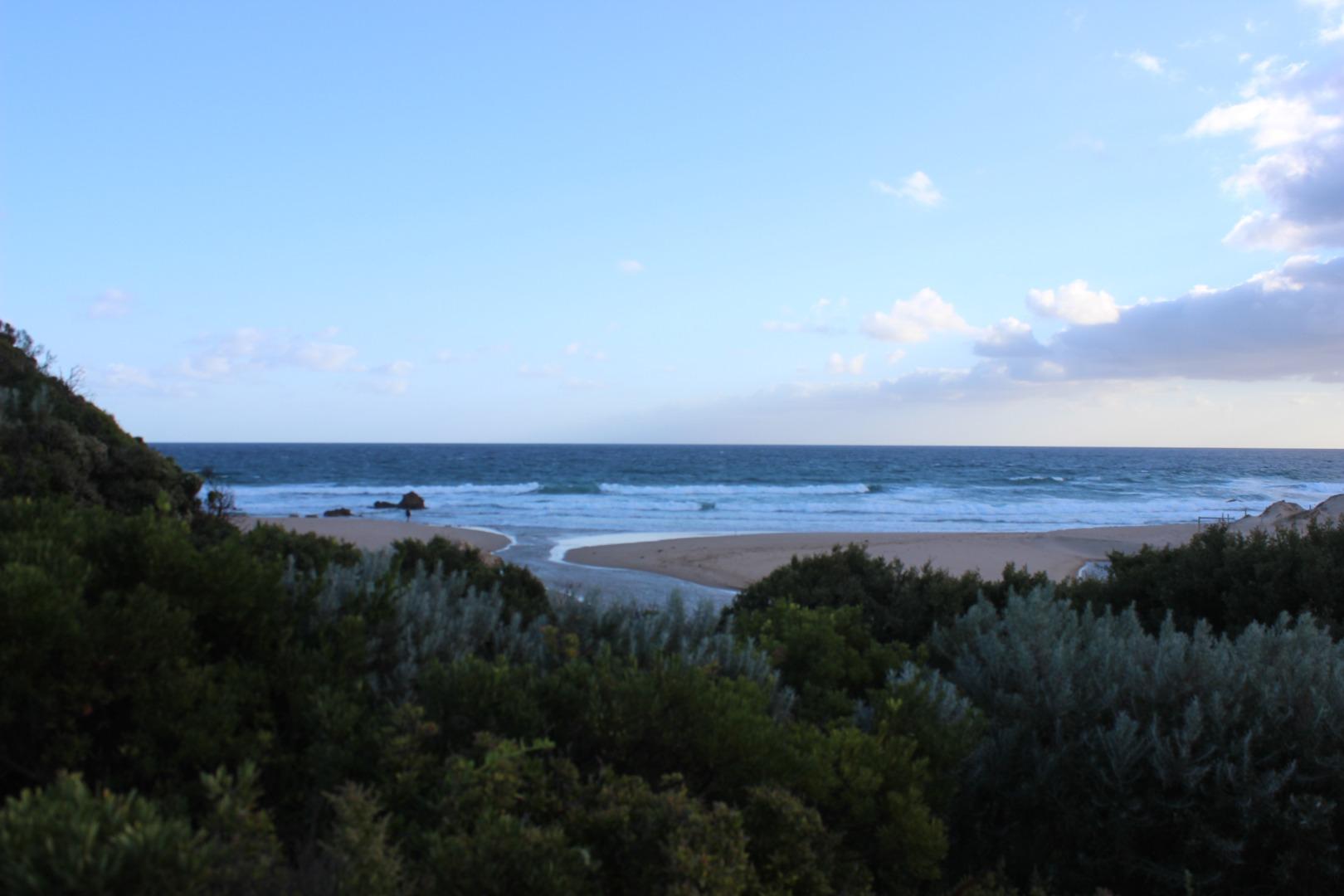
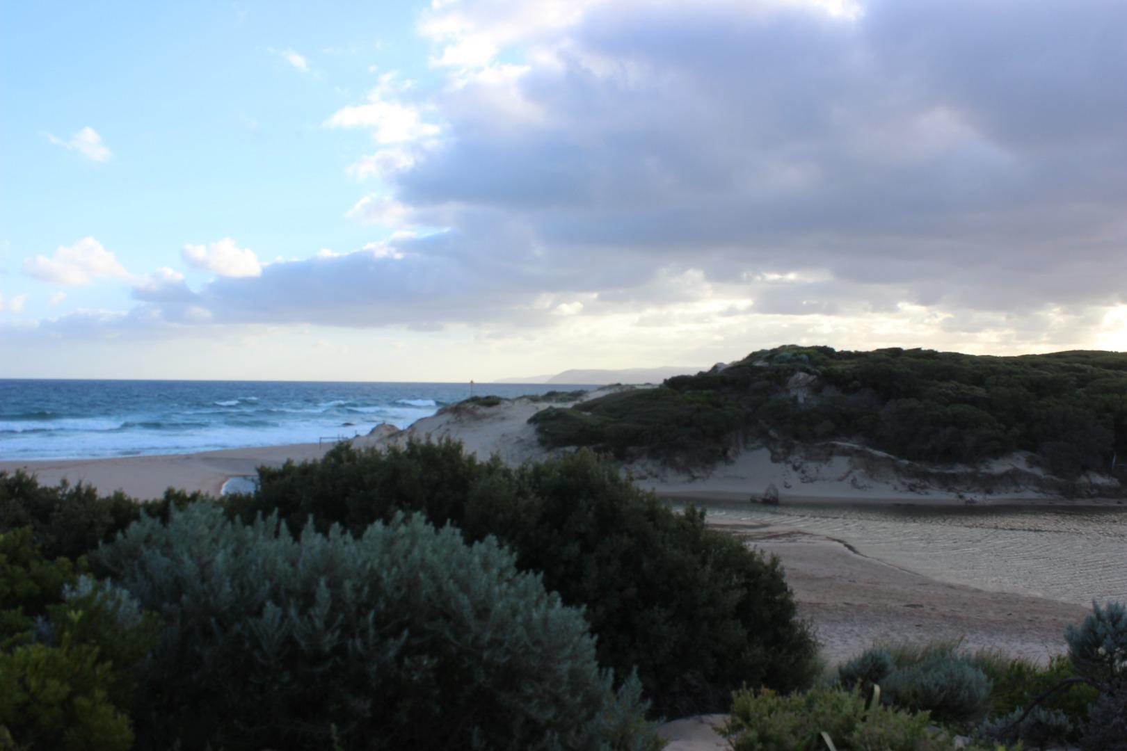
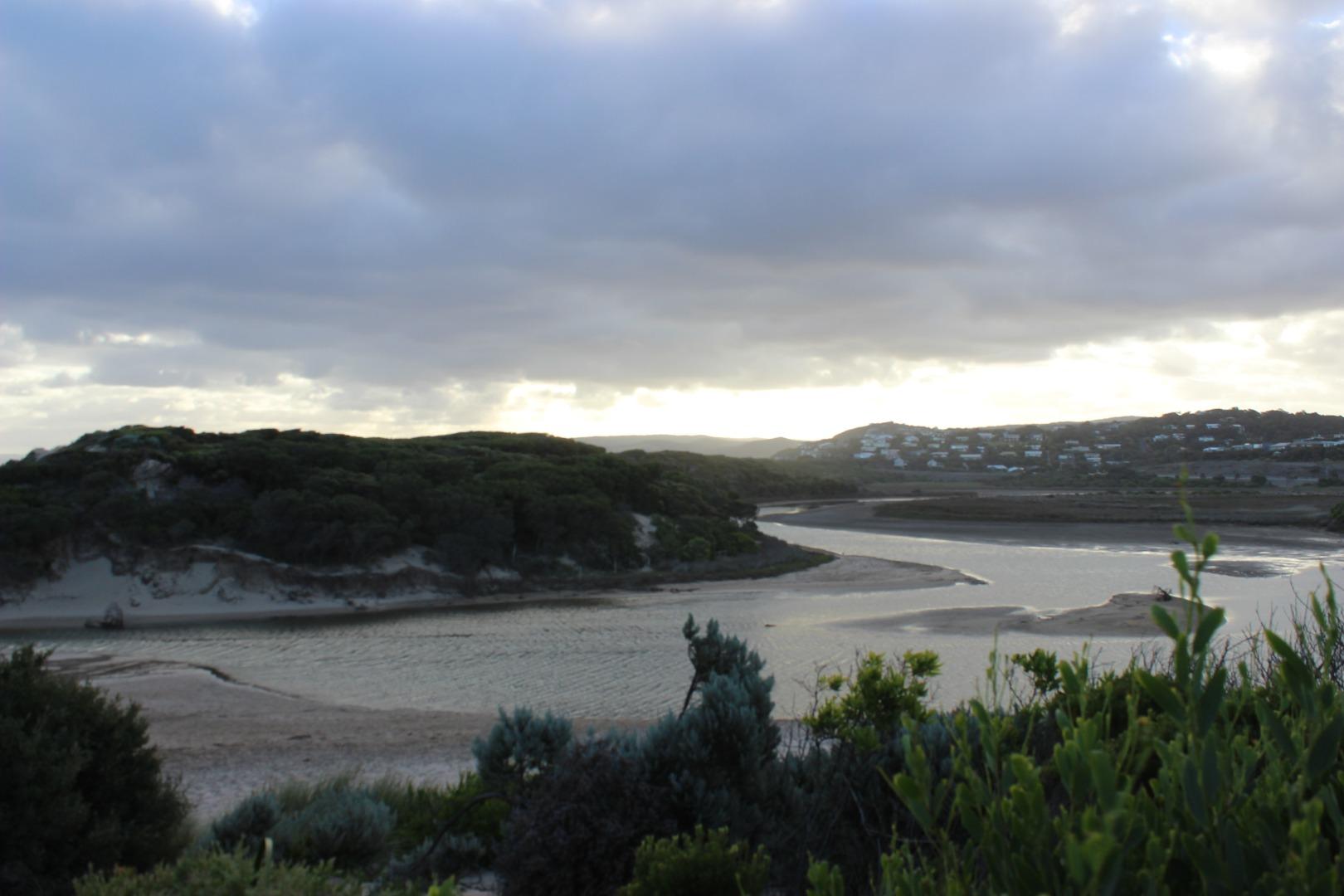
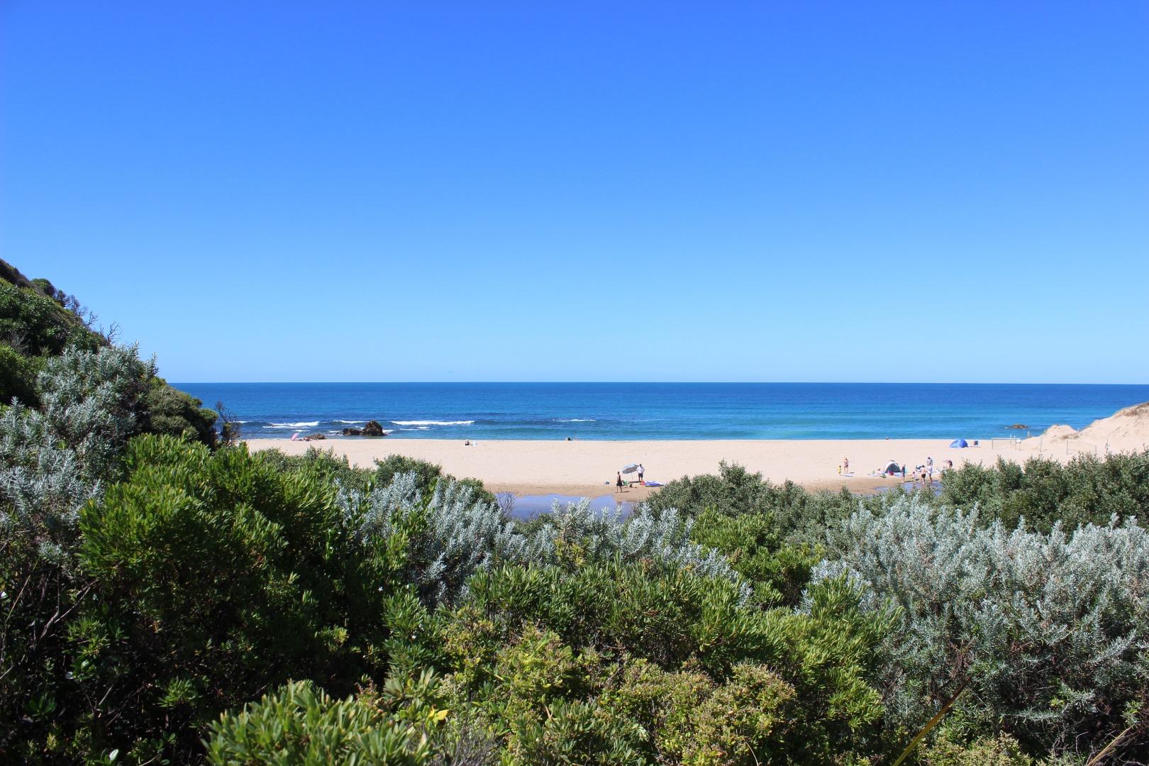
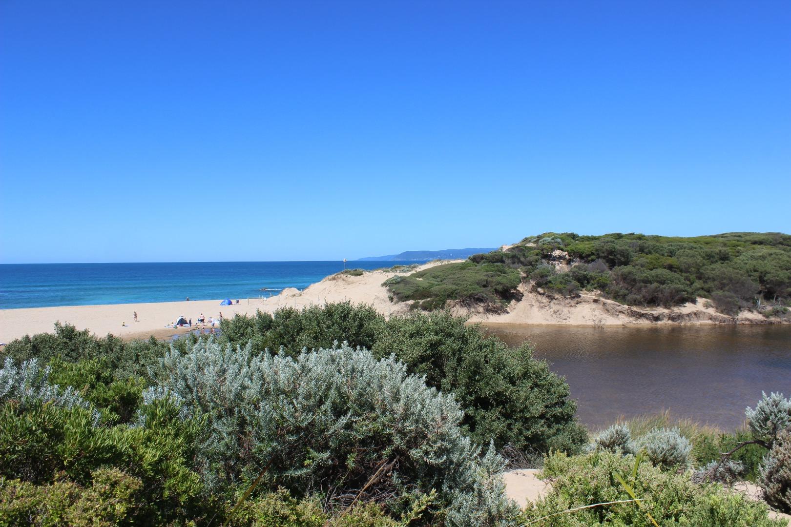
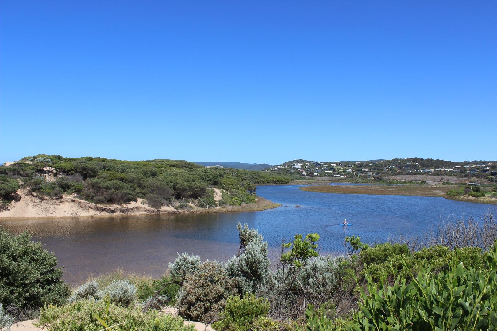
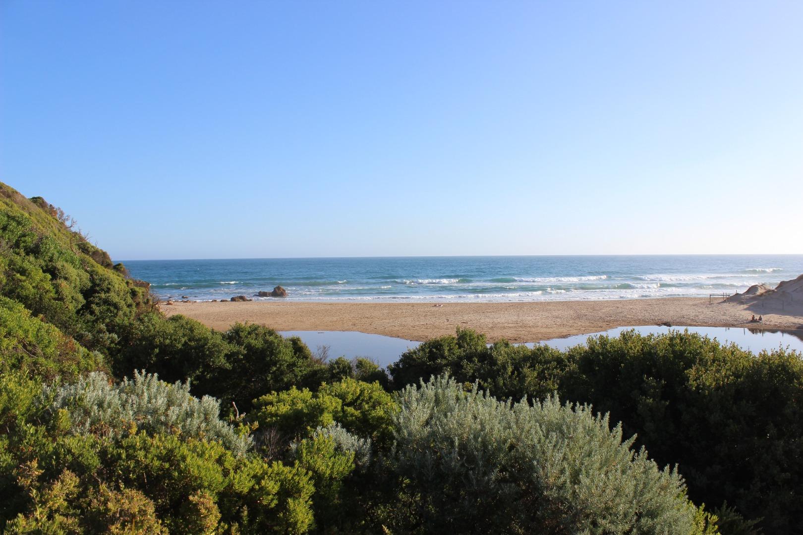
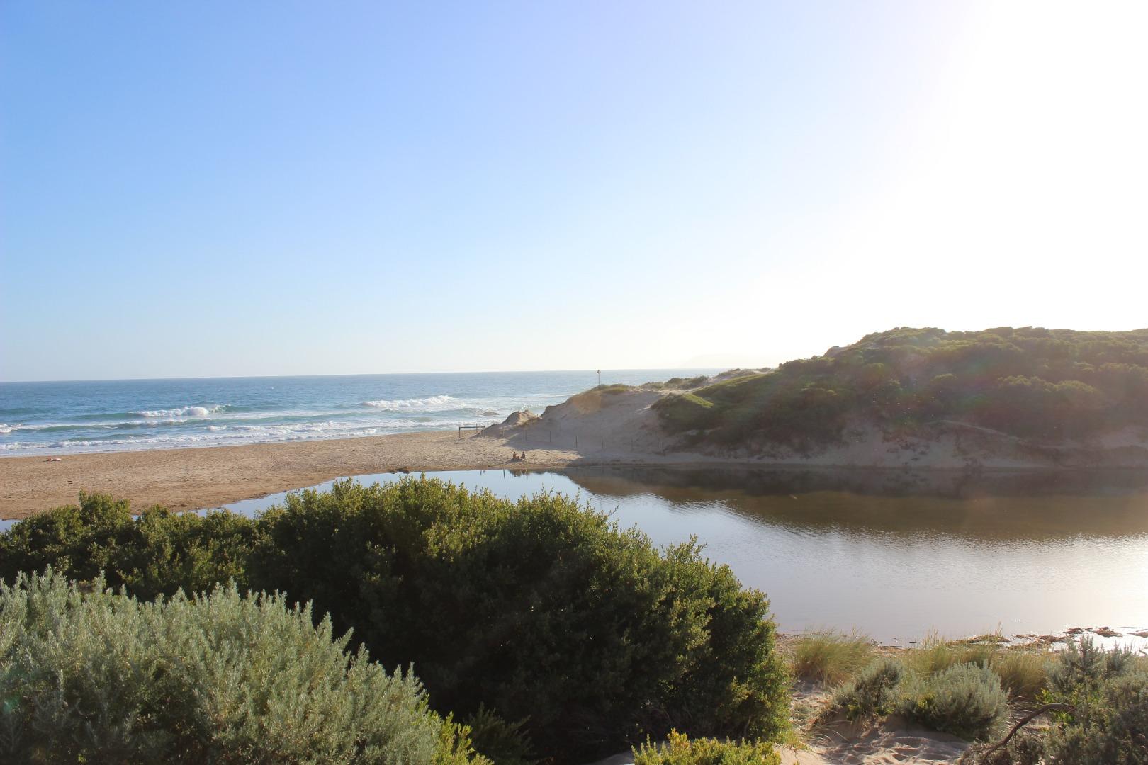
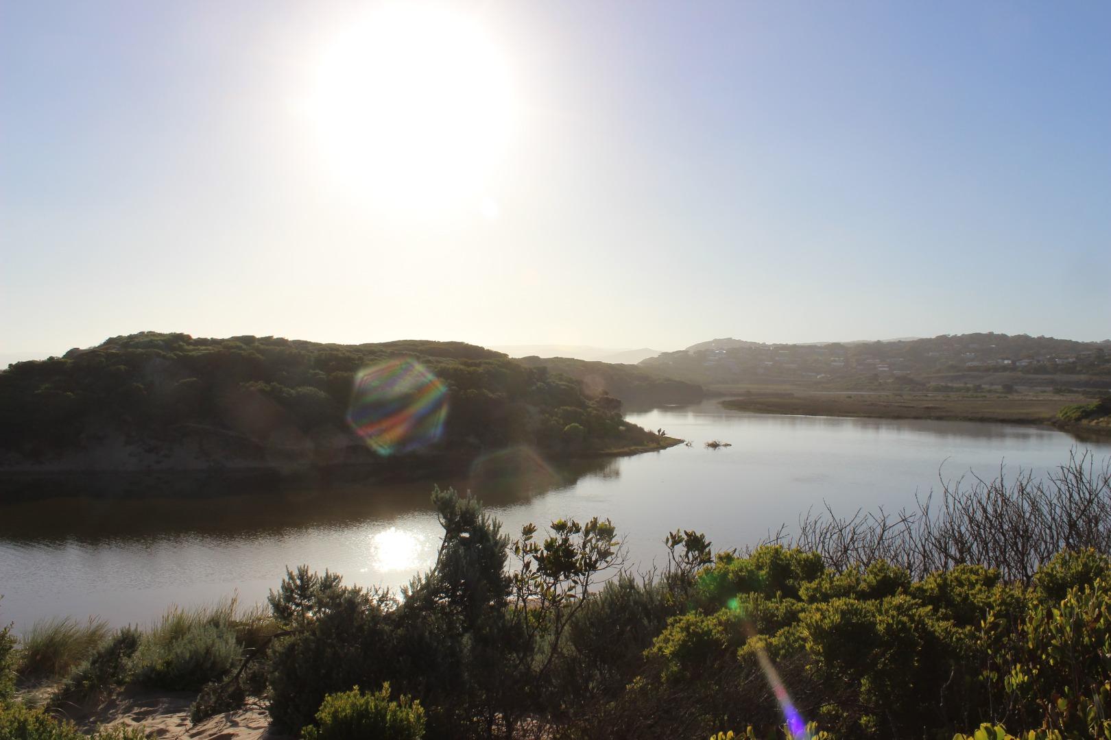
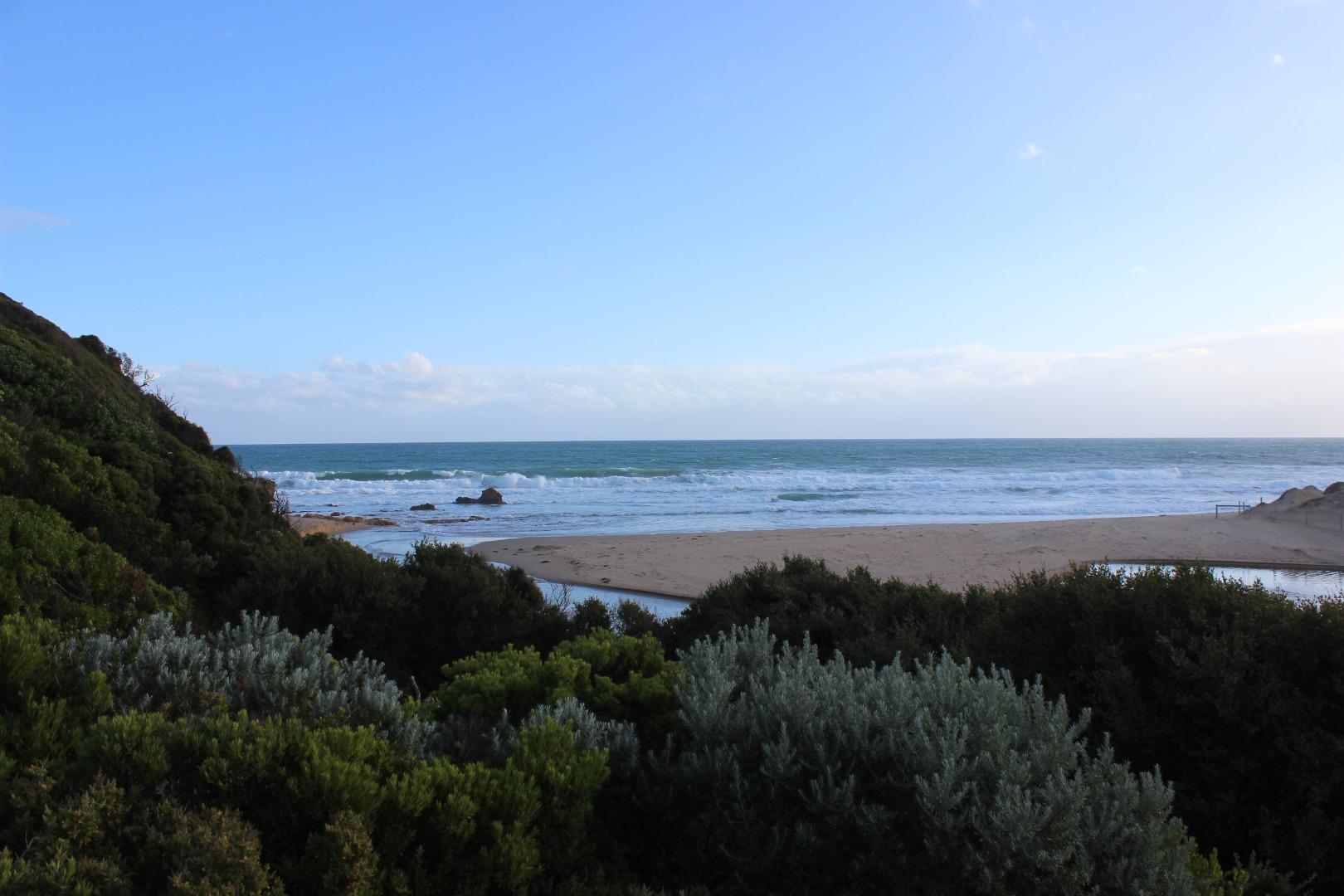
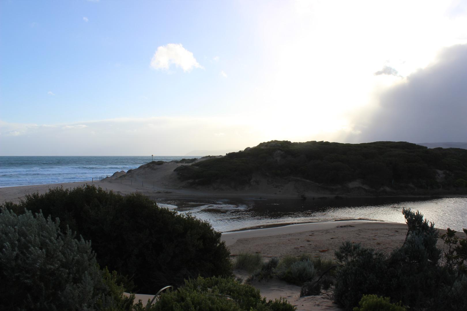
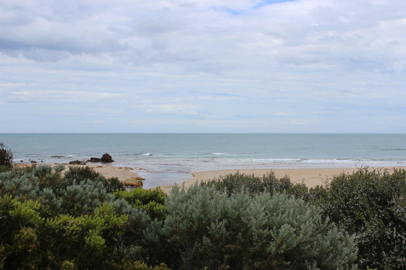
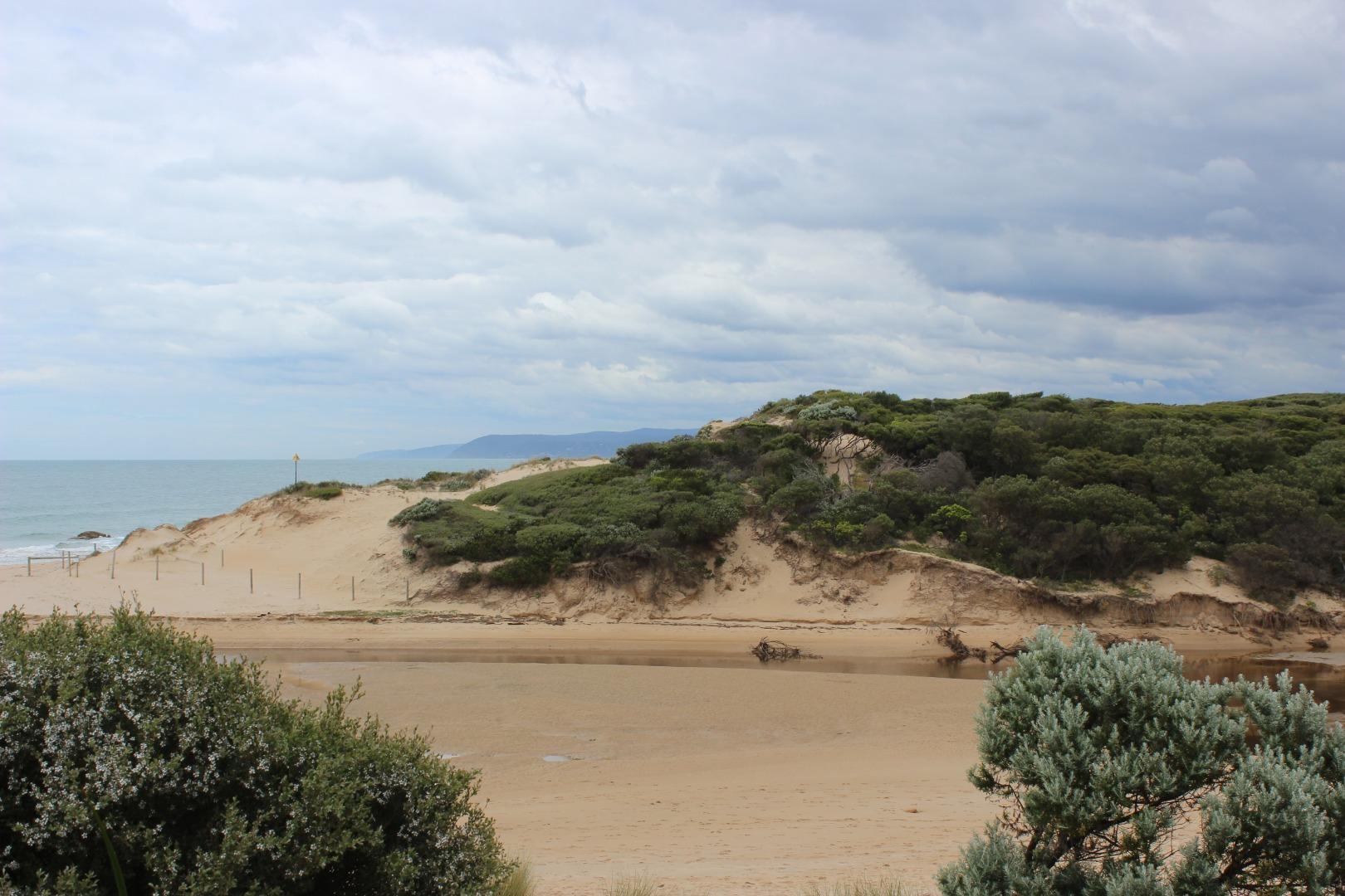
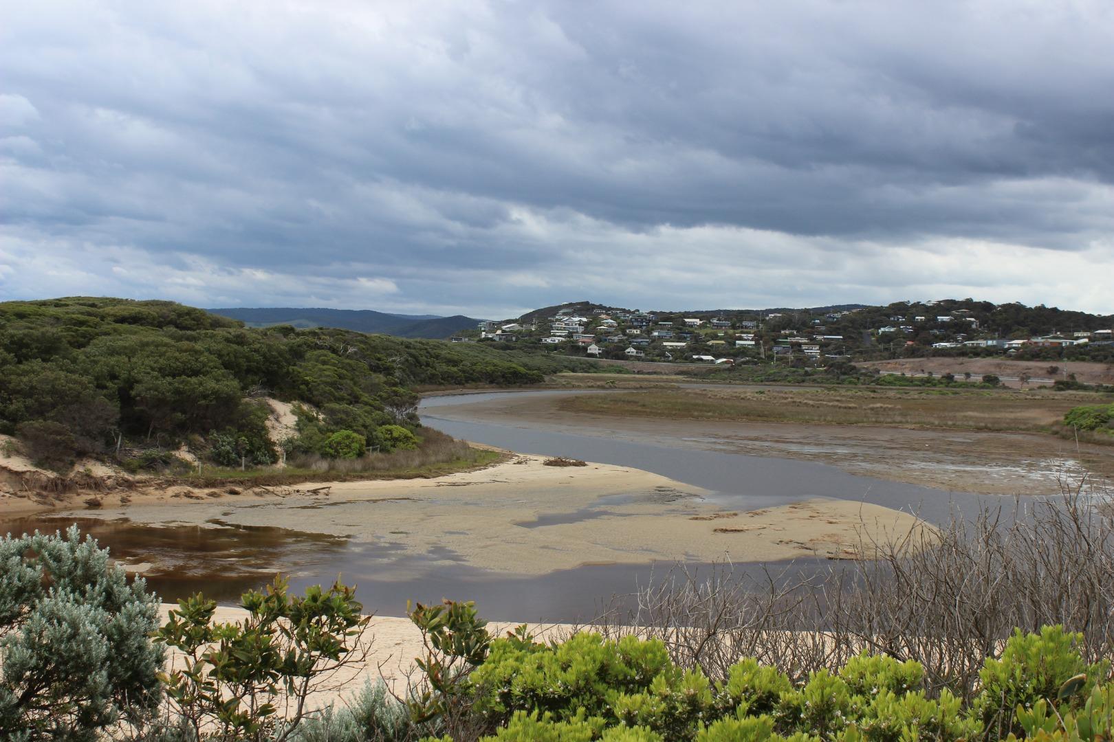
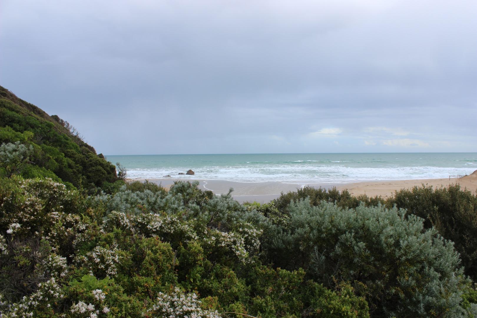
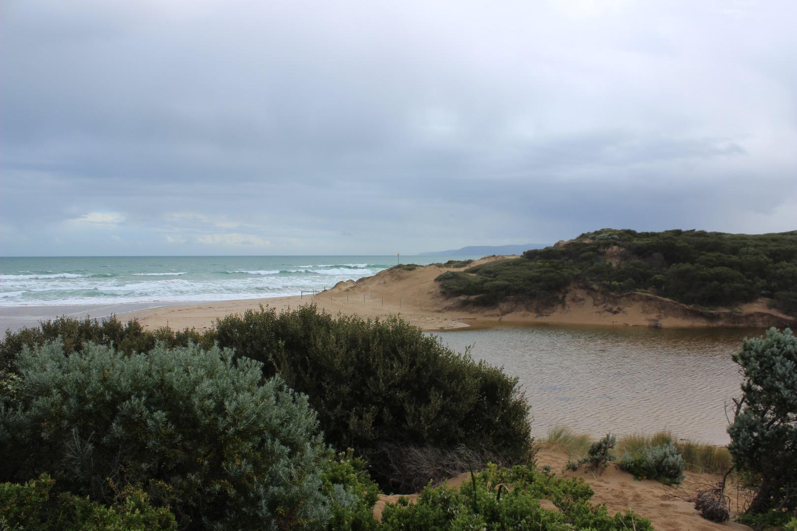
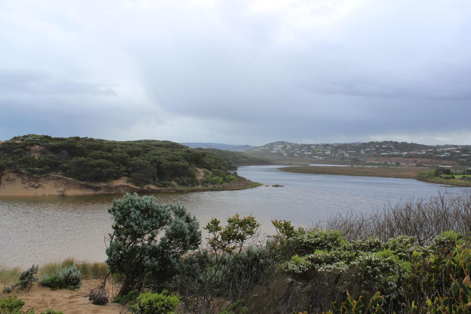
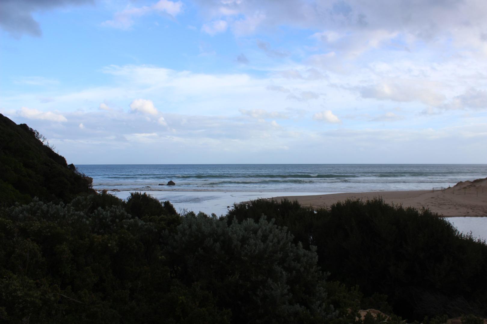
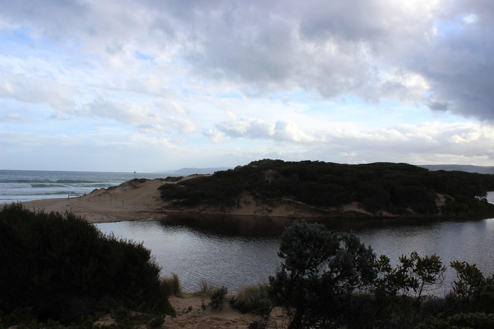
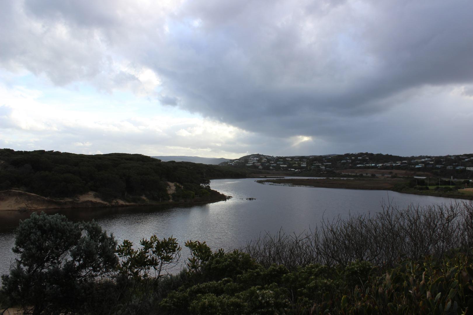
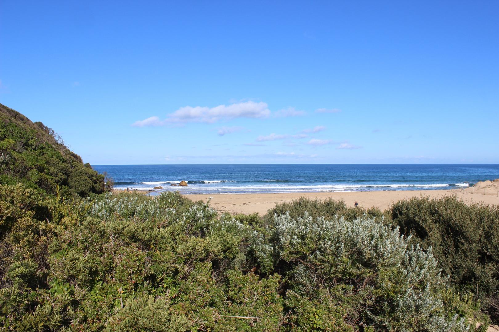
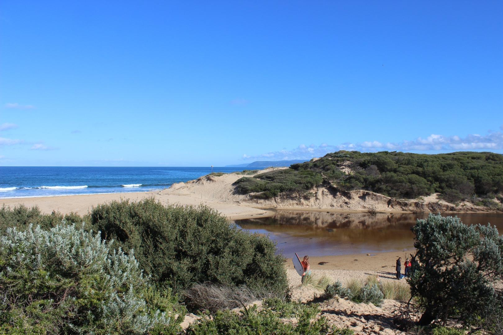
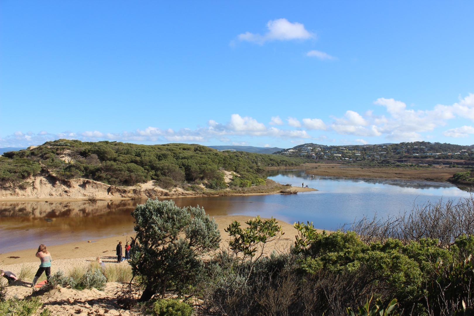
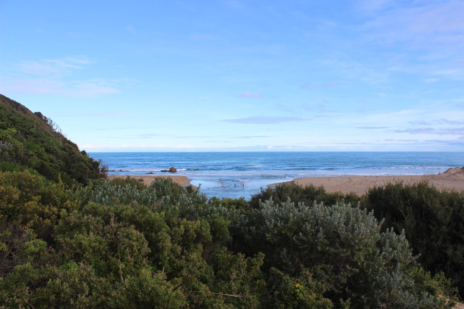
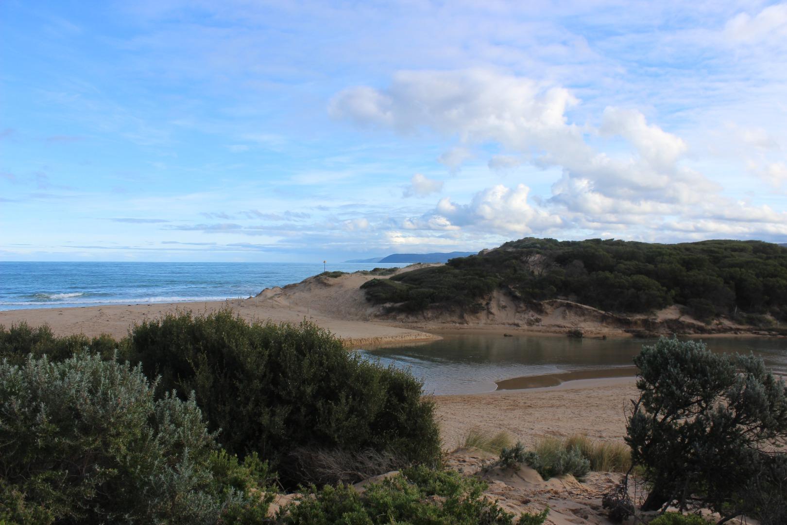
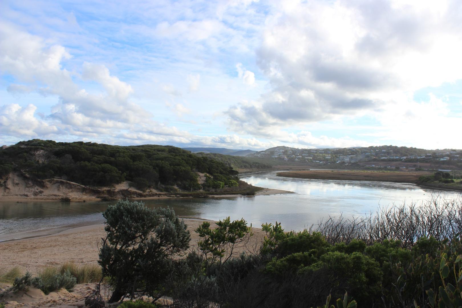
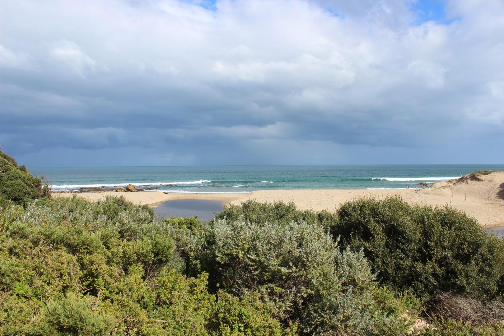
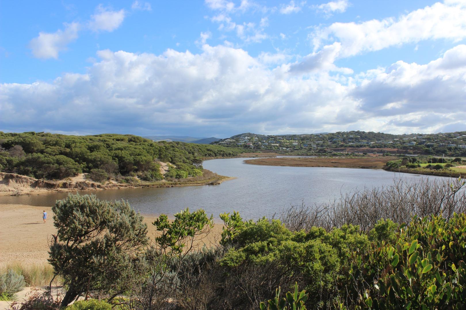
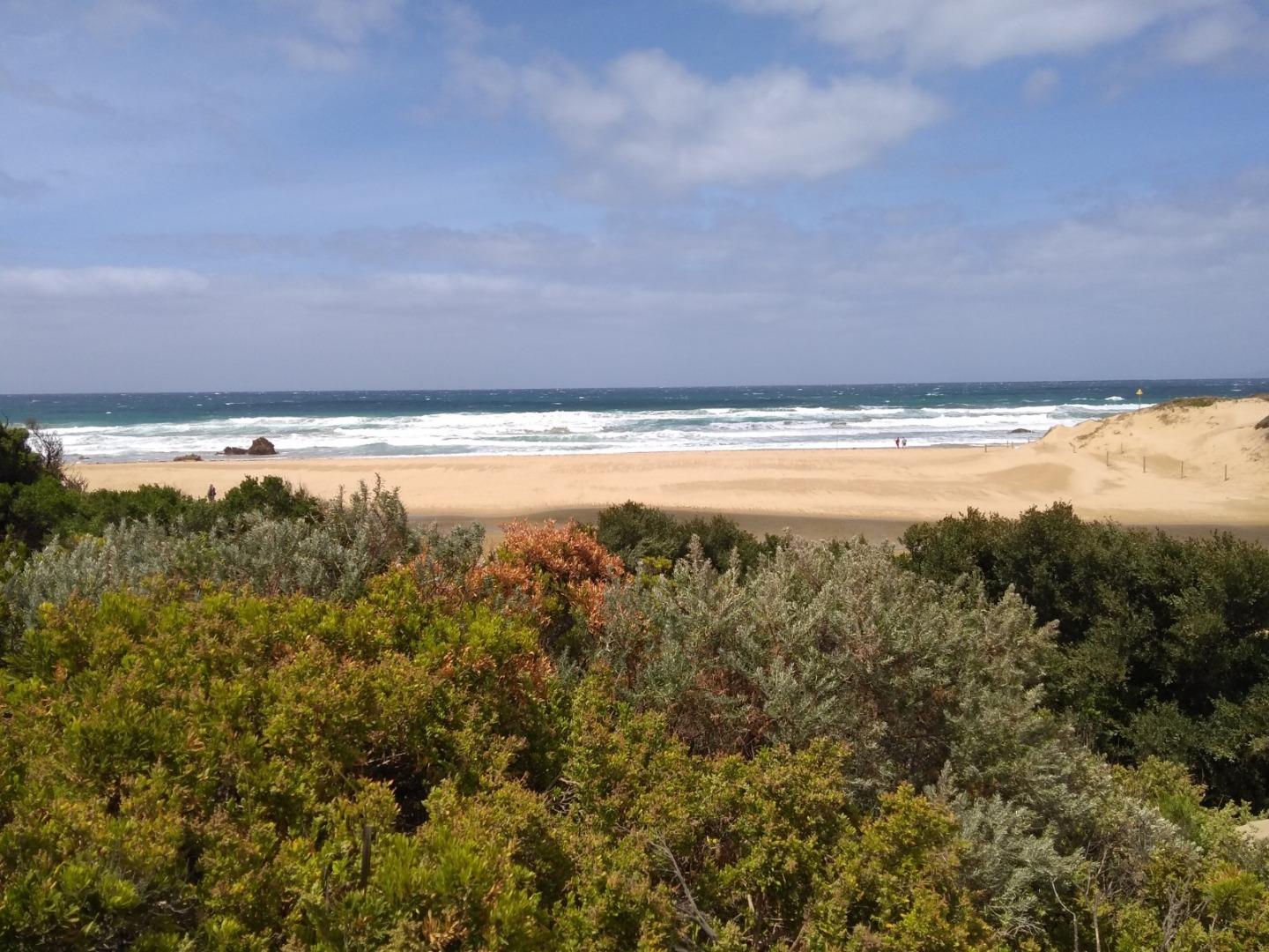
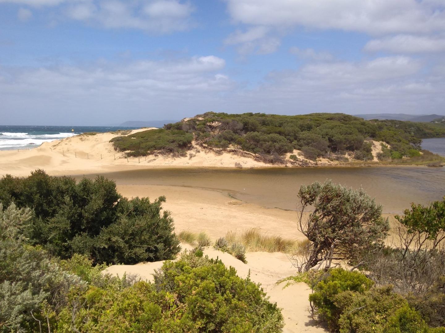
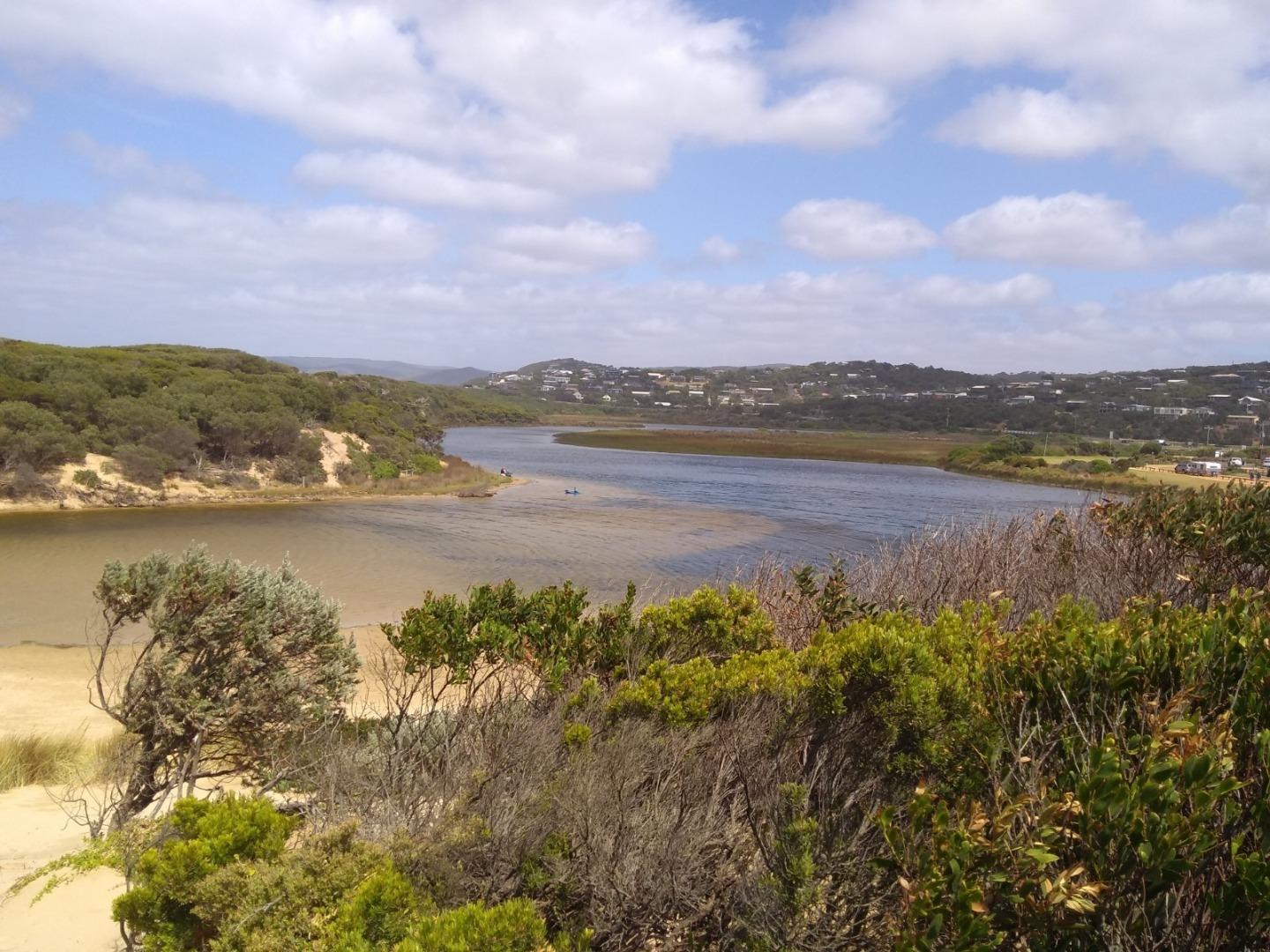
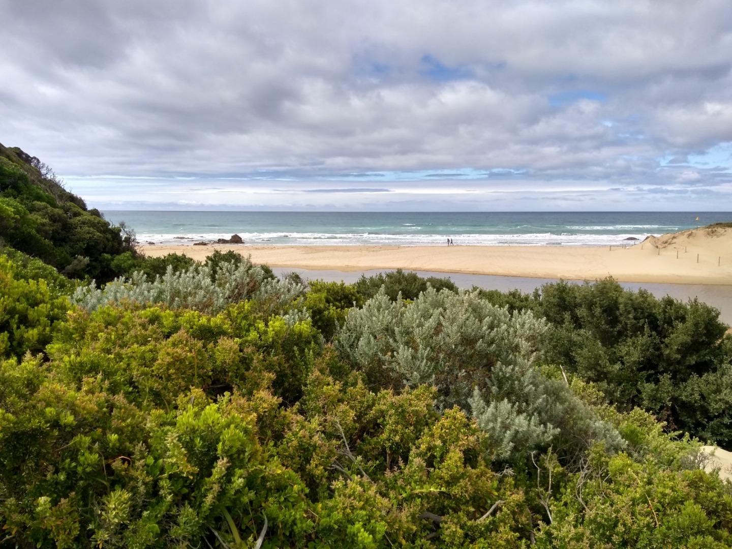
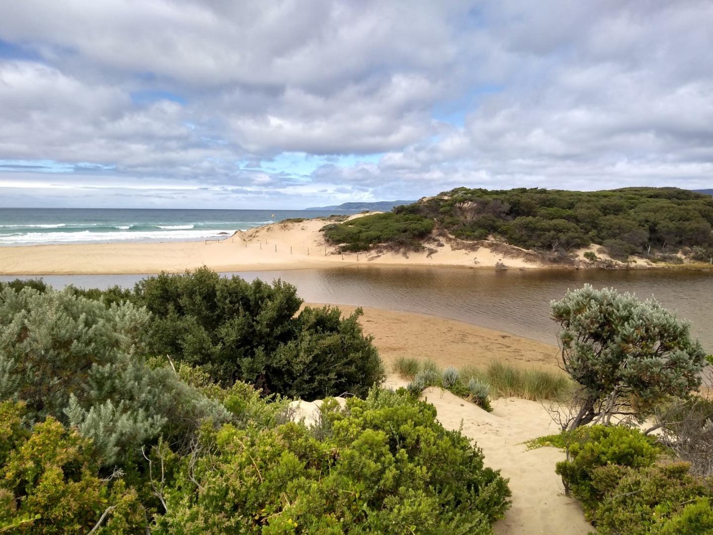
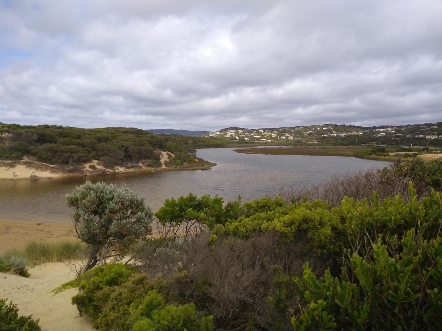
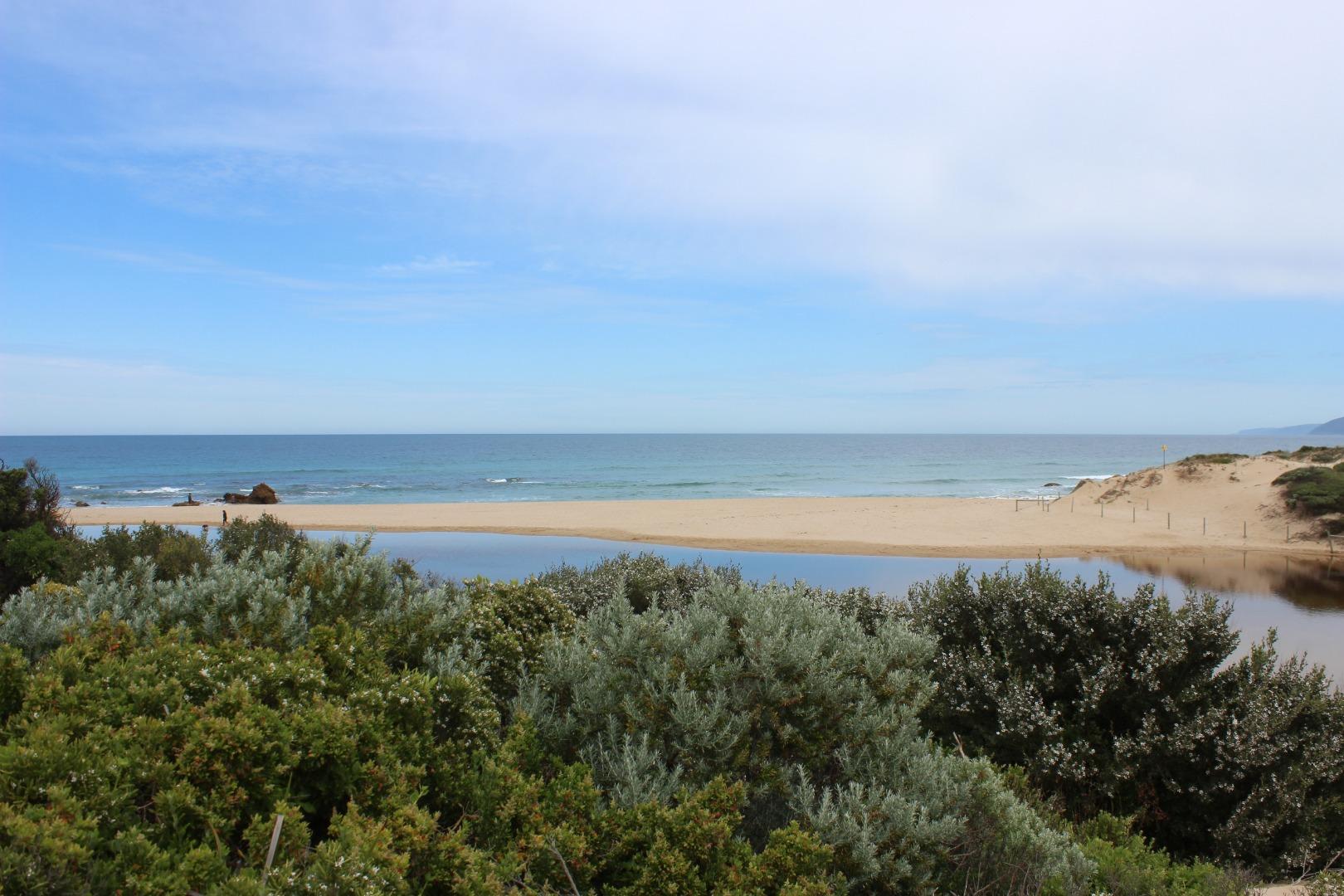
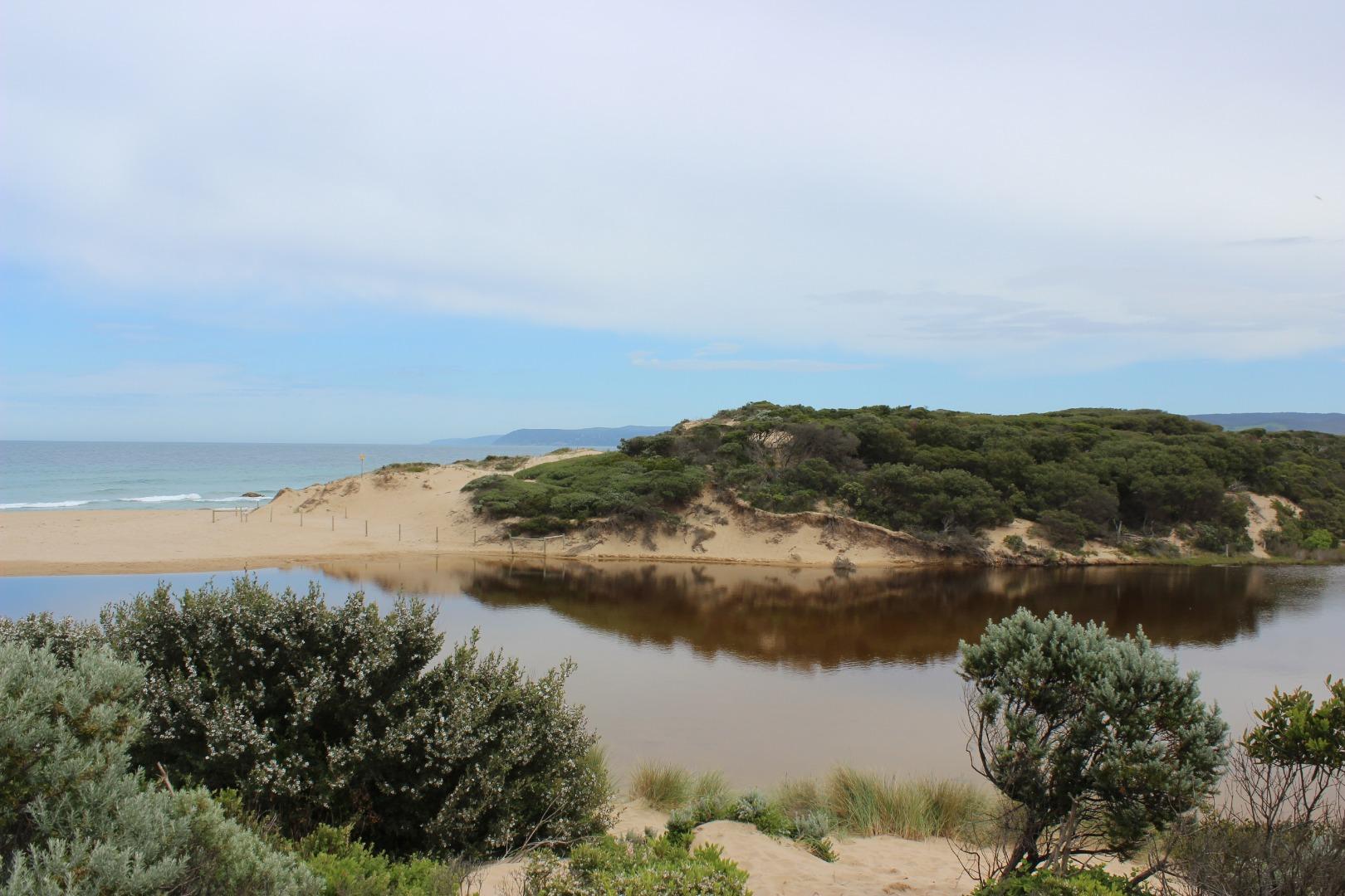
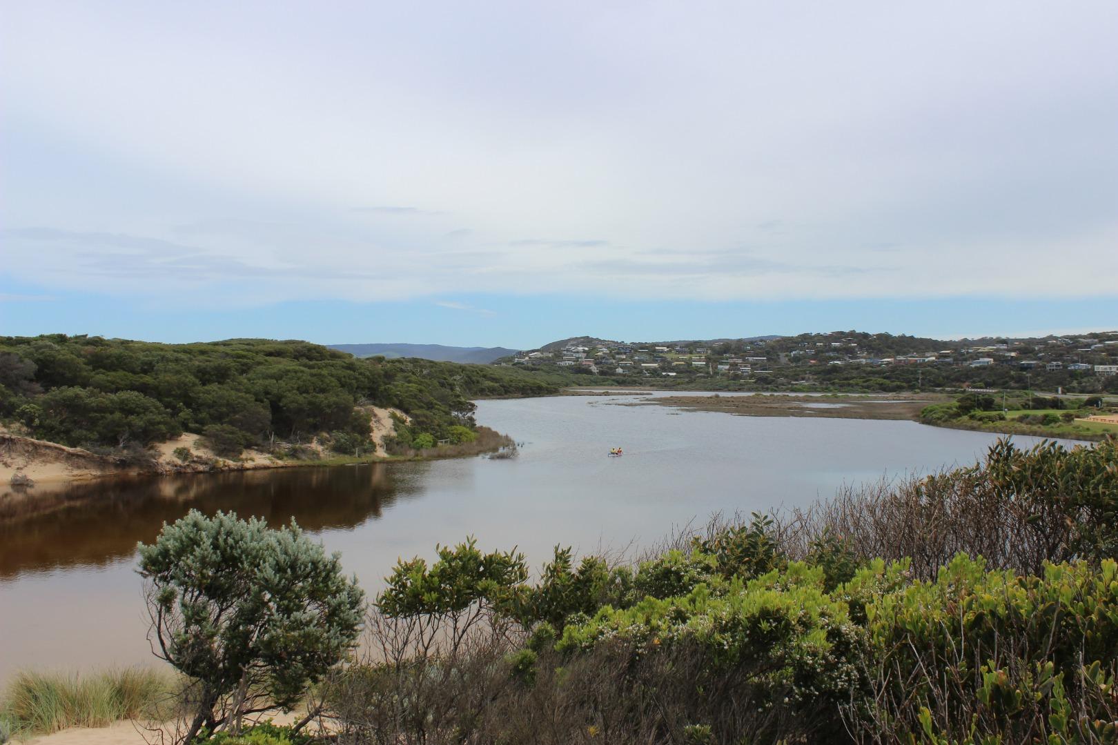
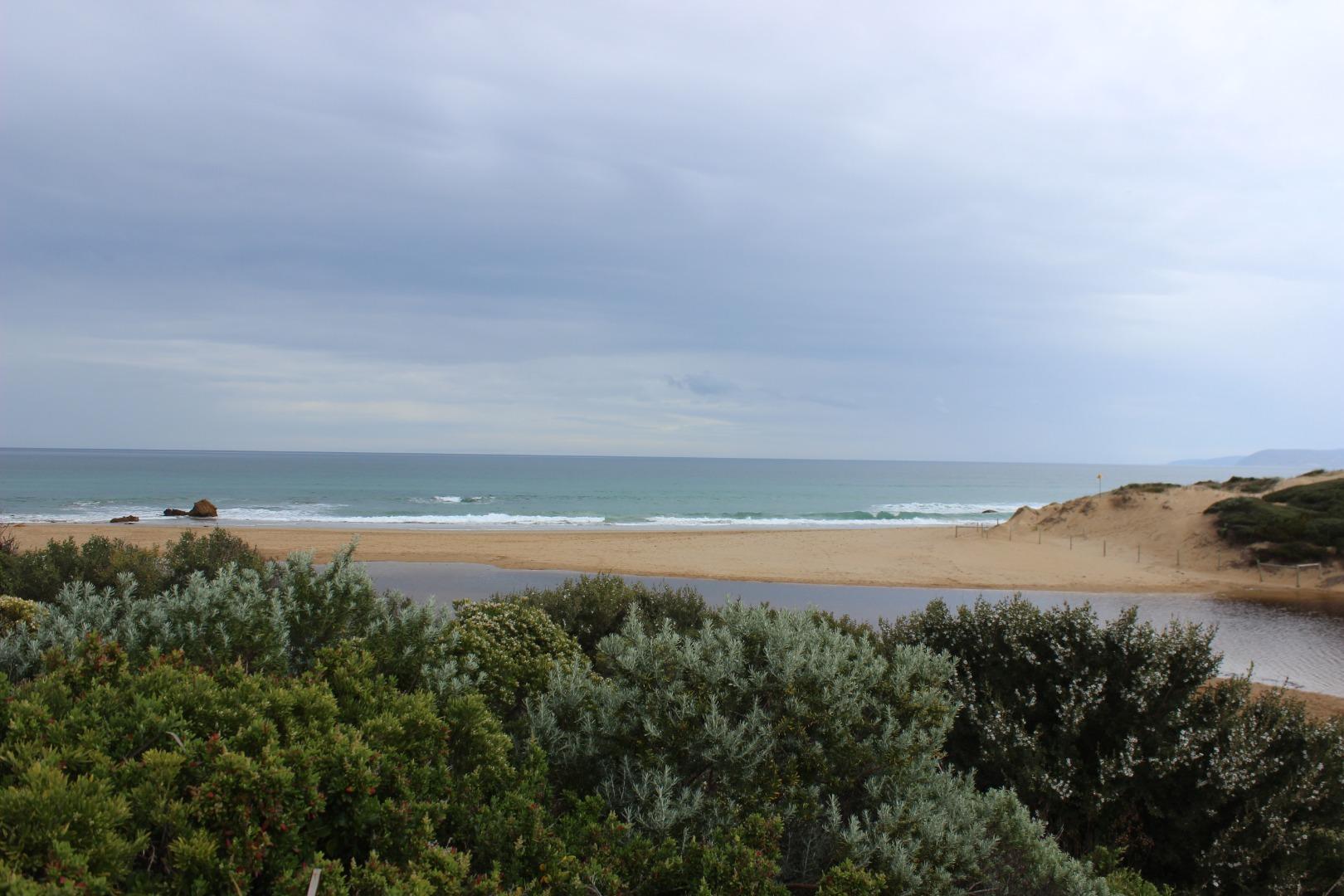
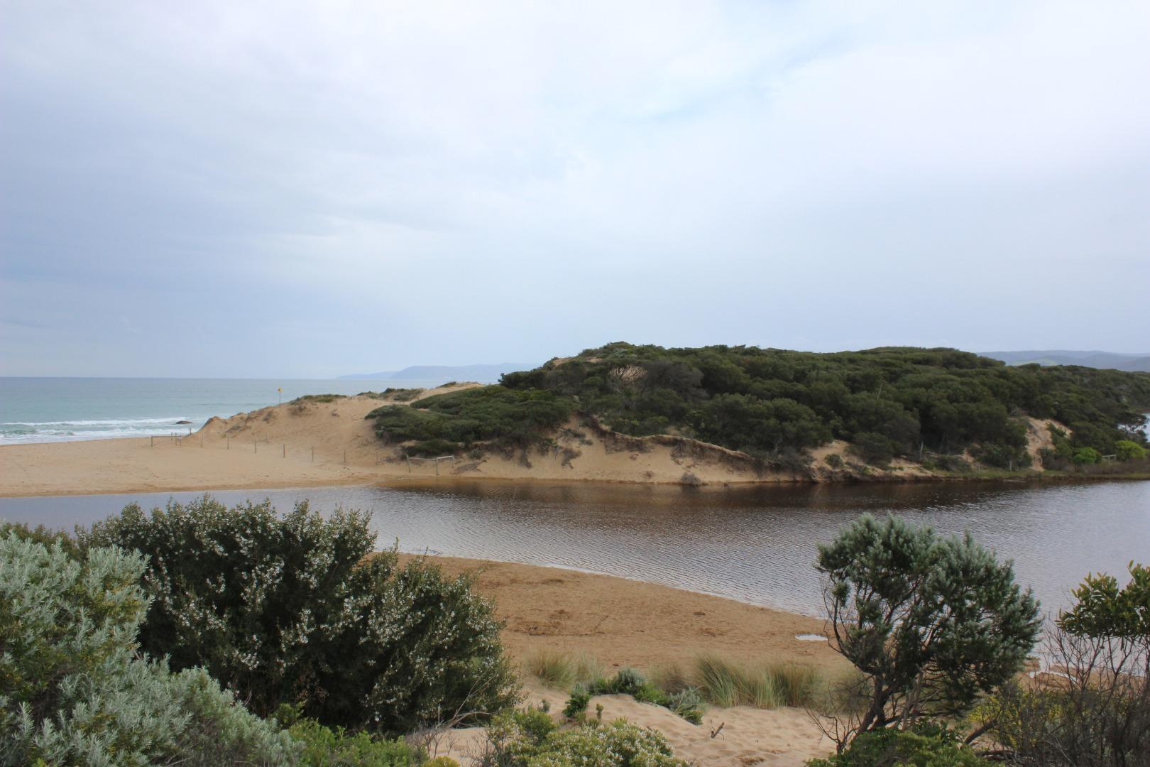
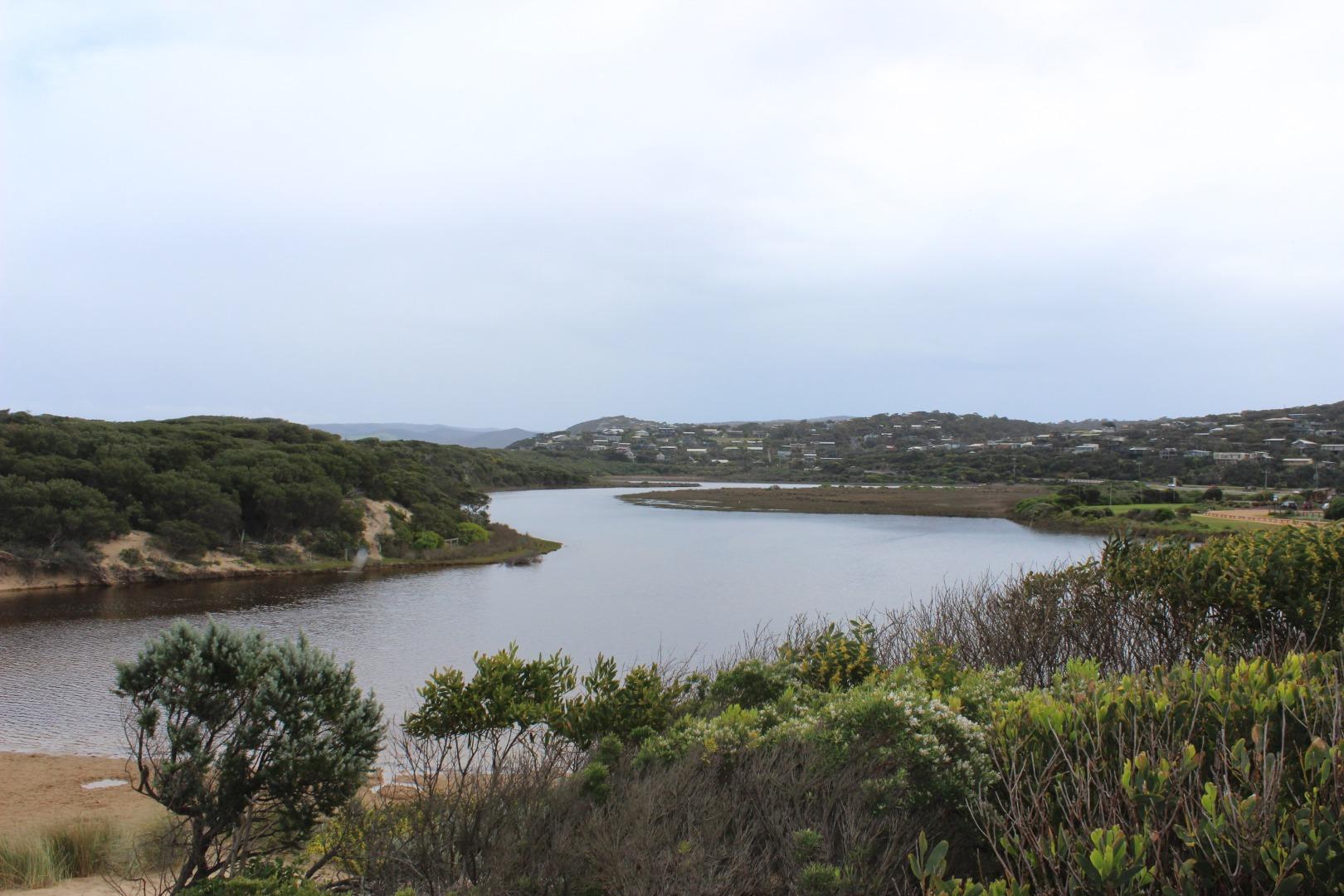
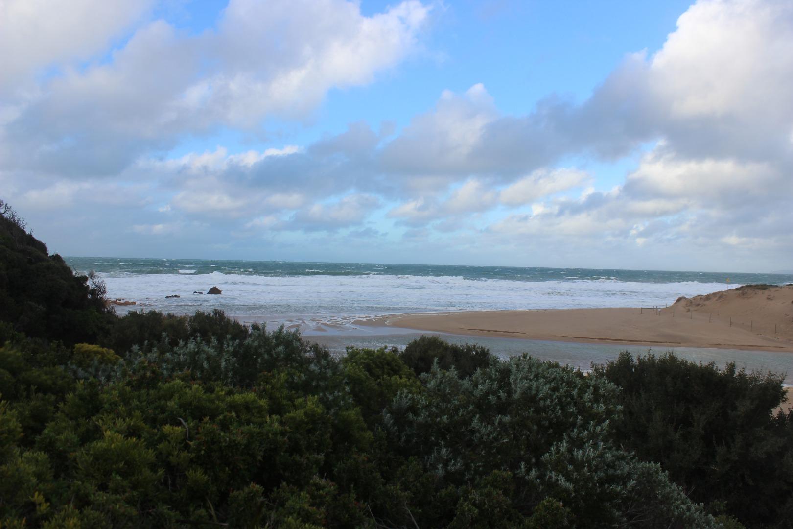
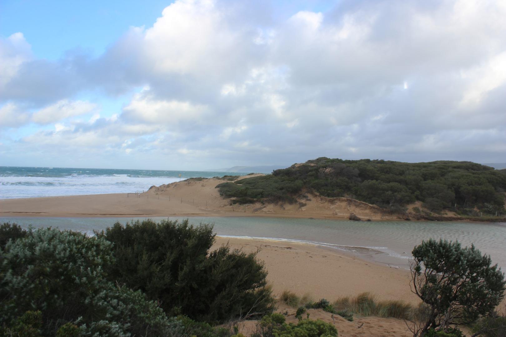
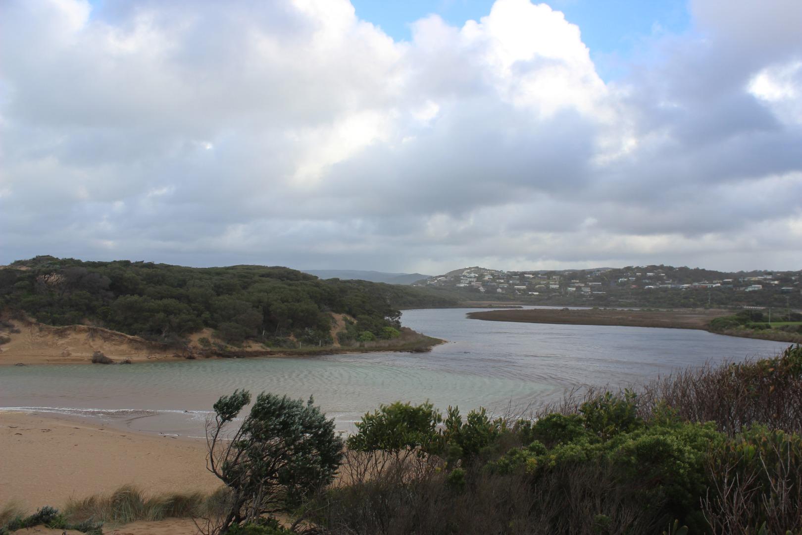
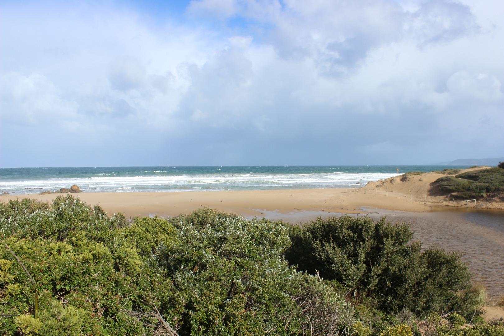
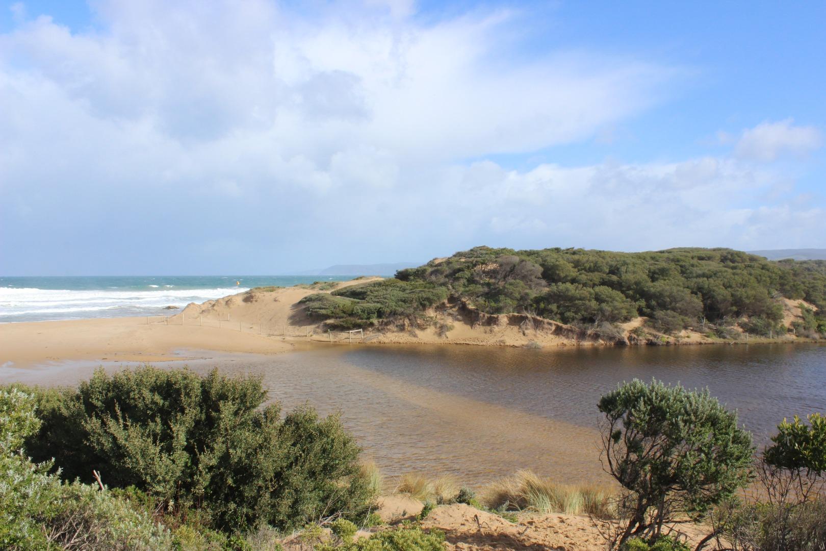
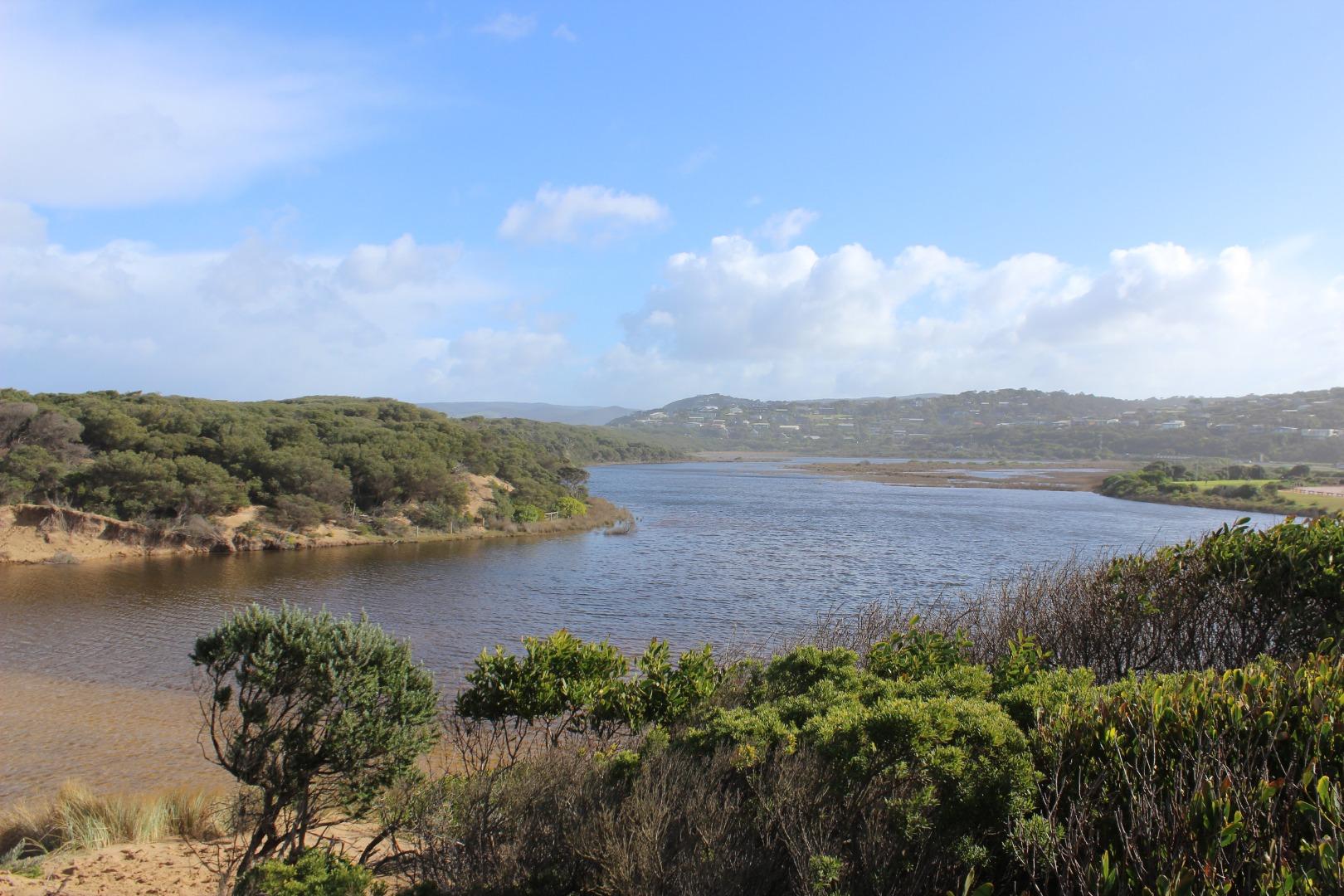
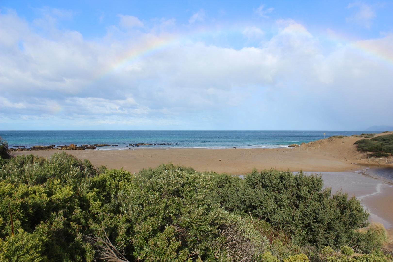
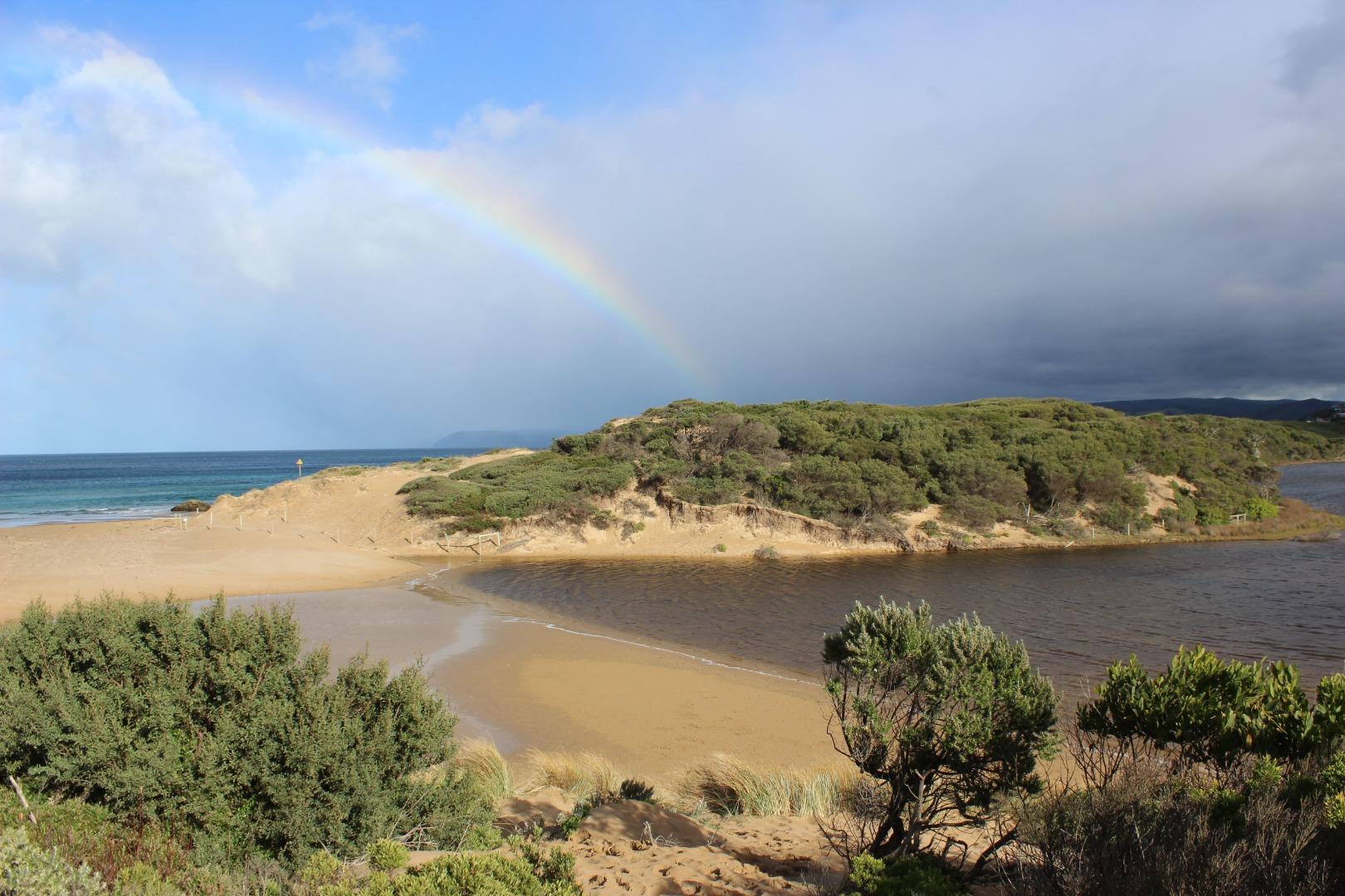
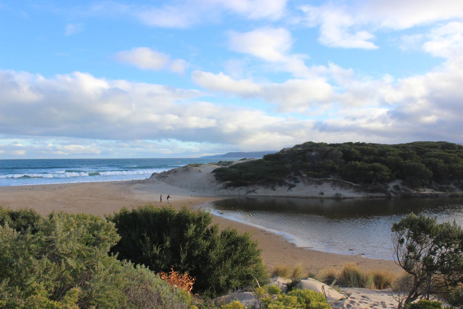
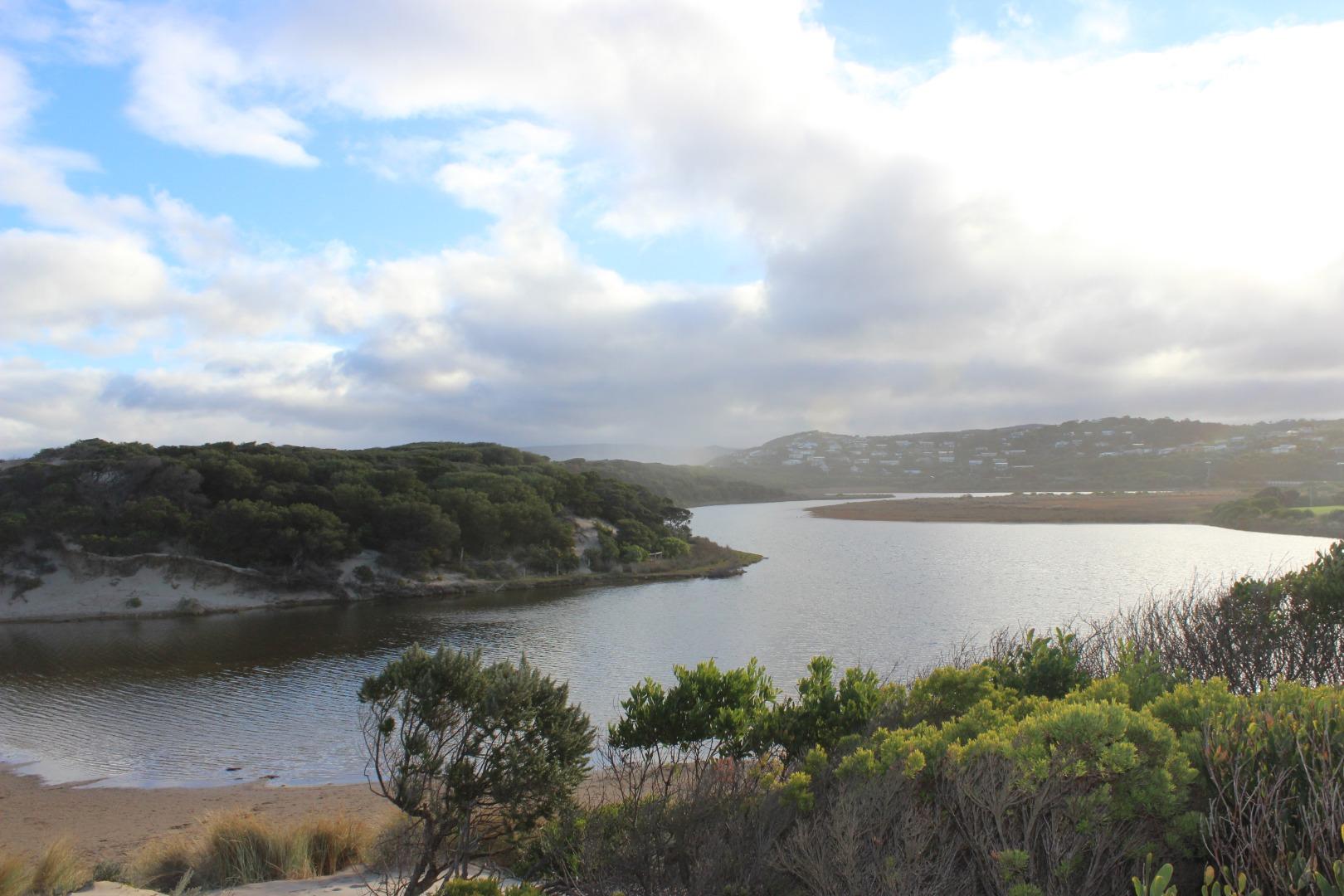
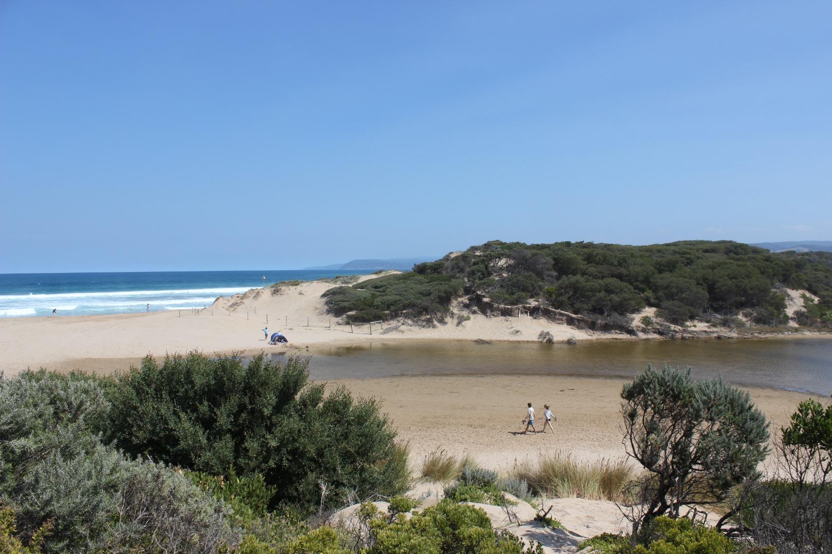
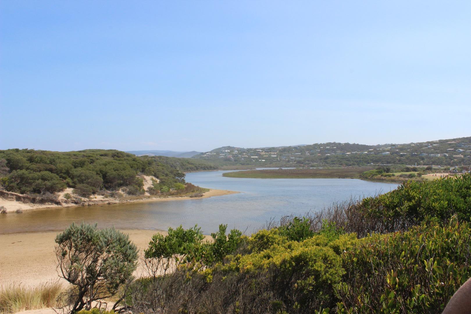
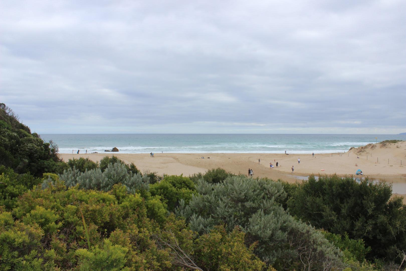
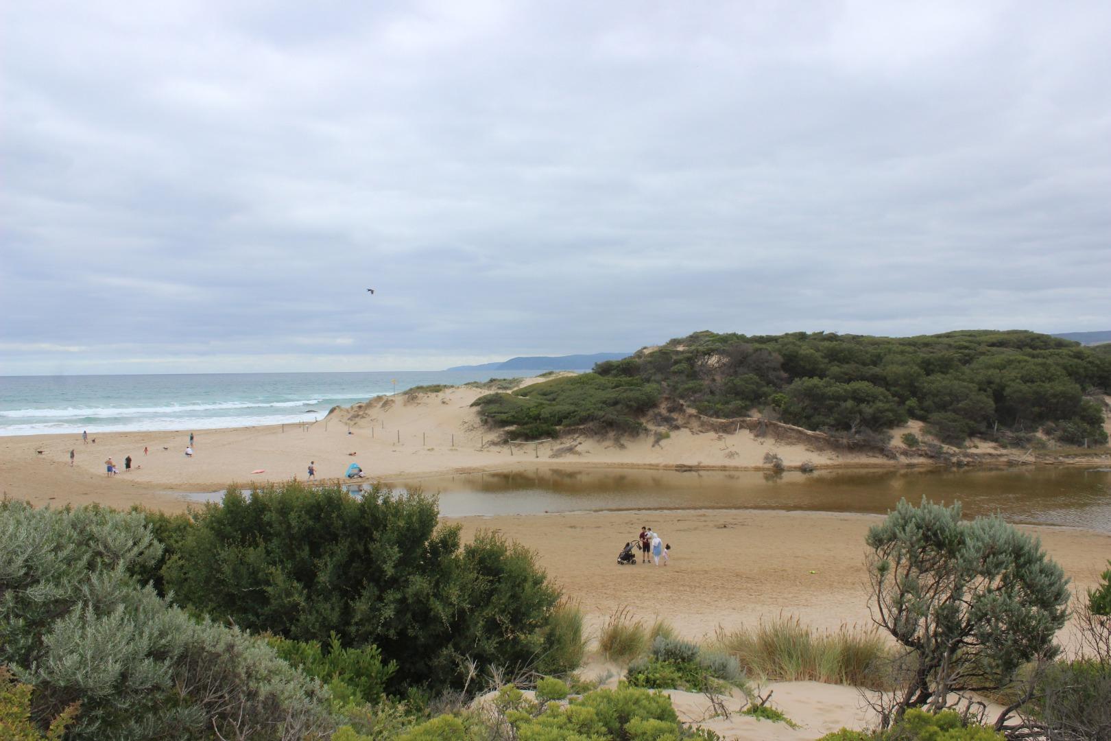
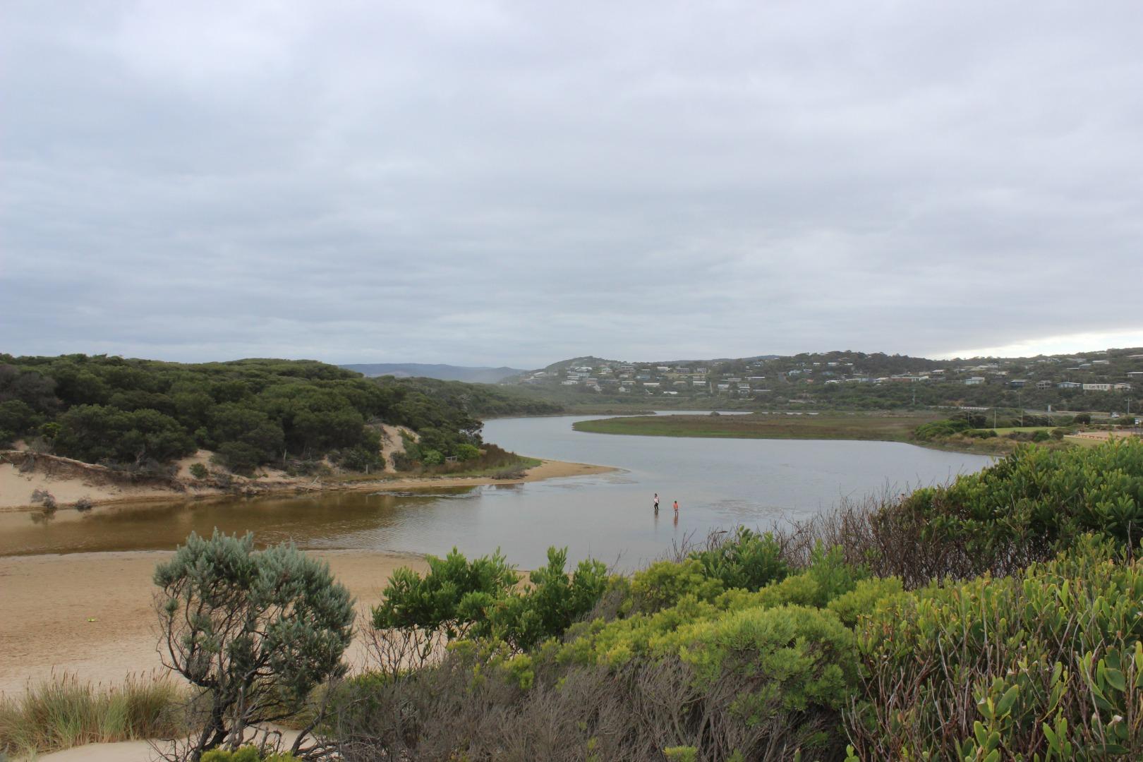
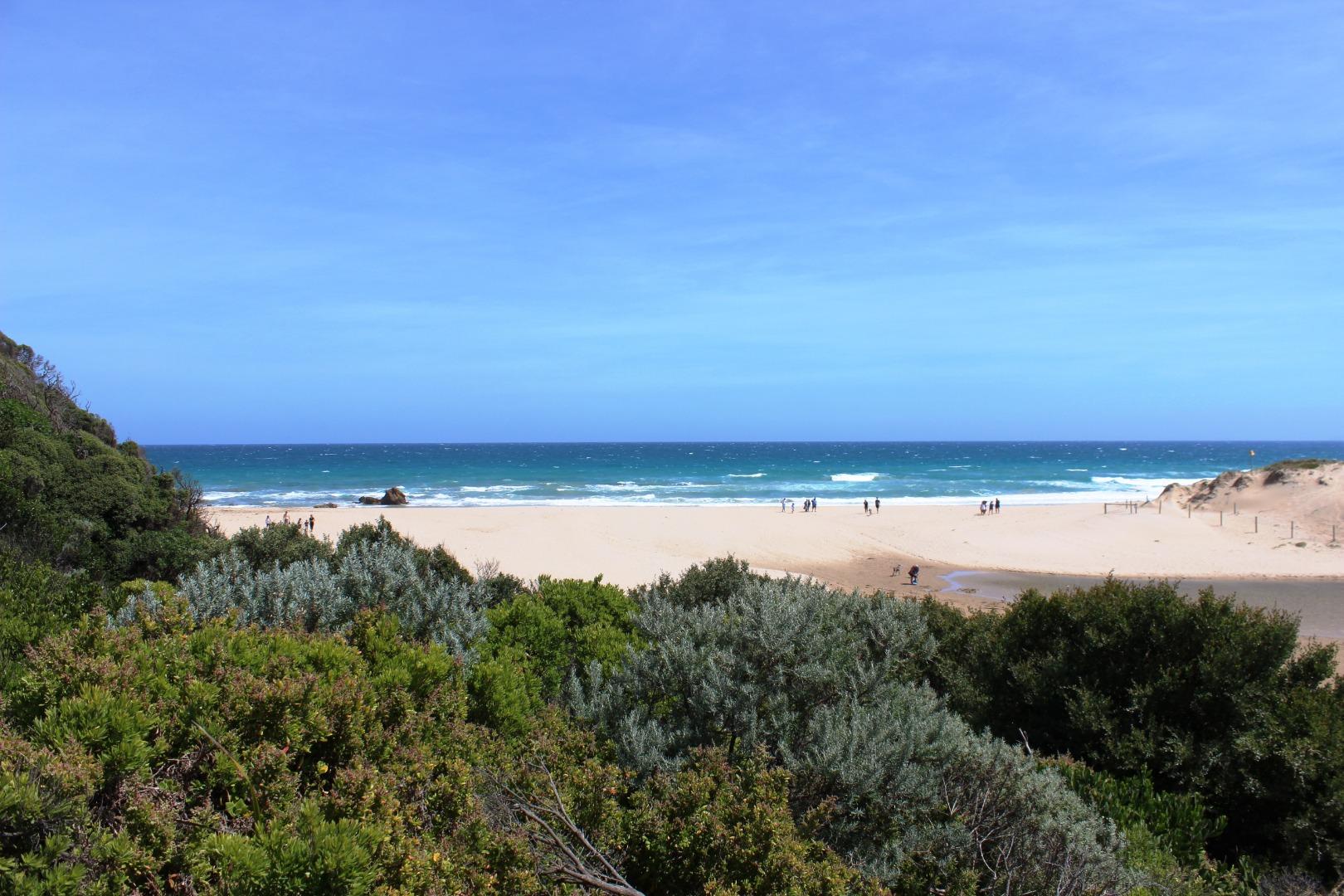
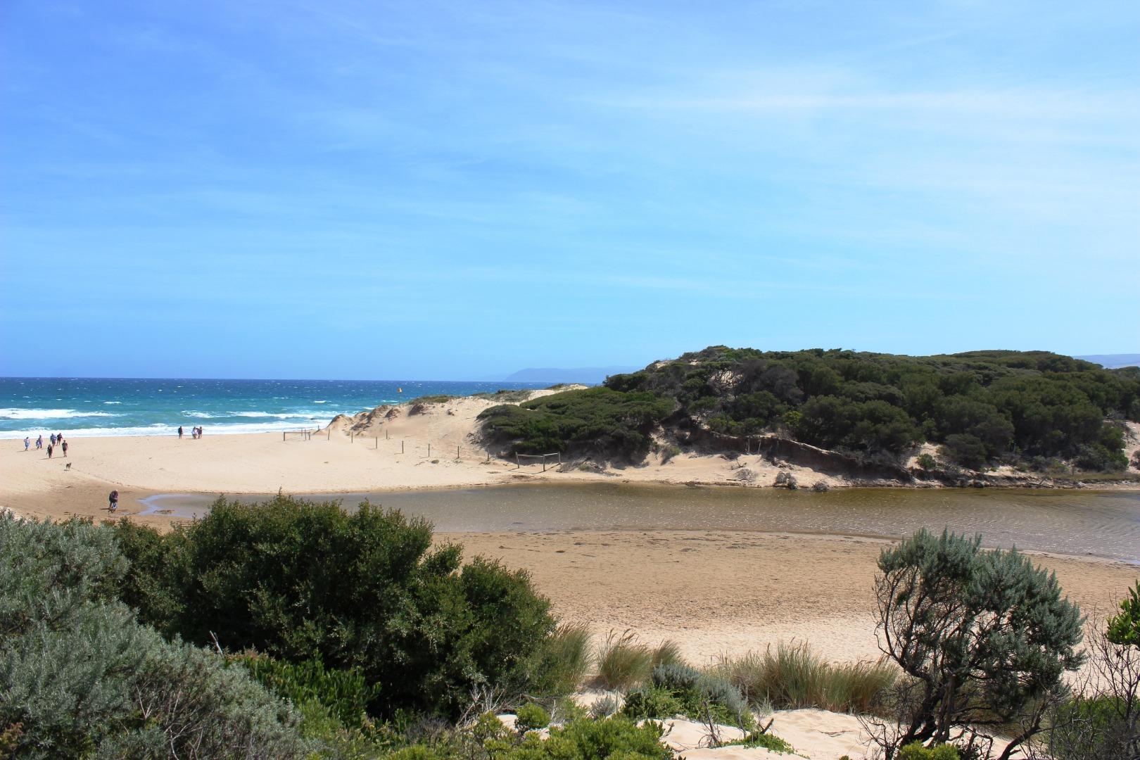
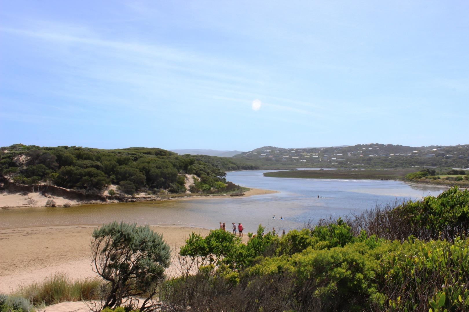
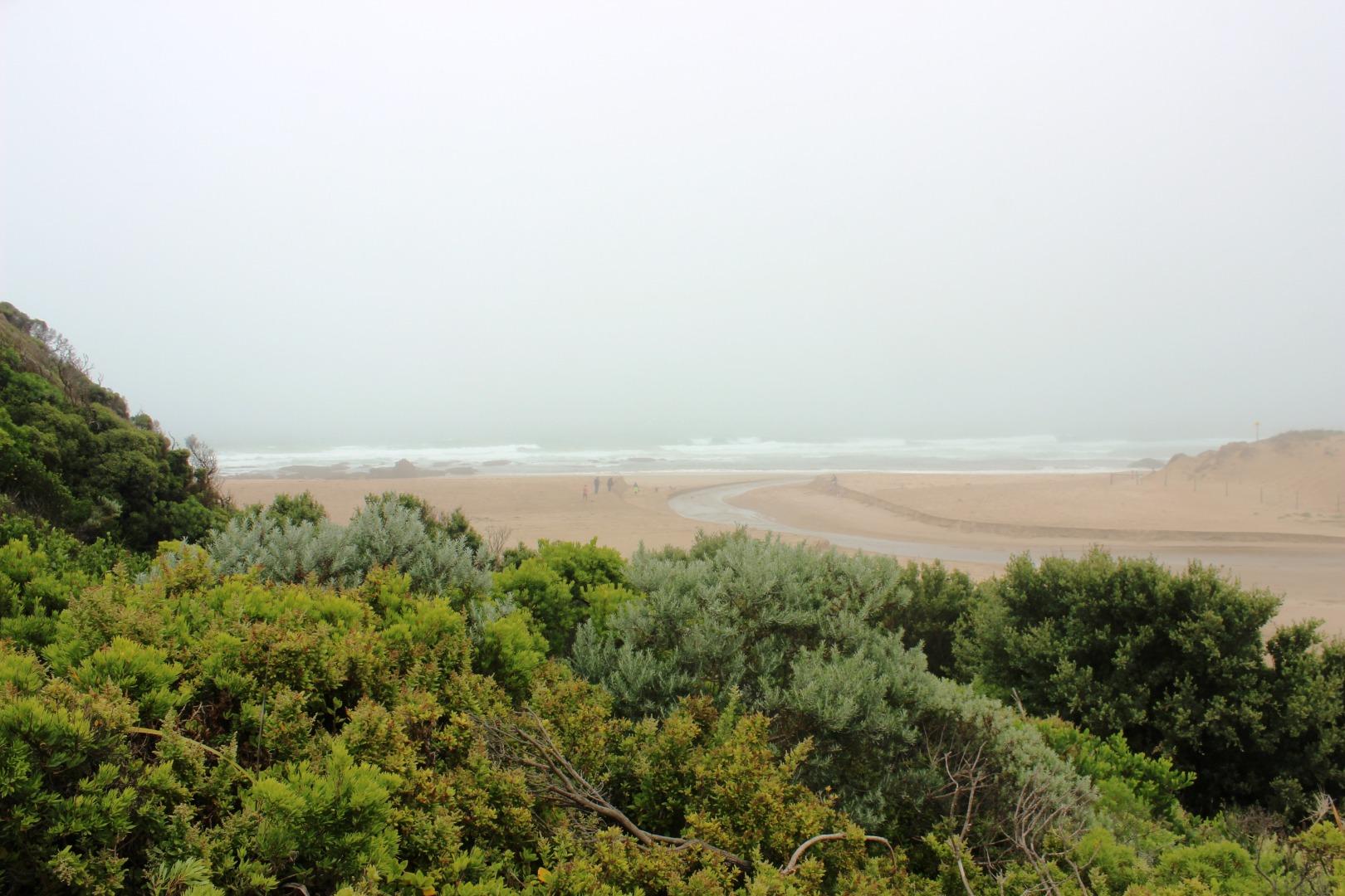
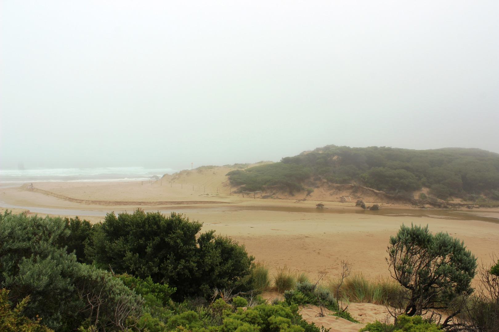
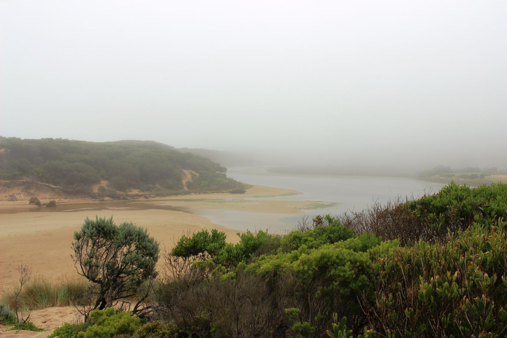
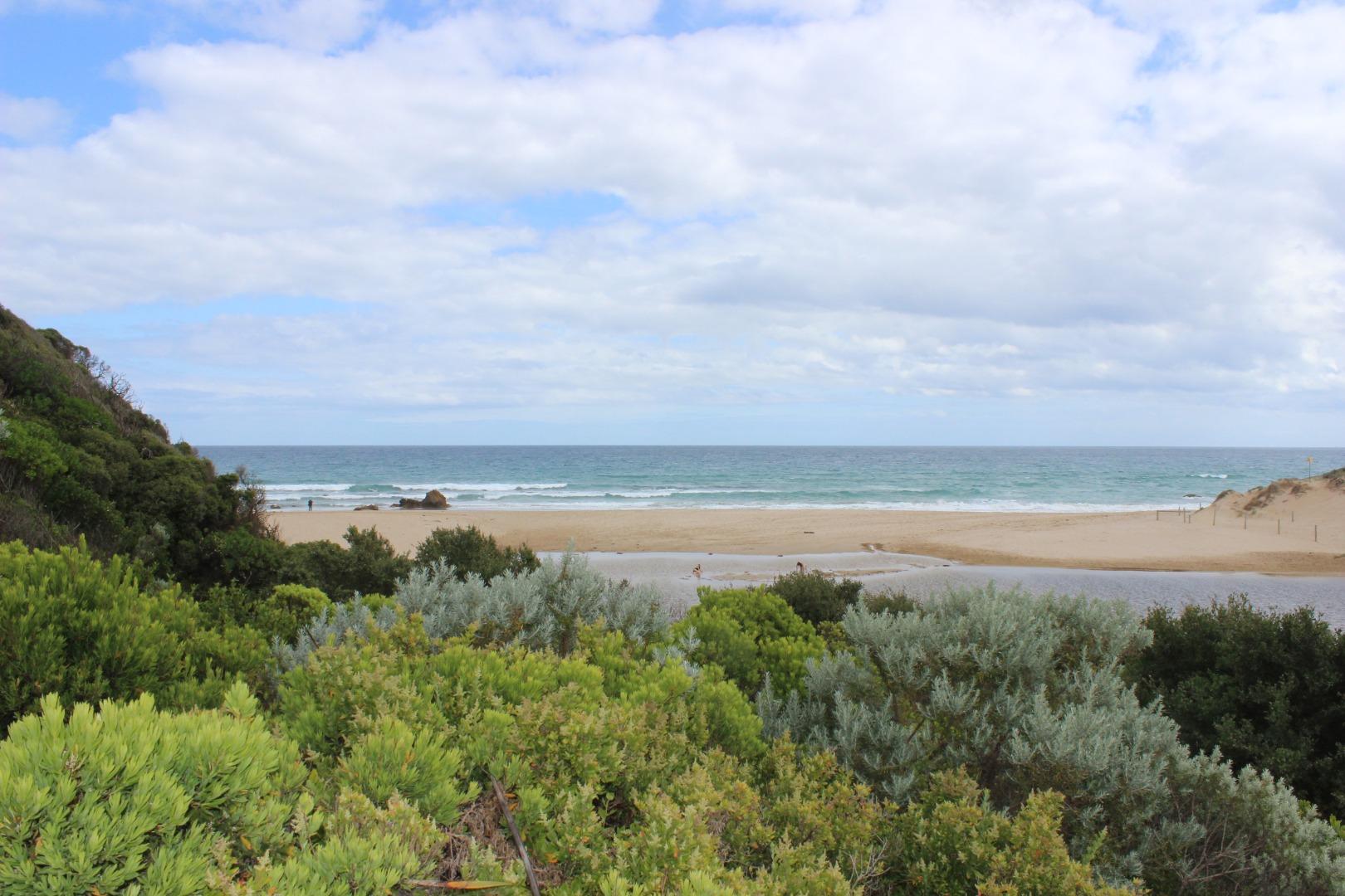
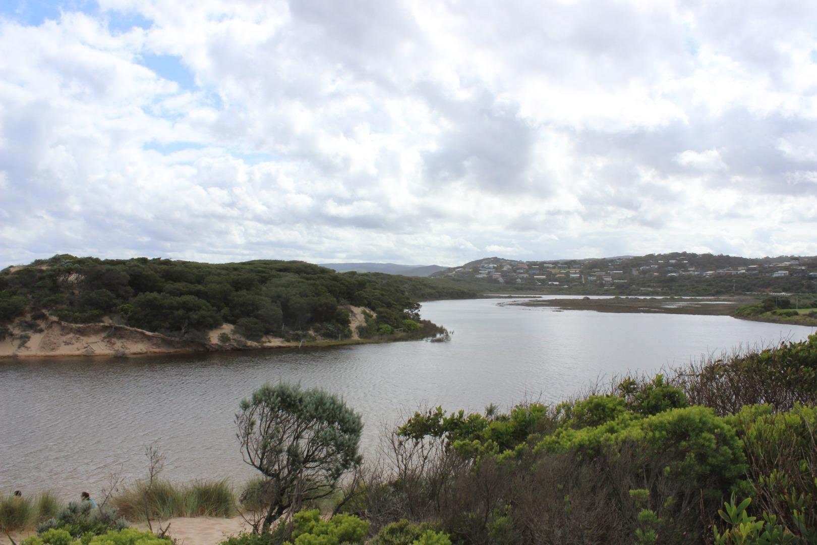
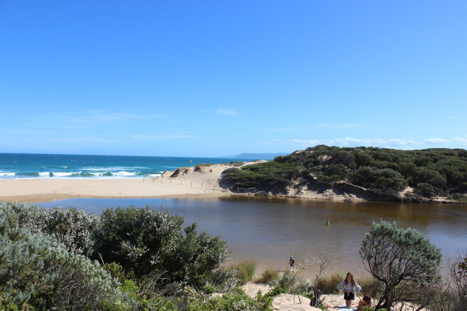
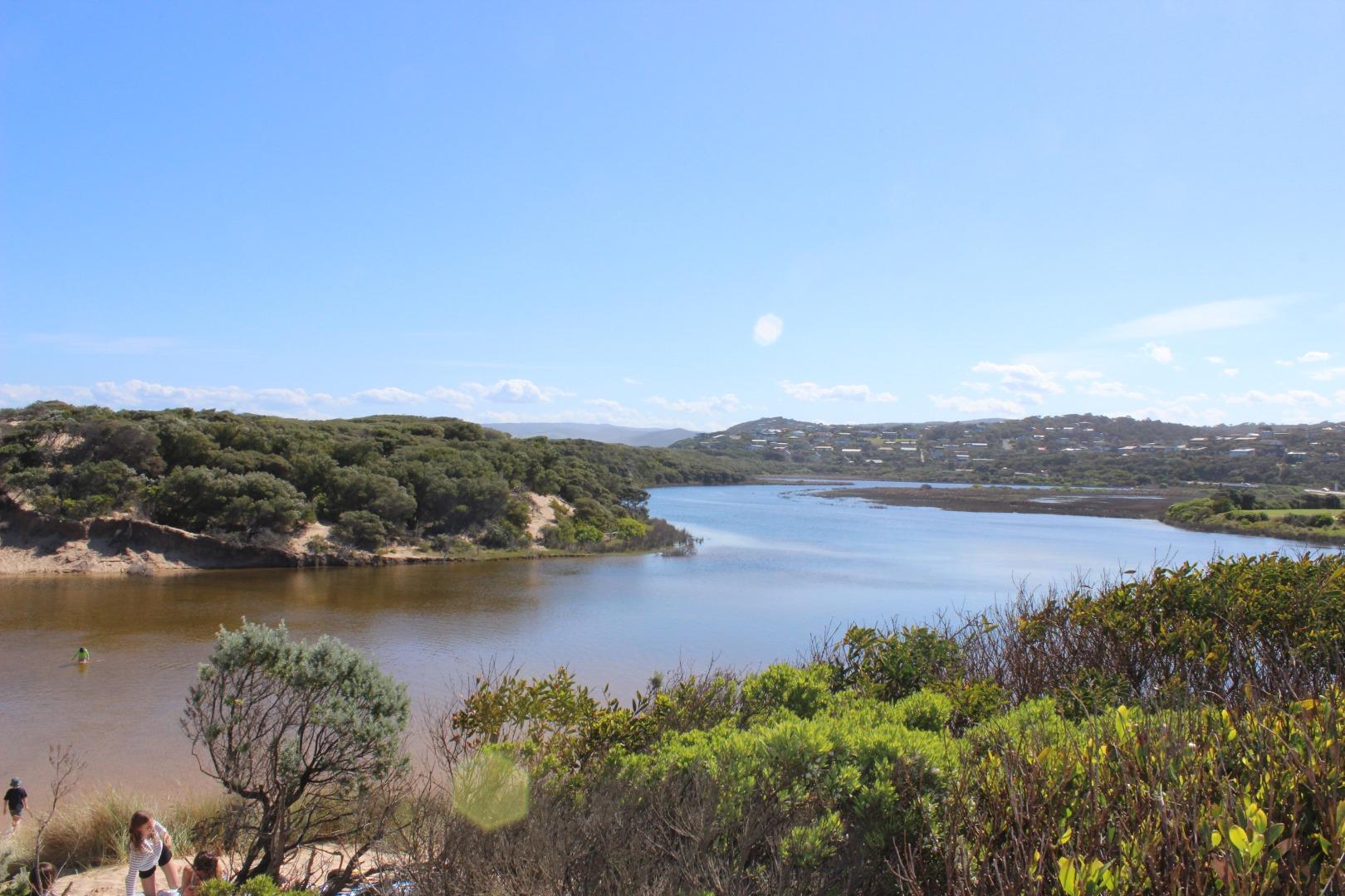
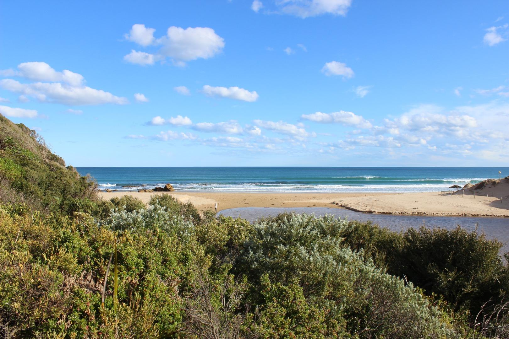
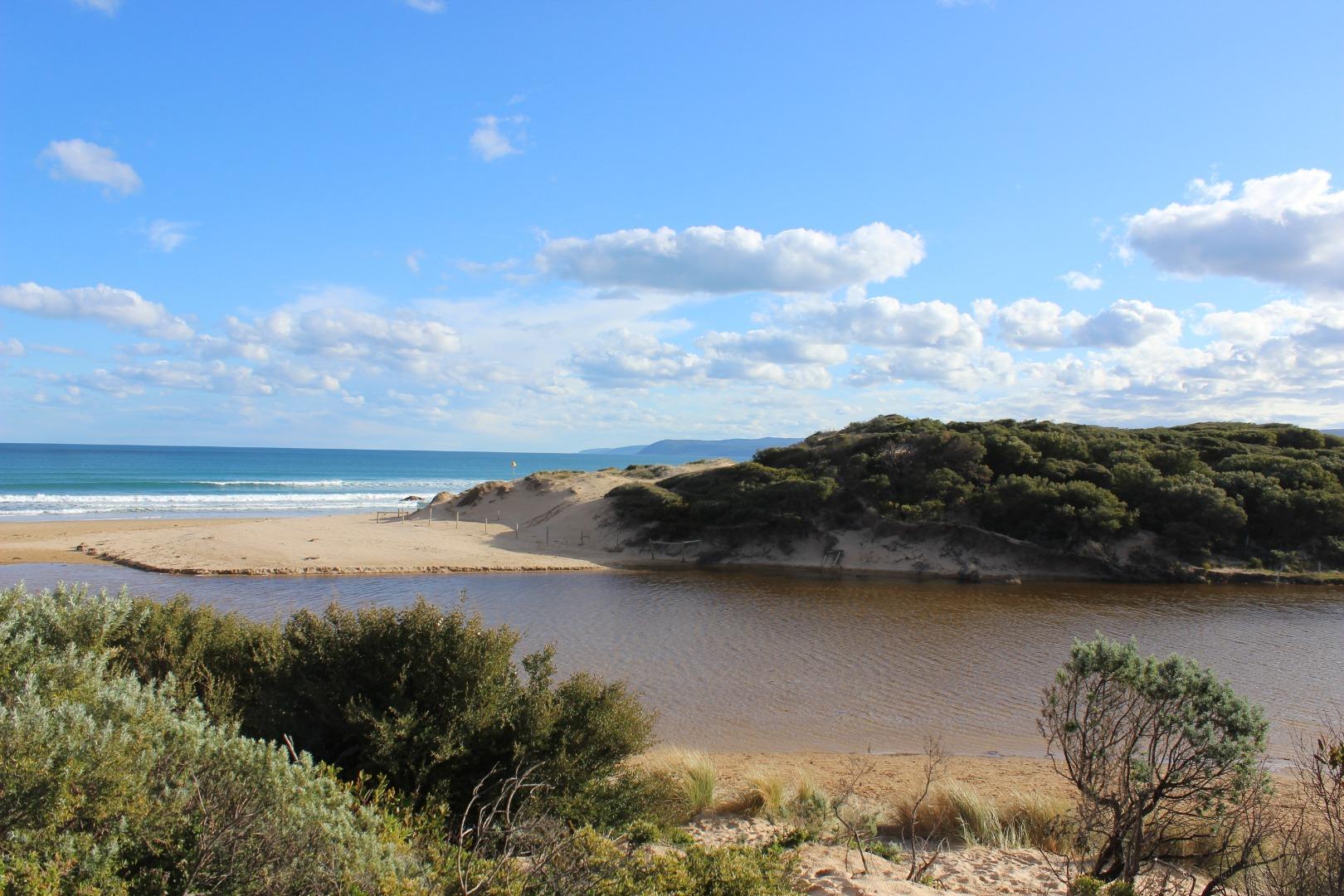
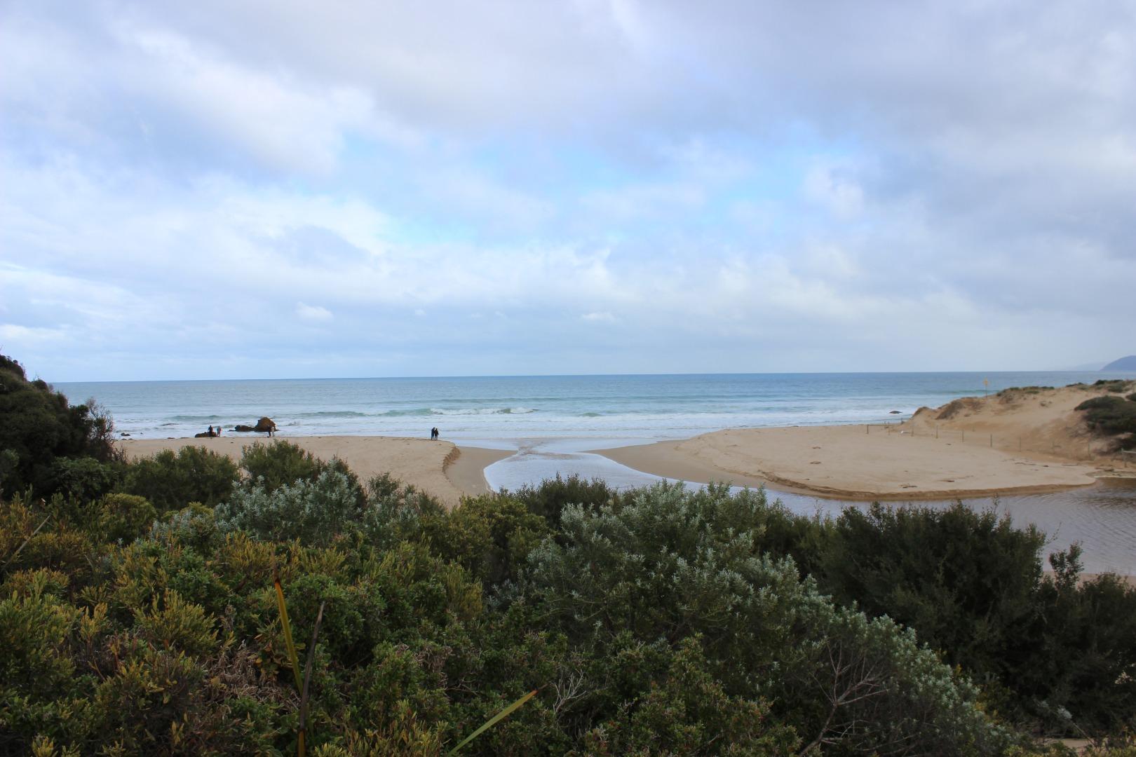
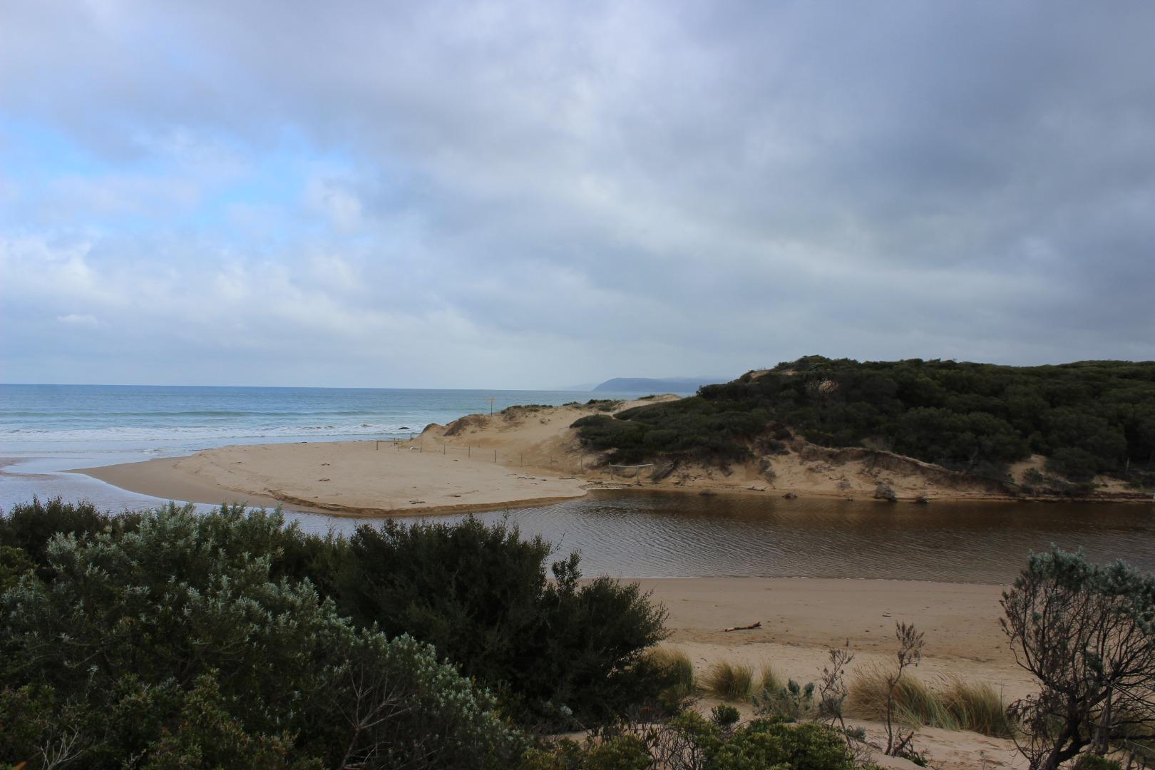
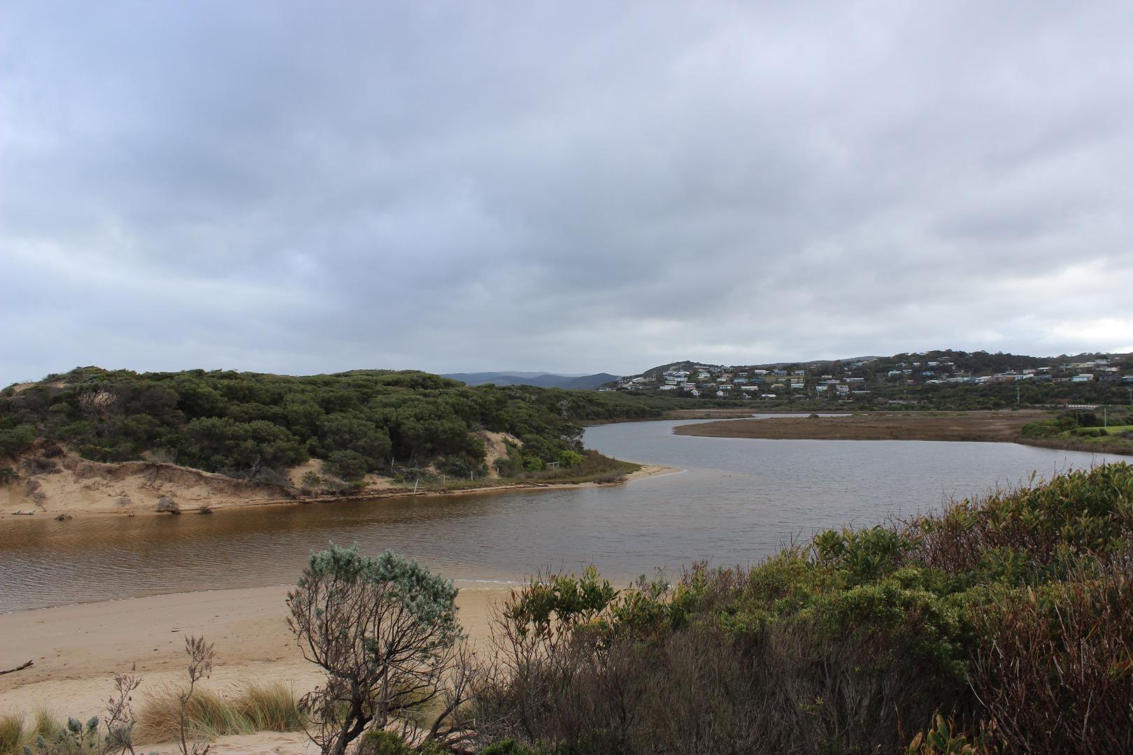
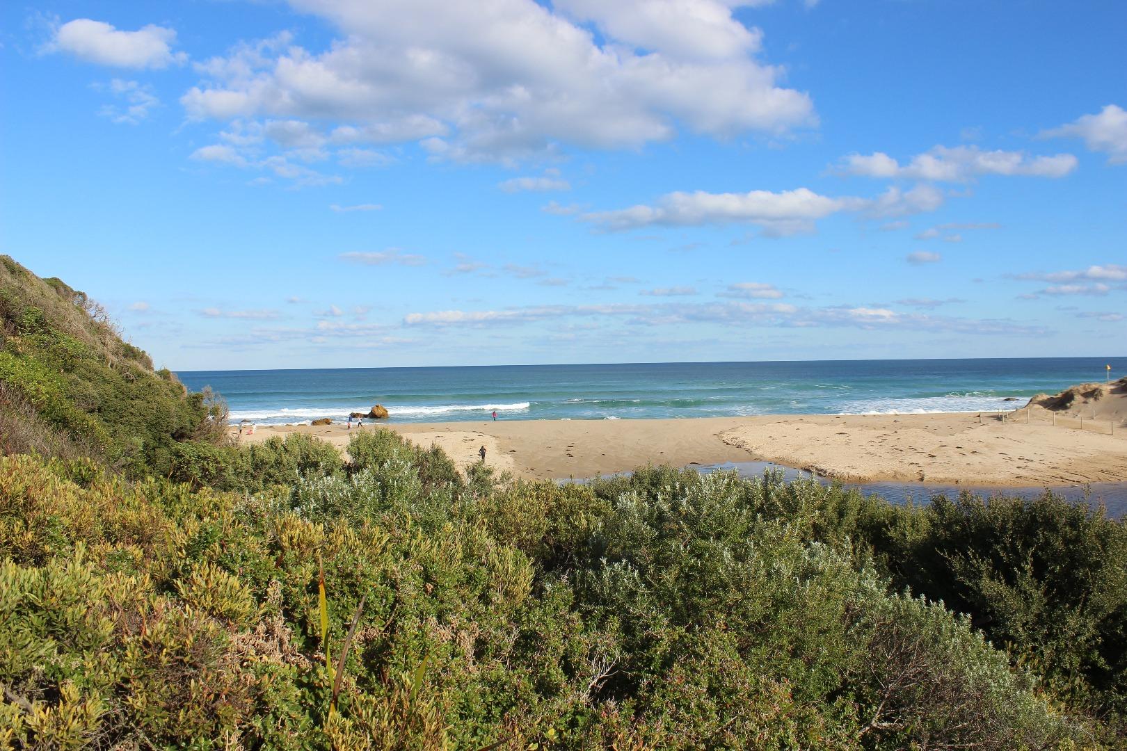
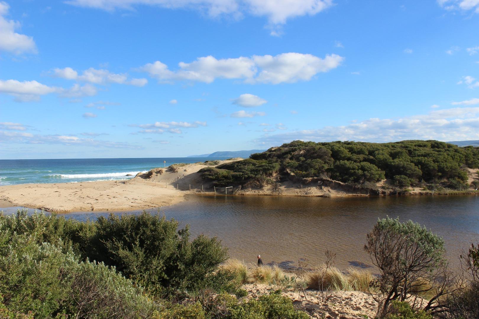
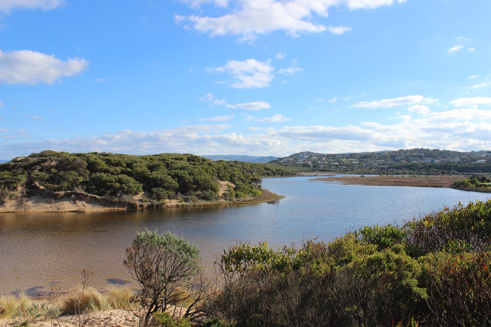
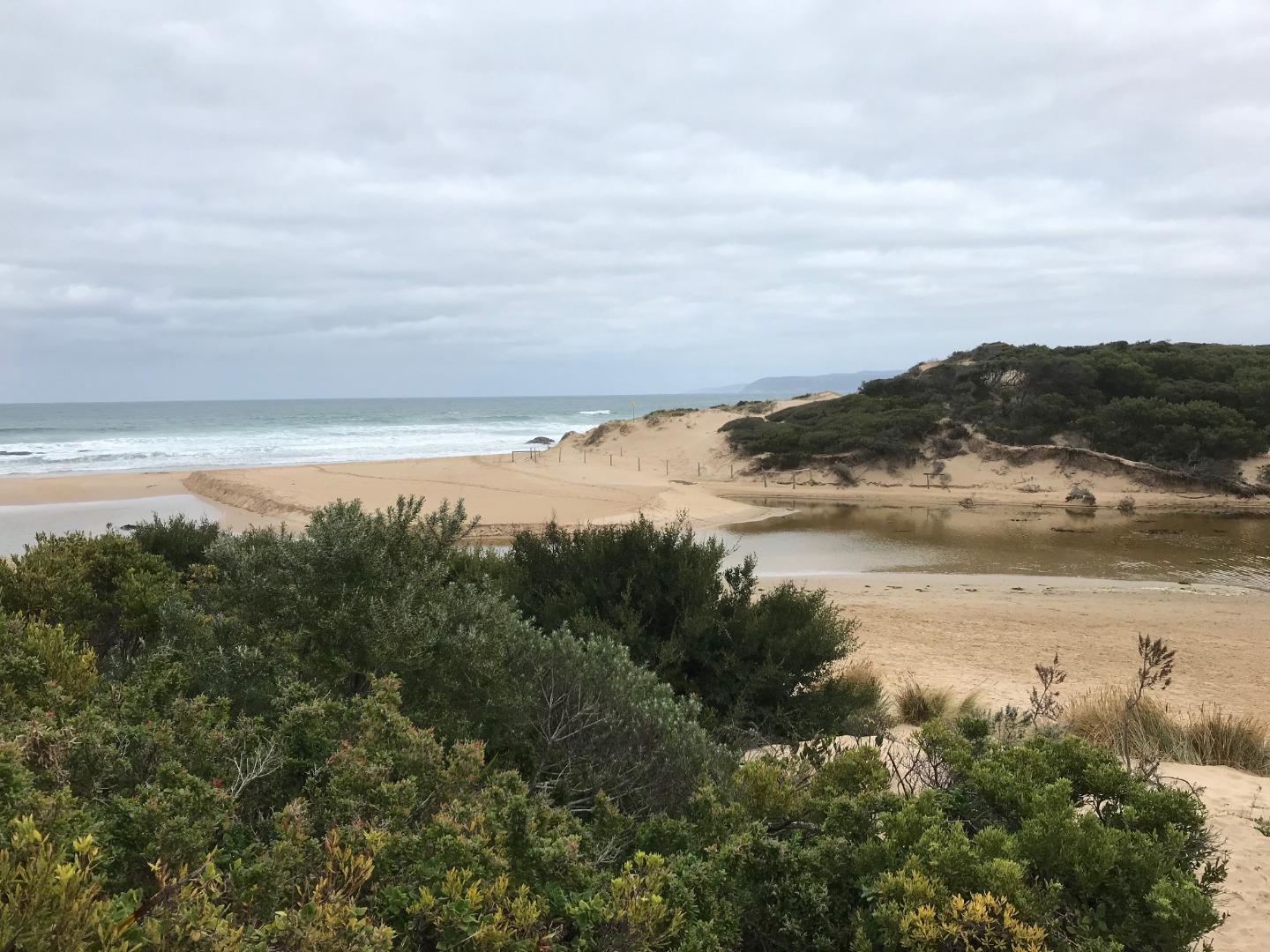
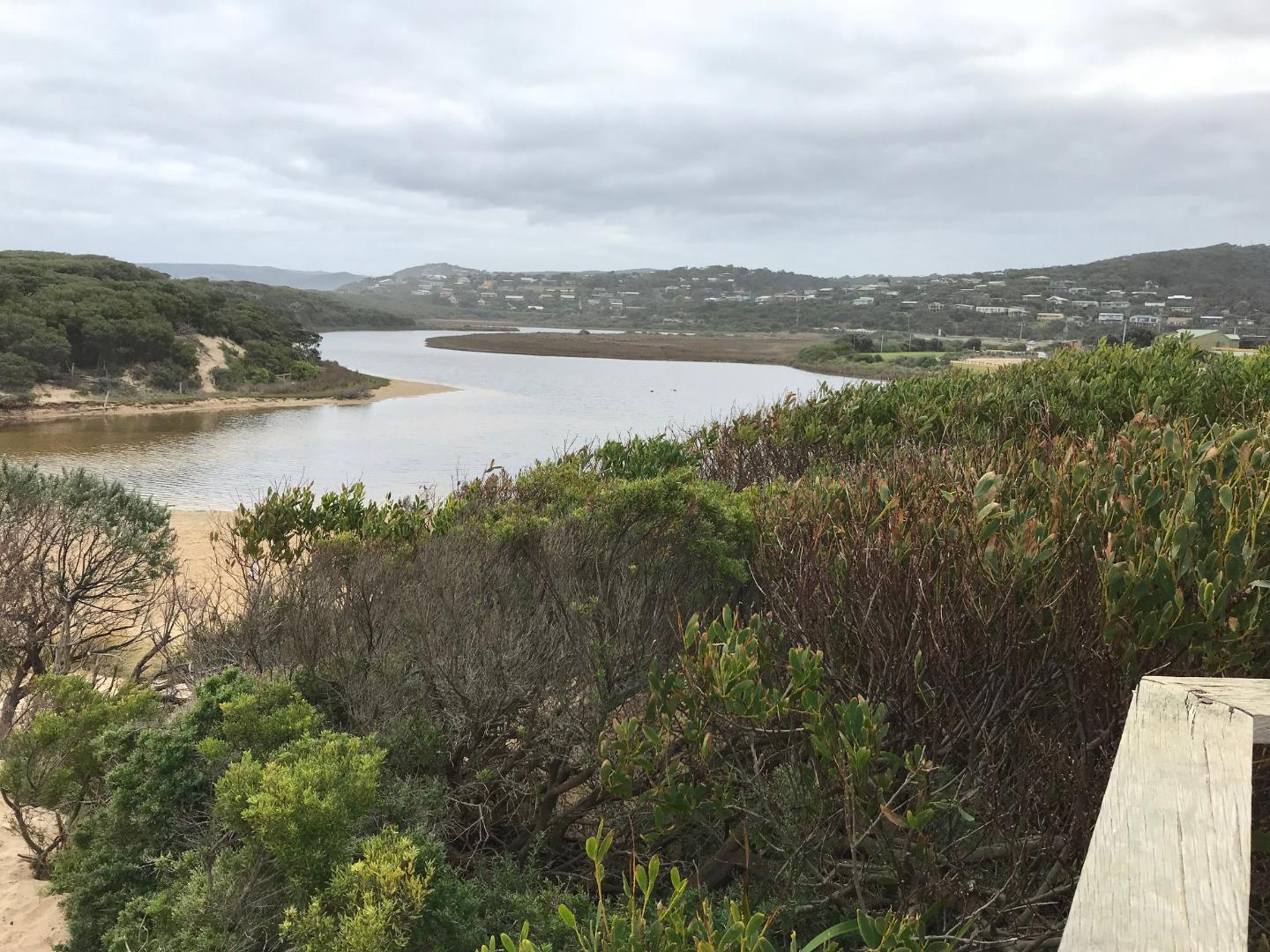
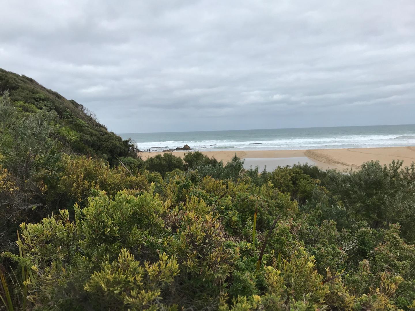
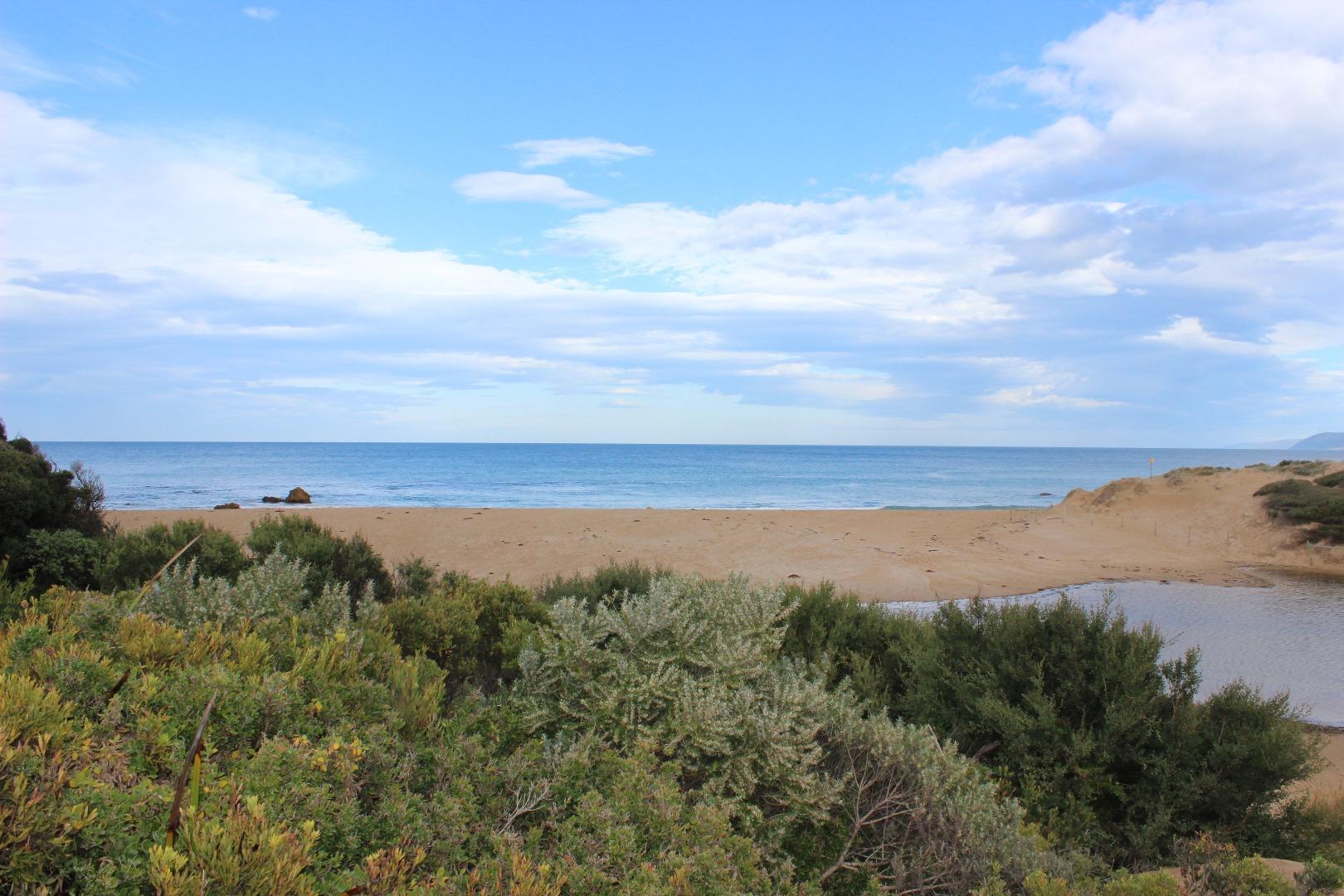
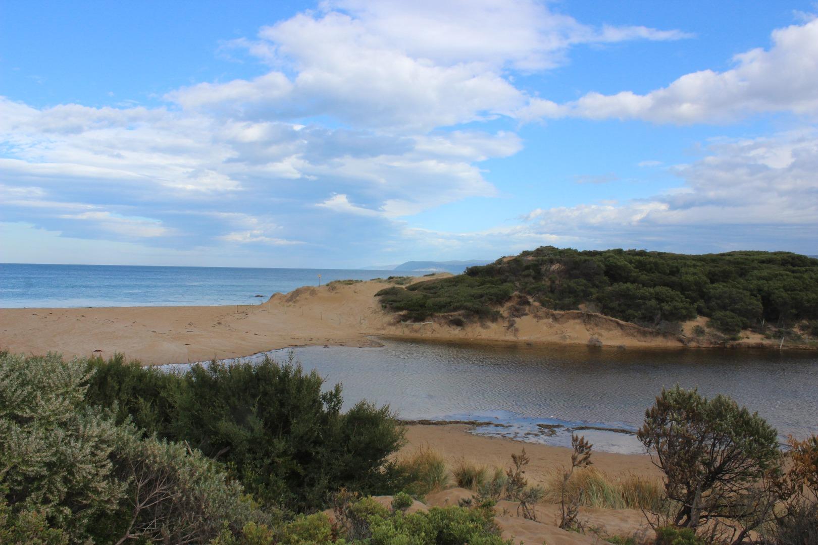
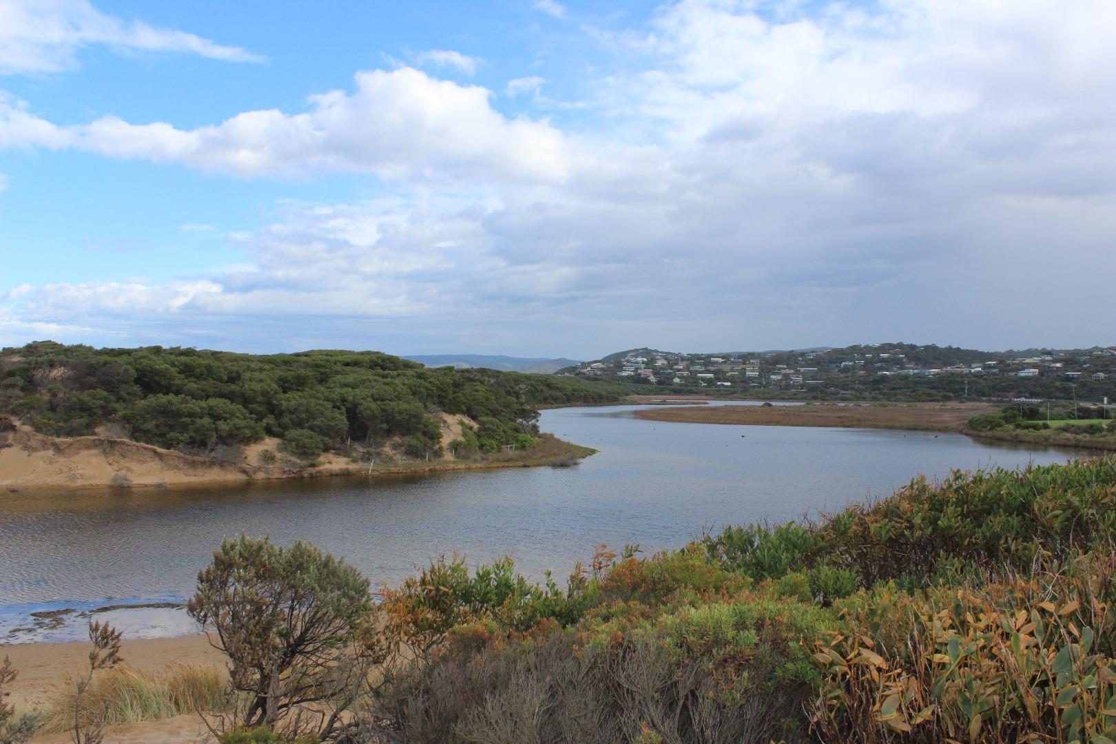
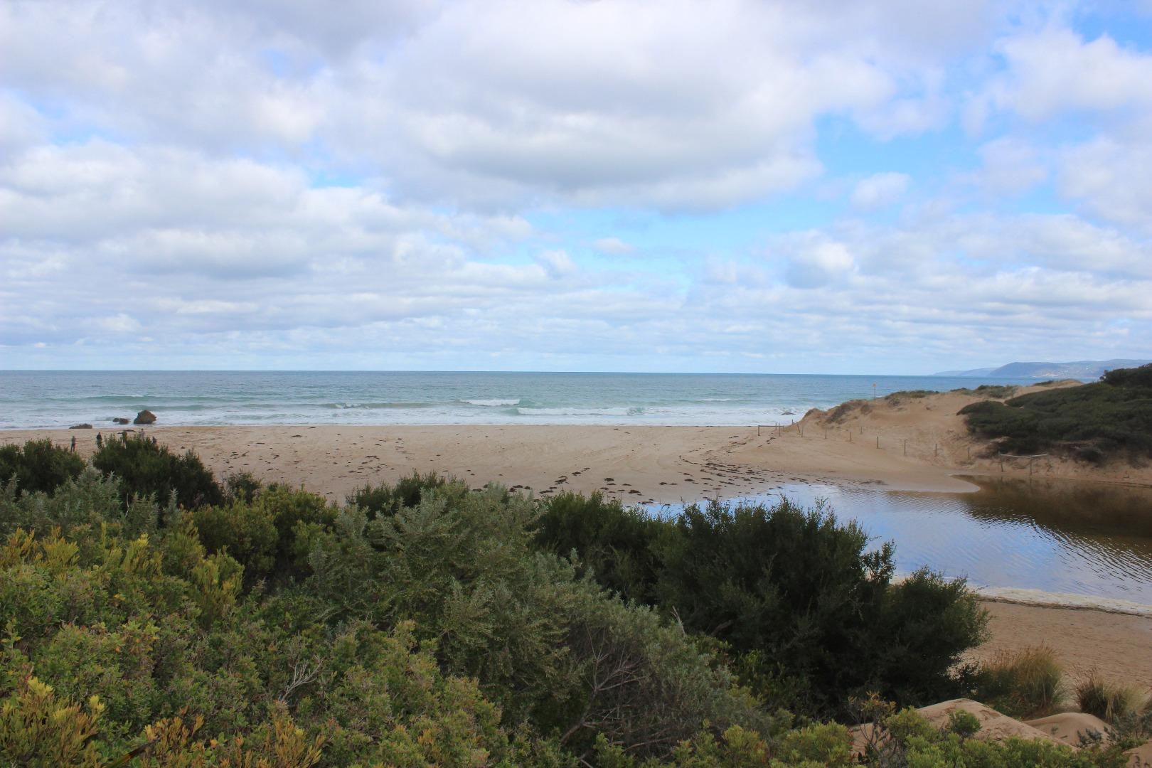
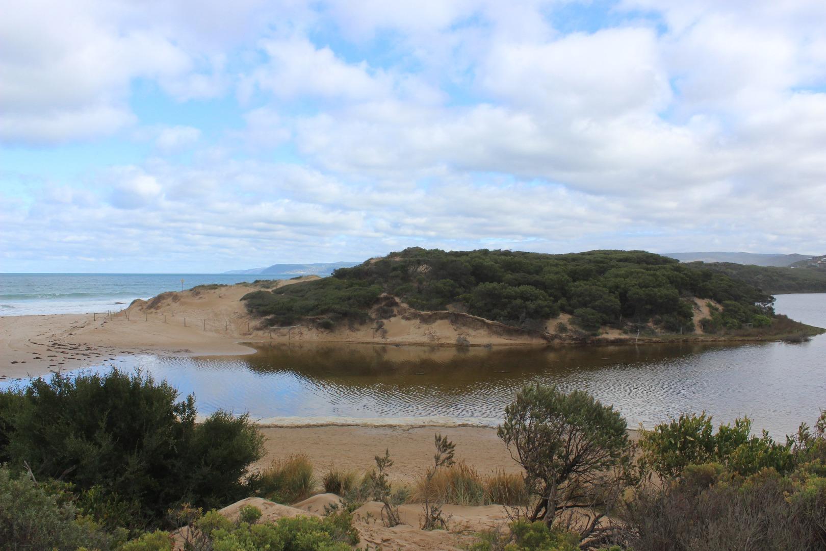
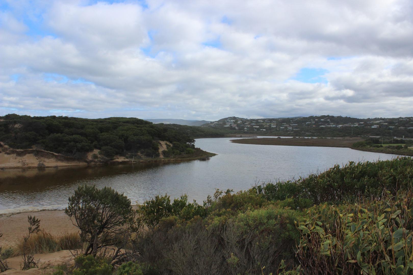
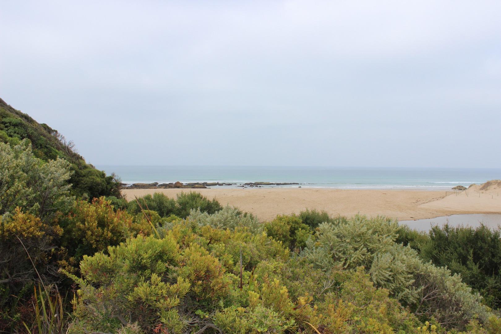
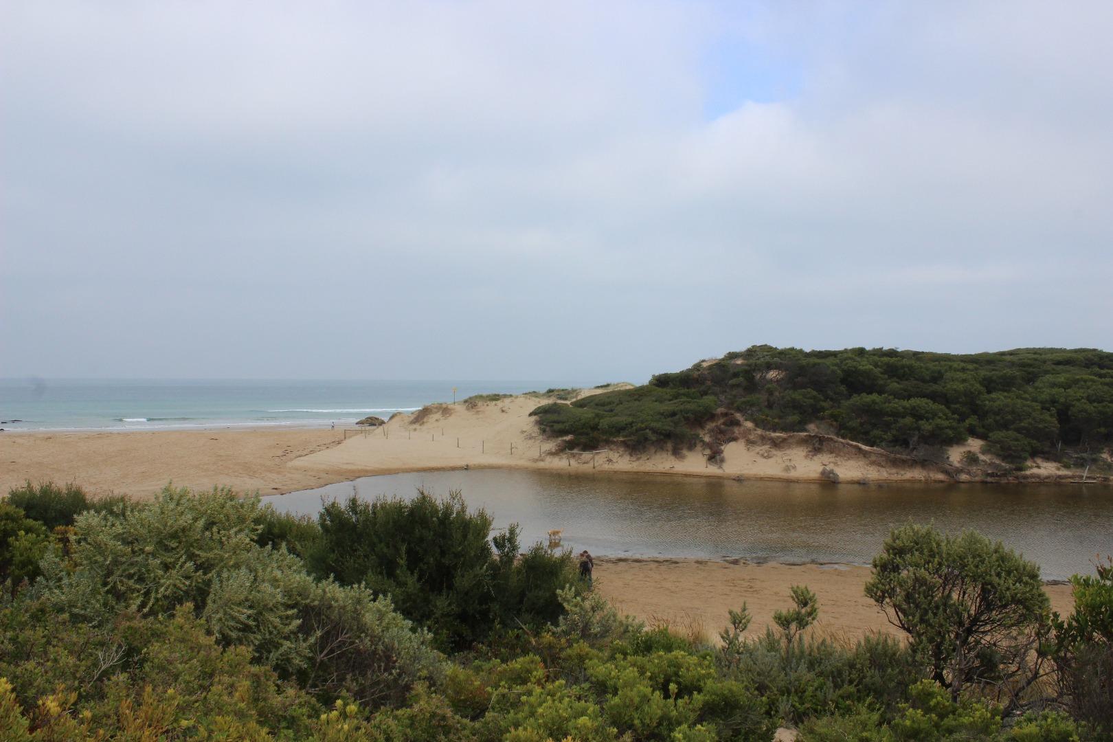
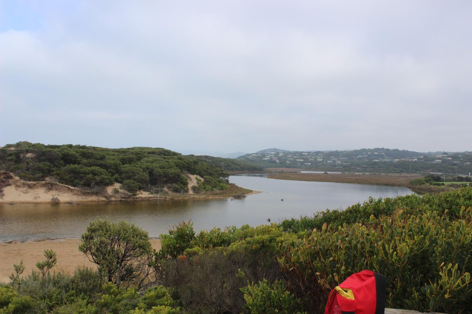
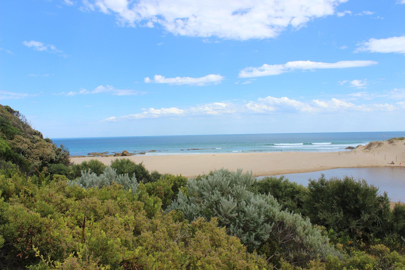
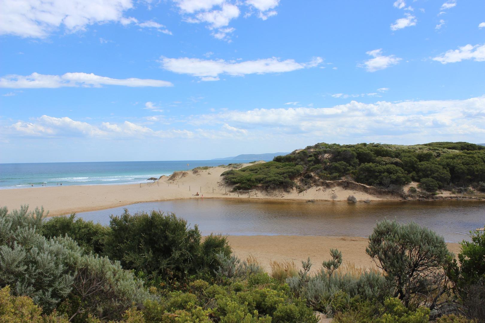
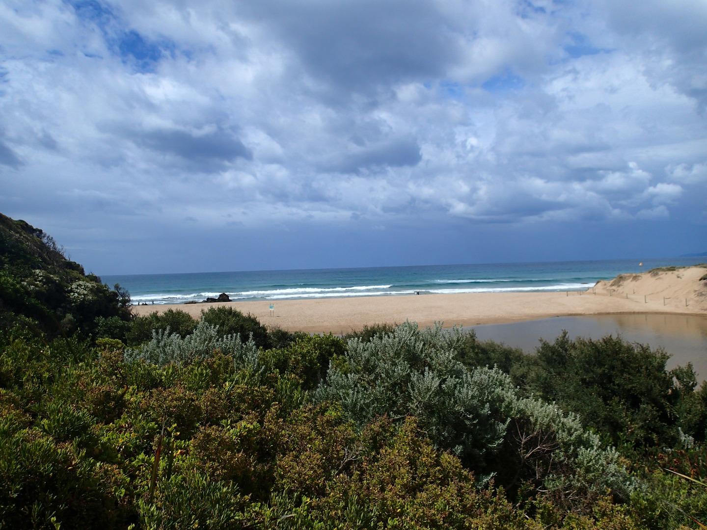
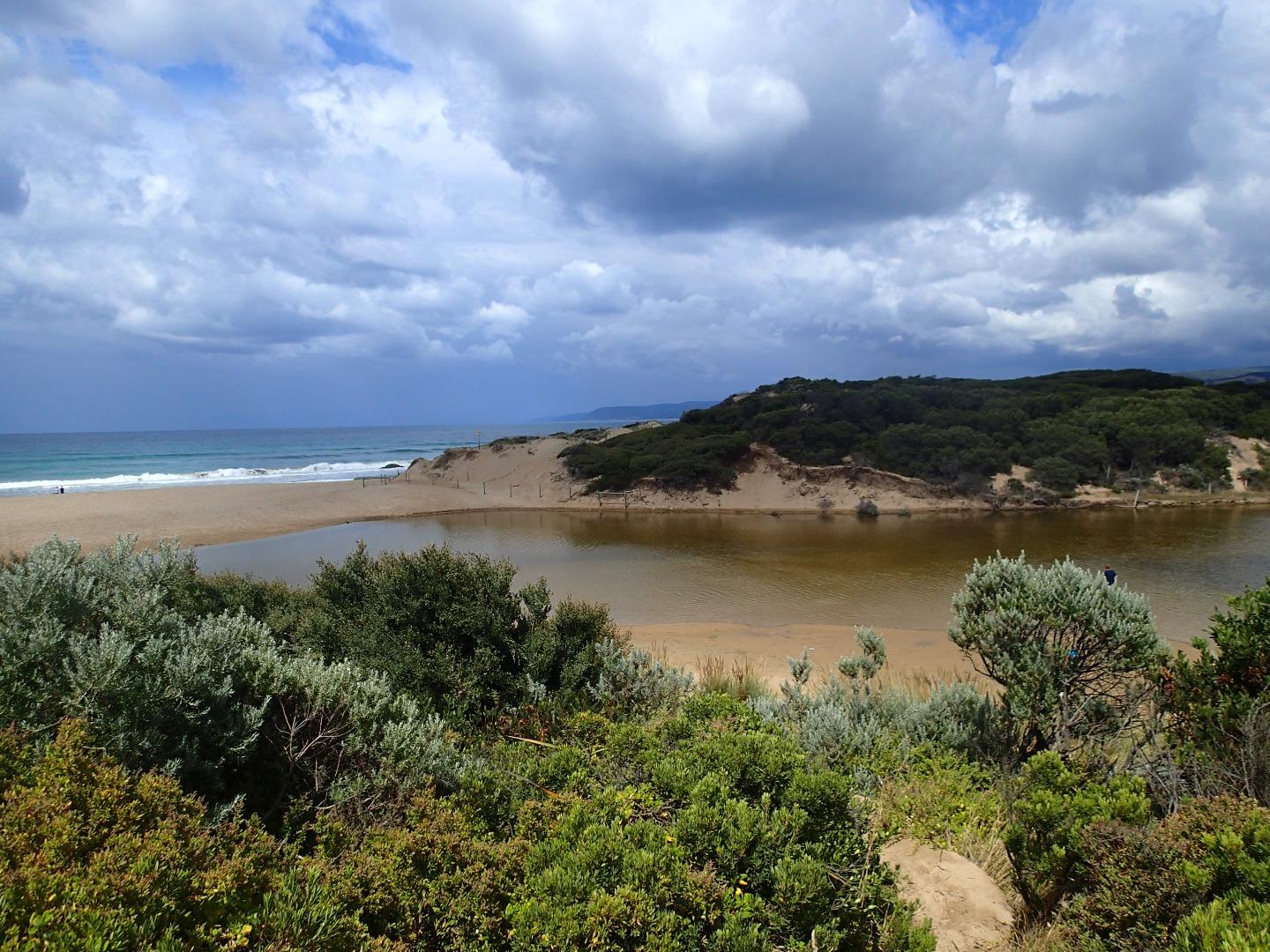
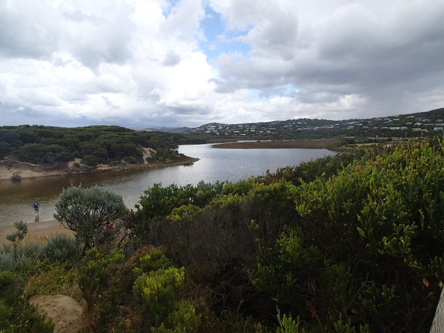
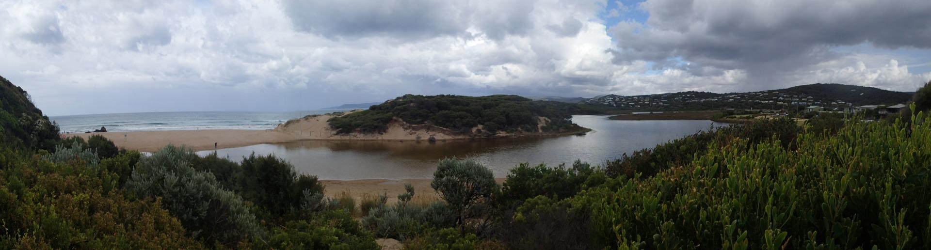
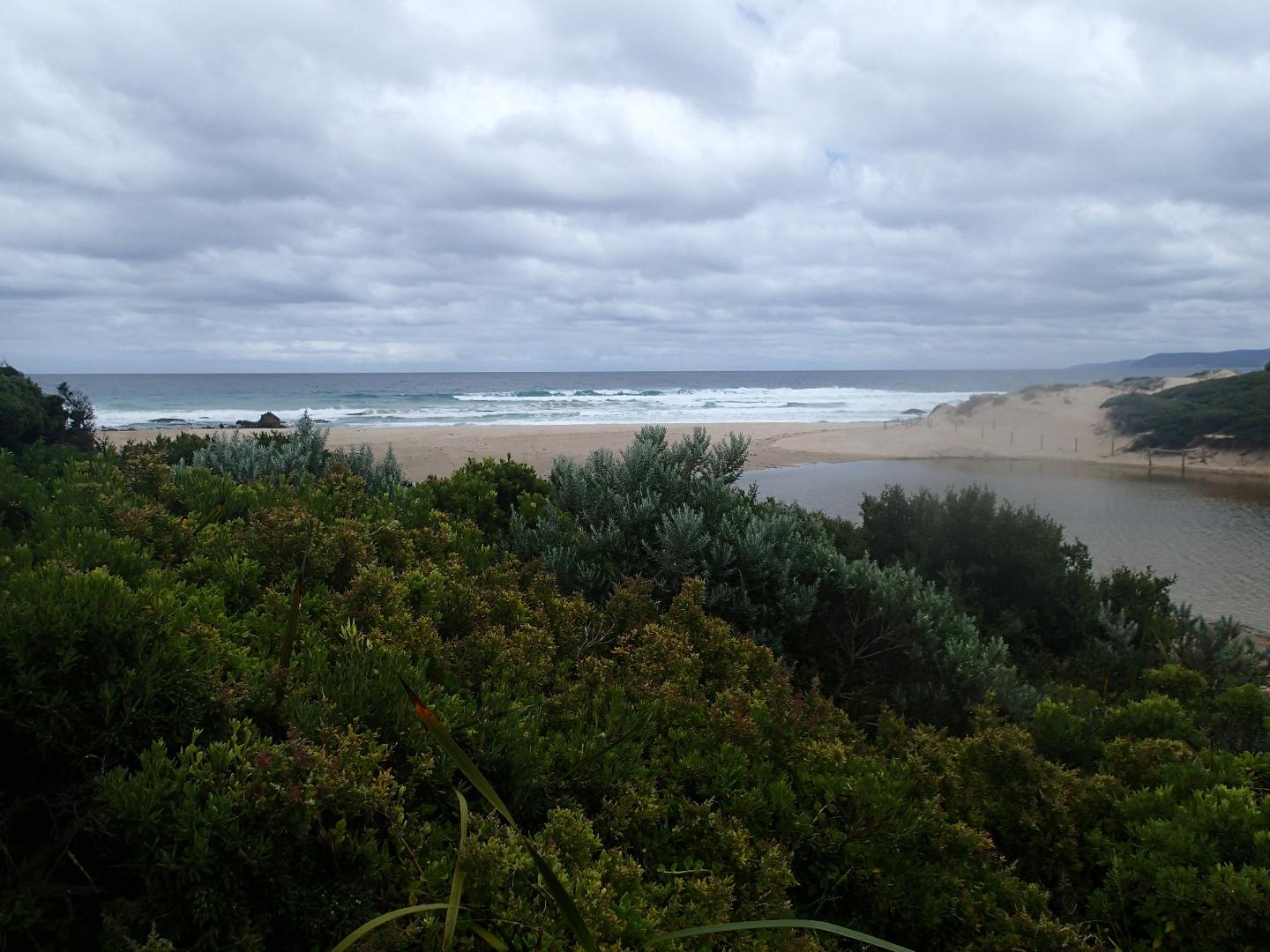
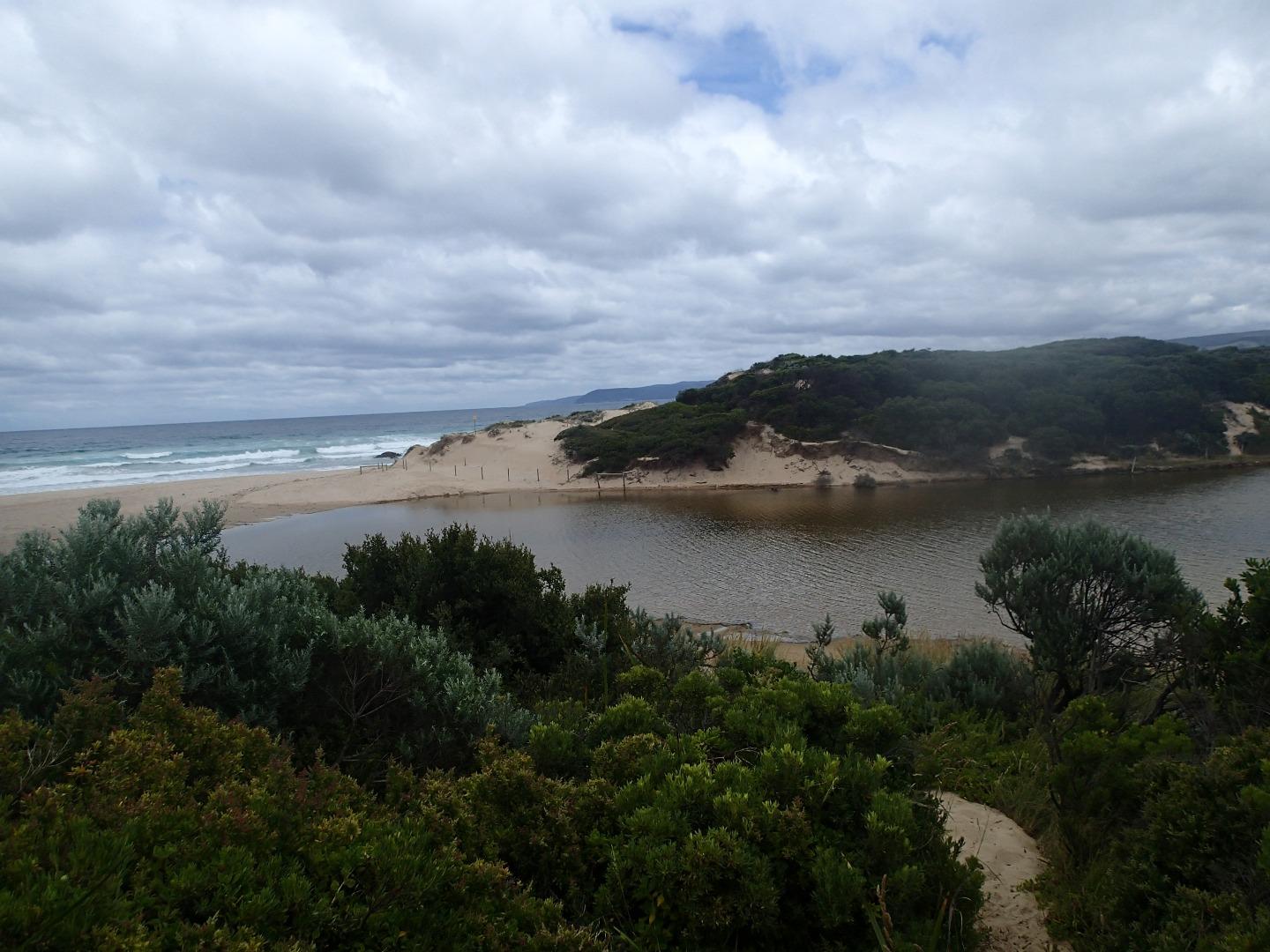
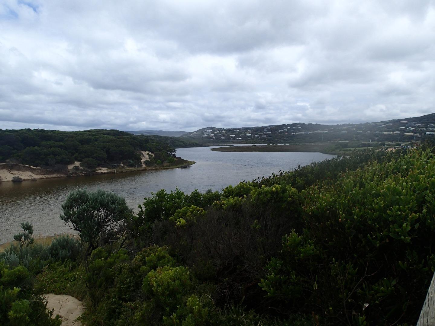
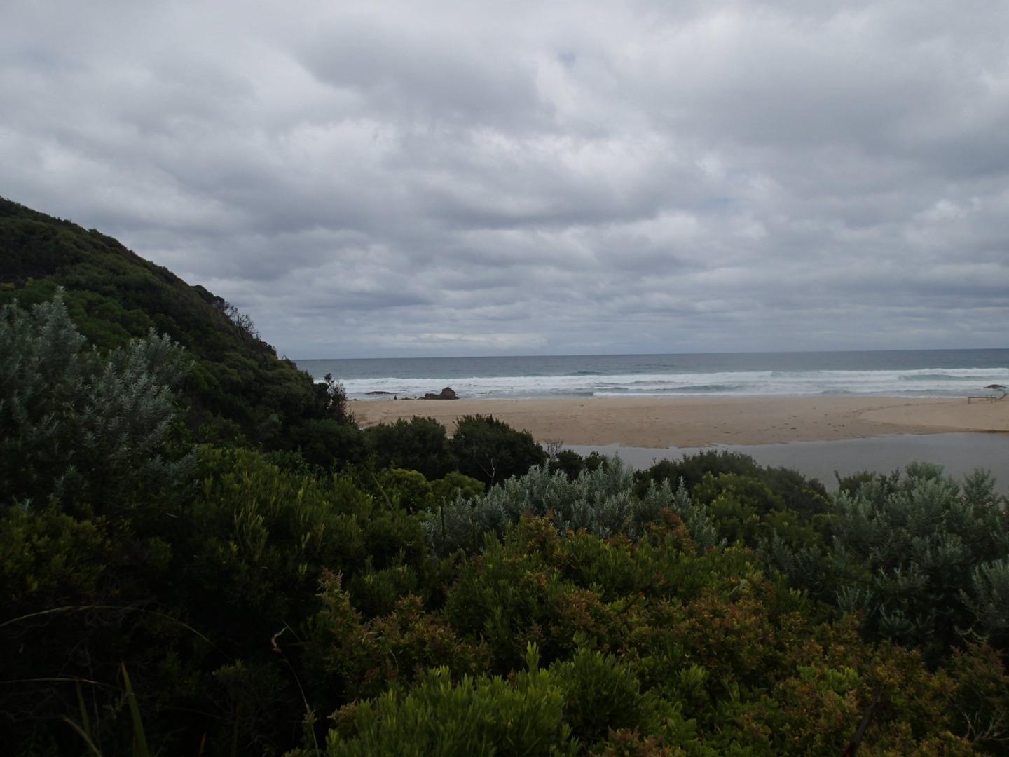
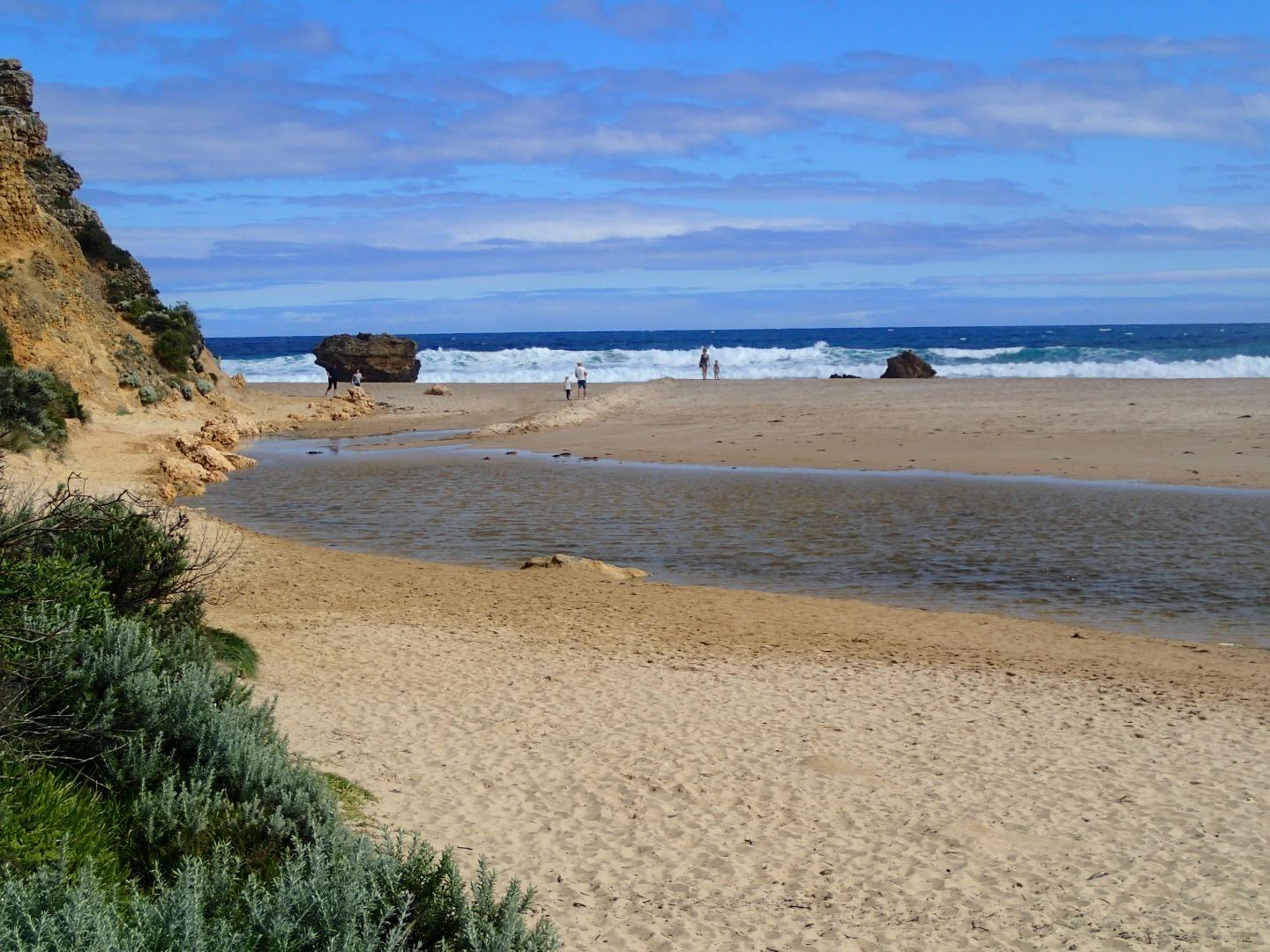
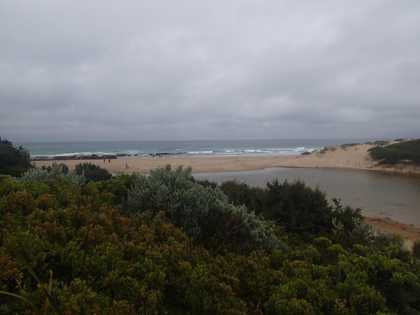
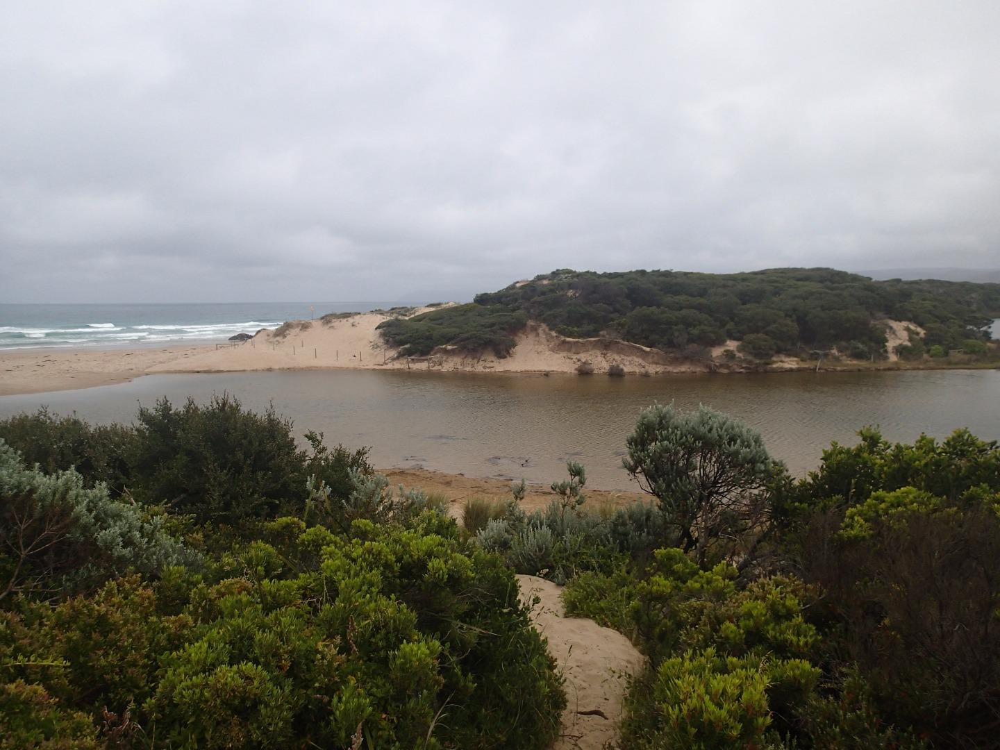
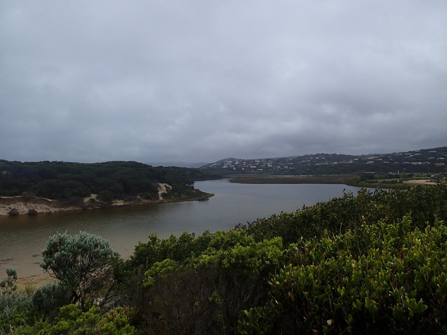
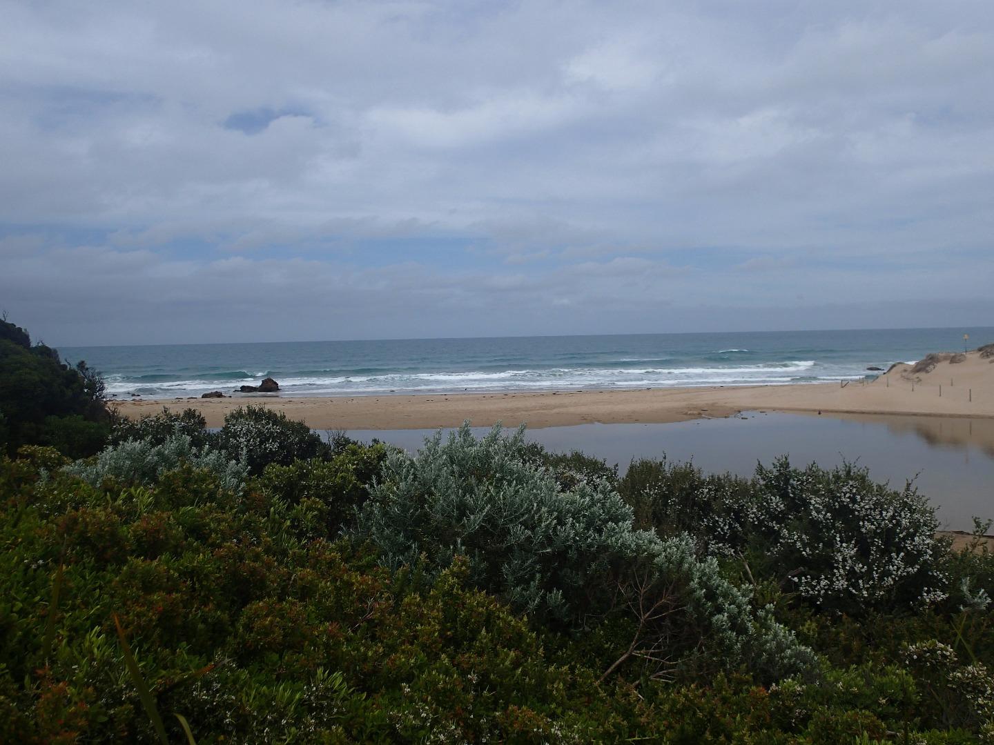
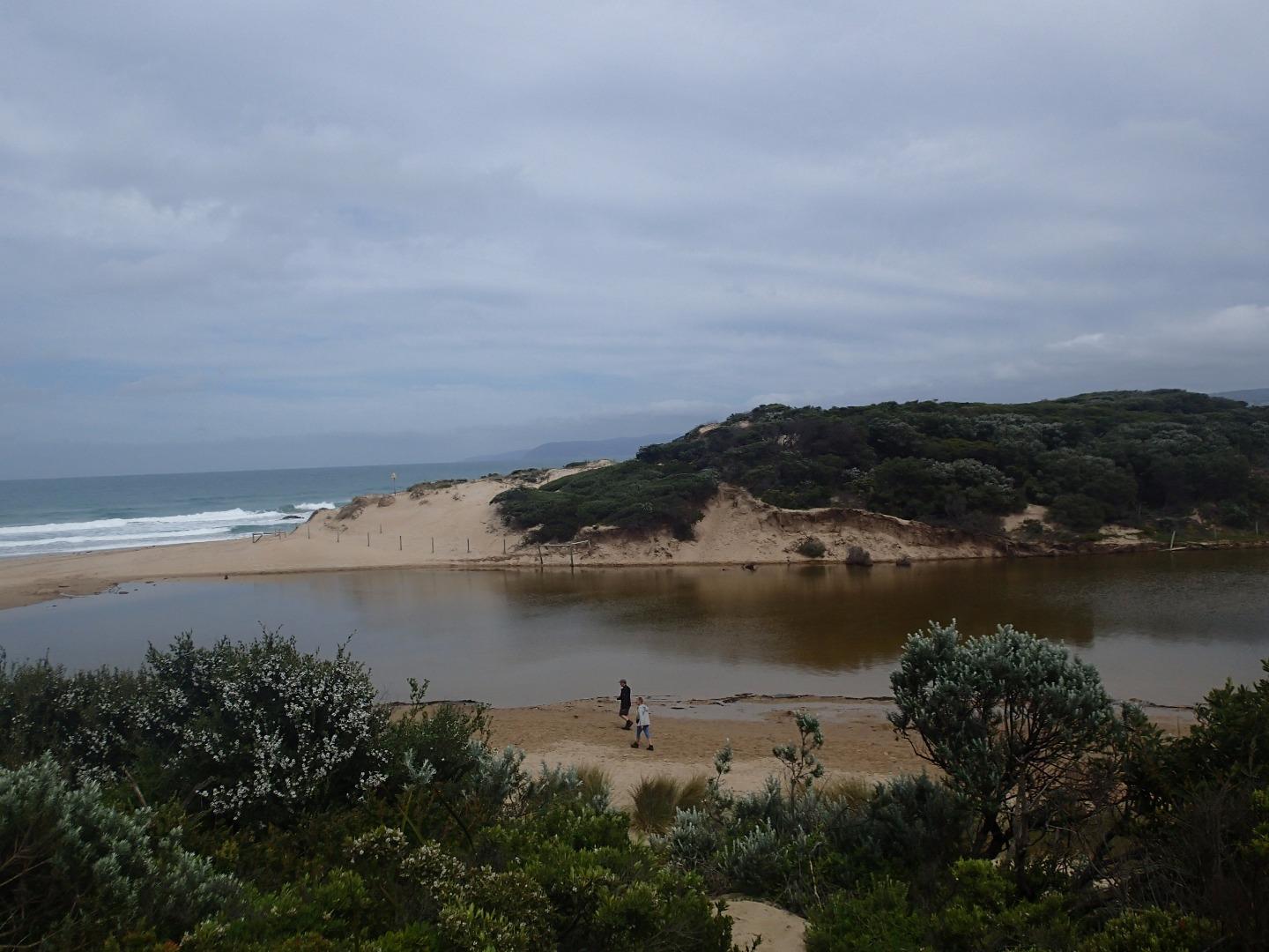
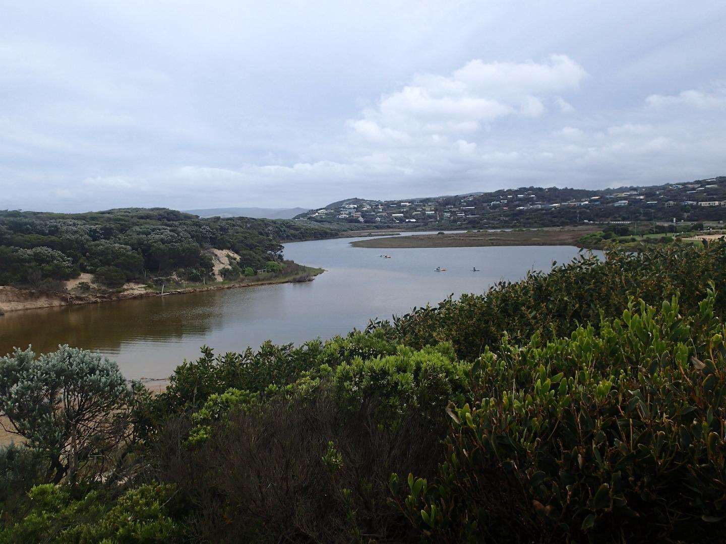
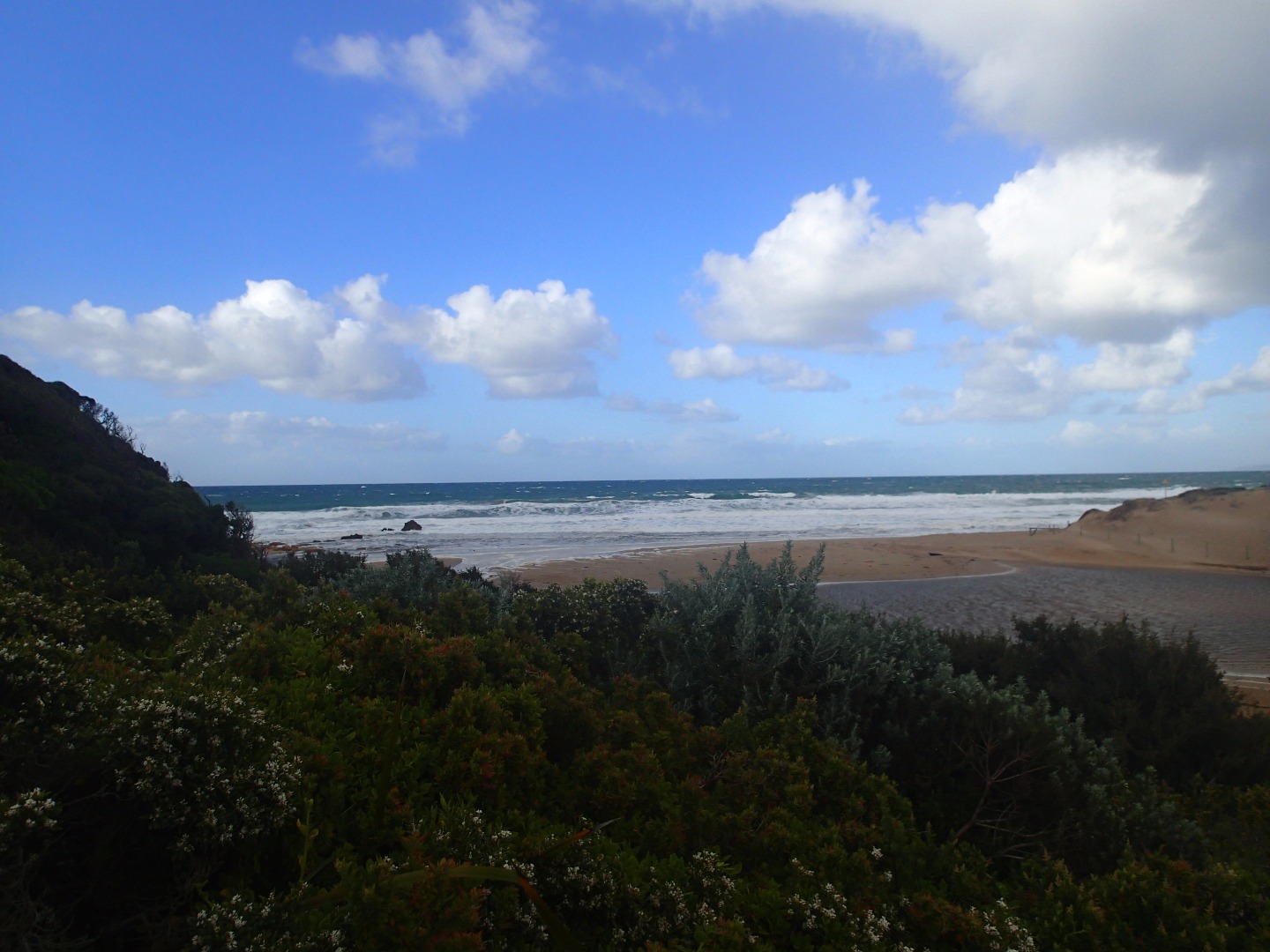
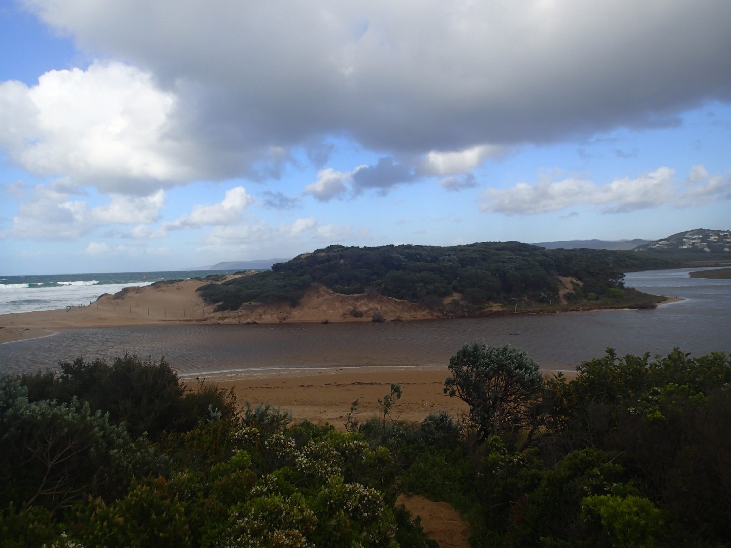
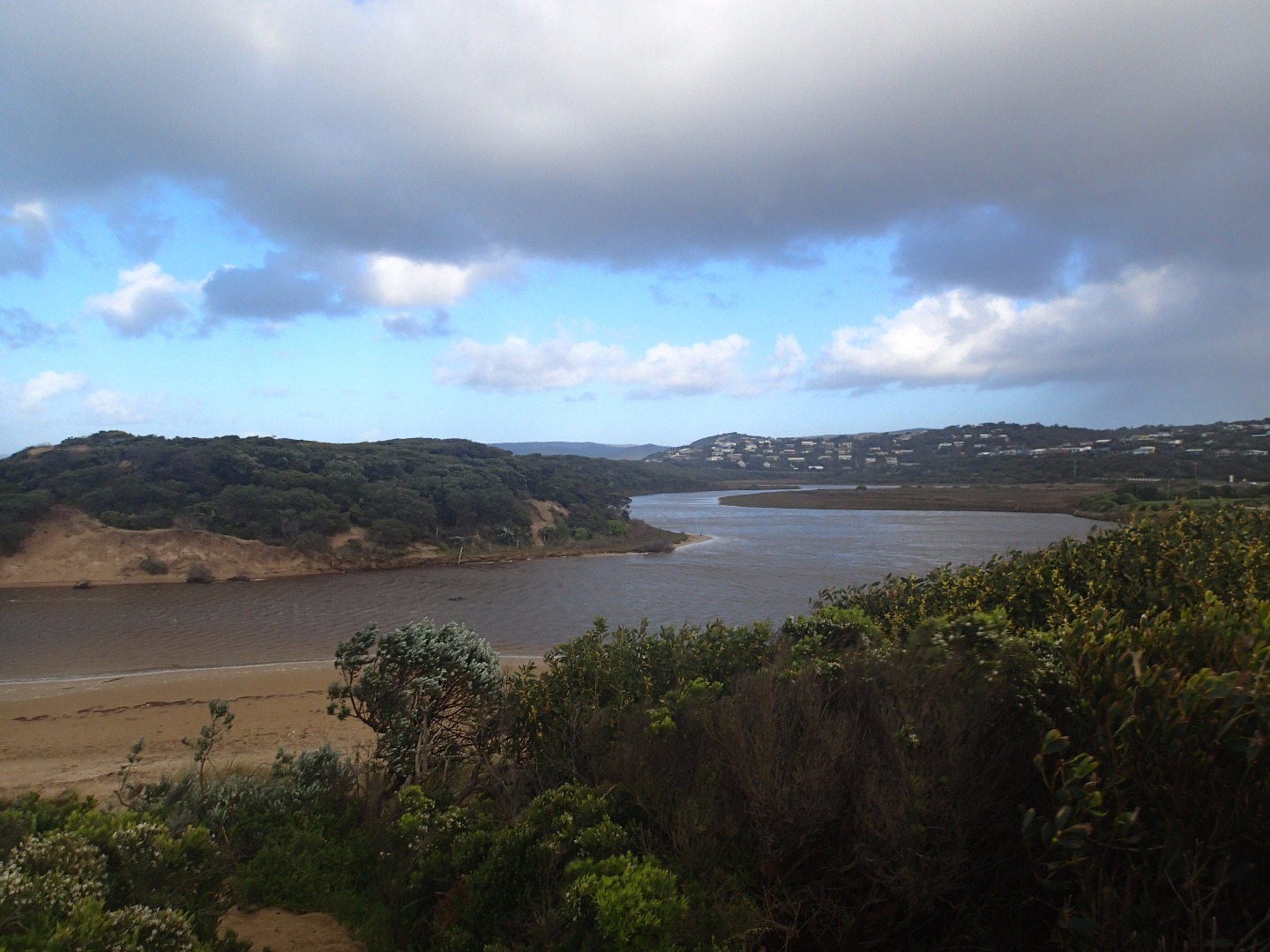
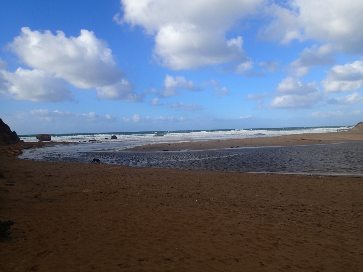
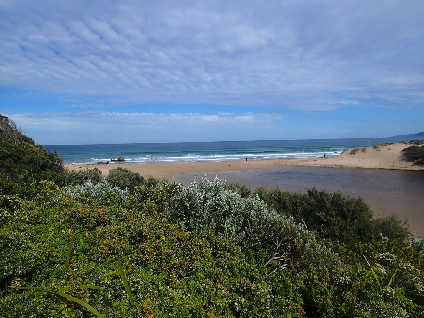
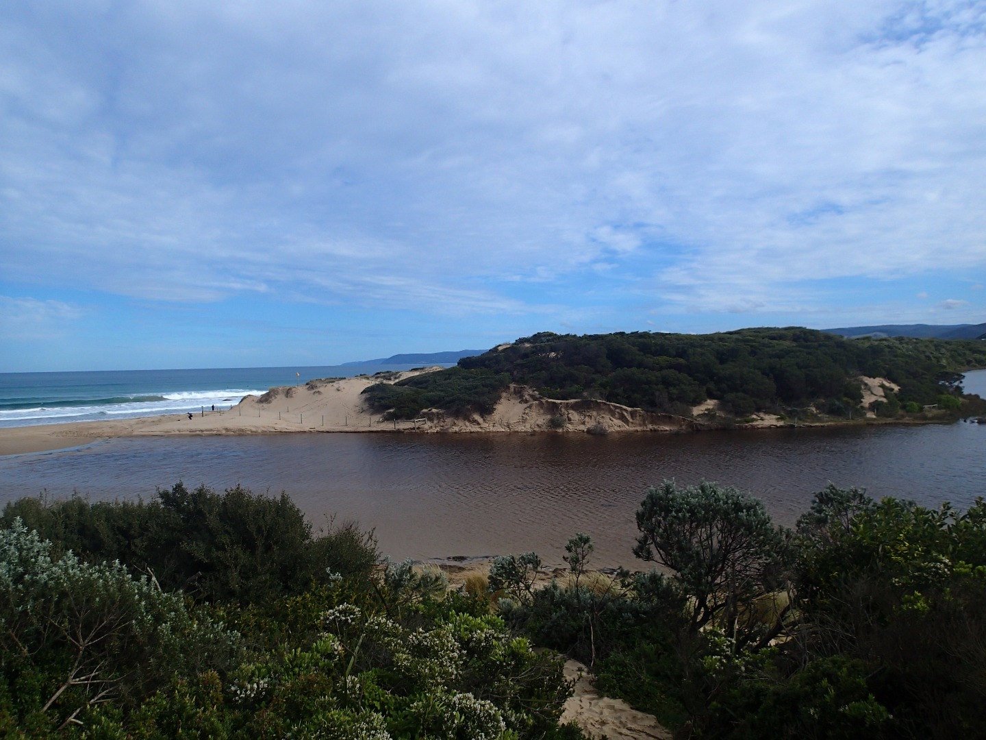
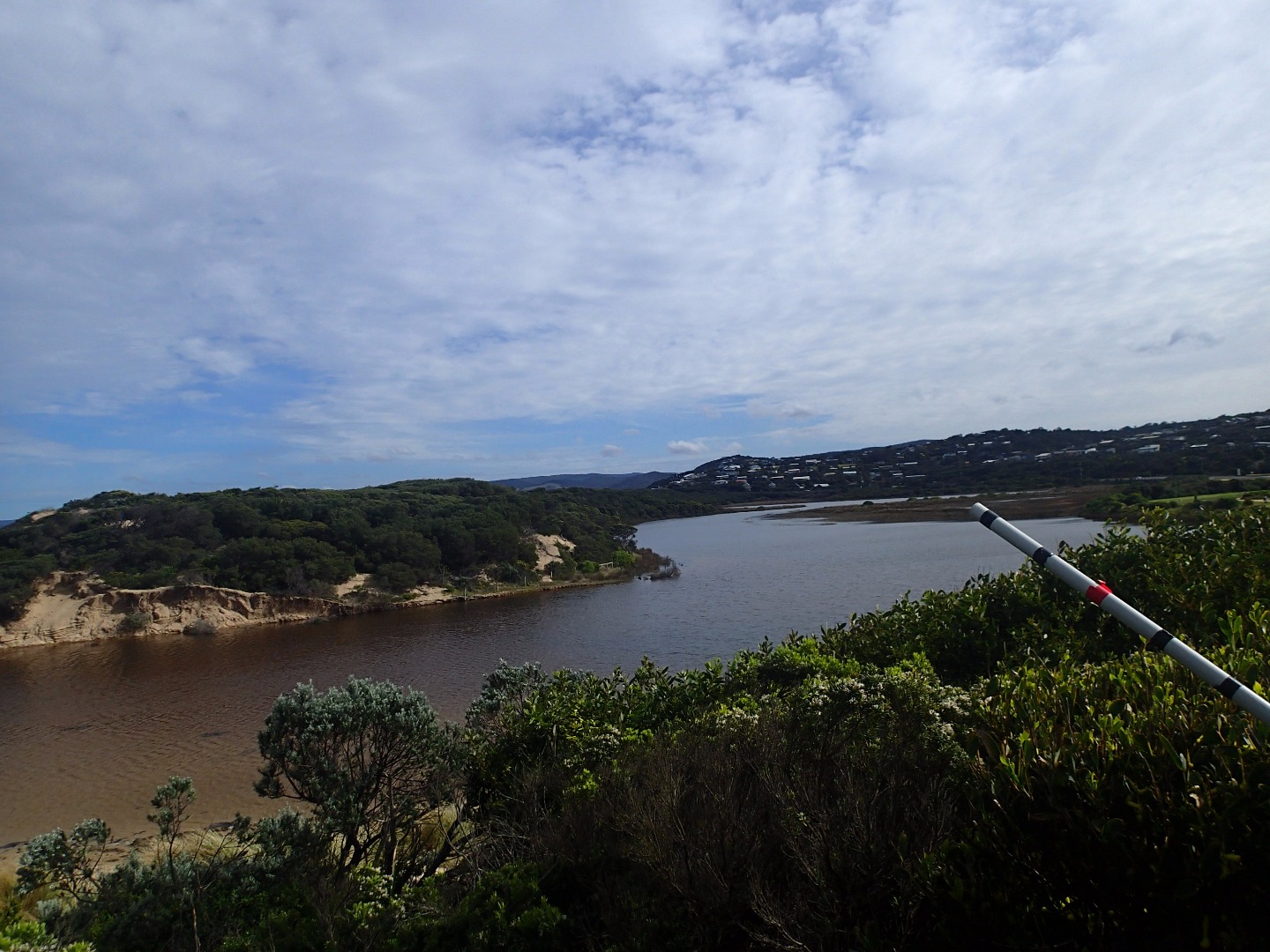
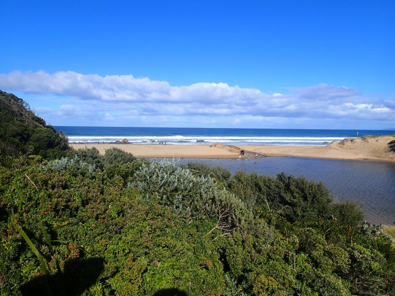
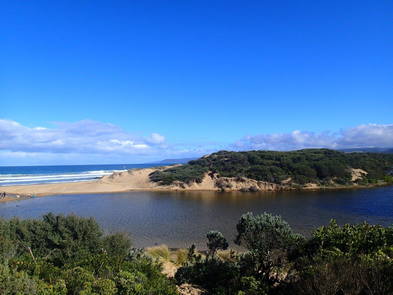
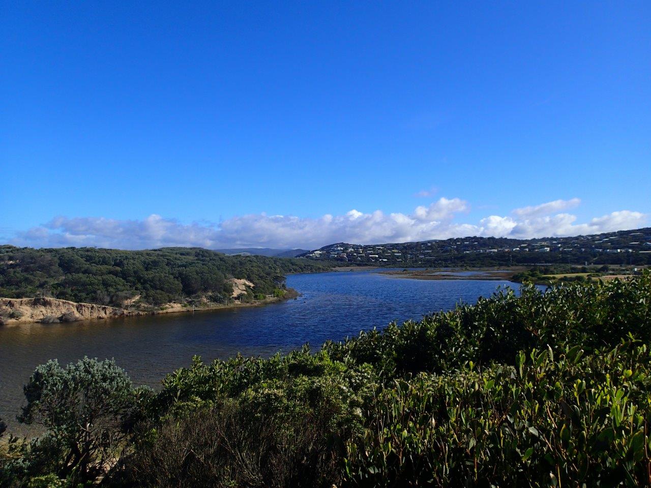
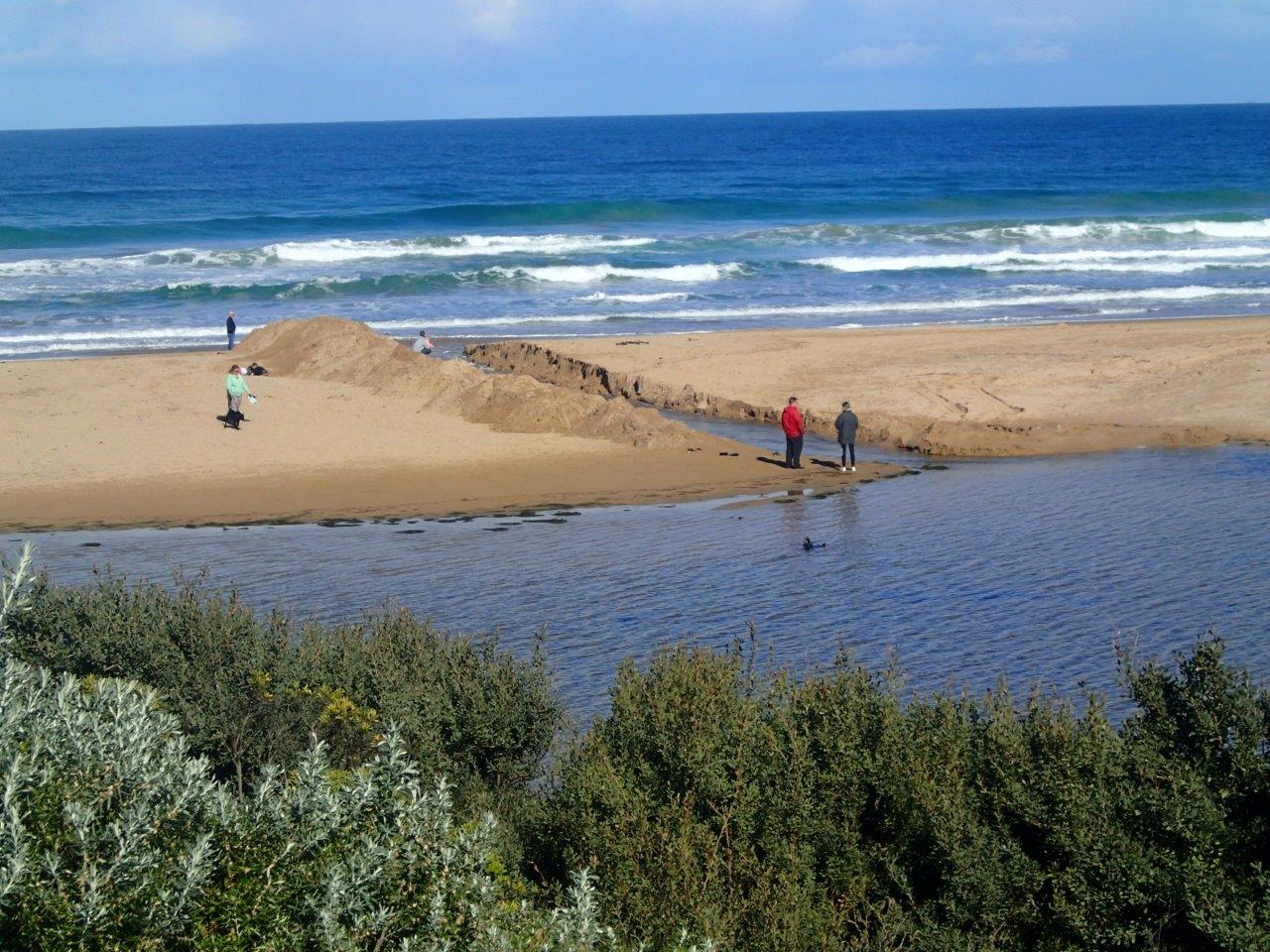
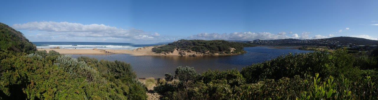
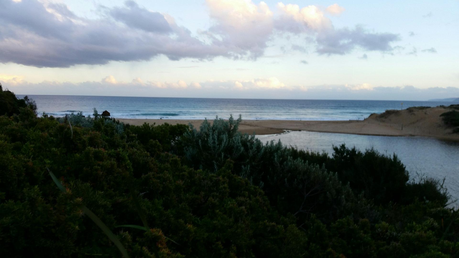
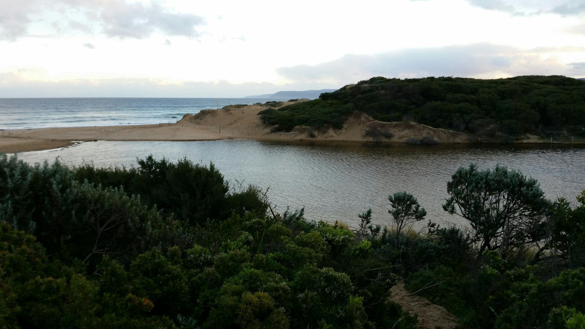
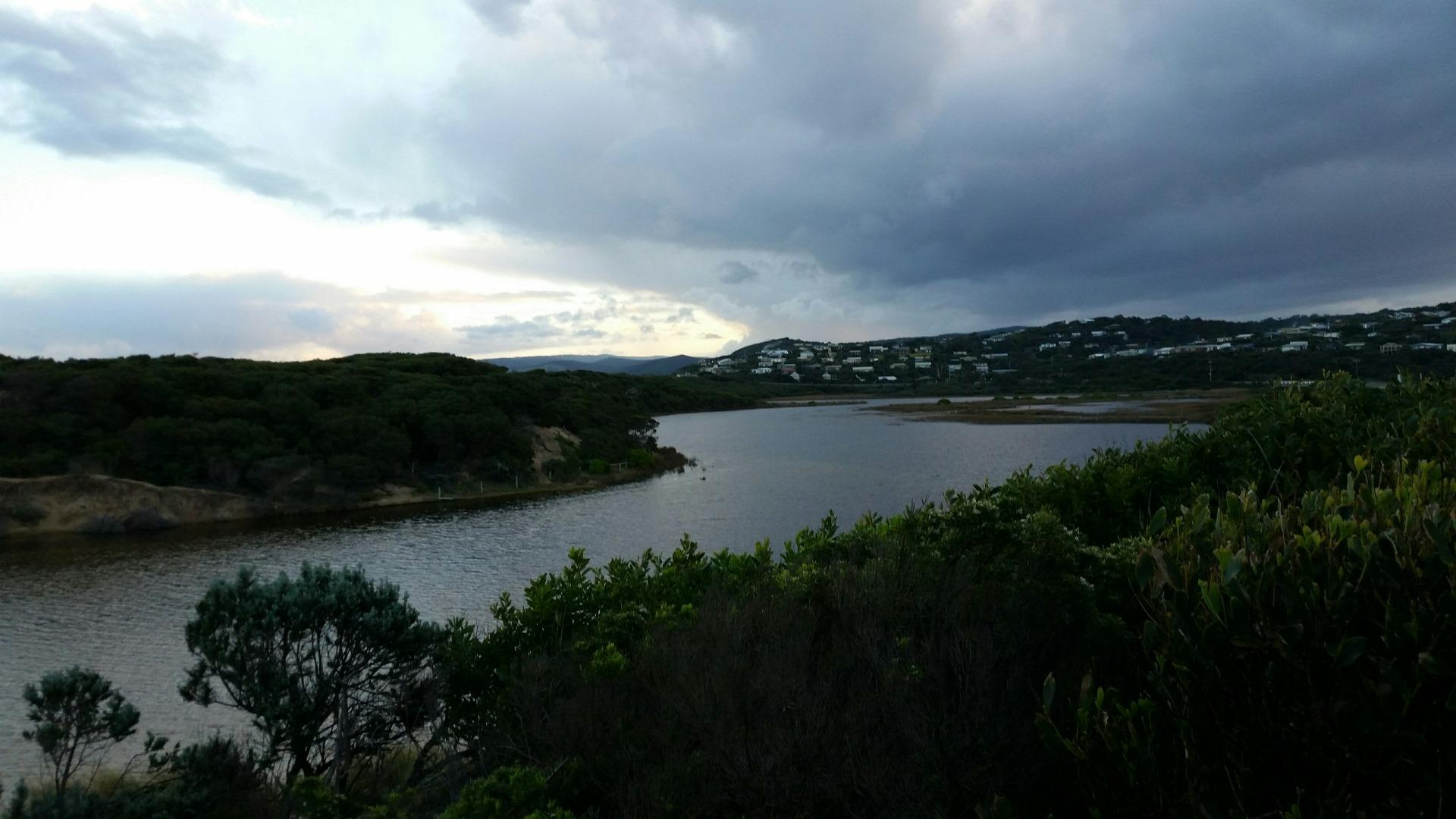
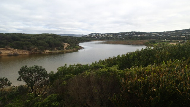
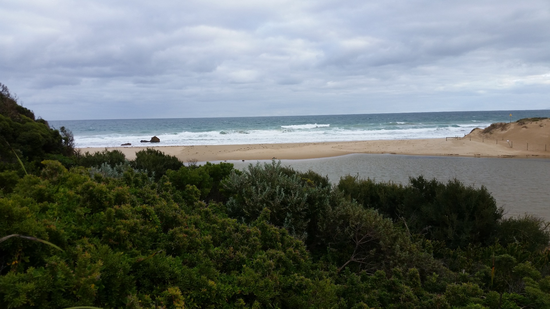
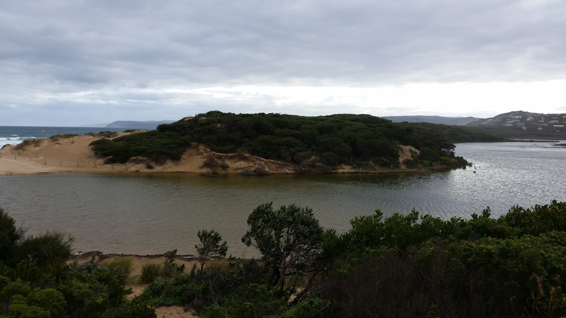
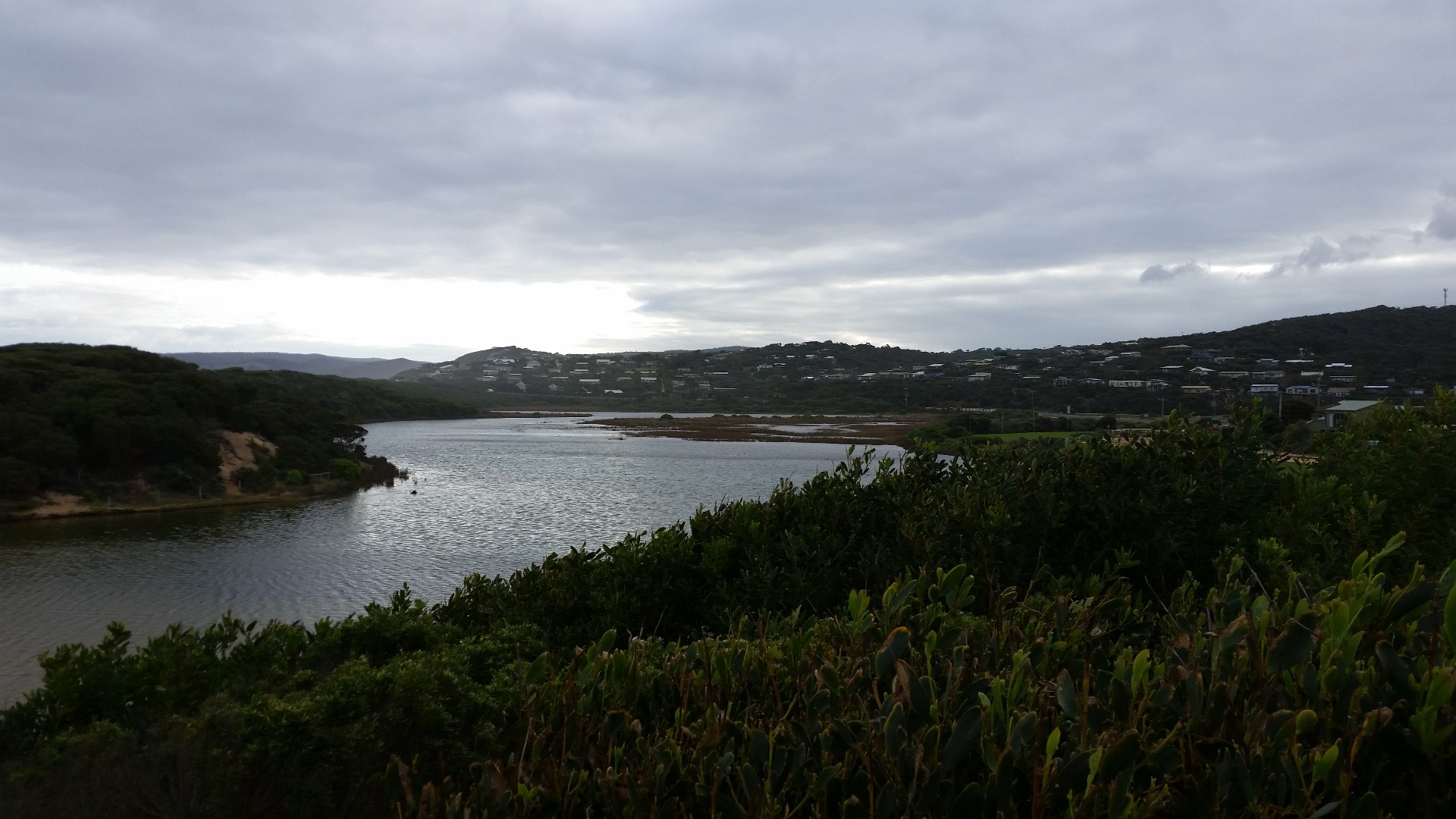
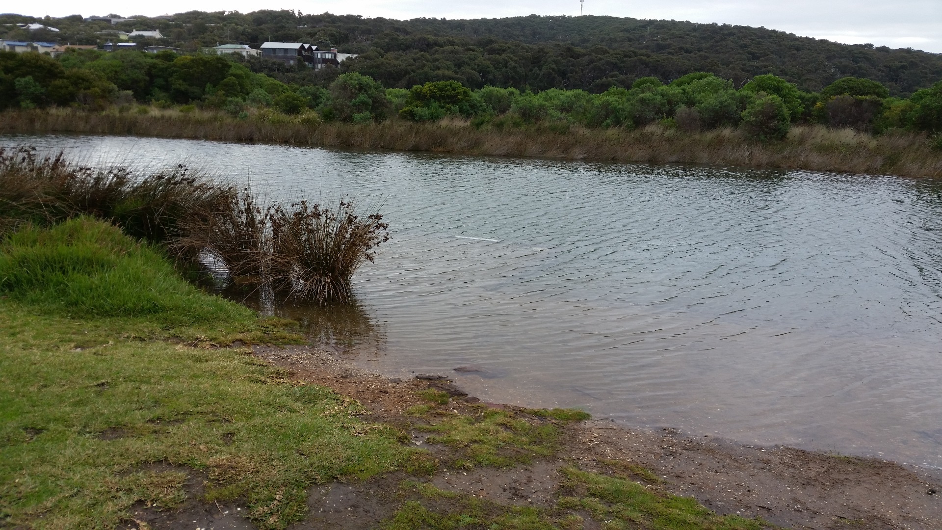
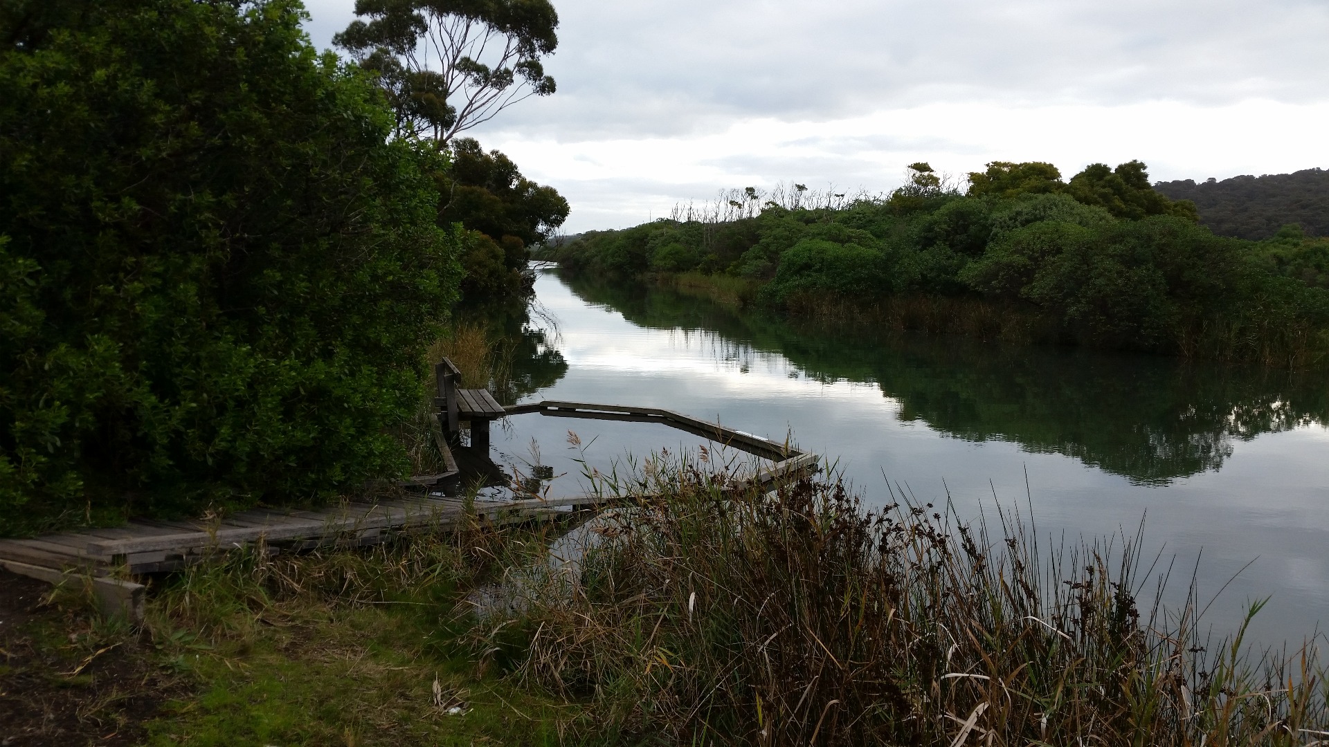
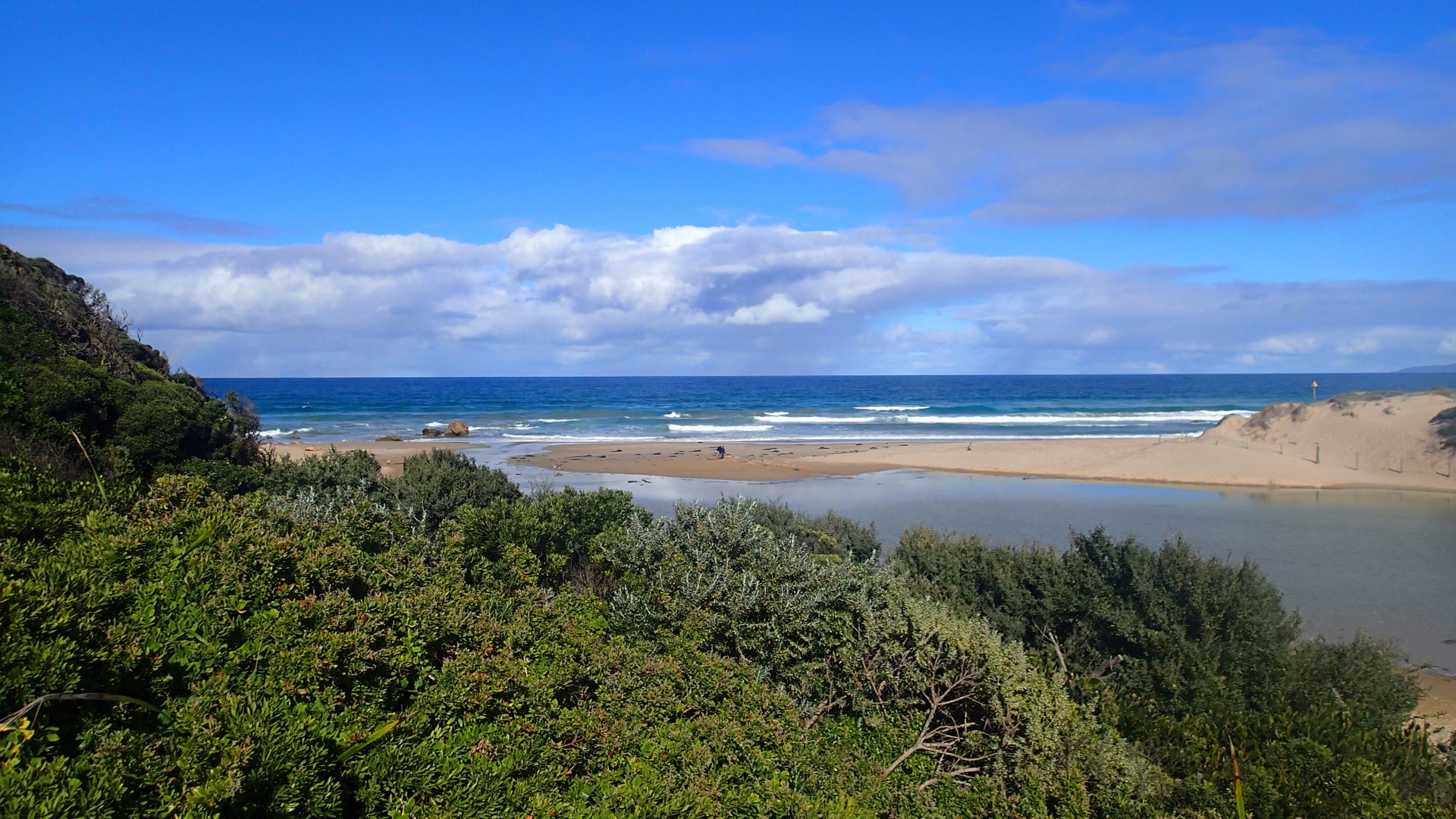
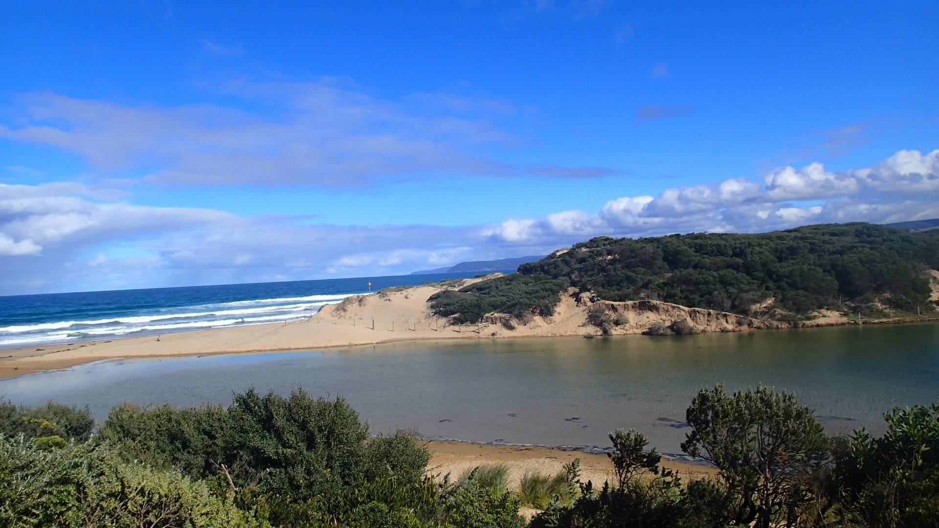
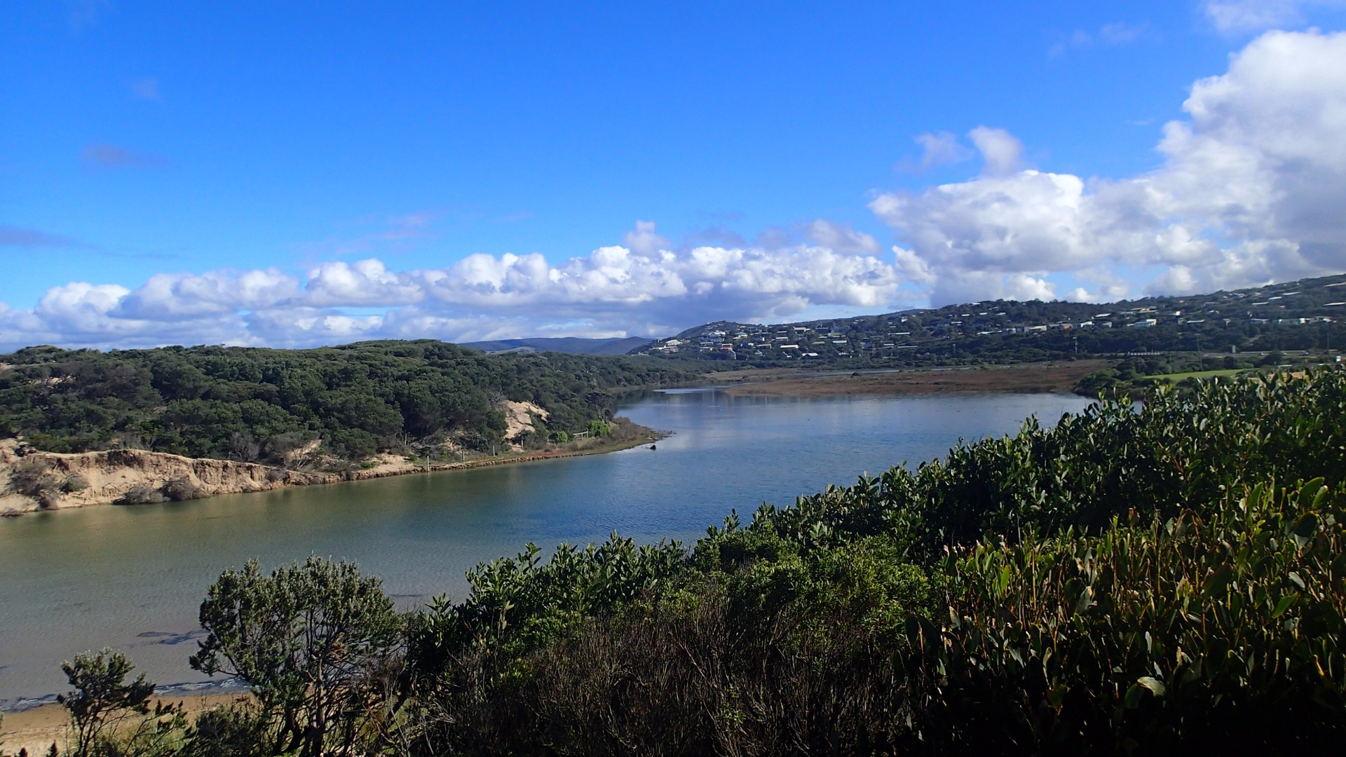
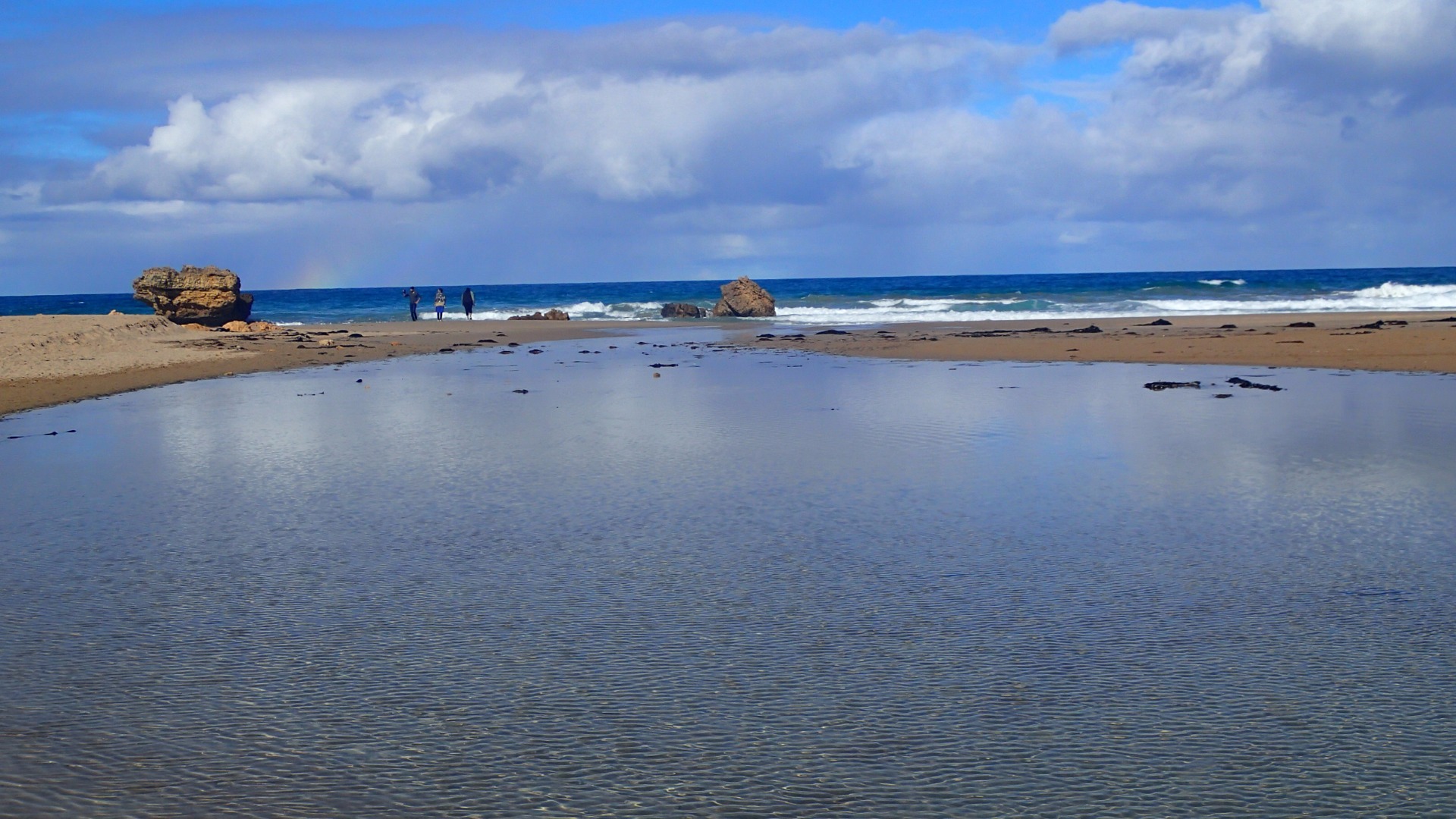
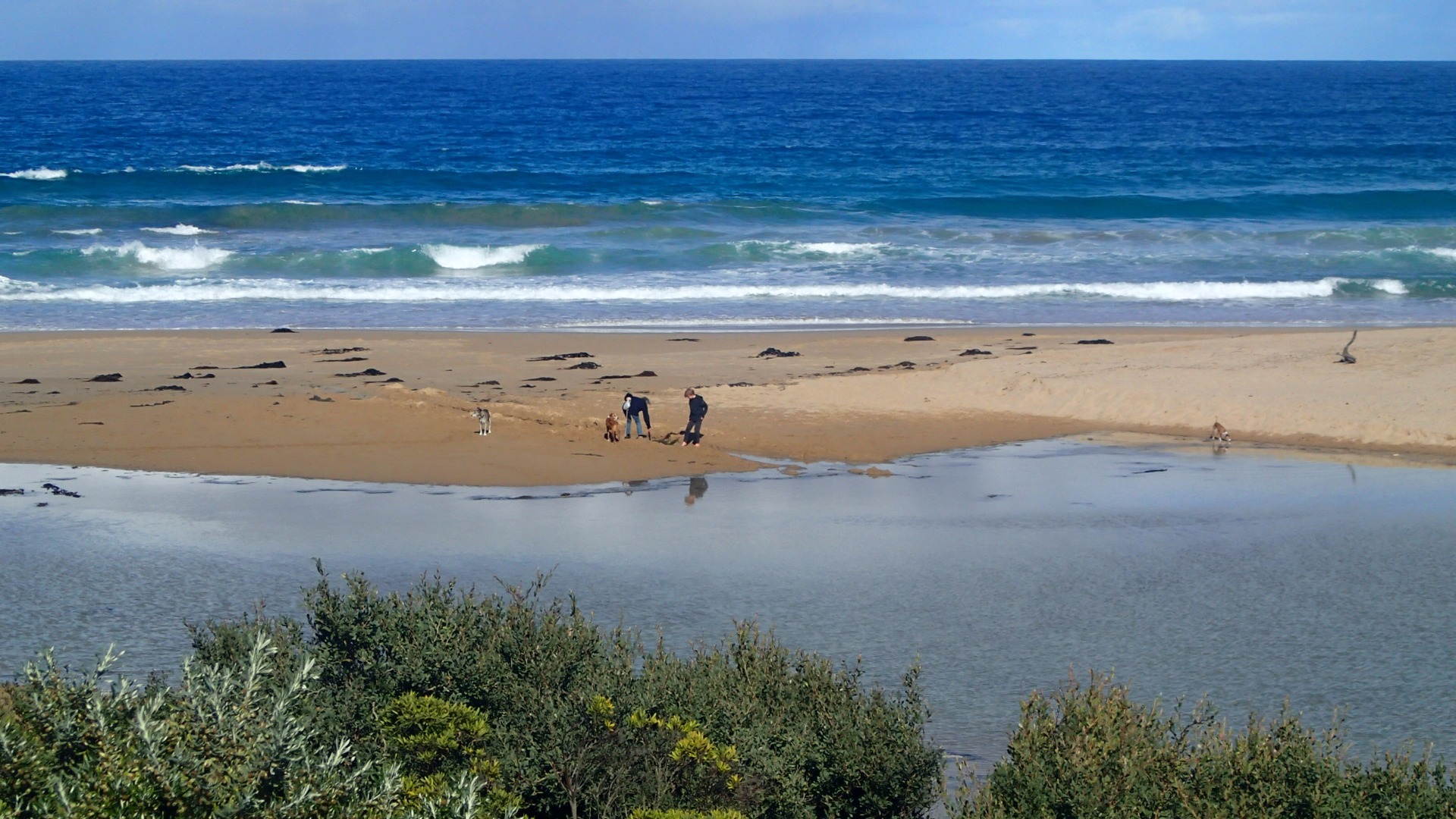
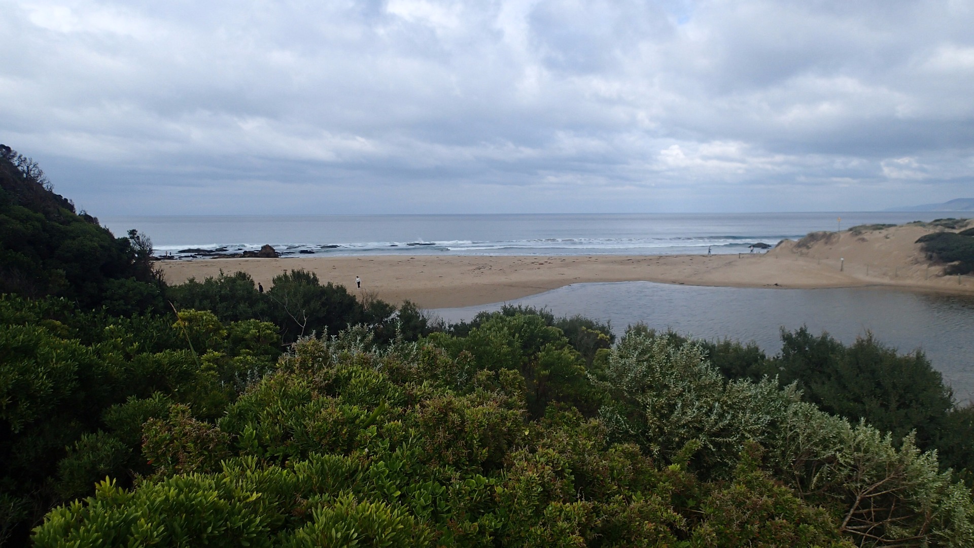
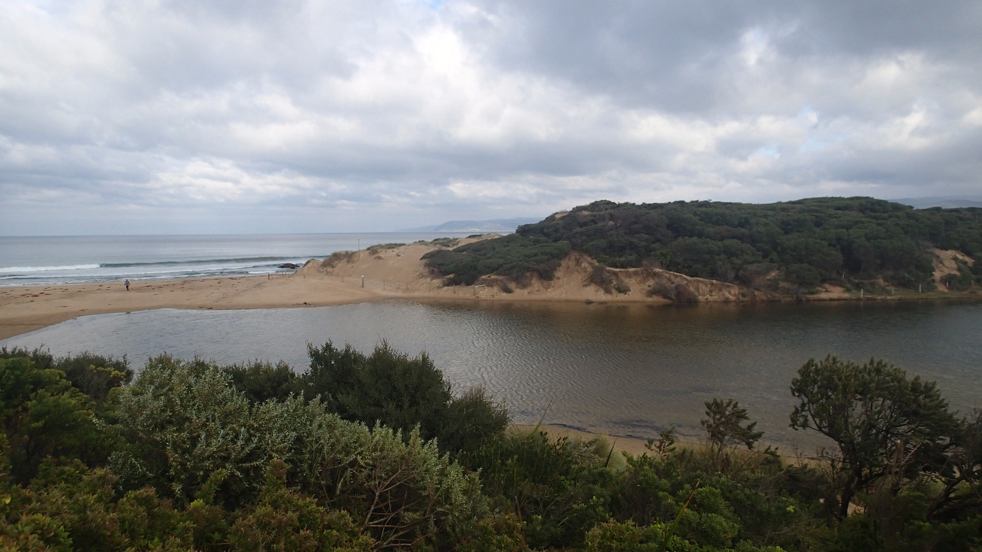
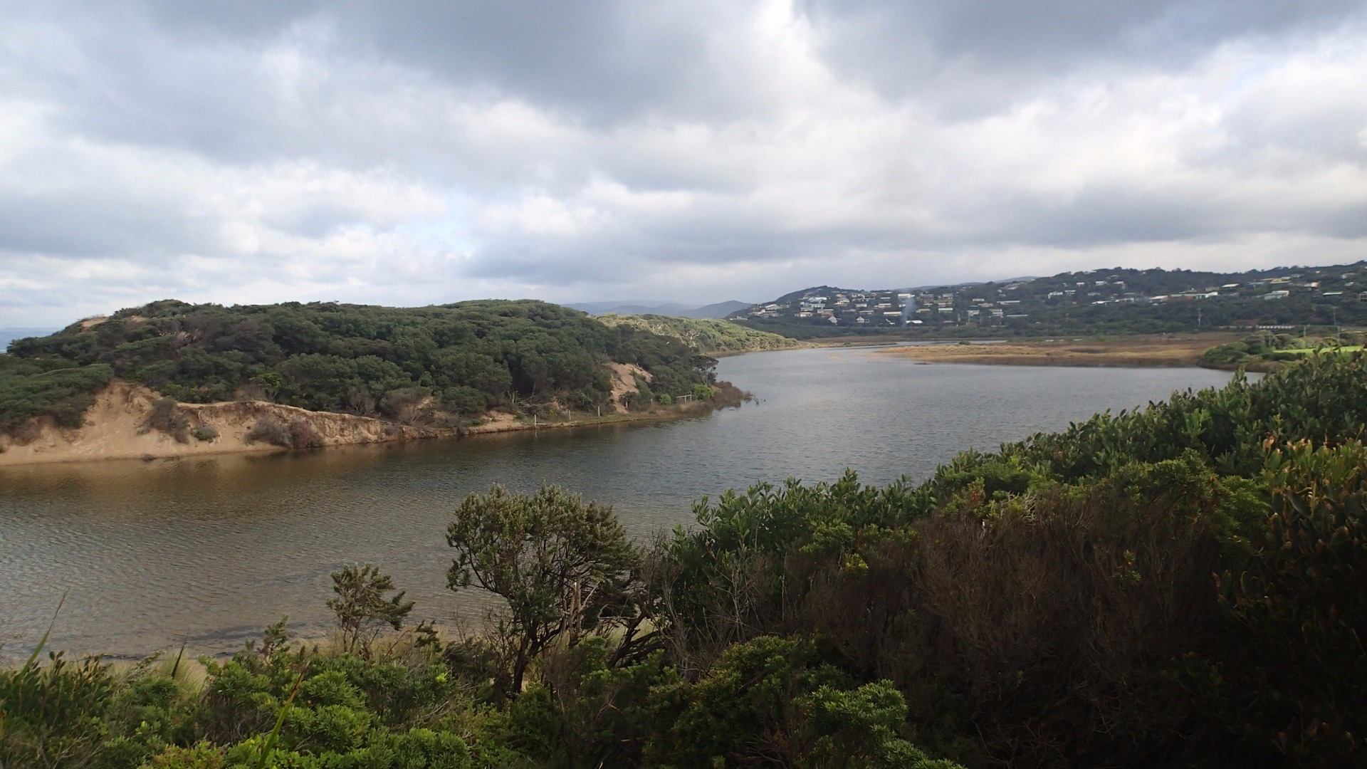
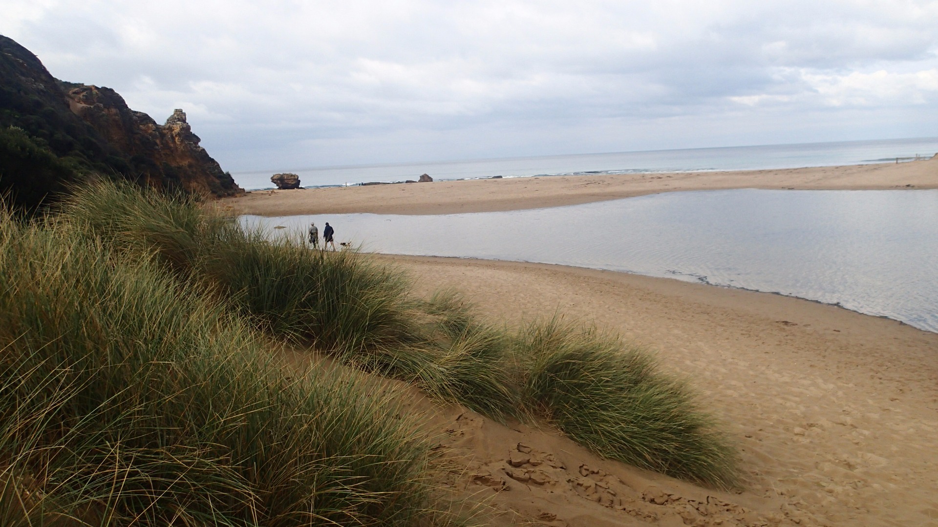
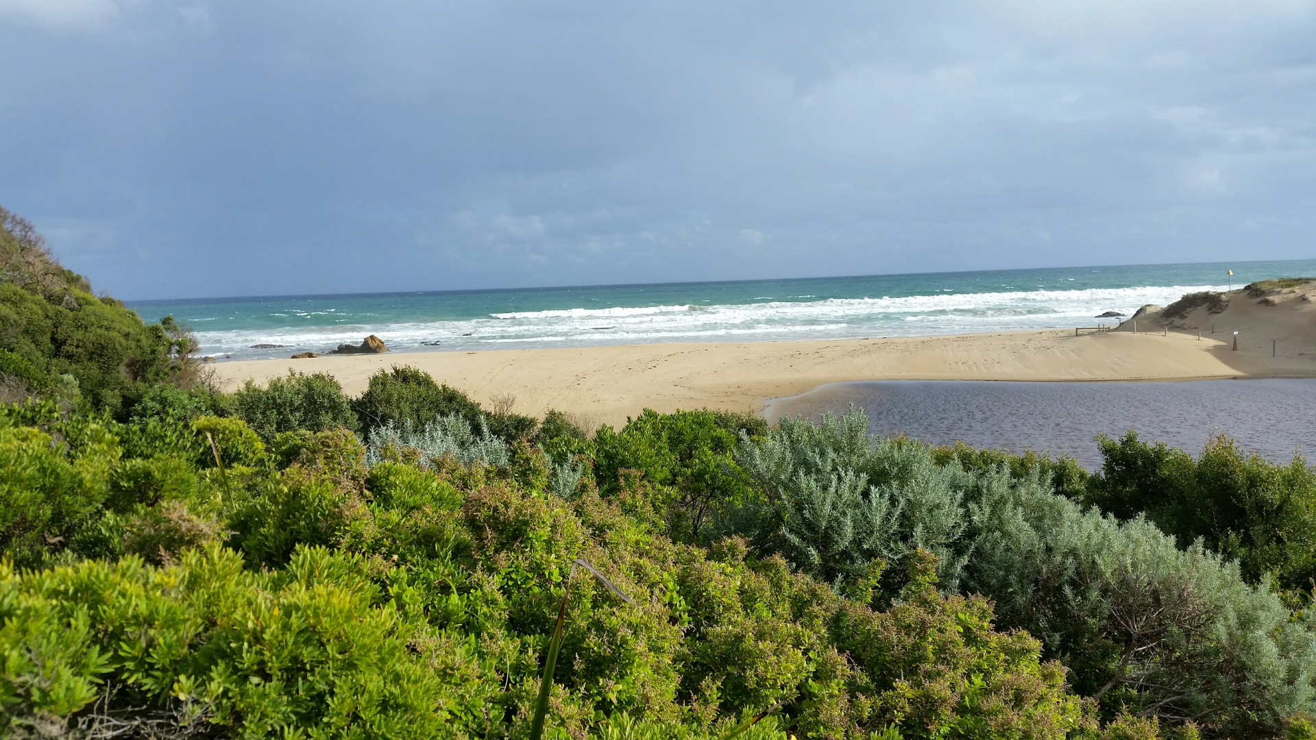
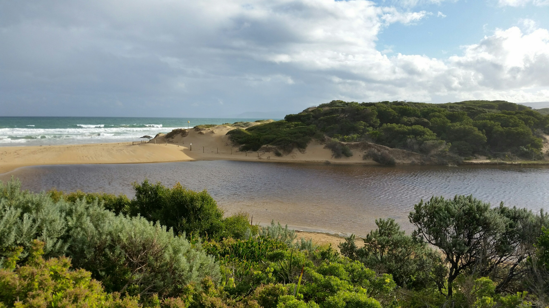
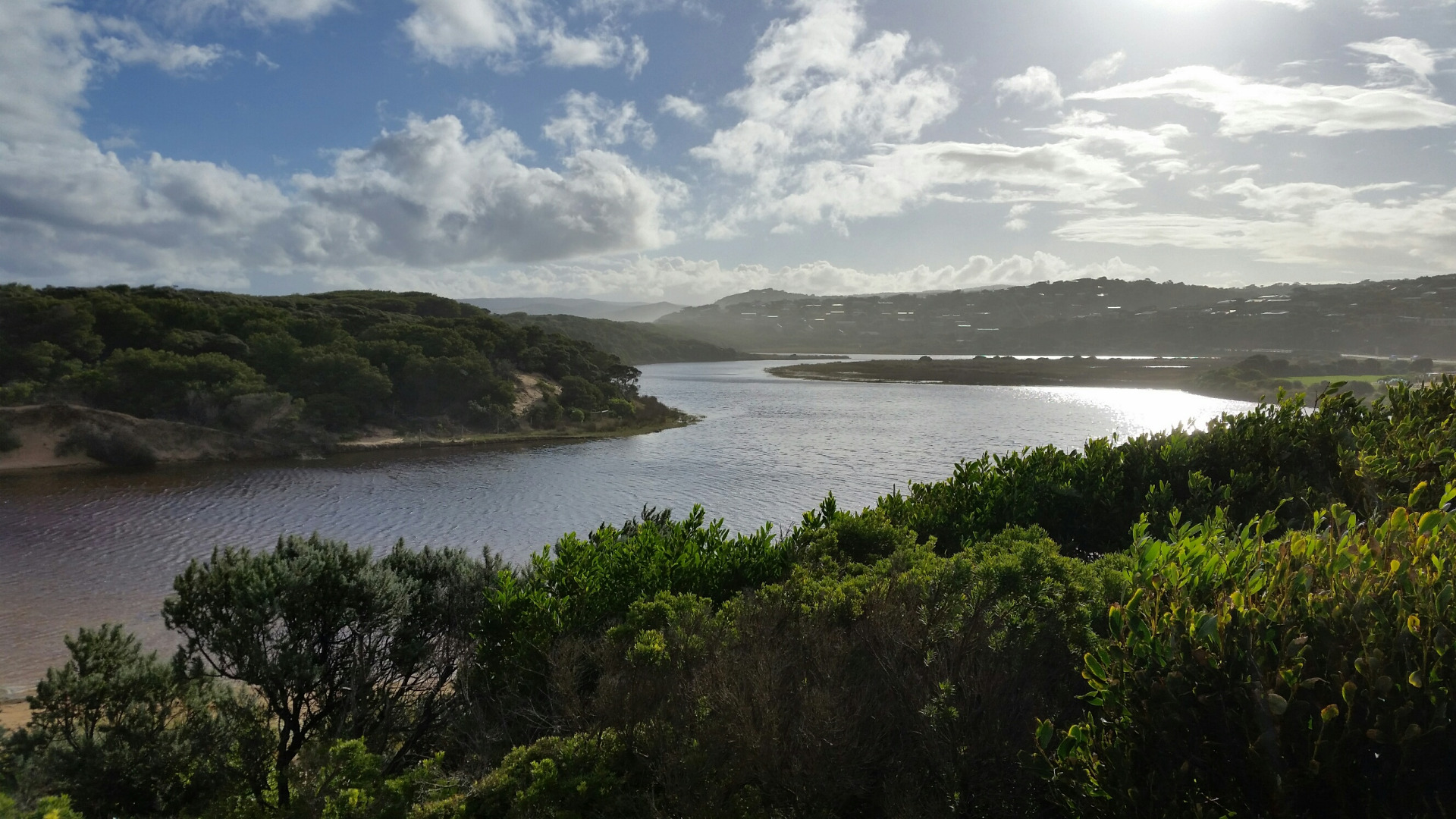
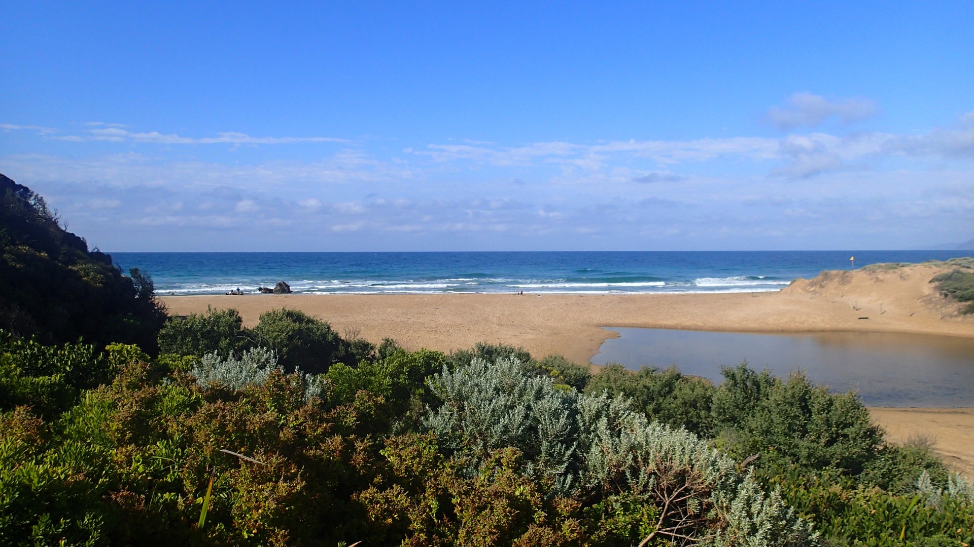
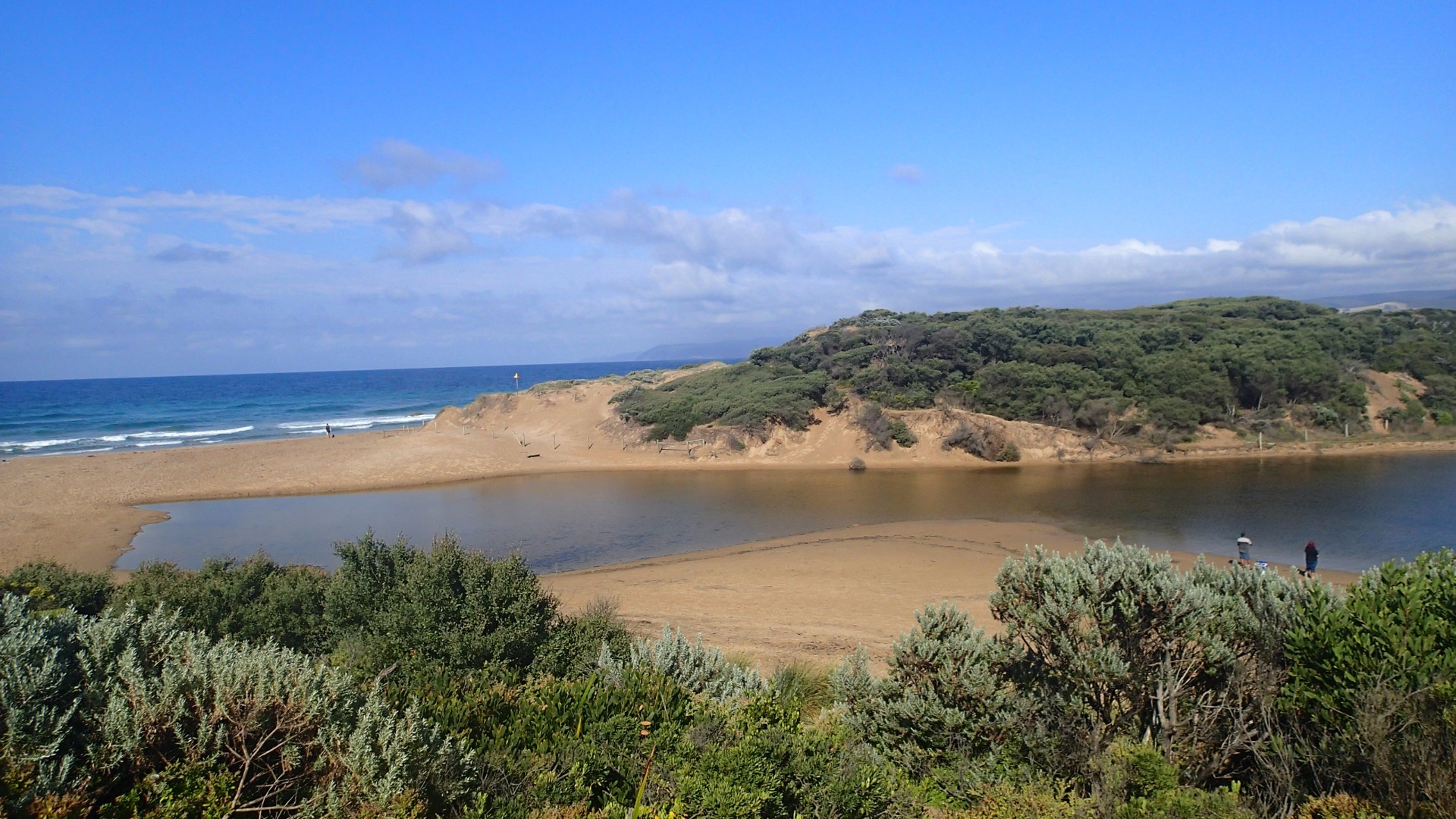
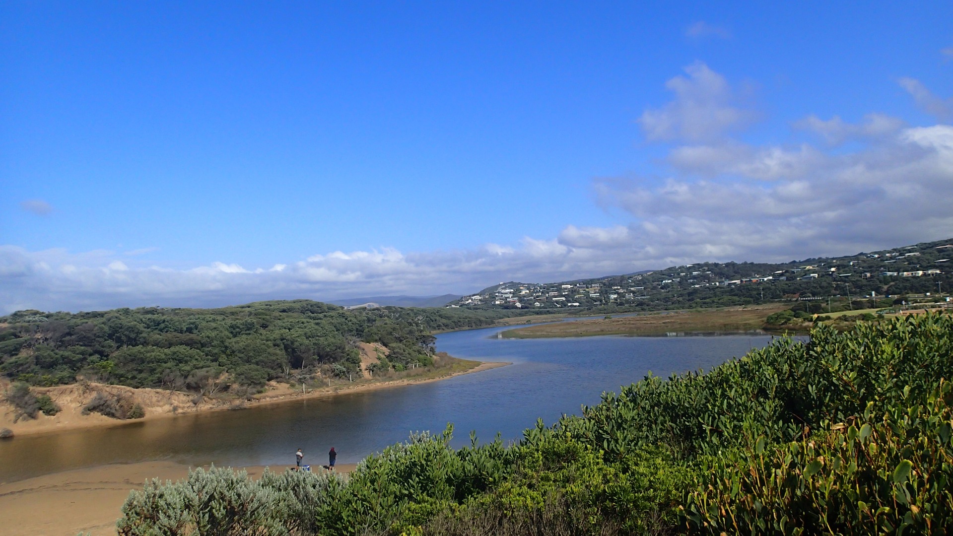
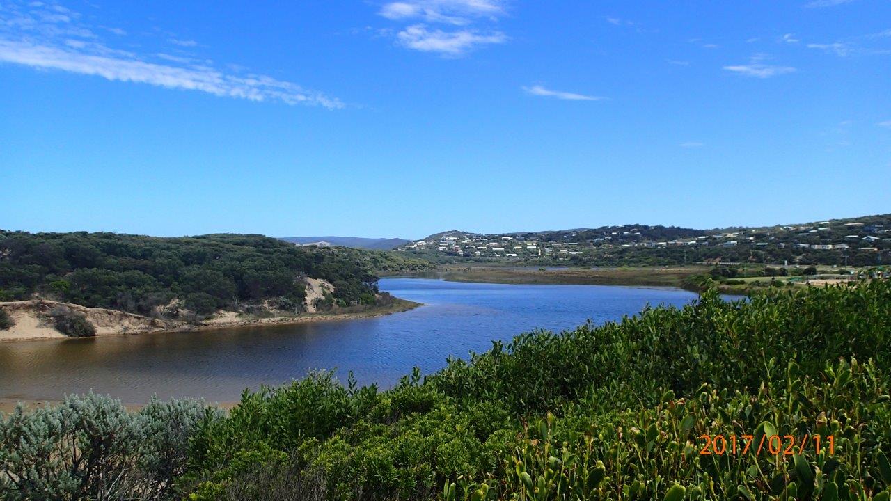
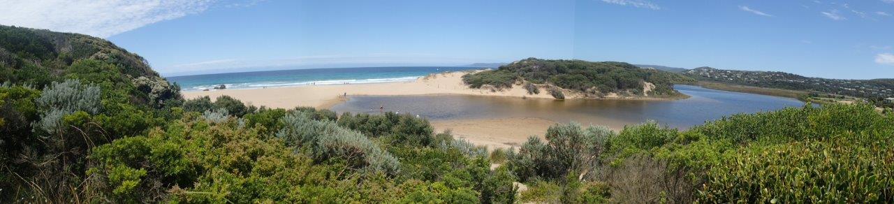
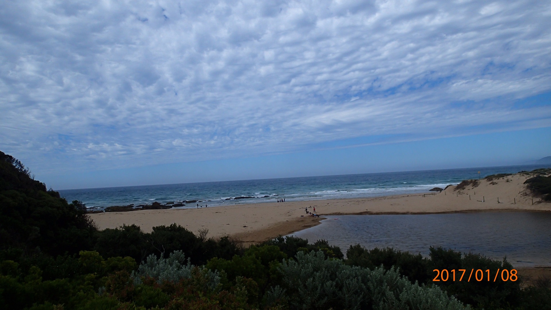
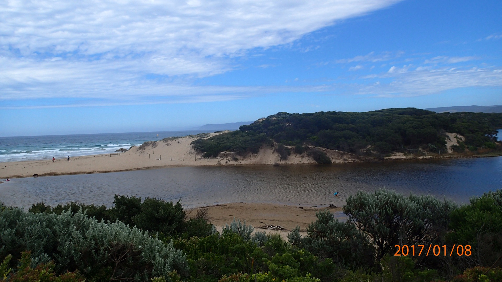
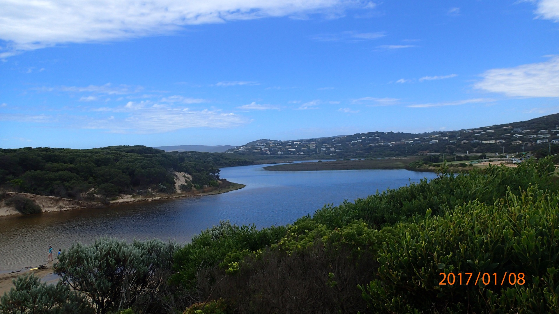
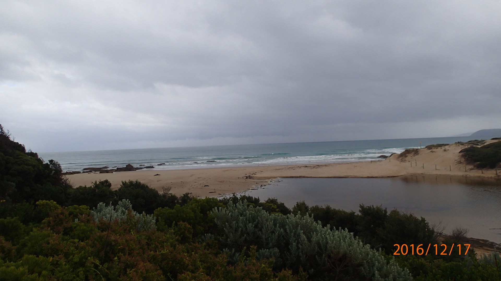
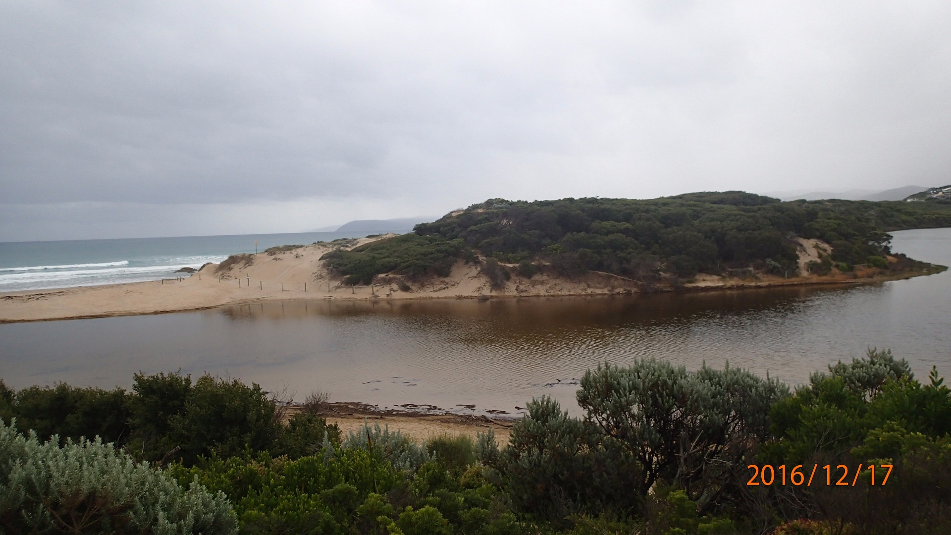
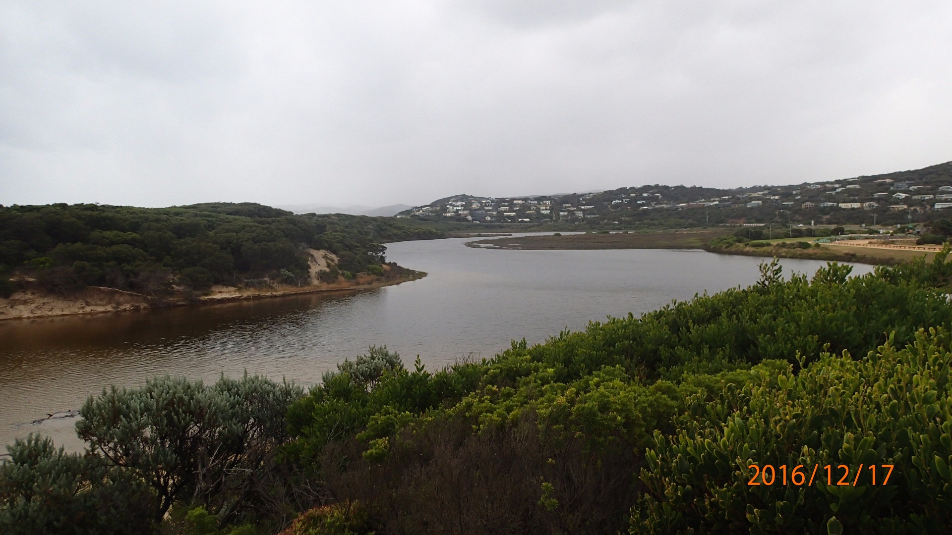
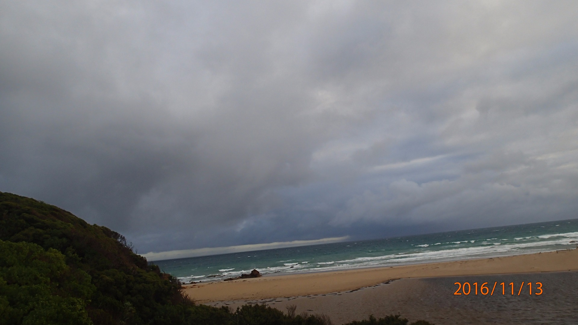
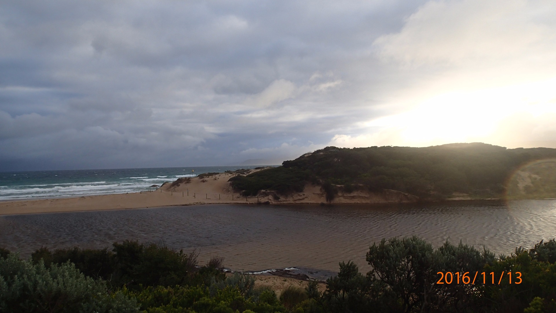
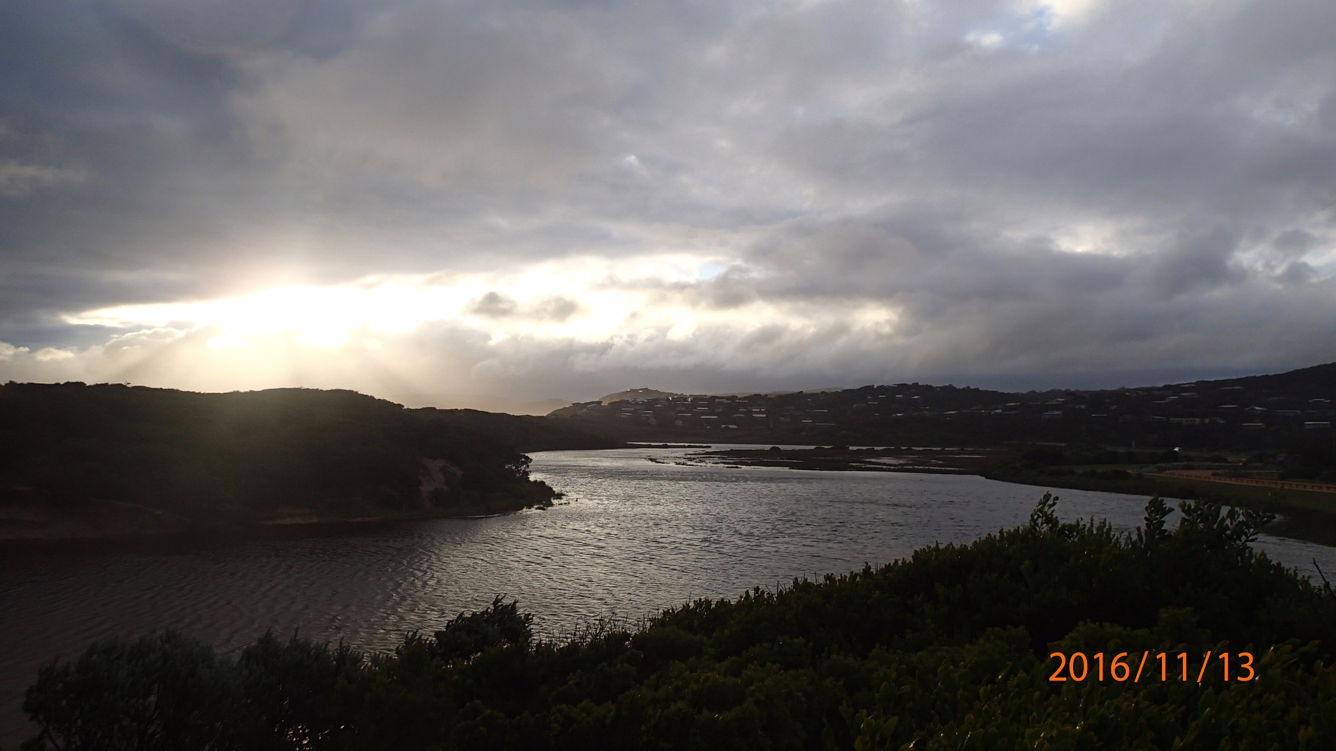
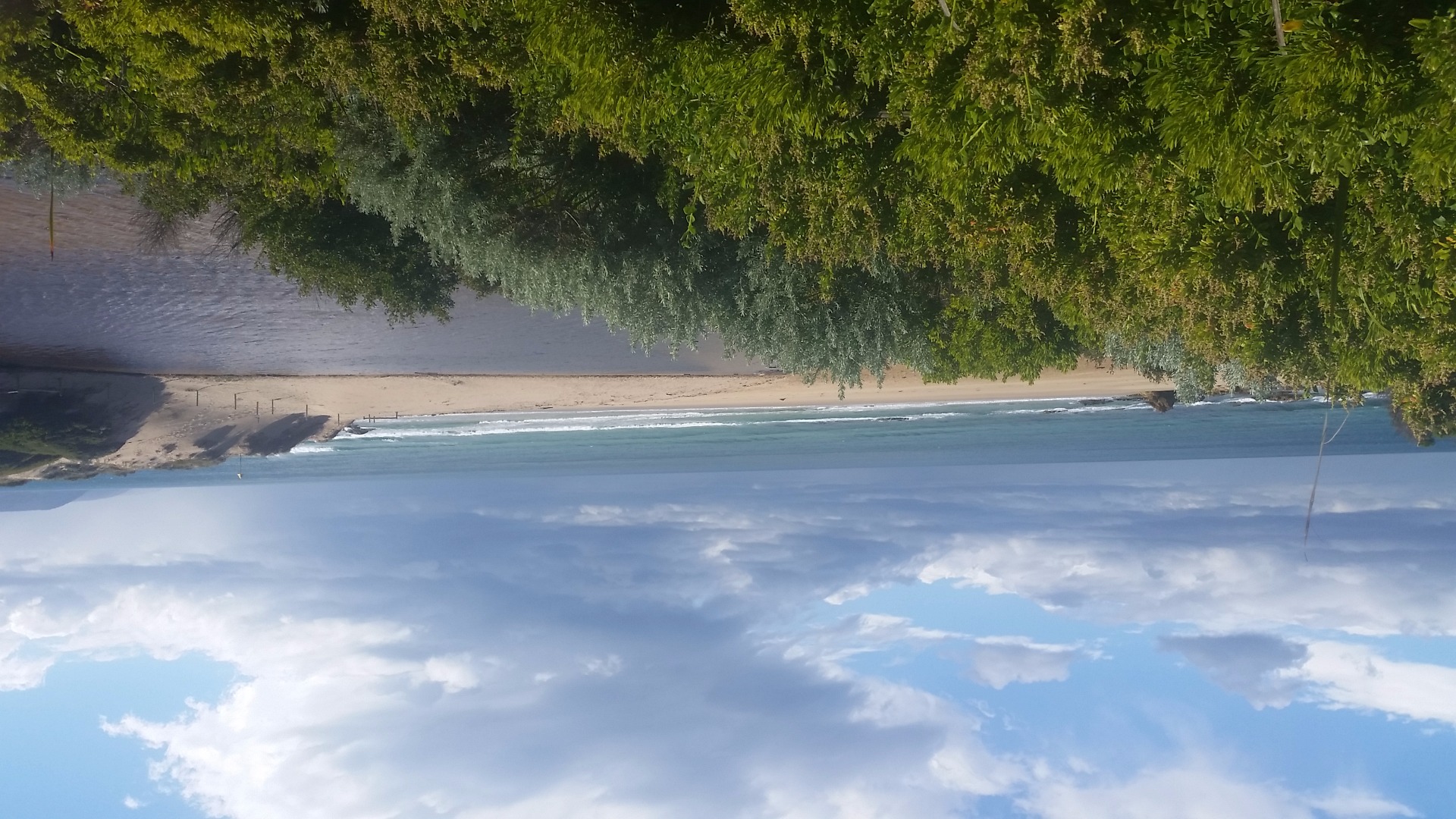
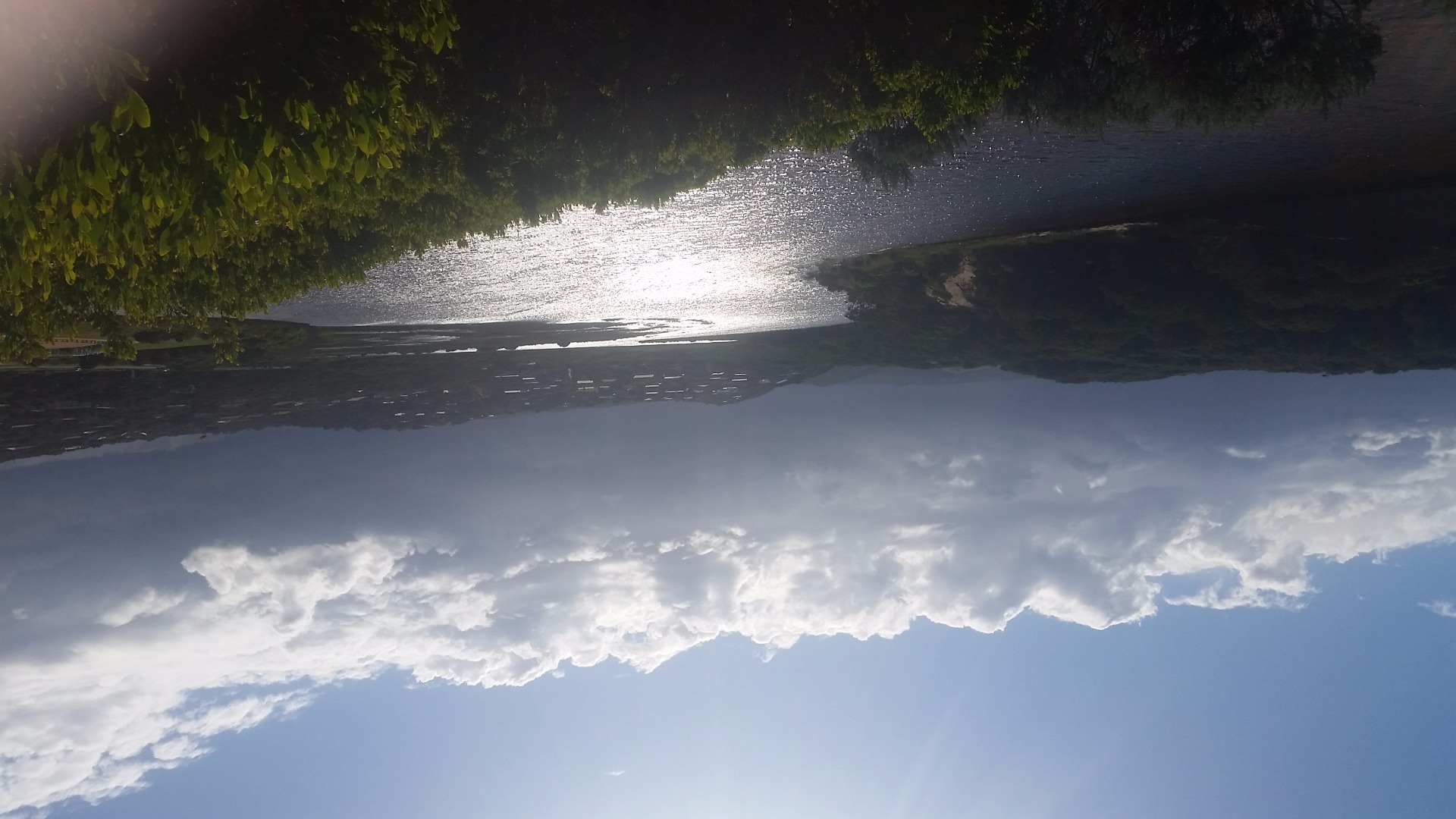
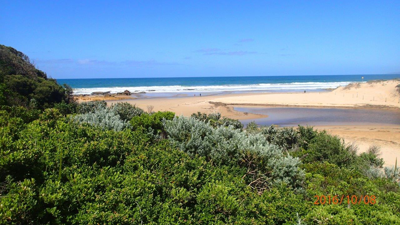
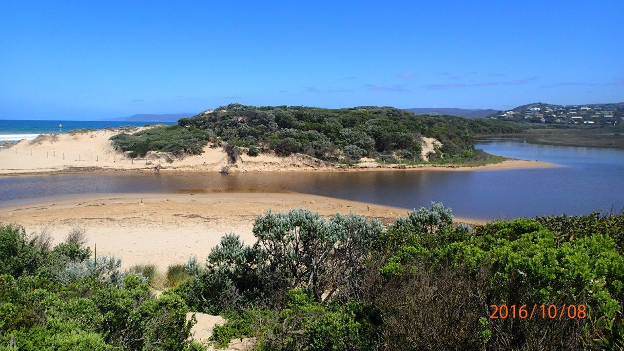
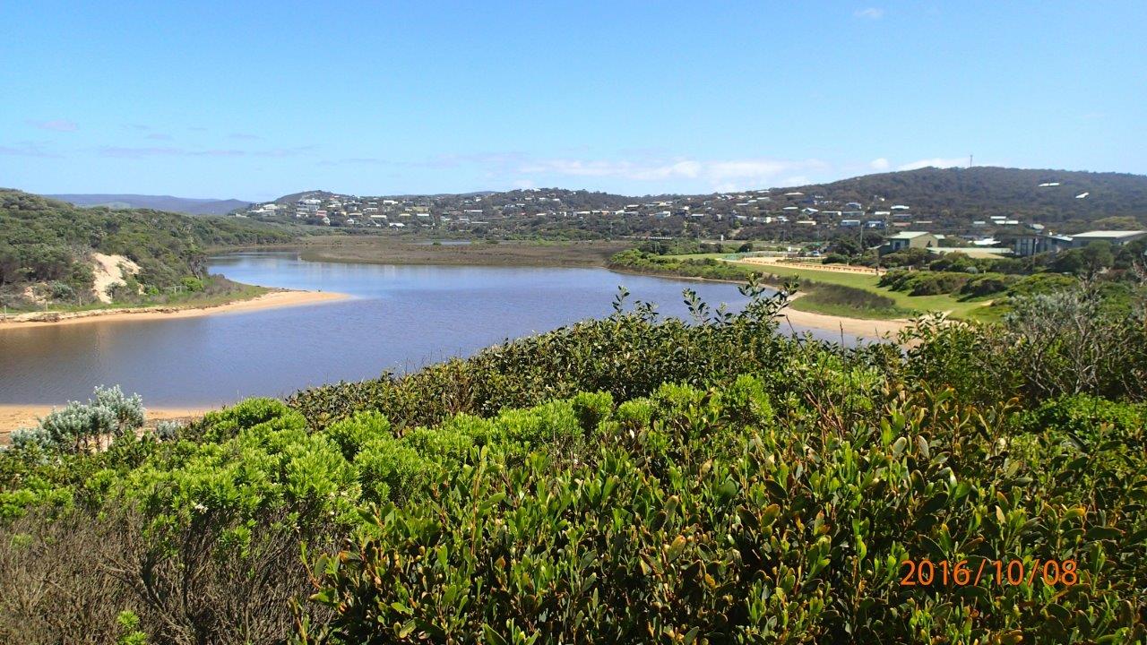
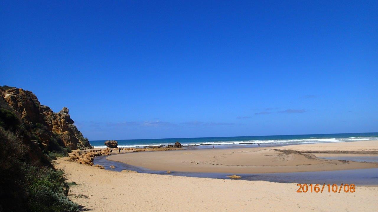
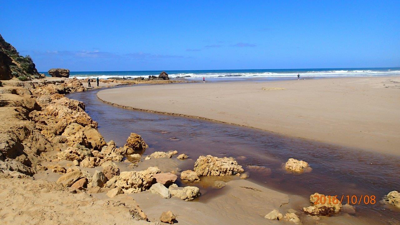
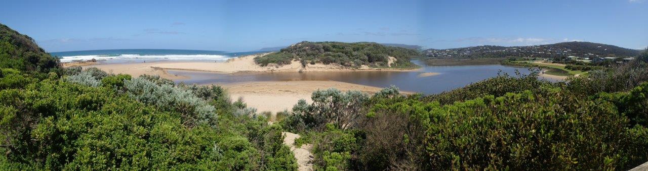
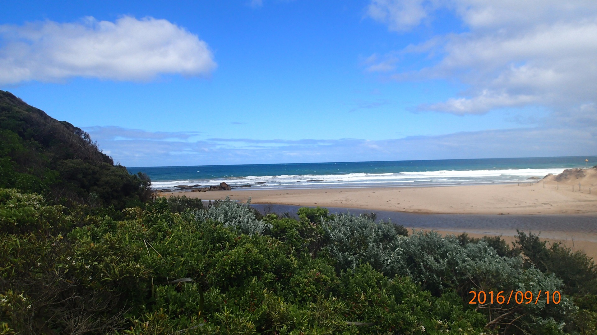
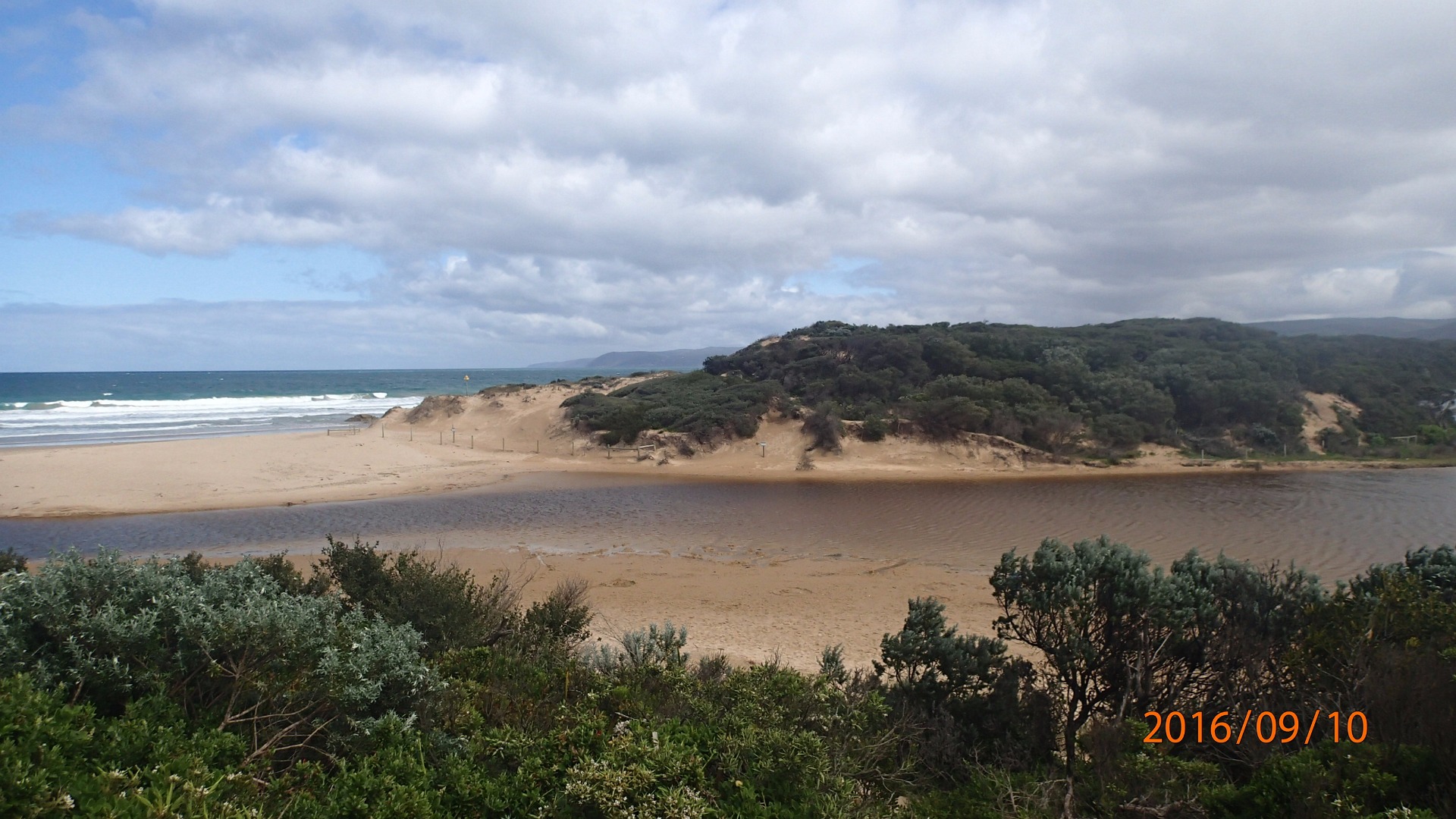
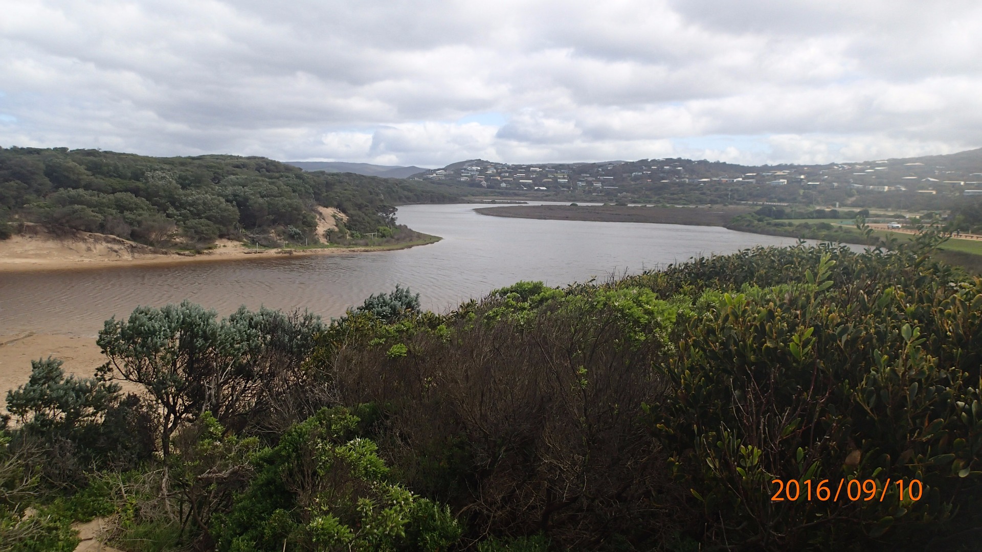
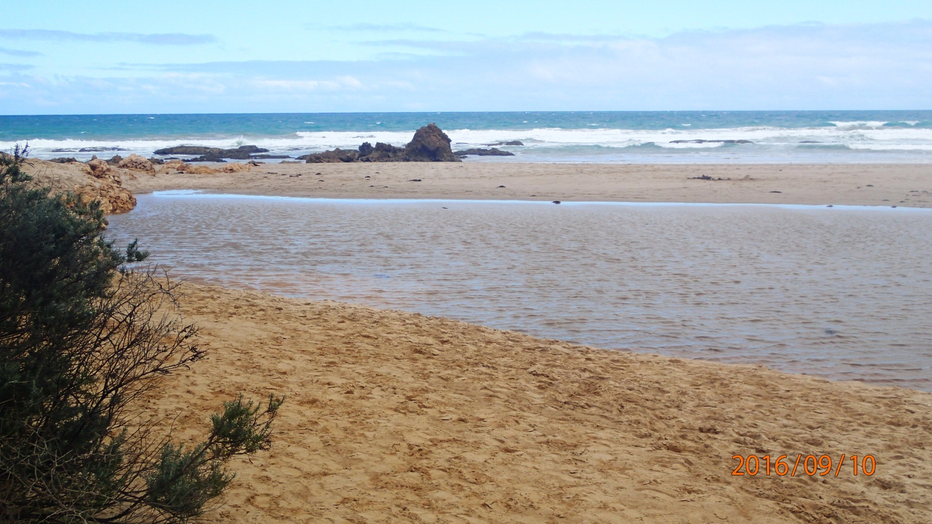
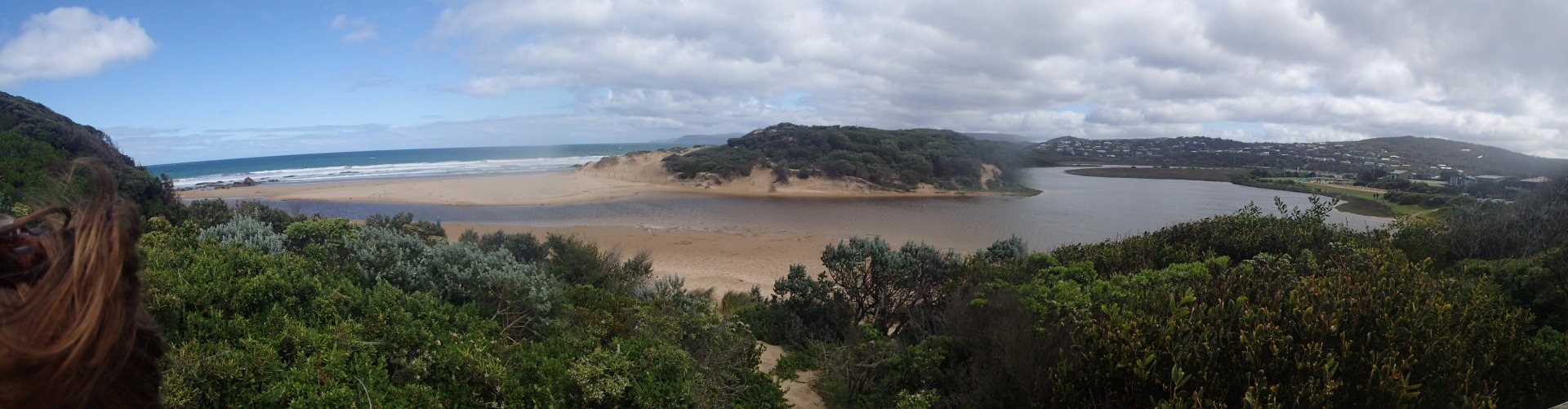
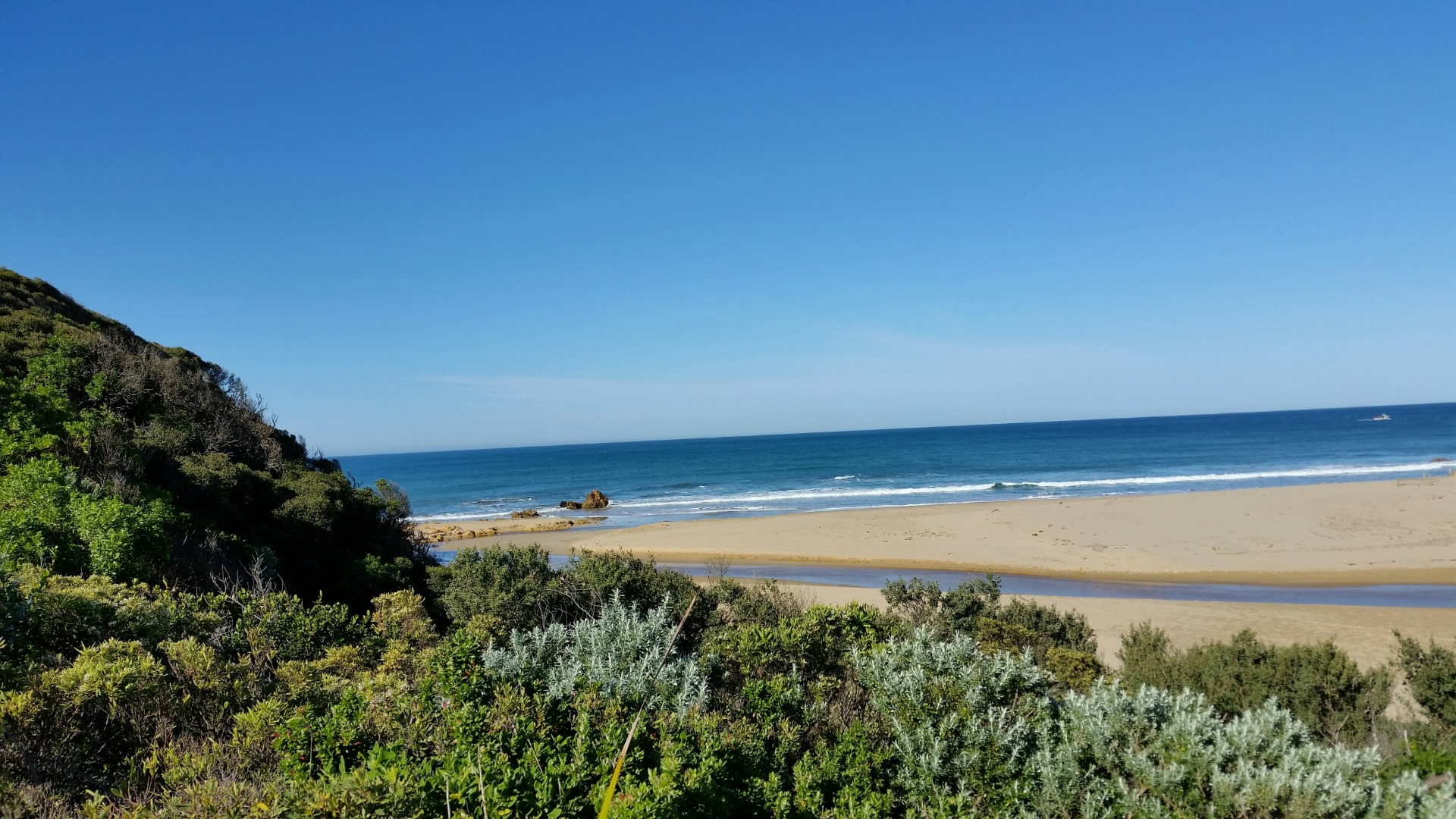
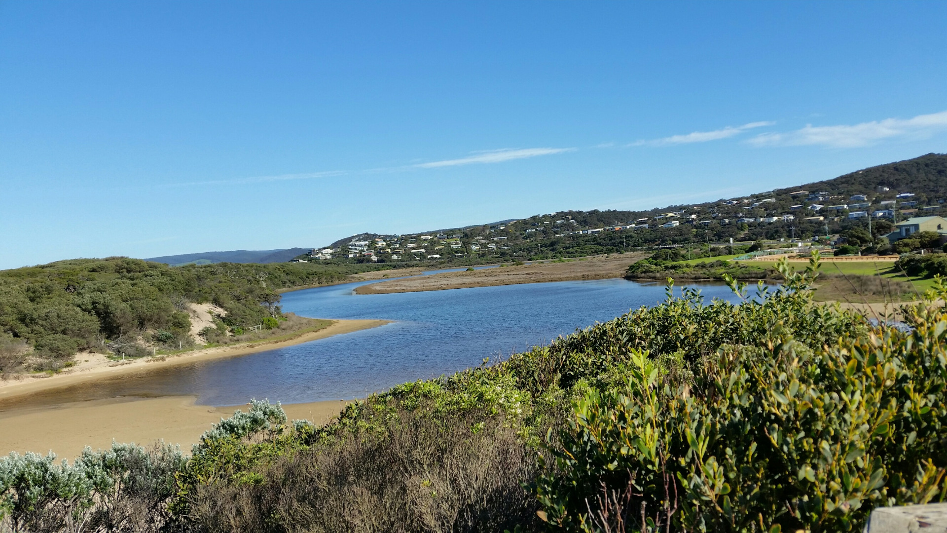
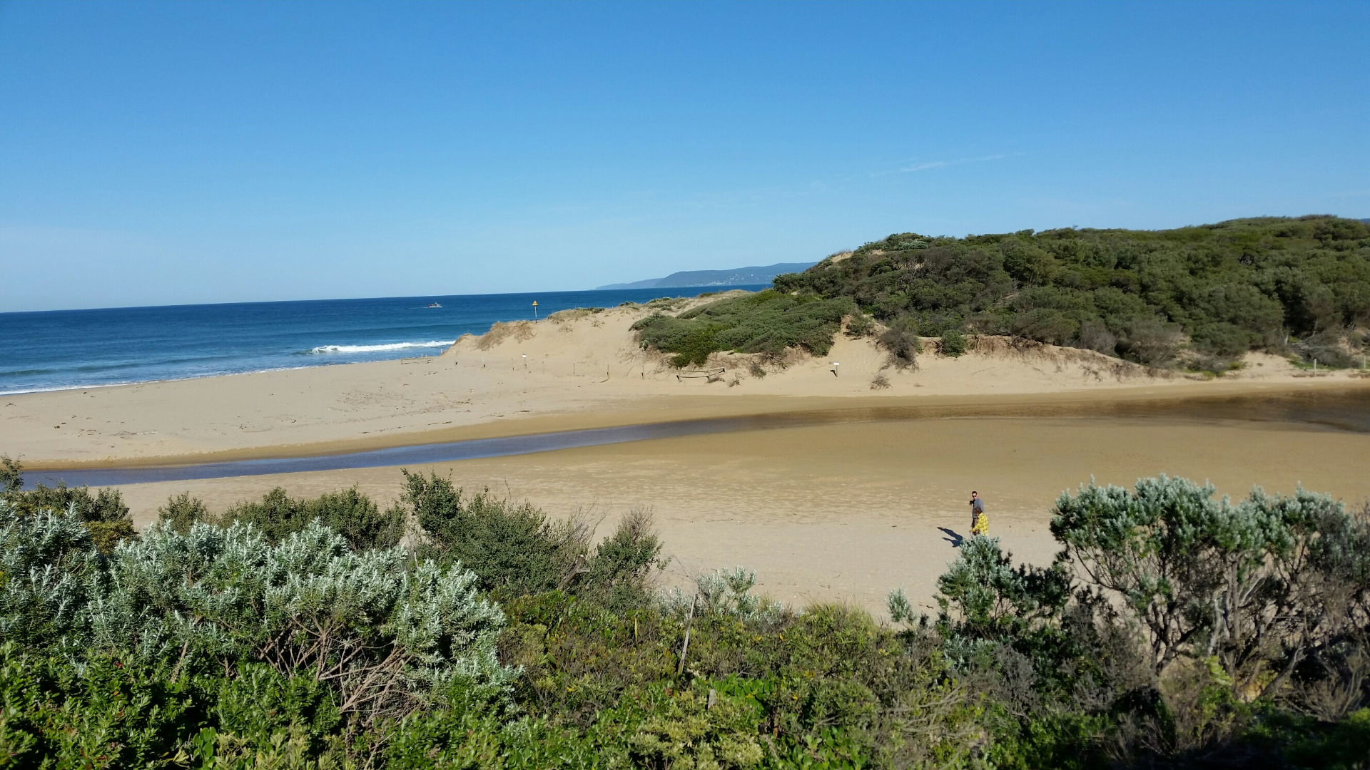
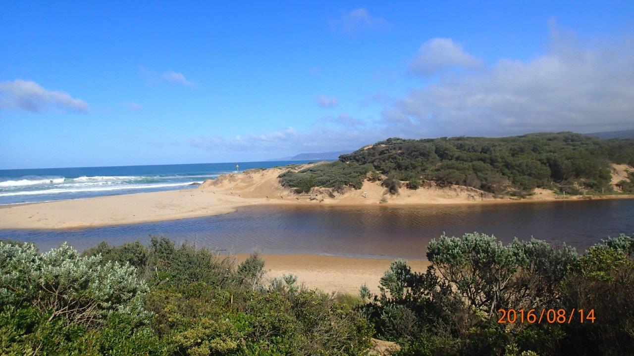
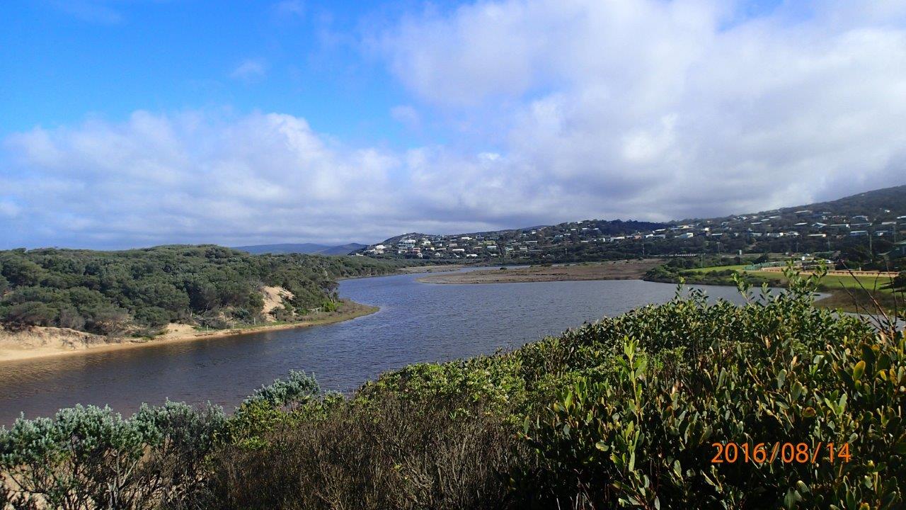
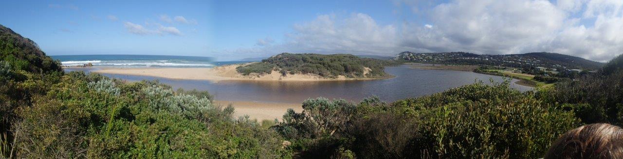
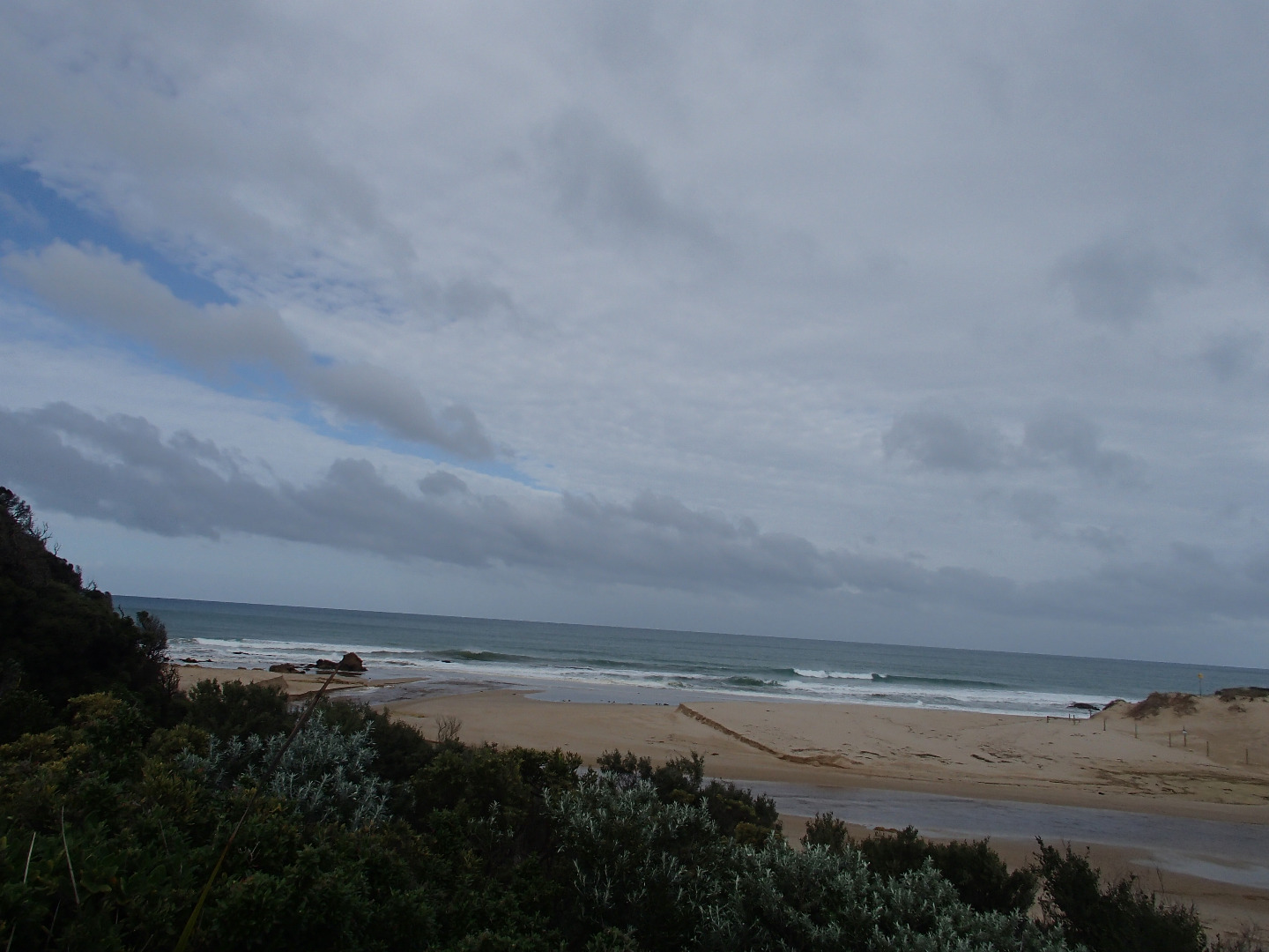
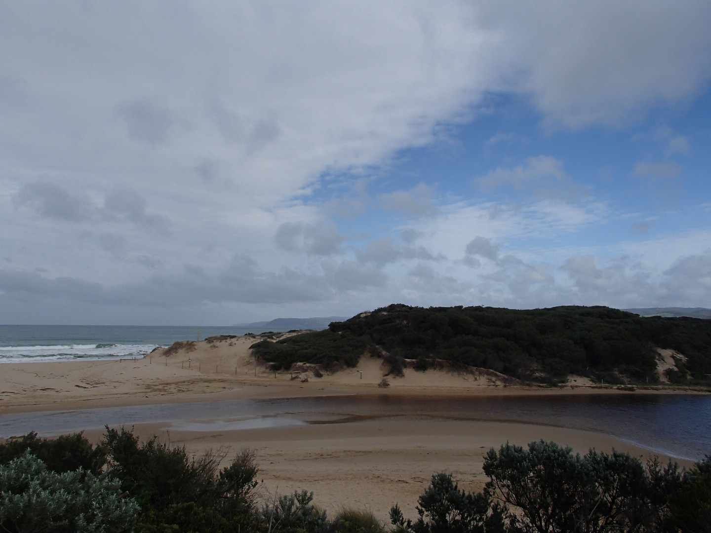
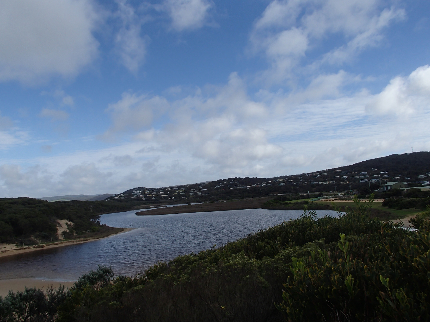
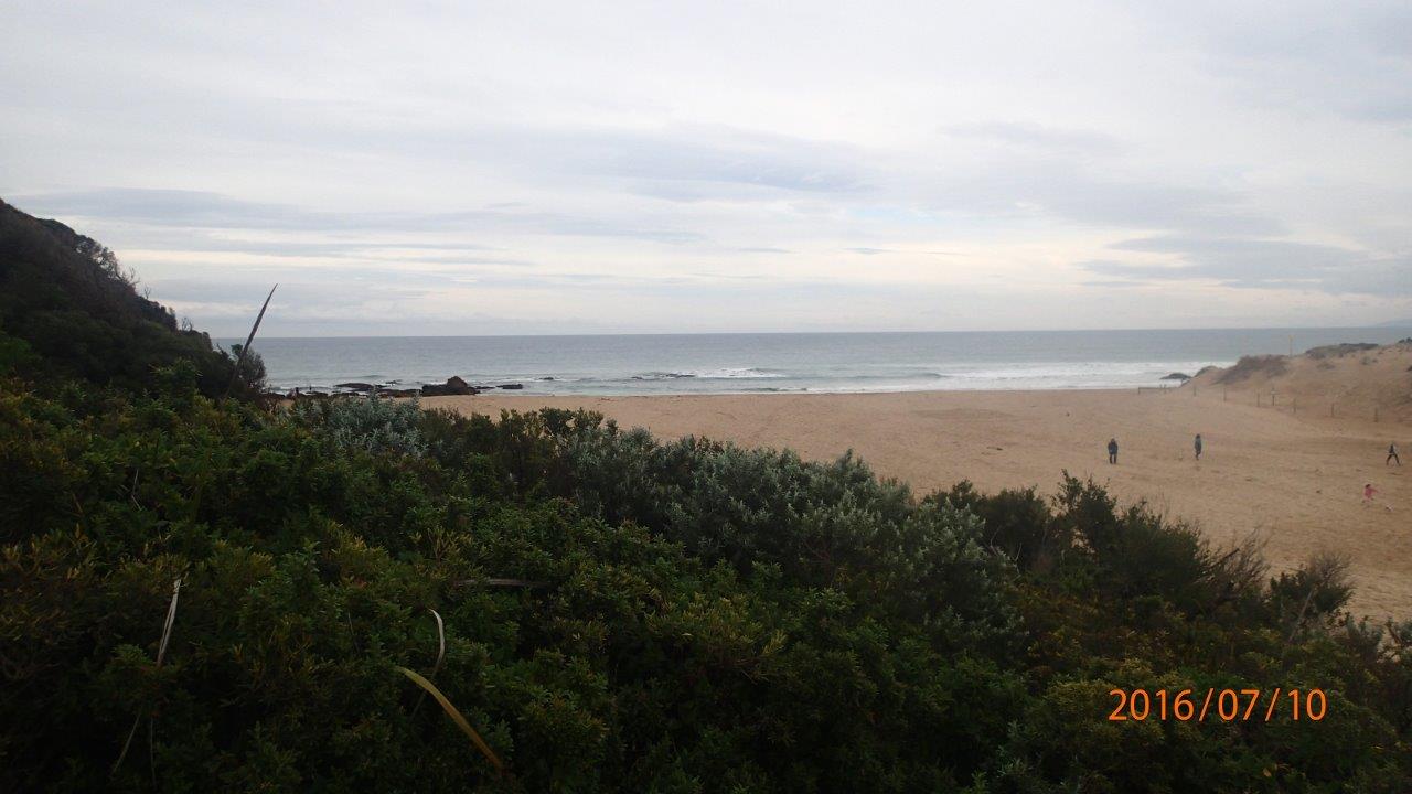
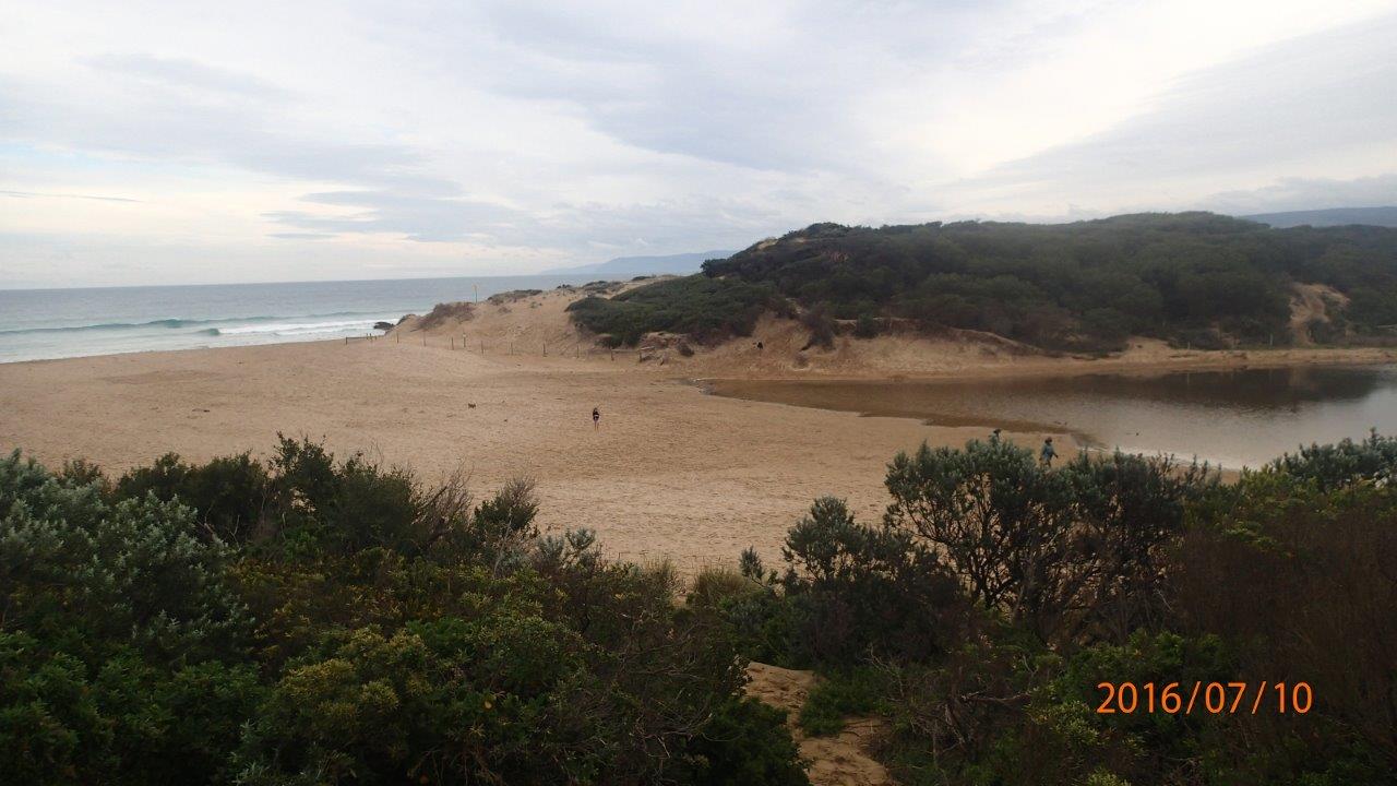
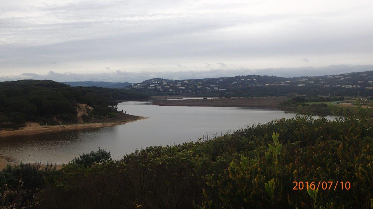
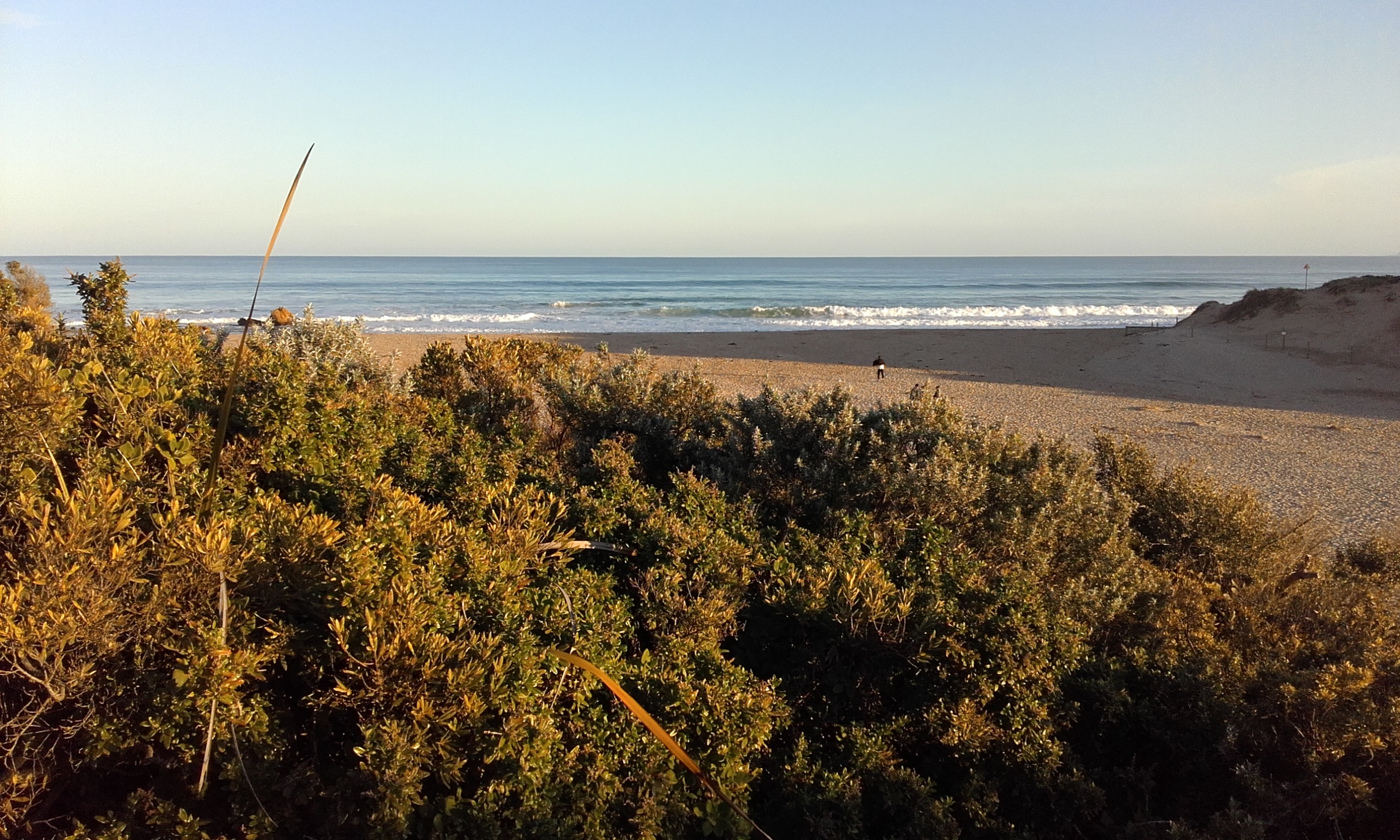
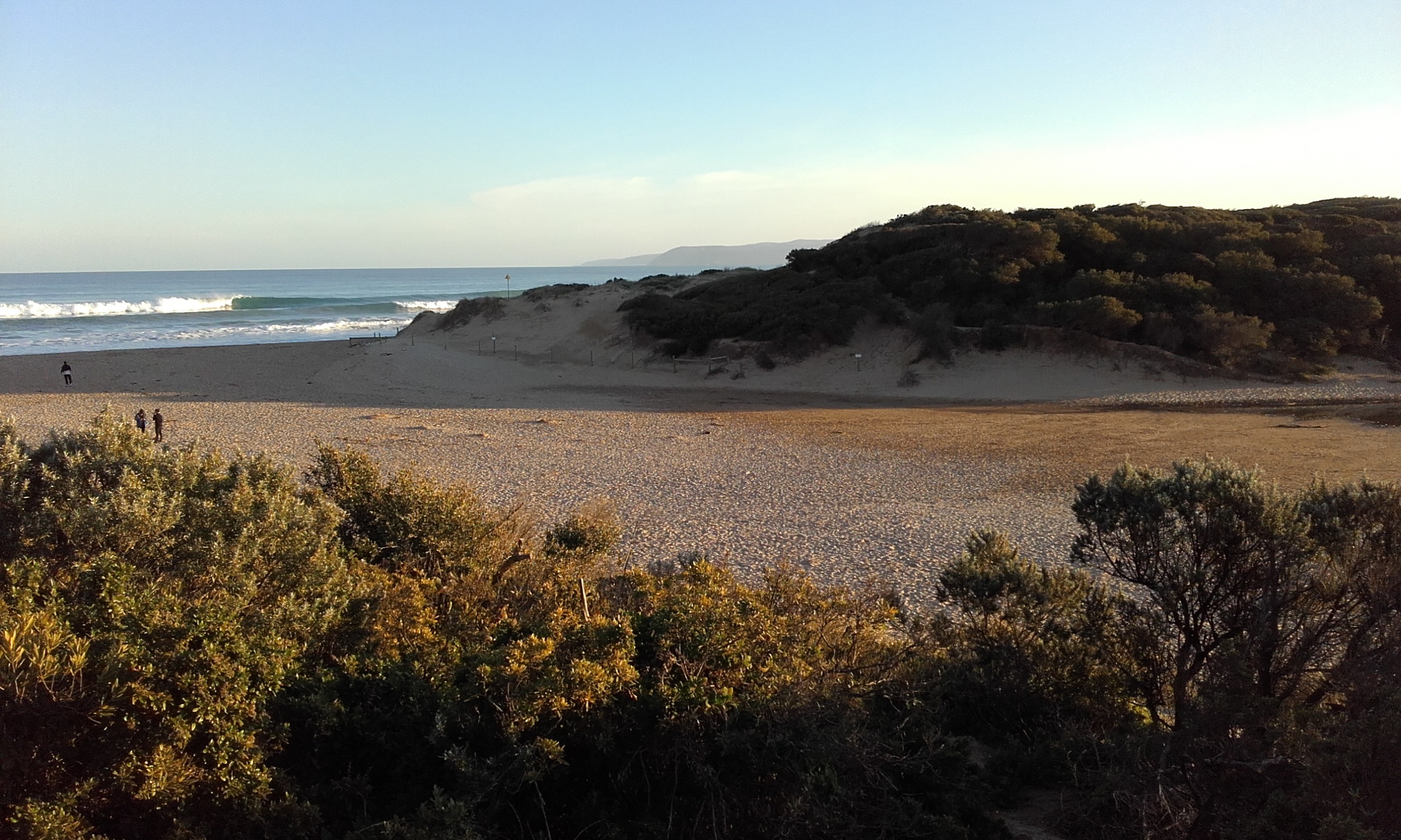
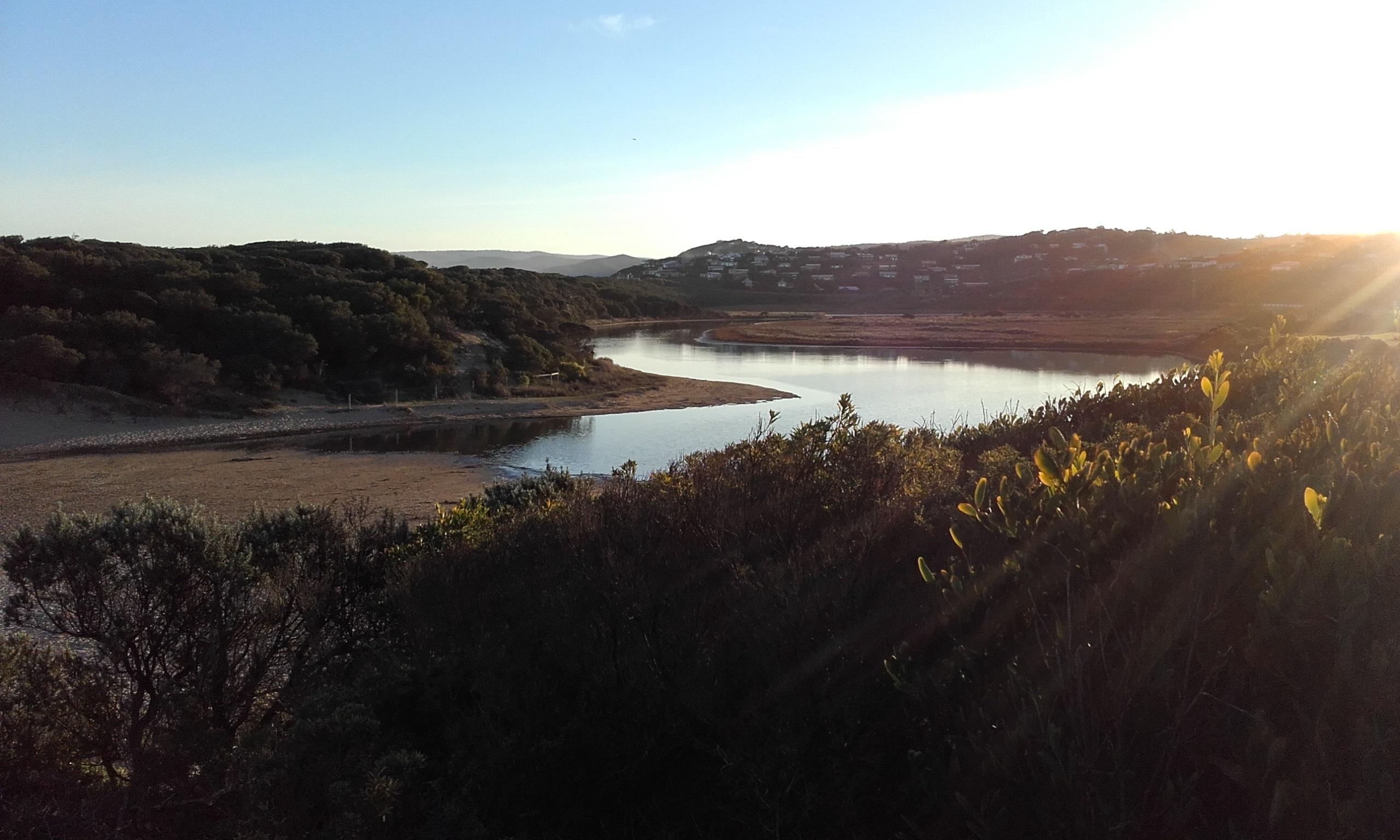
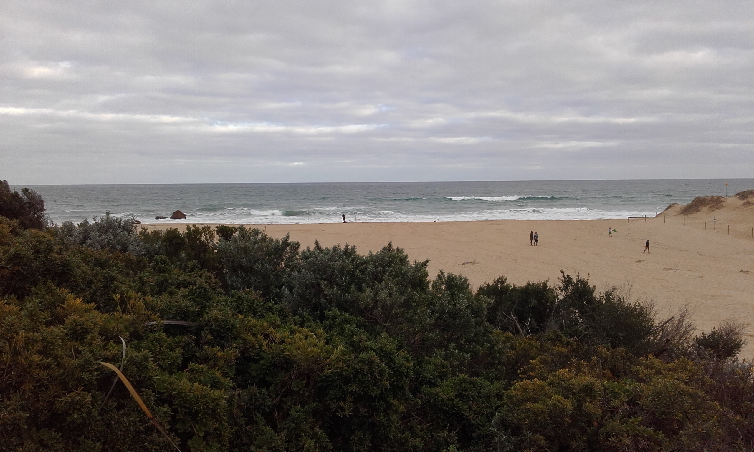
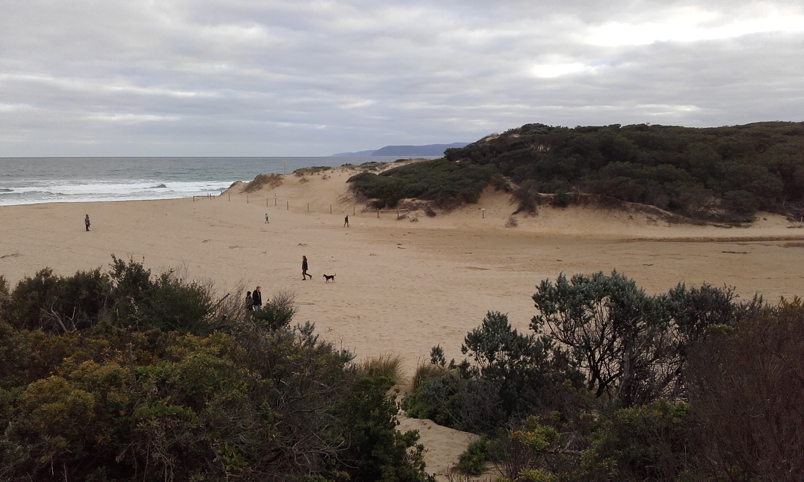
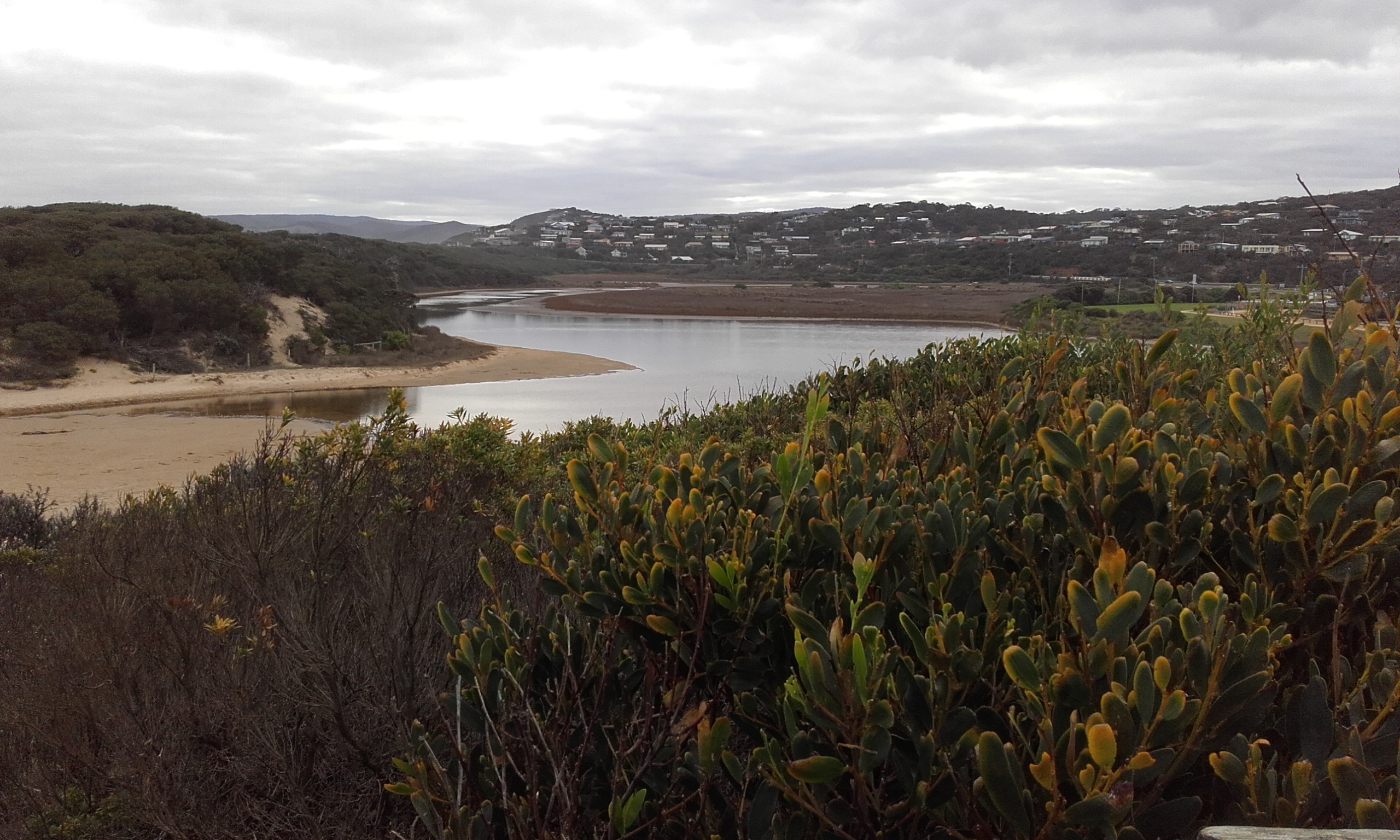
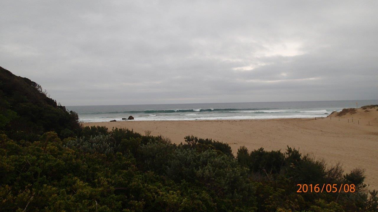
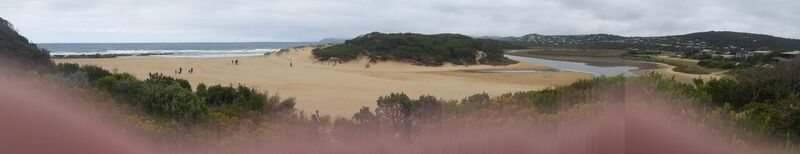
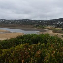
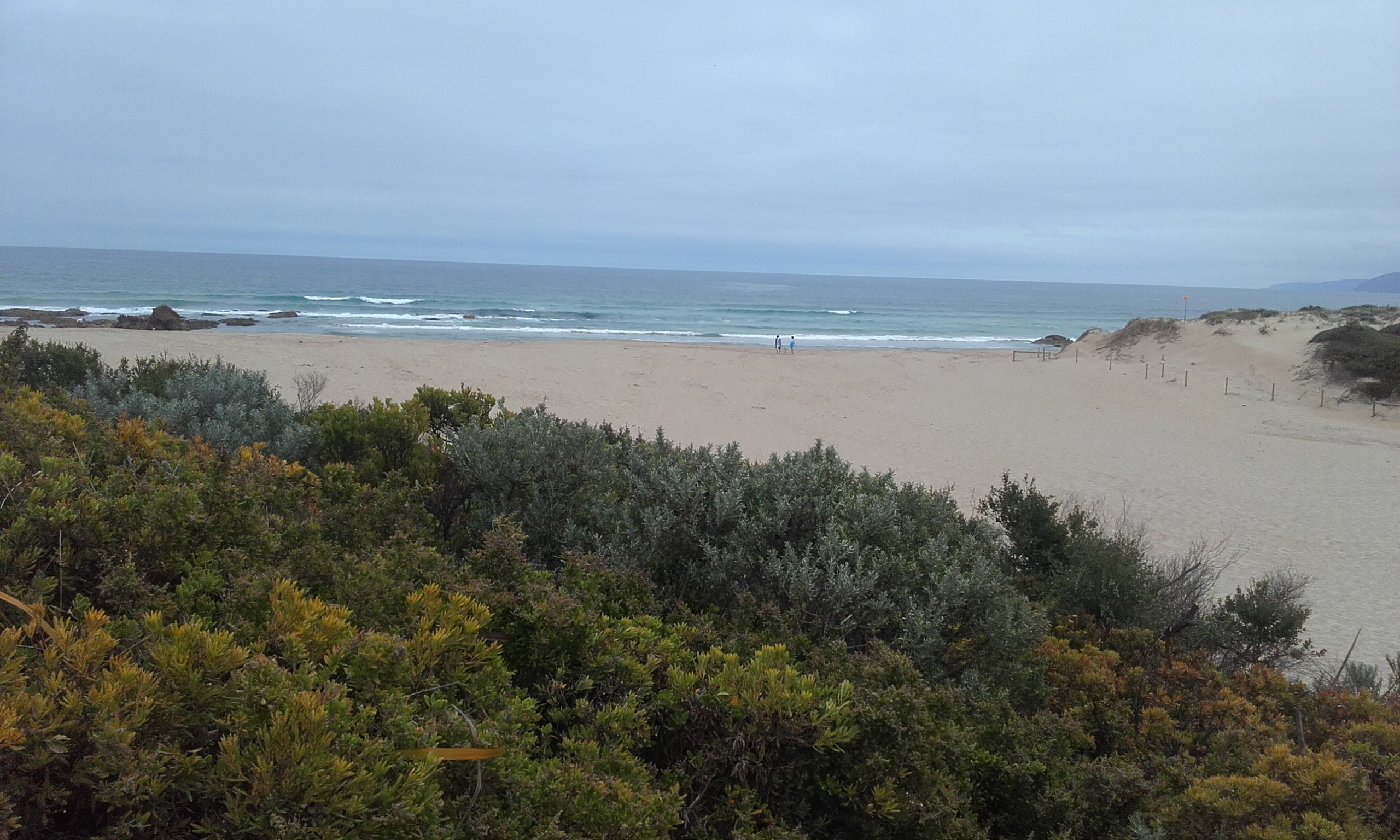
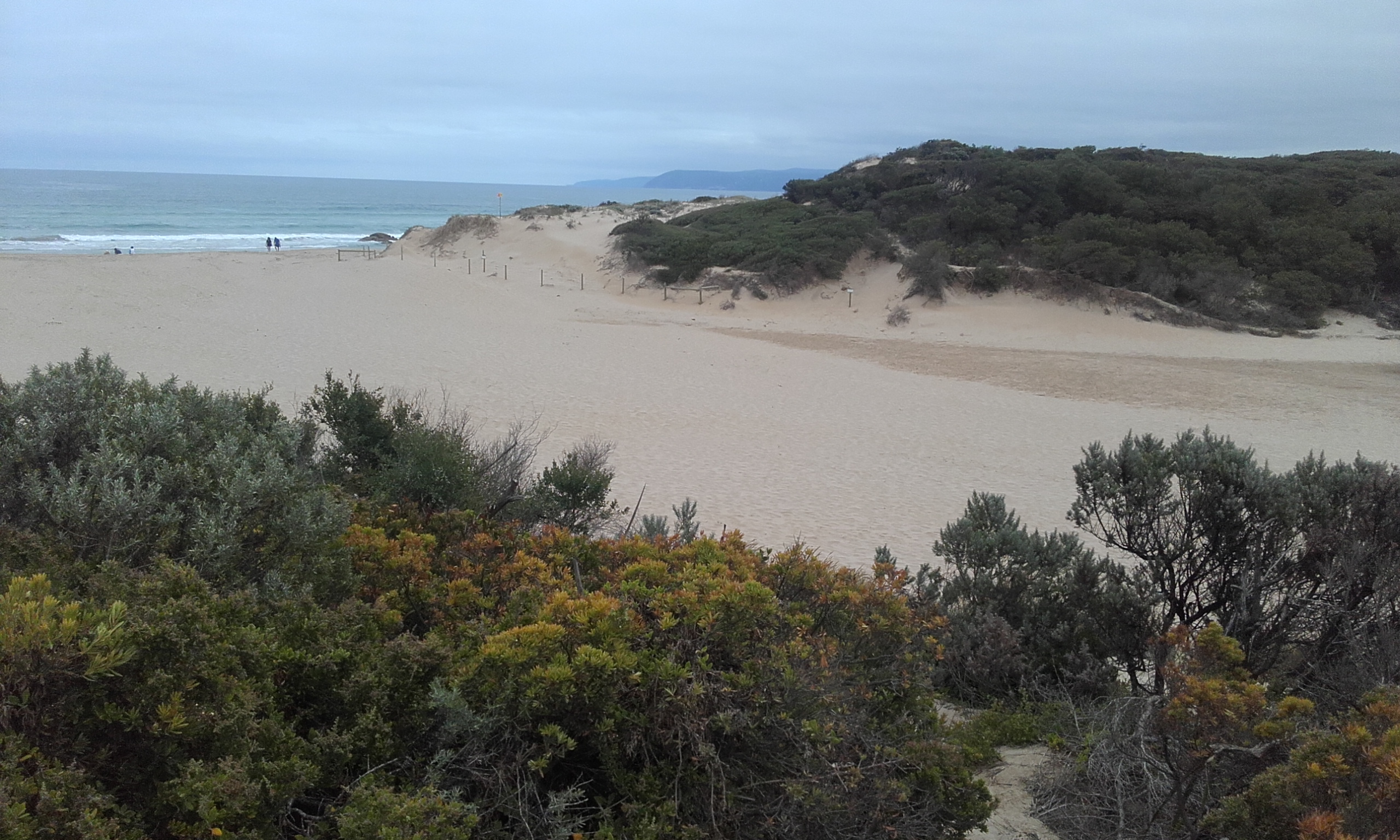
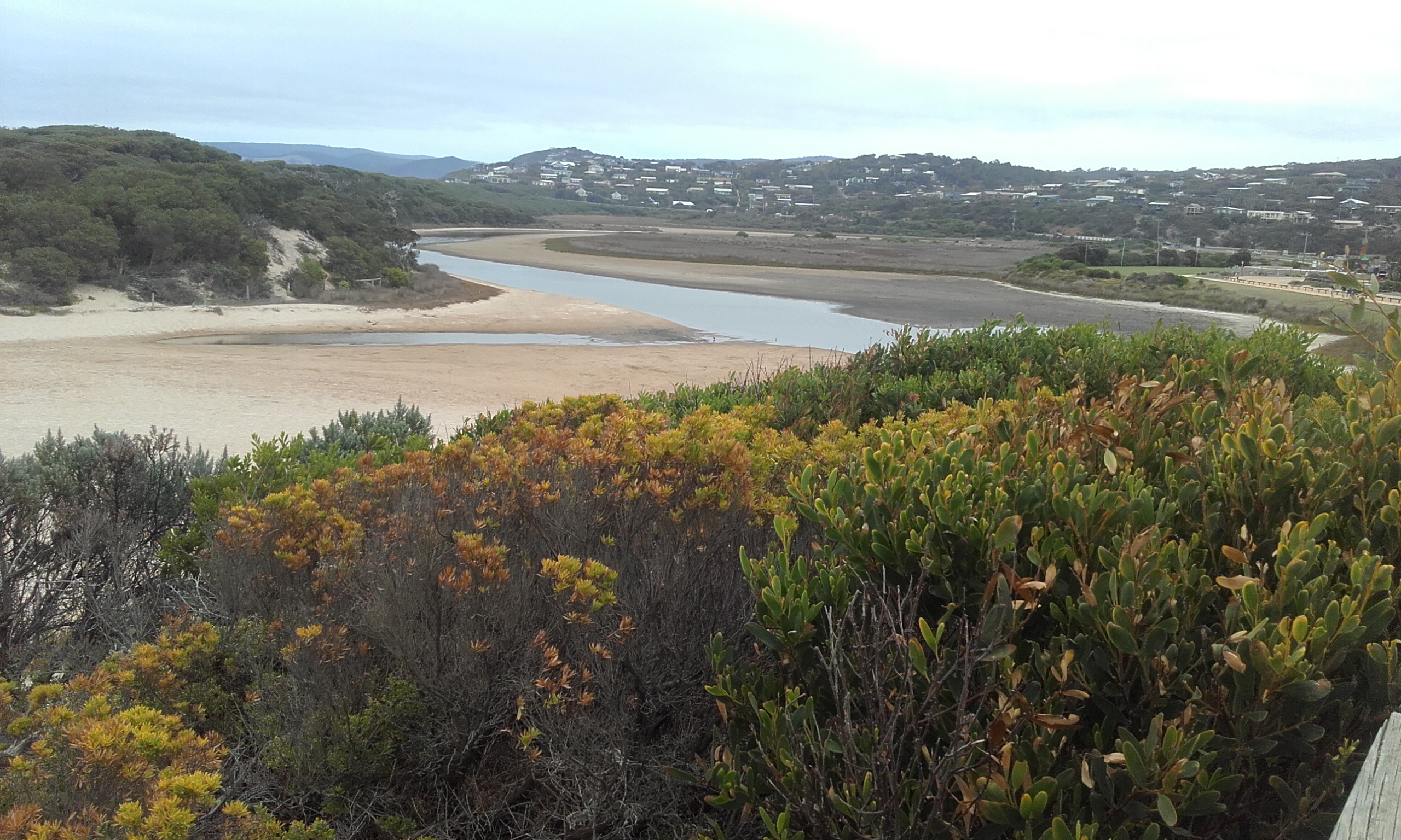
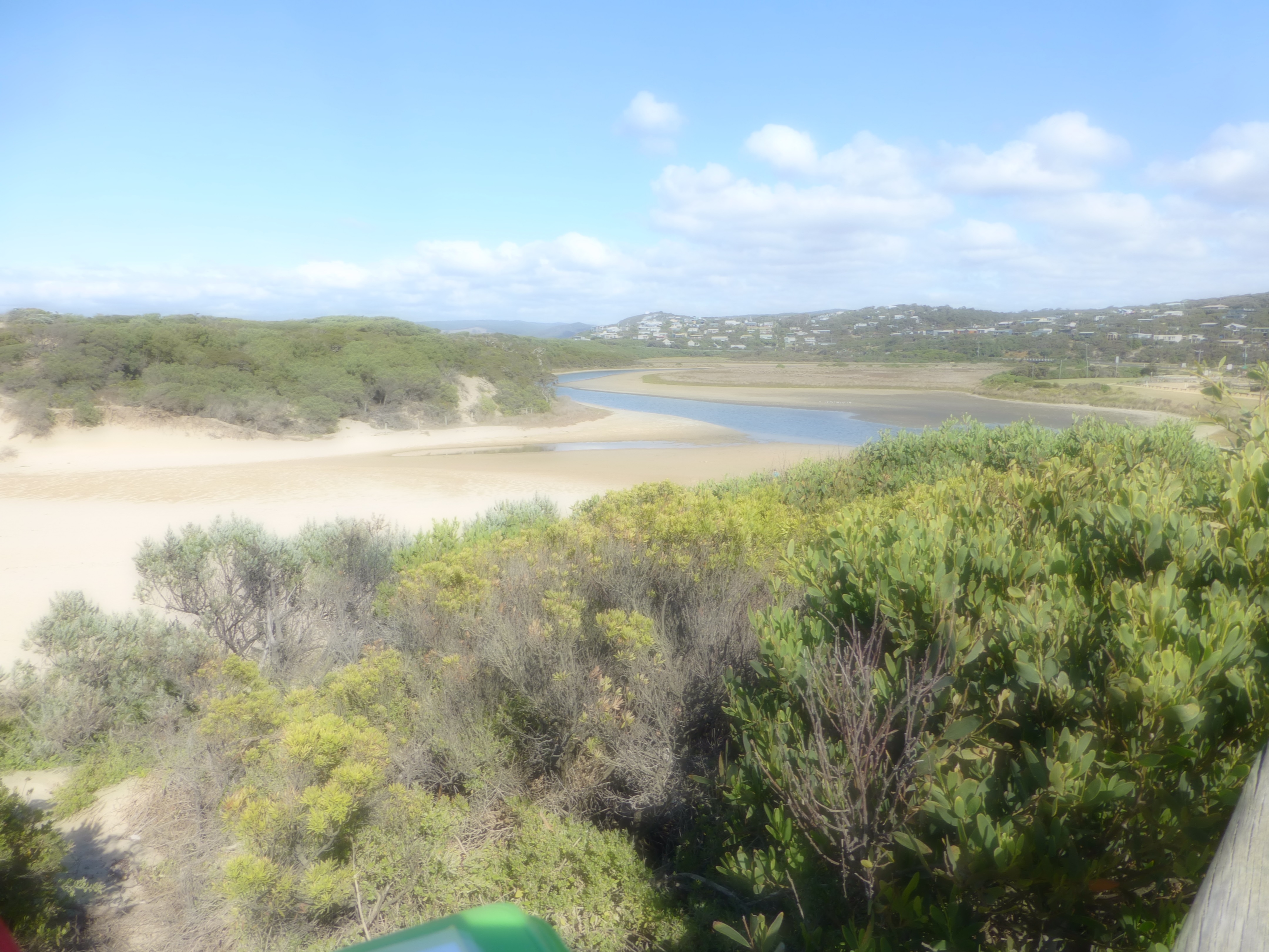
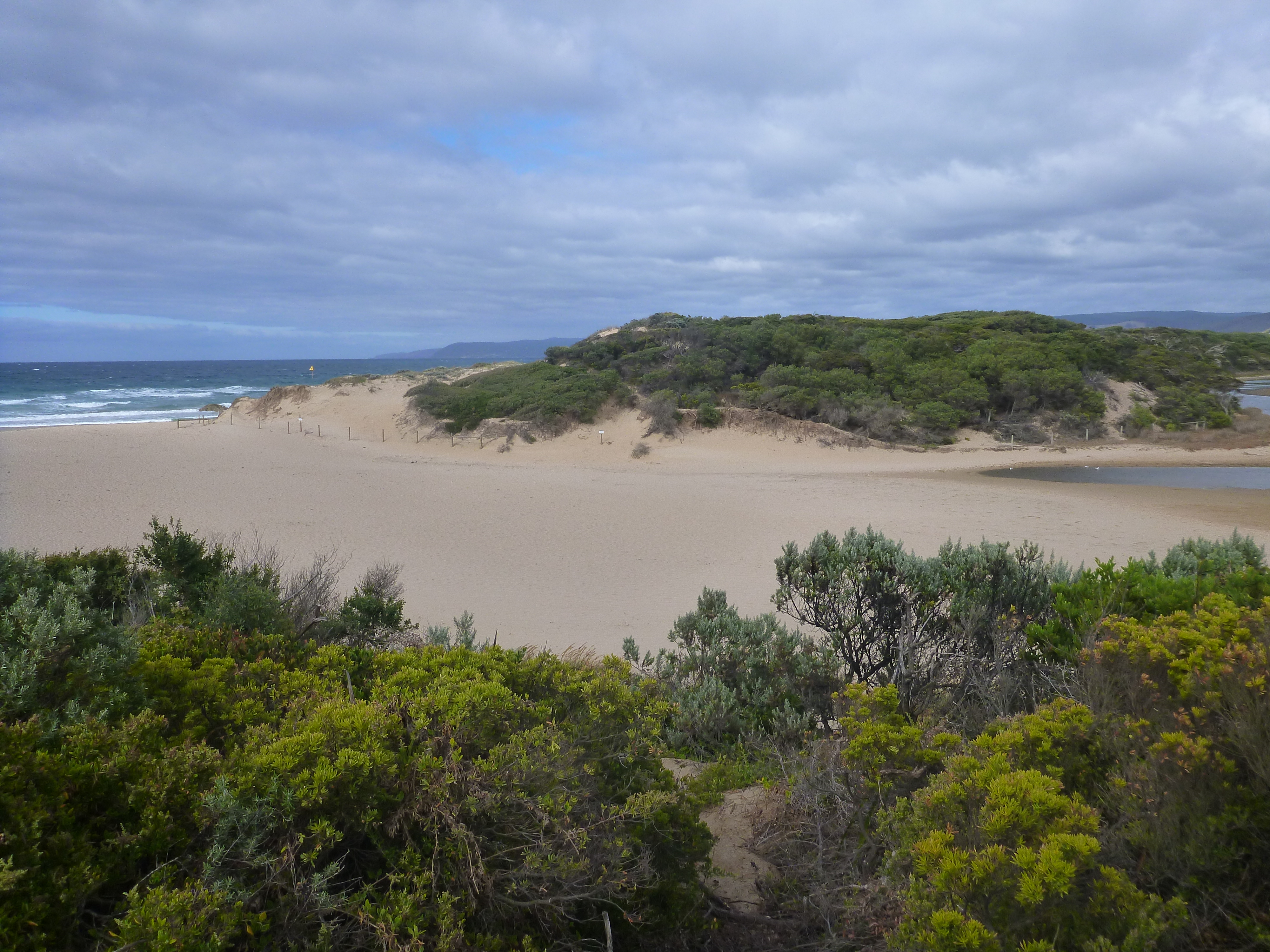
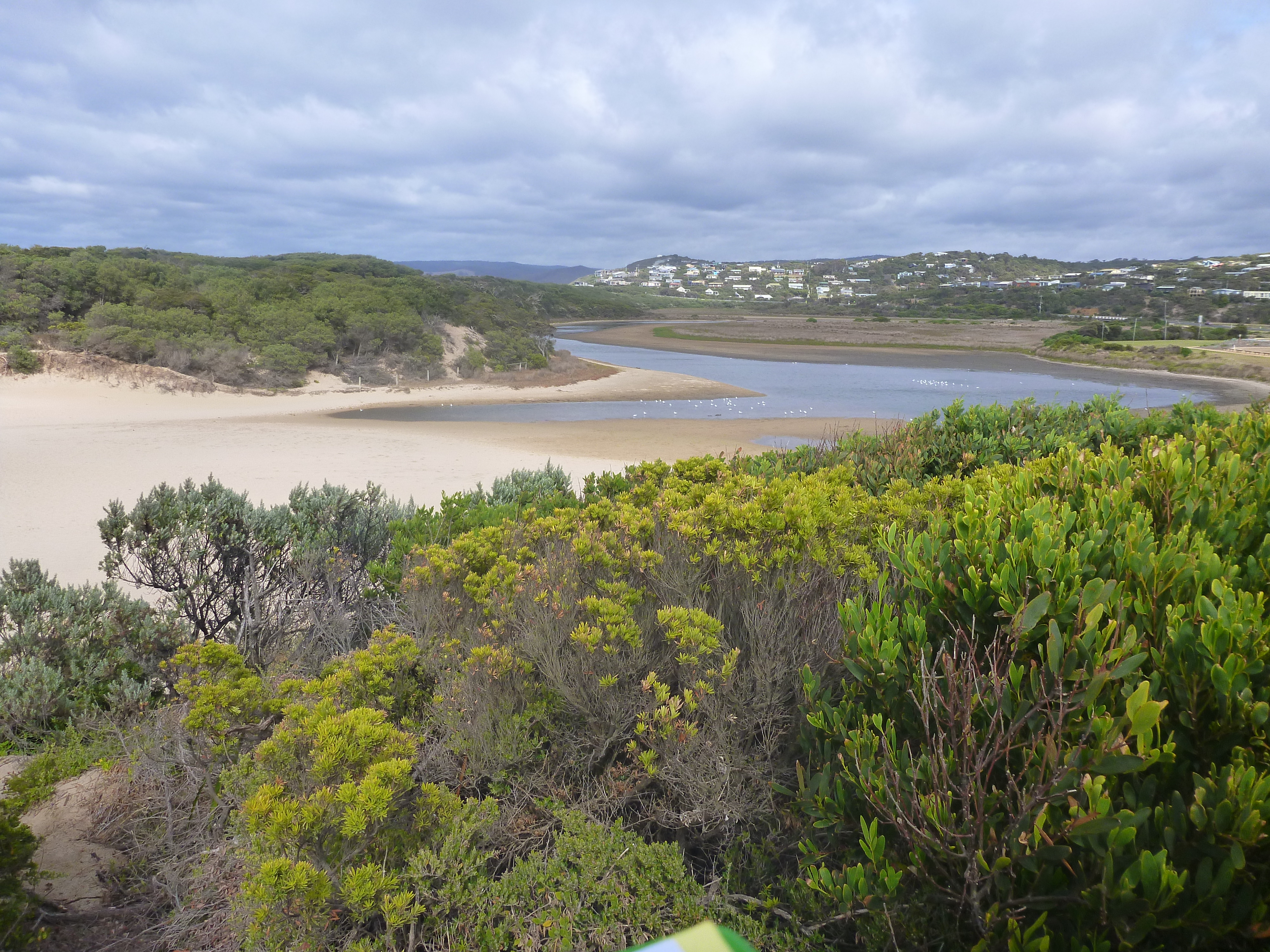
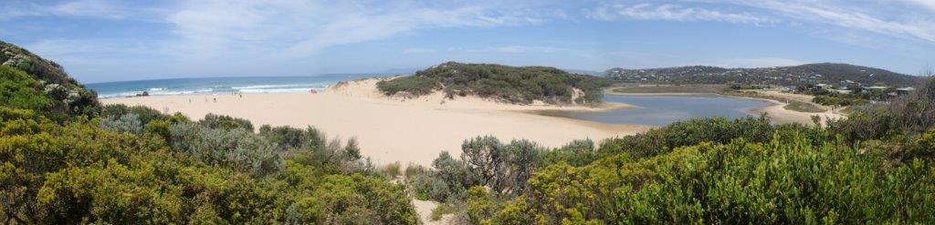
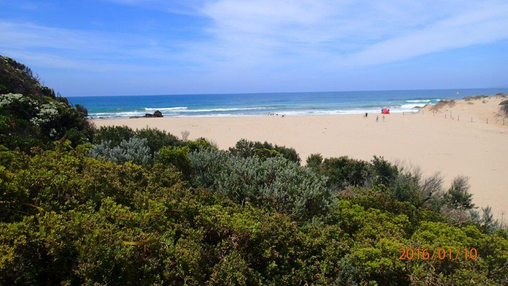
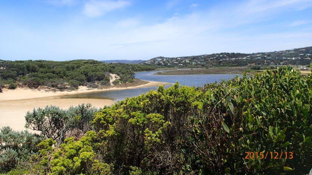
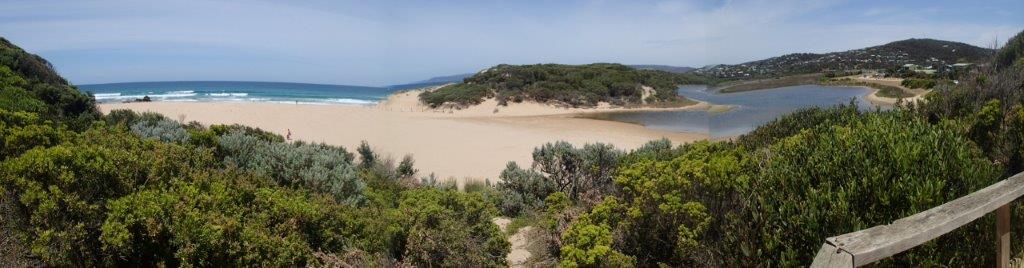
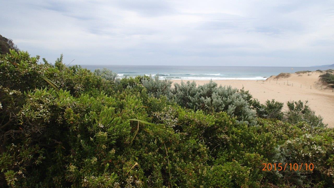
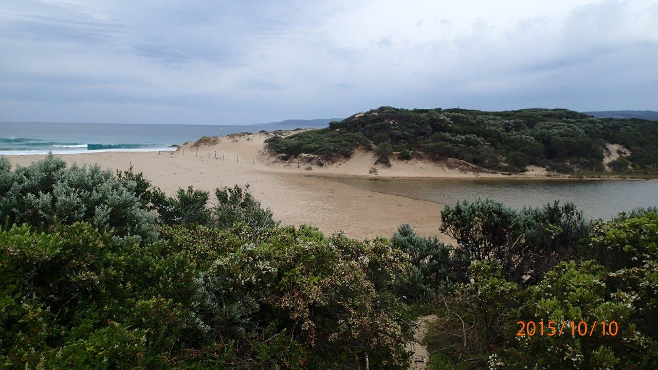
Active Mouth Condition 23-05-2007 - 11-03-2024Painkalac Creek Estuary
| ID | Date | Status | Details | |
|---|---|---|---|---|
| #16073 | 11 Mar 2024 | Pending |
Notes:
Cody White; age 8 assisted with monitoring & reporting. |
|
| #16013 | 10 Feb 2024 | Pending | ||
| #15961 | 14 Jan 2024 | Pending |
Notes:
Estuary appears to have been artificially opened. State recorded as "Perched". Although observation was only half an hour after high tide; there was no flow present at that time, but clearly there had been recent flow, and the "berm" was effectively a moist sand watercourse. |
|
| #15960 | 10 Dec 2023 | Pending | ||
| #15959 | 11 Nov 2023 | Pending | ||
| #15827 | 17 Oct 2023 | Pending | ||
| #15743 | 9 Sep 2023 | Pending | ||
| #15742 | 13 Aug 2023 | Pending | ||
| #15627 | 9 Jul 2023 | Pending |
Notes:
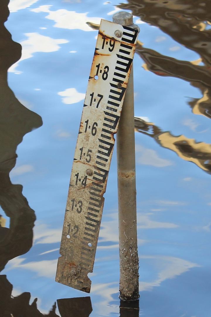
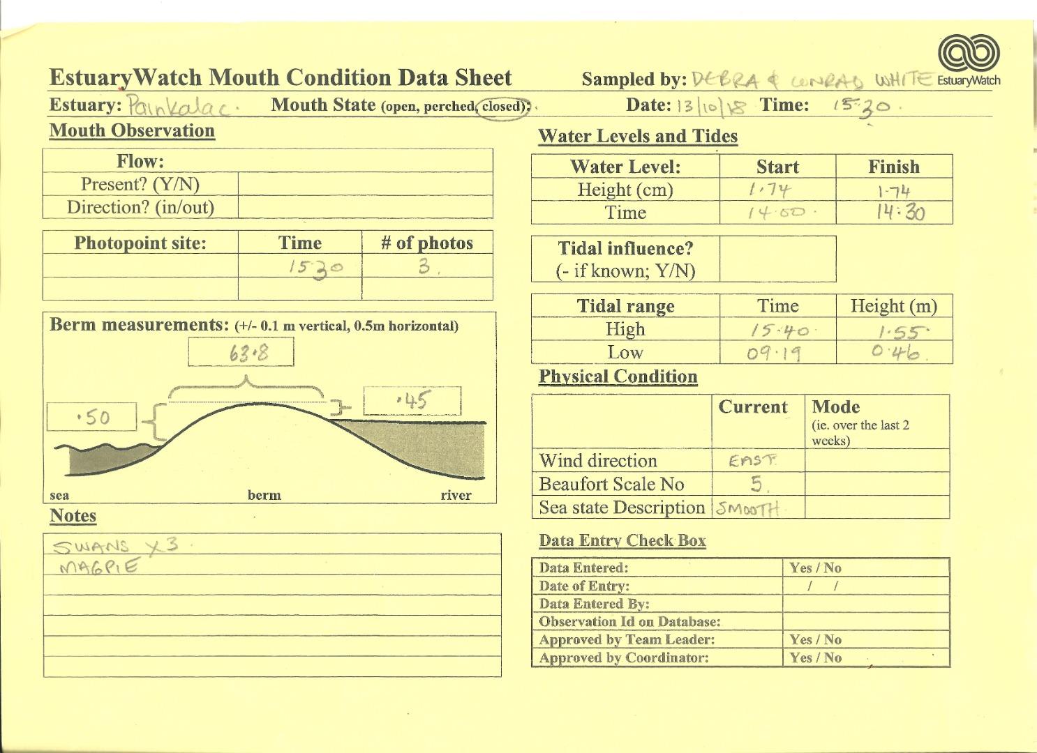
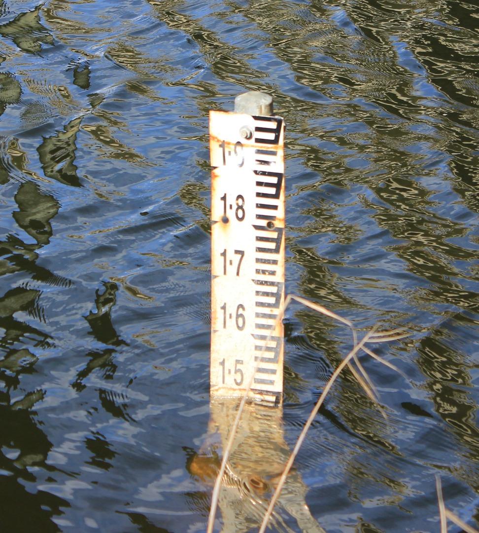
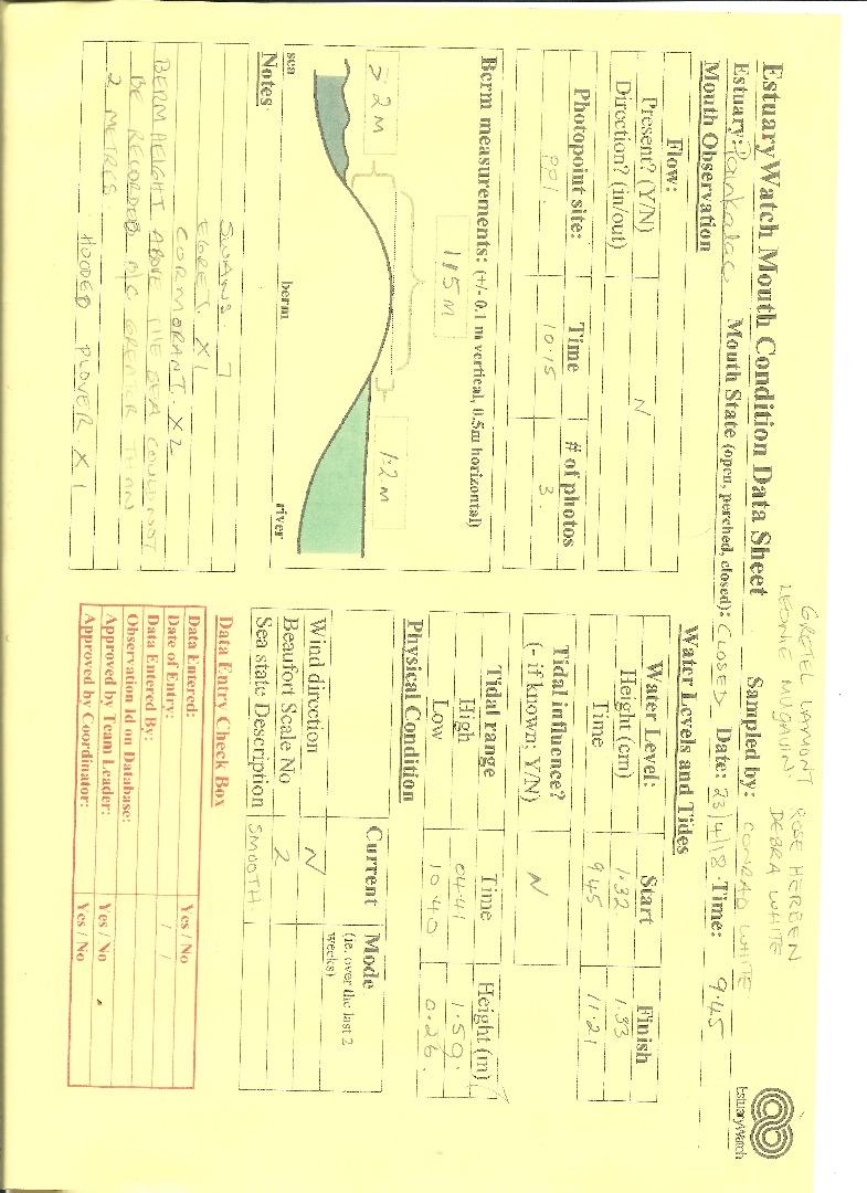
The mouth is open at high tide with the ocean overtopping the berm. At low tide the mouth was closed with the berm being 0.3m above both the sea and the estuary and 65m in length. The water level rose from 1.72m at 9.30 to 1.74 at 16.55 |
|
| #15558 | 3 Jun 2023 | Pending | ||
| #15548 | 12 May 2023 | Pending |
Notes:
The estuary opening and flow was at the extreme eastern end of the inlet and hard up against the cliff face. |
|
| #15465 | 16 Apr 2023 | Pending |
Notes:
Quite heavy rain overnight >16mm |
|
| #15347 | 12 Mar 2023 | Pending | ||
| #15346 | 12 Feb 2023 | Pending | ||
| #15237 | 14 Jan 2023 | Pending |
Notes:
Summer holidays, so lots of visitors on the beach |
|
| #15236 | 10 Dec 2022 | Pending | ||
| #15115 | 12 Nov 2022 | Pending | ||
| #15089 | 23 Oct 2022 | Pending |
Notes:
Estuary open |
|
| #15011 | 11 Sep 2022 | Pending |
Notes:
Estuary is open, so no berm measurement taken. |
|
| #14976 | 14 Aug 2022 | Pending | ||
| #14906 | 17 Jul 2022 | Approved |
Notes:
Estuary had been artificially opened during the week. Still open and no berm measurement taken. |
|
| #14740 | 11 Jun 2022 | Pending |
Notes:
Signs that waves have washed overb the berm and into the estuary. |
|
| #14656 | 7 May 2022 | Pending | ||
| #14655 | 9 Apr 2022 | Pending |
Notes:
Unable to do photopoint & berm measurement at preferred time of hightide: 17:20. However there is little variation between high and low tide on this day. |
|
| #14552 | 20 Mar 2022 | Pending |
Notes:
I've noted Mouth State as "Perched" (?) The berm is present with breaking waves washing over and into the estuary. The mouth is in it's natural state with recent intervention or "un-natural" opening. |
|
| #14551 | 12 Mar 2022 | Pending | ||
| #14532 | 11 Feb 2022 | Pending |
Notes:
Estuary open, no berm measurement taken |
|
| #14531 | 16 Jan 2022 | Pending | ||
| #14396 | 12 Dec 2021 | Pending |
Notes:
Thankyou for replacing the AHD gauge. |
|
| #14351 | 14 Nov 2021 | Pending |
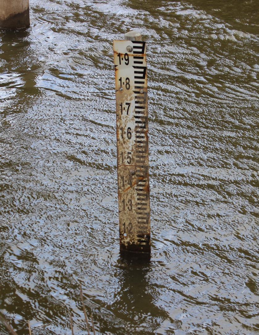
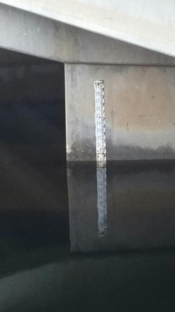
Notes:
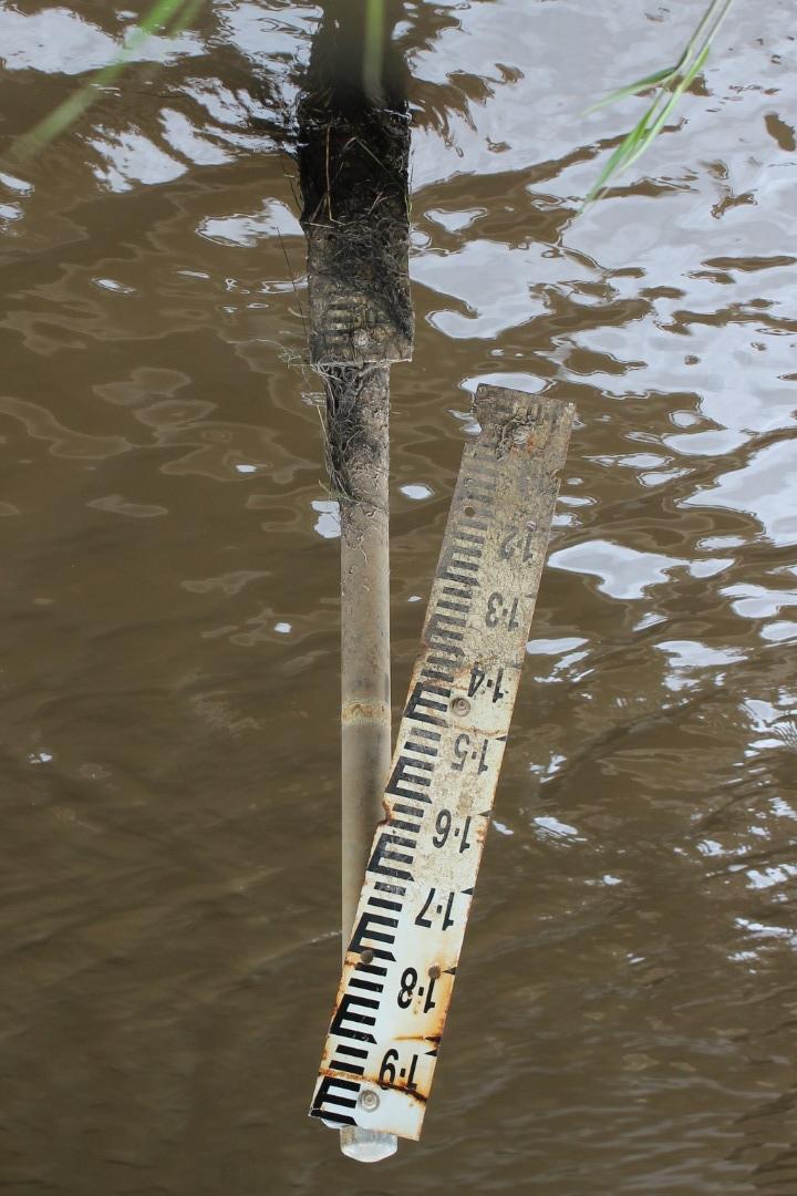
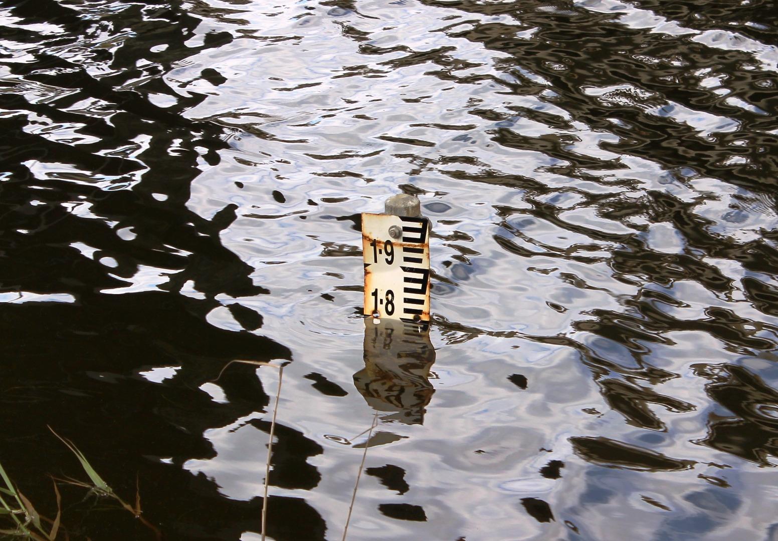
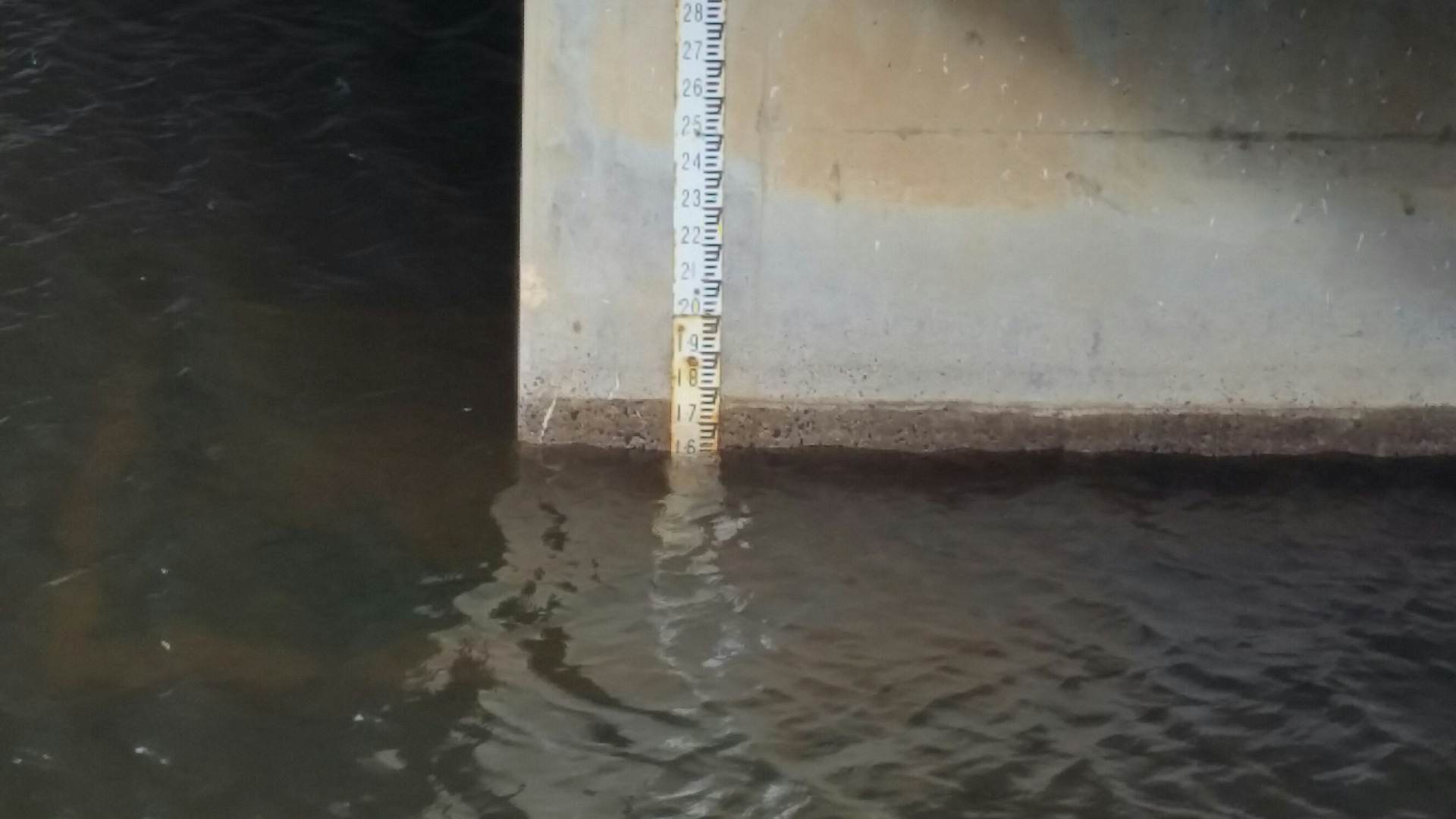
AHD Gauge is partly detatched from its support and is very dirty and difficult to read. Creek level is so low it is below the AHD Gauge, so creek level is a best guess/estimate. Estuary is open and no berm measurement taken. |
|
| #14314 | 13 Oct 2021 | Pending |
Notes:
Estuary open"berm not measured. Creek level was so low AHD gauge was unreadable. See photo. So AHD is best estimate. |
|
| #14276 | 12 Sep 2021 | Pending |
Notes:
Estuary mouth open - no berm measurement taken. Conditions overcast |
|
| #14263 | 15 Aug 2021 | Pending | ||
| #14193 | 10 Jul 2021 | Approved |
Notes:
Estuary open. Berm not measured. Vegetation is starting to block view from Photopoint Pp1_1 (191). Estuary is flowing to/open on the left hand side of photo and not really visible in the photo. |
|
| #14177 | 13 Jun 2021 | Pending |
Notes:
Rivermouth artificially opened in the week leading up to measurement. No berm measumement taken , only weather observations & Photopoint photos, |
|
| #14110 | 8 May 2021 | Approved |
Notes:
Rivermouth recently artificially opened. Artificial opening channel through the berm is still in place and visible although there is no flow at the time of measurement. Tide times mixed up and measurement done at low tide rather than high tide. |
|
| #14090 | 13 Apr 2021 | Approved |
|
|
| #13505 | 11 Jan 2020 | Approved | ||
| #13478 | 14 Dec 2019 | Approved | ||
| #13394 | 9 Nov 2019 | Approved | ||
| #13362 | 13 Oct 2019 | Approved | ||
| #13321 | 15 Sep 2019 | Approved | ||
| #13251 | 11 Aug 2019 | Approved |
Notes:
Estuary open after artificial opening on Thursday 8/8/2019. |
|
| #13237 | 8 Aug 2019 | Pending |
Notes:
Berm measured just before the artificial opening of the estuary |
|
| #13236 | 13 Jul 2019 | Approved | ||
| #13235 | 10 Jun 2019 | Approved |
Notes:
Berm height above sea greater than 2 metres |
|
| #13234 | 11 May 2019 | Pending | ||
| #12839 | 9 Mar 2019 | Approved | ||
| #12694 | 9 Feb 2019 | Approved |
Notes:
Wet sand indicates waves have washed over the berm at high tide. A very dirty AHD sign has made it difficult to accurately guage water level. |
|
| #12636 | 12 Jan 2019 | Approved | ||
| #12610 | 15 Dec 2018 | Approved |
Notes:
Estuary had been artificially opened |
|
| #12519 | 10 Nov 2018 | Approved | ||
| #12465 | 13 Oct 2018 | Approved | ||
| #12385 | 8 Sep 2018 | Approved |
Notes:
Expect mouth to be open at next high tide Egrets x 2 Swans x 2 White Faced Heron x 2 |
|
| #12326 | 12 Aug 2018 | Approved |
Notes:
Rufous Bristlebird at PP1 |
|
| #12276 | 14 Jul 2018 | Approved | ||
| #12235 | 24 Jun 2018 | Approved |
Notes:
Estuary has been artificially opened, sometime between 18-20 June 2018. Extra photos show the height of the channel created by artificial opening |
|
| #12103 | 28 May 2018 | Pending |
Notes:
Swans x 6 Coots x 10 Willie Wagtail x 1 |
|
| #12073 | 19 May 2018 | Pending |
Notes:
Swans x 3 Coots 10 |
|
| #11992 | 23 Apr 2018 | Approved |
Notes:
Berm height above the sea, could not be recorded because greater than 2 metres. On the Painkalac: Swans x 7 Egret x 1 Cormorant x 2 Coots x 10 On the ocean rocks: Hooded Plover x 1 Pacific Gull x 1
|
|
| #11966 | 14 Apr 2018 | Pending |
Notes:
Heavy Rain Windy |
|
| #11802 | 10 Feb 2018 | Pending | ||
| #11718 | 13 Jan 2018 | Approved | ||
| #11655 | 9 Dec 2017 | Approved |
Notes:
Physical condition data taken from Willy Weather website. An extra photo was taken the day after monitoring, thought that we should include a better shot of where inlet had been recently opened. Earlier in the week, there had been an area roped off at the mouth to protect nesting Hooded Plovers. This has been removed. |
|
| #11587 | 12 Nov 2017 | Approved |
Notes:
Berm height on sea side was higher than berm pole. |
|
| #11493 | 7 Oct 2017 | Approved | ||
| #11451 | 16 Sep 2017 | Approved | ||
| #11388 | 13 Aug 2017 | Approved | ||
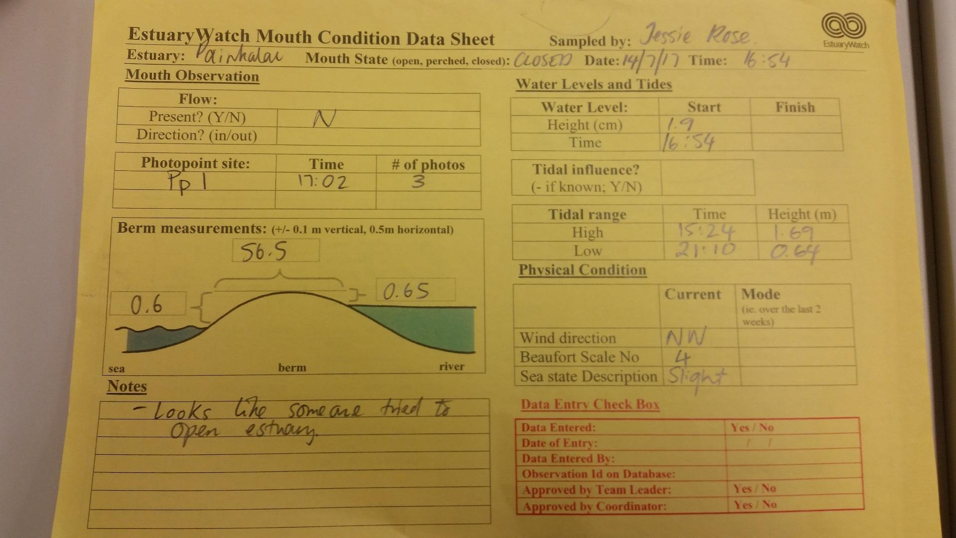
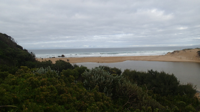
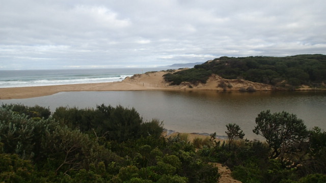
| #11344 | 15 Jul 2017 | Approved |
Notes:
No berm measurement taken as estuary had been artificially opened. |
|
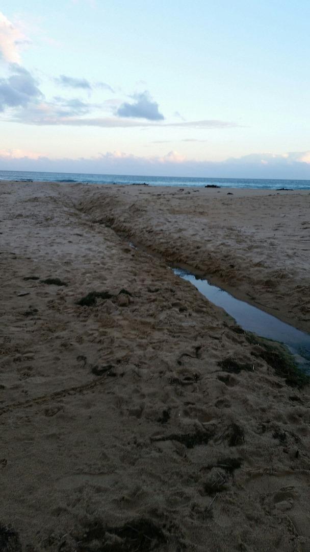
| #11698 | 14 Jul 2017 | Approved |
Notes:
|
|
| #11258 | 10 Jun 2017 | Approved |
Notes:
Noticed flood water sensor light was flashing, at the bridge, when measuring AHD water level Coastal Court not monitored as platform under water. |
|
| #11261 | 31 May 2017 | Approved |
Notes:
|
|
| #11167 | 13 May 2017 | Approved |
Notes:
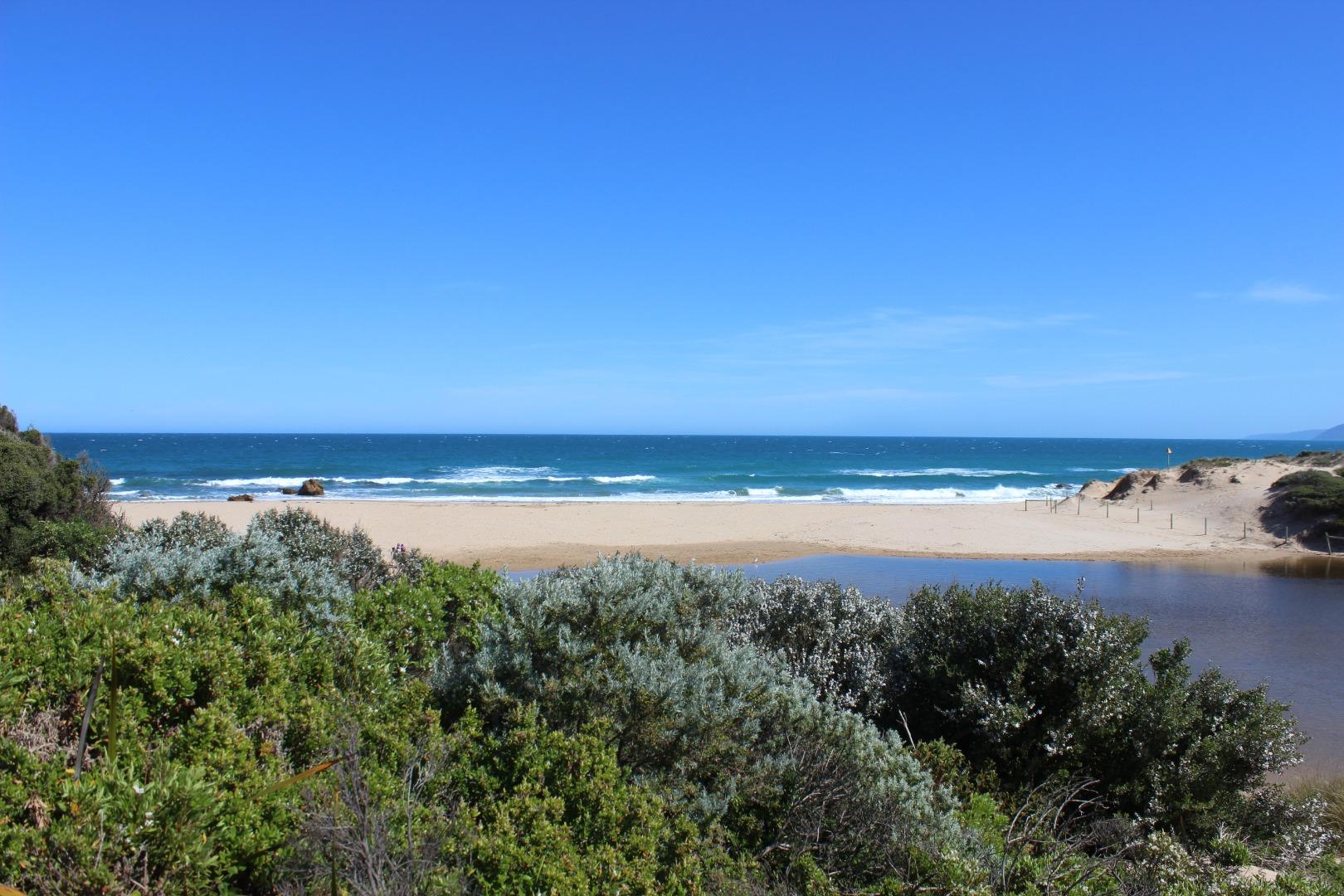
No berm measurement taken. Mouth appeared open, with water flowing out to sea over the sand. No channel to speak of, and some over-topping inwards with bigger waves. Have included a photo of some beach goers attempting to dig a channel out to sea. They appeared to give up on the task after awhile. |
|
| #11108 | 22 Apr 2017 | Approved |
Notes:
|
|
| #11056 | 30 Mar 2017 | Approved |
Notes:
|
|
| #10897 | 12 Mar 2017 | Approved | ||
| #10808 | 11 Feb 2017 | Approved | ||
| #10680 | 8 Jan 2017 | Approved | ||
| #10629 | 17 Dec 2016 | Approved |
Notes:
The appearance of the sand suggested overtopping at high tide |
|
| #10538 | 12 Nov 2016 | Approved |
Notes:
Photos taken on 12/11/2016 did not show estuary clearly. Re-did photos 13/11/2016, water level remained the same, and estuary closed. |
|
| #10492 | 8 Oct 2016 | Approved |
Notes:
Extra photos were taken of curving channel opening, not clearly visible from photopoint site |
|
| #10515 | 10 Sep 2016 | Approved |
Notes:
Unsure if we can say 'perched' after one observation? The definition says "consistently above MSL". |
|
| #10495 | 18 Aug 2016 | Approved |
Notes:
Two large sandstone structures. One on left has gone. Must have collapsed. Located to the left of the estuary. Good flow. |
|
| #10516 | 14 Aug 2016 | Approved |
Notes:
At the time of monitoring estuary was not actually open, but evidence of over-topping at medium-high tide. Only a couple of metres of flat sand between swash limits, no berm to measure. |
|
| #10617 | 25 Jul 2016 | Approved |
Notes:
|
|
| #10618 | 10 Jul 2016 | Approved | ||
| #10403 | 3 Jul 2016 | Approved |
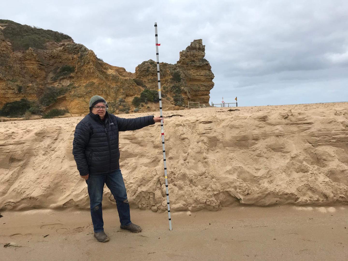
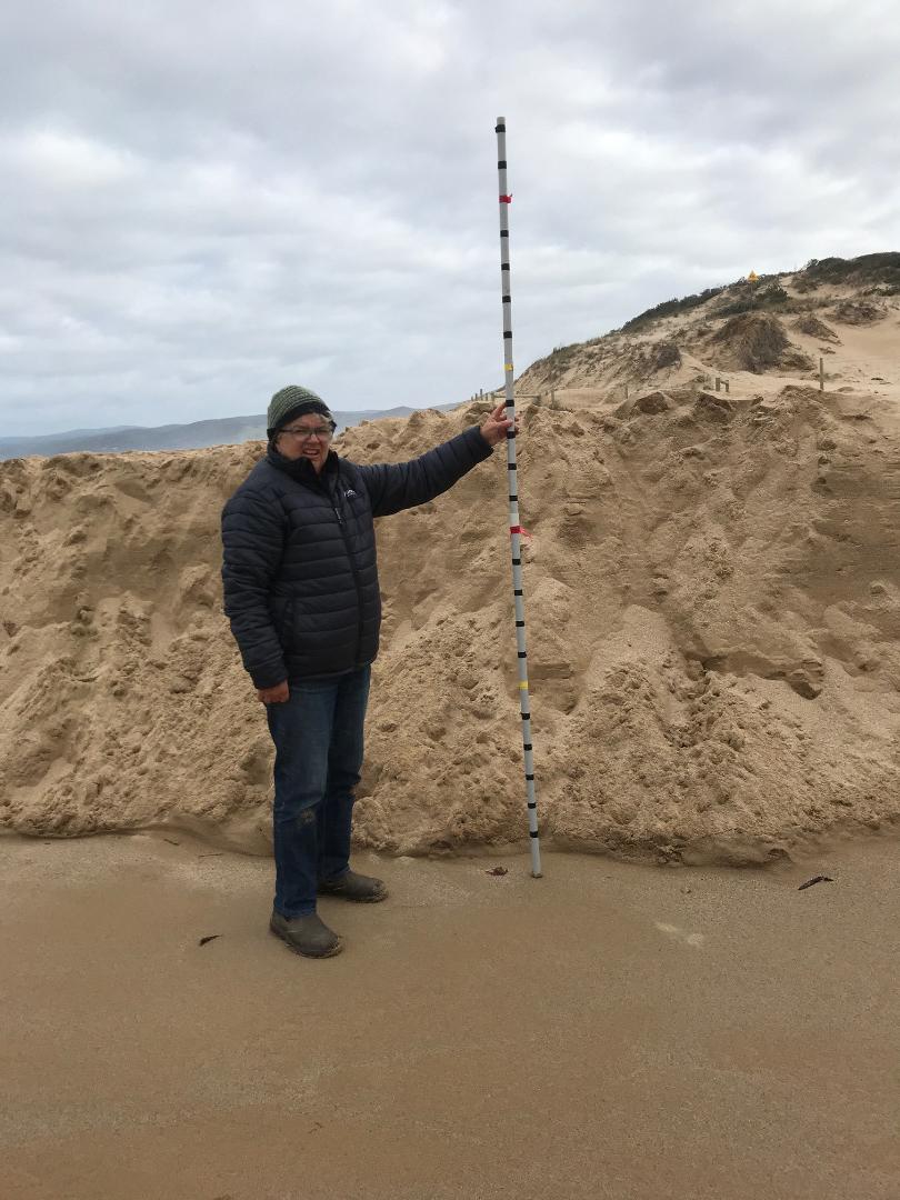
Notes:
Berm to high to measure using the berm pole. Berm length is 85m.
|
|
| #10395 | 13 Jun 2016 | Approved |
Notes:
Unable to see horizon above berm - so unable to measure height. 80 paces (m) from estuary to wave line. |
|
| #10360 | 11 Jun 2016 | Approved |
Notes:
Unable to measure berm-too high to use berm pole. Paced 112 m from upper swash limit at estuary to sea. Berm does not appear quite as high as in recent months. |
|
| #10394 | 29 May 2016 | Approved | Notes: Berm higher than me- couldn't see the sea from the rivers edge. | |
| #10294 | 8 May 2016 | Approved | Notes: Berm was not measured. You will see from photos that we cannot visualize the berm pole across the expanse of sand between the upper swash limits of estuary, and sea. | |
| #10245 | 9 Apr 2016 | Approved |
Notes:
Distance paced (by Graeme) from estuary to sea was 151m. Berm does not appear to be as high as on previous occasions, noting that it was near high tide, but still too high to measure with pole. |
|
| #10197 | 14 Mar 2016 | Approved | Notes: Berm height not measured, as it far exceeded the extent of the berm pole. Distance measured between river and sea-180 m. | |
| #10184 | 6 Mar 2016 | Approved |
Notes:
Height of berm unable to be measured as horizon/sea could not be seen from estuary. Berm width - 140m |
|
| #10164 | 21 Feb 2016 | Approved |
Notes:
No measurement of Berm height taken as horizon could not be seen from estuary. Width of berm - 120m. |
|
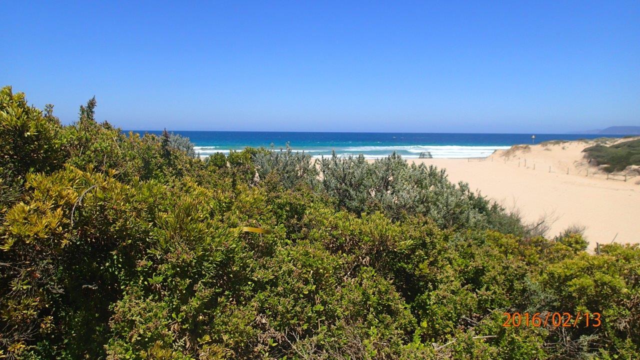
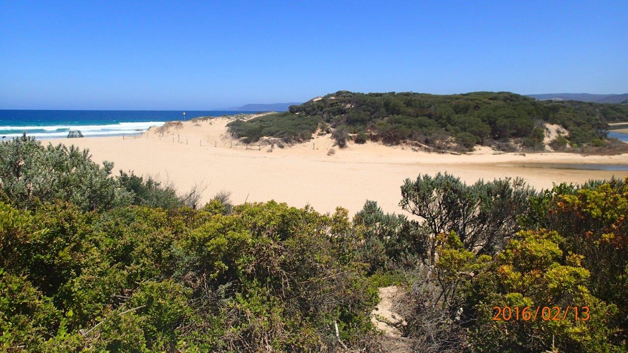
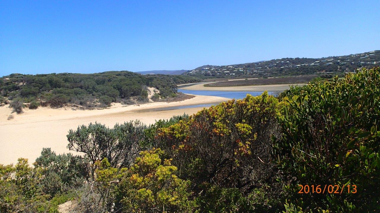
| #10142 | 13 Feb 2016 | Approved |
Notes:
Could not record berm height as far it exceeded the height of the berm pole. Distance across the berm 148 m. |
|
| #10101 | 25 Jan 2016 | Approved | Notes: Berm length was 140m. Berm height was above our height so unable to record height. | |
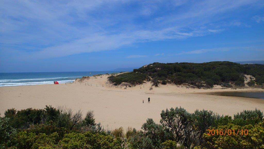
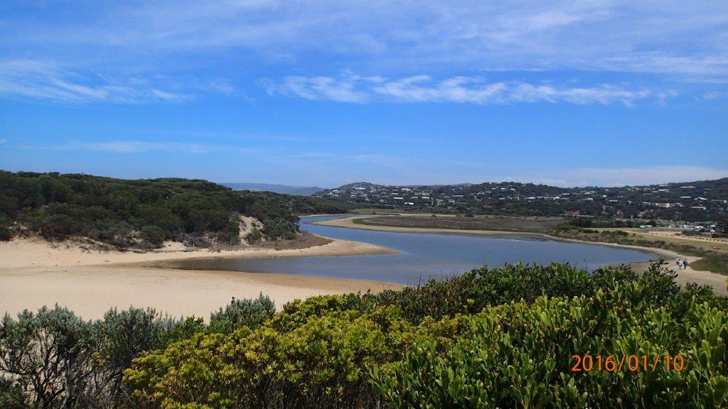
| #10071 | 10 Jan 2016 | Approved | Notes: Berm measurement was not obtained as berm height was too high to measure. From upper swash line on inlet side could not see ocean/horizon over berm. Had to take several strides towards ocean before it became visible over berm. | |
| #9998 | 13 Dec 2015 | Approved | Notes: Tide times and wind direction taken from Willy weather website. Berm length 110m. | |
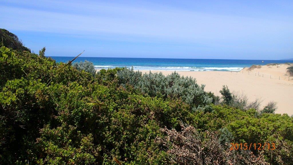
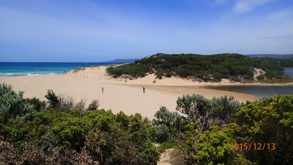
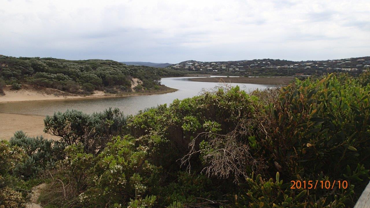
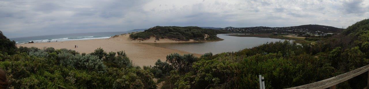
| #9873 | 10 Oct 2015 | Approved | Notes: Berm length was 85m. | |


All content, files, data and images provided by the EstuaryWatch Data Portal and Gallery are subject to a Creative Commons Attribution License
Content is made available to be used in any way, and should always attribute EstuaryWatch and www.estuarywatch.org.au