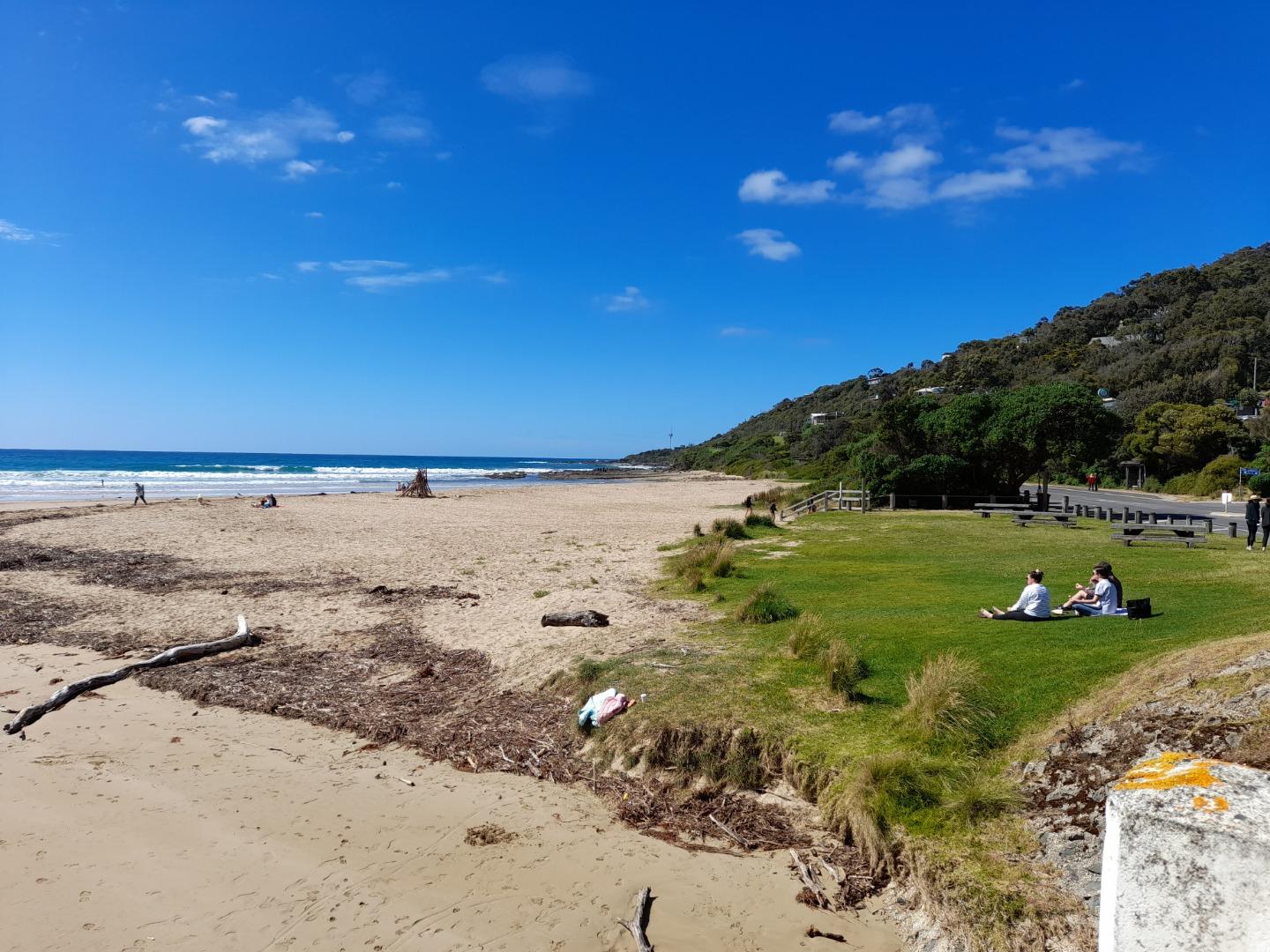
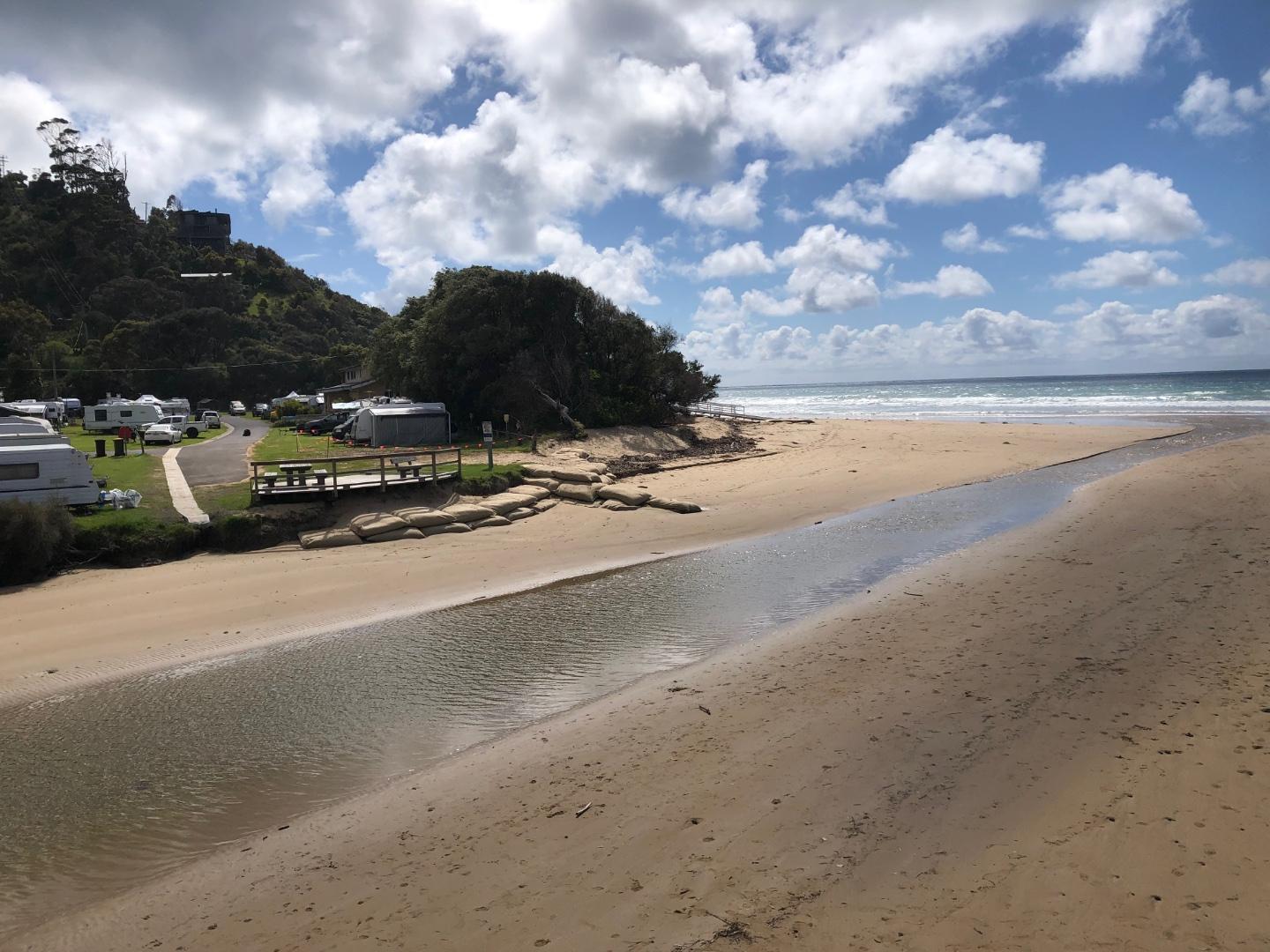
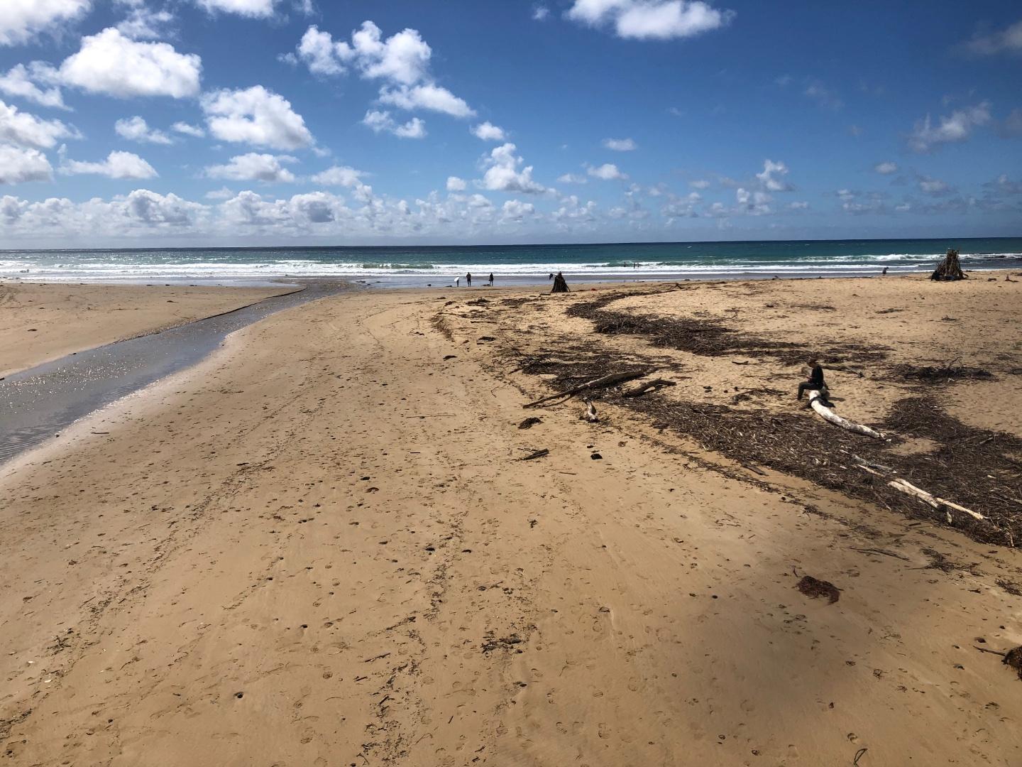
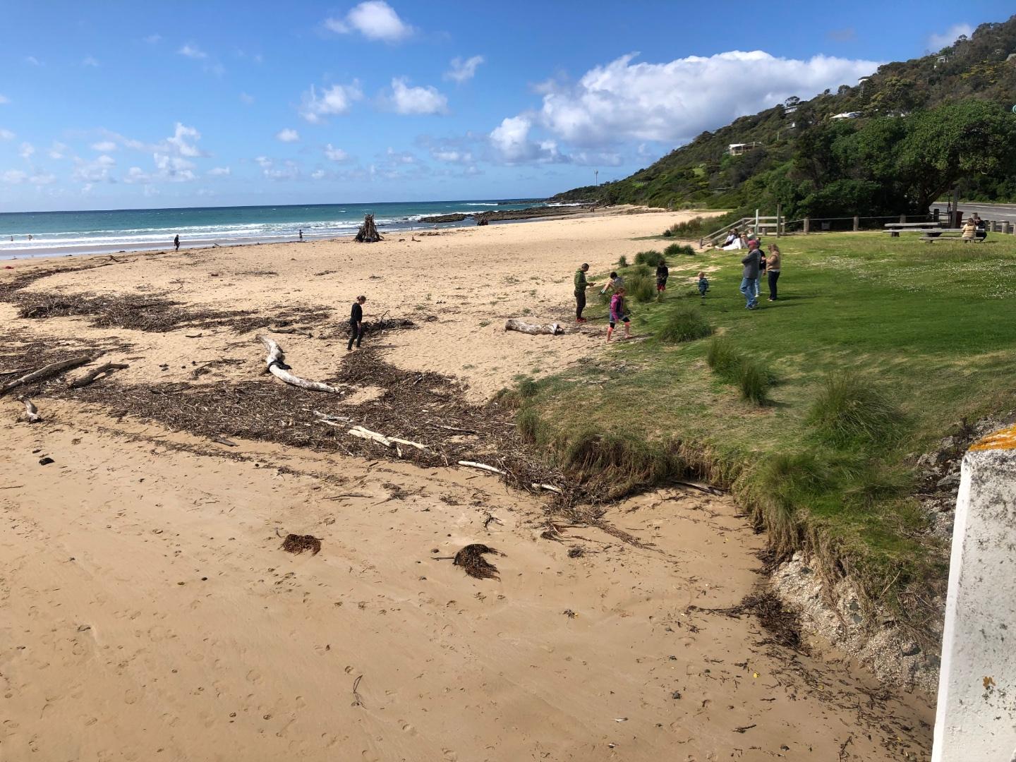
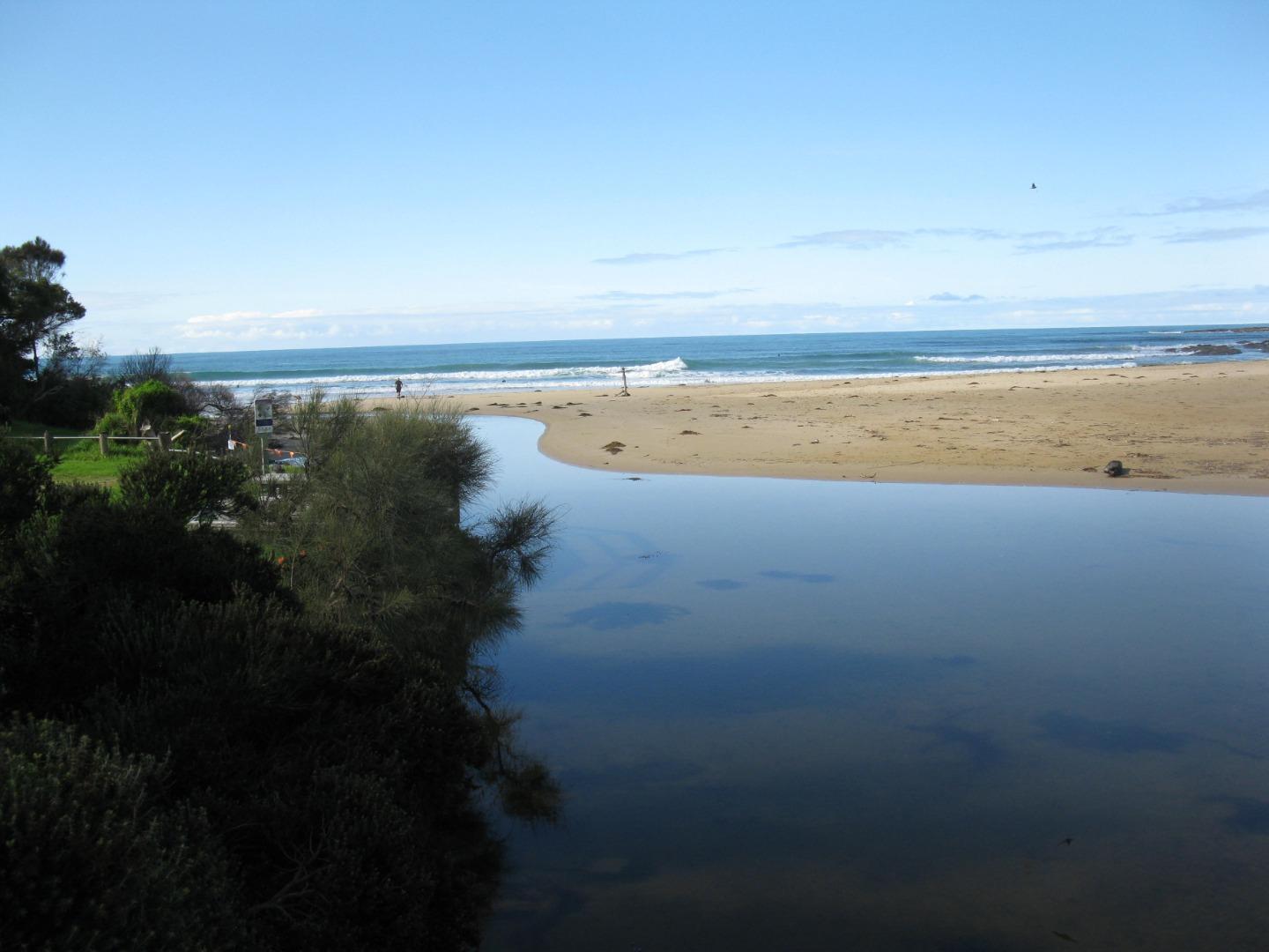
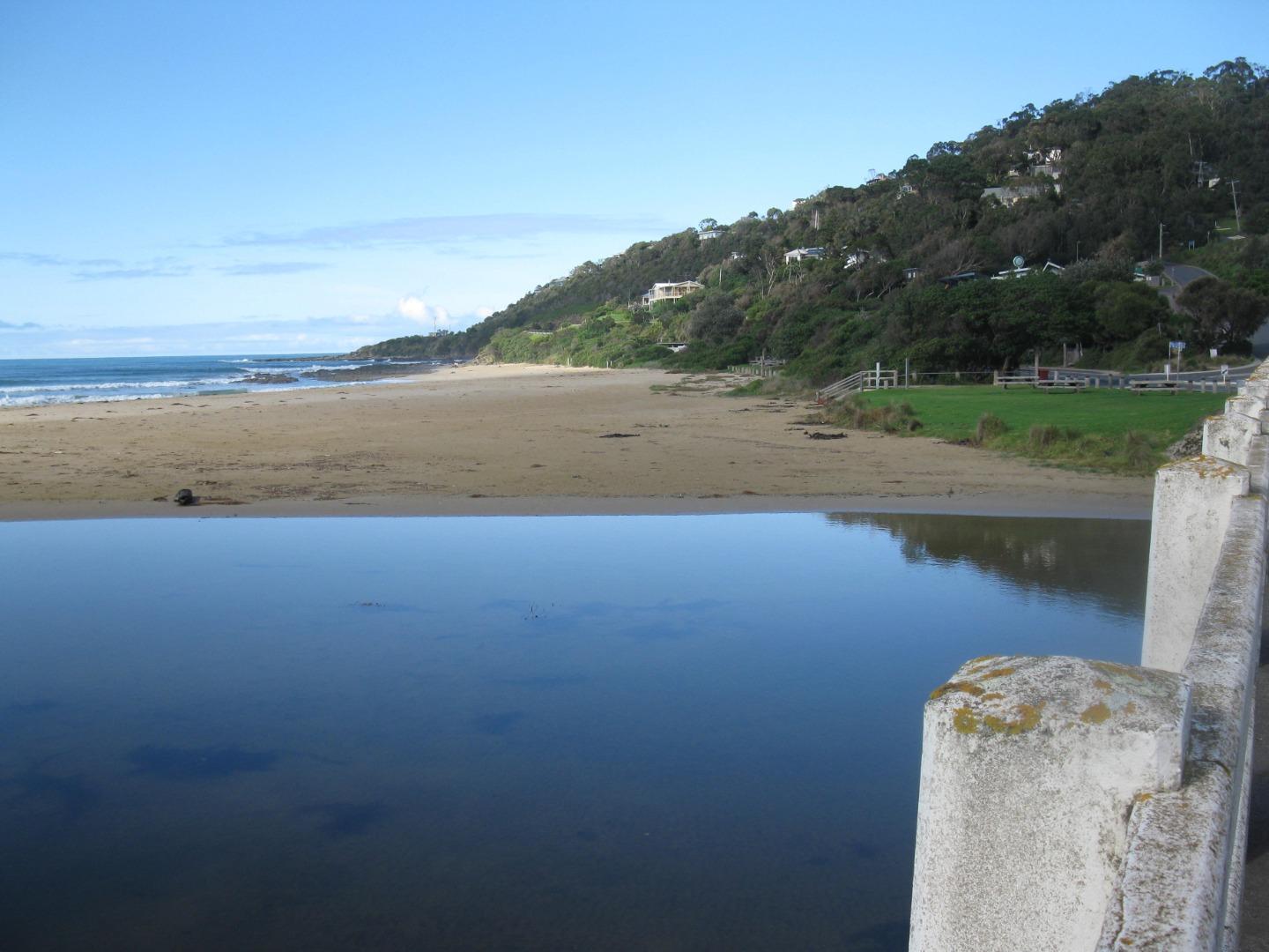
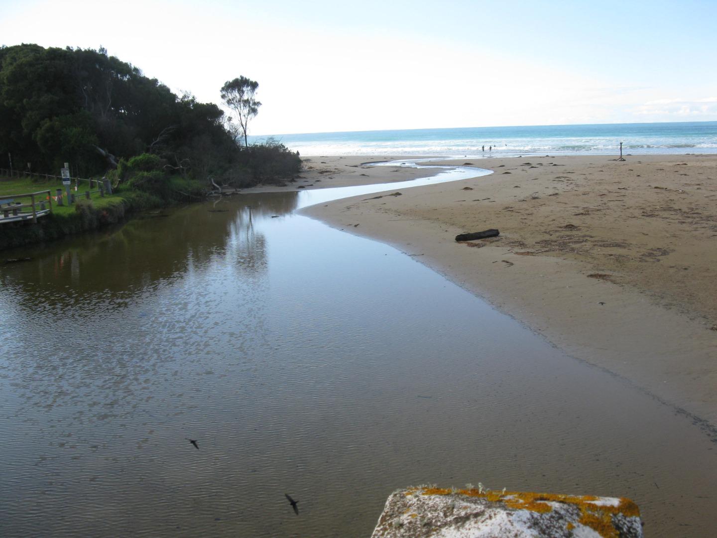
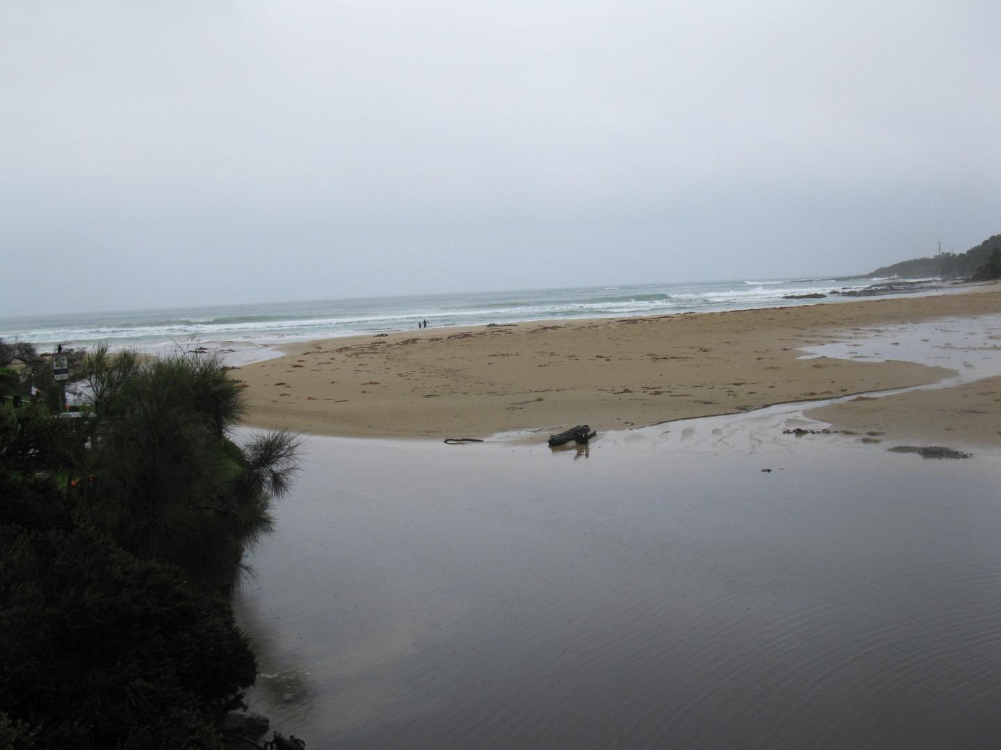
EstuaryWatch Data Portal
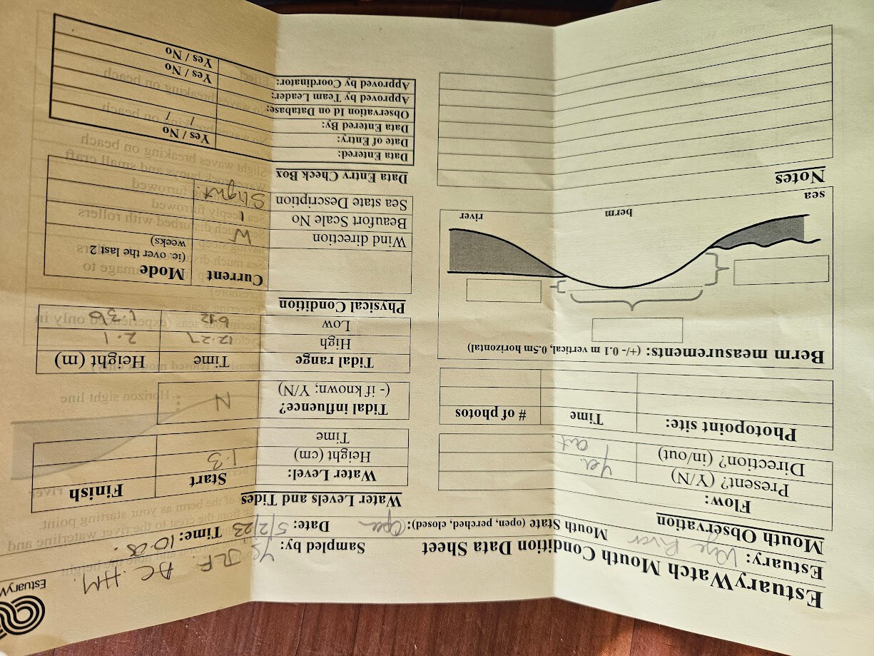
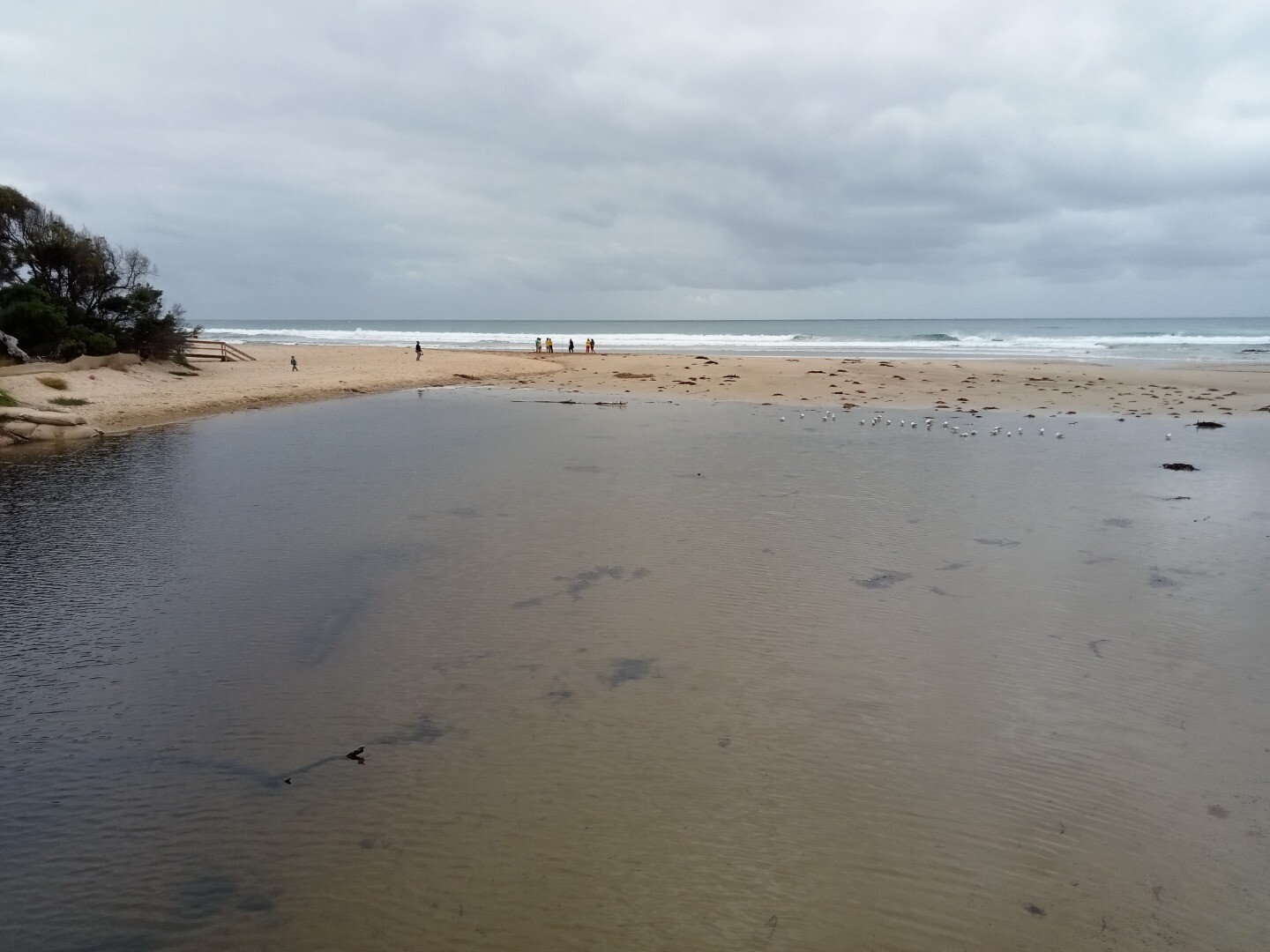
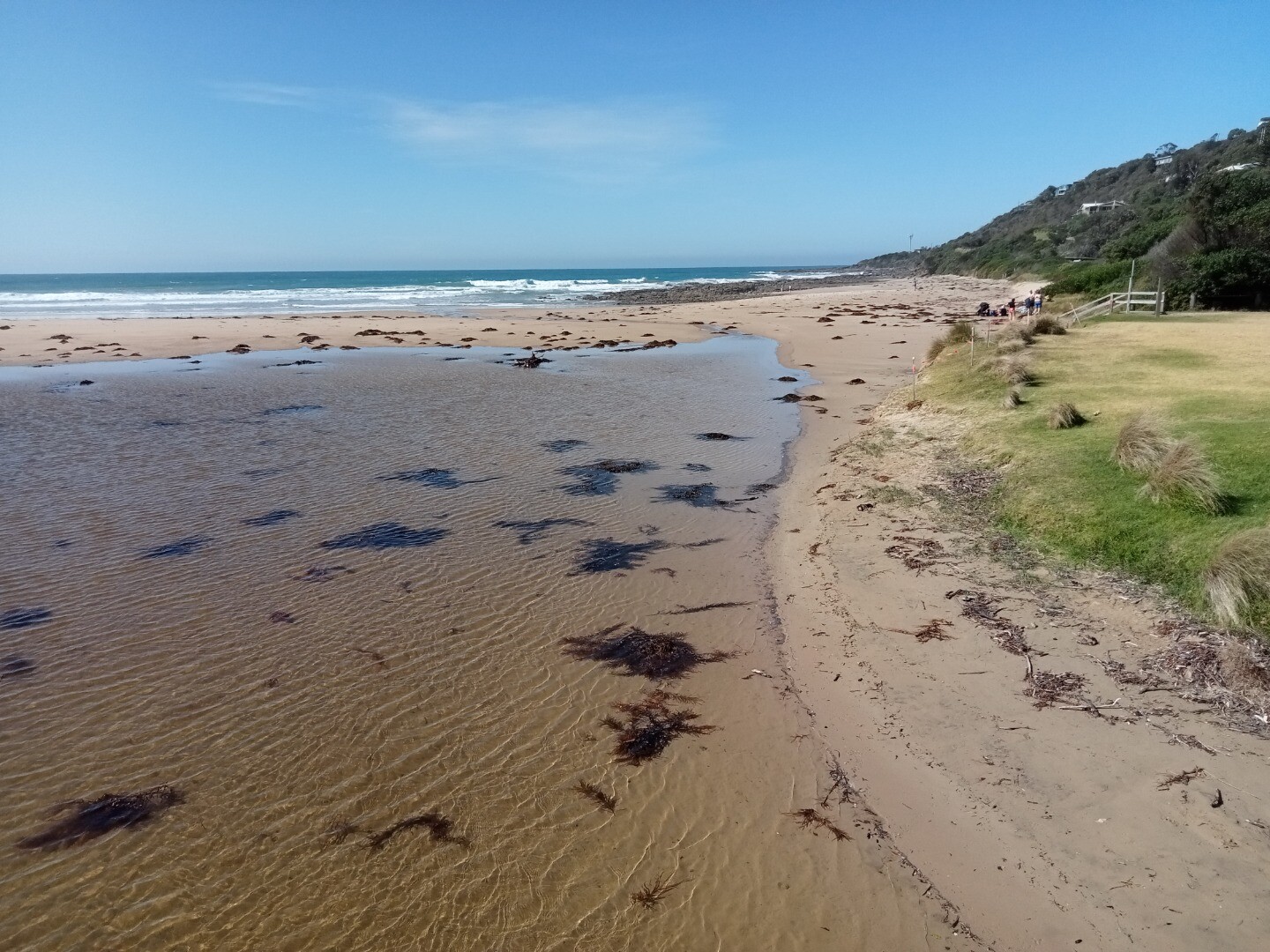
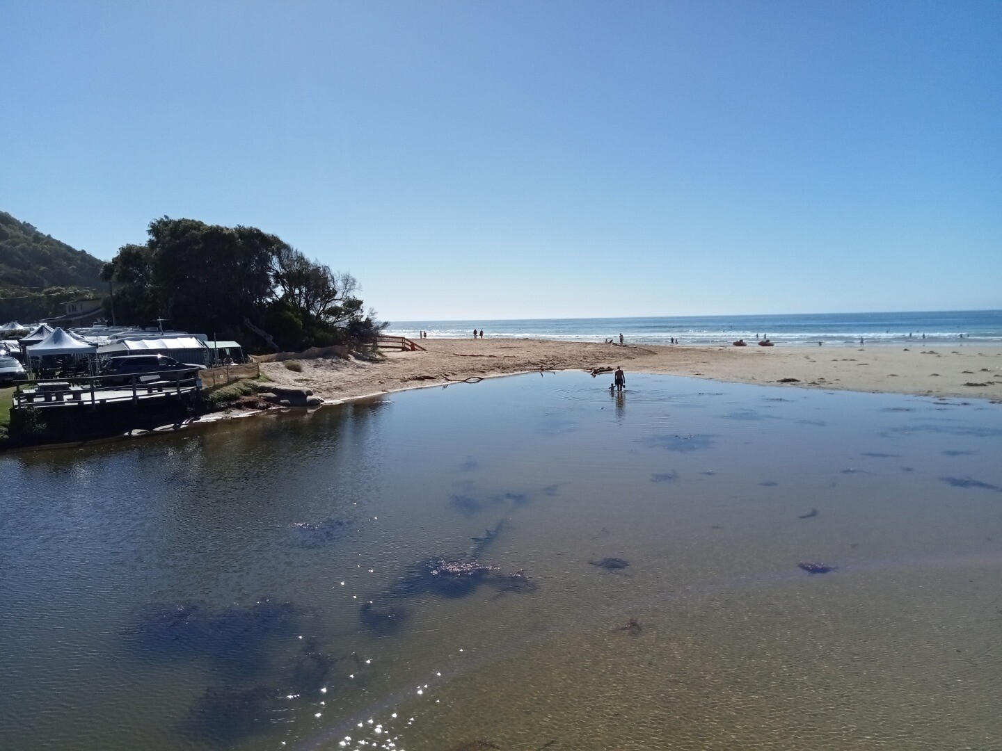
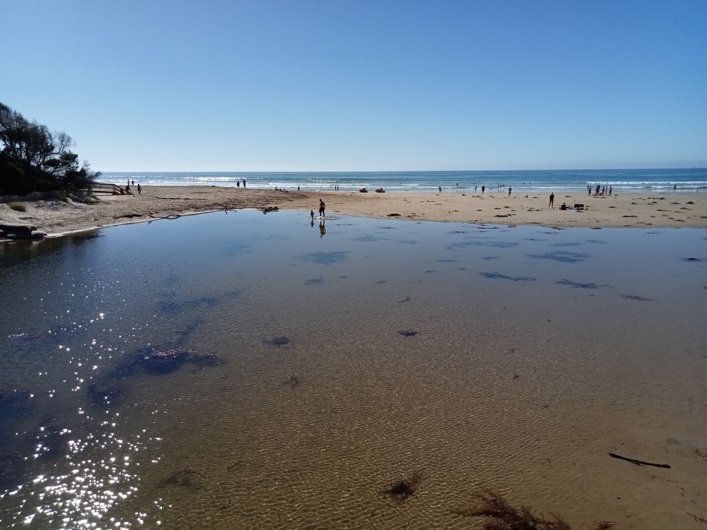
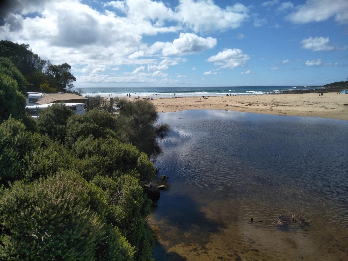
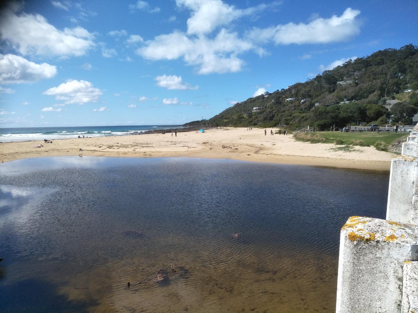
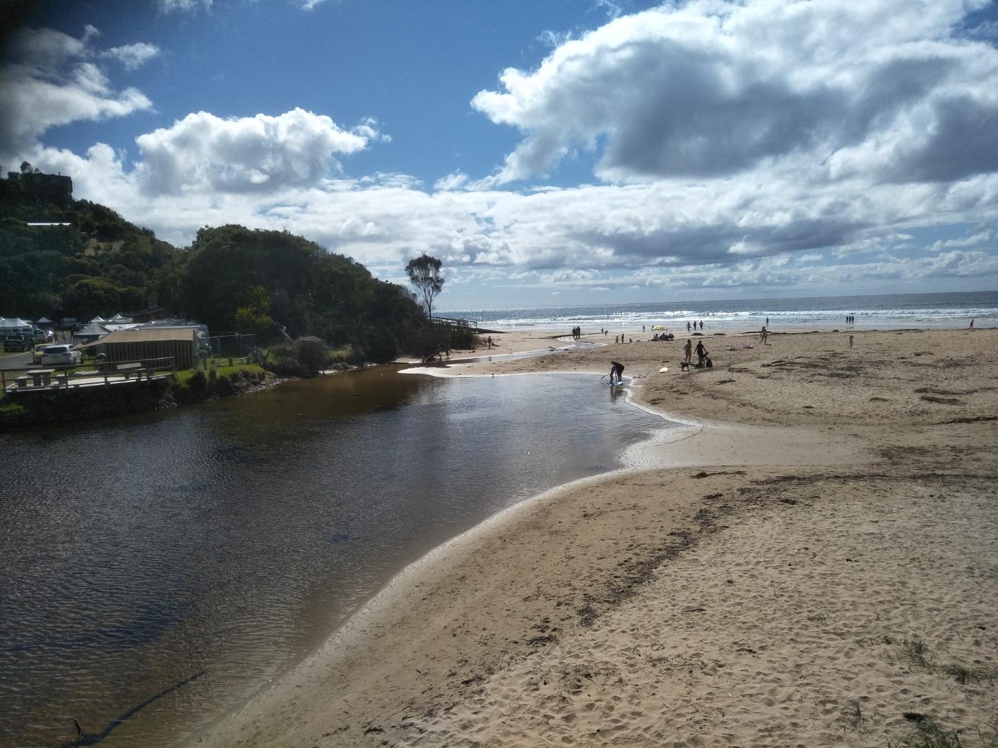
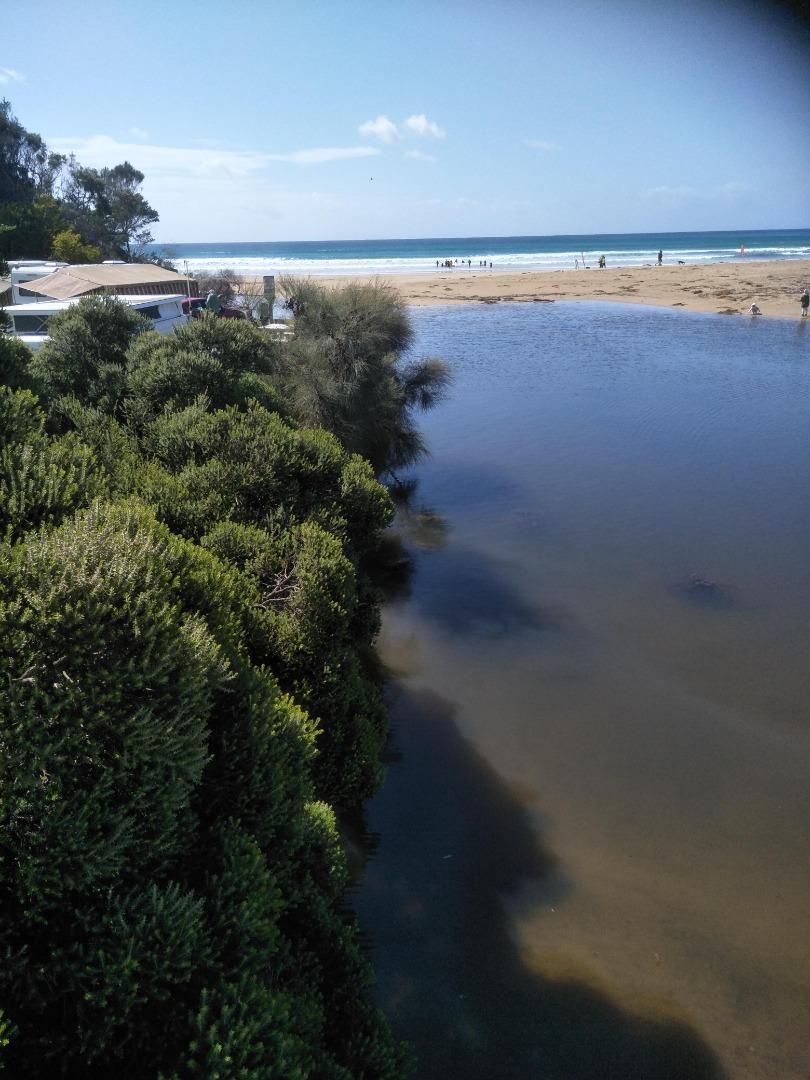
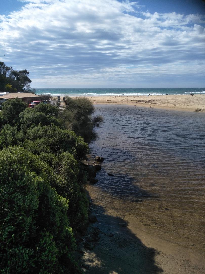
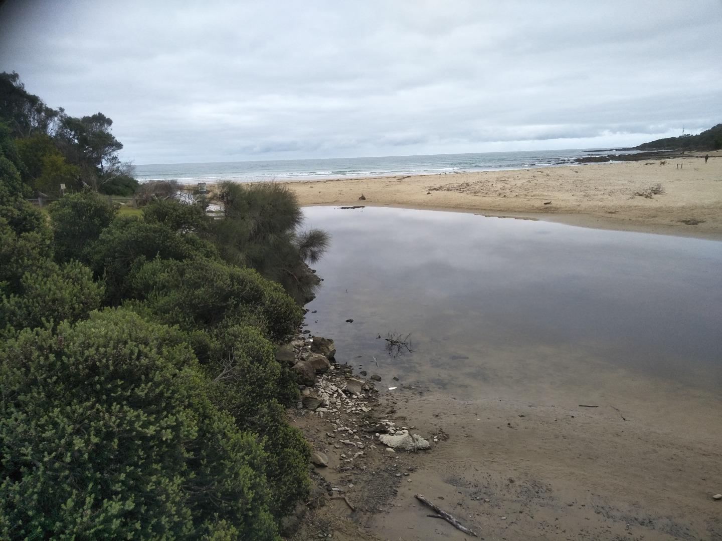
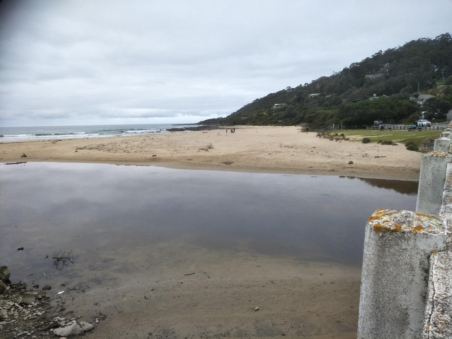
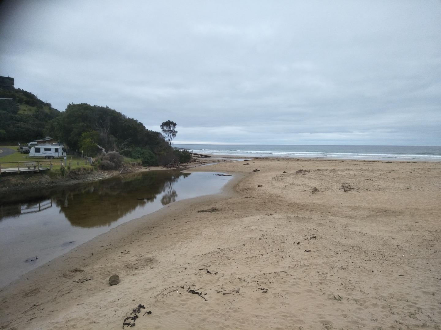
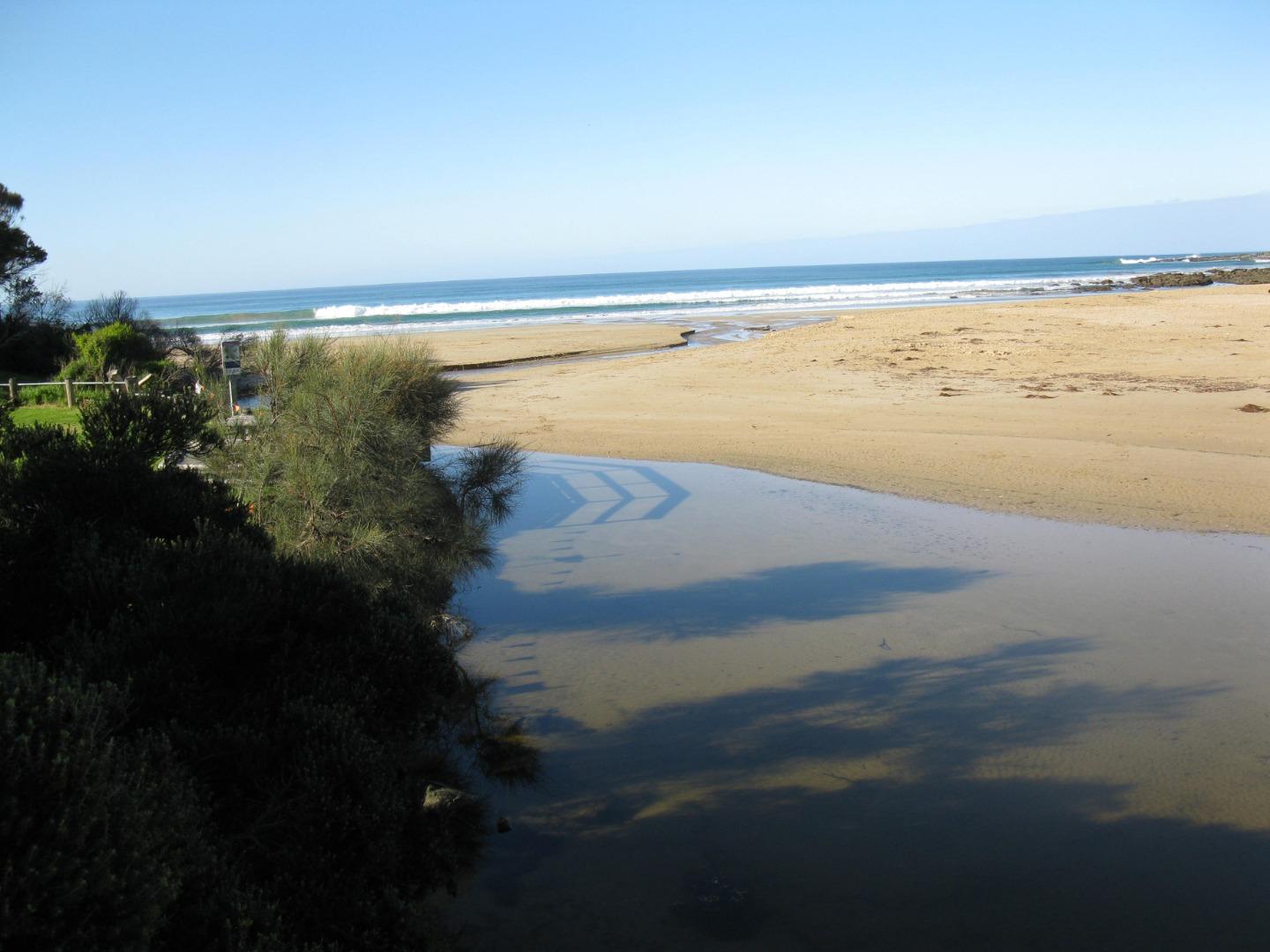
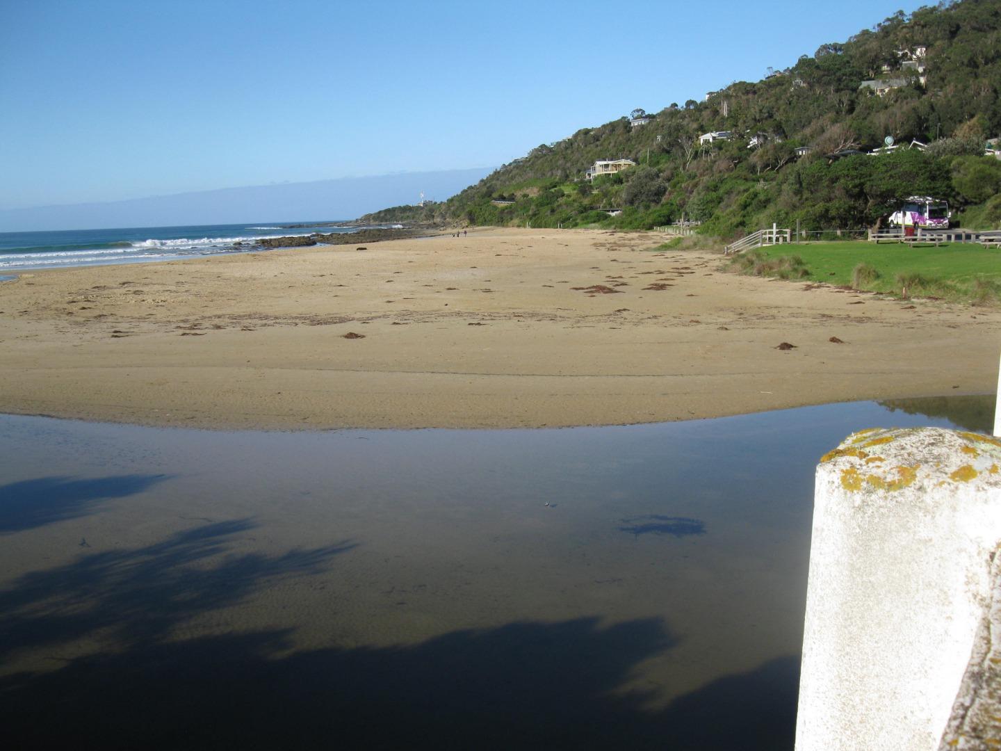
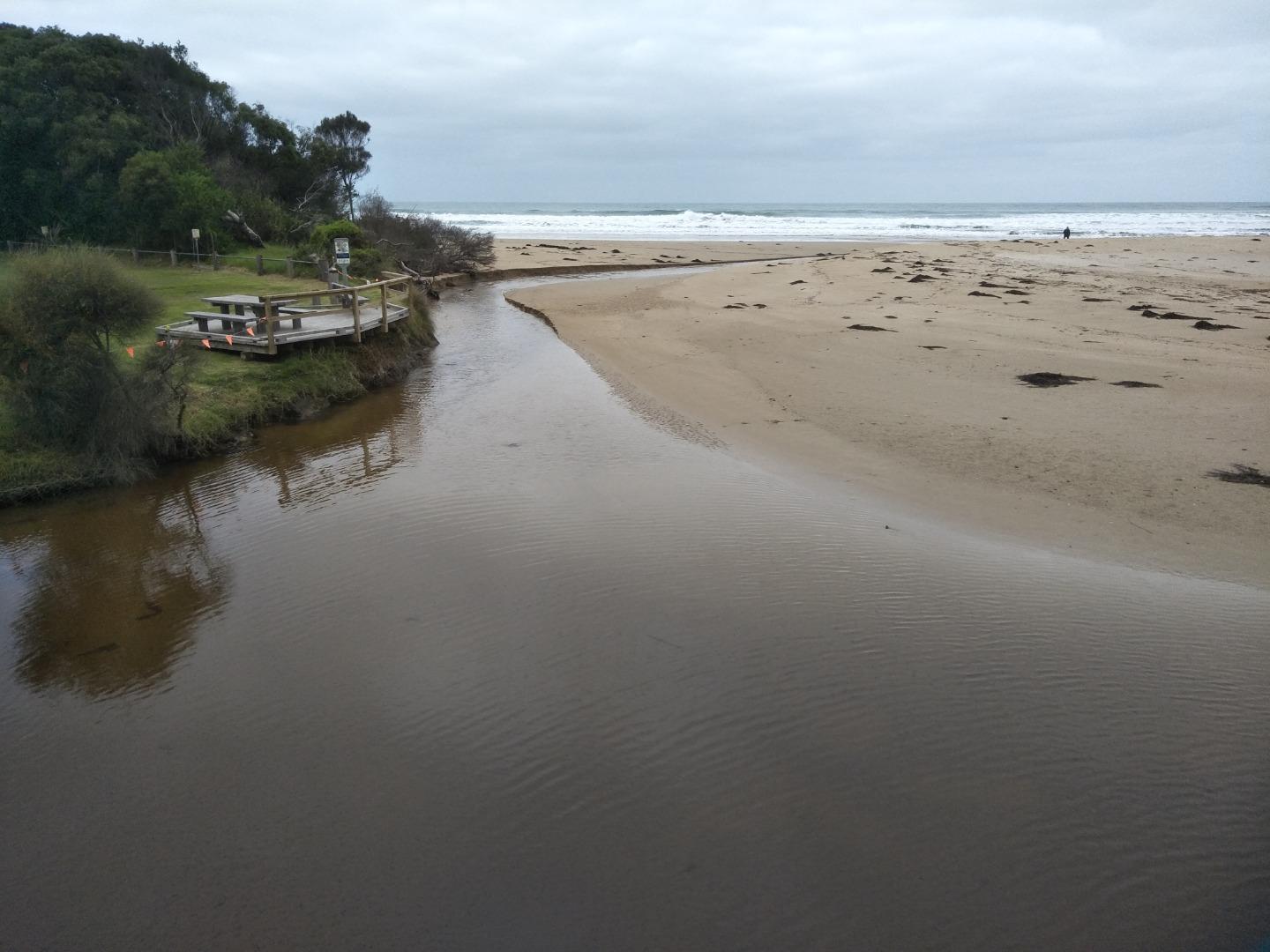
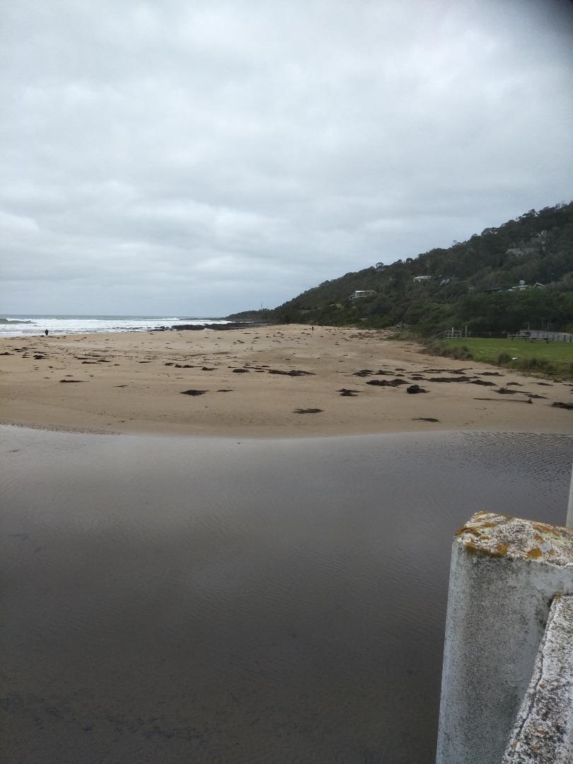
WyMC Wye River Mouth Condition
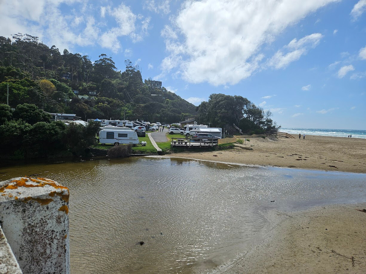
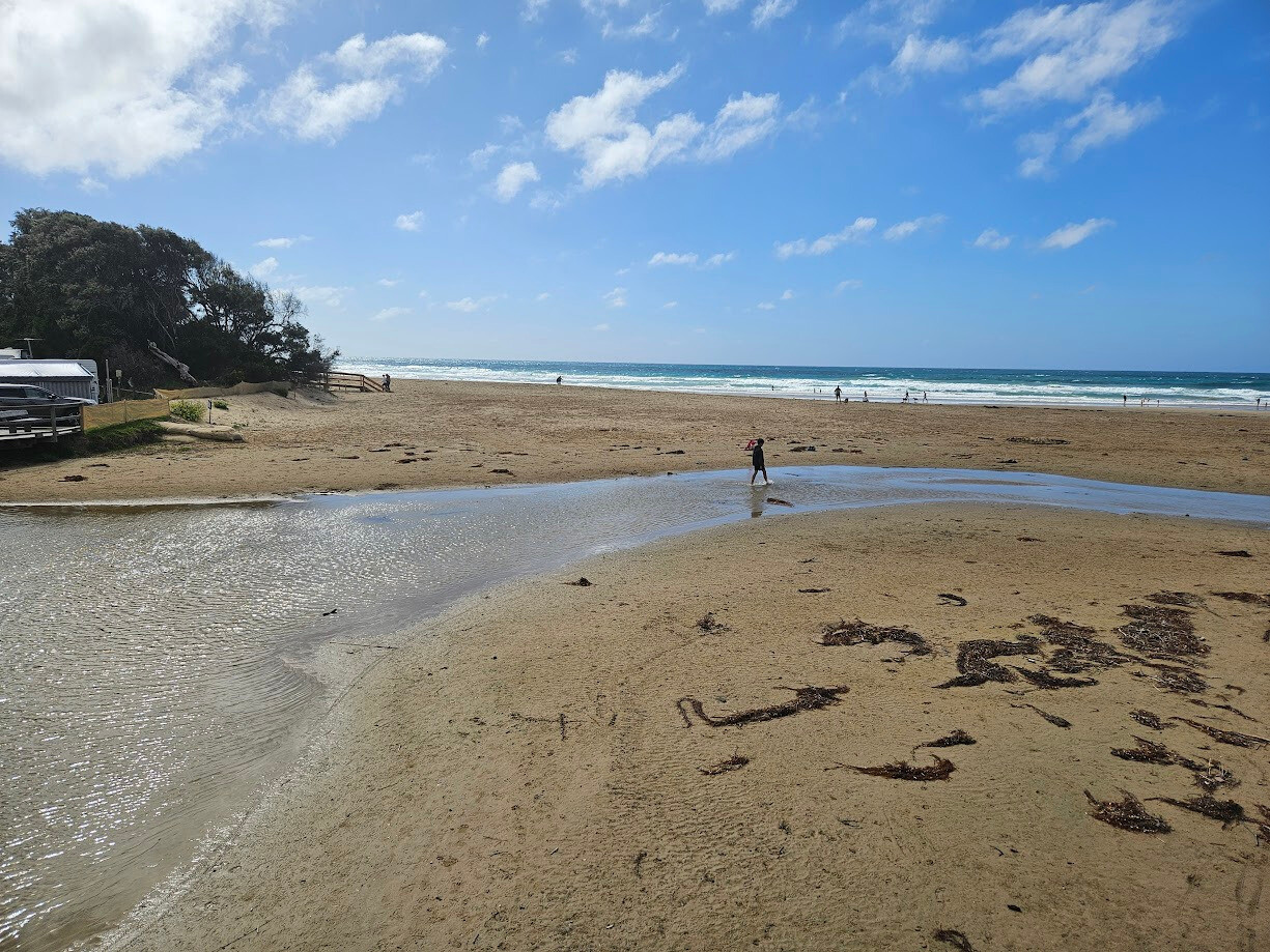
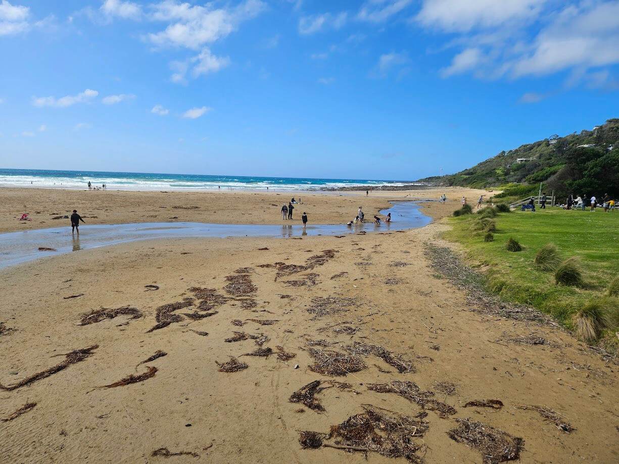
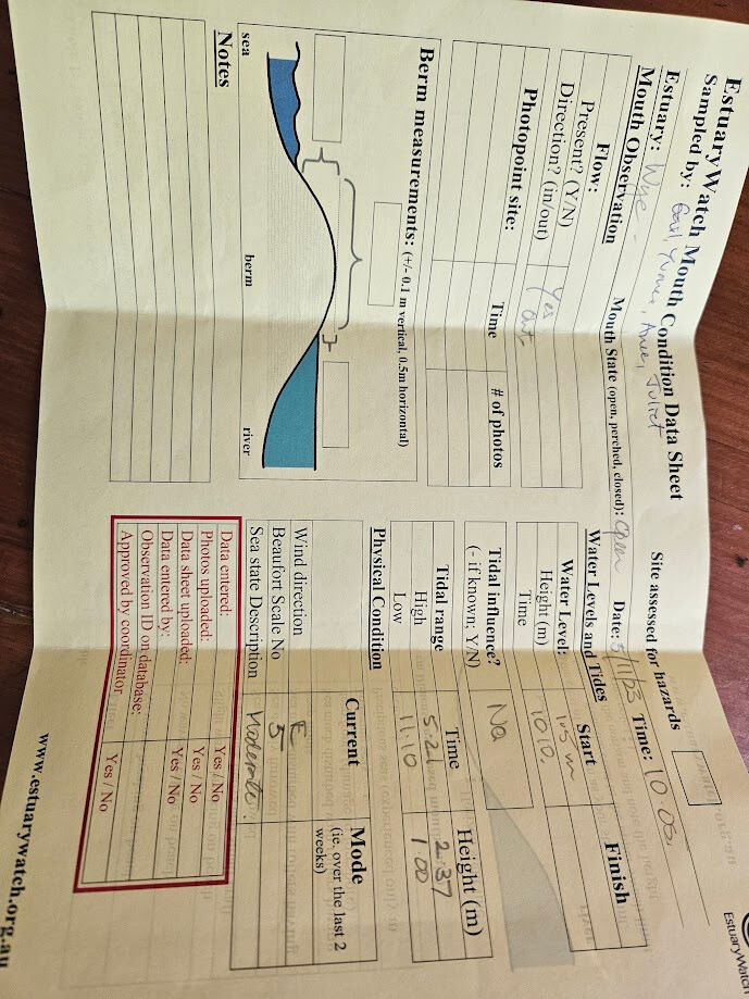
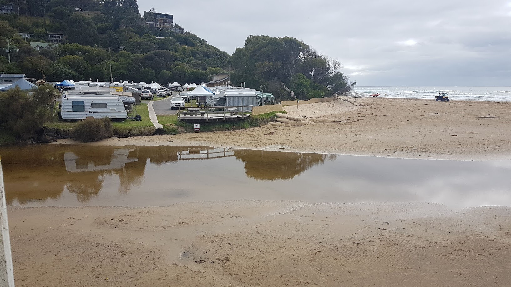
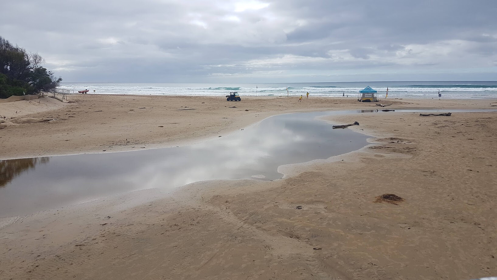
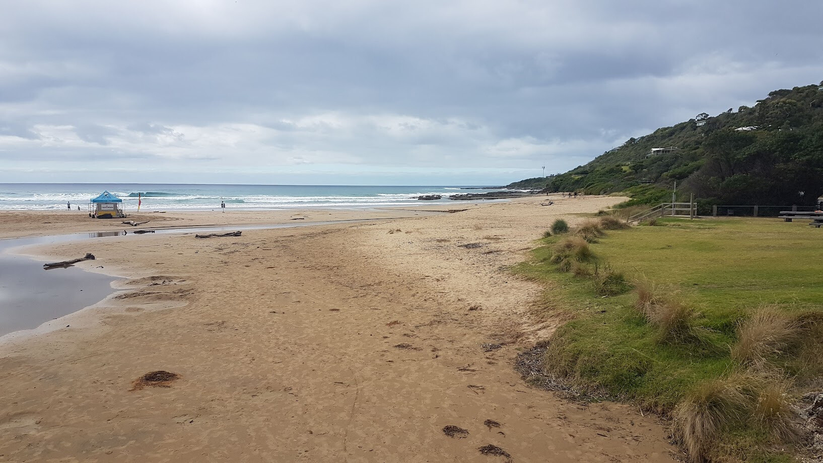
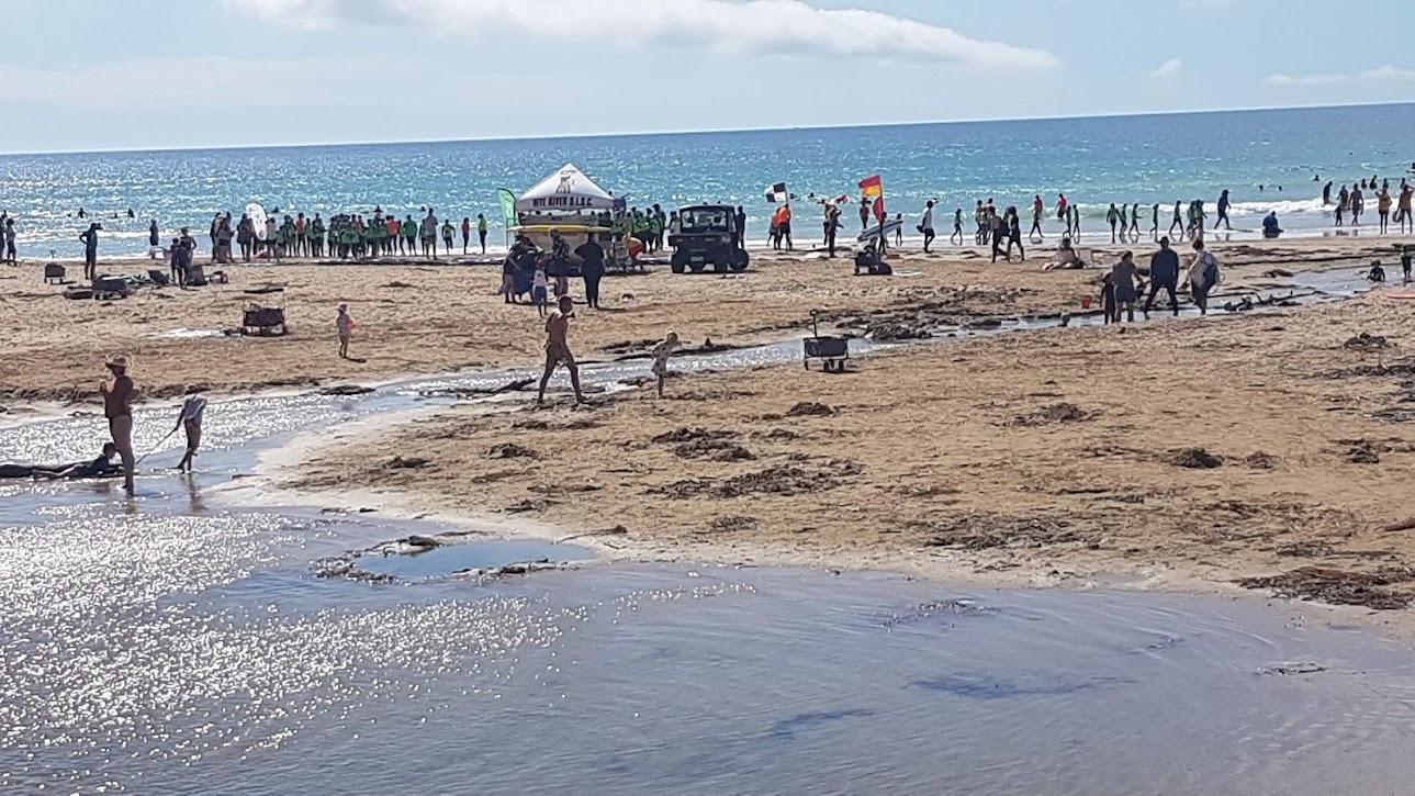
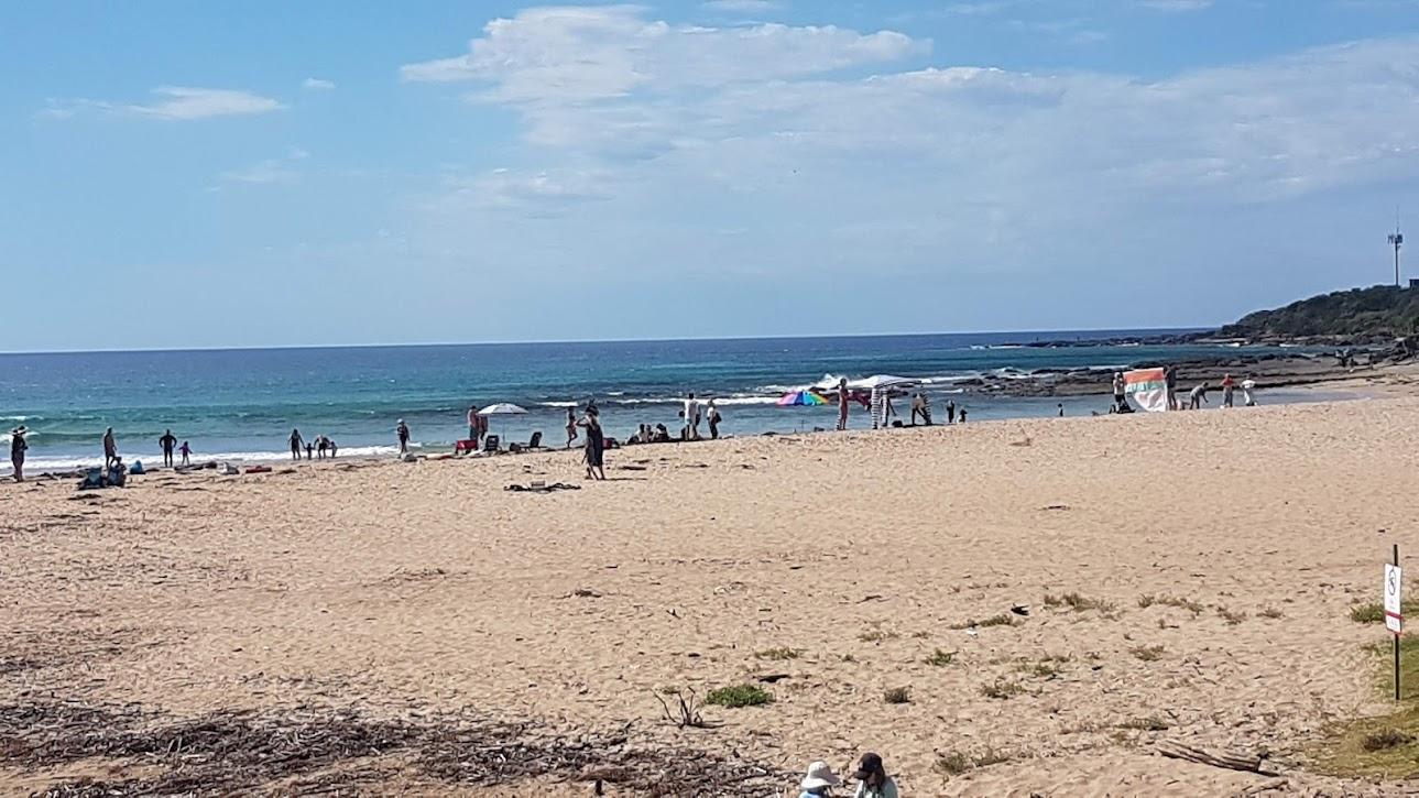
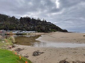
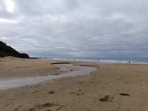
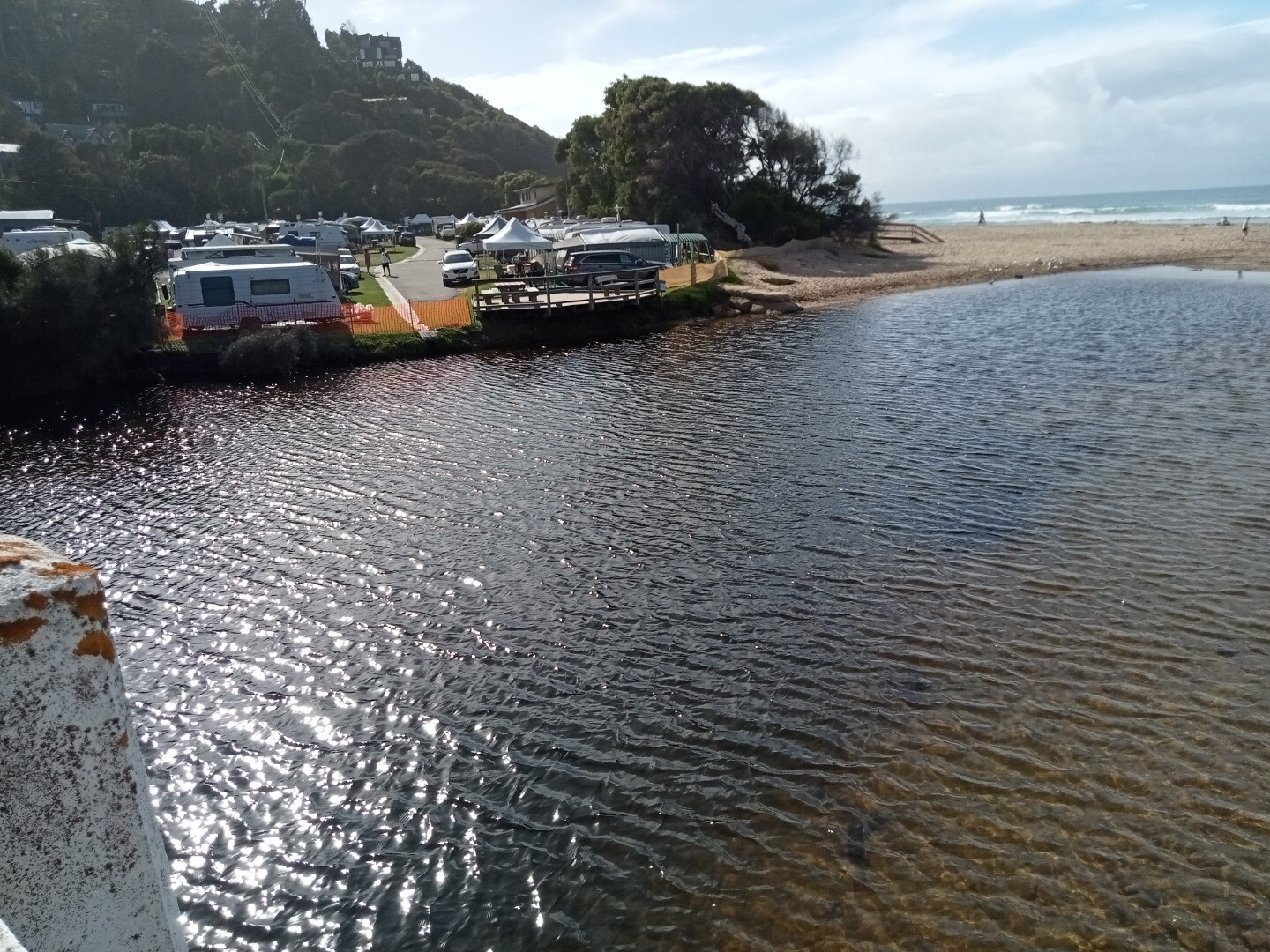
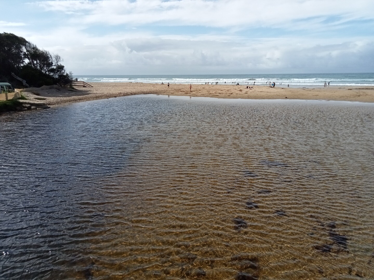
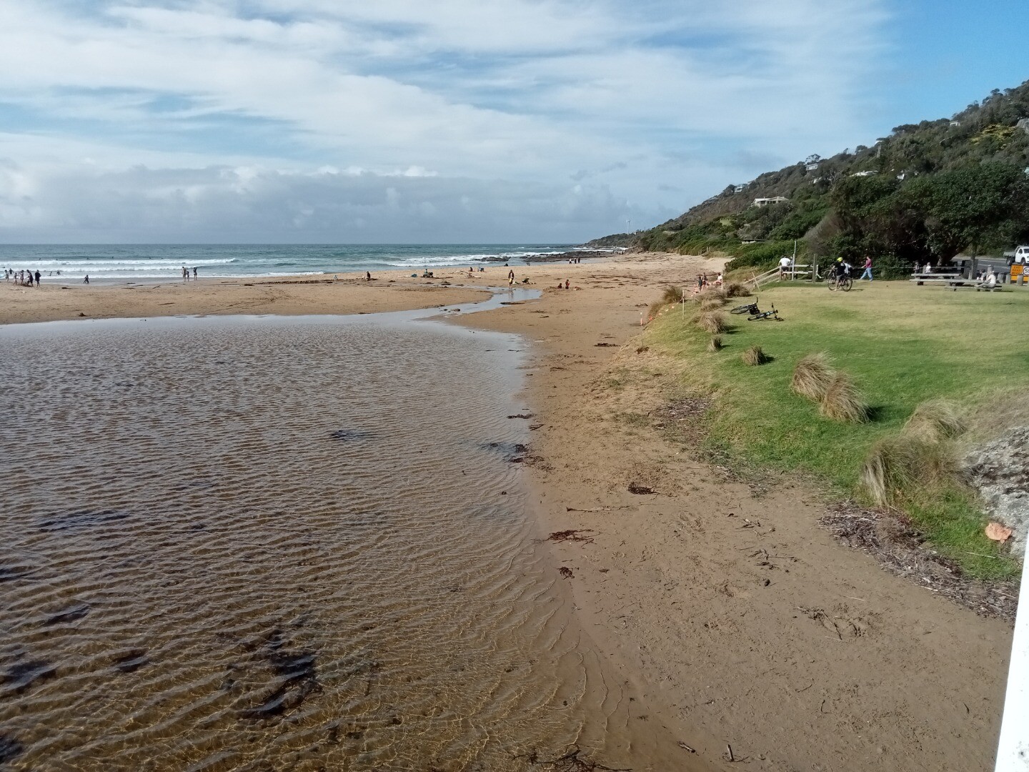
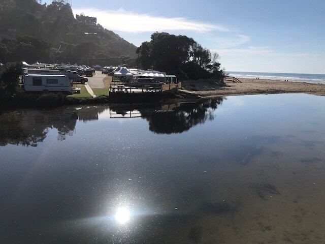
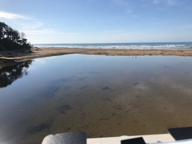
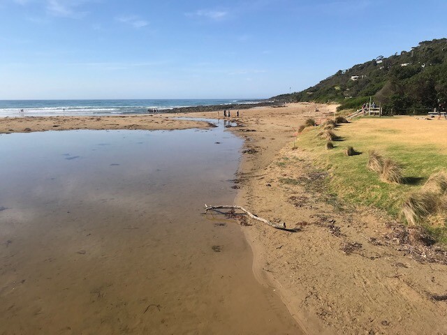
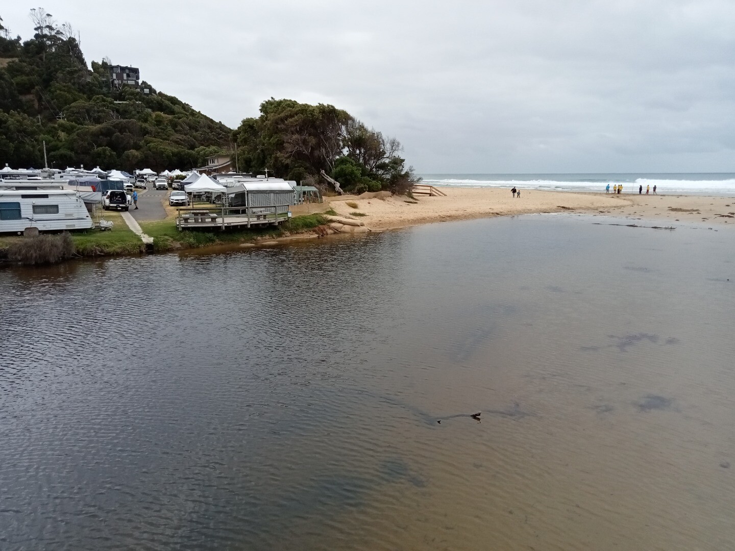
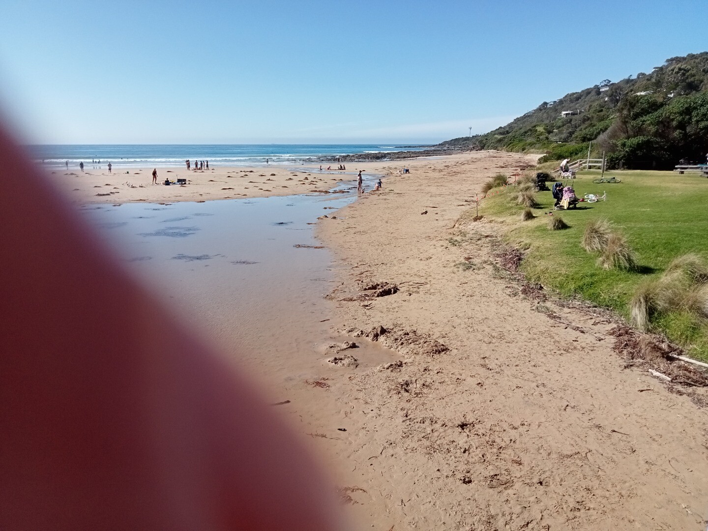
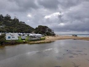
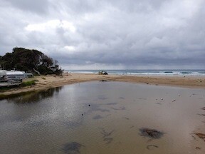
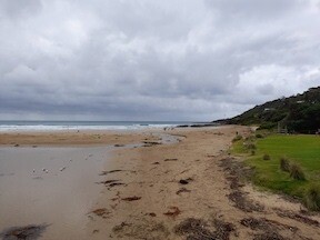
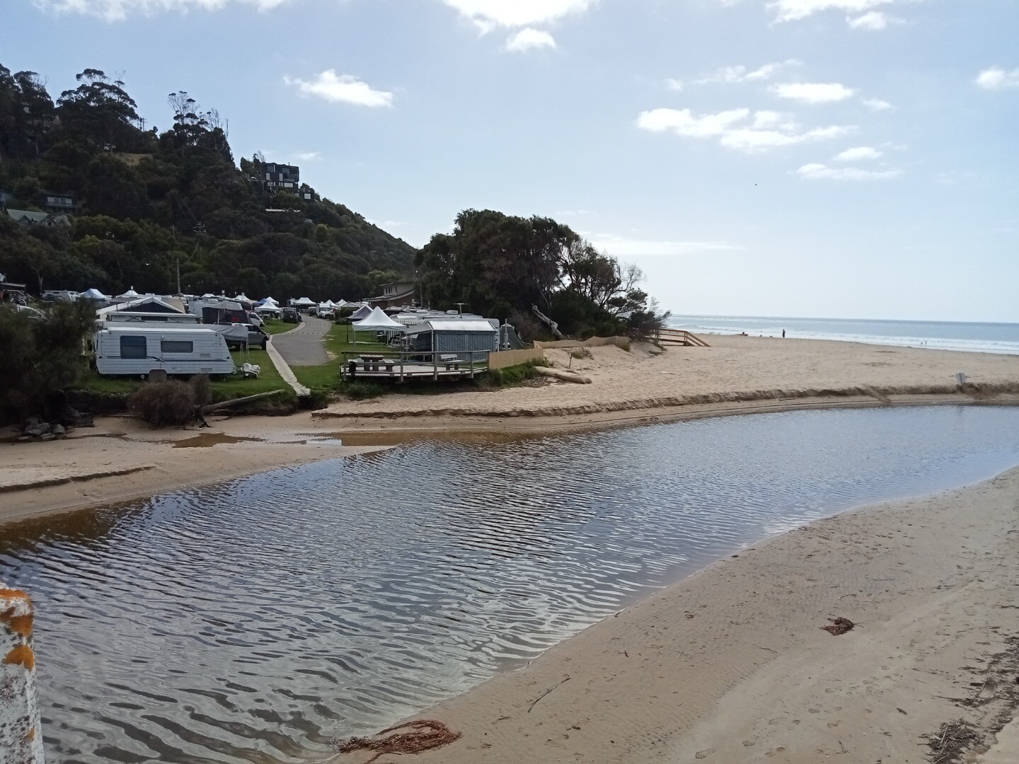
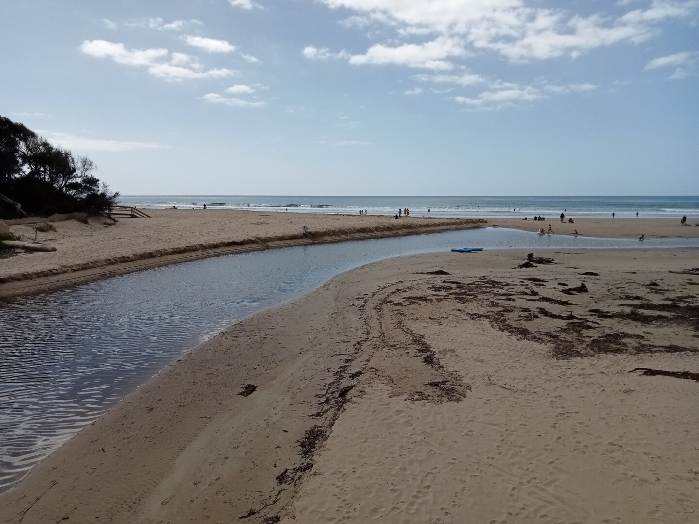
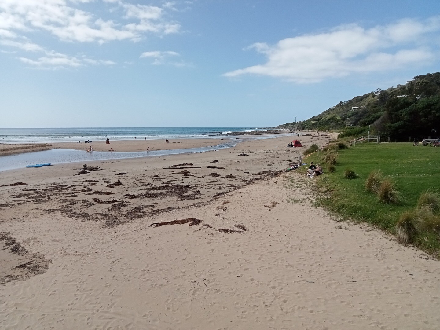
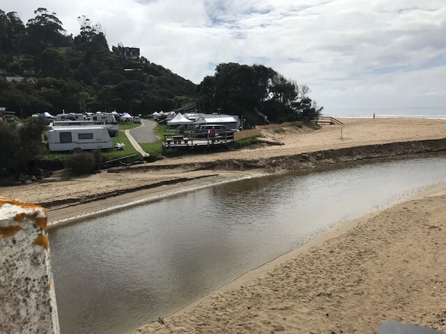
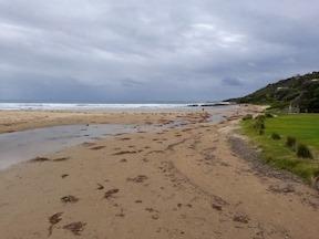
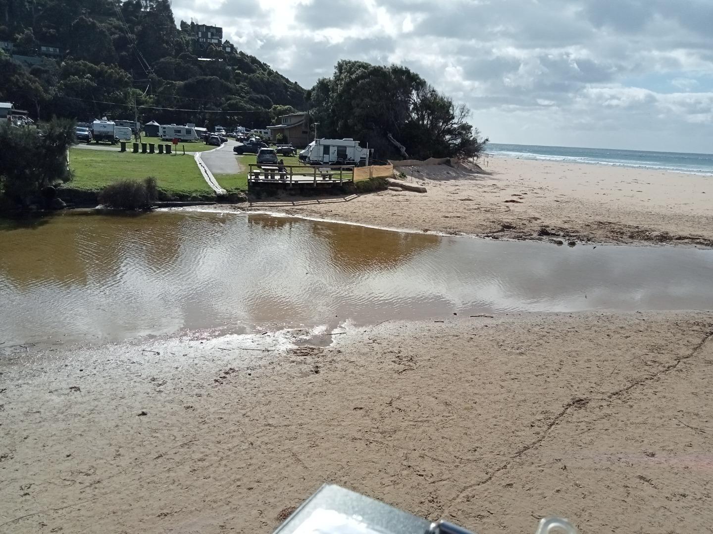
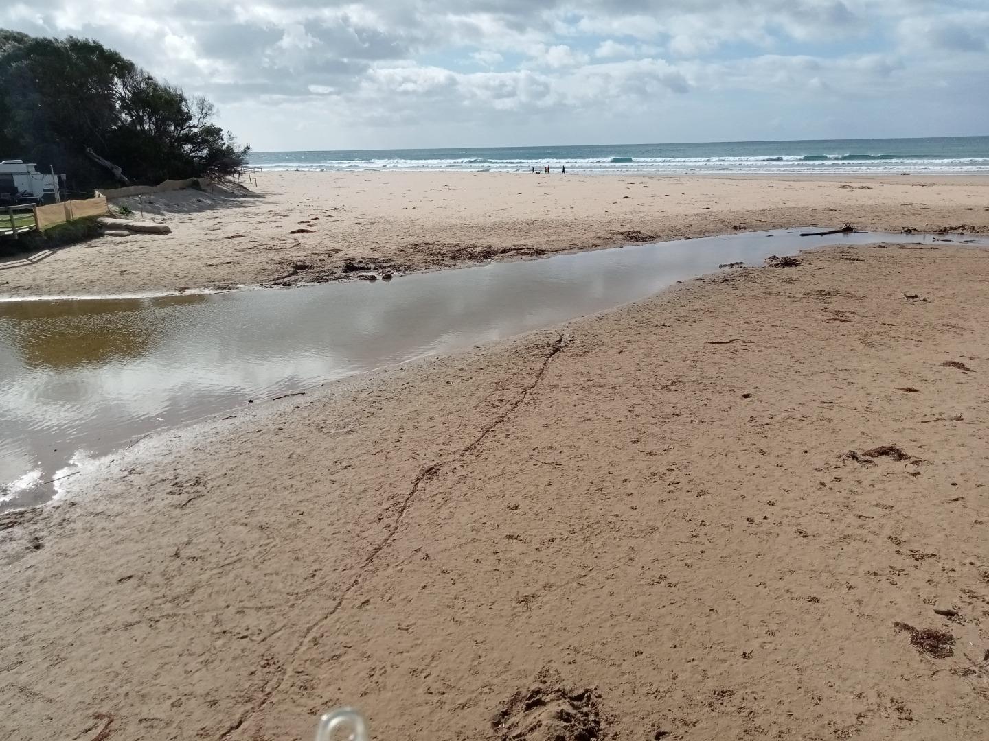
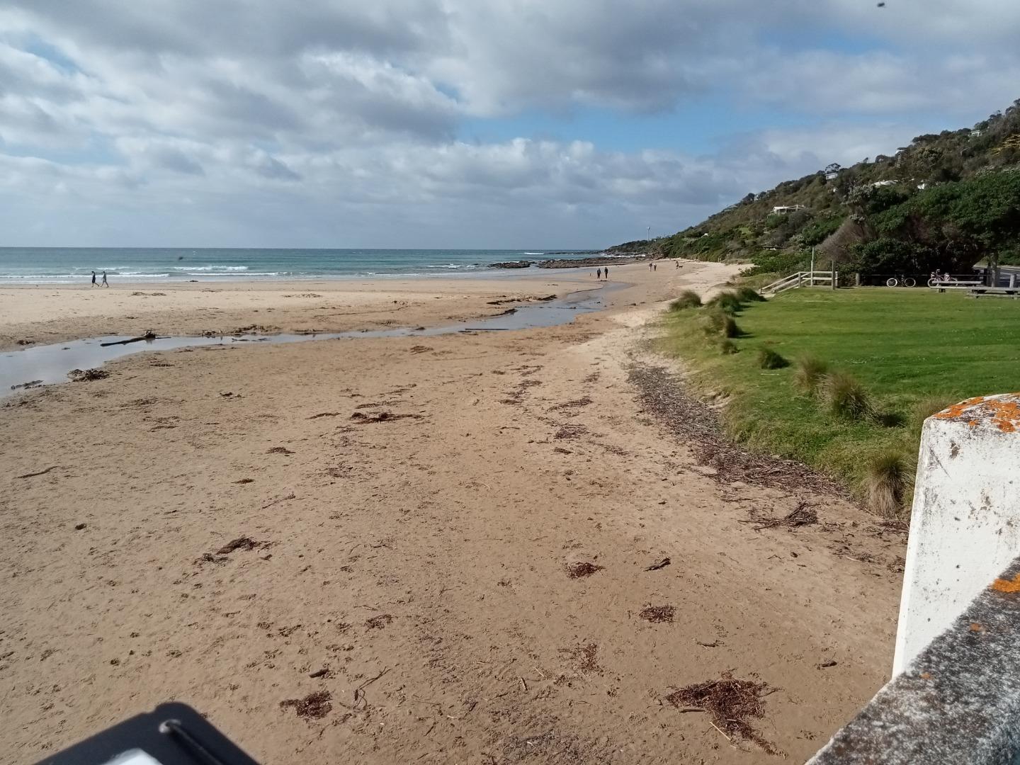
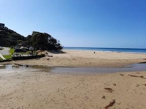
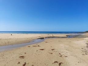
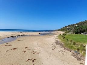
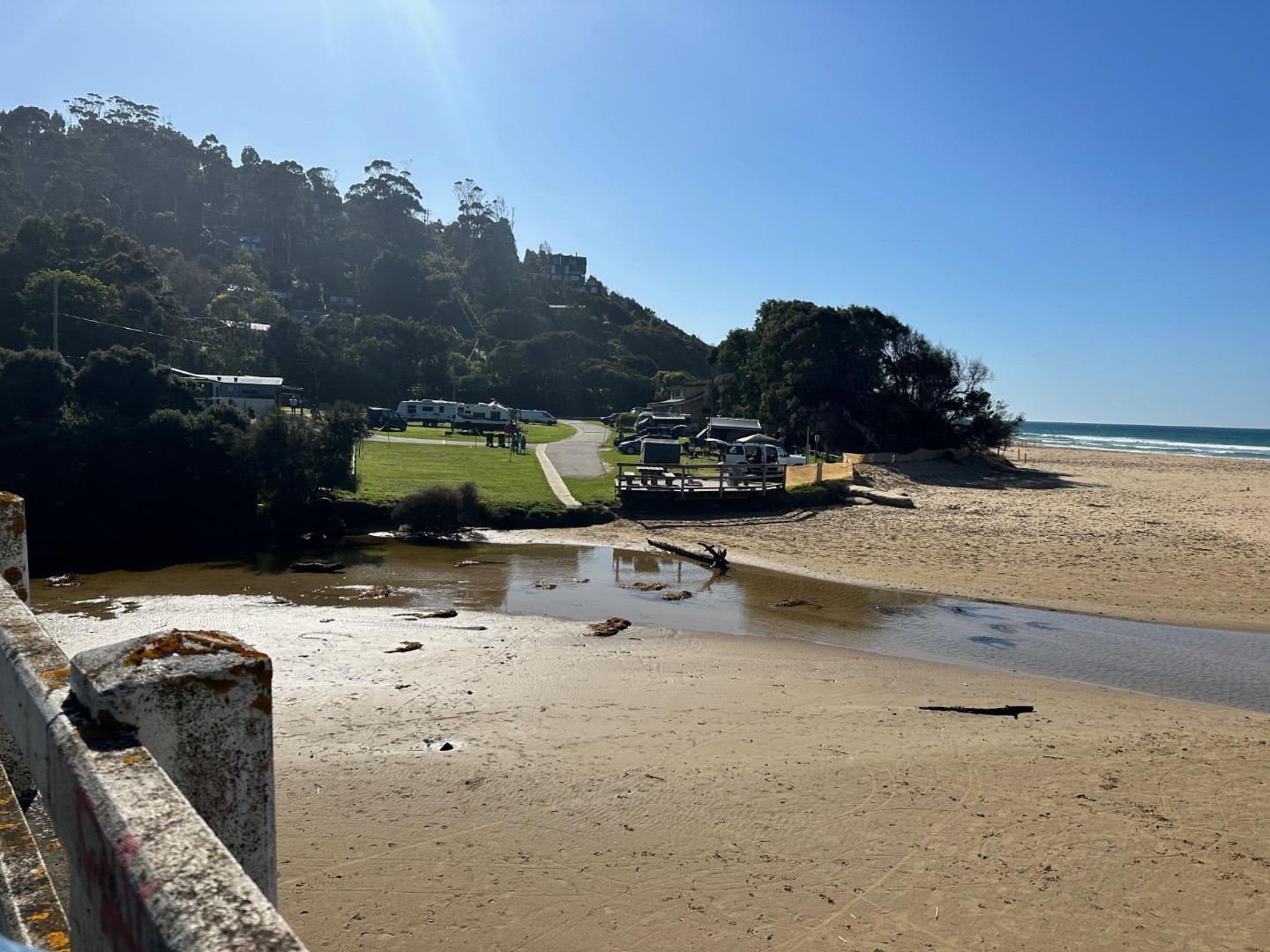
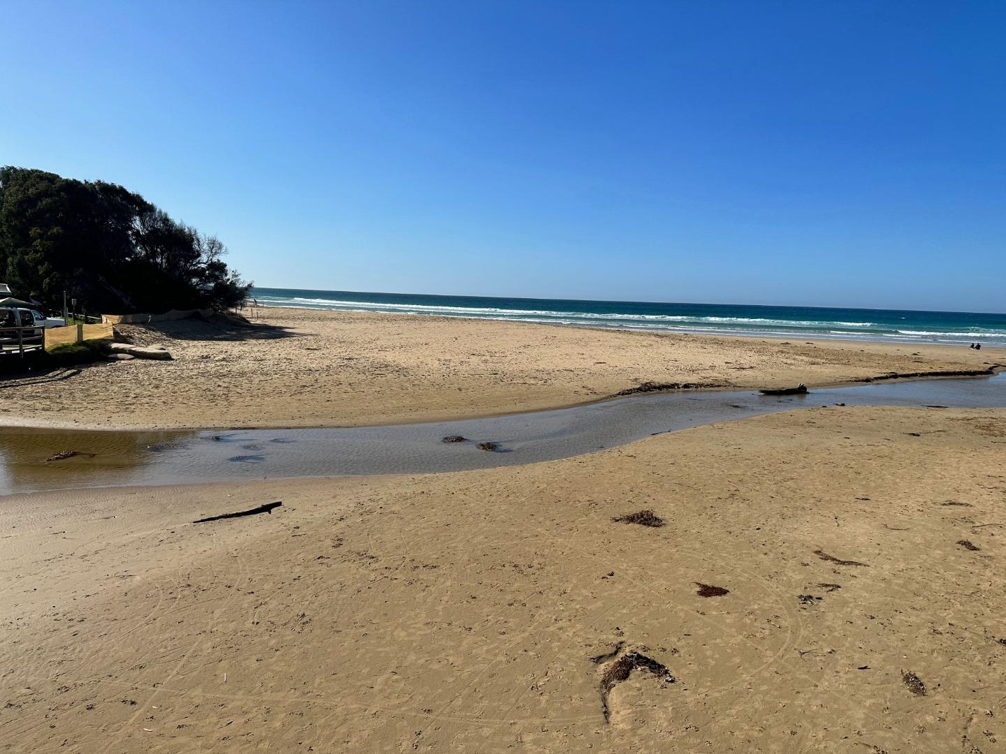
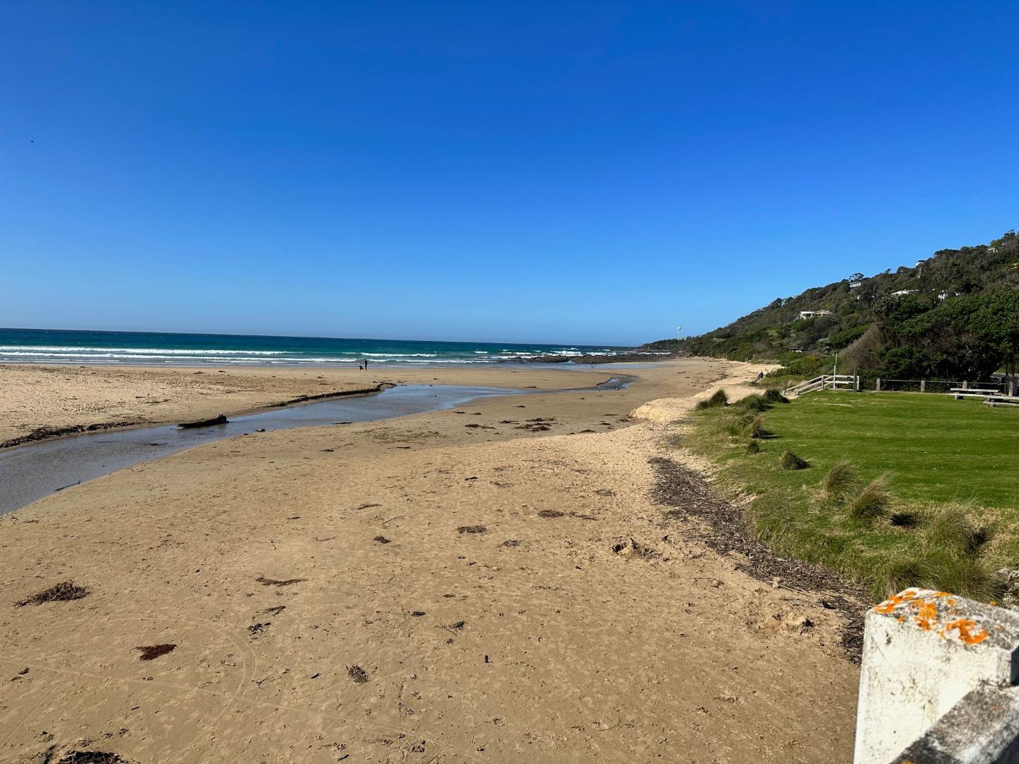
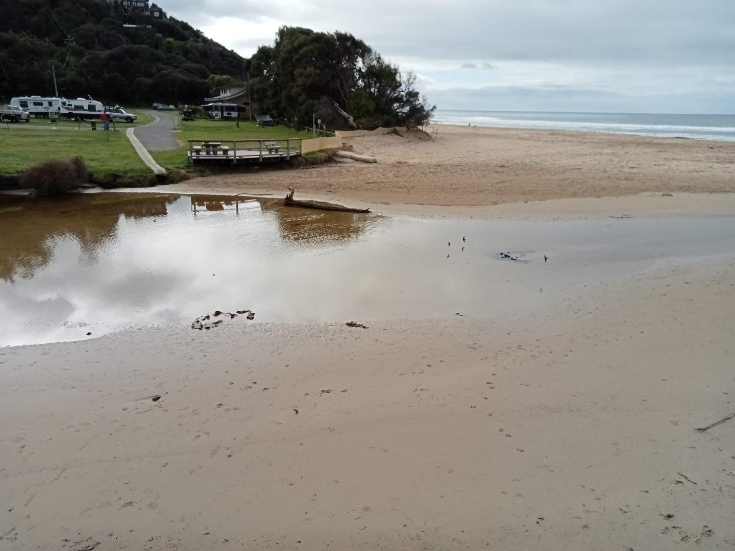
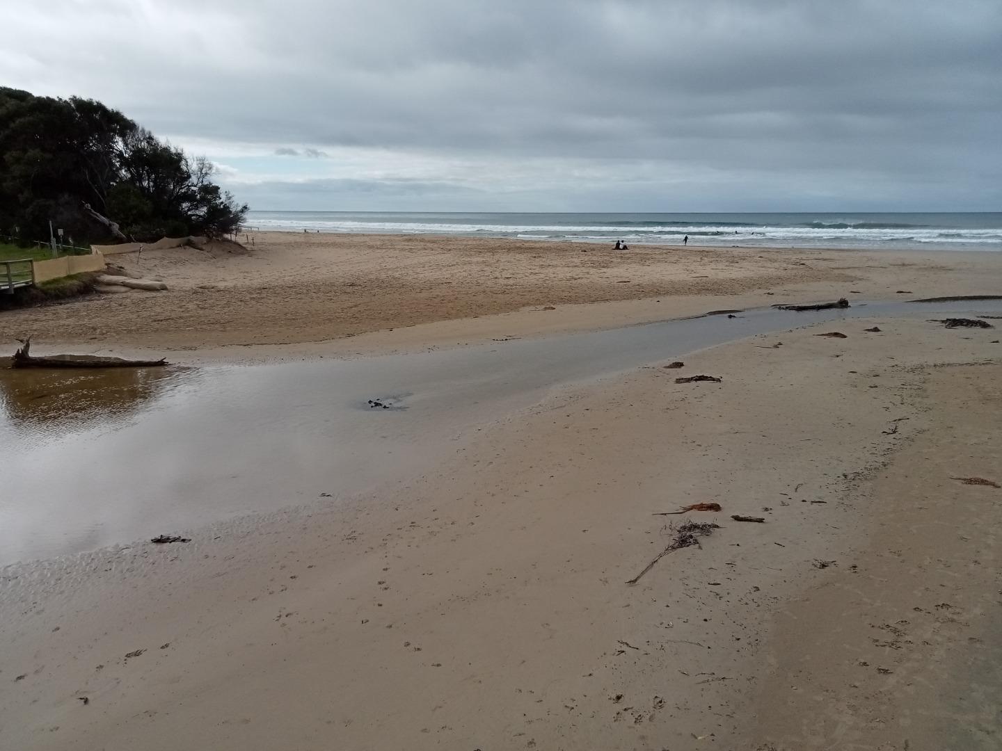
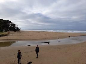
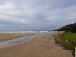
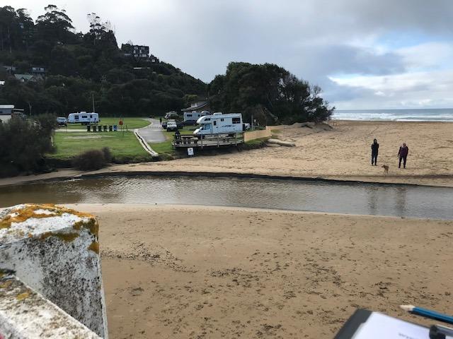
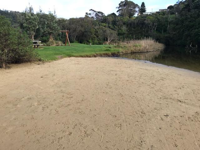
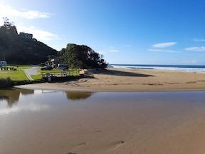
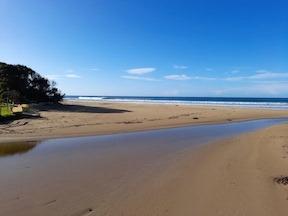
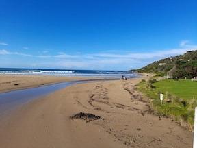
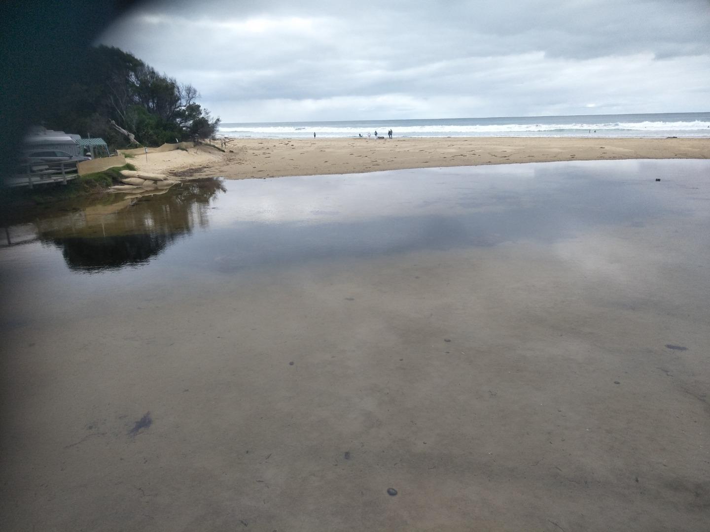
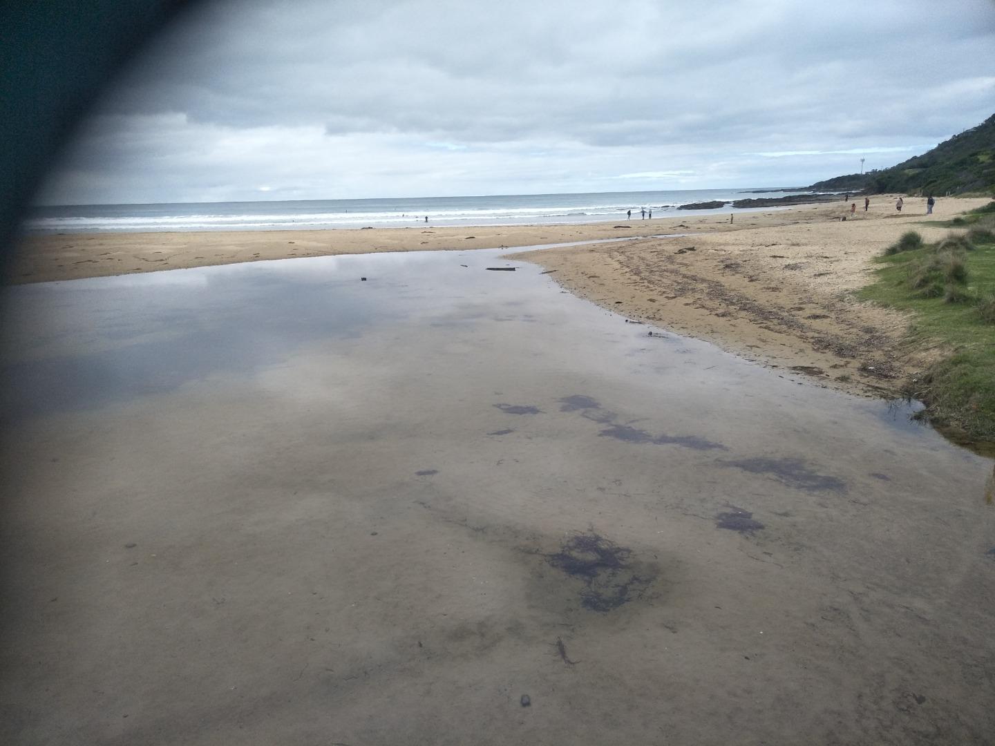
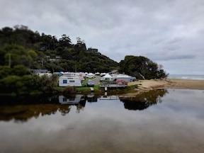
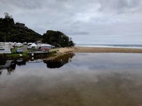
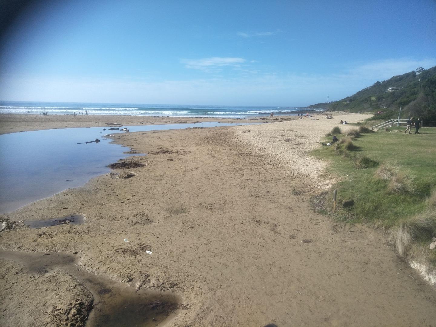
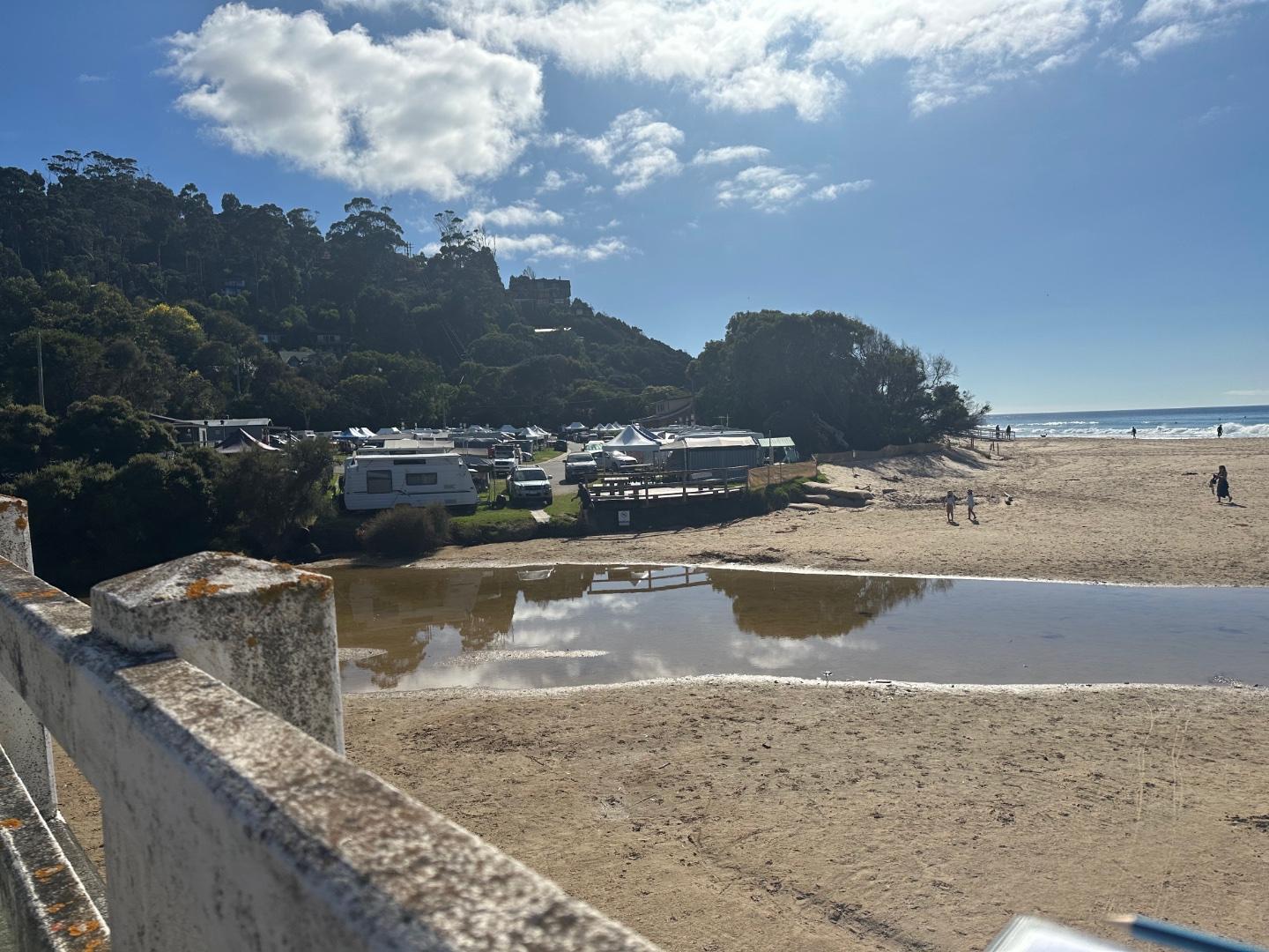
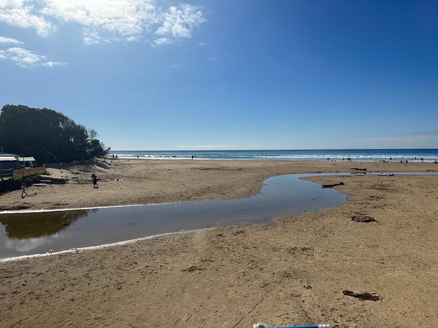
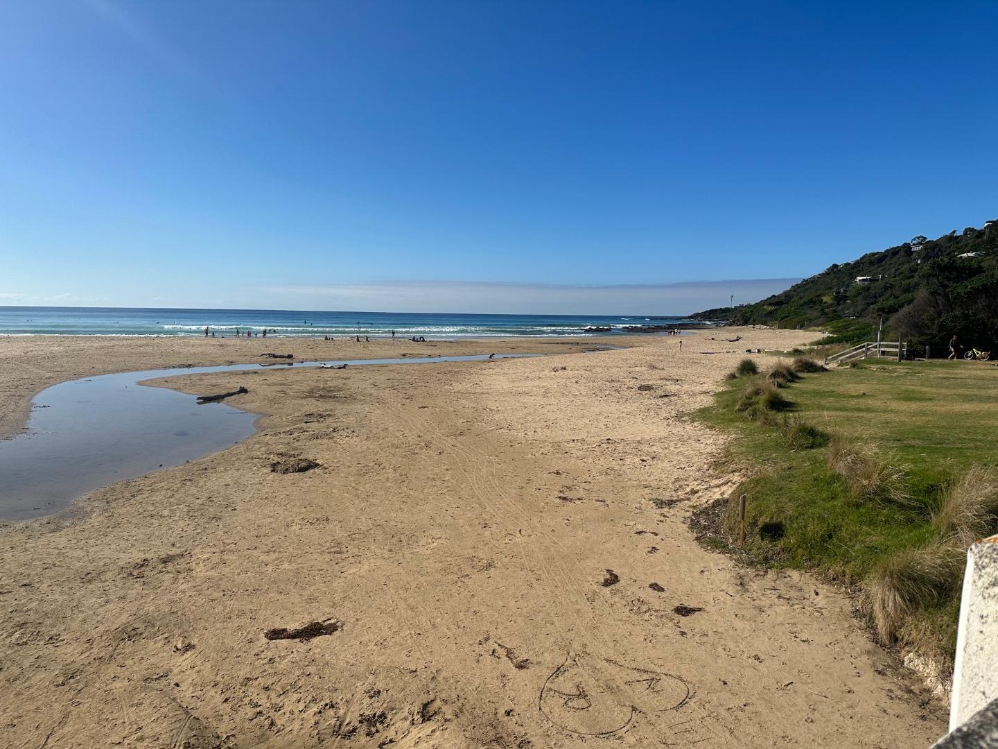
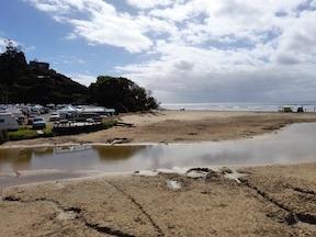
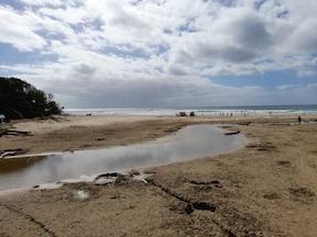
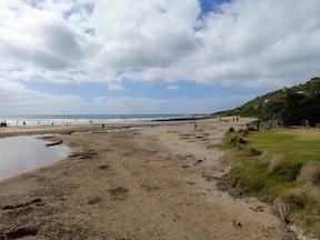
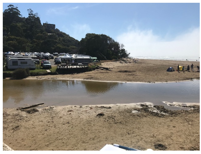
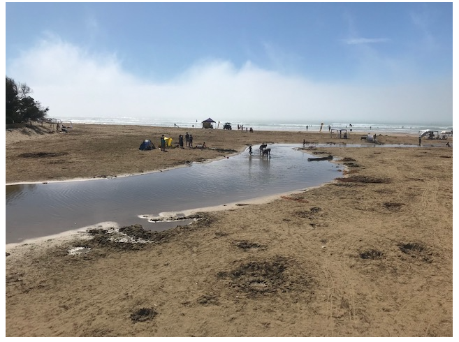
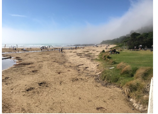
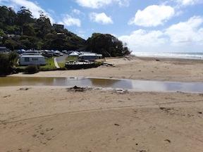
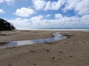
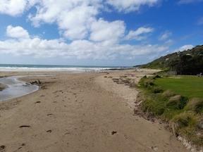
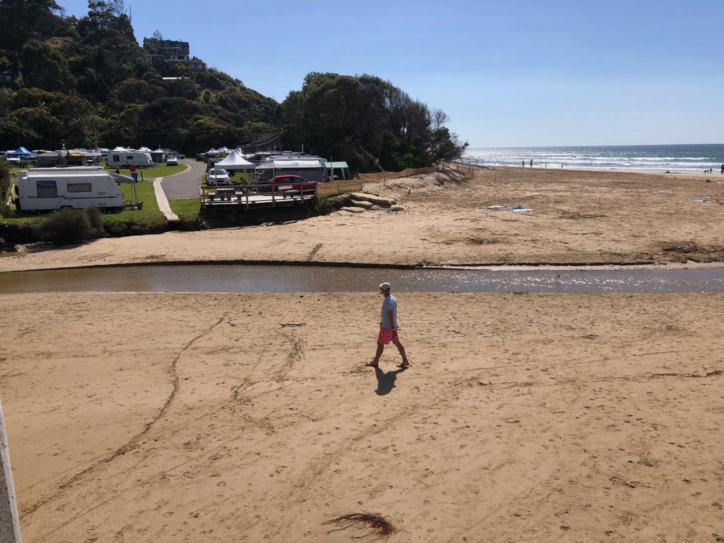
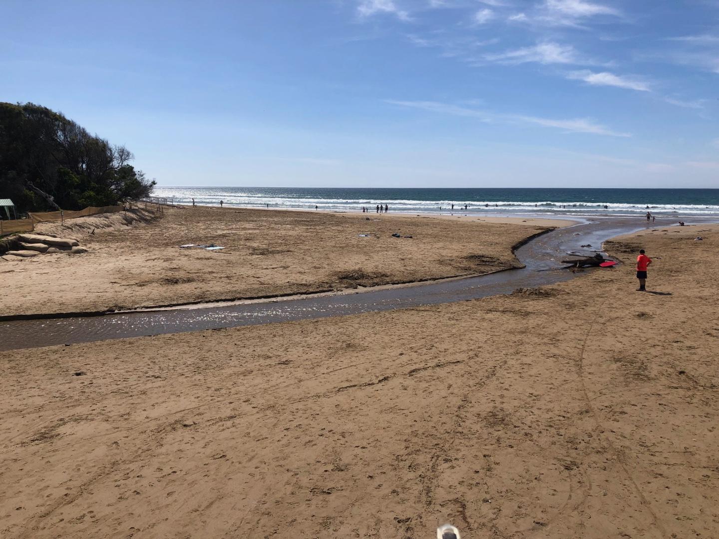
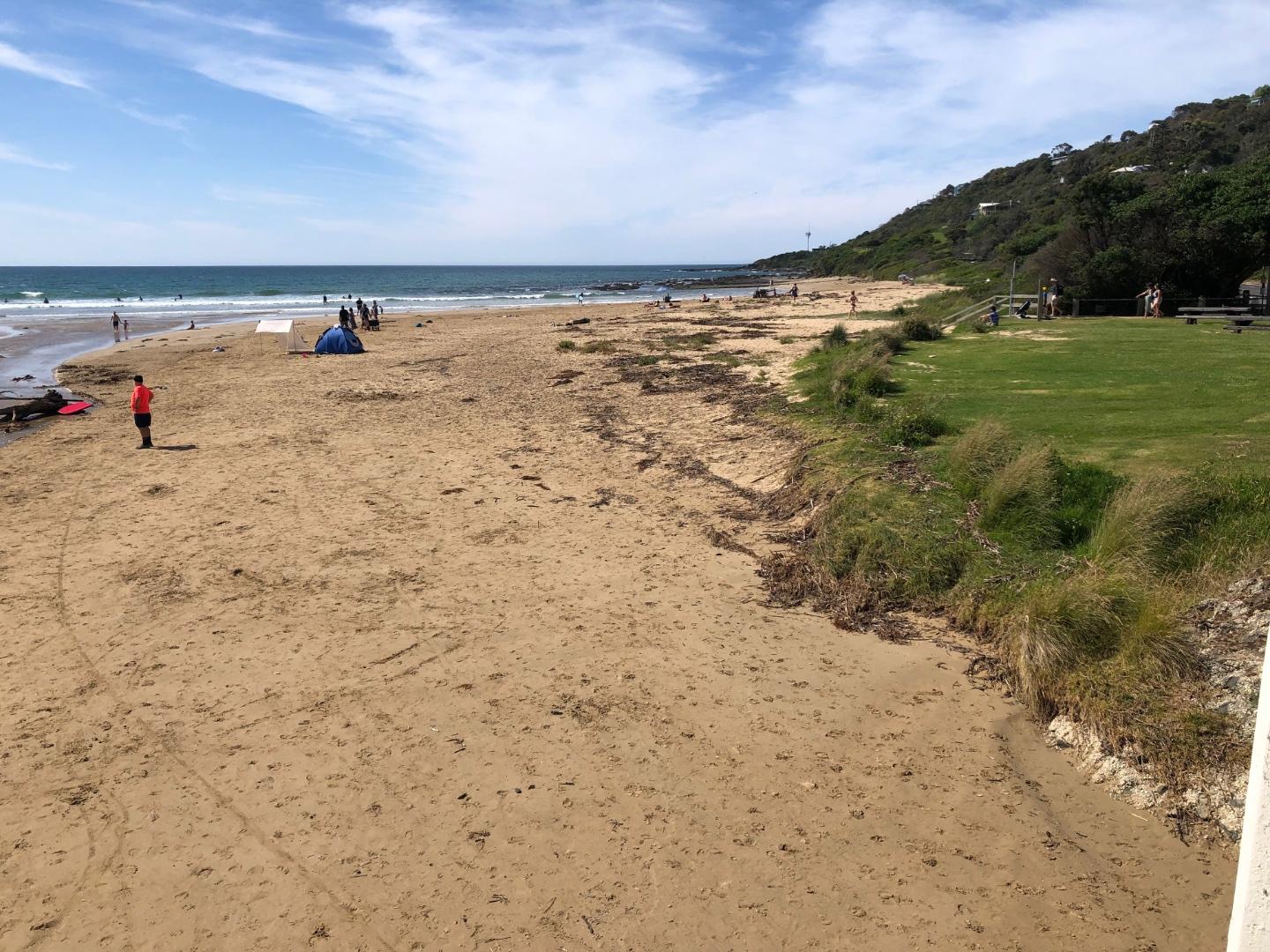
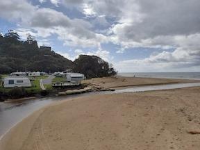
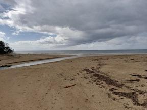
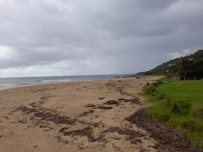
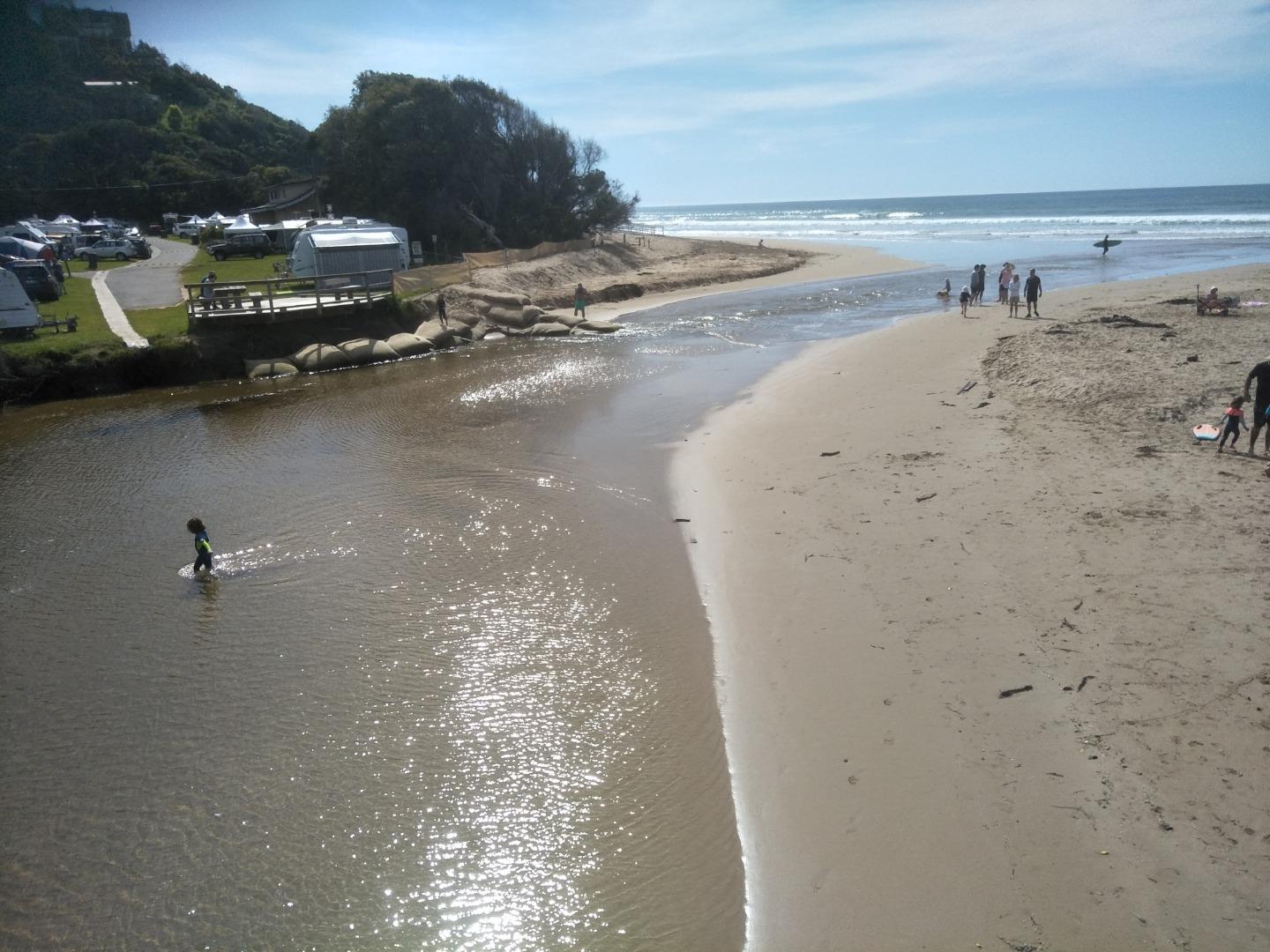
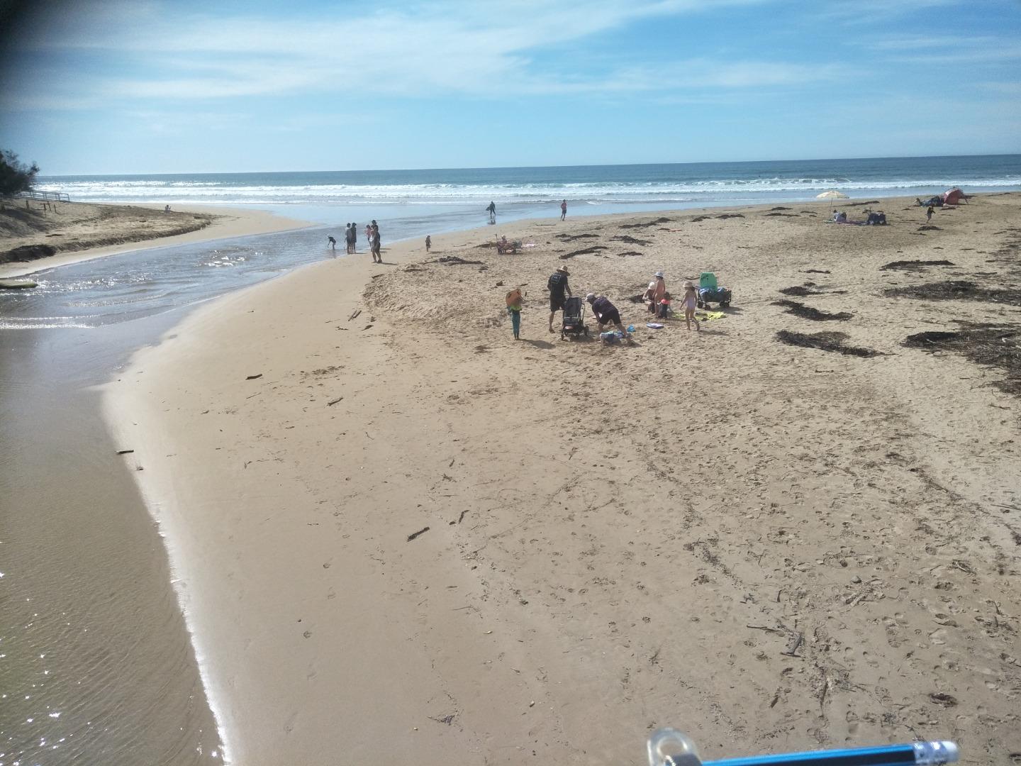
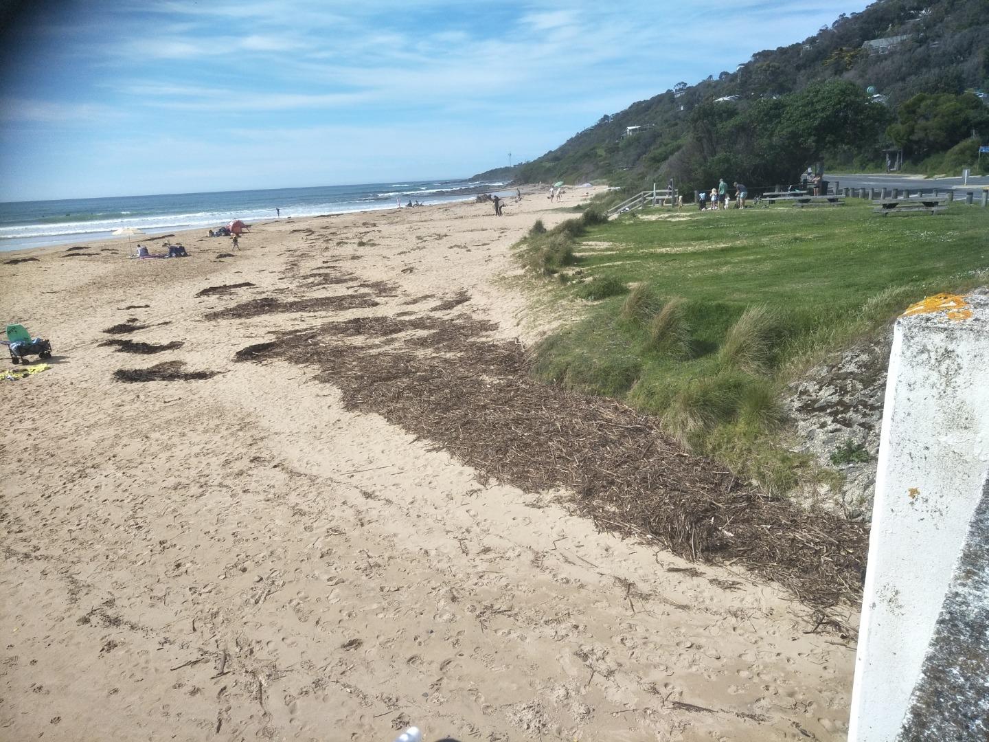
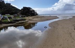
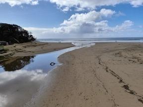
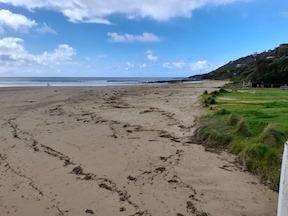
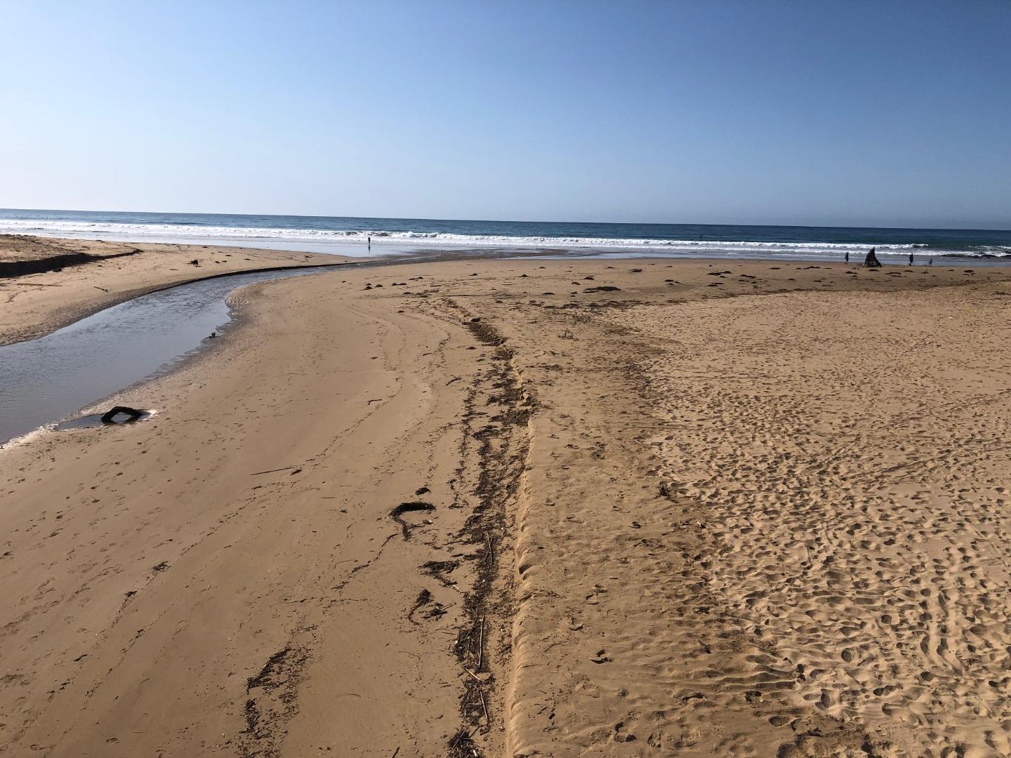
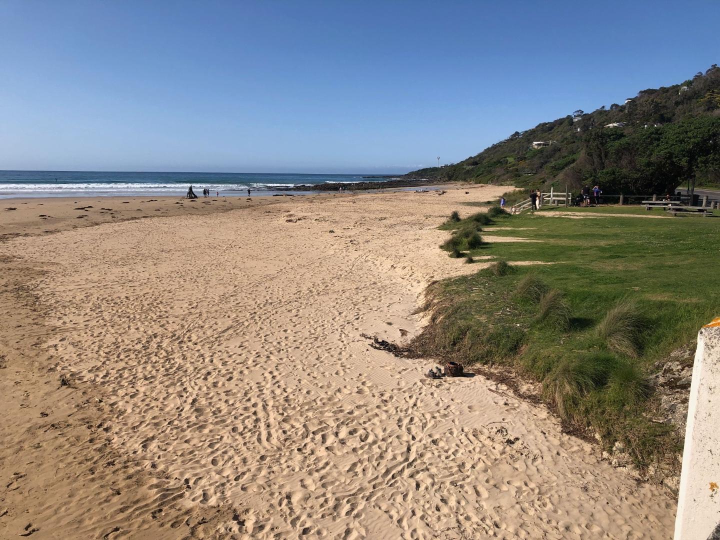
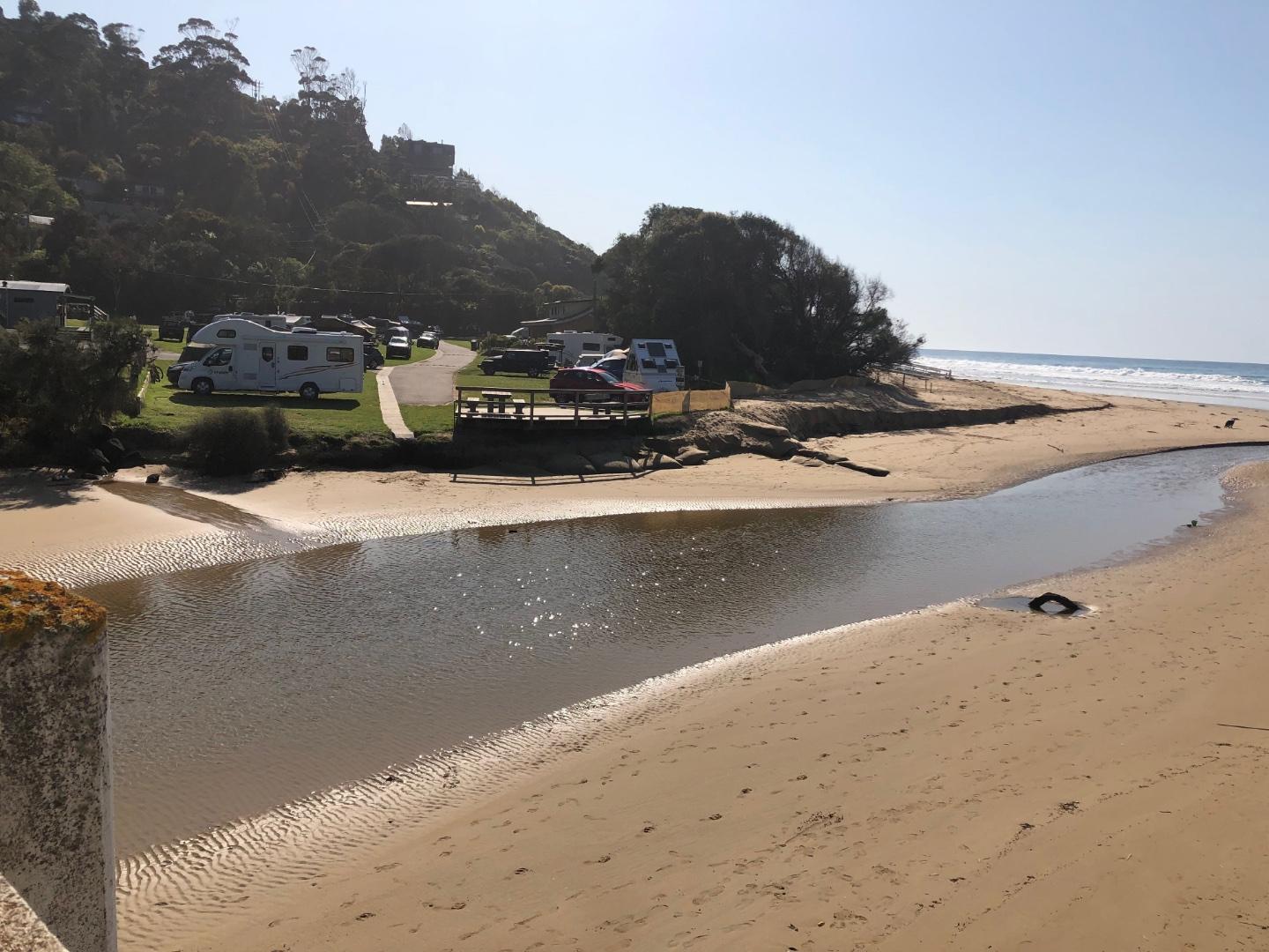
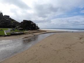
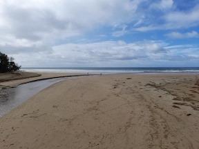
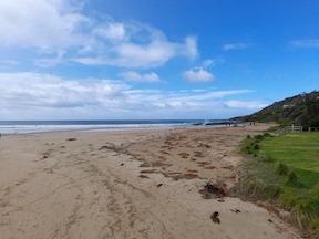
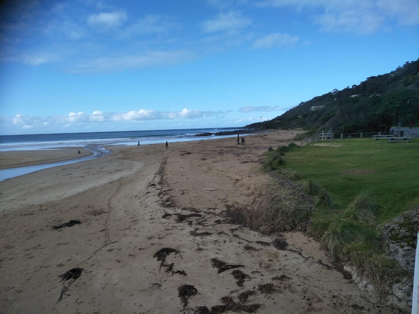
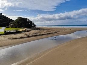
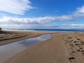
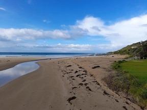
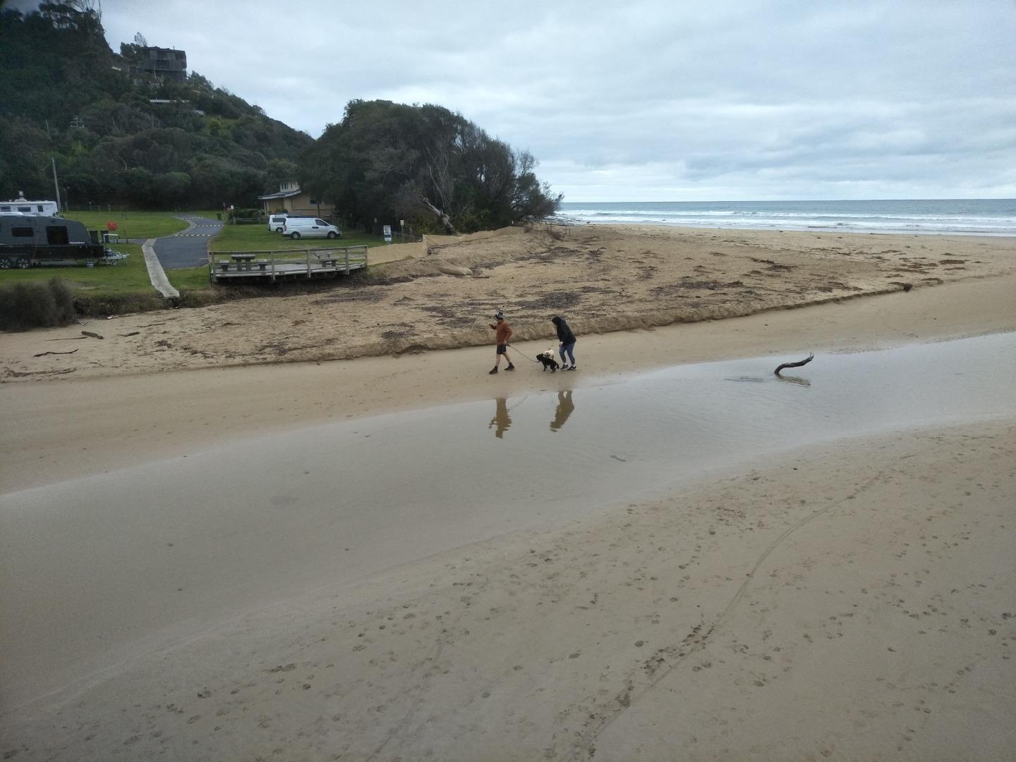
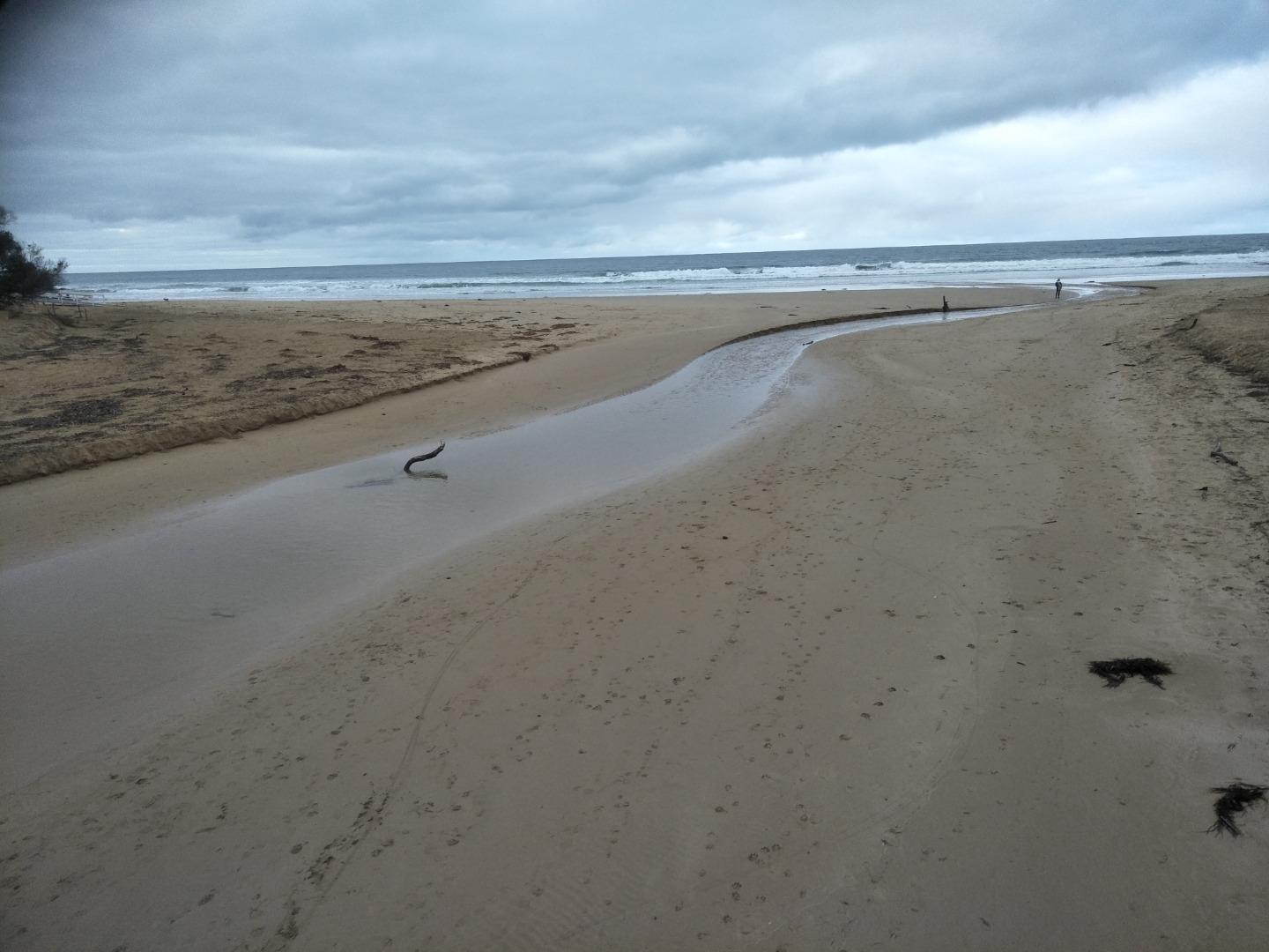
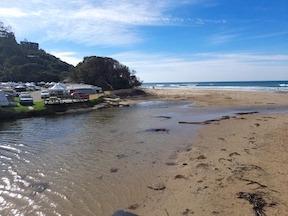
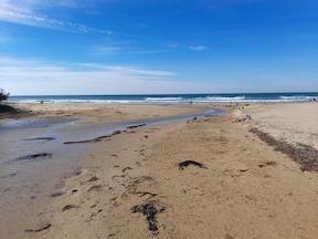
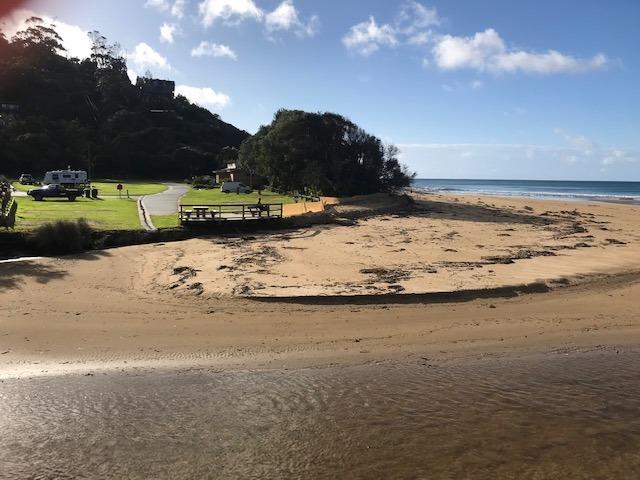
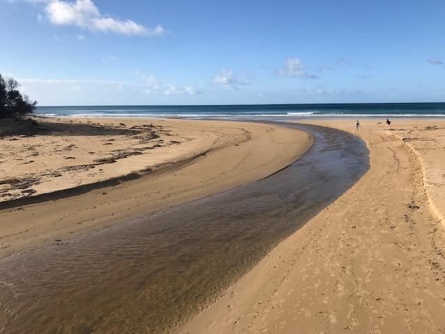
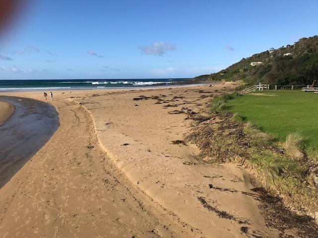
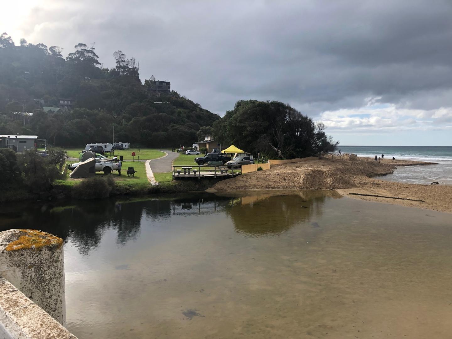
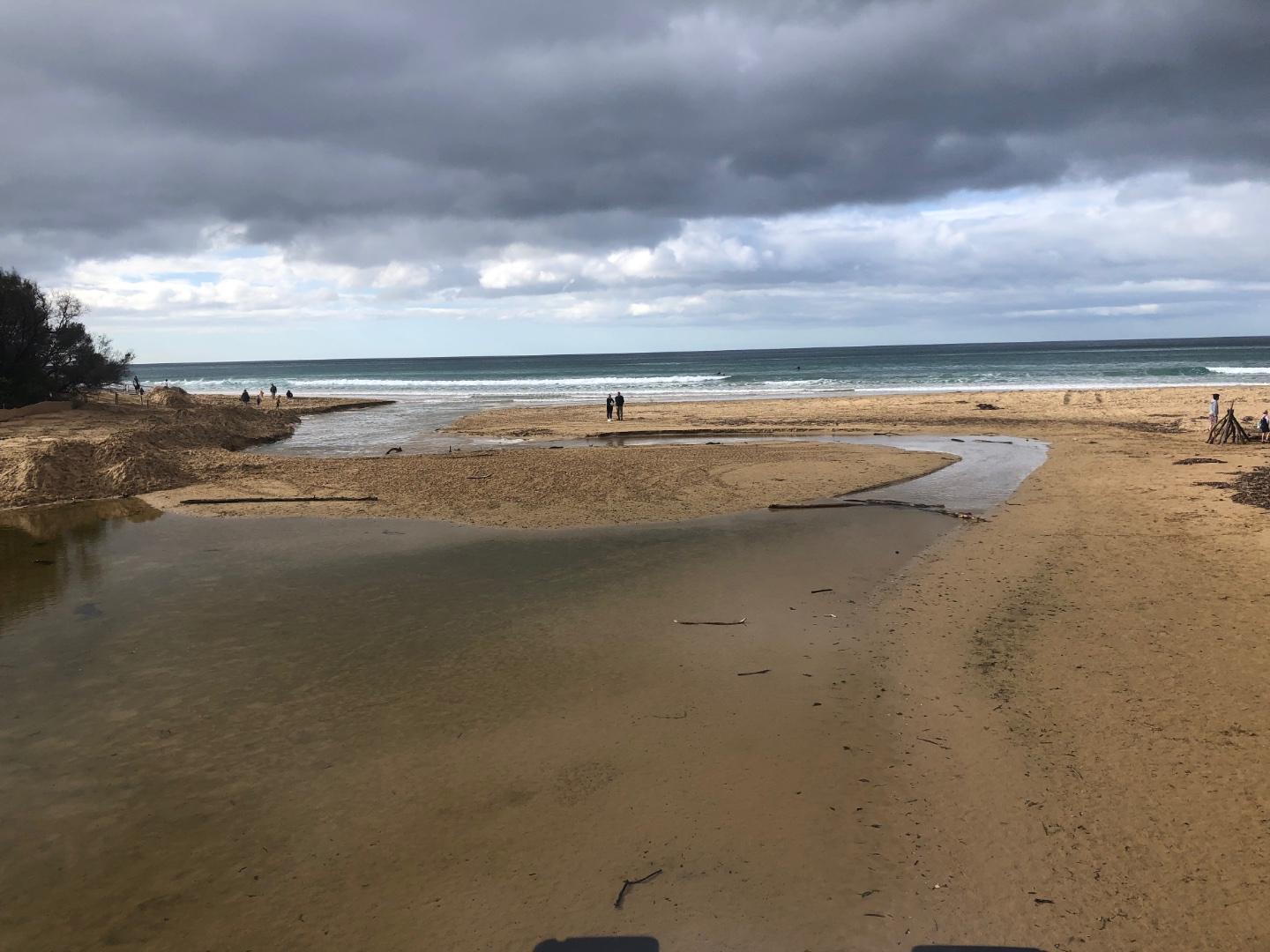
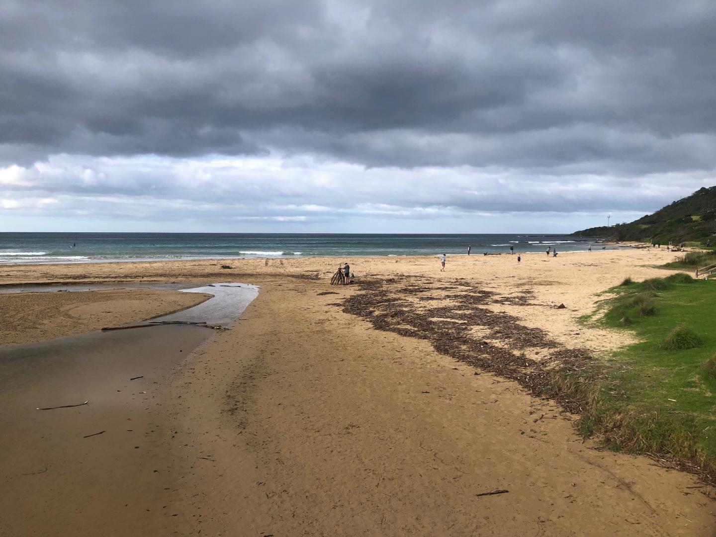
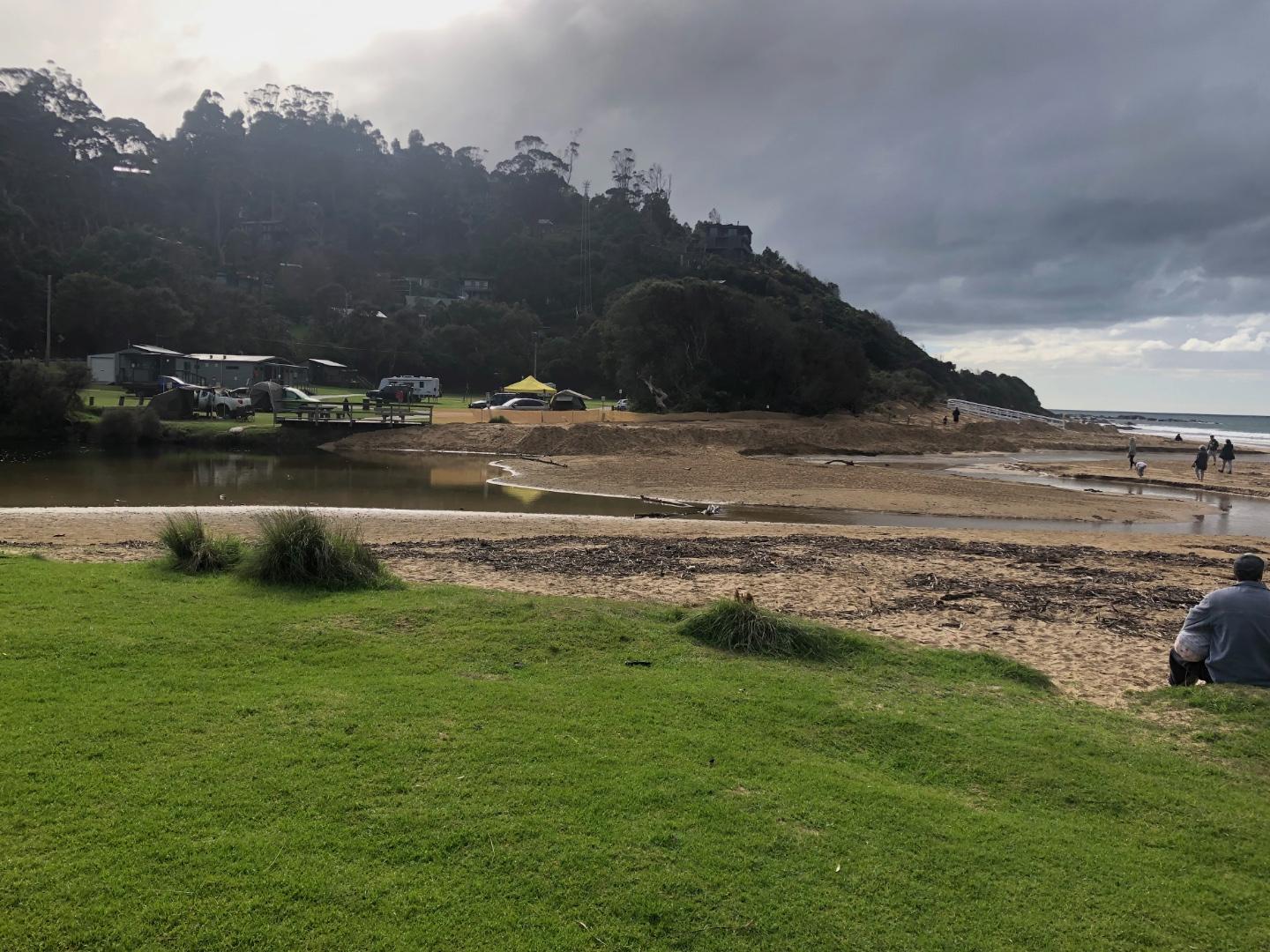
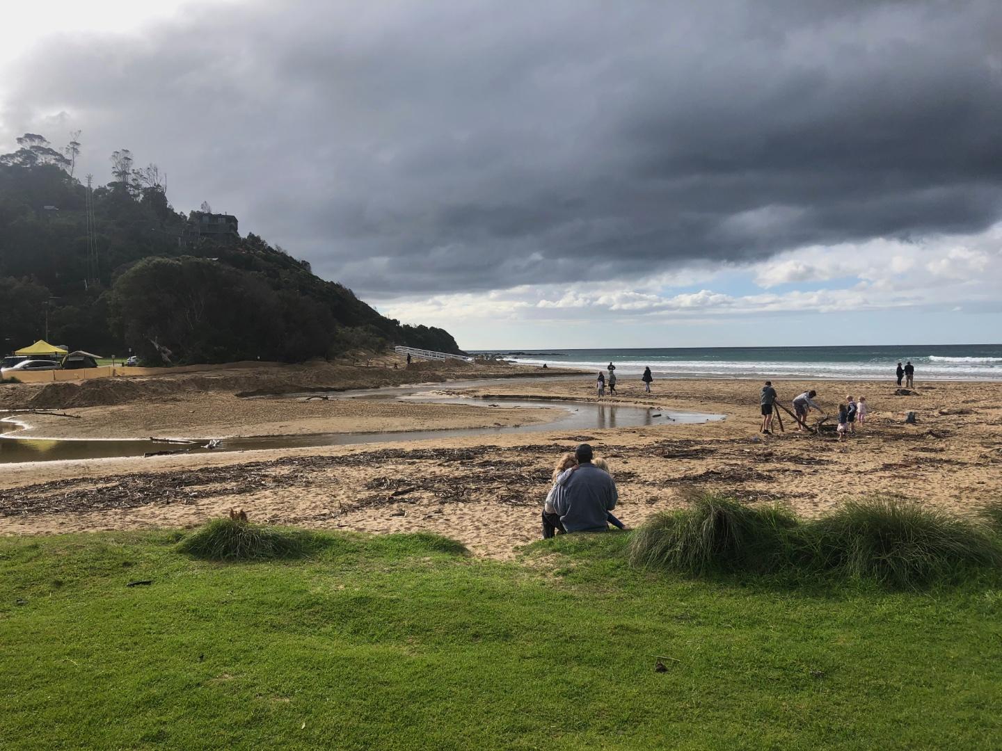
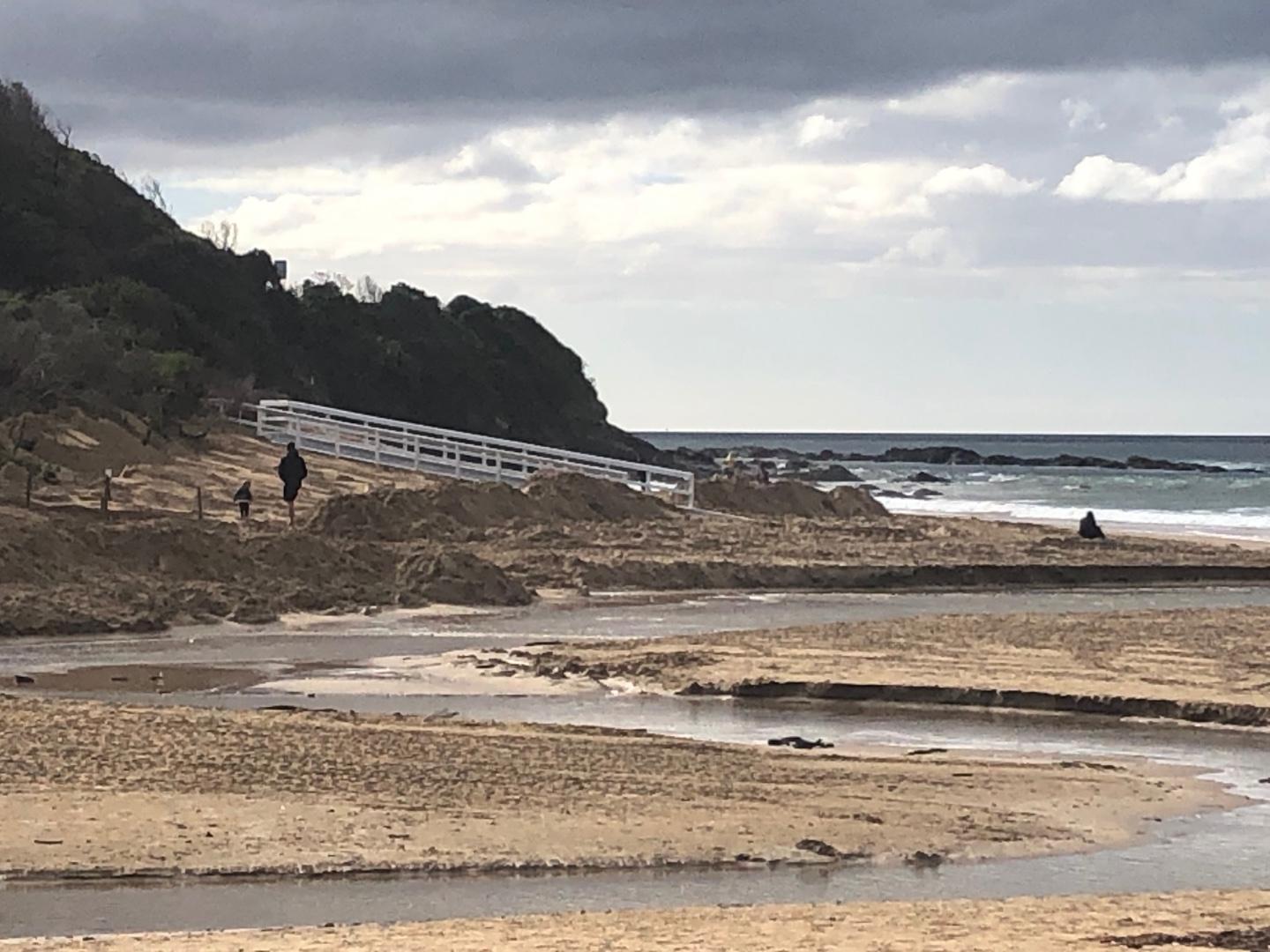
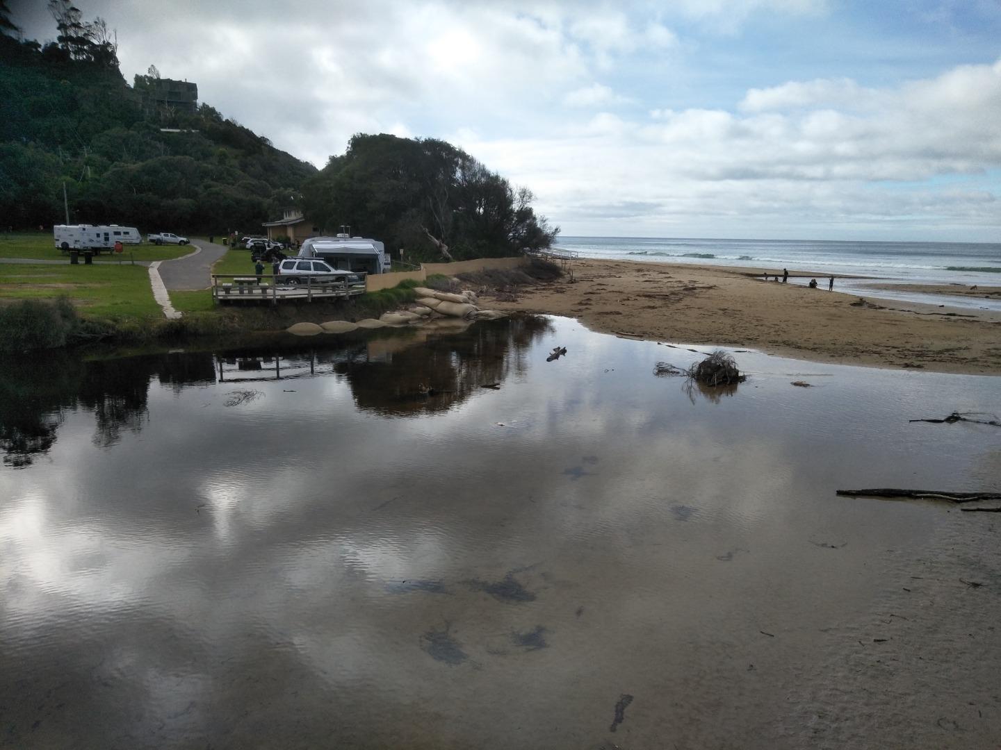
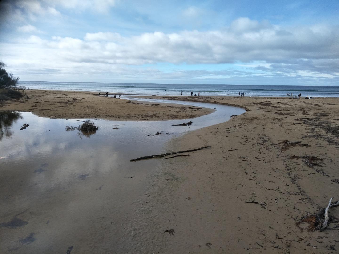
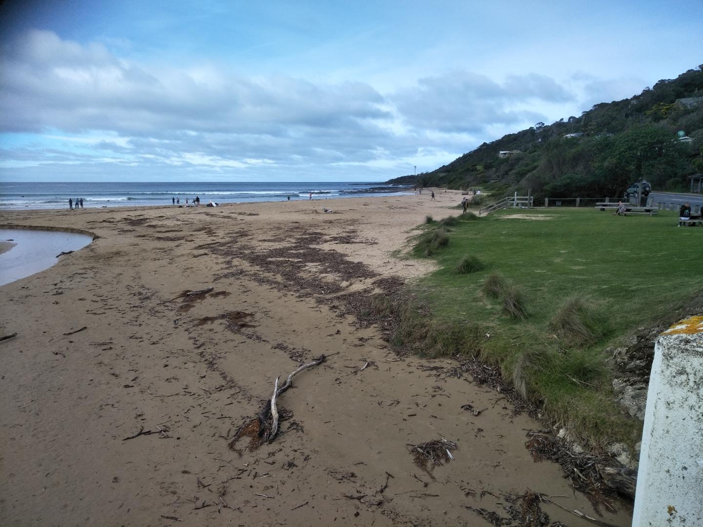
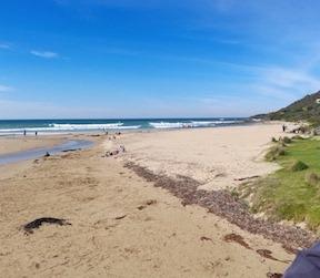
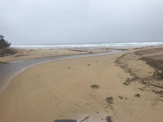
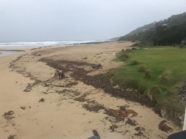
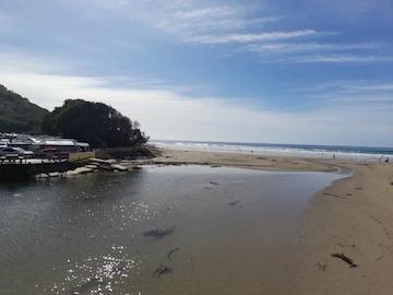
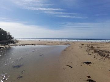
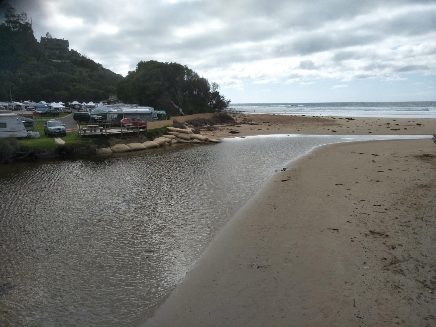
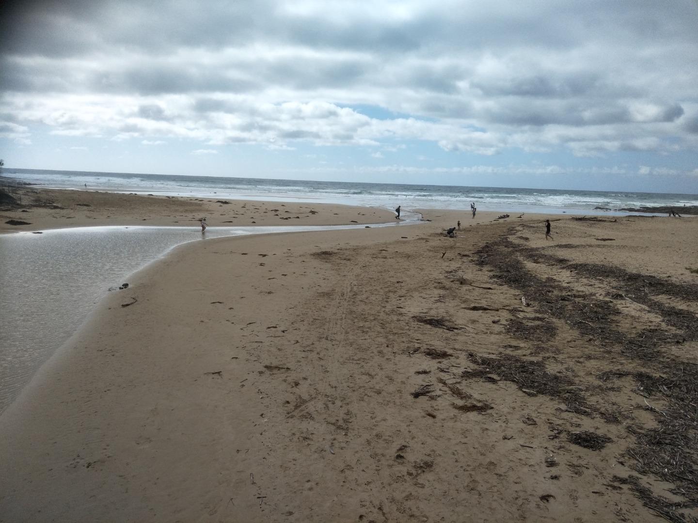
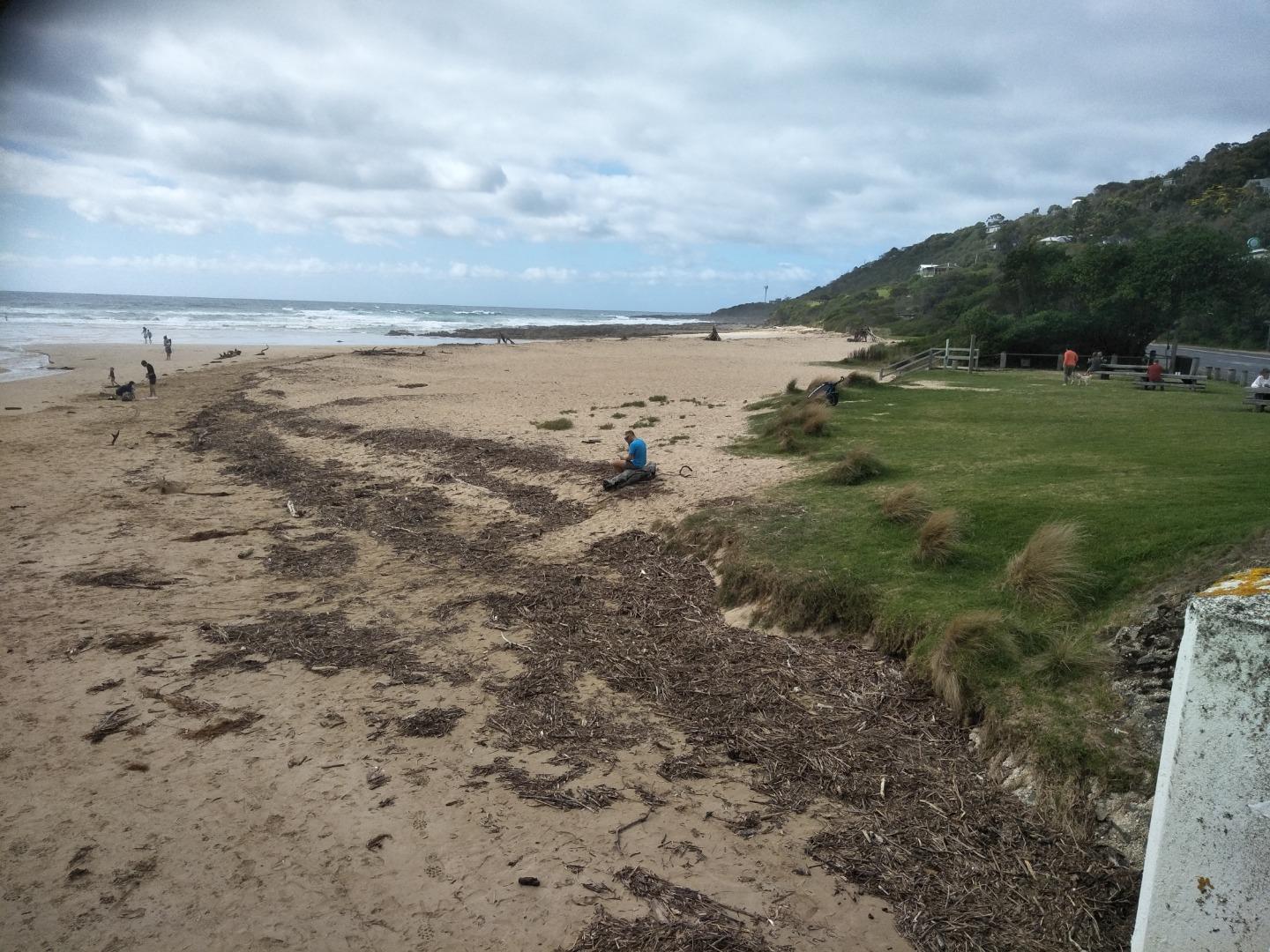
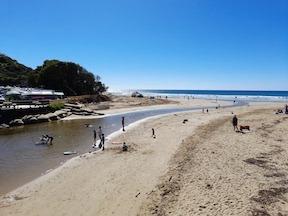
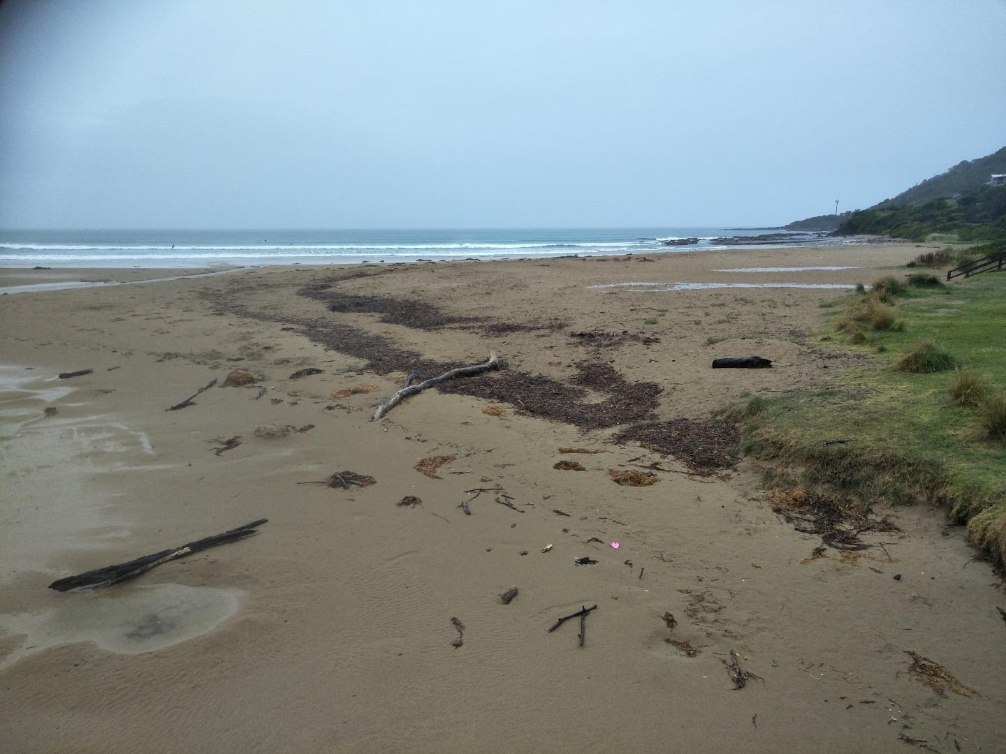
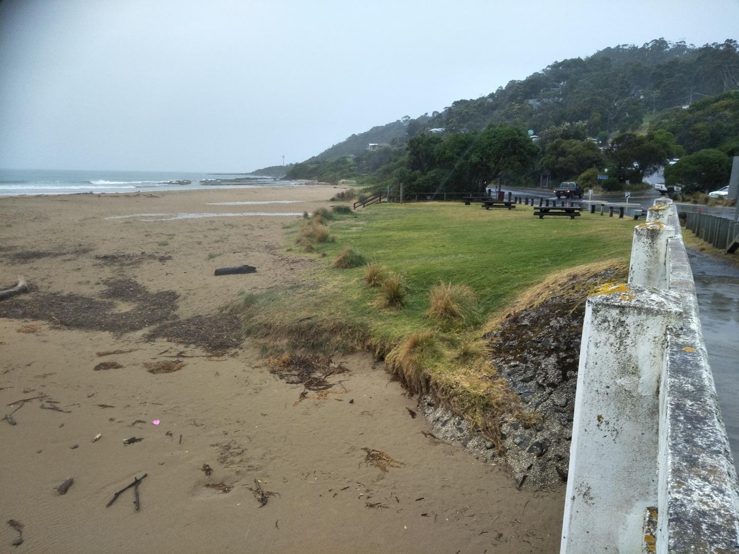
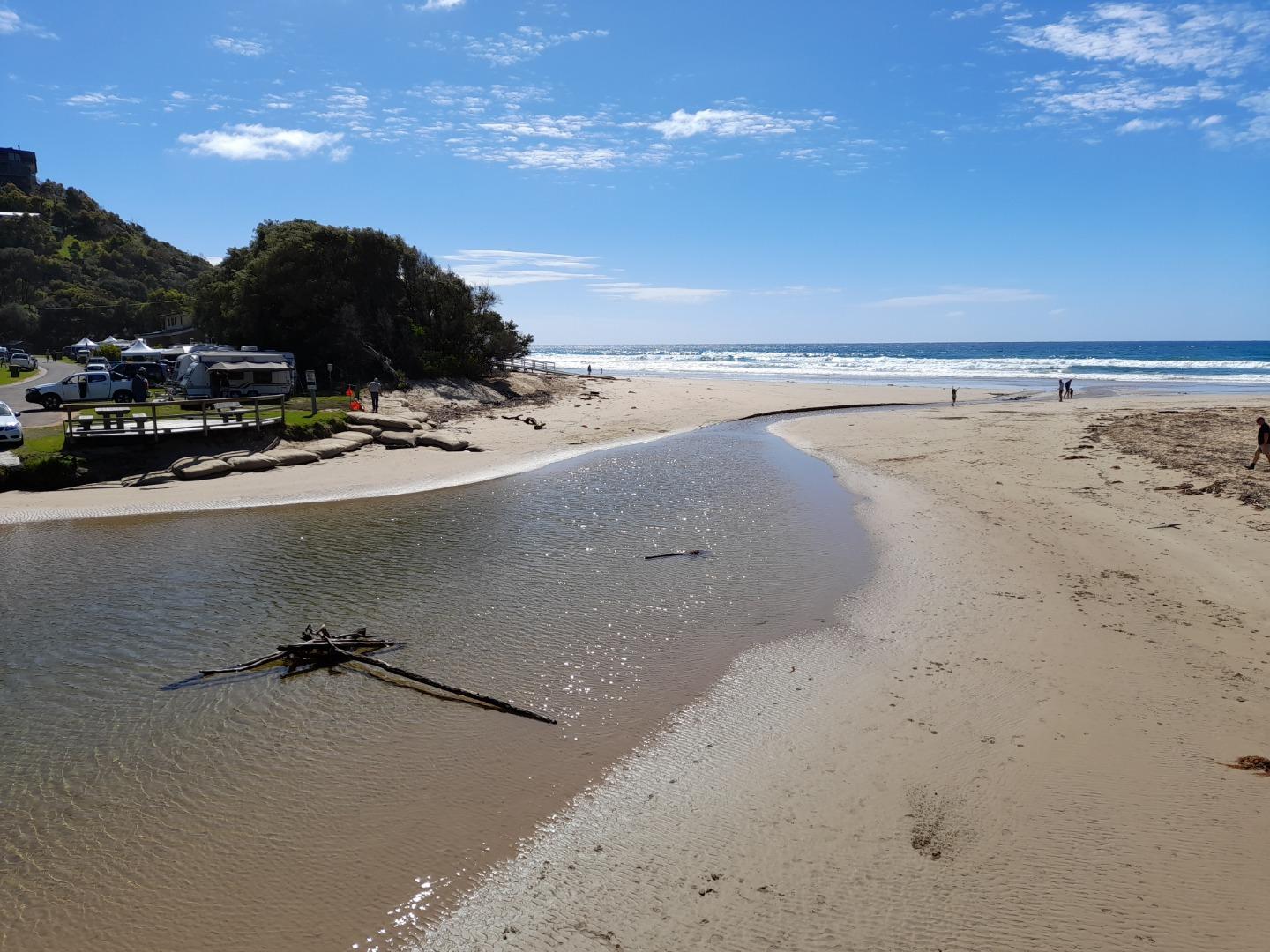
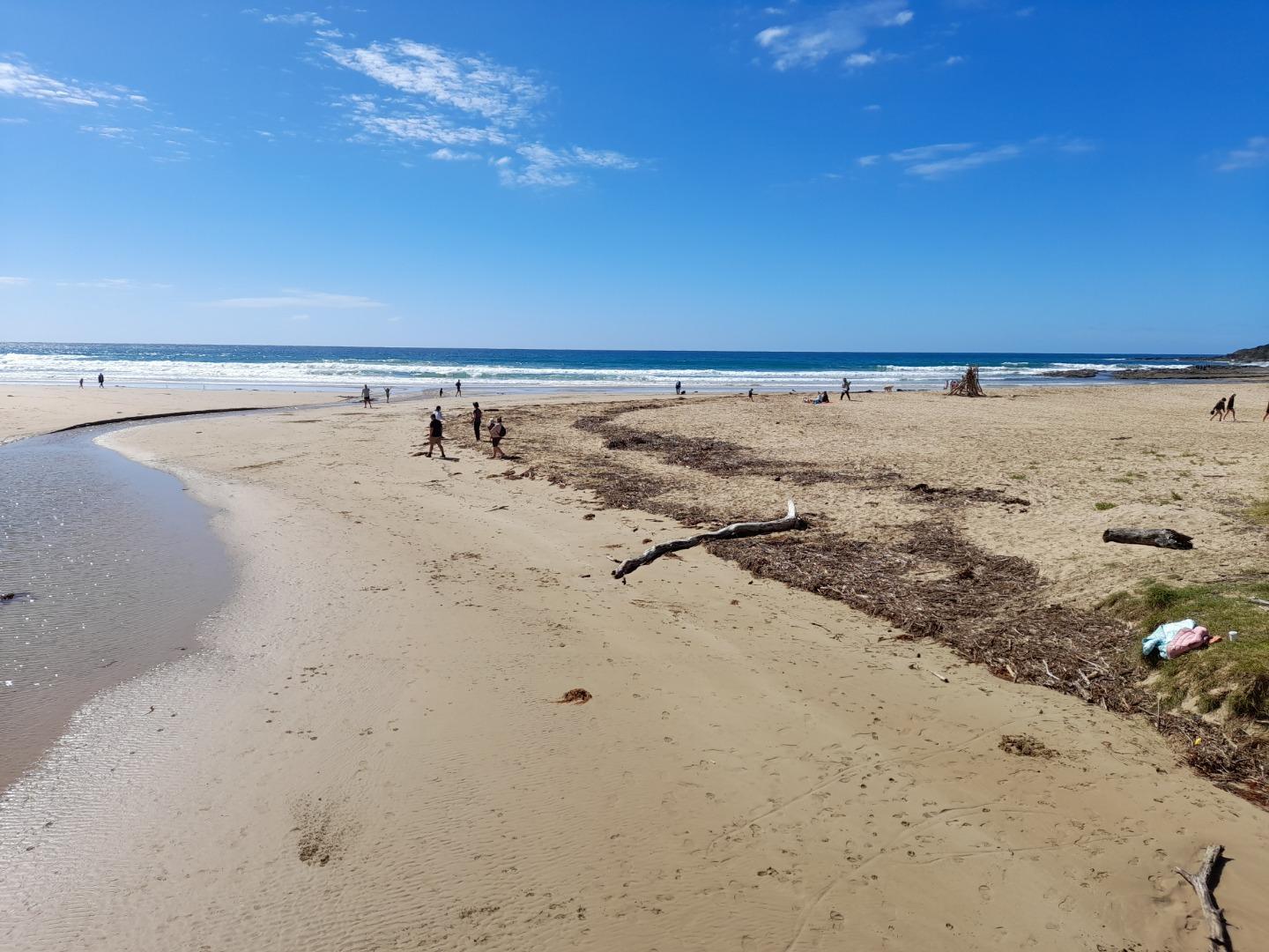
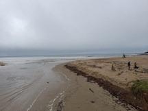
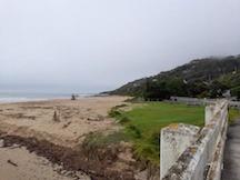
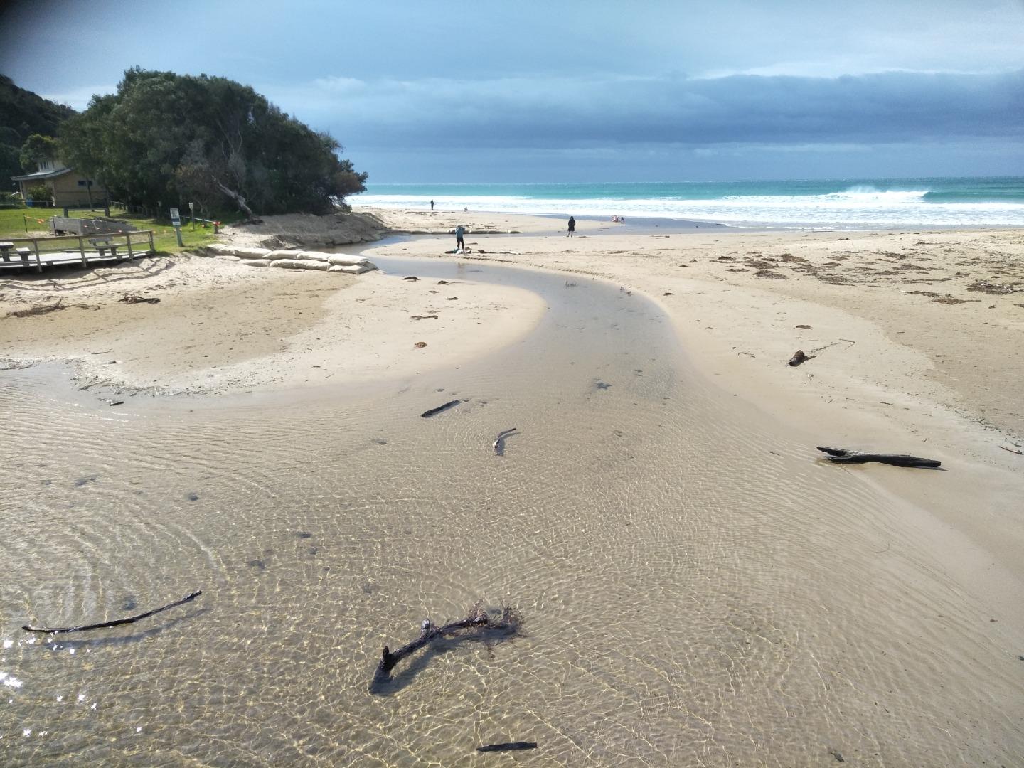
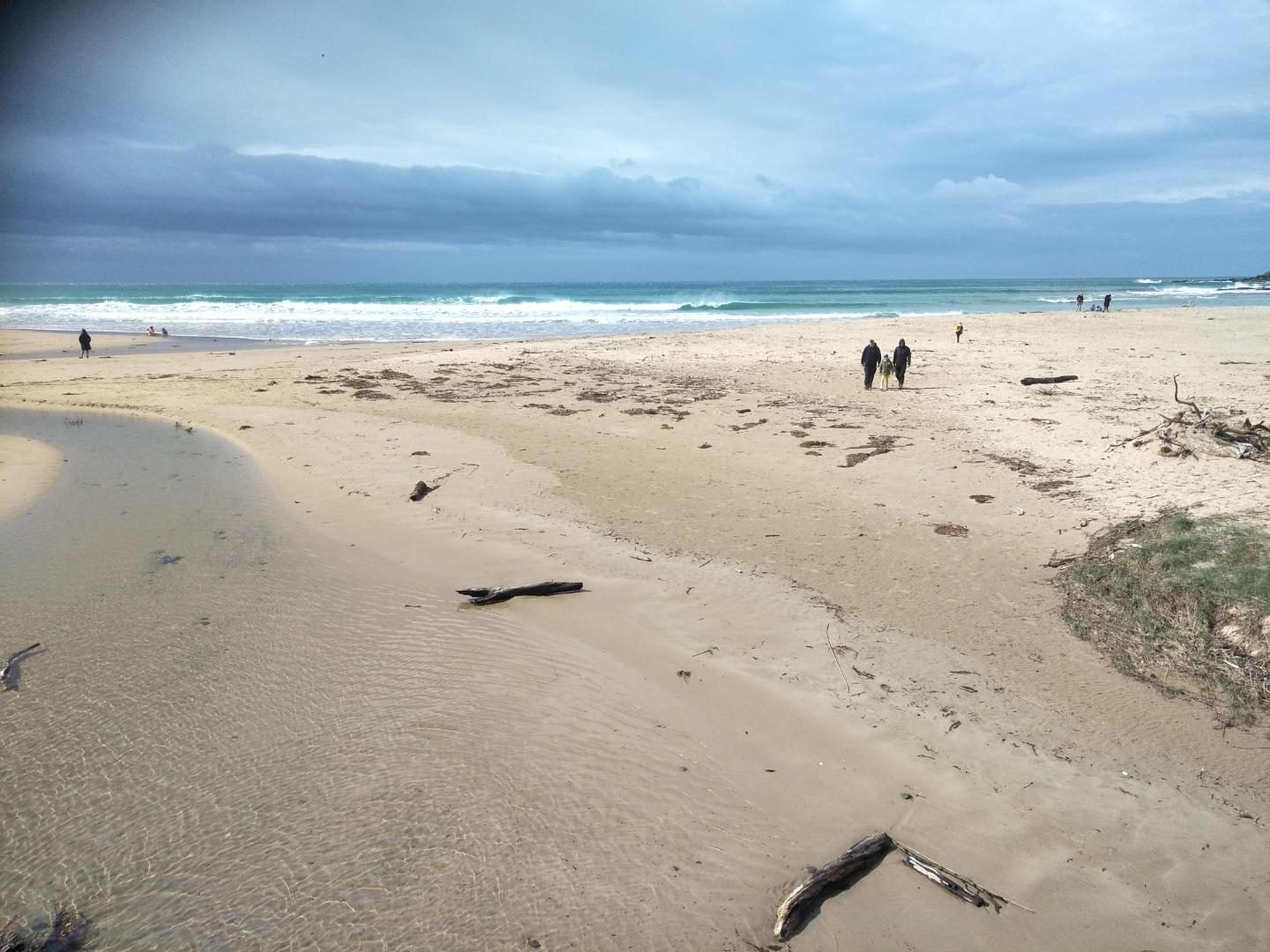
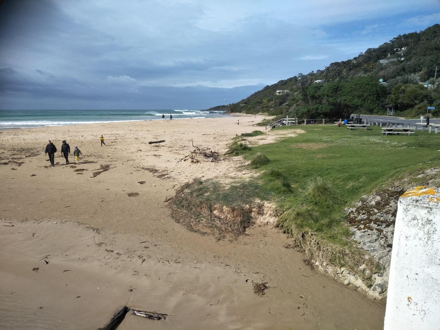
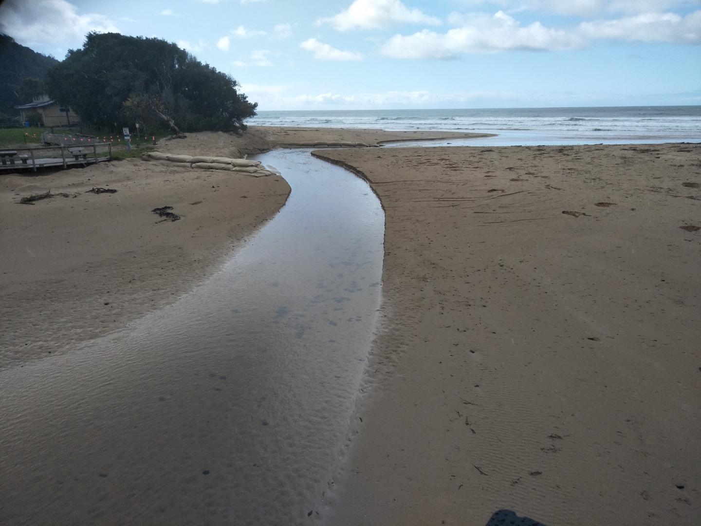
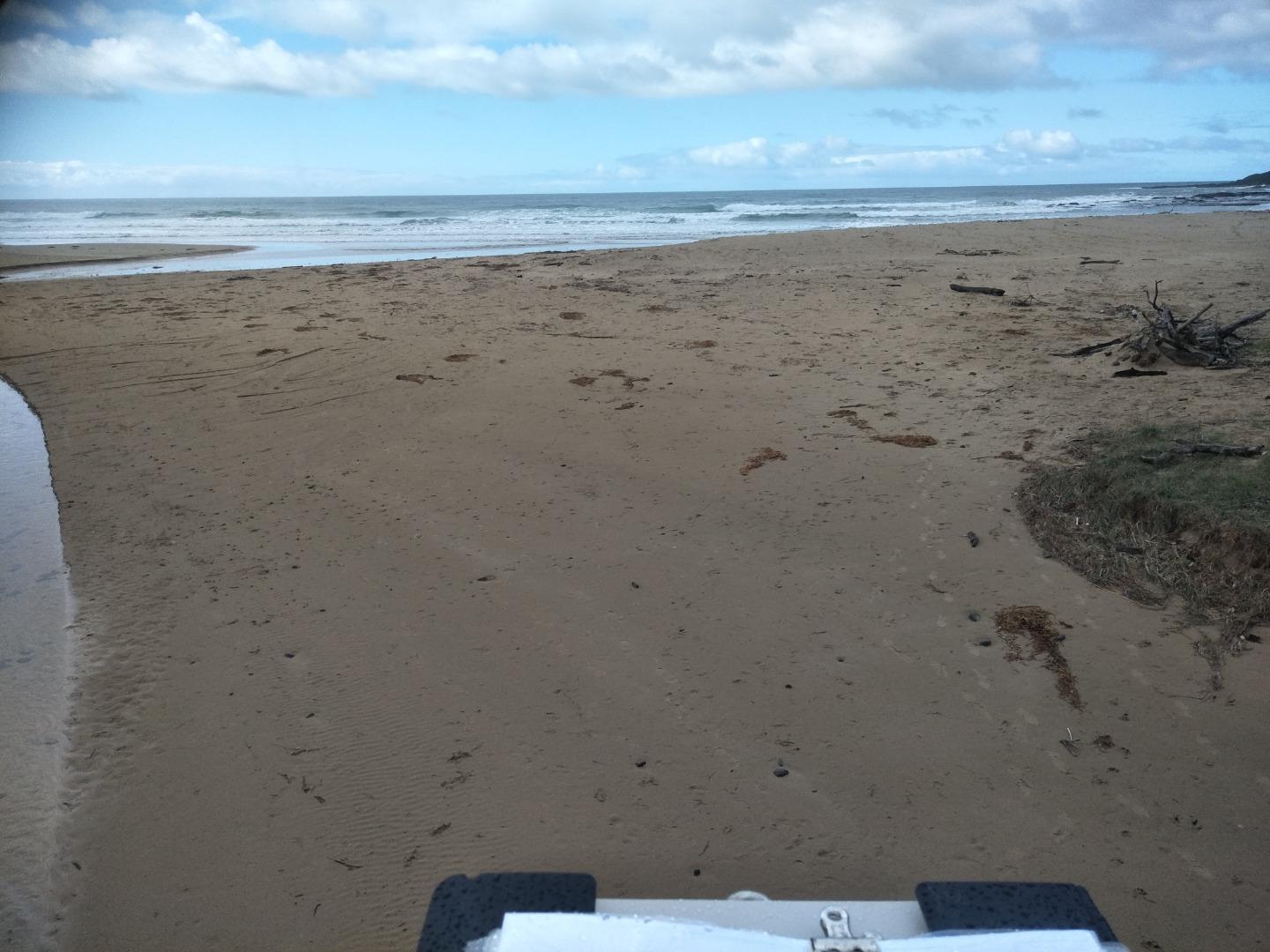
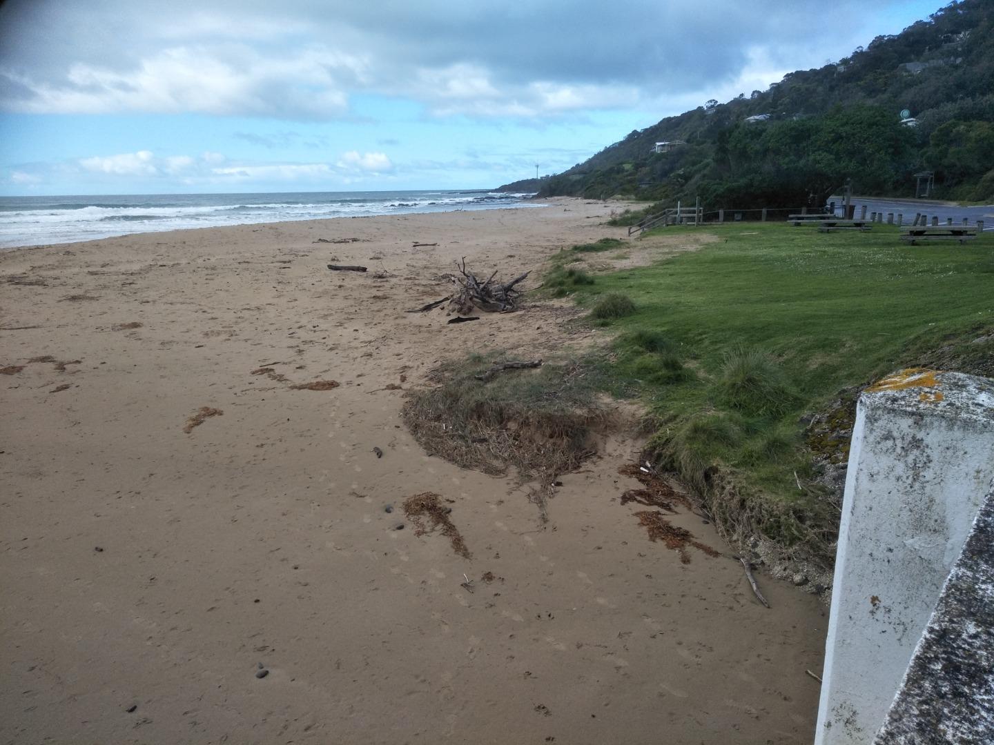
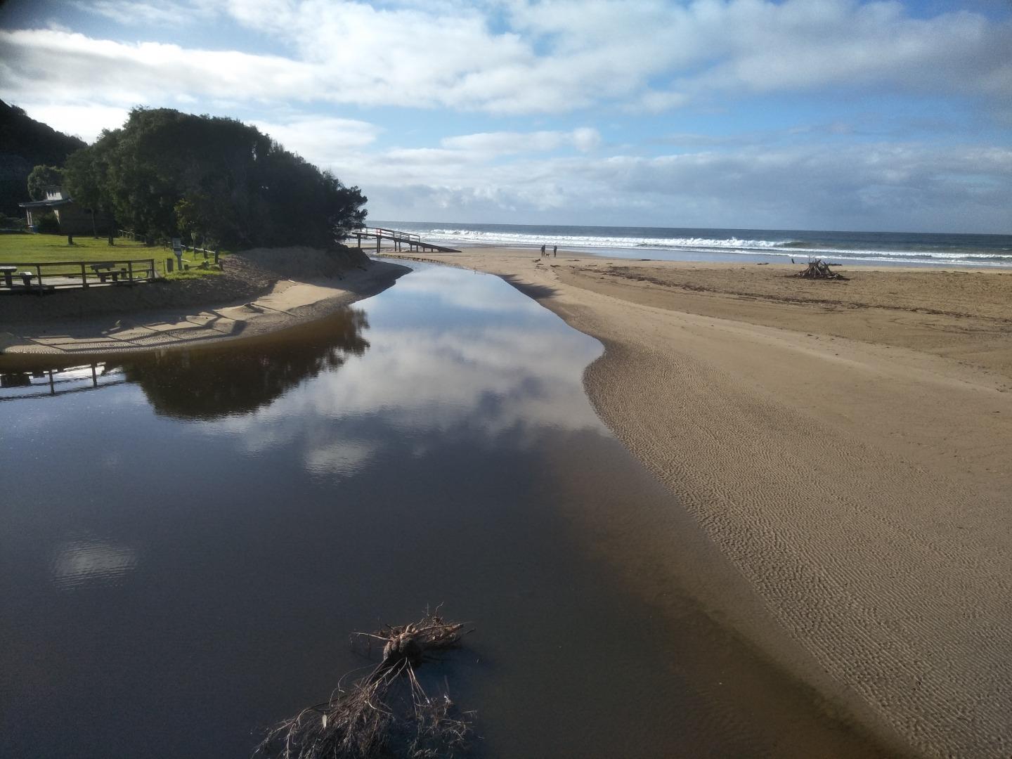
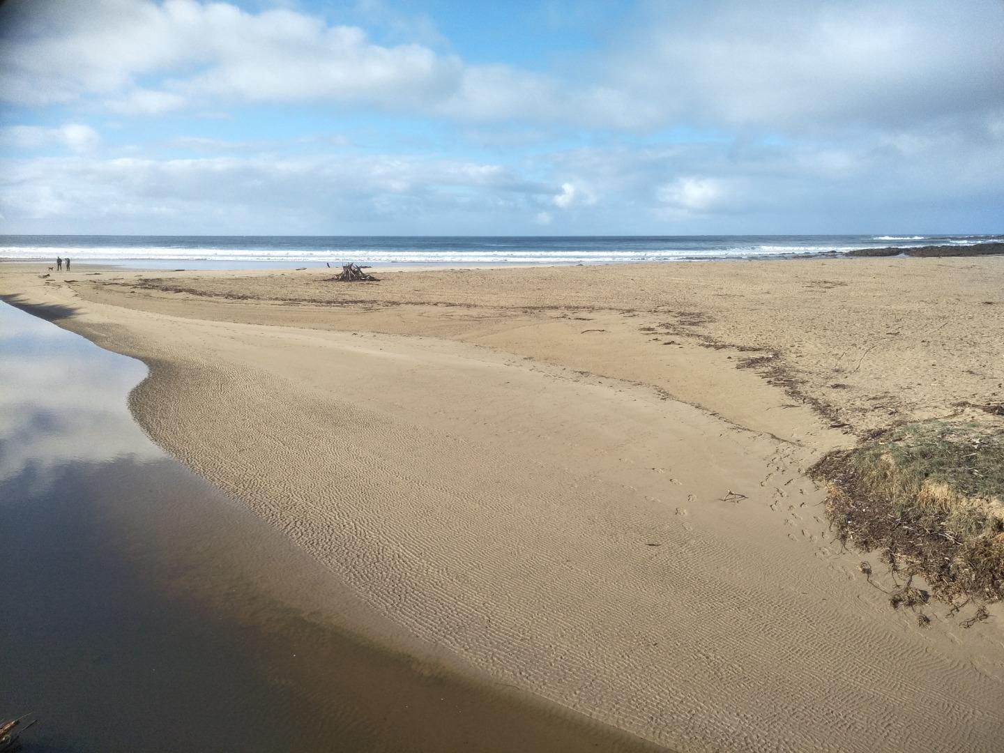
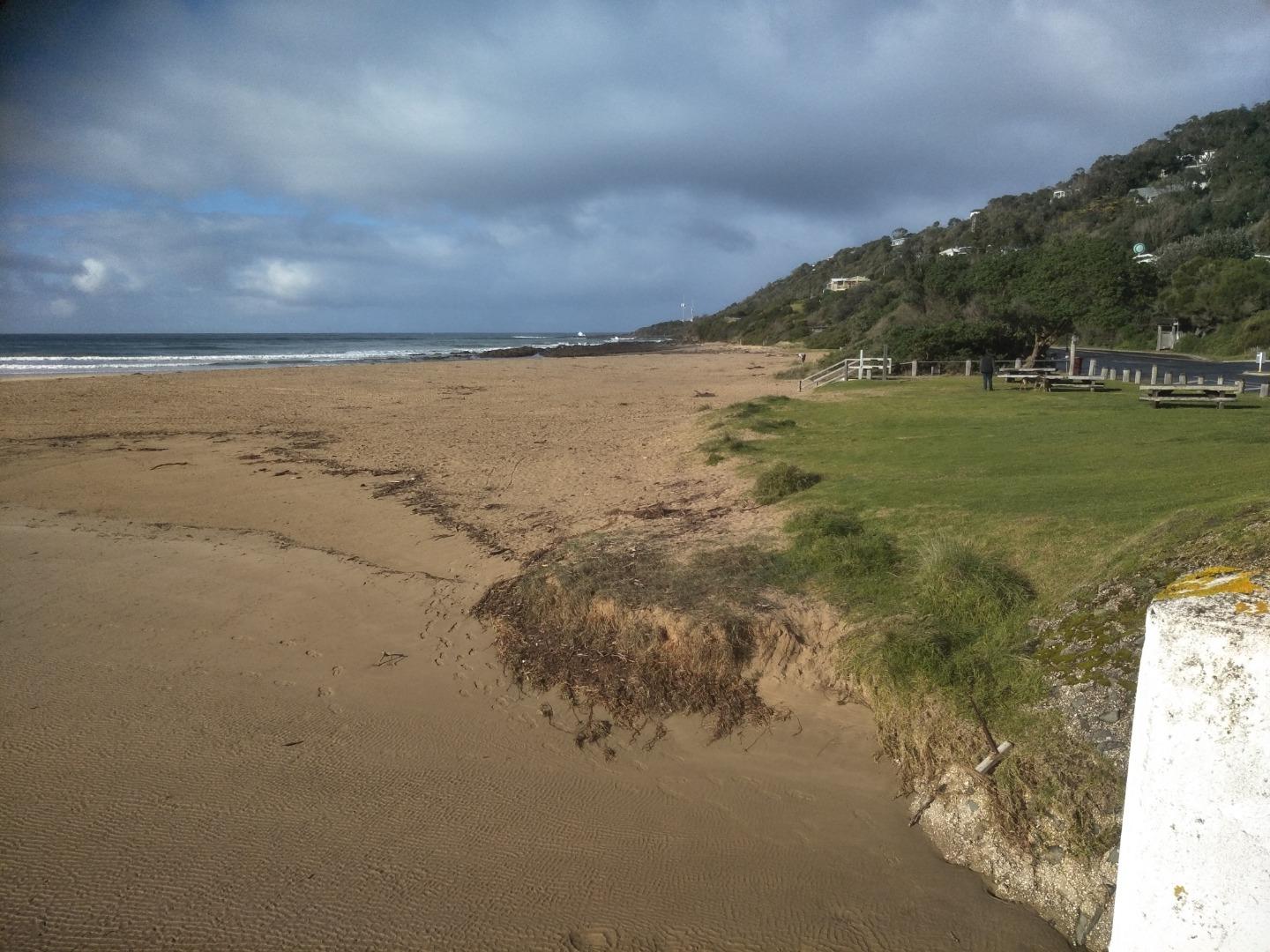
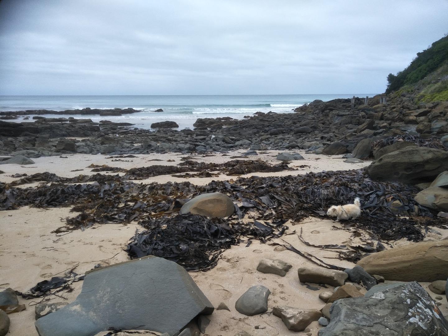
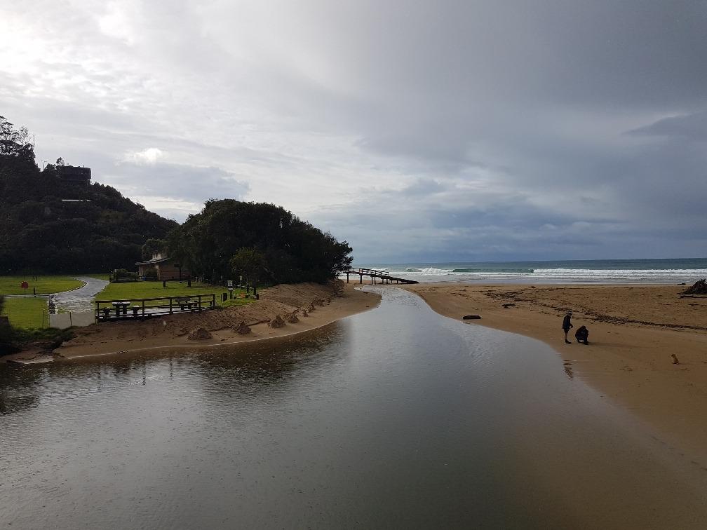
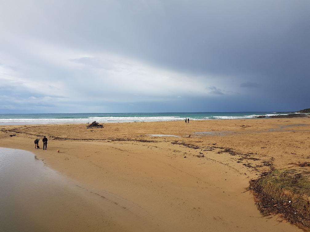
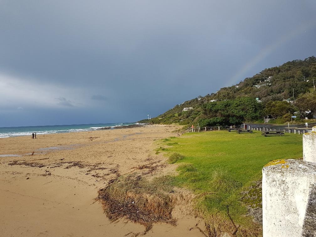
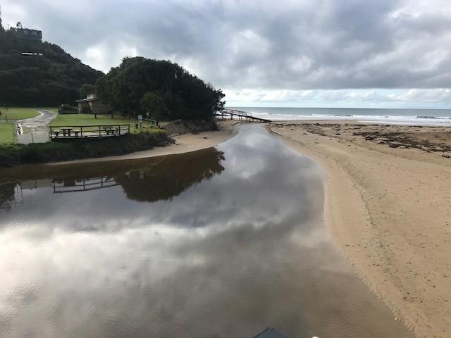
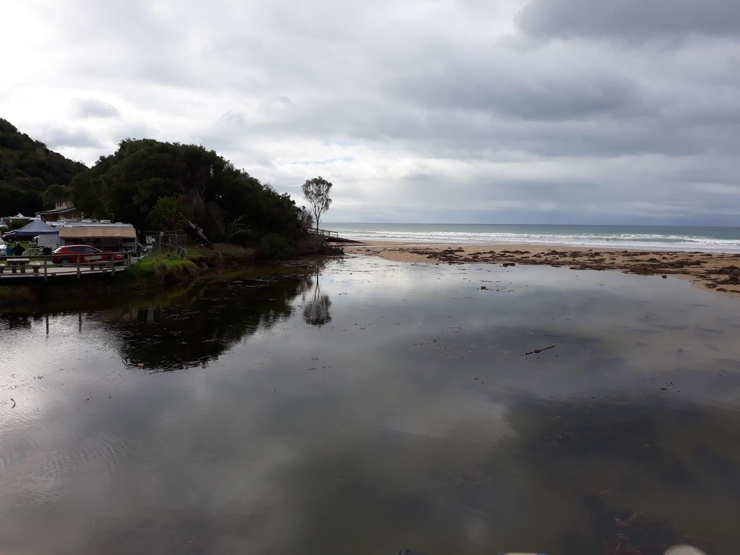
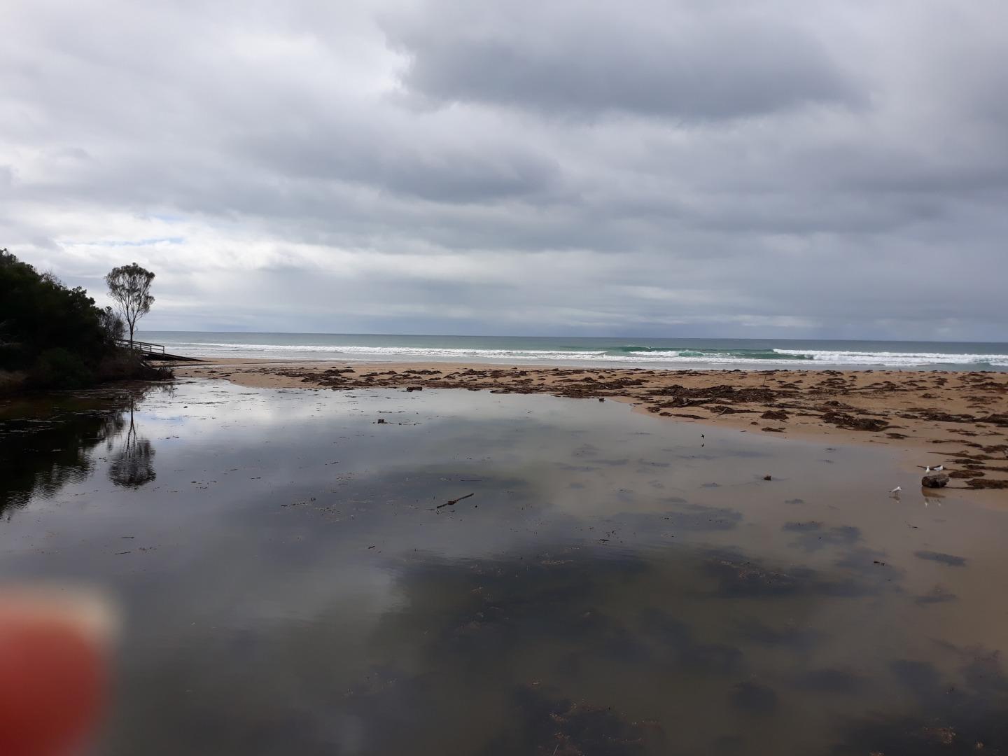
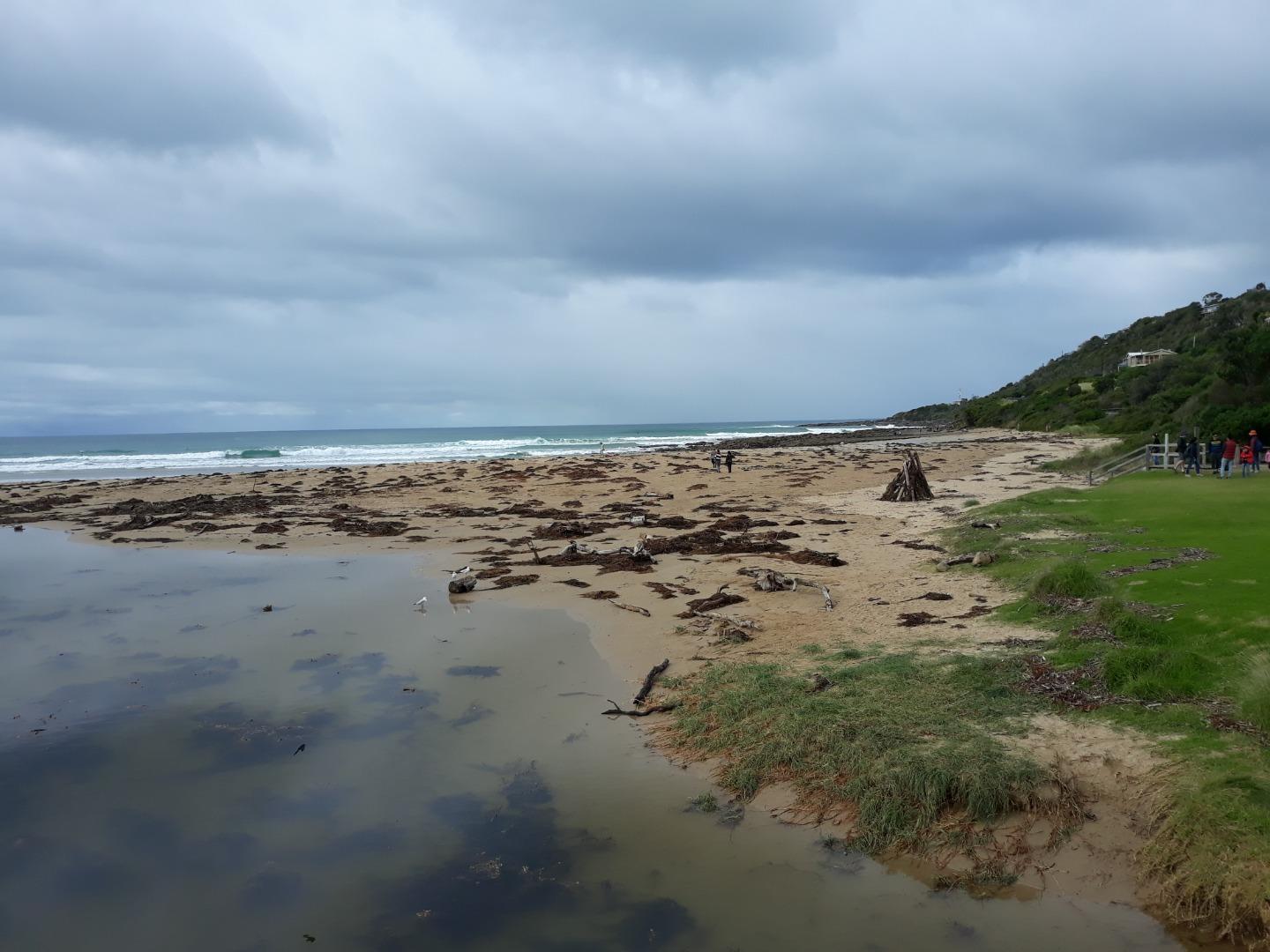
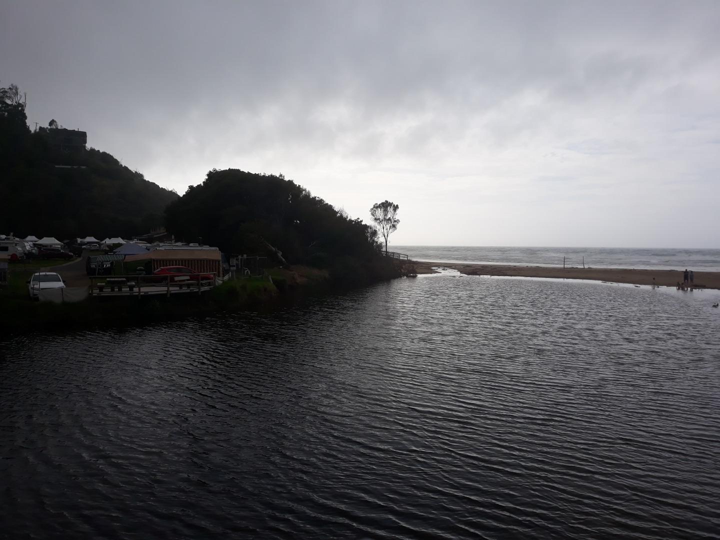
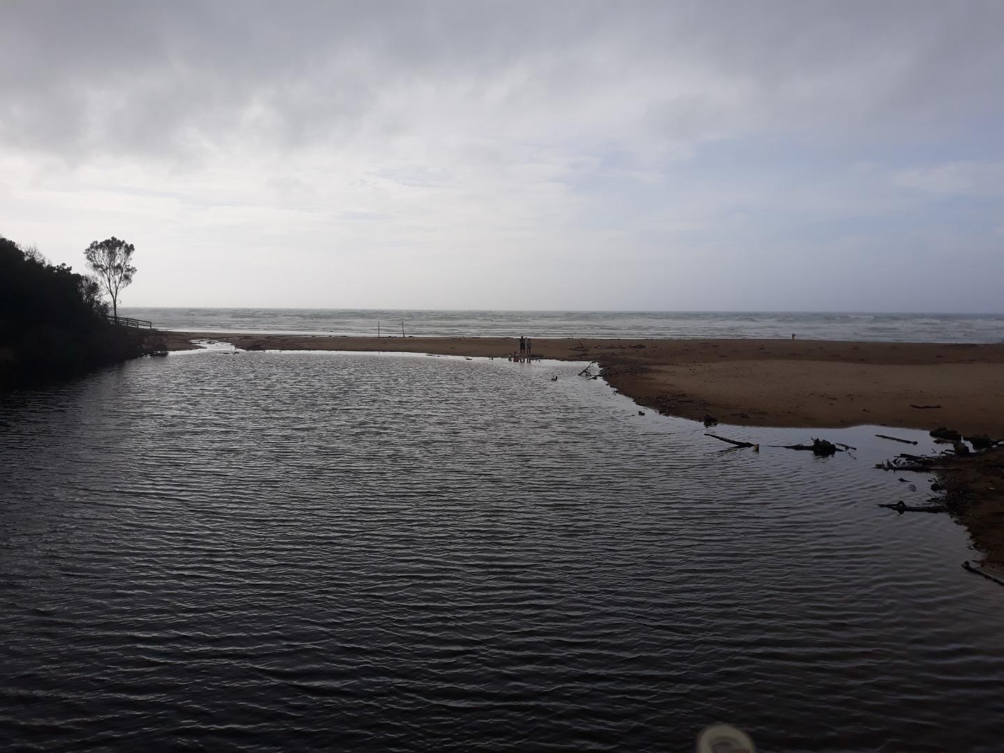
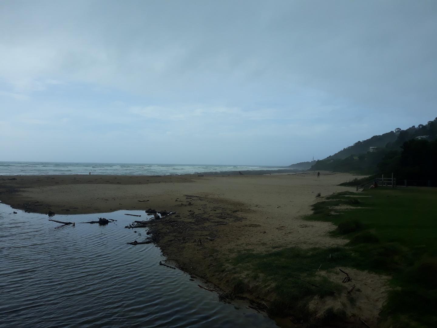
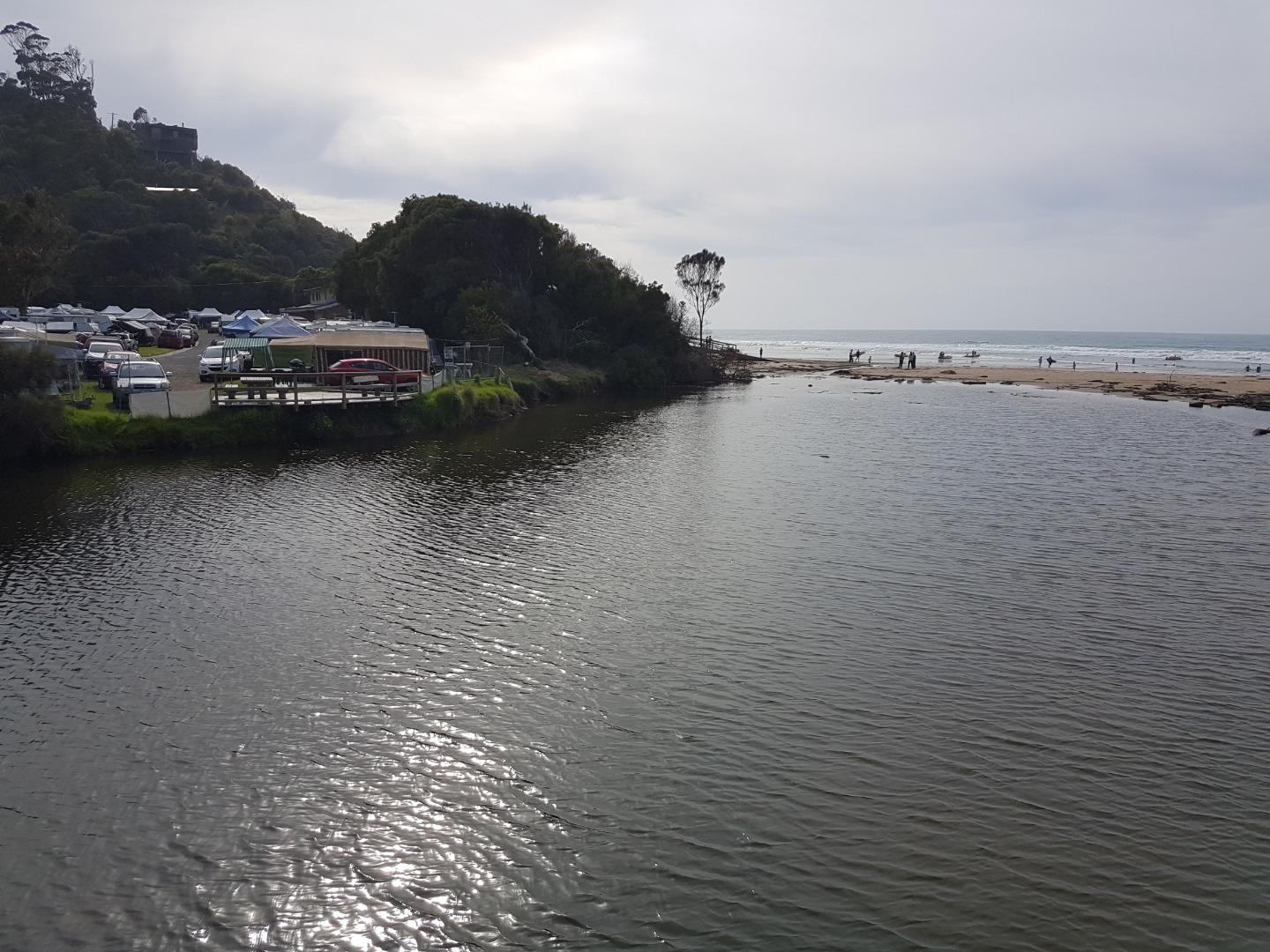
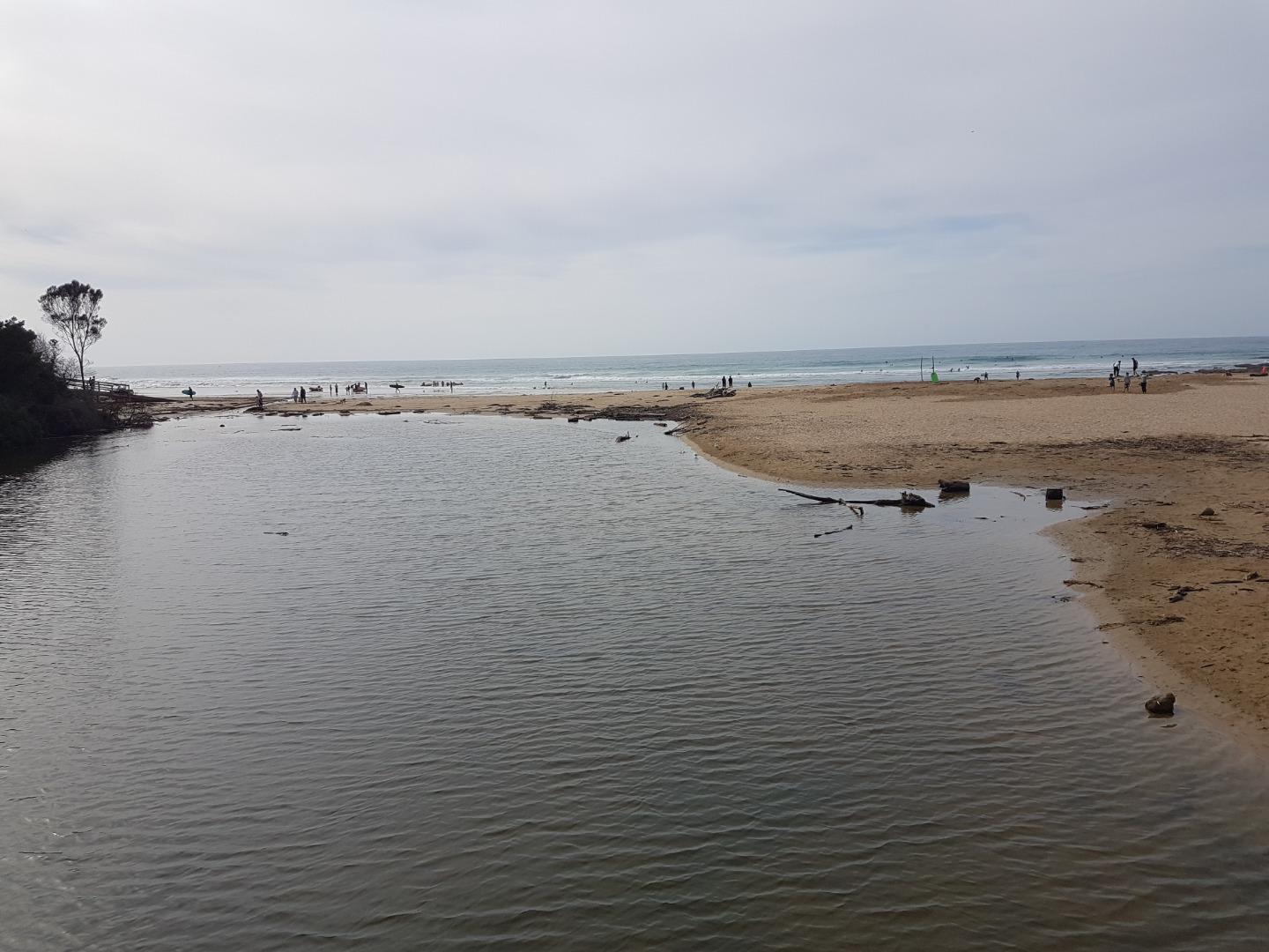
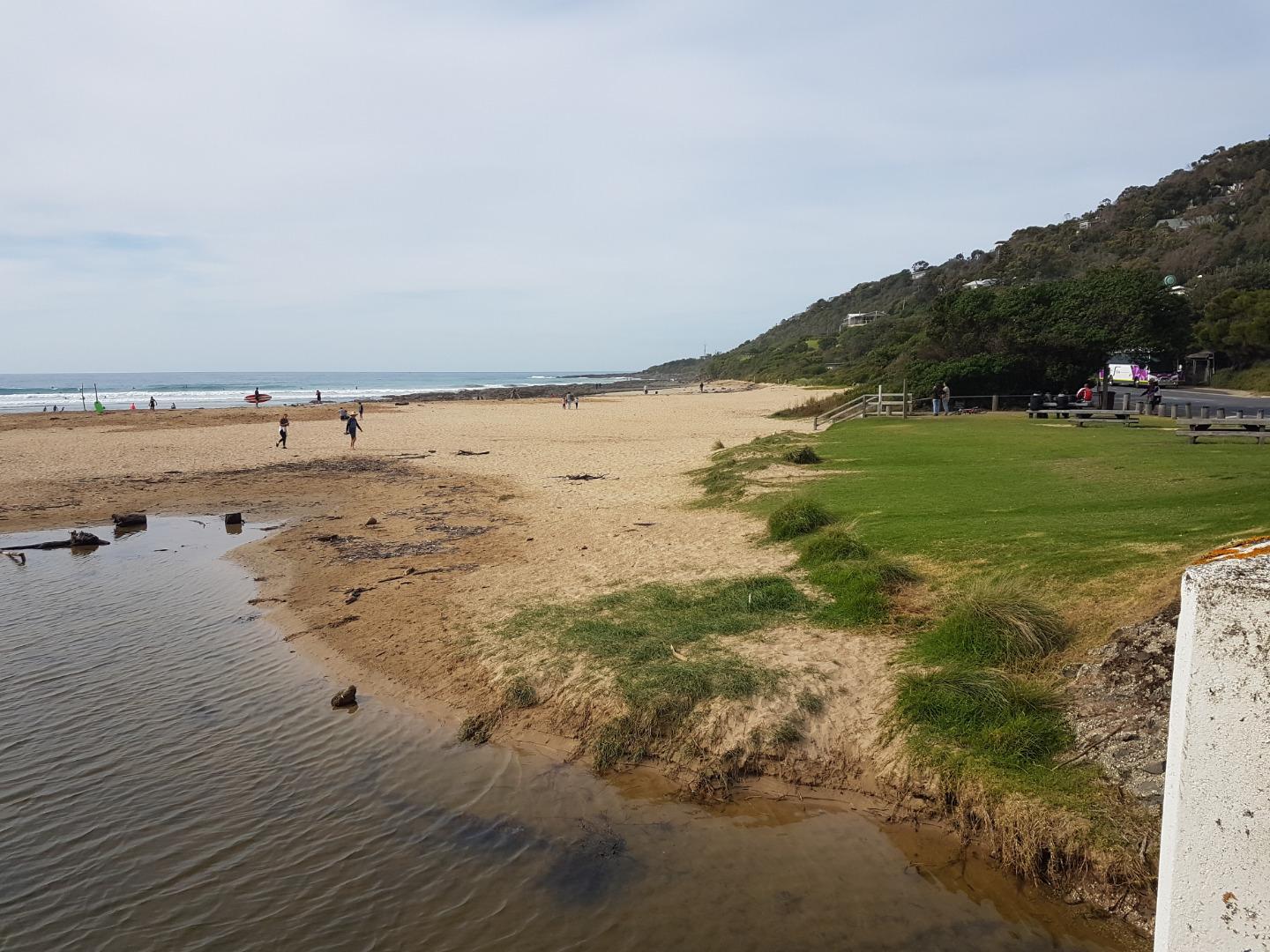
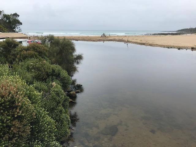
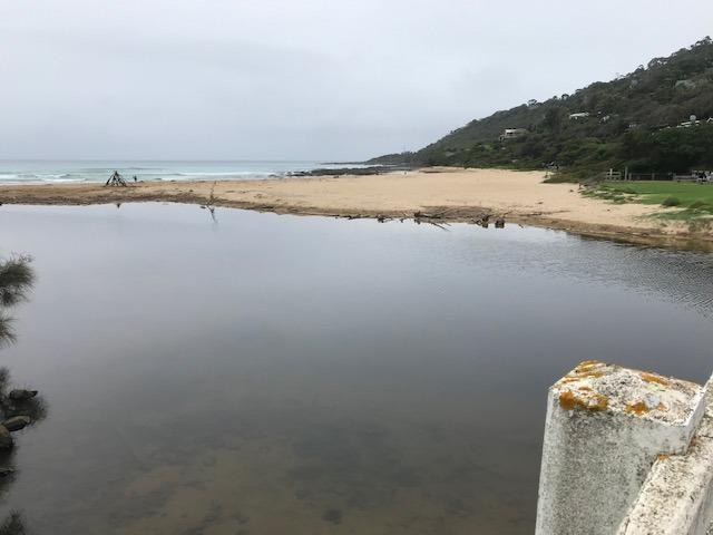
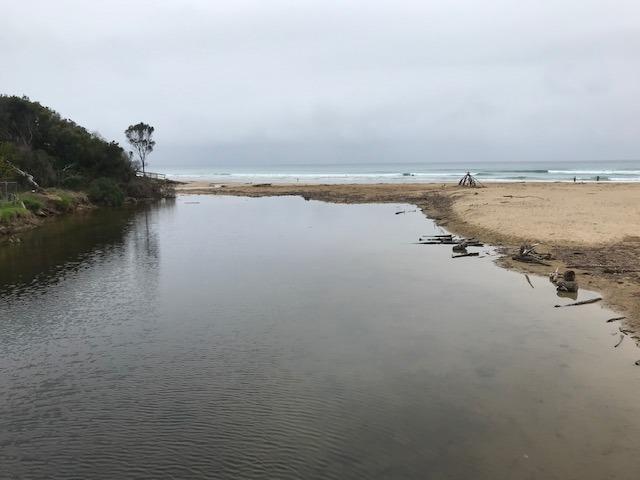
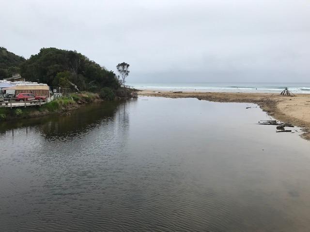
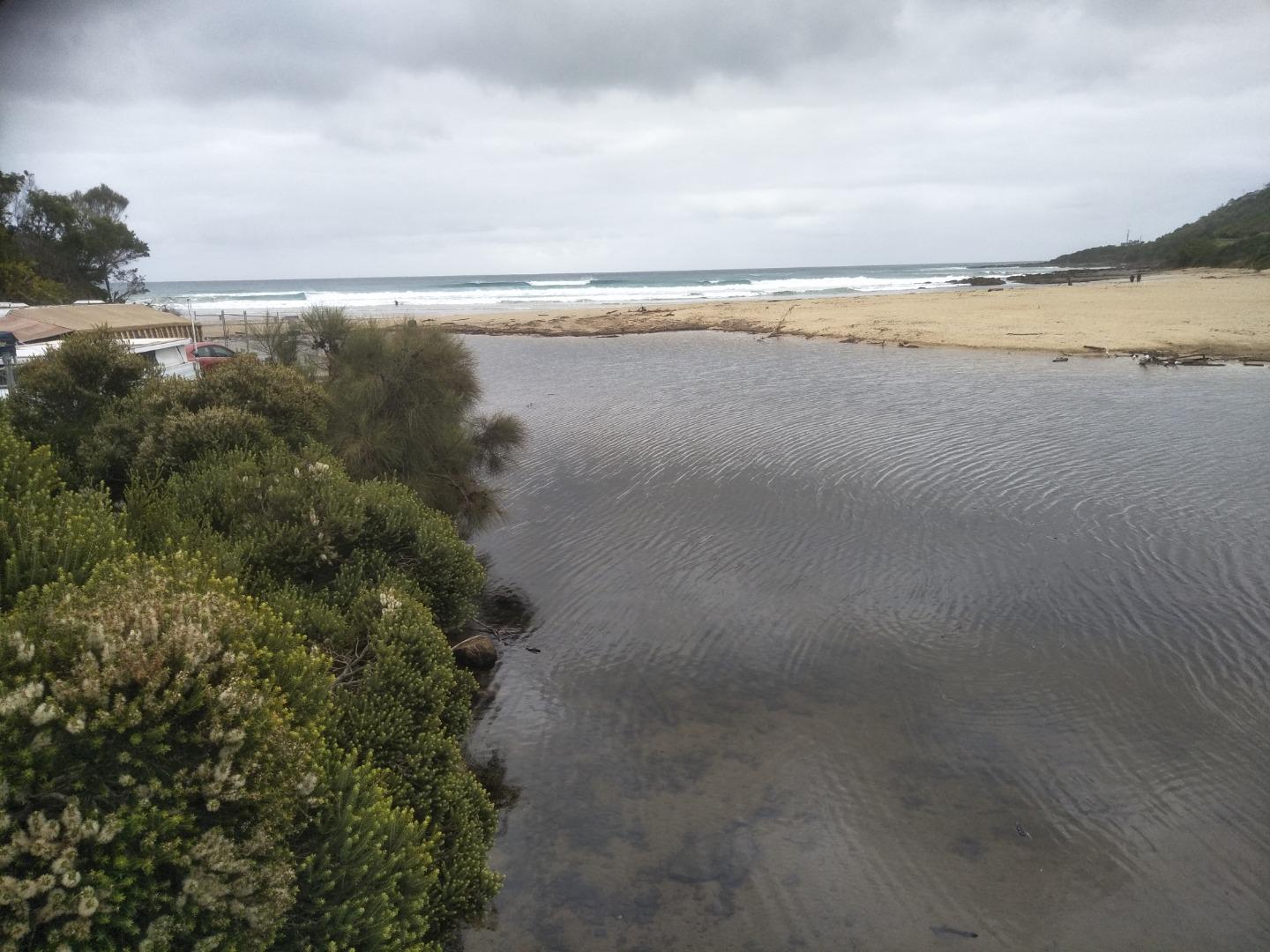
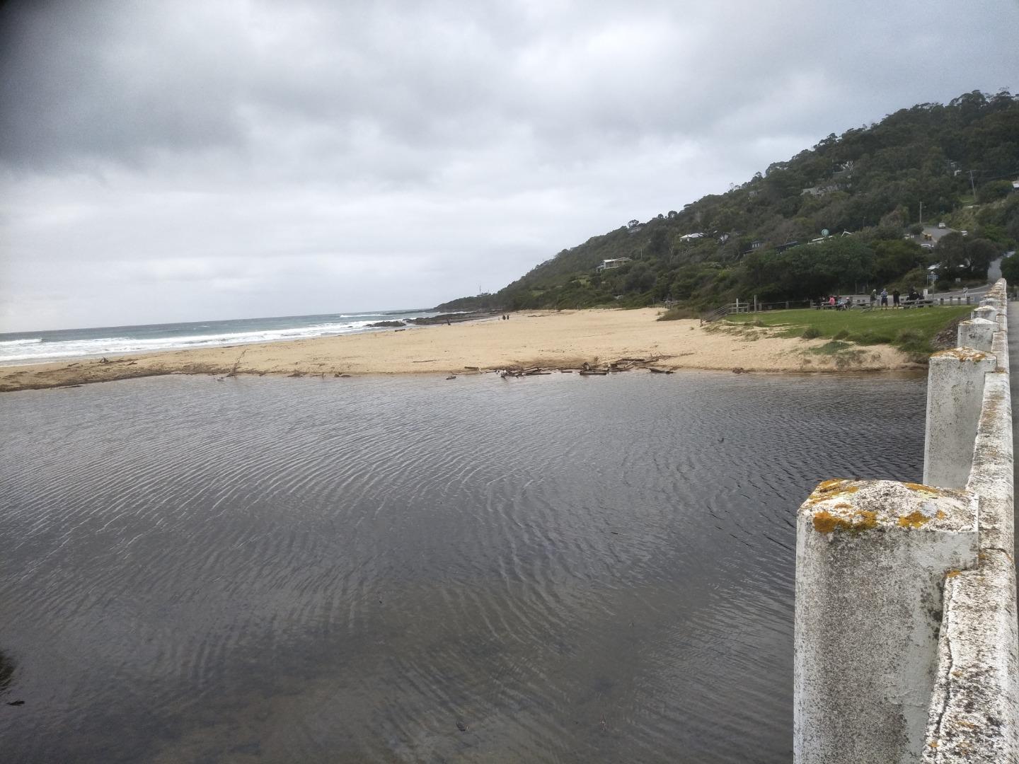
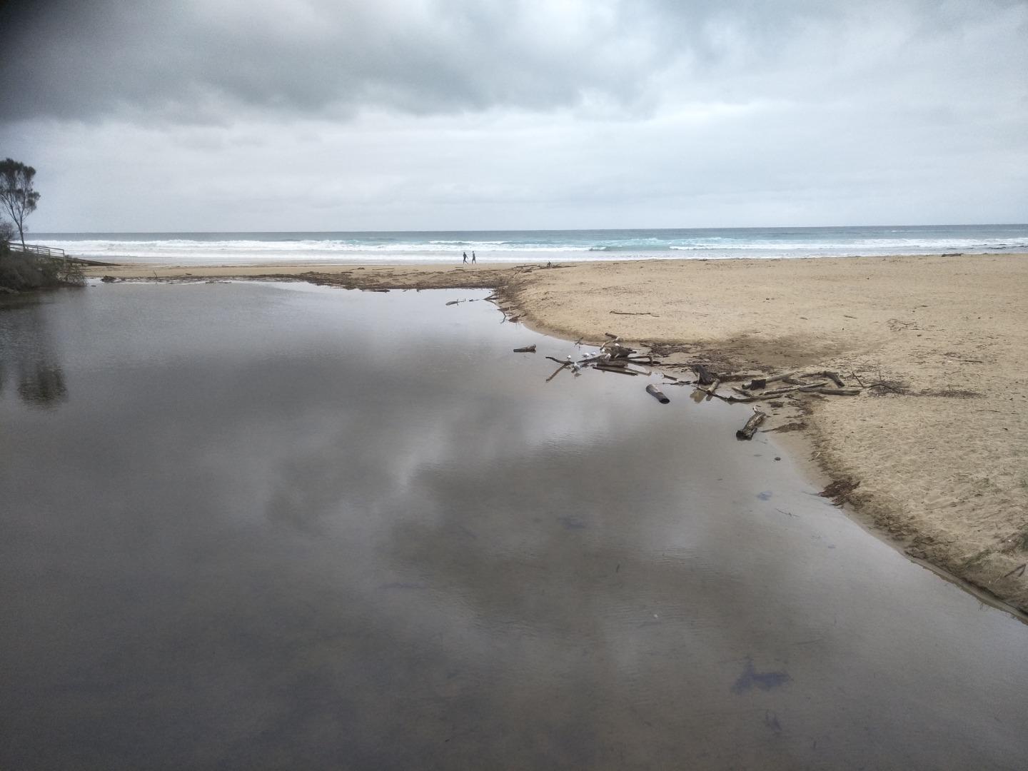
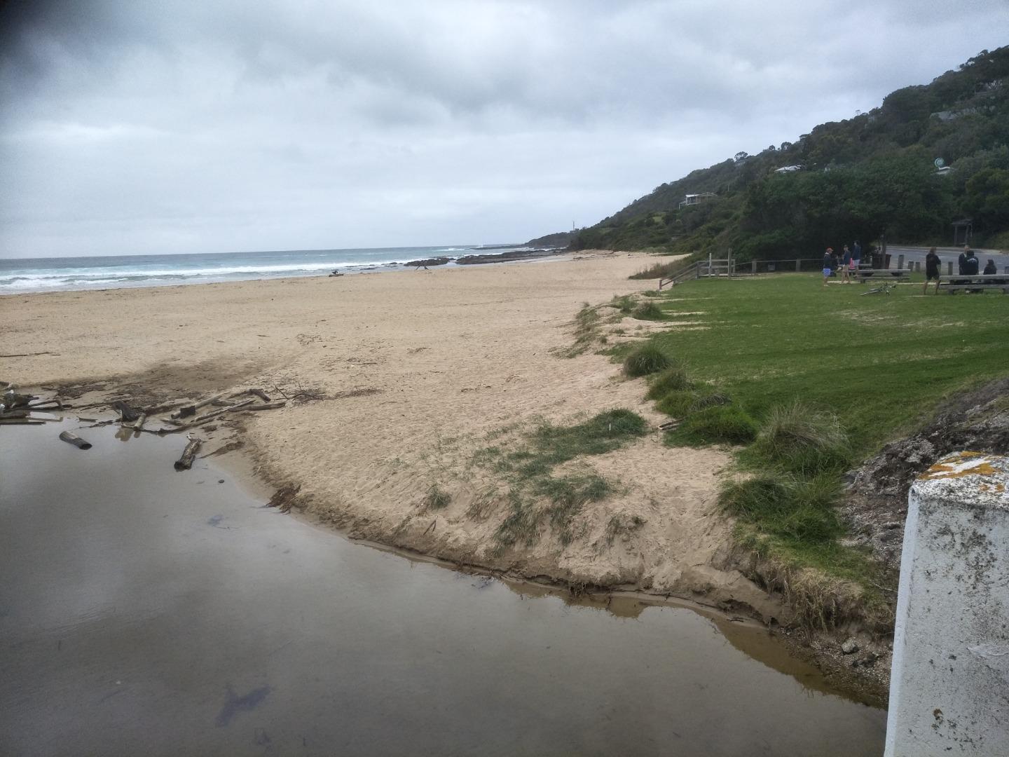
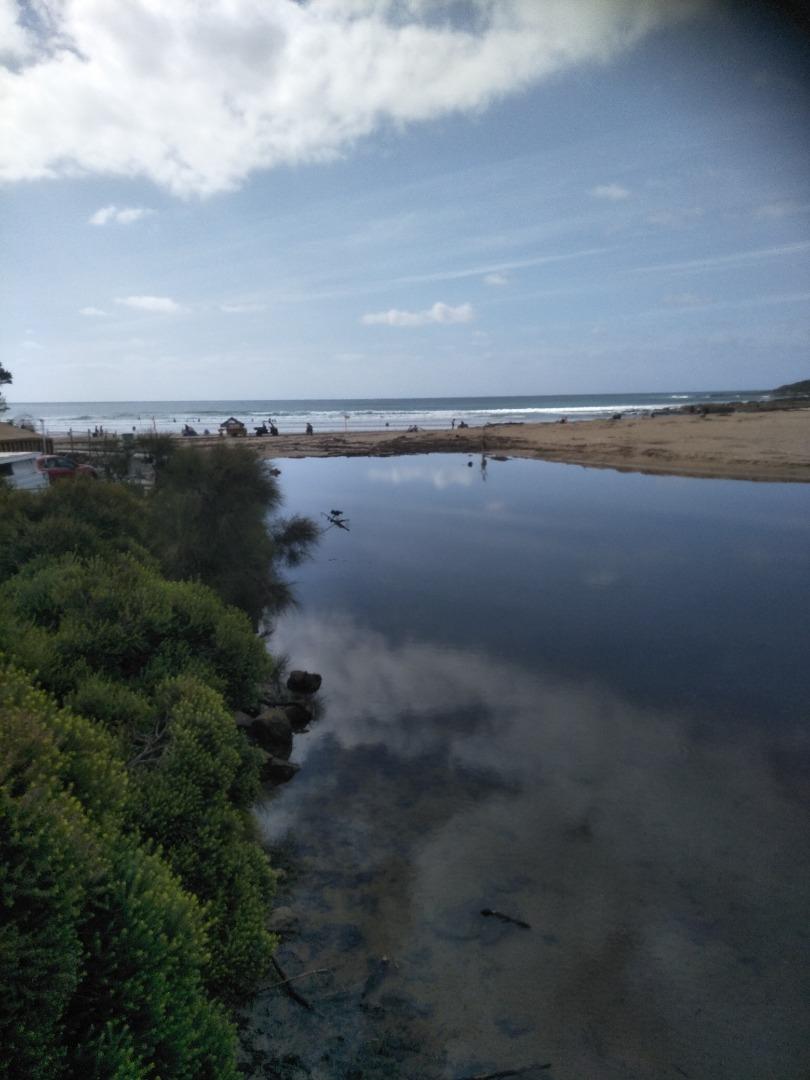
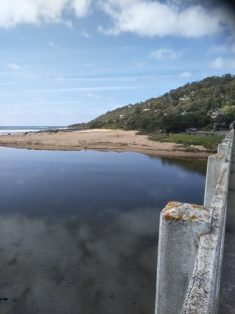
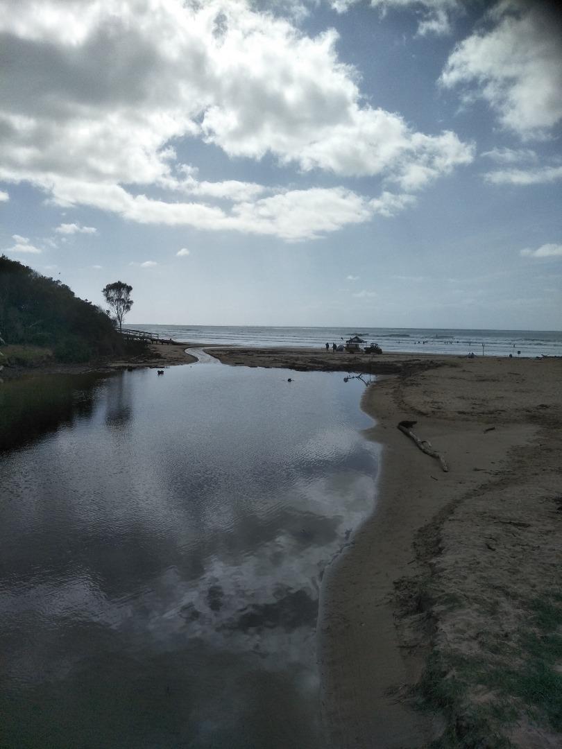
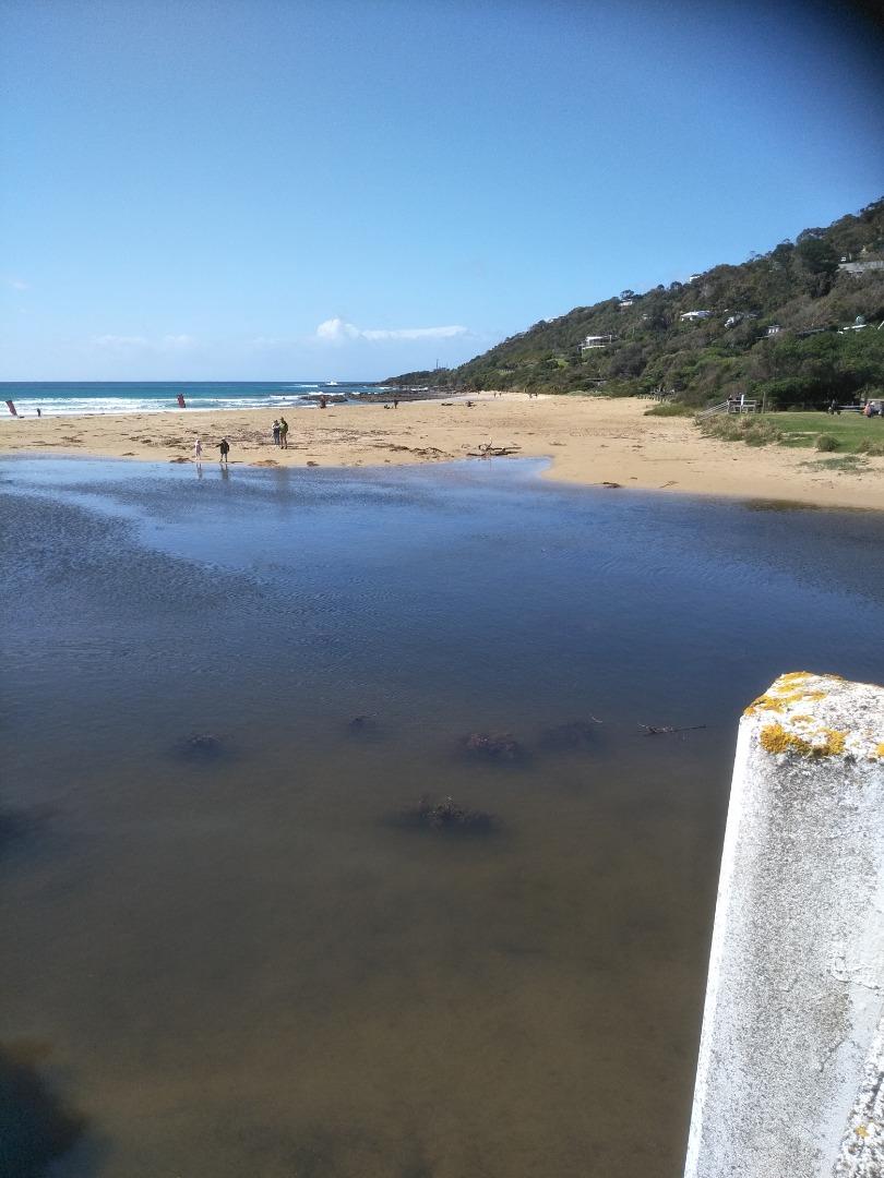
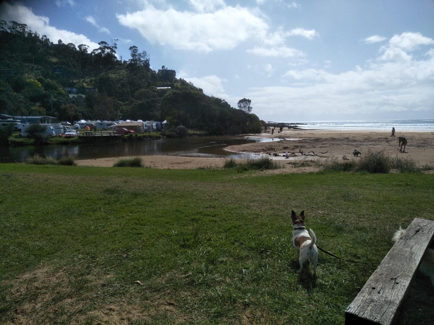
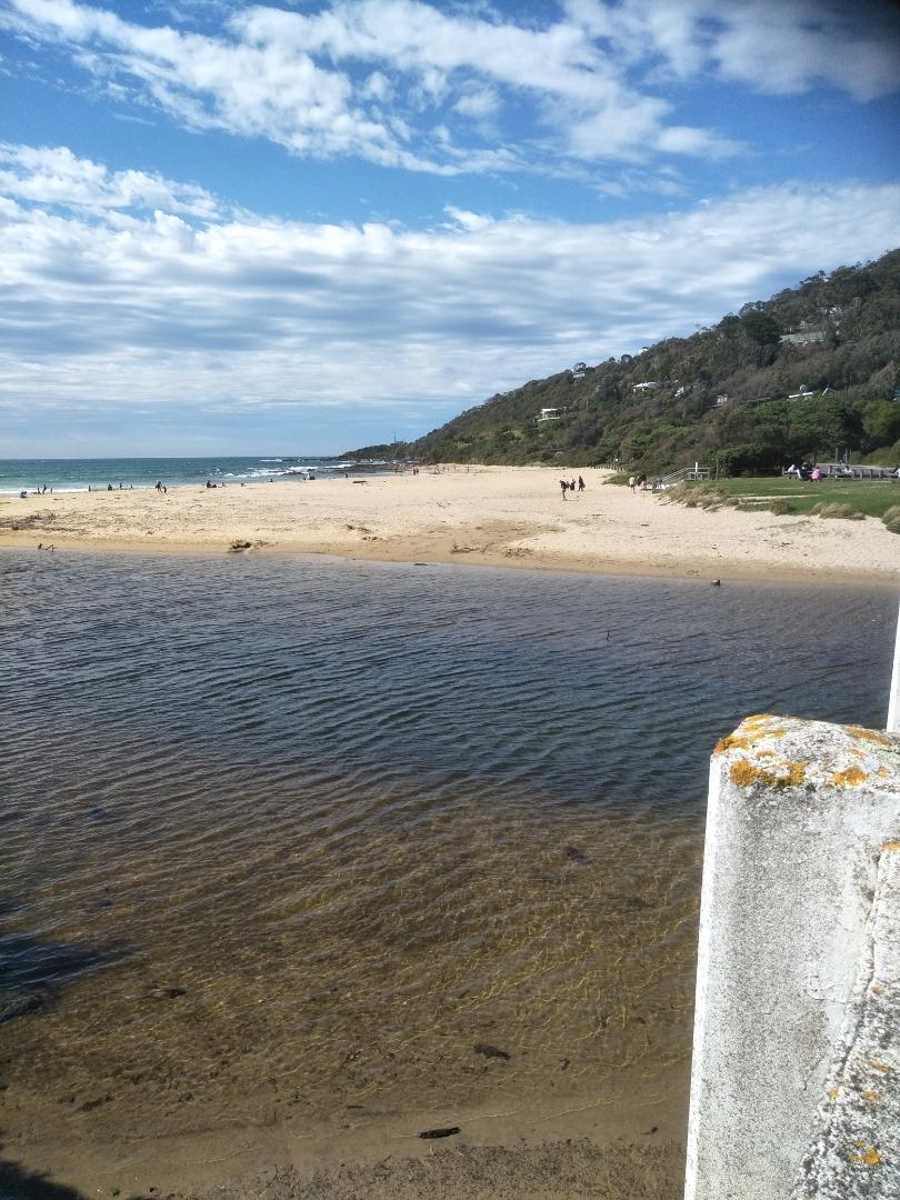
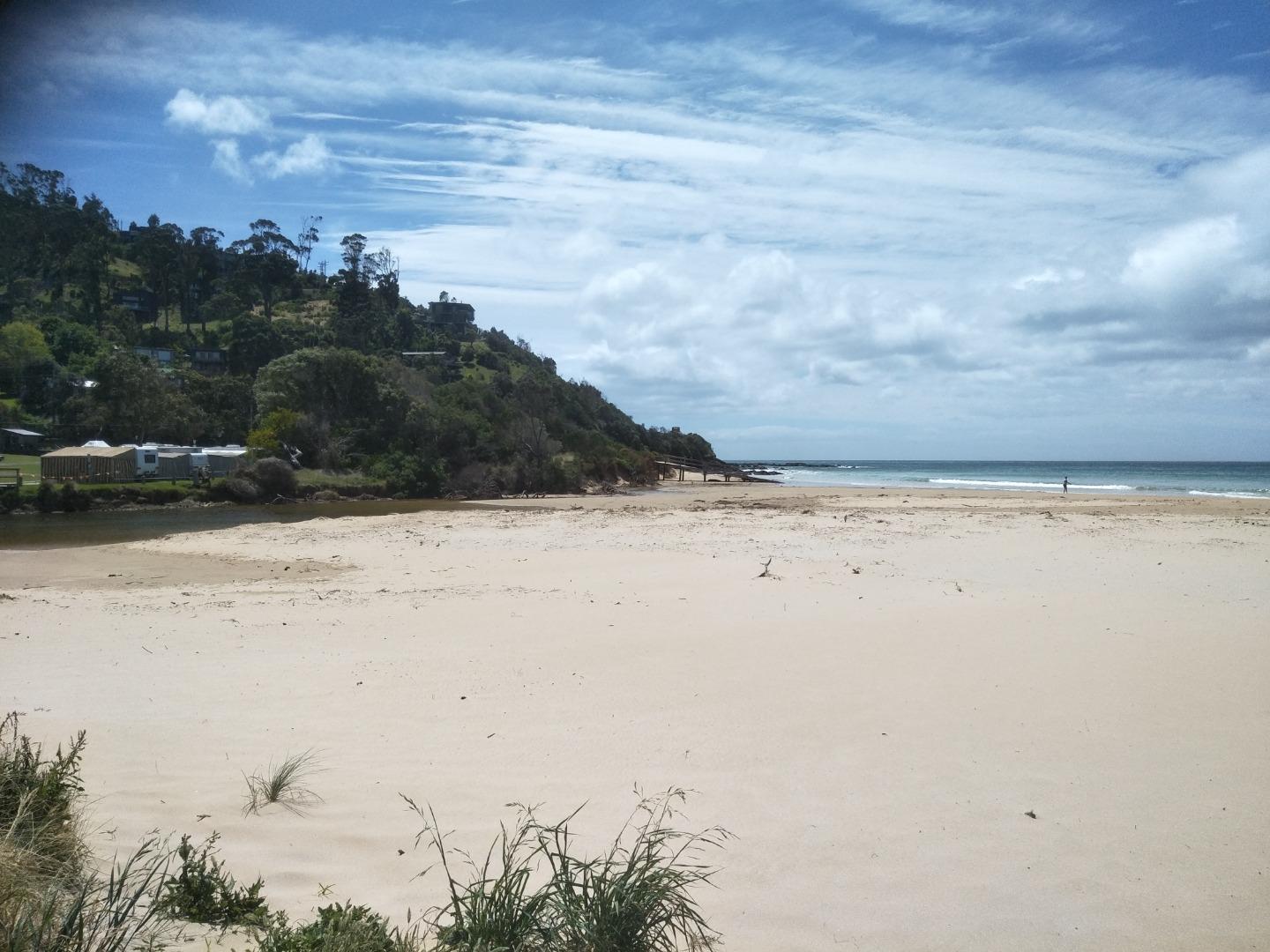
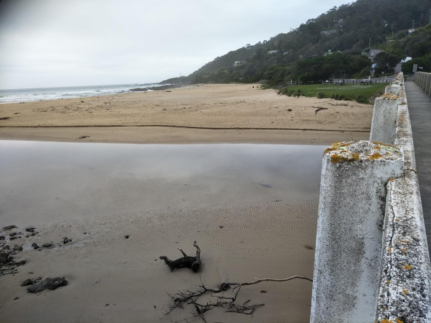
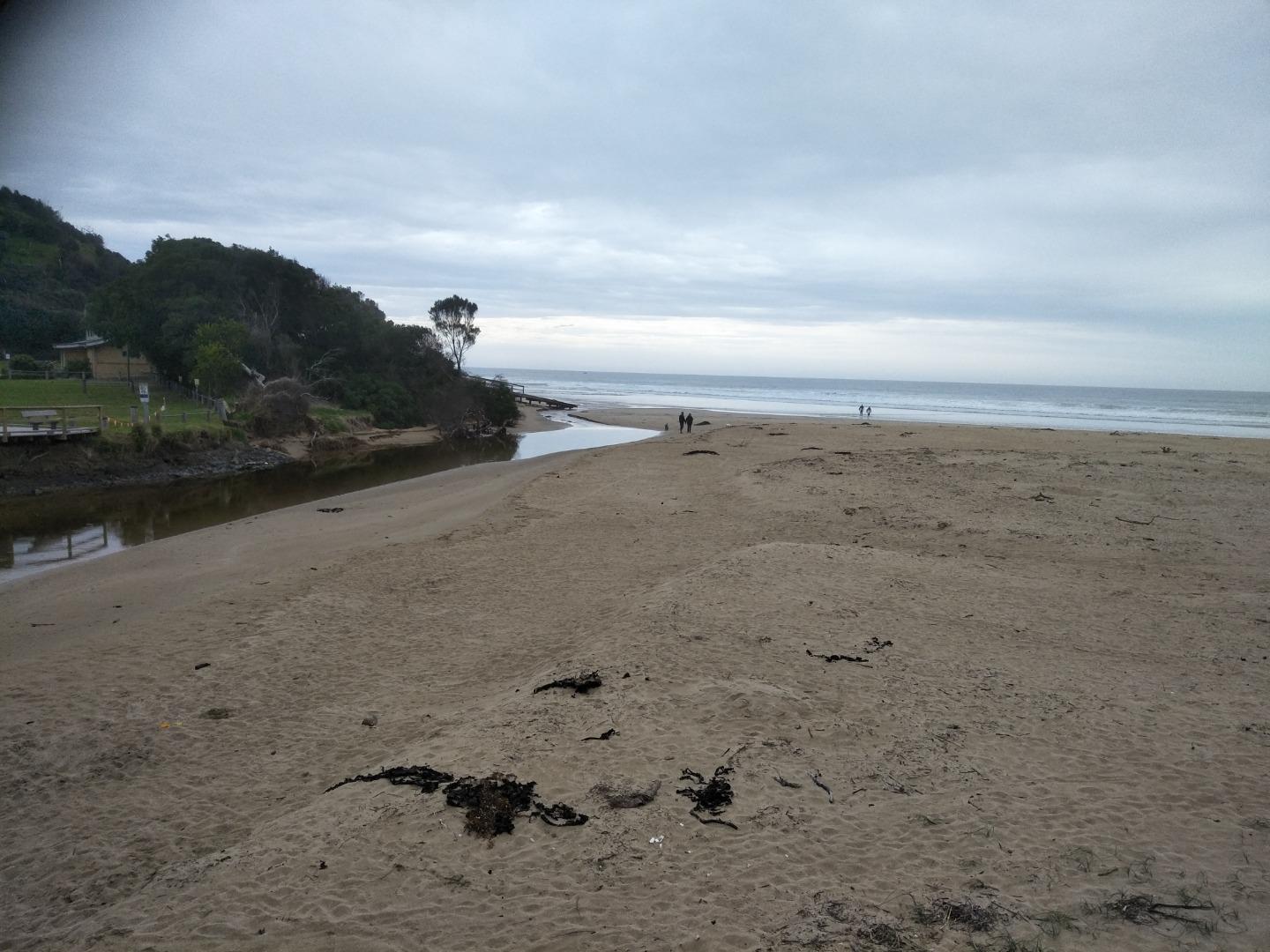
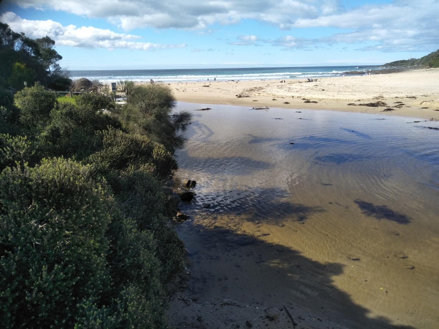
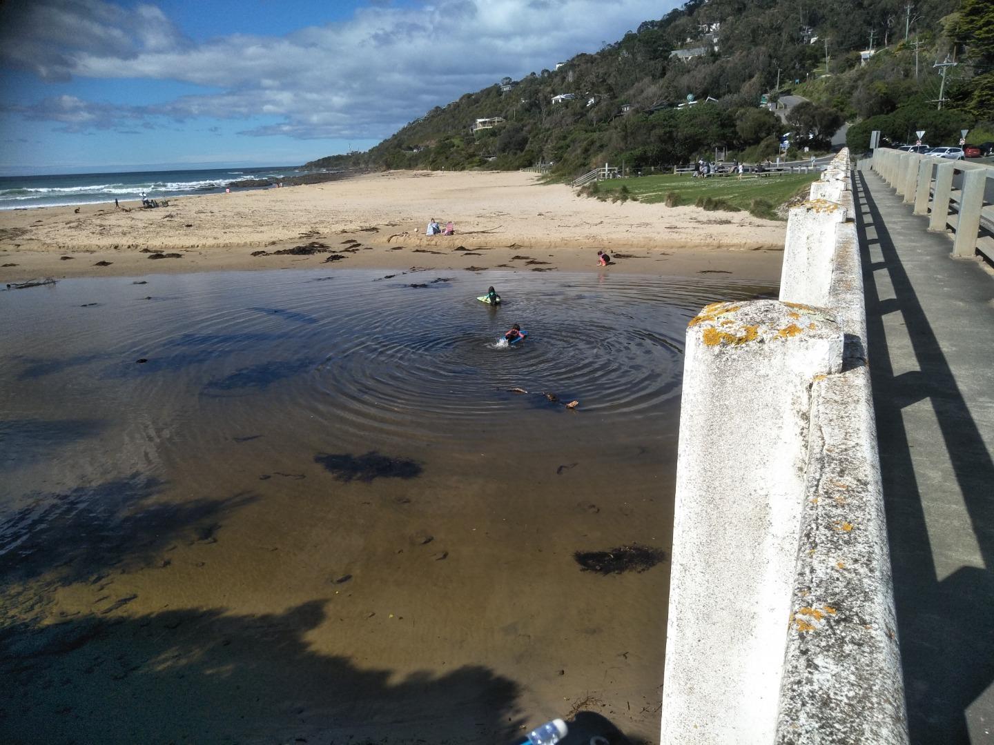
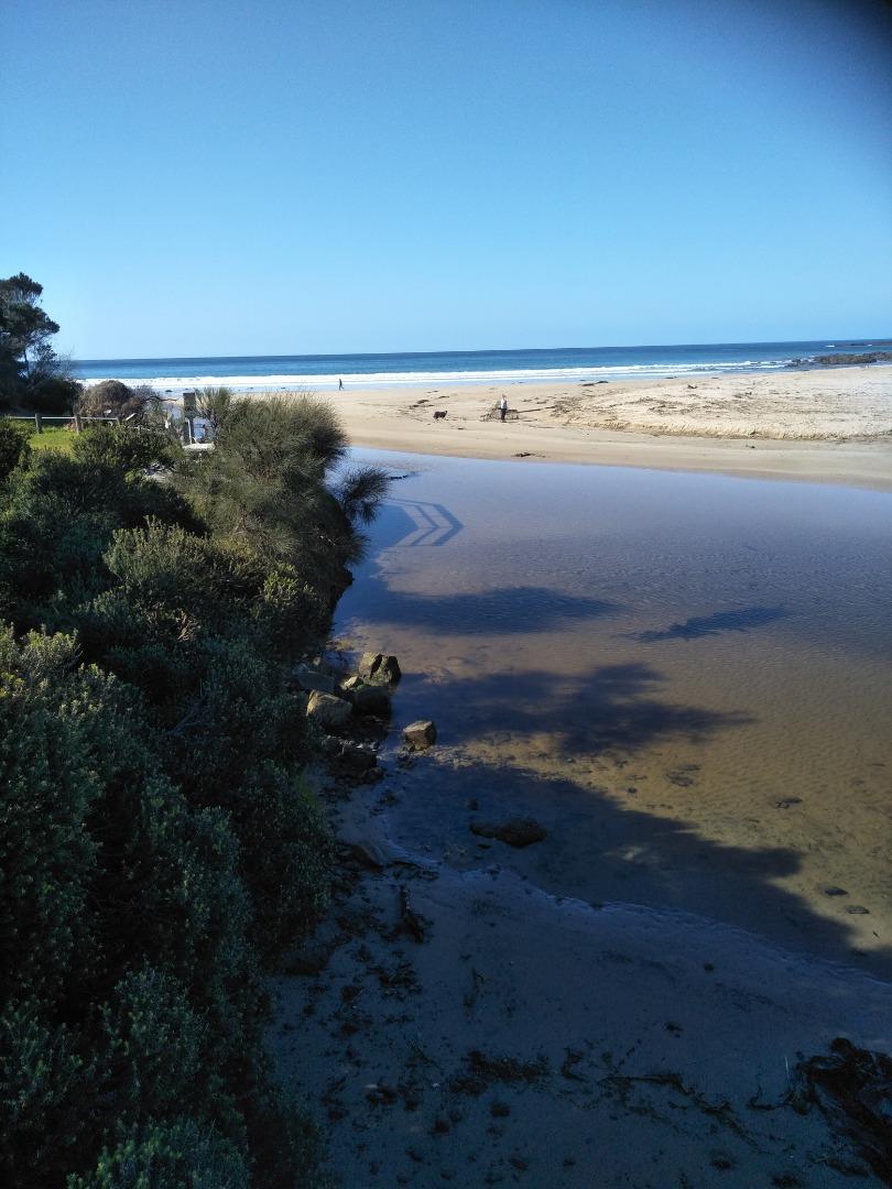
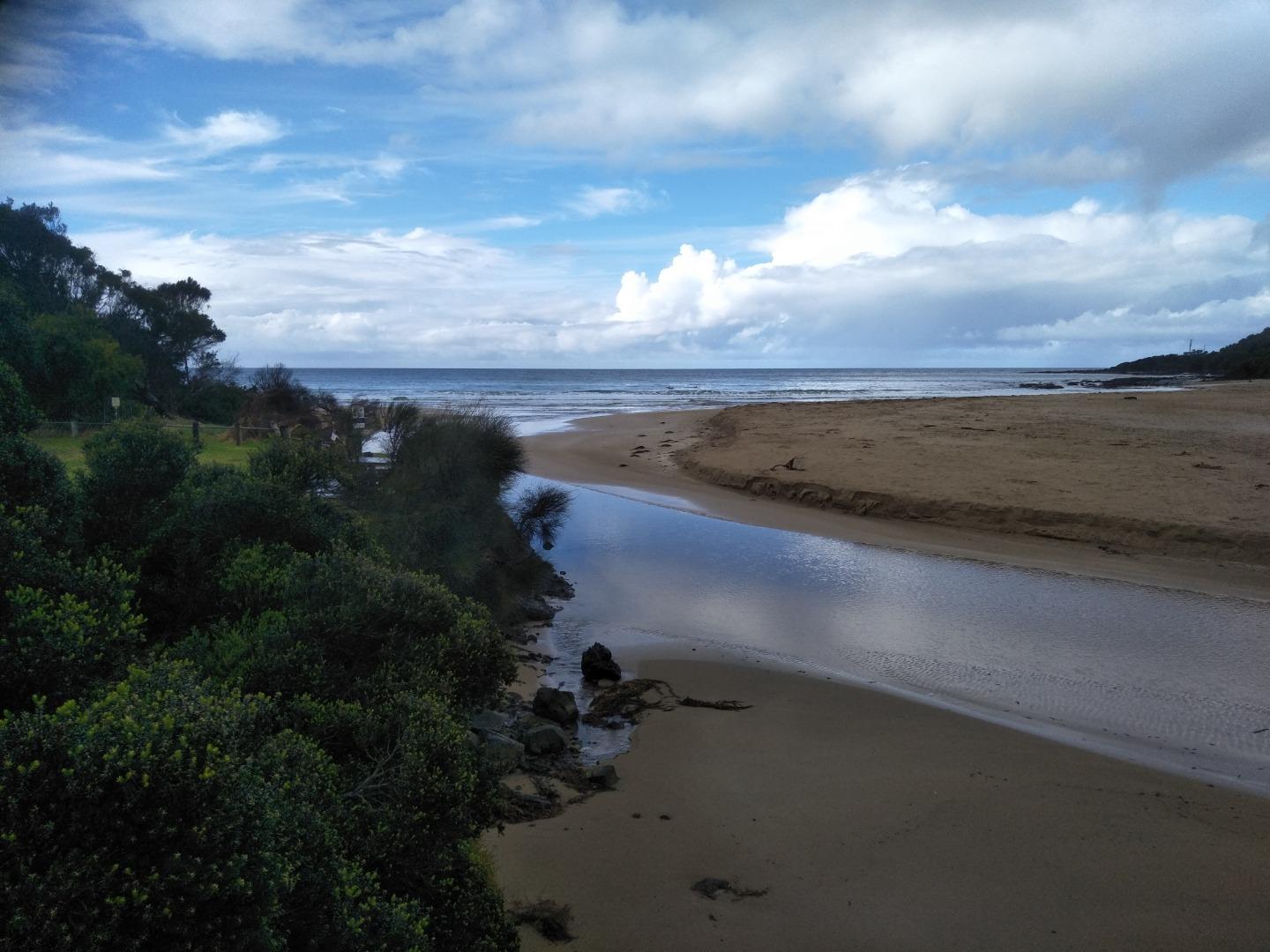
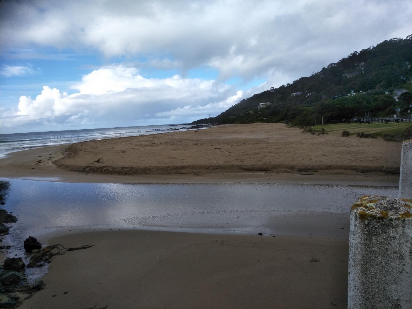
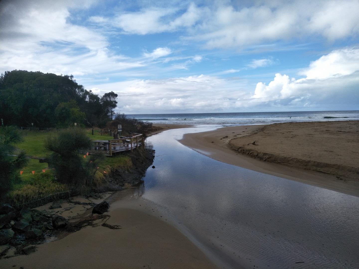
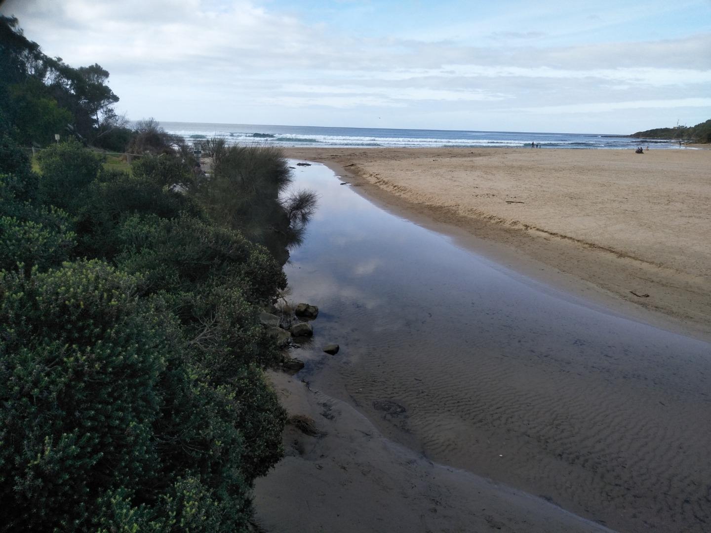
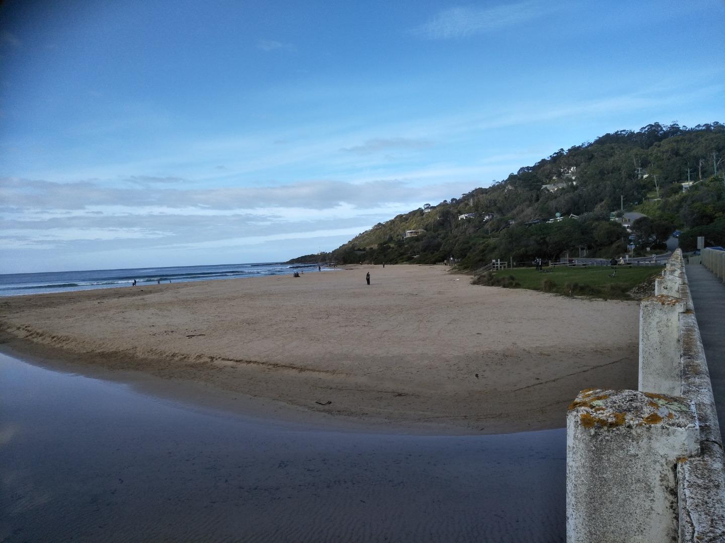
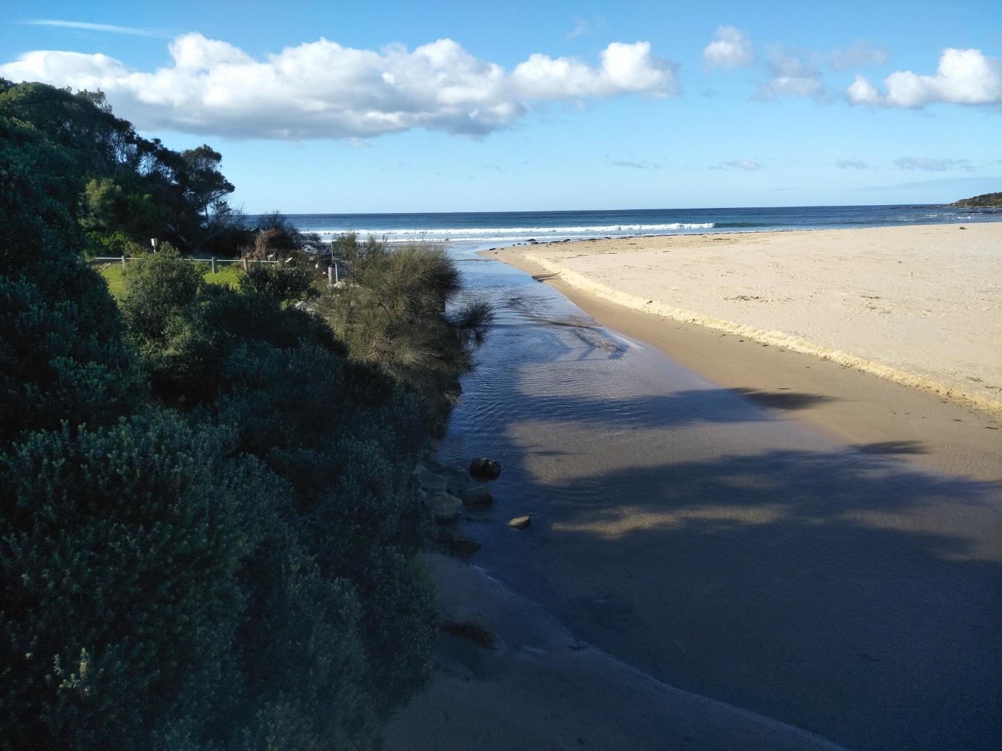
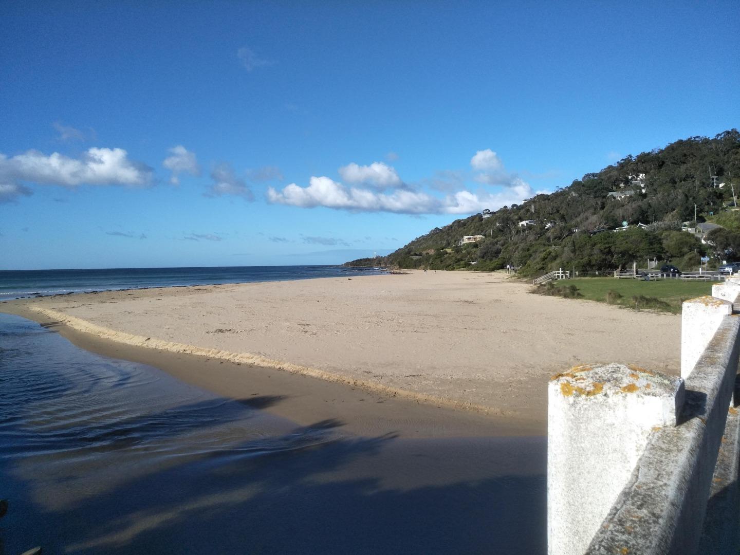
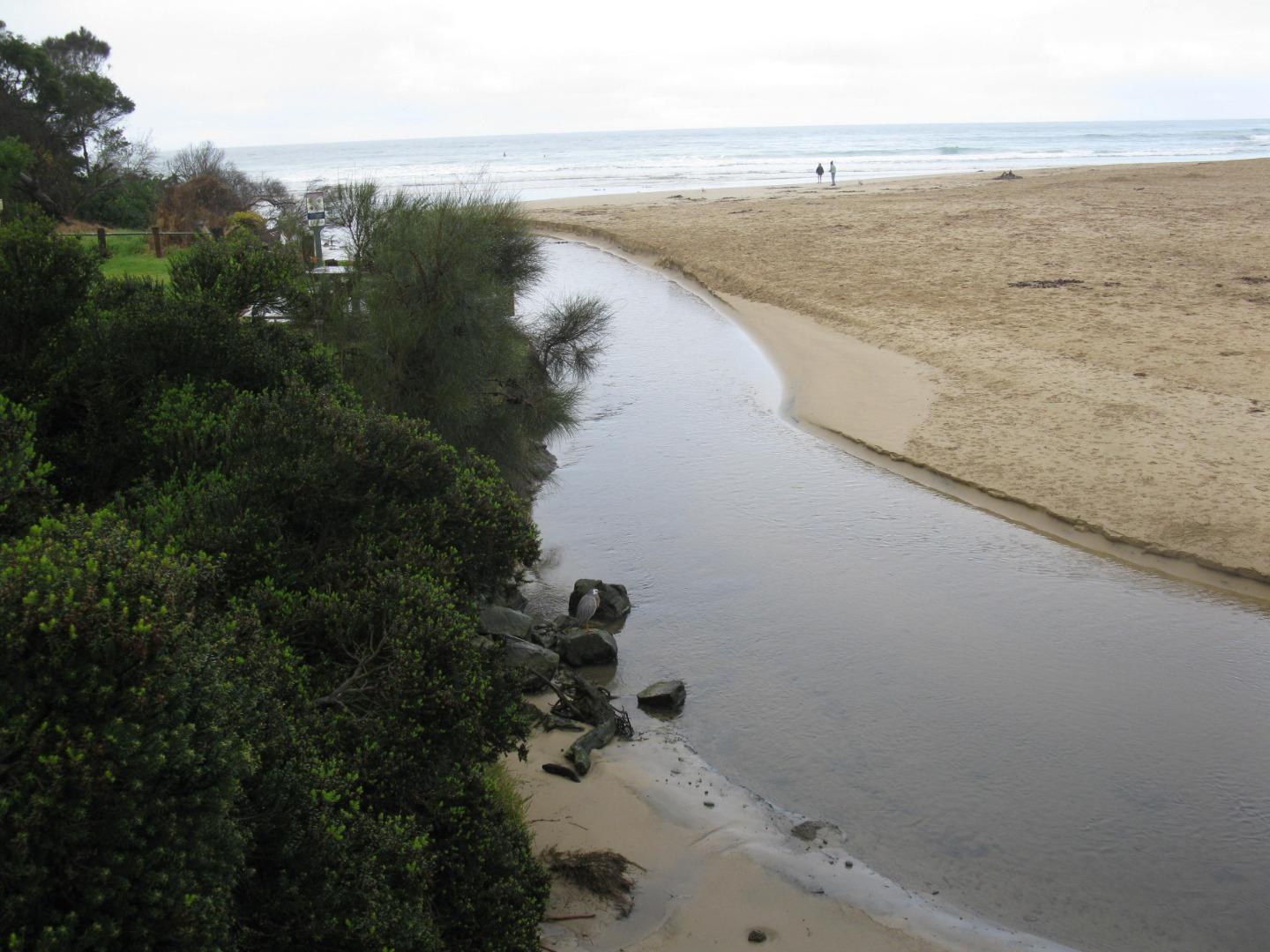
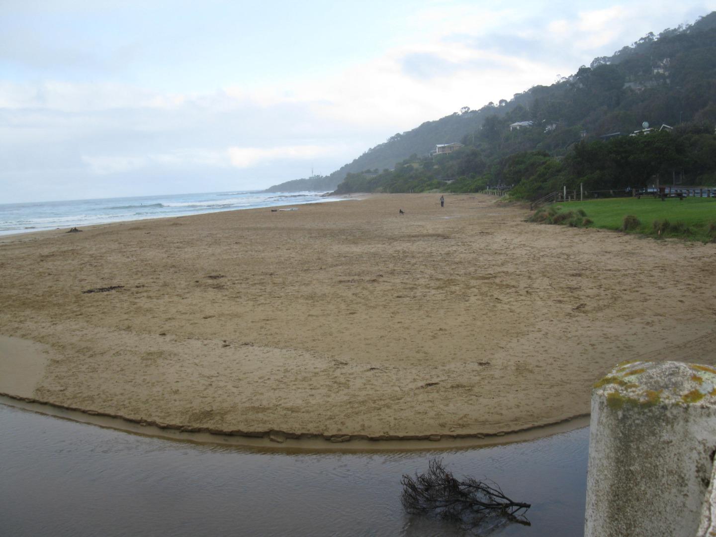
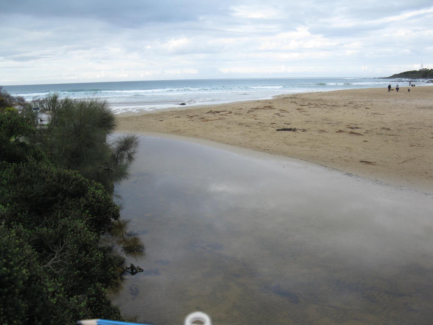
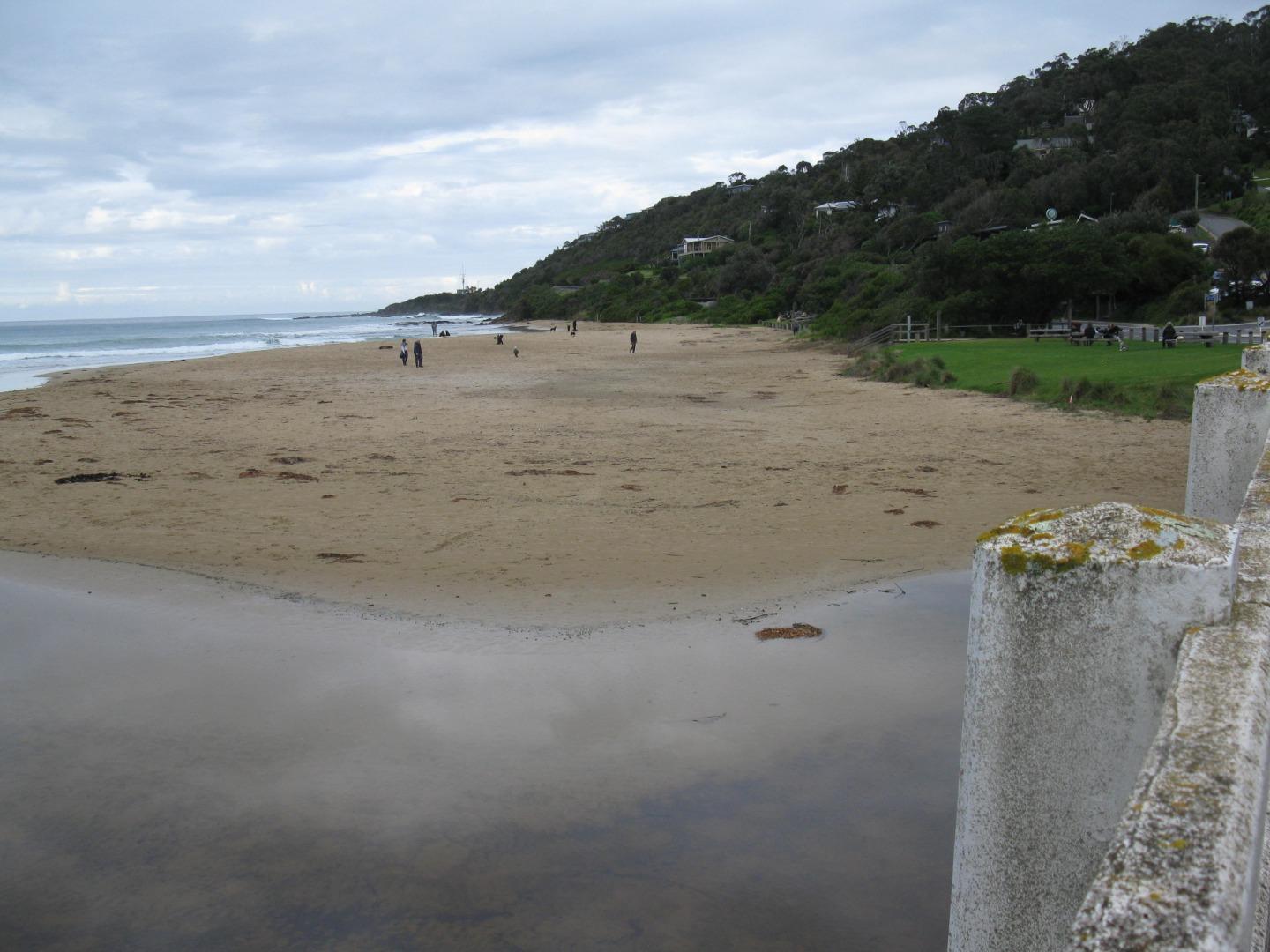
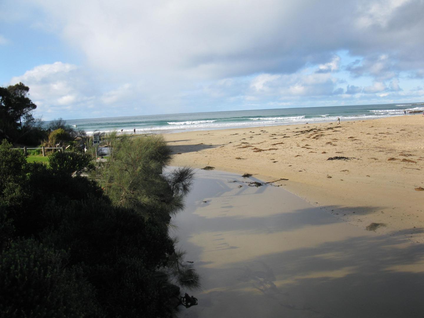
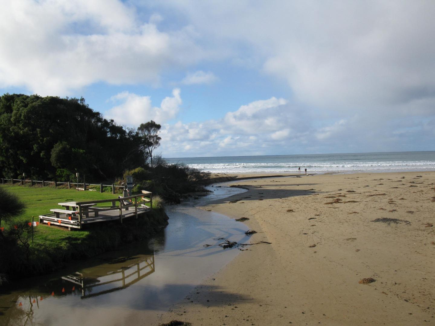
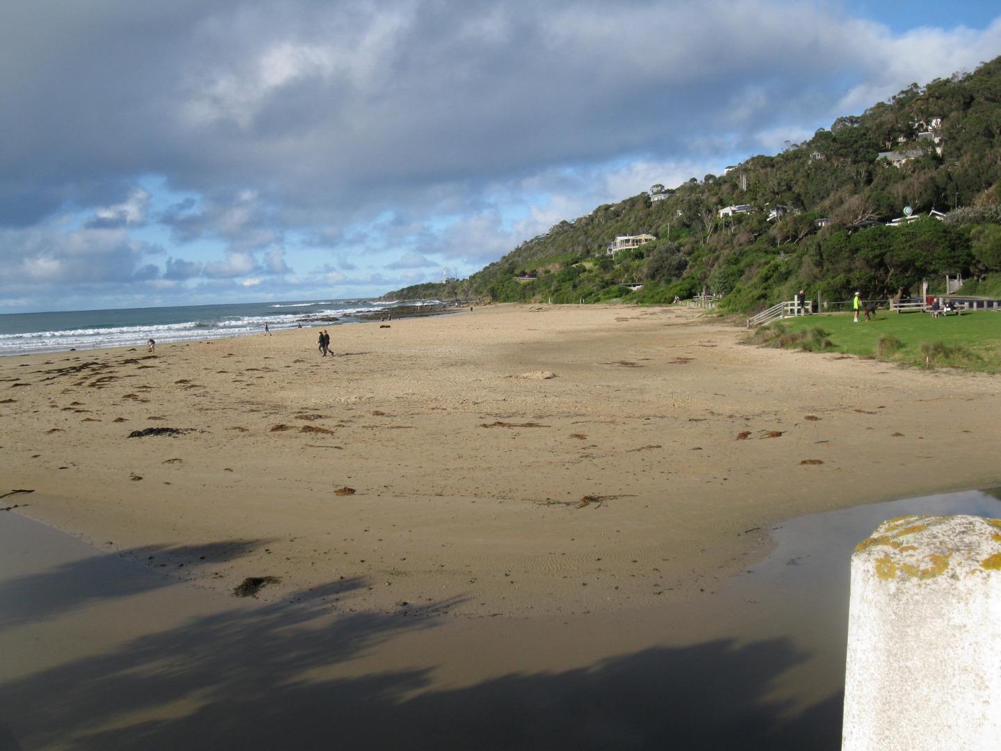
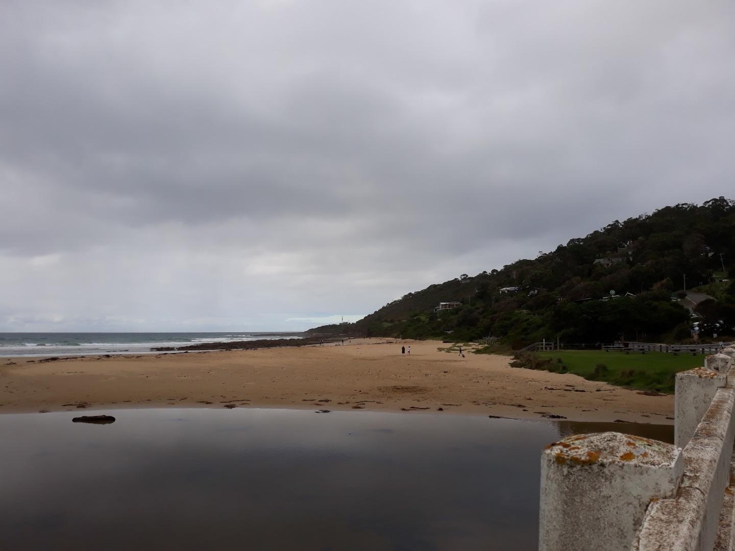
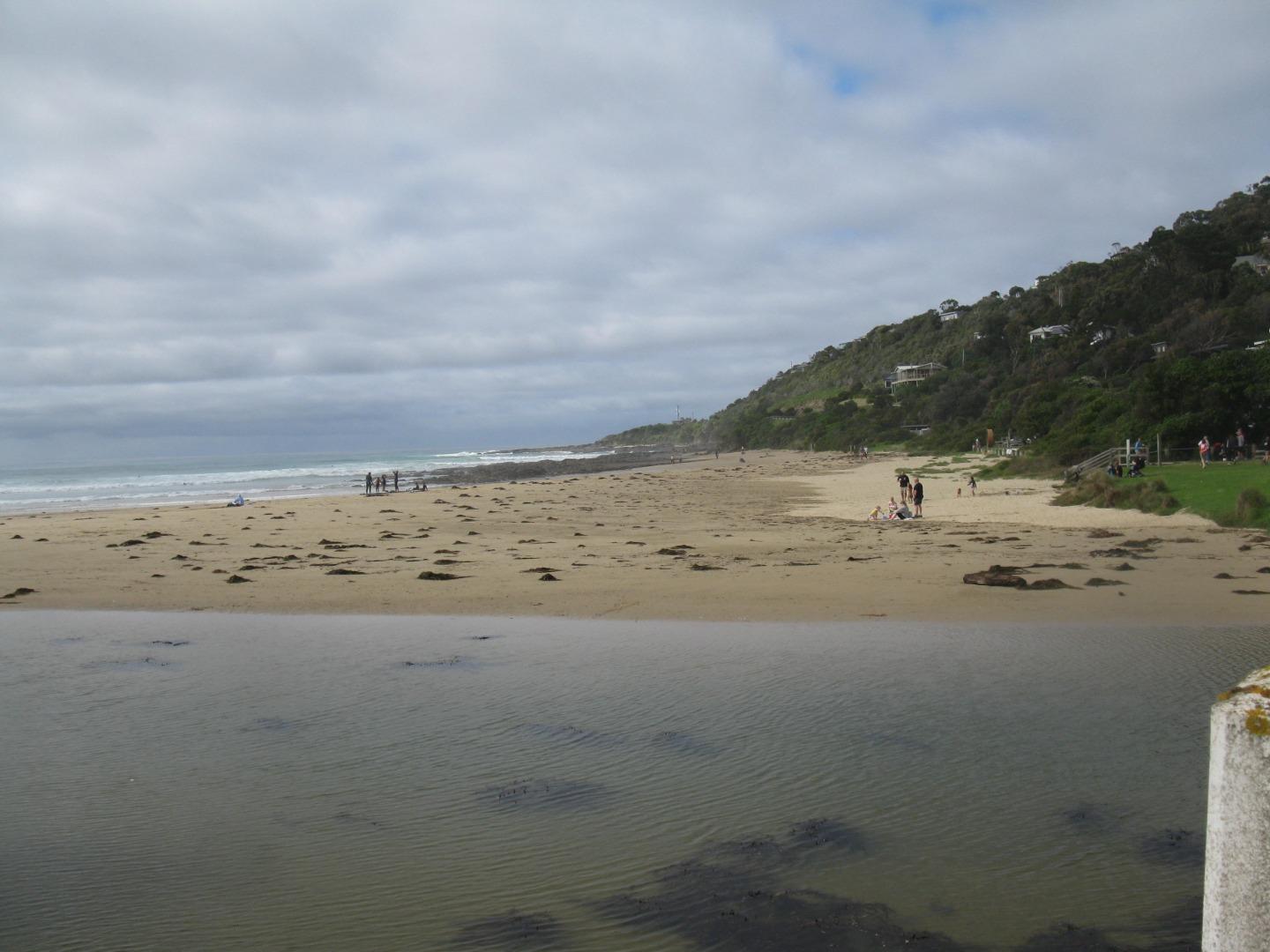
Active Mouth Condition 20-01-2007 - 21-04-2024Wye River Estuary
| ID | Date | Status | Details | |
|---|---|---|---|---|
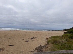
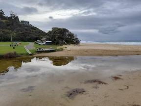
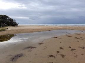
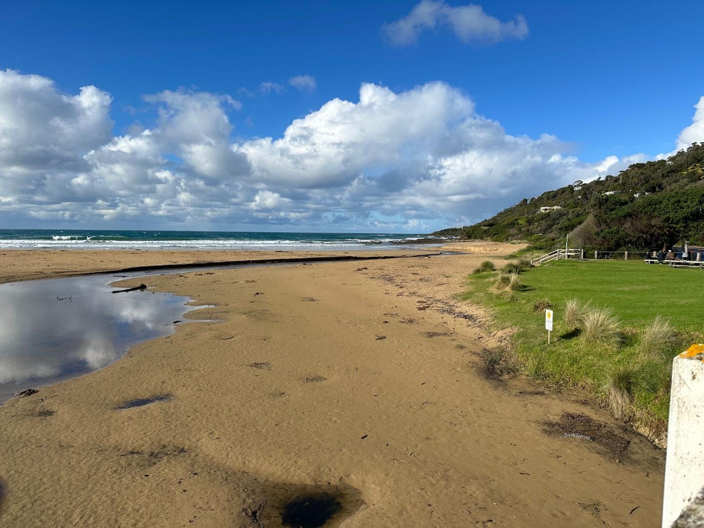
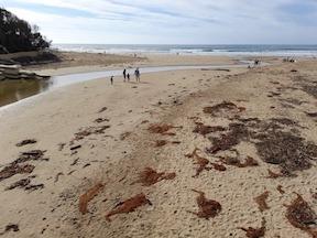
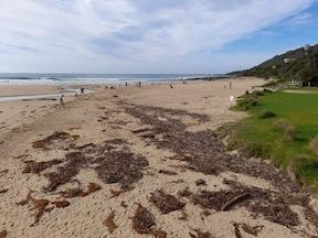
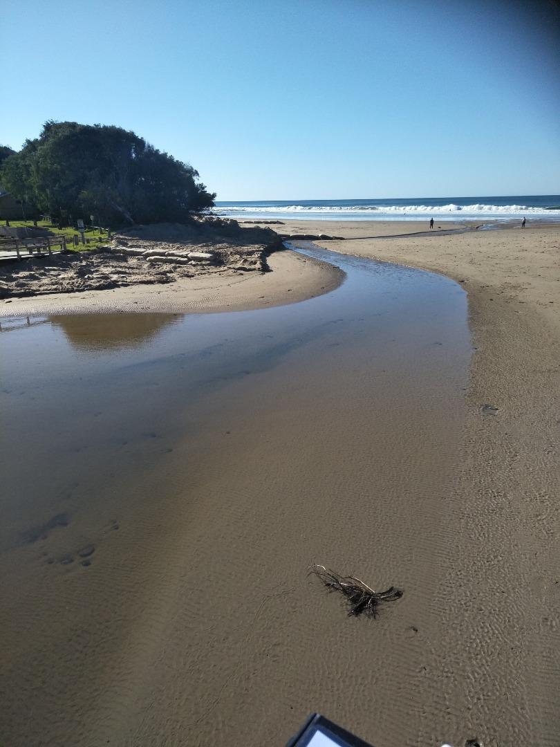
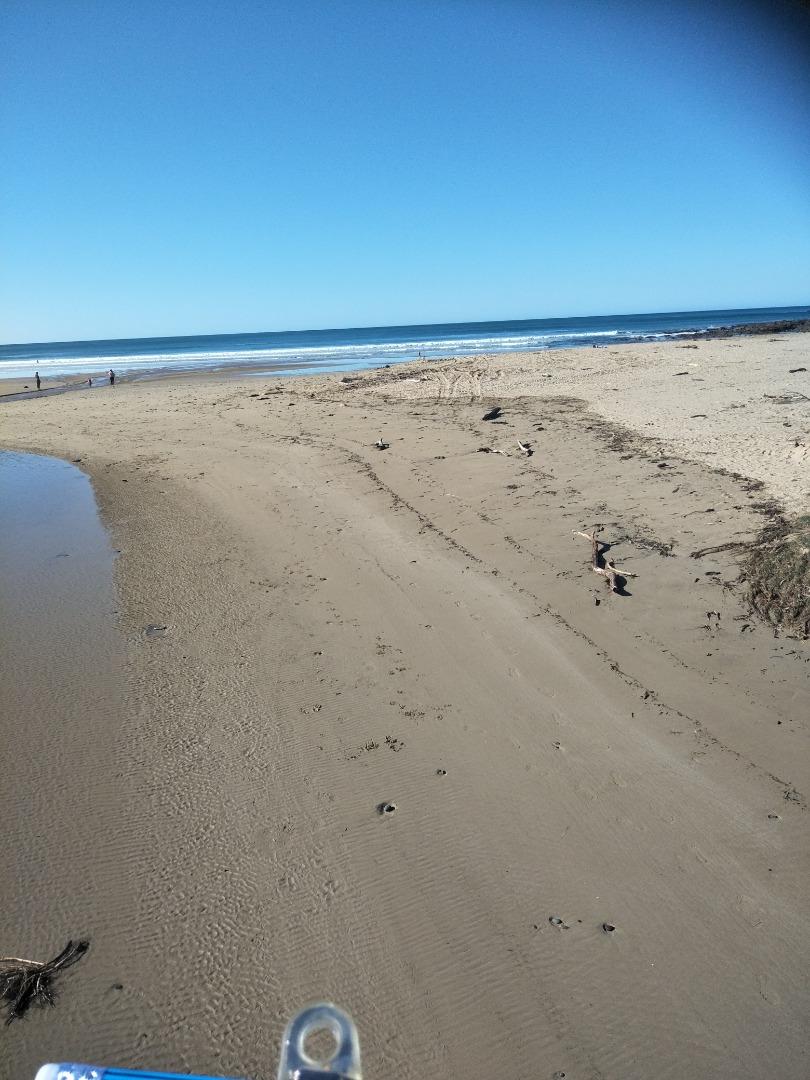
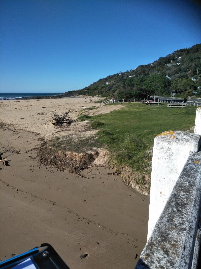
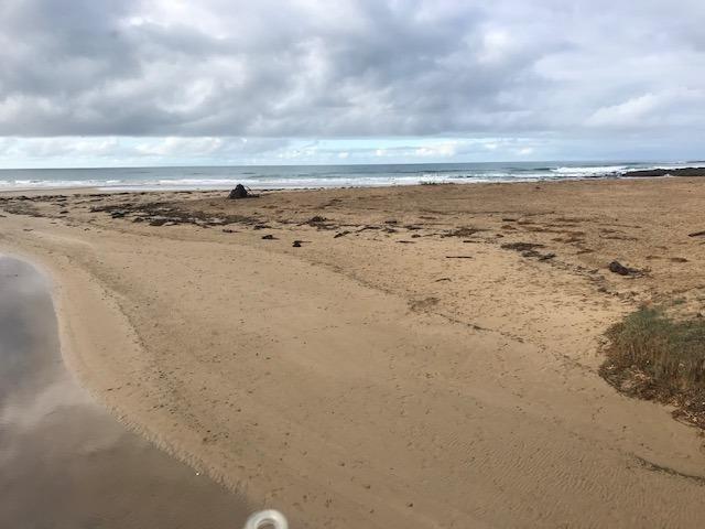
| #16124 | 21 Apr 2024 | Pending |
Notes:
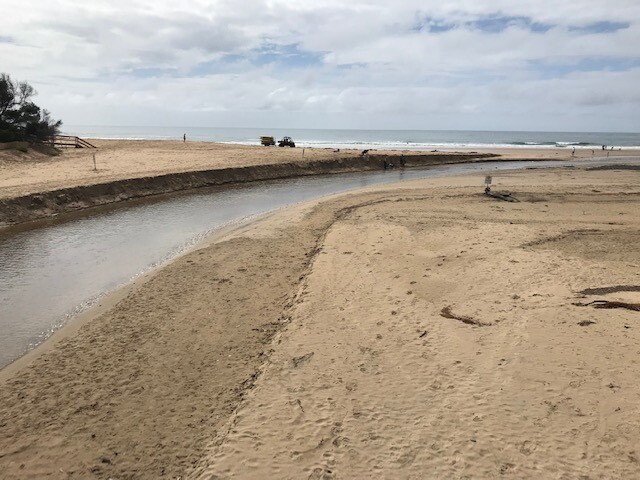
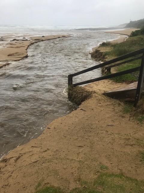
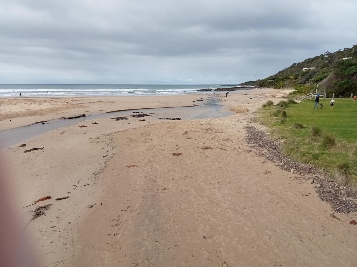
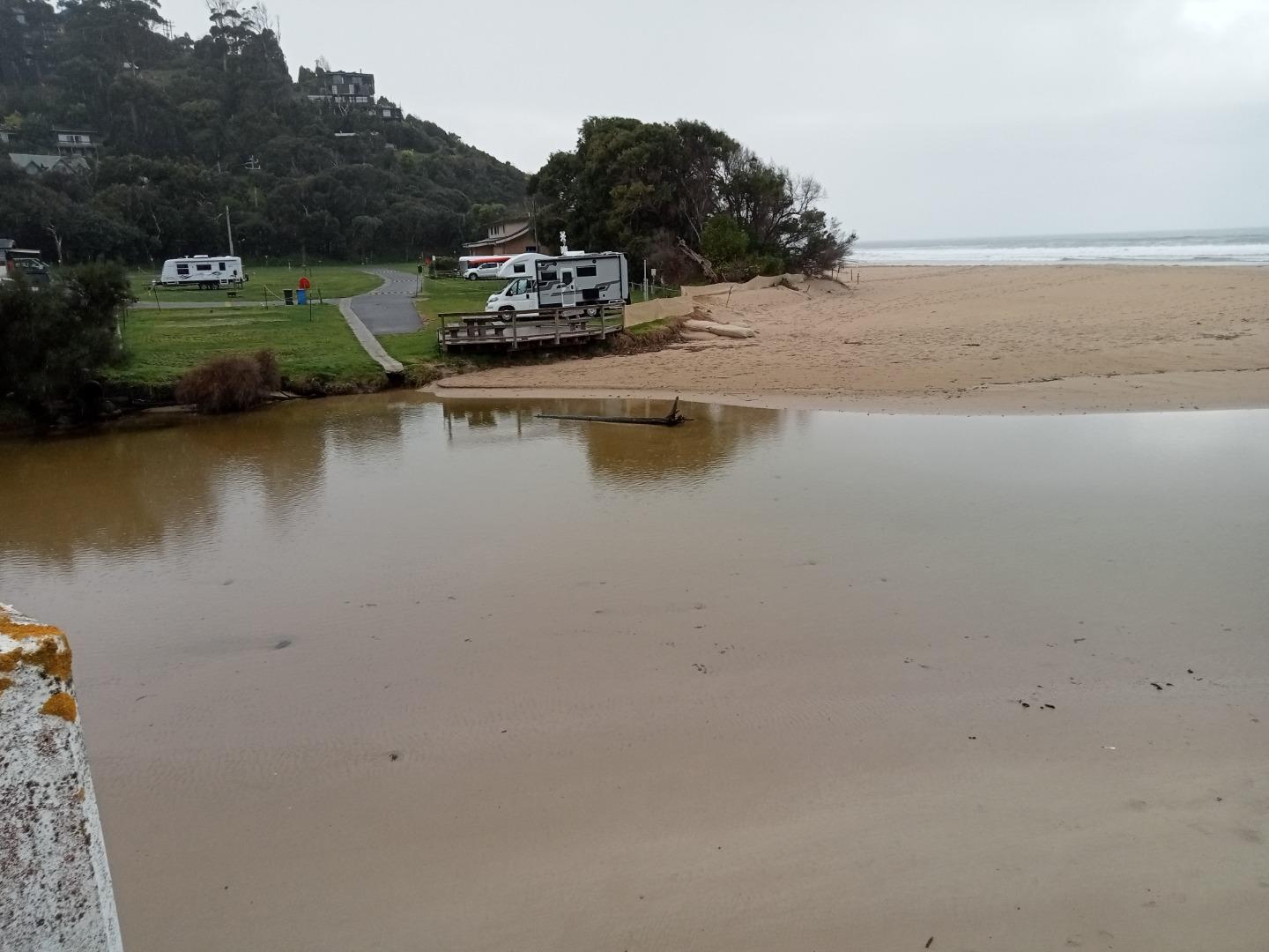
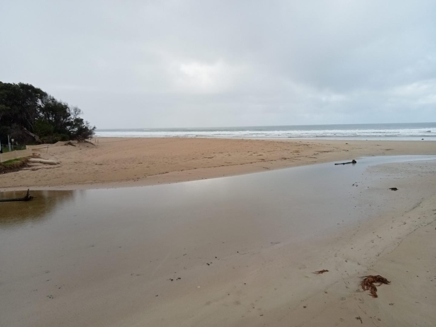
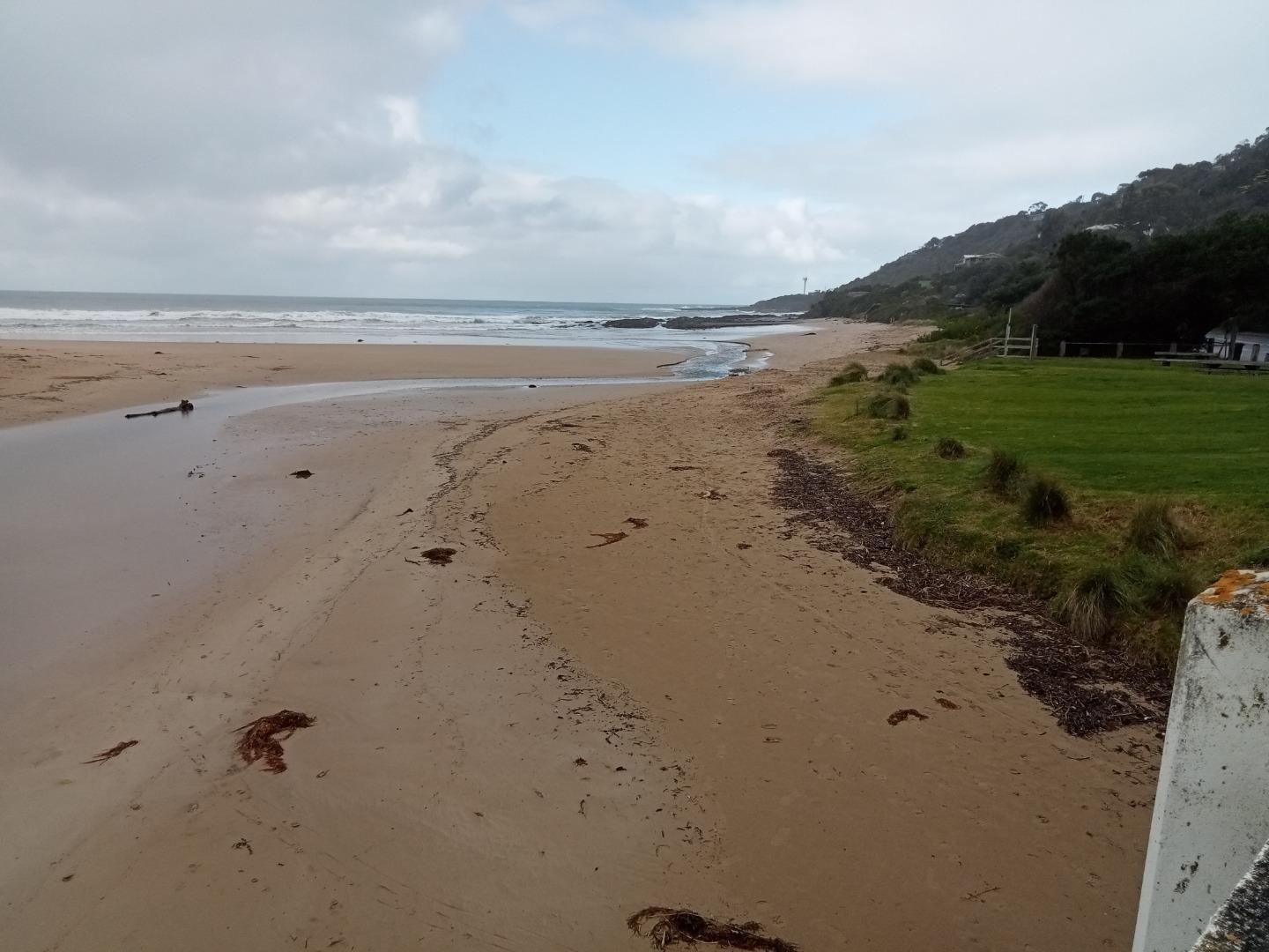
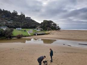
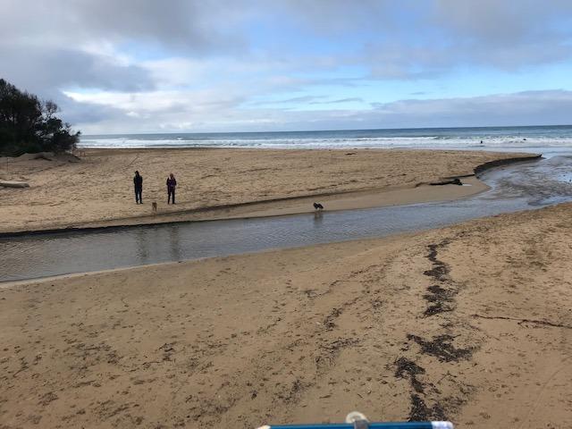
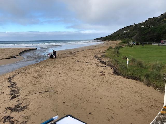
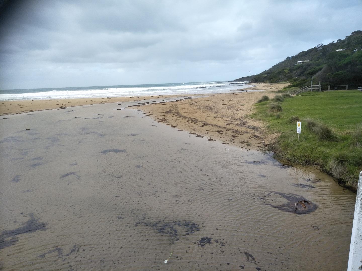
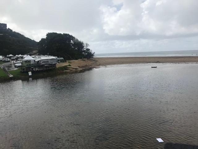
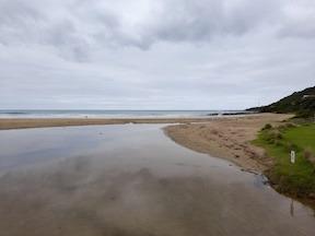
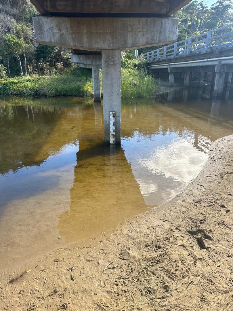
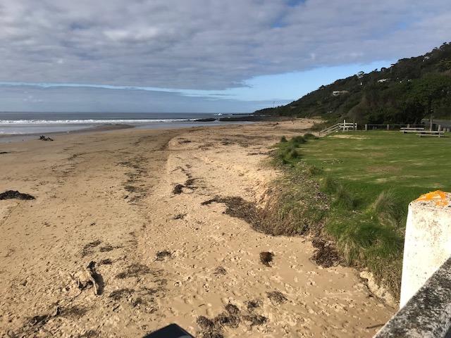
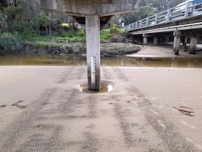
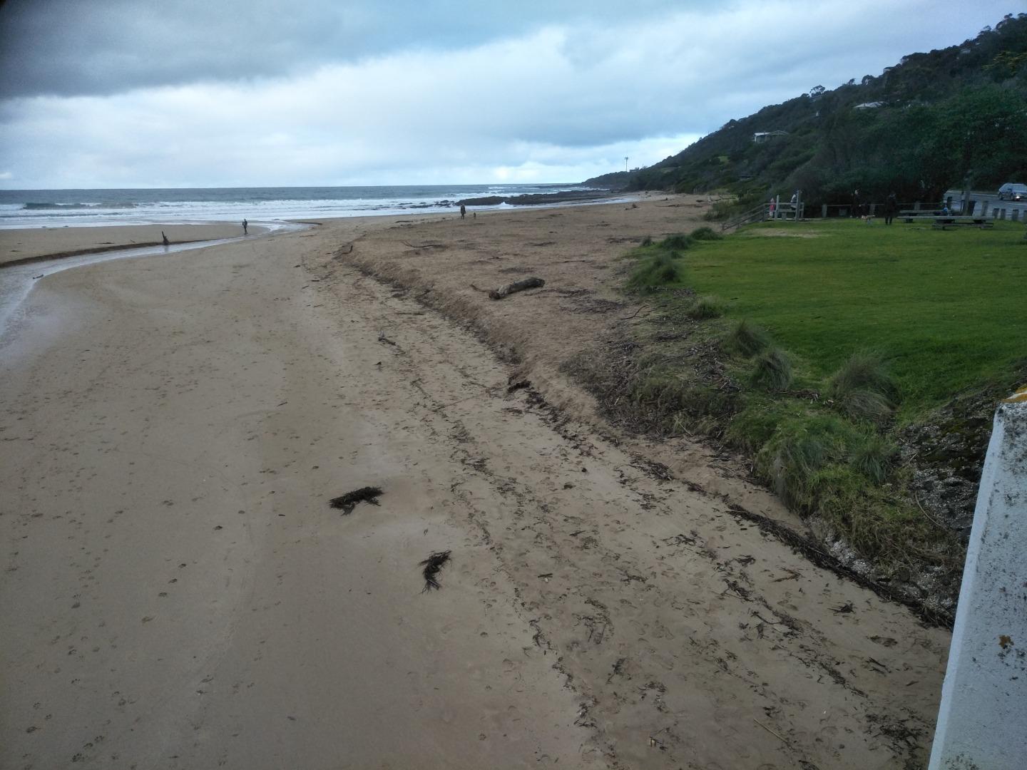
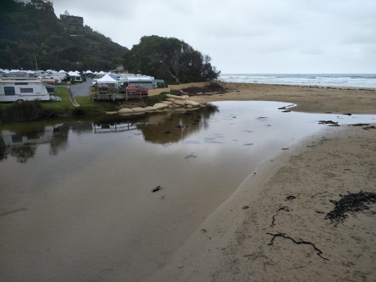
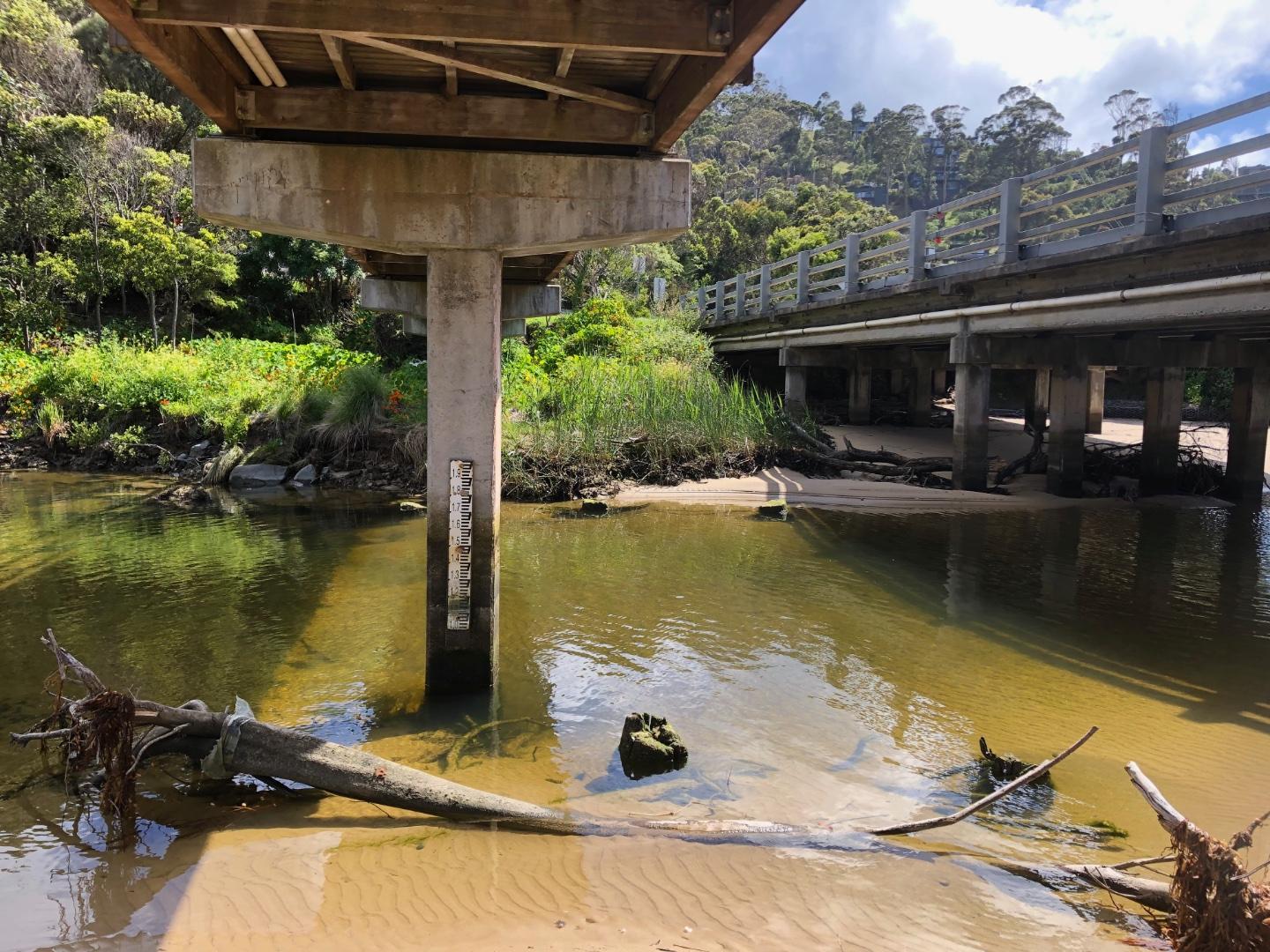
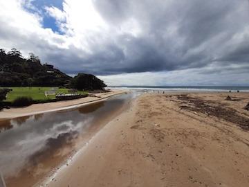
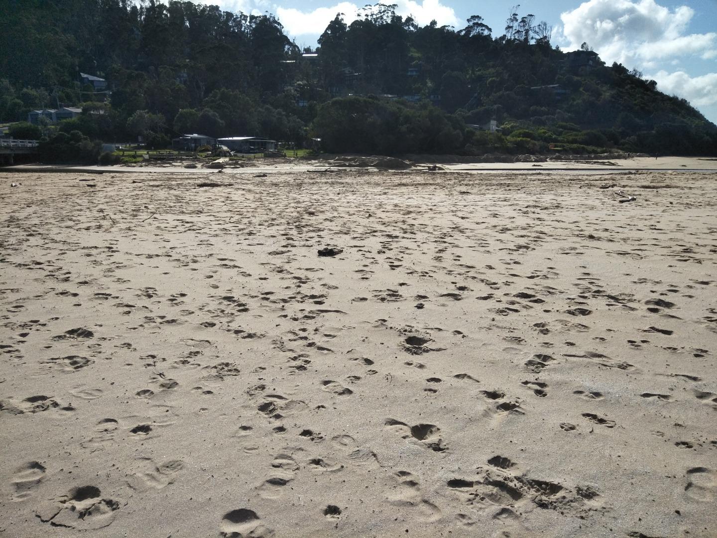
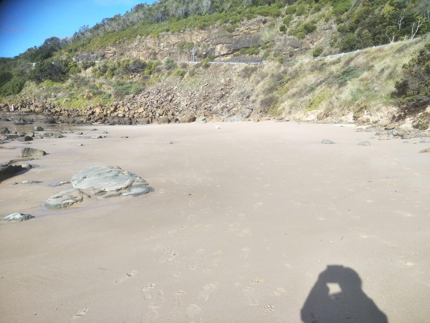
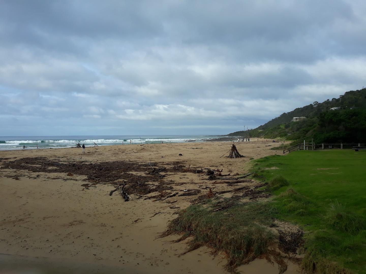
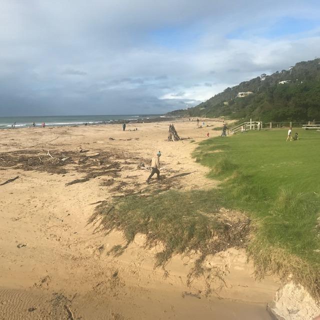
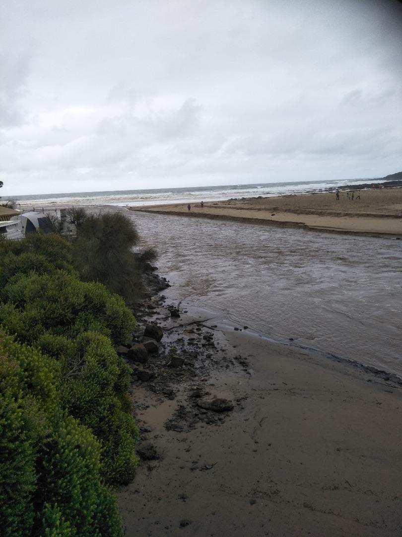
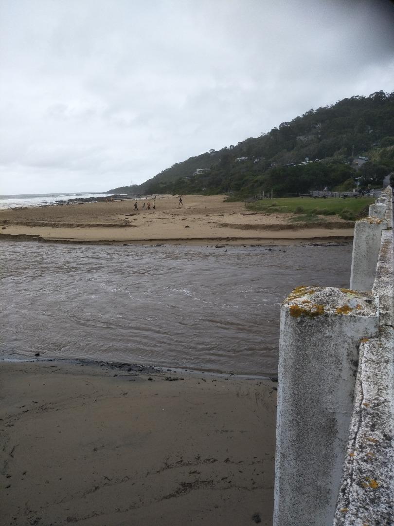
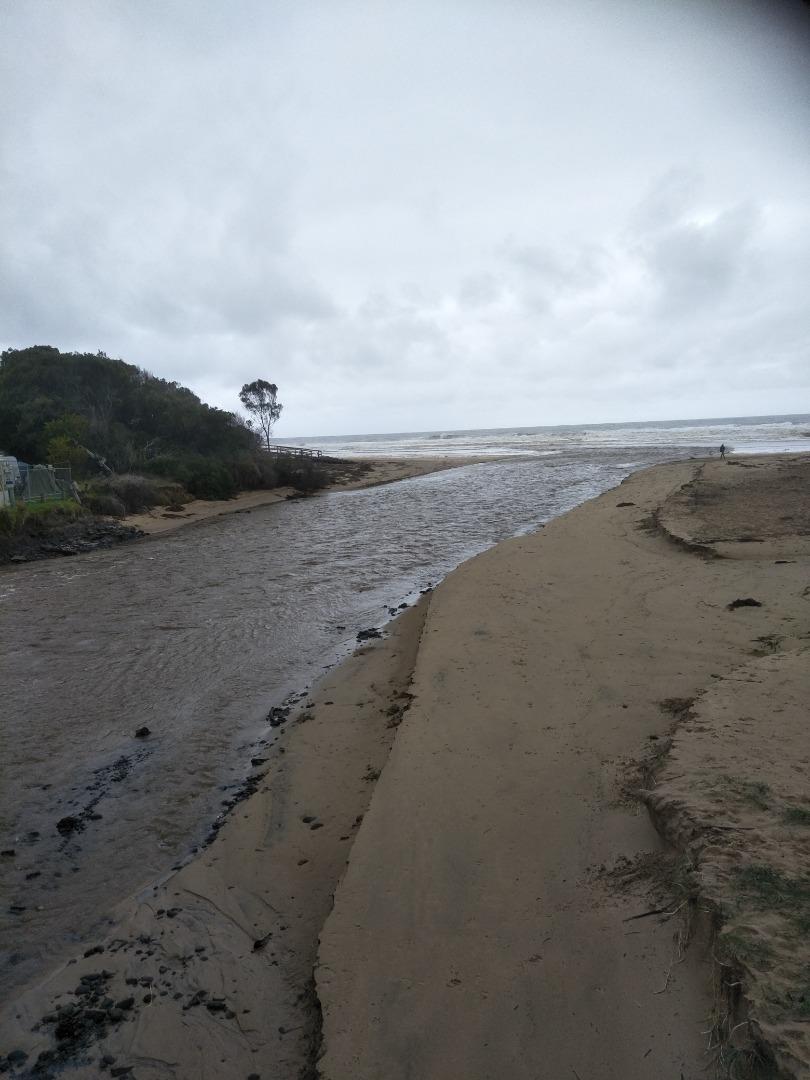
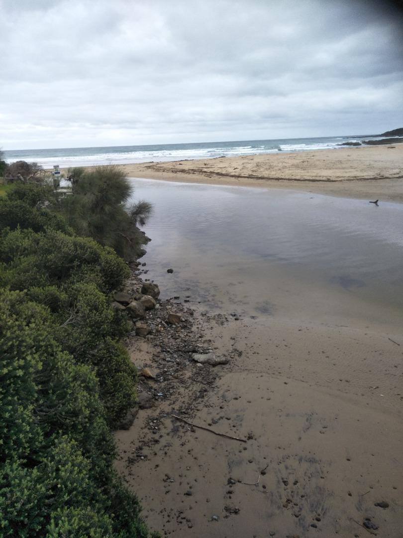
The photo point site was from the beach access - our usual site was unavailable, enclosed by security fences for the new bridge installation works. |
|
| #16104 | 7 Apr 2024 | Pending | ||
| #16062 | 17 Mar 2024 | Pending | ||
| #16051 | 3 Mar 2024 | Pending | ||
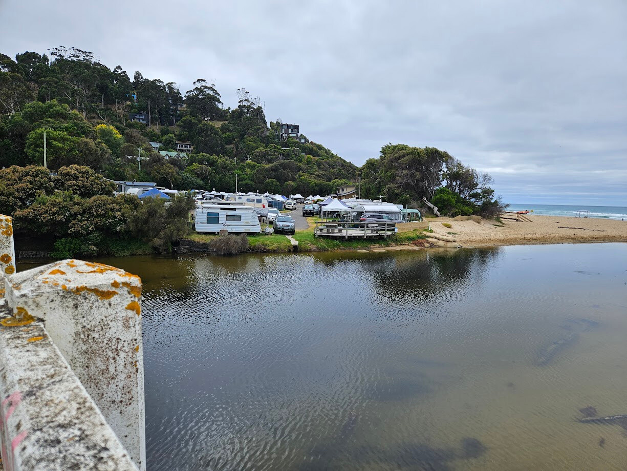
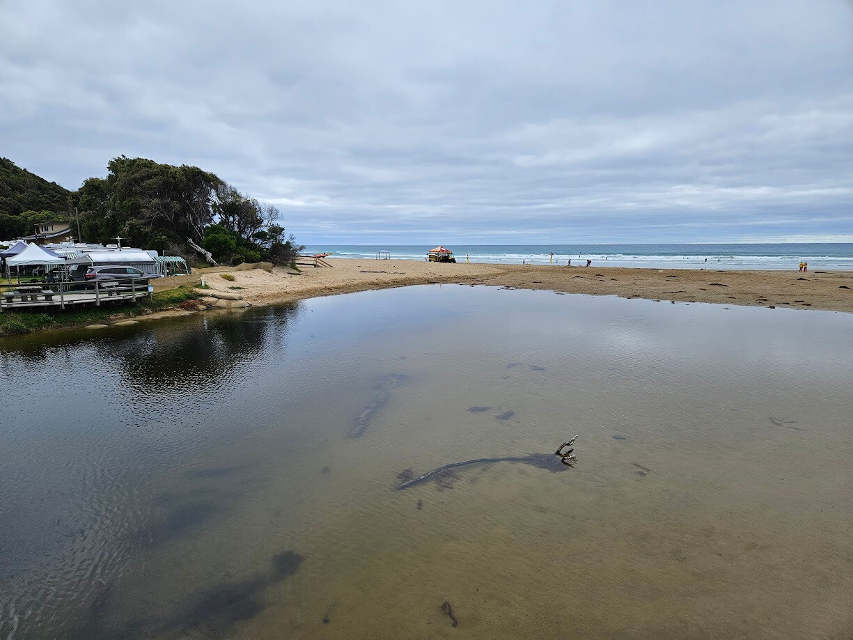
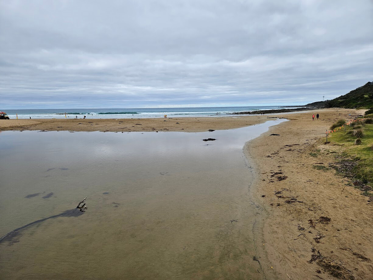
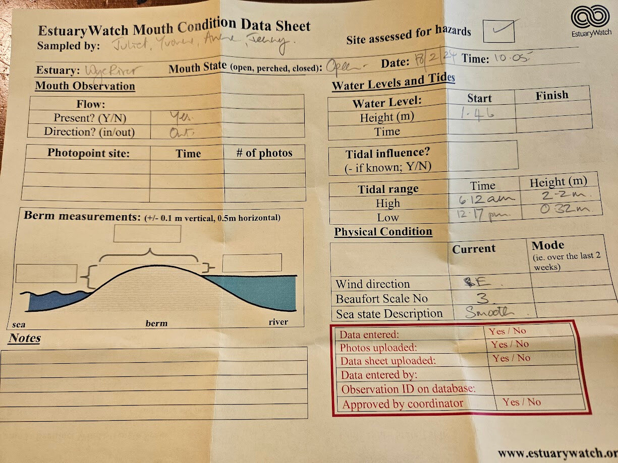
| #16050 | 18 Feb 2024 | Pending |
    |
|
| #15996 | 4 Feb 2024 | Pending | ||
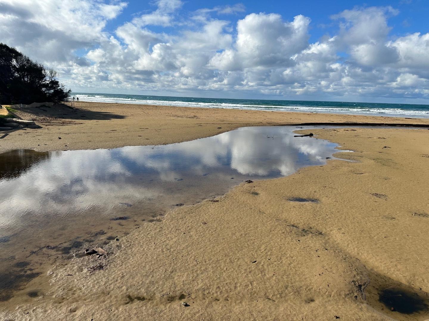
| #15992 | 21 Jan 2024 | Pending |
Notes:
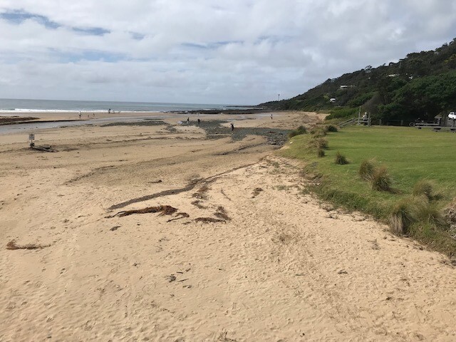
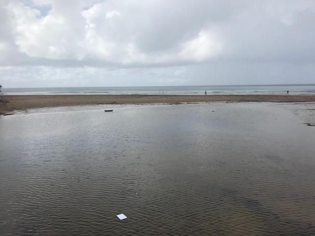
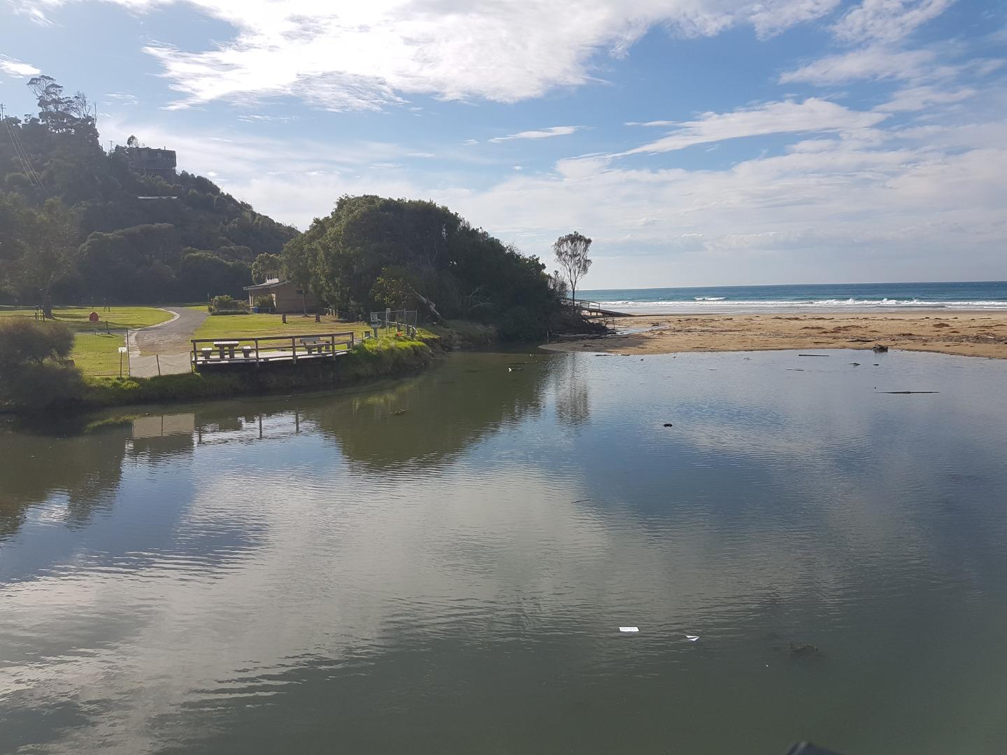
Lagoon is enlarged due to sand banking. |
|
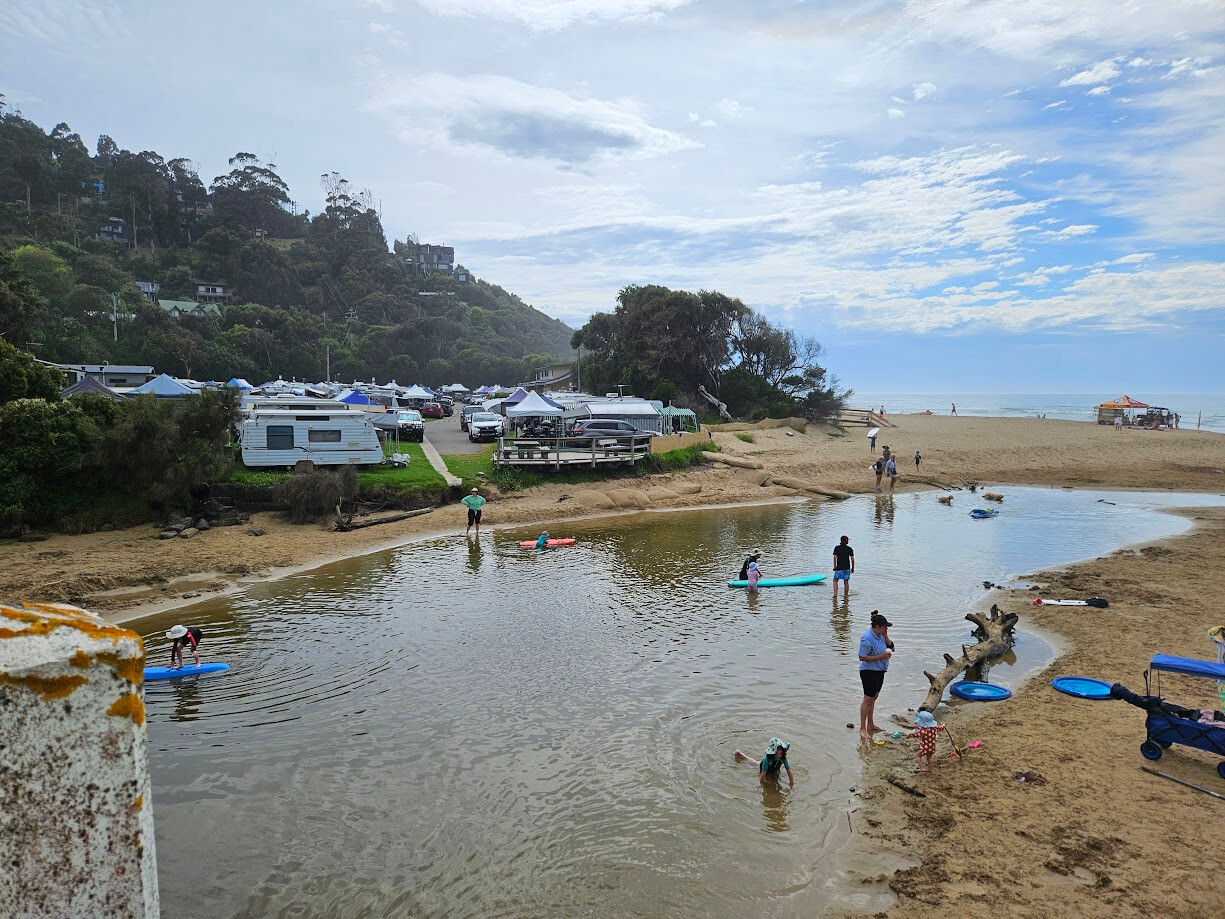
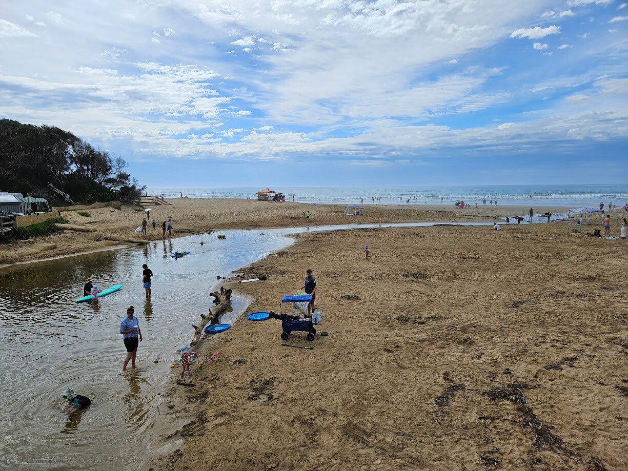
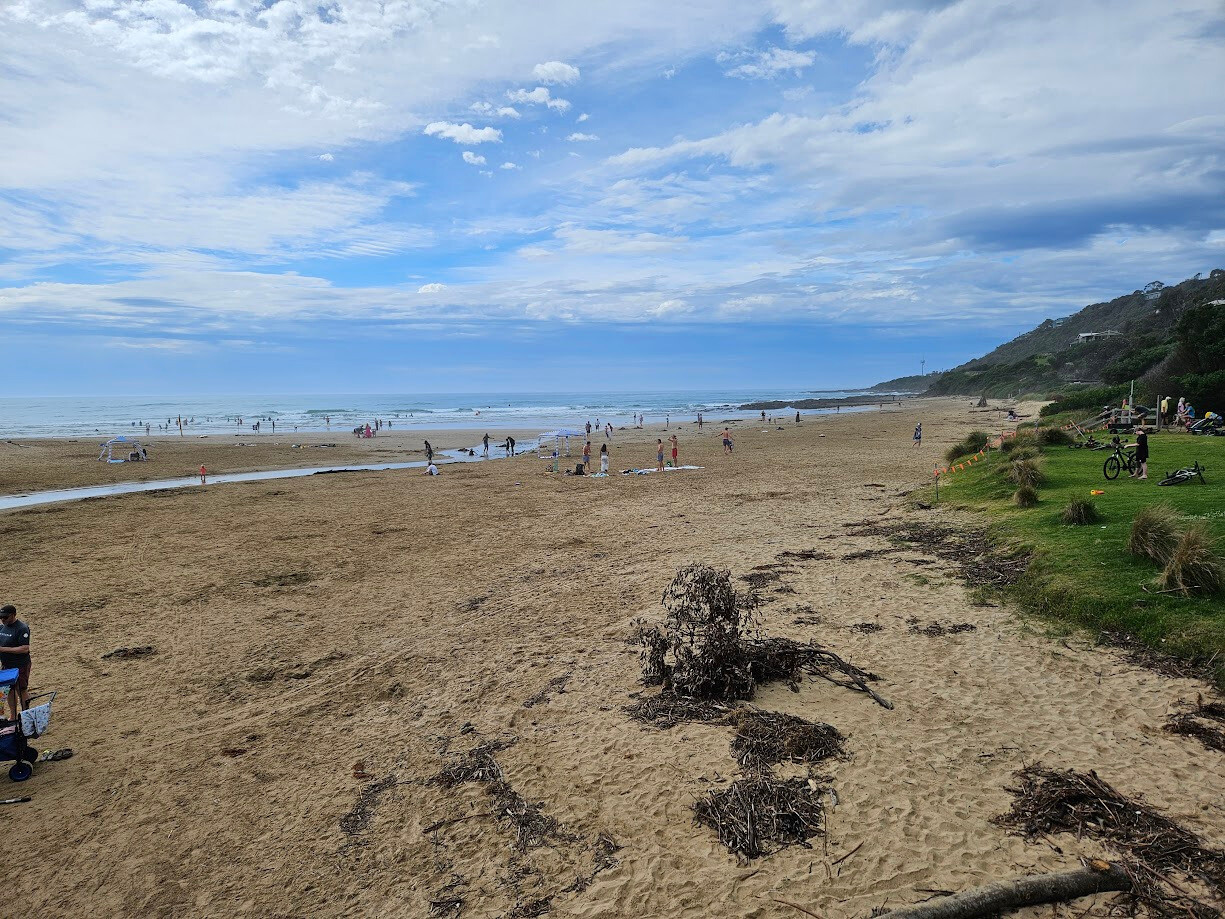
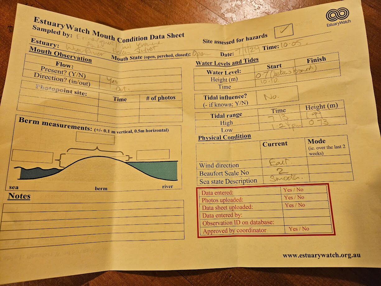
| #15948 | 7 Jan 2024 | Approved |
    |
|
| #15932 | 17 Dec 2023 | Approved | ||
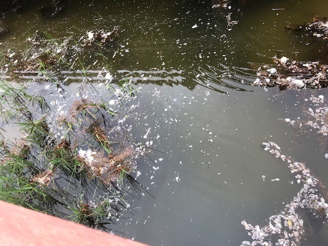
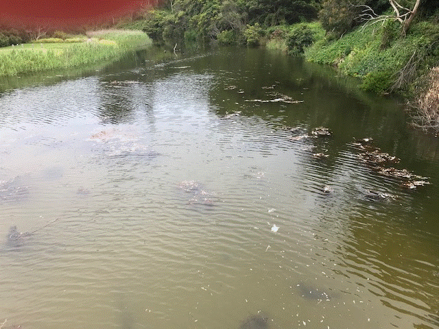
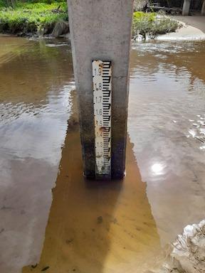
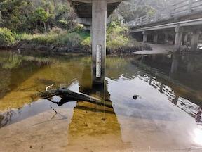
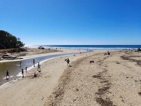
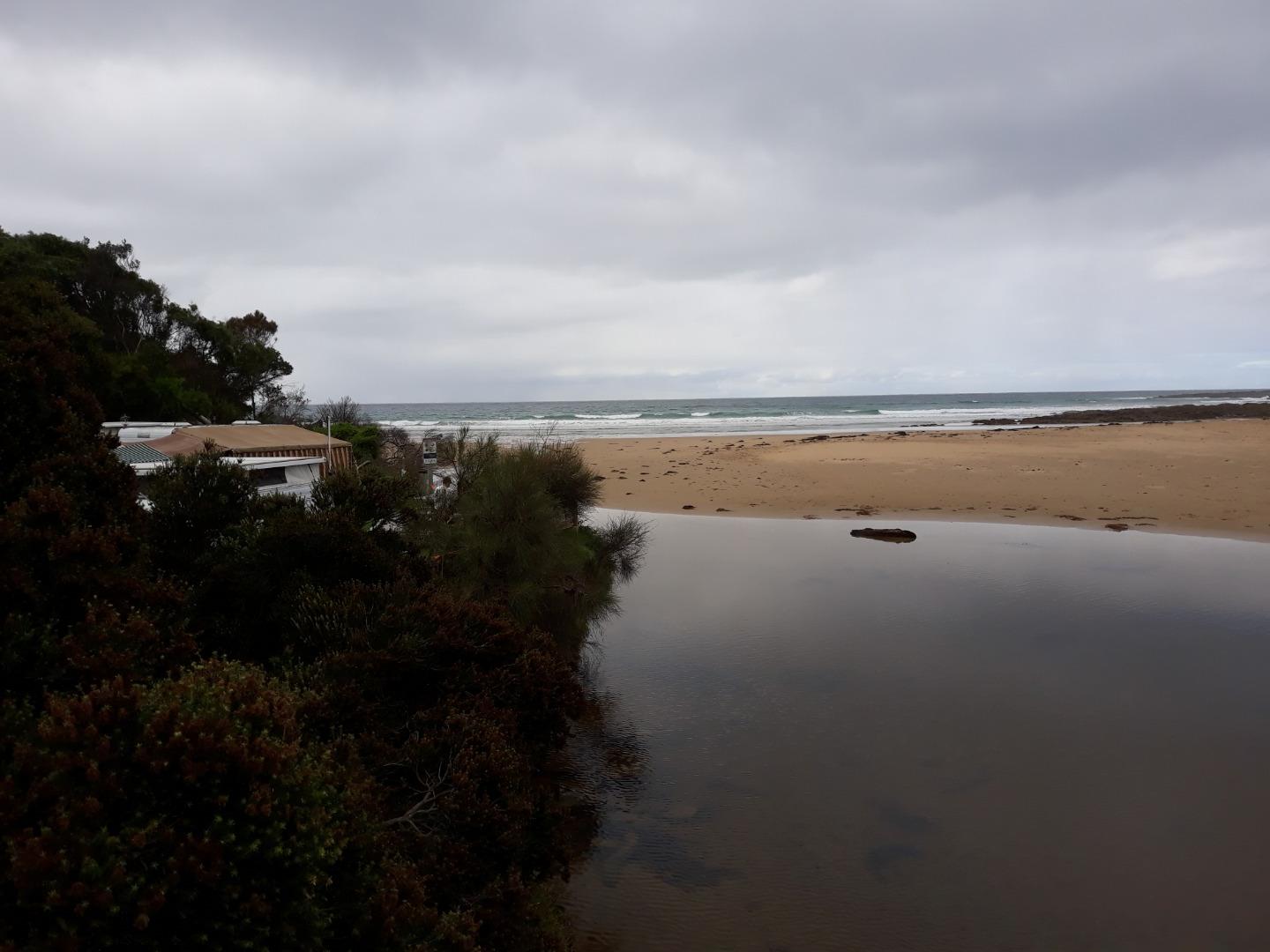
| #15889 | 3 Dec 2023 | Approved |
Notes:
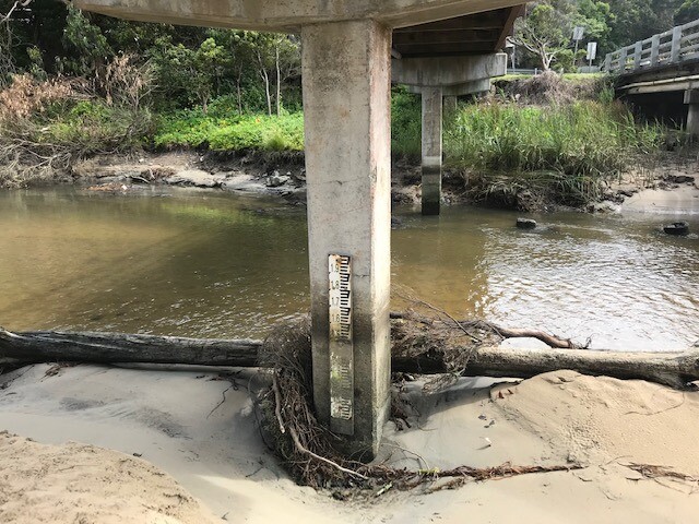
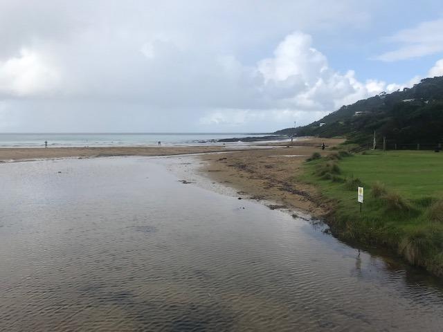
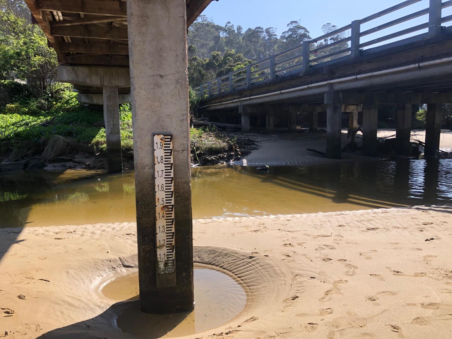
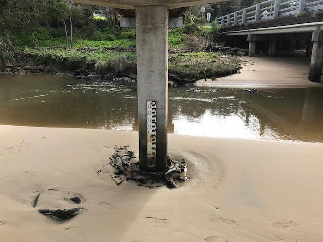
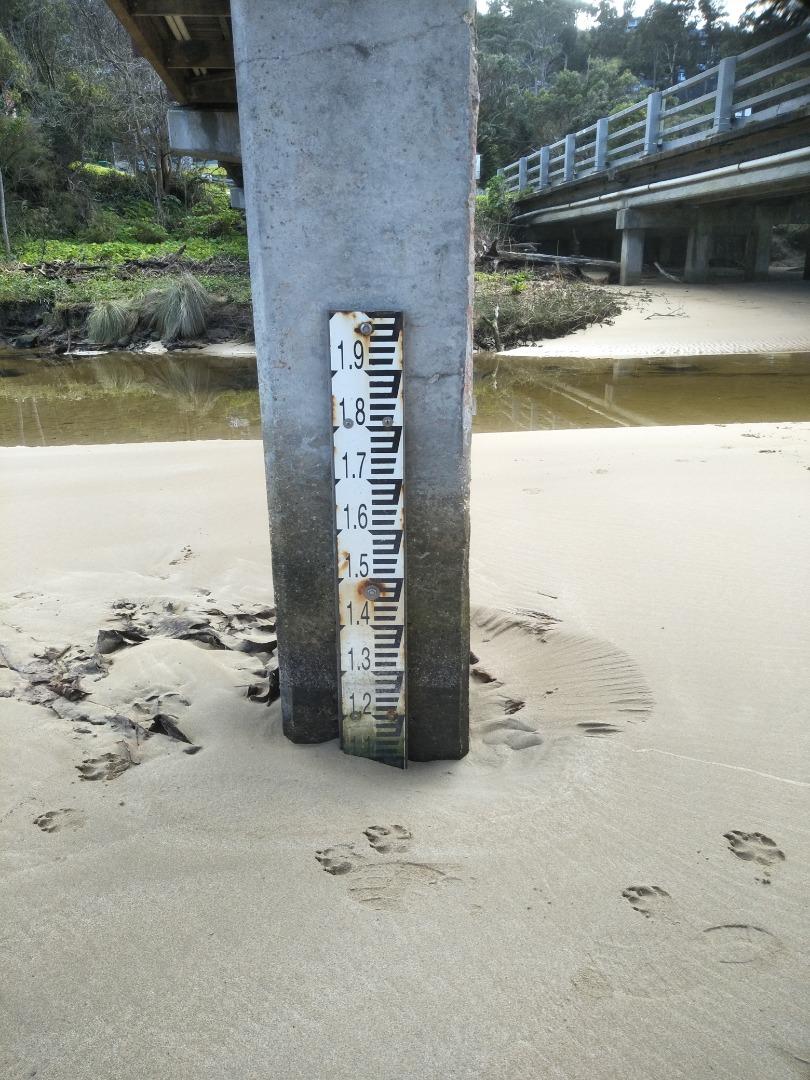
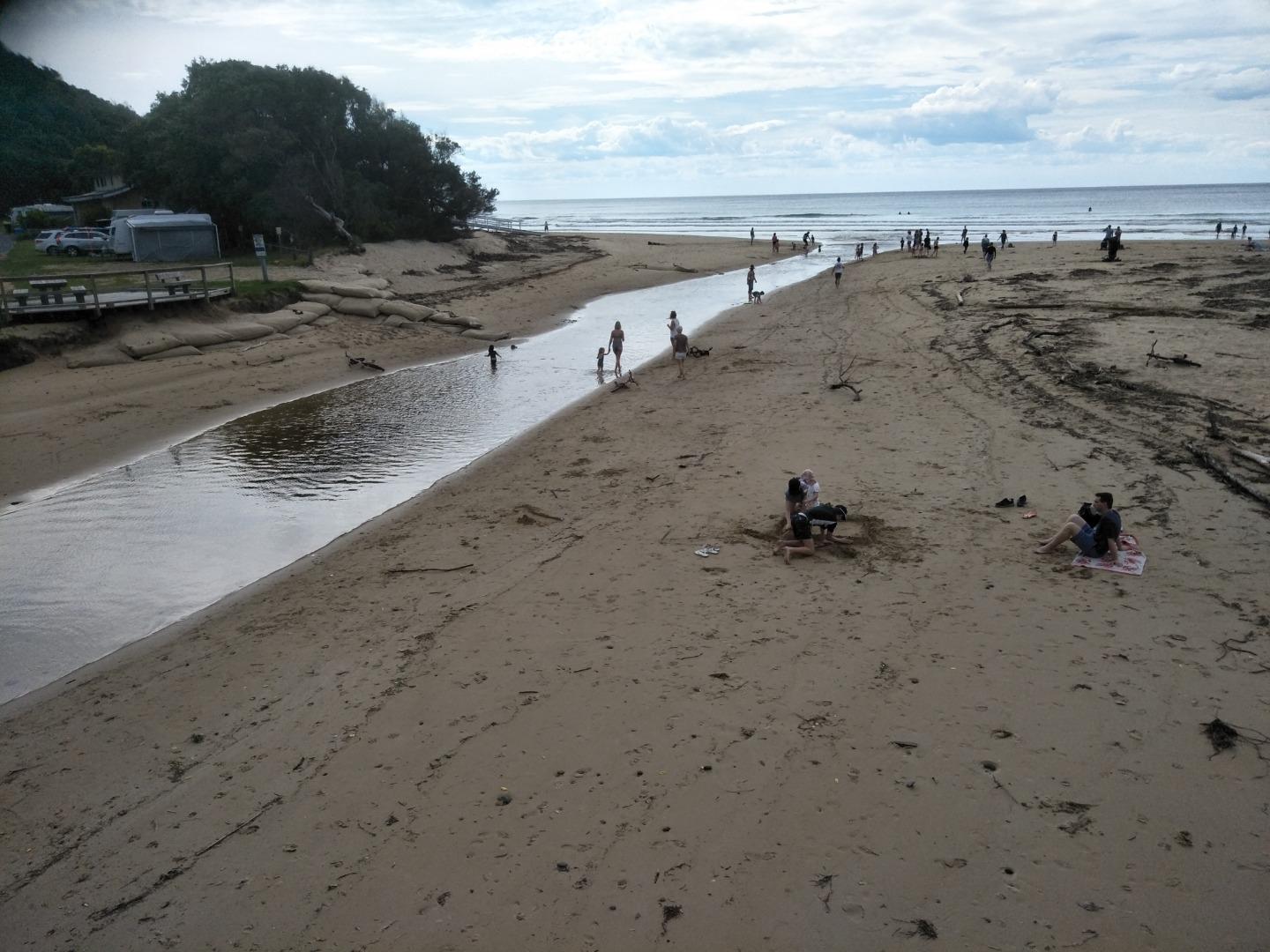
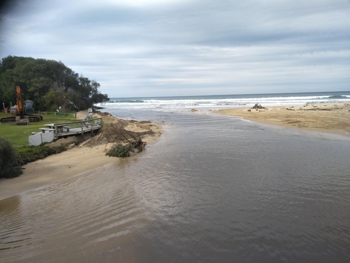
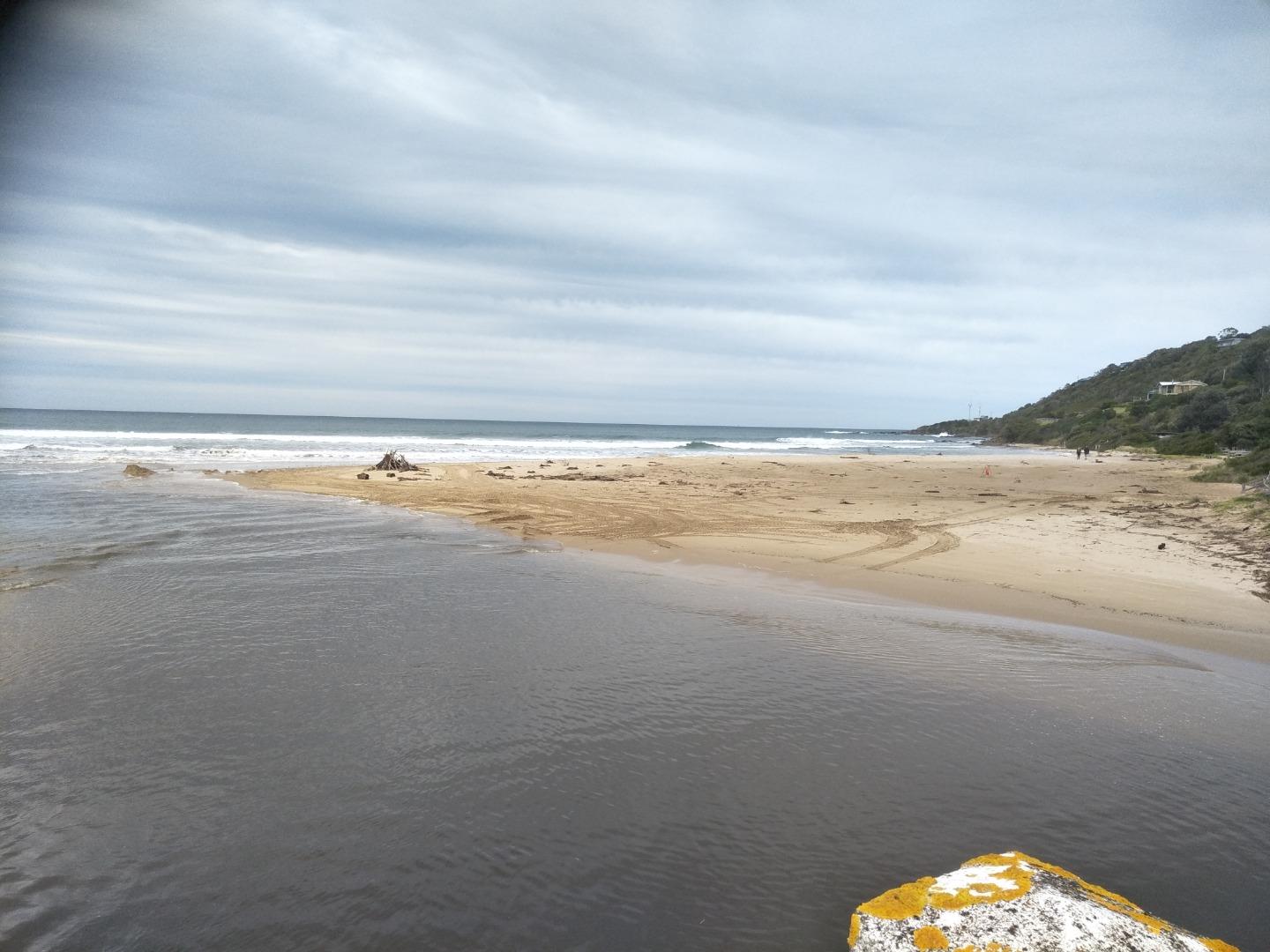
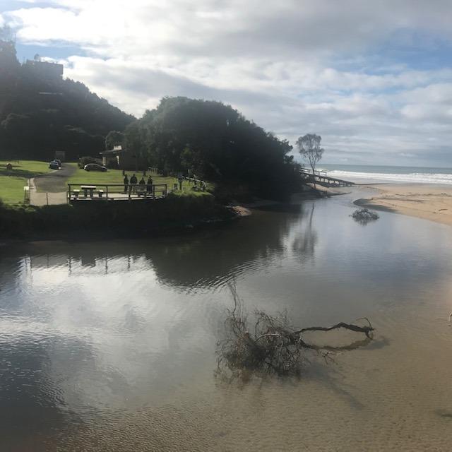
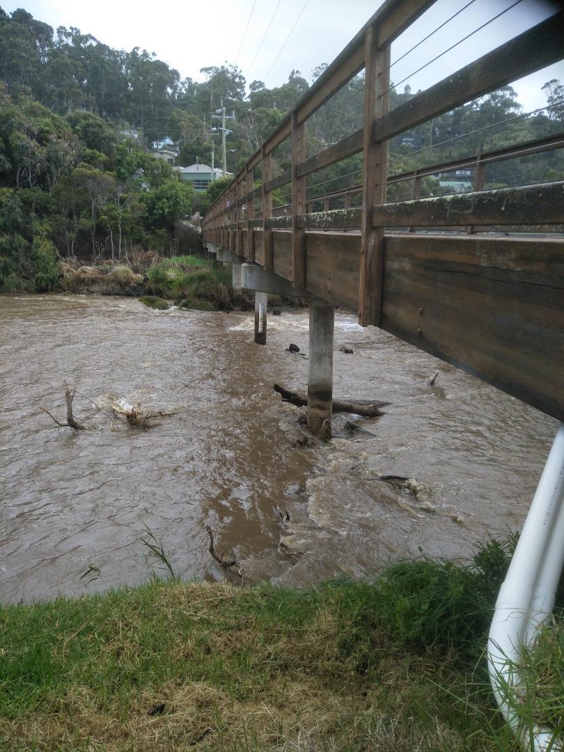
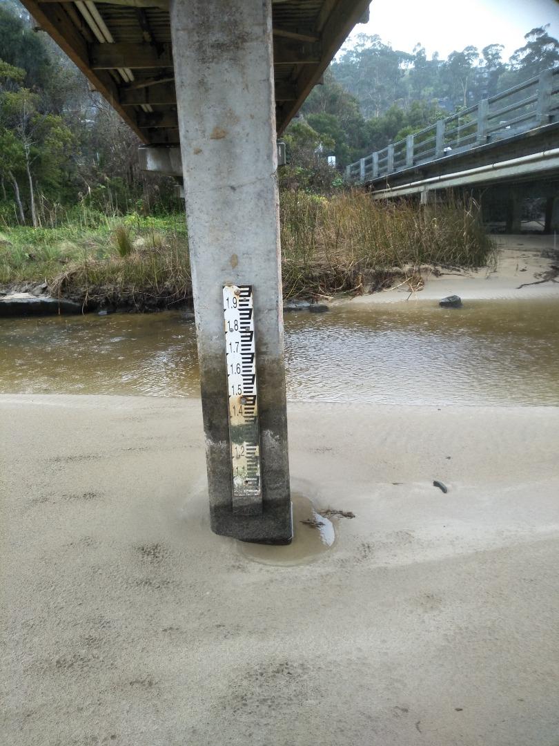
Gauge on river is above the water level. i.e.high and dry. See photo. The river channel has been changing dramatically in the past week, see photo. Upstream of the bridge the riverbank and beach are muddy and vegetation has been transported downstream. |
|
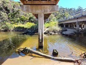
| #15885 | 19 Nov 2023 | Approved |
Notes:
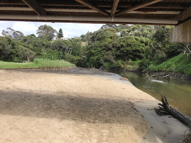
Observed debris flow from up-river under the bridge - photos attached. |
|
| #15832 | 5 Nov 2023 | Approved |
    |
|
| #15802 | 15 Oct 2023 | Approved | ||
| #15790 | 1 Oct 2023 | Approved | ||
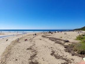
| #15755 | 16 Sep 2023 | Approved |
Notes:
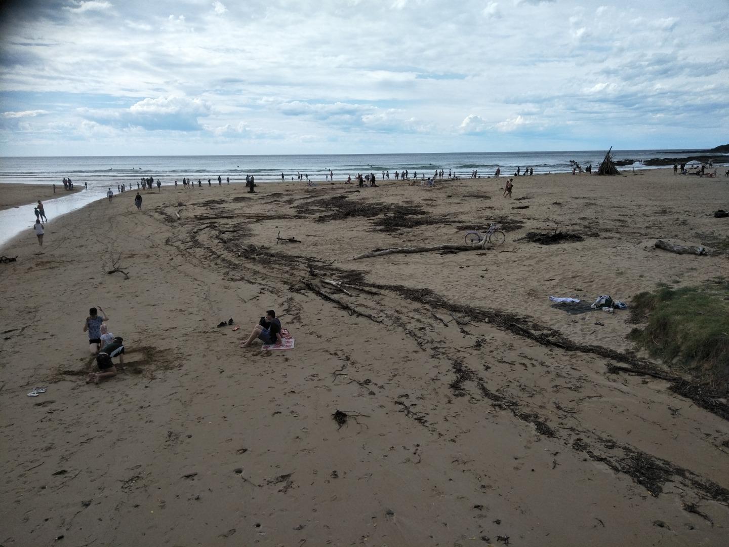
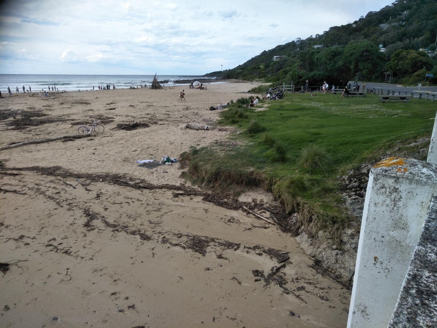
Photo 4 is recording extreme erosion and loss of sand along river banks. |
|
| #15734 | 3 Sep 2023 | Approved | ||
| #15719 | 20 Aug 2023 | Approved | ||
| #15698 | 5 Aug 2023 | Approved | ||
| #15664 | 16 Jul 2023 | Approved | ||
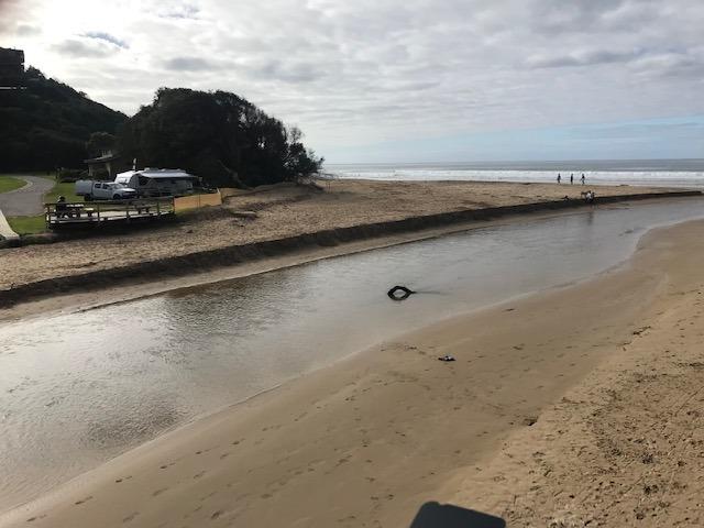
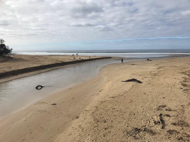
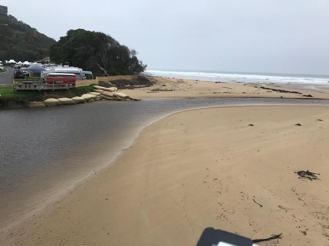
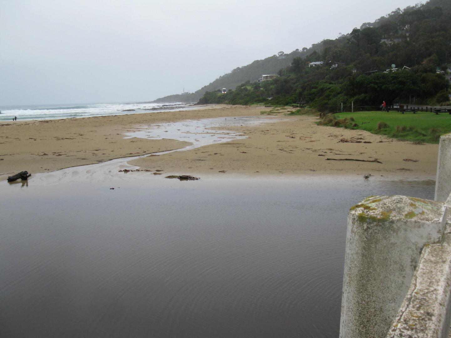
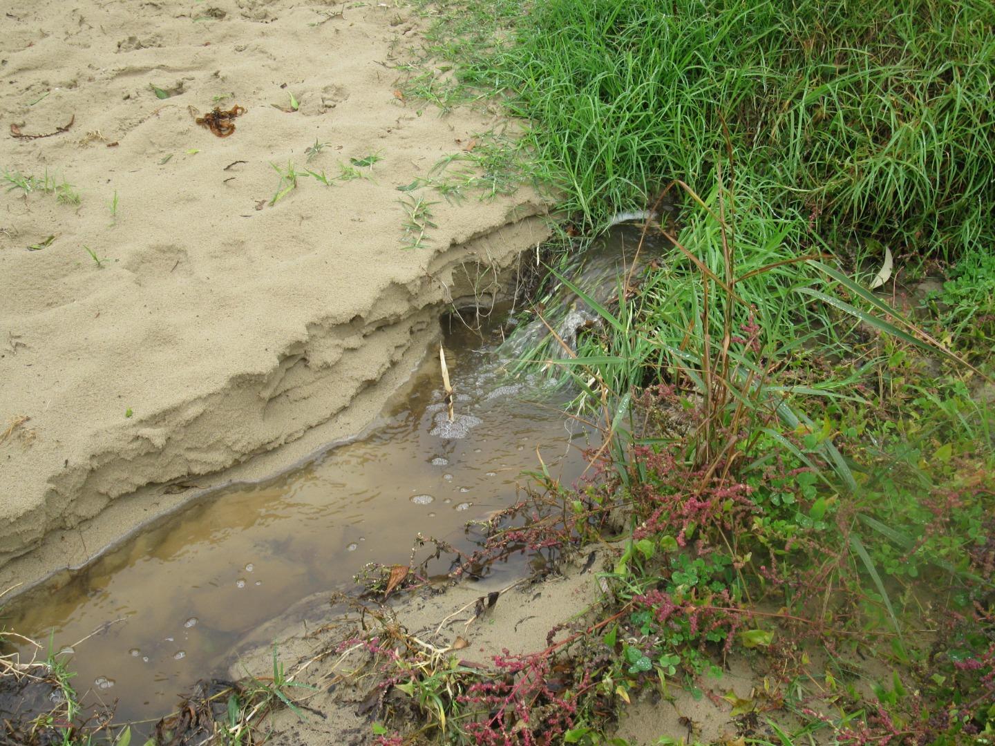
| #15618 | 2 Jul 2023 | Approved |
Notes:
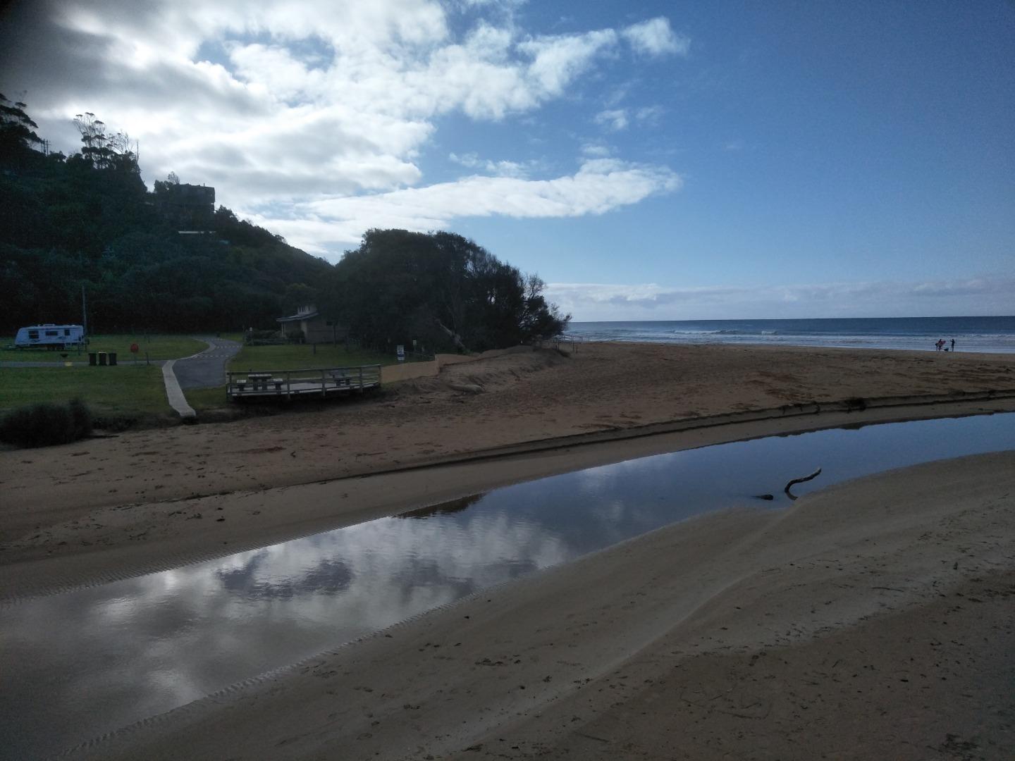
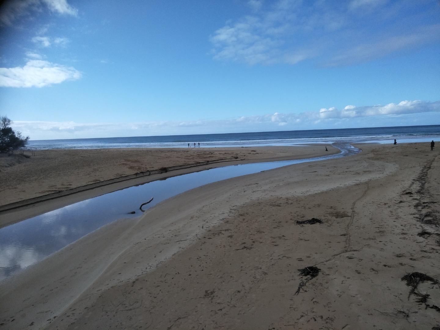
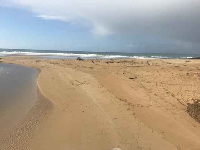
Lots of sand movement in the past few weeks. Sand deposited upstream of bridge, see photos attached. Also the river channel has been eroding the beach on the west side adjacent to the Great Ocean Road. In the past few weeks there have been some steep sand banks however these have eroded down. Estuary Watch coincided with high tide. |
|
| #15590 | 18 Jun 2023 | Approved | ||
| #15565 | 4 Jun 2023 | Approved | ||
| #15547 | 21 May 2023 | Approved | ||
| #15515 | 7 May 2023 | Approved | ||
| #15466 | 16 Apr 2023 | Approved |
Notes:
No wind when we were recording the data hence cannot state a wind direction. The estuary has a very large pool of water upstream and downstream of the bridge. The river has carved a bank into the beach in front of the store. Mack Cheney attended today. |
|
| #15456 | 2 Apr 2023 | Approved | ||
| #15365 | 19 Mar 2023 | Approved |
Notes:
The Wye River was very wide and we experienced difficulty in reading the gauge. Access was problematic. The level was halfway up the gauge ( we dropped a stick to check and test the level) but it was difficult to decipher the reading, even on the attached photo. The Beaufort Wind strength No was 0, and Calm. |
|
| #15348 | 5 Mar 2023 | Approved | ||
| #15292 | 19 Feb 2023 | Approved |
Notes:
|
|
| #15833 | 5 Feb 2023 | Approved |
    |
|
| #15224 | 15 Jan 2023 | Approved | ||
| #15212 | 1 Jan 2023 | Approved |
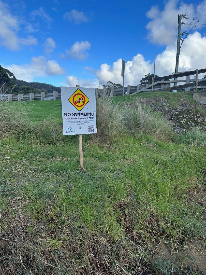
Notes:
Amazing sea fog this morning, can see some of it in photo 3. Warning sign about e coli had been turned over. Maybe due to low levels reported in October and November. |
|
| #15189 | 18 Dec 2022 | Approved | ||
| #15155 | 4 Dec 2022 | Approved | ||
| #15147 | 20 Nov 2022 | Approved |
Notes:
Water level is not available. The gauge requires repositioning. |
|
| #15114 | 6 Nov 2022 | Approved |
Notes:
Depth gauge in sand above water level. |
|
| #15075 | 16 Oct 2022 | Approved |
Notes:
The water level was well below the depth gauge. We request a new location when the new bridge is constructed. |
|
| #15055 | 2 Oct 2022 | Approved |
Notes:
Water level - marker buried in sand , photo attached |
|
| #15029 | 18 Sep 2022 | Approved |
Notes:
The water level is below the gauge. |
|
| #15040 | 4 Sep 2022 | Approved |
Notes:
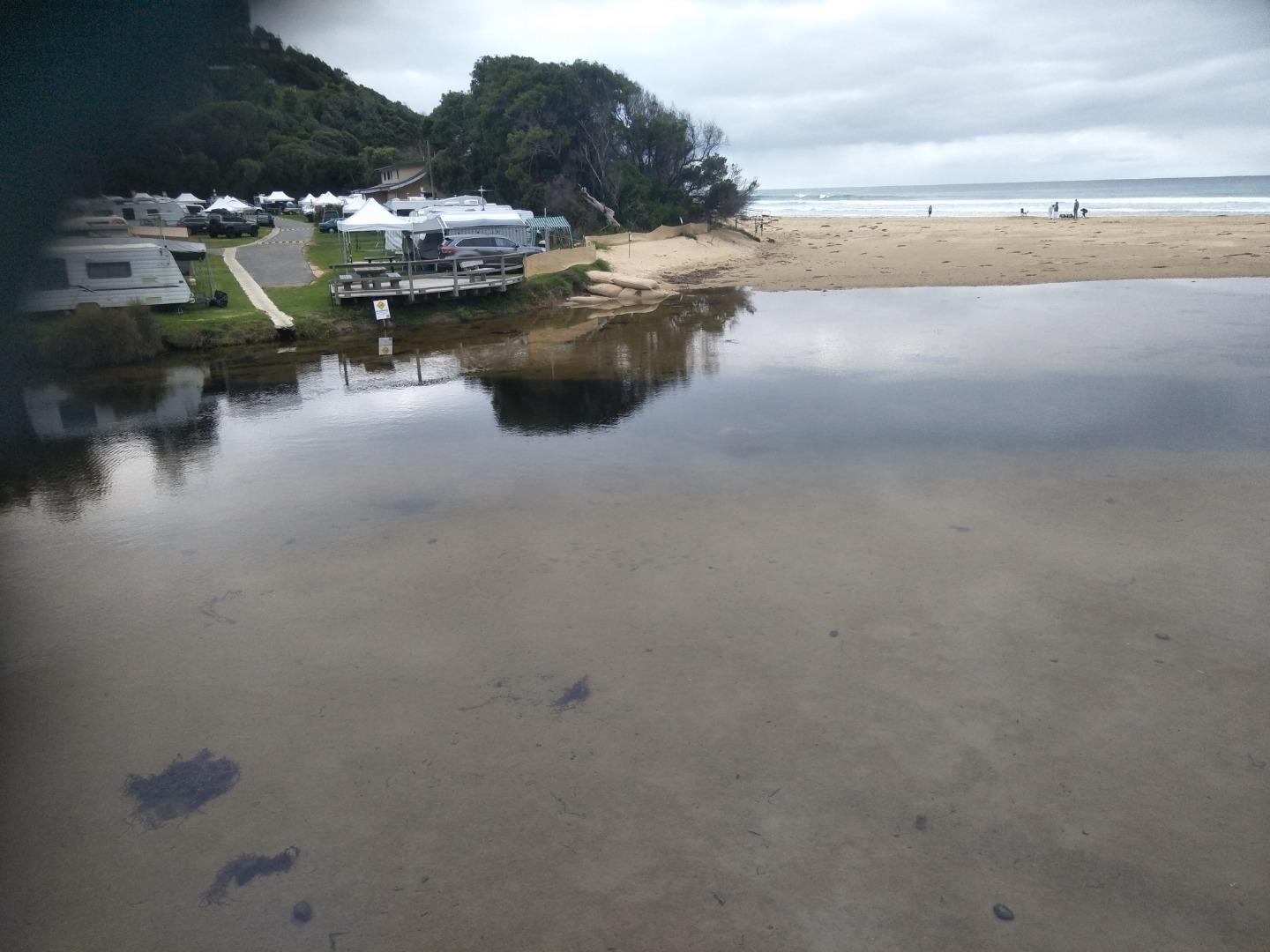
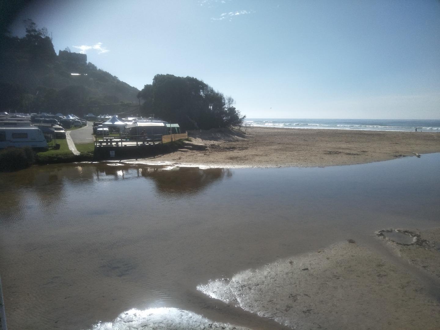
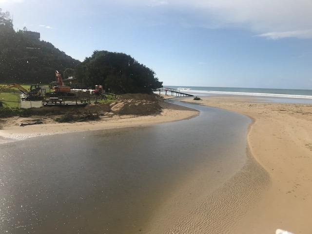
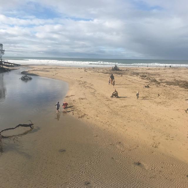
Beach upstream of bridge continues to grow! |
|
| #14961 | 21 Aug 2022 | Approved |
Notes:
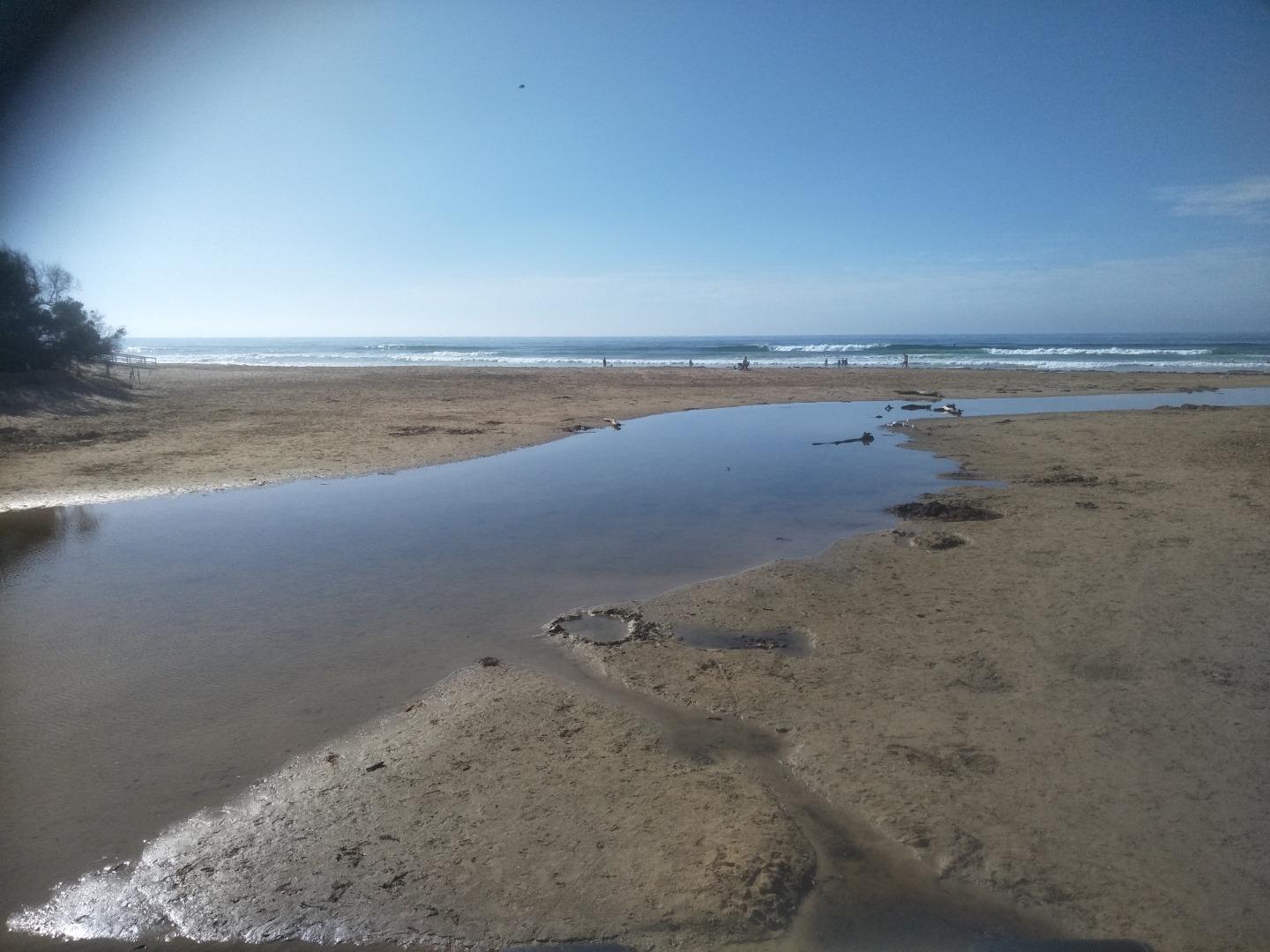
No water flowing at river gauge, so cannot ascertain the level. Large sandbank has reappeared upstream of the bridge. River channel has headed to the southern end of the beach. |
|
| #14941 | 7 Aug 2022 | Approved |
Notes:
Water level below depth gauge. |
|
| #14891 | 17 Jul 2022 | Approved |
Notes:
River water level below the gauge- see photo.Wyp2 - 4 |
|
| #14866 | 3 Jul 2022 | Approved |
Notes:
River water level below gauge. |
|
| #14752 | 19 Jun 2022 | Approved |
Notes:
Wye river well below the water level gauge. |
|
| #14741 | 5 Jun 2022 | Approved | ||
| #14678 | 15 May 2022 | Approved |
Notes:
Dune restoration - sand has been moved from the south side of the beach to north side and the north side of the river - see photos 1,2,3 |
|
| #14642 | 1 May 2022 | Approved | ||
| #14607 | 17 Apr 2022 | Approved | ||
| #14576 | 3 Apr 2022 | Approved | ||
| #14560 | 20 Mar 2022 | Approved |
Notes:
The water level was below the gauge, photo attached. There was no wind, very calm - 0 strength.
|
|
| #14527 | 6 Mar 2022 | Approved | ||
| #14511 | 20 Feb 2022 | Approved | ||
| #14493 | 6 Feb 2022 | Approved | ||
| #14443 | 16 Jan 2022 | Approved |
Notes:
Water level gauge above water level, see photo. 5th January, after heavy rain the sandbar has been washed out, and the level is much lower.
|
|
| #14469 | 2 Jan 2022 | Approved |
  |
|
| #14428 | 19 Dec 2021 | Approved | ||
| #14391 | 5 Dec 2021 | Approved | ||
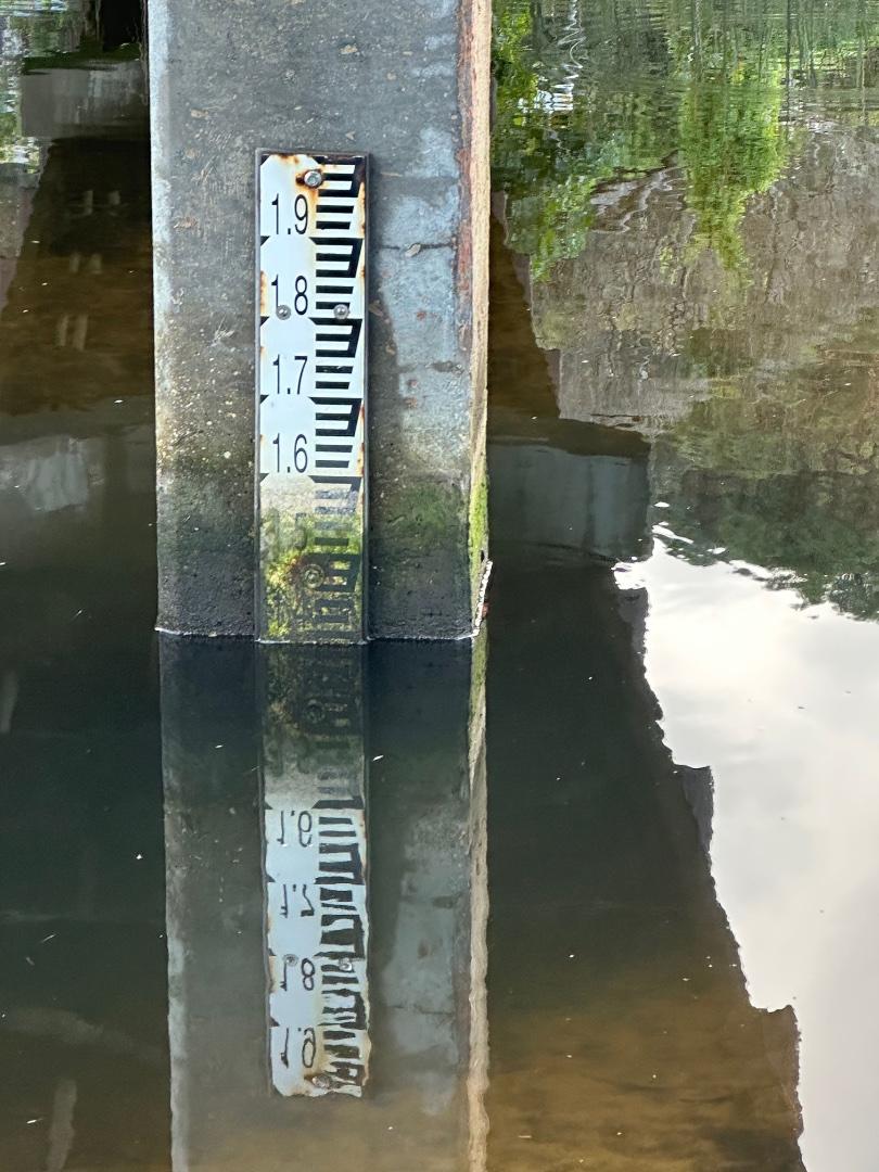
| #14368 | 21 Nov 2021 | Approved |
Notes:
Water level couldn't be read because the scale of the stick isn't in the water - see photo |
|
| #14341 | 6 Nov 2021 | Approved |
Notes:
River level well below depth gauge. |
|
| #14322 | 17 Oct 2021 | Approved |
Notes:
The water level is below the marker |
|
| #14302 | 3 Oct 2021 | Approved |
Notes:
Water level was below the measurement marker. |
|
| #14298 | 19 Sep 2021 | Approved |
Notes:
Monitoring conducted during normal daily exercise. |
|
| #14275 | 5 Sep 2021 | Approved |
Notes:
Monitoring performed during daily exercise walk - in the rain. |
|
| #14250 | 15 Aug 2021 | Approved |
Notes:
Additional two photos of continued machine sand shifting. Apologies for the 'portrait' photos instead of landscape. |
|
| #14225 | 1 Aug 2021 | Approved |
Notes:
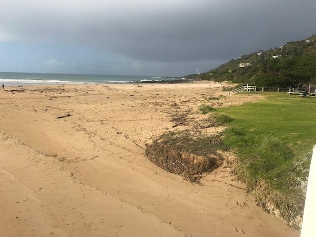
It was a very calm and still day, hence no wind direction recorded. The bottom of the river gauge is rather dirty and difficult to read. Assessment of the water level was made as accurately as possible. Photos show the piles of sand moved by machinery to the front of the dune area where the erosion has occurred over the past months. Sand has been moved by an excavator from the beach south of the estuary into piles around the base of the dunes. These piles of sand extend around to the dunes in front of the surf club. Work is underway to place sandbags around the base of the dunes to hinder further erosion which has the potential to impact the surf club building. |
|
| #14222 | 18 Jul 2021 | Approved |
Notes:
Monitoring conducted during normal exercise walk. Additional photos of tidal sand-shifting effect as well manual sand-shifting to modify river course and subsequent tidal effect.. |
|
| #14199 | 4 Jul 2021 | Approved |
Notes:
More dune erosion in front of surf club due to stormy weather last weekend, disabled access ramp collapsed. Bulldozer active during week moving sand across beach from south to north to protect dunes - sand heaps visible in photos |
|
| #14182 | 20 Jun 2021 | Approved |
Notes:
Gauge is much higher than the water level in the river channel where the gauge is located, not possible to take a reading as it is 'high and dry'. |
|
| #14148 | 6 Jun 2021 | Approved |
Notes:
Gauge above the water level. |
|
| #14128 | 16 May 2021 | Approved |
Notes:
The river gauge is well above the river level. See photo. Erosion at SLSC boatramp continues, it is just 'hanging on.' |
|
| #14109 | 2 May 2021 | Approved |
Notes:
Water in lagoon is stratified - clear on top, murky below. Most likely due to rotting seaweed washed in in big storm 3 weeks ago. |
|
| #14070 | 18 Apr 2021 | Approved | ||
| #14044 | 4 Apr 2021 | Approved |
Notes:
Mack Cheney was present at EW . He is a new member whose name is not yet on the drop down list. I have assumed the new bridge photopoints- -are 3,4,5 on the list? |
|
| #14024 | 21 Mar 2021 | Approved | ||
| #14011 | 7 Mar 2021 | Approved |
Notes:
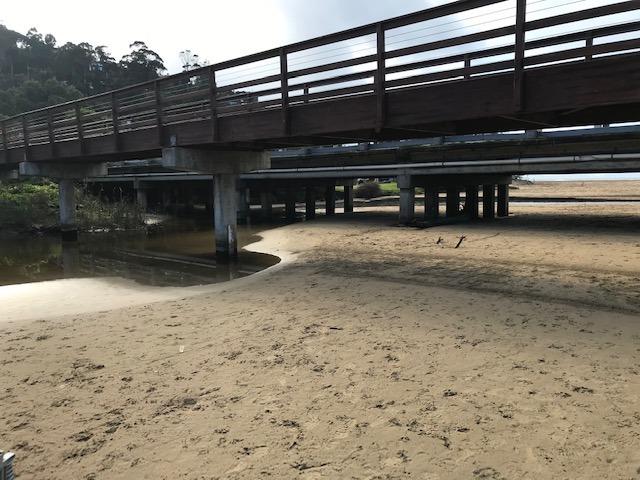
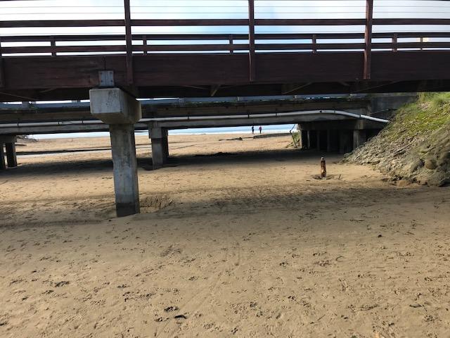
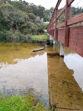
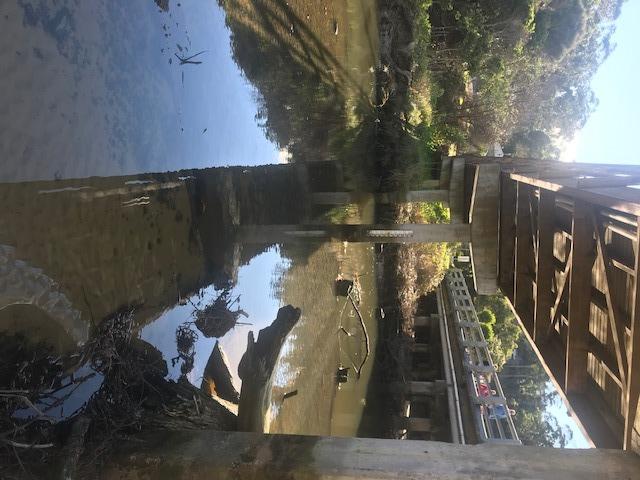
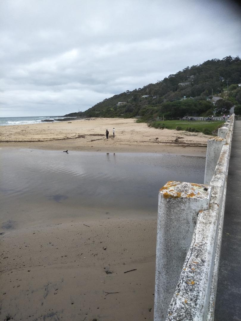
The photos are taken from the new spot on the bridge, which we are calling 'Wyp2'. We have included a third photo along the bearing 60 (called Wyp2_20210307_3_071) to show the full extent of the estuary. Erosion is continuing on the north side of the beach. |
|
| #13994 | 21 Feb 2021 | Approved |
Notes:
Photo taken at second photo point as well |
|
| #13975 | 7 Feb 2021 | Approved |
Notes:
This monitoring was conducted during regular exercise walk. |
|
| #13952 | 17 Jan 2021 | Approved |
Notes:
Monitoring conducted as part of regular daily exercise walk. |
|
| #13921 | 4 Jan 2021 | Approved |
Notes:
Depth gauge was above water level - see photograph. 50mm rainfall previous day (3rd January) resulted in heavy, fast, silt-laden river flow. This monitoring was performed as part of a normal exercise walk. |
|
| #13914 | 20 Dec 2020 | Approved |
Notes:
This monitoring was performed during a normal daily exercise walk. |
|
| #13888 | 6 Dec 2020 | Approved |
Notes:
This monitoring was conducted as part of regular daily walking exercise. |
|
| #13840 | 15 Nov 2020 | Approved |
Notes:
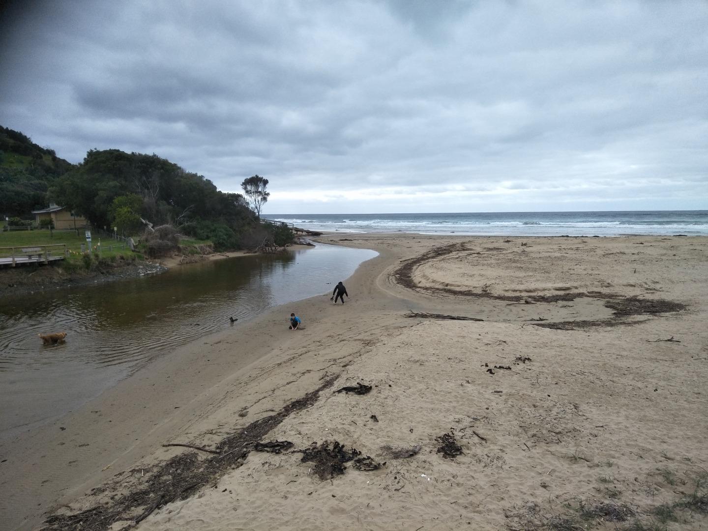
Monitoring performed during normal daily exercise walk. Shifting sand seems to have permanently shifted course of river-flow into the sea, now hugging the bank and exiting in front of the Surf Life Saving Club building. |
|
| #13823 | 1 Nov 2020 | Approved |
Notes:
Depth gauge above water level. Monitoring performed during regular exercise walk. |
|
| #13816 | 18 Oct 2020 | Approved |
Notes:
River level below depth gauge - see photograph. Monitoring was performed as part of normal daily exercise walk. |
|
| #13810 | 4 Oct 2020 | Approved |
Notes:
Water level was an estimation as depth gauge was above water level. Monitoring was performed during regular walking exercise. |
|
| #13797 | 20 Sep 2020 | Approved |
Notes:
Monitoring was conducted as part of a normal exercise dog walk. |
|
| #13790 | 6 Sep 2020 | Approved |
Notes:
River course under bridge still narrowed - depth gauge in sand. Monitoring was conducted during regular exercise walk. |
|
| #13779 | 16 Aug 2020 | Approved |
Notes:
Depth gauge now in sand following shifting of sand during recent weather event - see photograph. This monitoring performed during regular exercise walk. |
|
| #13766 | 2 Aug 2020 | Approved |
Notes:
This monitoring was performed during normal exercise dog-walk. |
|
| #13753 | 19 Jul 2020 | Approved |
Notes:
Monitoring performed during normal daily exercise. |
|
| #13740 | 5 Jul 2020 | Approved |
Notes:
This monitoring was done as part of daily dog-walking exercise. |
|
| #13732 | 21 Jun 2020 | Approved |
Notes:
This monitoring was conducted as part of a normal exercise walk. |
|
| #13721 | 7 Jun 2020 | Approved |
Notes:
This monitoring was performed as part of normal daily exercise walk. |
|
| #13711 | 17 May 2020 | Approved |
Notes:
This monitoring was carried out as part of a daily exercise walk. |
|
| #13704 | 3 May 2020 | Approved |
Notes:
This monitoring was performed as part of a normal exercise walk. |
|
| #13675 | 19 Apr 2020 | Approved |
Notes:
This monitoring was done during regular dog walking exercise. |
|
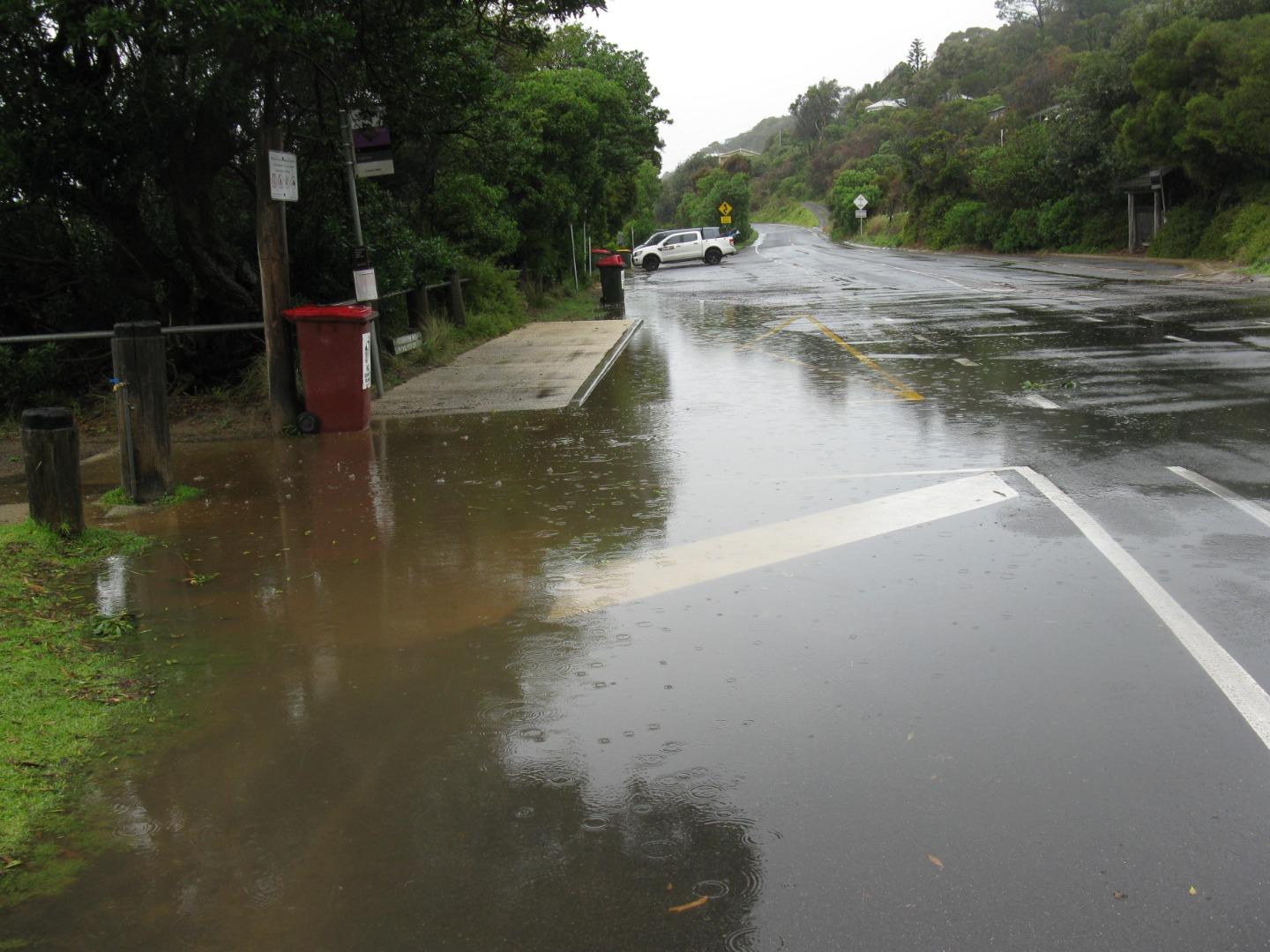
| #13660 | 5 Apr 2020 | Approved |
Notes:
Photos attached of roadside flooding after recent rain event. There is a drainage grid and outlet pipe, which don't seem able to cope at these times. |
|
| #13618 | 15 Mar 2020 | Approved | ||
| #13602 | 29 Feb 2020 | Approved | ||


All content, files, data and images provided by the EstuaryWatch Data Portal and Gallery are subject to a Creative Commons Attribution License
Content is made available to be used in any way, and should always attribute EstuaryWatch and www.estuarywatch.org.au