EstuaryWatch Data Portal
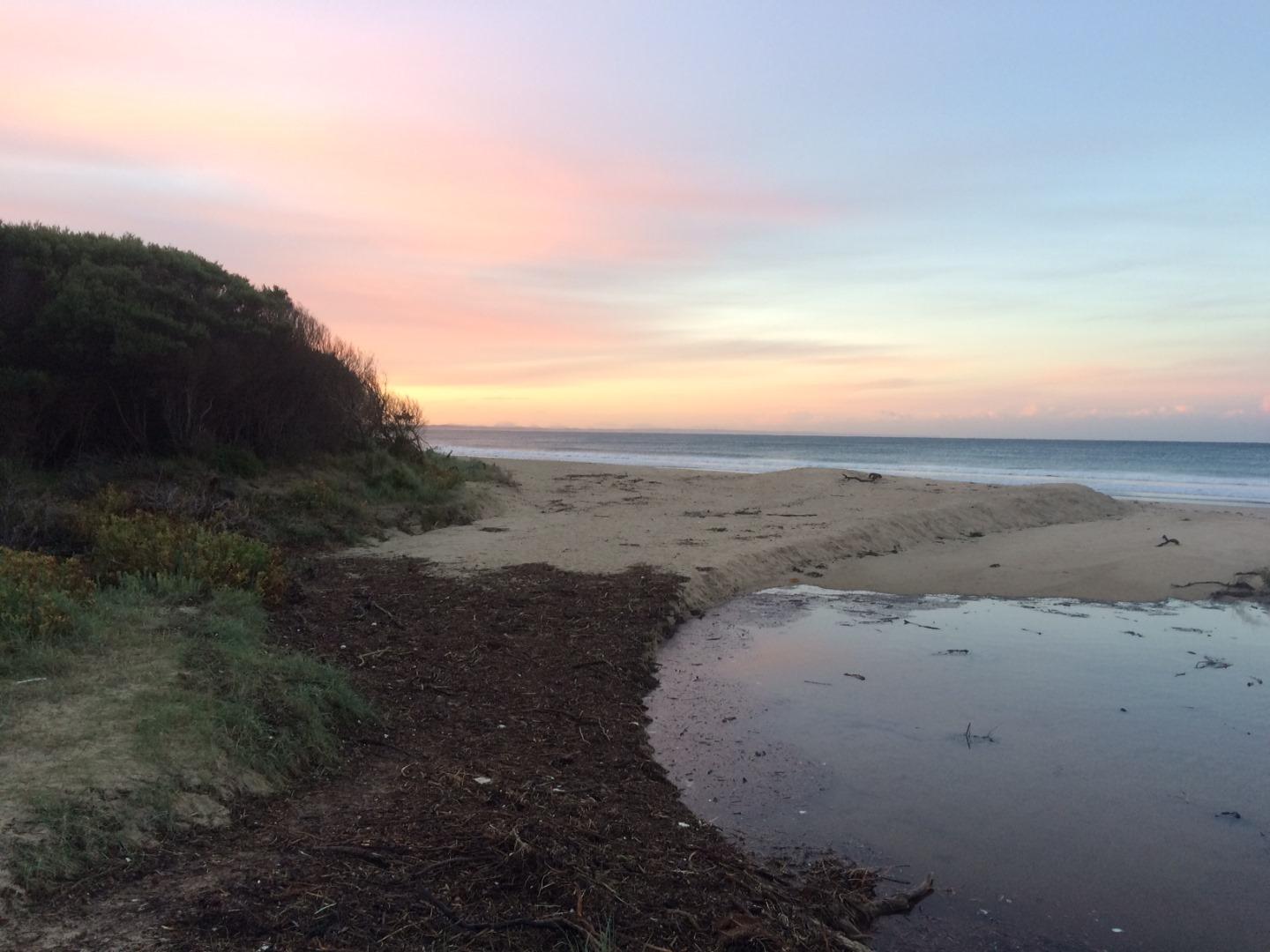
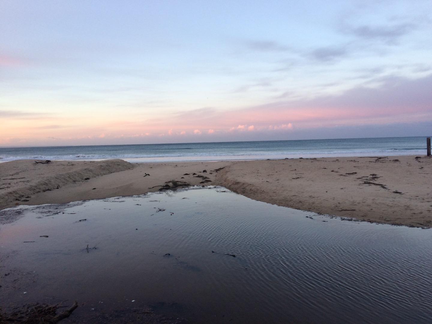
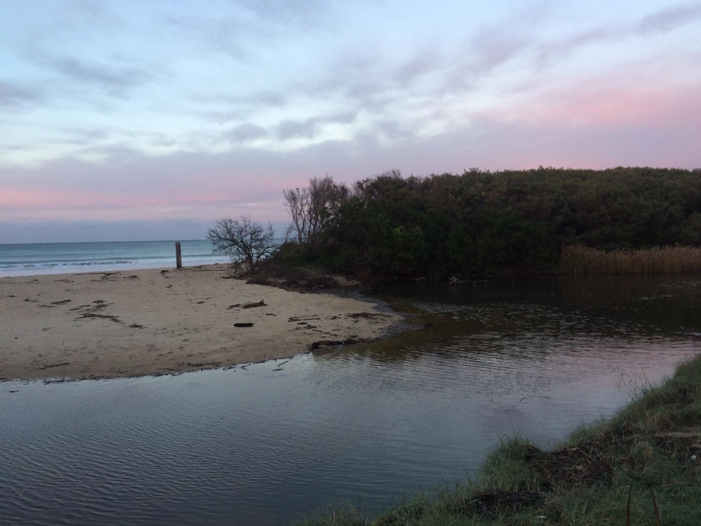
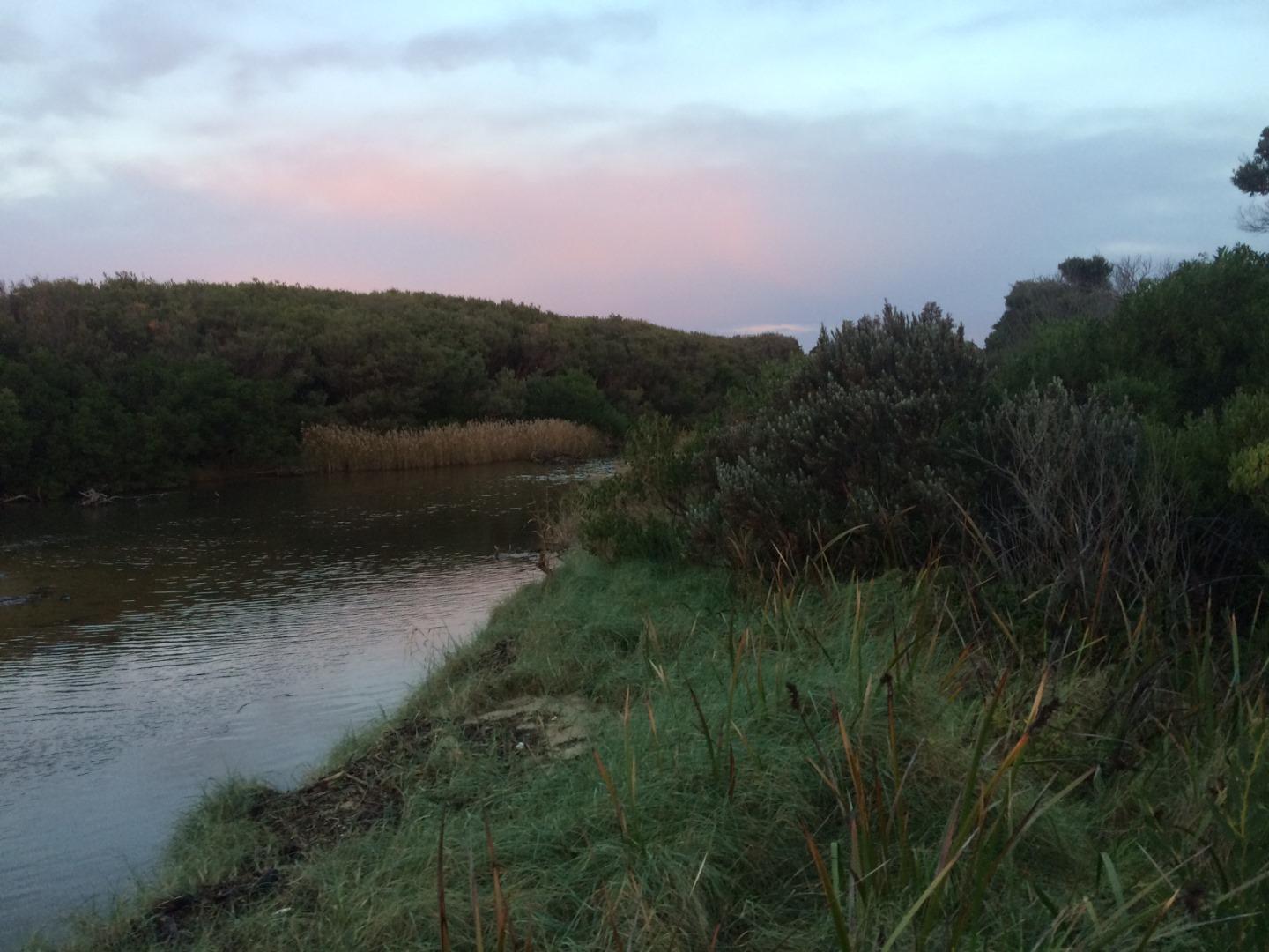
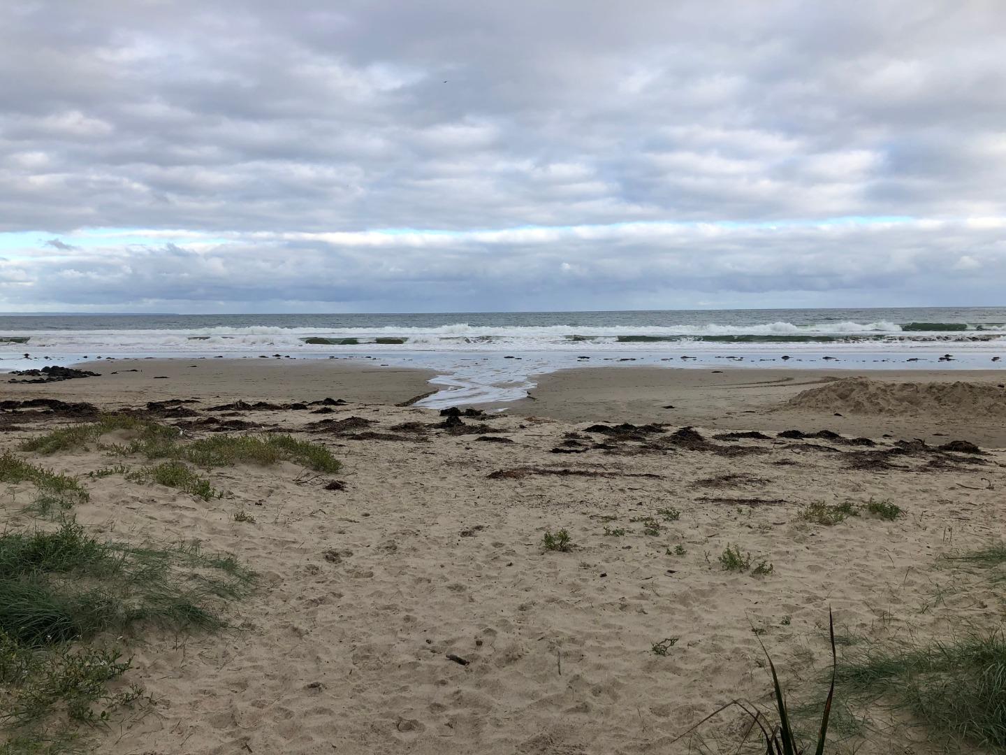
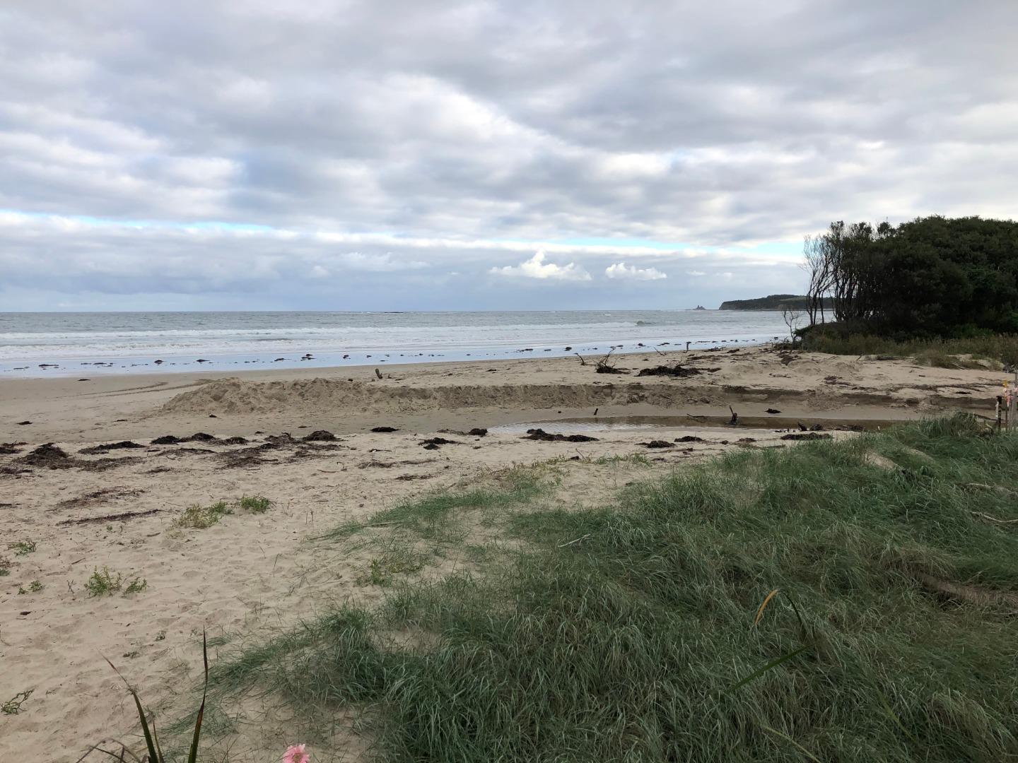
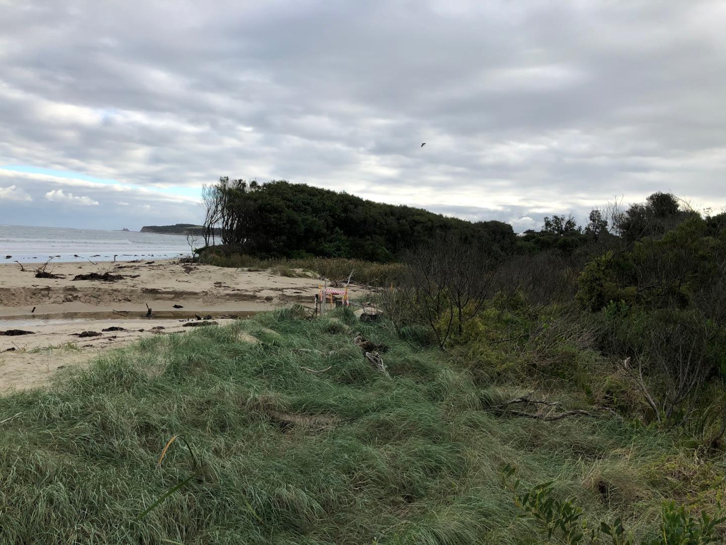
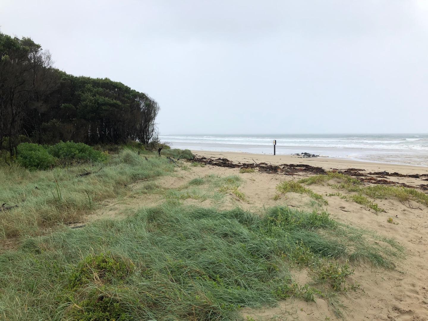
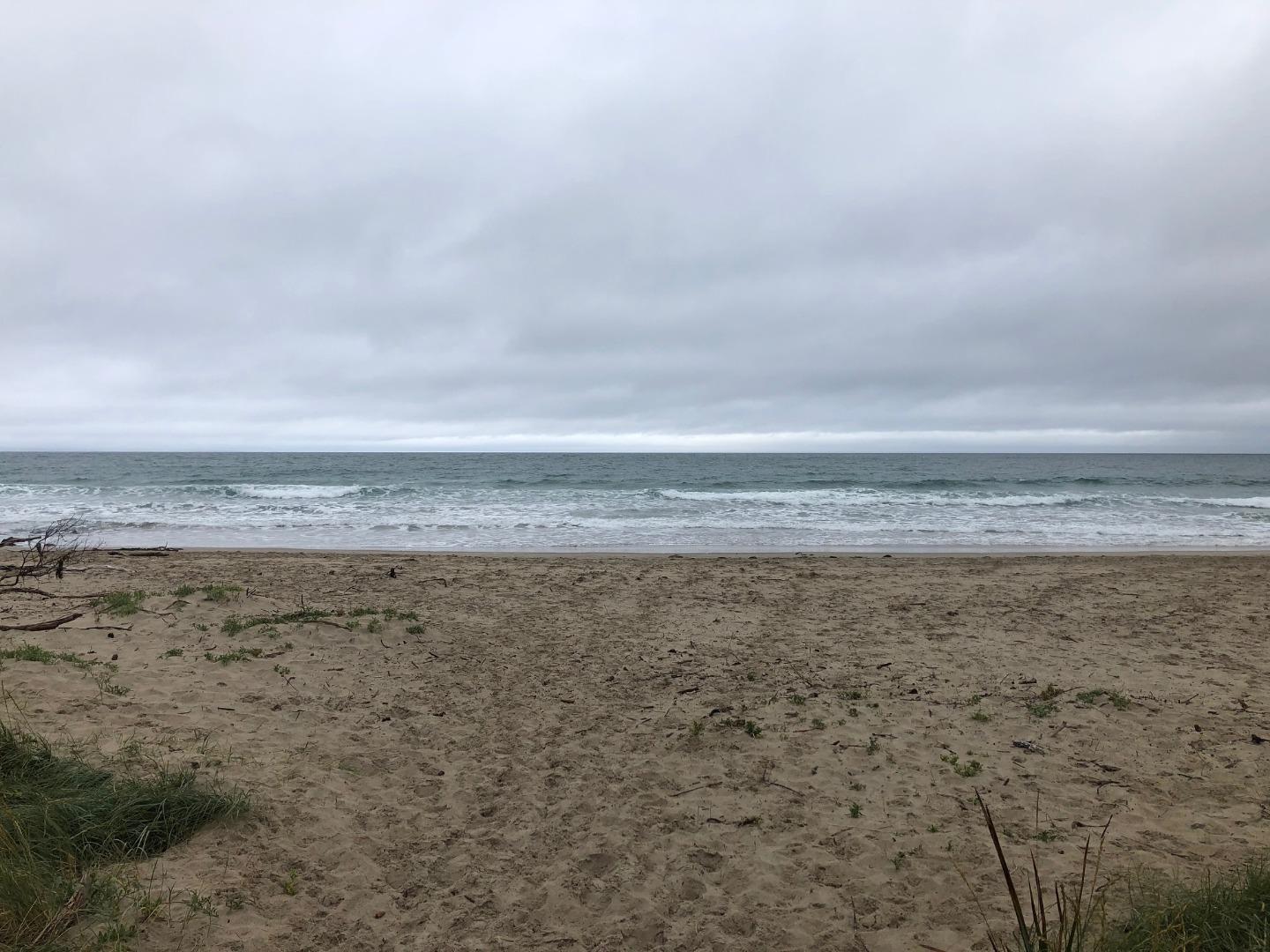
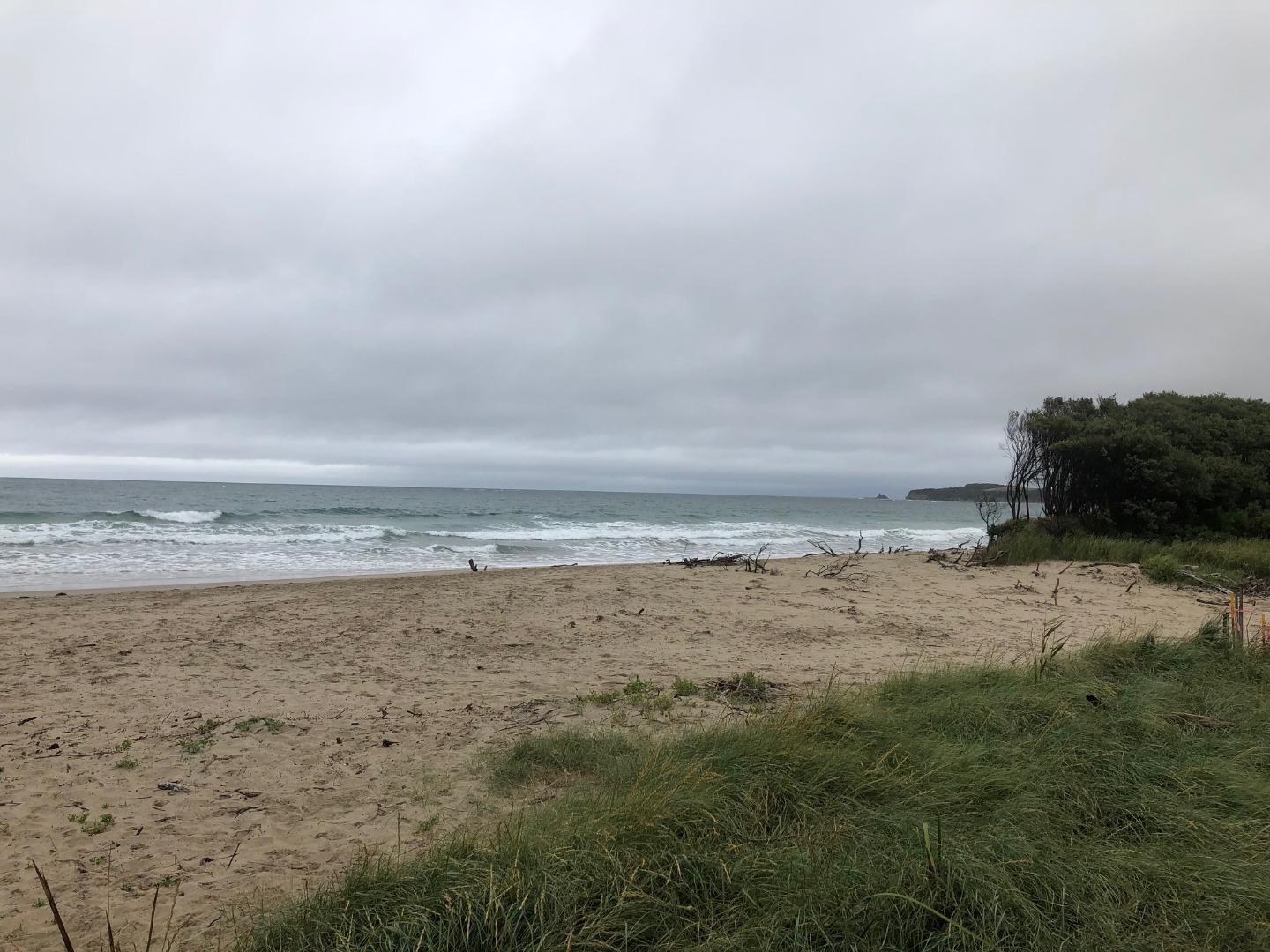
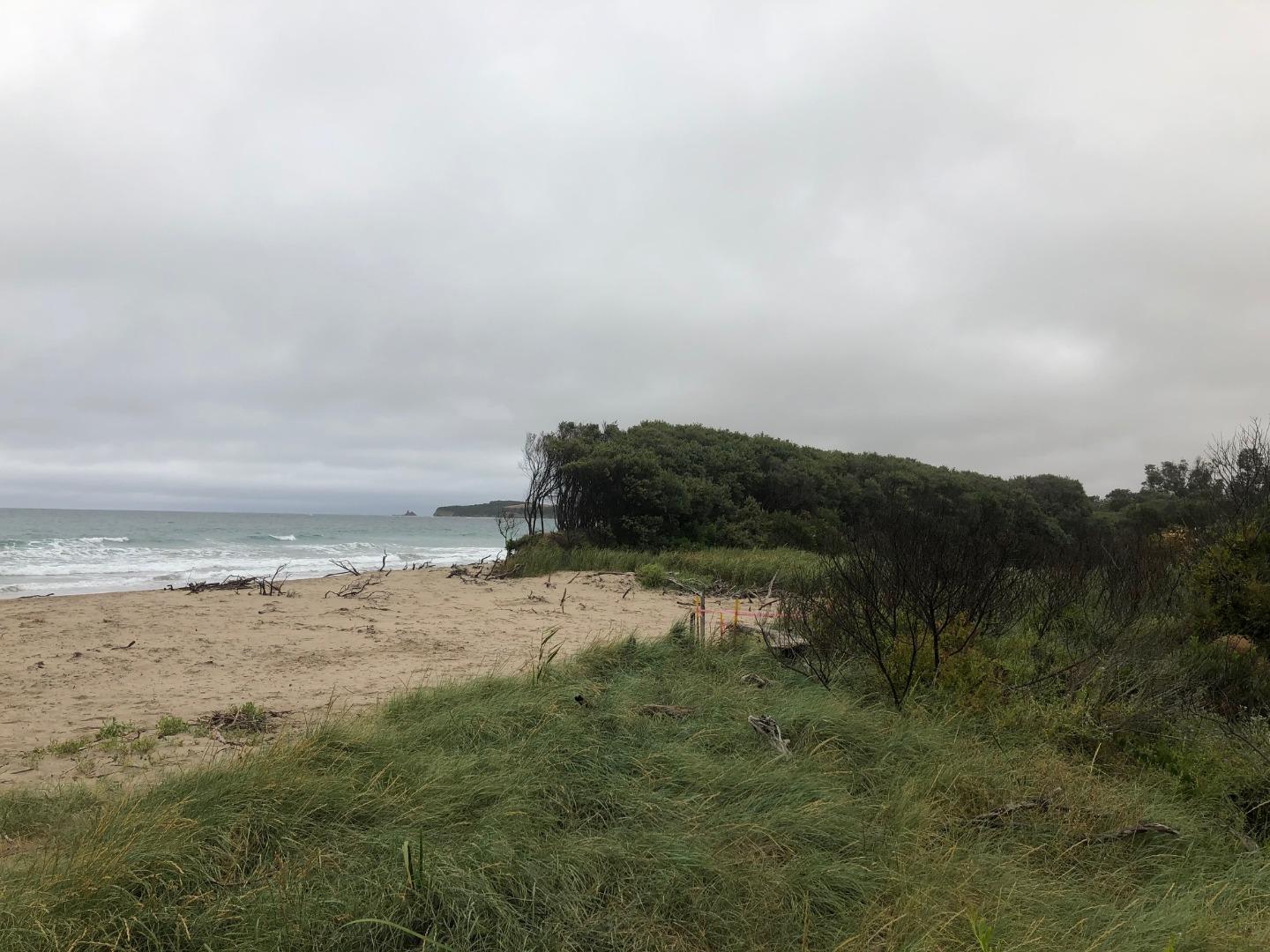
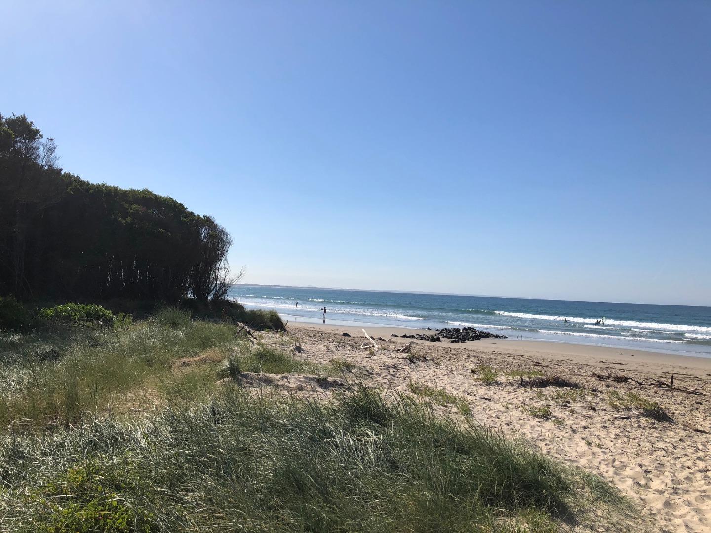
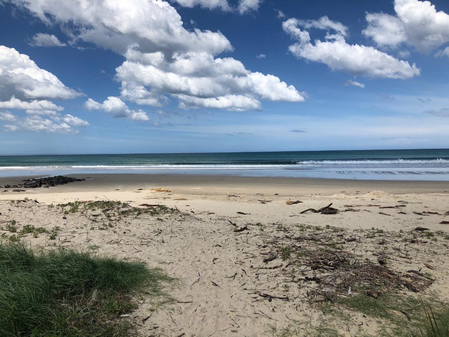
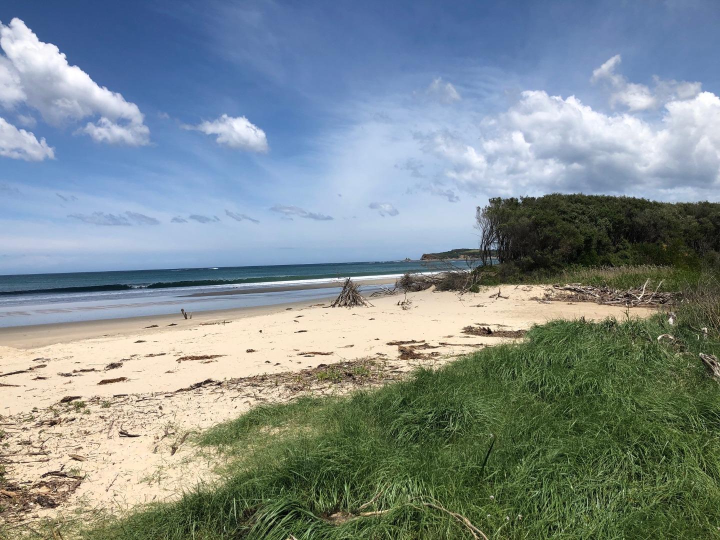
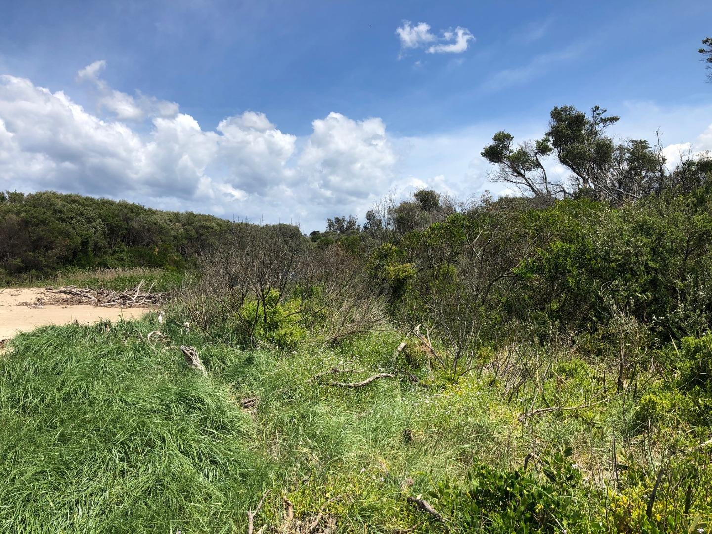
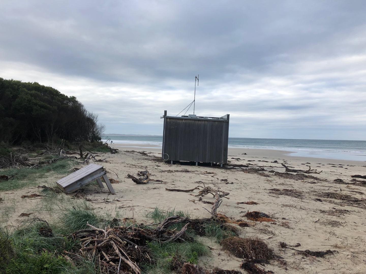
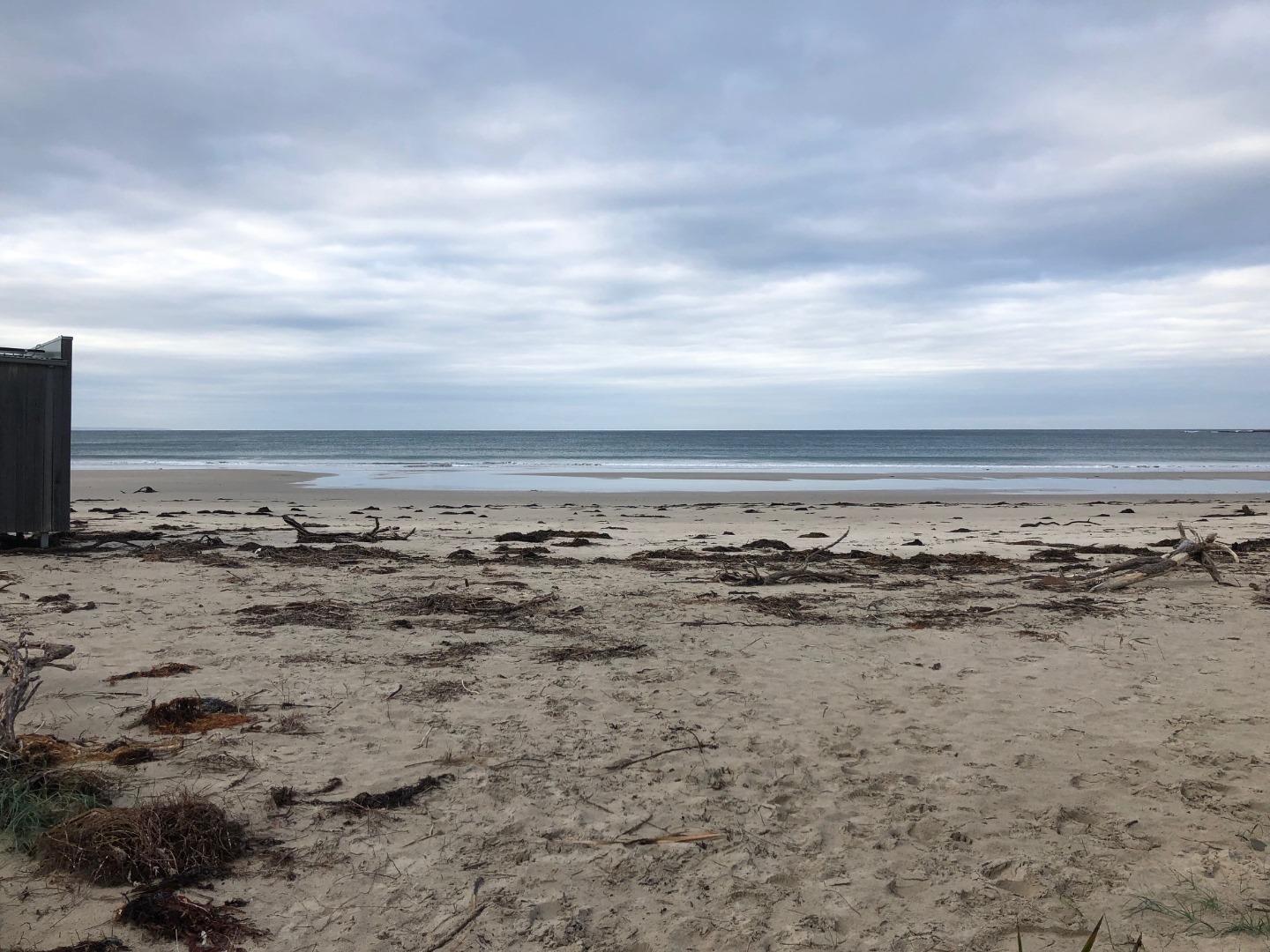
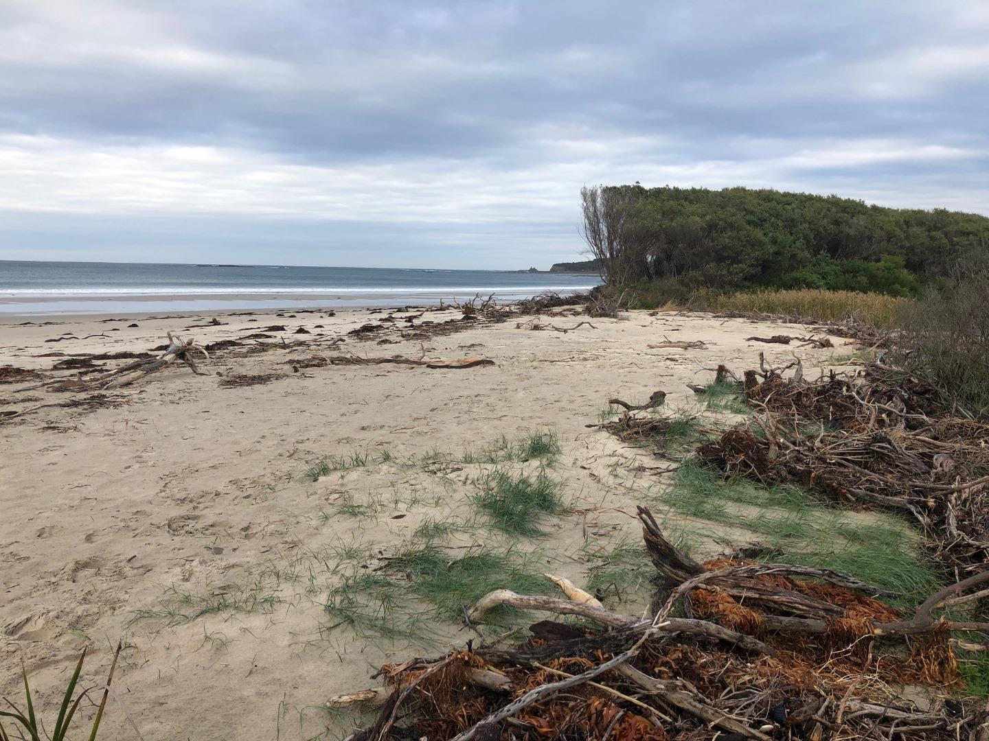
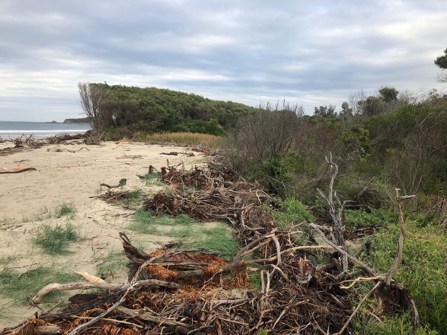
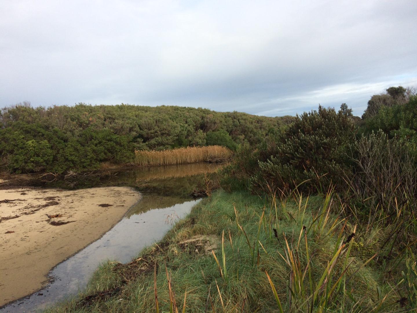
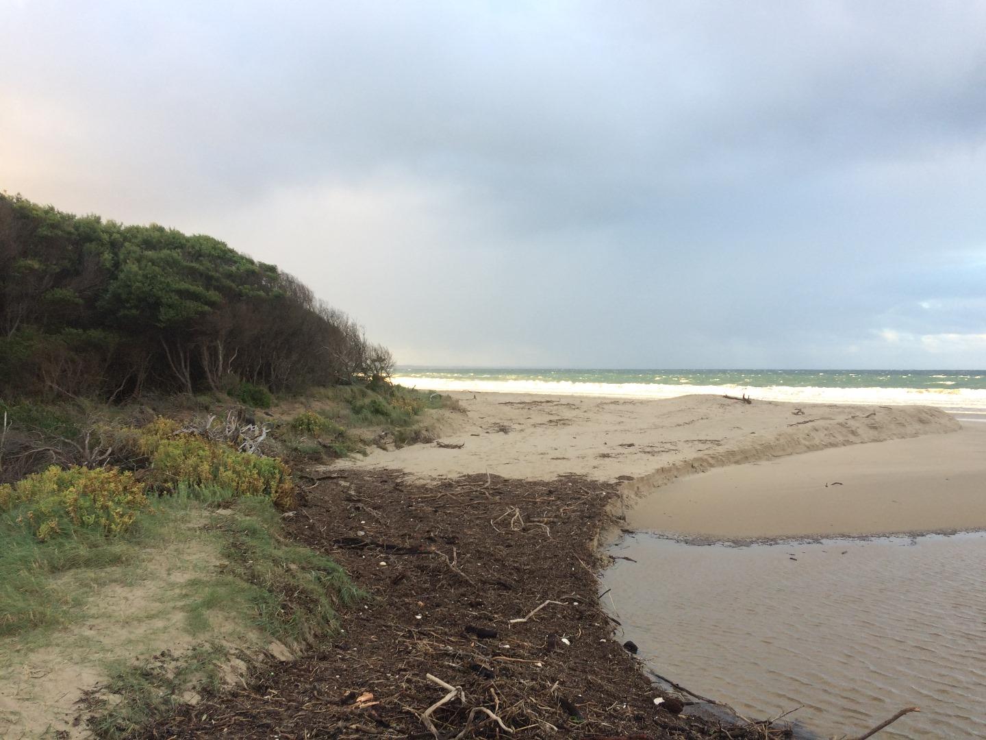
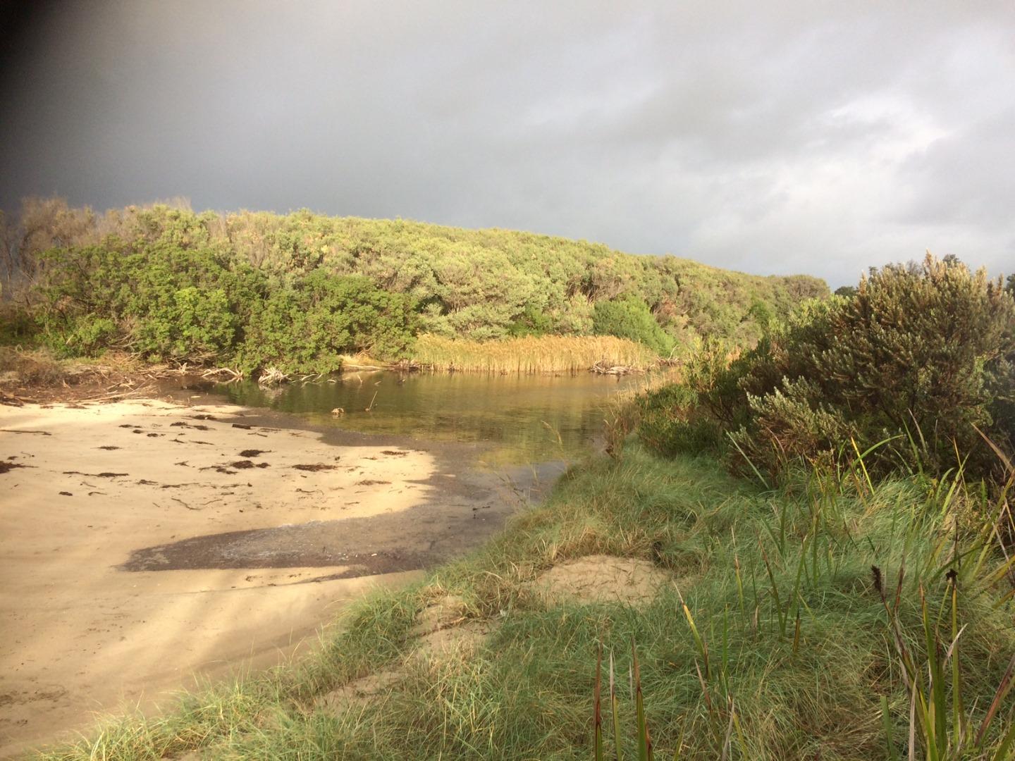
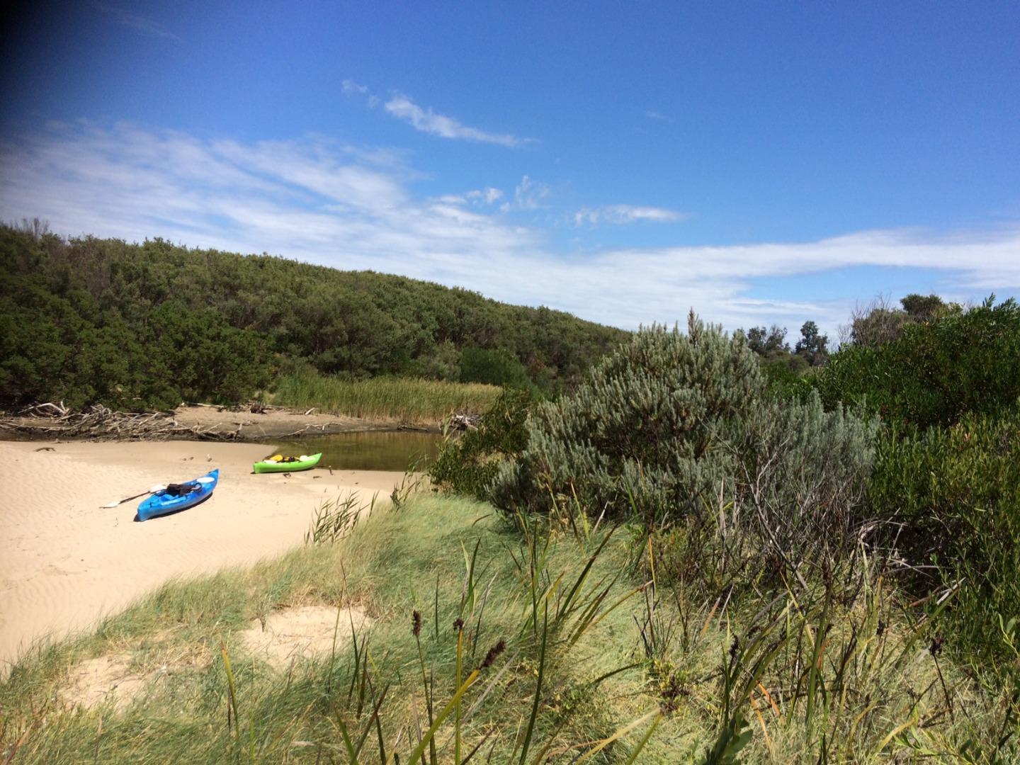
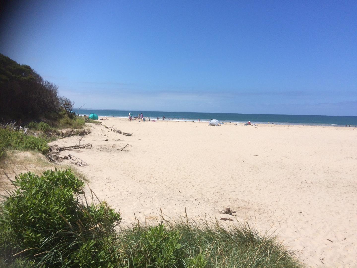
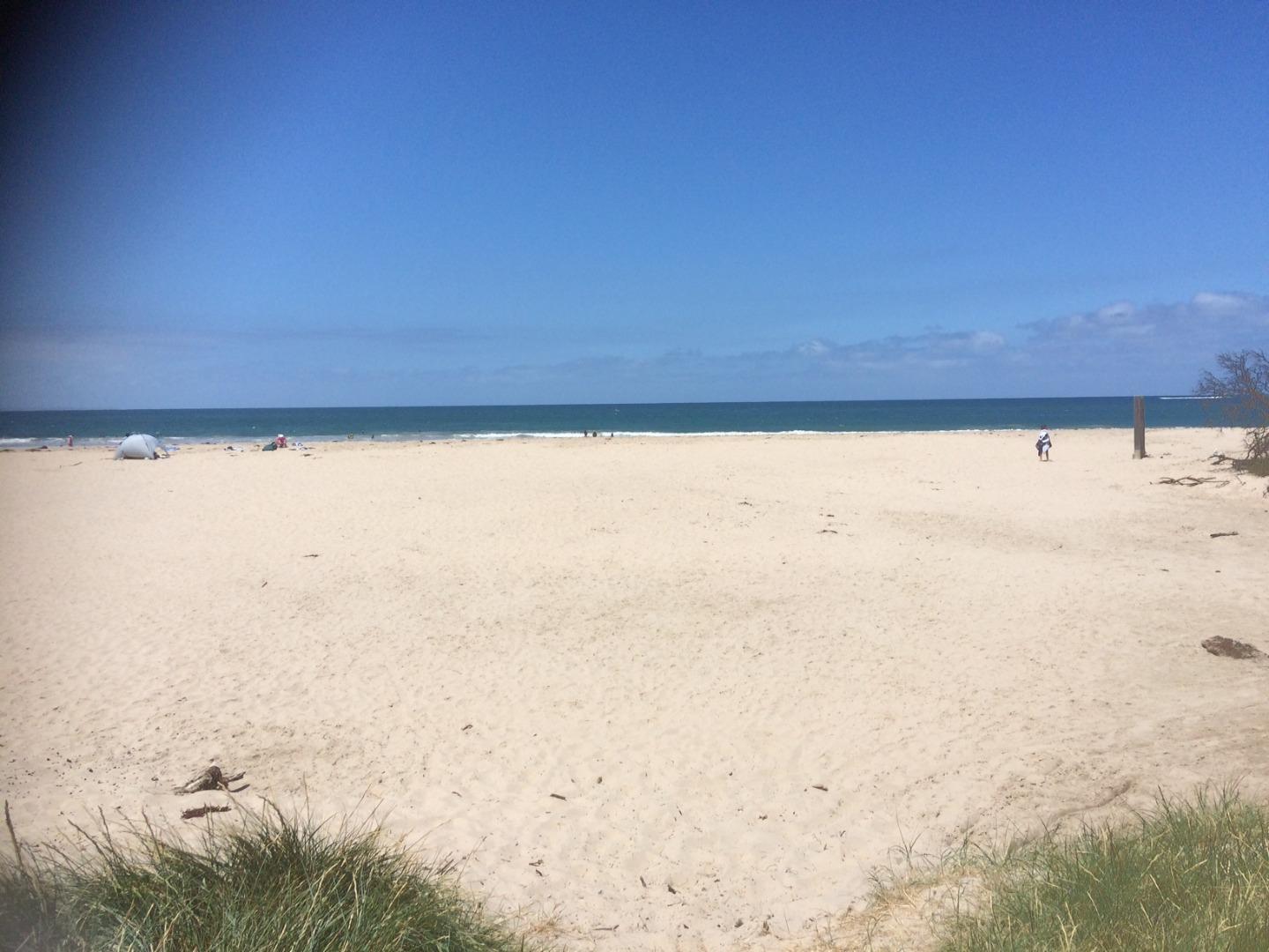
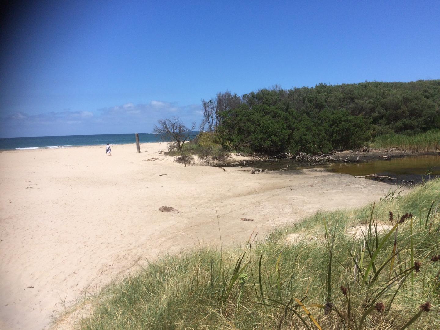
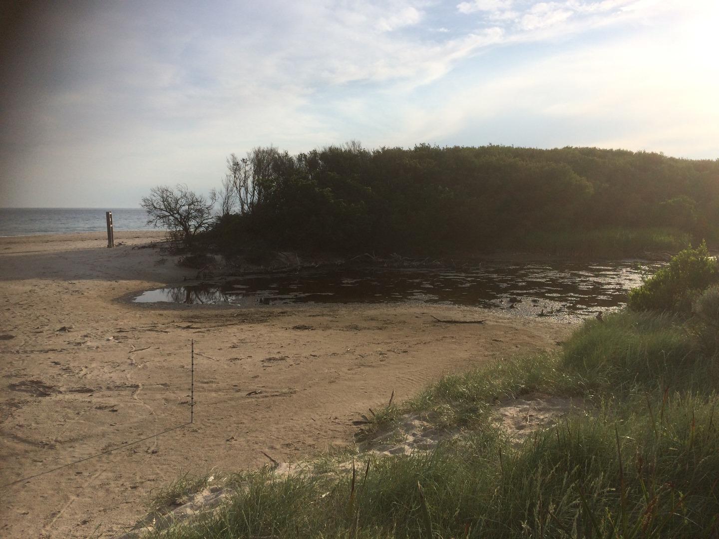
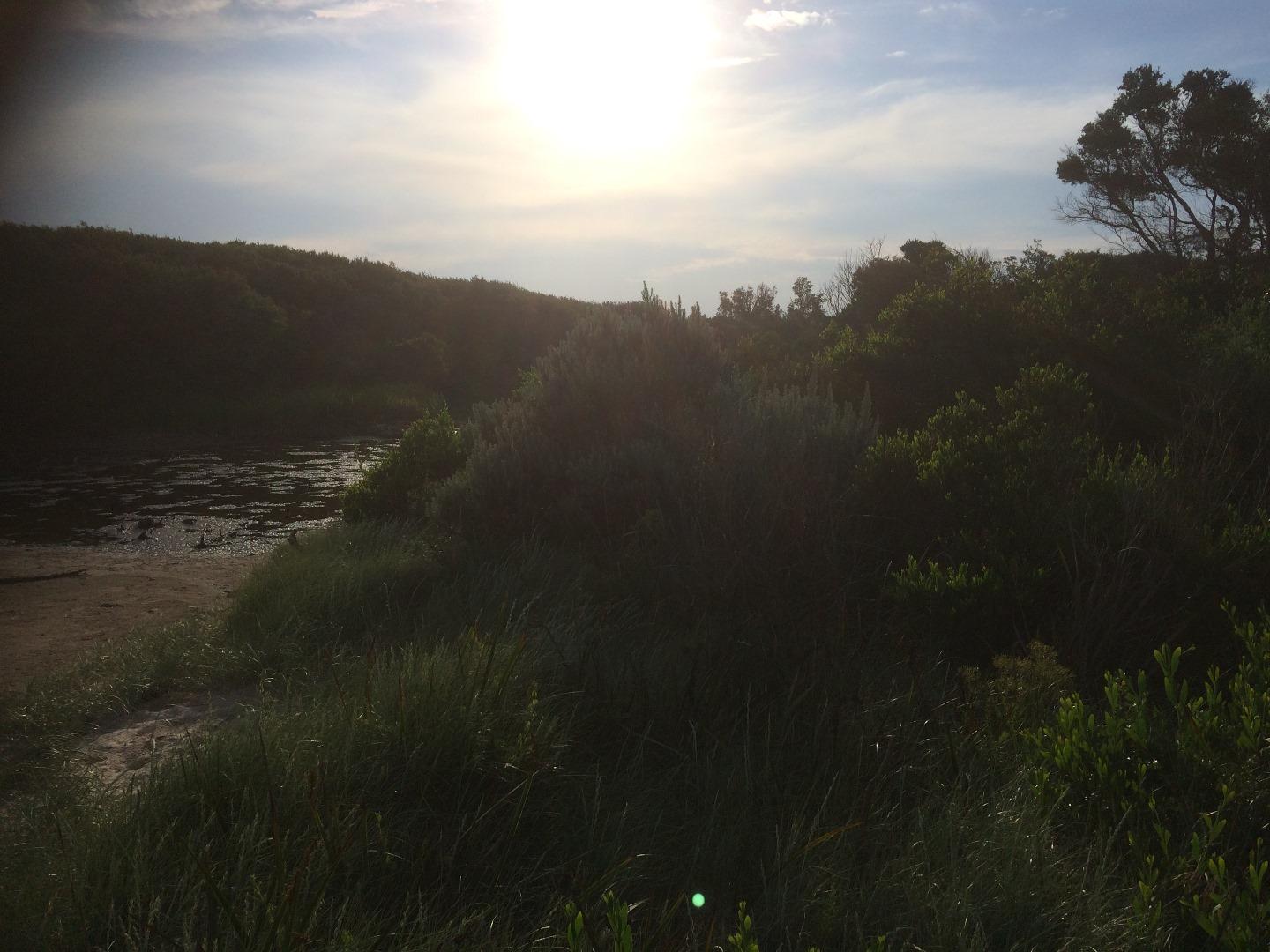
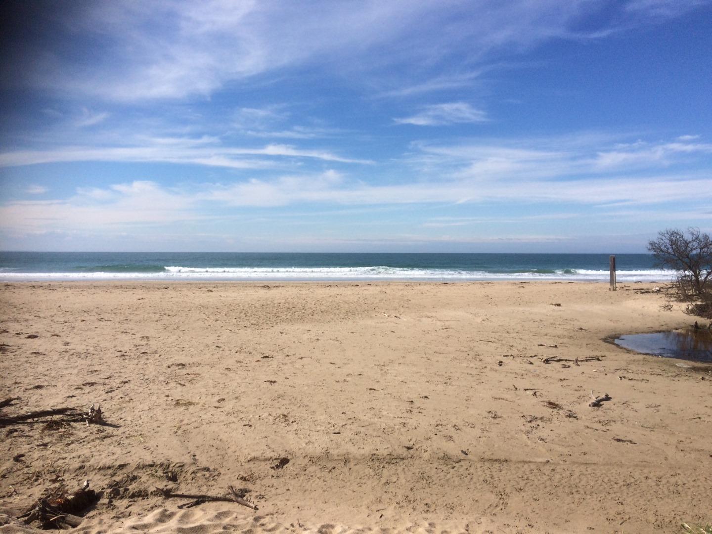
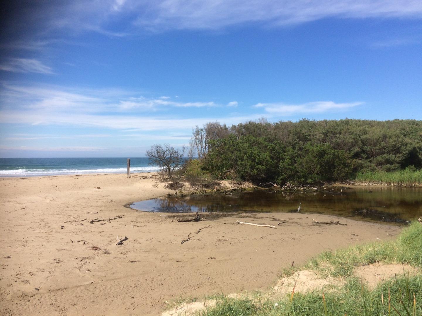
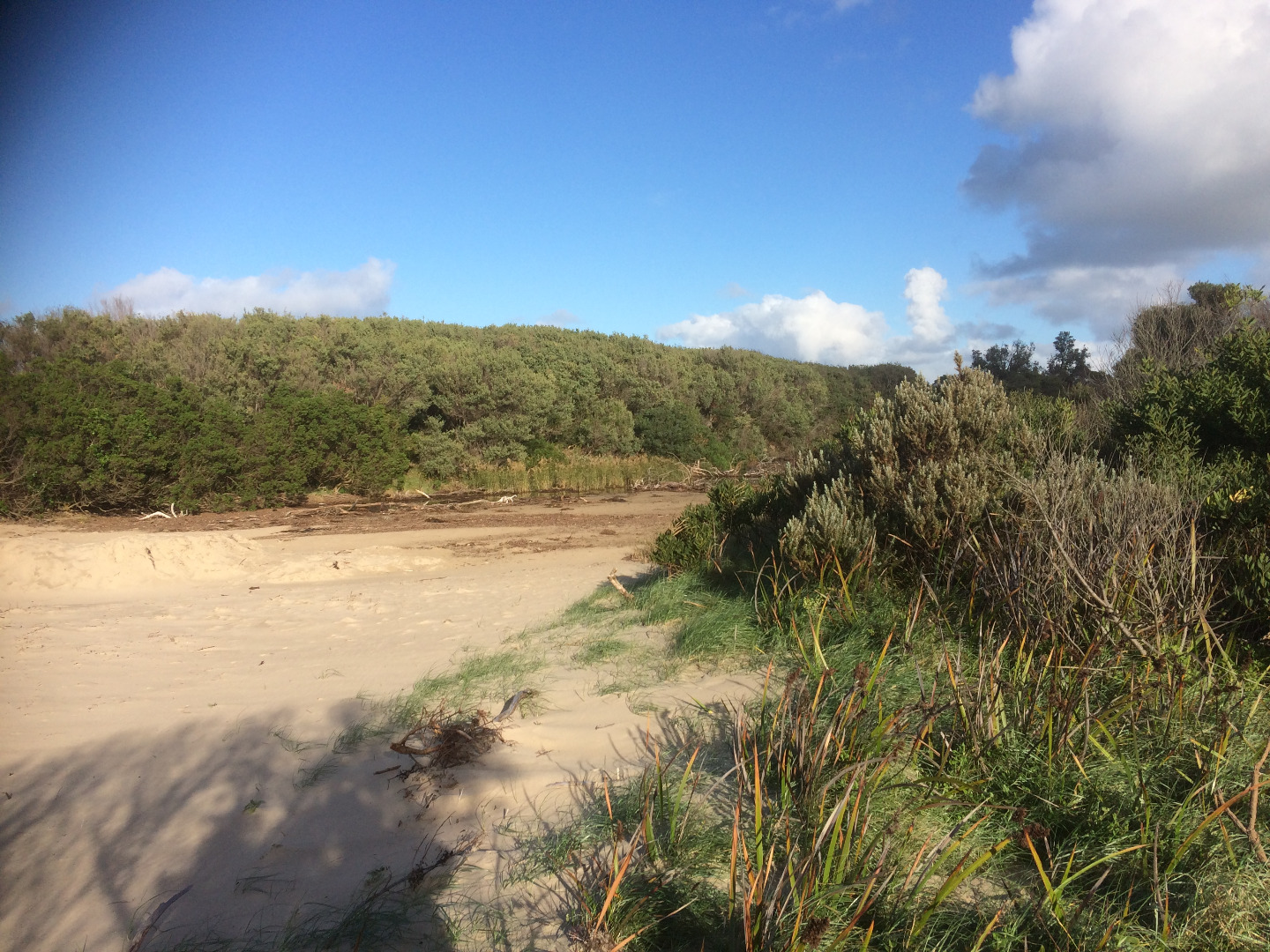
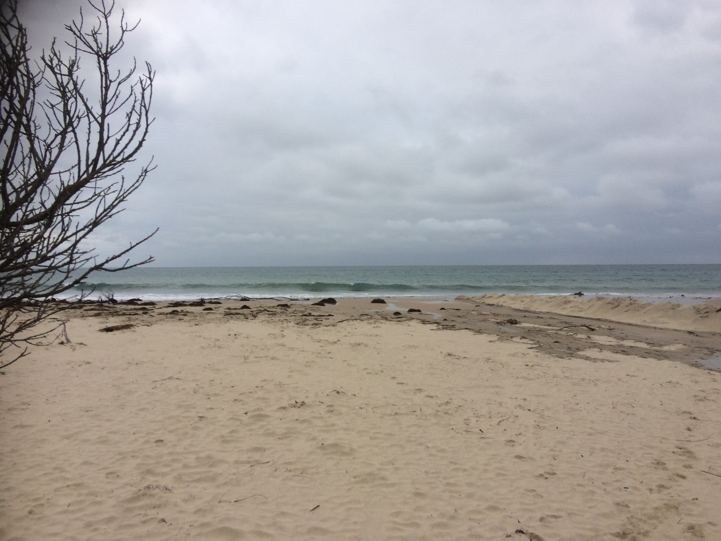
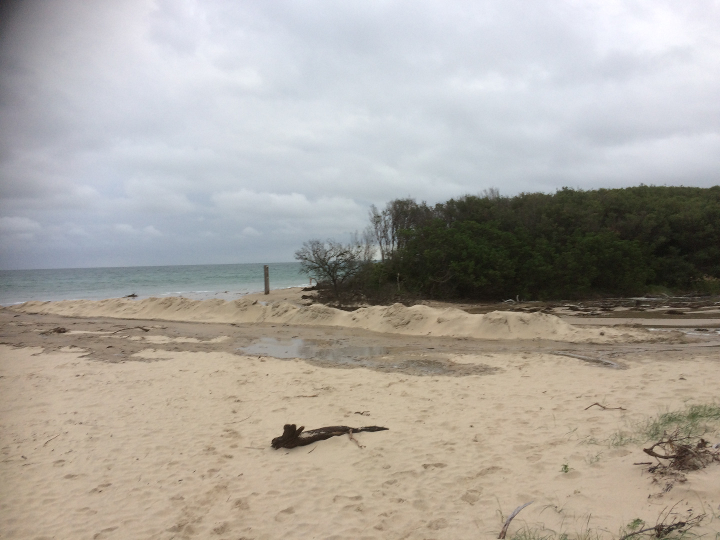
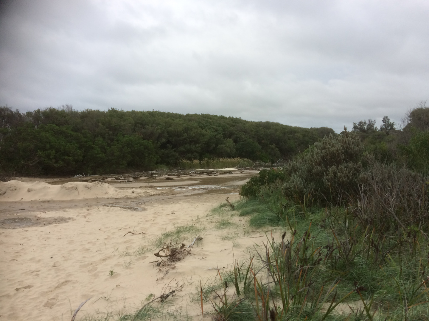
WrMC Wreck Creek Mouth Condition Site
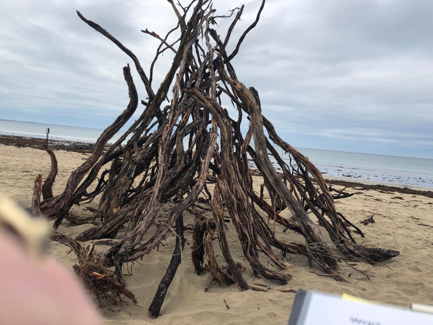
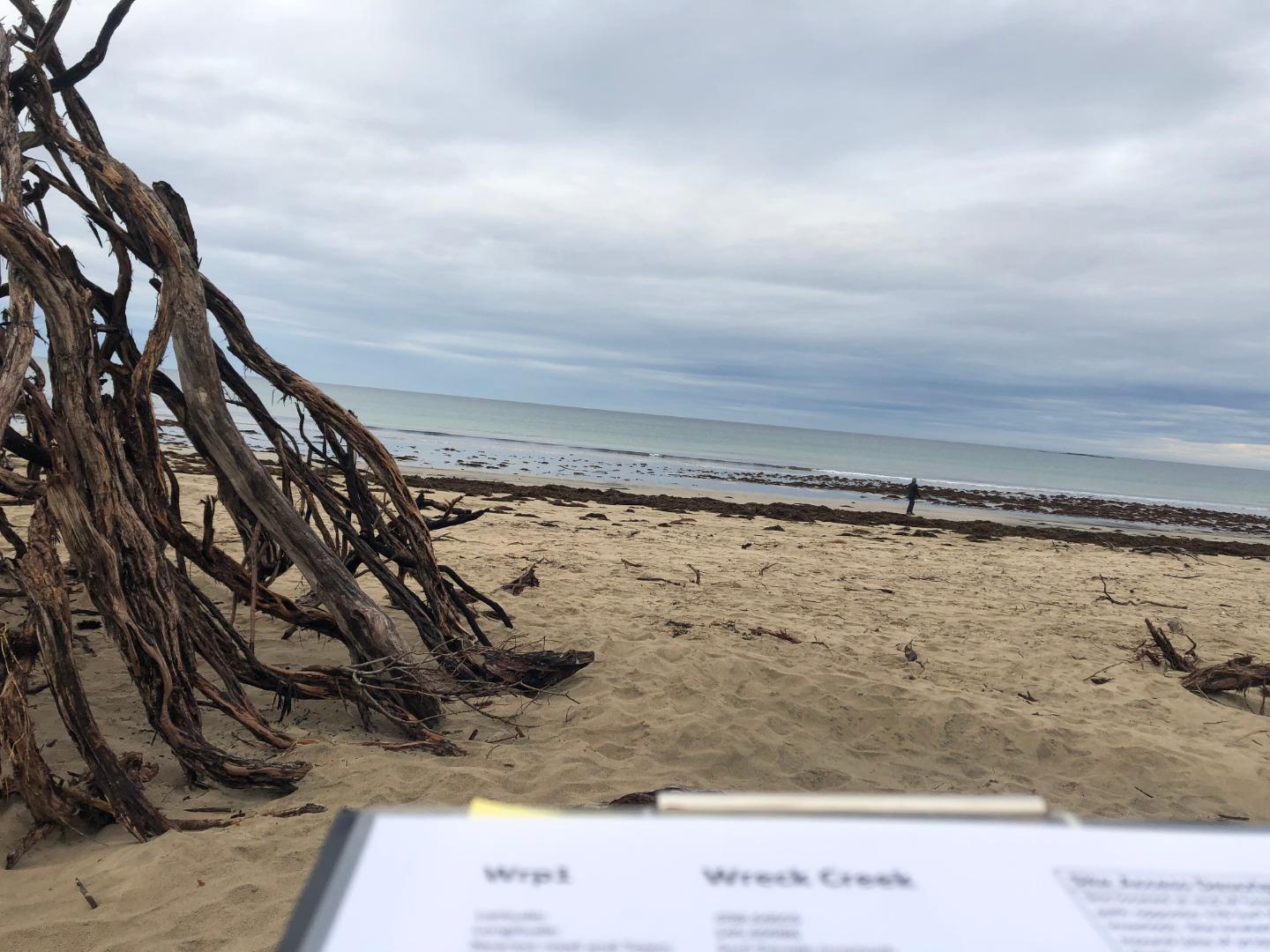
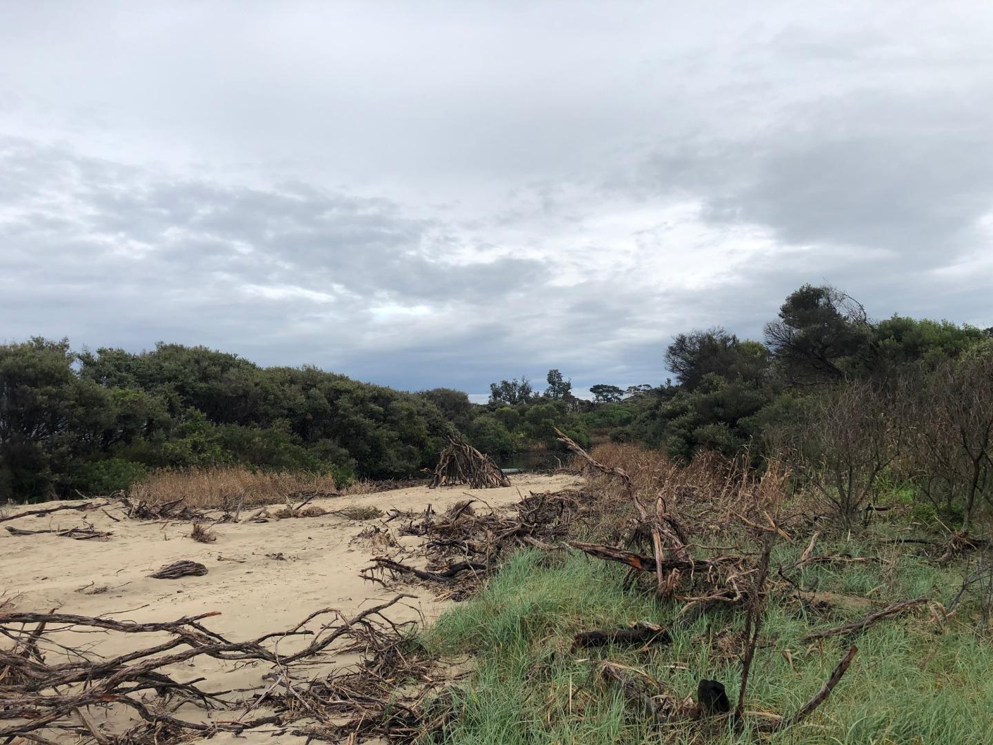
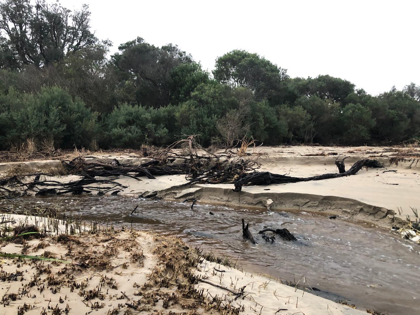
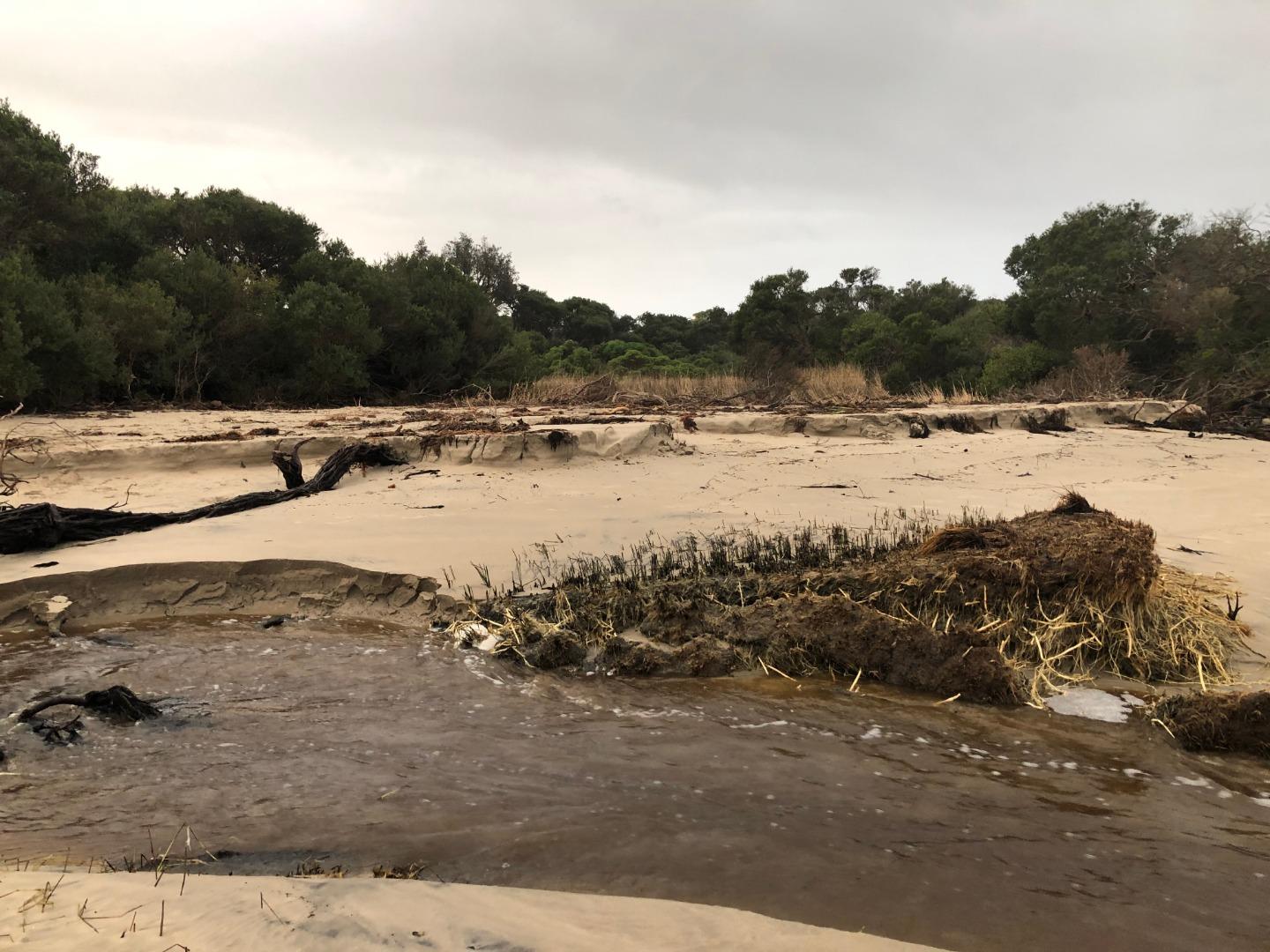
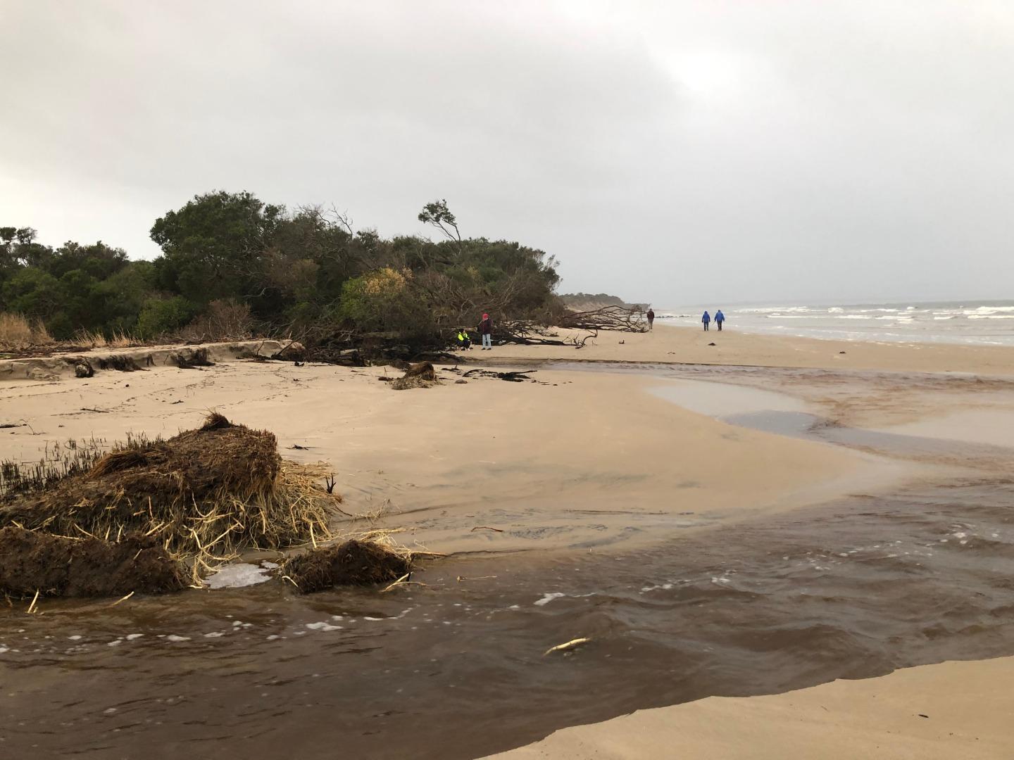
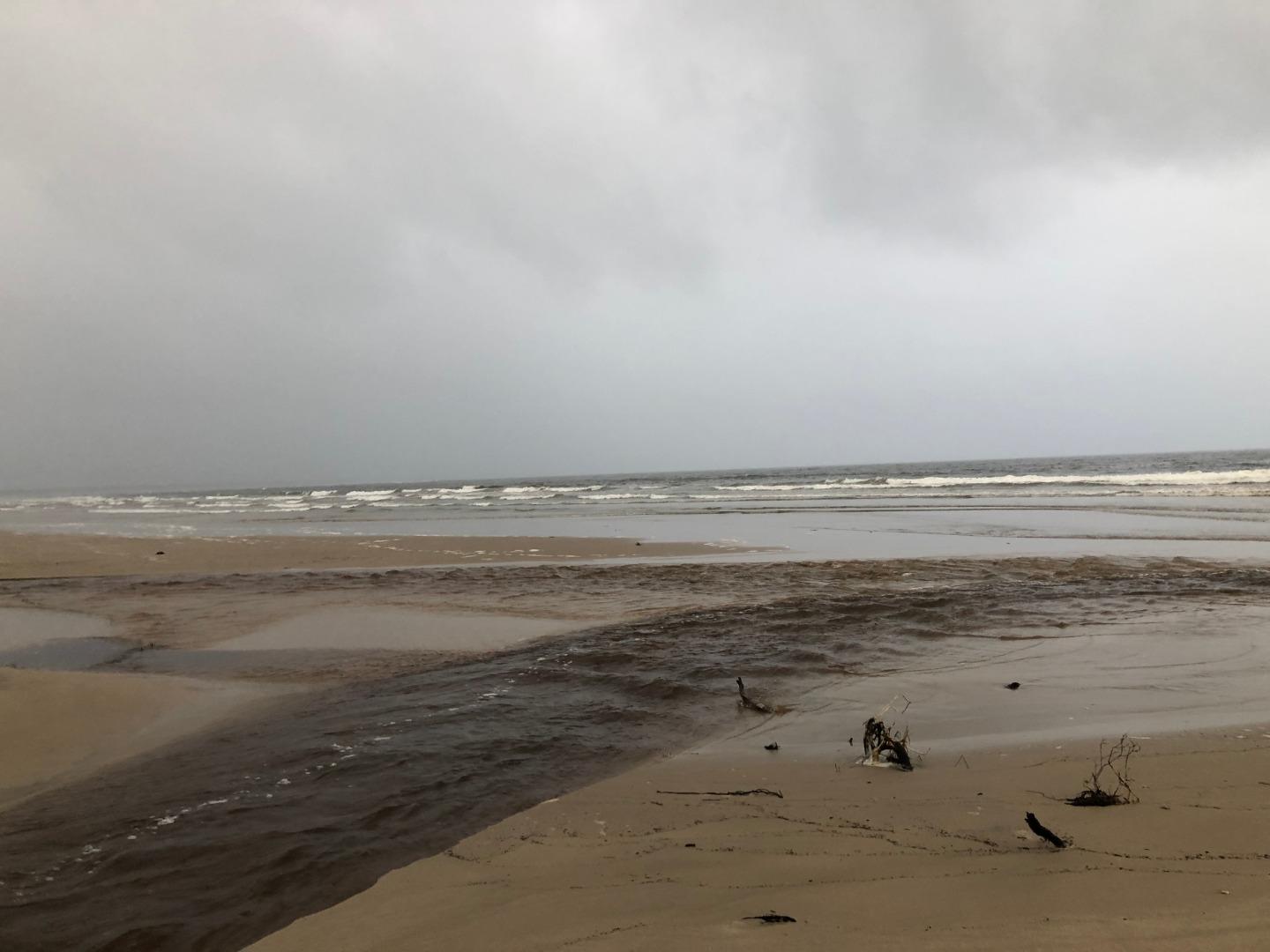
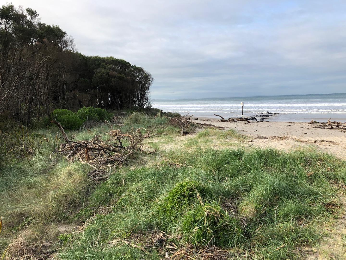
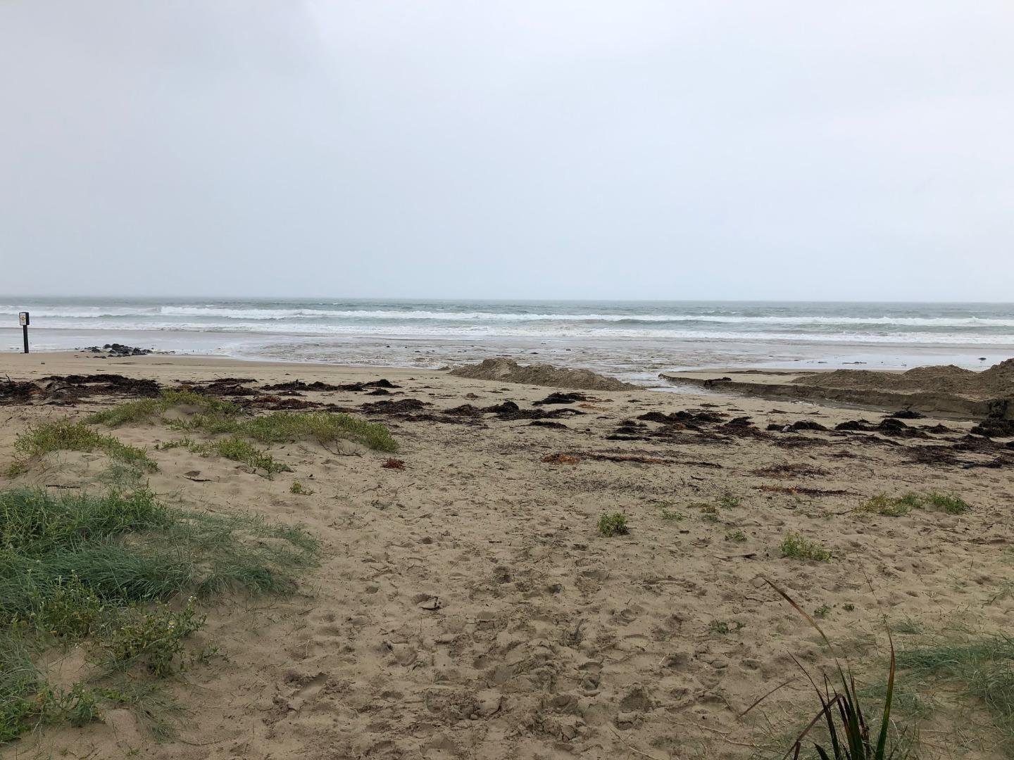
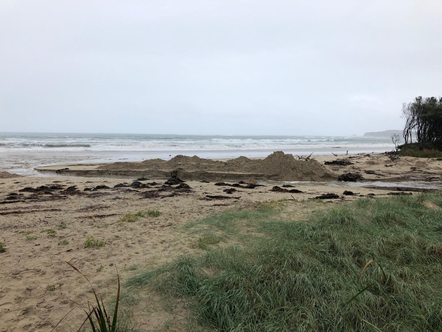
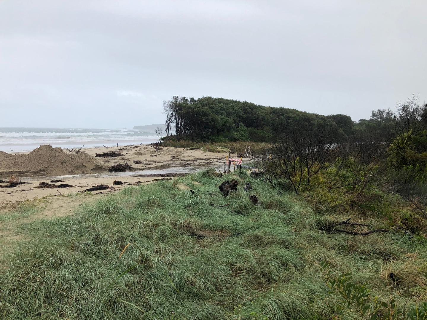
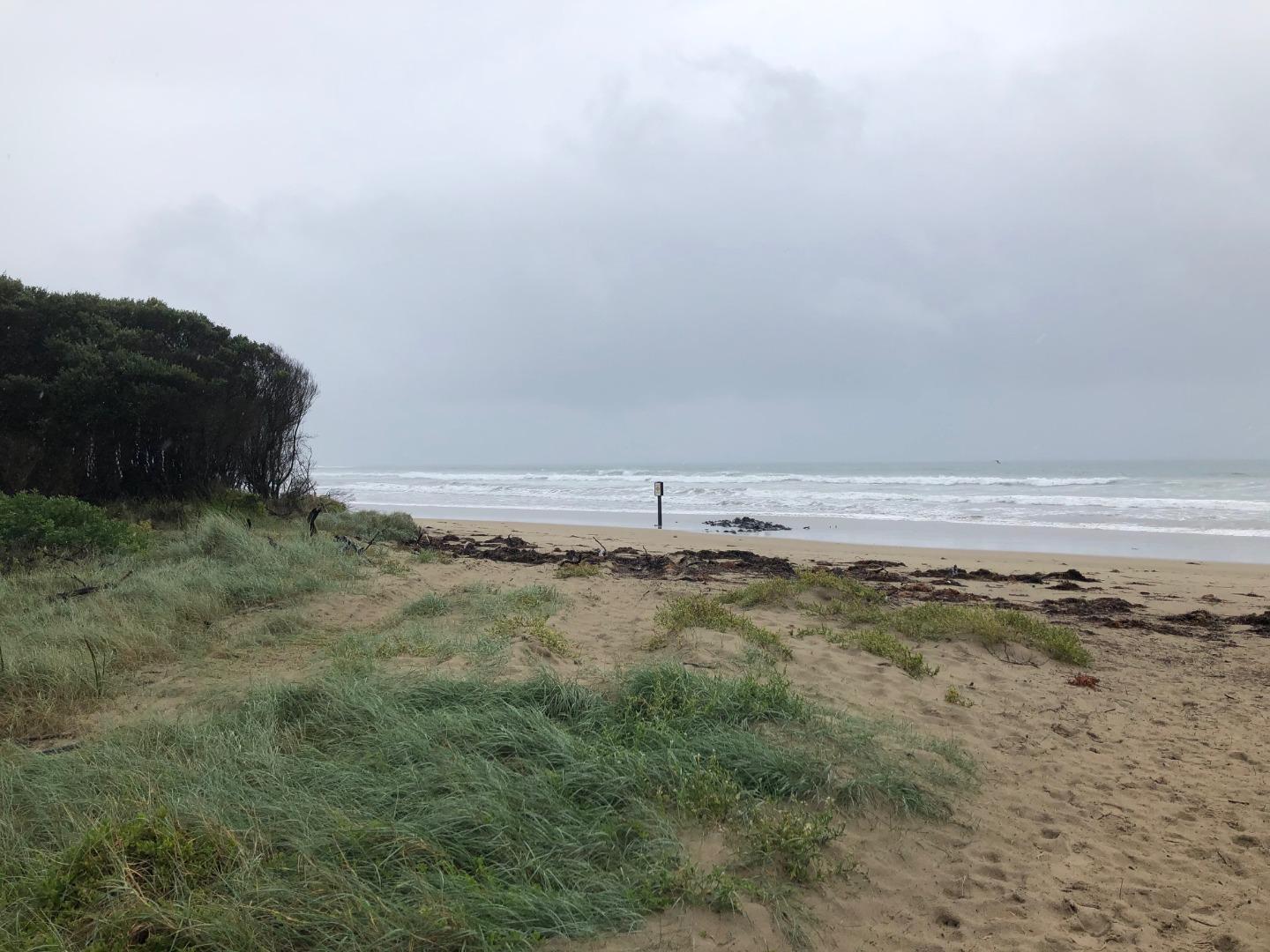
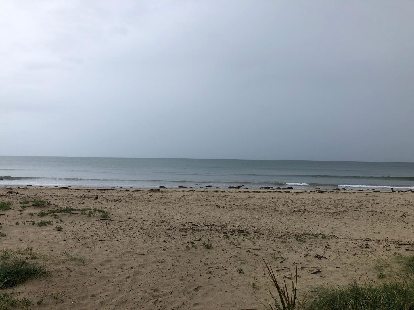
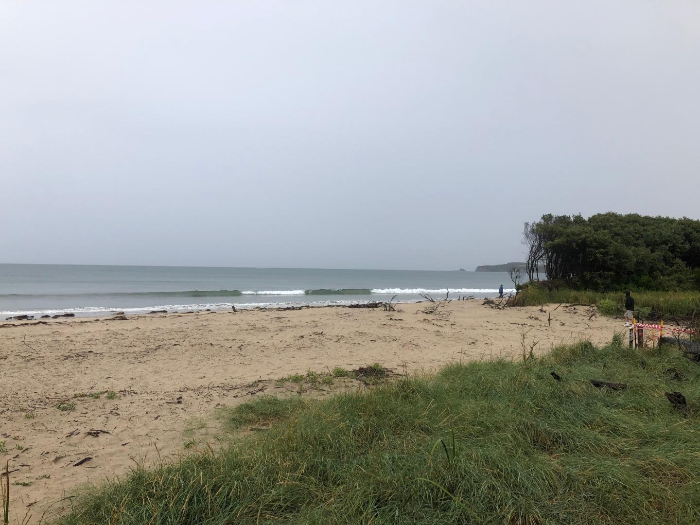
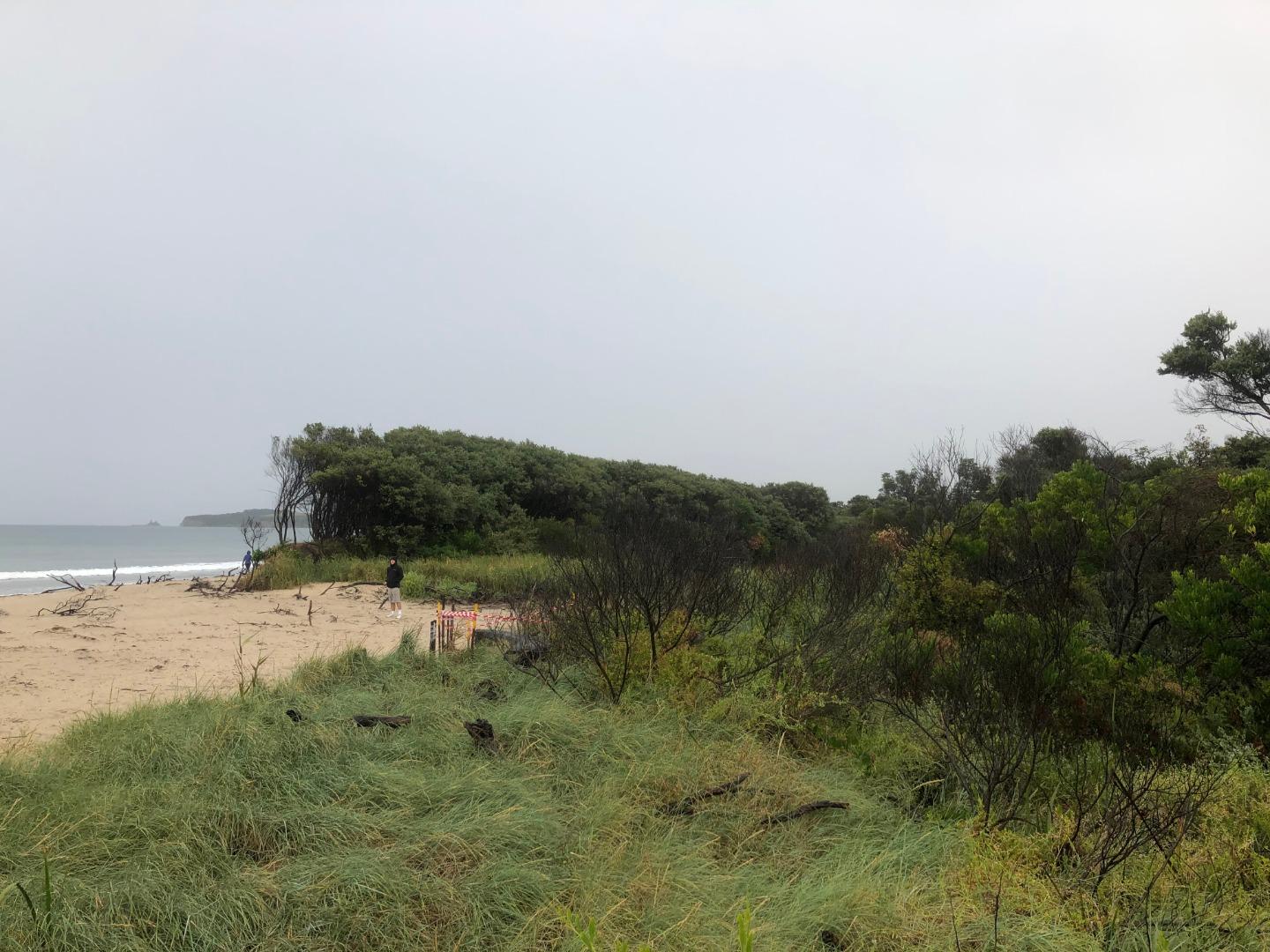
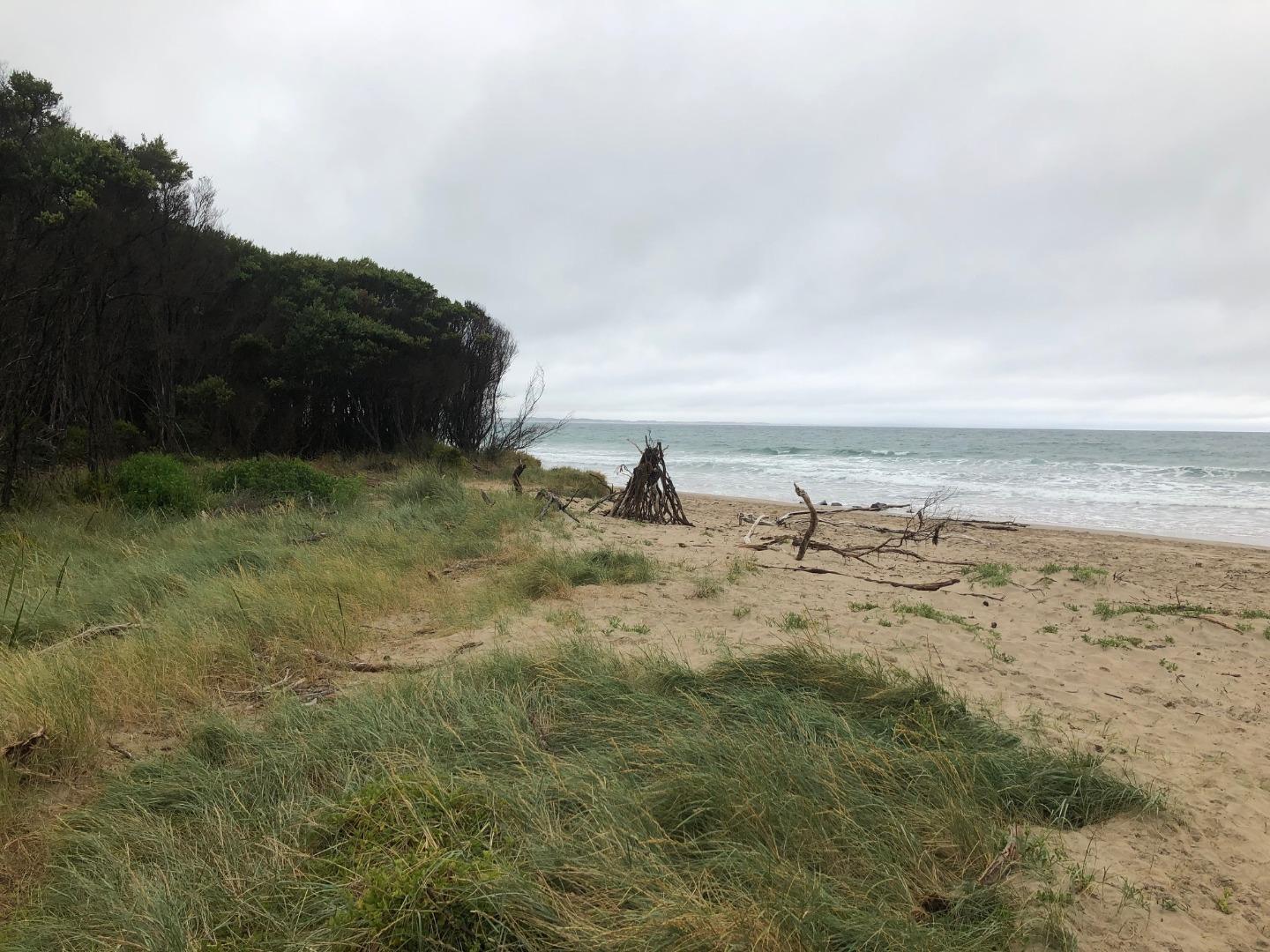
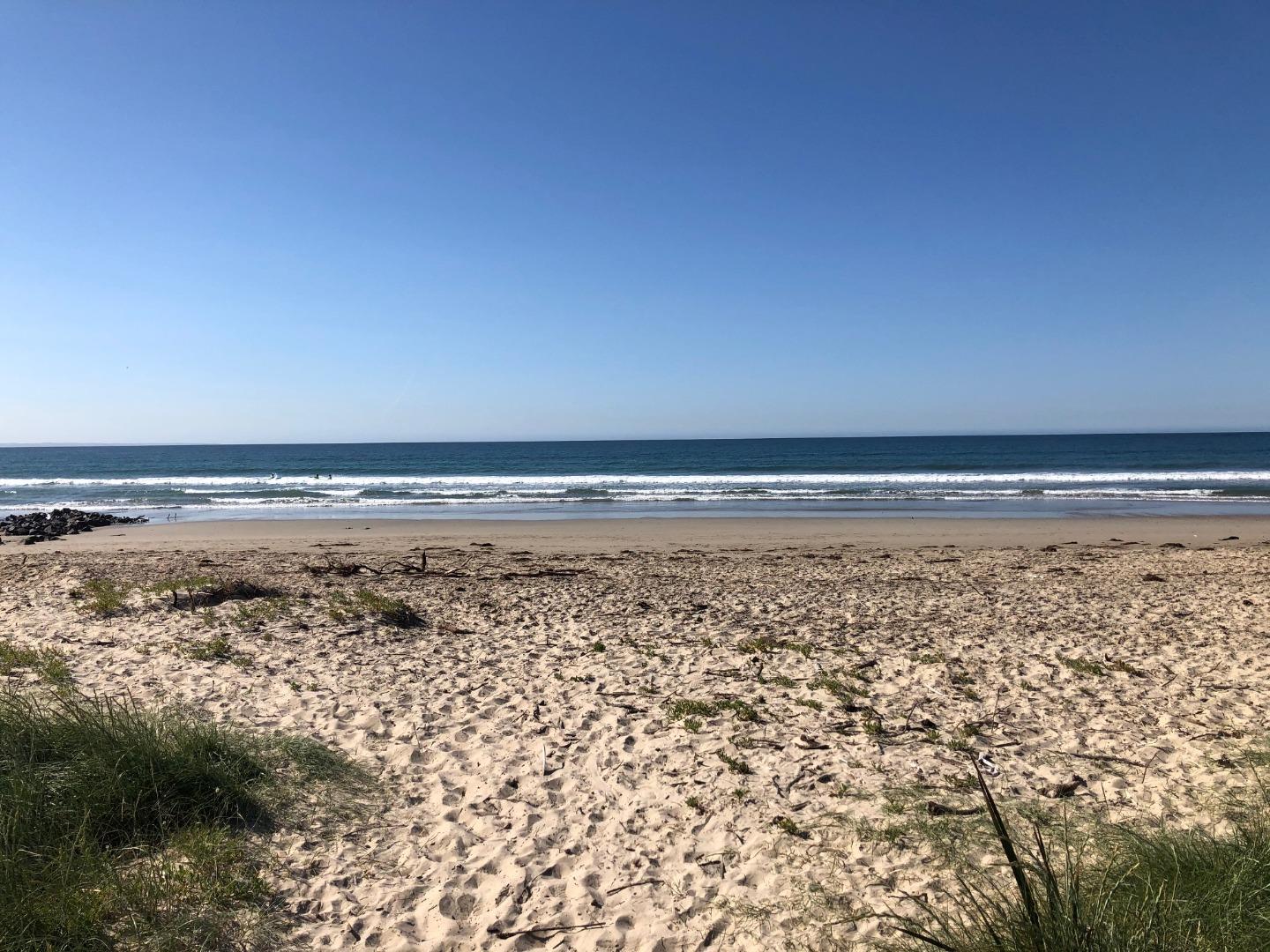
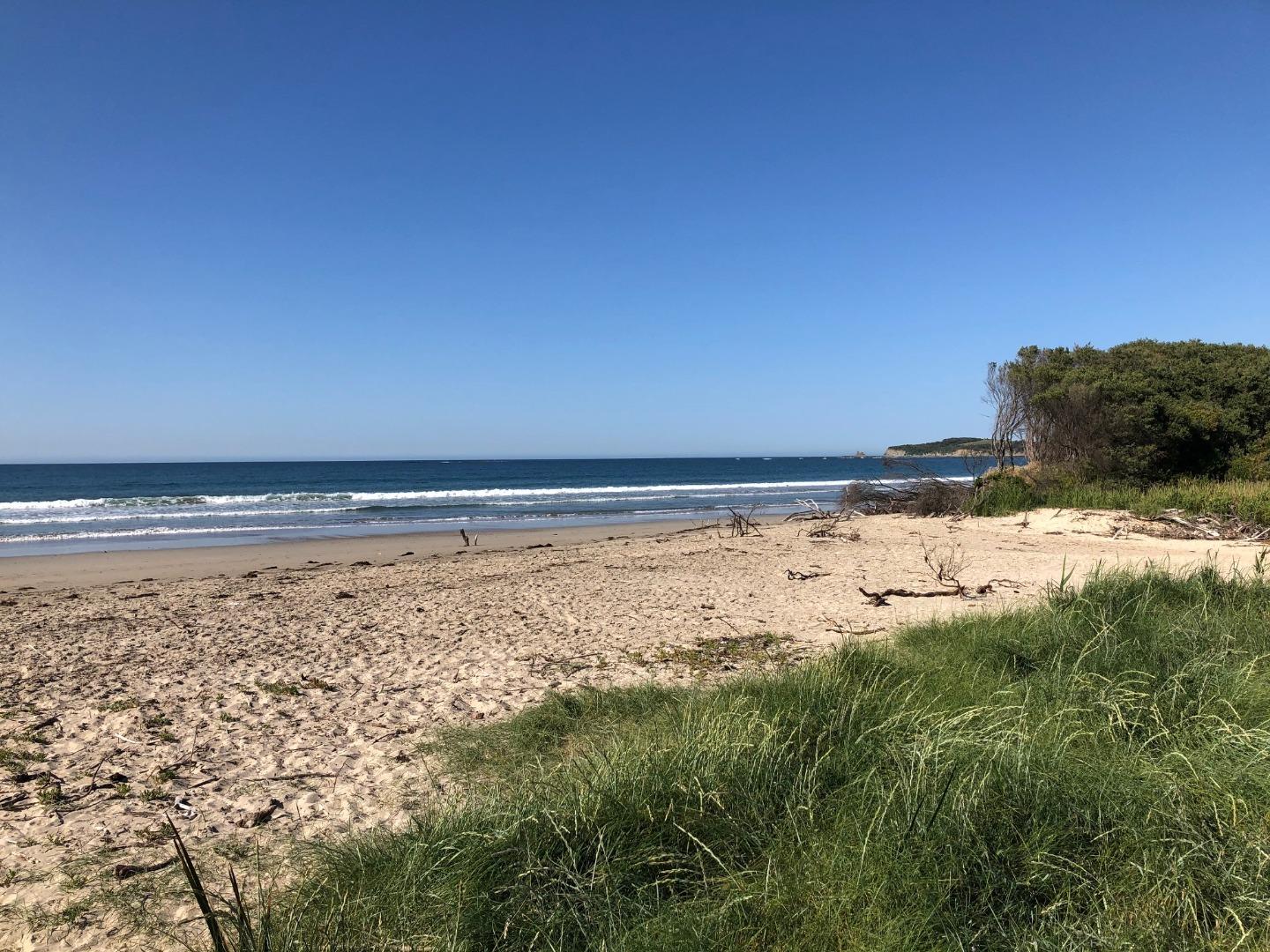
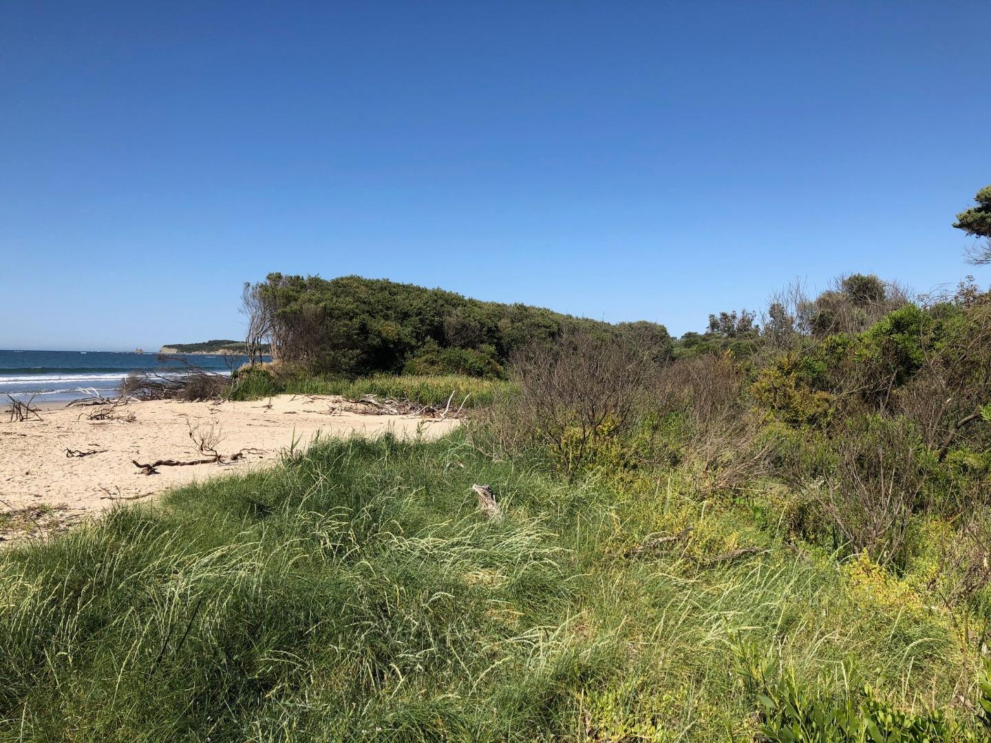
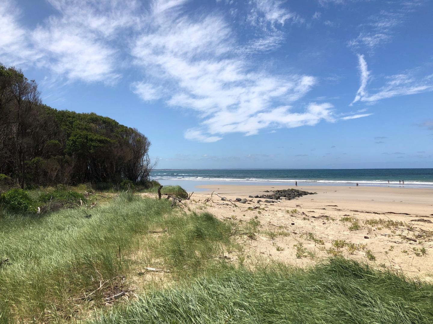
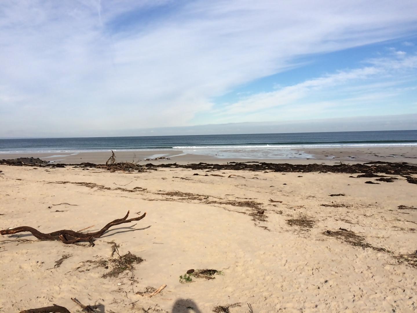
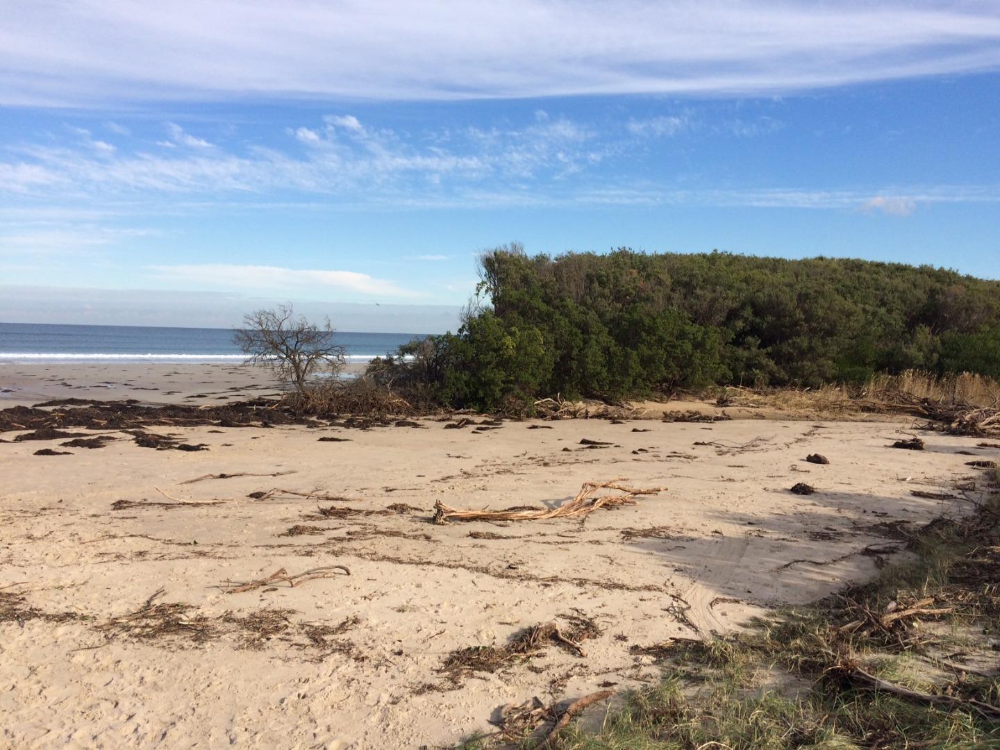
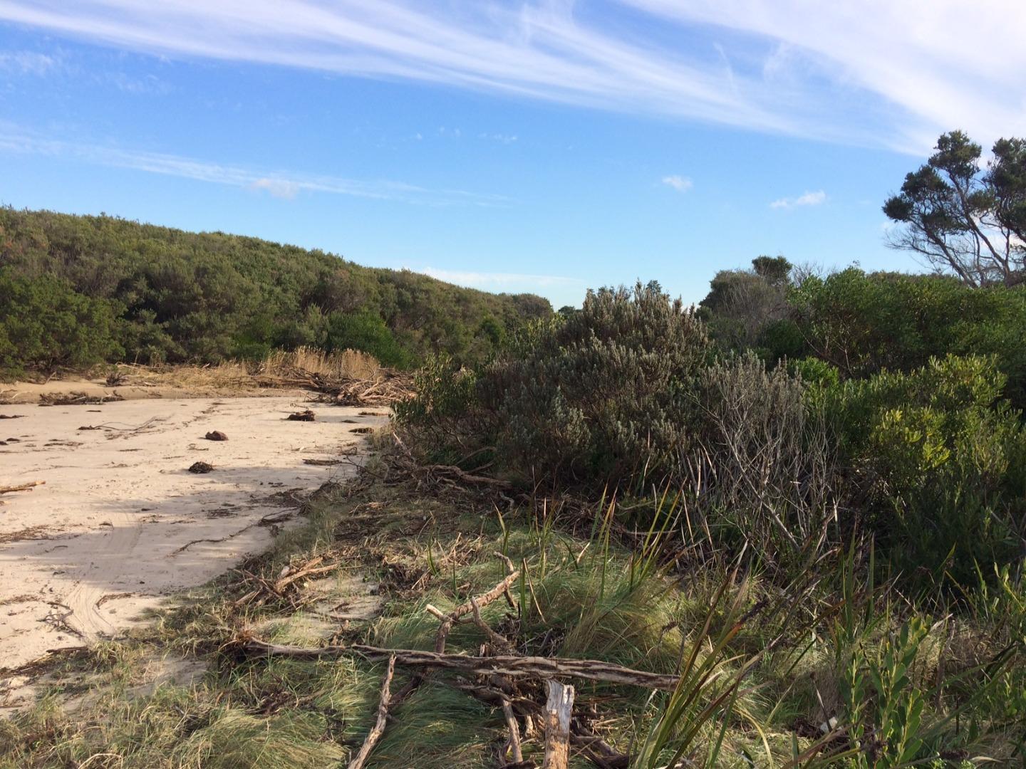
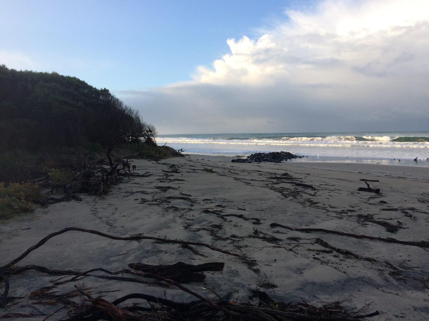
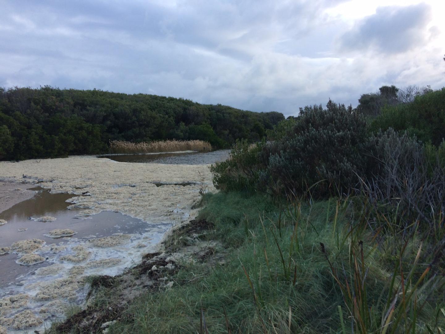
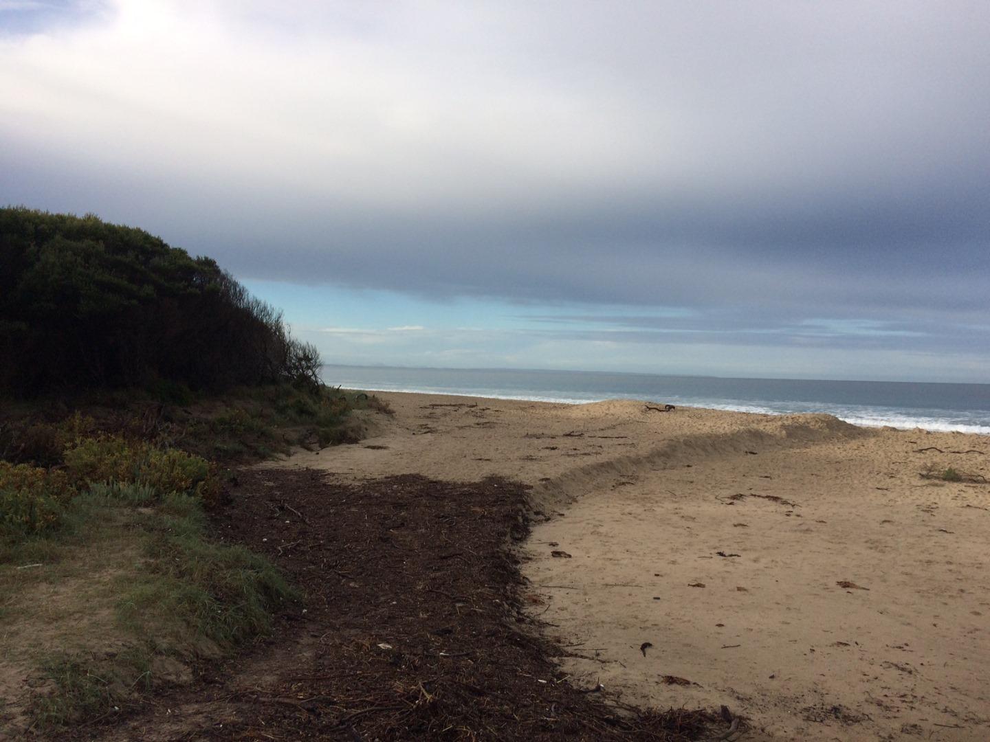
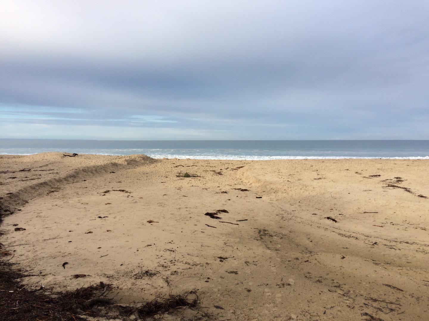
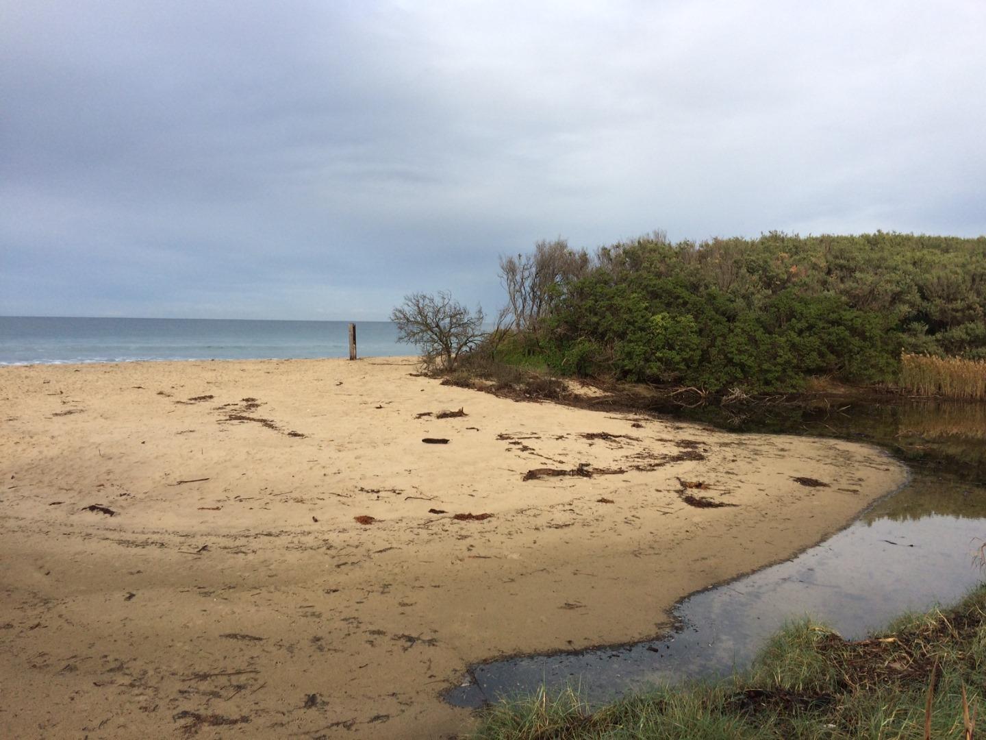
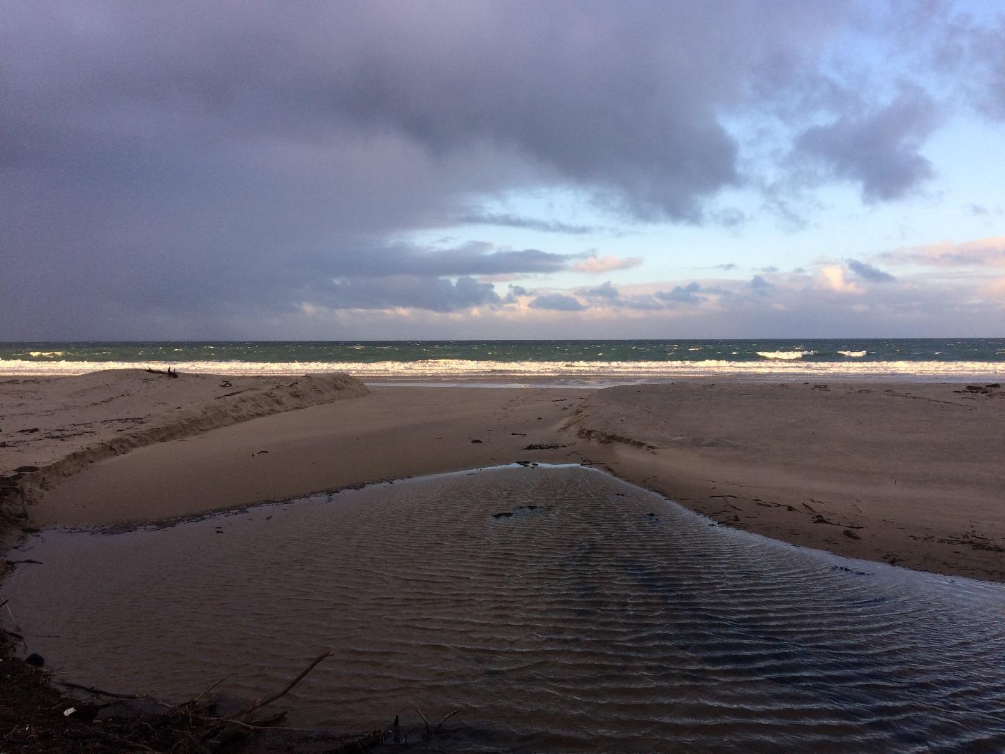
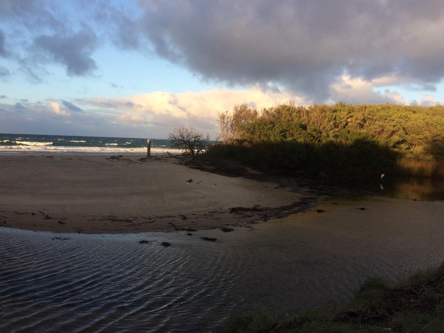
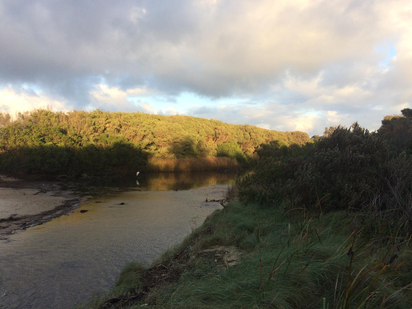
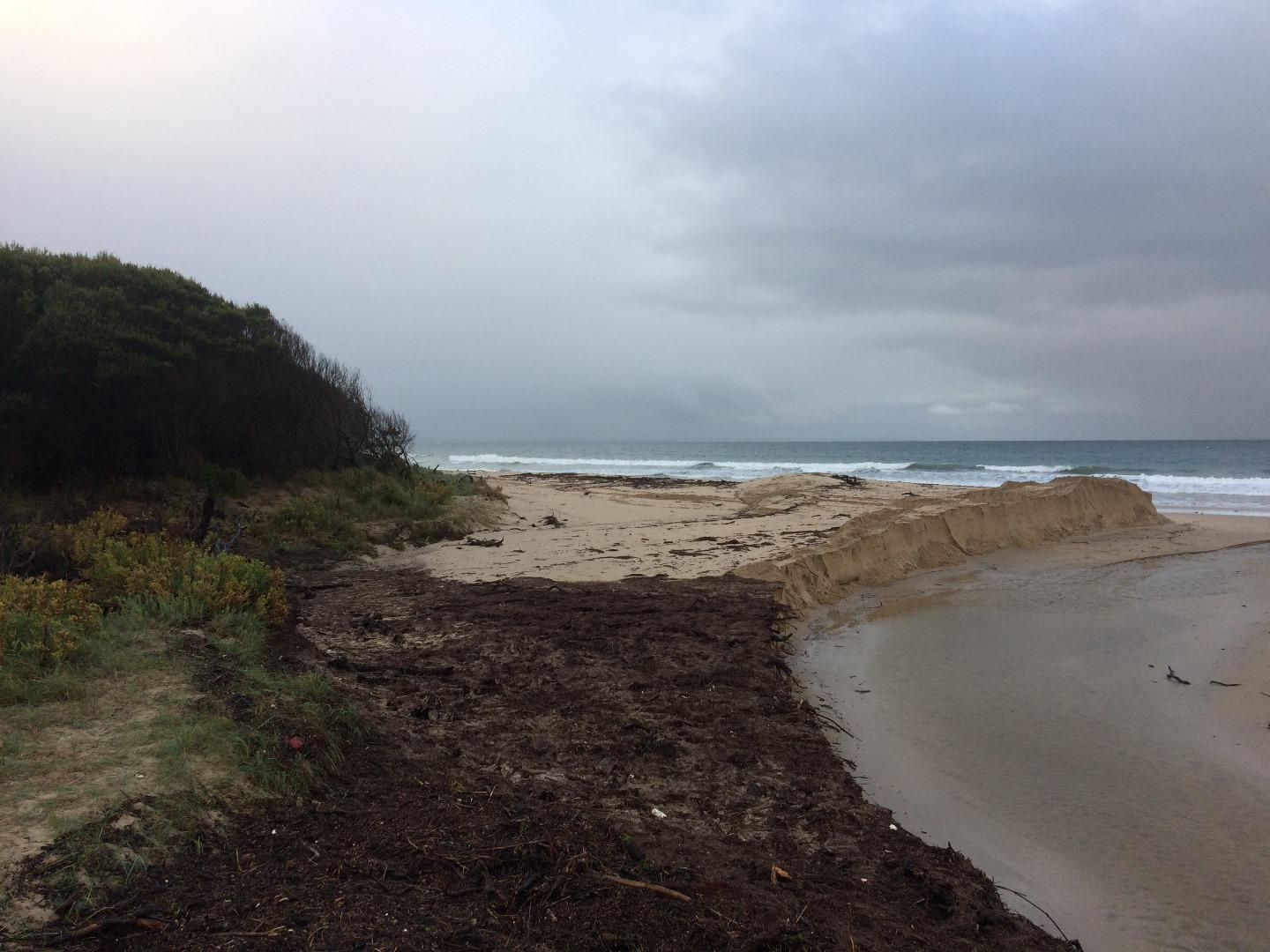
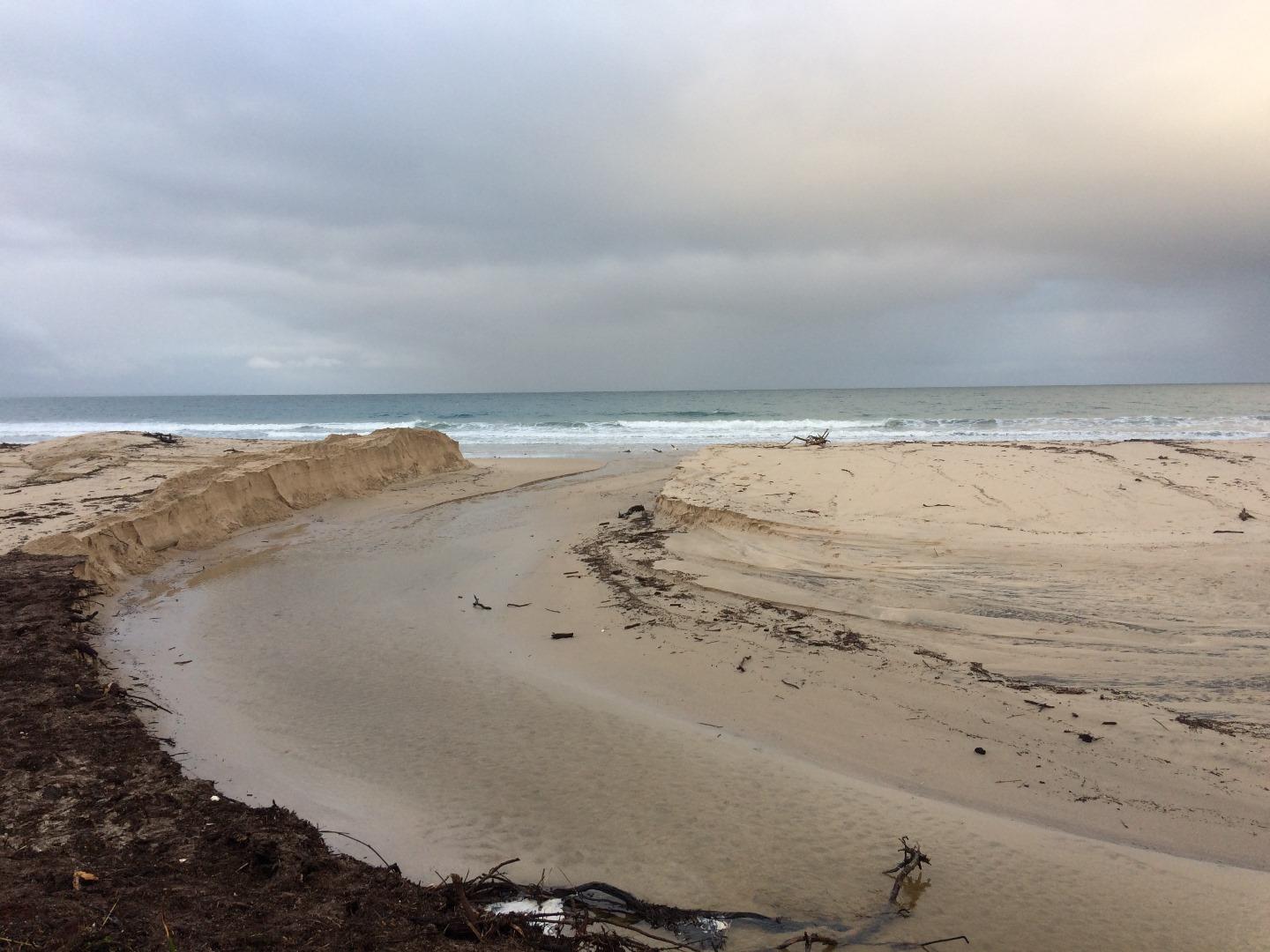
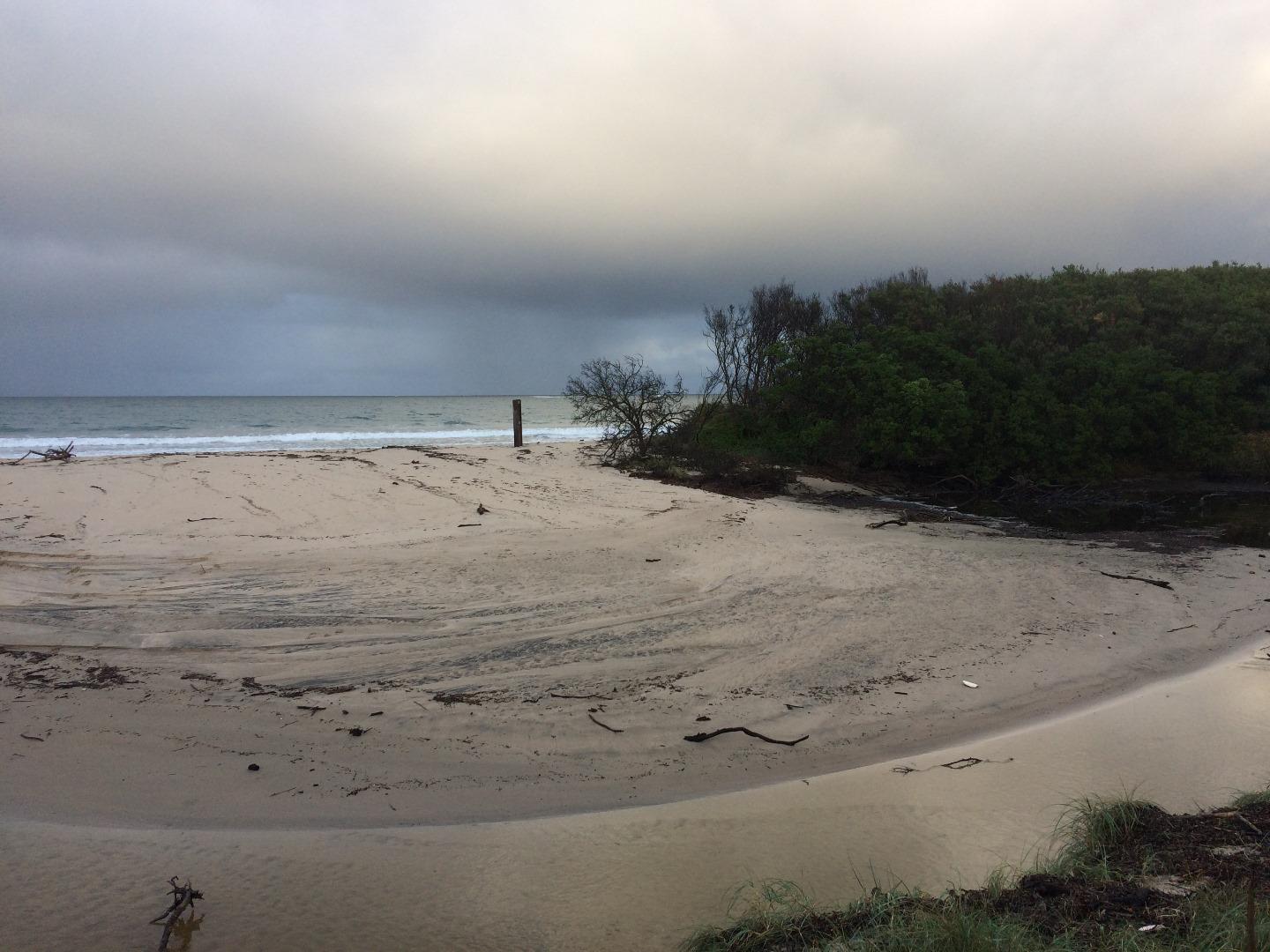
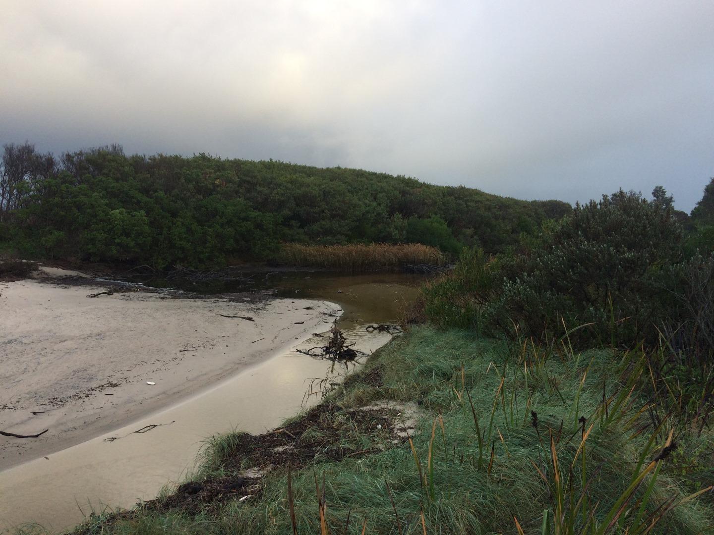
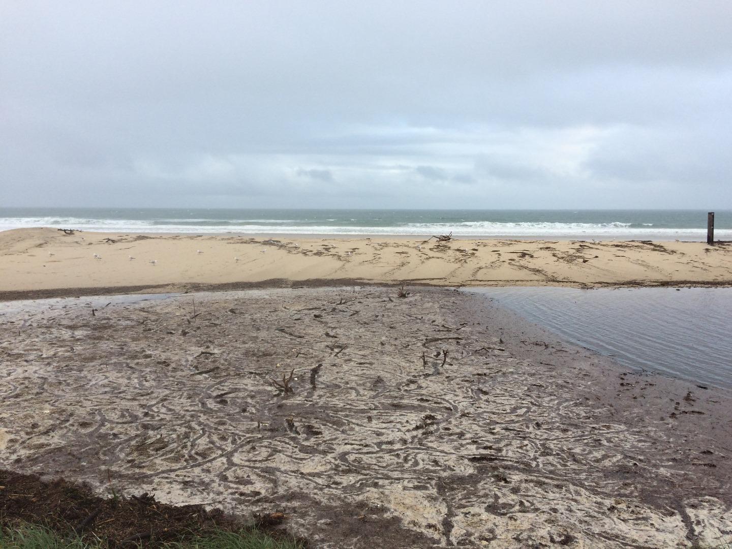
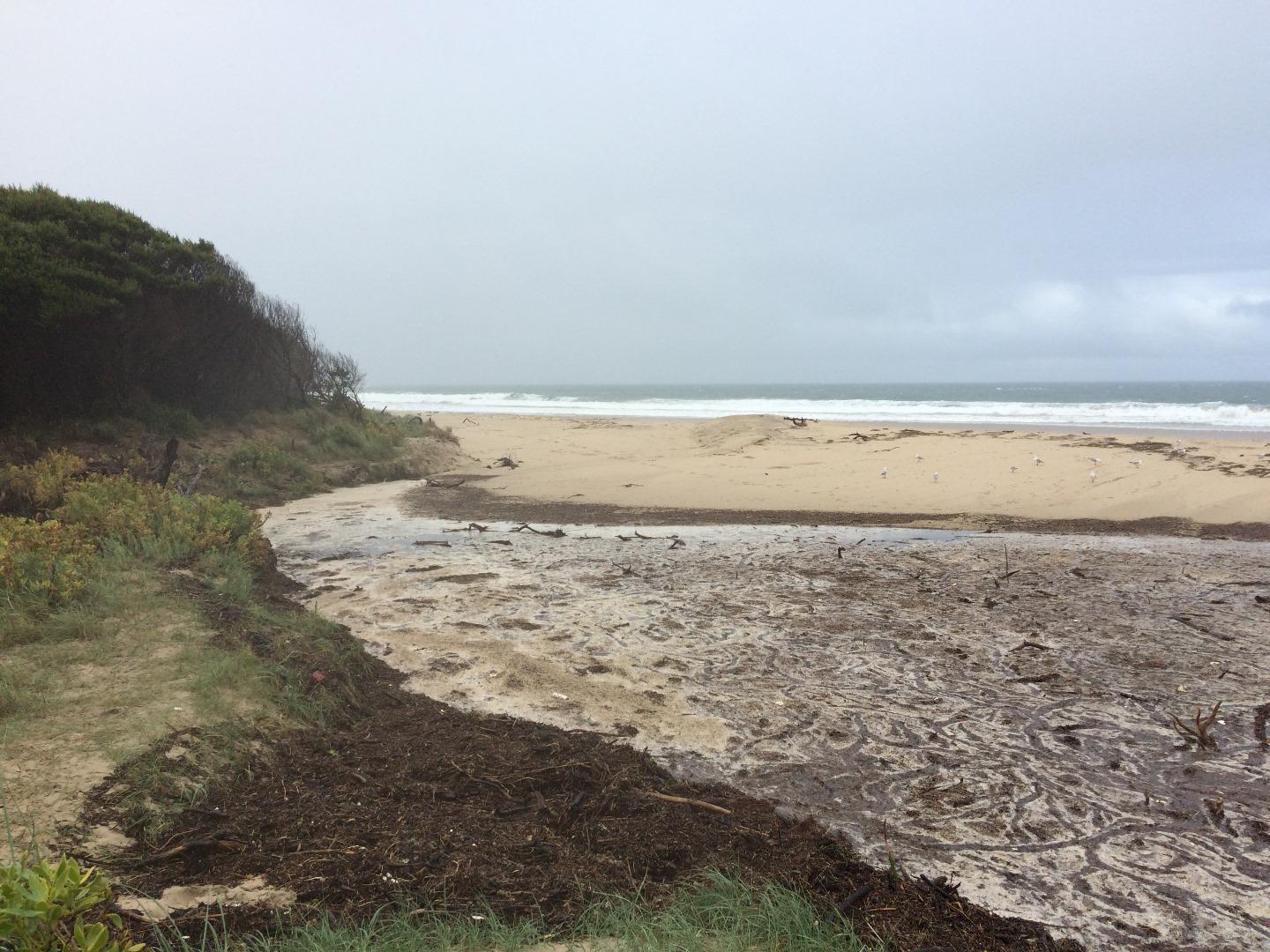
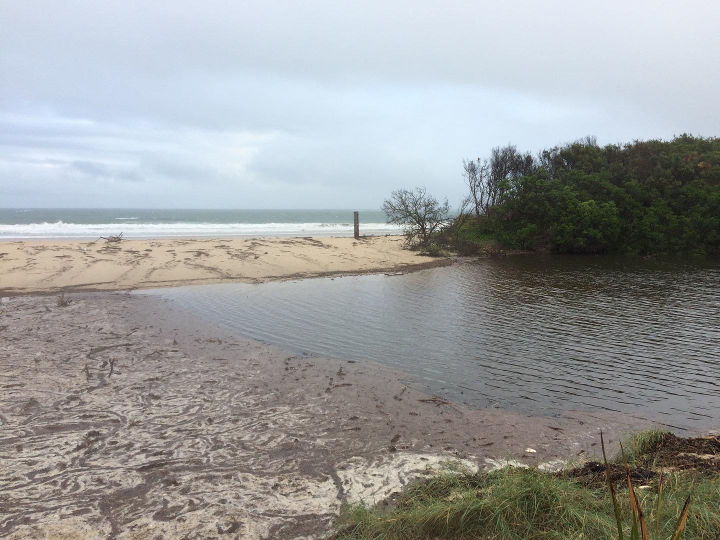
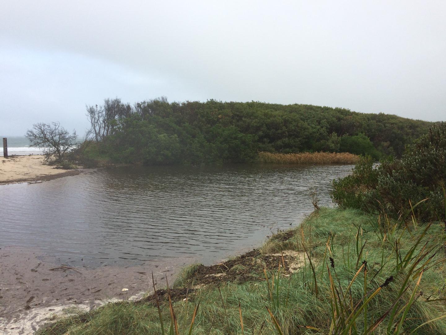
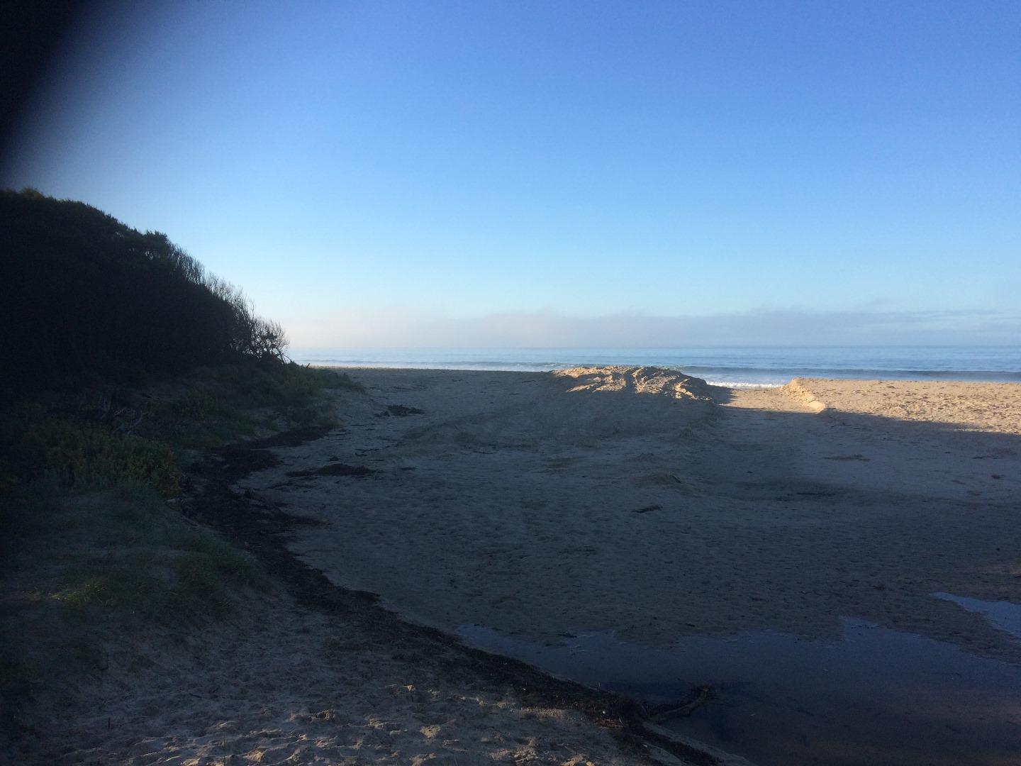
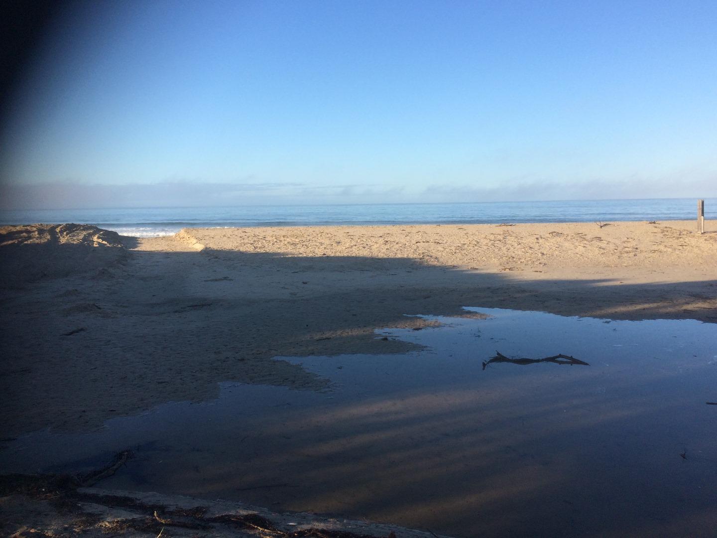
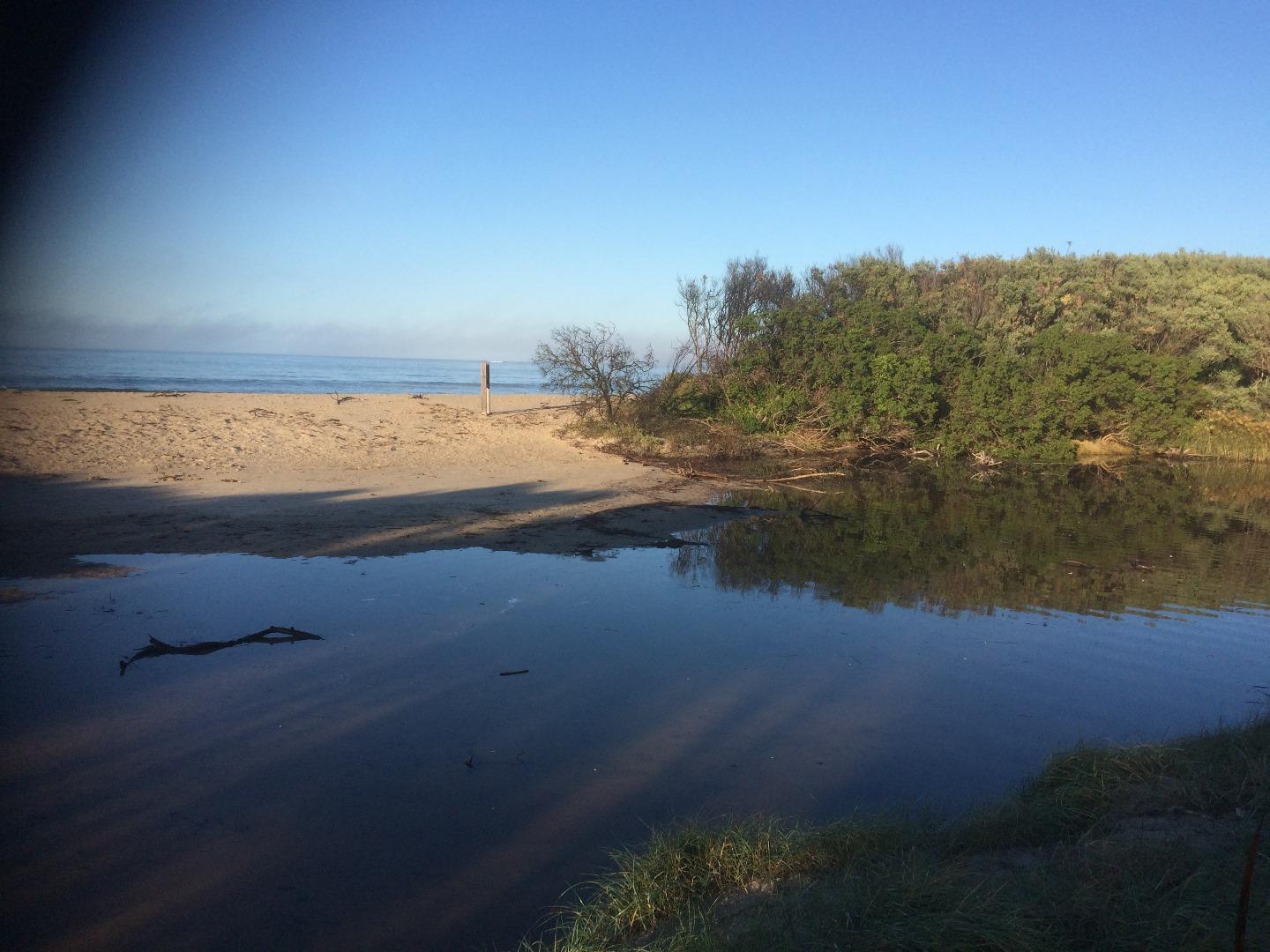
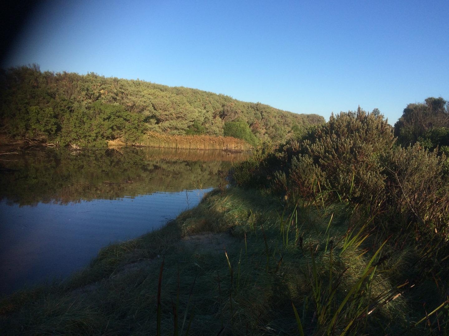
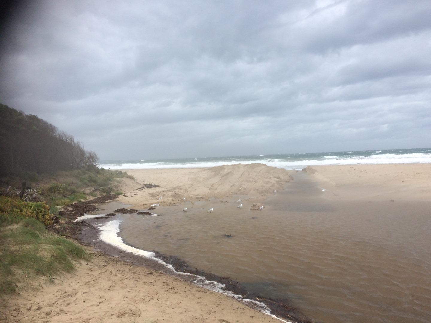
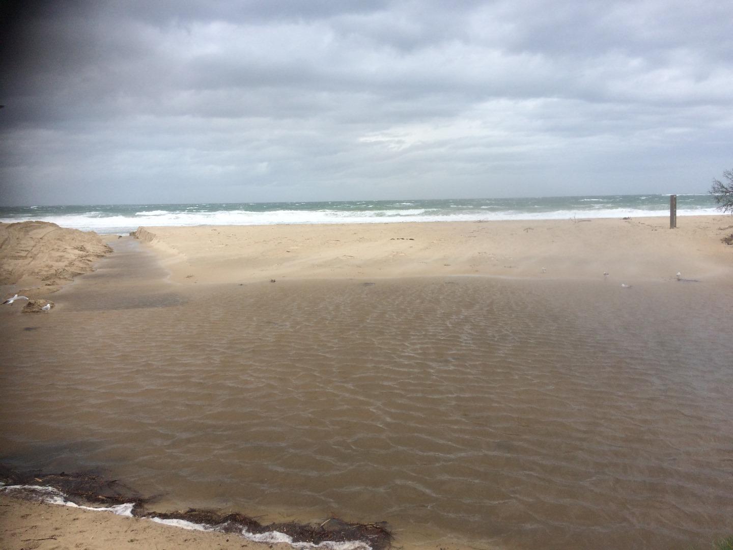
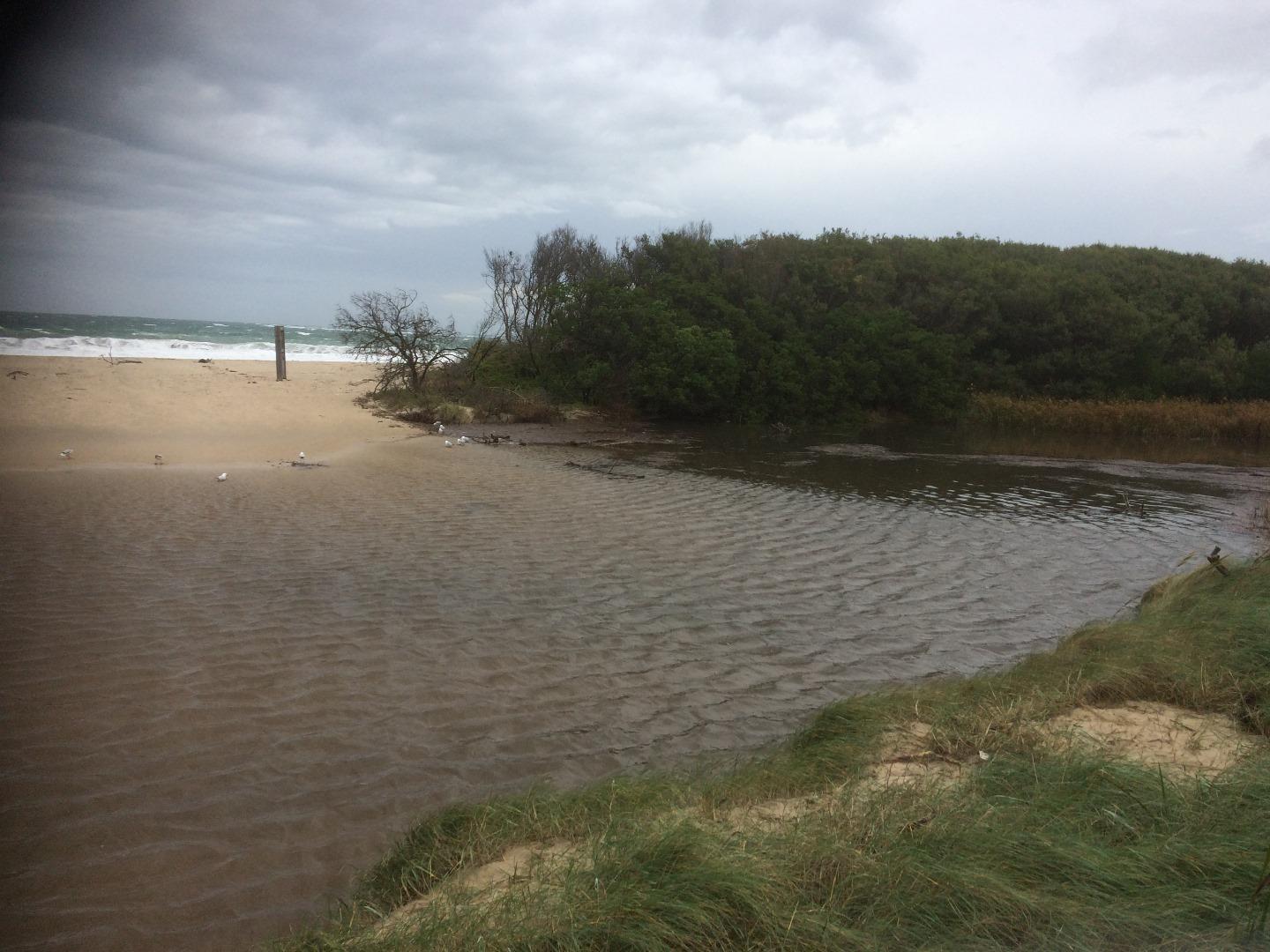
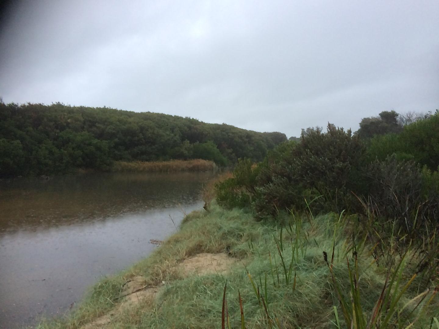
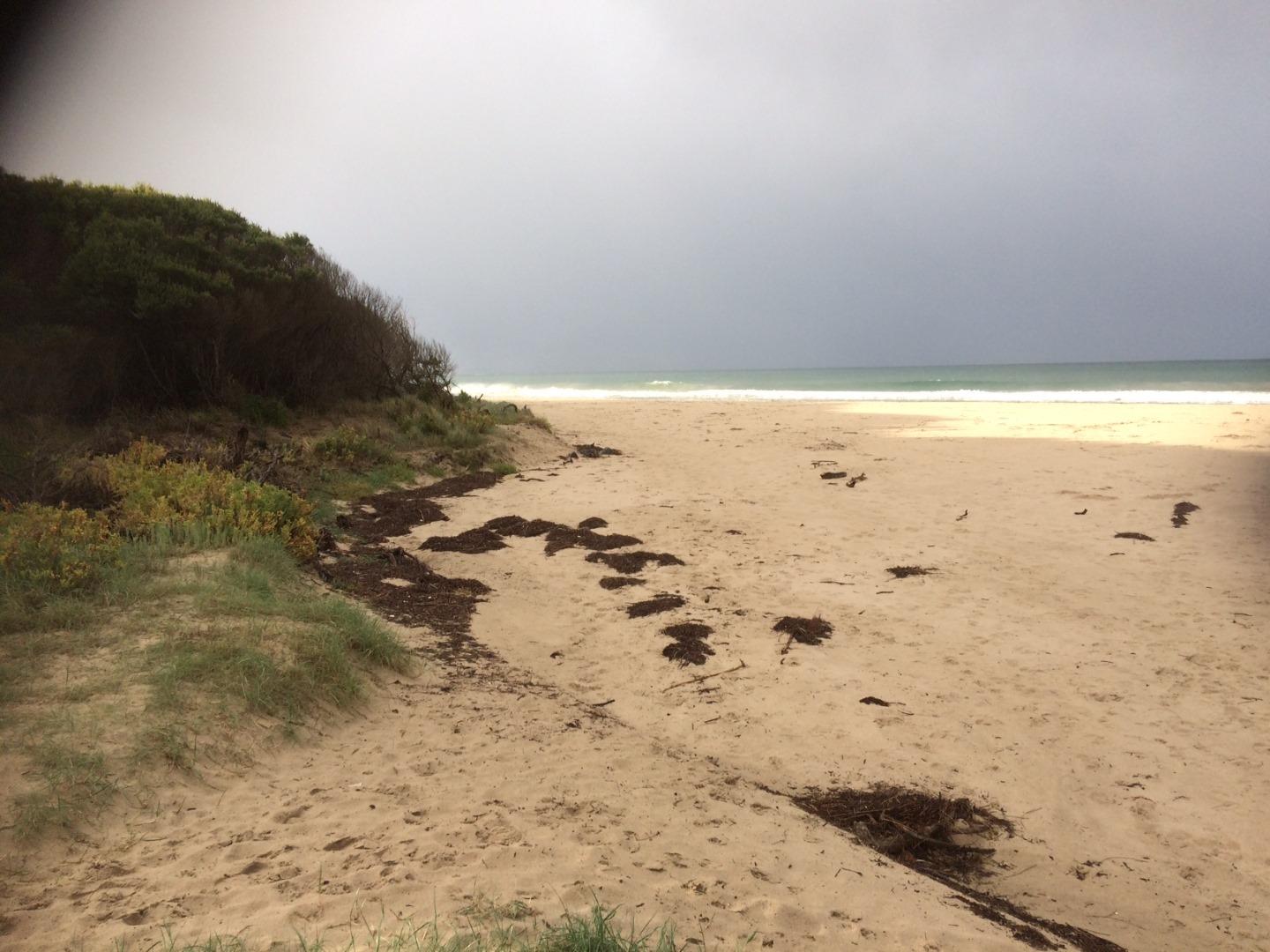
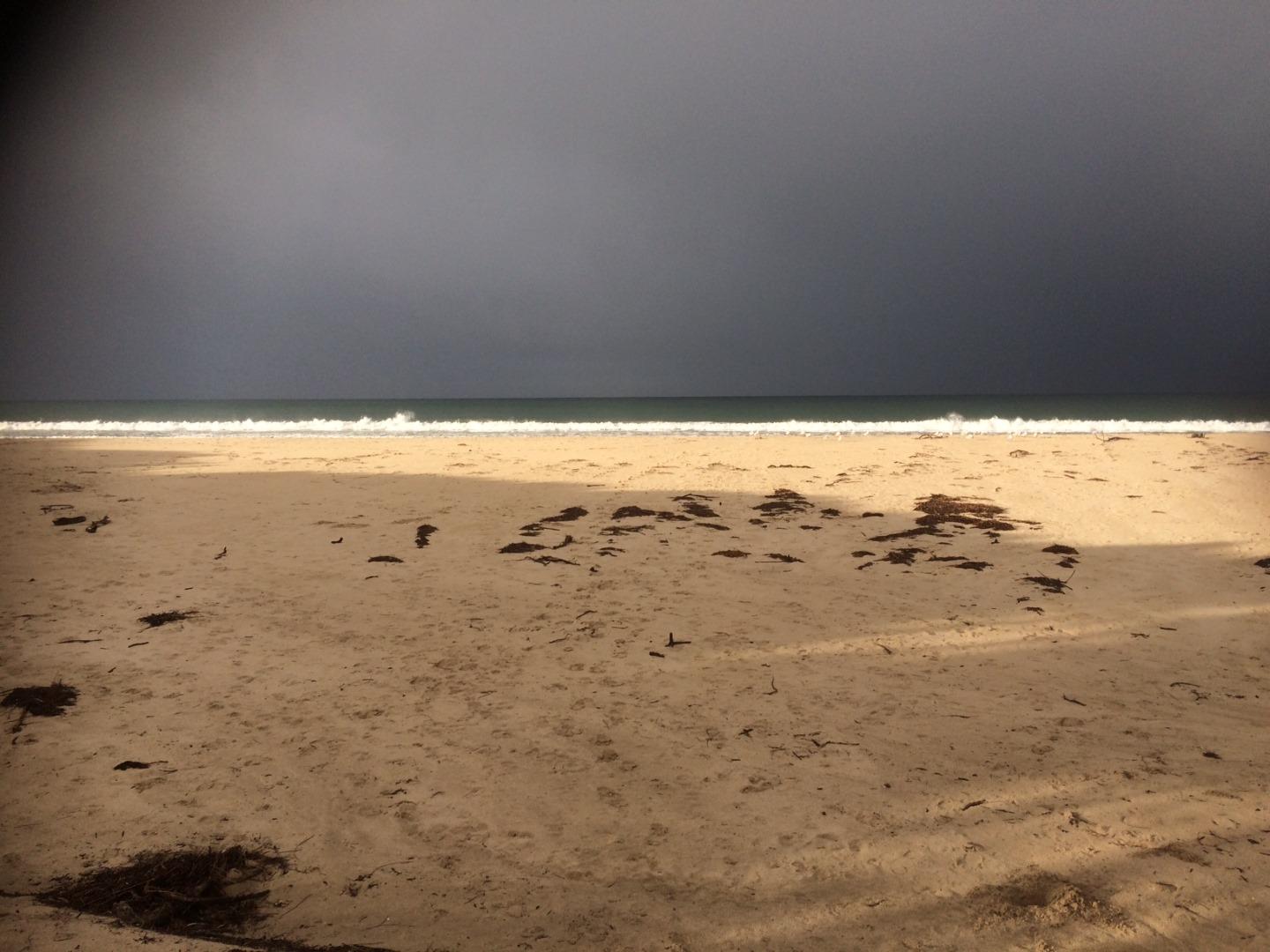
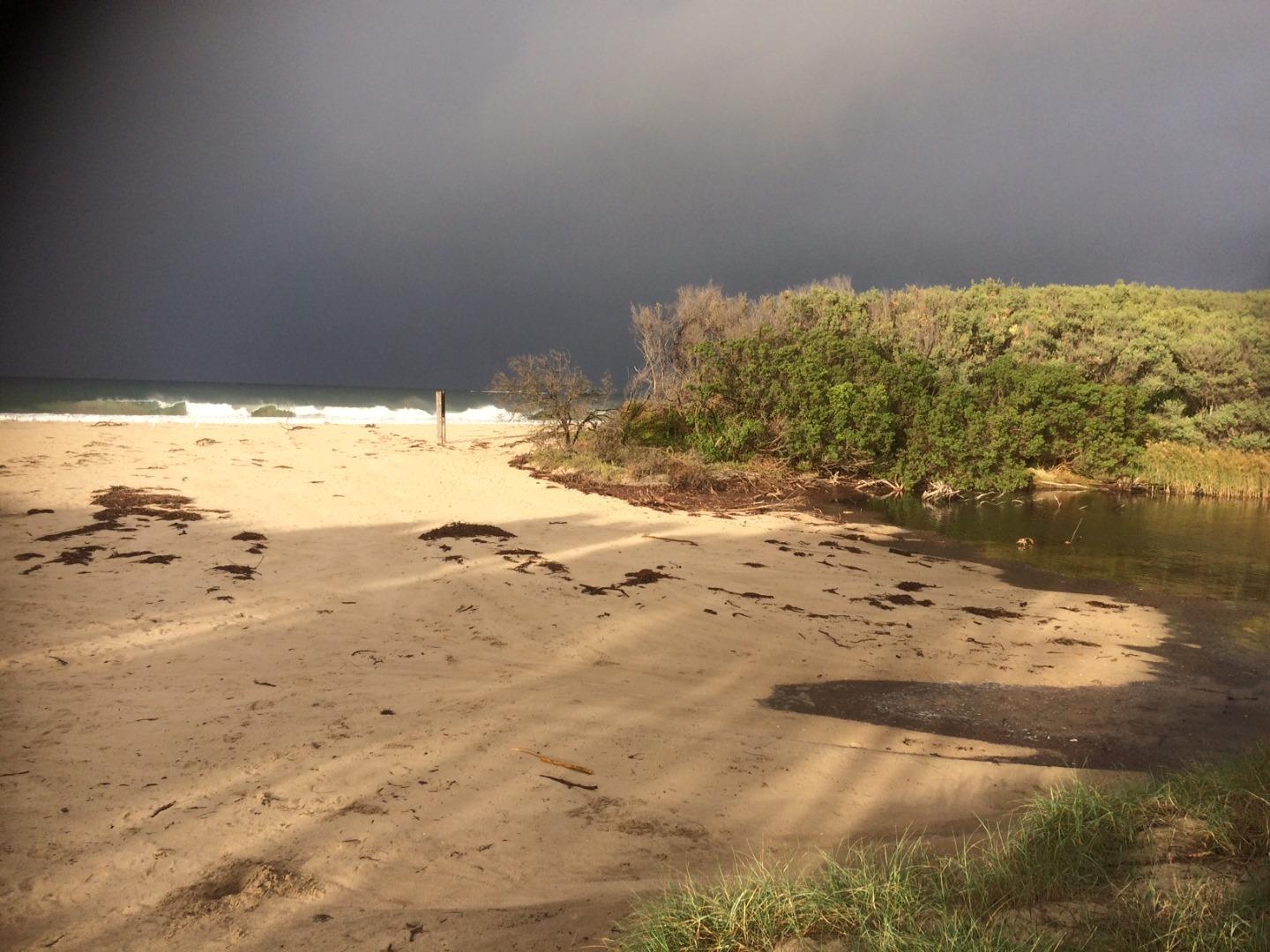
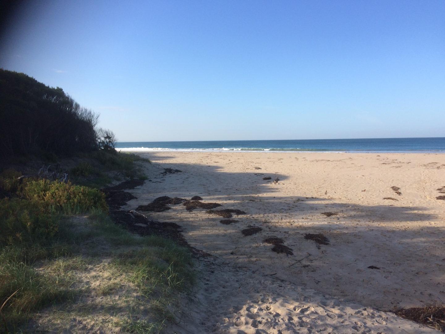
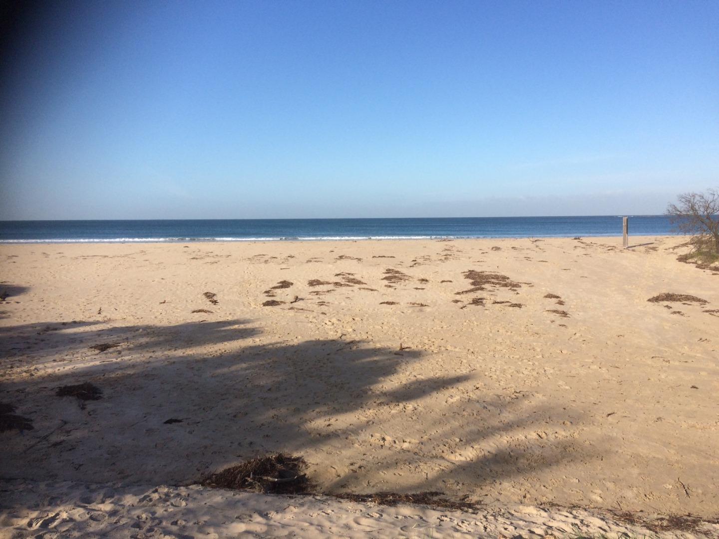
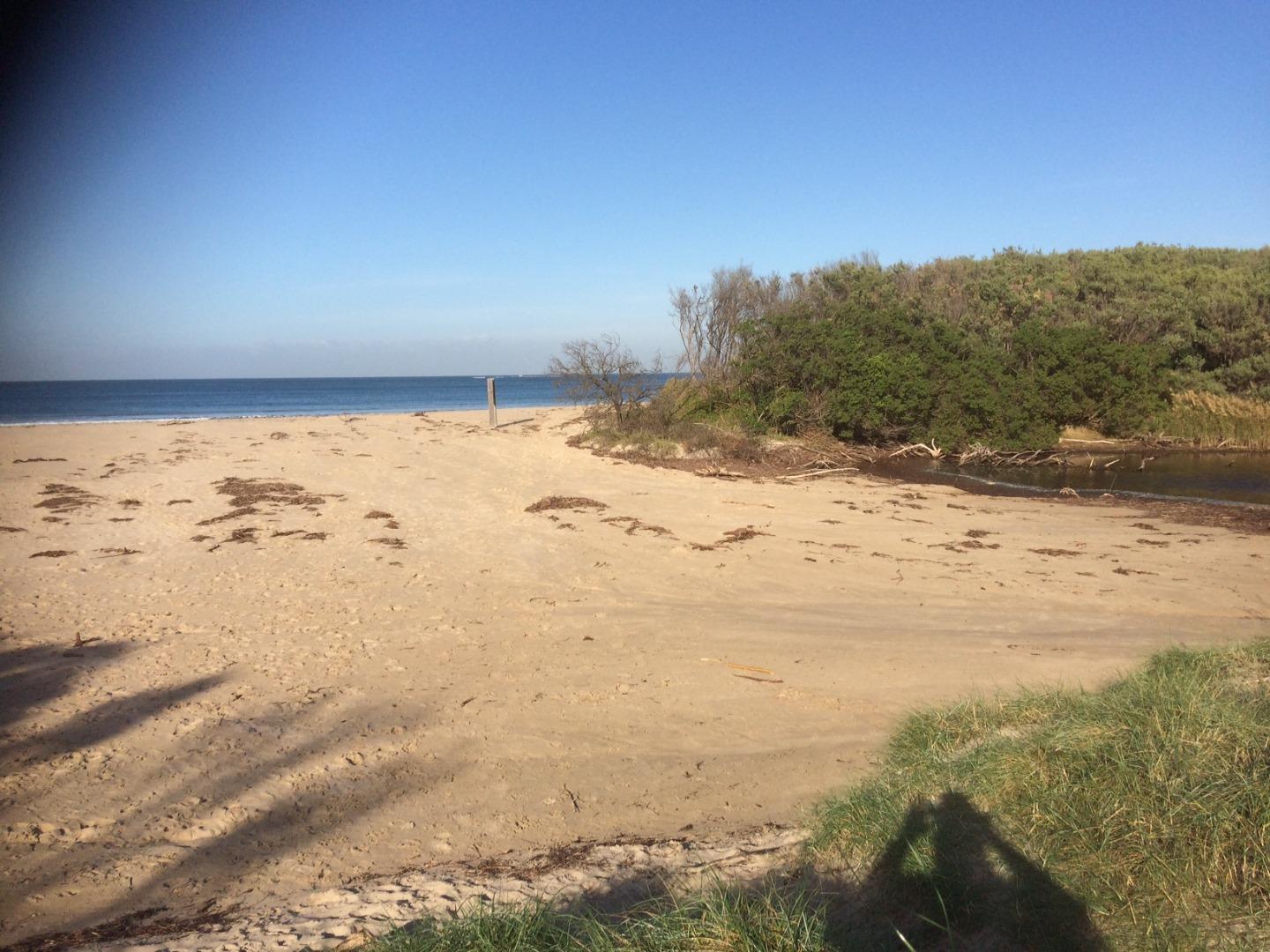
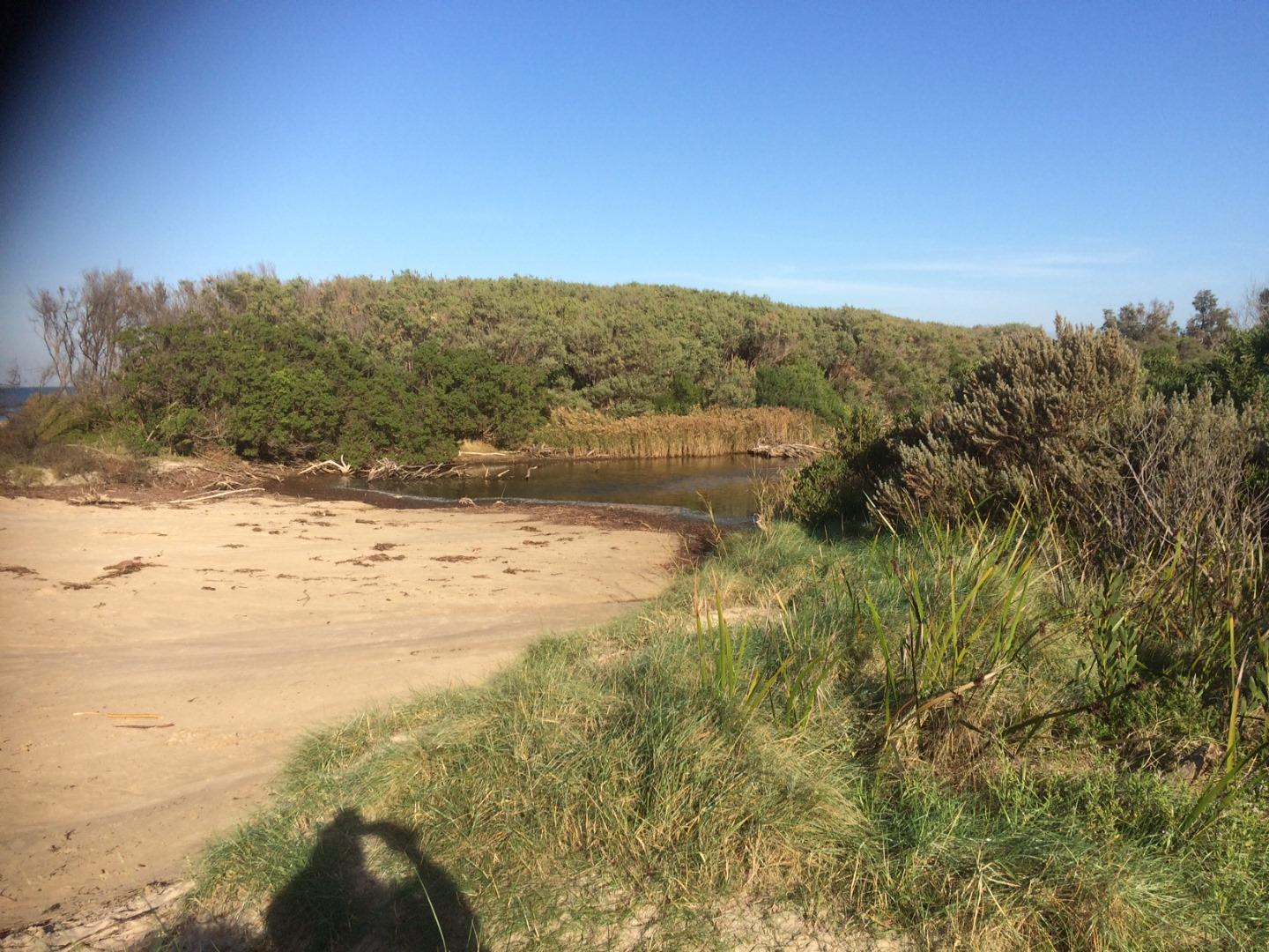
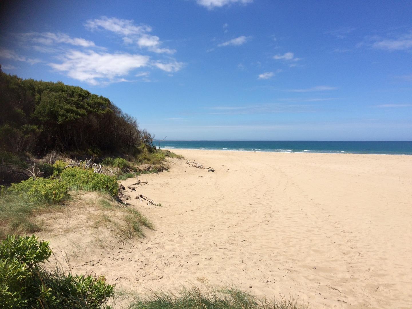
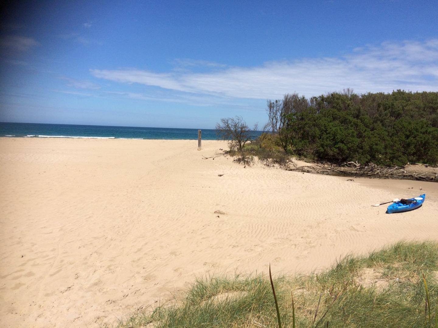
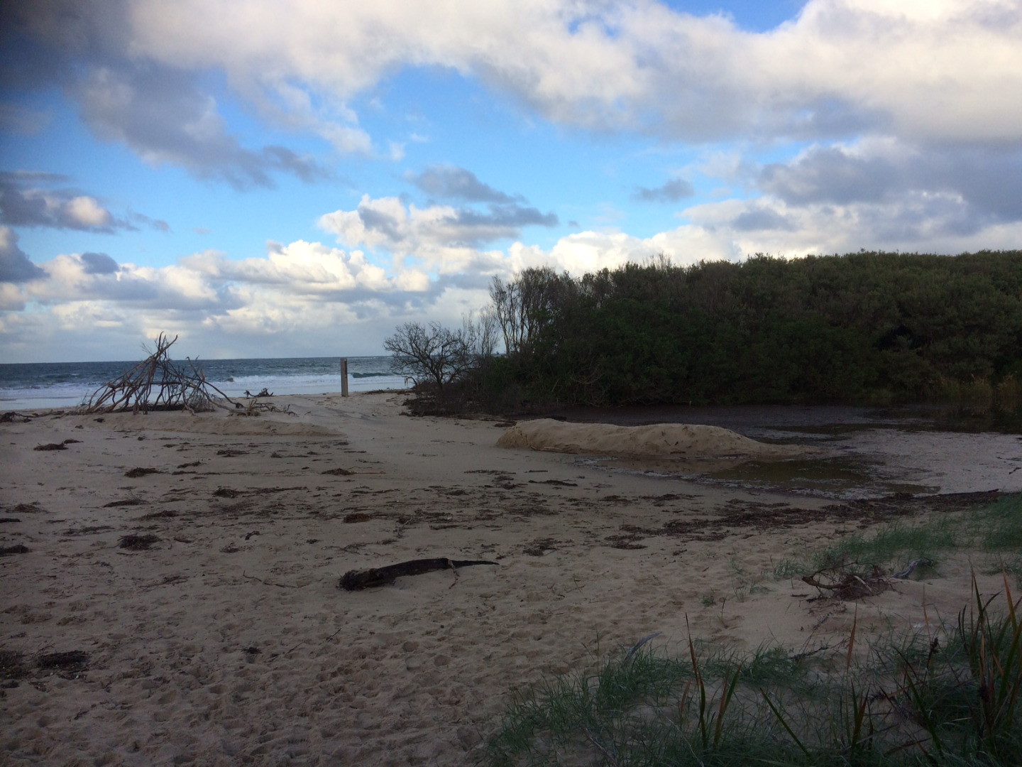
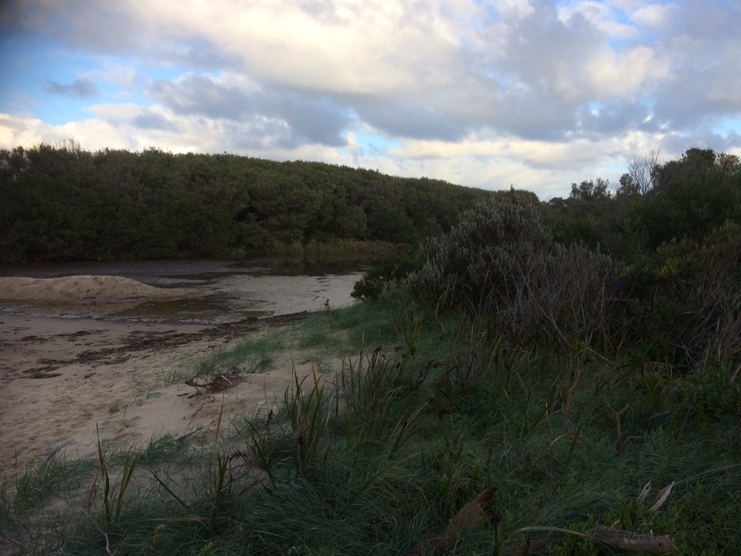
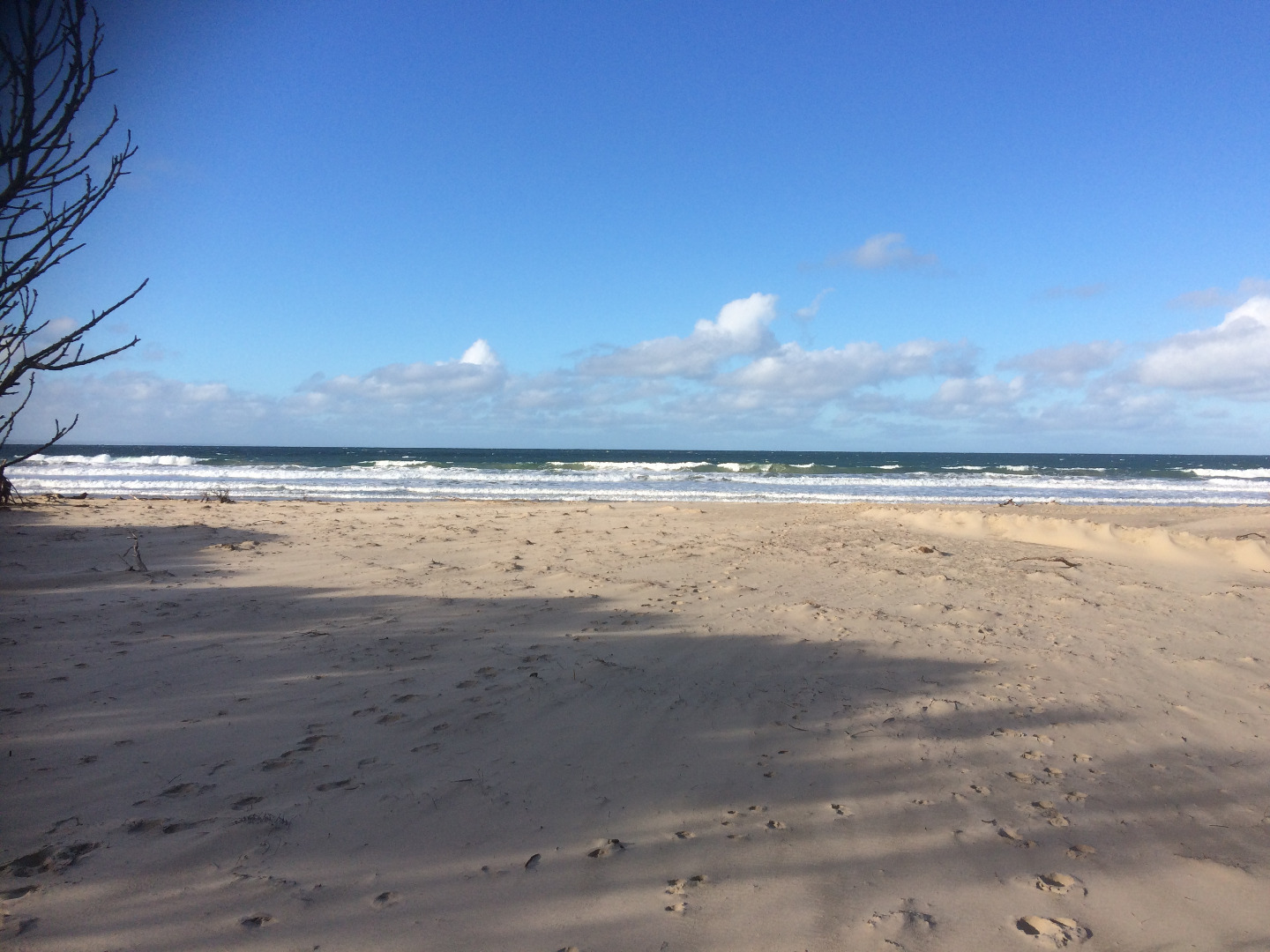
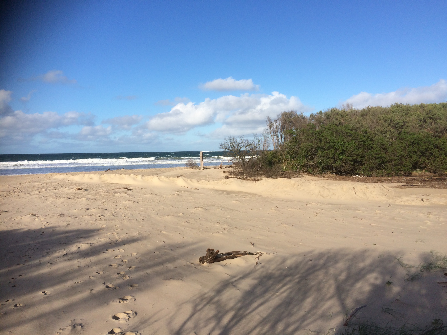
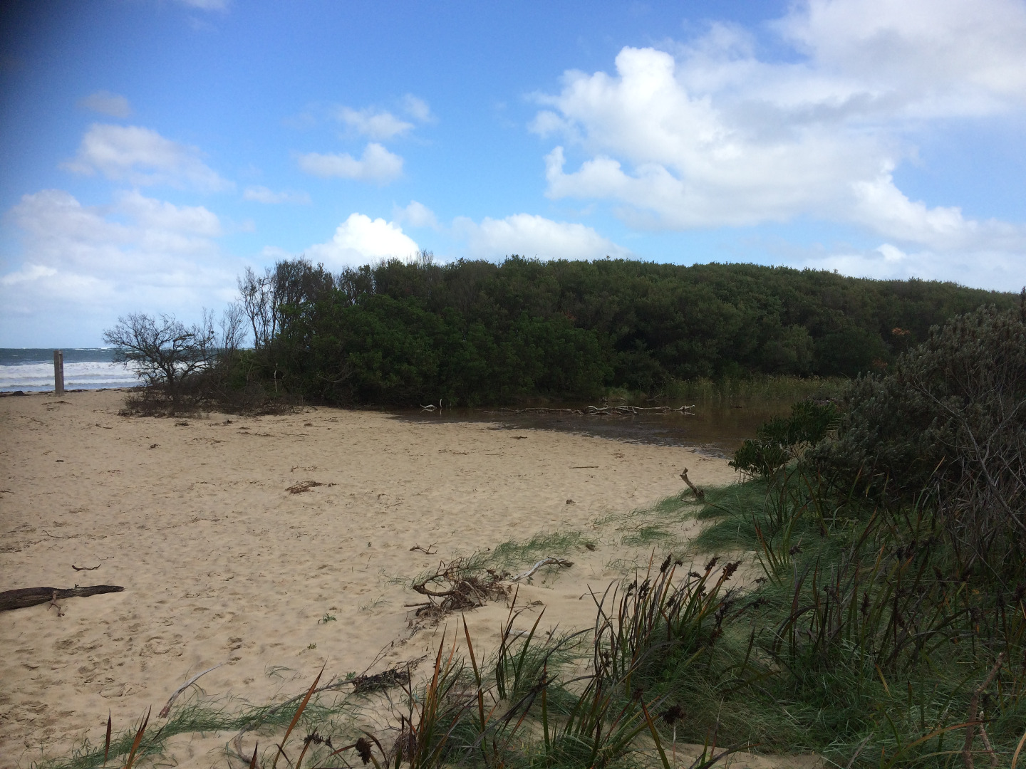
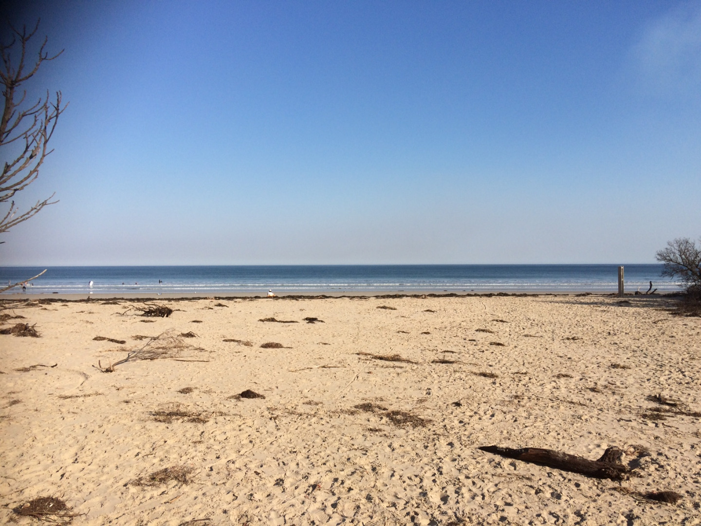
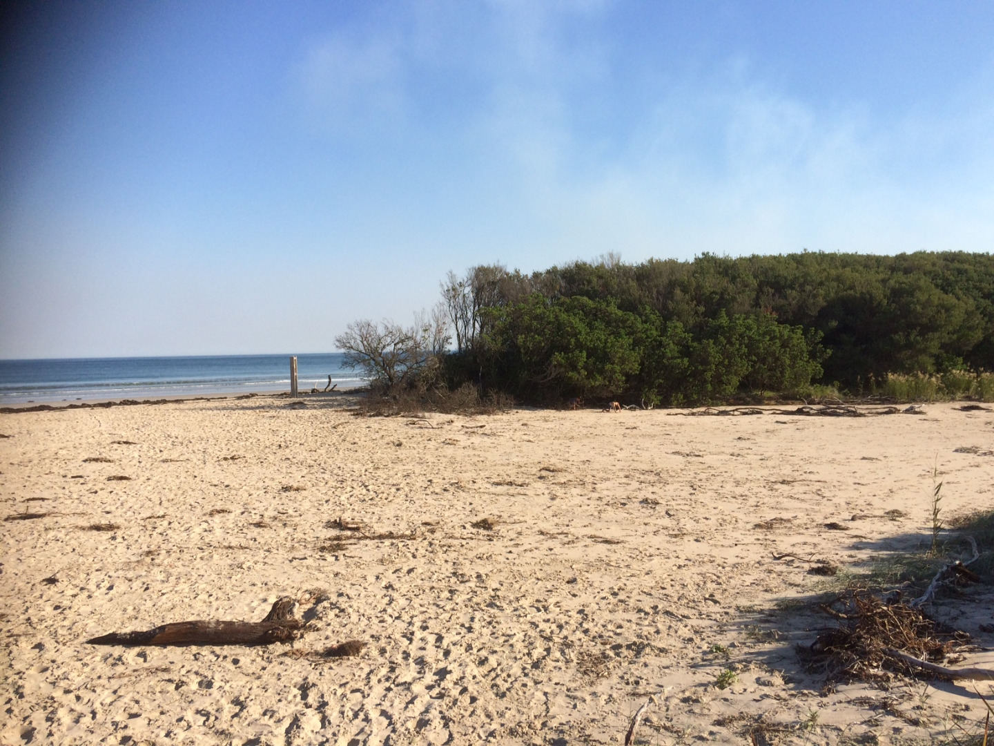
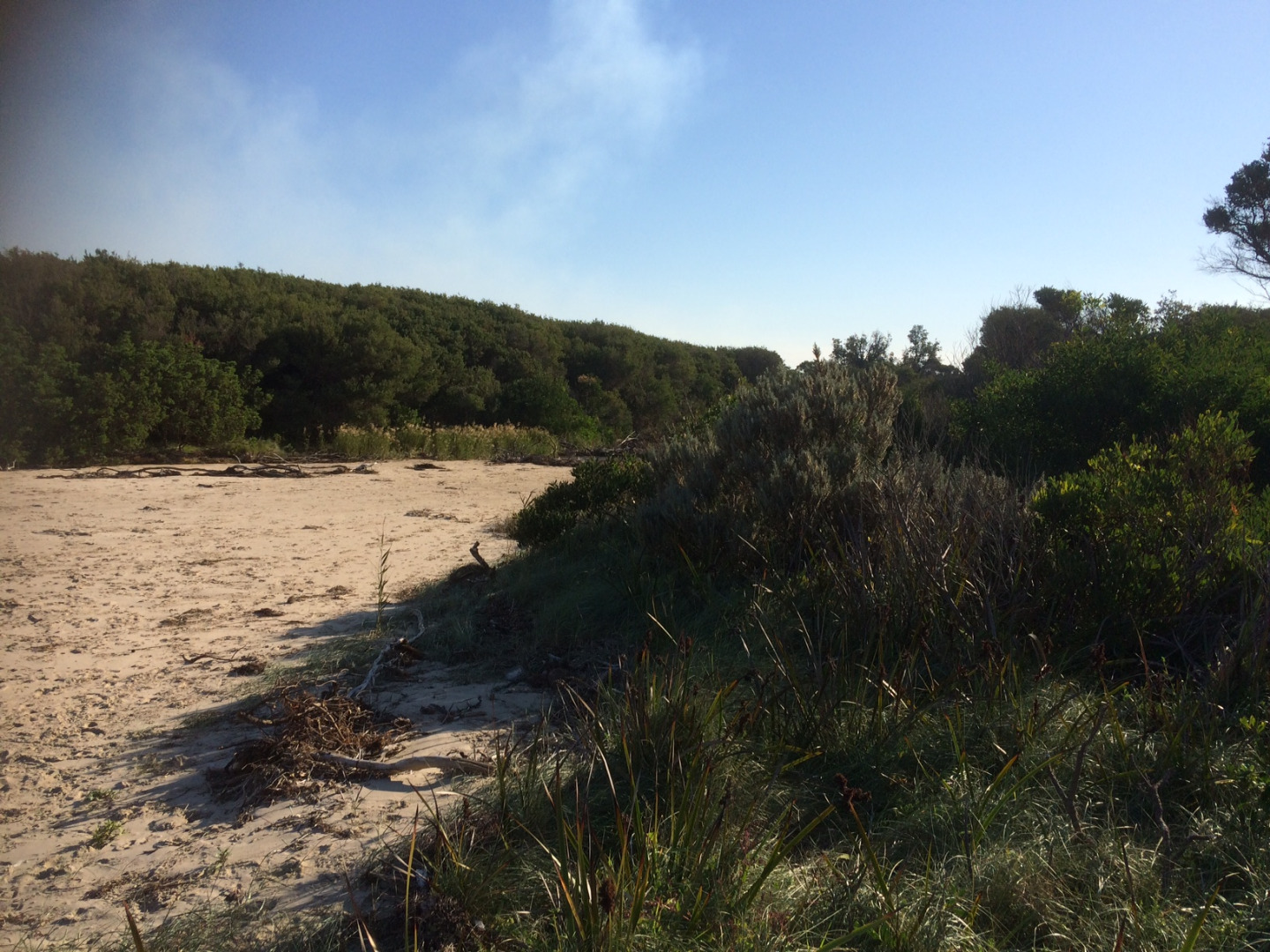
Active Mouth Condition 06-04-2017 - 15-04-2021Wreck Creek
| ID | Date | Status | Details | |
|---|---|---|---|---|
| #14072 | 15 Apr 2021 | Approved | ||
| #14056 | 13 Apr 2021 | Approved |
|
|
| #13804 | 30 Sep 2020 | Approved | ||
| #13783 | 1 Sep 2020 | Approved | ||
| #13778 | 12 Aug 2020 | Approved | ||
| #13763 | 14 Jul 2020 | Approved |
Notes:
Tide heights - Thirteenth Beach Tide Heights |
|
| #13755 | 23 Jun 2020 | Approved |
Notes:
Water level to low to get gaugeboard reading |
|
| #13722 | 16 Jun 2020 | Approved |
Notes:
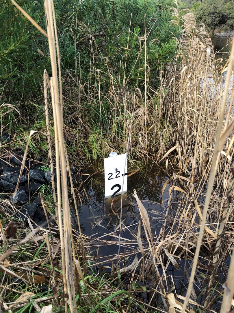
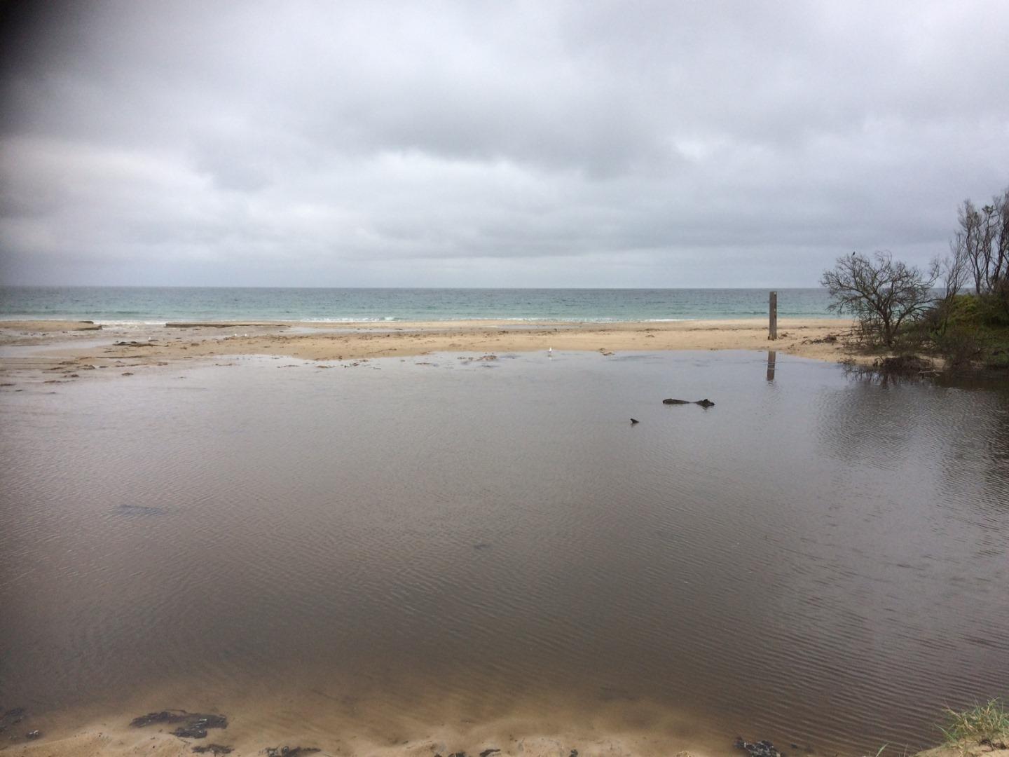
Water level breakout height roughly 2.07m AHD for eastern tributary |
|
| #13713 | 29 May 2020 | Approved |
Notes:
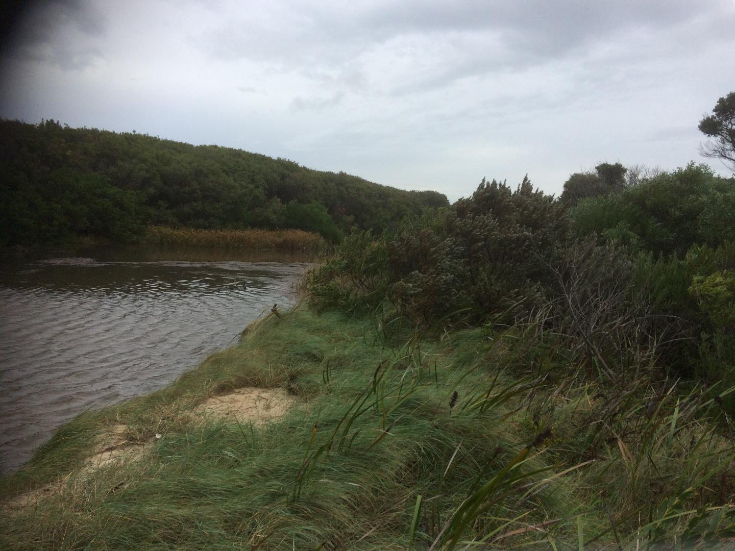
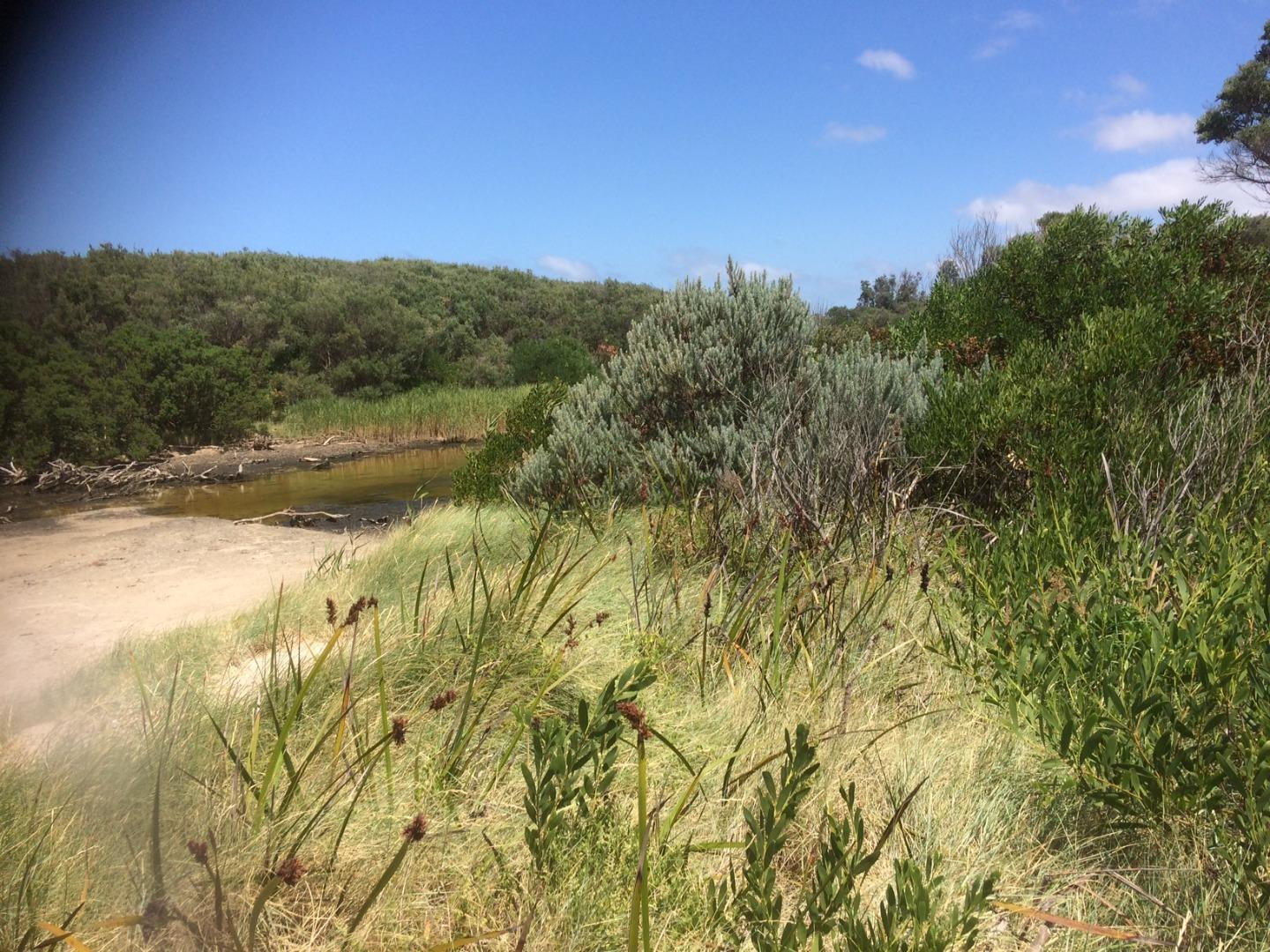
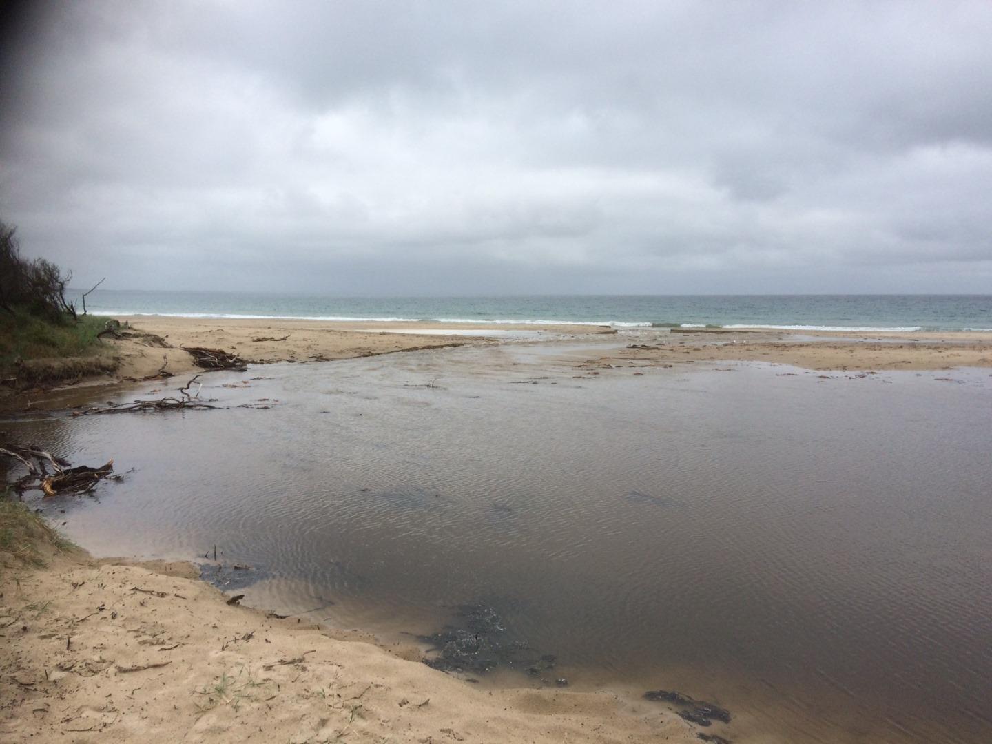
The creek is separated into two sections by a sand berm that separates the creeks east and western tributaries. |
|
| #13707 | 28 May 2020 | Approved | ||
| #13673 | 14 Apr 2020 | Approved | ||
| #13665 | 6 Apr 2020 | Approved | ||
| #13666 | 5 Apr 2020 | Approved | ||
| #13669 | 5 Apr 2020 | Approved | ||
| #13572 | 11 Feb 2020 | Approved |
Notes:
Line of sight can not be obtained with the horizon to measure the sand berm height. |
|
| #13534 | 23 Jan 2020 | Approved | ||
| #13532 | 23 Jan 2020 | Approved |
Notes:
Two Nankeen Night Herons in estuary |
|
| #13525 | 20 Jan 2020 | Approved |
Notes:
Given the location of the water within Wreck Creek, a clear line of sight with the horizon was not possible. Given this the estimated berm height was around 85cm. |
|
| #13488 | 20 Dec 2019 | Approved |
Notes:
Sand berm height to difficult to measure given the location of the estuarine's water. |
|
| #13424 | 22 Nov 2019 | Approved | ||
| #13401 | 8 Nov 2019 | Approved | ||
| #13390 | 6 Nov 2019 | Approved | ||
| #13197 | 12 Jul 2019 | Approved | ||
| #13199 | 12 Jul 2019 | Approved | ||
| #13198 | 11 Jul 2019 | Approved |
|
|
| #13186 | 8 Jul 2019 | Approved | ||
| #13166 | 28 May 2019 | Approved | ||
| #12911 | 9 May 2019 | Approved | ||
| #12893 | 29 Apr 2019 | Approved | ||
| #12866 | 24 Apr 2019 | Approved |
Notes:
Sand berm to hard to measure due to debris build up and location (i.e. unable to line up horizon with sand berm). |
|
| #12838 | 9 Apr 2019 | Approved |
Notes:
Sand berm height to difficult to measure as a result of tea tree debris and channel location. |
|
| #12816 | 2 Apr 2019 | Approved | ||
| #12323 | 13 Aug 2018 | Approved | ||
| #12310 | 7 Aug 2018 | Approved | ||
| #12285 | 20 Jul 2018 | Approved |
Notes:
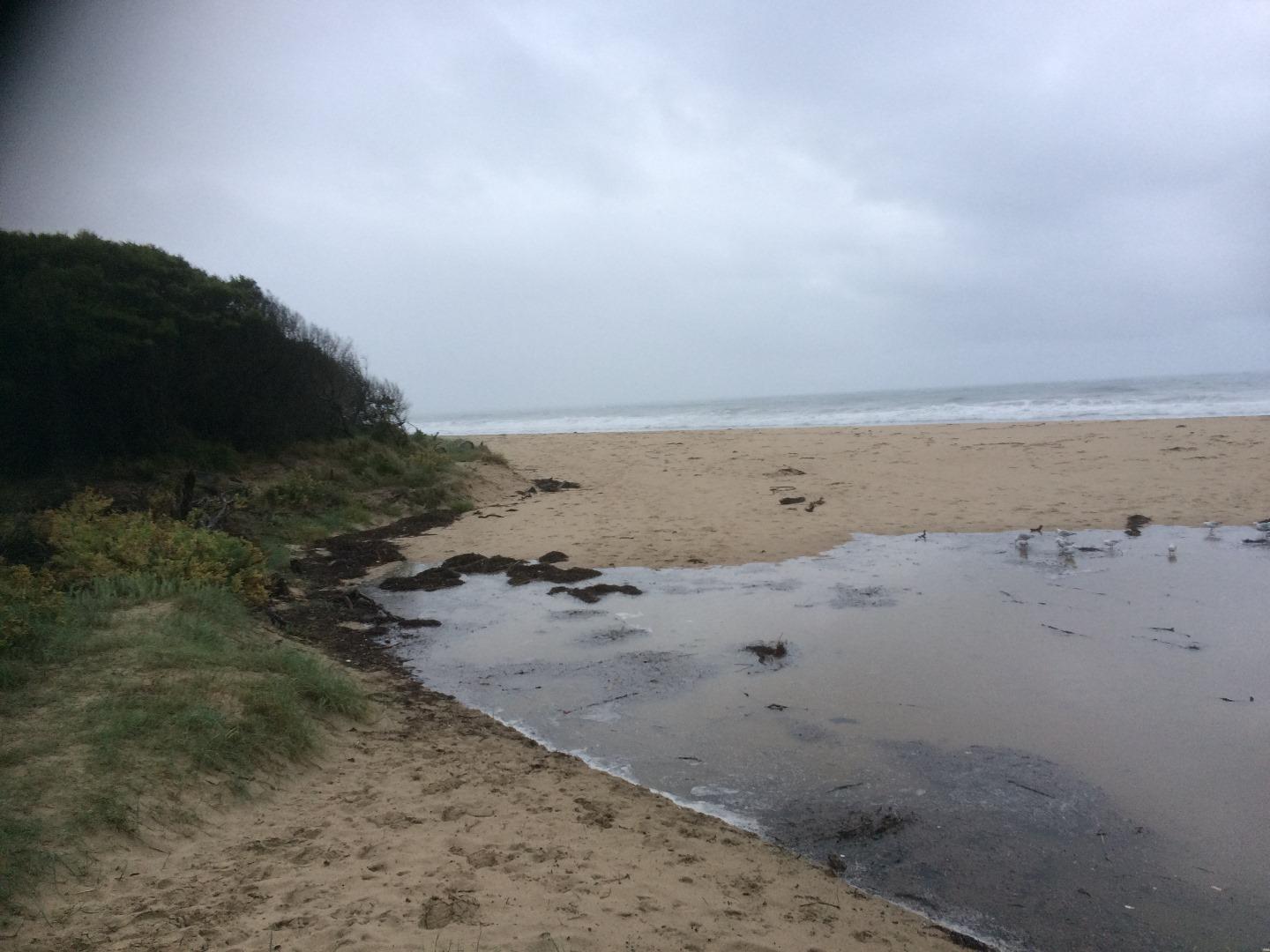
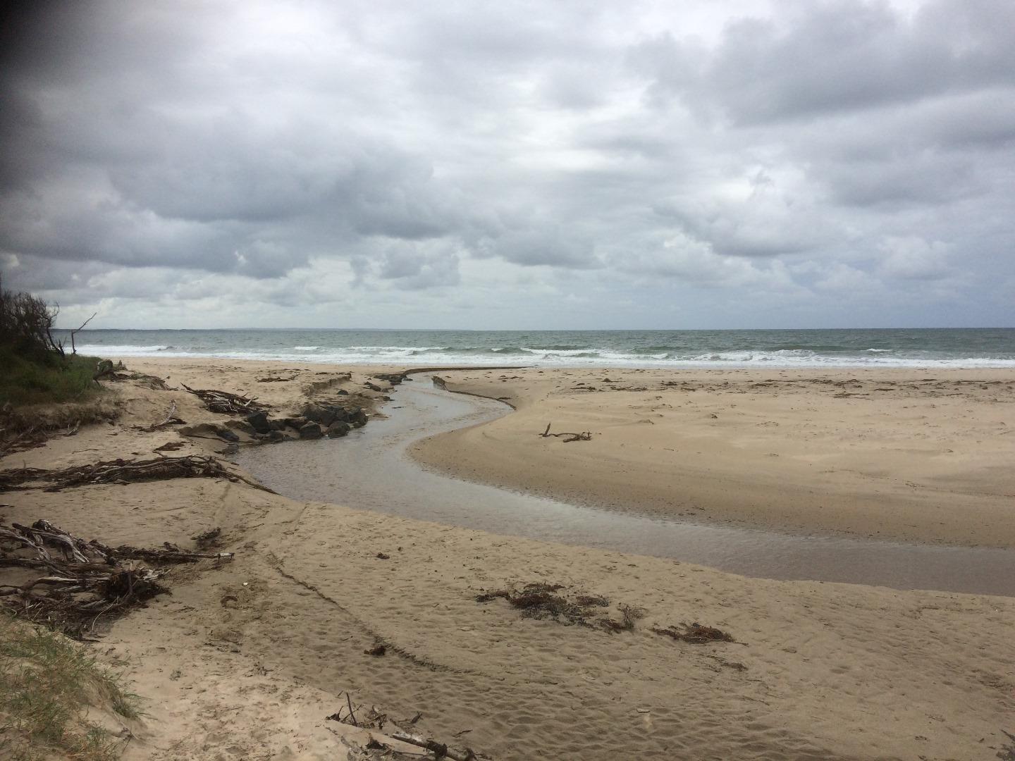
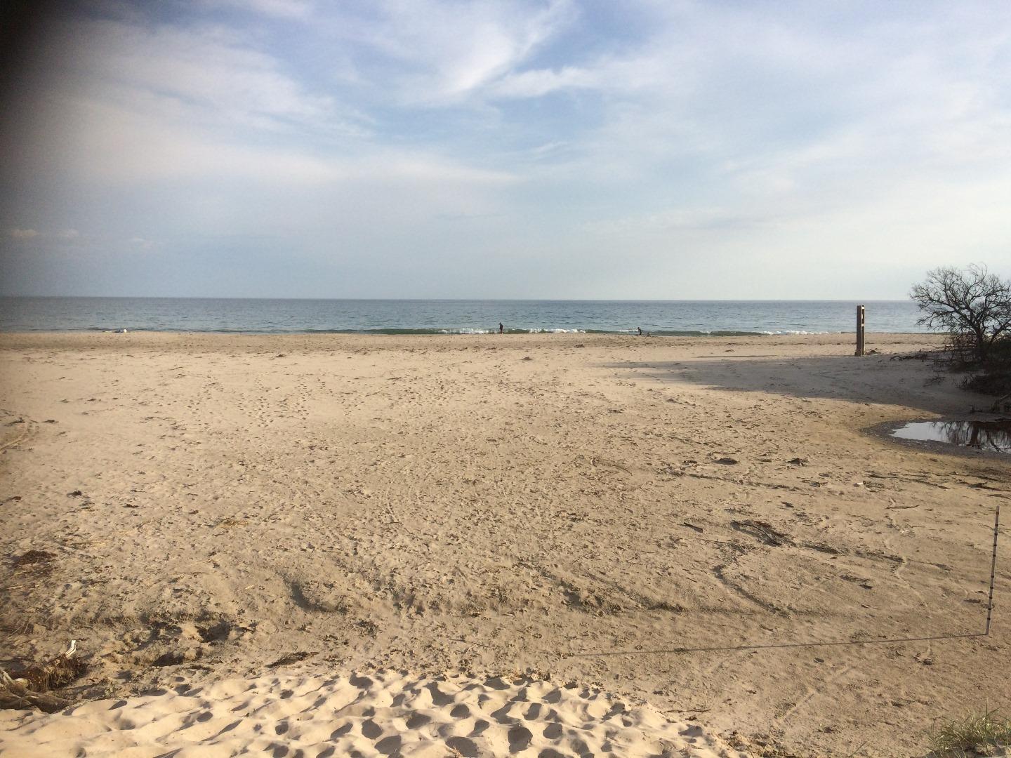
Estuary mouth opened naturally at around lunch time |
|
| #13964 | 20 Jul 2018 | Approved |
|
|
| #12287 | 19 Jul 2018 | Approved |
Notes:
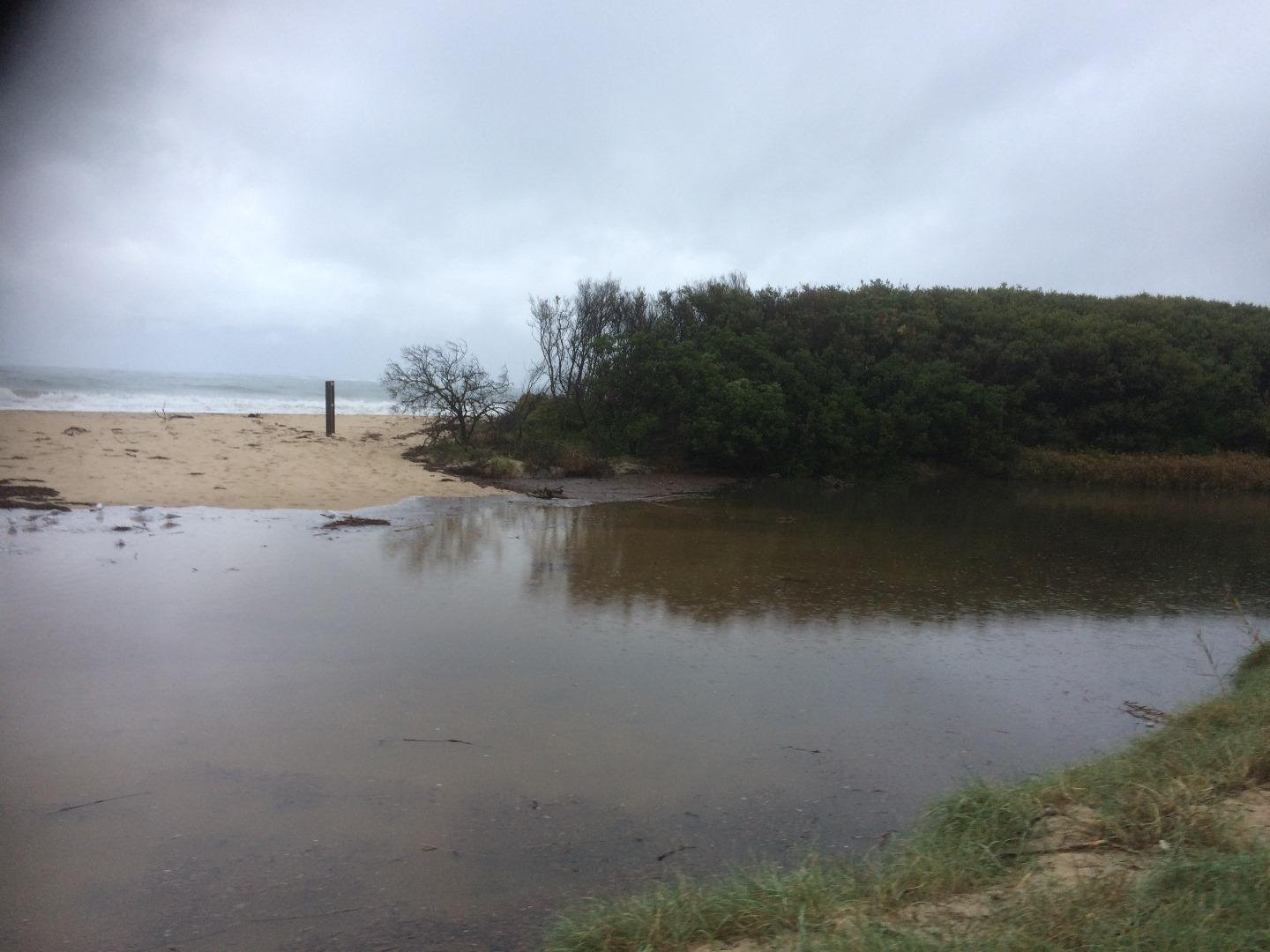
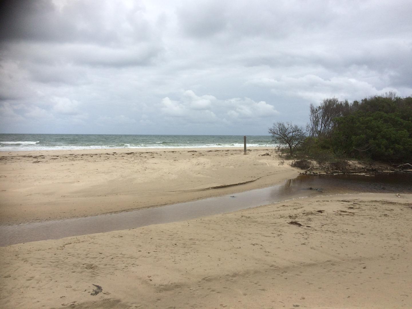
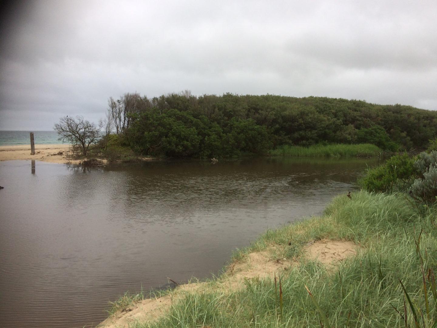
Due to the location of the estuary behind the trees and debris the horizon could not be sighted to get a height of the sand berm above the estuary. My prediction is that it is currently 10 to 15cm above the estuary height. |
|
| #12263 | 18 Jul 2018 | Approved |
Notes:
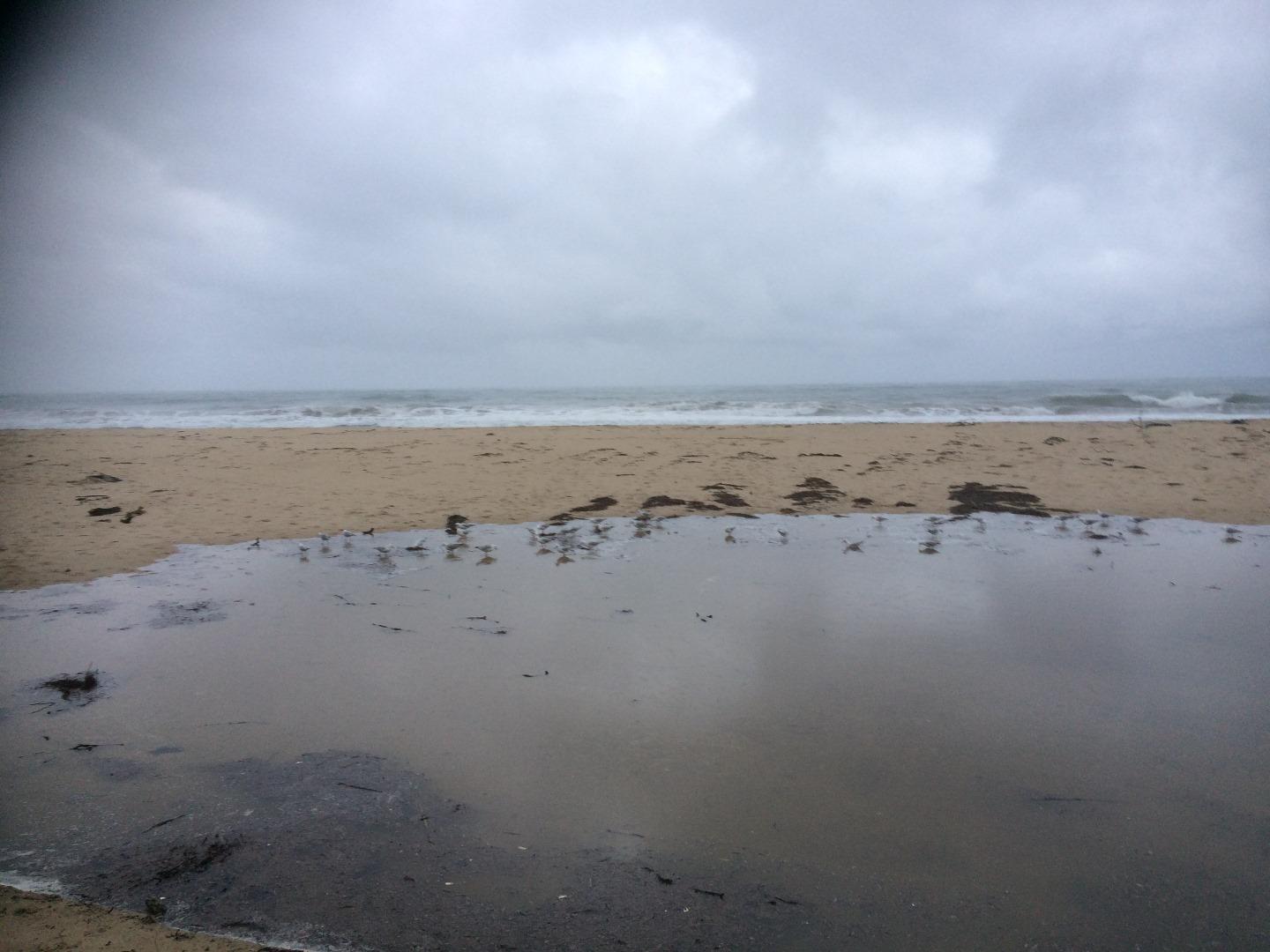
Large swell and tide pushing allot of water into the estuary. |
|
| #12230 | 3 Jul 2018 | Approved | ||
| #12216 | 22 Jun 2018 | Approved | ||
| #12286 | 20 Jun 2018 | Approved | ||
| #12215 | 18 Jun 2018 | Approved |
Notes:
Kilcunda tide times used. |
|
| #12217 | 15 Jun 2018 | Approved | ||
| #12146 | 14 Jun 2018 | Approved |
    |
|
| #12137 | 12 Jun 2018 | Approved | ||
| #12088 | 31 May 2018 | Approved | ||
| #12091 | 23 May 2018 | Approved | ||
| #12089 | 22 May 2018 | Approved |
|
|
| #12090 | 22 May 2018 | Approved | ||
| #12080 | 22 May 2018 | Approved | ||
| #12064 | 14 May 2018 | Approved |
Notes:
Kilcunda tides used |
|
| #12063 | 11 May 2018 | Approved |
Notes:
Tide times Kilcunda |
|
| #12062 | 11 May 2018 | Approved |
Notes:
Kilcunda tide times used. |
|
| #12061 | 10 May 2018 | Approved |
Notes:
Kilcunda tide times used |
|
| #12060 | 9 May 2018 | Approved | ||
| #11832 | 22 Feb 2018 | Approved | ||
| #11752 | 24 Jan 2018 | Approved | ||
| #11639 | 4 Dec 2017 | Approved |
Notes:
77mm of rainfall Friday 1st to Sunday 3rd of December @ Pound Creek |
|
| #11638 | 1 Dec 2017 | Approved |
Notes:
Mouth opened after 55mm of rain over the previous few hours |
|
| #11637 | 30 Nov 2017 | Approved |
Notes:
Tide times Kilcunda used |
|
| #11610 | 17 Nov 2017 | Approved |
Notes:
Tide times: Kilcunda (Willyweather) |
|
| #11552 | 21 Jul 2017 | Approved | ||
| #11223 | 31 May 2017 | Approved | ||
| #11148 | 8 May 2017 | Approved | ||
| #13965 | 3 May 2017 | Approved |
Notes:
Estuary Mouth Opened at 9:15am |
|
| #11147 | 1 May 2017 | Approved |
Notes:
Ocean water pushing into Estuary |
|
| #11145 | 27 Apr 2017 | Approved |
Notes:
Estuary artificially opened @ 2:30pm on the 26th of April 2017 (i.e the previous day). |
|
| #11146 | 26 Apr 2017 | Approved |
Notes:
Estuary artificially opened at 2:30pm, following this observation. Refer to events section for more information. |
|
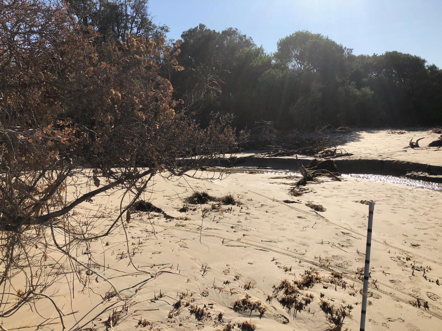
| #11061 | 6 Apr 2017 | Approved |
Notes:
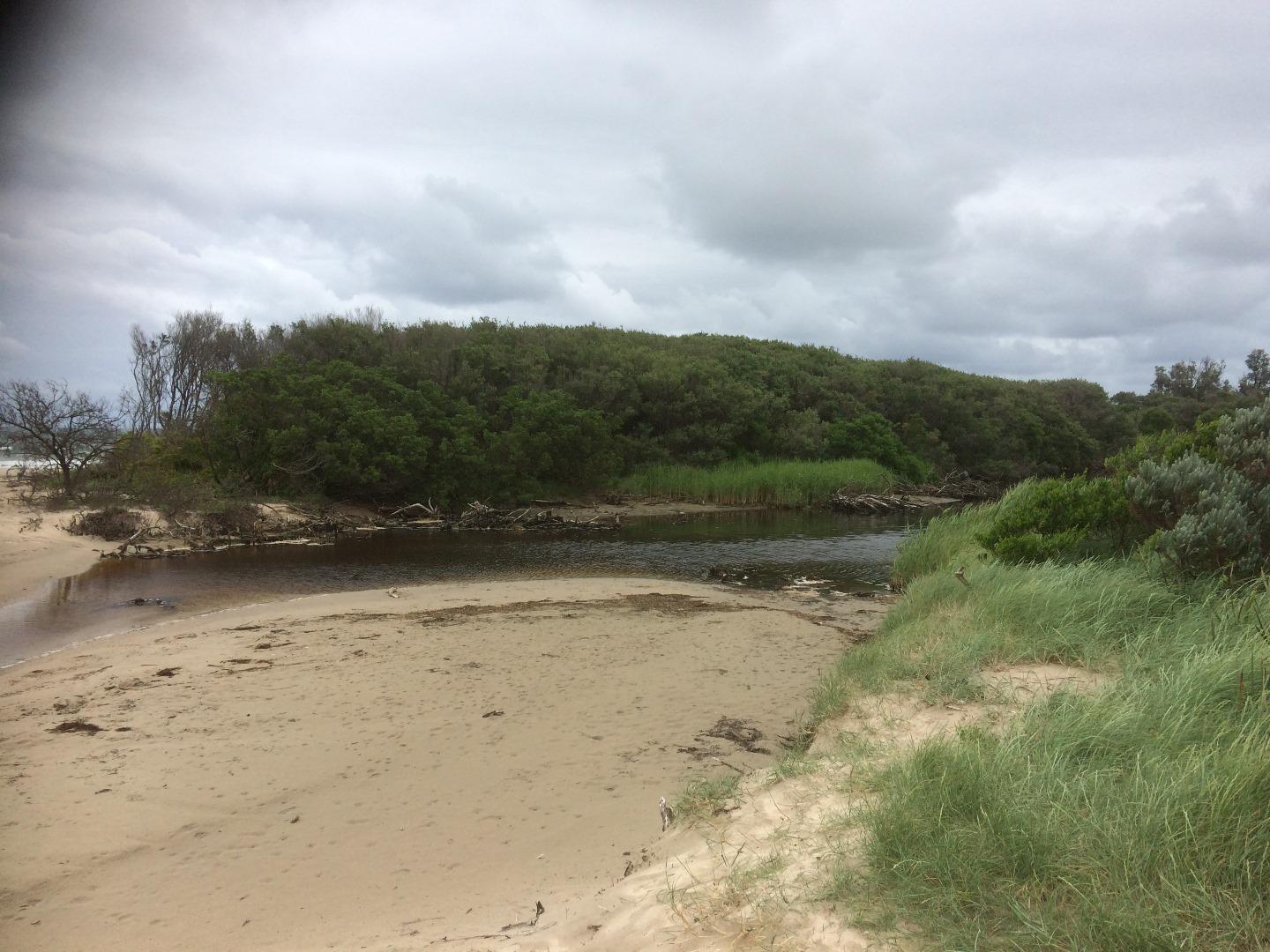
Berm height above estuary can not be determined as a clear line of sight with the horizon can not be obtained at the edge of estuarine water (trees in way). The sand berm height was measured in Feb 2017, with the height of the point in the estuary waters flow path being 2.10m AHD. This height is likely to have changed since Feb, though it would be safe to say that the berm is 50cm above the estuary water level at present. |
|


All content, files, data and images provided by the EstuaryWatch Data Portal and Gallery are subject to a Creative Commons Attribution License
Content is made available to be used in any way, and should always attribute EstuaryWatch and www.estuarywatch.org.au