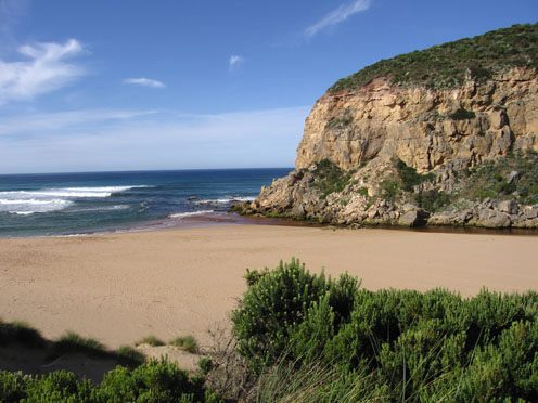
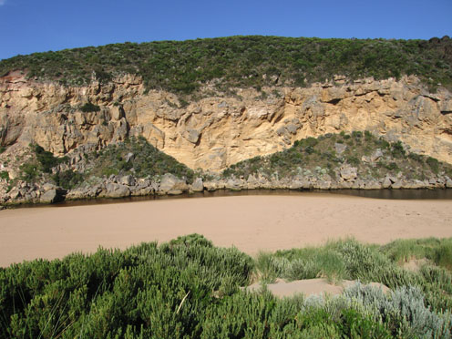
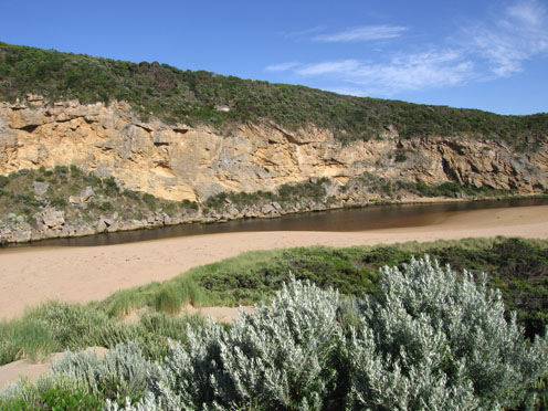
EstuaryWatch Data Portal
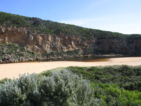
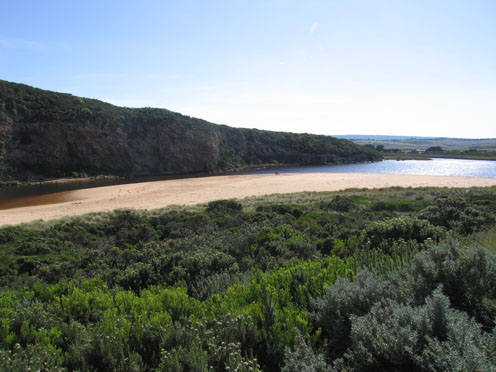
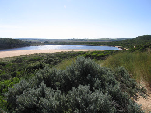
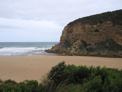
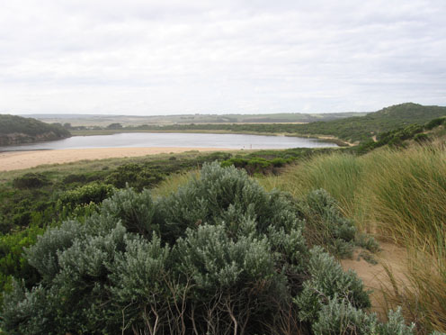
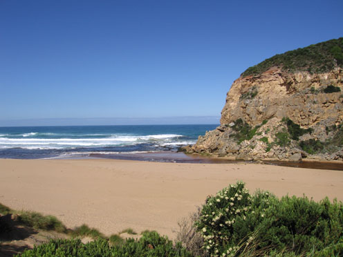
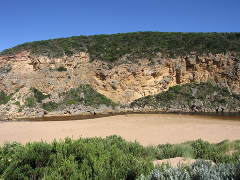
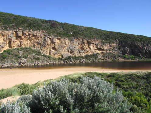
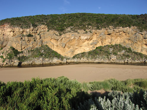
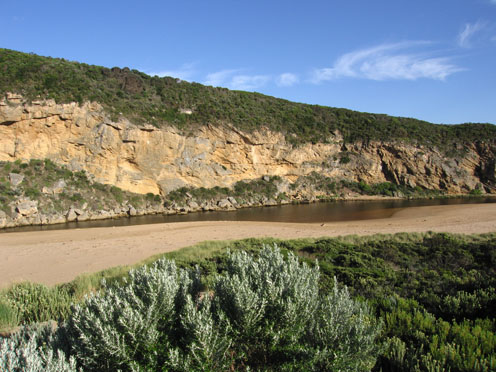
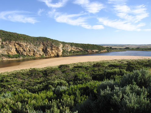
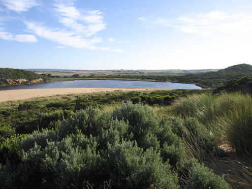
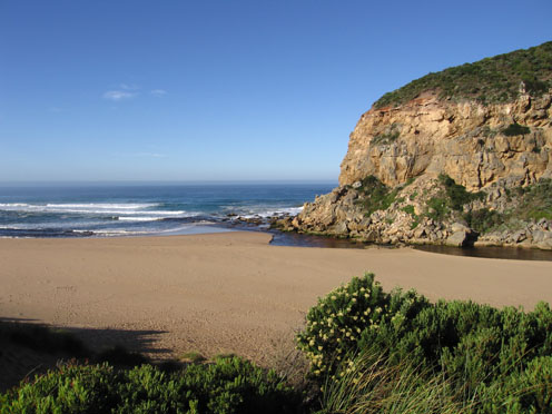
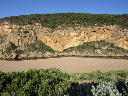
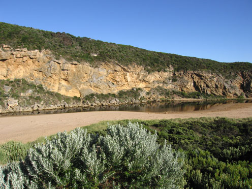
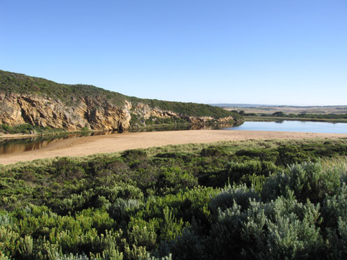
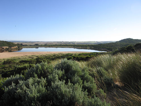
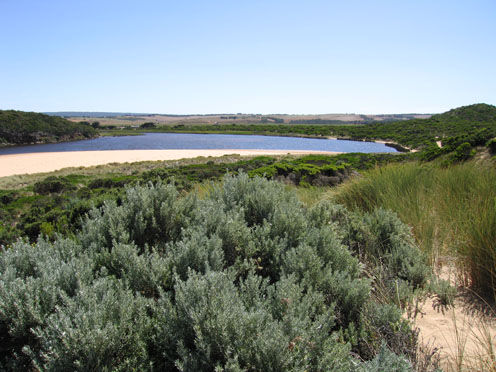
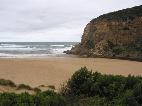
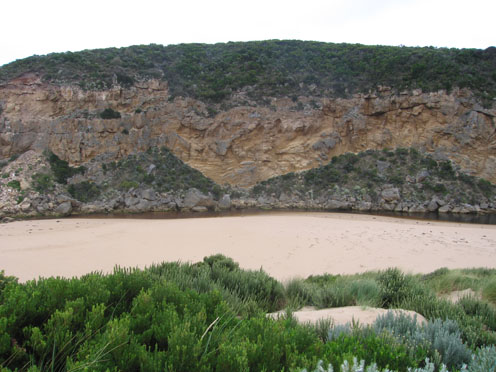
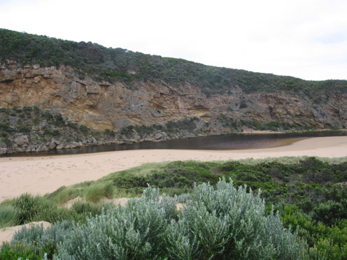
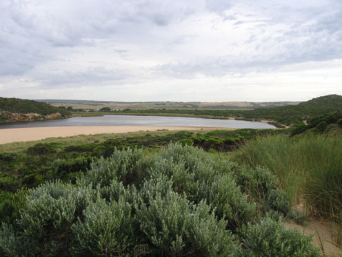
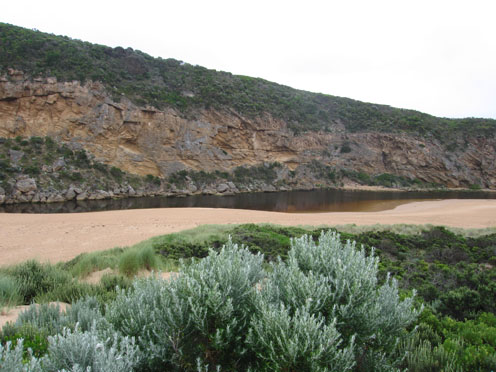
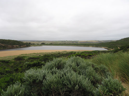
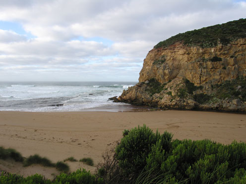
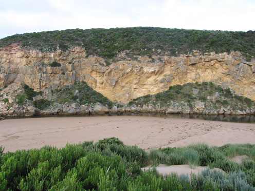
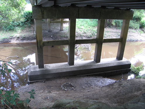
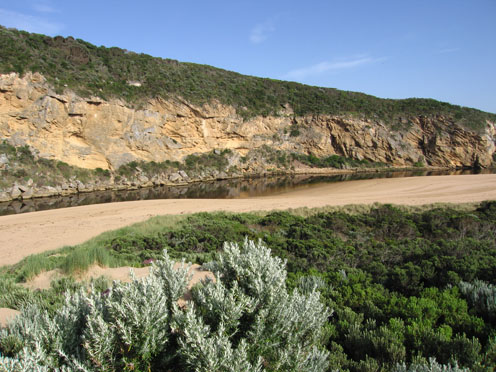
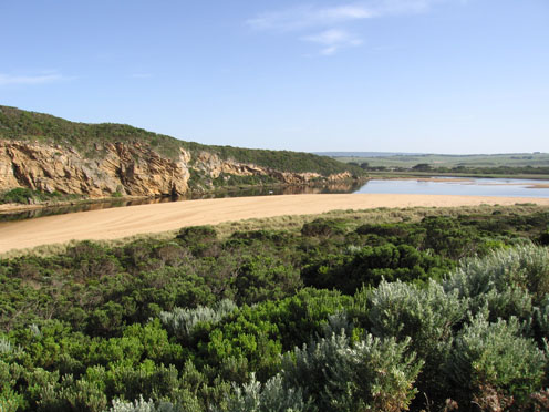
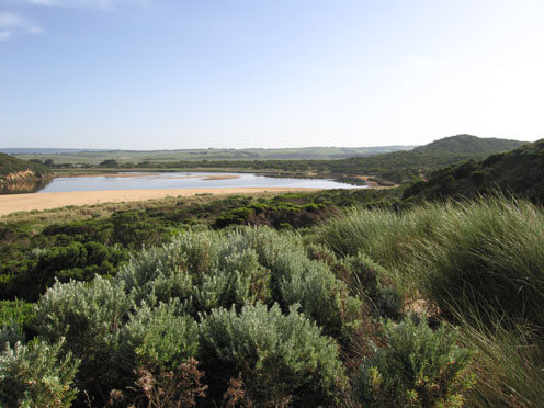
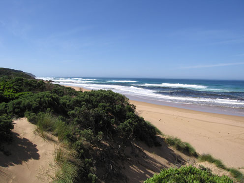
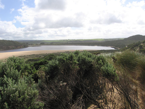
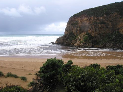
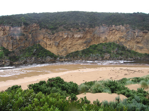
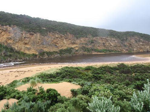
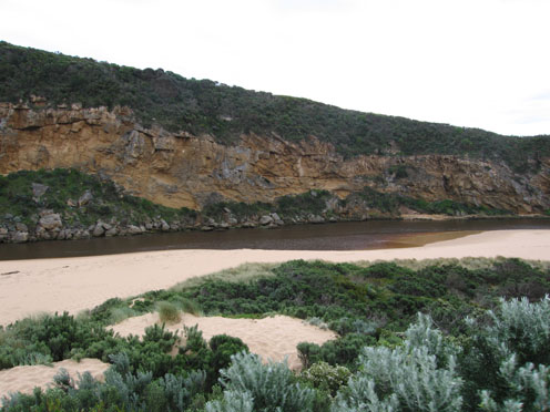
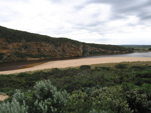
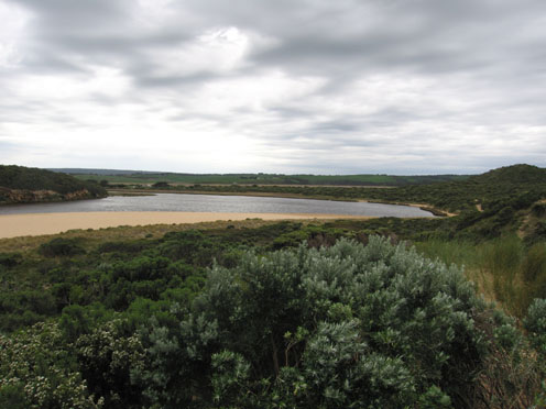
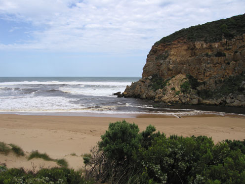
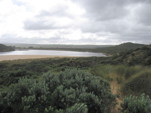
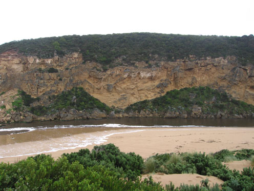
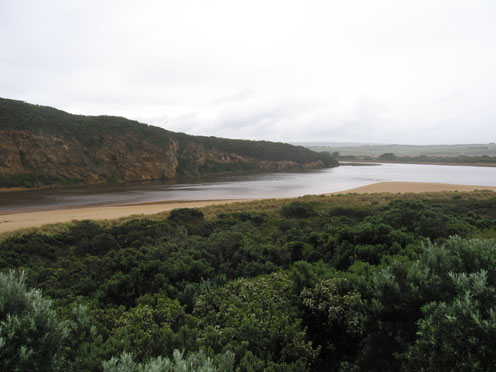
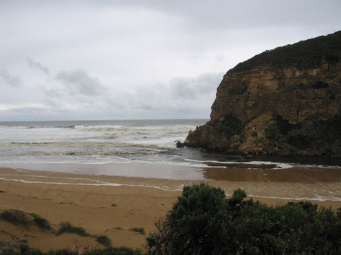
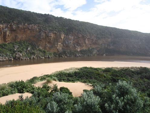
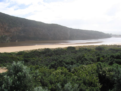
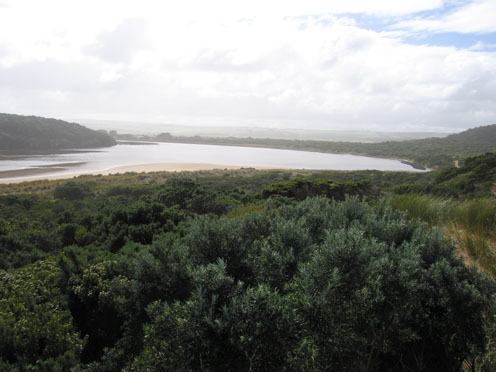
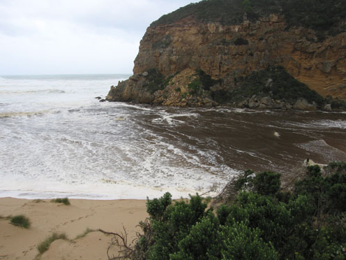
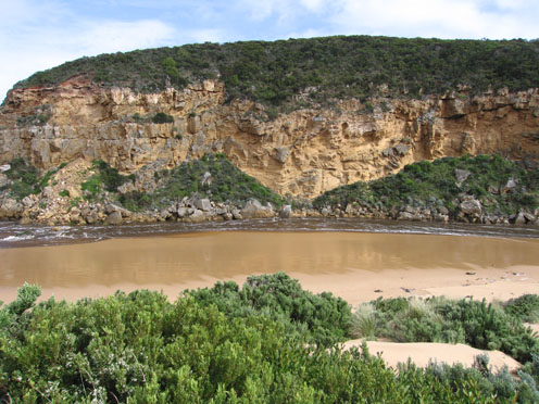
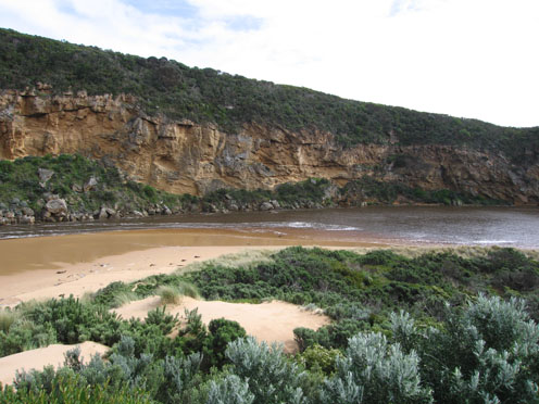
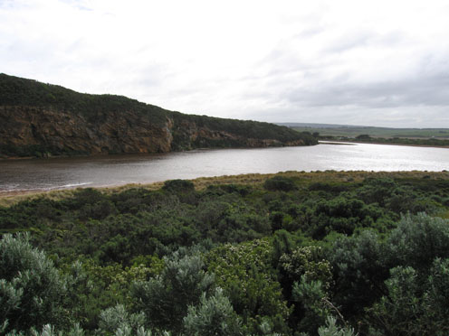
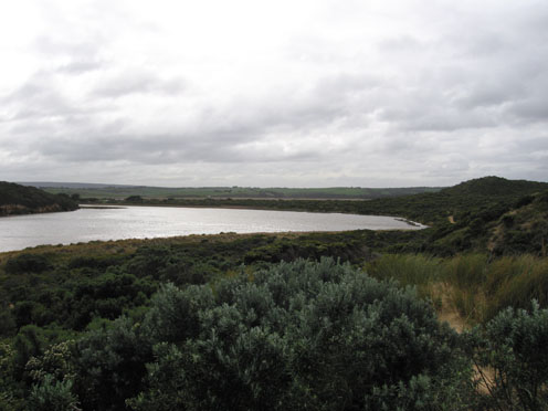
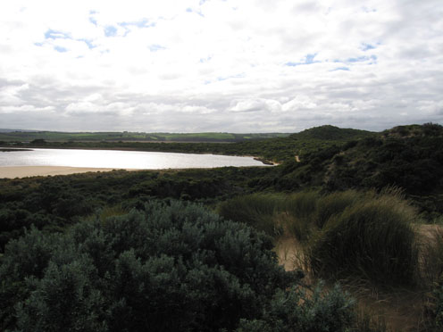
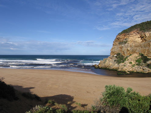
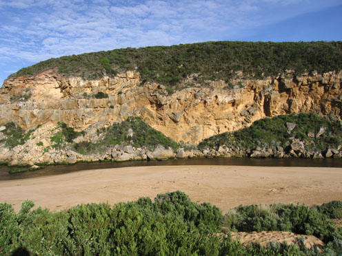
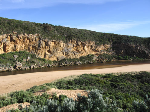
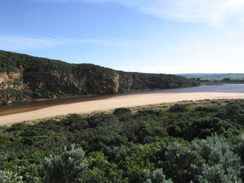
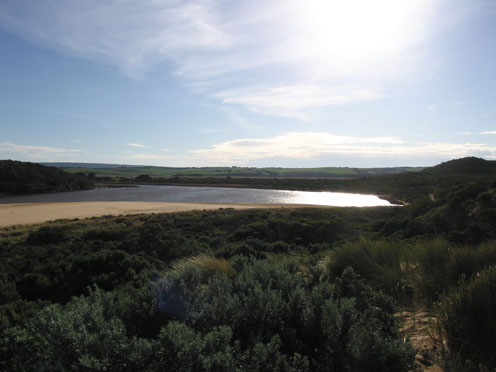
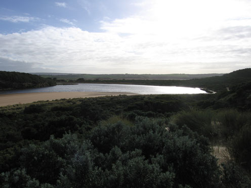
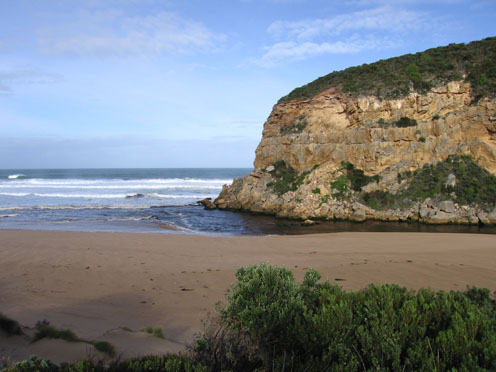
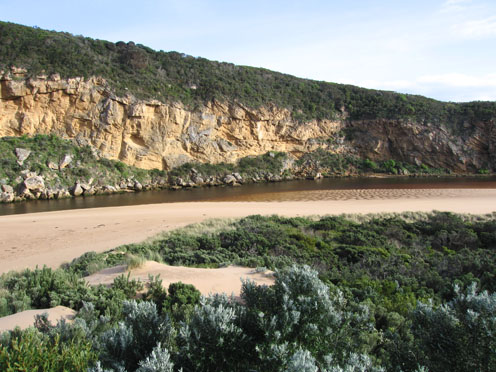
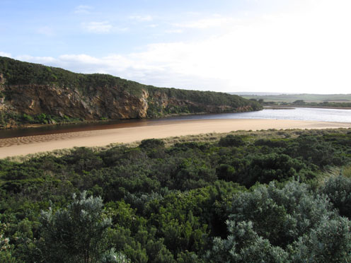
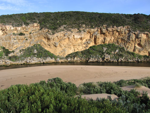
GMC Gellibrand River Estuary Mouth Observation Site
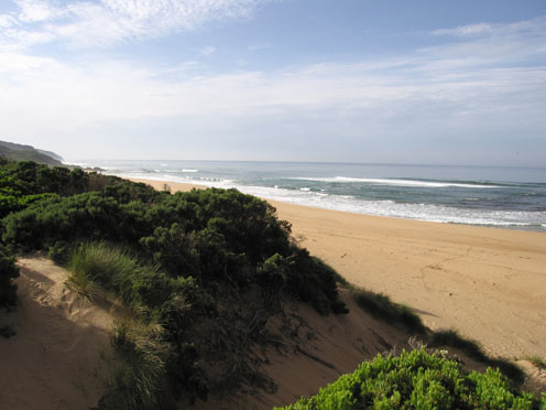
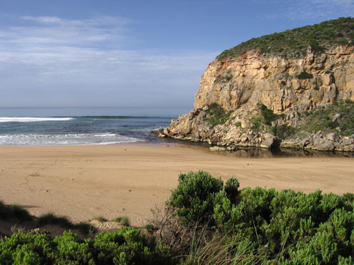
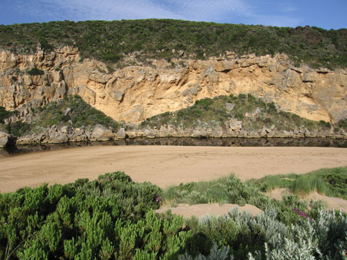
Active Mouth Condition 20-04-2007 - 19-04-2024Gellibrand River Estuary
770 results found (Displaying 601 - 650)
| ID | Date | Status | Details | |
|---|---|---|---|---|
| #3461 | 23 Apr 2010 | Approved |
Notes:
1.Shallow discharge out to south and around mouth. Longshore drift bringing more sand back into channel 2. Height of beach front reduced by rough sea 3.Small dead fish 30mm. on sand in estuary. 4. Extremely wet and windy - only 1 photo taken |
|
| #3423 | 17 Apr 2010 | Approved |
Notes:
1. waves in all directions entering mouth and travelling up the channel. Only salt return flowing out. 2. Salt/fresh divide clearly visiable just upstream from tunnel(constantly moving) 3.Longshore drift continues to bring more sand into channel. Height and steepness of beach front reducing. Mouth very shallow 3.Tide has been high on beach in estuary 4. |
|
| #3385 | 11 Apr 2010 | Approved |
Notes:
1.Rough sea entering channel. Salt/fresh divide about 40m. upstream of rocks. No fresh discharge Steep front to beach. 2.Longshore drift bringing more sand into channel. Waves in all directions downstream of rocks and much turbulance in channel up stream 3.Wind gusts up to to 8 creating waves up to 50cm in estuary 4.Rainfall from 6th April to 11th April at G6 = 51ml |
|
| #3363 | 5 Apr 2010 | Approved |
Notes:
1.Very shallow area between rocks and mouth, longshore drift continually bringing in more sand 2.Flow restricted from rocks back to near tunnel - very shallow 3.Rocks exposed at east end of beach and steep front to beach 4.seagrass beds exposed at east side of estuary. Scum forming along s/e side of estuary 5. Many small (10-15cm) fish along south side of estuary 6.Pied comorant (1) 7.6ml rain on 02.04.100 |
|
| #3323 | 27 Mar 2010 | Approved |
Notes:
1. Shallow outflow over a wide area ( about 10-20 cm deep) very slight discharge only around mouth. Waves entering channel and travelling upstream past rocks.(left side) 2.Channel size has decreased in width and depth upstream of rocks 3.Waves in all directions at mouth 4.Steep front to beach about 3-4m.above sea level. Highest at mid beach 5.Algae forming on sea grass - s/e side of estuary. 'Skin' visiable on water near tunnel despite movement from waves entering 6. Swans 2. Pied comorant 1. Many black cockatoos 7. 2ml rain at G6 Many white ibis on northern and western wetlands |
|
| #3285 | 20 Mar 2010 | Approved |
Notes:
1. Rough sea bringing salt water into channel. Some salt return outflow. All water green/ blue colour. Salt fresh divide close to tunnel entrance. Scum around this area 2. Last high tide - high up on beach 3.Waves in all directions at mouth. Longshore drift bringing sand into channel. Almost no channel upstrean of rocks |
|
| #3263 | 12 Mar 2010 | Approved |
Notes:
1. Recent rainfall up stream (07.03.10 - 10.03.10 = 41ml.) has increased flow. 2. Strong out flow -discharge only around mouth and to sw. Channel has moved further to the east (about 8-10m. wide) below rocks with sand build up against cliff. 3. East side of channel has steep side (1m) which is collapsing into flow. Waves in all directions at entrance- longshore drift bringing back more sand into channel 4. Rocks are restricting flow. Water higher behind with a whirlpool. The channel widens in this area to about same as area below. 5.Channel narrows about 30-40m upstream 6. Rocks are exposed at east end and the beach is very wide near mouth 7.Wooden 'gate' at front of tunnel has become detatched and slipped down |
|
| #3237 | 5 Mar 2010 | Approved |
Notes:
1. Shallow narrow flow out over large sand build up at mouth.Very low tide (0.07) has cut a steep bank on east side of channel downstream of rocks. Waves in all directions at mouth 2.Pale reduced discharge around mouth and east along shoreline 3.Increased sand build up in channel upstream of rocks 4.Rocks exposed at east end of beach and in front of cliff (west) 5. 2 petrols over beach. 5 ducks, 4 swans and many black cockatoos |
|
| #3214 | 26 Feb 2010 | Approved |
Notes:
1. Slight outflow across a wide shallow area, some discharge around mouth and along shore line to the east 2.Steep front to beach has been reduced to a gradual slope. Longshore drift is bringing sand into channel above and below rocks. Evidence of hi tide well up onto beach 3.Kangaroos (2) deliberately entering water near rocks and going into waves at mouth 4. Spoonbill (1). Black duck (4). Swans (3). Pied comorants (2). About 8 Black cockatoos 3.Waves in all directions at mouth |
|
| #3204 | 22 Feb 2010 | Approved |
Notes:
1. Flow is both in and out. Waves entering up past rocks and up channel. 2.Discharge around mouth and along shoreline 3.Previous high tide in up to mid beach . Has brought more sand into channel infront / upstream of rocks and leveled out steep banks 4. Waves in all directions at mouth |
|
| #3179 | 19 Feb 2010 | Approved |
Notes:
1.Out flow has increased creating a larger pool upstream of the rocks with 60cm banks on east side. The water in this pool is higher than downstream of rocks. Water is cascading over rocks in channel between large rocks and cliff (4-5m wide) 2. water downstream of rocks is sweeping strongly around the curve(east side) then through a deeper channel (close to cliff) across the sand build up at the mouth. The flow is very turbulent. Longshore drift is still bringing sand back into channel and the high edge (50cm +) constantly dropping into the flow. 3.The redish brown discharge is mainly around the mouth and slightly to east. A lot of sand is visiable in the breakers south of the entrance 4. Beach front has a more gradual slope to ocean and rocks at east end are exposed 5.Water level in estuary is higher |
|
| #3178 | 17 Feb 2010 | Approved |
Notes:
1. Slight discharge immediately around mouth 2.Water rising up stream from recent rain in catchment 13th & 14th. rainfall at G6 = 46ml. Out flow has cut a slightly deeper channel at mouth NOP 0.851 161 SOP. 1.659 215.4 |
|
| #3166 | 13 Feb 2010 | Approved |
Notes:
1.Rainfall has increased out flow slightly - discharge around mouth and to west (along in front of cliffs). Sand visiable in waves in that area 2. Sand is still building up infront of the rocks, flow is alongside of cliff . Longshore drift continues to deposit sand in channel 3.Rocks are exposed at east end of beach. Steep front to beach, highest area is mid beach with a slope down to the channel (west) behind rocks. |
|
| #3145 | 6 Feb 2010 | Approved |
Notes:
1. Mouth re-opened 05.02.10 flowing through shallow/wide entrance. 2. 06.02.10 - now flowing through a new deeper channel nearer to the cliff (west) Narrow just infront of rocks 2-3m wide and about 5m+ through the sand at entrance. Out flow making large 'waves' in channel, slight discolouration around mouth and slightly to the east 3. Banks of channel cut away to about 30cm. behind rocks. Channel from rocks to 1/3 upstream is still shallow 4.. Steep front to beach. Rocks at east and infront of cliff (west) fully exposed (very low tide) 5. Weather overcast and cold s. wind 6. Hooded plover sighted on beach (4) many tracks all along beach |
|
| #3141 | 3 Feb 2010 | Approved |
Notes:
1. Waves crossing sand bar at entrance and entering estuary then returning. No discharge colour around mouth, any water in pools around rocks is clear green. Sand visiable in breakers out to sea 2. Salt /fresh divide visiable about 1/3 from rocks to tunnel 3.Waves have been high up on beach at last high tide, evidence of longshore drift bringing sand back into channel around rocks 4.Fish (up to 20cm) seem to be coming in with waves Mullett(?) smaller fish all around edge of estuary and channel -very active |
|
| #3107 | 29 Jan 2010 | Approved |
Notes:
1. Very shallow outflow over wide area infront of rocks. Pale discharge only around mouth. 2.Considerable amount of sand immediately below cliffs,longshore drift bringing more sand into channel. Waves in all directions at mouth. 3.Sand building up in channel between rocks and tunnel. 4.Evidence of high tide (seaweed etc.) high on sand all around estuary and channel 5. Water in estuary clear - with lots of small fish in shallow area s/e side ( cold south wind & overcast) 6. Steep front to beach. Rocks exposed at east end. |
|
| #3061 | 22 Jan 2010 | Approved |
Notes:
1.Rainfall ( G60 = 14.5 ml/ 16th.&17th) possibly more in catchment, has improved flow slightly. 2.Shallow flow out over sand at mouth, discharge around mouth and slightly south. Small fish entering estuary. Large no. small fish all around estuary and in sea grass beds Steep front to beach. 3.Very still day. Algae forming in river and estuary. Patches about 10-20cm floating below surface. Green line forming along edge up to tunnel. 'Skin' forming on still water. 4.Hooded plover on beach (4) also observed on 20th. Huge no of swallows. possibly some Tree martins as well 5.Phragmities increasing on south side of estuary 6.Dead penguin on beach (20.01.10) |
|
| #3041 | 15 Jan 2010 | Approved |
Notes:
1.Very pale shallow discharge flowing out over sand build up at mouth (sand extends along channel from mouth to about 1/2 way to tunnel & has increased from last week) 2. Discharge only immediately around mouth. Some waves entering mouth and travelling into estuary 3.Steep front to beach and rocks at eastern end exposed 4.Strong south wind has cleared algae/scum from s/e side and taken it downstream. There is still a lot floating below the surface throughout the estuary and upstream 5.Estuary perch around 25cm are being caught in estuary (possibly due to extremely low water levels upstream) also Bream (30cm) and Trevally. Not as many mullet and most fish are small in size. There are a large no. of juvenille fish in the sea grass and all along the edge of the estuary and channel |
|
| #3024 | 12 Jan 2010 | Approved |
Notes:
1. slight outflow discharge (pale) around mouth.Some small waves entering the channel and travelling into estuary 2.Sand is building up at entrance and around cliff below recent fall.Steep front to beach |
|
| #3003 | 8 Jan 2010 | Approved |
Notes:
1.Weak shallow outflow over raised sand at entrance (possible to walk across). Slight discolouration immediately around mouth. 2.Channel 4m. wide and shallow upstream from rocks to about 1/3 way to Tunnel. 4. Steep front to beach with rocks exposed at eastern end 5. Water low in estuary with sand bars starting to show. Algae/scum forming along seagrass beds.(also more at edge of river -G2 ) |
|
| #2983 | 1 Jan 2010 | Approved |
Notes:
1. Slow outflow, discharge only around mouth 2.Entrance shallow with channel reduced upstream of rocks 3.Steep front on beach with longshore drift bringing more sand into channel. Waves in all directions at mouth.Occassional wave entering channel - movement up-stream evident into estuary 4. 1. Dead fish (photo) east side of estuary. 5.Rotting vegetation on edge of estuary s-side, also green algal growth under water in line along edge 6.Many small fish active near sea grass and shallow area (s/e side estuary) 4.sand build up becomming visiable below recent rock fall 5.Many fish carcase's being left in water near seagrass area by fishermen |
|
| #2961 | 26 Dec 2009 | Approved |
Notes:
1.Reduced outflow, mainly around mouth & slightly to the east .Some lighter coloured water slightly to west. 2.Entrance is very shallow and channel has moved to east as sand has built up against the cliff 3.Some waves entering estuary down east side of channel. Longshore drift is continuing to bring sand from mid beach into channel. Beach is high/steep above water. 4.Water mark from last high tide- nearly to base of dunes at corner of estuary 5.Channel behind rocks about 4-5m in width 6.Sand covering rocks at east end of beach 7. Kestrels (3) flying around estuary. 8. 2.5ml rain from19.12.09 - 26.12.09 |
|
| #2941 | 19 Dec 2009 | Approved |
Notes:
1.Rainfall at G6. (16.12.09-19.12.09).= 36ml 2. More sand at entrance, shallow from rocks to sea.More sand against cliffs Discharge around mouth and out to 2nd sandbar. Some to about 1/3 to east along shoreline. 3. Longshore drift bringing more sand into channel, water going in all directions at mouth. Occaisonally a small wave entering mouth 4. Sand build up along beach -much higher. Evidence of water high up on beach and in estuary during last high tide 5.Dark Kestrel near cliffs and around estuary |
|
| #2913 | 11 Dec 2009 | Approved |
Notes:
1. Greatly reduced outflow, slight pale discharge around mouth, large amount of sand visiable in rough water 2. Large sand build up at mouth. Channel between rocks and entrance now only 10 -50cm.deep Width between rocks and cliff 2m. 3.High sand build up mid beach, longshore drift bringing more sand into channel.Area behind rocks has more sand 4.Water level in estuary higher.Wide variety of coloured seaweed at high tide mark 5.Gladiolus undulatus flowering along low track to beach |
|
| #2883 | 4 Dec 2009 | Approved |
Notes:
1. Dark discharge around mouth & to the west . Paler colour out to sea (about 50m.) also along shore line to about 1/3 way from mouth. 2.Water passing only between rocks and cliff because of sand build up. 3.More sand on east side of entrance, increasing because of longshore dirft. Width of deepest area at mouth 2-3m.- depth 1.- 1.5m. 4.Width of channel infront of rocks 5-6m. More sand in channel 20-30 m upstream of rocks 5. 44ml rain upstream from 091127-091204 has assisted flow |
|
| #2849 | 27 Nov 2009 | Approved |
Notes:
1.Dark reduced discharge around mouth (to about 50m.)and to west. Paler reduced discharge to east and going out to sea near eastern end of beach. A lot of sand visiable in waves 2.Depth at entrance reduced 1m. to 1.5m. Sand build up on east side increasing and more sand behind rocks.(longshore drift) No flow at all on east side 3. water level in estuary higher, many small fish s/e side. Algae forming. Many moth wings along high water mark 4.Large flock of gulls circling beach. 6 dead petrels on high tide mark in estuary.( old remains) 5. Australian lotus plant in flower (rare) |
|
| #2823 | 20 Nov 2009 | Approved |
Notes:
1.Some dark discharge around mouth. Much reduced flow.Channel infront of rocks about 7m.wide, depth decreasing Sand building up in front & behind rocks (longshore drift).Very large increase behind rocks 2. More sand visiable beach area on eastern side of mouth. Height of beach has increased -mid beach 3.more water in estuary,'skin' starting to form over rotting vegetation s/e side. Many small fish 3-5cm in that area 4.Dead Petrel on sand in estuary(near mouth 5.No rain since 2nd & 3rd Nov. - 12ml |
|
| #2804 | 14 Nov 2009 | Approved |
Notes:
1.Low water levels, sandbars in estuary exposed. 6 shellduck on sand bars 2.Channel reducing in size. Sand has built up near rocks, at times there is no flow on east side. Main flow is between rocks and cliff. Increase of sand in channel(long shore drift) between rocks and mouth 4.Reduced dark outflow, small area of discharge around mouth, none to east or west. |
|
| #2785 | 7 Nov 2009 | Approved |
Notes:
1. Dark discharge to near east end of beach and out to sea for about 50m. Also discharge to west and around mouth. 2.Sandbars and sea grass exposed in estuary 3. Beach- large areas of sand exposed, more sand at mid beach and near mouth 4.Blue dragonflies along s/e side of estuary. 1 dead bush rat. Large no. of moth's wings at tide mark in estuary. |
|
| #2761 | 31 Oct 2009 | Approved |
Notes:
1.Extremely low water level in estuary, sand bars covering a large area. Sea grass exposed (about 8m) on east side of estuary 2.Reducing dark brown discharge around mouth & to west. Some to about 50m. east 3.New sand projection starting near mouth (about 30m. from rocks) 4.Small area near rocks at east end of beach has been scoured out . The sand projection of the last few weeks remains about 50m west and is increasing along the beach to new area.(Horseshoe shape flattening out) 5.Visiability reduced because of sea fog. & 7ml. rain at G6 (30.10.09) 6.Senecio elegans is now flowering around the Ocean beach car park and along the western cliff(as well as everywhere else along the dunes) |
|
| #2701 | 24 Oct 2009 | Approved |
Notes:
1. Dark discharge around mouth & slightly to east but main flow seems to be west infront of cliffs. The east flow seems to be stopped by the sand projection near east end of beach. This sand projection (beach) has increased but sea is much closer to dunes (beach) near mouth 2.Sand is building up into 'cliffs' on beach (1/3 from mouth) 3.Sand is visiable in waves out to sea up to70m. Sand is also being deposited into channel by longshore drift 4.Low tide has exposed a very large area of sand bars. Dead and rotting seagrass on eastern side of estuary is also exposed 5.Senecio elegans in full flower. Huge increase from last year. All through the dunes and along western cliff |
|
| #2663 | 17 Oct 2009 | Approved |
Notes:
1.Strong outflow of very dirty water going both east & west - along infront of cliffs west. Discharge east stops at end of beach & turns south for short distance.Dark water can be seen south (about 100m.) 2.Beach still 'horseshoe' shaped but small 'cliffs' building up in center 3.More sand build up from mouth to center of beach,water close to base of dunes but projection at east is rounding off. Evidence of longshore drift carrying sand into channel behind rocks. Channel has steep banks 4.Senecio elegans flowering in dunes and along cliff.Serious increase of infestation since last year 5.Dead sea bird at east end of beach |
|
| #2624 | 10 Oct 2009 | Approved |
Notes:
1.Strong out flow - dark discharge around mouth & to west, dark water not visiable to east or south 2.Beach 'horseshoe' shape with increased sand projection out to sea at east end 3.Waves have been nearly to foot of dunes -mid beach. Sand build up east side of mouth, increasing with longshore drift 4.Channel about 4-5m at entrance, rocks more exposed but sand building up directly infront (downstream). Water curving around rocks (3-4 m. wide) and through narrow channel near cliff. 5. Very low water level, gate on tunnel well out of the water and sand bars in estuary well exposed 6.AHD board numbers obscured by flood deposit- difficult to read. 7.D.S.T not added |
|
| #2603 | 3 Oct 2009 | Approved |
Notes:
1.Strong dark & dirty out flow to east, stopped by sand build up projecting into sea at east end of beach. Discharge going south and S/W in front of cliffs. Some waves entering estuary along east side of channel 2.Mid beach carved out, water up to dunes.Brown scum mark high on beach. 3. More sand forming around entrance, large build up behind rocks, height of sand between channel and dunes much reduced. |
|
| #2545 | 26 Sep 2009 | Approved |
Notes:
1.Strong out flow of dark water to east & south. Some waves entering estuary down east side of channel and travelling down estuary to opp. camping ground, then much reduced are continuing on to G2. 2.Waves reaching base of dunes on beach (evidence of higher water at high tide). Large sand build up at eastern end of beach. Sand visiable in sea all along coast (recent rock falls west of river) 3.Channel upstream of rocks is reduced. Longshore drift and whirlpool activity visiable 4.Large waves in all directions at mouth |
|
| #2503 | 19 Sep 2009 | Approved |
Notes:
1.Strong out- flow of dirty dark brown water mainly around the mouth and to south and S/W. not much visiable to east. 2.Occasional wave down eastside of channel -some travelling almost to north bank of estuary 3. More sand deposited at east end of beach. Mid beach reduced-water closer to dunes. (Beach 'horse shoe' shaped) 4. 31 ml rain Princetown and G6 during week -water levels up stream have risen. |
|
| #2485 | 12 Sep 2009 | Approved |
Notes:
1. Strong dark out flow - east along the beach and also s. & s/w. Dark water out to aprox. 40m., difficult to estimate because of foam. Waves in all directions around mouth. 2. Sand seems to be building up slightly upstream and left of rocks.Circular current in that area, also longshore drift. Waves covering most of beach- lots of rubbish incl. plastic 3.Occasional small wave e.side of channel into estuary 4. Sand projection into estuary extends past 'small rock'. 5.Very strong n. wind driving waves (15 to 30cm.) onto sand at s. side of estuary, foam trails from n. to s.. Sand 'cliffs' opp. tunnel larger. 6.1 Grebe - s.e estuary |
|
| #2461 | 5 Sep 2009 | Approved |
Notes:
1.Strong very dark brown flow out. Occasional small wave enterind down east side of channel into estuary 2.Dark discharge around mouth and along beach to east, some to south (about 100m. out) and s/w. 3.Beach gradually sloping back to ocean. Longshore drift bringing sand back into channel 4.Large area of foam moving back & forth upstream of rocks. 5.Sand cliff 1.m along east side of channel near tunnel 6.Waves & foam s side of estuary 7.Fox prints & scrapes. 7 comorants, 2 black duck 8.Estuary is flooded upstream from G4.Water flowing between bearer and deck.(G4.) AHD.G6-3.43 |
|
| #2421 | 29 Aug 2009 | Approved |
Notes:
1.Very strong outflow of dark brown water to s, s.w and e. Difficult to estimate because of foam & white water 2.Rocks at east end beach exposed, sand along beach graduslly sloping back to ocean.Waves carrying a lot of sand 3.Waves in all directions at mouth with stronger longshore drift today. Whirlpool on east side of rocks,occasional small wave down east side of channel into estuary 4.Sand build up east side of mouth may be reducing 5.Water receeding - low track can be used, lot of debris high in the dunes surrounding the estuary 6. 1 Tern on s. side of estuary. 7.No water over O.O.R. between kangaroobie and G.O.R. but greatly increased water levels above G4. where the water is flowing between the bearer and deck of bridge |
|
| #2407 | 28 Aug 2009 | Approved |
Notes:
1.very strong outflow. Brown discharge seems to be going out to sea south and possibly s/w as well as along shoreline.Difficult to tell because of foam and white water. 2.Occasional wave along east side of channel into estuary 3.More sand along channel exposed, beach - gradual slope back to ocean.Rocks exposed at east end of beach 4.Water circling at entrance. 5.Huge amount of rubbish along s/e side of estuary(including a lot of plastic) 6.Some large thin fish (15cm.) in reeds e.side of estuary. Water very dirty -Dark redish brown.Turbidity between 50-60 at that area 7.Serious flooding upstream G4. No water over road between Kangaroobie and GOR. 8.AHD G6 - 3.62 at 15:15 |
|
| #2406 | 27 Aug 2009 | Approved |
Notes:
1.Strong outflow, flood water +salt return.Strong wave surge along east side of channel turning east with up to1.m waves washing up well into sand dunes at s/e corner of estuary 2. Foam everywhere-waves to foot of dunes(beach) and turning down and around the channel to east 3.Rocks exposed at east end of beach. Longshore drift travelling along beach and around dunes into estuary - past tunnel 4. water over top track to beach. 5. Not a lot of change since 26.8.09 but AHD at G6 is 3.30 at 12:15. Extensive flooding upstream 6. Only 4 photo's used these follow the wave progress (change of scale ) |
|
| #2405 | 26 Aug 2009 | Approved |
Notes:
1.extreme winds and huge seas flattening out in wind.Sand blowing off dunes.Waves and foam everywhere,waves from east (scouring out rocks)travelling along beach (up to the dunes) and crossing channel, breaking on west cliff. 2.Waves travelling down channel well into estuary 3.Fishing platform (G2.)has water up to top rail, picnic area flooded.Low track flooded 4.Whole valley flooded. Water up to deck at G4. AHD at G6-3.46 at 14:13. Water over O.O.R between Kangaroobie and G.O.R. (bitten near that area) 5. No photo taken from photopoint -conditions too dangerous |
|
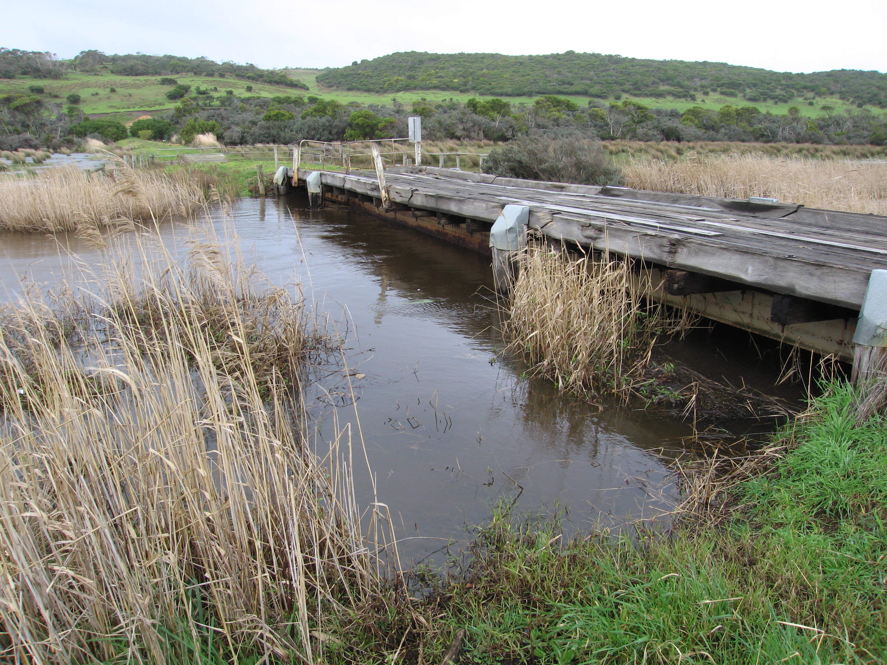
| #2404 | 25 Aug 2009 | Approved | ||
| #2342 | 23 Aug 2009 | Approved |
Notes:
1.Flow mainly out but waves entering and travelling on east side of channel into estuary. 2.Strong north wind raising waves (10cm+) in estuary 3.Brown discharge out flow close to shoreline travelling east 4.Waves going in all directions at mouth, longshore drift from east bringing sand into channel and around rocks 5.Sand visiable in breakers 50-80m out to sea 6.Waves covering sand (11.45am)-only about 10m. of sand exposed near sand dunes opposite tunnel |
|
| #2341 | 22 Aug 2009 | Approved |
Notes:
1. Strong dark discharge (outflow) to the east. 2.Waves going in all directions at mouth. Longshore drift from east |
|
| #2283 | 15 Aug 2009 | Approved |
Notes:
1. Strong out flow to east along beach but also more around the mouth and travelling at least 50m. out to sea (south) 2.Waves in all directions at mouth with a strong current out on east side of rocks. Sand build up on east side increasing. 3.Chanel at mouth about 8m. Upstream of rocks about 10m 4. Beach similar to last week but tide further out |
|
| #2261 | 8 Aug 2009 | Approved |
Notes:
1.Dark flow discharging to east along shoreline & around mouth (flow is blocked by sand build up on east side). No flow south 2.Waves in all directions around mouth. Longshore drift from east bringing sand back into channel 3.Sand highest at mid beach 4. Sand build up around rocks increasing. Entrance channel about 7-8m. wide |
|
| #2247 | 1 Aug 2009 | Approved |
Notes:
1. Lots of fox tracks 2.Beach - gradual slope to ocean 3.Out flow - brown discharge travelling along beach to east 4.Sand build up on east side of mouth increasing -channel reduced. Sand higher around rocks 5. waves from east travelling back to river mouth. 6.Waves going in all directions at mouth |
|
| #2205 | 25 Jul 2009 | Approved |
Notes:
1.Strong out flow. Dark discharge to east along beach 2.Very large area of exposed sand in estuary,channel at mouth reducing in size 3.Sand being carried from across build up on east side of mouth 4.Sand build up in front of rocks 5.Water going in all directions around mouh 6.Slight in flow along east side of channel 7.2 black shouldered kites, 2 pacific gulls, 3 royal spoonbills, 3 black comorants, 2 pied comorants, 1 musk duck, 1 egret,1 grebe( dark grey and white) 8.Many fox tracks |
|
| #2173 | 18 Jul 2009 | Approved |
Notes:
1.Strong flow of very dark water out along beach to east .Much sand at eastern end of beach. 2.Beach has gradual slope down to sea 3.Freezing cold n/w wind. 4.64ml rain at G6 during week-more in catchment 5.Large amount of sand exposed on s-side of estuary 6.Sand build up on east side of mouth projecting into sea 7. 3.spoonbills,1egret, 1pied comorant, male & female musk duck |
|


All content, files, data and images provided by the EstuaryWatch Data Portal and Gallery are subject to a Creative Commons Attribution License
Content is made available to be used in any way, and should always attribute EstuaryWatch and www.estuarywatch.org.au