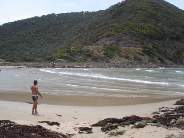
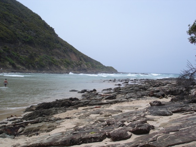
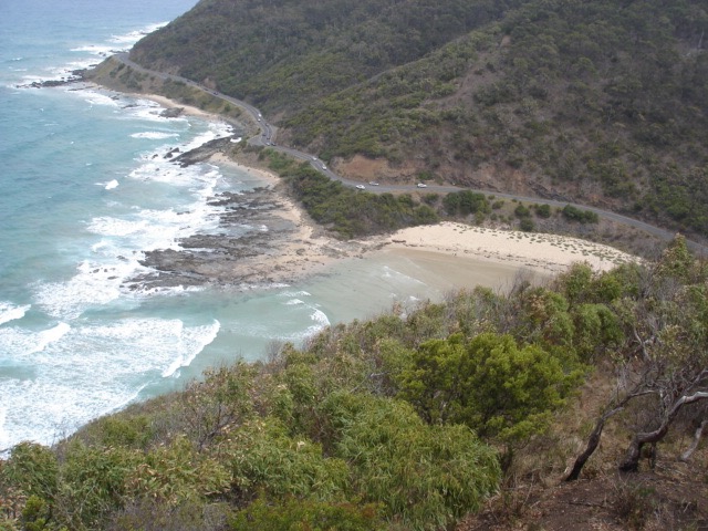
EstuaryWatch Data Portal
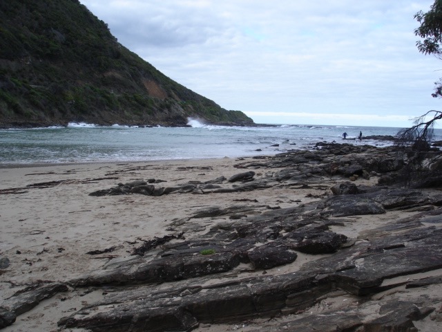
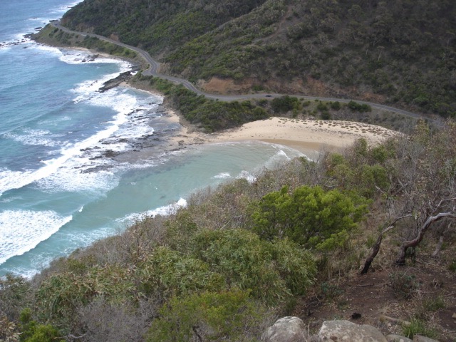
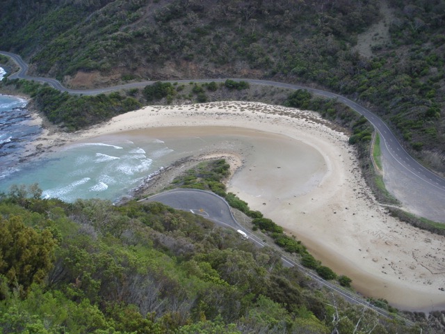
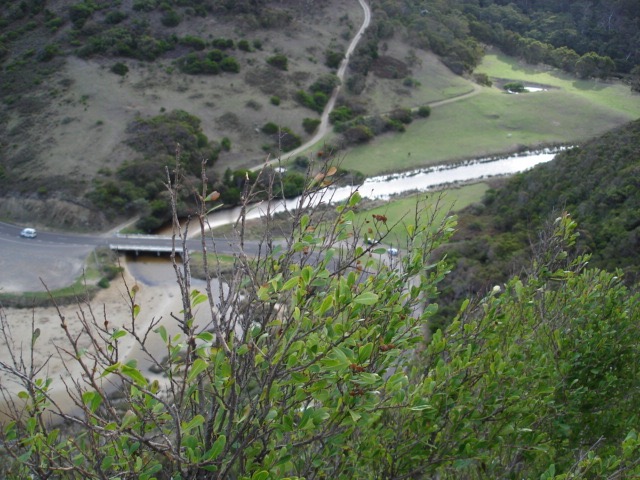
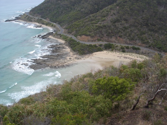
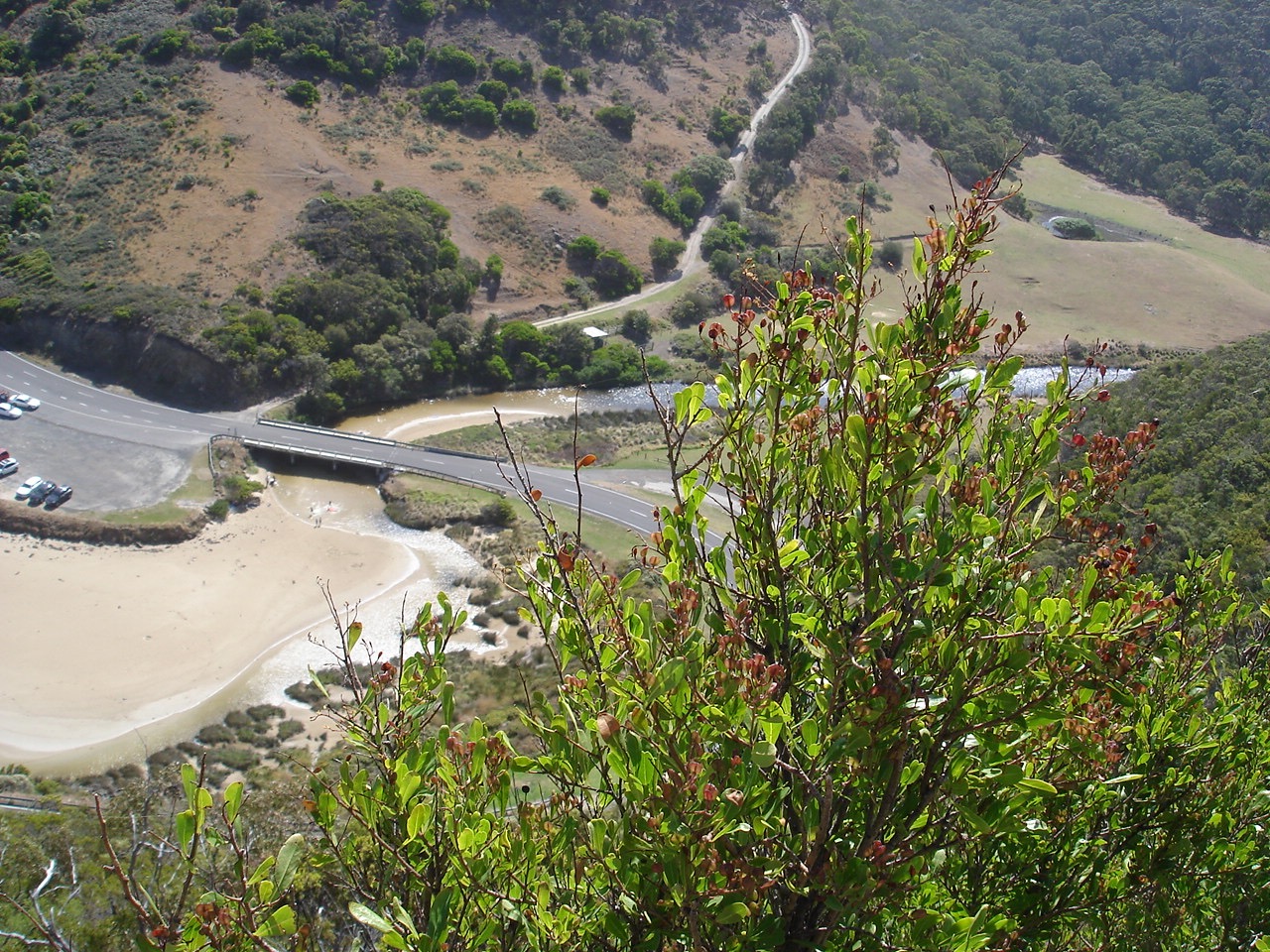
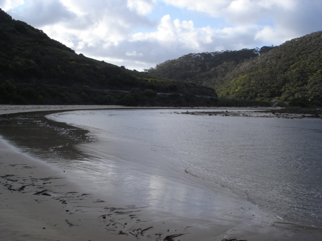
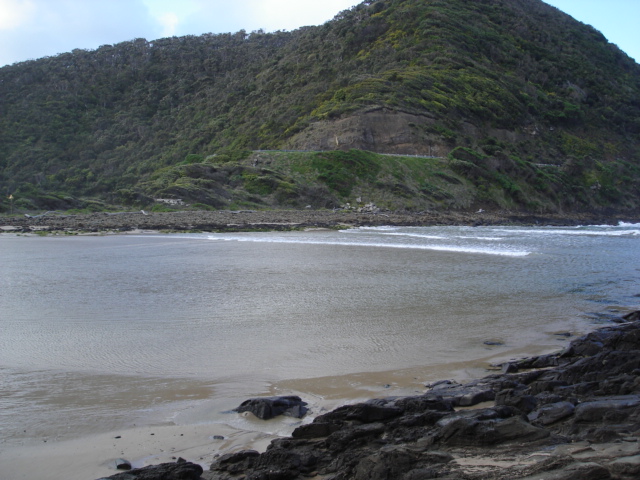
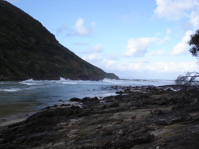
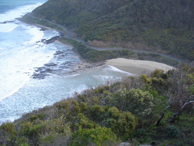
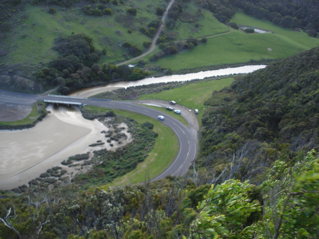
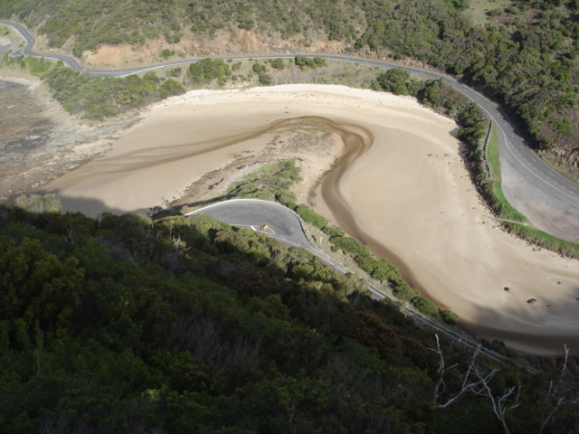
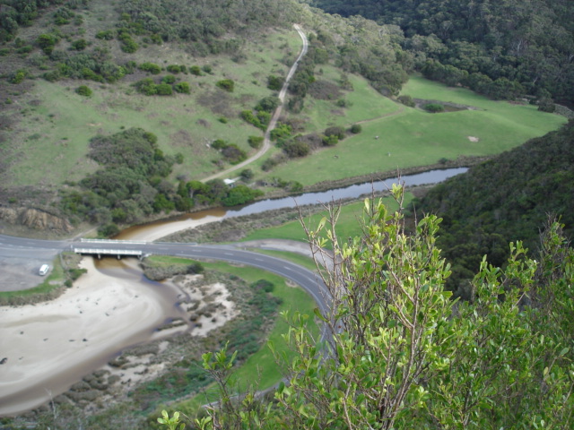
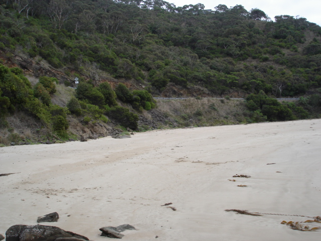
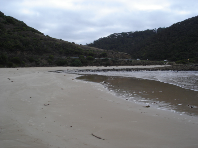
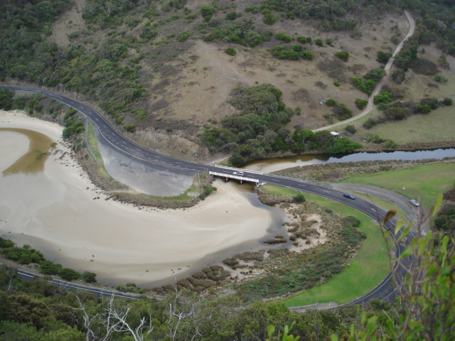
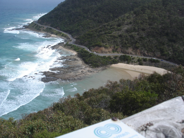
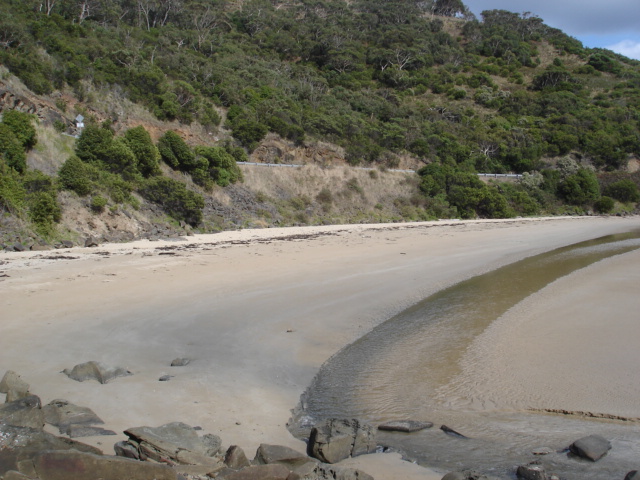
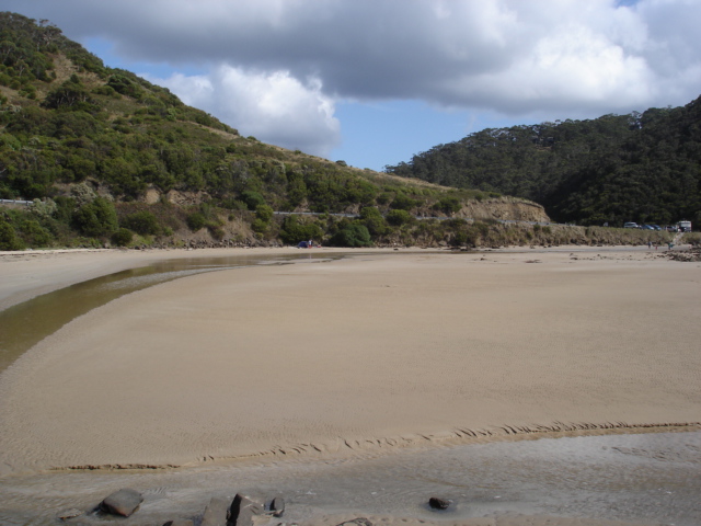
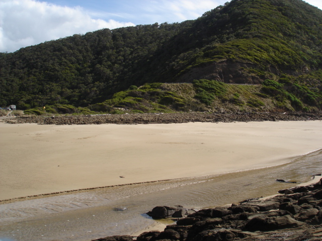
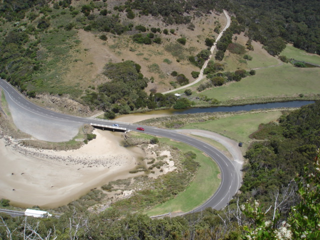
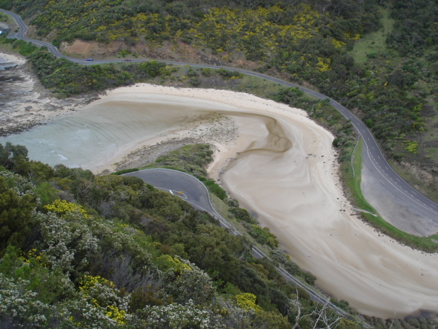
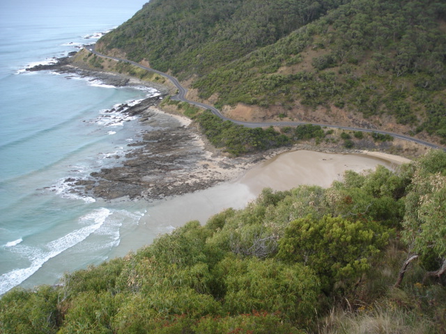
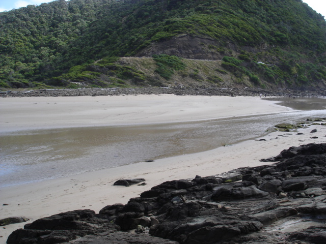
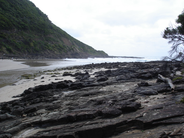
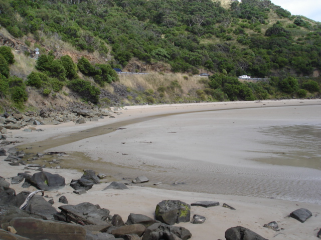
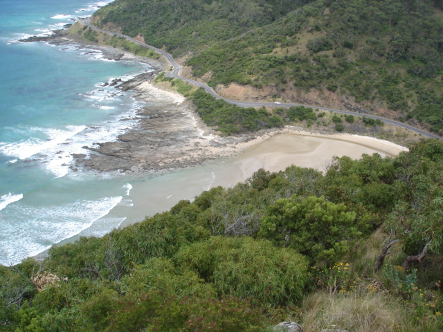
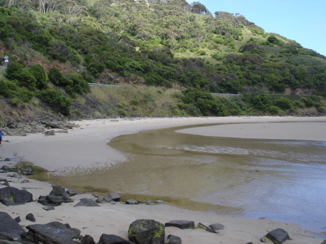
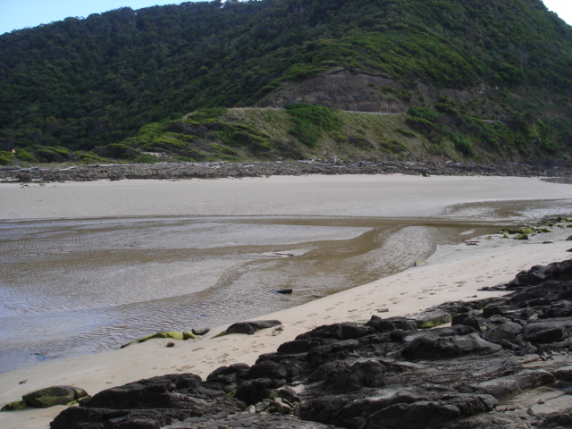
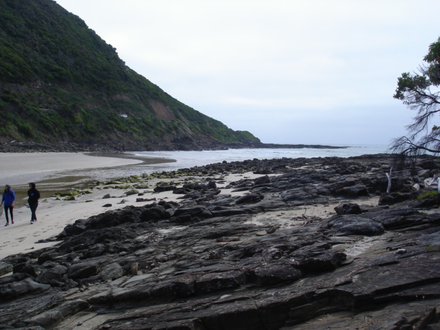
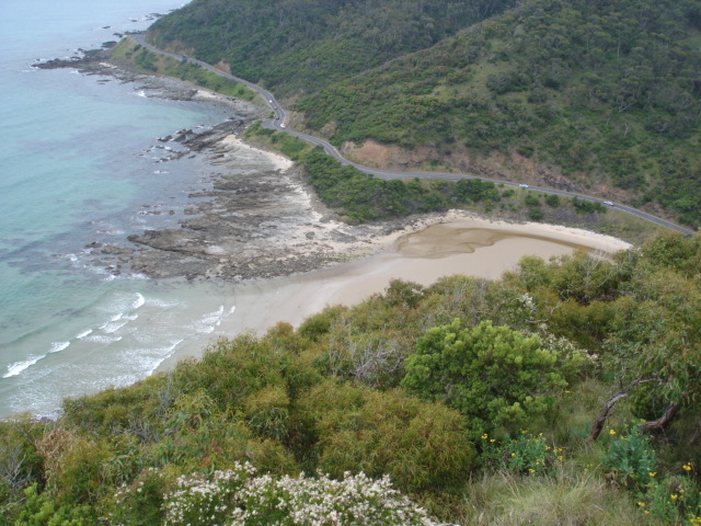
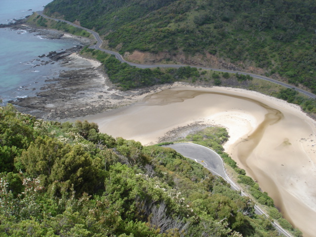
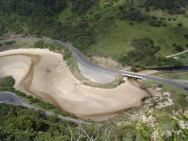
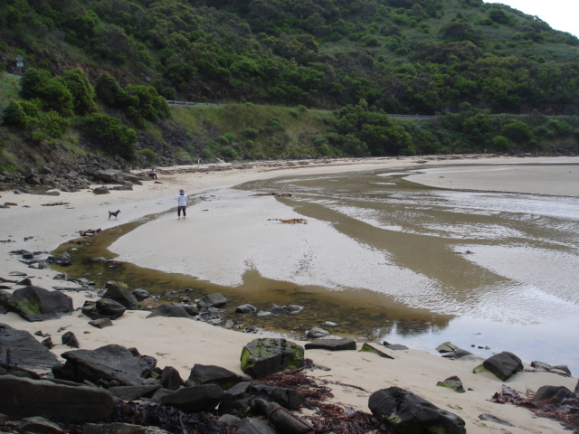
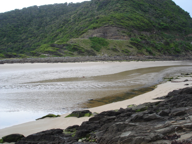
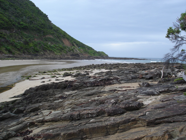
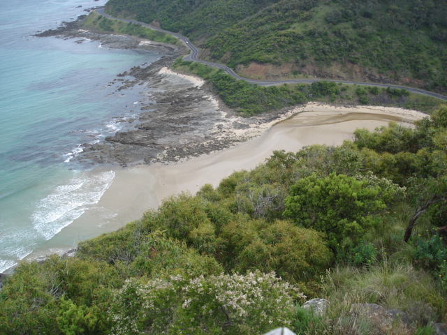
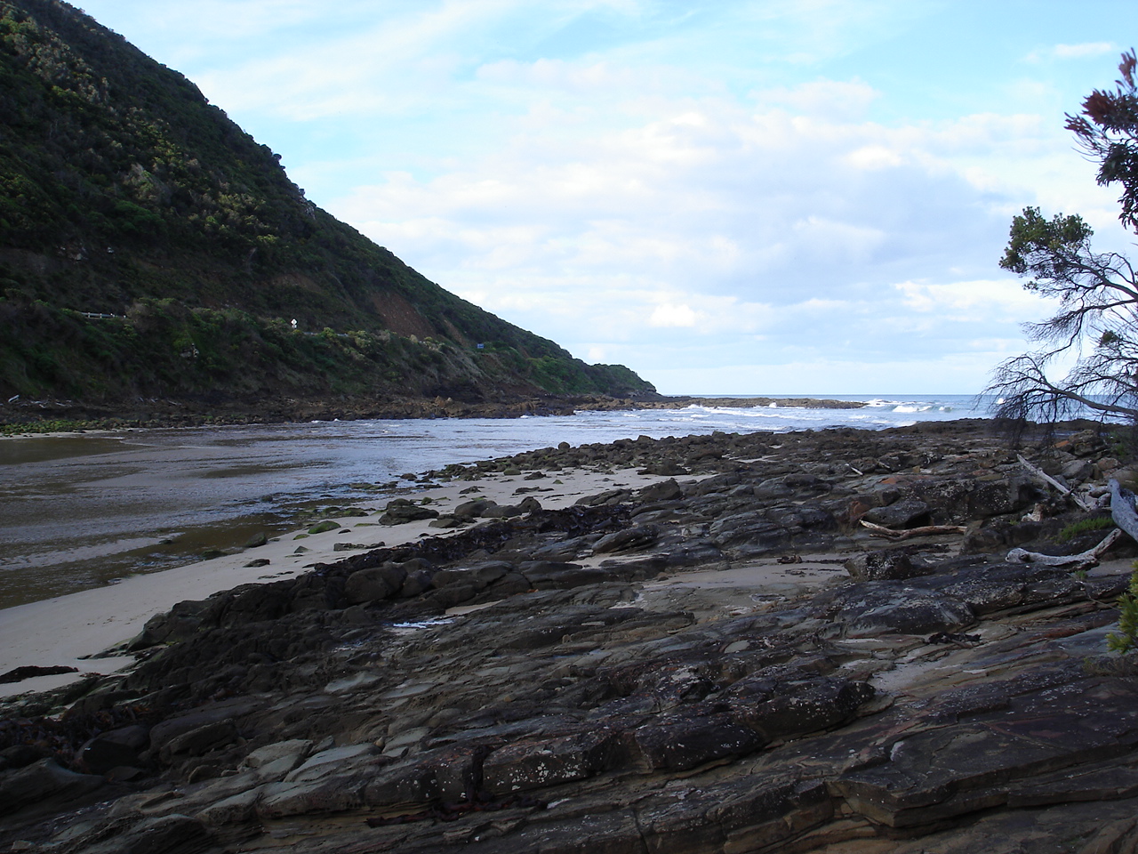
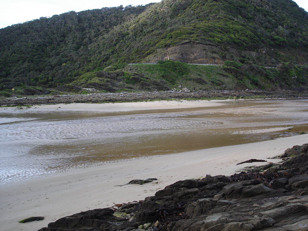
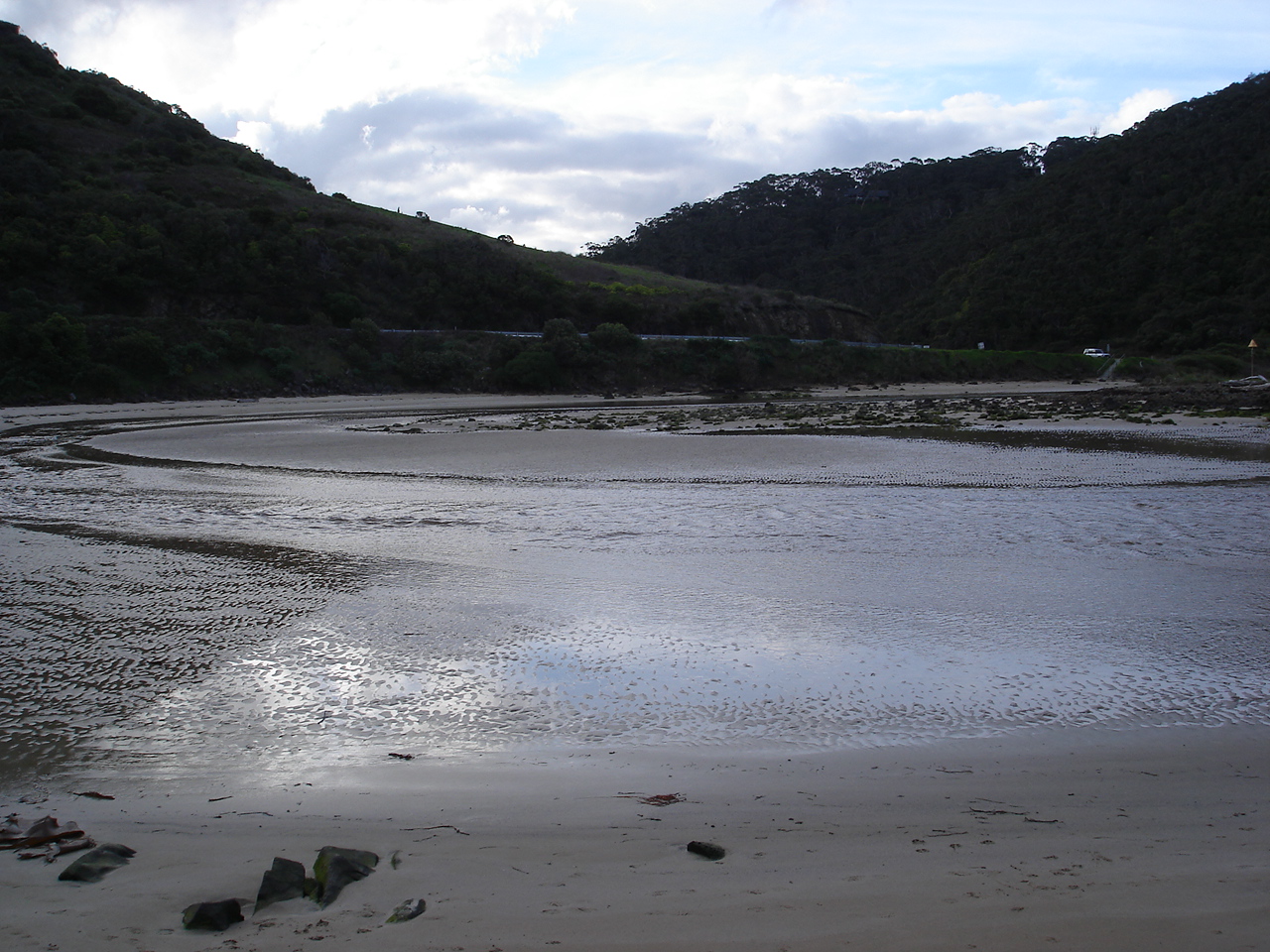
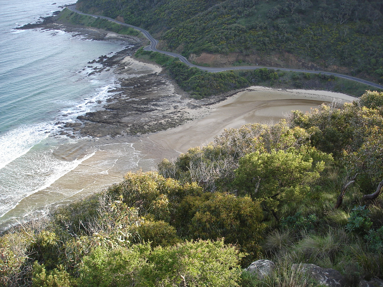
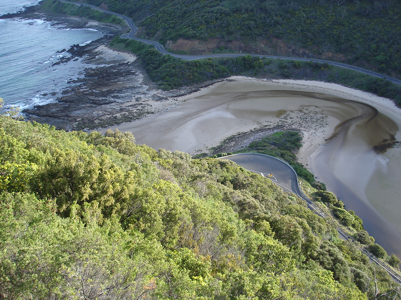
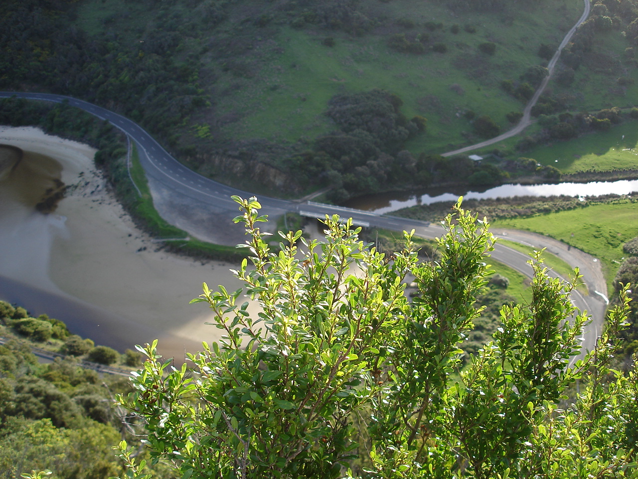
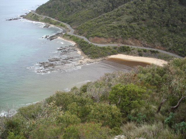
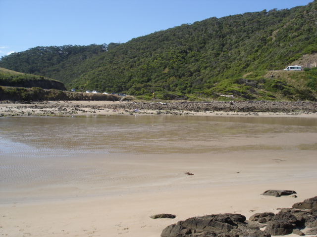
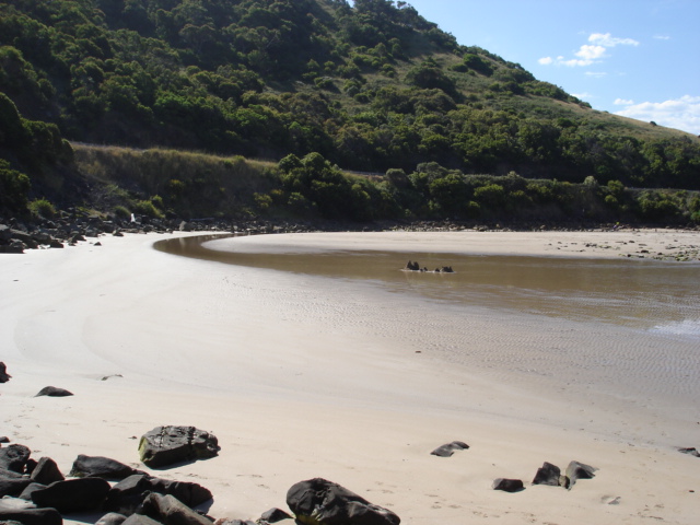
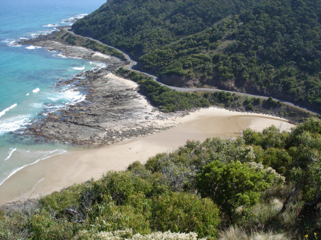
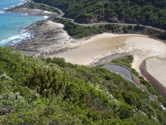
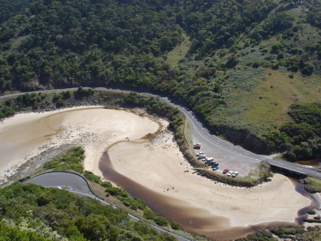
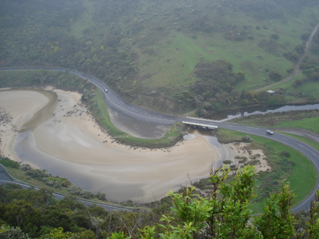
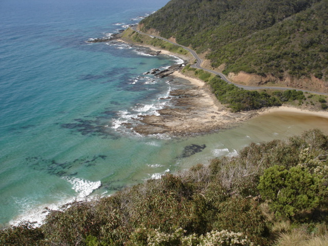
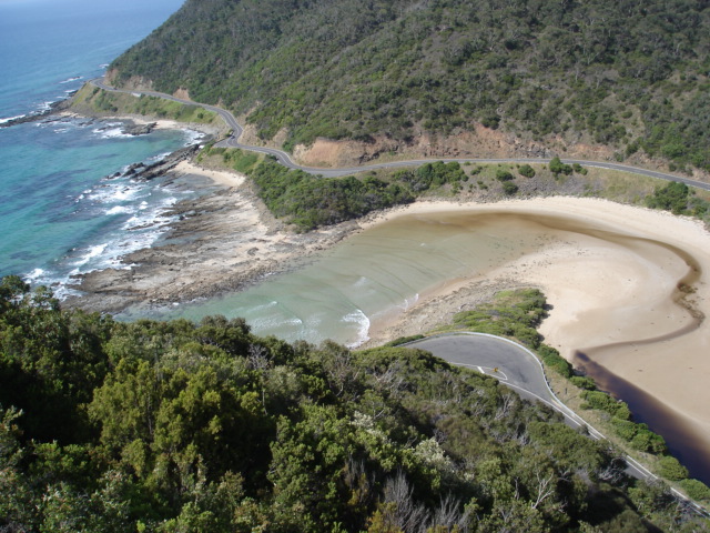
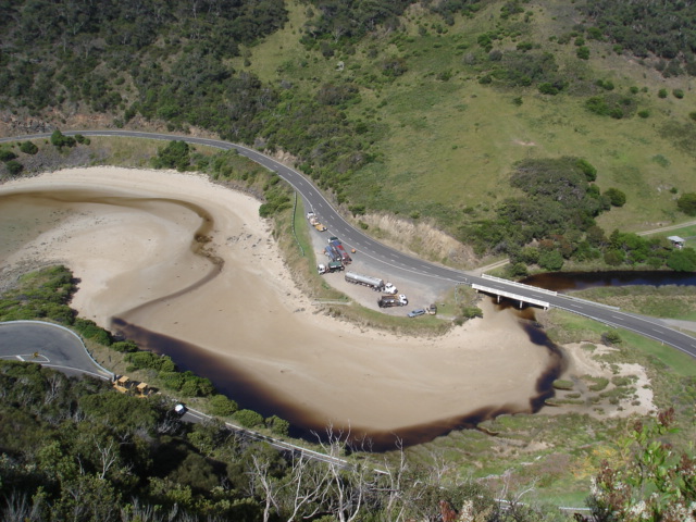
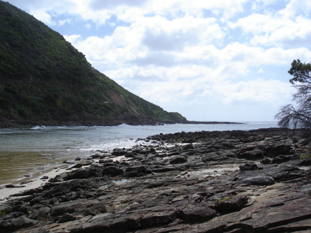
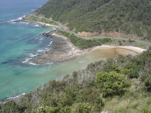
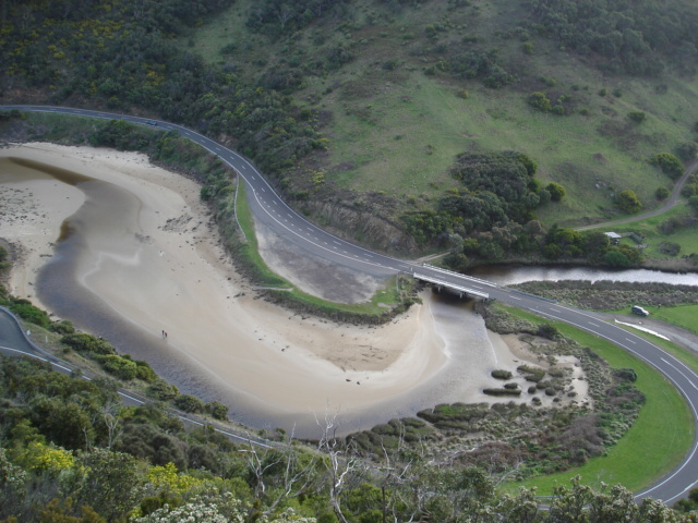
STMC St George Estuary Mouth Observation Site
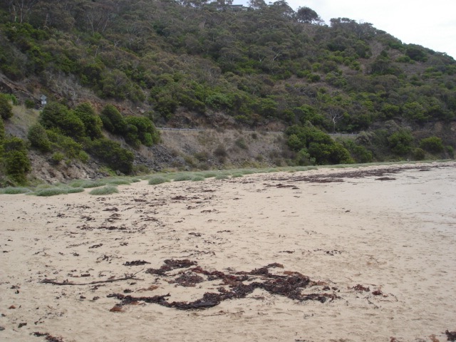
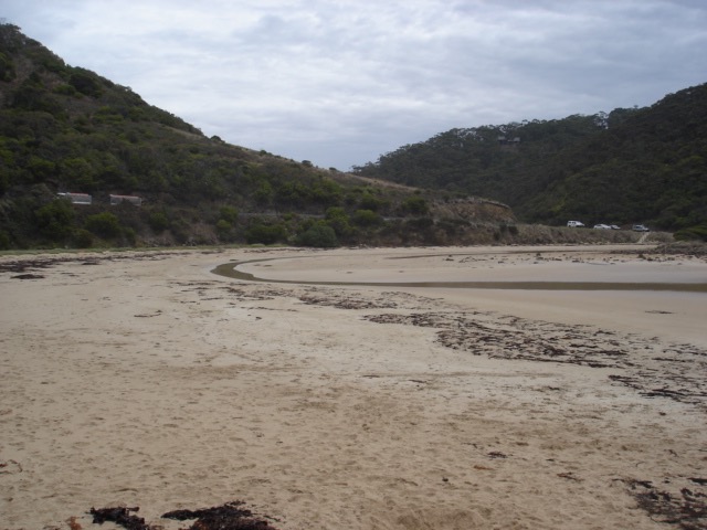
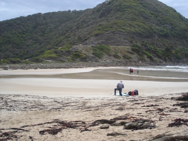
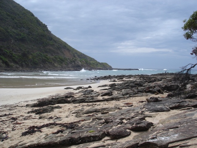
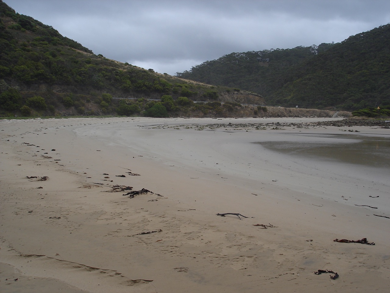
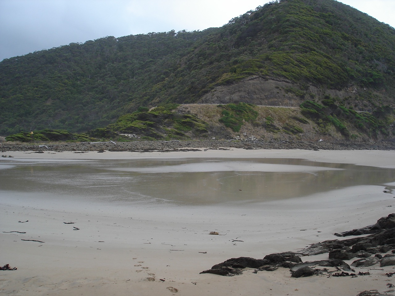
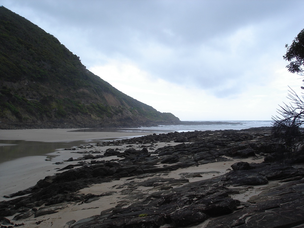
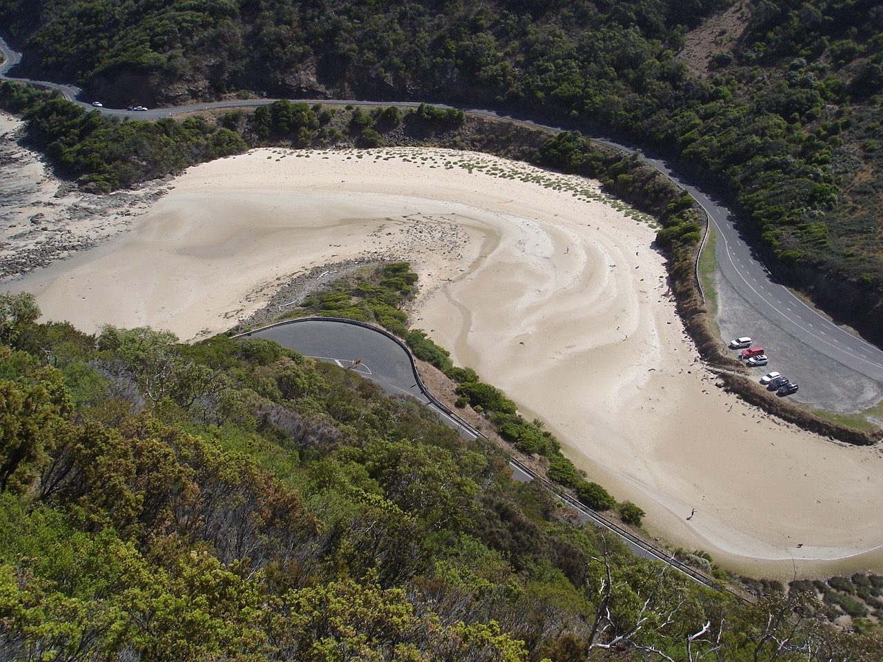
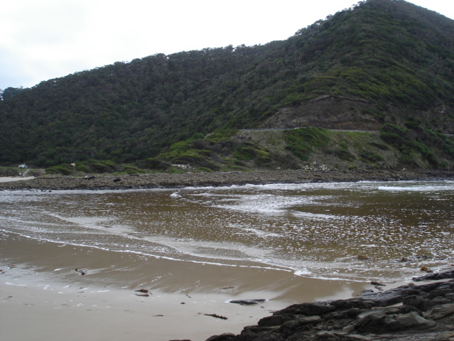
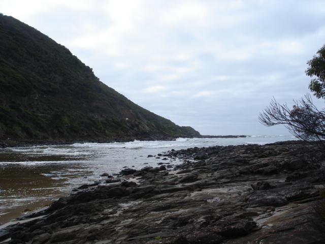
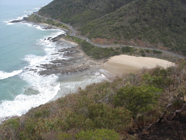
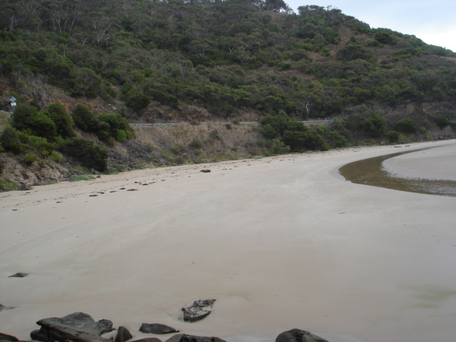
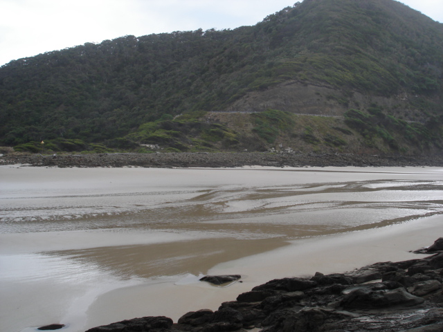
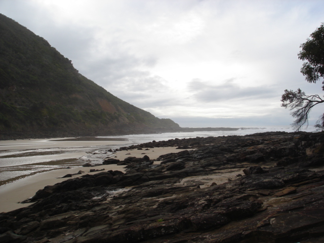
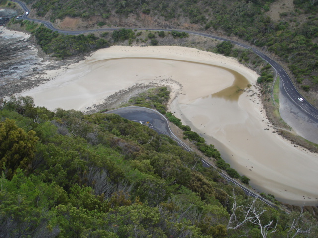
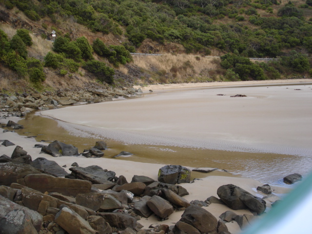
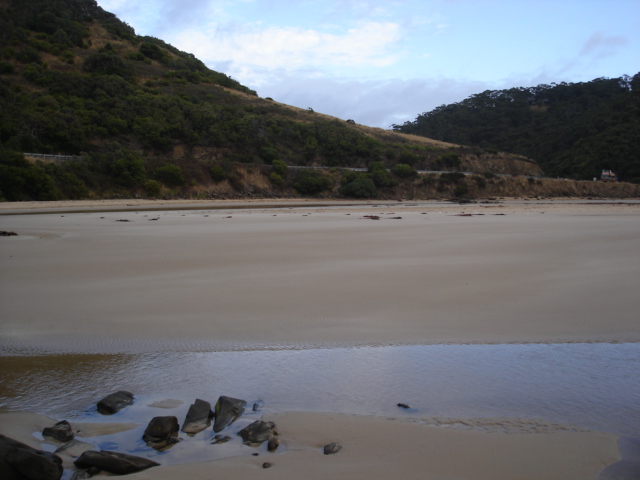
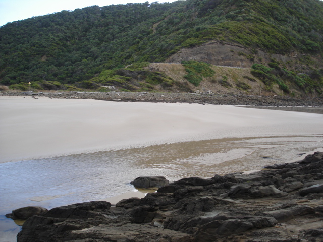
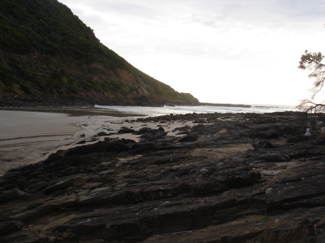
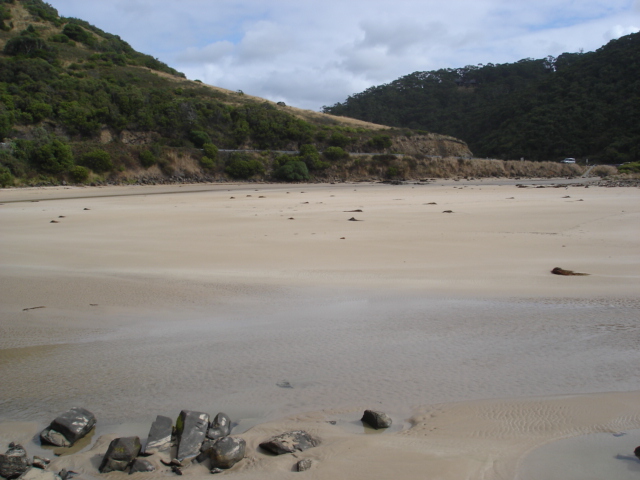
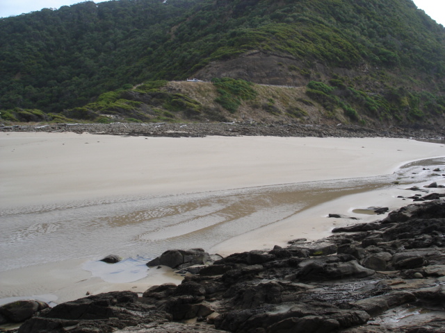
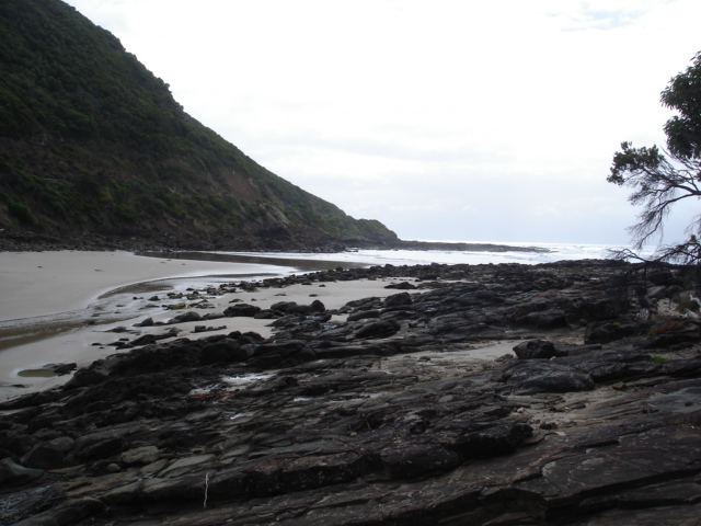
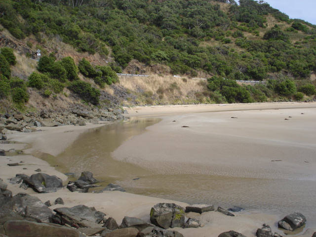
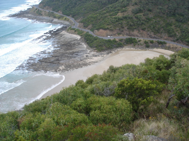
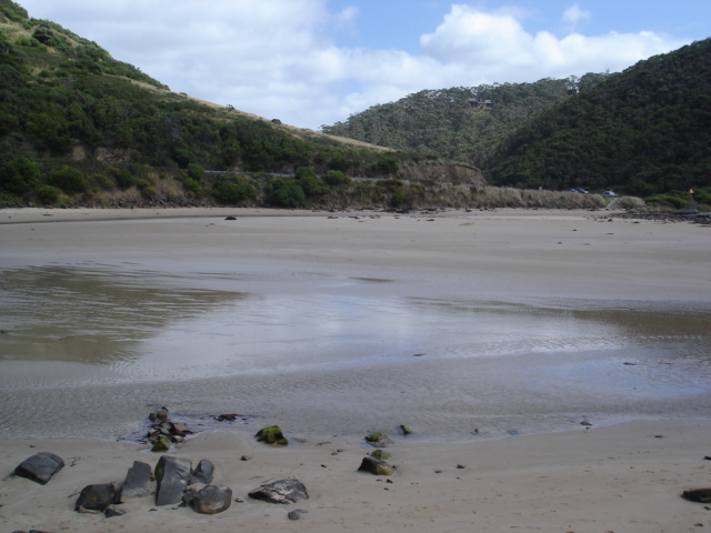
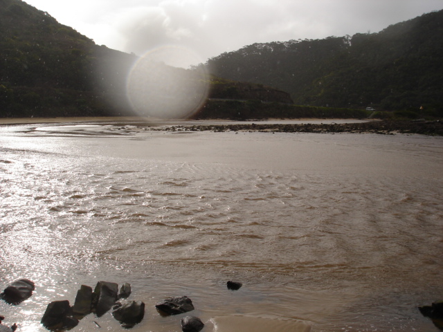
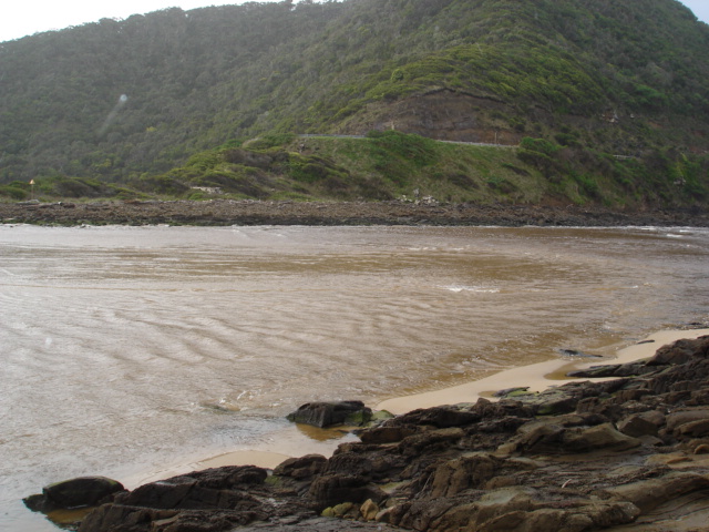
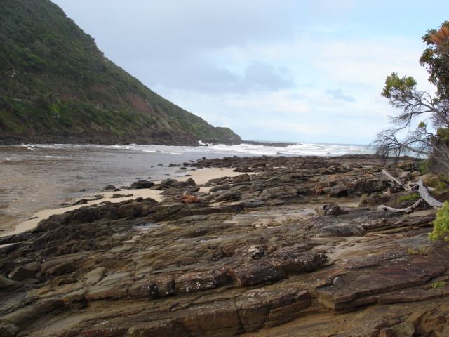
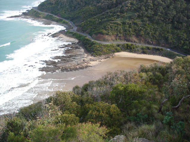
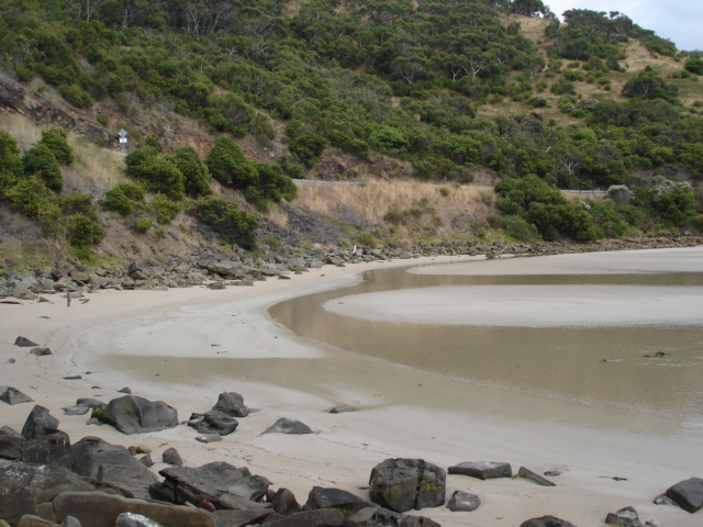
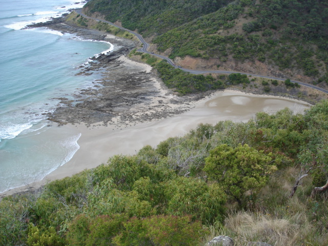
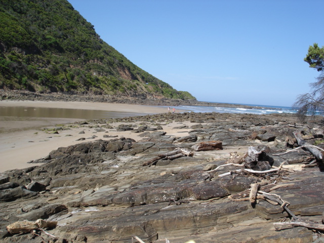
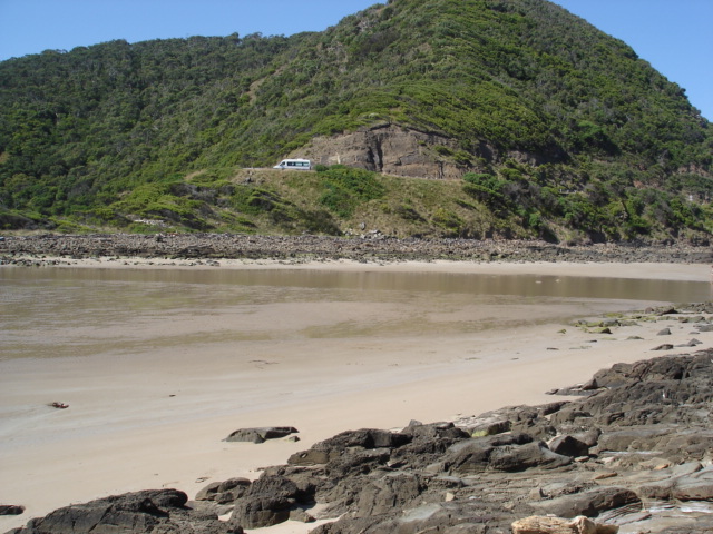
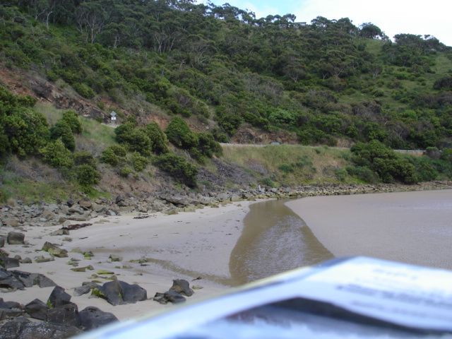
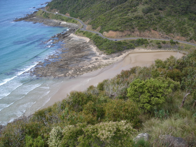
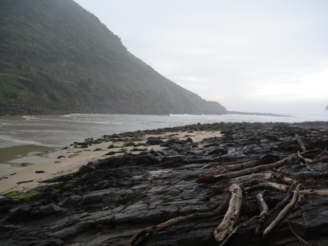
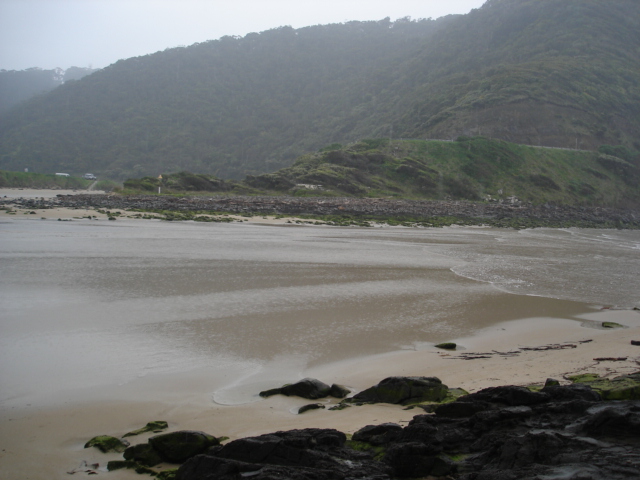
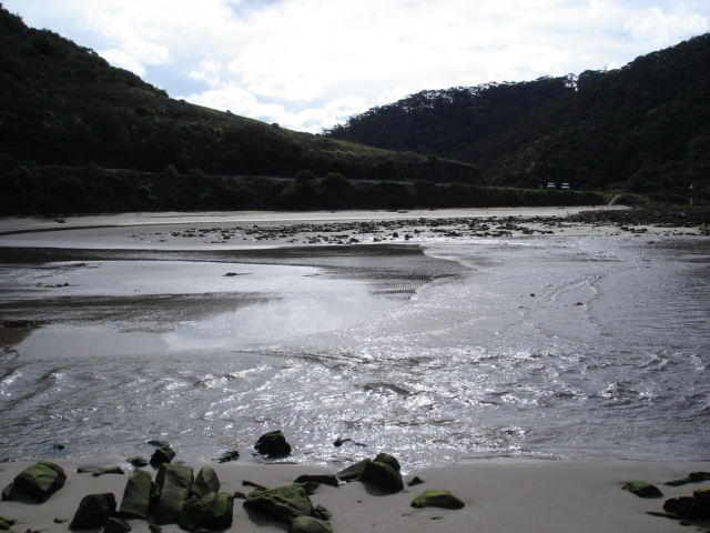
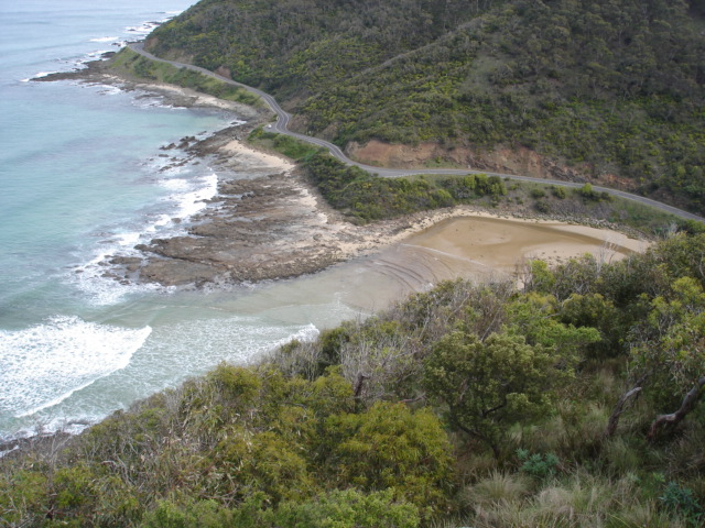
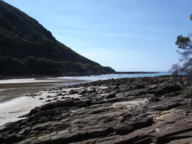
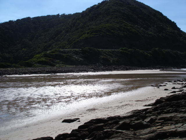
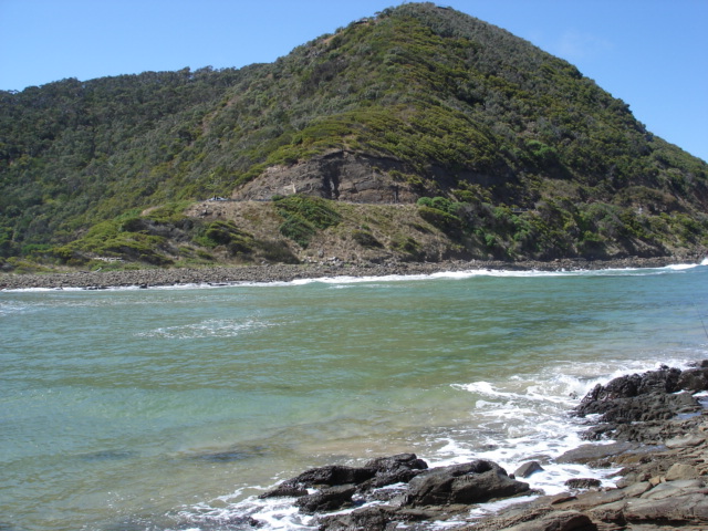
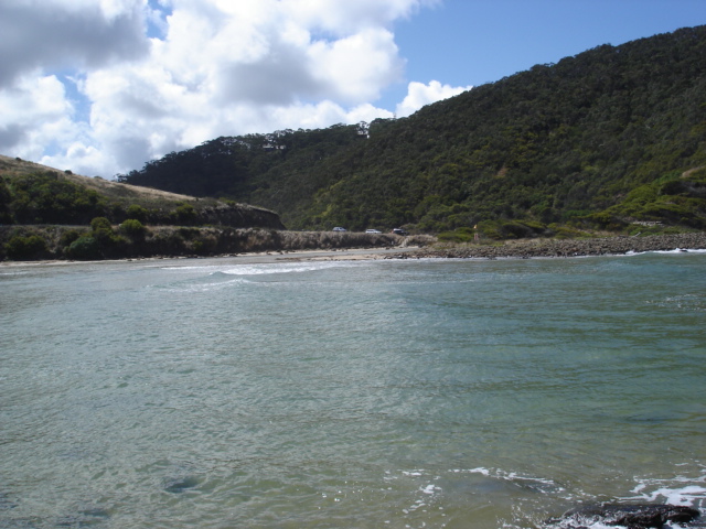
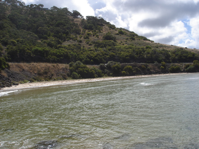
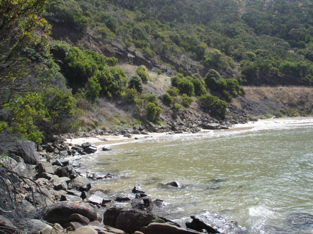
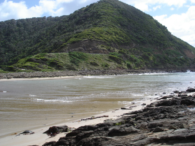
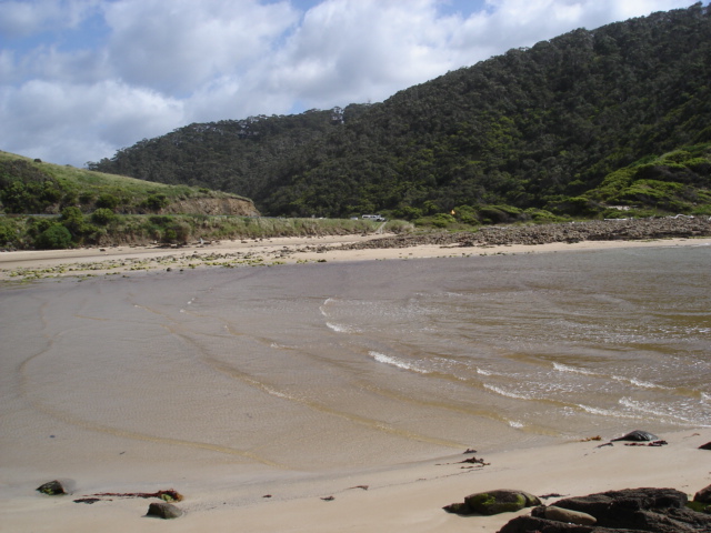
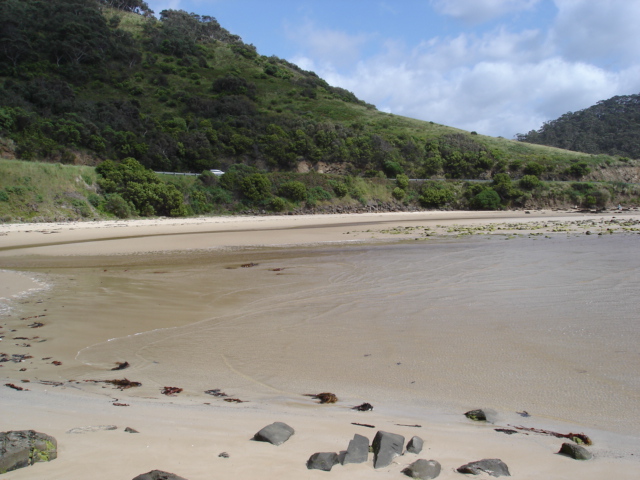
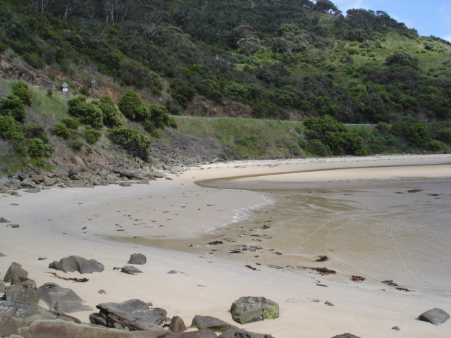
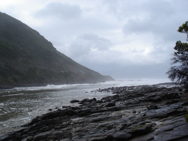
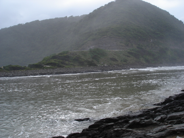
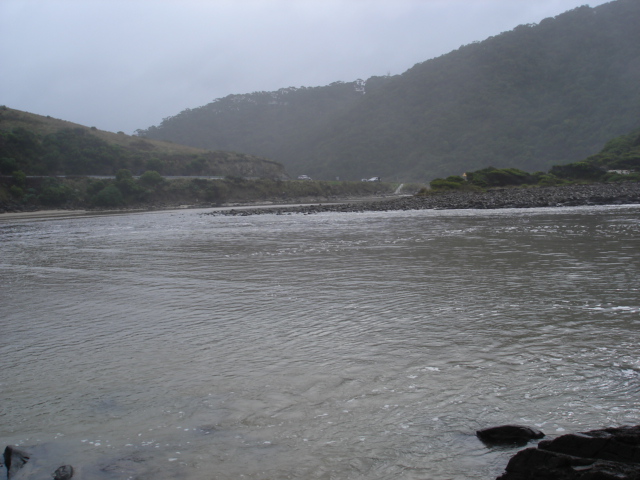
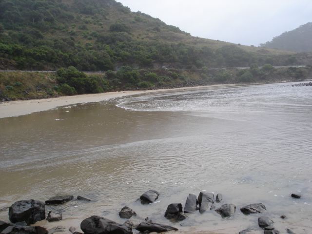
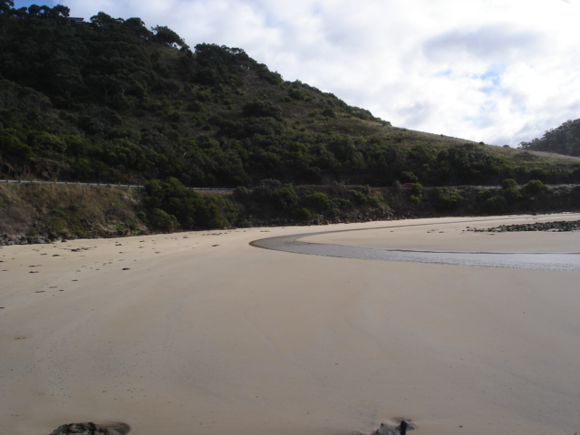
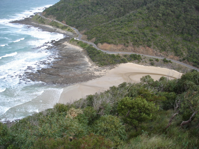
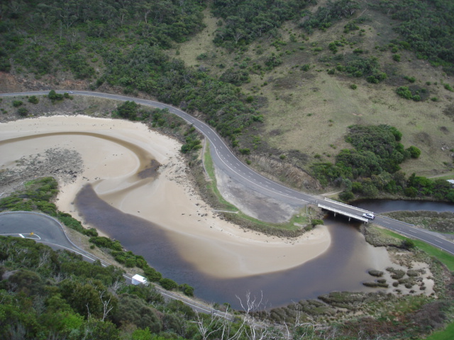
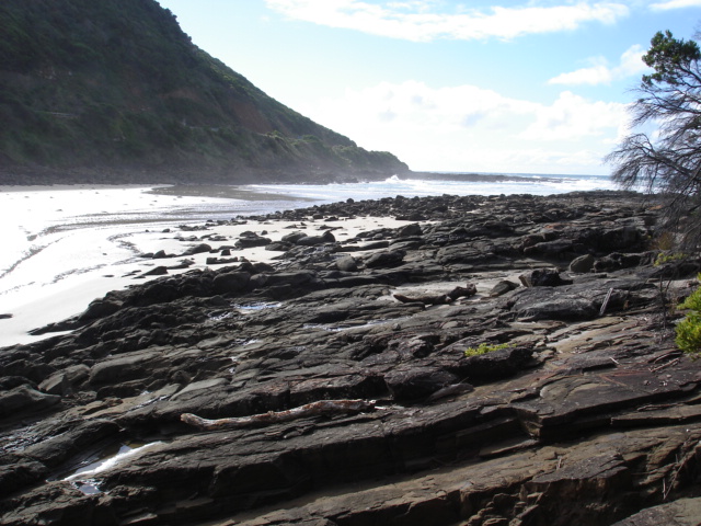
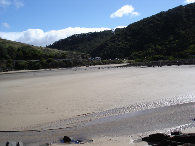
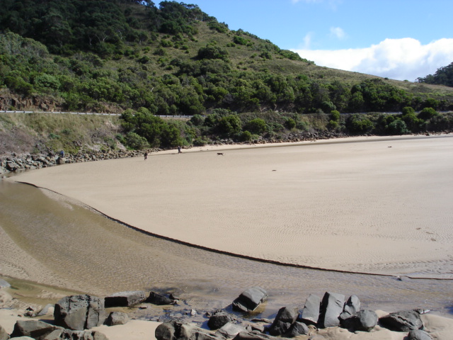
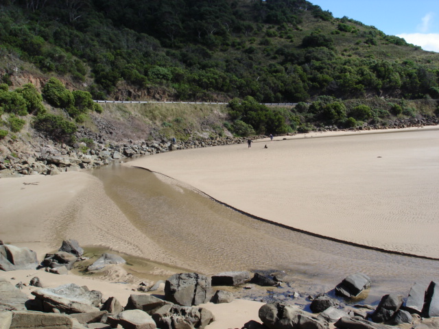
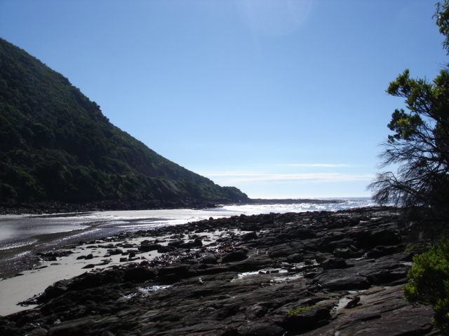
Active Mouth Condition 05-01-2008 - 07-03-2020St George River Estuary
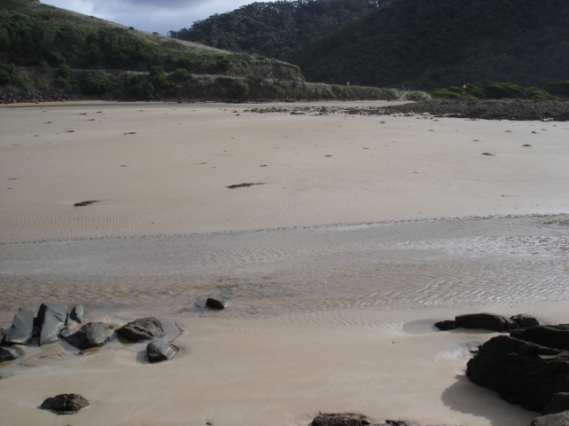
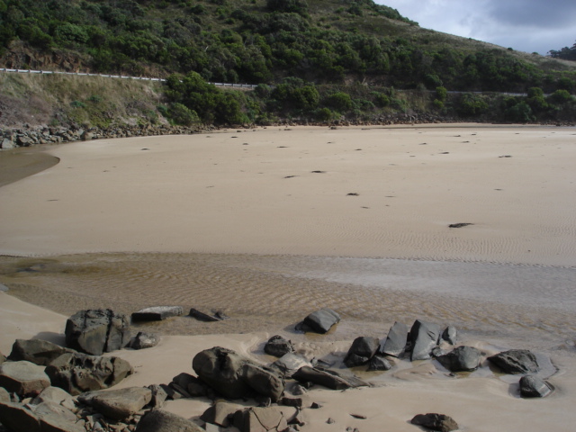
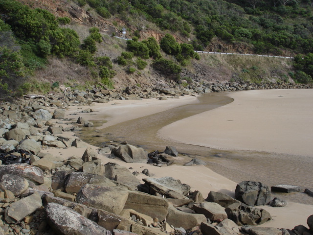
155 results found (Displaying 51 - 100)
| ID | Date | Status | Details | |
|---|---|---|---|---|
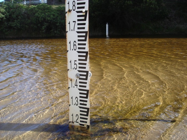
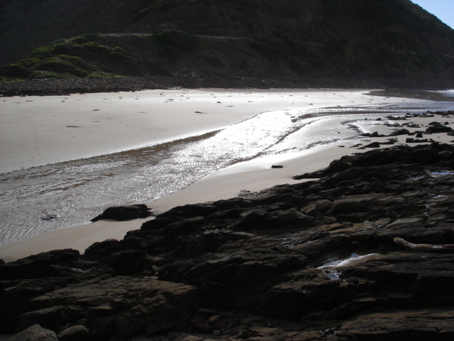
| #10302 | 30 Mar 2016 | Approved |
Notes:
Water level readings used old depth gauge. (see photo) Wind at Teddys lookout direction S:scale 4 to 5 |
|
| #10301 | 22 Feb 2016 | Approved | Notes: Slight outward flow present only at high tide. | |
| #10300 | 26 Jan 2016 | Approved |
Notes:
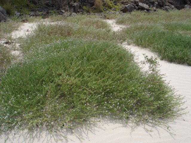
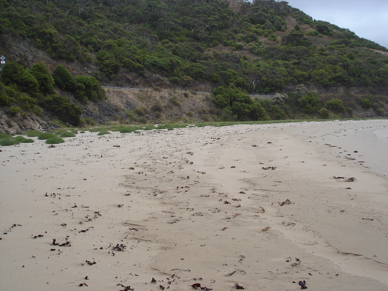
Vegetation (Sea rocket) on sand on south side of estuary increased in size. Quite a bit of seaweed washed up. Wind direction at river mouth SE,scale 1. Wind direction at Teddys lookout E,scale 4. |
|
| #10166 | 3 Jan 2016 | Approved |
Notes:
Photos and observations taken on two consecutive days. 3/1/2016 Wind direction at photo point felt like westerly but was really easterly.because deflected by topography. River all but blocked- very small trickle out. 4/1/2016 Teddys lookout photos taken.River merely oozing across sand and appears not to make it to the sea. |
|
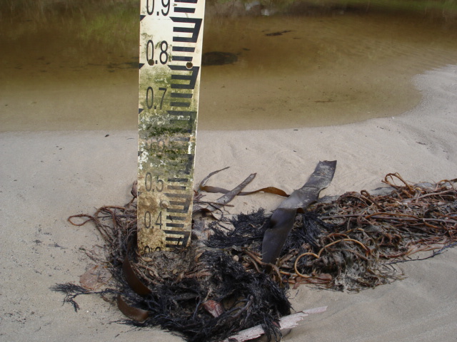
| #10011 | 22 Nov 2015 | Approved |
Notes:
Lots of vigorous plant growth on south-west area of estuary. New depth gauge installed. Old gauge deeply buried in sand. See 3 event photos. |
|
| #9943 | 19 Oct 2015 | Approved | Notes: Wind at river mouth NE but at Teddy's lookout SE. This is usually the case that when the wind is from the south it is deflected off the northern side of the estuary and hits the mouth observation point as if coming from the apposite direction. | |
| #9854 | 22 Sep 2015 | Approved |
Notes:
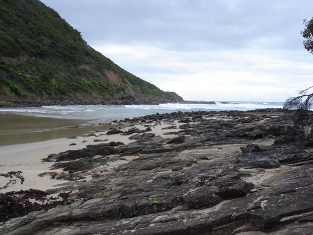
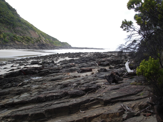
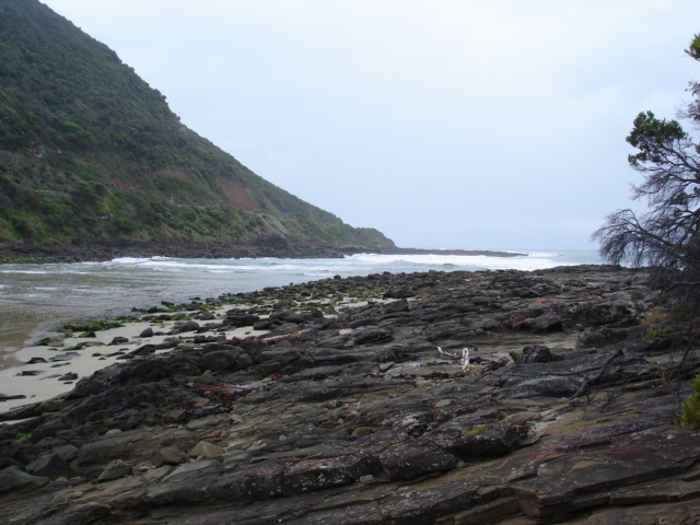
Sand sloping quite steeply towards river on southern side of estuary. Wind strength and direction at observation point has been entered. Wind strength at Teddys lookout Scale 5 and southerly. Shape of estuary topography causes wind to be deflected I think. |
|
| #9831 | 20 Aug 2015 | Approved | ||
| #9746 | 24 Jul 2015 | Approved | ||
| #9695 | 23 Jun 2015 | Approved | ||
| #9671 | 16 May 2015 | Approved | Notes: Even more sand build up. | |
| #9584 | 24 Apr 2015 | Approved |
Notes:
Very little water going out at low tide.Estuary almost totally covered at high tide. StP2 photo taken from seat above lookout as lookout closed due to fire damage. Two additional photos taken from StP3 as well |
|
| #9463 | 23 Mar 2015 | Approved | ||
| #9450 | 25 Feb 2015 | Approved | ||
| #9373 | 25 Jan 2015 | Approved | ||
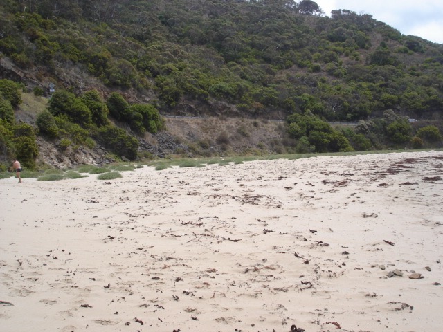
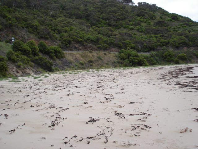
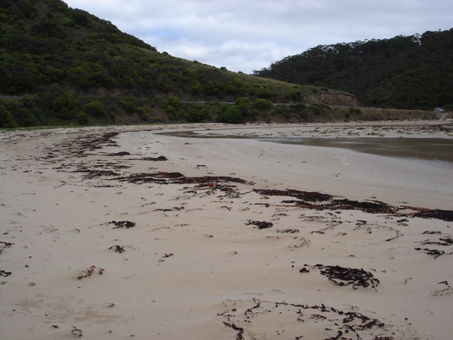
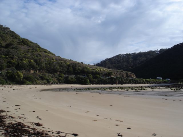
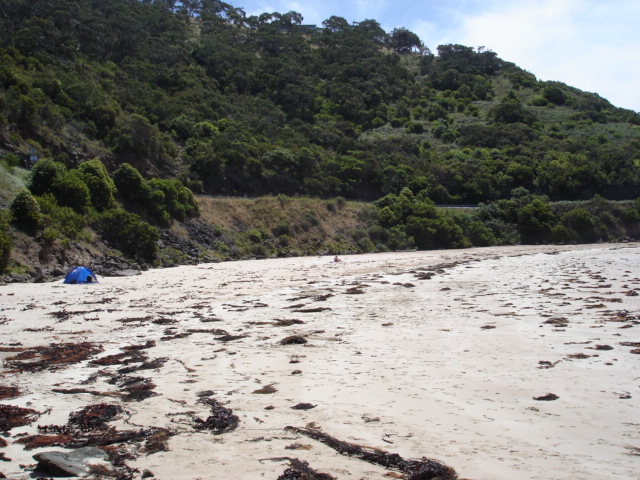
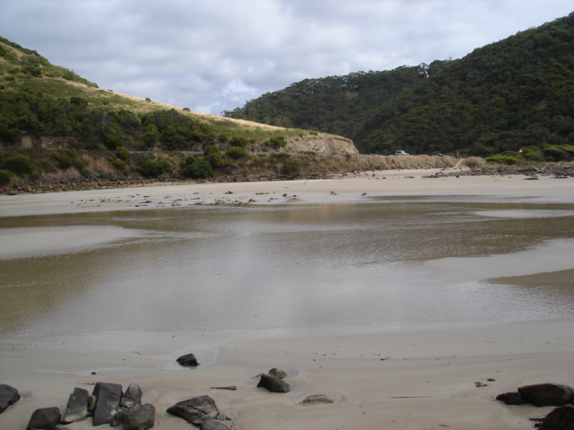
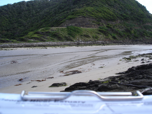
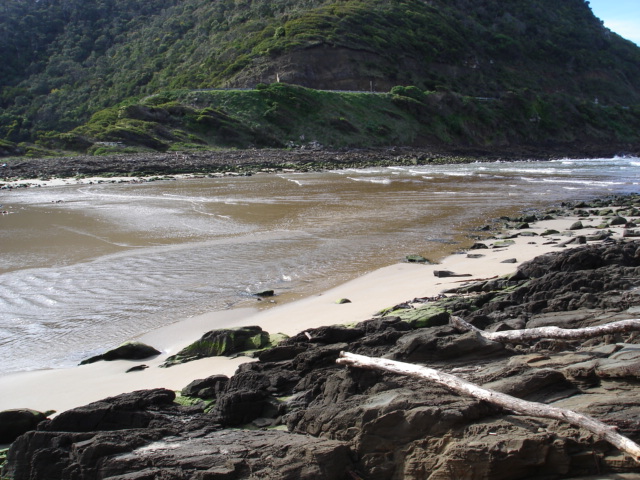
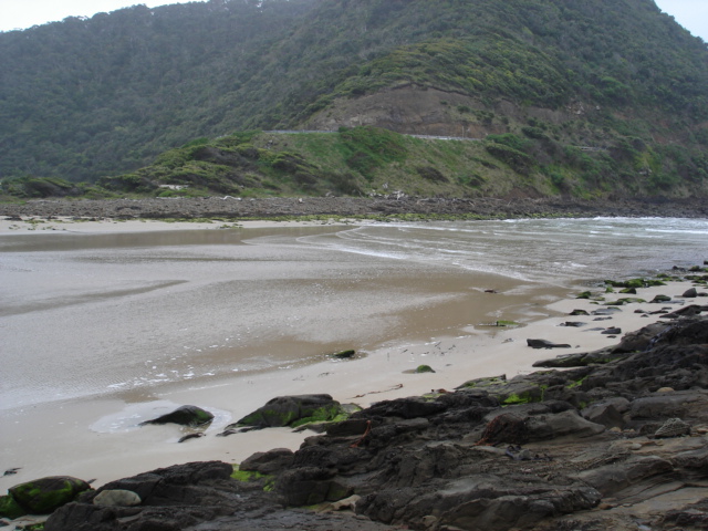
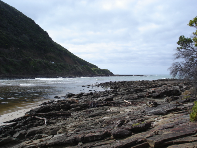
| #9342 | 24 Dec 2014 | Approved | Notes: Lots of seaweed on southern edge of estuary. River barely making it through sand to the sea. | |
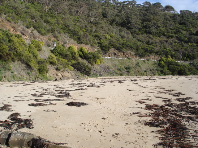
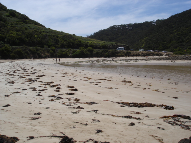
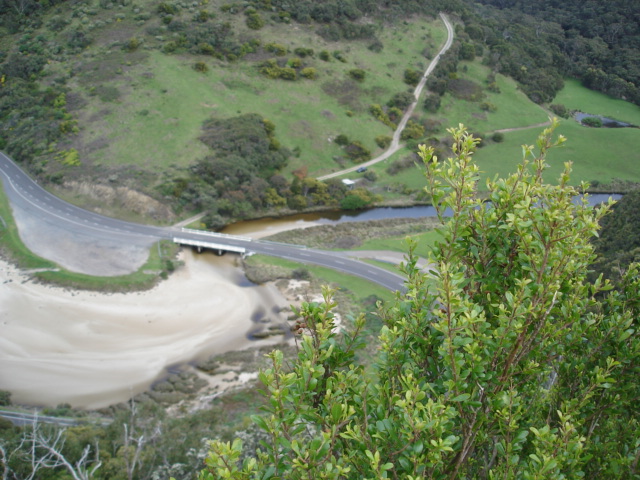
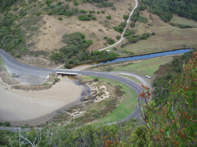
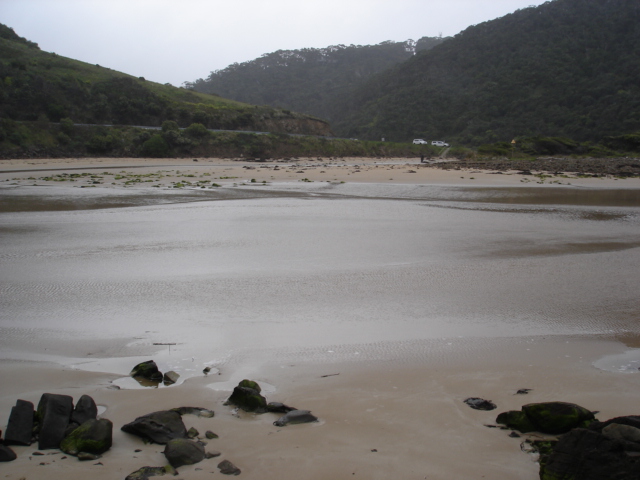
| #9236 | 23 Nov 2014 | Approved | Notes: Lots of seaweed on the beach. Sand continues to build up upstream of the bridge on the Great Ocean Road. | |
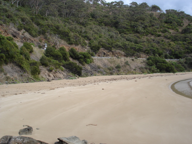
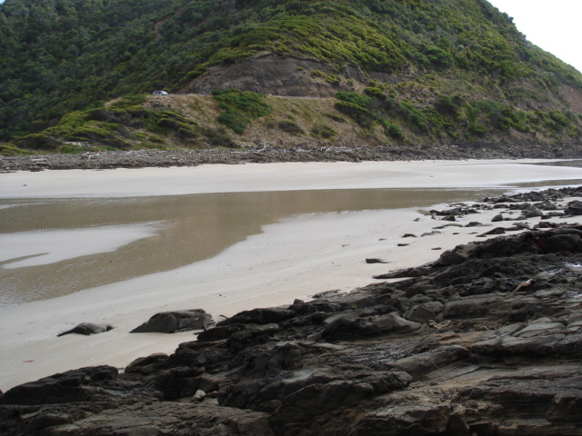
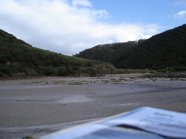
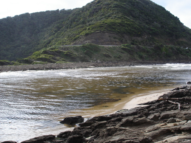
| #9182 | 21 Oct 2014 | Approved | Notes: Sand seems to be building up even more upstream of the GOR bridge probably due to lack of flow down the river. River is now quite shallow in this area. | |
| #9143 | 20 Sep 2014 | Approved | ||
| #9088 | 20 Aug 2014 | Approved | ||
| #9016 | 21 Jul 2014 | Approved | ||
| #8903 | 26 May 2014 | Approved | ||
| #8847 | 21 Apr 2014 | Approved | ||
| #8804 | 18 Mar 2014 | Approved | Notes: Wind change while monitoring | |
| #8771 | 21 Feb 2014 | Approved | ||
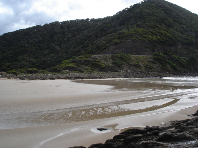
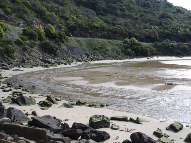
| #8696 | 19 Jan 2014 | Approved | Notes: River curving to southernmost edge of estuary. | |
| #8645 | 18 Dec 2013 | Approved | ||
| #8583 | 27 Nov 2013 | Approved | ||
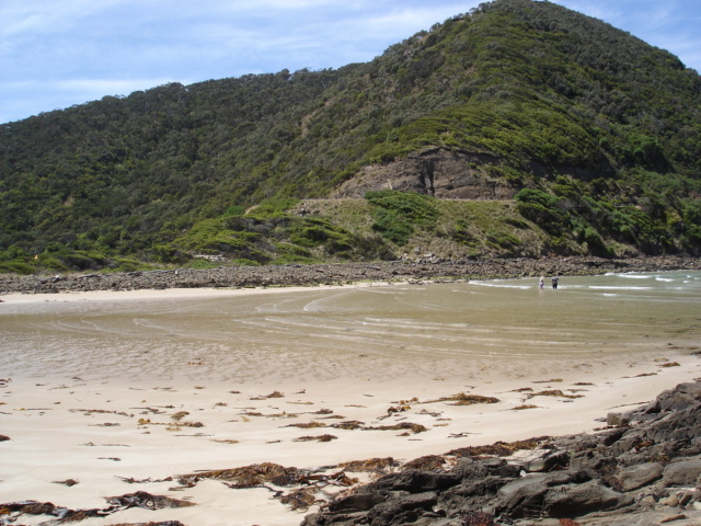
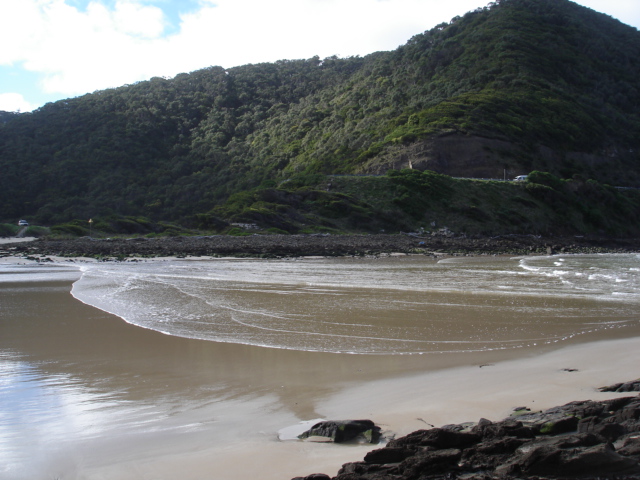
| #8510 | 19 Sep 2013 | Approved | Notes: Deposit of seaweed mostly on southern edge near river mouth. | |
| #8496 | 20 Aug 2013 | Approved | ||
| #8406 | 15 Jul 2013 | Approved | ||
| #8081 | 16 Jan 2013 | Approved | ||
| #7979 | 12 Dec 2012 | Approved | ||
| #7957 | 18 Nov 2012 | Approved | ||
| #7856 | 20 Sep 2012 | Approved | Notes: Tide times Port Phillip Heads minus 20 minutes. | |
| #7855 | 13 Aug 2012 | Approved | Notes: Tide times Port Phillip Heads minus 20 minutes. | |
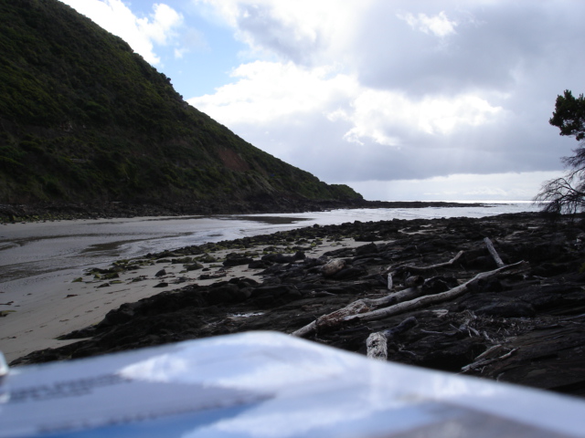
| #7053 | 12 Apr 2012 | Approved | Notes: River flow almost blocked at low tide by sand build-up 50m. downstream of bridge and extending 10m. upstream of bridge. | |
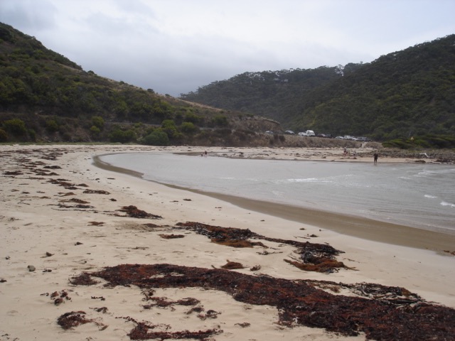
| #6842 | 9 Mar 2012 | Approved | Notes: Seaweed of many kinds washed up on beach in large quantities. Tide times Port Phillip heads minus 20 mins. | |
| #6841 | 12 Feb 2012 | Approved | Notes: tide times Port Phillip Heads minus 20 minutes. | |
| #6622 | 8 Jan 2012 | Approved | Notes: Tide times Port Philip Heads minus 20 minutes | |
| #6461 | 8 Dec 2011 | Approved | Notes: Tide times Port Phillip Heads minus 20 minutes. | |
| #6402 | 12 Nov 2011 | Approved |
Notes:
Tide times Port Phillip Heads minus 20 mins. Depth guage sitting in sand above water level. |
|
| #6261 | 10 Oct 2011 | Approved | Notes: Tide times Port Phillip Heads minus 20 minutes. | |
| #6085 | 11 Sep 2011 | Approved |
Notes:
Tide times Port Phillip Heads minus 20 minutes. Depth guage surrounded by sand. Bright green algae on rocks to high tide mark. |
|
| #5964 | 12 Aug 2011 | Approved | ||
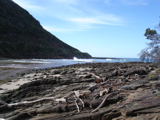
| #5882 | 10 Jul 2011 | Approved | Notes: Huge seas and high tides have eroded sections of the edge of the estuary. Highest tides have even depositied seaweed on the edge of the great ocean road near the bridge (on the inland side). | |
| #5862 | 10 Jun 2011 | Approved | ||
| #5528 | 9 May 2011 | Approved | Notes: Tide times Port Phillip Heads minus 20 minutes | |
| #5467 | 10 Apr 2011 | Approved | Notes: Unable to read water levels as guage out of the water | |
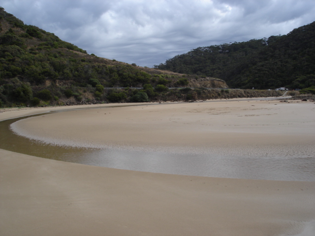
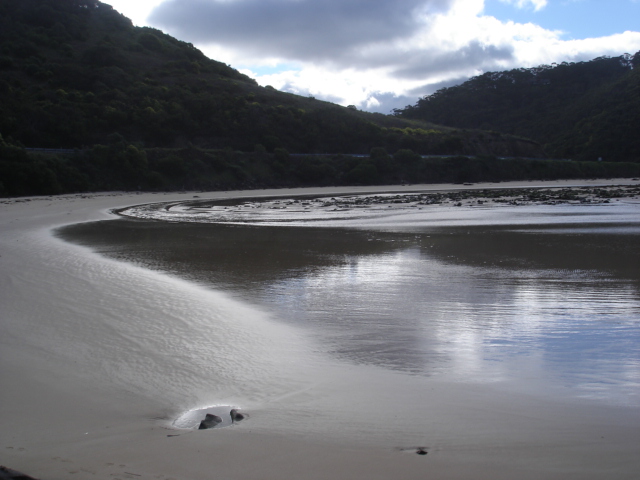
| #5326 | 12 Mar 2011 | Approved |
Notes:
Tide times Port Phillip Heads minus 20 mins. River flowing on extreme s/w edge of estuary. |
|


All content, files, data and images provided by the EstuaryWatch Data Portal and Gallery are subject to a Creative Commons Attribution License
Content is made available to be used in any way, and should always attribute EstuaryWatch and www.estuarywatch.org.au