EstuaryWatch Data Portal
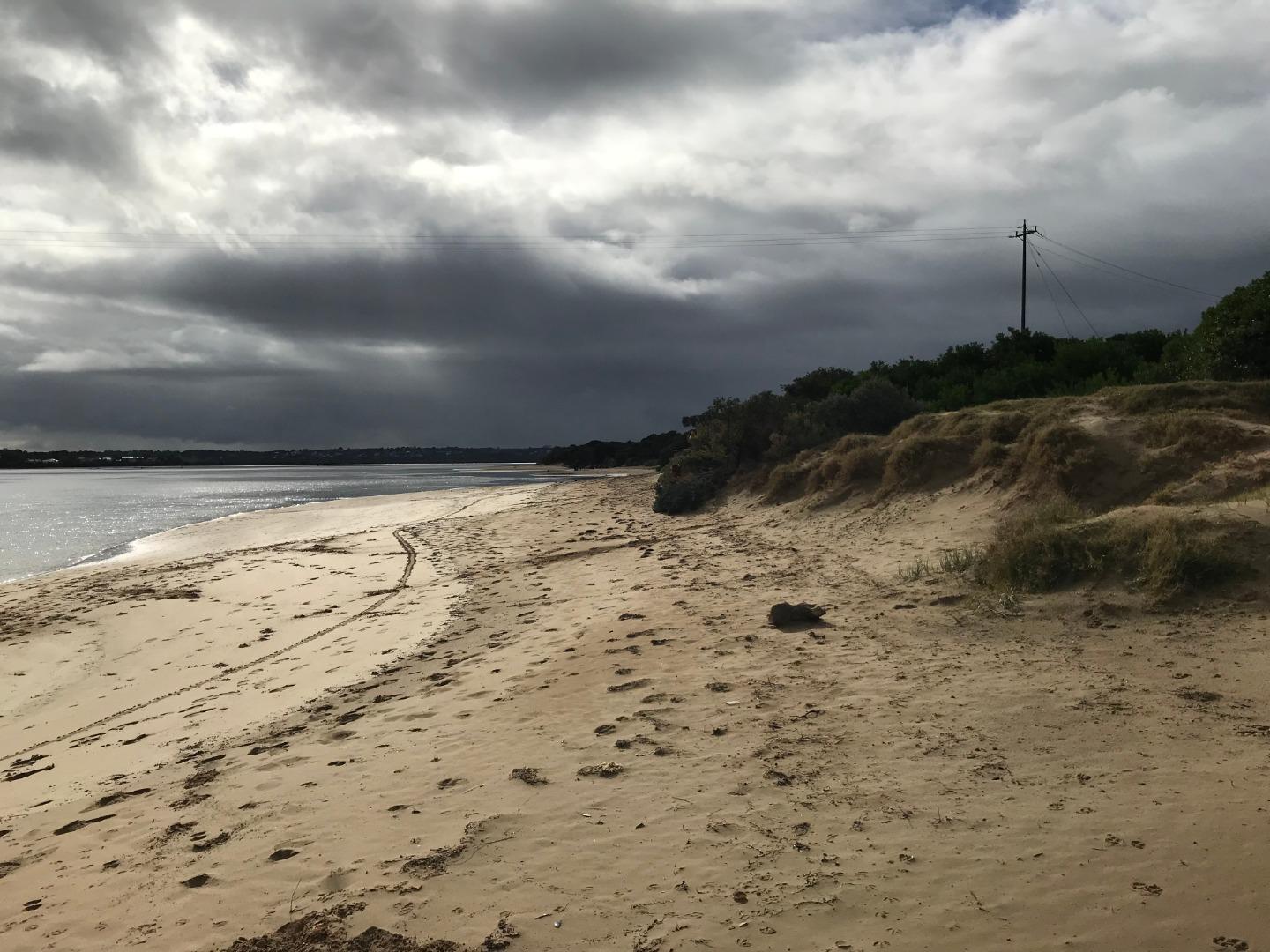
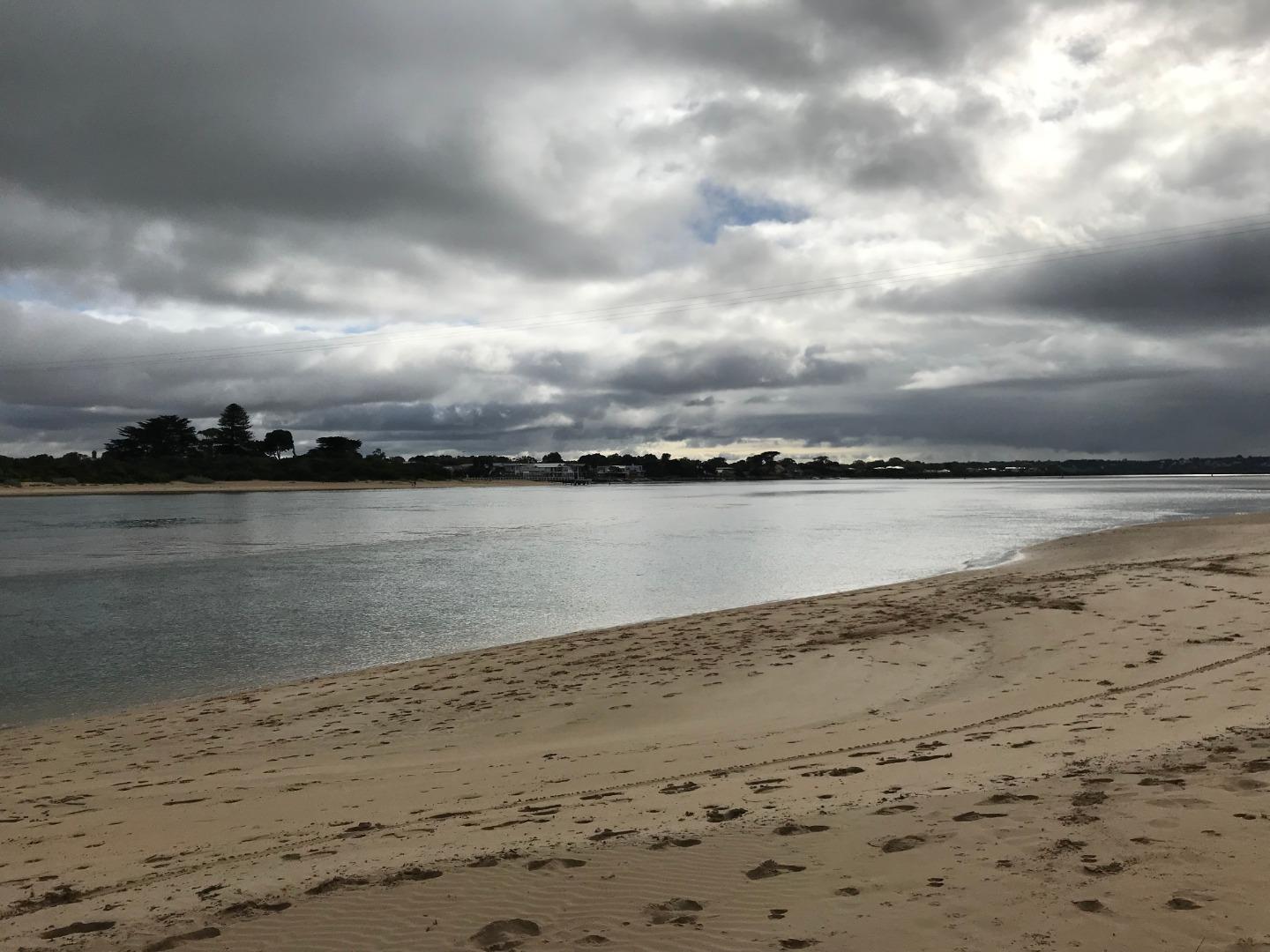
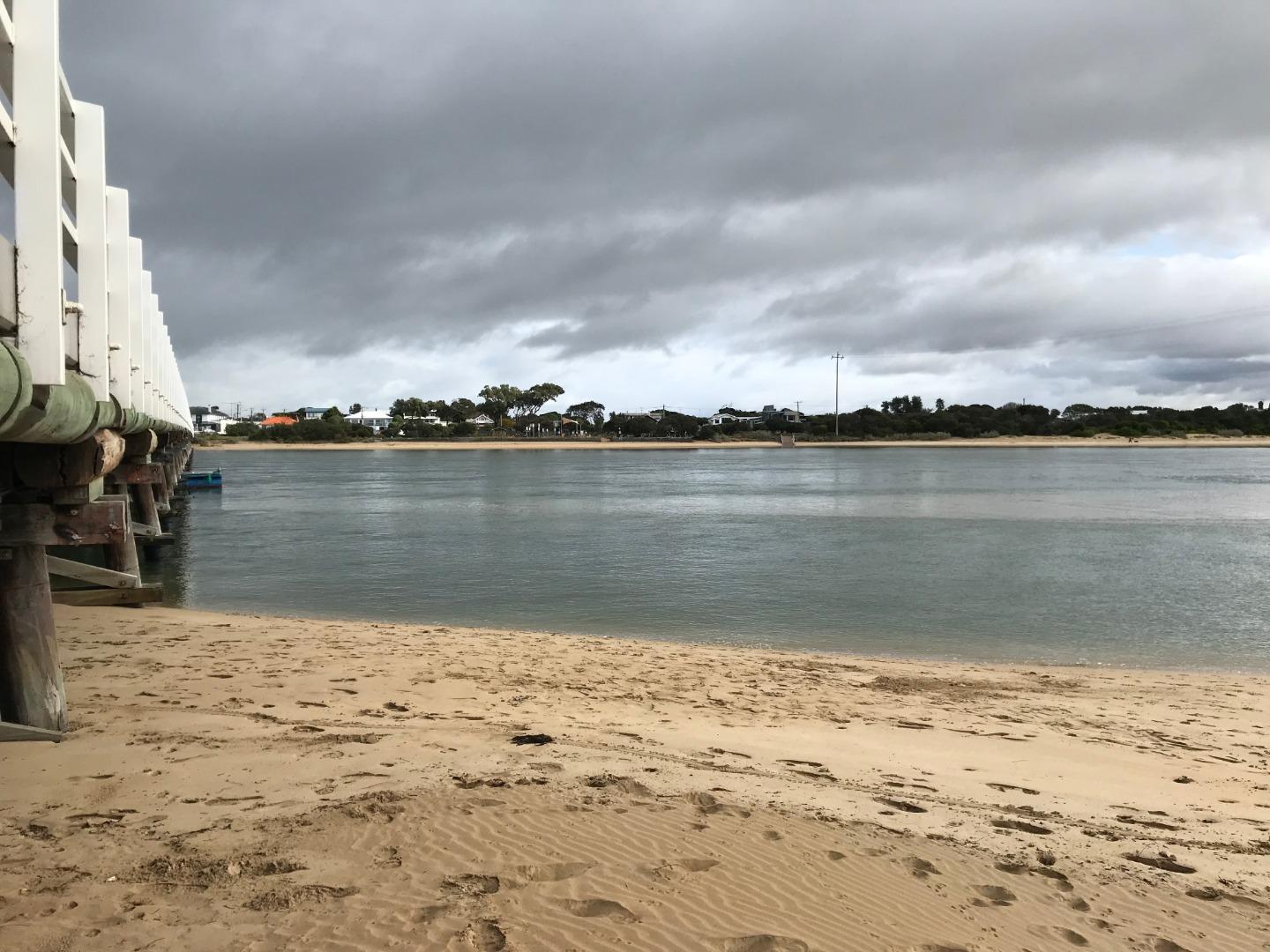
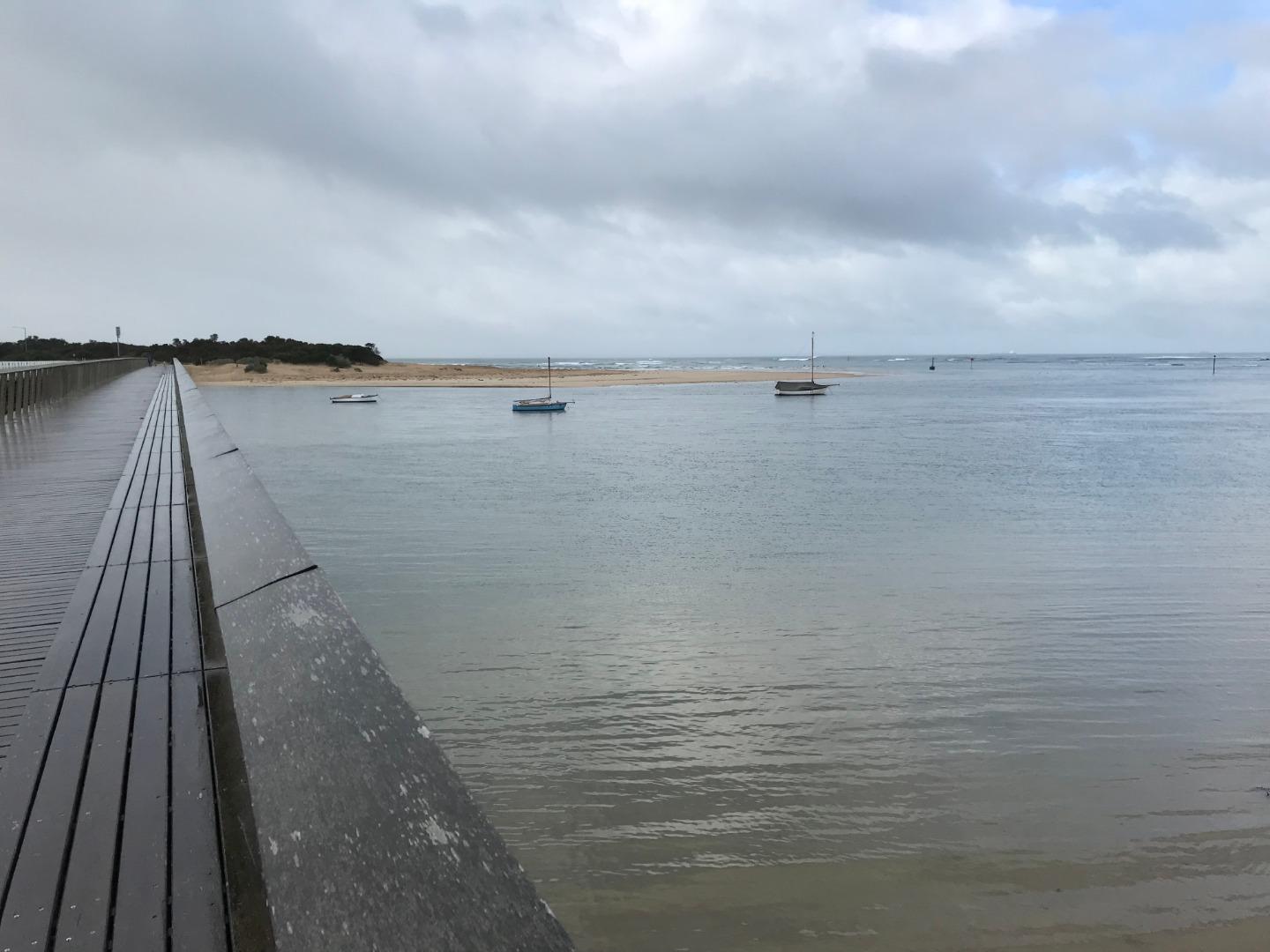
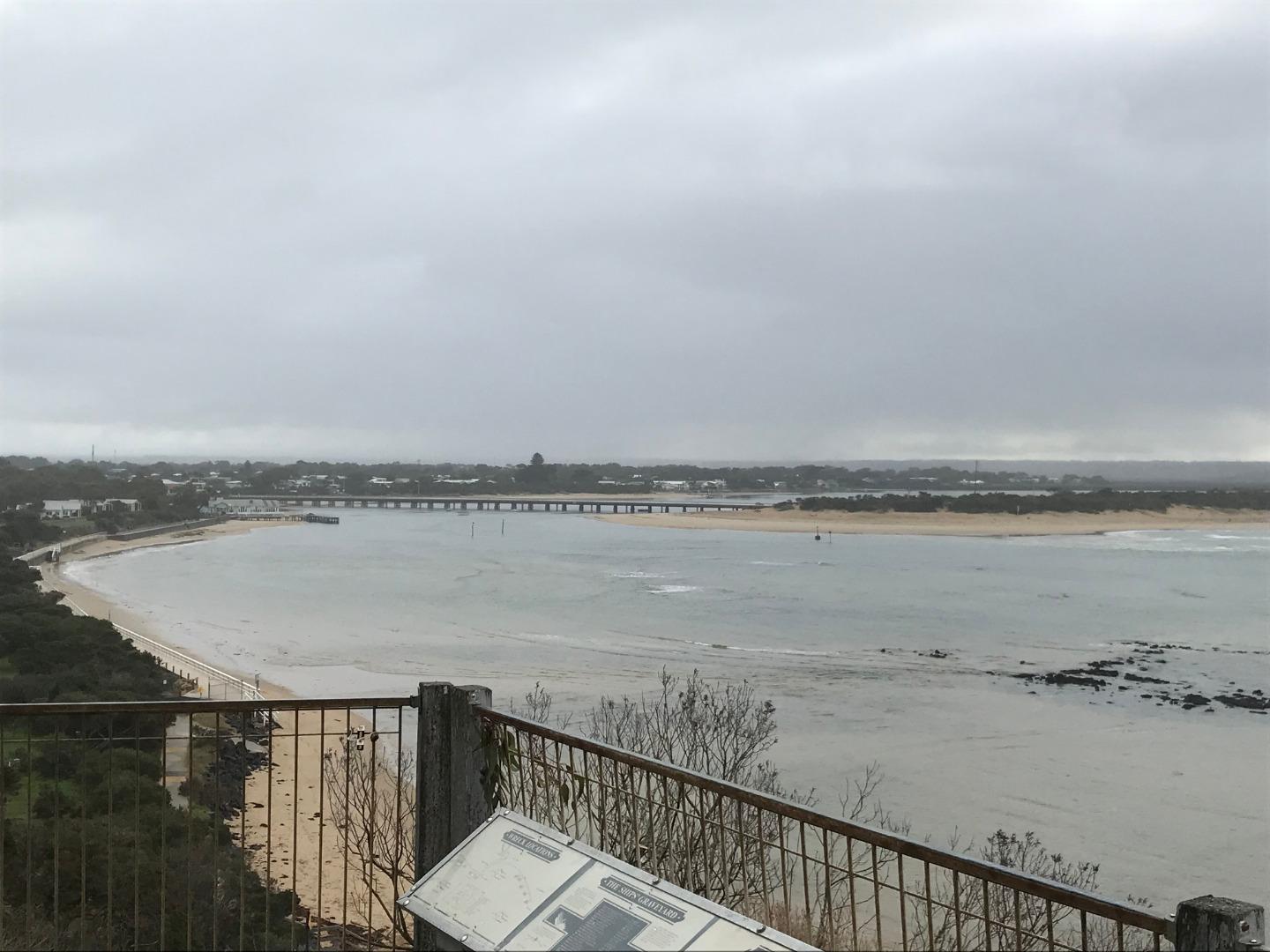
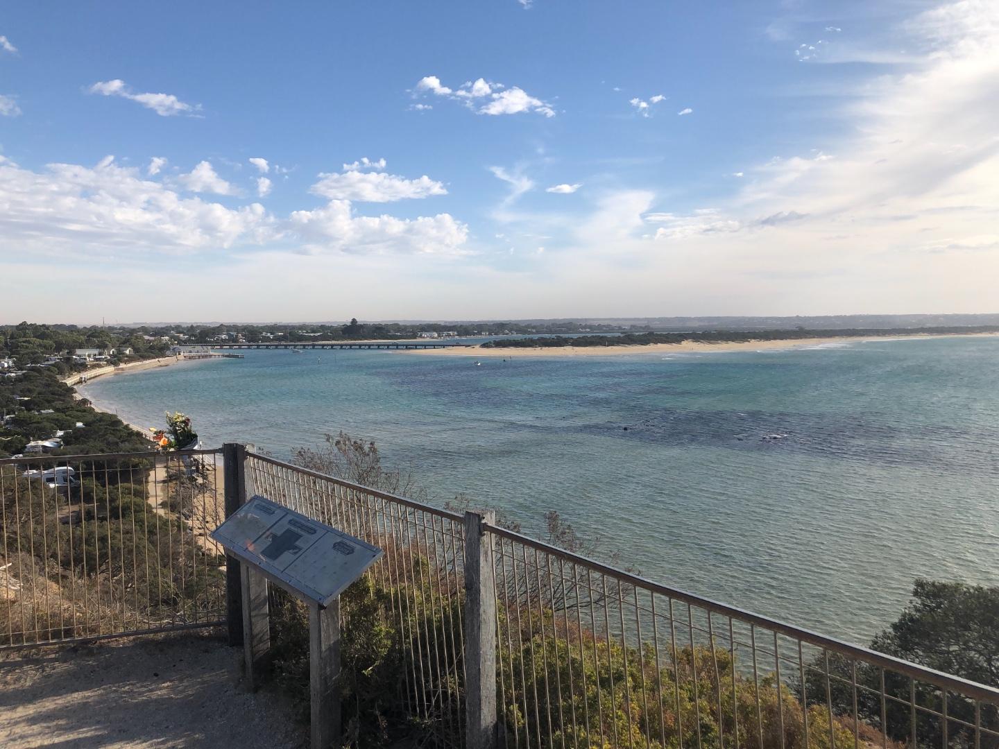
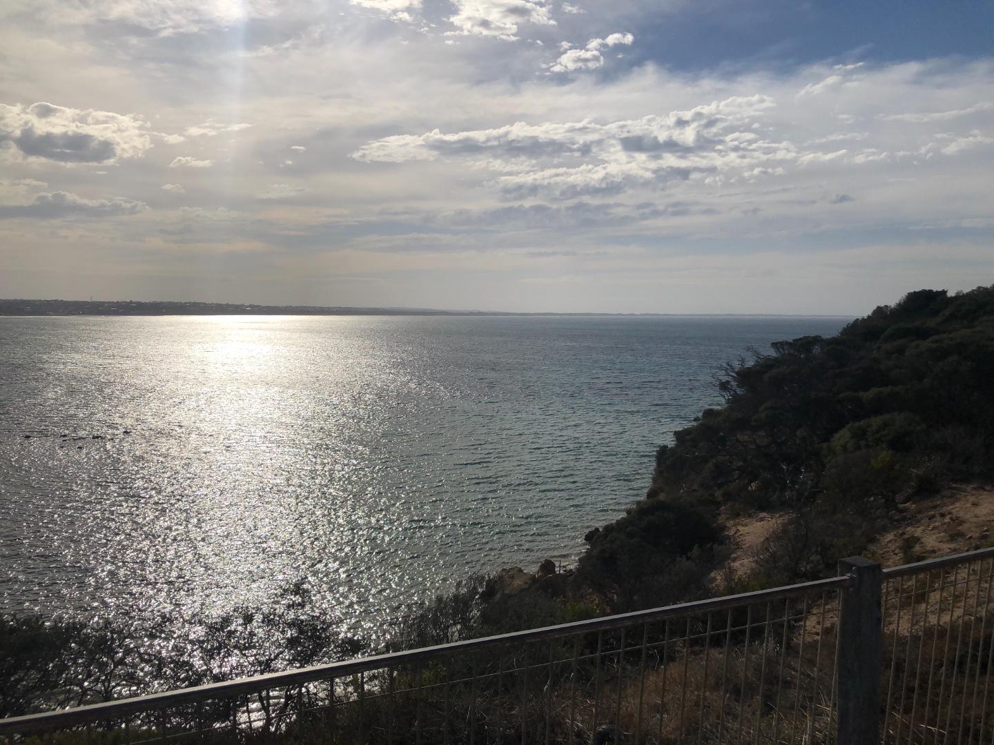
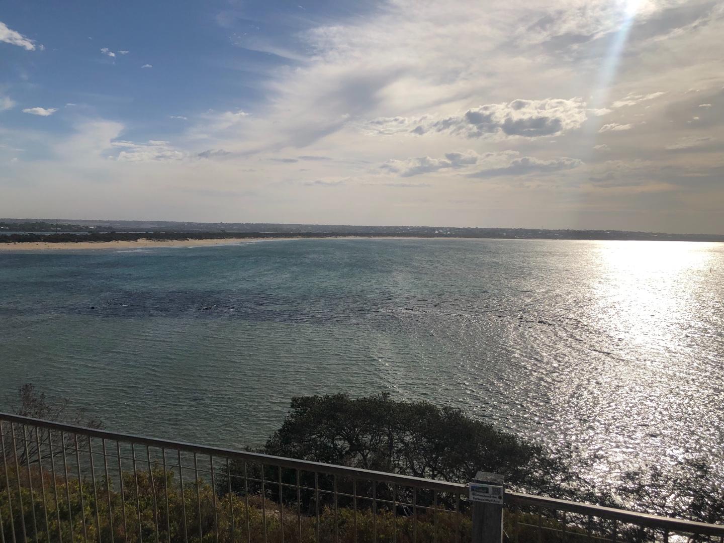
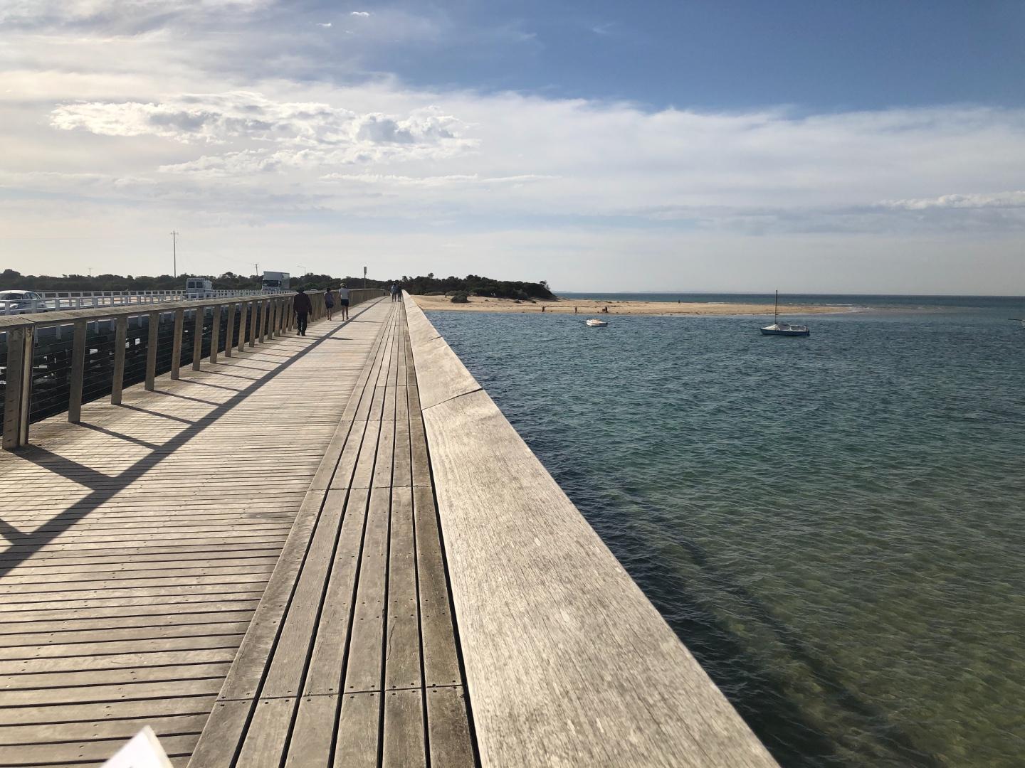
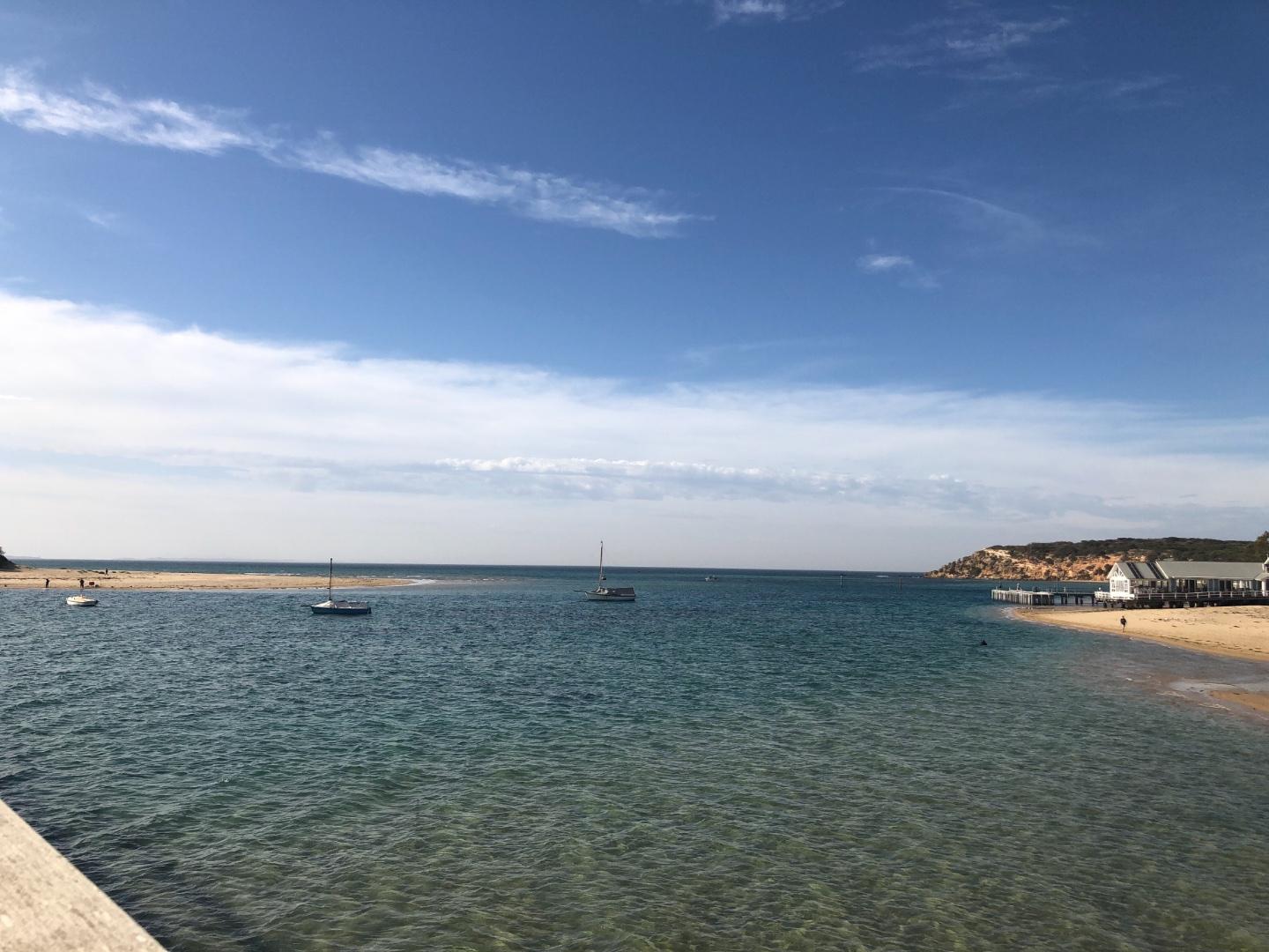
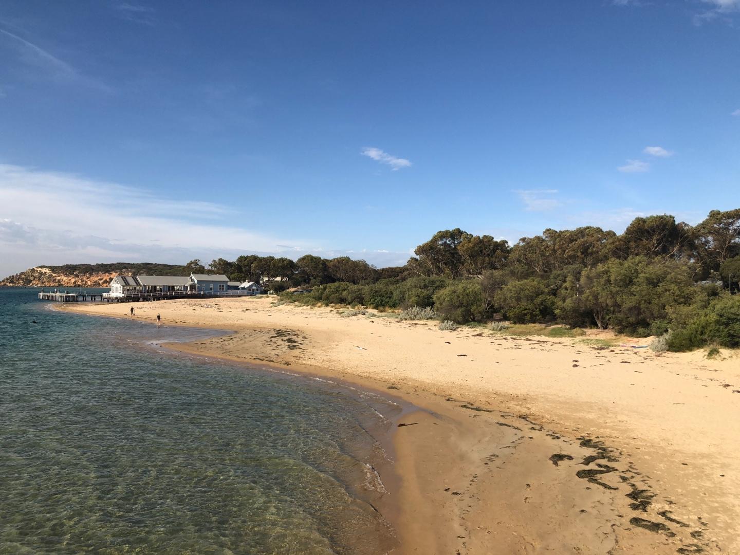
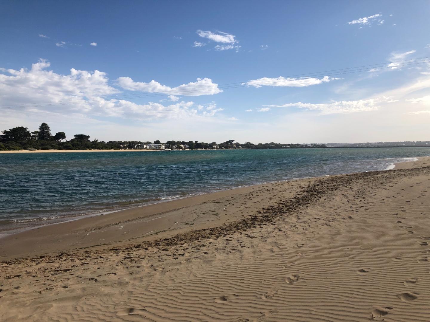
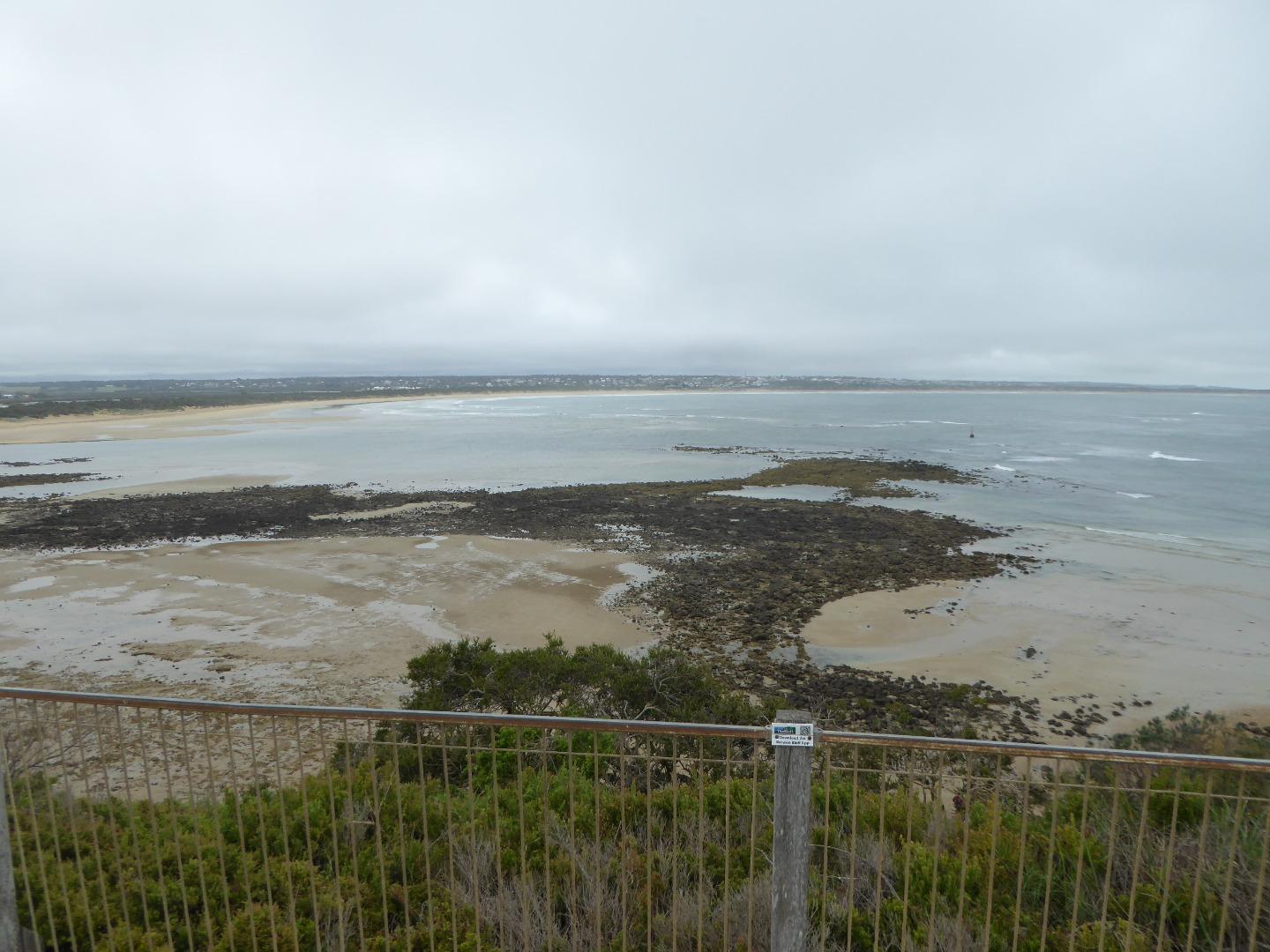
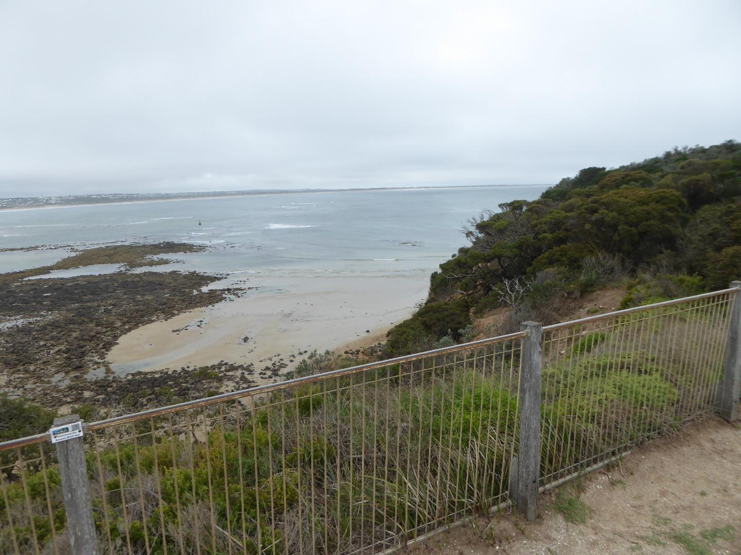
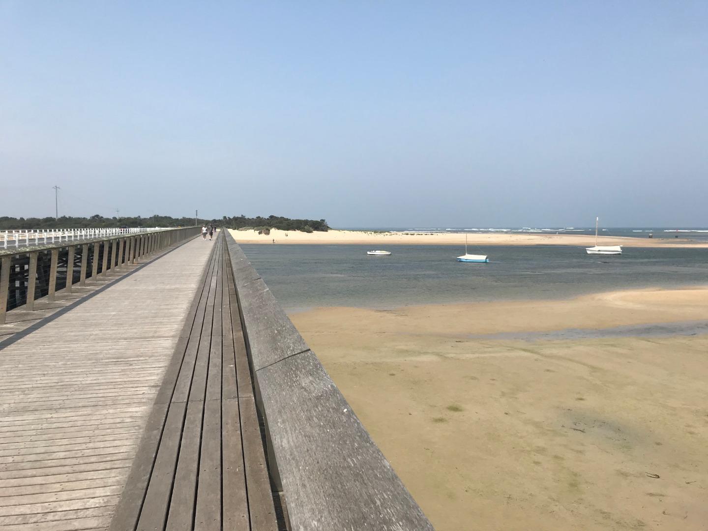
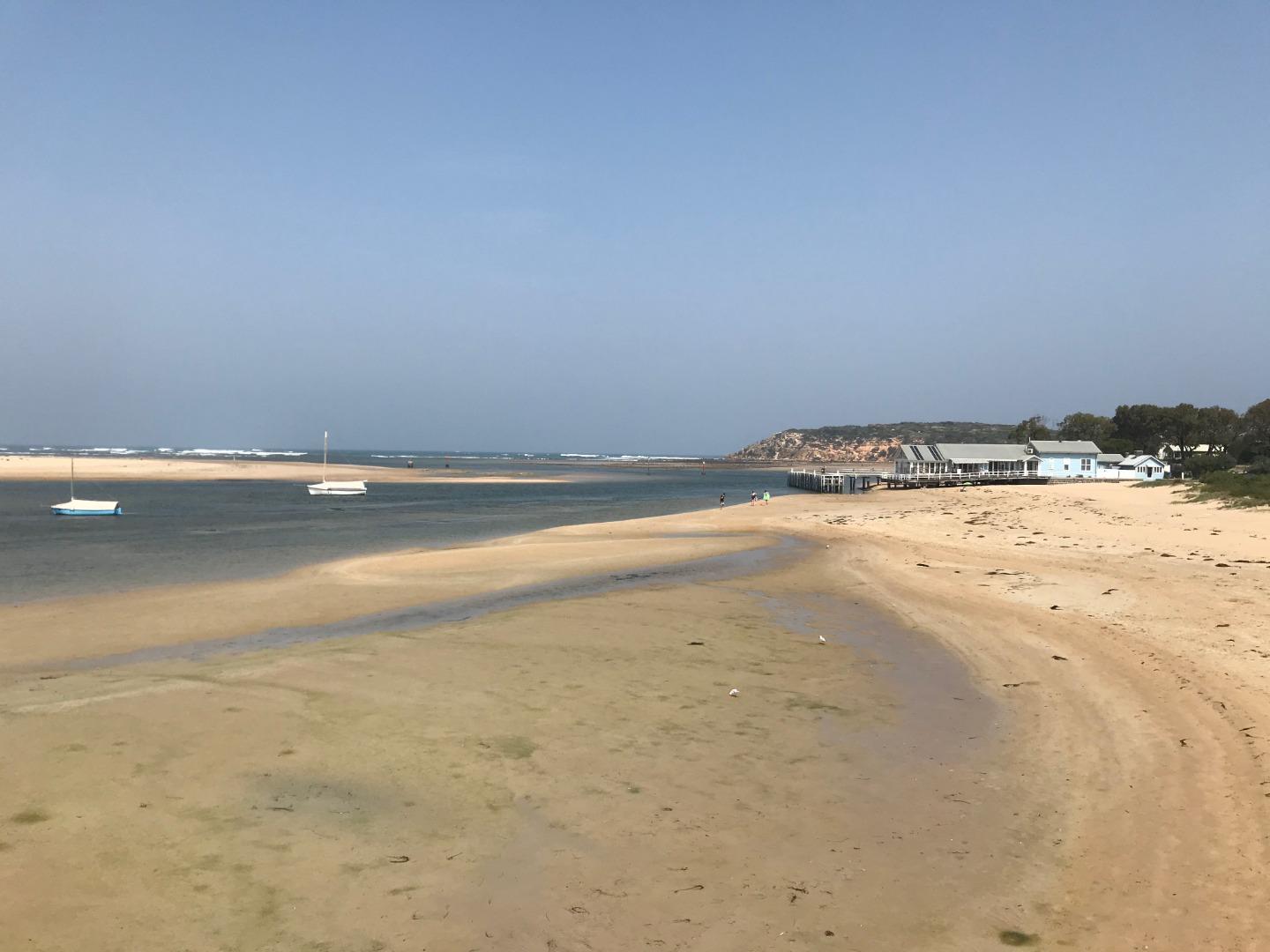
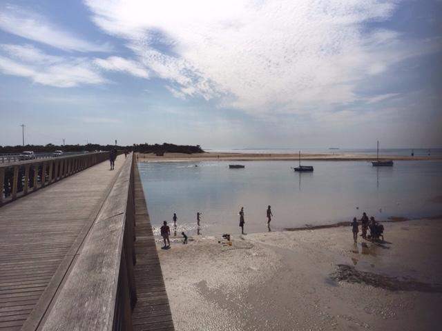
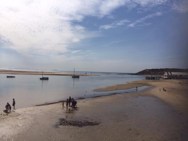
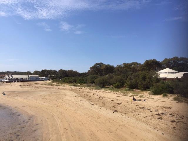
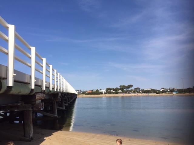
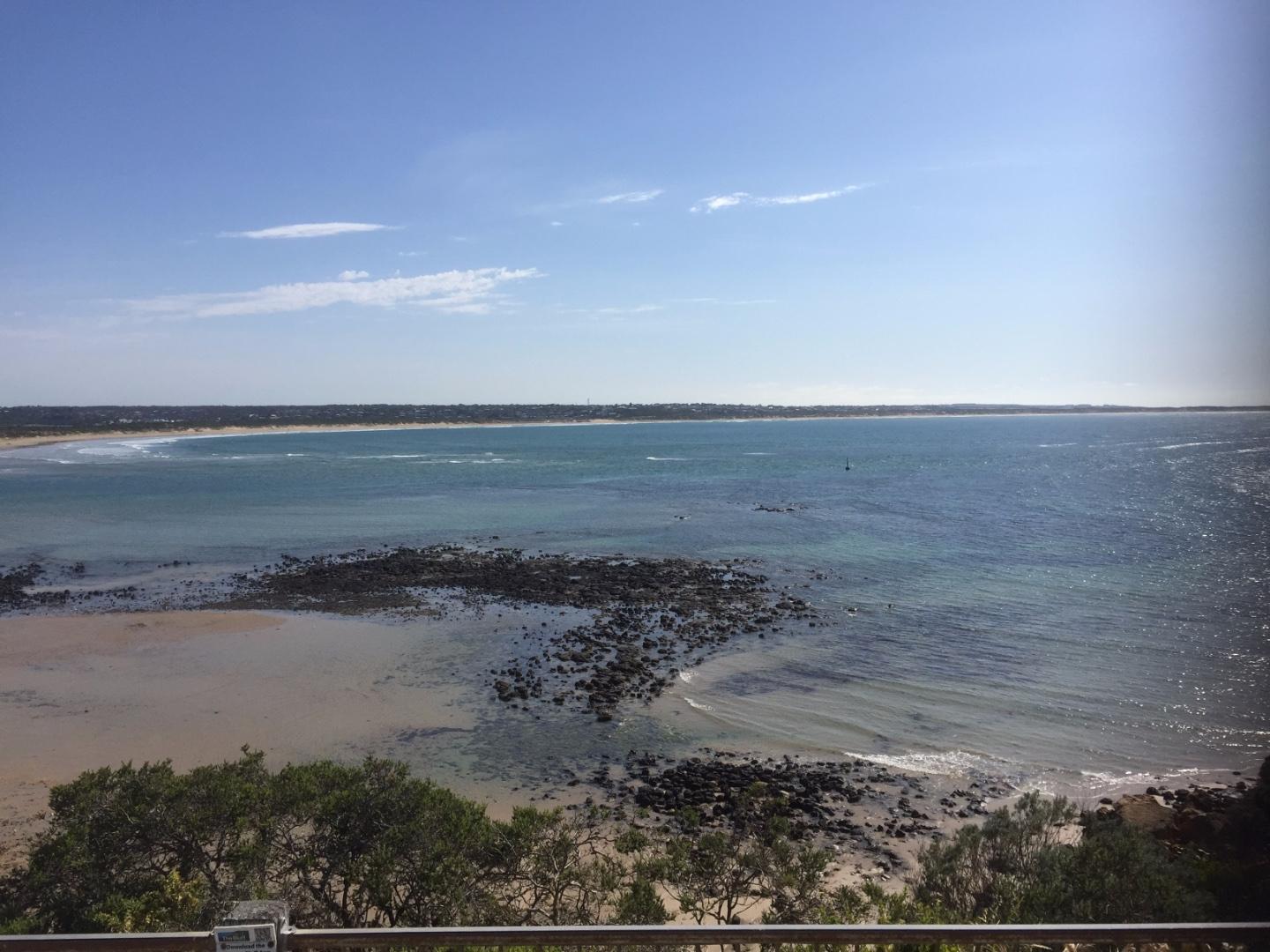
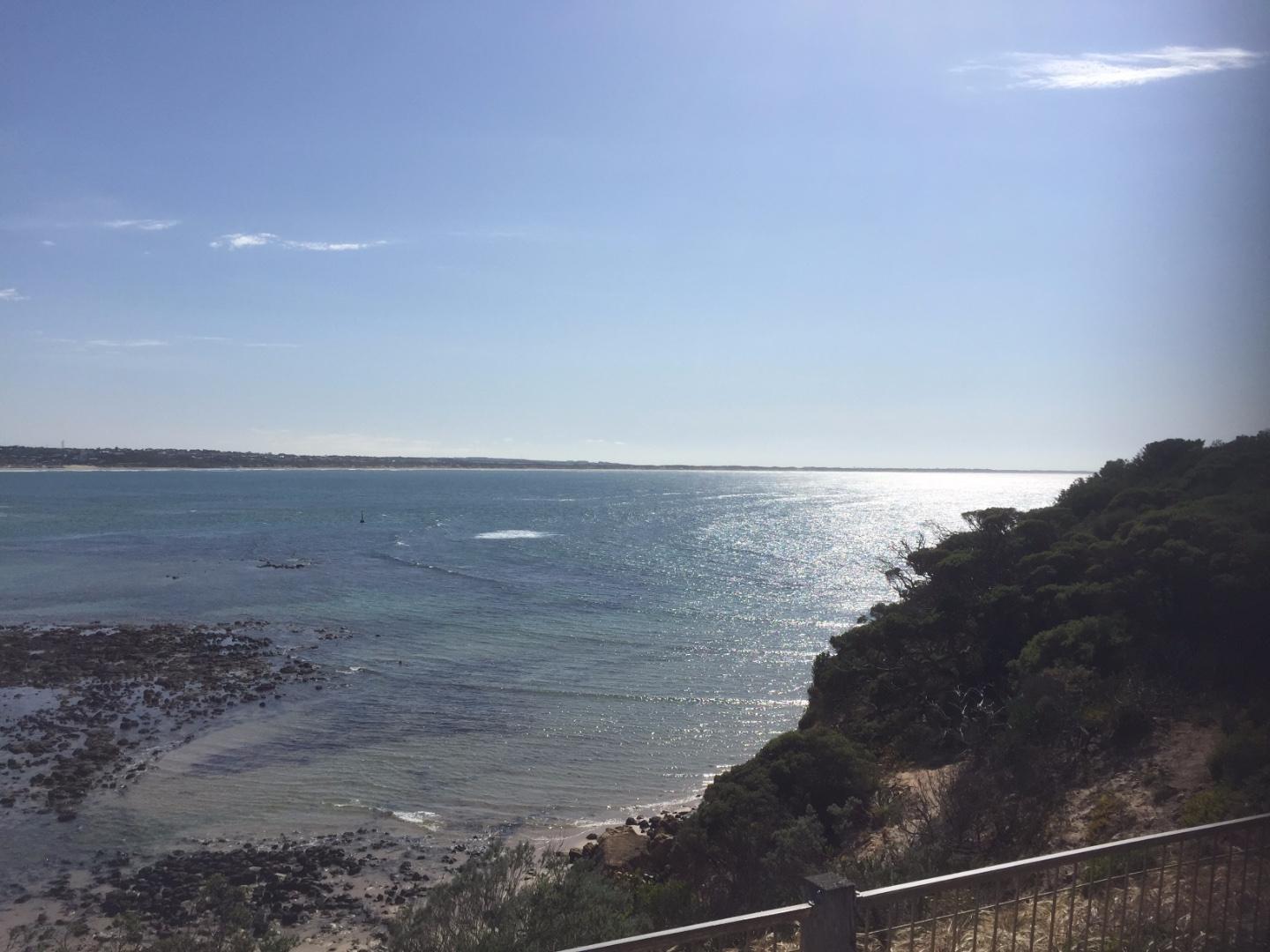
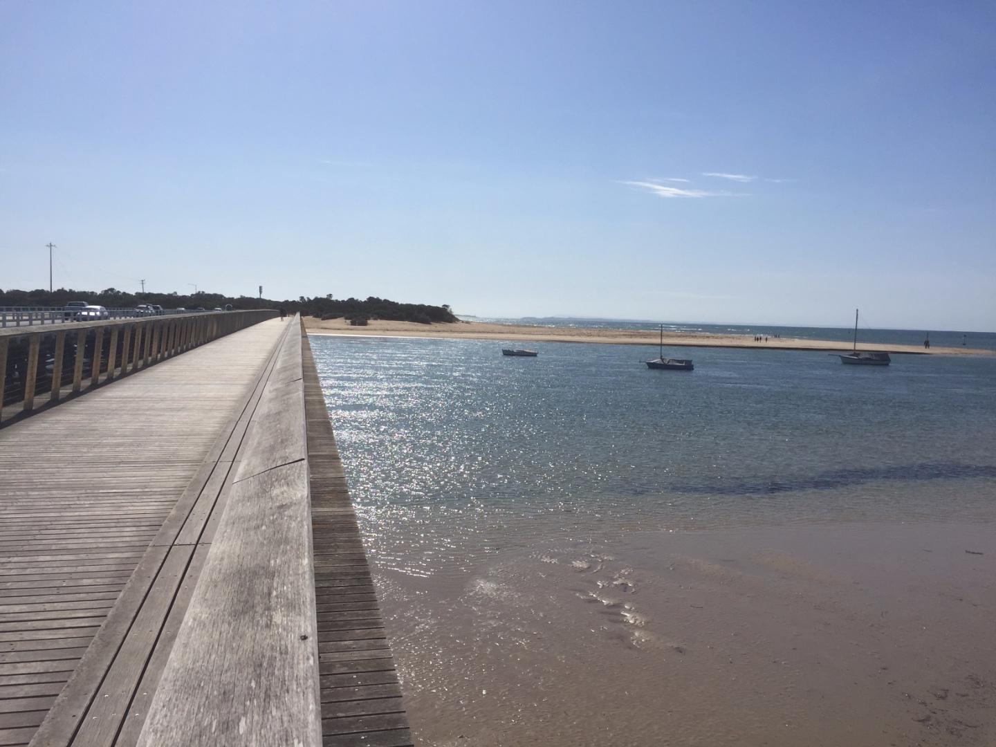
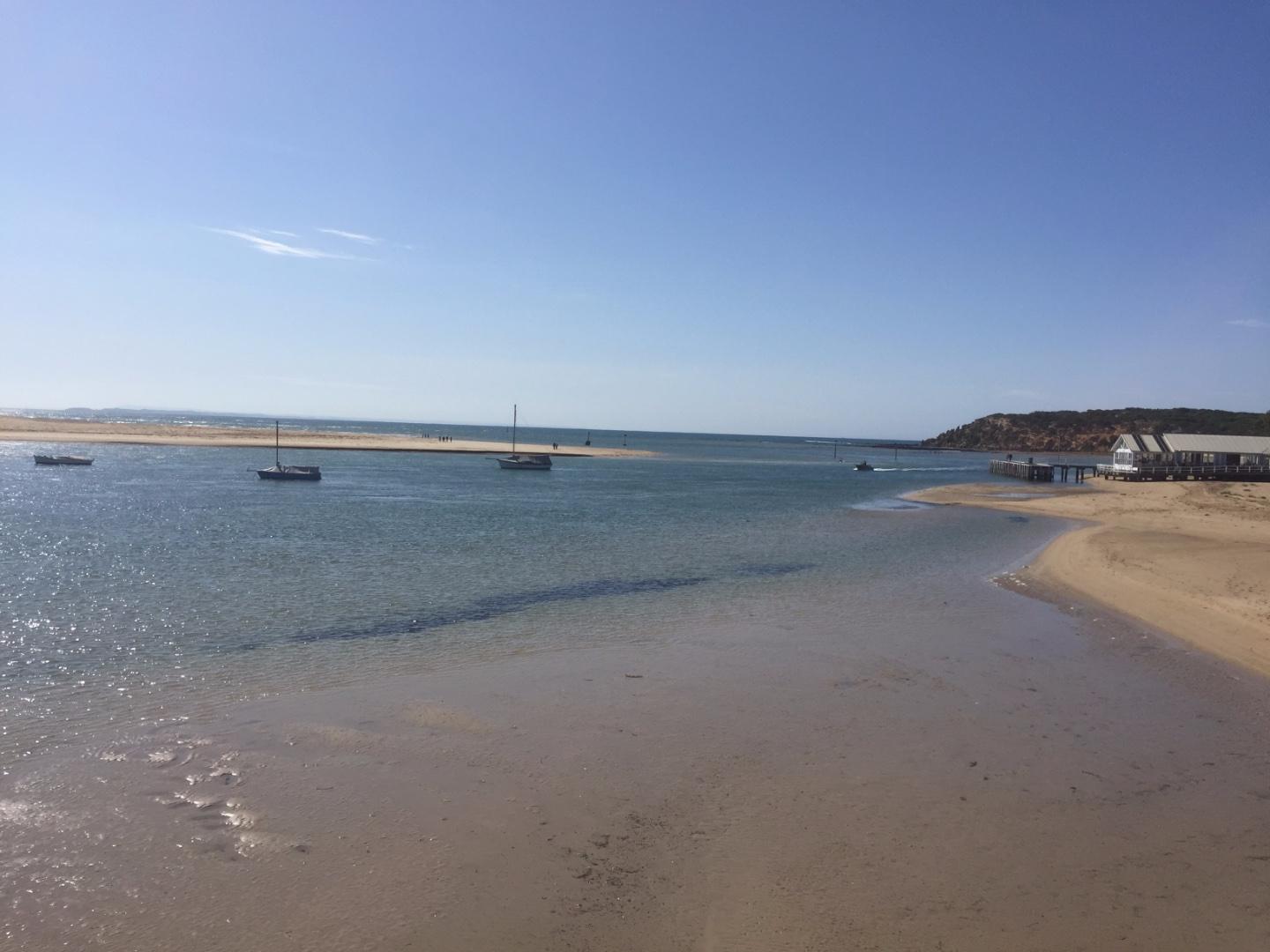
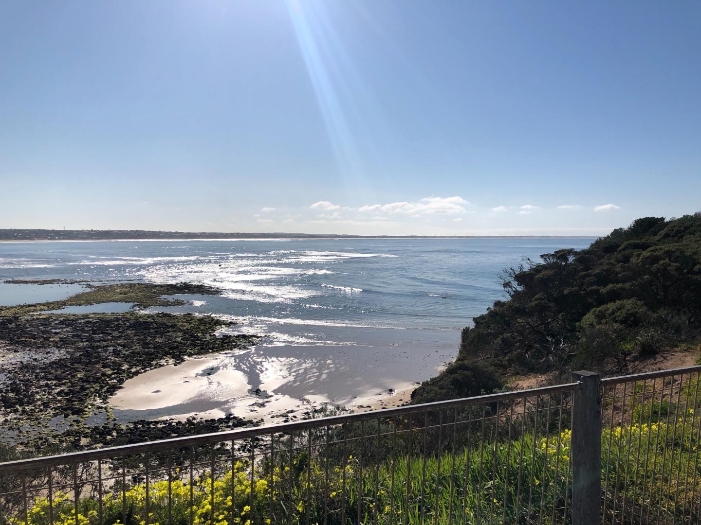
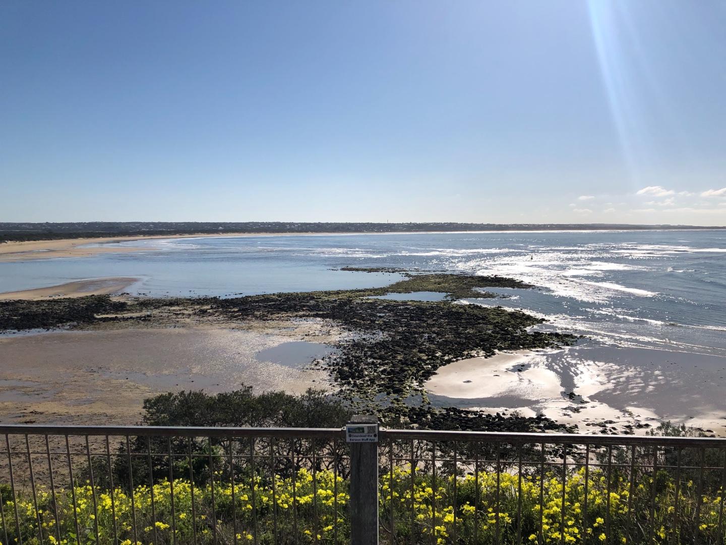
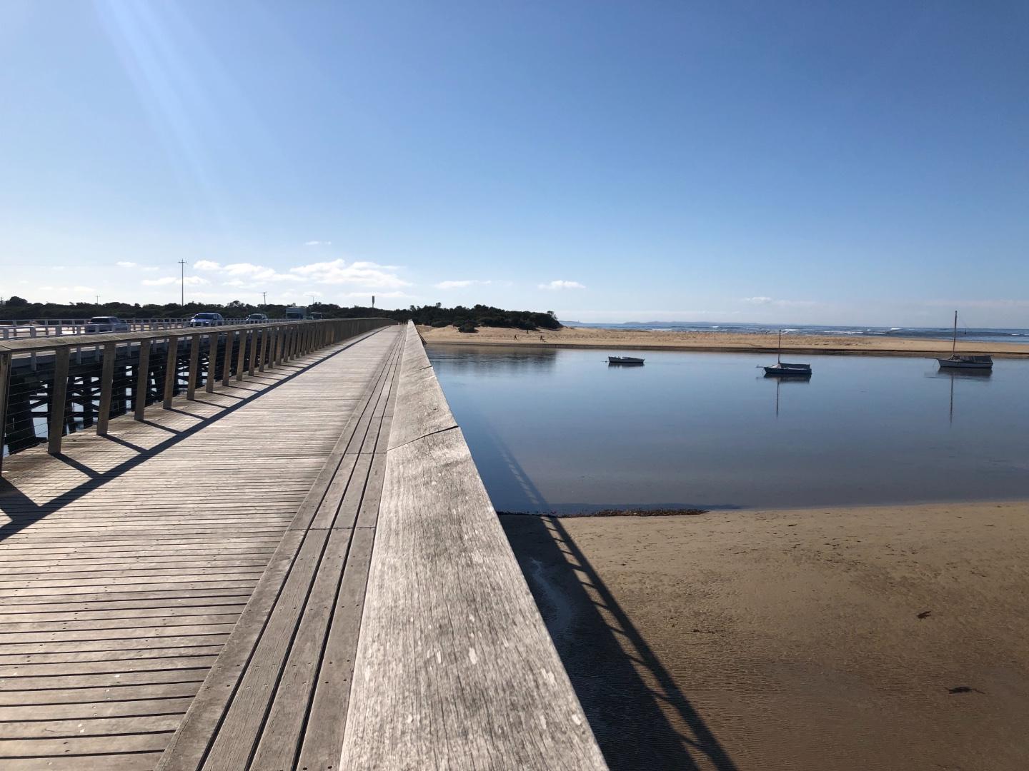
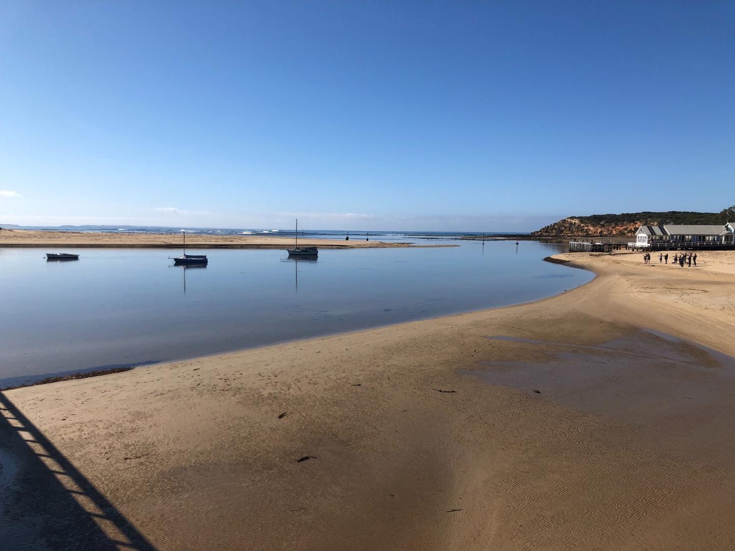
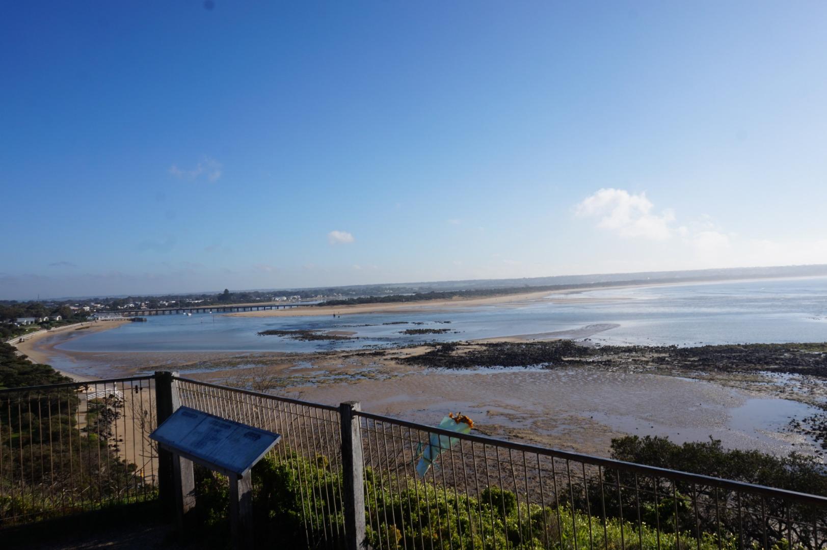
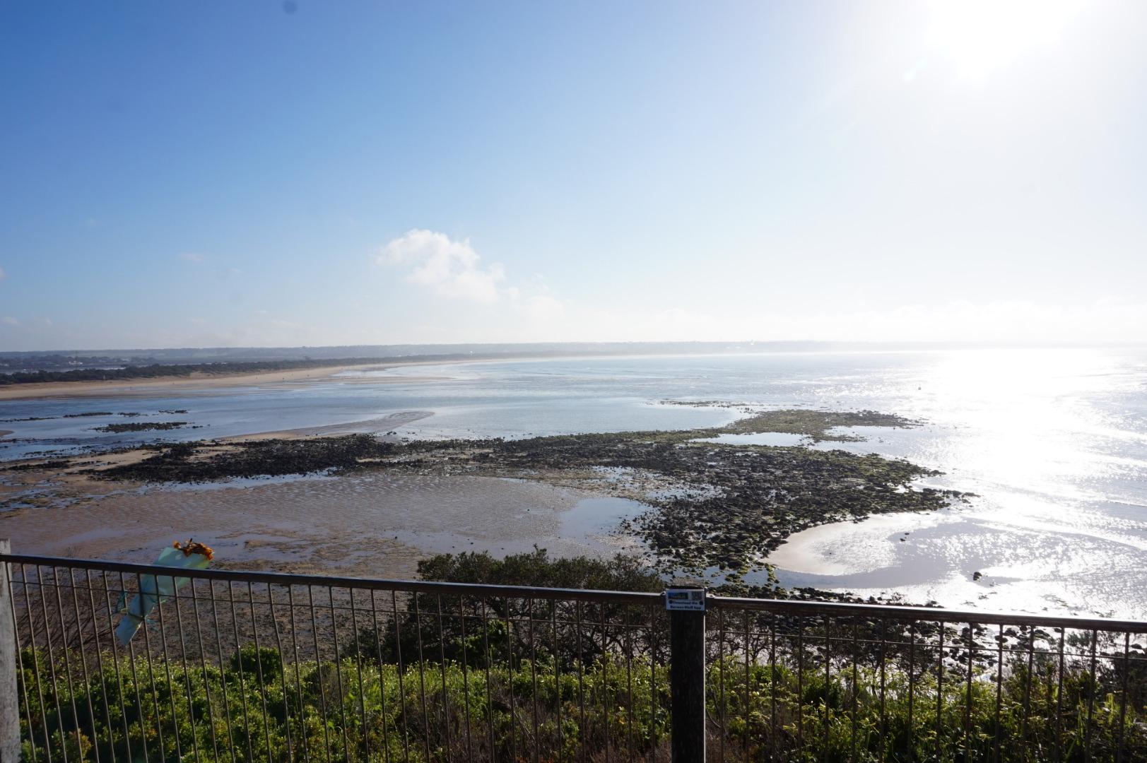
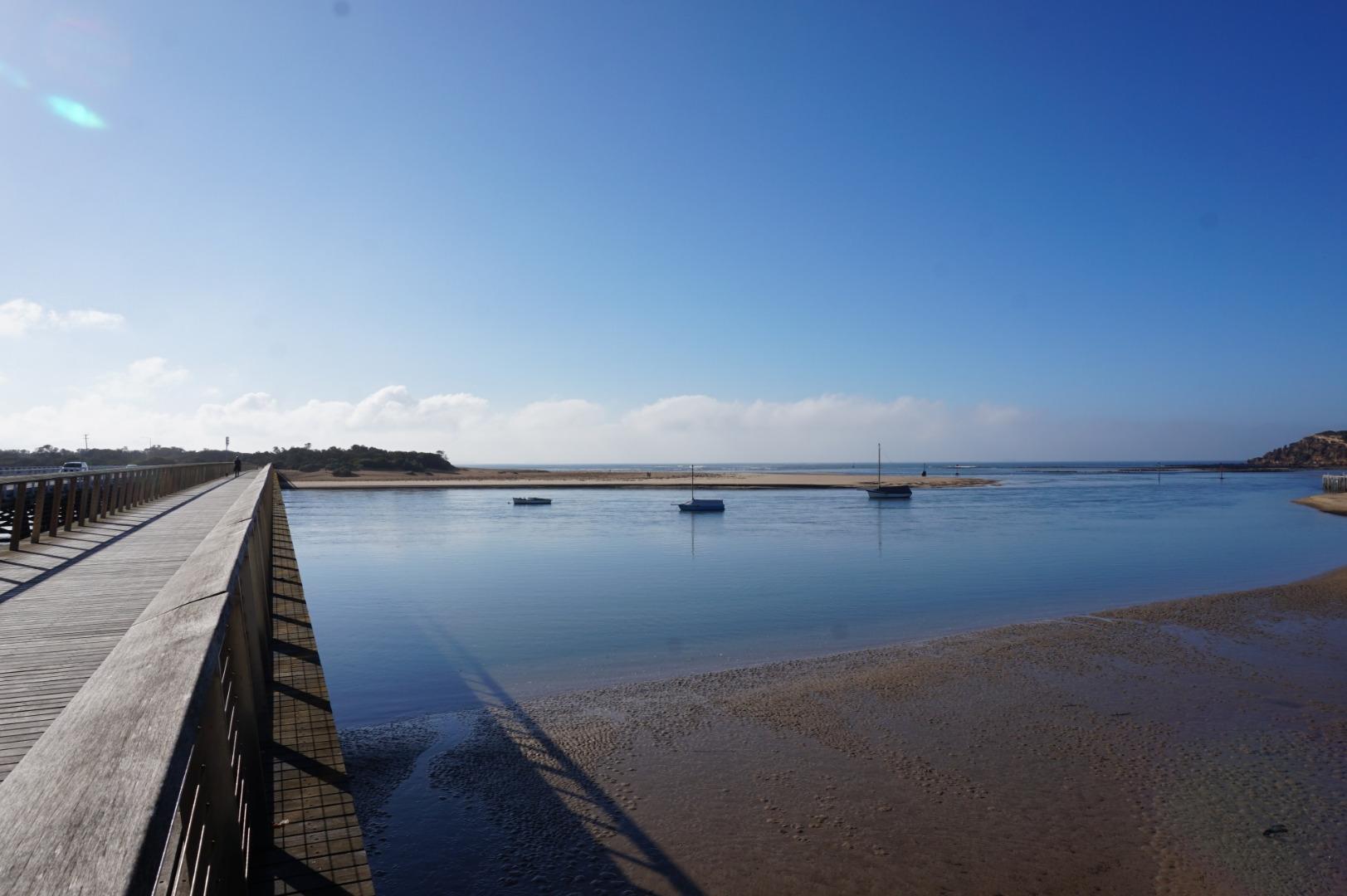
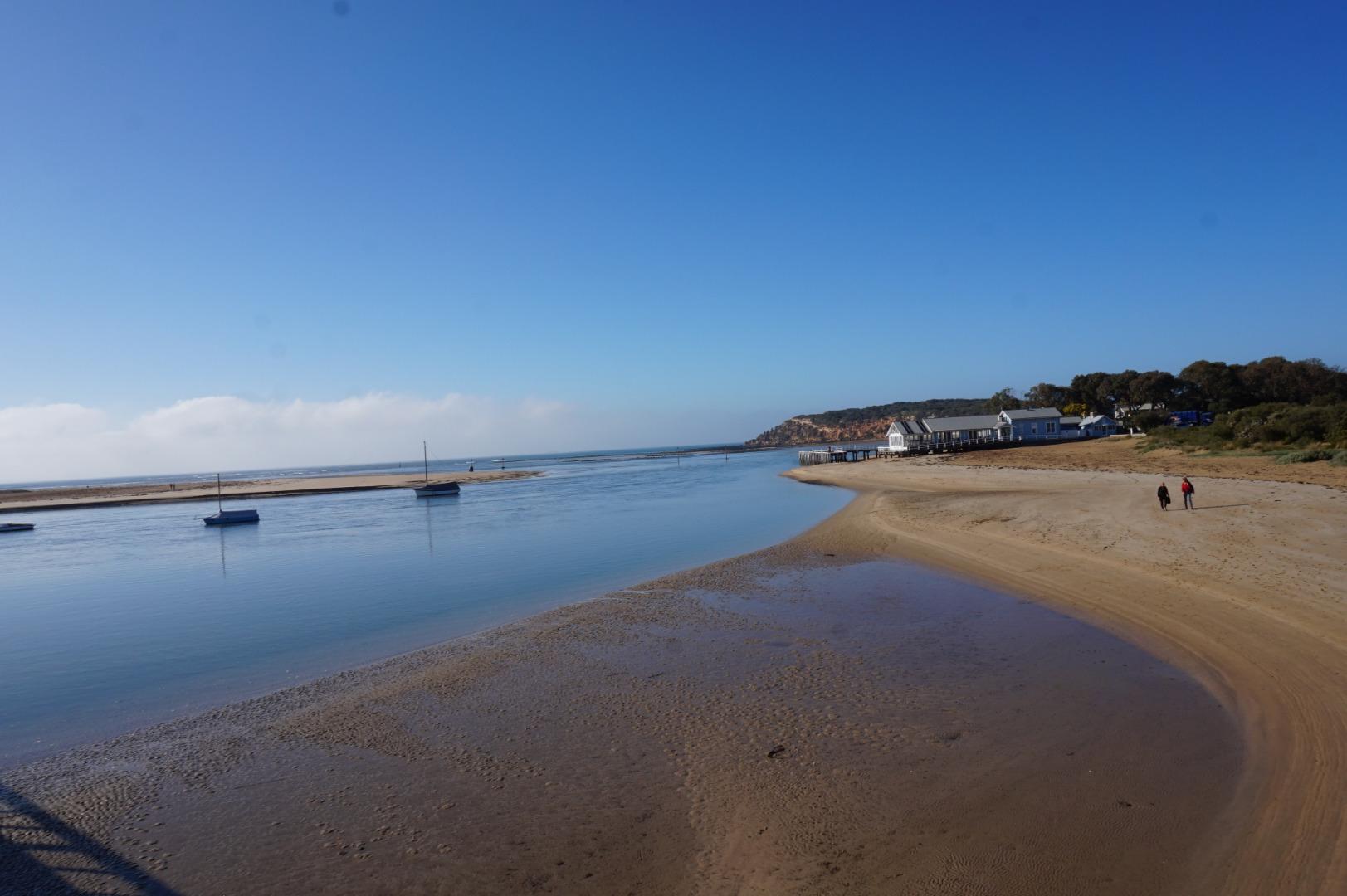
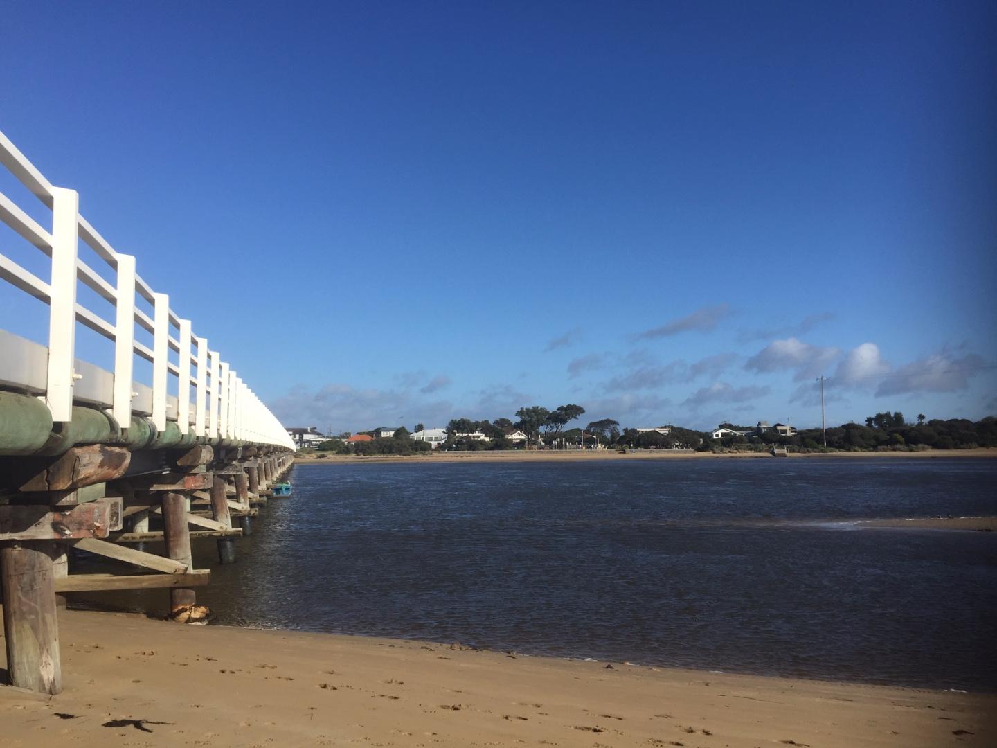
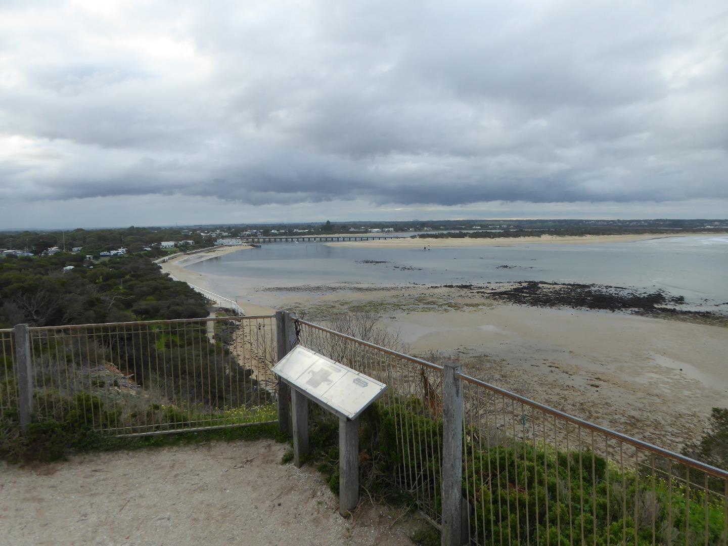
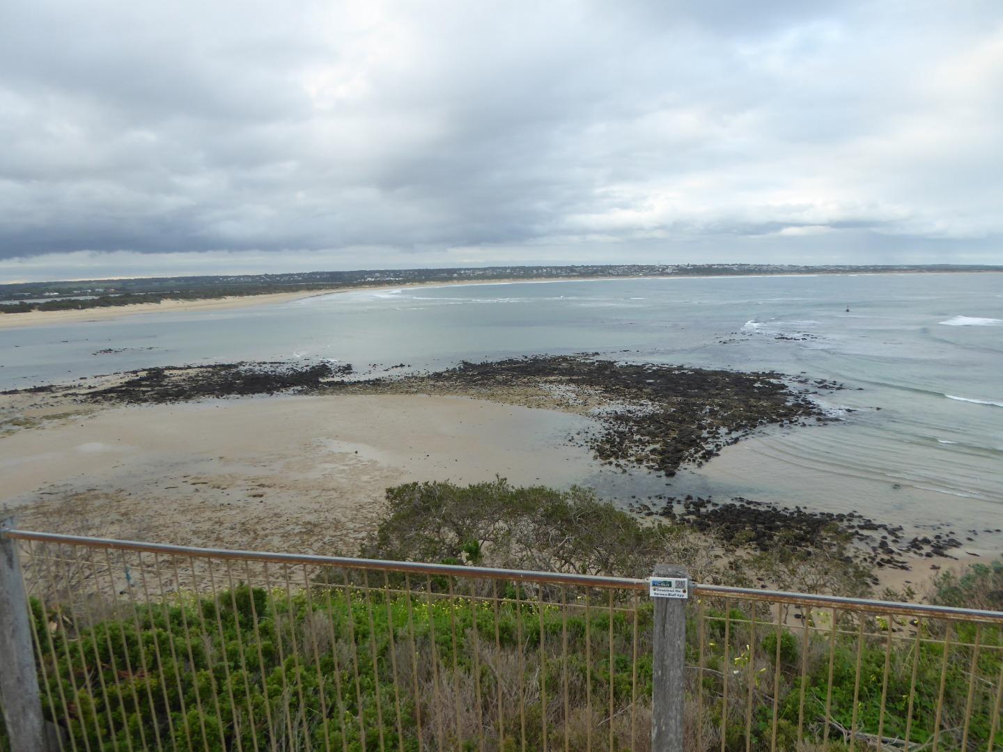
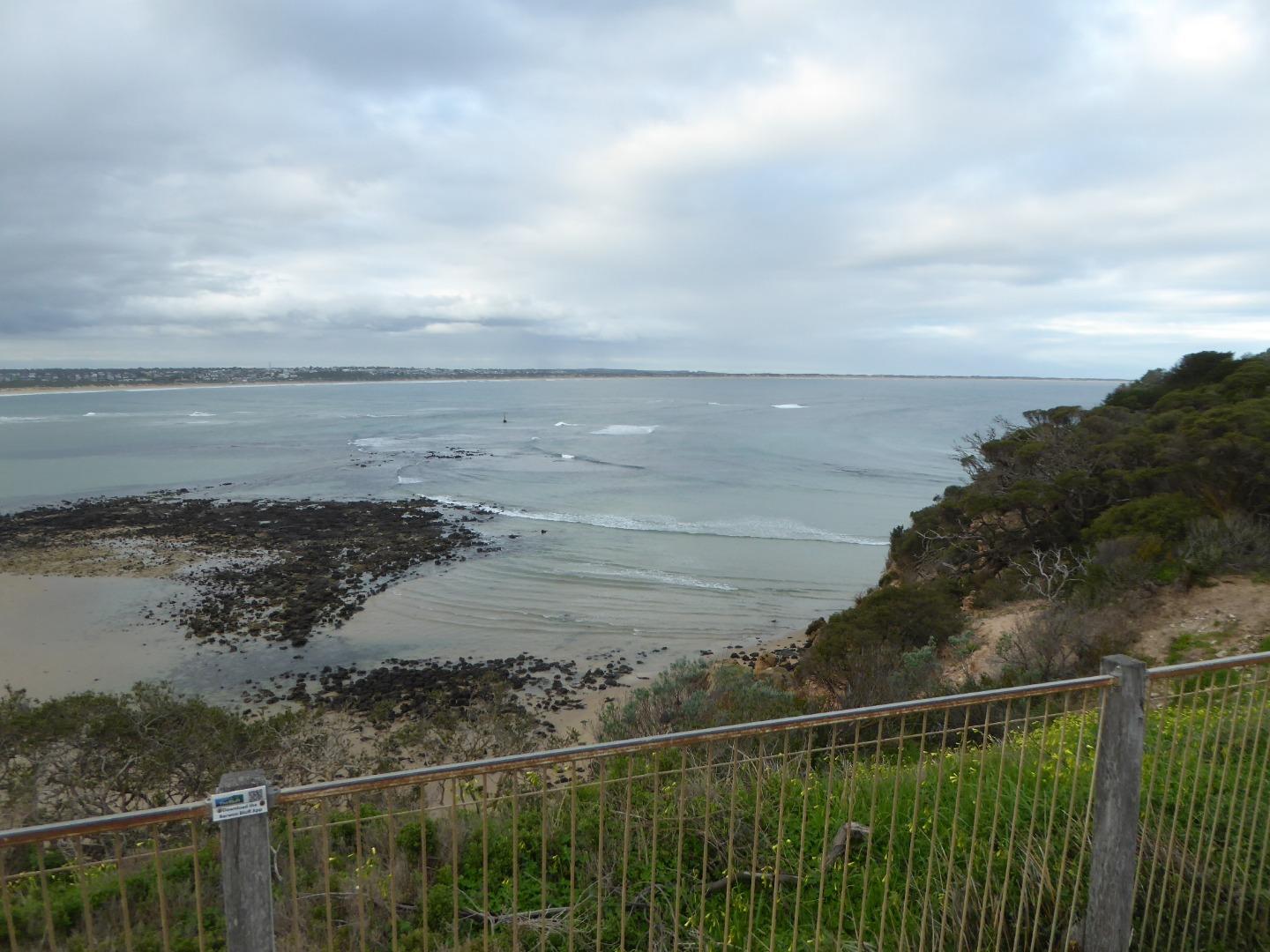
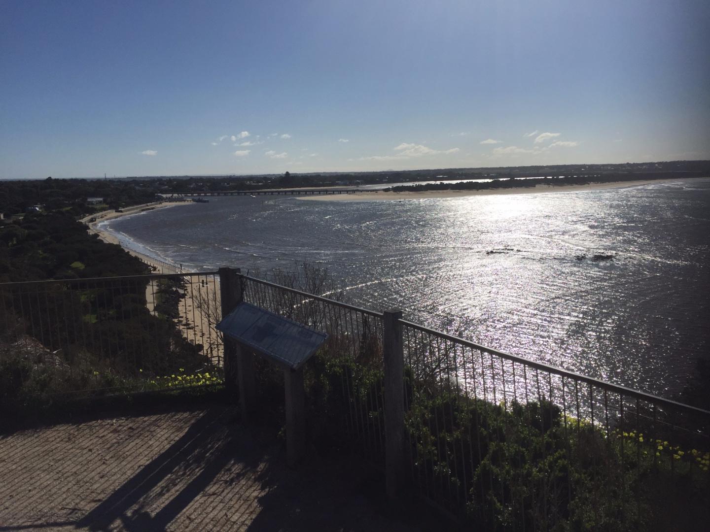
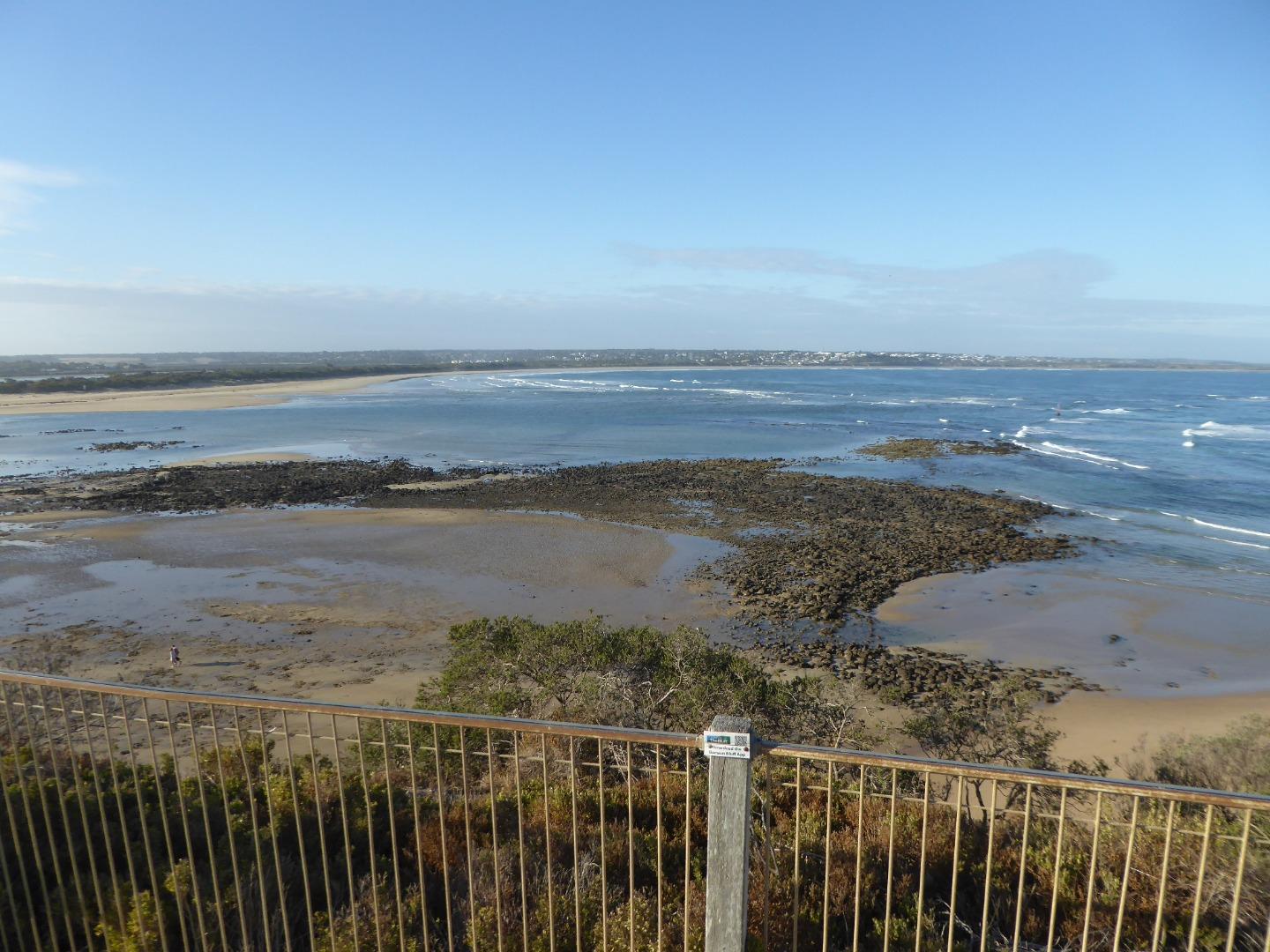
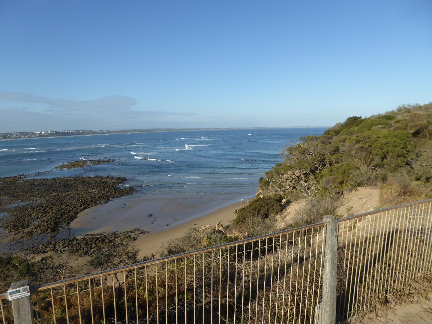
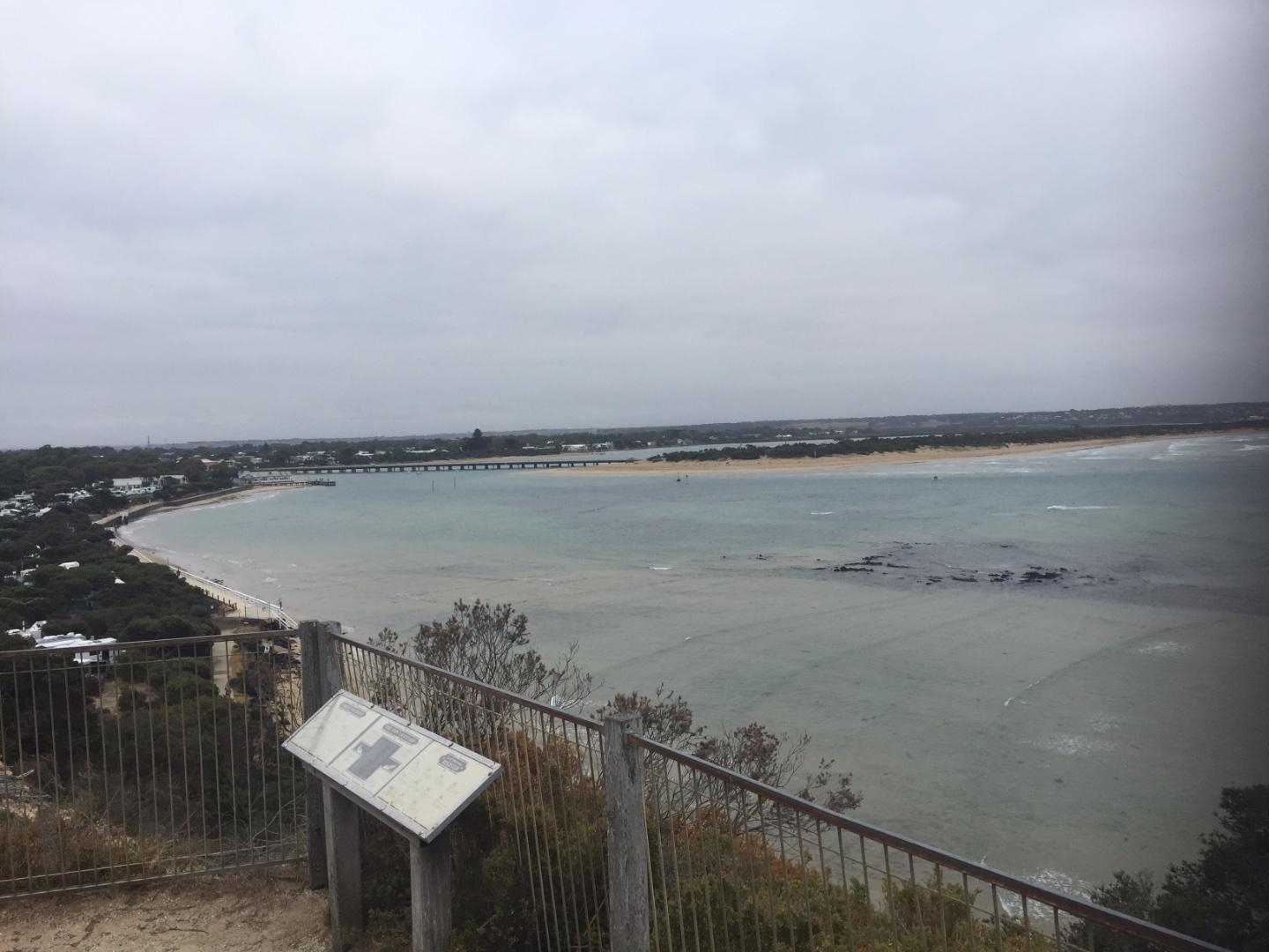
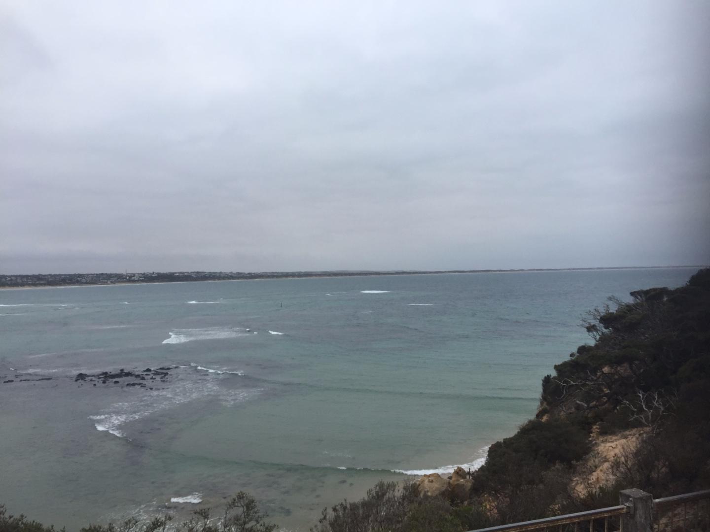
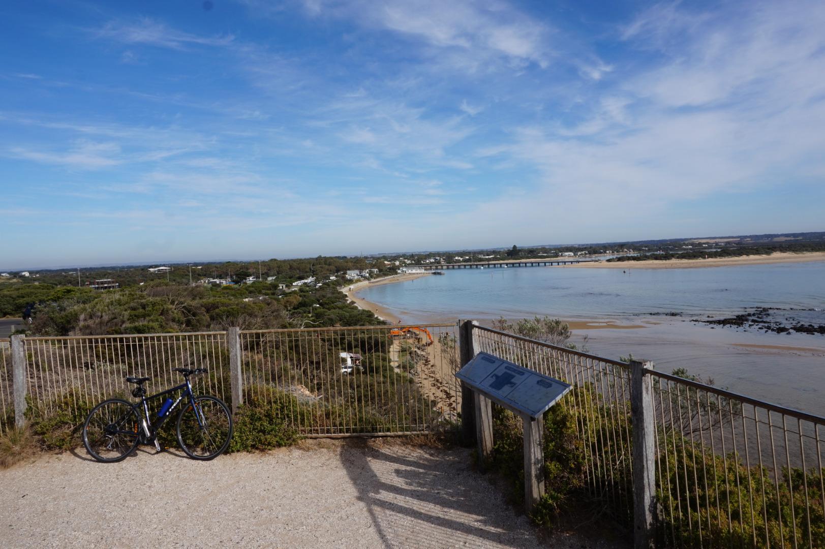
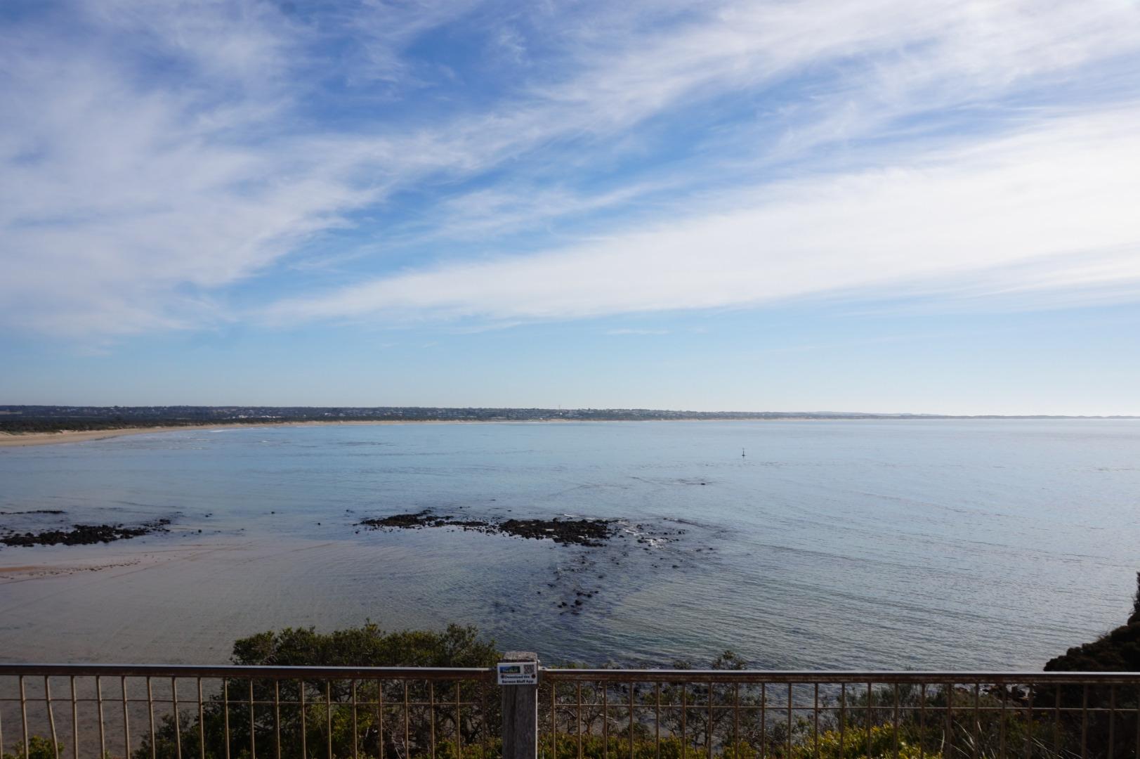
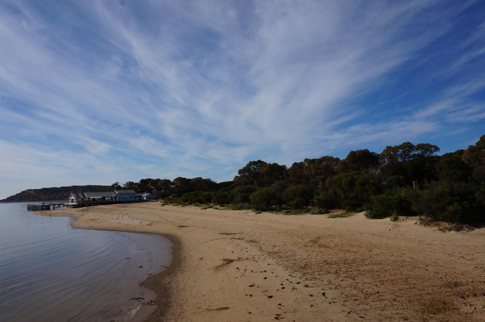
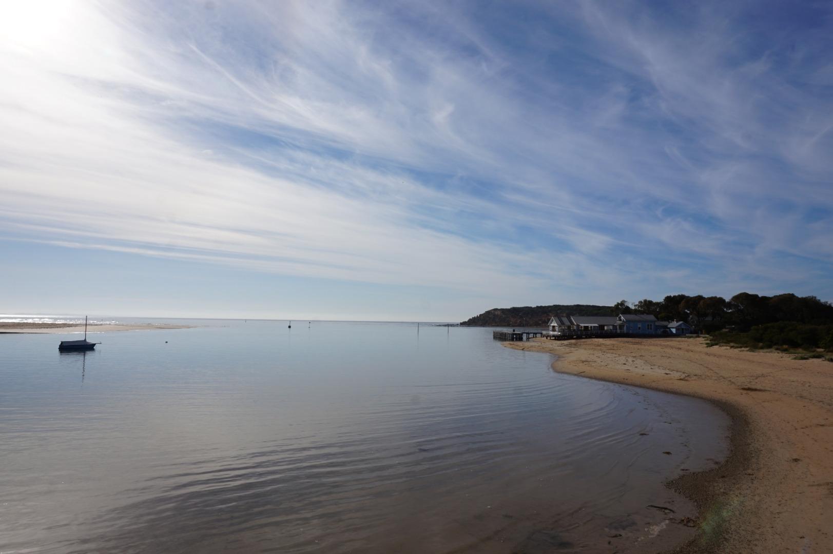
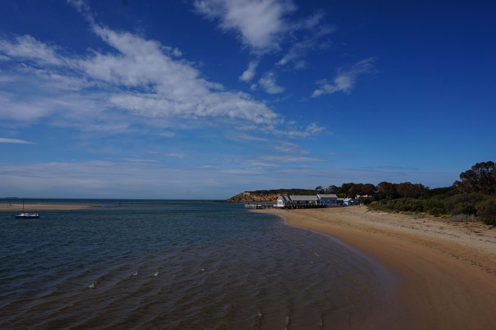
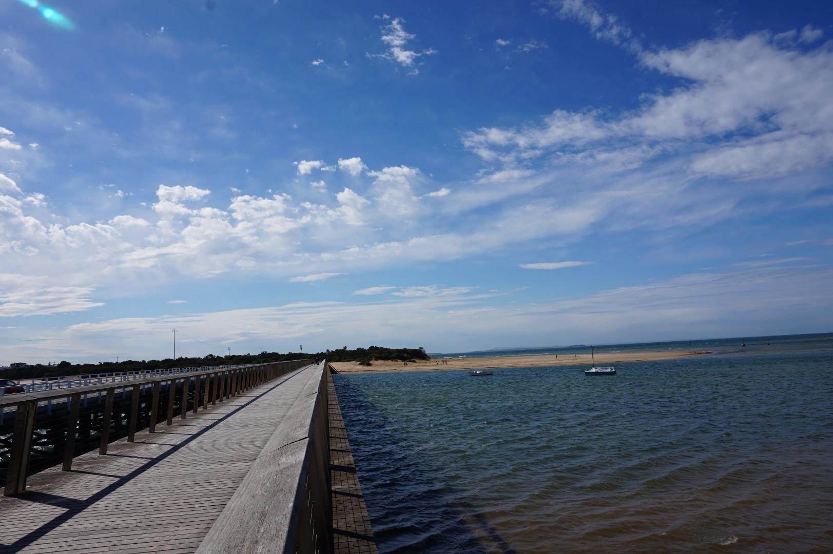
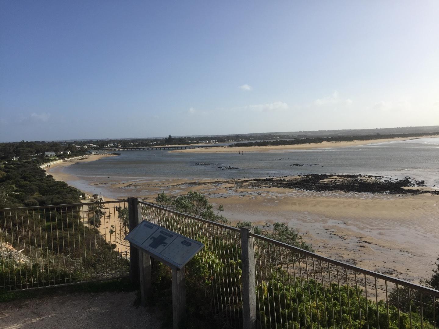
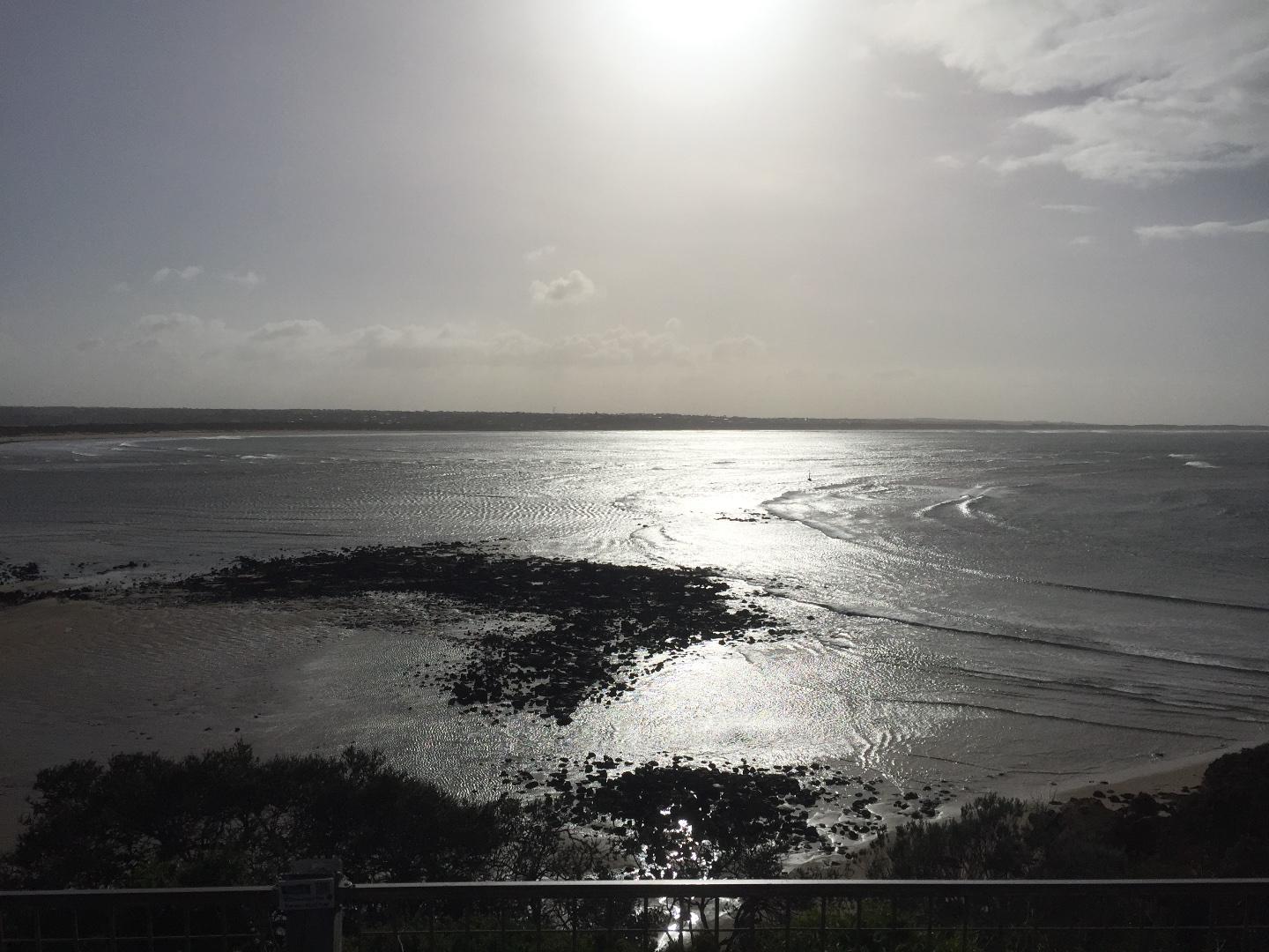
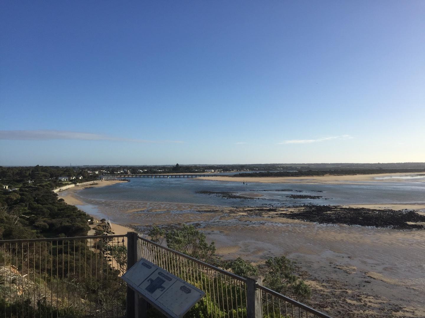
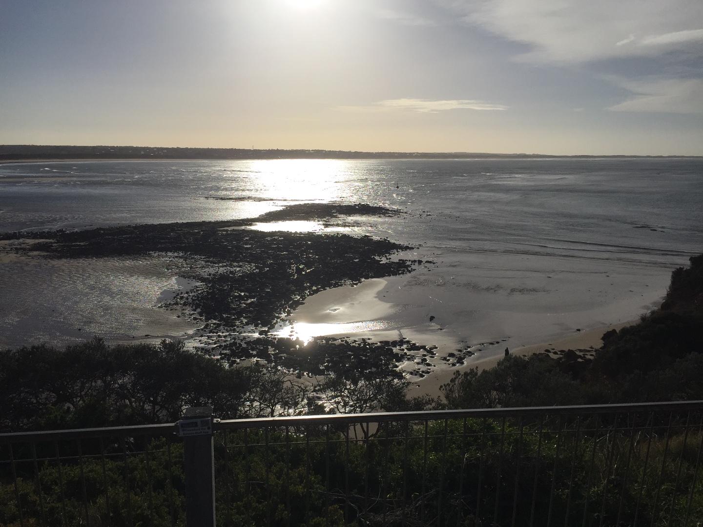
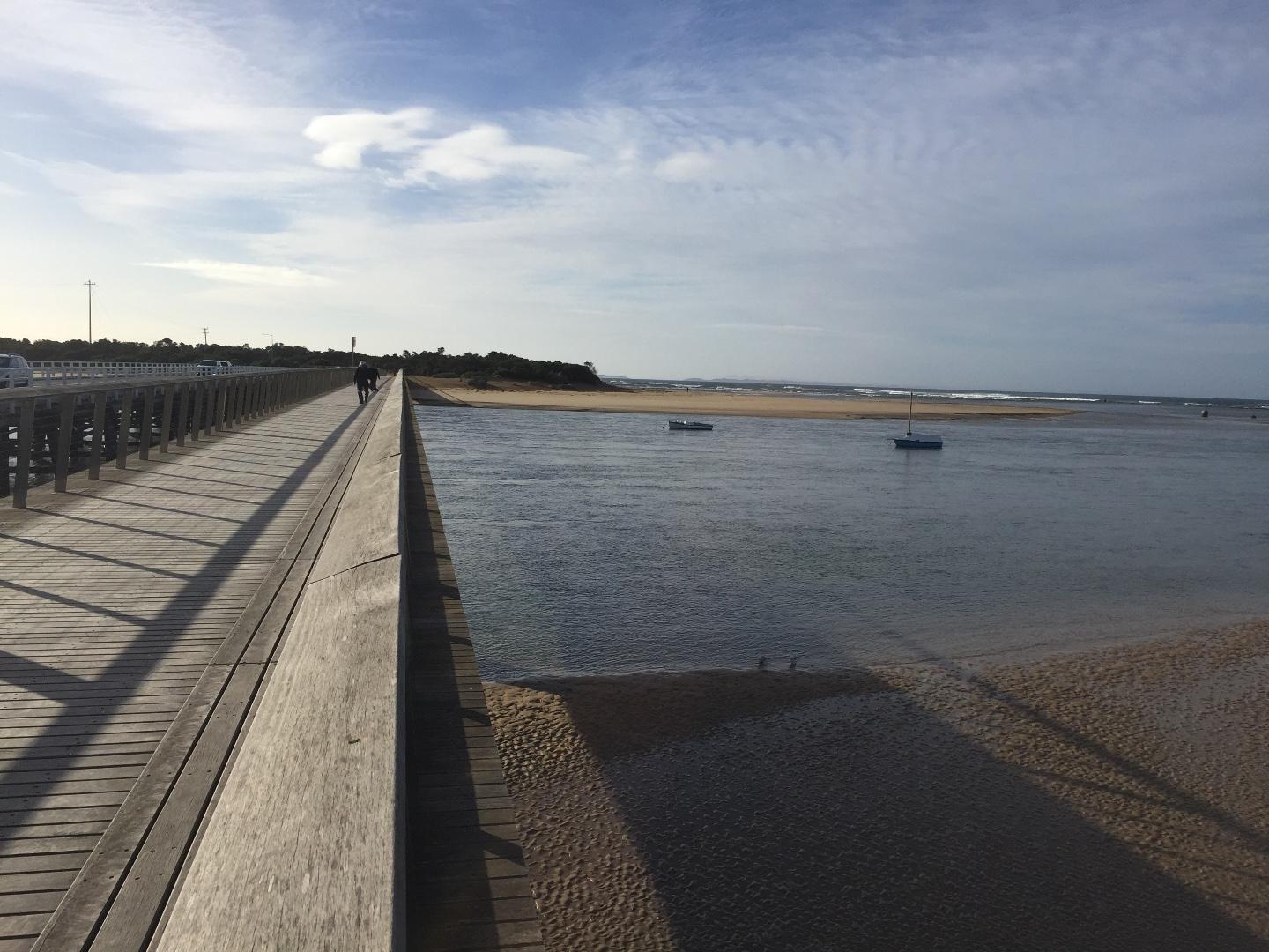
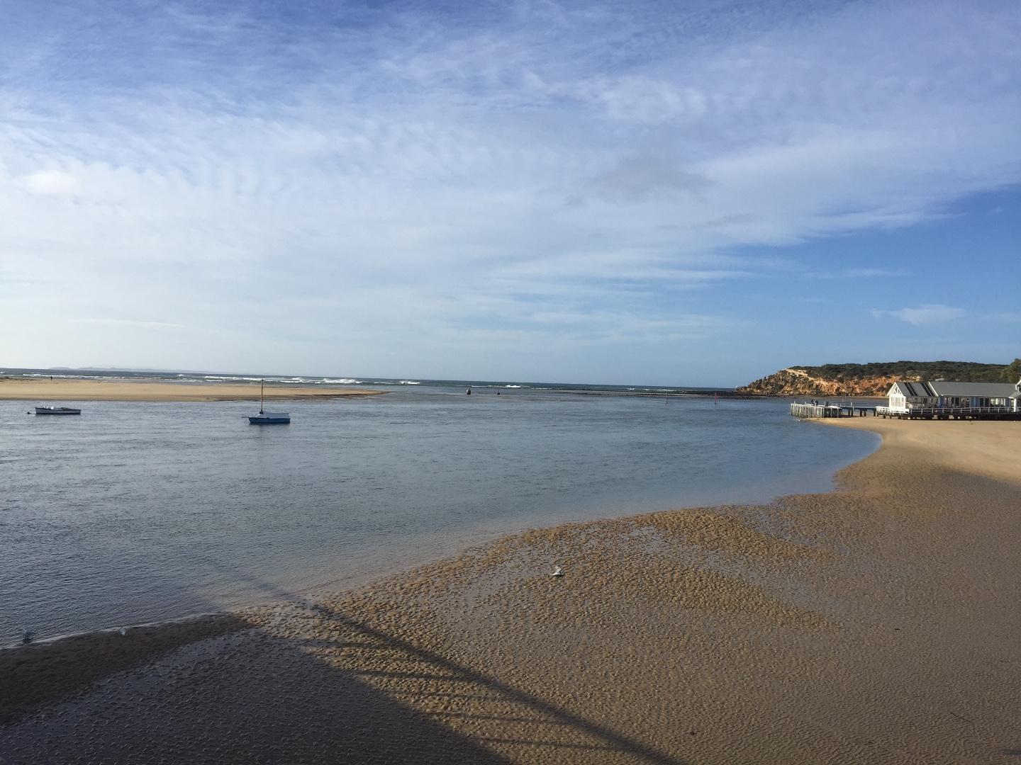
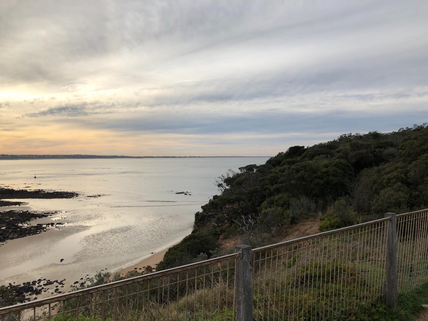
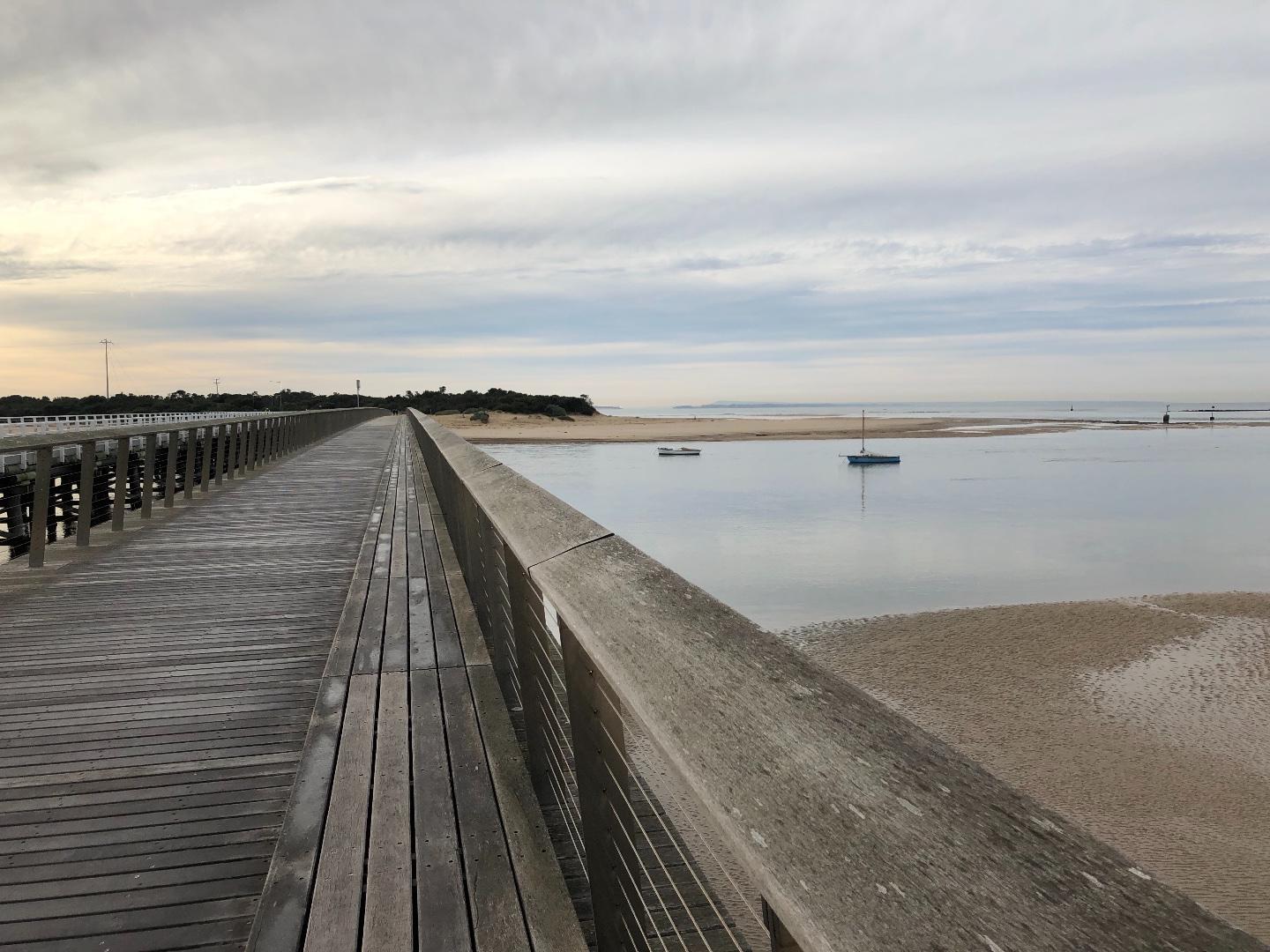
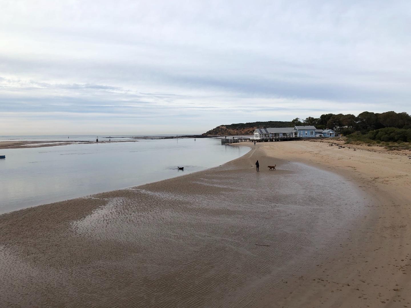
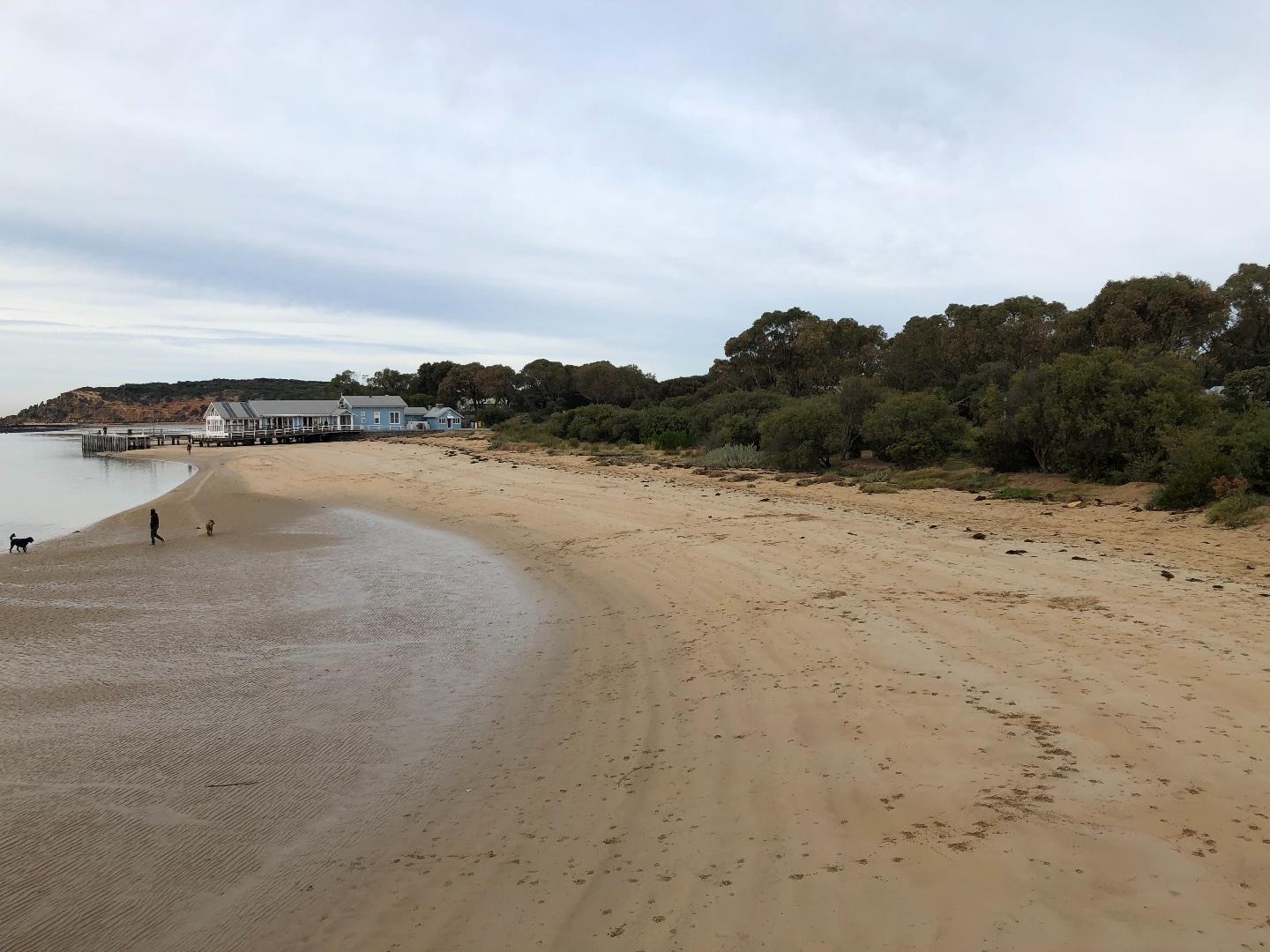
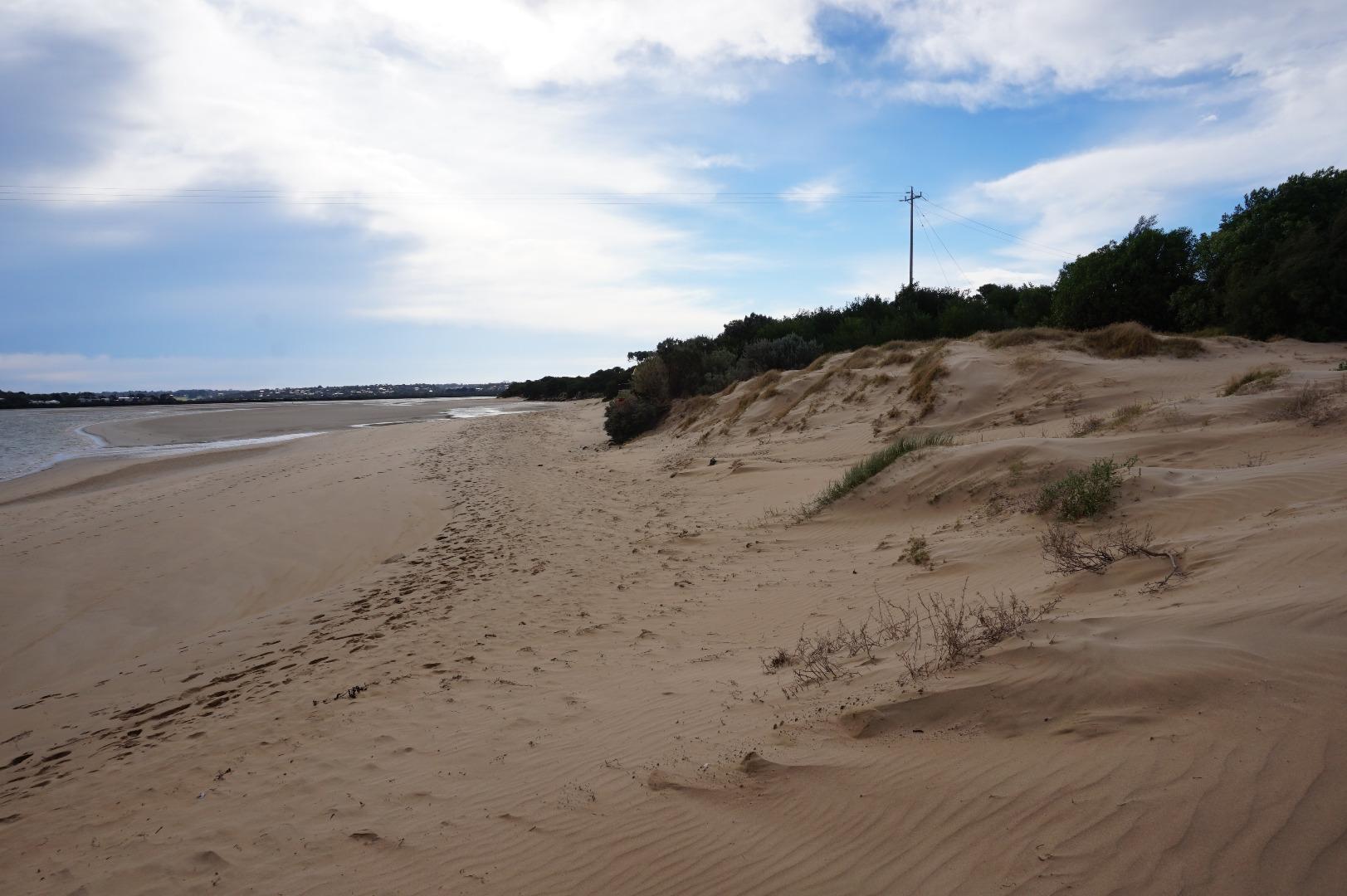
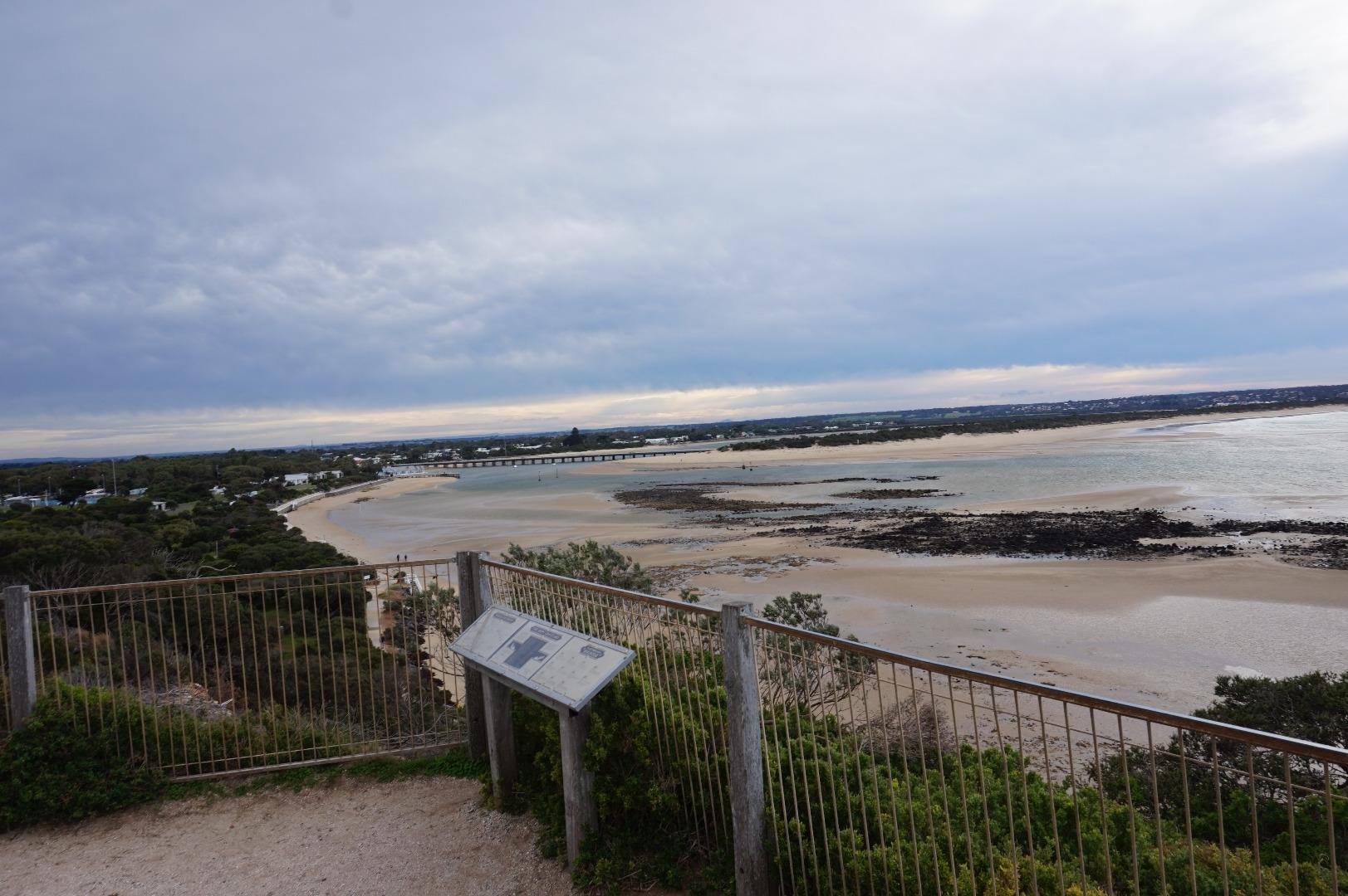
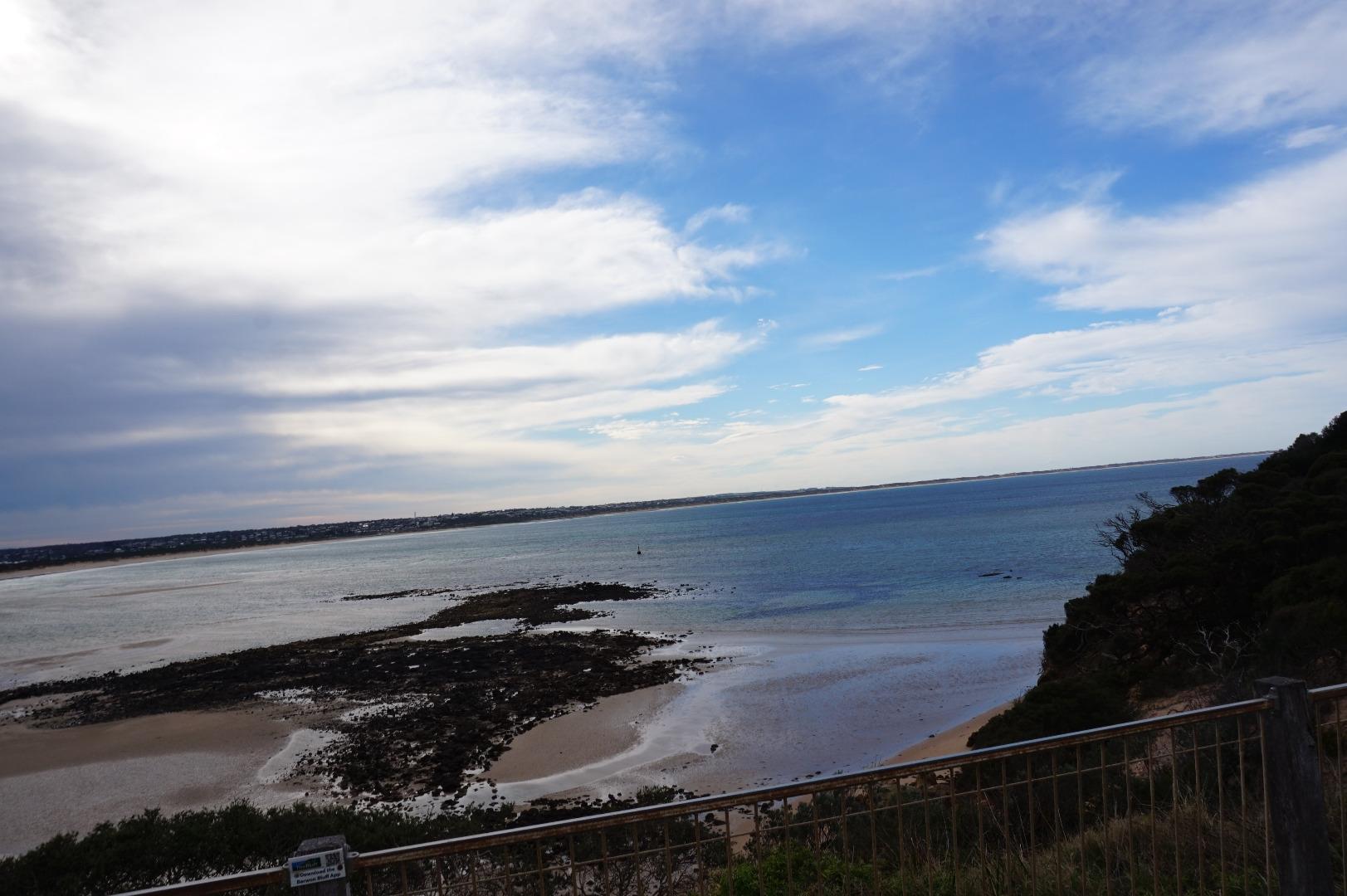
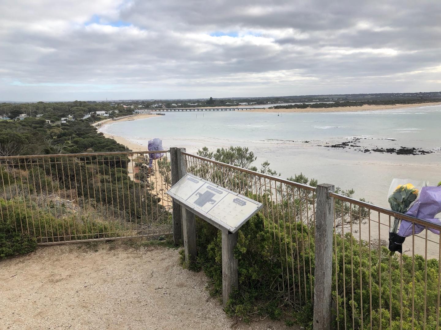
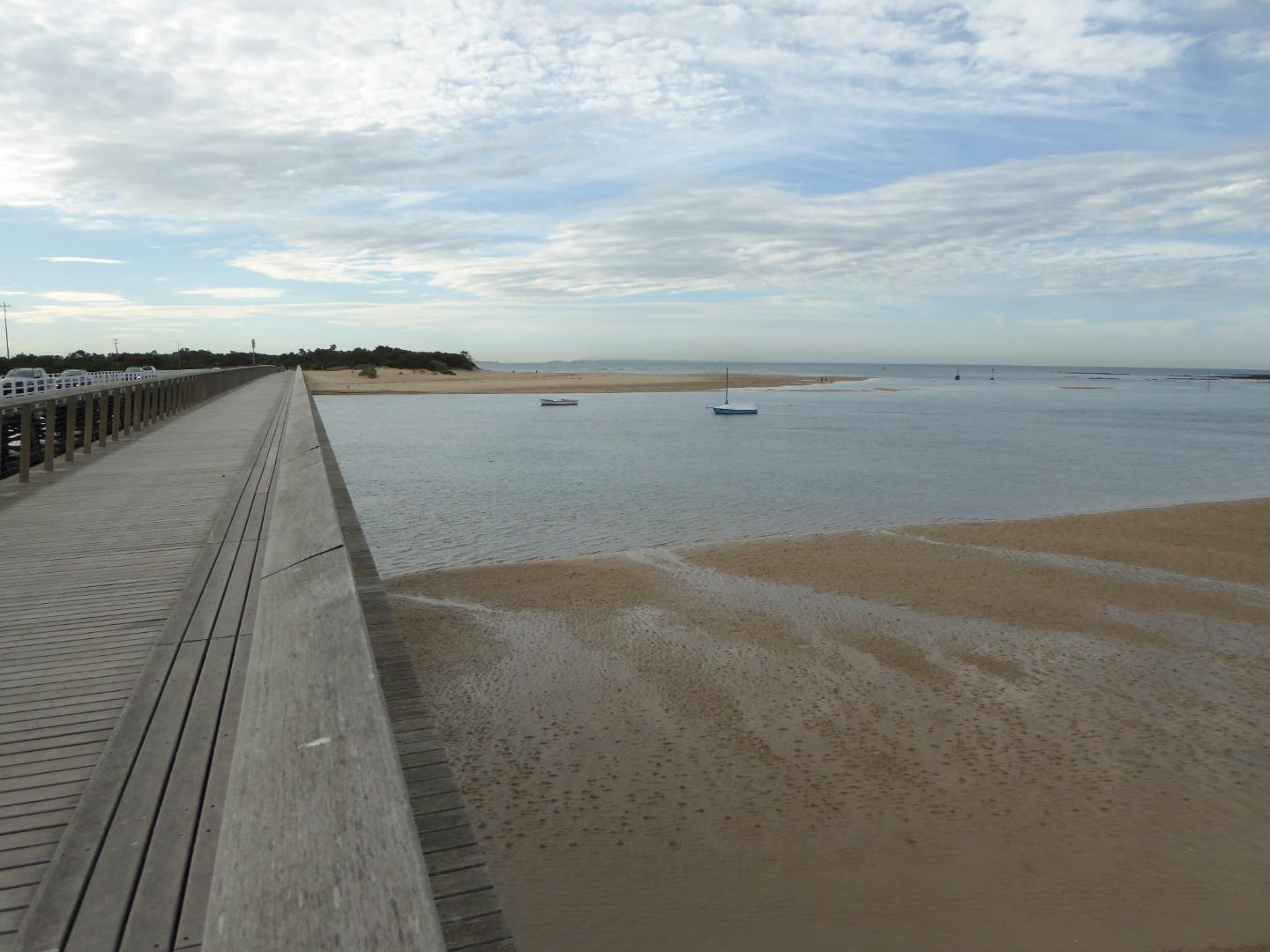
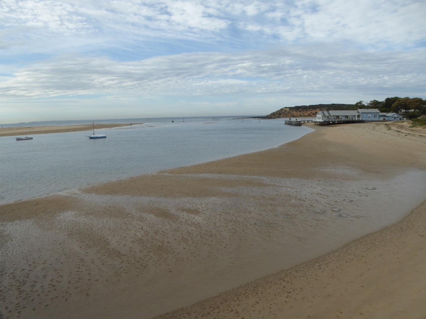
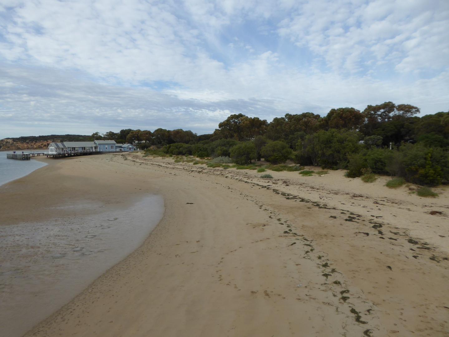
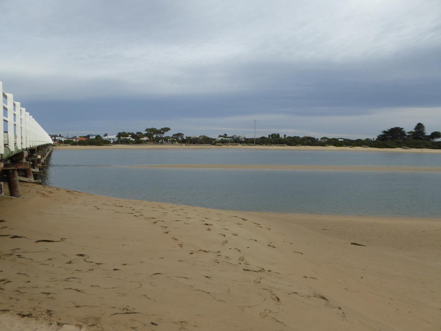
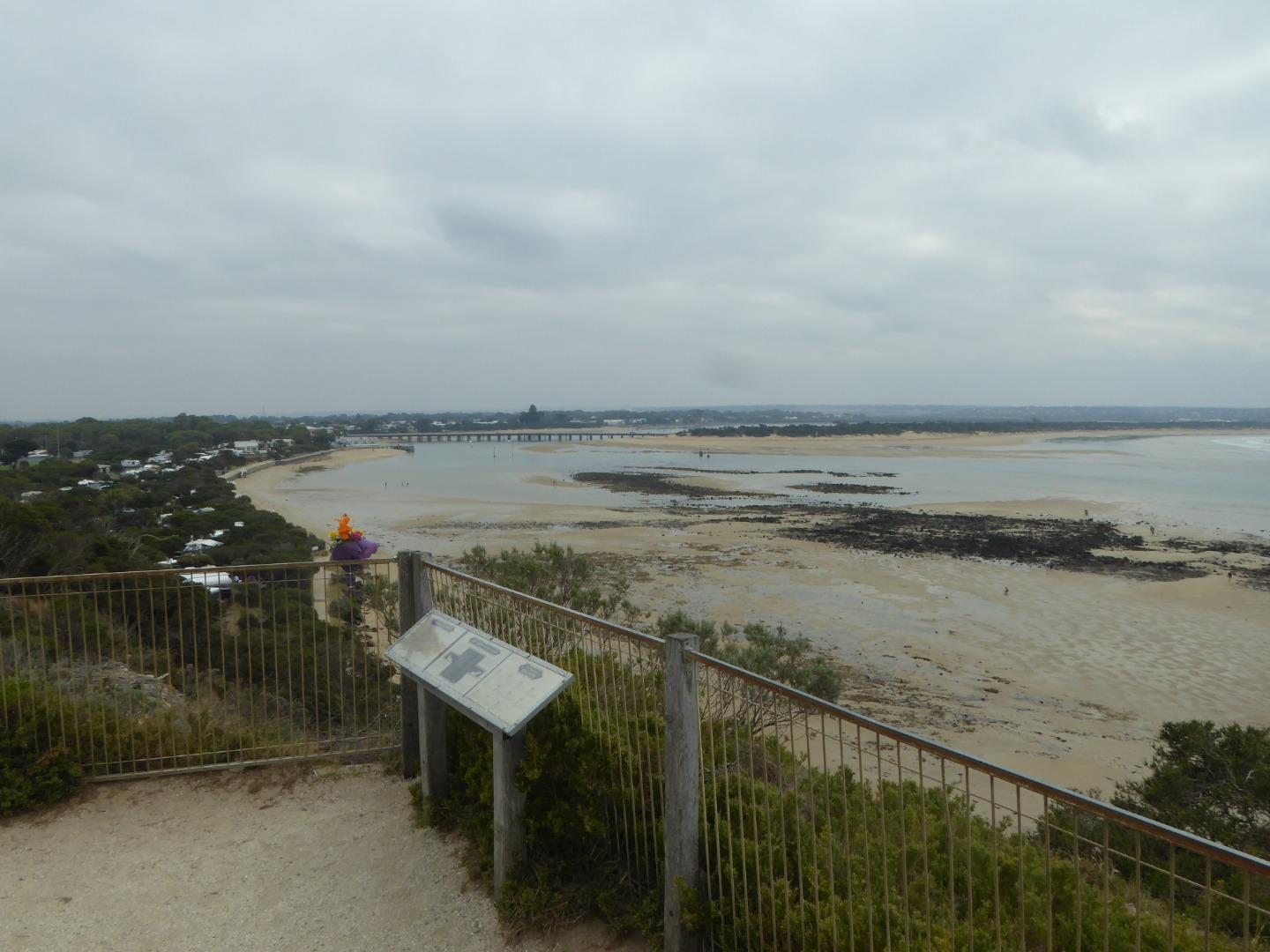
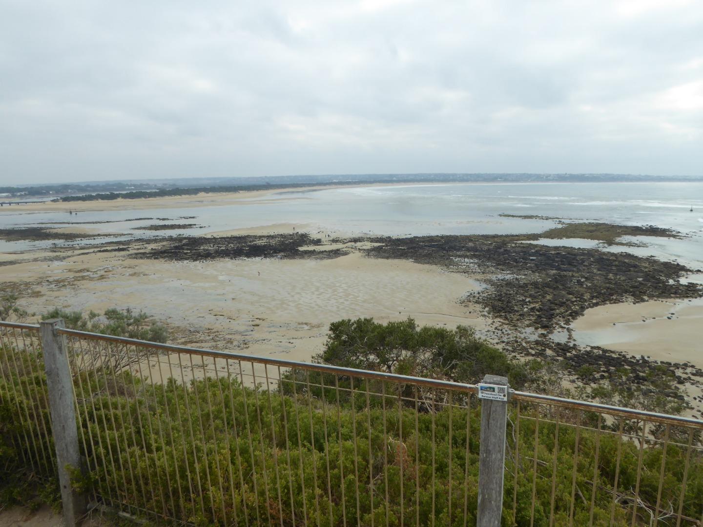
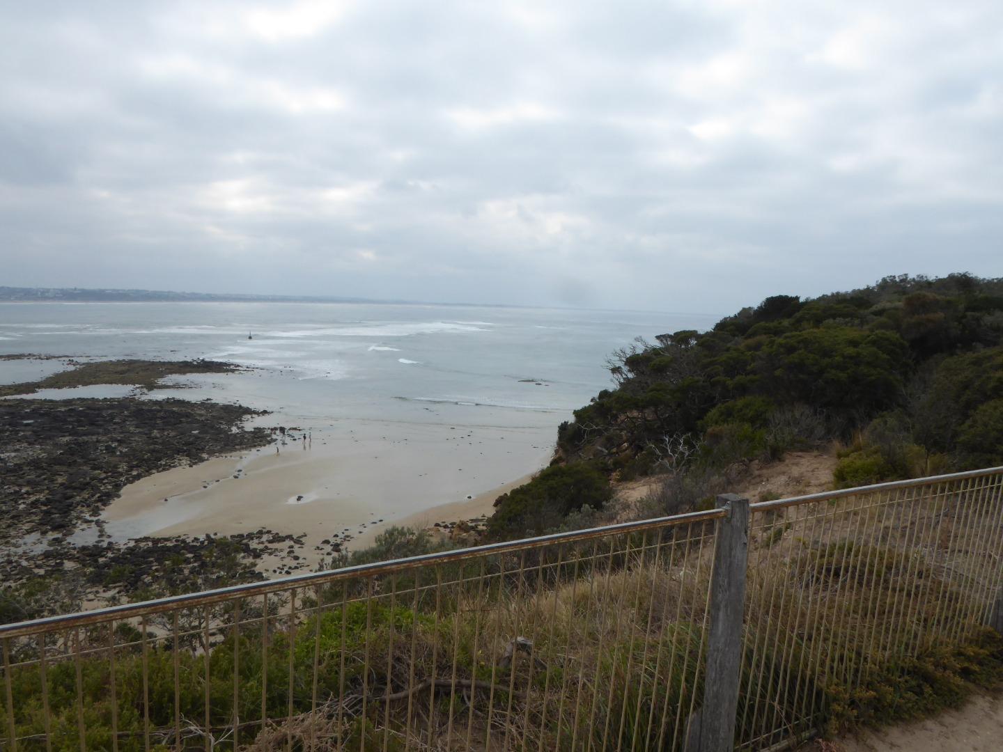
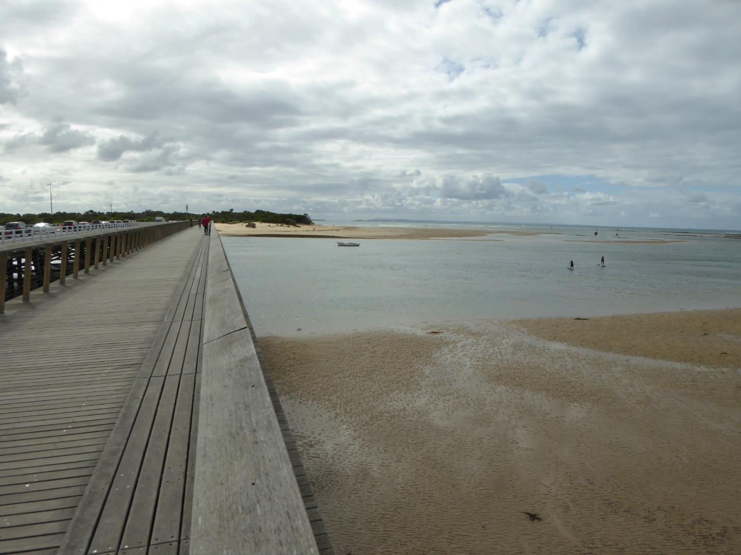
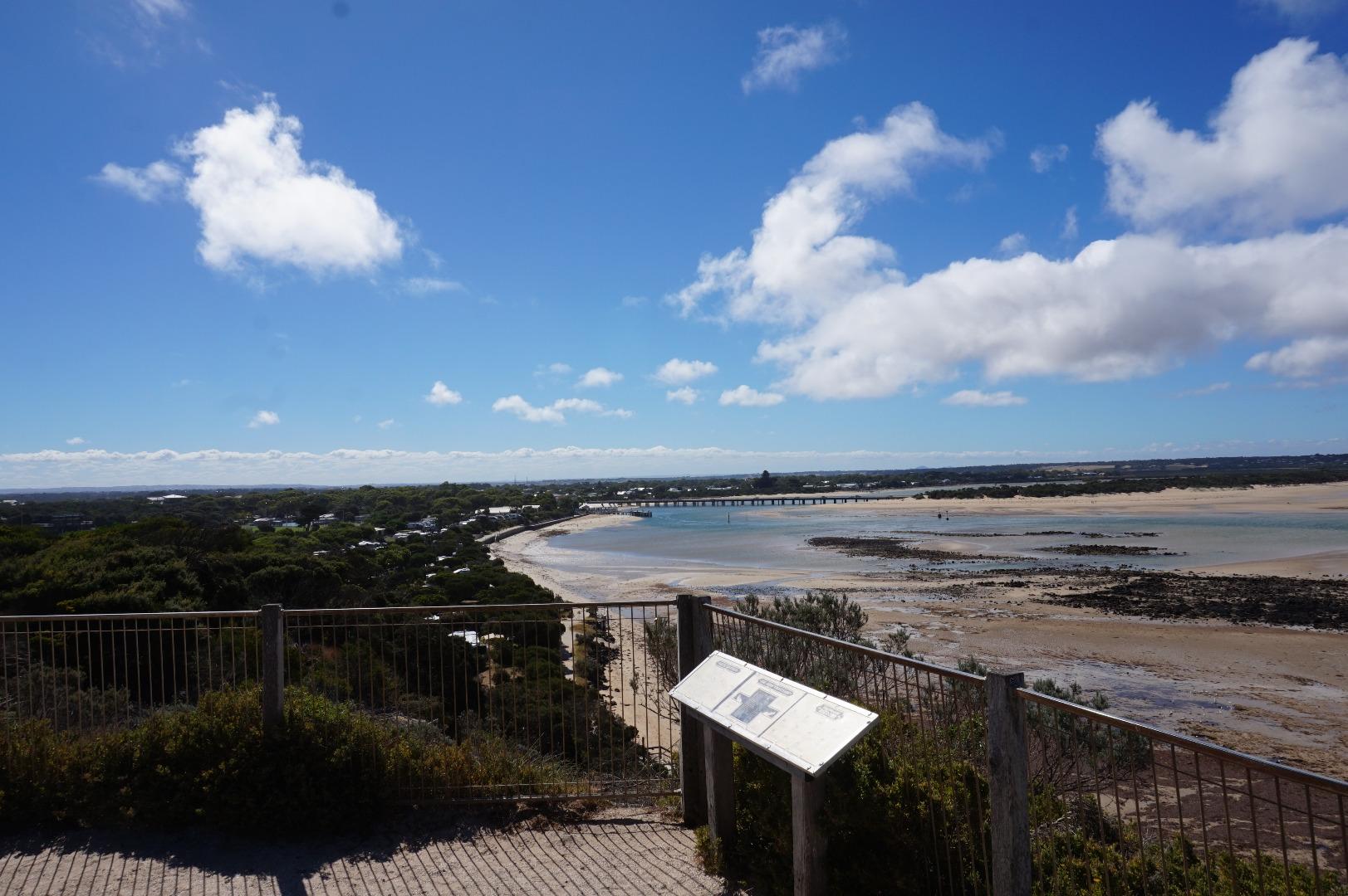
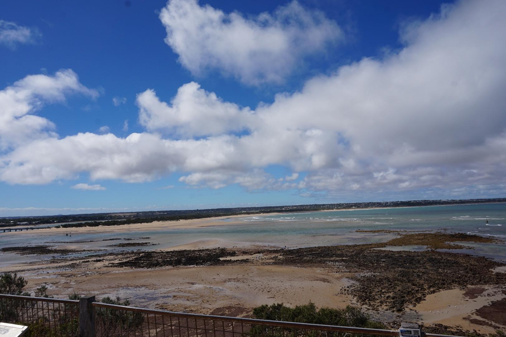
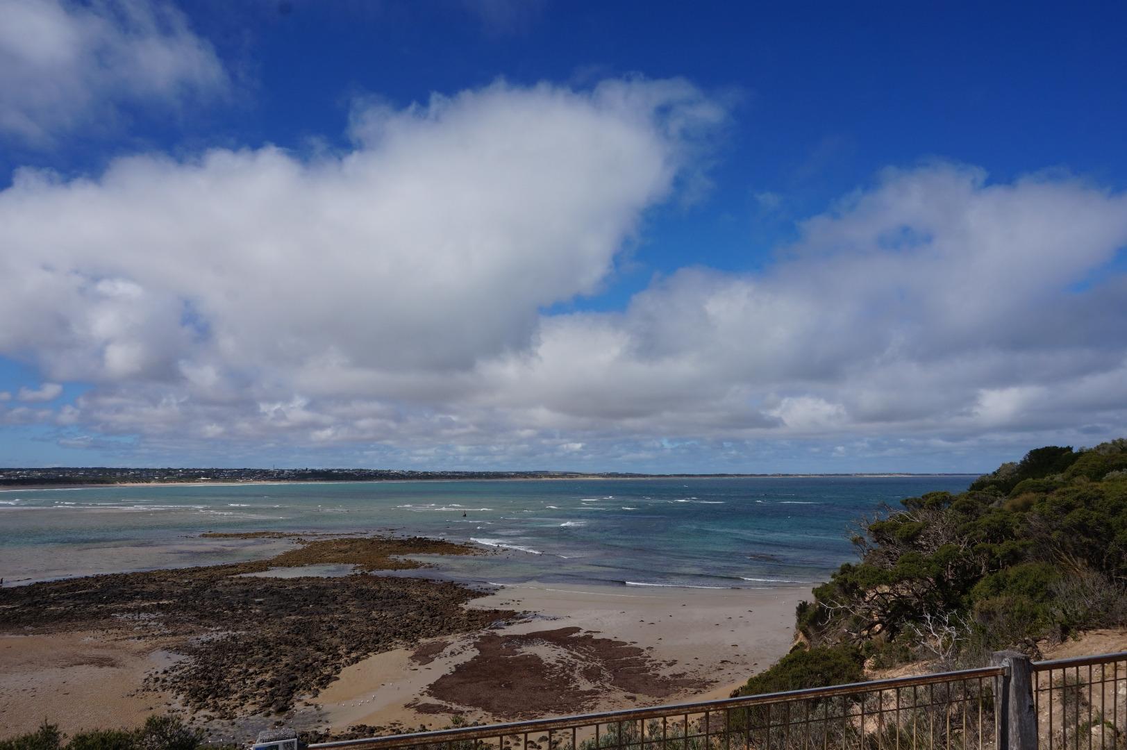
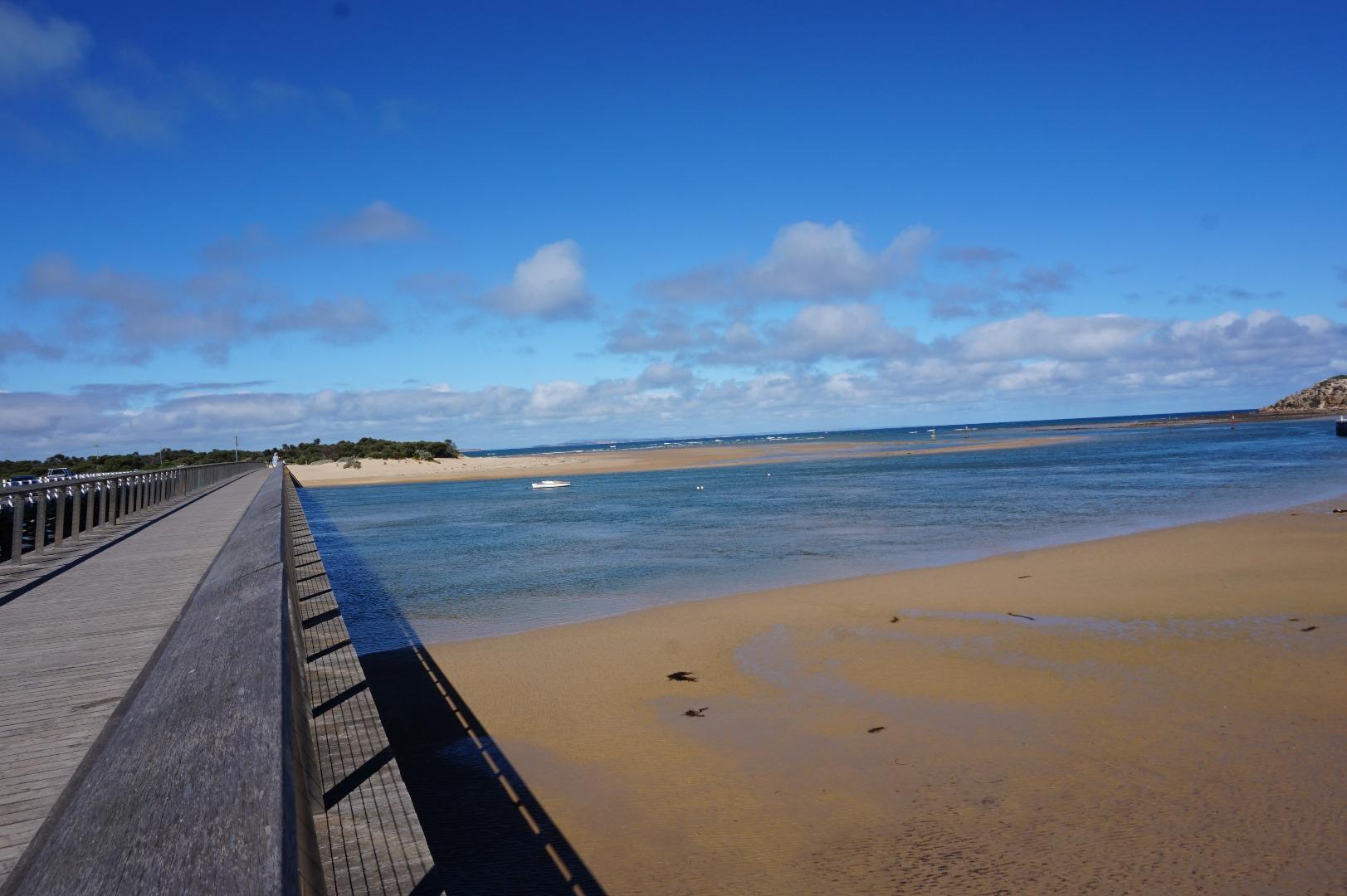
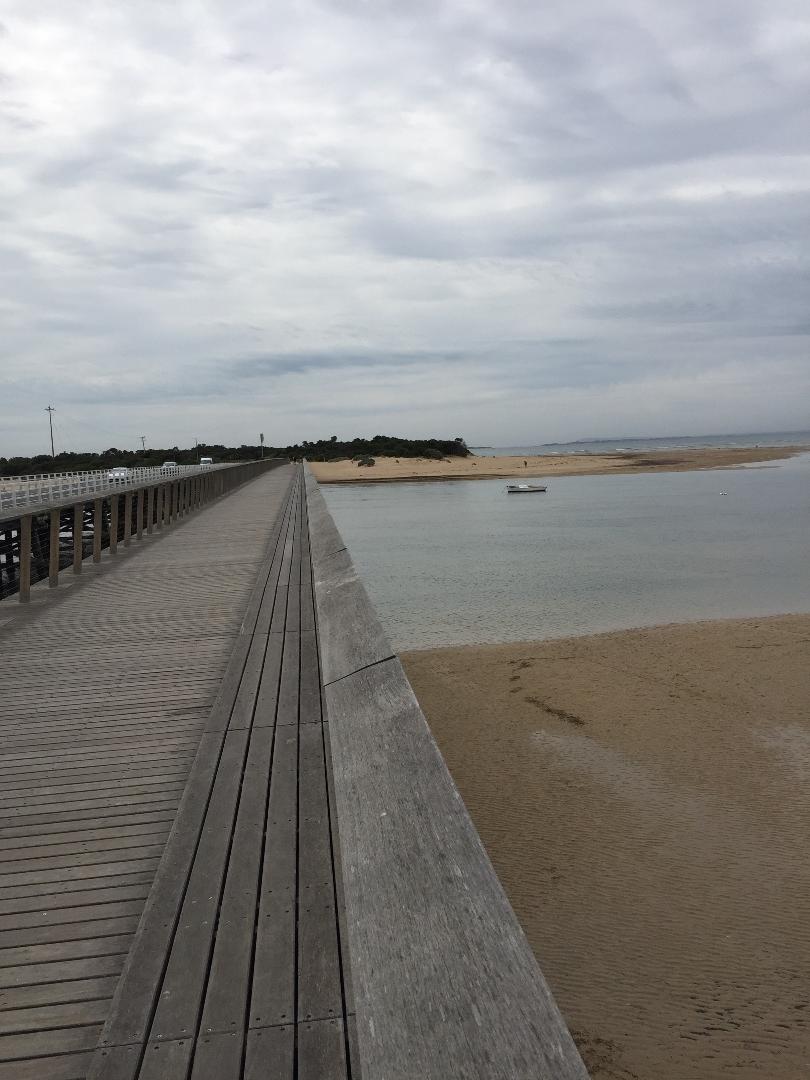
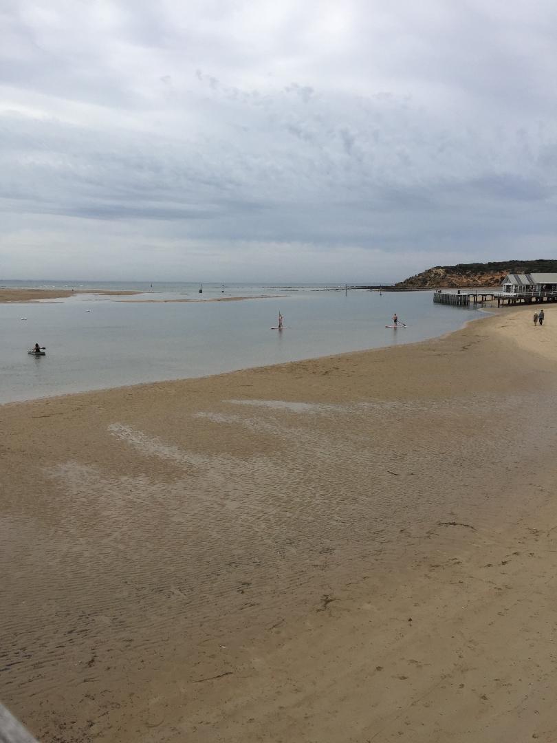
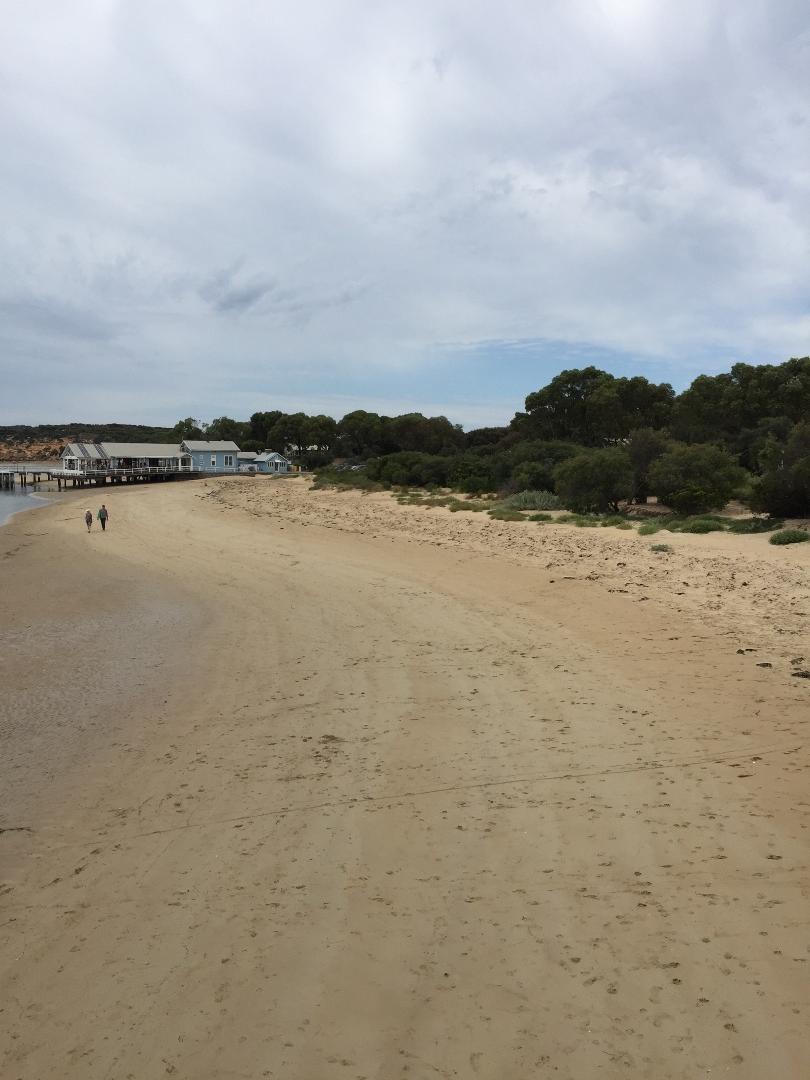
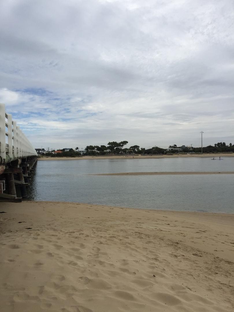
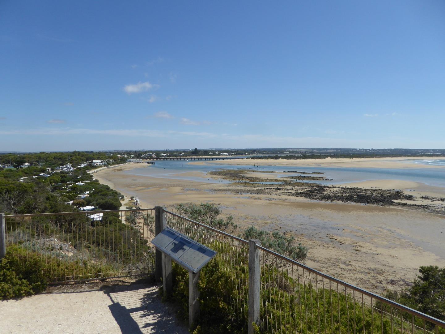
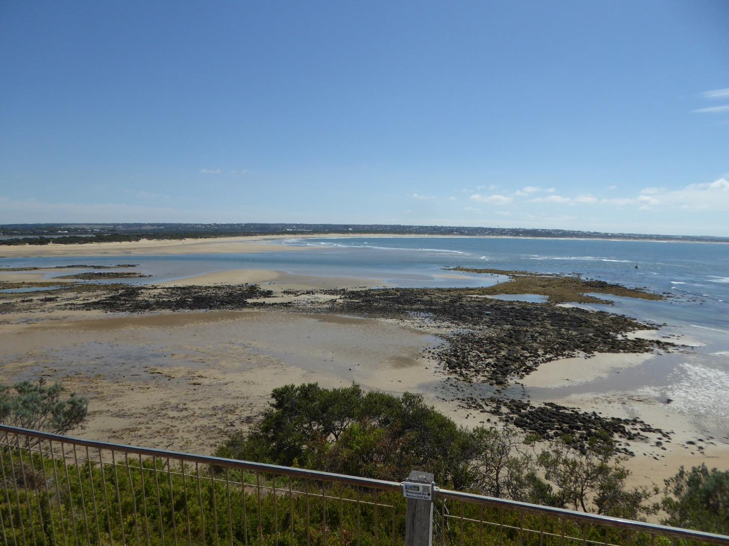
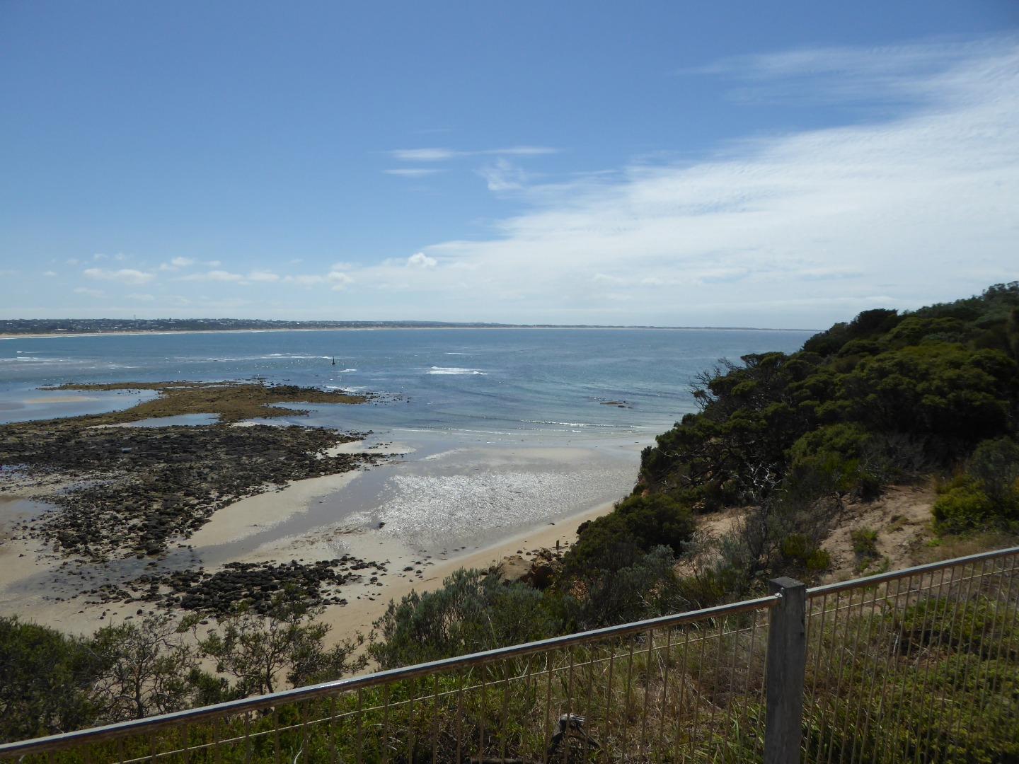
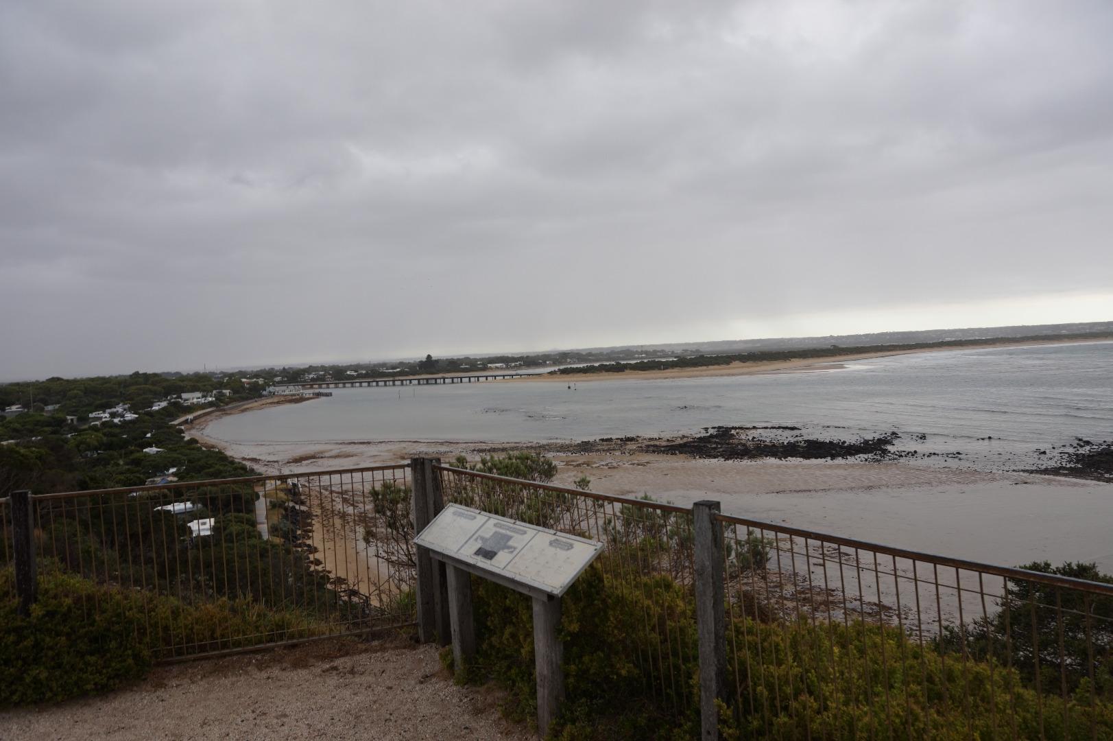
BMC Barwon River - Observation Site
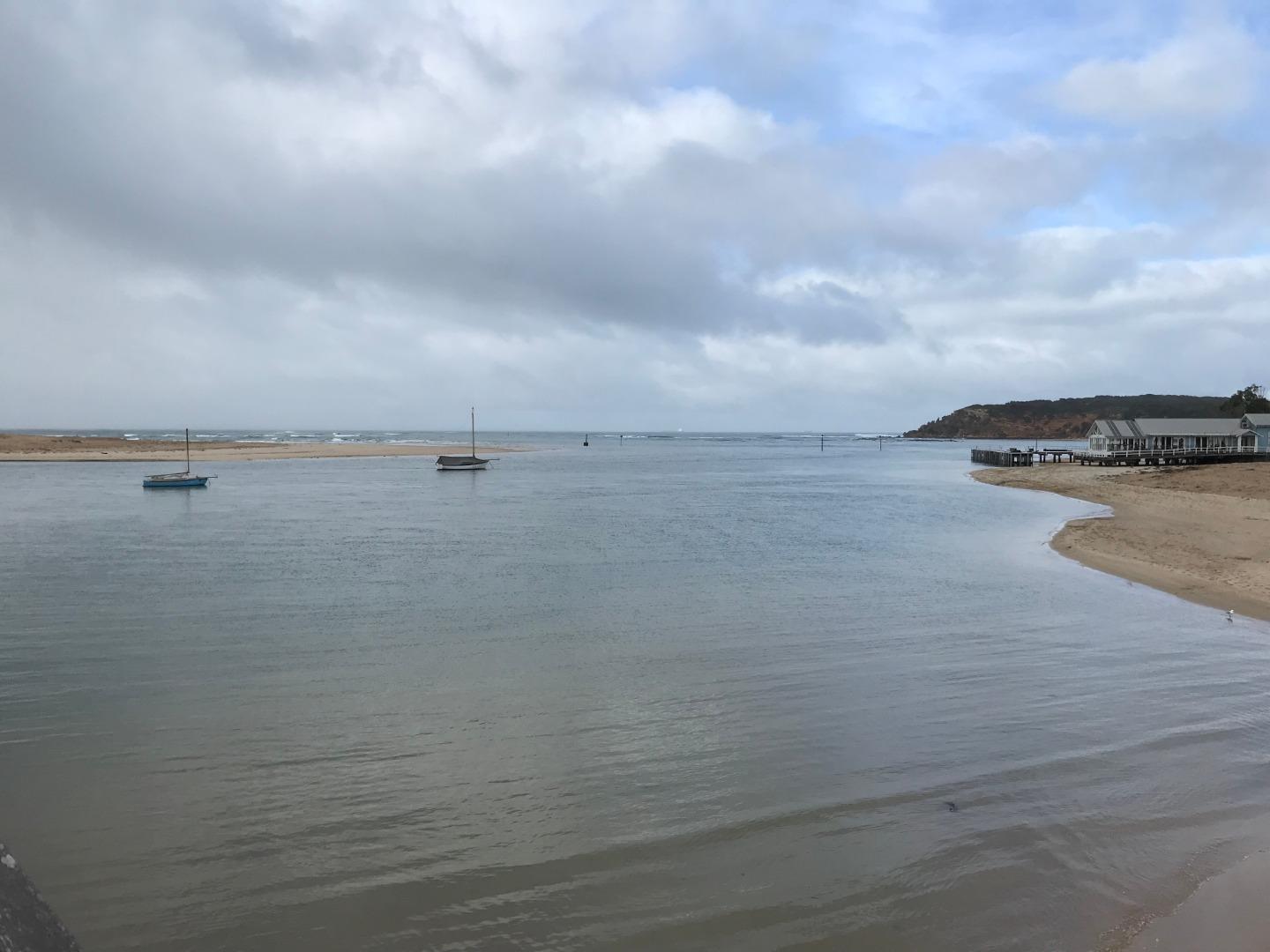
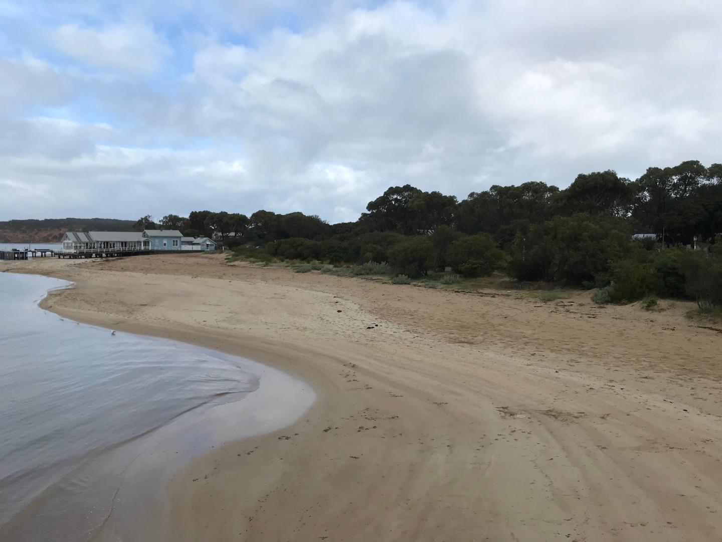
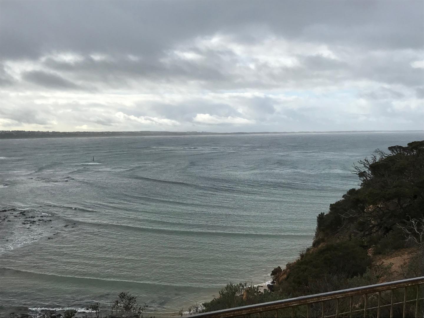
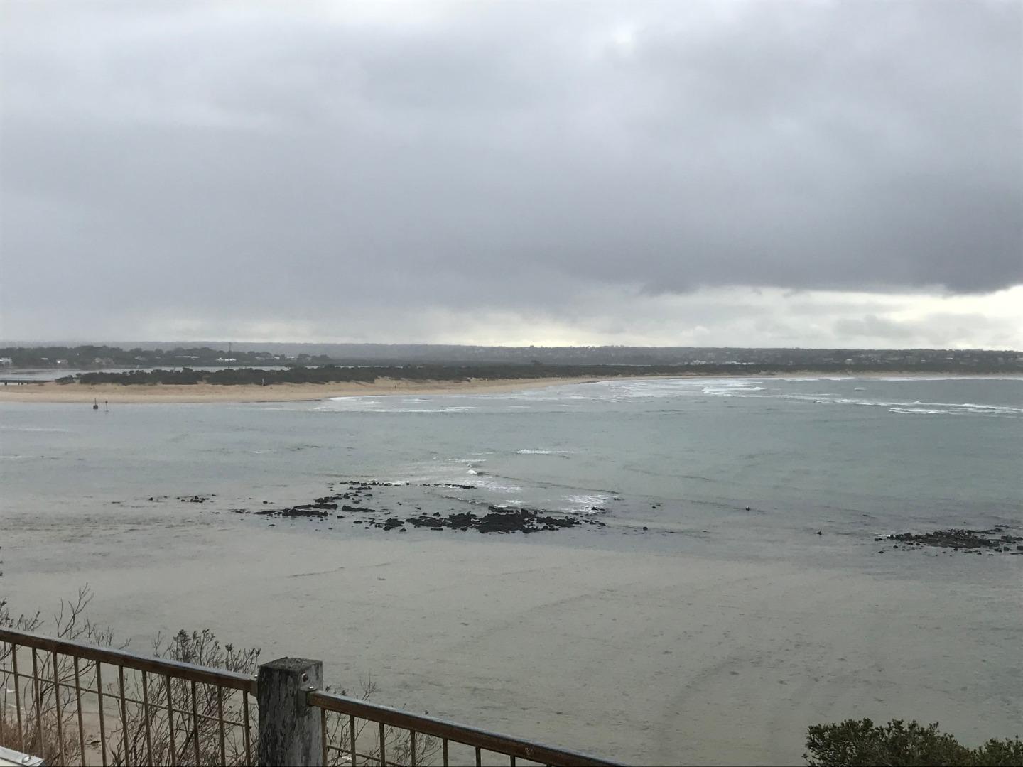
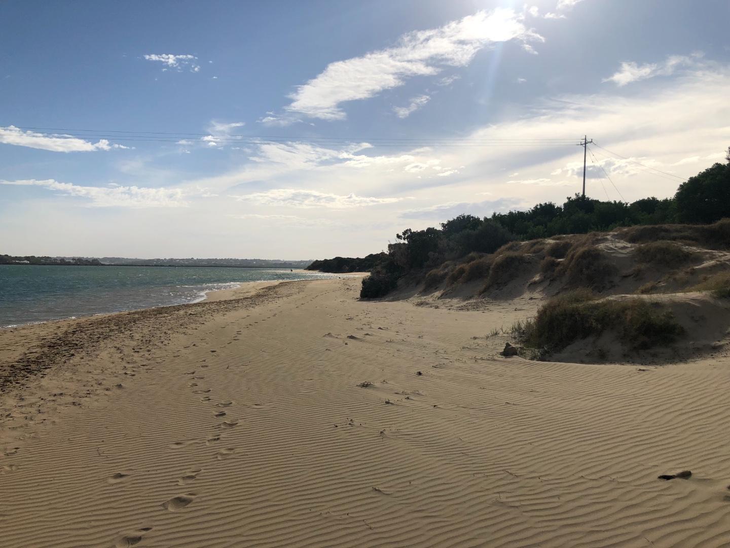
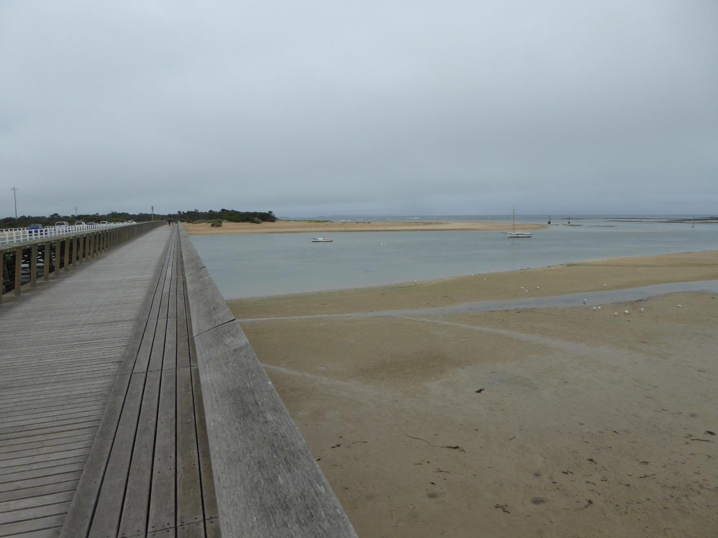
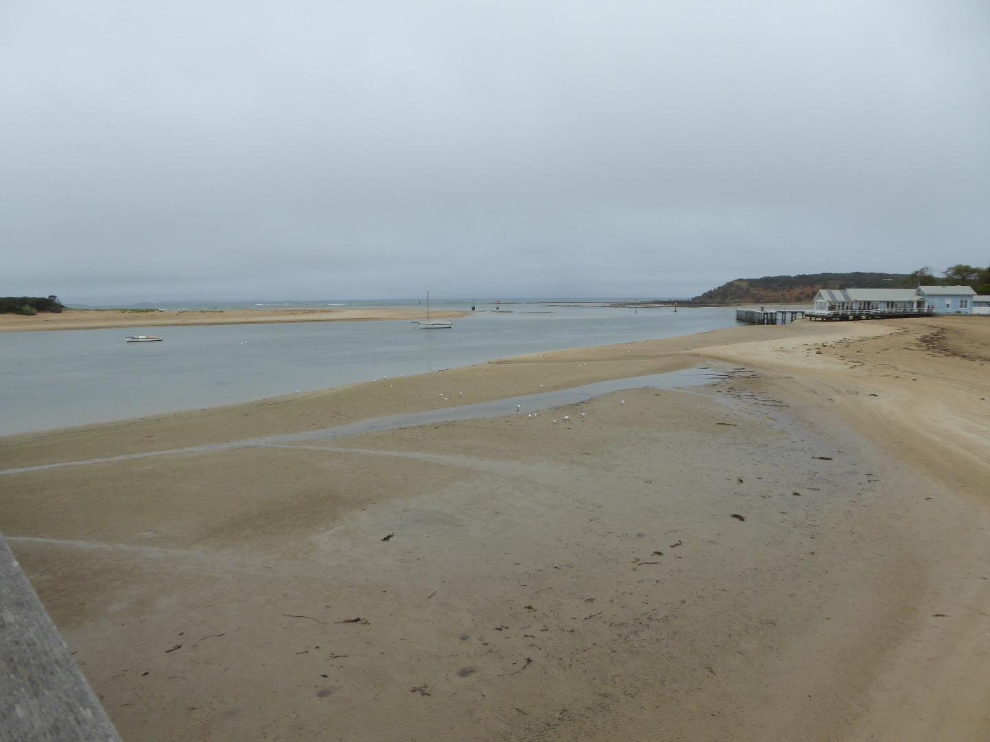
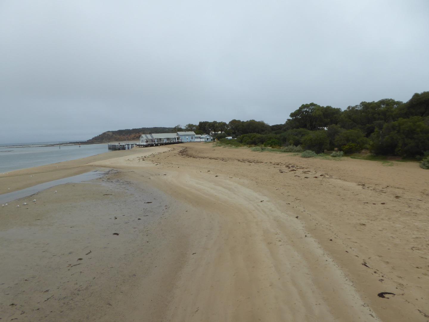
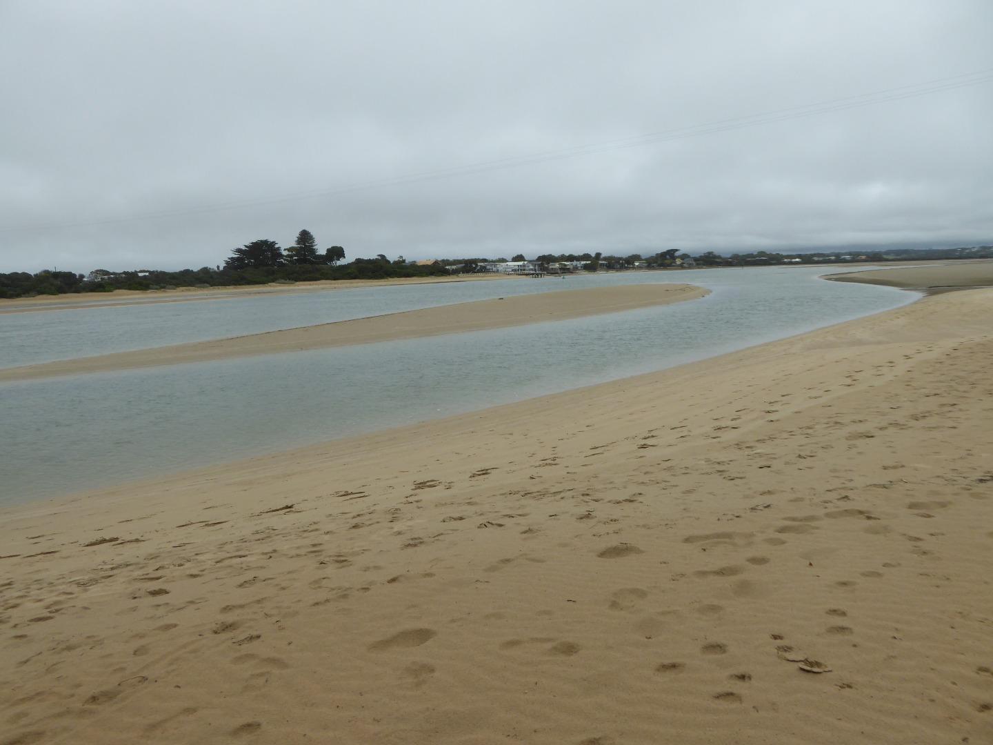
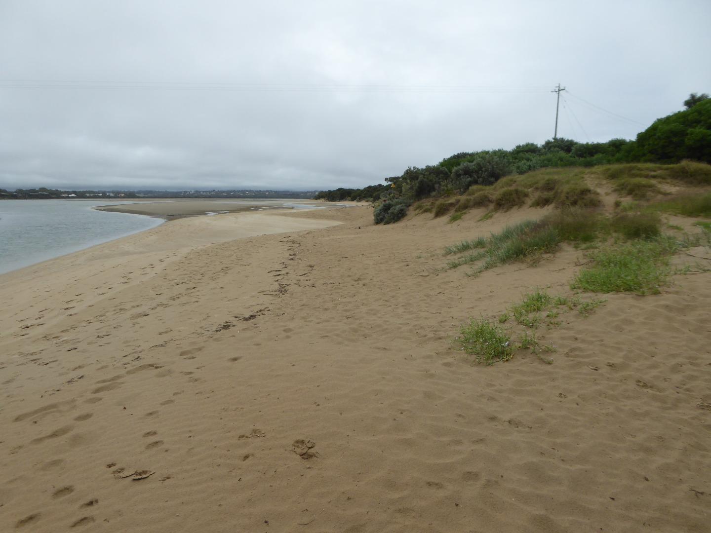
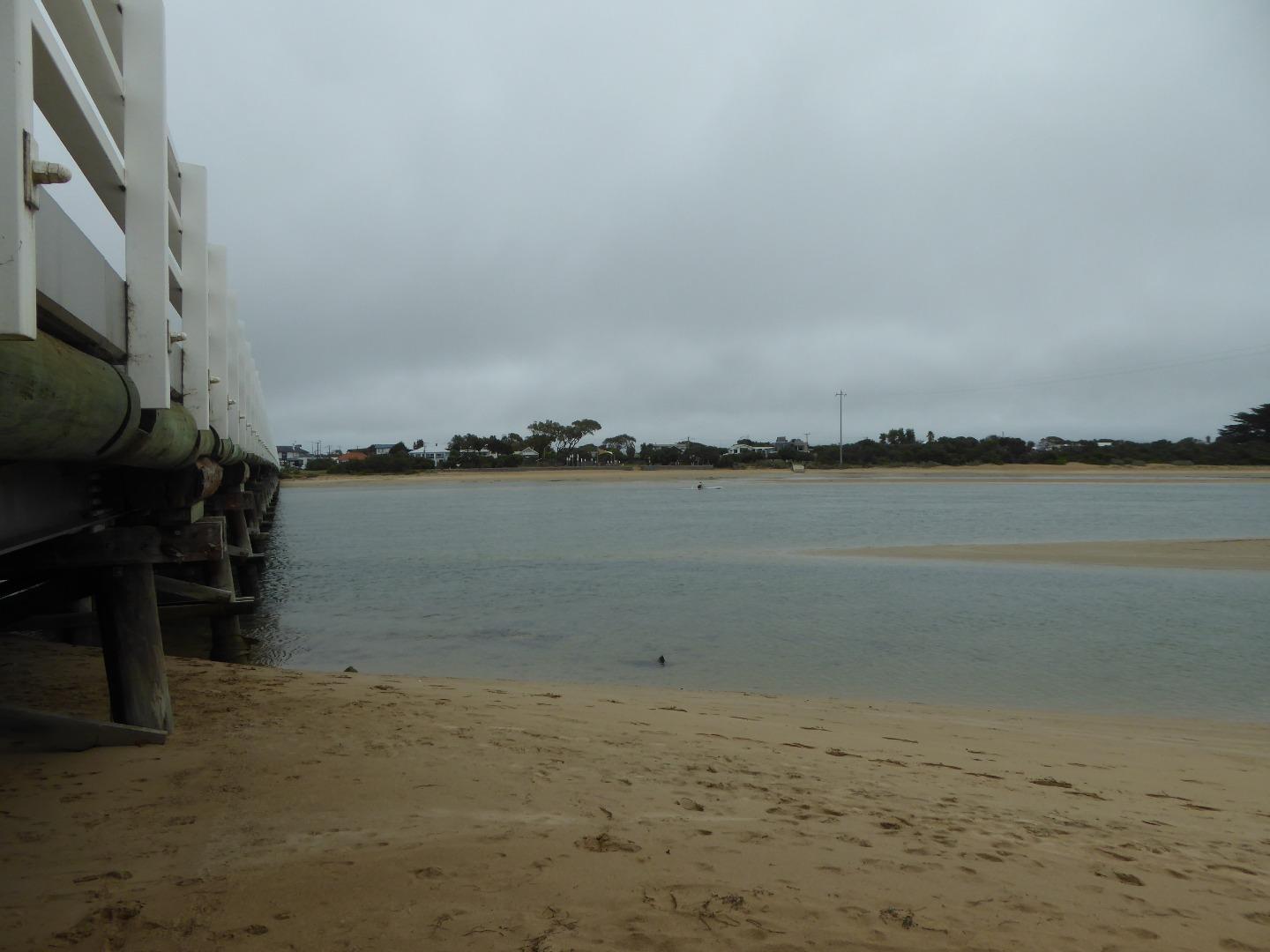
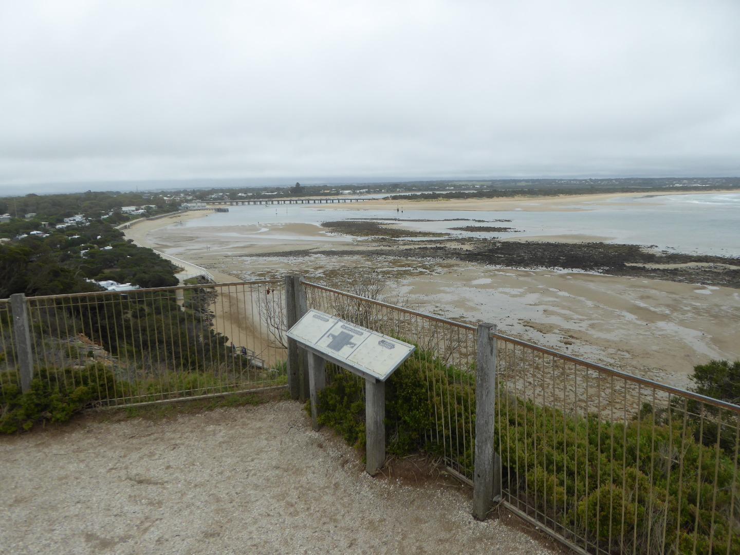
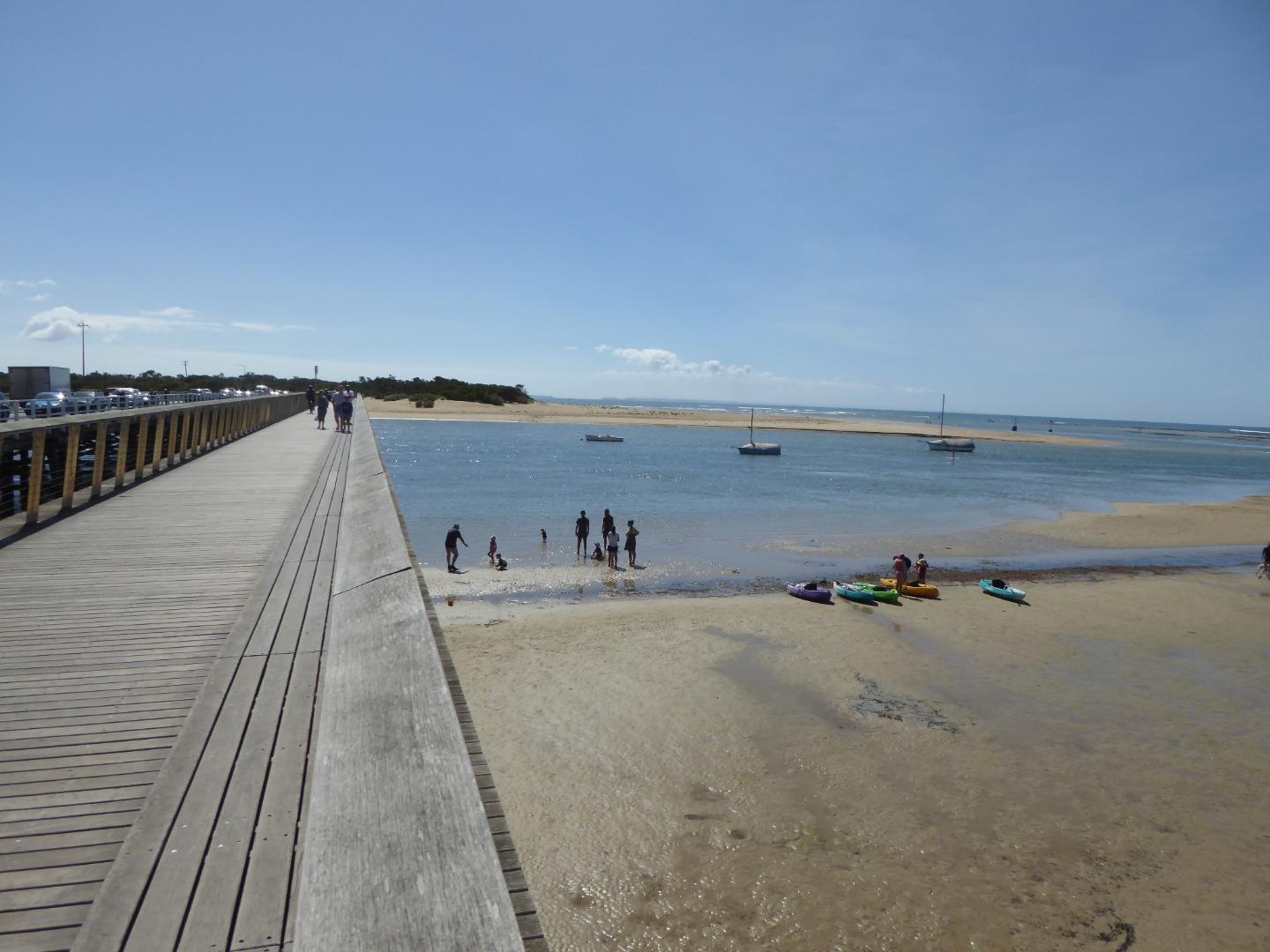
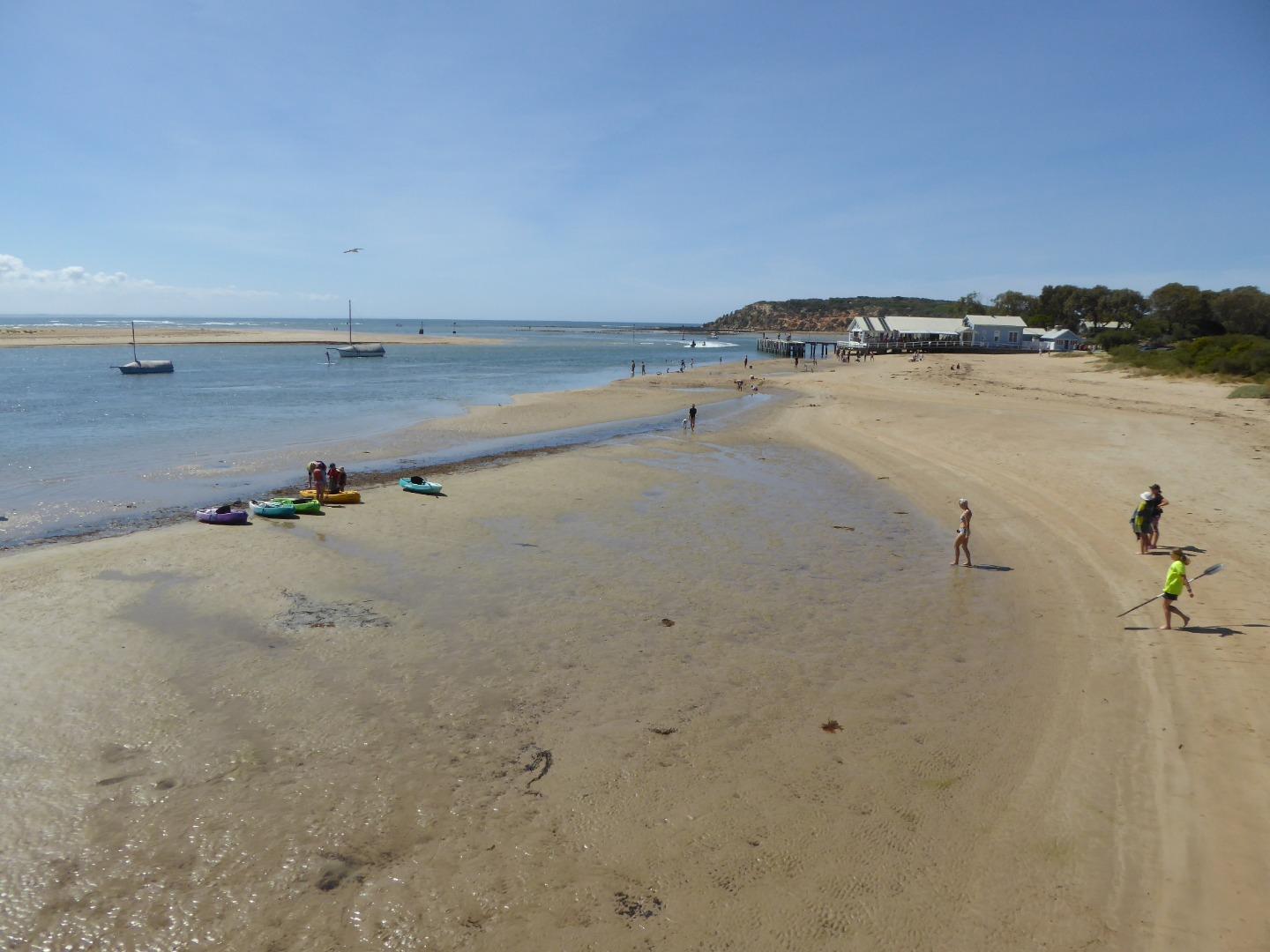
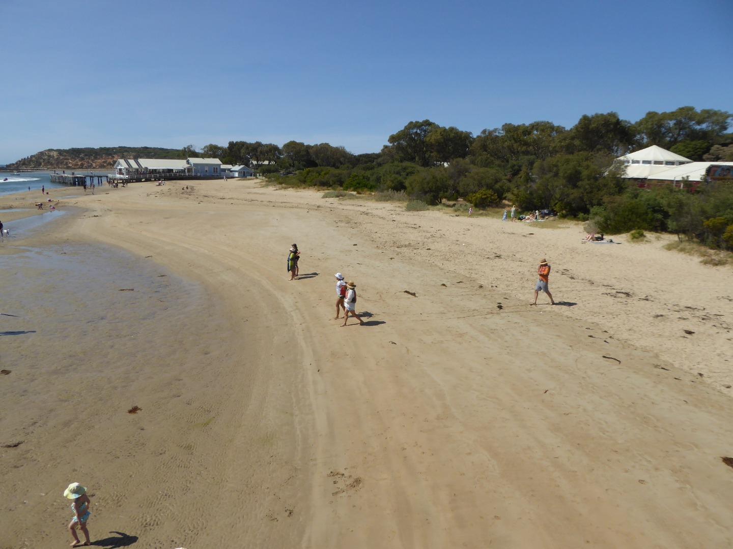
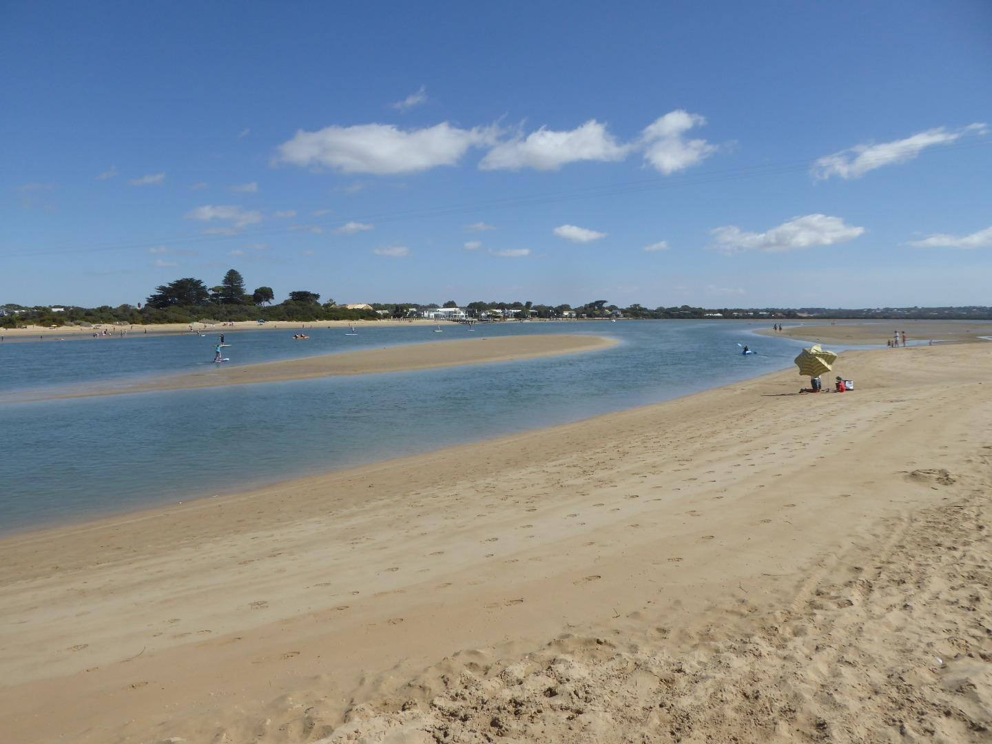
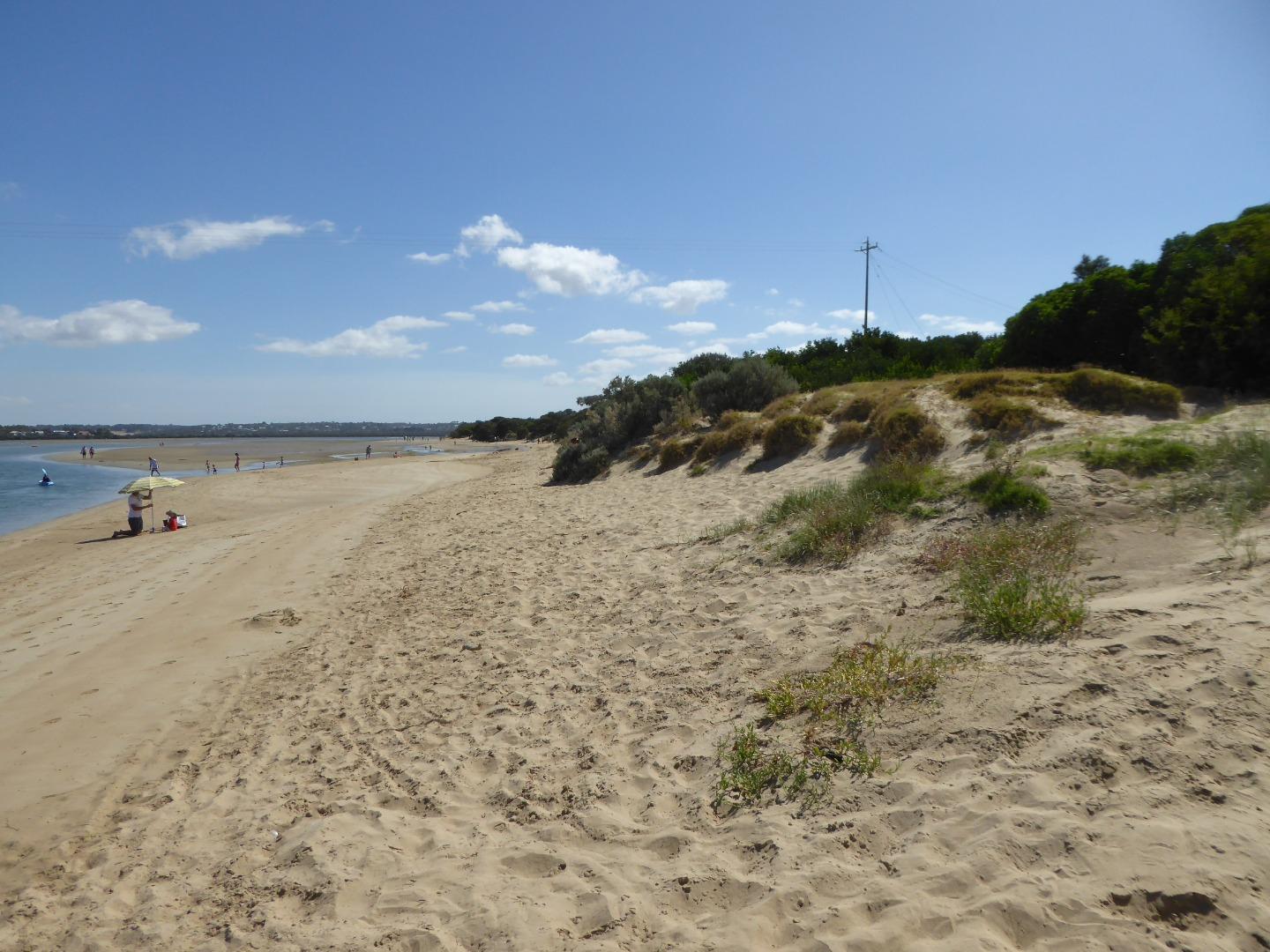
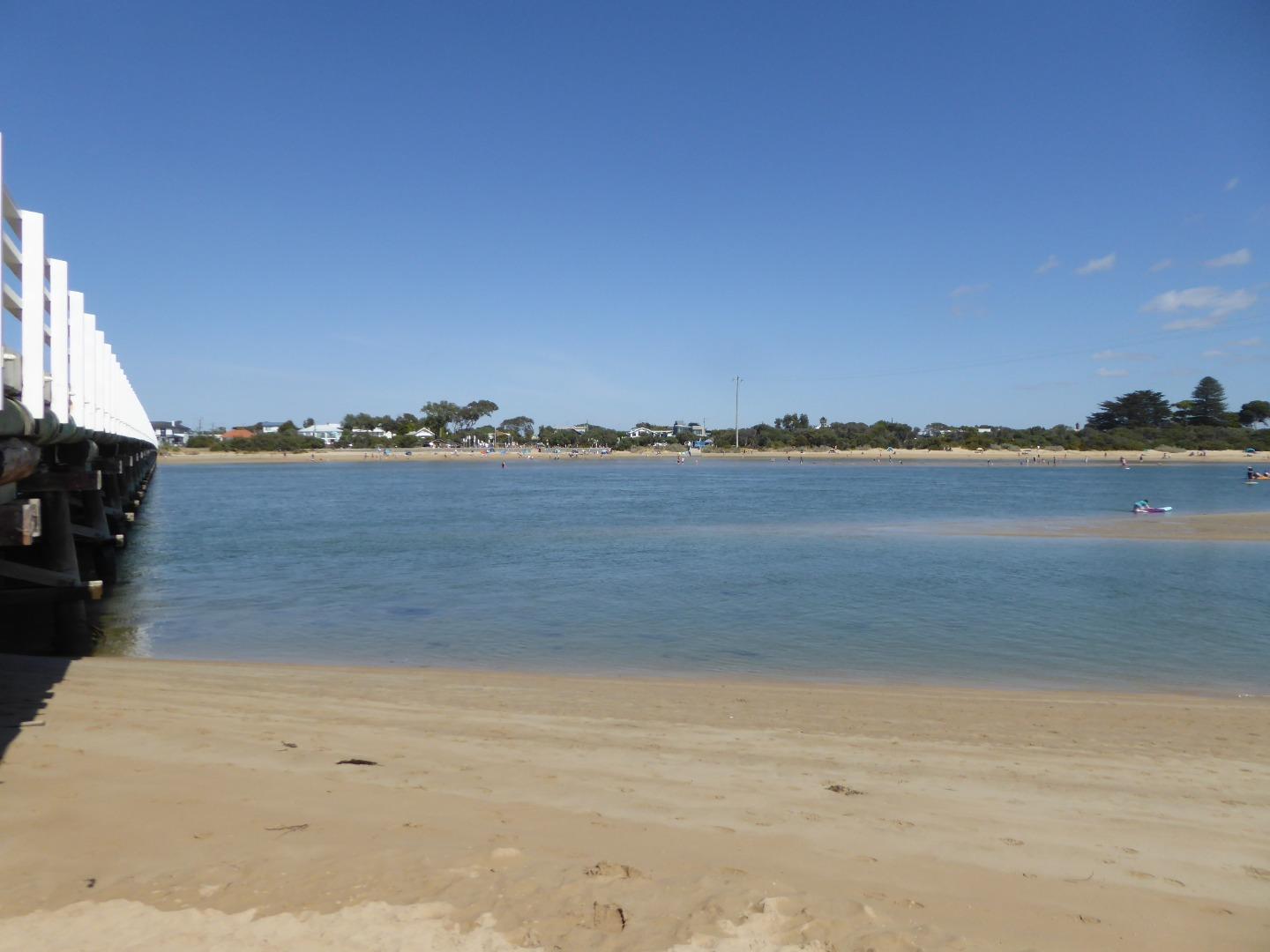
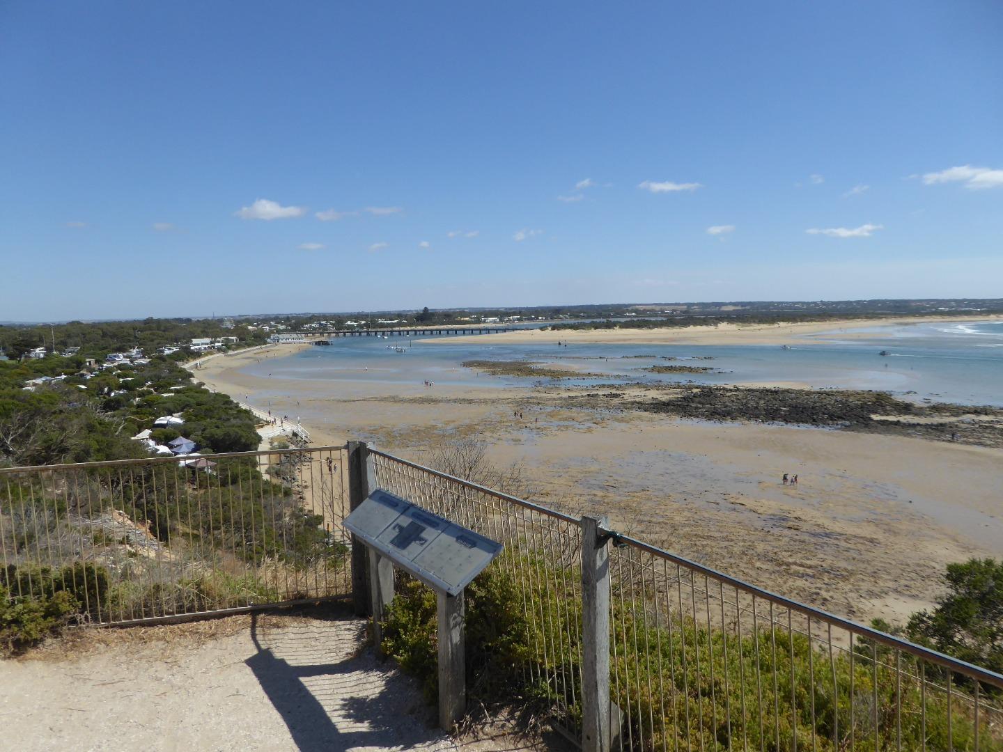
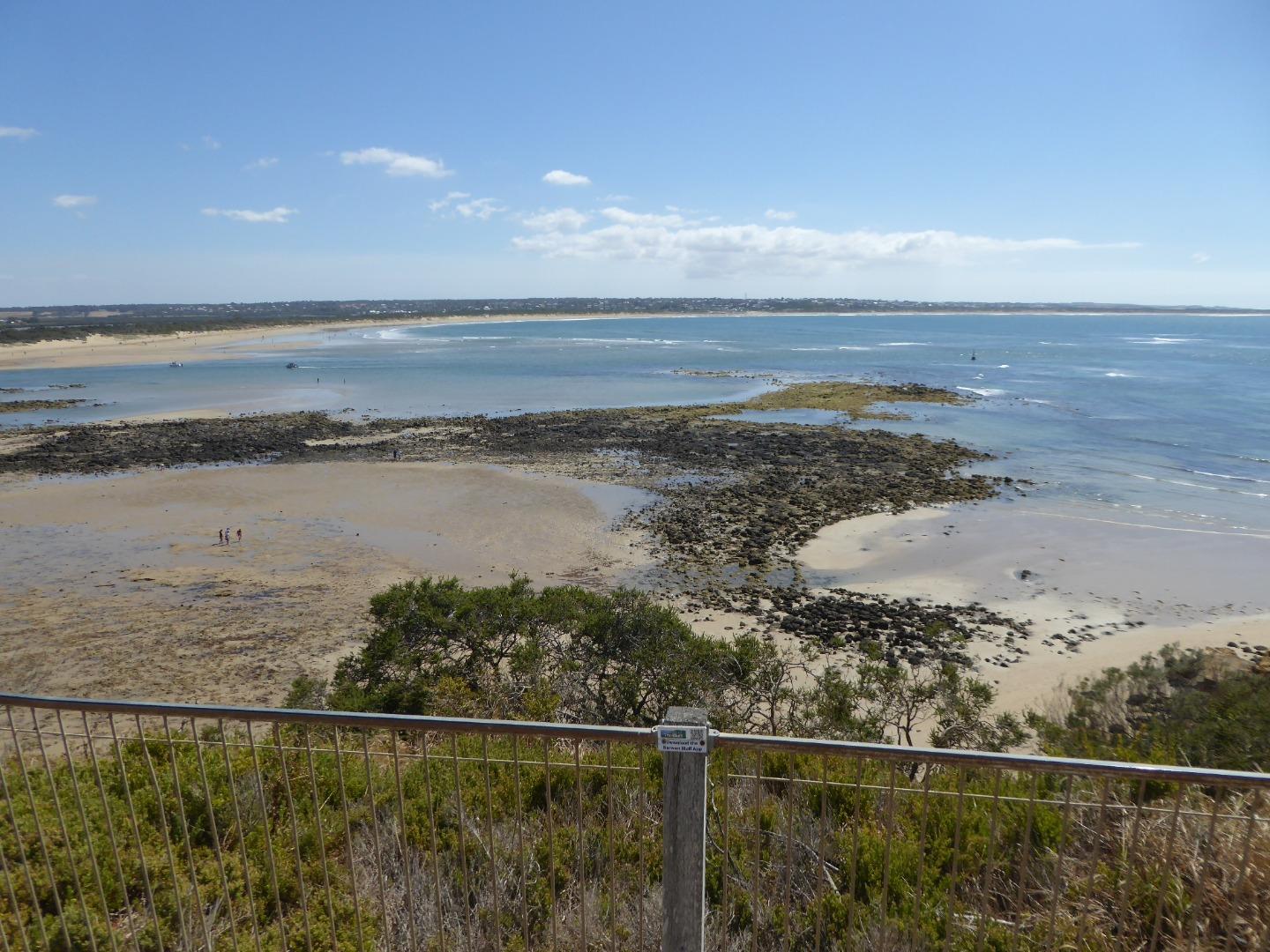
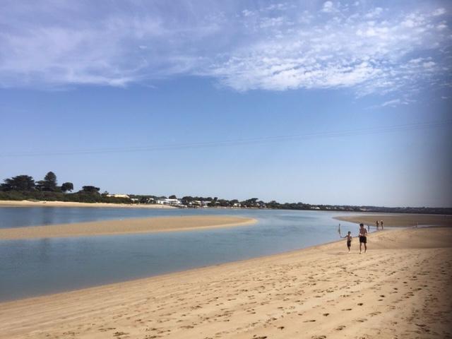
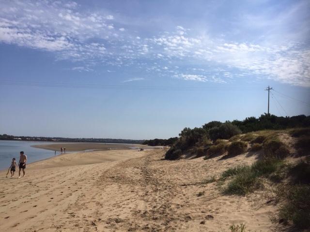
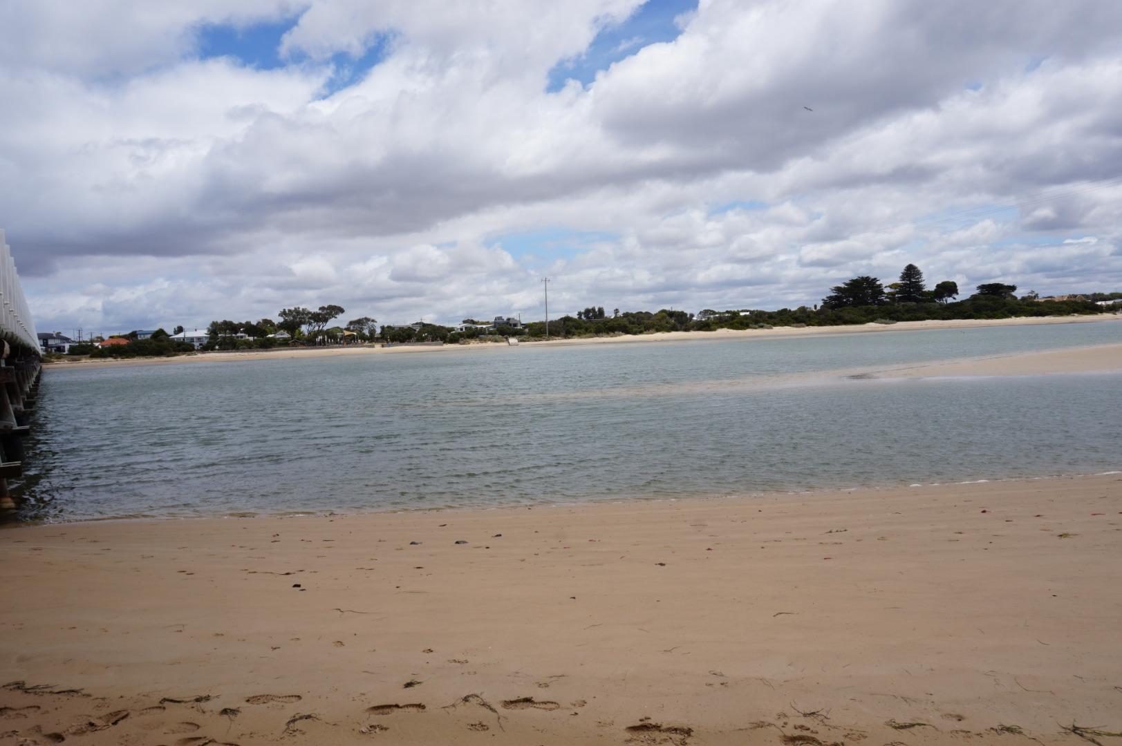
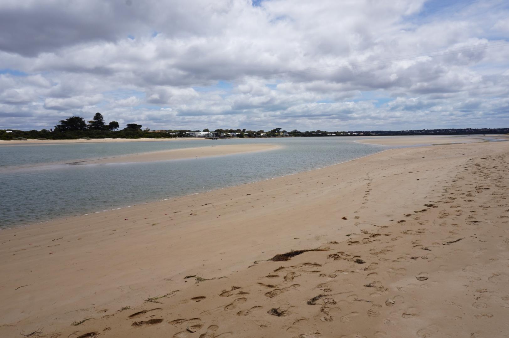
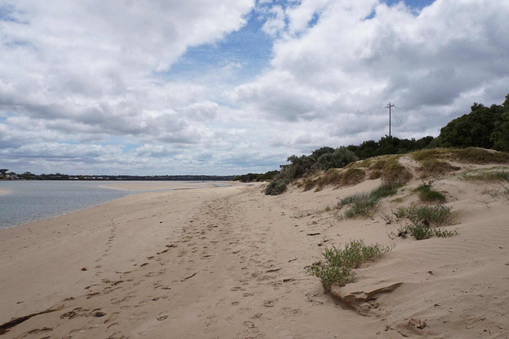
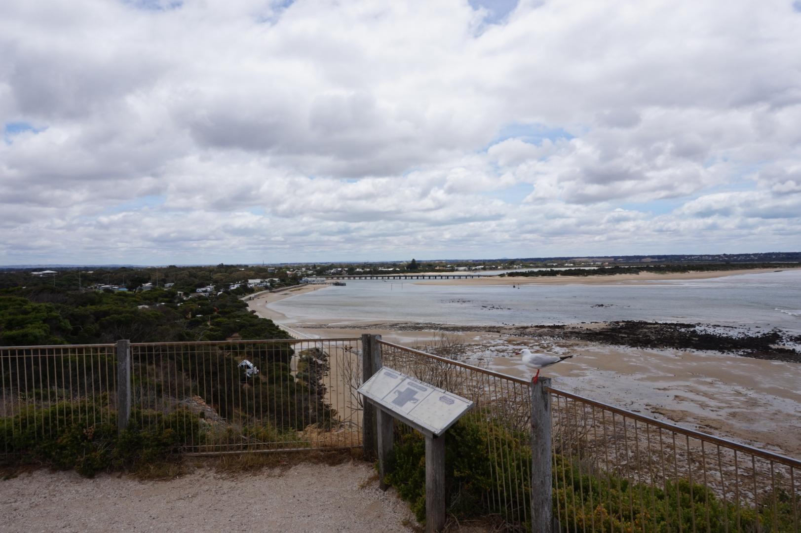
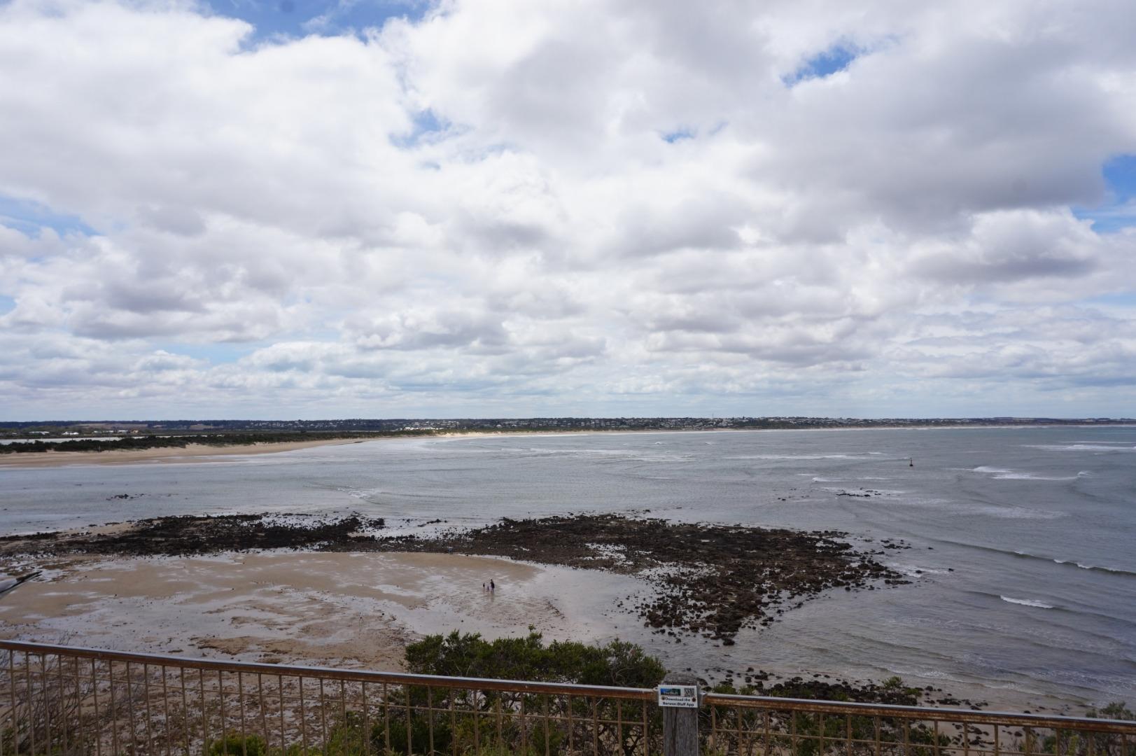
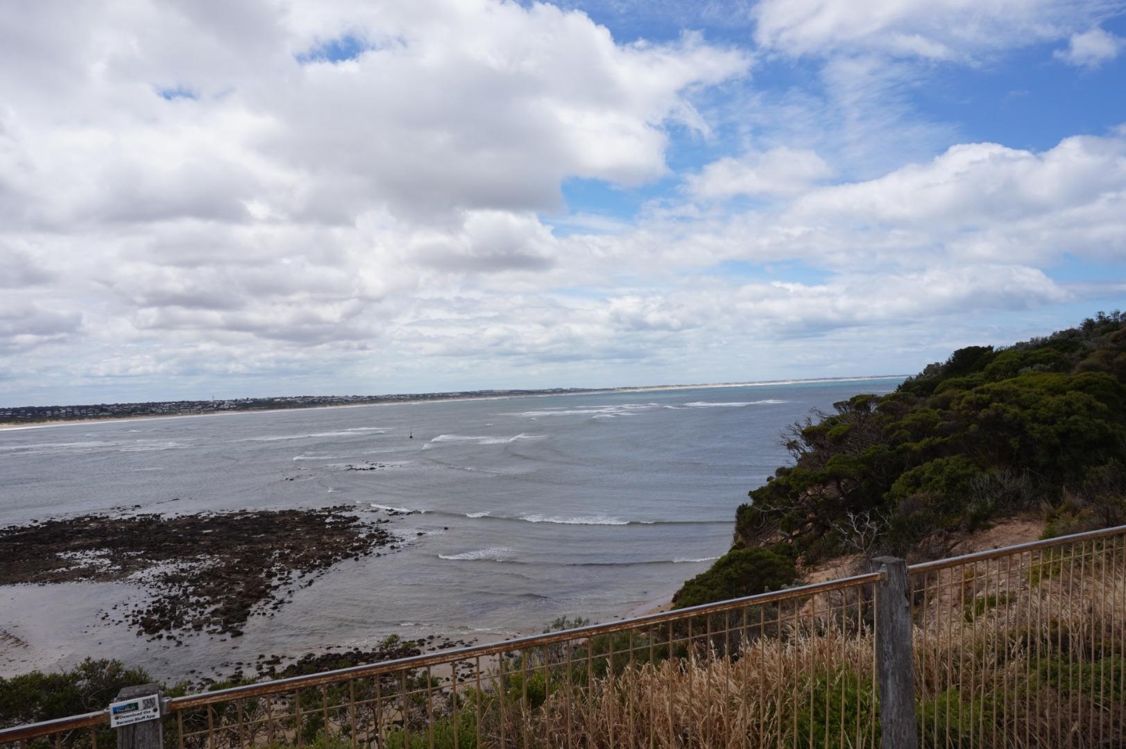
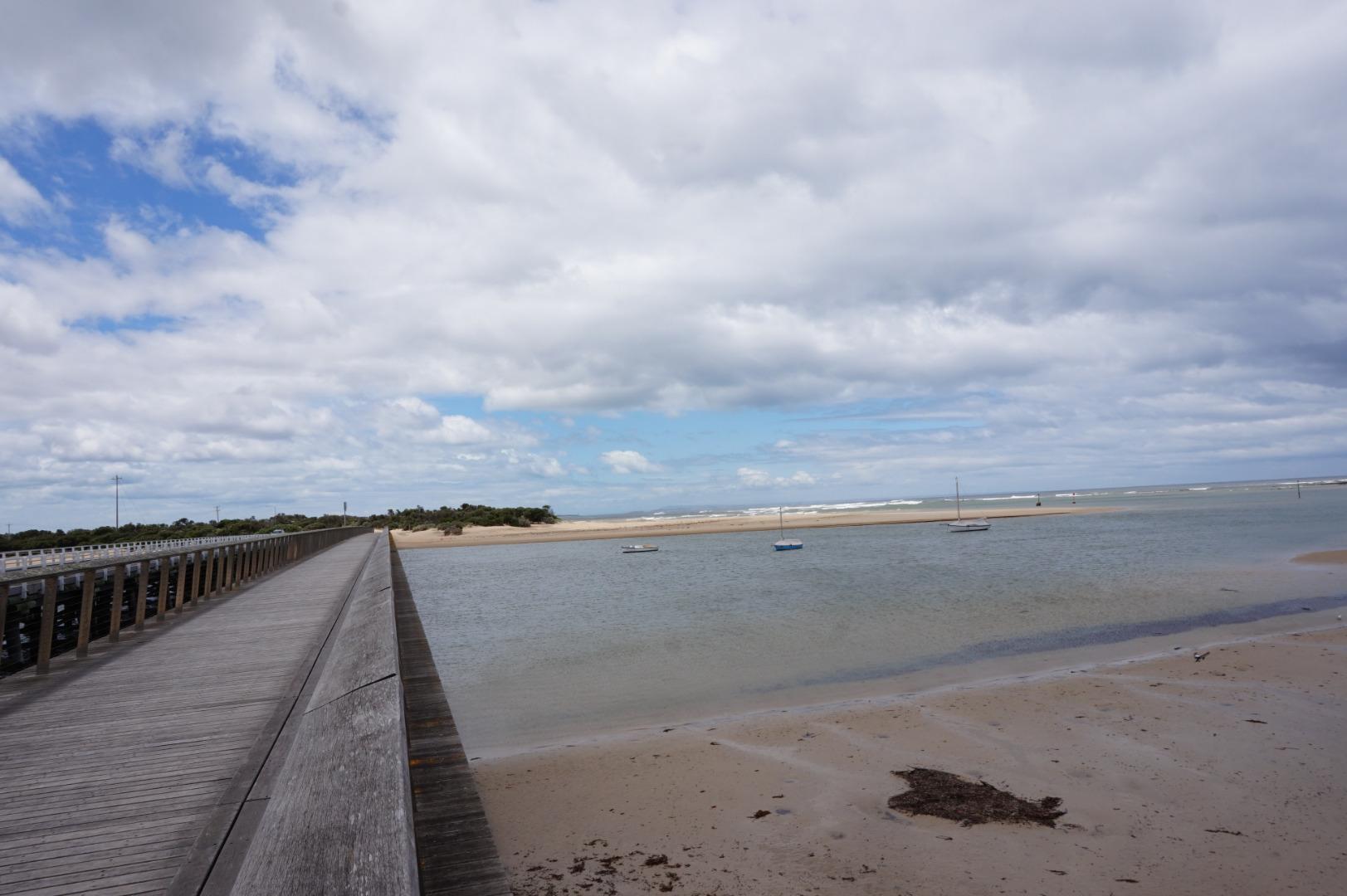
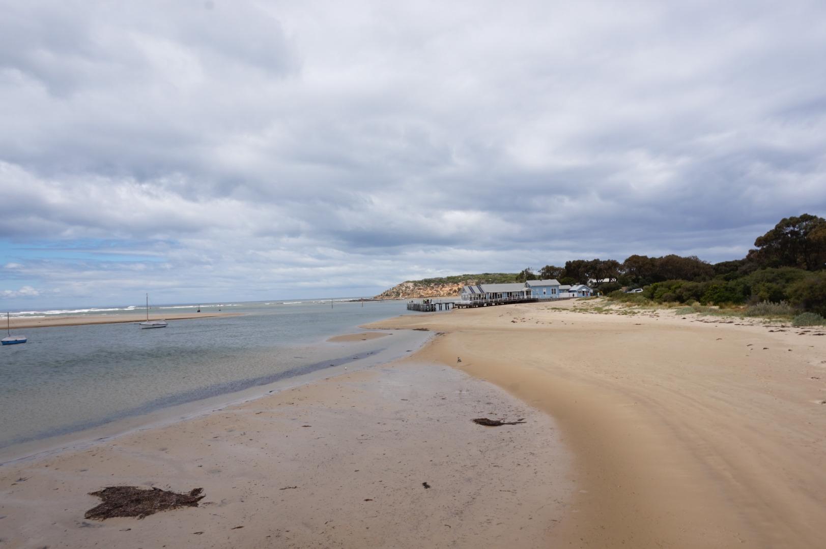
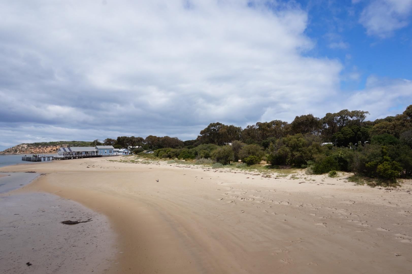
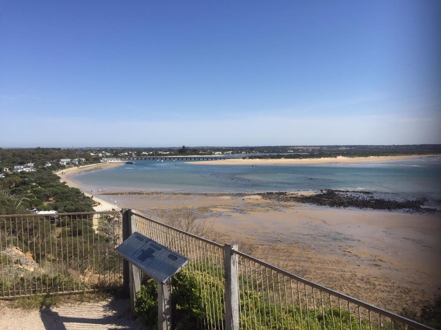
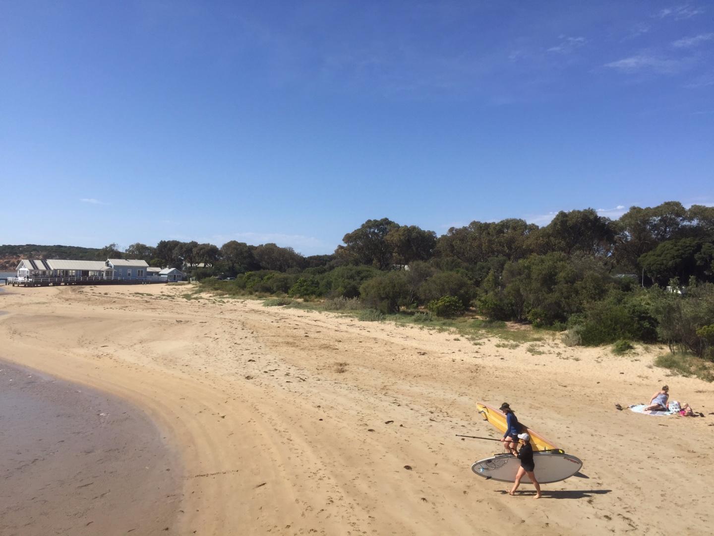
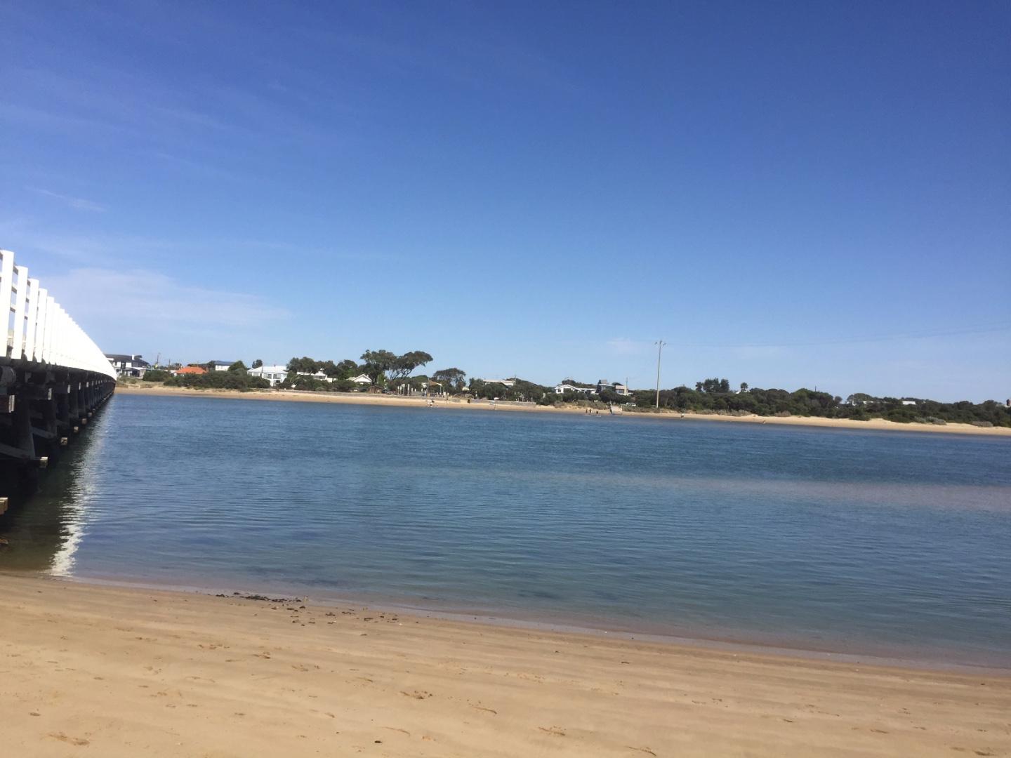
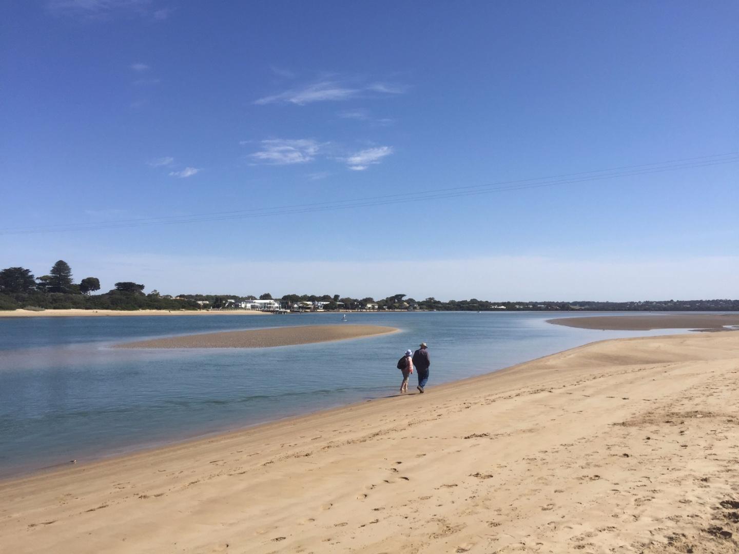
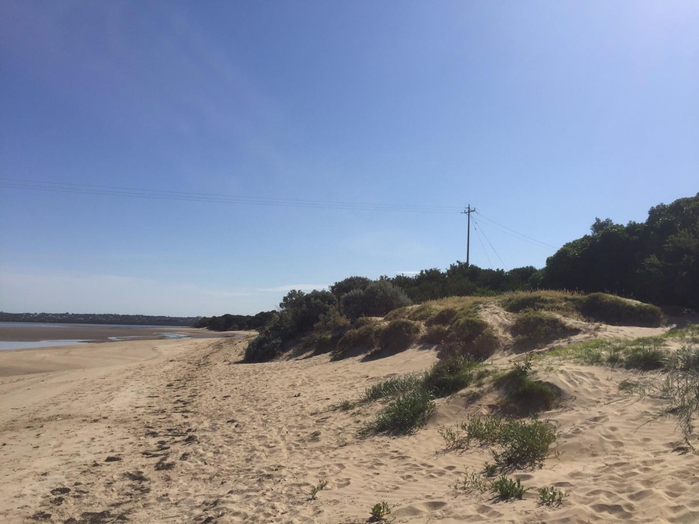
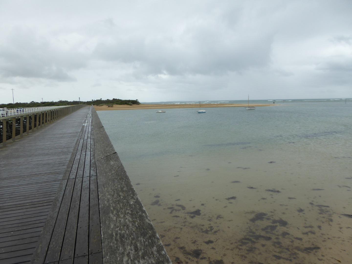
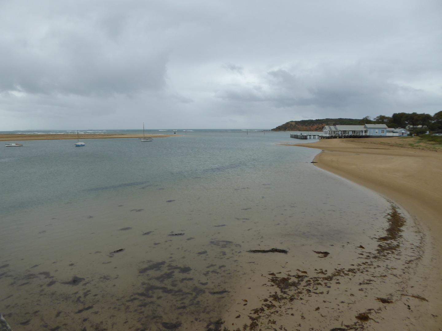
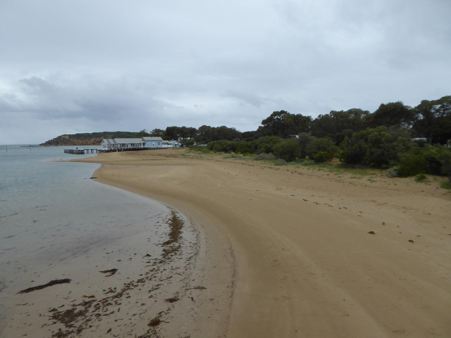
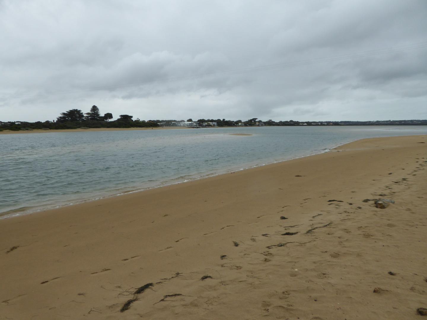
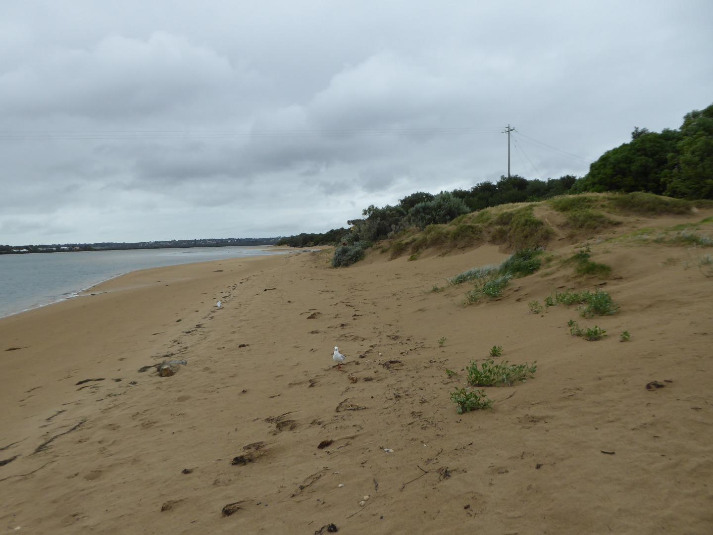
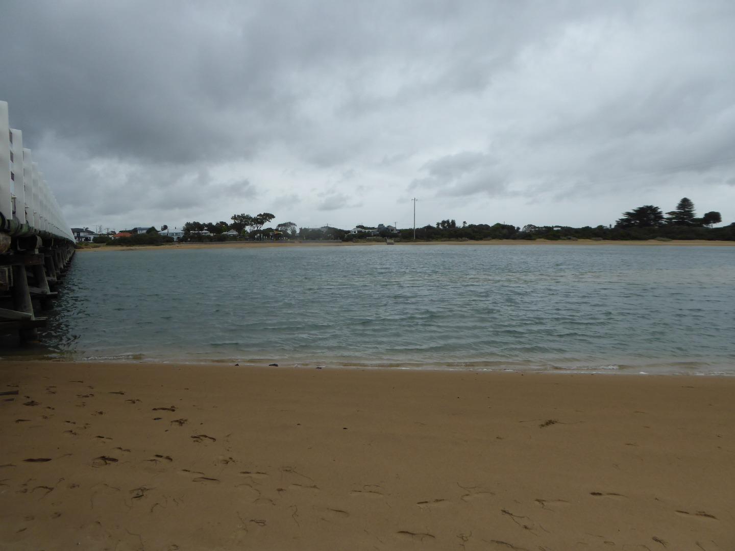
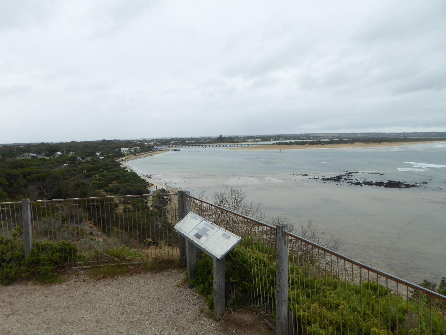
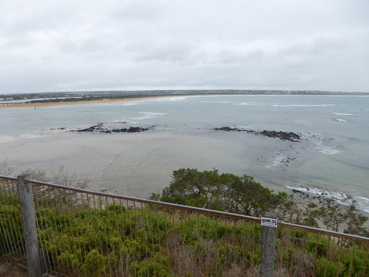
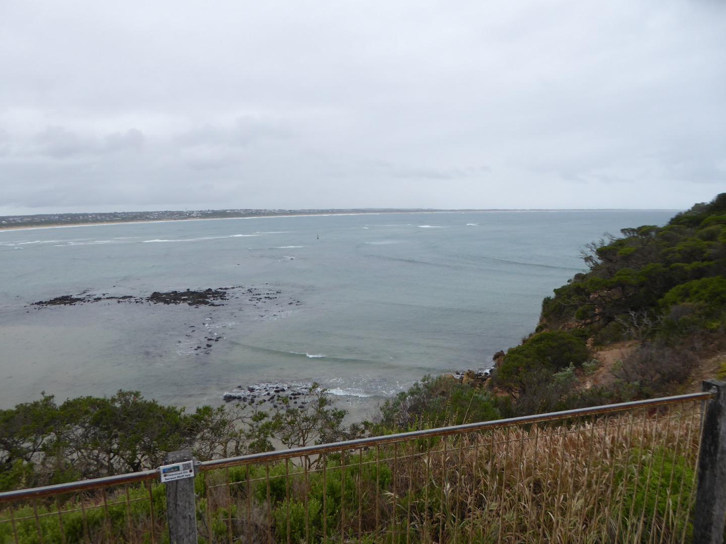
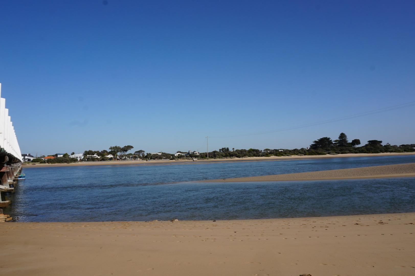
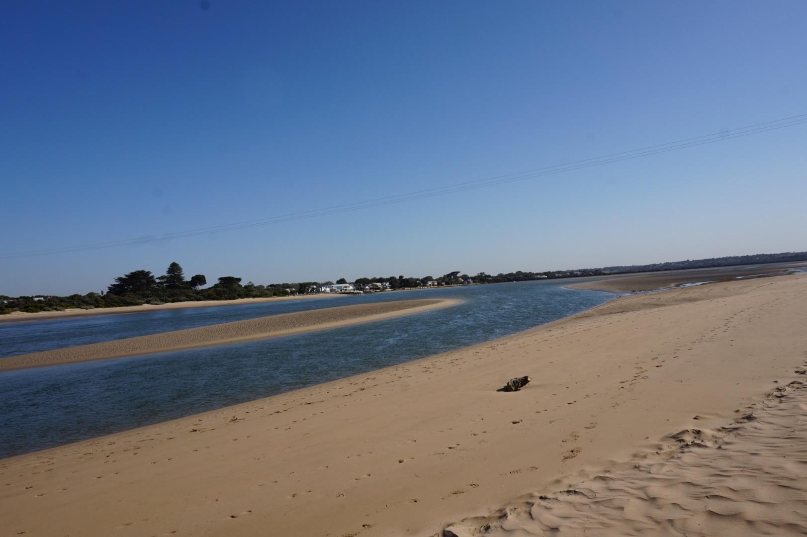
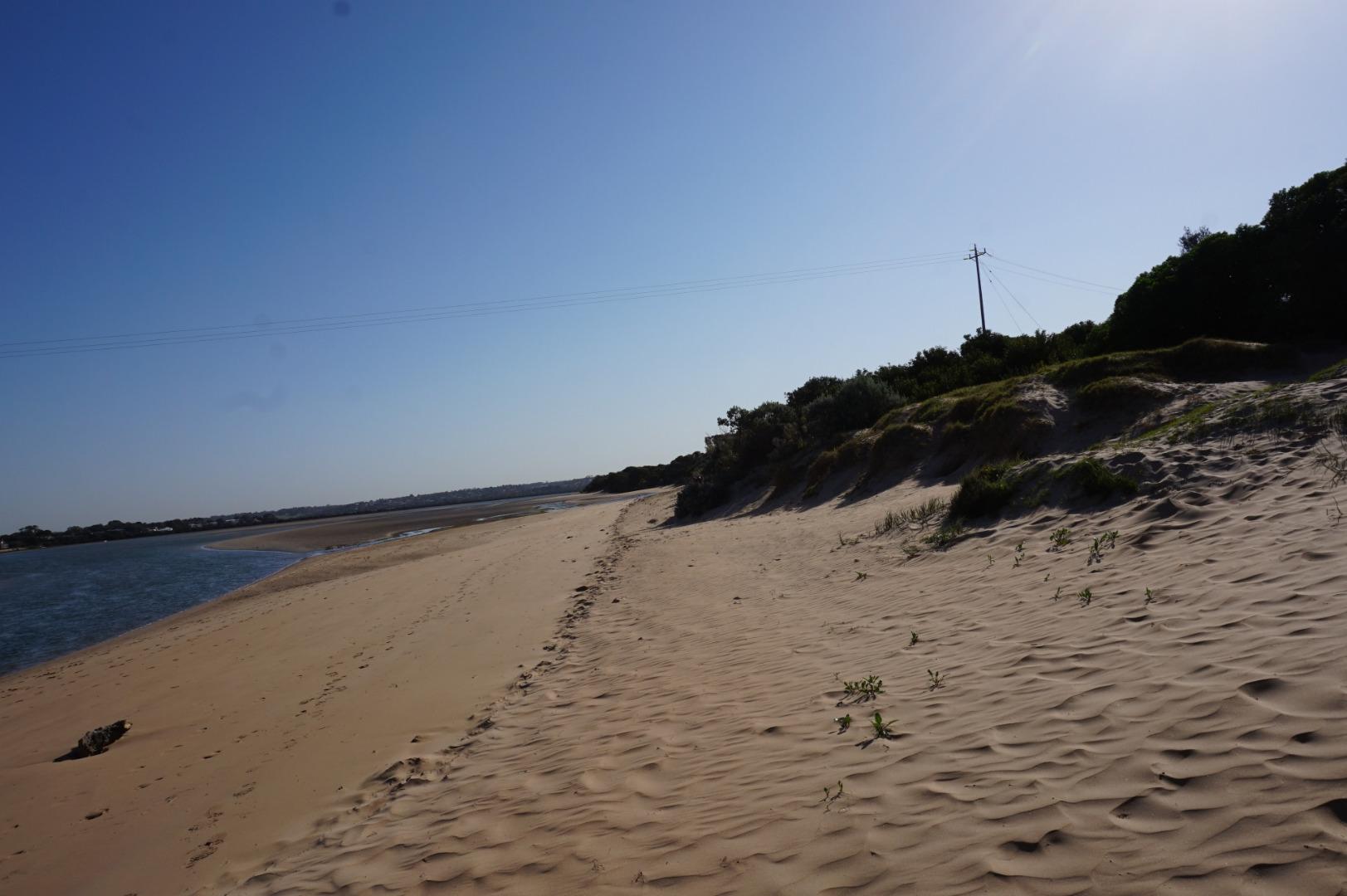
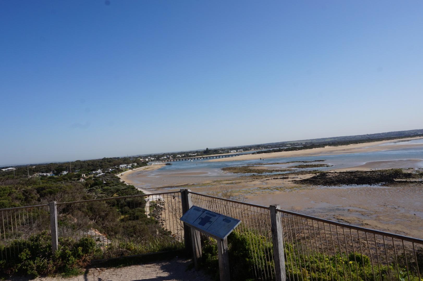
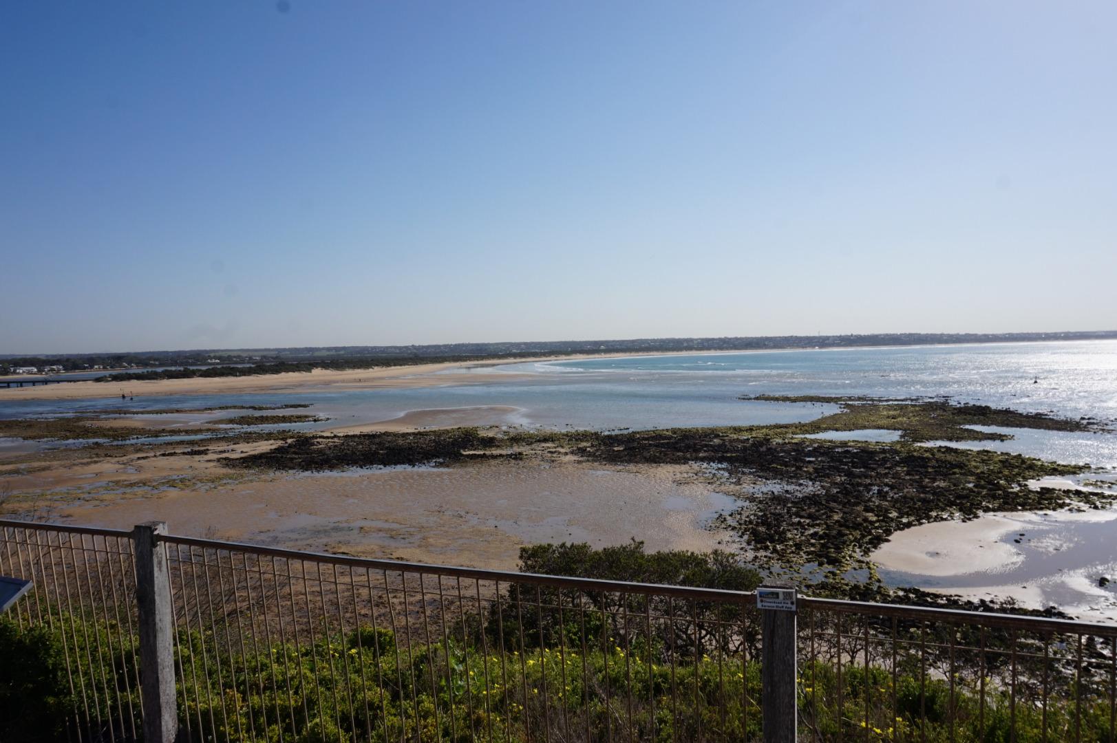
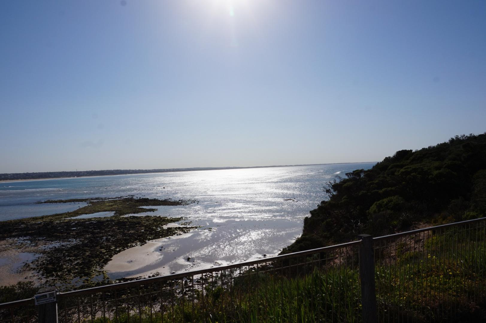
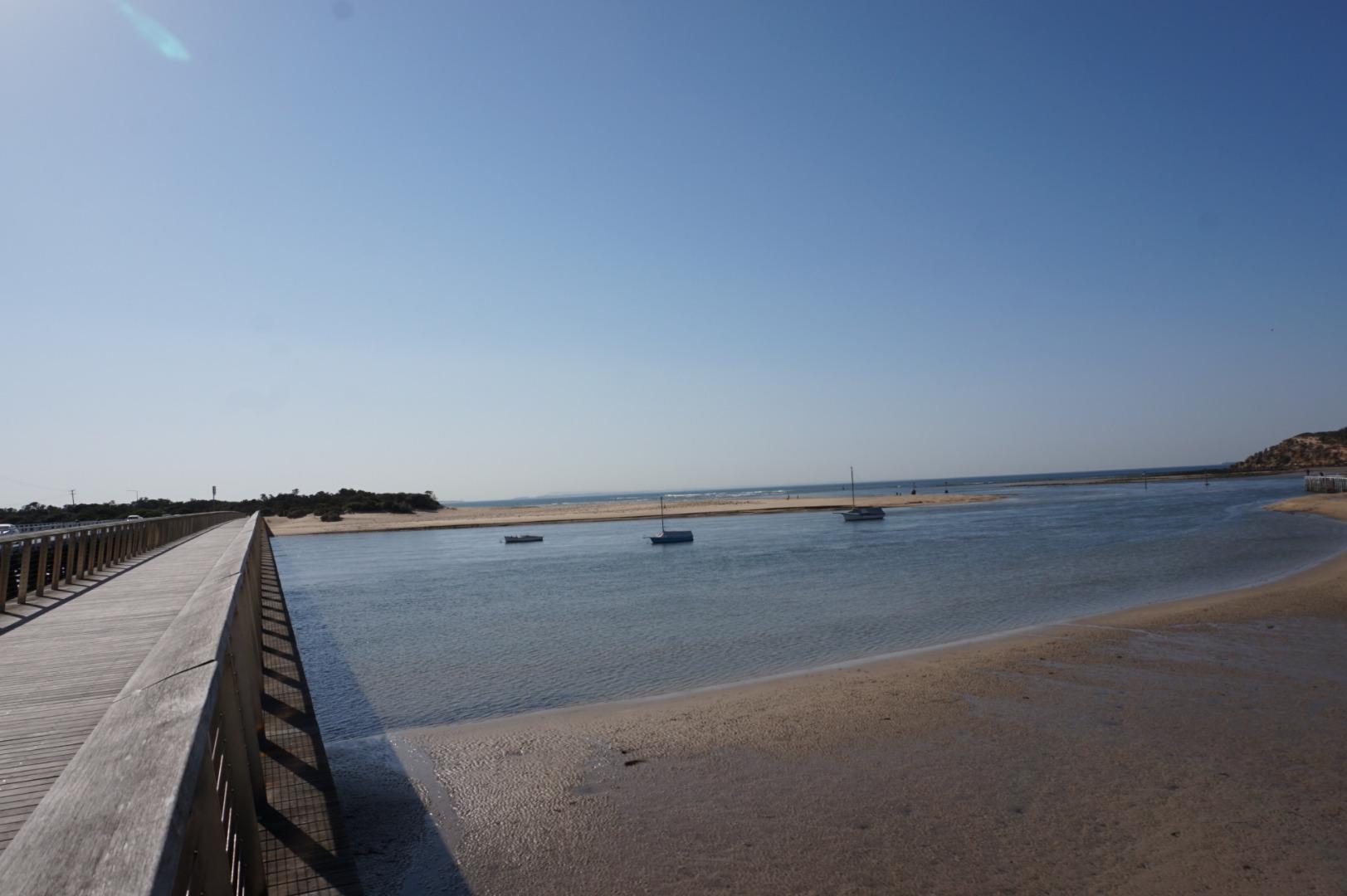
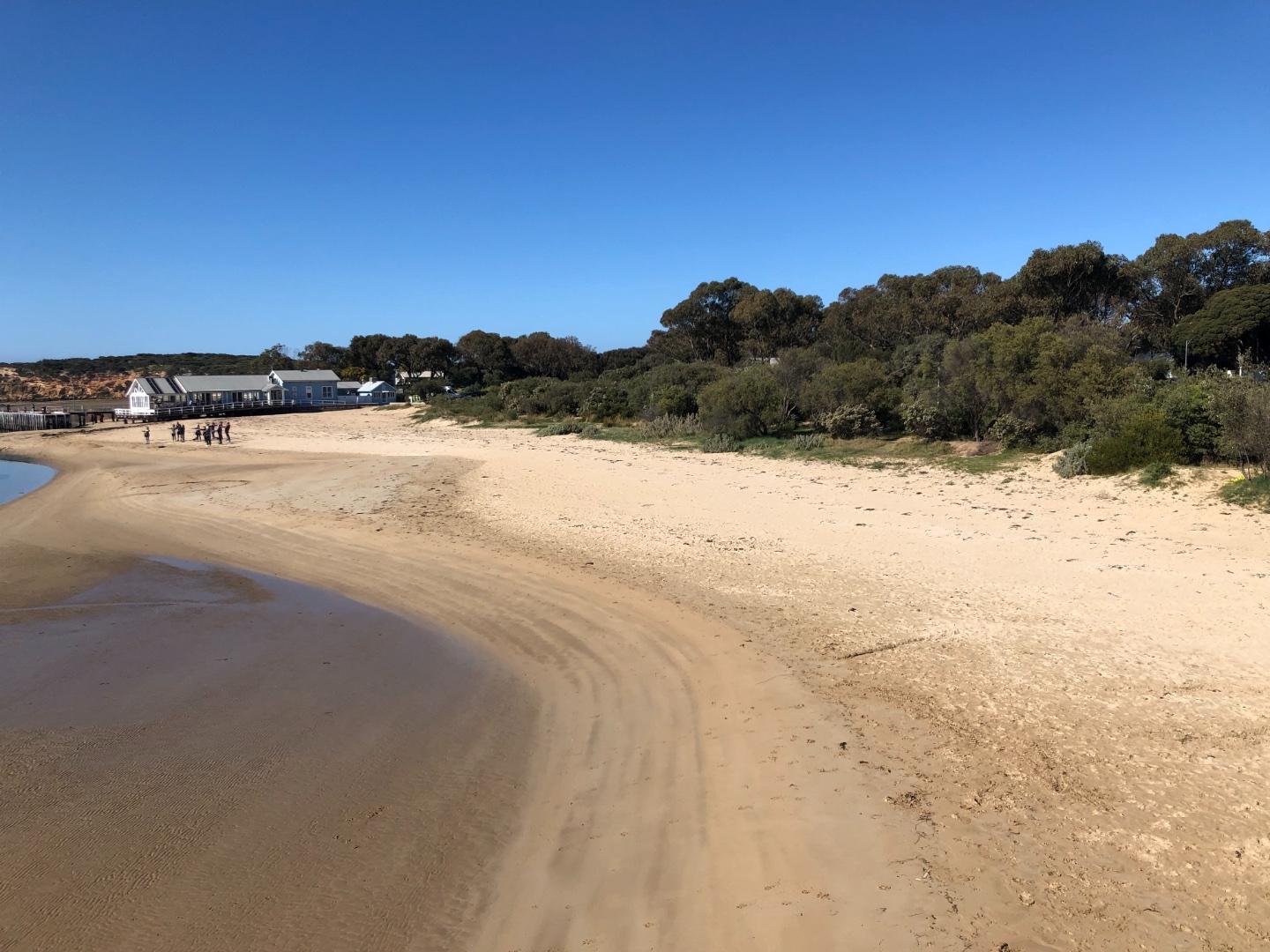
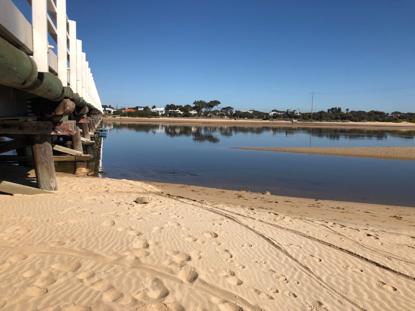
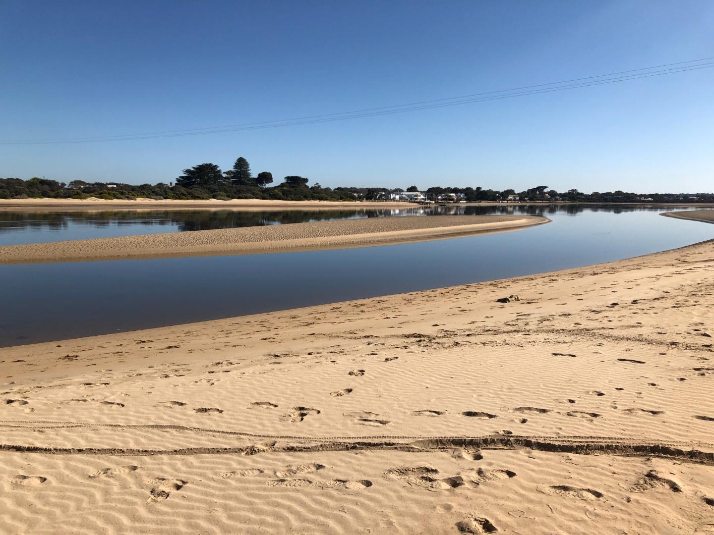
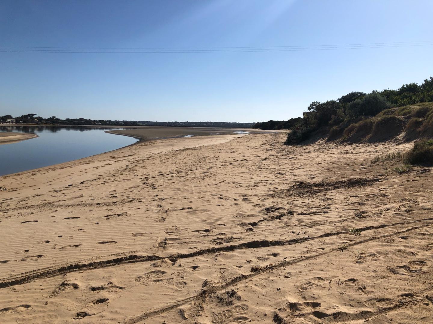
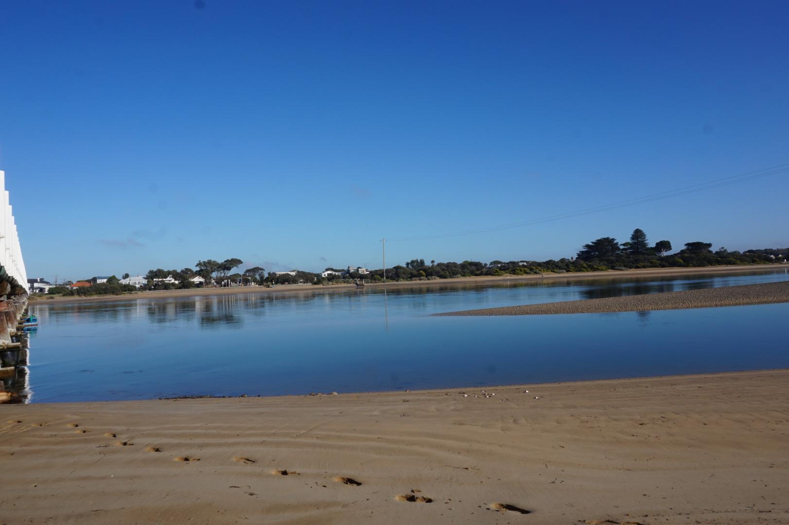
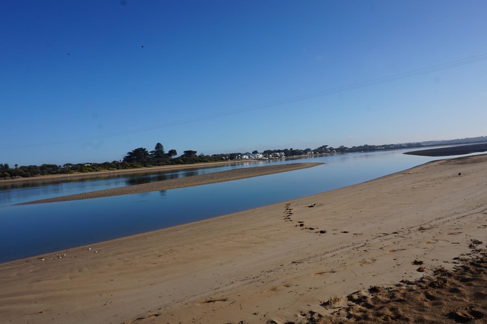
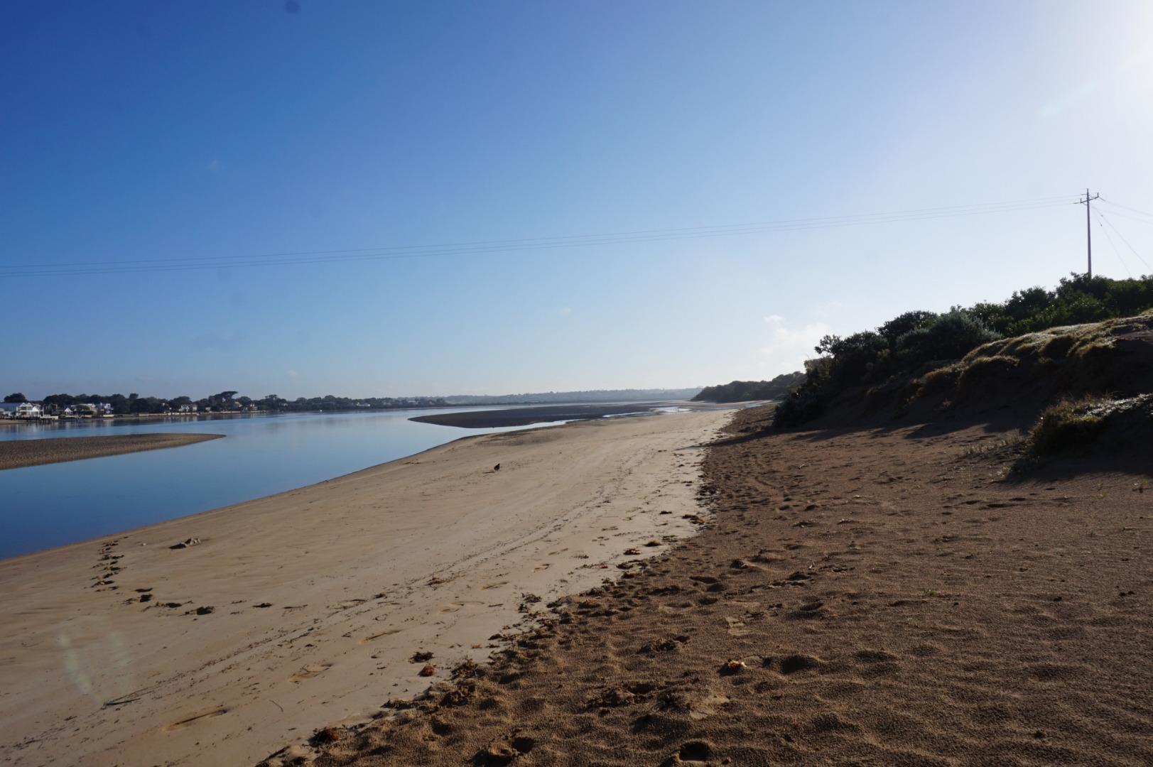
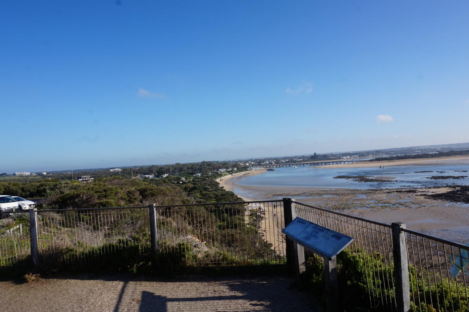
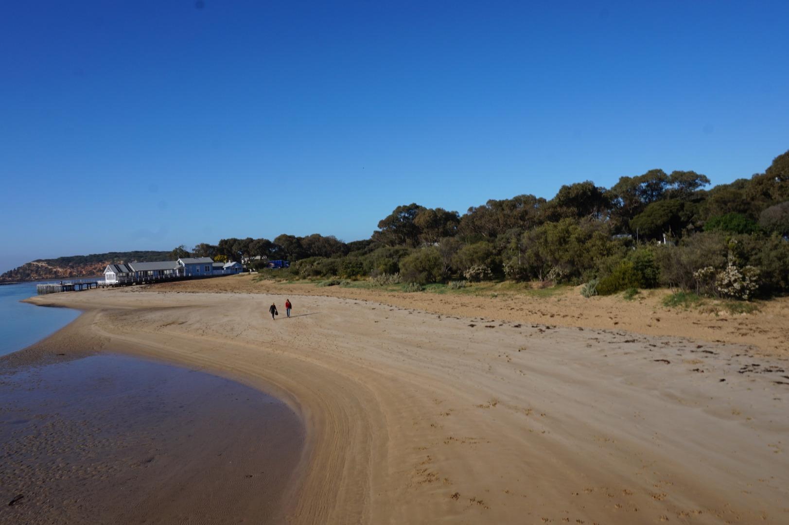
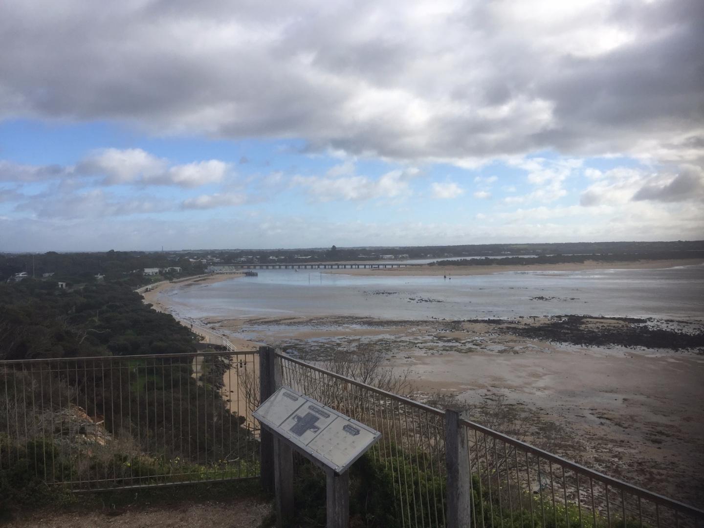
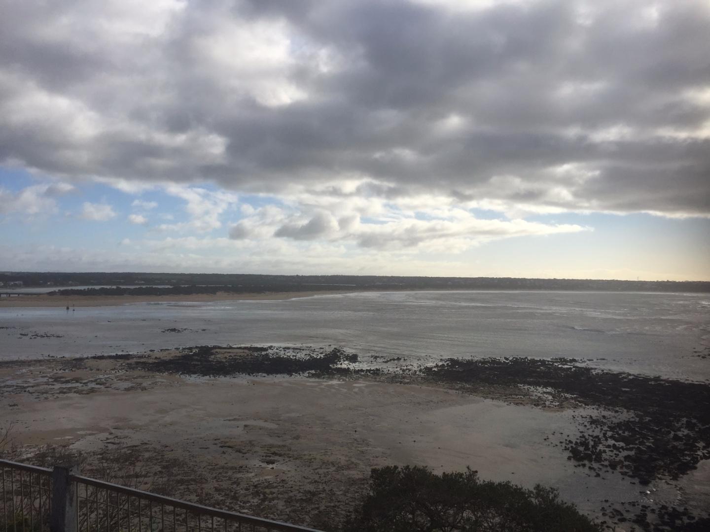
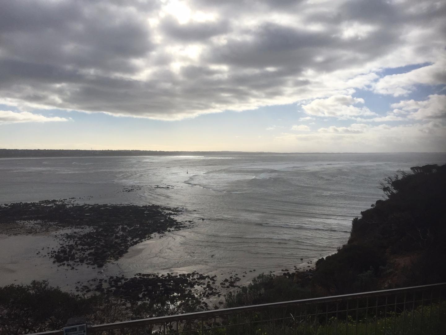
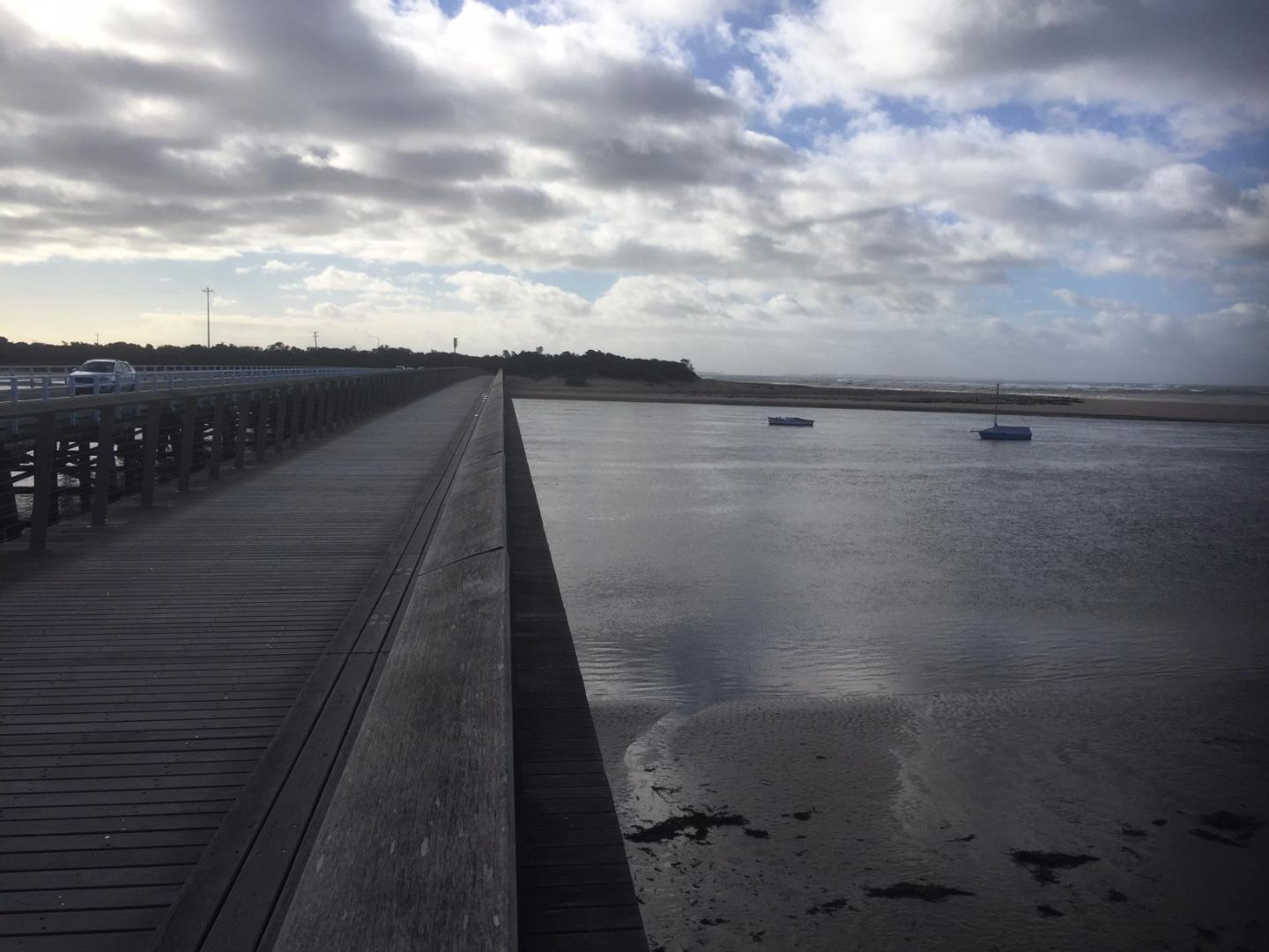
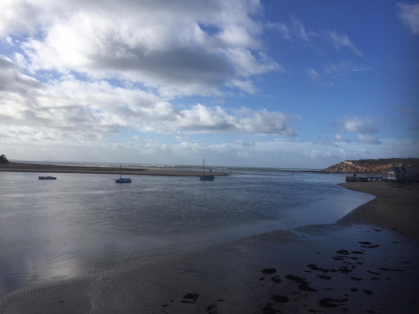
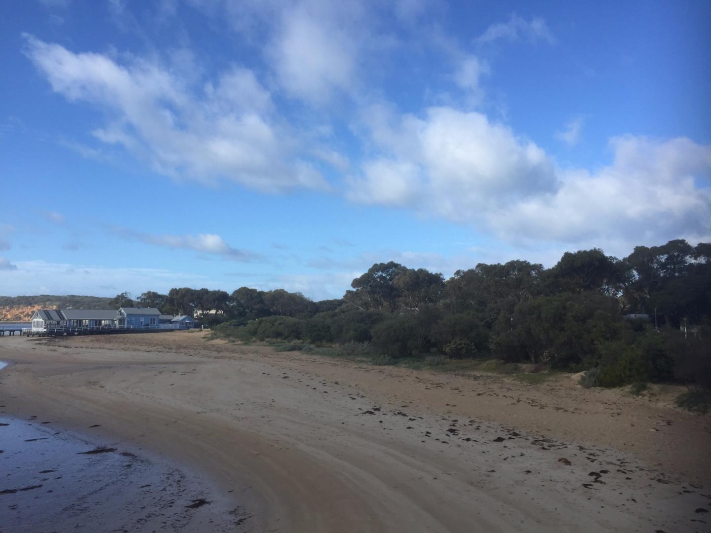
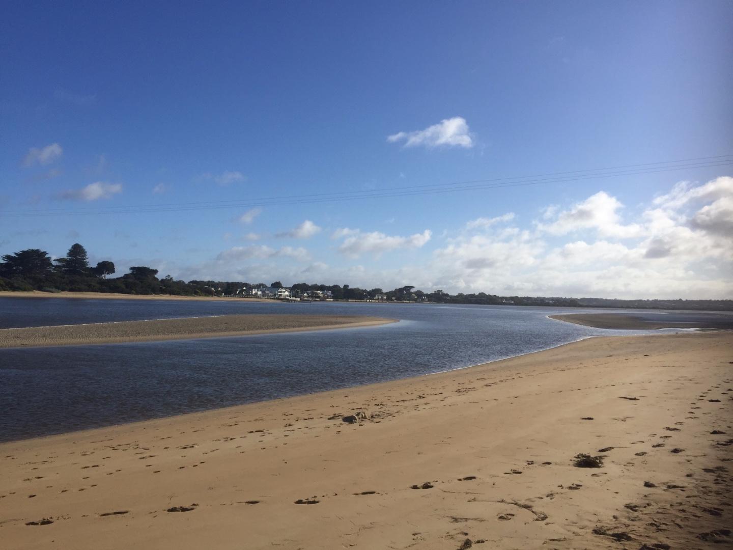
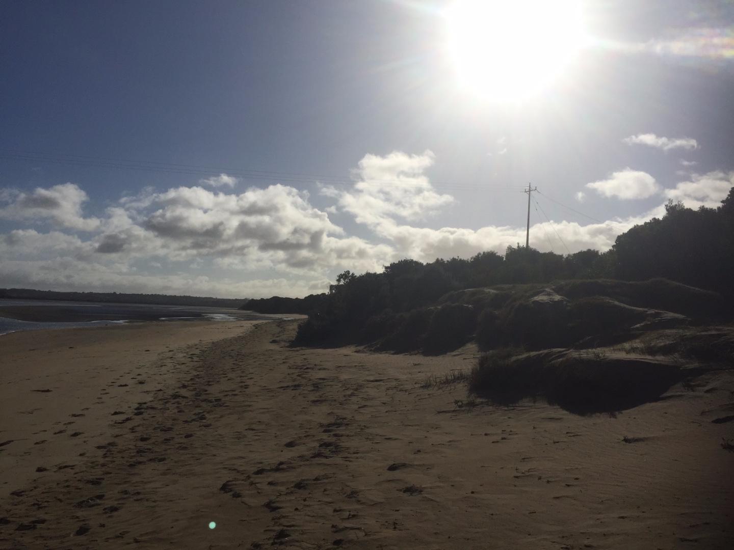
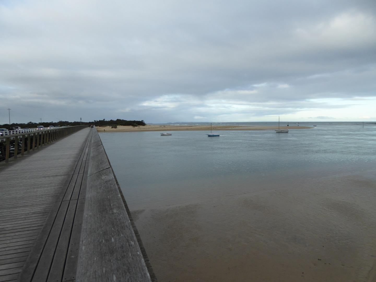
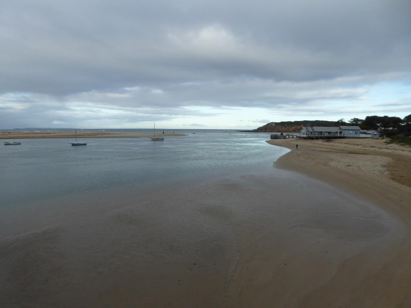
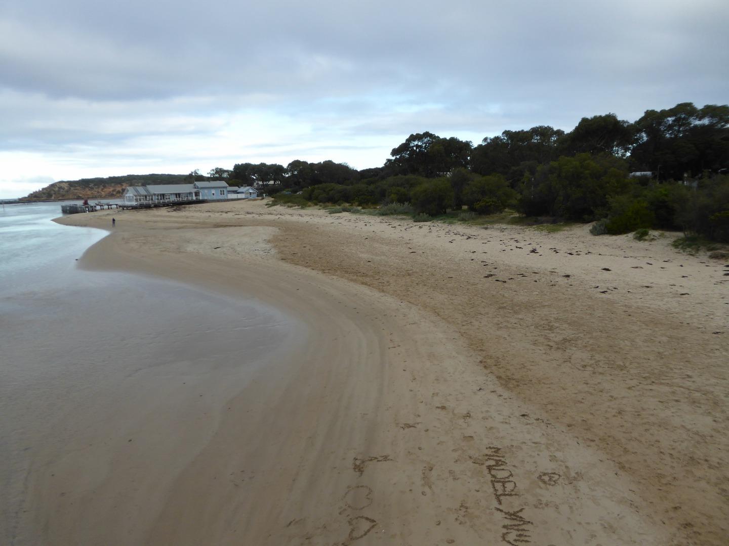
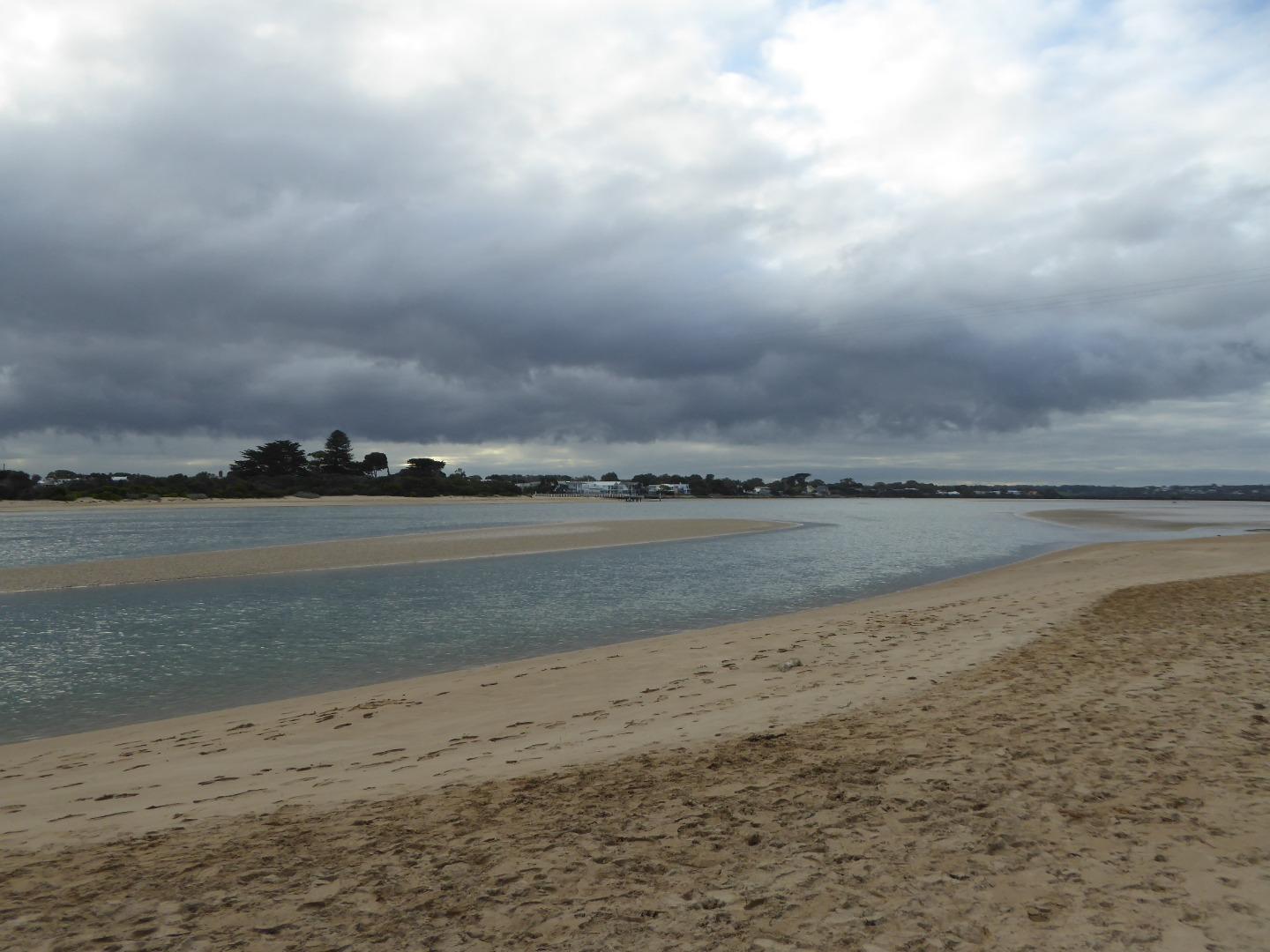
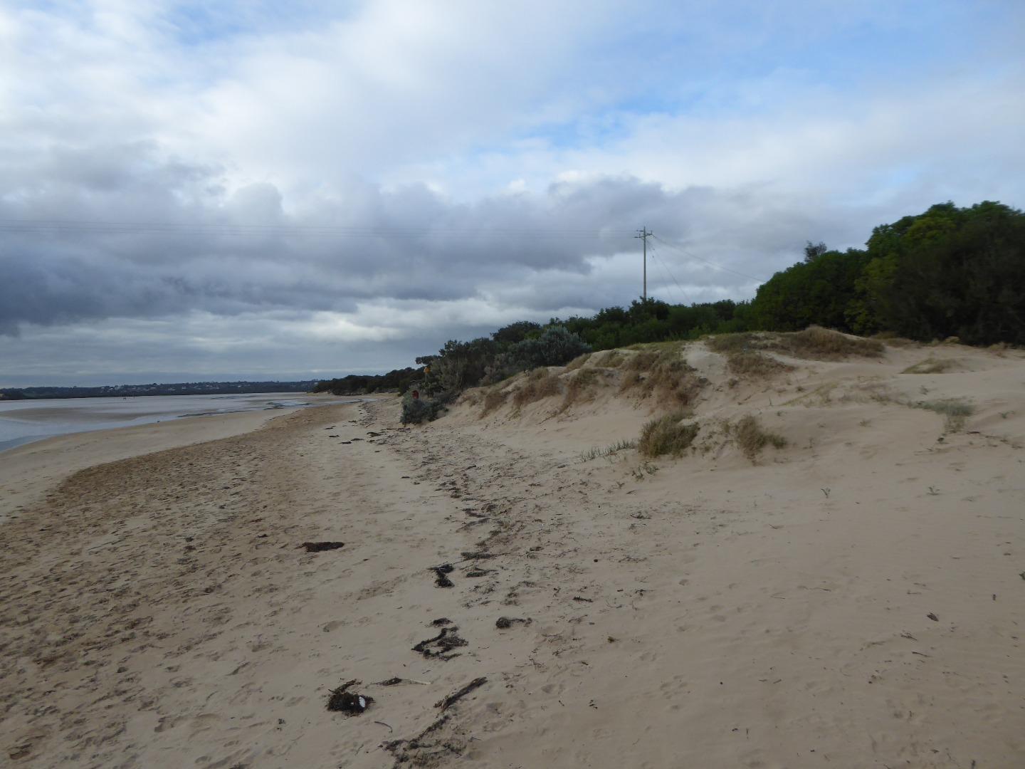
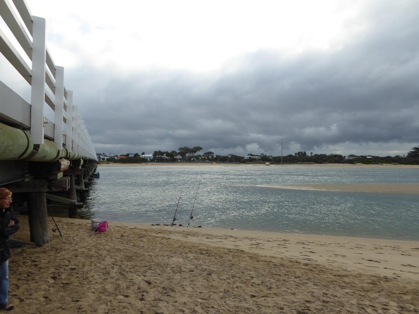
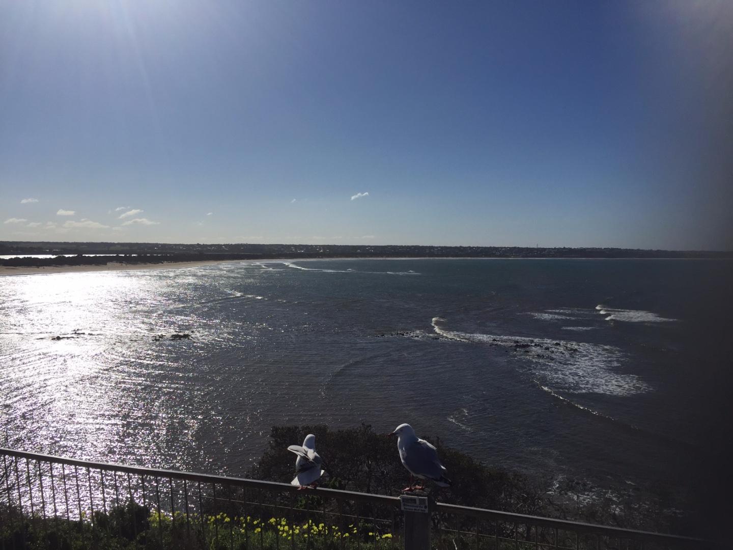
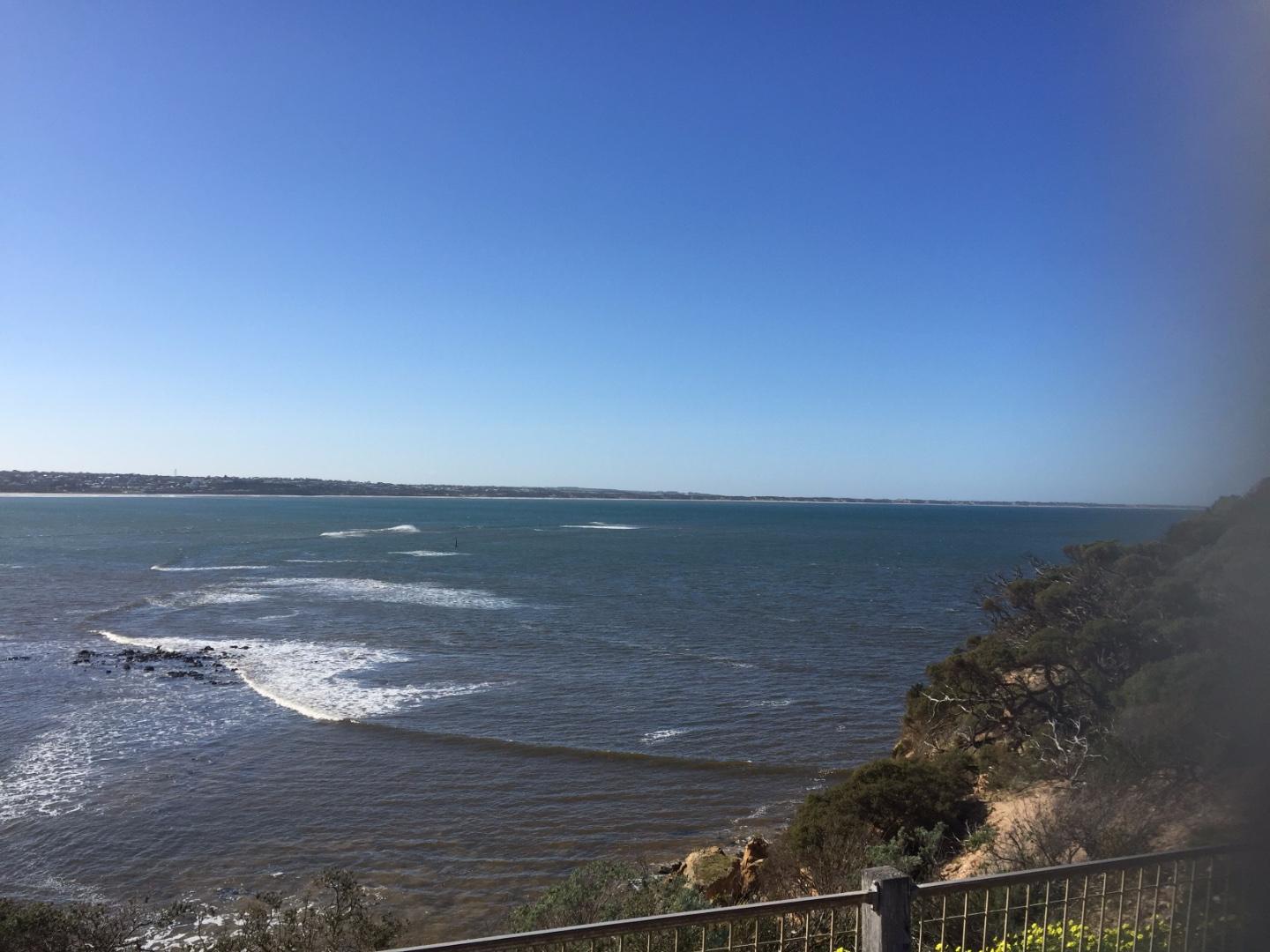
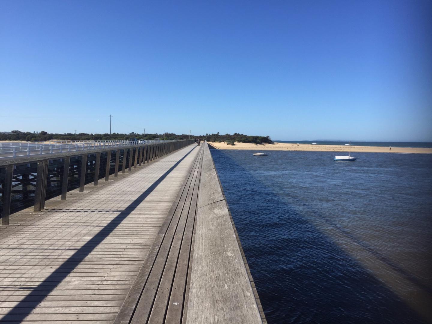
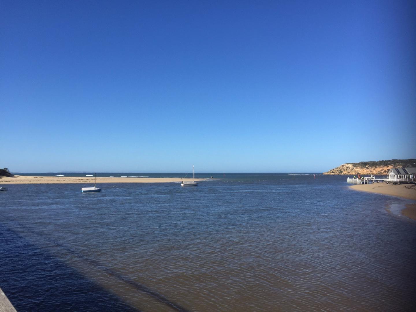
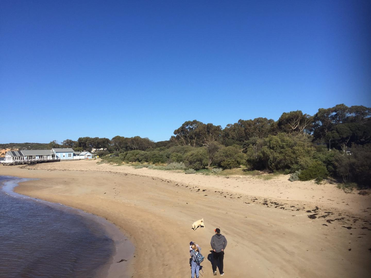
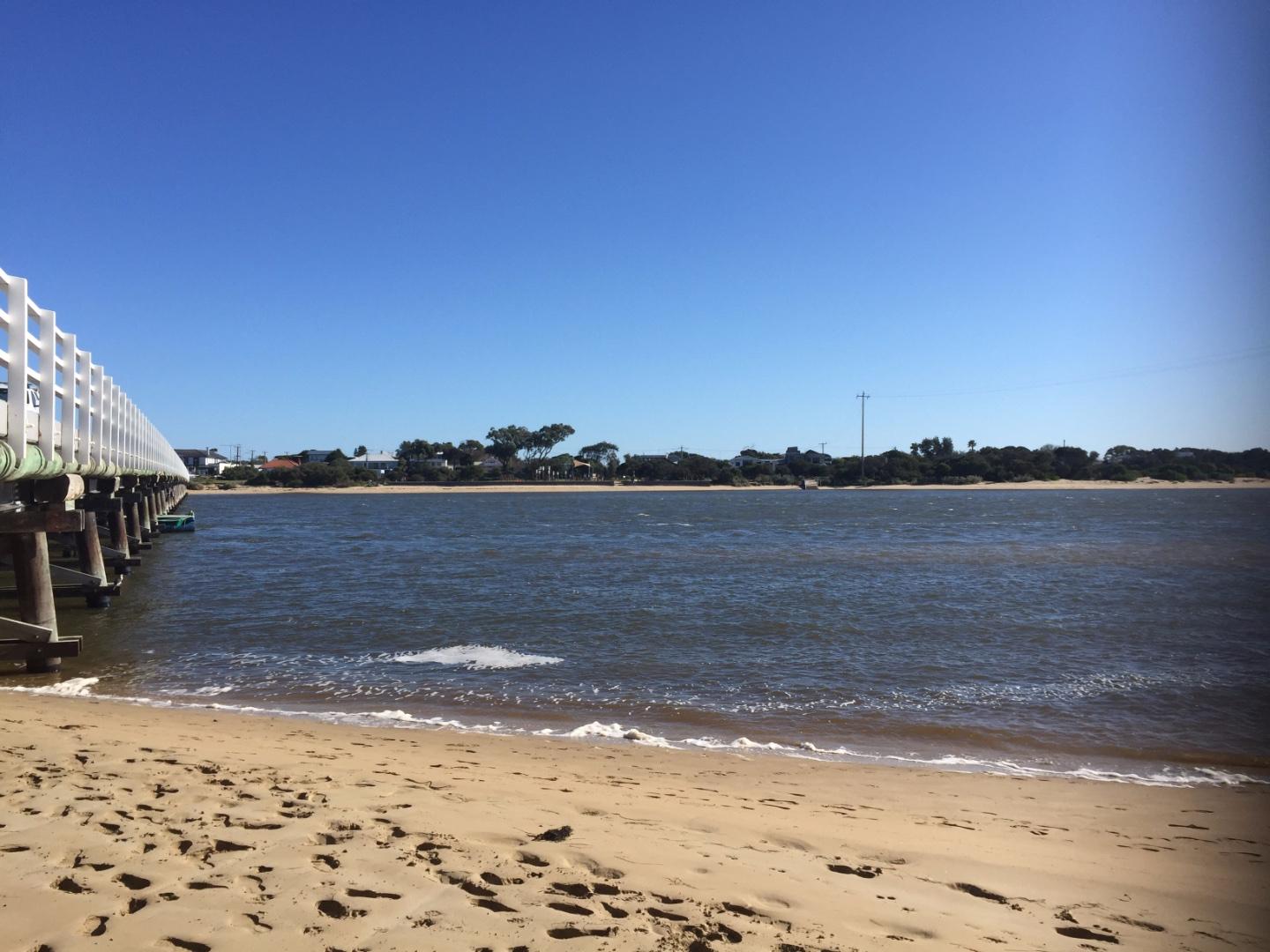
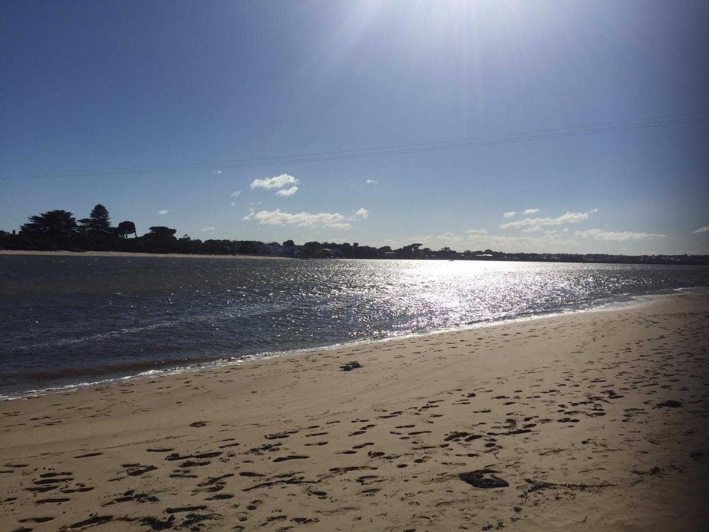
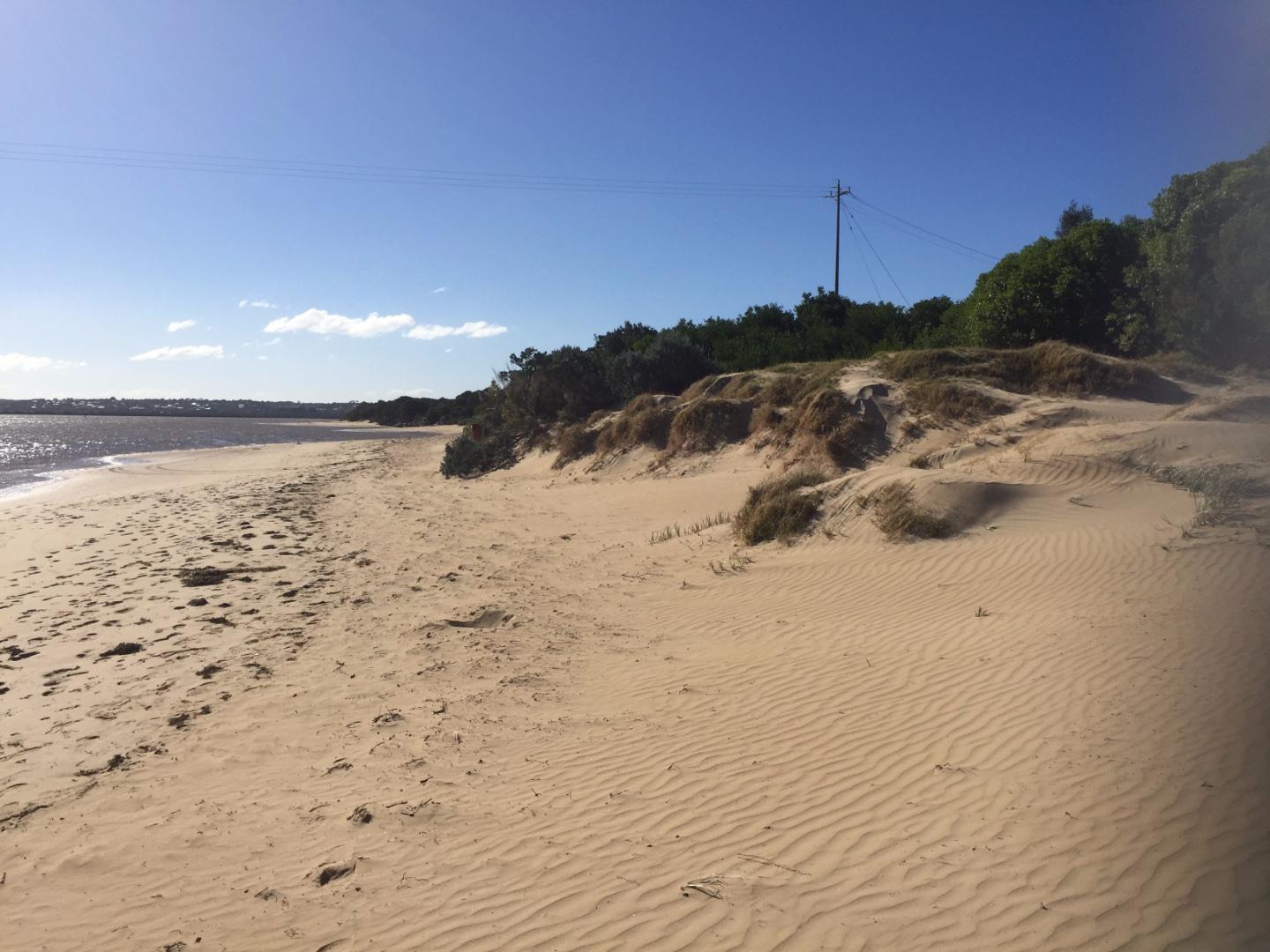
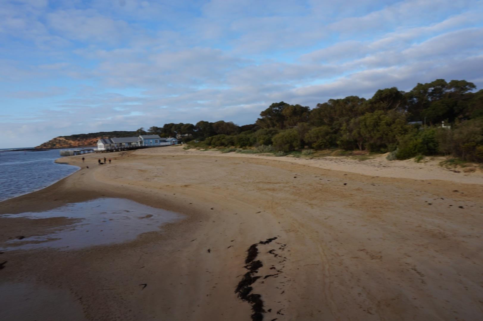
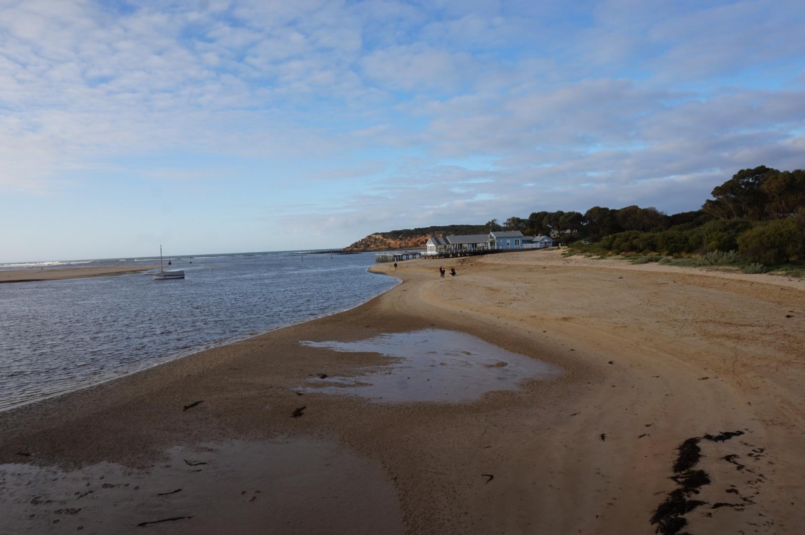
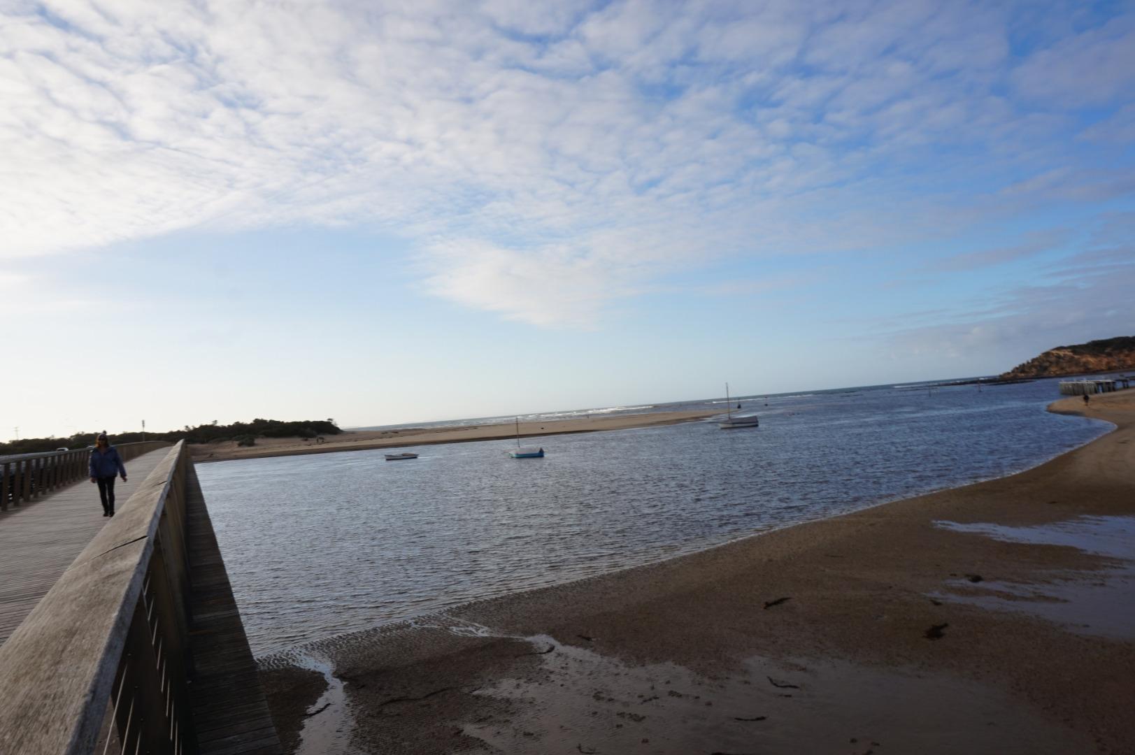
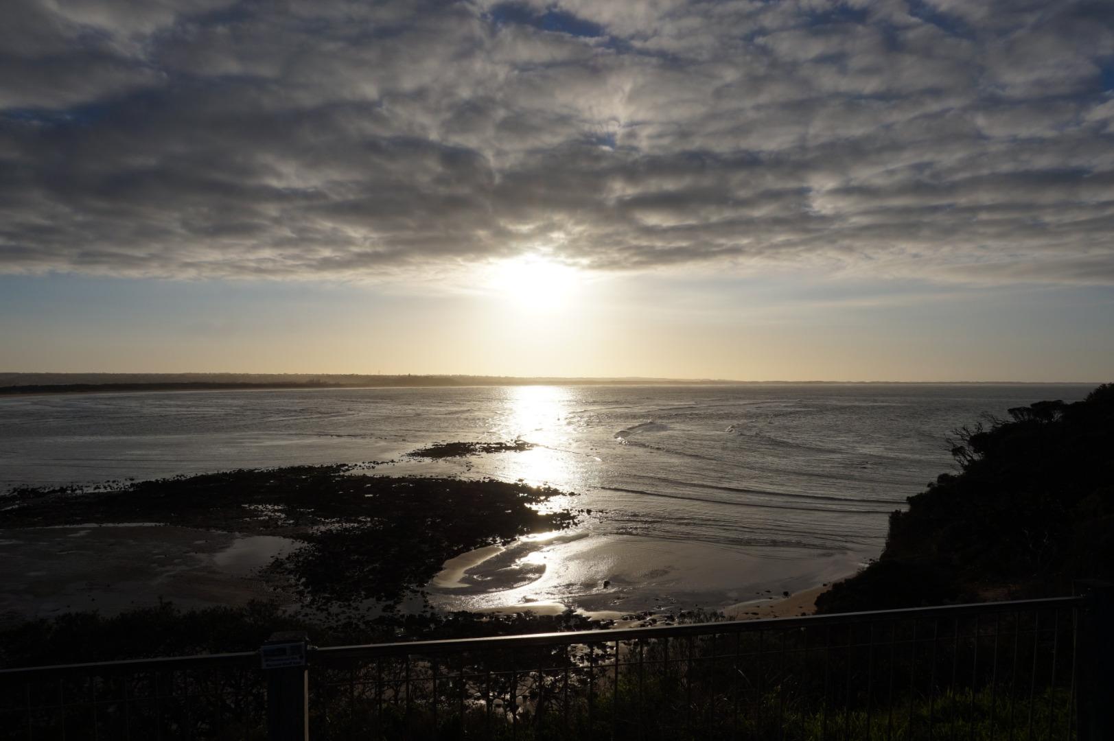
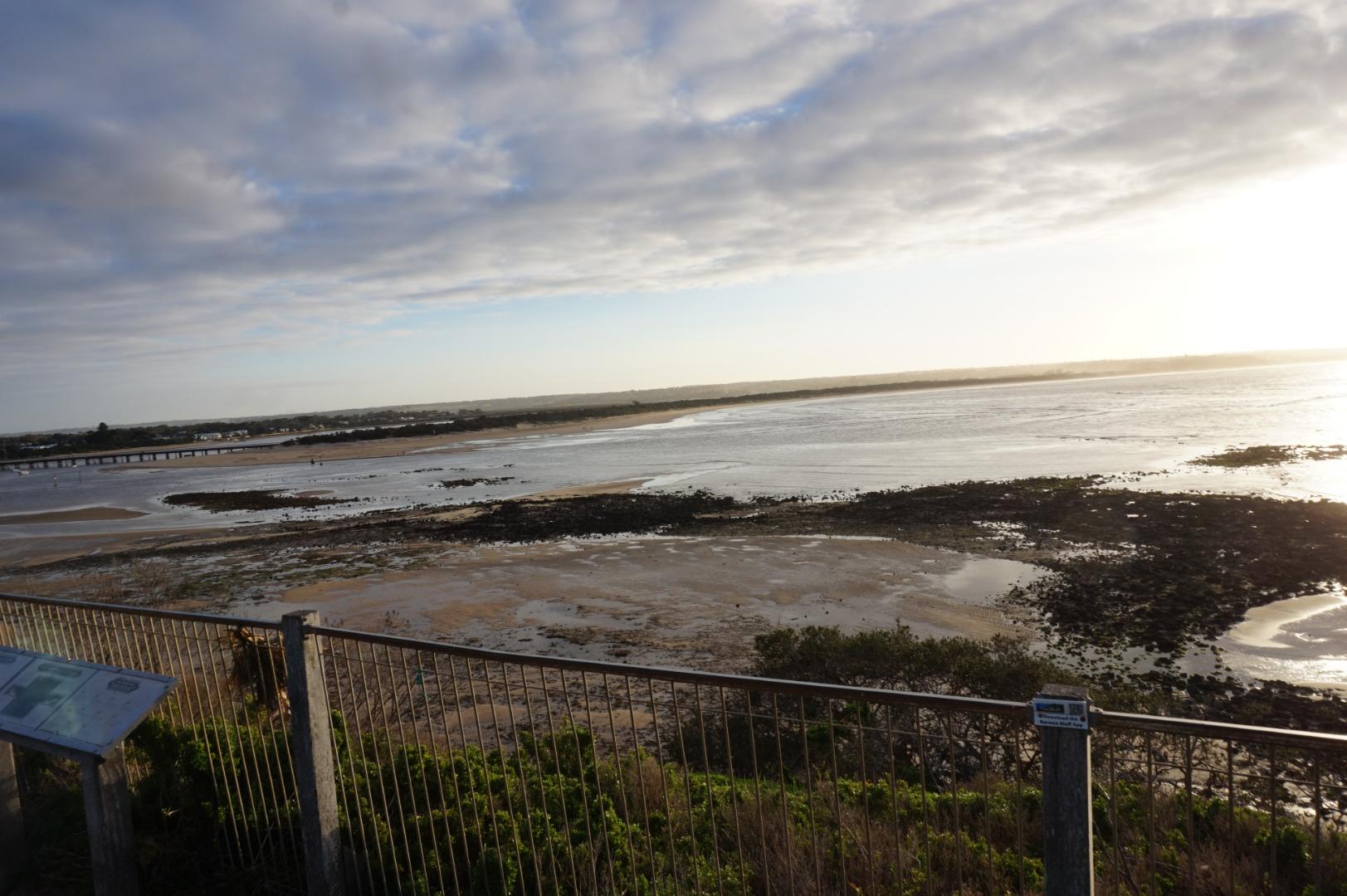
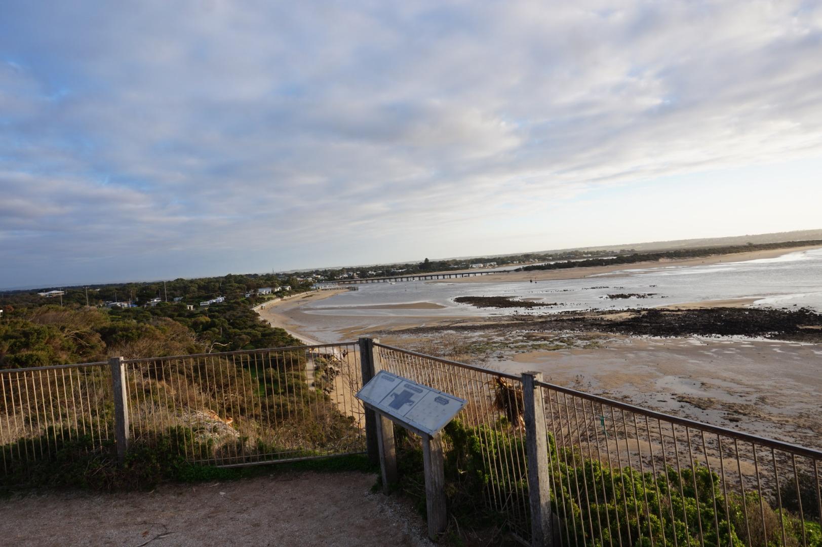
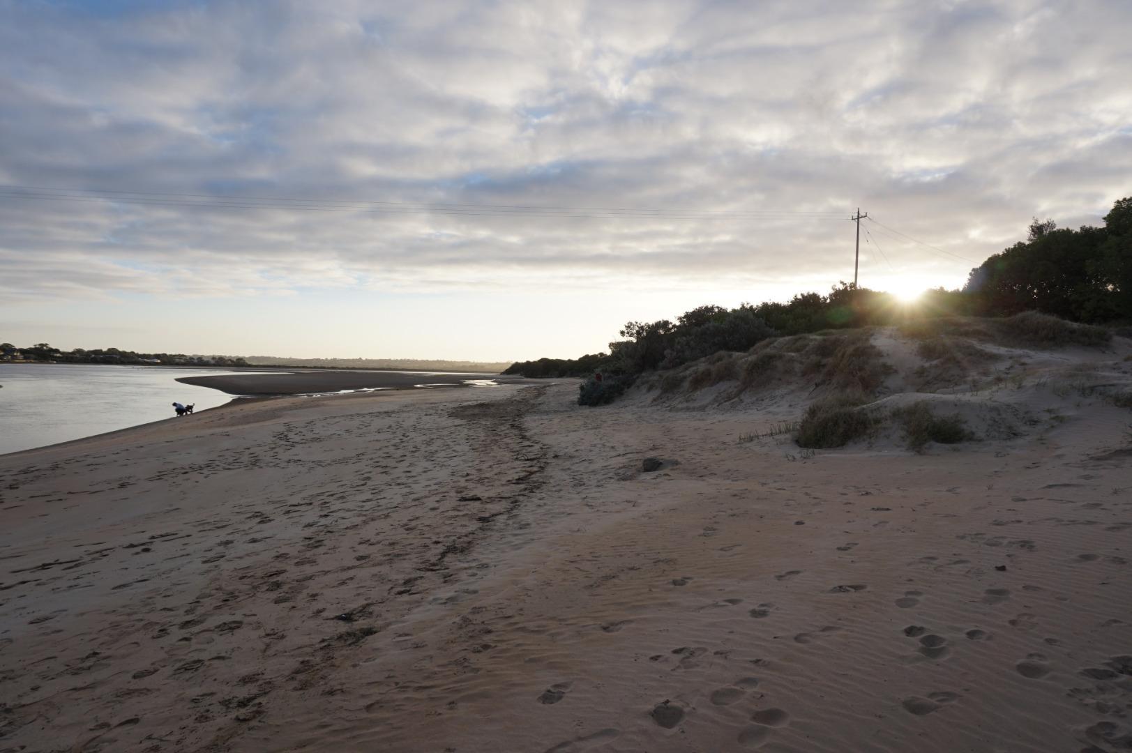
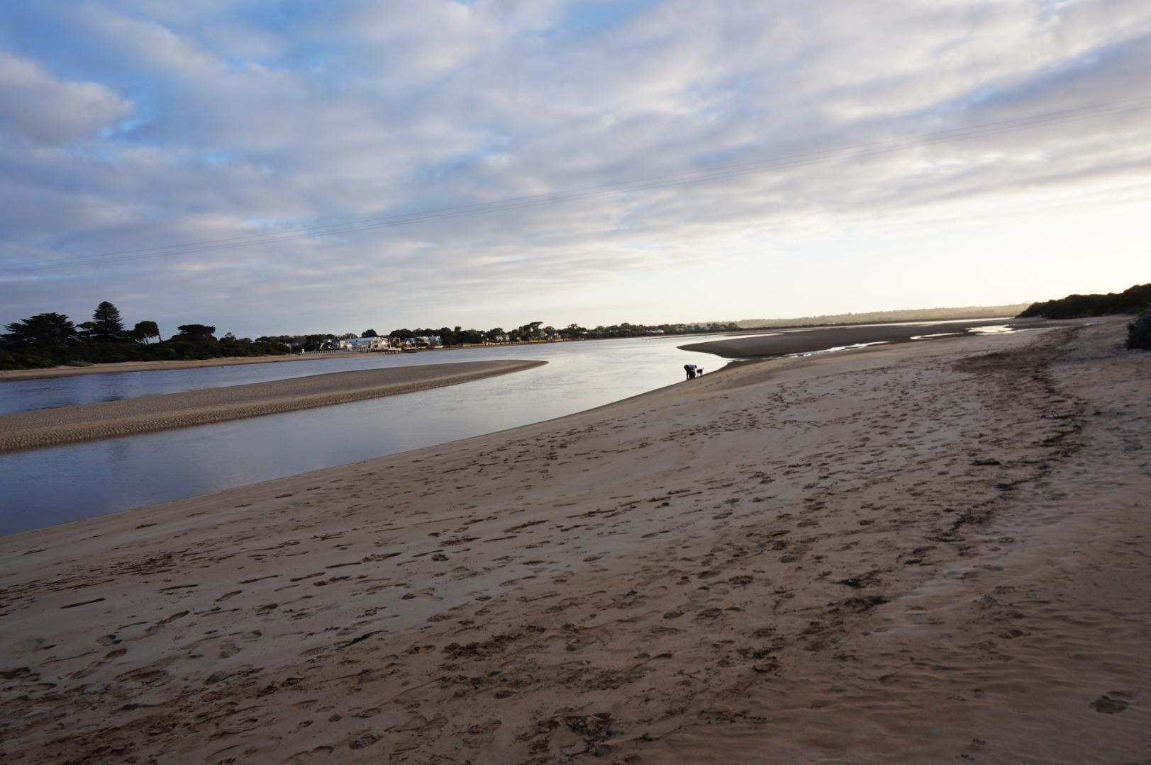
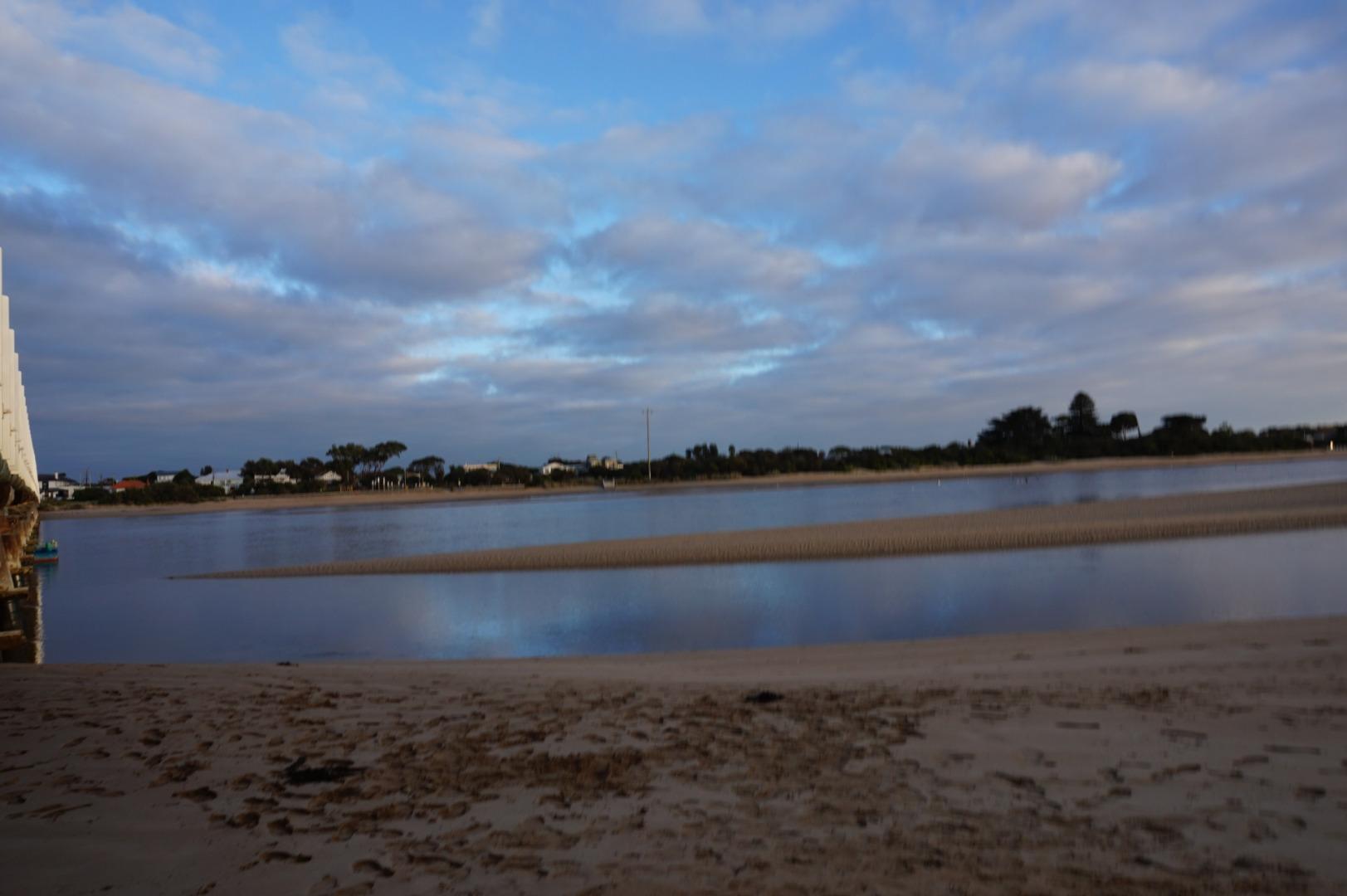
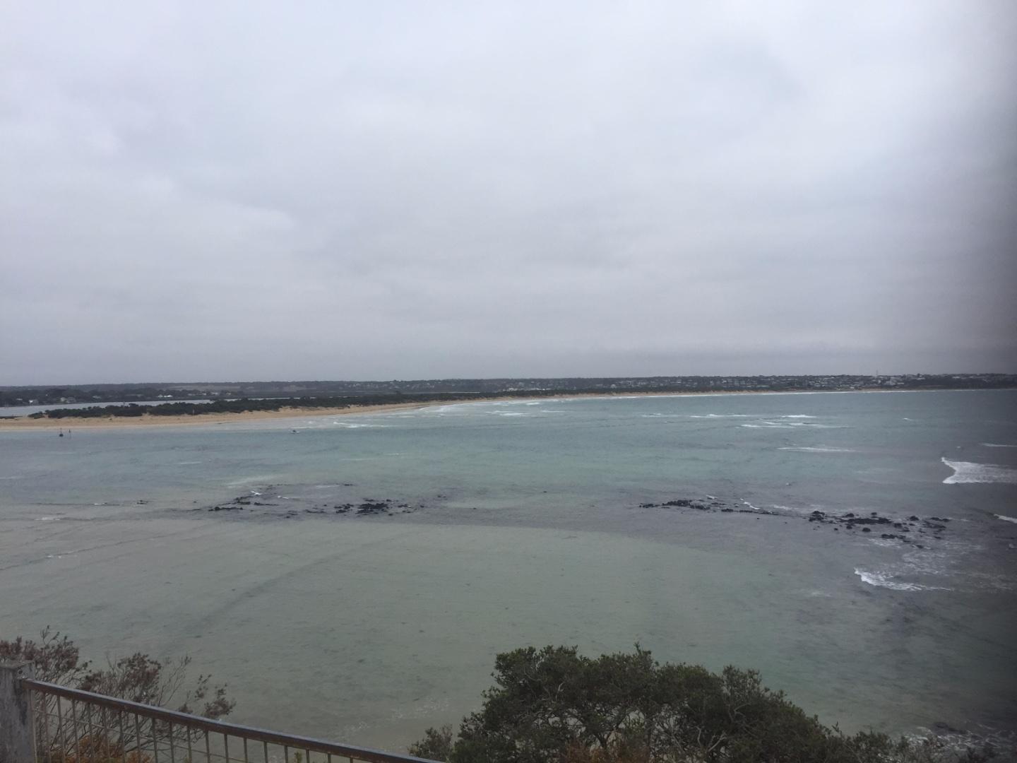
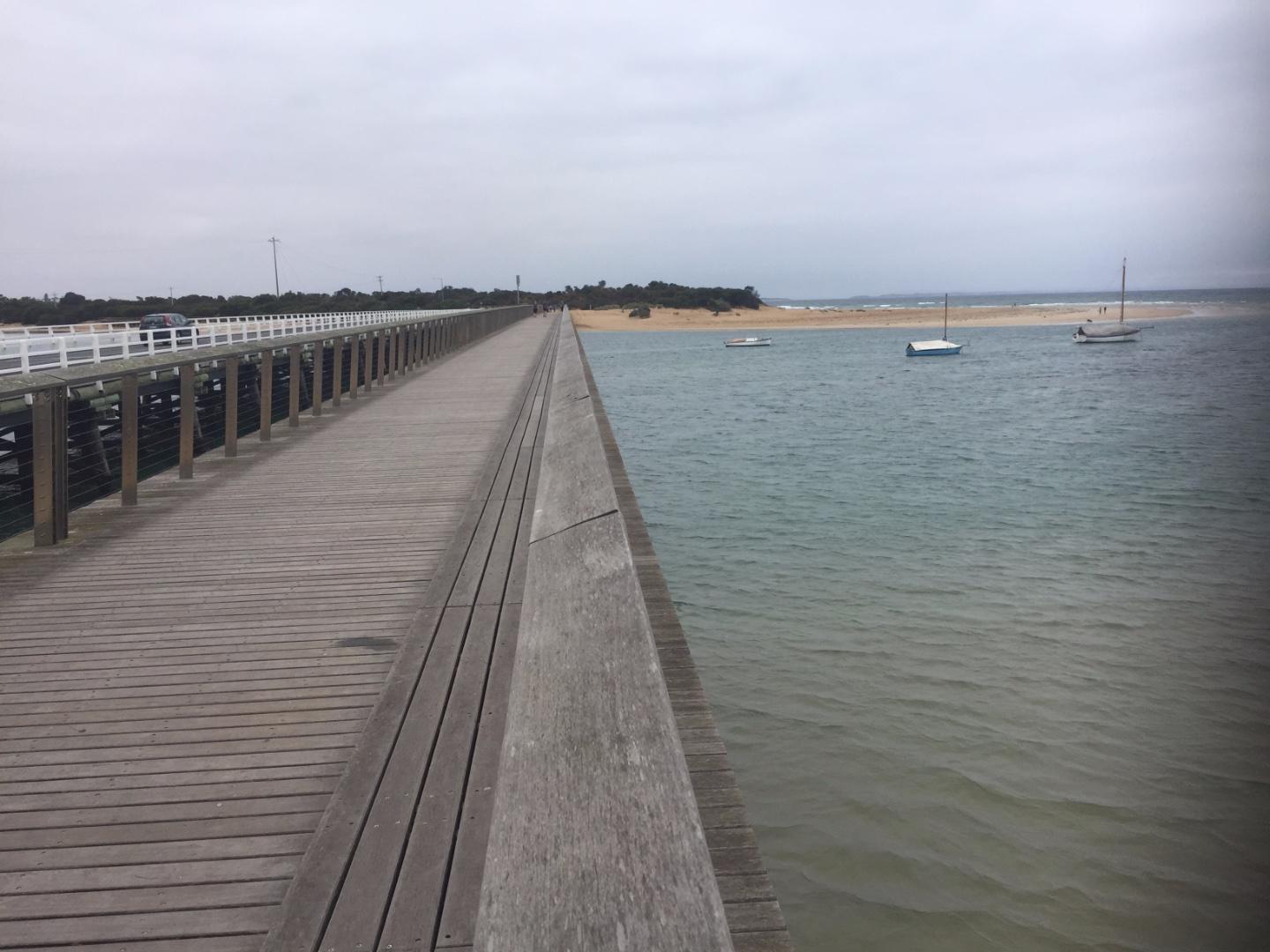
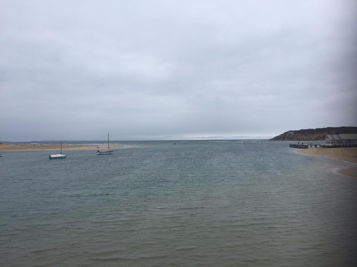
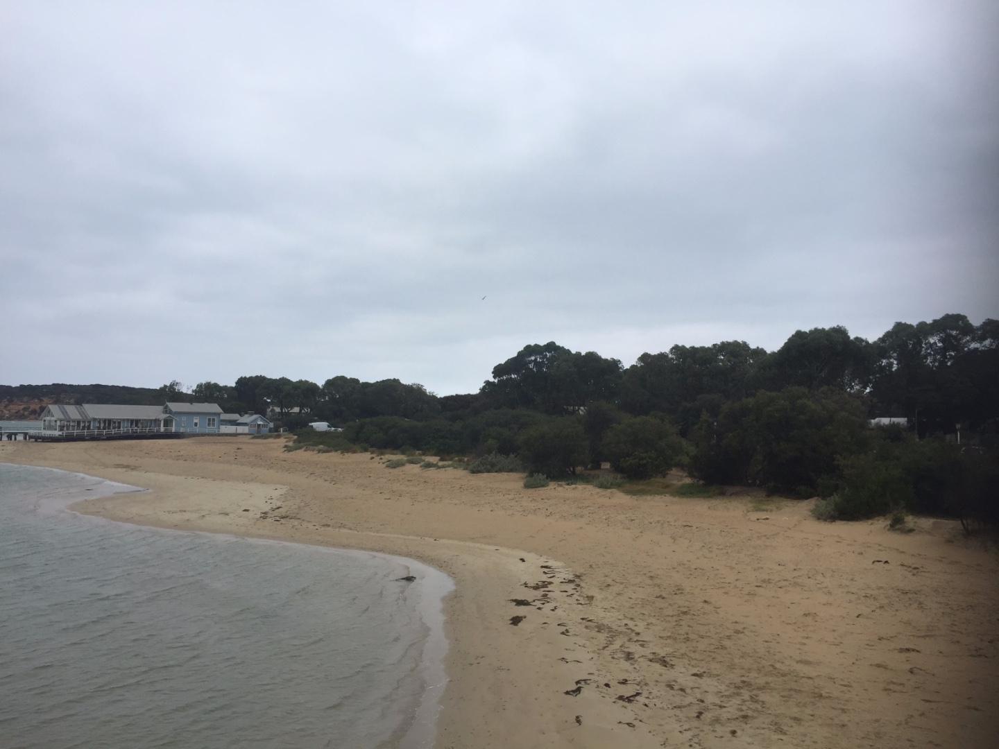
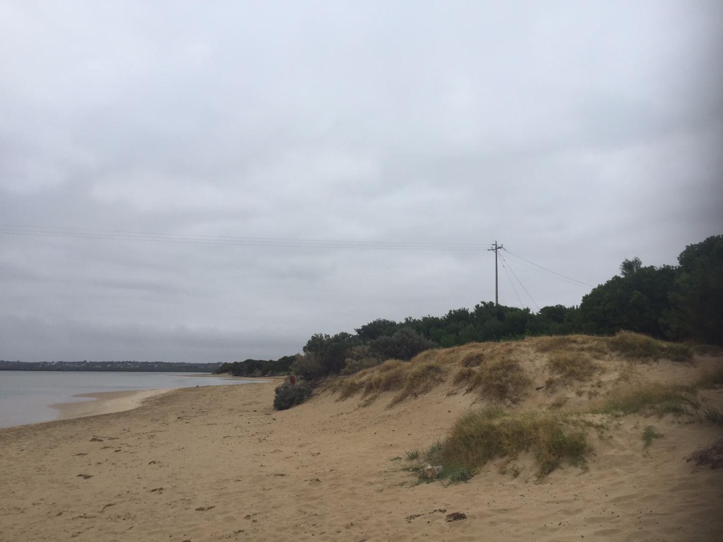
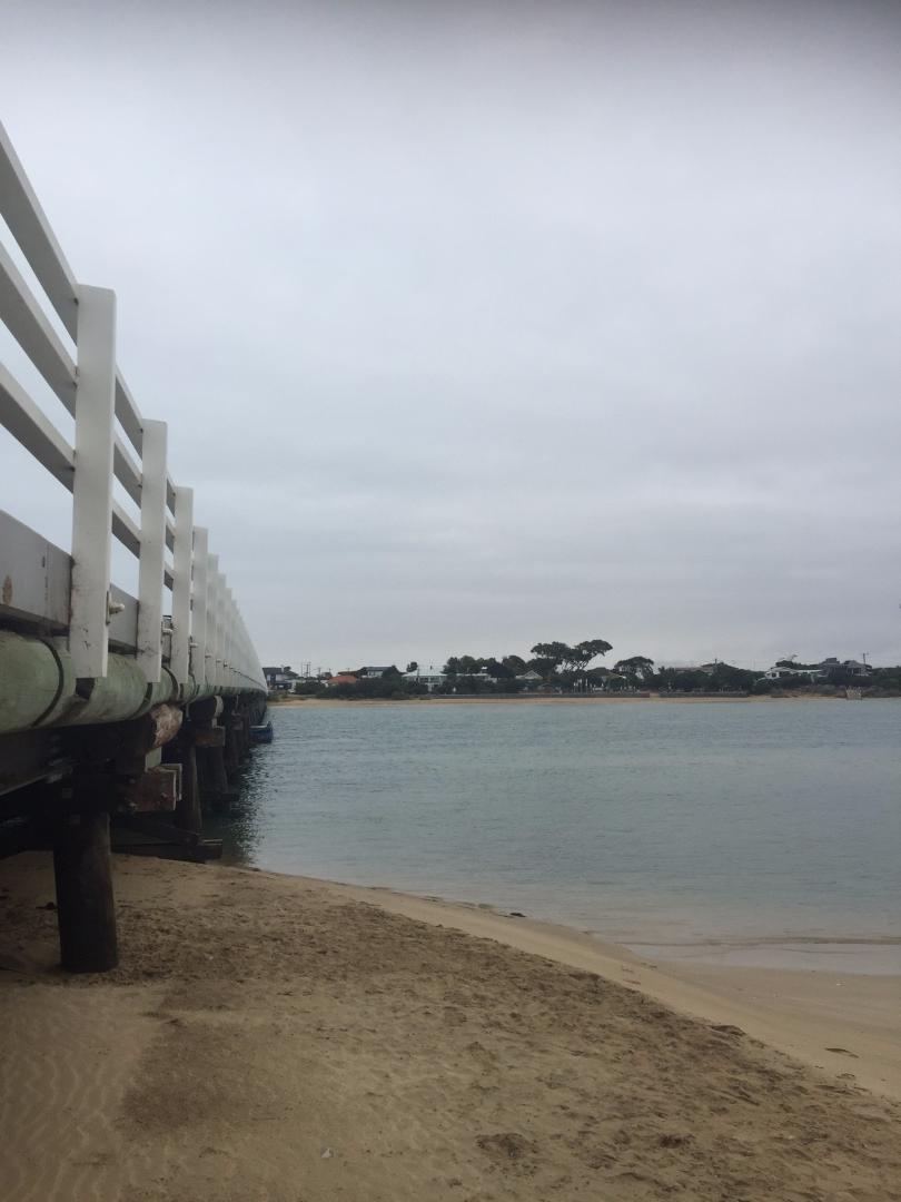
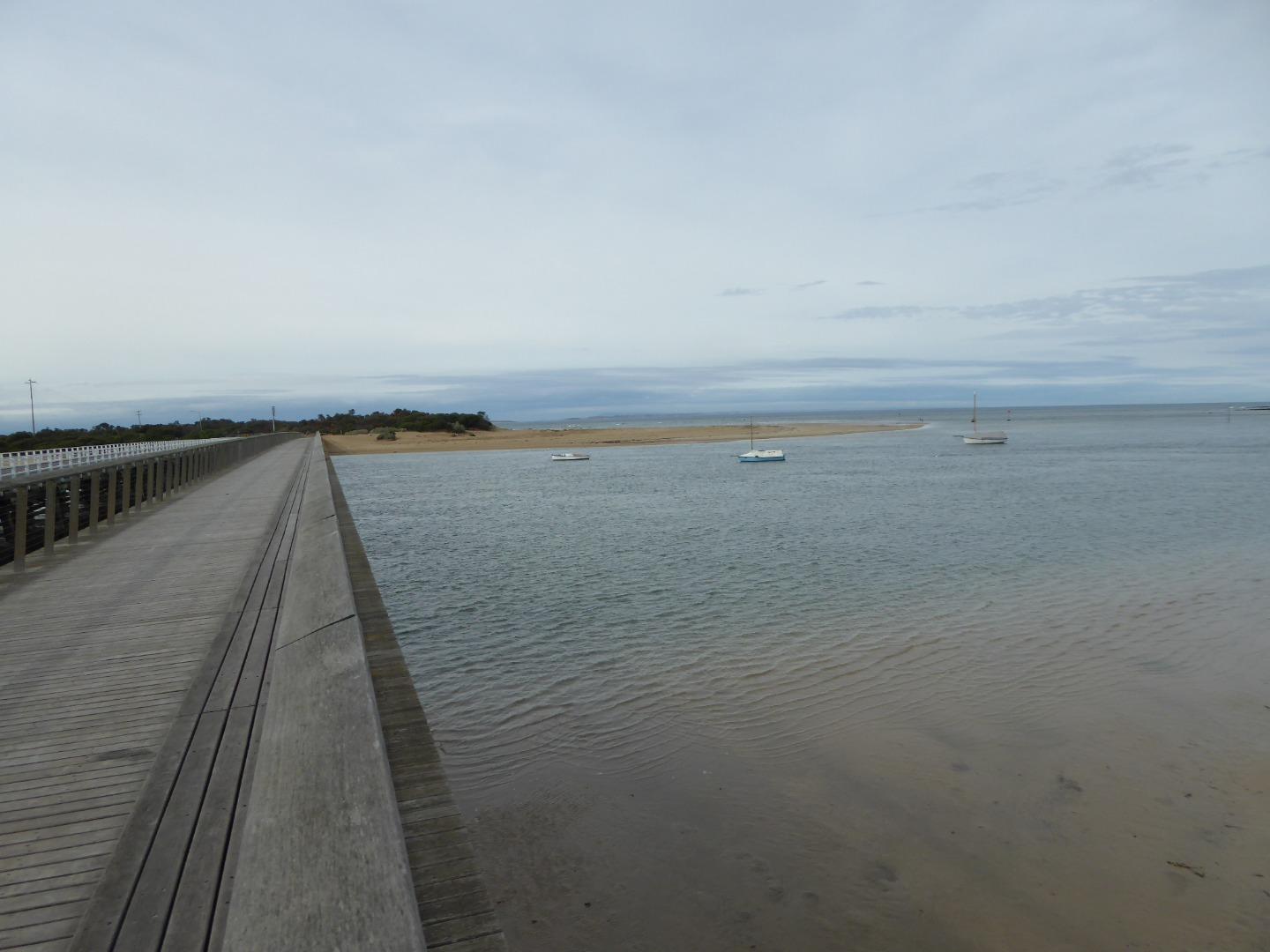
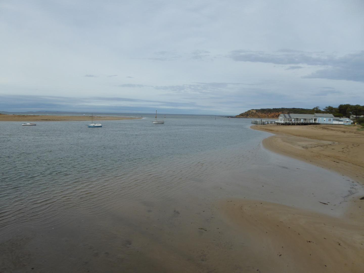
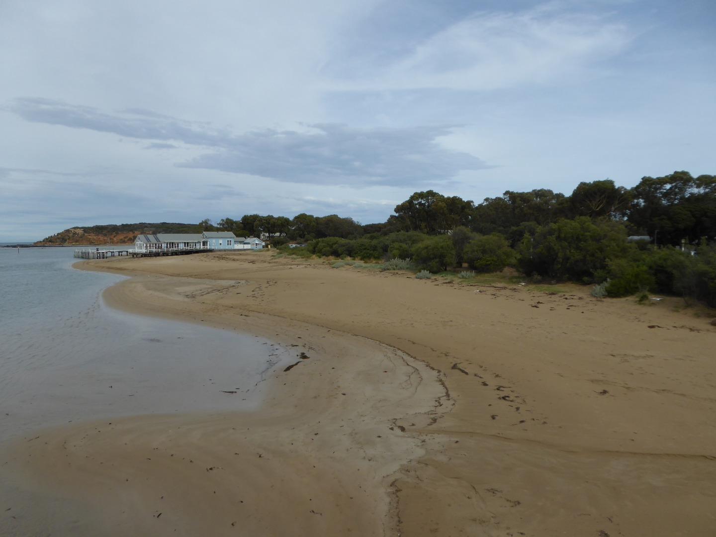
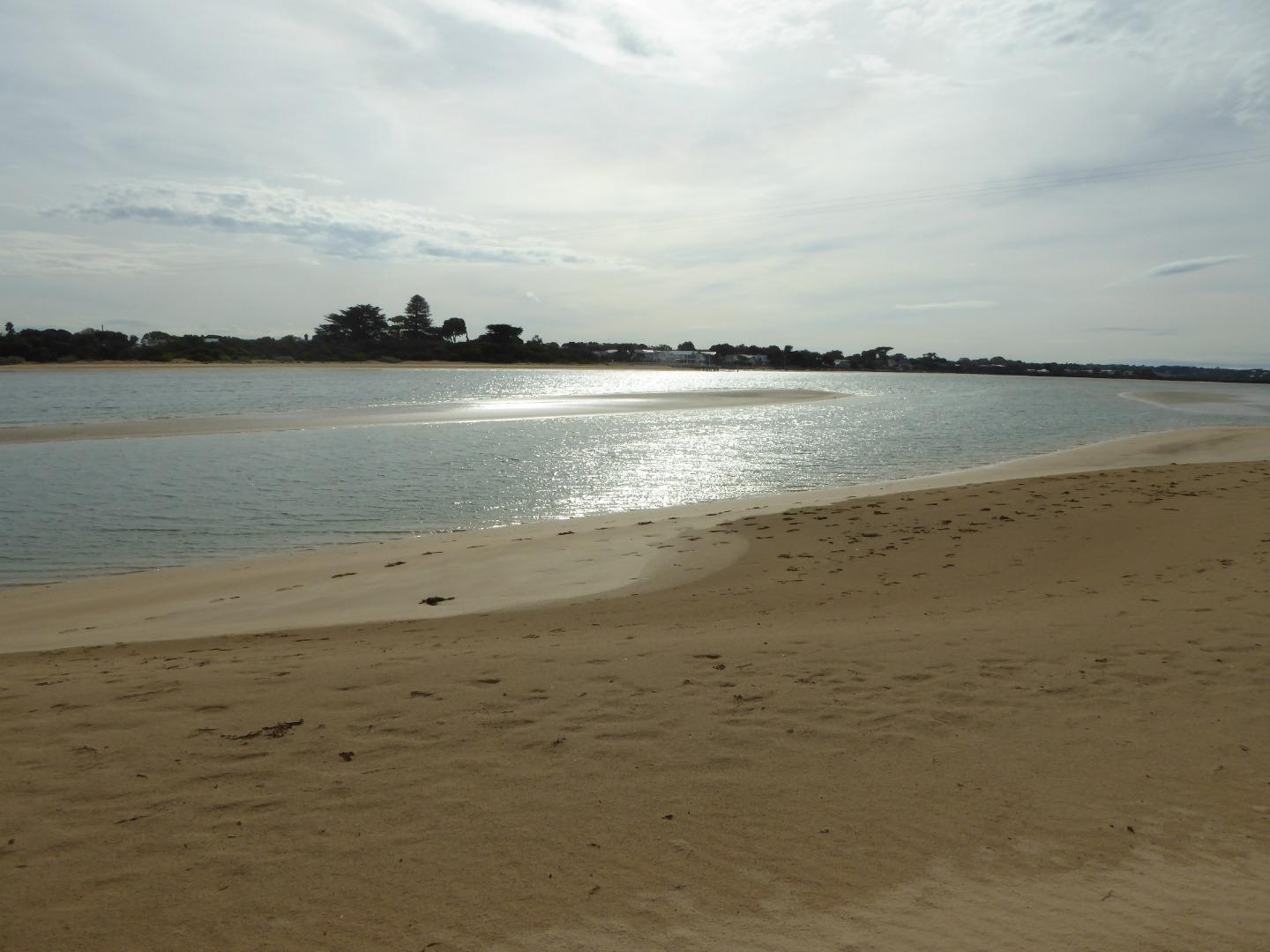
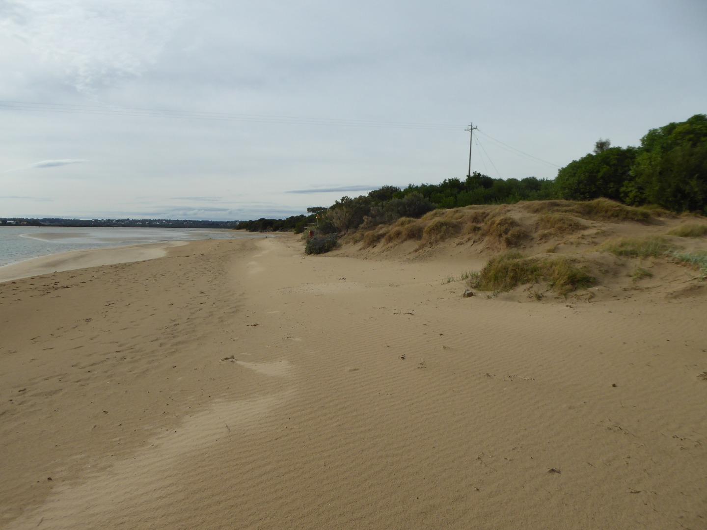
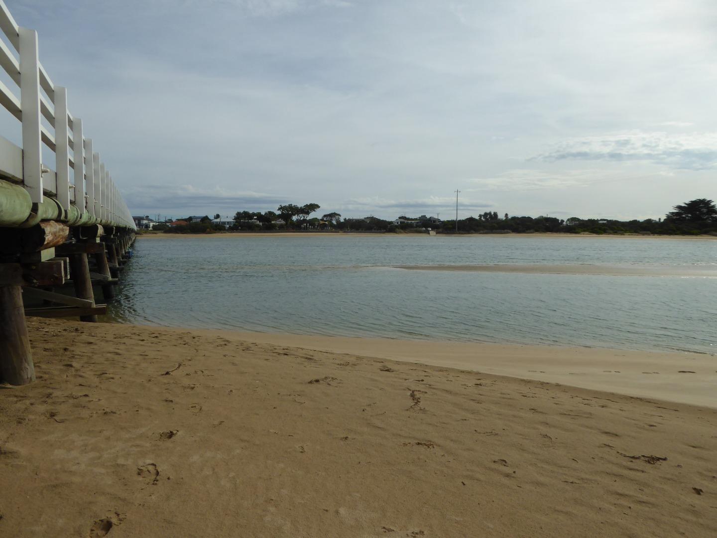
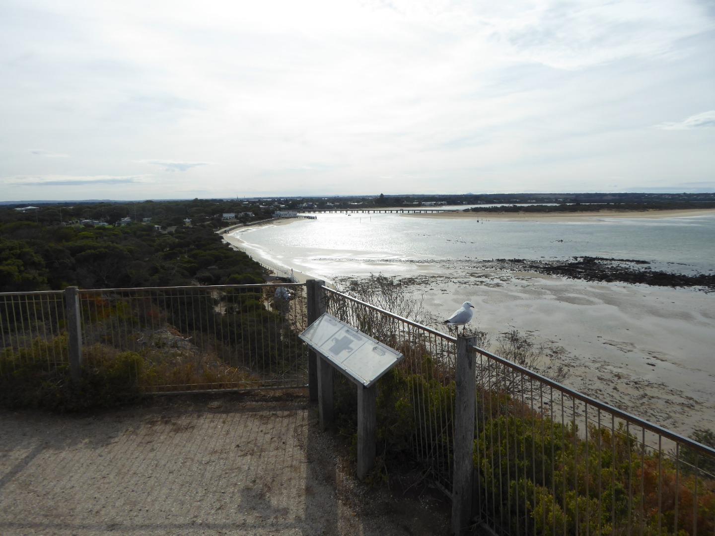
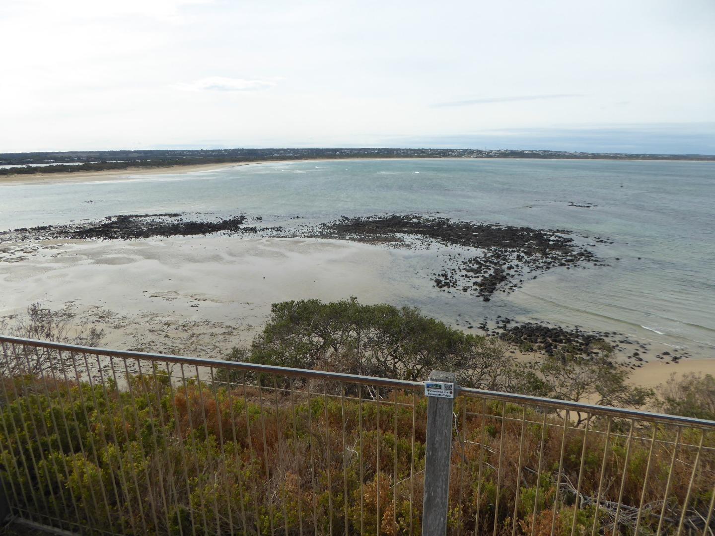
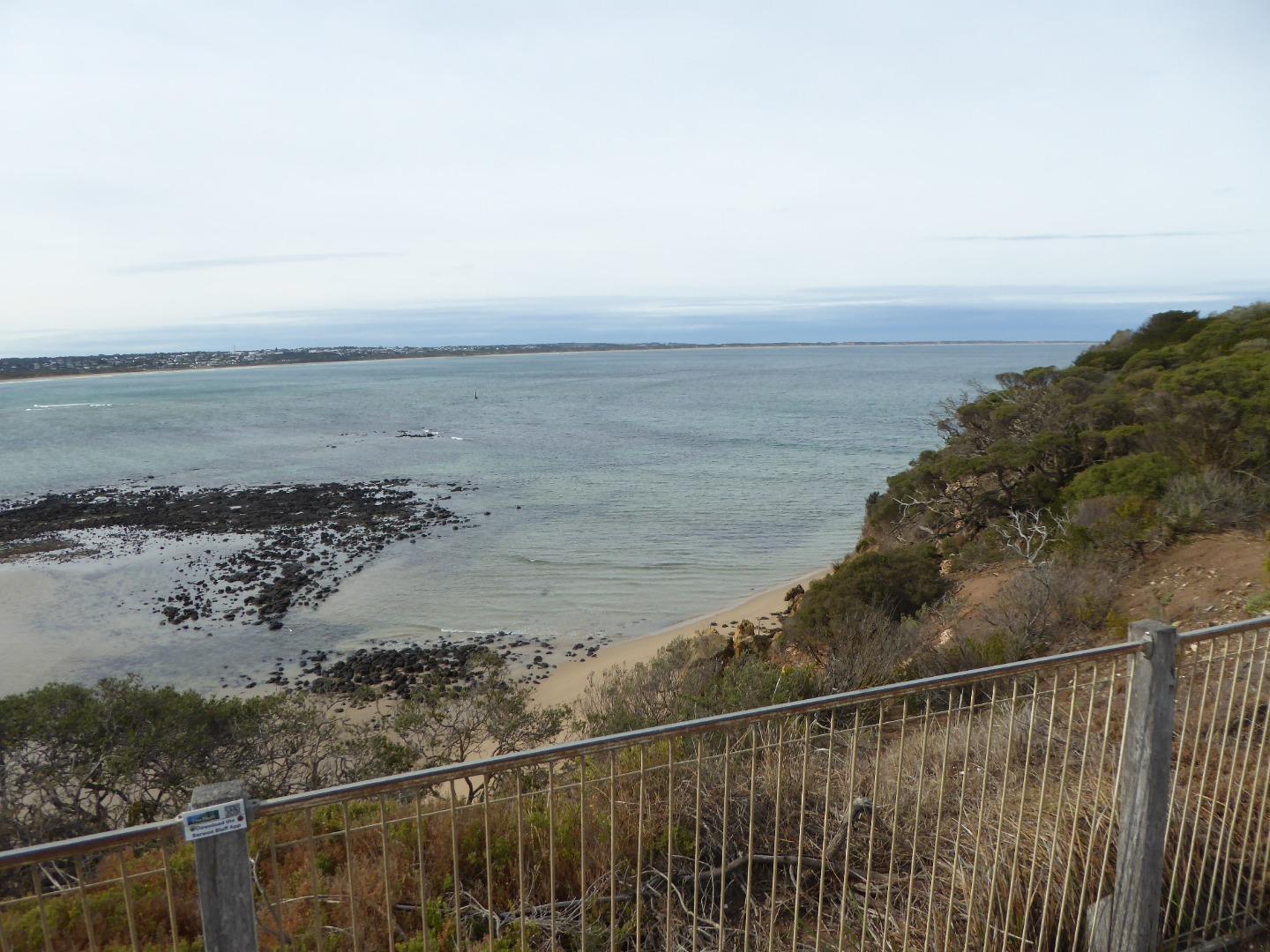
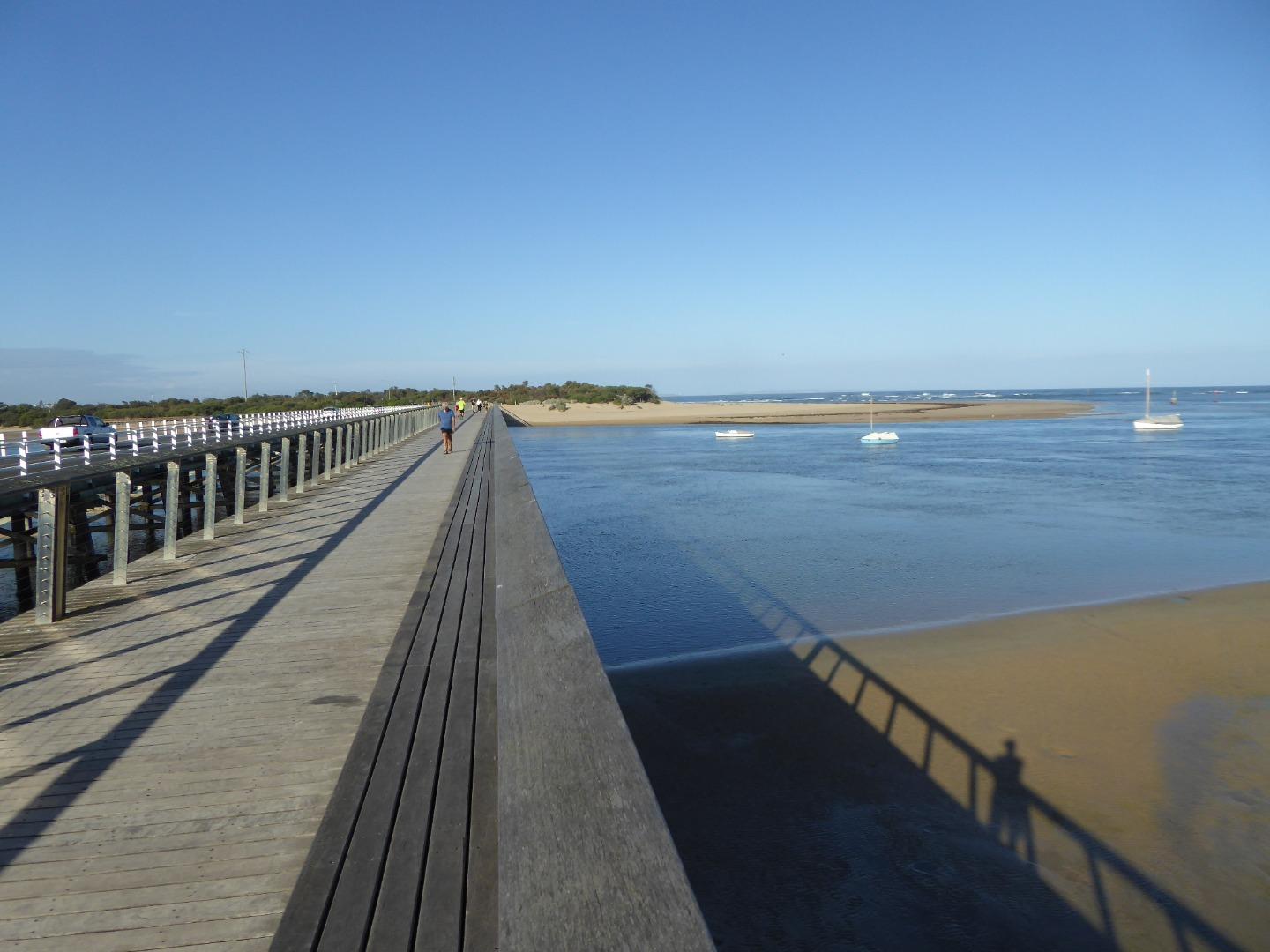
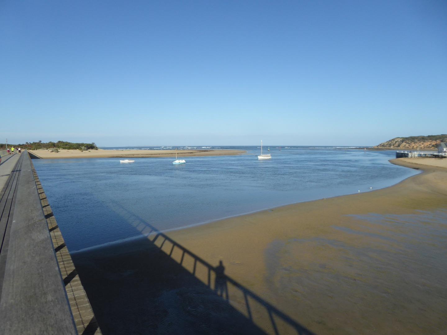
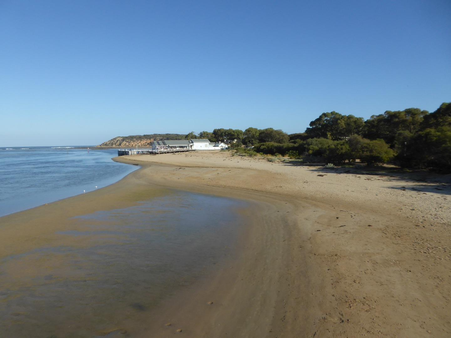
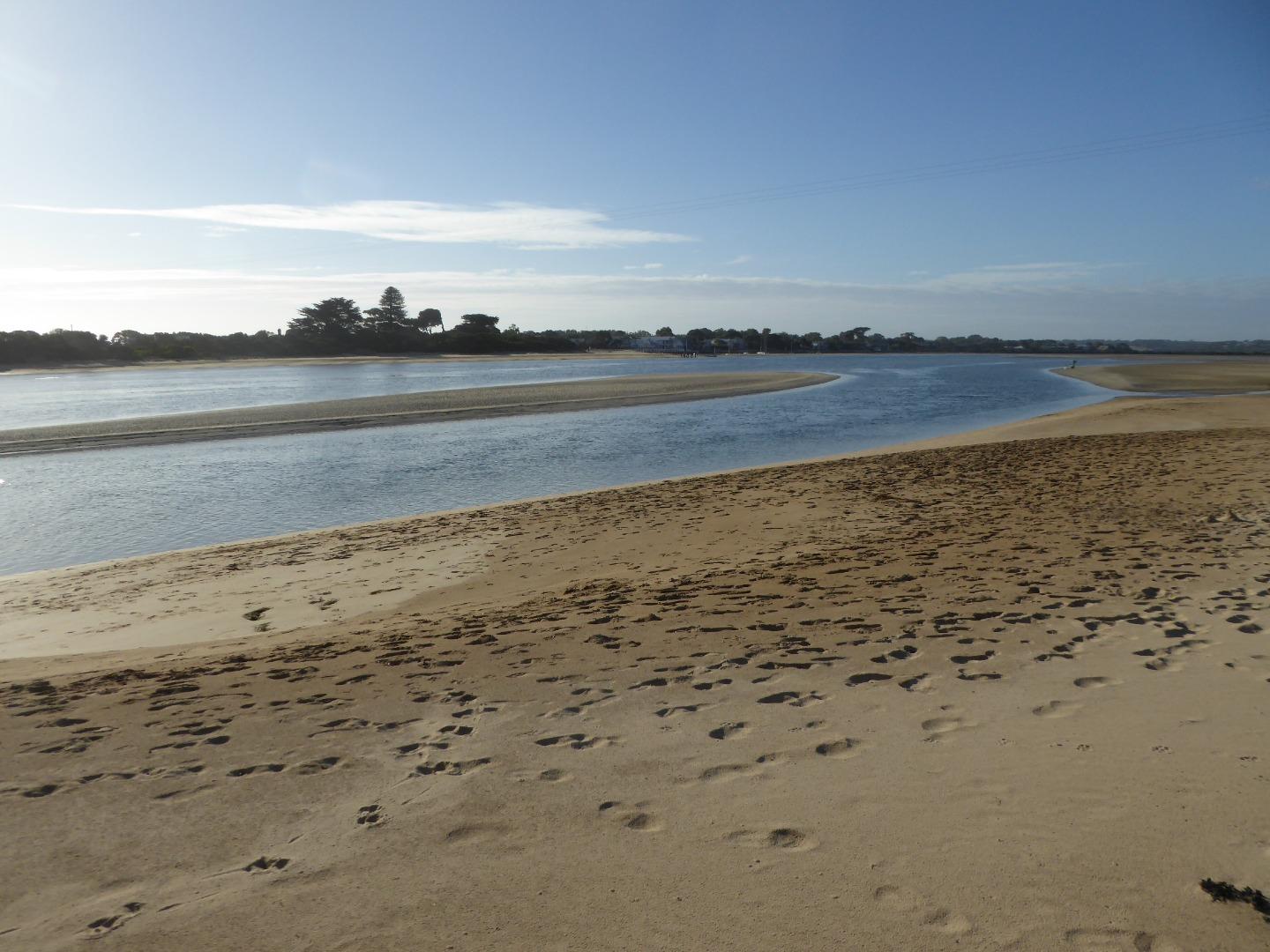
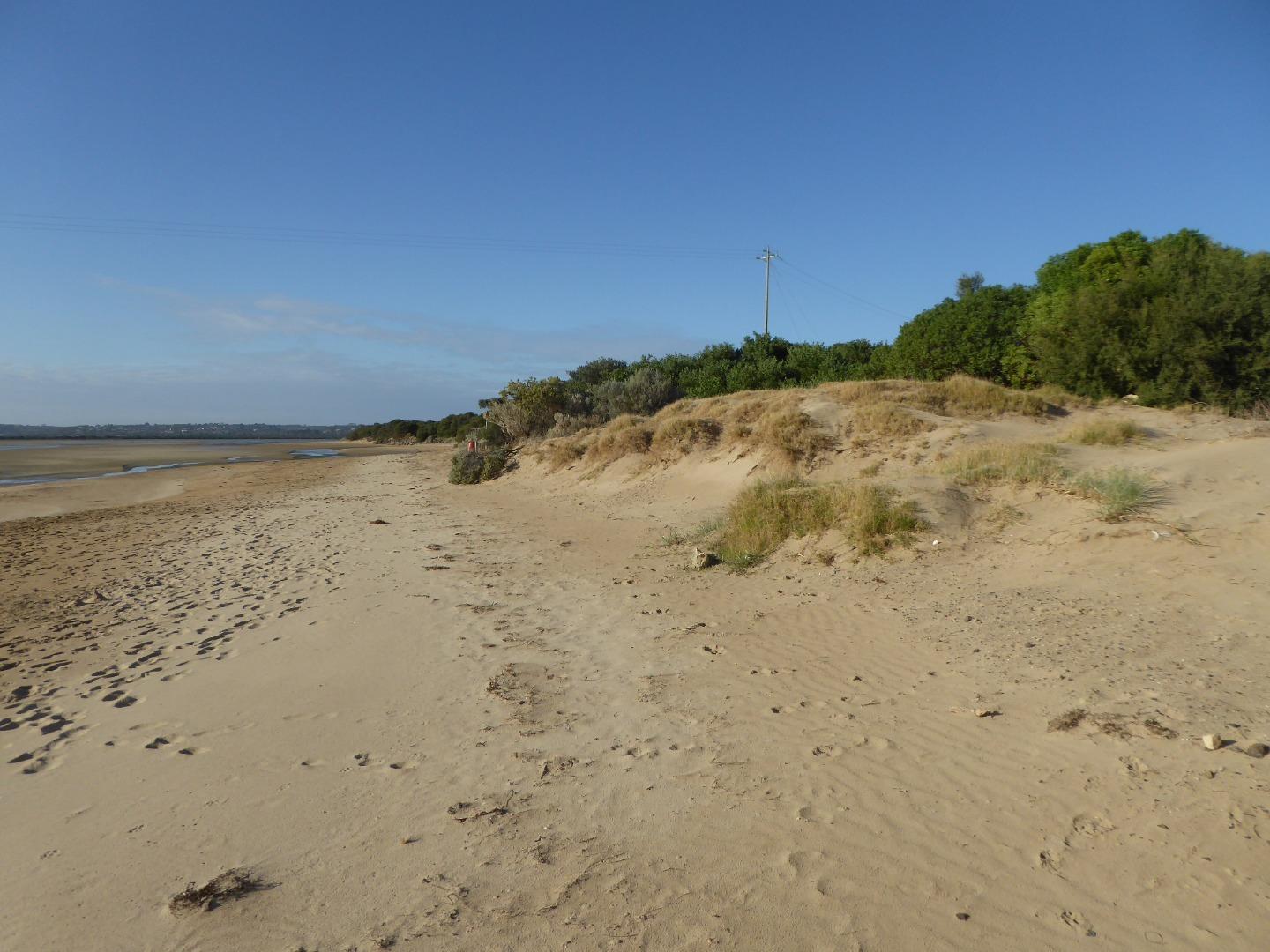
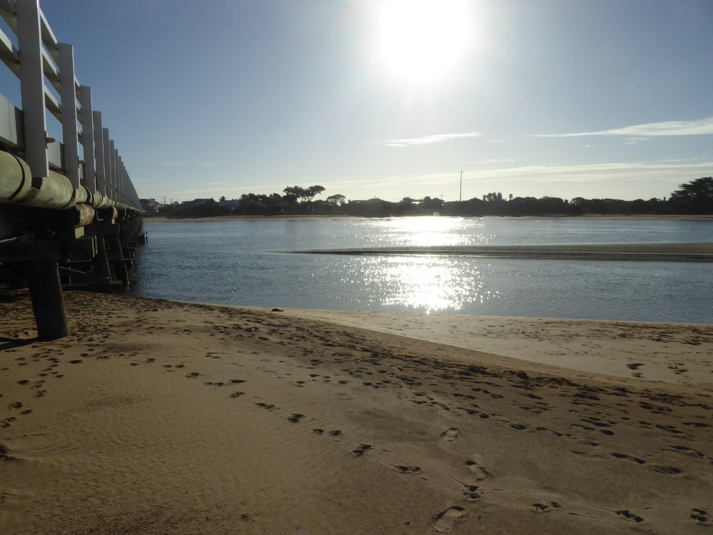
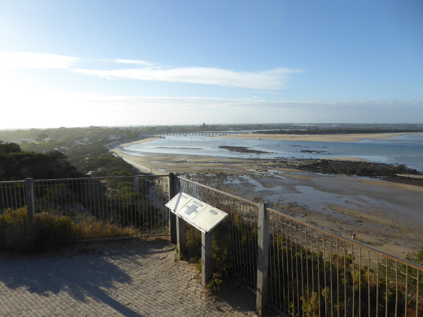
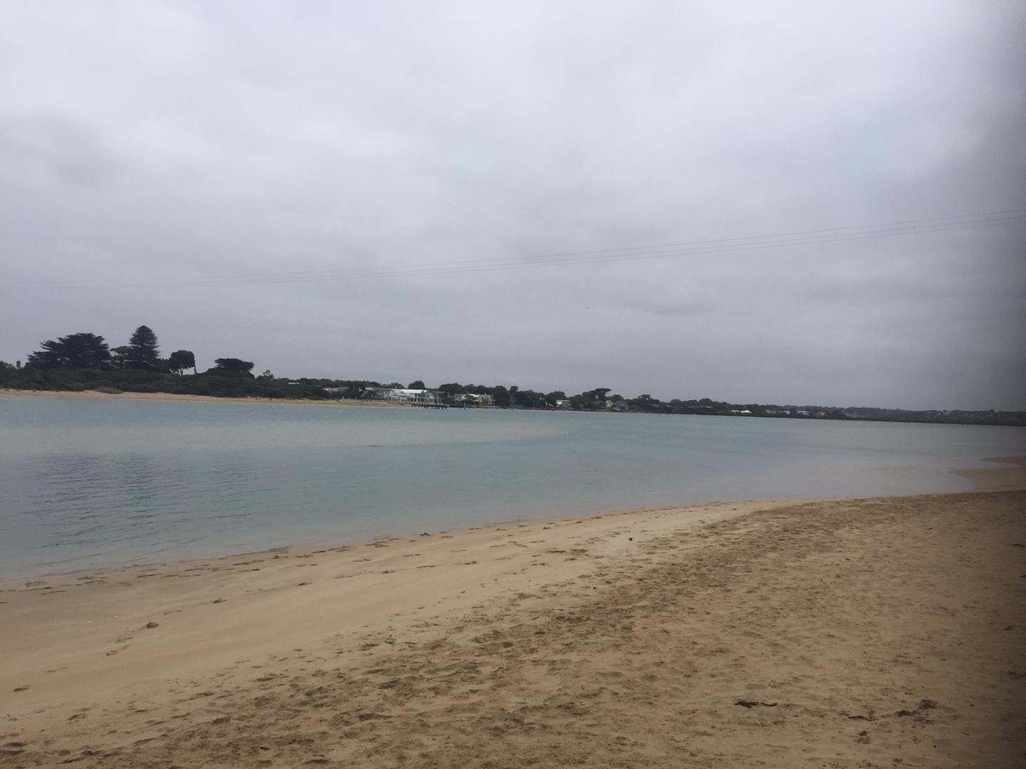
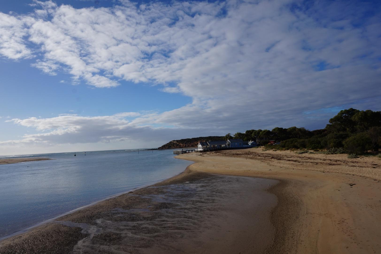
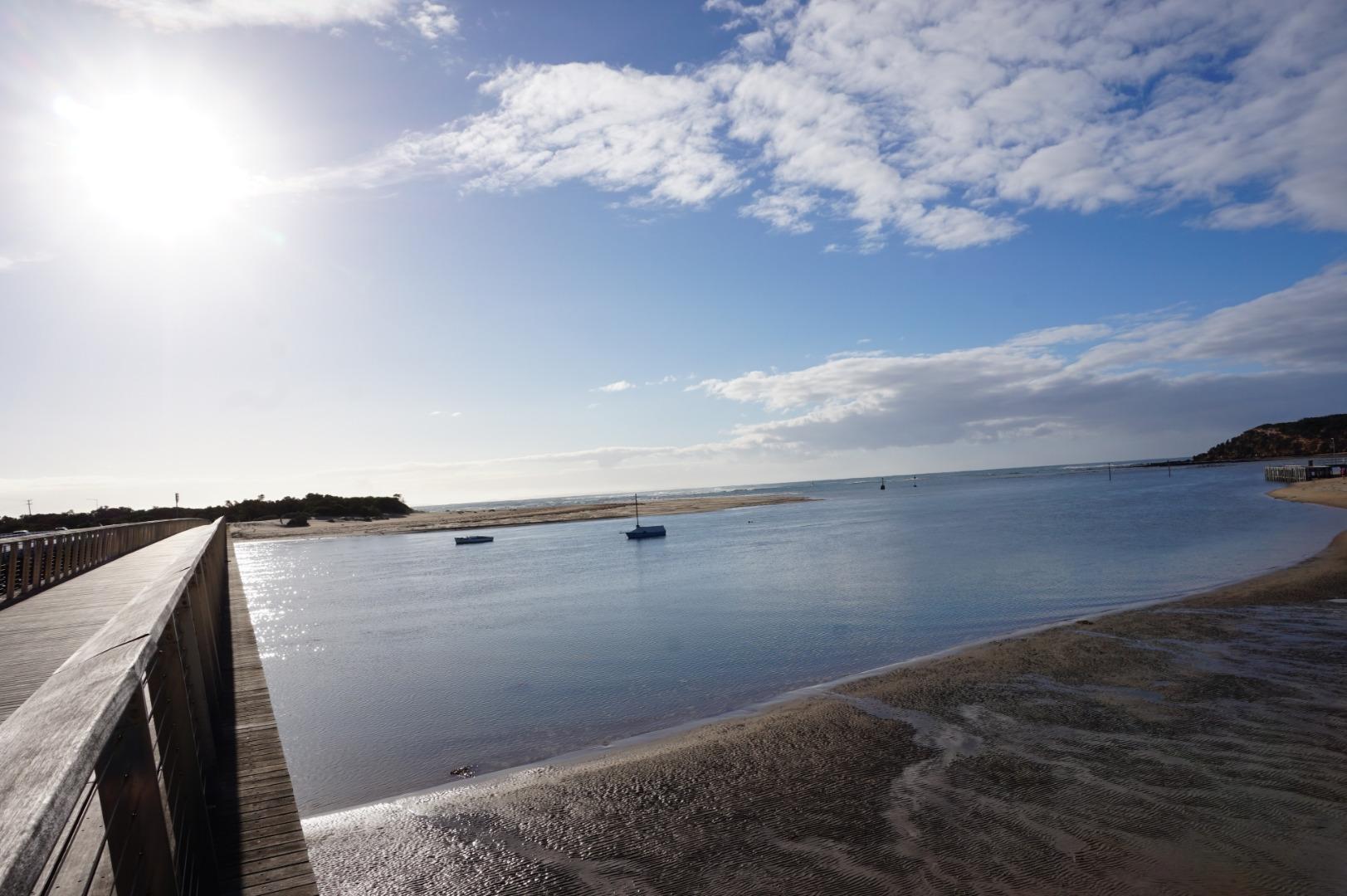
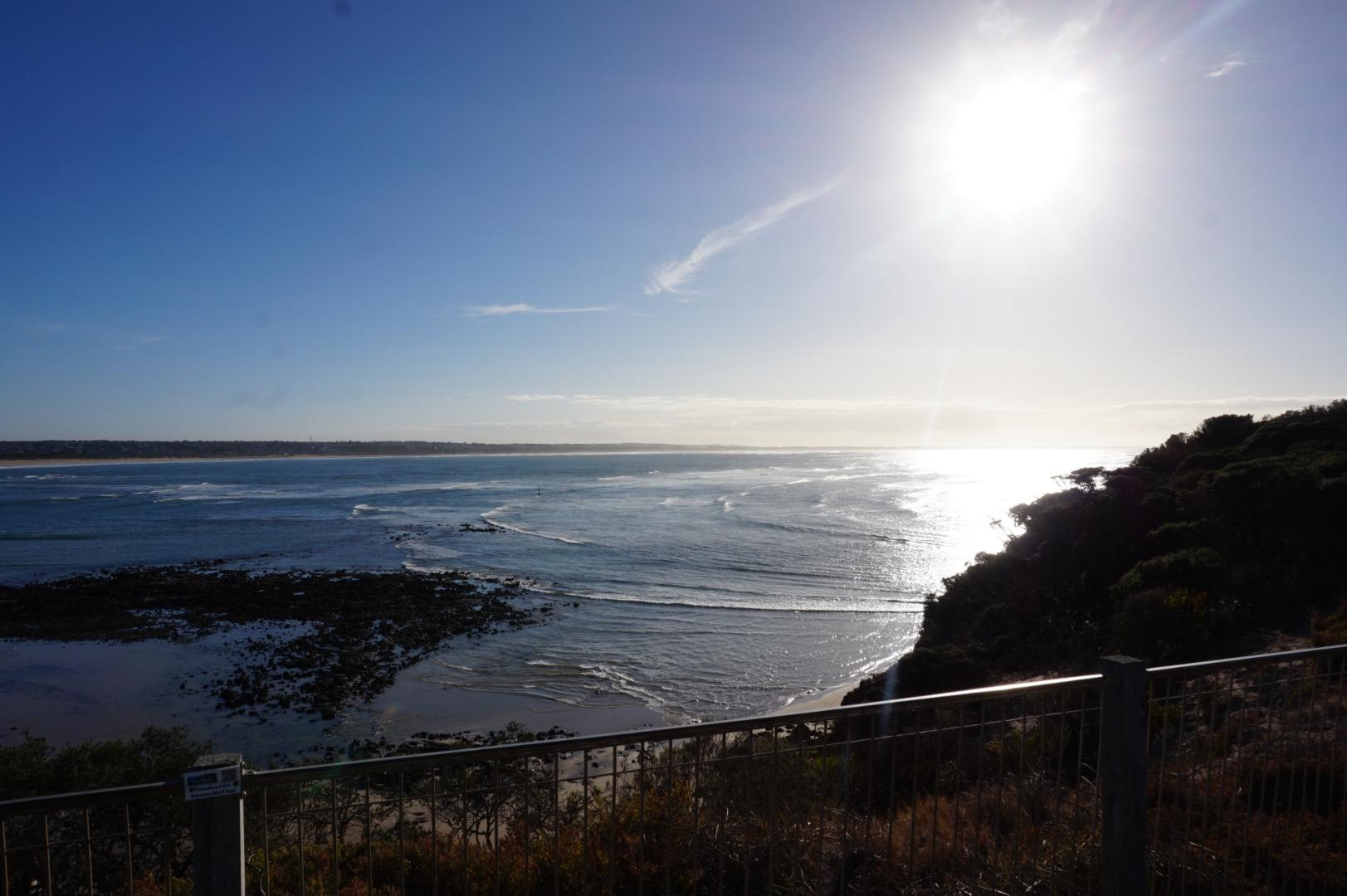
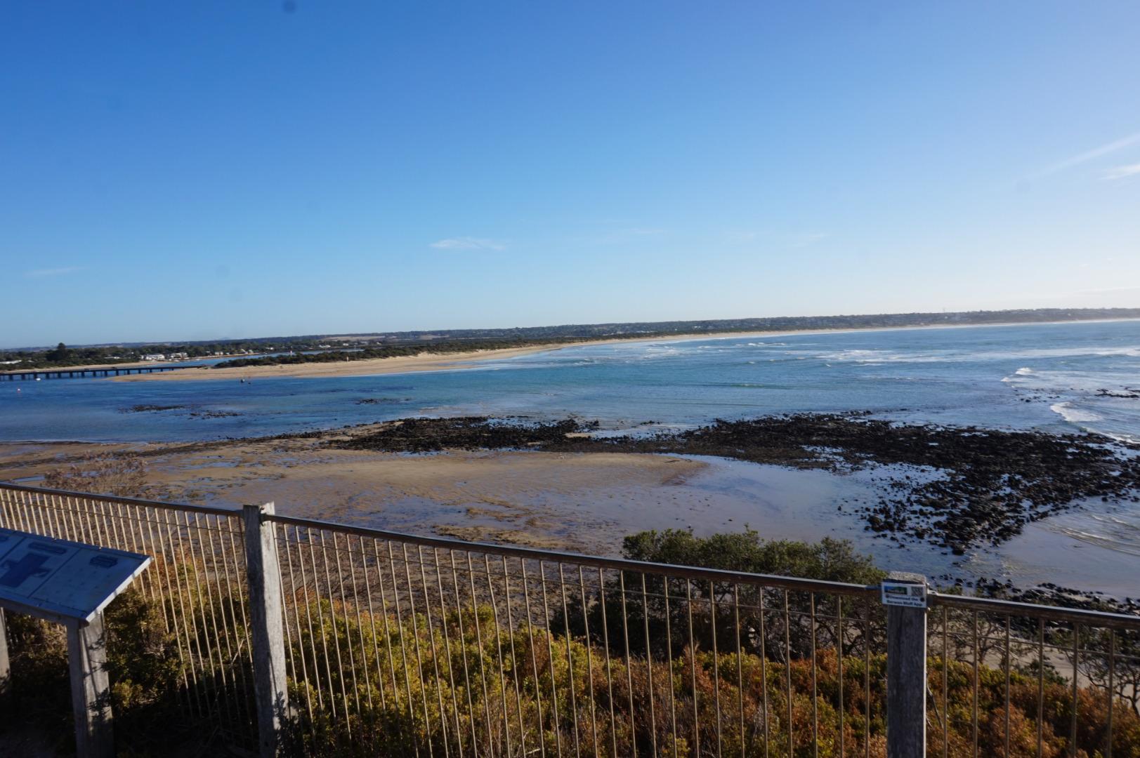
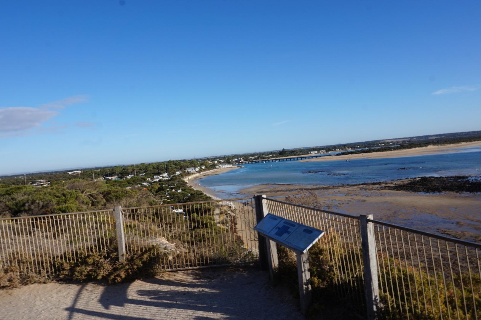
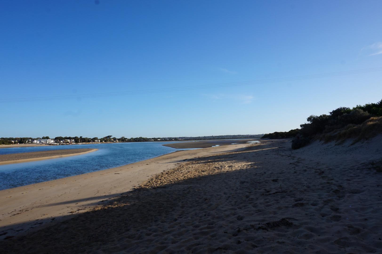
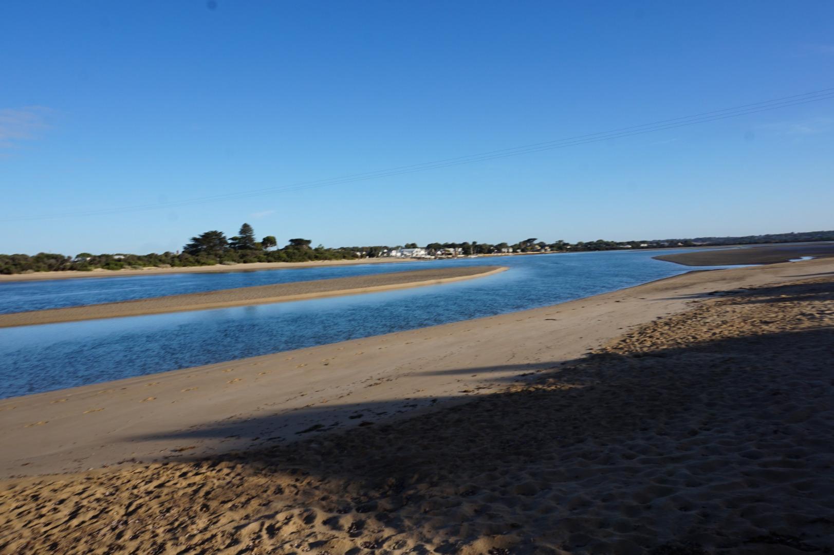
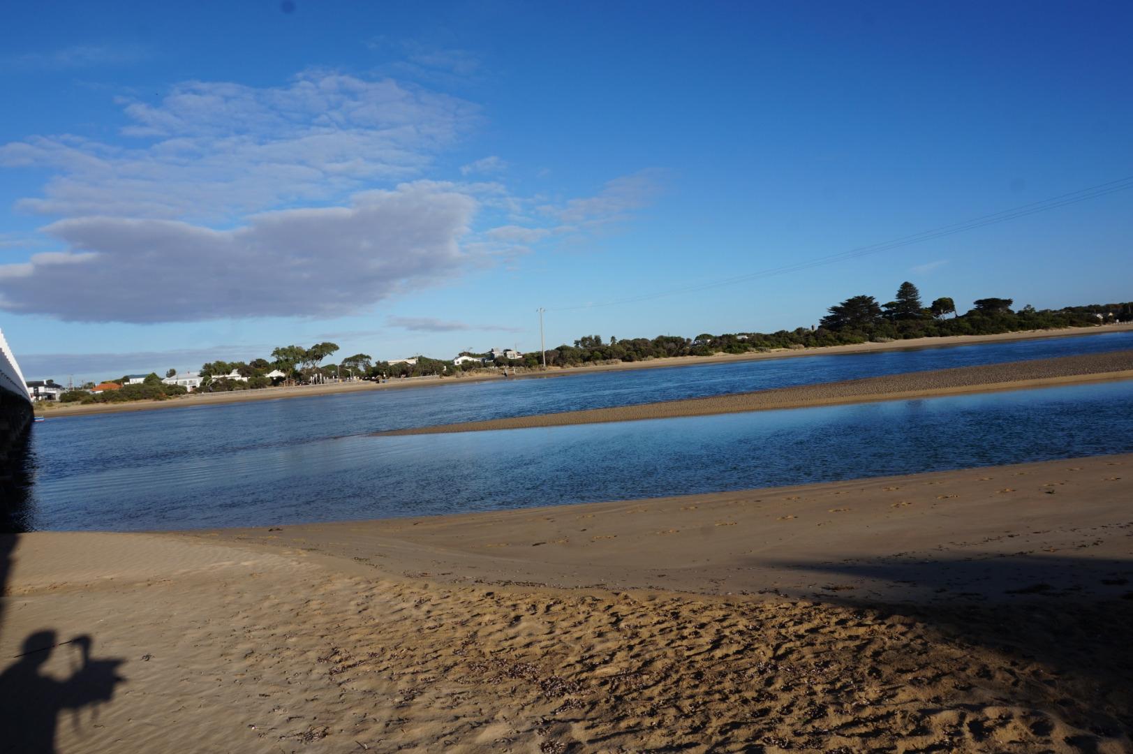
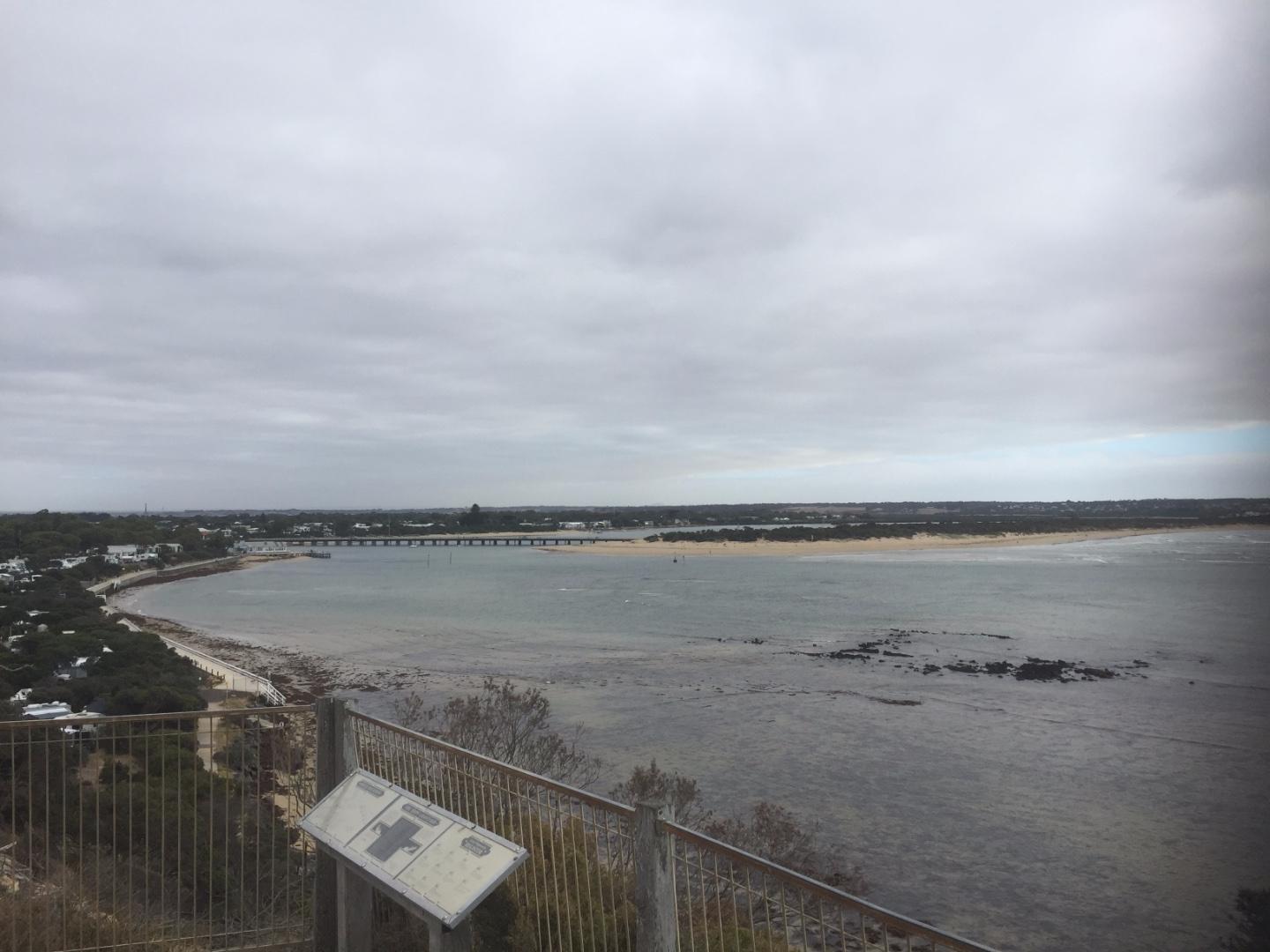
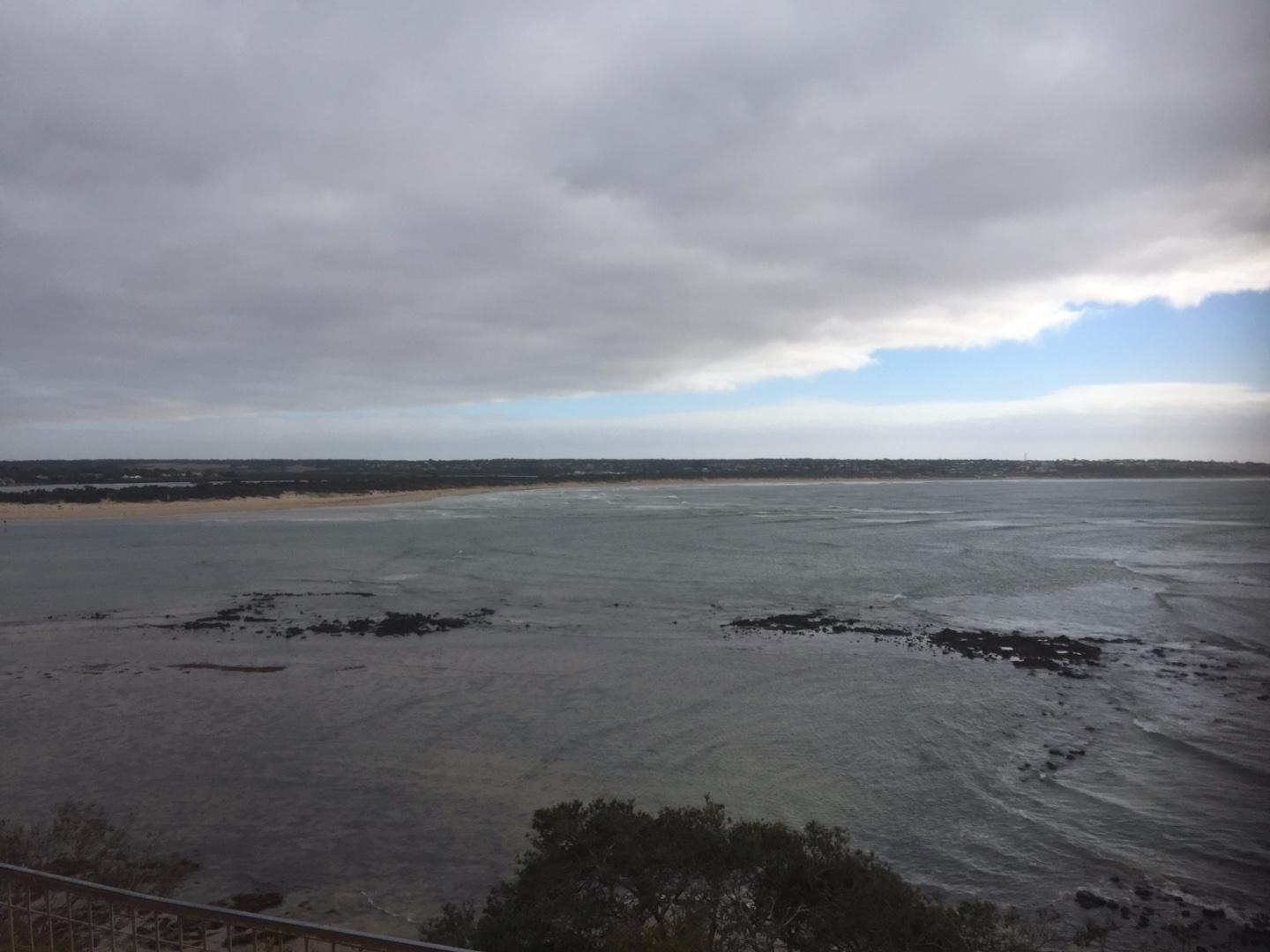
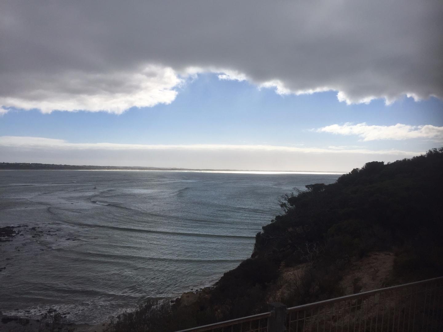
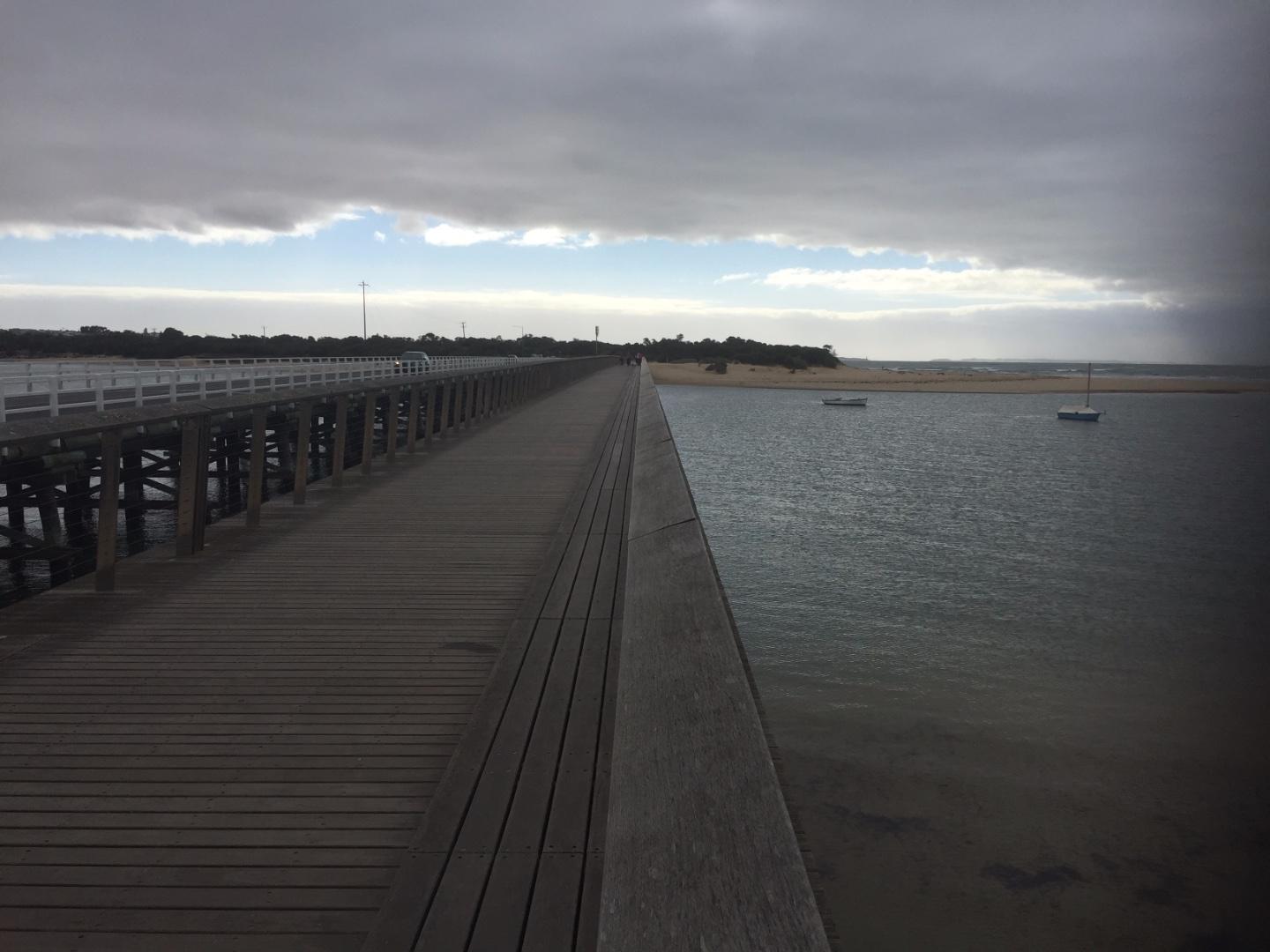
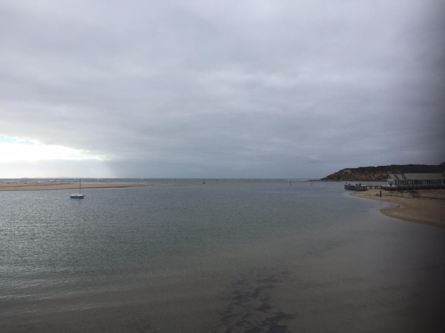
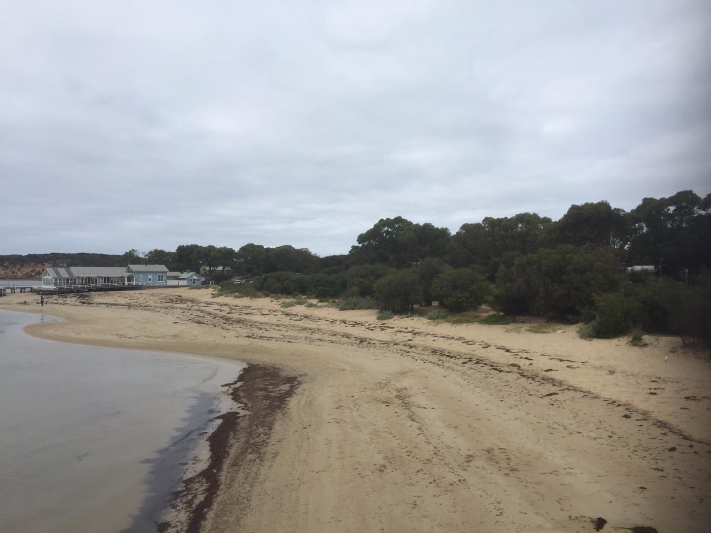
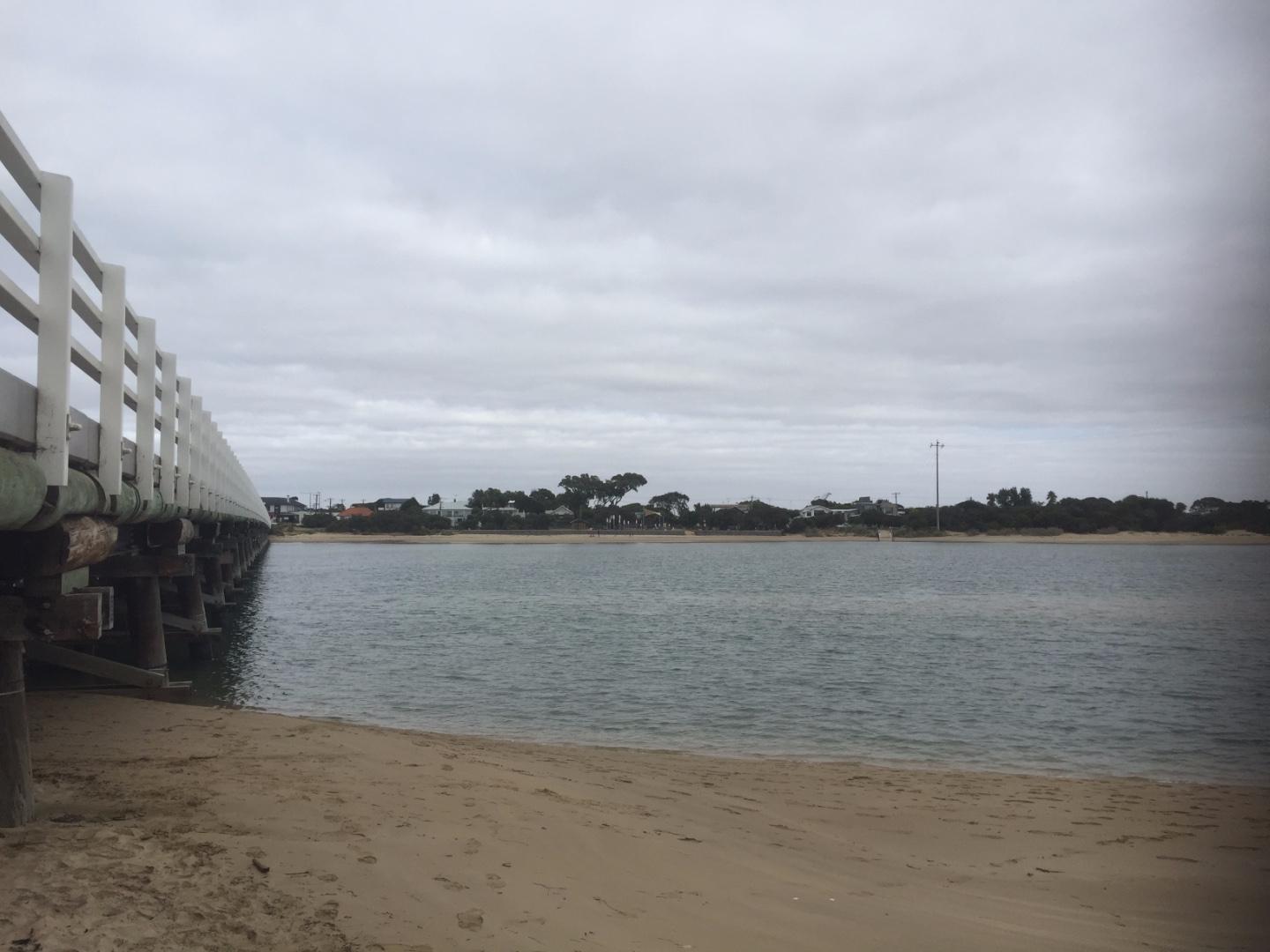
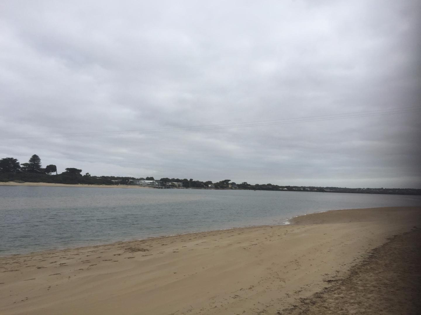
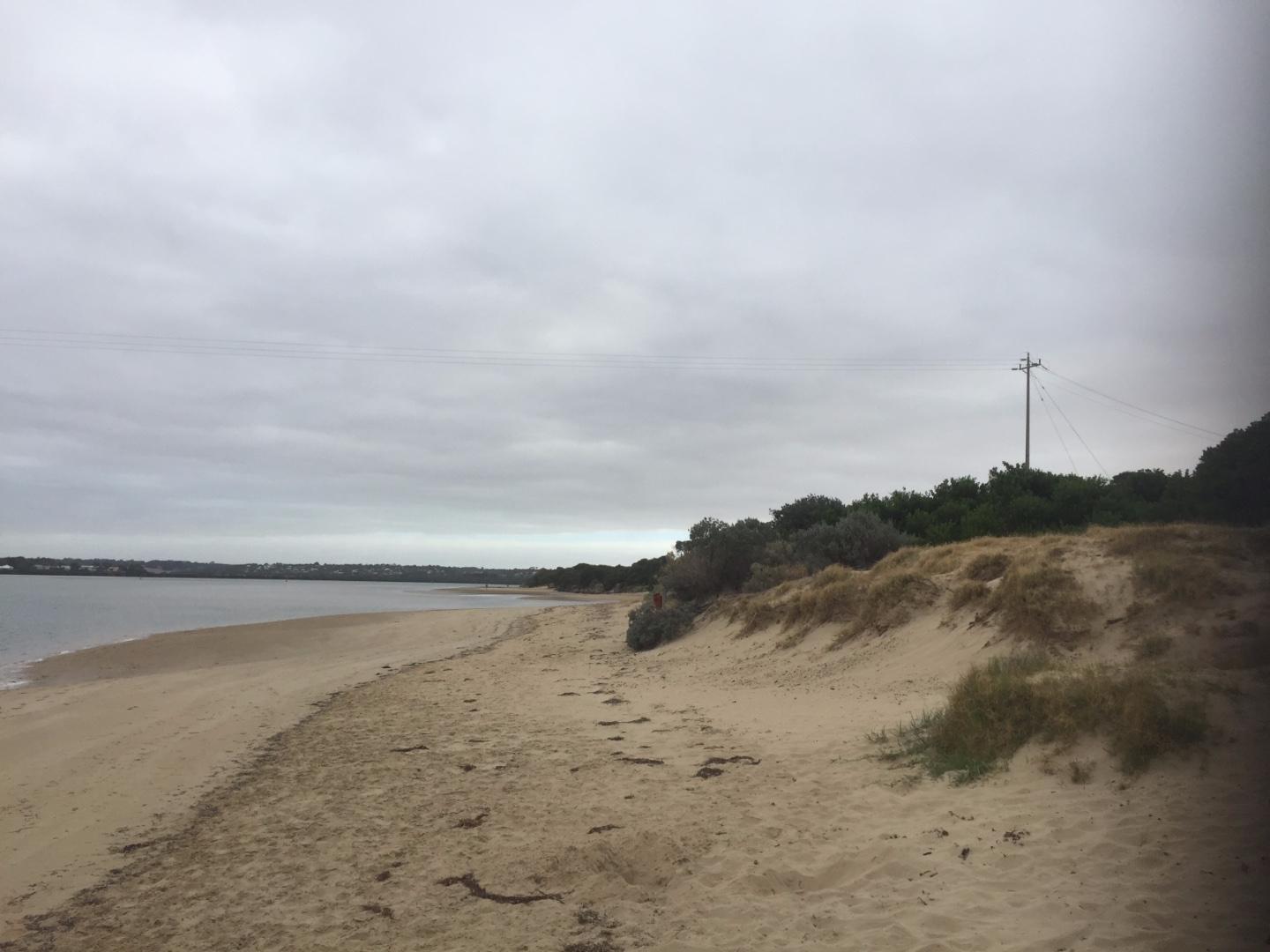
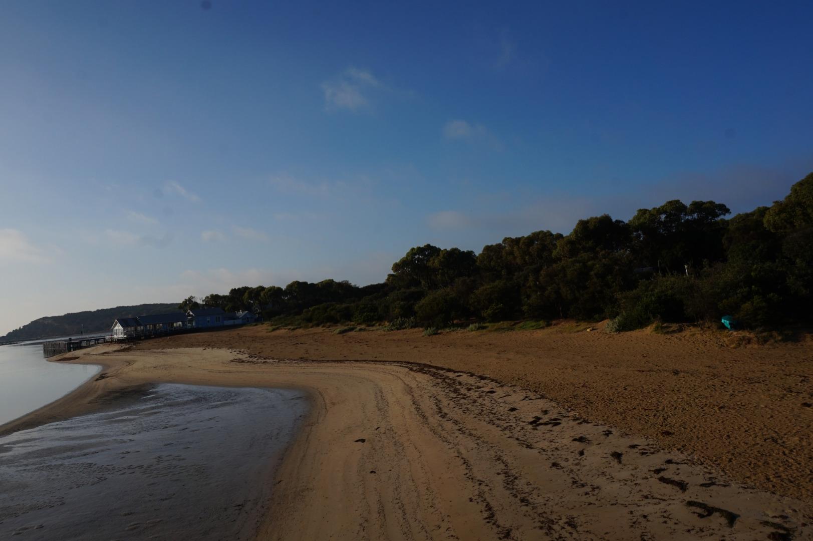
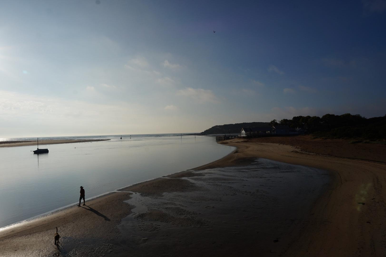
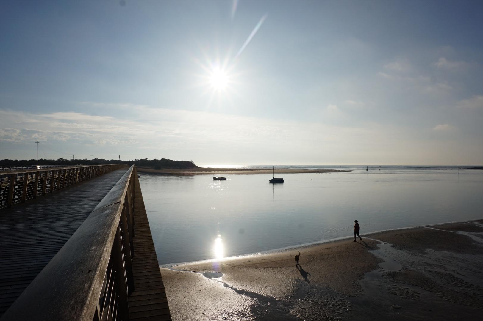
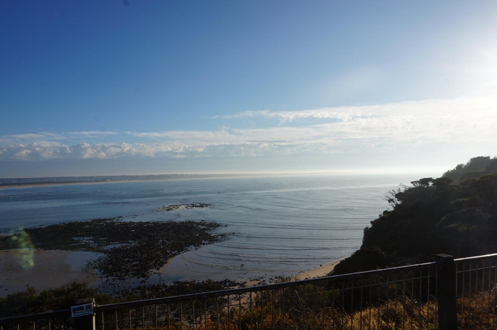
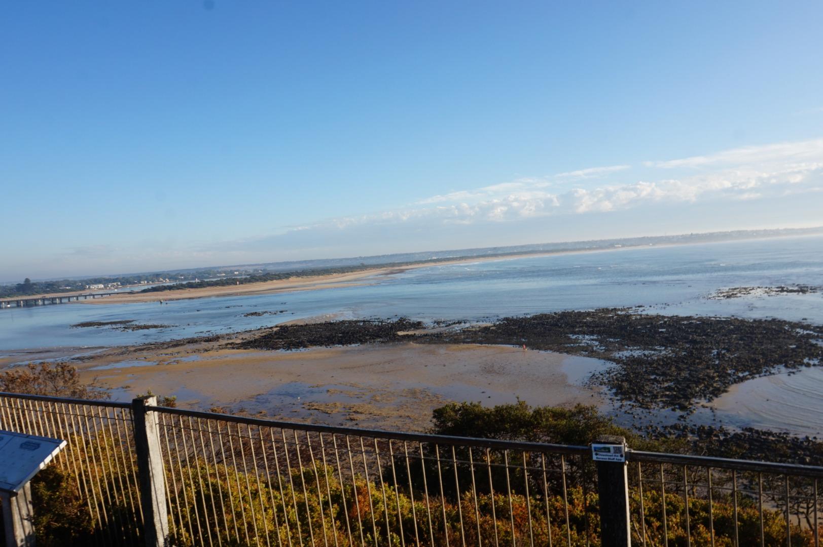
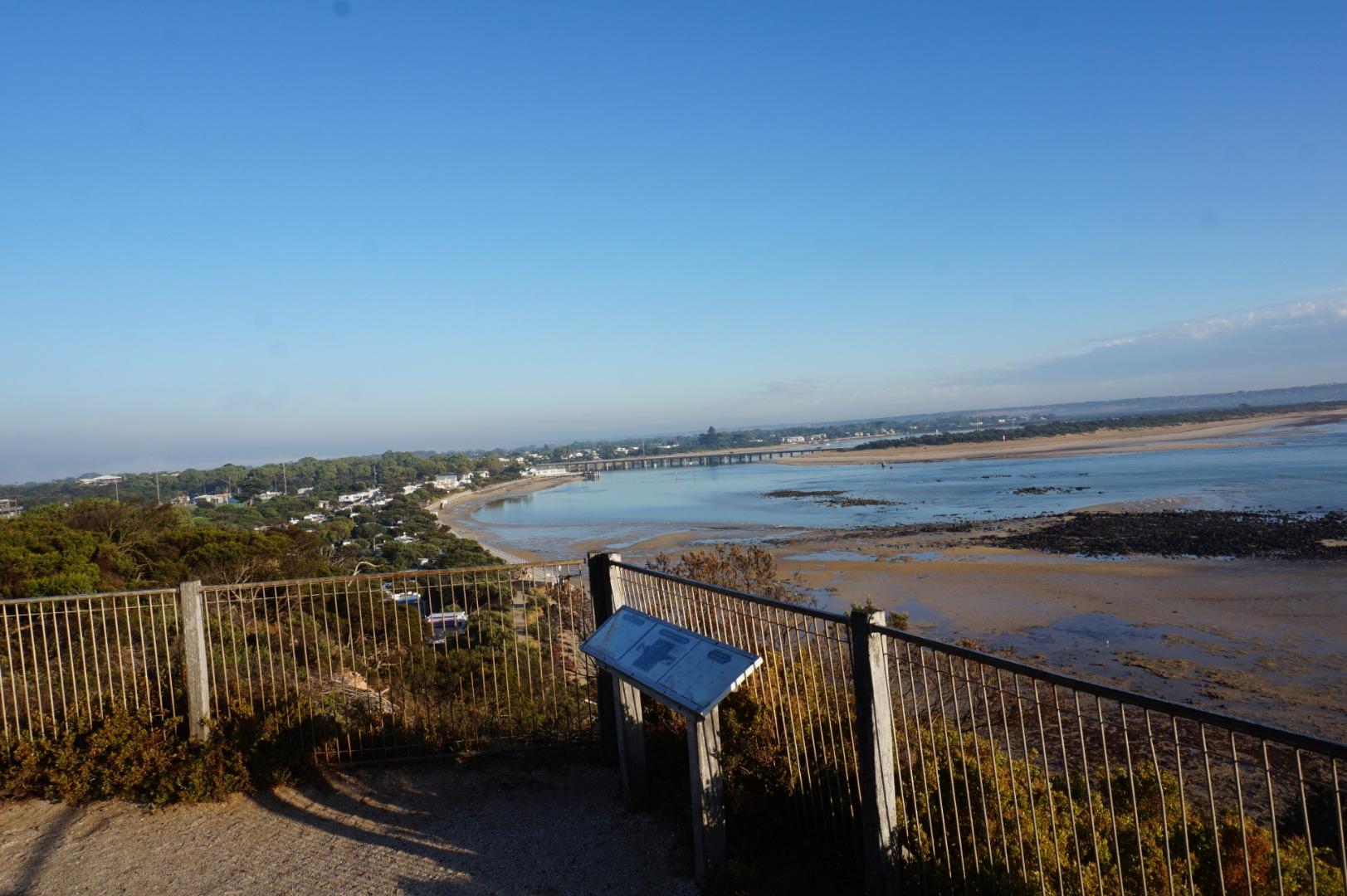
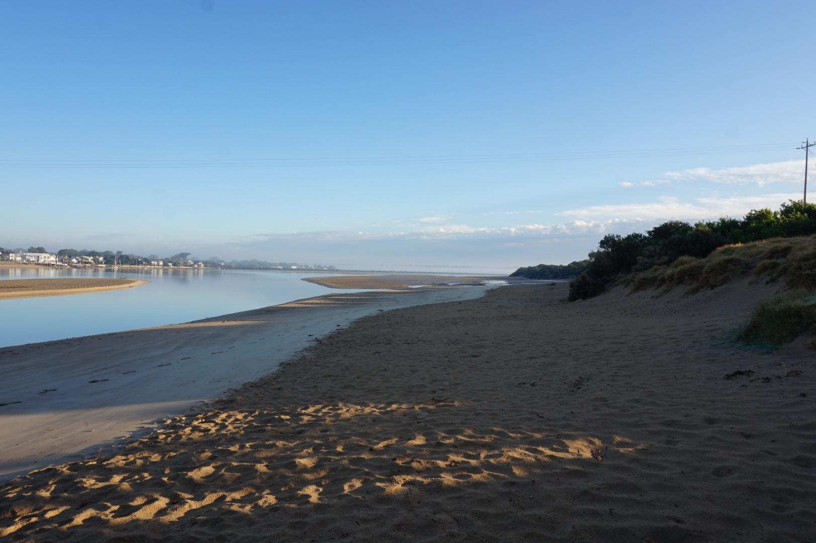
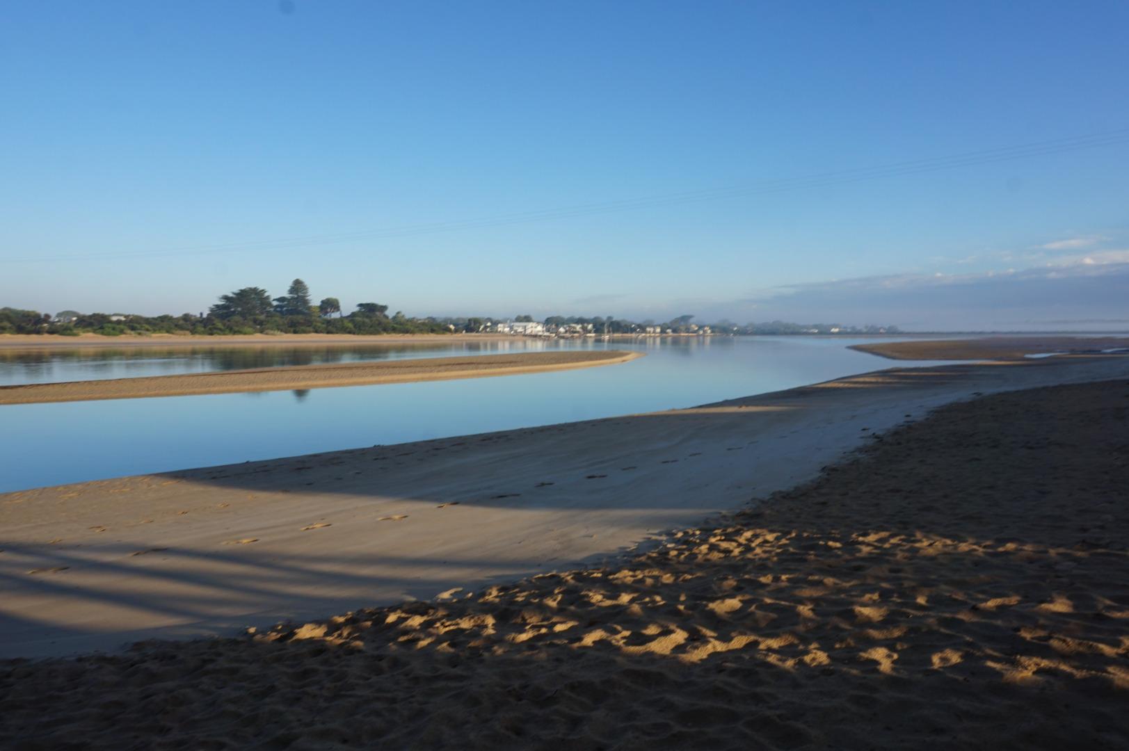
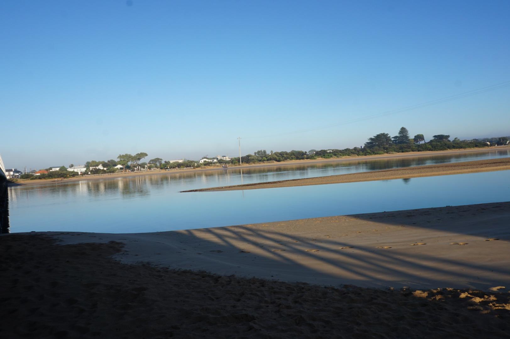
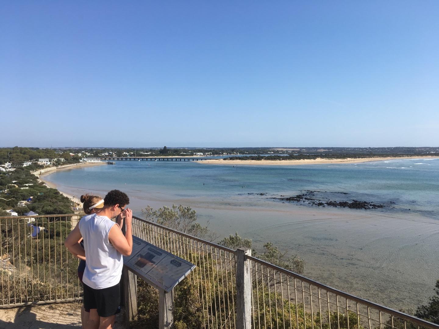
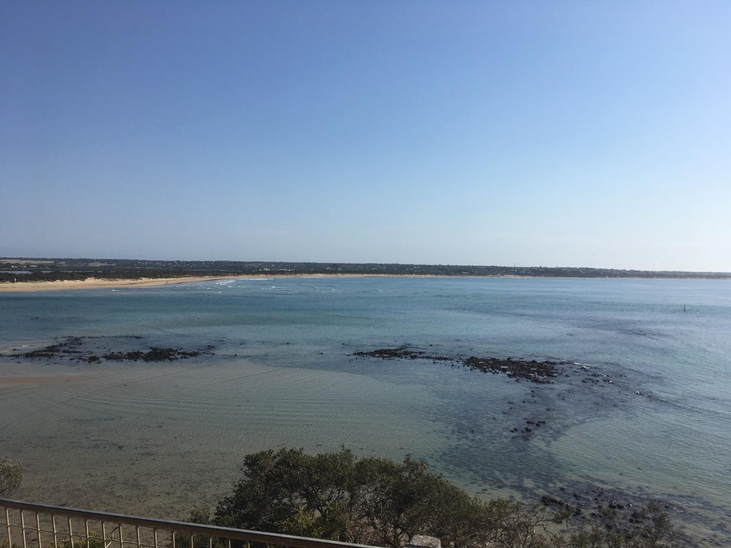
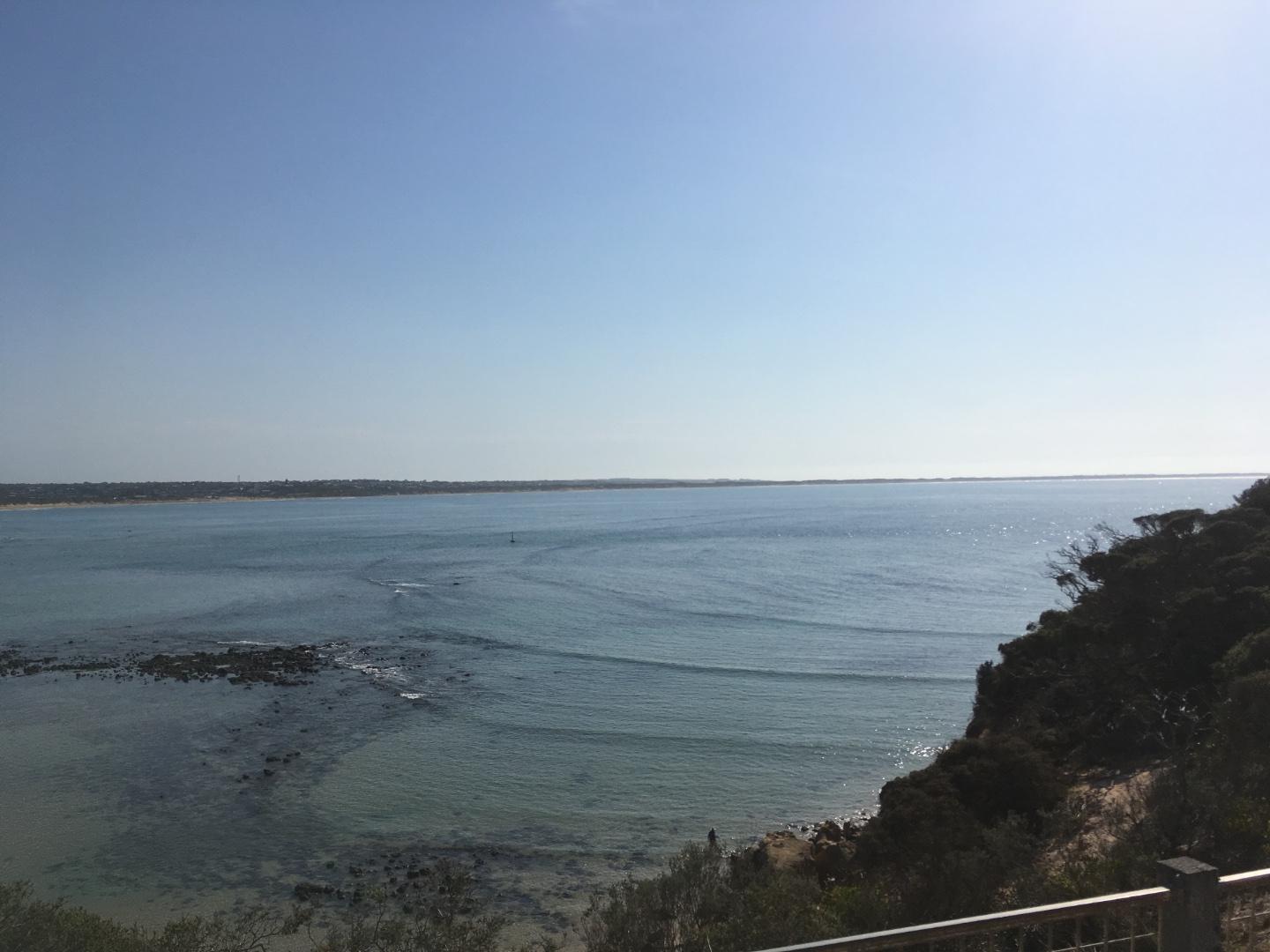
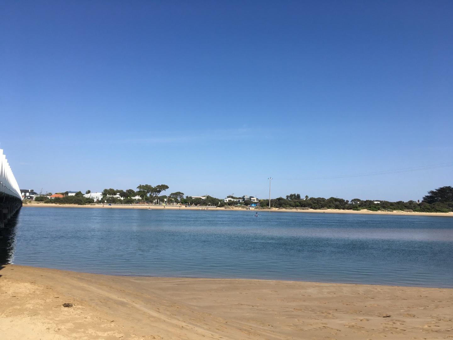
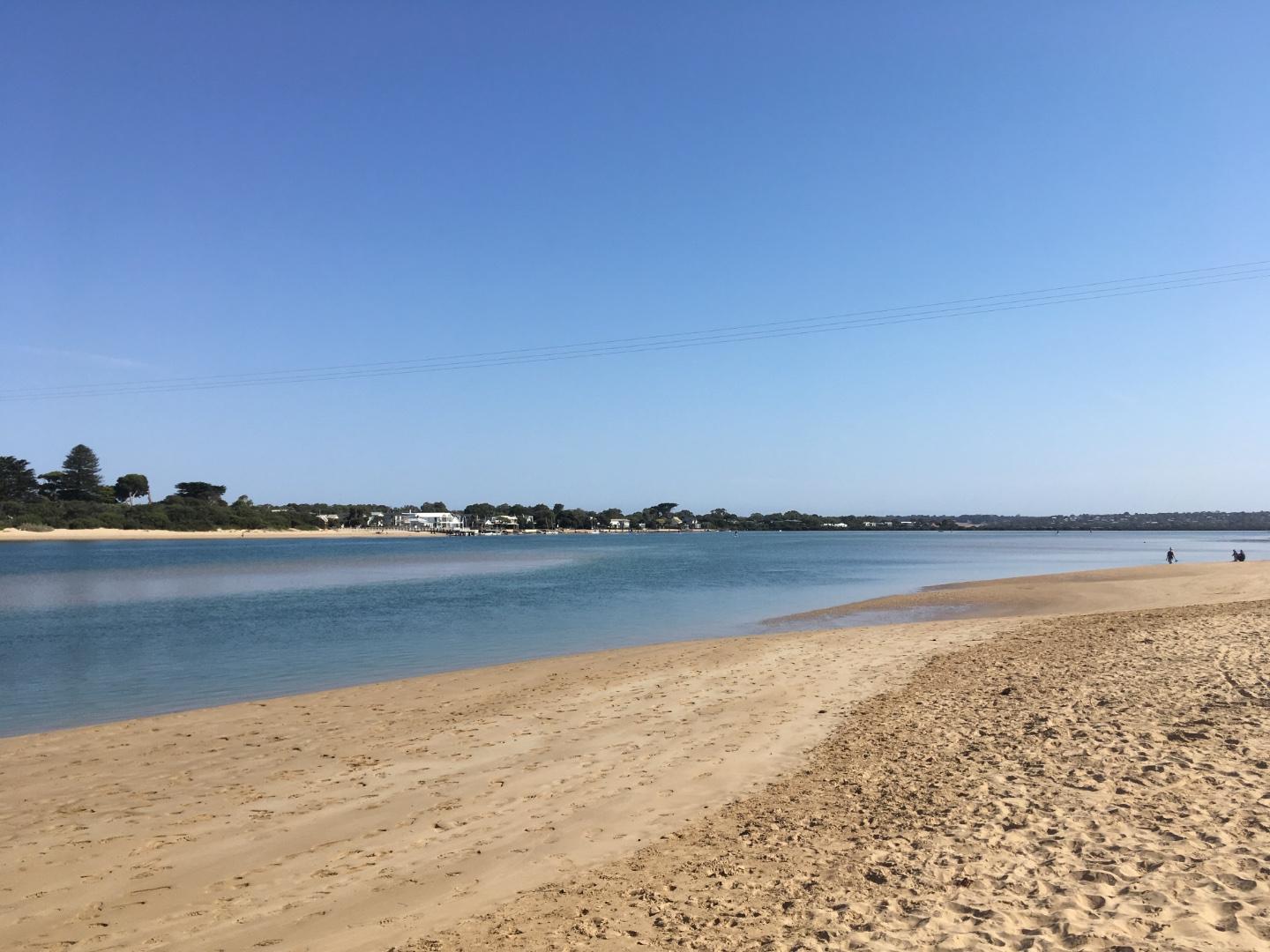
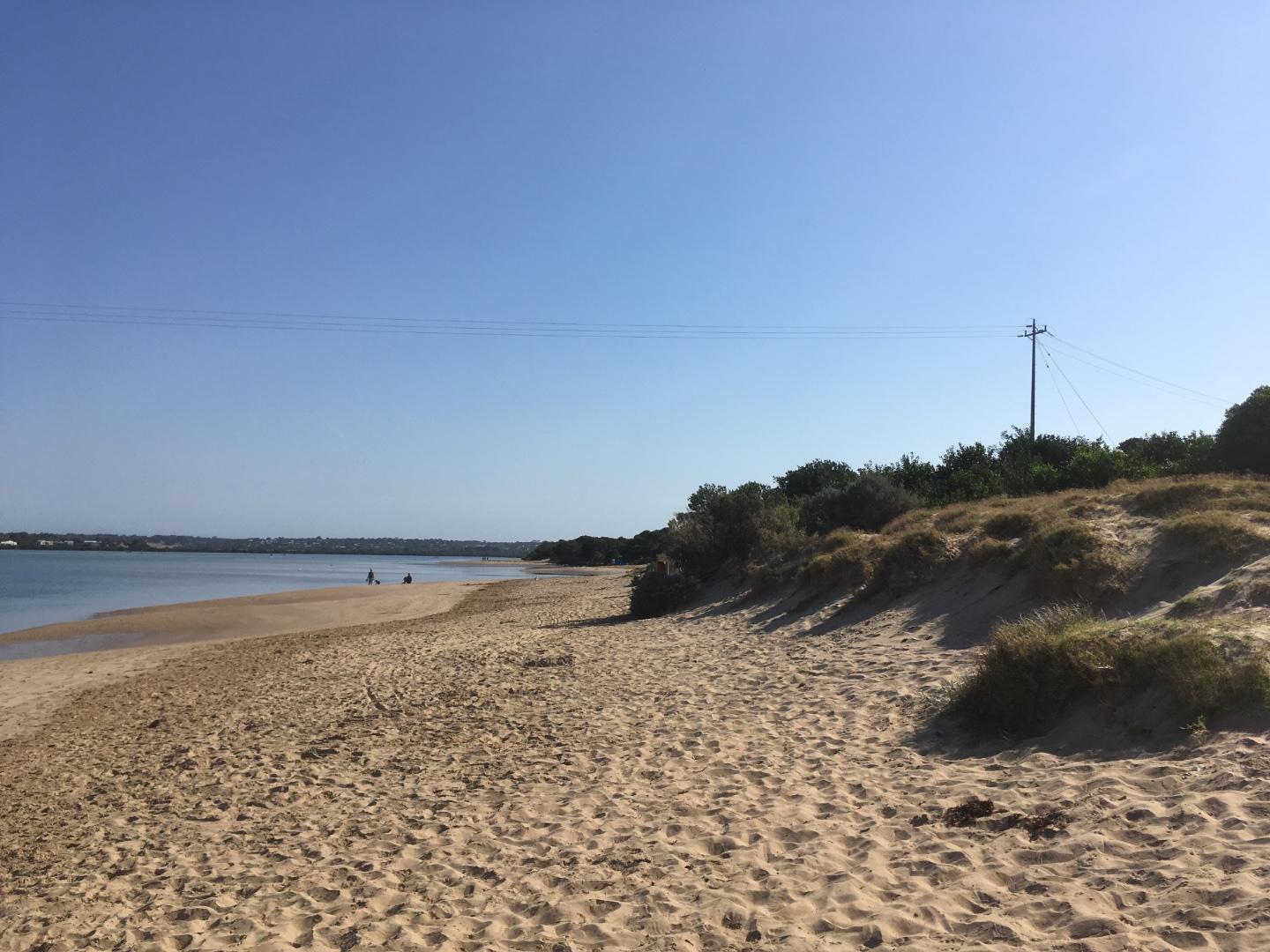
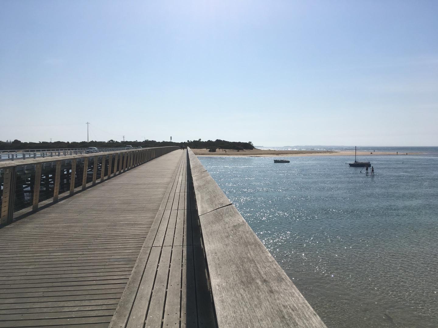
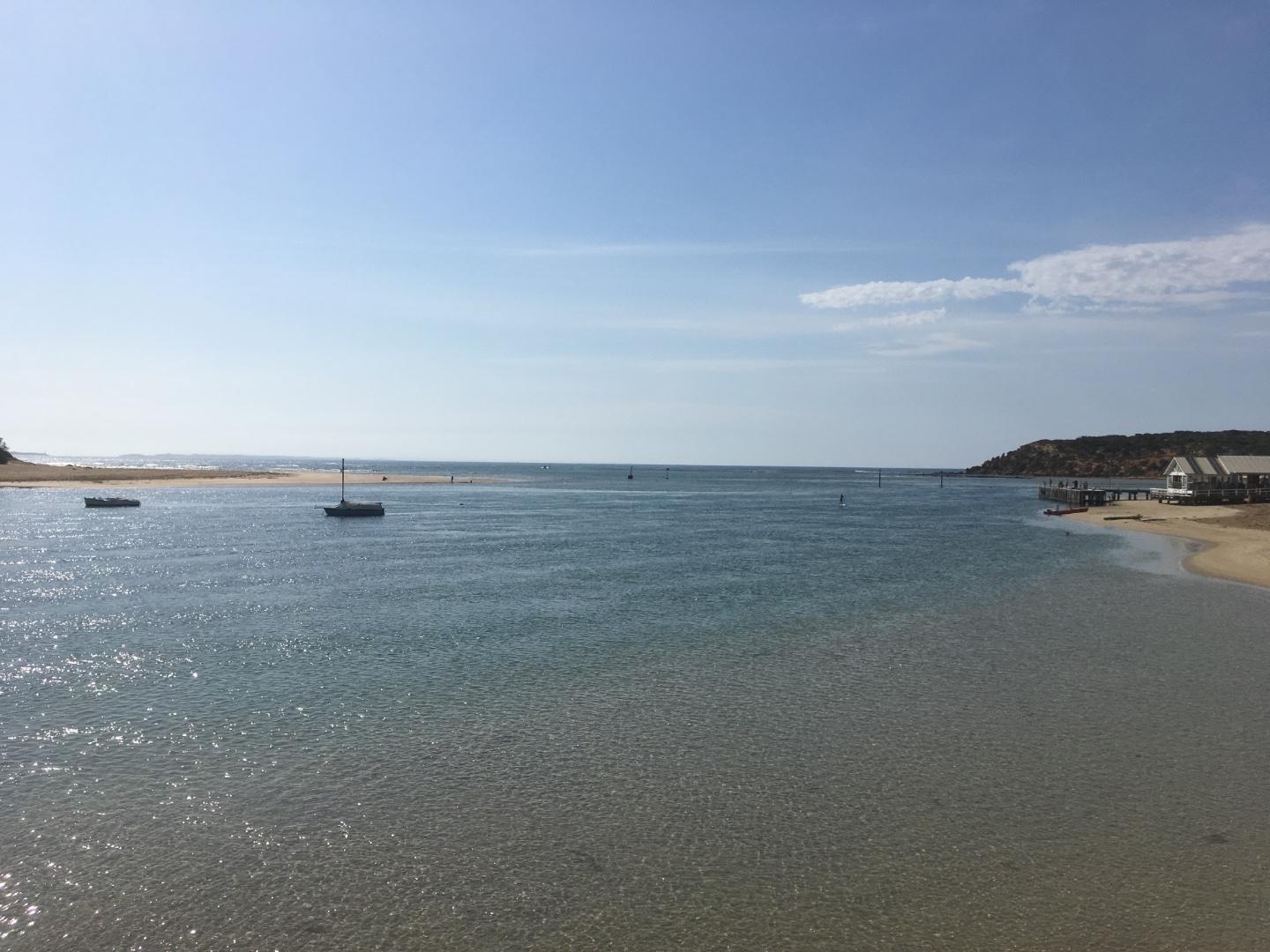
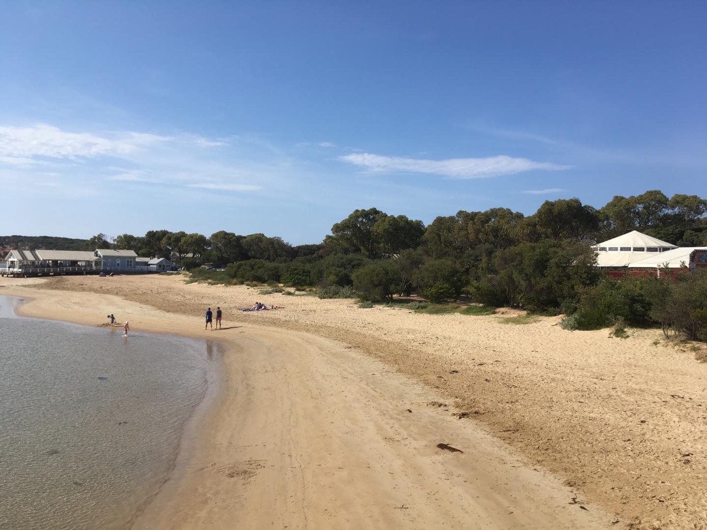
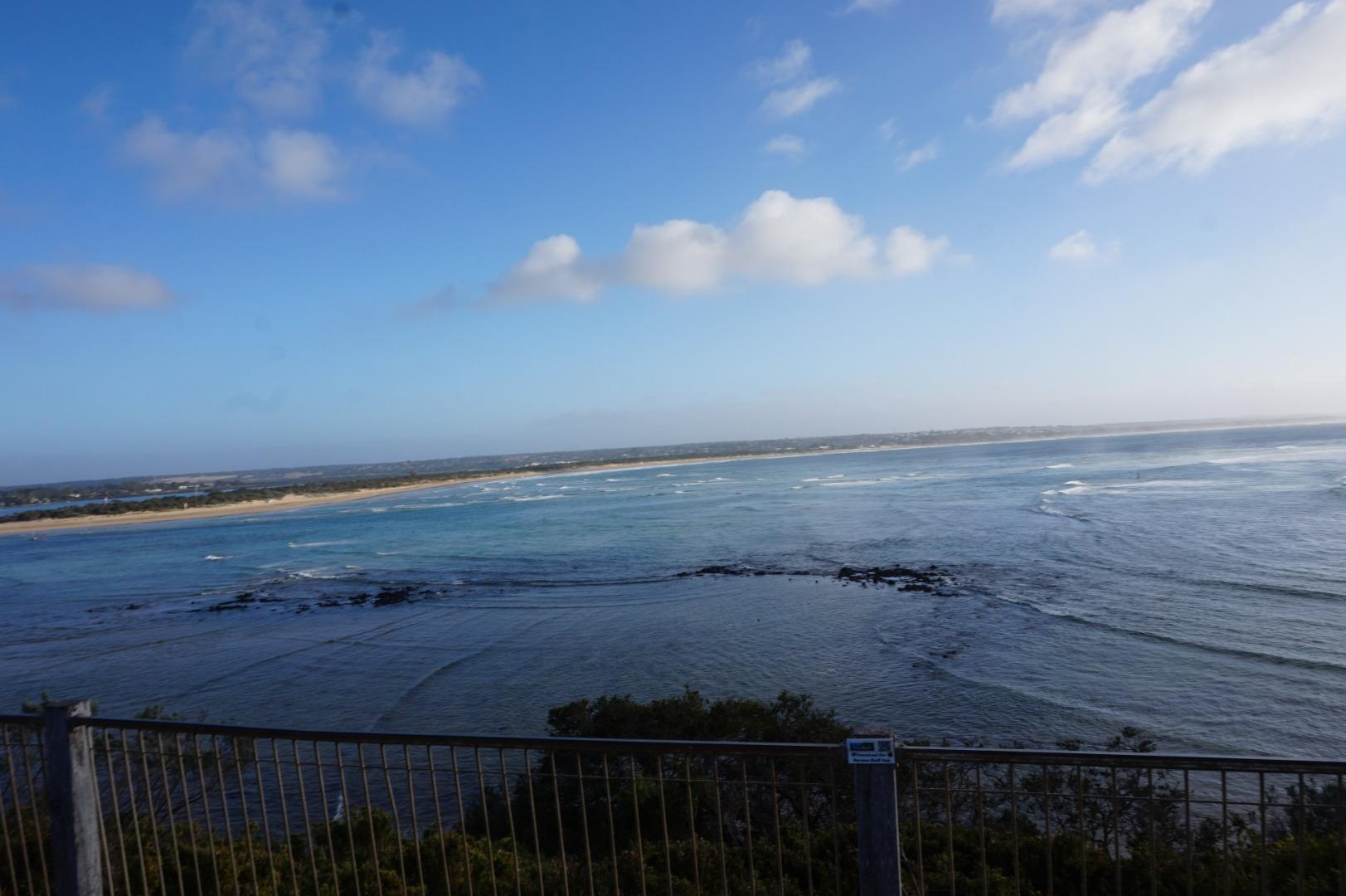
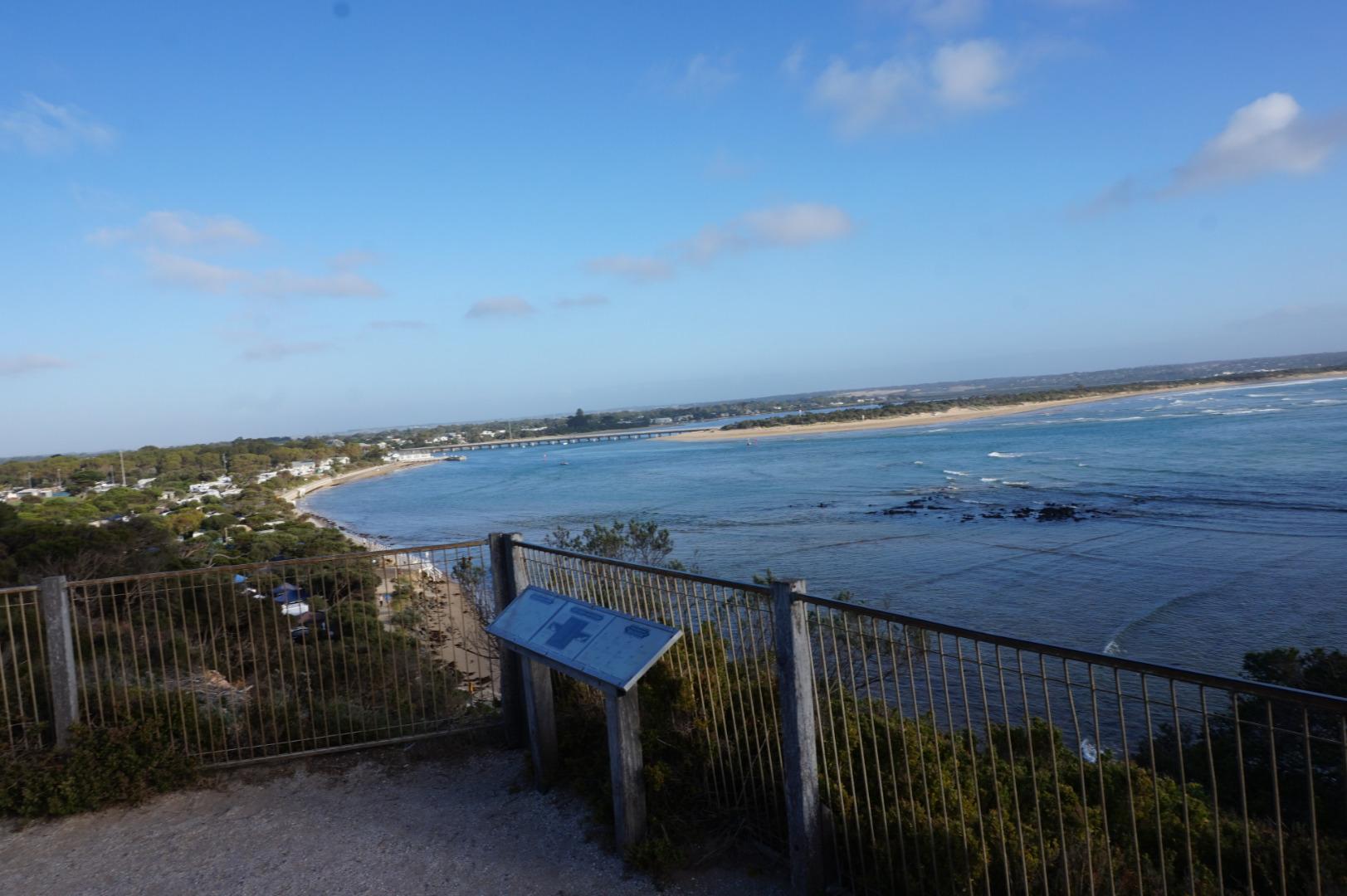
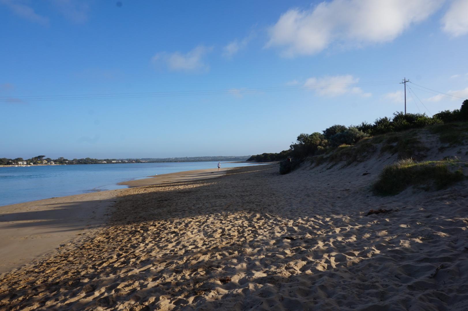
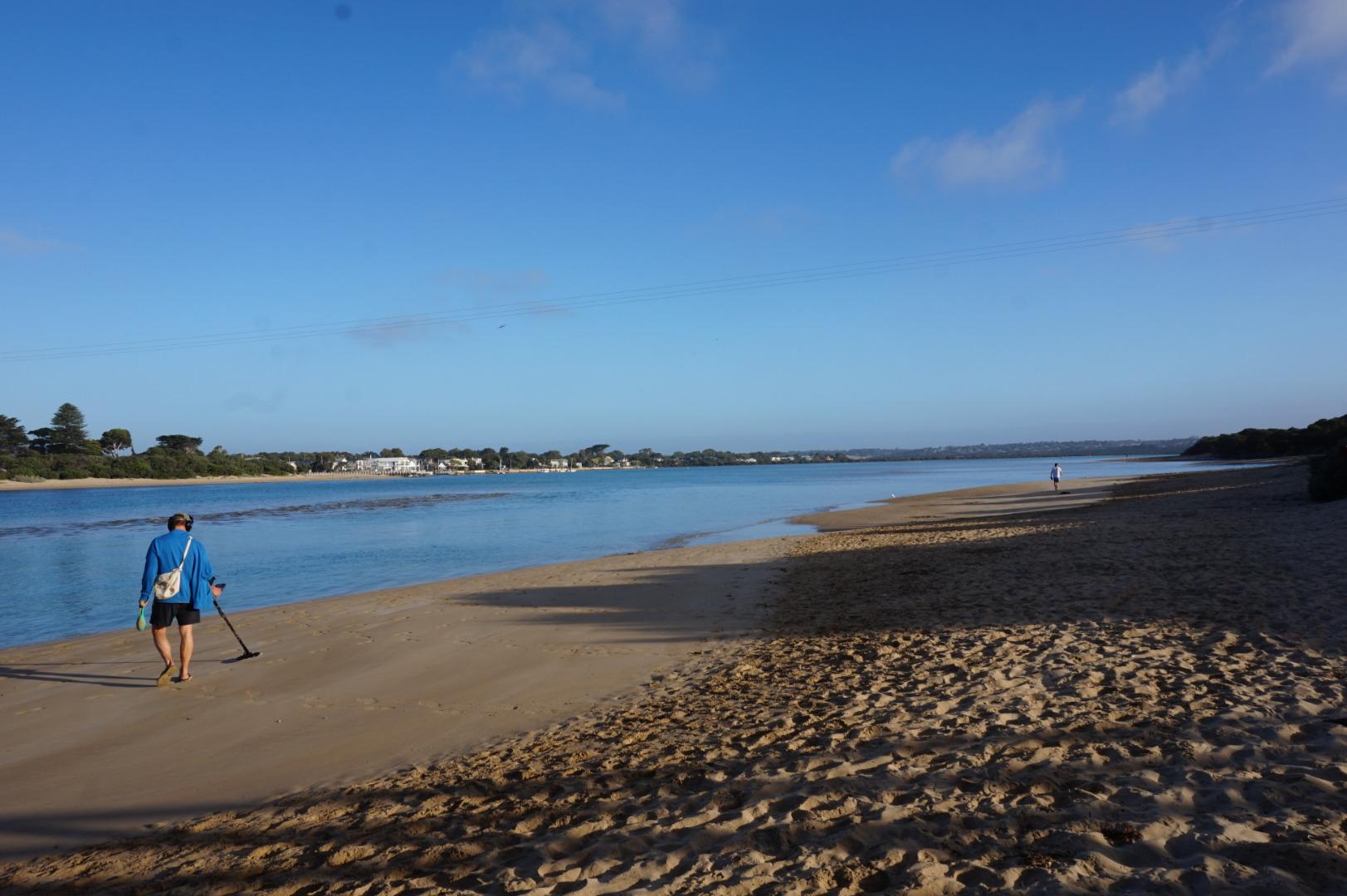
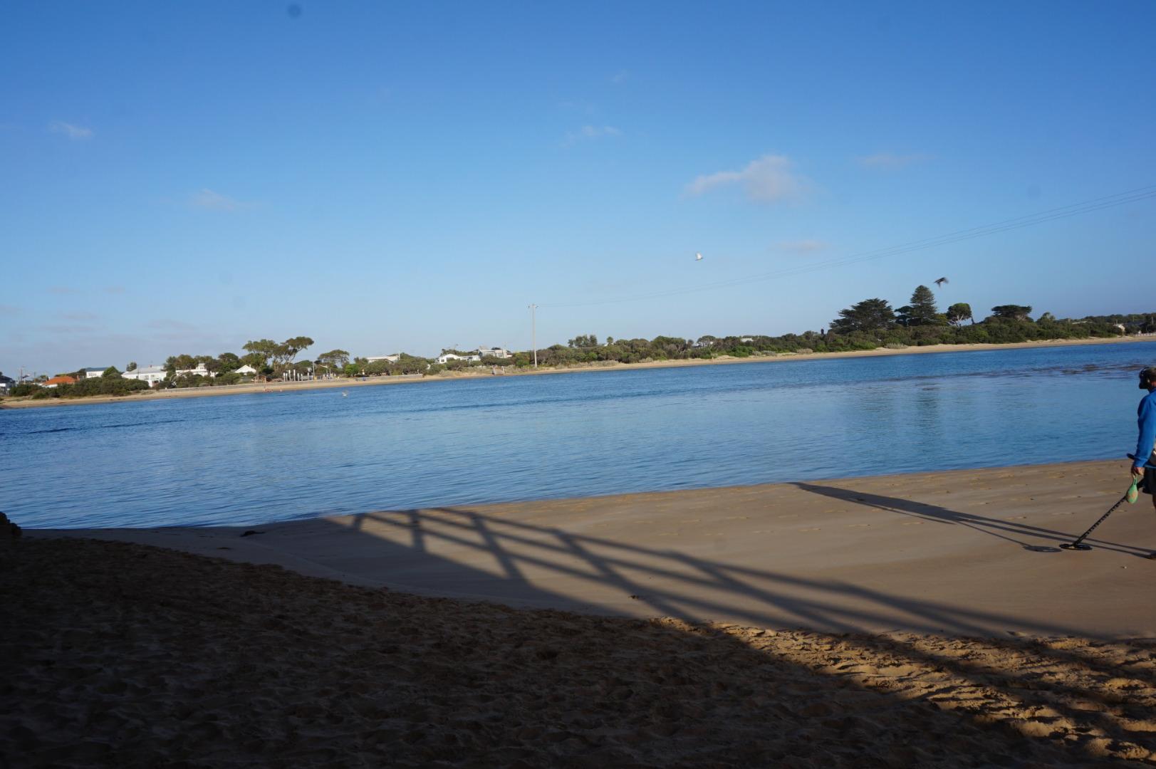
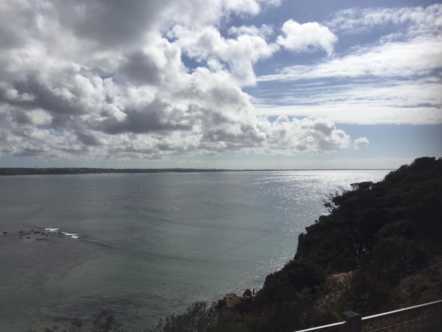
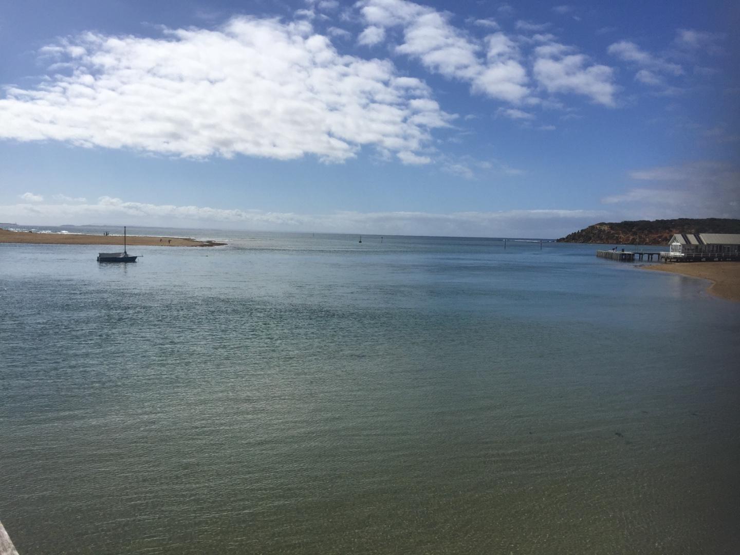
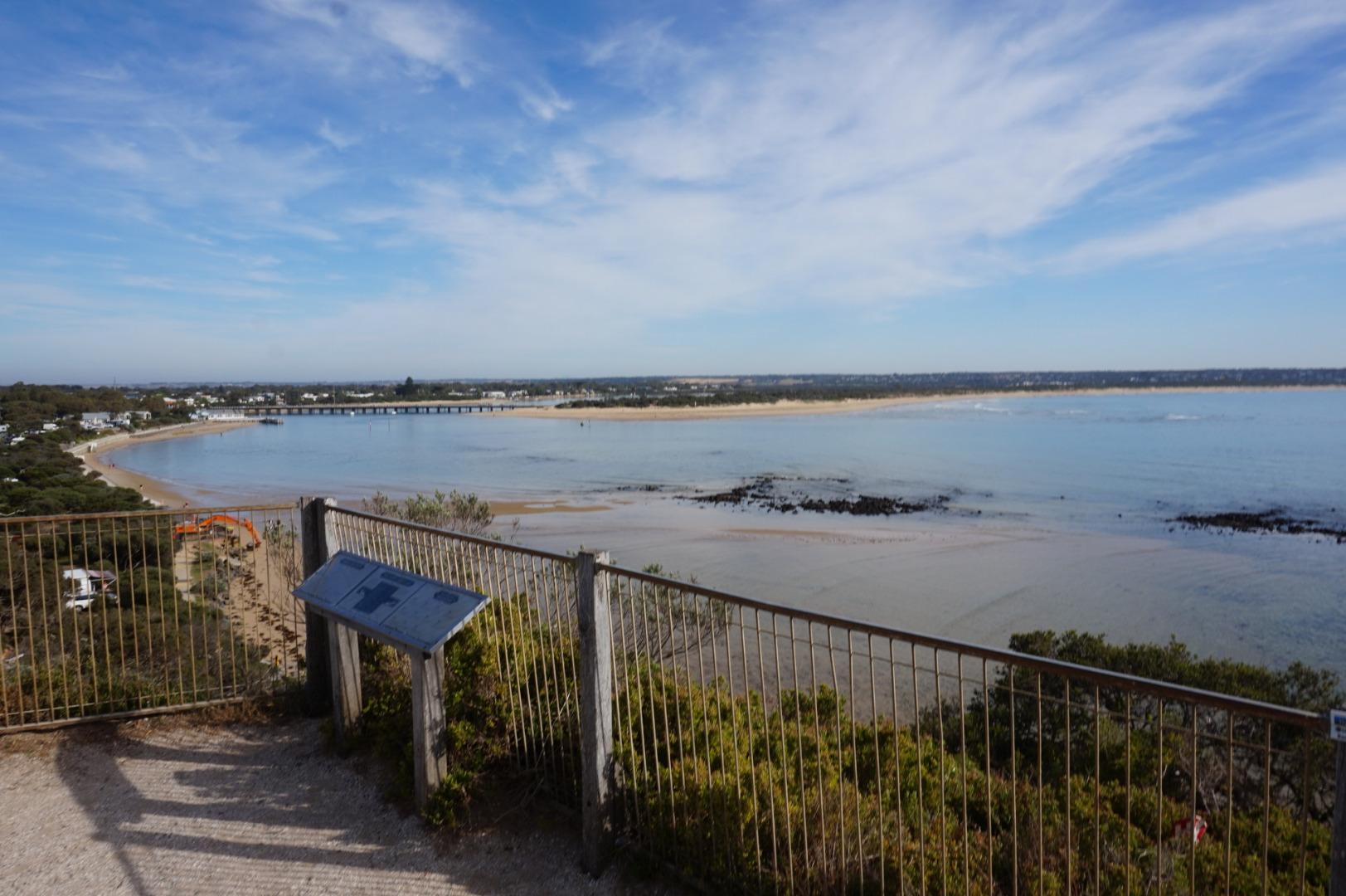
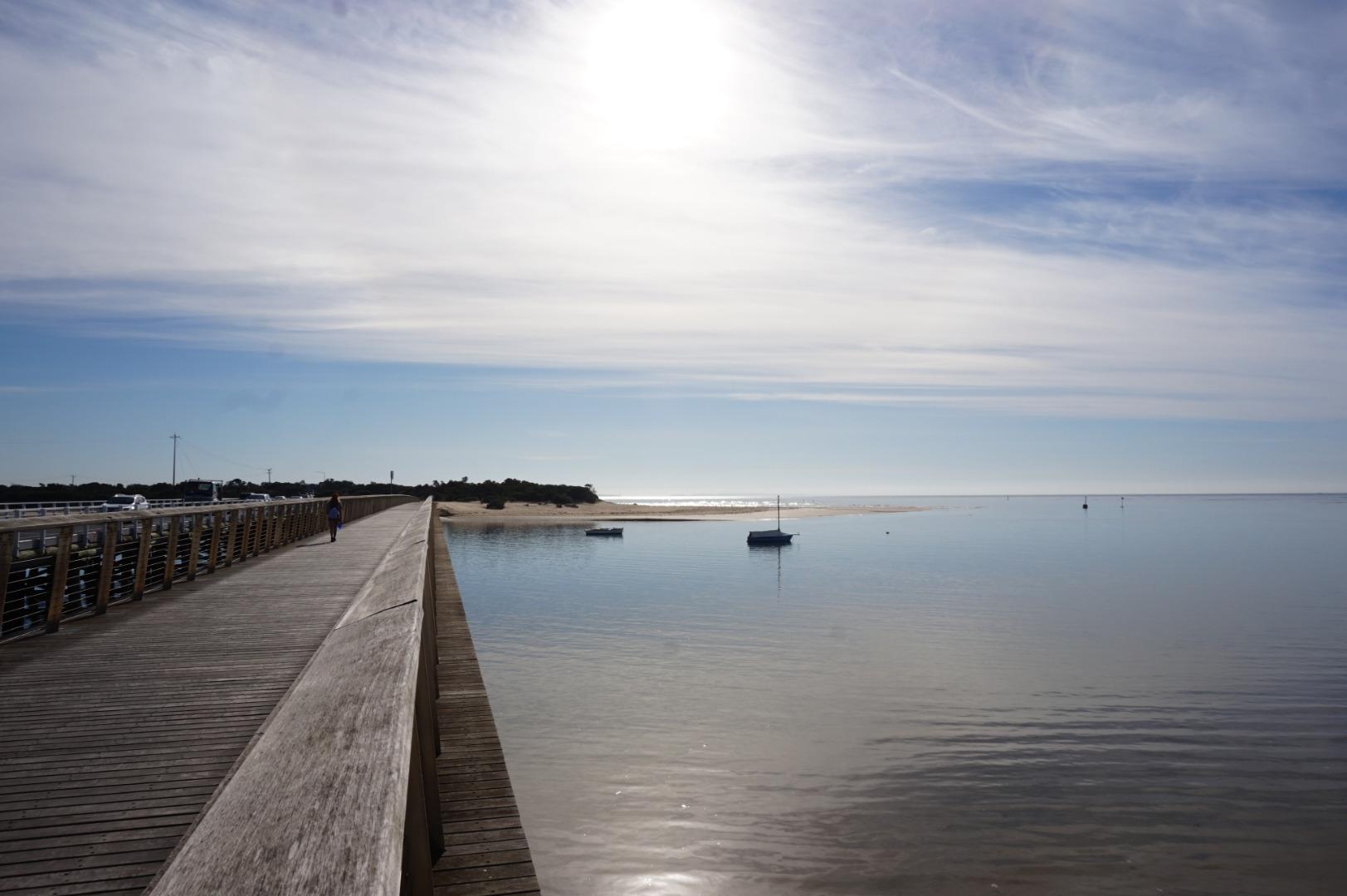
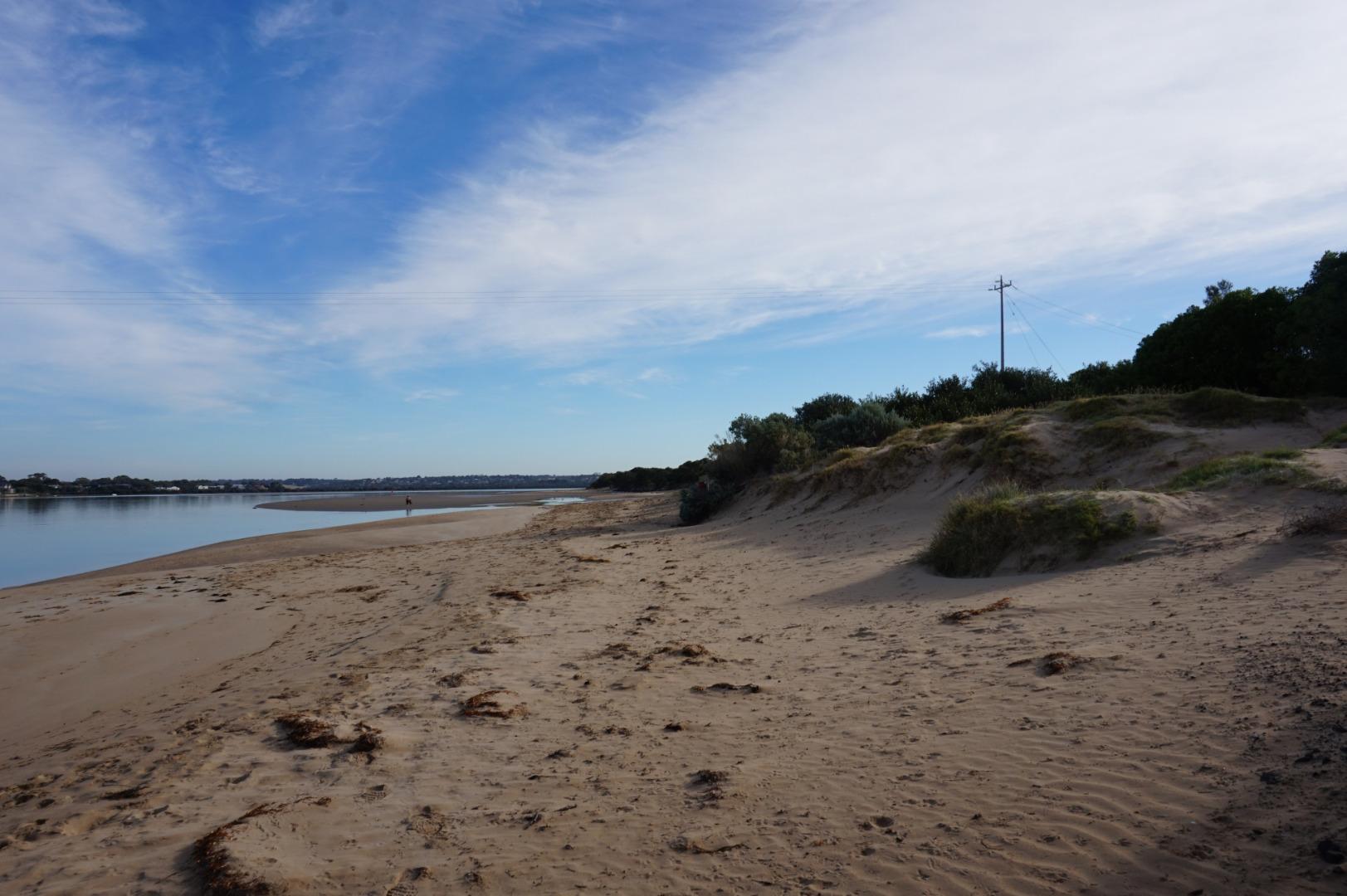
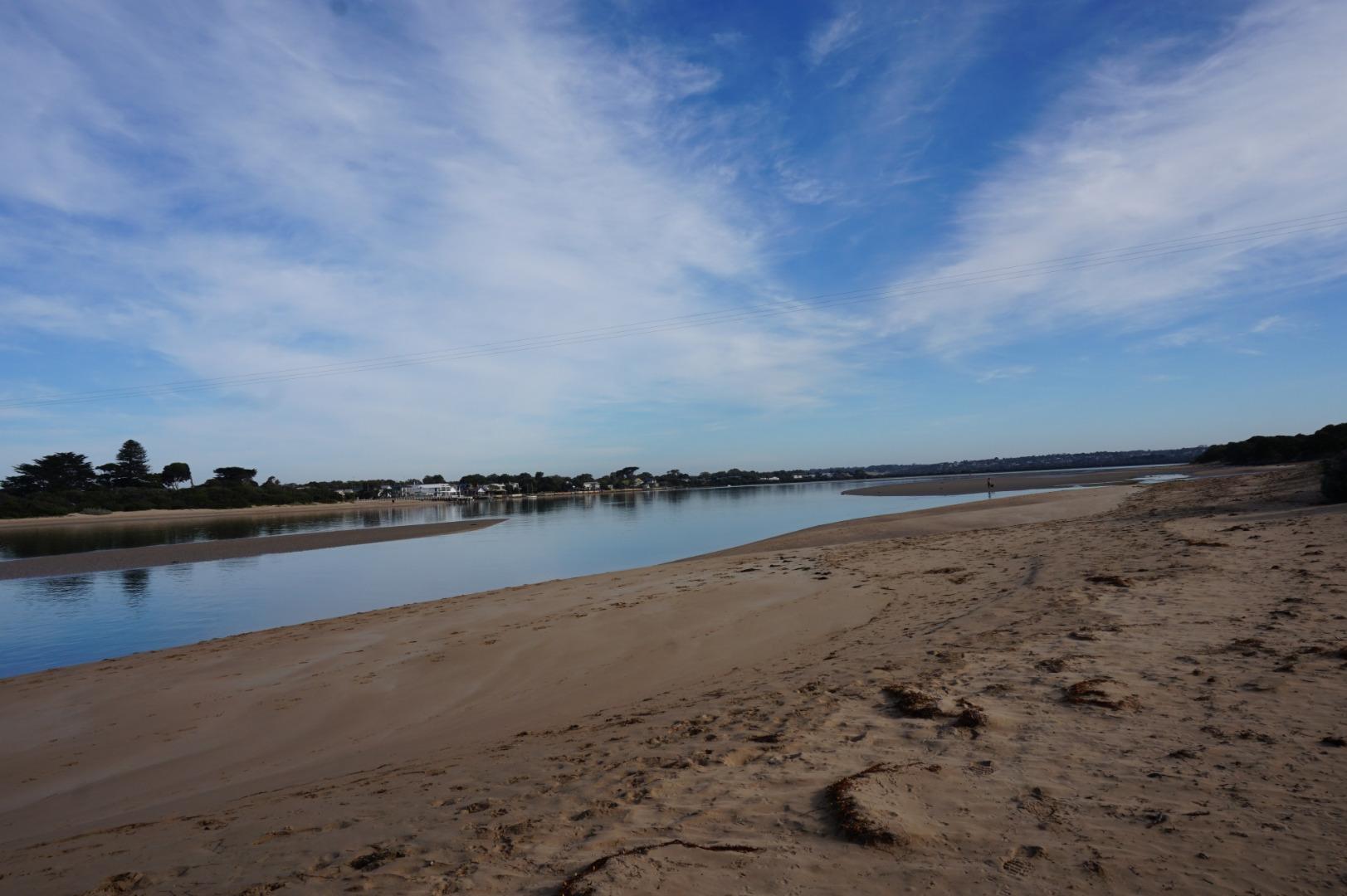
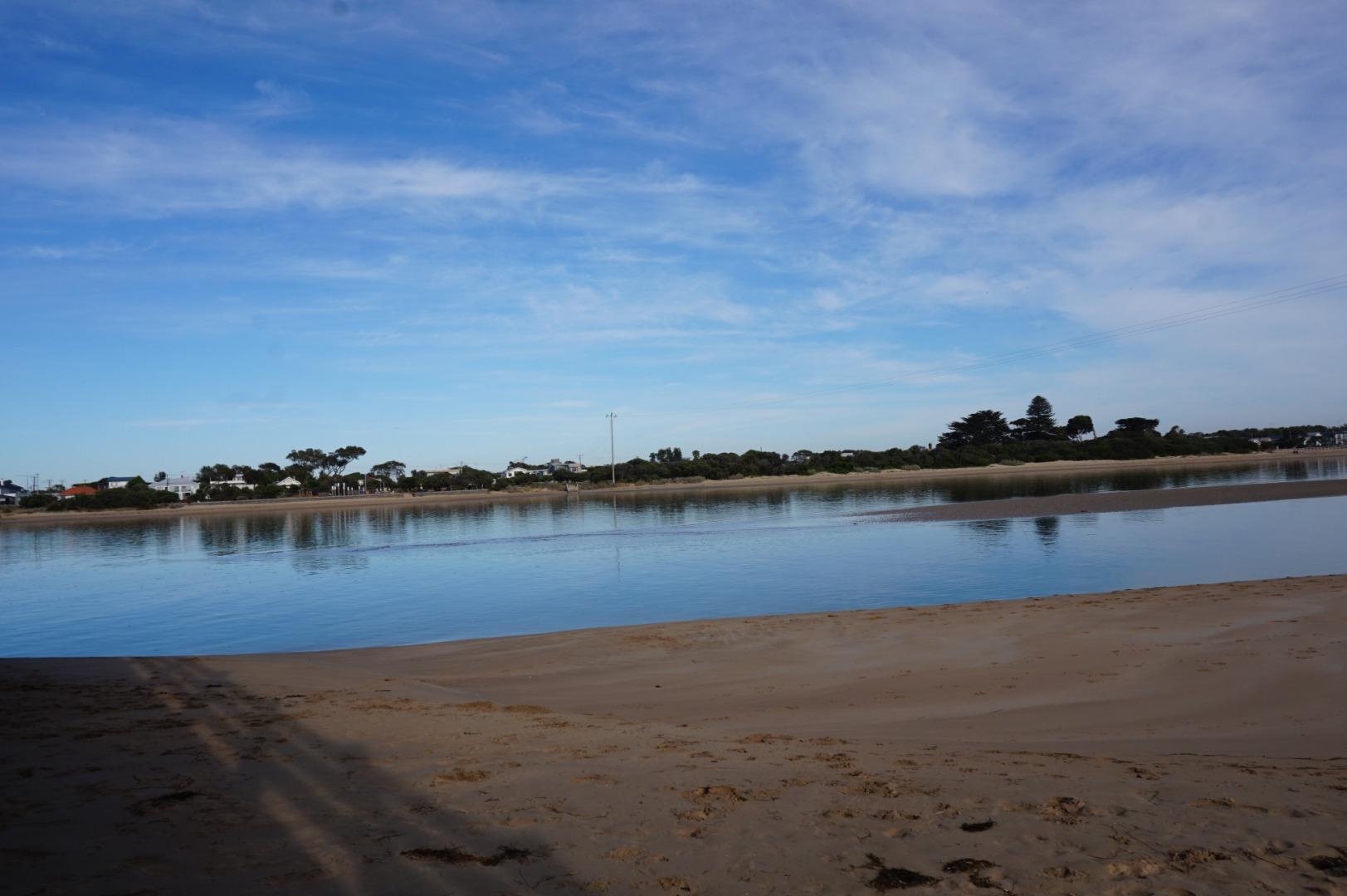
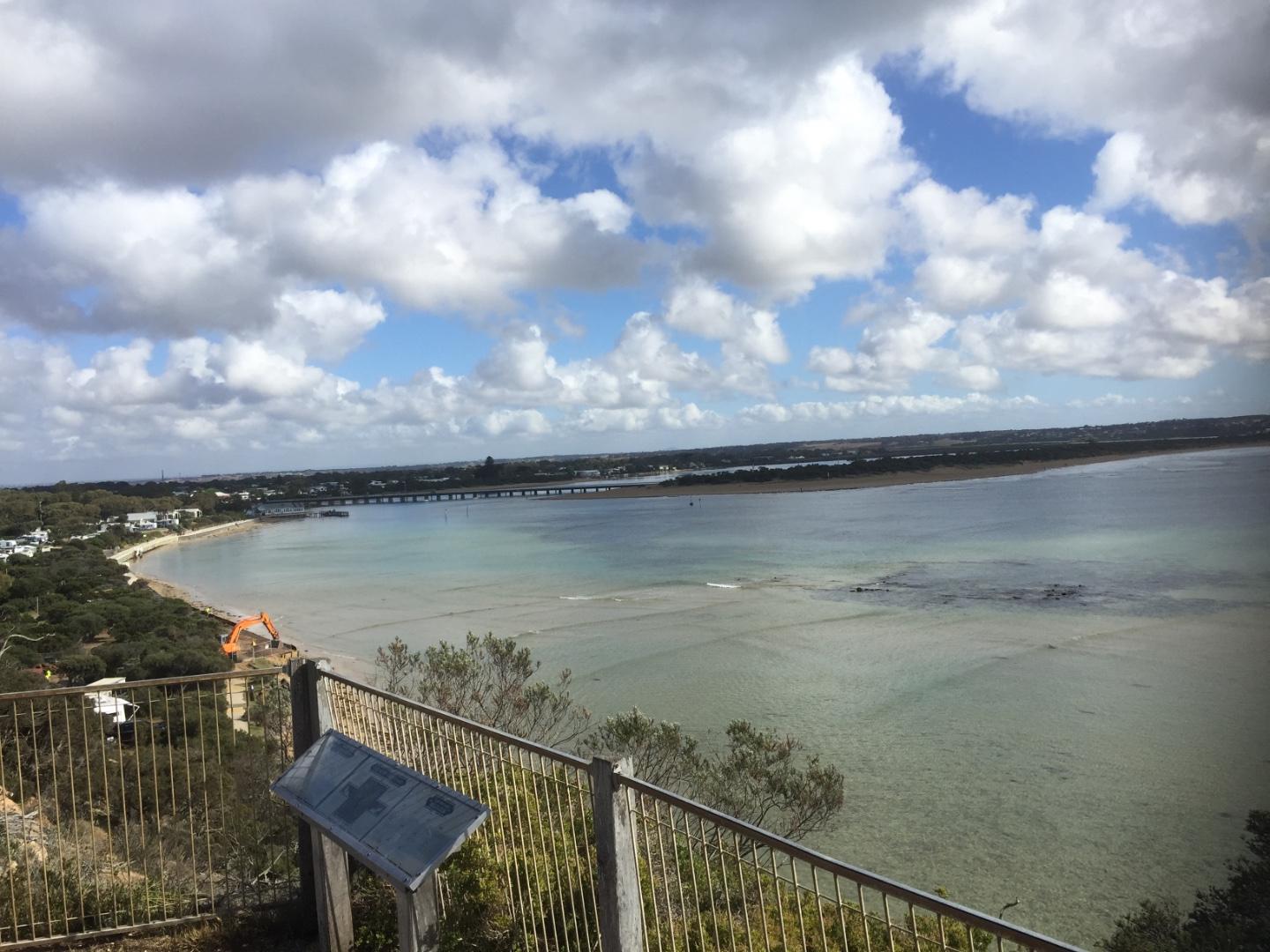
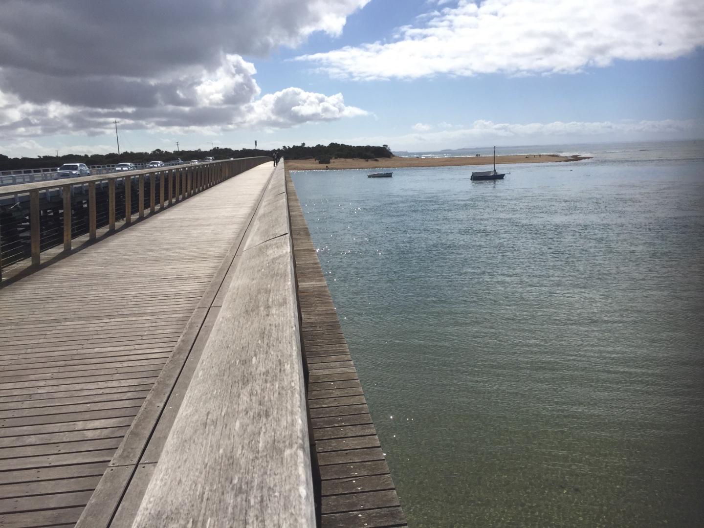
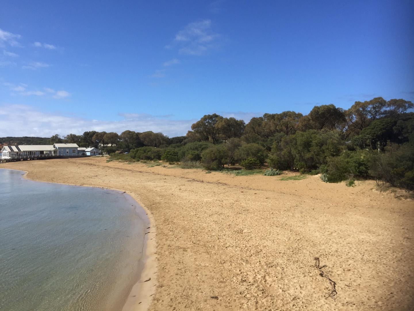
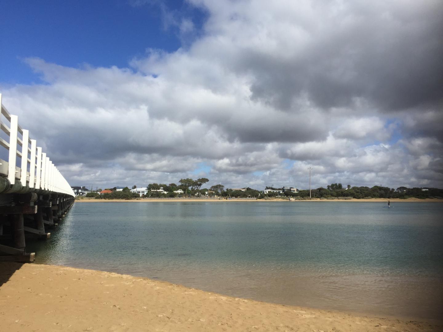
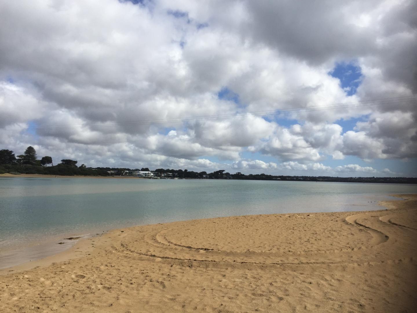
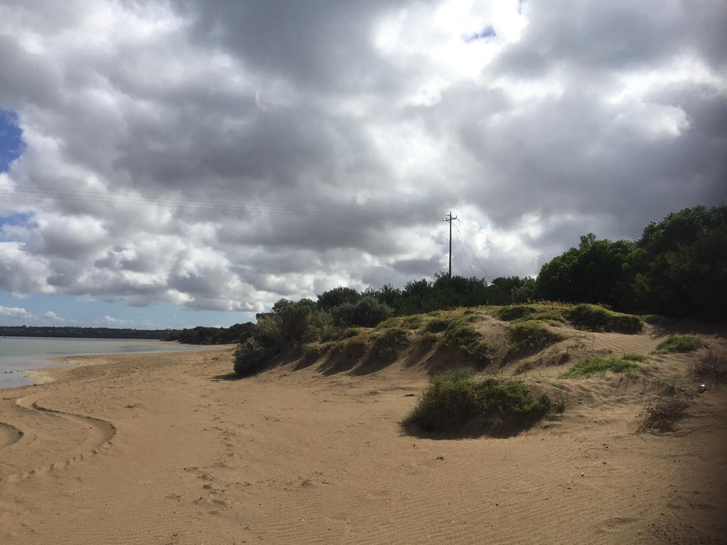
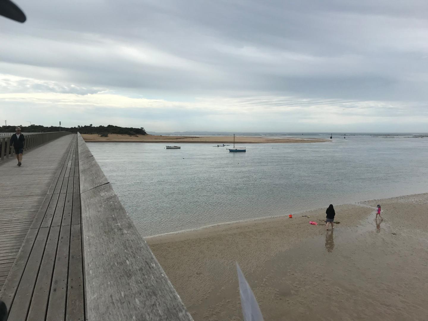
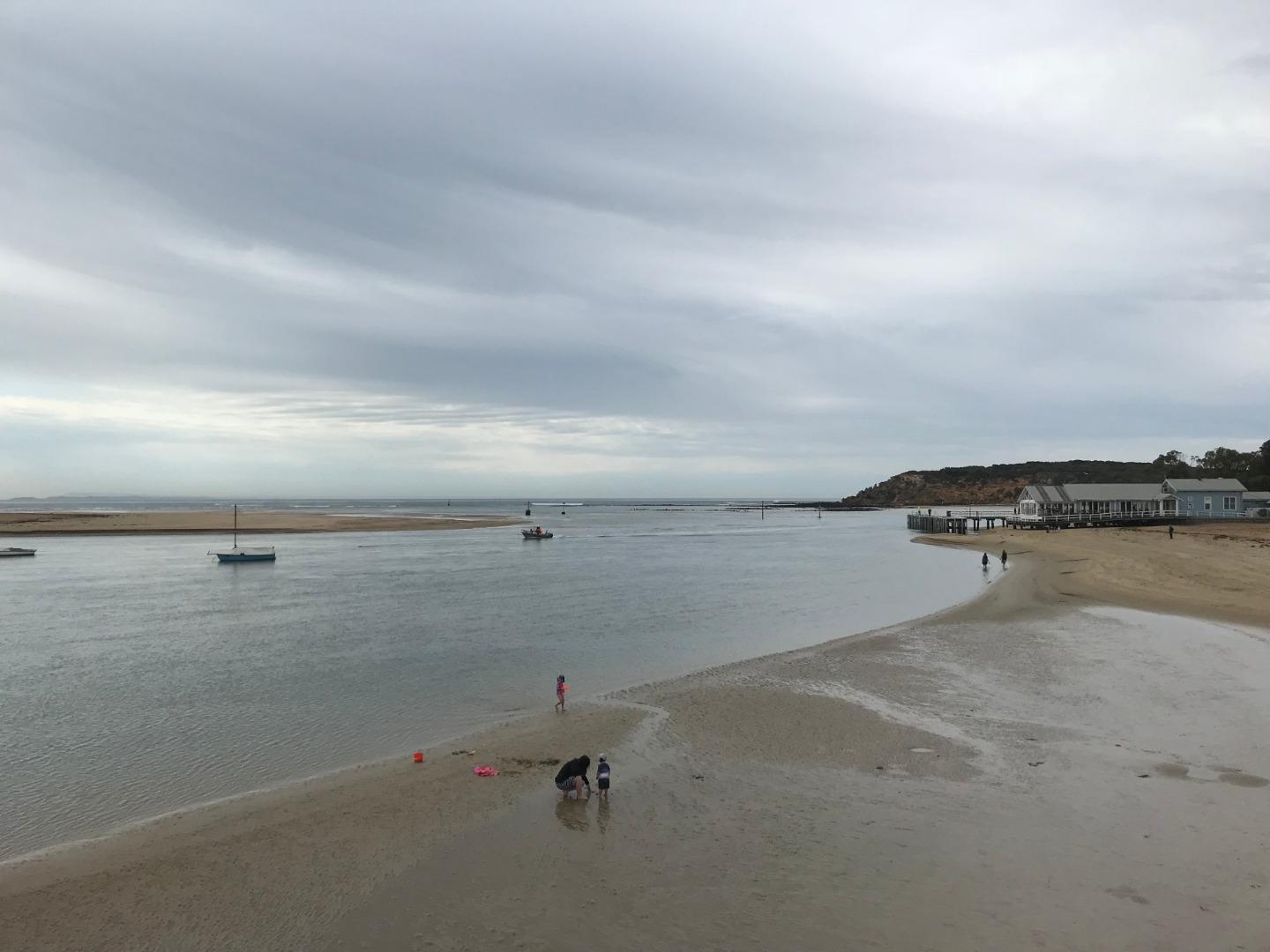
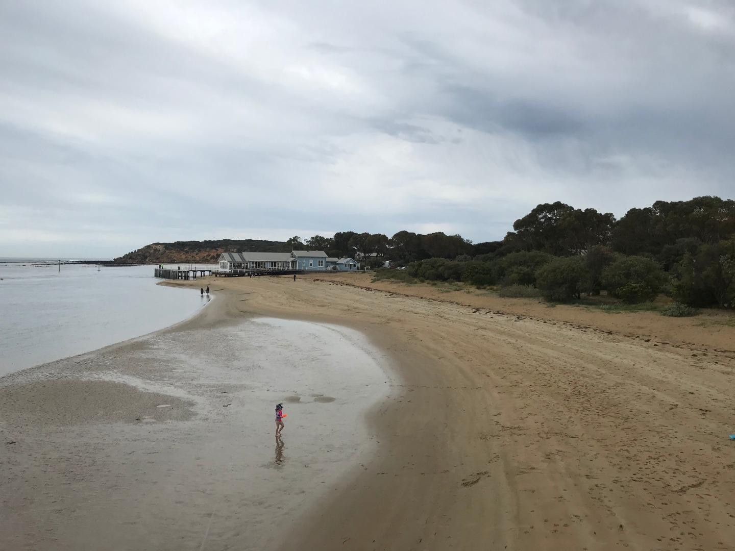
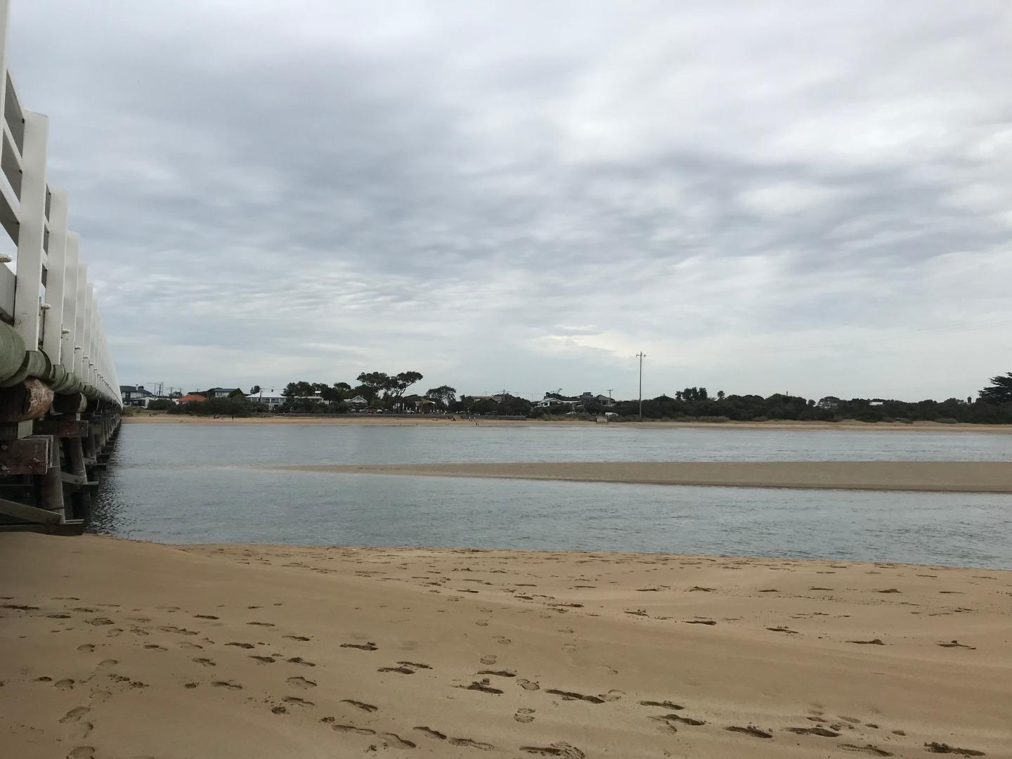
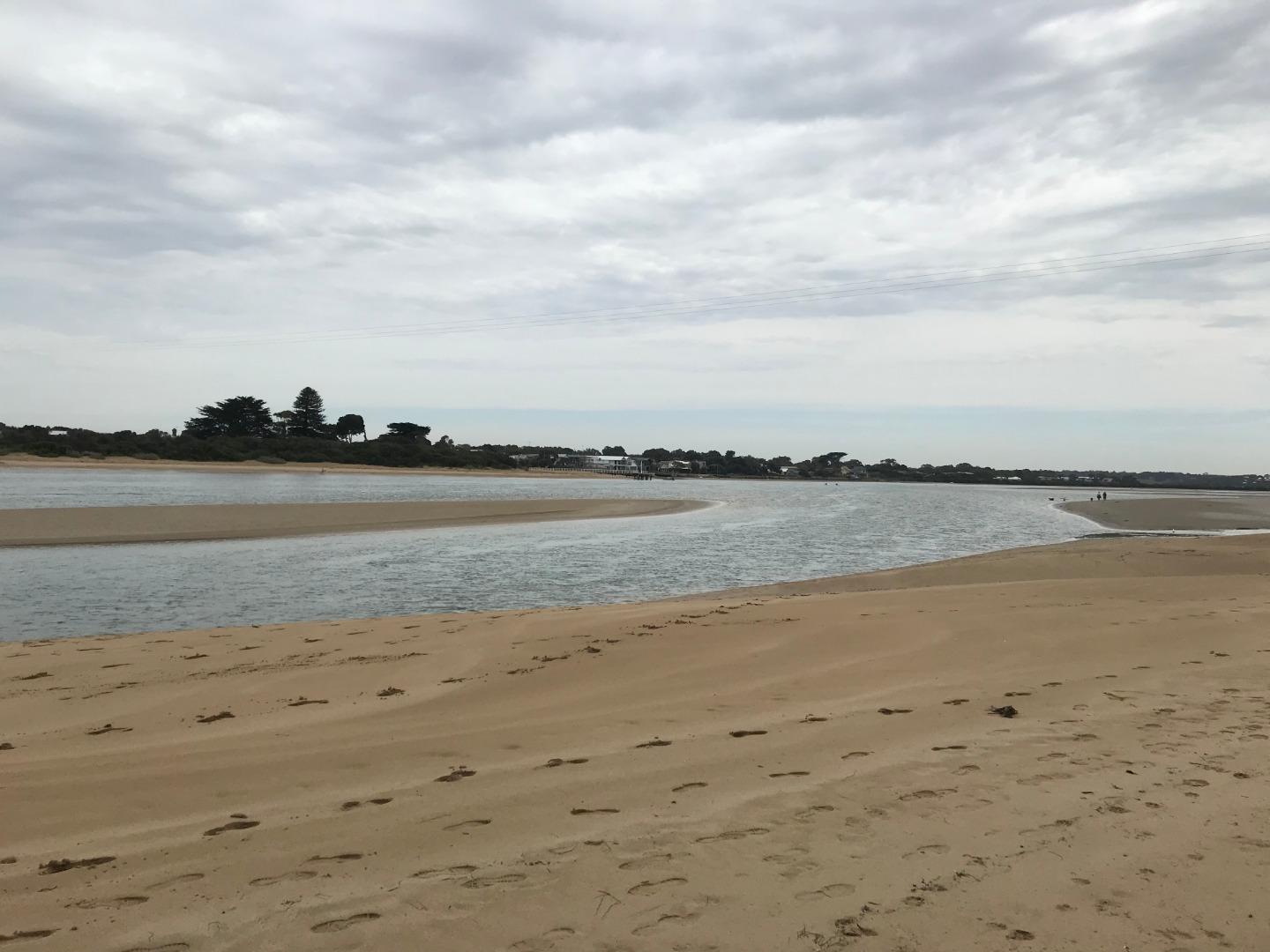
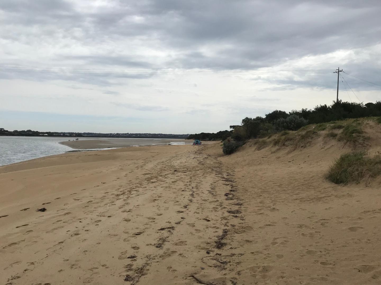
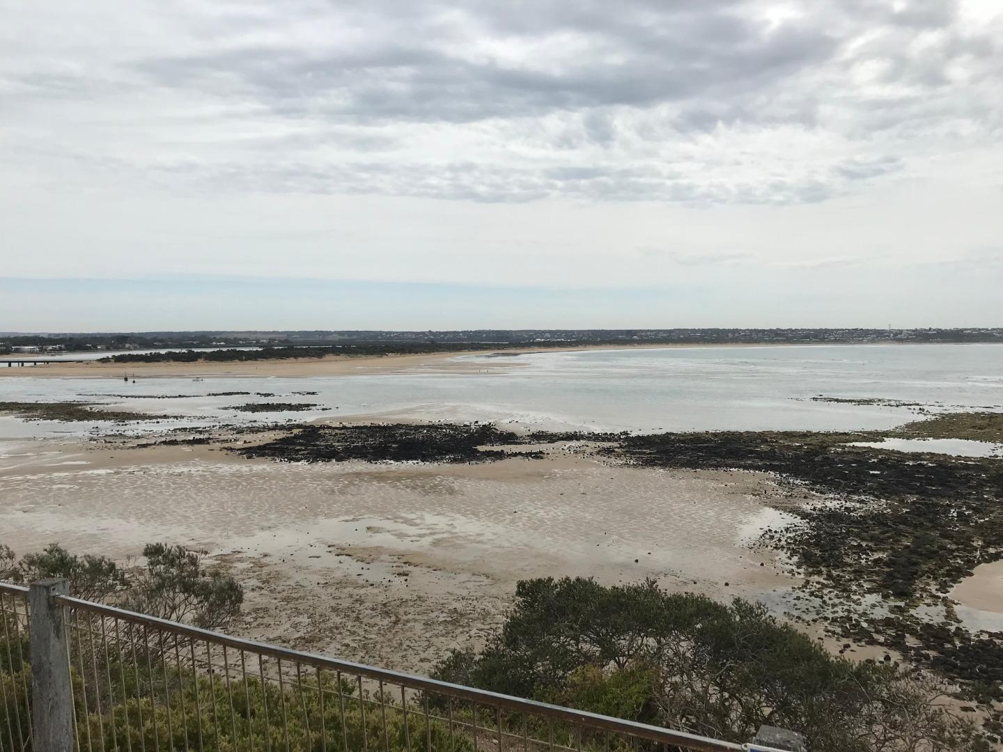
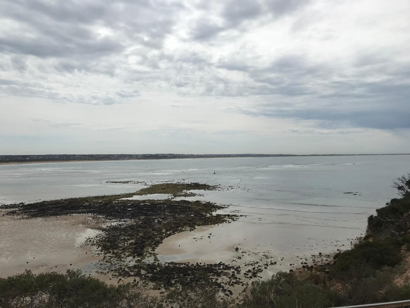
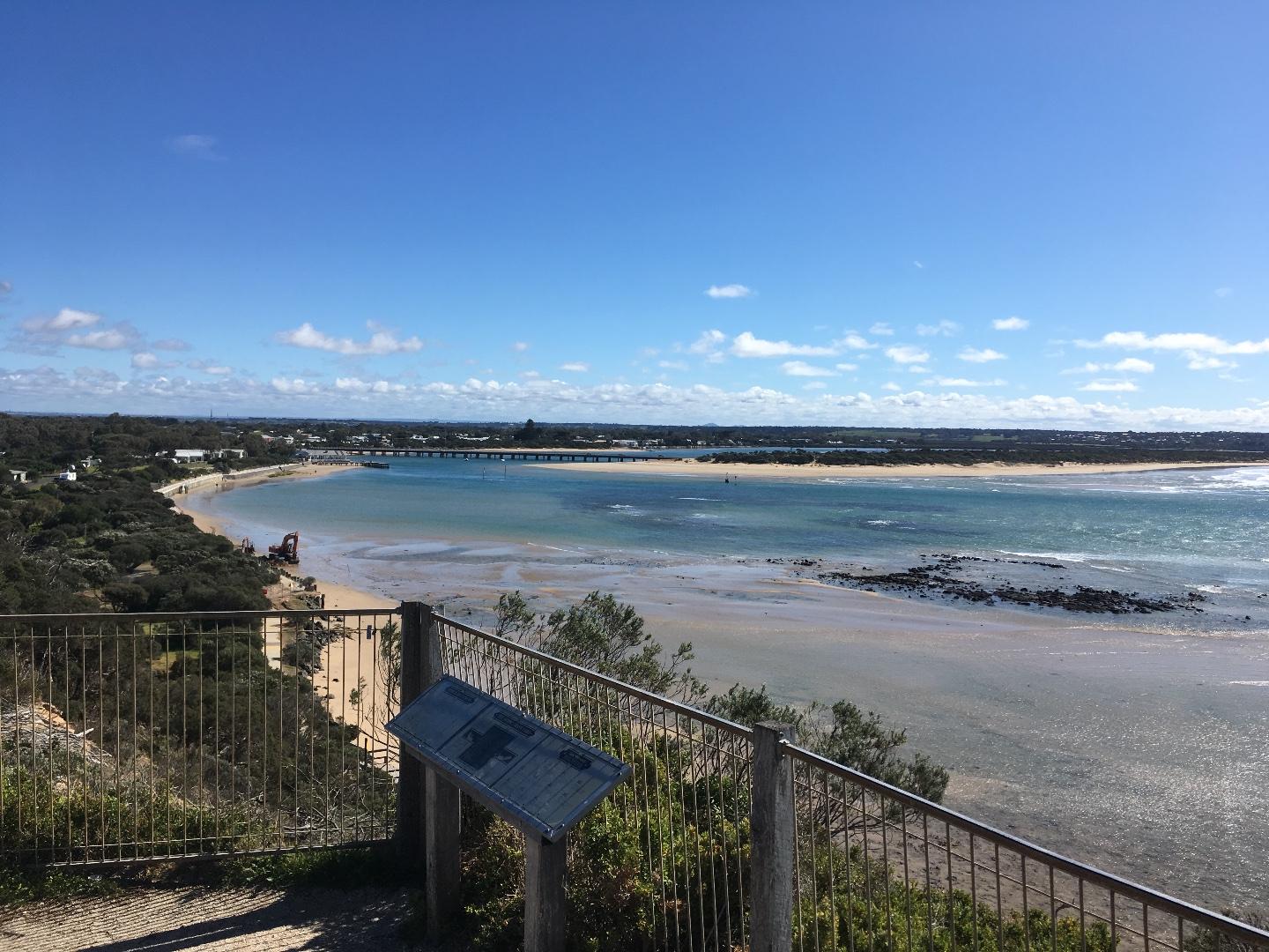
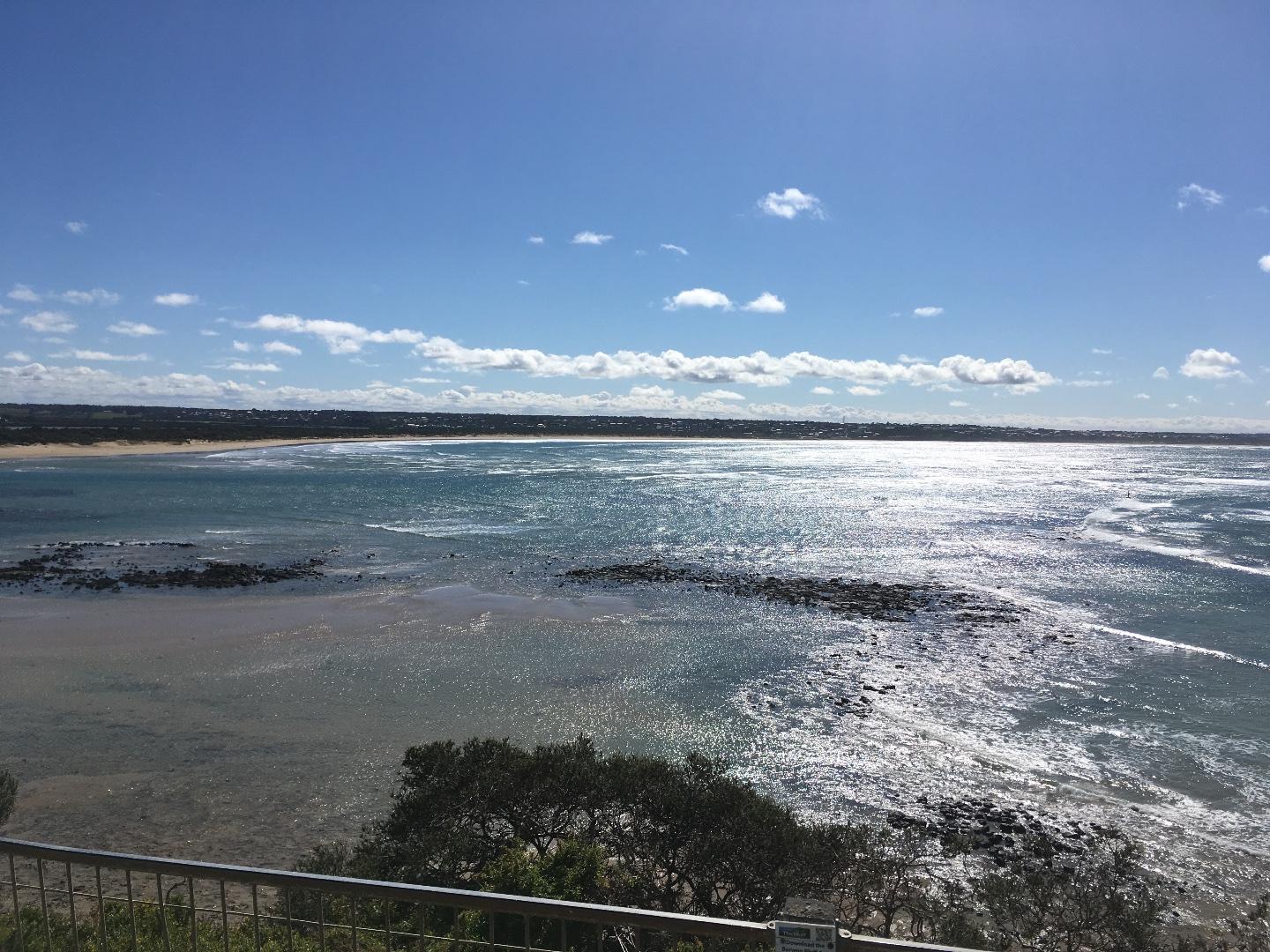
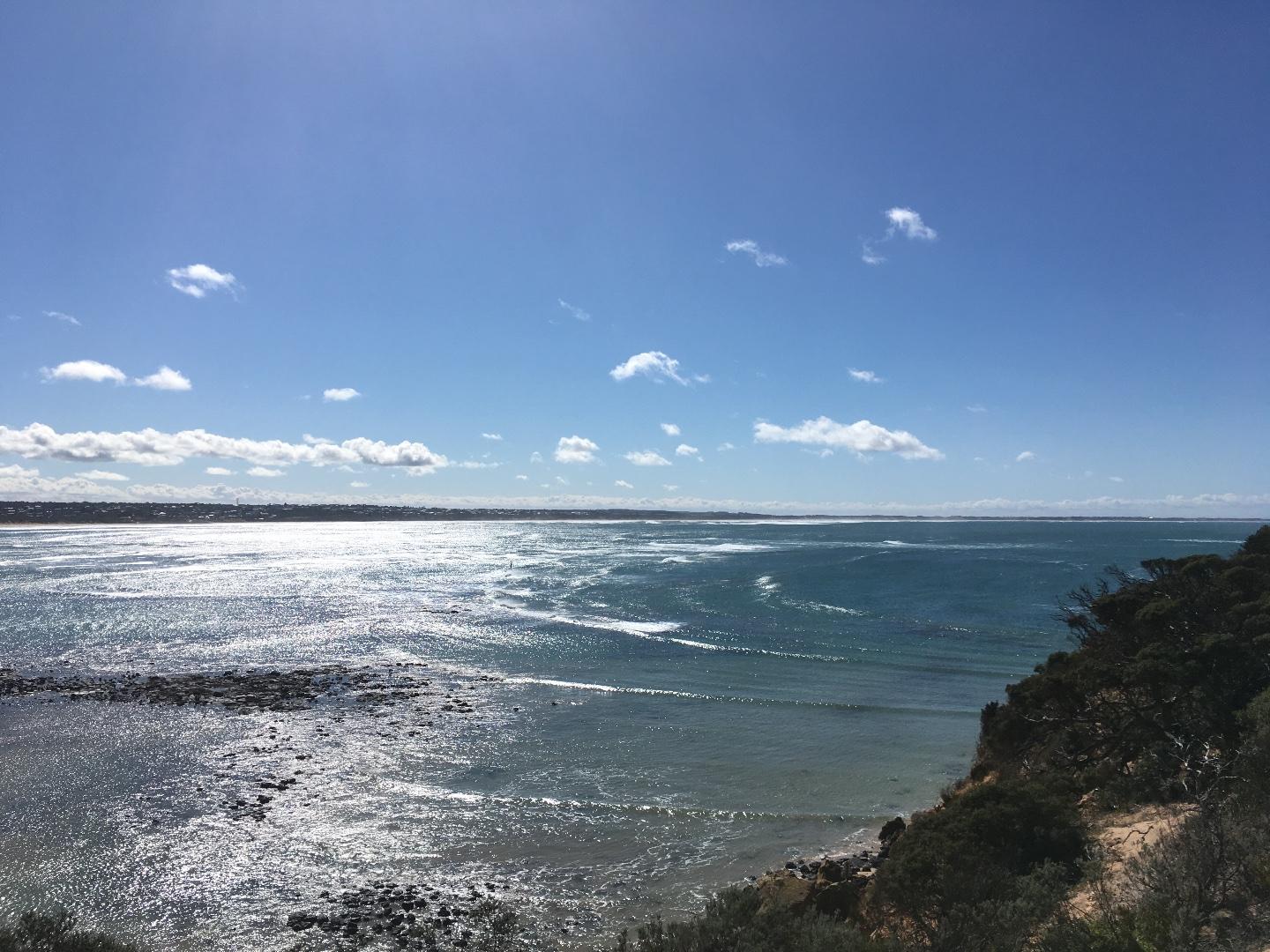
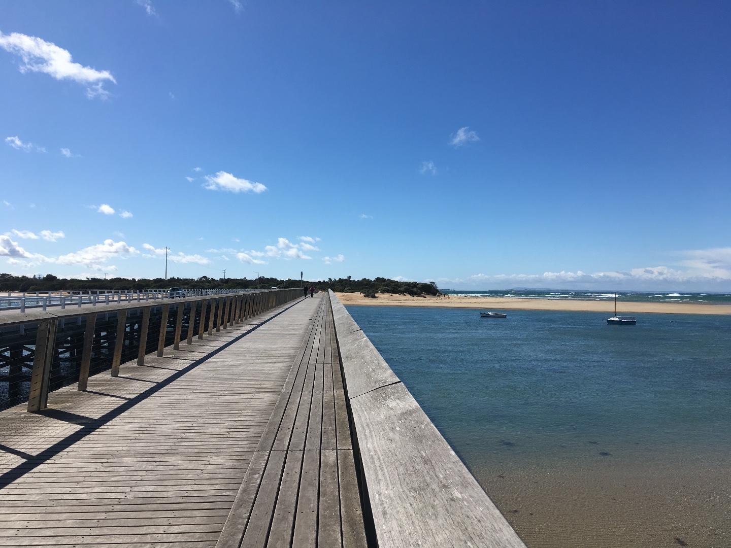
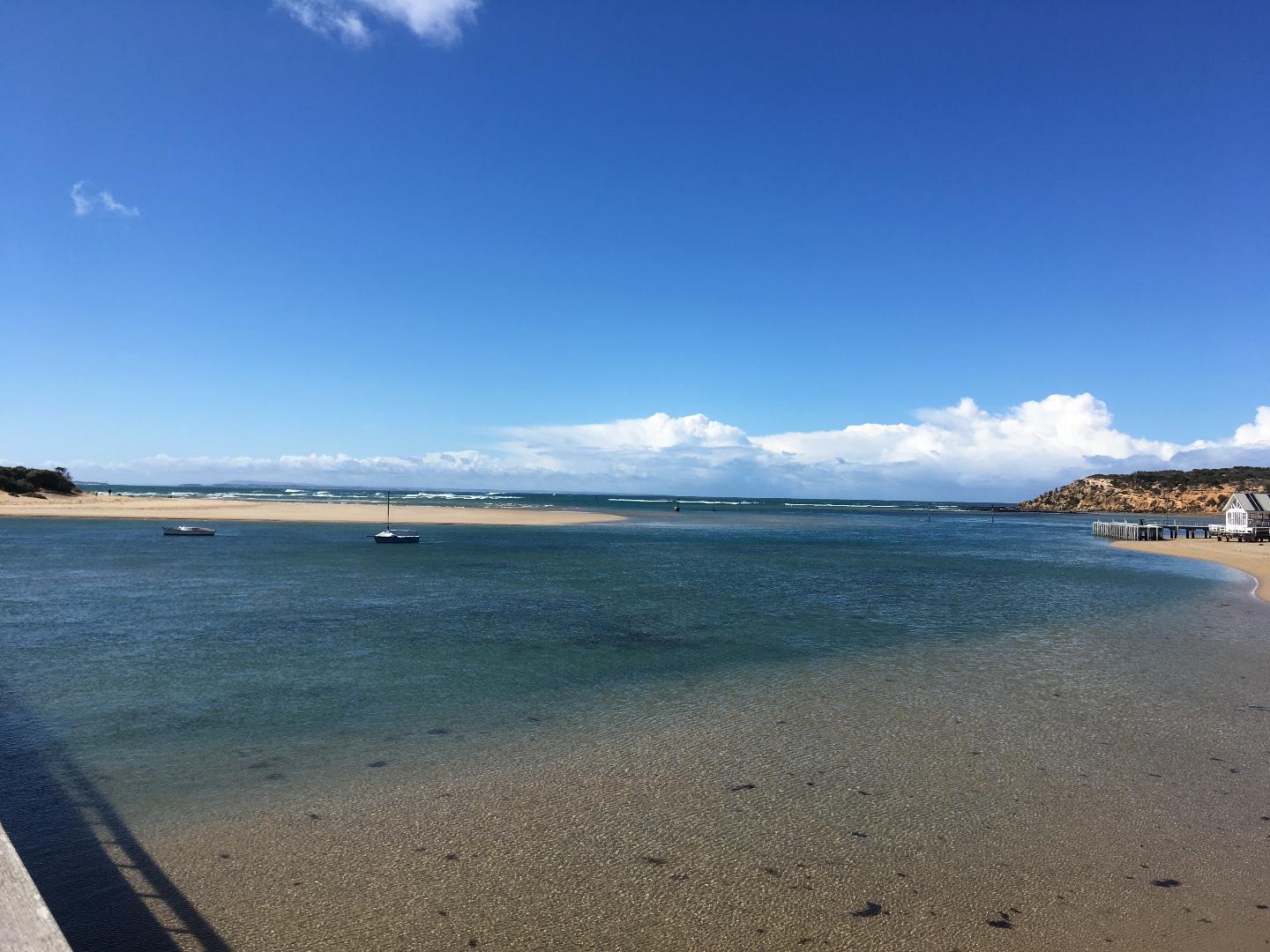
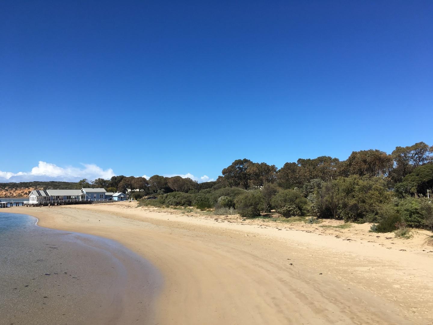
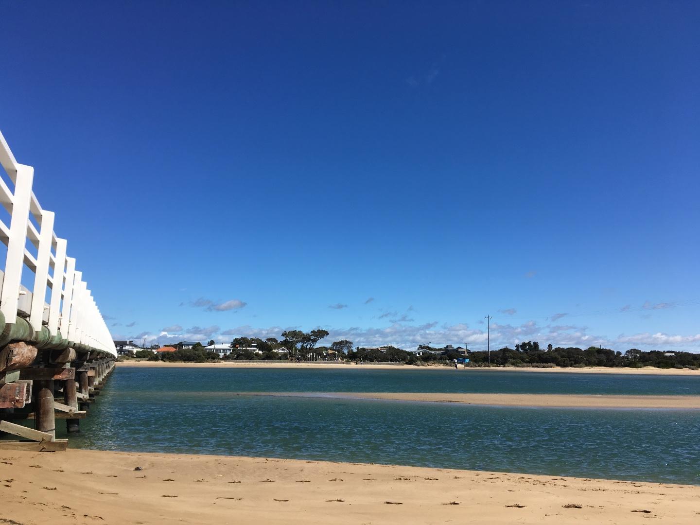
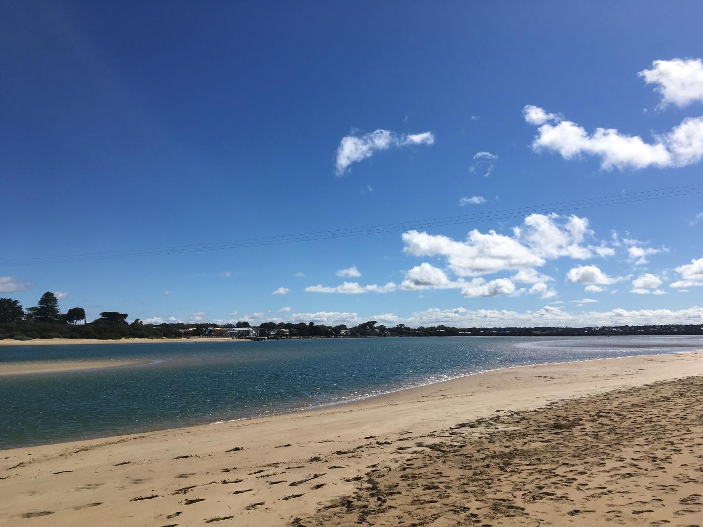
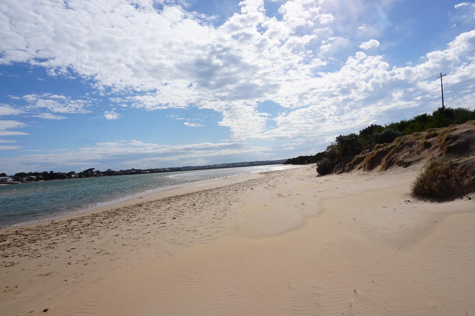
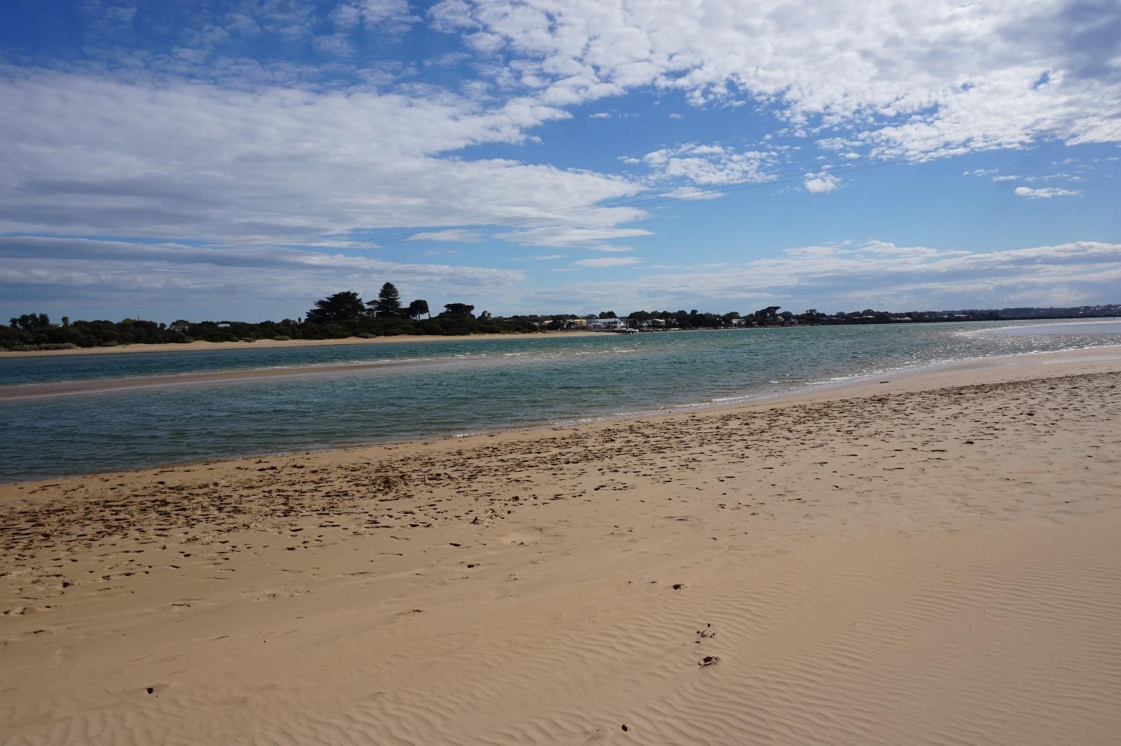
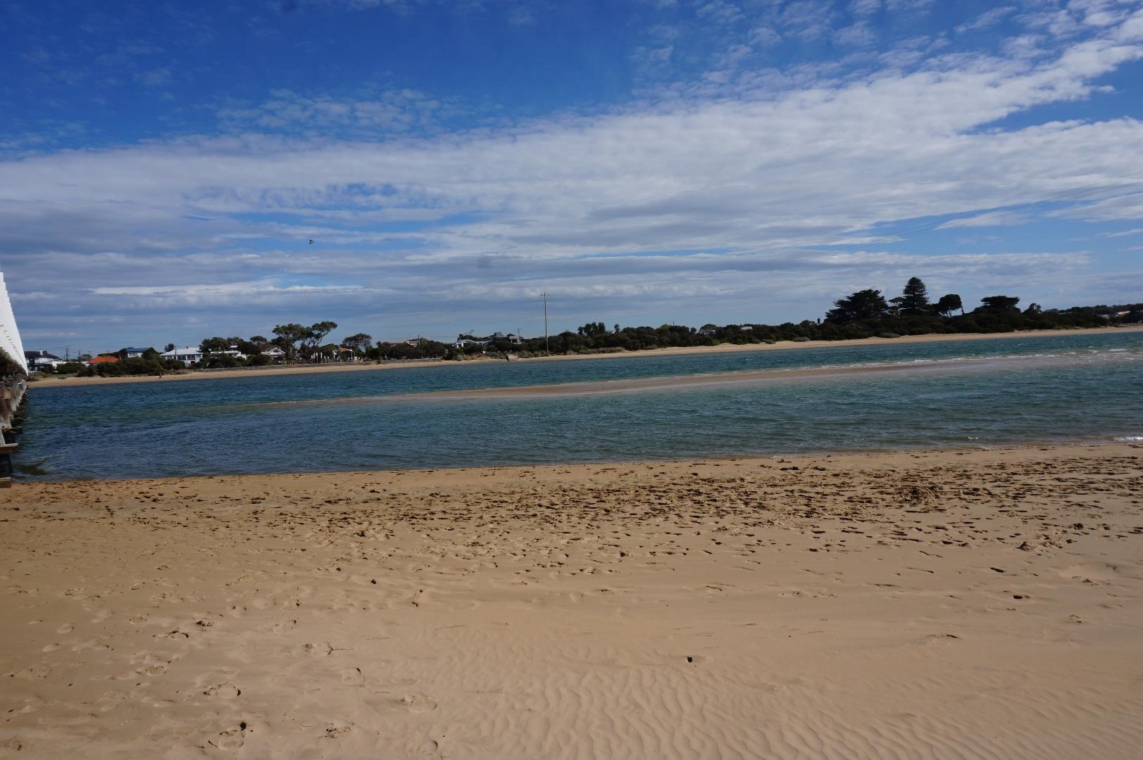
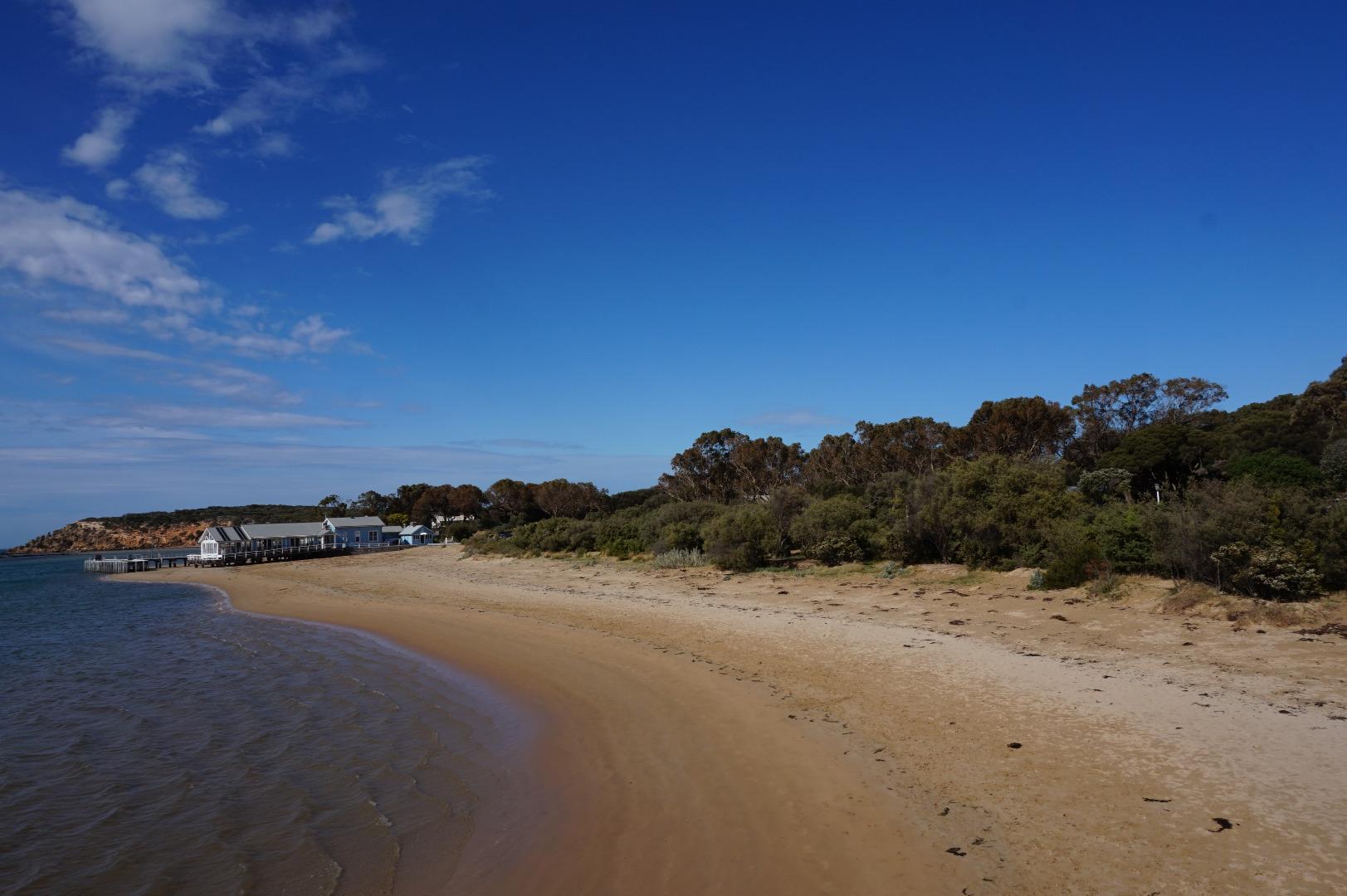
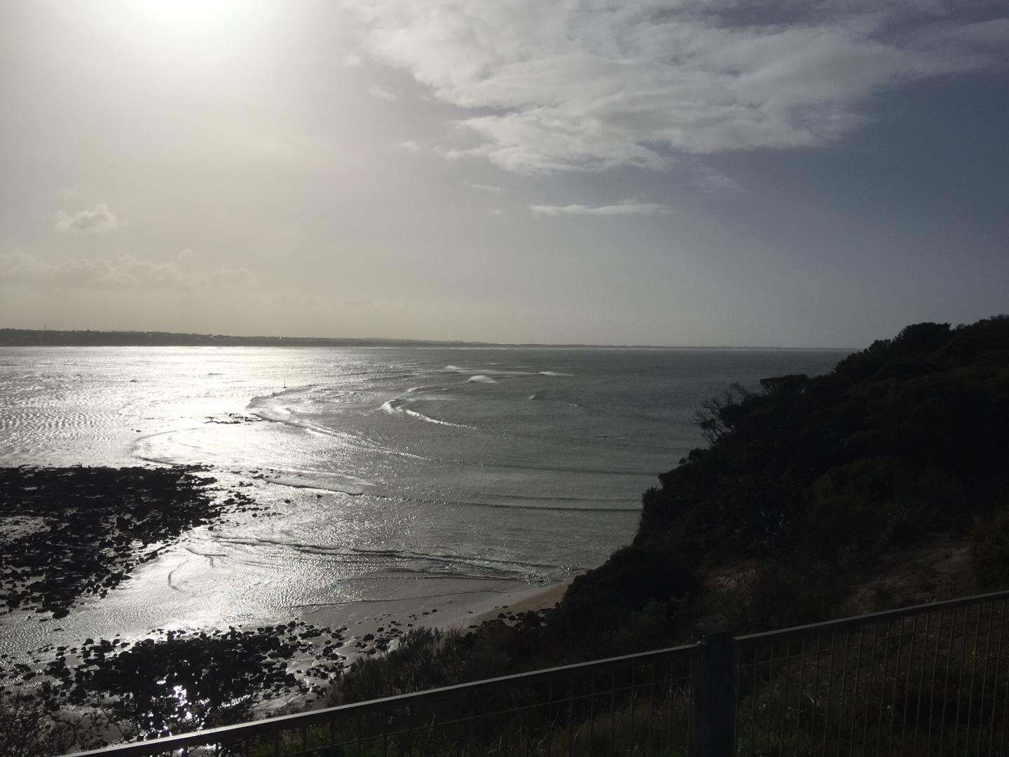
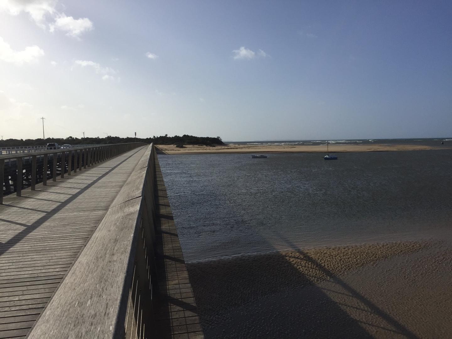
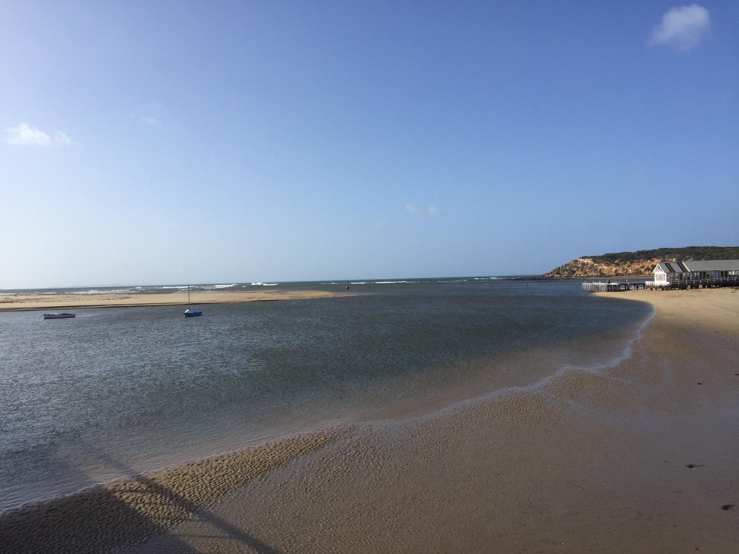
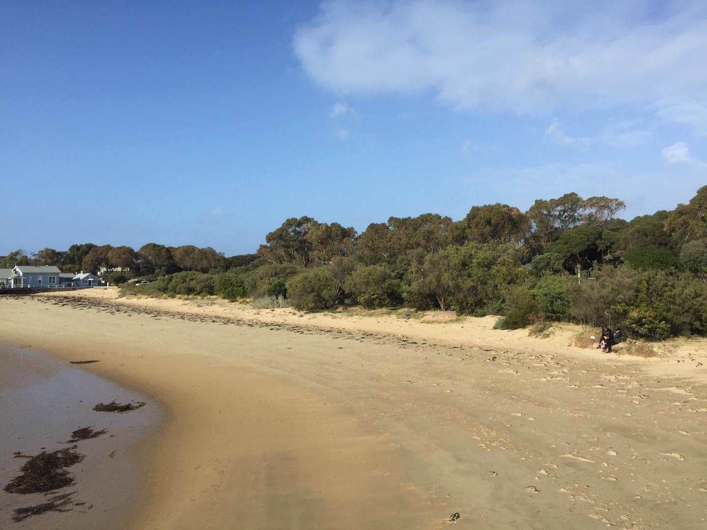
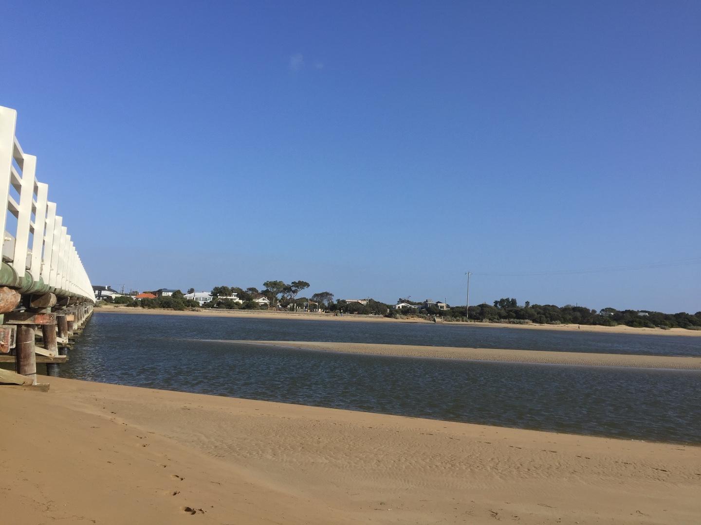
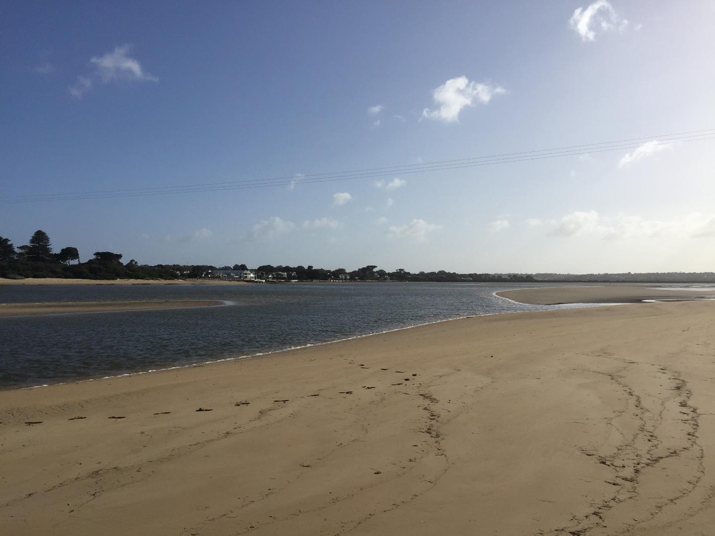
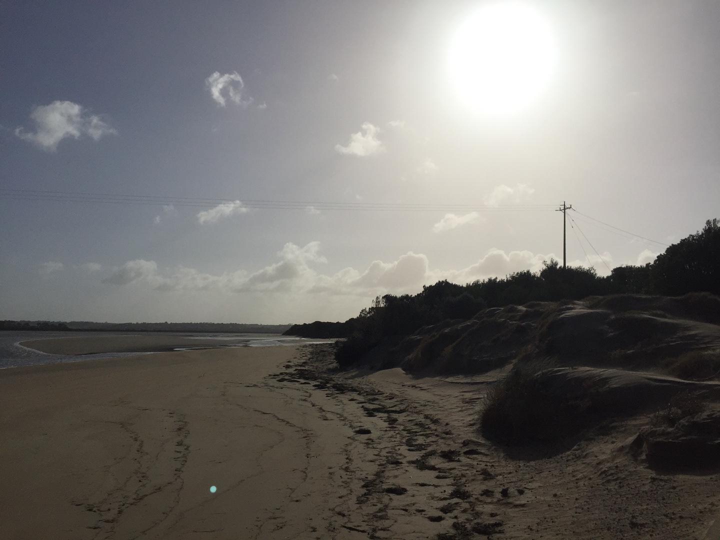
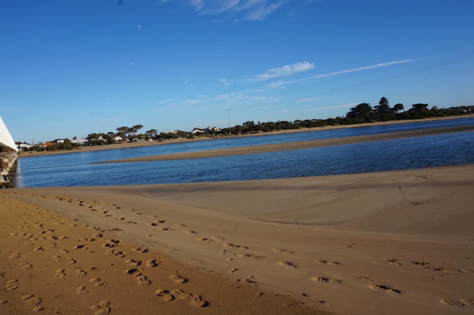
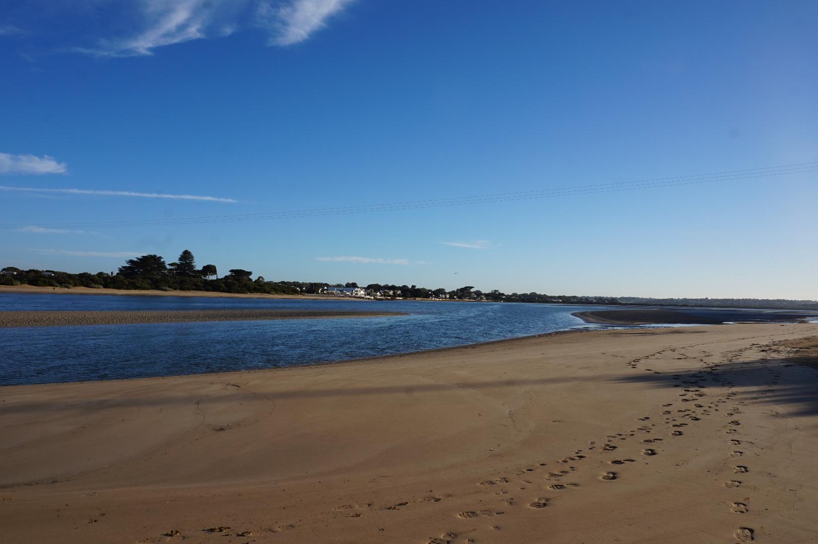
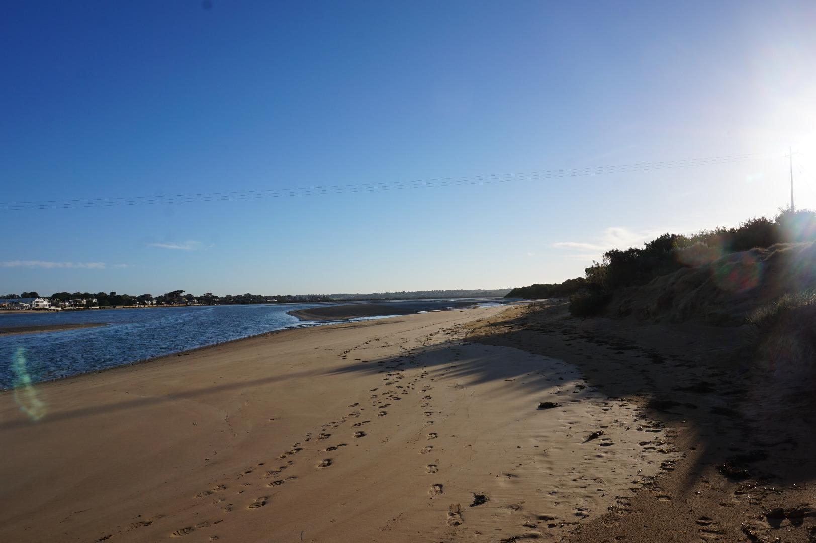
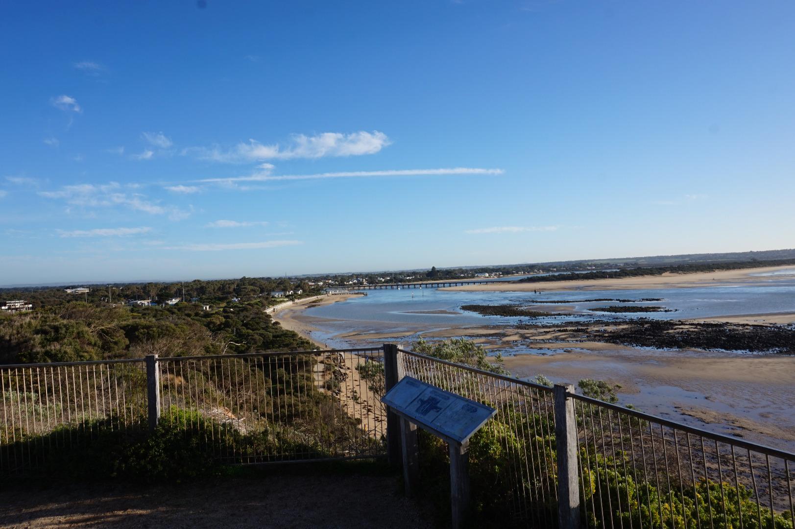
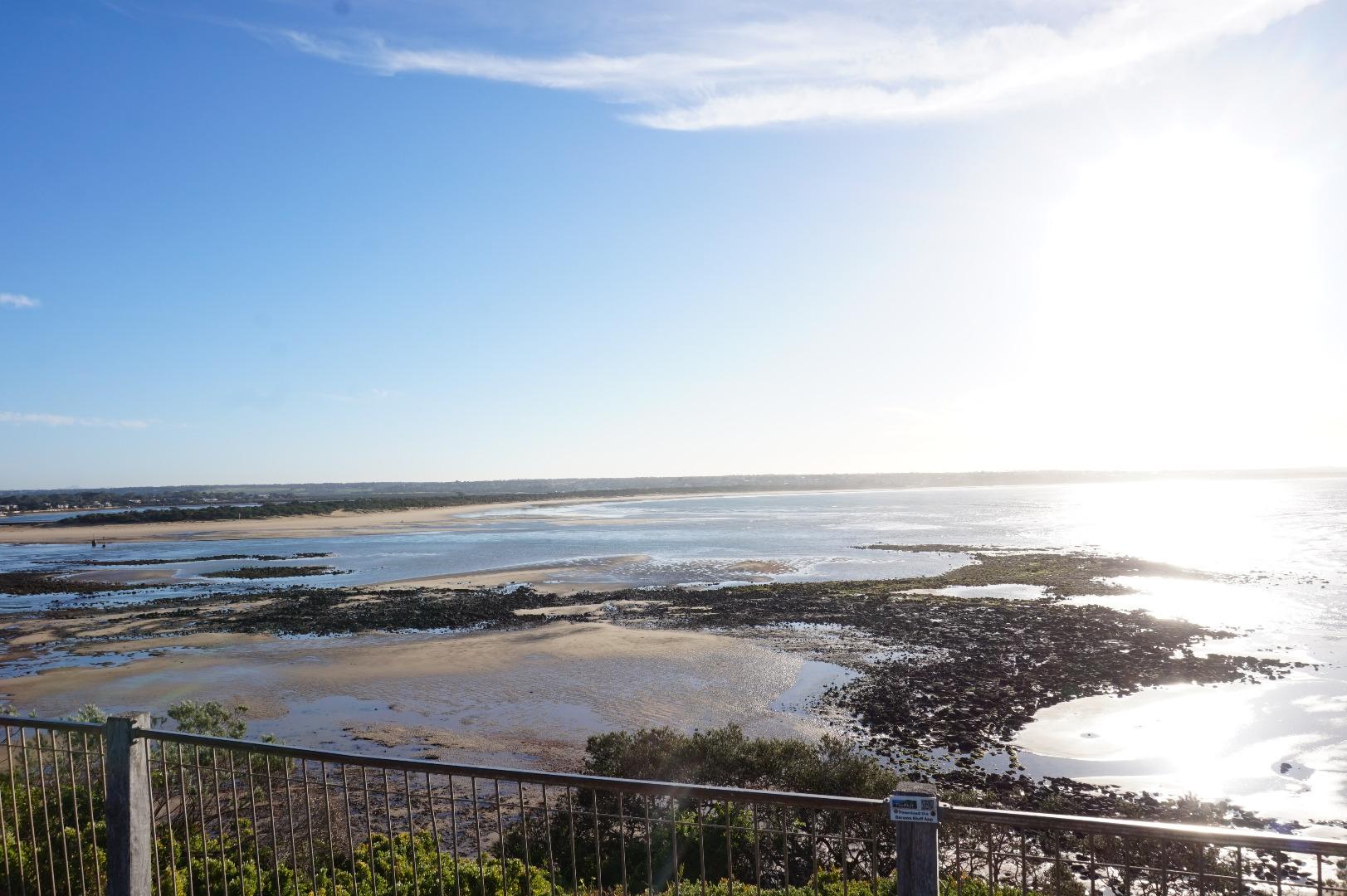
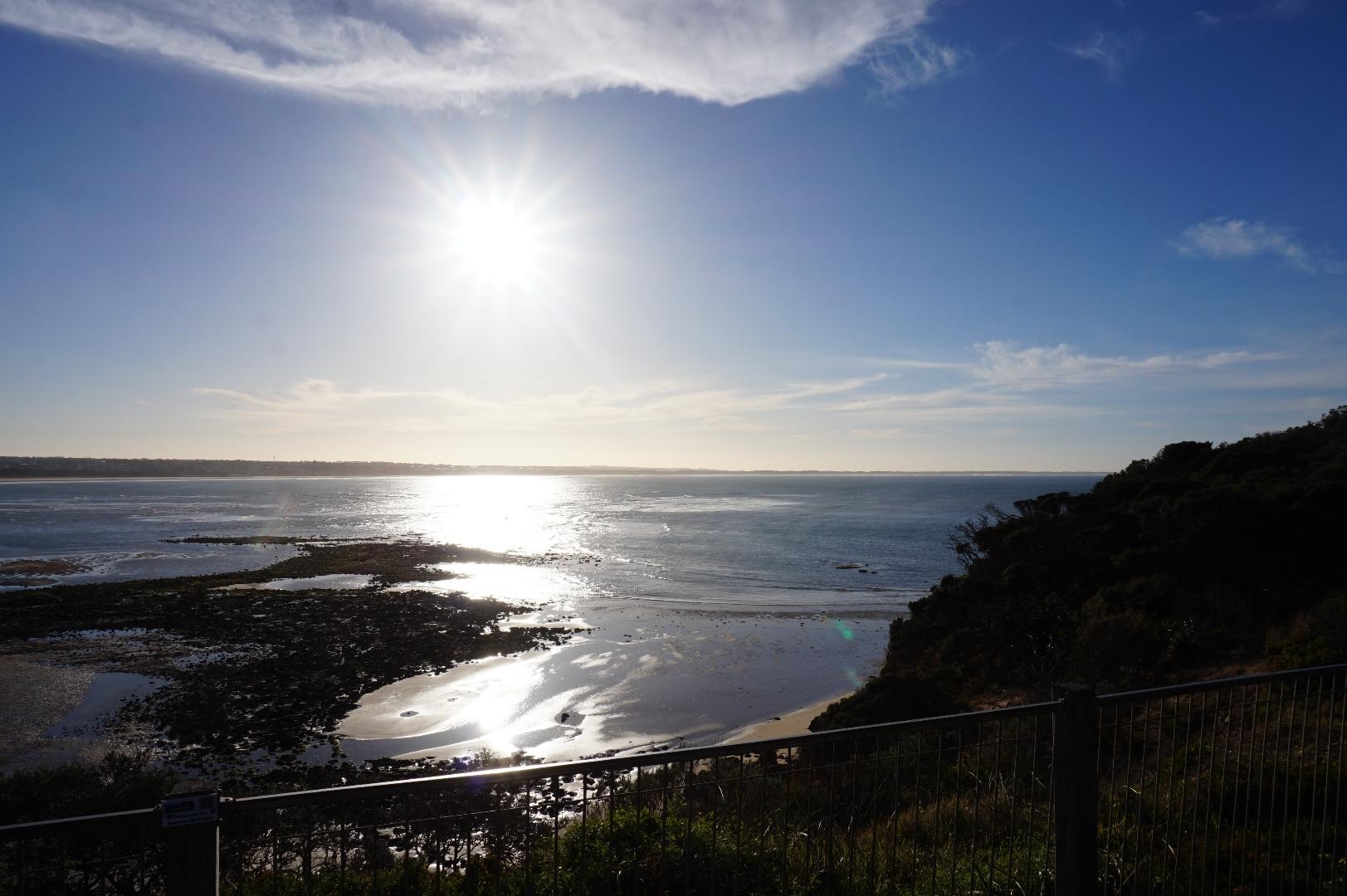
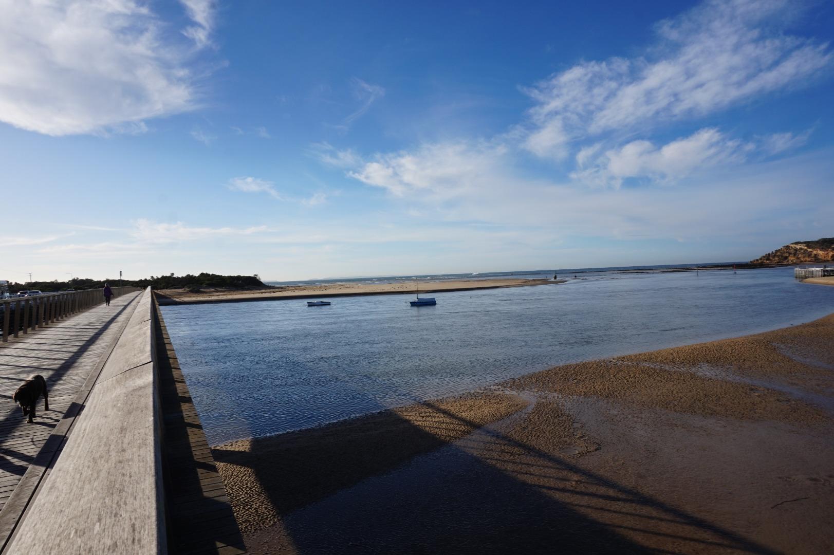
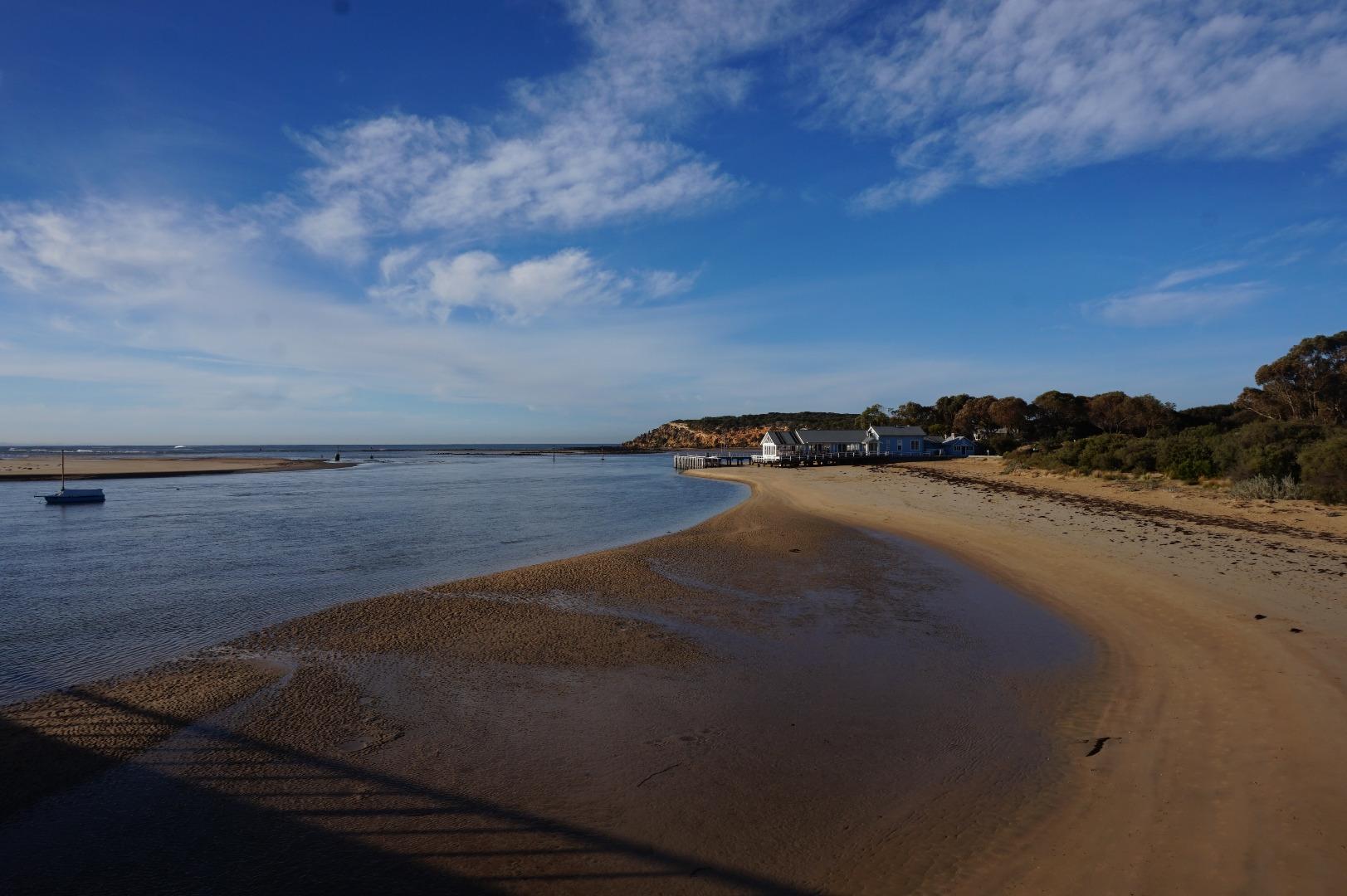
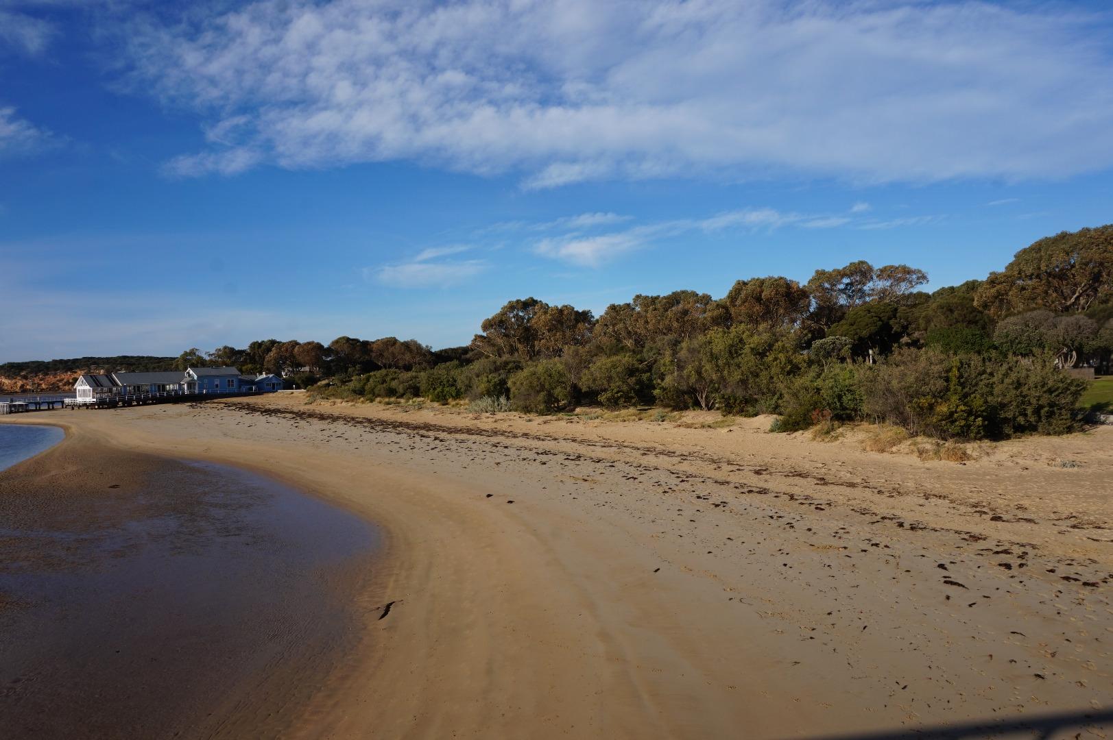
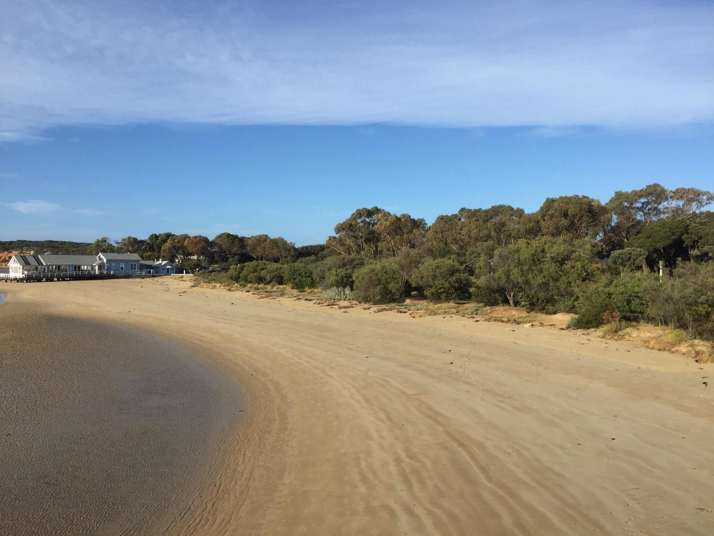
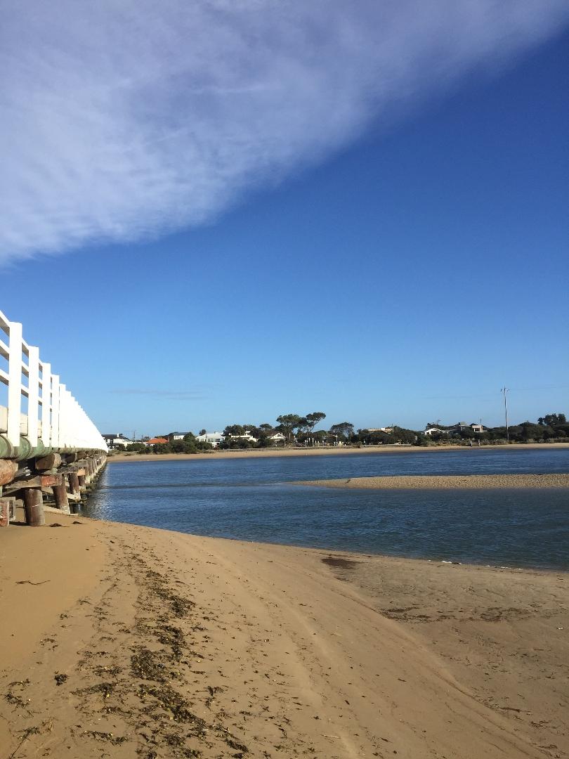
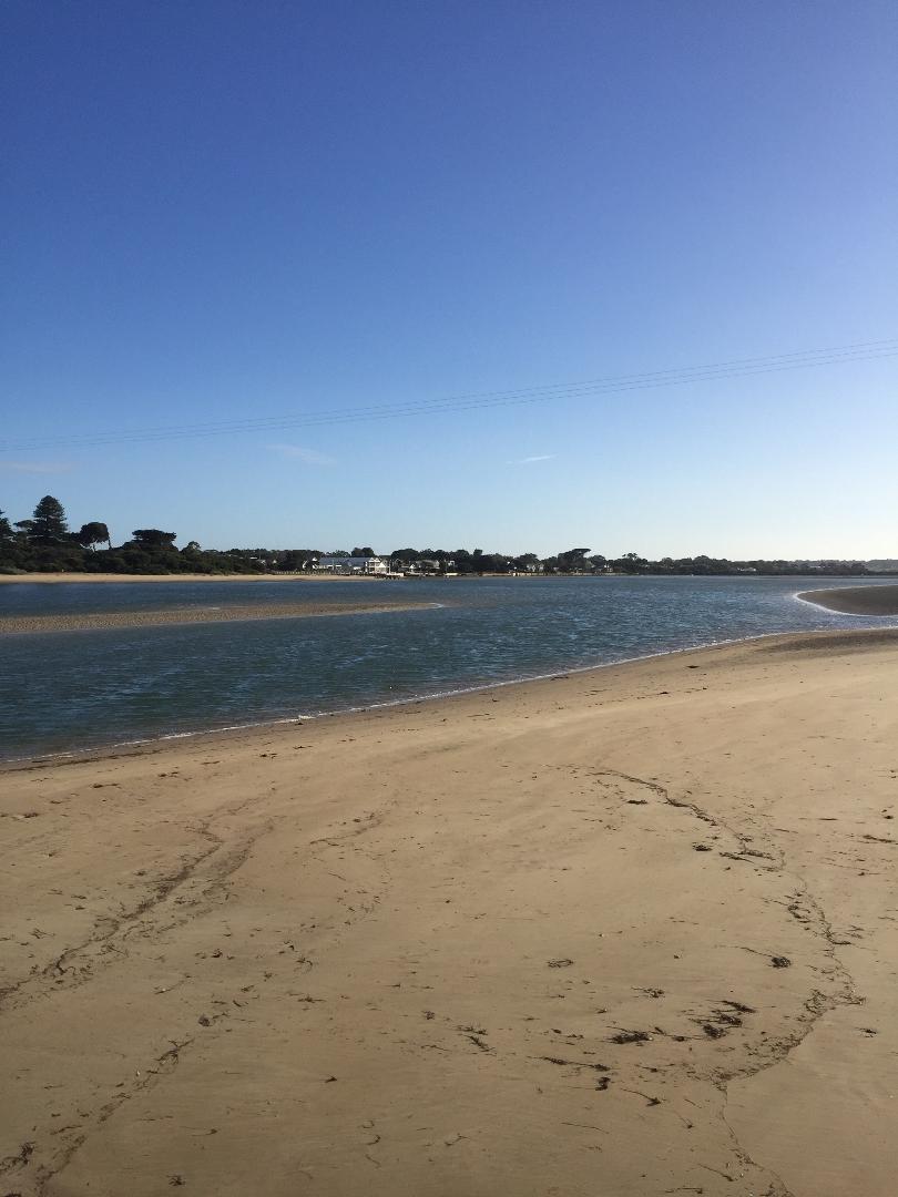
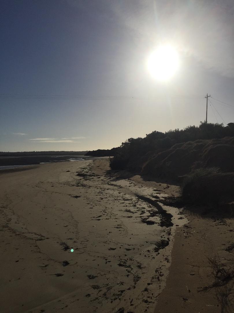
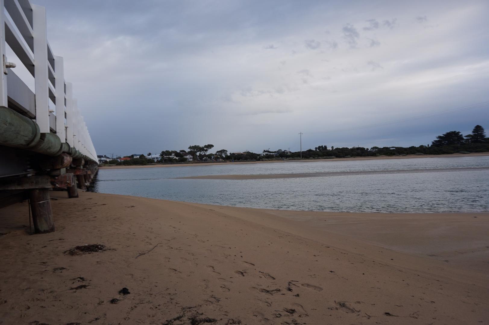
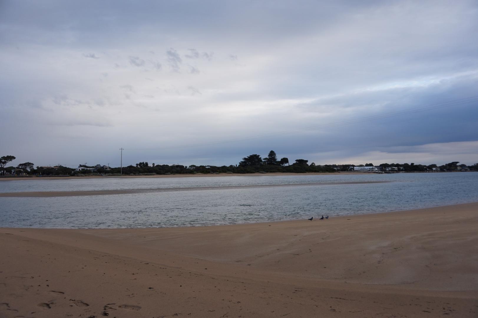
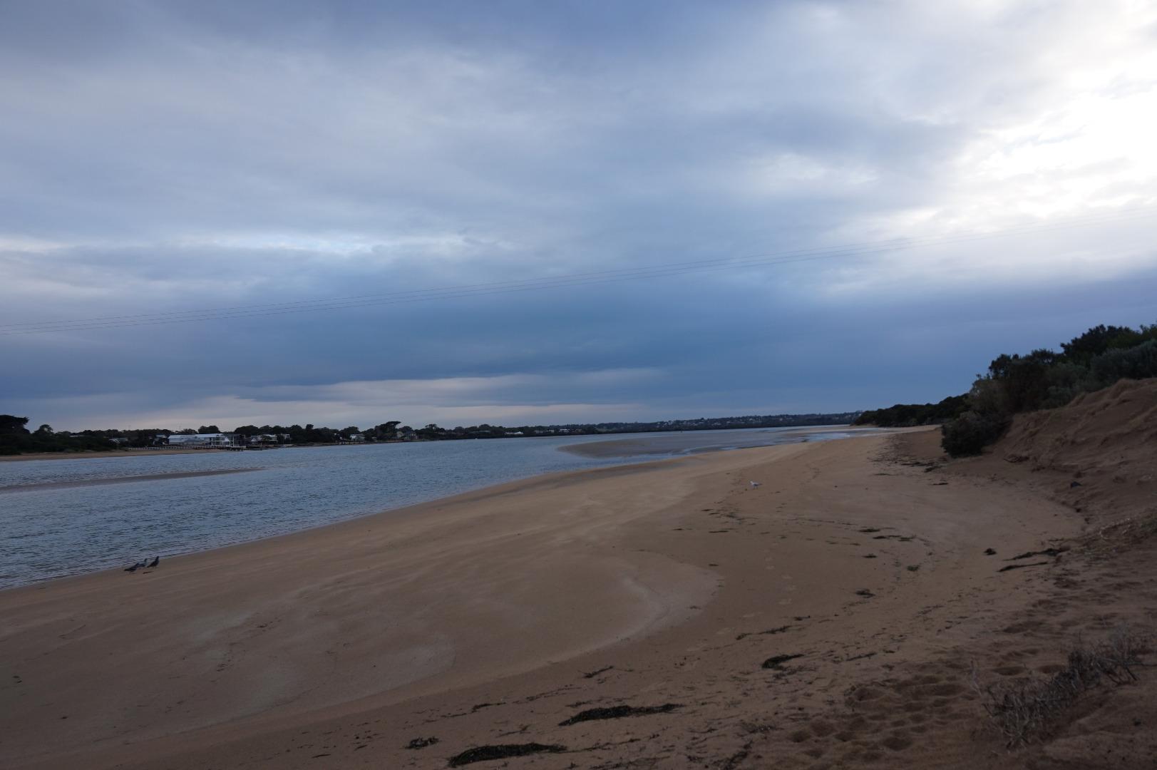
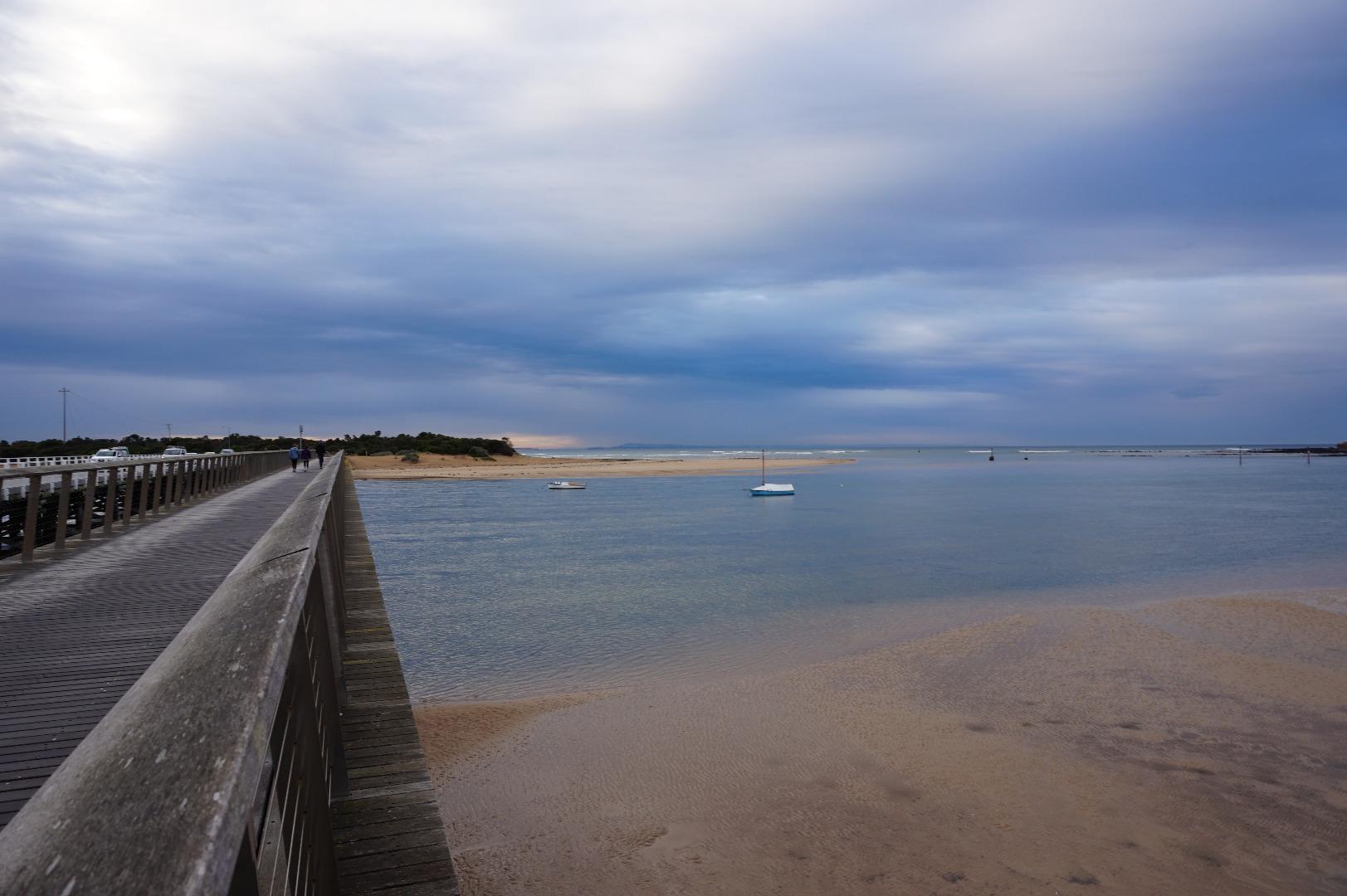
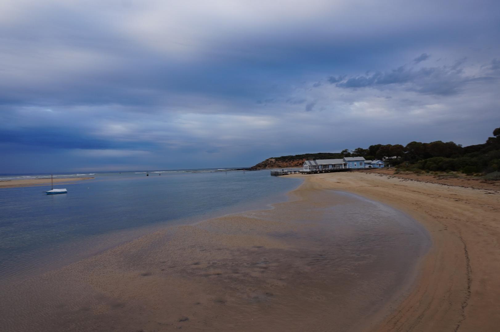
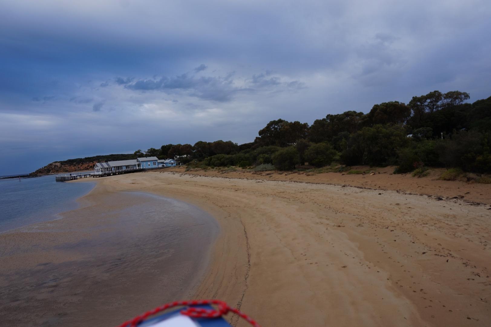
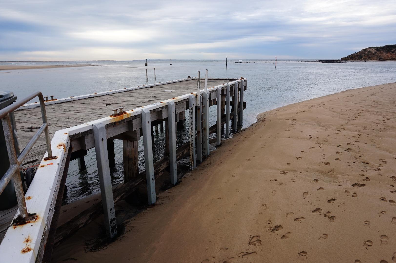
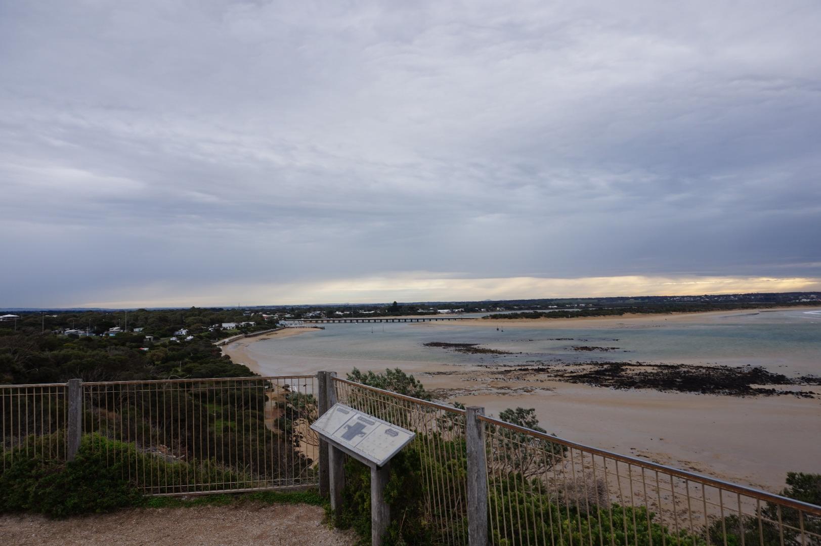
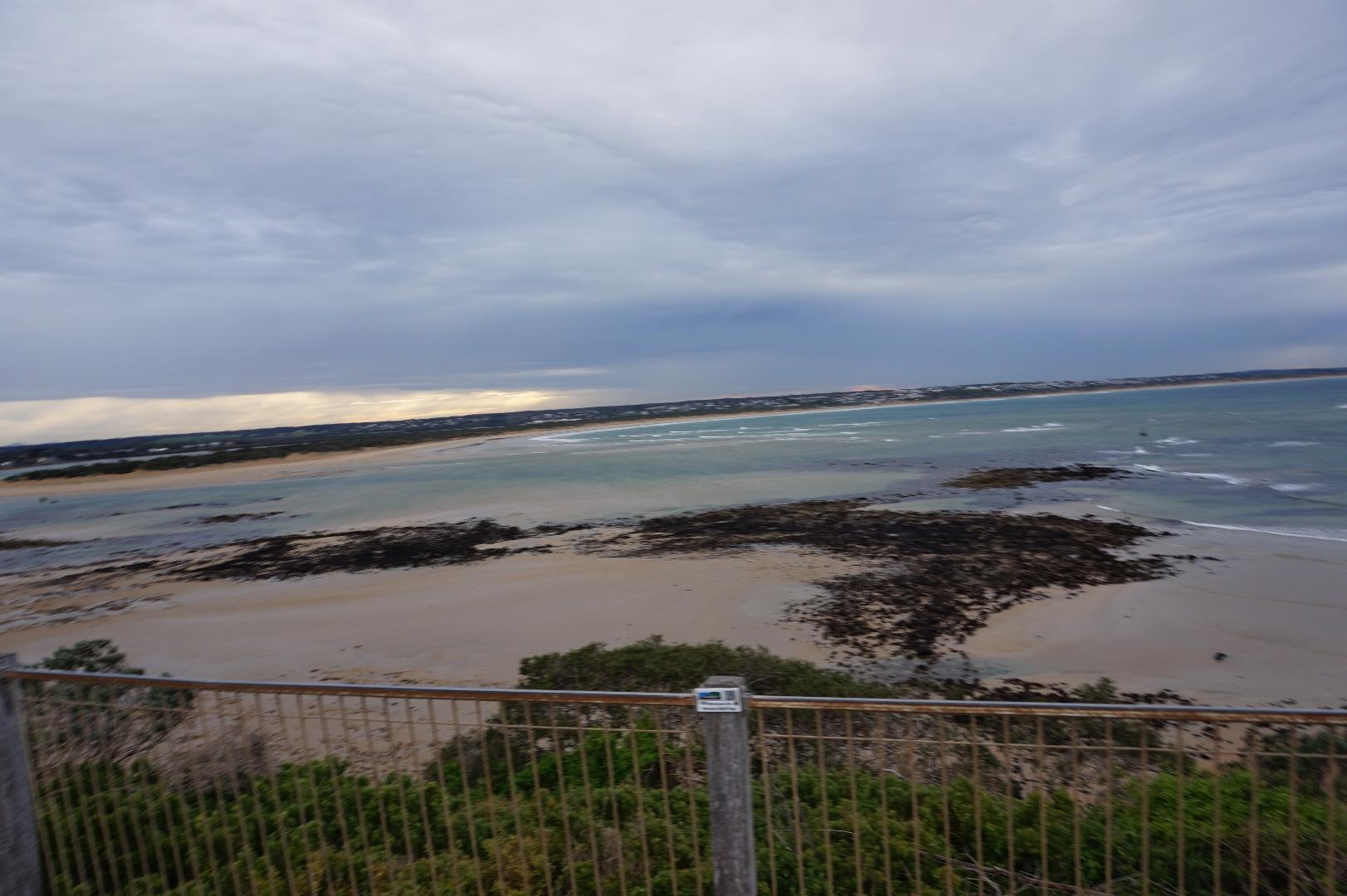
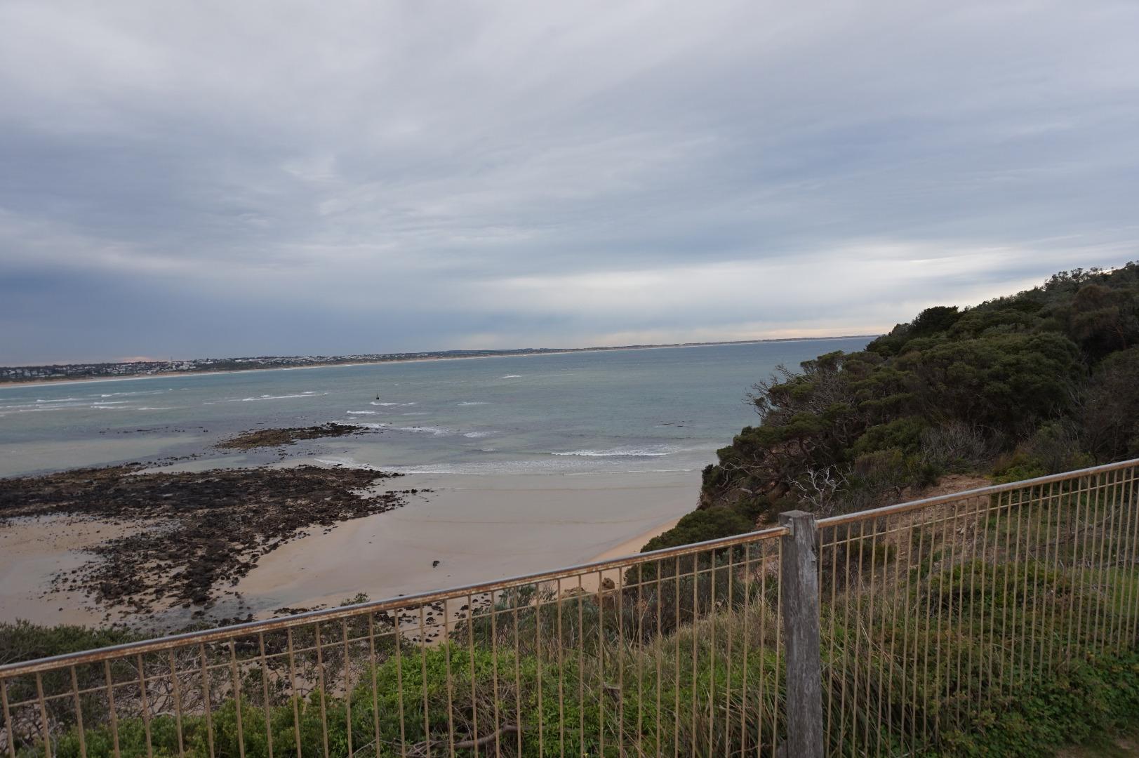
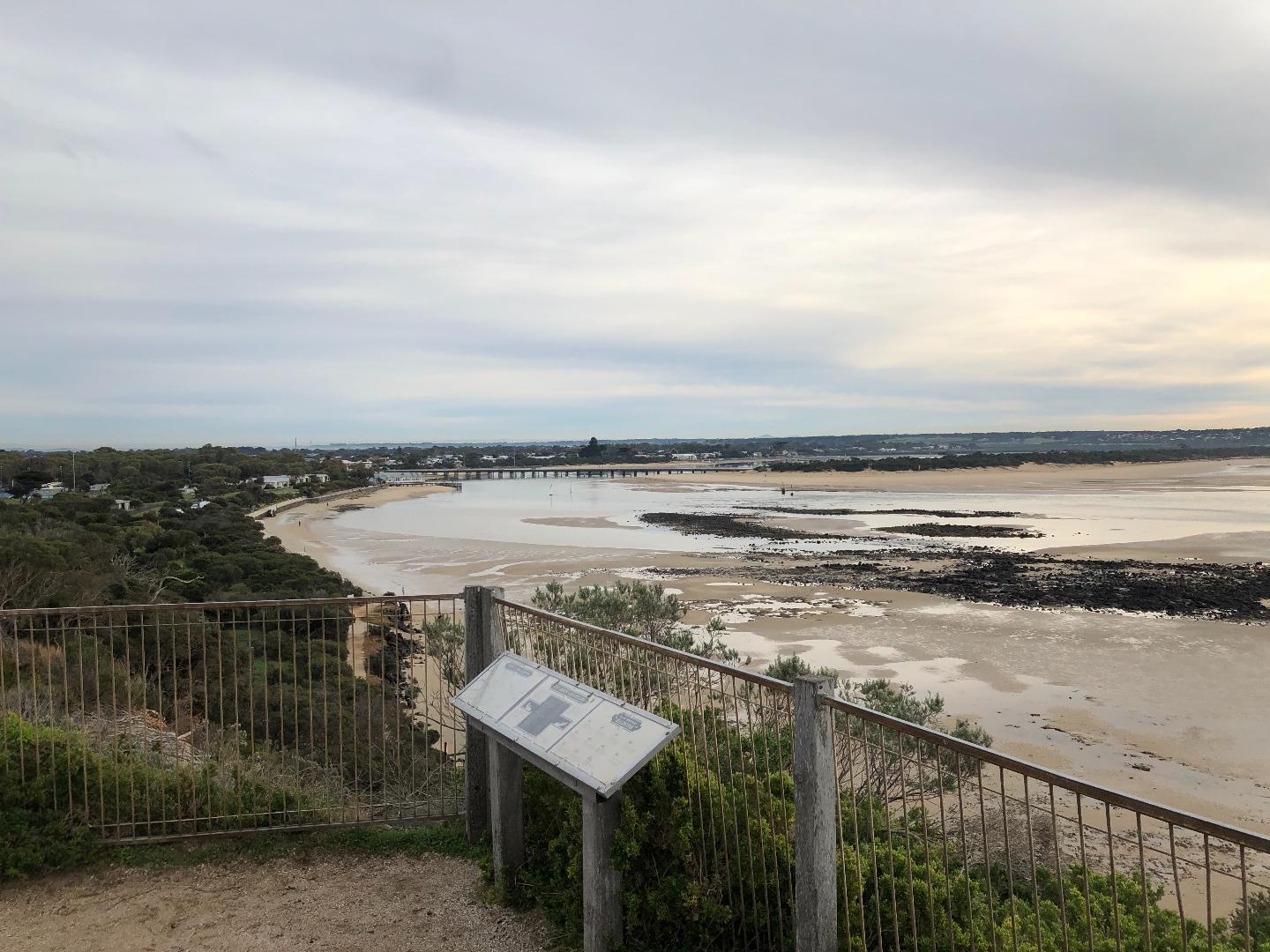
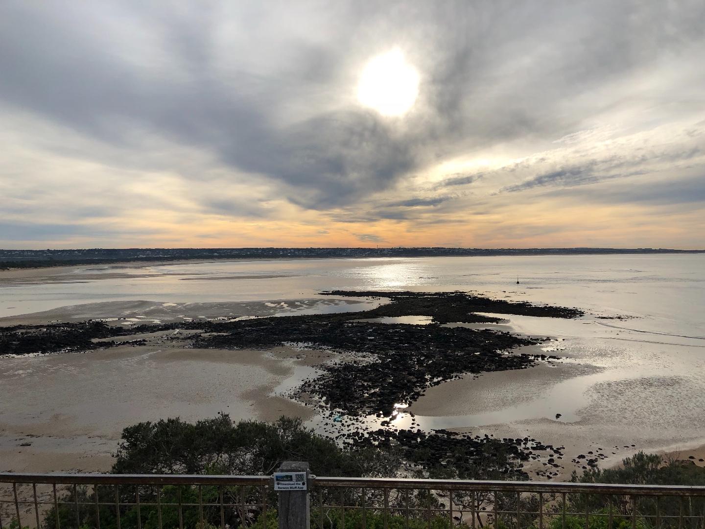
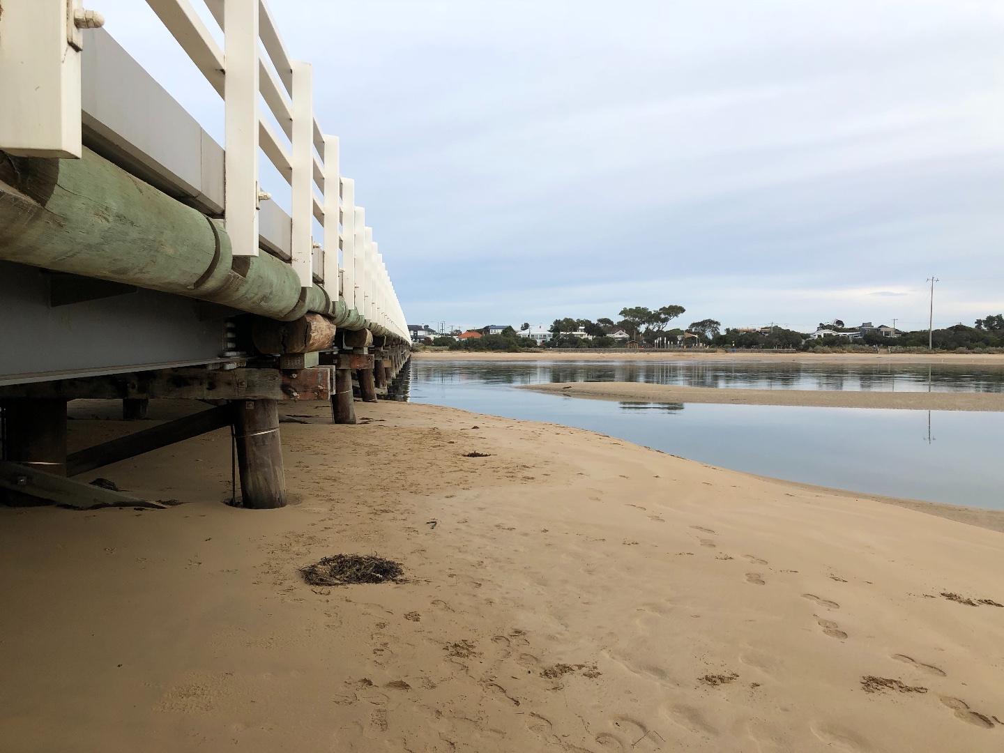
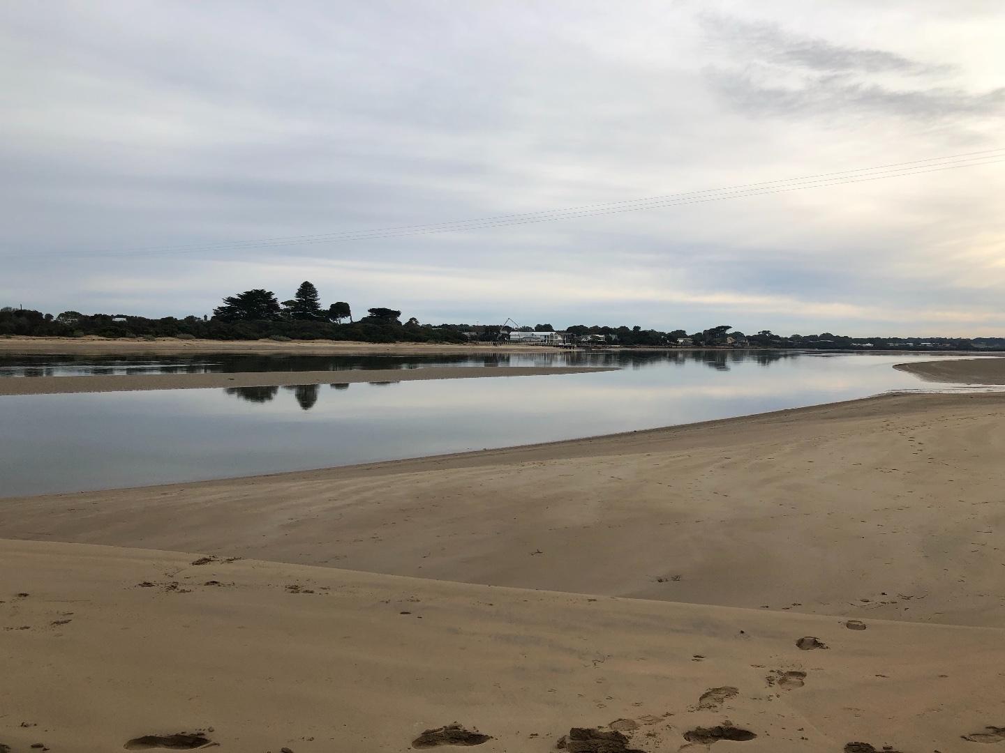
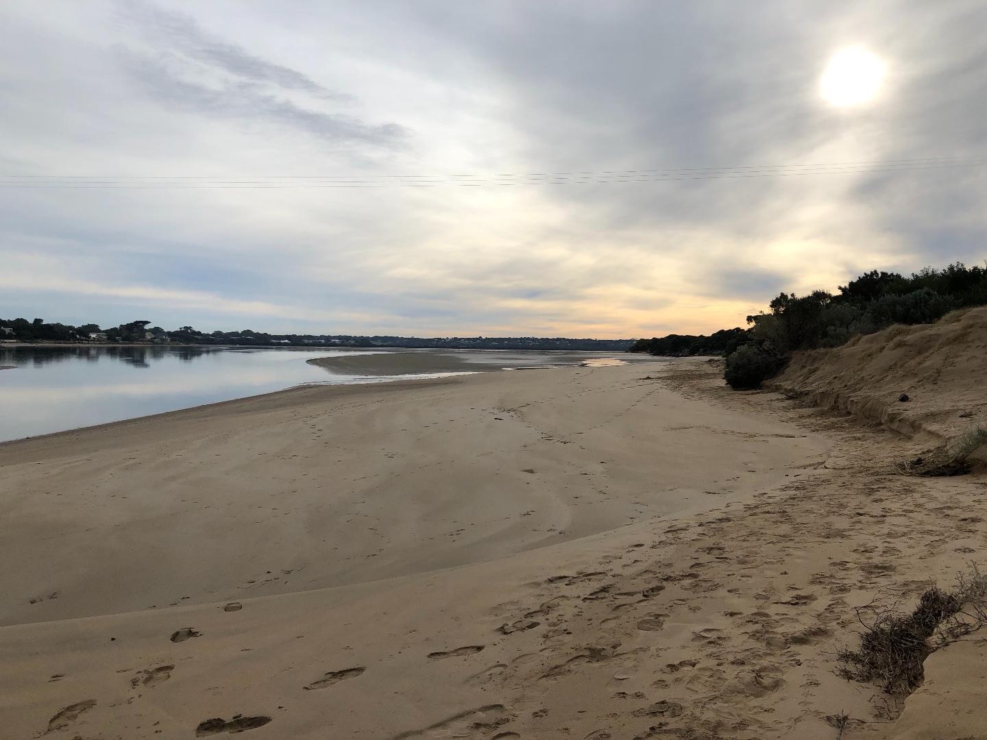
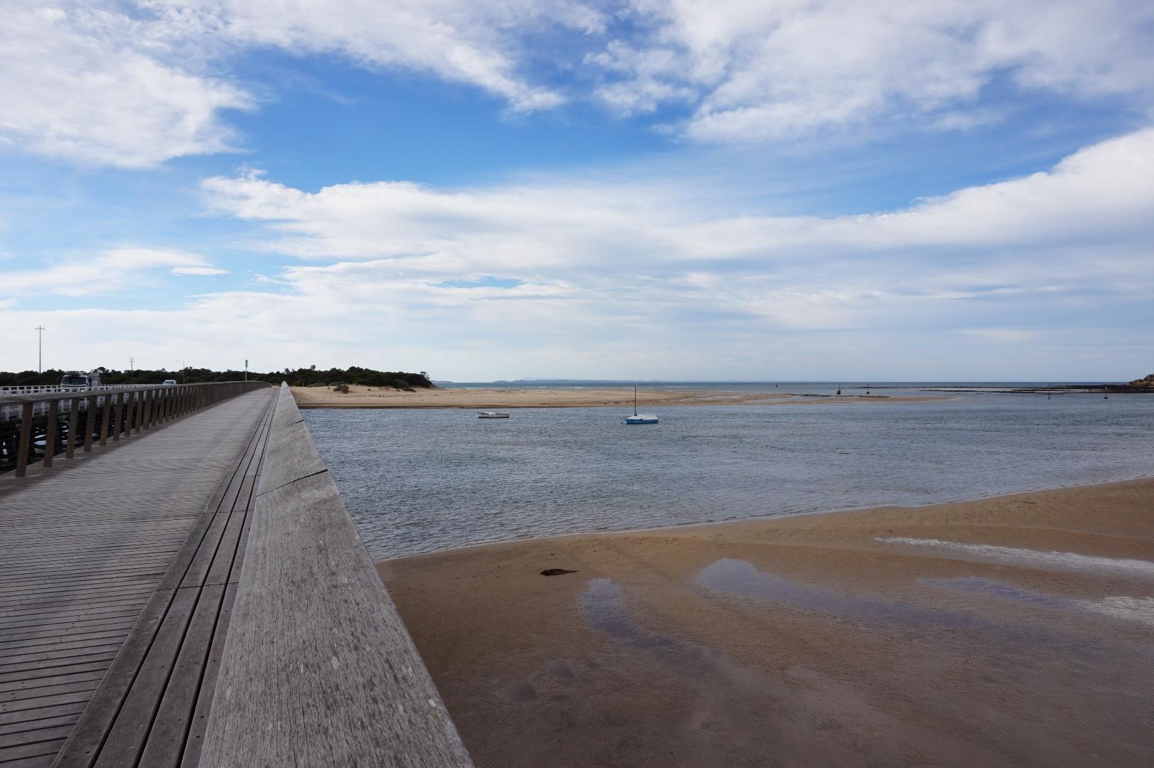
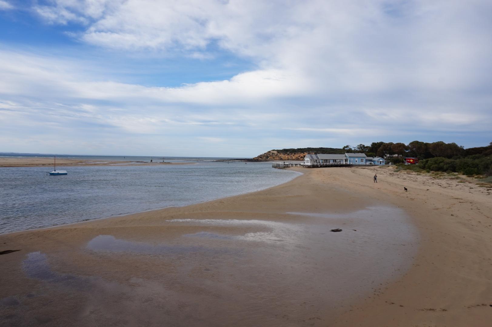
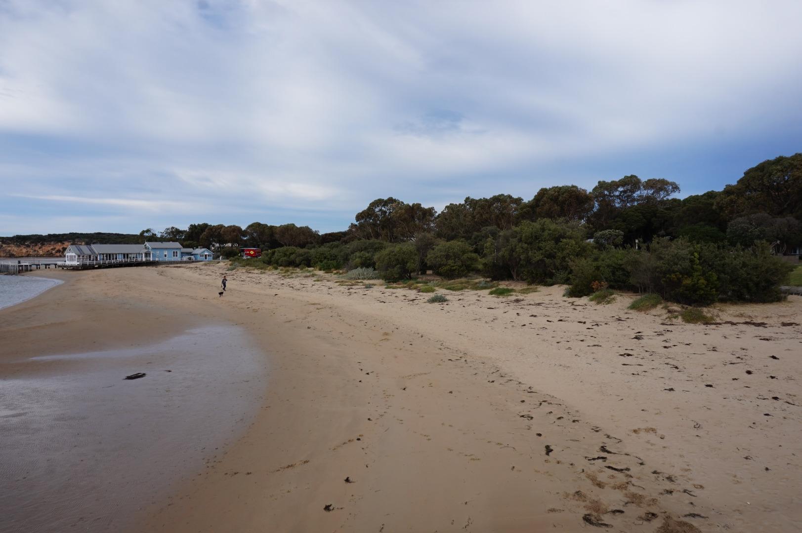
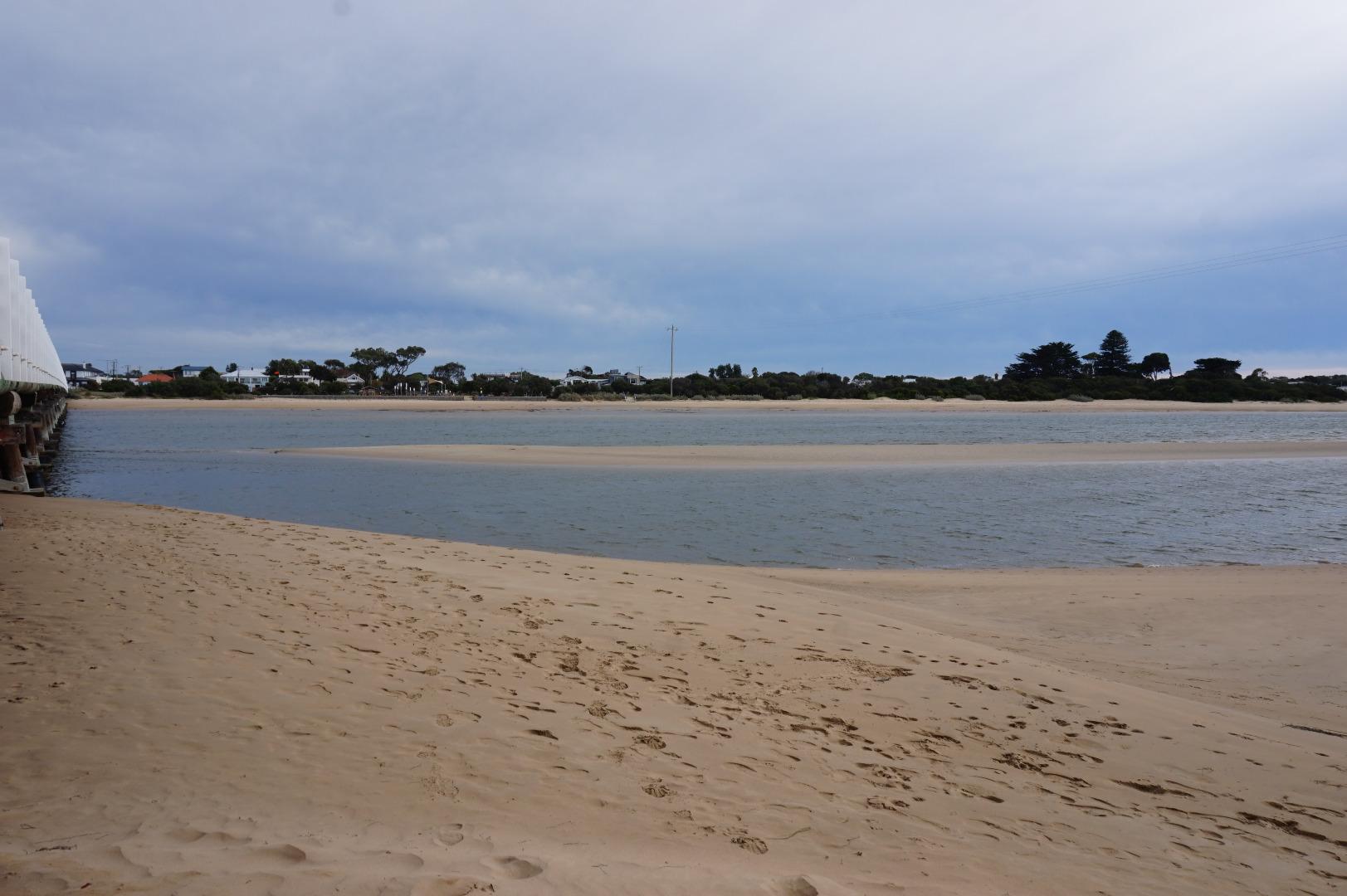
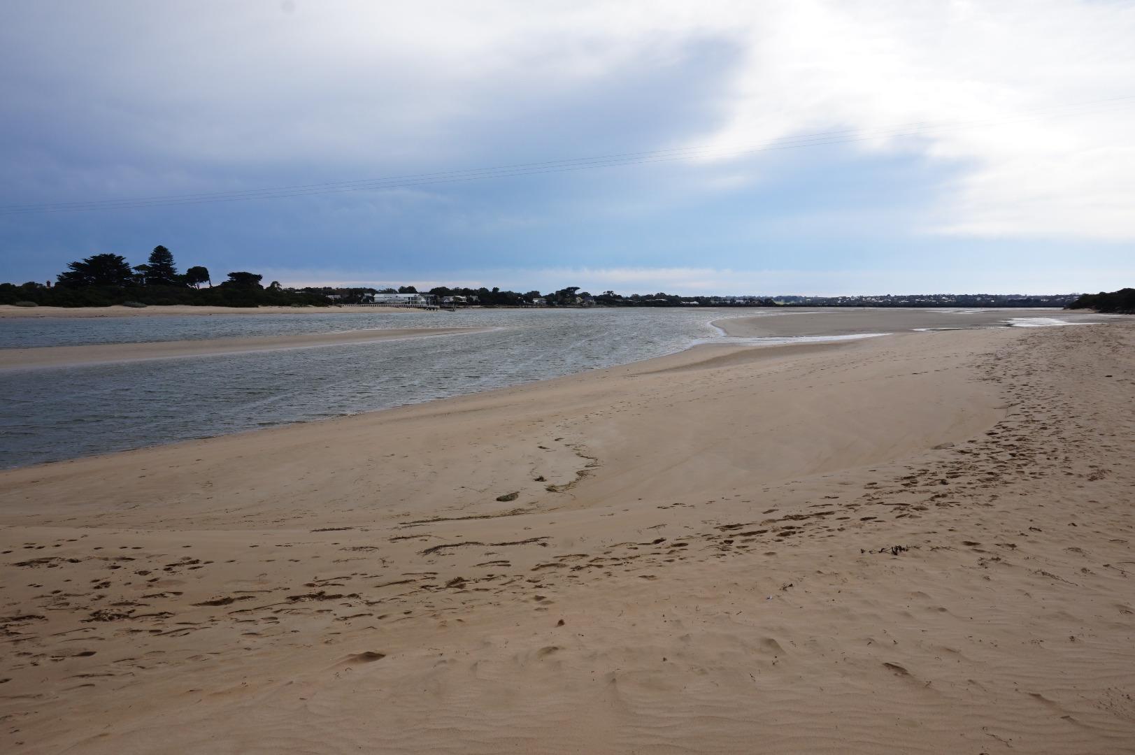
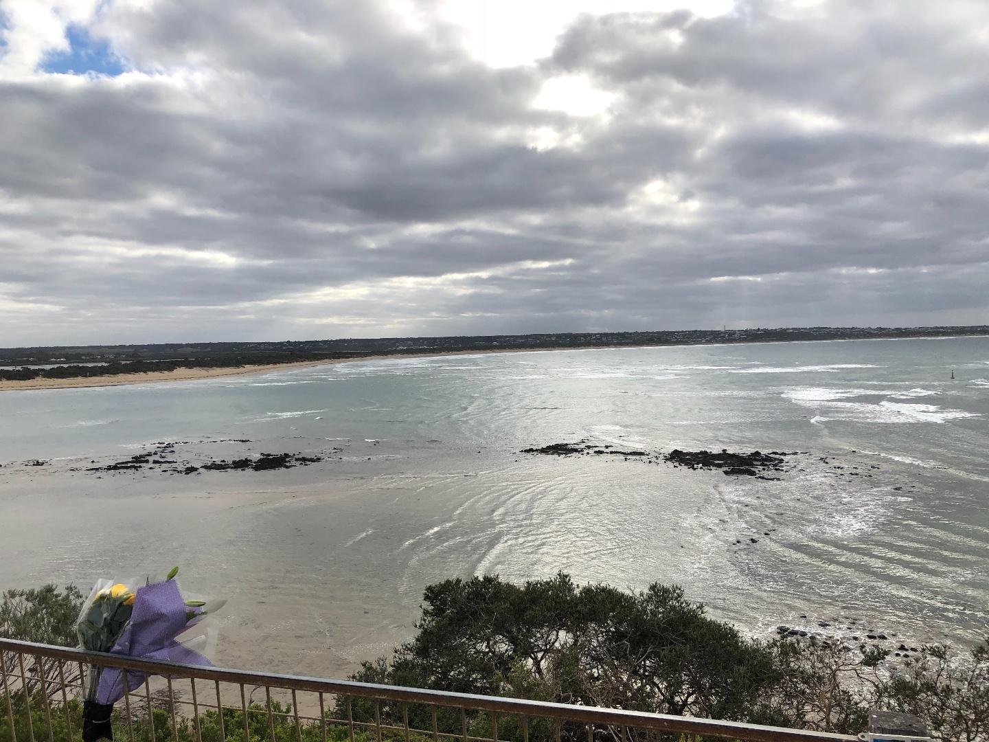
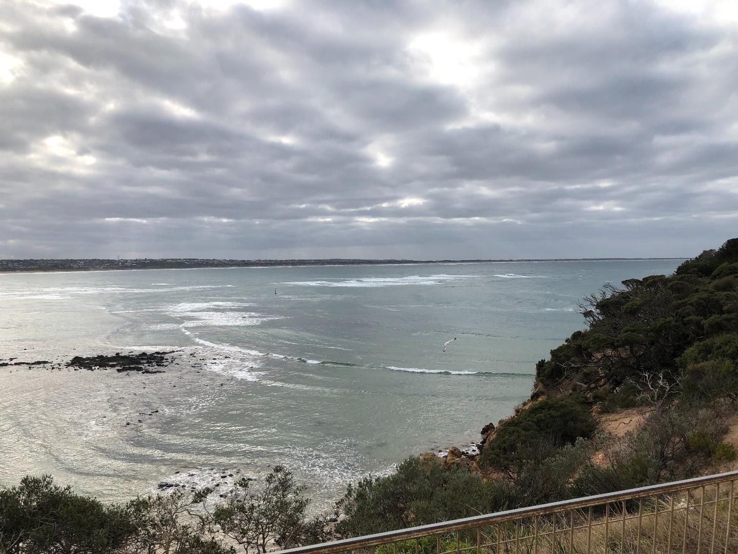
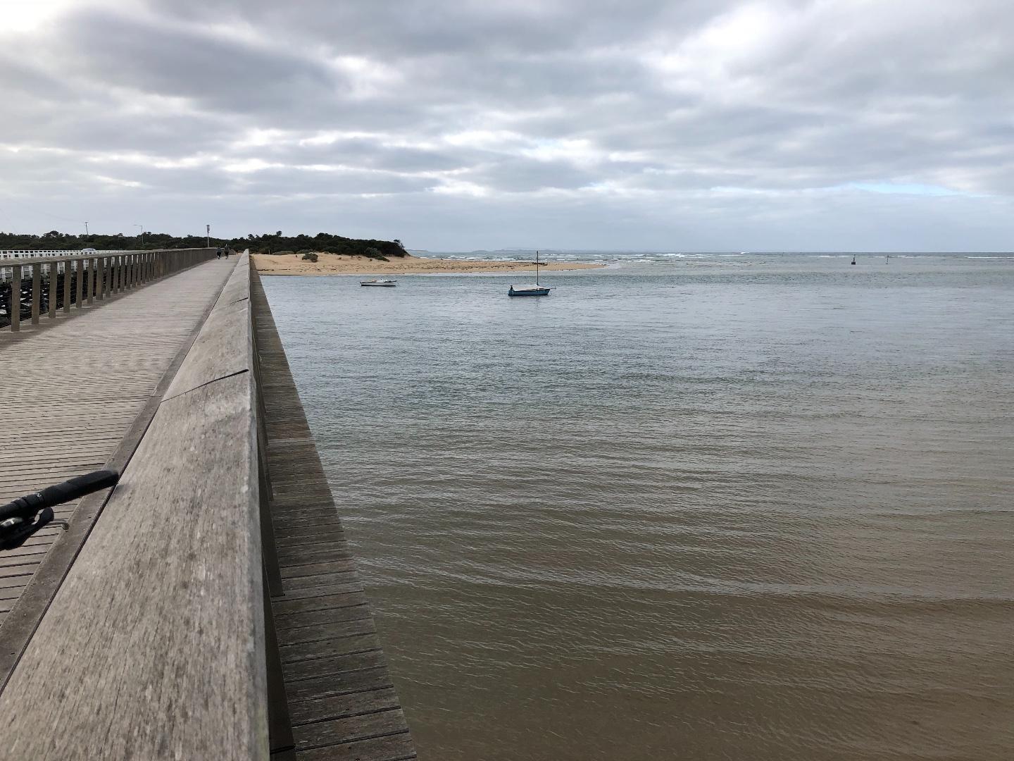
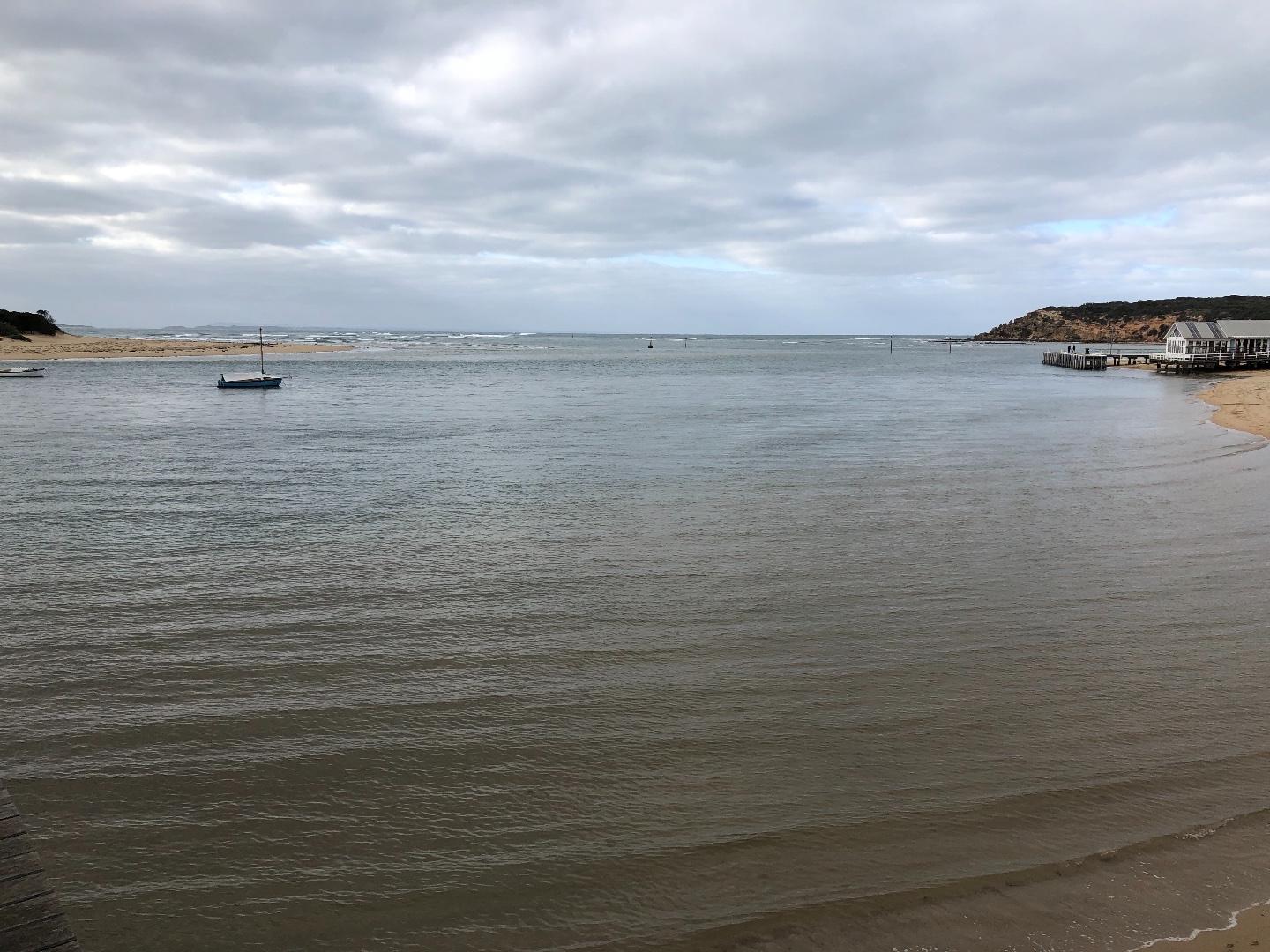
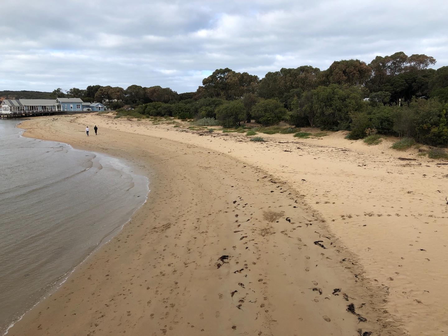
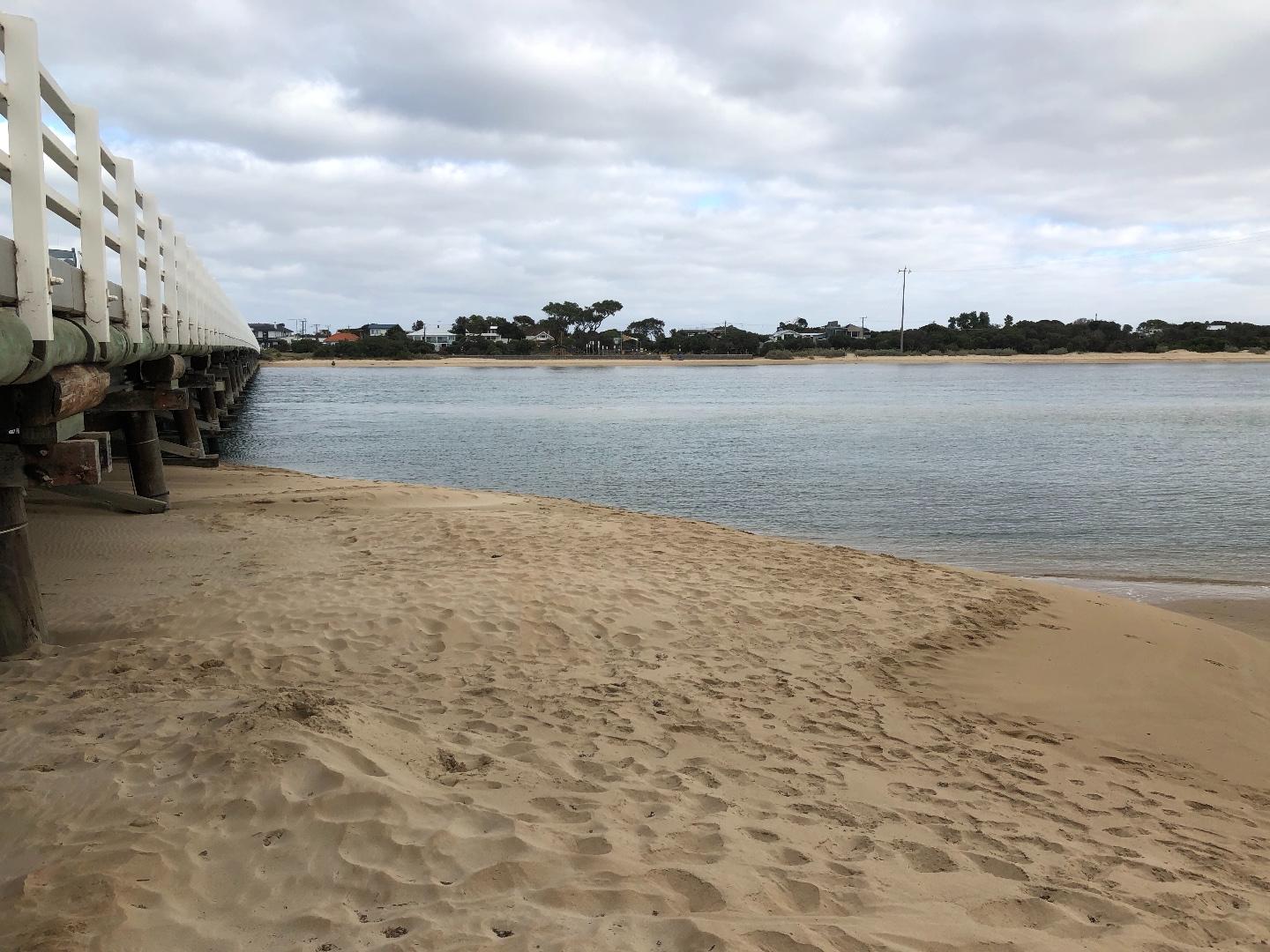
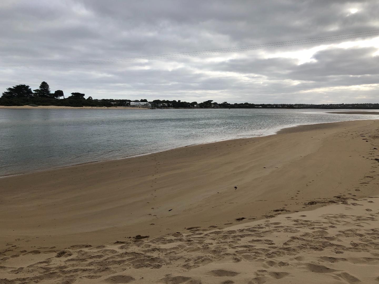
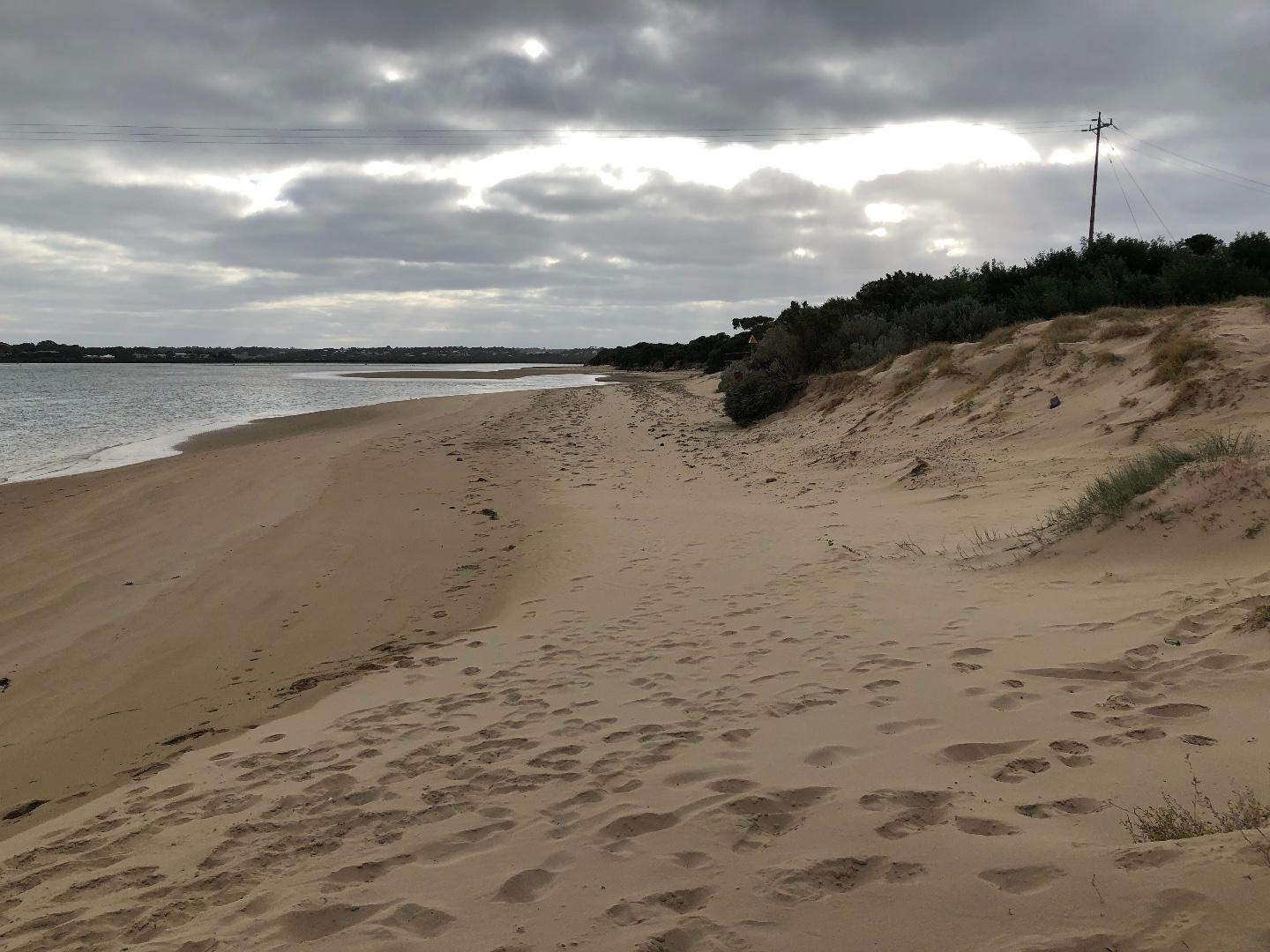
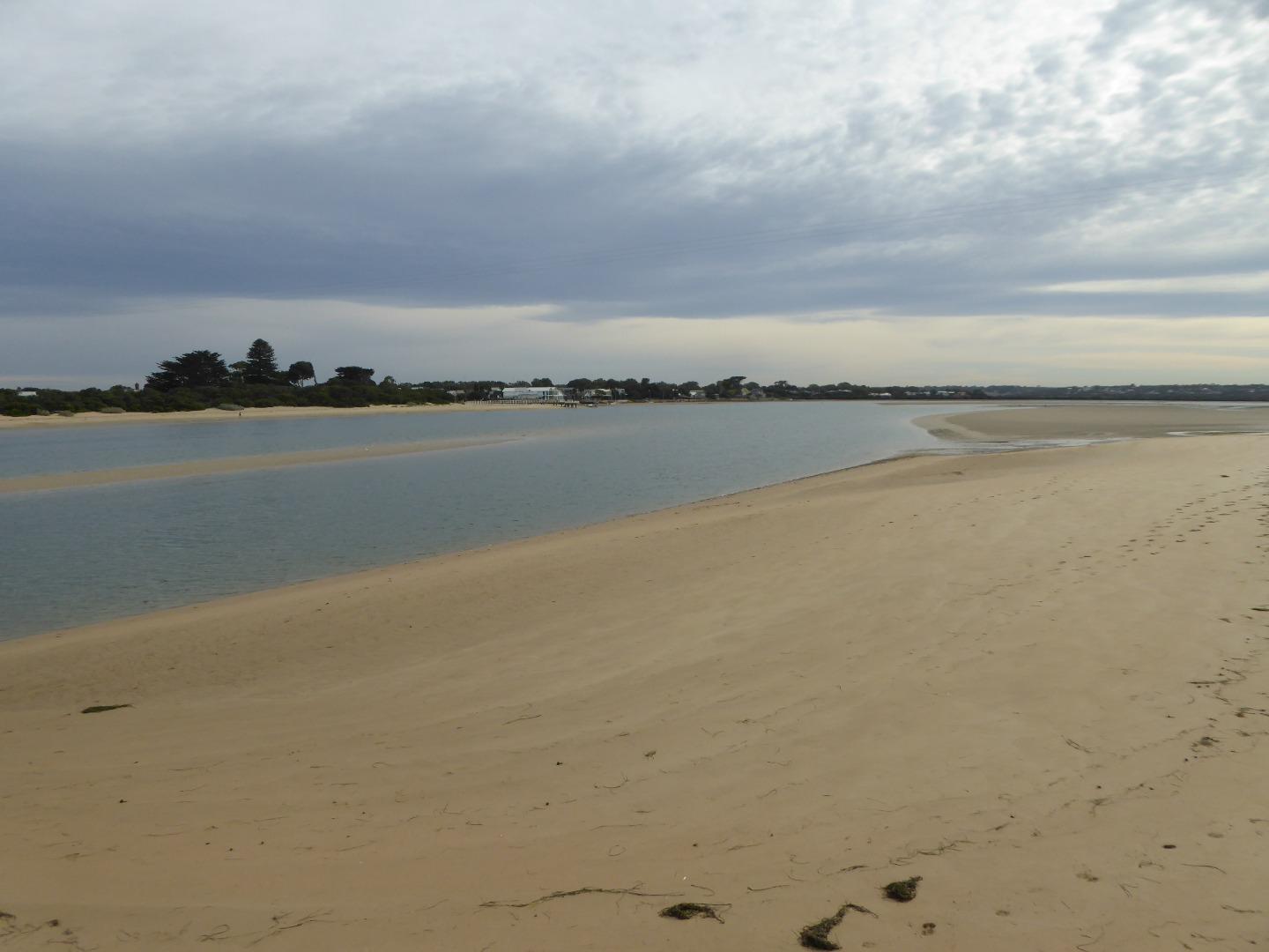
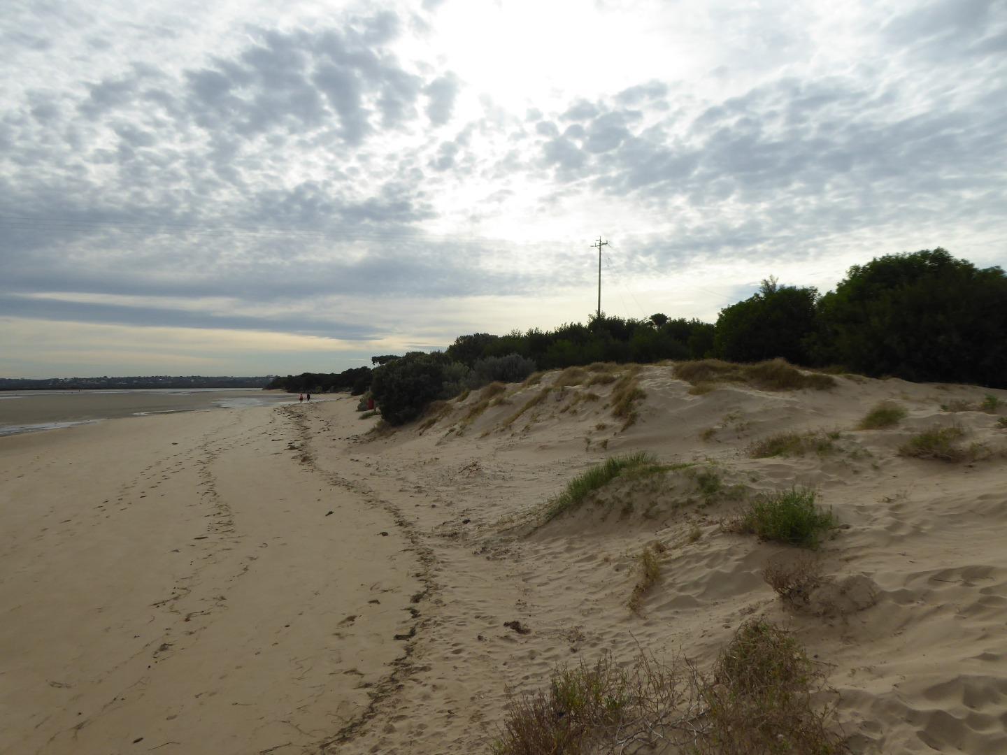
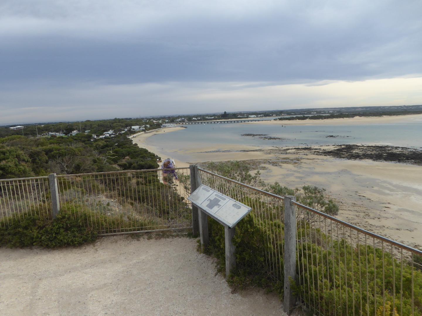
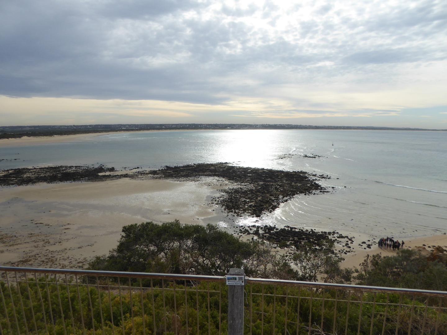
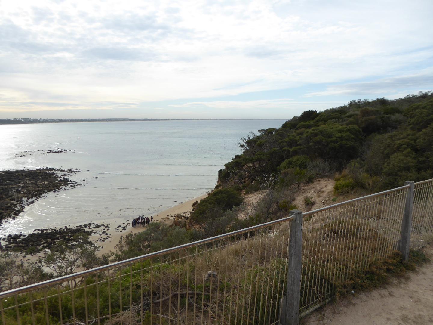
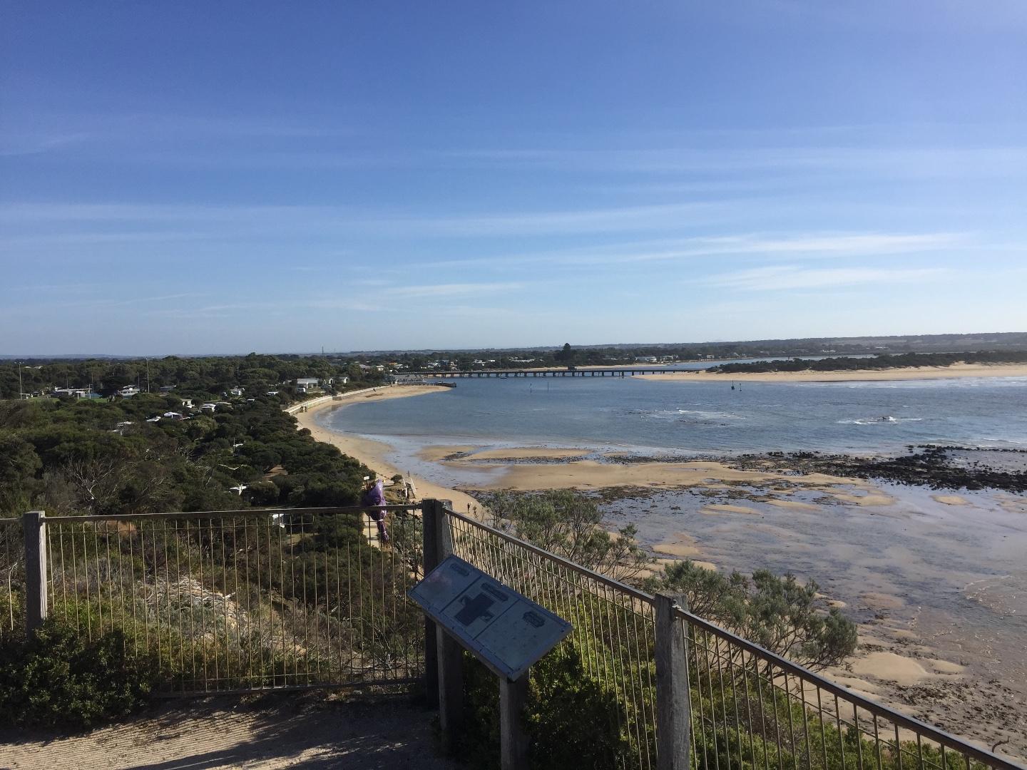
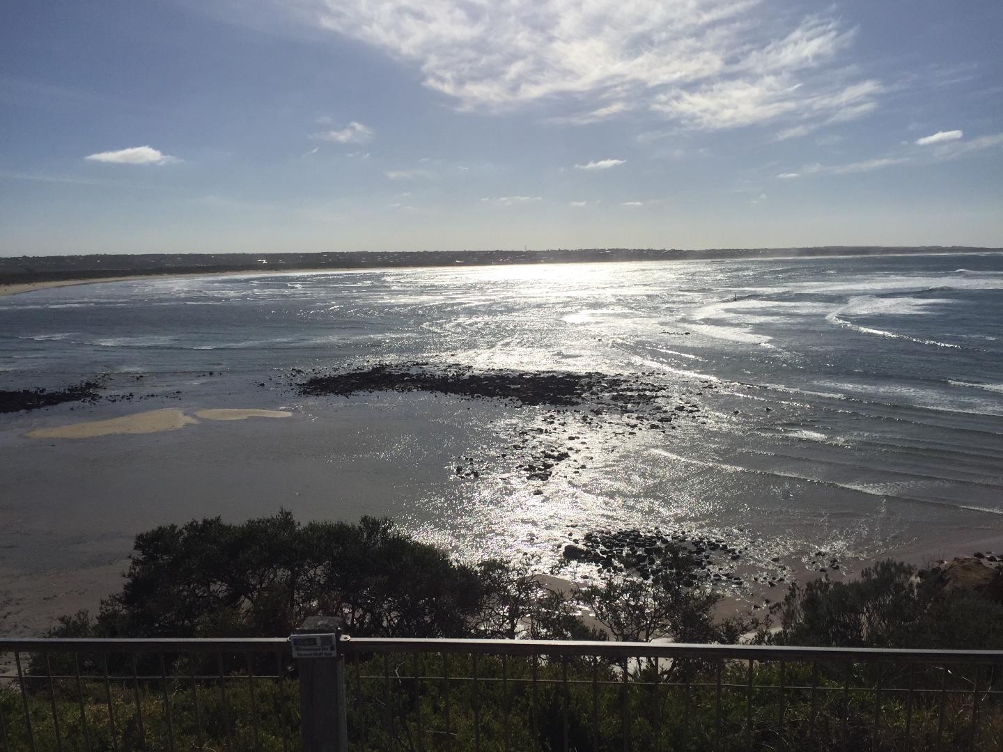
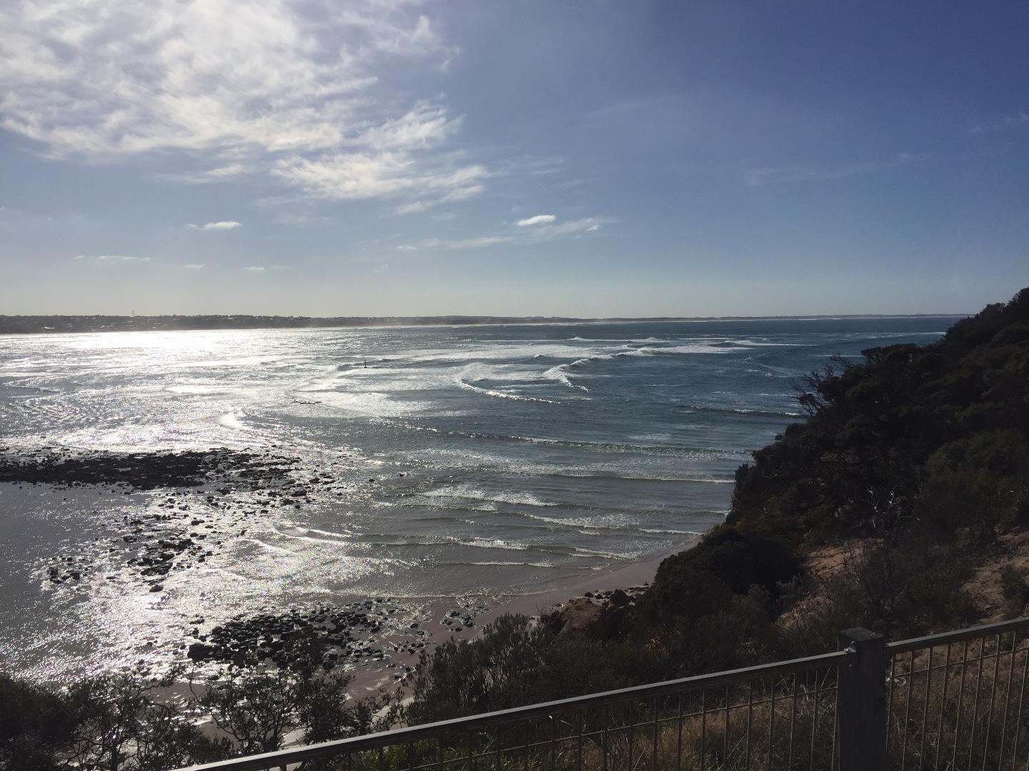
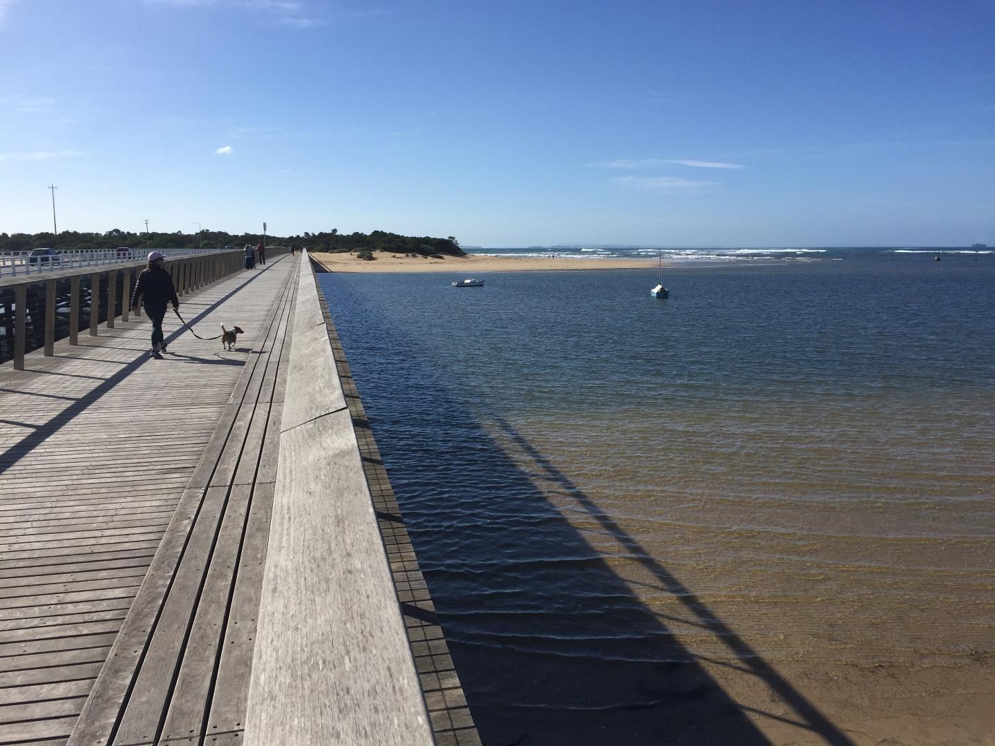
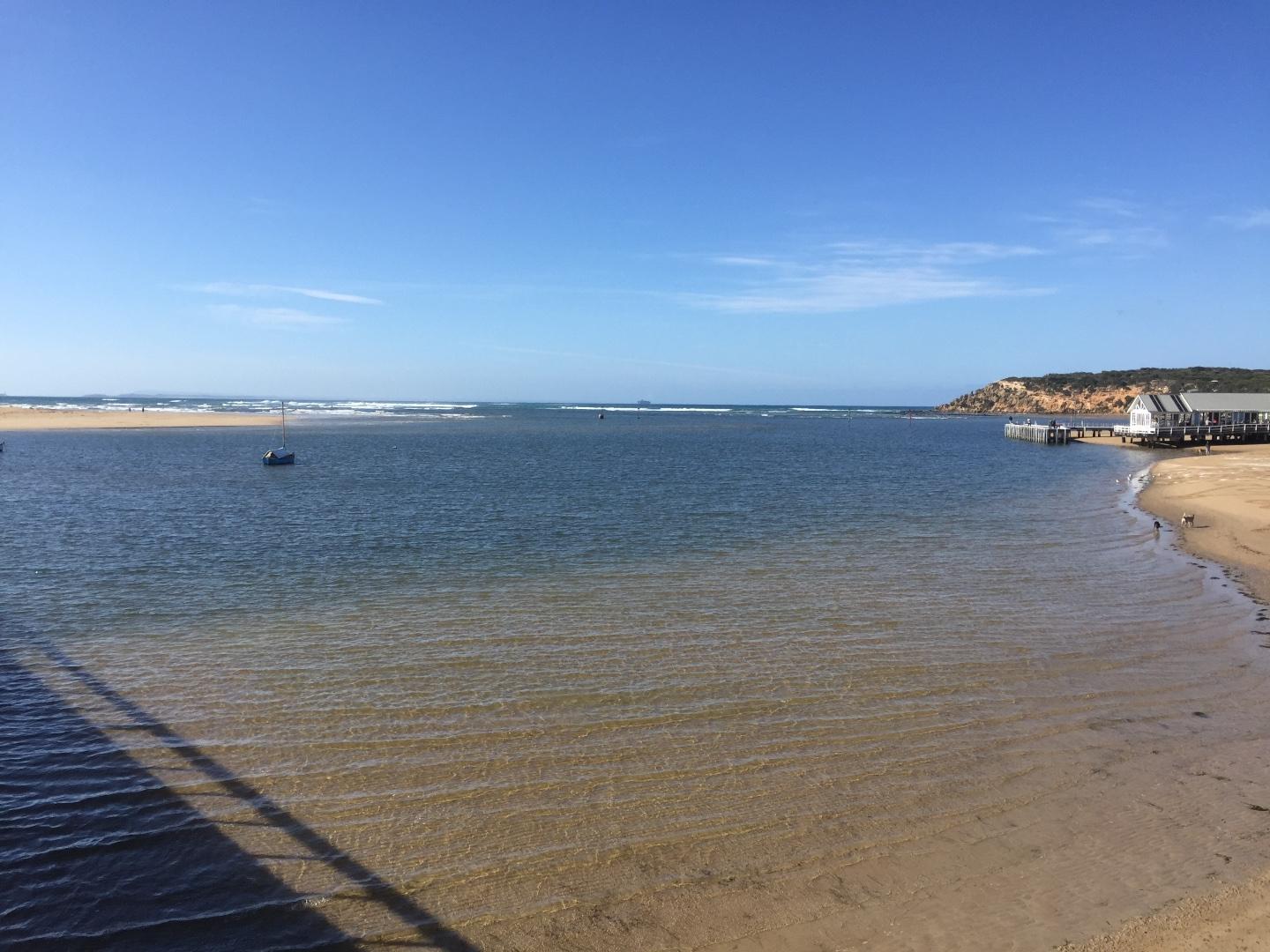
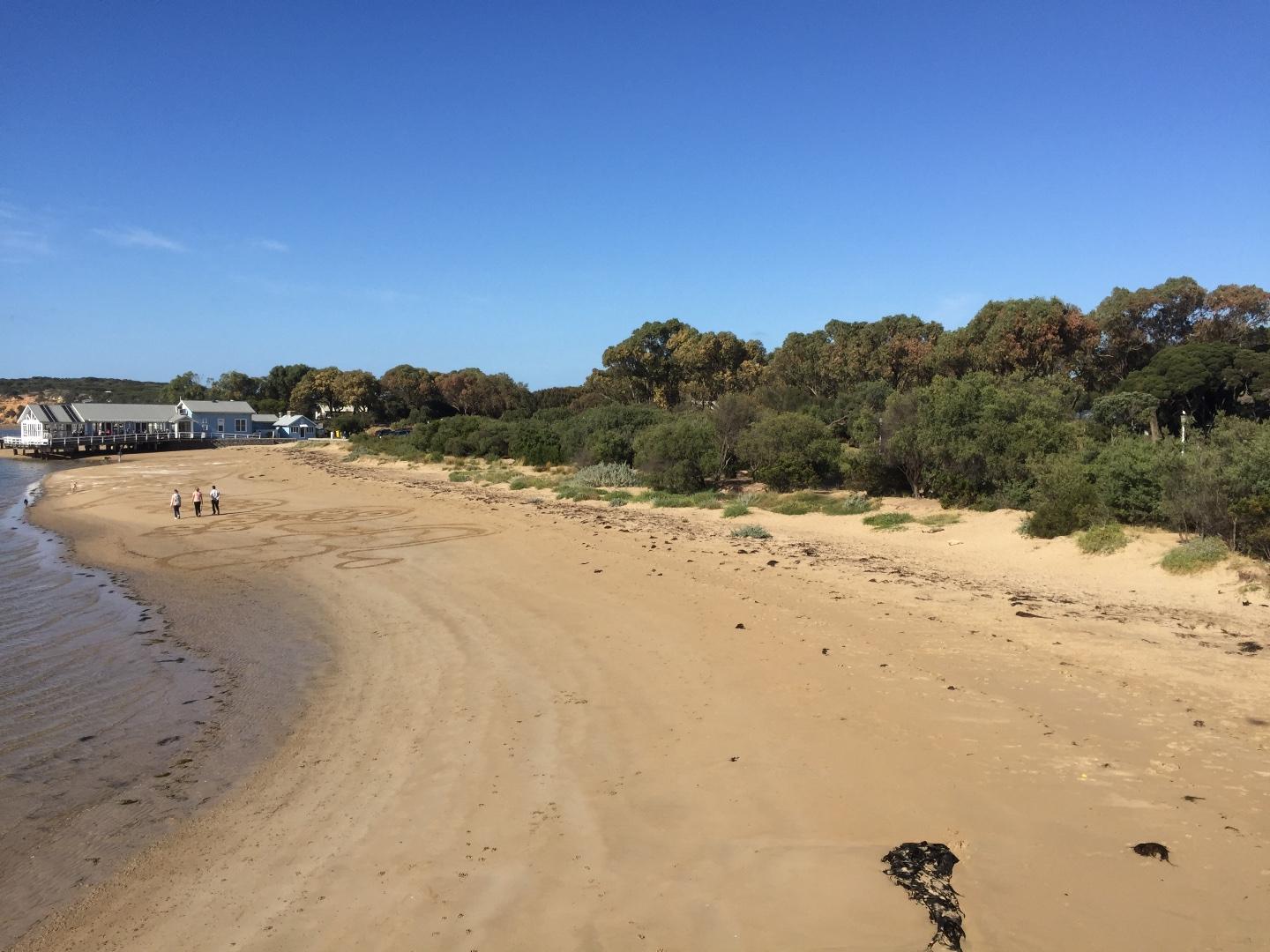
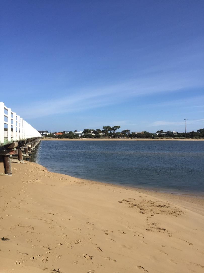
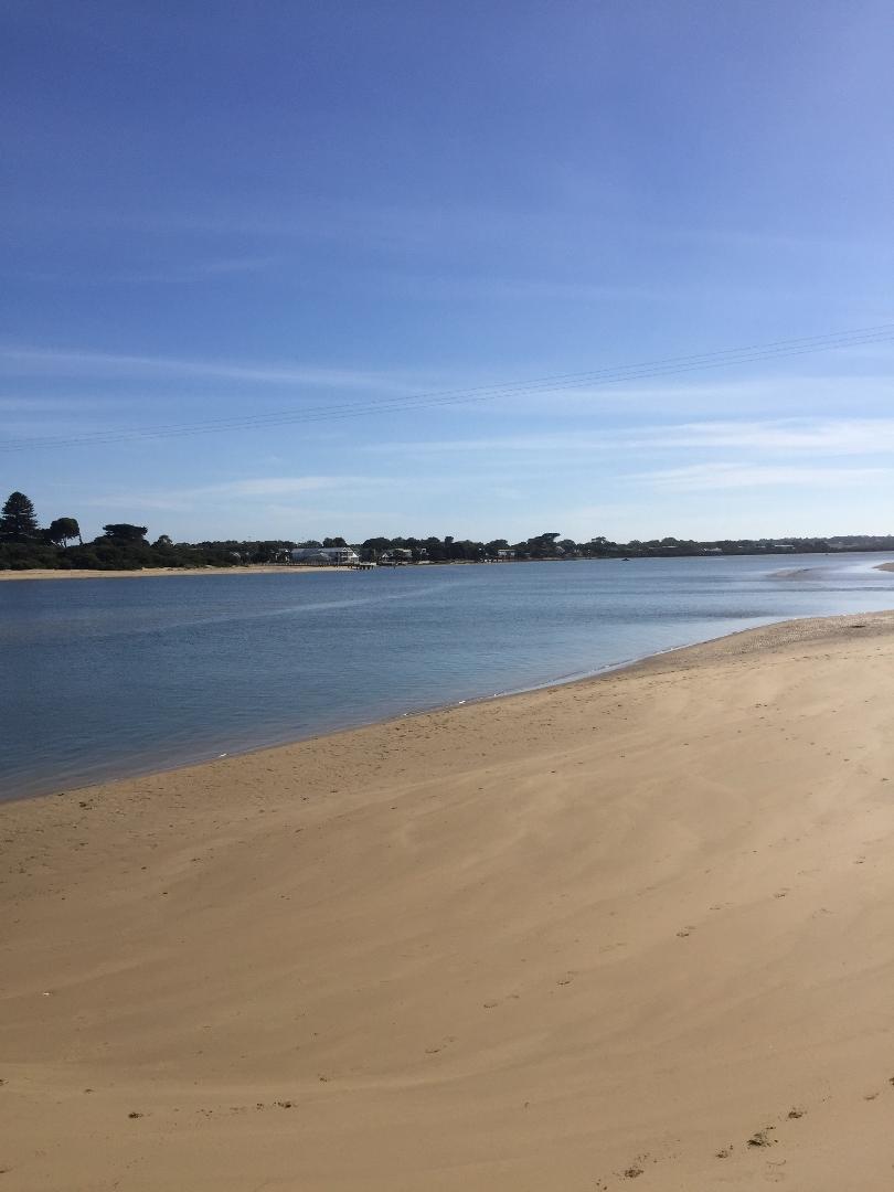
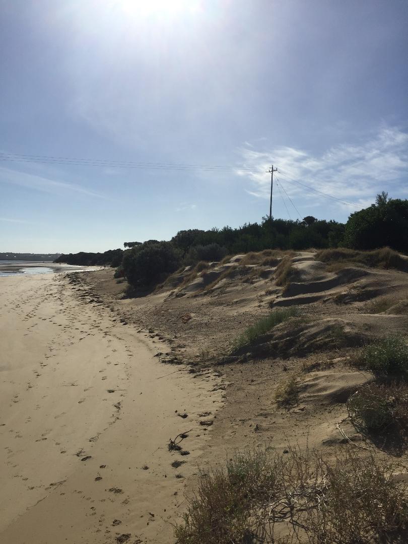
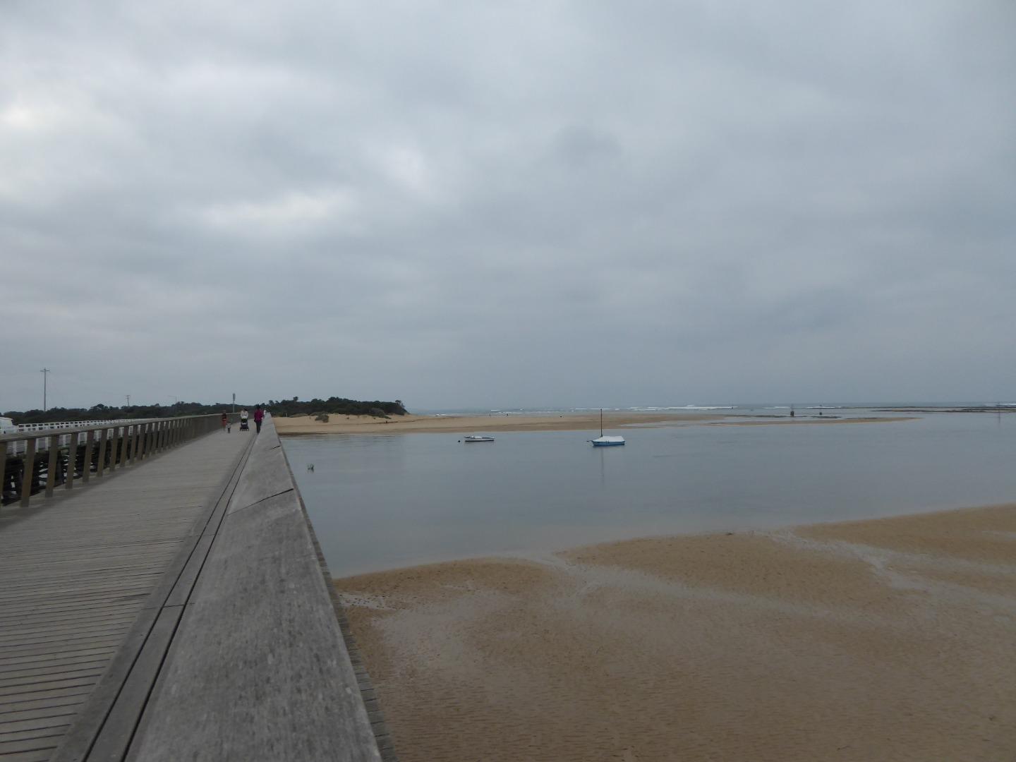
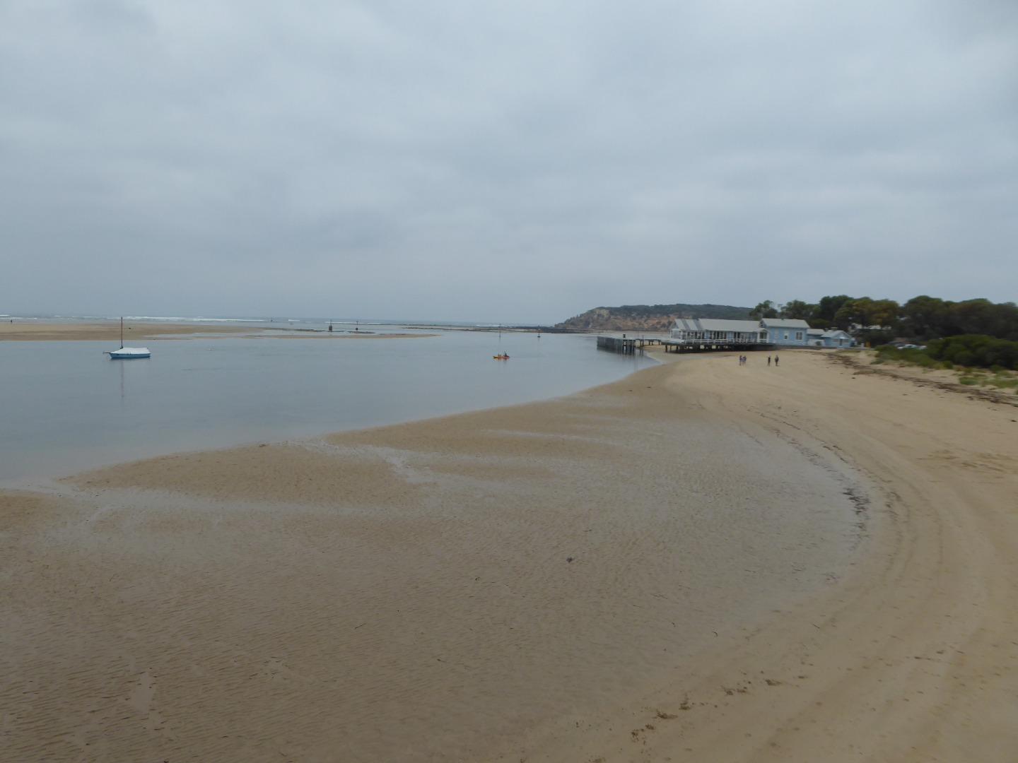
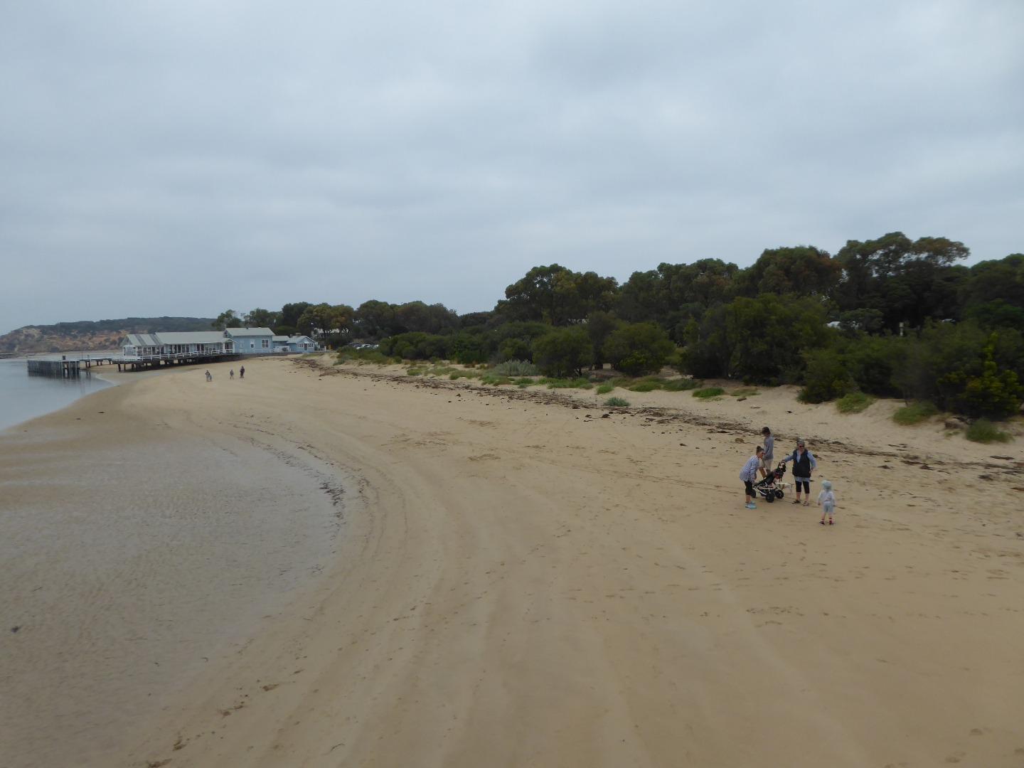
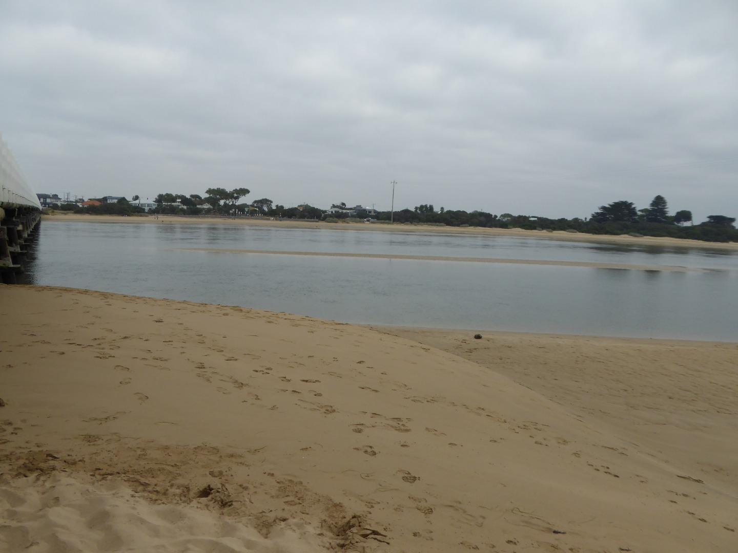
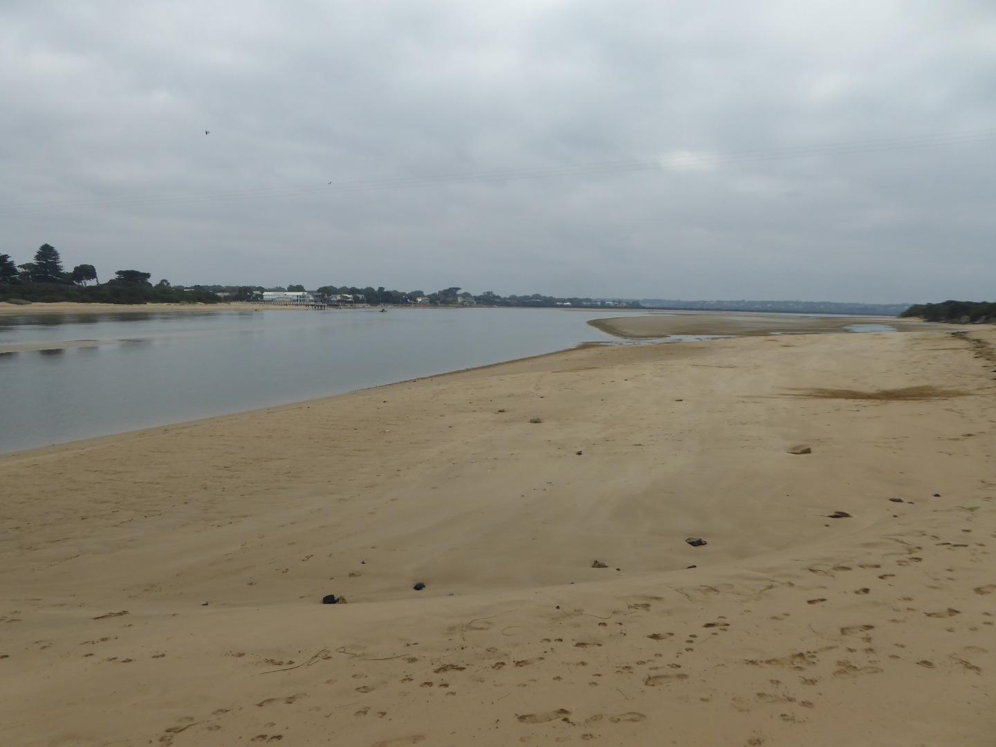
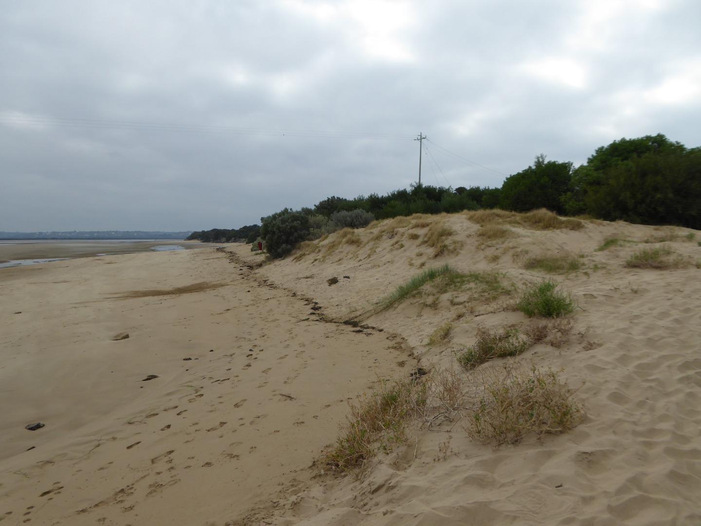
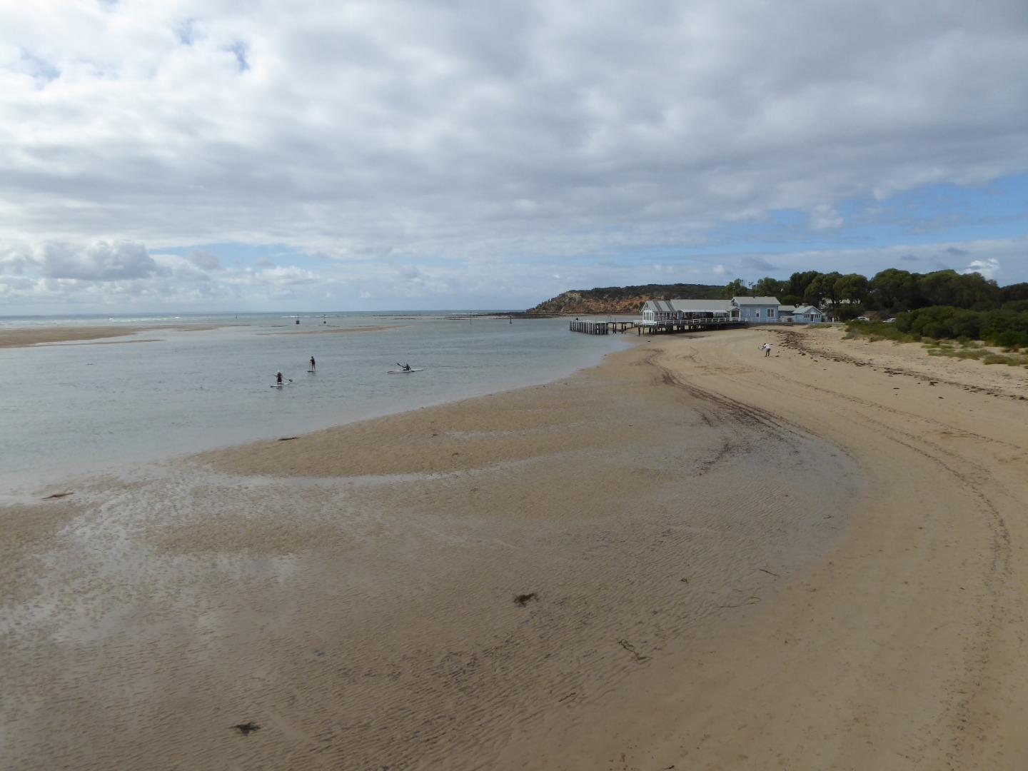
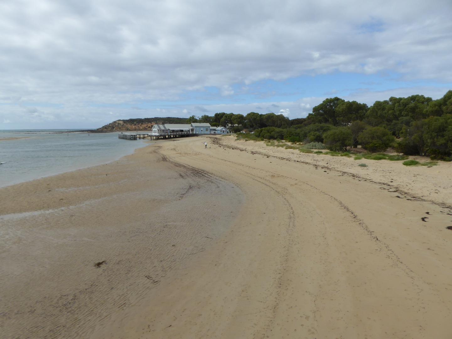
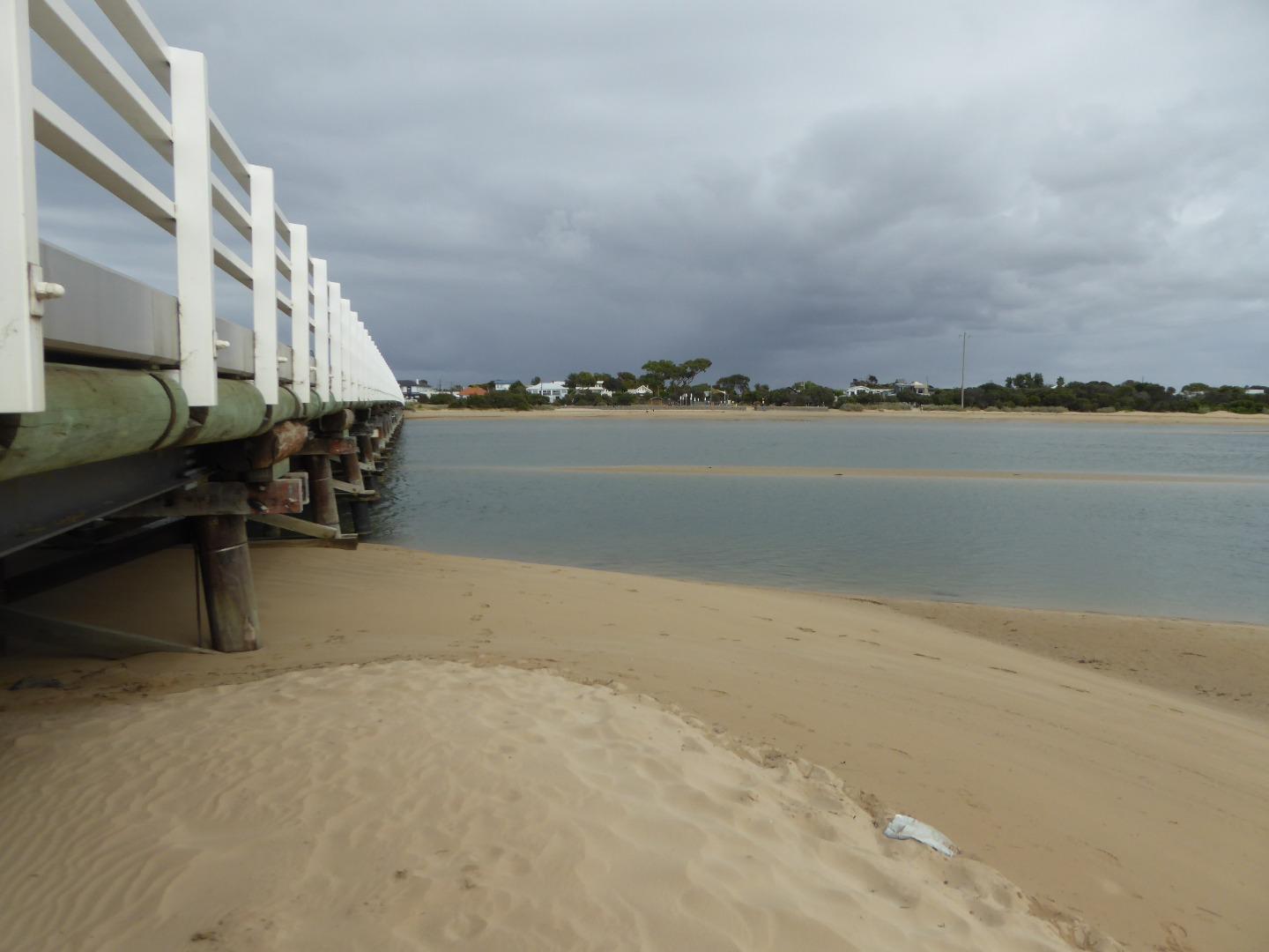
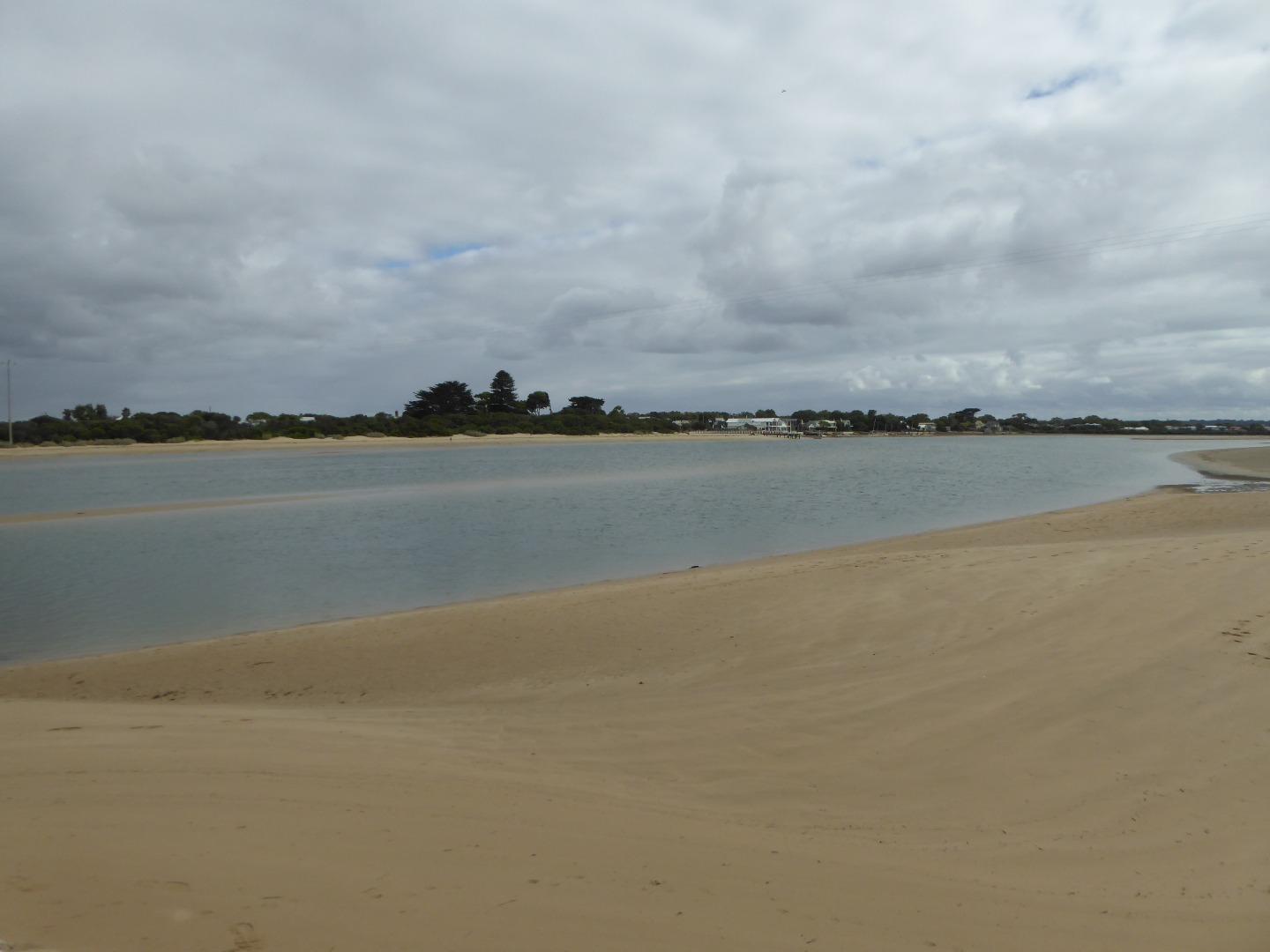
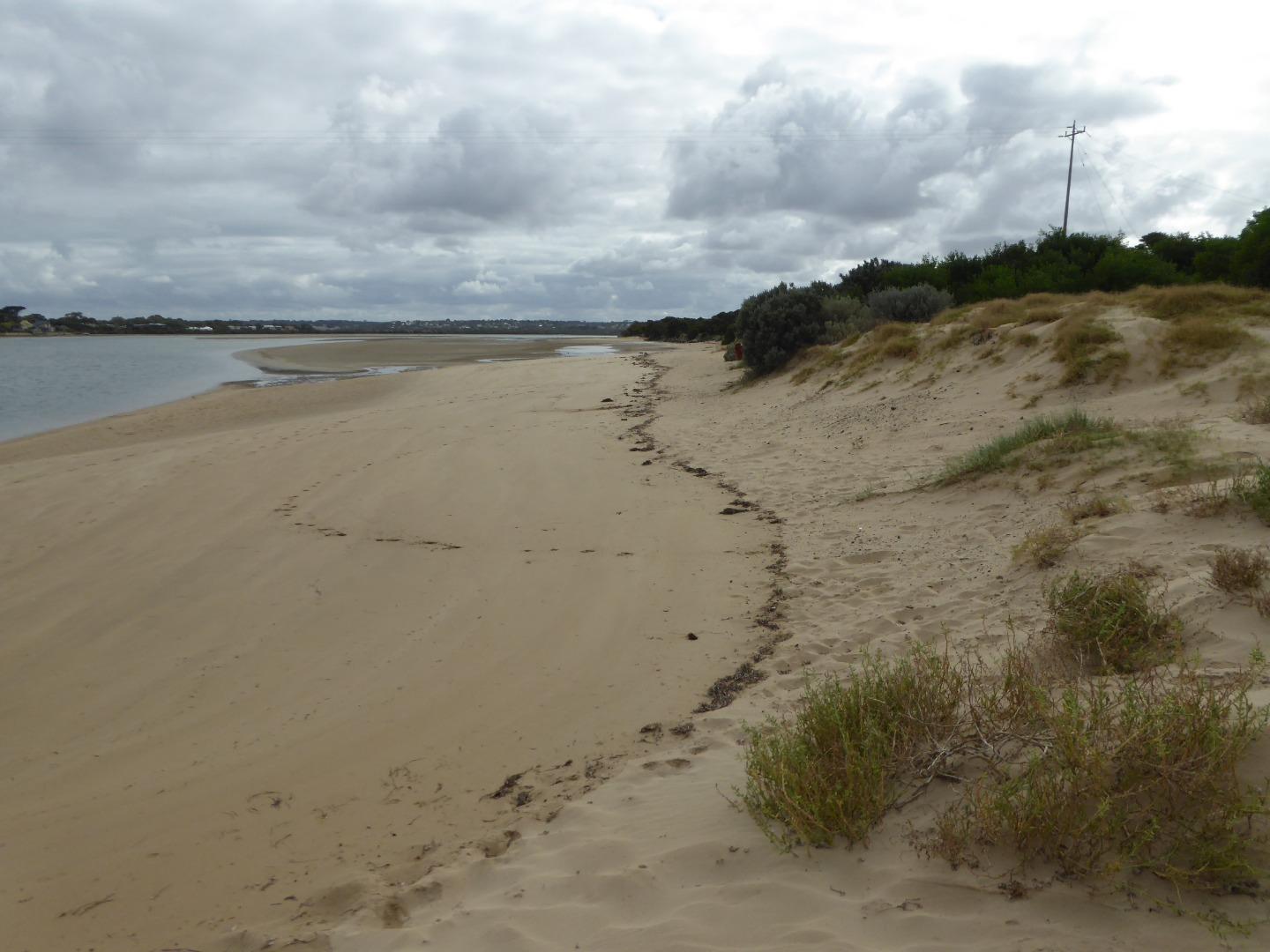
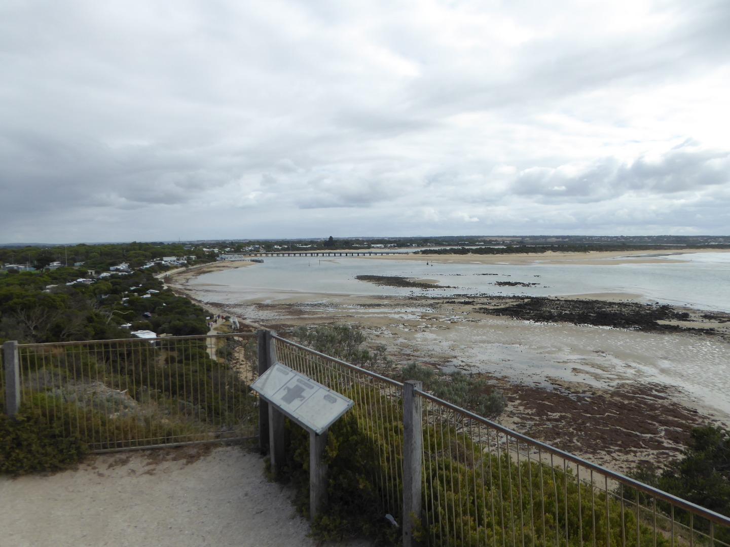
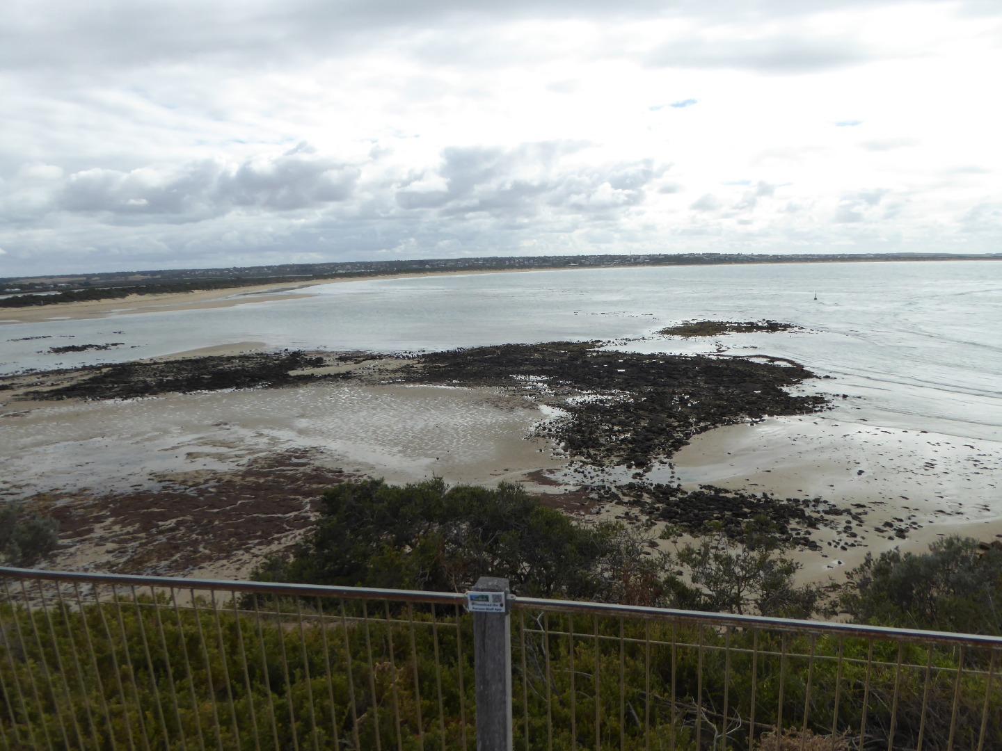
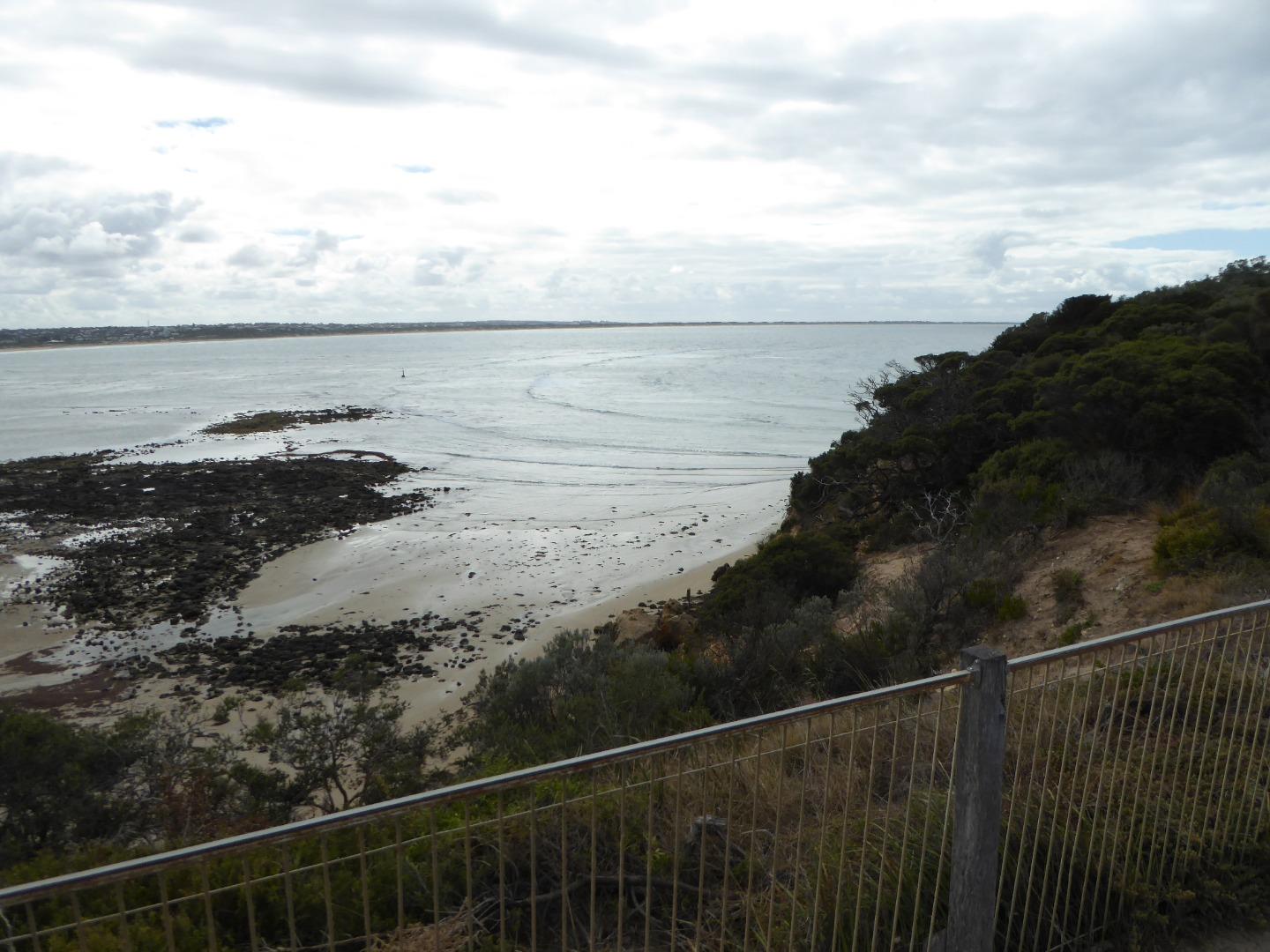
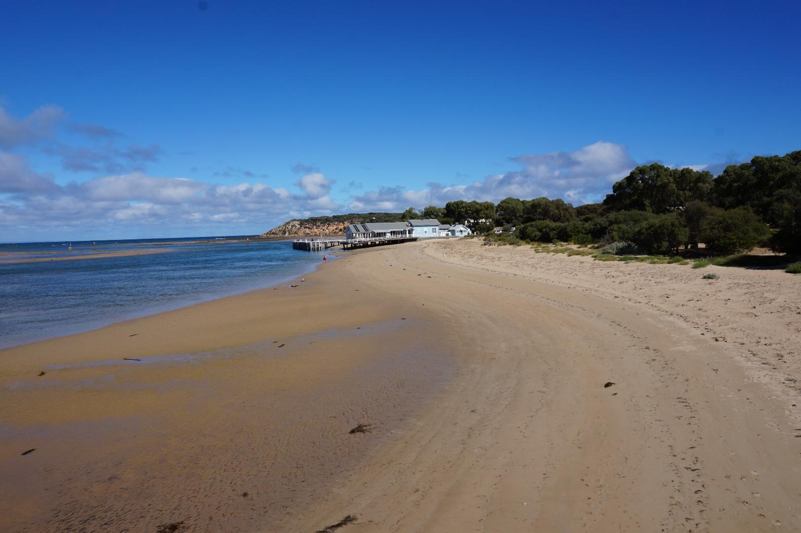
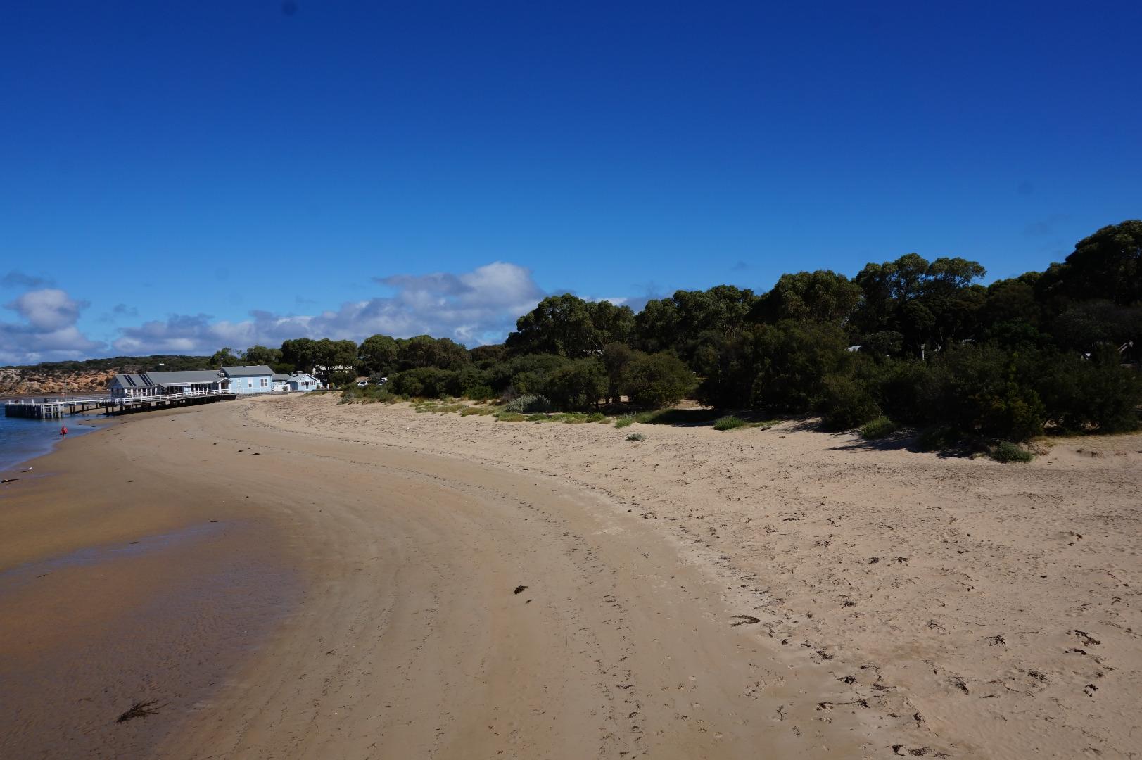
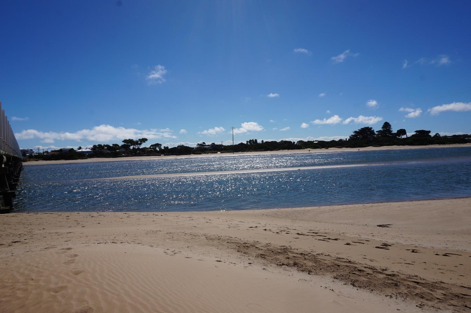
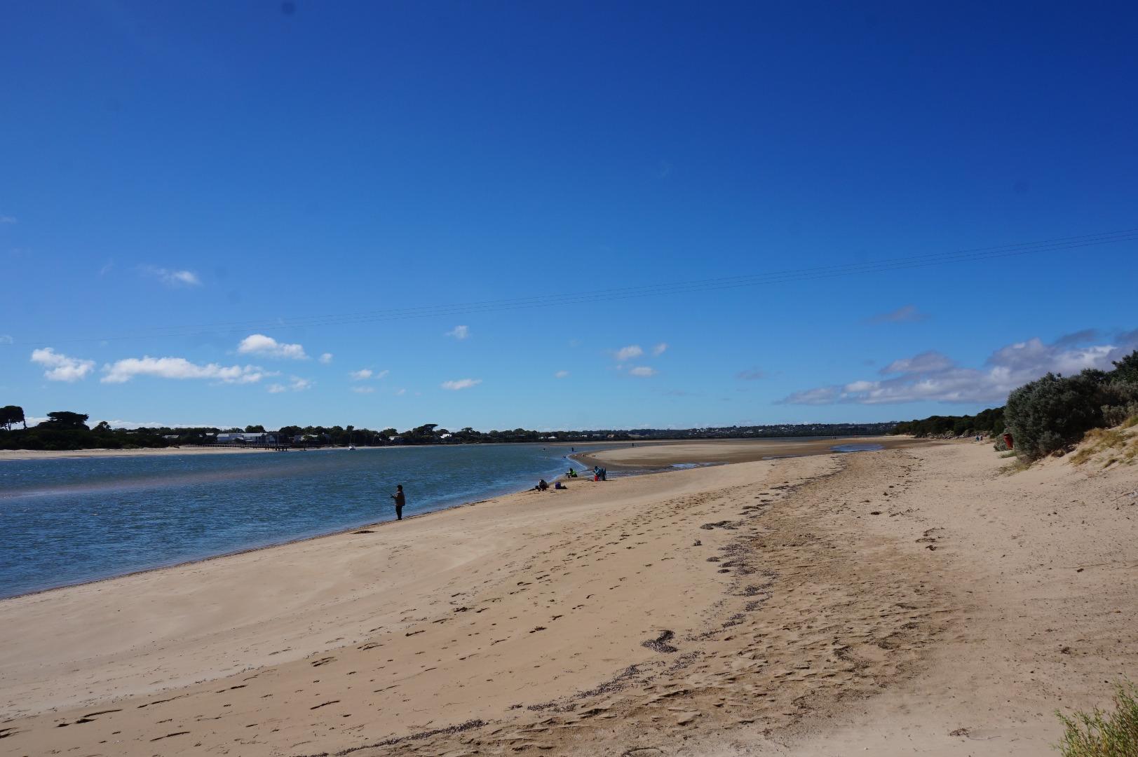
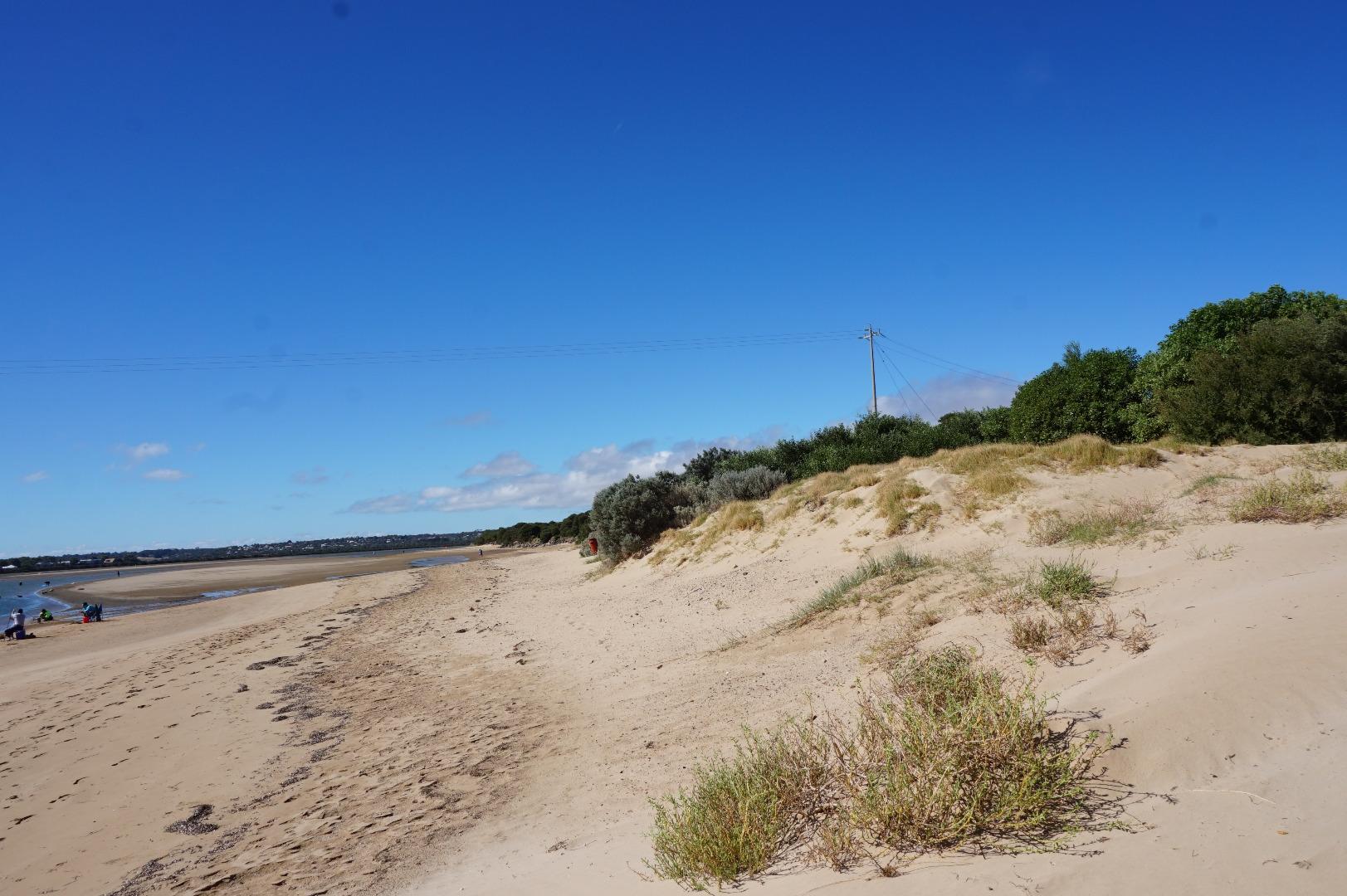
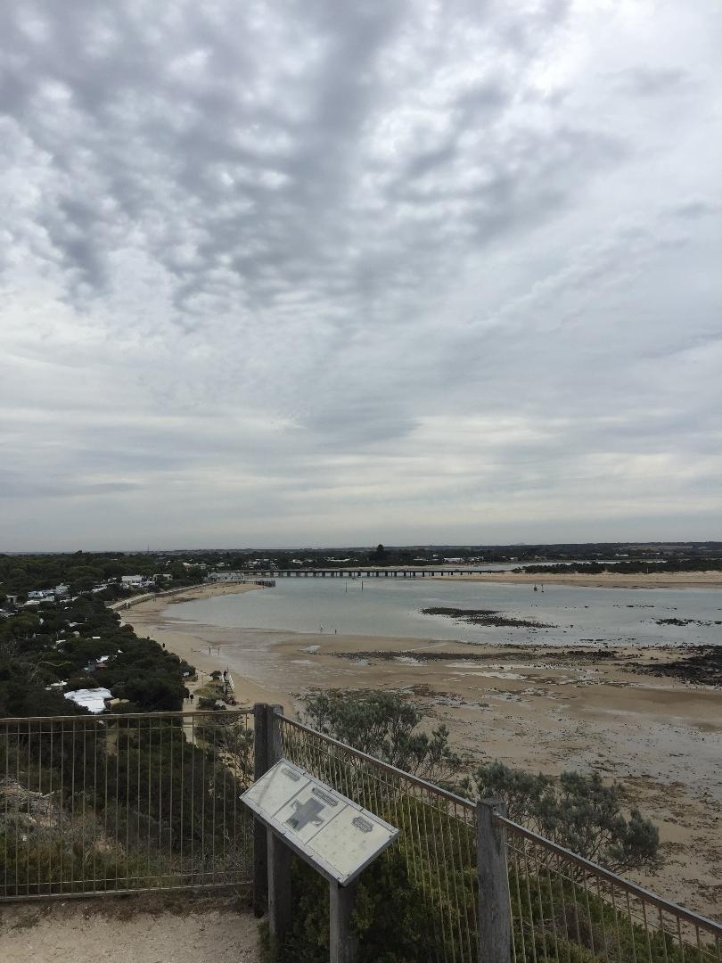
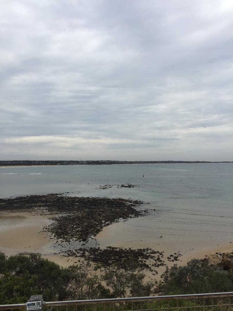
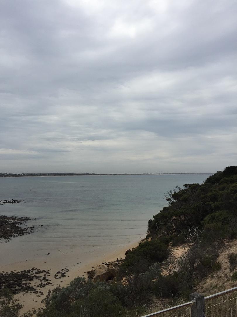
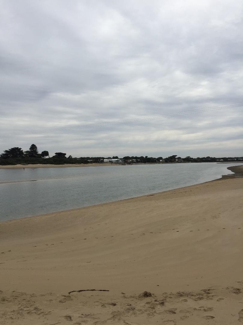
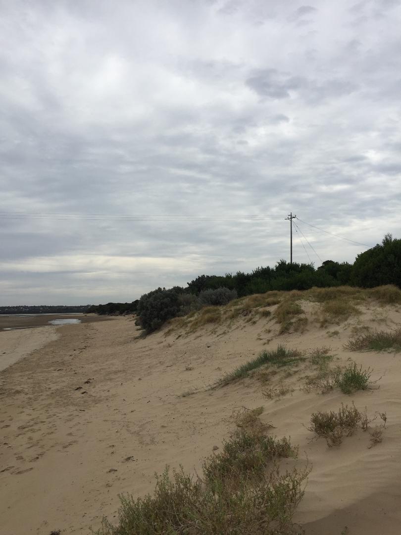
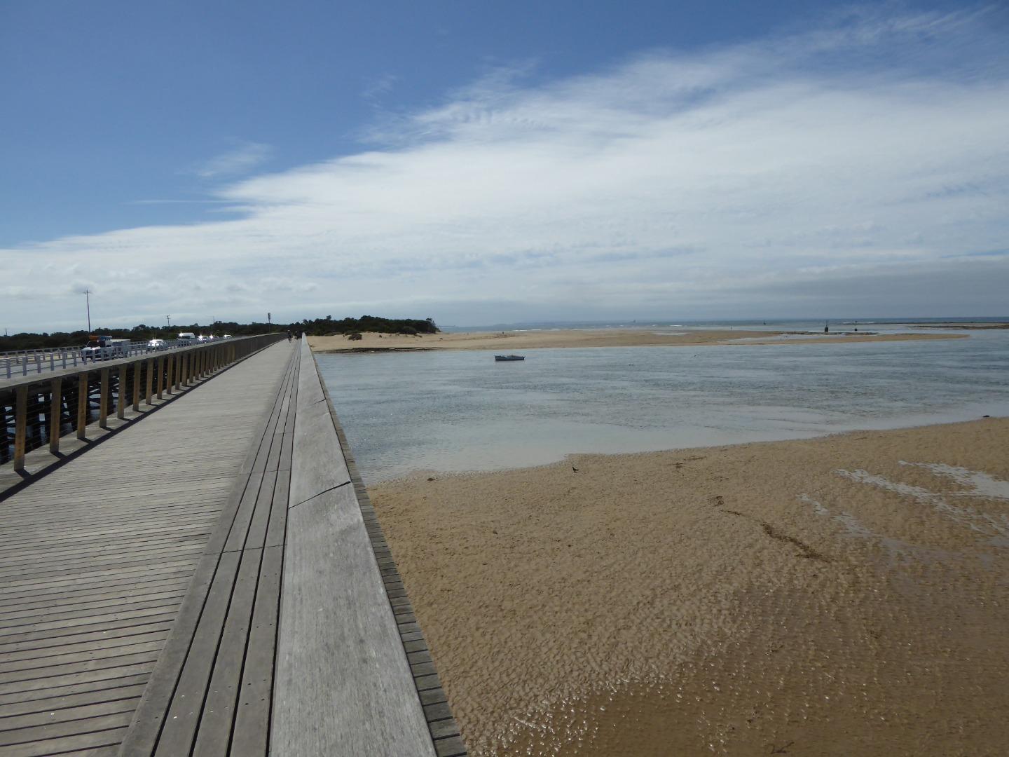
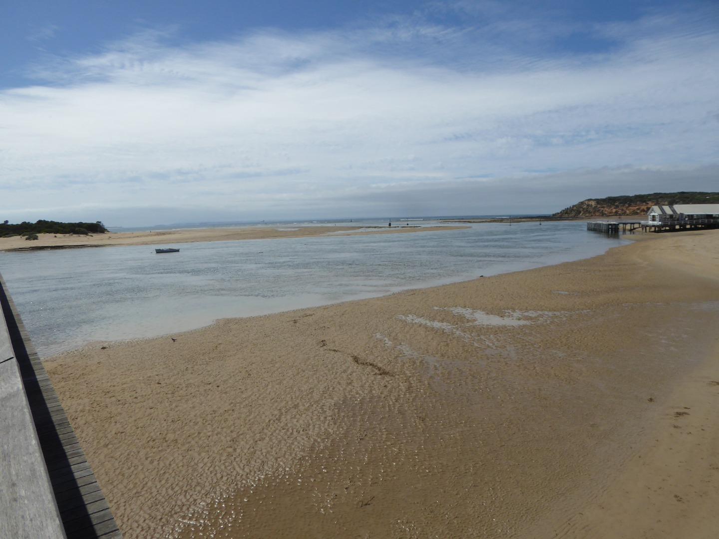
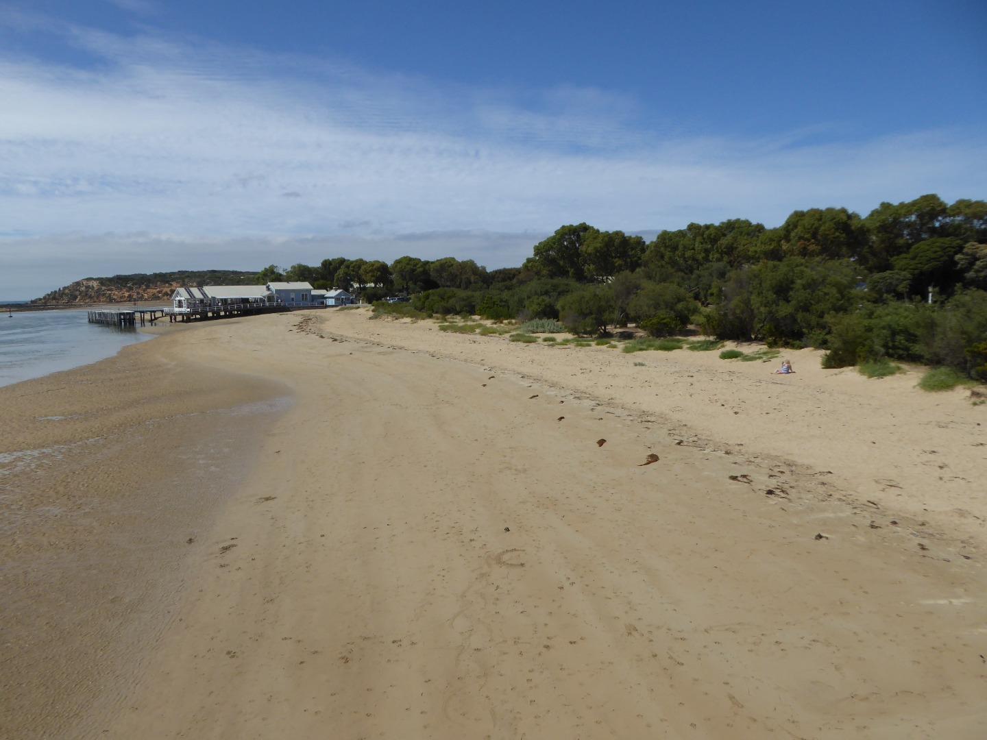
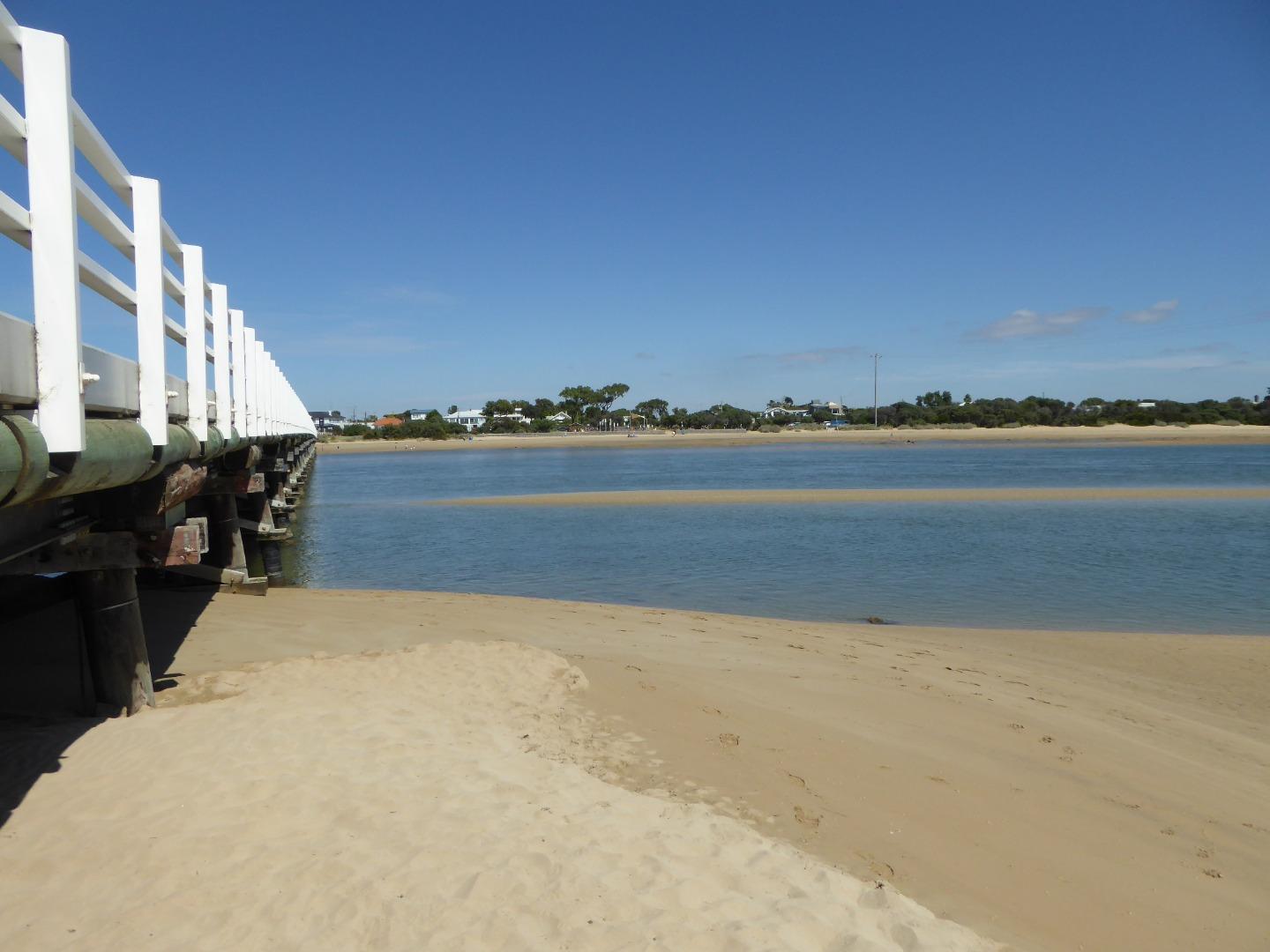
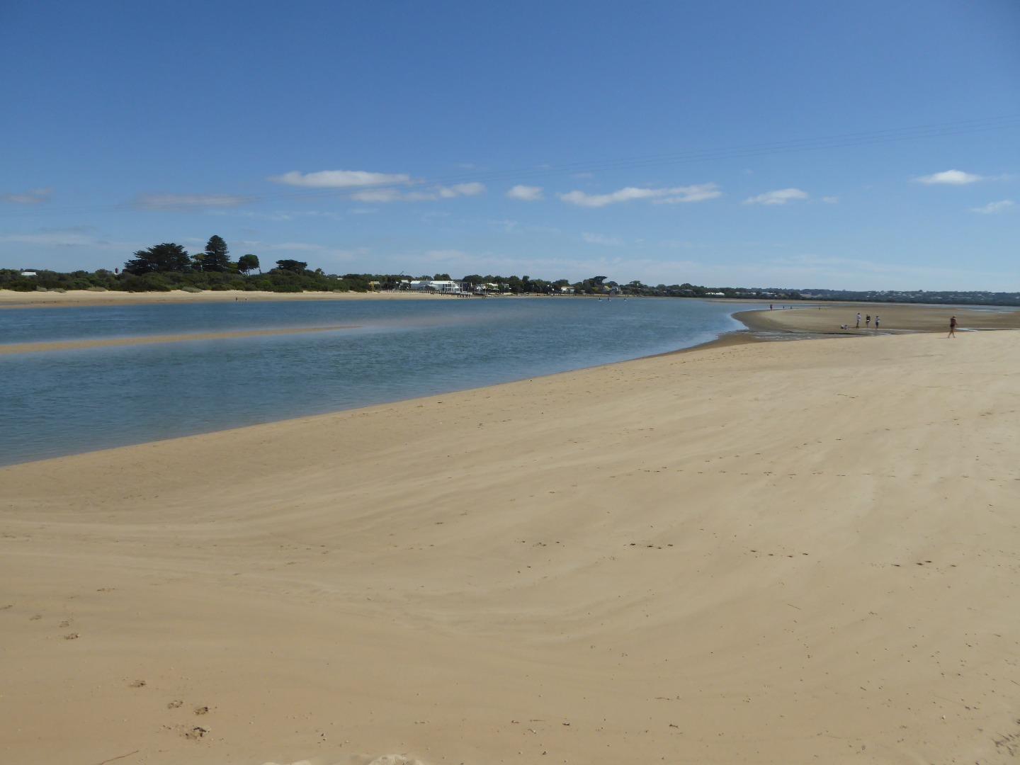
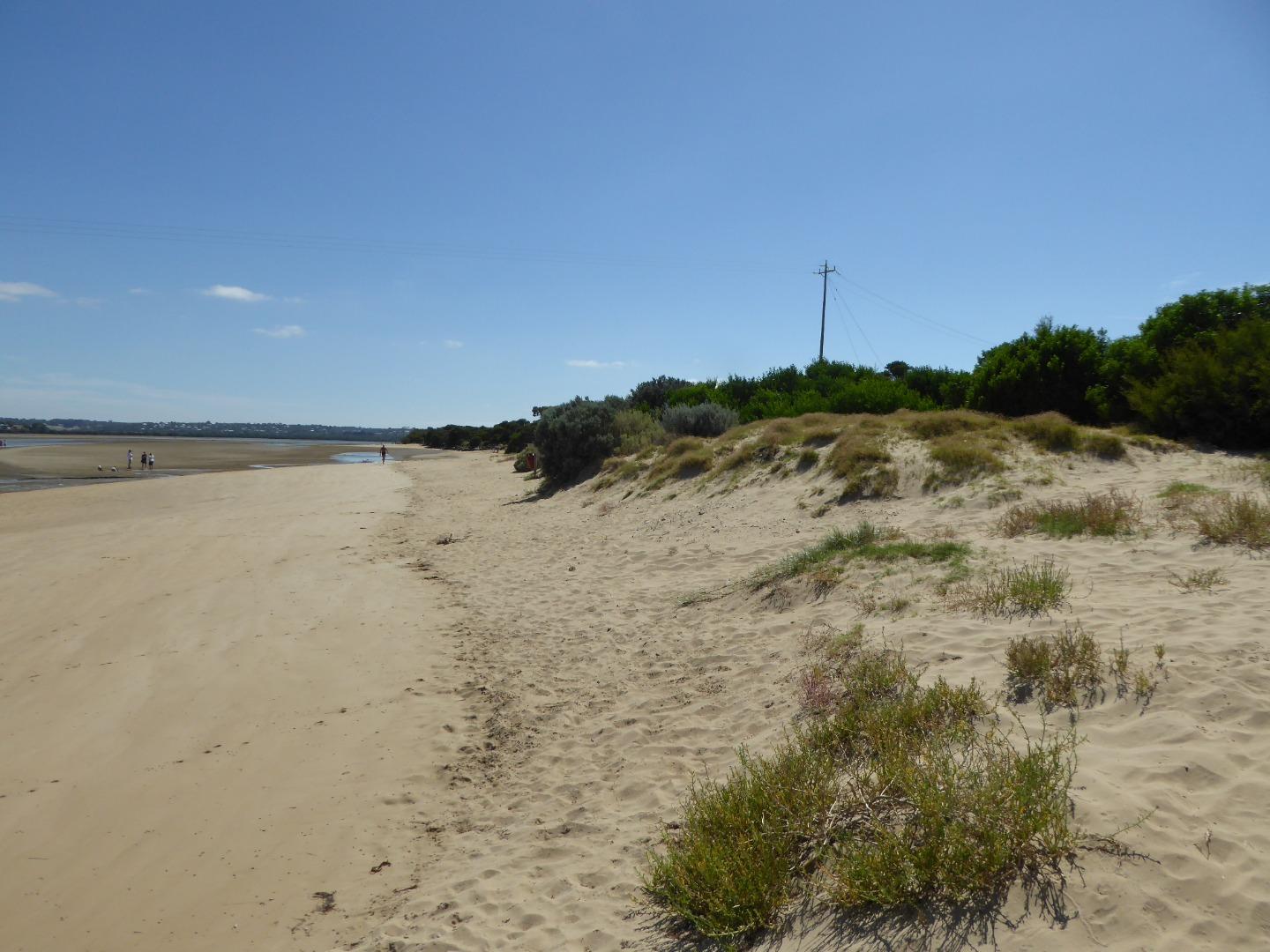
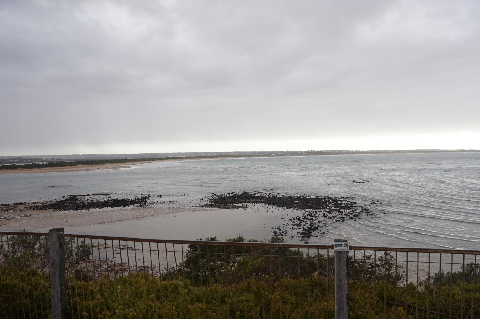
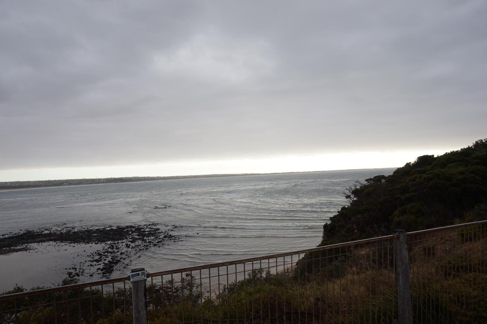
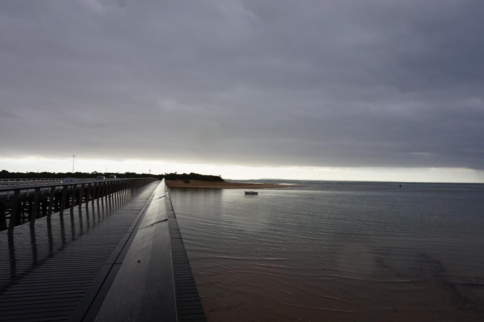
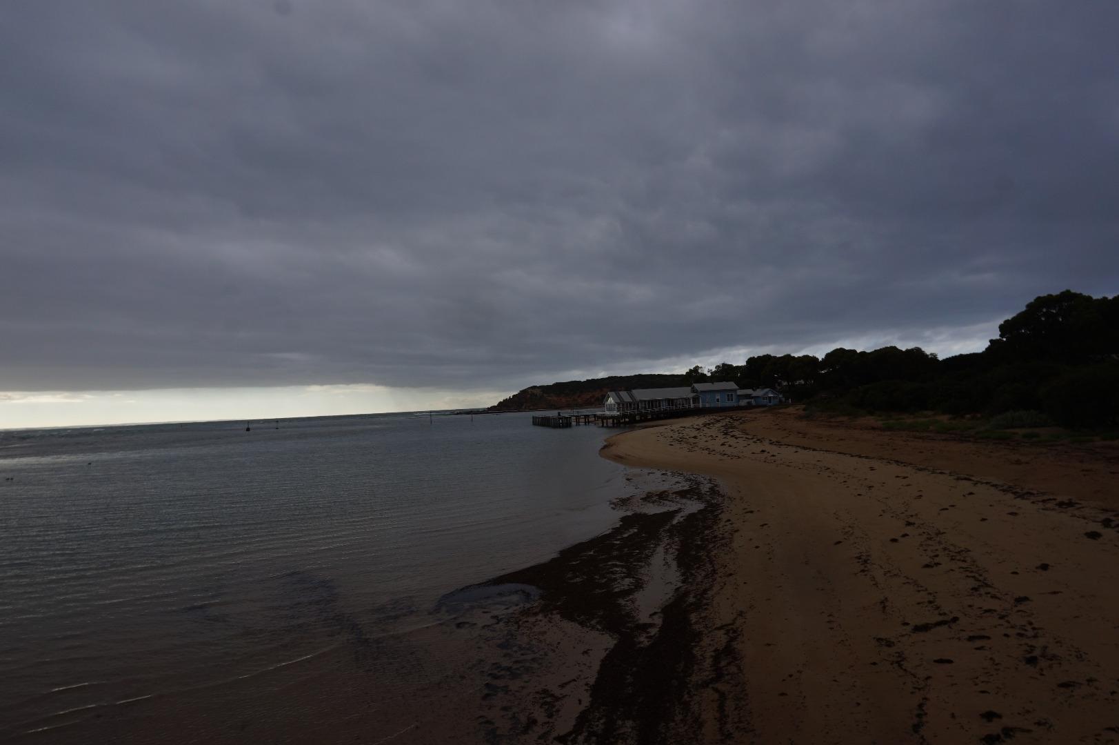
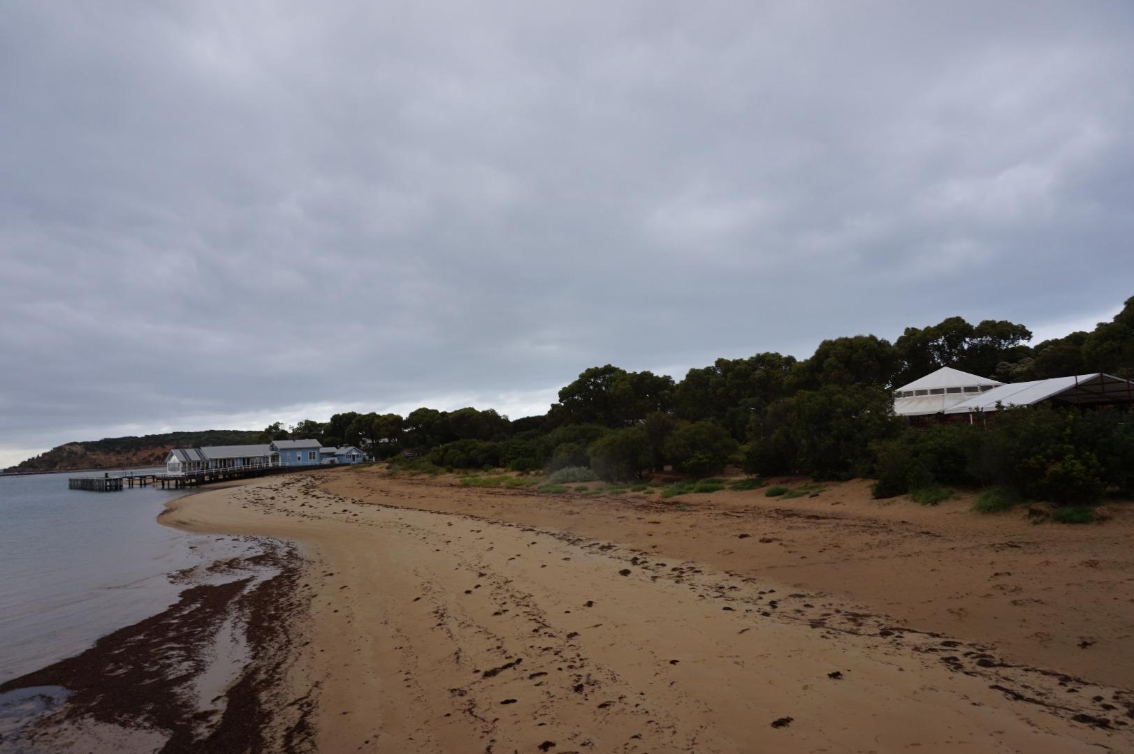
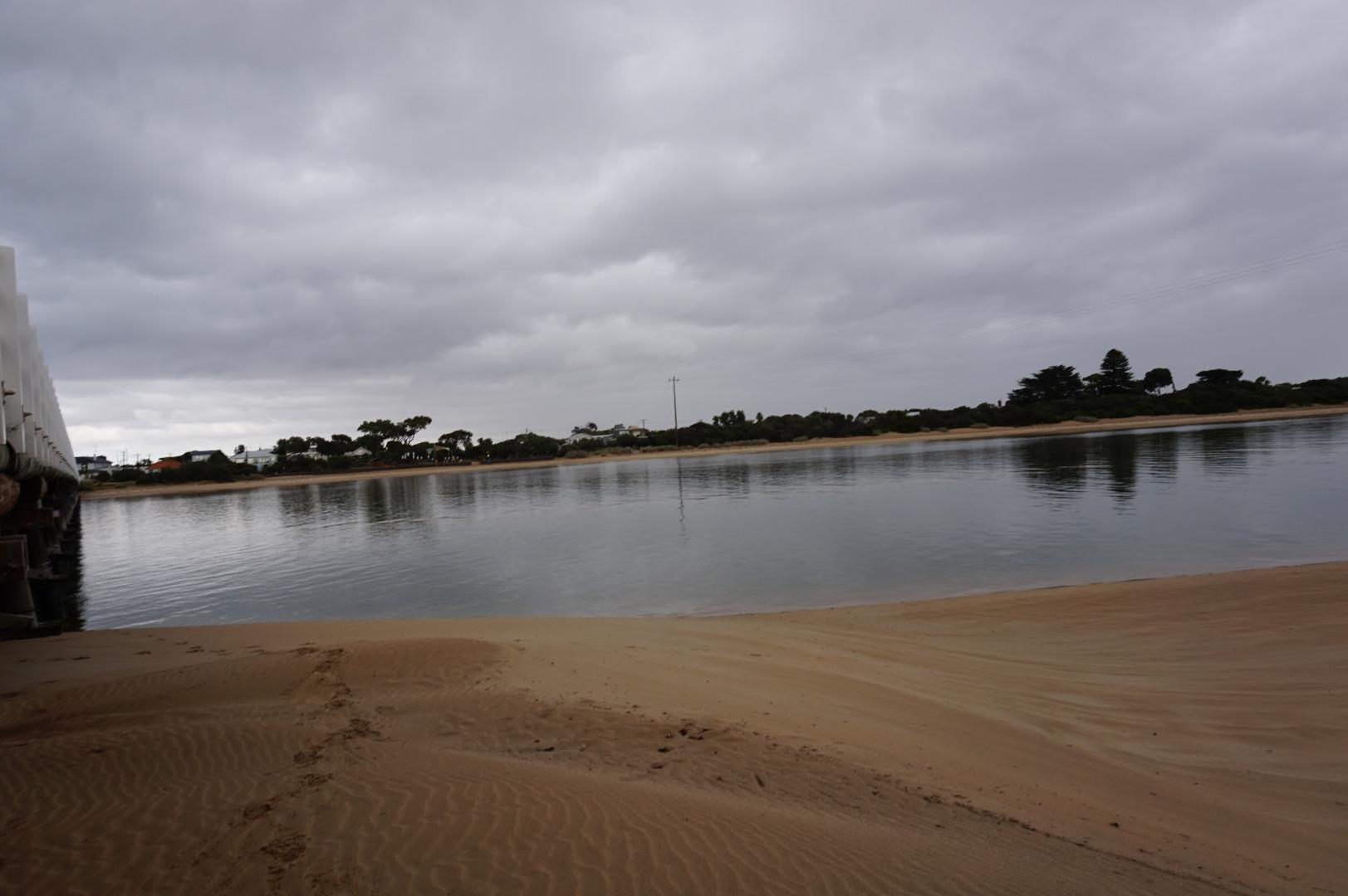
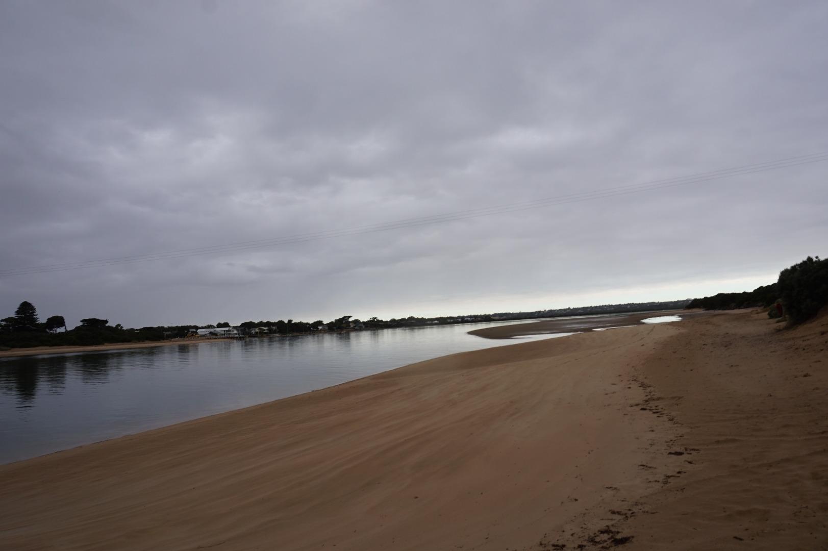
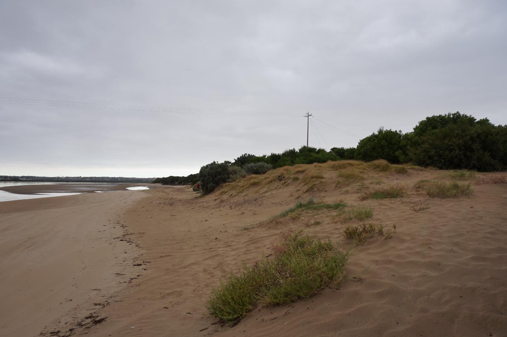
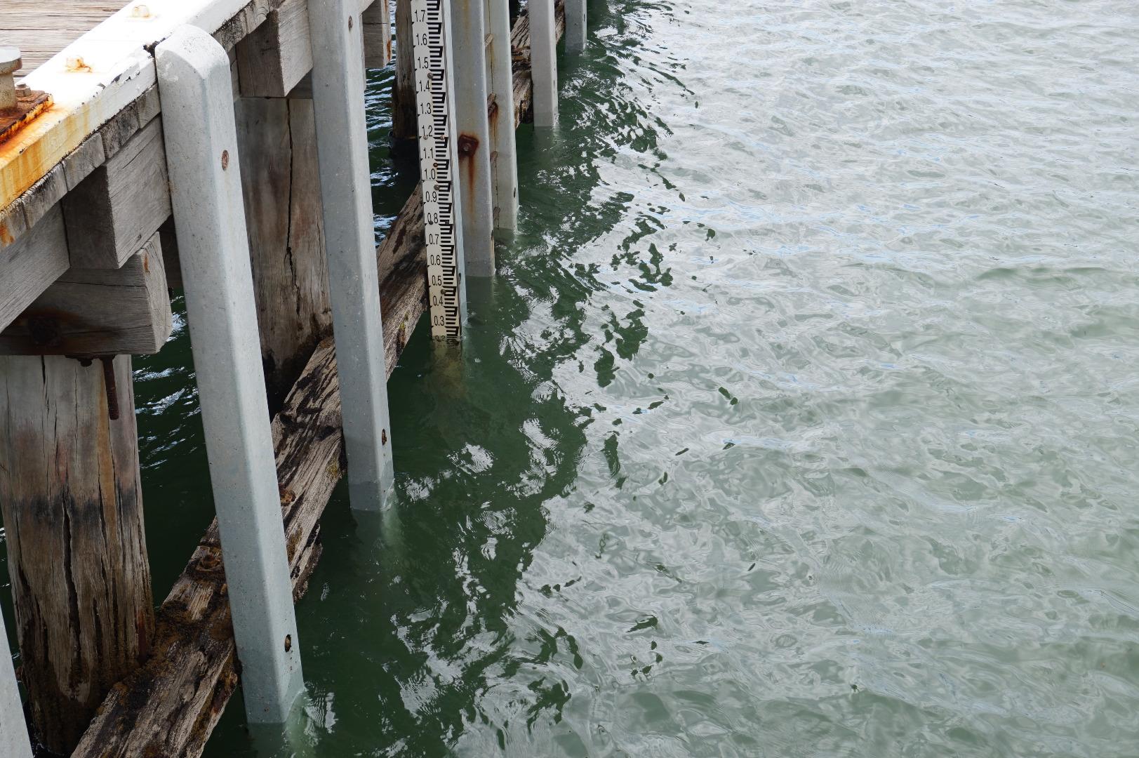
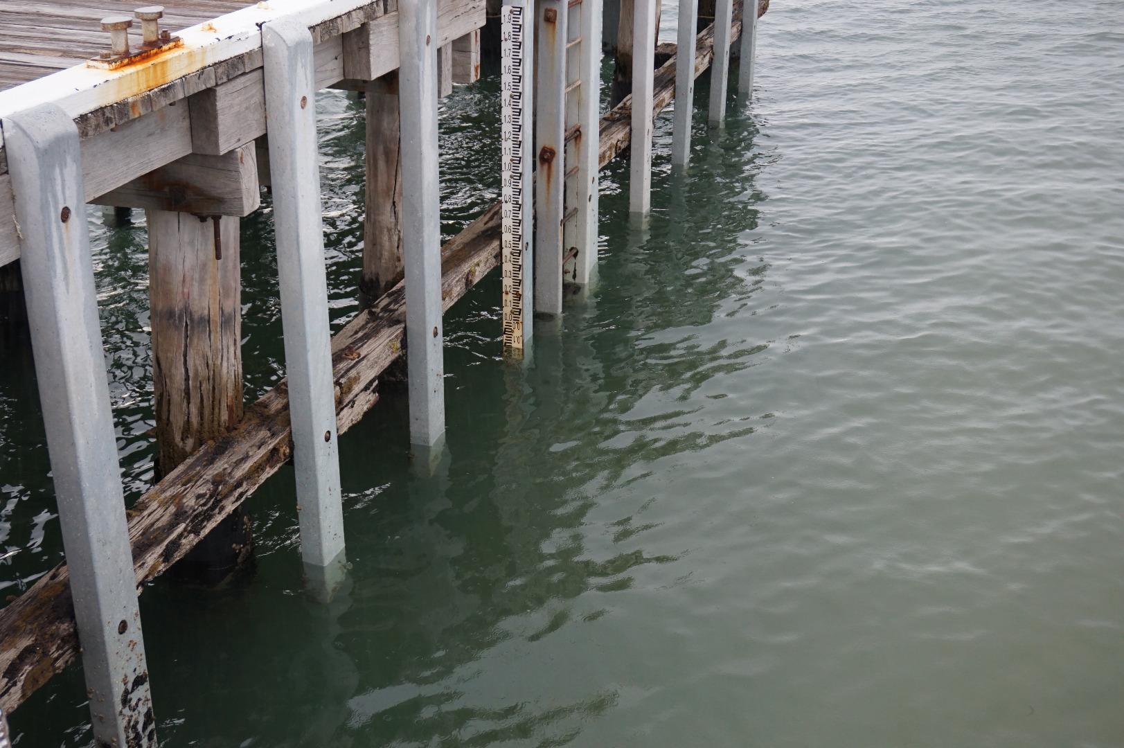
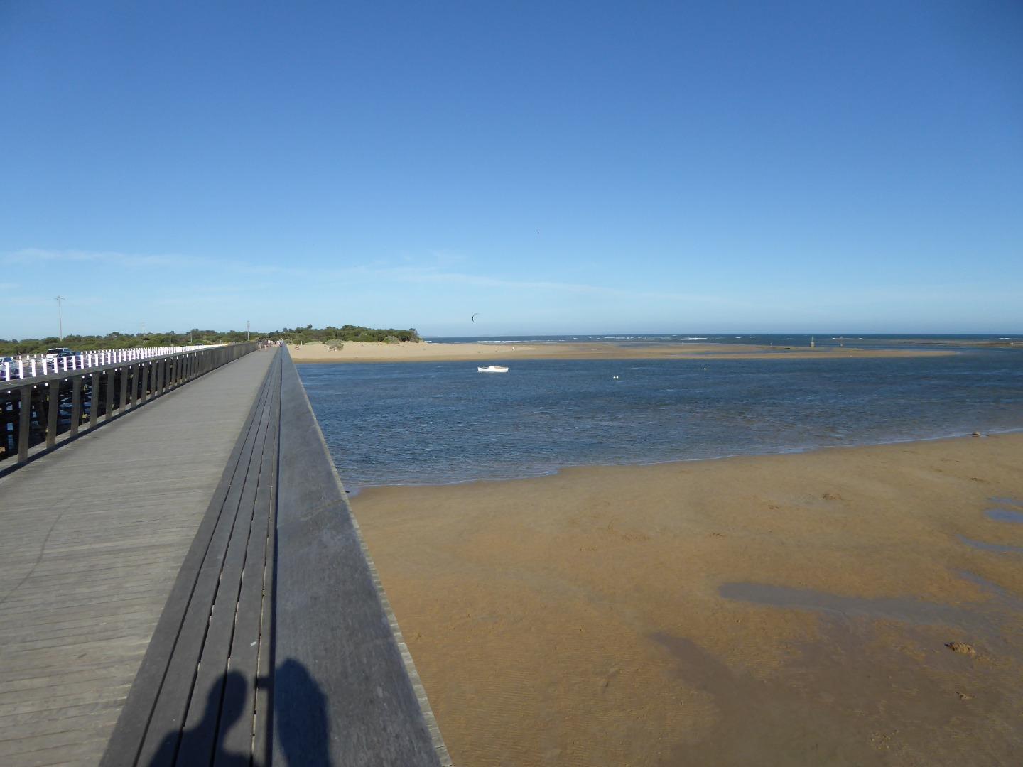
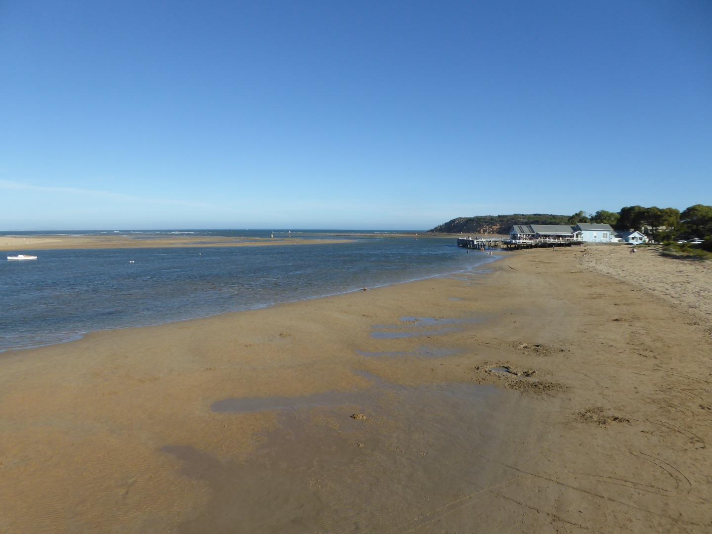
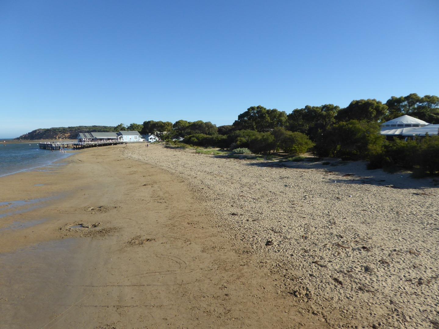
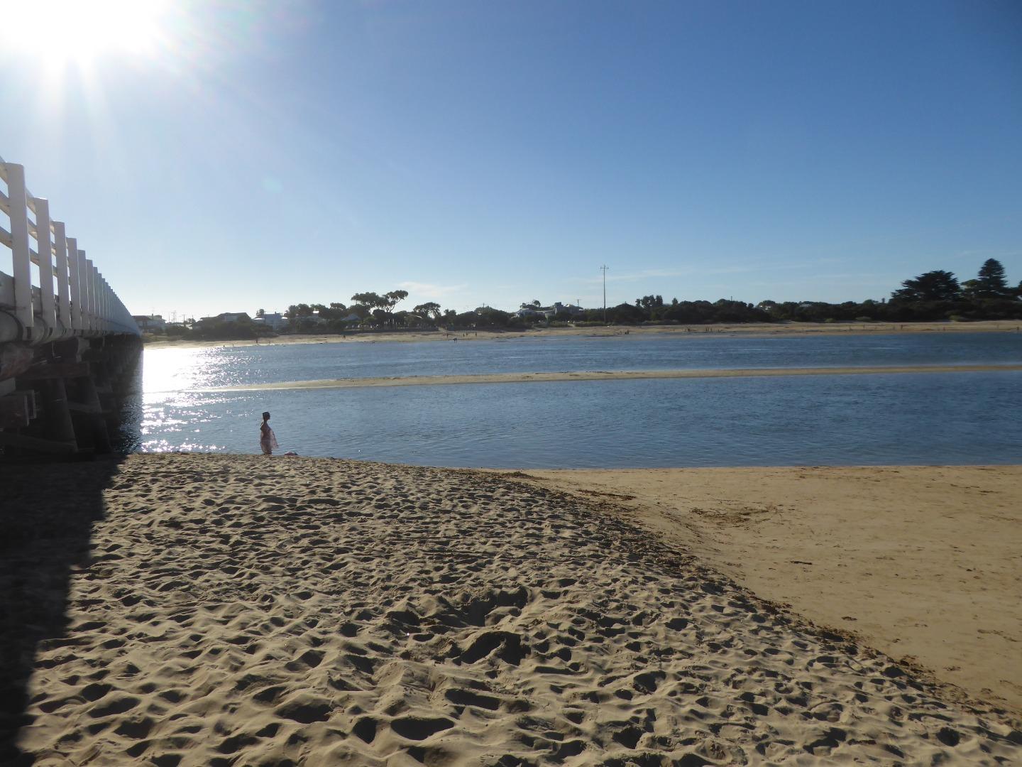
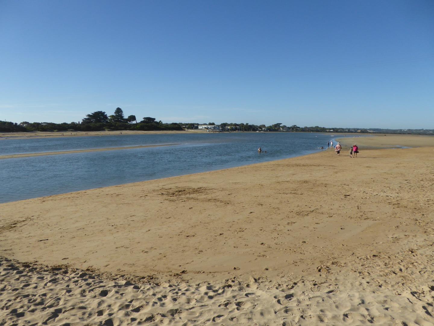
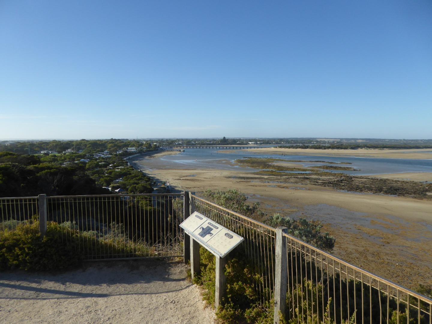
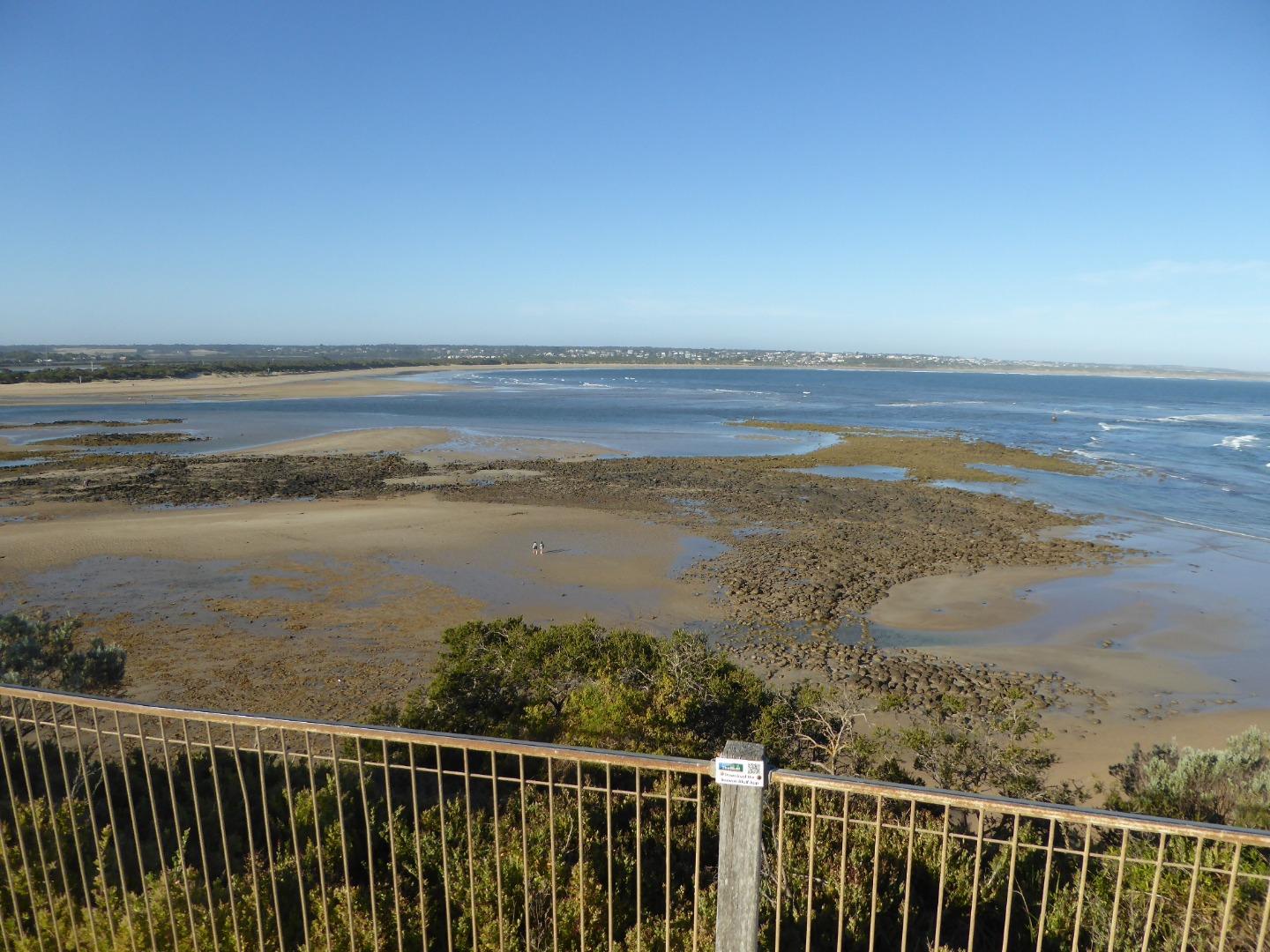
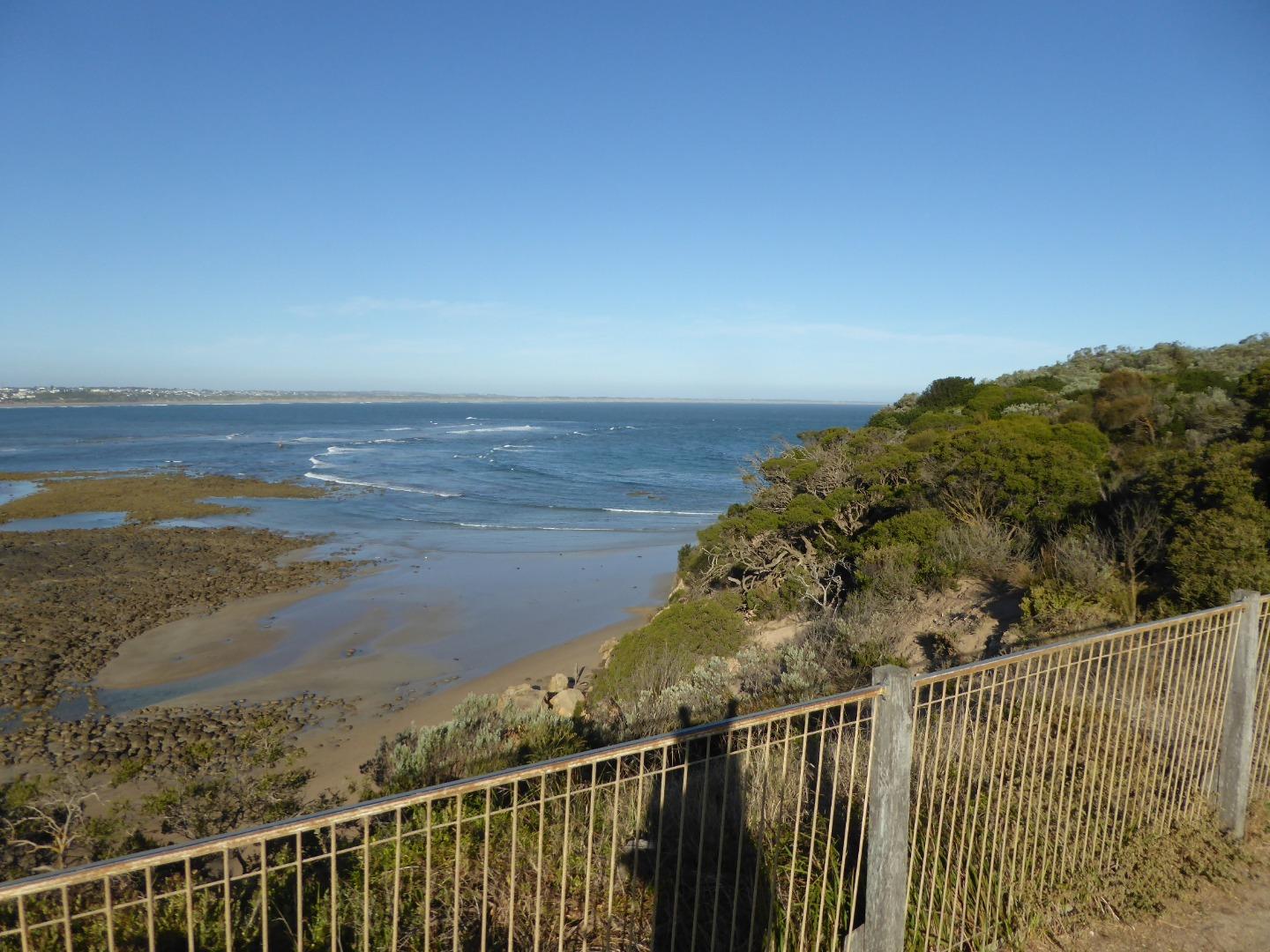
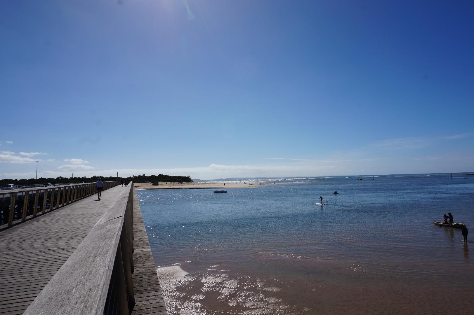
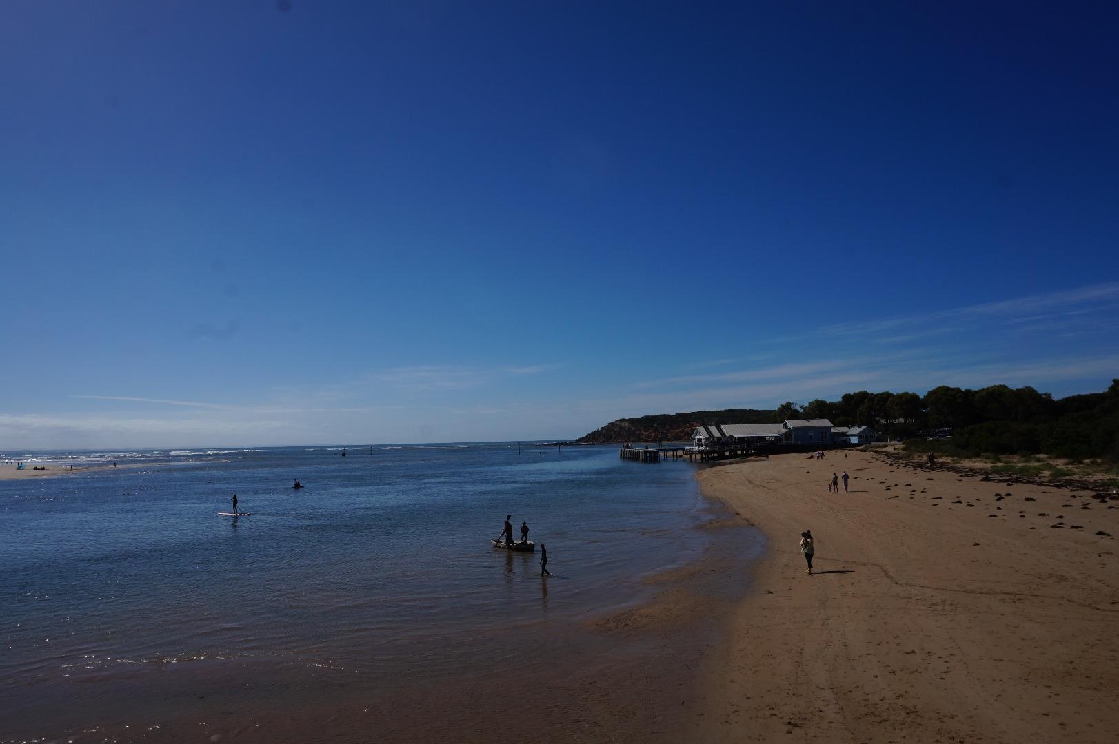
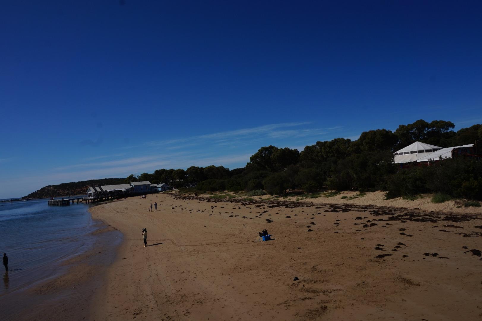
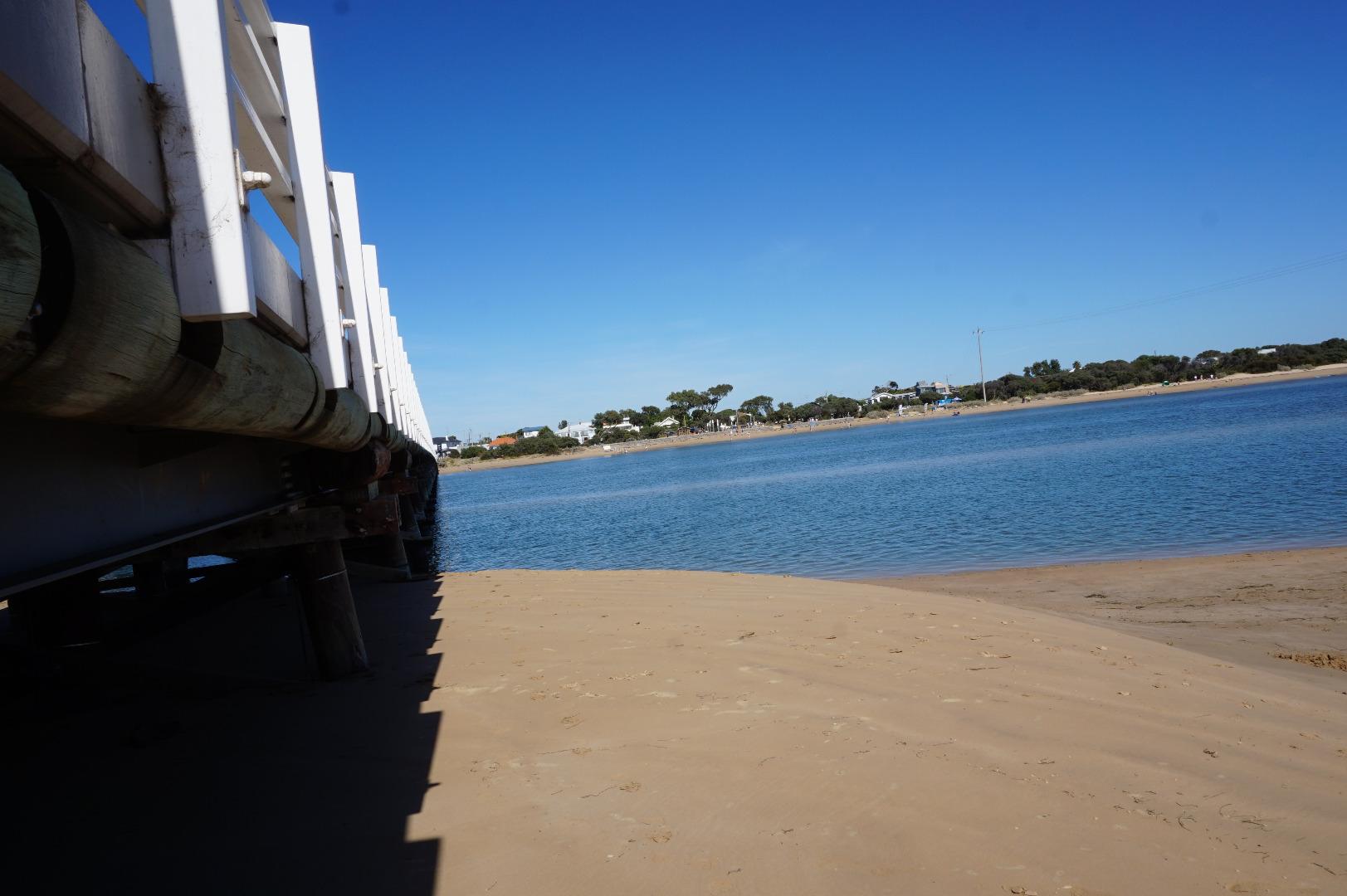
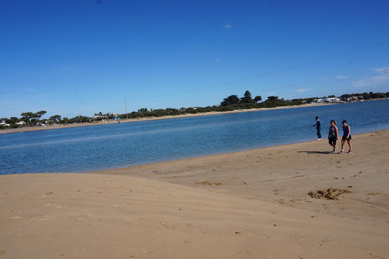
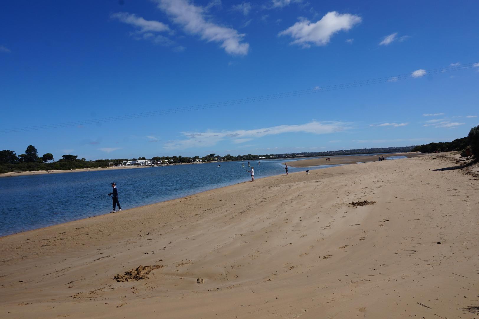
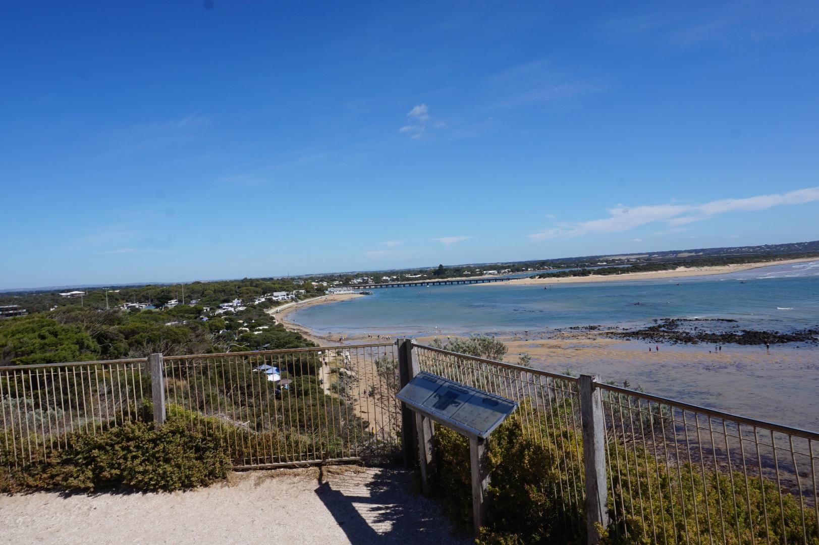
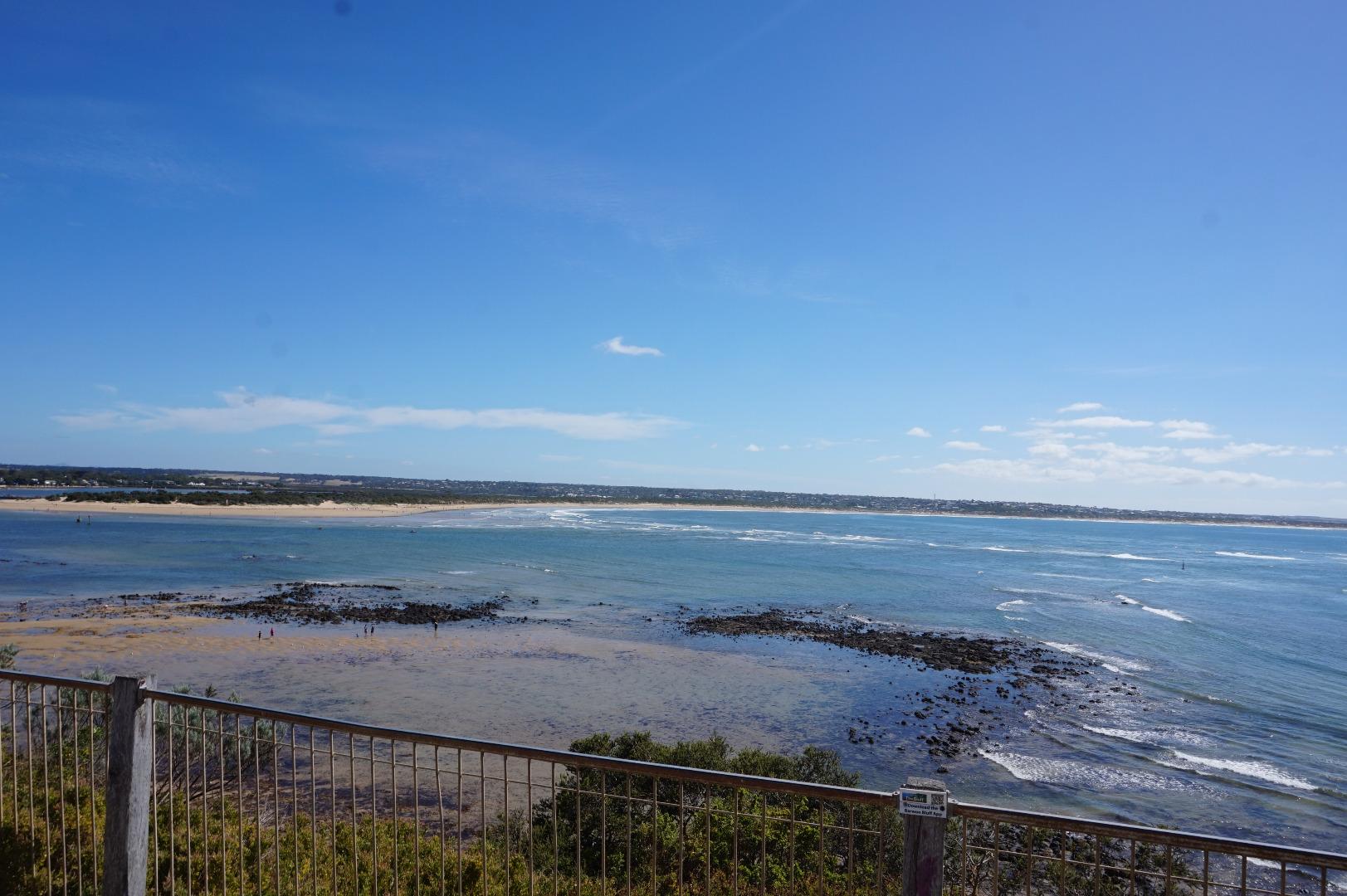
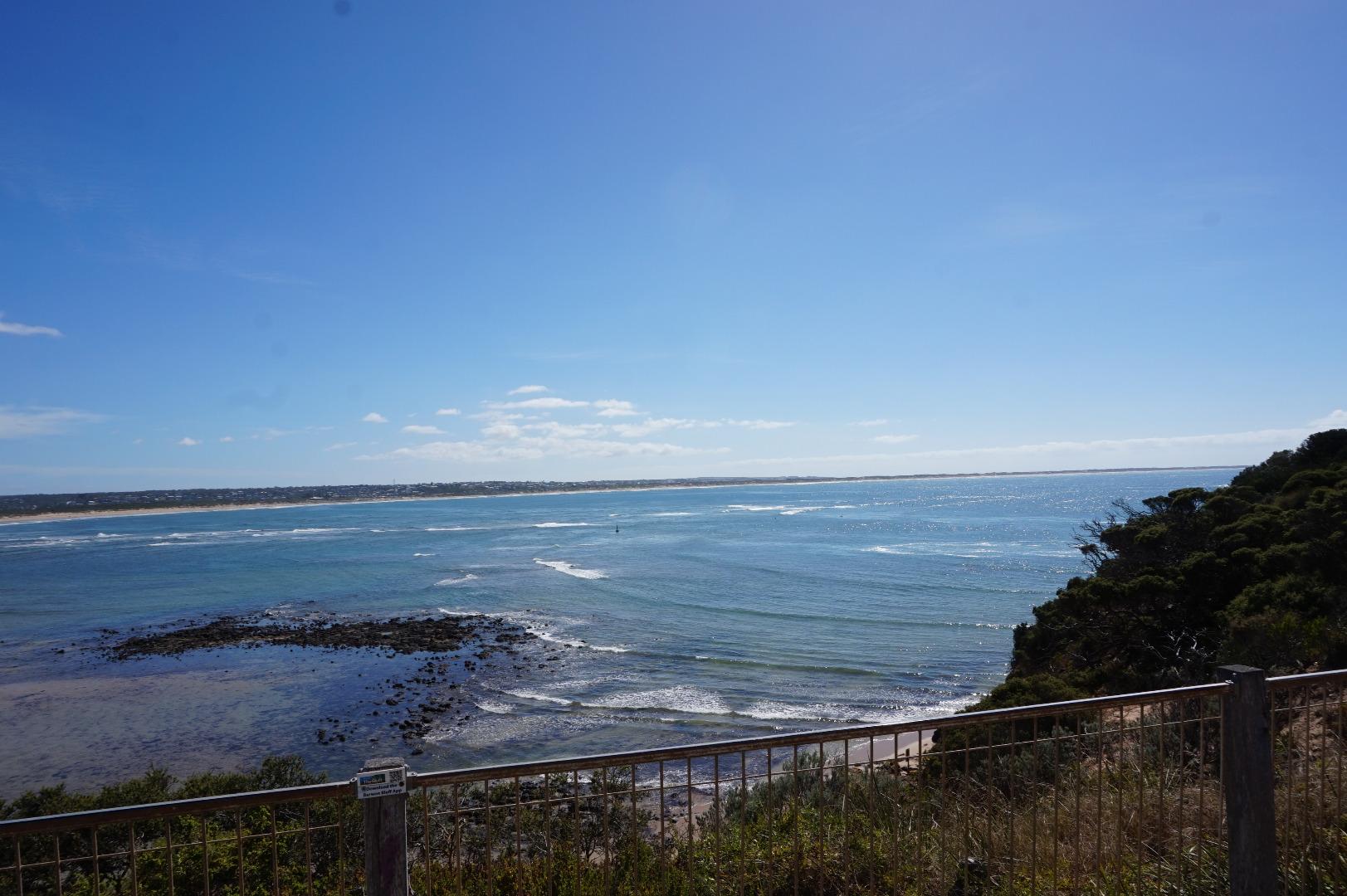
Active Mouth Condition 15-12-2007 - 04-04-2024Barwon River Estuary
| ID | Date | Status | Details | |
|---|---|---|---|---|
| #13657 | 5 Mar 2020 | Approved | ||
| #13569 | 6 Feb 2020 | Approved | ||
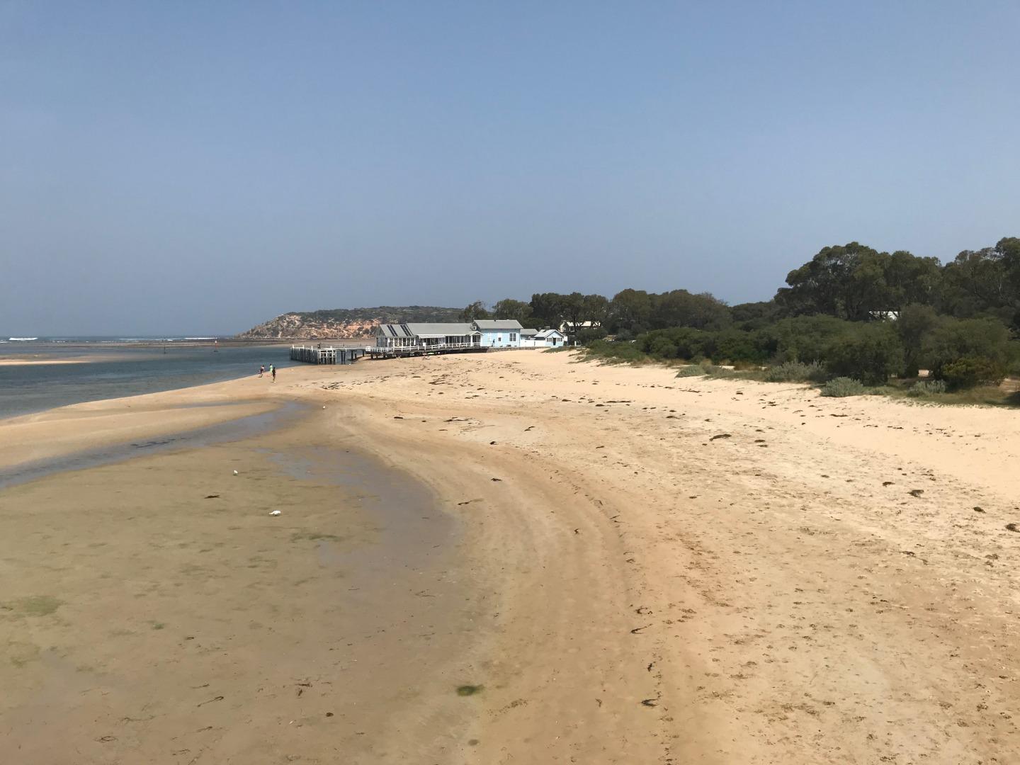
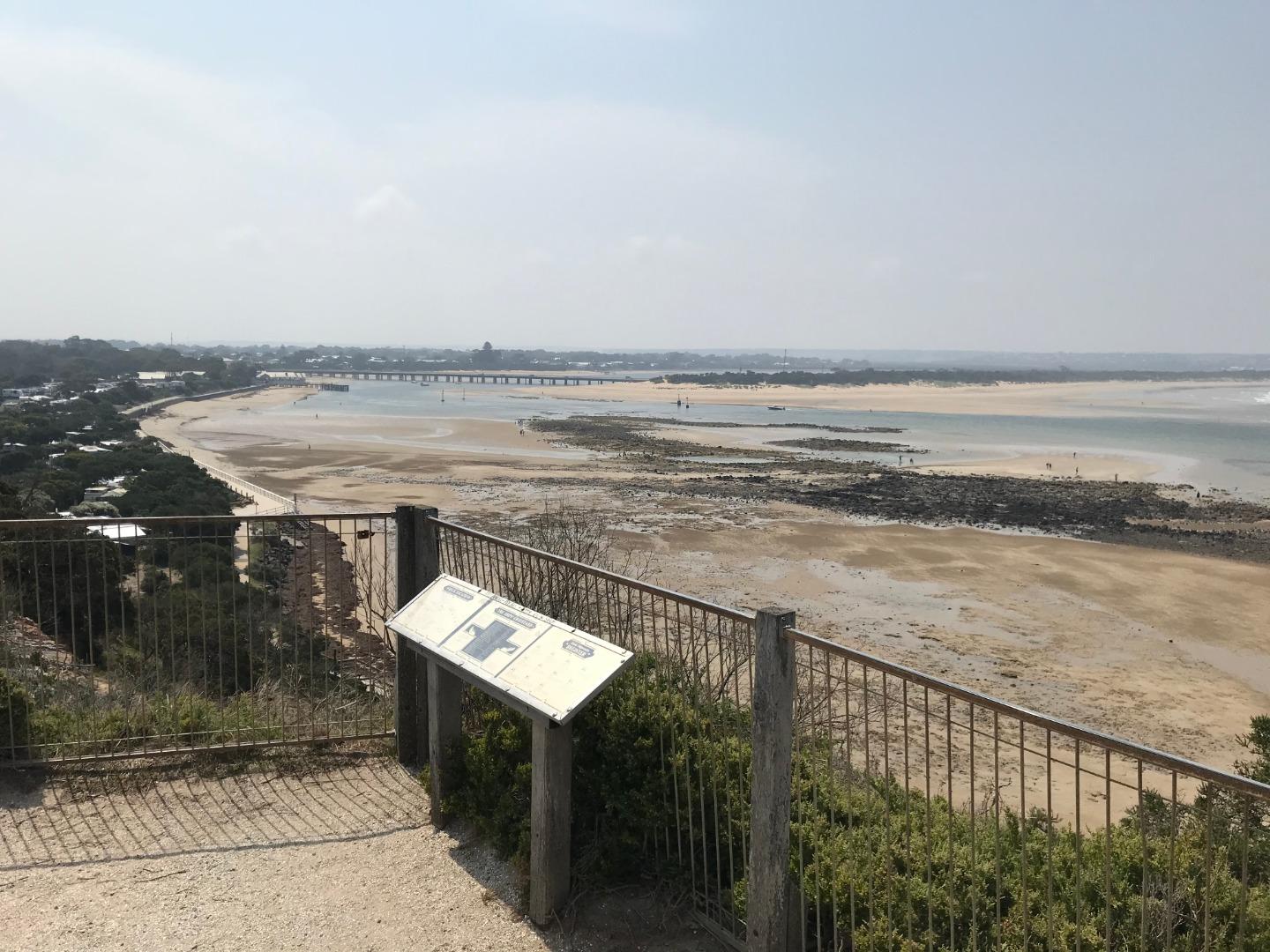
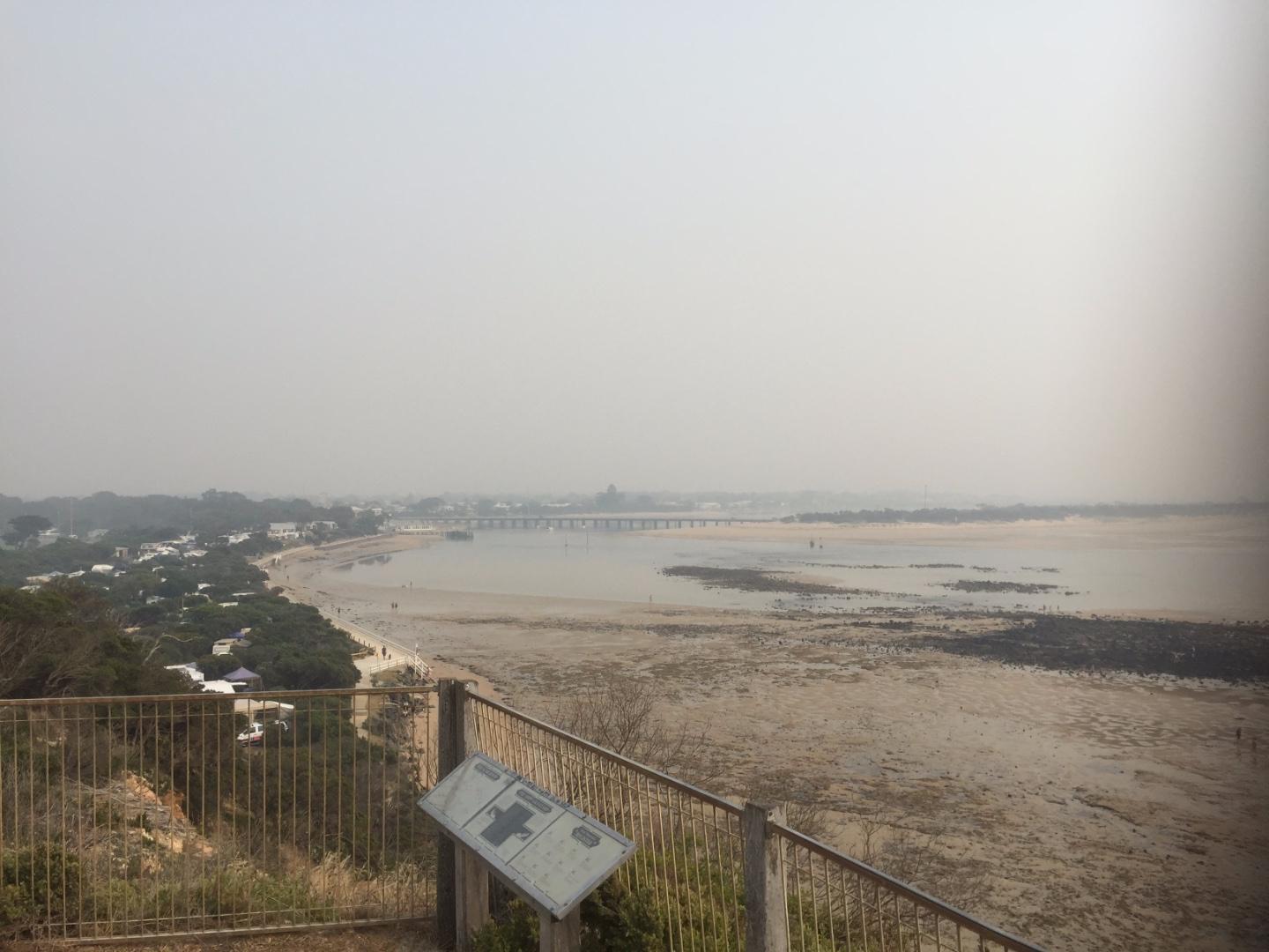
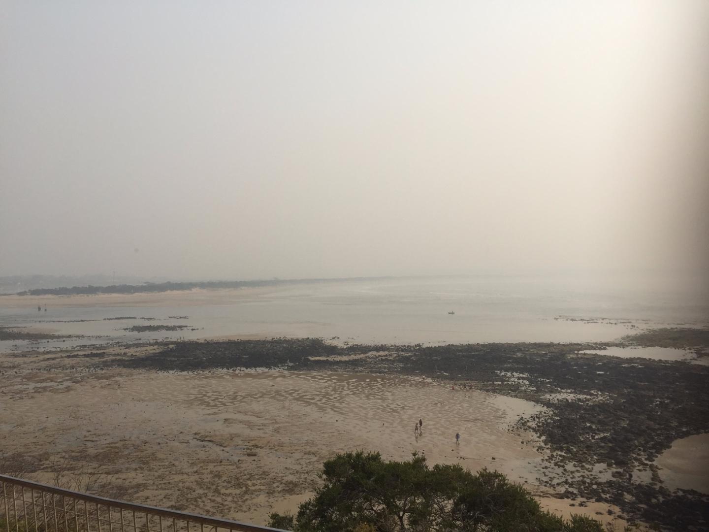
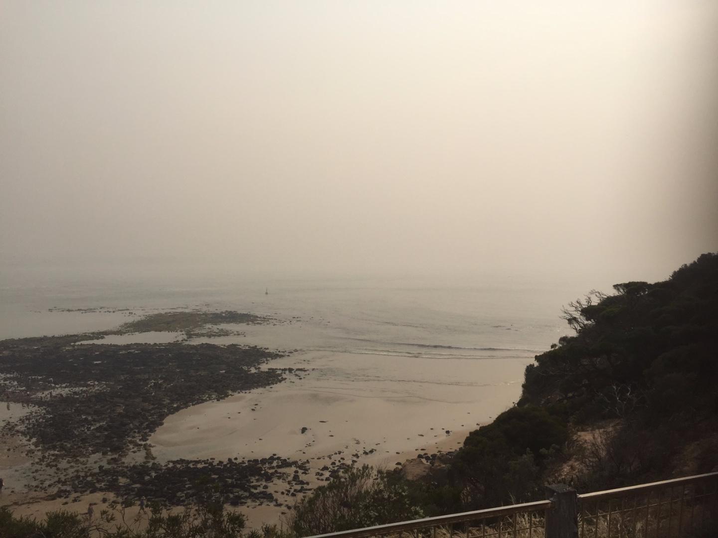
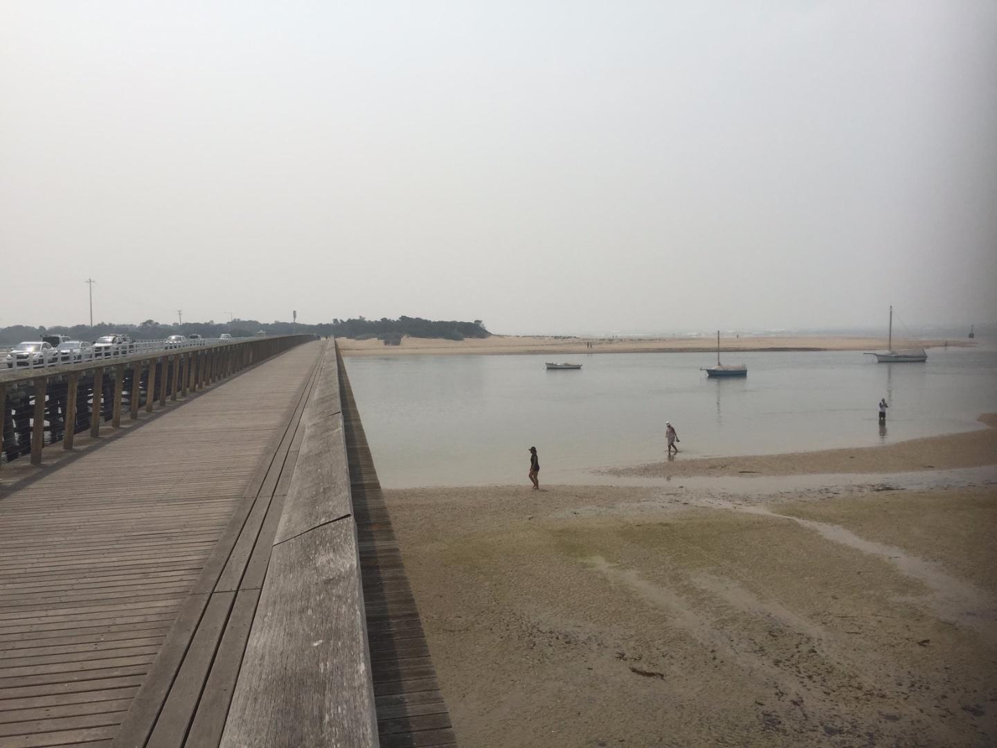
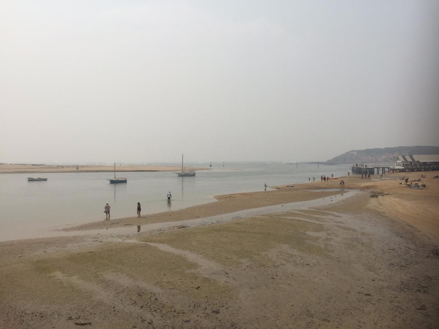
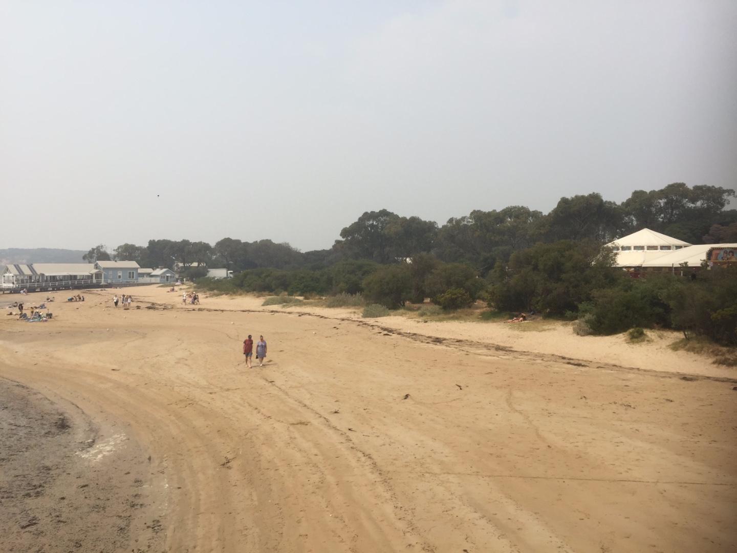
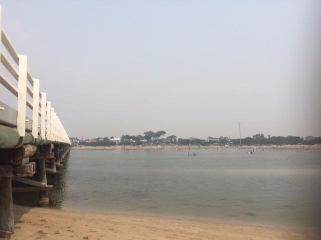
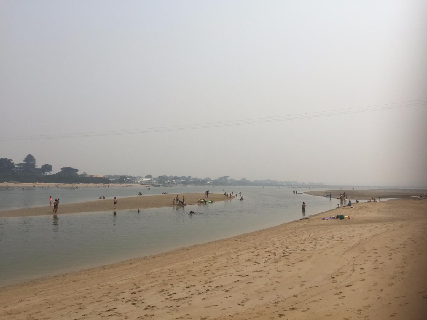
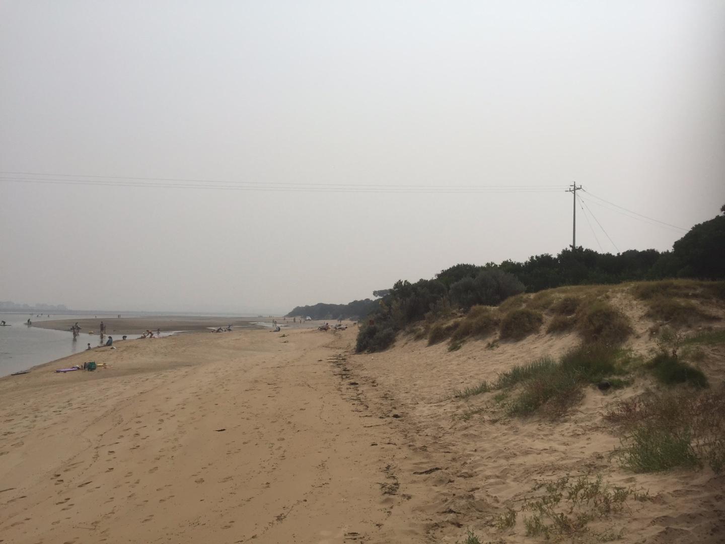
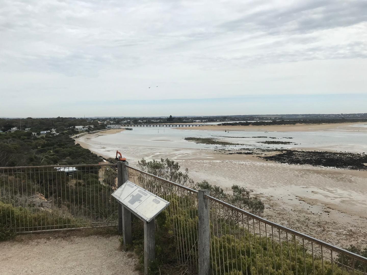
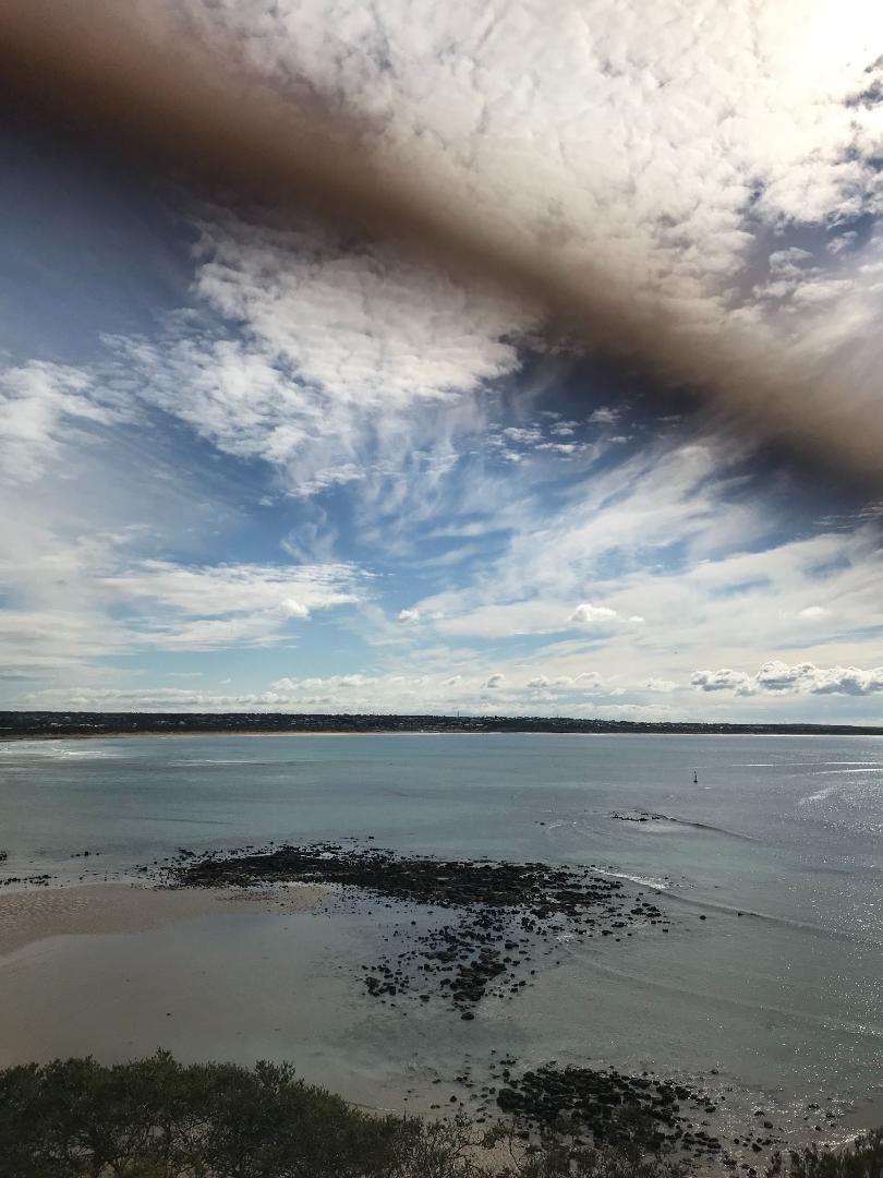
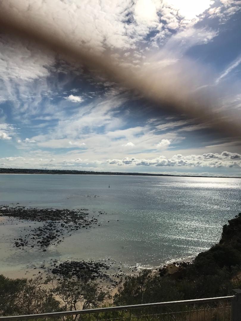
| #13575 | 15 Jan 2020 | Approved |
Notes:
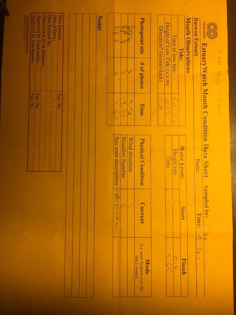
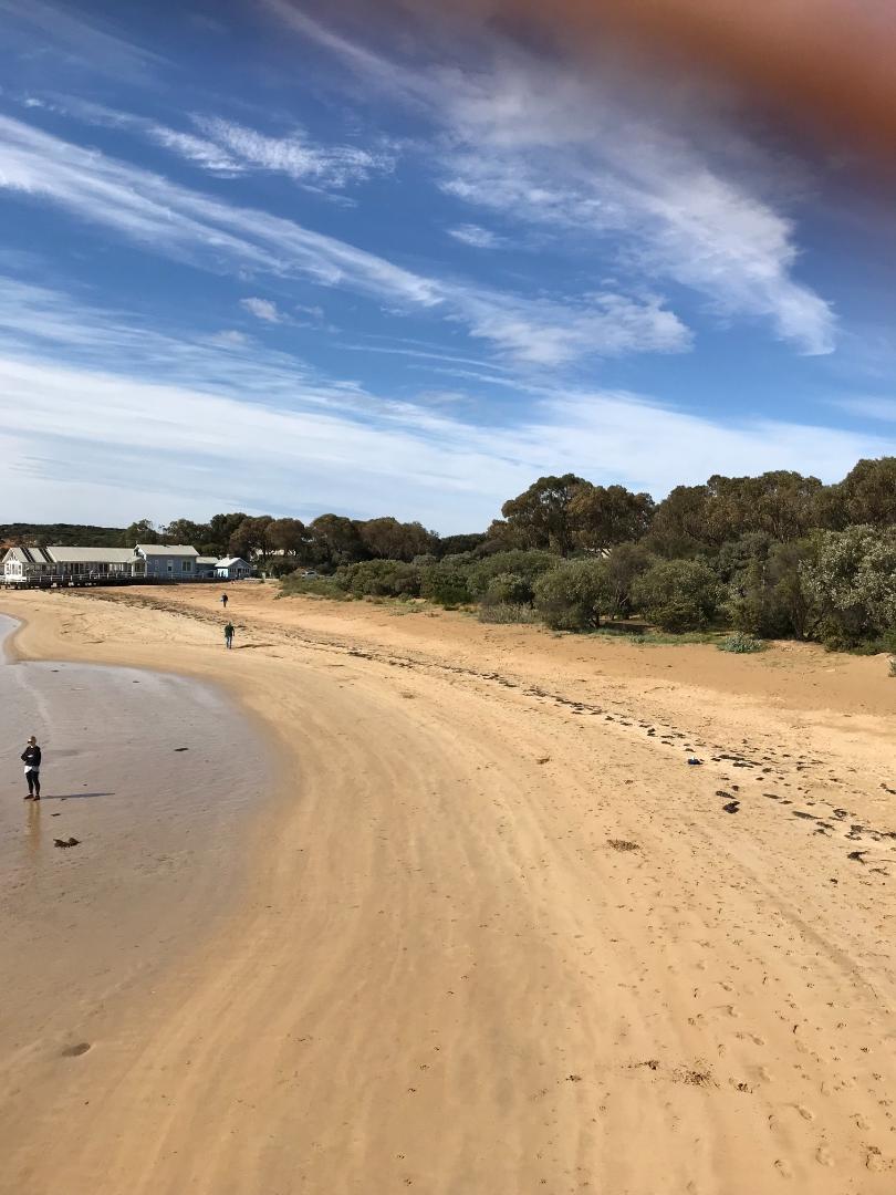
Extreme smoke haze out to sea and along the esturary. |
|
| #13585 | 2 Jan 2020 | Approved | ||
| #13471 | 18 Dec 2019 | Approved | ||
| #13443 | 5 Dec 2019 | Approved | ||
| #13470 | 20 Nov 2019 | Approved | ||
| #13432 | 7 Nov 2019 | Approved | ||
| #13349 | 3 Oct 2019 | Approved | ||
| #13325 | 18 Sep 2019 | Approved | ||
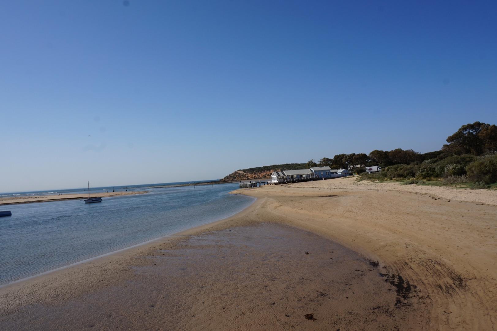
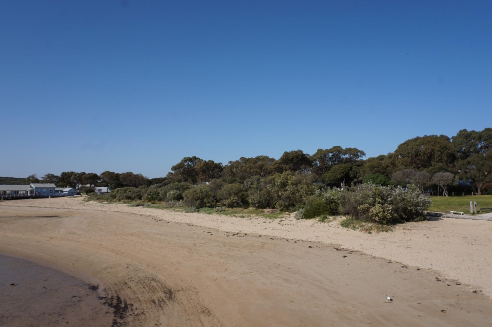
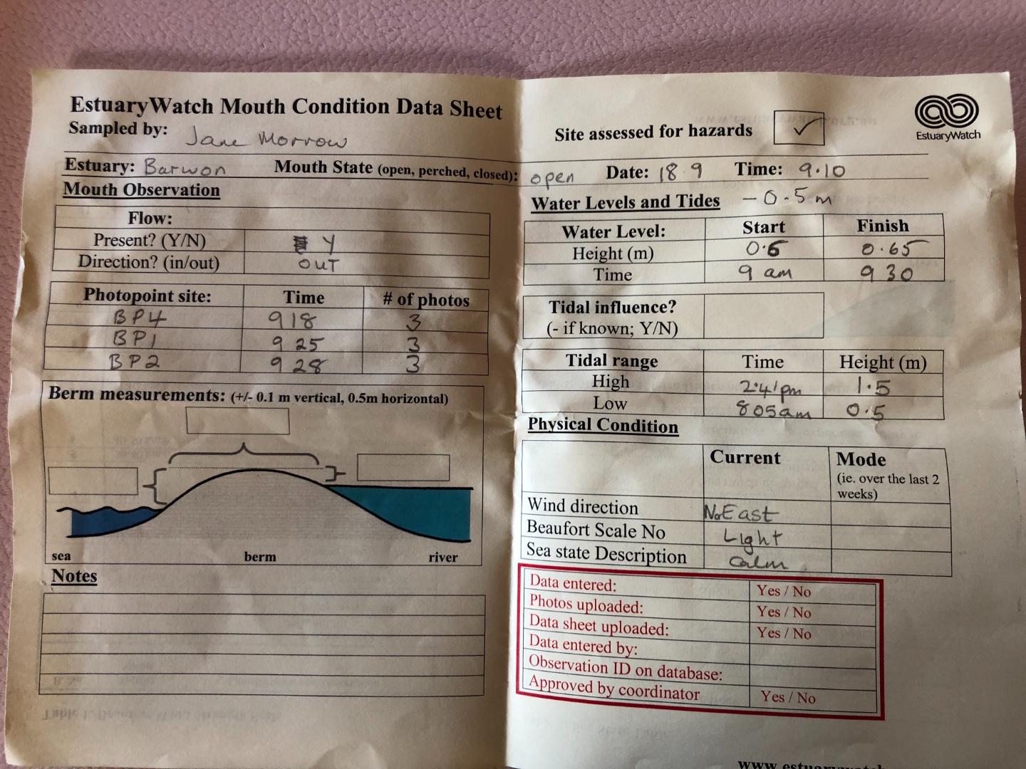
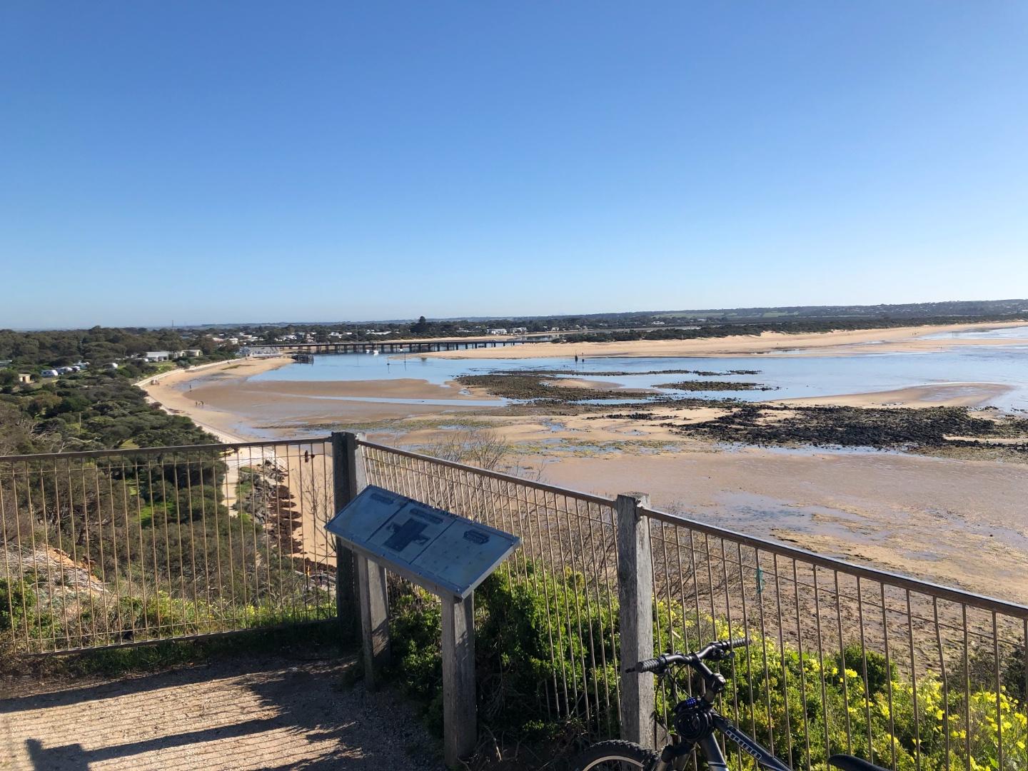
| #13311 | 5 Sep 2019 | Approved | ||
| #13310 | 21 Aug 2019 | Approved | ||
| #13259 | 1 Aug 2019 | Approved | ||
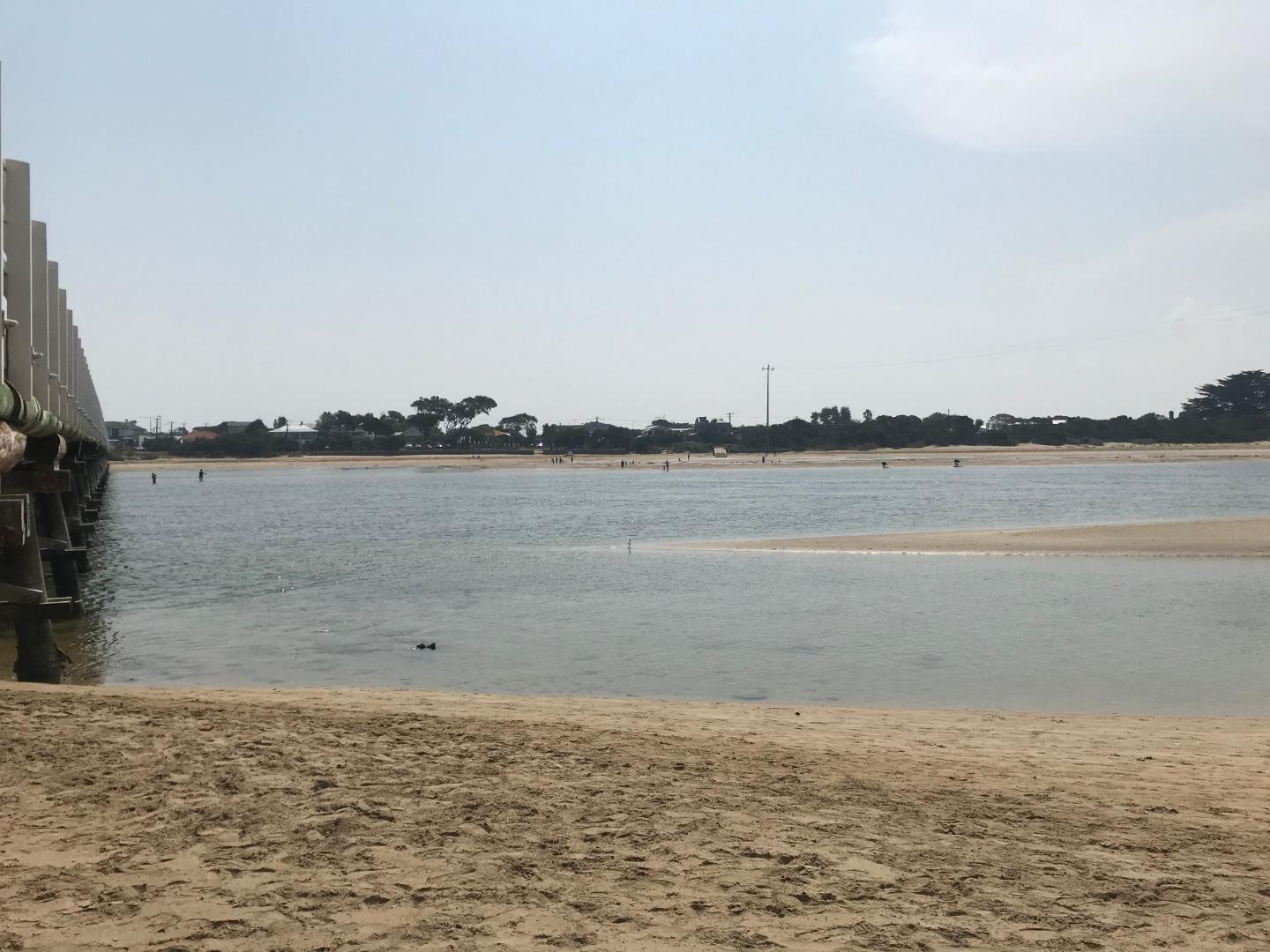
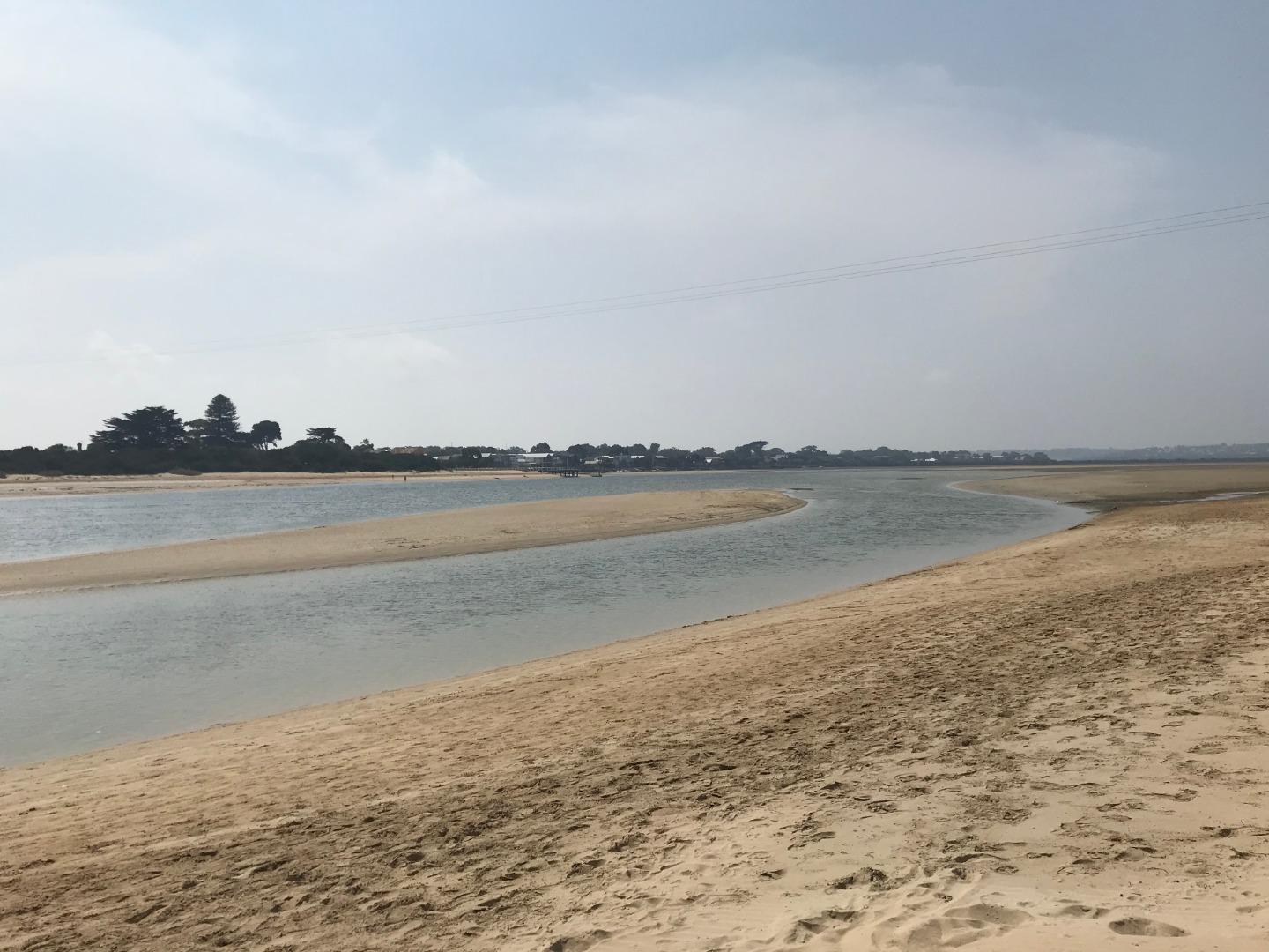
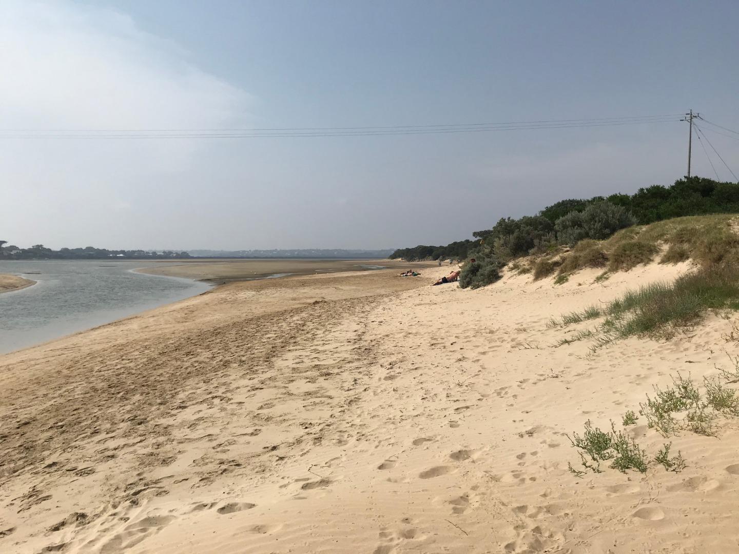
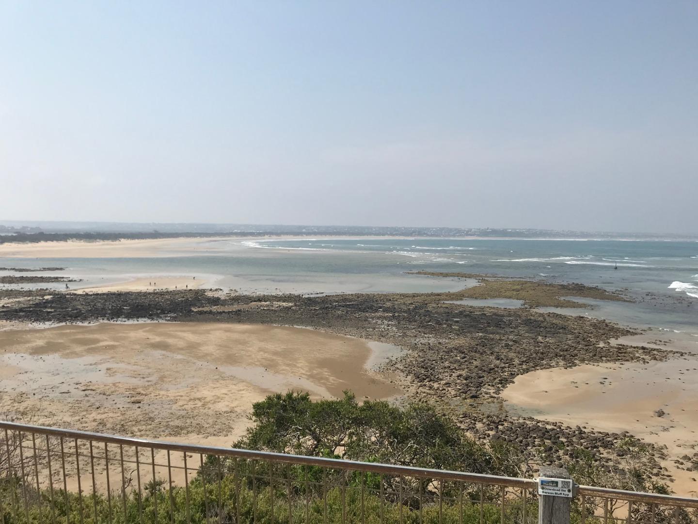
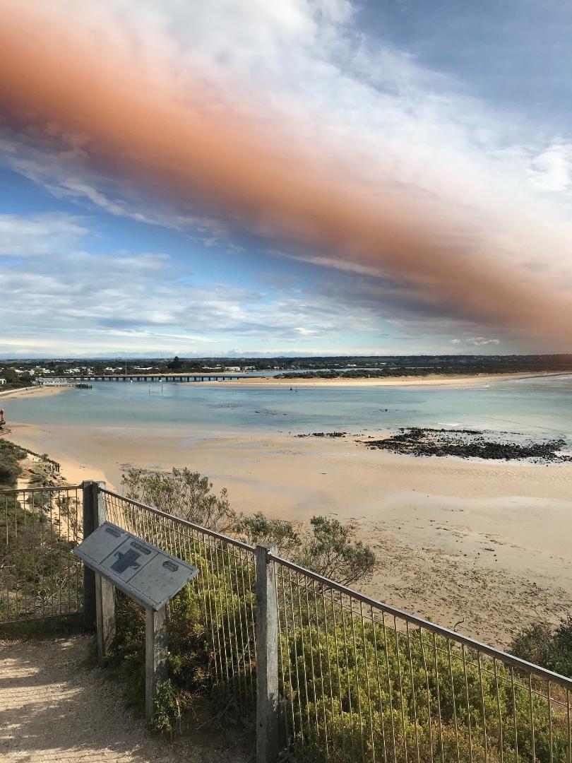
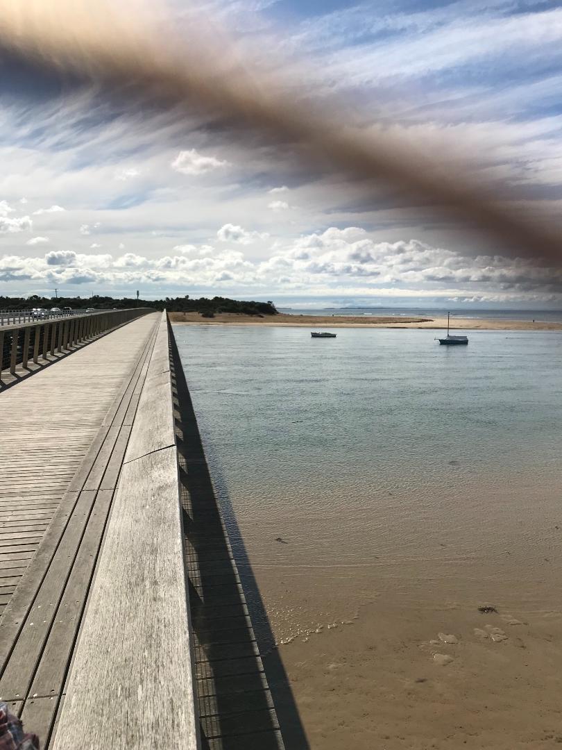
| #13214 | 22 Jul 2019 | Approved |
Notes:
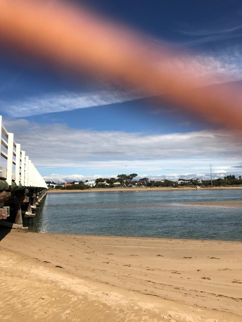
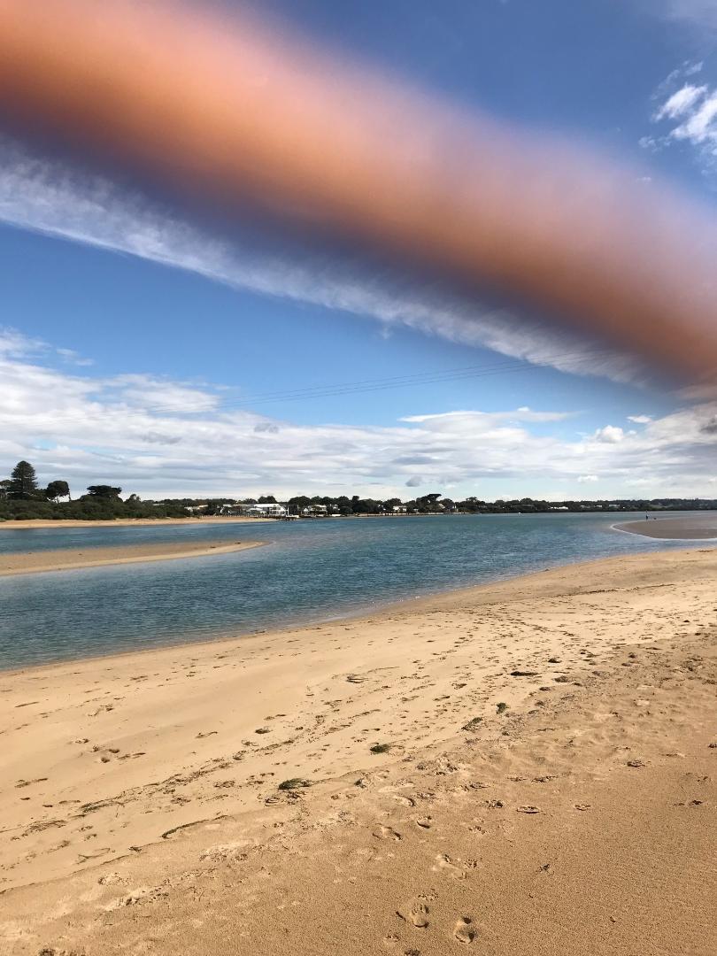
Mouth conditions 5 days after water testing on Wednesday 17th July. Quite dramatic delineation of incoming sea water against brwon river water from recent rains. |
|
| #13179 | 4 Jul 2019 | Approved | ||
| #13190 | 6 Jun 2019 | Approved |
         |
|
| #13102 | 15 May 2019 | Approved | ||
| #13100 | 2 May 2019 | Approved | ||
| #12855 | 17 Apr 2019 | Approved |
         |
|
| #12854 | 4 Apr 2019 | Approved | ||
| #12853 | 20 Mar 2019 | Approved | ||
| #12753 | 7 Mar 2019 | Approved | ||
| #12726 | 20 Feb 2019 | Approved | ||
| #12687 | 7 Feb 2019 | Approved | ||
| #12650 | 16 Jan 2019 | Approved | ||
| #12617 | 3 Jan 2019 | Approved | ||
| #12621 | 19 Dec 2018 | Approved | ||
| #12588 | 6 Dec 2018 | Approved | ||
| #12590 | 21 Nov 2018 | Approved | ||
| #12529 | 1 Nov 2018 | Pending | ||
| #12448 | 17 Oct 2018 | Approved |
Notes:
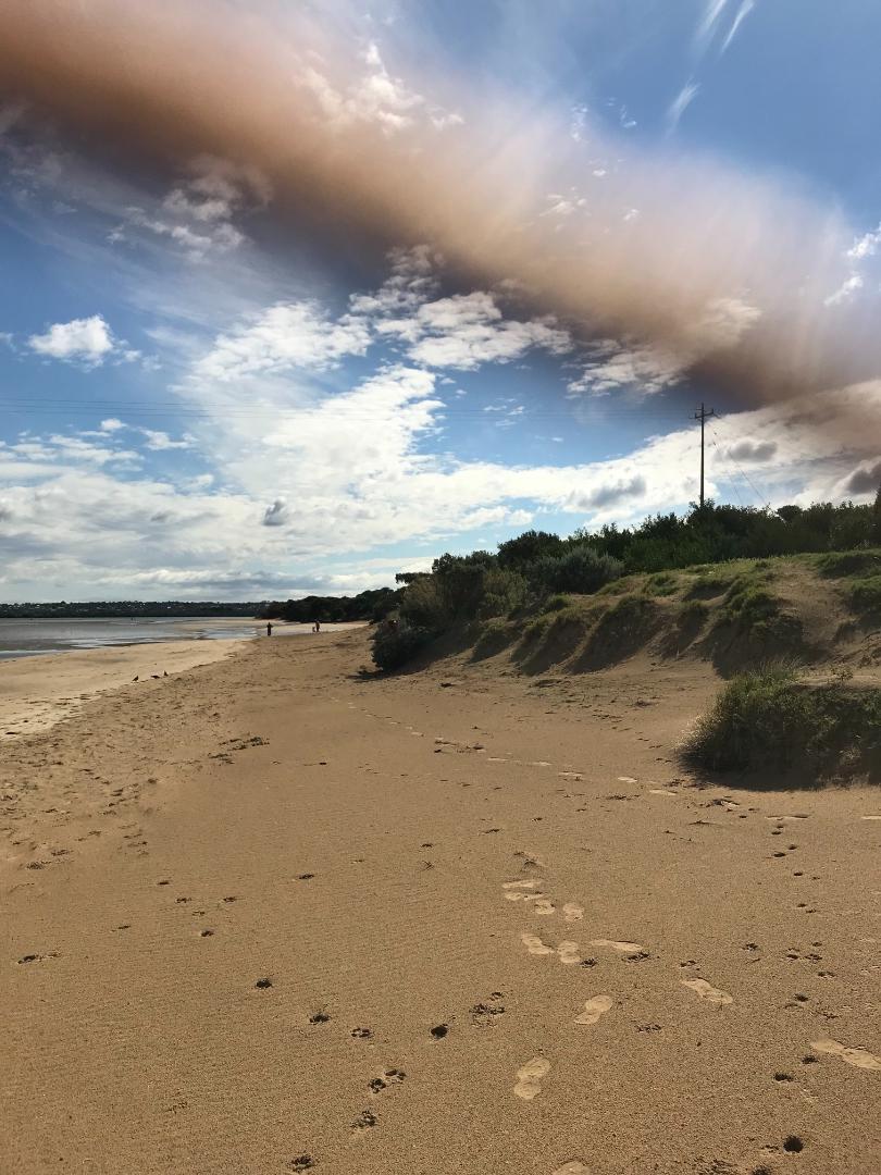
Heavy sand build up west side of river near bridge. Photos not the best! |
|
| #12401 | 19 Sep 2018 | Approved | ||
| #12378 | 6 Sep 2018 | Approved | ||
| #12366 | 15 Aug 2018 | Approved | ||
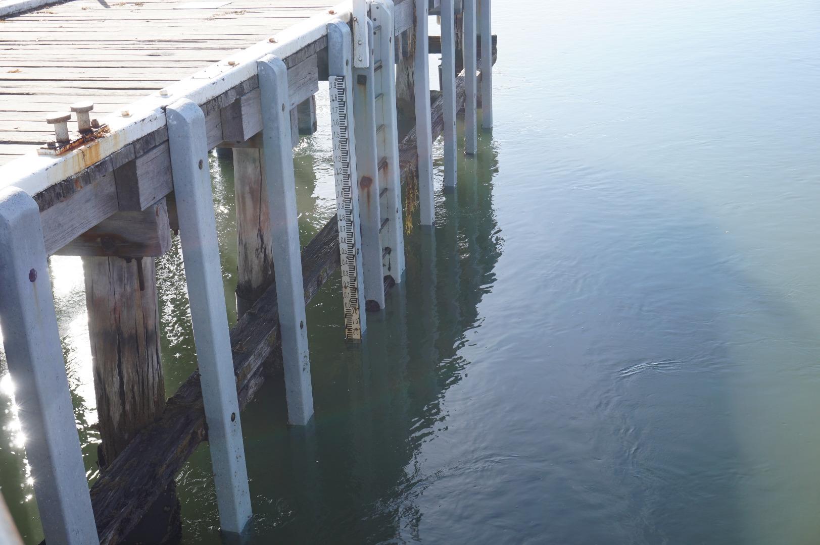
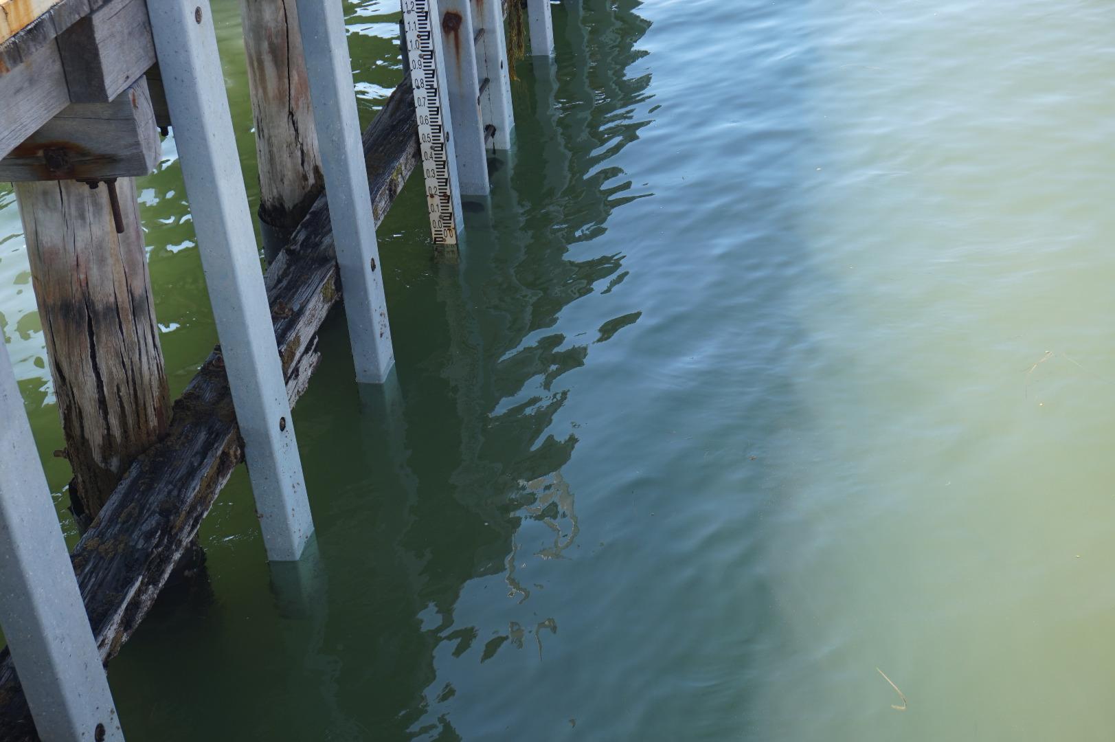
| #12307 | 2 Aug 2018 | Approved |
Notes:
Water level gauge in sand |
|
| #12330 | 18 Jul 2018 | Approved |
Notes:
Water level unobtainable due to pier being sand bound. |
|
| #12246 | 5 Jul 2018 | Approved | ||
| #12183 | 20 Jun 2018 | Approved |
Notes:
Water level at jetty below level of gauge board. Build up of sand under and onto road bridge on Ocean Grove side at BP2 |
|
| #12119 | 7 Jun 2018 | Approved |
Notes:
could not record water levels as gauge dry. |
|
| #12054 | 16 May 2018 | Approved |
Notes:
build up of sand under bridge bp2 |
|
| #12021 | 3 May 2018 | Approved | ||
| #11976 | 18 Apr 2018 | Approved | ||
| #12005 | 5 Apr 2018 | Approved |
Notes:
Tide heights are estimates as water level is below the bottom of the gauge board |
|
| #11886 | 5 Mar 2018 | Approved |
Notes:
Photos have been taken without compass direction charts. Some photos will be slightly misaligned. |
|
| #11840 | 1 Mar 2018 | Approved |
Notes:
Could not read water level height as gauge out of water. |
|
| #11830 | 21 Feb 2018 | Approved | ||
| #11823 | 5 Feb 2018 | Approved |
Notes:
Tide heights are estimates as water level is below all markings on gauge board. |
|
| #11761 | 1 Feb 2018 | Approved | ||
| #11822 | 17 Jan 2018 | Approved |
Notes:
Tide height measurements are rough estimates only. Water level is approximately 0.5m below markings on the gauge board and 0.3m below the bottom of the post the gauge board is mounted on. |
|
| #11702 | 4 Jan 2018 | Approved | ||


All content, files, data and images provided by the EstuaryWatch Data Portal and Gallery are subject to a Creative Commons Attribution License
Content is made available to be used in any way, and should always attribute EstuaryWatch and www.estuarywatch.org.au