EstuaryWatch Data Portal
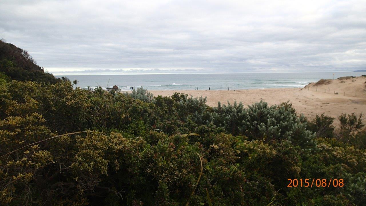
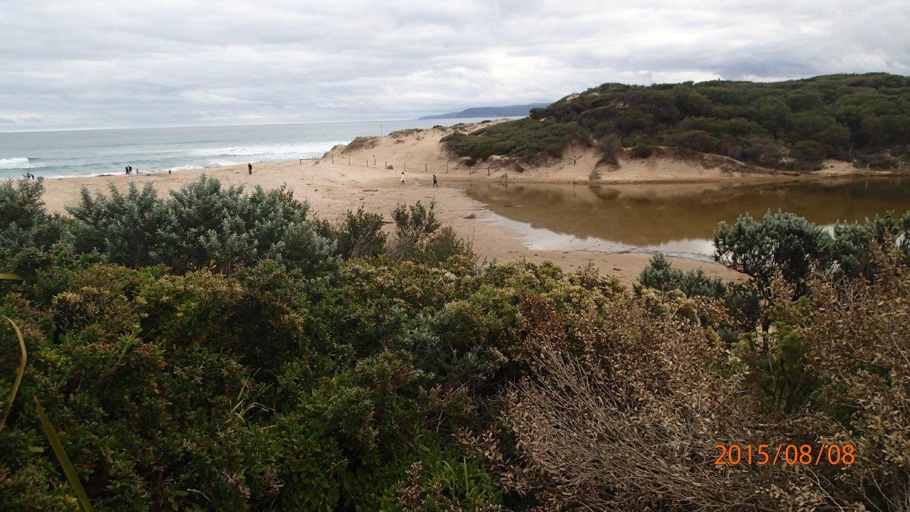
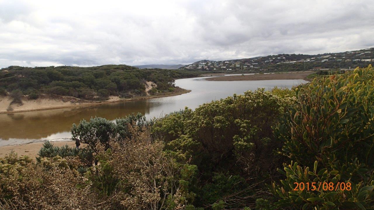
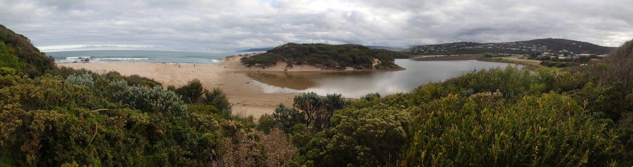
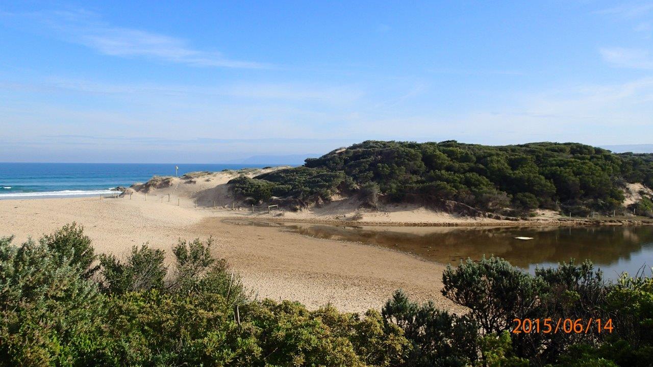
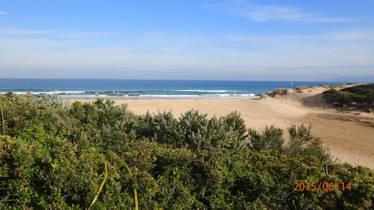
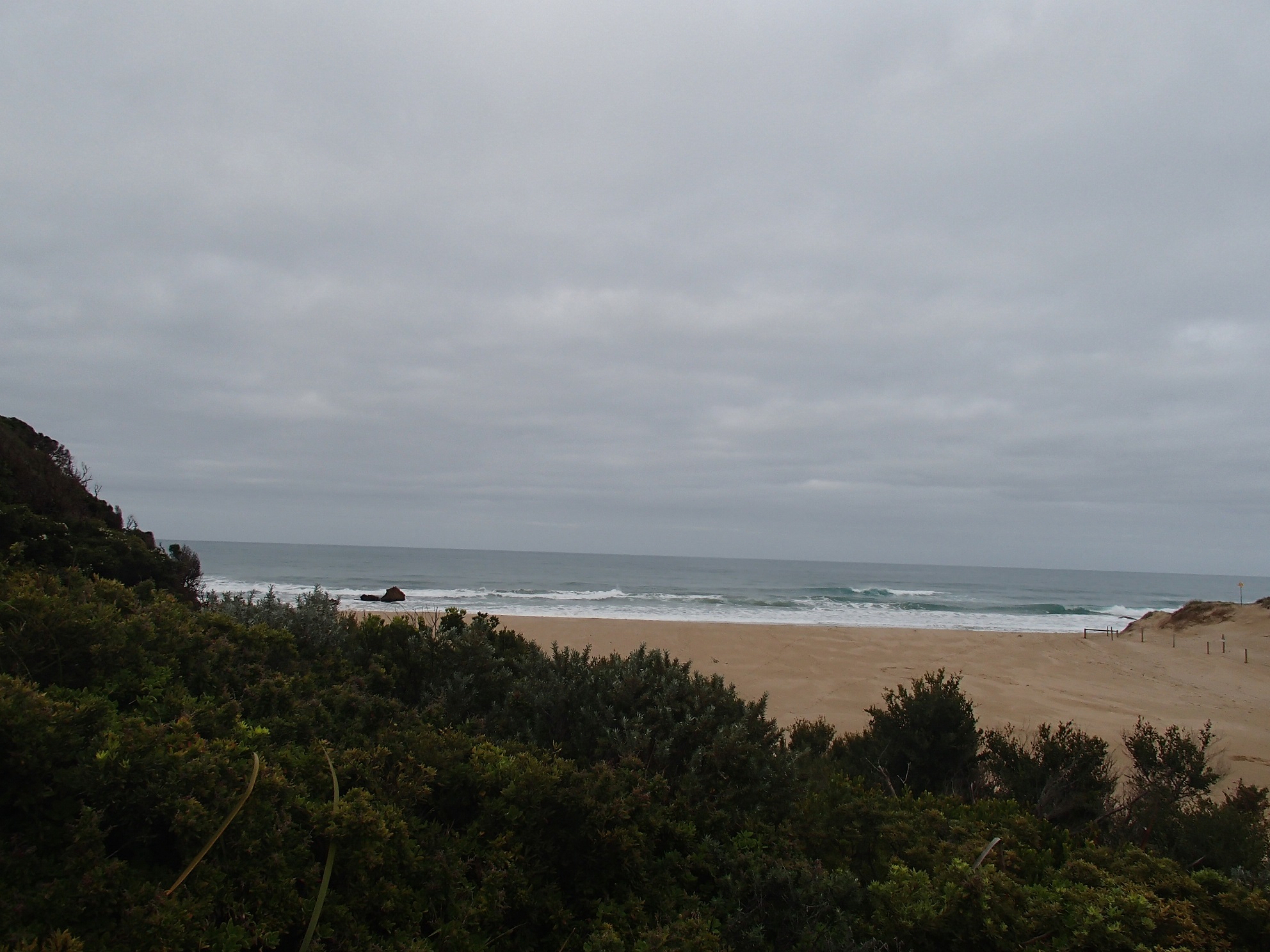
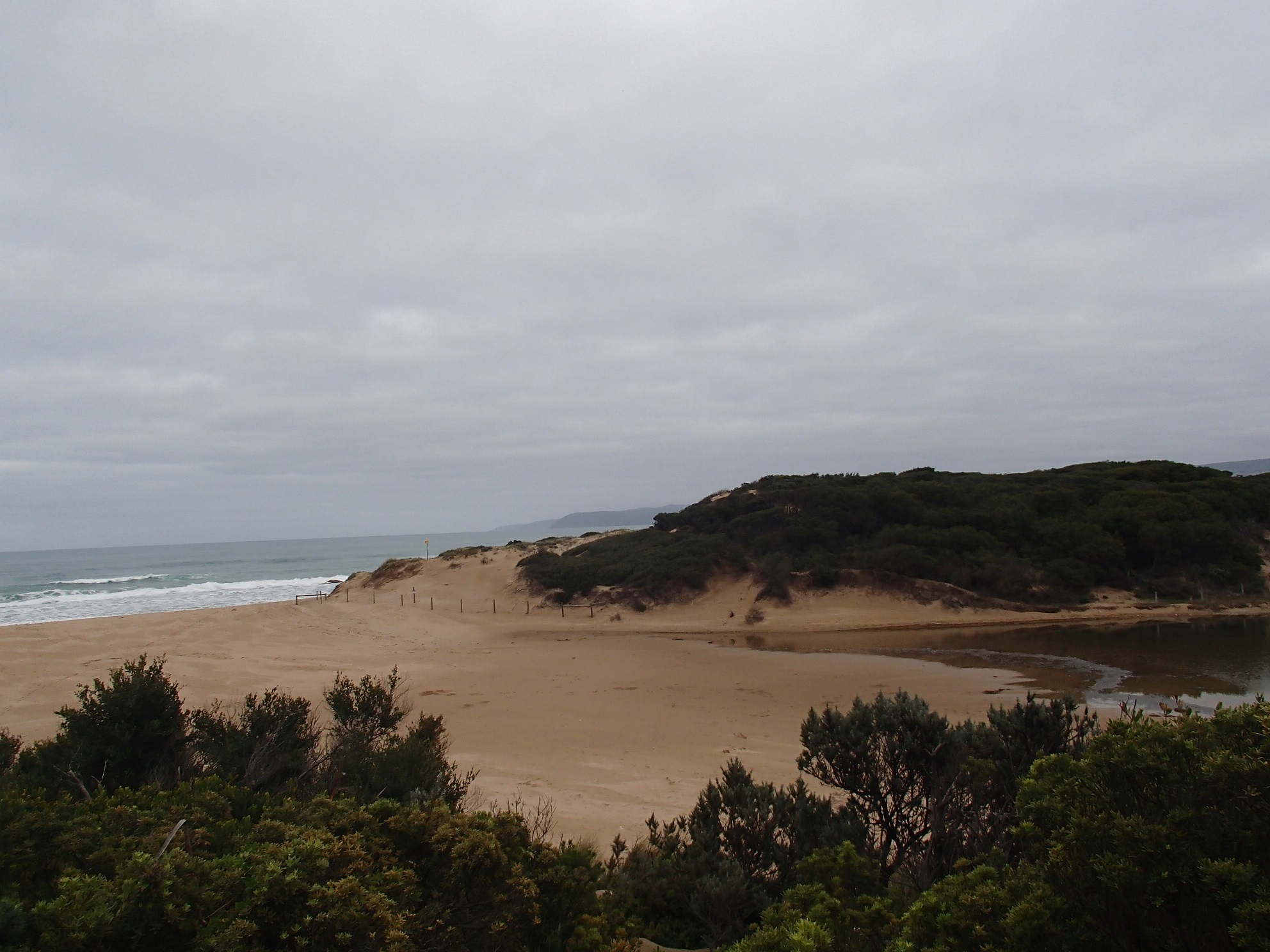
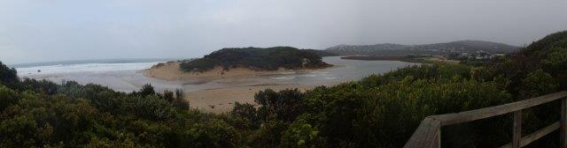
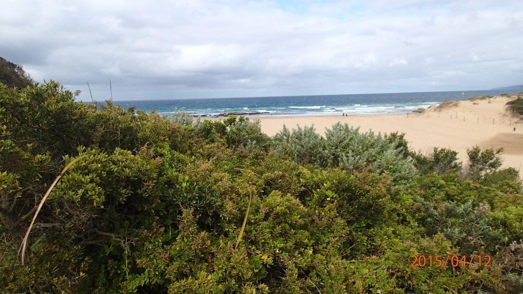
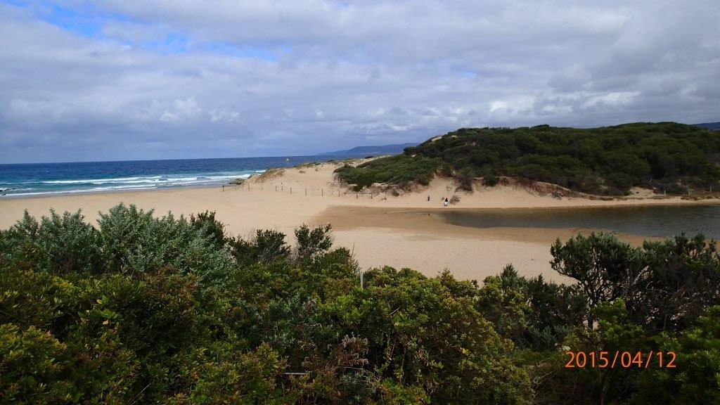
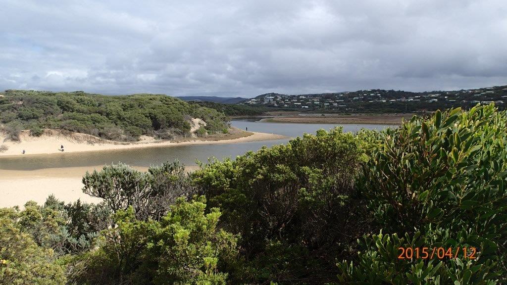
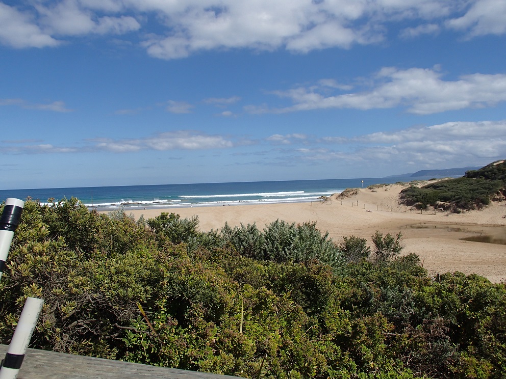
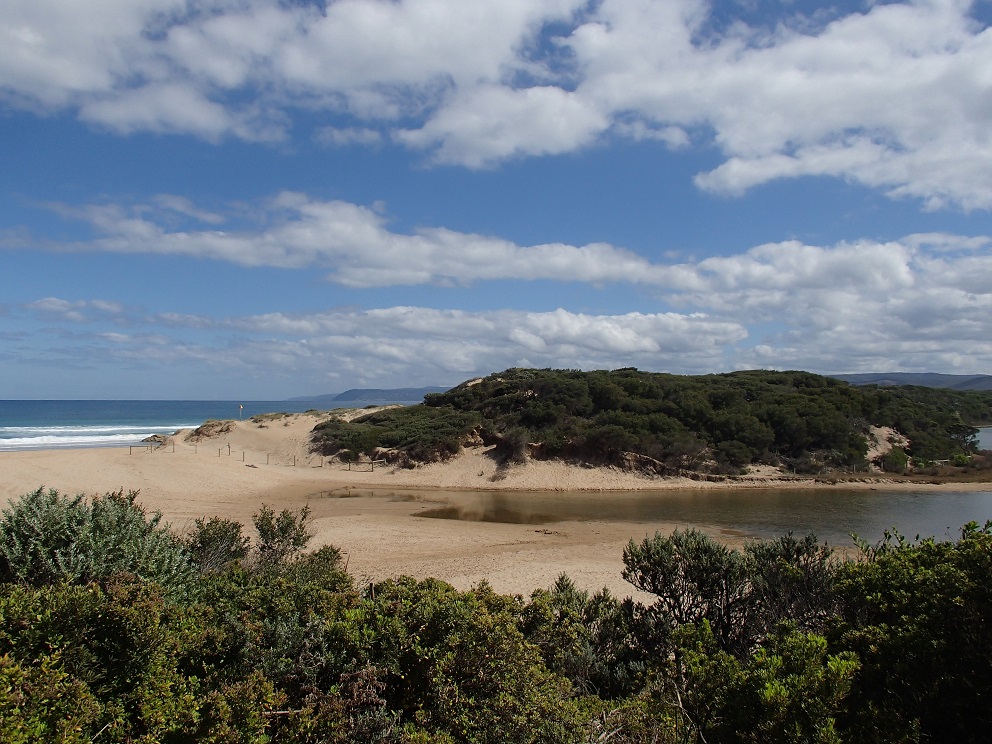
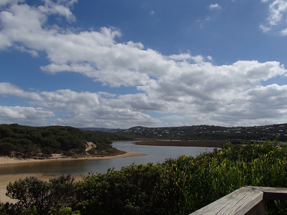
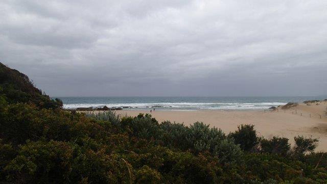
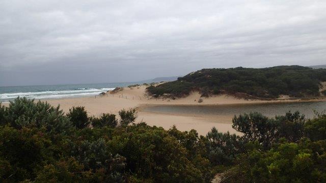
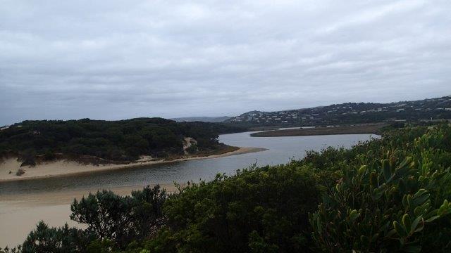
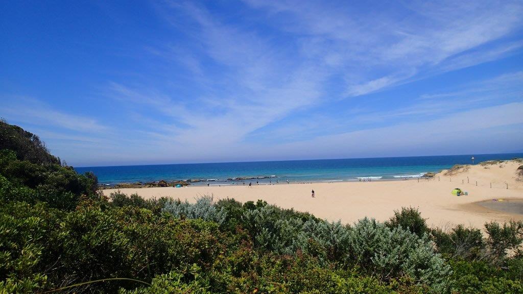
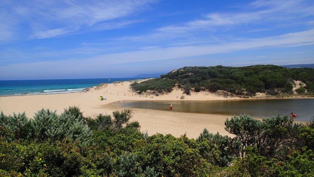
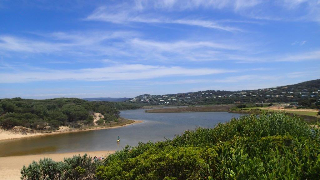
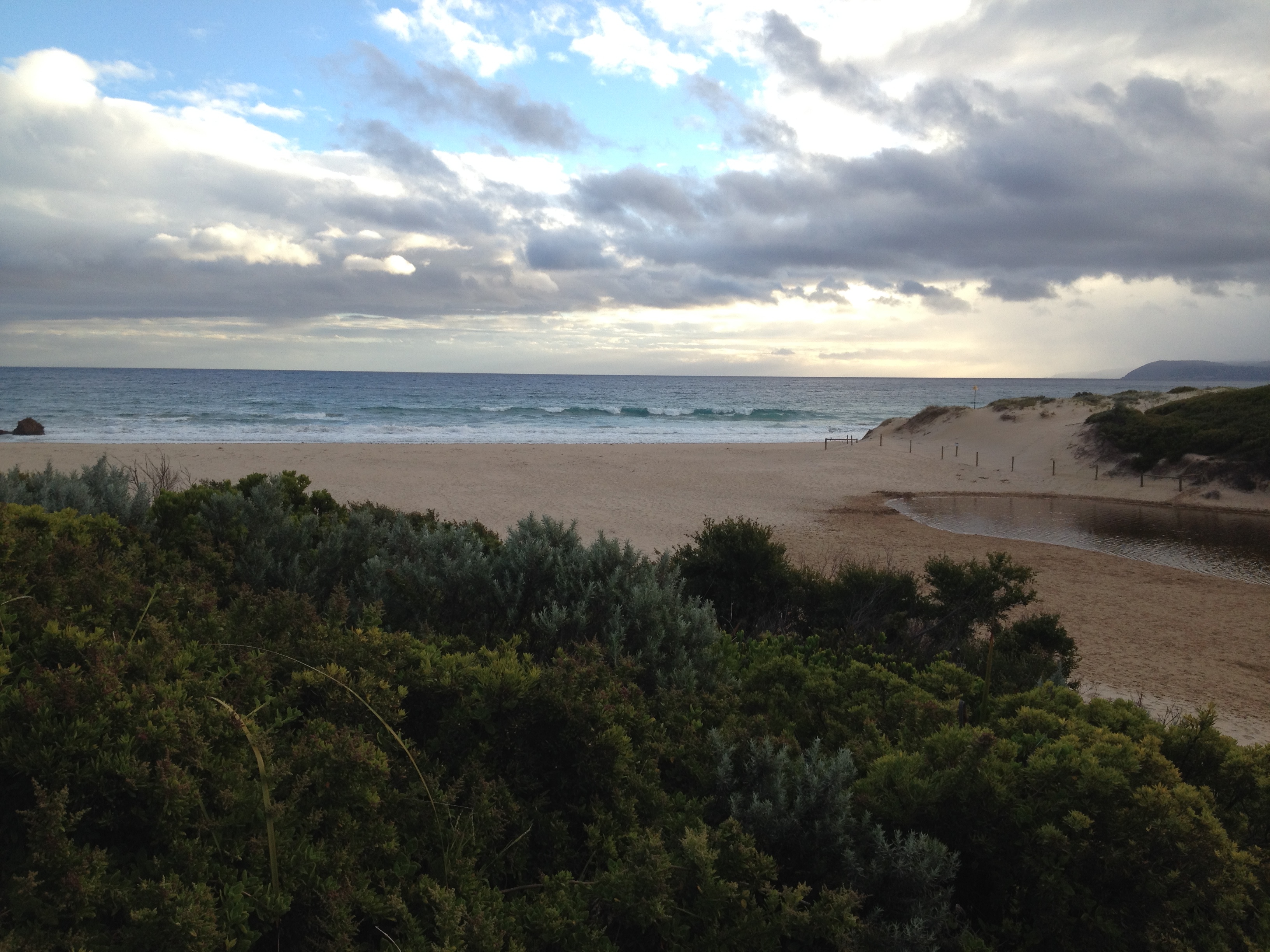
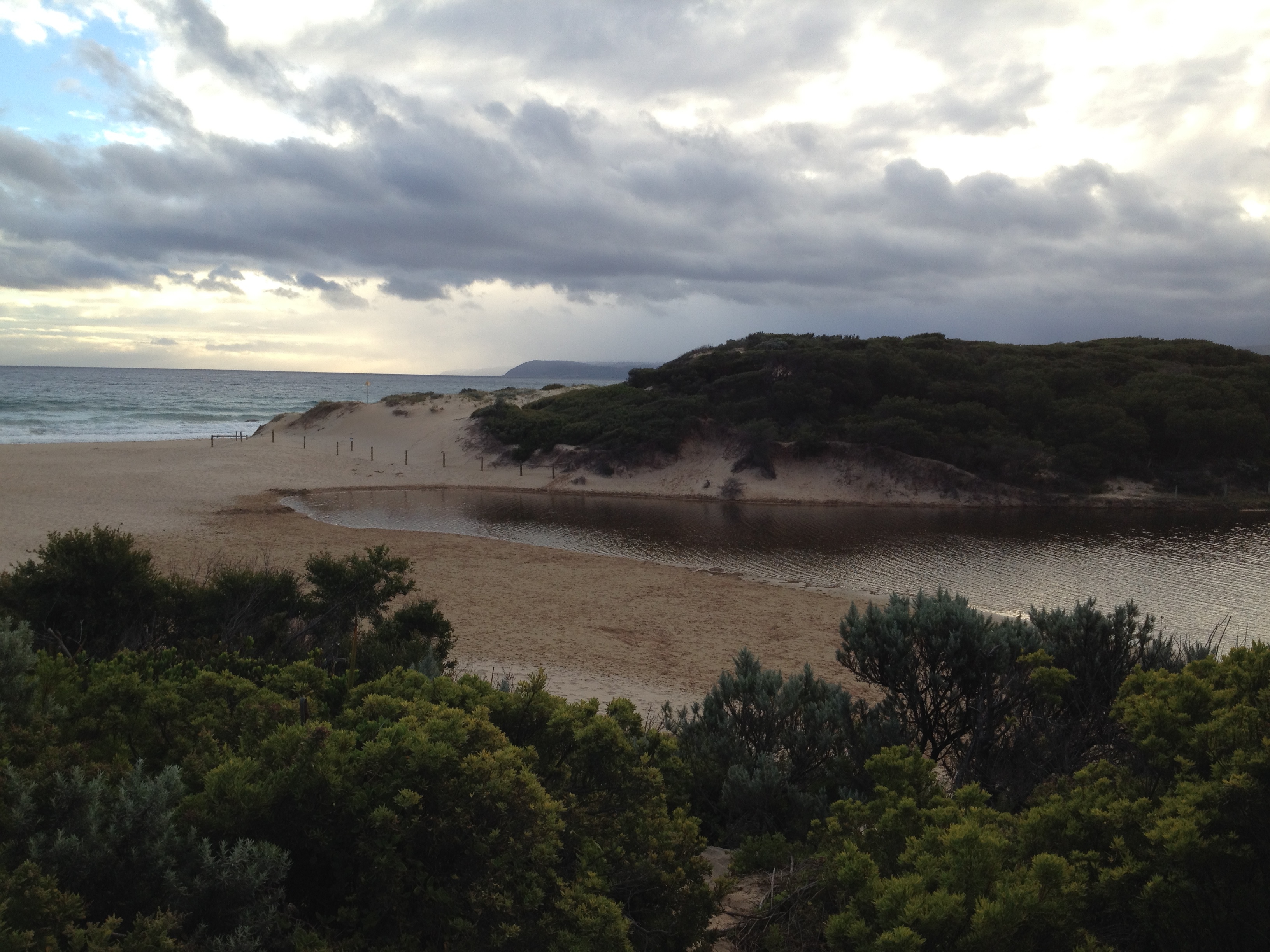
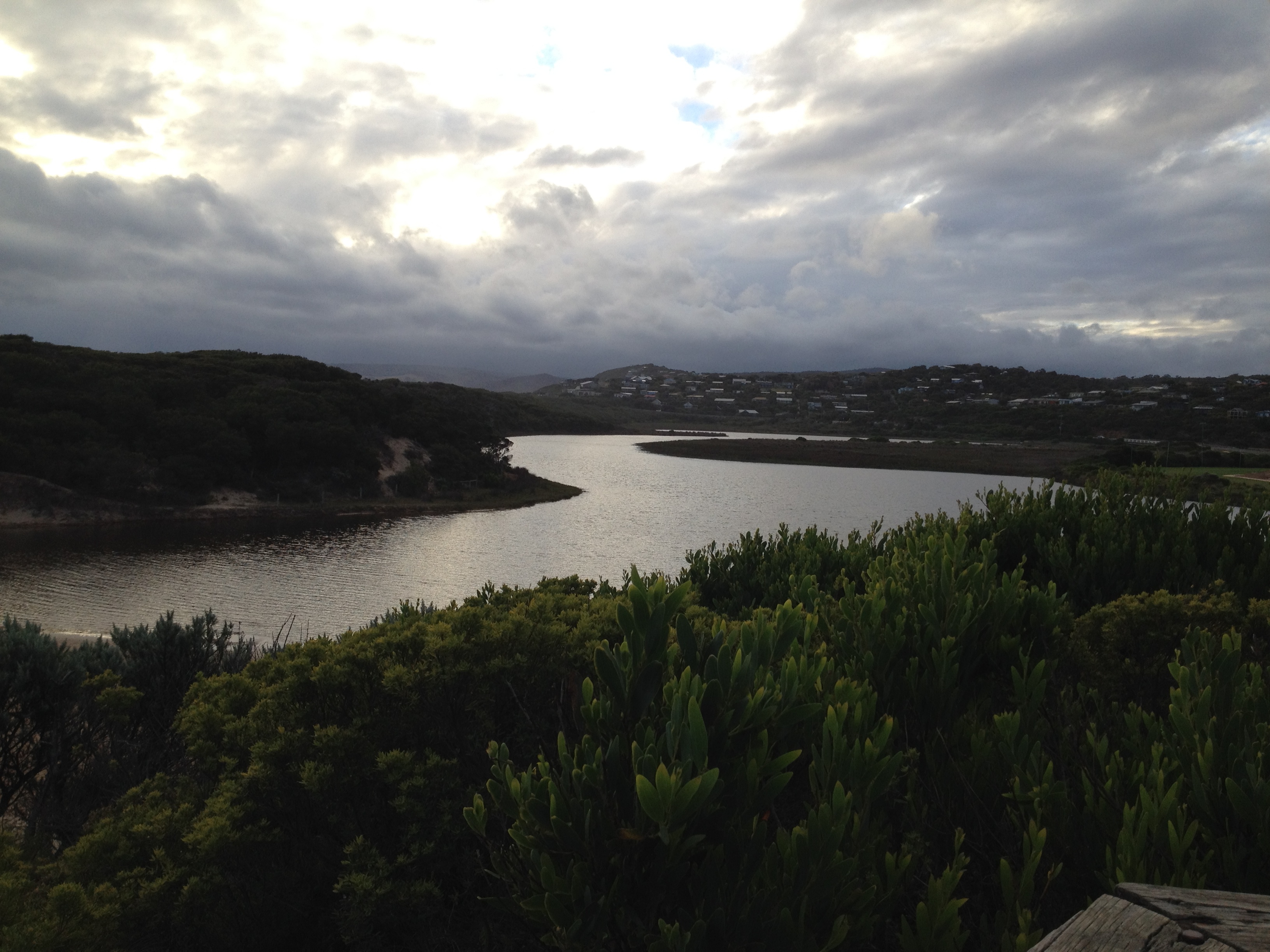
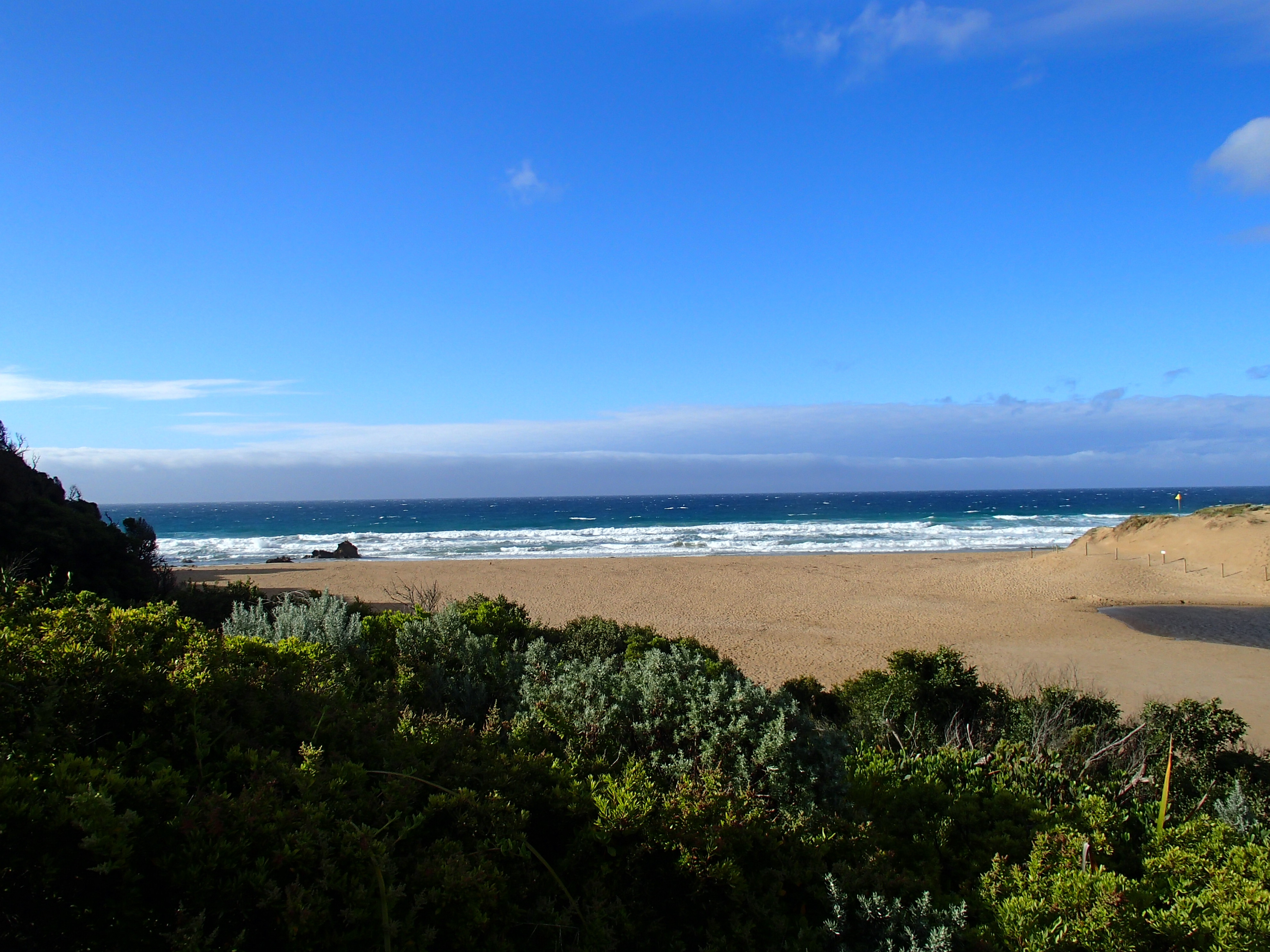
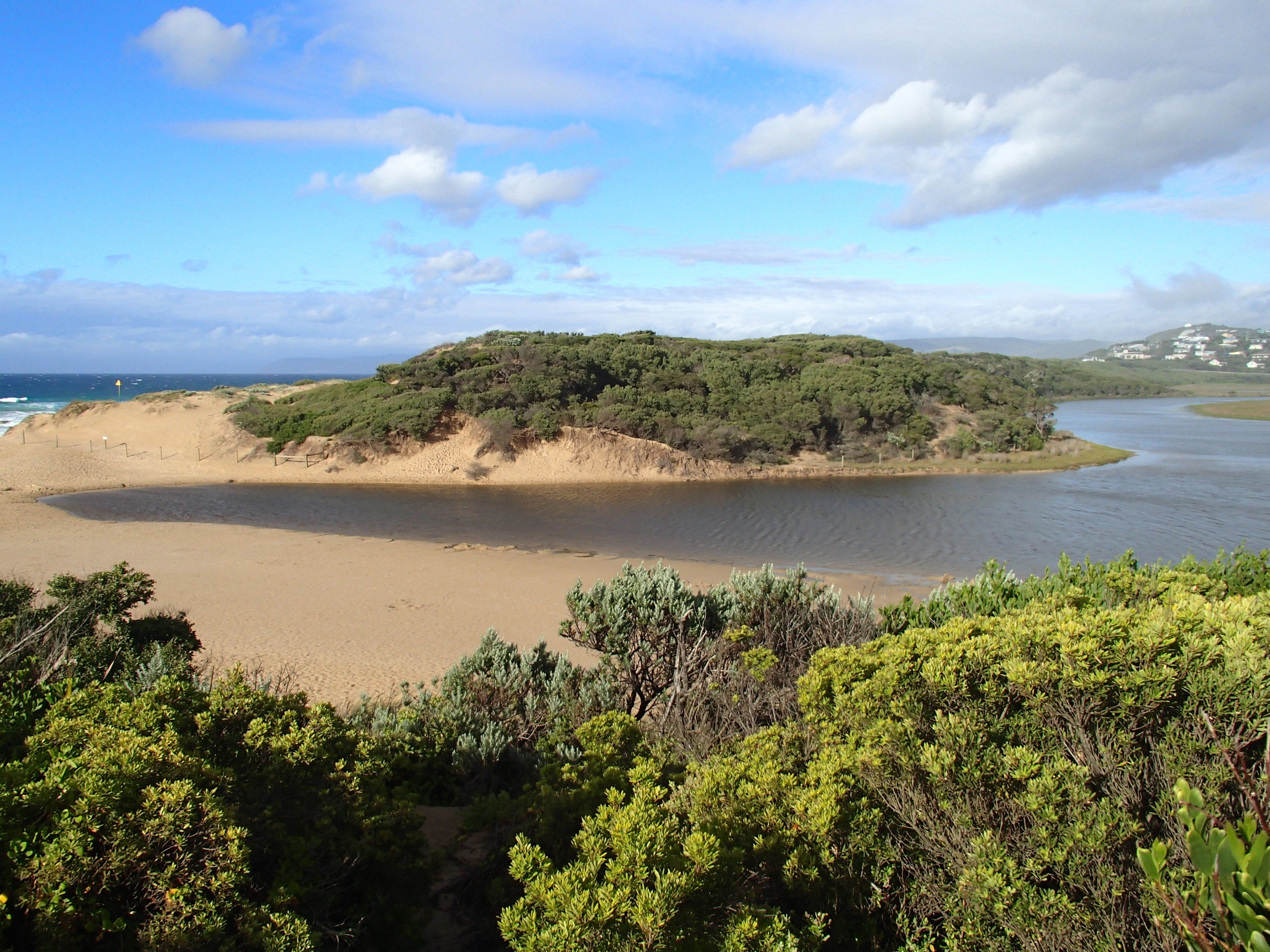
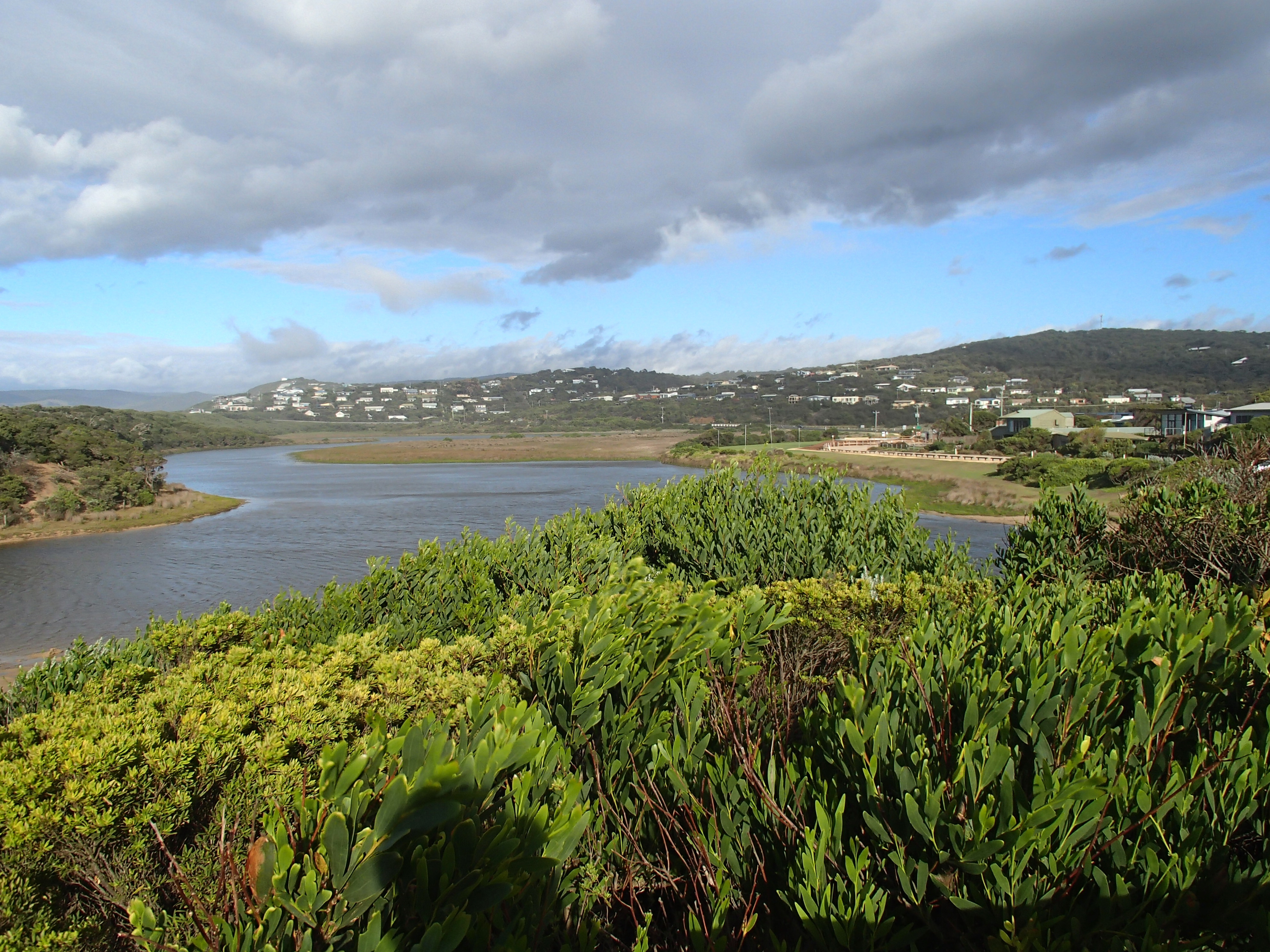
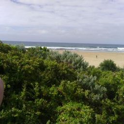
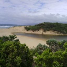
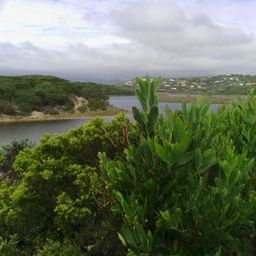
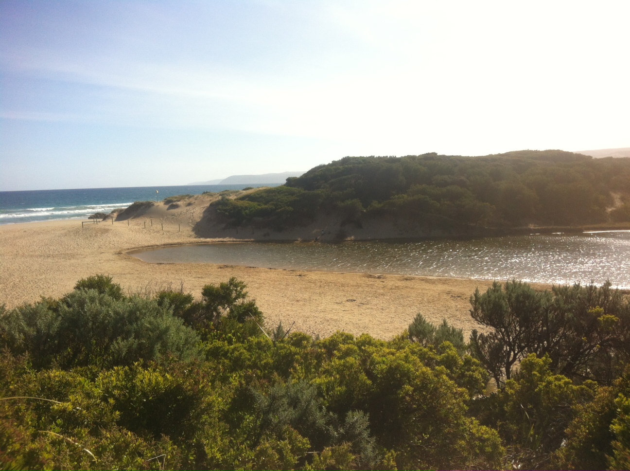
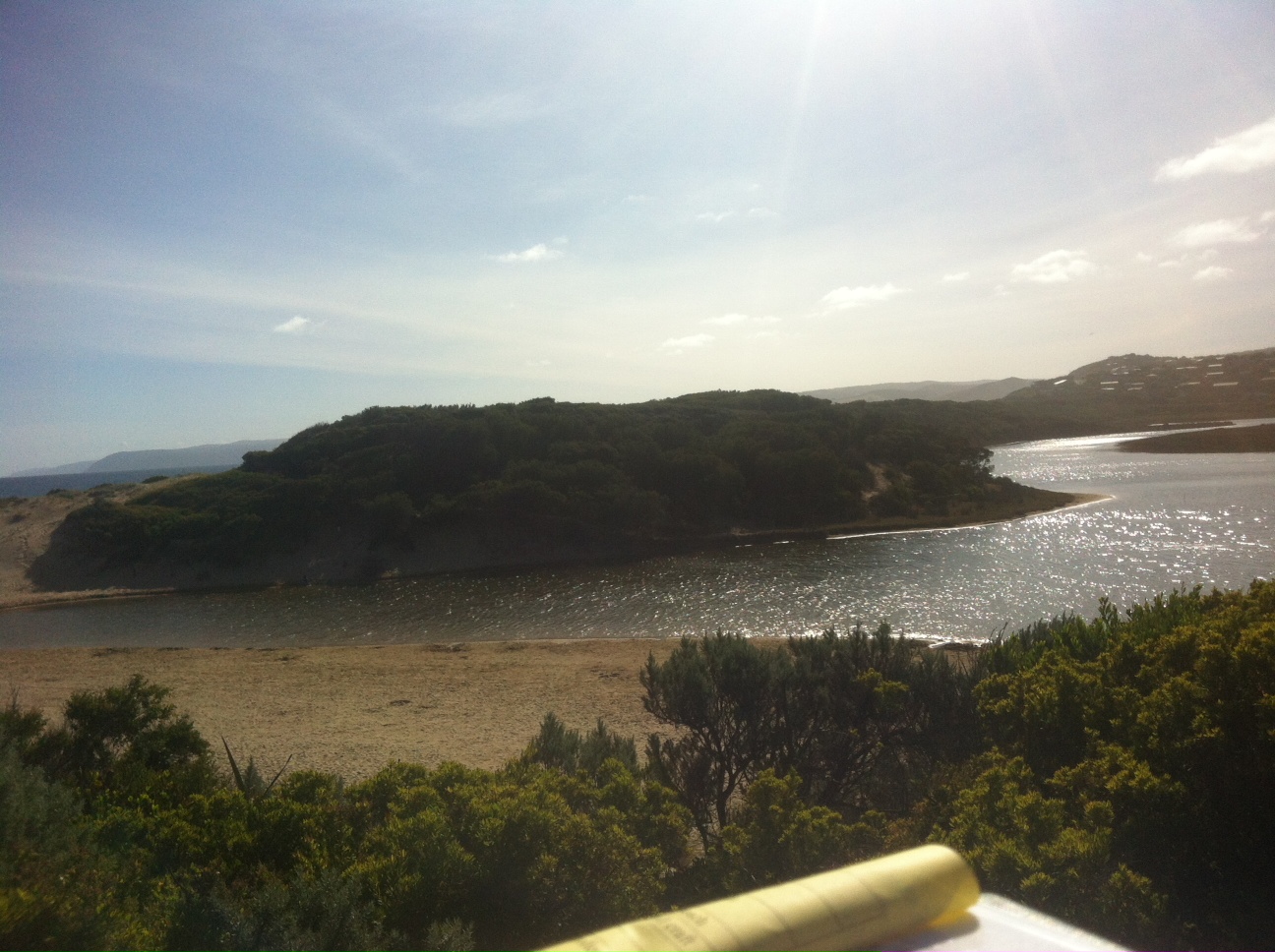
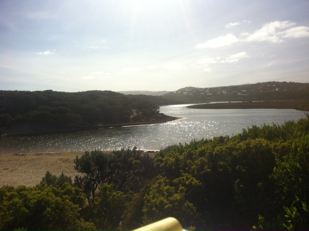
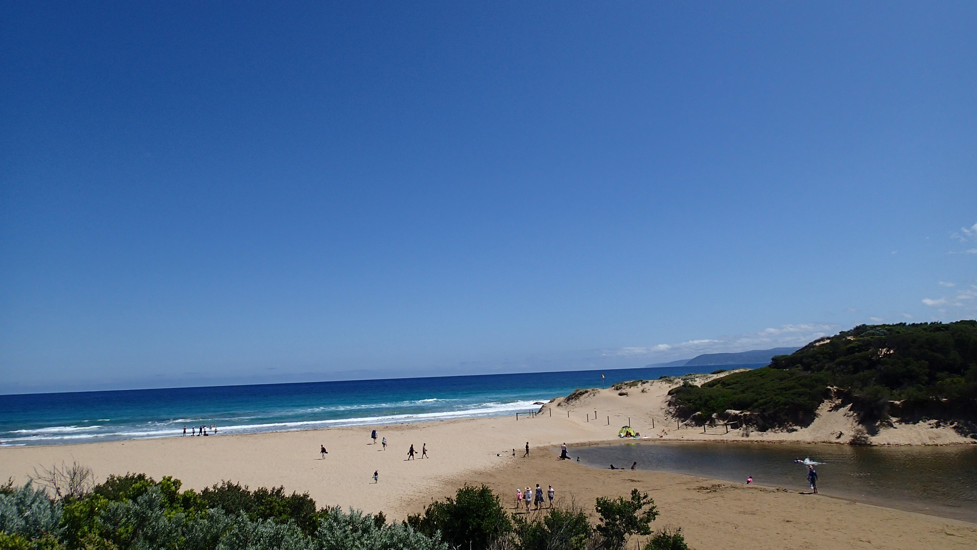
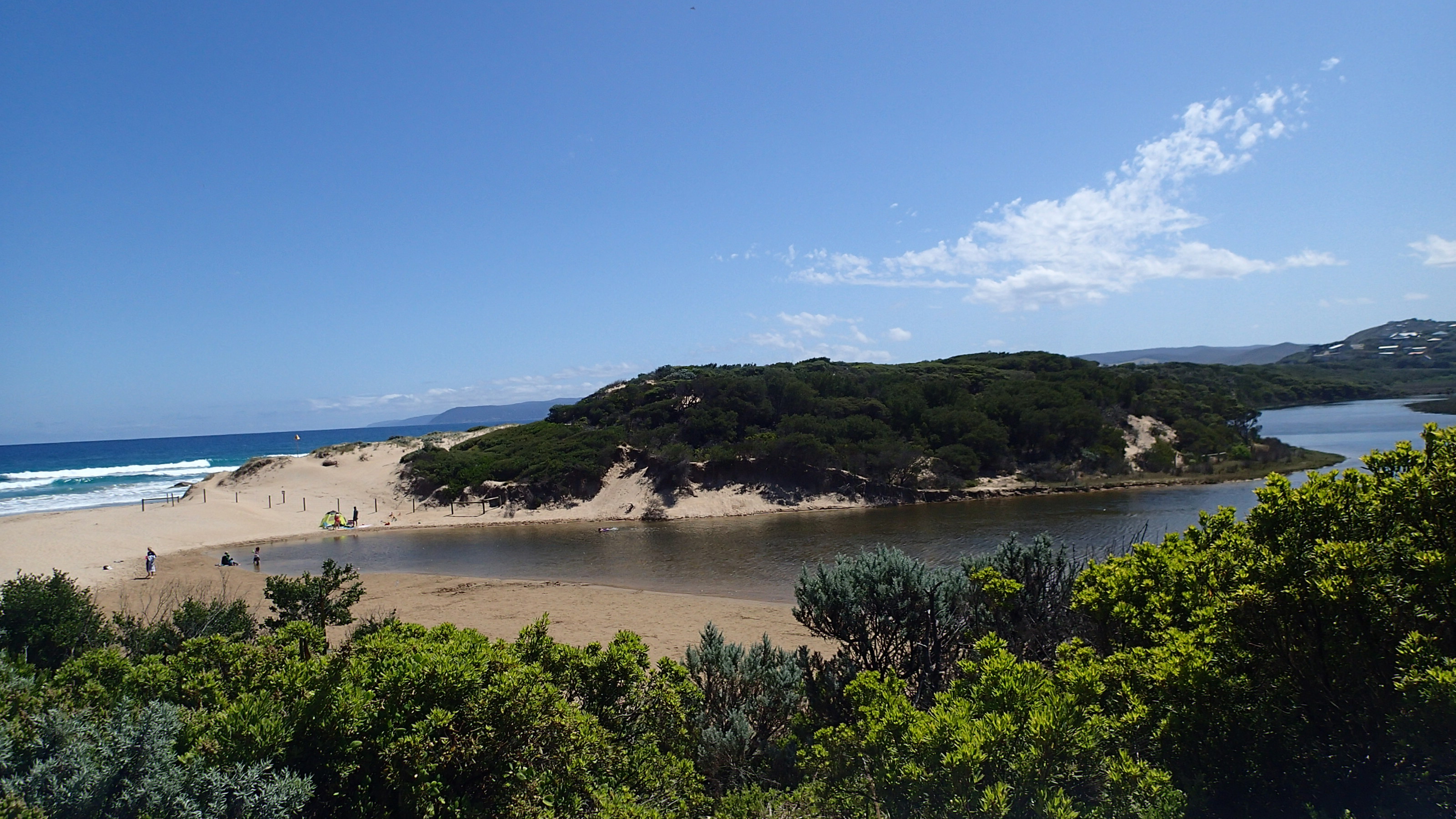
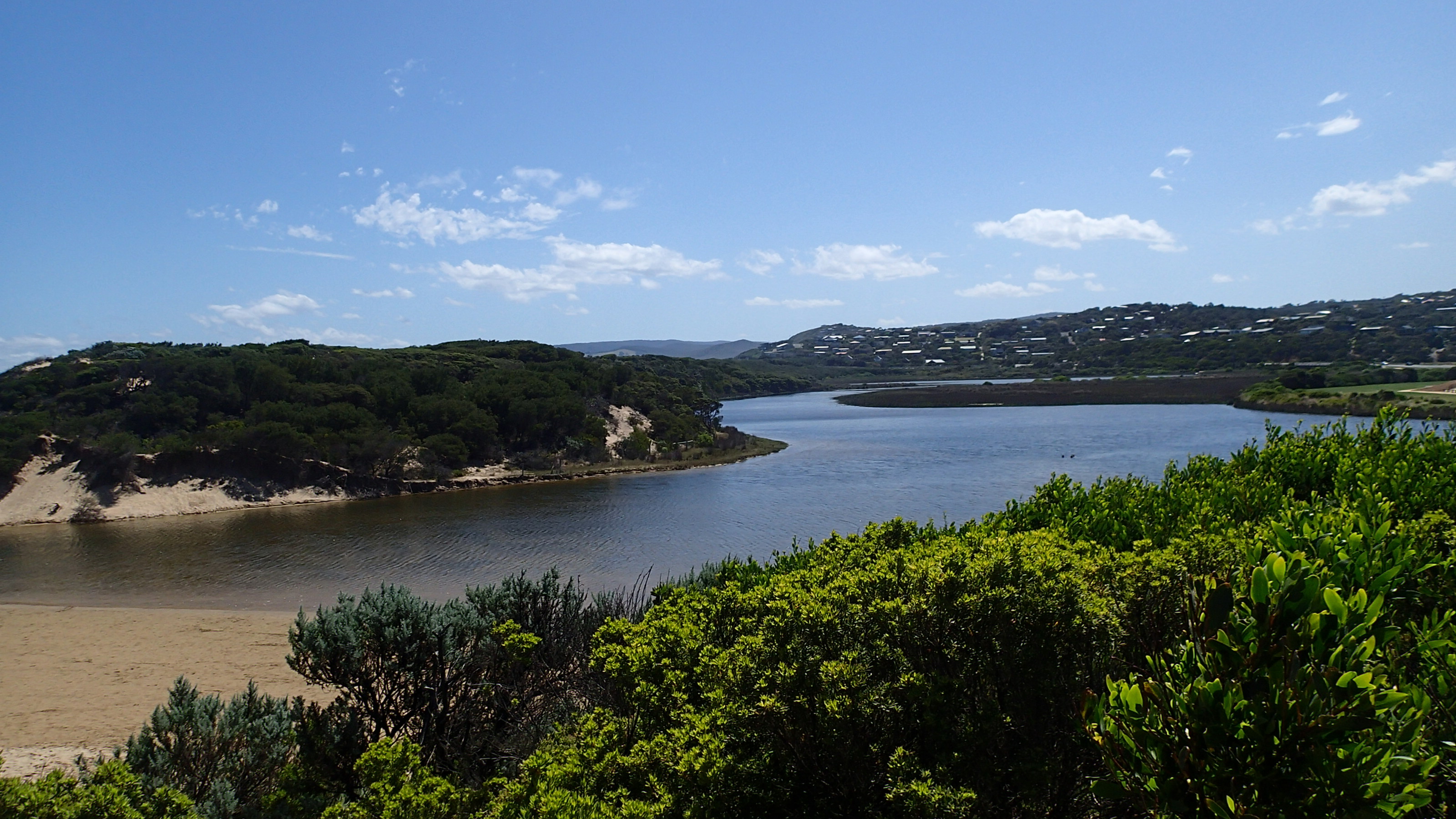
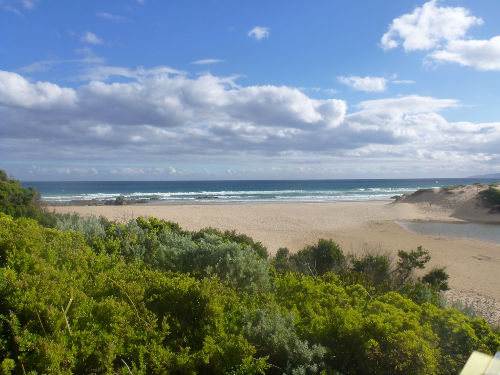
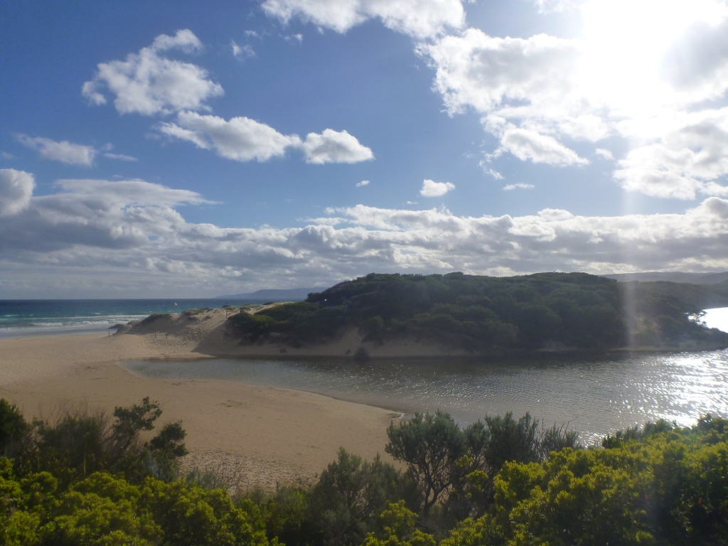
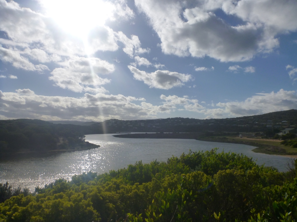
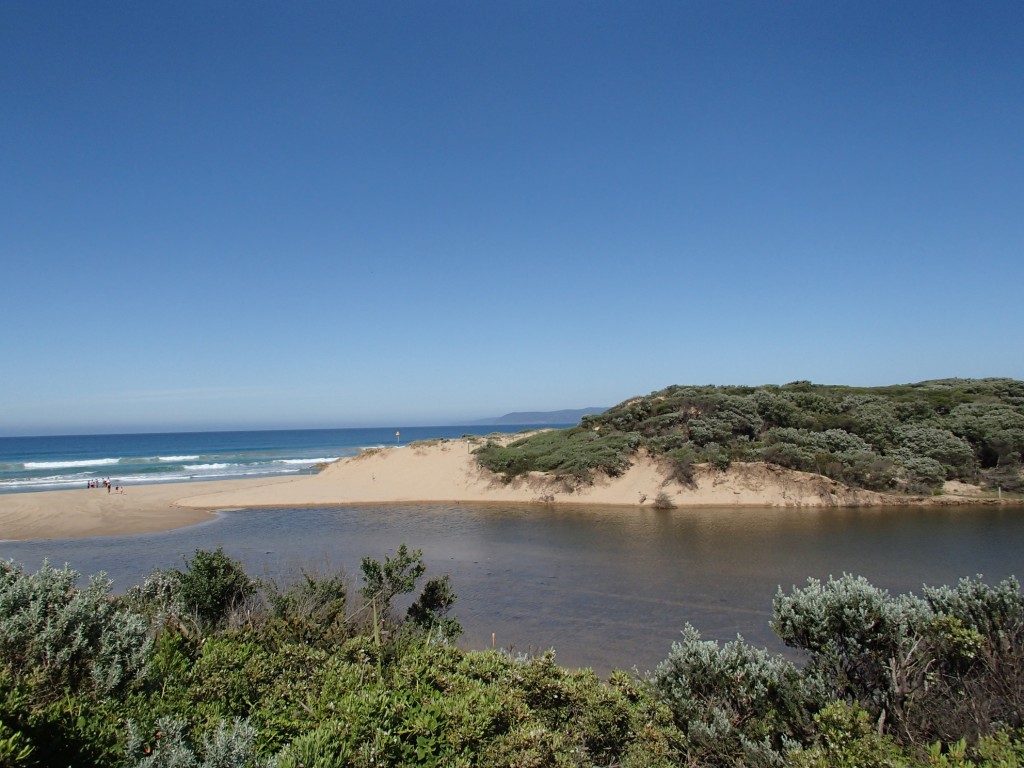
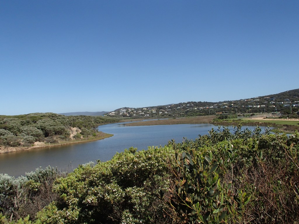
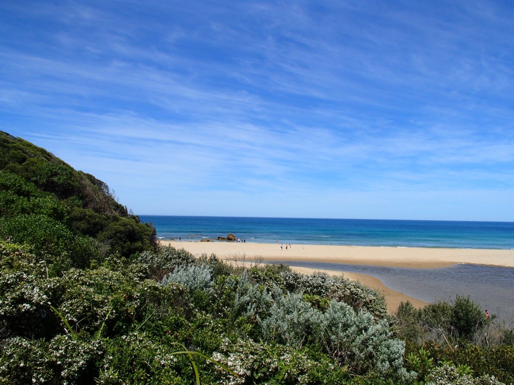
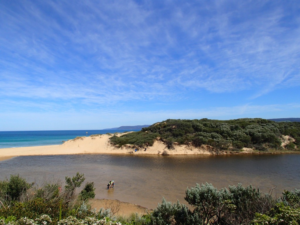
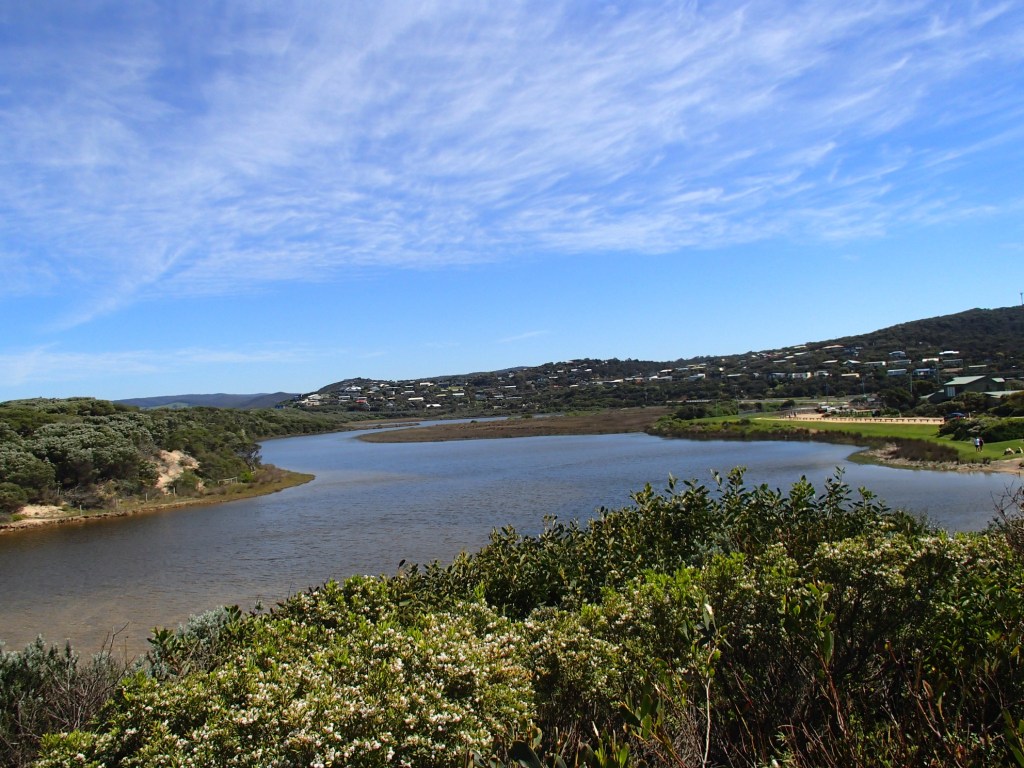
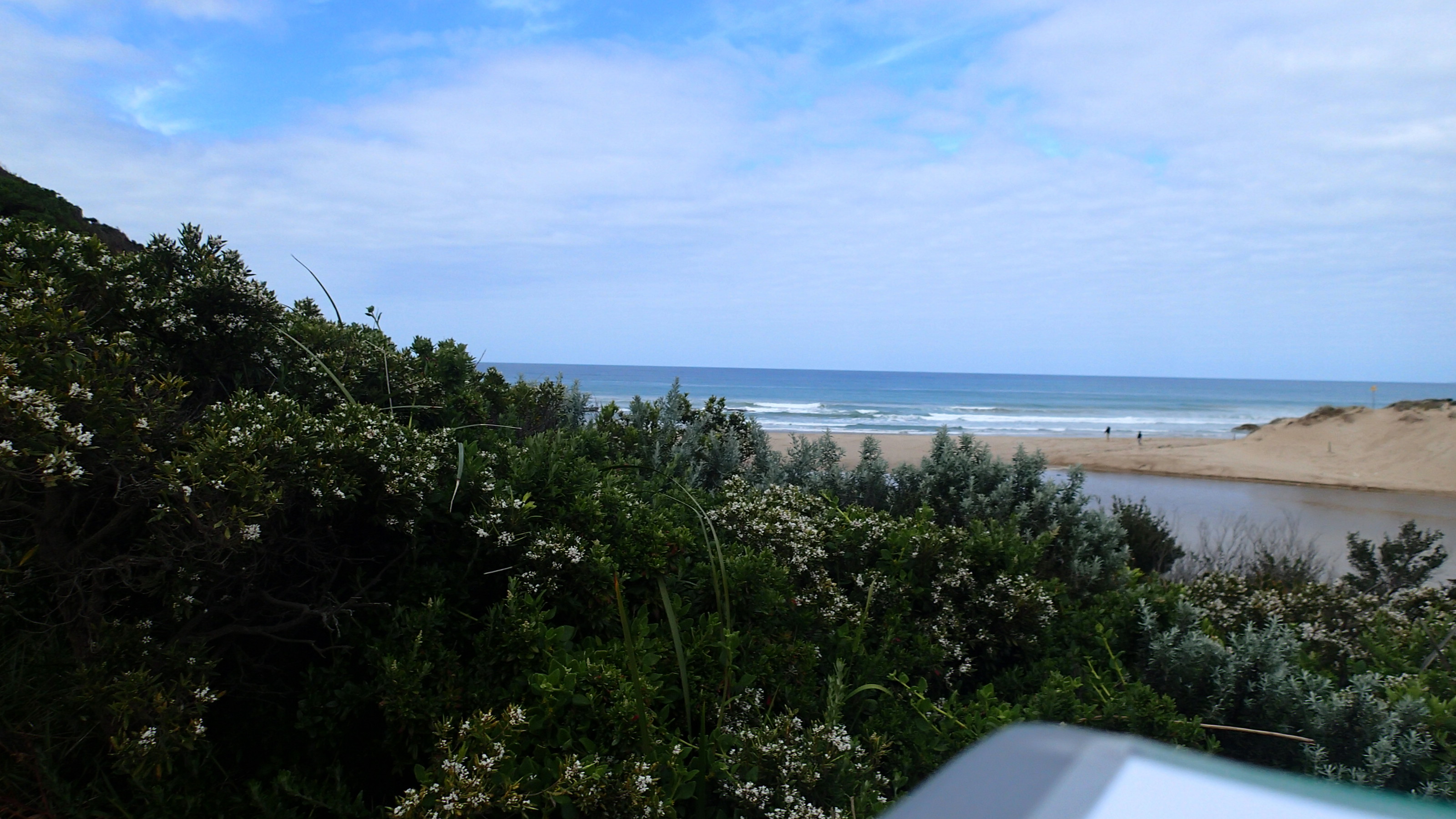
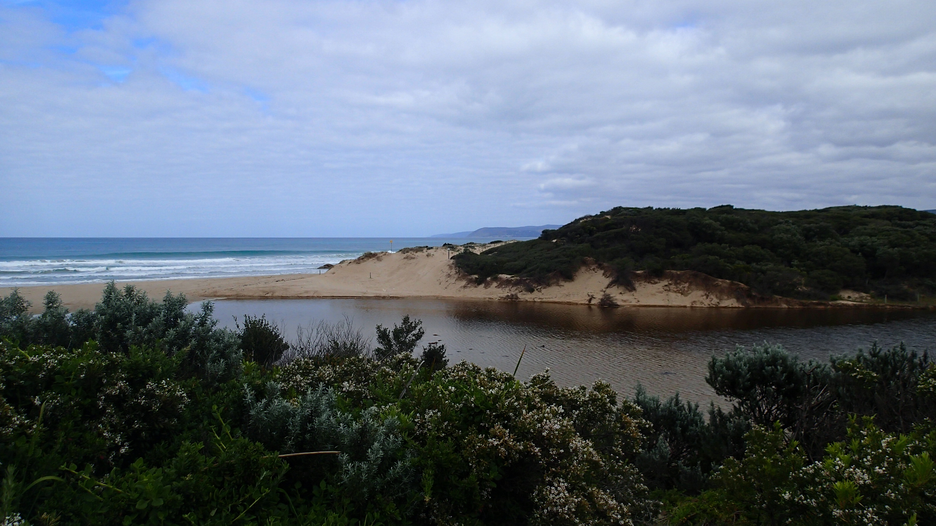
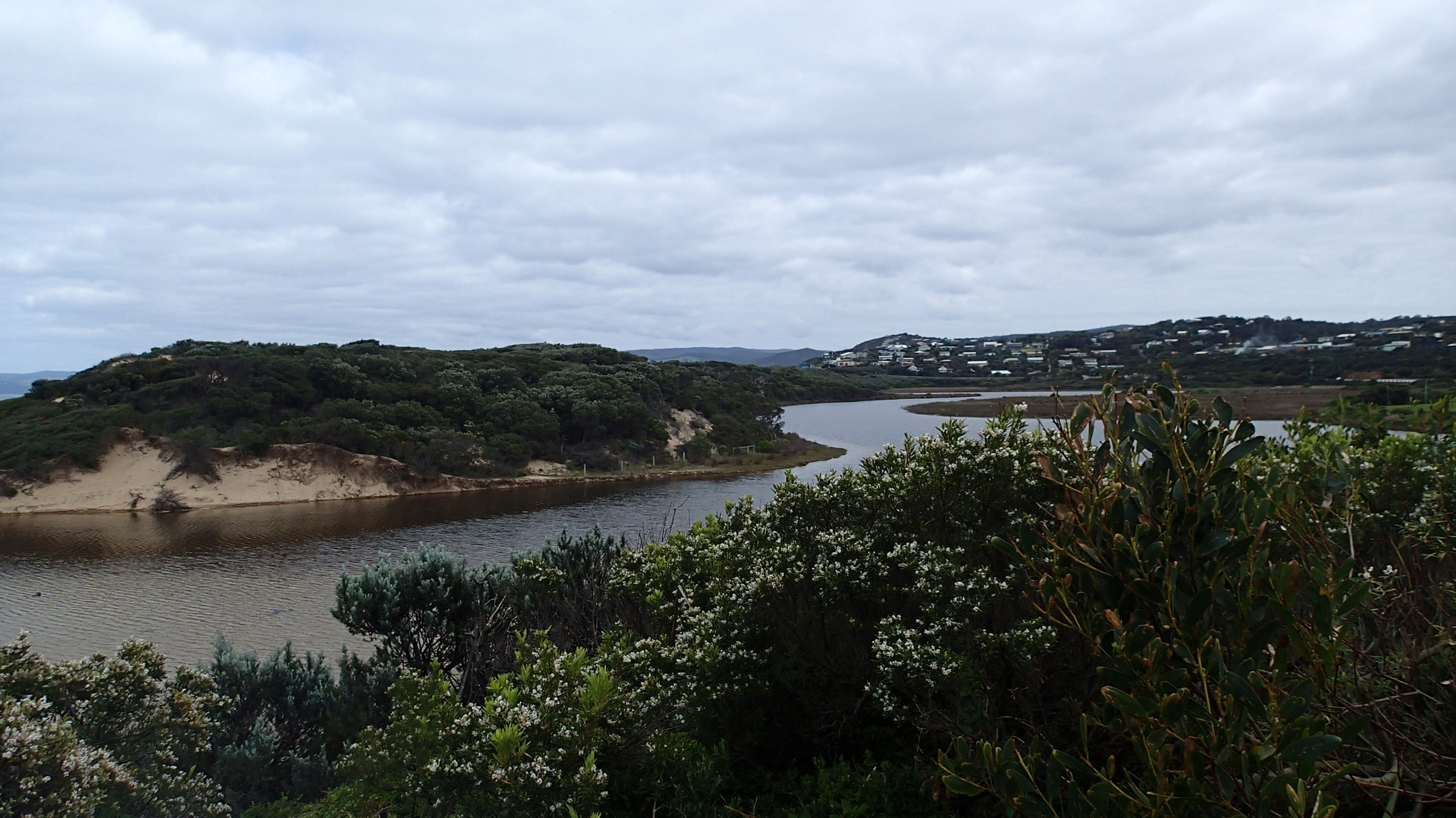
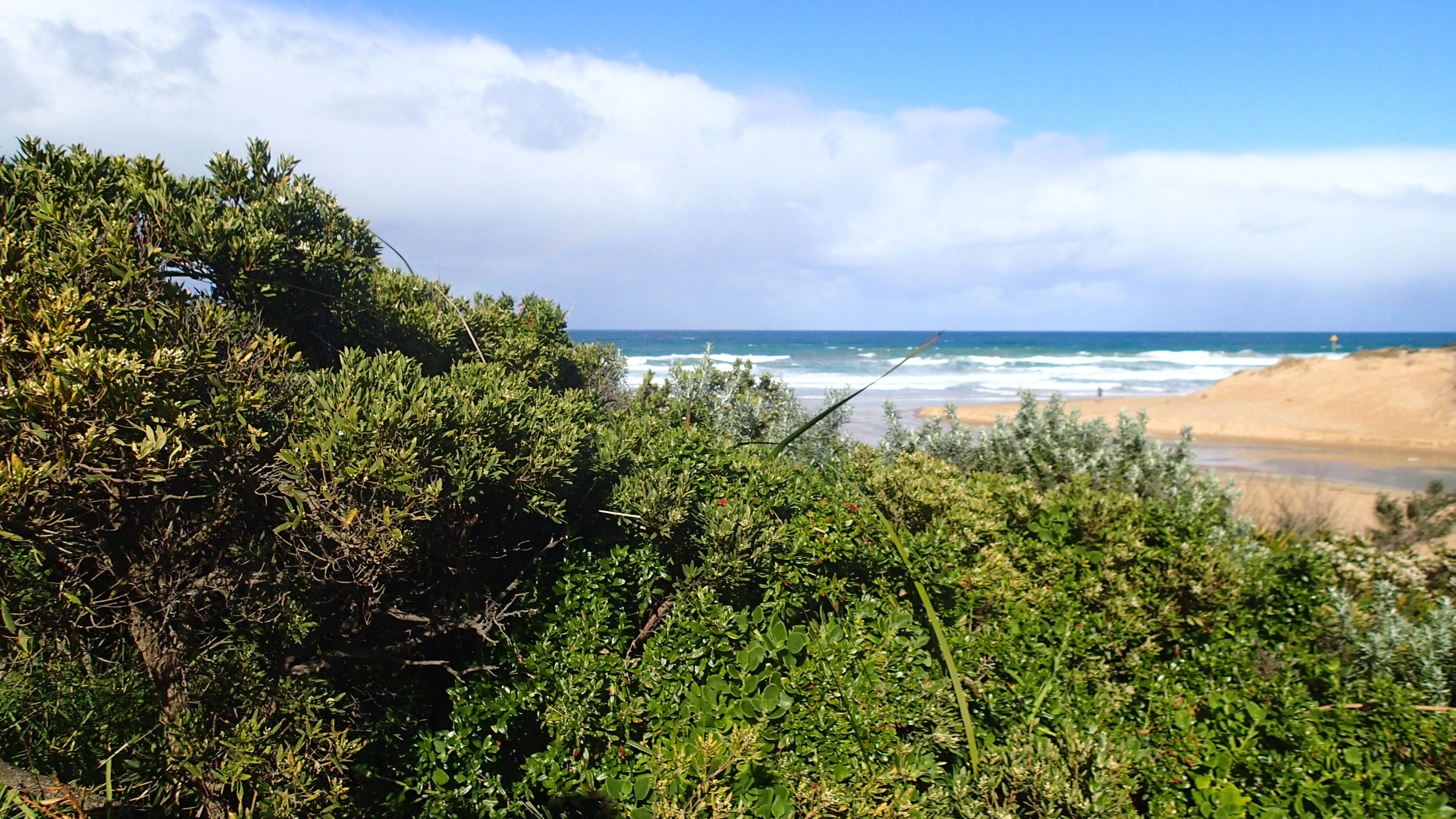
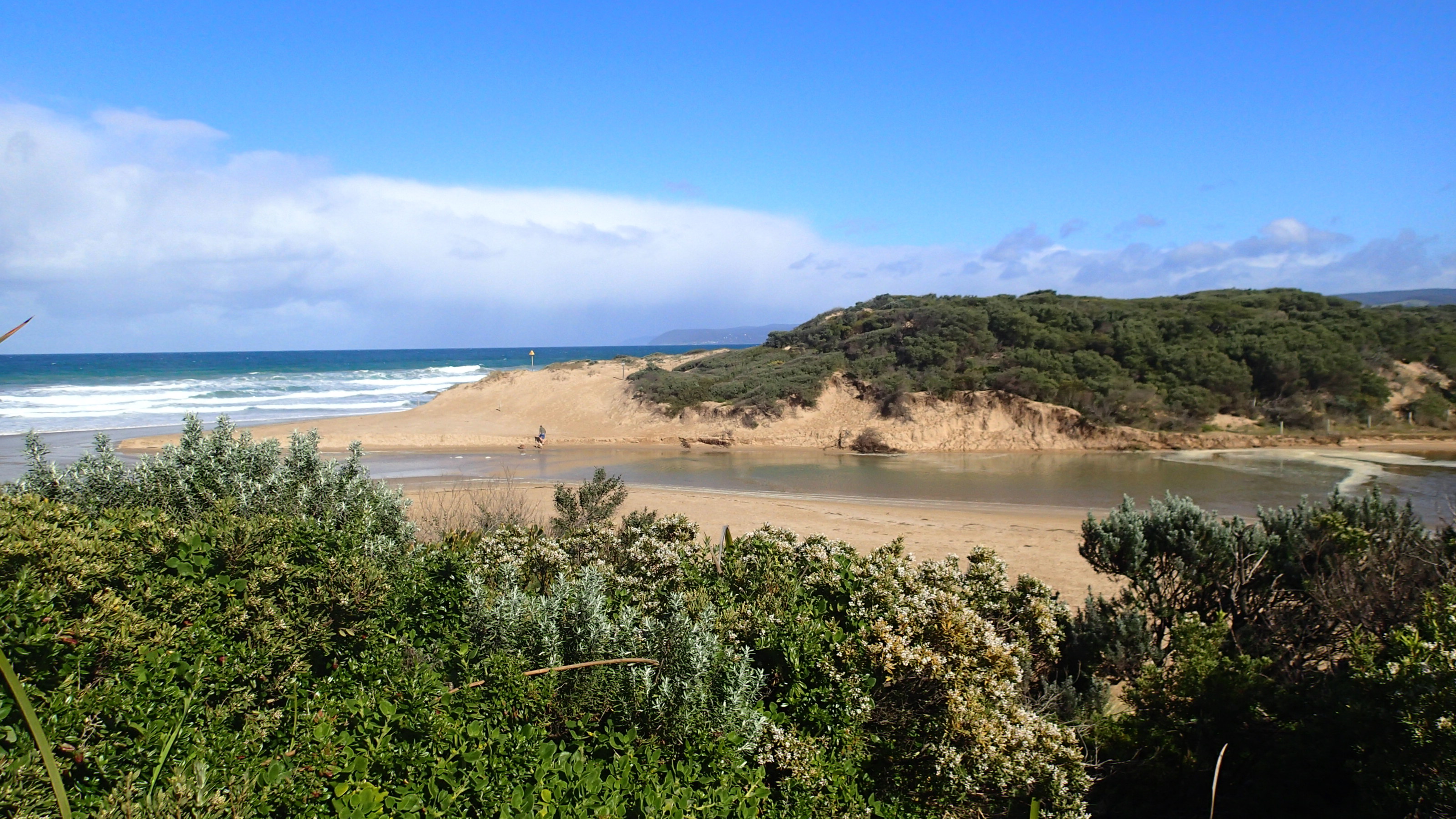
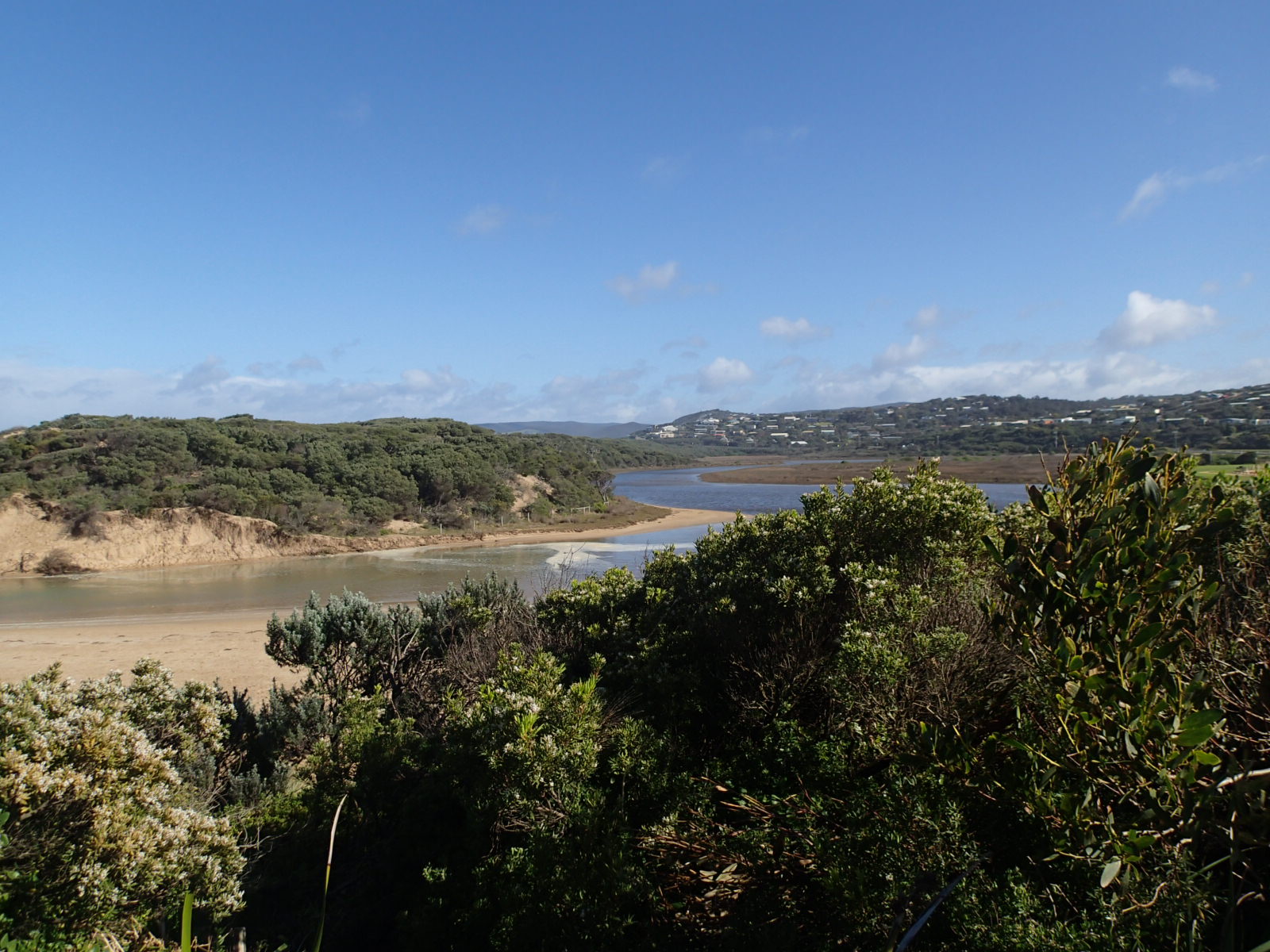
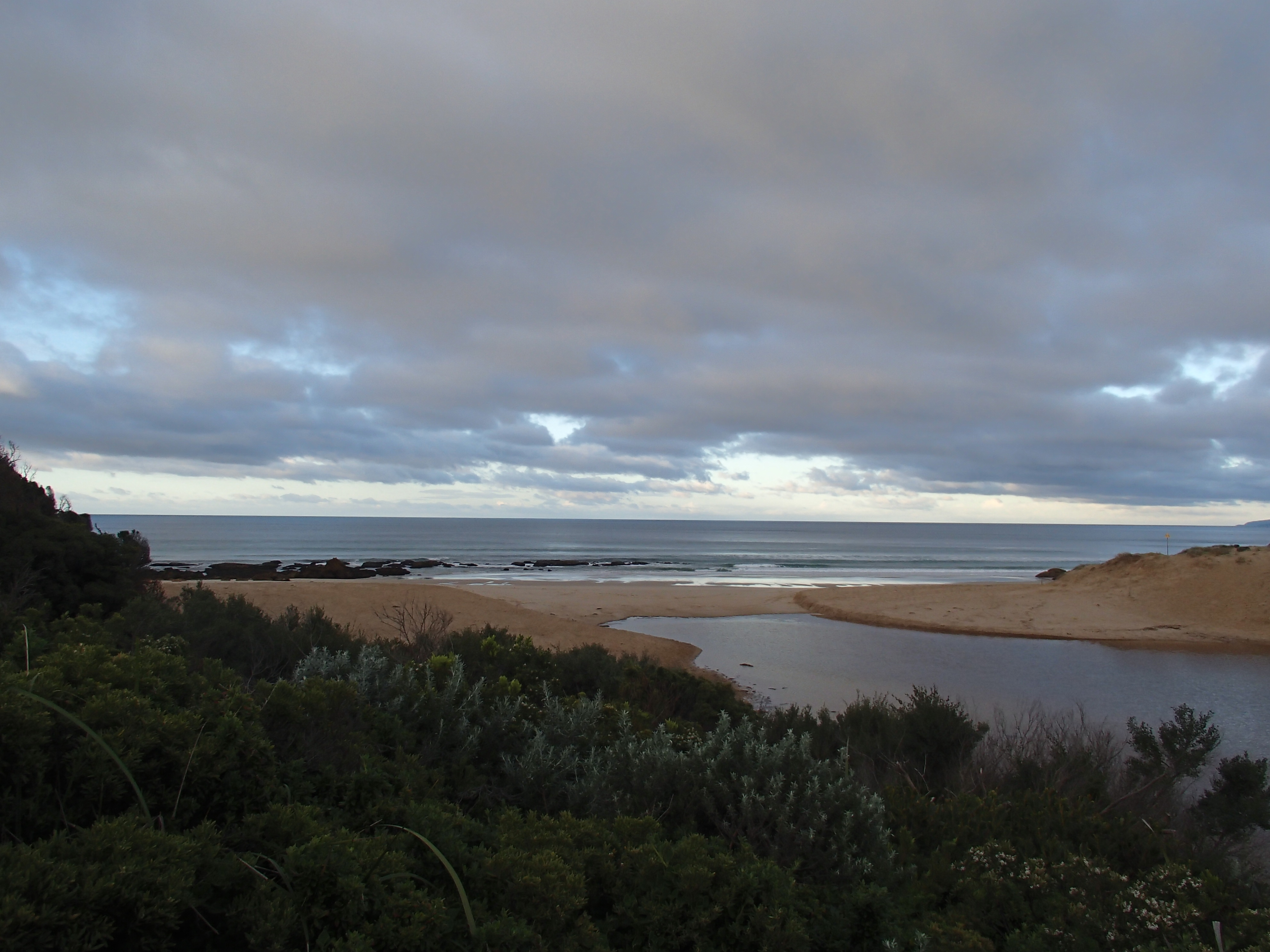
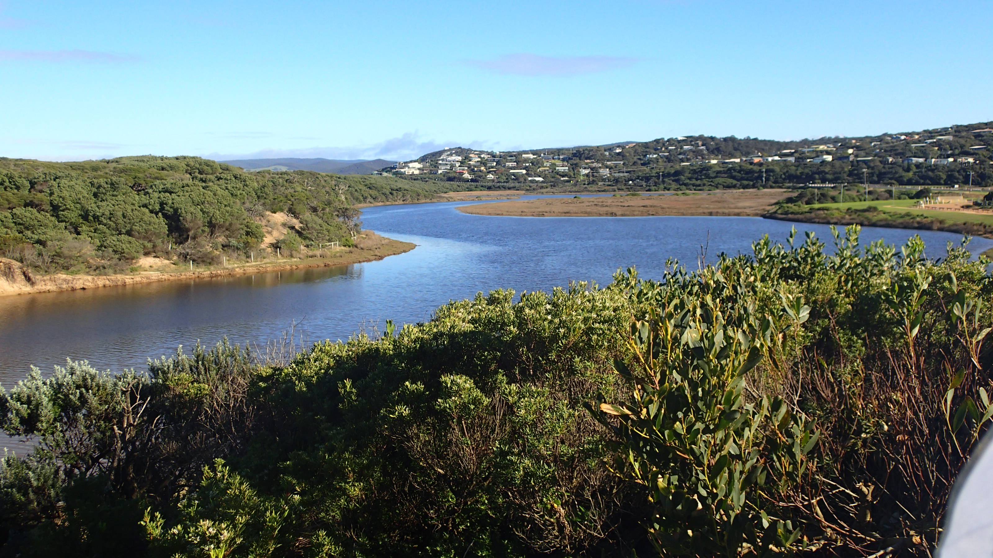
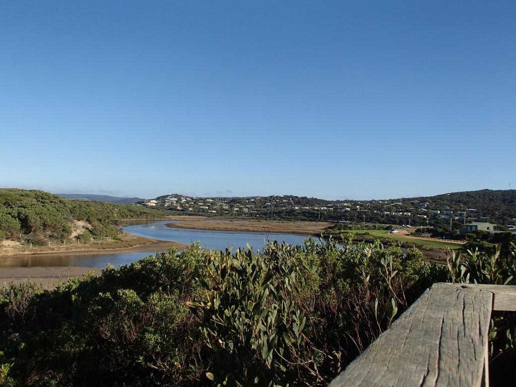
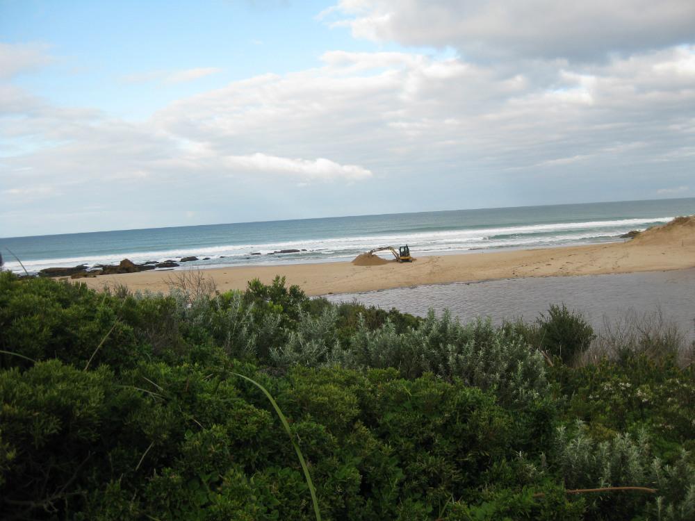
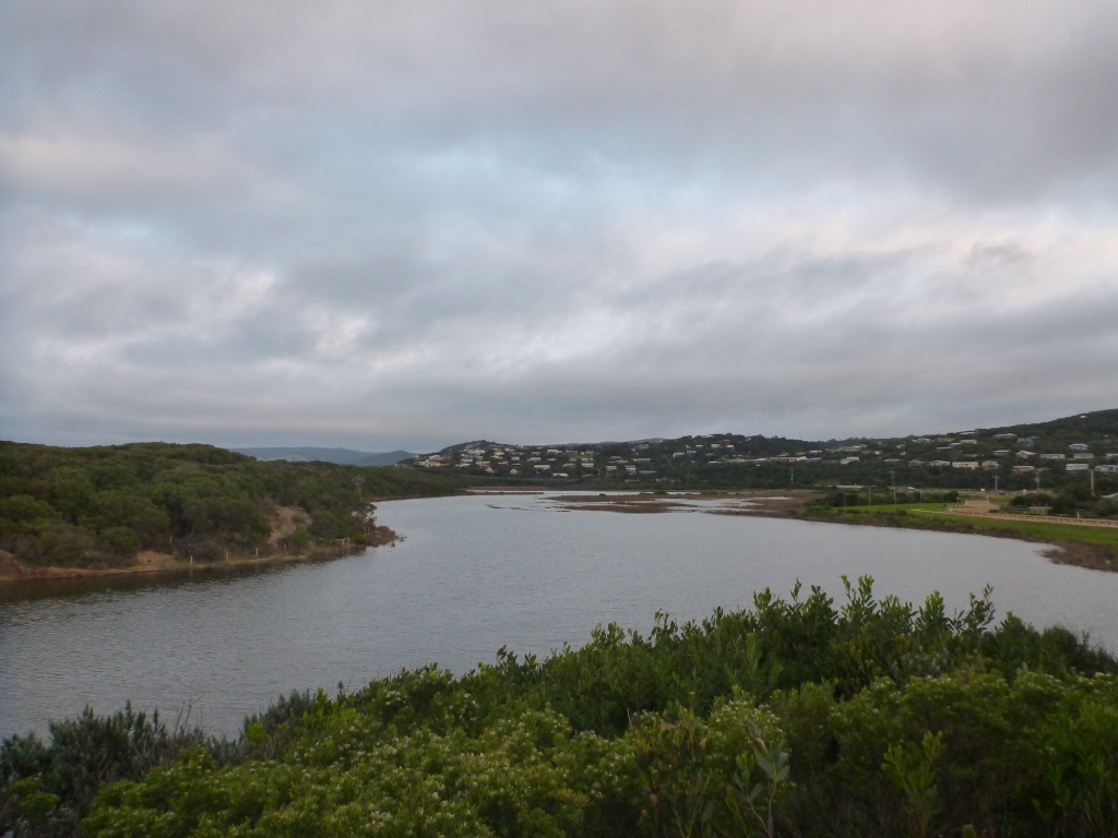
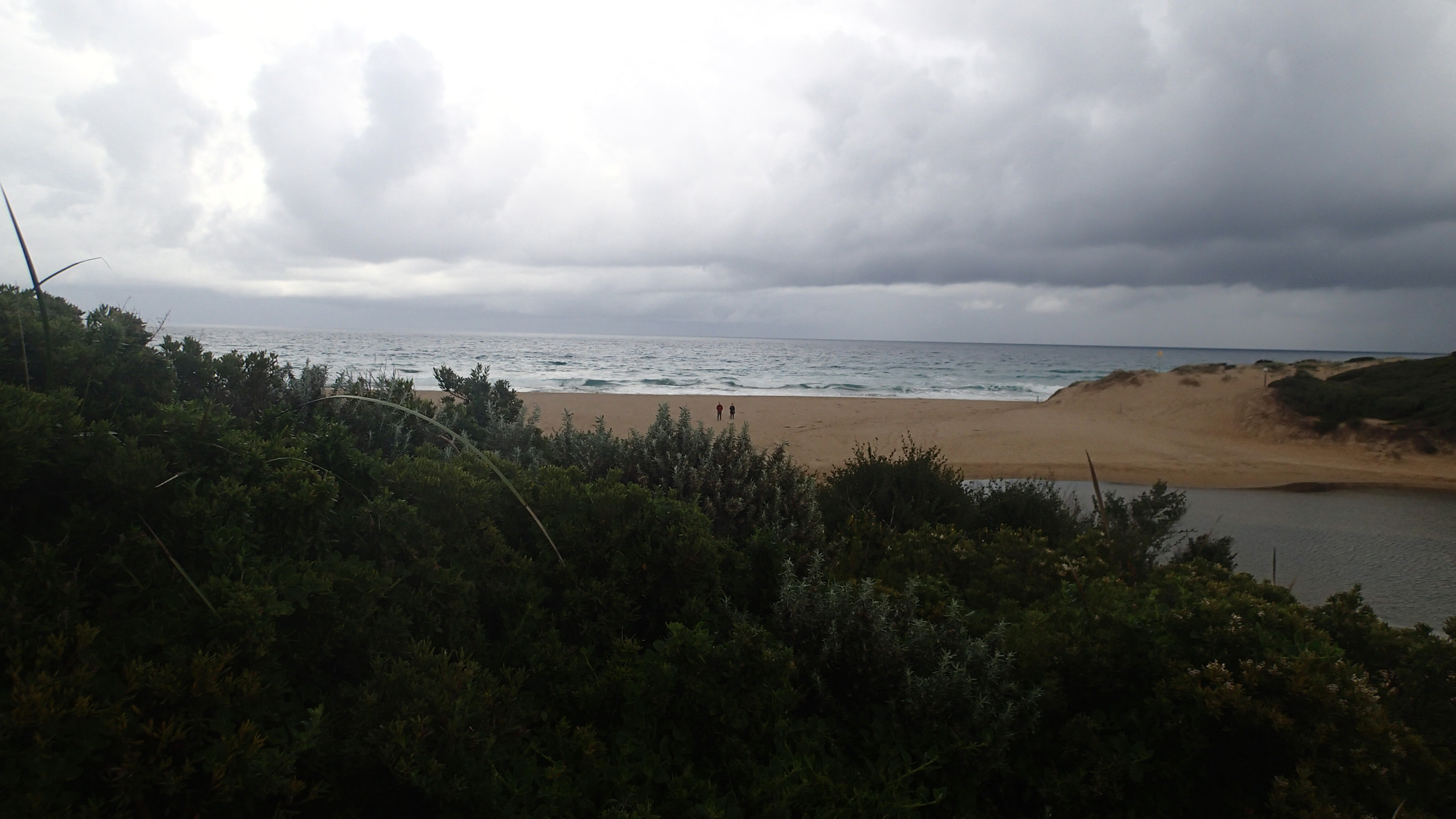
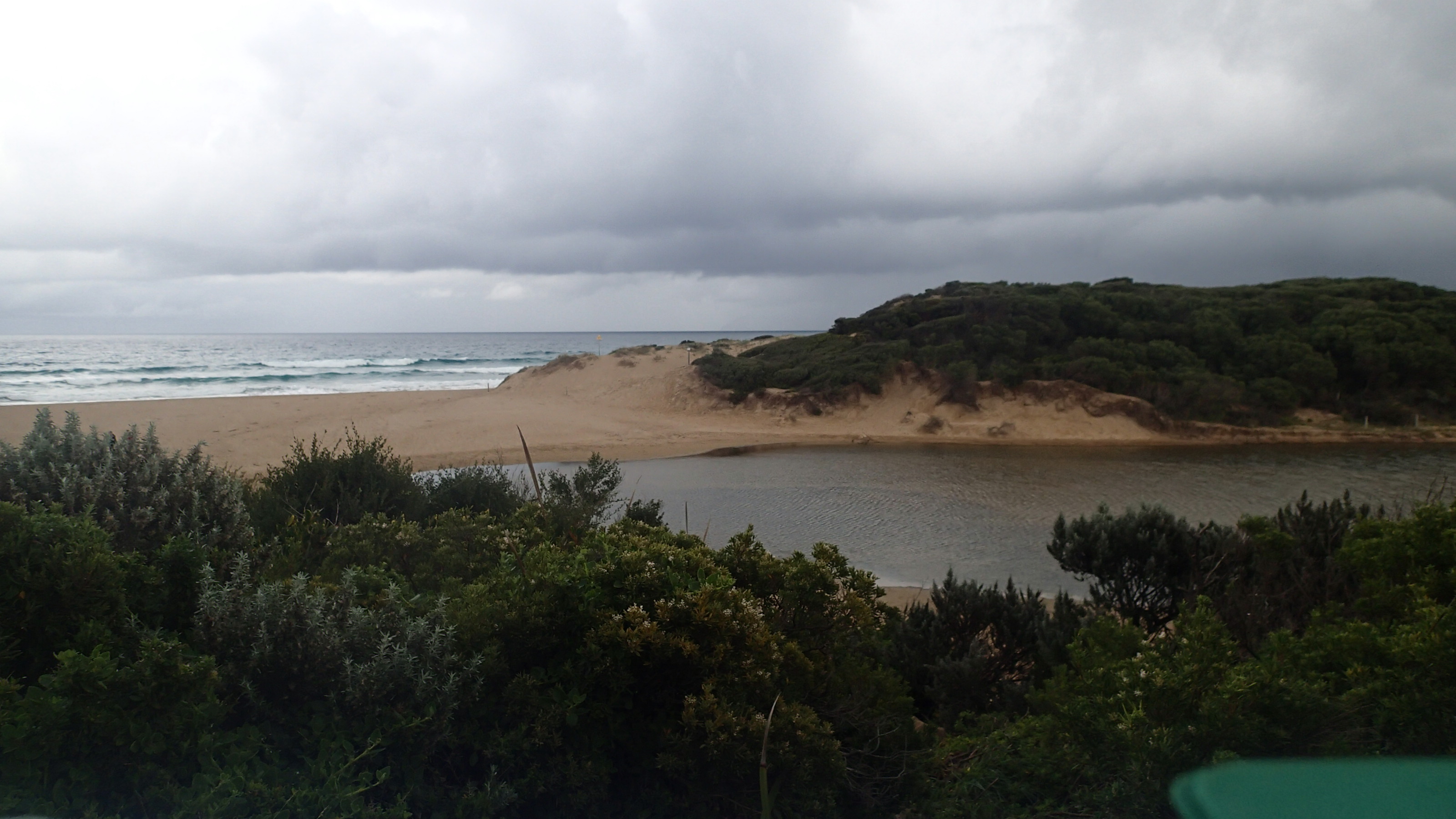
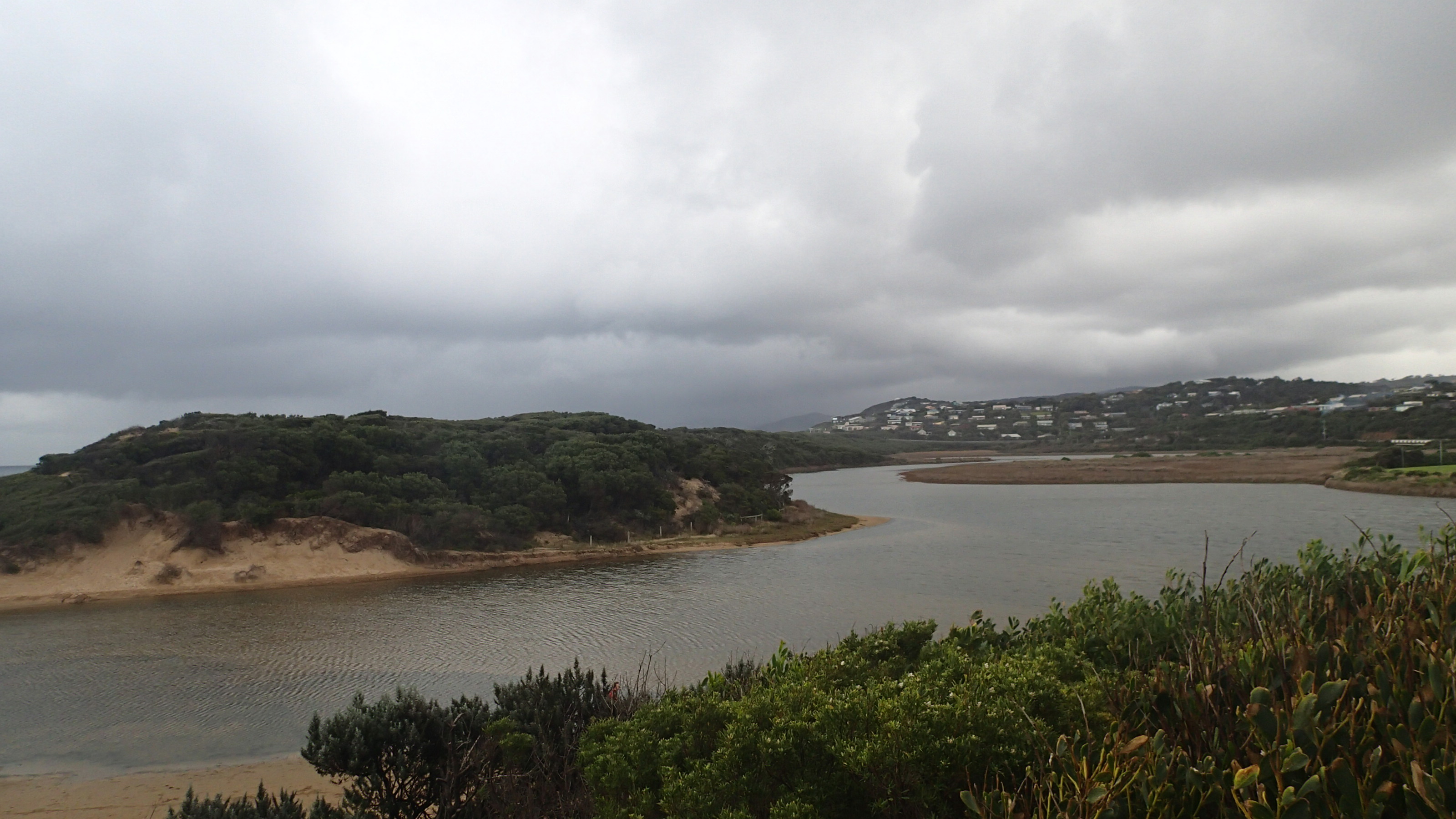
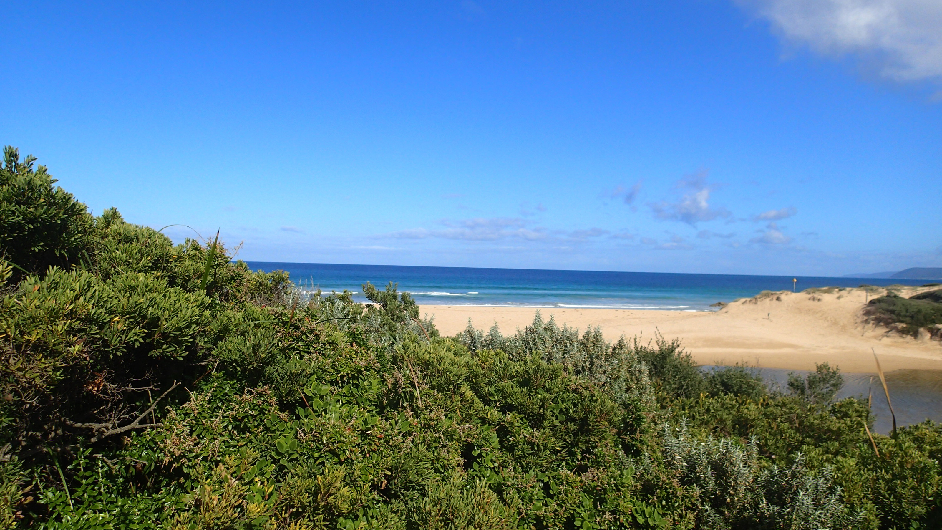
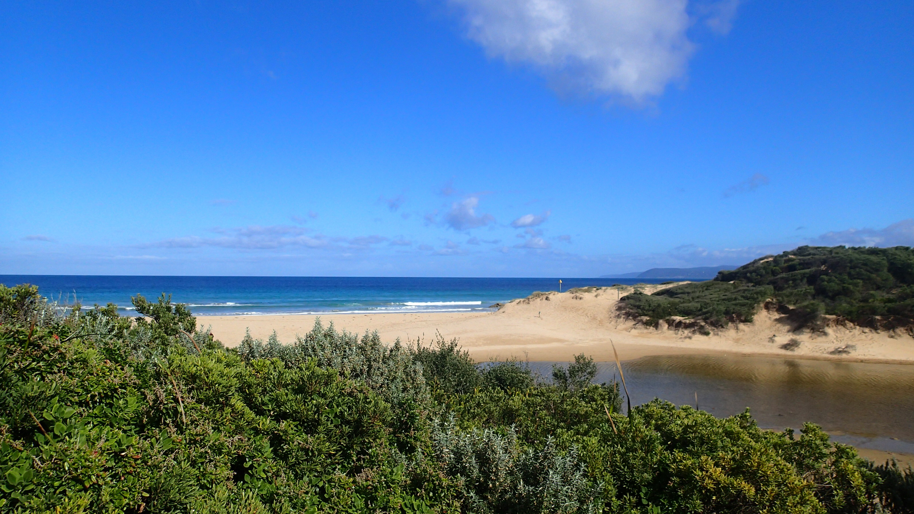
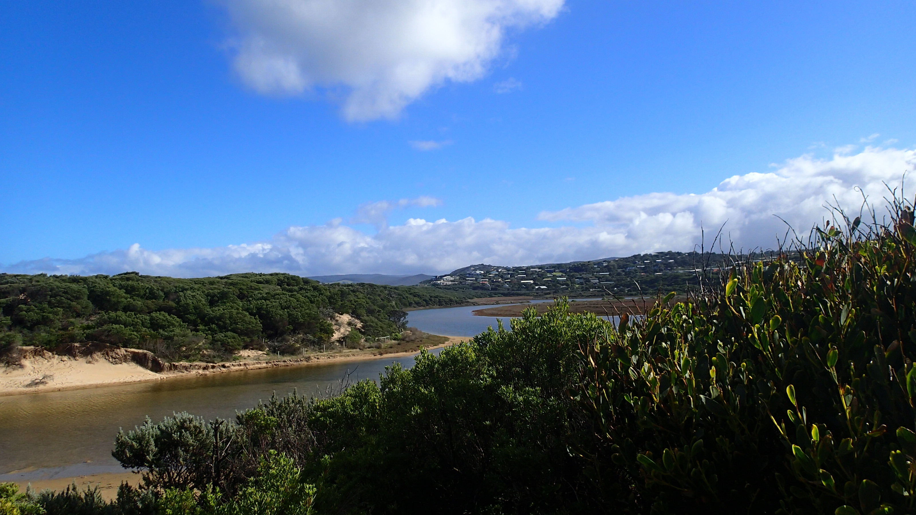
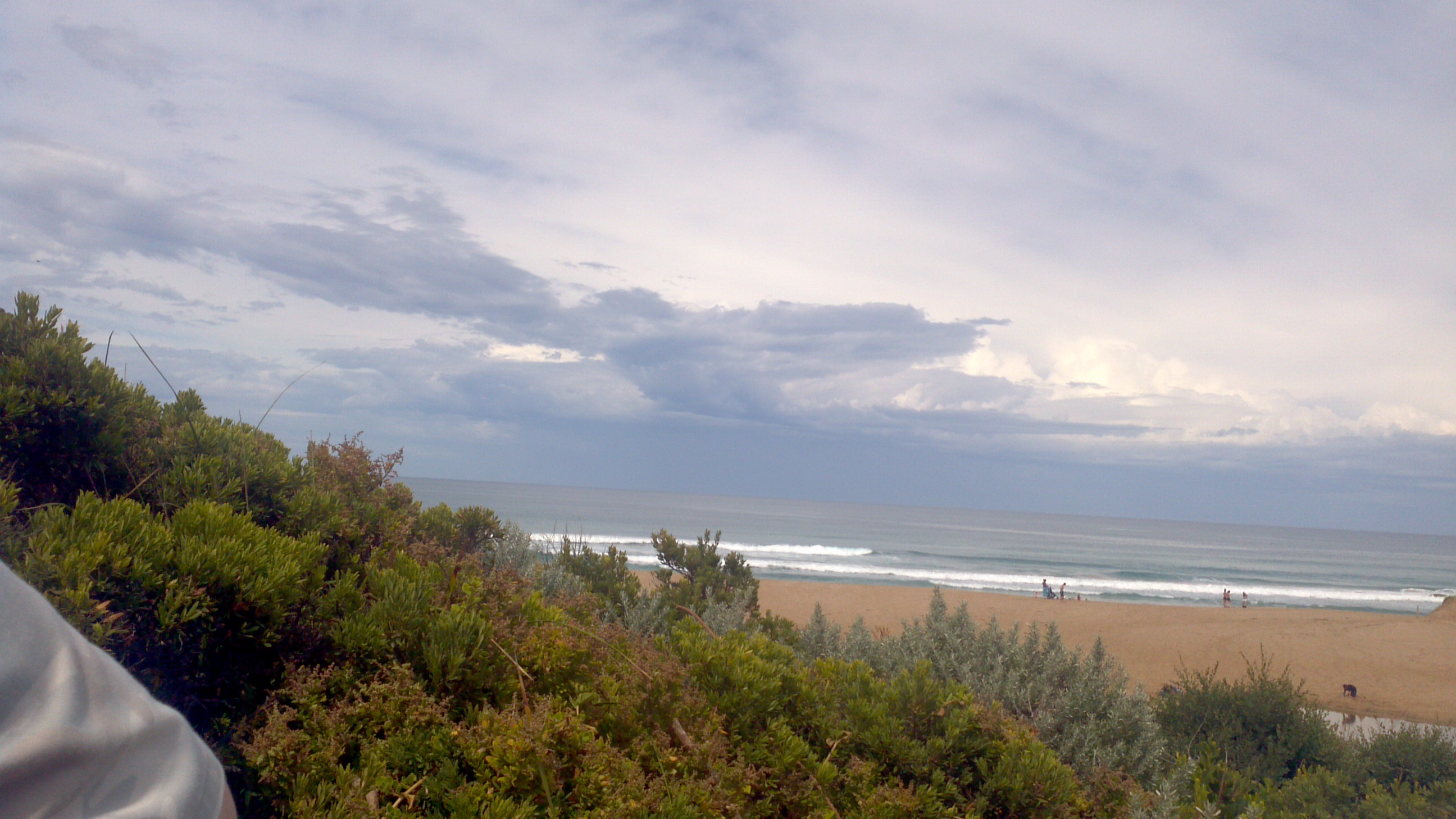
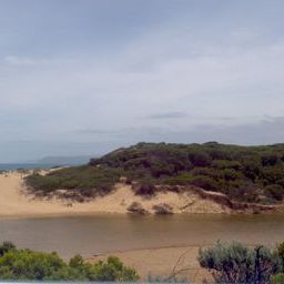
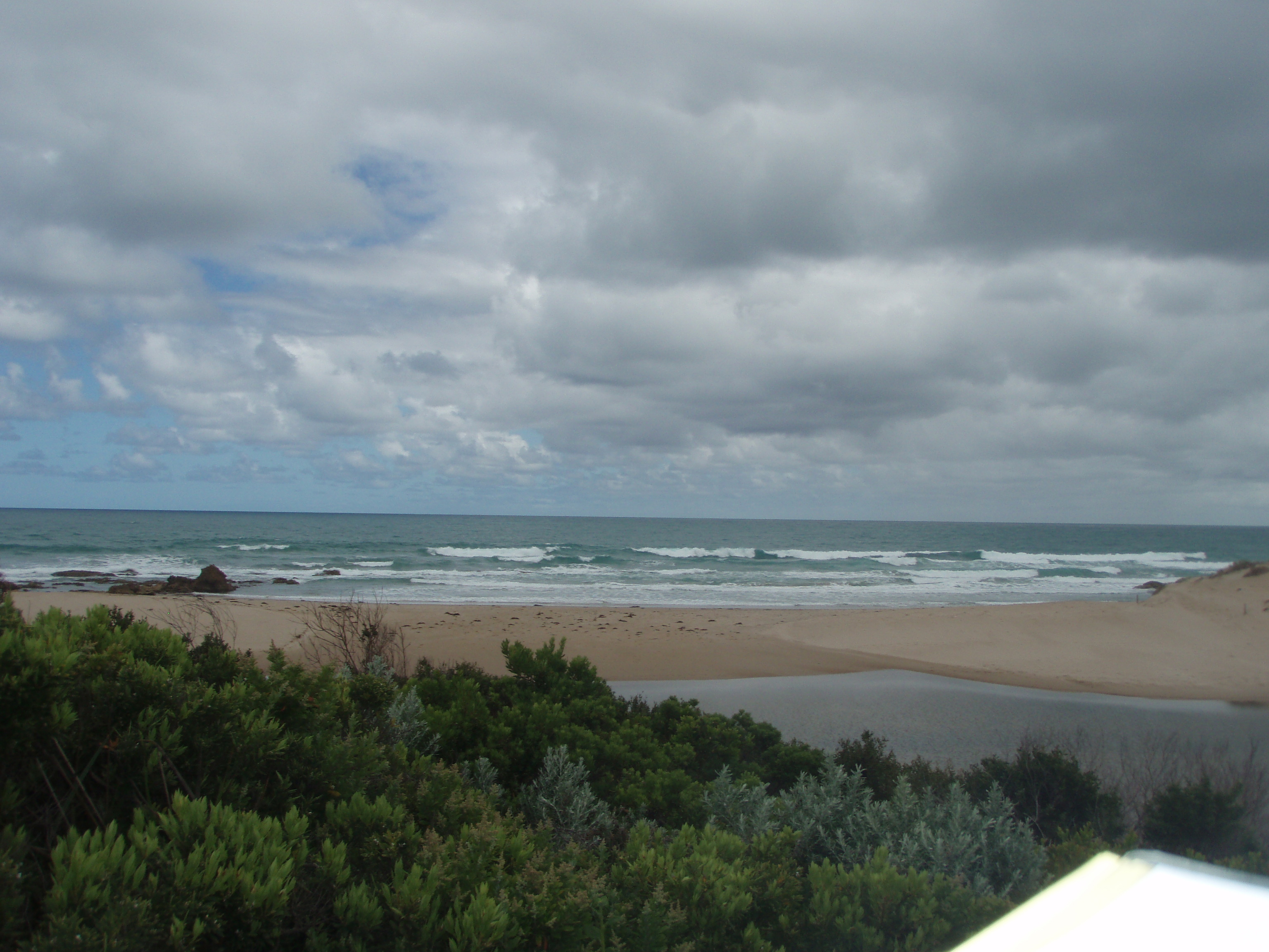
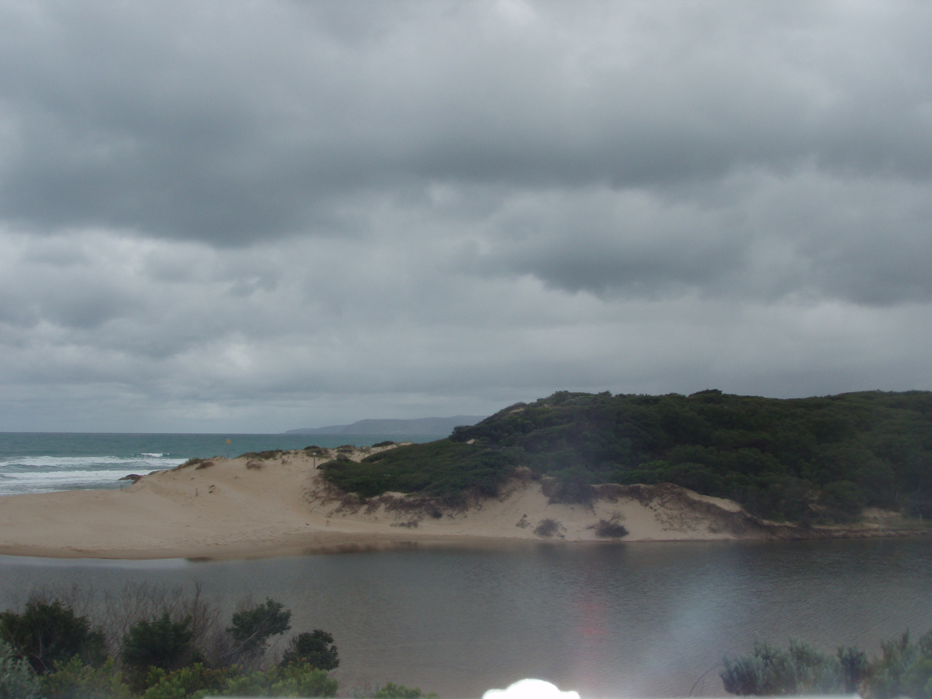
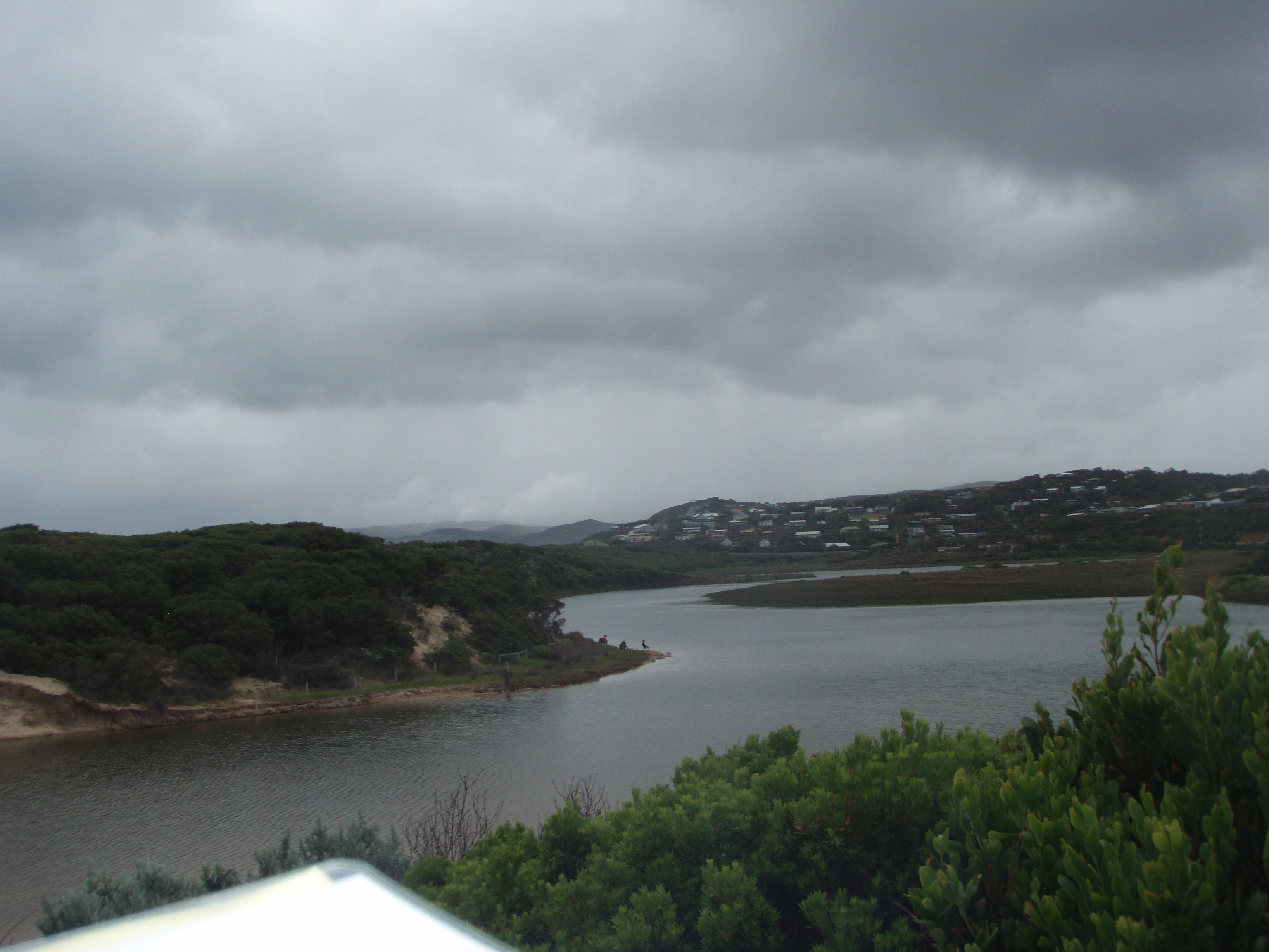
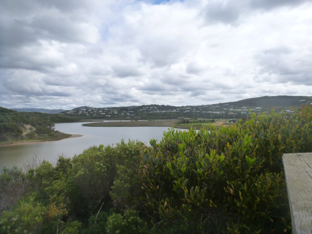
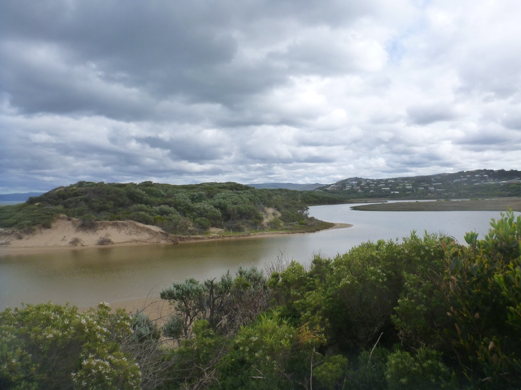
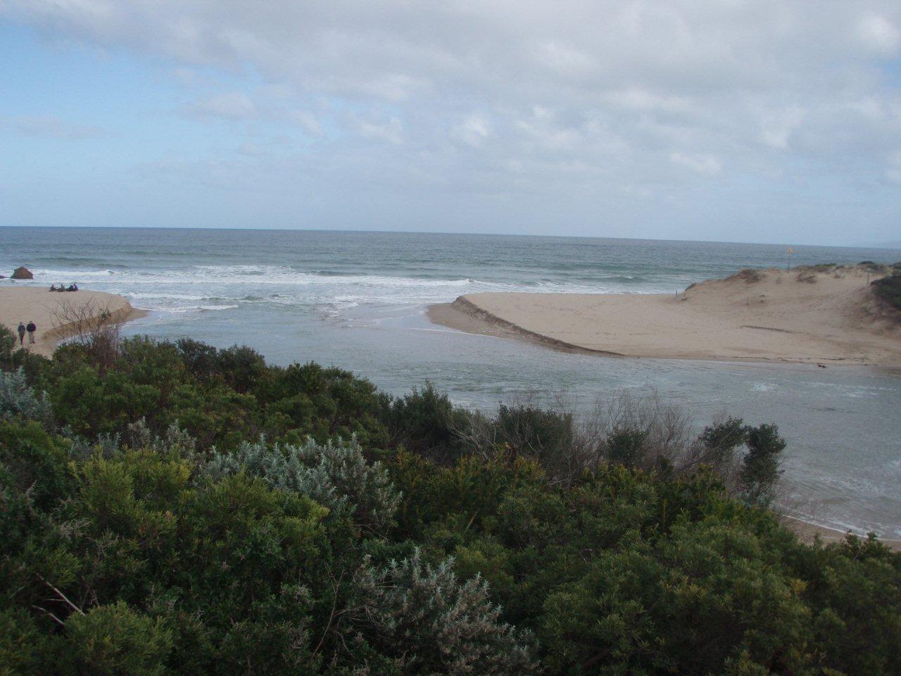
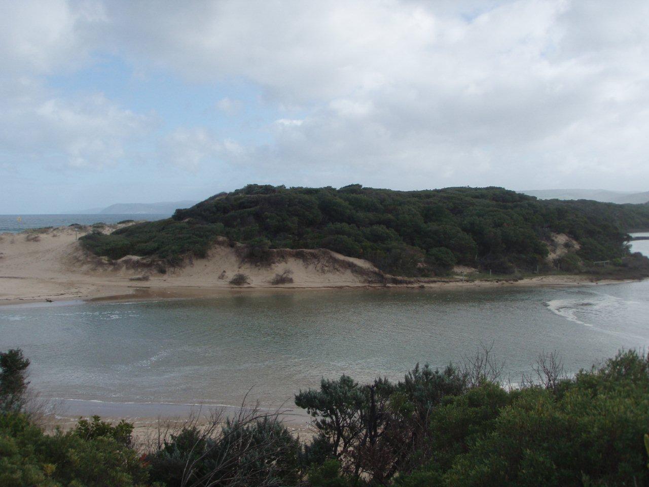
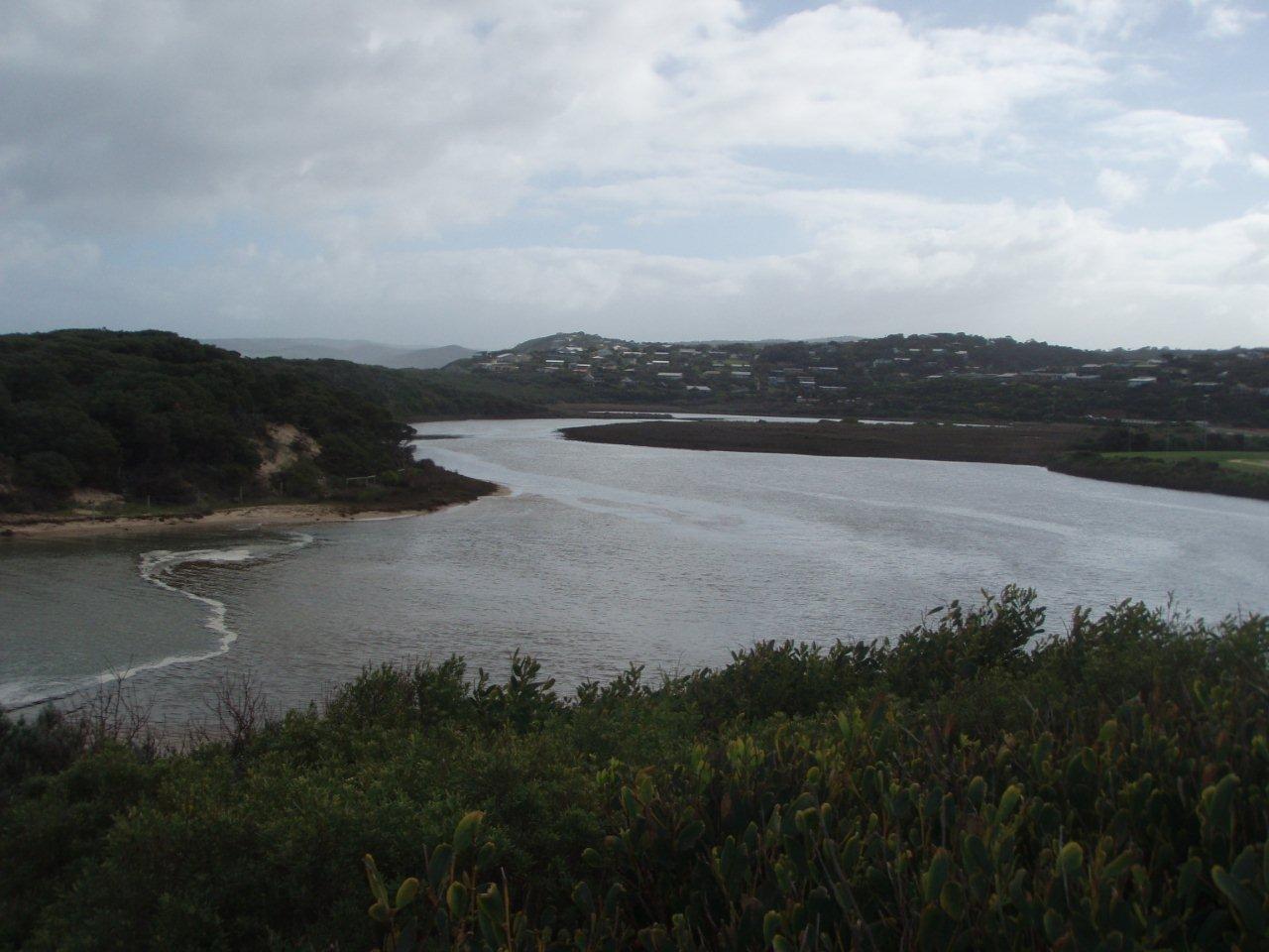
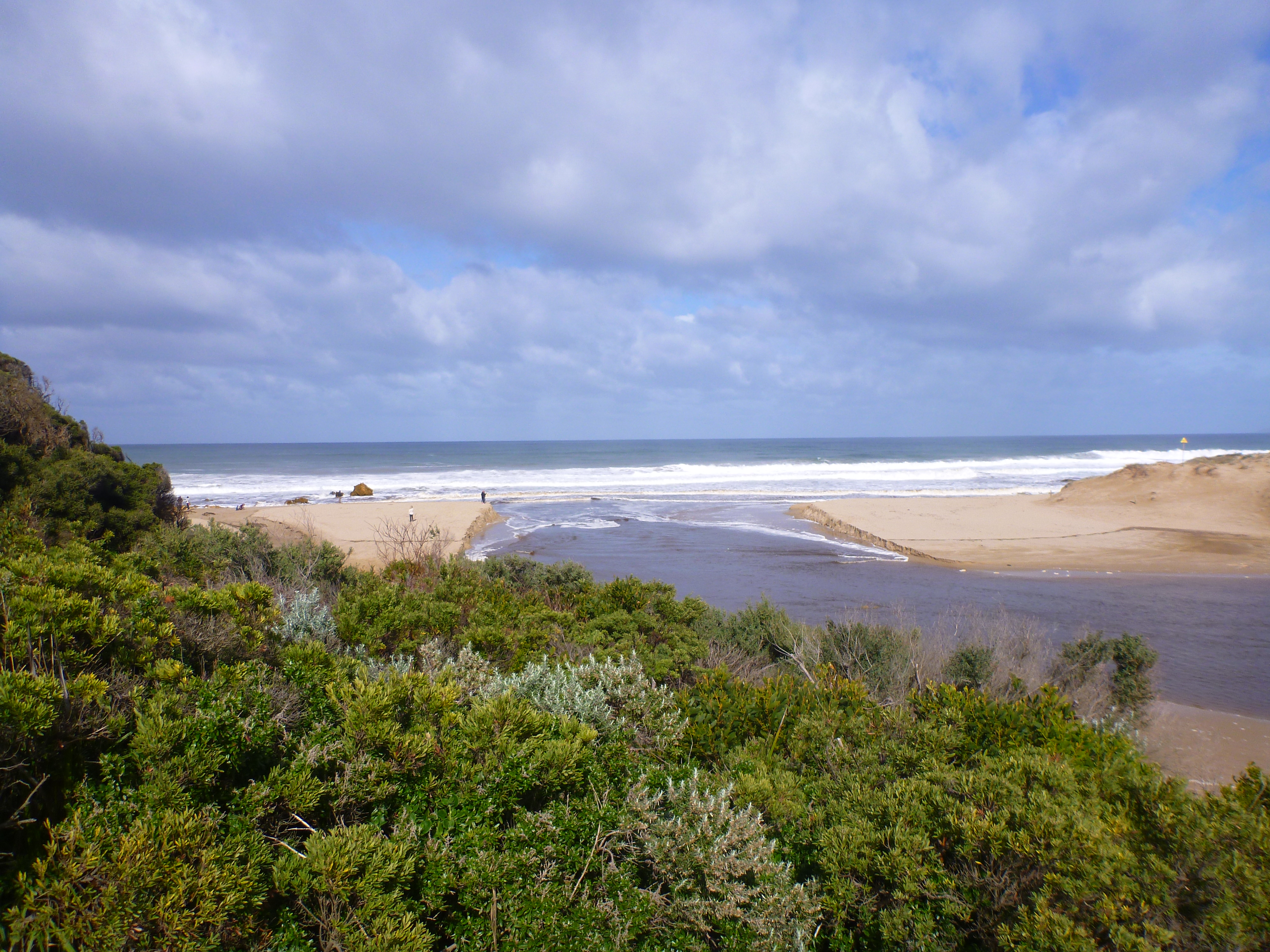
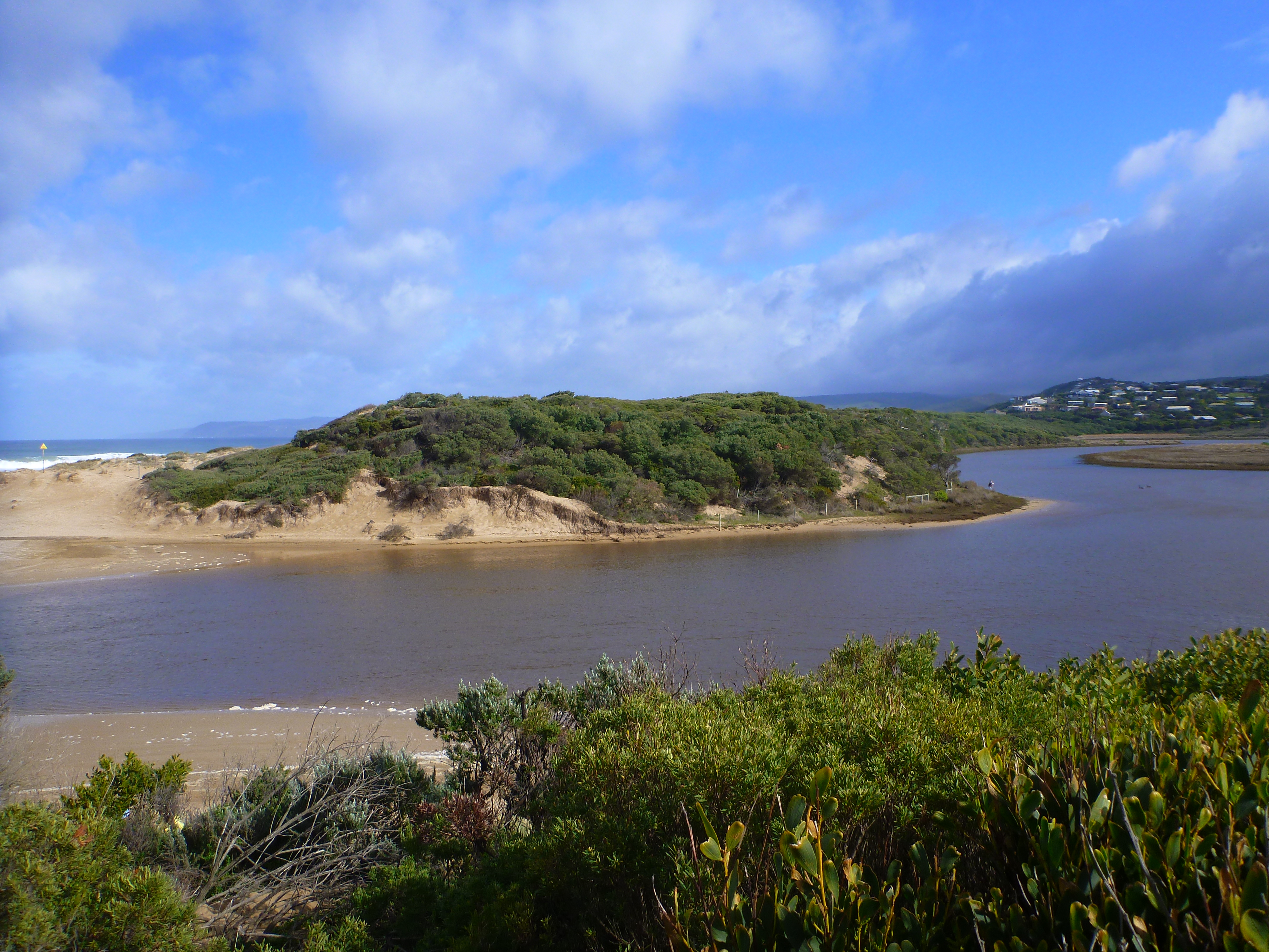
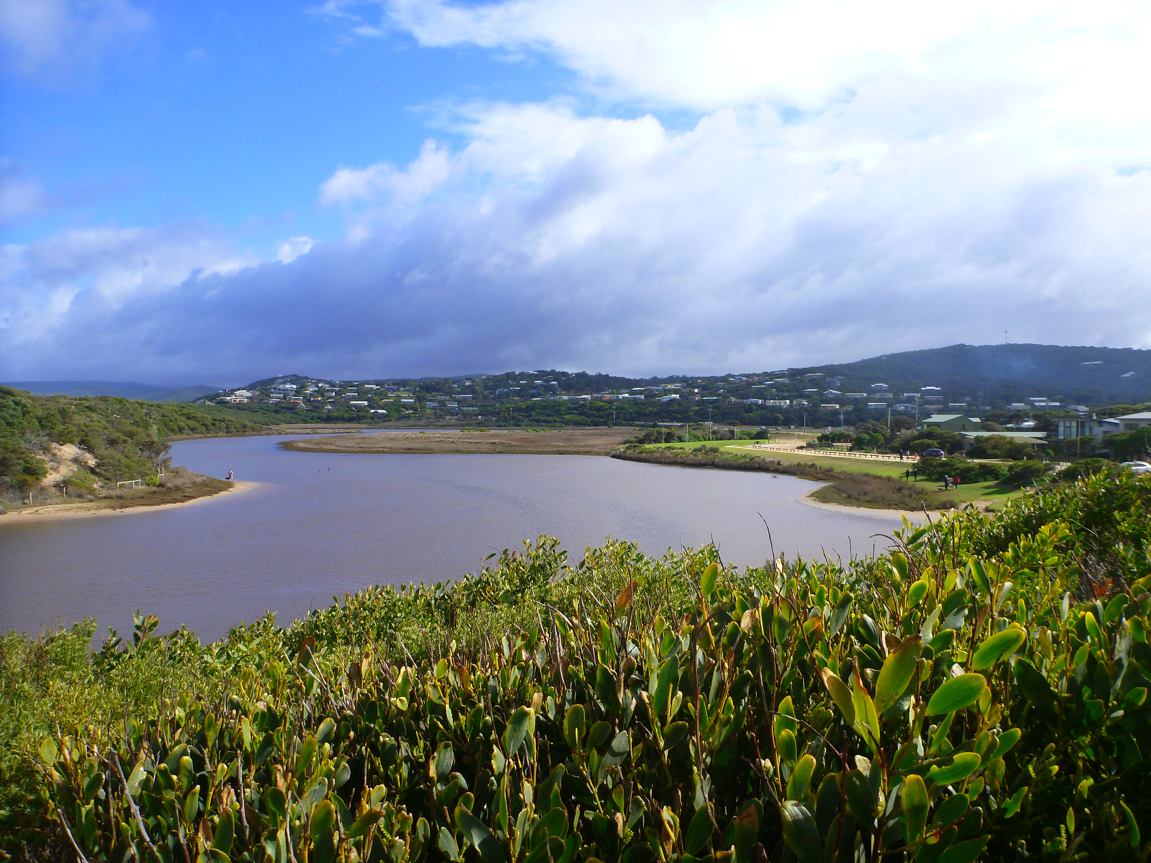
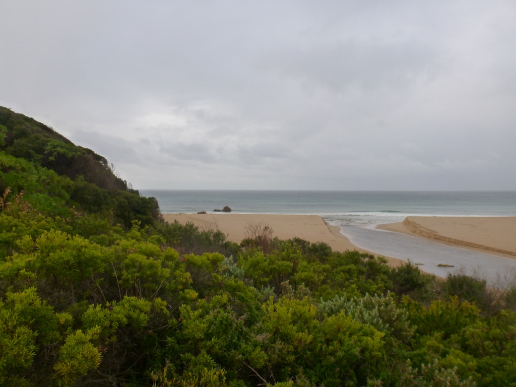
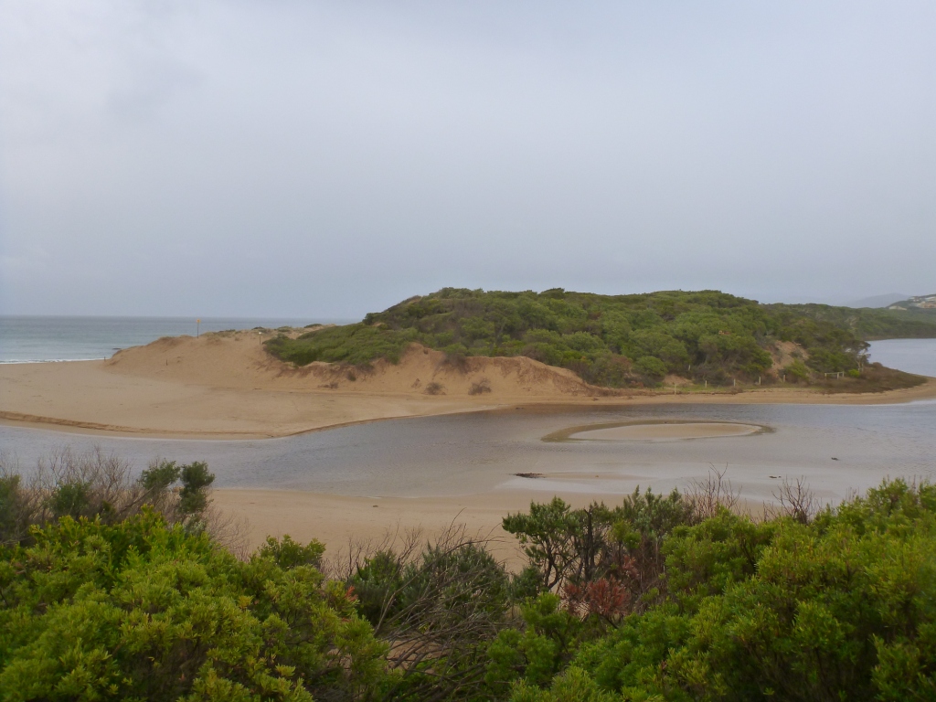
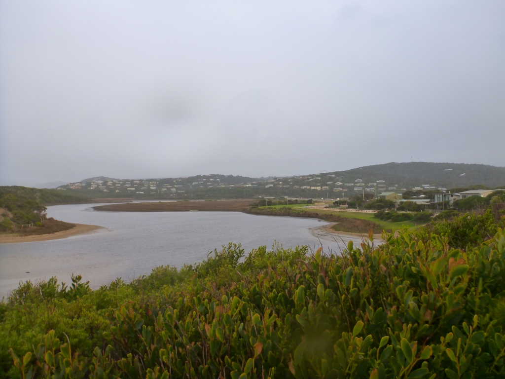
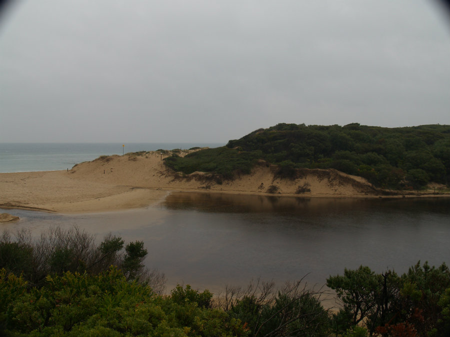
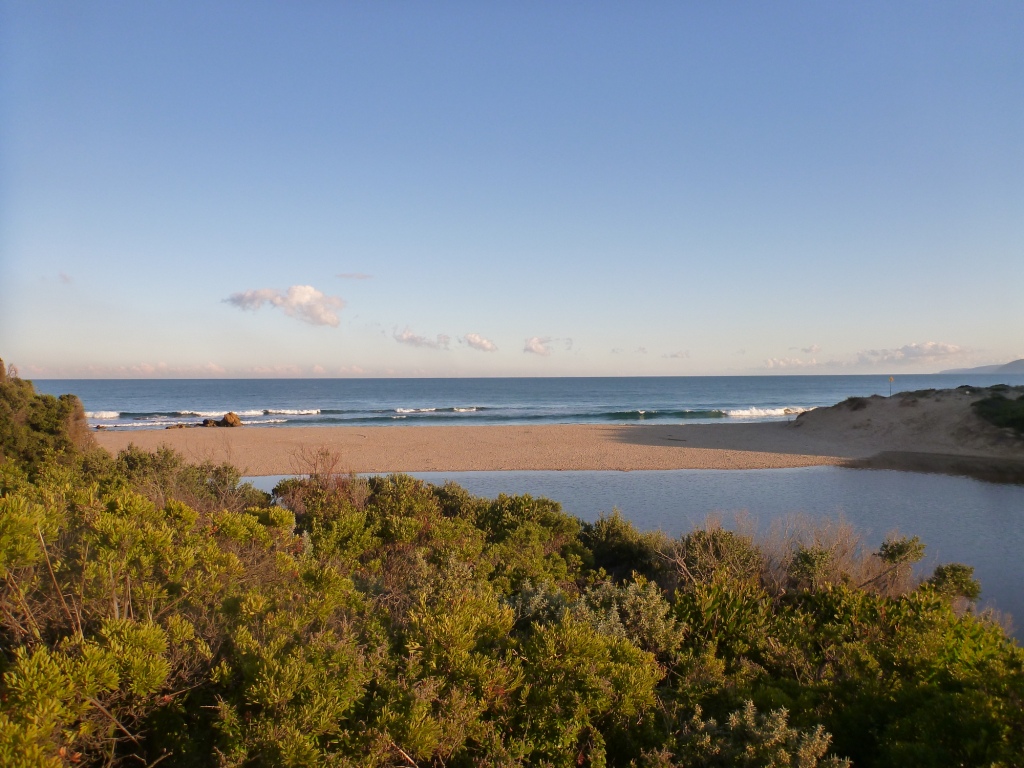
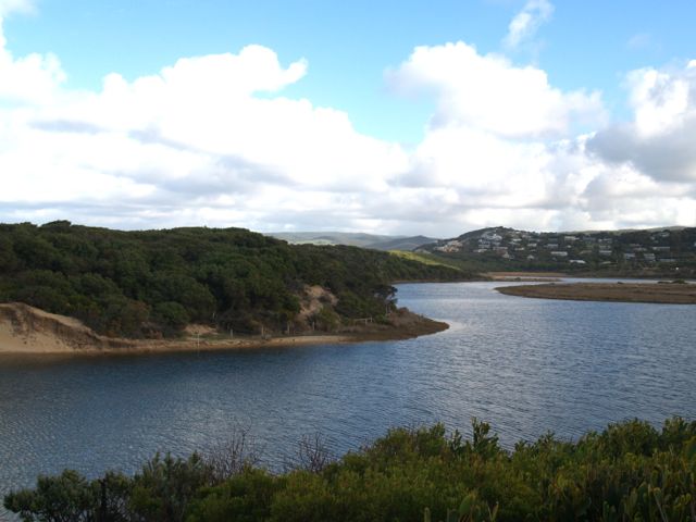
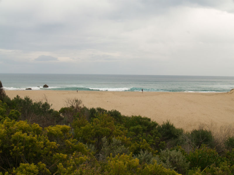
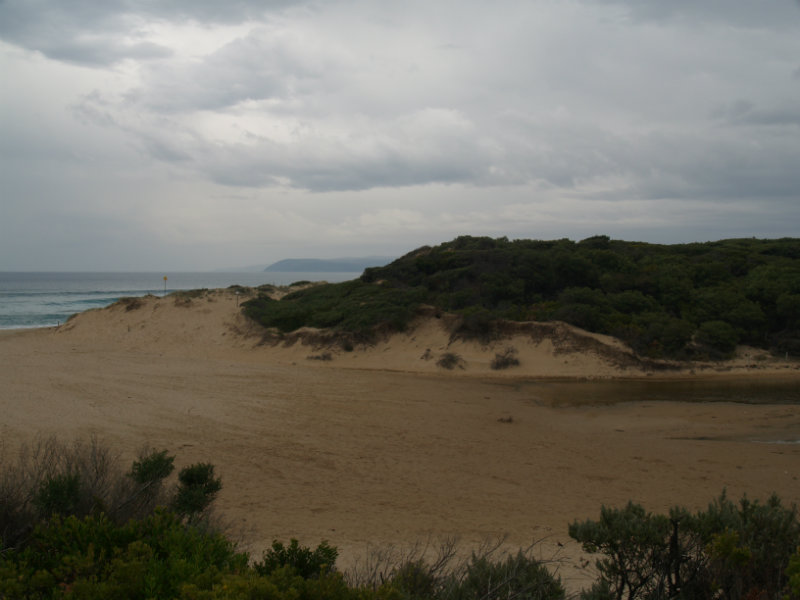
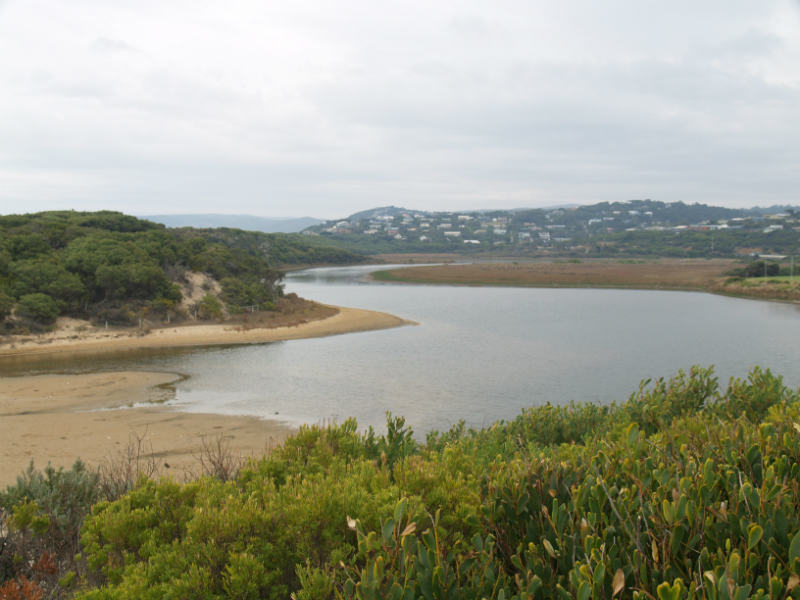
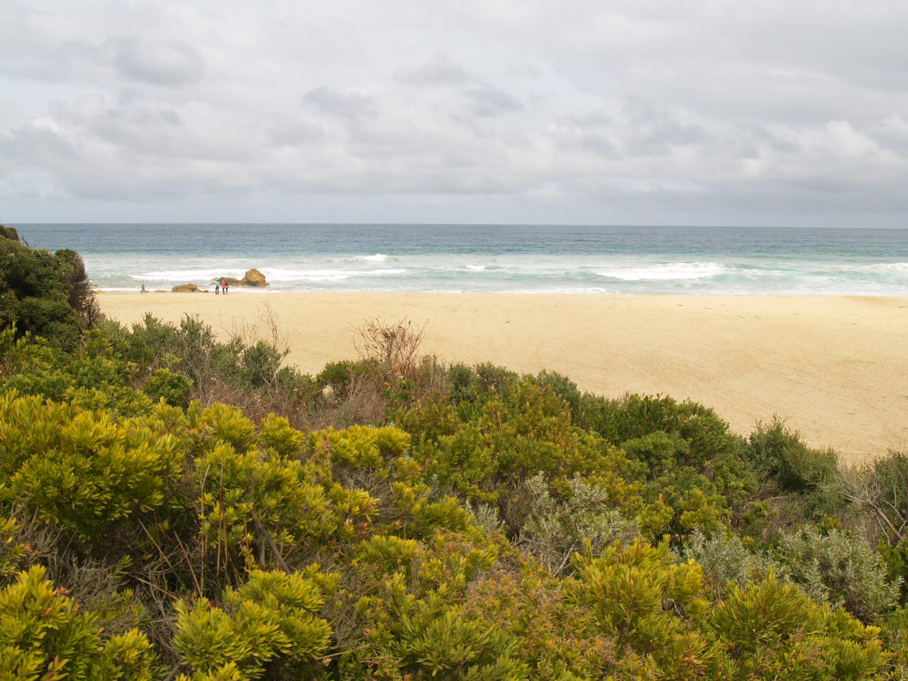
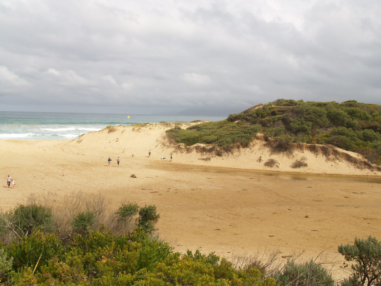
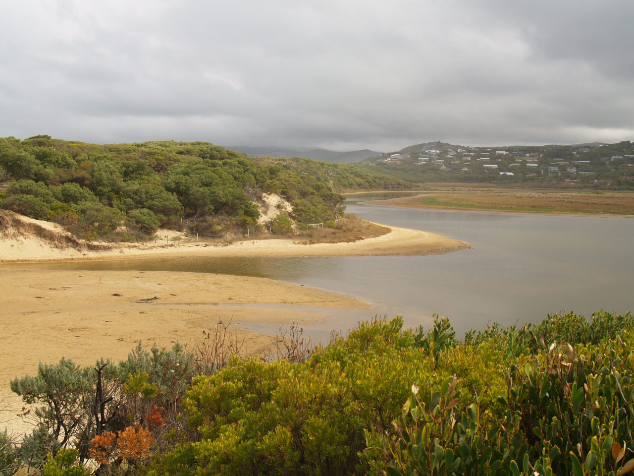
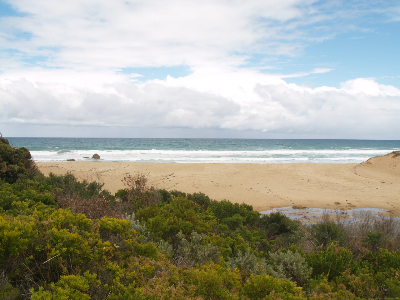
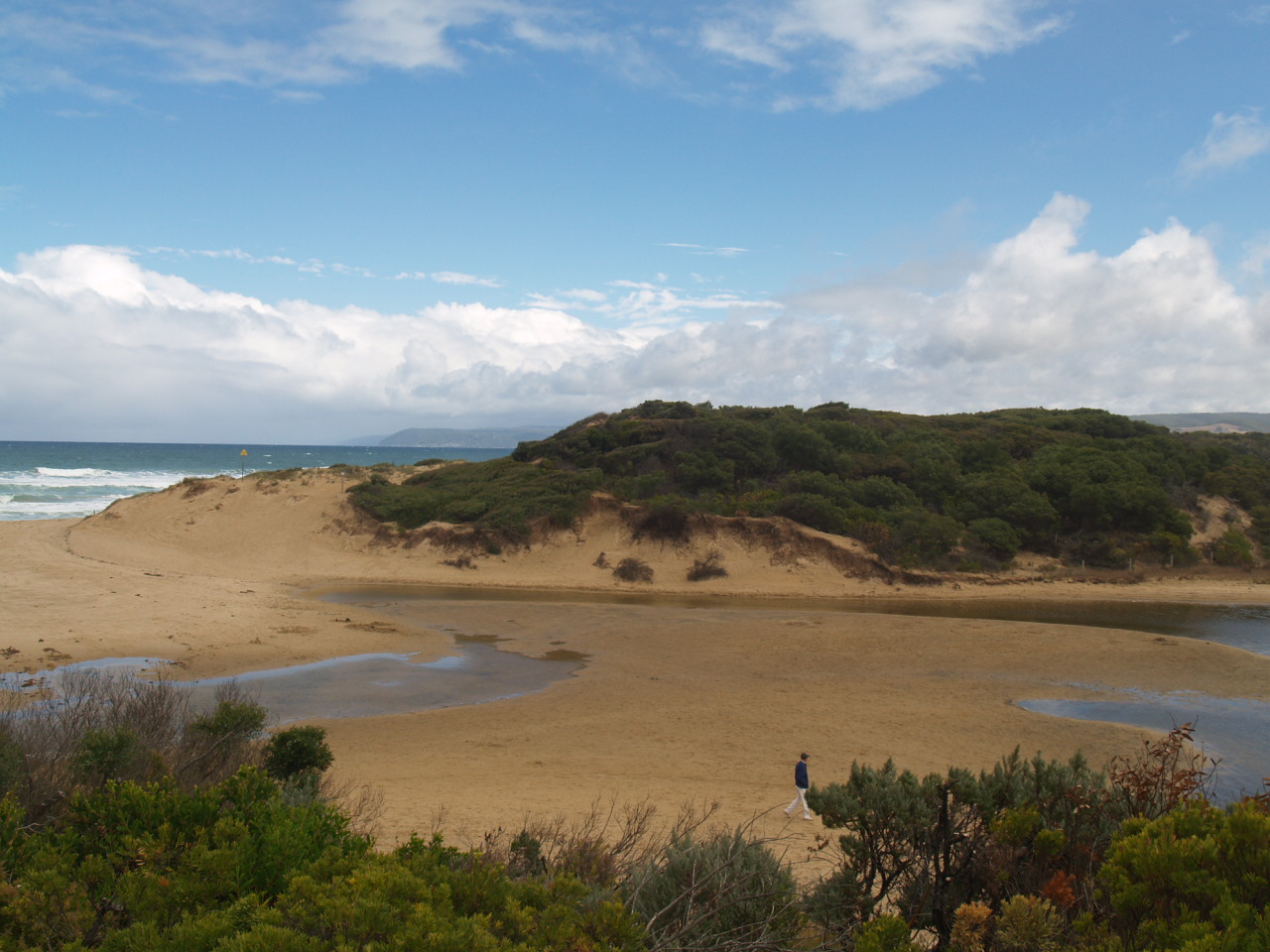
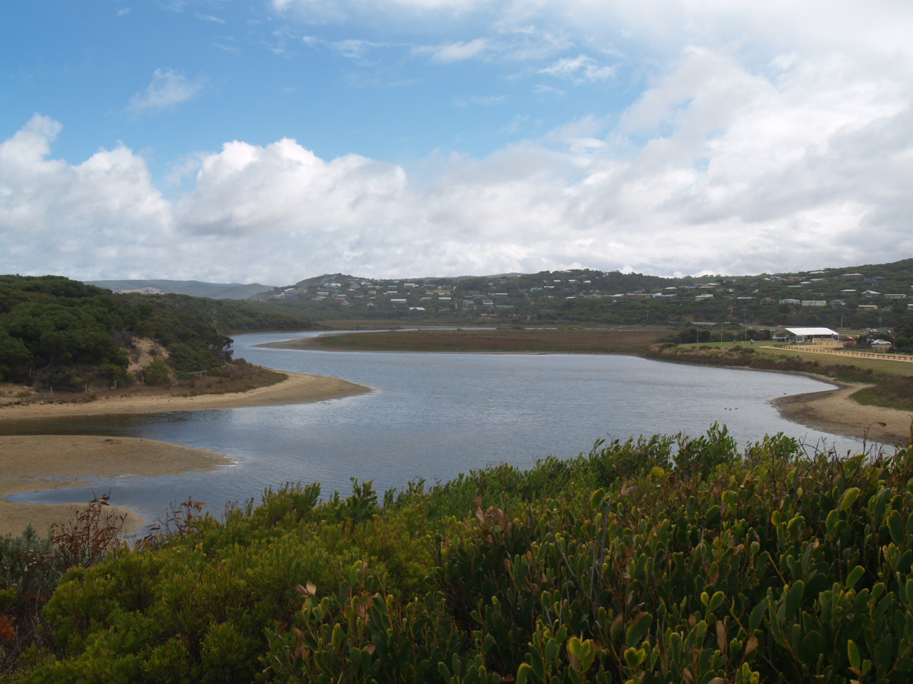
PMC Painkalac Creek Observation Site
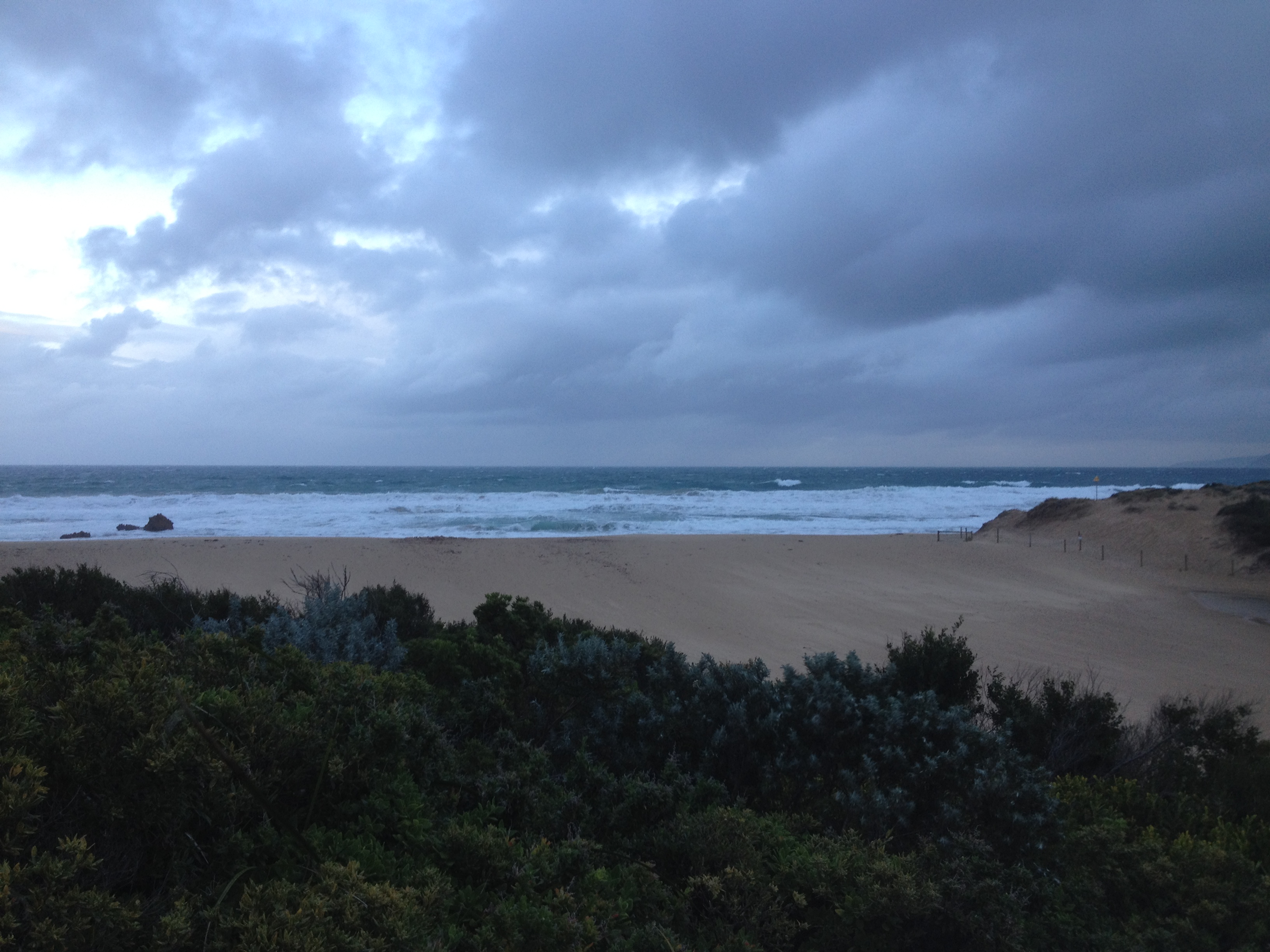
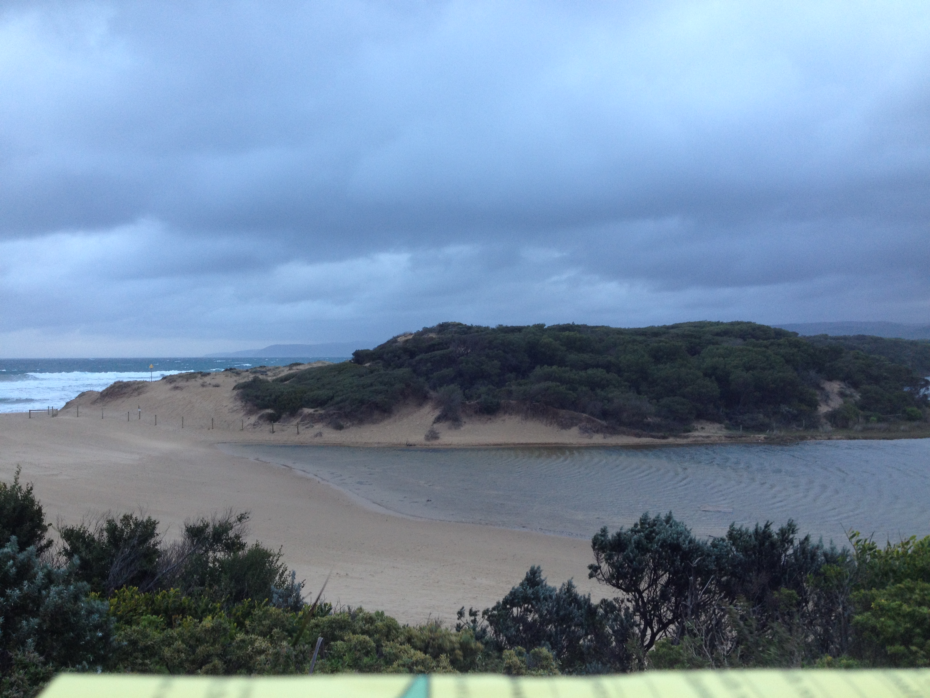
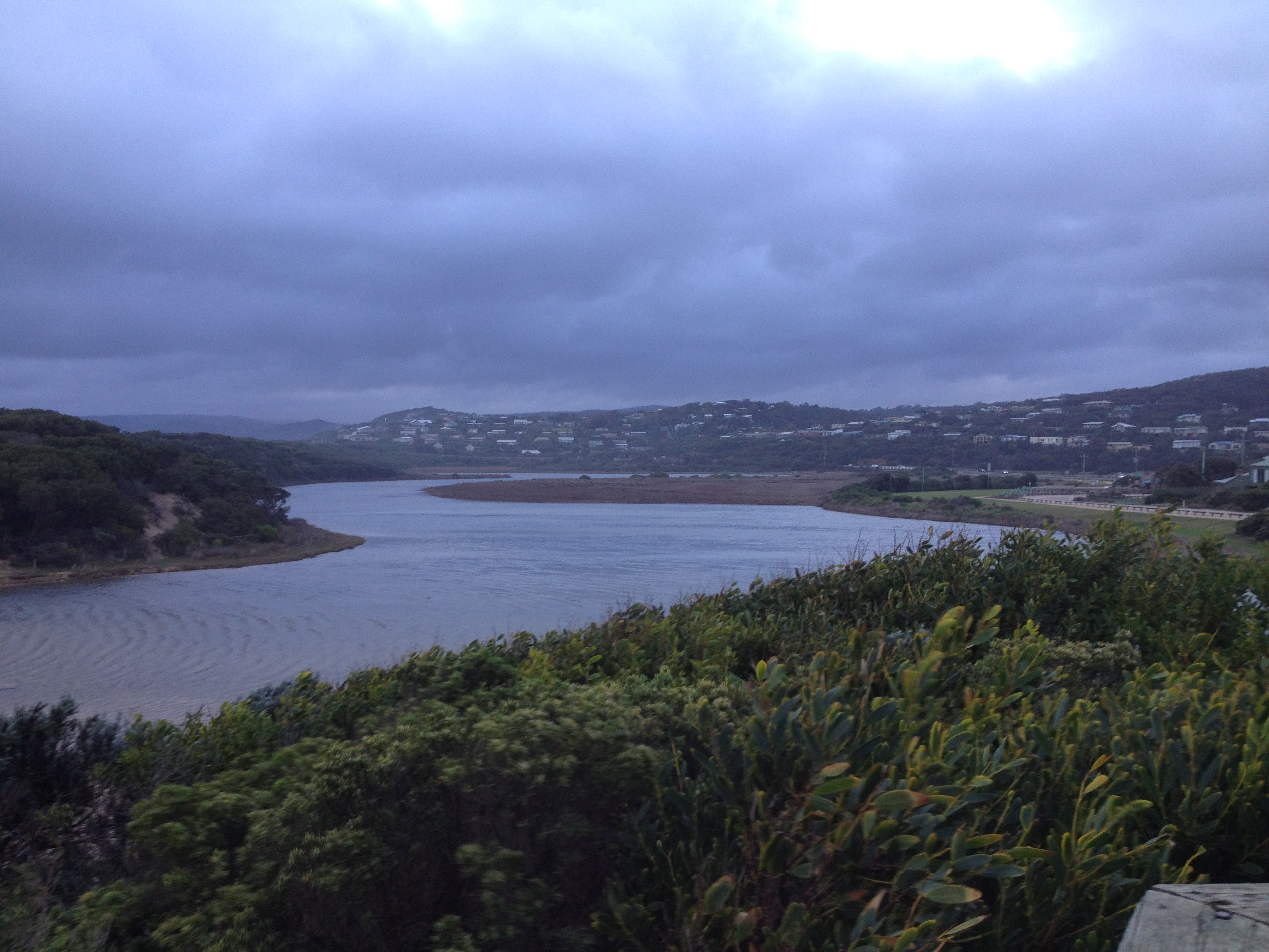
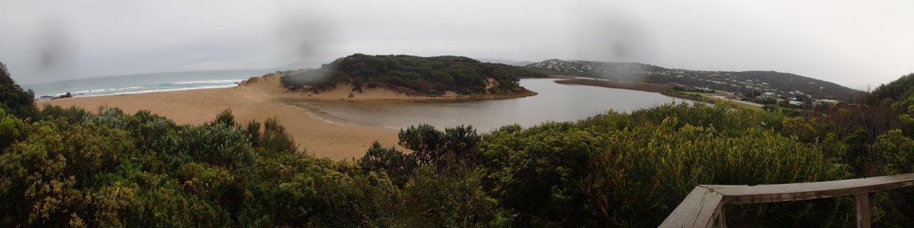
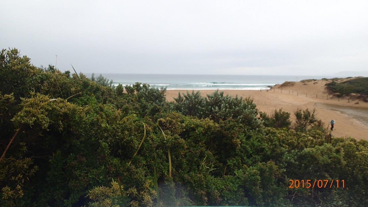
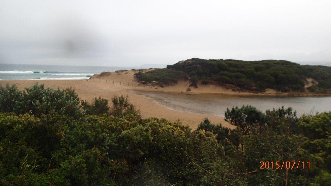
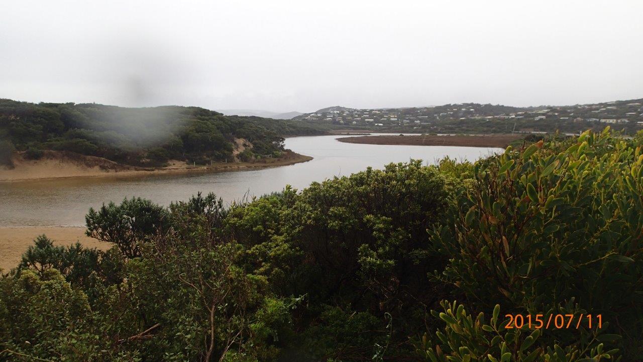
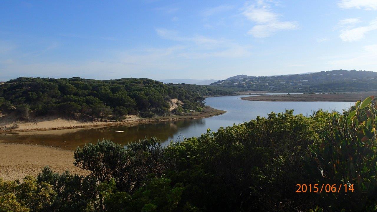
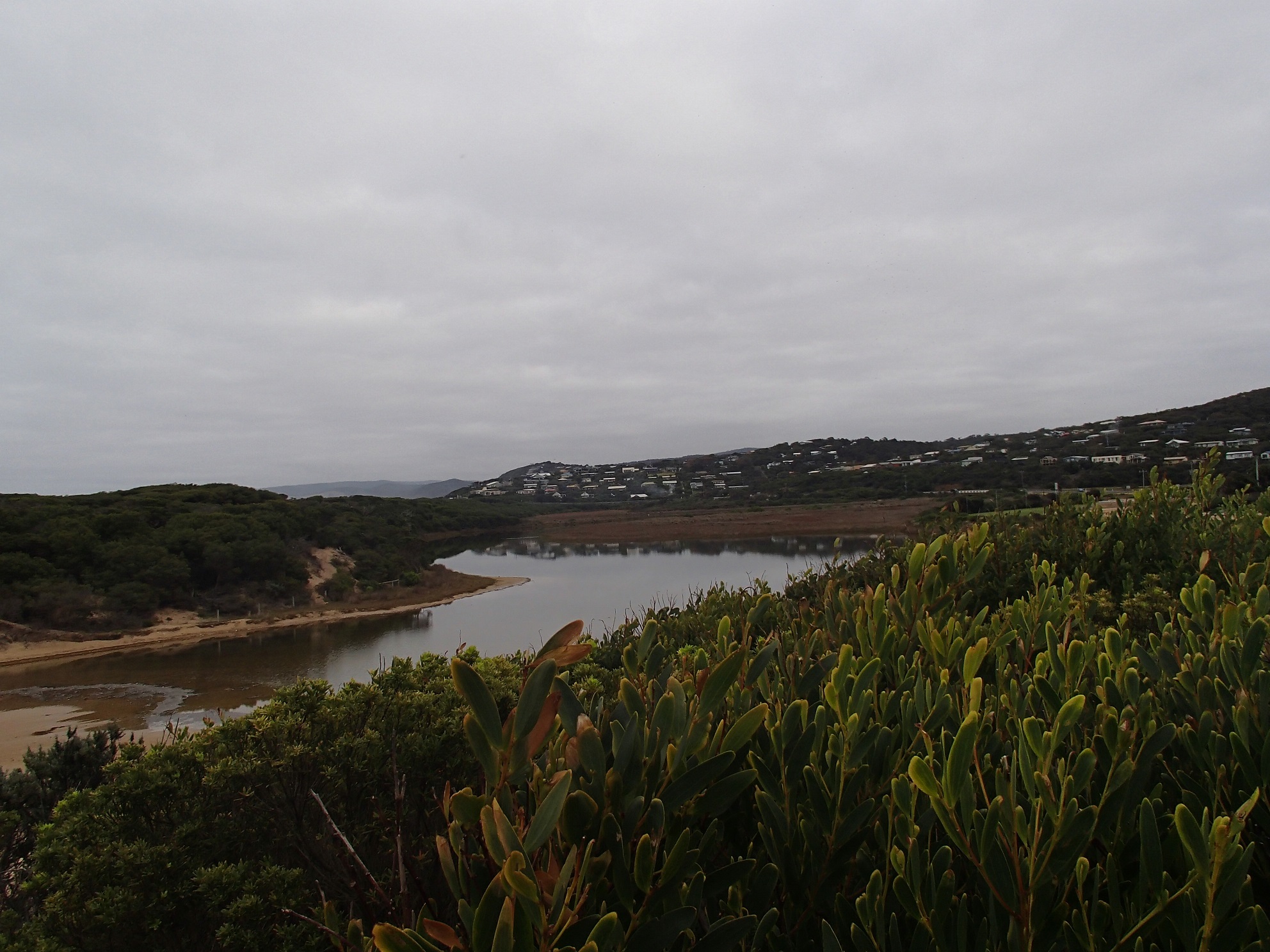
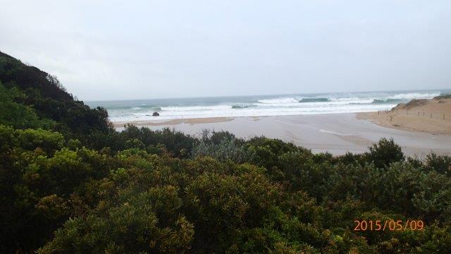
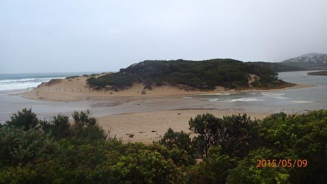
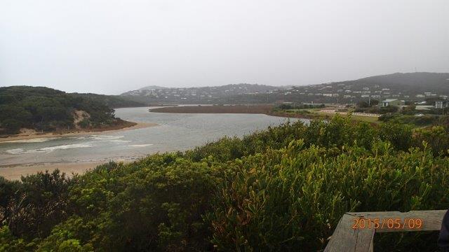
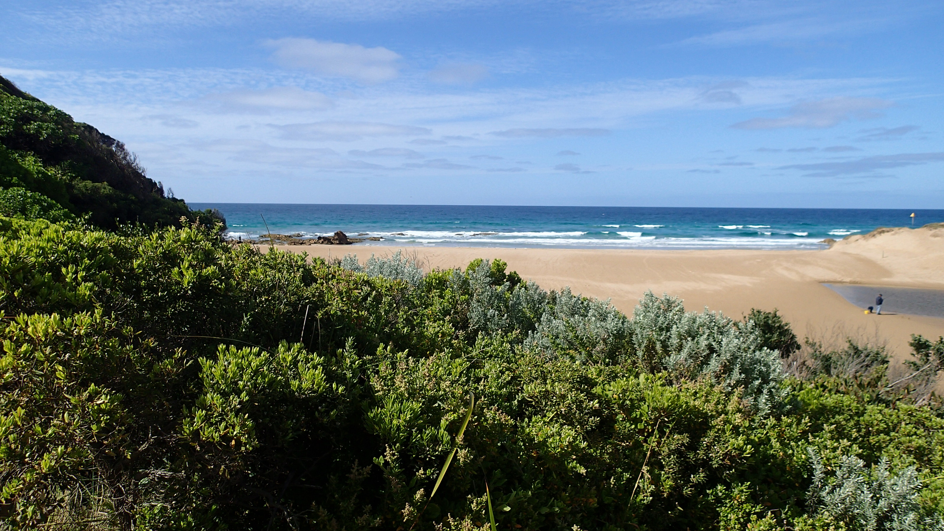
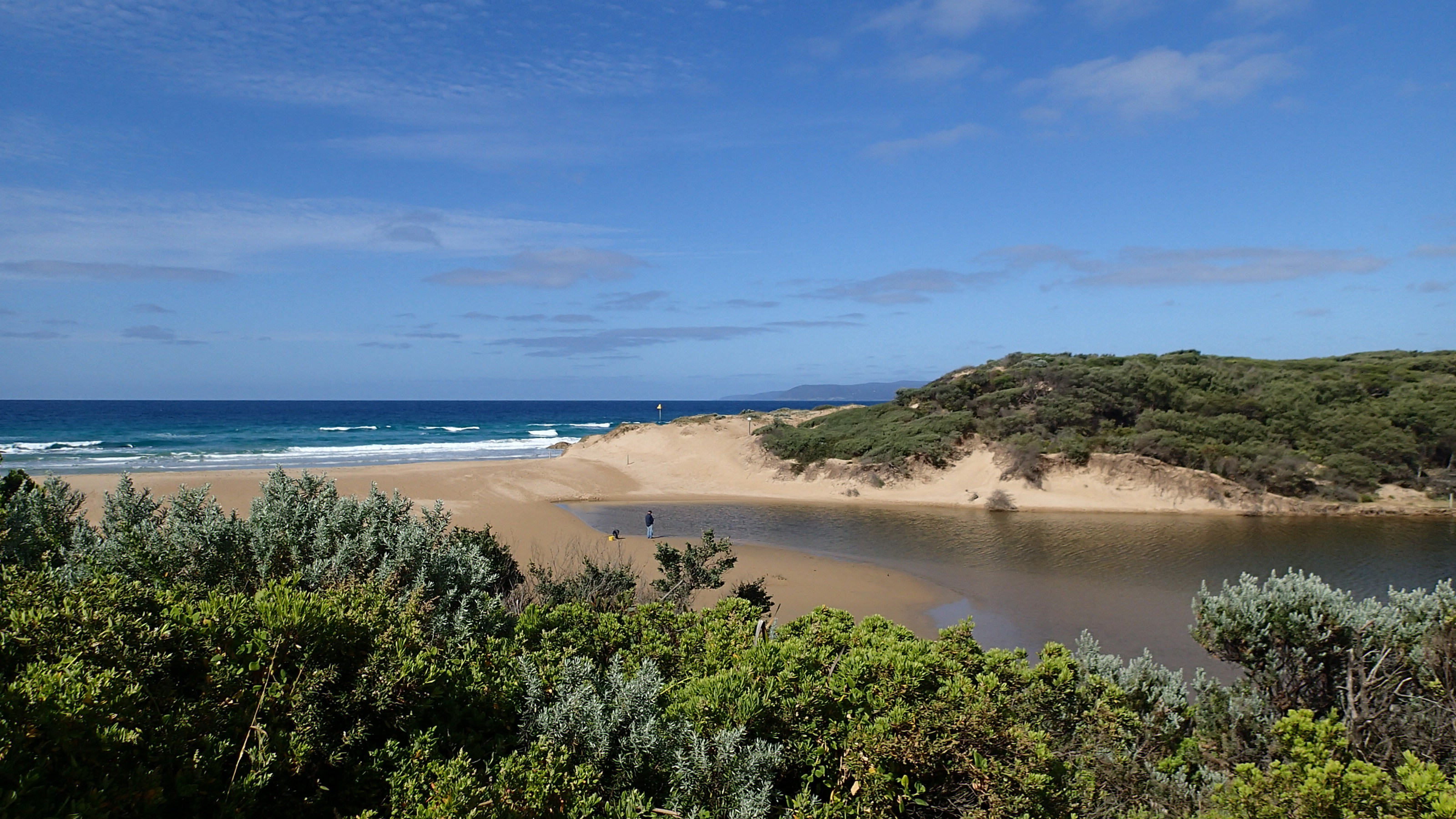
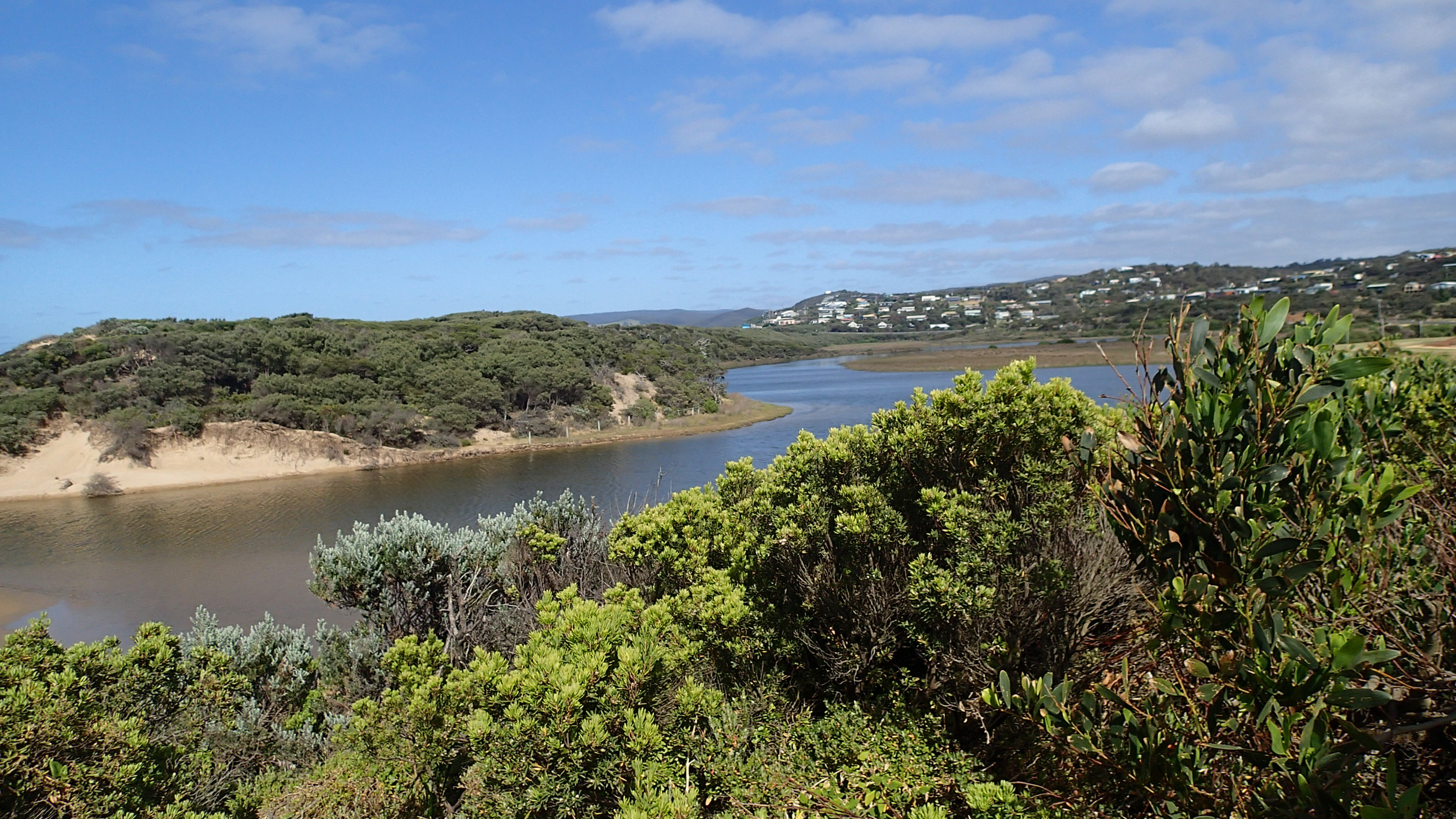
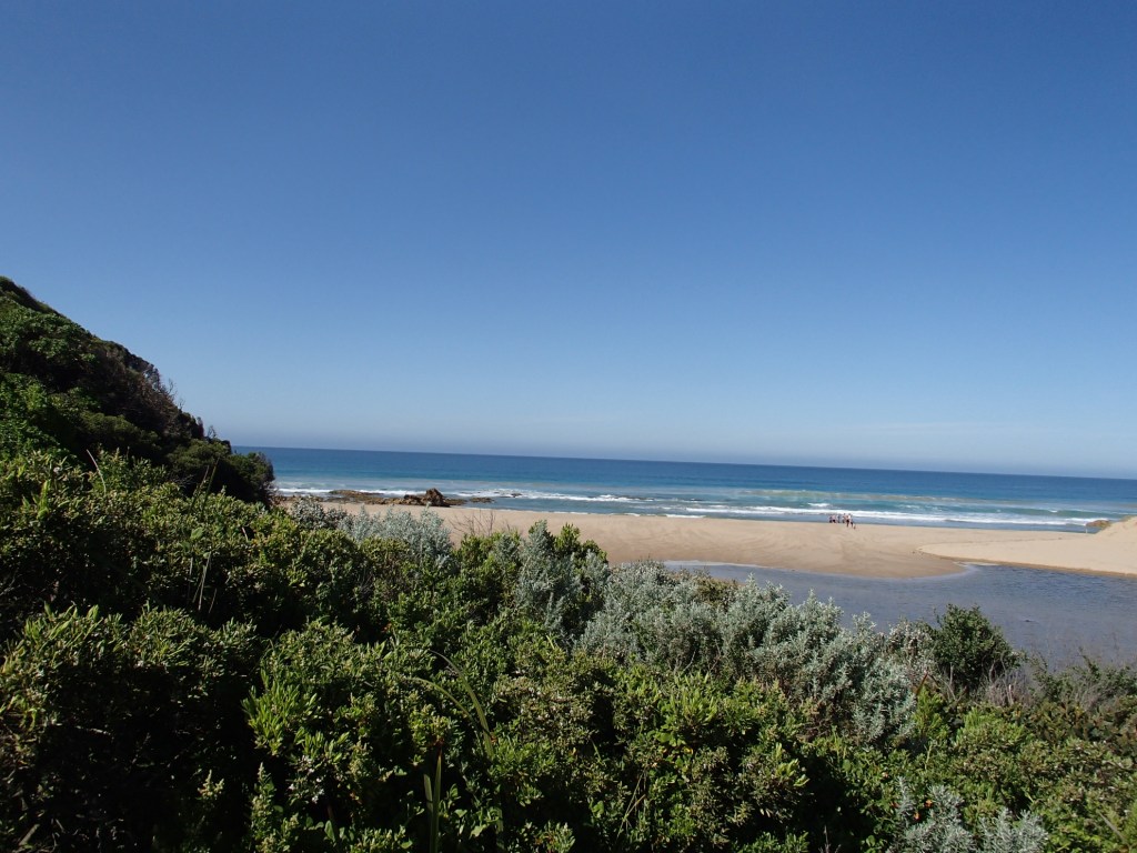
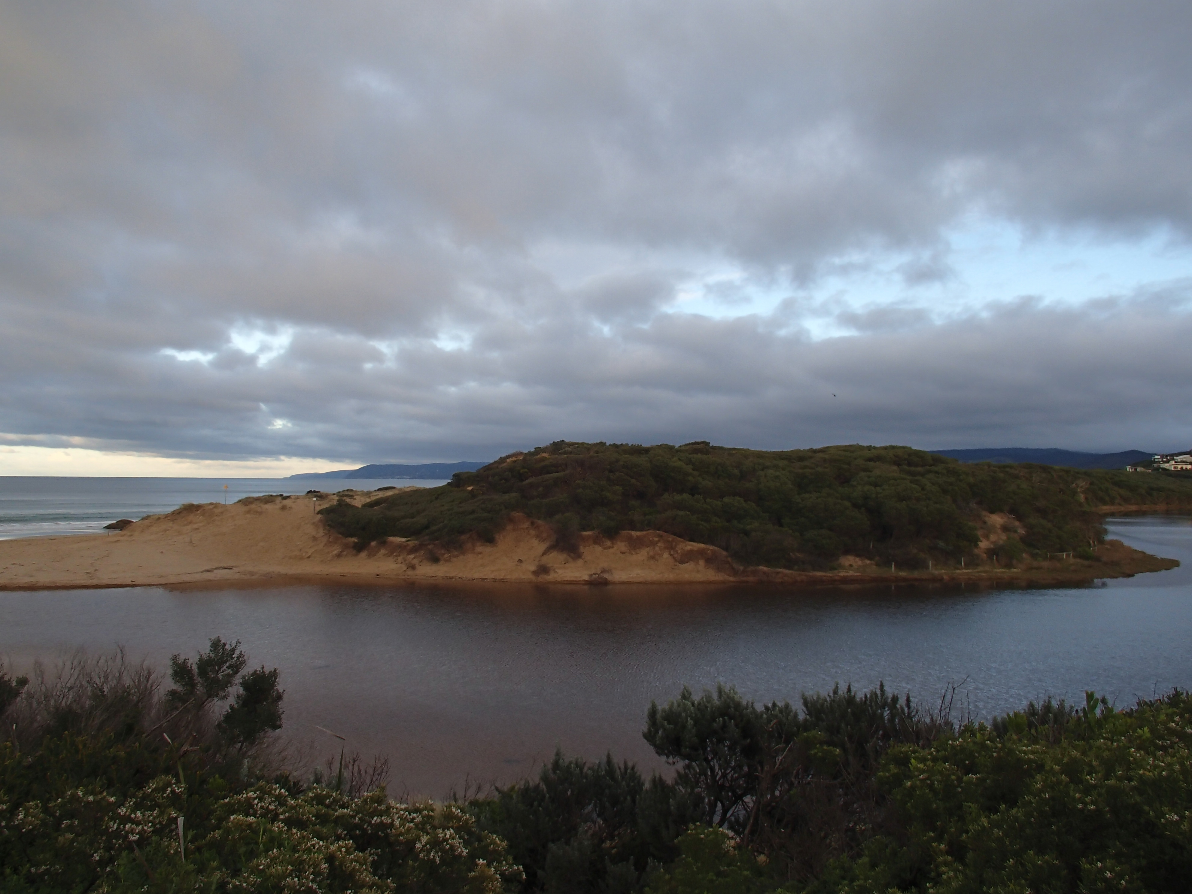
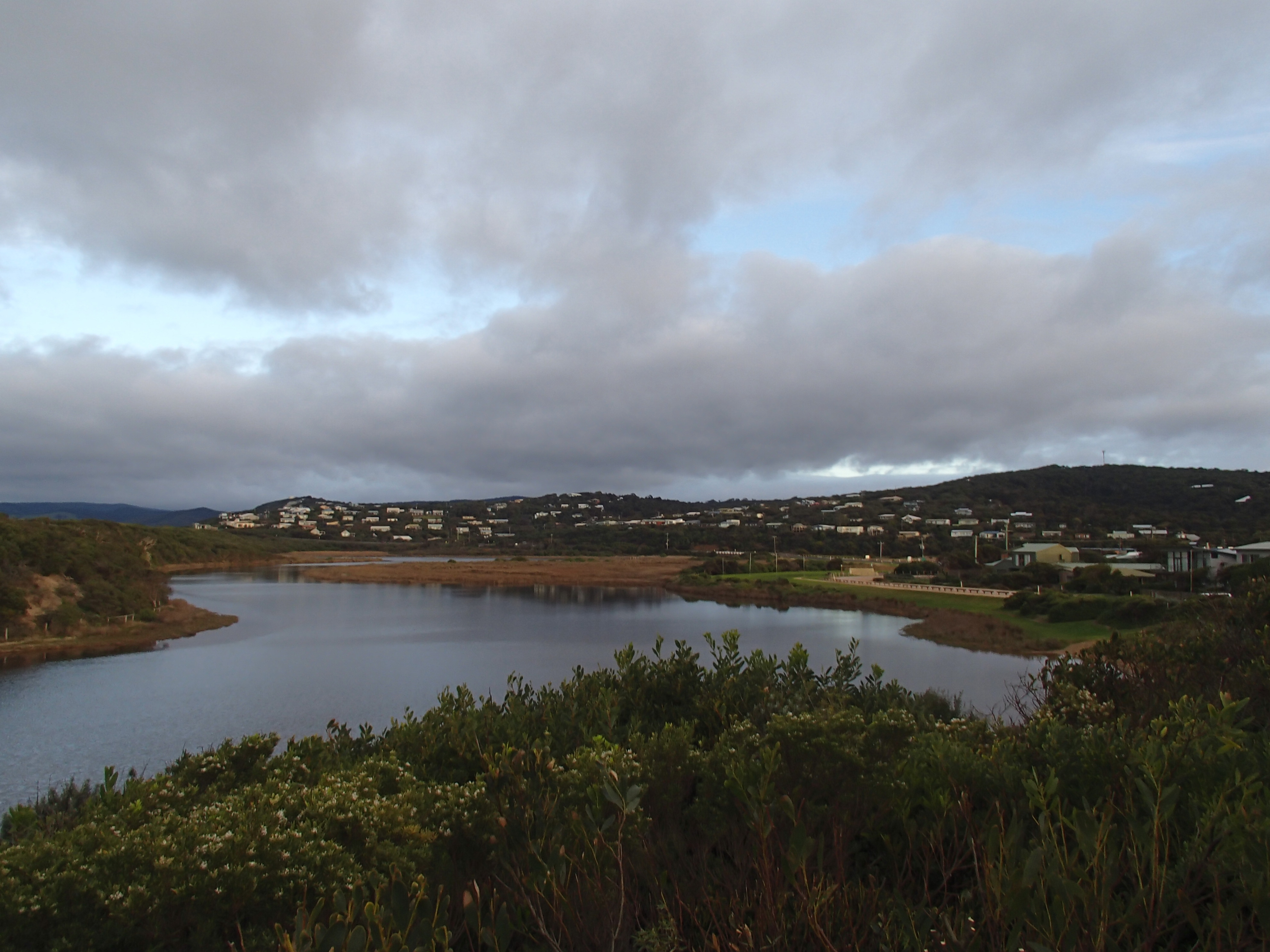
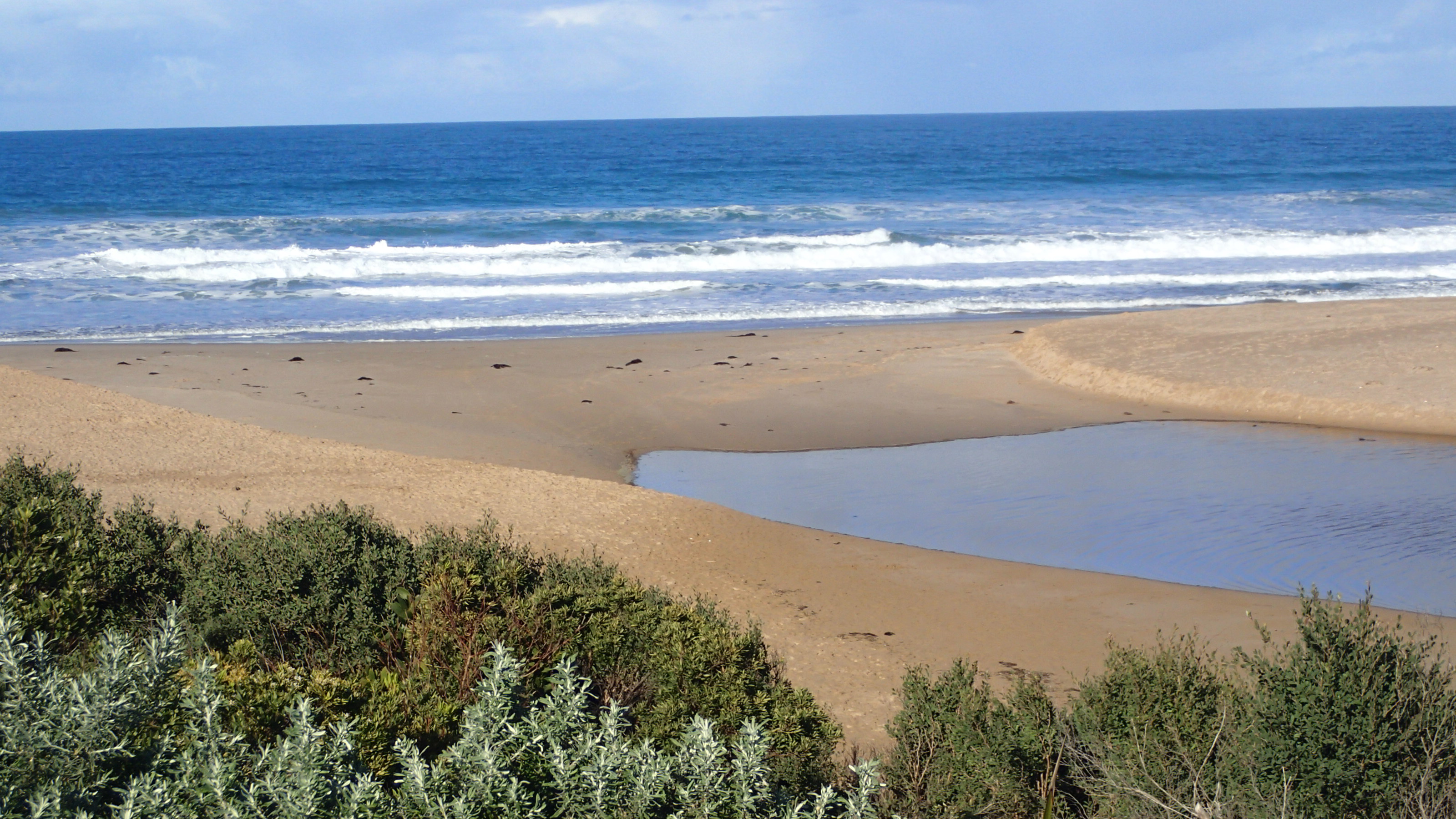
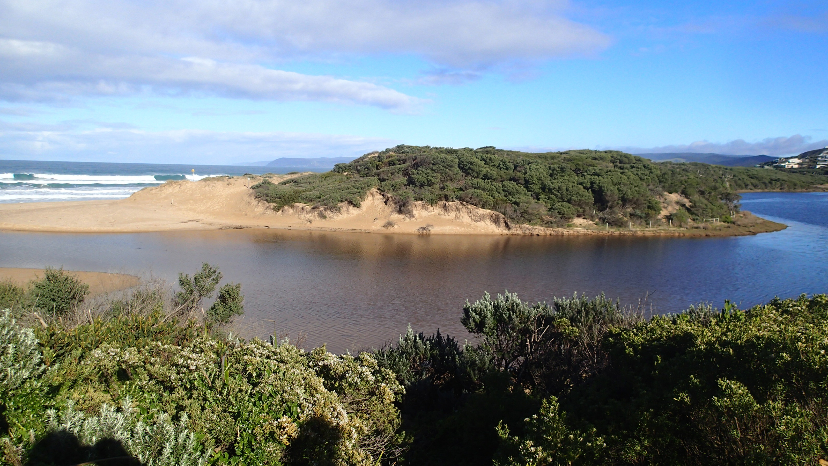
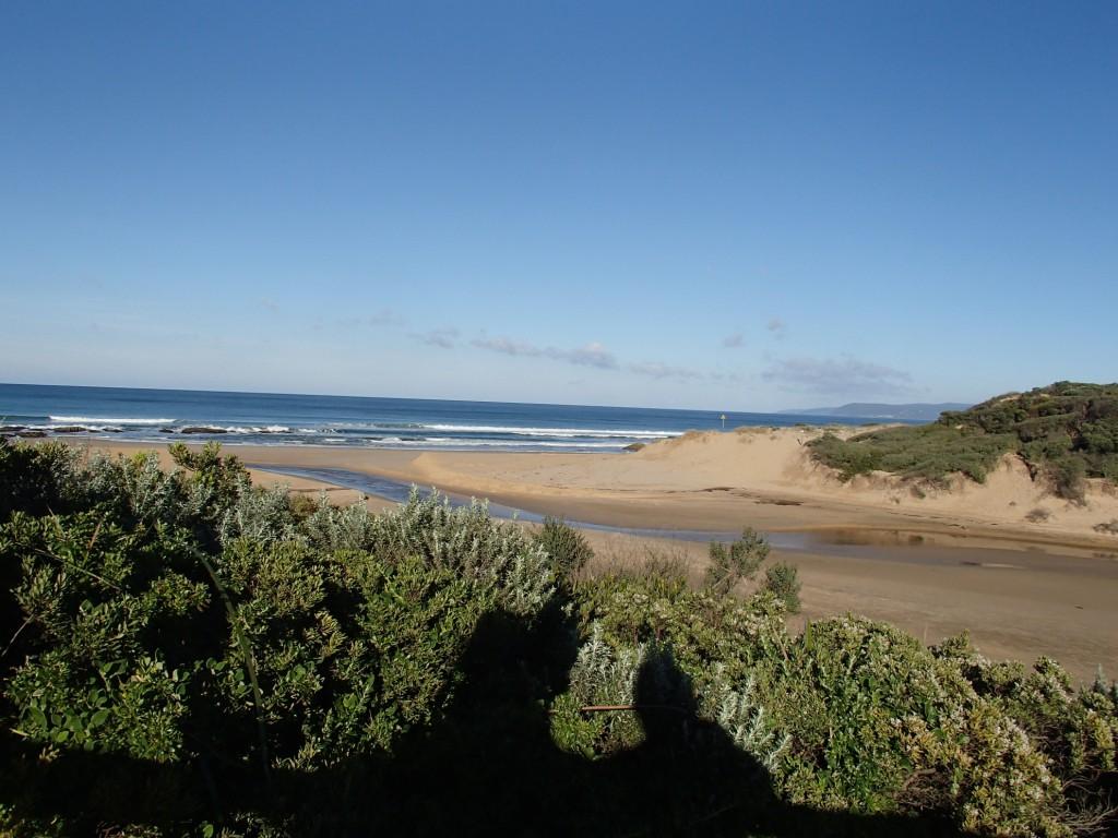
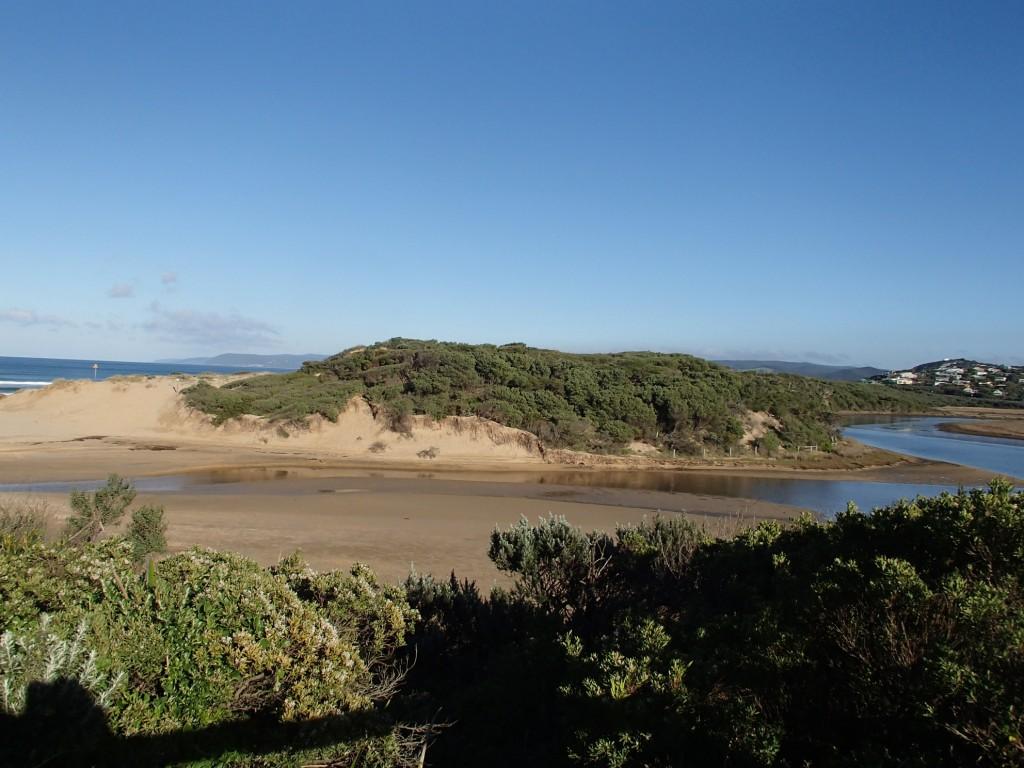
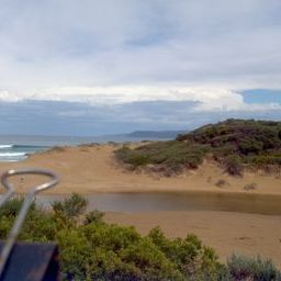
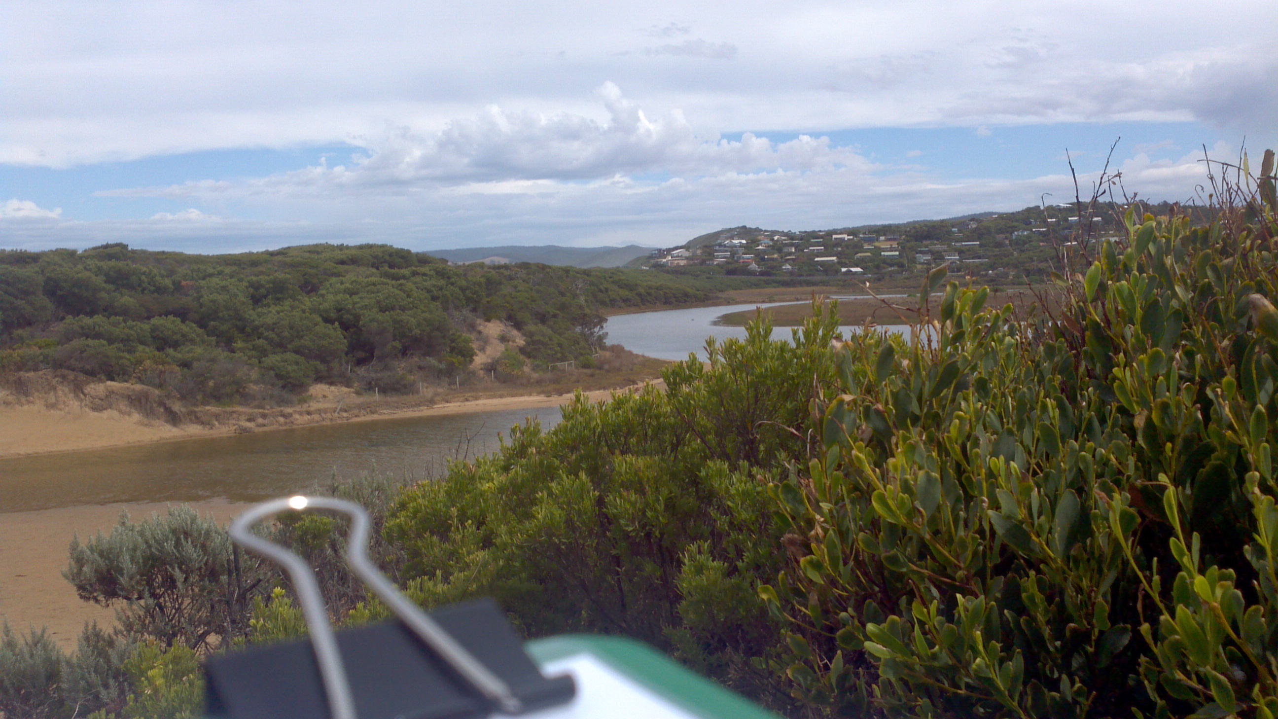
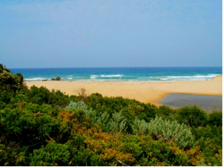
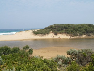
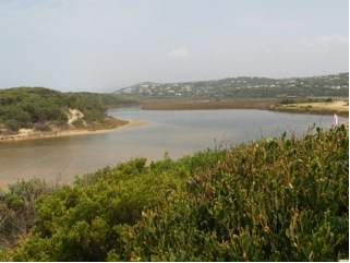
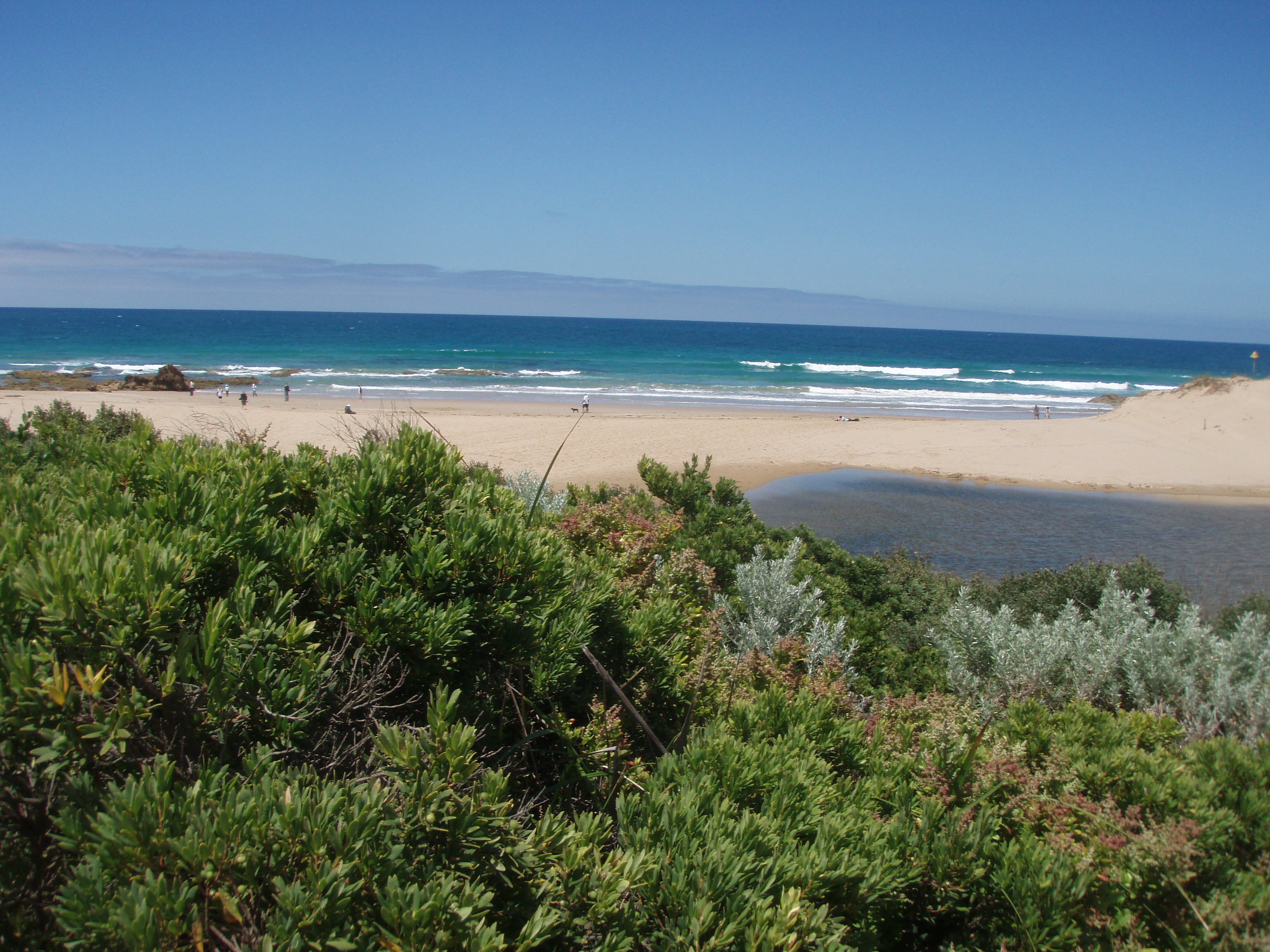
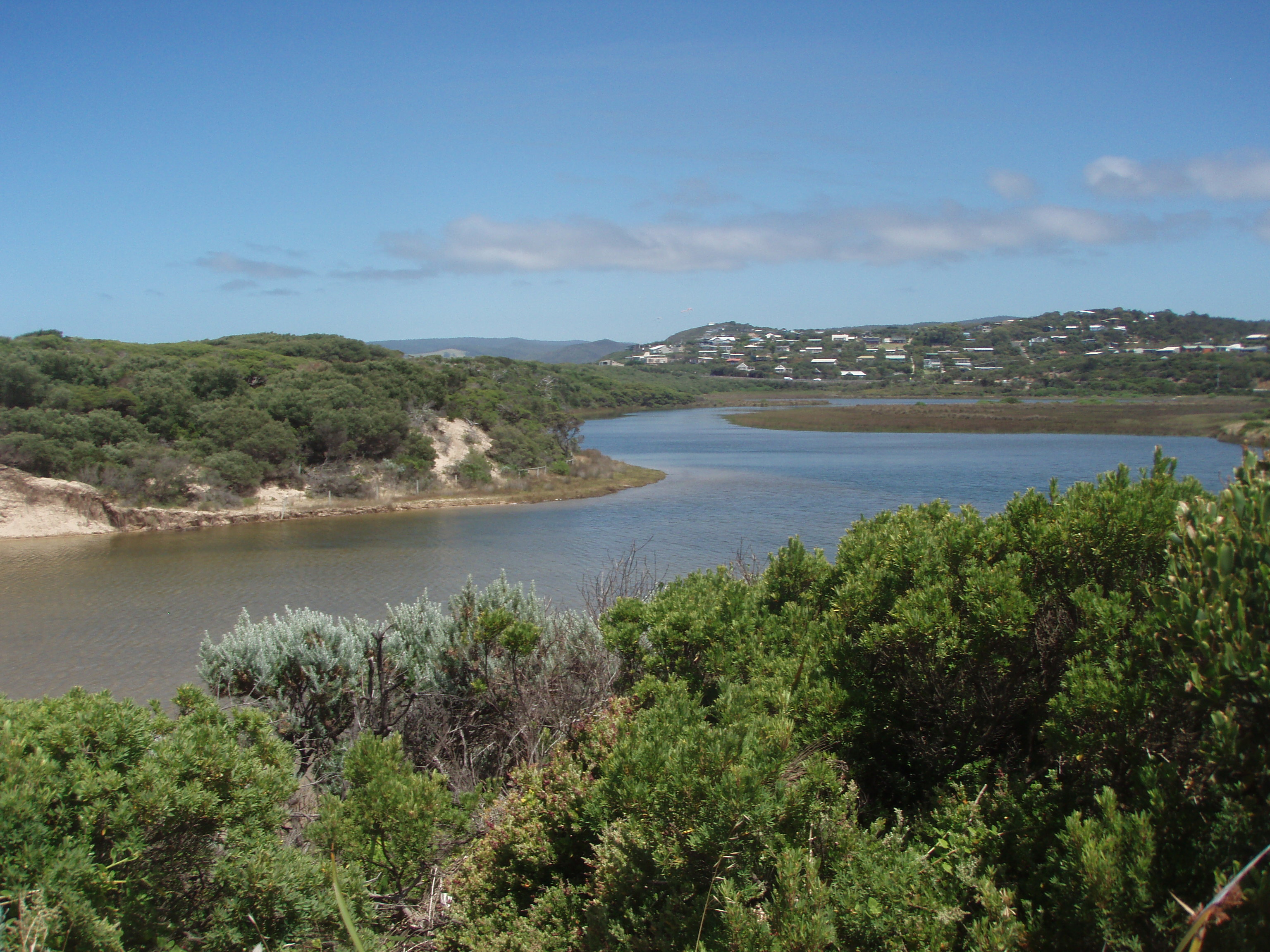
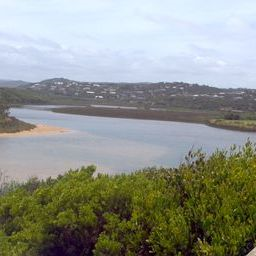
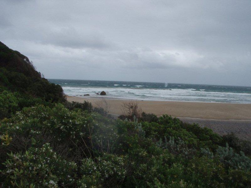
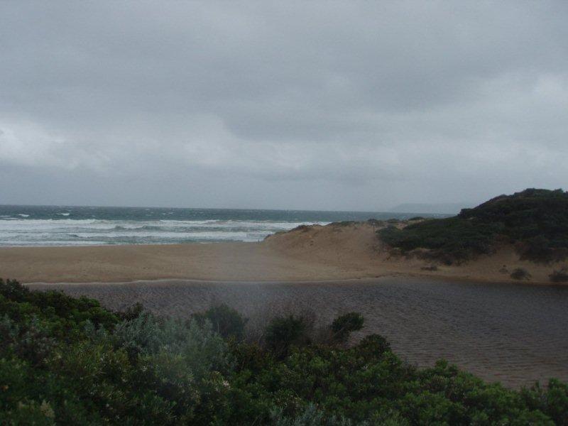
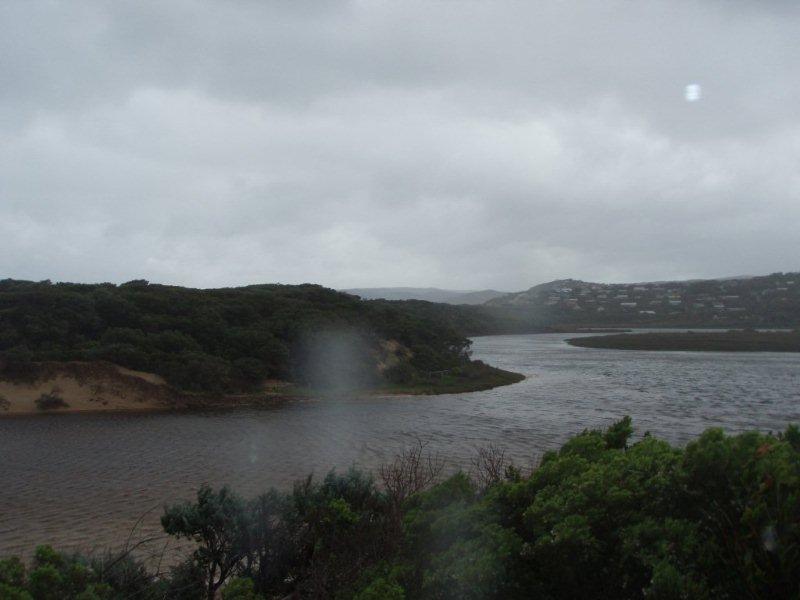
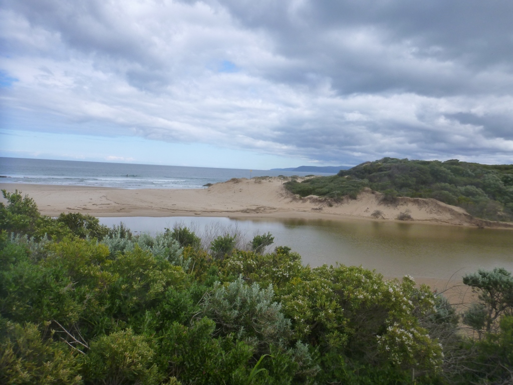
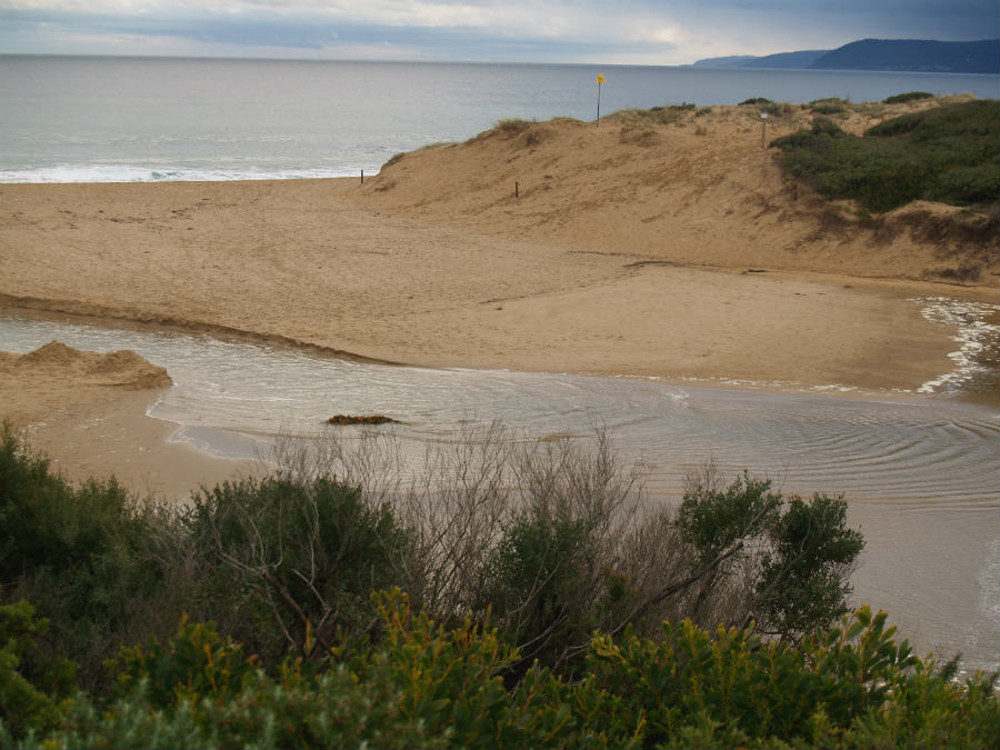
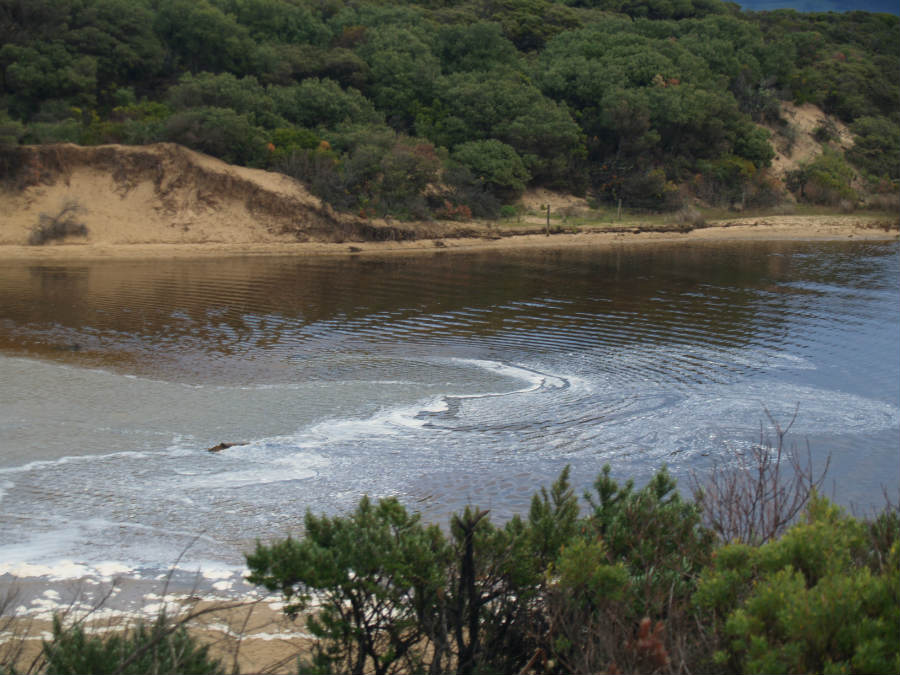
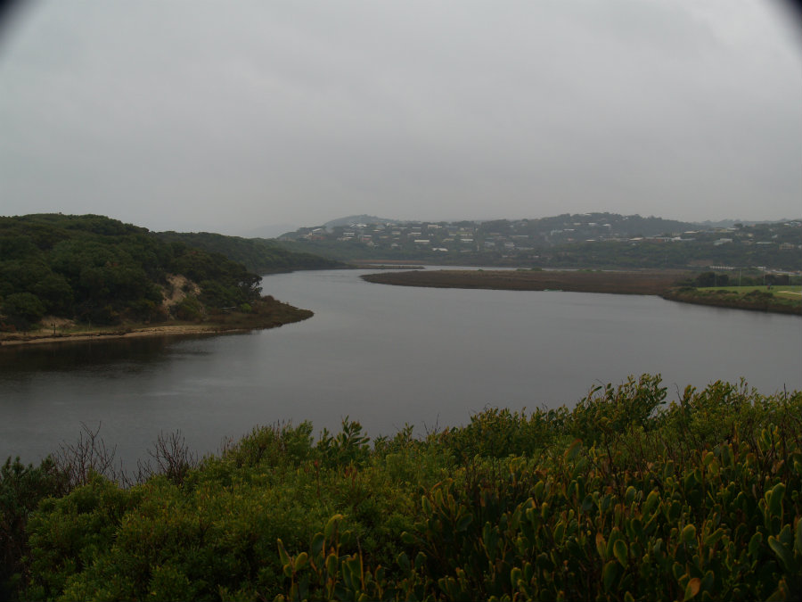
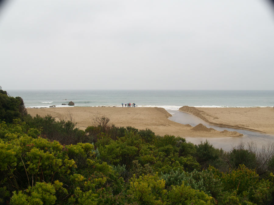
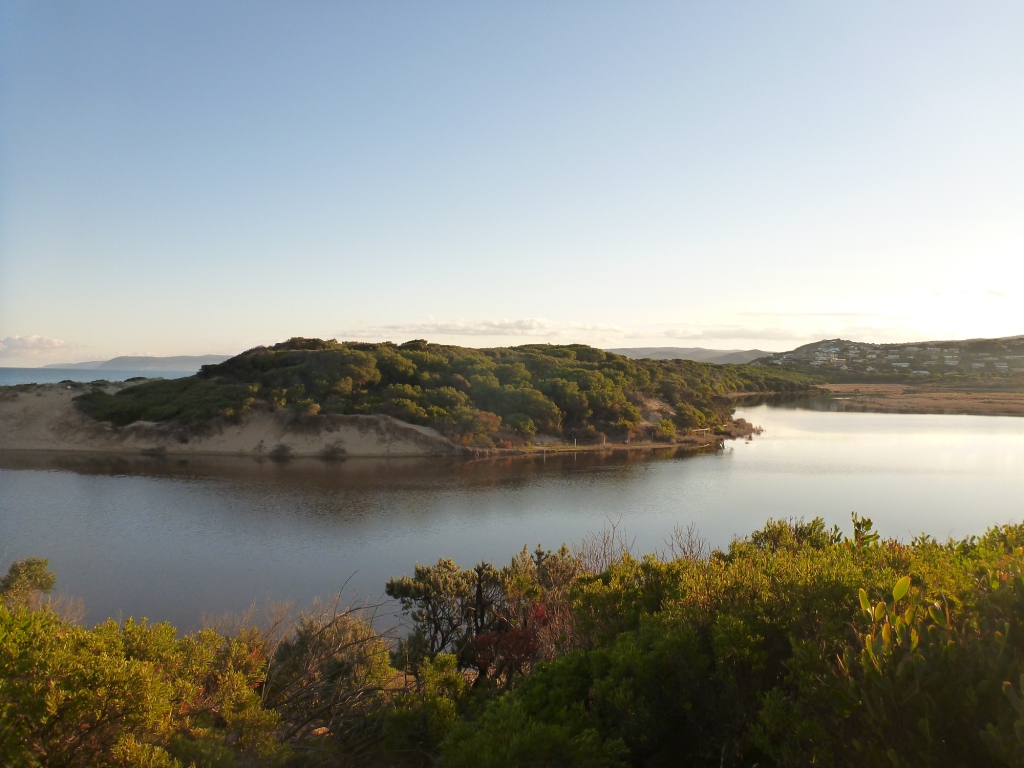
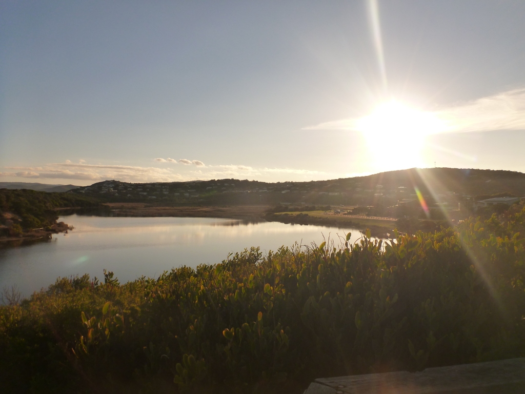
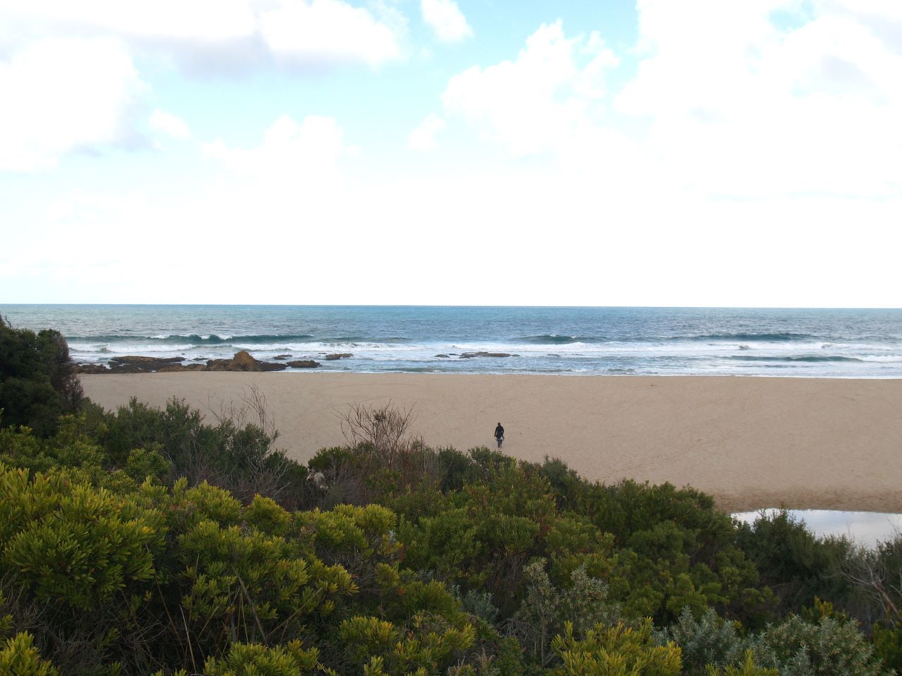
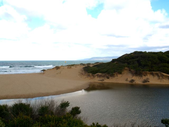
Active Mouth Condition 23-05-2007 - 11-03-2024Painkalac Creek Estuary
272 results found (Displaying 101 - 150)
| ID | Date | Status | Details | |
|---|---|---|---|---|
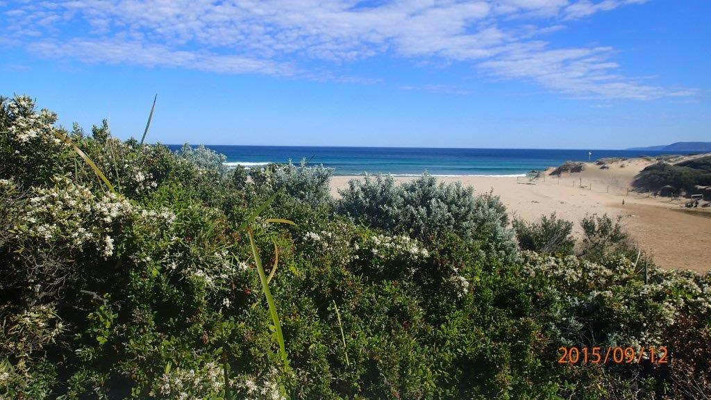
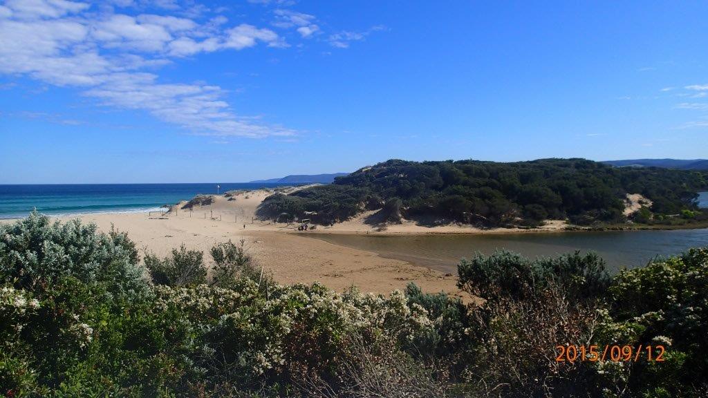
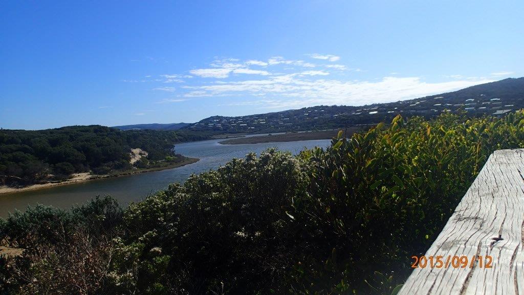
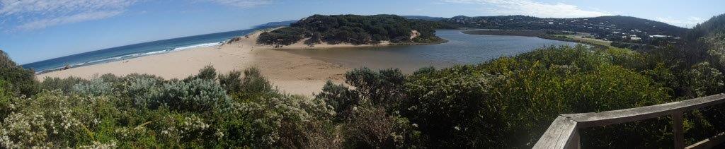
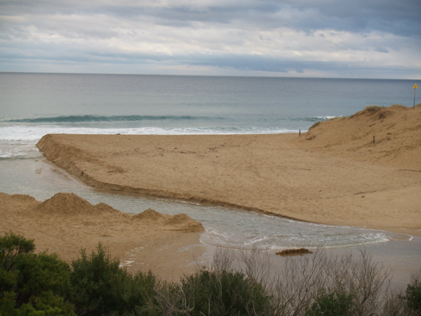
| #9835 | 12 Sep 2015 | Approved | Notes: Distance across the berm was 100m. | |
| #9779 | 8 Aug 2015 | Approved | Notes: Berm length 78m. | |
| #10404 | 2 Aug 2015 | Approved |
Notes:
Sea water washing over the berm every 10 minutes. Berm length was 76m long.
|
|
| #9715 | 12 Jul 2015 | Pending | Notes: Very stormy day today, it was difficult to measure the creek levels due to choppy water. Berm length was 84m across. | |
| #9714 | 11 Jul 2015 | Approved | Notes: Berm length 80m. | |
| #10102 | 28 Jun 2015 | Approved |
Notes:
Berm length 90m.
|
|
| #9663 | 14 Jun 2015 | Approved | Notes: Assisted by Jesse Murrell to do berm measurement. | |
| #9652 | 16 May 2015 | Approved | ||
| #9606 | 9 May 2015 | Approved |
Notes:
Berm not measured. High tide, estuary closed but over- topping by sea water. Apologies for not recording a Start water level. Forgot to do on way to QA/QC. Obviously would have been interesting, given tidal influence. |
|
| #9507 | 12 Apr 2015 | Approved | Notes: Could not observe berm pole (at sea-side) from upper swash limit on estuary side. Will email with query re. berm measurement. Berm length 110m. | |
| #9488 | 30 Mar 2015 | Approved | Notes: Volunteer training with Marg and Tony. | |
| #9449 | 15 Mar 2015 | Approved | Notes: The water level was a bit difficult to read, because of dirt/discolouration on the gauge, and I have made a 'guesstimate. Have attached a photo for you to review. Berm length 95m. | |
| #9394 | 15 Feb 2015 | Approved |
Notes:
Willy weather data used for Wind direction & tidal range. Graeme stood at high tide mark for 'sea' berm height, could not be seen from estuary if he was at upper swash mark. Berm lengthis 80m long. |
|
| #9341 | 16 Jan 2015 | Approved | Notes: Distance of berm was 74m. | |
| #9349 | 14 Jan 2015 | Approved | Notes: Berm length 66m. | |
| #9319 | 11 Jan 2015 | Approved | Notes: Berm length 110m. | |
| #9340 | 5 Jan 2015 | Approved | Notes: The berm hight above sea level far exceeded the height of the berm pole. My estimation is that it was higher than 3m. | |
| #9265 | 14 Dec 2014 | Approved | ||
| #9239 | 25 Nov 2014 | Approved |
Notes:
2.5 metres for the sea to berm height was an estimate as the height exceeded the berm pole. Length of the berm measured at 86.5 metres. |
|
| #9214 | 9 Nov 2014 | Approved | Notes: Berm height above the sea water level is at the very top of the berm pole >2m. | |
| #9183 | 12 Oct 2014 | Approved | Notes: At high tide sea water had come over the berm. | |
| #9150 | 23 Sep 2014 | Approved | ||
| #9108 | 13 Sep 2014 | Approved | ||
| #9052 | 10 Aug 2014 | Approved | ||
| #9003 | 16 Jul 2014 | Approved | ||
| #9000 | 13 Jul 2014 | Approved |
Notes:
I am not sure if the mouth state was actually perched-the berm height on estuary side being slighty above the berm height on sea side. In the glossary of terms it states that perched means an estuary which consistently has water levels above mean sea level. I cant say if this has been the case (lately) consistently. While at the obs site, we noted sea water washing up on the berm, and looked very likely that it would be washing over the berm by high tide. |
|
| #9030 | 3 Jul 2014 | Approved | ||
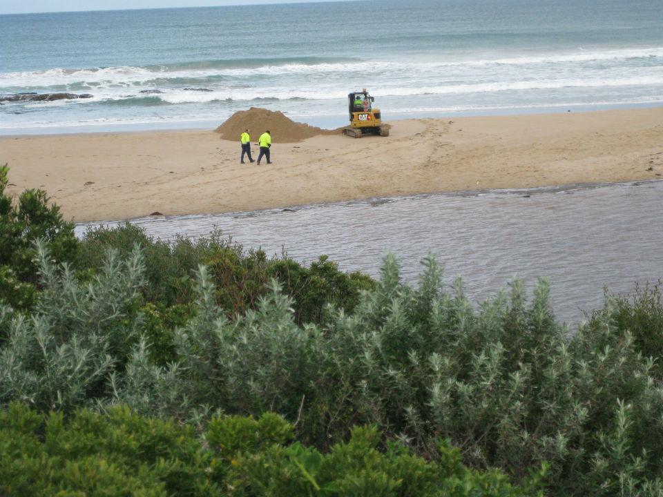
| #9029 | 2 Jul 2014 | Approved | Notes: Surfcoast Shire had just begun artificially opening the estuary. | |
| #8984 | 2 Jul 2014 | Approved | Notes: -estuary getting artificiallly opened at 9:30am. | |
| #8945 | 14 Jun 2014 | Approved |
Notes:
tides and wind speed taken from willyweather Rain fall measurement taken from bom |
|
| #8864 | 11 May 2014 | Approved | Notes: Tides obtained from willy weather. Wind direction obtained from BOM. | |
| #8832 | 13 Apr 2014 | Approved |
|
|
| #8783 | 15 Mar 2014 | Approved |
Notes:
Tides taken from Willy Weather site Apologies for the photos, we didn't realise they were less than satisfactory until looking at them at home. Took them with phone and there was a lot of glare on screen. Couldnt see shorts, paper clips, etc. Will try to improve on this. |
|
| #8733 | 15 Feb 2014 | Approved |
Notes:
Photos taken by Dennis, and submitted to Rose. Berm not measured on the day (did not have measuring stick). Jacqui performed berm measurements Wednesday. Inlet remained closed during interim. Tides 19/02/14 Low 9.29 am 0.4m High 3.48 pm 1.5m |
|
| #8666 | 12 Jan 2014 | Approved |
Notes:
Flow-wind assisted flow up stream (out) Berm measurement taken from dunes side of inlet (furtherest side from path to beach), this is where upper swash limit was found, contributing to higher? berm measurement. tides taken from Willy Weather. |
|
| #8623 | 15 Dec 2013 | Approved | ||
| #8558 | 10 Nov 2013 | Approved | ||
| #8527 | 13 Oct 2013 | Approved |
Notes:
Following mouth condition data recording, attempted berm measurement with berm stick-some user and technical issues, and measurement not recorded. After abandoning this activity, water started to flow up over sand into estuary. Photos may be sub-par, sorry. Was difficult to hold camera and compas bearing steady. |
|
| #8528 | 13 Oct 2013 | Approved |
Notes:
Following mouth condition data recording, attempted berm measurement with berm stick-some user and technical issues, and measurement not recorded. After abandoning this activity, water started to flow up over sand into estuary. |
|
| #8499 | 14 Sep 2013 | Approved | ||
| #8435 | 10 Aug 2013 | Approved | Notes: tidal range taken from Willy Weather | |
| #8431 | 4 Aug 2013 | Approved | Notes: Freshwater flow is mily tea colour | |
| #8416 | 19 Jul 2013 | Approved | ||
| #8430 | 14 Jul 2013 | Approved | Notes: Although the main flow was out, some incoming waves were over-coming the outflows entering the inlet. | |
| #8404 | 13 Jul 2013 | Approved | ||
| #8351 | 20 Jun 2013 | Approved | Notes: -significant run off from cliffs after rain. | |
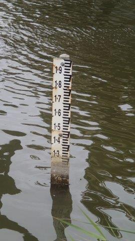
| #8350 | 16 Jun 2013 | Approved | Notes: 19.06.2013 1.80 AHD | |
| #8307 | 12 May 2013 | Approved | ||
| #8220 | 14 Apr 2013 | Approved | ||
| #8165 | 16 Mar 2013 | Approved | ||


All content, files, data and images provided by the EstuaryWatch Data Portal and Gallery are subject to a Creative Commons Attribution License
Content is made available to be used in any way, and should always attribute EstuaryWatch and www.estuarywatch.org.au