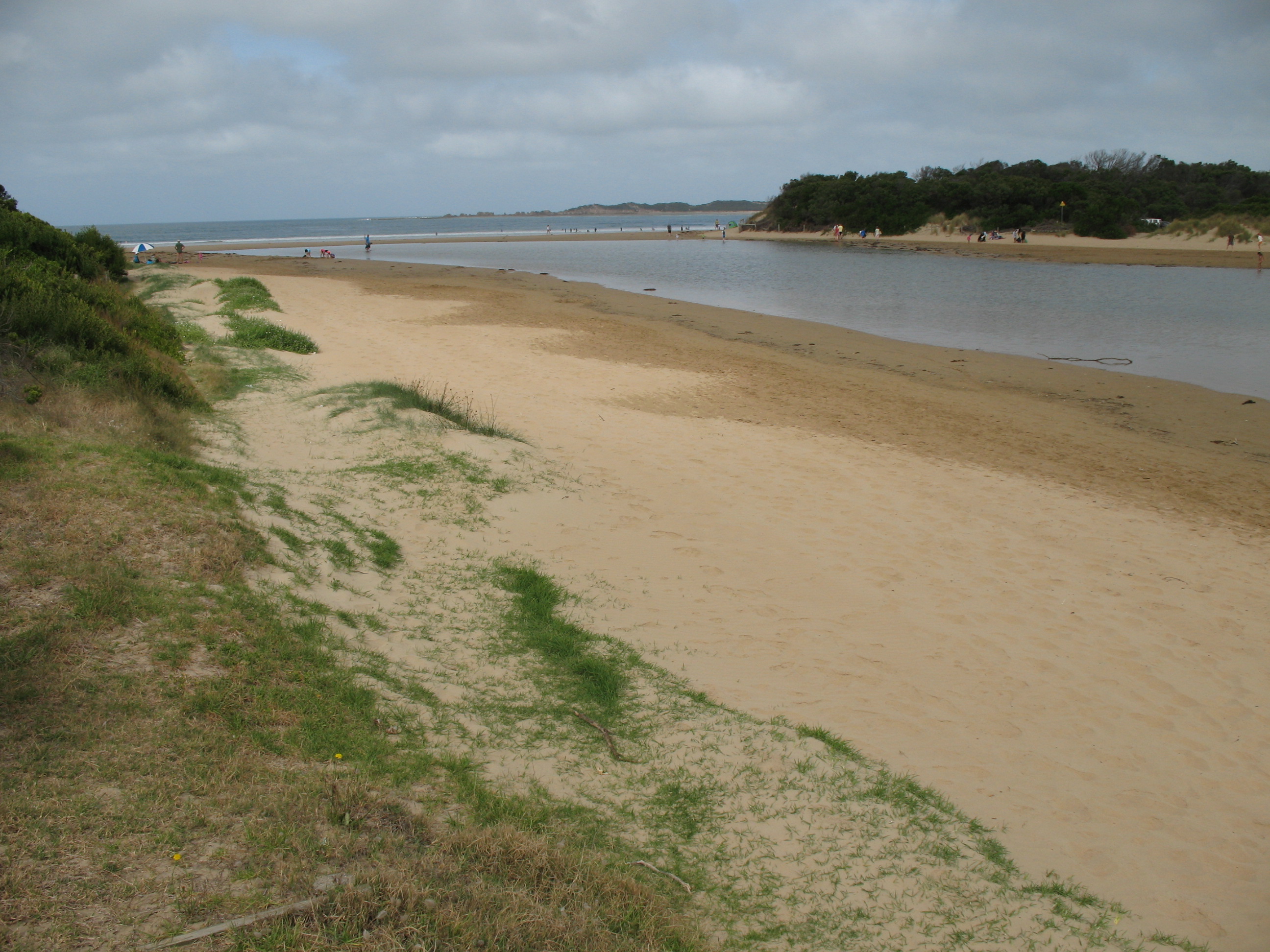
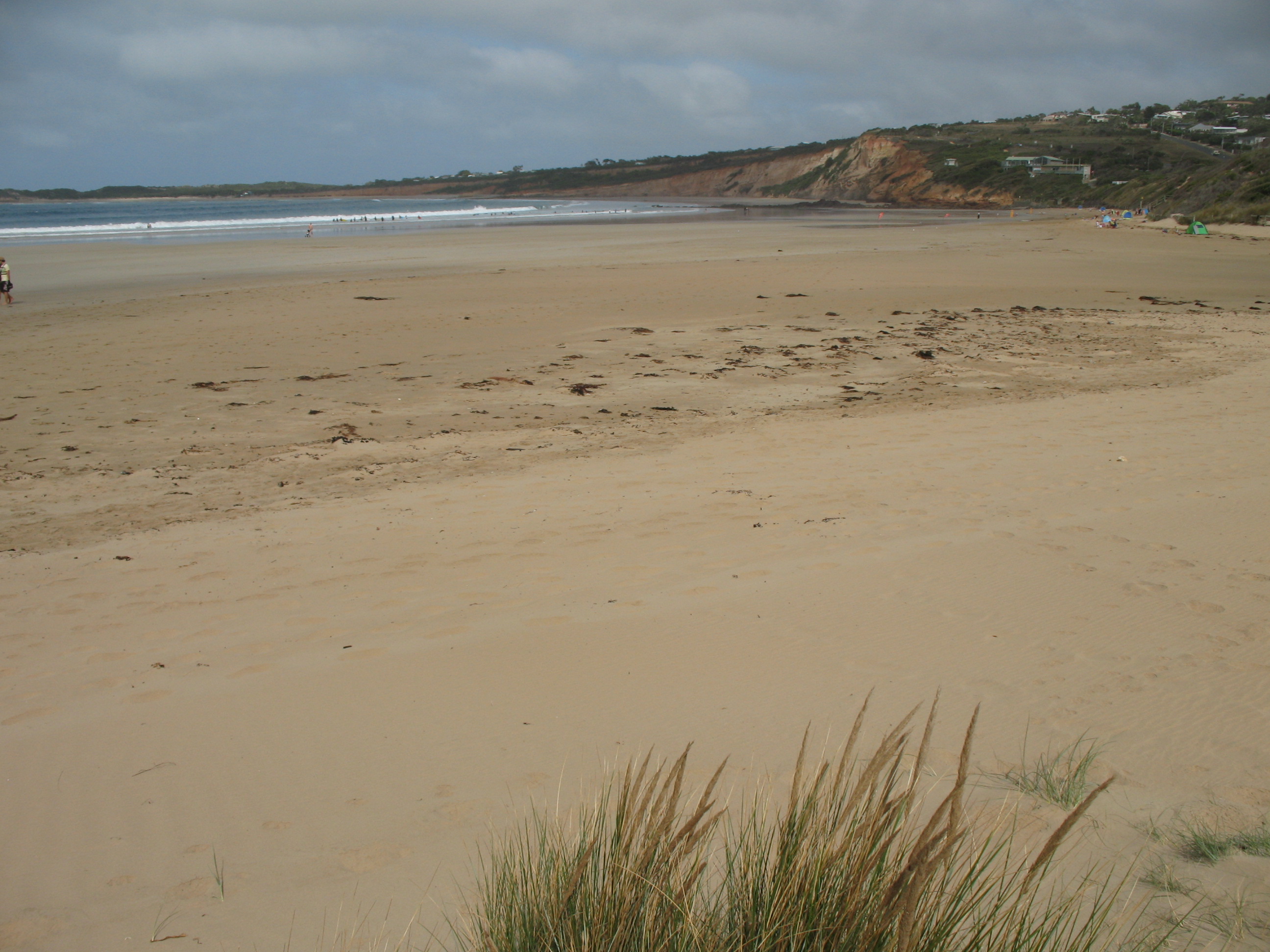
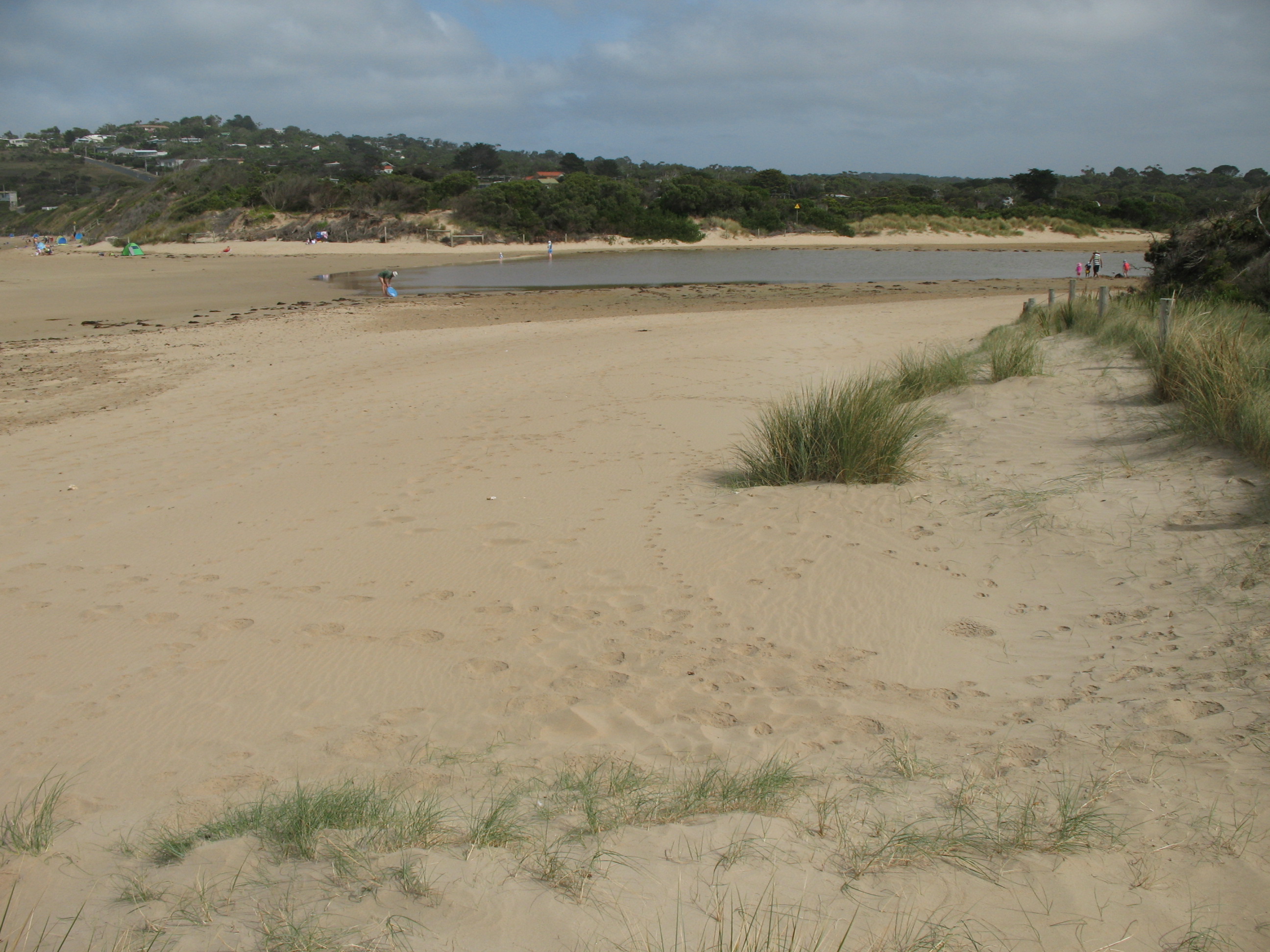
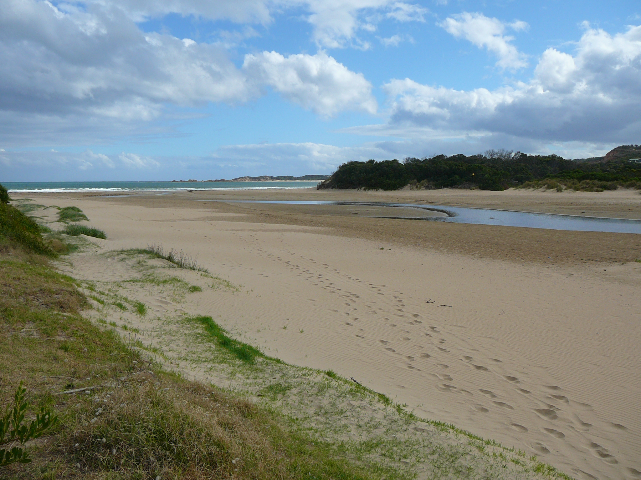
EstuaryWatch Data Portal
AMC Anglesea River Estuary Mouth Observation Site
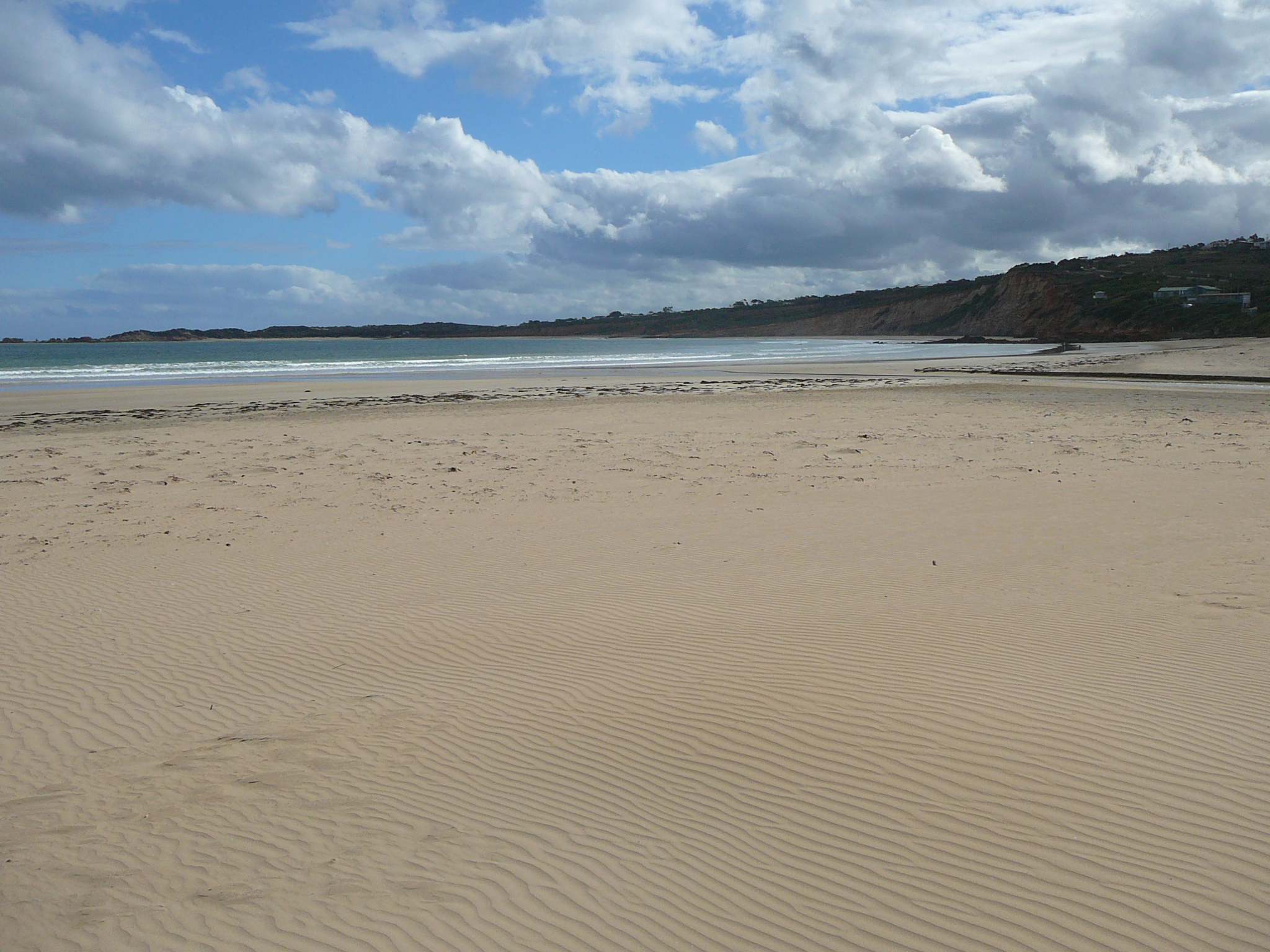
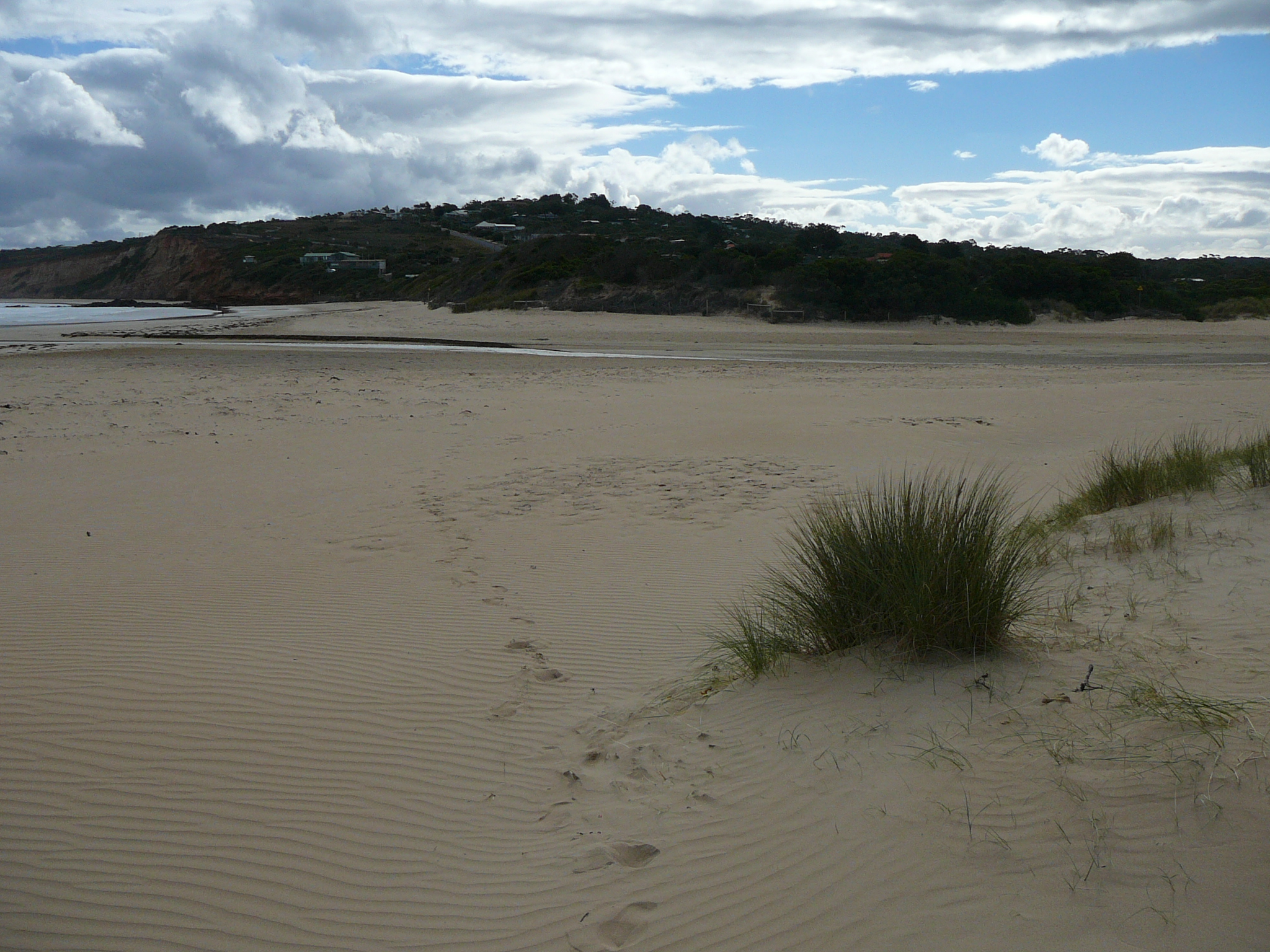
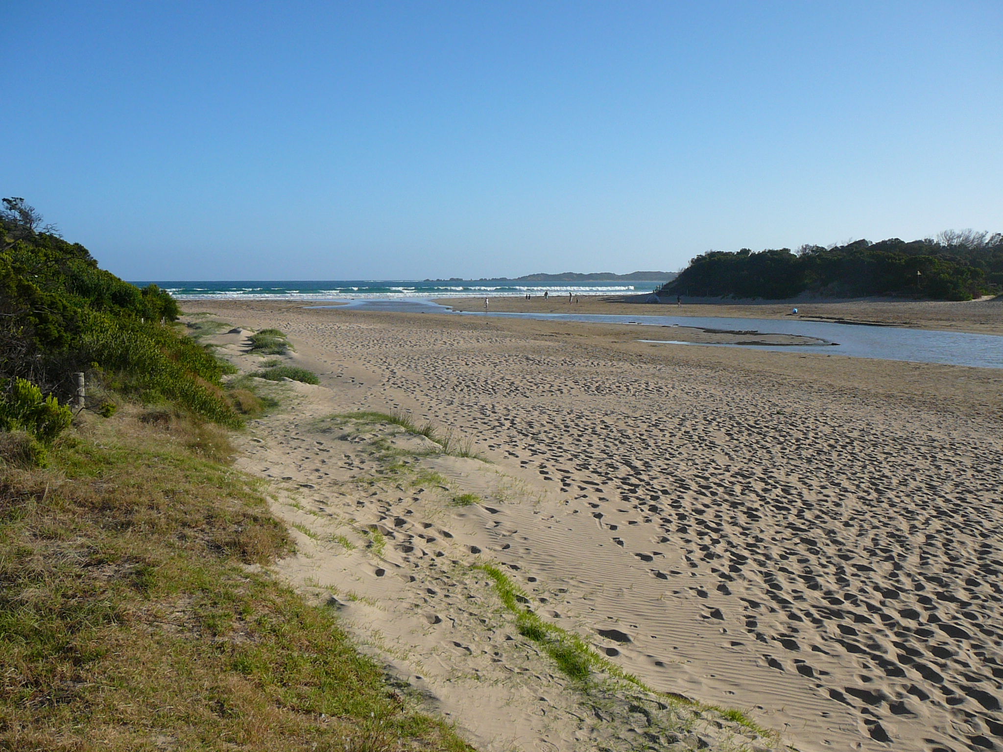
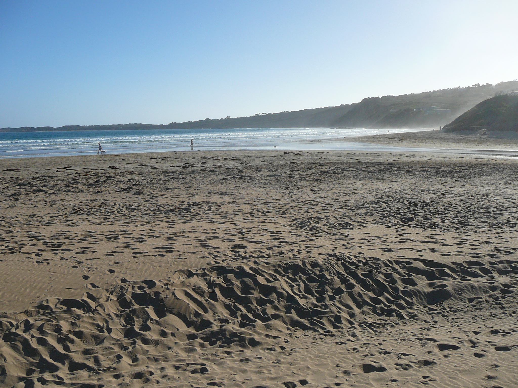
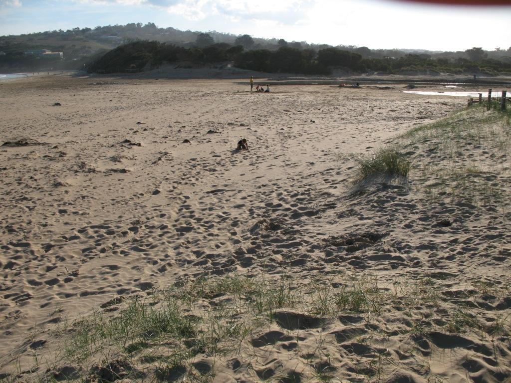
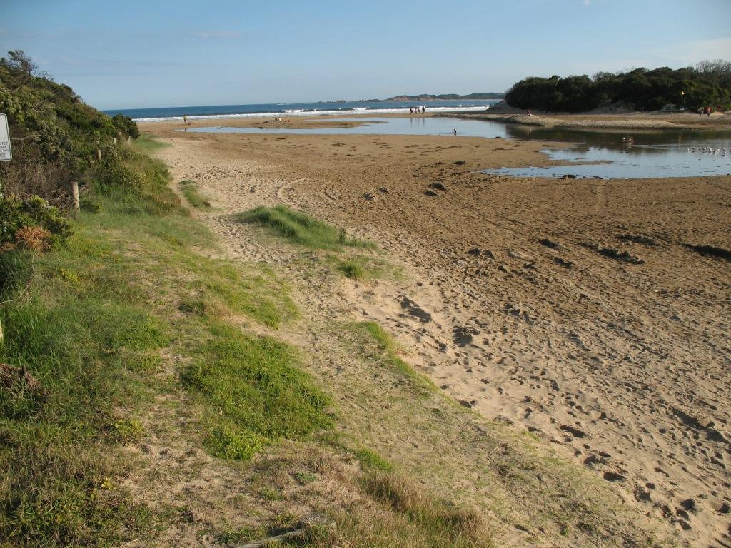
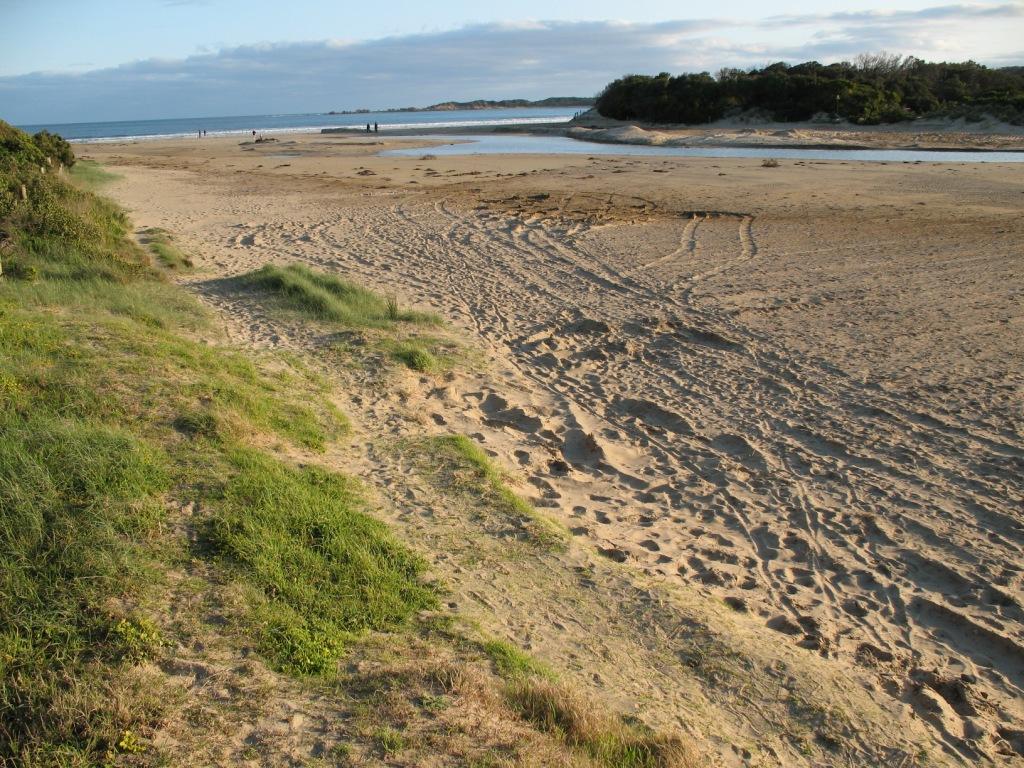
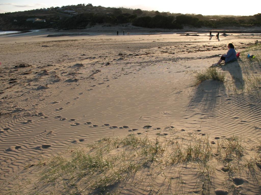
Active Mouth Condition 17-04-2007 - 17-04-2024Anglesea River Estuary
241 results found (Displaying 201 - 241)
| ID | Date | Status | Details | |
|---|---|---|---|---|
| #341 | 15 Mar 2008 | Approved | ||
| #2491 | 23 Feb 2008 | Approved |
|
|
| #241 | 22 Feb 2008 | Approved | Notes: Water has been fast flowing out to see because on either side of the river mouth the sand banks are sharply cut. | |
| #242 | 15 Feb 2008 | Approved | Notes: Mum was of great assistance. People swimming in Estuary. Lots of Fish. Noticed earlier that day that Estuary mouth is closed at low tide. | |
| #249 | 10 Feb 2008 | Approved | Notes: Evidence of greater volumes of water flowing from Estuary to teh sea | |
| #243 | 7 Feb 2008 | Approved | Notes: Berm height should increase today. Wind is rapidly blowing sand into the mouth. | |
| #826 | 20 Jan 2008 | Approved |
|
|
| #221 | 7 Jan 2008 | Approved |
Notes:
Estuary Water level low channel narrow and just outletting to sea |
|
| #220 | 8 Dec 2007 | Approved |
Notes:
Defined channel Beach erosion not visible Mouth outlet further west |
|
| #219 | 24 Nov 2007 | Approved |
Notes:
pH signs from council still displayed. Water level low. |
|
| #216 | 11 Nov 2007 | Approved |
Notes:
Mouth open after heavy rain on 4/11/07. Parts of beach highly eroded. Water level of estuary low. |
|
| #35 | 8 Oct 2007 | Approved | Notes: Mouth closed, water level high from recent rains. | |
| #36 | 8 Oct 2007 | Approved | ||
| #22 | 30 Sep 2007 | Approved | Notes: A lot of sand has moved since last time. | |
| #33 | 30 Sep 2007 | Approved |
Notes:
Mouth closed, water level of estuary 'normal'.
|
|
| #23 | 30 Sep 2007 | Approved | ||
| #34 | 30 Sep 2007 | Approved |
|
|
| #21 | 26 Sep 2007 | Approved |
Notes:
Sorry haven't taken photos at Ap1 - will include next time.
|
|
| #31 | 23 Sep 2007 | Approved | Notes: Estuary mouth looks to have been opened, water level similar to when works carried out earlier in month and August, all sand dunes from works now gone. | |
| #32 | 23 Sep 2007 | Approved | ||
| #20 | 19 Sep 2007 | Approved |
Notes:
North westerly winds have removed a lot of sand. Possibly why the mouth has opened.
|
|
| #24 | 12 Sep 2007 | Approved |
Notes:
Conducted an Estuary discovery with kids earlier today. The mouth is quite deep and extends very close to the ocean, yet is still closed.
|
|
| #29 | 8 Sep 2007 | Approved | Notes: First week after construction works, mouth closed, some remnant sand dunes from work. | |
| #30 | 8 Sep 2007 | Approved | ||
| #19 | 5 Sep 2007 | Approved |
|
|
| #28 | 1 Sep 2007 | Approved | ||
| #27 | 1 Sep 2007 | Approved | Notes: River mouth closed. Recently completed bank rehab (east side of the estuary near Pp1). Massive wind storm previous day, mouth open last 2 weeks. | |
| #26 | 25 Aug 2007 | Approved | ||
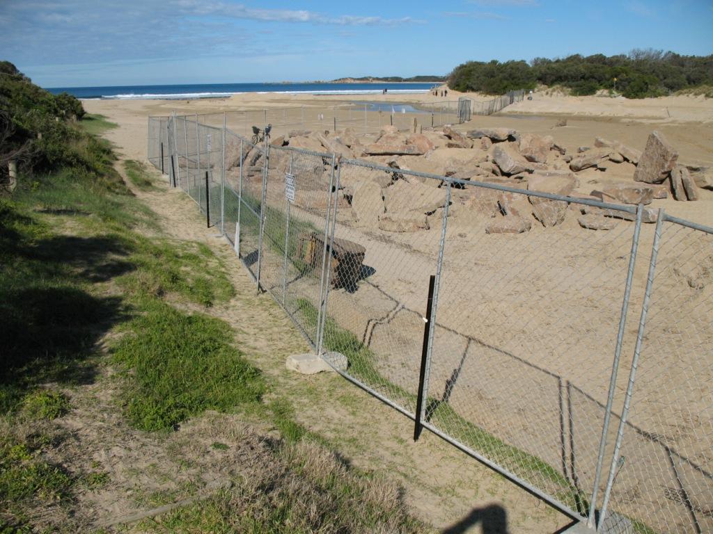
| #25 | 25 Aug 2007 | Approved | Notes: Highly modified environment. Construction works around mouth of river, temporary channel constructed - whole river/estuary water level @ 0.30m lower than usual. | |
| #47 | 29 Jul 2007 | Approved |
Notes:
Open and slight flow, estuary now flowing near beach, sand dunes making particular formations. Unable to take photos due to mechanical failure.
|
|
| #45 | 20 Jul 2007 | Approved |
Notes:
Significant rain last 14 days. River has been more open and fast flowing in last 14 days. Julie Hansen camera.
|
|
| #43 | 8 Jul 2007 | Approved |
Notes:
Tide times PPH subtract 15 mins. Significant rain last 24 hrs. Open and fast flowing. P. Mirams photo camera.
|
|
| #41 | 1 Jul 2007 | Approved |
Notes:
Channel open with banks, evidence of high volume of water flowing out in recent few days (sand rough with drainage marks).
|
|
| #39 | 17 Jun 2007 | Approved |
Notes:
Lots of seaweed, outlet channel eroded (water just outletting) and estuary water level low
|
|
| #17 | 11 Jun 2007 | Approved |
Notes:
Quite a lot of erosion at beach from estuary and large curve (not straight as usual). Query if mouth has been artificially opened recently.
|
|
| #49 | 25 May 2007 | Approved |
|
|
| #1468 | 20 May 2007 | Approved |
Notes:
Estuary moving to the sea, small amounts of sea foam, reasonable recent rainfall.
|
|
| #1469 | 12 May 2007 | Approved |
Notes:
Estuary water level quite high and berm bank higher than the previous week.
|
|
| #1470 | 5 May 2007 | Approved |
Notes:
Recent rains, seafoam on the beach, river mouth and surrounds high, large swellover the past 2 days.
|
|
| #37 | 29 Apr 2007 | Approved |
Notes:
Recent heavy rain in last 48 hrs, evidence that someone has dug out the mouth of the river.
|
|
| #38 | 17 Apr 2007 | Approved |
Notes:
There was no gauge present to measure the change in water level, however, due to the estuary's high tide mark in the sand, it seems there may be a tidal influence
|
|


All content, files, data and images provided by the EstuaryWatch Data Portal and Gallery are subject to a Creative Commons Attribution License
Content is made available to be used in any way, and should always attribute EstuaryWatch and www.estuarywatch.org.au