EstuaryWatch Data Portal
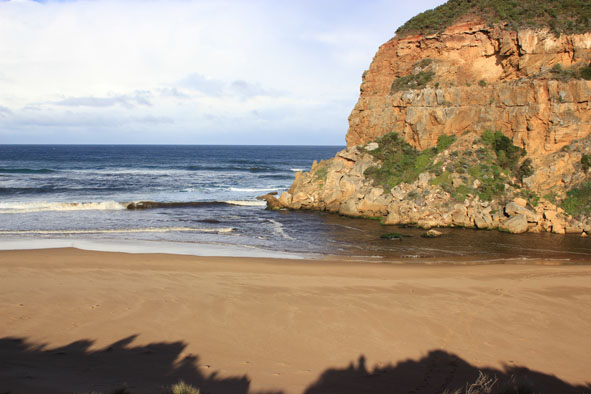
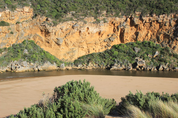
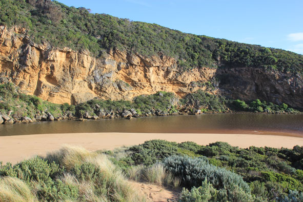
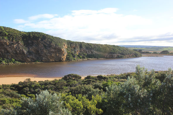
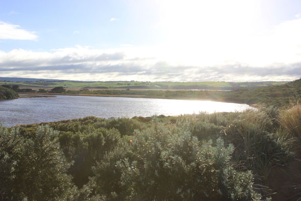
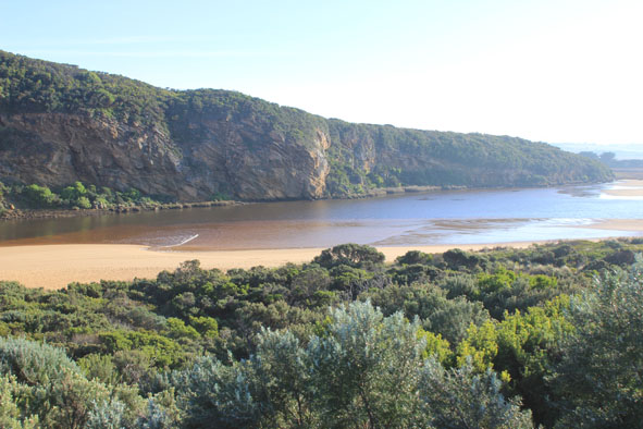
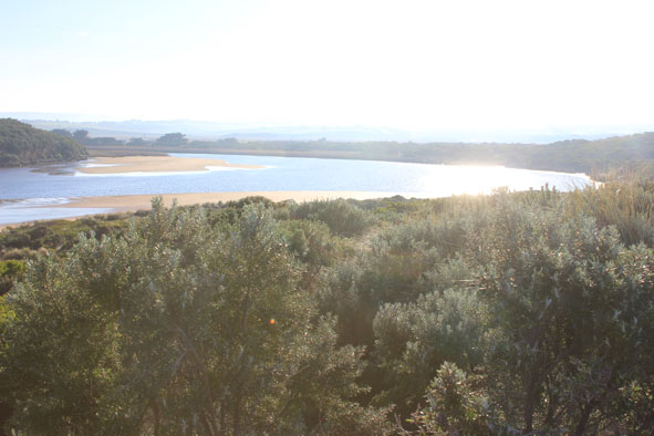
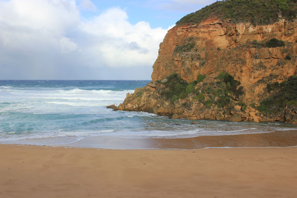
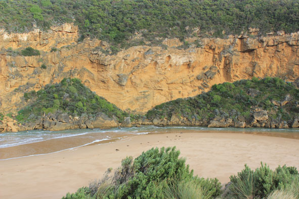
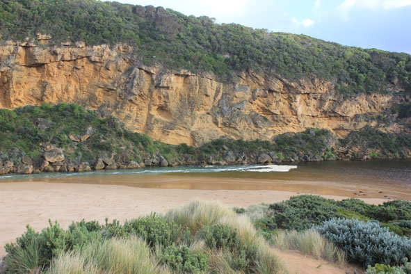
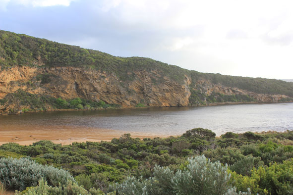
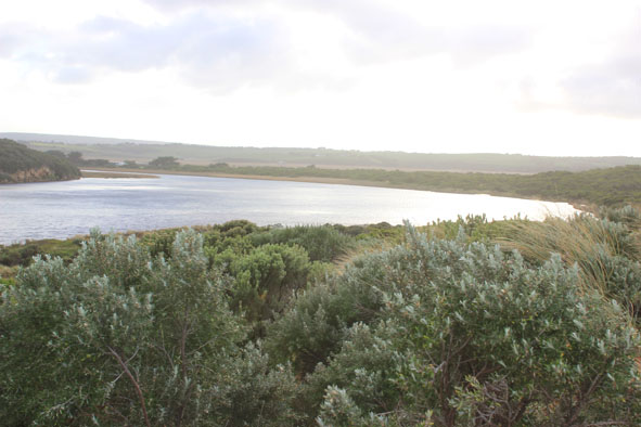
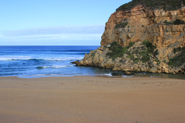
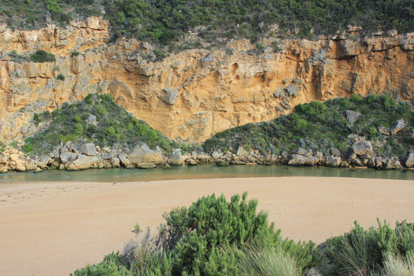
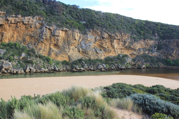
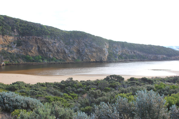
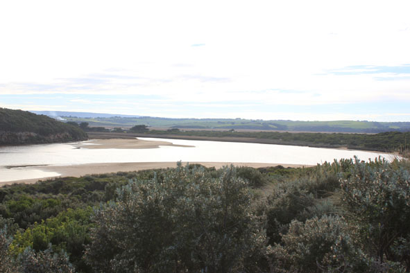
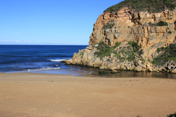
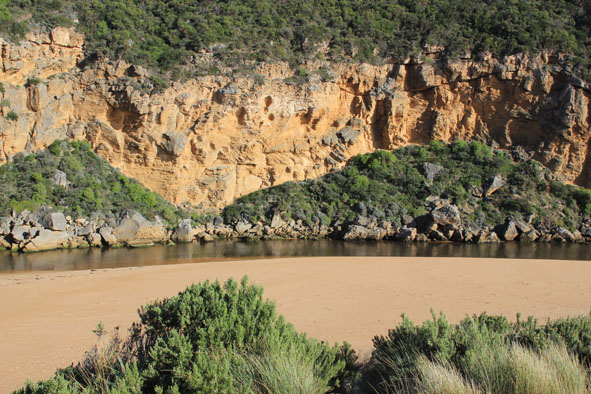
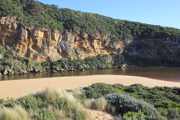
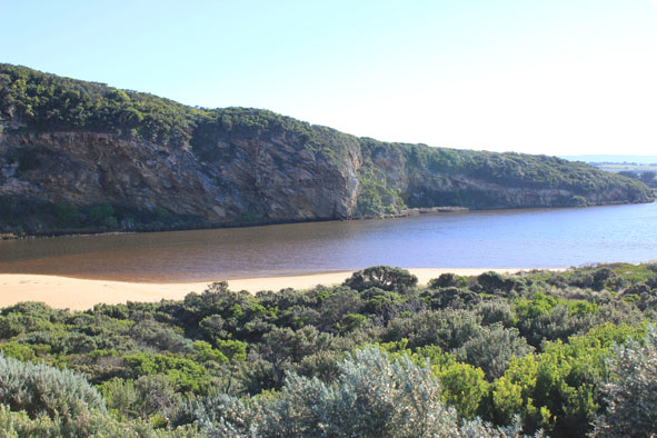
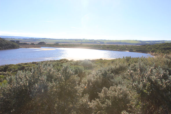
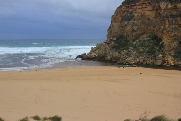
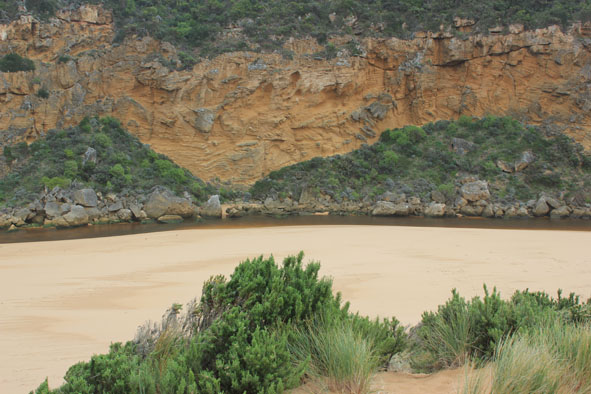
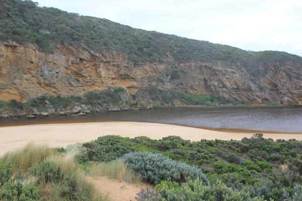
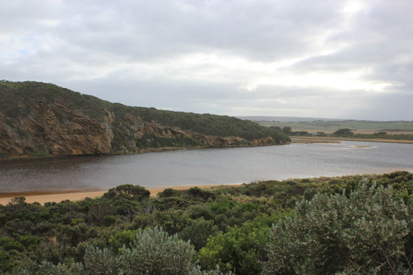
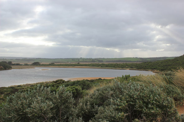
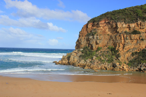
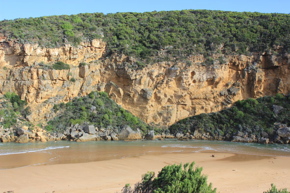
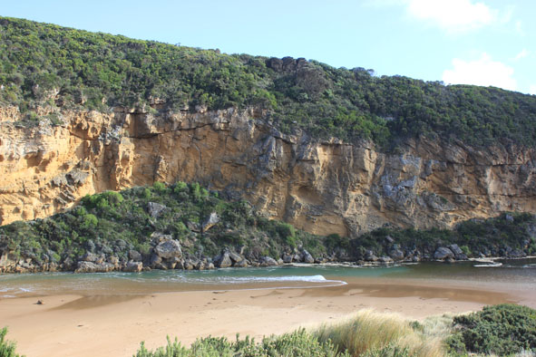
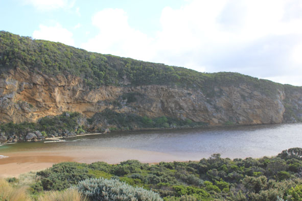
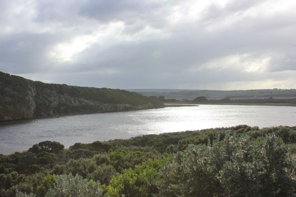
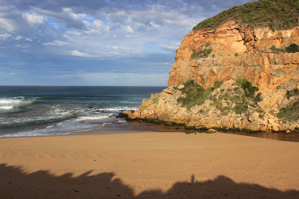
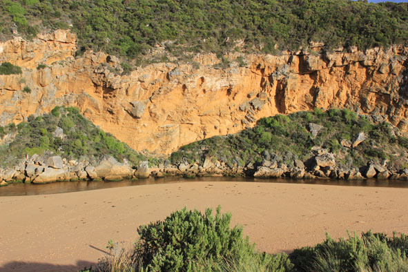
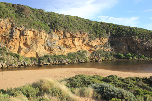
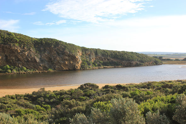
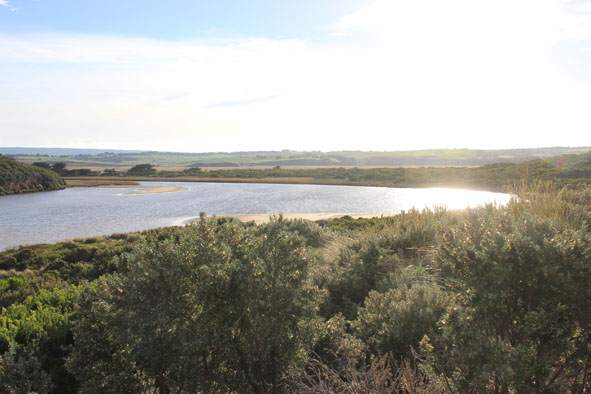
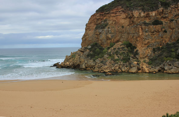
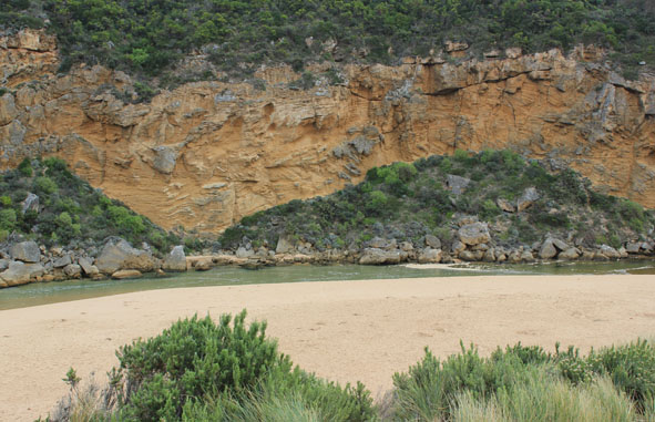
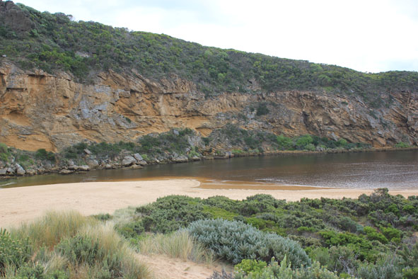
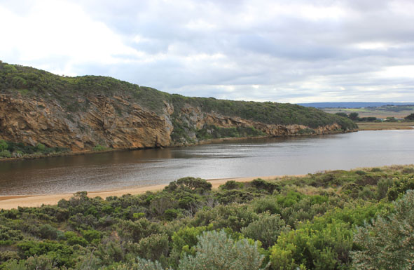
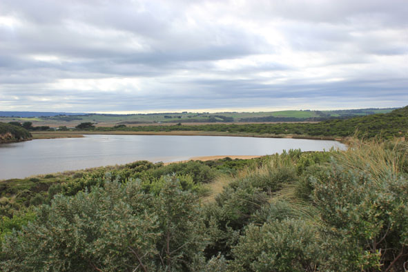
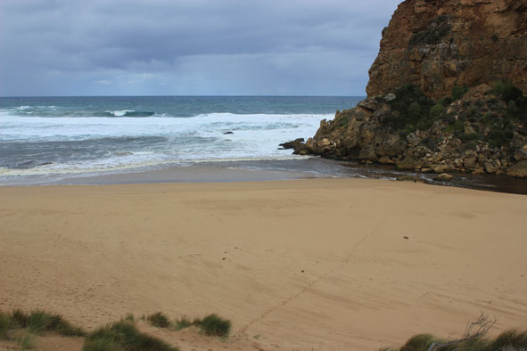
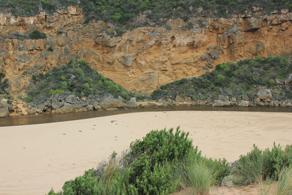
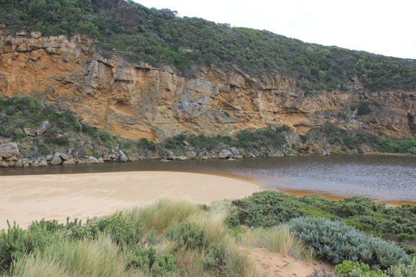
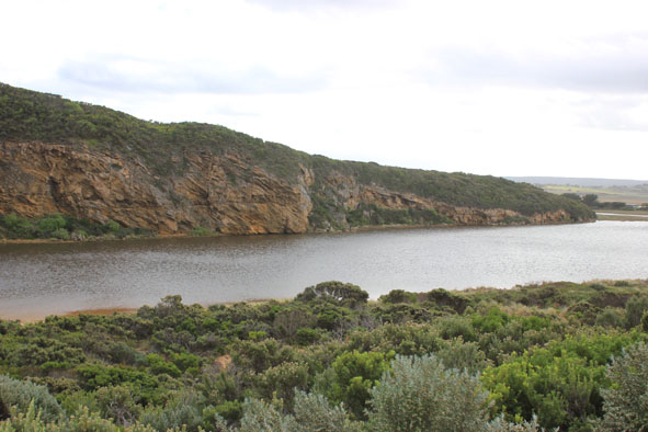
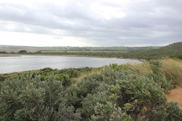
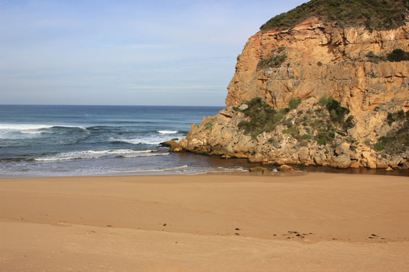
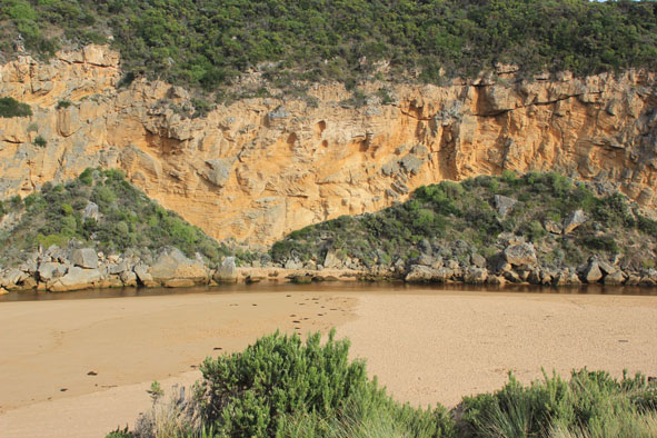
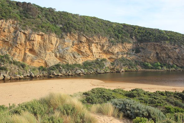
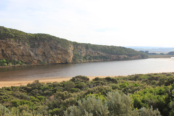
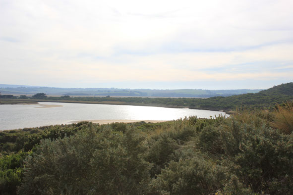
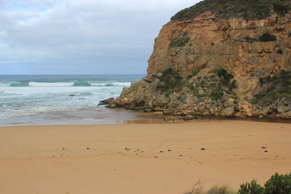
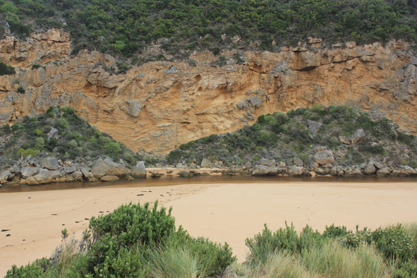
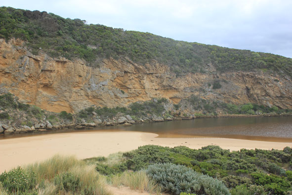
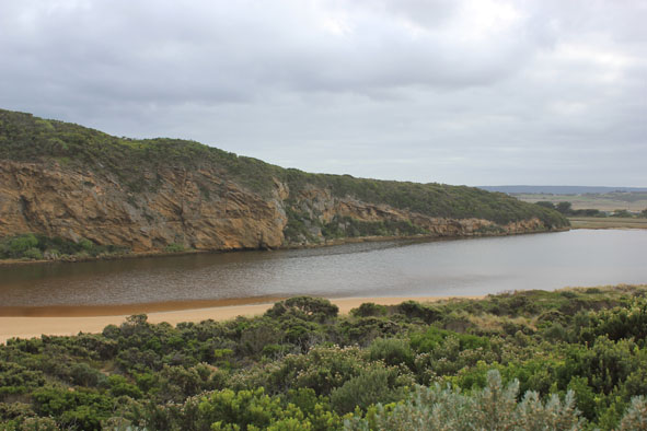
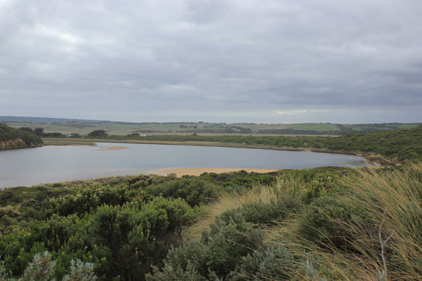
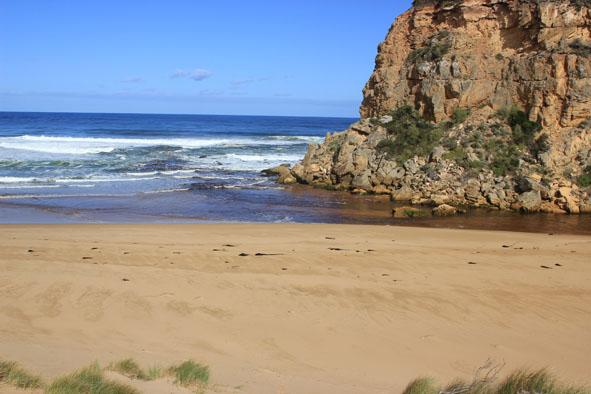
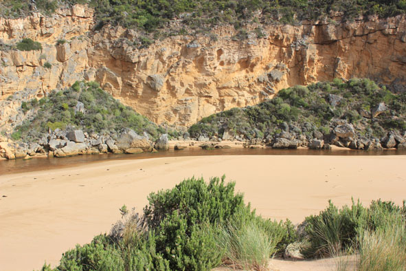
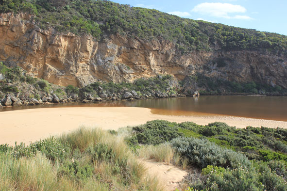
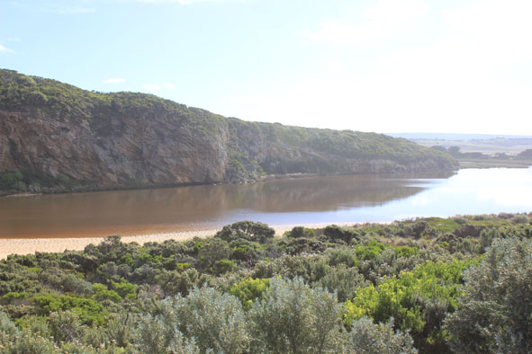
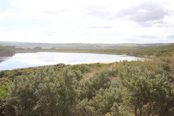
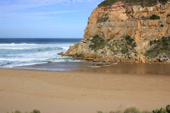
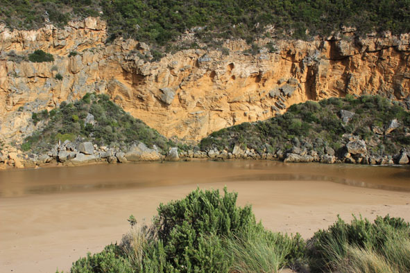
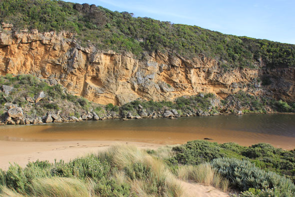
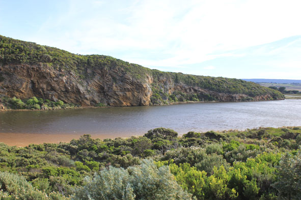
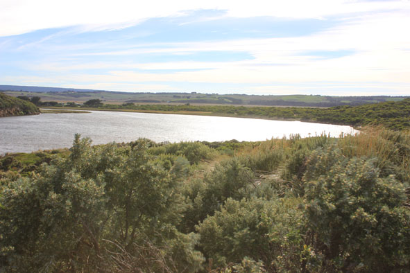
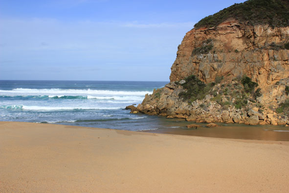
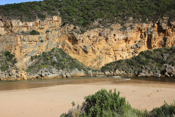
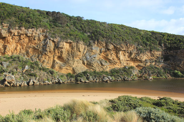
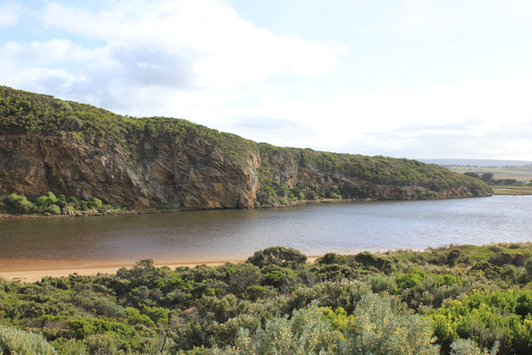
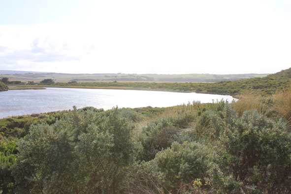
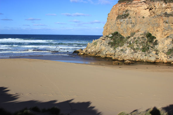
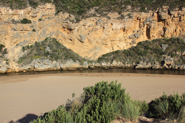
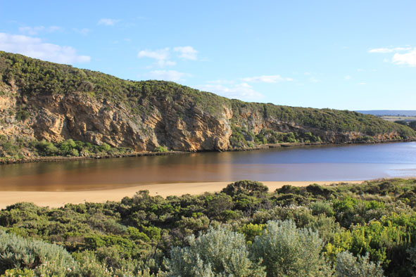
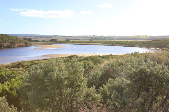
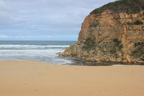
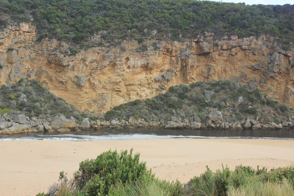
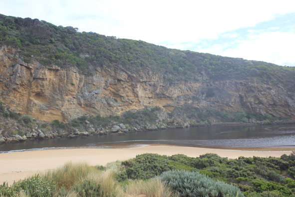
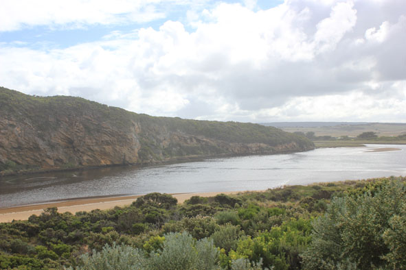
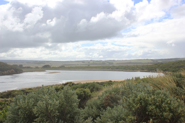
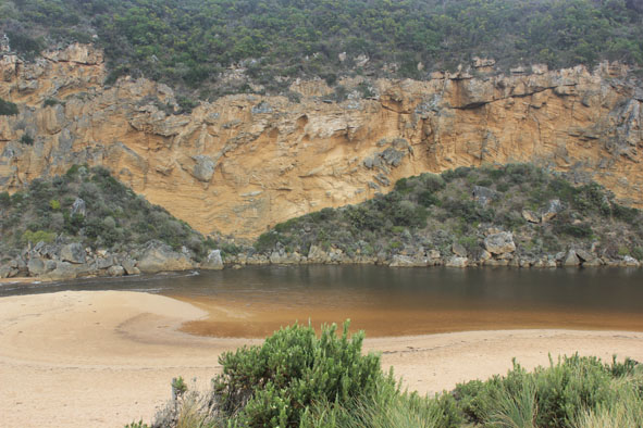
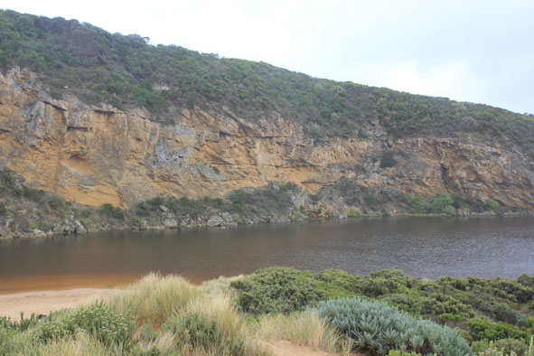
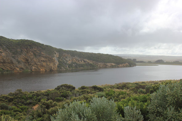
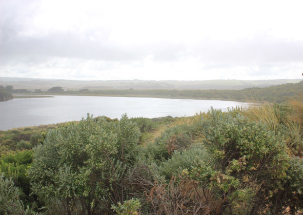
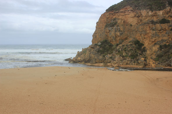
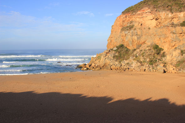
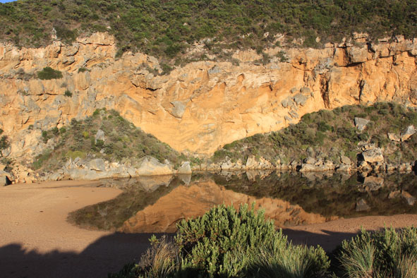
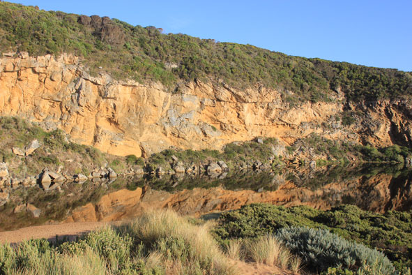
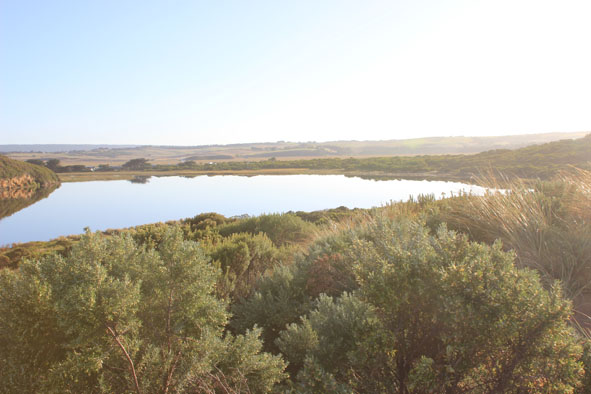
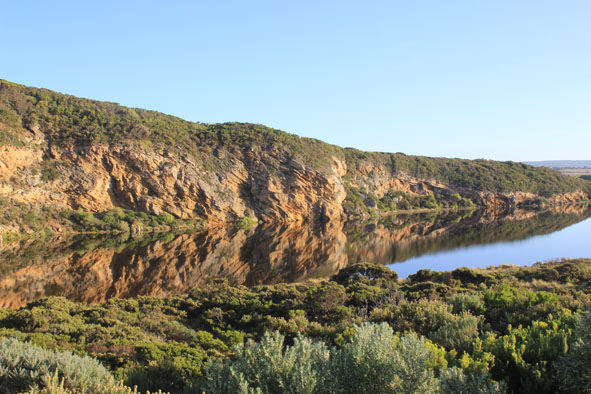
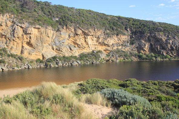
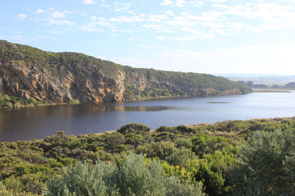
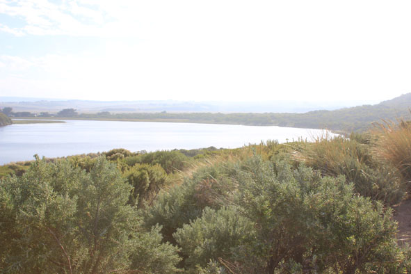
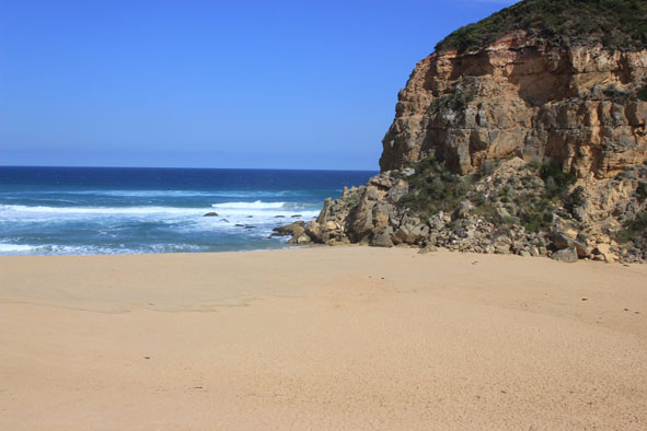
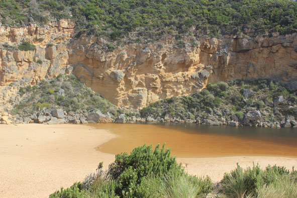
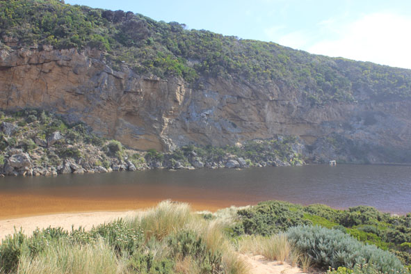
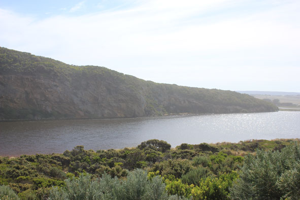
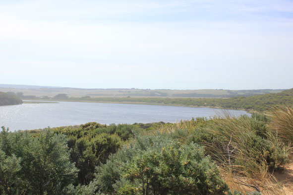
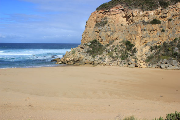
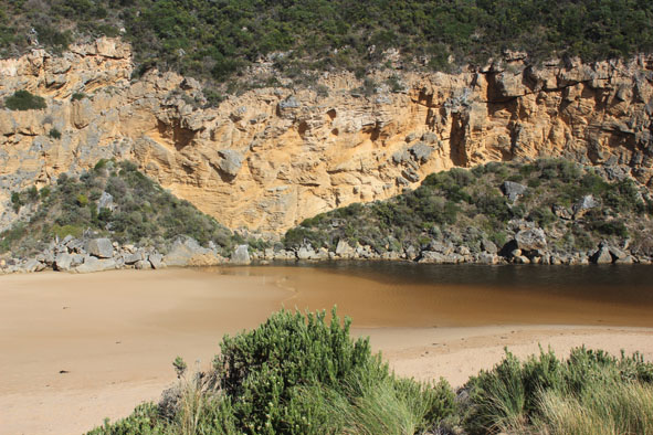
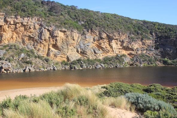
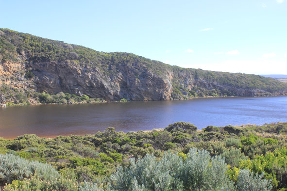
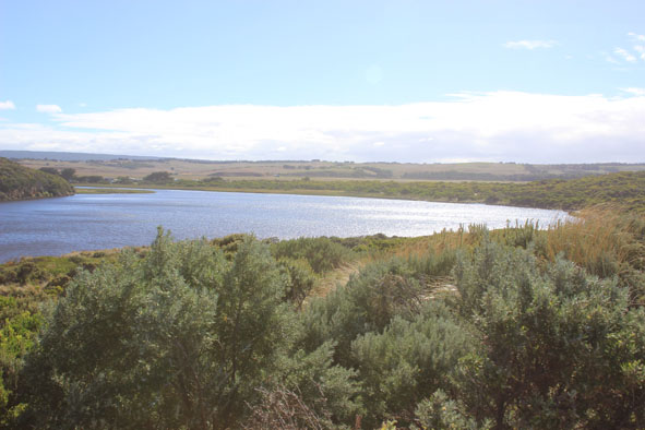
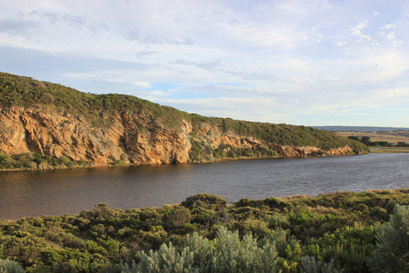
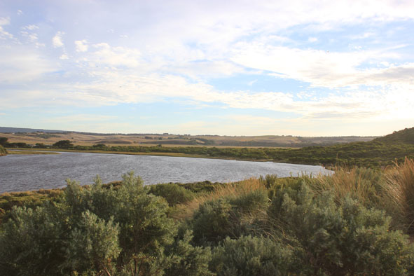
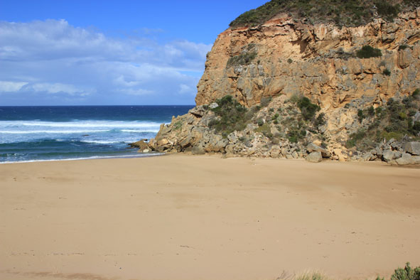
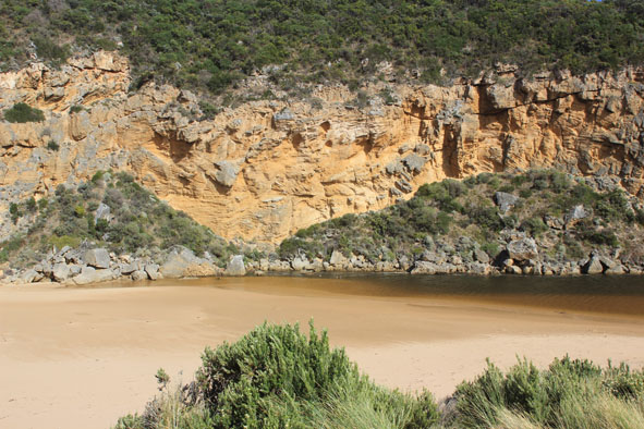
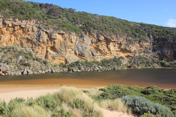
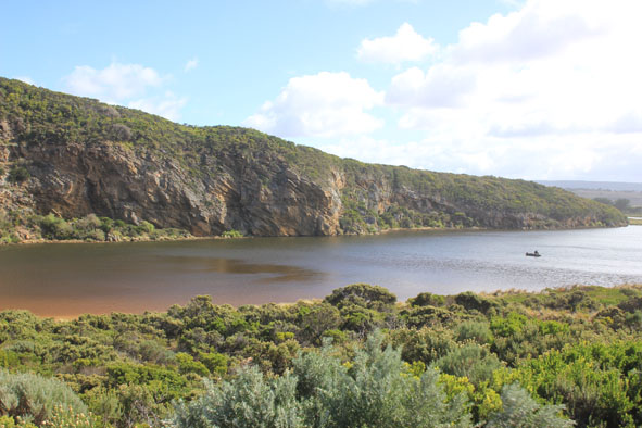
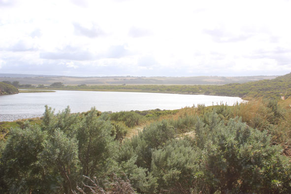
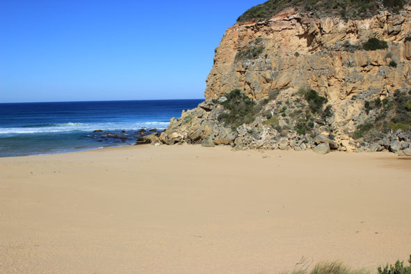
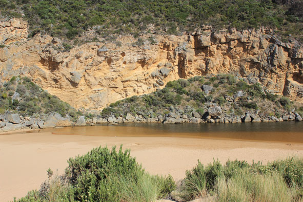
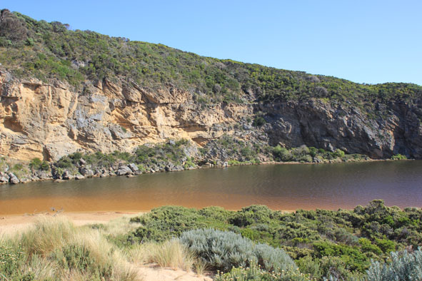
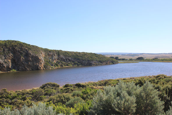
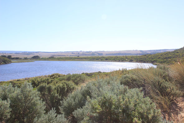
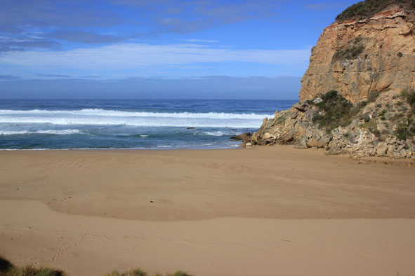
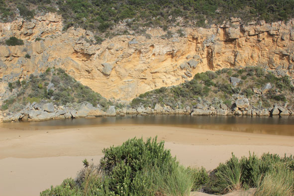
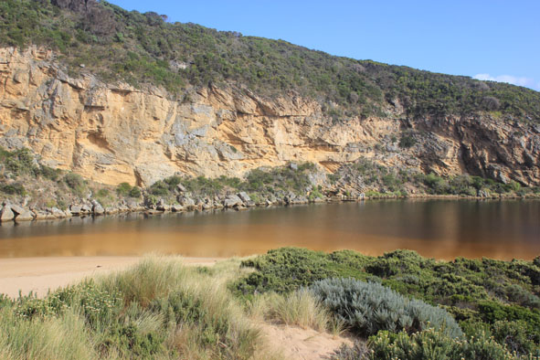
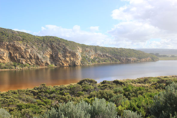
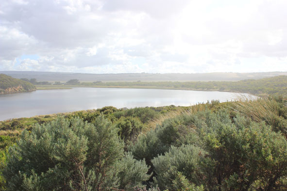
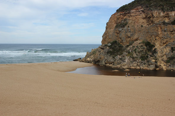
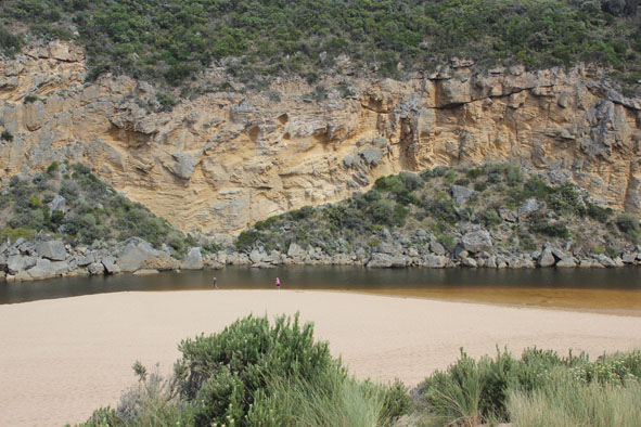
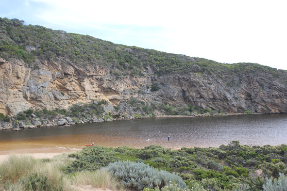
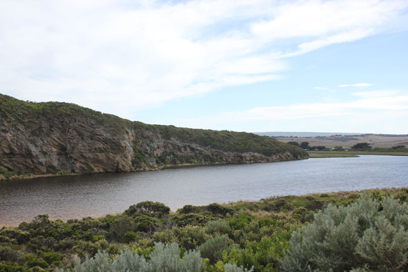
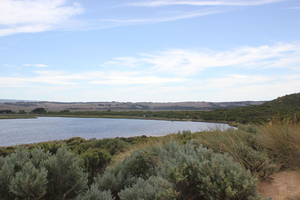
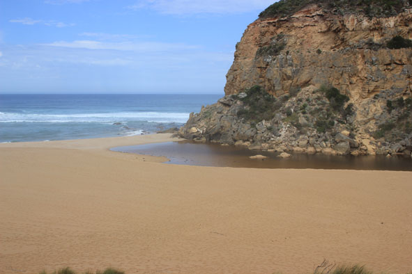
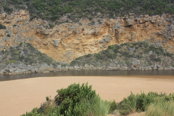
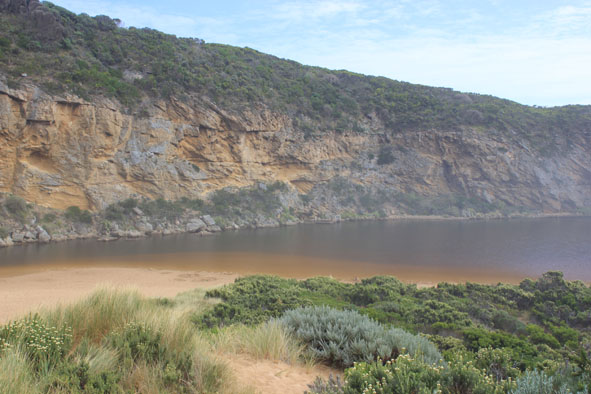
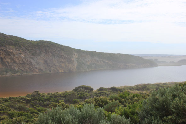
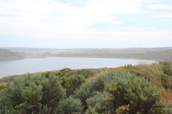
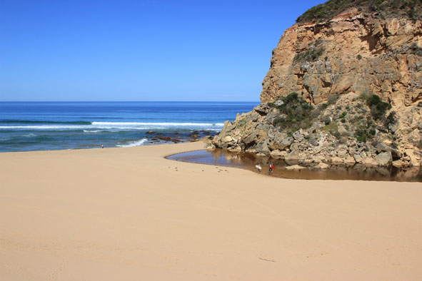
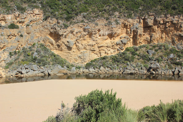
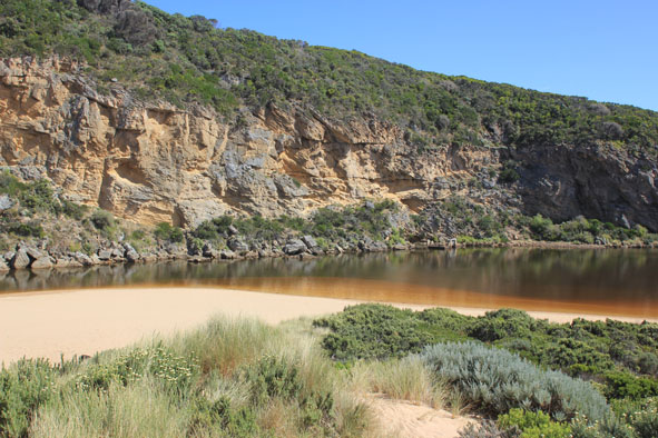
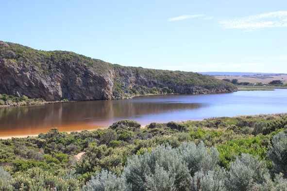
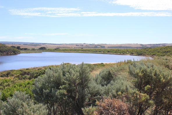
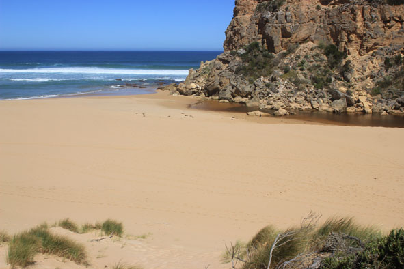
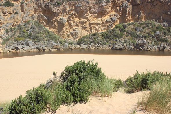
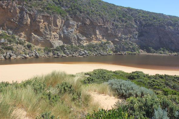
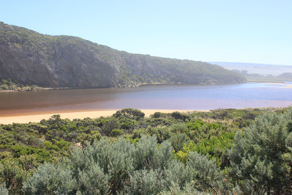
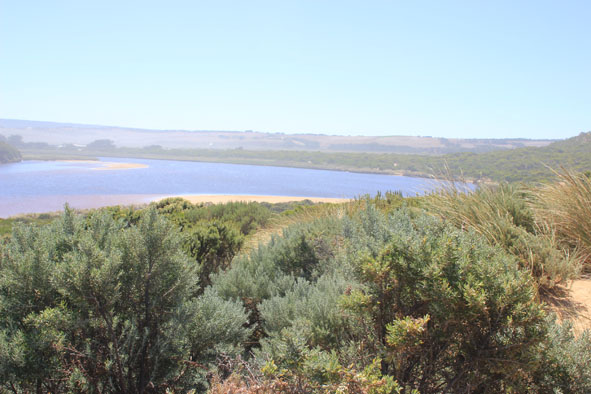
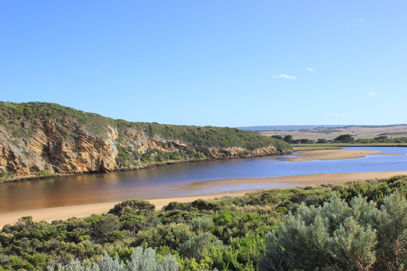
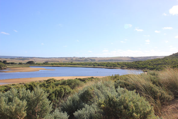
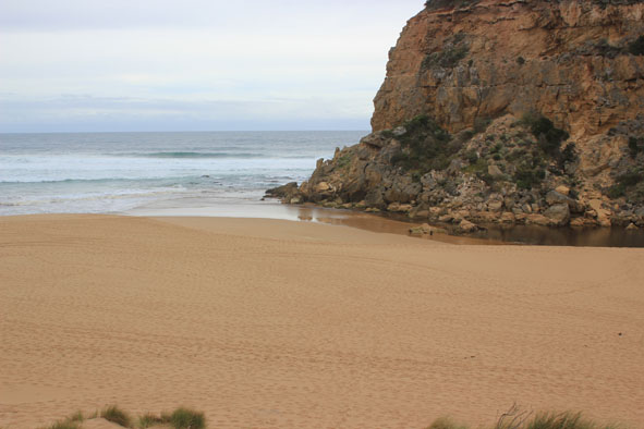
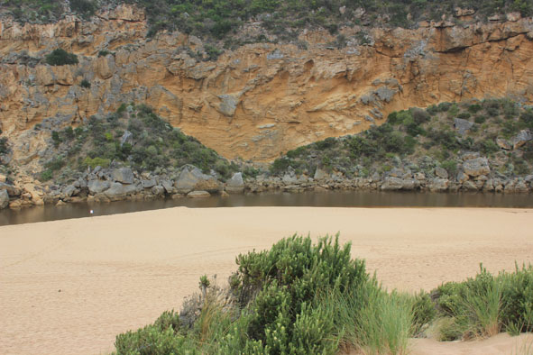
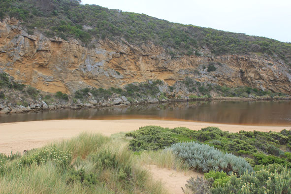
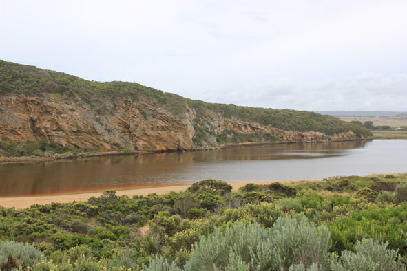
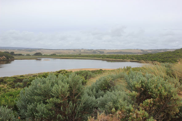
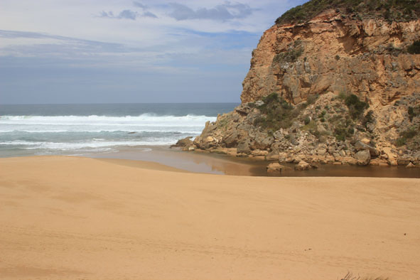
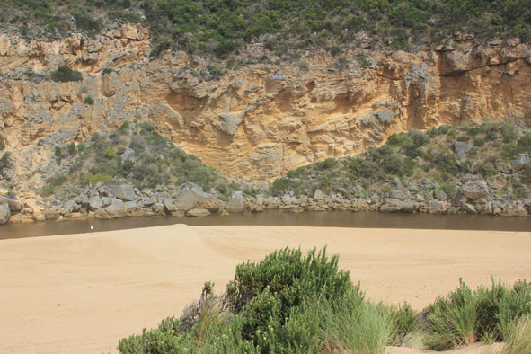
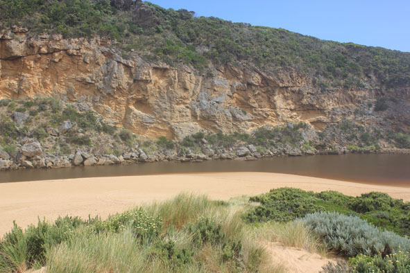
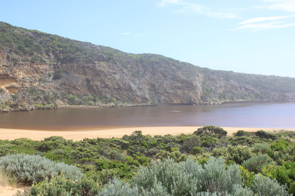
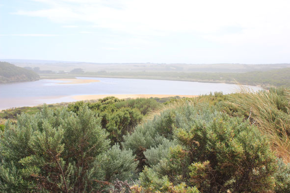
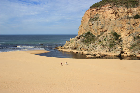
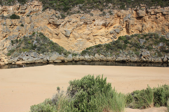
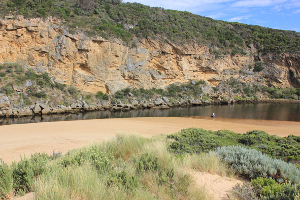
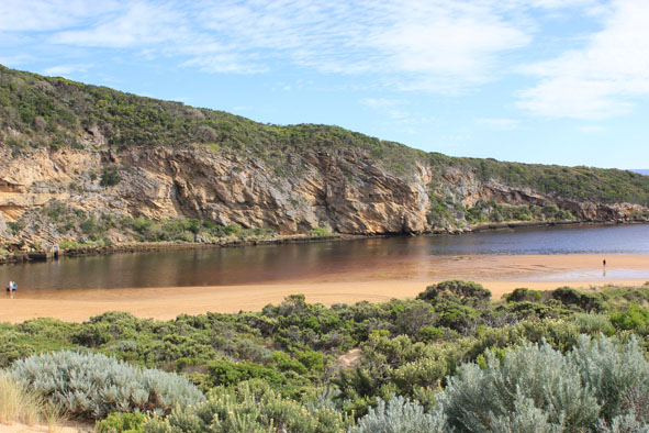
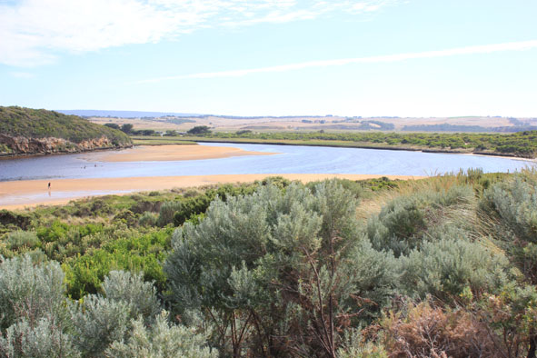
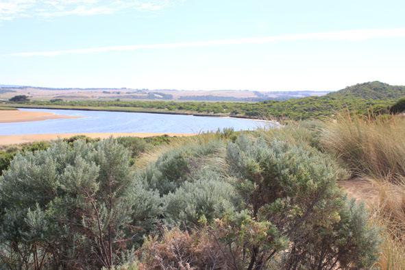
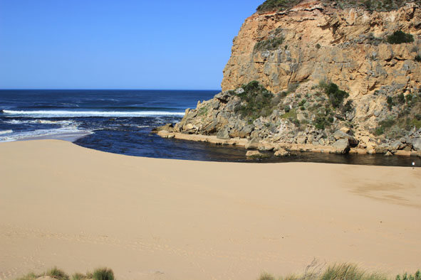
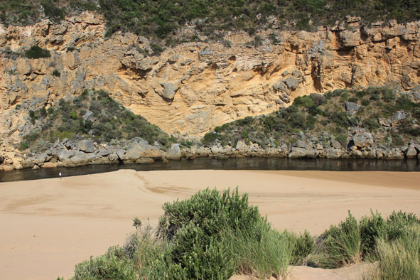
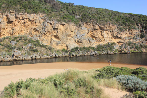
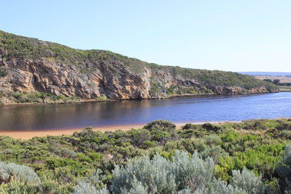
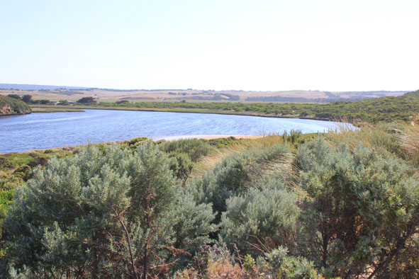
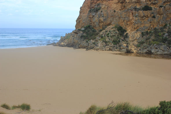
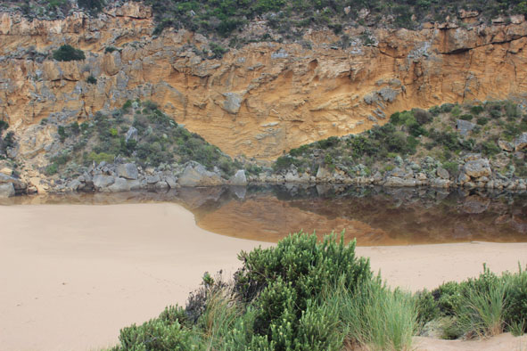
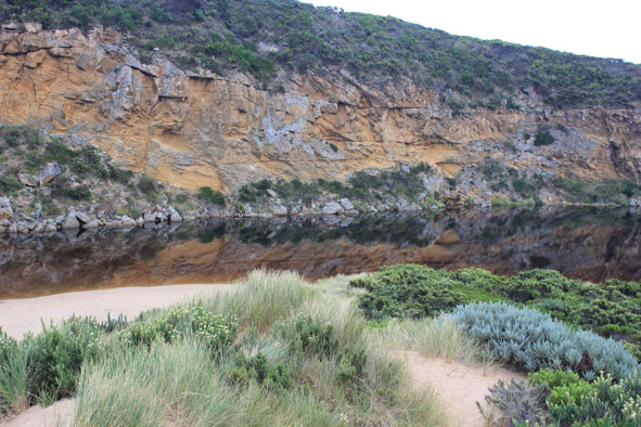
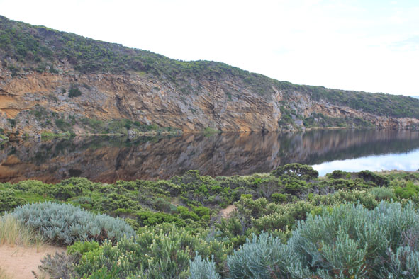
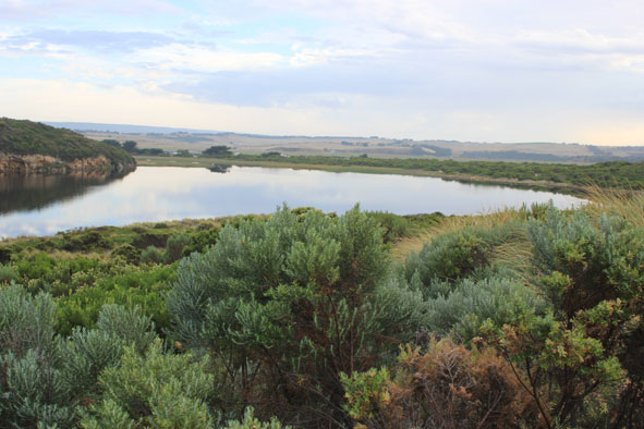
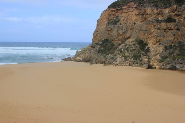
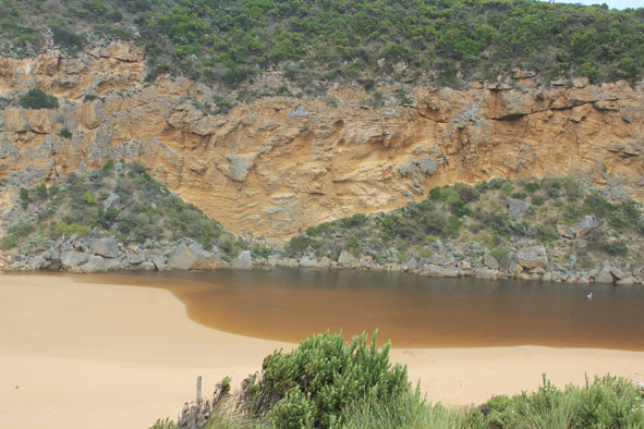
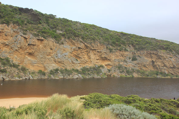
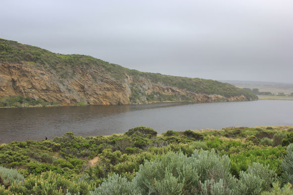
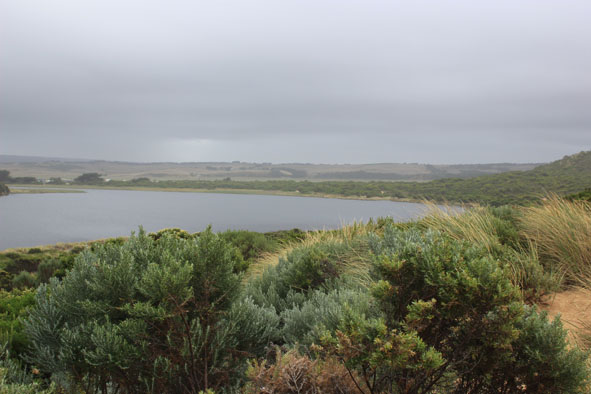
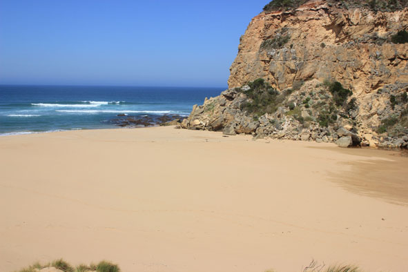
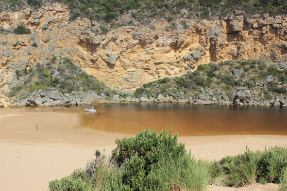
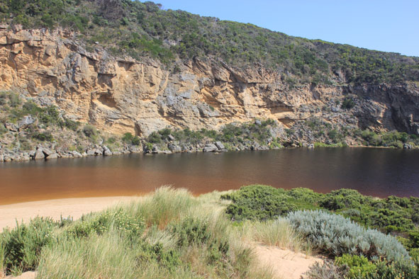
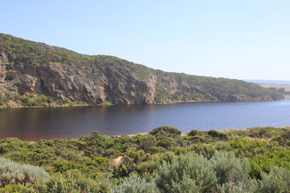
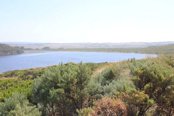
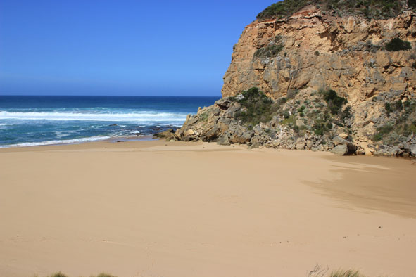
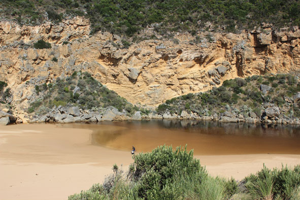
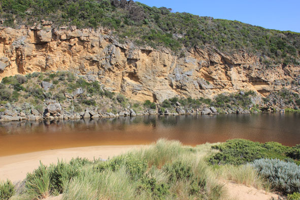
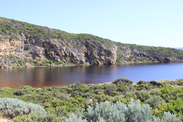
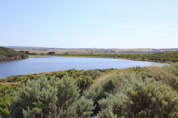
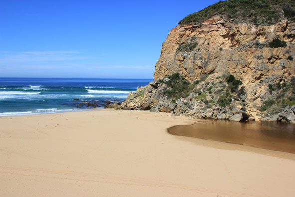
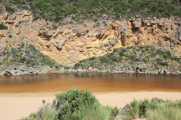
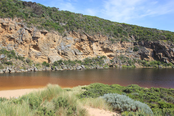
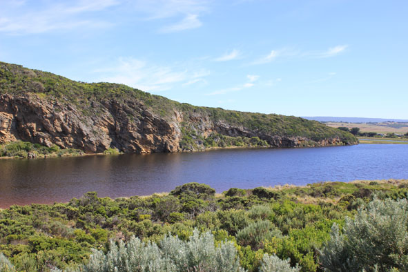
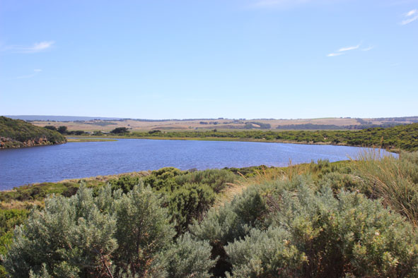
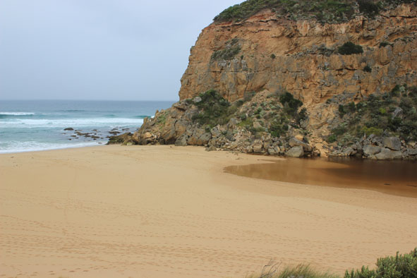
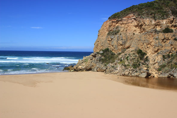
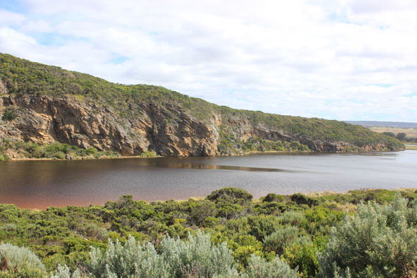
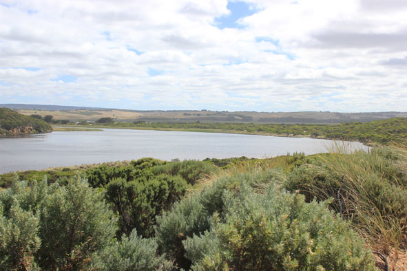
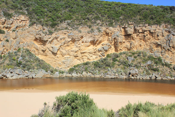
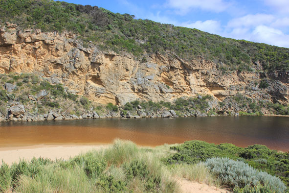
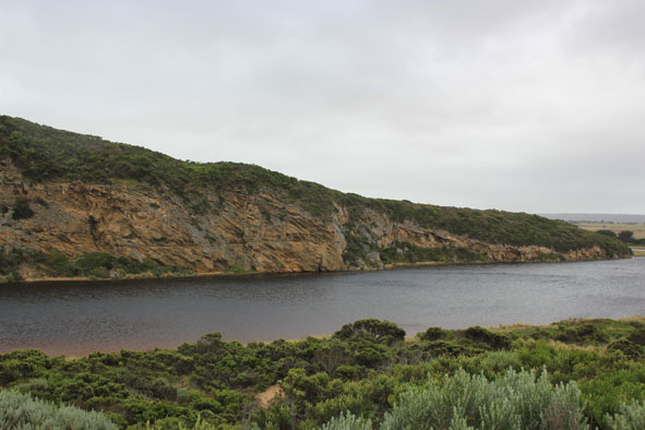
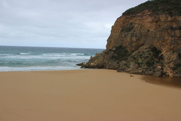
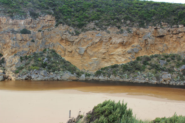
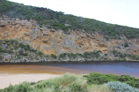
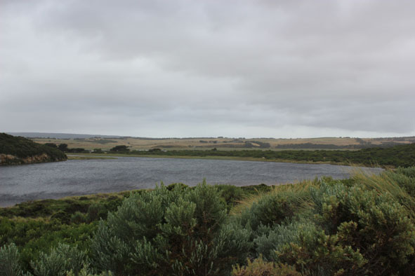
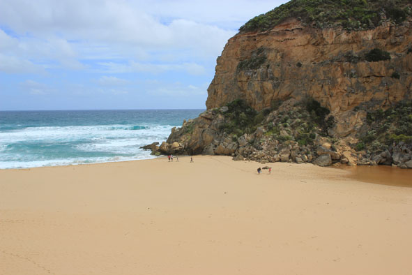
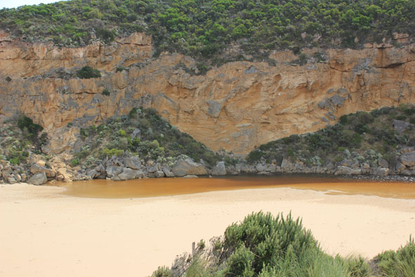
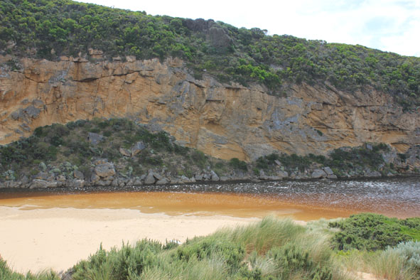
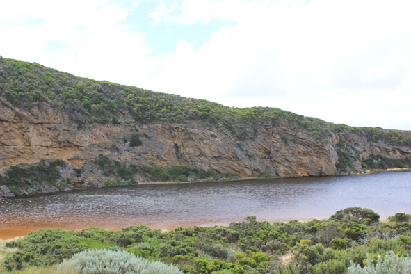
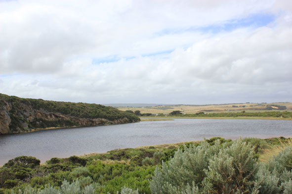
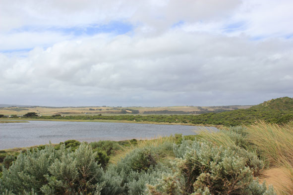
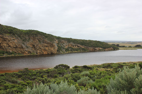
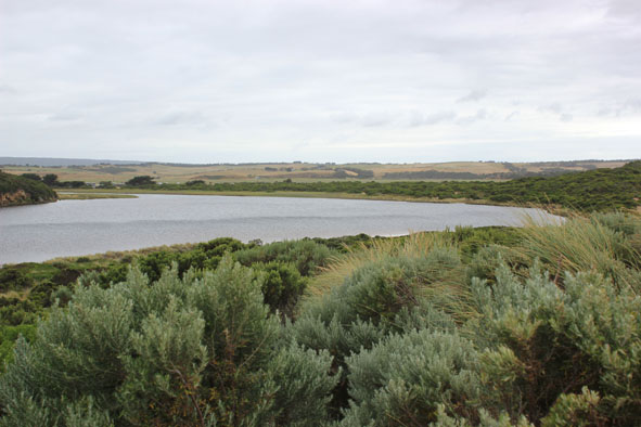
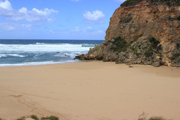
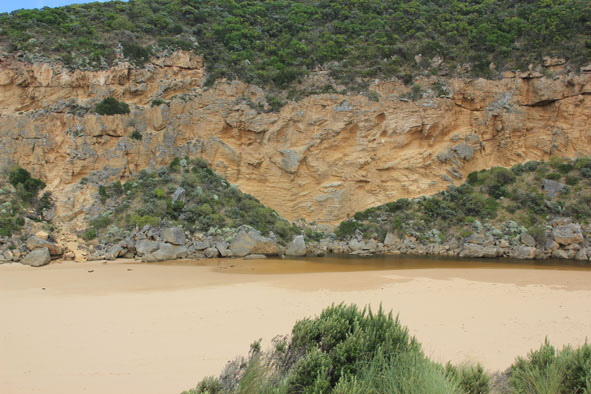
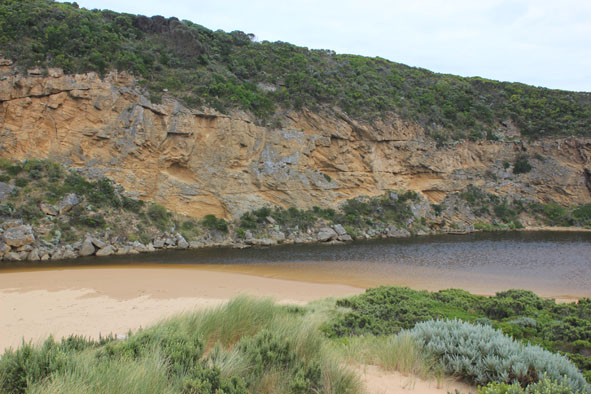
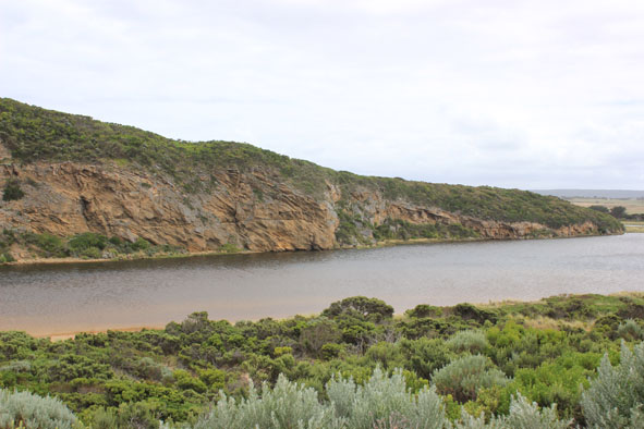
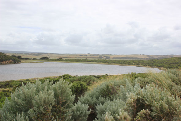
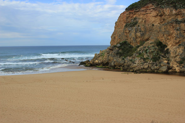
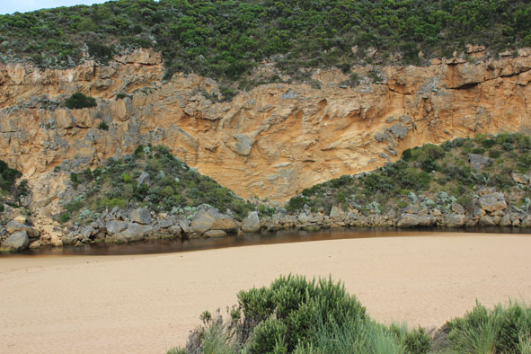
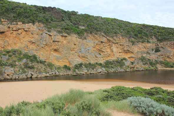
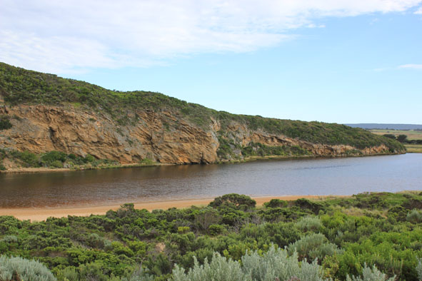
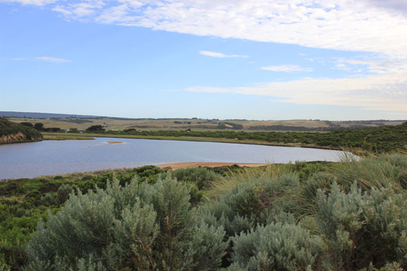
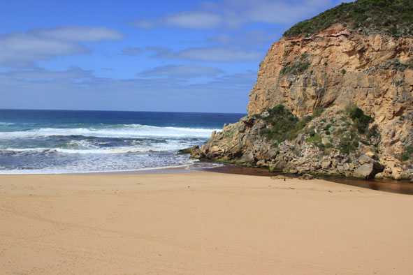
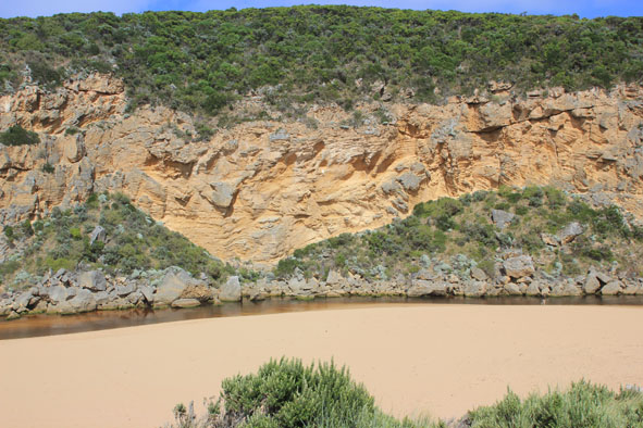
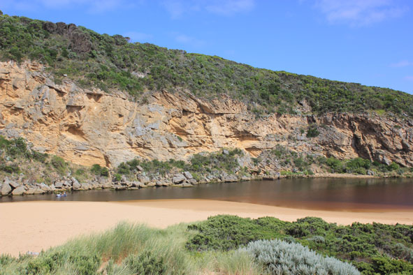
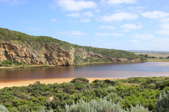
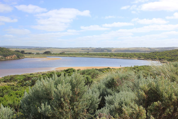
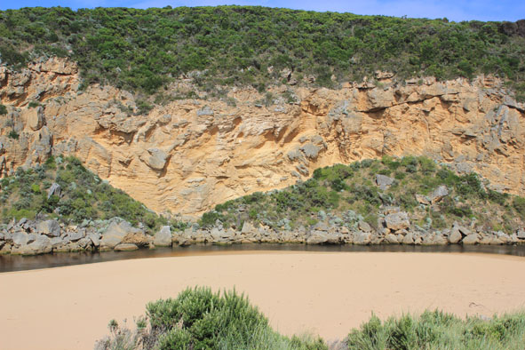
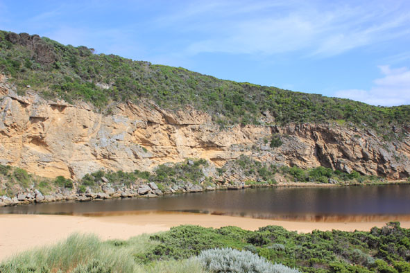
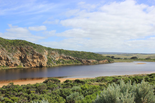
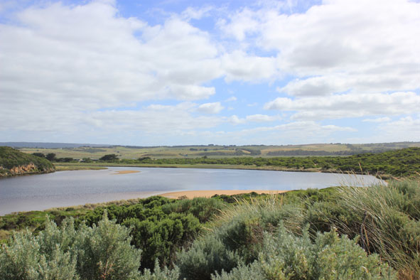
GMC Gellibrand River Estuary Mouth Observation Site
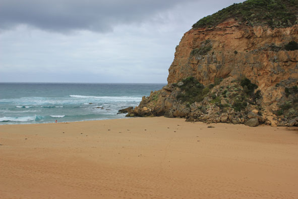
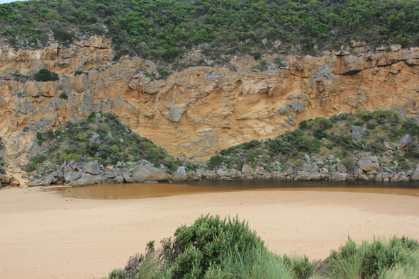
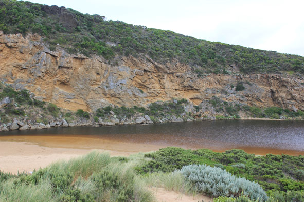
Active Mouth Condition 20-04-2007 - 16-02-2024Gellibrand River Estuary
768 results found (Displaying 401 - 450)
| ID | Date | Status | Details | |
|---|---|---|---|---|
| #8412 | 19 Jul 2013 | Approved |
Notes:
|
|
| #8373 | 12 Jul 2013 | Approved |
Notes:
|
|
| #8366 | 5 Jul 2013 | Approved |
Notes:
|
|
| #8360 | 27 Jun 2013 | Approved |
Notes:
|
|
| #8357 | 21 Jun 2013 | Approved |
Notes:
|
|
| #8347 | 14 Jun 2013 | Approved |
Notes:
|
|
| #8325 | 7 Jun 2013 | Approved |
Notes:
|
|
| #8315 | 31 May 2013 | Approved |
Notes:
|
|
| #8302 | 24 May 2013 | Approved |
Notes:
|
|
| #8288 | 17 May 2013 | Approved |
Notes:
|
|
| #8274 | 10 May 2013 | Approved |
Notes:
|
|
| #8266 | 5 May 2013 | Approved |
Notes:
|
|
| #8258 | 2 May 2013 | Approved |
Notes:
|
|
| #8251 | 27 Apr 2013 | Approved |
Notes:
|
|
| #8241 | 25 Apr 2013 | Approved |
Notes:
|
|
| #8237 | 19 Apr 2013 | Approved |
Notes:
|
|
| #8236 | 15 Apr 2013 | Approved |
Notes:
|
|
| #8219 | 14 Apr 2013 | Approved |
Notes:
|
|
| #8217 | 12 Apr 2013 | Approved |
Notes:
|
|
| #8212 | 7 Apr 2013 | Approved |
Notes:
|
|
| #8208 | 5 Apr 2013 | Approved |
Notes:
|
|
| #8200 | 1 Apr 2013 | Approved |
Notes:
|
|
| #8198 | 27 Mar 2013 | Approved |
Notes:
|
|
| #8191 | 23 Mar 2013 | Approved |
Notes:
|
|
| #8189 | 20 Mar 2013 | Approved |
Notes:
|
|
| #8163 | 15 Mar 2013 | Approved |
Notes:
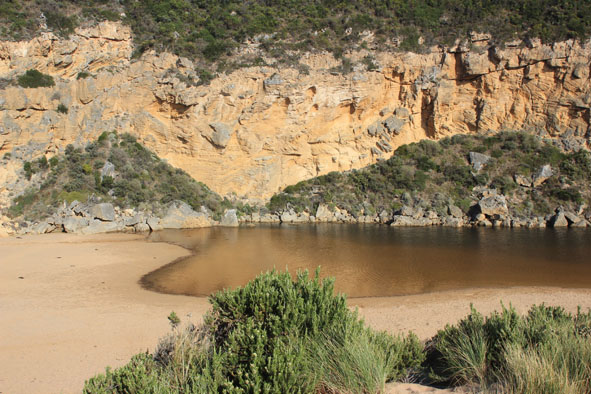
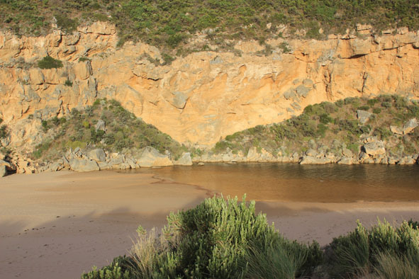
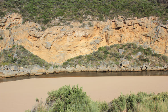
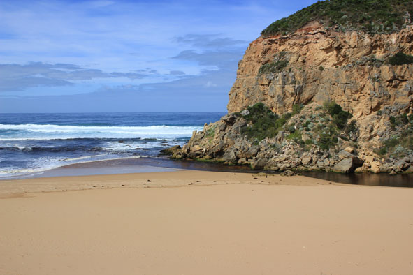
1.River mouth perched -waves over travelling along east side into estuary 2. No dark discharge travelling out 3. Actual berm is longer, wider & very shallow - Width of wave entry 20-40m. 4.Long shore drift very active about 20m.+ from shore where north south aligned waves collide with those from sw. Foam & spray going up very high 5.Sand visiable in breakers out to sea 6.Waves have been high up on shore but no long shore drift in former area behind berm 7 No sign of any dead fish. Only about 10 Coots remaining |
|
| #8147 | 11 Mar 2013 | Approved |
Notes:
|
|
| #8144 | 8 Mar 2013 | Approved |
Notes:
|
|
| #8143 | 6 Mar 2013 | Approved |
Notes:
|
|
| #8141 | 4 Mar 2013 | Approved |
Notes:
|
|
| #8137 | 2 Mar 2013 | Approved |
Notes:
|
|
| #8183 | 28 Feb 2013 | Approved |
Notes:
|
|
| #8184 | 27 Feb 2013 | Approved |
Notes:
|
|
| #8206 | 26 Feb 2013 | Approved |
Notes:
|
|
| #8136 | 24 Feb 2013 | Approved |
Notes:
|
|
| #8134 | 23 Feb 2013 | Approved |
Notes:
|
|
| #8132 | 22 Feb 2013 | Approved |
Notes:
|
|
| #8131 | 20 Feb 2013 | Approved |
Notes:
|
|
| #8089 | 16 Feb 2013 | Approved |
Notes:
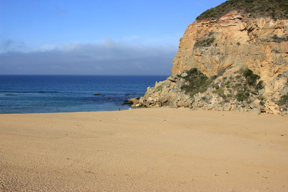
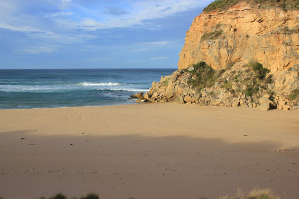
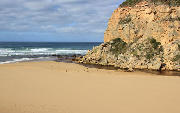
1. Mouth barred, waves over at high tide entering across a wide area. 2.Top of berm to estuary wider (88m.) distance from top of berm to sea reduced to 8m 3.Ocean beach changed since 13/02/13 now undulating with lower areas from returning water 4. Berm higher near cliffs 5.Many small fish along sides of estuary & in flooded vegetation 6. Dead mullet (2) in water at start of estuary 7.Not much change in flooding 8. Rainfall to date for Feb = 1.5 ml |
|
| #8080 | 13 Feb 2013 | Approved |
Notes:
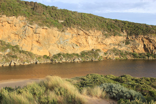
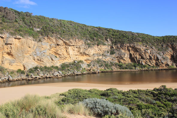
1. Mouth barred but waves over into estuary & high on beach at hi tide 2.Sand build up in channel increased 3.Berm is lower (near cliff) but width from sea to estuary has increased 4.Many small (30-80cm) fish along edge of estuary 5.Water is now over top track & just starting to appear in small a area along OCR between GOR & Camp. ground 6. Water is still only on edge of OOR |
|
| #8053 | 6 Feb 2013 | Approved |
Notes:
1. Illegal opening over night but channel filled in by wave action 2.Beach wide with gradual slope - width of top of berm increased 3.No water over O.C.R & only small patches of about 3cm deep water on top track 4.No water over O.O.R water to 0.2 on flood marker |
|
| #8049 | 3 Feb 2013 | Approved |
Notes:
1.Mouth barred 2.Estuary has moved closer to top of berm 3.Beach is now wide with gradual slope, sand cliffs are almost removed by wave action 4.AHD same at G6 & G2 1.38 5.Lots of small fish in flood water near AHD board G2 6.Water just starting to form on side of top track & near flood marker on OOR (below 0.2) road crown above water 7 Water increasing on flats between Princetown G4 & Rivernook (extends further up south side of channel to G5 |
|
| #8047 | 30 Jan 2013 | Approved |
Notes:
1.Mouth barred but waves have been over berm during last hi tide 2.Berm is much lower near cliff about 60cm. Further east it is about 1.50m. despite sand cliffs being impacted by wave action 3. Water cover on low track near car park but no water visiable on roads & top track. |
|
| #8033 | 25 Jan 2013 | Approved |
Notes:
1. River barred but some waves over berm at mouth during hi tide 2.Estuary has moved closer to berm 3.Very strong south wind driving waves across estuary, also carrying sand into channel 4. Beach now has 1.40 high sand cliff at mid beach 5. Water higher in estuary but no water over roads & track 6.Nankeen kestrel nesting in rocks near mouth. |
|
| #8029 | 18 Jan 2013 | Approved |
Notes:
1.Mouth barred but some waves over berm at last hi tide - then travelling west to mouth & entering chanel 2.Water closer to carpark on low track but none on top track -no water on roads 3. Flats flooded up to G4 but only in drains & very low areas from G4 to G5 4.Dead fish on side of estuary 5.Large no. moths wings in shallow estuary water near berm |
|
| #8011 | 12 Jan 2013 | Approved |
Notes:
1. Mouth closed 2.Height of berm has increased since 09/01/2013 3. Waves no longer entering upstream of rocks at hi tide |
|
| #8001 | 9 Jan 2013 | Approved | Notes: 1. River barred but hi tide has been high on ocean beach & long shore drift has taken water & sand west to mouth entering well up the channel | |
| #7996 | 3 Jan 2013 | Approved |
Notes:
1.Strong outflow only between rocks & cliff - out over wide shallow area (no sign of dark discharge) Large ripples/waves ( 30cm +) created. in flow despite being impacted by long shore drift 2.Large sand build up around mouth 3. Last hi tide almost up to dunes then flowing back west (to mouth) & entering channel around rocks and upstream 4.Dead penguin on side of channel up stream rocks |
|
| #7993 | 30 Dec 2012 | Approved |
Notes:
1.Dark discharge out only around mouth, some small waves entering 2.Waves in all directions at mouth 3. Sand build up increasing in channel- both upstream & downstream of rocks 4. Beach wide & sloping |
|
| #7972 | 21 Dec 2012 | Approved |
Notes:
1. Narrow channel against cliff & between rocks flowing out strongly over shallow area 2.Dark discharge only around mouth 3. Strong long shore drift to mouth meeting out flow 4.Ocean beach wide with gradual slope, hi tide up to base of recently created sand cliffs. 5.No sign of Hooded Plovers since beach has new formation 5.Caspian tern (1) & white egret in estuary, 6 Red Kneed Dotterels in north wetlands |
|


All content, files, data and images provided by the EstuaryWatch Data Portal and Gallery are subject to a Creative Commons Attribution License
Content is made available to be used in any way, and should always attribute EstuaryWatch and www.estuarywatch.org.au