EstuaryWatch Data Portal
GMC Gellibrand River Estuary Mouth Observation Site
12 August 2017
Overview
| Estuary | Gellibrand River Estuary |
|---|---|
| Site | Gellibrand River Estuary Mouth Observation Site |
| Observation ID | #11390 |
| Date and Time | Saturday 12th August 2017 12:10pm |
| Approved | Approved |
Notes
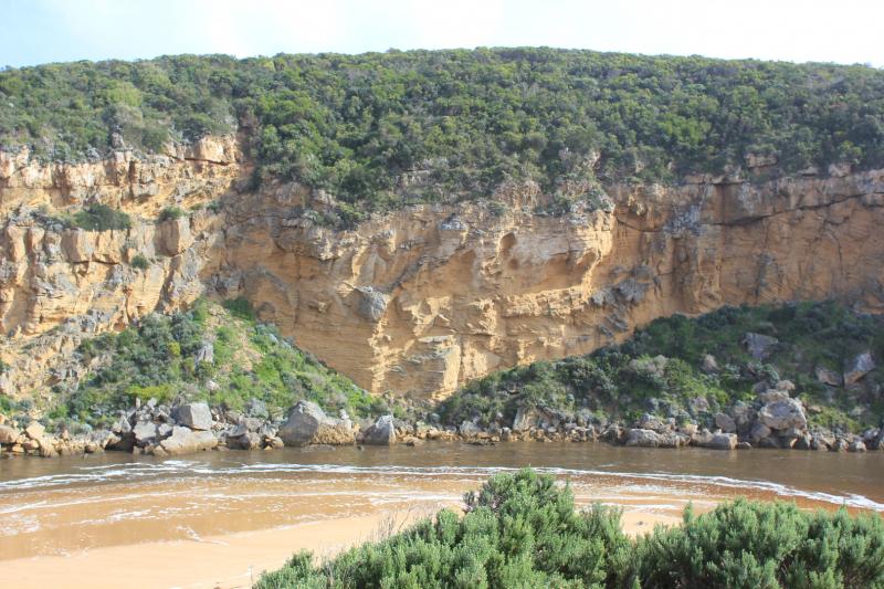
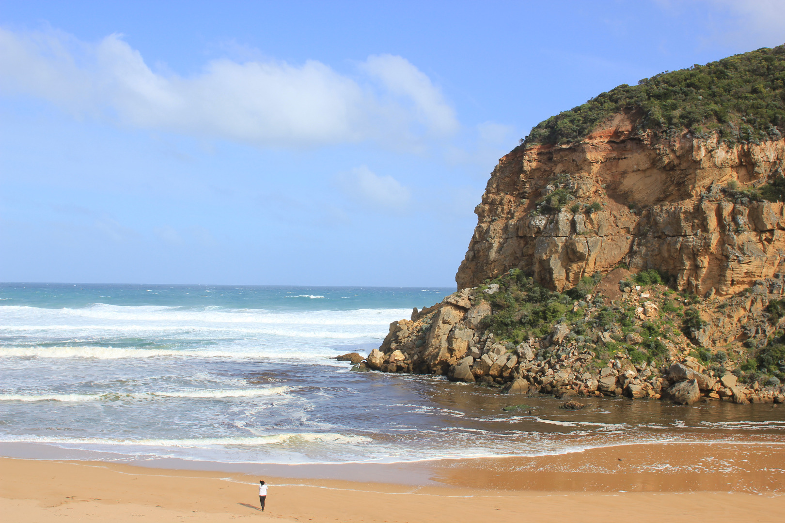
Dark discharge mainly around mouth
Waves going high up on beach, entering mouth over wide area. Beach has been levelled out with large amount of sand visible in backwash going out to sea
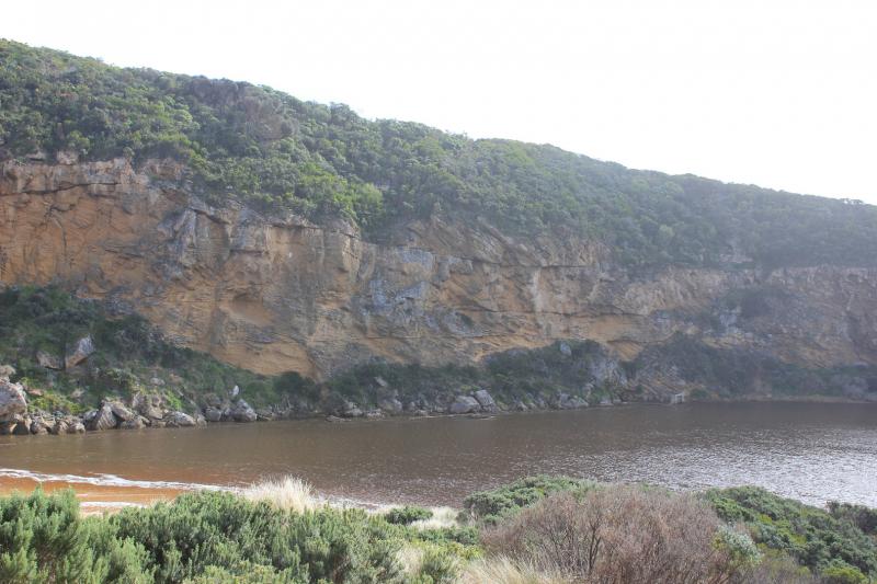
Overnight storm surge (6-7 m. high waves) has cut into area at start of channel creating a .5m. -1.5 m. high sheer face on dune below Gp1.
Wind in different directions only 4 at Gp1 (sheltered by west cliff) but 6 on beach & eastern part of estuary
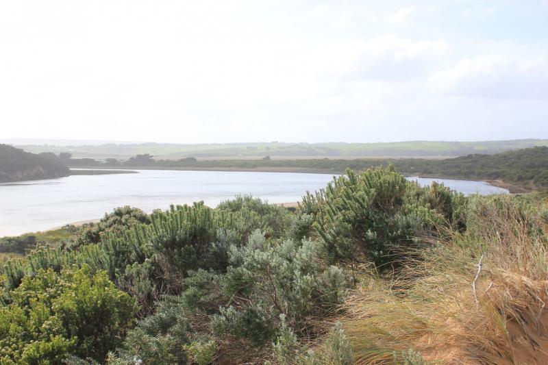
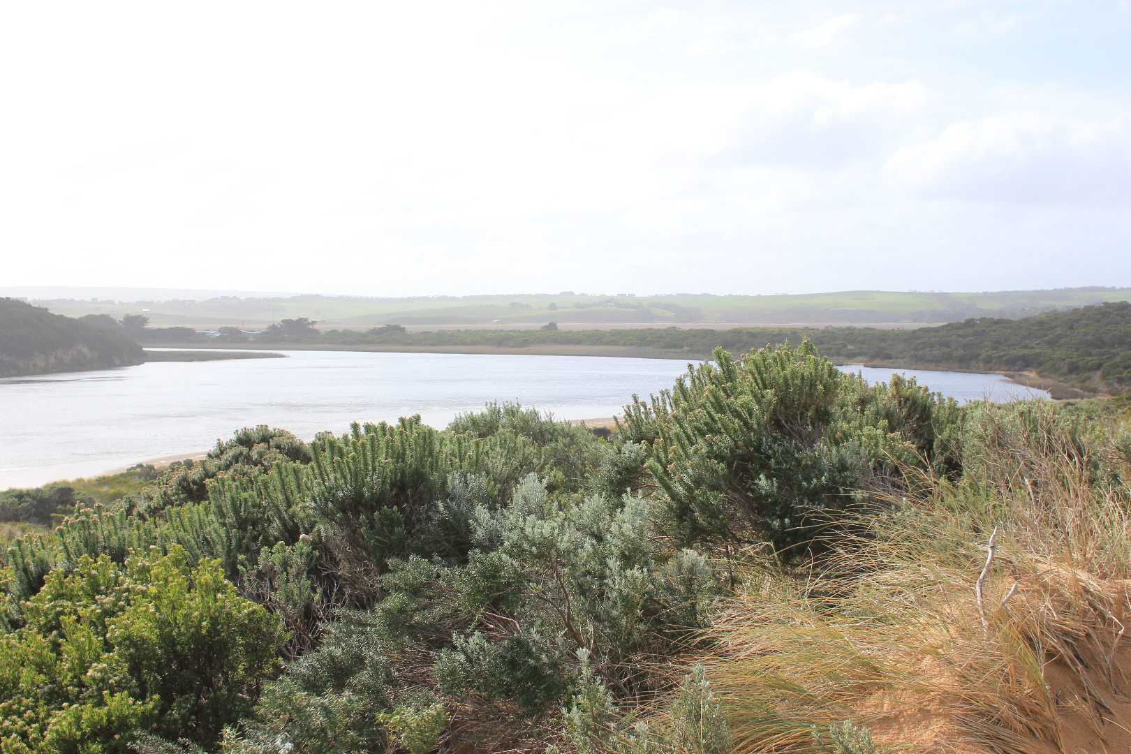
Low track is under water but no water on any other road or track apart from some at north side of OOR near flood markers. Water pouring through eastern culvert but more water has built up at side of road near west culvert which remains blocked
Large areas of flooding upstream G4 Turbidity G6 29 NTU'S (east side) 24 NTU's (west side)
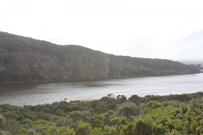
Mouth Observation
| Mouth state | Open |
|---|---|
| Previous | O O O O O O O O O O O O O O O O O O O O O O P O P C C O O O O O O O C O C C C O O O O O C O O O O O O O O O O |
| Flow Present? | Yes |
| Previous | Y Y Y Y Y Y Y Y Y Y Y Y Y Y Y Y Y Y Y Y Y Y Y Y Y N N Y Y Y N Y Y Y N N N N N Y Y Y Y Y N Y Y Y N Y Y Y Y Y Y |
| Flow Direction | Out |
| Previous | O I O O O O O O O O O O O O O O O I I O O O I O I N N O O I N O O O N N N N N O O O O O N O O O N O O O O O O |
| Above Sea | Above Estuary | |
|---|---|---|
| Berm Height (m) | ||
| Berm Length (m) |
Physical Condition
| Current | Mode | |
|---|---|---|
| Wind Direction | South-West | |
| Beaufort Scale | Moderate breeze | |
| Sea State | Very Rough |


All content, files, data and images provided by the EstuaryWatch Data Portal and Gallery are subject to a Creative Commons Attribution License
Content is made available to be used in any way, and should always attribute EstuaryWatch and www.estuarywatch.org.au