EstuaryWatch Data Portal
BmMC Barham River Observation Site
16 February 2018
Observation details
Overview
| Estuary | Barham River Estuary |
|---|---|
| Site | Barham River Observation Site |
| Observation ID | #11817 |
| Date and Time | Friday 16th February 2018 12:25pm |
| Approved | Approved |
Notes
Rain past 48 hrs = 4.5 mm; Atmos Pressure = 1013.7 hPa
As of 1/1/2018, car park has been cleared and graded with crushed rock.
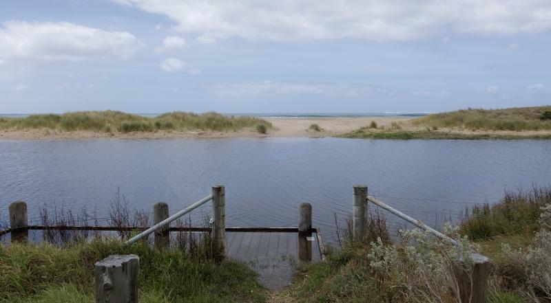
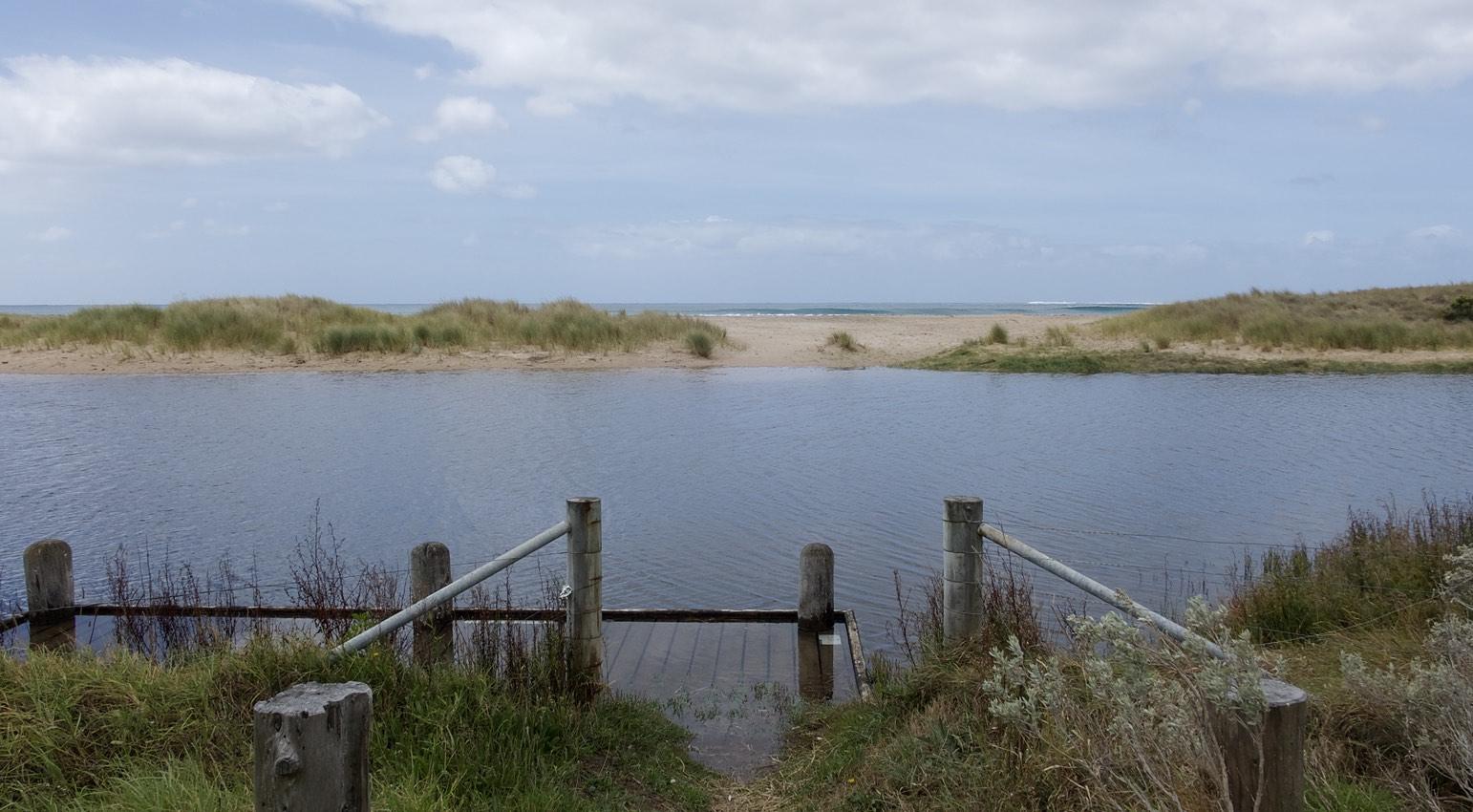
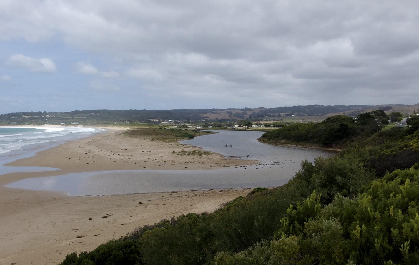
Sand deposited at mouth has produced high water levels in estuary, with the small berm just washed over at high tide. At other times, the mouth is closed.
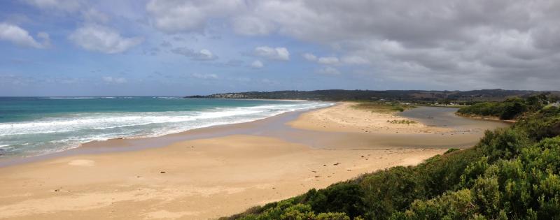
Starting with the next sampling, photographs BmP3-1 and BmP3-2 will not be uploaded. Panoramic photo BmP3-3 includes all information contained in BmP3-1 and BmP3-2, and moreover, is easier to interpret.
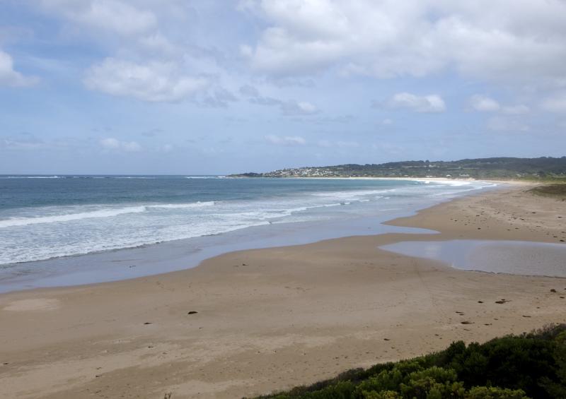
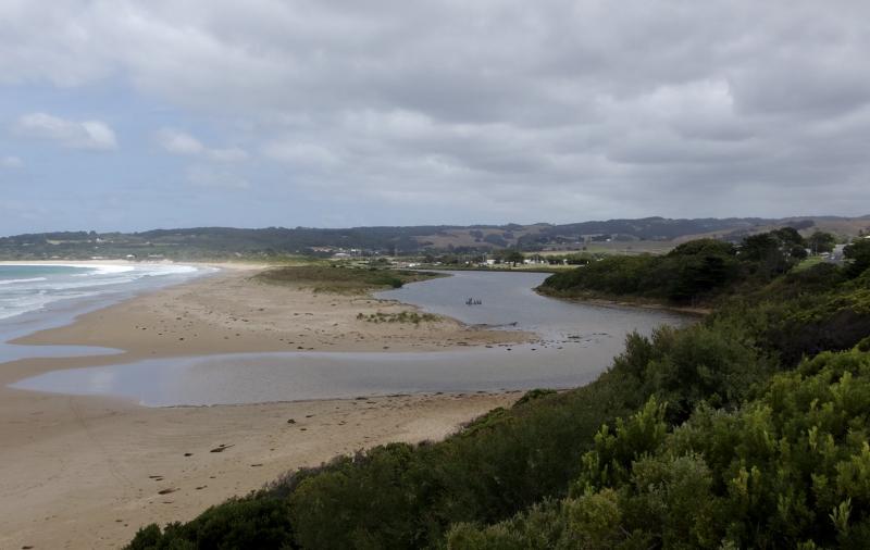
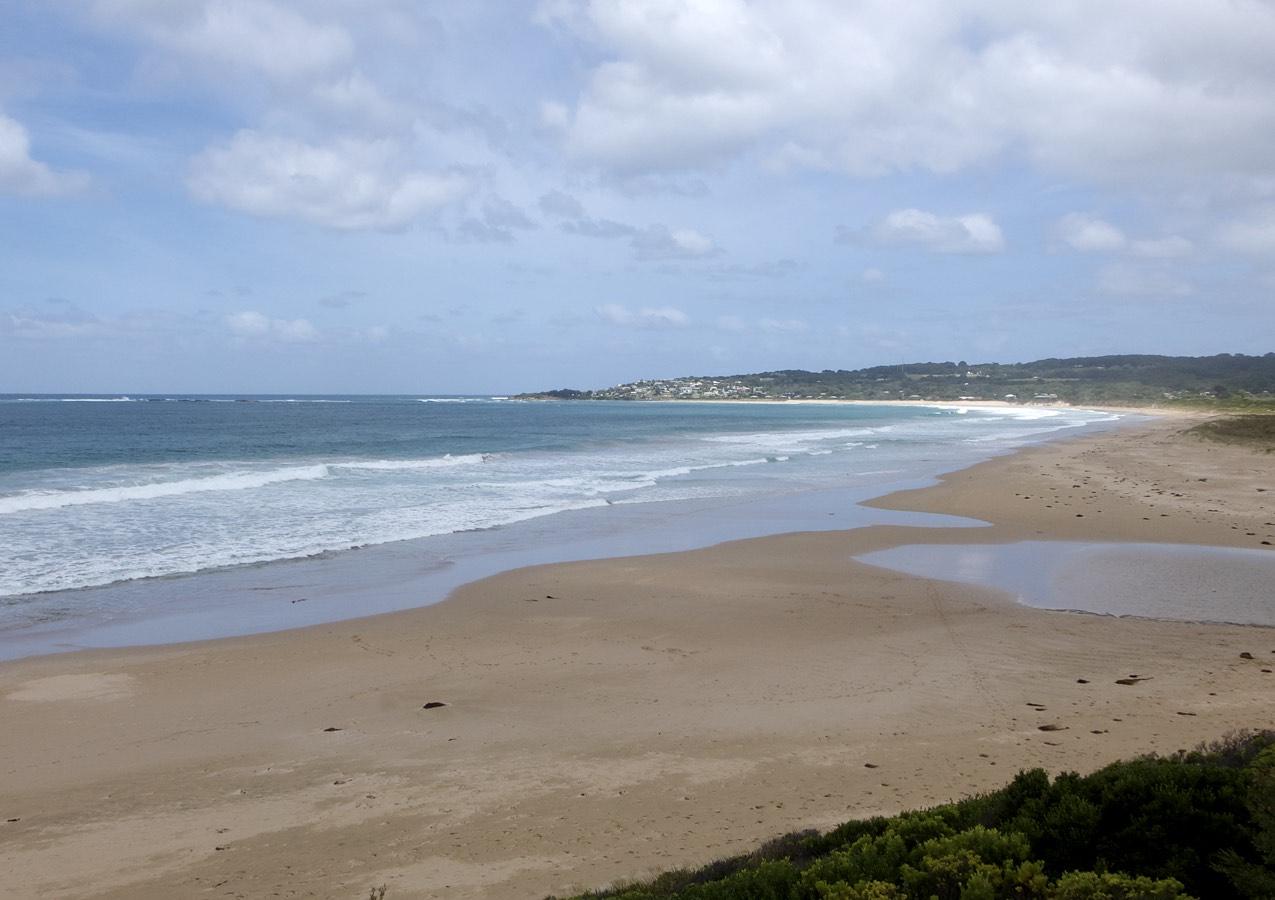
Mouth Observation
| Mouth state | Open |
|---|---|
| Previous | O O O O O O O O O O O |
| Flow Present? | No |
| Previous | N Y Y Y Y Y Y Y Y Y Y |
| Flow Direction | N/A |
| Previous | N I O I O I O O I O S |
| Above Sea | Above Estuary | |
|---|---|---|
| Berm Height (m) | ||
| Berm Length (m) |
Physical Condition
| Current | Mode | |
|---|---|---|
| Wind Direction | South-West | East |
| Beaufort Scale | Light Breeze | Fresh breeze |
| Sea State | Moderate |


All content, files, data and images provided by the EstuaryWatch Data Portal and Gallery are subject to a Creative Commons Attribution License
Content is made available to be used in any way, and should always attribute EstuaryWatch and www.estuarywatch.org.au