EstuaryWatch Data Portal
GMC Gellibrand River Estuary Mouth Observation Site
5 March 2018
Overview
| Estuary | Gellibrand River Estuary |
|---|---|
| Site | Gellibrand River Estuary Mouth Observation Site |
| Observation ID | #11865 |
| Date and Time | Monday 5th March 2018 09:22am |
| Approved | Approved |
Notes
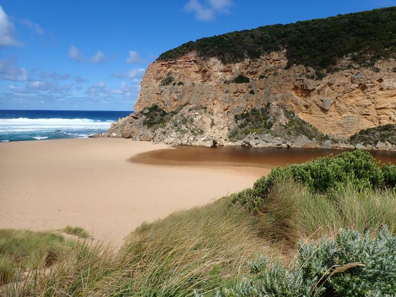
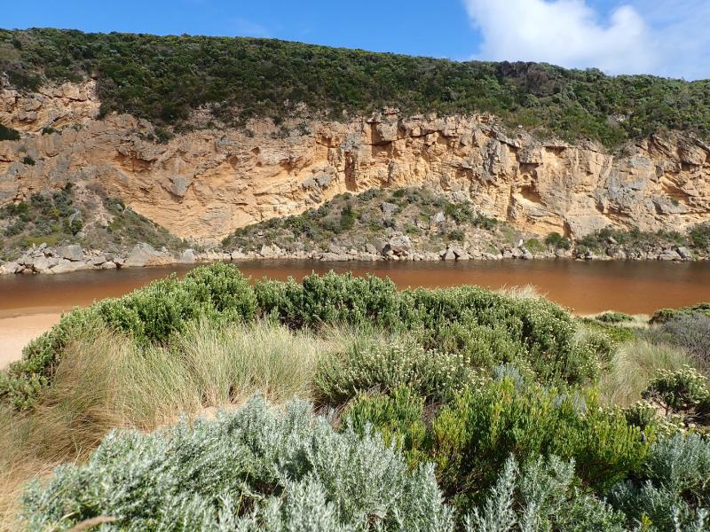
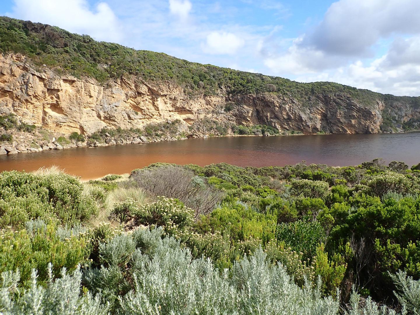
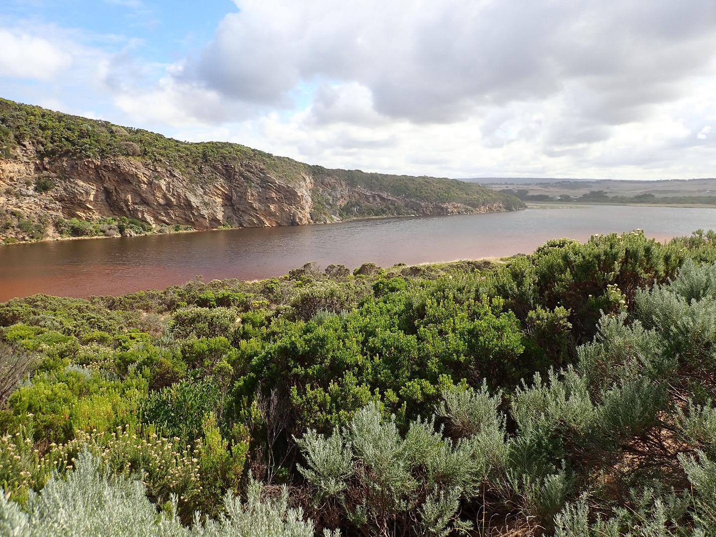
Mouth still barred, some waves have been over topping along the berm but not reaching the estuary where water levels are higher with wider front . Water is completely across from cliff to dunes at northern end of channel
No water over OCR & only puddles from rising ground water in camp ground ( no visible connection with river observed) Water still only at S side of OOR -between Lawson's & GOR (1 small puddle) More water near flood markers where a huge no. very small fish were observed swimming in drain & pond on S side. Small area of water on N side of road at west blocked culvert. More flood water on flats D/S G4
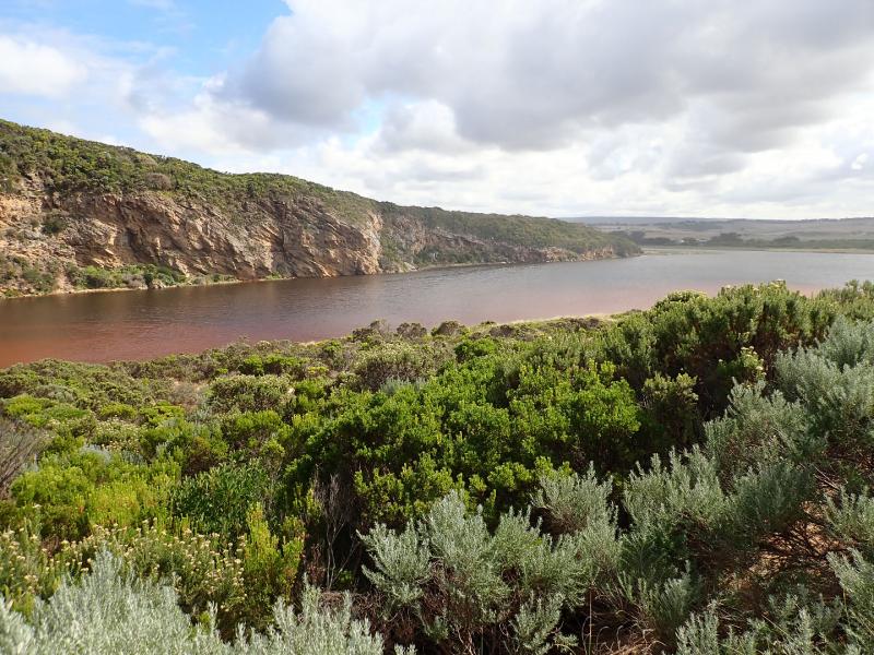
This is an very unusual event as there has been very little local rainfall /runoff. Water in estuary has been mainly from springs flowing strongly (confirmed by many local land owners) & only a very minimal flow from upstream catchment
Mouth Observation
| Mouth state | Closed |
|---|---|
| Previous | O O O O O O O C O C C C O O O O O C O O O O O O O O O O O O O O O O O O O O O O O O O O O P C C C C C |
| Flow Present? | No |
| Previous | Y Y Y N Y Y Y N N N N N Y Y Y Y Y N Y Y Y N Y Y Y Y Y Y Y Y Y Y Y Y Y Y Y Y Y Y Y Y Y Y Y N N N N N N |
| Flow Direction | N/A |
| Previous | O O I N O O O N N N N N O O O O O N O O O N O O O O O O O O O O O O O O O O O O O O O O O N N N N N N |
| Above Sea | Above Estuary | |
|---|---|---|
| Berm Height (m) | 1.0m | 0.8m |
| Berm Length (m) | 45.4m |
Physical Condition
| Current | Mode | |
|---|---|---|
| Wind Direction | South | |
| Beaufort Scale | Moderate breeze | |
| Sea State | Rough |


All content, files, data and images provided by the EstuaryWatch Data Portal and Gallery are subject to a Creative Commons Attribution License
Content is made available to be used in any way, and should always attribute EstuaryWatch and www.estuarywatch.org.au