EstuaryWatch Data Portal
GMC Gellibrand River Estuary Mouth Observation Site
23 March 2018
Overview
| Estuary | Gellibrand River Estuary |
|---|---|
| Site | Gellibrand River Estuary Mouth Observation Site |
| Observation ID | #11913 |
| Date and Time | Friday 23rd March 2018 13:30pm |
| Approved | Approved |
Notes
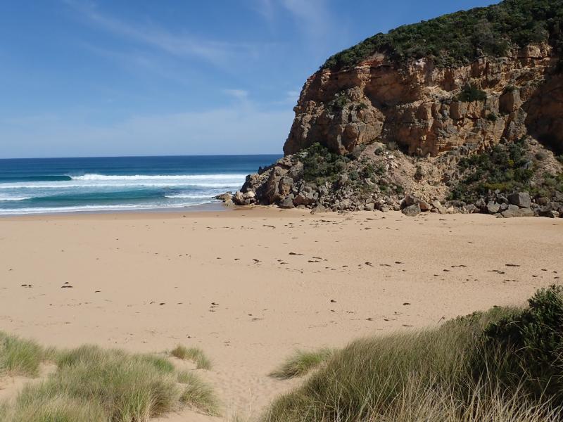
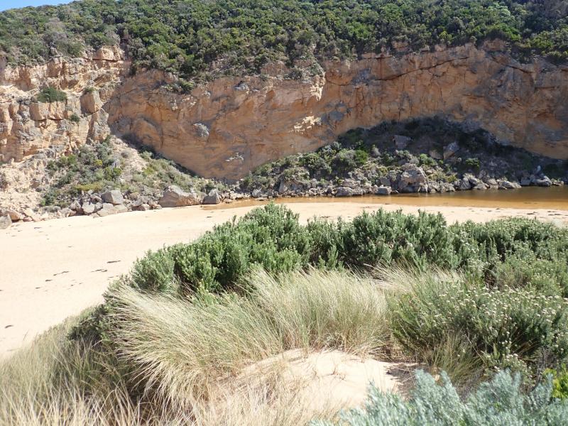
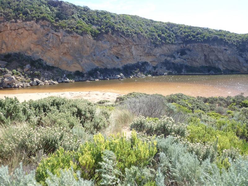
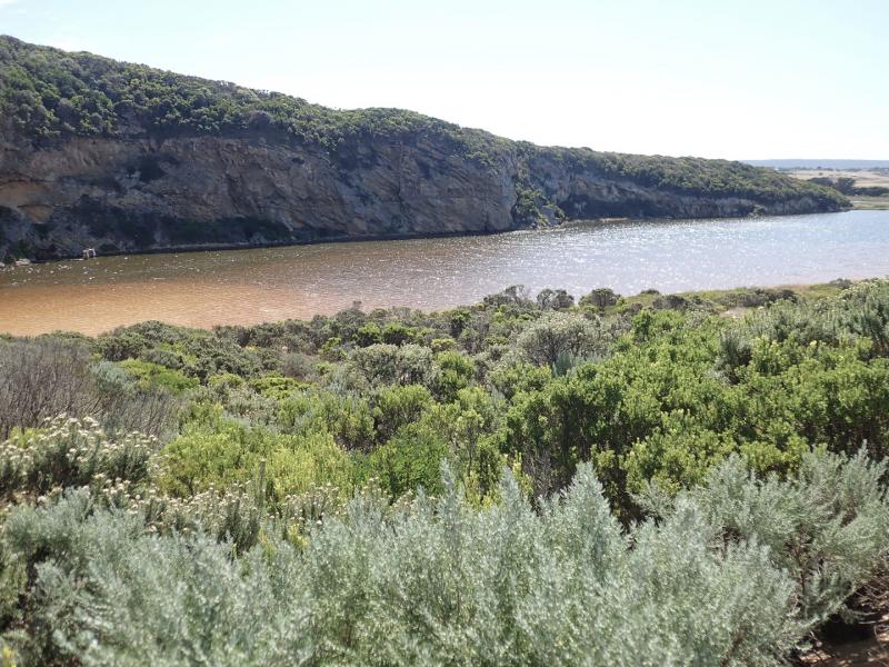
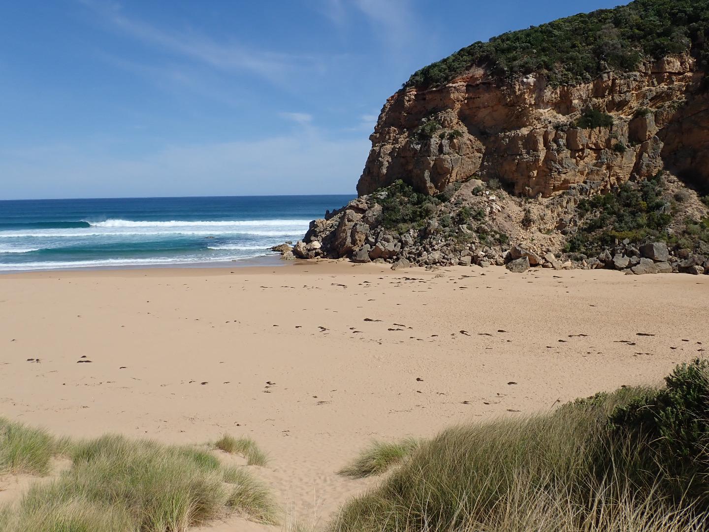
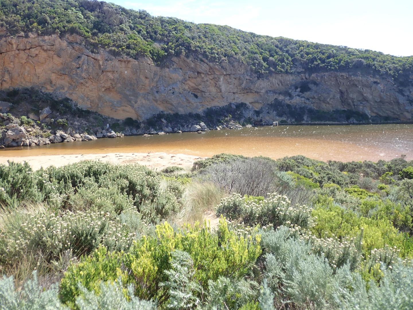
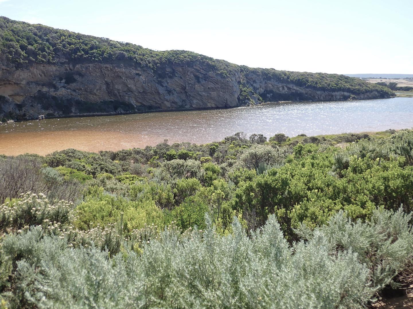
Entrance barred but waves over during high tide, very large amount of fresh seaweed on beach beside front of estuary, down E side of channel & around onto sand at south side in front of dunes. Water in estuary being driven south towards berm by N wind (4-5) = waves down channel. Wind in many directions in other places but mainly around 2-3. Colour of water in estuary upstream to G2 is greenish brown indicating salt water going upstream. This was confirmed by depth profile taken at G2 & Lt1
SW swell impacting last 1/4 of beach (east end) with backwash taking out sand - visible out to sea, only very slight longshore drift from 2nd lessor impact at mid beach
Estuary only .20m above the berm, slight rise near ocean is 78.3m. from estuary front, then from that area to a dynamic variable swash line 7.3m. = total of 85.6m.
Very gentle slope down to ocean from estuary interrupted only by a small rise in front of estuary and an area close to ocean
Mouth Observation
| Mouth state | Closed |
|---|---|
| Previous | C O C C C O O O O O C O O O O O O O O O O O O O O O O O O O O O O O O O O O P C C C C C C C O O O O C C |
| Flow Present? | No |
| Previous | N N N N N Y Y Y Y Y N Y Y Y N Y Y Y Y Y Y Y Y Y Y Y Y Y Y Y Y Y Y Y Y Y Y Y N N N N N N N N Y Y Y Y N N |
| Flow Direction | N/A |
| Previous | N N N N N O O O O O N O O O N O O O O O O O O O O O O O O O O O O O O O O O N N N N N N N N O I O O N N |
| Above Sea | Above Estuary | |
|---|---|---|
| Berm Height (m) | 0.2m | |
| Berm Length (m) | 85.6m |
Physical Condition
| Current | Mode | |
|---|---|---|
| Wind Direction | North | |
| Beaufort Scale | Light Breeze | |
| Sea State | Moderate |


All content, files, data and images provided by the EstuaryWatch Data Portal and Gallery are subject to a Creative Commons Attribution License
Content is made available to be used in any way, and should always attribute EstuaryWatch and www.estuarywatch.org.au