EstuaryWatch Data Portal
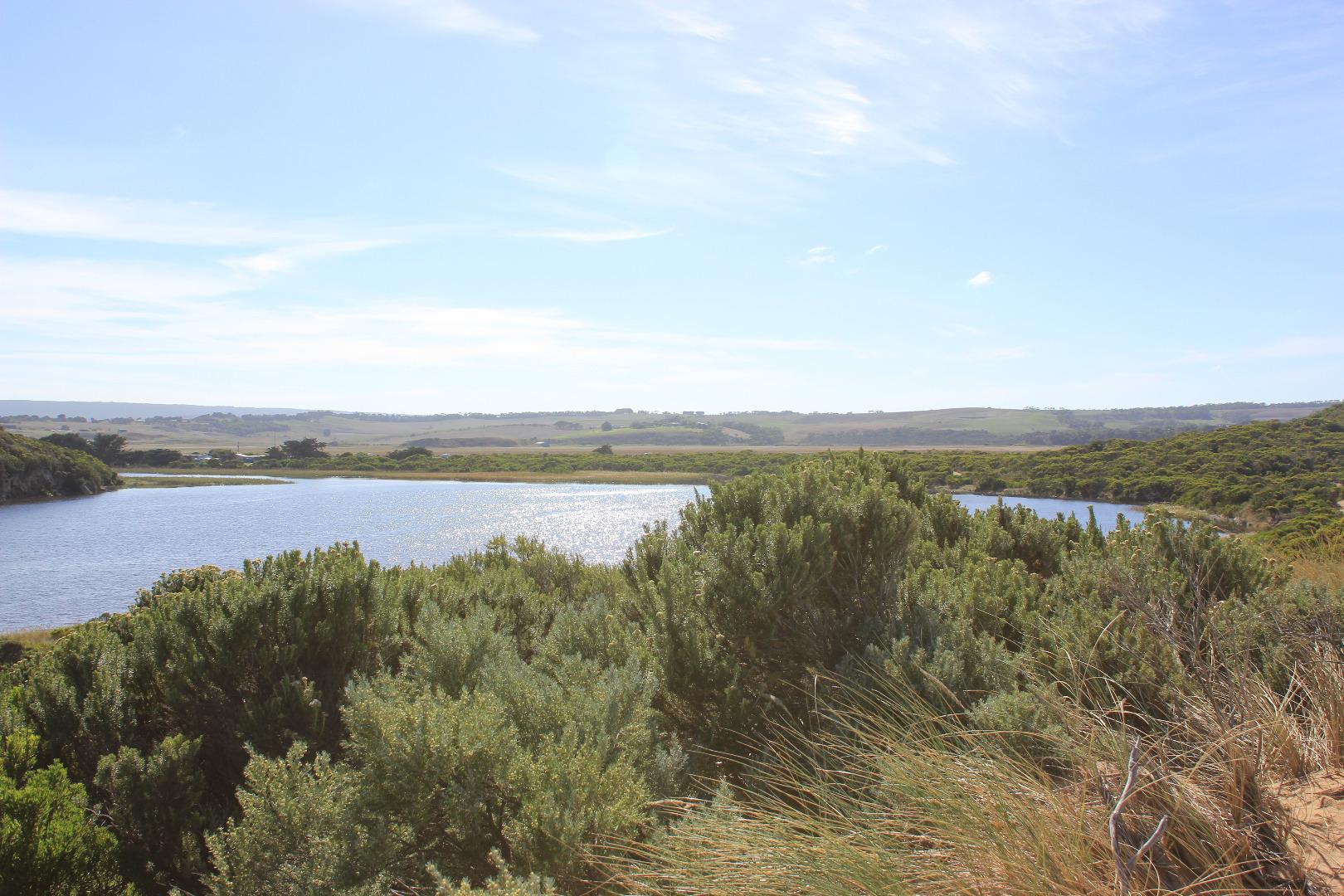
GMC Gellibrand River Estuary Mouth Observation Site
18 April 2018
Observation details
Overview
| Estuary | Gellibrand River Estuary |
|---|---|
| Site | Gellibrand River Estuary Mouth Observation Site |
| Observation ID | #12000 |
| Date and Time | Wednesday 18th April 2018 09:50am |
| Approved | Approved |
Notes
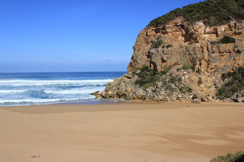
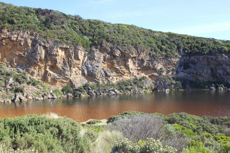
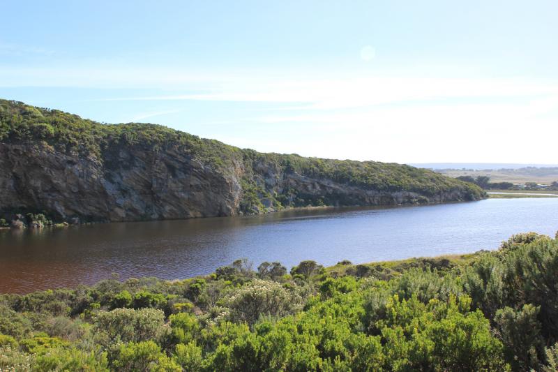
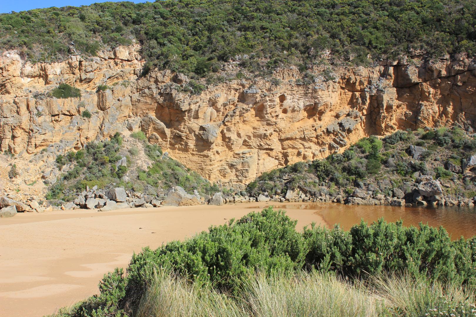
Mouth closed - no exchange
Estuary front is straight across the channel area. Many small fish (8 -12 cm) swimming near this area.
Height of waves incursion increasing @ 10:50 some almost reaching estuary. Large amount of sand in waves being scoured out by backwash at possible entry point
Some occasional very high waves breaking out on sandbar
Mouth Observation
| Mouth state | Closed |
|---|---|
| Previous | O O O C O O O O O O O O O O O O O O O O O O O O O O O O O O O P C C C C C C C O O O O C C C C C C C C |
| Flow Present? | No |
| Previous | Y Y Y N Y Y Y N Y Y Y Y Y Y Y Y Y Y Y Y Y Y Y Y Y Y Y Y Y Y Y N N N N N N N N Y Y Y Y N N N N N N N N |
| Flow Direction | N/A |
| Previous | O O O N O O O N O O O O O O O O O O O O O O O O O O O O O O O N N N N N N N N O I O O N N N N N N N N |
| Above Sea | Above Estuary | |
|---|---|---|
| Berm Height (m) | ||
| Berm Length (m) |
Physical Condition
| Current | Mode | |
|---|---|---|
| Wind Direction | North-East | |
| Beaufort Scale | Light Breeze | |
| Sea State | Rough |


All content, files, data and images provided by the EstuaryWatch Data Portal and Gallery are subject to a Creative Commons Attribution License
Content is made available to be used in any way, and should always attribute EstuaryWatch and www.estuarywatch.org.au