Observation details

Overview

Estuary Barwon River Estuary
Site Barwon River - Observation Site
Observation ID #12054
Date and Time Wednesday 16th May 2018 09:15am
Approved Approved

Notes

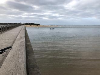
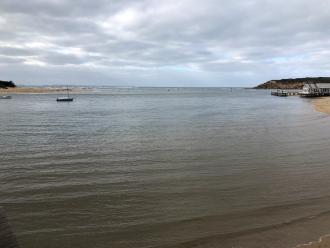
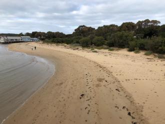
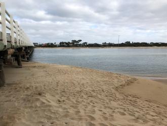
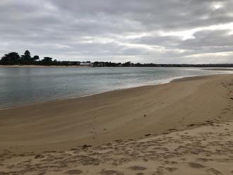
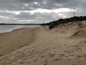
build up of sand under bridge bp2

Mouth Observation

Mouth state Open
Previous O O O O O O O O O O O O O O O O O O O O O O O O O O O O O O O
Flow Present? Yes
Previous Y Y Y Y Y Y Y Y Y Y Y Y Y Y Y Y Y Y Y Y Y Y Y Y Y Y Y Y Y Y Y
Flow Direction In
Previous O O O O O O O O O O O O O O O O O O O I O O O O O O O O O I O
Above Sea Above Estuary
Berm Height (m)
Berm Length (m)

Physical Condition

Current Mode
Wind Direction South-West
Beaufort Scale Light Breeze
Sea State Slight

Water Levels and Tides

Water Level Start Finish
Height (m)
Time (hh:mm)
Tidal influence No
Tidal Range Time Height
High 13:00 1.640
Low 05:48 0.430

Observation Documents

Link Date File name Description

Download
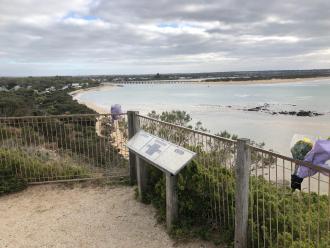
16-05-2018 09:30 14687CE3_1C56_45EF_ADEB_59EADA9FC62F.jpeg bp4_1

Download
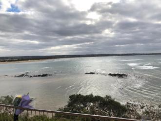
16-05-2018 09:30 0A04972D_6288_46A2_AAAA_FEB6FEF87F64.jpeg bp4_2

Download
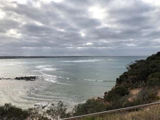
16-05-2018 09:30 72F4FCAB_BCDA_4244_9D9F_8BD7A6FBCB4A.jpeg bp4_3

Download
16-05-2018 09:30 AB1AAD48_8A81_4FB1_8643_86ED3D05A1F2.jpeg bp1_1

Download
16-05-2018 09:30 38E67DCF_7677_440B_8DB1_19FB198067C6.jpeg bp1_2

Download
16-05-2018 09:30 43940DA1_360F_4D2C_91C1_4FAEE756C5D5.jpeg bp1_3

Download
16-05-2018 09:30 95DCFB84_AF2A_412B_A366_48336D38F93B.jpeg bp2_3

Download
16-05-2018 09:30 90197E4D_58AF_4968_9663_0C222CDAD084.jpeg bp2_1

Download
16-05-2018 09:30 3A094652_9EB7_4E04_82C5_8FA35FAA2AA2.jpeg bp2_2
bp4_1
bp4_2
bp4_3
bp1_1
bp1_2
bp1_3
bp2_3
bp2_1
bp2_2
Creative Commons CC BY
All content, files, data and images provided by the EstuaryWatch Data Portal and Gallery are subject to a Creative Commons Attribution License

Content is made available to be used in any way, and should always attribute EstuaryWatch and www.estuarywatch.org.au