EstuaryWatch Data Portal
GMC Gellibrand River Estuary Mouth Observation Site
18 June 2018
Overview
| Estuary | Gellibrand River Estuary |
|---|---|
| Site | Gellibrand River Estuary Mouth Observation Site |
| Observation ID | #12174 |
| Date and Time | Monday 18th June 2018 09:05am |
| Approved | Approved |
Notes
AHD G6 3.68 @ 08:45 Air pressure 1026.5
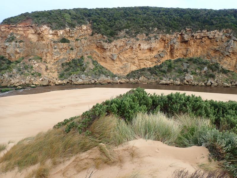
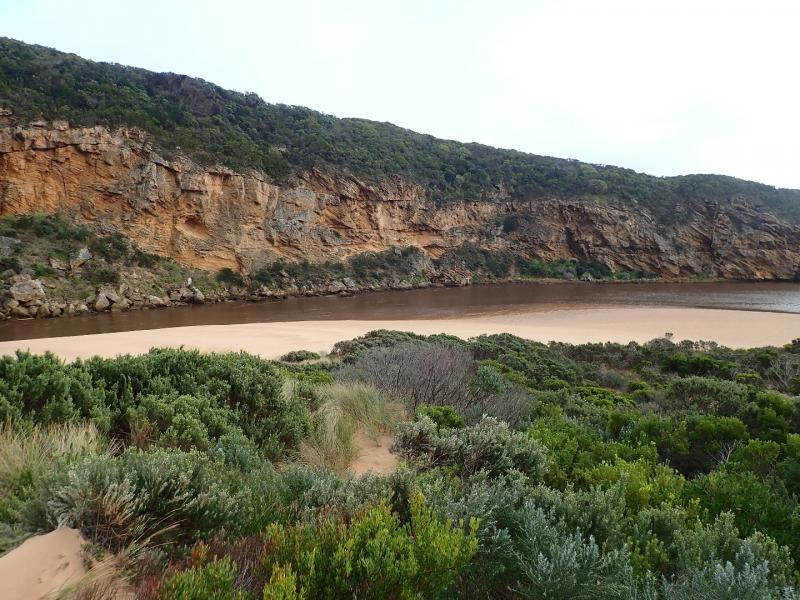
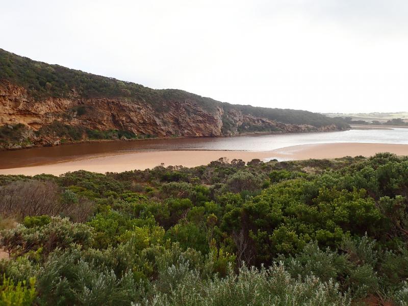
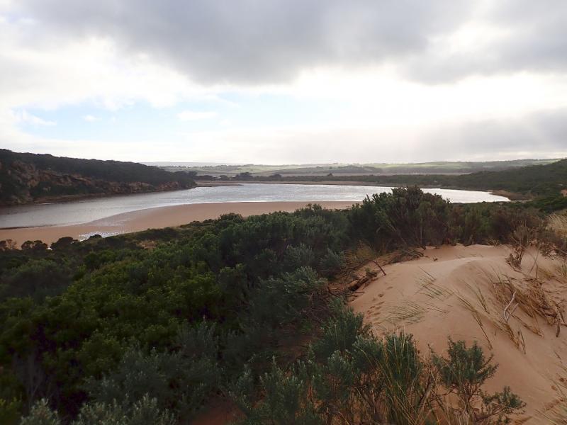
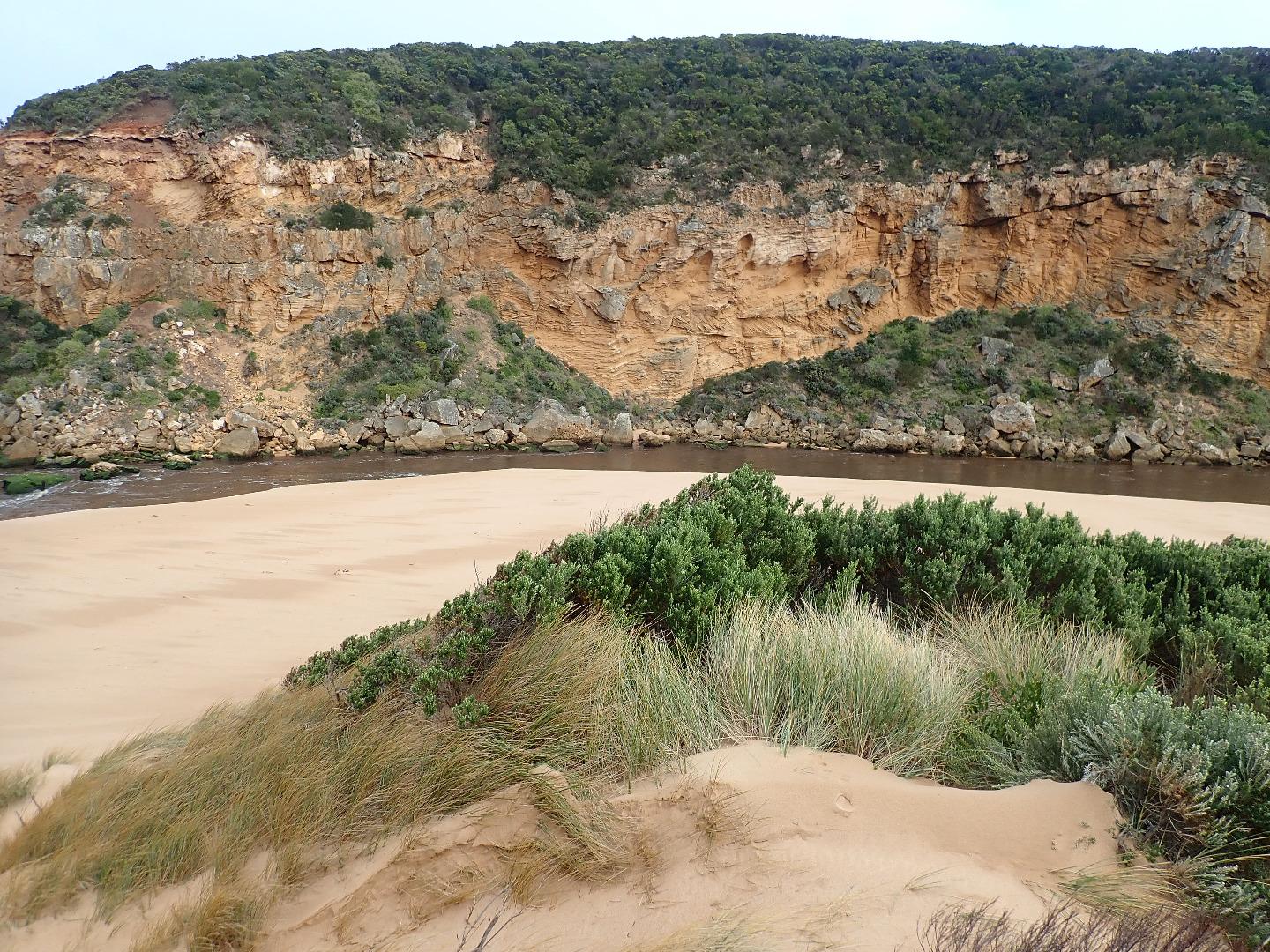
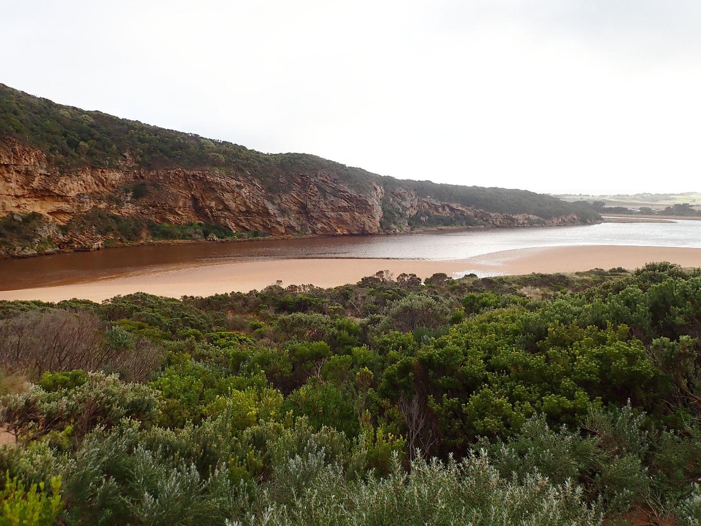
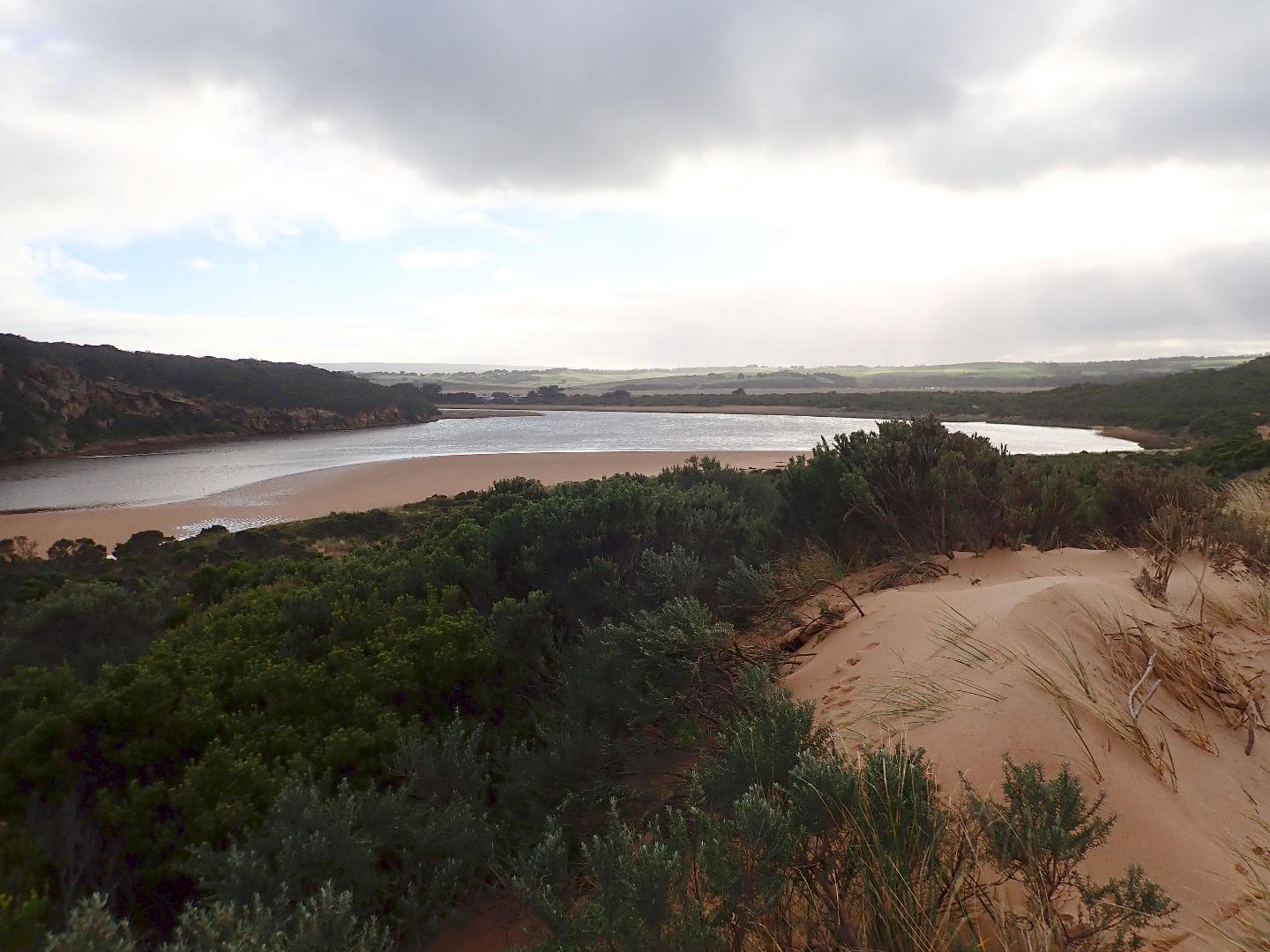
After yesterdays near gale force winds & extremely high & low tides a natural release occurred over night resulting in a very strong fast flowing dark discharge going out through a very wide entrance travelling both to east & west. The east side of the channel was sheer sided & about 1m.high, collapsing into the fast flow. Occasional longshore drift across the mouth being covered by incoming SSW swell. The wind had scoured the beach & channel area covering seaweed & again reshaping the dunes - Gp1 is now even higher.
Lower water levels around G2 have drained area around flood markers on OOR with water flowing through previously scoured out areas from north to south, but levels upstream are still rising & water from the river flowing onto flats around G6
Mouth Observation
| Mouth state | Open |
|---|---|
| Previous | O O O O O O O O O O O O O O O O O O O O O O O P C C C C C C C O O O O C C C C C C C C C O O O O O C O O O O O O |
| Flow Present? | Yes |
| Previous | Y Y Y Y Y Y Y Y Y Y Y Y Y Y Y Y Y Y Y Y Y Y Y N N N N N N N N Y Y Y Y N N N N N N N N N Y Y Y Y Y N Y Y Y Y Y Y |
| Flow Direction | Out |
| Previous | O O O O O O O O O O O O O O O O O O O O O O O N N N N N N N N O I O O N N N N N N N N N O O O O O N O I O O O I |
| Above Sea | Above Estuary | |
|---|---|---|
| Berm Height (m) | ||
| Berm Length (m) |
Physical Condition
| Current | Mode | |
|---|---|---|
| Wind Direction | South | |
| Beaufort Scale | Fresh breeze | |
| Sea State | Rough |


All content, files, data and images provided by the EstuaryWatch Data Portal and Gallery are subject to a Creative Commons Attribution License
Content is made available to be used in any way, and should always attribute EstuaryWatch and www.estuarywatch.org.au