EstuaryWatch Data Portal
GMC Gellibrand River Estuary Mouth Observation Site
21 July 2018
Overview
| Estuary | Gellibrand River Estuary |
|---|---|
| Site | Gellibrand River Estuary Mouth Observation Site |
| Observation ID | #12284 |
| Date and Time | Saturday 21st July 2018 10:50am |
| Approved | Approved |
Notes
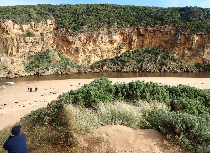
AHD @ G6 3.03 @ 08:47 SW swell 13-14 secs.
Dark discharge extending out around mouth & progressing towards east about 30m. off shore. Waves going well up all along beach, large amount of foam in swash line increasing towards east end which was being impacted by SW swell. Longshore drift frequently across mouth going over incoming swell & weak outflow. Whirlpool at rocks
More erosion & rock falls occurring on south & east sides of Pt Ronald
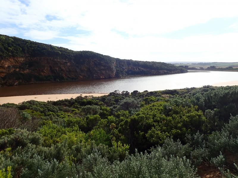
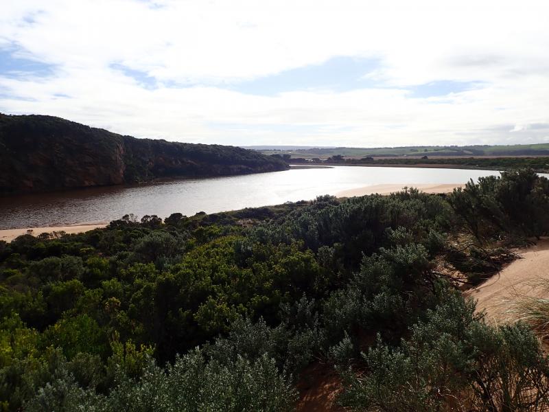
Estuary is tidal to G4 where water is being held back. Downstream flats are draining at each low tide
At 09:03 water from runoff - north side of OOR just starting to cross road east of flood markers
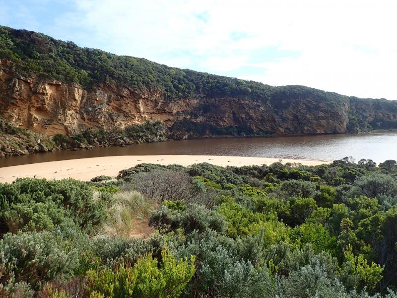
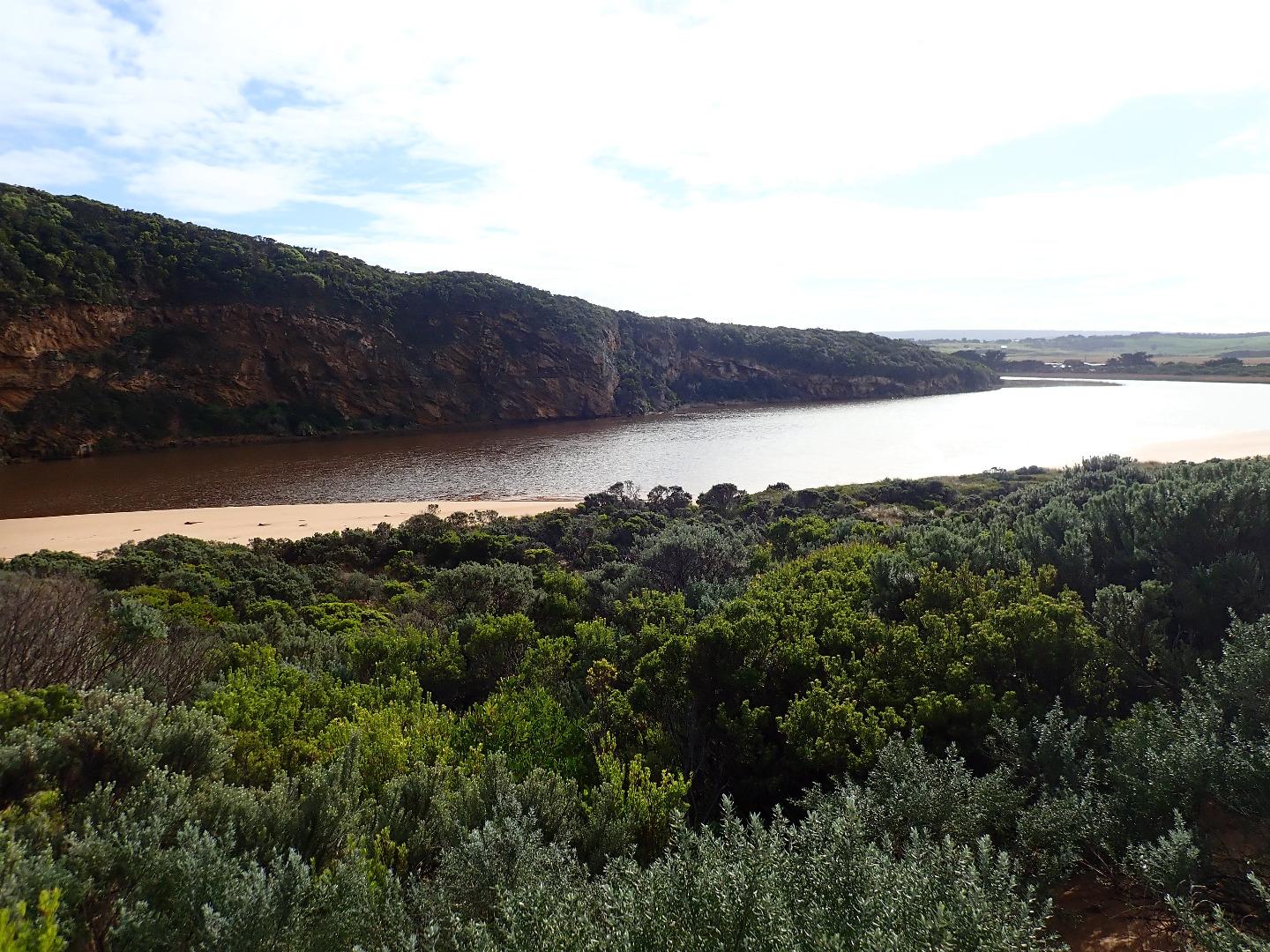
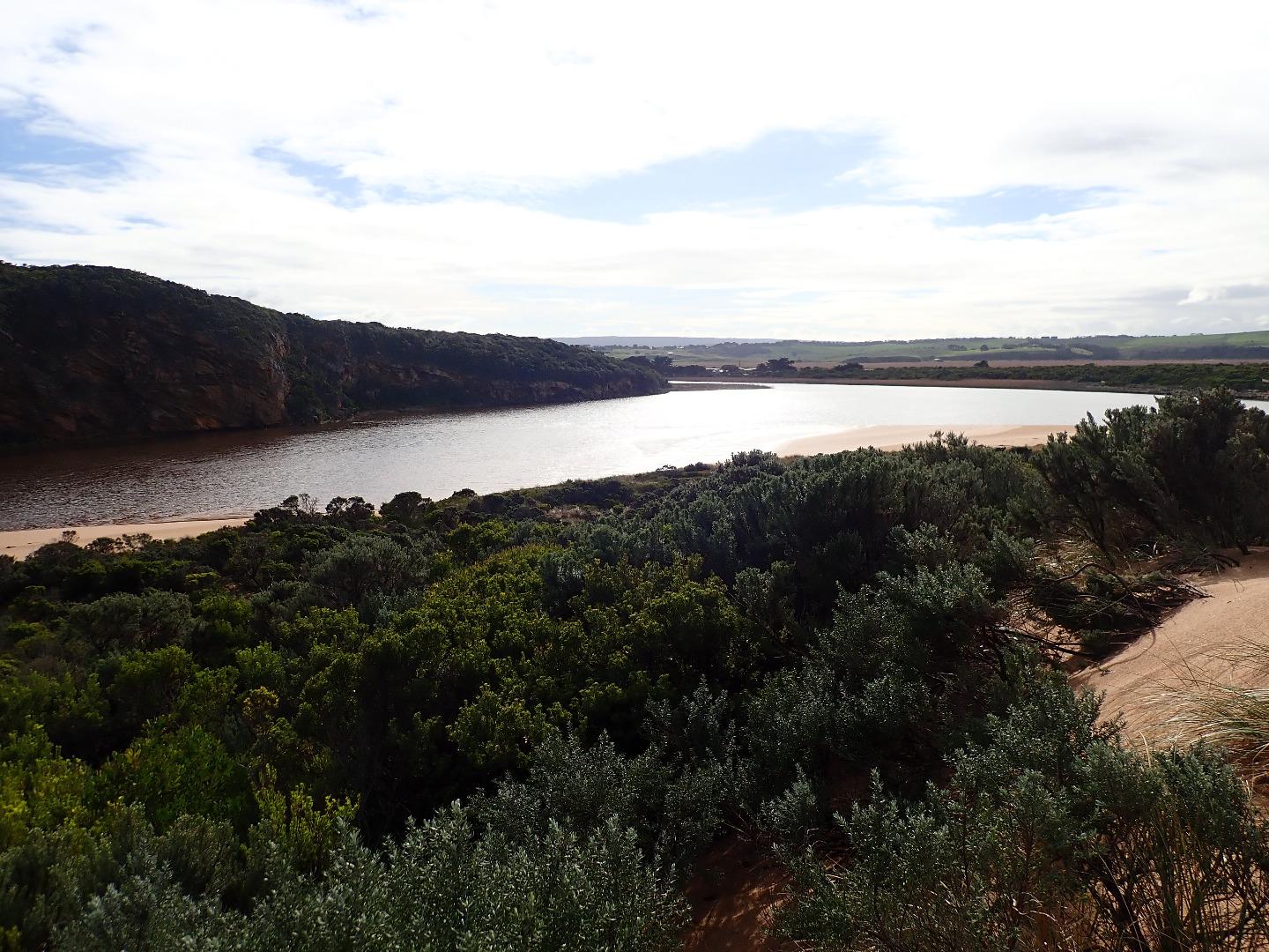
Mouth Observation
| Mouth state | Open |
|---|---|
| Previous | O O O O O O O O O O O O O O O O O O O P C C C C C C C O O O O C C C C C C C C C O O O O O C O O O O O O O O O O O O |
| Flow Present? | Yes |
| Previous | Y Y Y Y Y Y Y Y Y Y Y Y Y Y Y Y Y Y Y N N N N N N N N Y Y Y Y N N N N N N N N N Y Y Y Y Y N Y Y Y Y Y Y Y Y Y Y Y N |
| Flow Direction | Out |
| Previous | O O O O O O O O O O O O O O O O O O O N N N N N N N N O I O O N N N N N N N N N O O O O O N O I O O O I O O I O O N |
| Above Sea | Above Estuary | |
|---|---|---|
| Berm Height (m) | ||
| Berm Length (m) |
Physical Condition
| Current | Mode | |
|---|---|---|
| Wind Direction | North | |
| Beaufort Scale | Gentle breeze | |
| Sea State | Rough |


All content, files, data and images provided by the EstuaryWatch Data Portal and Gallery are subject to a Creative Commons Attribution License
Content is made available to be used in any way, and should always attribute EstuaryWatch and www.estuarywatch.org.au