EstuaryWatch Data Portal
GMC Gellibrand River Estuary Mouth Observation Site
11 February 2019
Overview
| Estuary | Gellibrand River Estuary |
|---|---|
| Site | Gellibrand River Estuary Mouth Observation Site |
| Observation ID | #12716 |
| Date and Time | Monday 11th February 2019 15:10pm |
| Approved | Approved |
Notes
AHD G6 1.17 @ 14:40
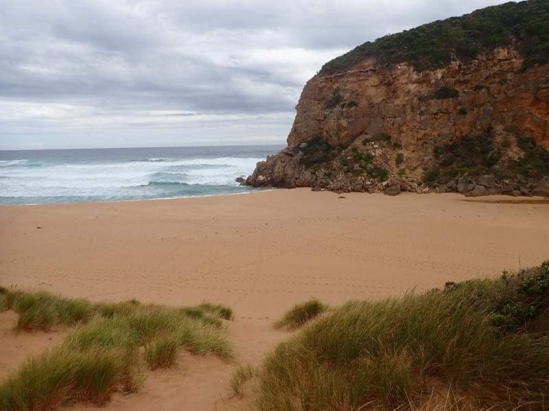
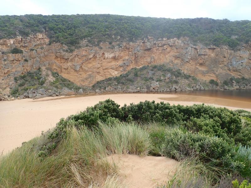
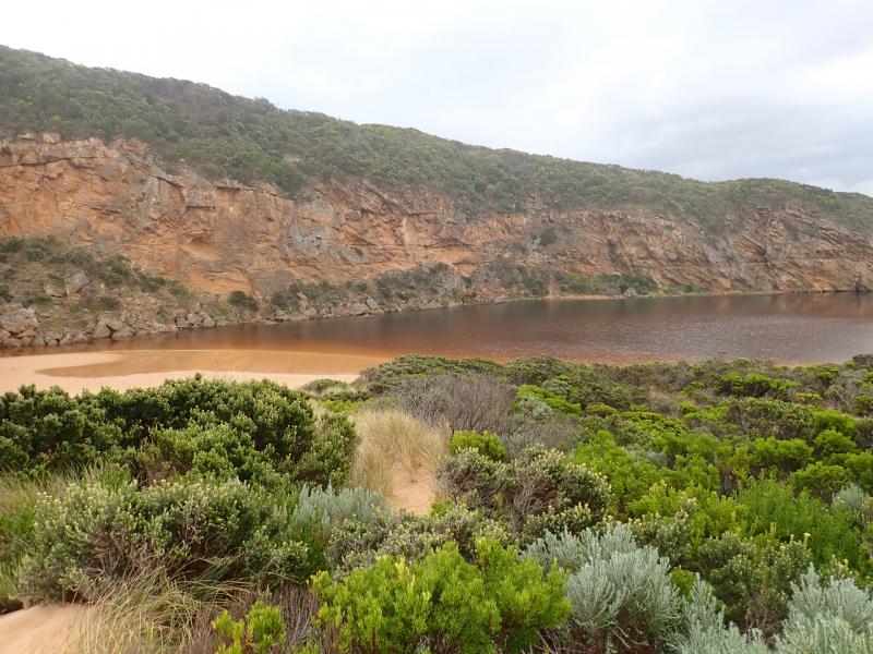
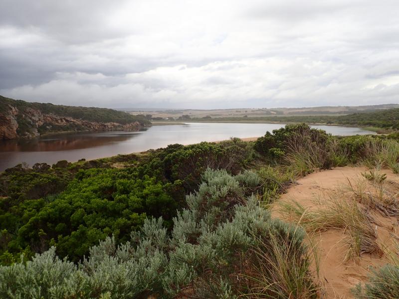
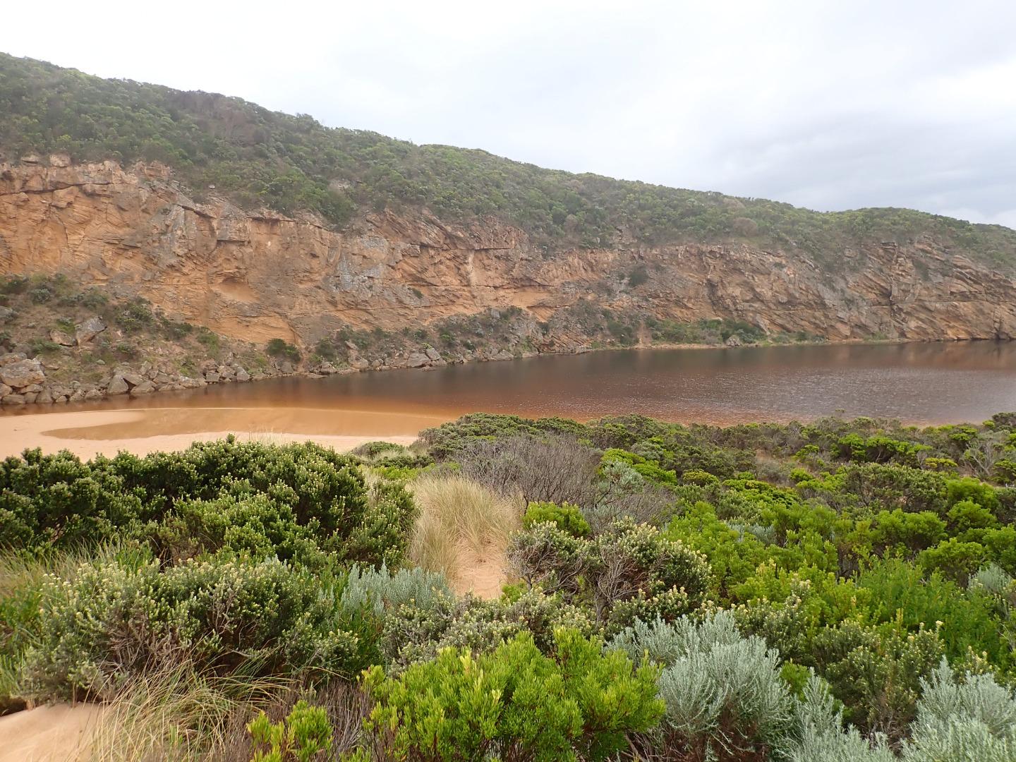
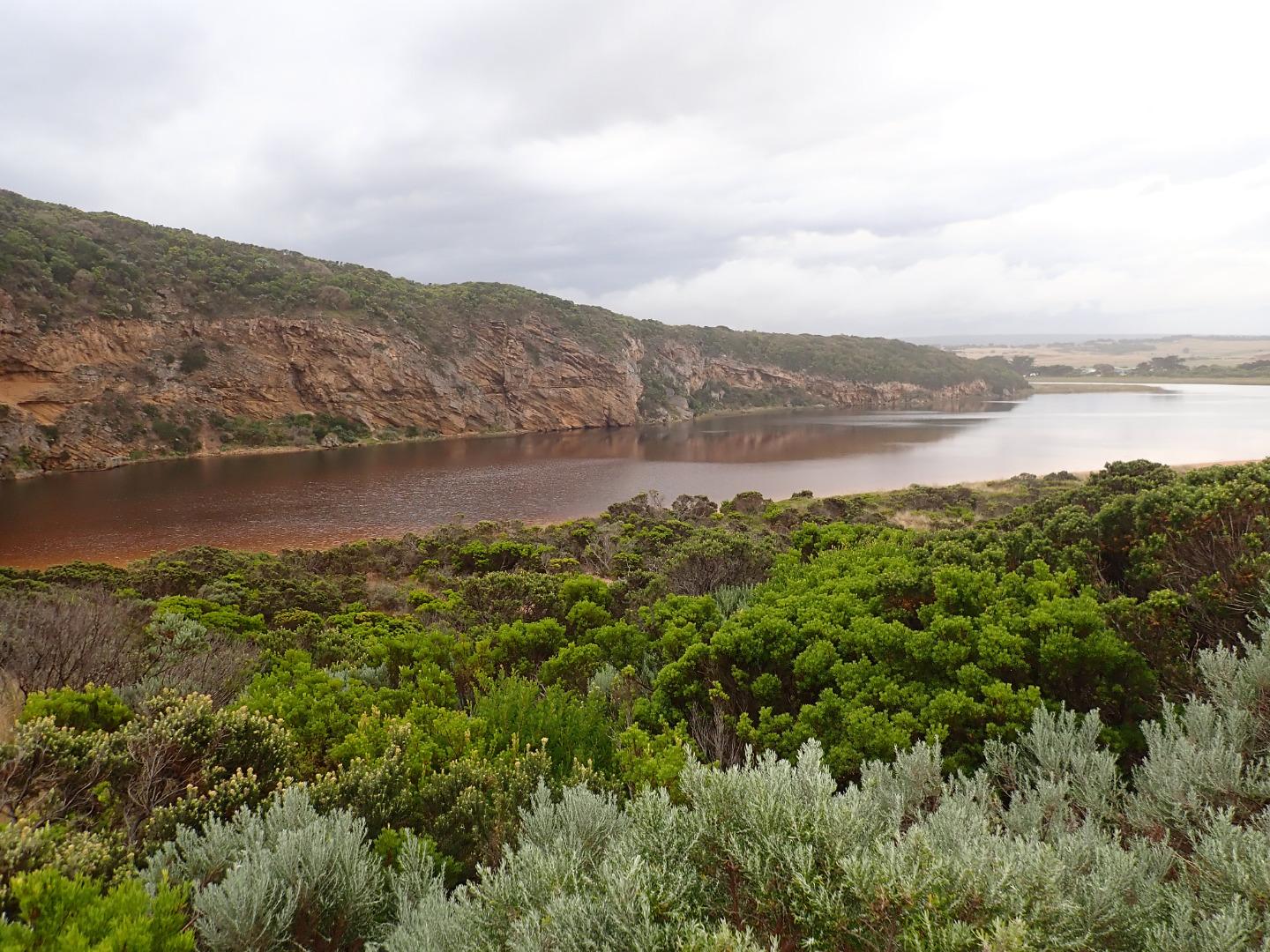
Mouth closed & short berm formed area between sea & estuary.The length has been reduced because of recent heavy local rainfall raising water level (over 40m. in some areas) . Waves over topping berm but not reaching estuary (however this had occurred during last hi tide). Entrance very dynamic & waves being driven far up on beach driven by strong SW swell.
More sand over rocks, only about .30 of 2nd rock remains exposed. Large amount of sand visible in breakers all along beach. More rocks down at south face of Pt Ronald
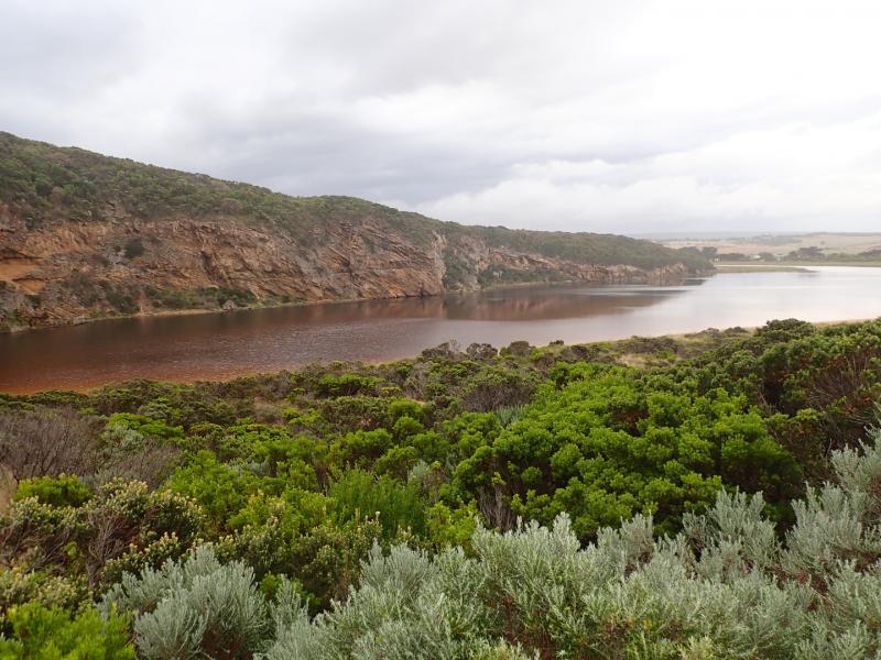
No flood water over any roads or tracks (apart from low track) nor in camp ground
Many small fish observed in shallows along low track & around auto monitor
Mouth Observation
| Mouth state | Closed |
|---|---|
| Previous | C C C C O O O O C C C C C C C C C O O O O O C O O O O O O O O O O O O O O O O O O O O O C O O O O C O O O O O O C C |
| Flow Present? | No |
| Previous | N N N N Y Y Y Y N N N N N N N N N Y Y Y Y Y N Y Y Y Y Y Y Y Y Y Y Y N Y Y Y Y Y Y Y Y Y N Y Y Y Y N Y Y Y Y Y Y N N |
| Flow Direction | N/A |
| Previous | N N N N O I O O N N N N N N N N N O O O O O N O I O O O I O O I O O N O I O O O O O O O N O O O O N O O O O O I N N |
| Above Sea | Above Estuary | |
|---|---|---|
| Berm Height (m) | 0.7m | |
| Berm Length (m) | 47.0m |
Physical Condition
| Current | Mode | |
|---|---|---|
| Wind Direction | South | |
| Beaufort Scale | Light Breeze | |
| Sea State | Rough |


All content, files, data and images provided by the EstuaryWatch Data Portal and Gallery are subject to a Creative Commons Attribution License
Content is made available to be used in any way, and should always attribute EstuaryWatch and www.estuarywatch.org.au