EstuaryWatch Data Portal
GMC Gellibrand River Estuary Mouth Observation Site
15 February 2019
Observation details
Overview
| Estuary | Gellibrand River Estuary |
|---|---|
| Site | Gellibrand River Estuary Mouth Observation Site |
| Observation ID | #12717 |
| Date and Time | Friday 15th February 2019 11:35am |
| Approved | Approved |
Notes
AHD G6 1.30 @ 08:34
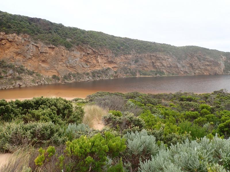
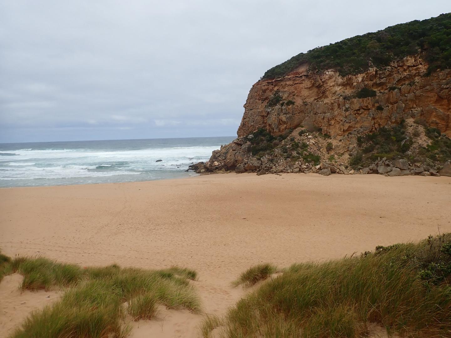
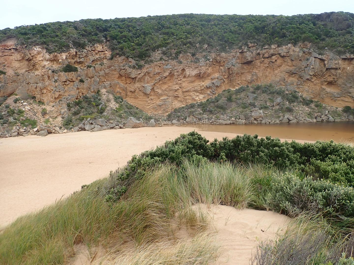
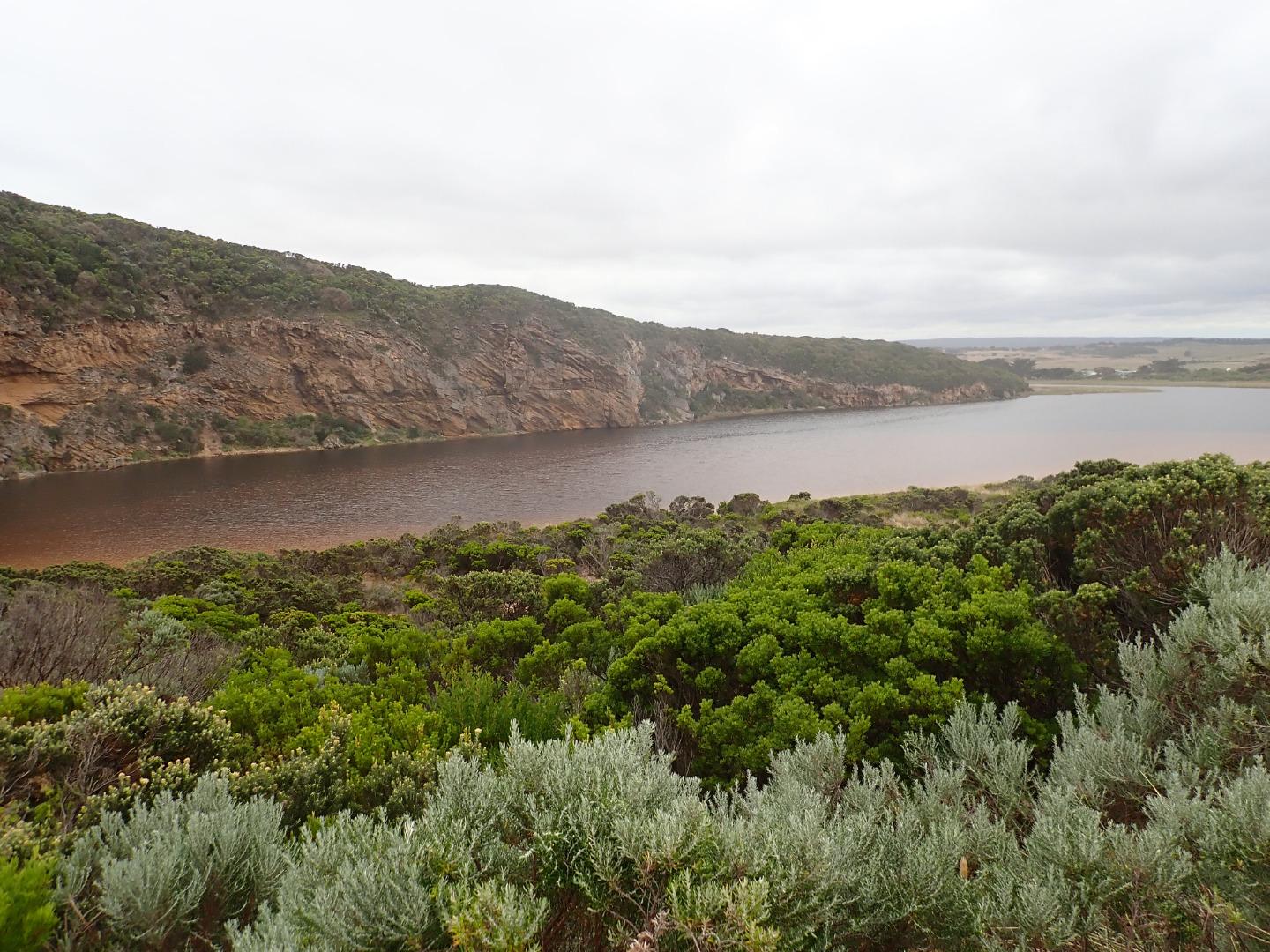
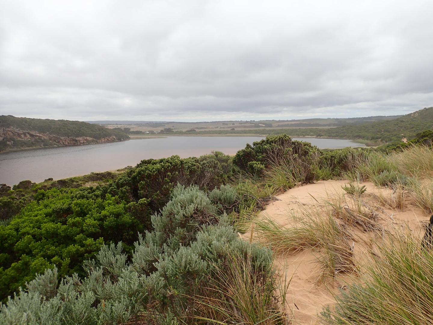
Mouth closed but some waves have been uo to estuary at last hi tide. Berm is longer but gradually slopes down from estuary to ocean with small gradual rise around rocks which are now almost entirely covered with sand
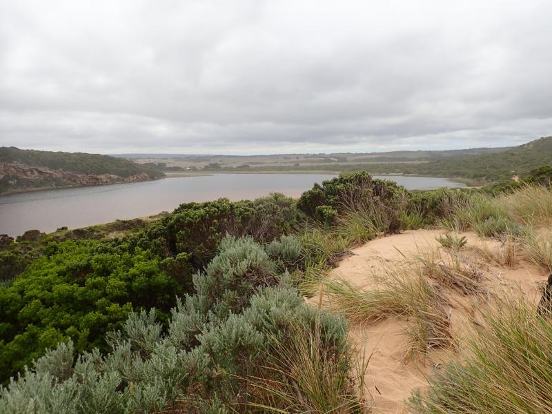
Water up to start of low track but no water over any other tracks or roads or camp ground. G4 flats have water cover with water completely across dip in causeway.There is only water in drains upstream of G4 site but it has started to enter just upstream at site of mill. Northern flats at G5 have visible water in all low areas but no water entering properties further upstream
Mouth Observation
| Mouth state | Closed |
|---|---|
| Previous | C C C C O O O O C C C C C C C C C O O O O O C O O O O O O O O O O O O O O O O O O O O O C O O O O C O O O O O O C C C |
| Flow Present? | No |
| Previous | N N N N Y Y Y Y N N N N N N N N N Y Y Y Y Y N Y Y Y Y Y Y Y Y Y Y Y N Y Y Y Y Y Y Y Y Y N Y Y Y Y N Y Y Y Y Y Y N N N |
| Flow Direction | N/A |
| Previous | N N N N O I O O N N N N N N N N N O O O O O N O I O O O I O O I O O N O I O O O O O O O N O O O O N O O O O O I N N N |
| Above Sea | Above Estuary | |
|---|---|---|
| Berm Height (m) | 0.6m | 0.5m |
| Berm Length (m) | 90.0m |
Physical Condition
| Current | Mode | |
|---|---|---|
| Wind Direction | South | |
| Beaufort Scale | Gentle breeze | |
| Sea State | Moderate |


All content, files, data and images provided by the EstuaryWatch Data Portal and Gallery are subject to a Creative Commons Attribution License
Content is made available to be used in any way, and should always attribute EstuaryWatch and www.estuarywatch.org.au