EstuaryWatch Data Portal
Observation details
Overview
| Estuary | Curdies River Estuary |
|---|---|
| Site | Curdies Mouth Condition |
| Observation ID | #12741 |
| Date and Time | Tuesday 5th March 2019 09:45am |
| Approved | Approved |
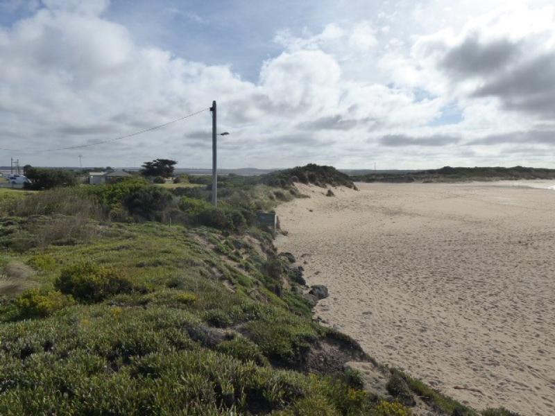
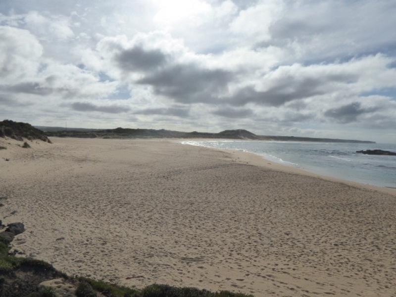
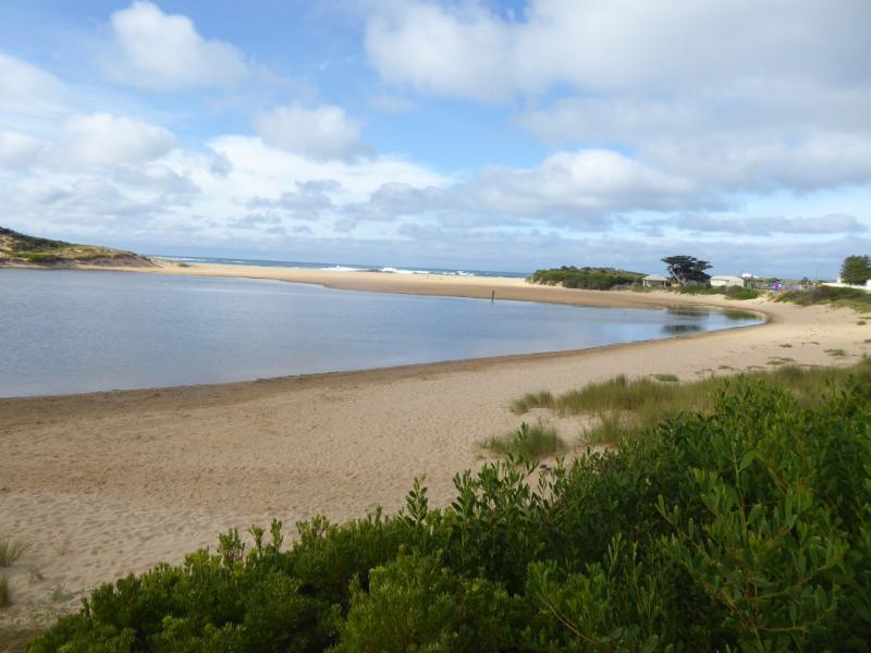
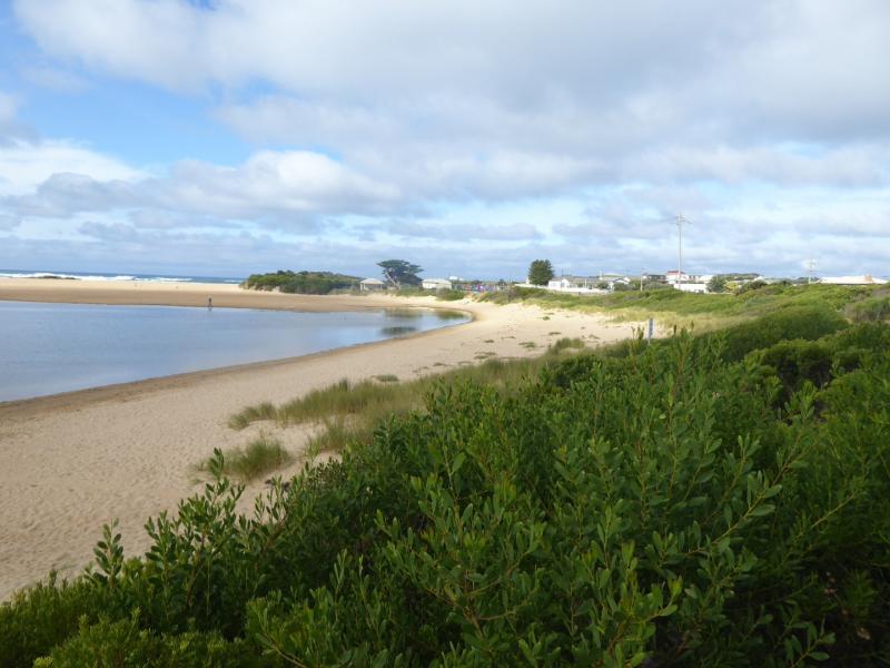
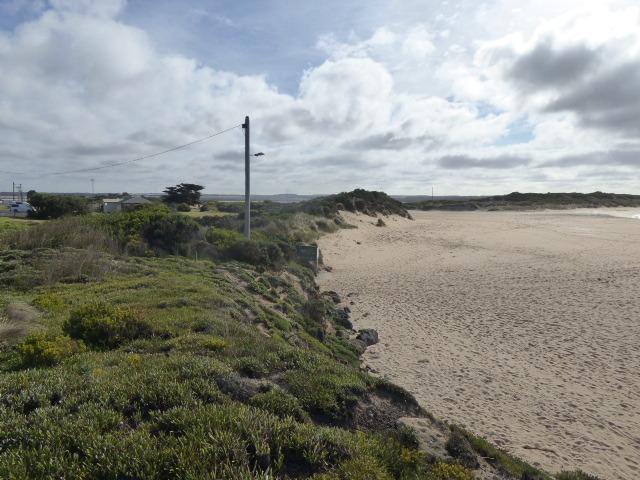
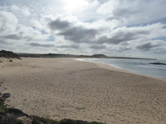
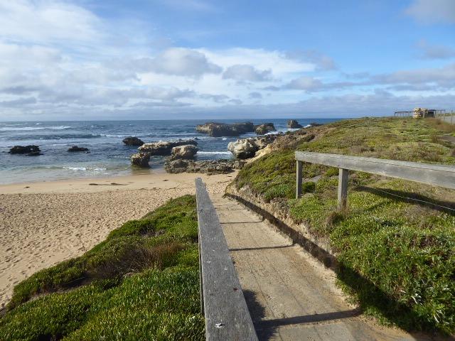
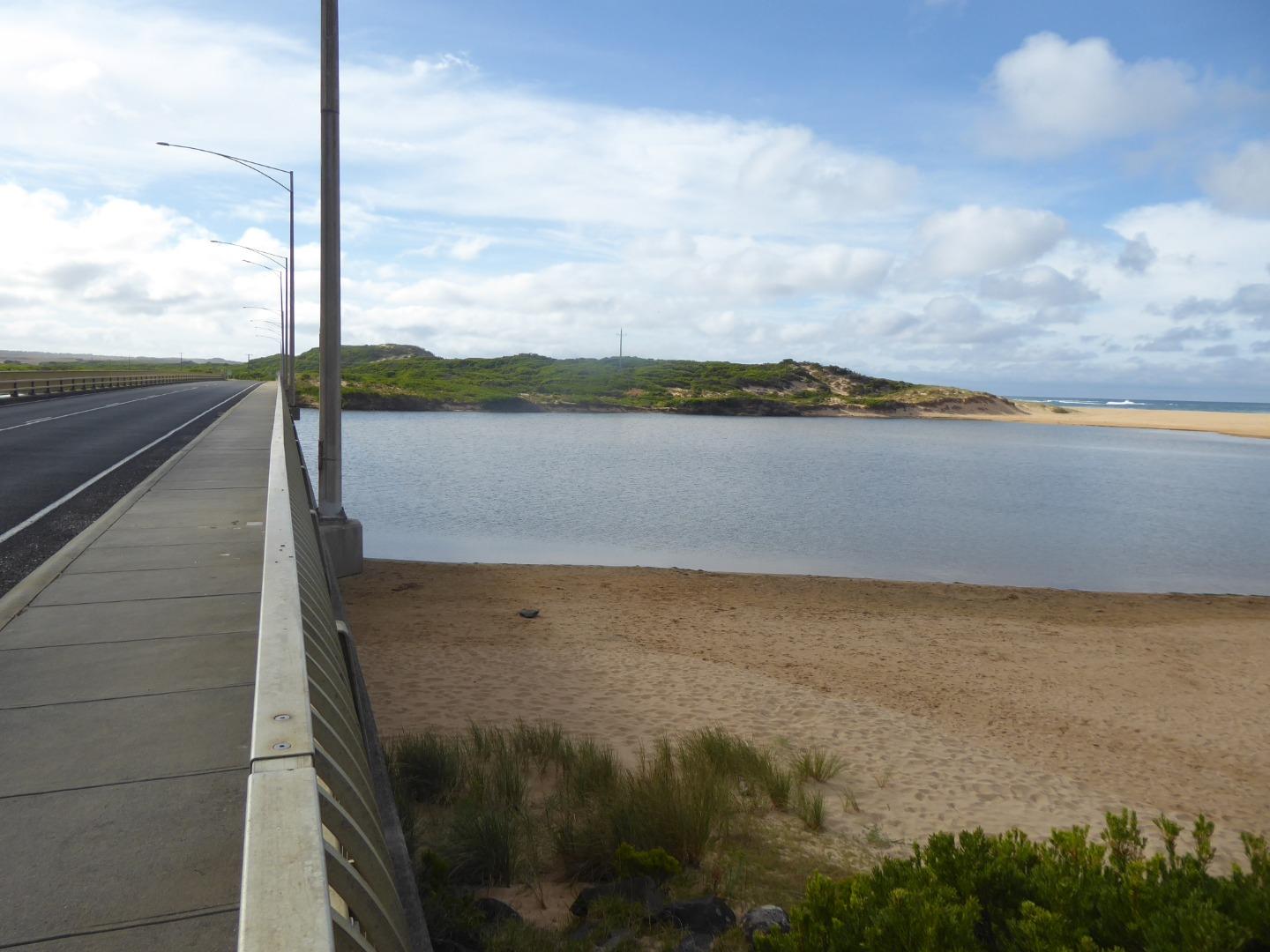
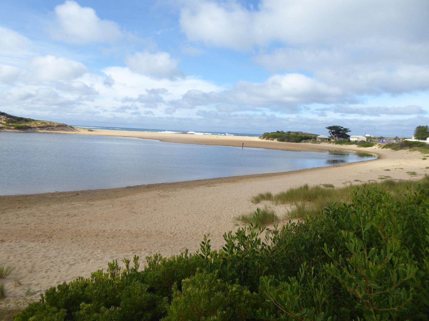
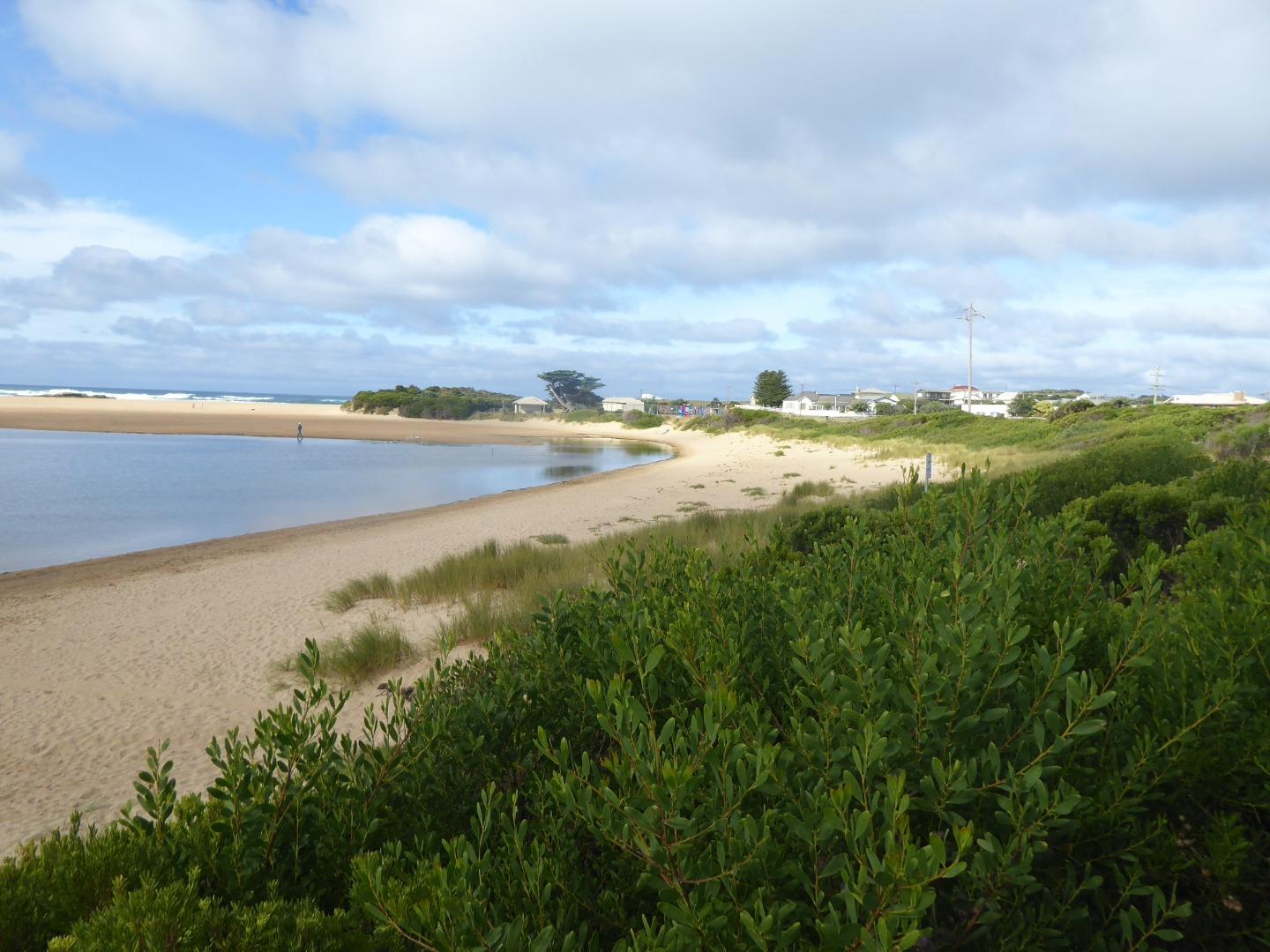
Mouth Observation
| Mouth state | Closed |
|---|---|
| Previous | C C C C P O O O O O O O O O C C C |
| Flow Present? | No |
| Previous | N N N N N Y Y Y Y Y Y Y Y Y N N N |
| Flow Direction | N/A |
| Previous | N N N N N O O I O O O O O I N N N |
| Above Sea | Above Estuary | |
|---|---|---|
| Berm Height (m) | 0.0m | 2.0m |
| Berm Length (m) | 137.0m |
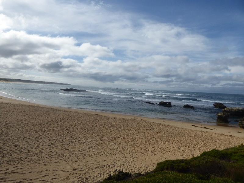
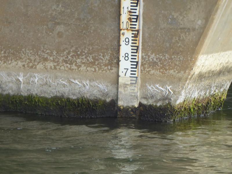
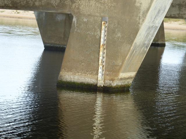
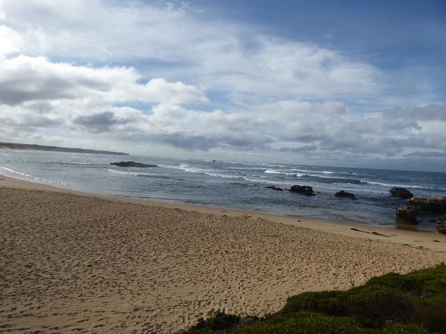
Physical Condition
| Current | Mode | |
|---|---|---|
| Wind Direction | North-West | North |
| Beaufort Scale | Gentle breeze | Gentle breeze |
| Sea State | Moderate | Slight |


All content, files, data and images provided by the EstuaryWatch Data Portal and Gallery are subject to a Creative Commons Attribution License
Content is made available to be used in any way, and should always attribute EstuaryWatch and www.estuarywatch.org.au