EstuaryWatch Data Portal
GMC Gellibrand River Estuary Mouth Observation Site
11 March 2019
Overview
| Estuary | Gellibrand River Estuary |
|---|---|
| Site | Gellibrand River Estuary Mouth Observation Site |
| Observation ID | #12762 |
| Date and Time | Monday 11th March 2019 11:00am |
| Approved | Approved |
Notes
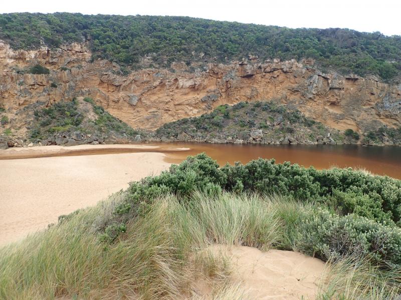
AHD G6 1.48 @ 10:25 -remaining same @ 14:53
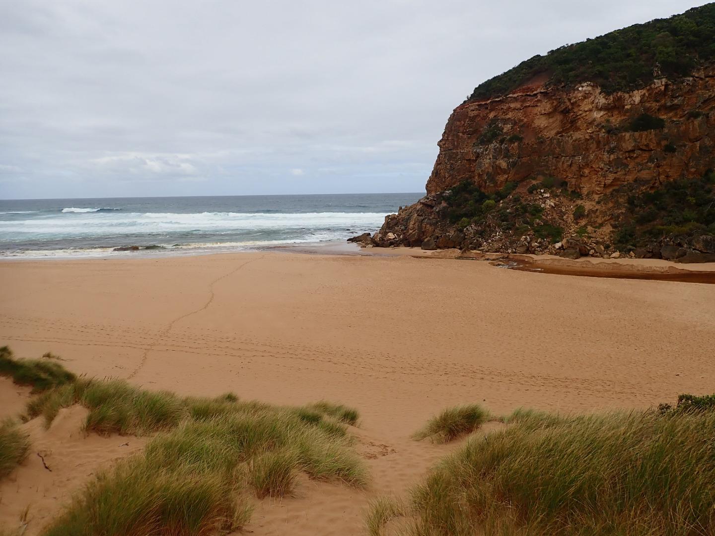
Dark discharge out to east along side of shoreline.
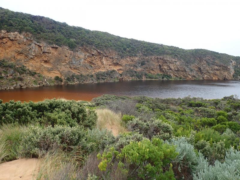
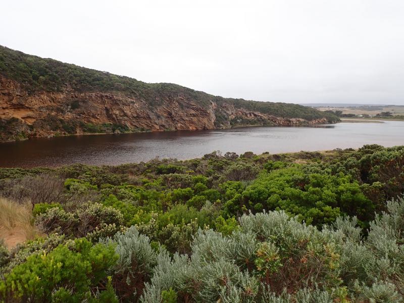
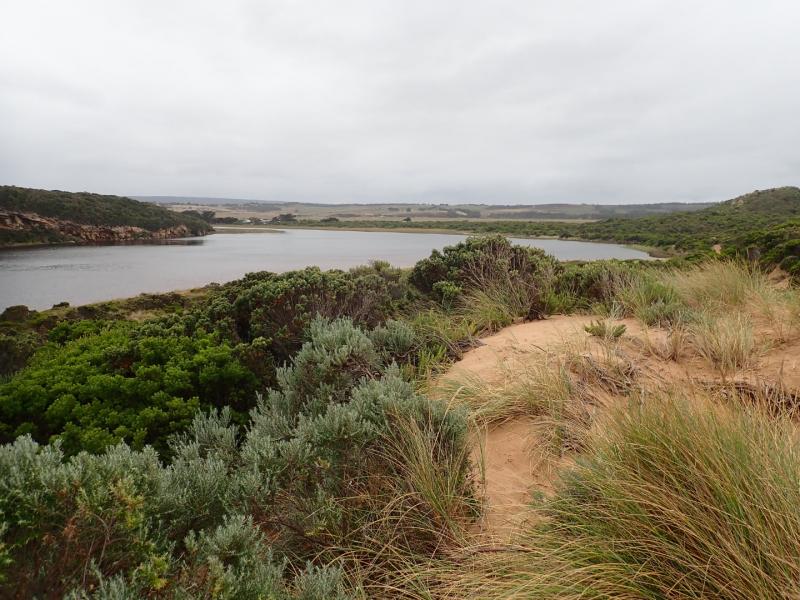
Width of channel from estuary about 12 m. reducing to about 6m where it curves around rocks then increasing to about 15m wide as it flows out shallow over sand build up. The flow drops down to lower level as it passes rocks. Longshore drift across mouth travelling over incoming SW swell & outflow which is carrying a large amount of sand scoured out from start of & continuation of channel. Deeper areas occur in path of more rapid flow. Height of eastside of channel .10m at start from estuary rising to 1m. around rocks, sides continually collapsing into flow. Beach front now is in almost continuous straight line.
12:40 area of high sand removed from between 1st & 2nd rock resulting in faster flow with much scouring. 13:08 sea becoming more rough with waves entering over exposed rocks & travelling up into estuary
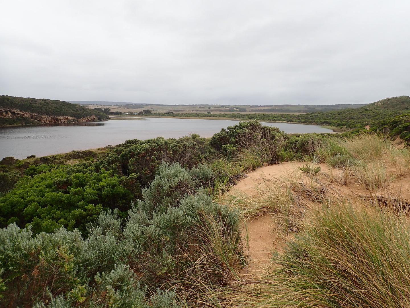
Mouth Observation
| Mouth state | Open |
|---|---|
| Previous | O O O O C C C C C C C C C O O O O O C O O O O O O O O O O O O O O O O O O O O O C O O O O C O O O O O O C C C C C C C C O |
| Flow Present? | Yes |
| Previous | Y Y Y Y N N N N N N N N N Y Y Y Y Y N Y Y Y Y Y Y Y Y Y Y Y N Y Y Y Y Y Y Y Y Y N Y Y Y Y N Y Y Y Y Y Y N N N N N N N N Y |
| Flow Direction | Out |
| Previous | O I O O N N N N N N N N N O O O O O N O I O O O I O O I O O N O I O O O O O O O N O O O O N O O O O O I N N N N N N N N O |
| Above Sea | Above Estuary | |
|---|---|---|
| Berm Height (m) | ||
| Berm Length (m) |
Physical Condition
| Current | Mode | |
|---|---|---|
| Wind Direction | North-East | |
| Beaufort Scale | Gentle breeze | |
| Sea State | Rough |


All content, files, data and images provided by the EstuaryWatch Data Portal and Gallery are subject to a Creative Commons Attribution License
Content is made available to be used in any way, and should always attribute EstuaryWatch and www.estuarywatch.org.au