EstuaryWatch Data Portal
GMC Gellibrand River Estuary Mouth Observation Site
13 March 2019
Overview
| Estuary | Gellibrand River Estuary |
|---|---|
| Site | Gellibrand River Estuary Mouth Observation Site |
| Observation ID | #12764 |
| Date and Time | Wednesday 13th March 2019 14:45pm |
| Approved | Approved |
Notes
AHD @ G6 1.42 @ 13:35
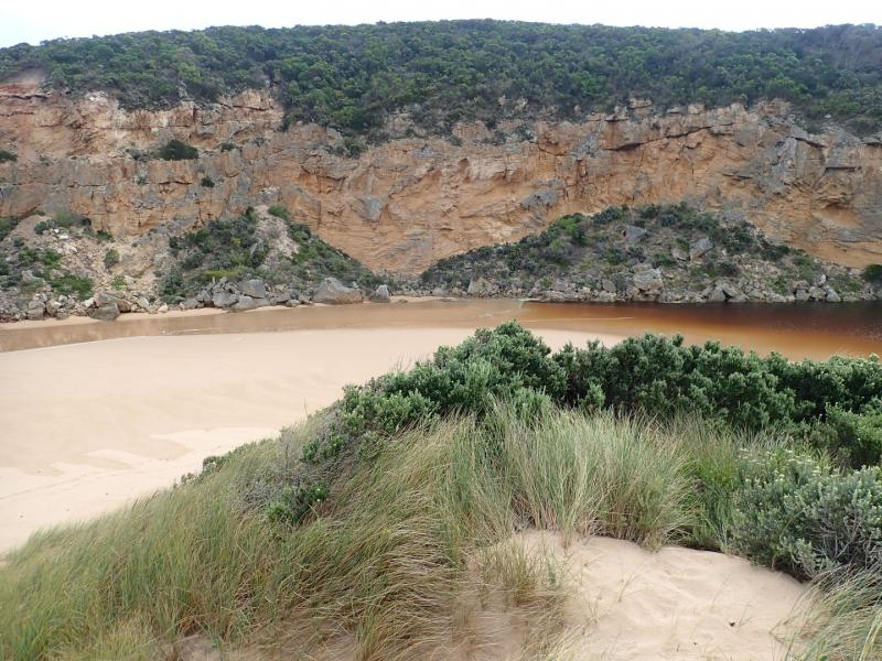
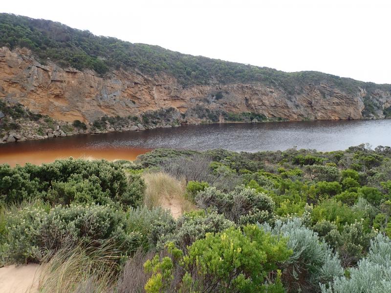
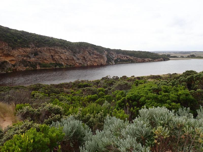
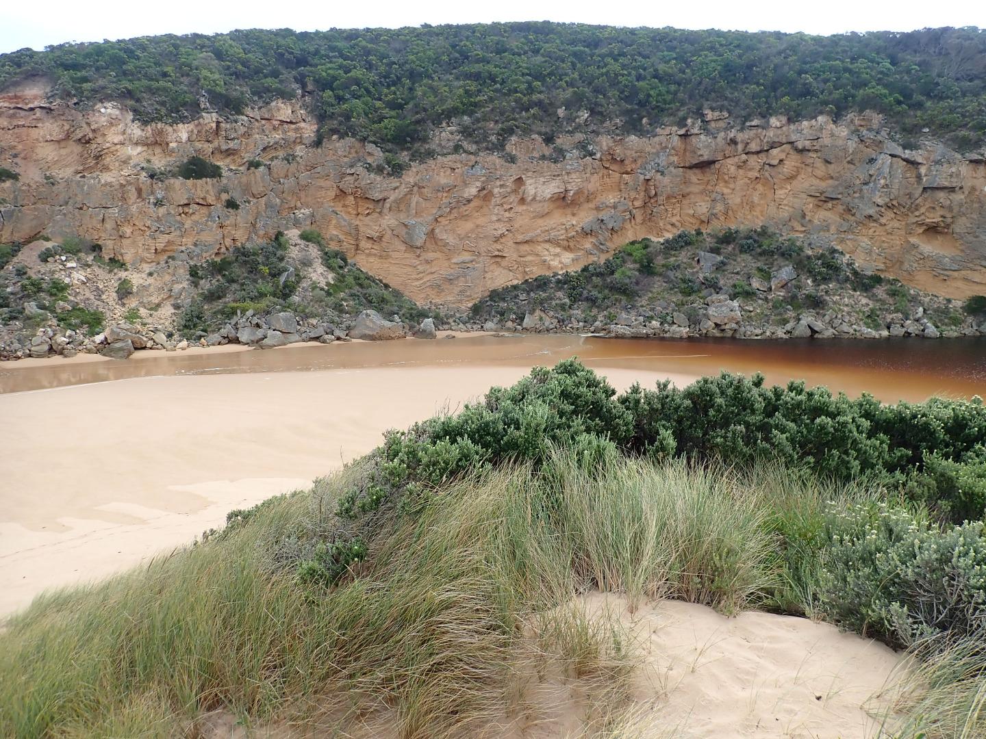
Very rough seas over night have formed a high sand build up at entrance & along channel blocking flow. Currently some waves are over topping the berm & travelling up into the estuary where a small amount of green water is visible at time of entry. No fresh outflow but some salt return. During the night a 3m. high wave was observed travelling down the channel into estuary where it turned sharply east & travelled along south side of estuary, large mound of seaweed & many shells were deposited around SE corner.
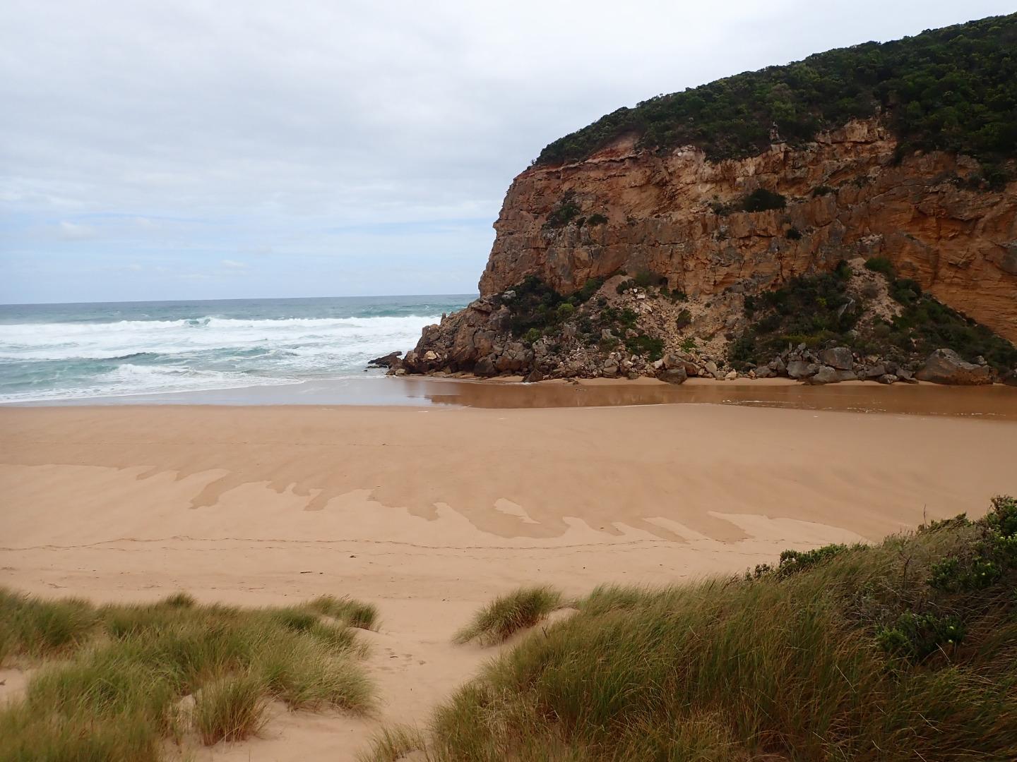
Waves in many directions at entrance with waves going high up on all along beach reaching base of sand dunes below Gp1 site, some very strong longshore drift across mouth - back wash rolling large amount of sand. Also very large amount of sand clearly visible in breakers all along beach & far out to sea
Deep ridges have formed in NE/SW direction in sand below Gp1 site
Depth profile @ G2 shows an increase in E.C. between 2-3 m. down
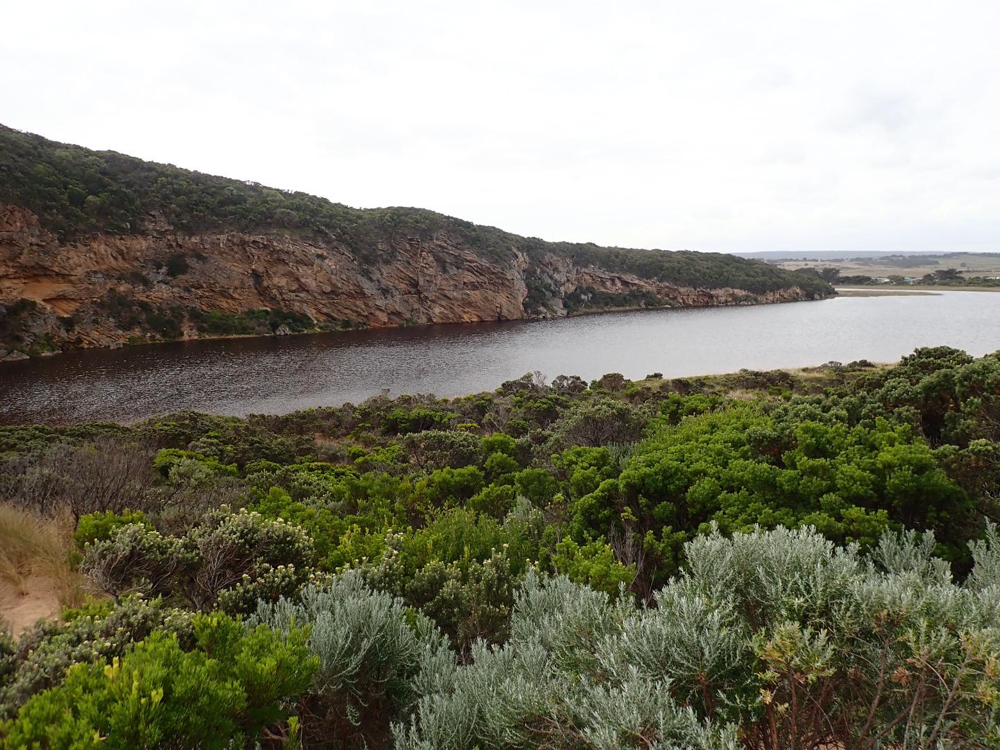
Mouth Observation
| Mouth state | Closed |
|---|---|
| Previous | O O C C C C C C C C C O O O O O C O O O O O O O O O O O O O O O O O O O O O C O O O O C O O O O O O C C C C C C C C O O O |
| Flow Present? | No |
| Previous | Y Y N N N N N N N N N Y Y Y Y Y N Y Y Y Y Y Y Y Y Y Y Y N Y Y Y Y Y Y Y Y Y N Y Y Y Y N Y Y Y Y Y Y N N N N N N N N Y Y Y |
| Flow Direction | N/A |
| Previous | O O N N N N N N N N N O O O O O N O I O O O I O O I O O N O I O O O O O O O N O O O O N O O O O O I N N N N N N N N O O O |
| Above Sea | Above Estuary | |
|---|---|---|
| Berm Height (m) | ||
| Berm Length (m) |
Physical Condition
| Current | Mode | |
|---|---|---|
| Wind Direction | South | |
| Beaufort Scale | Gentle breeze | |
| Sea State | Very Rough |


All content, files, data and images provided by the EstuaryWatch Data Portal and Gallery are subject to a Creative Commons Attribution License
Content is made available to be used in any way, and should always attribute EstuaryWatch and www.estuarywatch.org.au