EstuaryWatch Data Portal
GMC Gellibrand River Estuary Mouth Observation Site
1 April 2019
Overview
| Estuary | Gellibrand River Estuary |
|---|---|
| Site | Gellibrand River Estuary Mouth Observation Site |
| Observation ID | #12821 |
| Date and Time | Monday 1st April 2019 13:16pm |
| Approved | Approved |
Notes
AHD G2 1.47 @ 09:00 1.33 @ 13:20 1.22 @ 15:50 AHD G6 1.52 @13:00 1.42 @ 17:42 On 02-04-19 AHD @ G2 was 0.54 @ 14:00 G6 0.88 @13:43 (estimate for G6 only as board was covered with silt & unreadable)
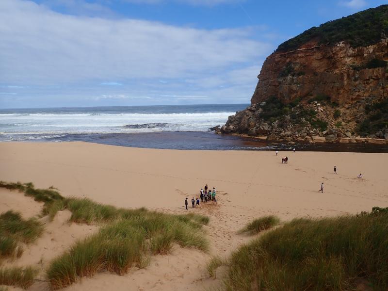
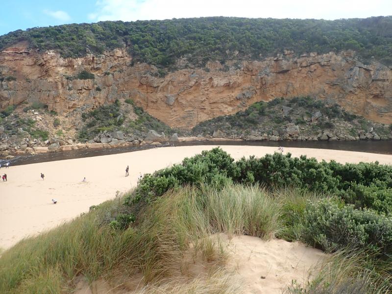
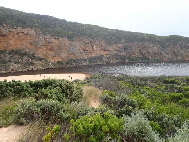
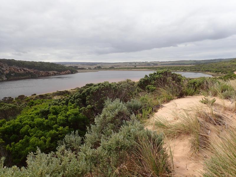
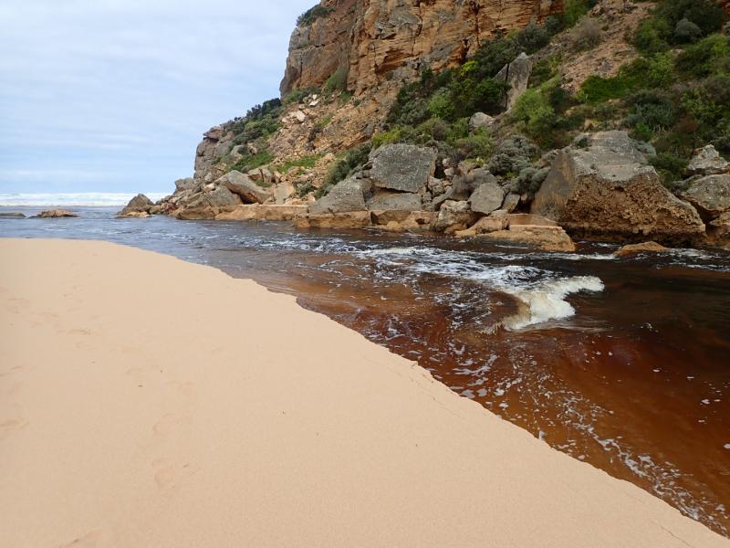
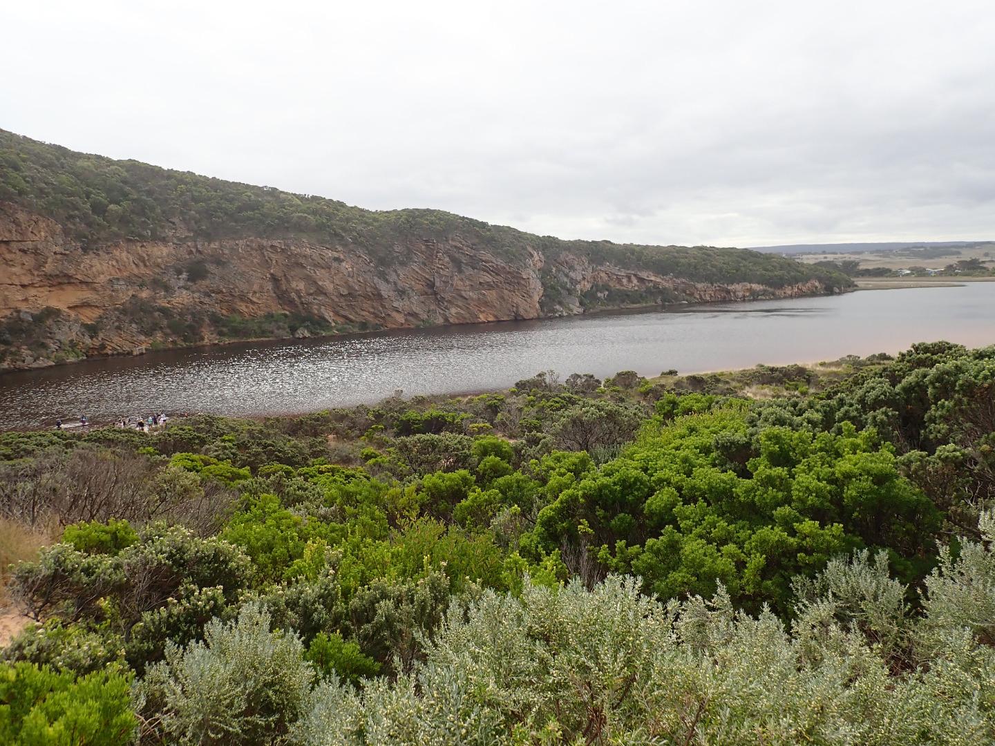
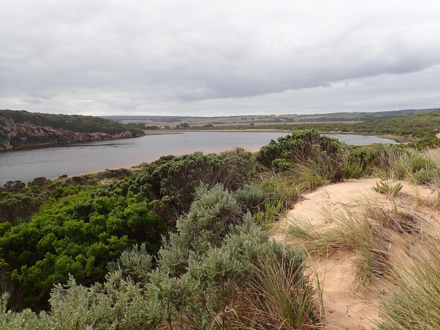
Very wide strong & dark discharge @ entrance, out along foreshore to east then turning south at east end of beach -visible a long way out to sea. Water in the estuary very dark -almost black
Channel from estuary over 20 m wide & about 40 m wide @ entrance. Strong & frequent longshore drift across entrance over Sw swell & very strong outflow. Waves entering & continuing along eastside of channel meeting outflow midway creating a whirlpool with a very large amount of sand visible & also building up against edge. Sand was visible in outflow travelling down whole length of channel
Mouth Observation
| Mouth state | Open |
|---|---|
| Previous | C C C C C O O O O O C O O O O O O O O O O O O O O O O O O O O O C O O O O C O O O O O O C C C C C C C C O O O C C C C C O P C C C O O |
| Flow Present? | Yes |
| Previous | N N N N N Y Y Y Y Y N Y Y Y Y Y Y Y Y Y Y Y N Y Y Y Y Y Y Y Y Y N Y Y Y Y N Y Y Y Y Y Y N N N N N N N N Y Y Y N N N N N Y N N N N Y Y |
| Flow Direction | Out |
| Previous | N N N N N O O O O O N O I O O O I O O I O O N O I O O O O O O O N O O O O N O O O O O I N N N N N N N N O O O N N N N N I N N N N O O |
| Above Sea | Above Estuary | |
|---|---|---|
| Berm Height (m) | ||
| Berm Length (m) |
Physical Condition
| Current | Mode | |
|---|---|---|
| Wind Direction | South | |
| Beaufort Scale | Gentle breeze | |
| Sea State | Rough |


All content, files, data and images provided by the EstuaryWatch Data Portal and Gallery are subject to a Creative Commons Attribution License
Content is made available to be used in any way, and should always attribute EstuaryWatch and www.estuarywatch.org.au