EstuaryWatch Data Portal
GMC Gellibrand River Estuary Mouth Observation Site
30 March 2019
Overview
| Estuary | Gellibrand River Estuary |
|---|---|
| Site | Gellibrand River Estuary Mouth Observation Site |
| Observation ID | #12823 |
| Date and Time | Saturday 30th March 2019 13:15pm |
| Approved | Approved |
Notes
AHD G2 1.69 @ 13:17 G6 1.67 @ 13:05
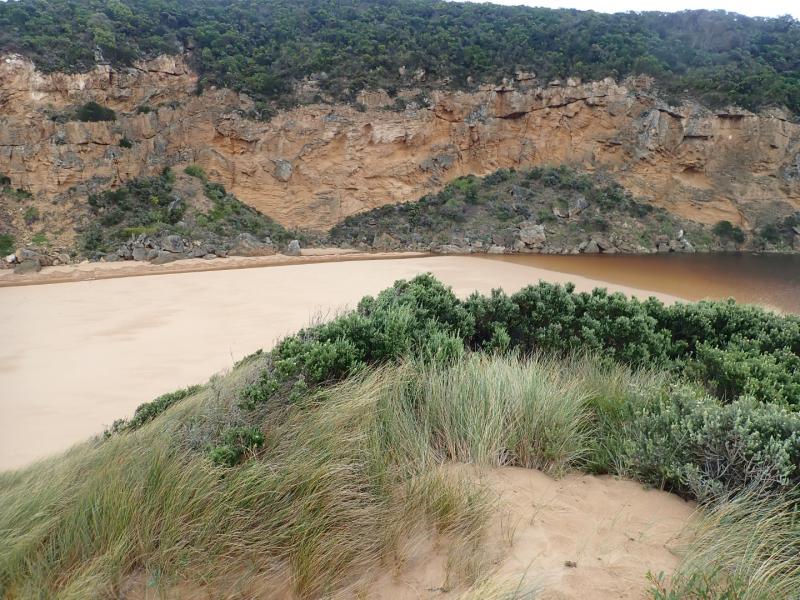
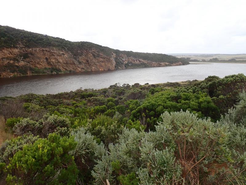
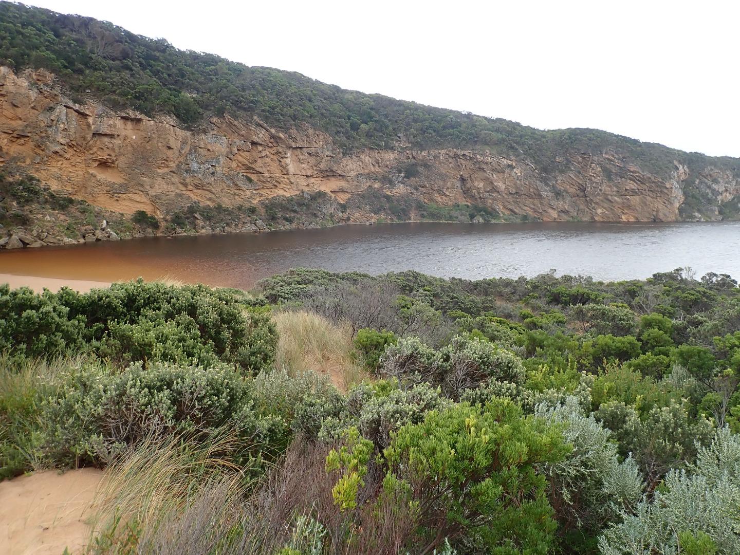
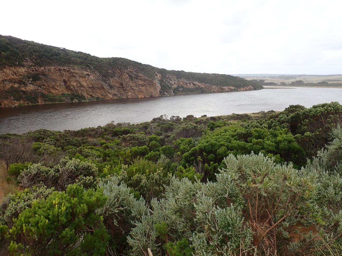
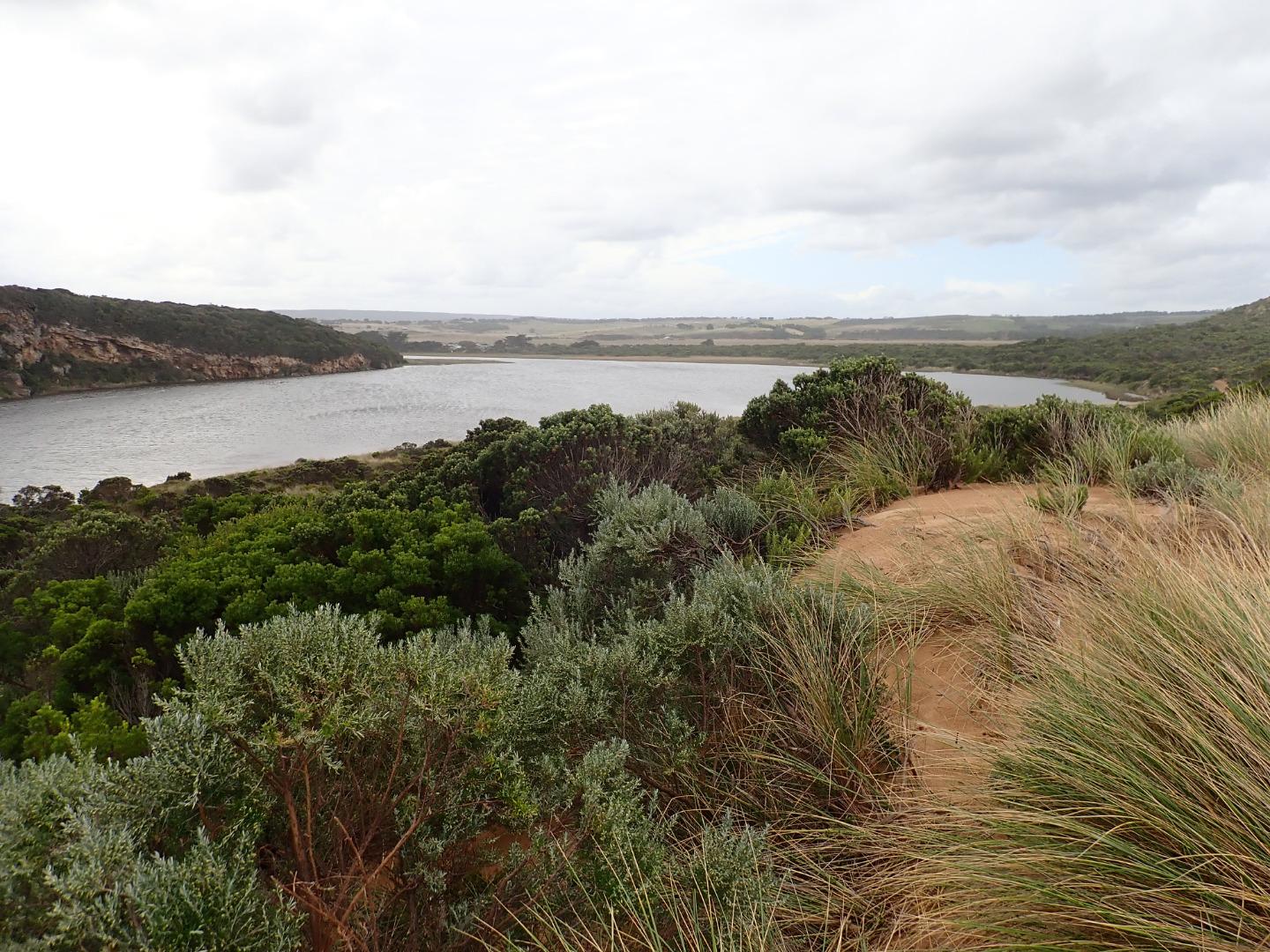
Strong outflow down channel with pale discharge visible slightly to east.
Rough sea = SW swell impacting E end of beach, large amount of backwash occurring at mid beach & longshore drift across entrance over outflow, small waves are going up channel into the estuary. Small areas of east side of channel are sheer sided ( above lower exposed area). These sides are currently sliding down into water as wave action in channel increases. Channel sides about .10 - .20 m.high & about .20m deep. About 8m wide
Wind much stronger gusts from south down channel
Water at side of GOR & OCR but across OOR at flood markers. Only at side of OOR closer to GOR
Mouth Observation
| Mouth state | Open |
|---|---|
| Previous | C C C C C C O O O O O C O O O O O O O O O O O O O O O O O O O O O C O O O O C O O O O O O C C C C C C C C O O O C C C C C O P C C C |
| Flow Present? | Yes |
| Previous | N N N N N N Y Y Y Y Y N Y Y Y Y Y Y Y Y Y Y Y N Y Y Y Y Y Y Y Y Y N Y Y Y Y N Y Y Y Y Y Y N N N N N N N N Y Y Y N N N N N Y N N N N |
| Flow Direction | Out |
| Previous | N N N N N N O O O O O N O I O O O I O O I O O N O I O O O O O O O N O O O O N O O O O O I N N N N N N N N O O O N N N N N I N N N N |
| Above Sea | Above Estuary | |
|---|---|---|
| Berm Height (m) | ||
| Berm Length (m) |
Physical Condition
| Current | Mode | |
|---|---|---|
| Wind Direction | South | |
| Beaufort Scale | Fresh breeze | |
| Sea State | Rough |


All content, files, data and images provided by the EstuaryWatch Data Portal and Gallery are subject to a Creative Commons Attribution License
Content is made available to be used in any way, and should always attribute EstuaryWatch and www.estuarywatch.org.au