EstuaryWatch Data Portal
GMC Gellibrand River Estuary Mouth Observation Site
26 March 2019
Overview
| Estuary | Gellibrand River Estuary |
|---|---|
| Site | Gellibrand River Estuary Mouth Observation Site |
| Observation ID | #12826 |
| Date and Time | Tuesday 26th March 2019 09:32am |
| Approved | Approved |
Notes
AHD G2 1.63 @ 09:32 - @11:20 between 1.63 & 1.64. G6 1.63 @ 09:13 Both G2 & G6 are level
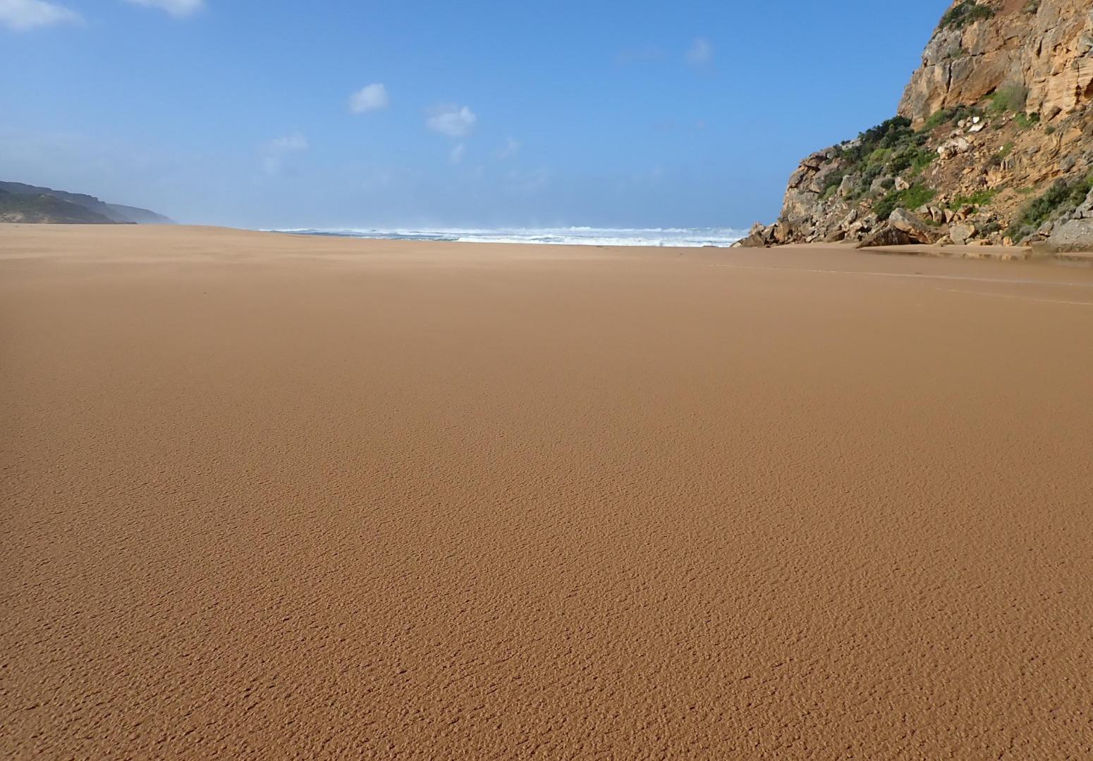
Observations taken @ low tide. Mouth closed but a few waves entering up to estuary -mostly a large expanse of sand between ocean & estuary. SW swell impacting beach - strong backwash @ mid beach carrying large amount of sand then longshore drift to west to cliff. Yesterday's high seas have lowered about 1/3rd of beach east of cliff
Wind in many directions -SE along beach but turning S with much stronger gusts down channel blowing a lot of sand into estuary
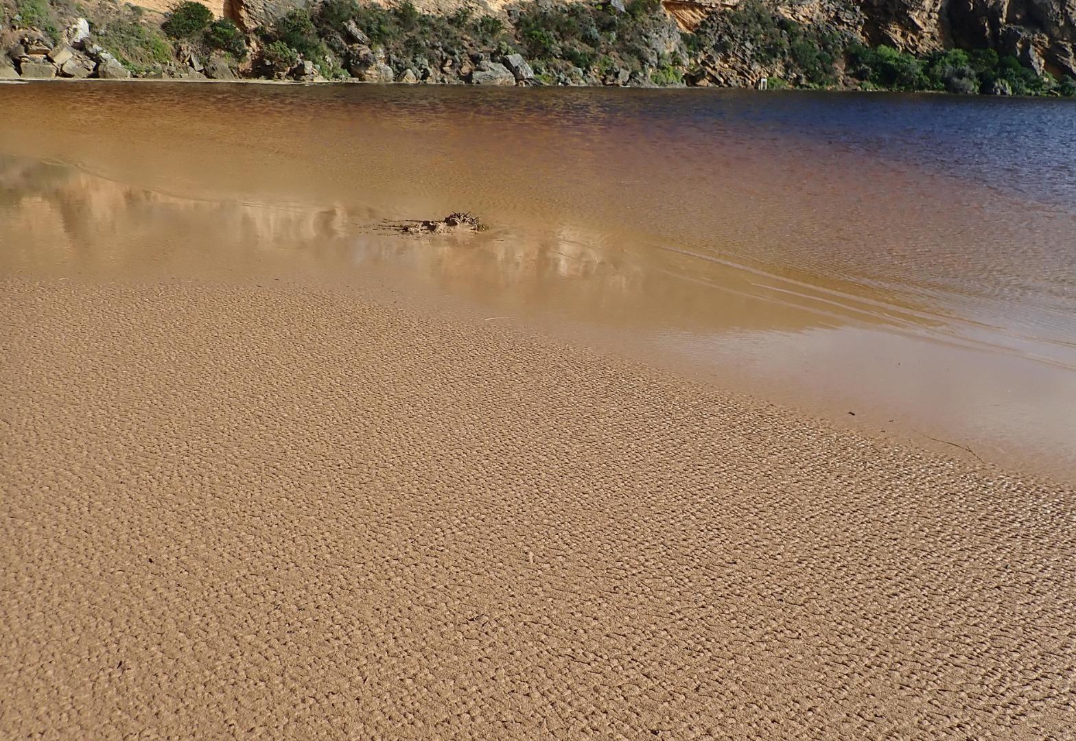
Increased water at side of roads & camp ground but water only just coming over OOR at flood markers. Small pool at side of GOR
Mouth Observation
| Mouth state | Closed |
|---|---|
| Previous | C C C C C C O O O O O C O O O O O O O O O O O O O O O O O O O O O C O O O O C O O O O O O C C C C C C C C O O O C C C C C O P |
| Flow Present? | No |
| Previous | N N N N N N Y Y Y Y Y N Y Y Y Y Y Y Y Y Y Y Y N Y Y Y Y Y Y Y Y Y N Y Y Y Y N Y Y Y Y Y Y N N N N N N N N Y Y Y N N N N N Y N |
| Flow Direction | N/A |
| Previous | N N N N N N O O O O O N O I O O O I O O I O O N O I O O O O O O O N O O O O N O O O O O I N N N N N N N N O O O N N N N N I N |
| Above Sea | Above Estuary | |
|---|---|---|
| Berm Height (m) | ||
| Berm Length (m) |
Physical Condition
| Current | Mode | |
|---|---|---|
| Wind Direction | South | |
| Beaufort Scale | Fresh breeze | |
| Sea State | High |


All content, files, data and images provided by the EstuaryWatch Data Portal and Gallery are subject to a Creative Commons Attribution License
Content is made available to be used in any way, and should always attribute EstuaryWatch and www.estuarywatch.org.au