EstuaryWatch Data Portal
GMC Gellibrand River Estuary Mouth Observation Site
25 March 2019
Overview
| Estuary | Gellibrand River Estuary |
|---|---|
| Site | Gellibrand River Estuary Mouth Observation Site |
| Observation ID | #12830 |
| Date and Time | Monday 25th March 2019 10:05am |
| Approved | Approved |
Notes
AHD G6 1.56 @ 09:37 1.59 @ 16:10
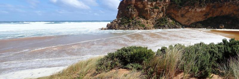
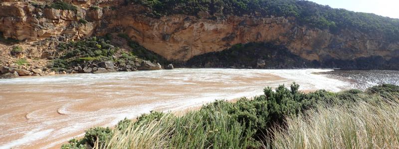
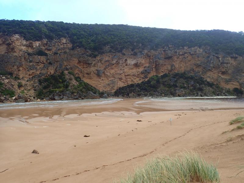
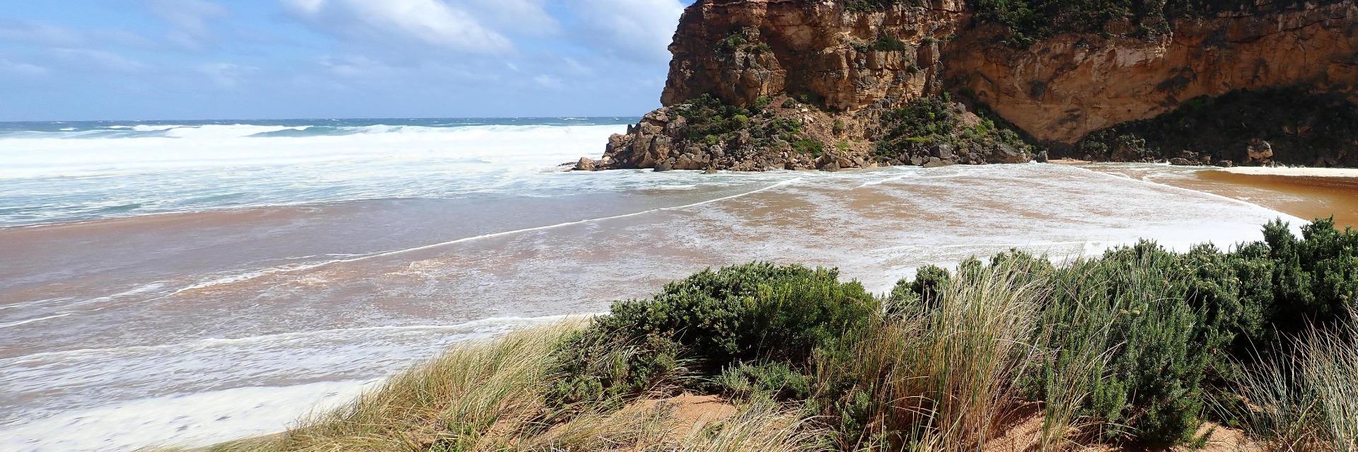
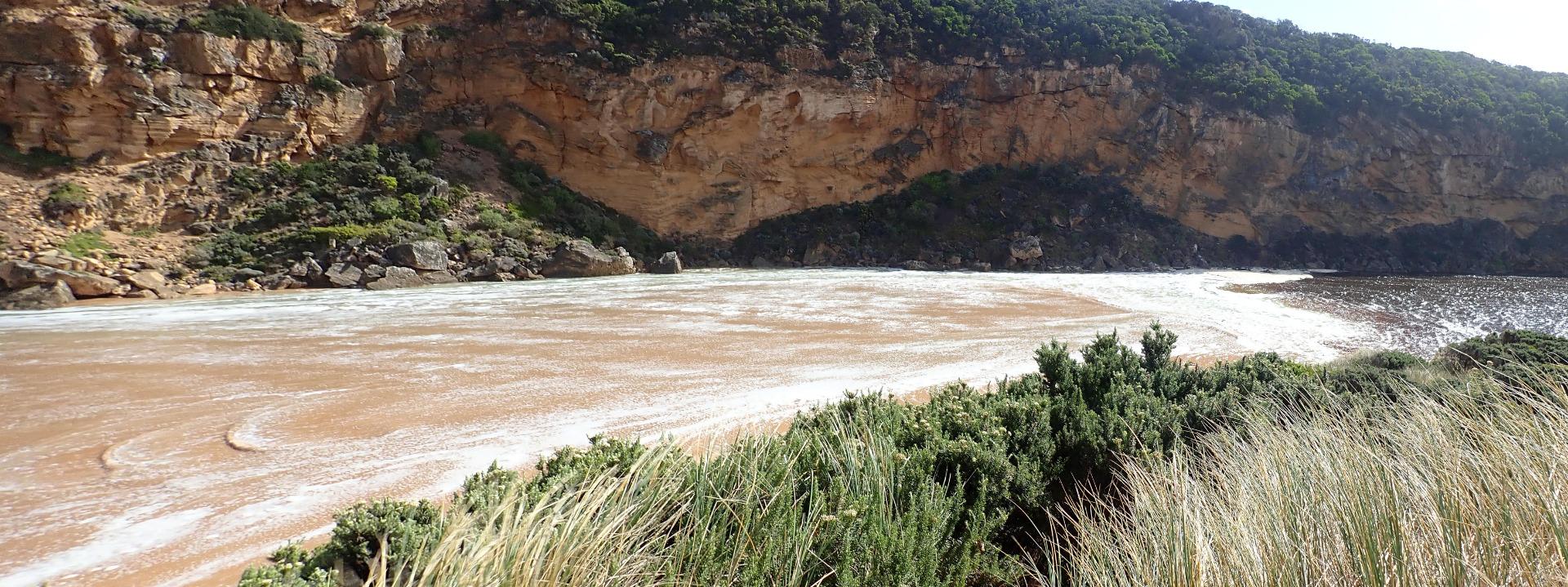
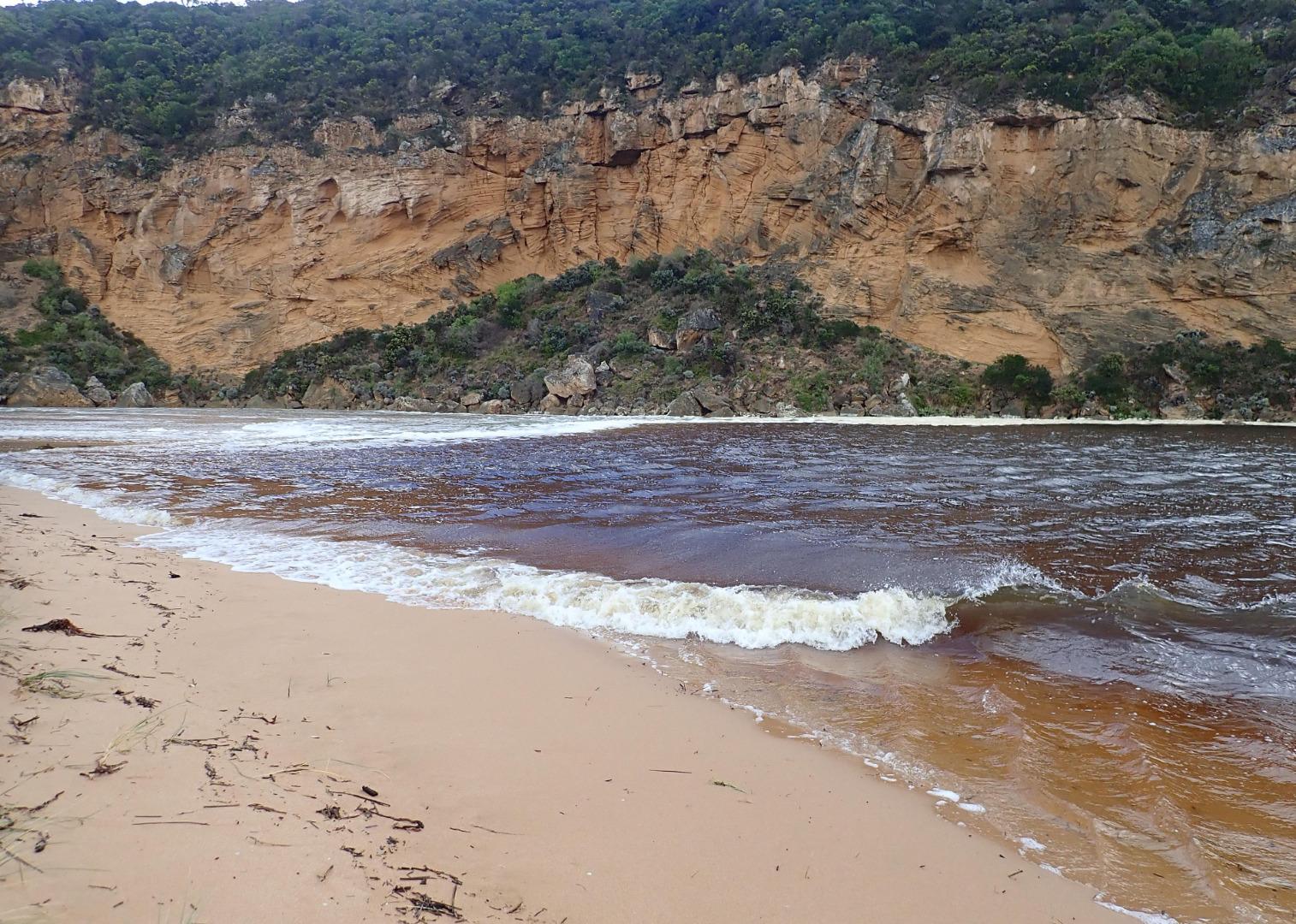
Mouth perched, flow both in & out. High seas & WSW swell (8-15 secs.) = waves over 6m. impacting beach sending waves all along up to the dunes & completely across the entrance & down the channel. Hi tide about 15:00 combined with strong longshore drift sent waves into the estuary - green water was visible at start of channel from estuary. Incoming waves were going over top of water returning across a wide front. A whirlpool occurred at start of estuary. Near gale force winds from many directions around estuary, channel & beach
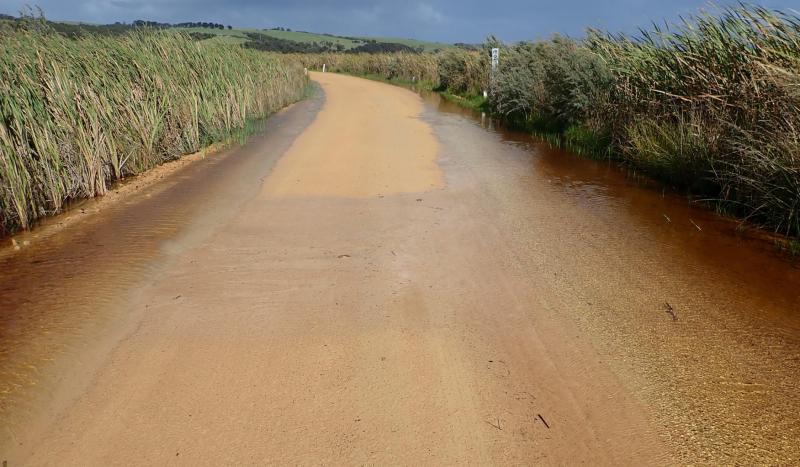
Increasing water cover at edge of roads,& on flats DS G4. Small area of water starting to cross OOR at flood markers. Fishing platform structure completely under water by 15:55
Mouth Observation
| Mouth state | Perched |
|---|---|
| Previous | C C C C C C O O O O O C O O O O O O O O O O O O O O O O O O O O O C O O O O C O O O O O O C C C C C C C C O O O C C C C C O |
| Flow Present? | No |
| Previous | N N N N N N Y Y Y Y Y N Y Y Y Y Y Y Y Y Y Y Y N Y Y Y Y Y Y Y Y Y N Y Y Y Y N Y Y Y Y Y Y N N N N N N N N Y Y Y N N N N N Y |
| Flow Direction | N/A |
| Previous | N N N N N N O O O O O N O I O O O I O O I O O N O I O O O O O O O N O O O O N O O O O O I N N N N N N N N O O O N N N N N I |
| Above Sea | Above Estuary | |
|---|---|---|
| Berm Height (m) | ||
| Berm Length (m) |
Physical Condition
| Current | Mode | |
|---|---|---|
| Wind Direction | North | |
| Beaufort Scale | High wind, moderate gale, near gale | |
| Sea State | High |


All content, files, data and images provided by the EstuaryWatch Data Portal and Gallery are subject to a Creative Commons Attribution License
Content is made available to be used in any way, and should always attribute EstuaryWatch and www.estuarywatch.org.au