EstuaryWatch Data Portal
GMC Gellibrand River Estuary Mouth Observation Site
19 March 2019
Observation details
Overview
| Estuary | Gellibrand River Estuary |
|---|---|
| Site | Gellibrand River Estuary Mouth Observation Site |
| Observation ID | #12833 |
| Date and Time | Tuesday 19th March 2019 13:15pm |
| Approved | Approved |
Notes
AHD @ G6 1.48
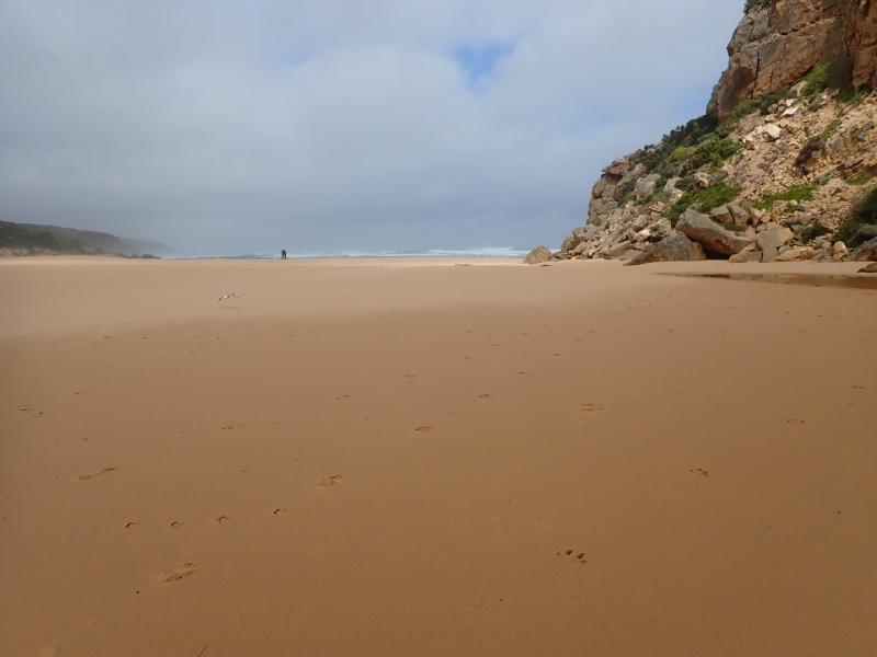
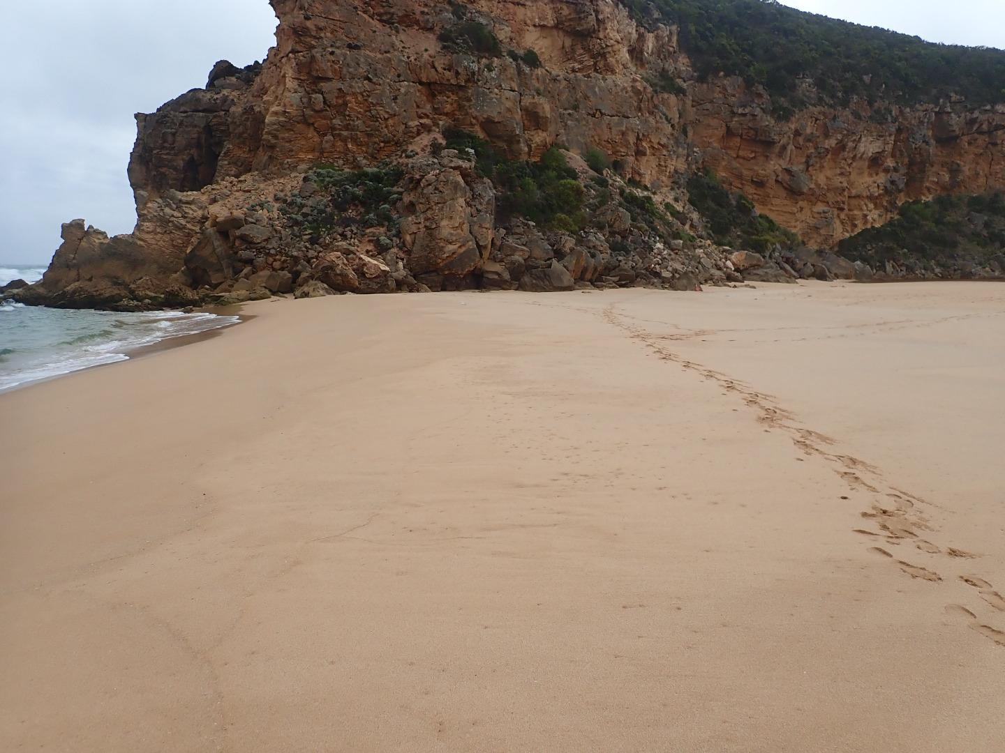
Mouth closed but waves over topping berm at last hi tide. A higher 2nd. berm has risen closer to sea with a depression formed between it & the previous highest part of the original berm formation. Waves have been over berm & high up all along the beach. S wind blowing sand down channel into estuary, more sand over rock
Mouth Observation
| Mouth state | Closed |
|---|---|
| Previous | C C C C C C C C O O O O O C O O O O O O O O O O O O O O O O O O O O O C O O O O C O O O O O O C C C C C C C C O O O C C C |
| Flow Present? | No |
| Previous | N N N N N N N N Y Y Y Y Y N Y Y Y Y Y Y Y Y Y Y Y N Y Y Y Y Y Y Y Y Y N Y Y Y Y N Y Y Y Y Y Y N N N N N N N N Y Y Y N N N |
| Flow Direction | N/A |
| Previous | N N N N N N N N O O O O O N O I O O O I O O I O O N O I O O O O O O O N O O O O N O O O O O I N N N N N N N N O O O N N N |
| Above Sea | Above Estuary | |
|---|---|---|
| Berm Height (m) | 0.3m | |
| Berm Length (m) | 97.0m |
Physical Condition
| Current | Mode | |
|---|---|---|
| Wind Direction | South | |
| Beaufort Scale | Gentle breeze | |
| Sea State | Moderate |


All content, files, data and images provided by the EstuaryWatch Data Portal and Gallery are subject to a Creative Commons Attribution License
Content is made available to be used in any way, and should always attribute EstuaryWatch and www.estuarywatch.org.au