EstuaryWatch Data Portal
GMC Gellibrand River Estuary Mouth Observation Site
9 April 2019
Overview
| Estuary | Gellibrand River Estuary |
|---|---|
| Site | Gellibrand River Estuary Mouth Observation Site |
| Observation ID | #12842 |
| Date and Time | Tuesday 9th April 2019 12:27pm |
| Approved | Approved |
Notes
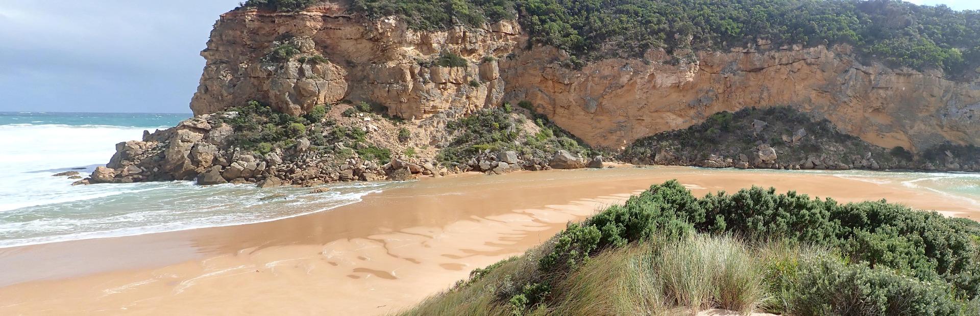
AHD G6 1.18 @12:20 (estimate only as board is covered with silt)
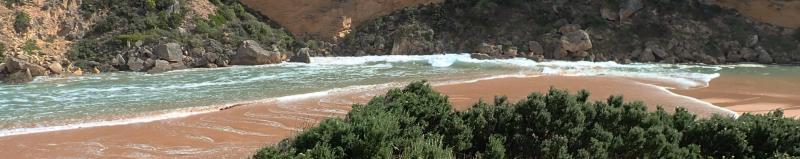
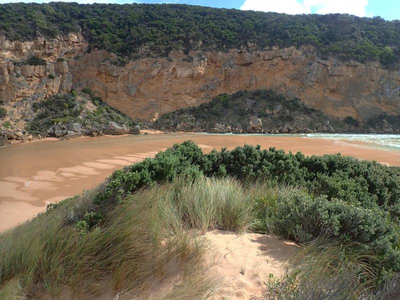
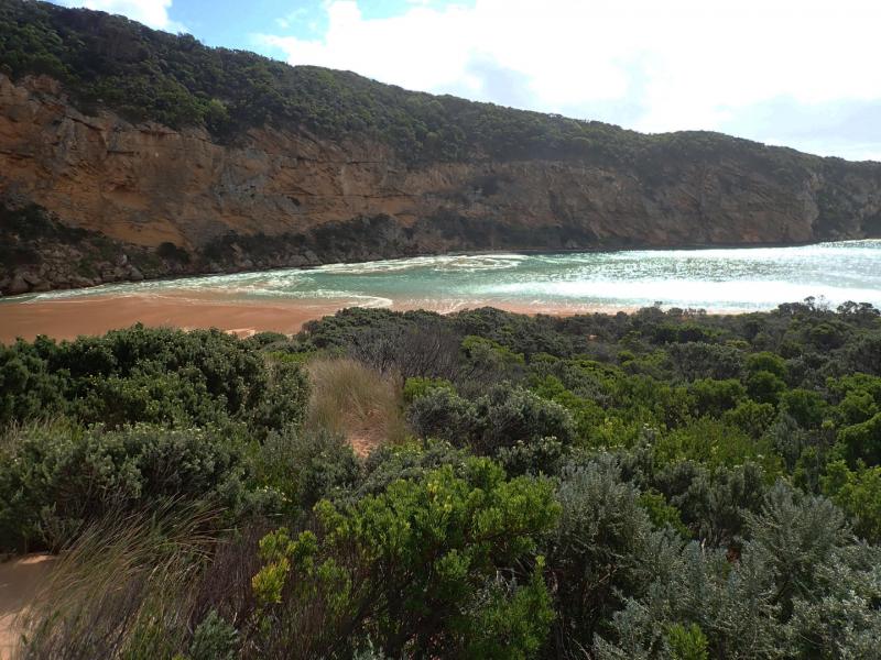
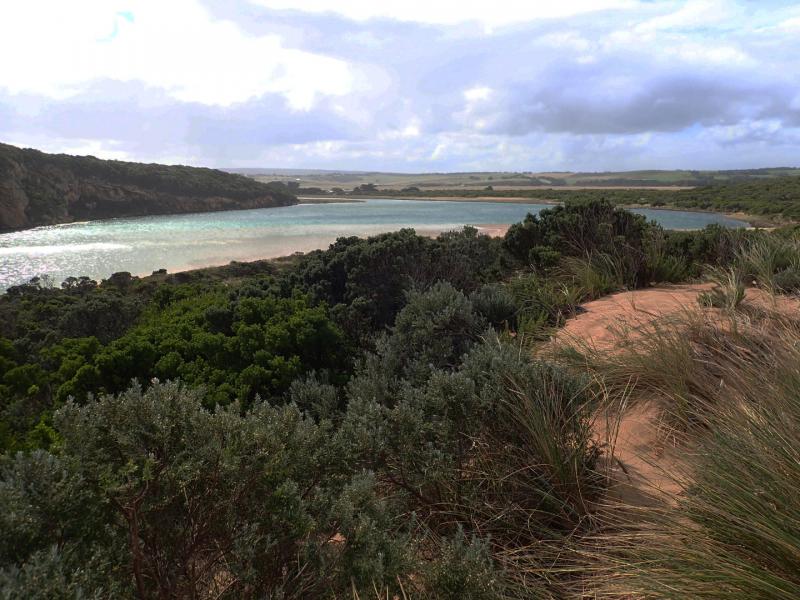
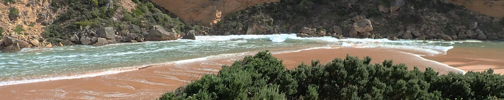
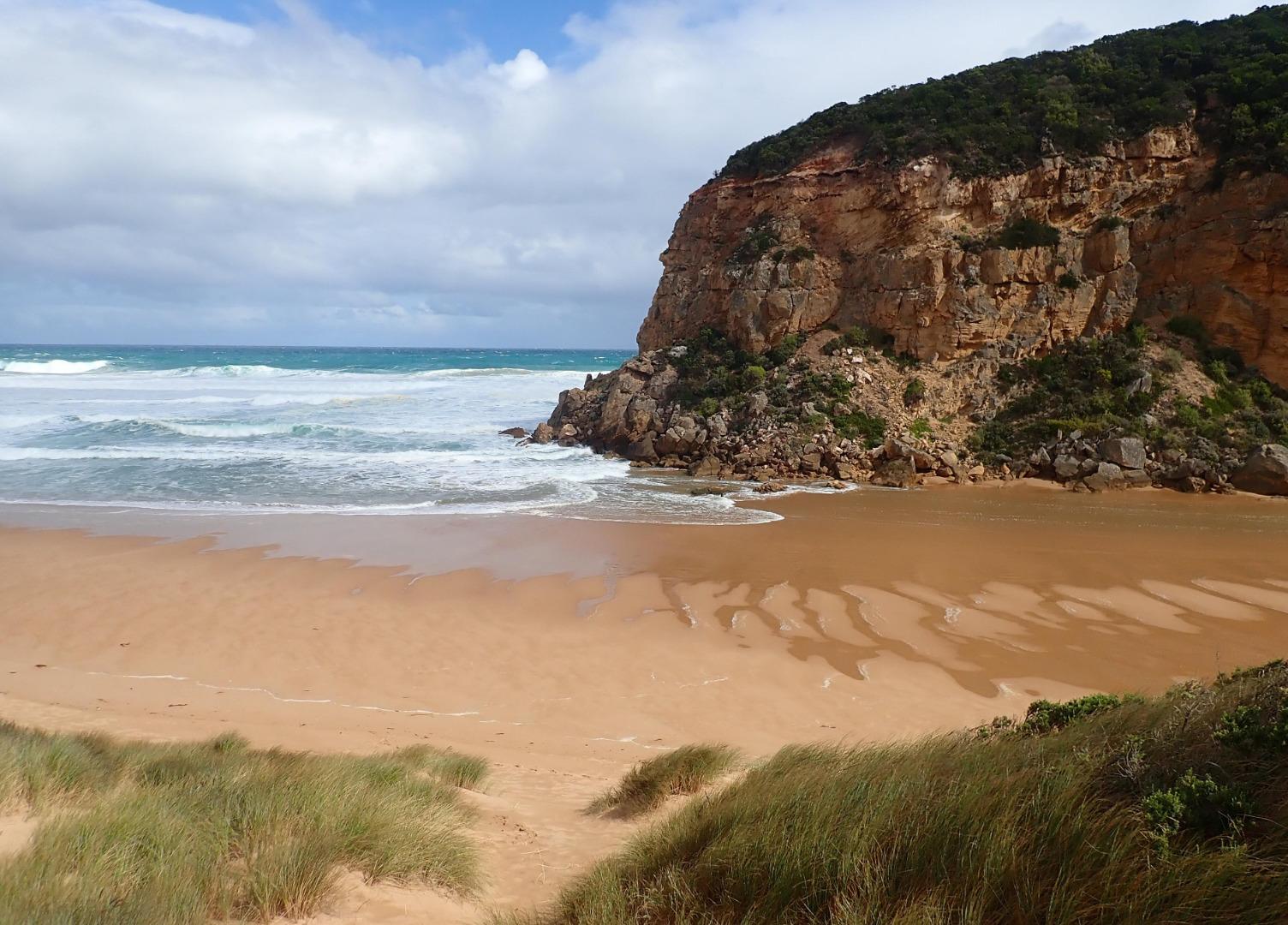
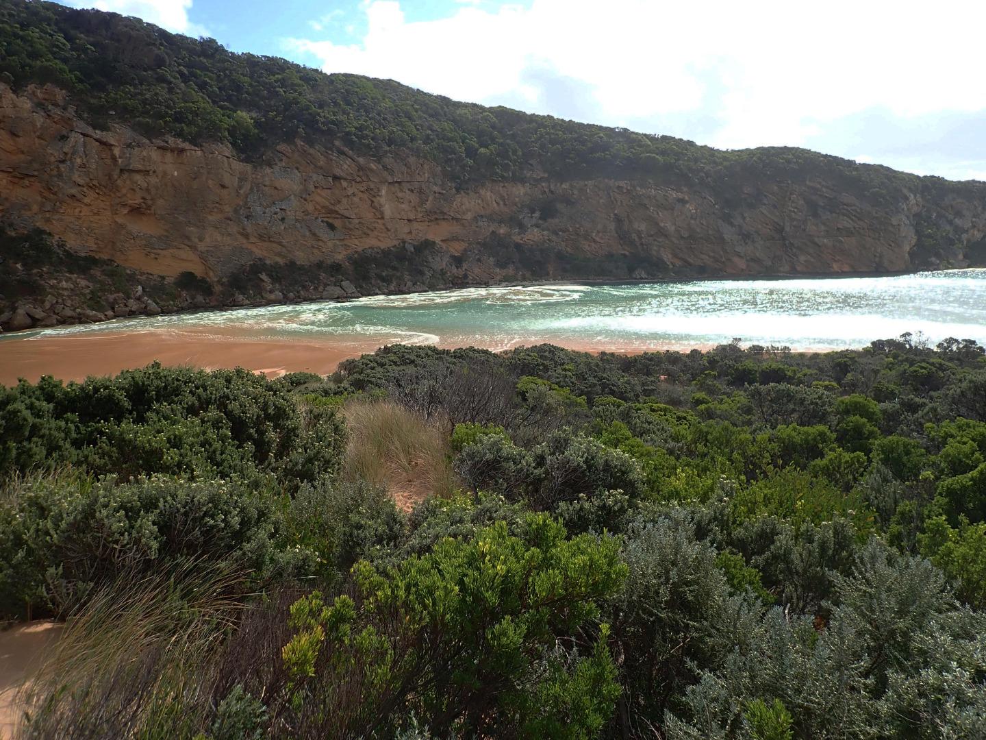
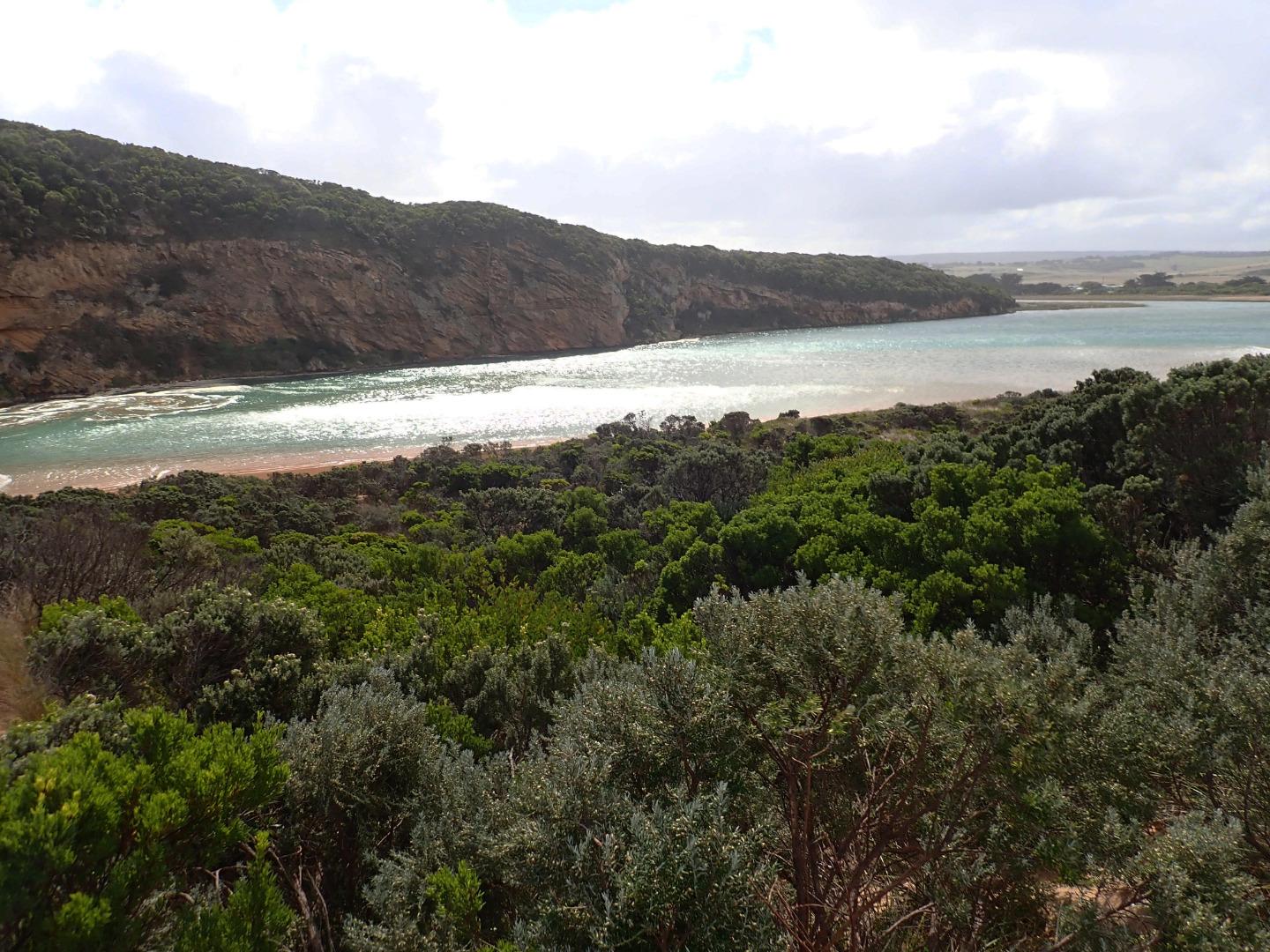
Mouth is open but high seas & SW swell (waves over 6m.) are entering completely across entrance & channel & travelling into estuary as well as going up to base of dunes all along the beach. Waves are up to base of dune at Gp1 site. Only salt water is entering & returning - green water extends into the estuary & well upstream of G2. Waves (some over 2m high) going down channel then turn east at start of estuary but an occasional wave proceeds north alongside of cliff face. Wind about 6 SE along beach but from S along channel gusts are stronger (7). Large amount of sand blowing into estuary as well as being carried in large waves down the channel . In between waves a large amount of sand is visible in channel with only a very slight flow of salt water return down below the side of cliff
Mouth Observation
| Mouth state | Open |
|---|---|
| Previous | C C C O O O O O C O O O O O O O O O O O O O O O O O O O O O C O O O O C O O O O O O C C C C C C C C O O O C C C C C O P C C C O O O O |
| Flow Present? | Yes |
| Previous | N N N Y Y Y Y Y N Y Y Y Y Y Y Y Y Y Y Y N Y Y Y Y Y Y Y Y Y N Y Y Y Y N Y Y Y Y Y Y N N N N N N N N Y Y Y N N N N N Y N N N N Y Y Y Y |
| Flow Direction | In |
| Previous | N N N O O O O O N O I O O O I O O I O O N O I O O O O O O O N O O O O N O O O O O I N N N N N N N N O O O N N N N N I N N N N O O O O |
| Above Sea | Above Estuary | |
|---|---|---|
| Berm Height (m) | ||
| Berm Length (m) |
Physical Condition
| Current | Mode | |
|---|---|---|
| Wind Direction | South | |
| Beaufort Scale | Strong breeze | |
| Sea State | High |


All content, files, data and images provided by the EstuaryWatch Data Portal and Gallery are subject to a Creative Commons Attribution License
Content is made available to be used in any way, and should always attribute EstuaryWatch and www.estuarywatch.org.au