EstuaryWatch Data Portal
GMC Gellibrand River Estuary Mouth Observation Site
3 May 2019
Overview
| Estuary | Gellibrand River Estuary |
|---|---|
| Site | Gellibrand River Estuary Mouth Observation Site |
| Observation ID | #12901 |
| Date and Time | Friday 3rd May 2019 10:45am |
| Approved | Approved |
Notes
AHD G6 1.42 @ 08:40
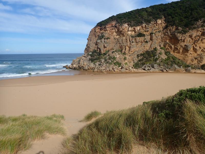
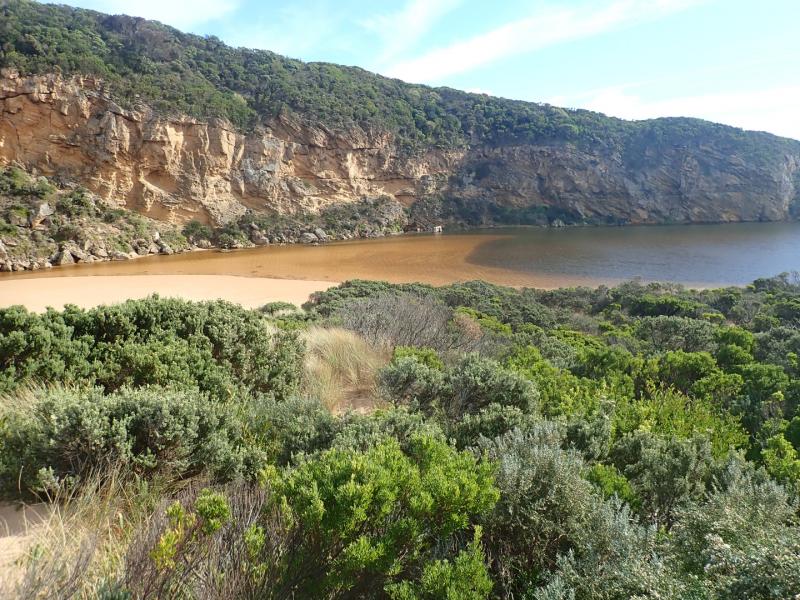
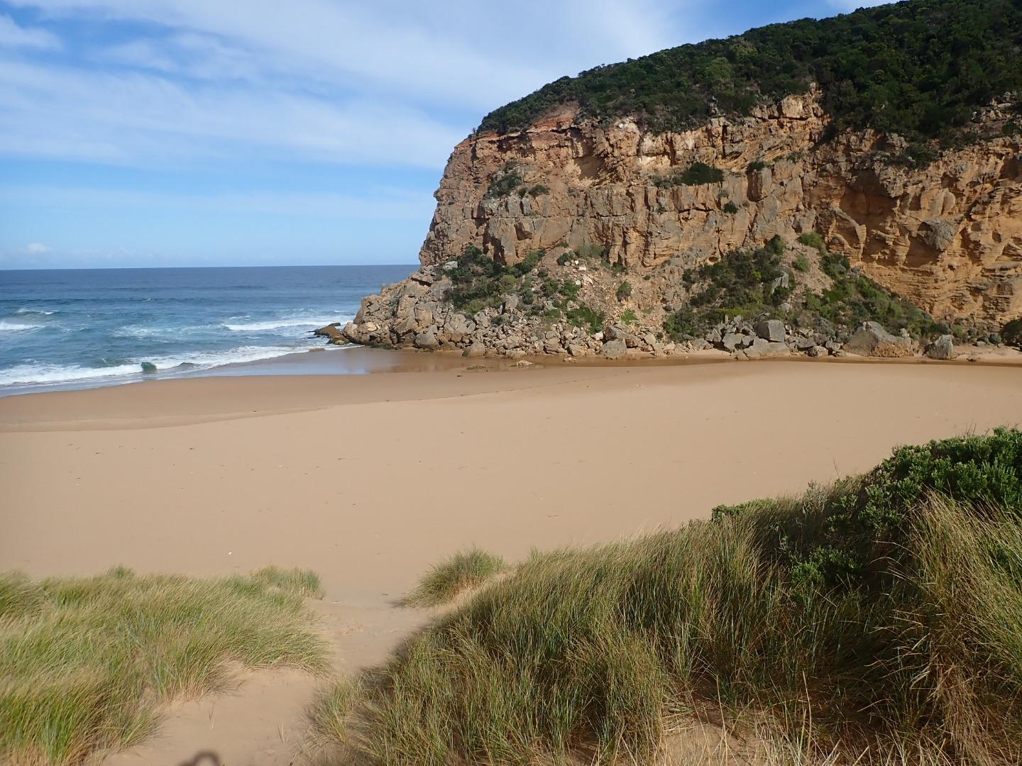
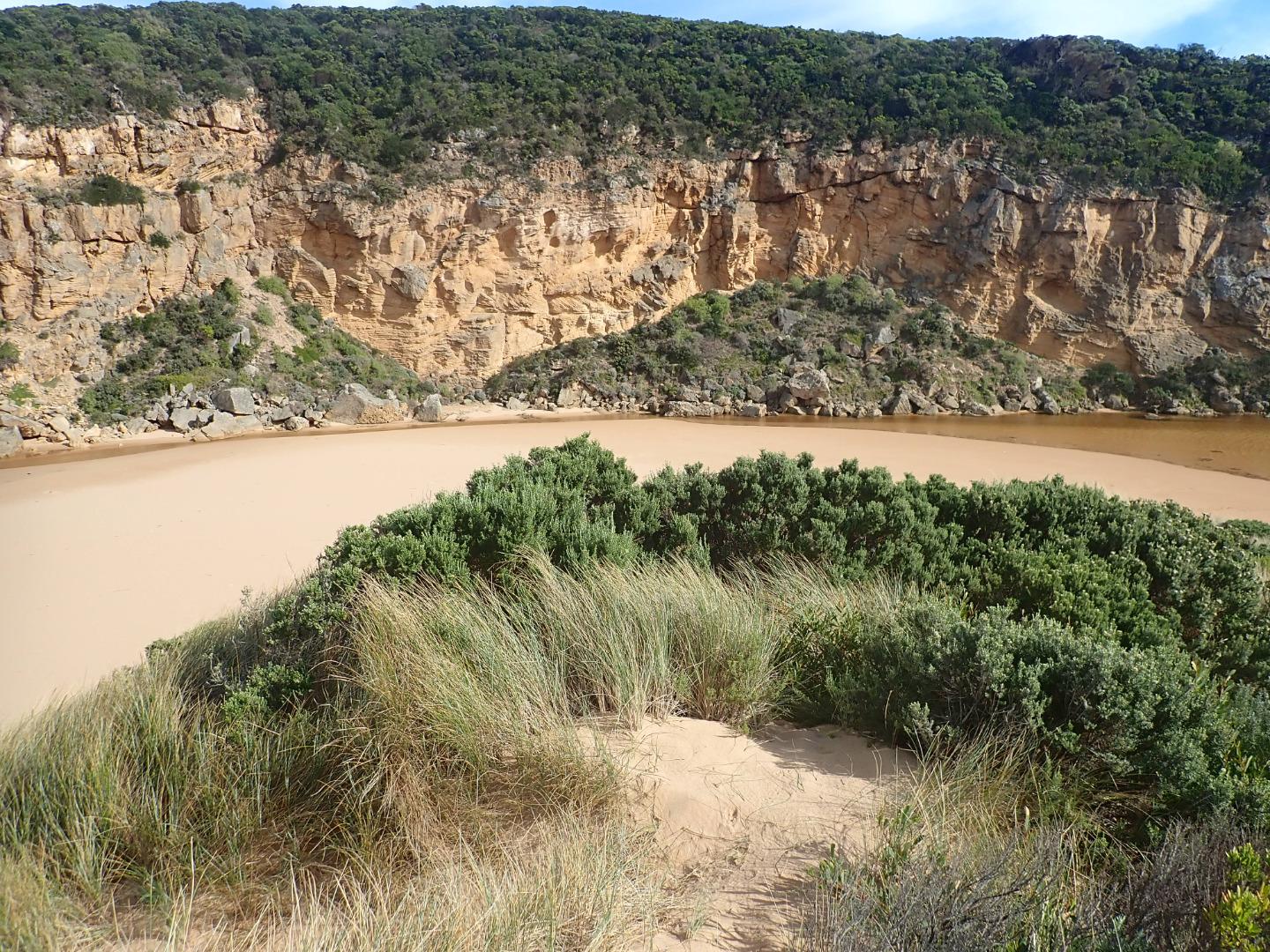
Shallow outflow opening wide over sand build up at entrance - very large amount of sand visible under water in estuary extending past tunnel entrance. sea moderate but some high sets breaking on sandbar about 50m. out & going very high up on beach. Occasional small waves from longshore drift & incoming sw swell going part way up channel to where it narrows down to about 2m.wide. Waves are going over top of high sand build up at mid beach (formerly a narrow projection but now extending towards east end of beach) where water then runs east along an area on top of high sand to slightly lower area where abruptly turning towards ocean it scours out narrow N/S channel - very large amount of sand visible in outflow & back wash in ocean at that area
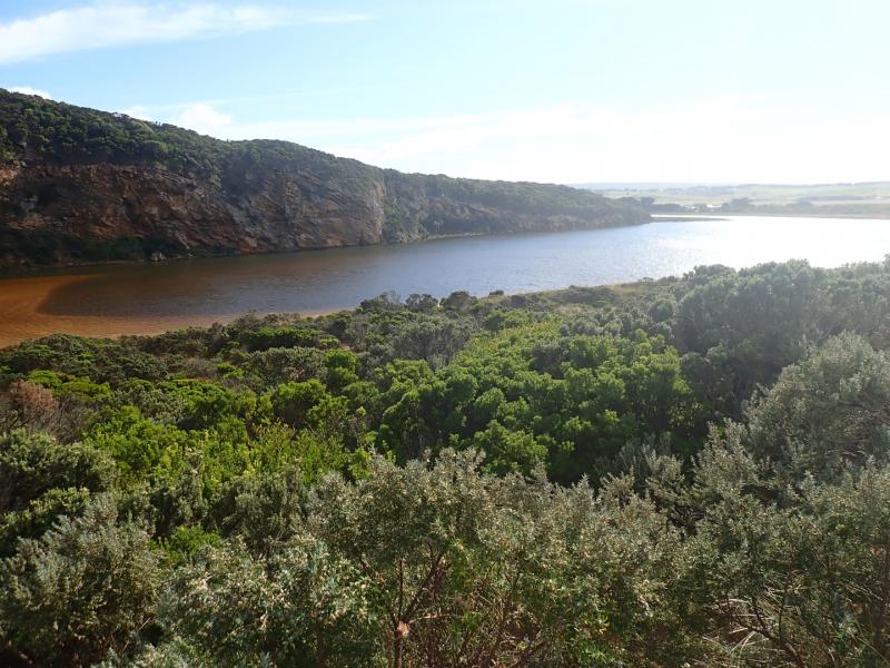
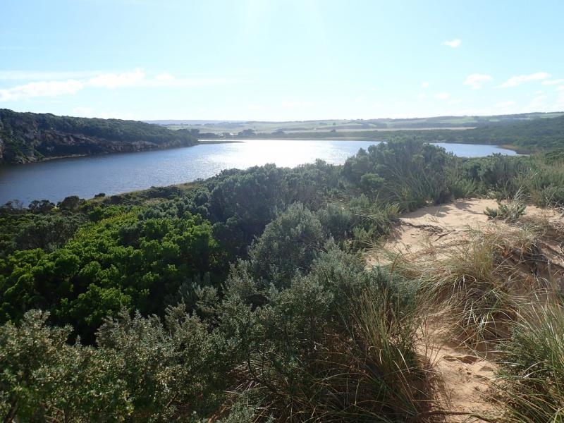
Water level in downstream of G2 is high, water over top track & nearly up to ocean car park. No water on any roads but at side of OOR between flood markers & GOR. Flats south side of G4 & downstream have visible water cover - further upstream water from runoff (about 30 ml. on 01-05-19) is only in very low areas & drains
Mouth Observation
| Mouth state | Open |
|---|---|
| Previous | O C O O O O O O O O O O O O O O O O O O O O O C O O O O C O O O O O O C C C C C C C C O O O C C C C C O P C C C O O O O O O O O O C |
| Flow Present? | Yes |
| Previous | Y N Y Y Y Y Y Y Y Y Y Y Y N Y Y Y Y Y Y Y Y Y N Y Y Y Y N Y Y Y Y Y Y N N N N N N N N Y Y Y N N N N N Y N N N N Y Y Y Y Y Y Y Y Y N |
| Flow Direction | Out |
| Previous | O N O I O O O I O O I O O N O I O O O O O O O N O O O O N O O O O O I N N N N N N N N O O O N N N N N I N N N N O O O O I O I I I N |
| Above Sea | Above Estuary | |
|---|---|---|
| Berm Height (m) | ||
| Berm Length (m) |
Physical Condition
| Current | Mode | |
|---|---|---|
| Wind Direction | North | |
| Beaufort Scale | Gentle breeze | |
| Sea State | Moderate |


All content, files, data and images provided by the EstuaryWatch Data Portal and Gallery are subject to a Creative Commons Attribution License
Content is made available to be used in any way, and should always attribute EstuaryWatch and www.estuarywatch.org.au