EstuaryWatch Data Portal
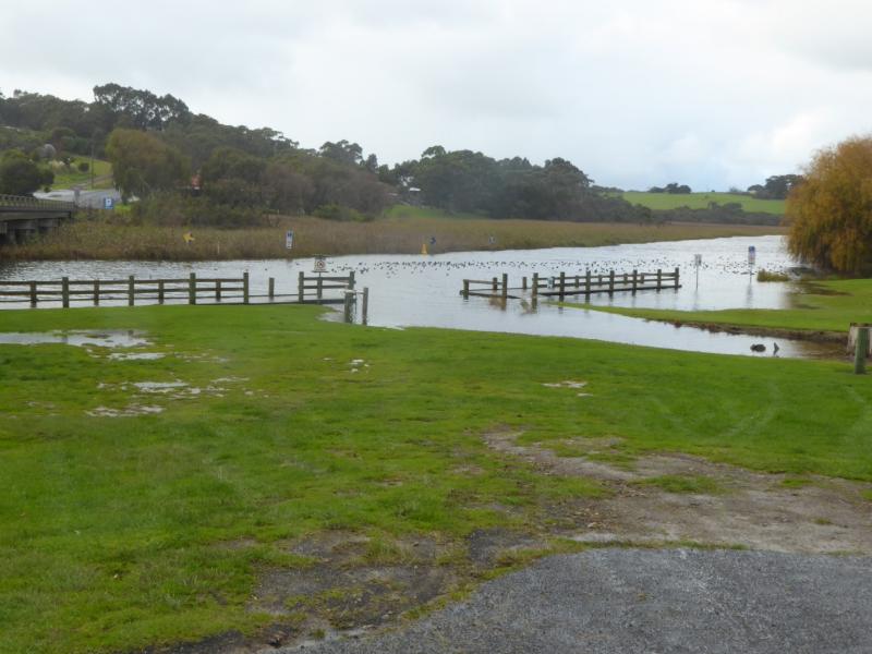
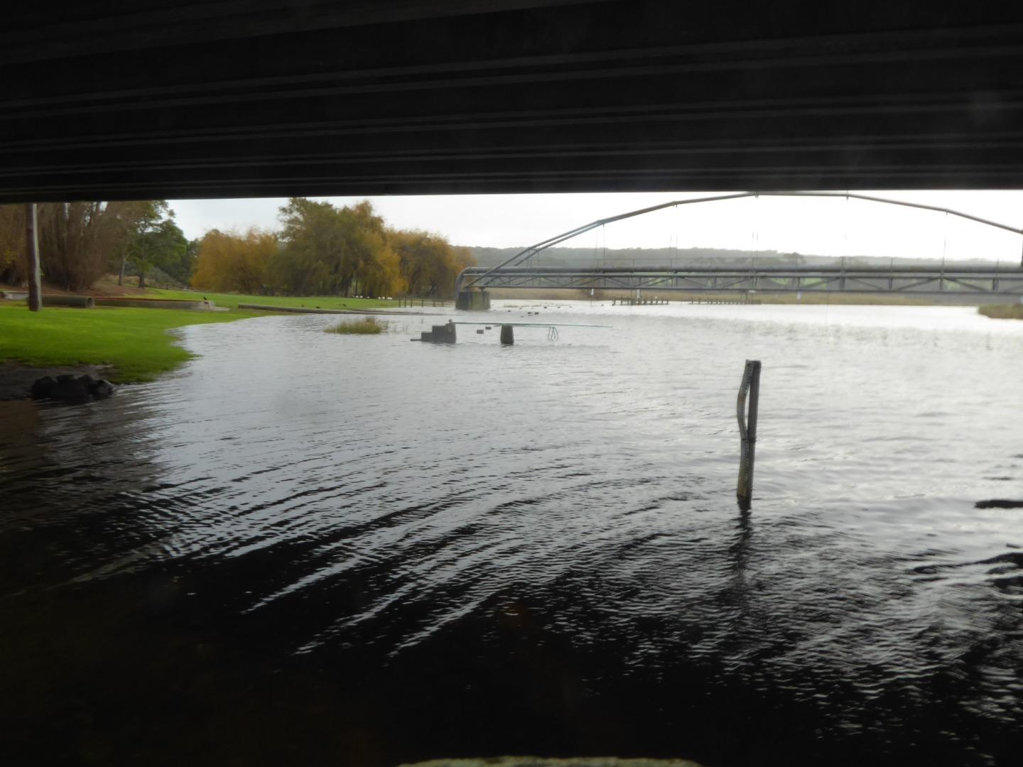
Cu2 Boggy Creek Road fishing jetty
4 June 2019
Observation details
Overview
| Estuary | Curdies River Estuary |
|---|---|
| Site | Boggy Creek Road fishing jetty |
| Observation ID | #13110 |
| Date and Time | Tuesday 4th June 2019 10:25am |
| Approved | Approved |
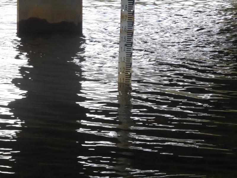
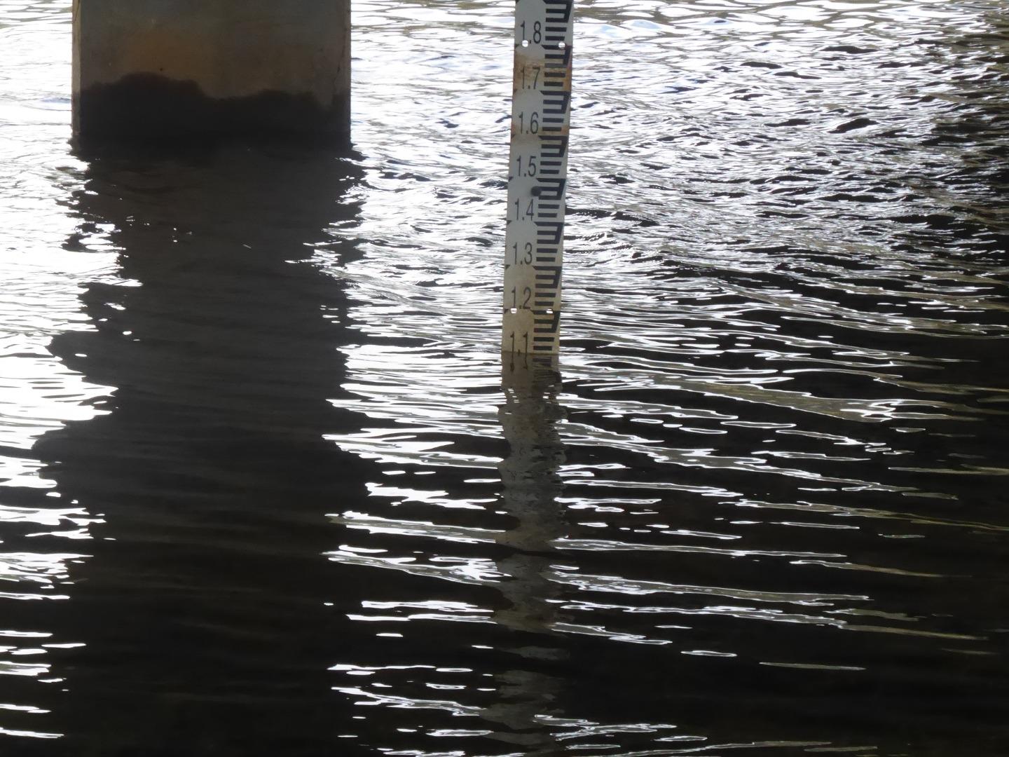
Depth Profiling
| Depth m | Temperature °C | Salinity ppt | D.O. mg/L | D.O. % sat | EC mS/cm | Notes | |
|---|---|---|---|---|---|---|---|
| 0.1m | 10.80 | 1.30 | 9.20 | 84.9 | 2.43 | ||
| Previous | 14.0 | 6.0 | 9.8 | 99.3 | 10.4 | ||
| Median | 18.4 | 4.10 | 7.94 | 84.20 | 7.6 | ||
| 0.5m | 10.70 | 1.30 | 9.35 | 84.2 | 2.46 | ||
| Previous | 15.1 | 5.7 | 7.6 | 75.1 | 9.9 | ||
| Median | 18.4 | 4.10 | 7.94 | 84.20 | 7.6 | ||
| 1.0m | 10.70 | 1.30 | 9.23 | 83.5 | 2.48 | ||
| Previous | 15.3 | 9.7 | 3.3 | 17.2 | 16.3 | ||
| Median | 18.9 | 9.70 | 7.68 | 86.30 | 16.3 | ||
| 1.5m | 10.70 | 1.30 | 9.15 | 83.5 | 2.52 | ||
| Previous | 17.4 | 10.4 | 7.7 | 76.9 | 17.7 | ||
| Median | 18.9 | 9.90 | 8.12 | 90.50 | 16.8 | ||
| 1.9m | 10.70 | 1.30 | 9.02 | 82.0 | 2.53 | ||
| Previous | 21.2 | 10.2 | 7.2 | 86.3 | 17.4 | ||
| Median | 18.9 | 8.10 | 8.12 | 90.50 | 13.9 |


All content, files, data and images provided by the EstuaryWatch Data Portal and Gallery are subject to a Creative Commons Attribution License
Content is made available to be used in any way, and should always attribute EstuaryWatch and www.estuarywatch.org.au