EstuaryWatch Data Portal
GMC Gellibrand River Estuary Mouth Observation Site
27 January 2020
Observation details
Overview
| Estuary | Gellibrand River Estuary |
|---|---|
| Site | Gellibrand River Estuary Mouth Observation Site |
| Observation ID | #13552 |
| Date and Time | Monday 27th January 2020 15:12pm |
| Approved | Approved |
Notes
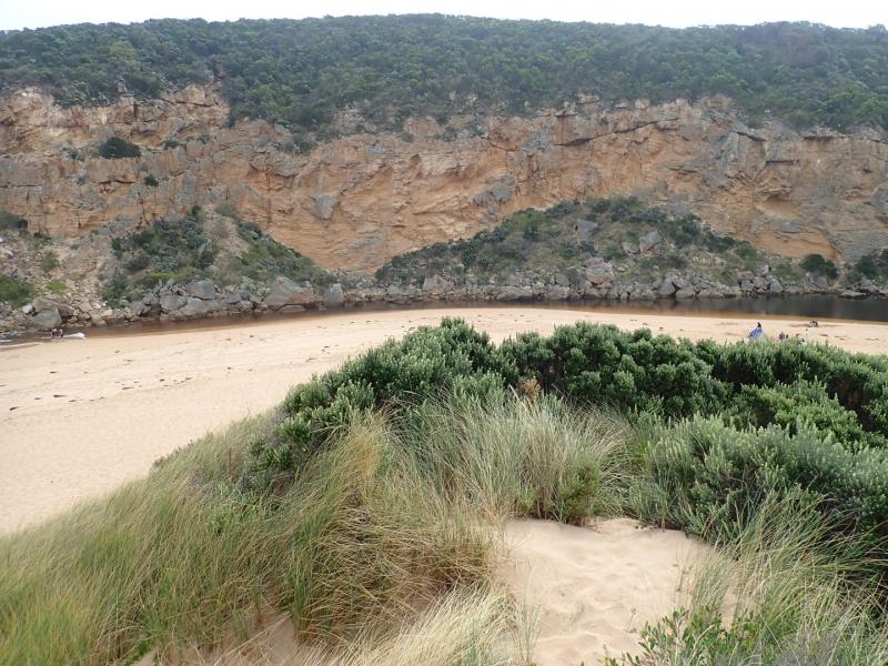
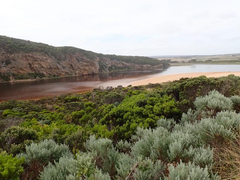
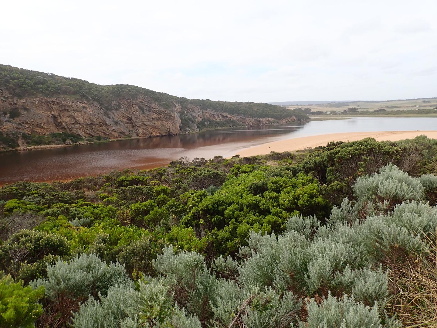
Strong longshore drift meeting outflow & incoming SW swell =large waves across entrance with some covering rocks & going up channel into lagoon. Overtopping waves at east end of beach have created a wide depression between beach front & dunes. Tidal range for 27-01-2020 was between 1.13 @ 02:33 & 0.17 @ 19:57
Mouth Observation
| Mouth state | Open |
|---|---|
| Previous | O C C C C C C C C O O O C C C C C O P C C C O O O O O O O O O C O O O O O O O O O O O O O O O O O O O O O O O O O |
| Flow Present? | Yes |
| Previous | Y N N N N N N N N Y Y Y N N N N N Y N N N N Y Y Y Y Y Y Y Y Y N Y Y Y Y Y Y Y Y Y Y Y Y Y Y Y Y Y Y Y Y Y Y Y Y Y |
| Flow Direction | Out |
| Previous | I N N N N N N N N O O O N N N N N I N N N N O O O O I O I I I N O I O O O O O I O O O O O O O O O O O I O O O O O |
| Above Sea | Above Estuary | |
|---|---|---|
| Berm Height (m) | ||
| Berm Length (m) |
Physical Condition
| Current | Mode | |
|---|---|---|
| Wind Direction | South | |
| Beaufort Scale | Gentle breeze | |
| Sea State | Rough |


All content, files, data and images provided by the EstuaryWatch Data Portal and Gallery are subject to a Creative Commons Attribution License
Content is made available to be used in any way, and should always attribute EstuaryWatch and www.estuarywatch.org.au