EstuaryWatch Data Portal
GMC Gellibrand River Estuary Mouth Observation Site
11 February 2020
Observation details
Overview
| Estuary | Gellibrand River Estuary |
|---|---|
| Site | Gellibrand River Estuary Mouth Observation Site |
| Observation ID | #13606 |
| Date and Time | Tuesday 11th February 2020 10:36am |
| Approved | Approved |
Notes
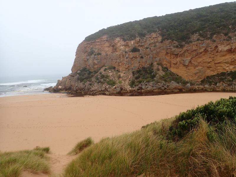
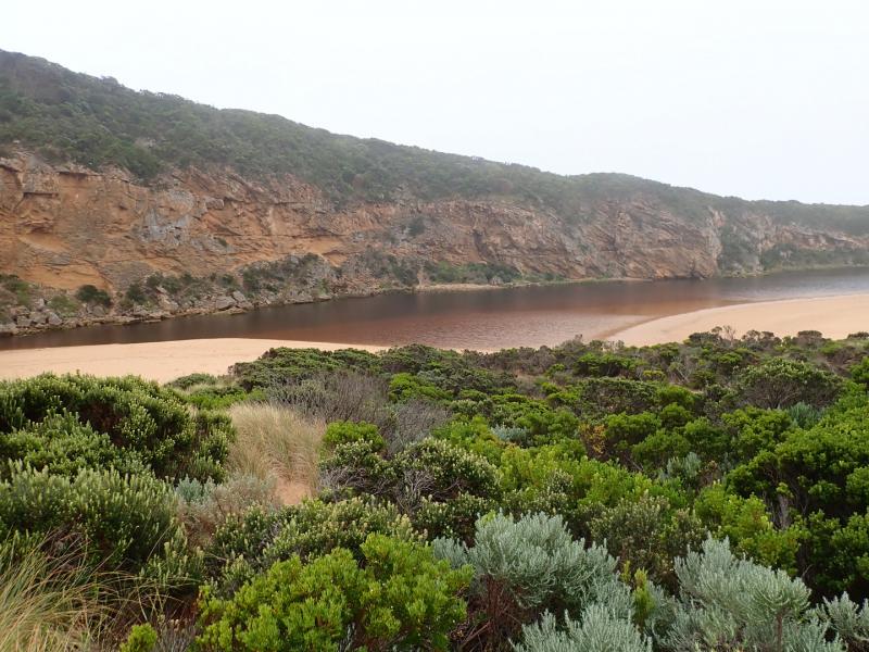
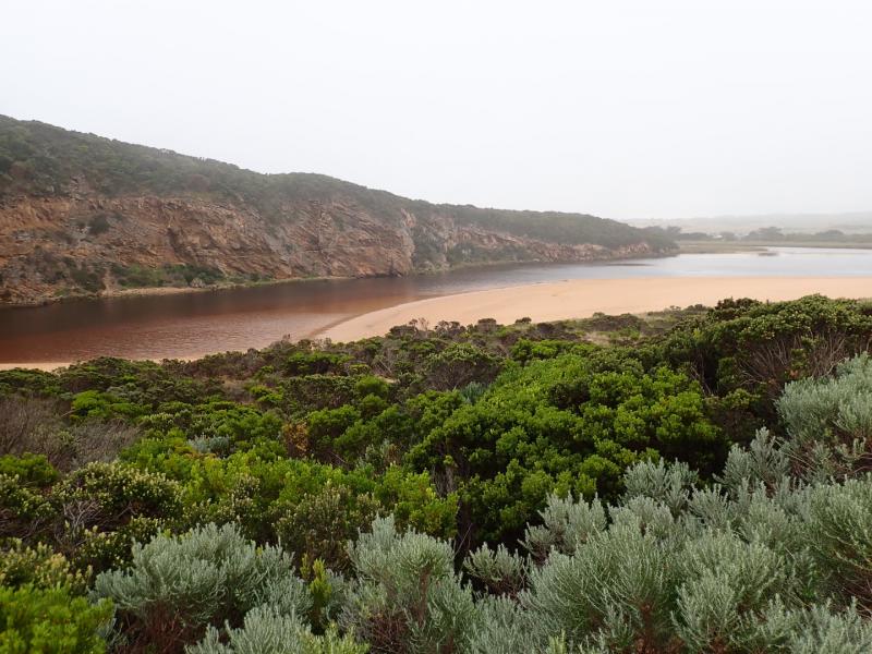
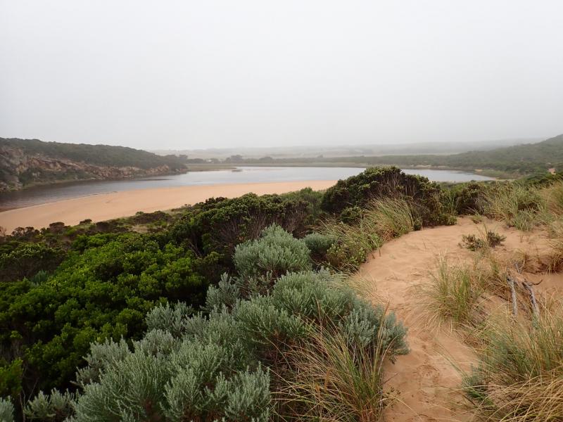
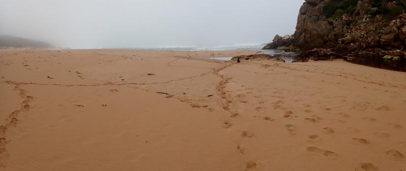
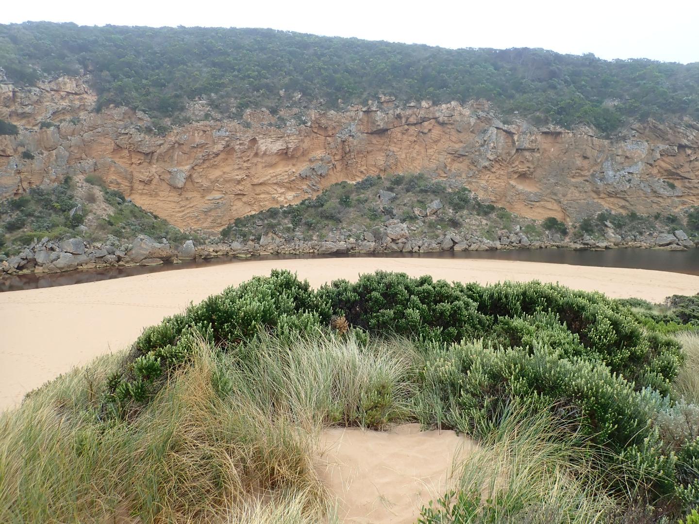
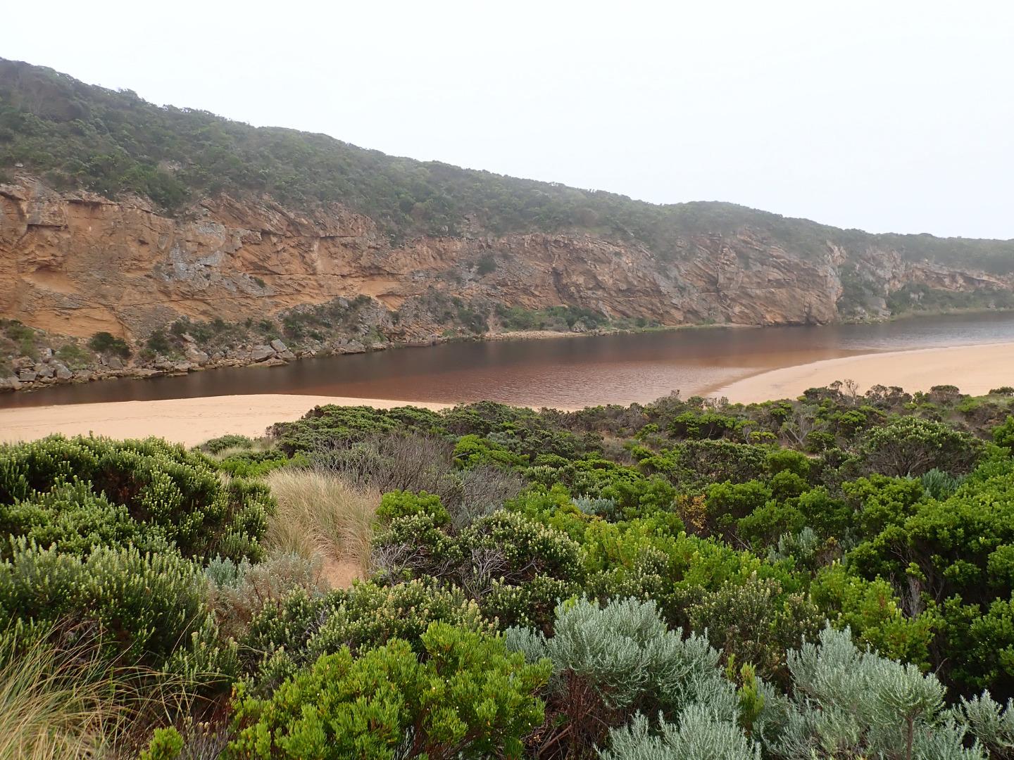
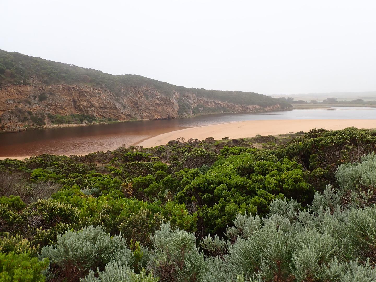
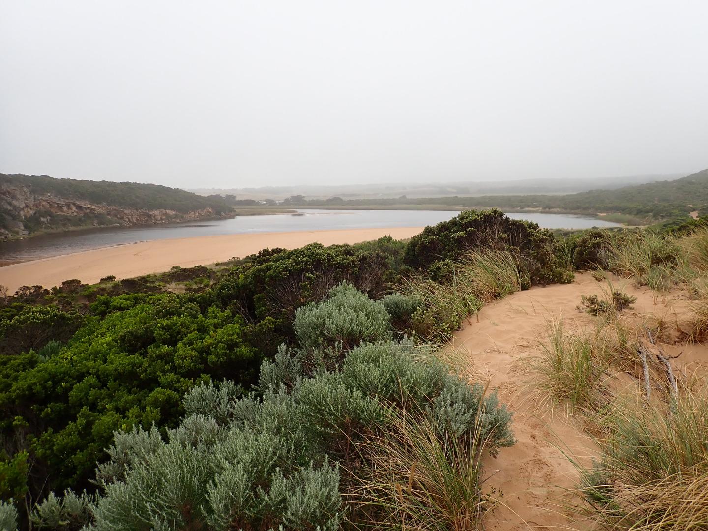
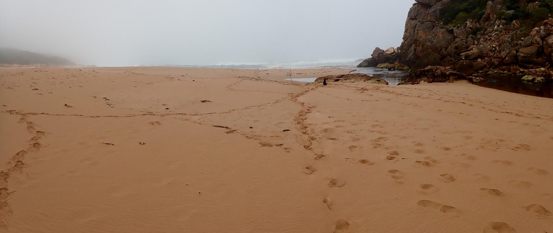
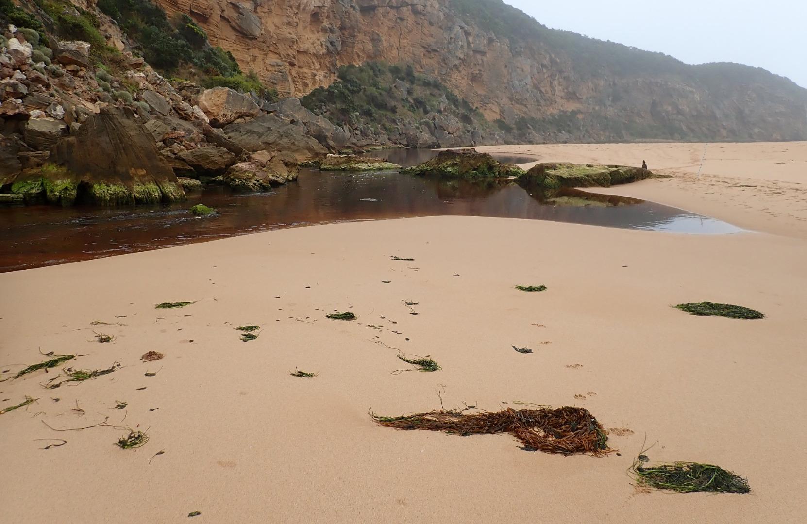
Fast flow out from receding tide & reduced wave height. Slight discharge to east. Mid beach highest area -undulating to east end. Depression between beach front & dunes remains.Waves have been travelling down this area & entering river channel on both sides of rocks (confirmed by swash line)
Heavy wet fog with poor visibility
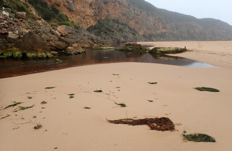
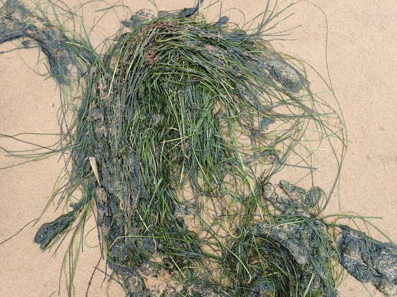
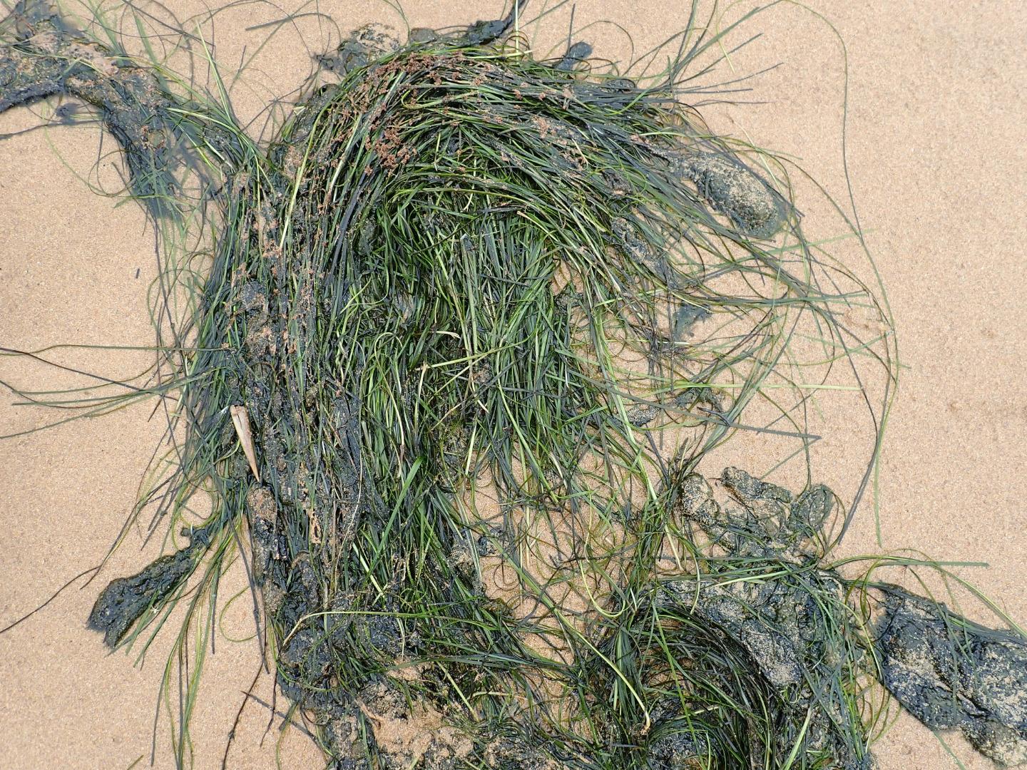
Large patches of seagrass & algae along SE & E side of lagoon. Large areas of algae forming in Latrobe creek wetlands
1 dead flounder near river channel -stranded
Mouth Observation
| Mouth state | Open |
|---|---|
| Previous | C C C C C C O O O C C C C C O P C C C O O O O O O O O O C O O O O O O O O O O O O O O O O O O O O O O O O O O |
| Flow Present? | Yes |
| Previous | N N N N N N Y Y Y N N N N N Y N N N N Y Y Y Y Y Y Y Y Y N Y Y Y Y Y Y Y Y Y Y Y Y Y Y Y Y Y Y Y Y Y Y Y Y Y Y |
| Flow Direction | Out |
| Previous | N N N N N N O O O N N N N N I N N N N O O O O I O I I I N O I O O O O O I O O O O O O O O O O O I O O O O O O |
| Above Sea | Above Estuary | |
|---|---|---|
| Berm Height (m) | ||
| Berm Length (m) |
Physical Condition
| Current | Mode | |
|---|---|---|
| Wind Direction | North | |
| Beaufort Scale | Calm | |
| Sea State | Moderate |


All content, files, data and images provided by the EstuaryWatch Data Portal and Gallery are subject to a Creative Commons Attribution License
Content is made available to be used in any way, and should always attribute EstuaryWatch and www.estuarywatch.org.au