EstuaryWatch Data Portal
GMC Gellibrand River Estuary Mouth Observation Site
7 March 2020
Observation details
Overview
| Estuary | Gellibrand River Estuary |
|---|---|
| Site | Gellibrand River Estuary Mouth Observation Site |
| Observation ID | #13608 |
| Date and Time | Saturday 7th March 2020 10:05am |
| Approved | Approved |
Notes
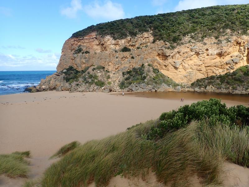
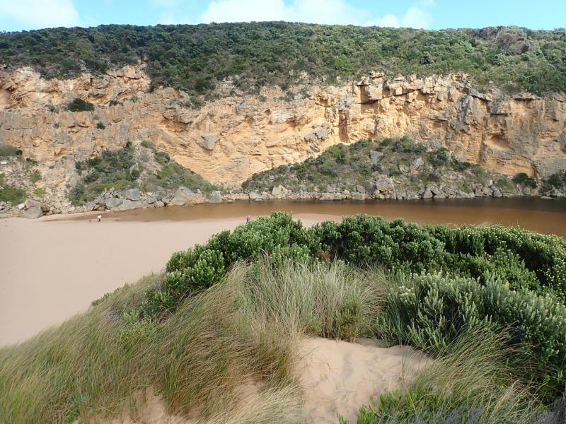
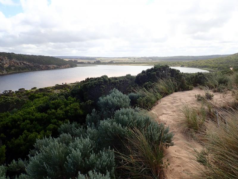
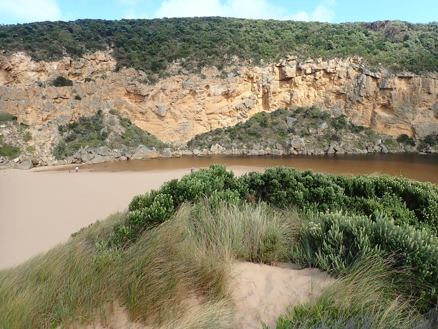
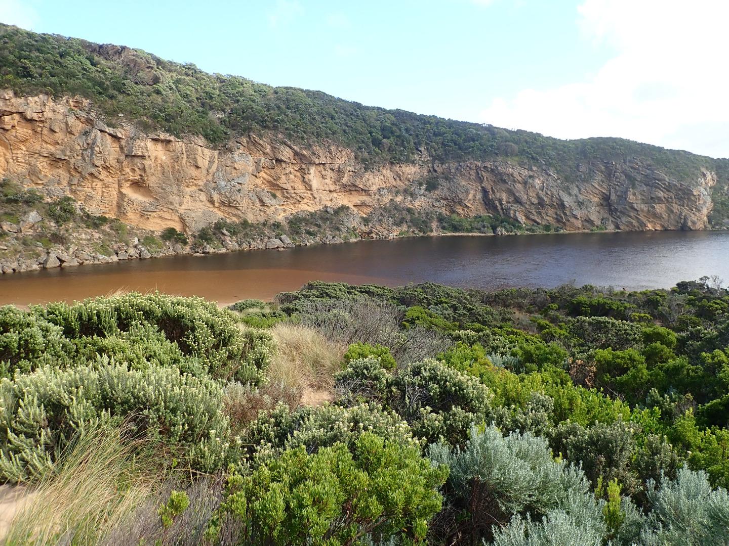
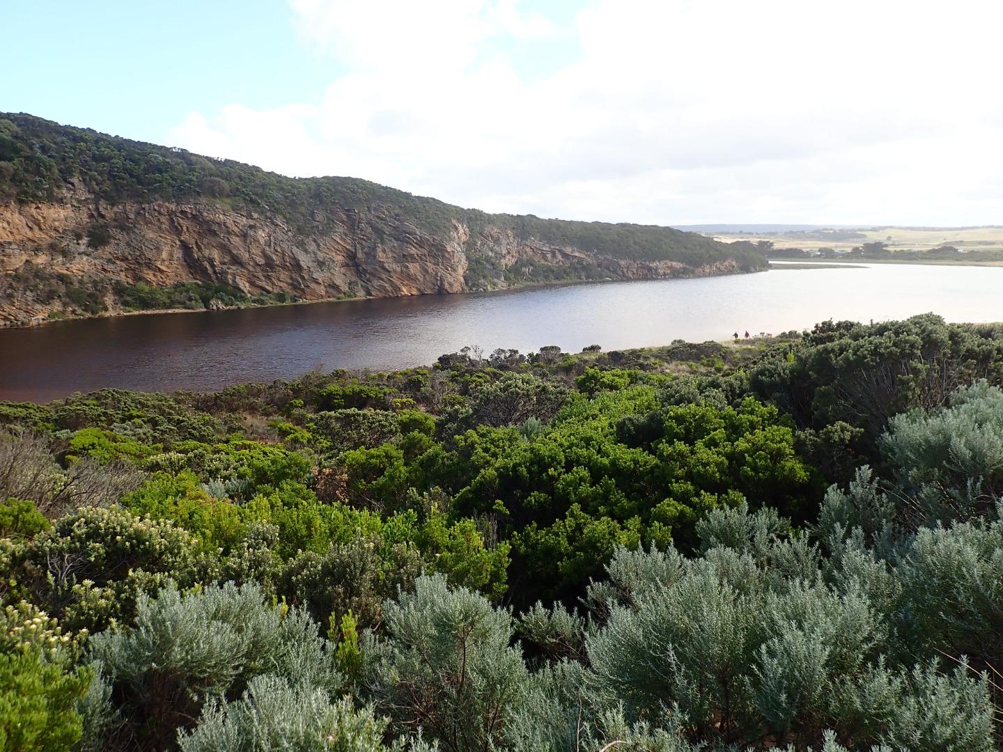
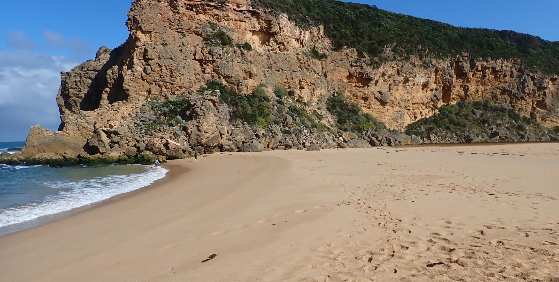
Observation taken @ low tide
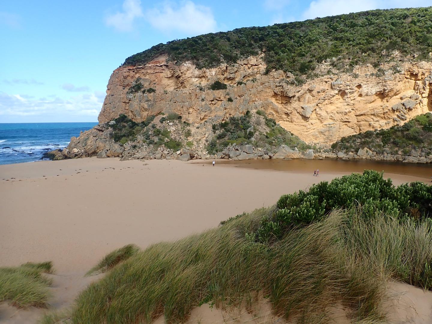
Sand height has increased between mid beach & mouth. Beach shape has changed, higher @ mid beach with broad projection extending slightly out to sea, while area towards mouth is higher - the area to east is lower & undulating. A sandbar is running parallel to shore about 40m. out, starting from the projection & continuing close to mouth
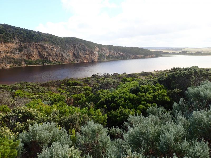
Upstream flats up to G4 are starting to flood . No water over OOR nor in area upstream G4 apart from small area between G5& G4
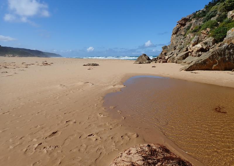
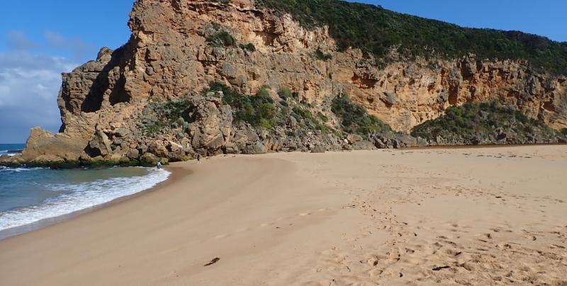
Mouth Observation
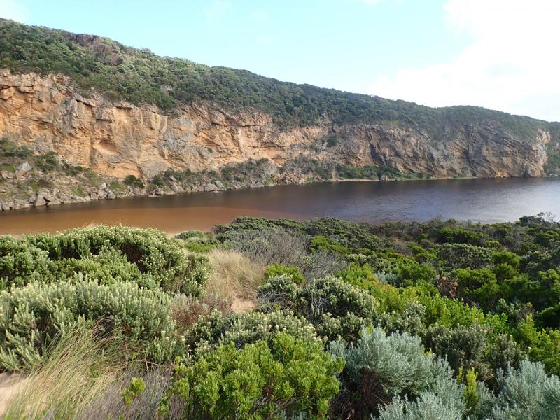
| Mouth state | Closed |
|---|---|
| Previous | C O O O C C C C C O P C C C O O O O O O O O O C O O O O O O O O O O O O O O O O O O O O O O O O O O O O P |
| Flow Present? | No |
| Previous | N Y Y Y N N N N N Y N N N N Y Y Y Y Y Y Y Y Y N Y Y Y Y Y Y Y Y Y Y Y Y Y Y Y Y Y Y Y Y Y Y Y Y Y Y Y Y N |
| Flow Direction | N/A |
| Previous | N O O O N N N N N I N N N N O O O O I O I I I N O I O O O O O I O O O O O O O O O O O I O O O O O O O O N |
| Above Sea | Above Estuary | |
|---|---|---|
| Berm Height (m) | 0.5m | 0.3m |
| Berm Length (m) | 52.5m |
Physical Condition
| Current | Mode | |
|---|---|---|
| Wind Direction | South-East | |
| Beaufort Scale | Moderate breeze | |
| Sea State | Moderate |


All content, files, data and images provided by the EstuaryWatch Data Portal and Gallery are subject to a Creative Commons Attribution License
Content is made available to be used in any way, and should always attribute EstuaryWatch and www.estuarywatch.org.au