EstuaryWatch Data Portal
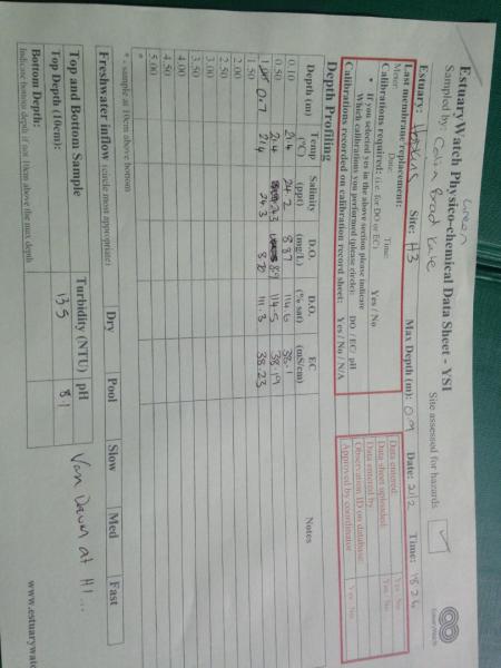
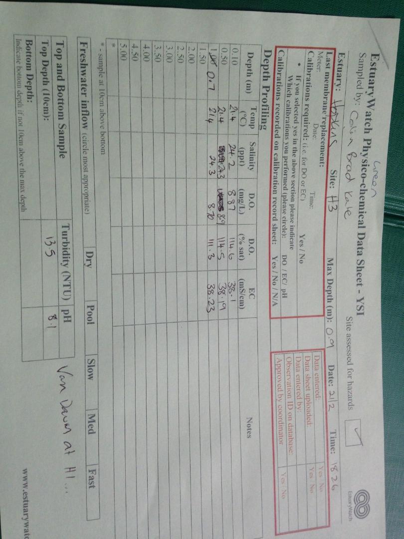
H3 Site three (Mahoneys Road)
21 February 2020
Observation details
Overview
| Estuary | Hopkins River Estuary |
|---|---|
| Site | Site three (Mahoneys Road) |
| Observation ID | #13599 |
| Date and Time | Friday 21st February 2020 18:26pm |
| Approved | Approved |
Depth Profiling
| Depth m | Temperature °C | Salinity ppt | D.O. mg/L | D.O. % sat | EC mS/cm | Notes | |
|---|---|---|---|---|---|---|---|
| 0.1m | 21.40 | 24.20 | 8.87 | 114.6 | 38.10 | ||
| Previous | 20.8 | 27.4 | 8.6 | 113.5 | 42.5 | ||
| Median | 16.3 | 7.10 | 9.62 | 109.80 | 12.3 | ||
| 0.5m | 21.40 | 24.30 | 8.90 | 114.5 | 39.19 | ||
| Previous | 24.4 | 22.1 | 8.5 | 114.5 | 35.1 | ||
| Median | 16.3 | 7.10 | 10.08 | 109.80 | 12.3 | ||
| 0.7m | 21.40 | 24.30 | 8.70 | 111.3 | 38.23 | ||
| Previous | 16.7 | 7.1 | 11.8 | 126.5 | 12.3 | ||
| Median | 14.2 | 7.00 | 10.08 | 108.00 | 11.8 |

All content, files, data and images provided by the EstuaryWatch Data Portal and Gallery are subject to a Creative Commons Attribution License
Content is made available to be used in any way, and should always attribute EstuaryWatch and www.estuarywatch.org.au