EstuaryWatch Data Portal
Site details
Overview
| Estuary | Erskine River Estuary |
|---|---|
| CMA | Corangamite CMA |
| Type | Photopoint |
| Site code | Ep2 |
| Site name | Erskine River Estuary Mouth Photopoint 2 |
| Nearest road and town | Great Ocean Road, Lorne |
| Description | Centre location on swing bridge across estuary |
| Site access | Turn off Mountjoy Parade and head east along the foreshore gravel road towards the swing bridge. |
| Land use |
|
| Land use description | Open space area on southern bank of estuary and a thin strip of vege on north side (that seperates the estuary from the Great Ocean Road). |
| Status | Active |
| Observation history | 14-09-2010 - 28-02-2022 |
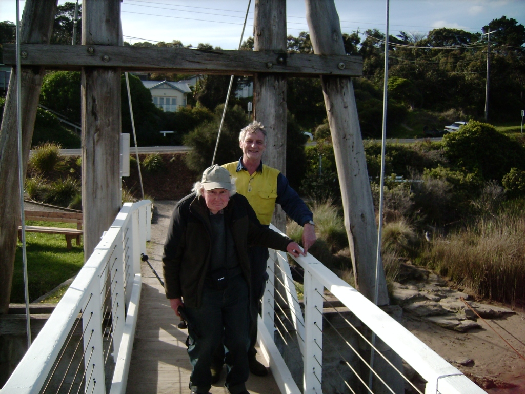
Erskine River EstuaryWatchers at Ep2 |
|
Photopoint photos
No photos found for the specified period

All content, files, data and images provided by the EstuaryWatch Data Portal and Gallery are subject to a Creative Commons Attribution License
Content is made available to be used in any way, and should always attribute EstuaryWatch and www.estuarywatch.org.au