EstuaryWatch Data Portal
Site details
Overview
| Estuary | Barwon River Estuary |
|---|---|
| CMA | Corangamite CMA |
| Type | Photopoint |
| Site code | Bp2 |
| Site name | Barwon Photopoint 2 |
| Nearest road and town | Barwon Heads-Ocean Grove Rd |
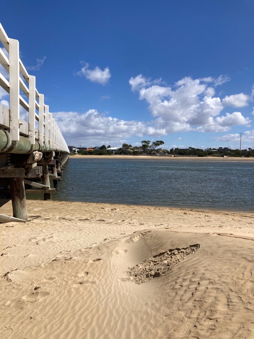
| Description | 2metres out from 2nd pylon located at the eastern end of the Barwon Heads - Ocean Grove Road bridge (landward side of the bridge) |
| Site access | Site accessed from Ocean Grove side of the Barwon Heads - Ocean Grove Road bridge. |
| Land use |
|
| Land use description | Refer to Bp1 for details. |
| Status | Active |
| Observation history | 27-07-2010 - 04-04-2024 |
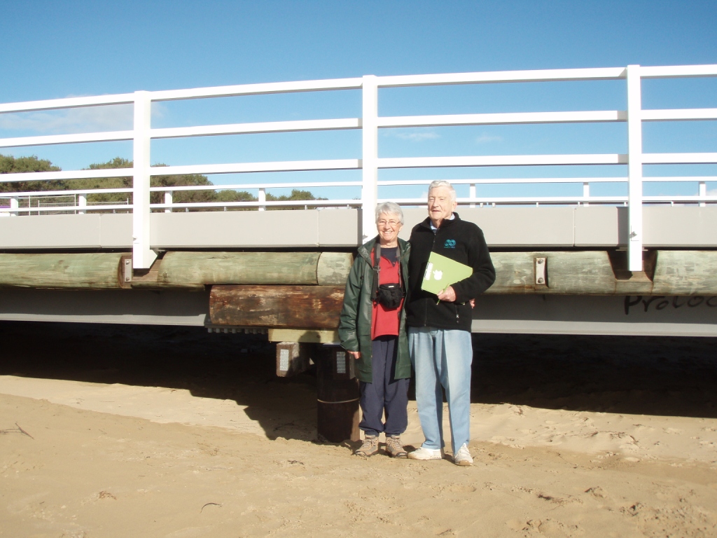
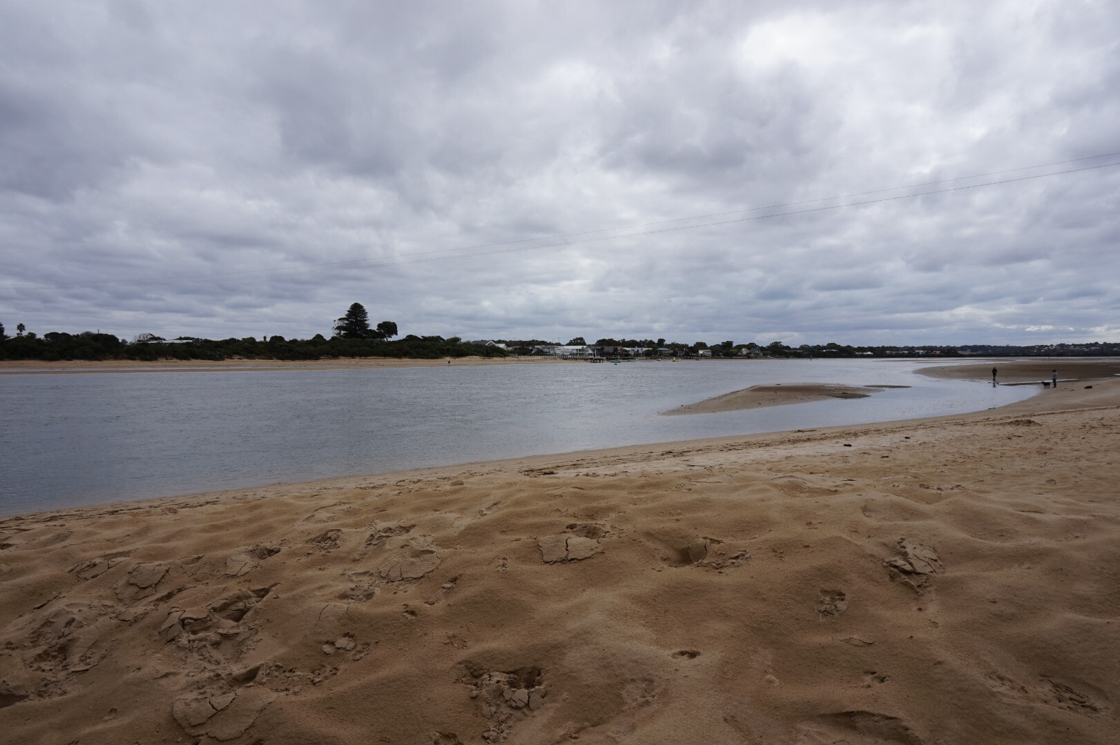
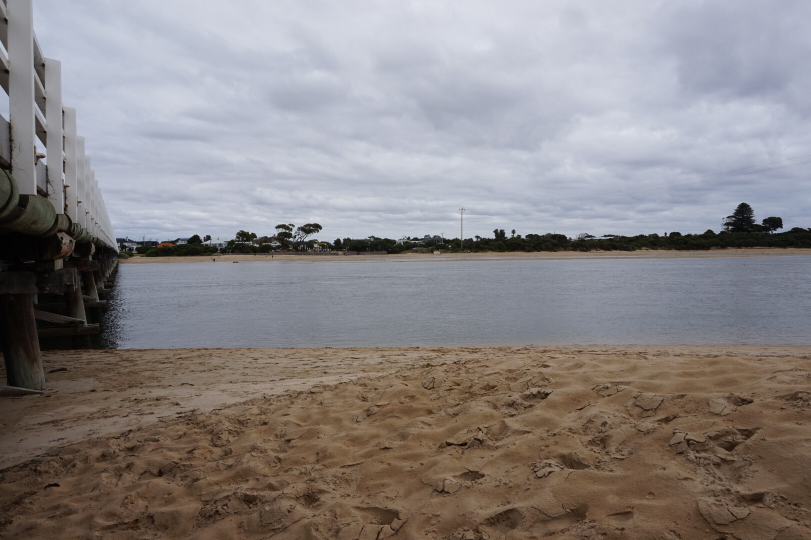
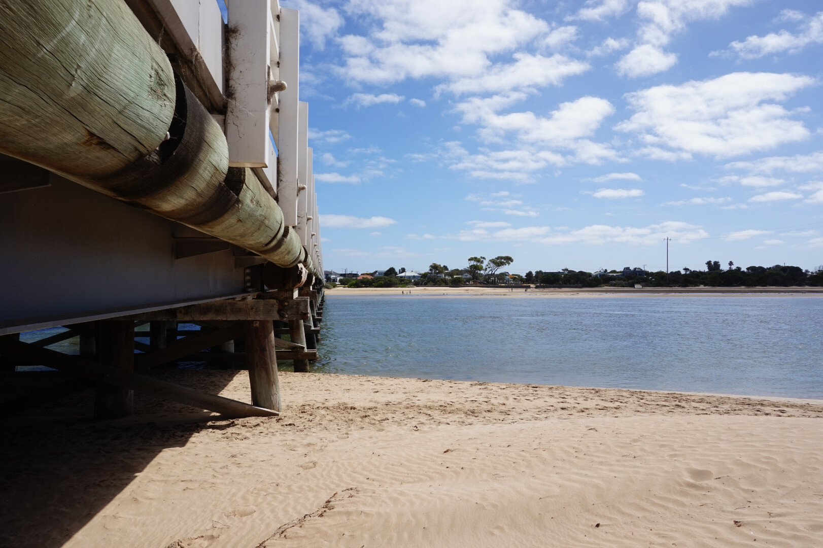
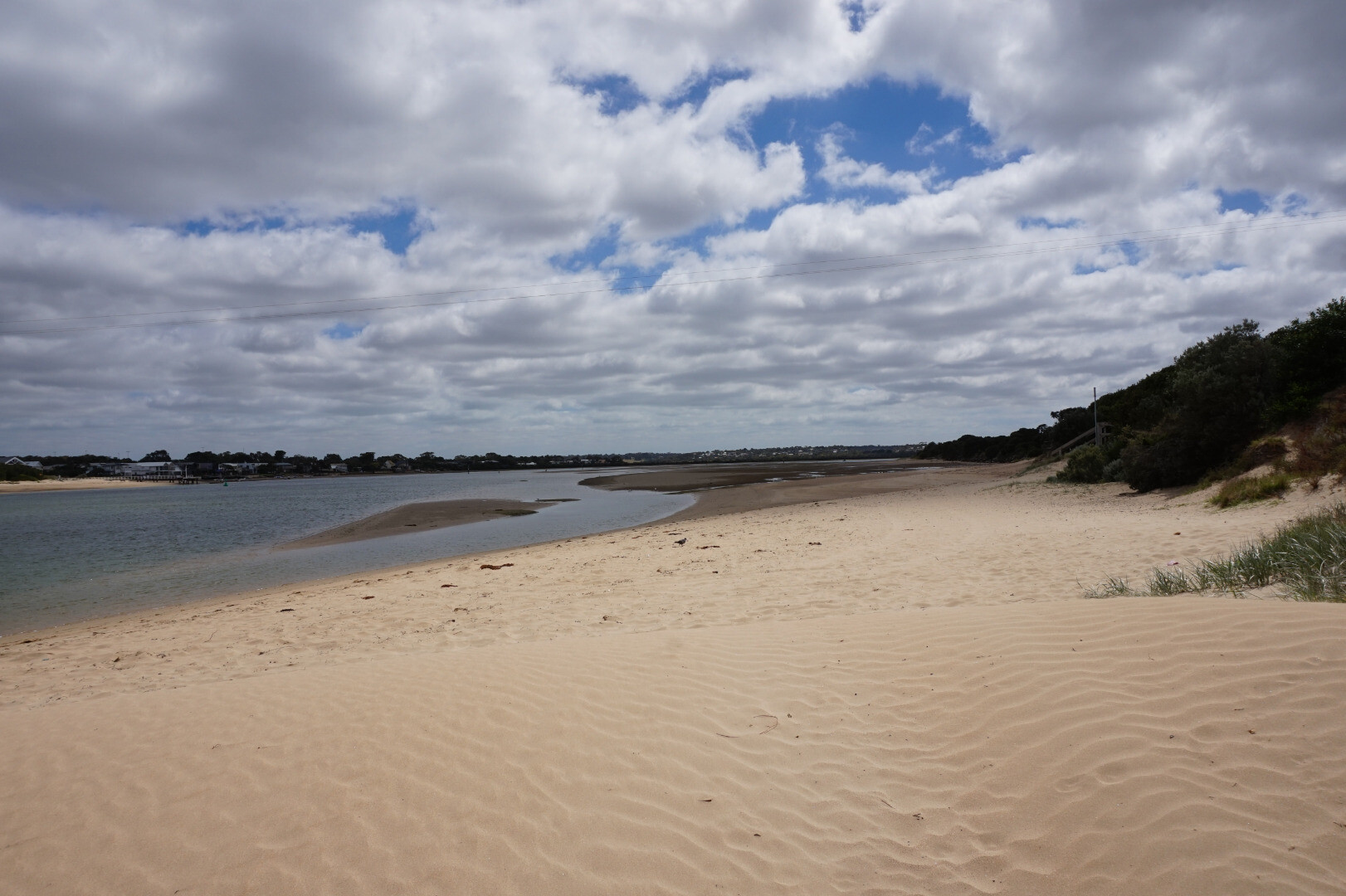
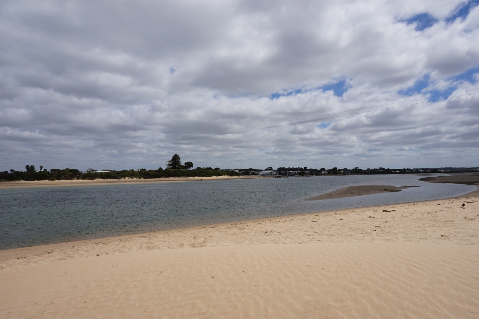
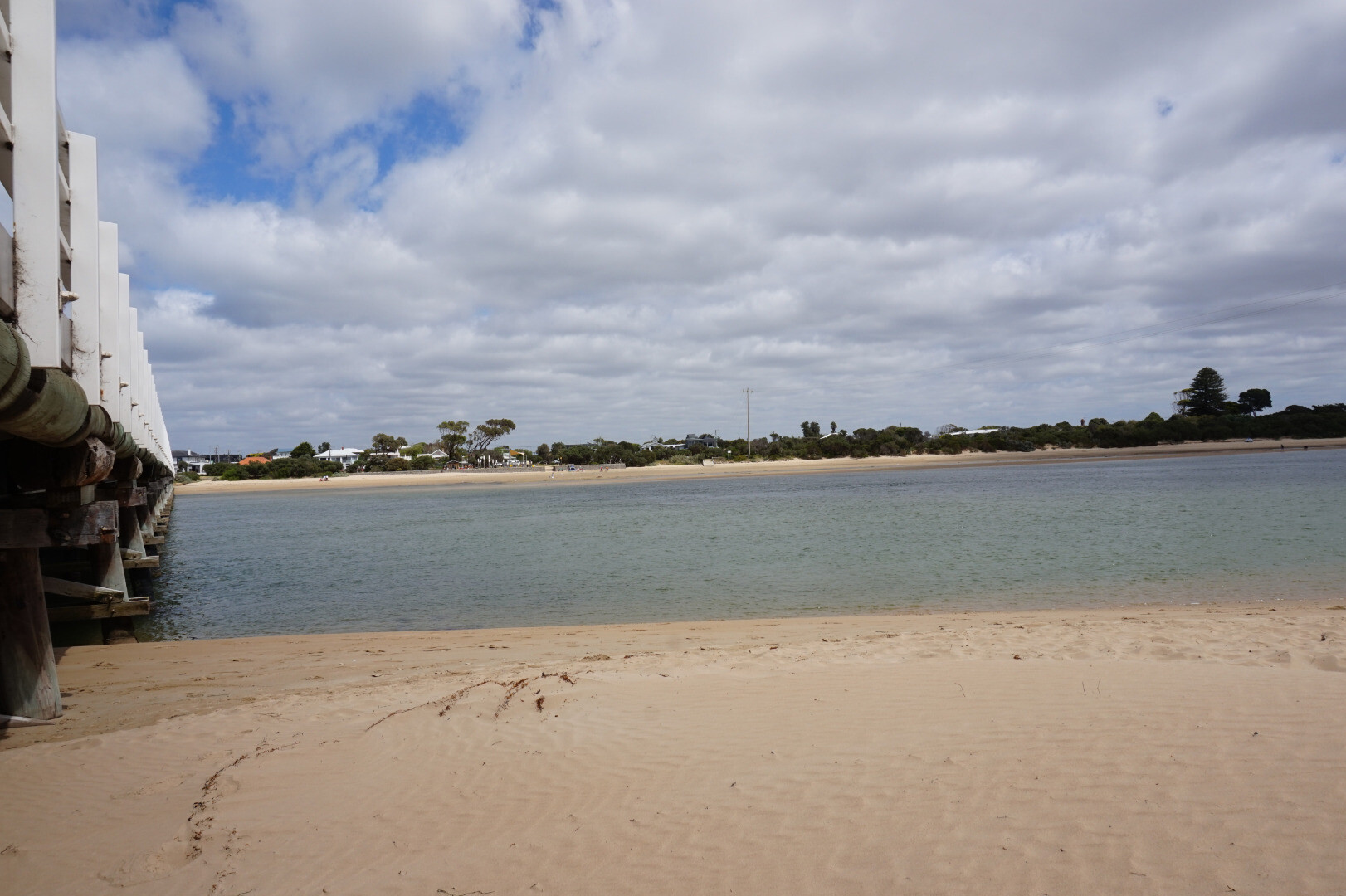
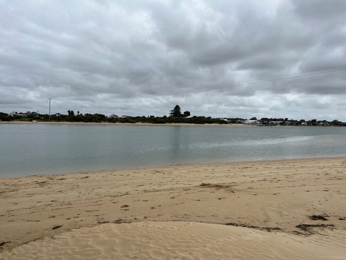
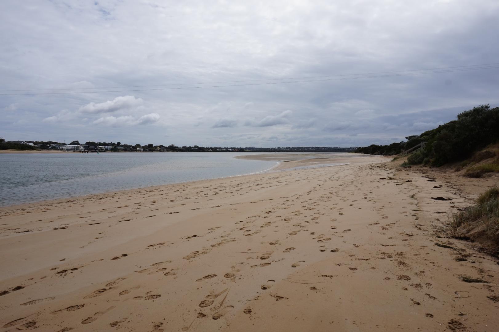
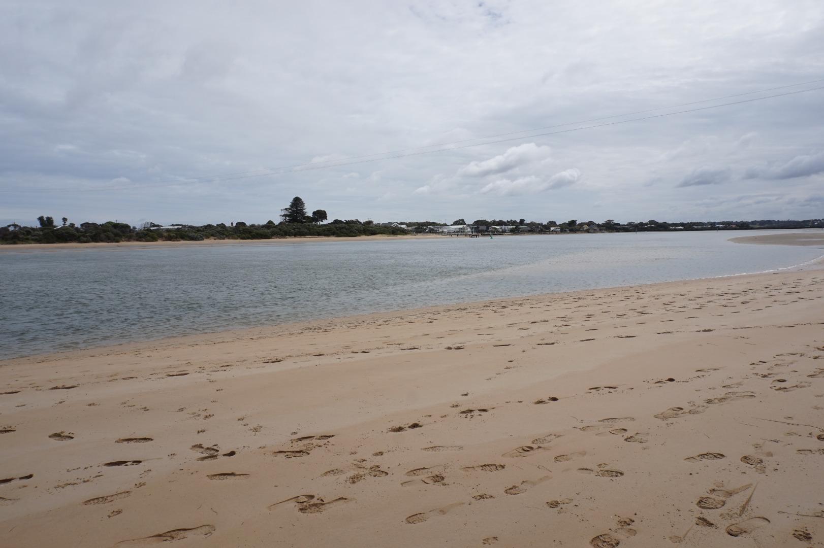
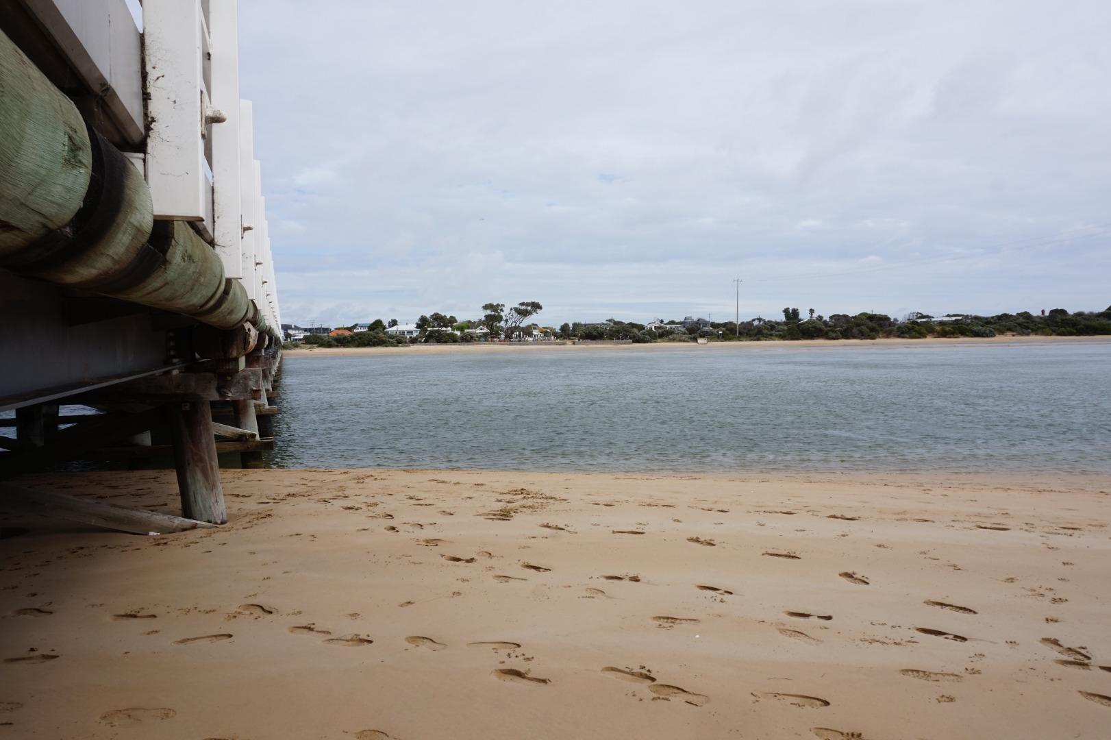
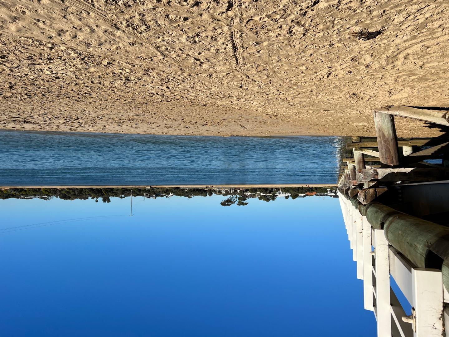
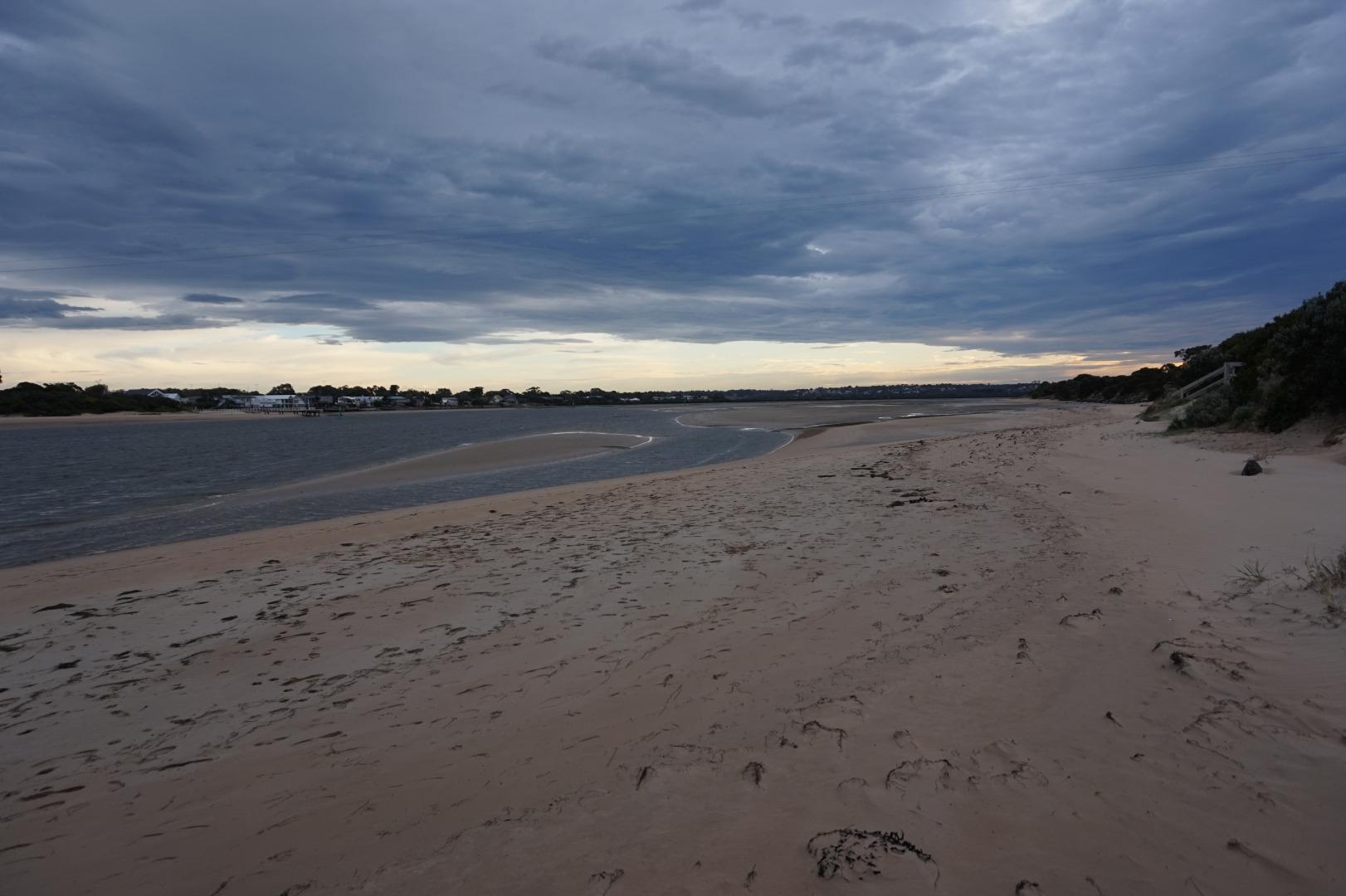
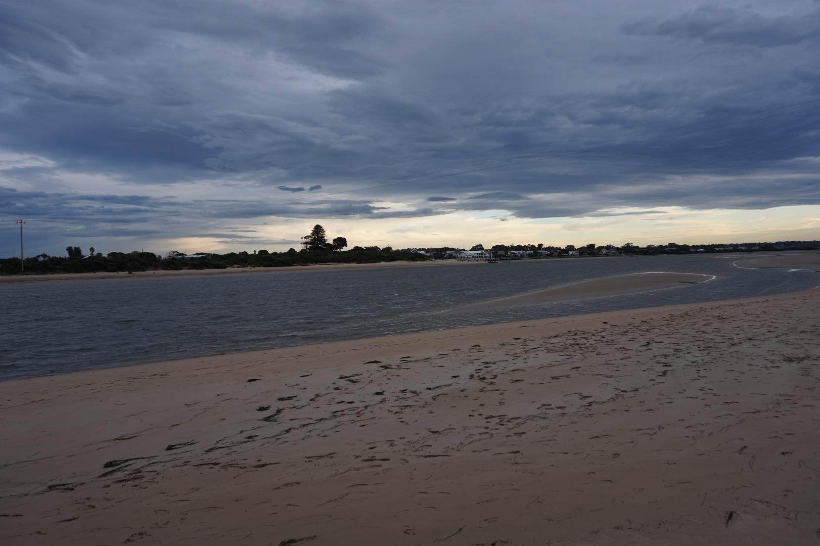
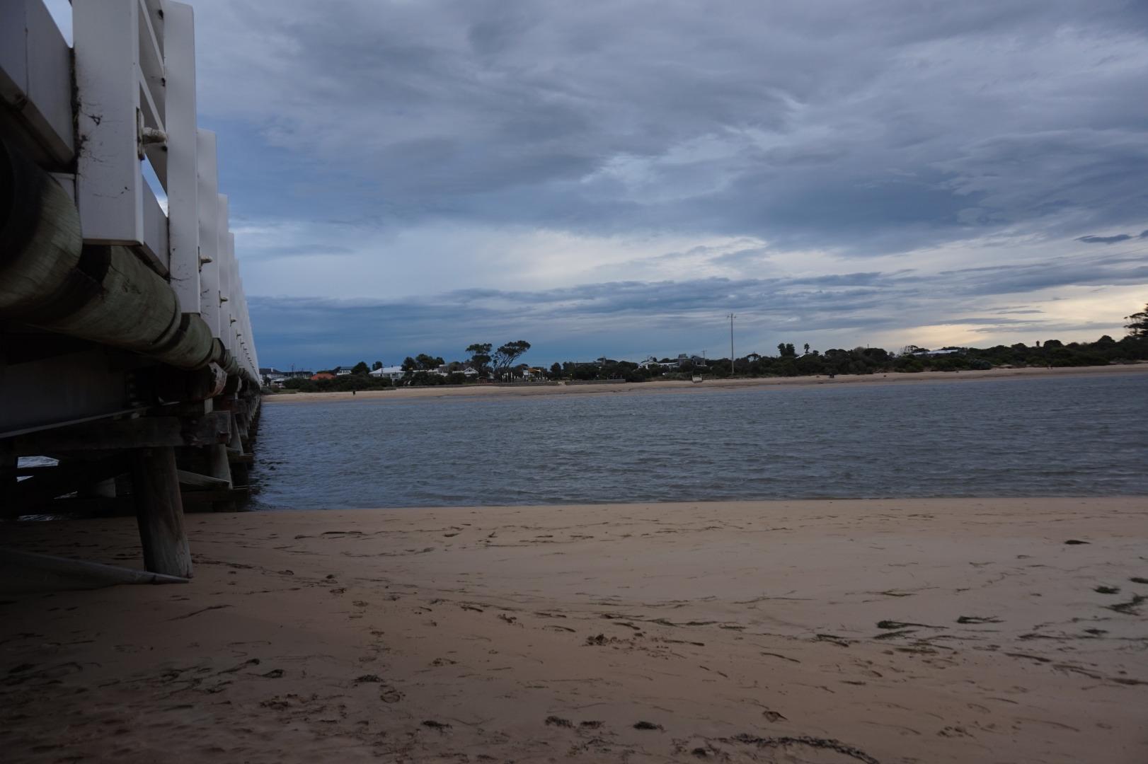
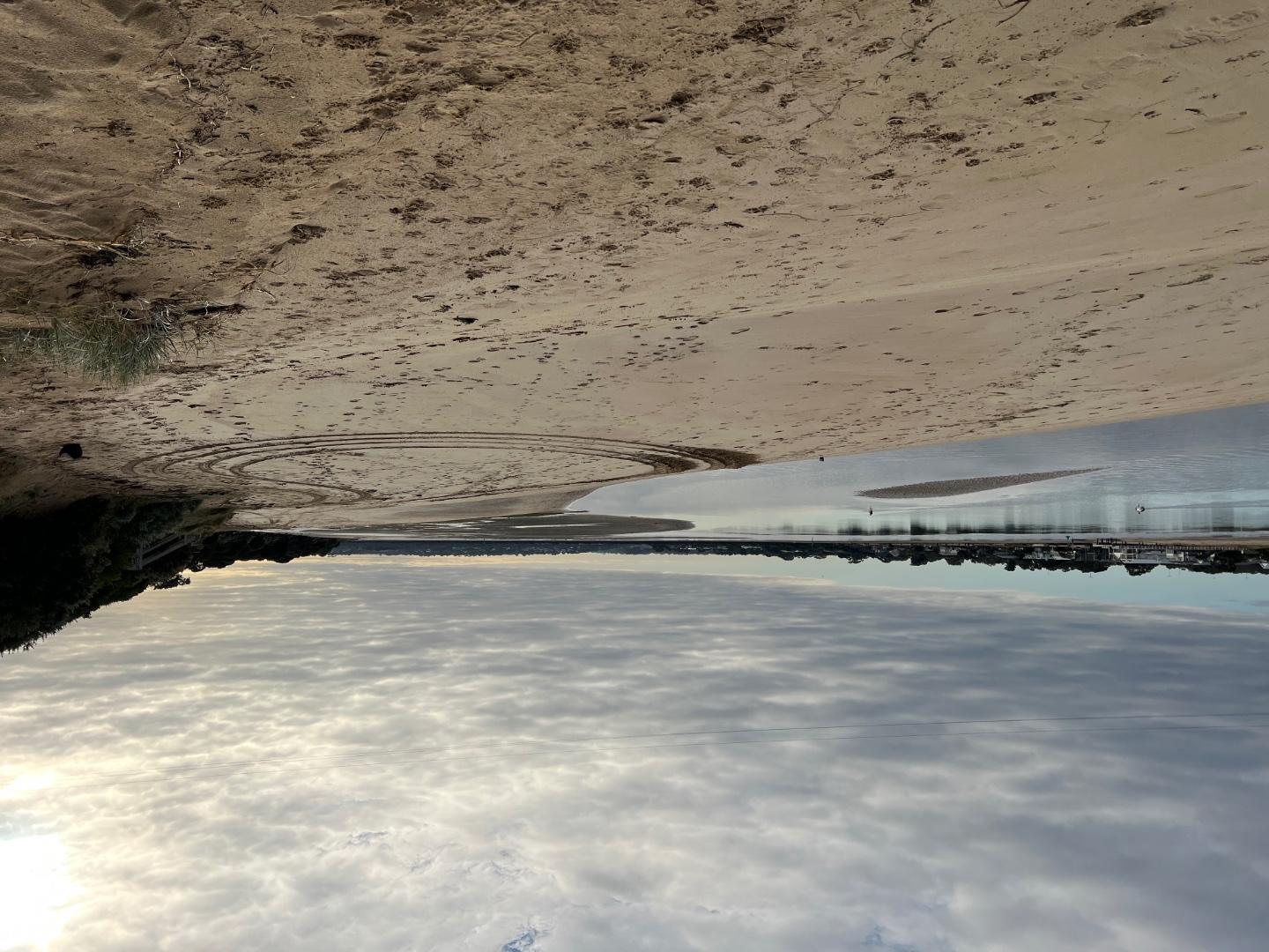
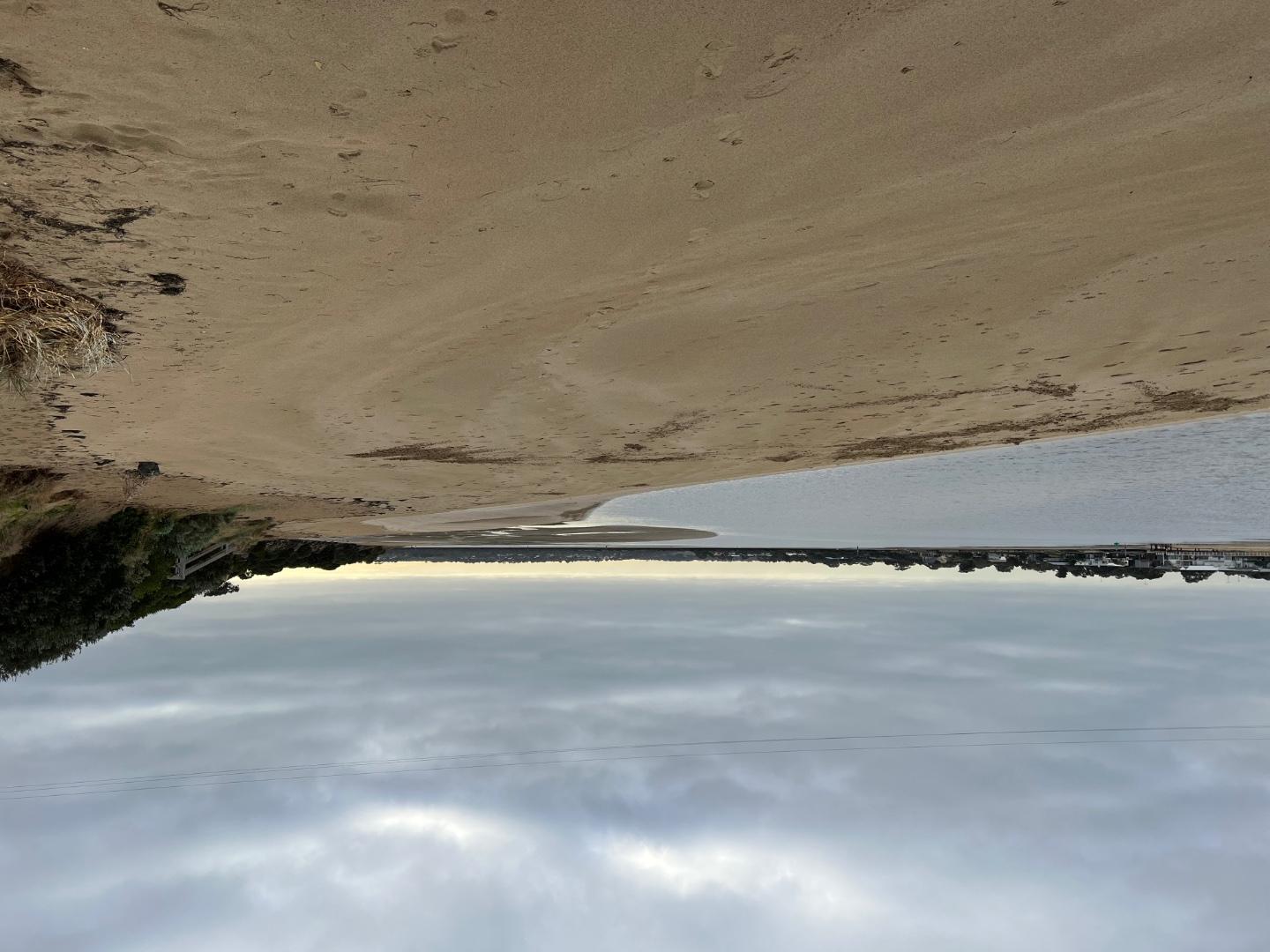
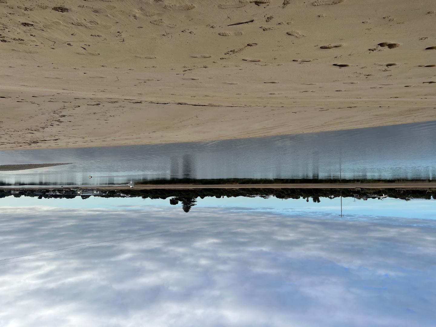
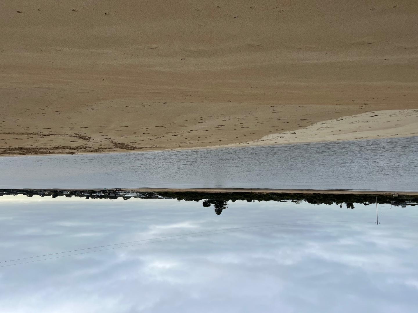
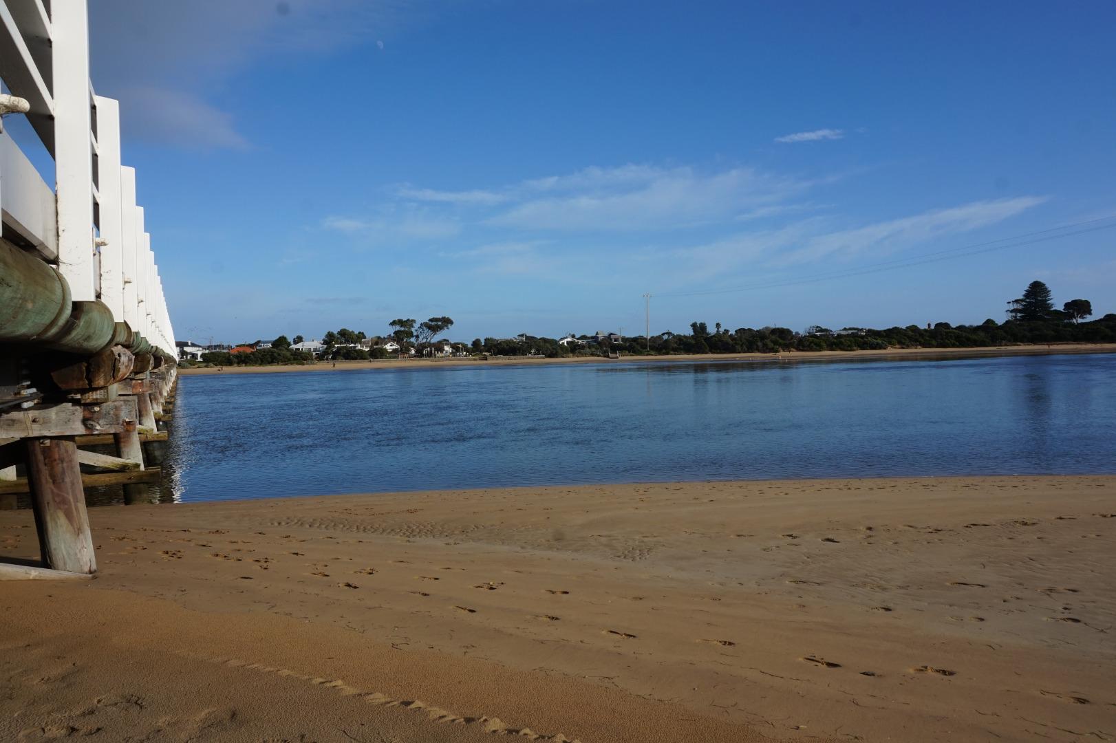
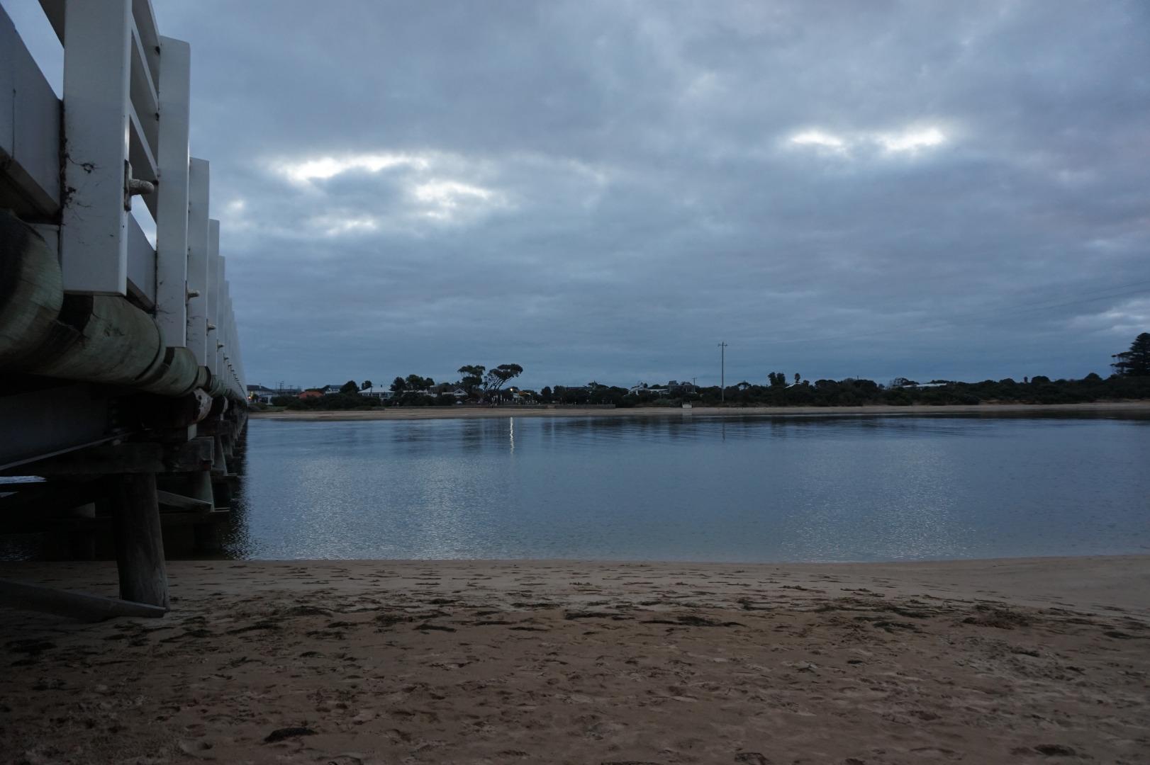
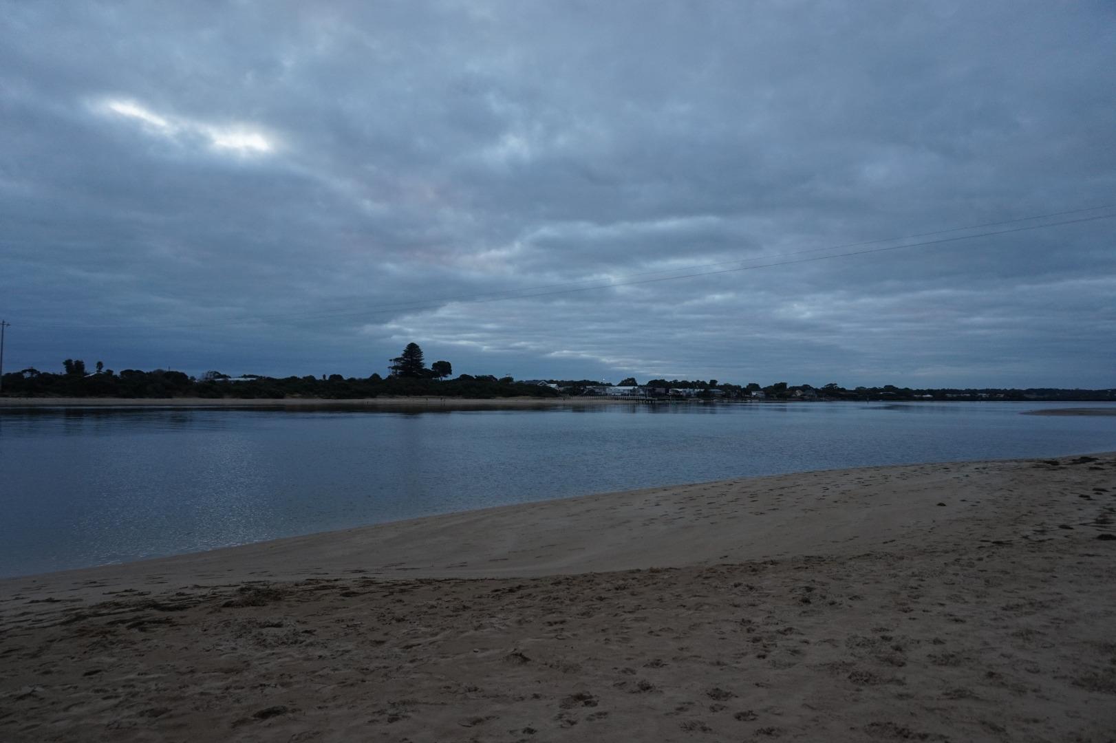
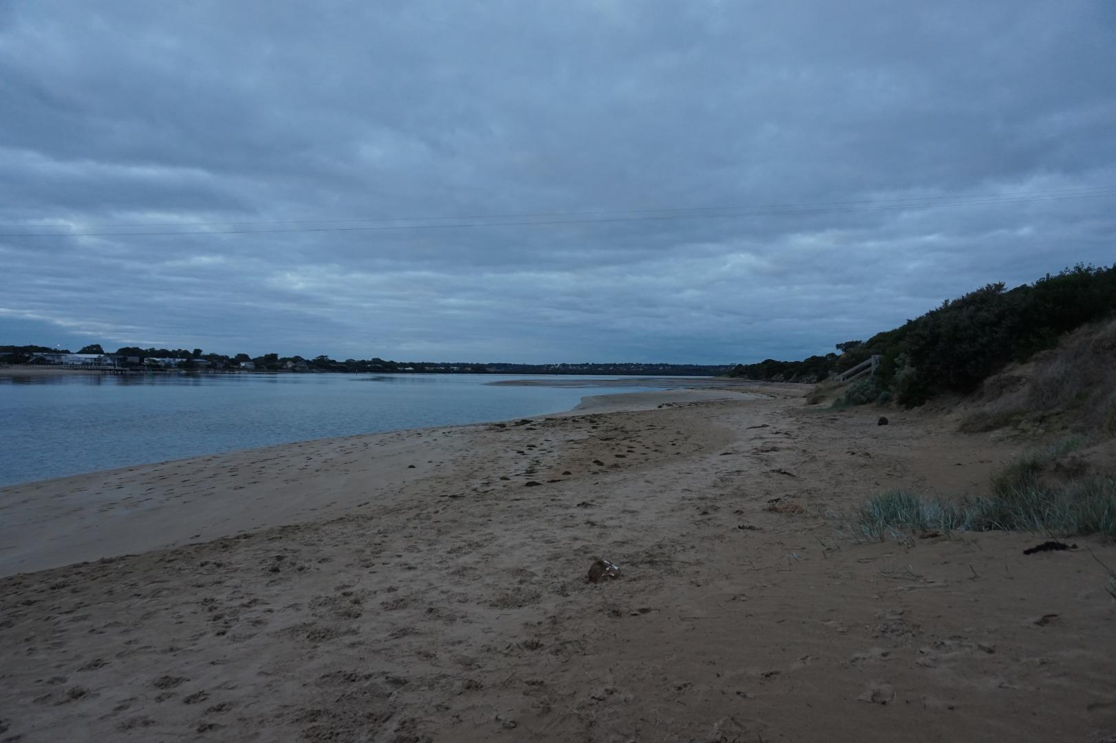
Barwon River photopoint site two |
|
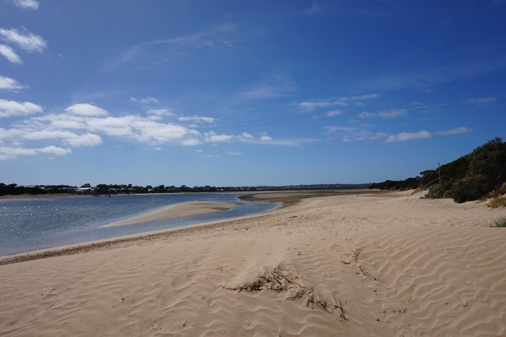
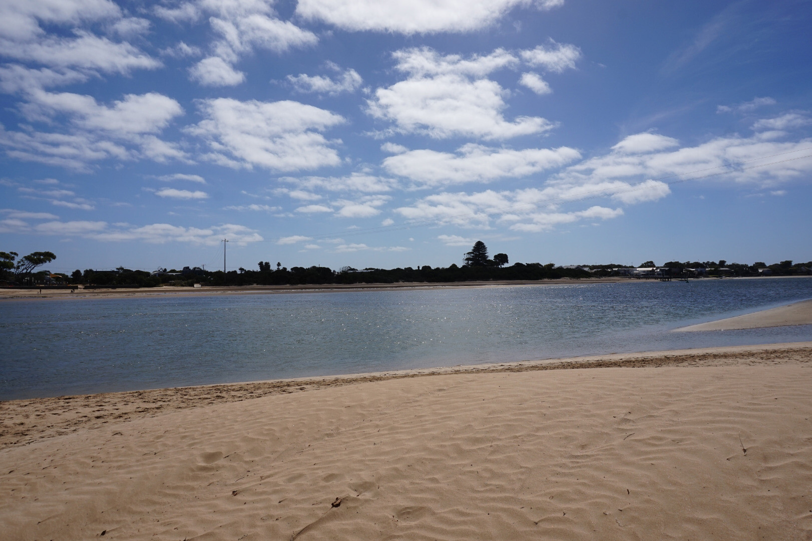
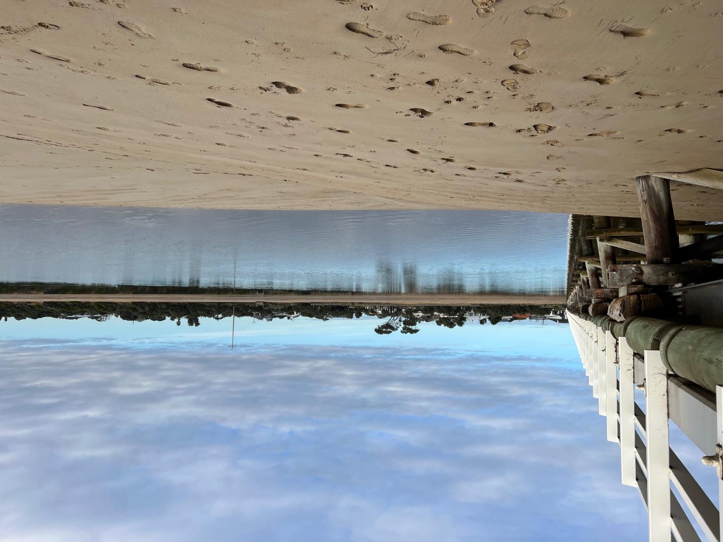
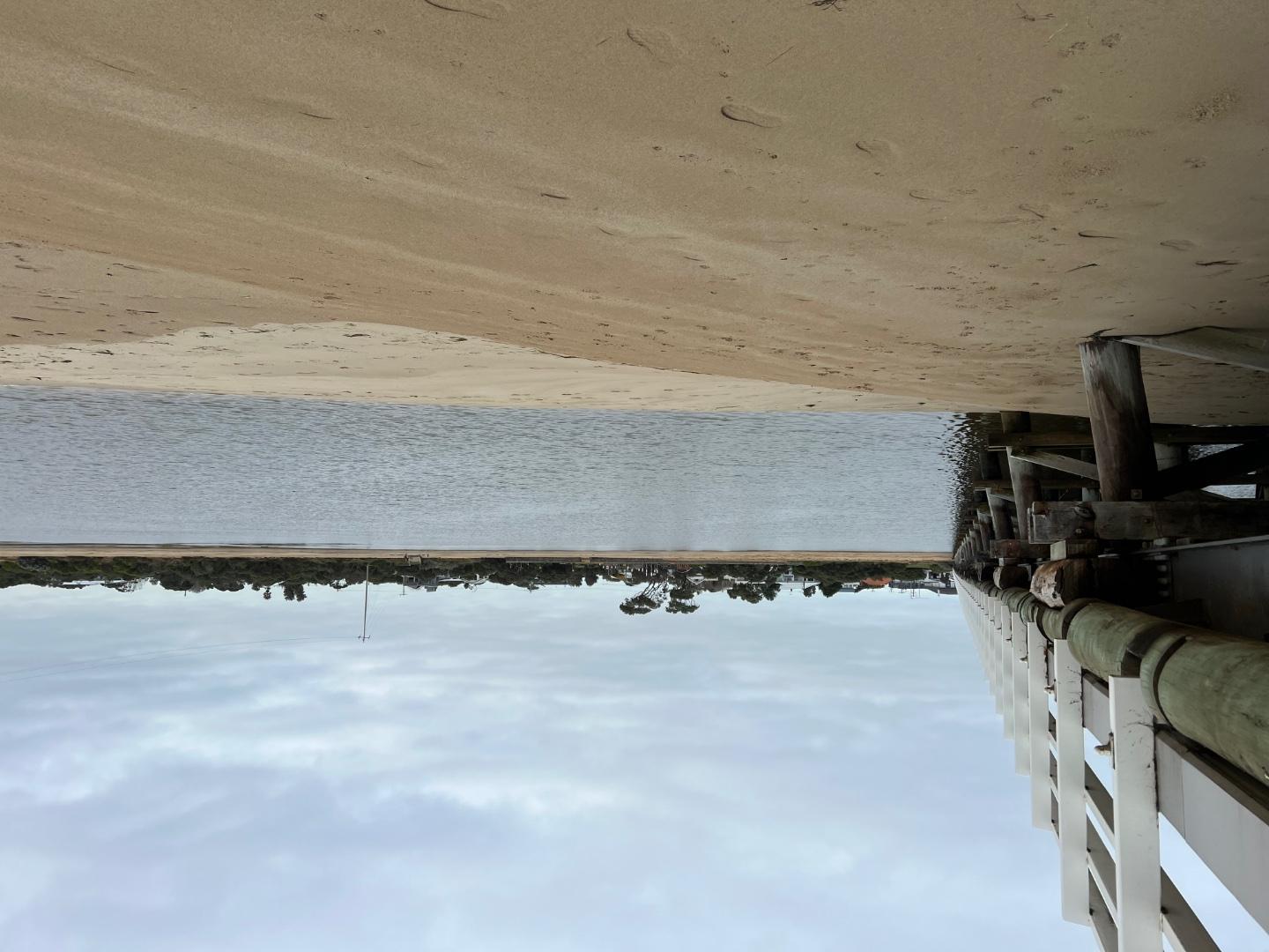
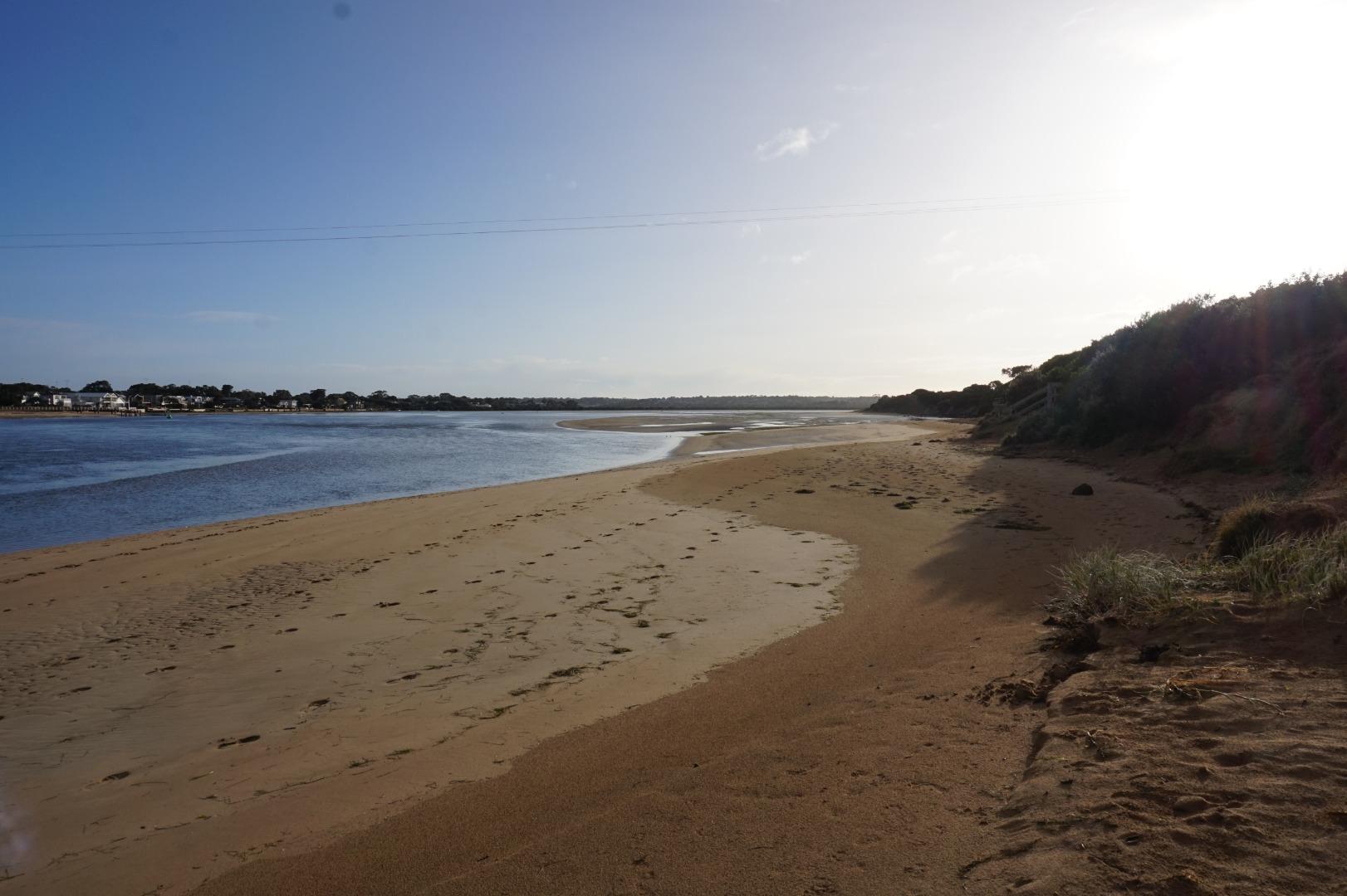
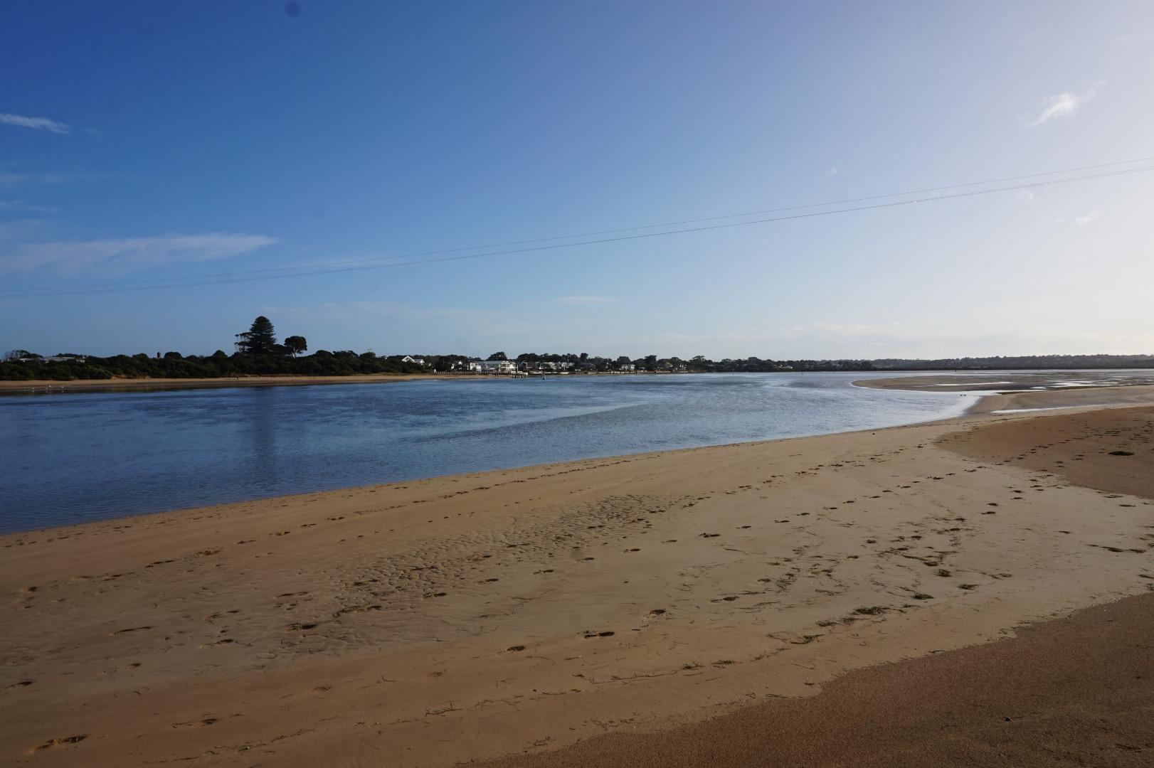
Photopoint photos
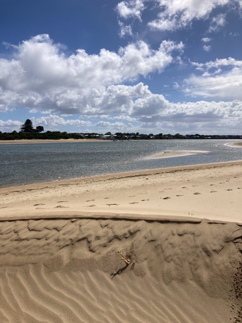
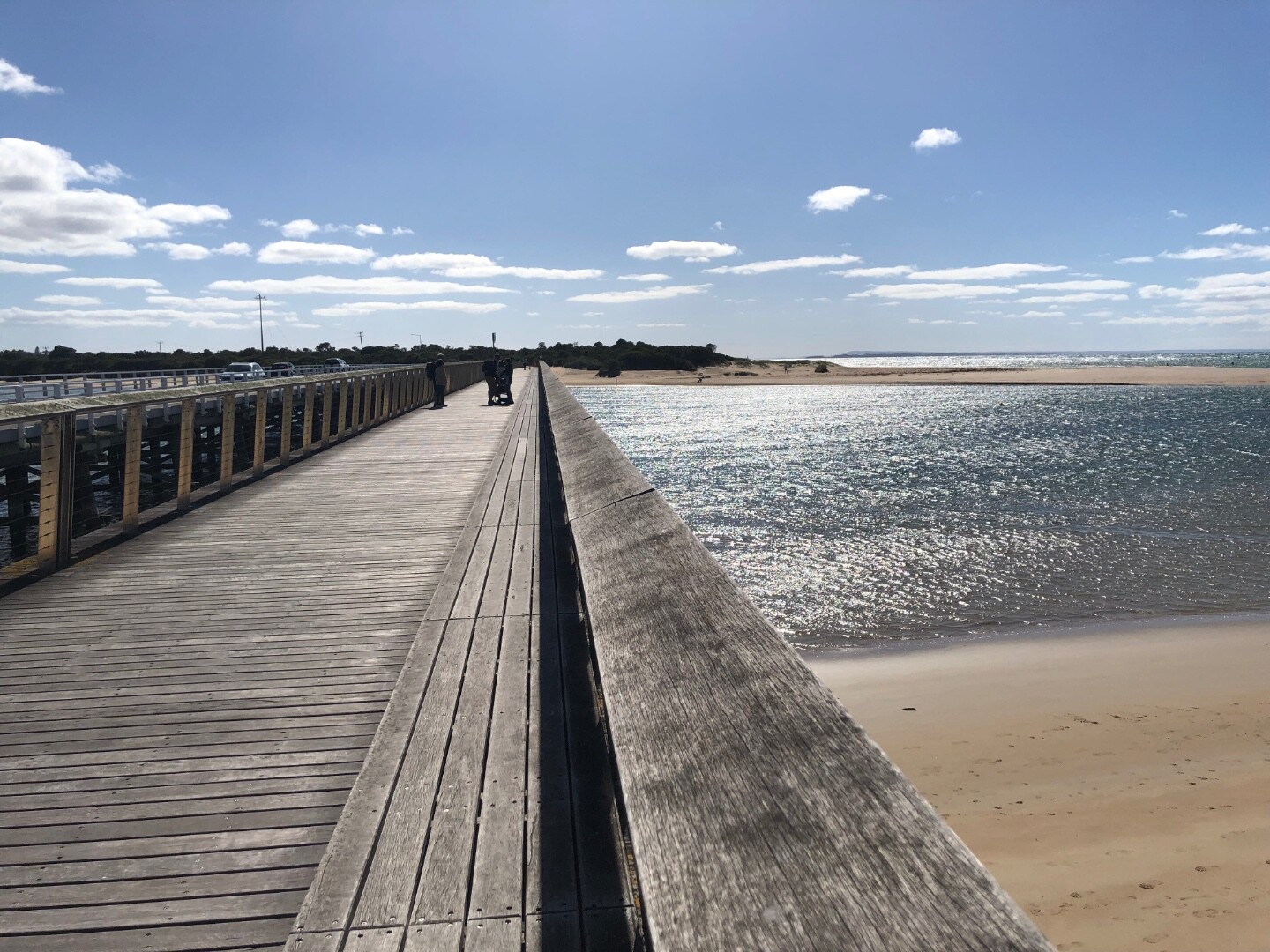
Photopoint Bp2 04-04-2024
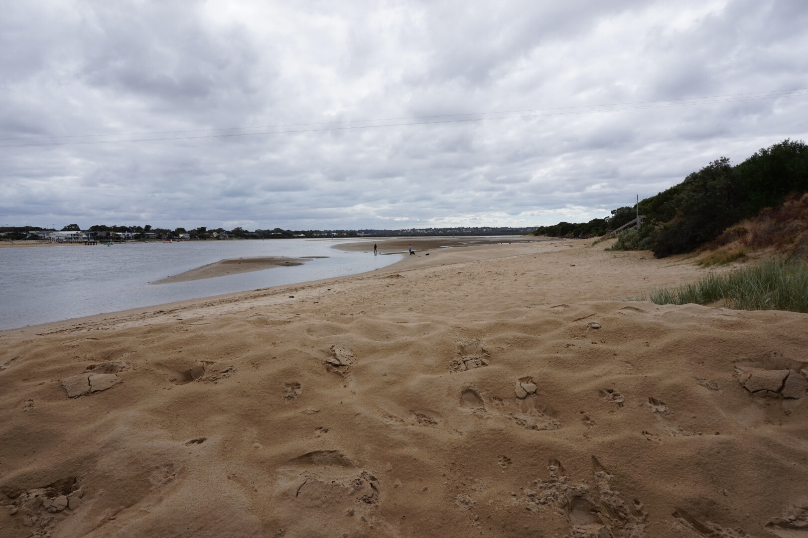
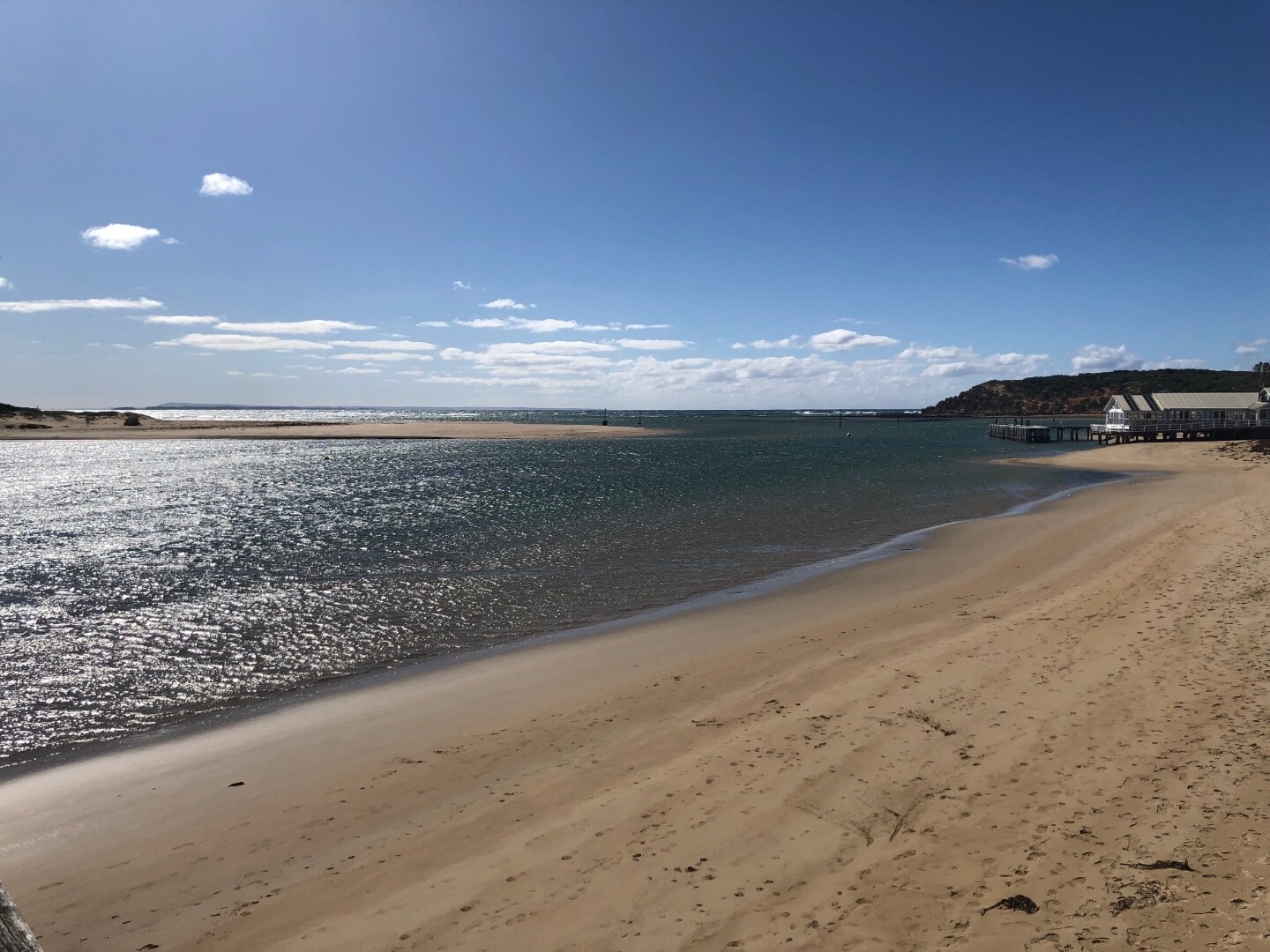
Photopoint Bp2 26-03-2024

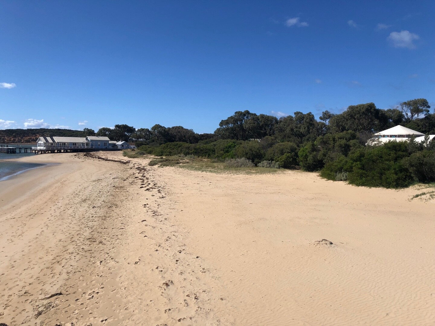
Photopoint Bp2 07-03-2024
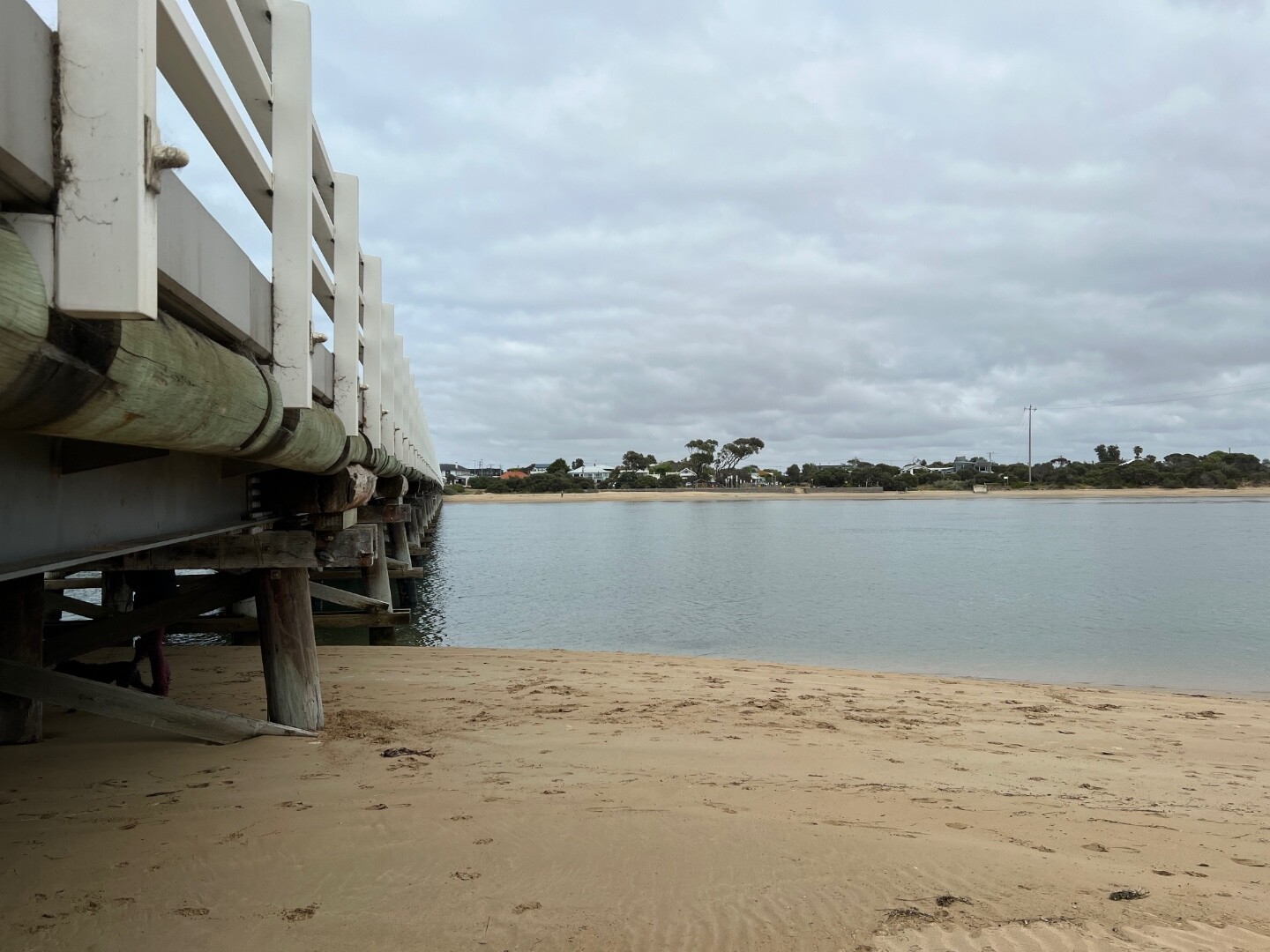
Photopoint Bp2 03-02-2024
Photopoint Bp2 30-12-2023
Photopoint Bp2 15-11-2023
Photopoint Bp2 05-10-2023
Photopoint Bp2 16-08-2023
Photopoint Bp2 07-08-2023
Photopoint Bp2 19-07-2023
Photopoint Bp2 08-07-2023
Photopoint Bp2 04-05-2023

All content, files, data and images provided by the EstuaryWatch Data Portal and Gallery are subject to a Creative Commons Attribution License
Content is made available to be used in any way, and should always attribute EstuaryWatch and www.estuarywatch.org.au