EstuaryWatch Data Portal
SKMC Skenes Creek Observation Site
Site details
Overview
| Estuary | Skenes Creek Estuary |
|---|---|
| CMA | Corangamite CMA |
| Type | Mouth Condition |
| Site code | SKMC |
| Site name | Skenes Creek Observation Site |
| Nearest road and town | Skenes Creek |
| Description |
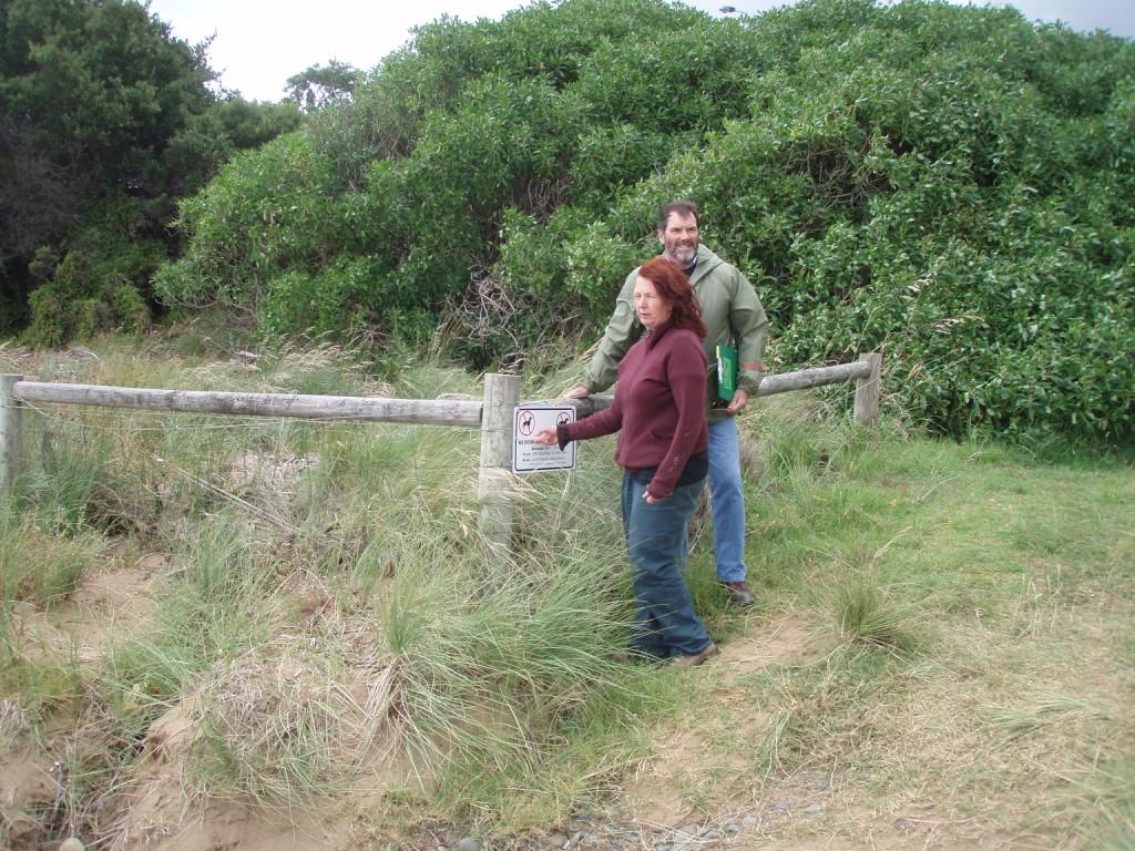
Eastern corner of dune fencing located closest to the western side of the creek. |
| Site access |
Park in carpark on western side of the Great Ocean Road bridge. From the carpark head east along the road and turn right just before the steal barrier, then follow the fenceline located on your right hand side to the most southeastern point. |
| Land use |
|
| Land use description |
The site is directly surround by a foreshore reserve, which contains an open space area, revege sites and sections of fenced off native vegetation. |
| Status | Active |
| Observation history | 14-05-2008 - 29-09-2023 |
Site information |
|
Observations
| # | Date | Mouth state | Flow | Wind | Beaufort Scale | Sea State | Water Level Start | Water Level End | High Tide | Low Tide | ||||
|---|---|---|---|---|---|---|---|---|---|---|---|---|---|---|
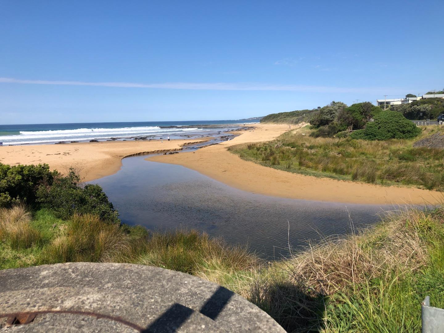
| #15791 | 29-09-2023 | Open | In | NW | Gentle breeze | 4 Slight | 0.0m | 1.4m | 12:14pm | 0.6m | 18:27pm | |||
| #15700 | 31-07-2023 | Open | Out | Calm | 5 Moderate | 13:15pm | 1.5m | 08:28am | 0.4m | 16:05pm | ||||
| #15653 | 22-06-2023 | Open | Out | N | Calm | 3 Smooth | 156.0m | 16:15pm | 1.6m | 16:49pm | 0.9m | 09:31am | ||
| #15525 | 16-05-2023 | Open | Out | SW | Fresh breeze | 6 Rough | 1.6m | 13:27pm | 1.7m | 08:44am | 1.0m | 02:37am | ||
Snapshots
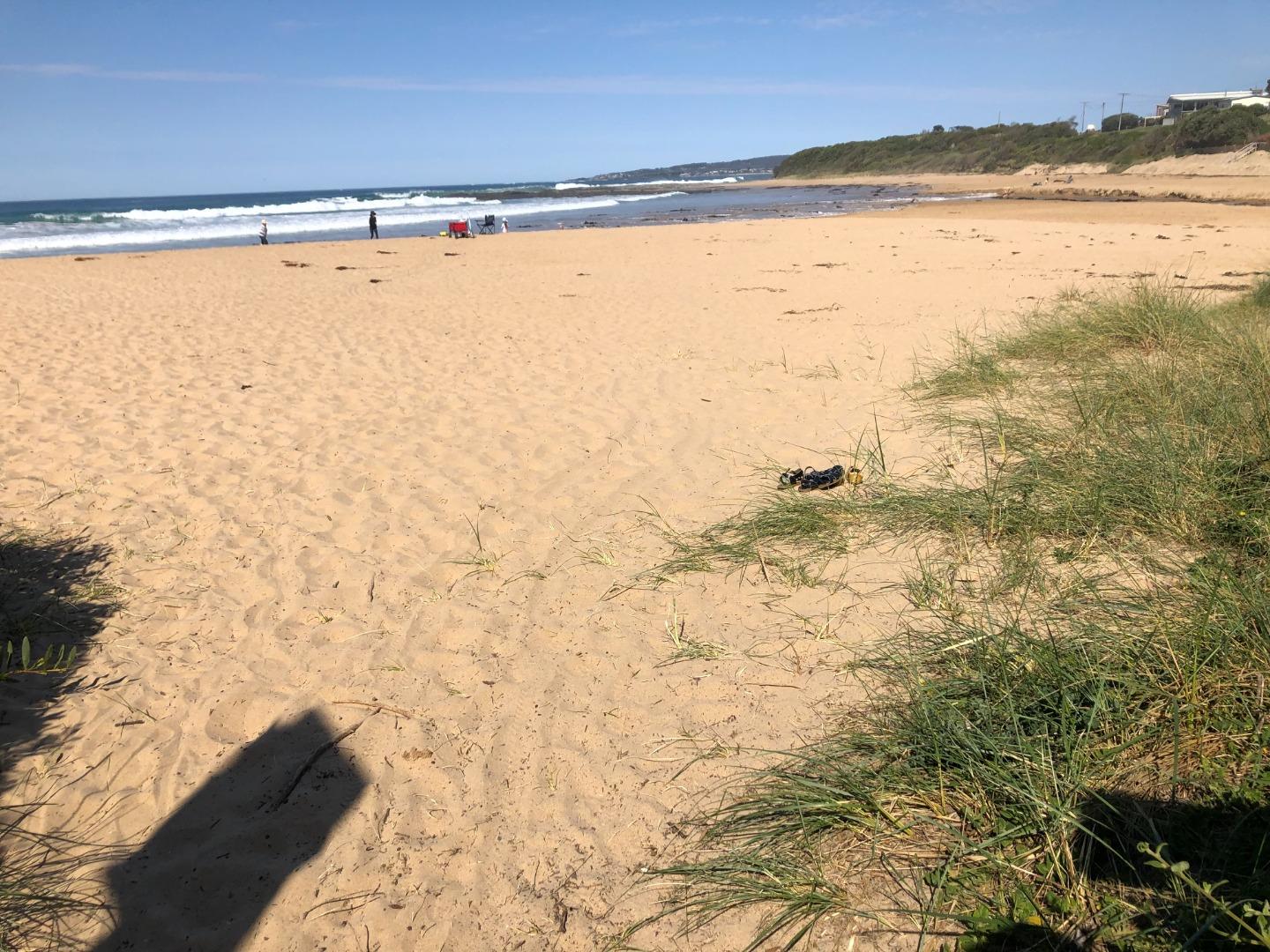
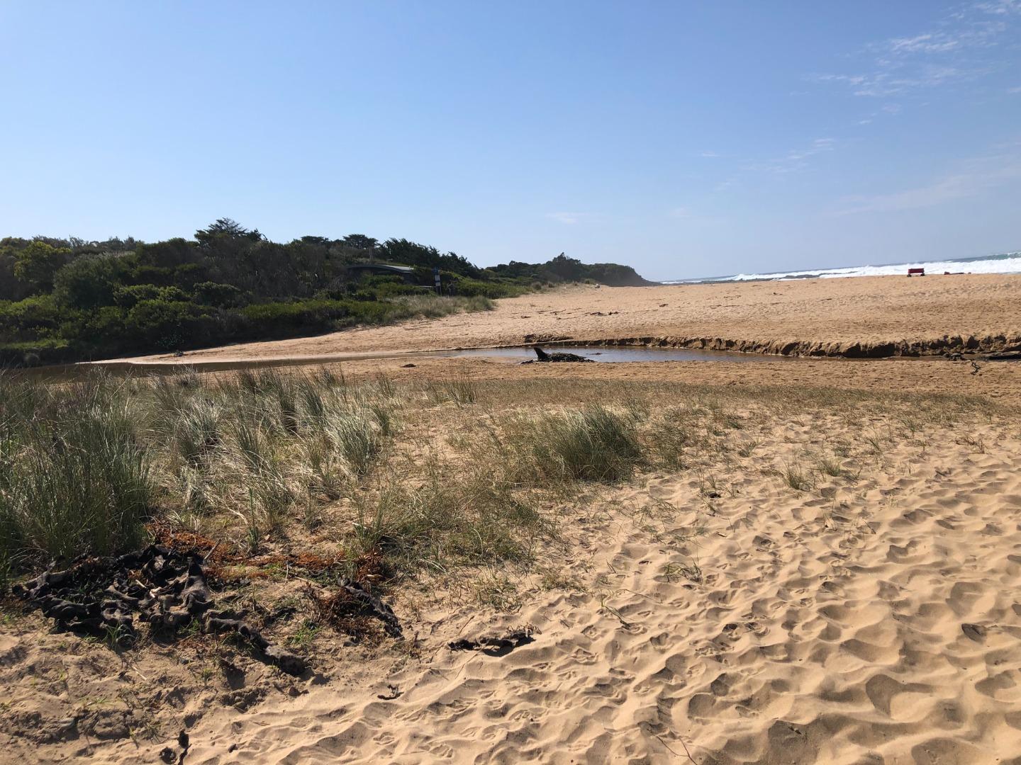
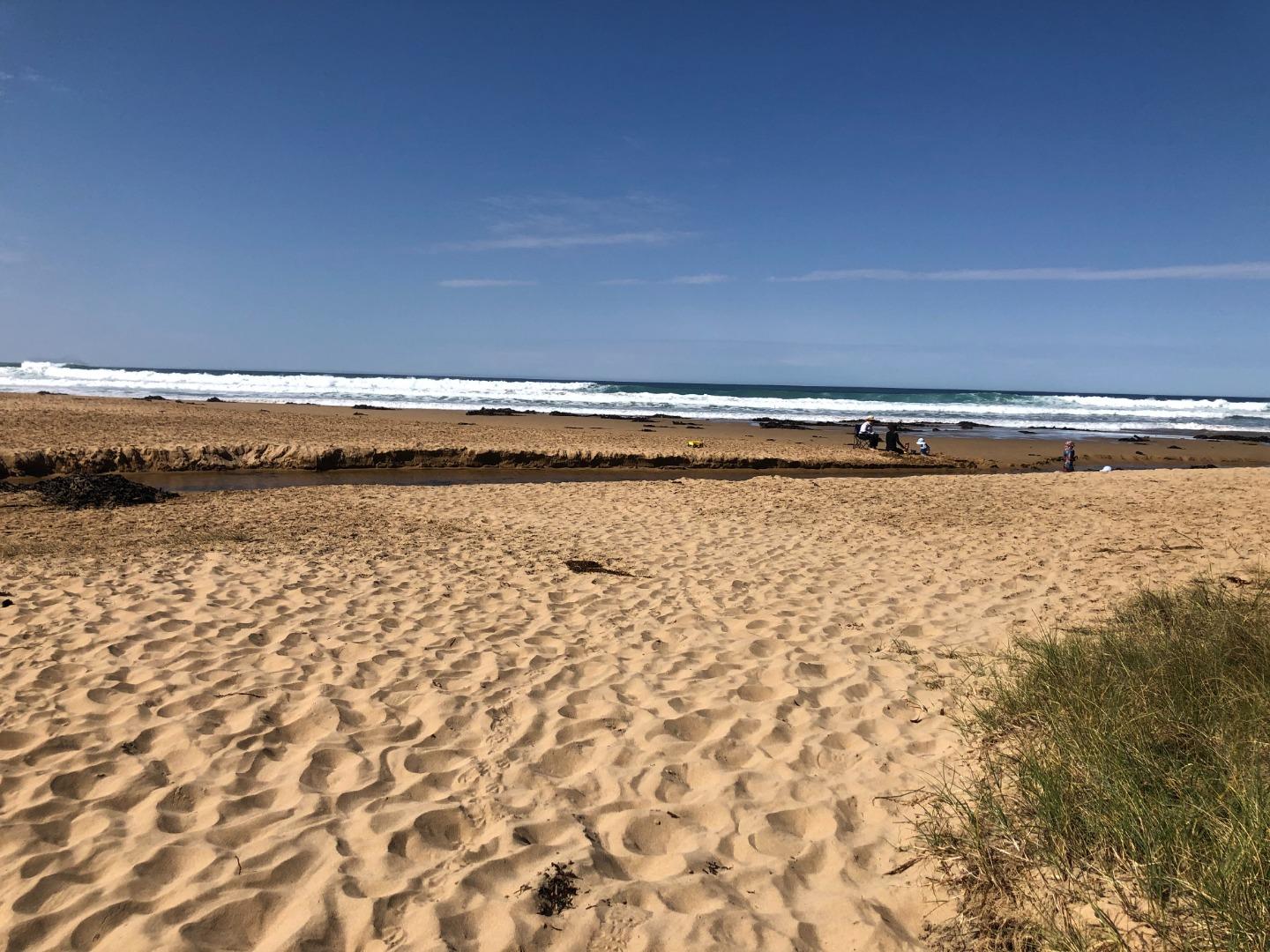
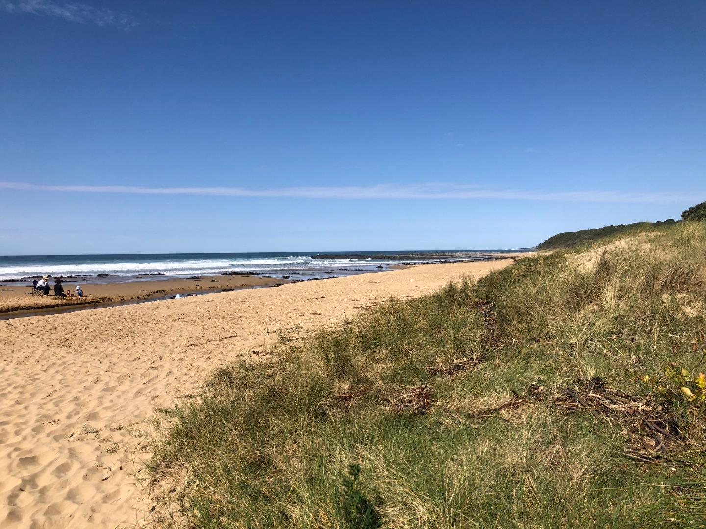
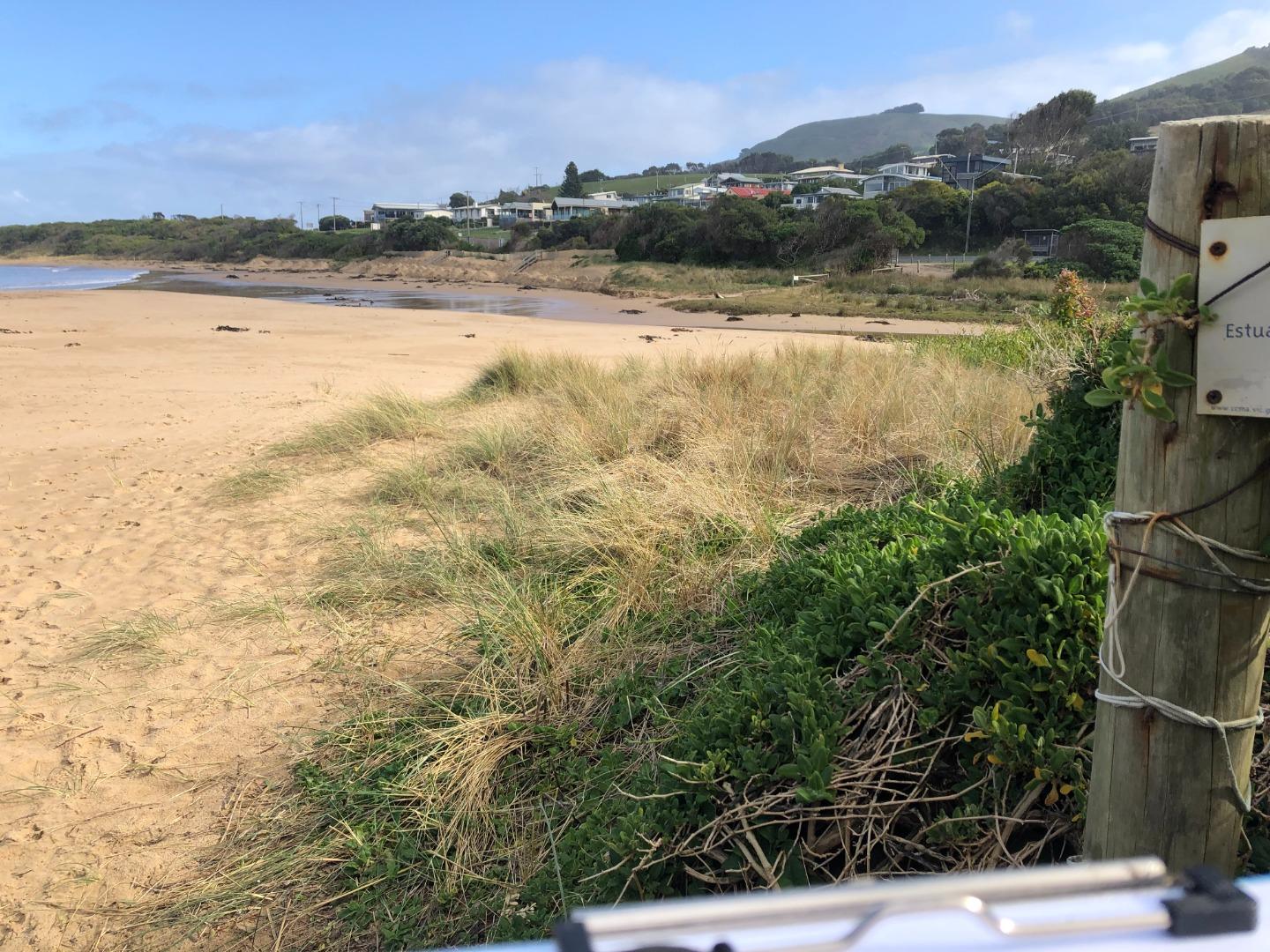
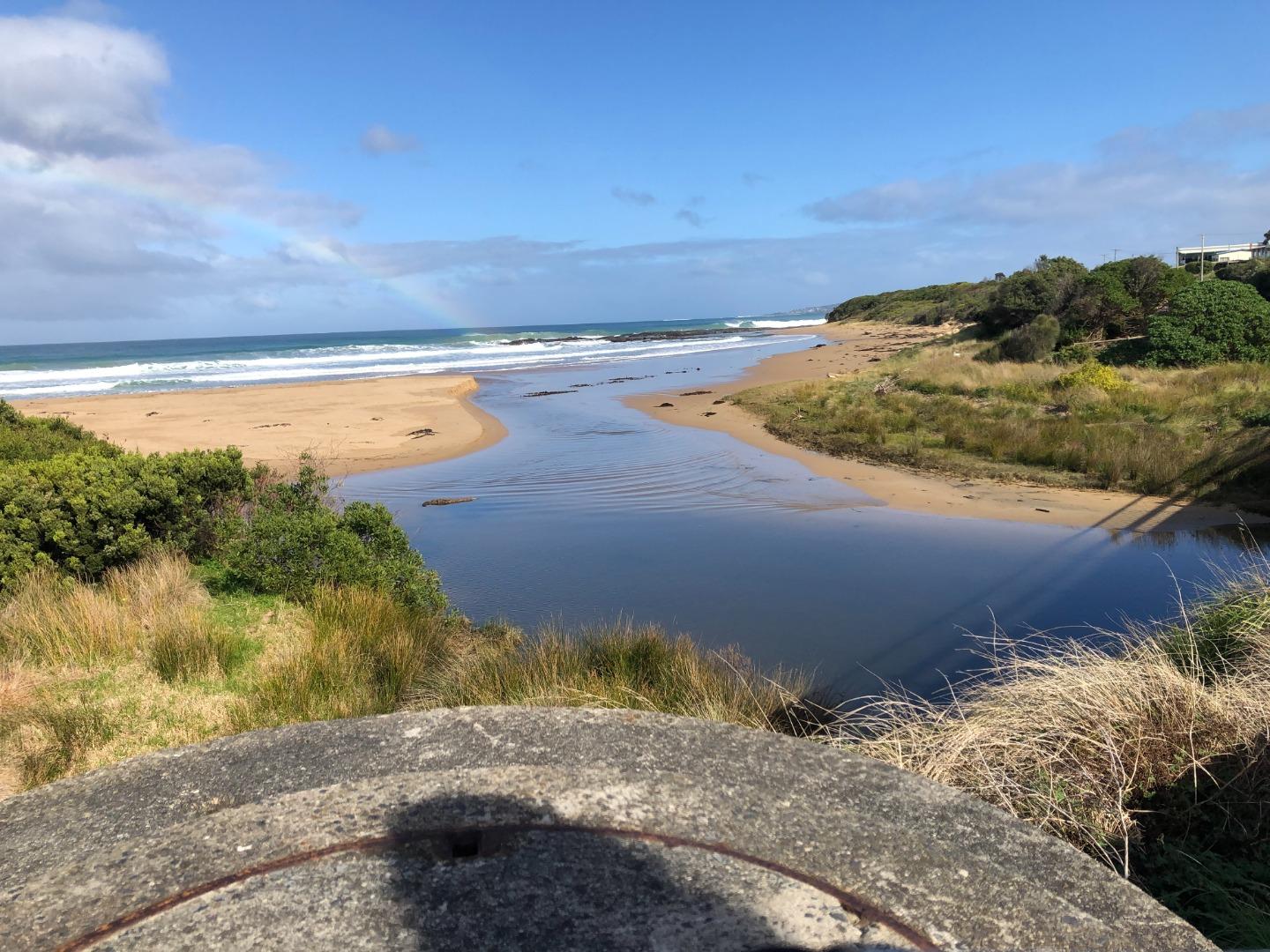
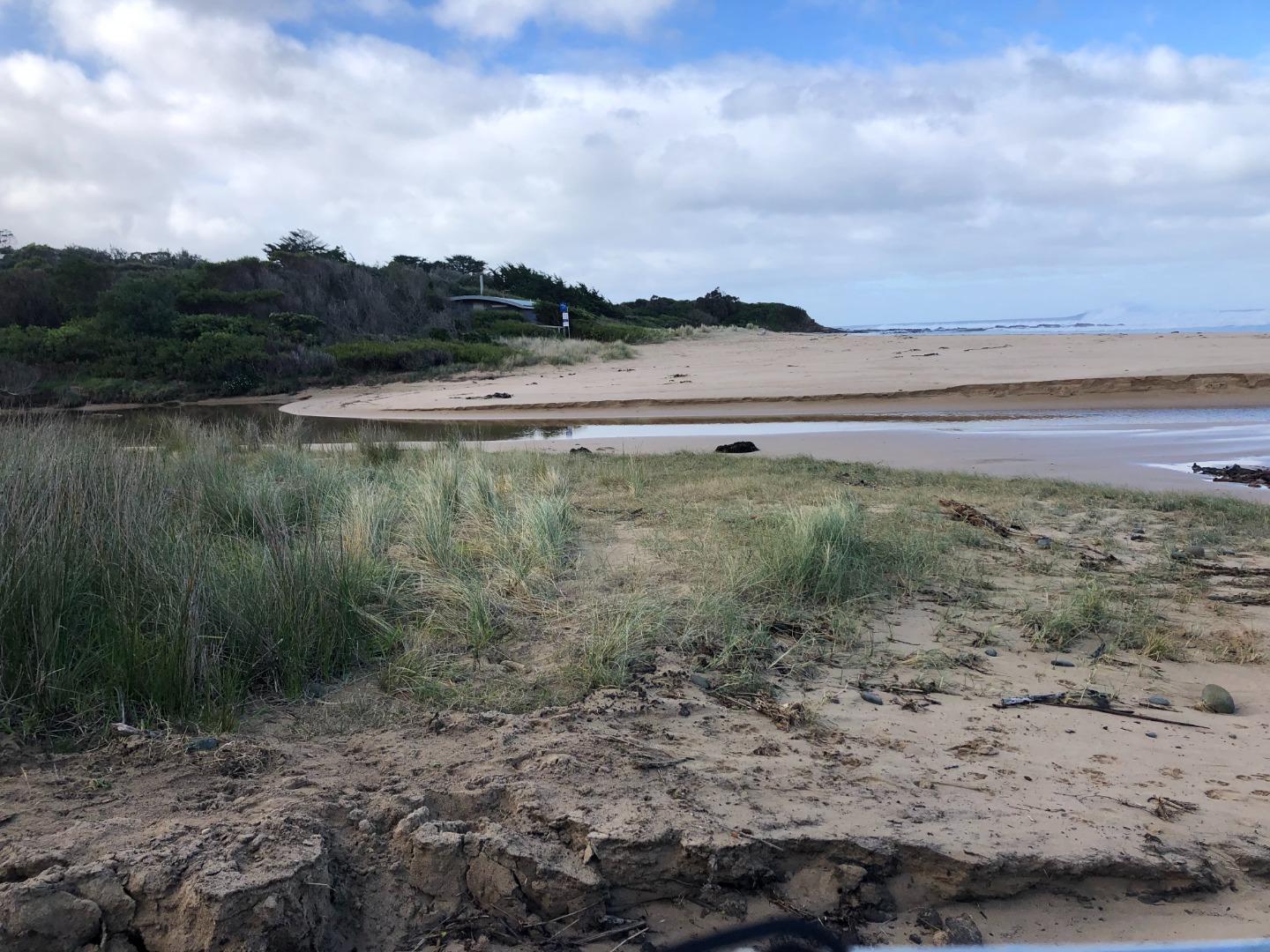
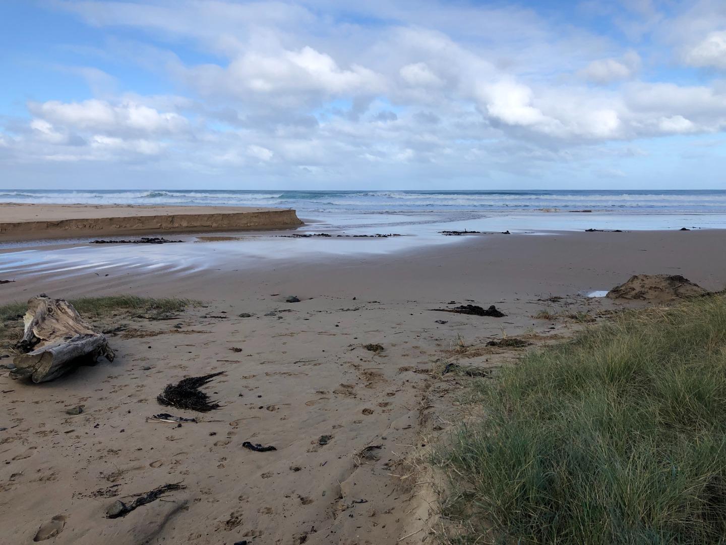
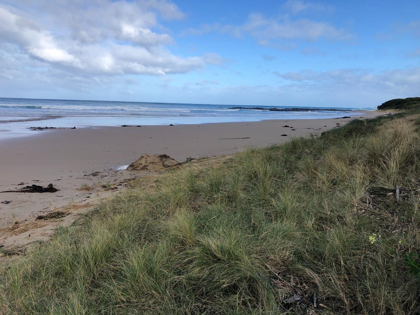
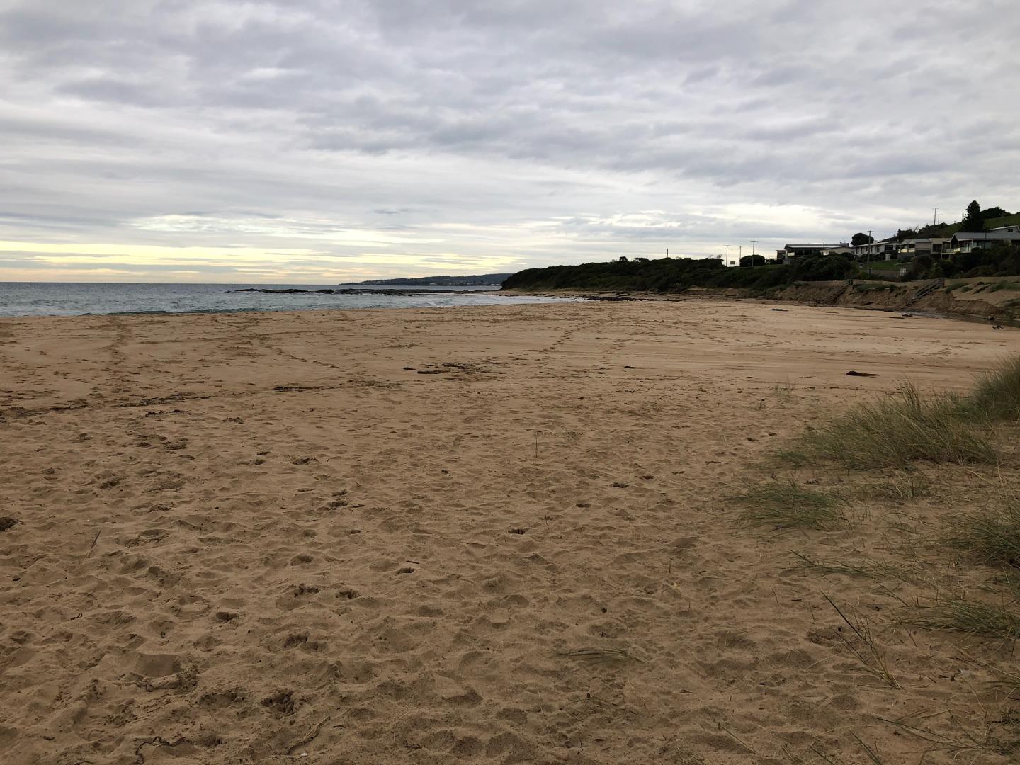
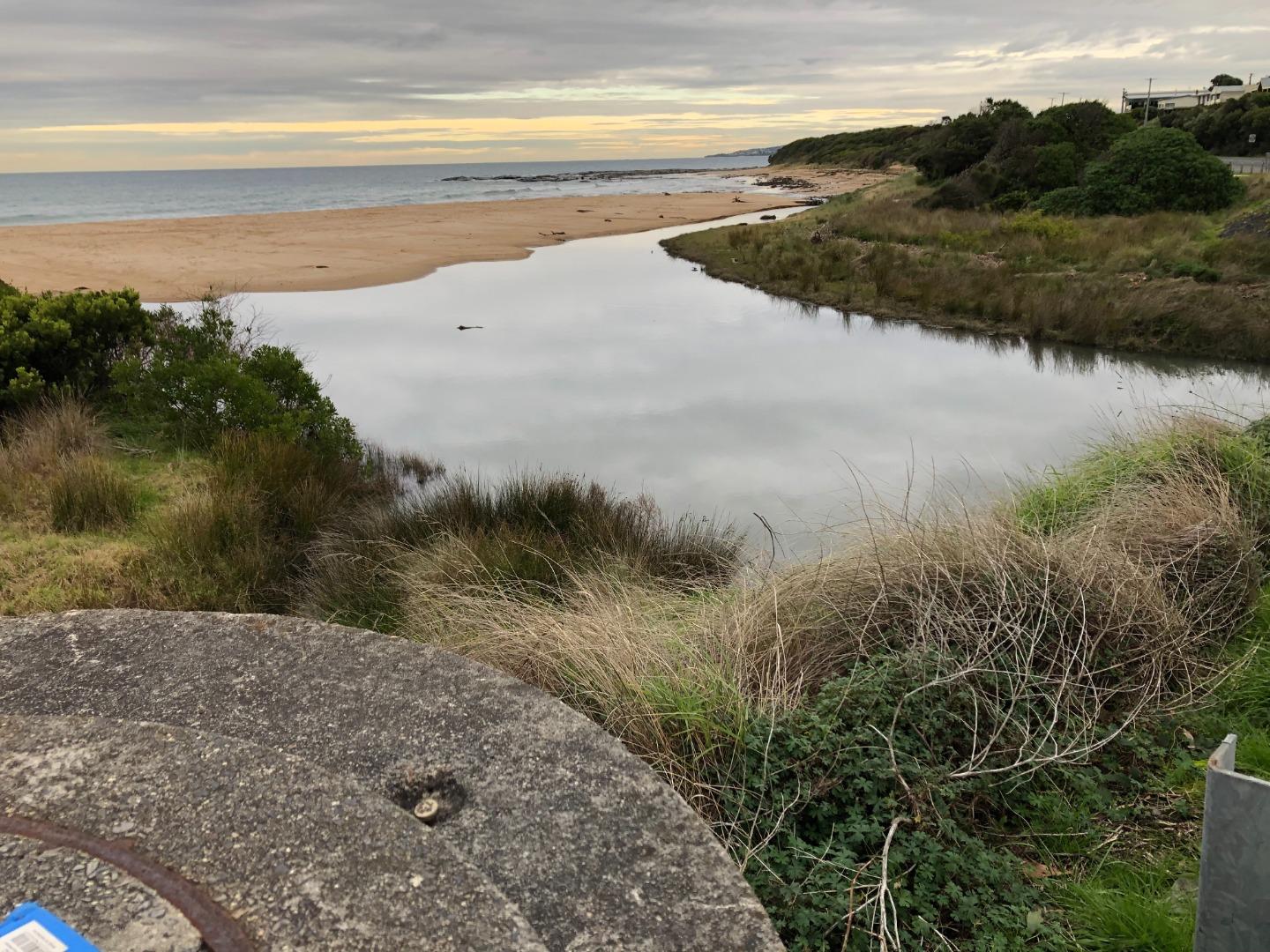
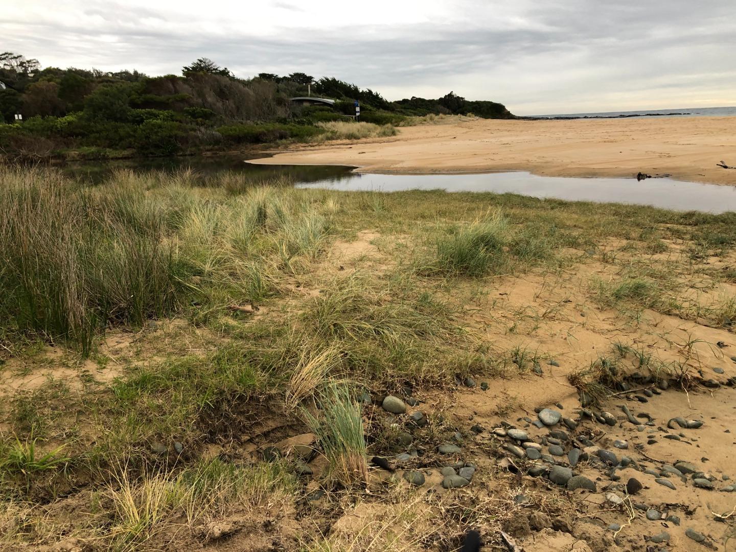
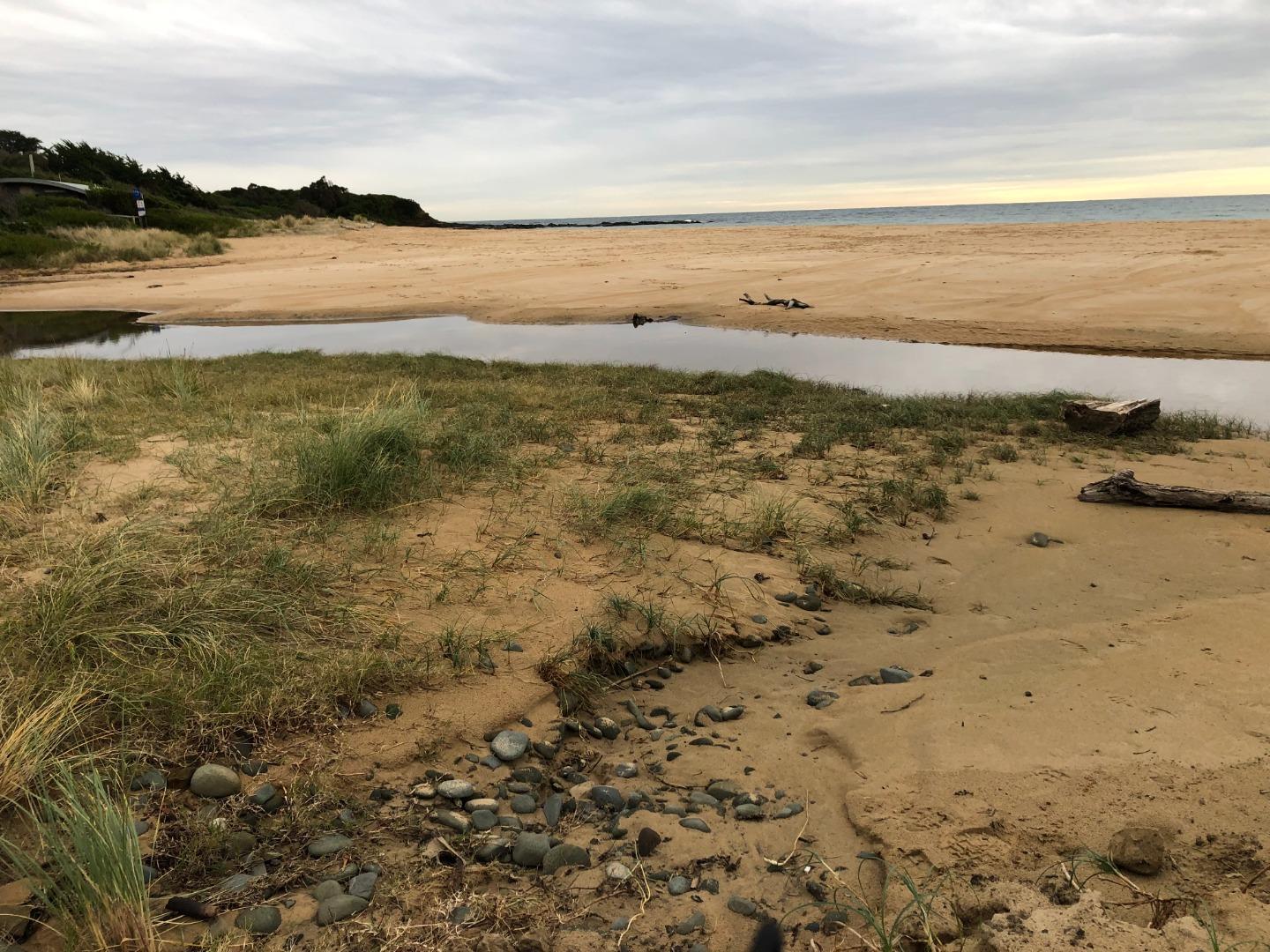
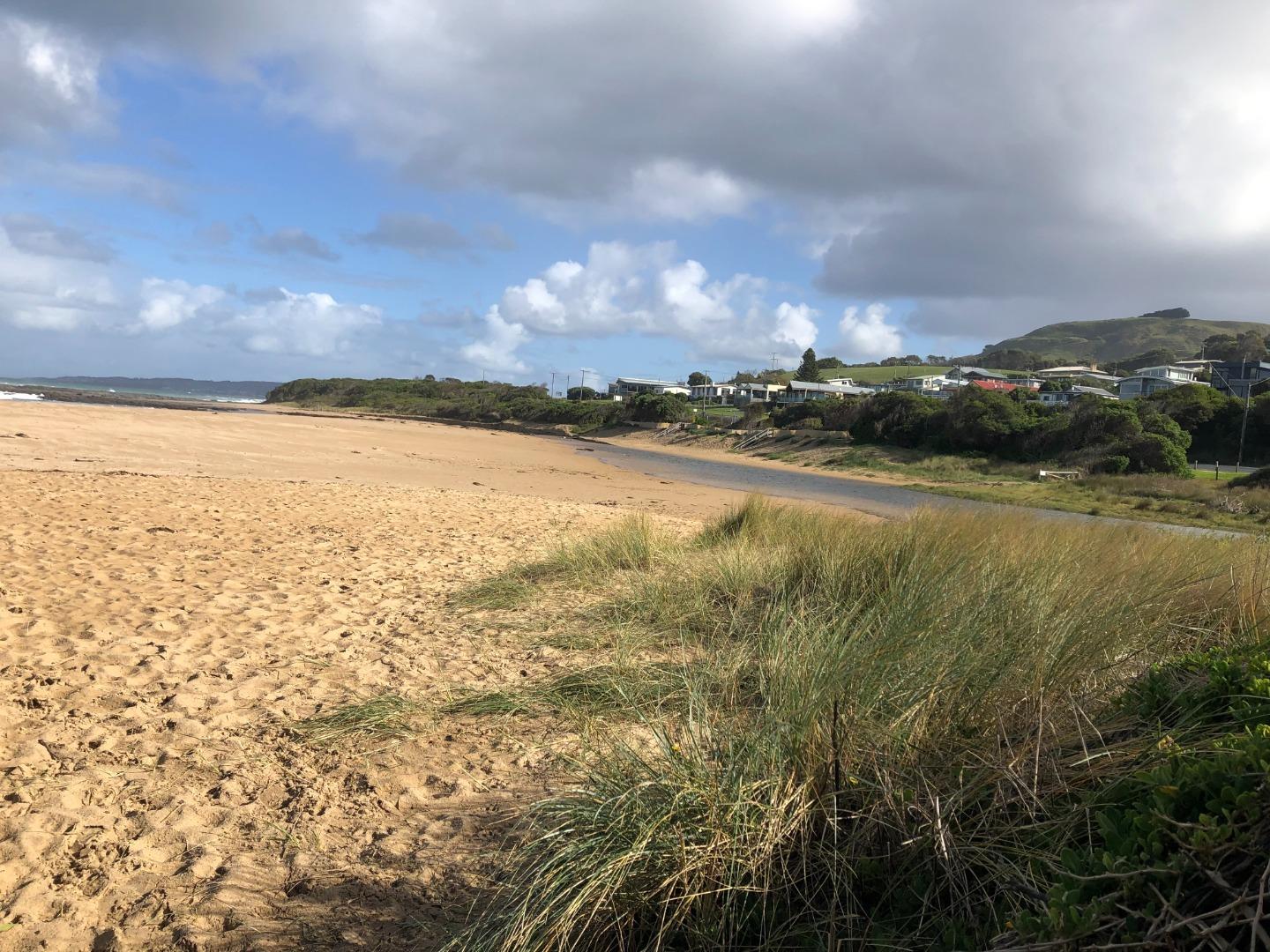
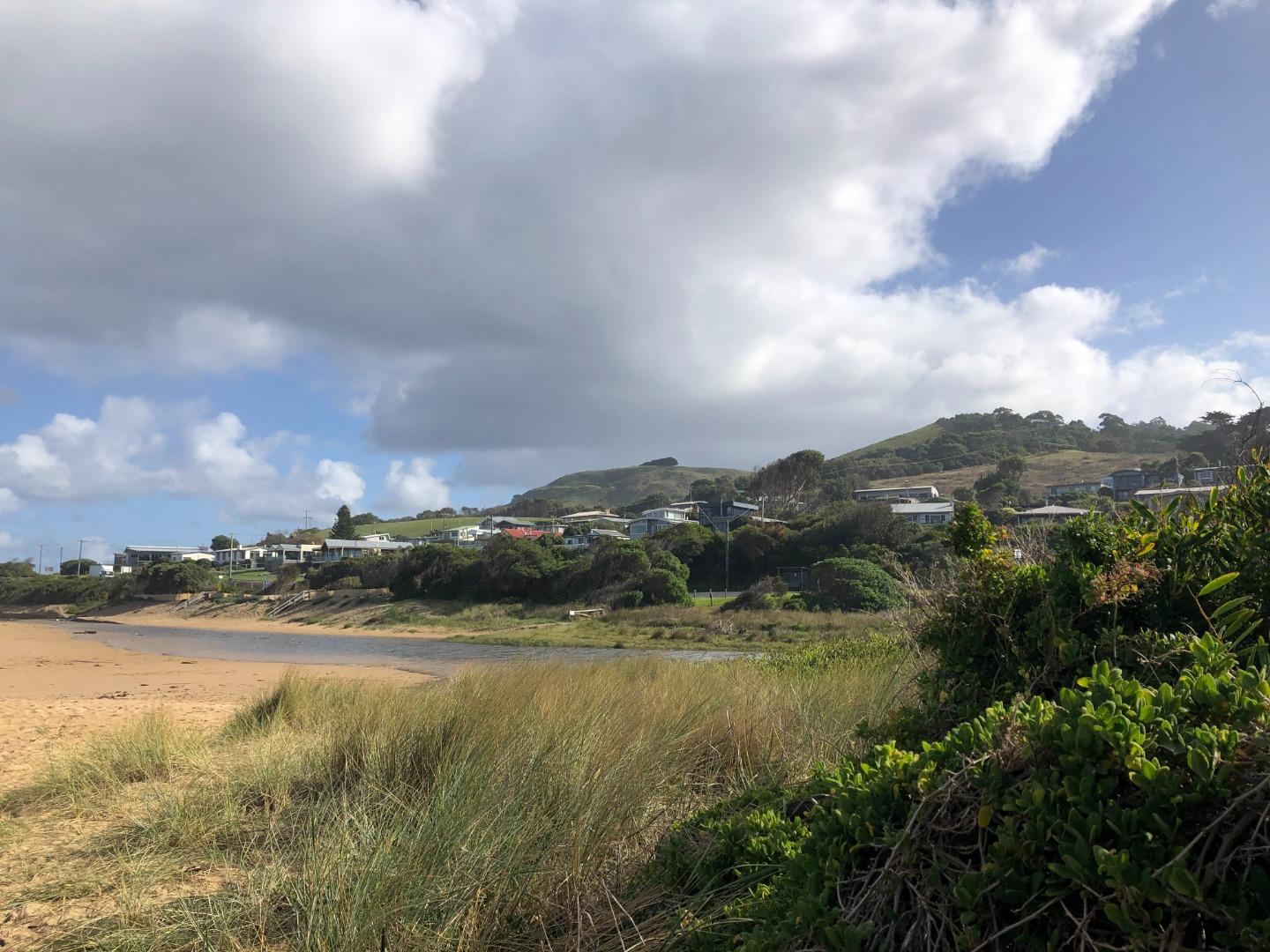
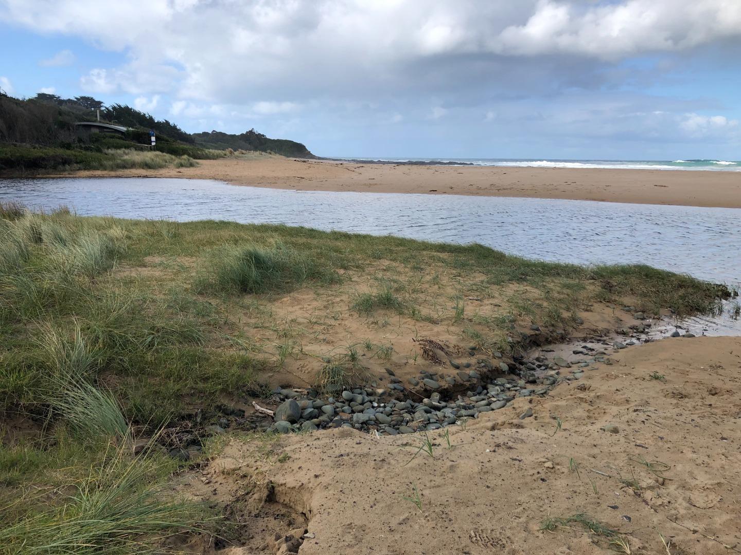
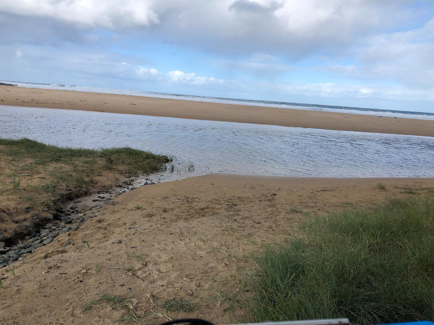
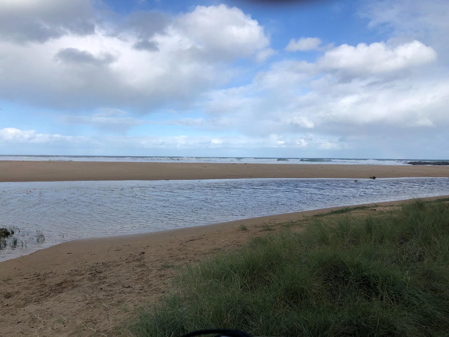
29-09-2023 #15791
Photopoint Skp1
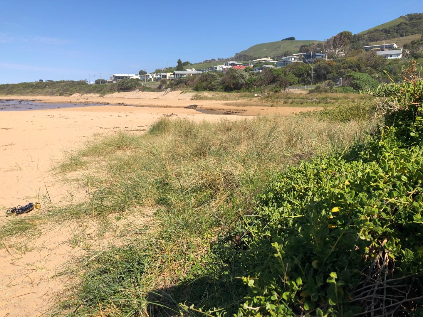
Photopoint Skp3
Photopoint Skp2
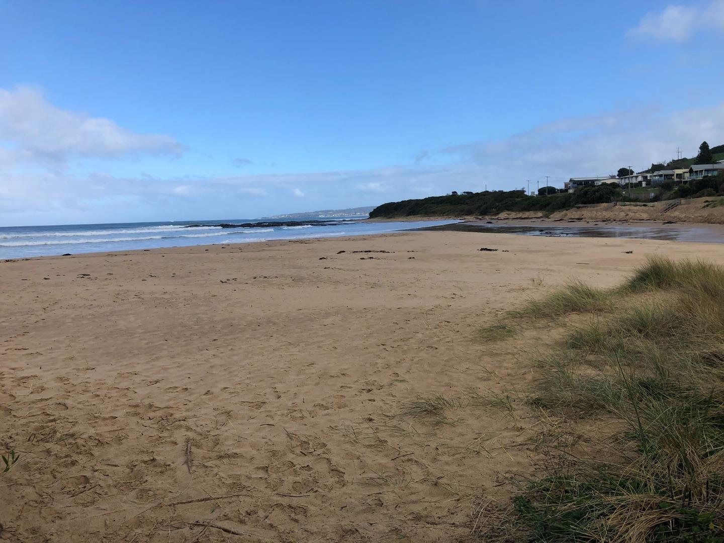
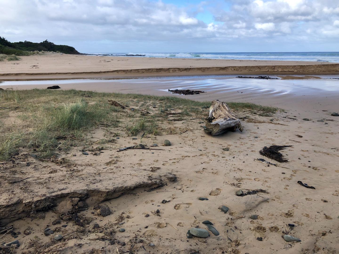
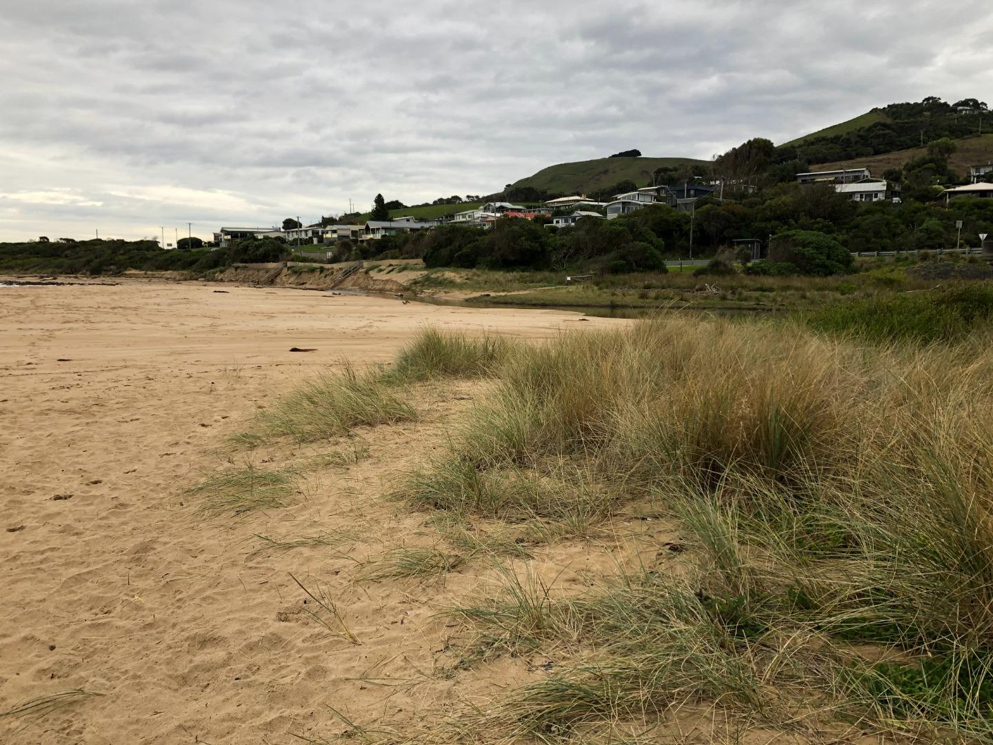
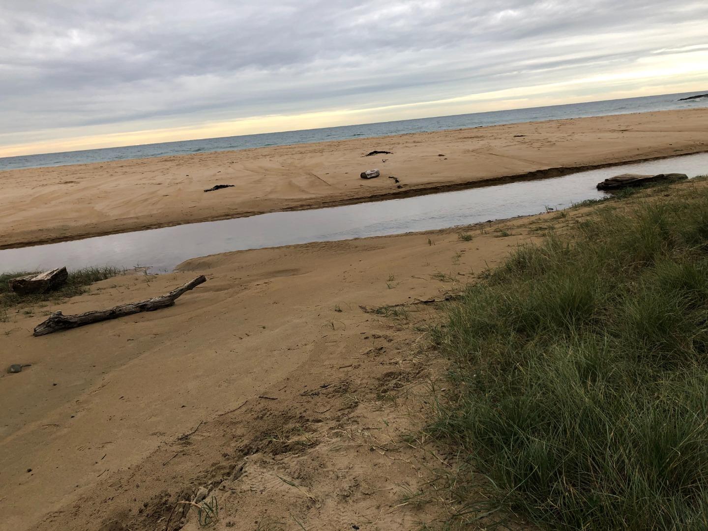
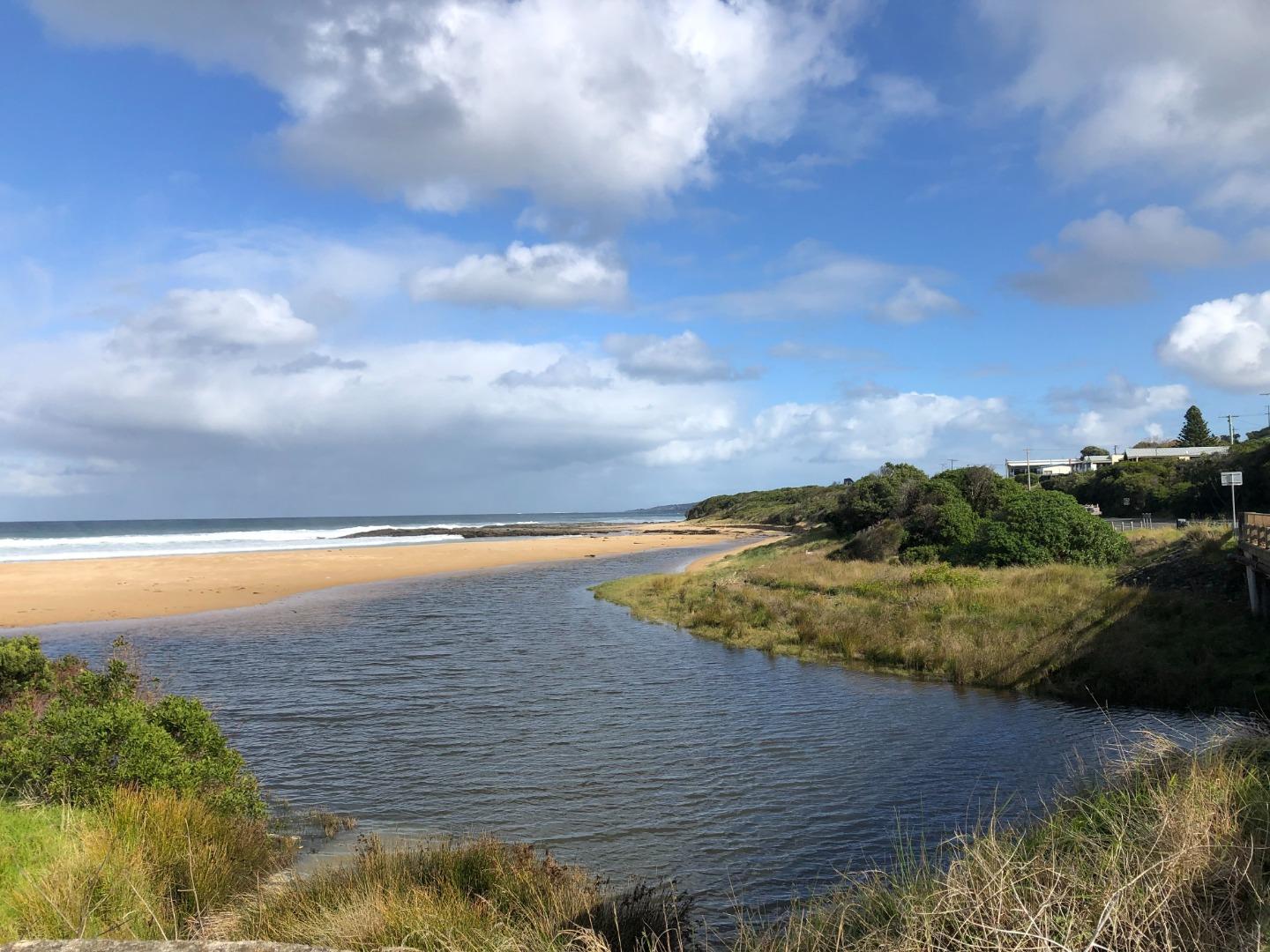
31-07-2023 #15700
Photopoint Skp1
Photopoint Skp3
Photopoint Sp1
Photopoint Skp2
22-06-2023 #15653
Photopoint Skp1
Photopoint Skp2
Photopoint Skp3
16-05-2023 #15525
Photopoint Skp1
Photopoint Skp2
Photopoint Skp3

All content, files, data and images provided by the EstuaryWatch Data Portal and Gallery are subject to a Creative Commons Attribution License
Content is made available to be used in any way, and should always attribute EstuaryWatch and www.estuarywatch.org.au