EstuaryWatch Data Portal
WMC Wild Dog Observation Site
Site details
Overview
| Estuary | Wild Dog Creek Estuary |
|---|---|
| CMA | Corangamite CMA |
| Type | Mouth Condition |
| Site code | WMC |
| Site name | Wild Dog Observation Site |
| Nearest road and town | Apollo Bay |
| Description |
On Great Ocean Road. 400m East of bridge at Wild Dog Creek. 16/9/22 Review - the risk of traffic on the bridge makes this an unsafe site to monitor from. |
| Site access |
Site is on a bank looking toward mouth and to the east. Enter via Great Ocean Road near bridge. Exact point is next to hooded plover signage (carpark entry 4kms east from Apollo Bay). |
| Land use |
|
| Land use description | |
| Status | Active |
| Observation history | 13-02-2008 - 29-09-2023 |
Site information |
|
Observations
| # | Date | Mouth state | Flow | Wind | Beaufort Scale | Sea State | Water Level Start | Water Level End | High Tide | Low Tide | ||||
|---|---|---|---|---|---|---|---|---|---|---|---|---|---|---|
| #15792 | 29-09-2023 | Open | Out | NW | Gentle breeze | 4 Slight | 2.1m | 09:44am | 1.4m | 12:14pm | 0.6m | 16:27pm | ||
| #15701 | 31-07-2023 | Open | Out | NW | Moderate breeze | 5 Moderate | 1.5m | 08:28am | 0.4m | 16:05pm | ||||
| #15652 | 22-06-2023 | Open | Out | N | Calm | 3 Smooth | 1.7m | 15:30pm | 1.6m | 14:44pm | 0.9m | 09:31am | ||
| #15524 | 16-05-2023 | Open | Out | SW | Fresh breeze | 6 Rough | 1.9m | 12:55pm | 1.7m | 08:44am | 1.0m | 02:37am | ||
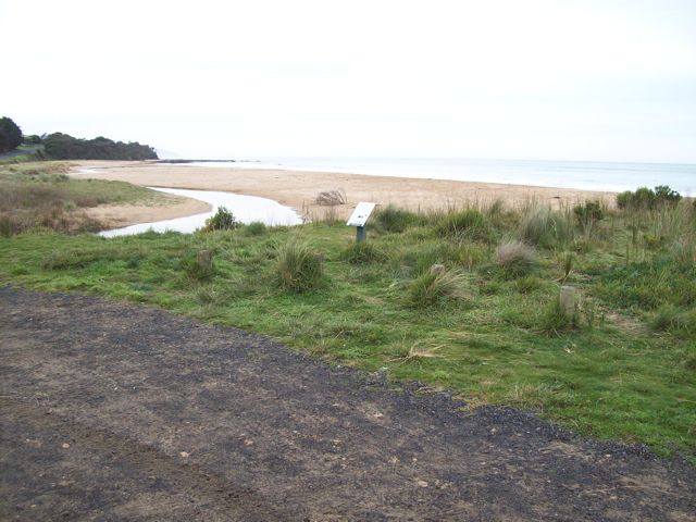
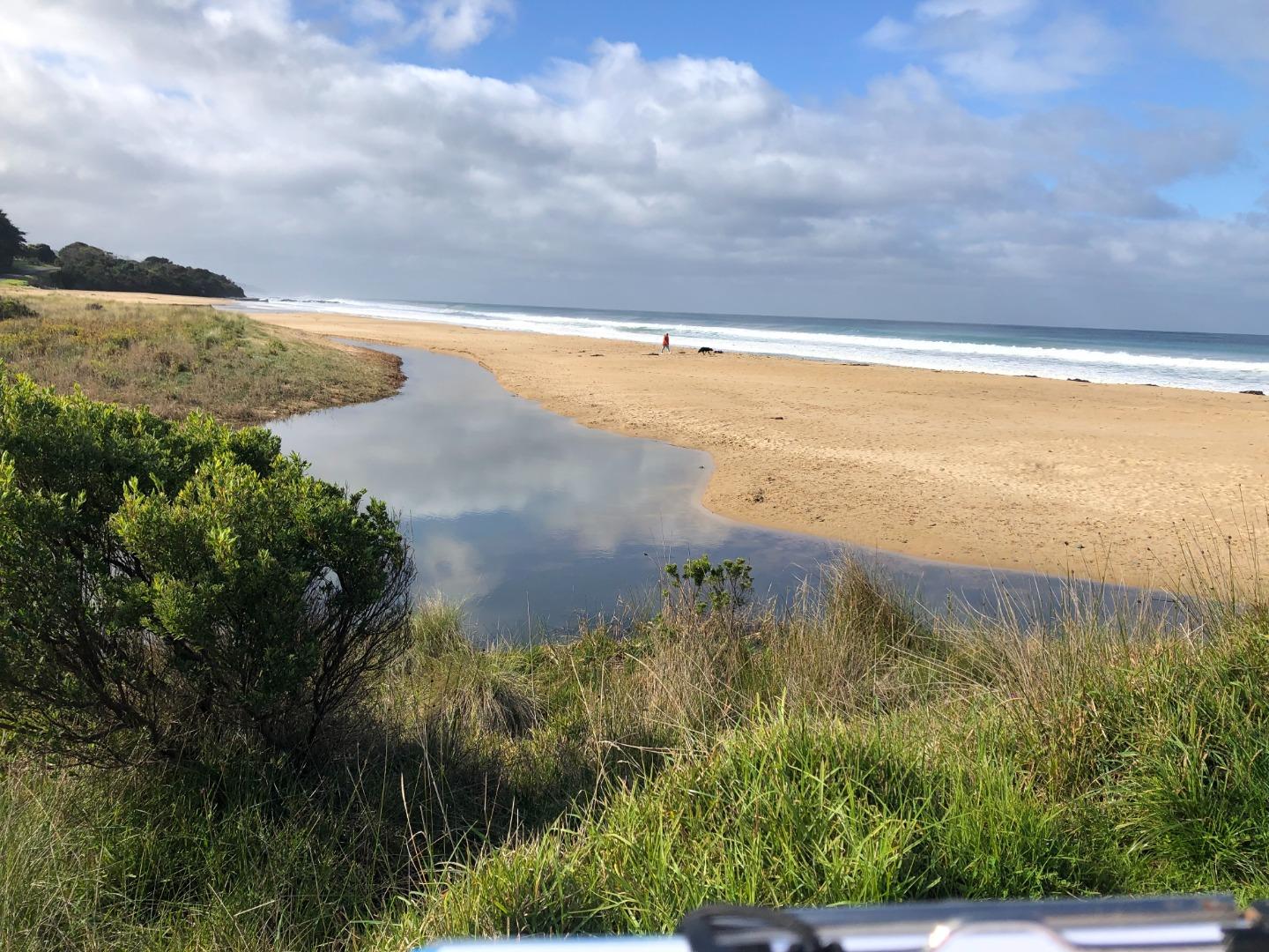
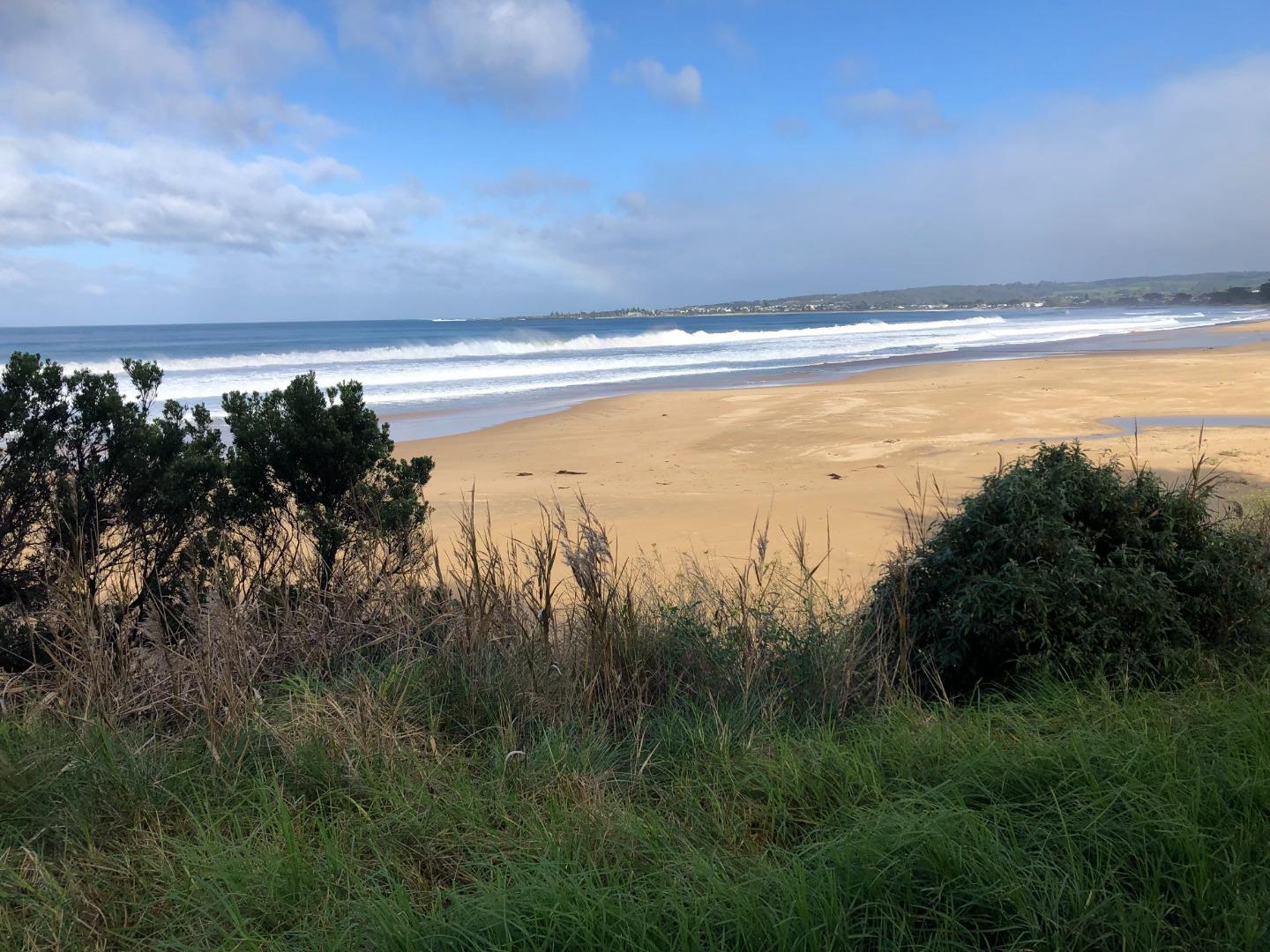
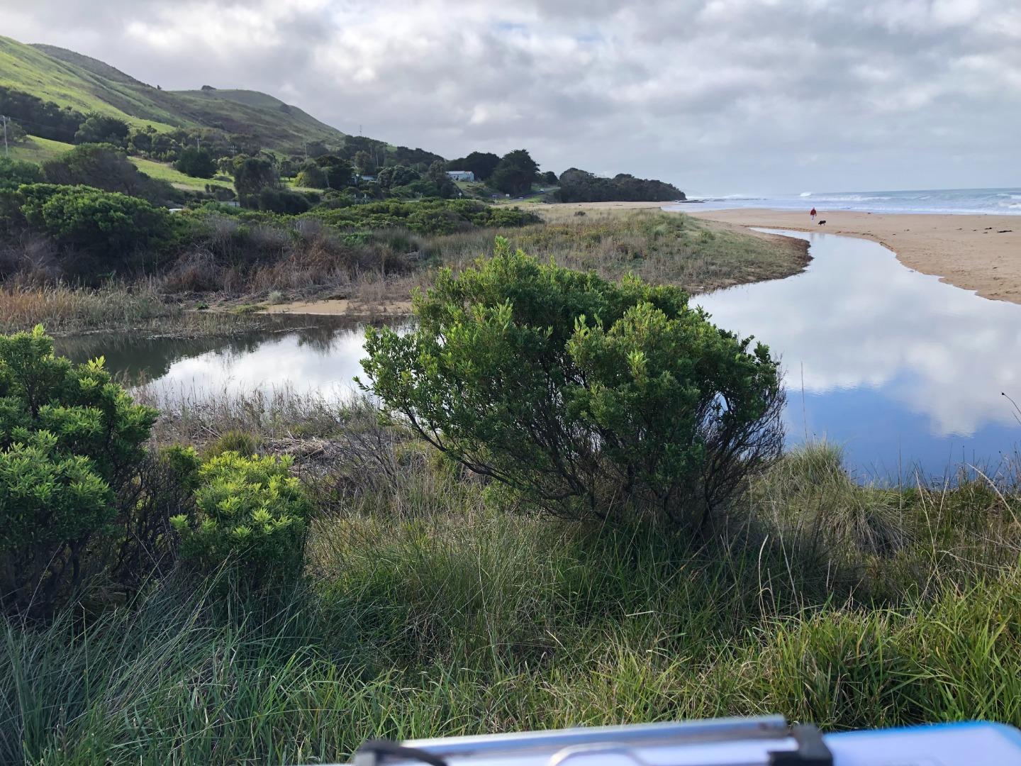
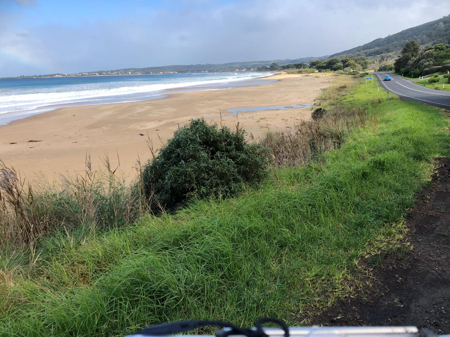
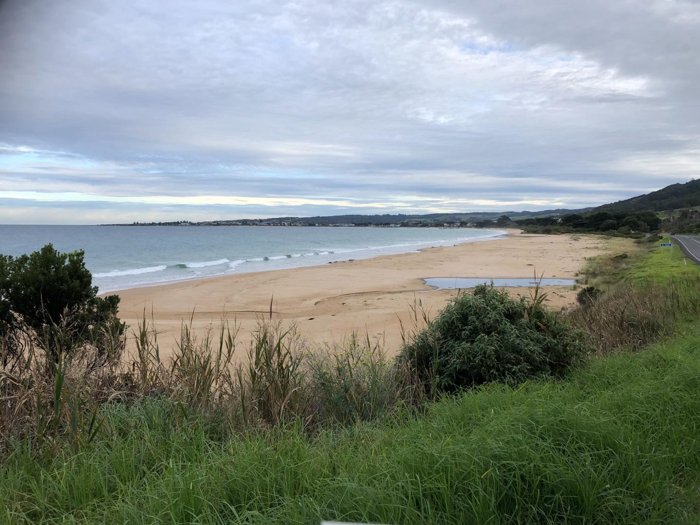
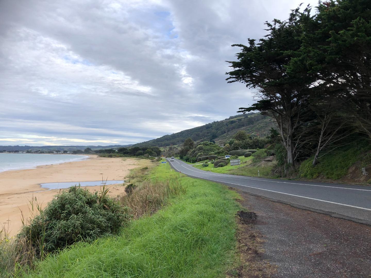
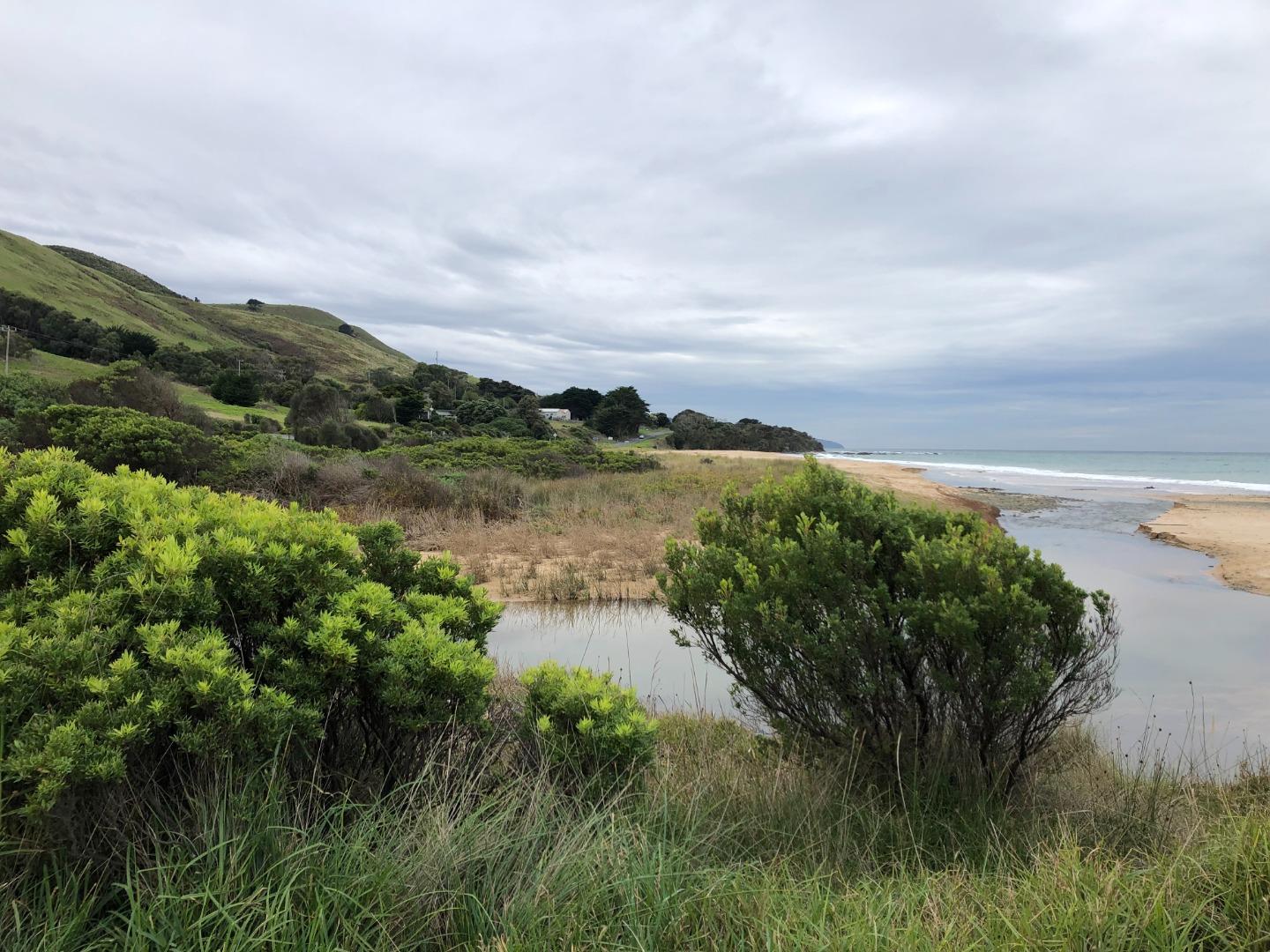
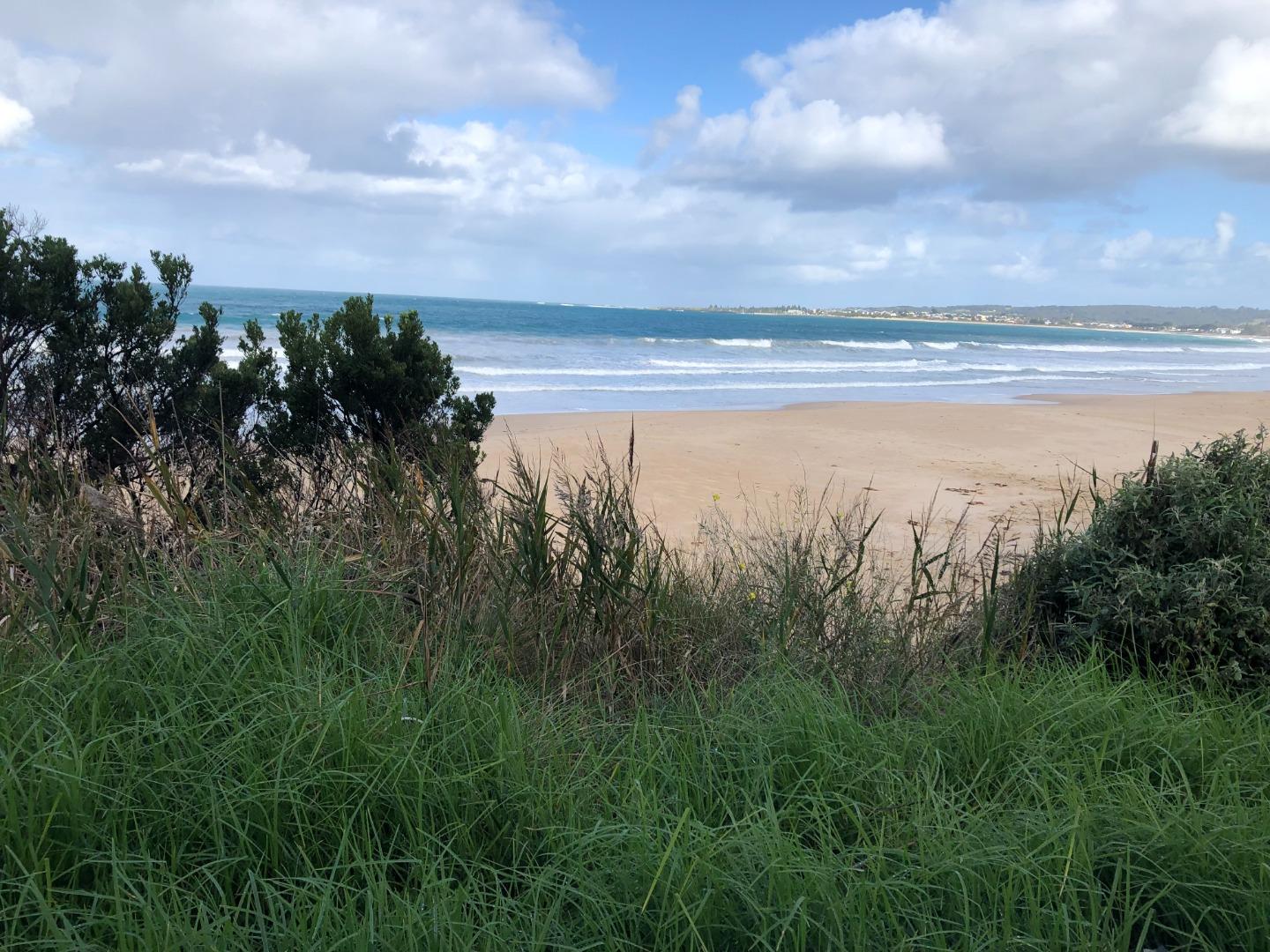
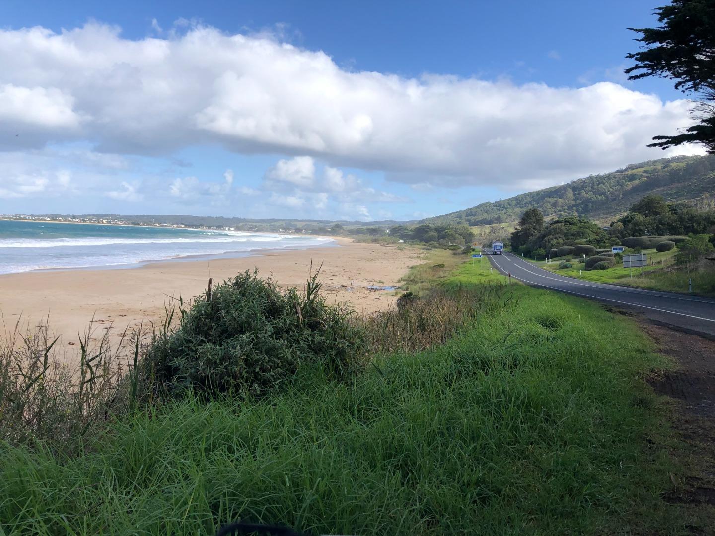
Snapshots
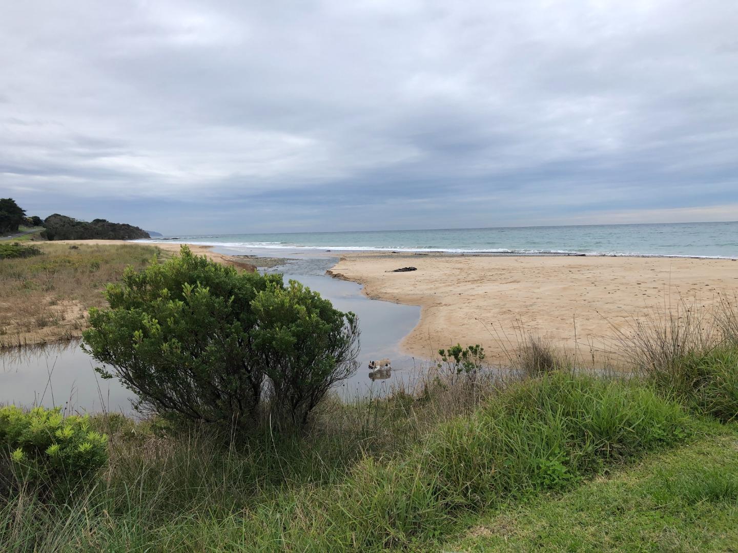
29-09-2023 #15792
Photopoint Wp1

Photopoint Wp3

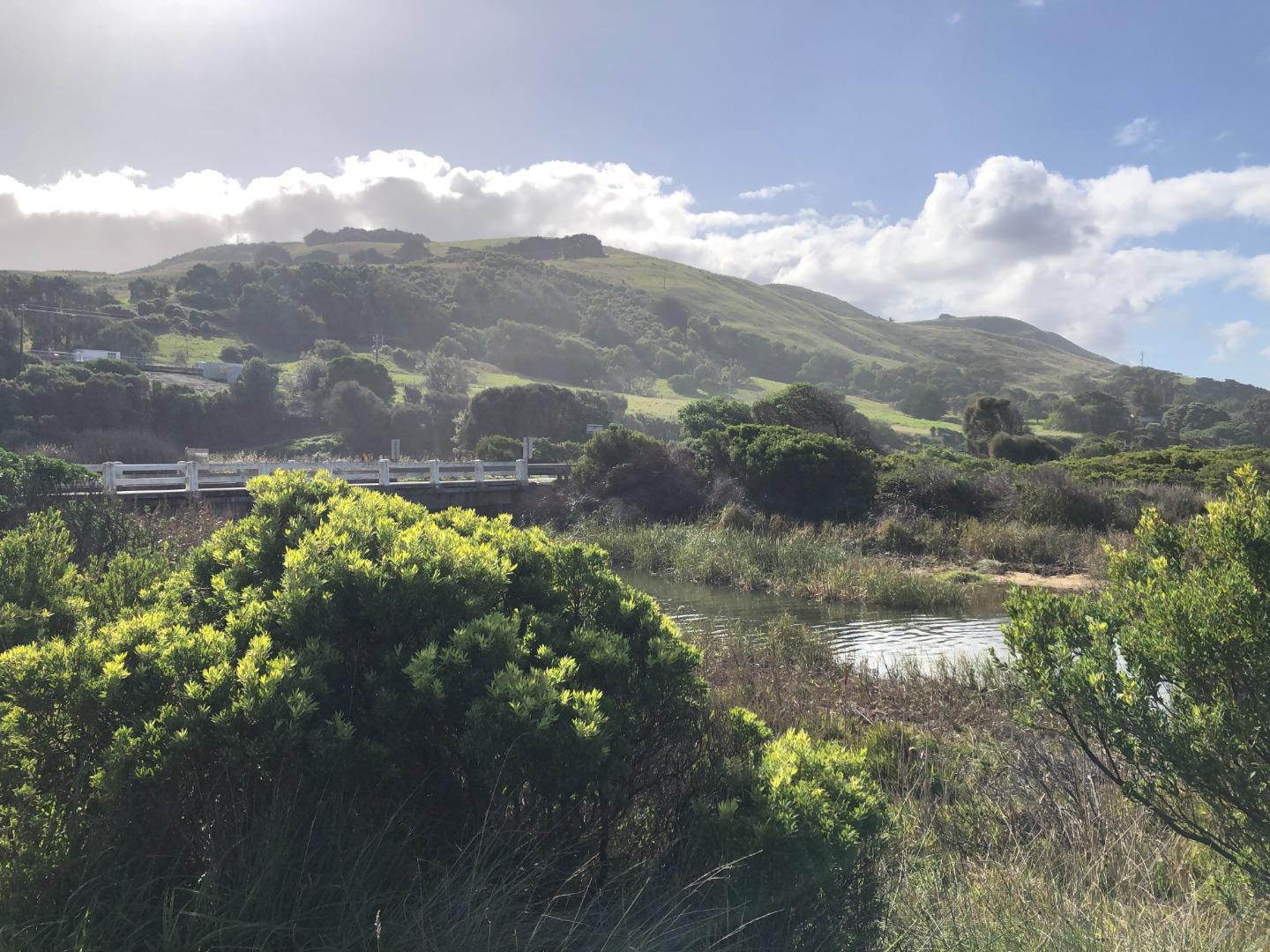
31-07-2023 #15701
Photopoint Wp1

Photopoint Wp3

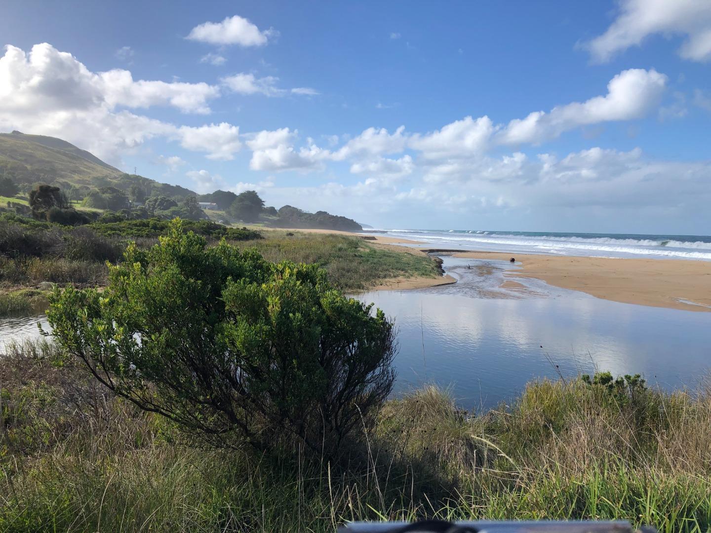
22-06-2023 #15652
Photopoint Wp3
Photopoint Wp1
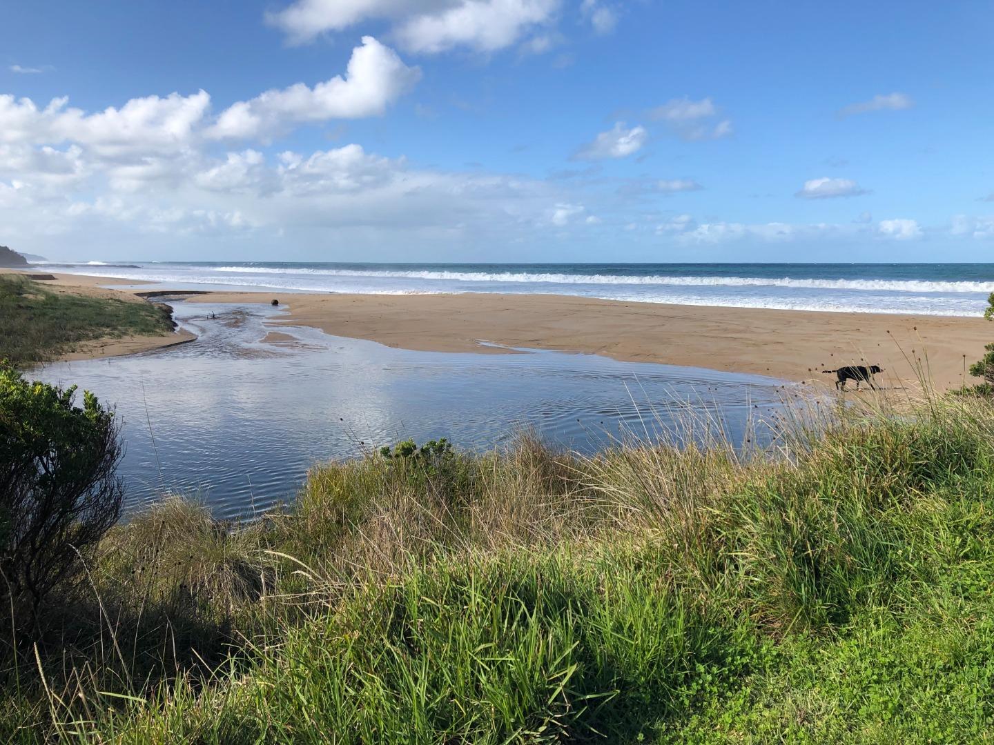
16-05-2023 #15524
Photopoint Wp1
Photopoint Wp3

All content, files, data and images provided by the EstuaryWatch Data Portal and Gallery are subject to a Creative Commons Attribution License
Content is made available to be used in any way, and should always attribute EstuaryWatch and www.estuarywatch.org.au