EstuaryWatch Data Portal
Site details
Overview
| Estuary | Gellibrand River Estuary |
|---|---|
| CMA | Corangamite CMA |
| Type | Photopoint |
| Site code | Gp1 |
| Site name | Gellibrand River Estuary Mouth Photopoint |
| Nearest road and town | none |
| Description | EstuaryWatch post marker on top of sandune at estuary mouth |
| Site access | Head towards the estuary mouth along the eastern side of the estuary. |
| Land use |
|
| Land use description | Foreshore Reserve/Protected Bushland |
| Status | Active |
| Observation history | 18-07-2010 - 22-04-2024 |
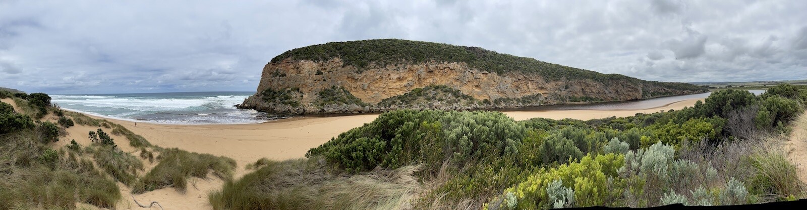
Gellibrand Photopoint Site One. |
|
Photopoint photos
Photopoint Gp1 22-04-2024

Photopoint Gp1 28-02-2024
Photopoint Gp1 27-02-2024

Photopoint Gp1 11-01-2024
Photopoint Gp1 18-11-2023

All content, files, data and images provided by the EstuaryWatch Data Portal and Gallery are subject to a Creative Commons Attribution License
Content is made available to be used in any way, and should always attribute EstuaryWatch and www.estuarywatch.org.au