EstuaryWatch Data Portal
Site details
Overview
| Estuary | St George River Estuary |
|---|---|
| CMA | Corangamite CMA |
| Type | Photopoint |
| Site code | StP1 |
| Site name | St George Estuary Mouth Photopoint |
| Nearest road and town | Lorne, Great Ocean Road |
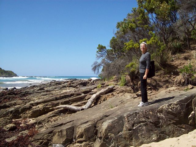
| Description | Bank on western side of estuary |
| Site access |
Bank on western side of estuary 200m South of GOR bridge |
| Land use |
|
| Land use description | Road |
| Status | Active |
| Observation history | 01-09-2010 - 22-11-2020 |
StP: St George Estuary Mouth Photopoint |
|
Photopoint photos
No photos found for the specified period

All content, files, data and images provided by the EstuaryWatch Data Portal and Gallery are subject to a Creative Commons Attribution License
Content is made available to be used in any way, and should always attribute EstuaryWatch and www.estuarywatch.org.au