EstuaryWatch Data Portal
Site details
Overview
| Estuary | Merri River Estuary |
|---|---|
| CMA | Glenelg Hopkins CMA |
| Type | Photopoint |
| Site code | Mp1 |
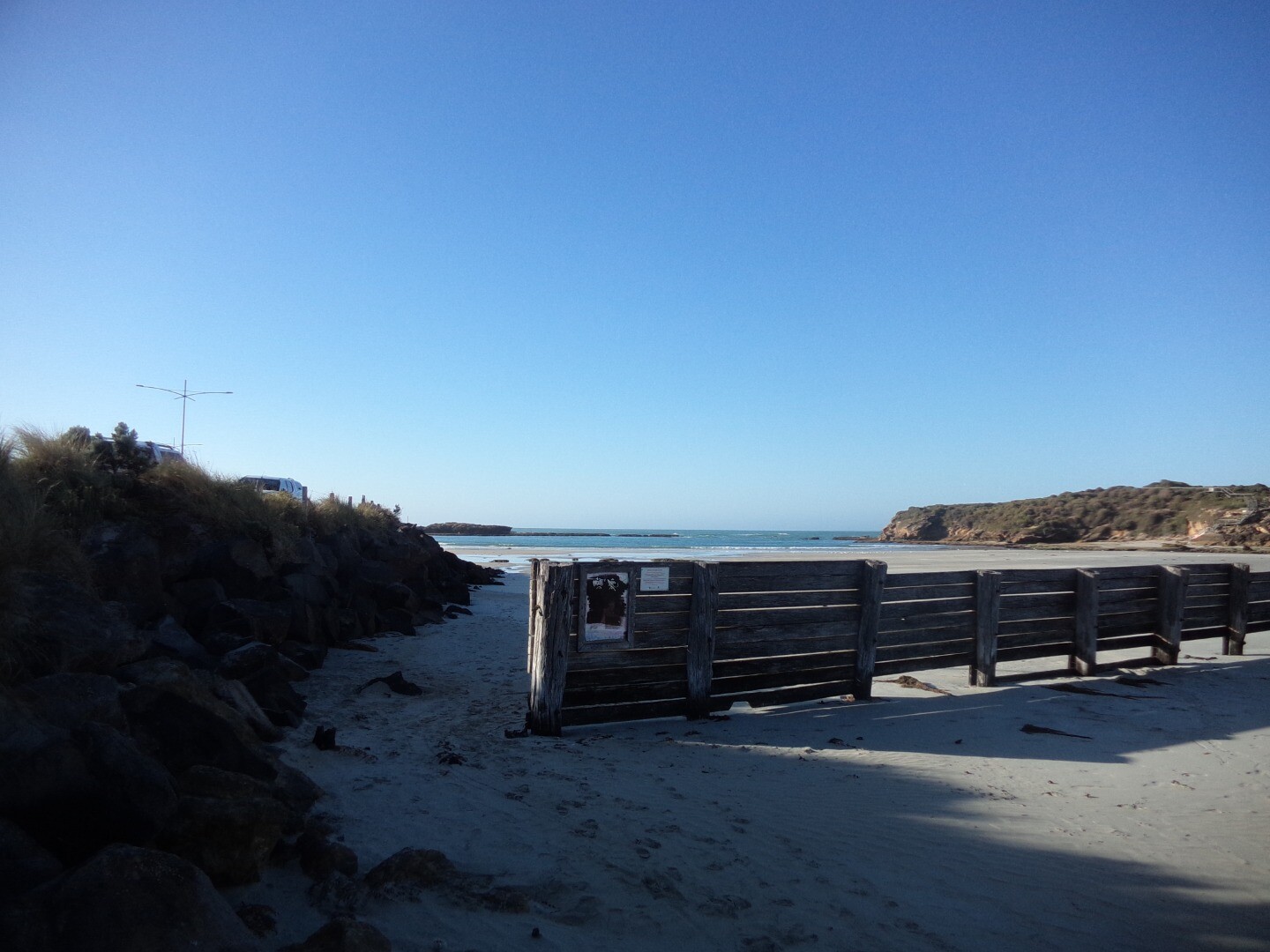
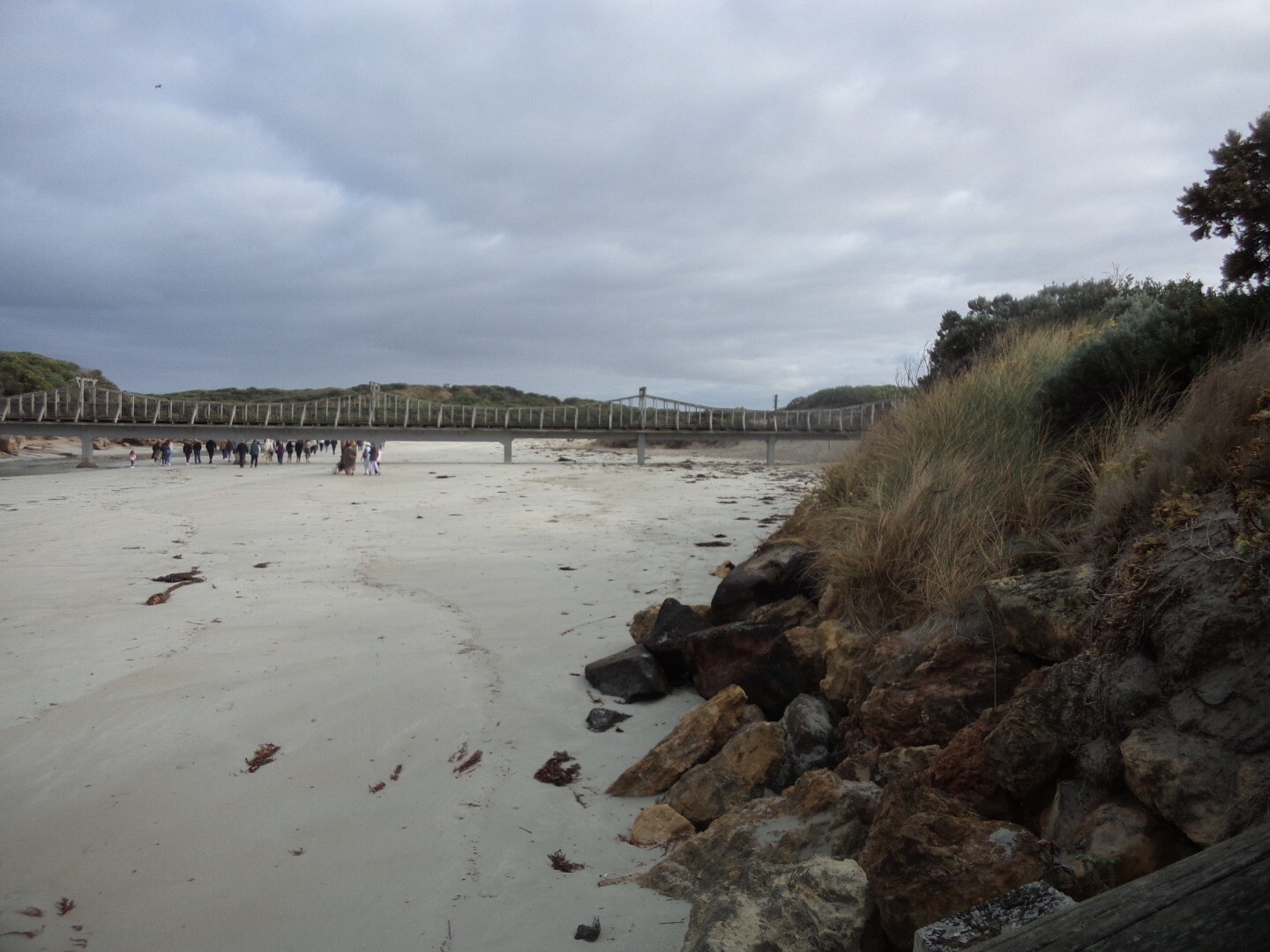
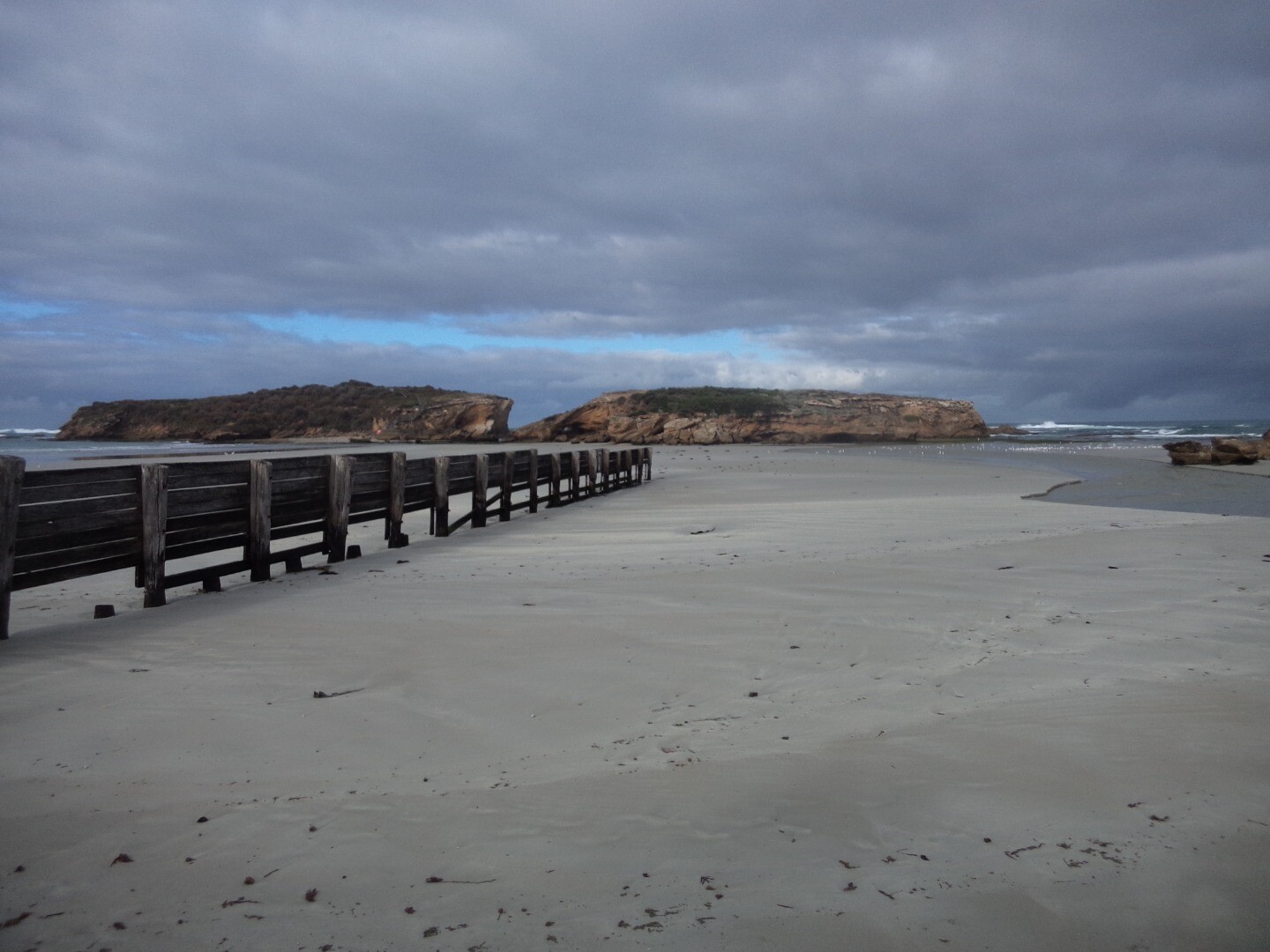
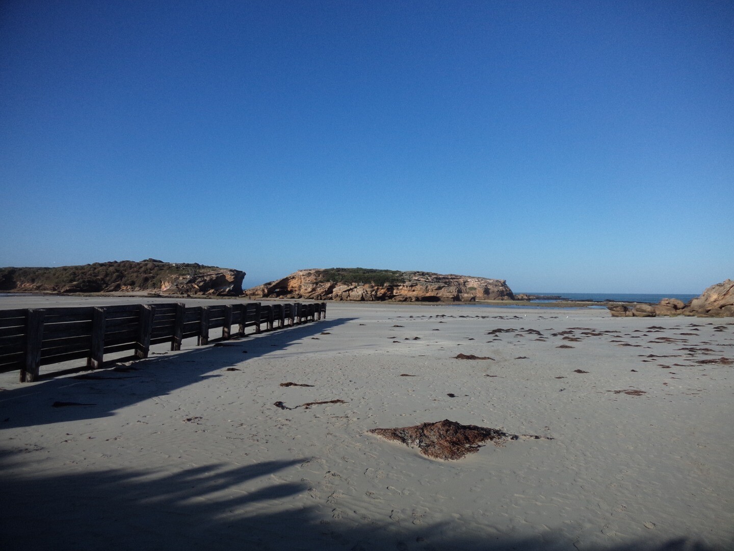
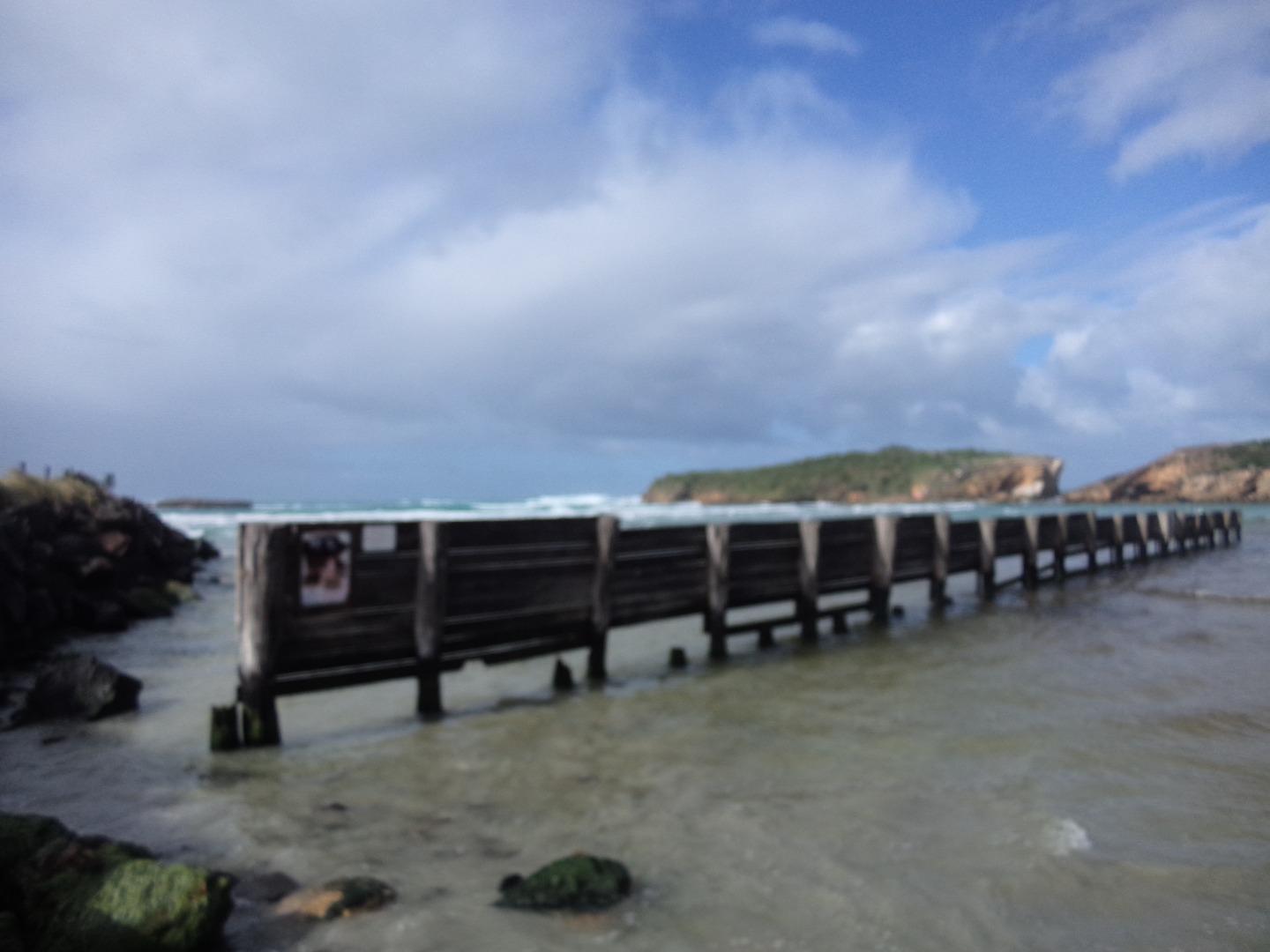
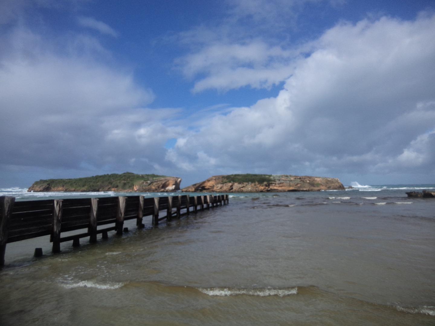
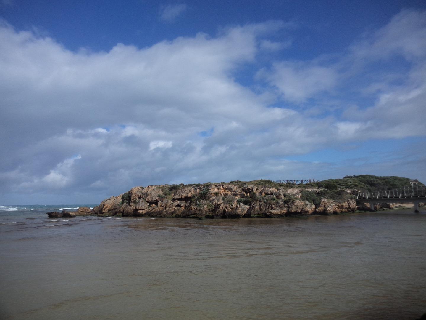
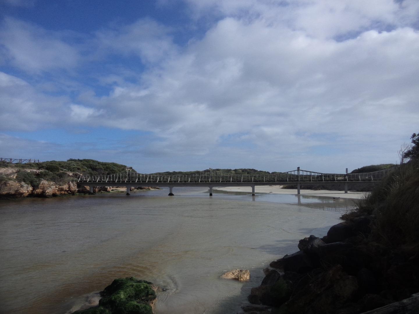
| Site name | Stingray Bay |
| Nearest road and town | Viaduct Road |
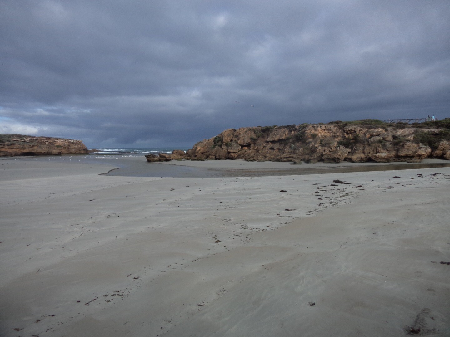
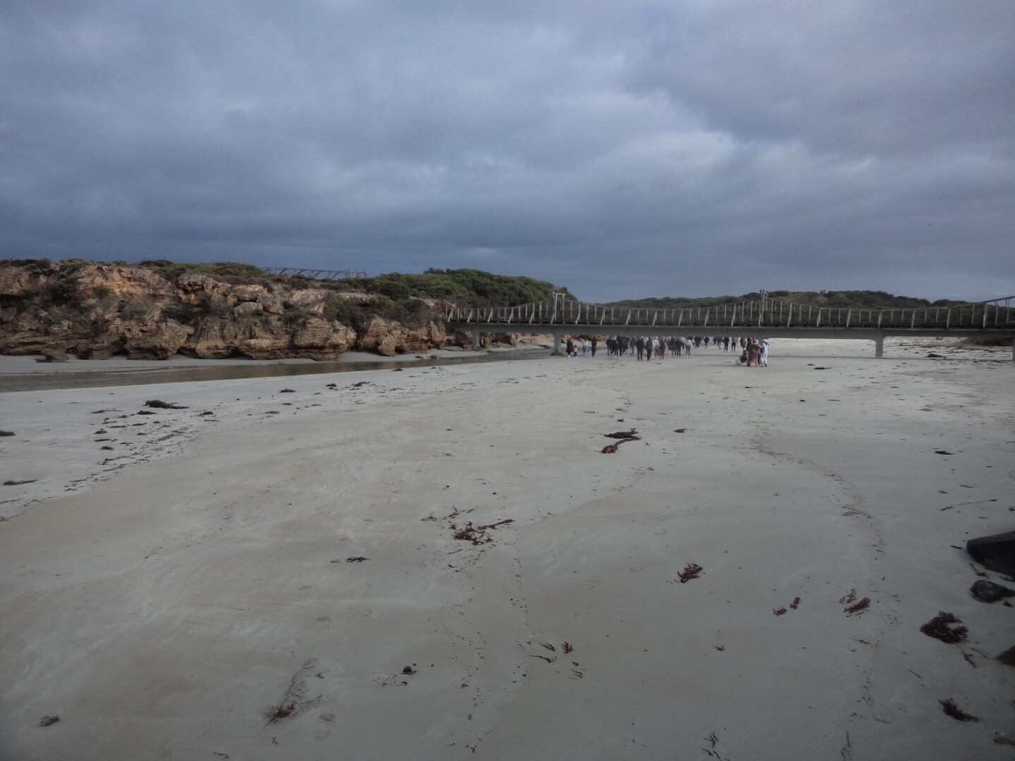
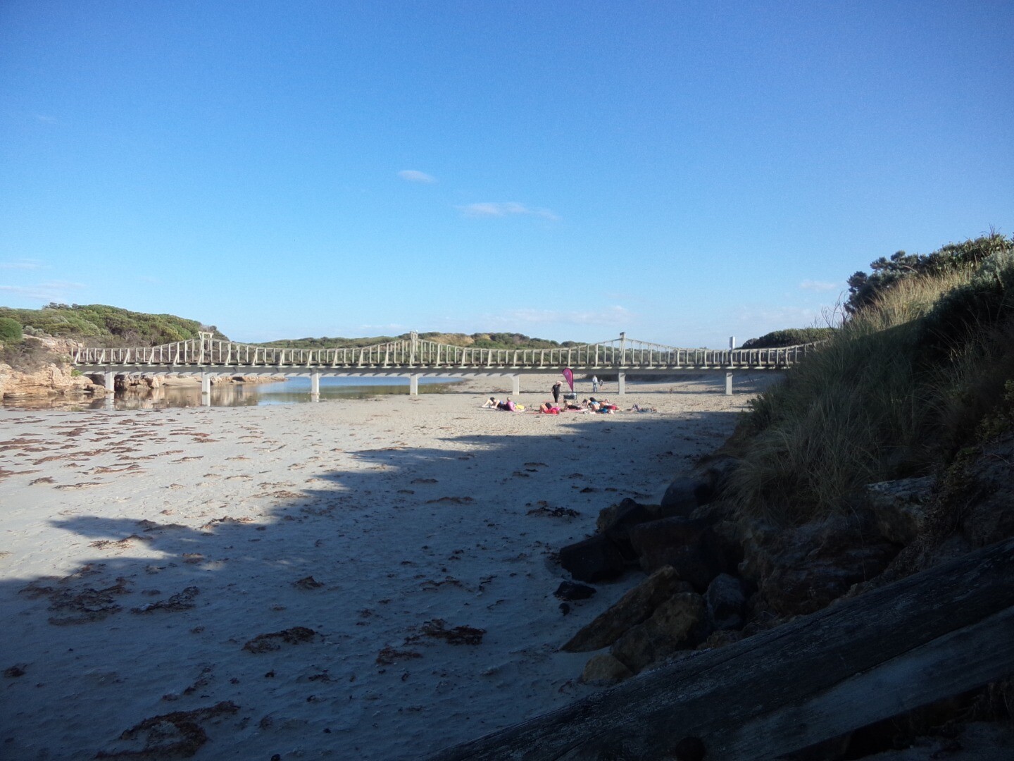
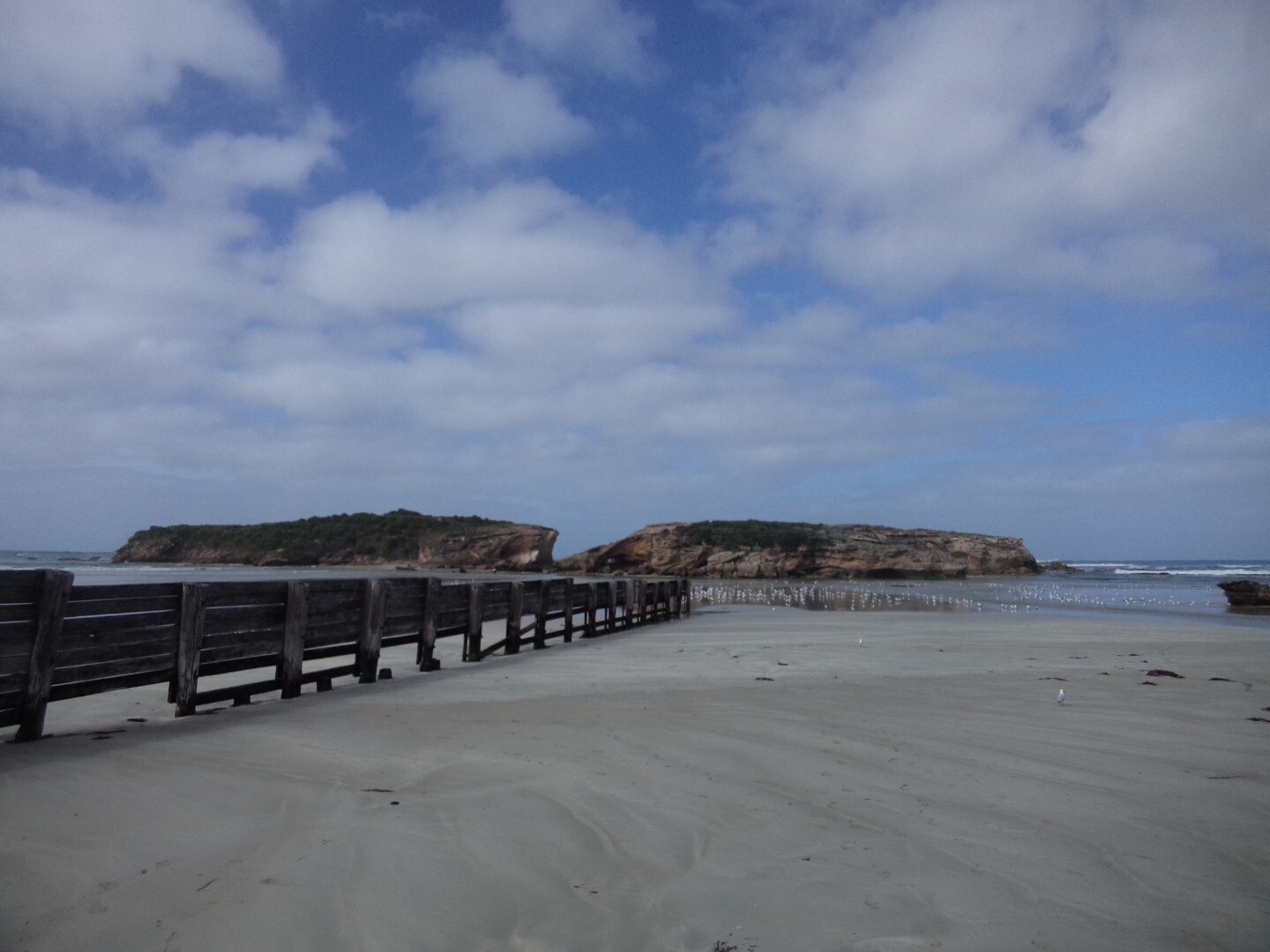
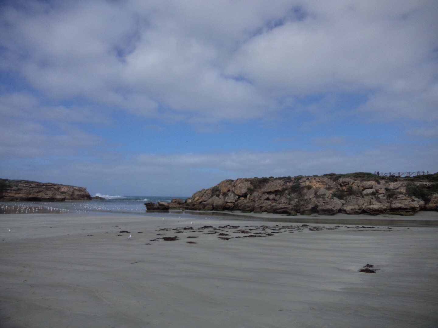
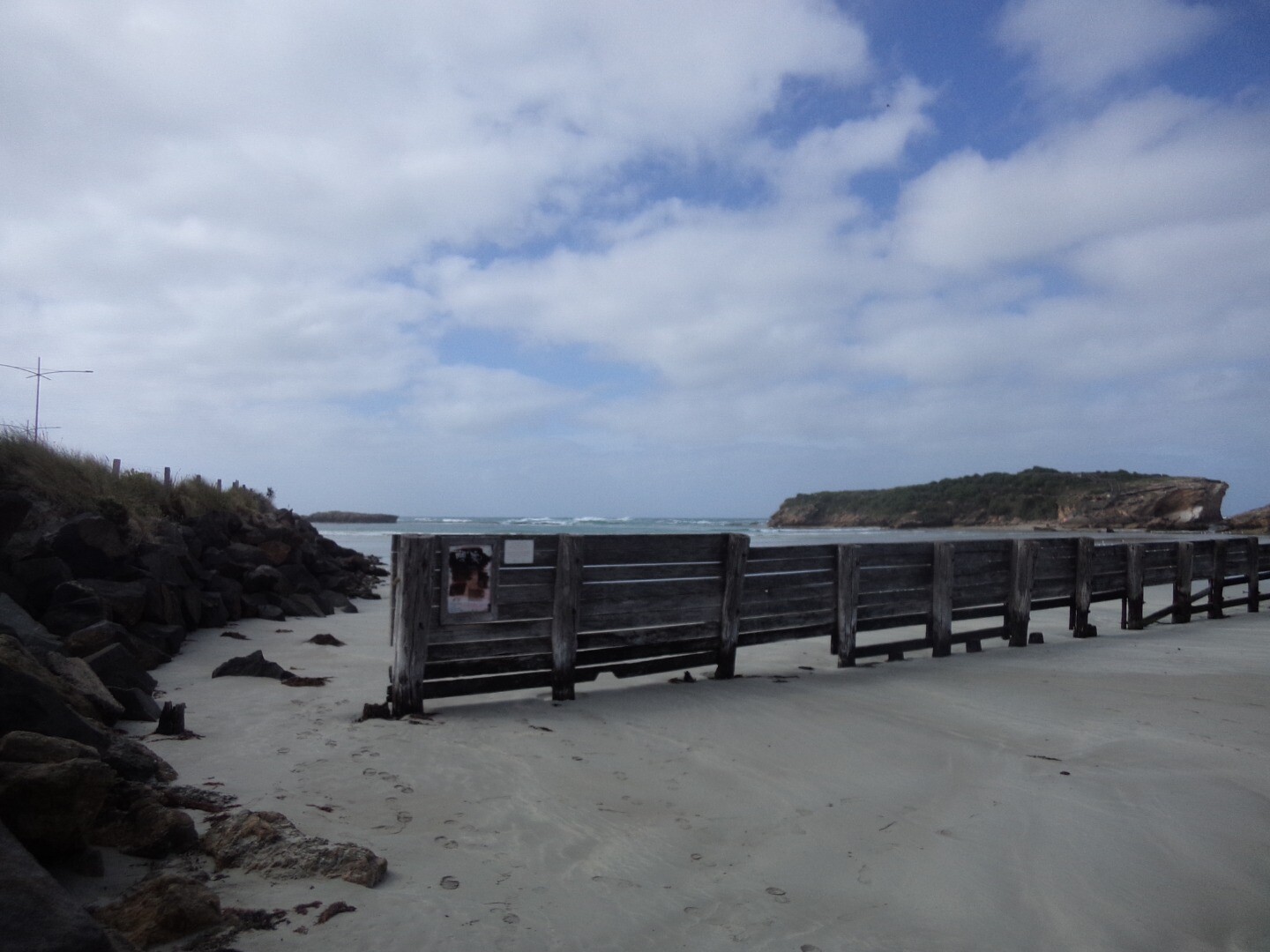
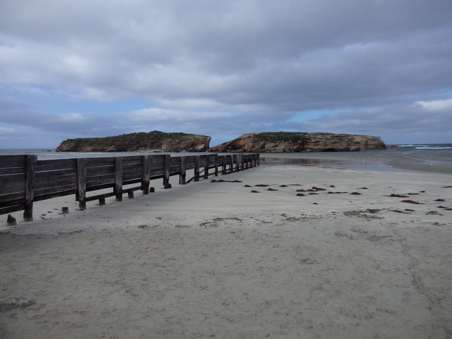
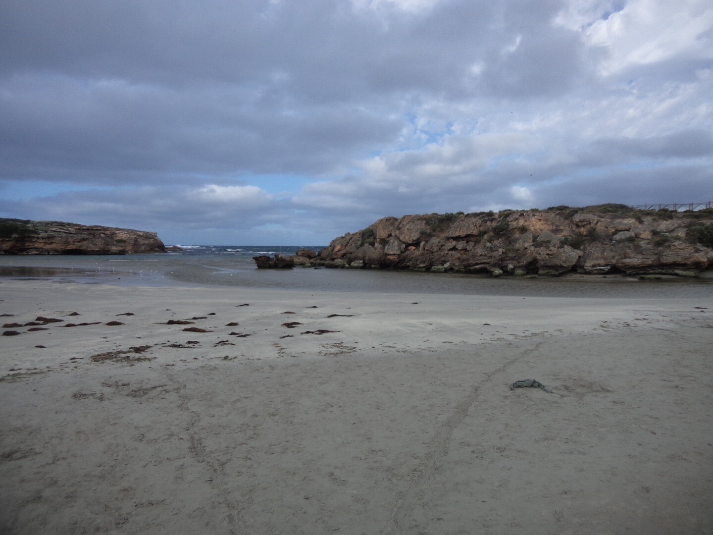
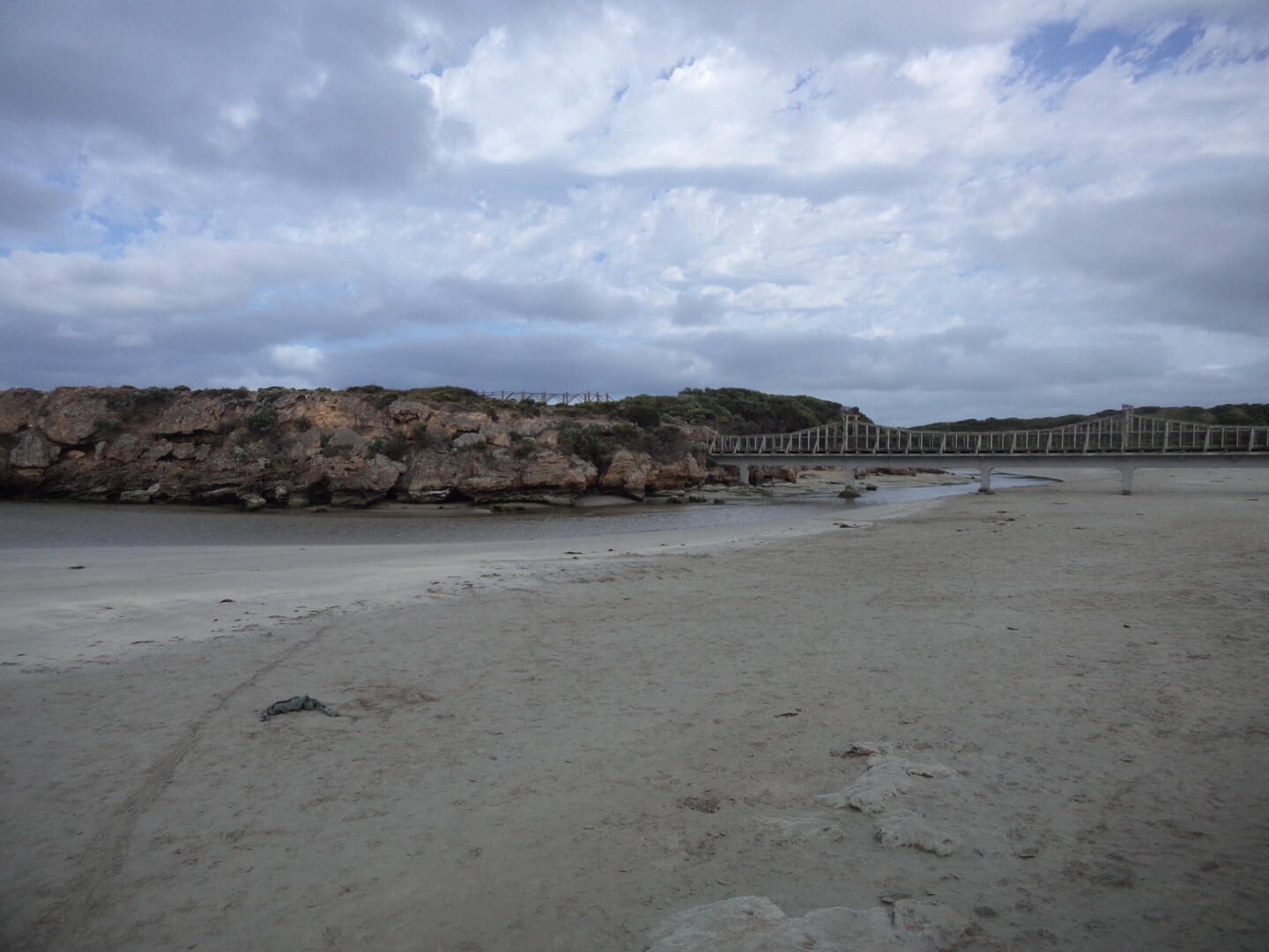
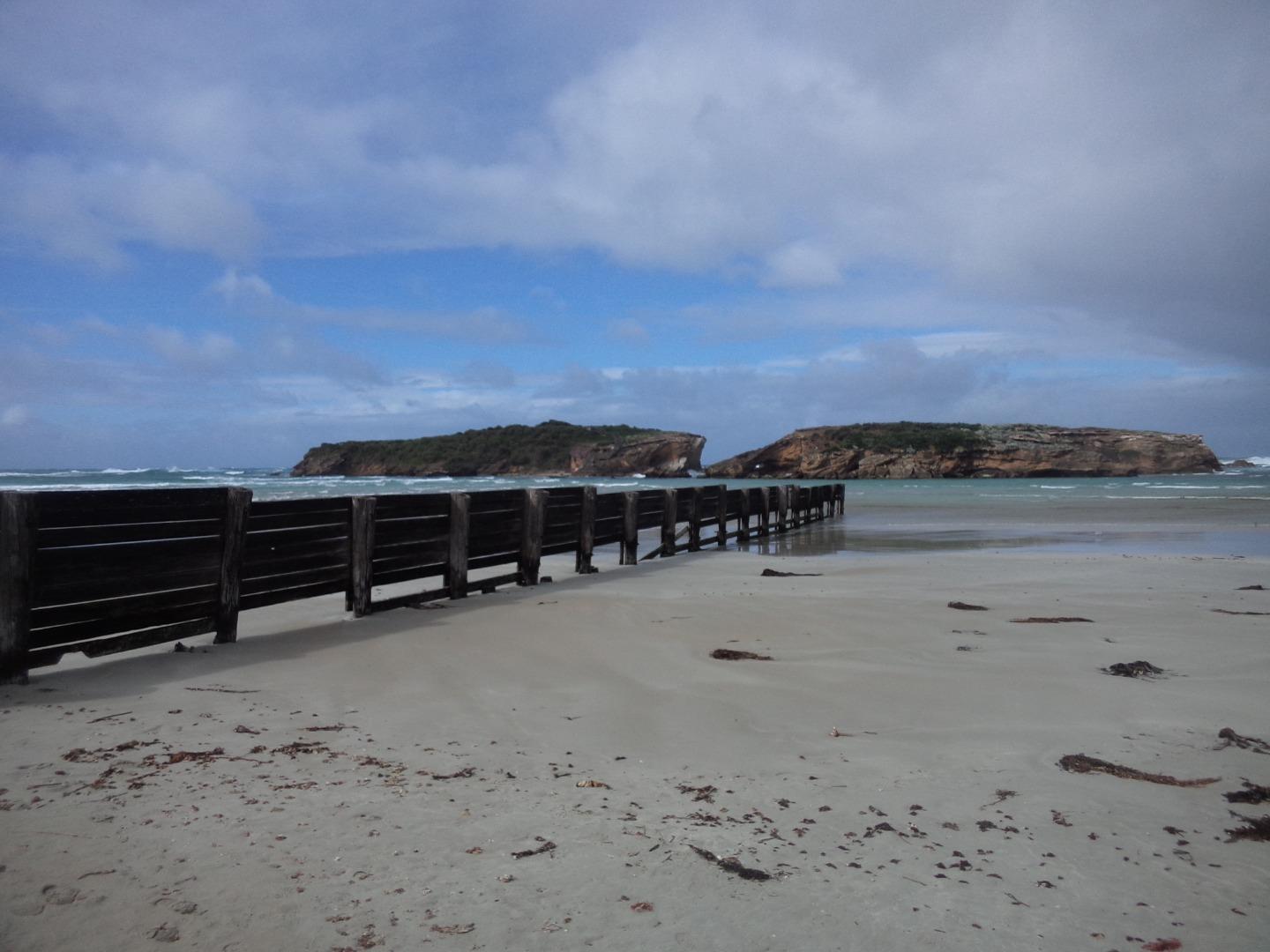
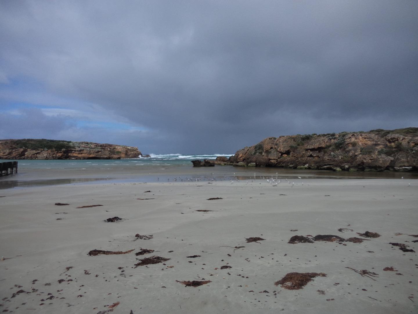
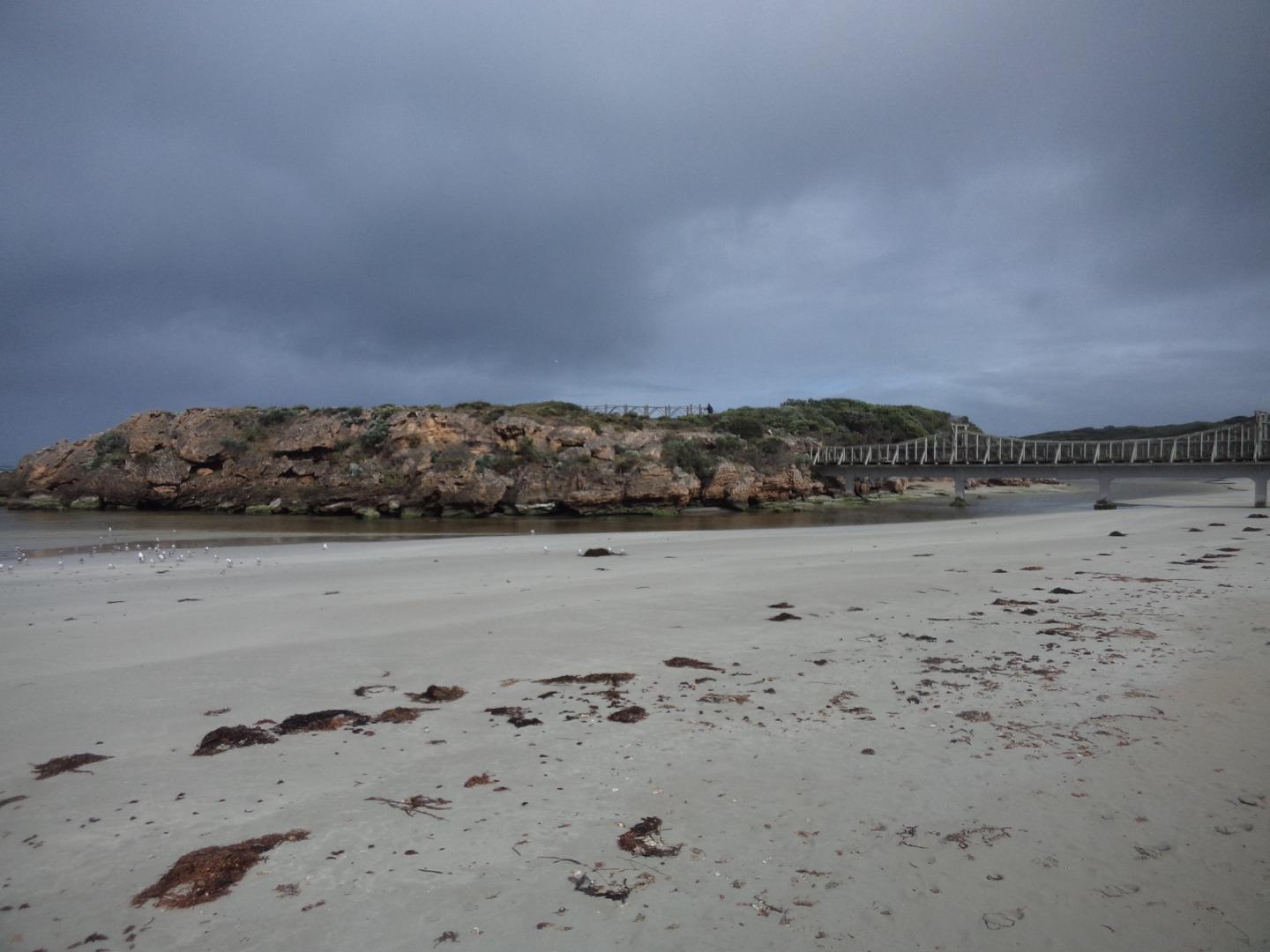
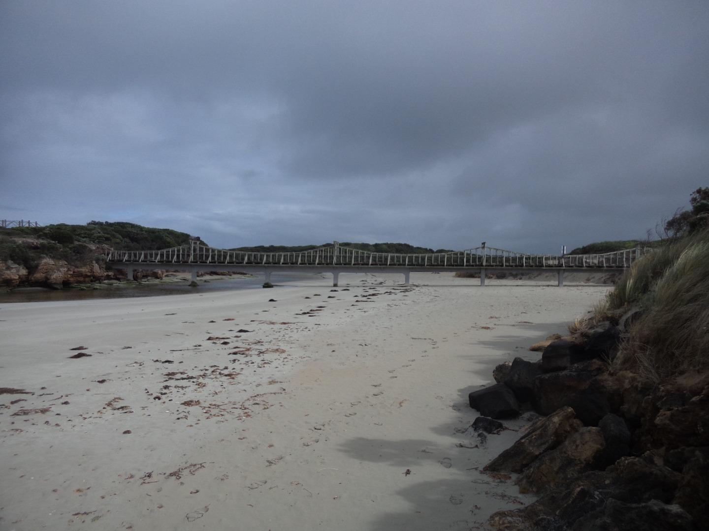
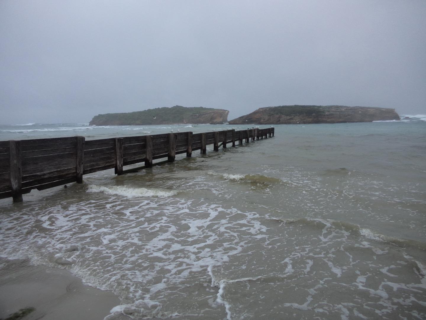
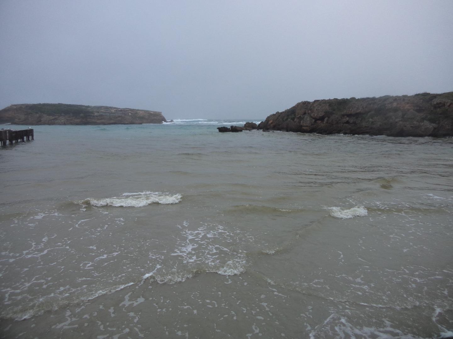
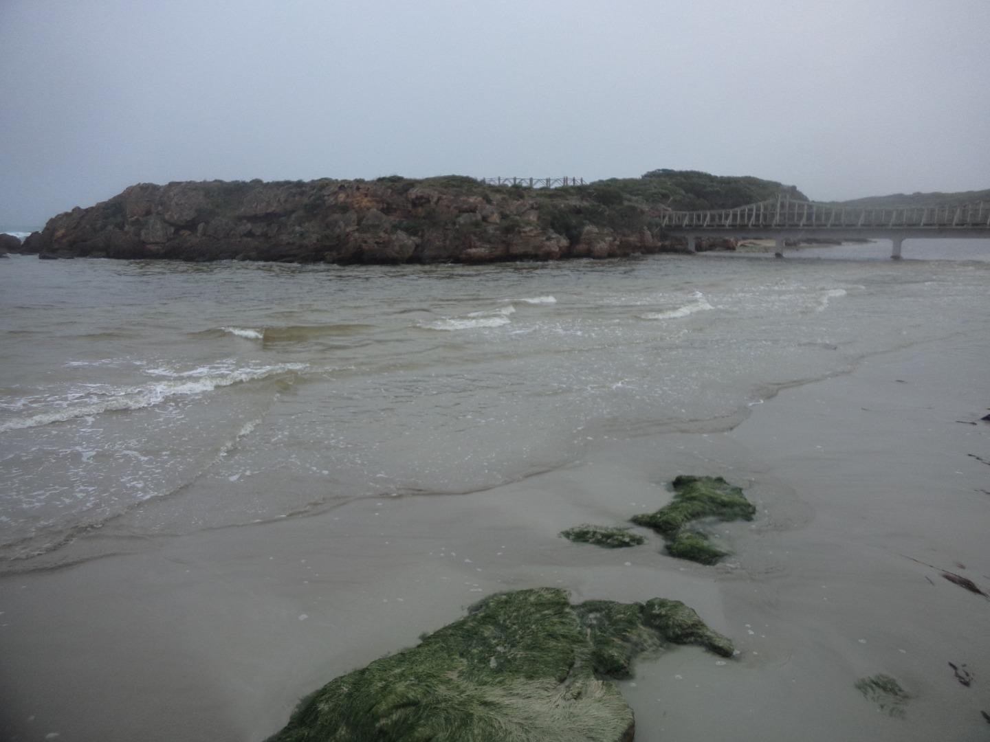
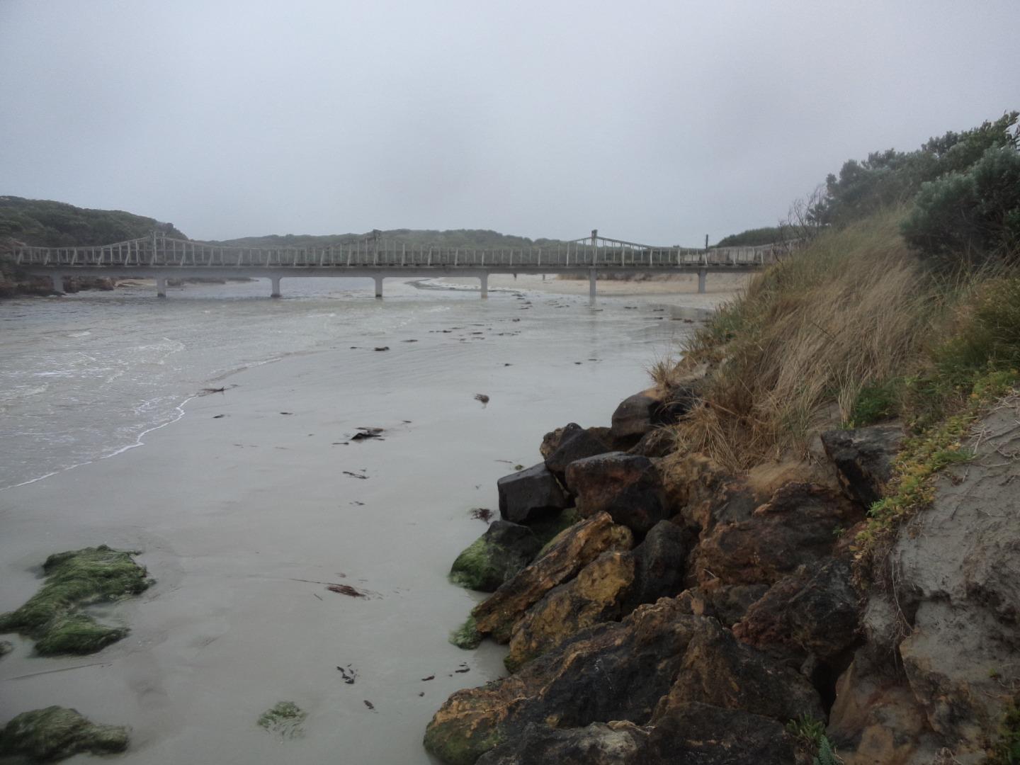
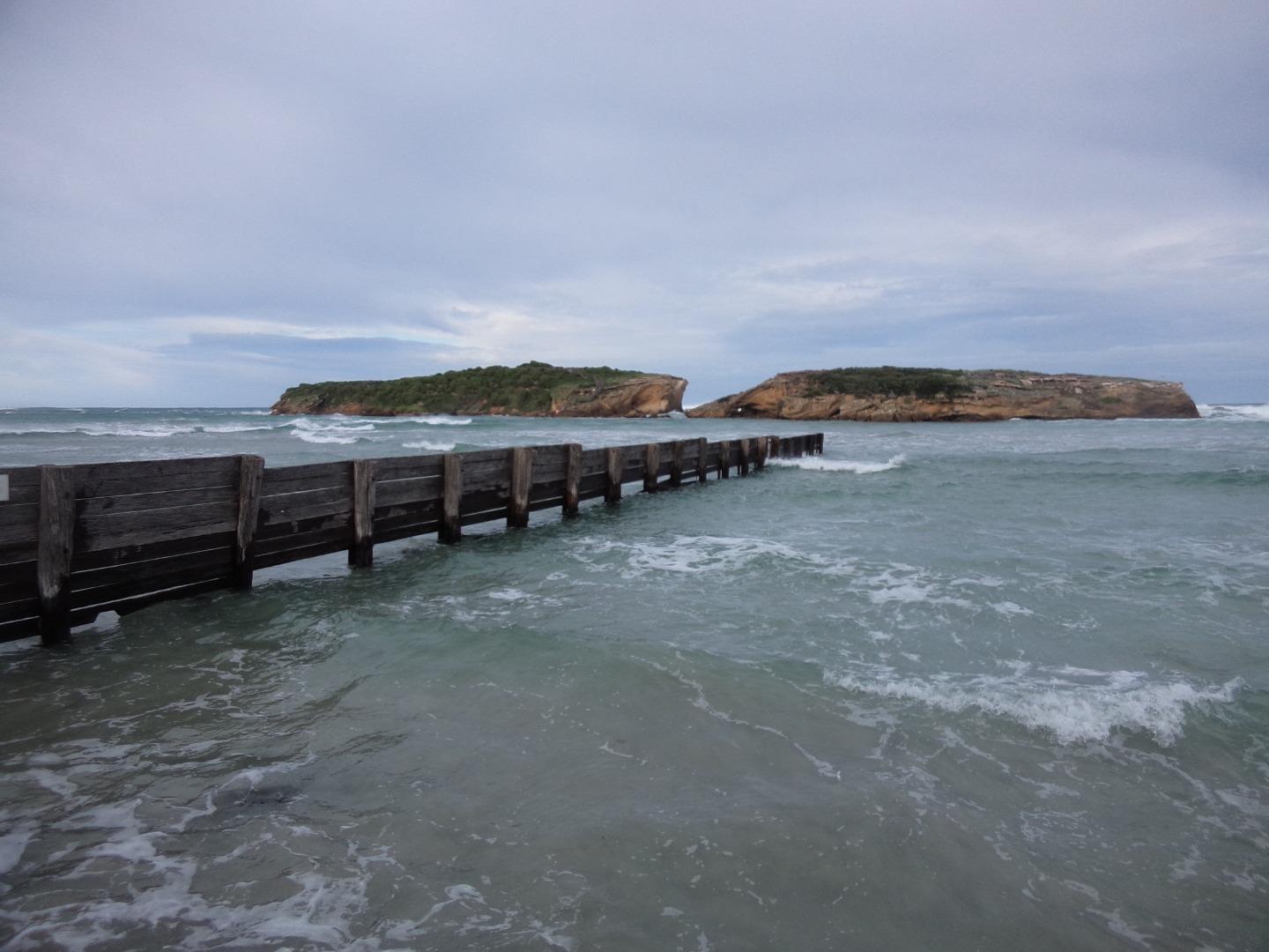
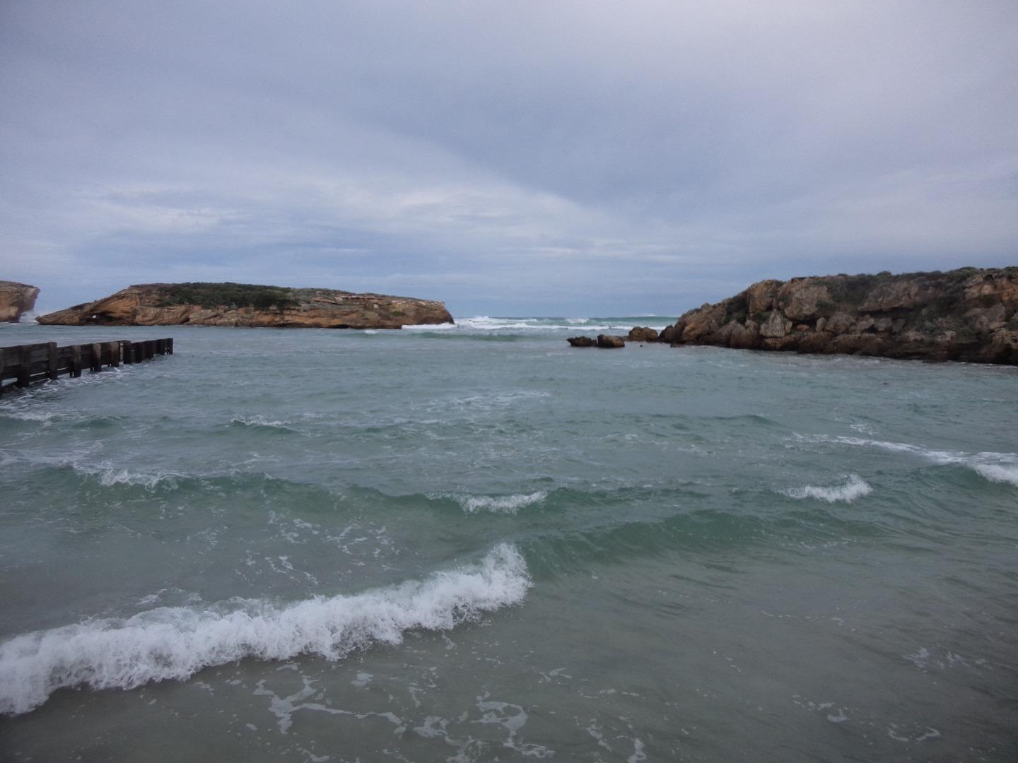
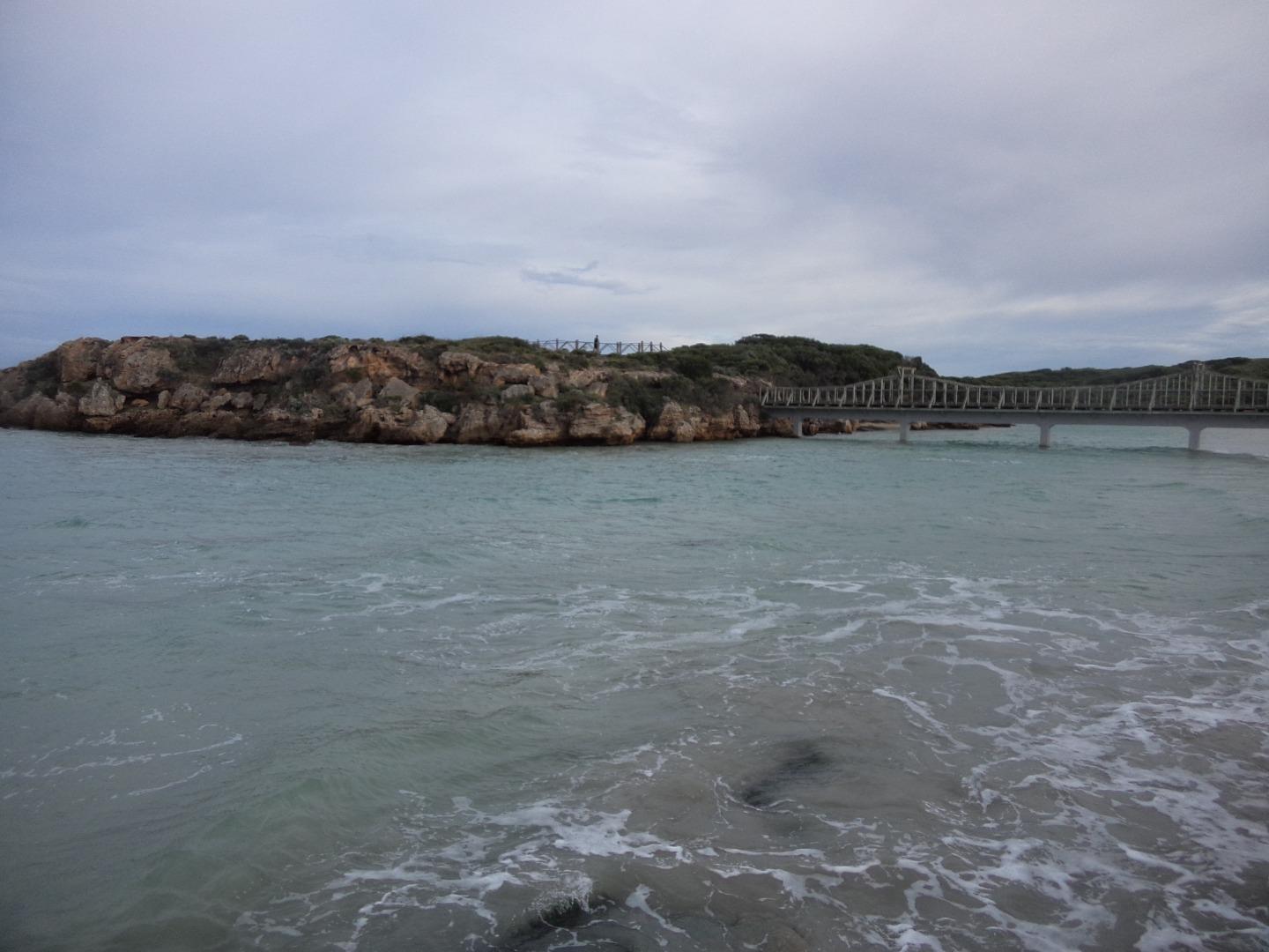
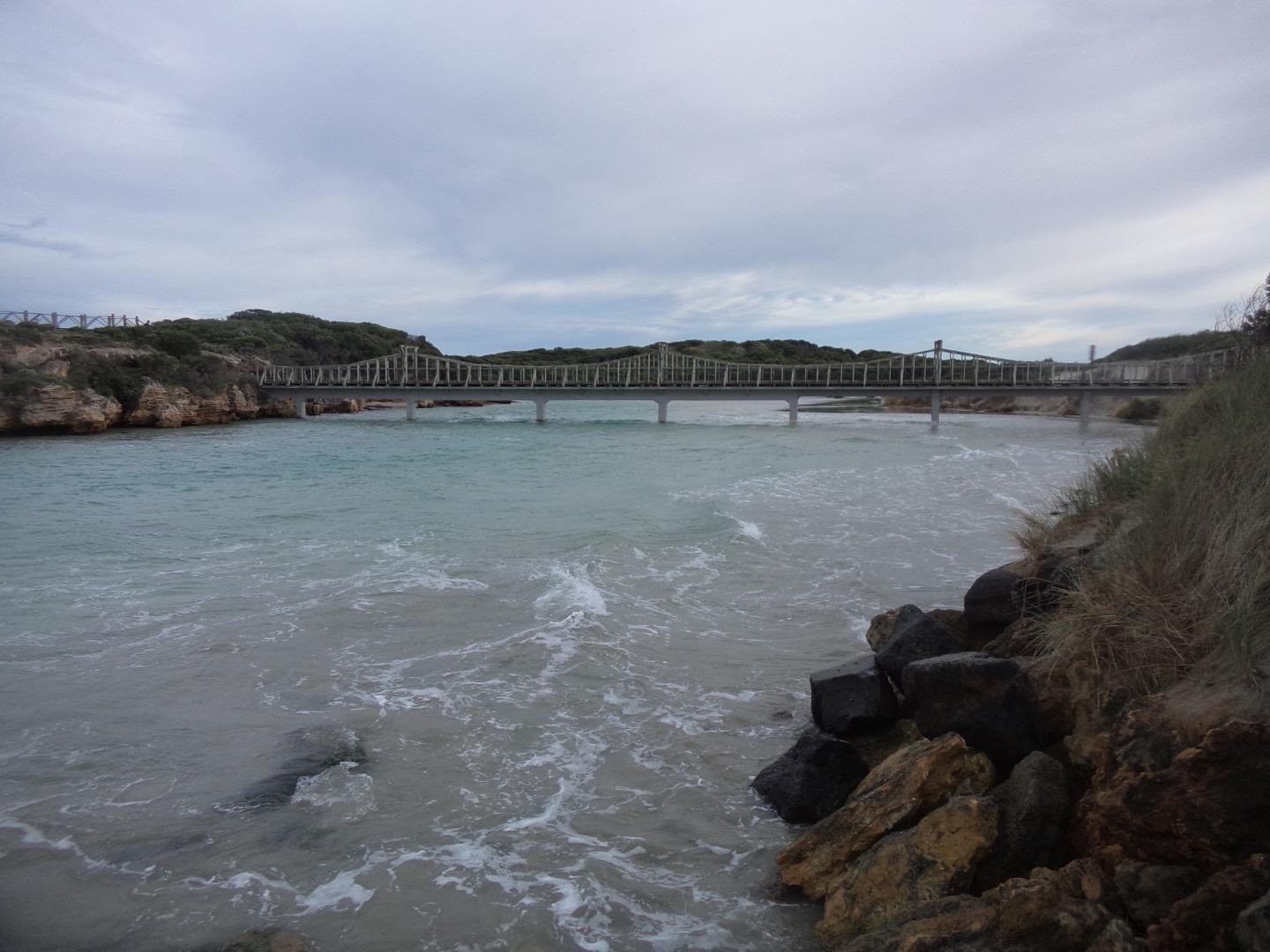
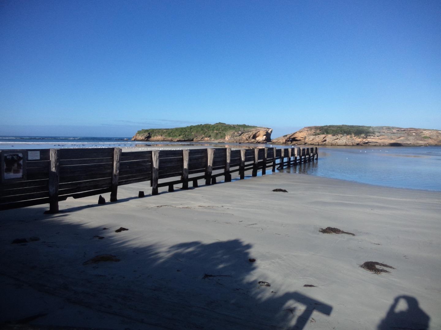
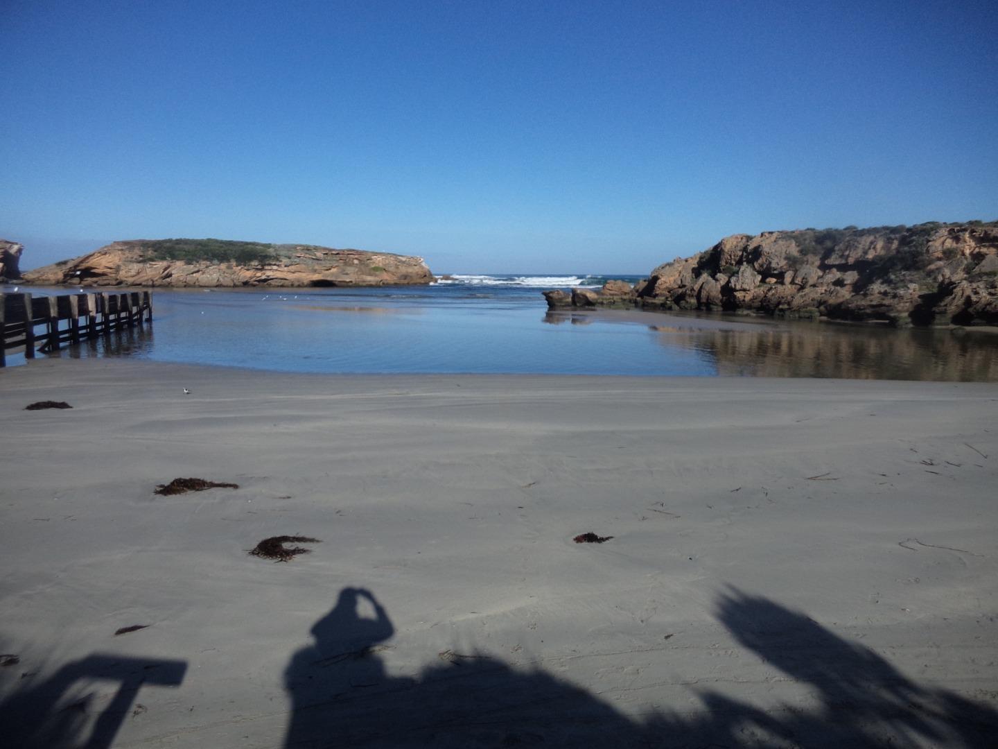
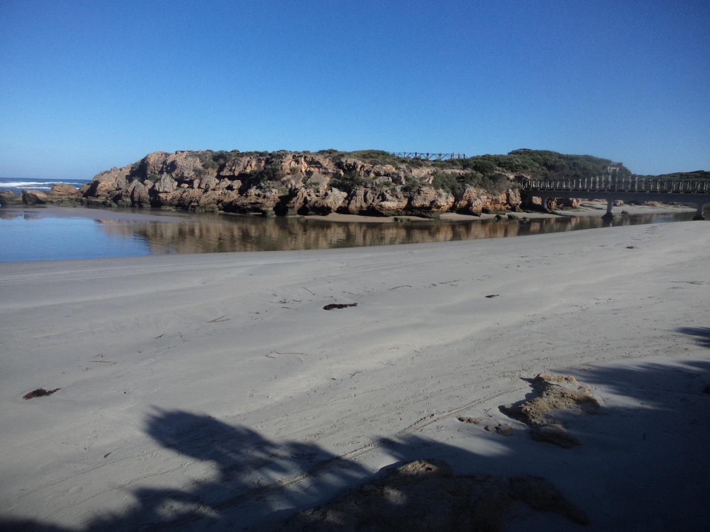
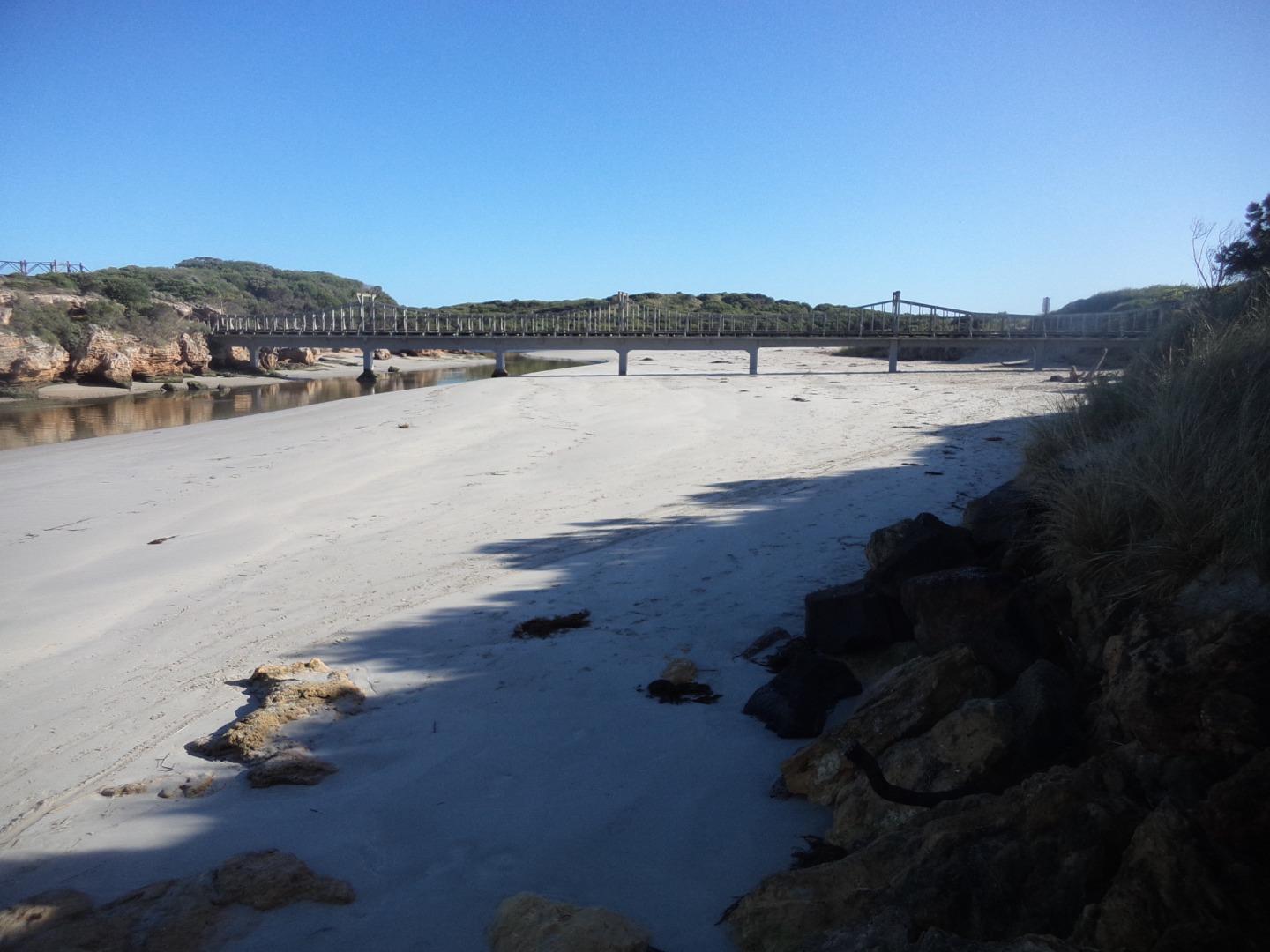
| Description | Photo is taken at the bottom of the beach access stairs near Emergency marker WCC112, Sting Ray Bay. |
| Site access | Travel south down Pertobe Road, turn left at the roundabout on to Viaduct Road and continue all the way down to the breakwater. Turn right and travel back up Viaduct Road along Sting Ray Bay and park at beach access stairs near Emergency Marker WCC112. |
| Land use |
|
| Land use description | |
| Status | Active |
| Observation history | 27-03-2014 - 15-04-2024 |
Photopoint photos
Photopoint Mp1 15-04-2024
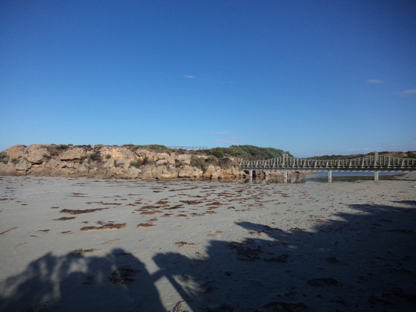
Photopoint Mp1 10-02-2024
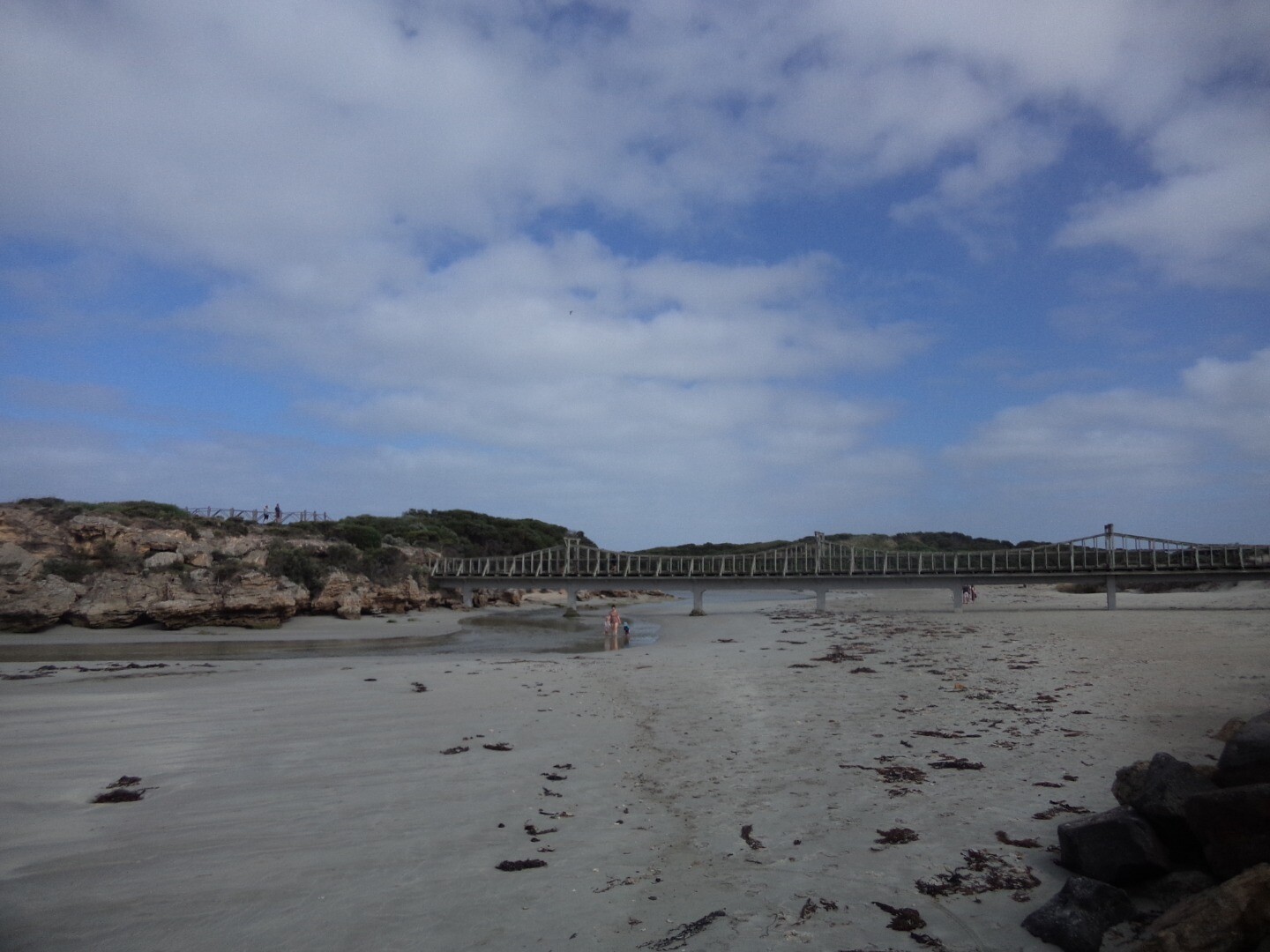
Photopoint Mp1 14-11-2023
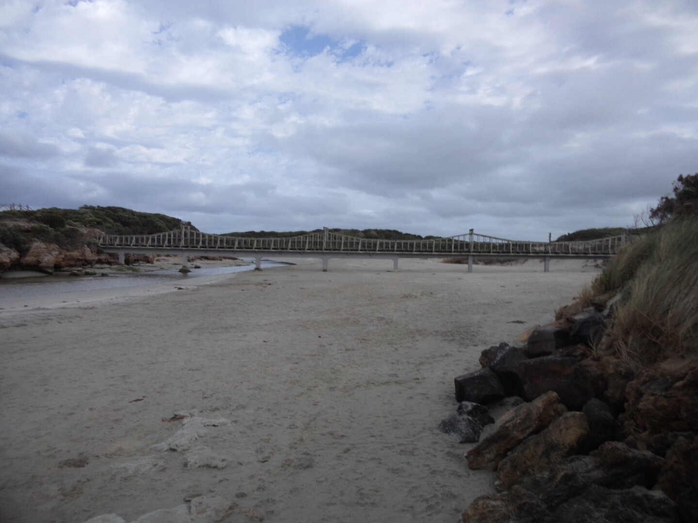
Photopoint Mp1 15-10-2023
Photopoint Mp1 18-09-2023
Photopoint Mp1 12-08-2023
Photopoint Mp1 17-06-2023
Photopoint Mp1 13-05-2023

All content, files, data and images provided by the EstuaryWatch Data Portal and Gallery are subject to a Creative Commons Attribution License
Content is made available to be used in any way, and should always attribute EstuaryWatch and www.estuarywatch.org.au